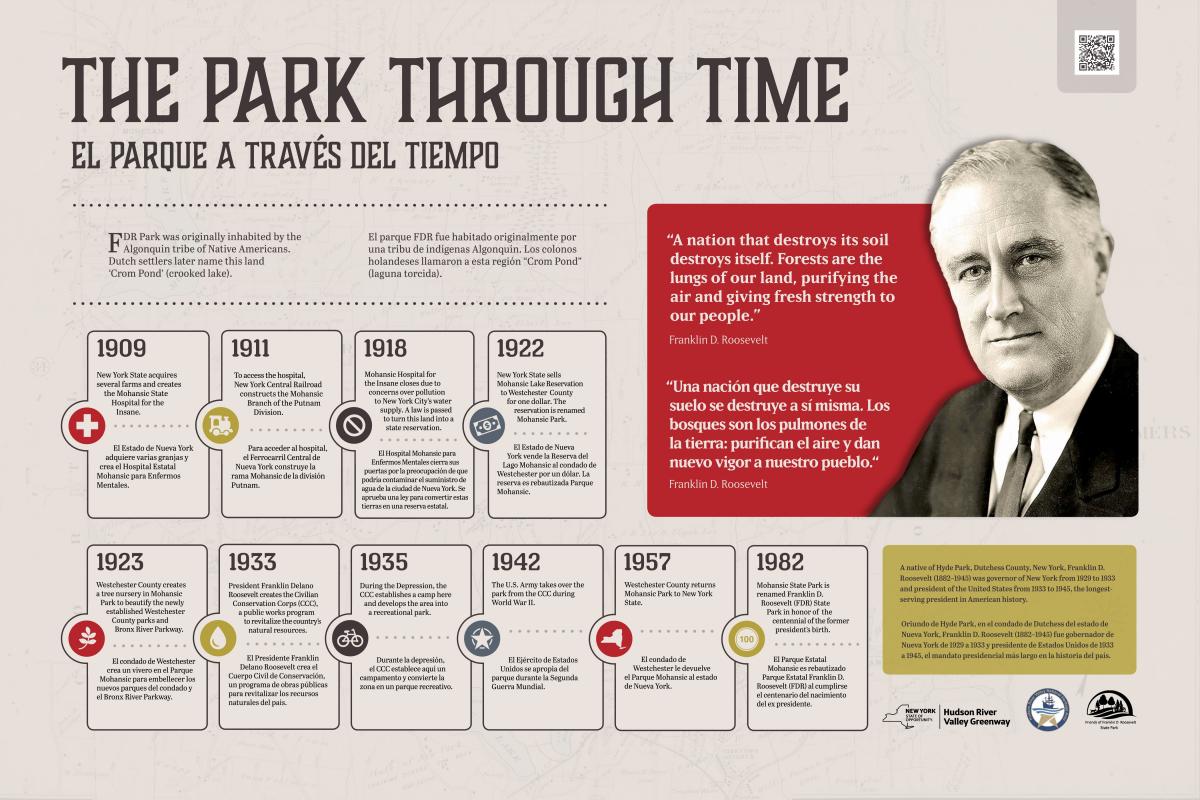
May 20, 2020 – Ossining, NY
Difficulty: Easy
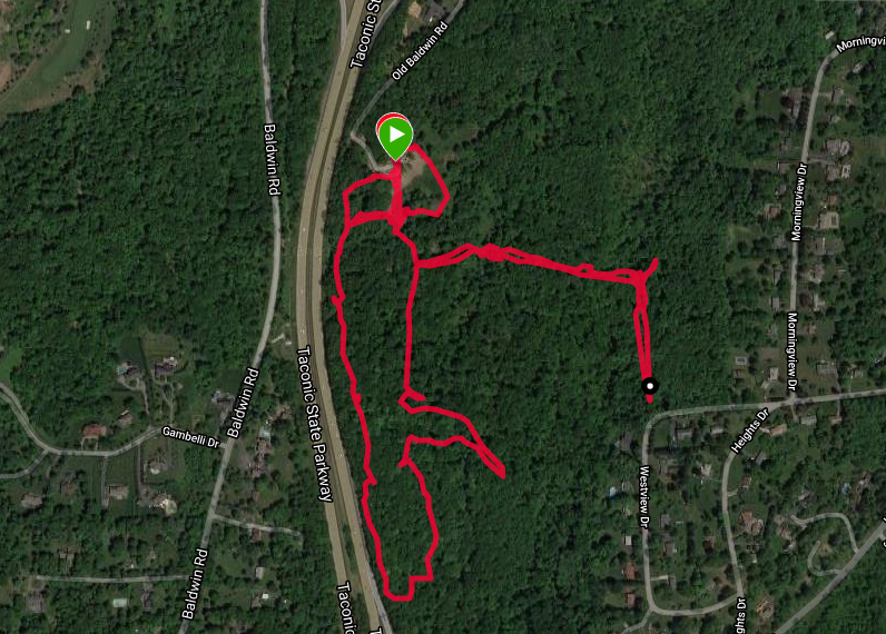
Length: Approximately 1.5 miles
Max elevation: 101 ft. – total elevation gain: approximately 98 ft.
Route type: Circuit
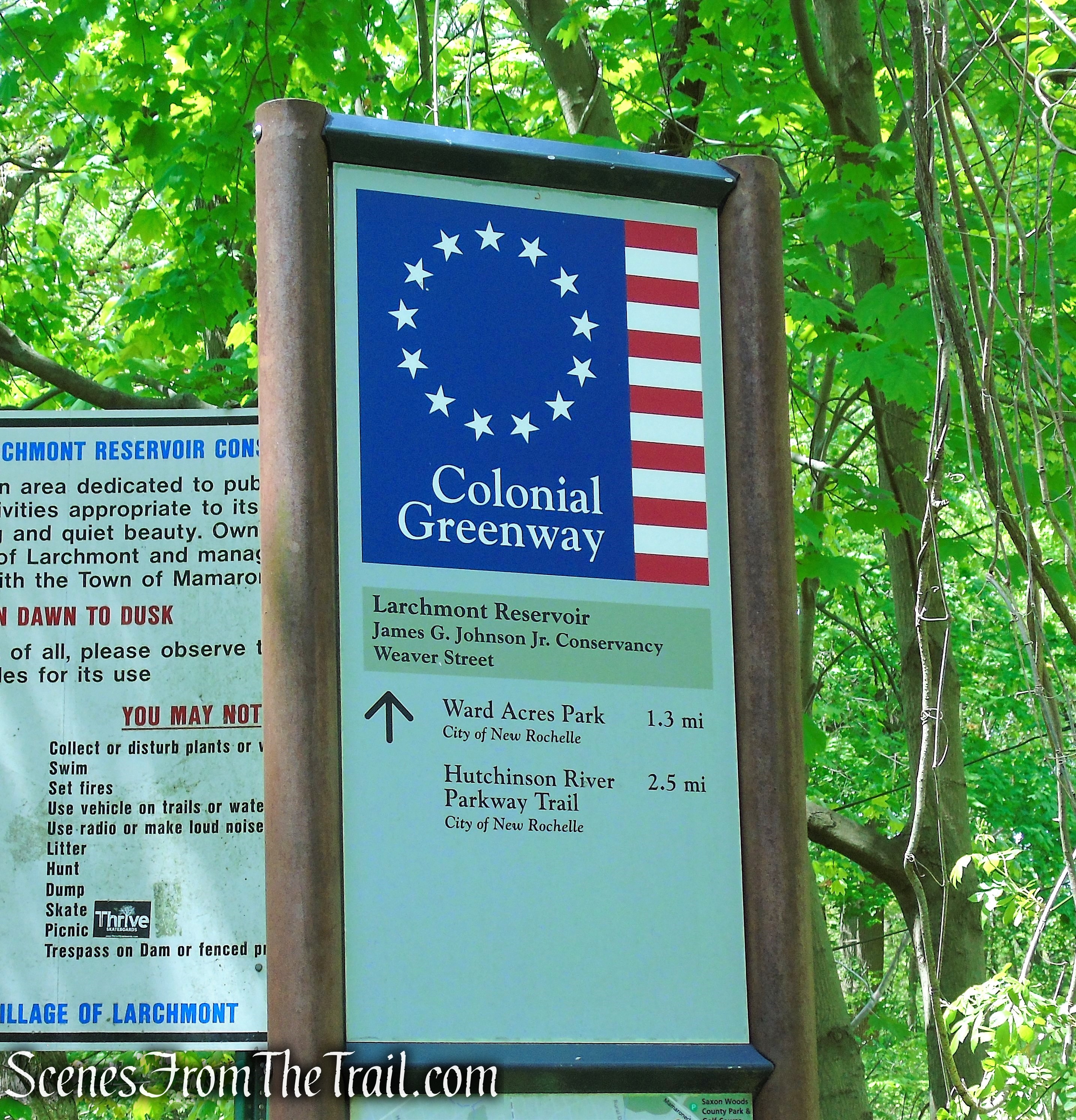
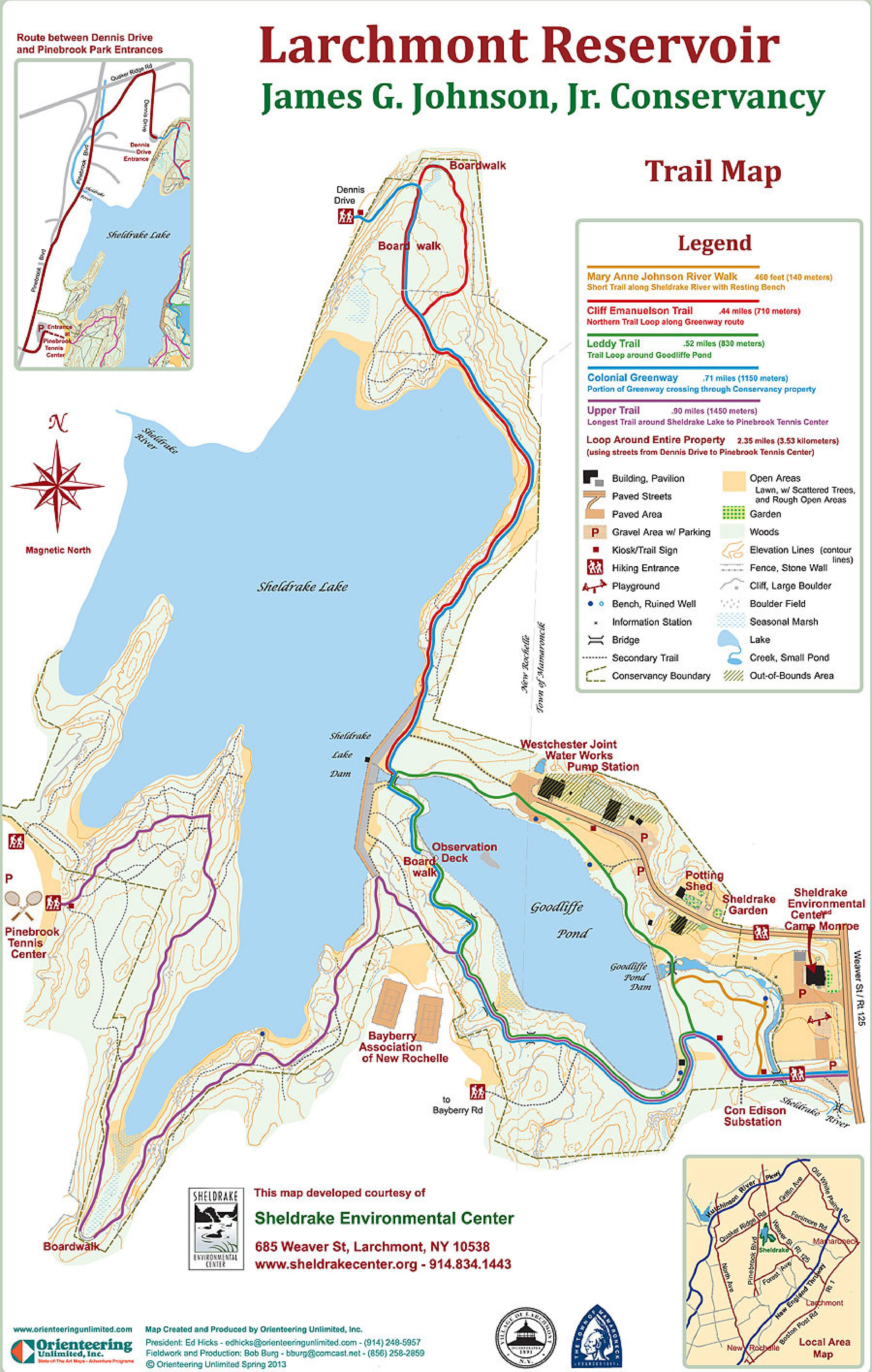
Maps: None available
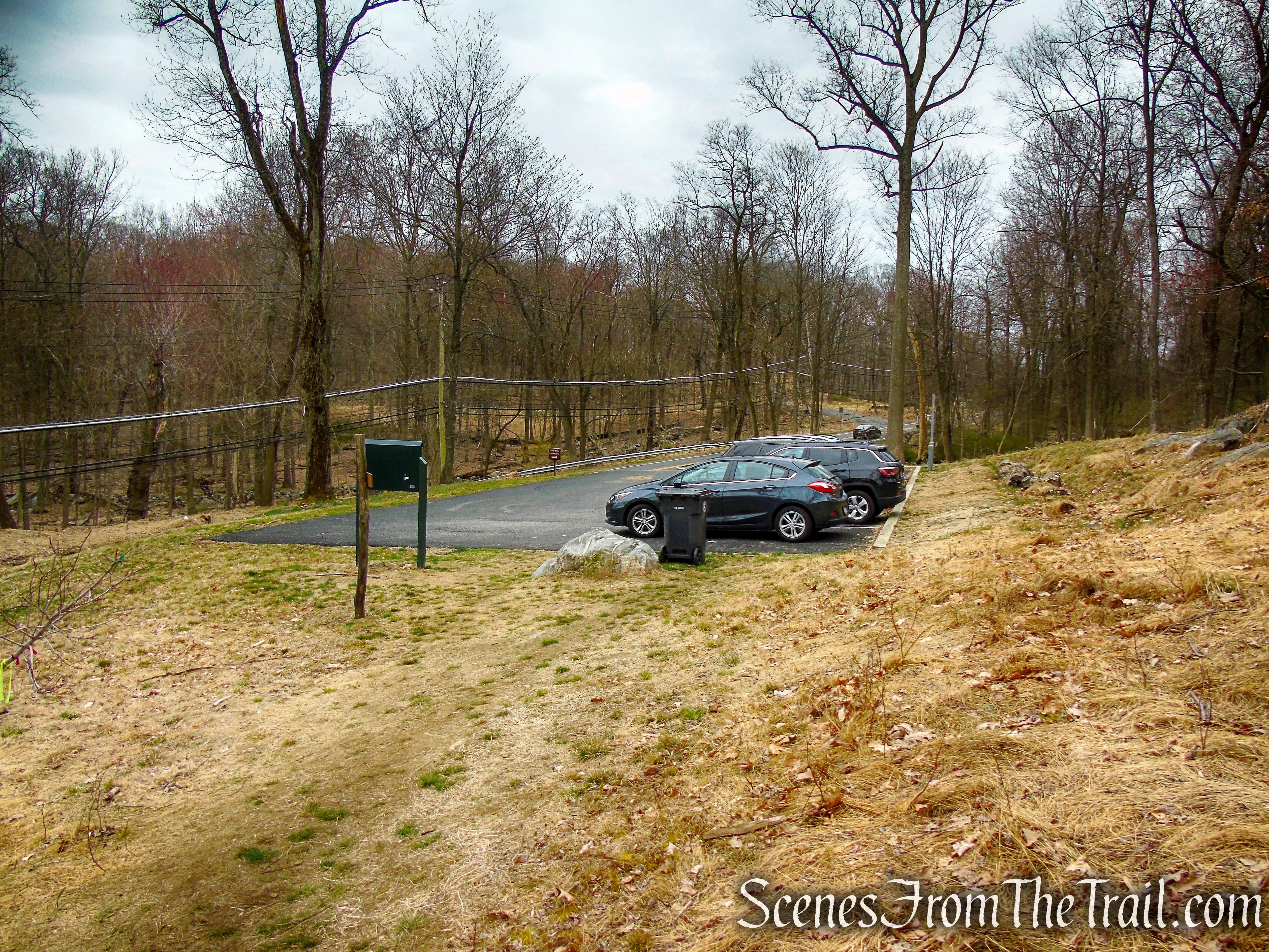
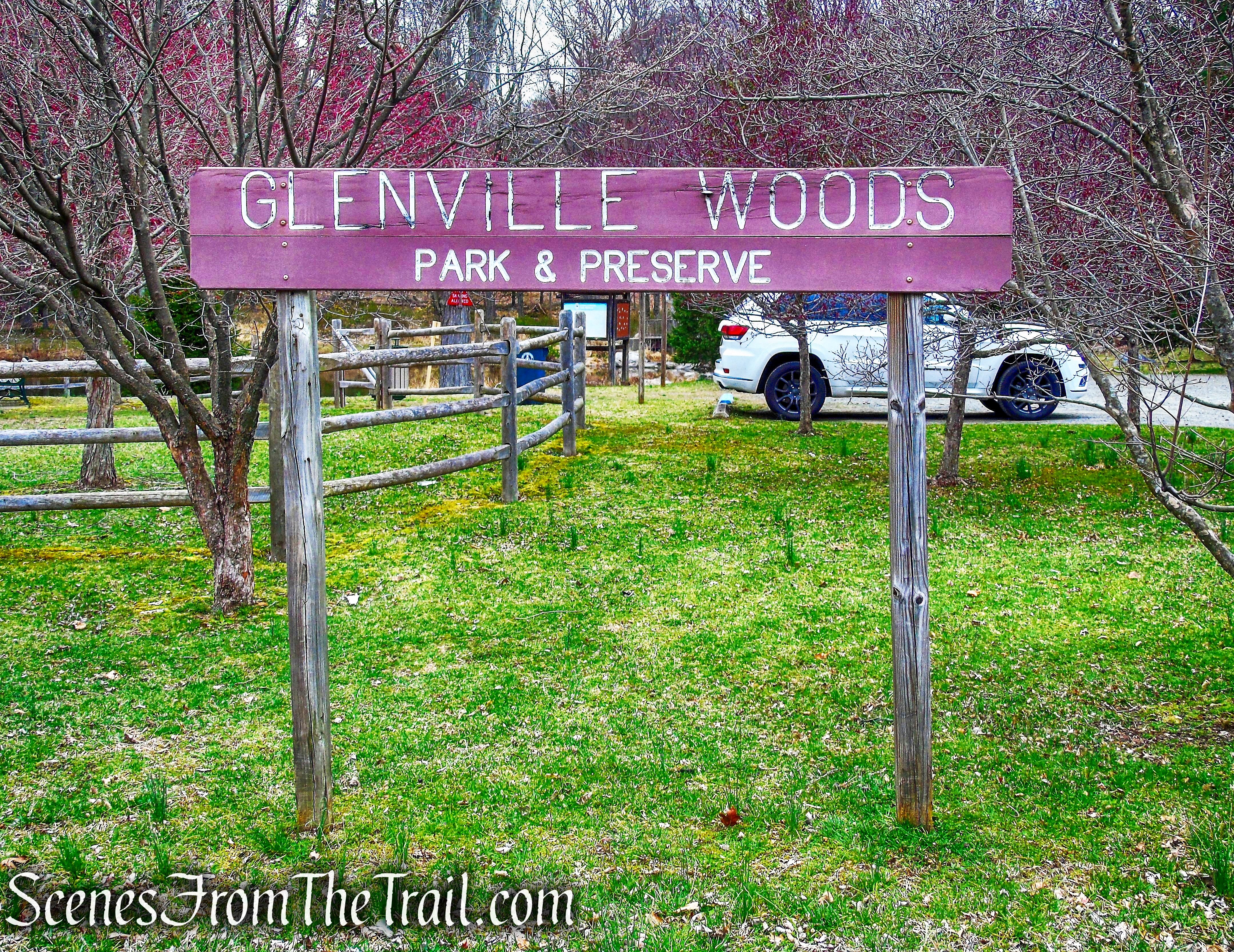
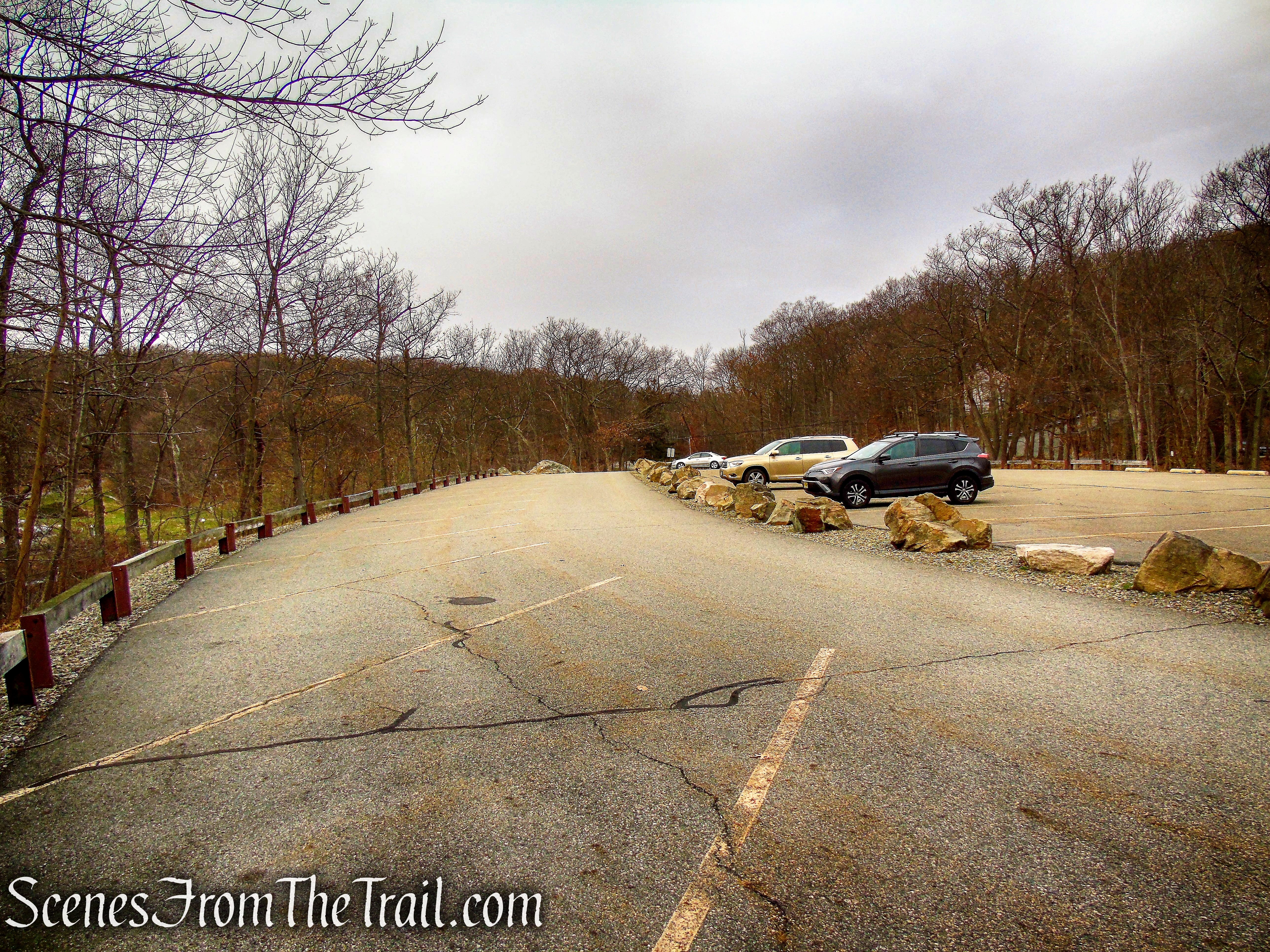
Trailhead parking: End of Beach Rd, Ossining, NY 10562
Park Overview:
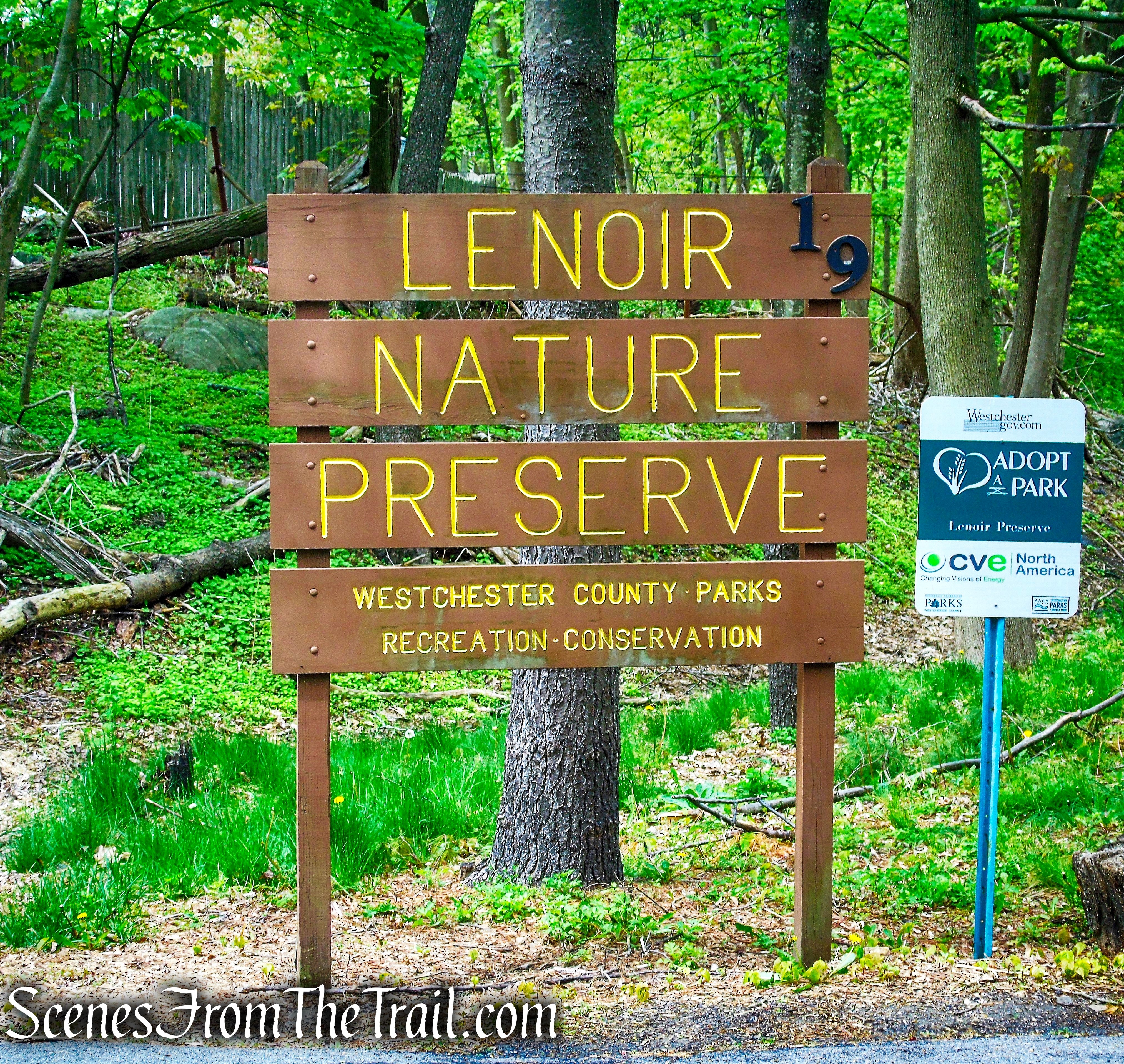
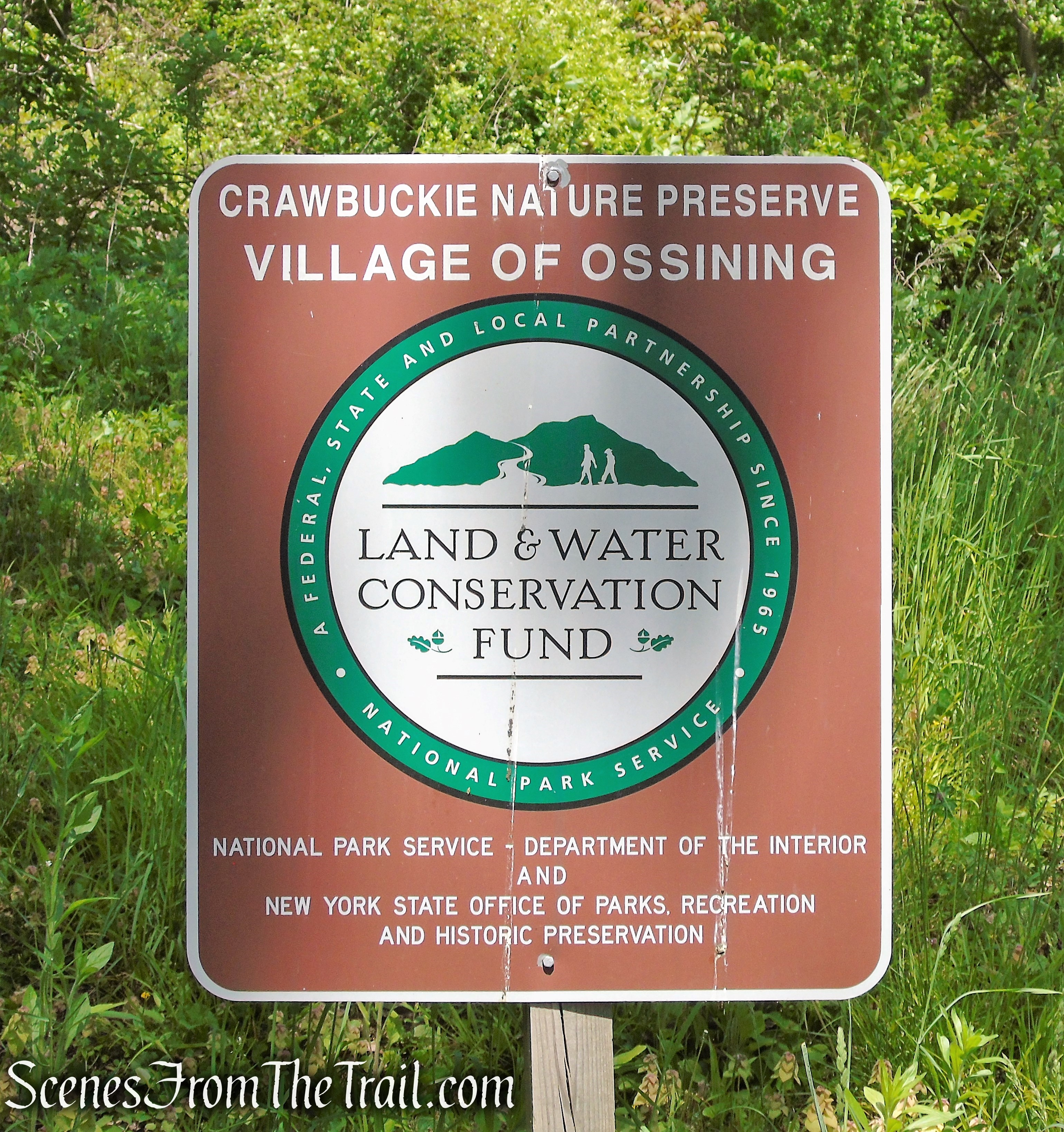
The Edward M. Wheeler Crawbuckie Nature Preserve is a 26-acre passive Village park that is located at the end of Beach Road on the river side of the roadway. The trails within the preserve will eventually be part of the Ossining segment of the larger Westchester RiverWalk trail system that will extend from Yonkers to the border of Putnam County when completed.
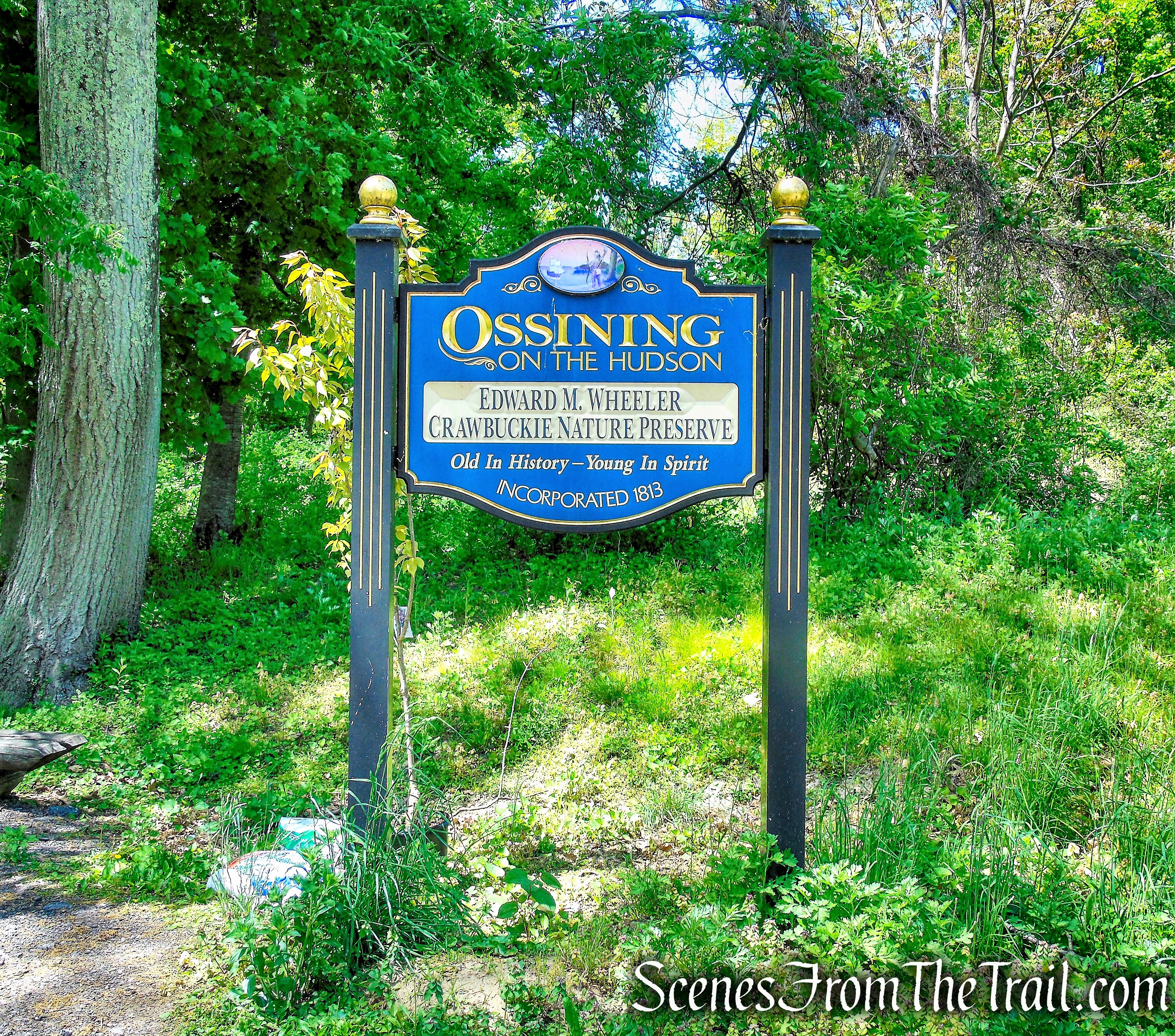
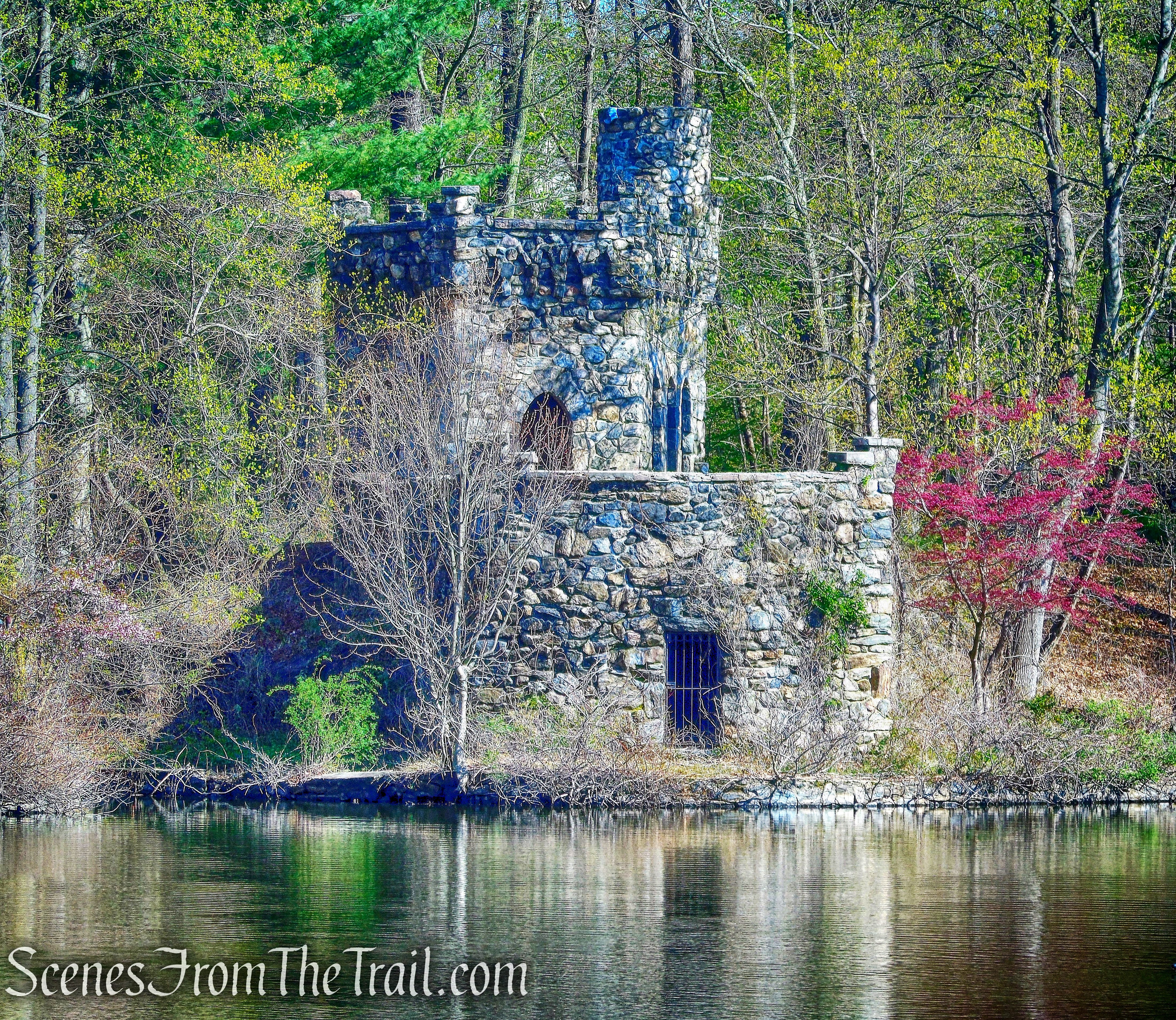
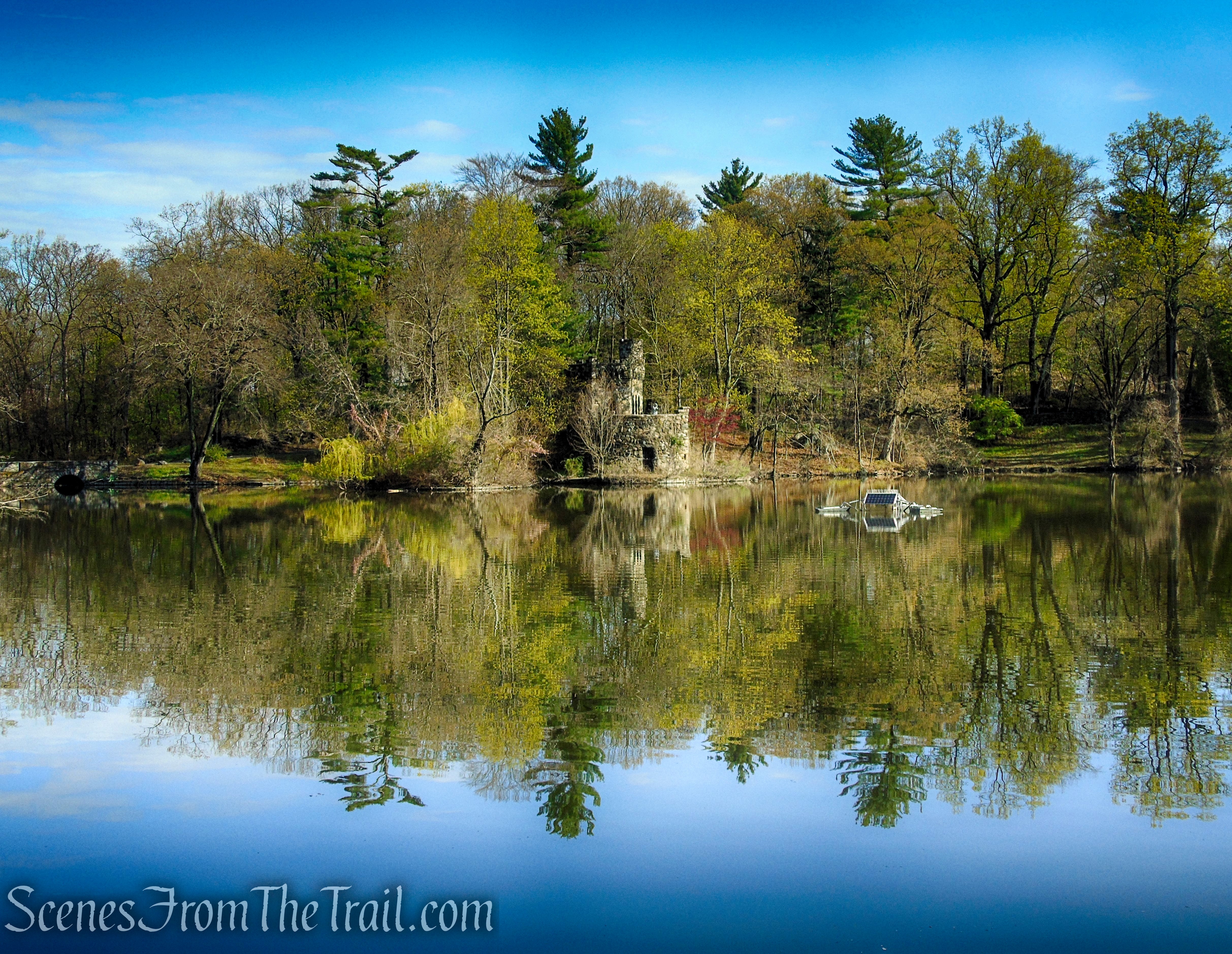
Edward M. Wheeler Crawbuckie Nature Preserve
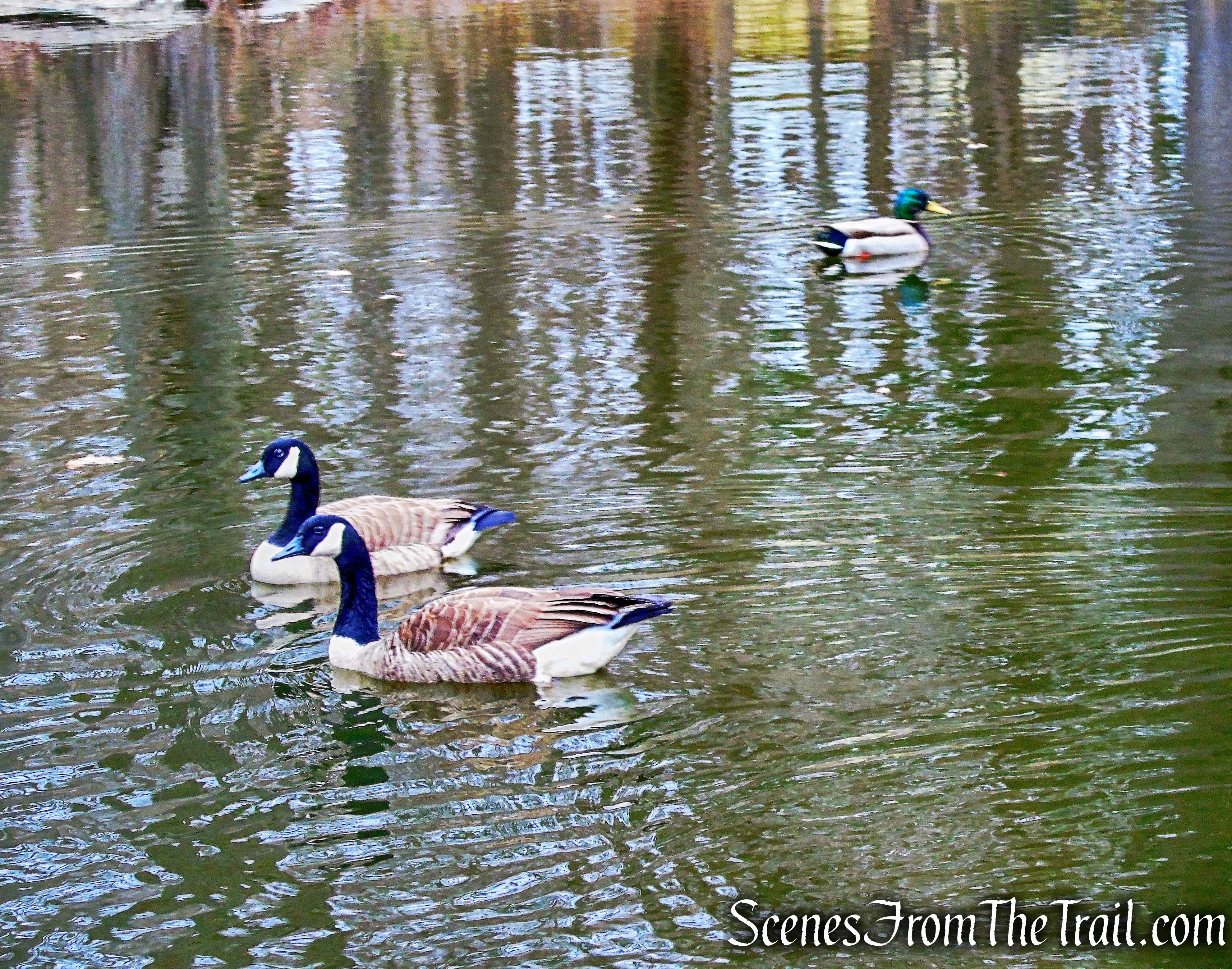
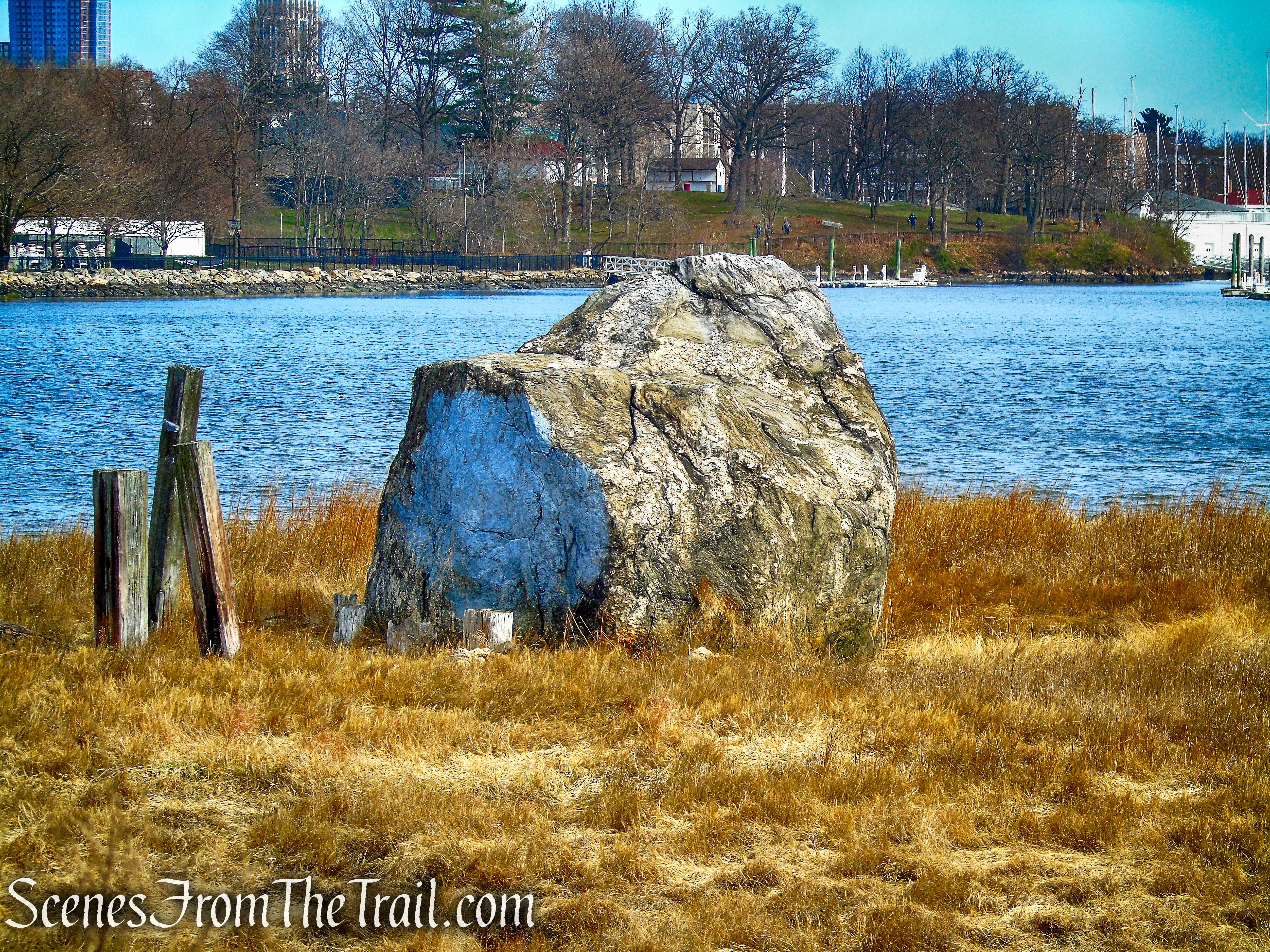
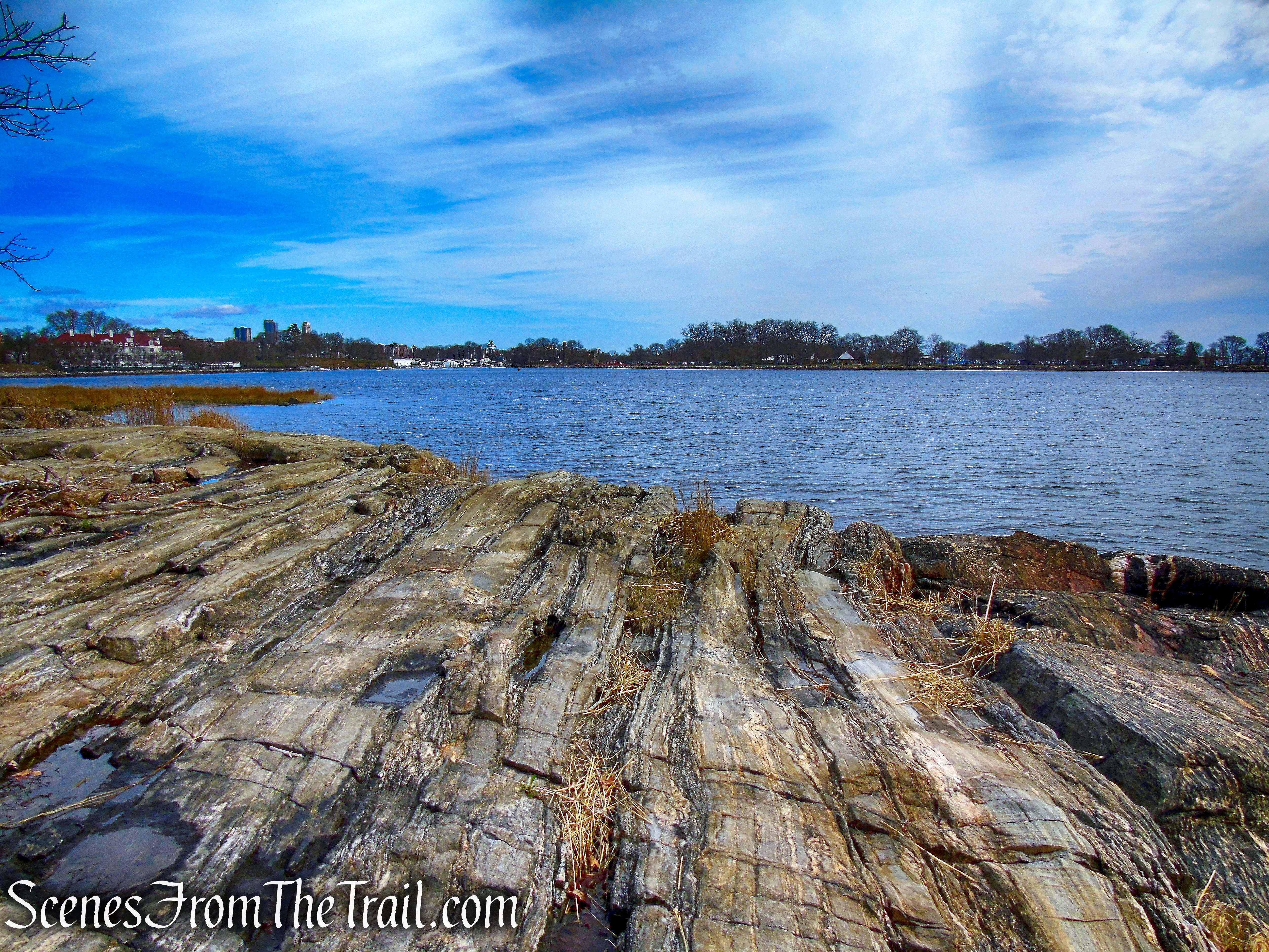
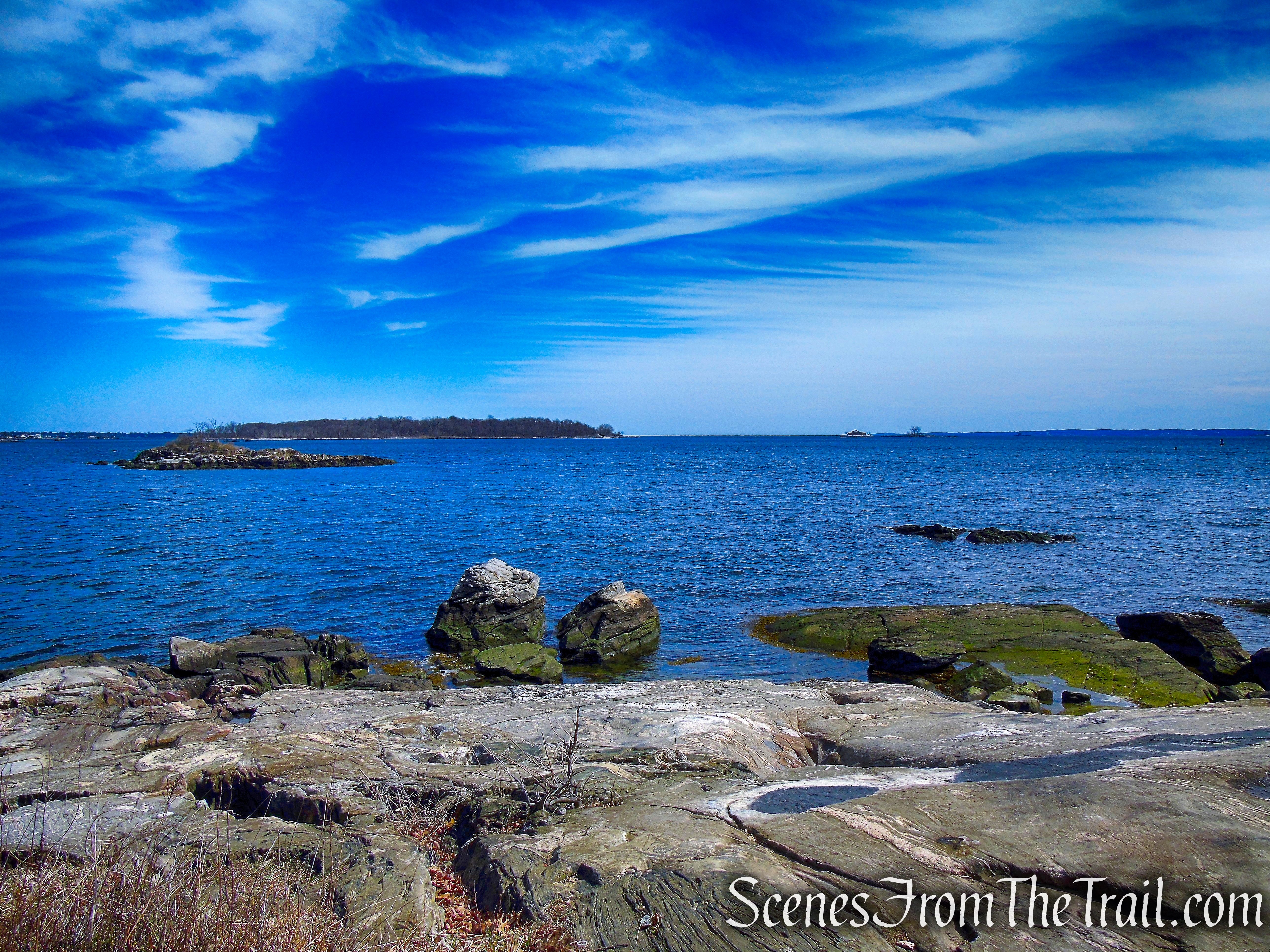
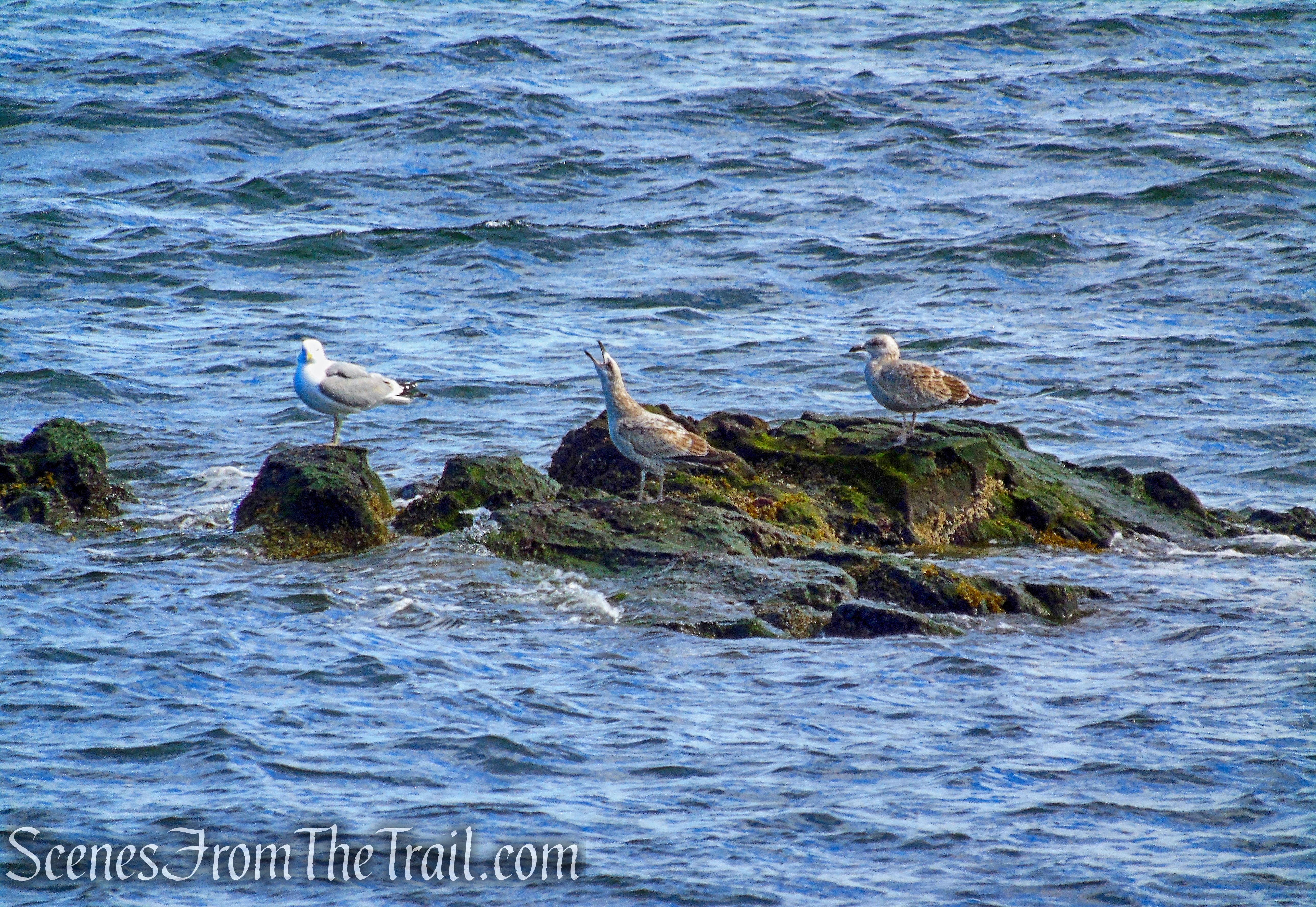
The preserve contains a number of unique trees and shrubs, making it of special interest to both naturalists and casual hikers. A person walking through the Crawbuckie Nature Preserve quickly forgets its proximity to development and feels the peace and tranquility of the woods while enjoying occasional glimpses of the river through the trees.

Crawbuckie Nature Preserve
History:
It is believed that Crawbuckie, also spelled Crawbucky, is of Dutch origin meaning “Crab Cove.” It was used to describe the mile of Hudson River shoreline in Ossining, south of the Croton River.
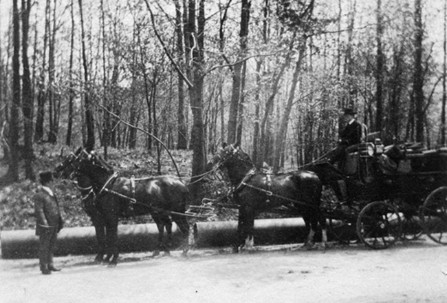
In the 1800’s, the property was owned by Benjamin Brandreth (1807-1880), a pioneer in the early use of mass advertising to build consumer awareness of his product, the “Vegetable Universal Pill,” a purgative that allegedly cured many ills by purging toxins out of the blood. He became a successful and wealthy businessman, bank president, and New York State Senator.

Dr. Brandreth’s Pills
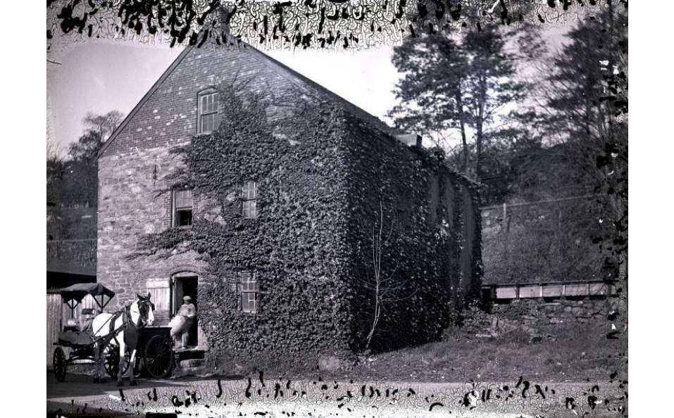
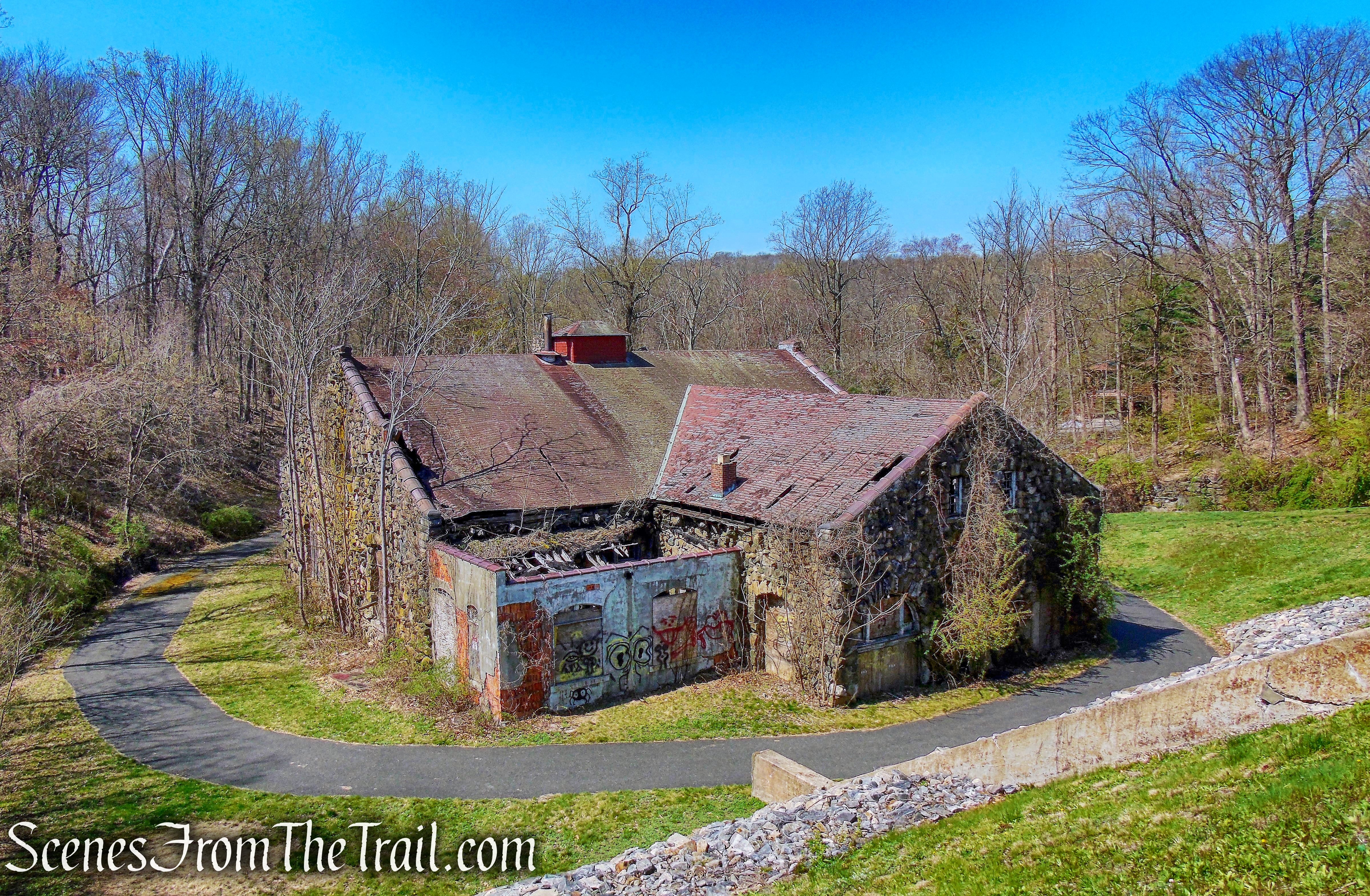
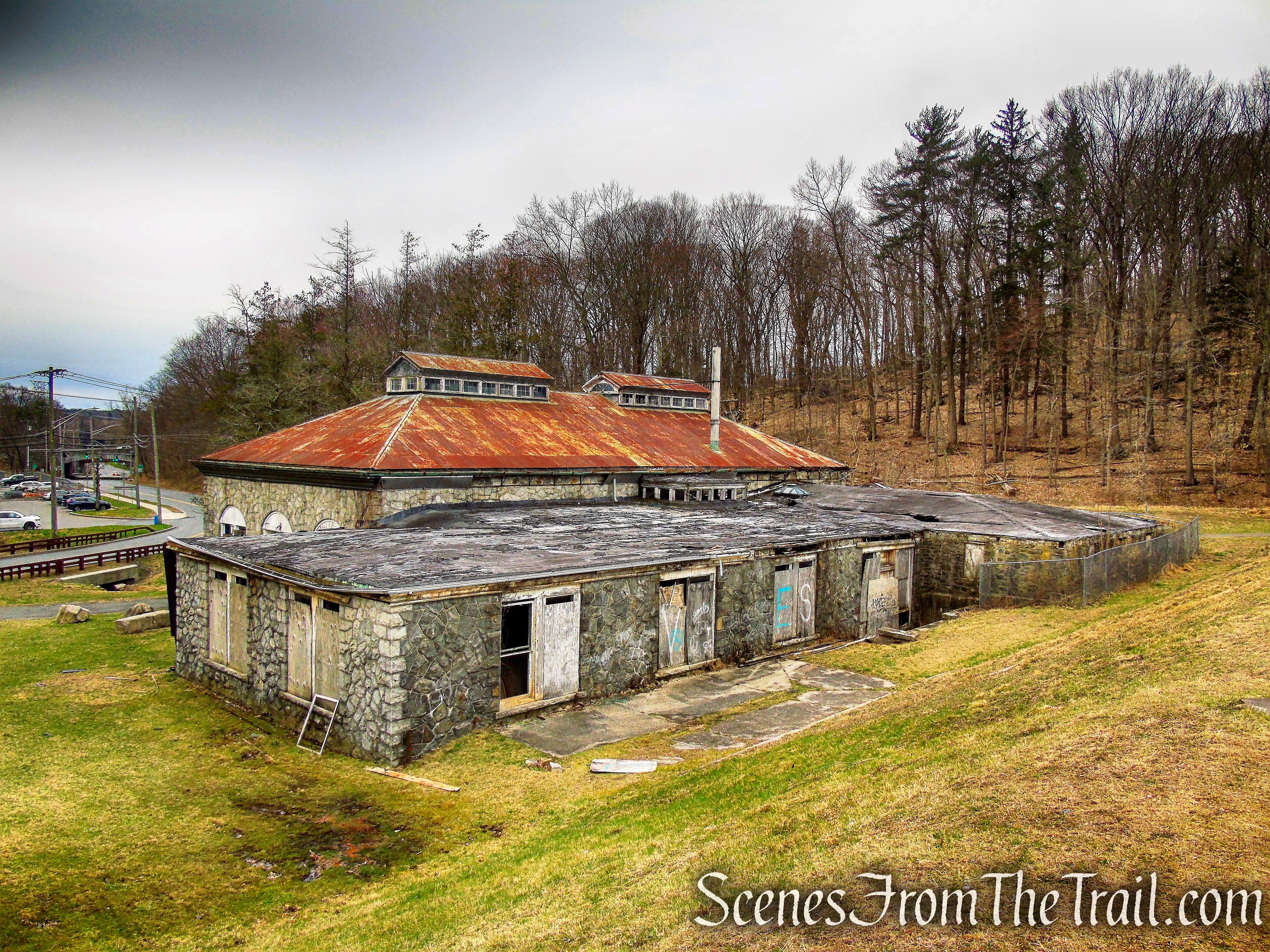
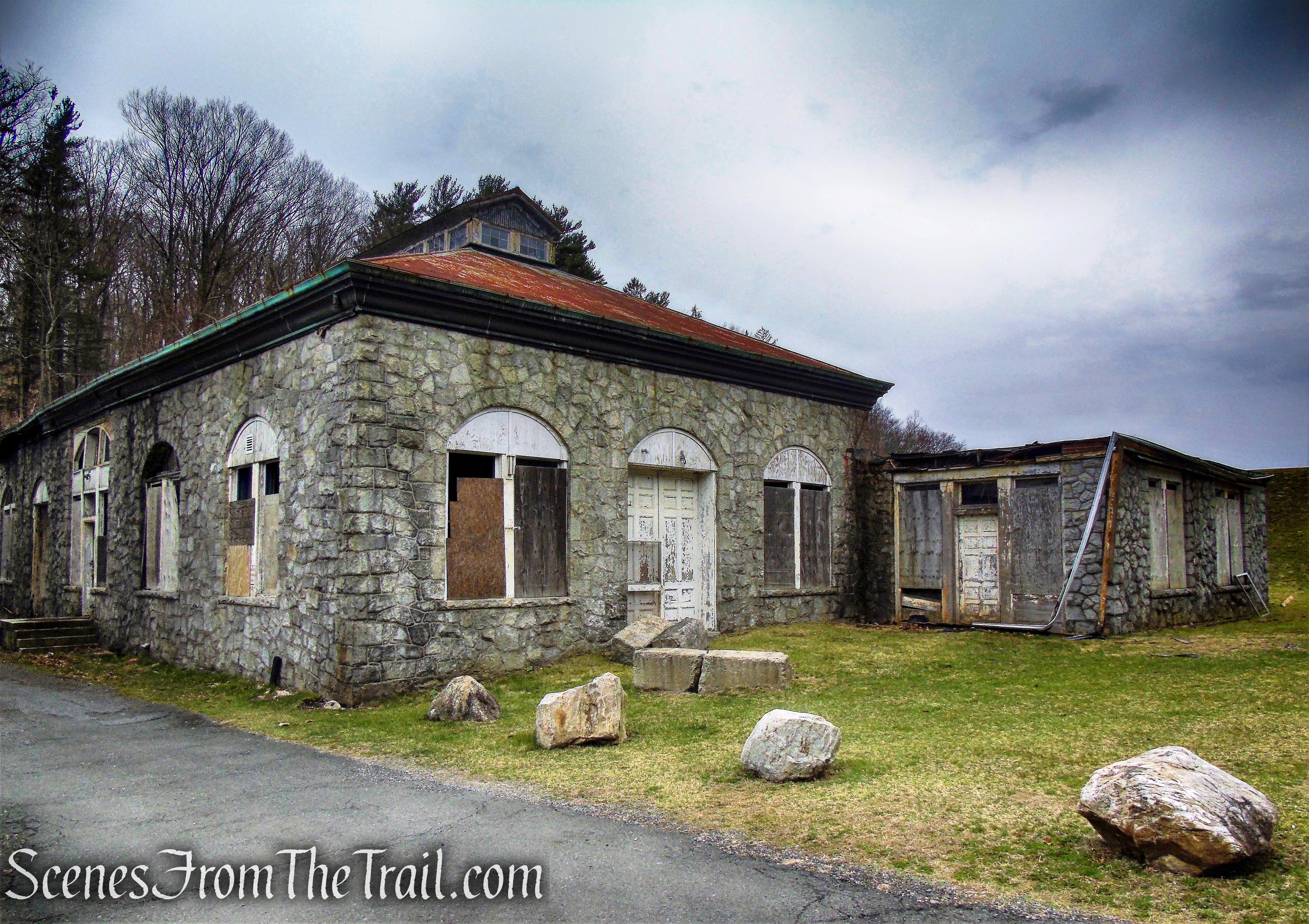
In 1837 he constructed a factory along the Hudson River in what was then the village of Sing Sing. The Brandreth Pill Works expanded and absorbed Allcock’s Porous Plaster in 1848 and eventully became the Allcock Manufacturing Company, producing pills and porous plaster, a medicated plaster bandage that was said to bring relief from aching muscles, rheumatism, neuralgia, sprains and bruises. The Allcock Manufacturing Company, manufactured the Havahart Trap, an animal trap that captures rather than kills. The factory was demolished in 2015.

Brandreth Pill Factory
Between 1862 and 1863 Brandreth’s average annual gross income surpassed $600,000. For fifty years Brandreth’s name was a household word in the United States. Indeed, the Brandreth pills were so well known they received mention in Herman Melville’s classic “Moby Dick.”

Brandreth’s Pills ad
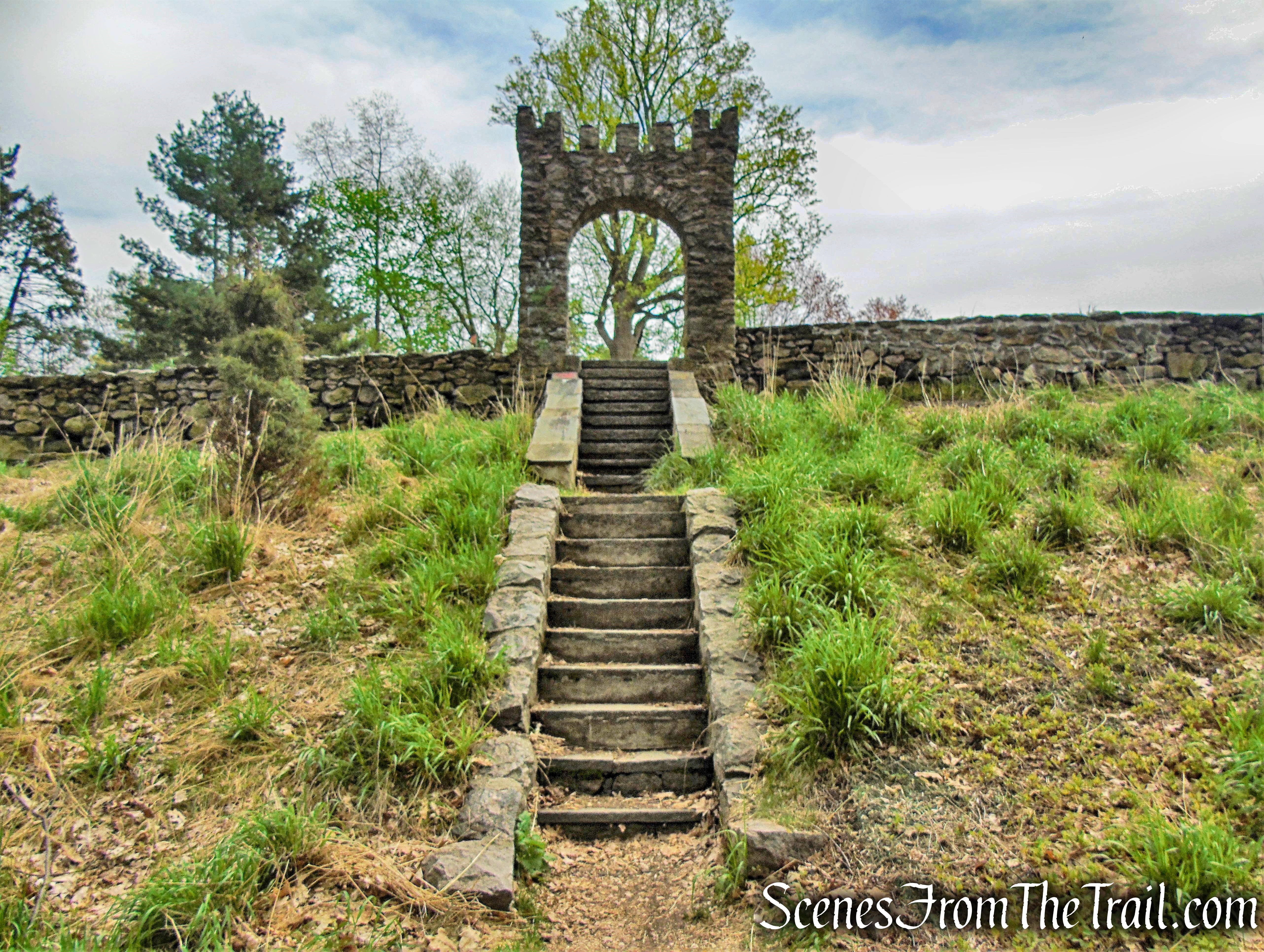
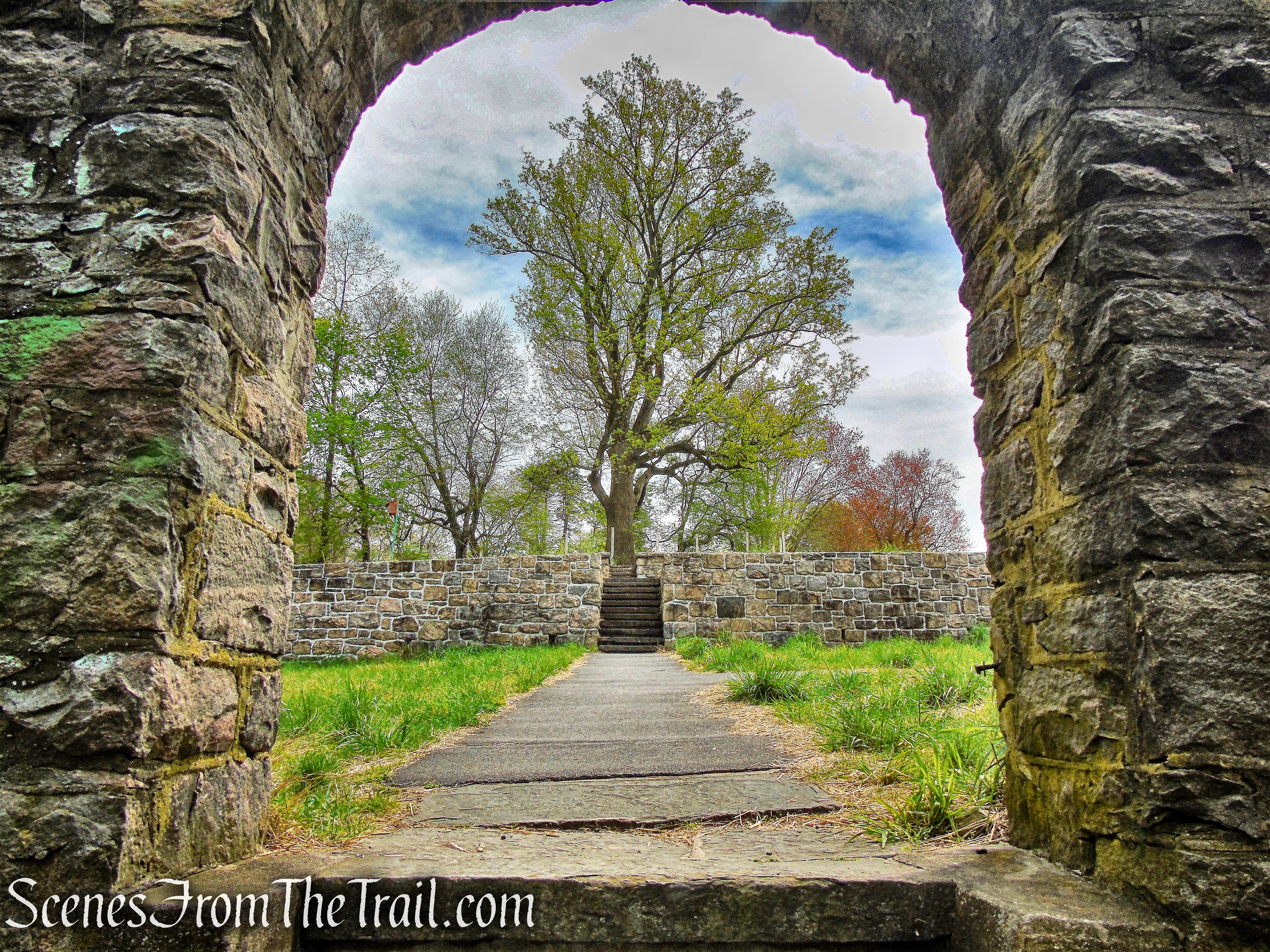
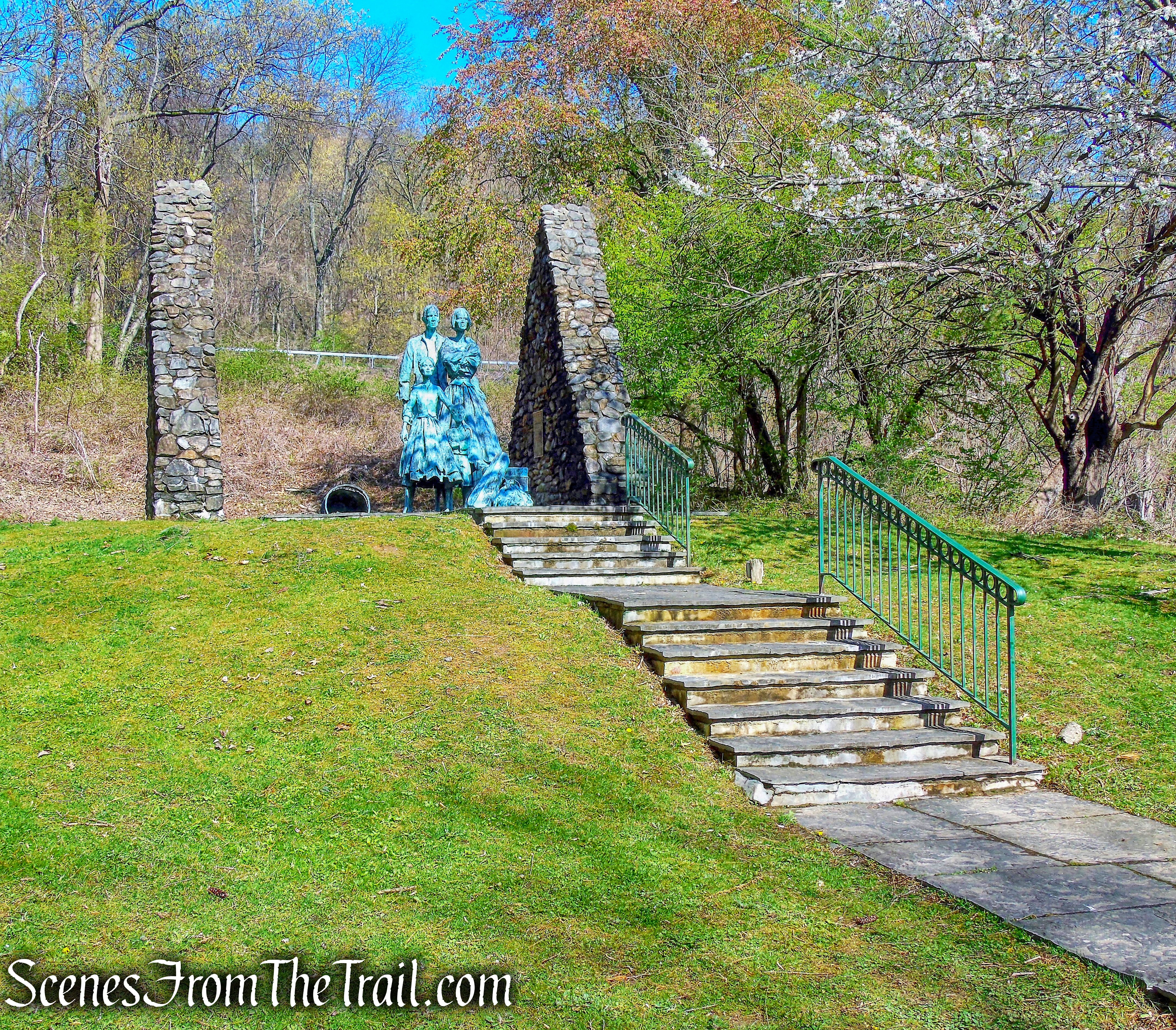
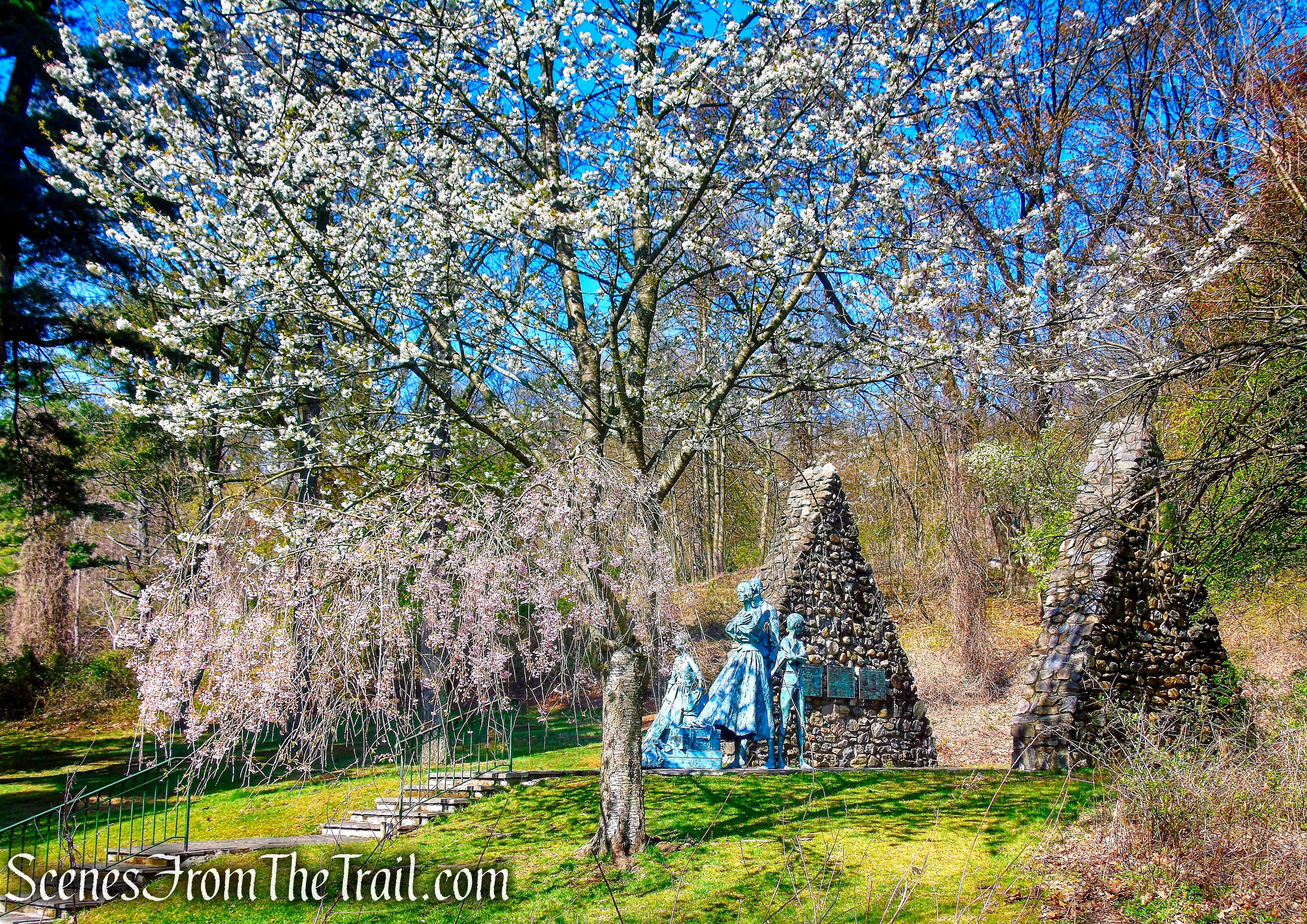
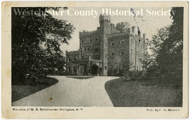
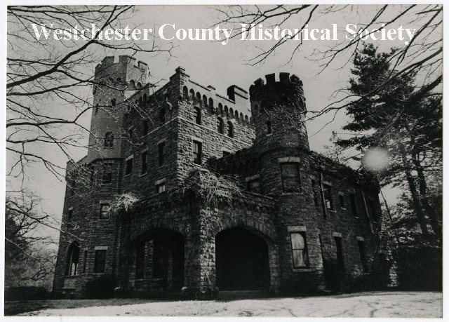
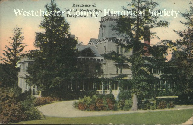
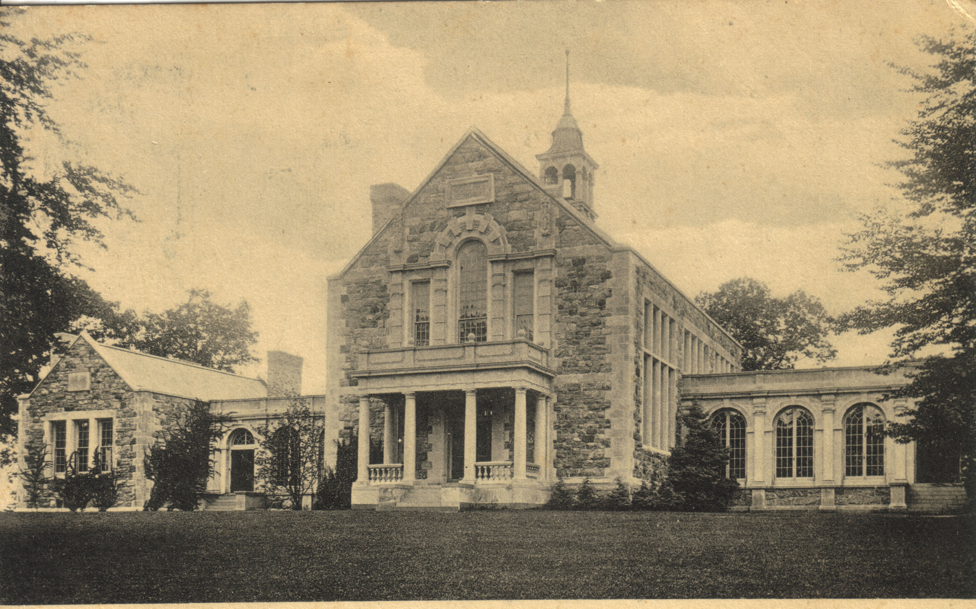
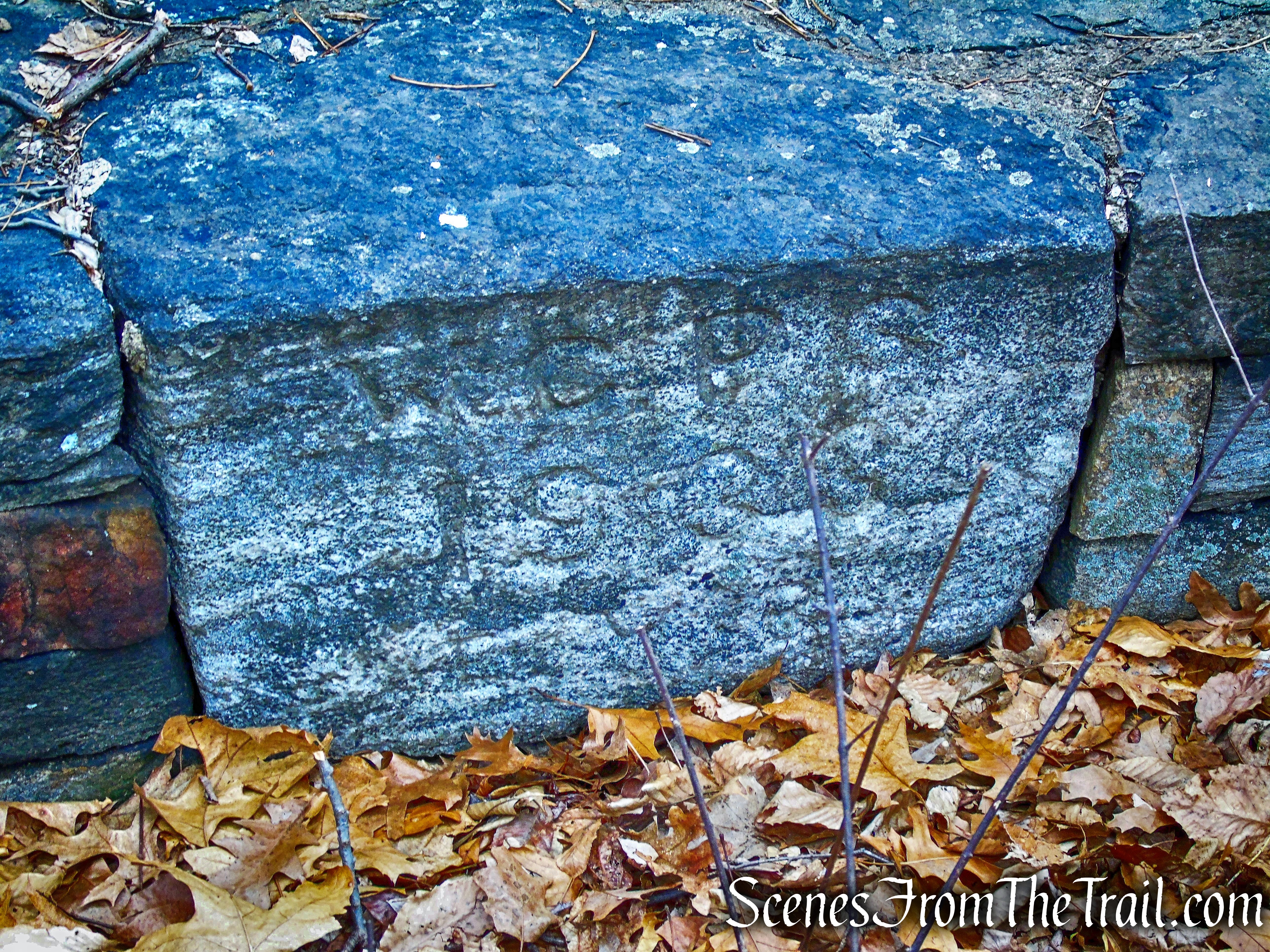
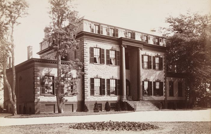
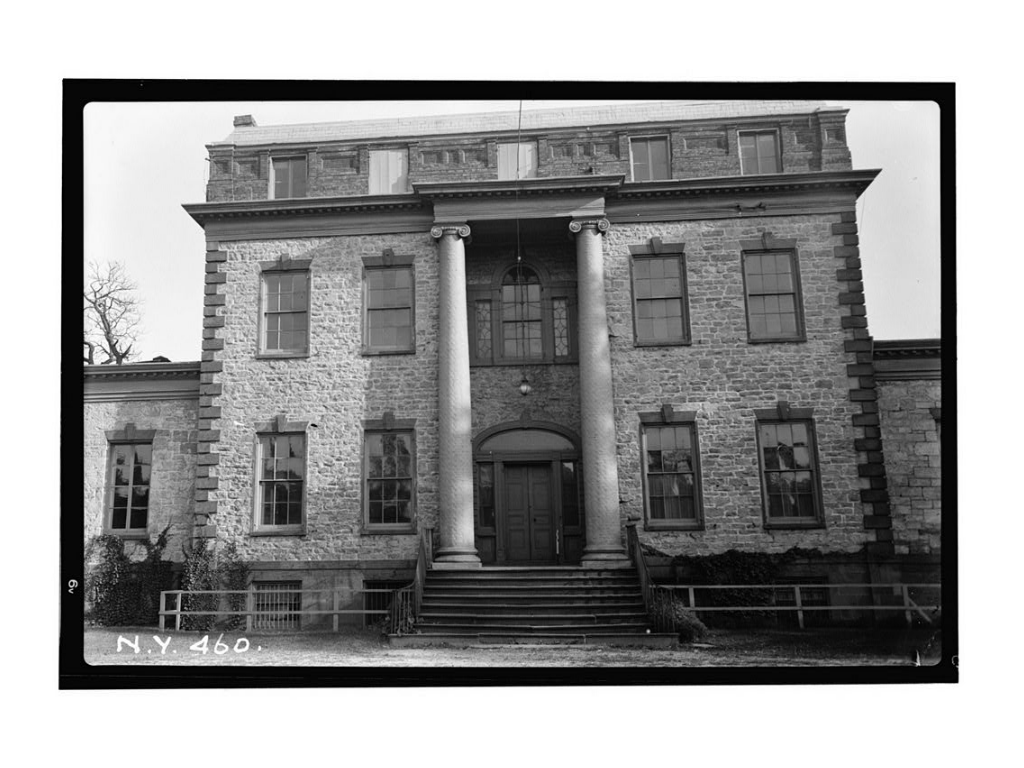
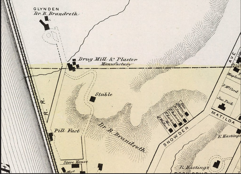
Glyndon, the Brandreth mansion was built on the property next to the factory. This Frederick W Beers map from 1867 shows roughly some of the area of the Crawbuckie Nature Preserve in Ossining. Glyndon, the home of Dr. Benjamin Brandreth no longer stands but some of the large trees of the estate still do.
Glyndon – Brandreth property
Calvin Pollard (1797-1850) designed Brandreth’s second home ‘Glyndon” in 1848. Influenced by the decorative ironwork of homes in New Orleans, Benjamin Brandreth incorporated large verandas with fanciful gingerbread trim into the design of Glyndon. Situated close to the railroad tracks, the mansion contained 35 rooms and 18 baths, unheard of in a house built in 1850. The mansion was demolished in 1930.
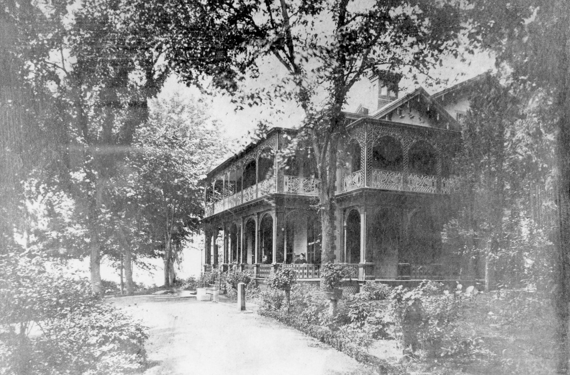
Glyndon – image courtesy of the Ossining Historical Society
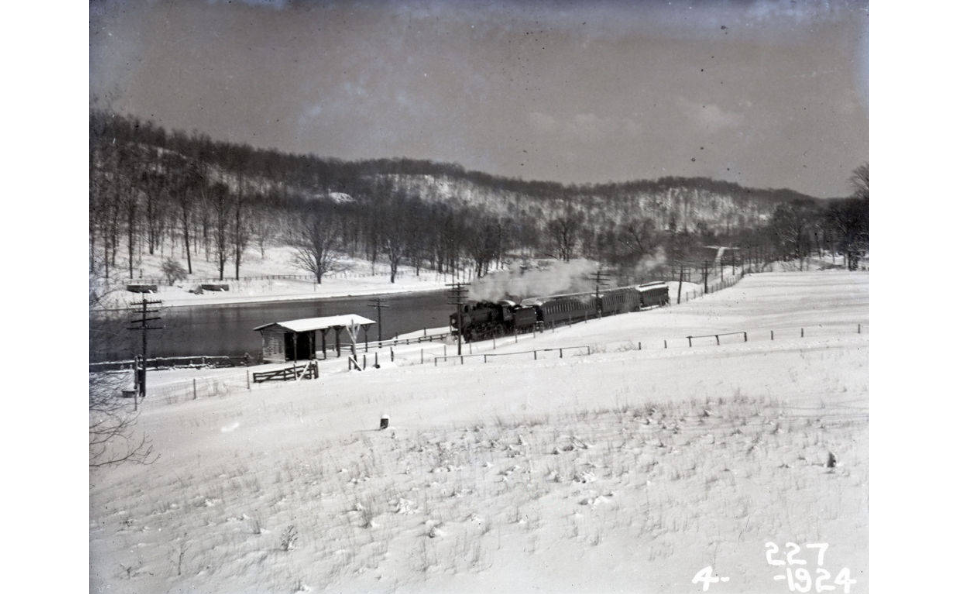
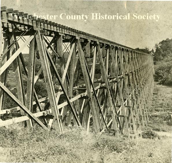
In 1967 the Crawbuckie property was purchased by the Village of Ossining from the federal government to provide a publicly-owned recreational area. The land had been intended as an interchange of the proposed Hudson River Expressway (I-487), but in 1961 the plan was scrapped and I-684 was built instead. More adjacent land was added over the years to bring it to its present total of 26-acres.
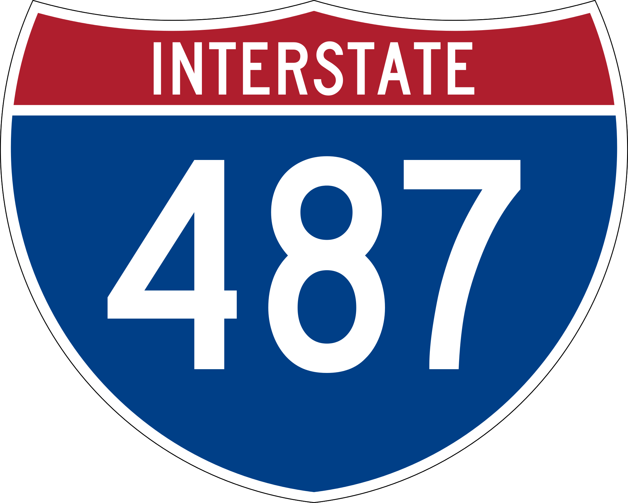
Hudson River Expressway
In 2010, the Village of Ossining renamed Crawbuckie Nature Preserve the Edward M. Wheeler Crawbuckie Nature Preserve. The Hon. Edward M. Wheeler served the Village in many capacities and areas of service, including as Trustee of the Village from January, 1971 through December of 1974, and as Mayor of the Village from January 1, 1975 through December 31, 1982. In honor of his long and dedicated service to the Village, the Board of Trustees of the Village of Ossining has determined that it would be fitting and appropriate to rename Crawbuckie Nature Preserve in his honor.
Trails Overview:
The work at the Edward M. Wheeler Crawbuckie Nature Preserve provides a great example of using trails to get the most out of a relatively small yet diverse piece of land. Obtained in 1967, the land remained largely unused by the public until 2012, when a grant allowed the town to contract Tahawus Trails LLC to design and build a trail system to access the park land’s unique attributes along the Hudson River. The project was funded by the Village of Ossining and the New York Department of State’s Local Waterfront Revitalization Program.
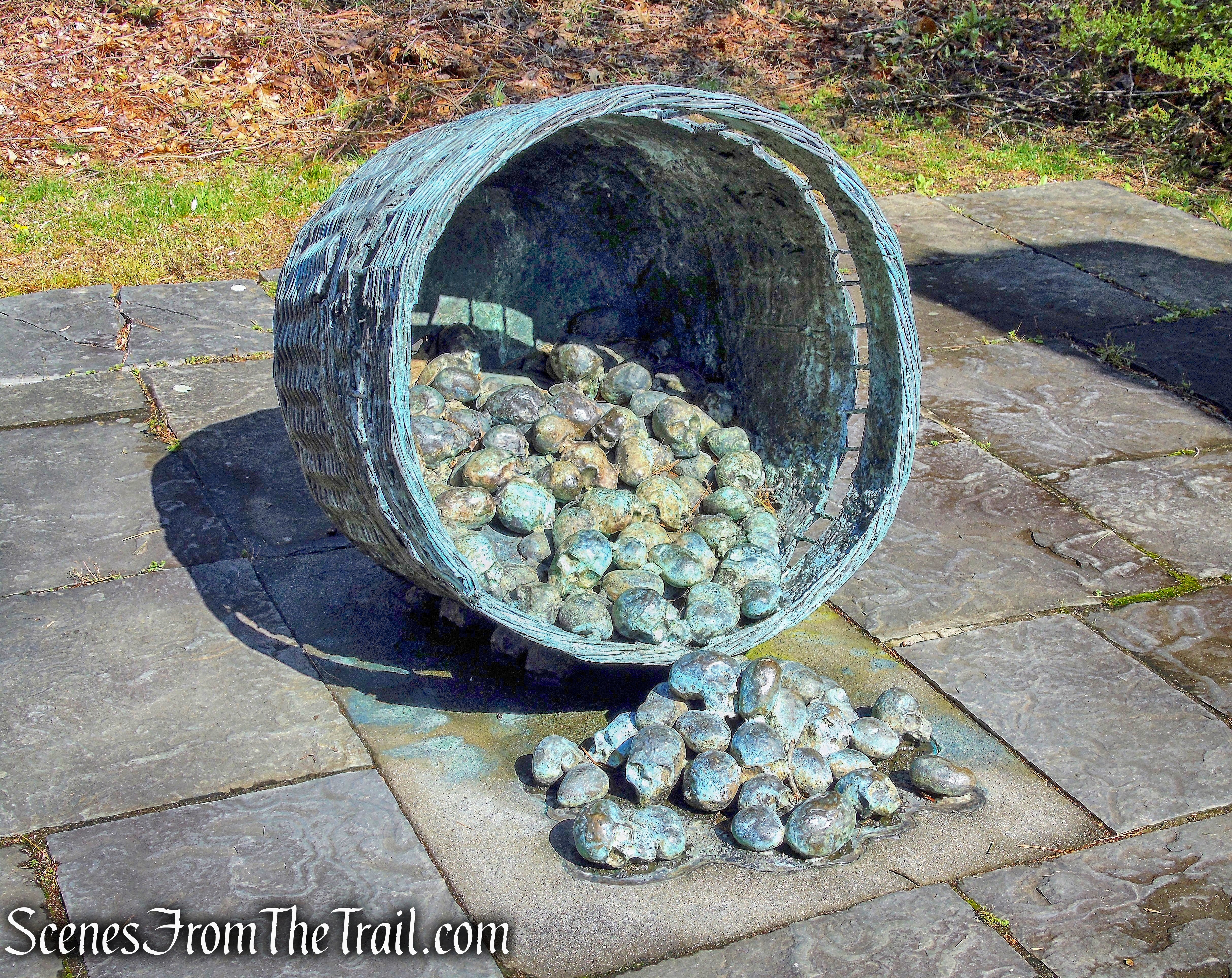
Crawbuckie Nature Preserve
The natural surface trail takes visitors through wetlands and forested tracts of willow, beech and massive ginko trees. To allow sustainable travel through this varied terrain, 65 stone steps, a 65-foot boardwalk and 2 observation platforms (both made from locally sourced black locust) were installed along with over 400 square feet of stone crib retaining walls.
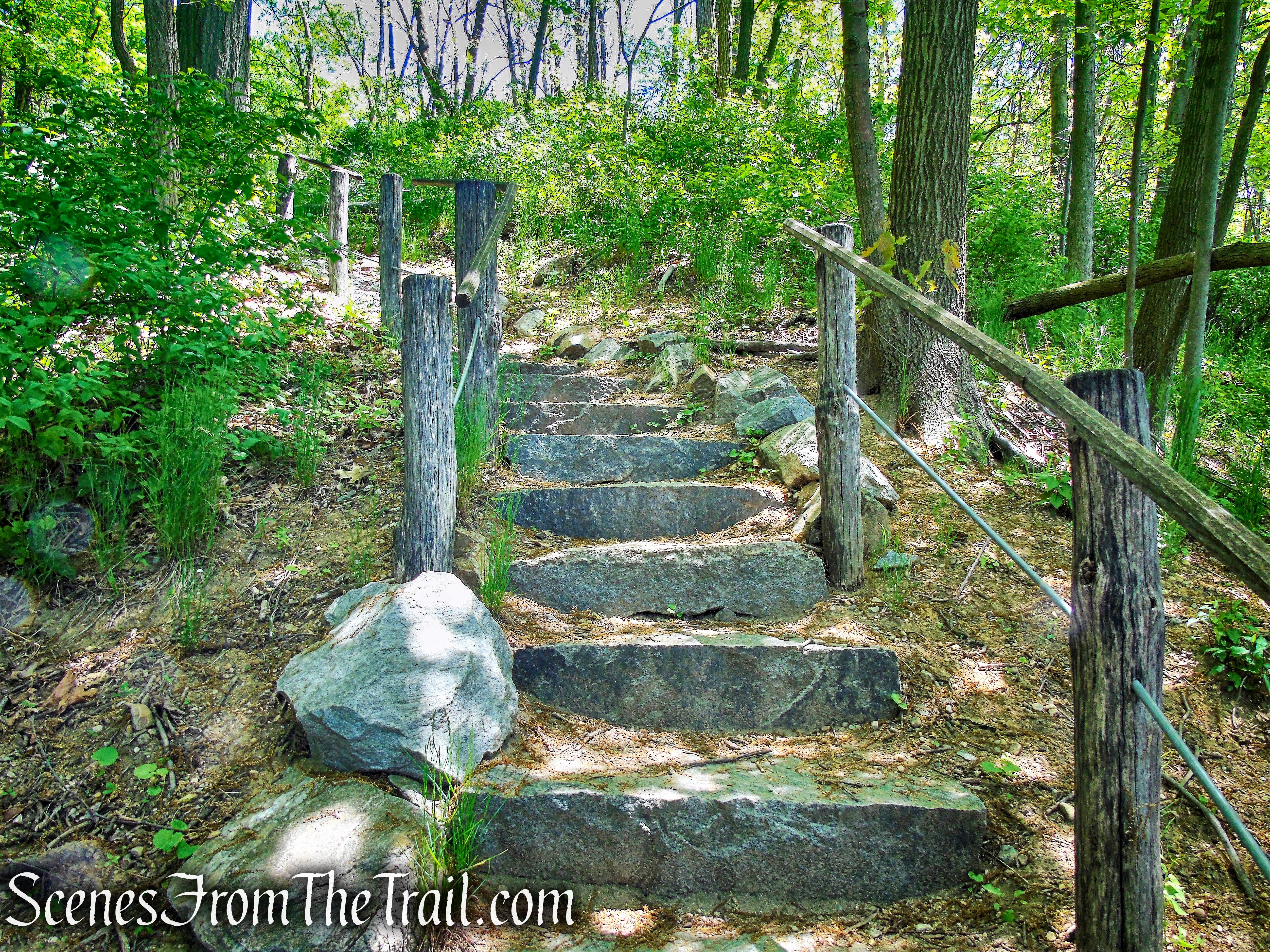
stone steps – Crawbuckie Nature Preserve
boardwalk – Crawbuckie Nature Preserve

observation platform – Crawbuckie Nature Preserve
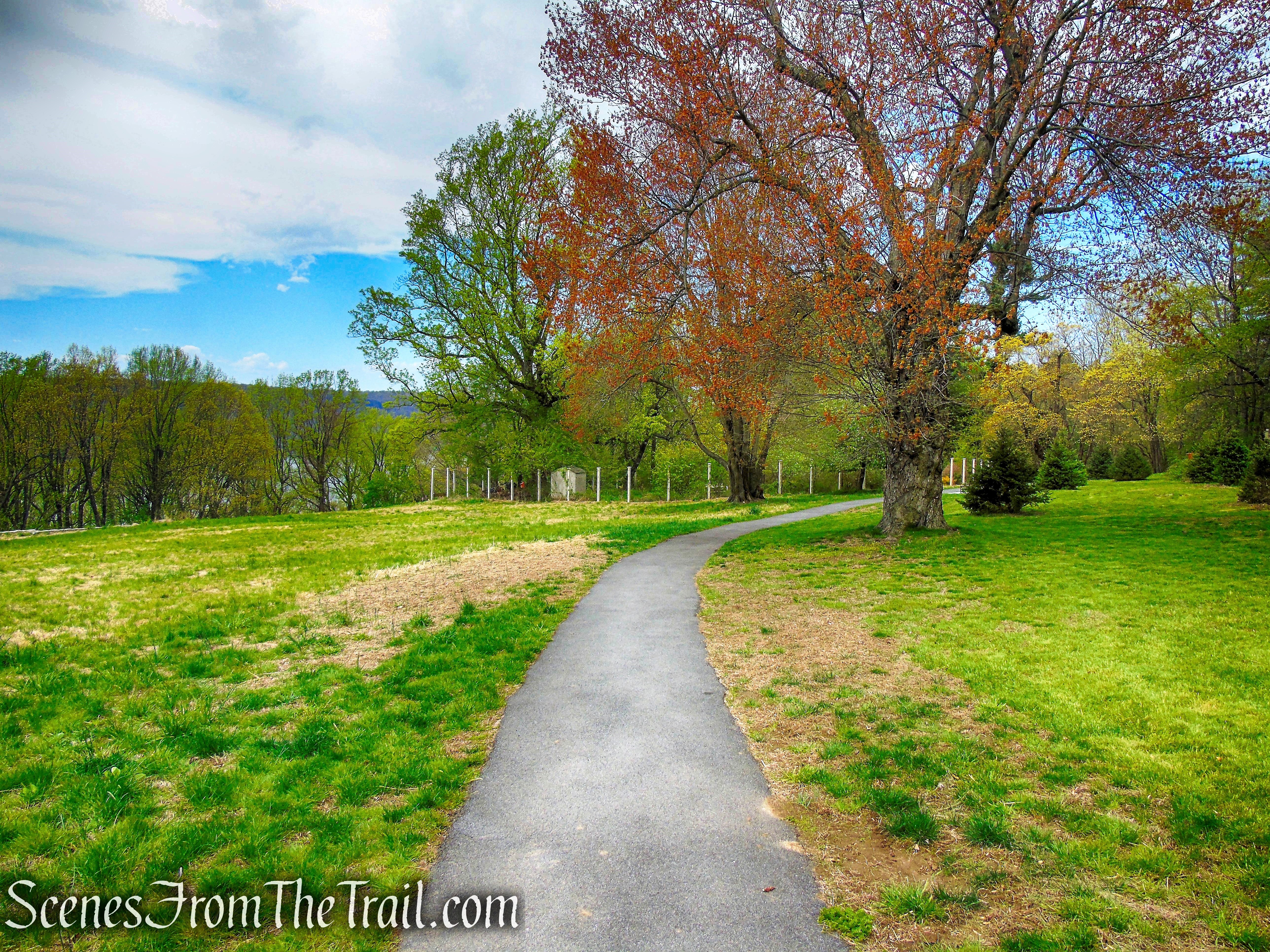
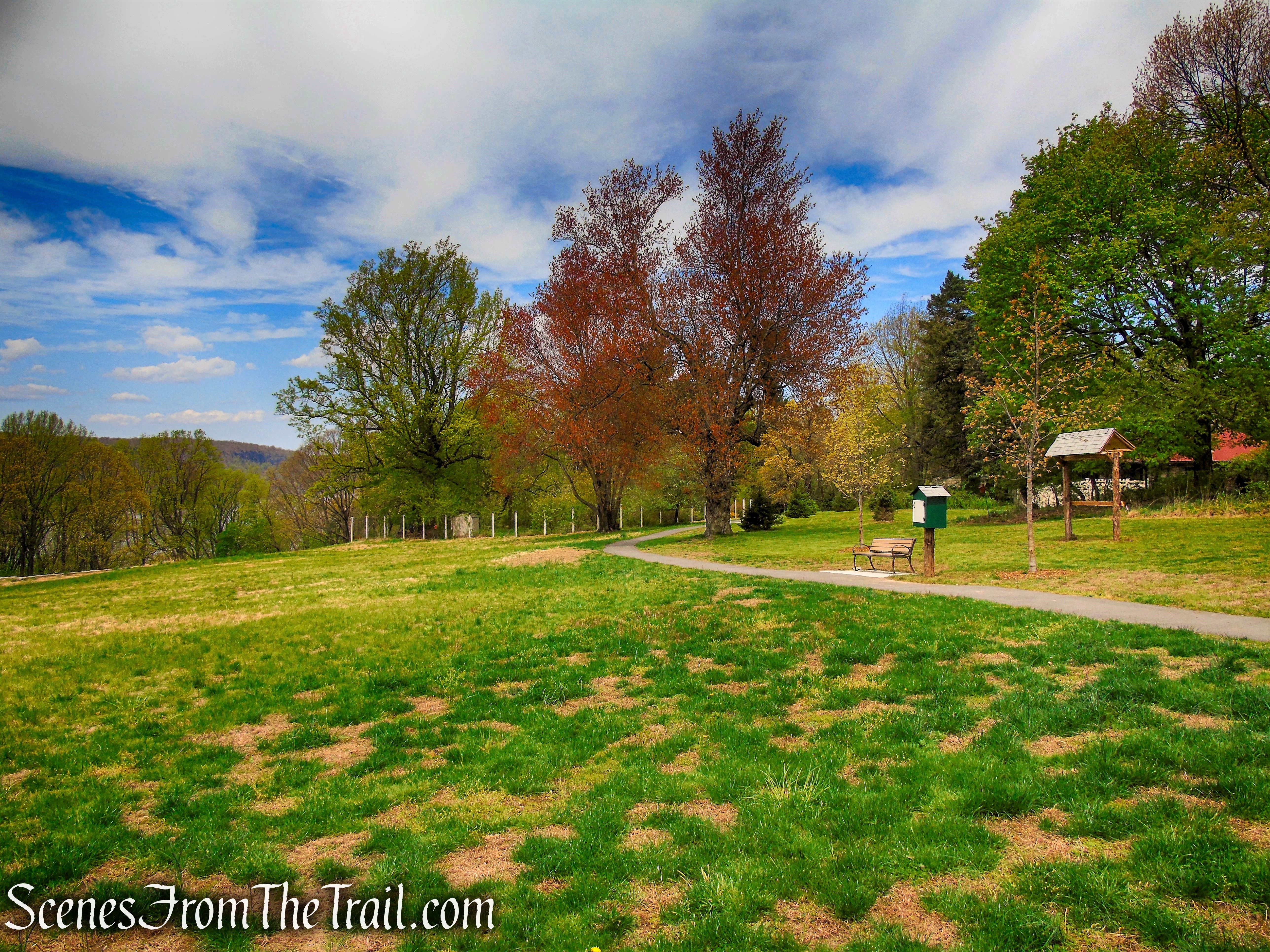
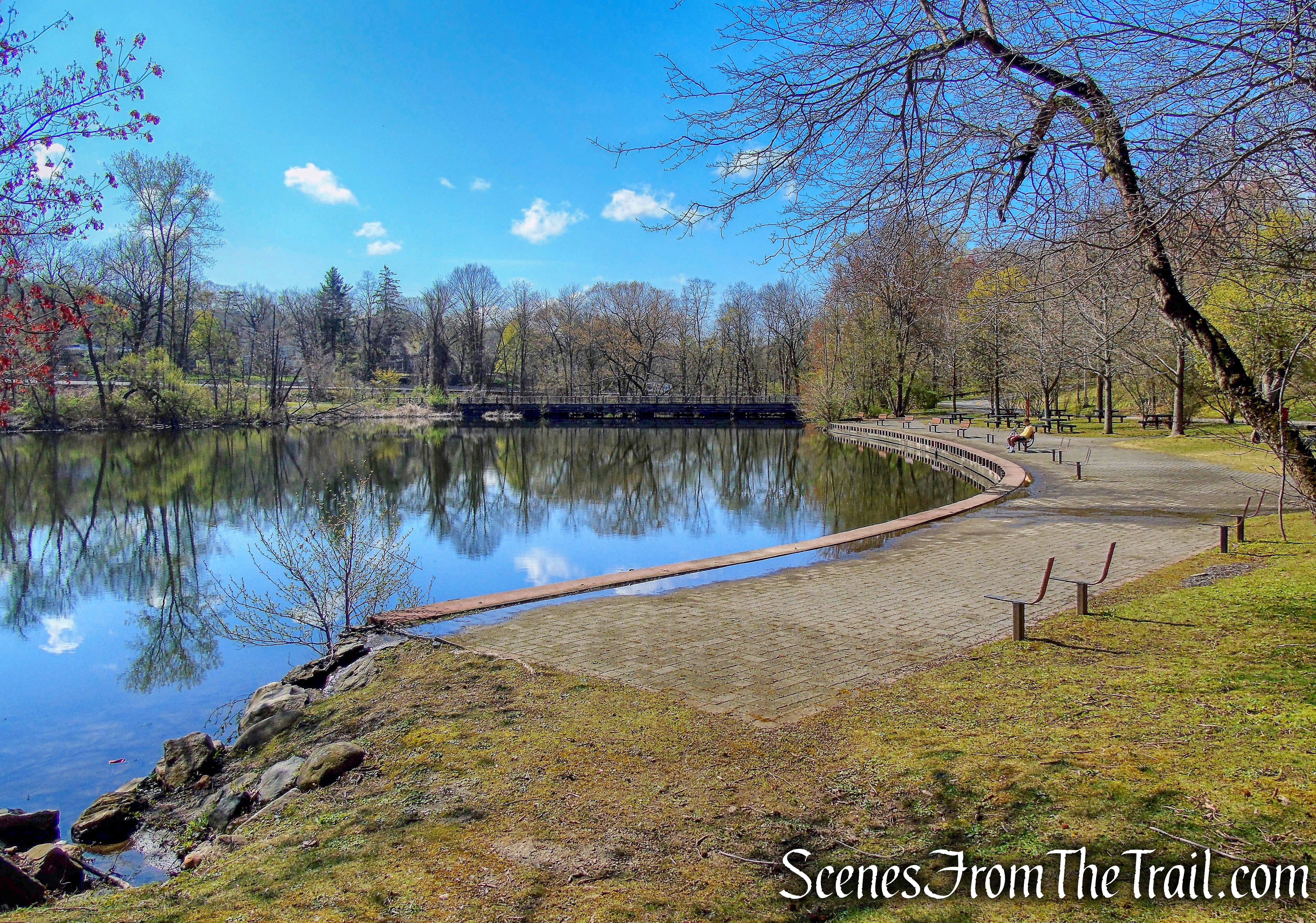
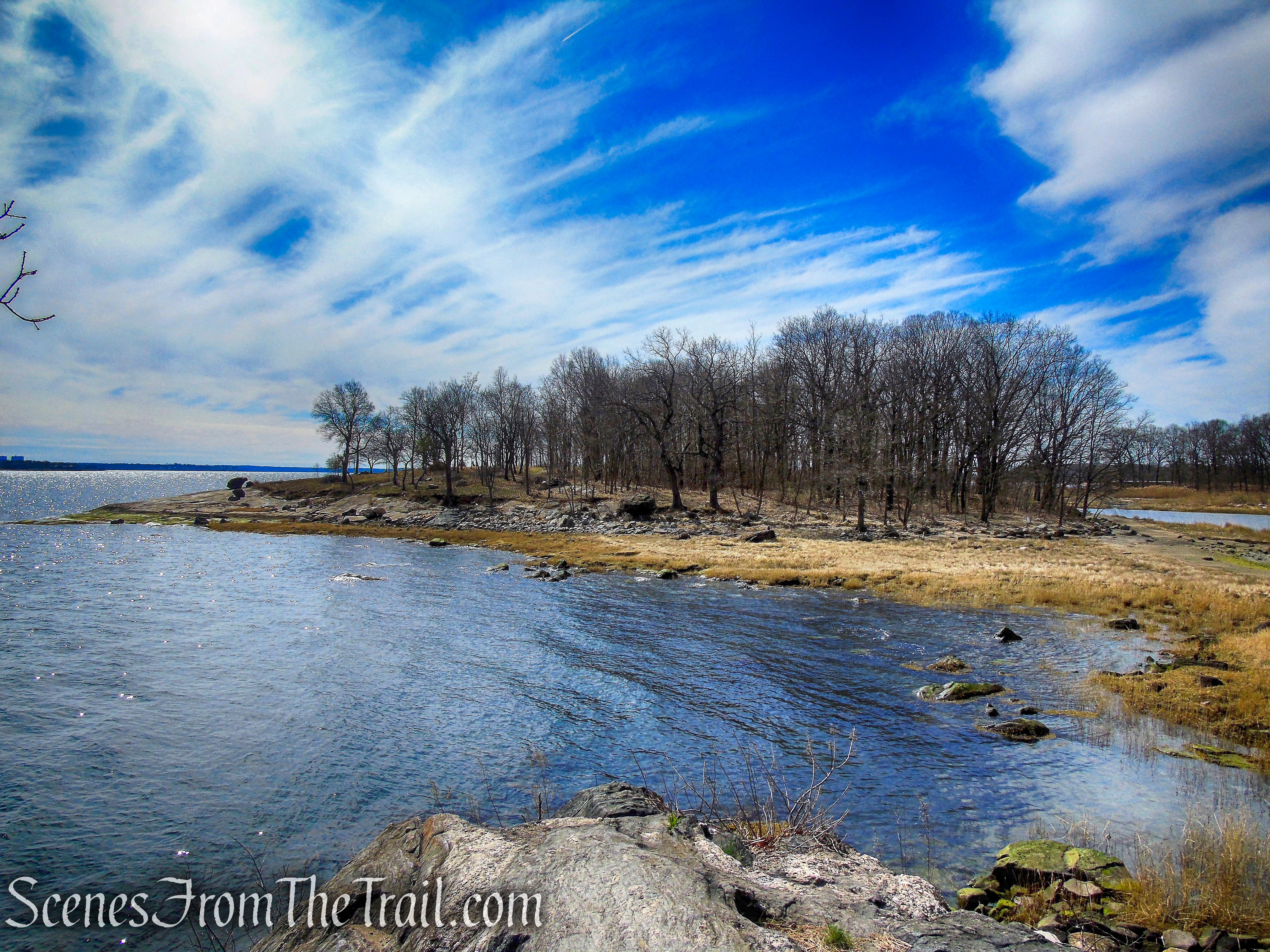
The project also features a 300-foot long accessible trail that provides an additional viewing area of the river with access from the main parking lot. To provide a place to enjoy these numerous viewpoints, 7 wooden benches were crafted from black locust trees and constructed on-site. The finished product provides the user with several opportunities for a quick loop hike or a quiet picnic overlooking the Hudson River.

additional viewing area – Crawbuckie Nature Preserve
Hike Overview:
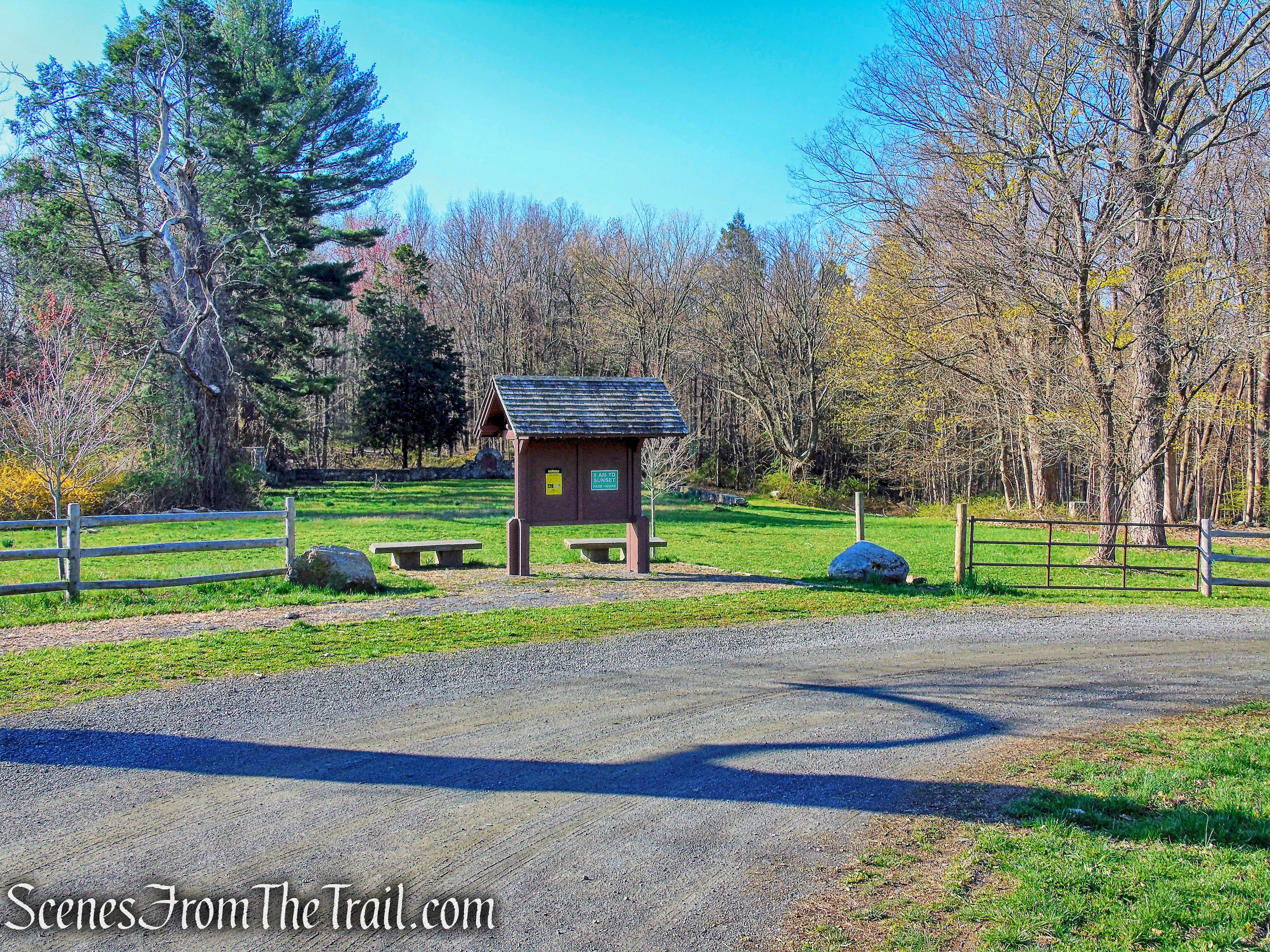
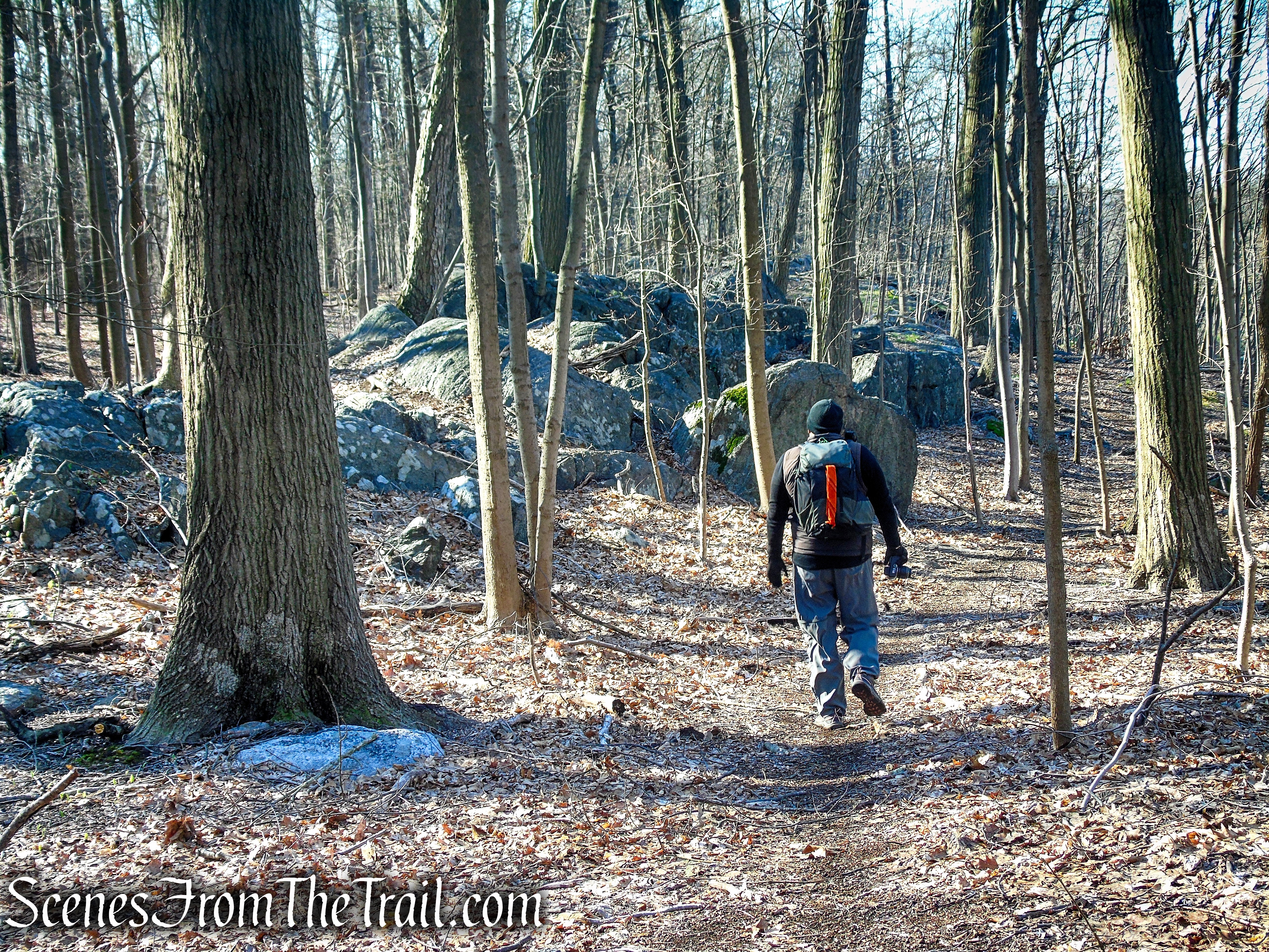
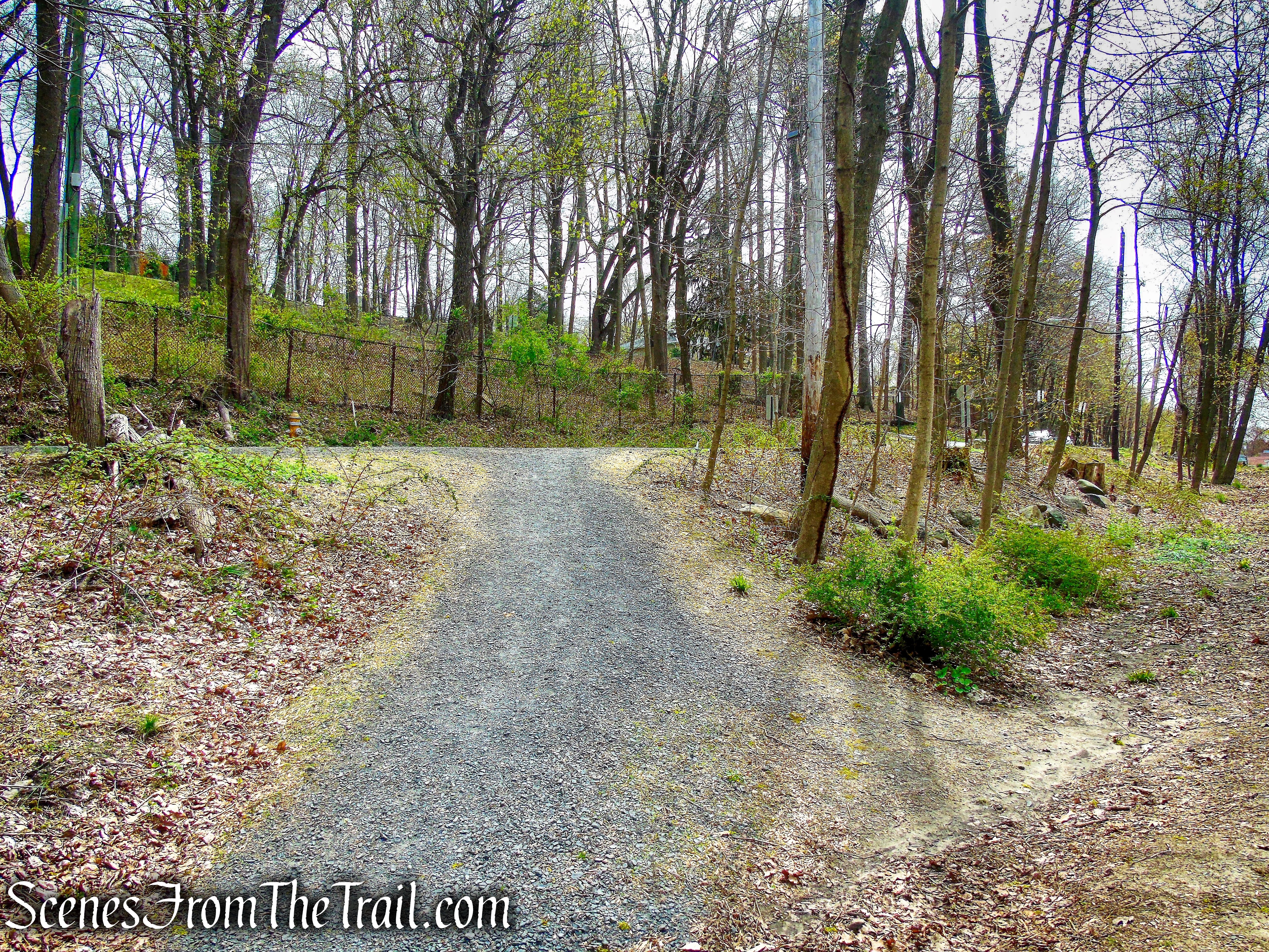
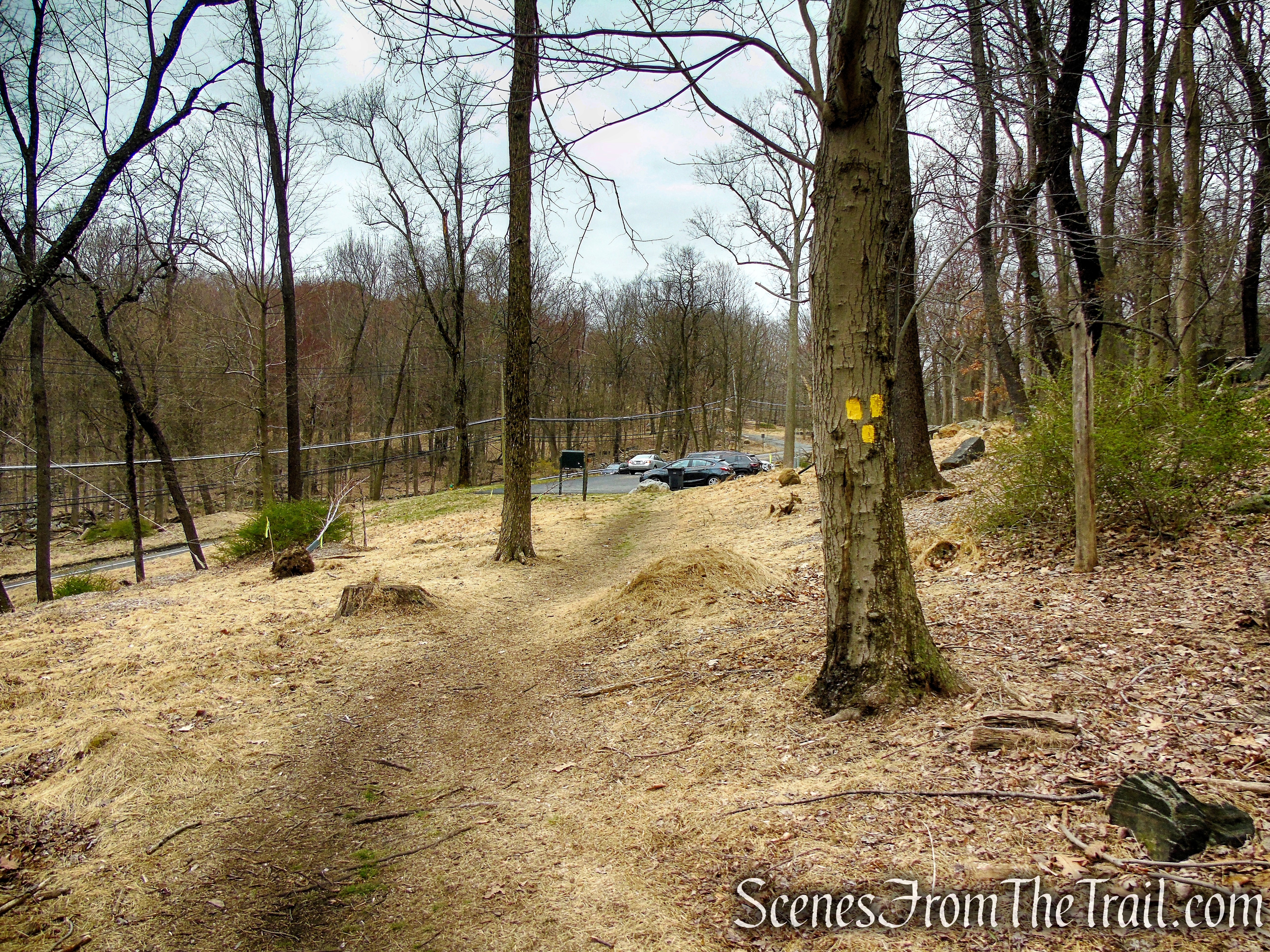
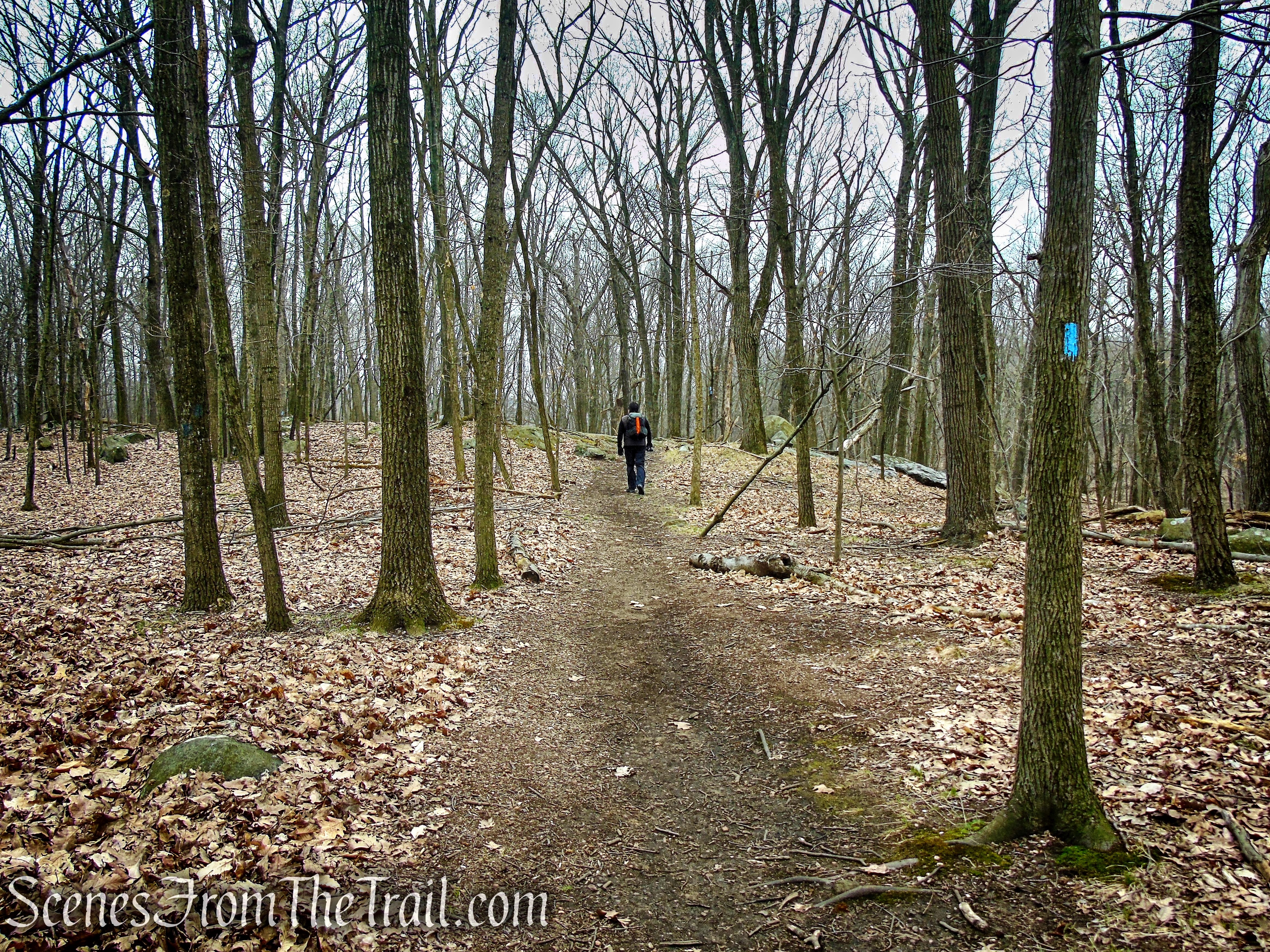
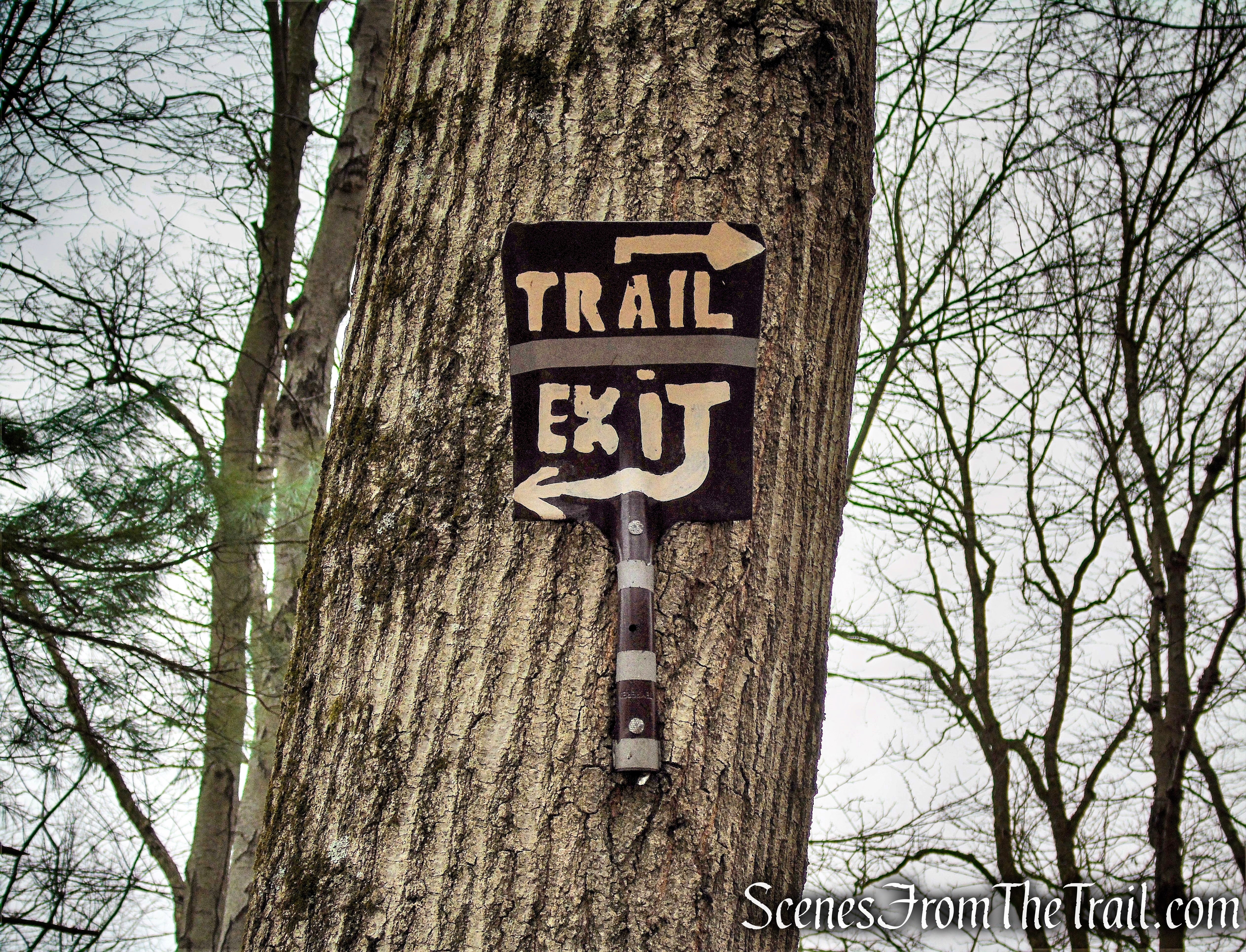
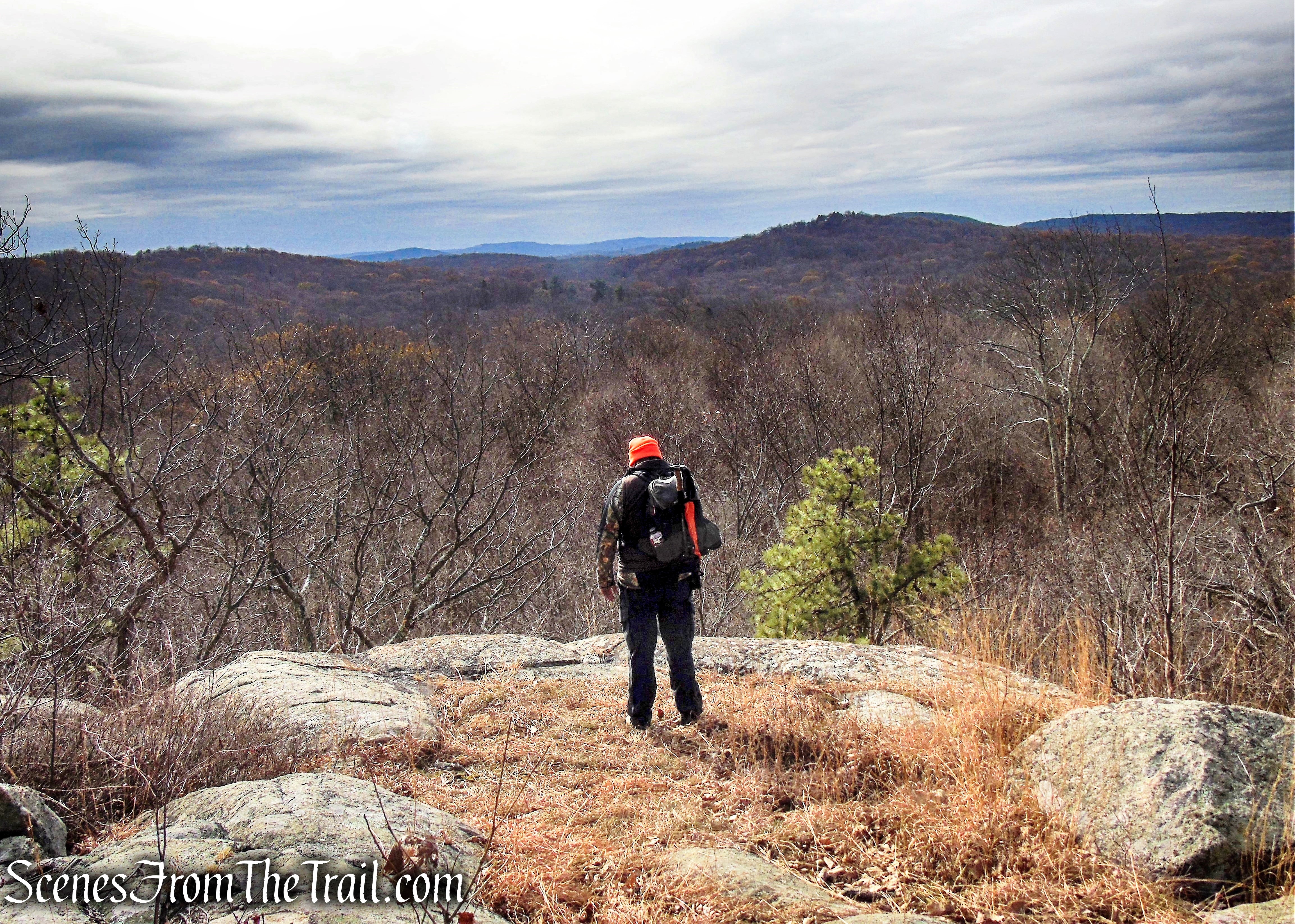
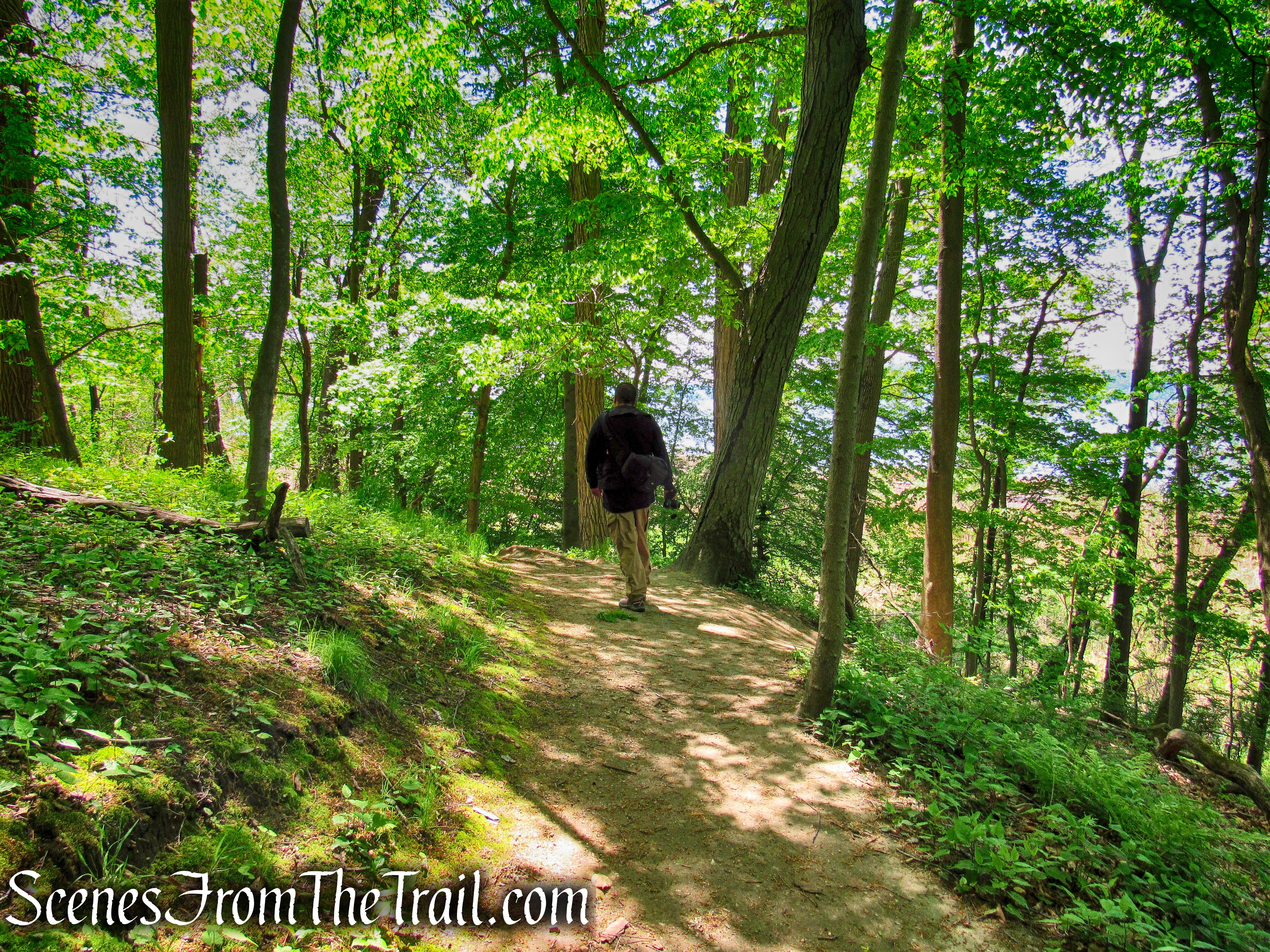
Since this is a small preserve, it is easy to walk every section of trail. We began on the main trail that leads down towards the railroad tracks, climbed the stone steps then walked past the two viewing platforms. We then followed the loop out to a driveway and walked down Beach Road back to the parking area. We walked a short distance down the handicapped accessible trail and back. We then followed the trail that branches off from the main trail, that loops around and returns to the parking area.

Crawbuckie Nature Preserve
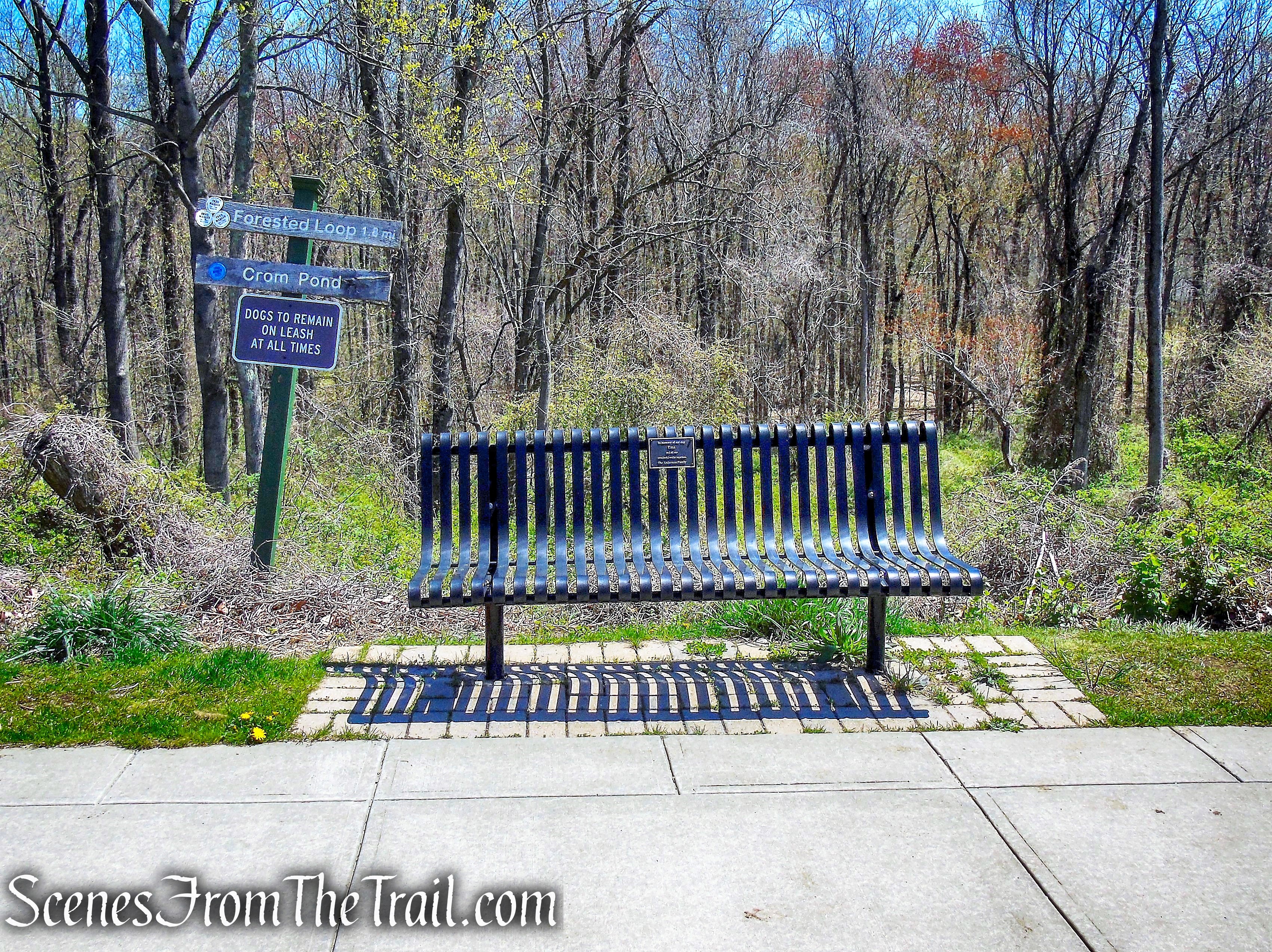
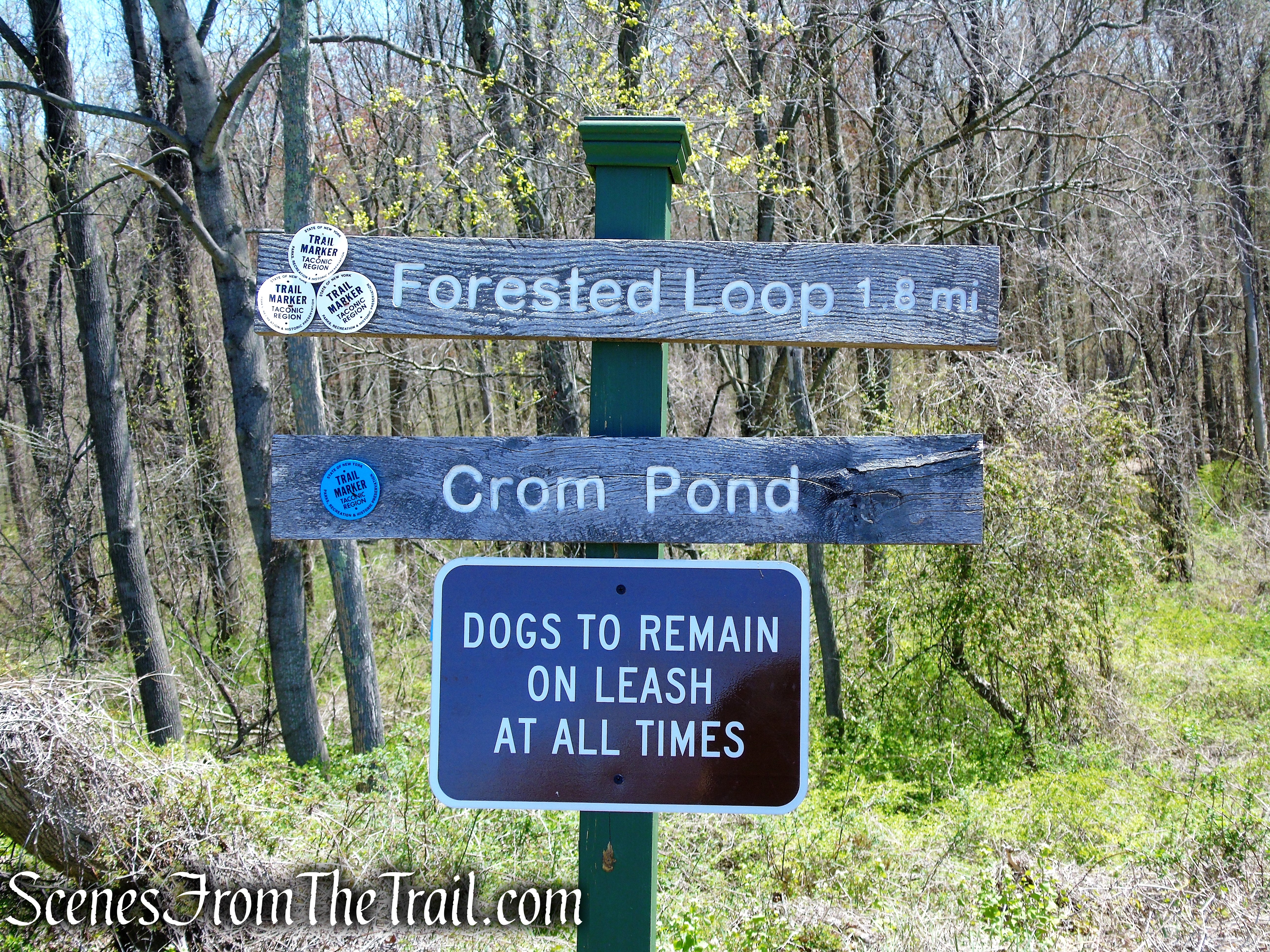
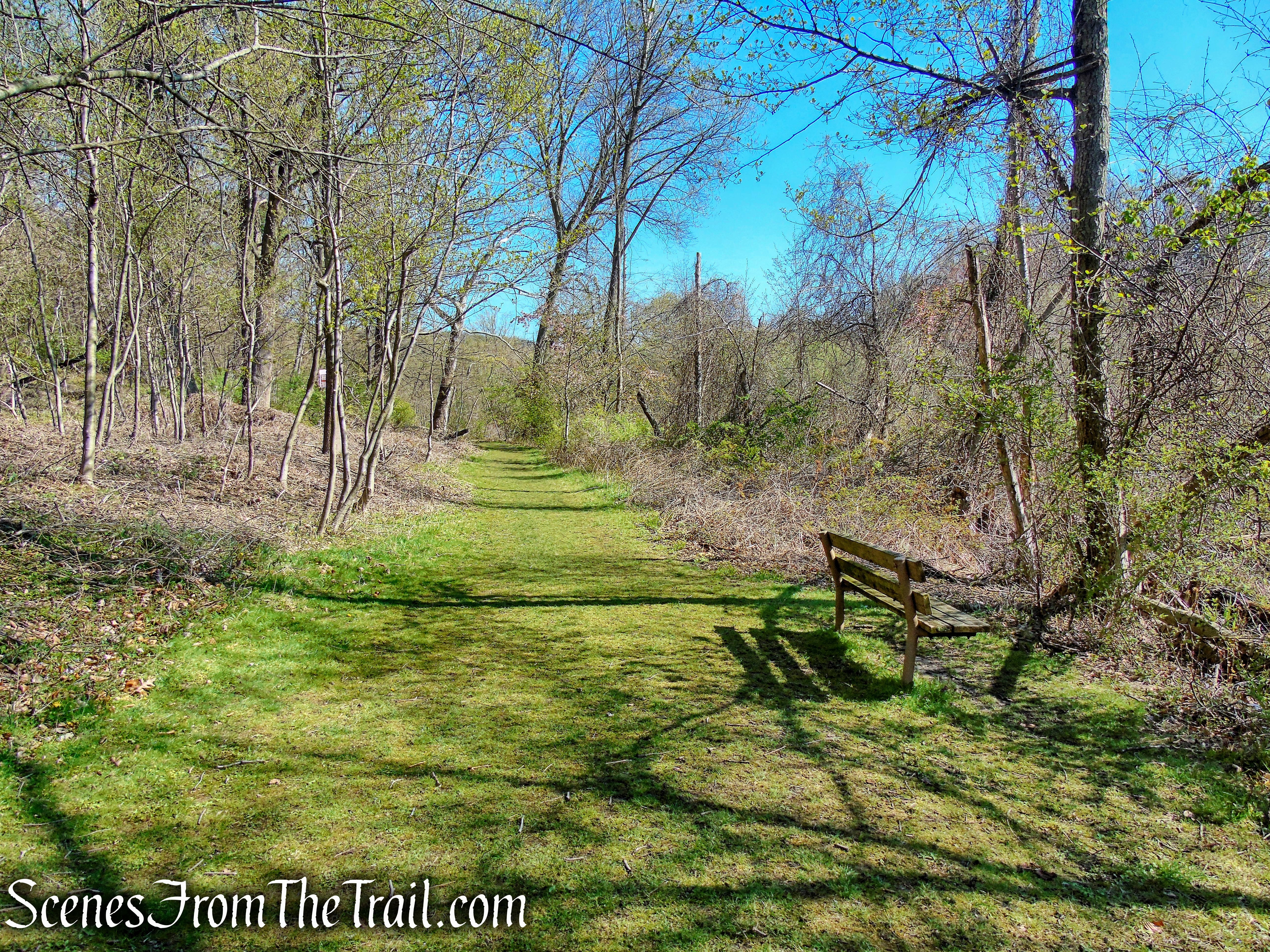
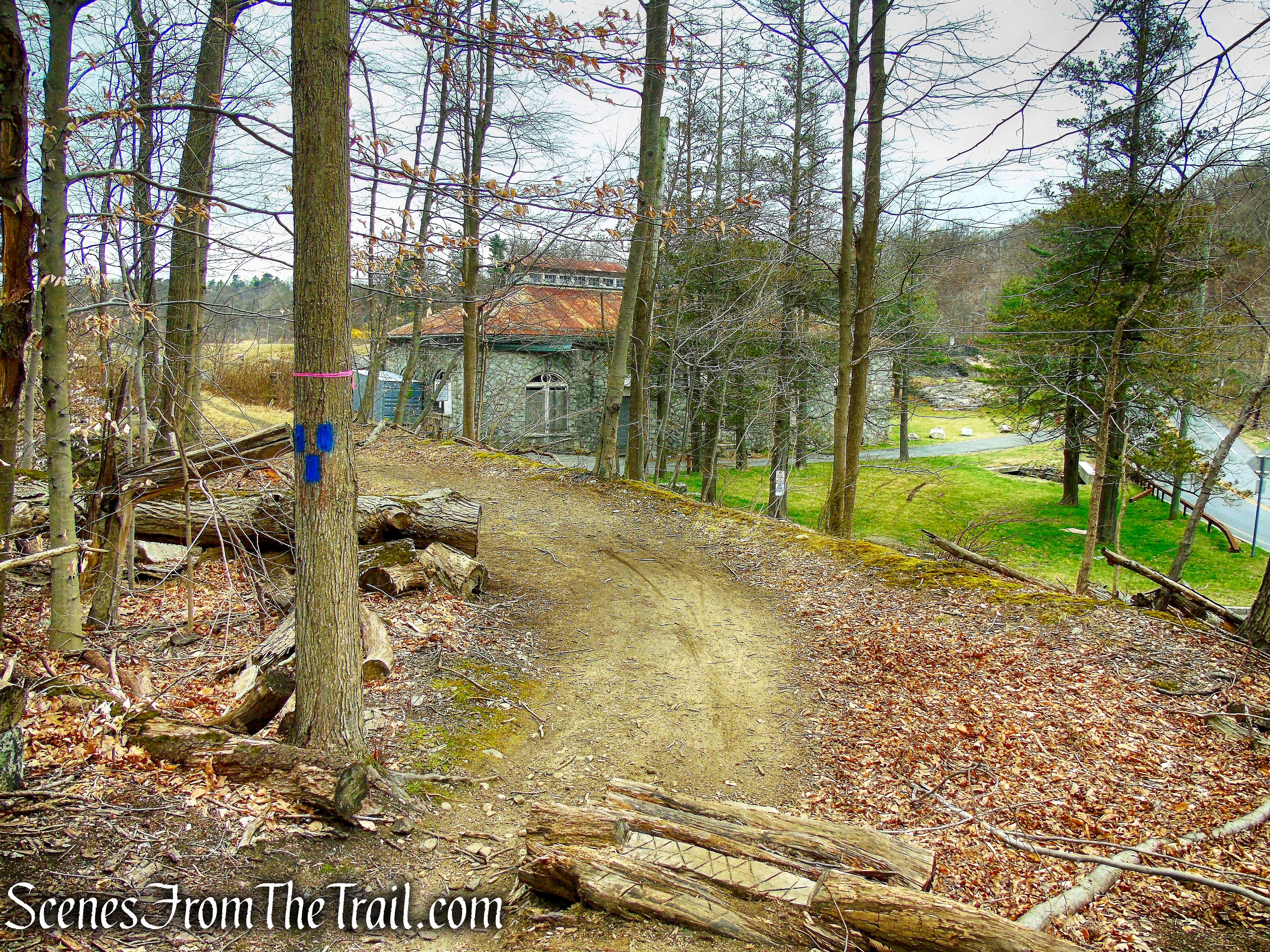
Just past the entrance, the trail splits and to the left is the handicapped accessible trail.

handicapped accessible trail – Crawbuckie Nature Preserve

handicapped accessible trail – Crawbuckie Nature Preserve

handicapped accessible trail – Crawbuckie Nature Preserve
handicapped accessible trail – Crawbuckie Nature Preserve
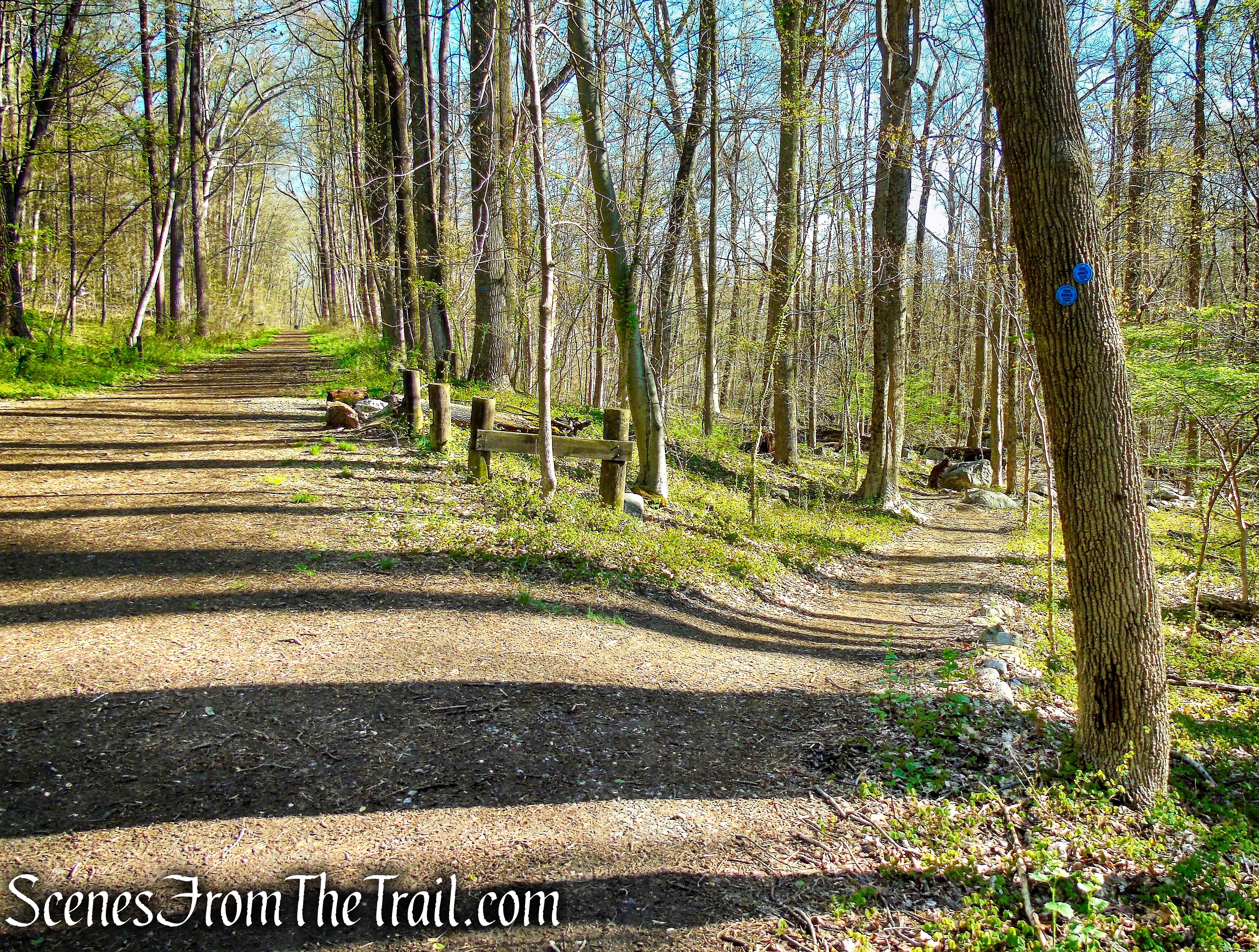
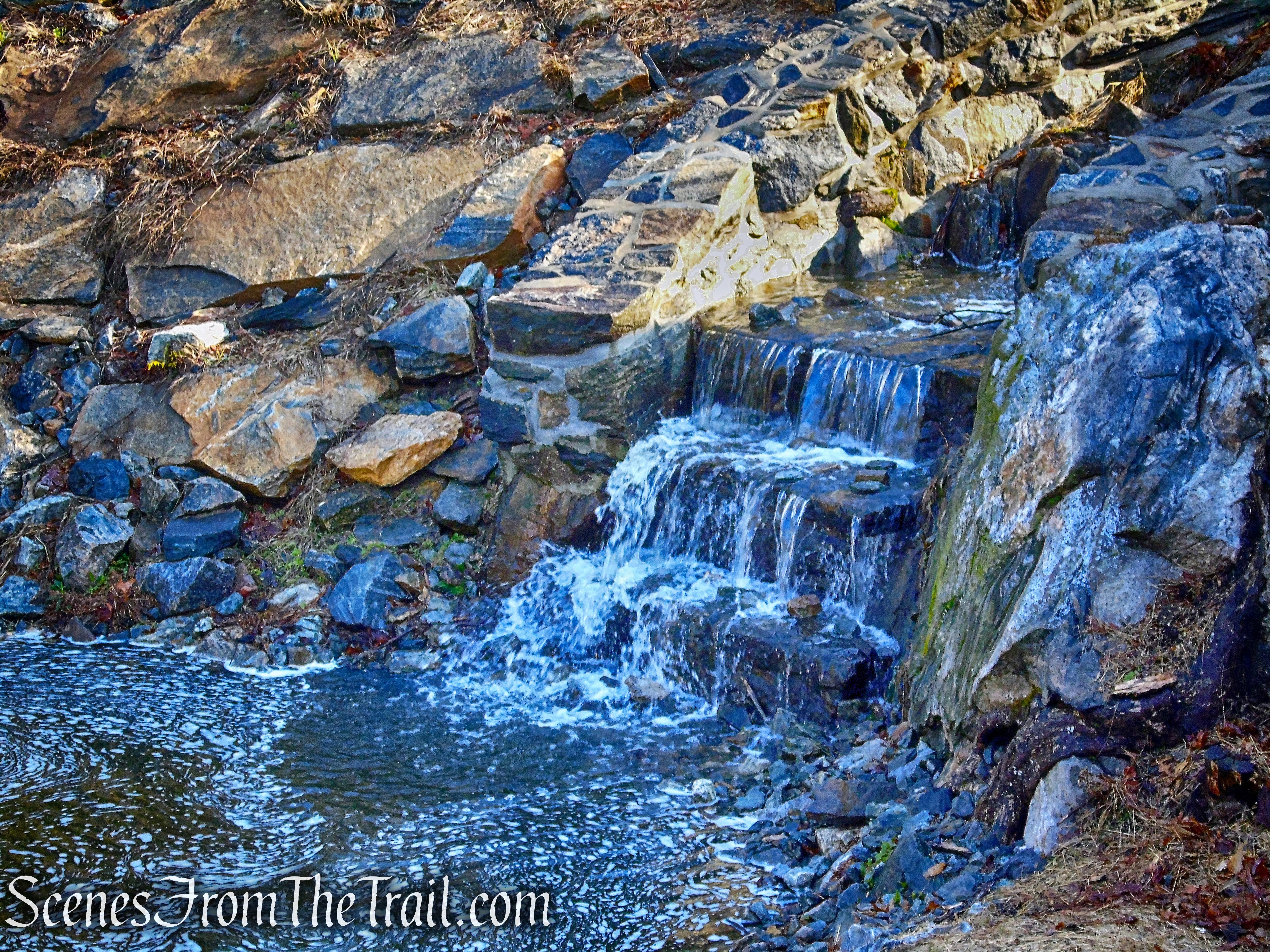
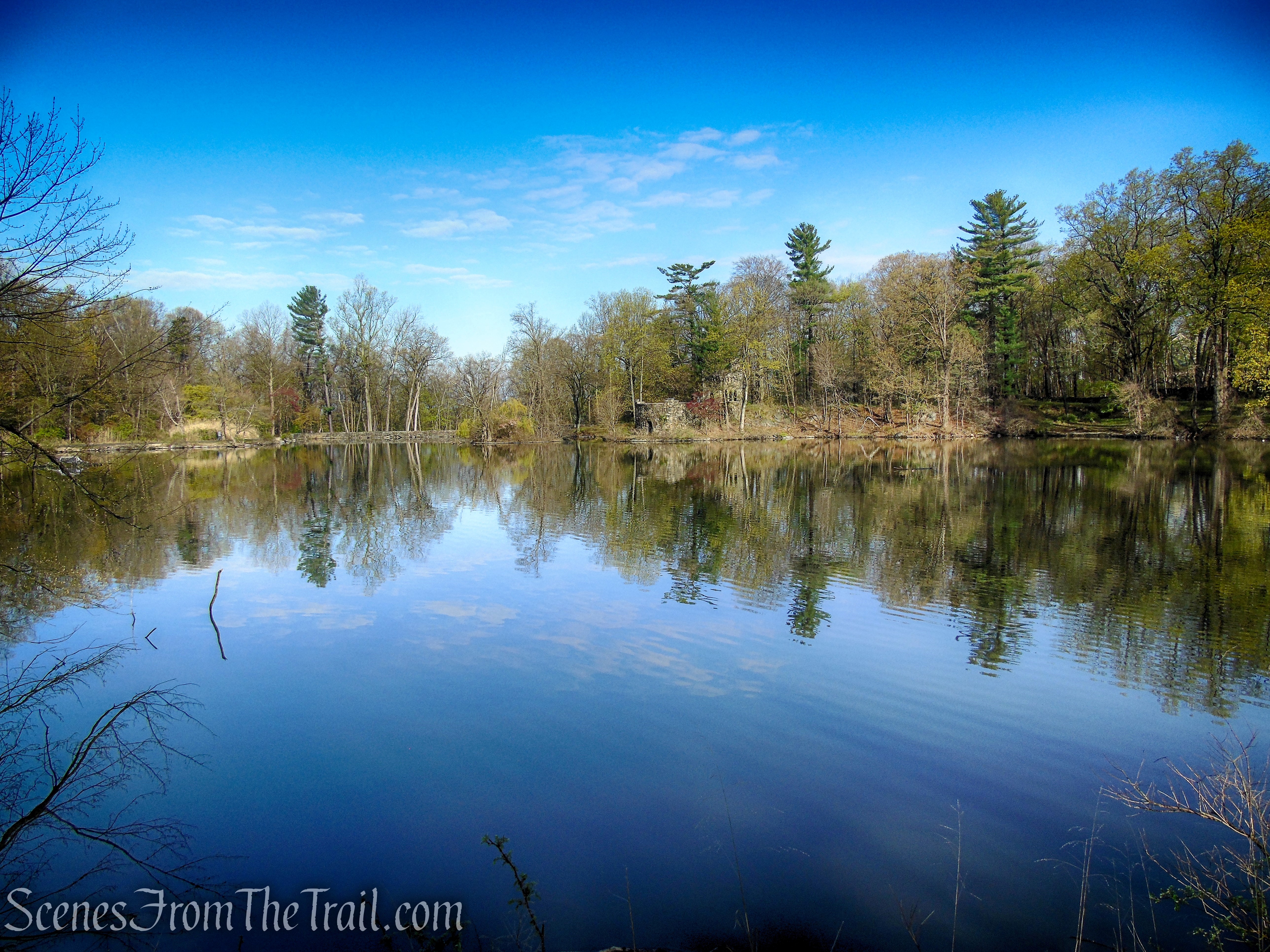
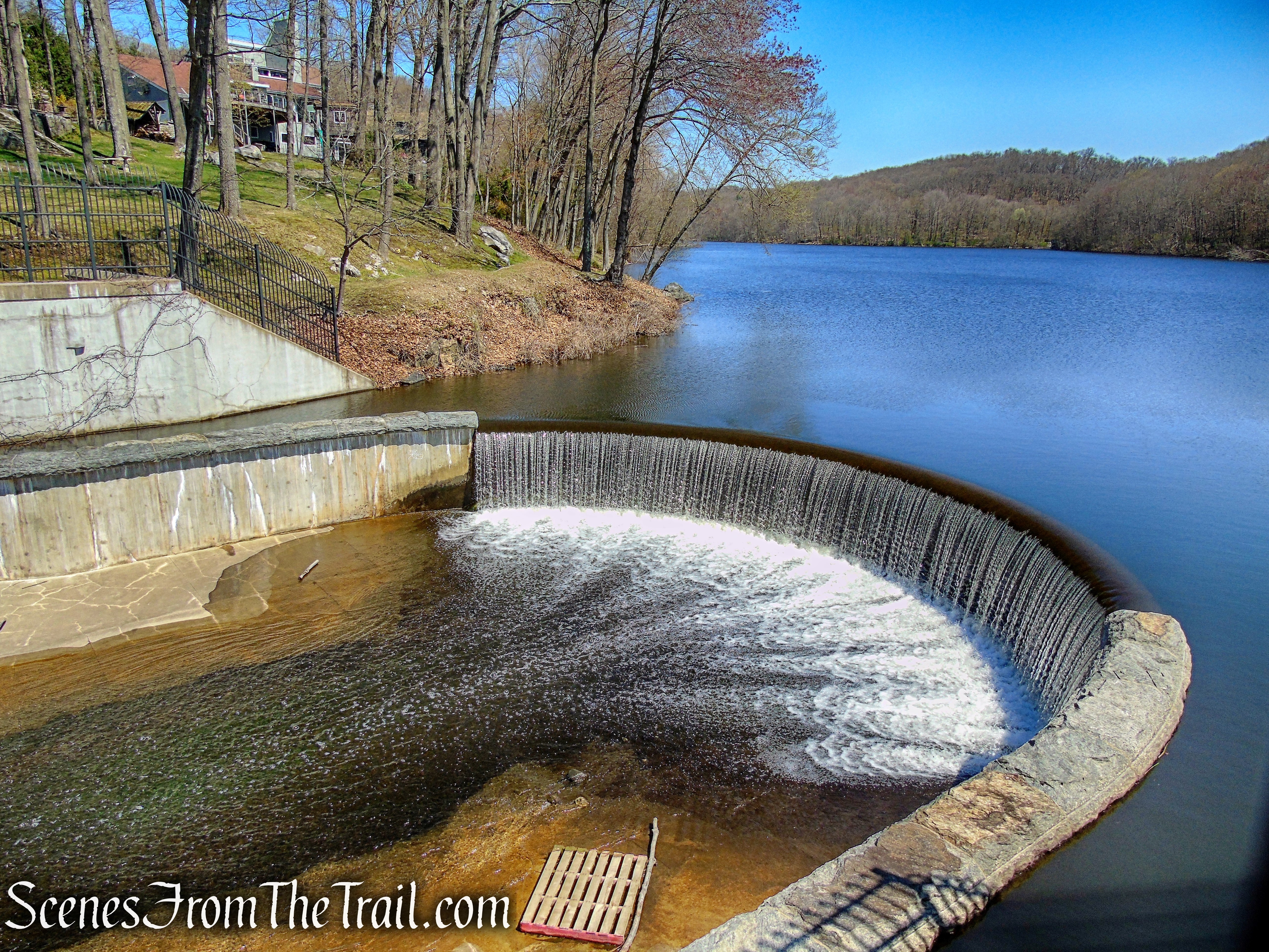
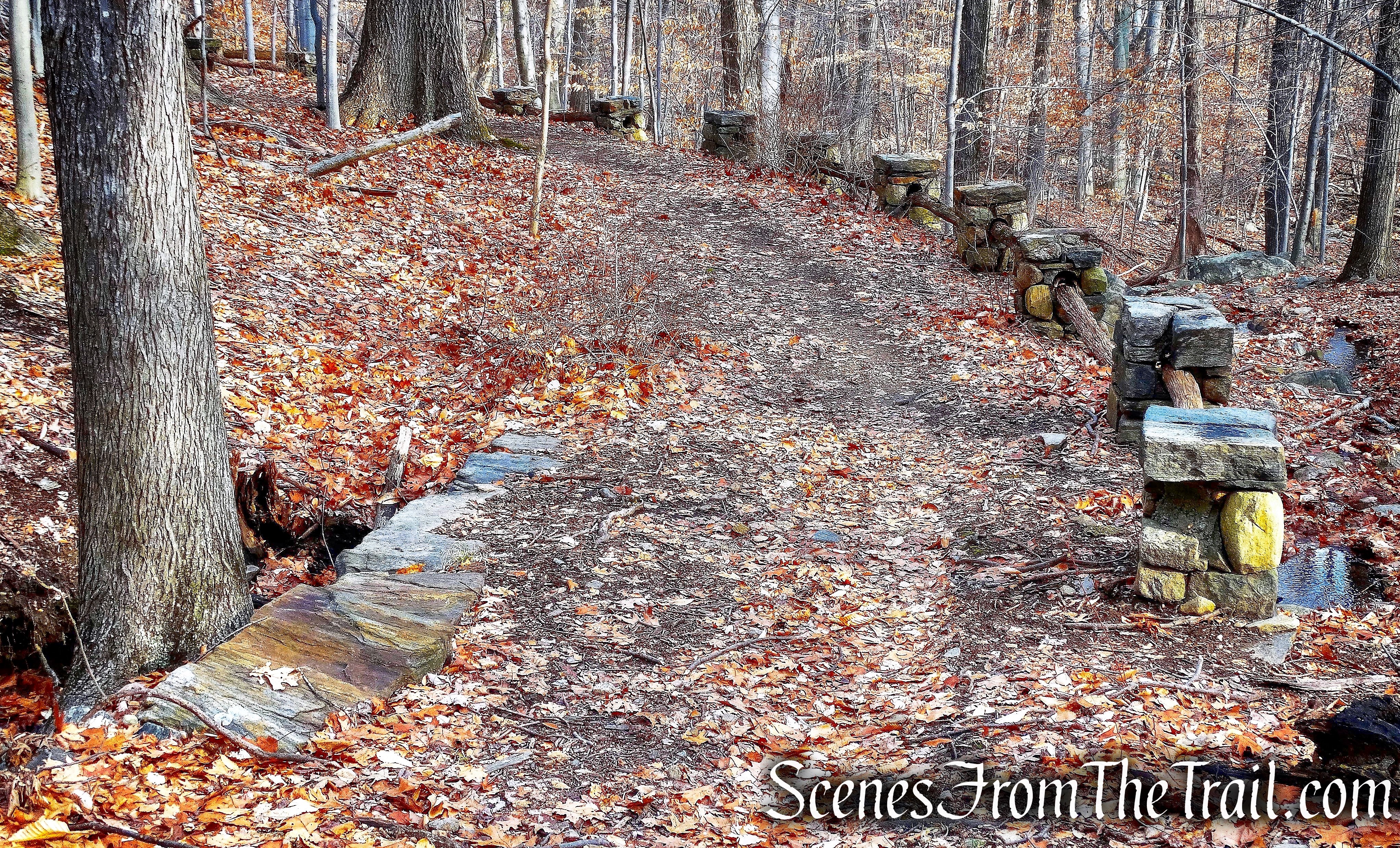
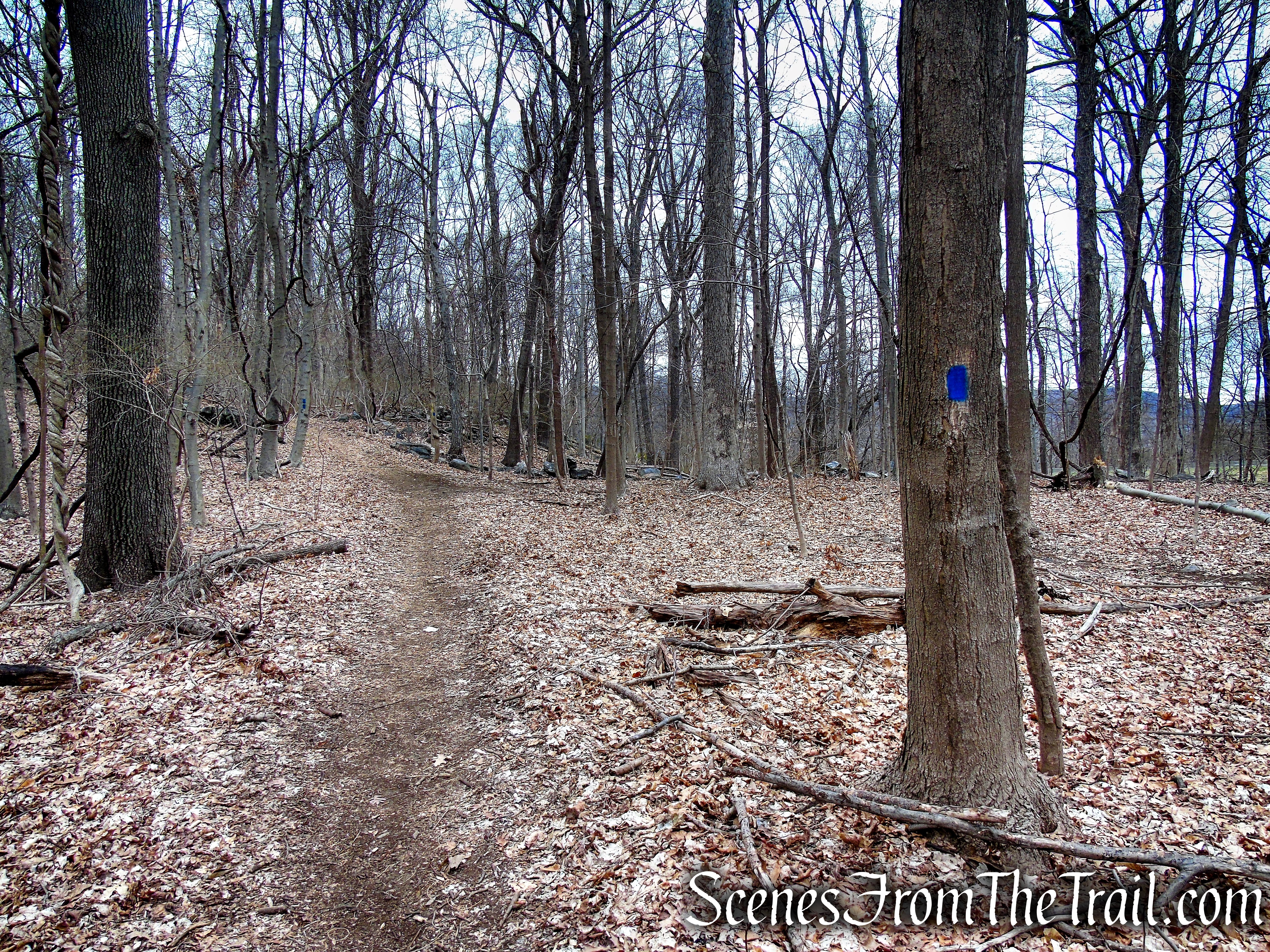
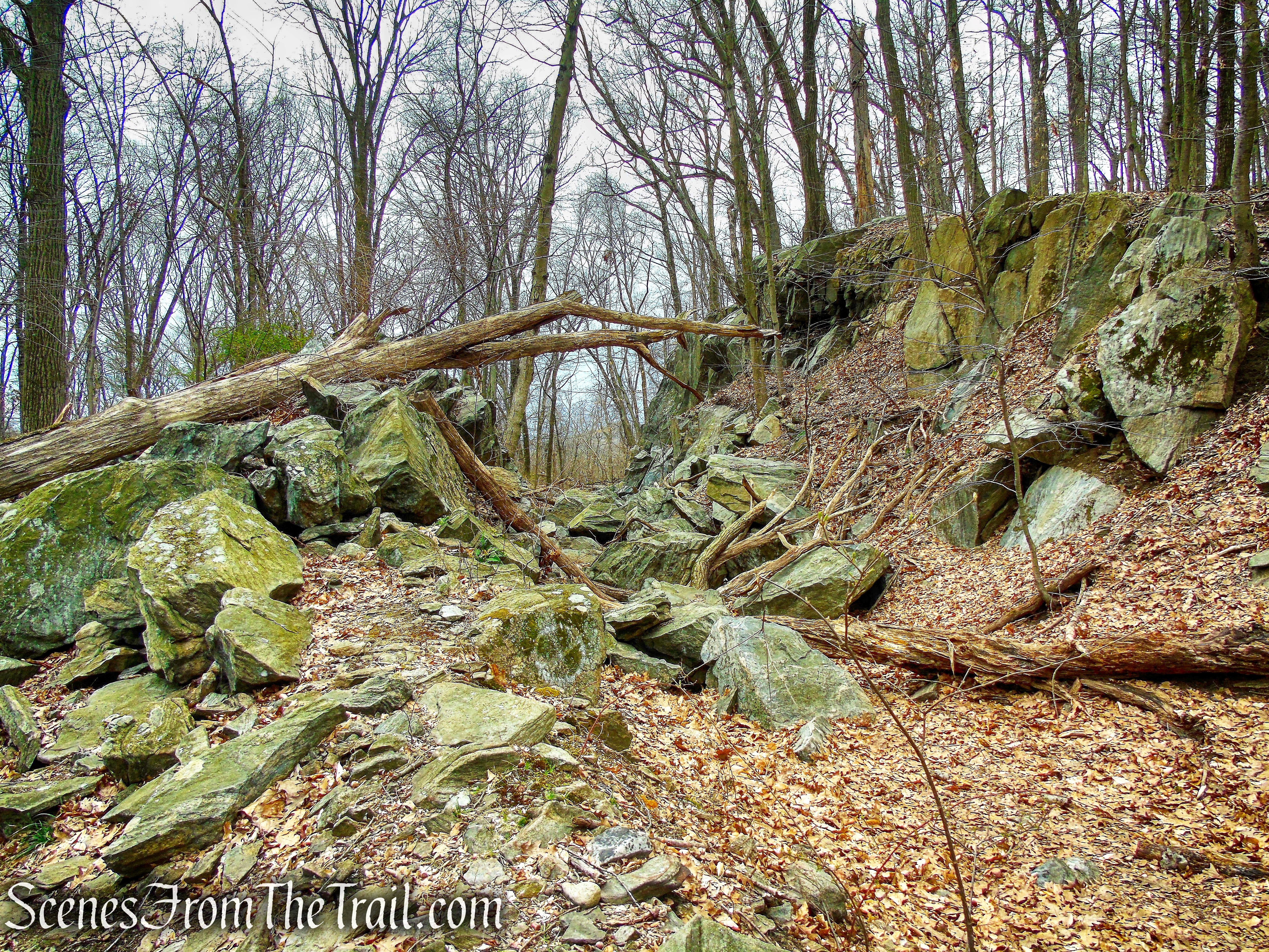
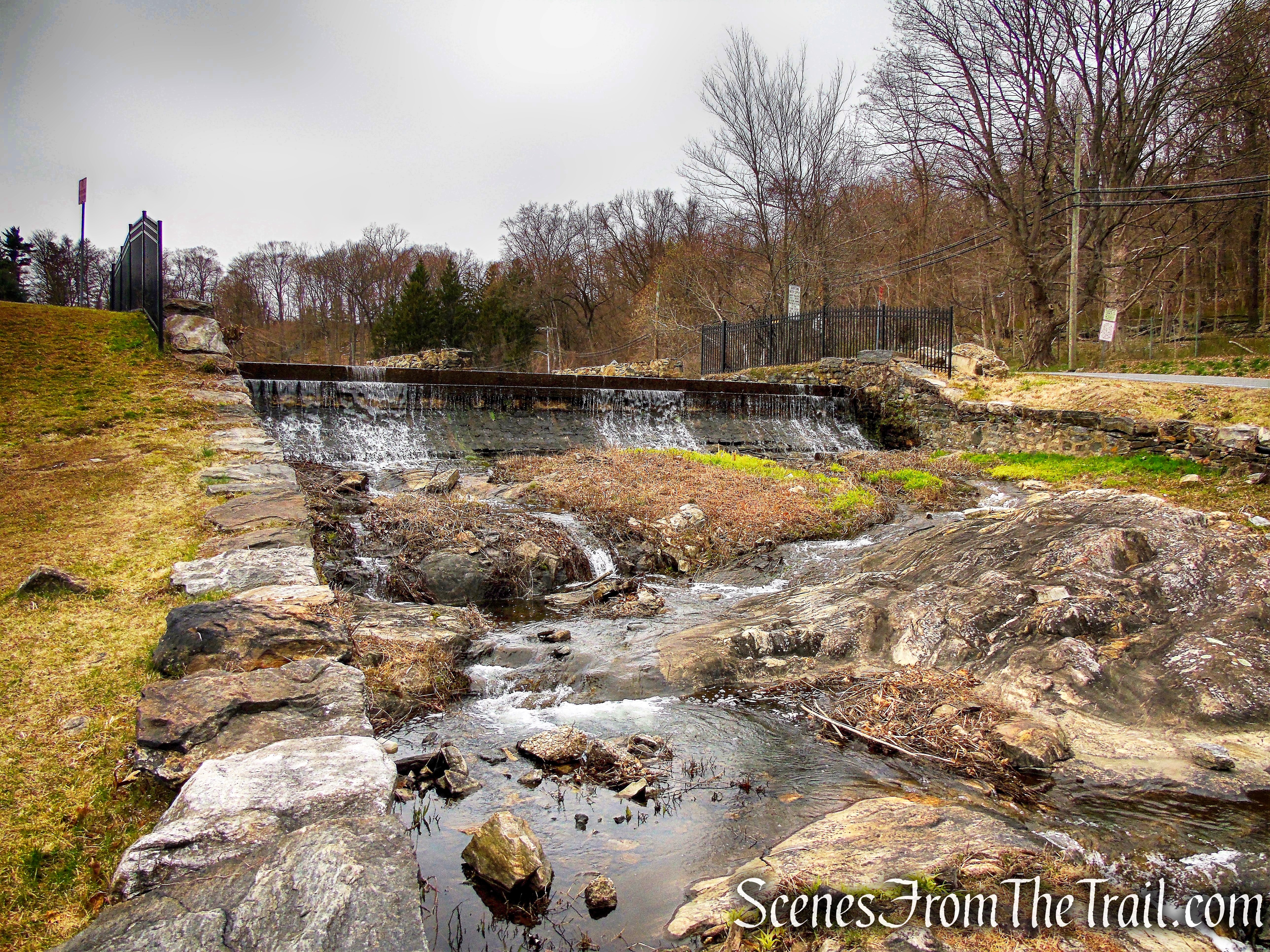
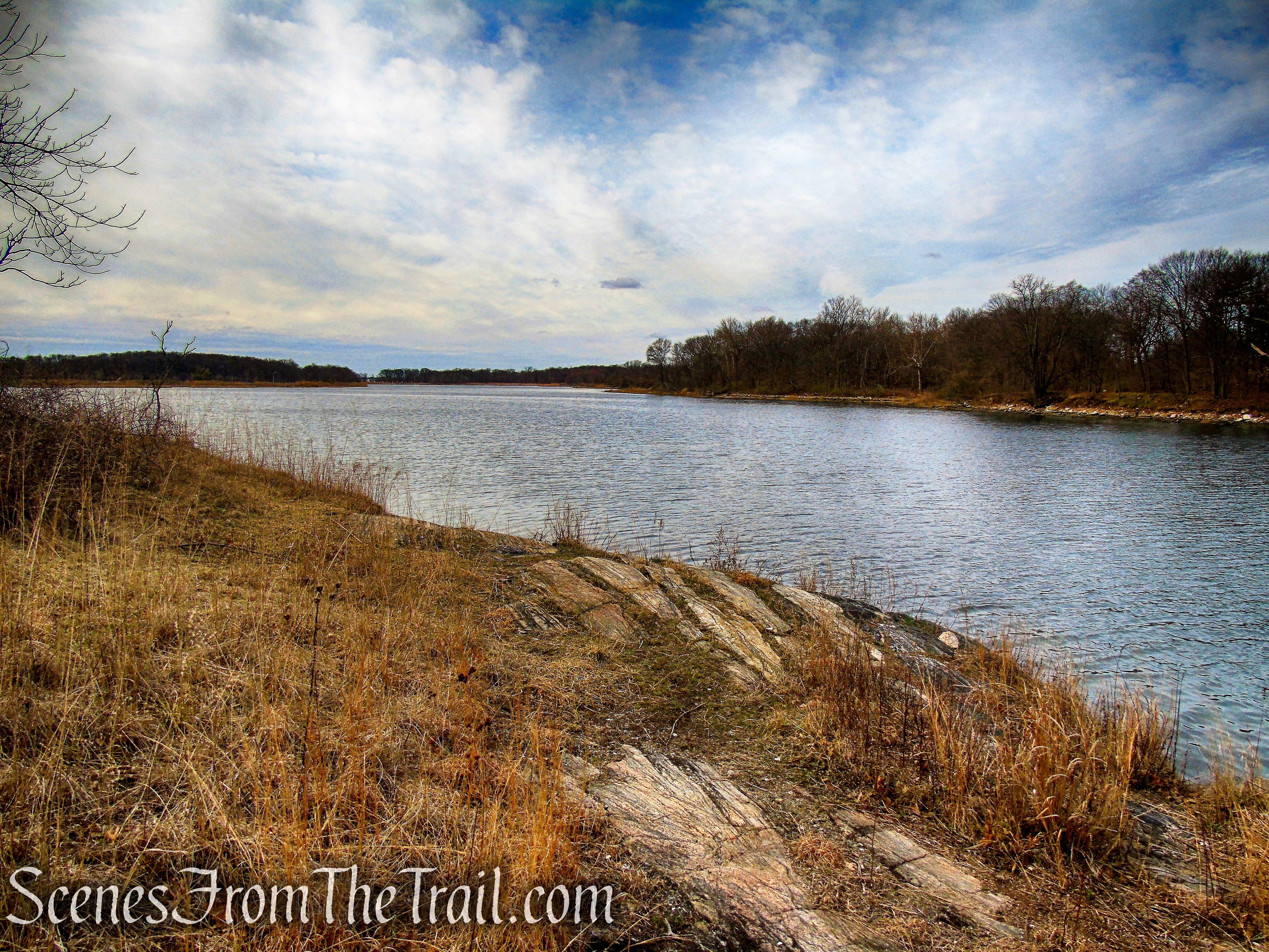
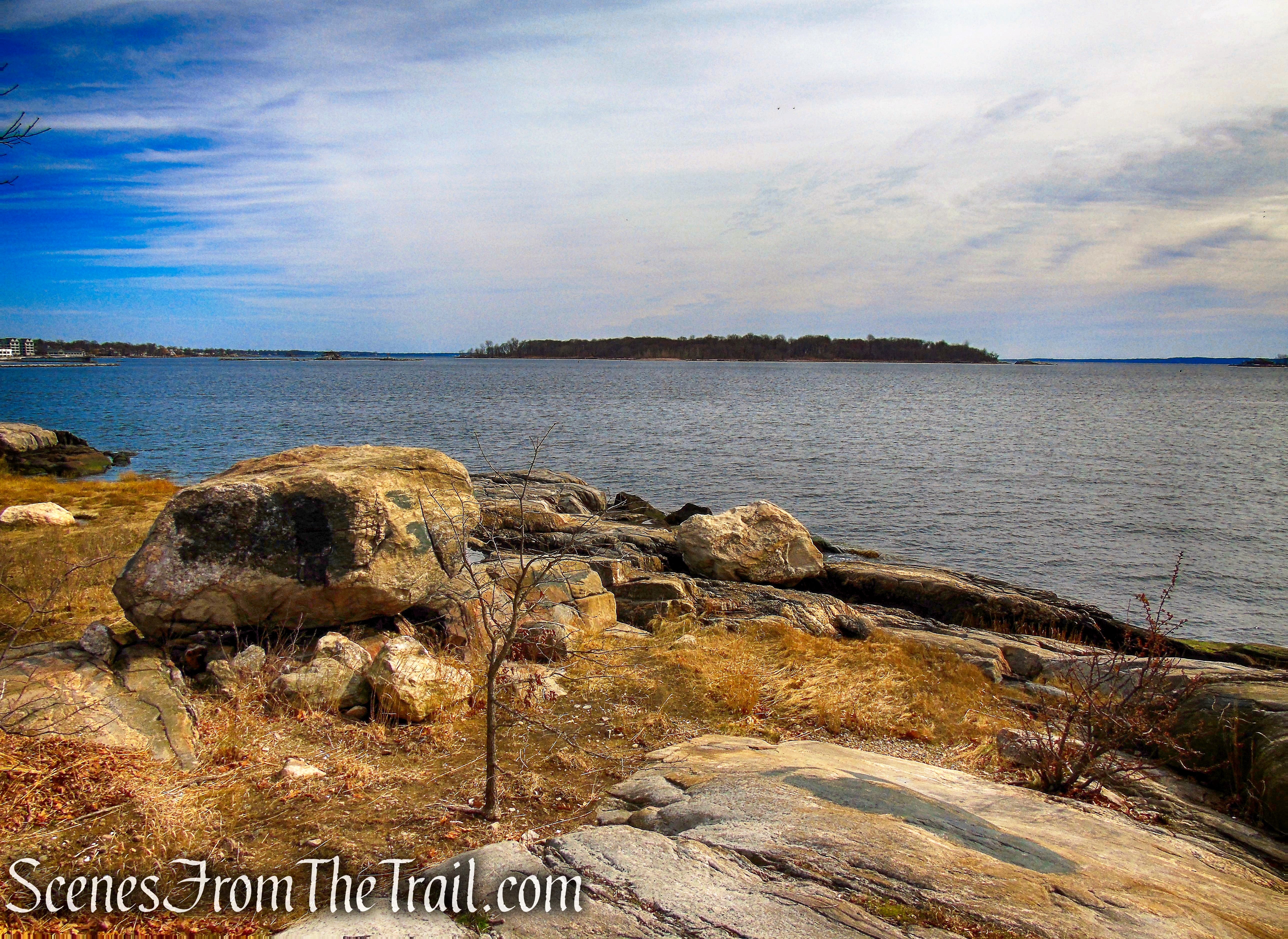
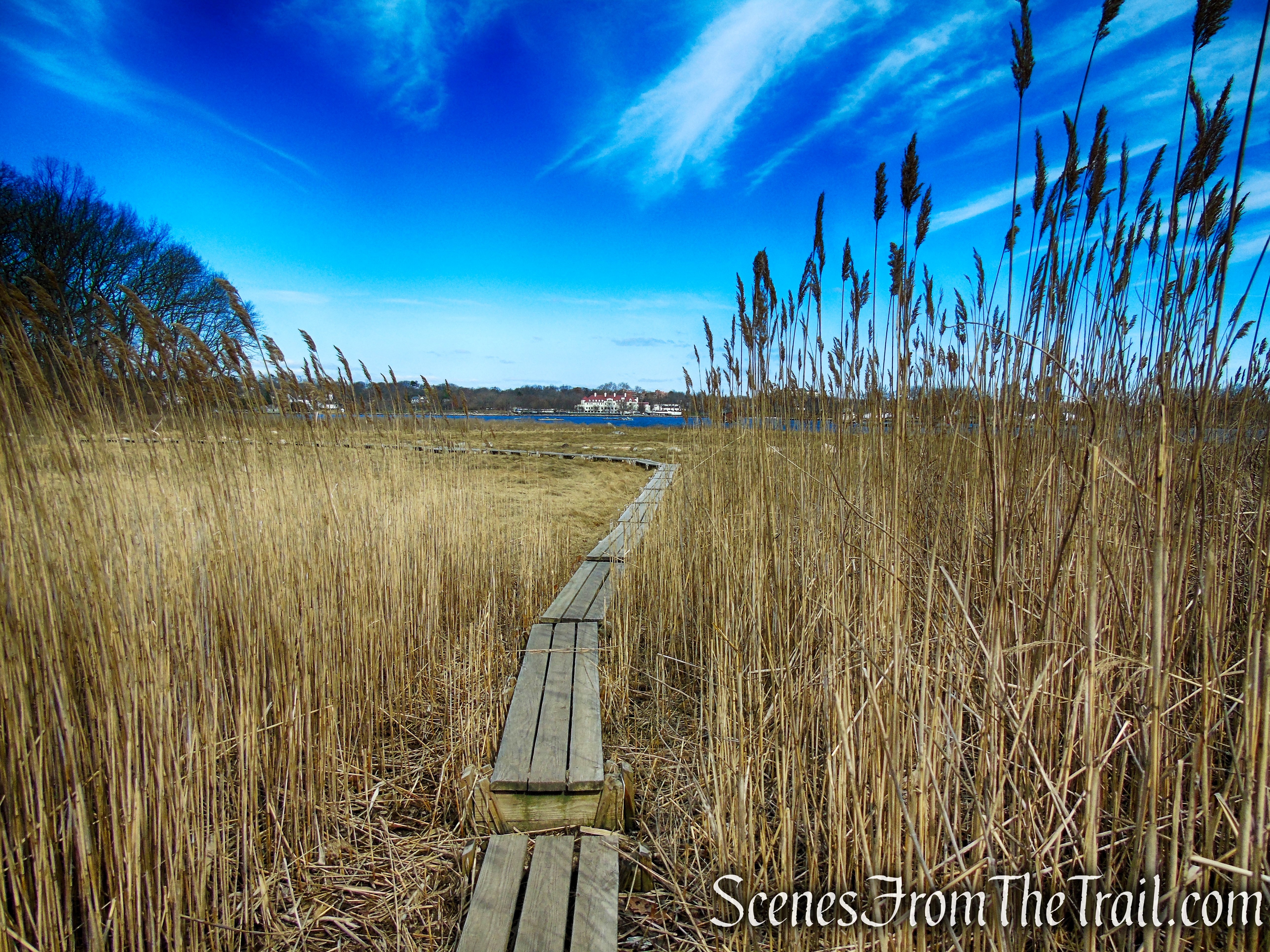
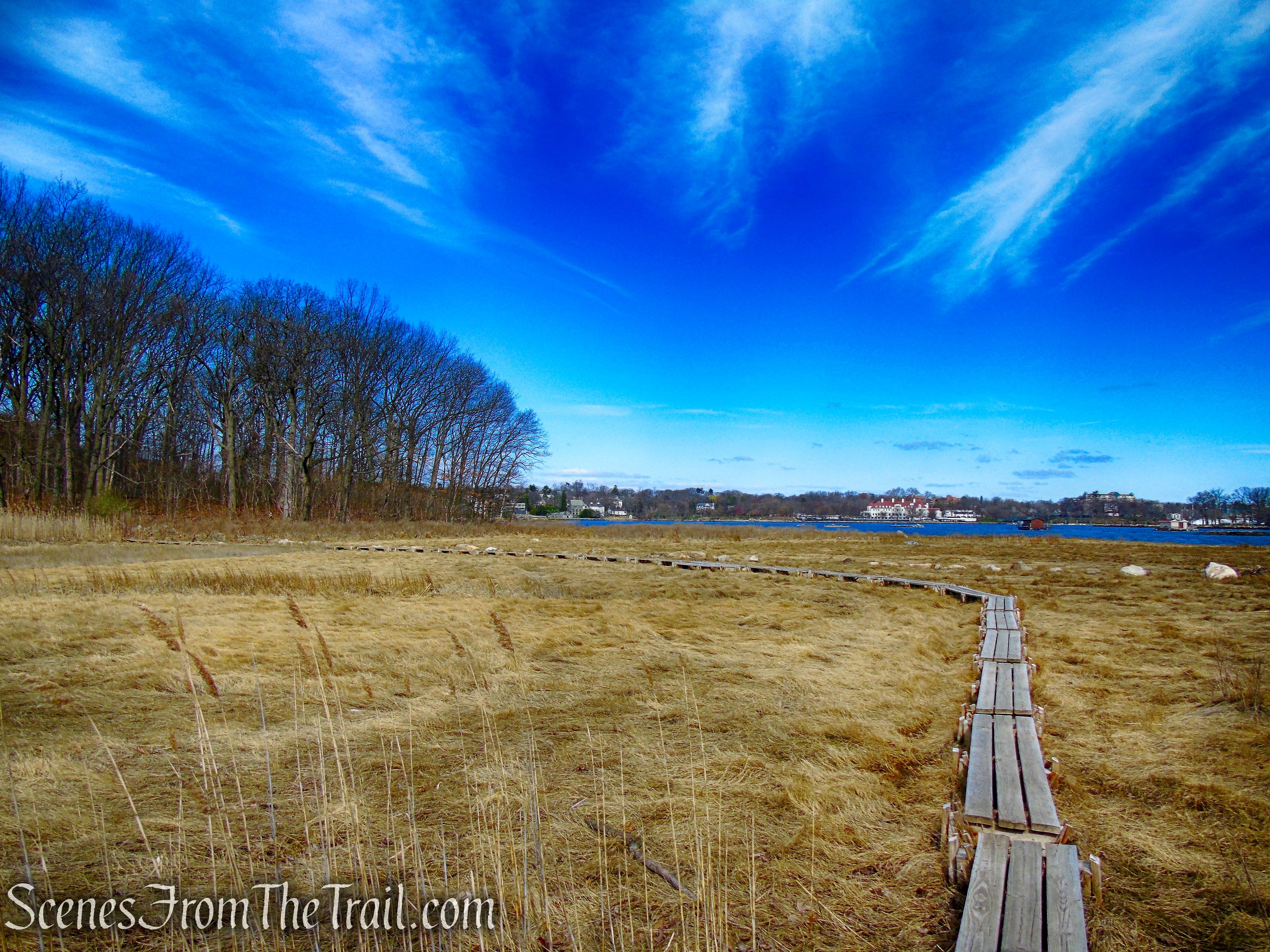
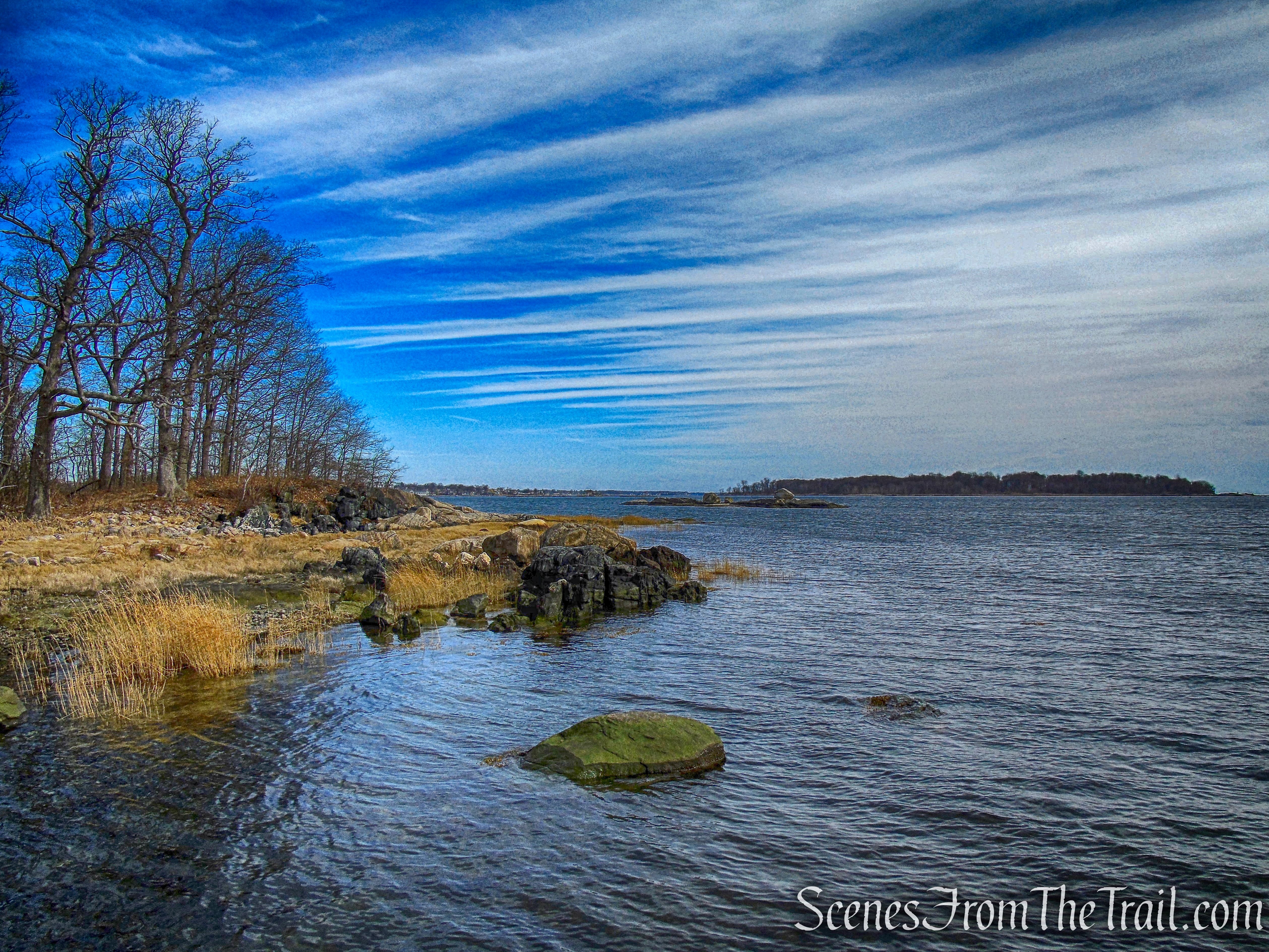
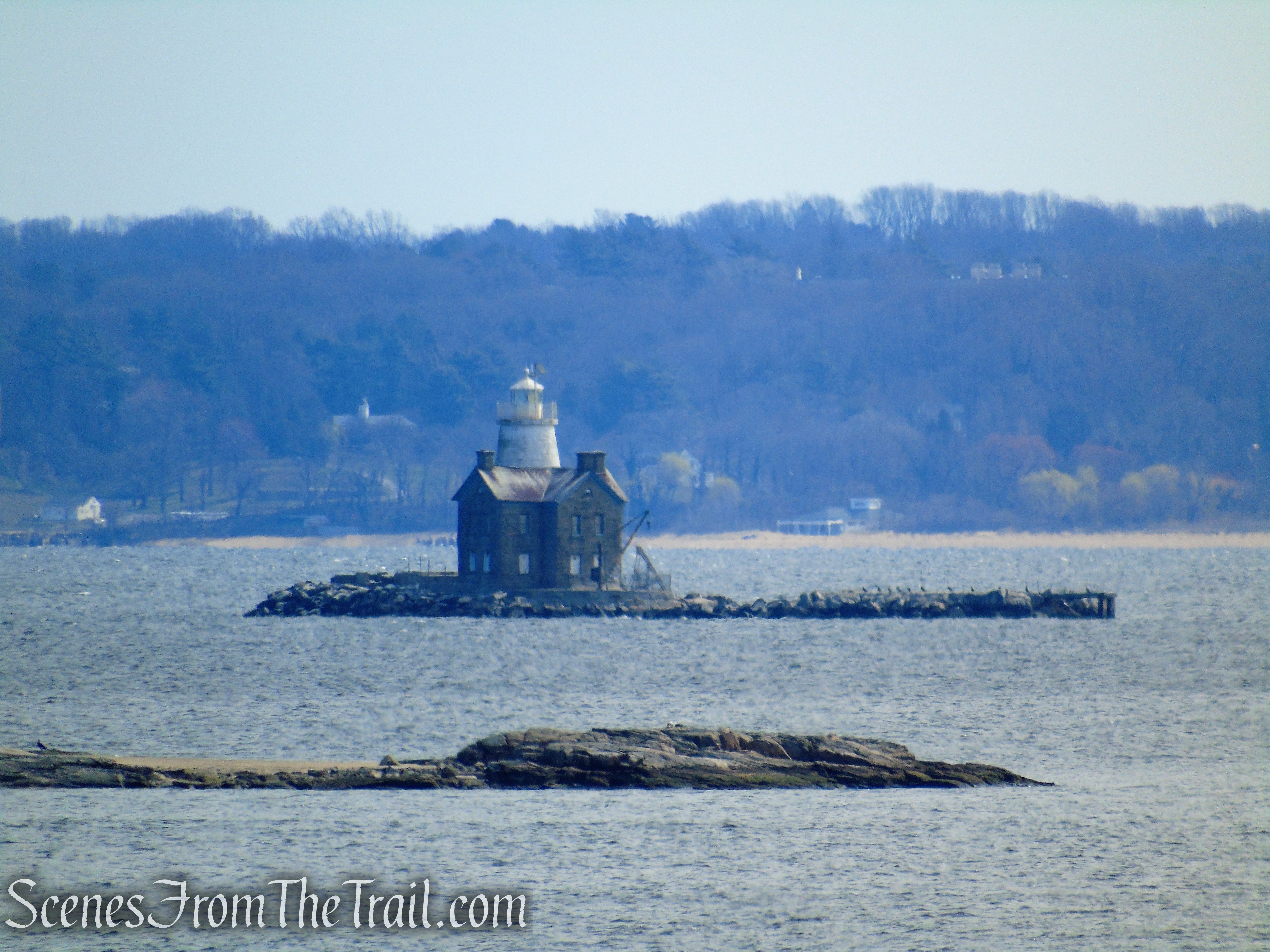
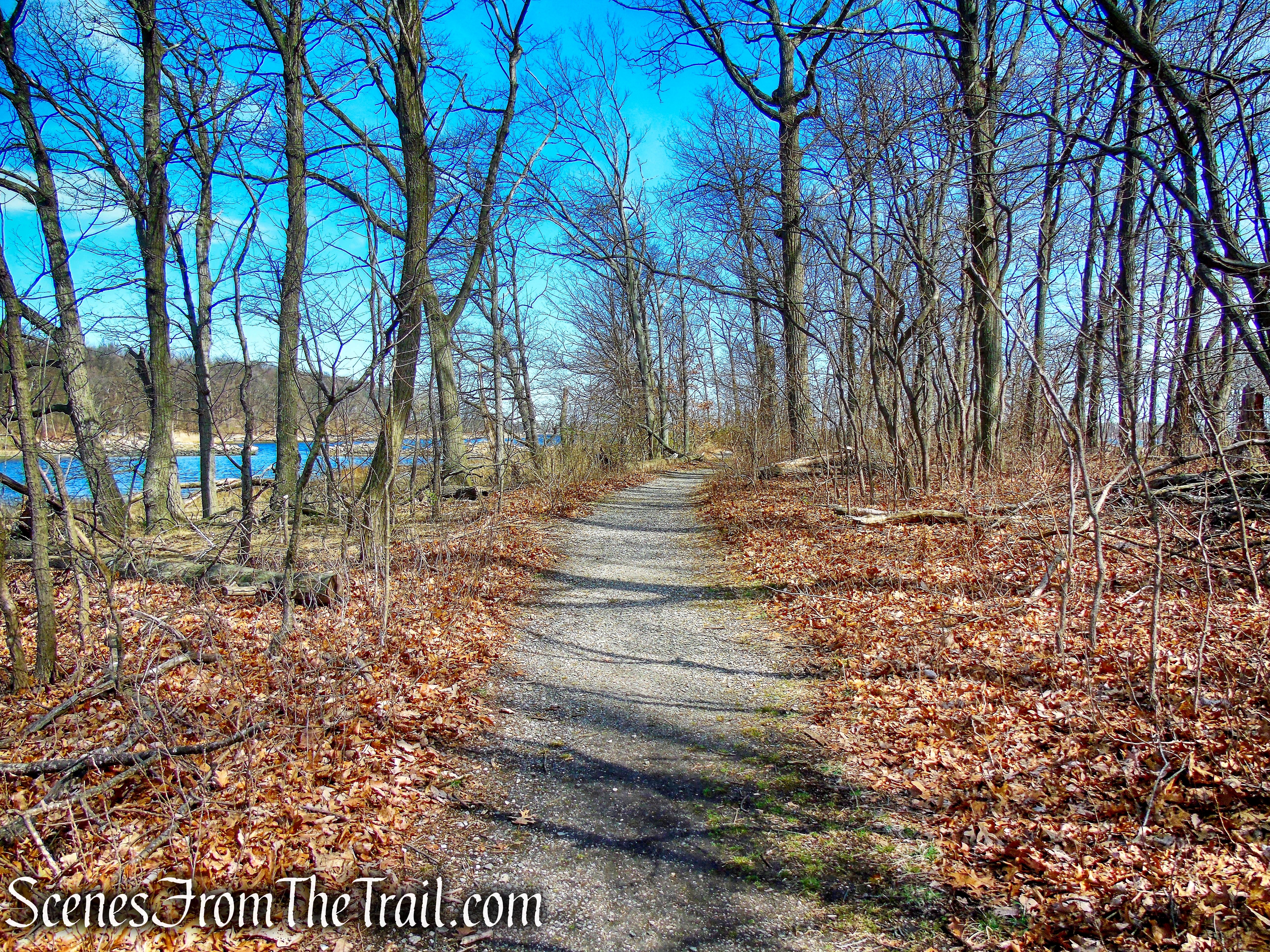
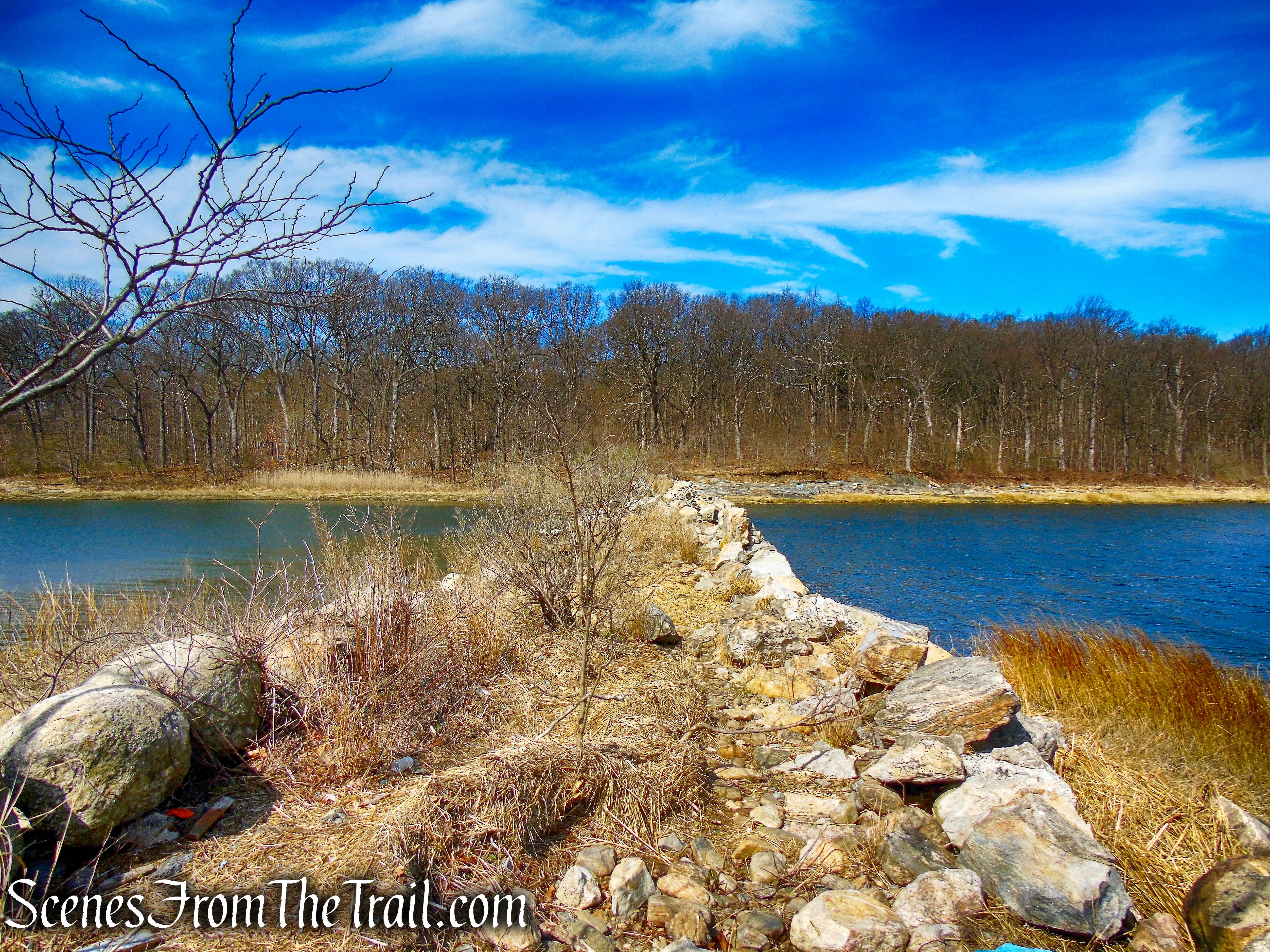
To the right, the trail reaches a fork, bearing left, the trail heads downhill, passes a view and crosses streams. First on a short wooden footbridge, then on the 65-ft. boardwalk, from where an old dam is visible to the left.

bear left at fork
Crawbuckie Nature Preserve
Crawbuckie Nature Preserve
Crawbuckie Nature Preserve
Crawbuckie Nature Preserve
Crawbuckie Nature Preserve
Crawbuckie Nature Preserve
boardwalk – Crawbuckie Nature Preserve

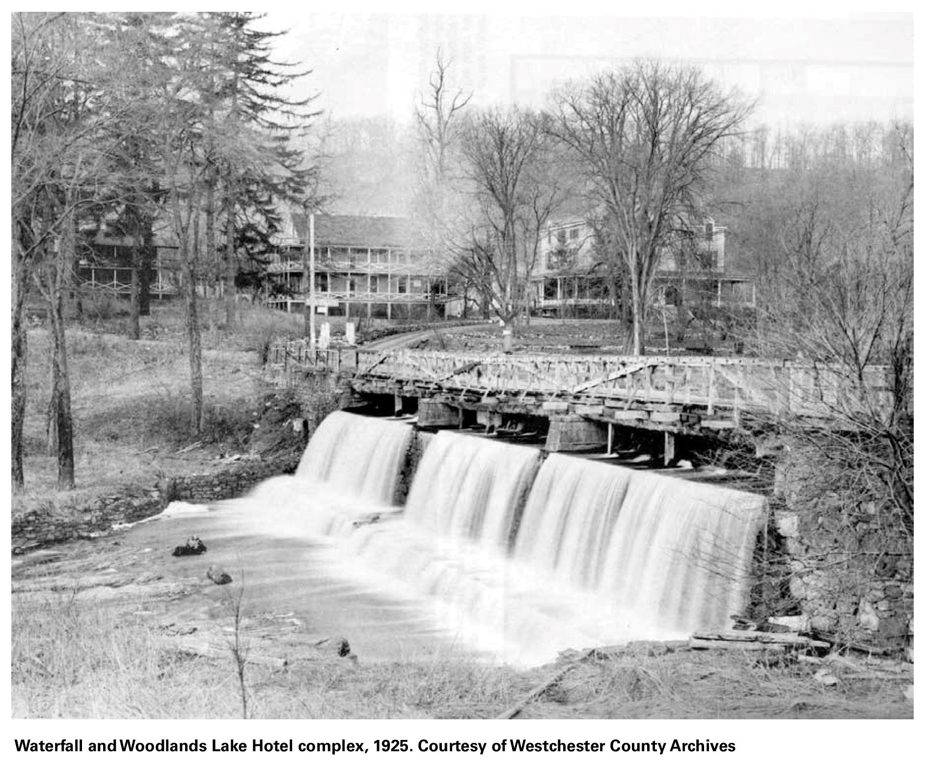
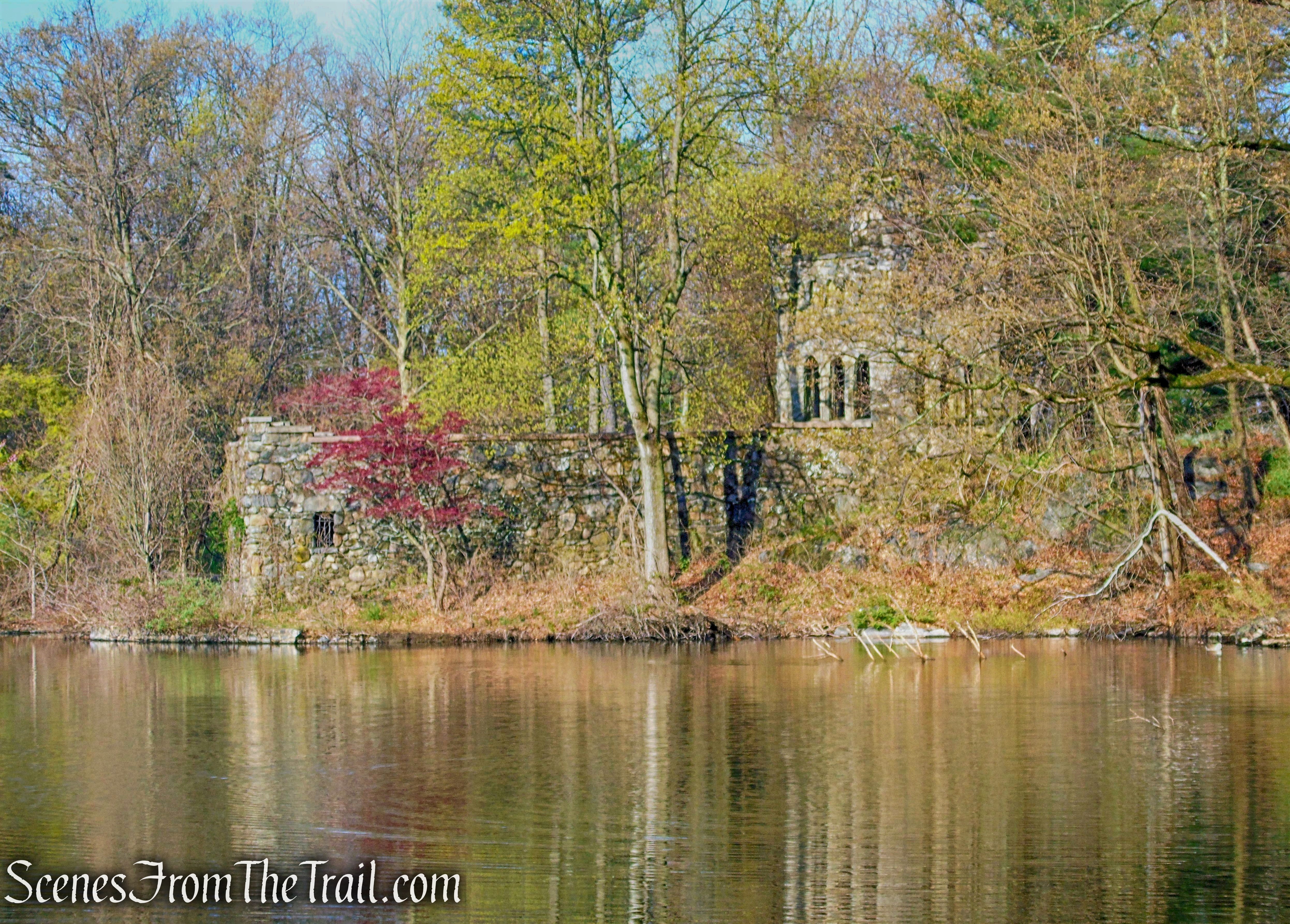
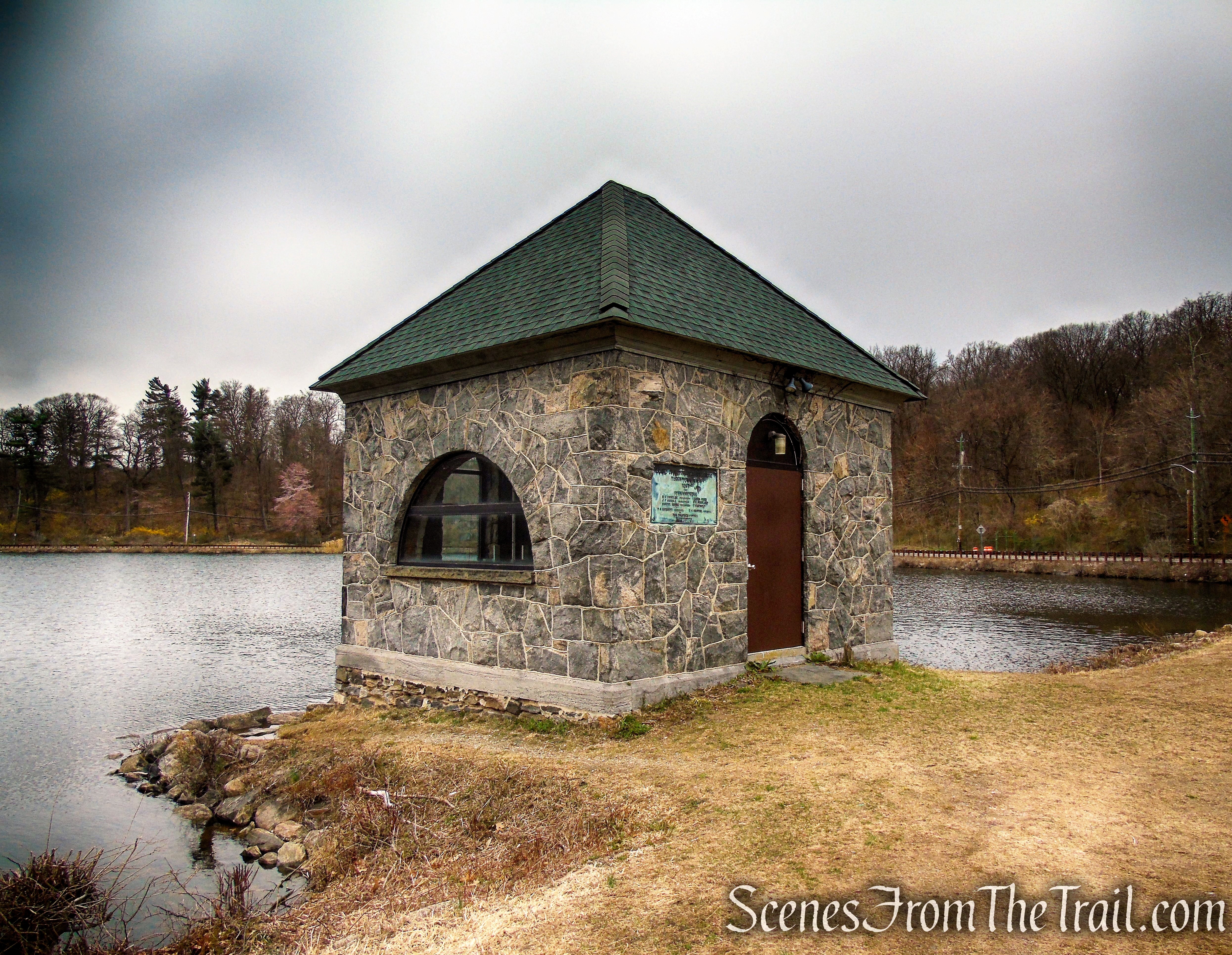
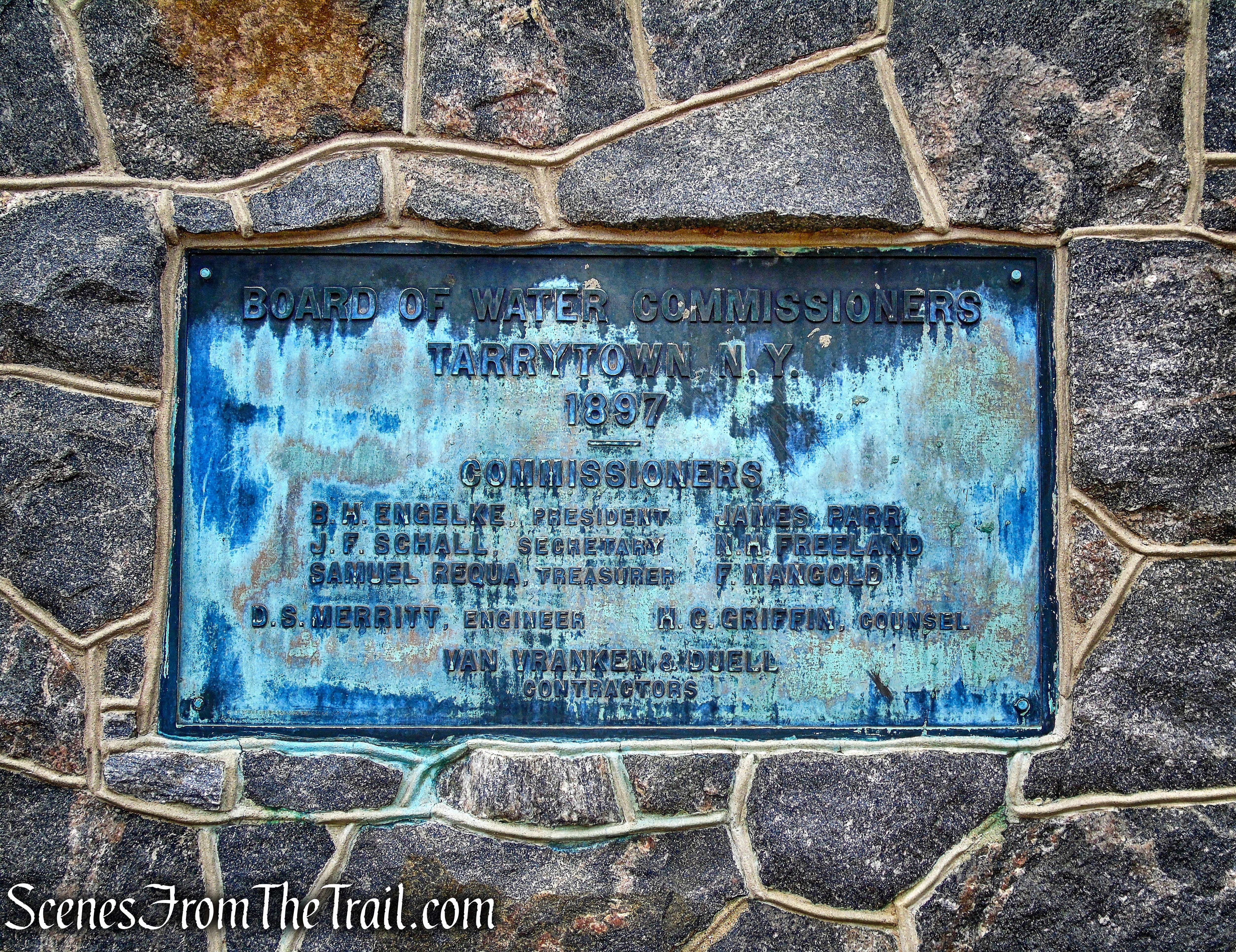
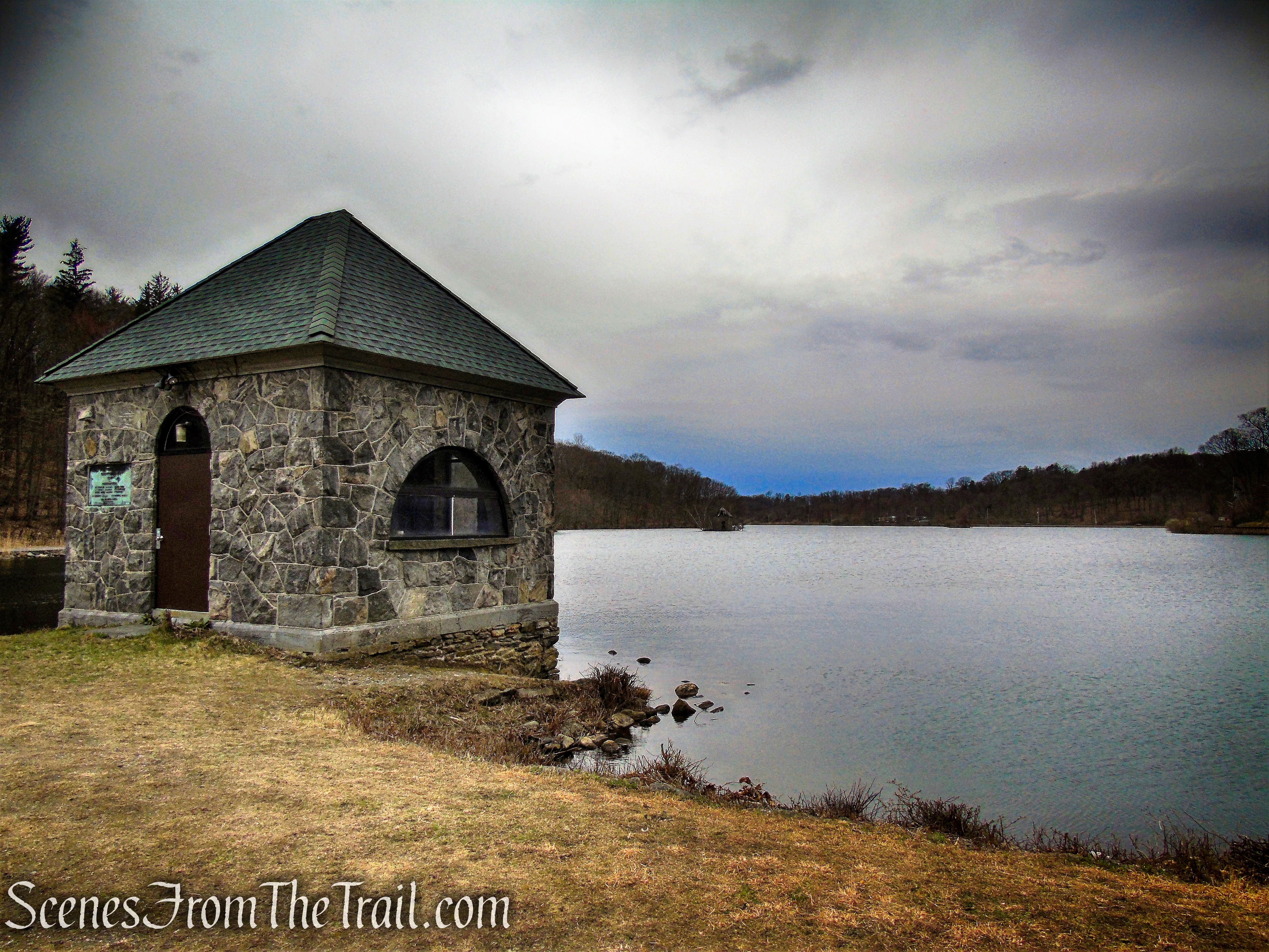
dam – Crawbuckie Nature Preserve
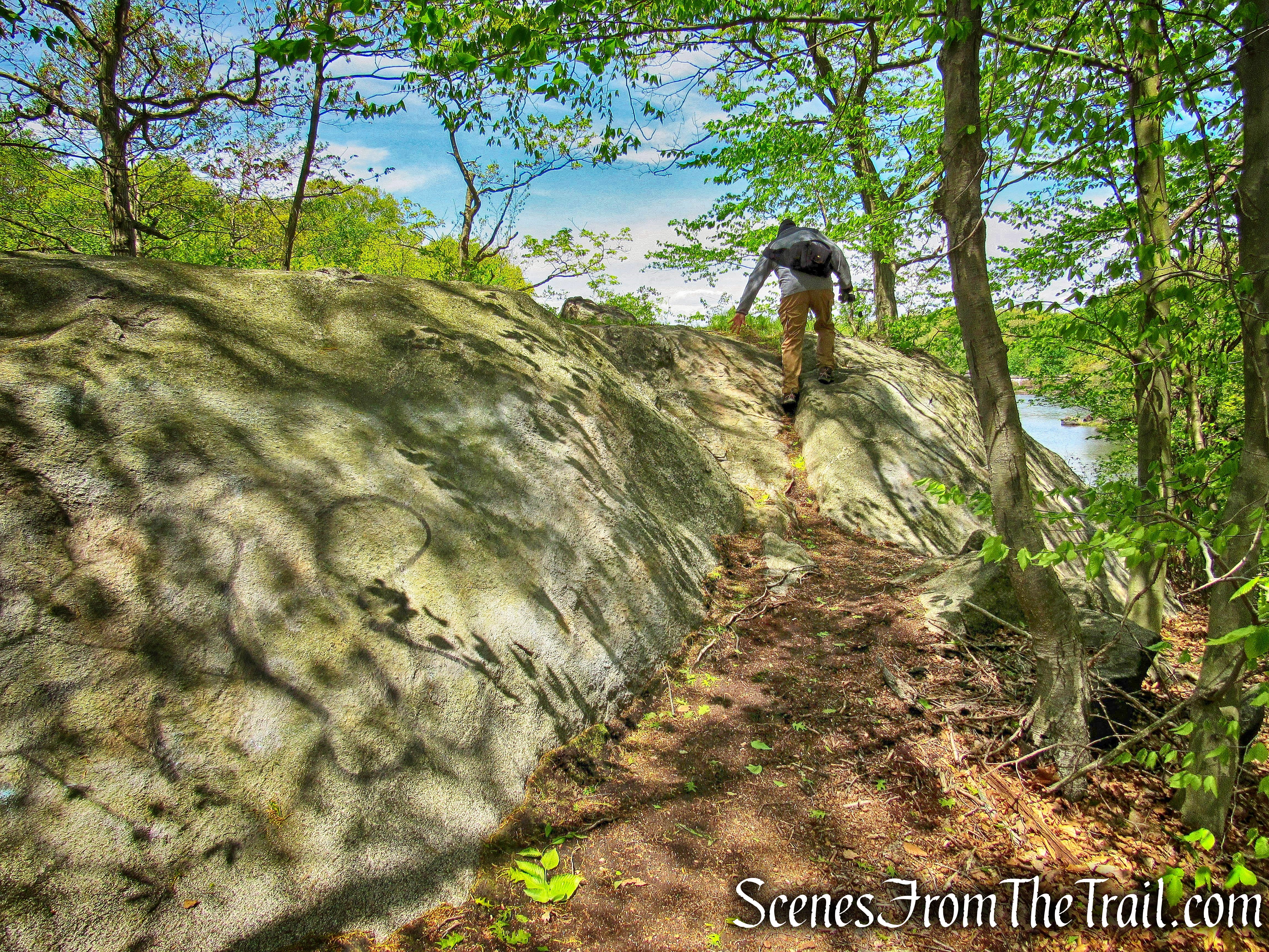
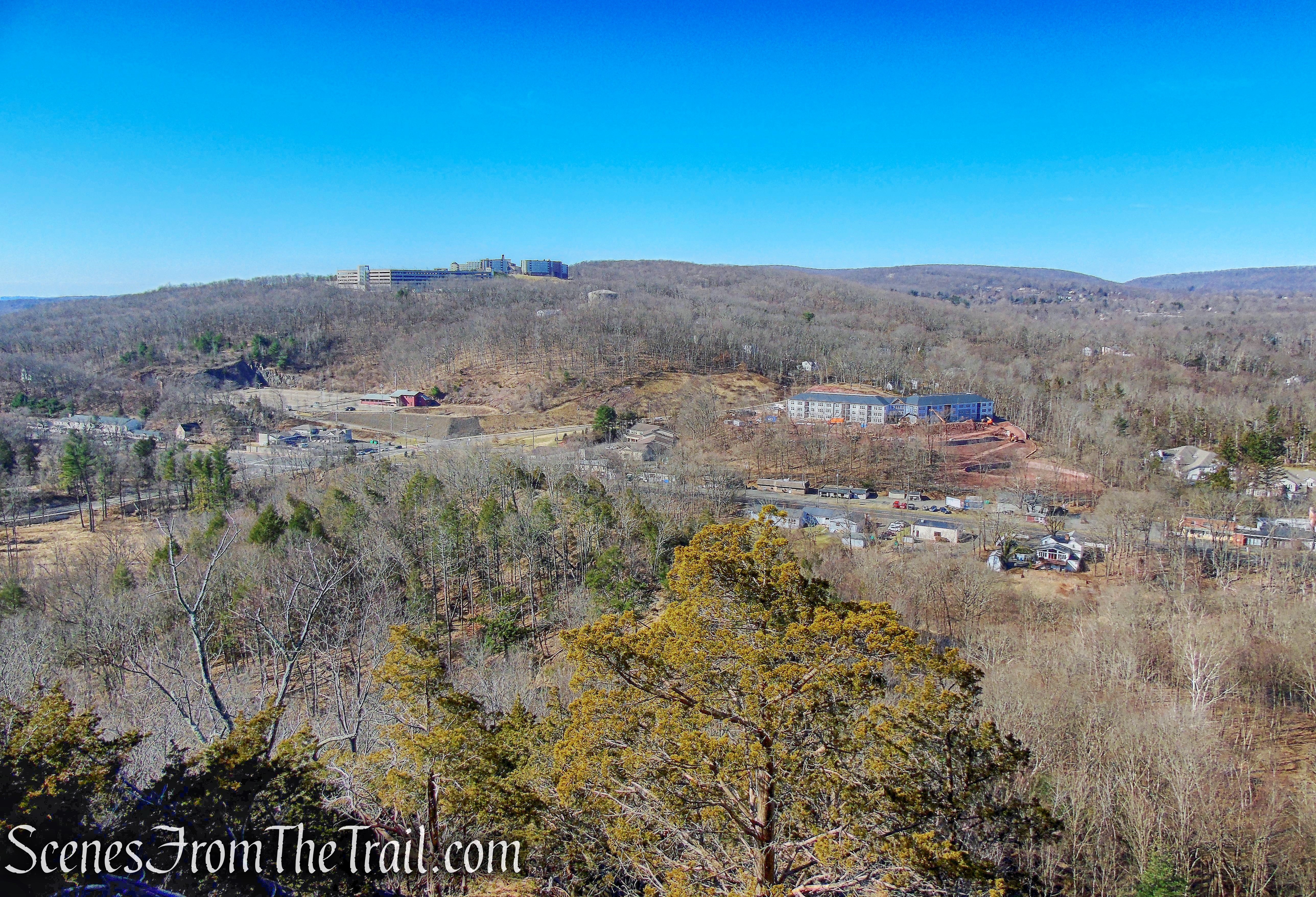
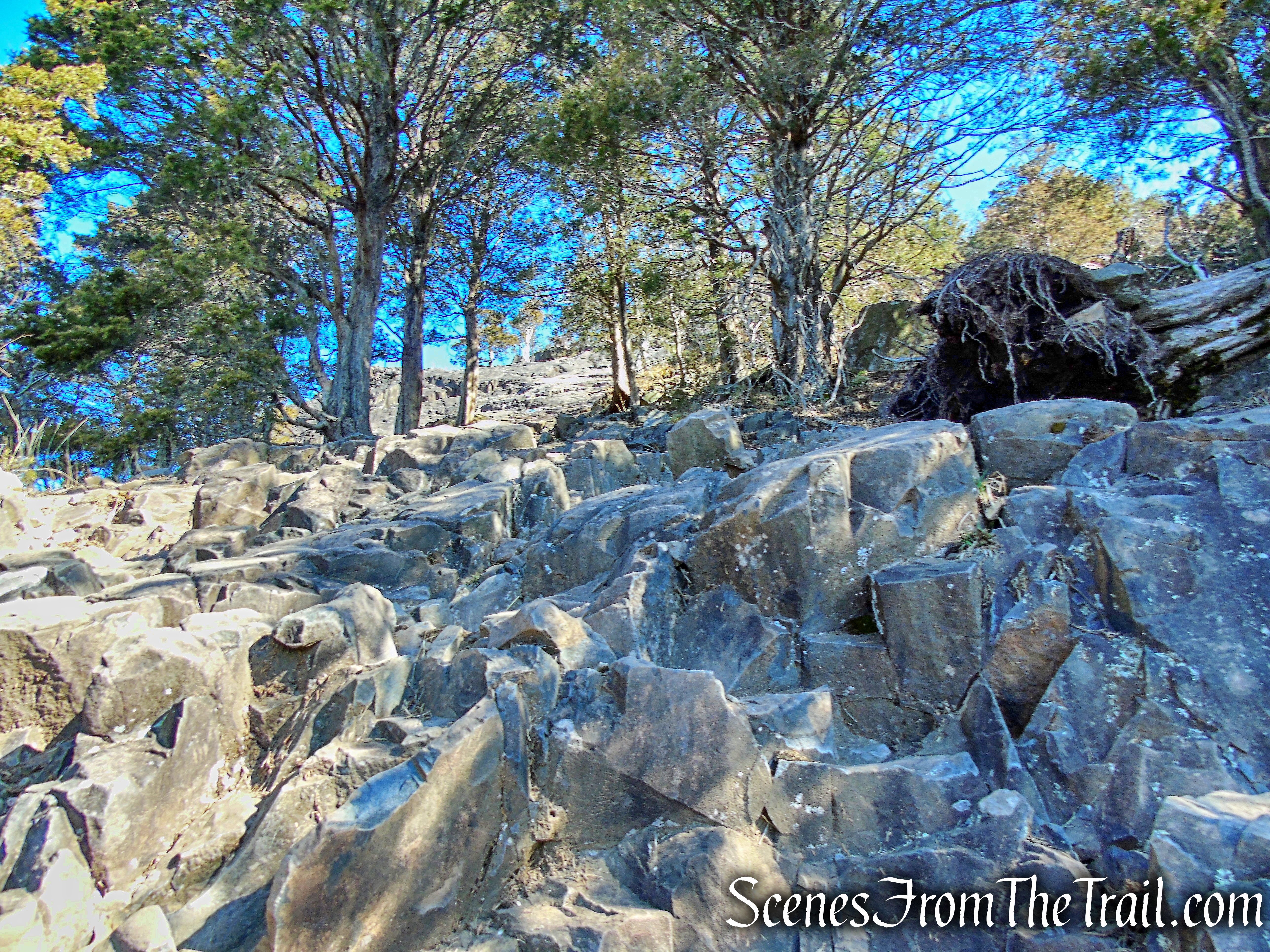
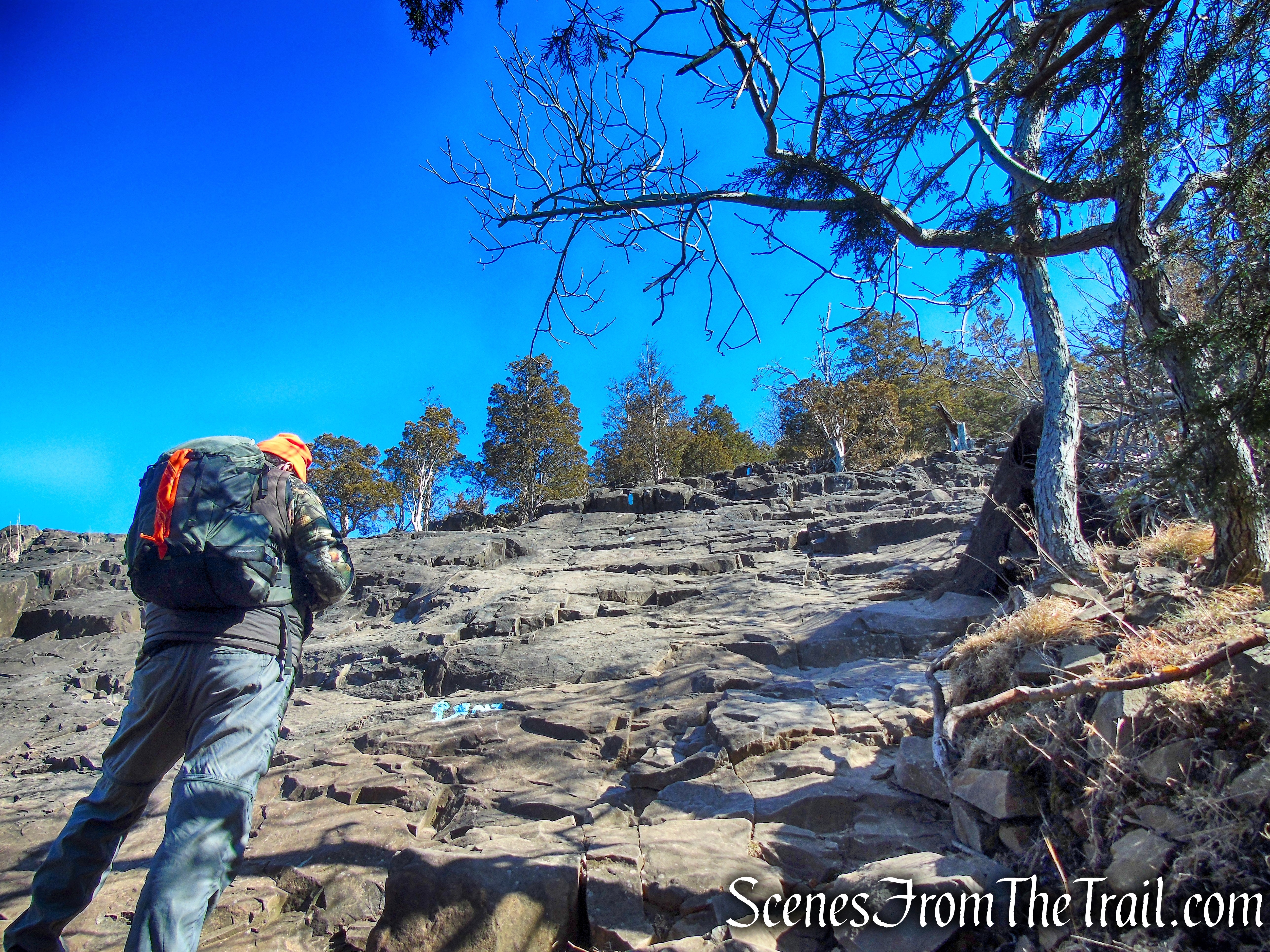
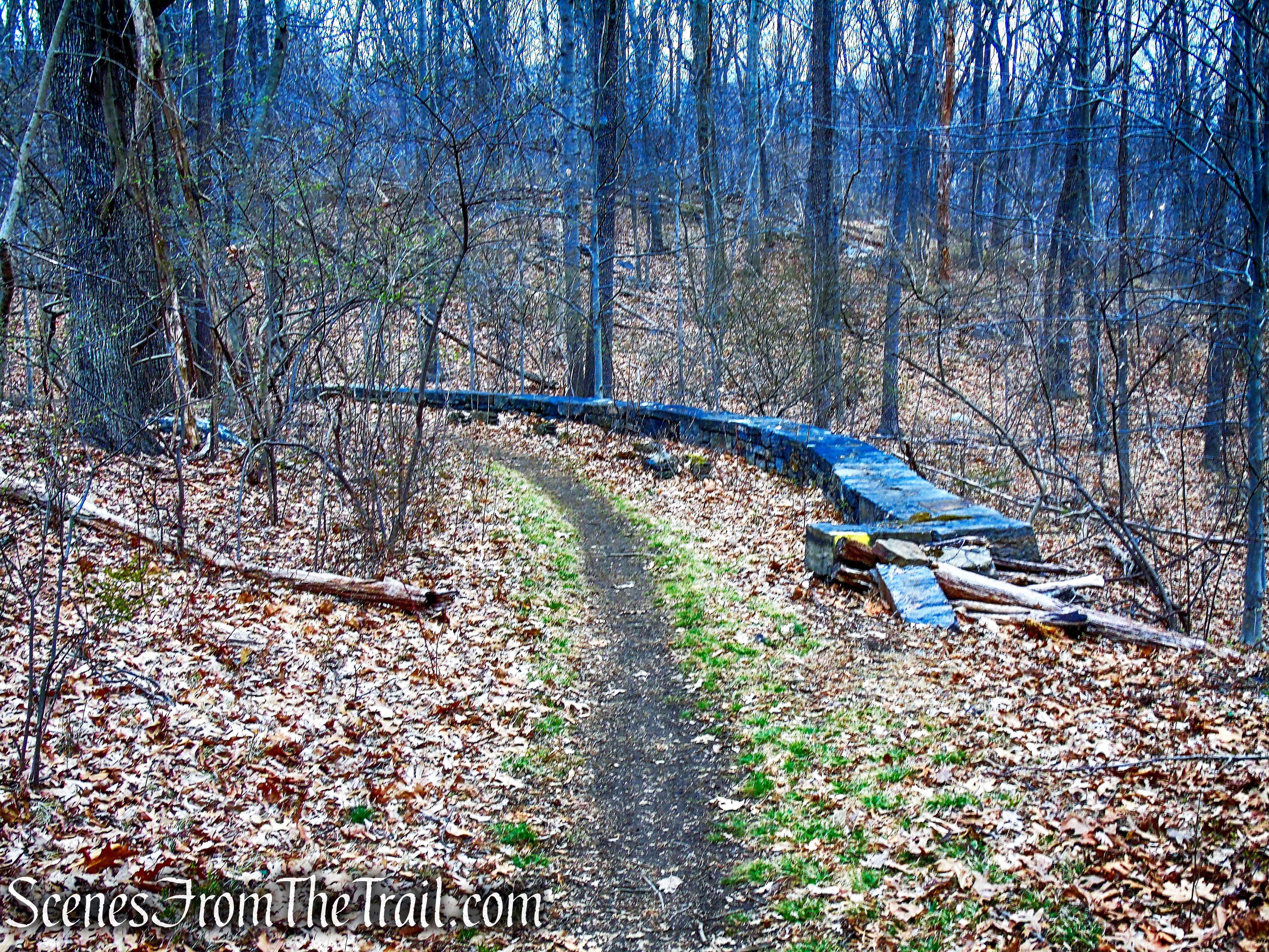
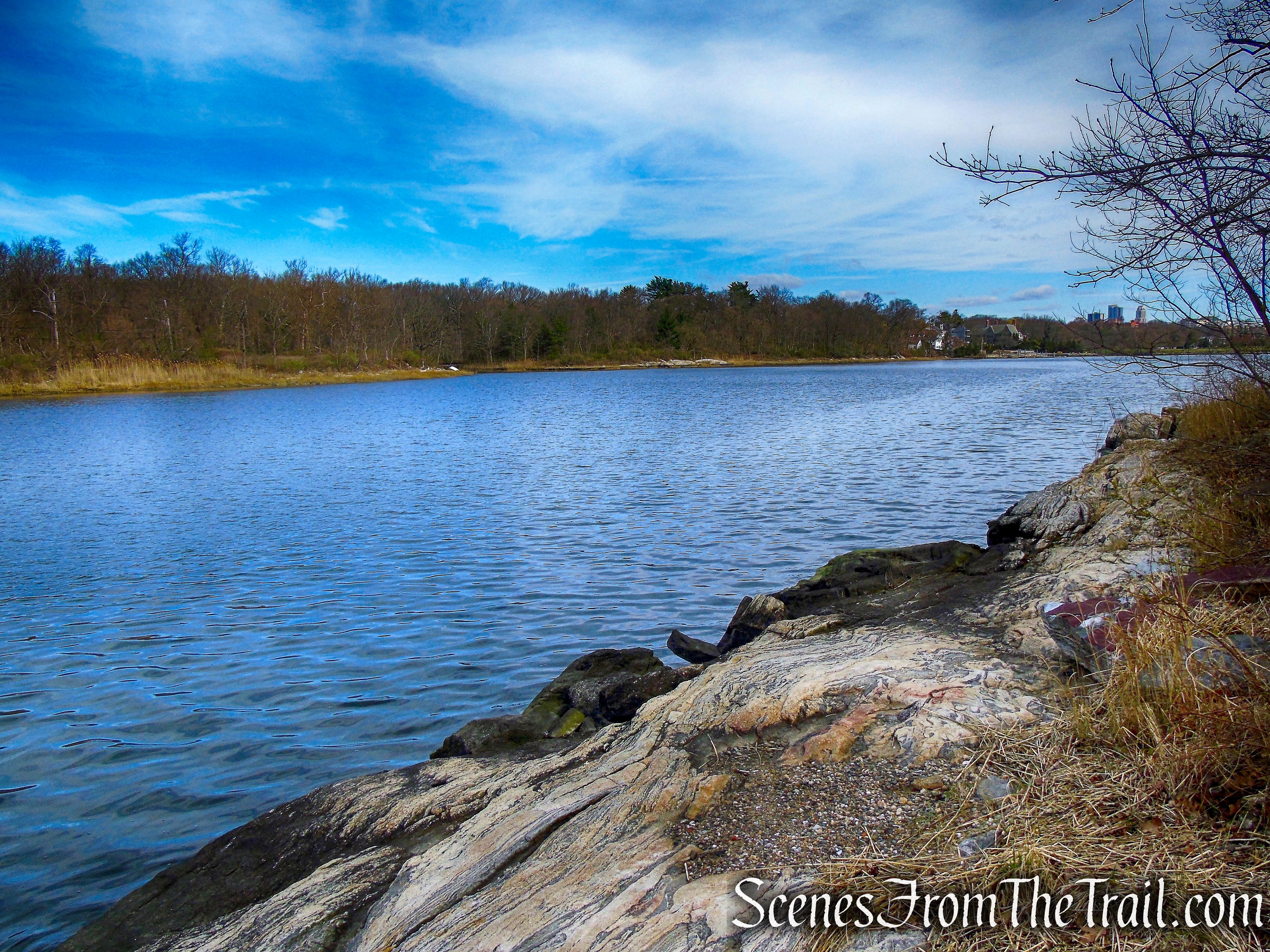
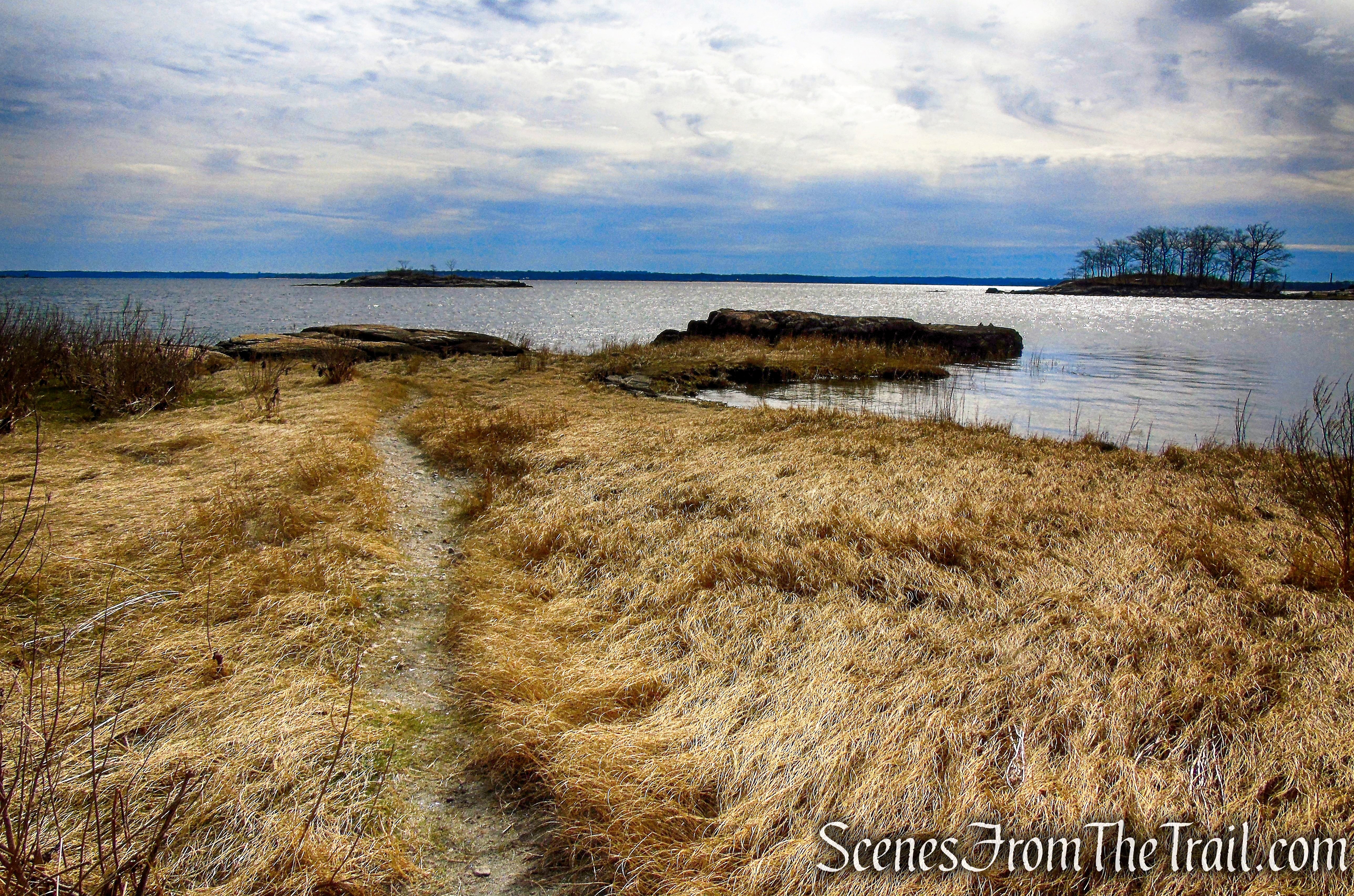
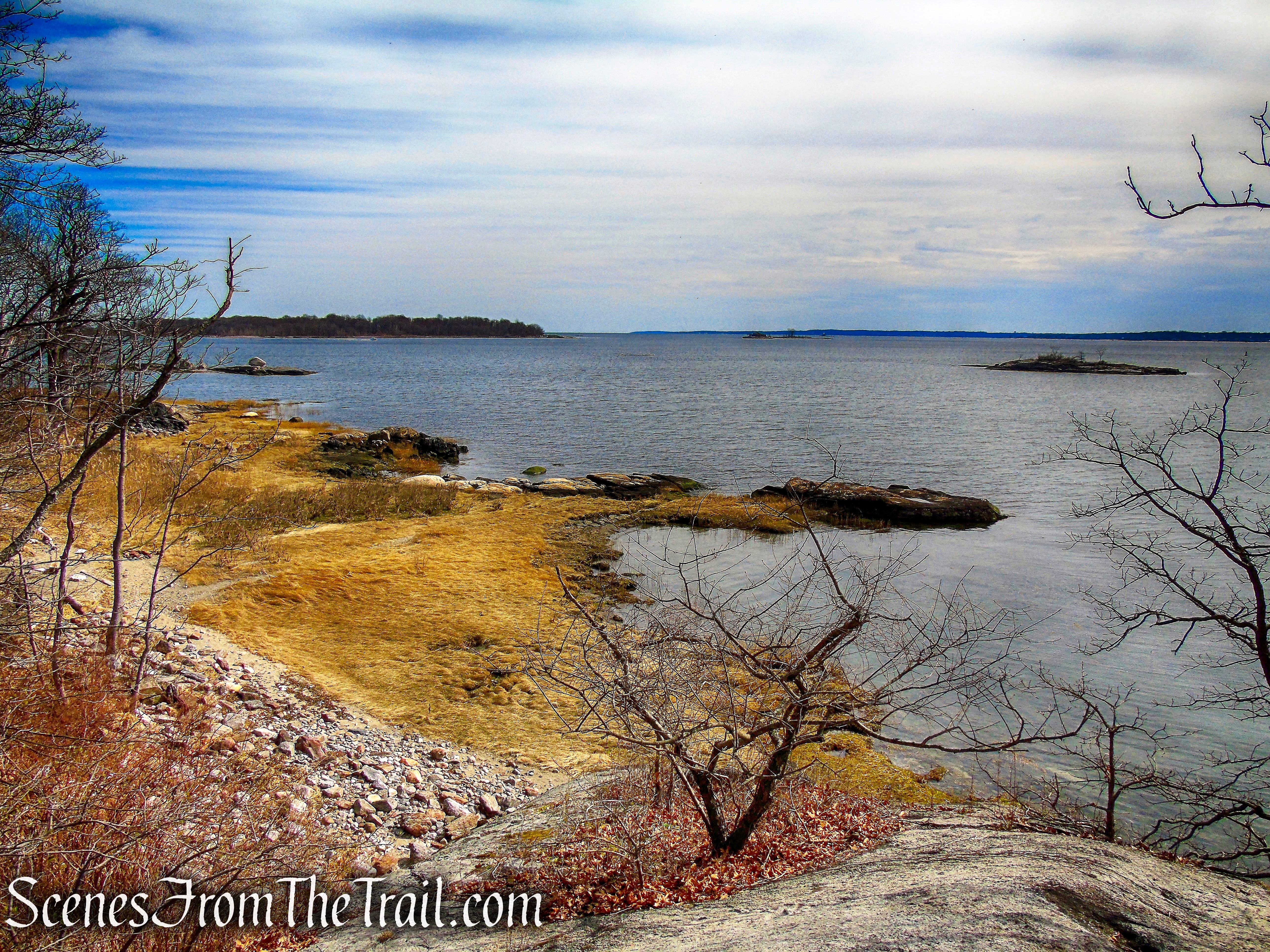
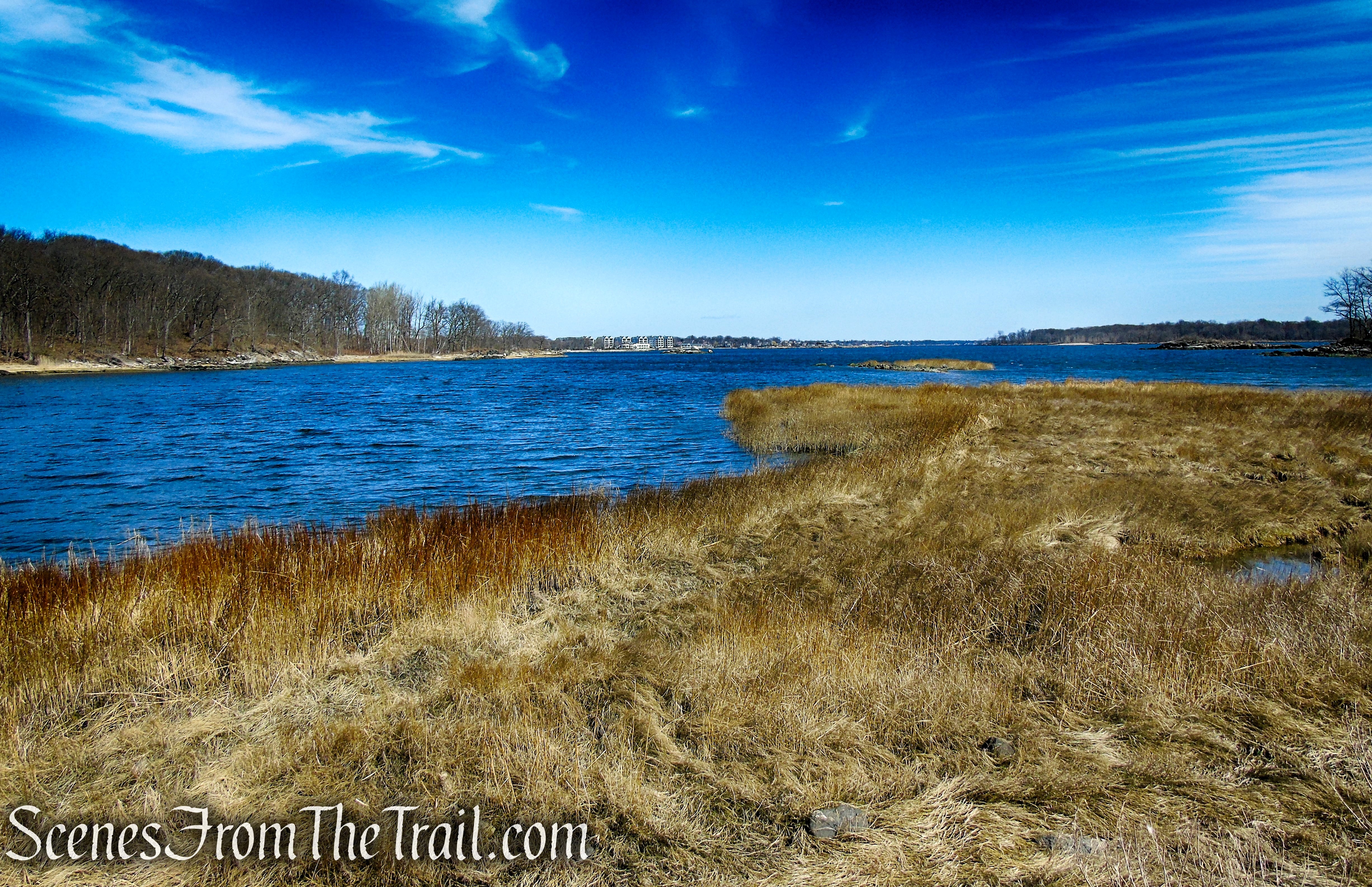
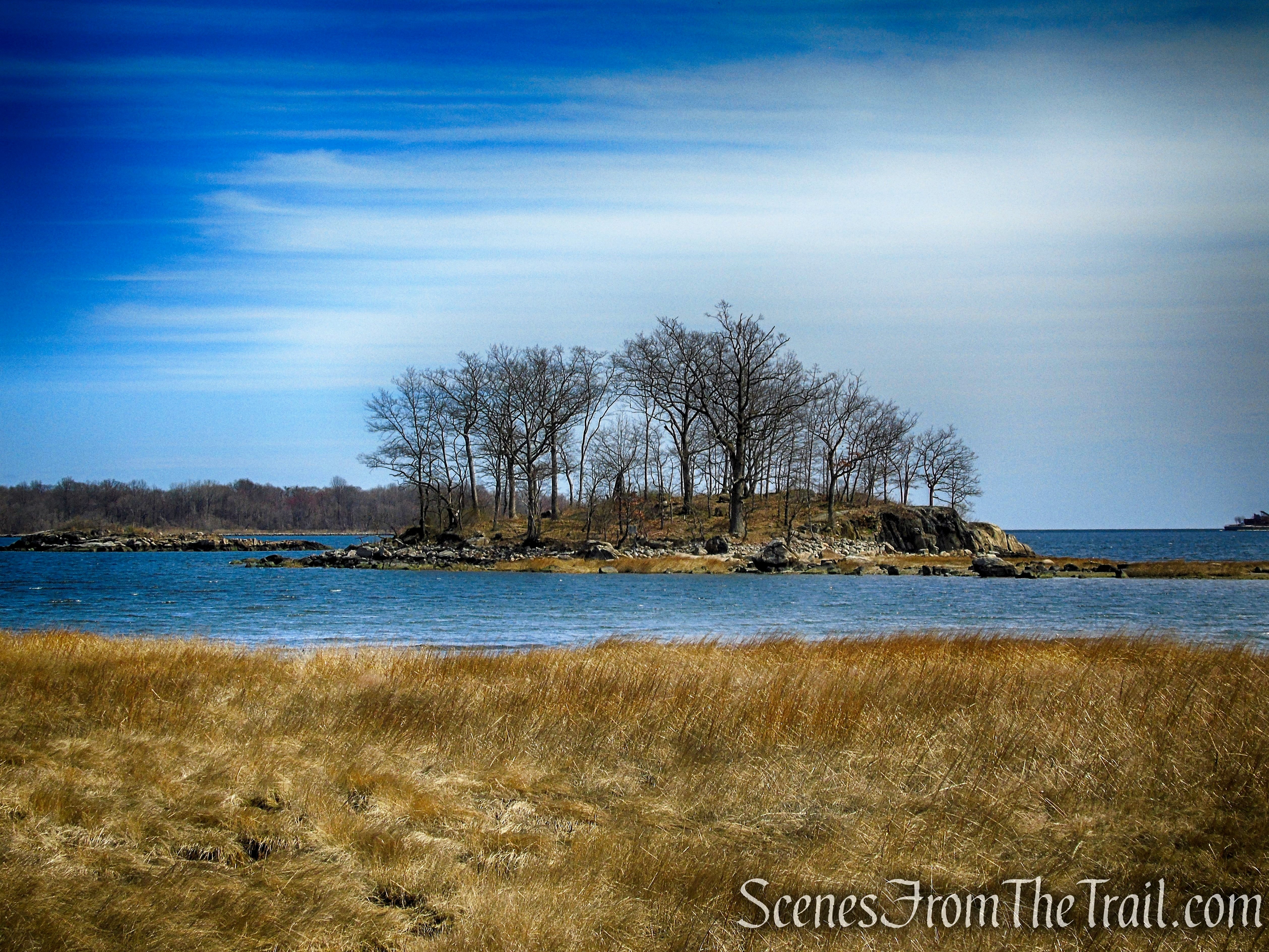
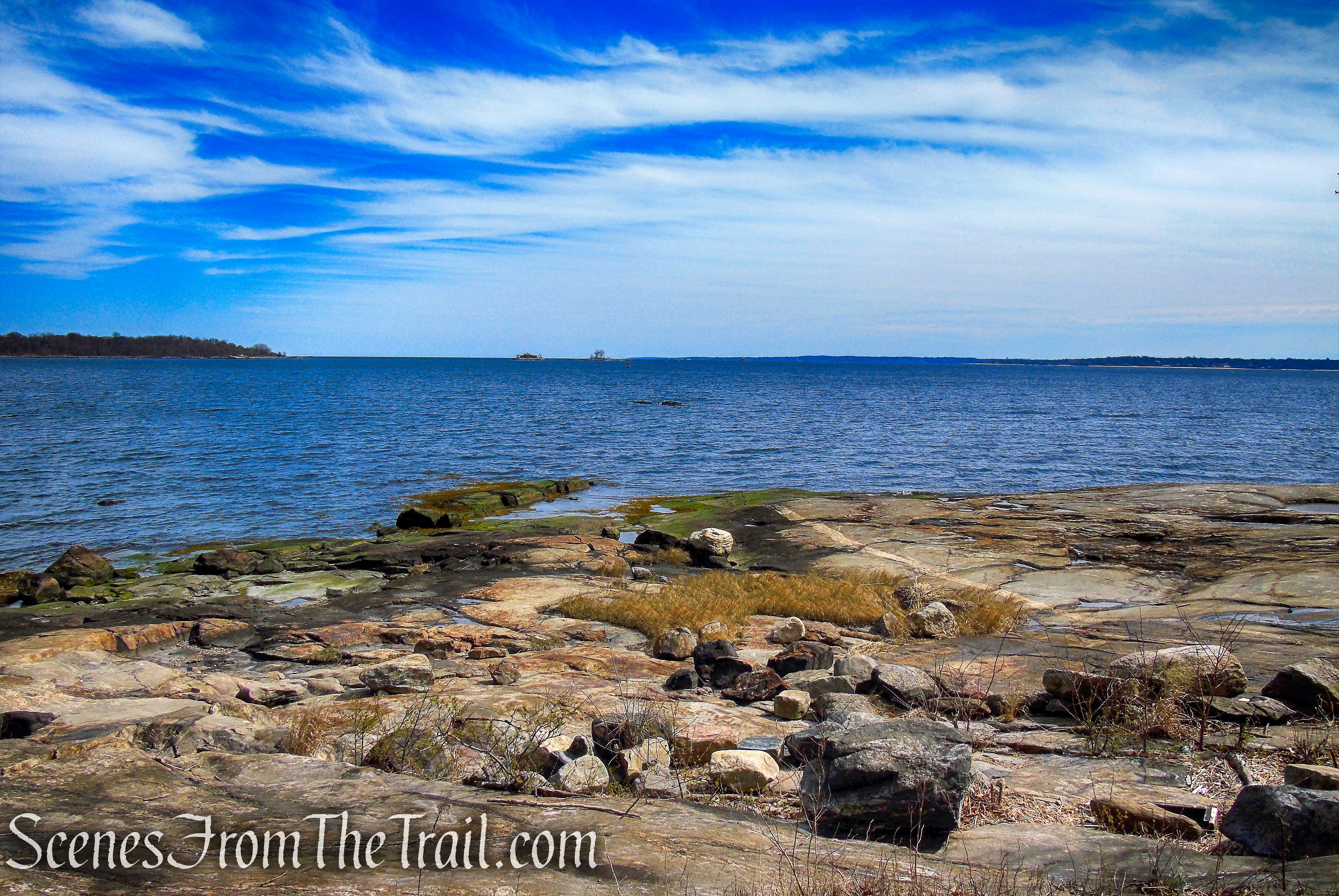
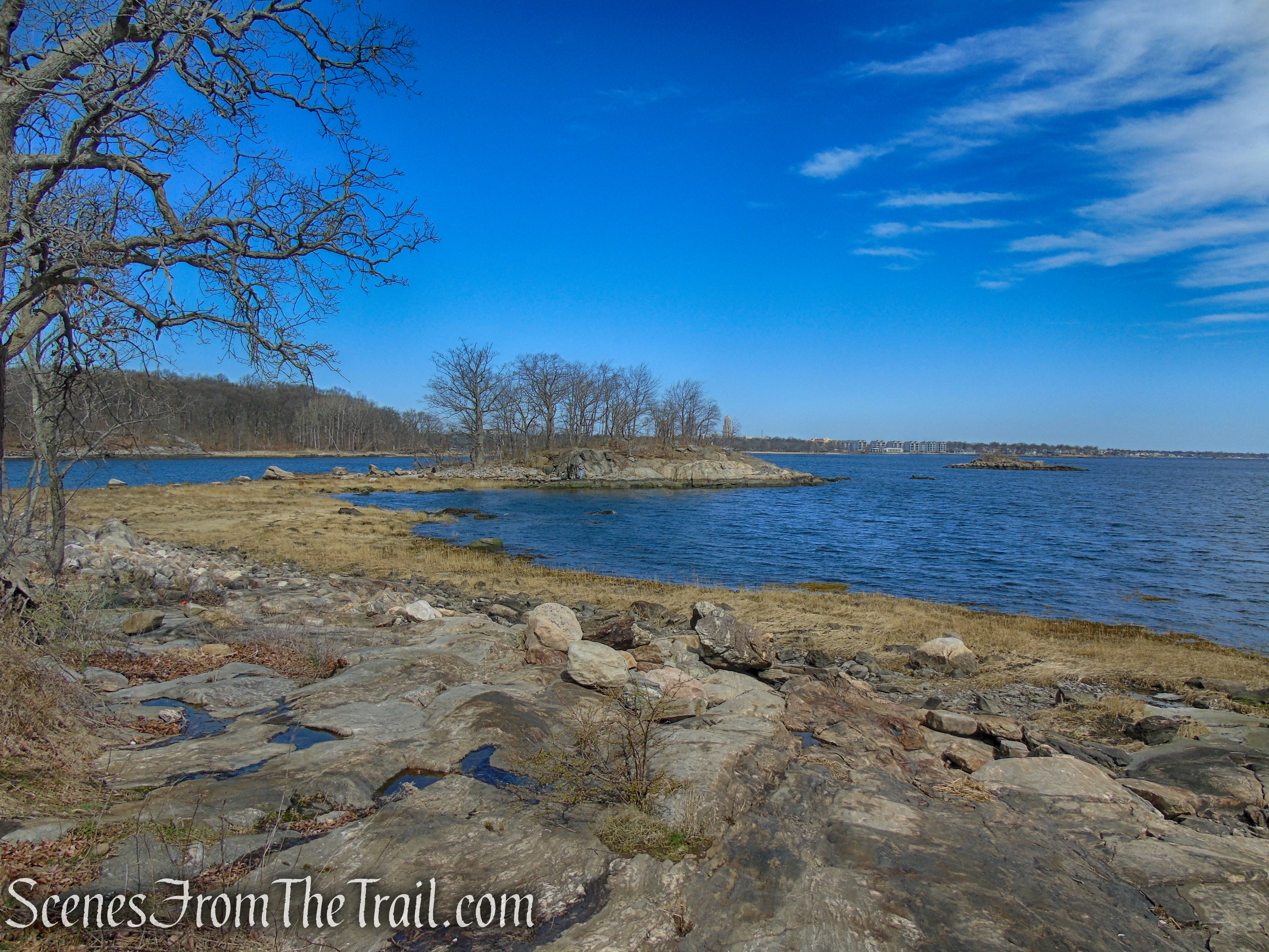
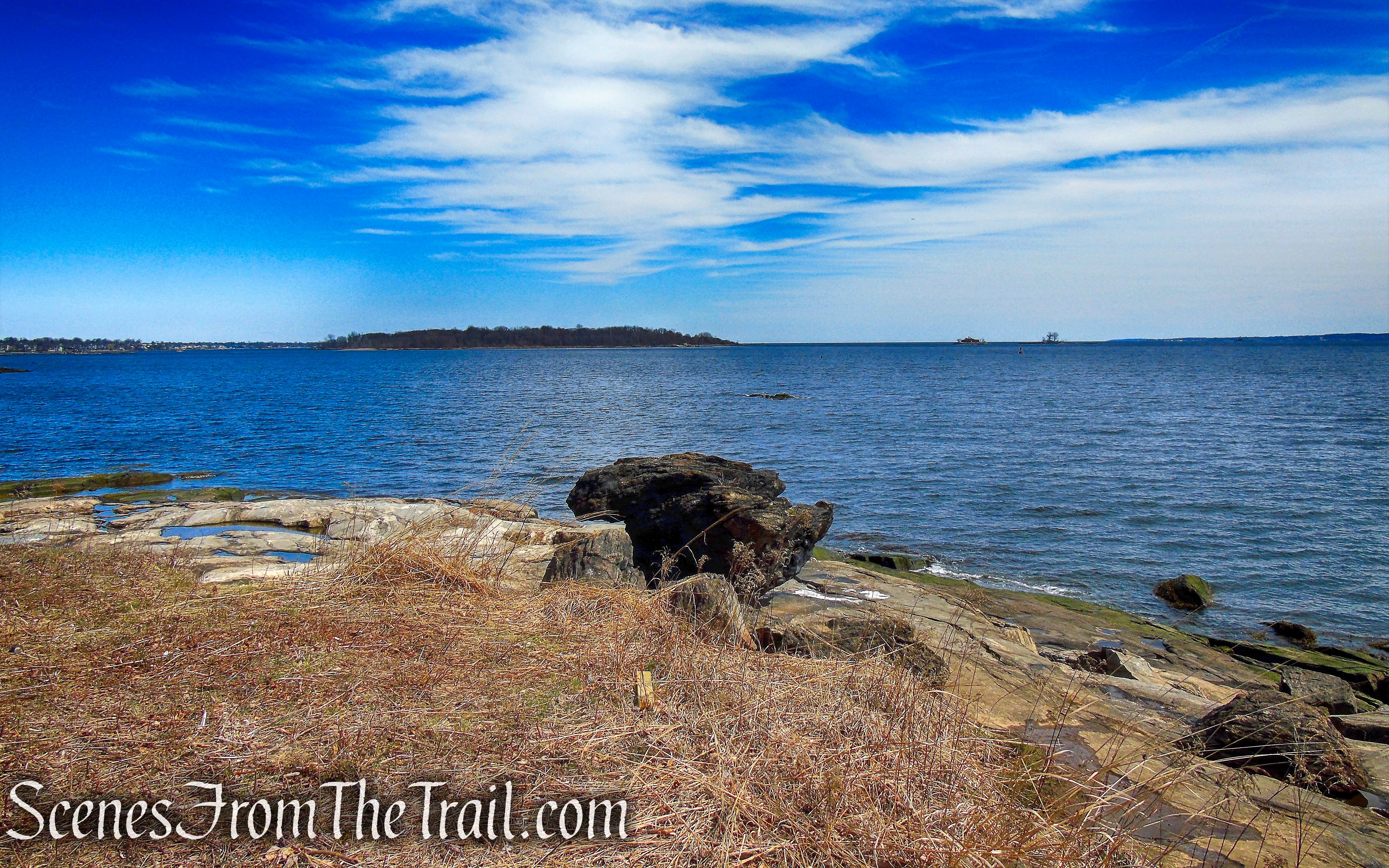
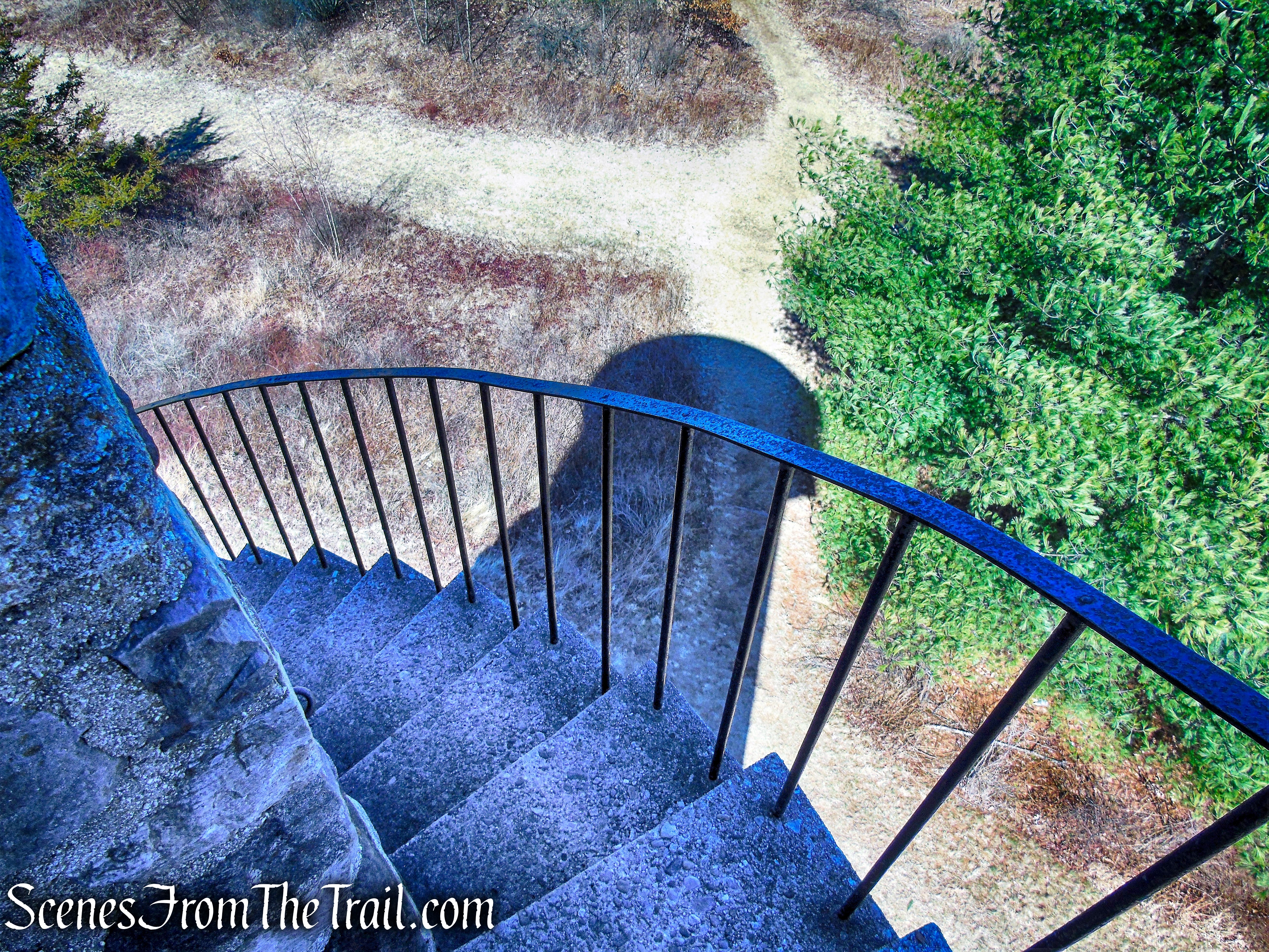
The trail reaches a flight of stone steps which curve gracefully around to ascend the hill. The trail reaches the top of the bluff, where at a trail junction, a loop goes to two viewing platforms with the second one on a dead spur. Along the way there are short connector trails on the left.
stone steps – Crawbuckie Nature Preserve

stone steps – Crawbuckie Nature Preserve
stone steps – Crawbuckie Nature Preserve

stone steps – Crawbuckie Nature Preserve
Crawbuckie Nature Preserve
viewing platform – Crawbuckie Nature Preserve
viewing platform – Crawbuckie Nature Preserve
Crawbuckie Nature Preserve
viewing platform – Crawbuckie Nature Preserve

viewing platform – Crawbuckie Nature Preserve
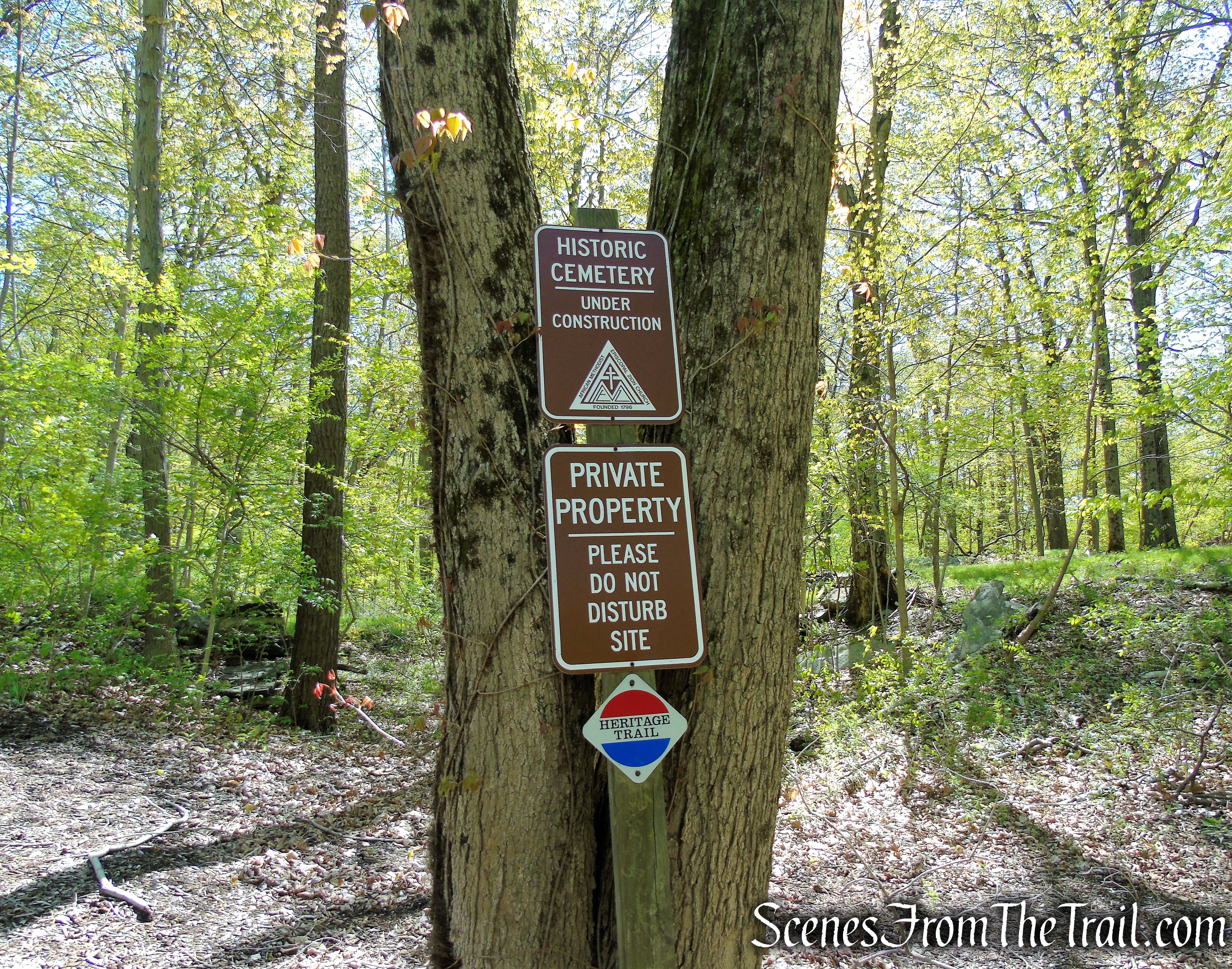
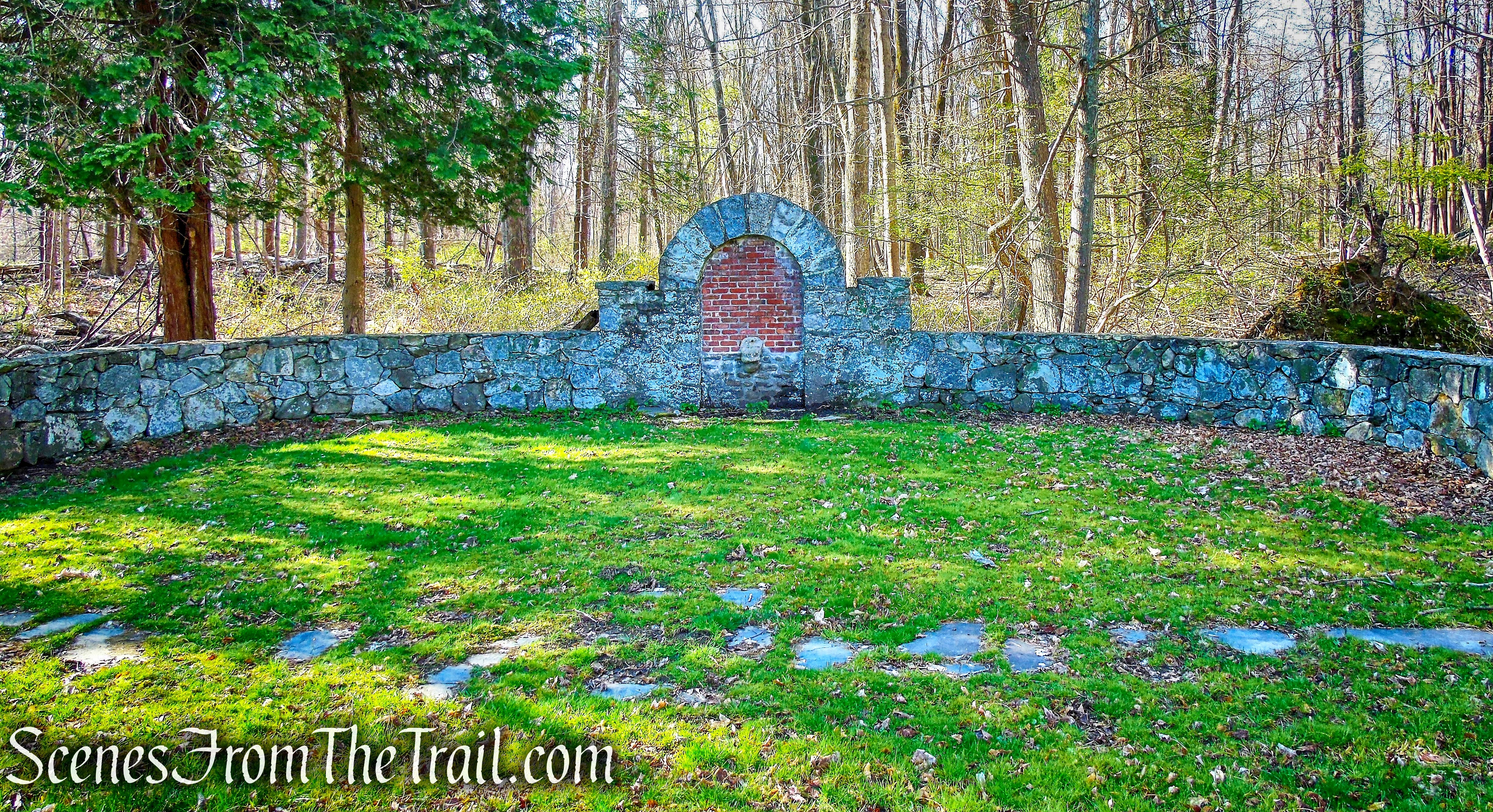
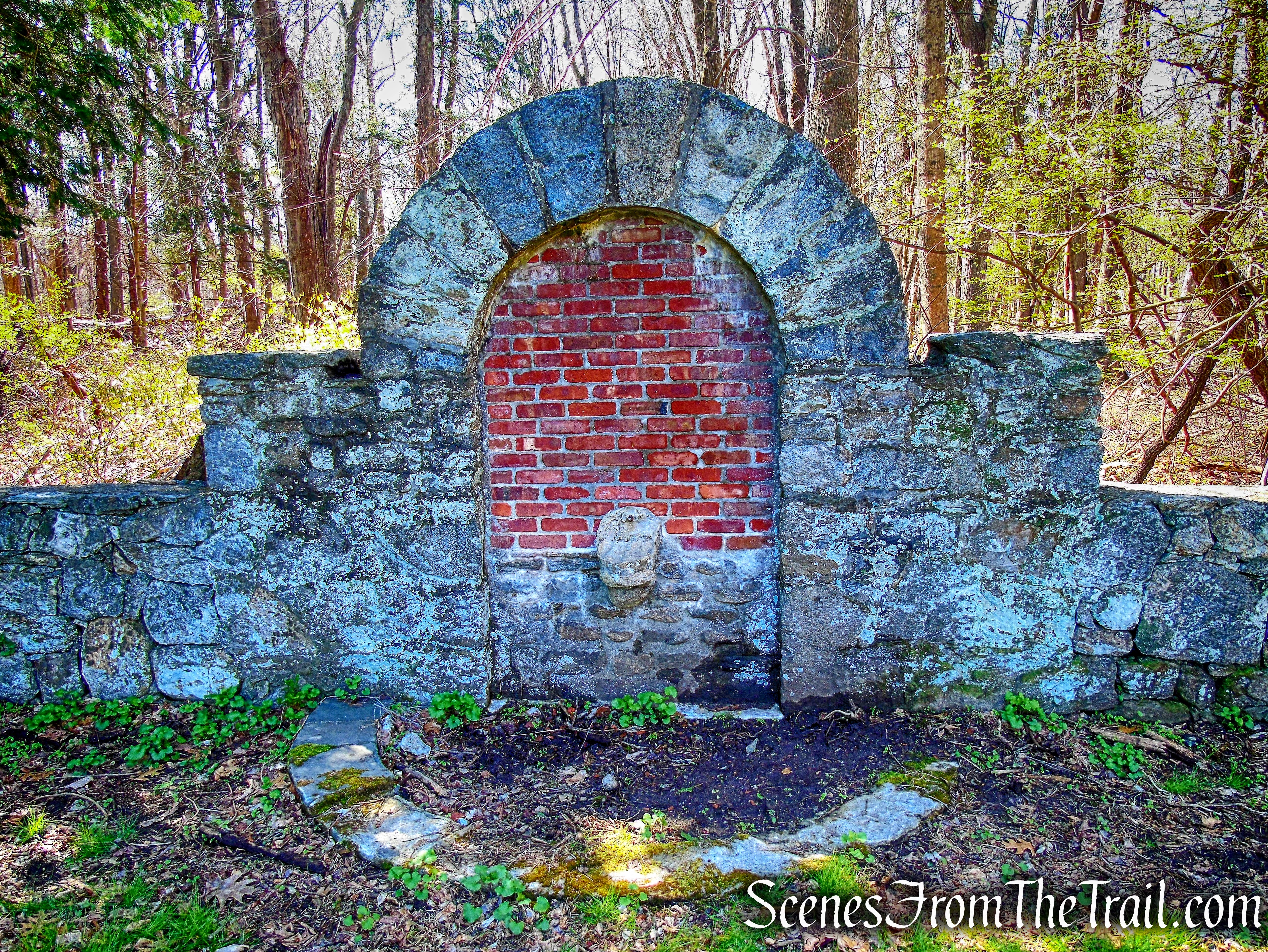
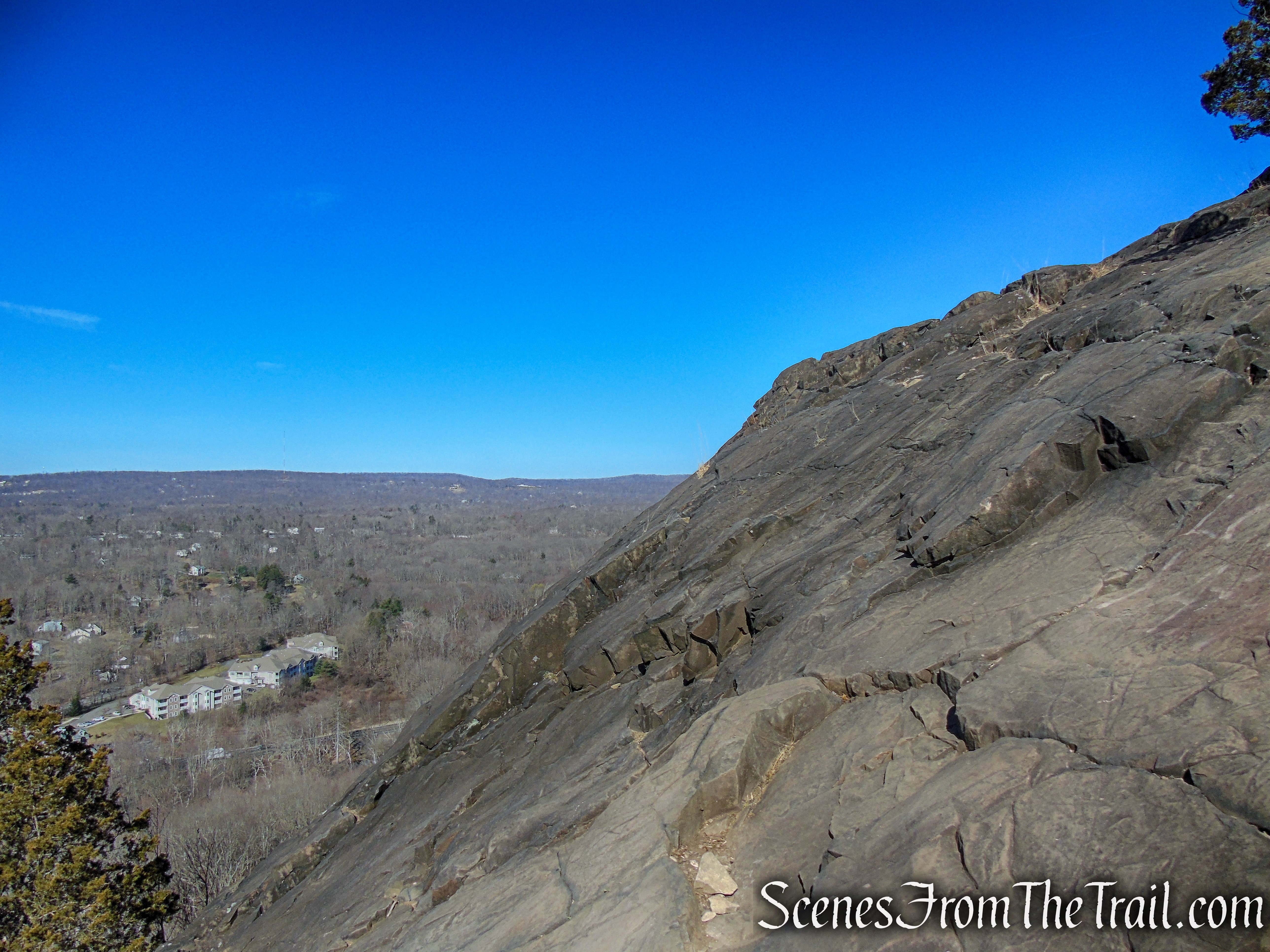
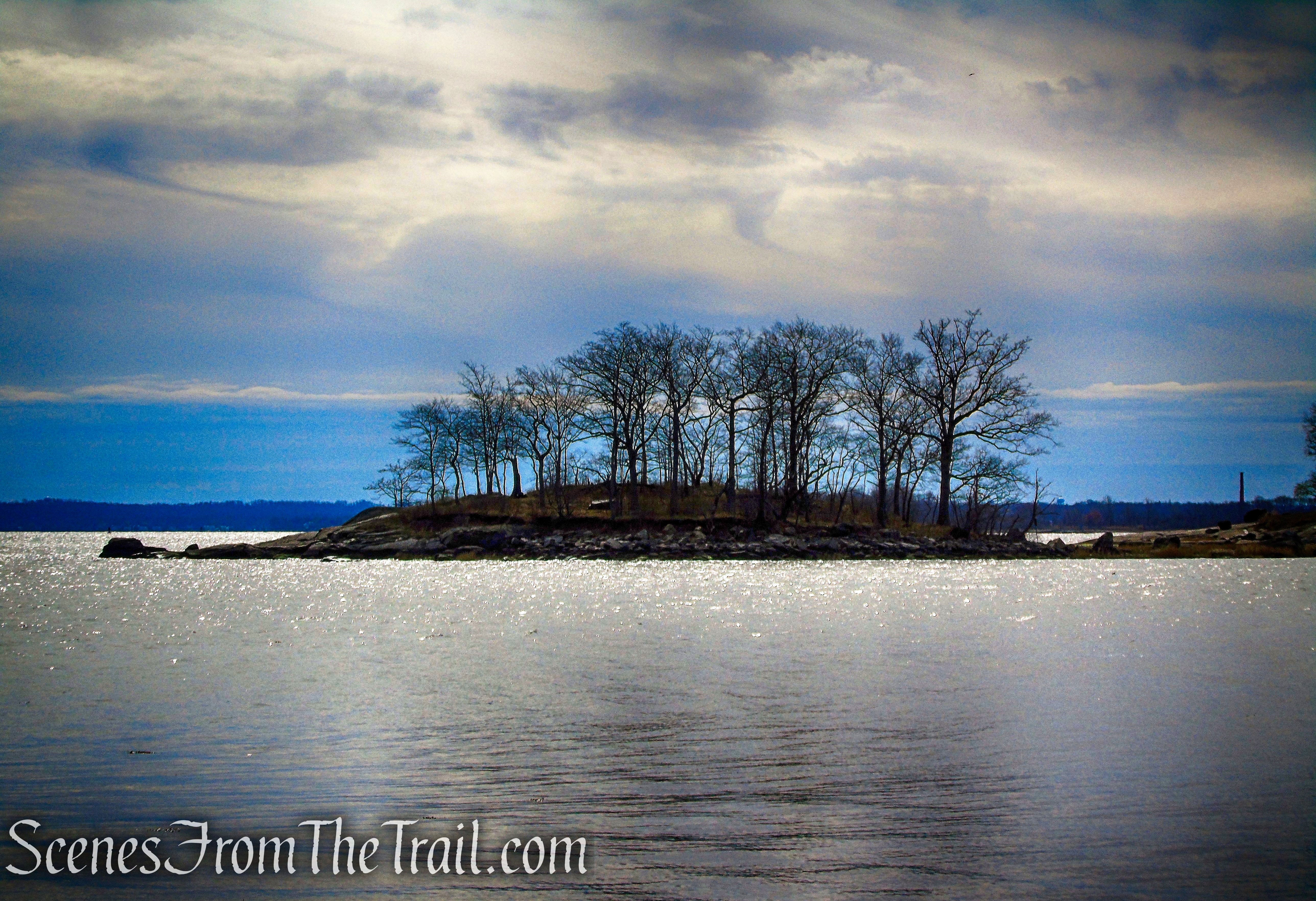
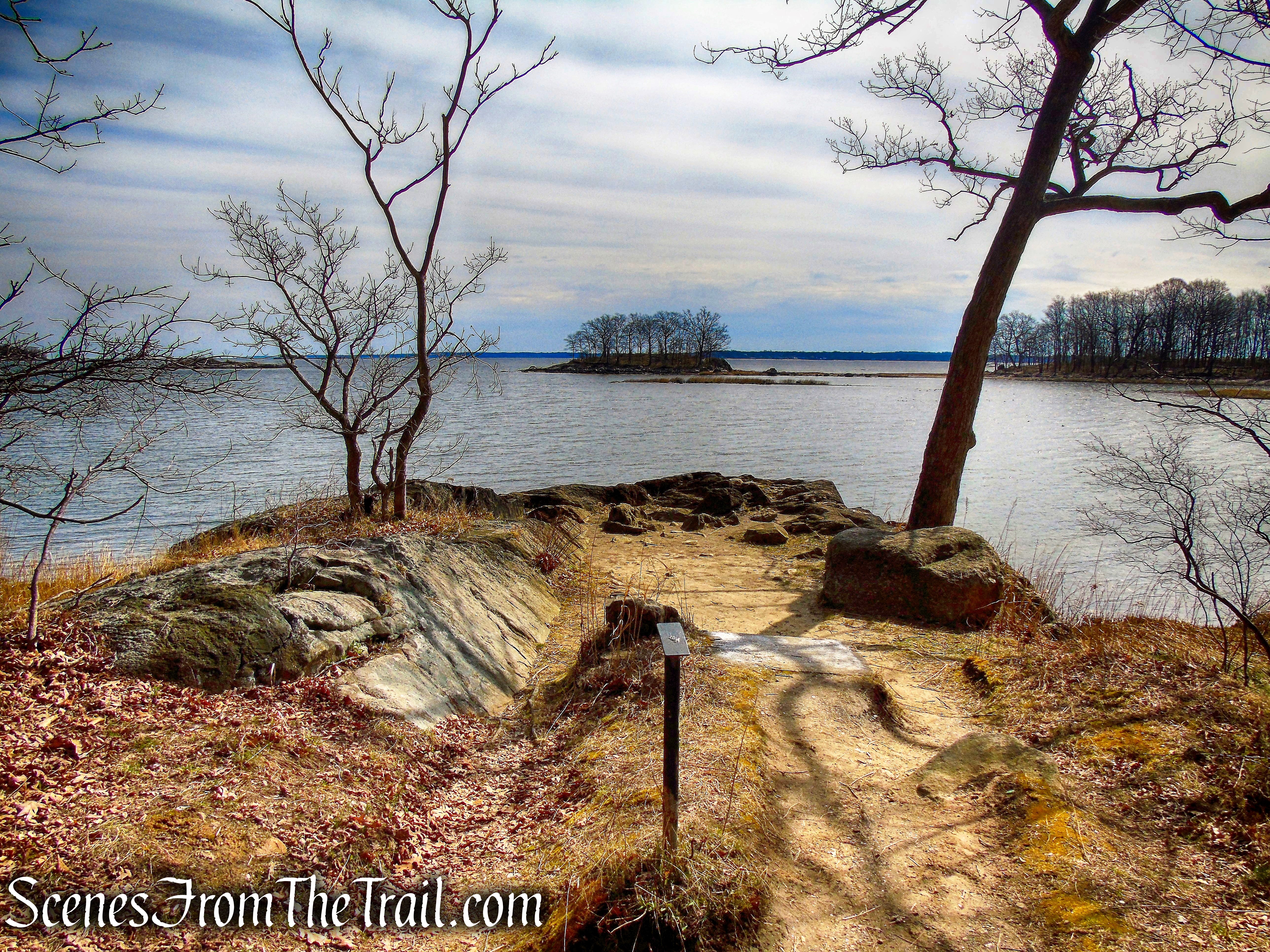
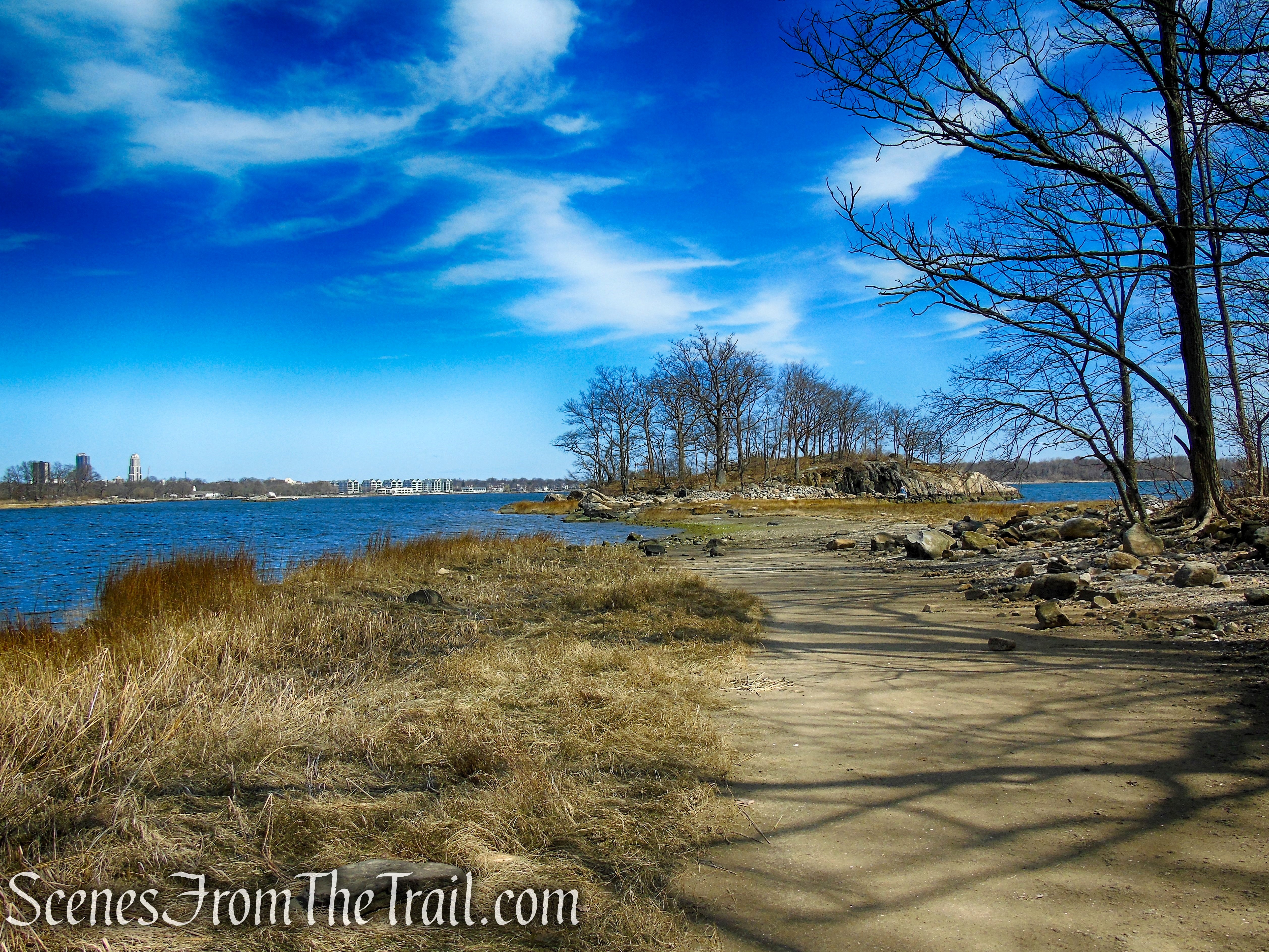
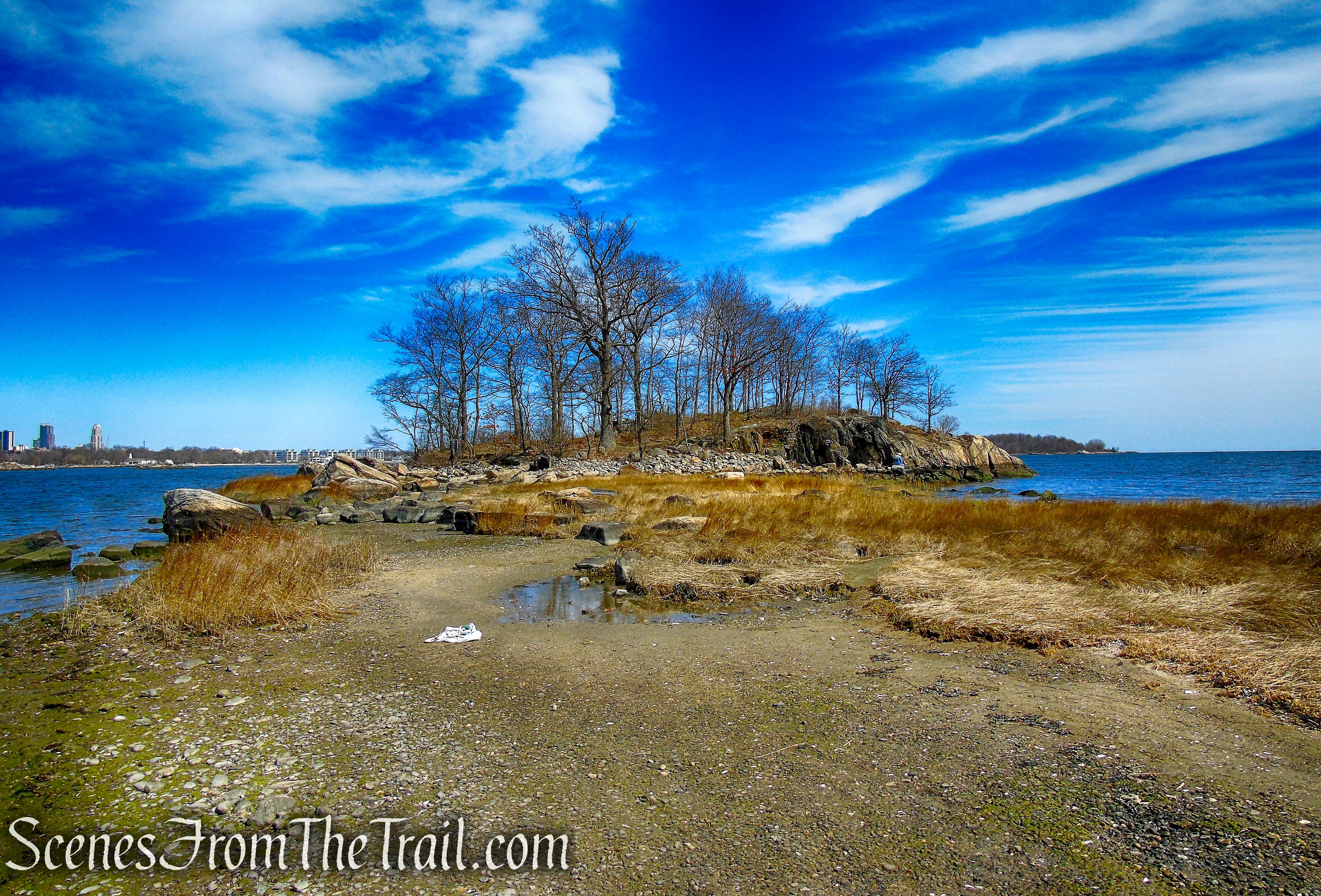
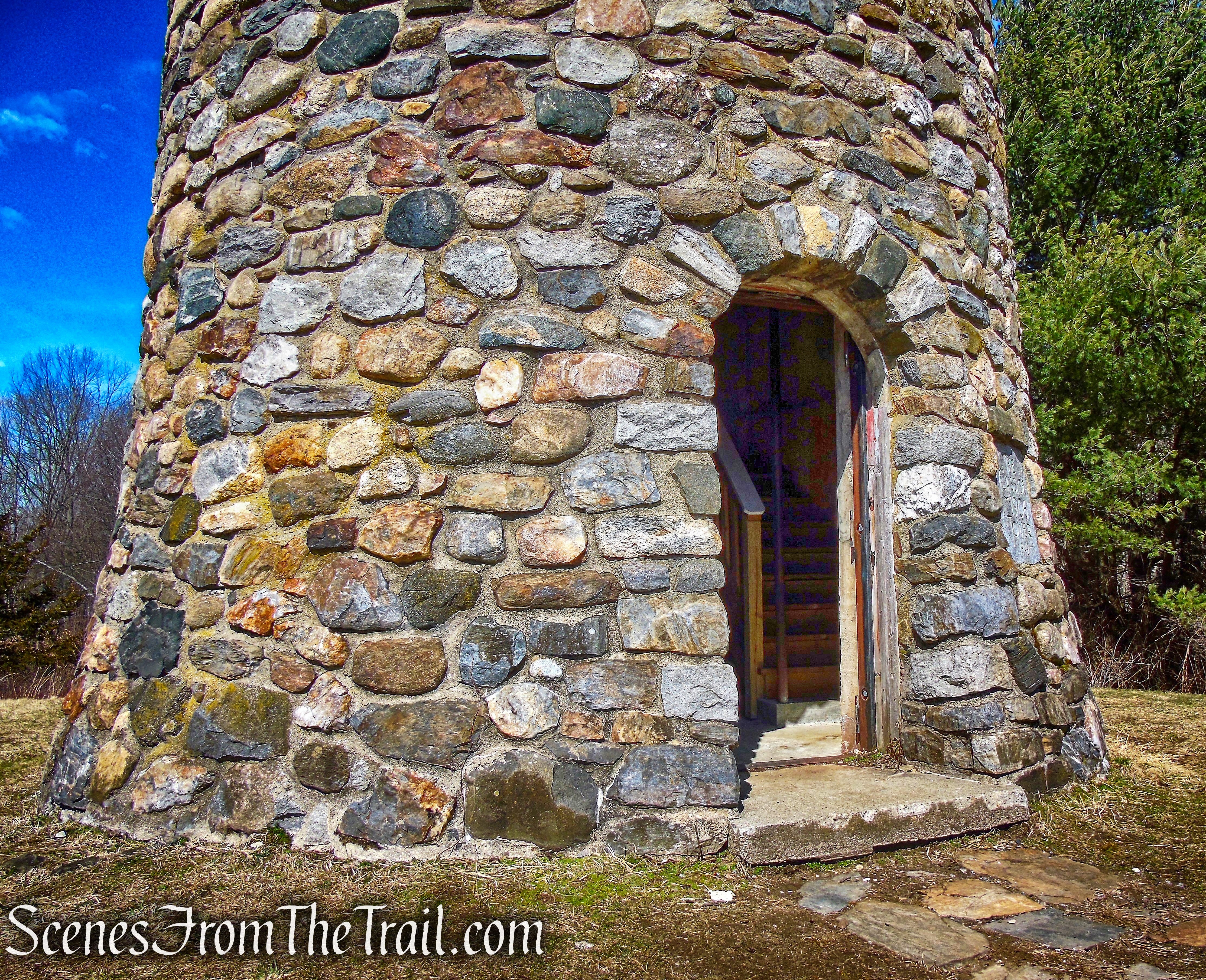
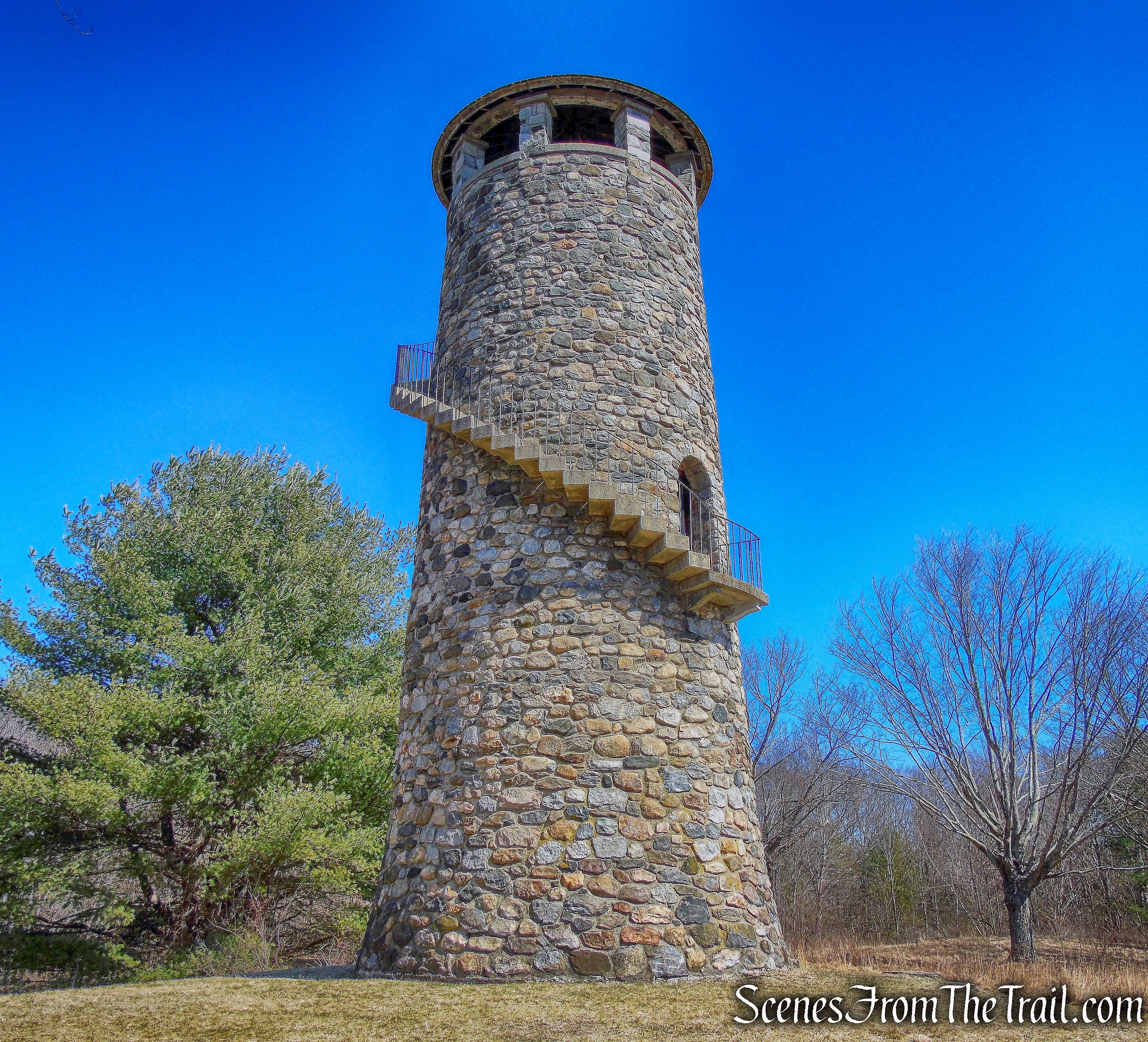
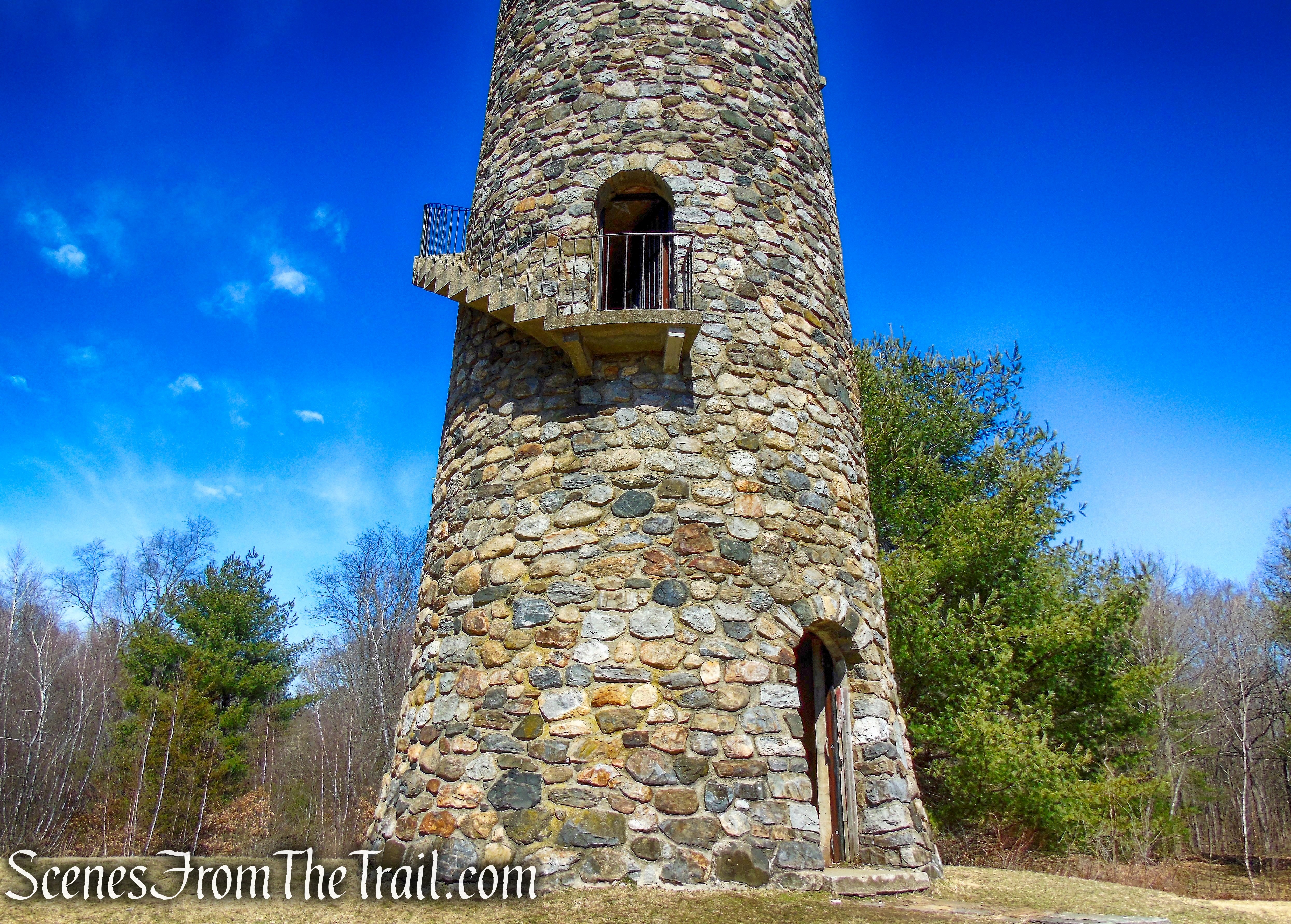
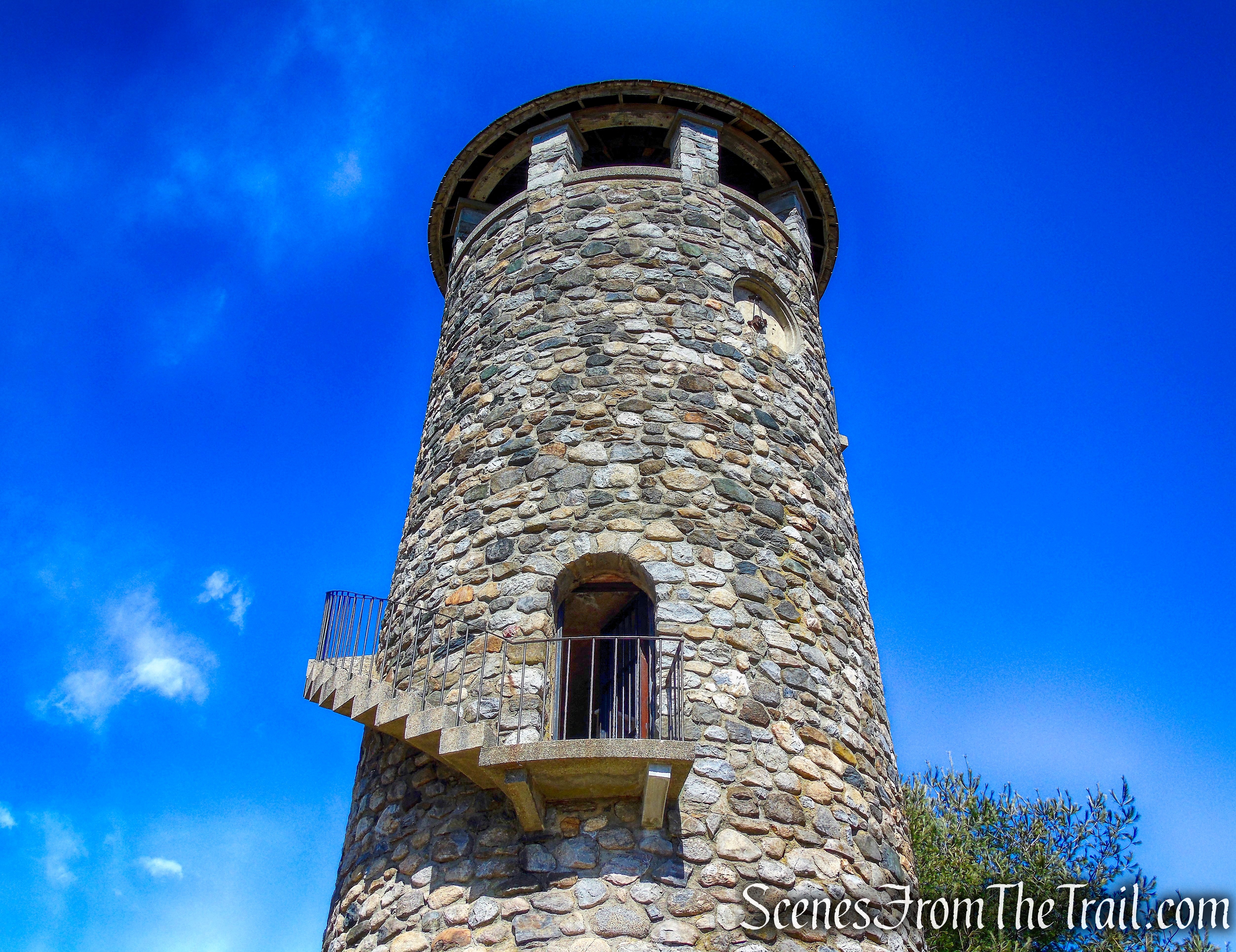
The trail dead ends at this bench where there are limited views through the trees. To the left there is a footpath that descends to North Water Street, the area of the former Brandreth Pill Factory.

Crawbuckie Nature Preserve
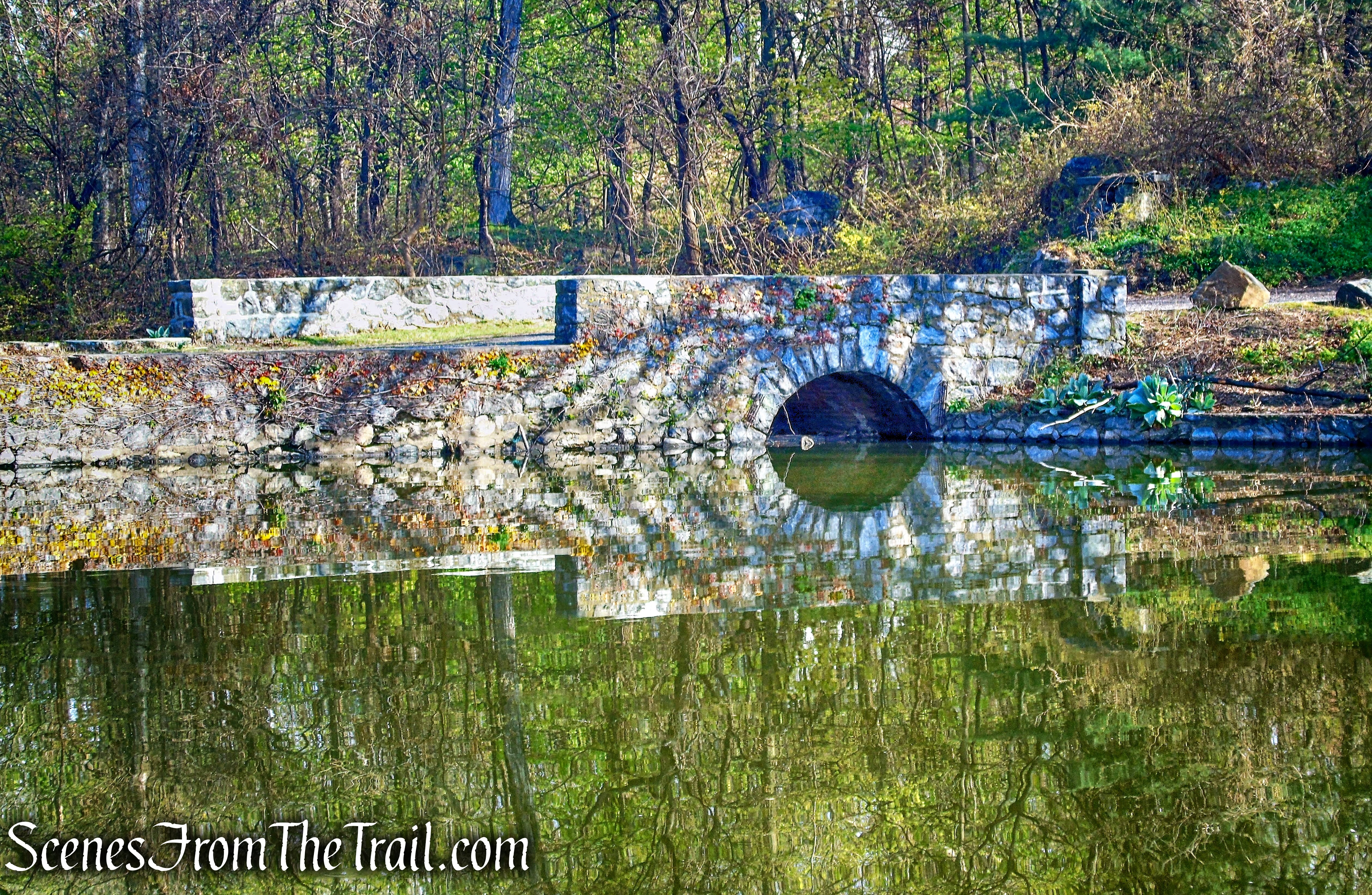
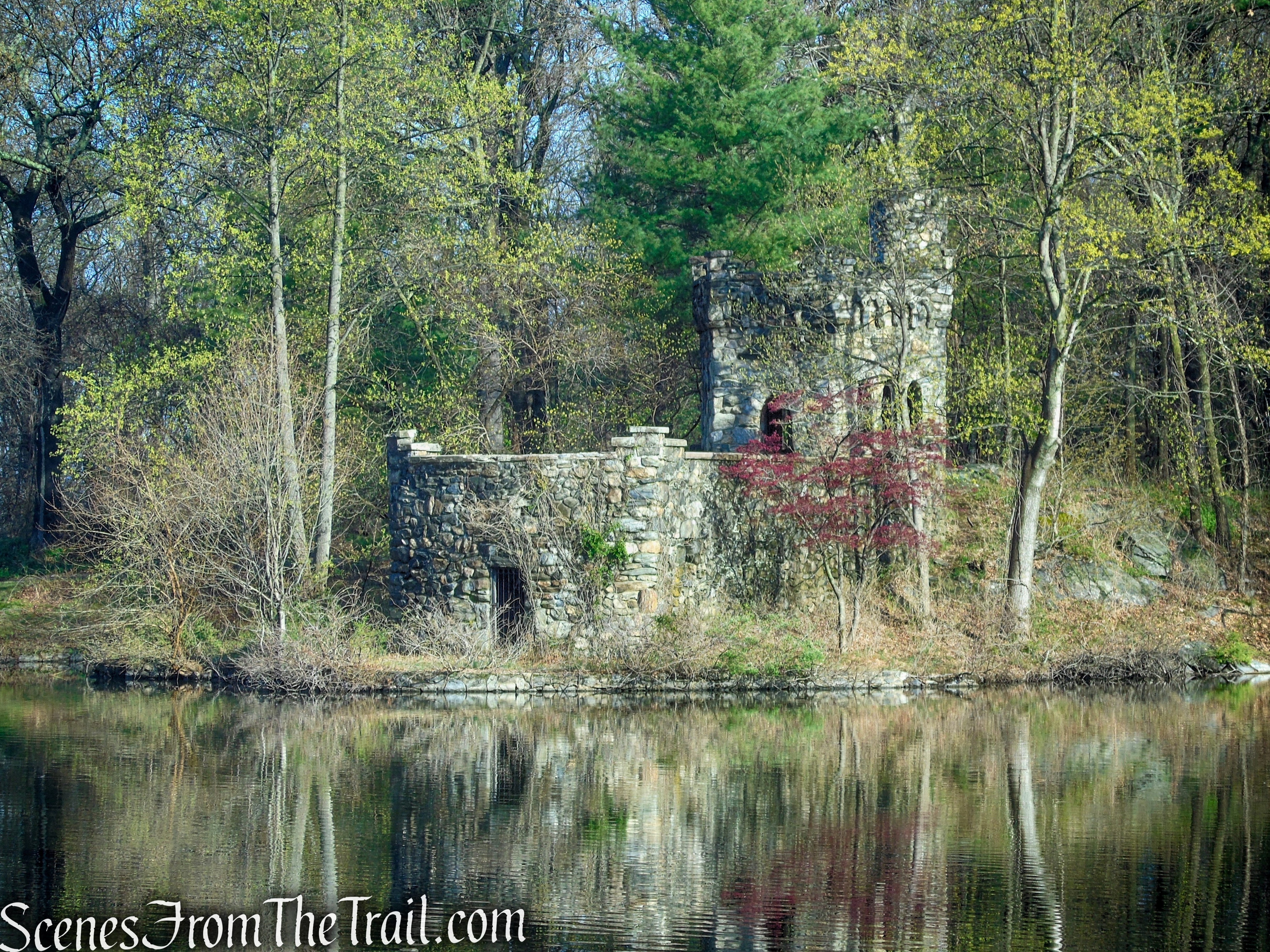
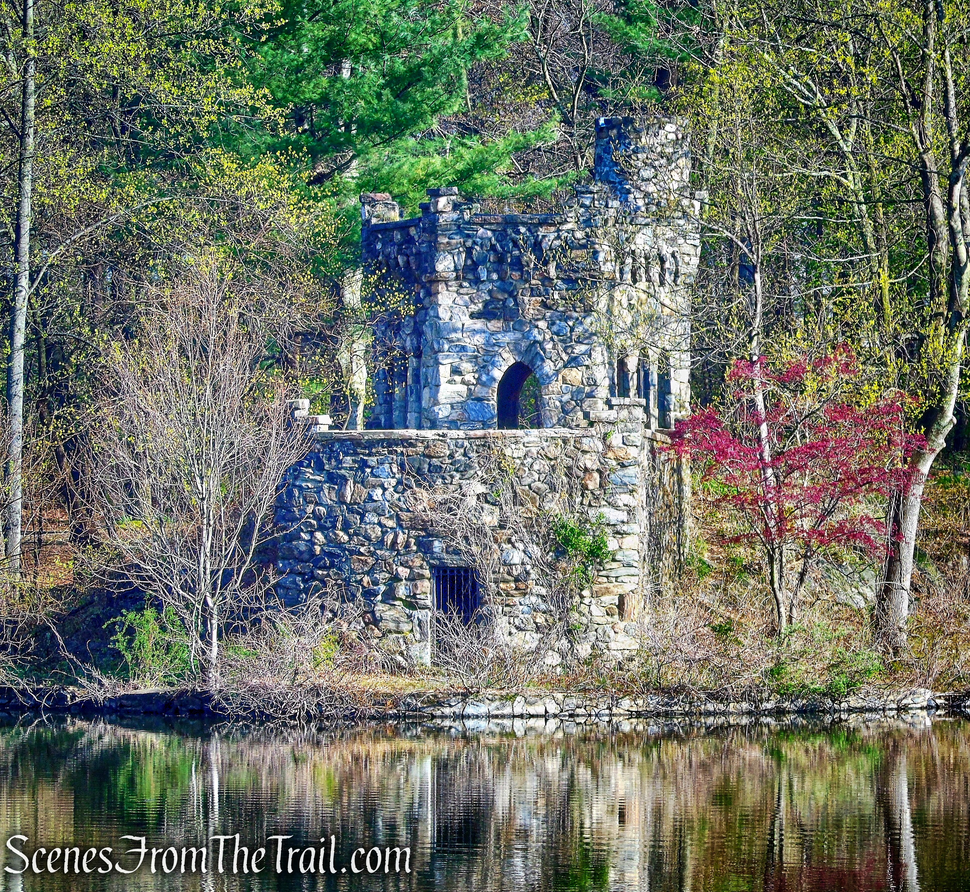
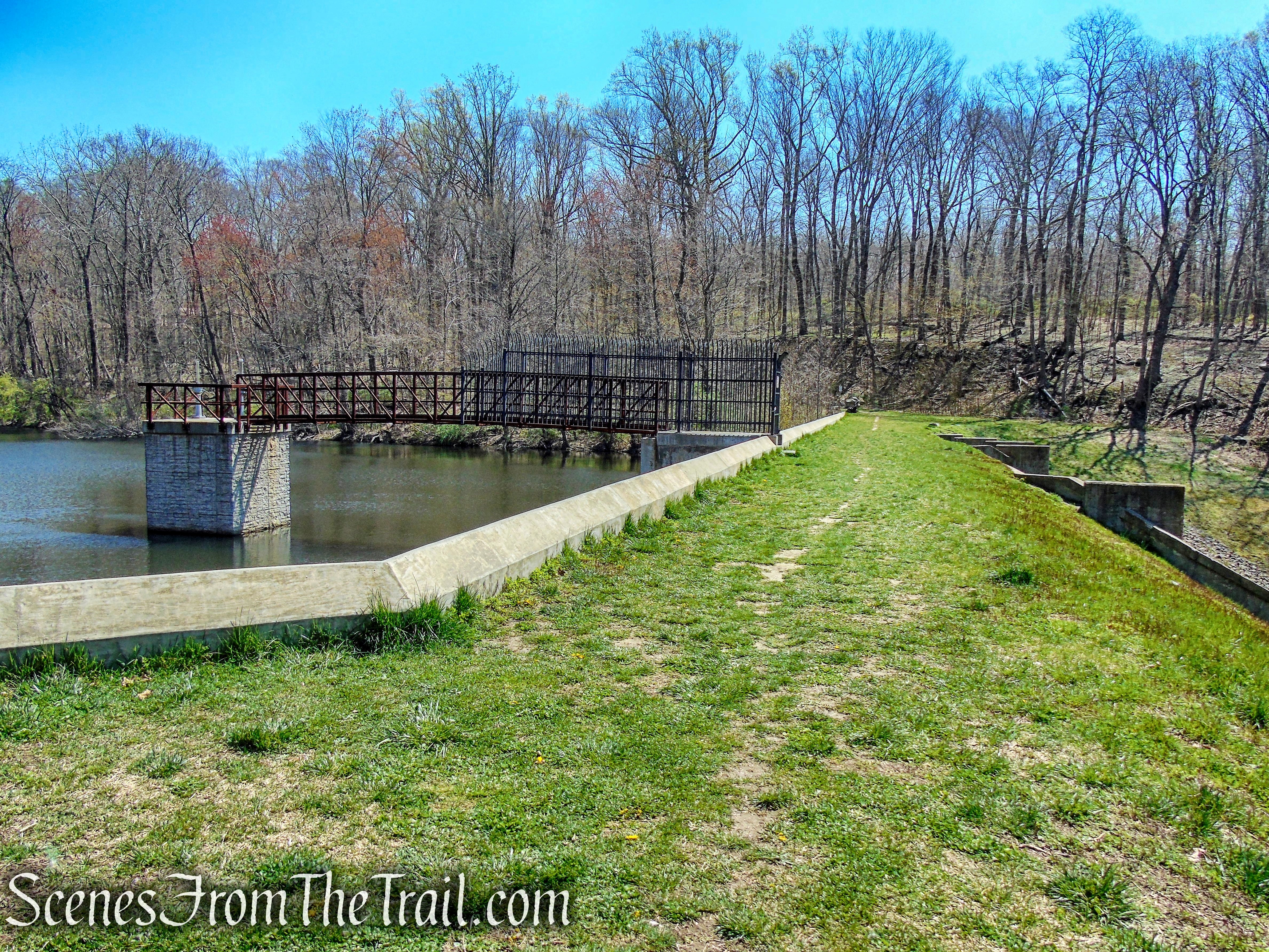
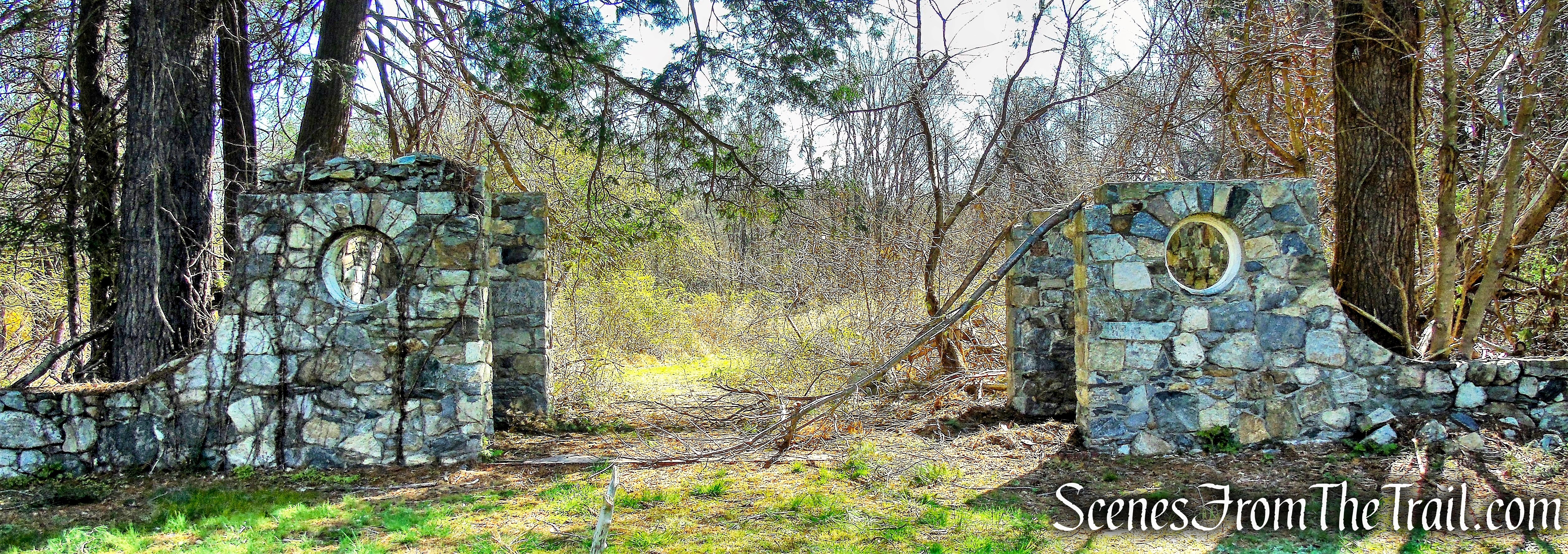
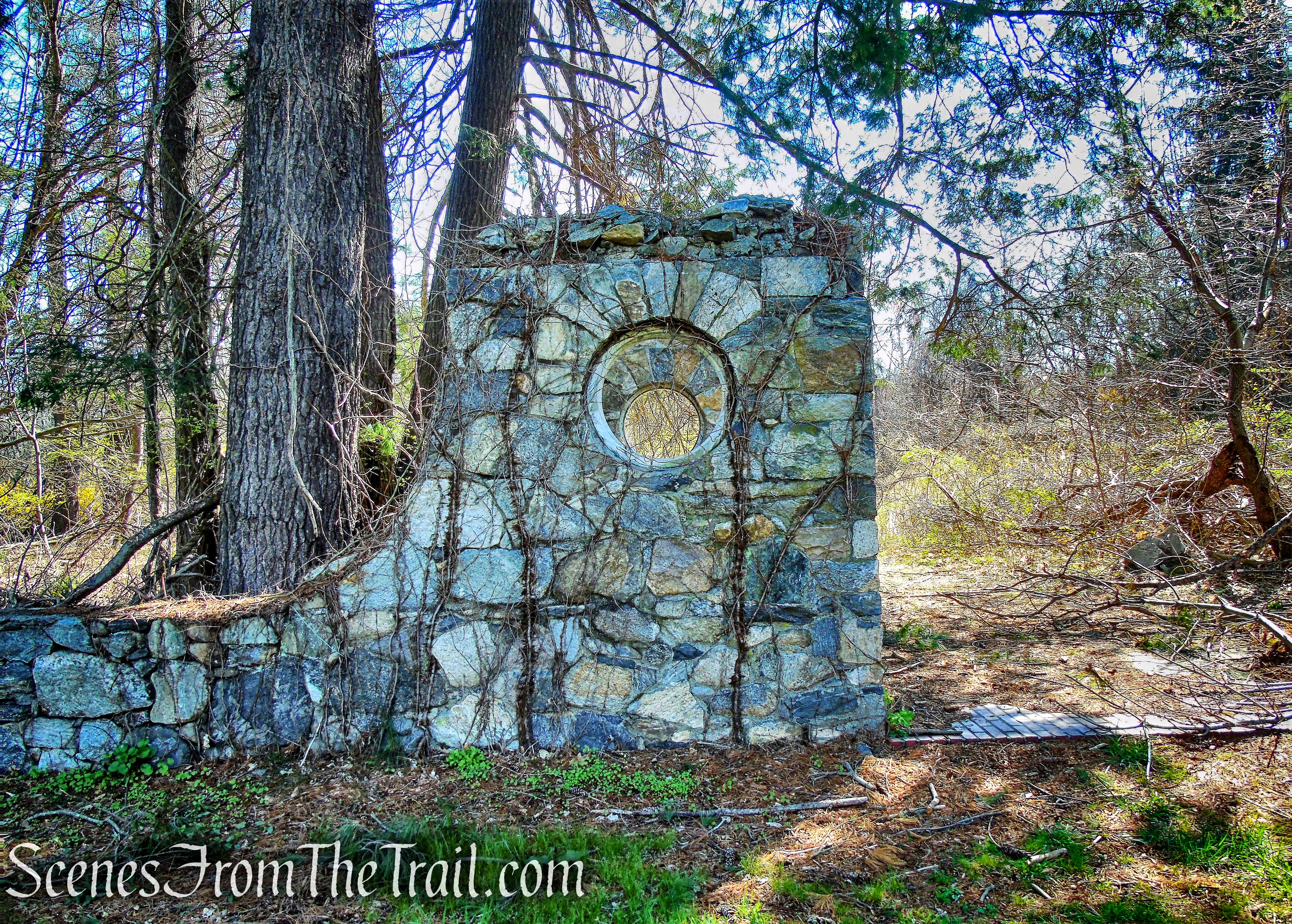
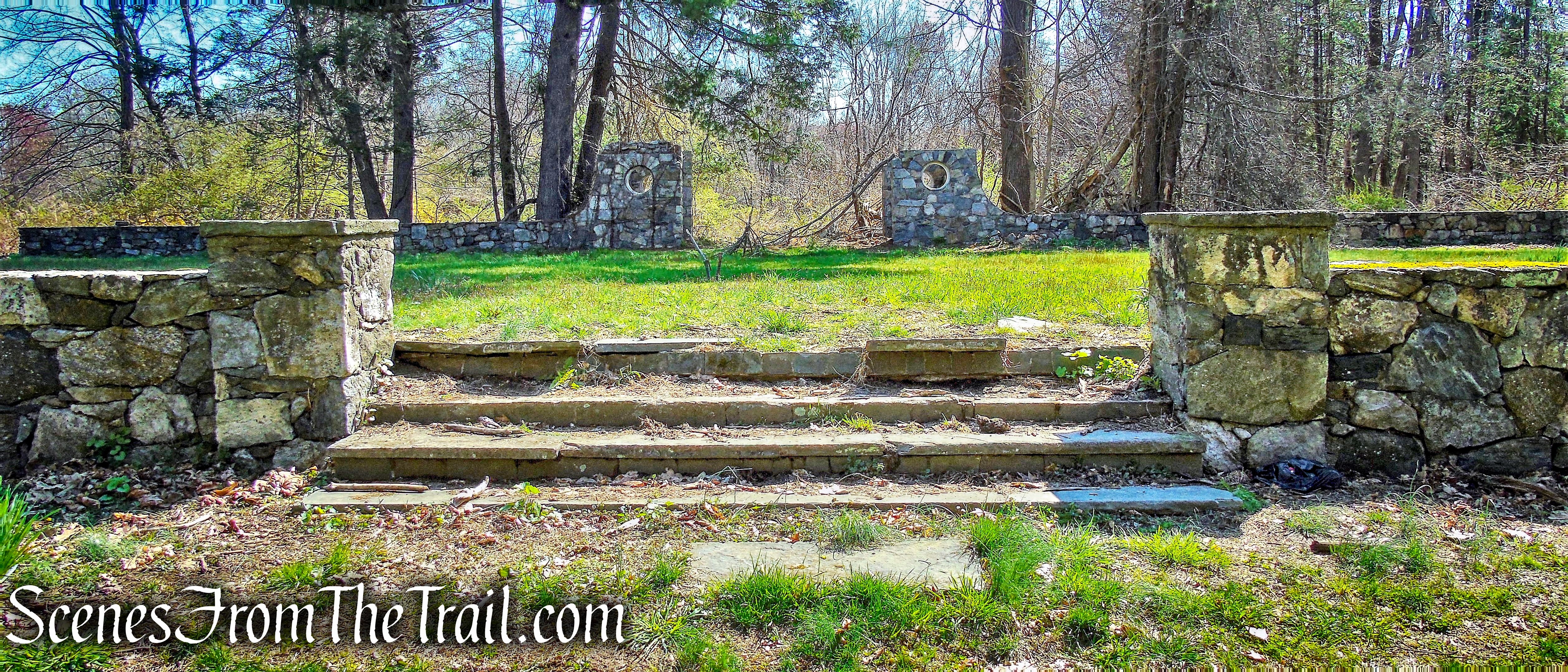
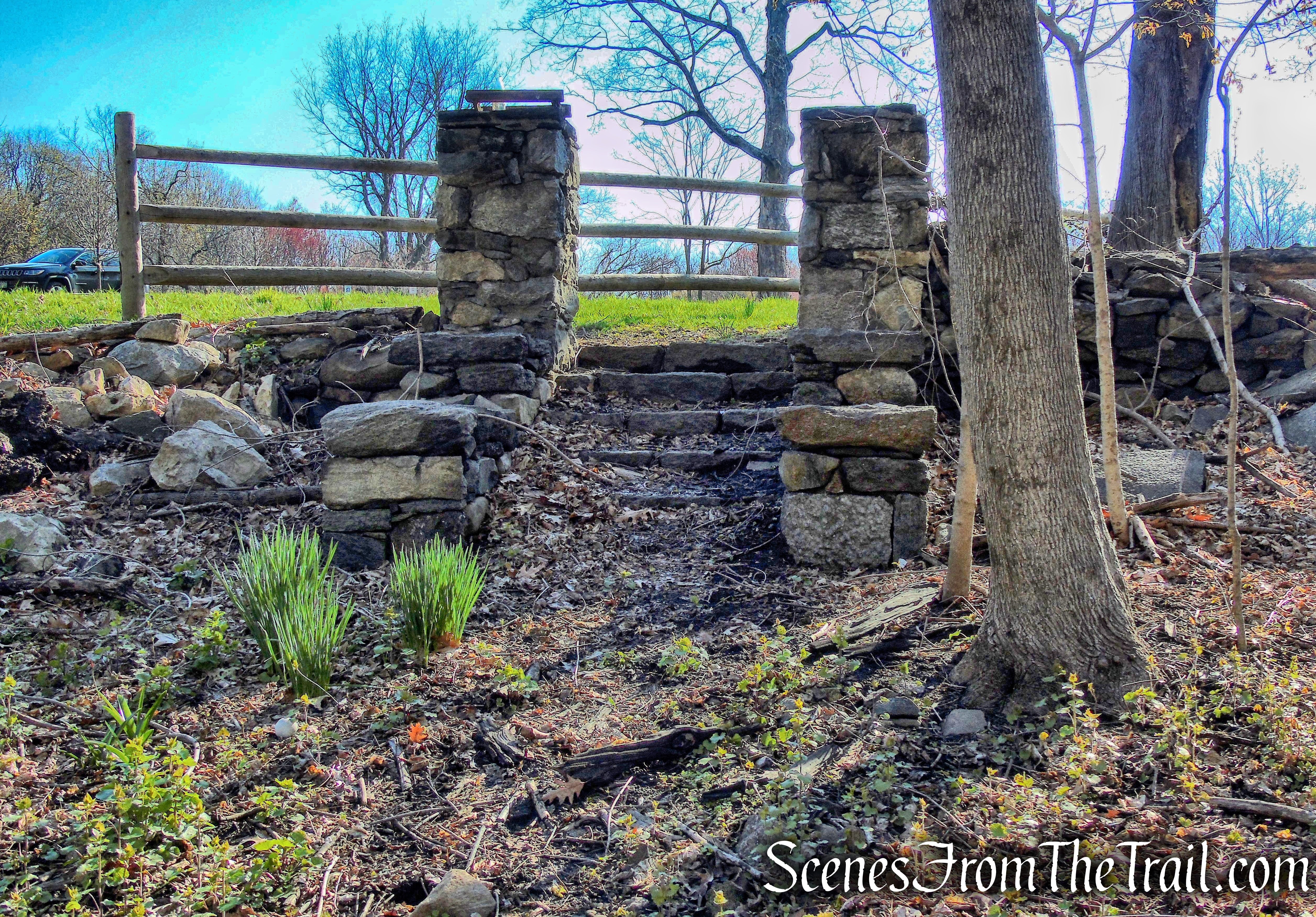
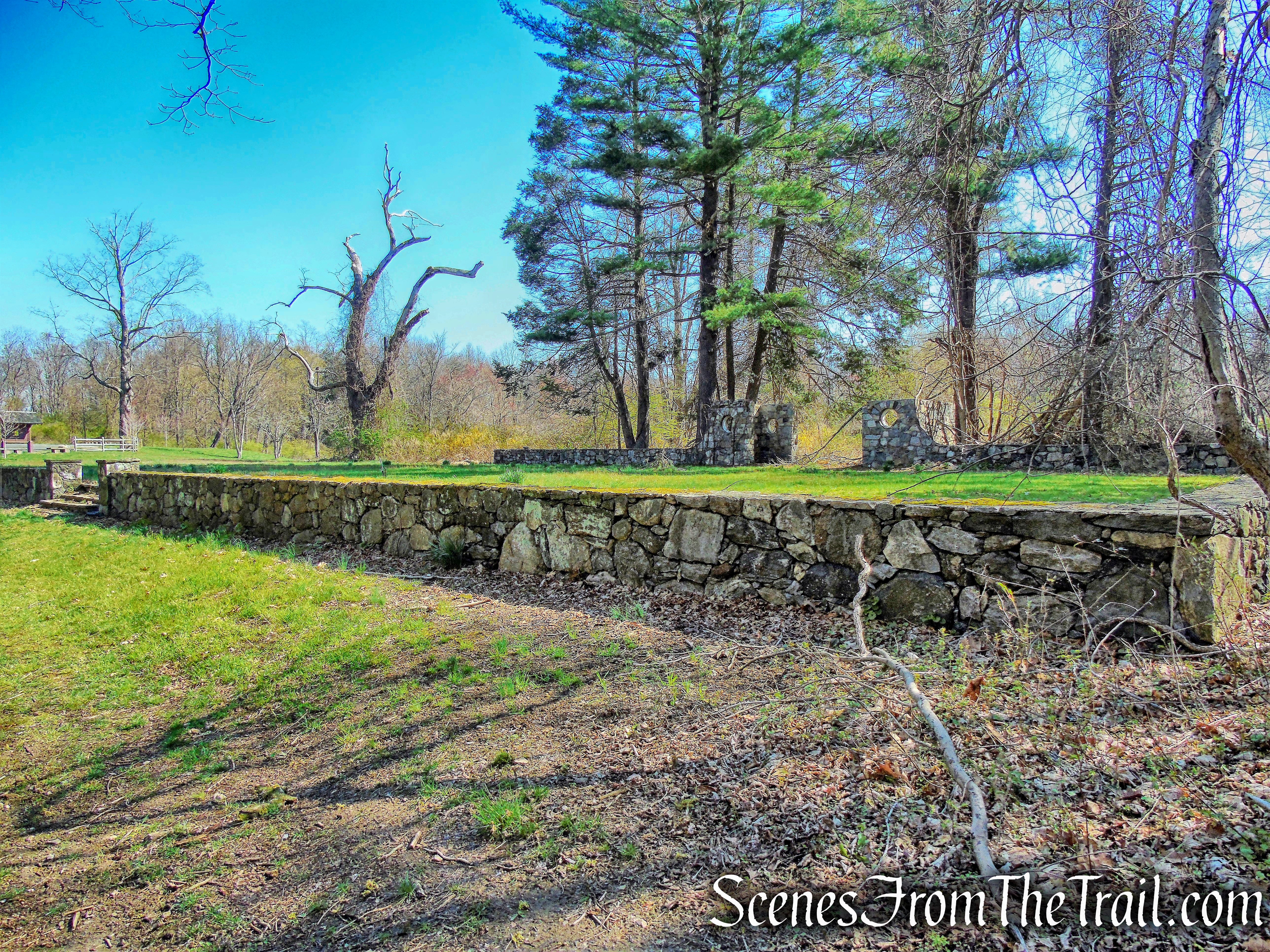
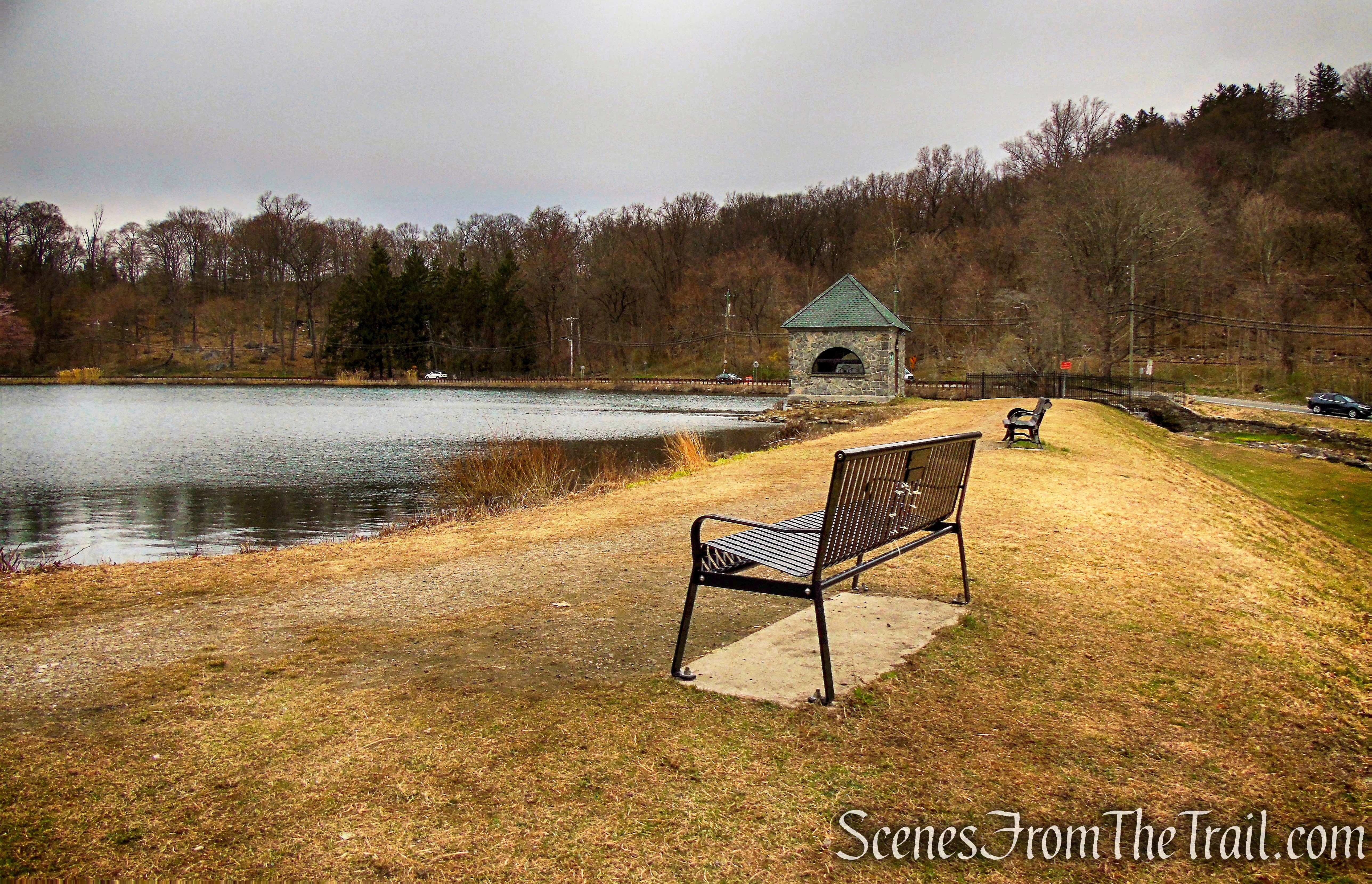
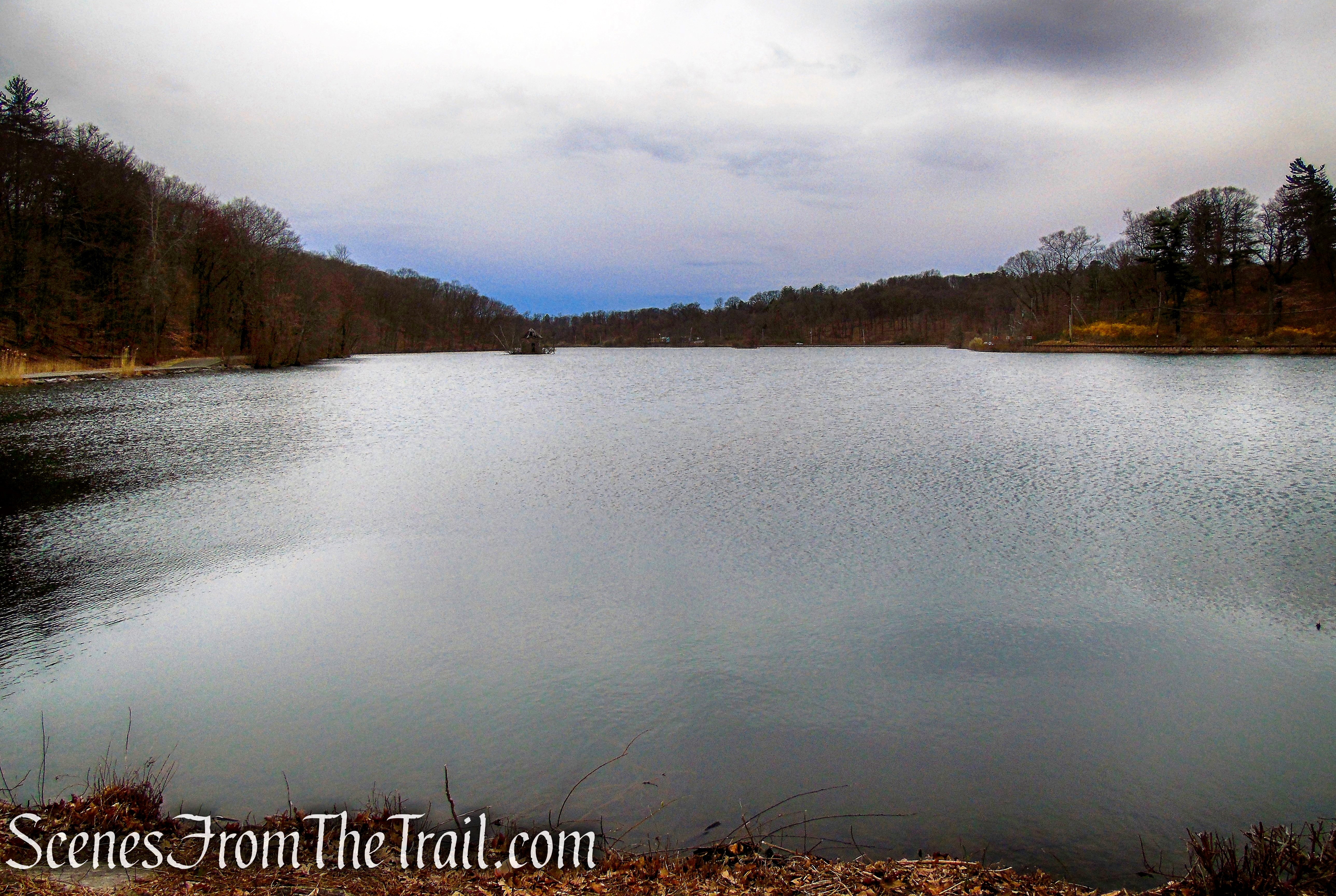
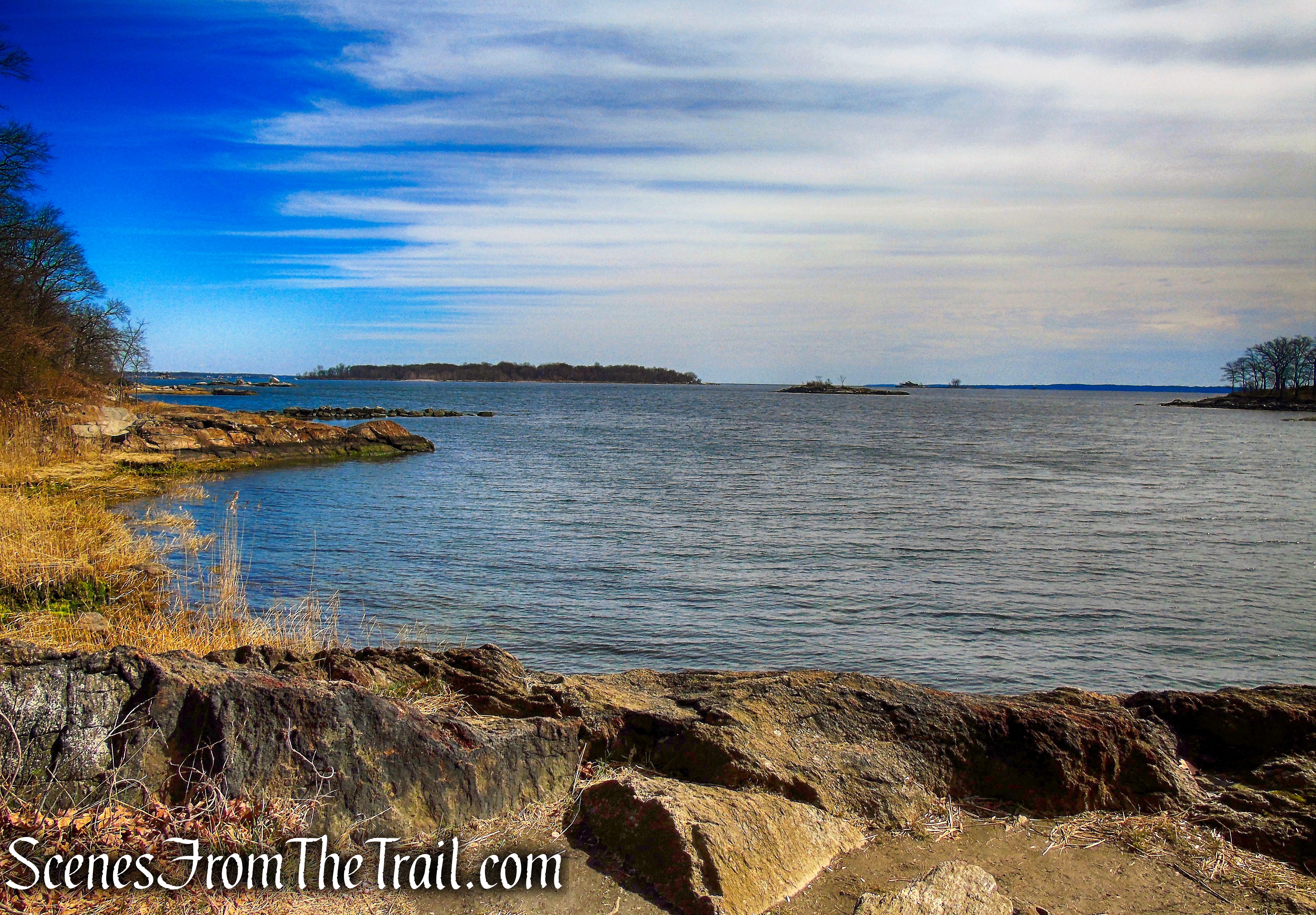
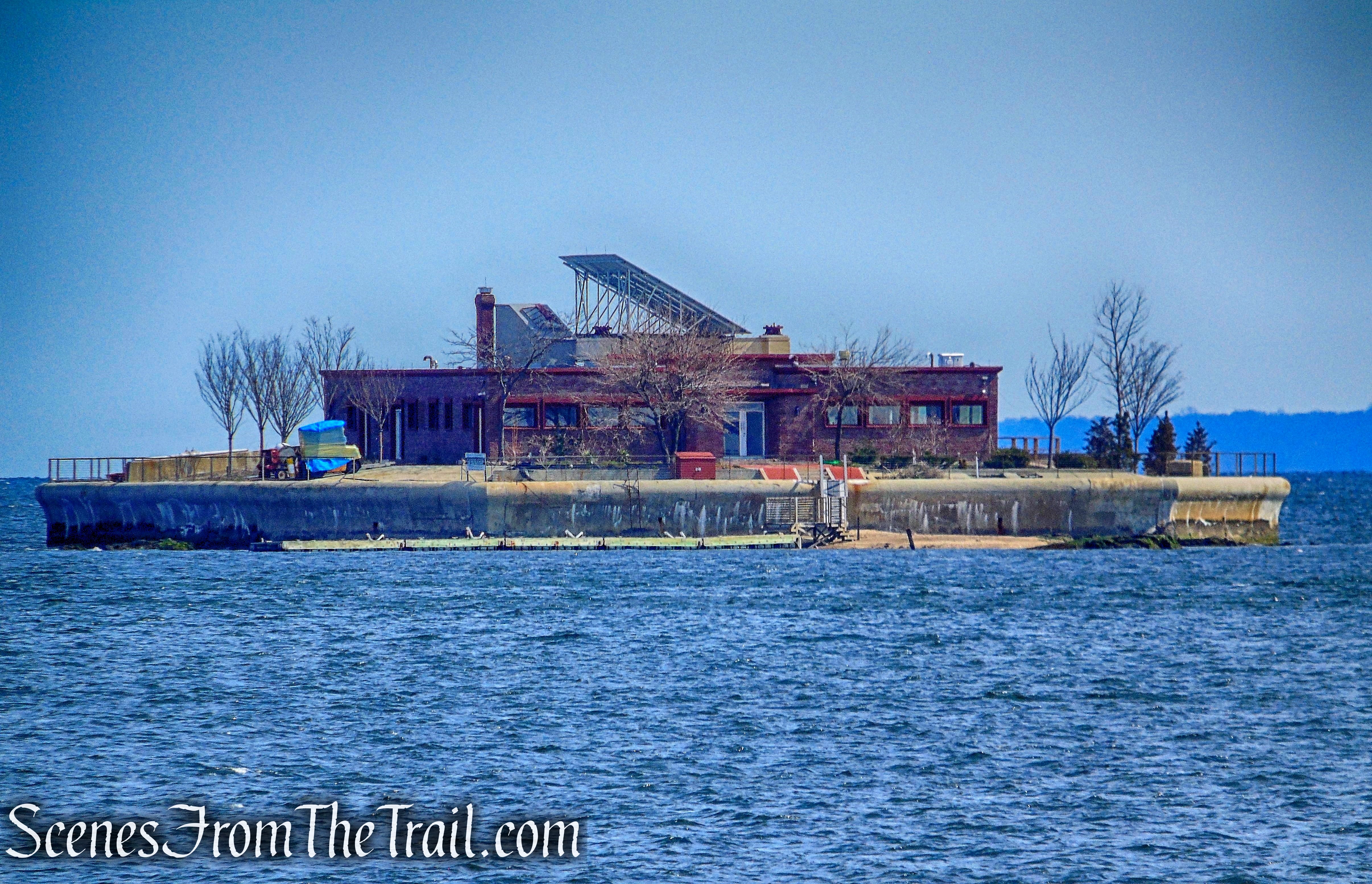
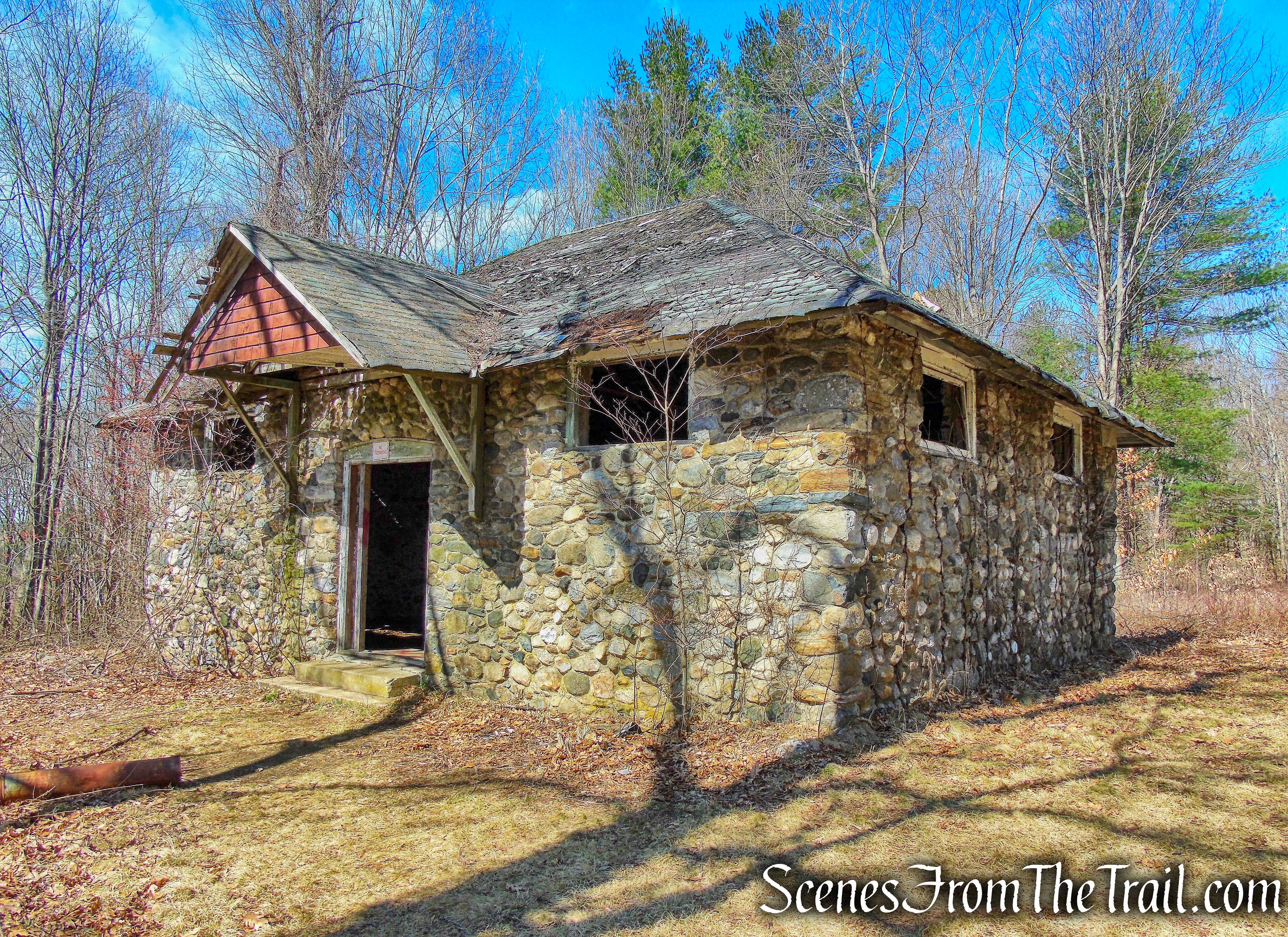
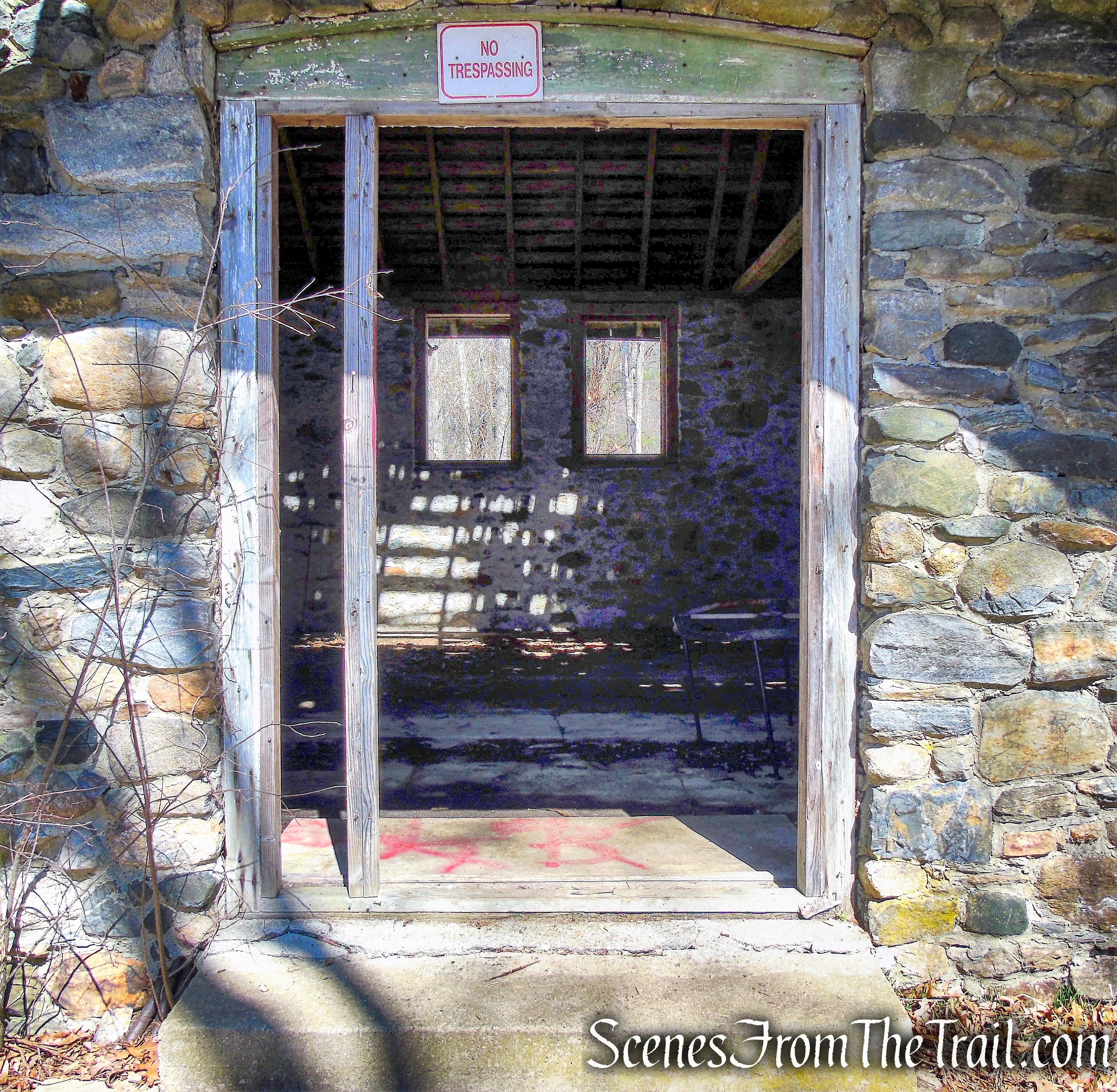
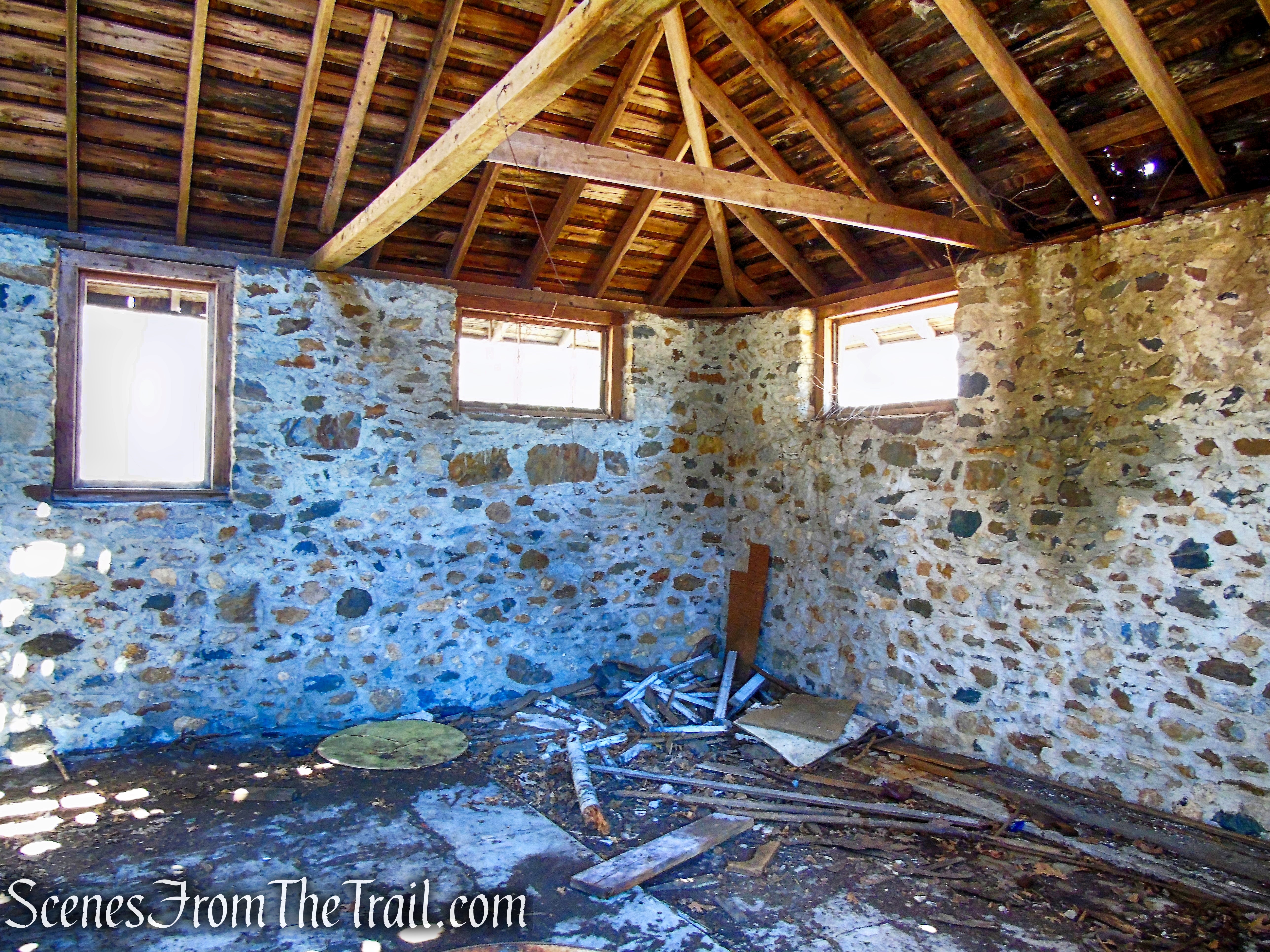
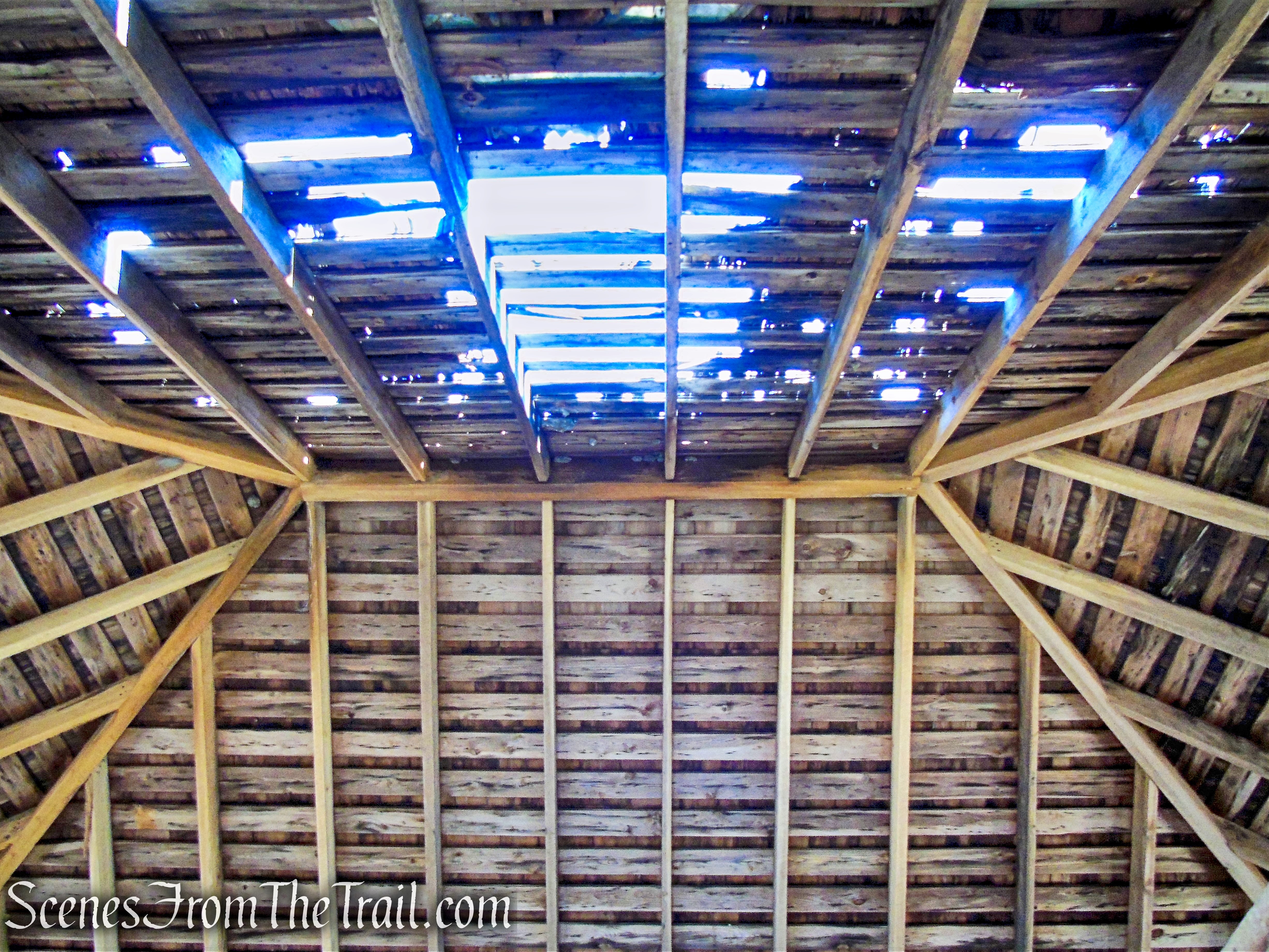
Retracing steps back to the viewing platform, the trail to the right continues and soon ends at Sandy Drive. Turn left and follow the road north. Near the end of the road, look to the right for an old stone swimming pool that has been partially filled in. Turn left on Beach Road where the entrance to the preserve is downhill 0.2 mile on the left.
observation platform – Crawbuckie Nature Preserve
Crawbuckie Nature Preserve

Crawbuckie Nature Preserve
Crawbuckie Nature Preserve
Crawbuckie Nature Preserve

Crawbuckie Nature Preserve
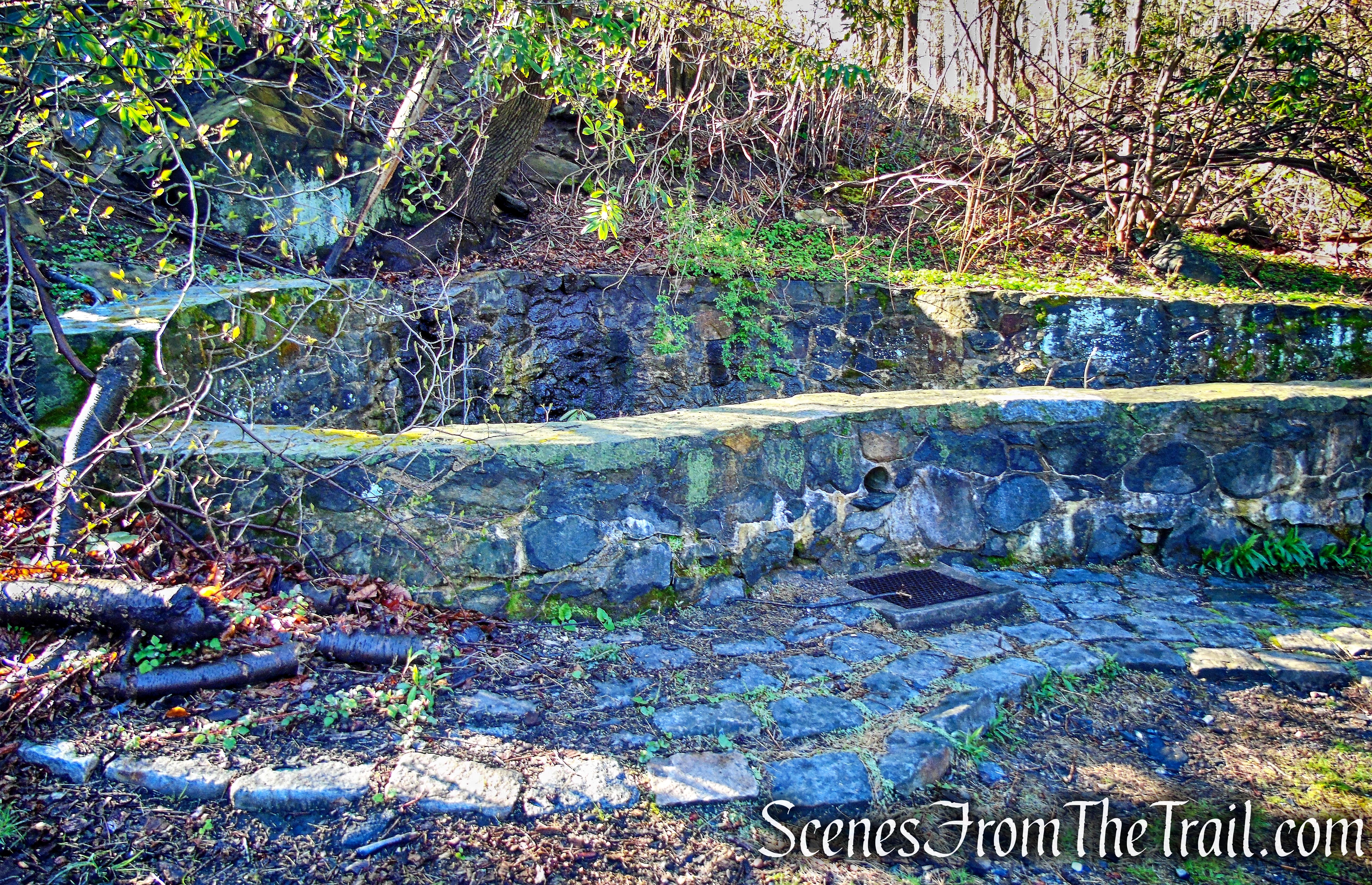
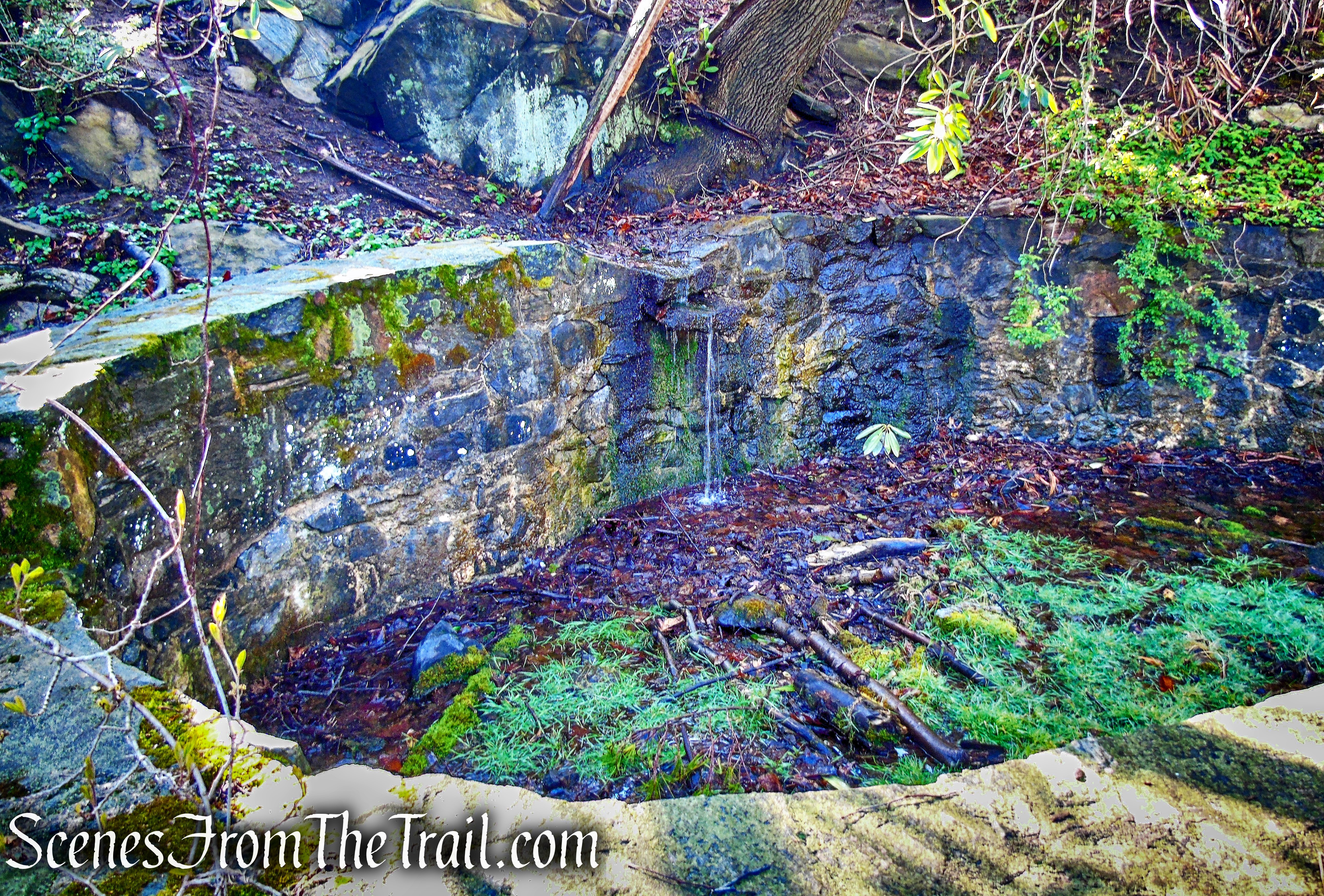
swimming pool ruins

Beach Road

Crawbuckie Nature Preserve
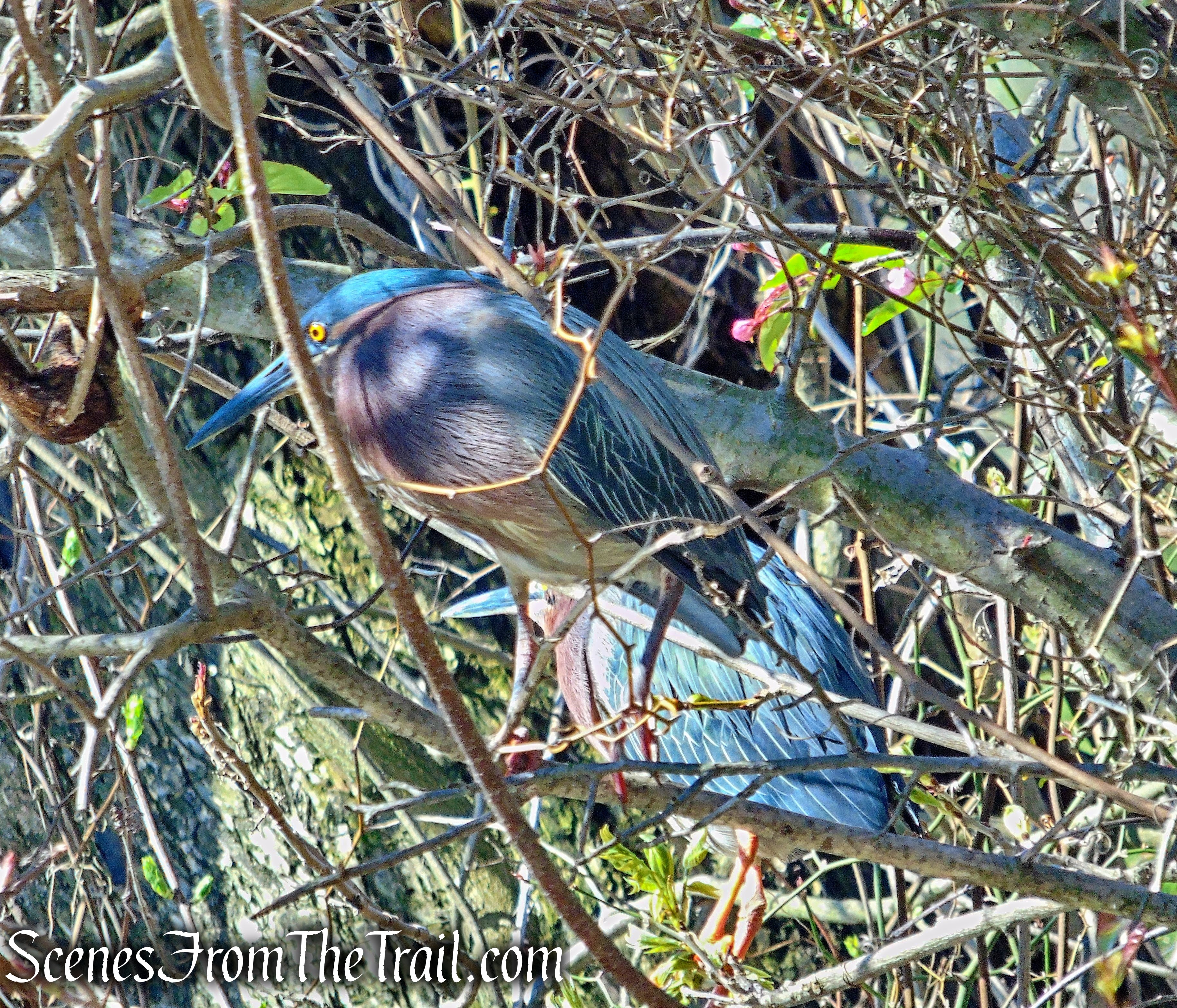
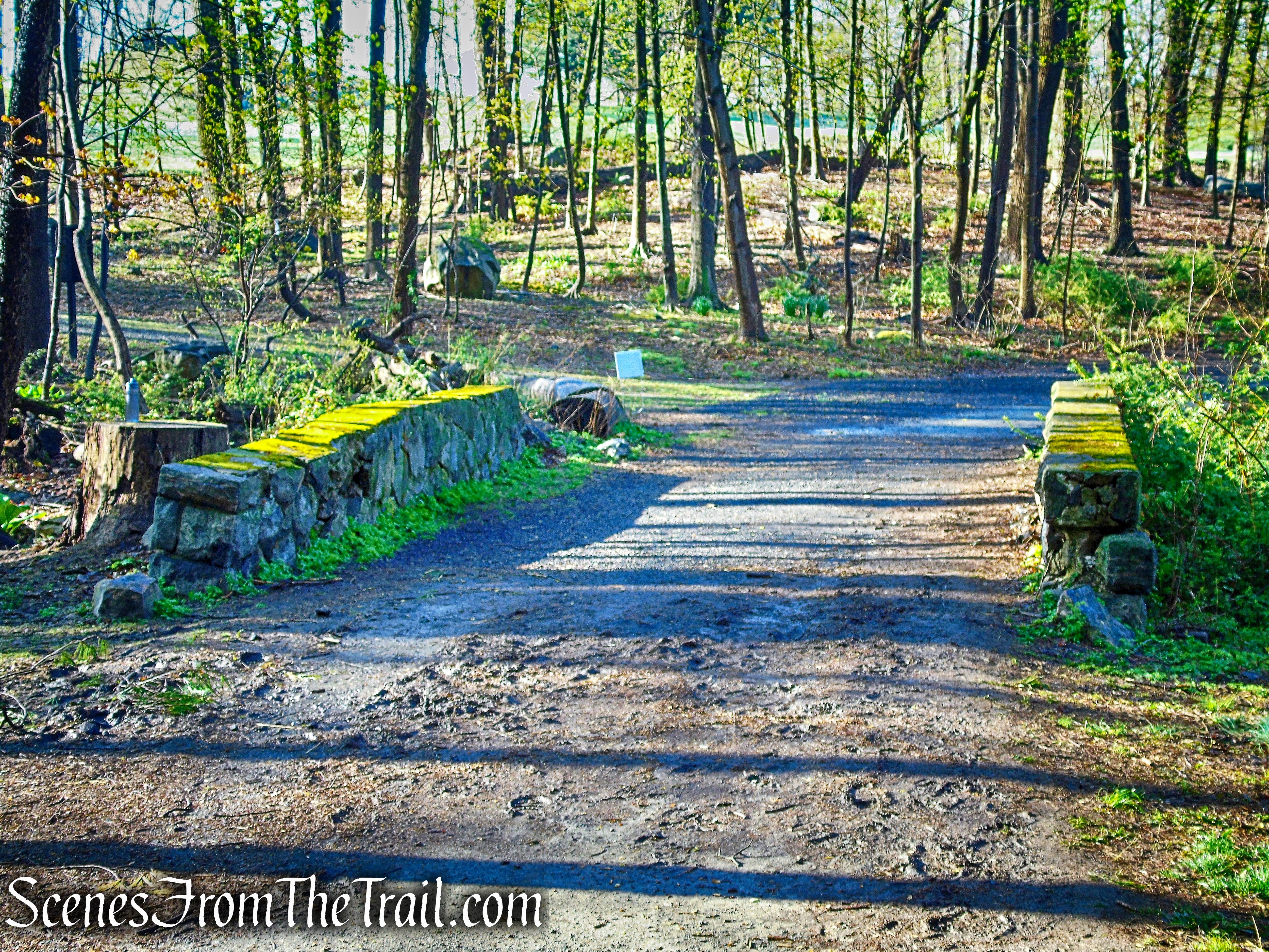
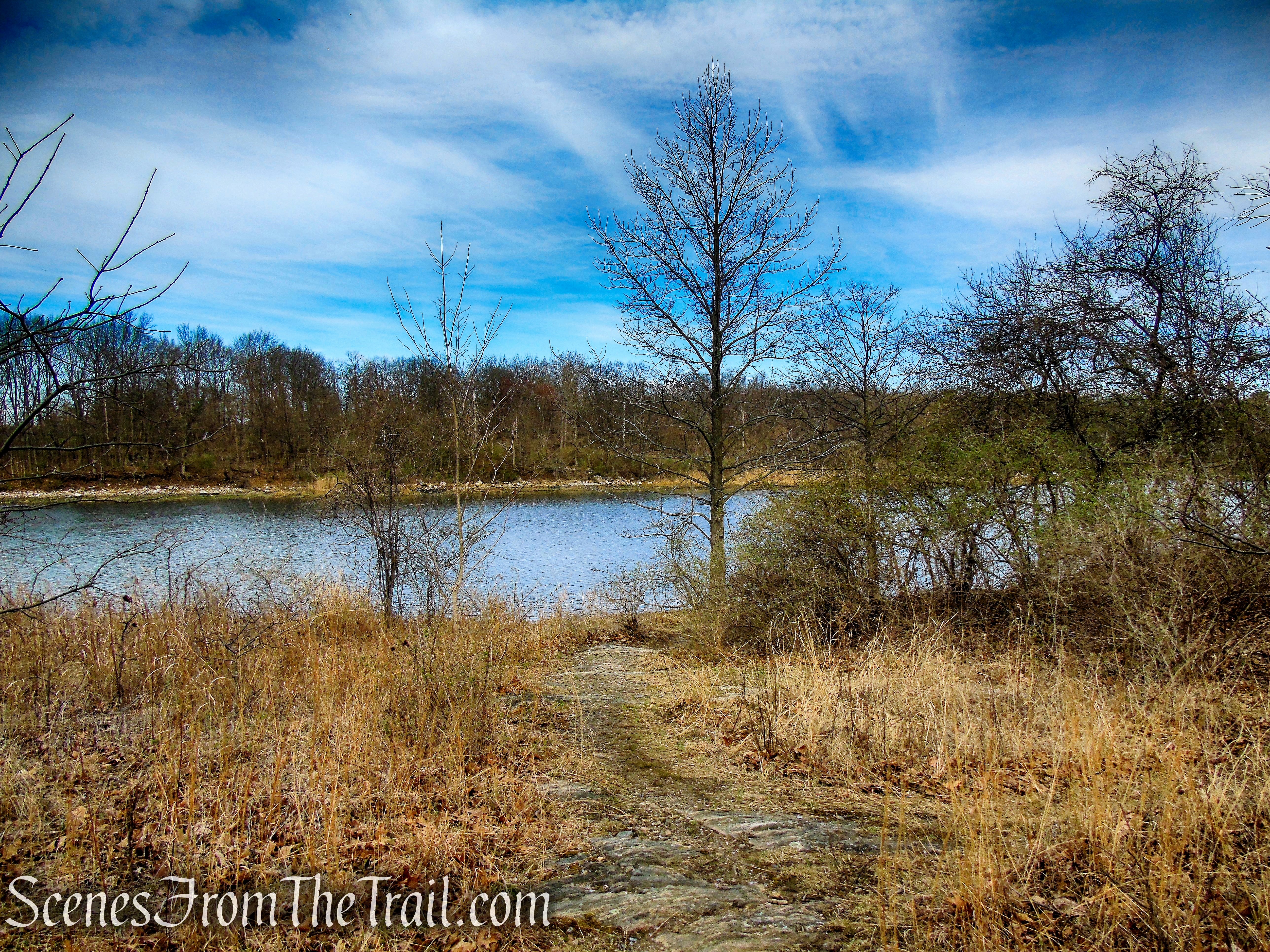
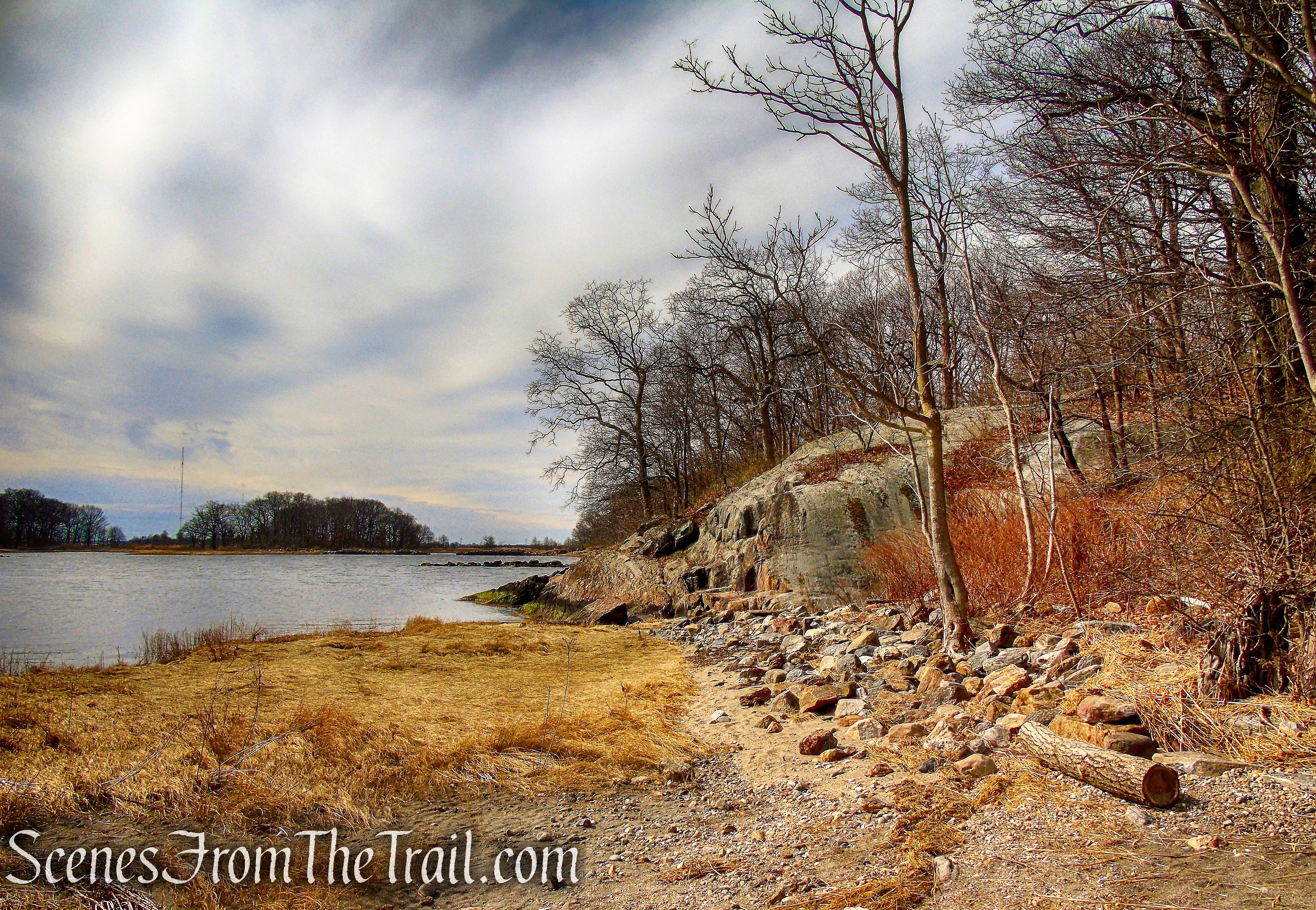
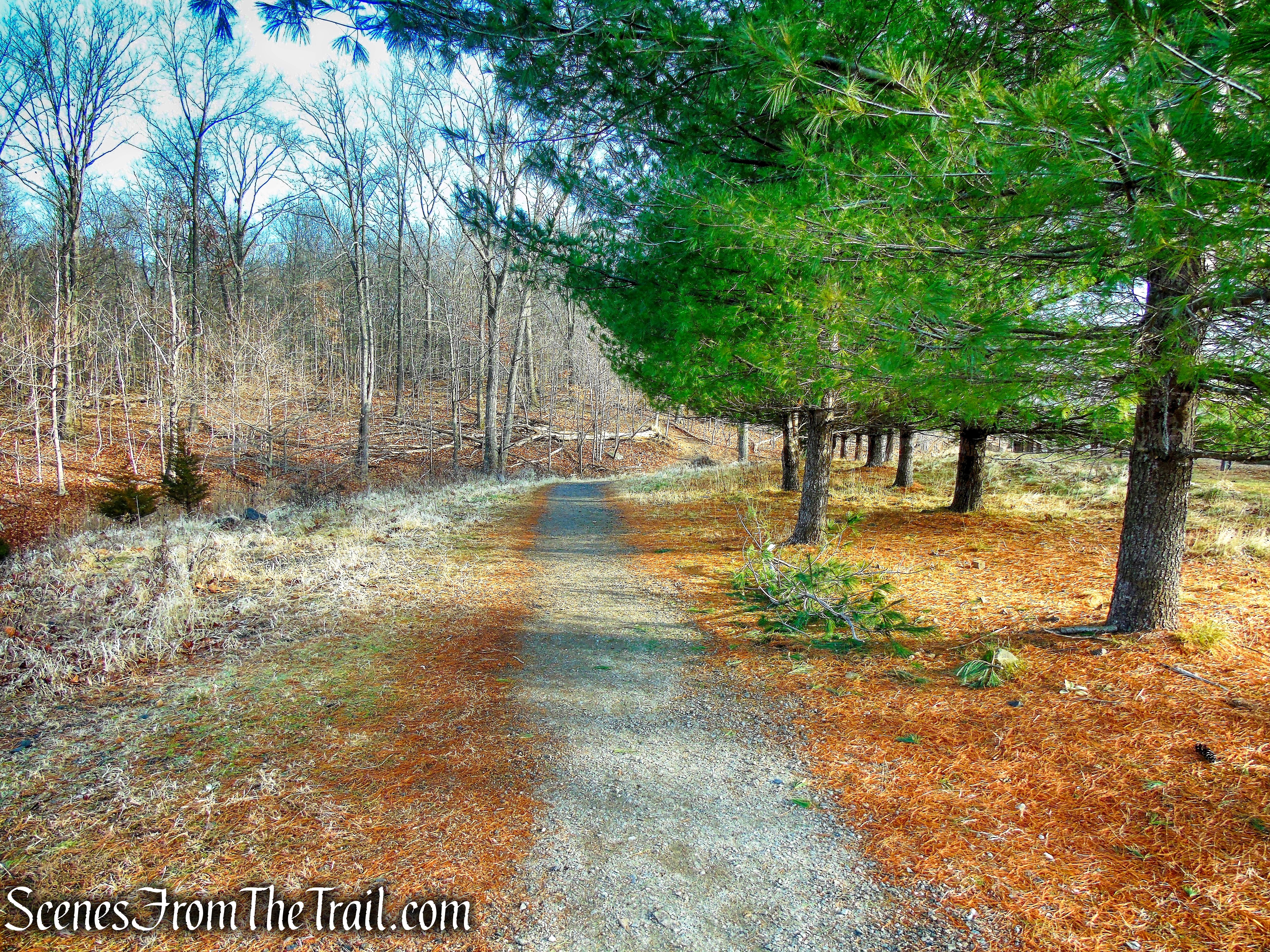
Continue through the entrance back to the fork and this time veer right. This side trail travels north through an overgrown field with tree cover, passes a pond behind the Avalon housing development and turns right onto a woods road. The road heads south and ends at a gate near the parking area where the hike began. Just before the gate there is a footpath to the left (east) that leads uphill about 0.3 mile to the Old Croton Aqueduct.
bear right at fork
Crawbuckie Nature Preserve
Crawbuckie Nature Preserve
Crawbuckie Nature Preserve

Crawbuckie Nature Preserve
Crawbuckie Nature Preserve
Review:
This is a nice small preserve to take a walk in the woods. The foliage at the overlooks need to be cut back a bit to open up the views. I saw one person going in the opposite direction while I was there and a couple arriving to do some planting as I was leaving. I probably wouldn’t go back, but I’m glad that I visited it.
Pros:
Ample parking, not much foot traffic, nice trails.
Cons:
Foliage needs trimming at viewpoints.
Take a hike!
Crawbuckie Nature Preserve
Sources:
- Ossining Historical Society
- Crawbucky Tales
- Westchester County Historical Society
- Walkable Westchester: A Walking Guide to Westchester County, NY – by Jane and Walt Daniels
- Hudson River Expressway
- Tahawus Trails LLC