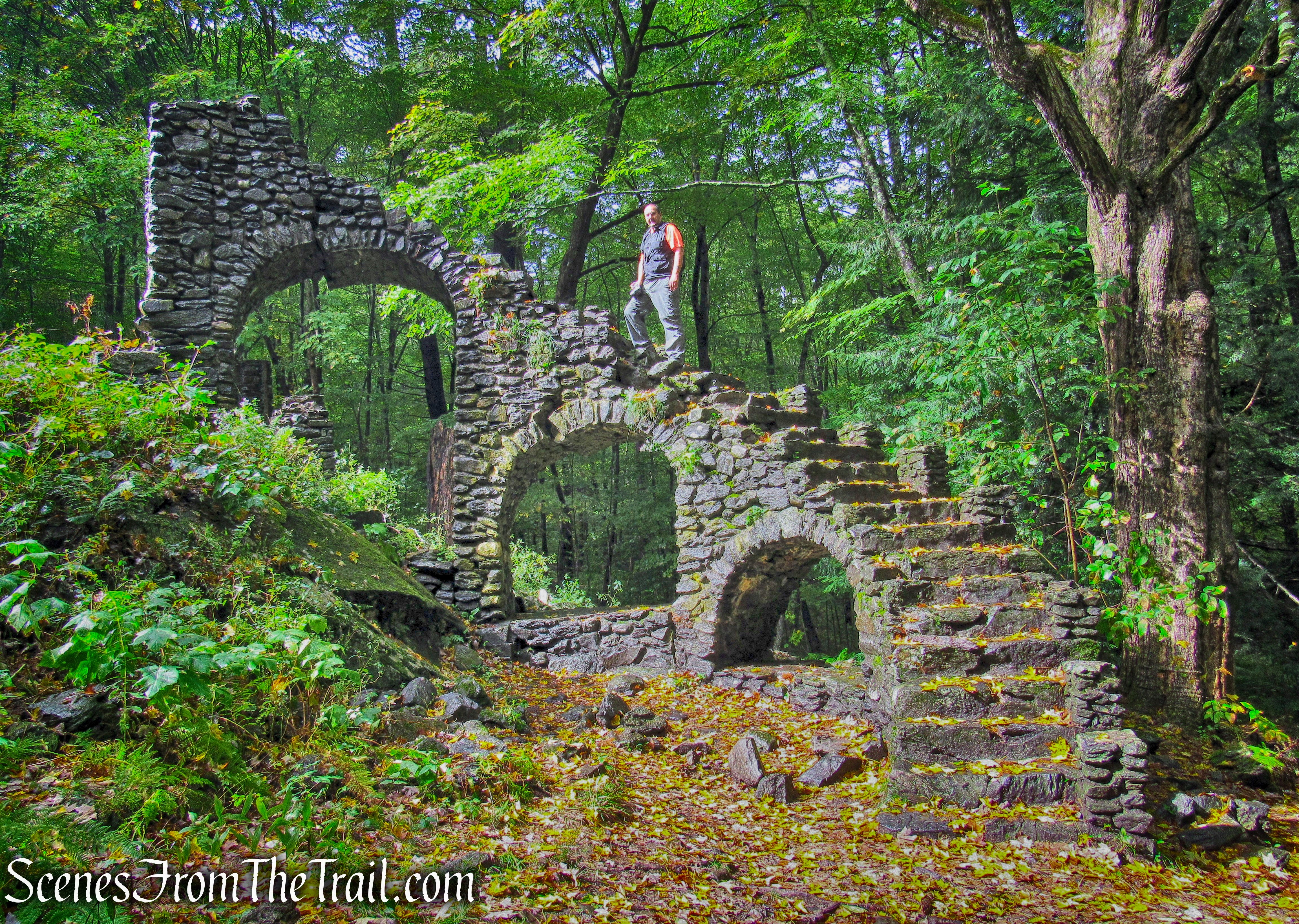
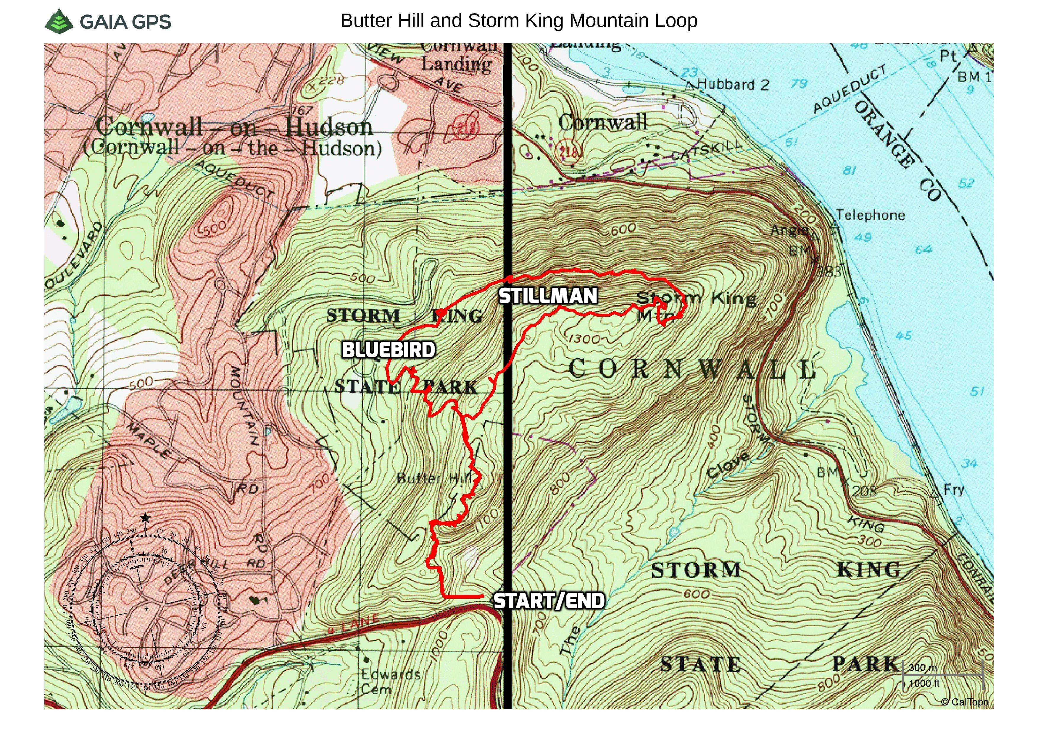
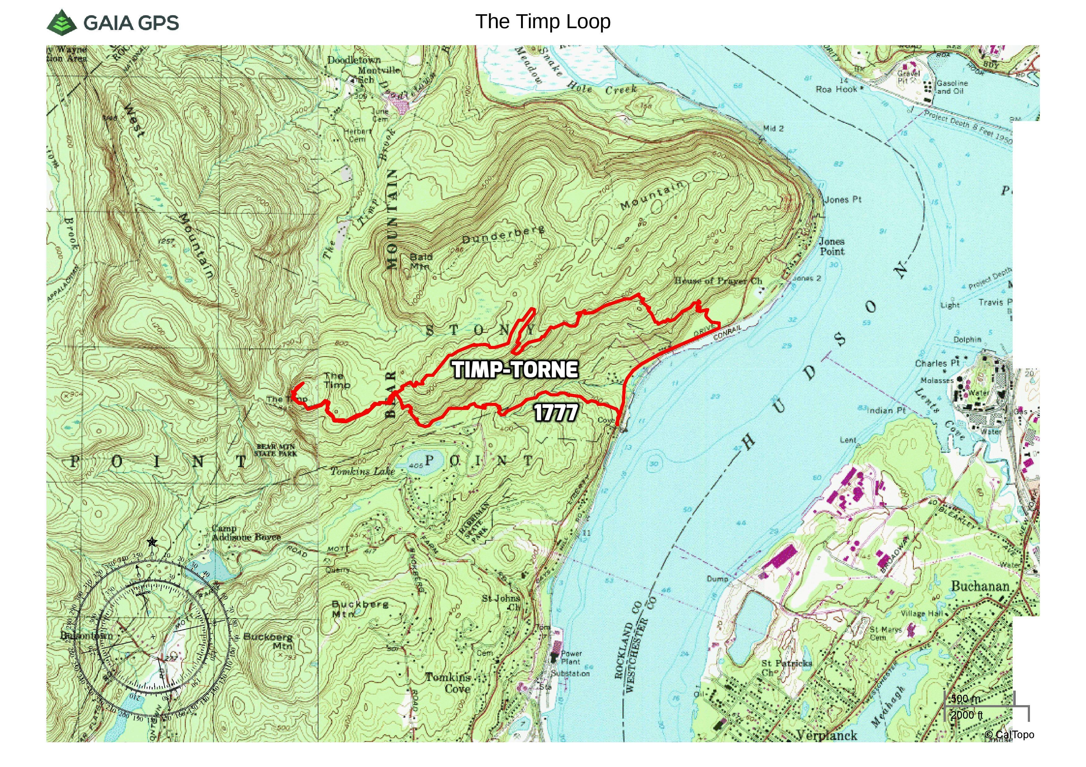
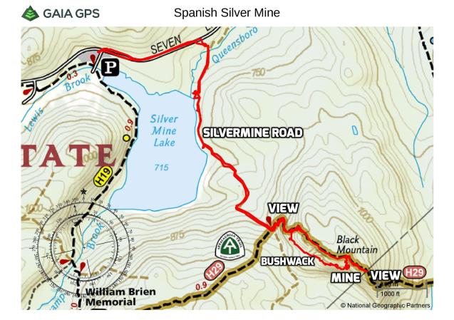
December 9, 2018 – Woodbury, NY
Difficulty: Moderate
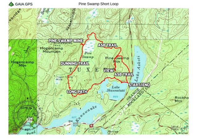
Length: Approximately 4.2 miles
Max elevation: 1200 ft.– total elevation gain 730 ft.
Route type: Out and back
Map: Harriman-Bear Mountain Trails Map #119
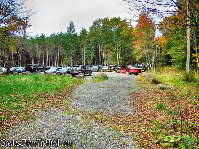
Trailhead parking: Silver Mine Picnic Area, Woodbury, NY 10980
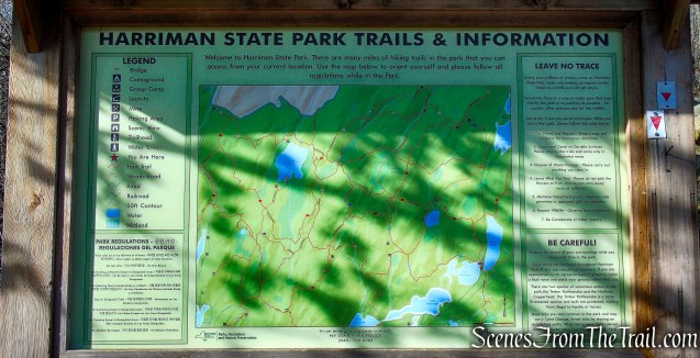
Click here to see Trail Alerts for Bear Mountain-Harriman State Parks
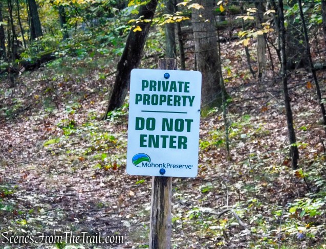
Please note: Hikers should use caution in the vicinity of the mines, as their deep, water filled pits, treacherous terrain and unstable overhanging rocks can be dangerous.
Overview:
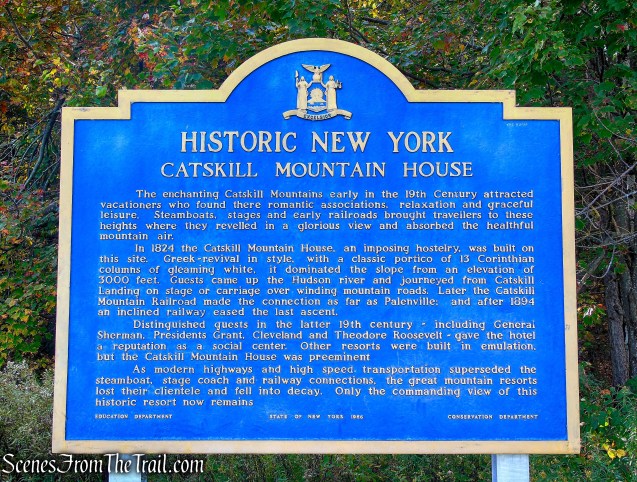
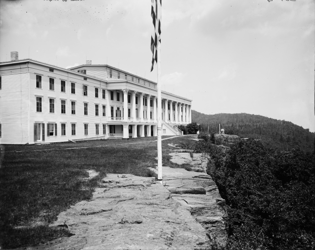
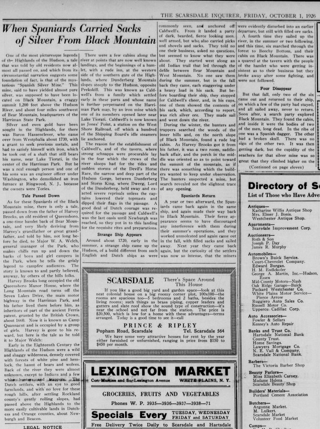
Facts regarding the ownership and operation of this mine, also known as the Spanish Mine or the Silver Mine, are lacking, but mystery and legend abound. The Spanish Silver Mine was the reported burial place of Captain Kidd’s treasure. Another legend, attributed to R.H. Torrey, a founder of the New York-New Jersey Trail Conference, states that the mine was dug by Spanish miners in the 18th century. According to the Torrey tale, in 1735, a ship with a Spanish crew sailed up the Hudson River and landed at what is now Jones Point. They made several trips to a mine on Black Mountain and carried out heavy sacks, once boasting to riverside tavern patrons that they were carrying silver. On their final journey to the mine, one of the Spanish crew members disappeared, while the others returned to their ship, never to be seen in the area again. Later, the body of the lost Spanish miner was found by local people in a cabin on the mountain.
Spanish Silver Mine
A very cool article from October 1, 1926. PDF links at the bottom of page.
Spanish Silver Mine
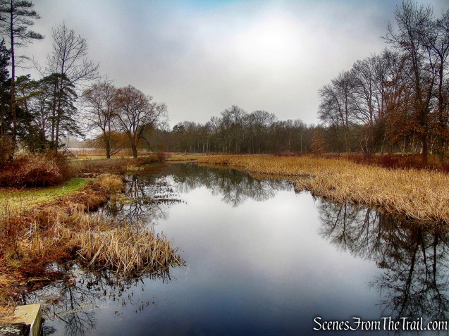
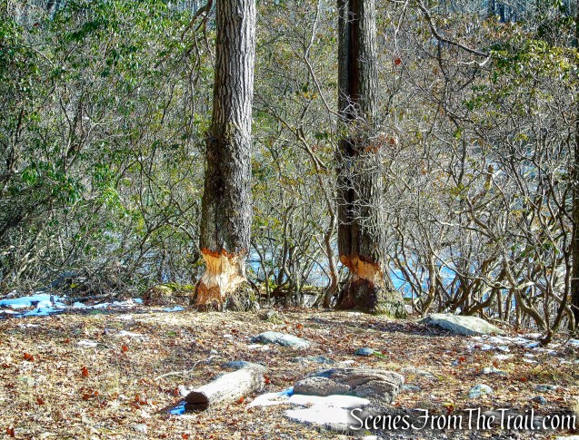
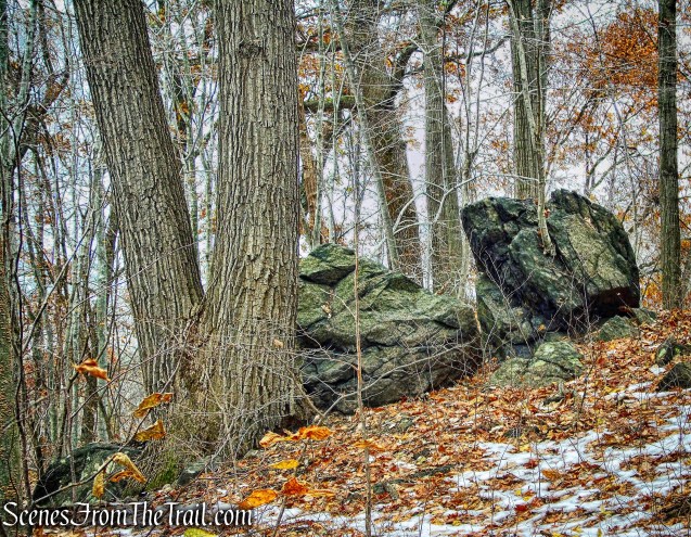
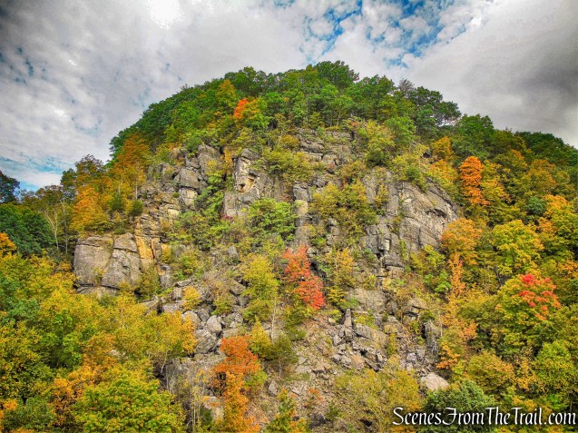
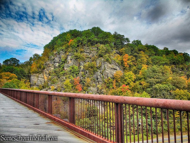
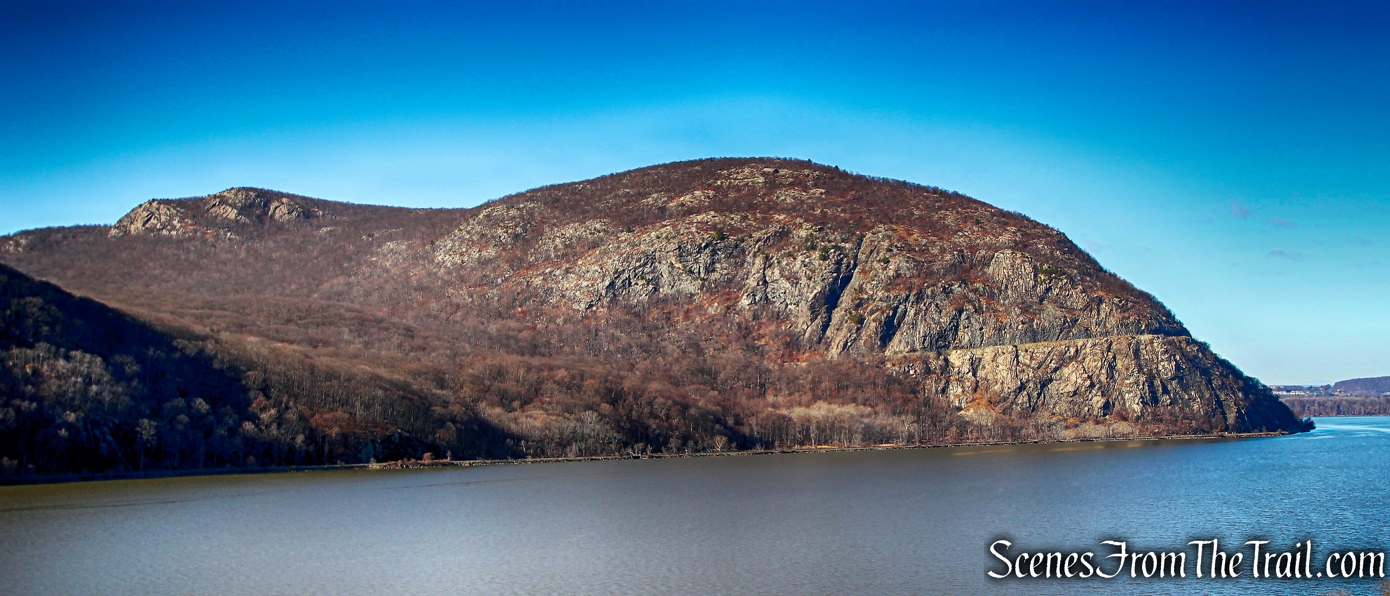
Black Mountain, towering more than 1,200 feet above sea level, was the scene of mining activity at some time in the remote past. Two vertical pits, evidence of attempts to extract ore, are present on the summit of this mountain which is situated to the southeast of present-day Silver Mine Lake in Harriman State Park.
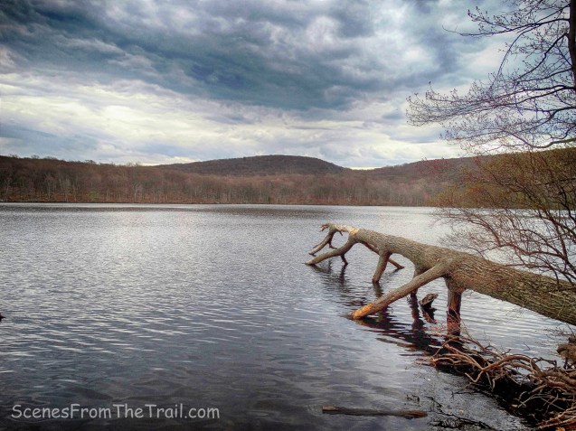
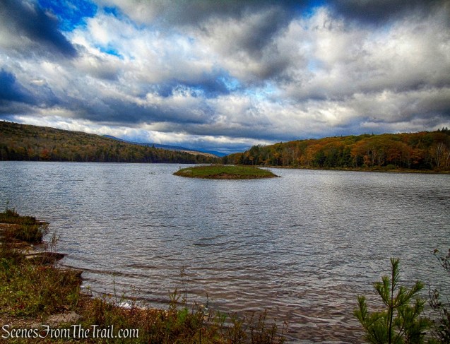
Black Mountain across Silver Mine Lake
We tried searching for this mine last February to no avail. This time we were determined to find it. It wasn’t easy, but after a long bushwack along the steep slope of Black Mountain, we were able to reach it. Granted, the mine itself isn’t that impressive, but the folklore that surrounds it, made it worth the trek. There is an easier approach to the mine than the one we took, but not knowing its exact location, we traversed the hillside until we found it.
Spanish Silver Mine
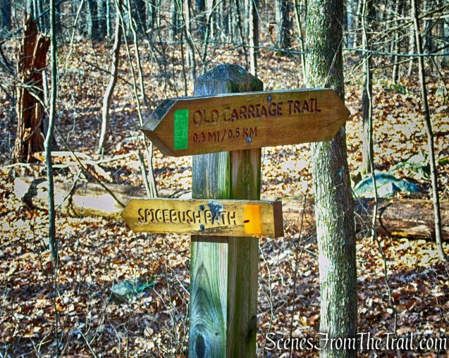
The hike:
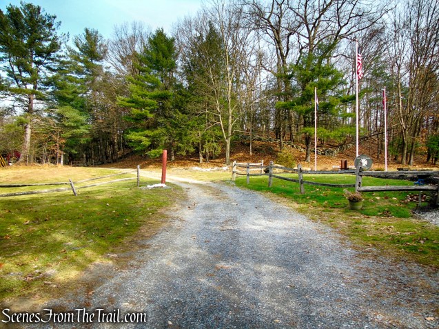
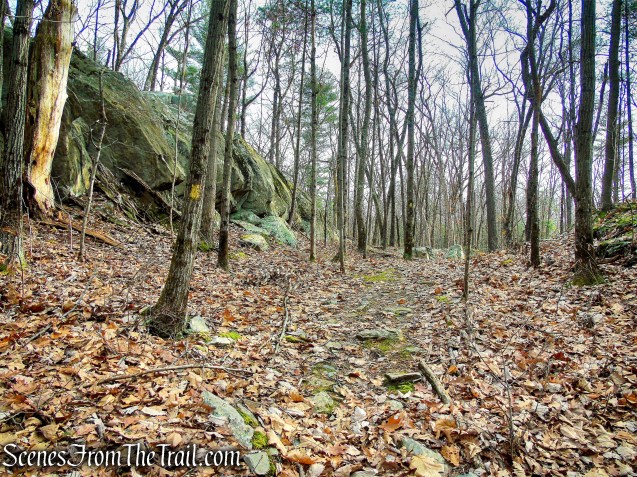
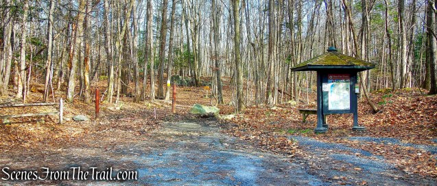
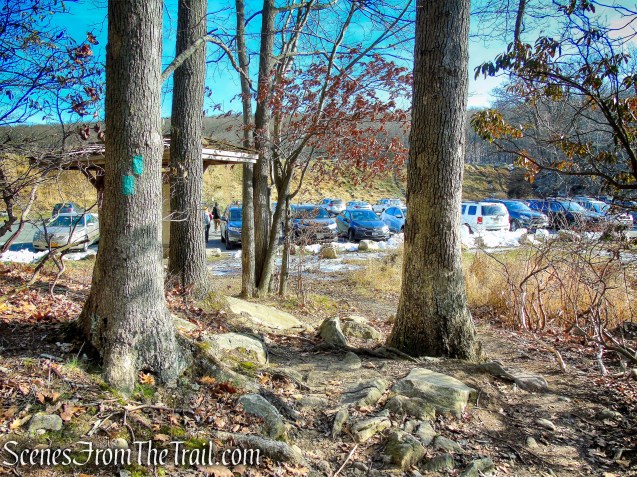
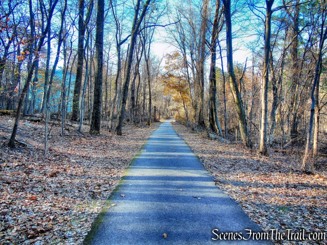
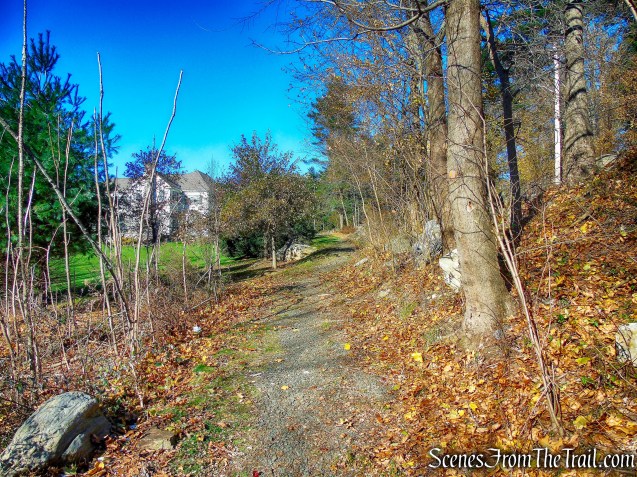
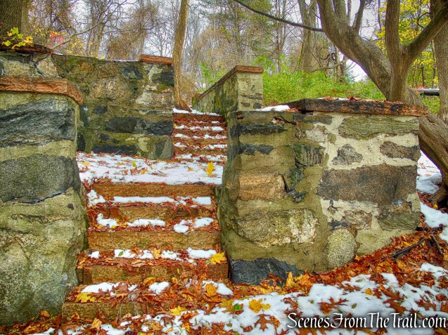
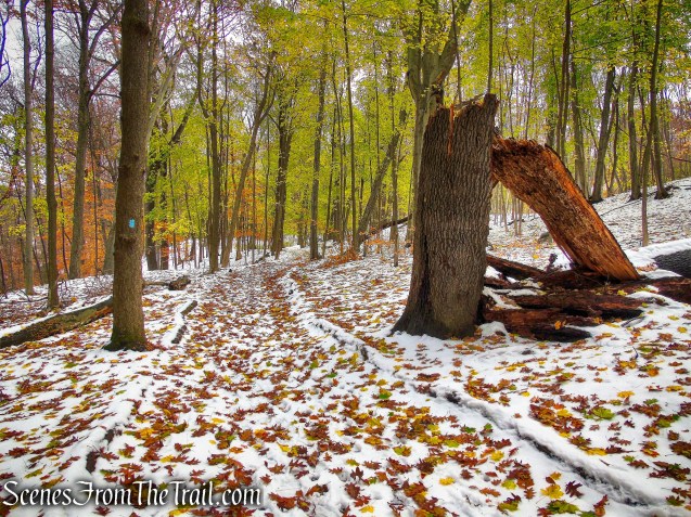
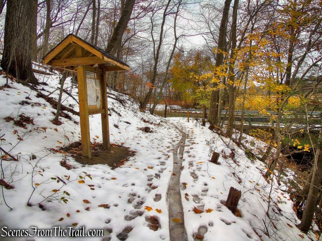
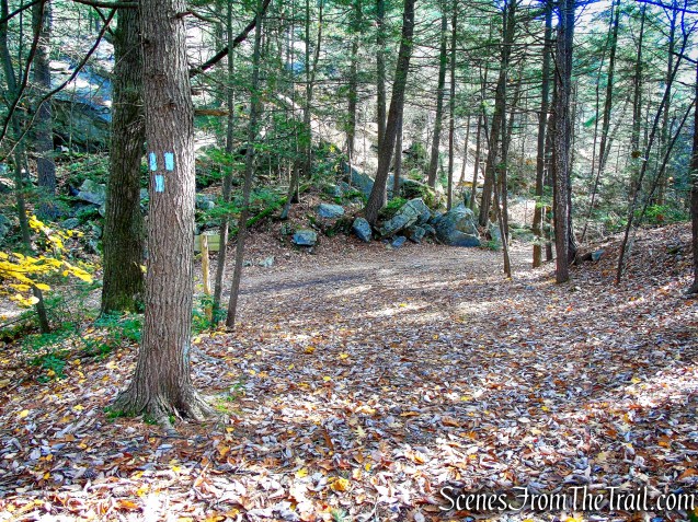
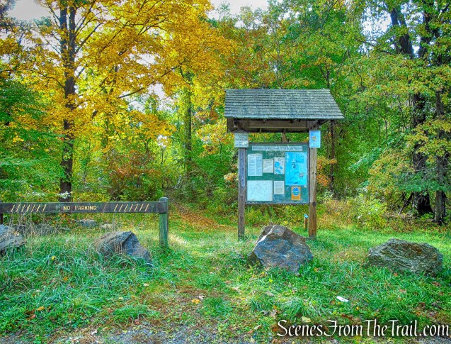
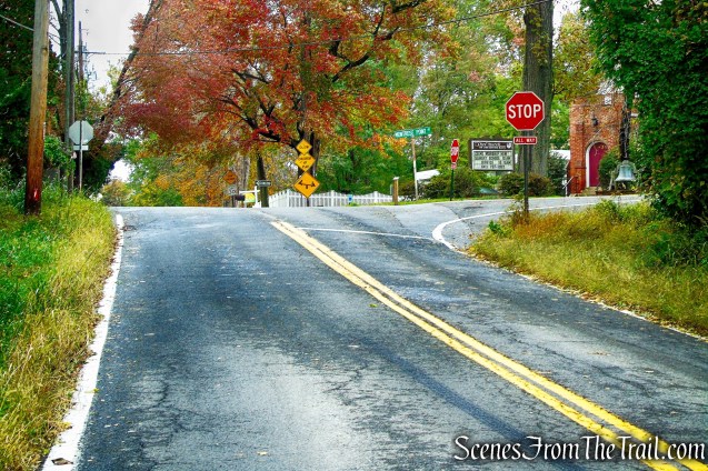
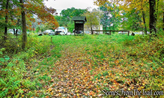
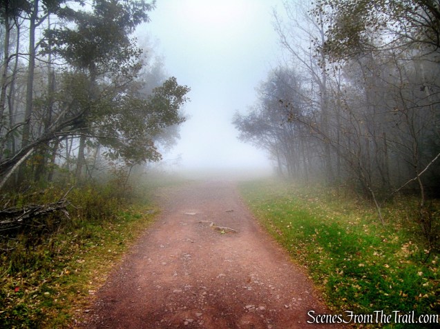
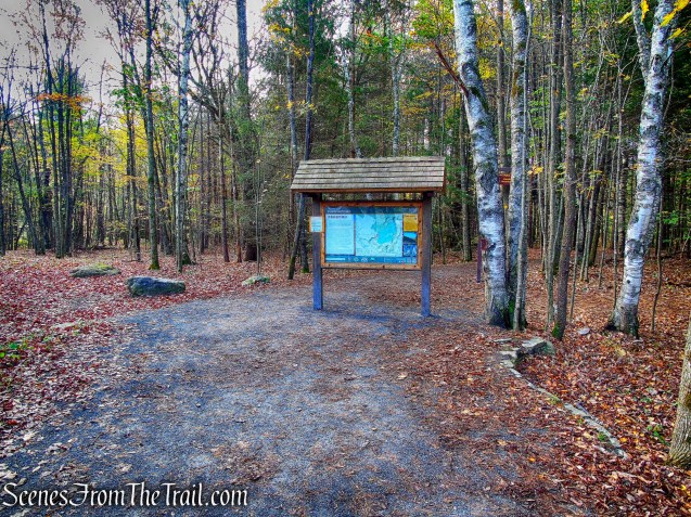
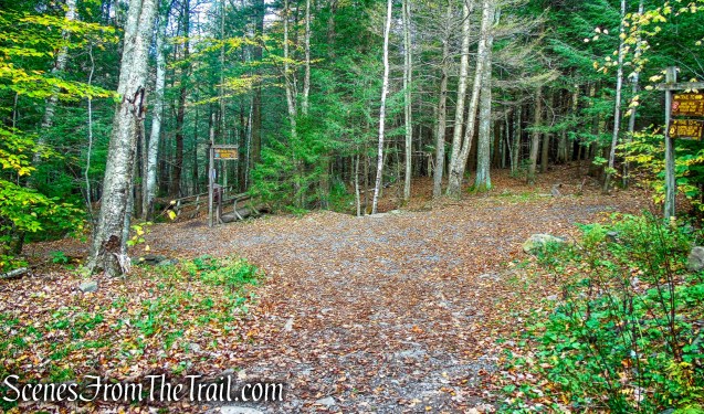
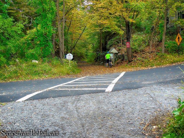
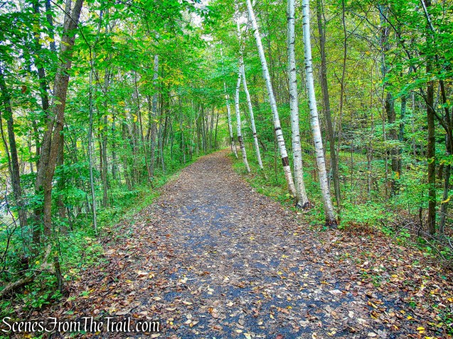
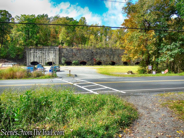
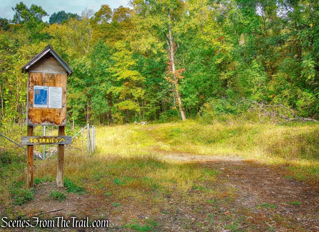
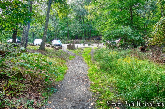
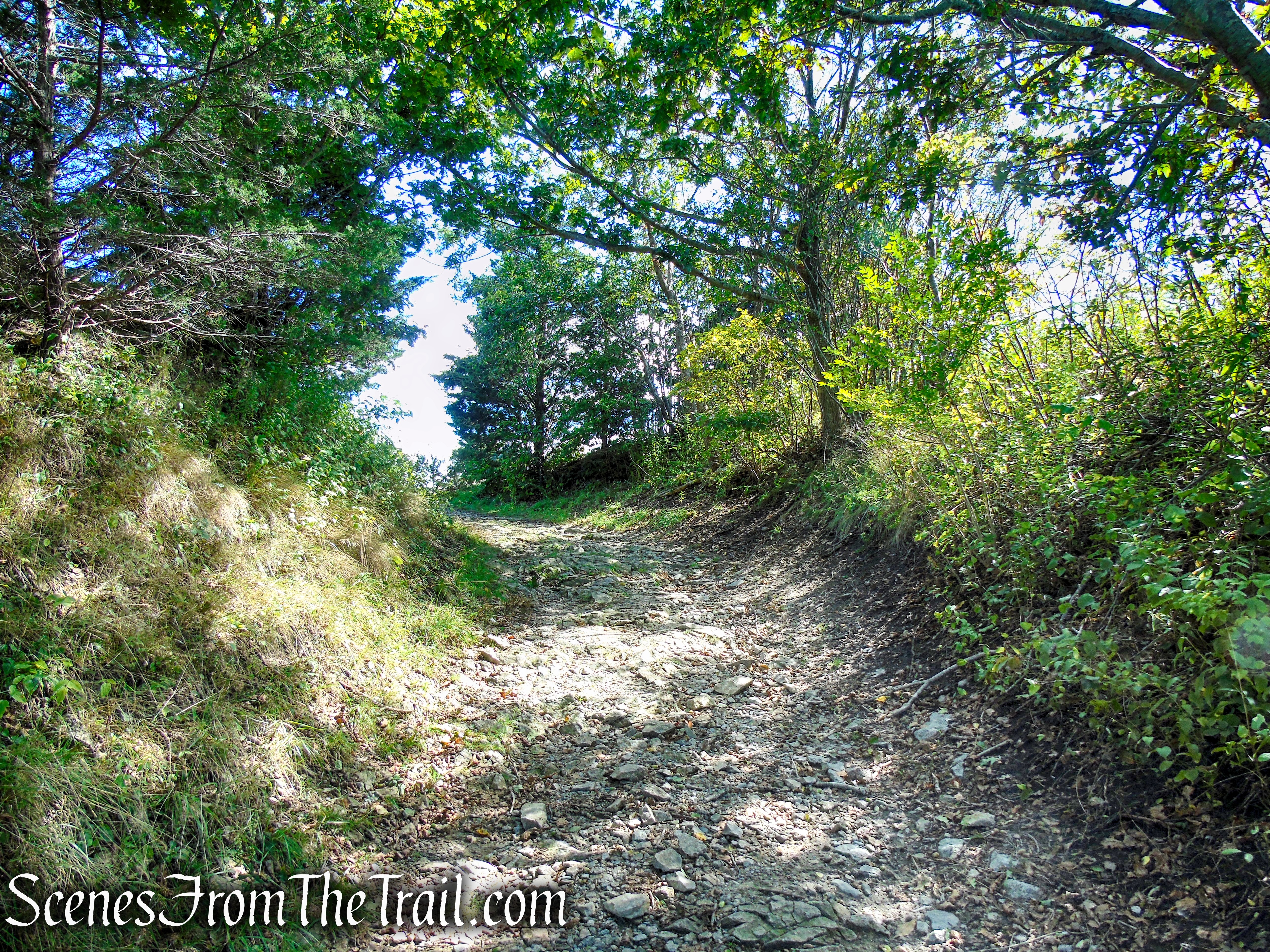
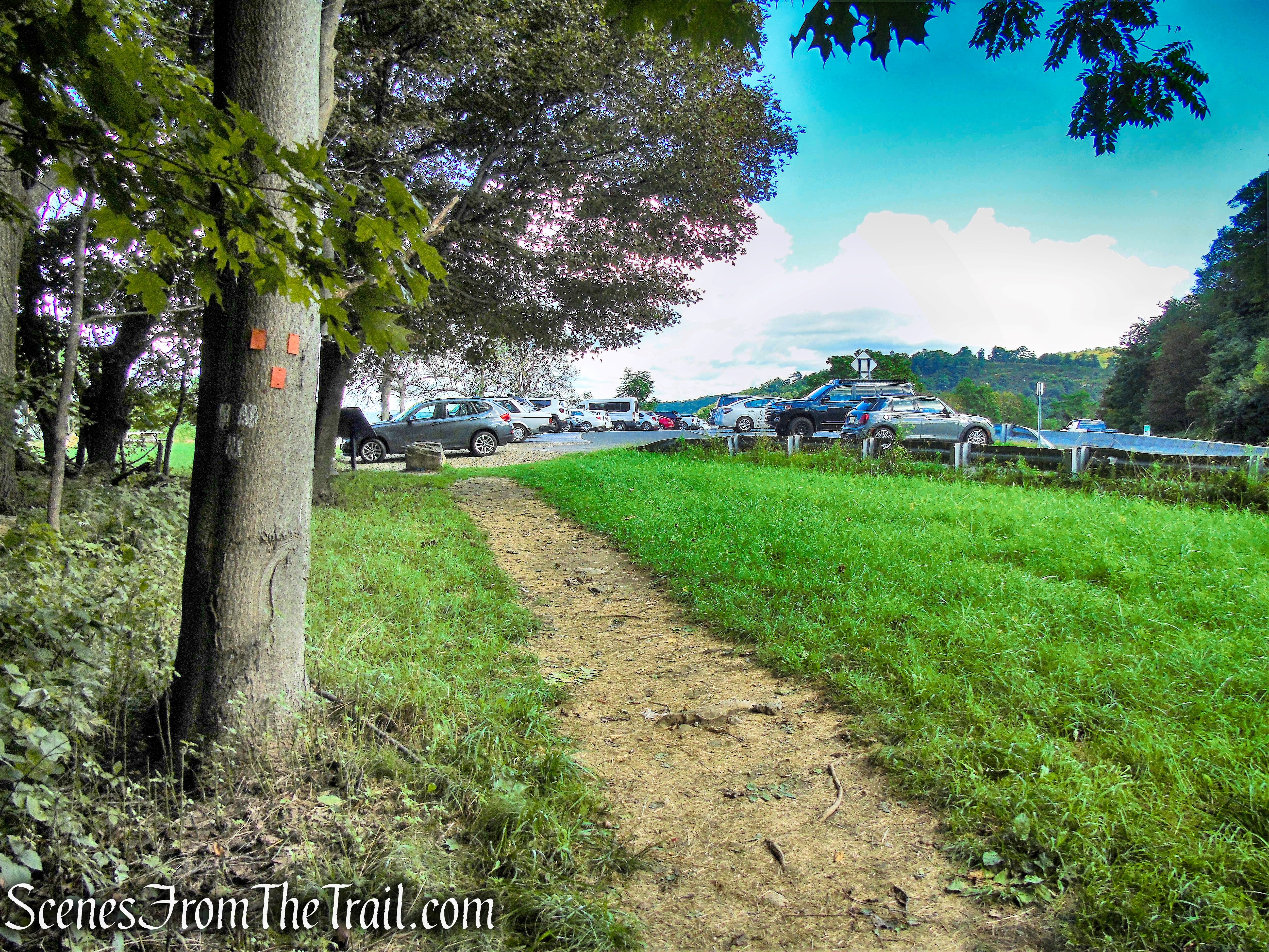
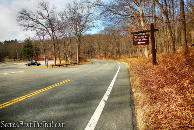
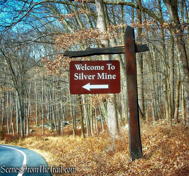
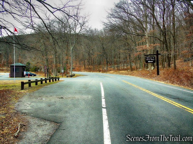
The hike begins from the Silver Mine Picnic Area on Seven Lakes Drive. There are plenty of parking spots in the large lot. Since the temperature was in the low 20’s on this Sunday morning, we got a later start than usual and arrived at about 10:30 am.
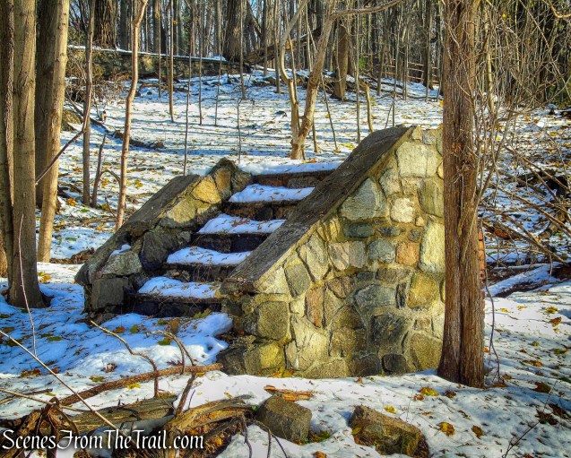
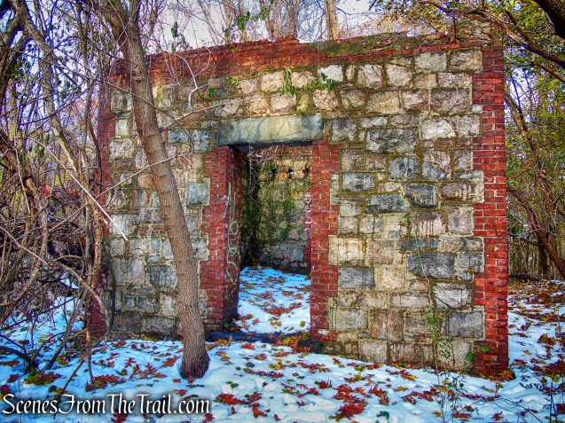
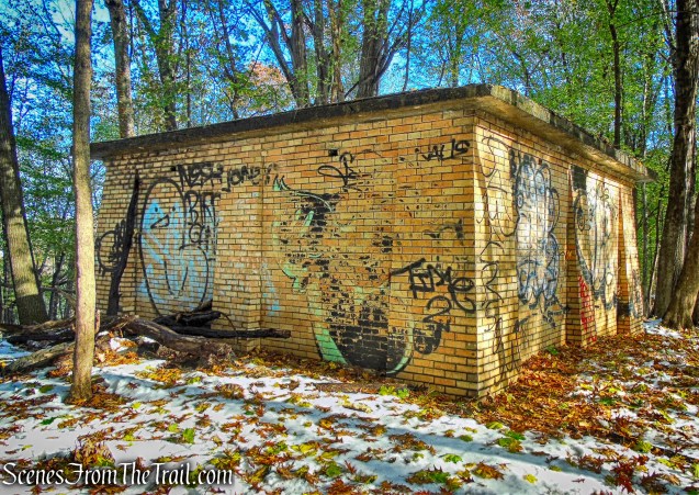
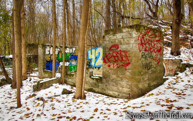
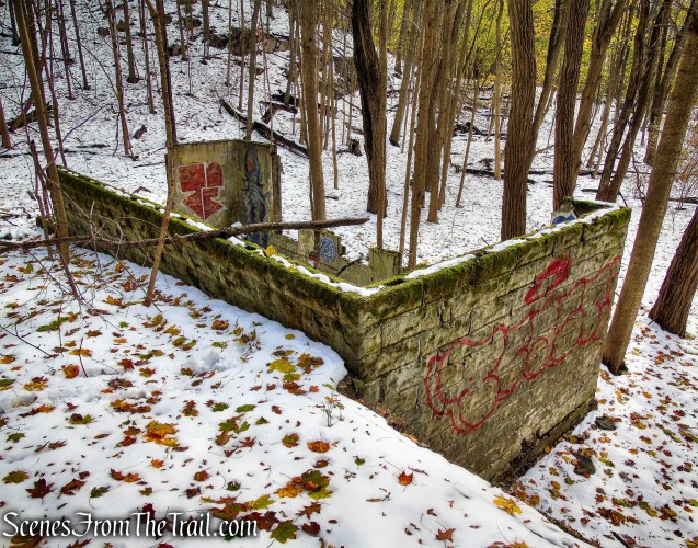
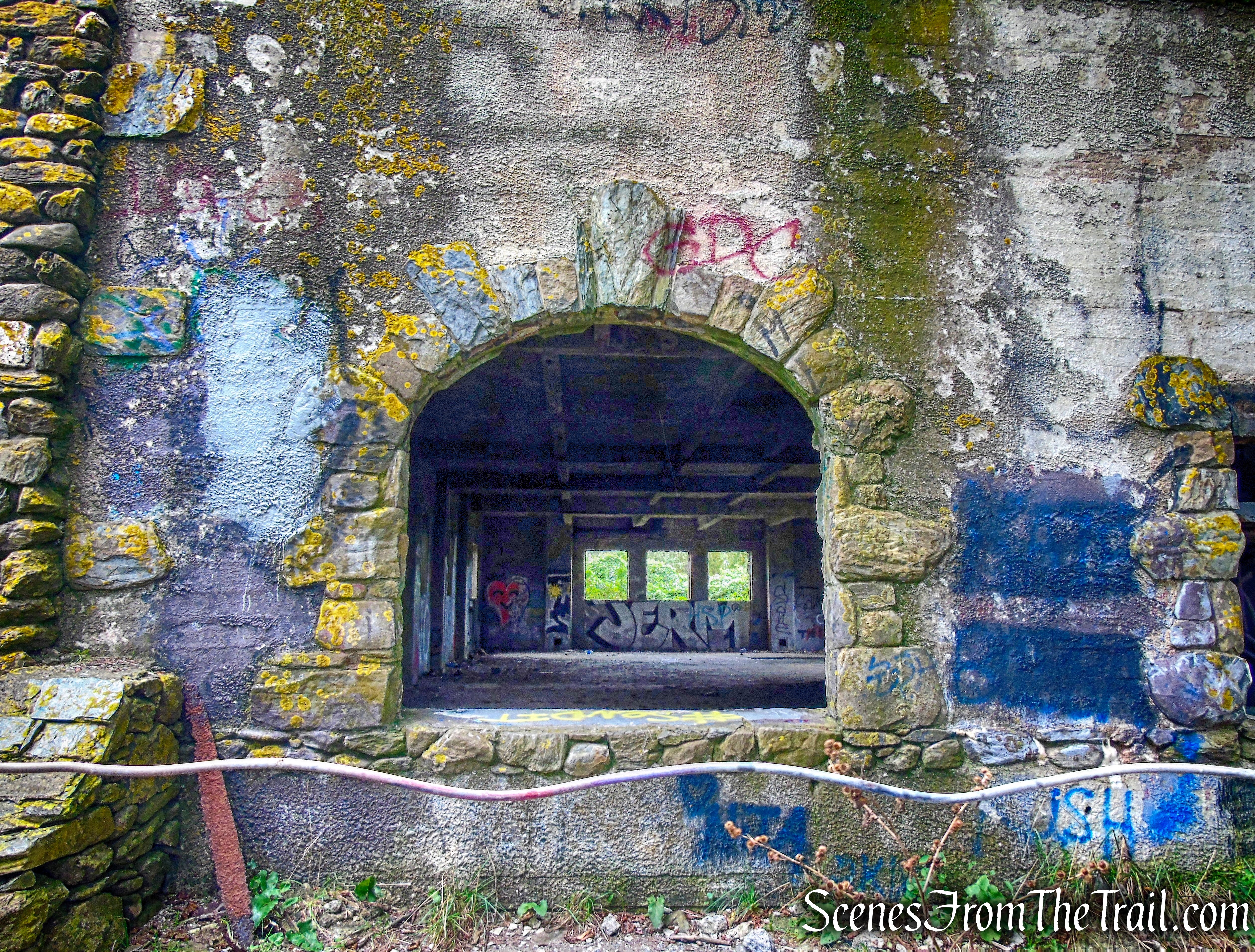
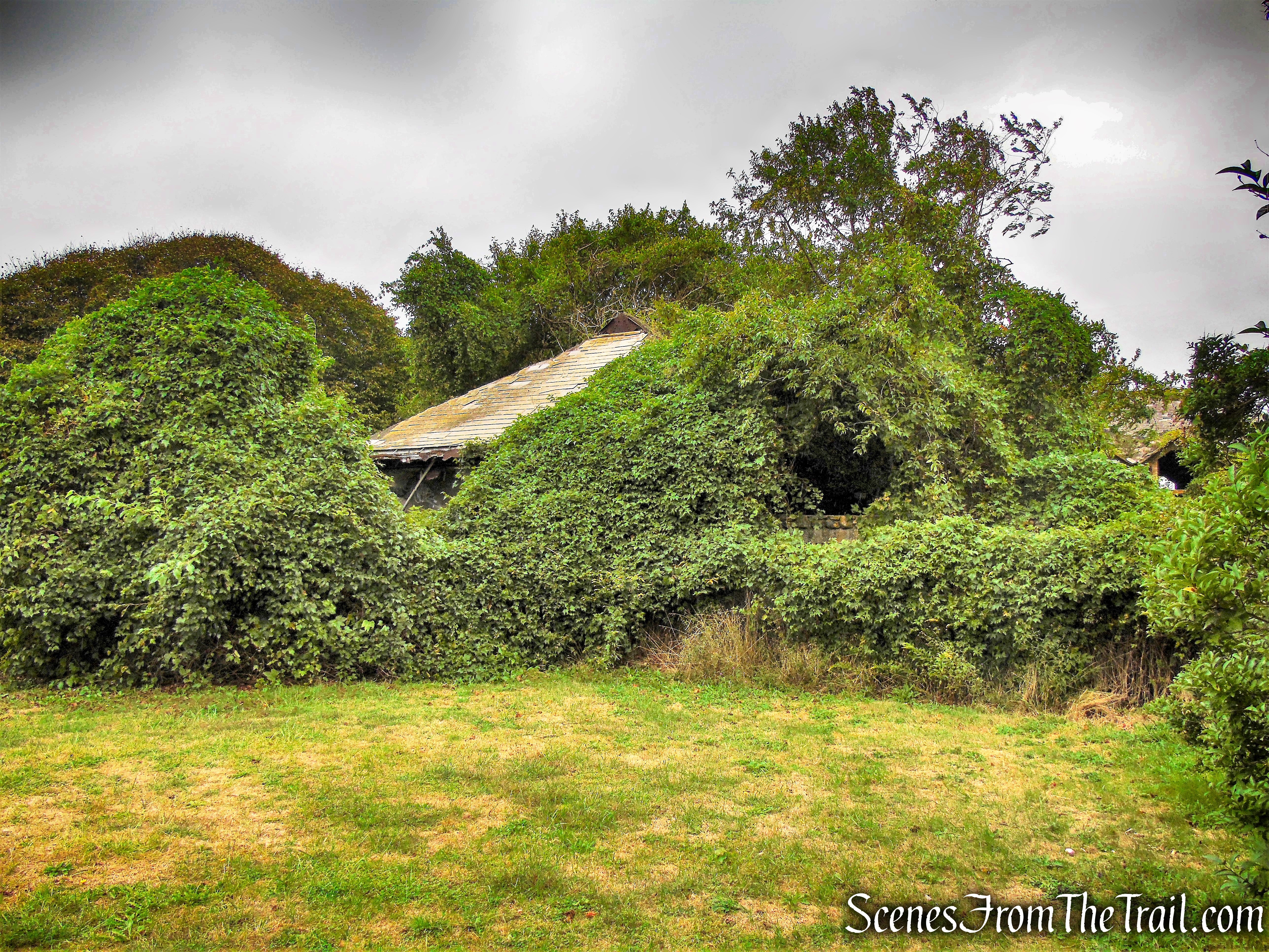
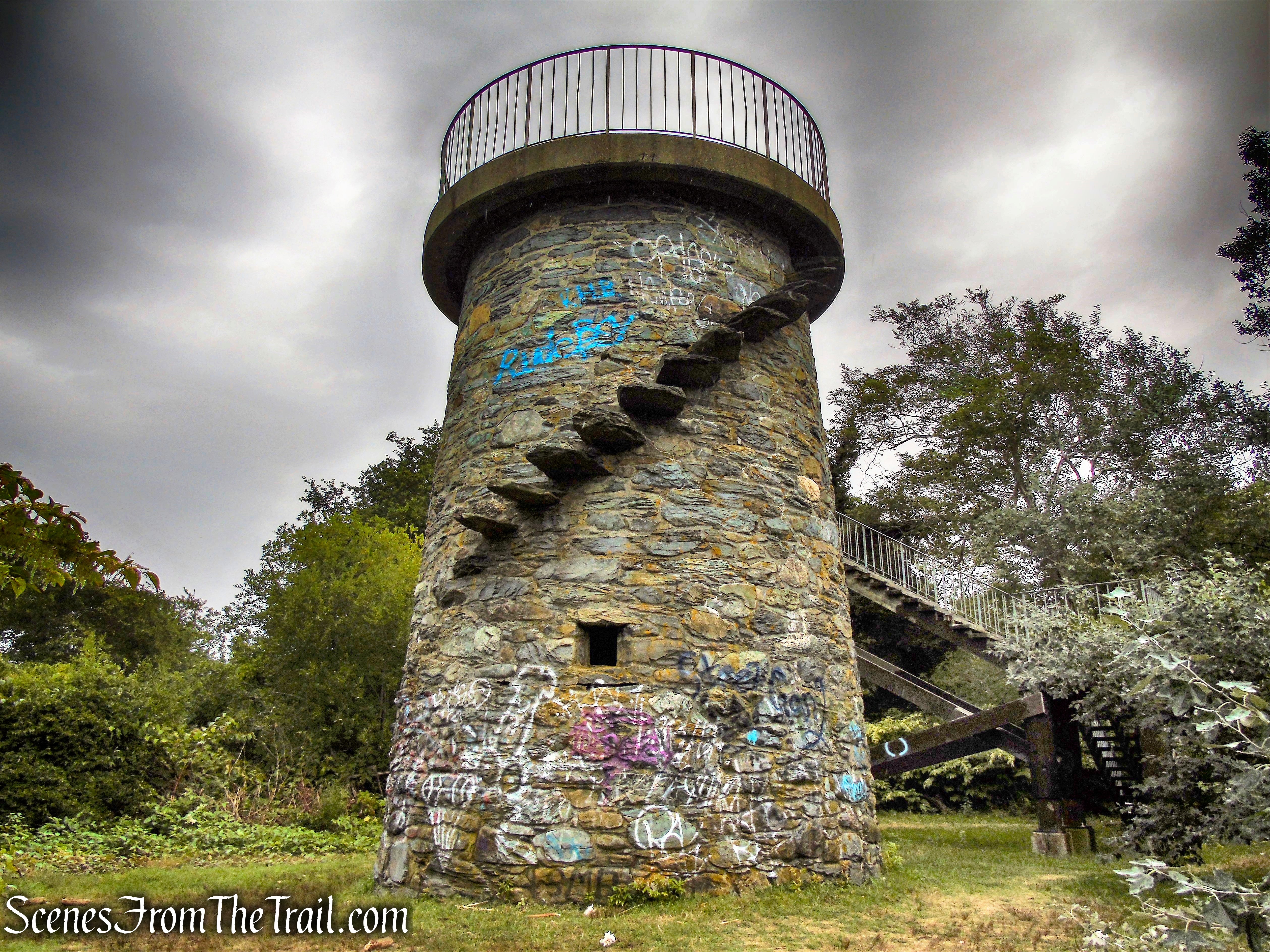
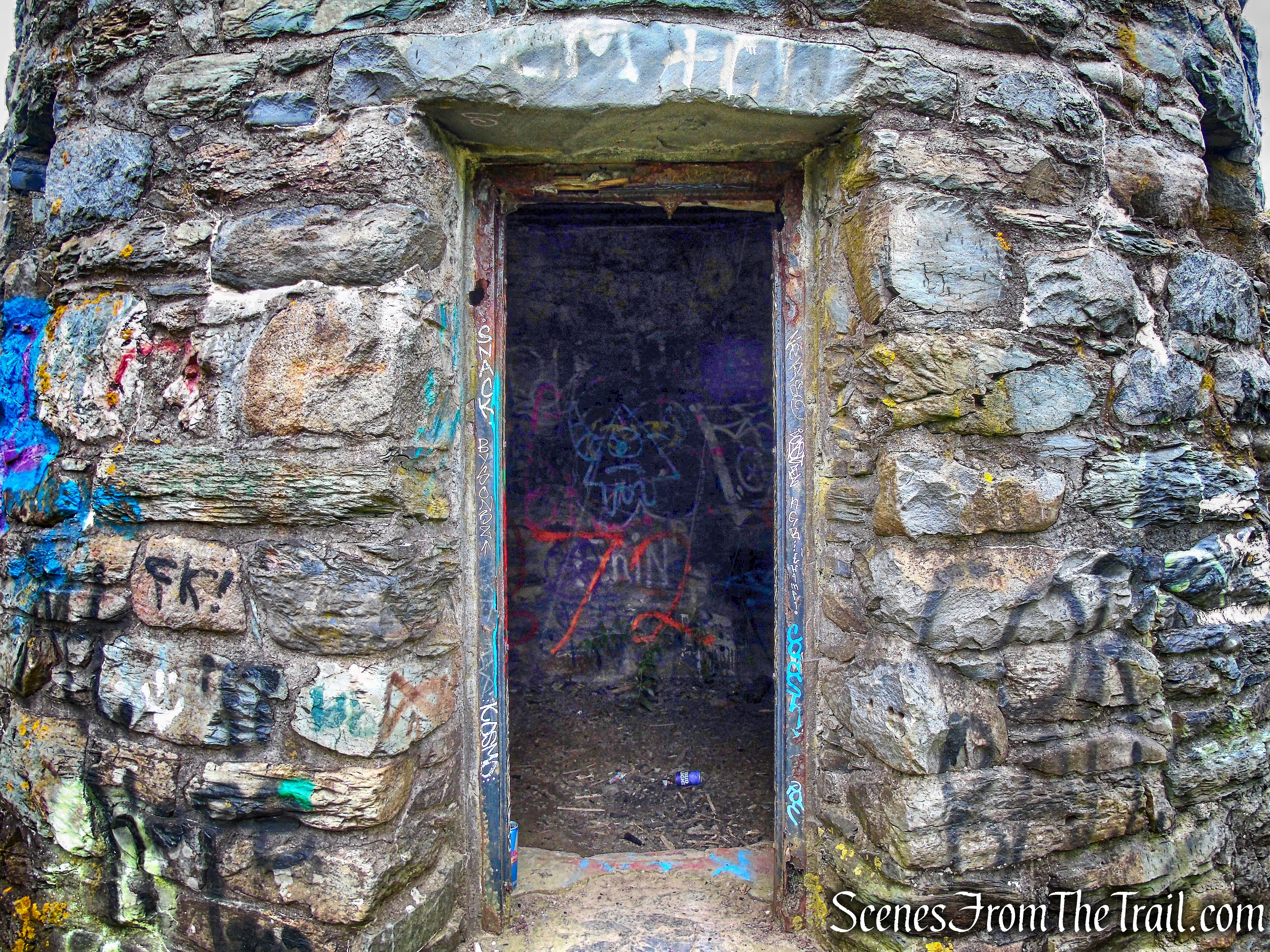
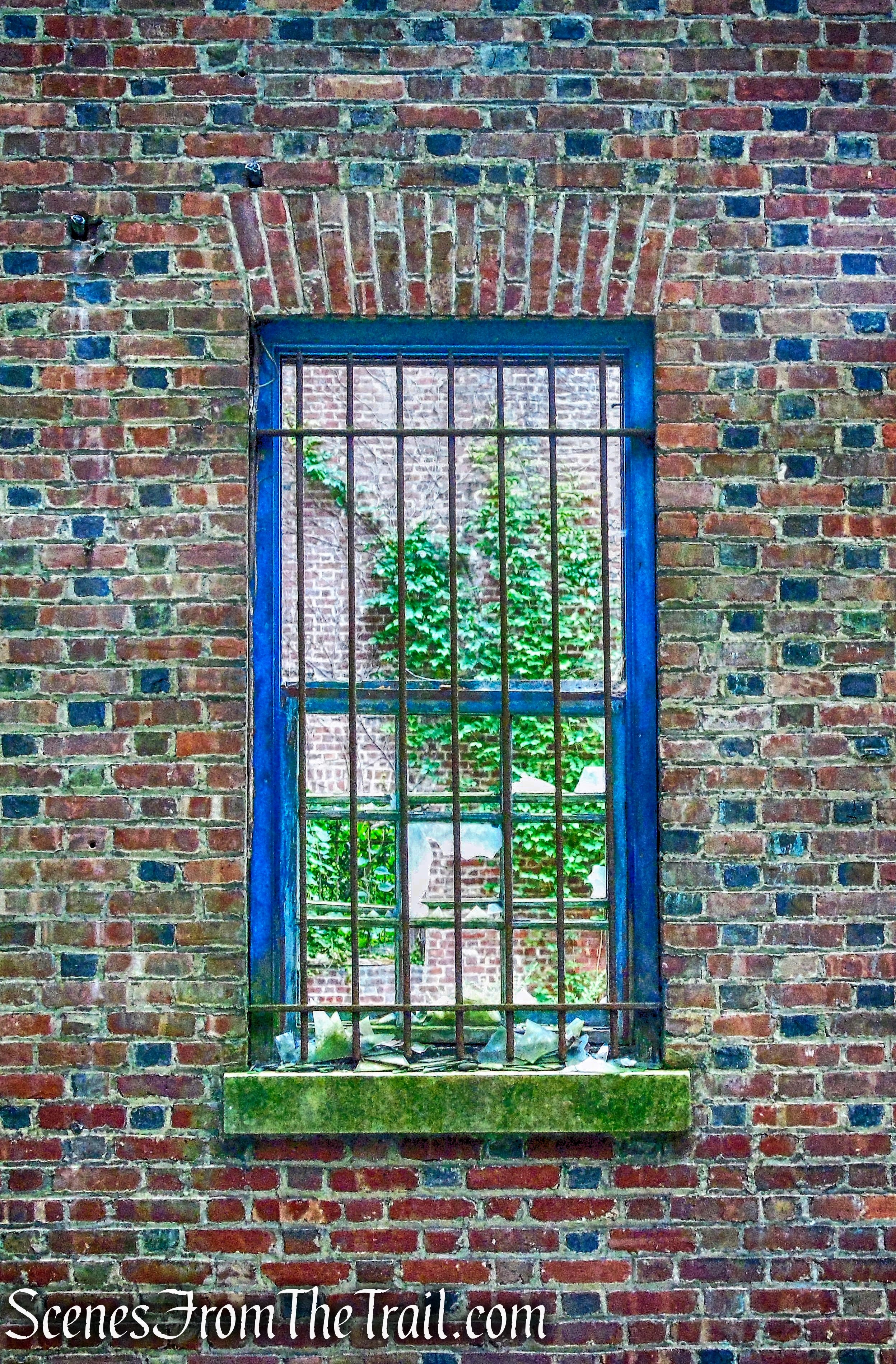
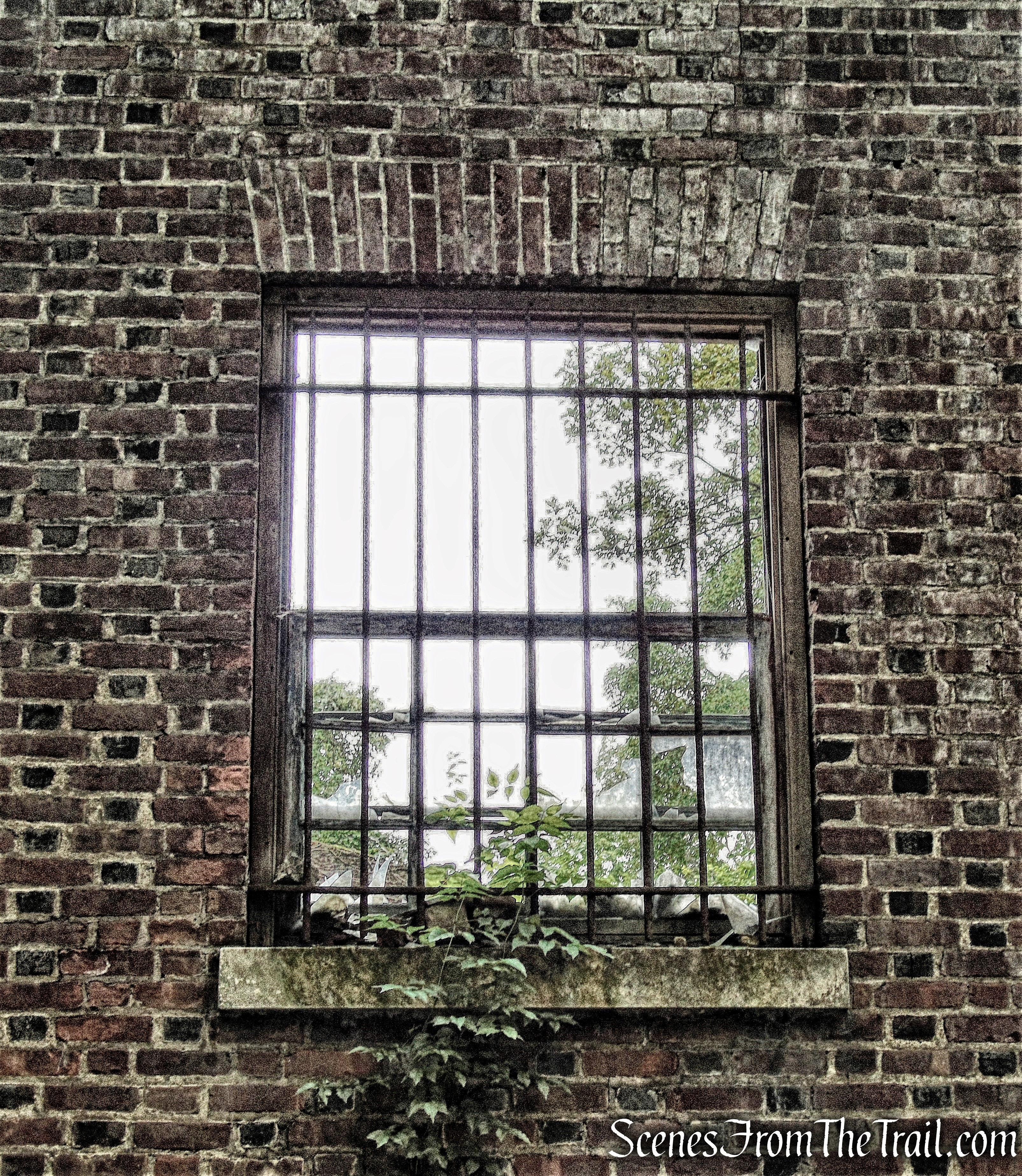
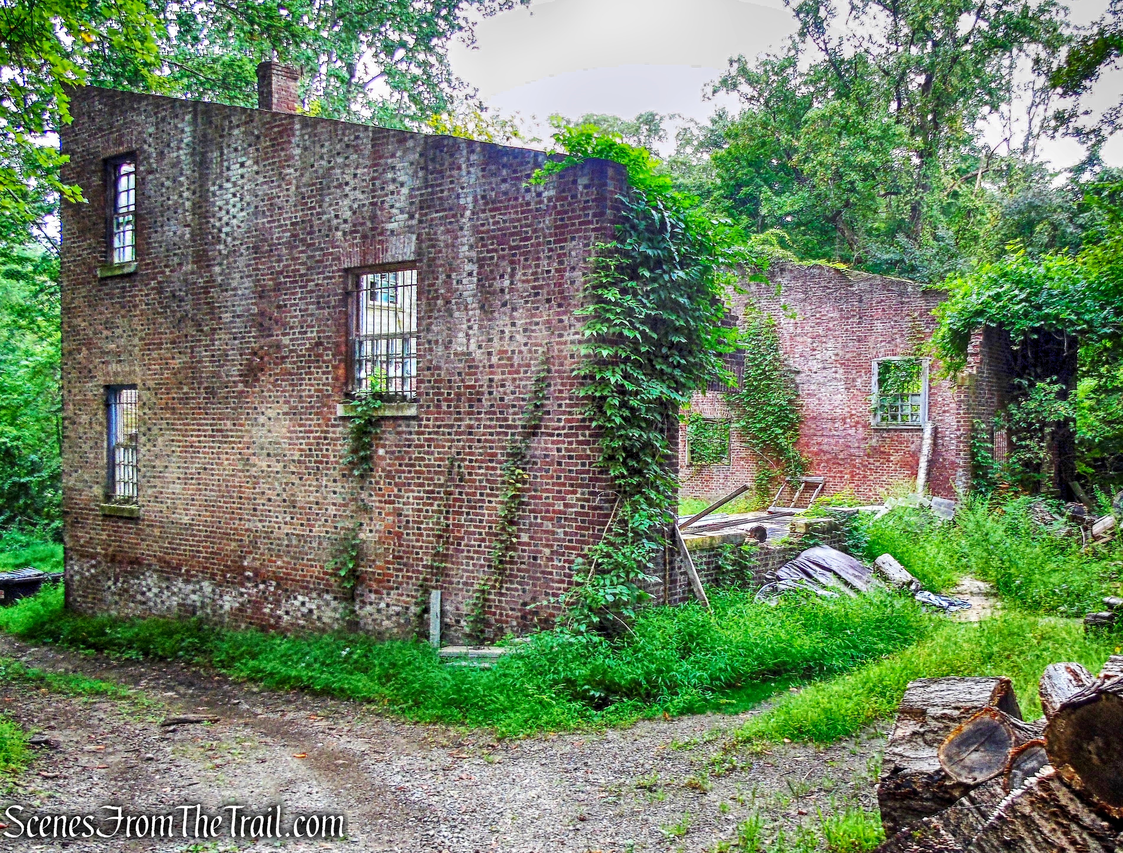
Silver Mine Picnic Area
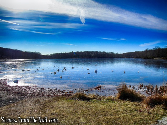
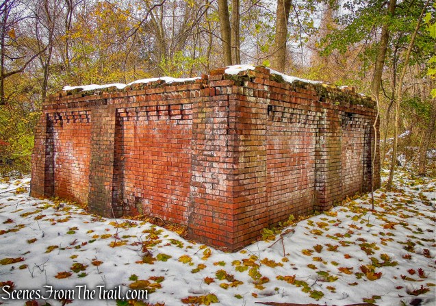
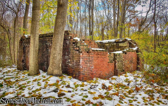
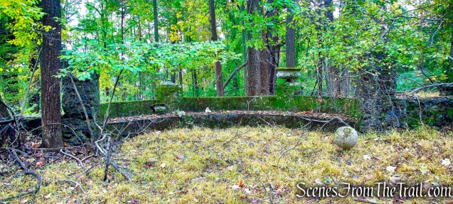
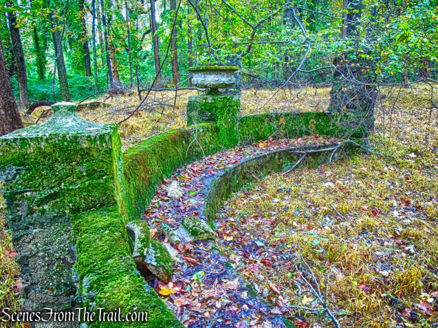
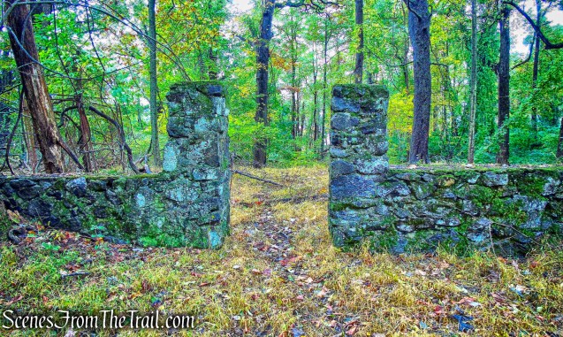
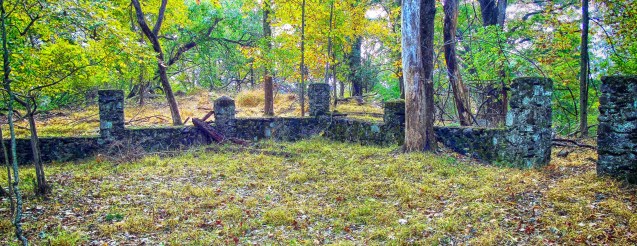
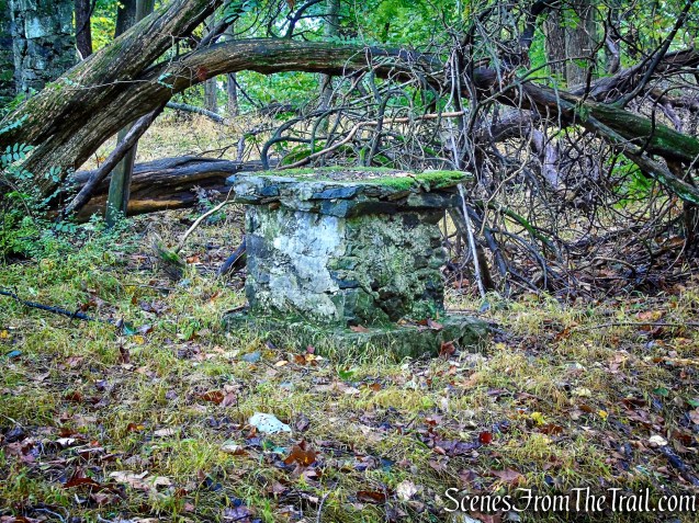
Originally known as the Silver Mine Ski Center, it was once a popular skiing destination. It was shut down in the 1980’s due to inconsistent weather. The Silver Mine area now offers picnic grounds, fishing and hiking.
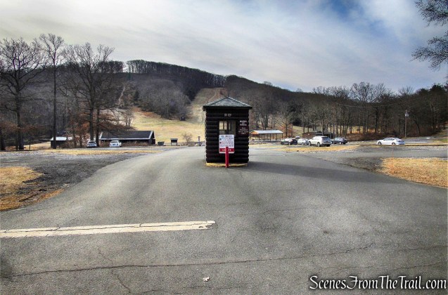
Silver Mine Picnic Area
It was named the Old Silver Mine Ski Area because of its proximity to the legendary Spanish Silver Mine on Black Mountain.
Silver Mine Picnic Area
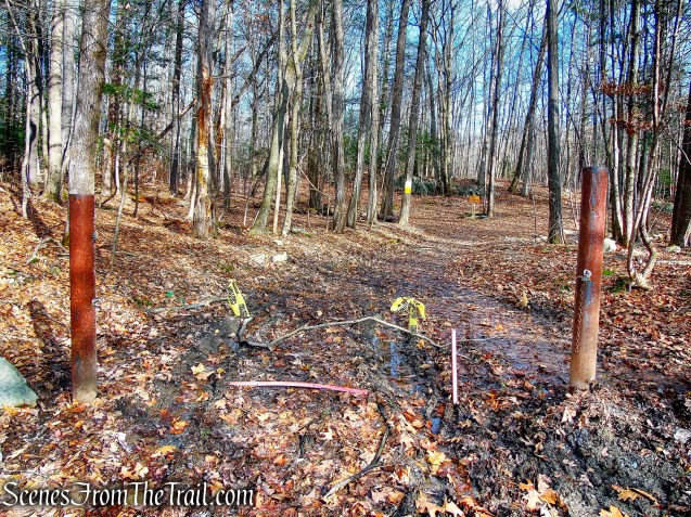
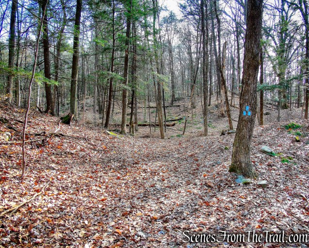
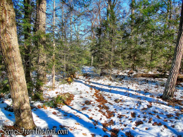
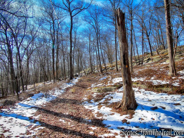
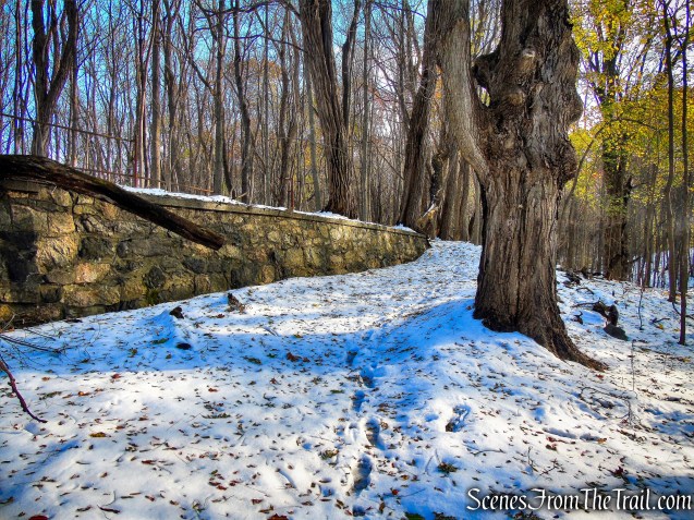
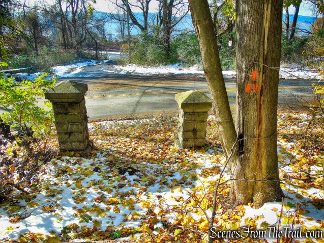
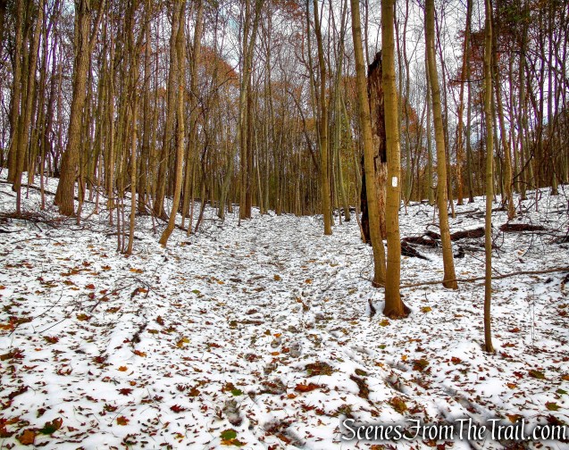
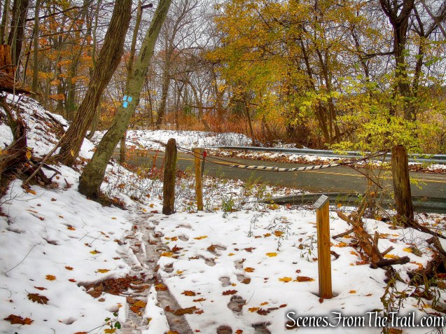
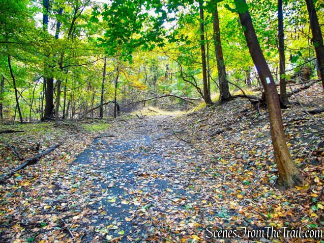
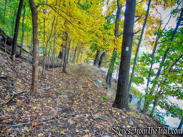
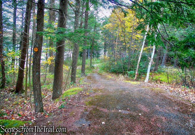
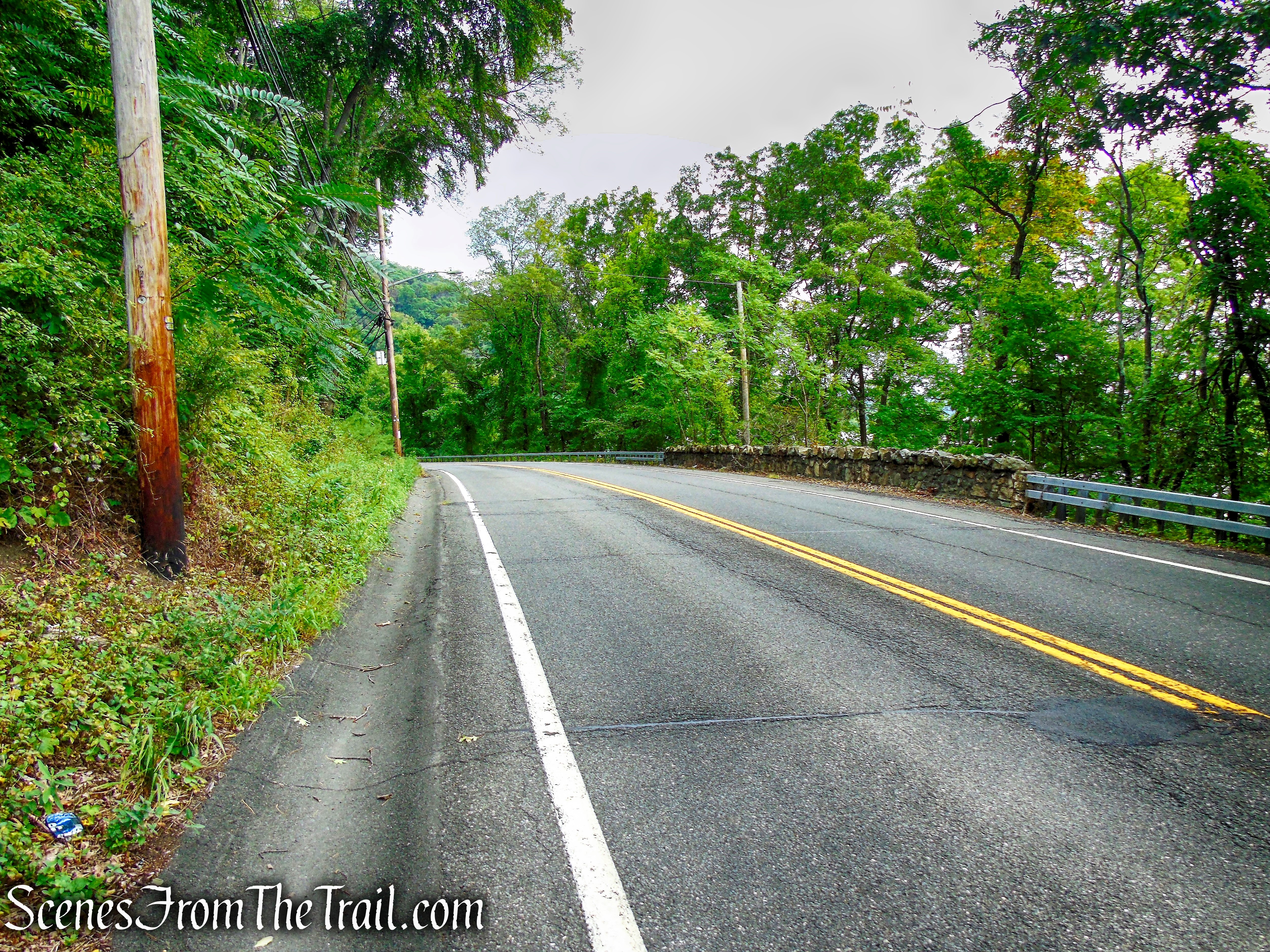
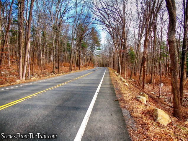
From the parking area, we turned right and began heading in an easterly direction along Seven Lakes Drive.
east along Seven Lakes Drive
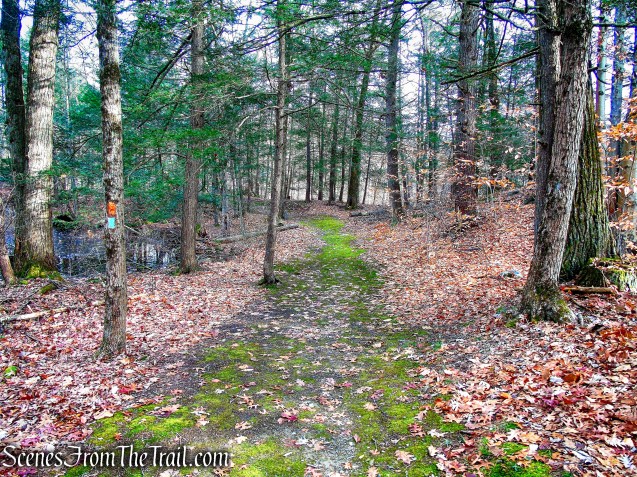
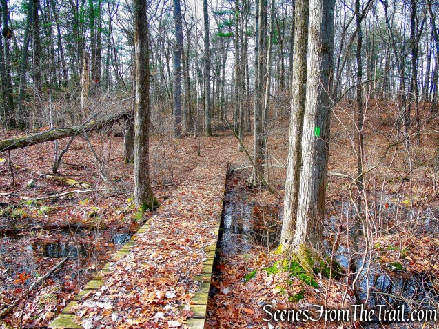
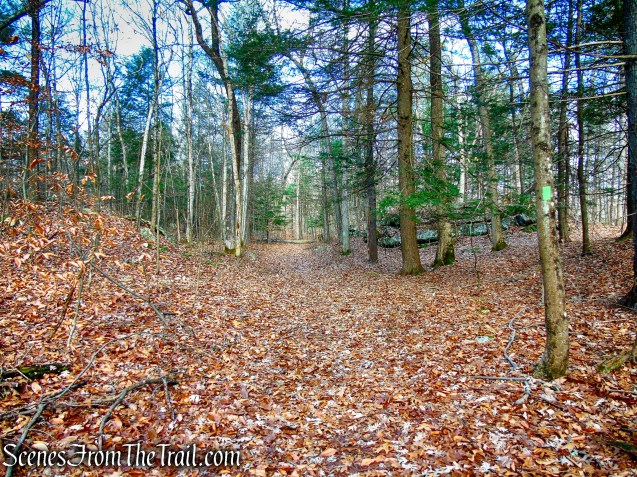
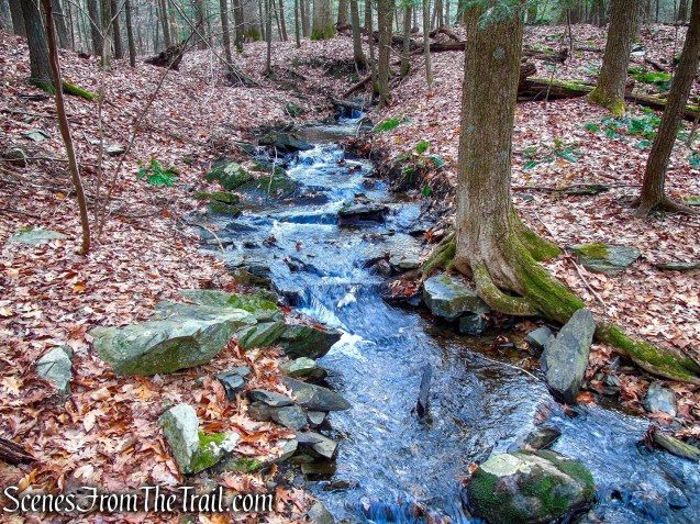
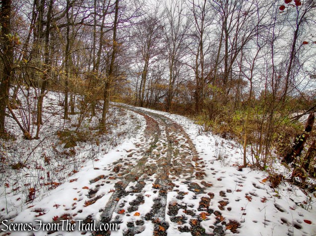
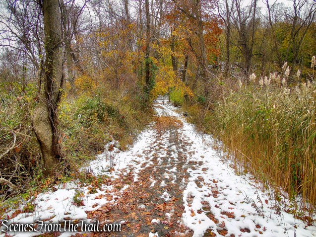
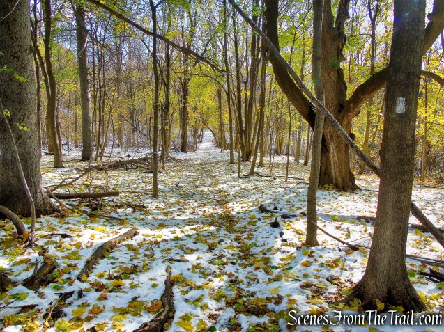
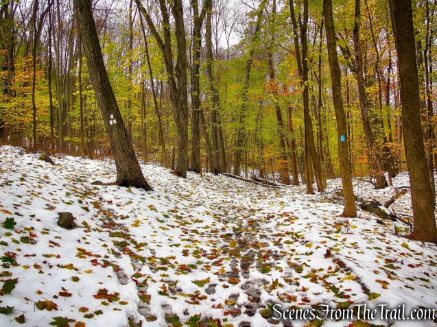
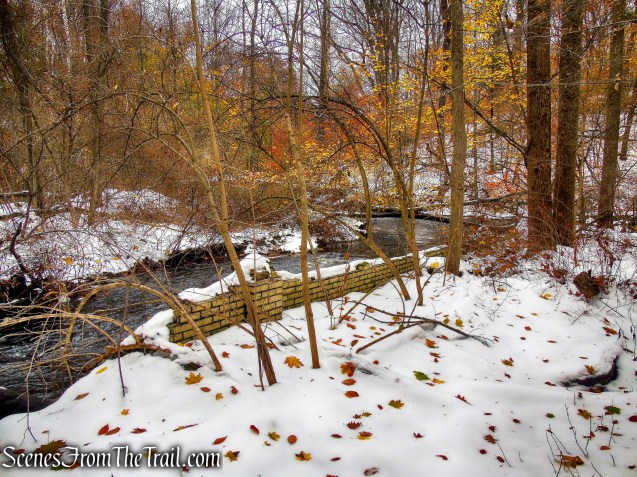
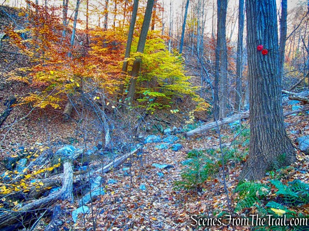
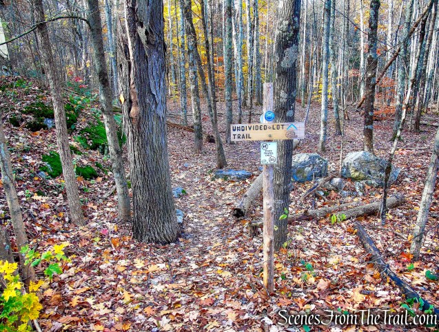
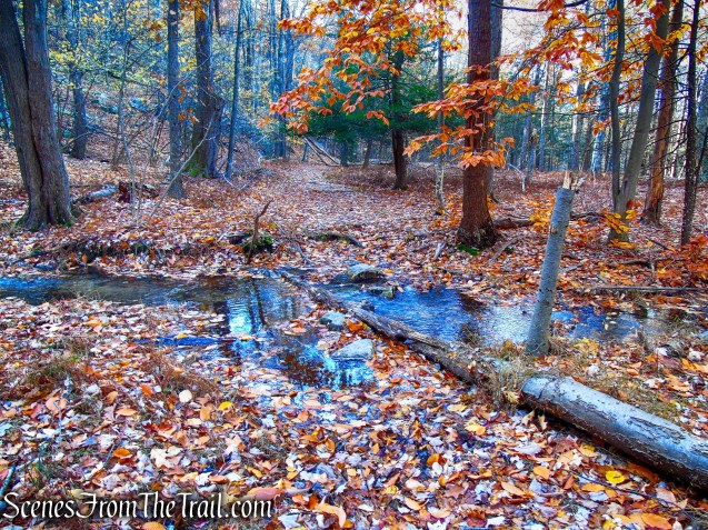
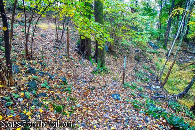
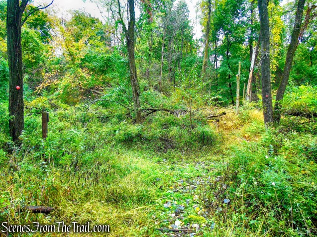
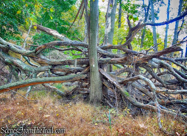
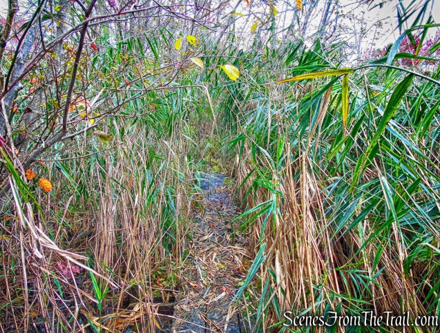
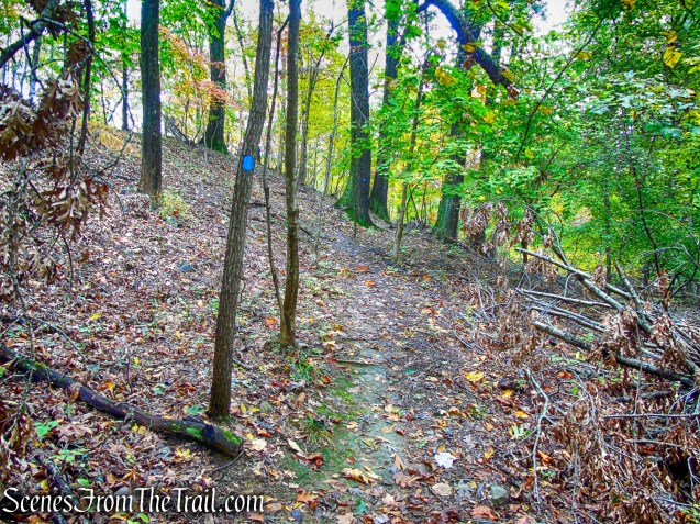
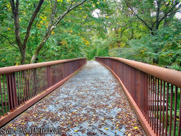
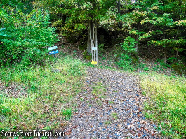
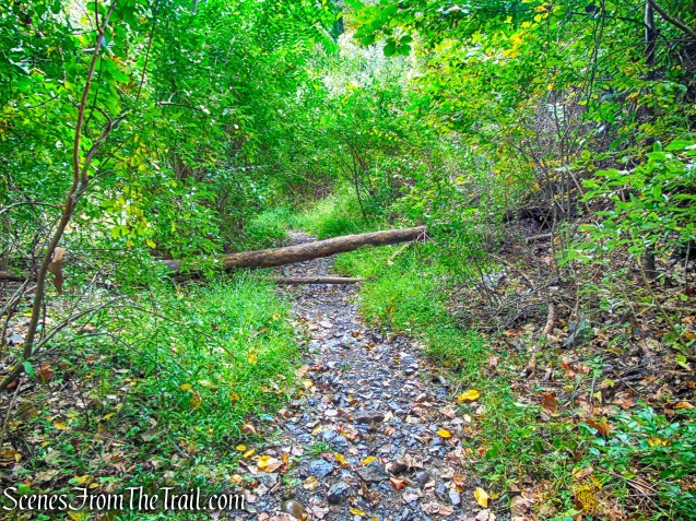
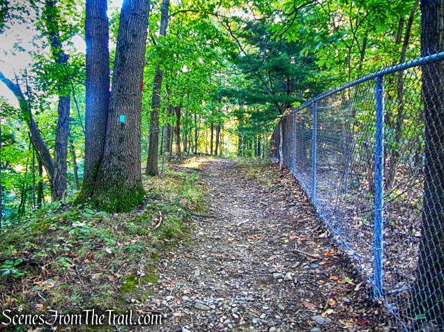
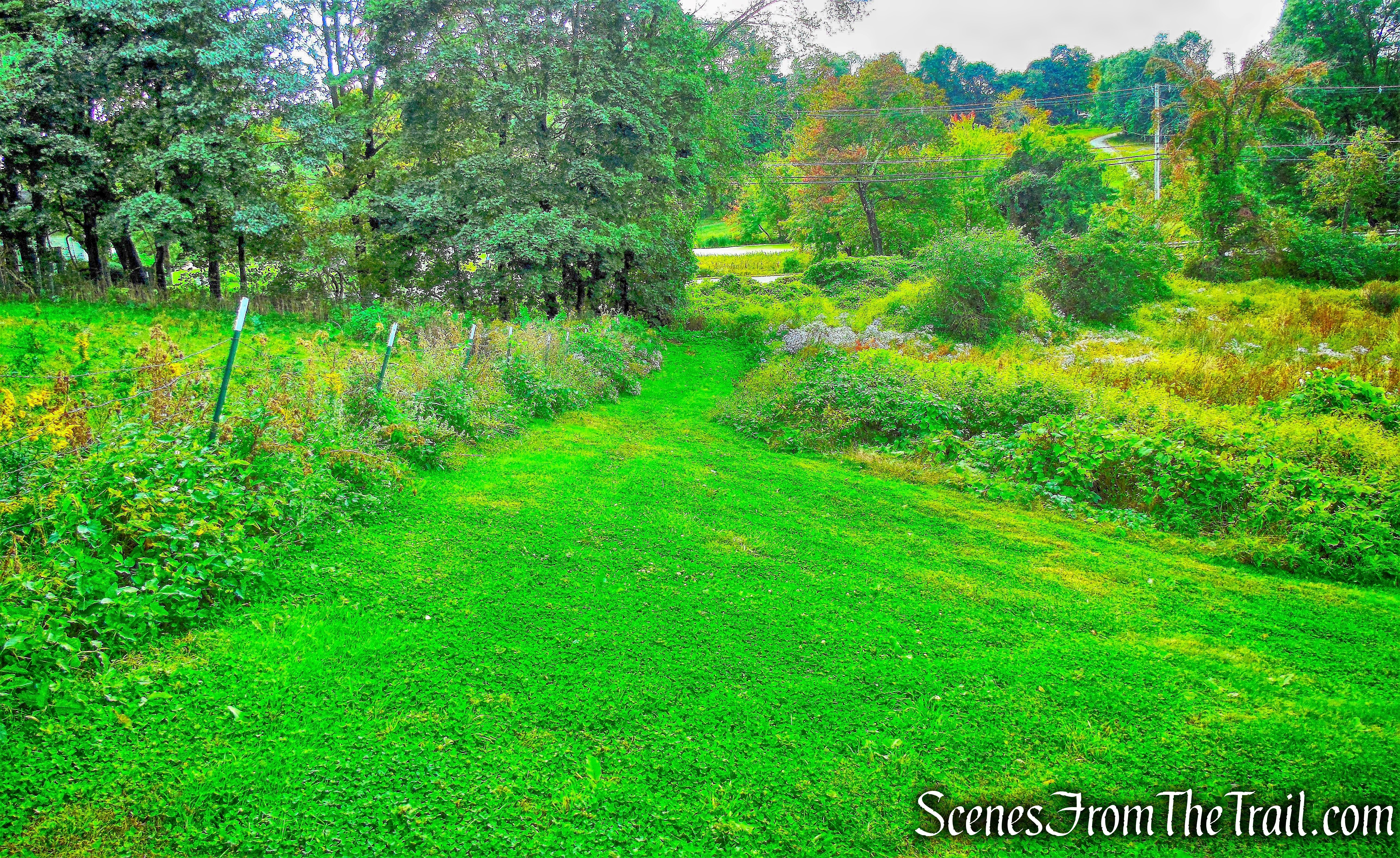
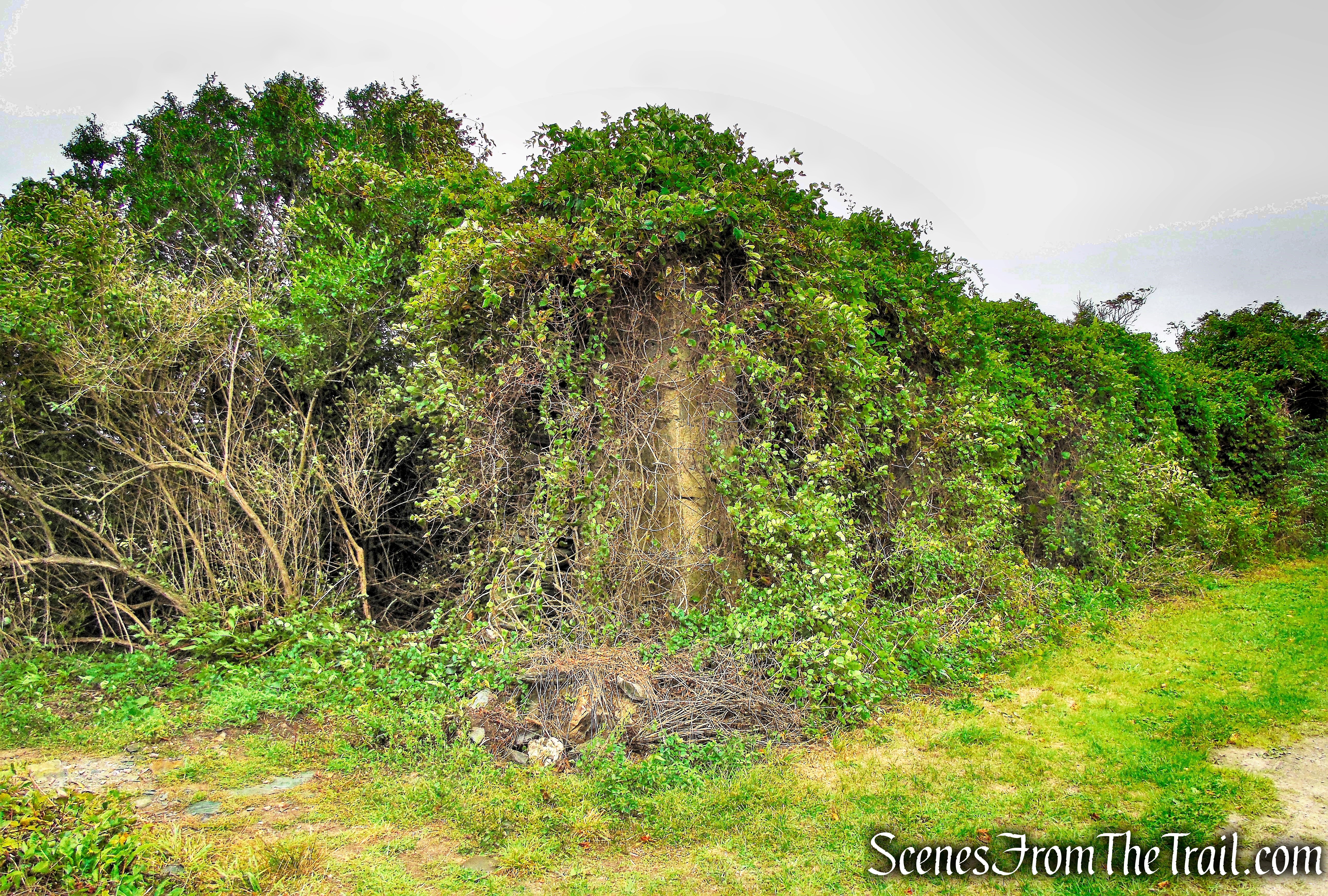
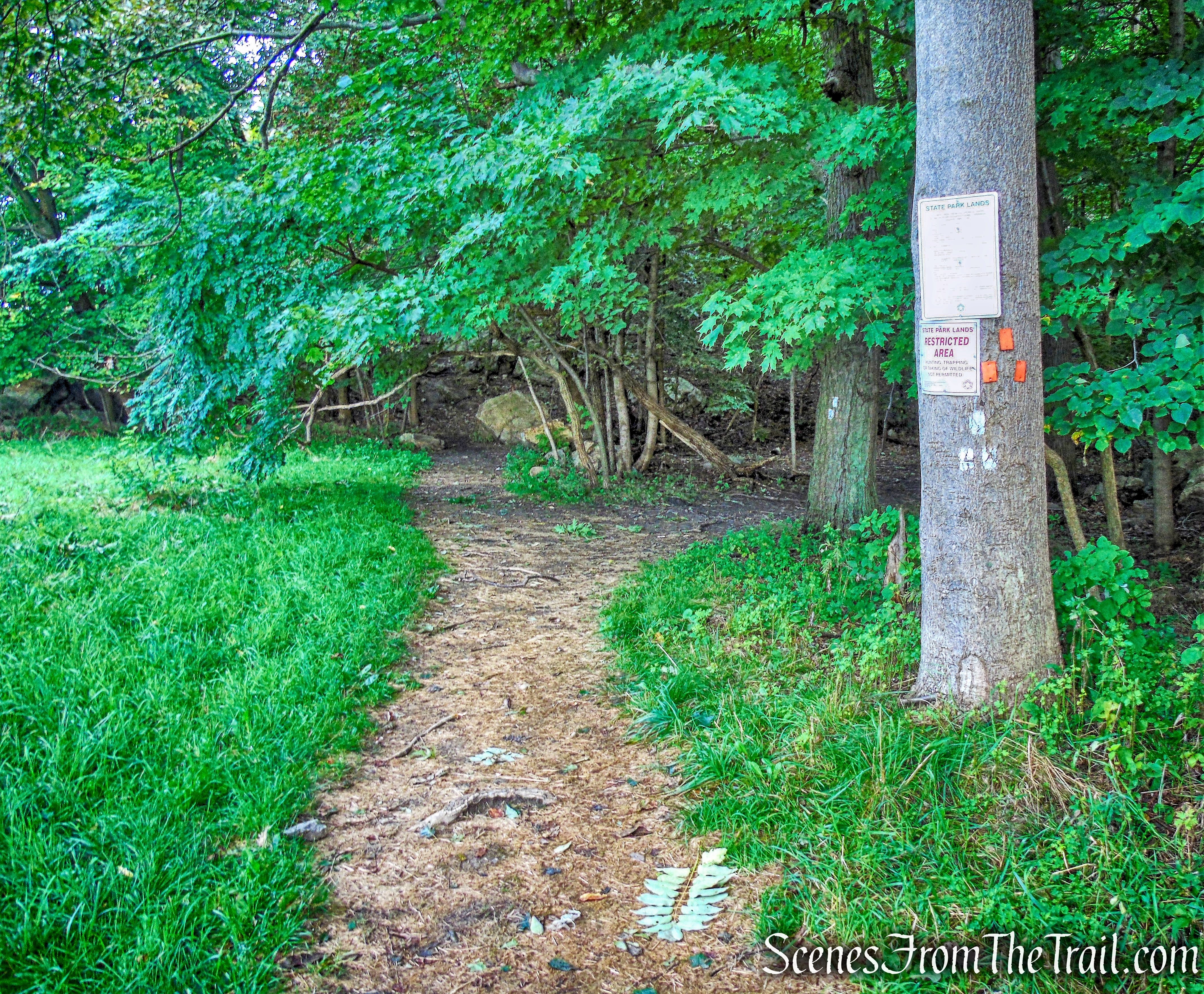
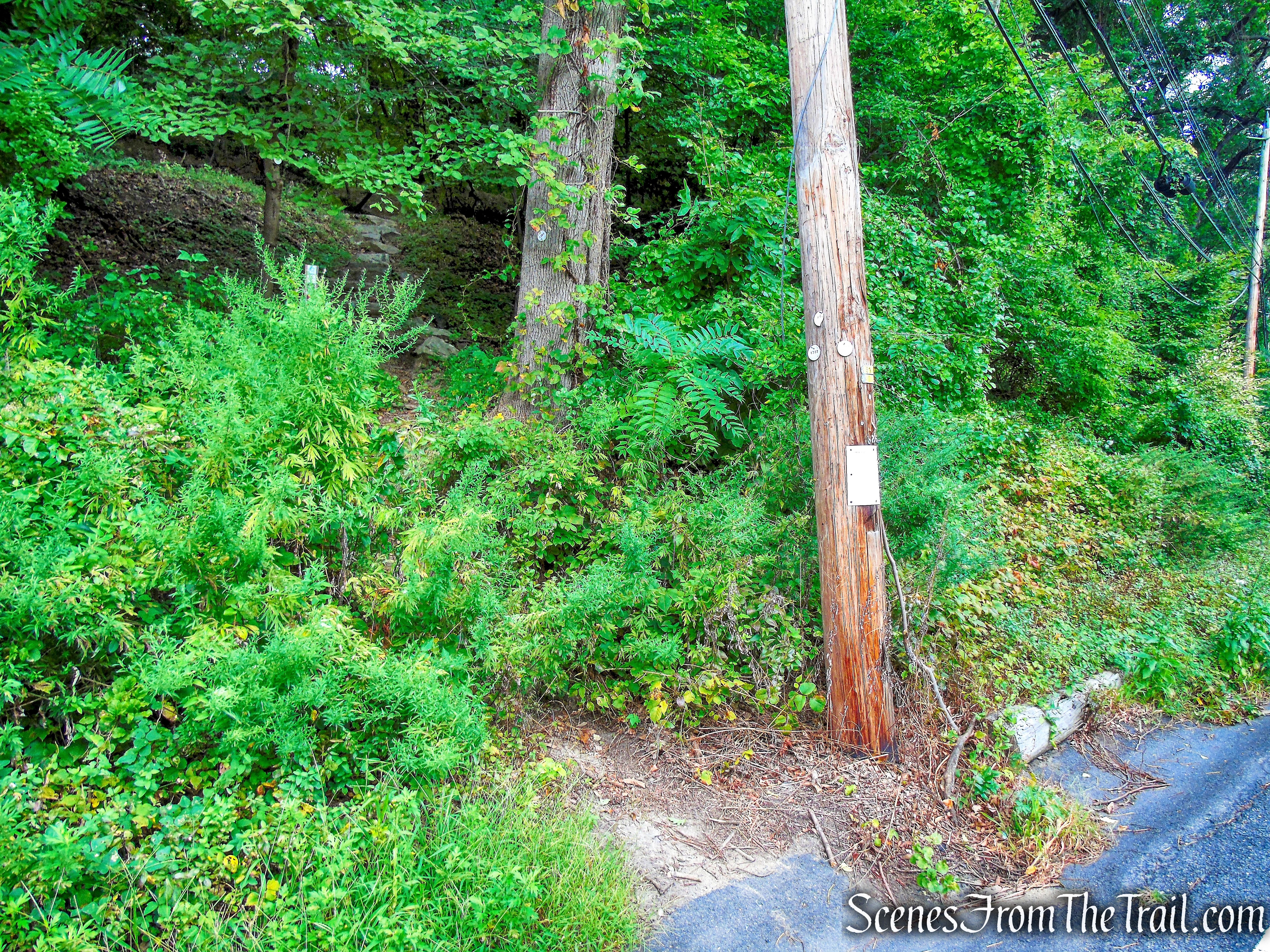
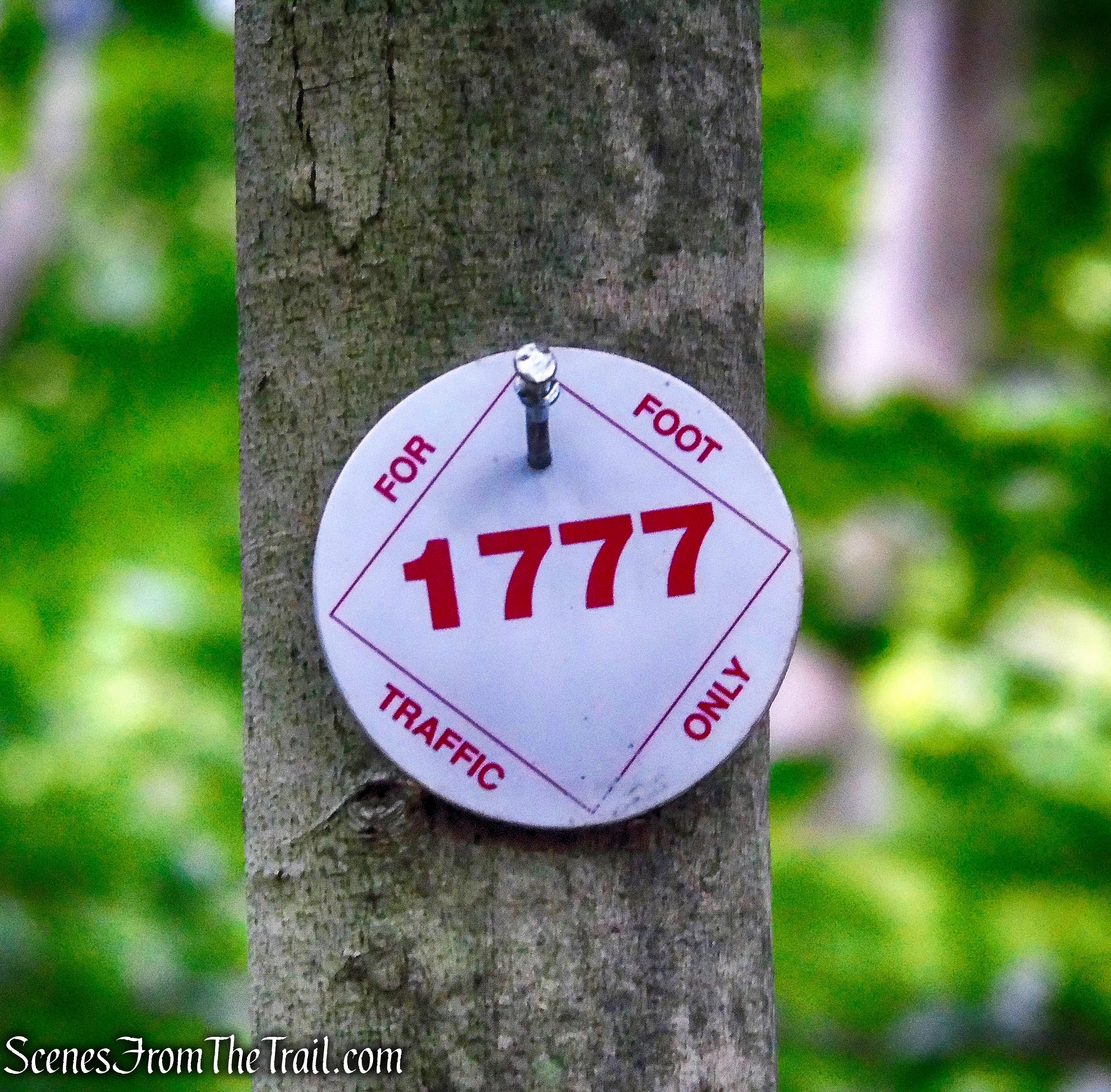
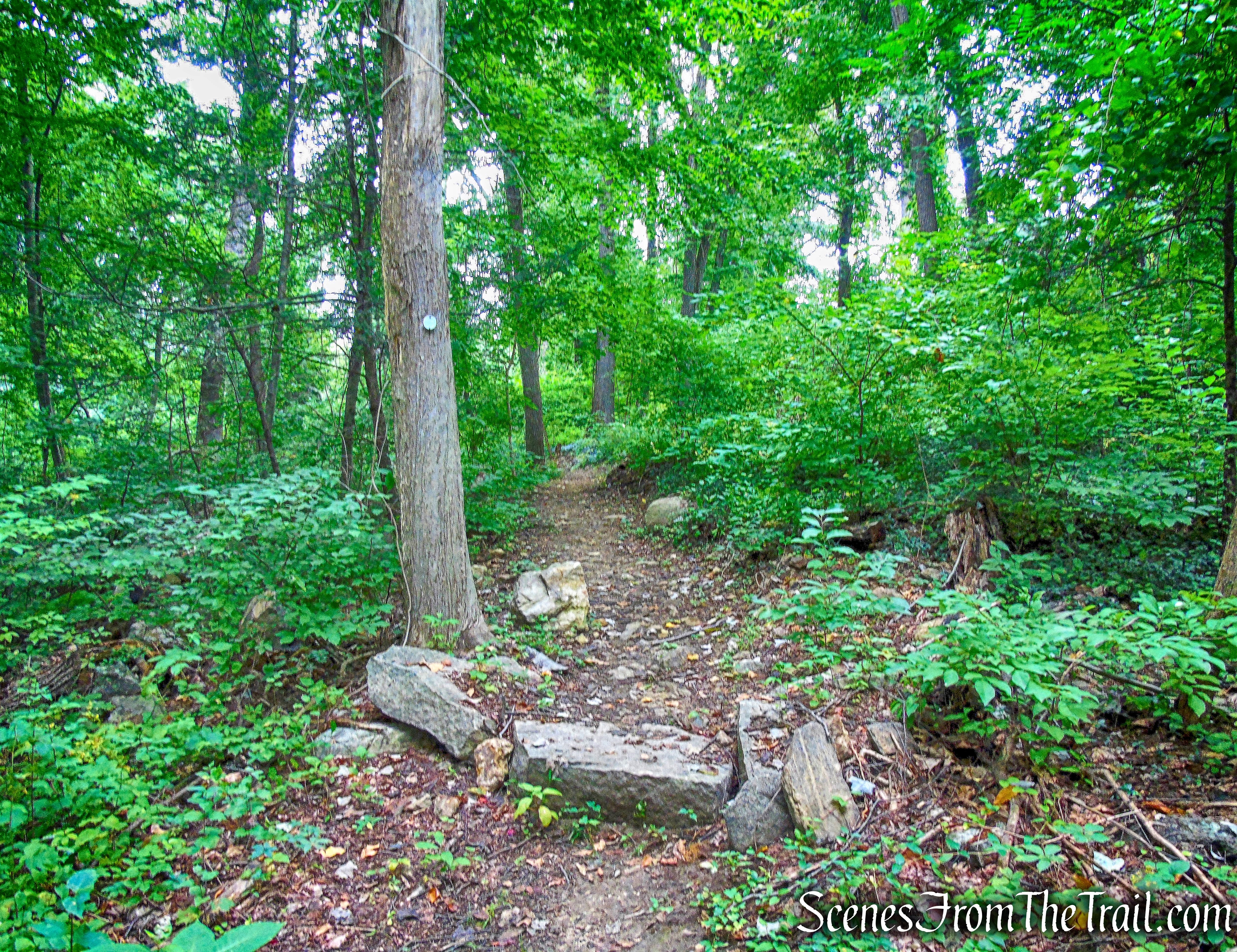
We walked along the road for about 0.4 mile until a concrete-and-stone bridge over a stream is visible 300 feet to the right of the road. (This point is about 500 feet west of the stone comfort station farther down the road). We turned right onto a faint unmarked footpath which leads towards the bridge. This footpath is hard to follow and on the way back we couldn’t see it. It’s a short and easy bushwack through the woods.

faint footpath
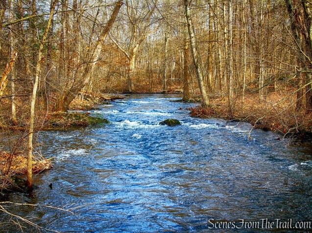
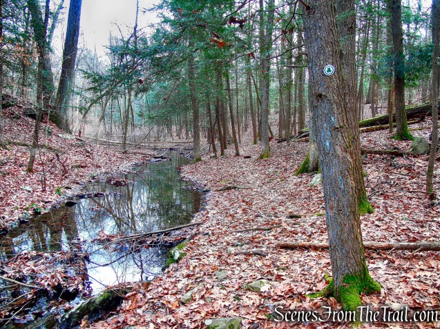
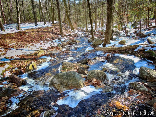
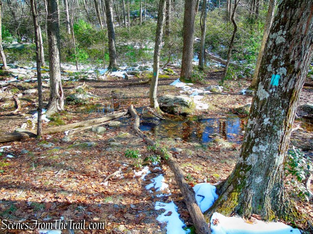
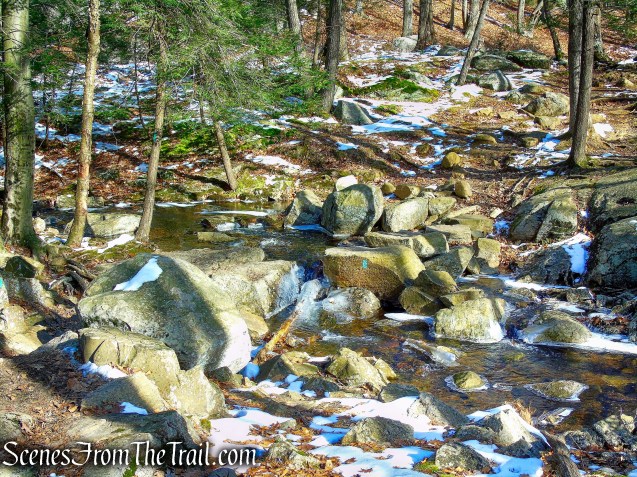
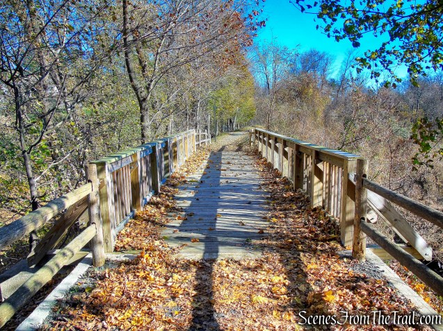
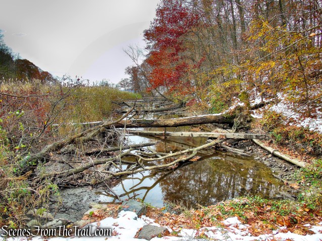
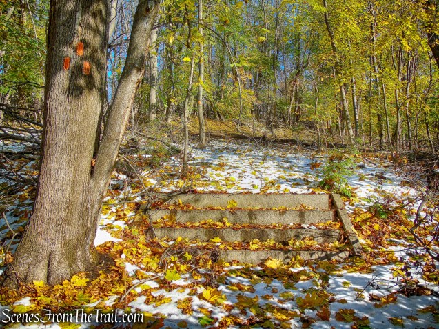
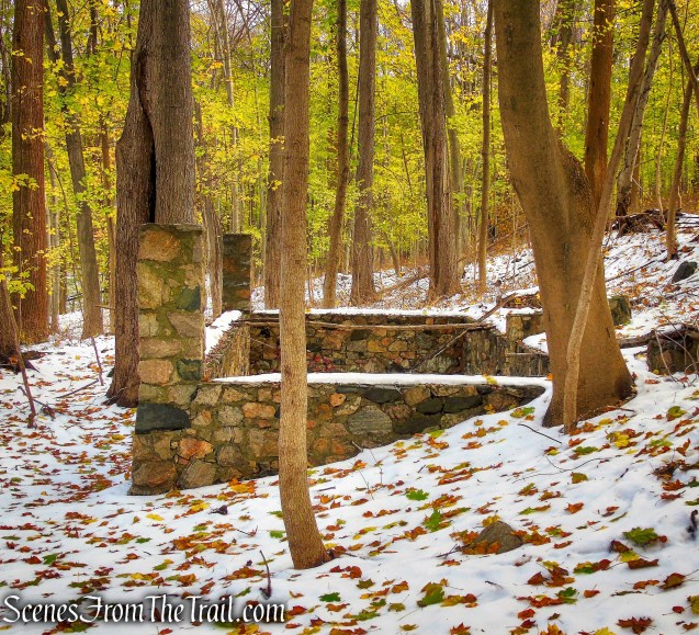
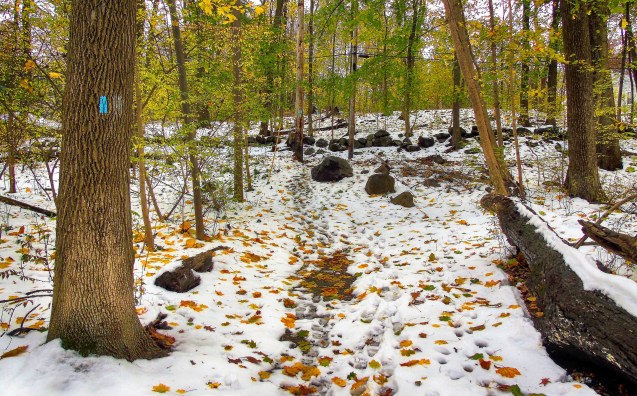
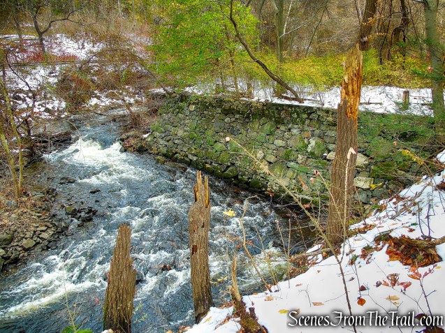
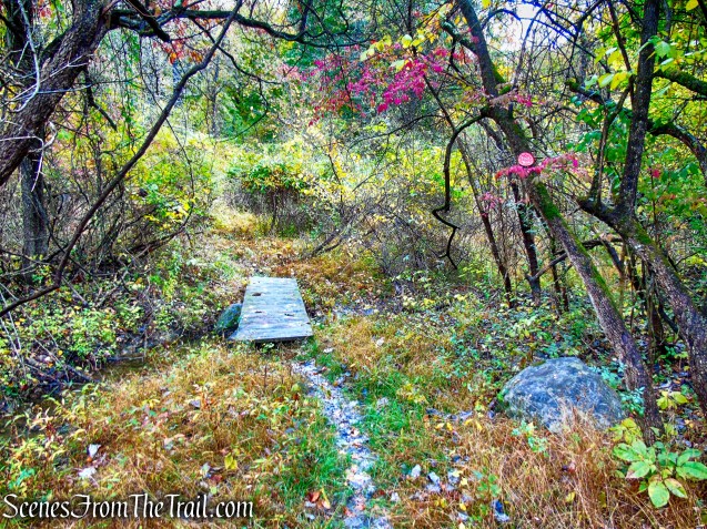
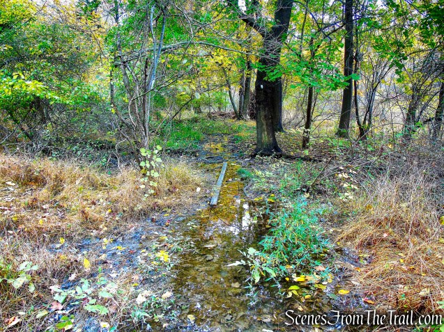
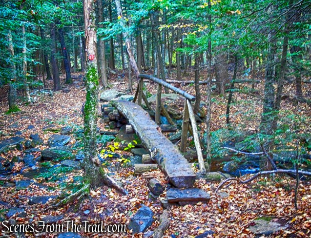
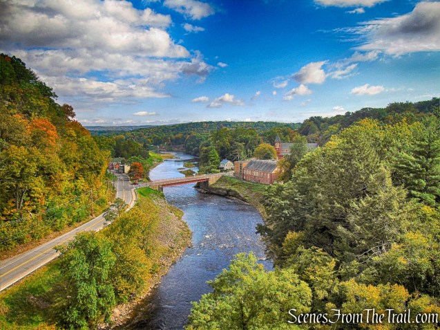
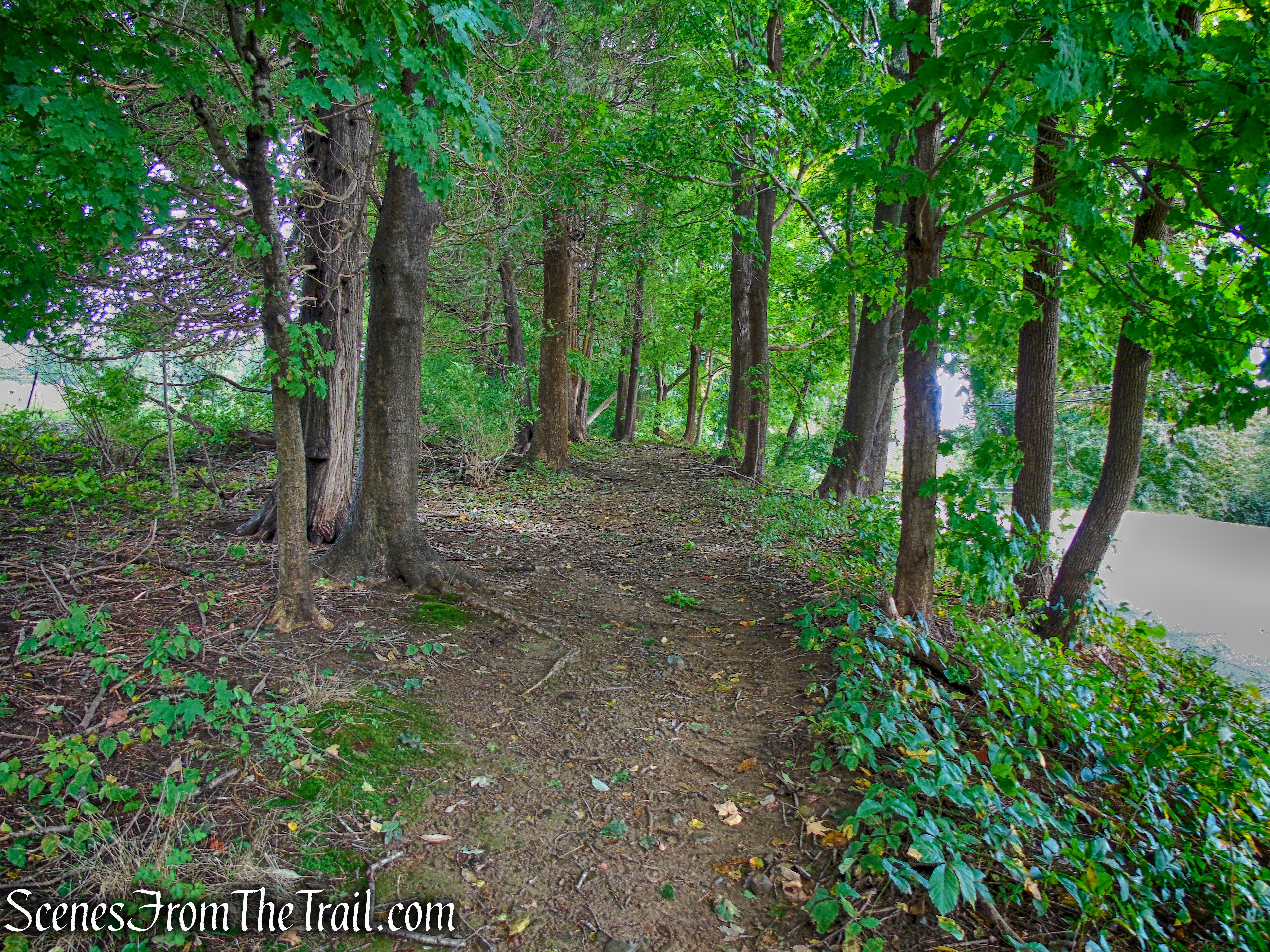
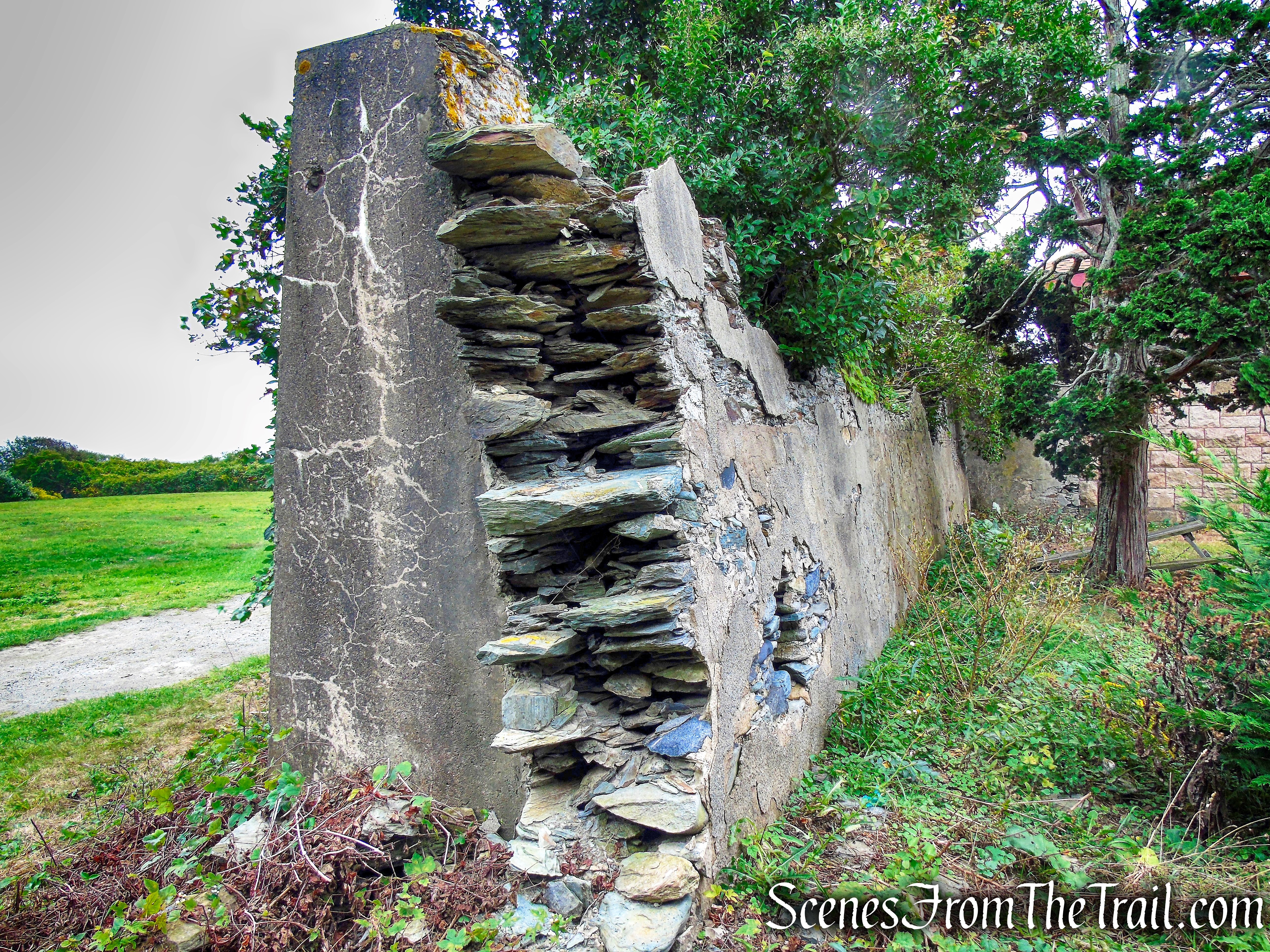
In about 300 feet, we reached the bridge that spans Queensboro Brook.
Silvermine Road
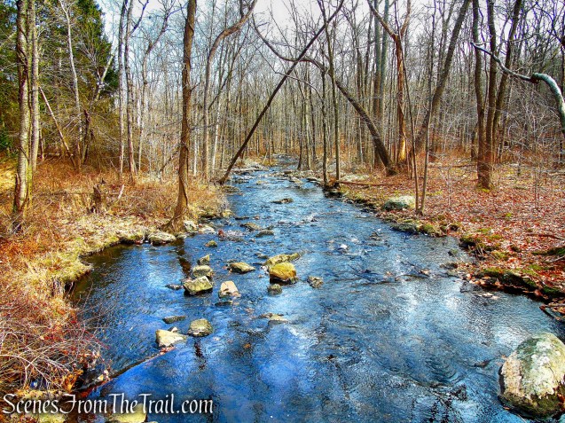
Queensboro Brook
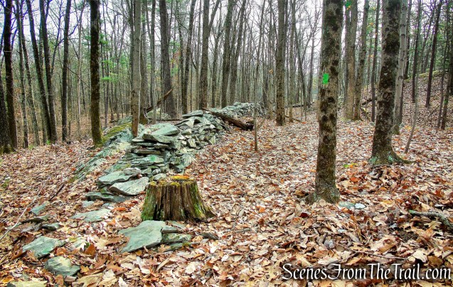
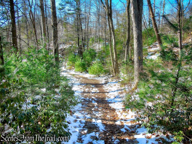
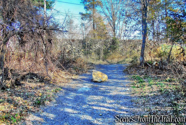
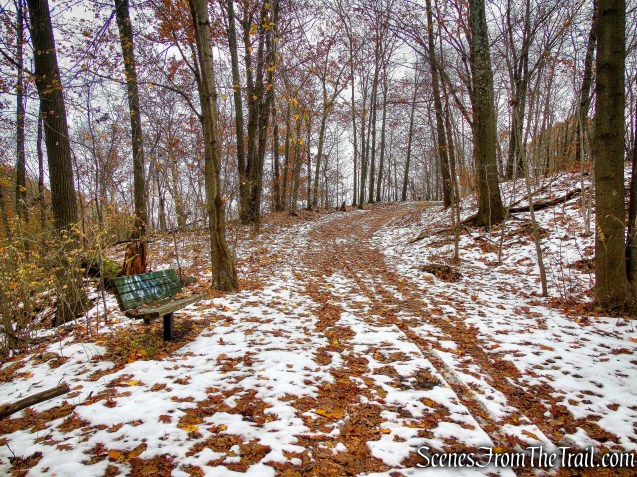
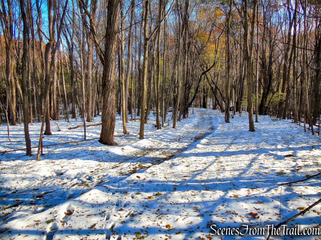
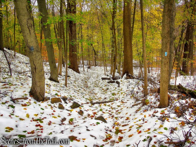
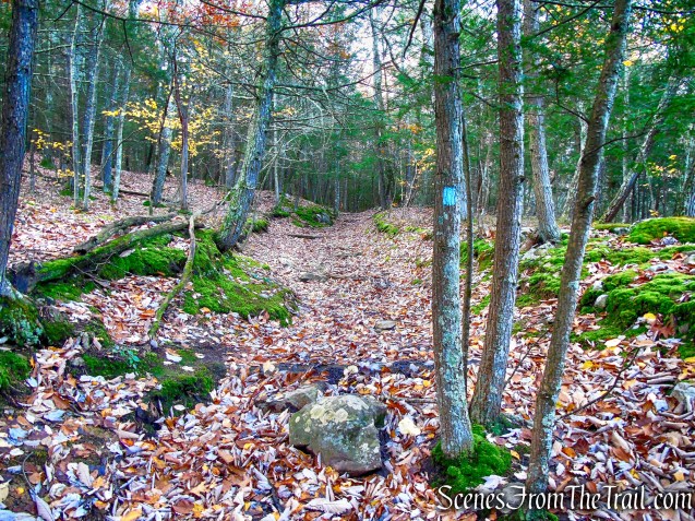
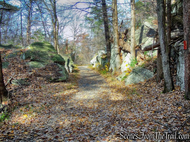
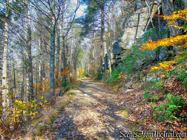
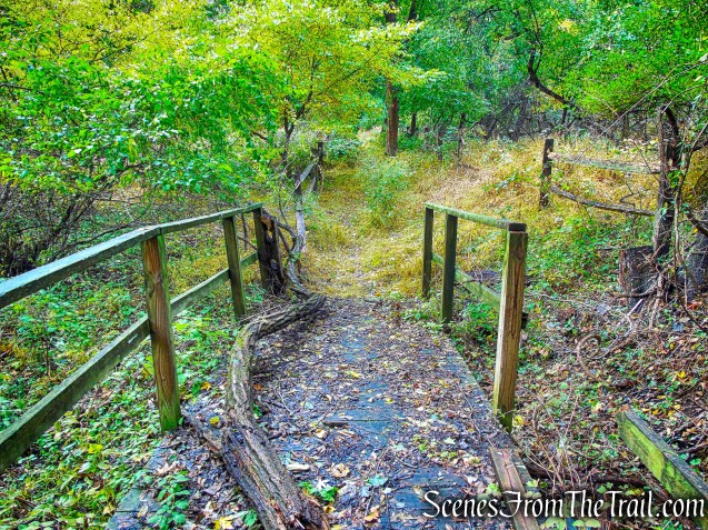
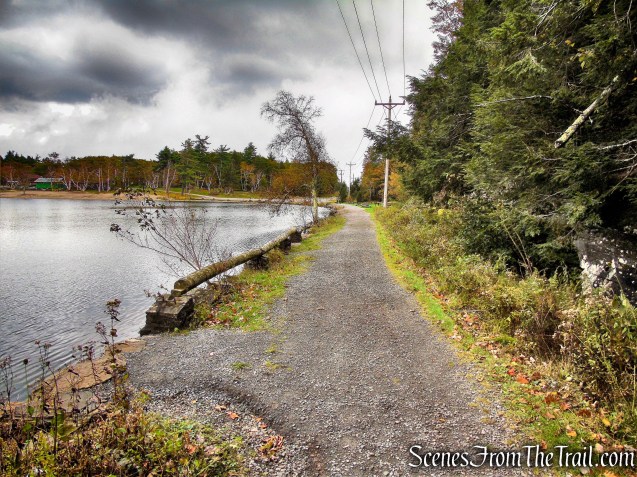
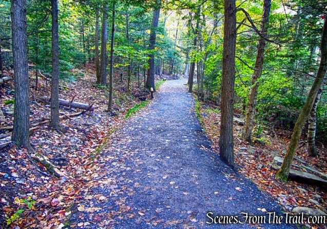
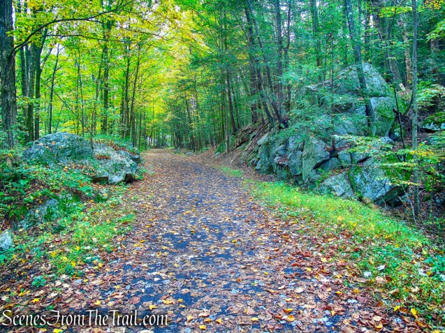
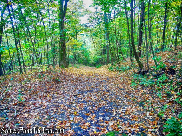
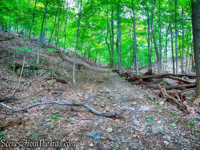
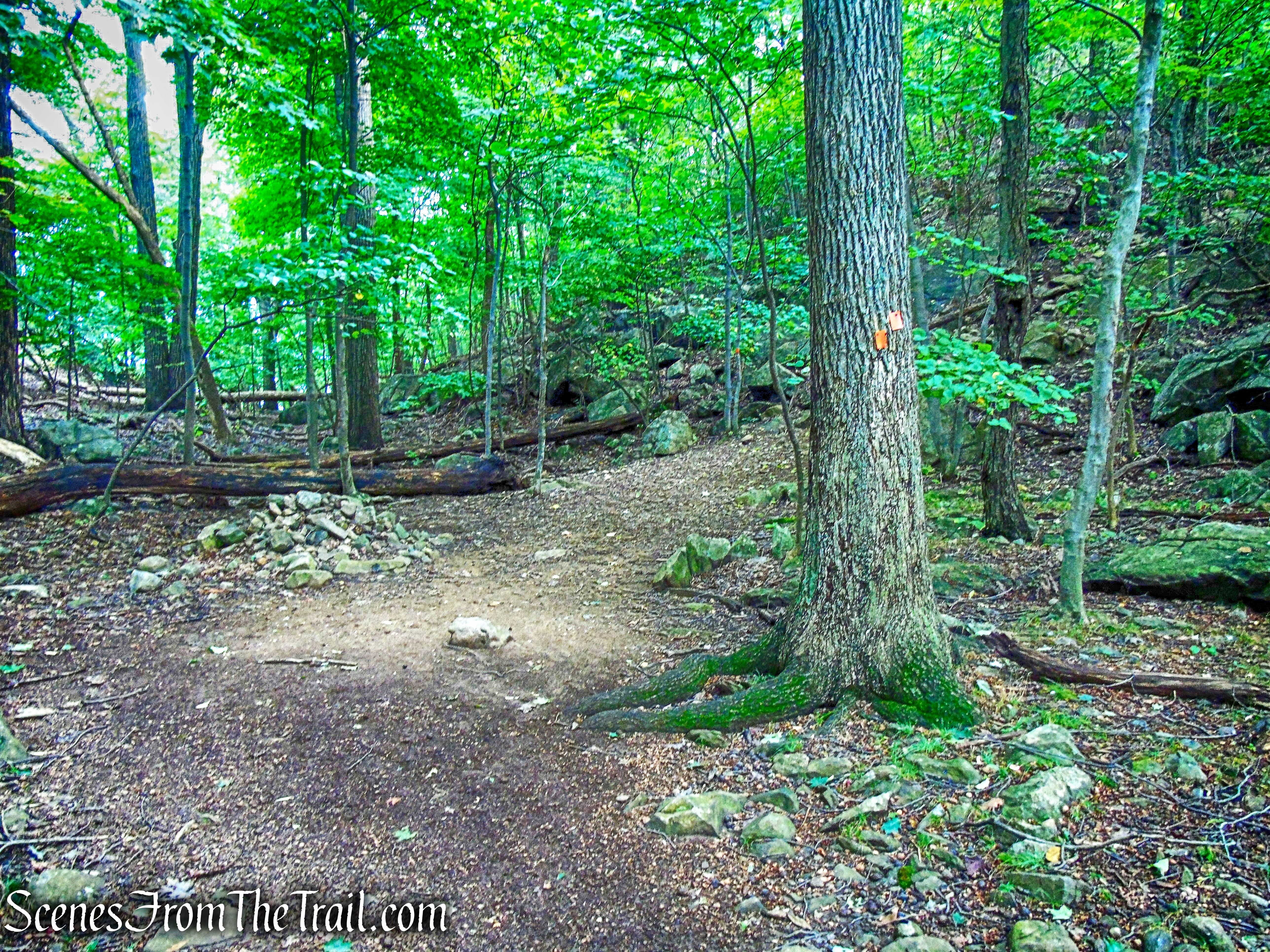
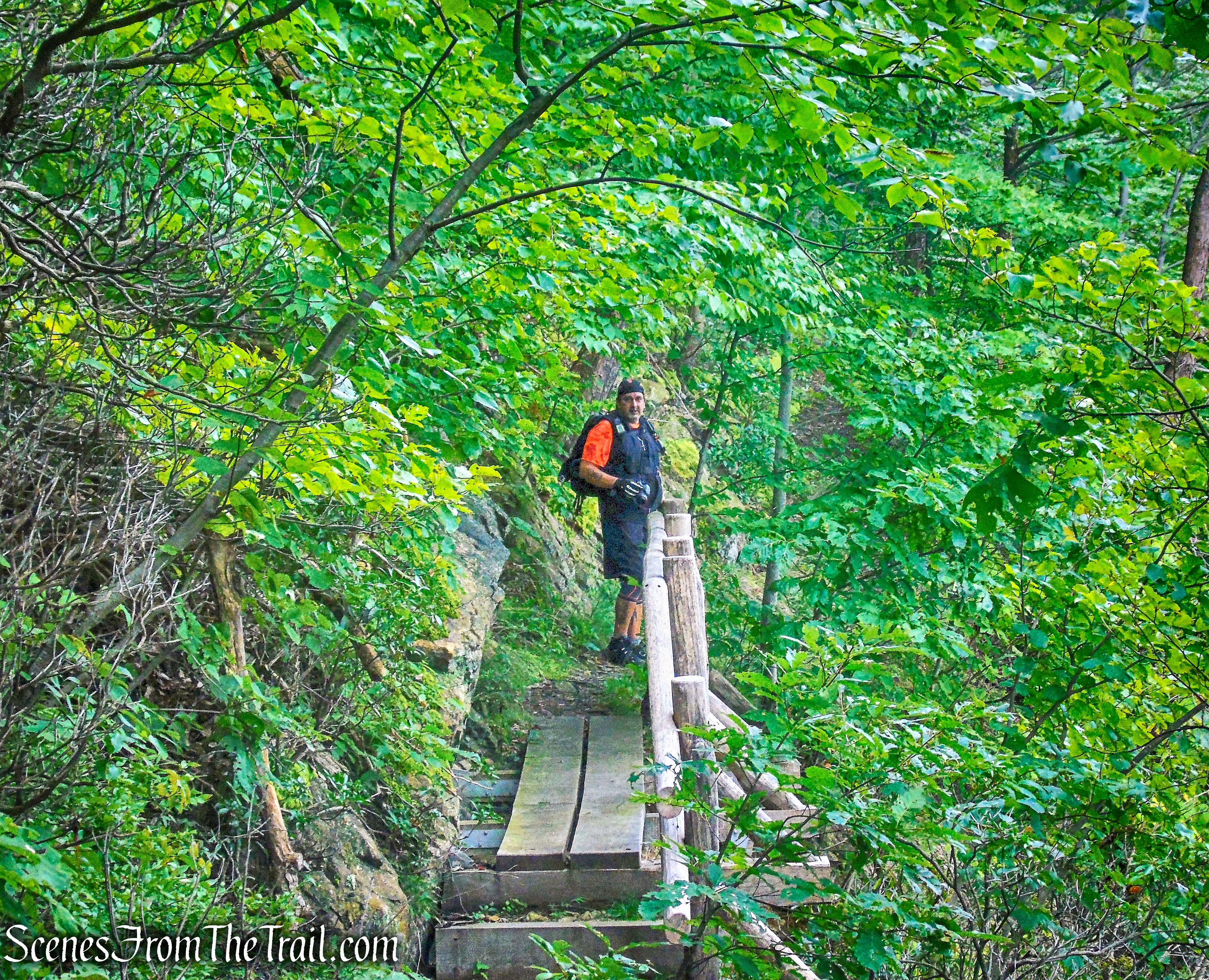
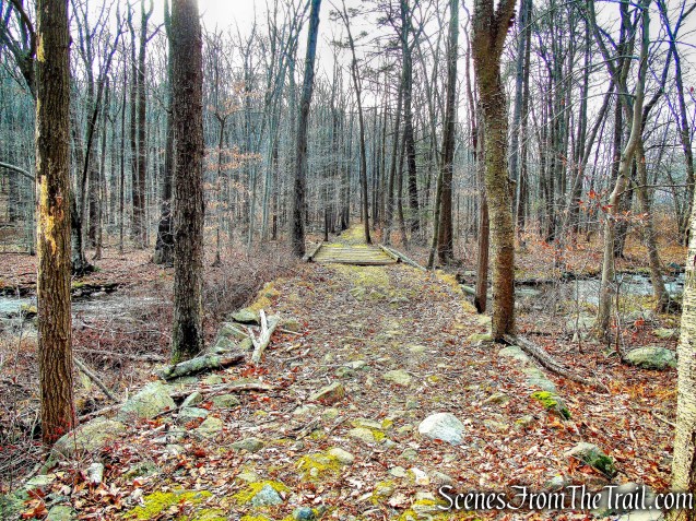
We crossed the bridge, and continued southward along a well-constructed woods road, known as Silvermine Road. This woods road was built in 1934 by workers of the Temporary Emergency Relief Administration.
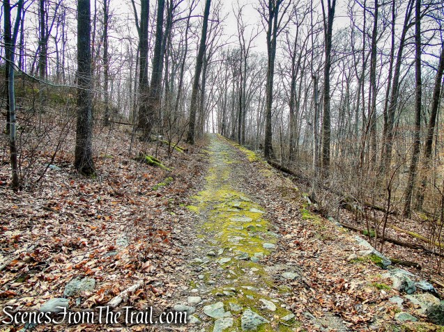
Silvermine Road
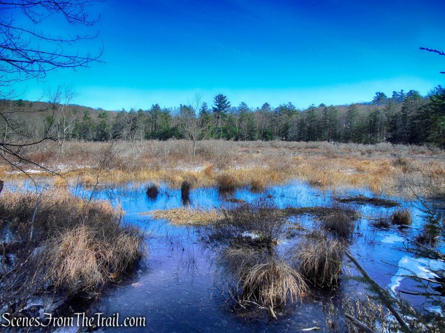
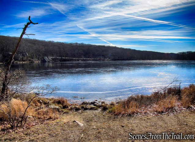
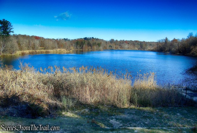
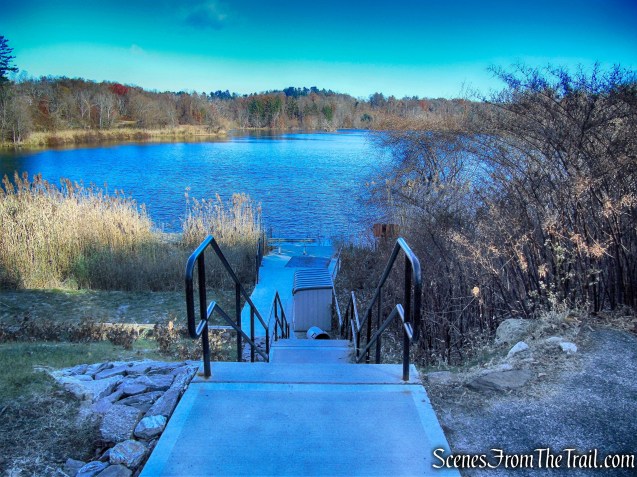
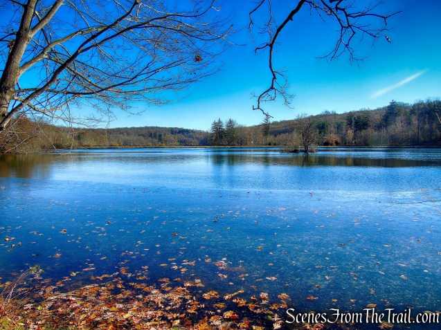
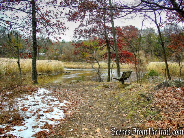
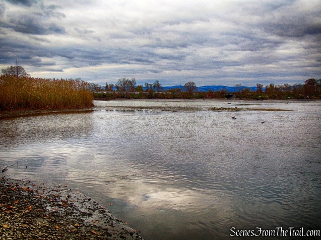
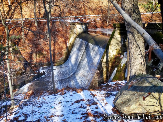
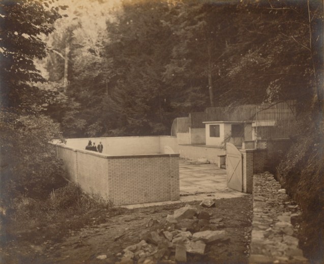
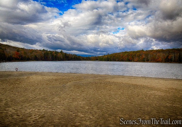
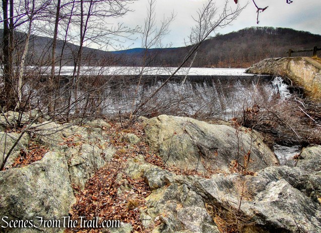
The road passes along the east side of Silvermine Lake. In the spring of 1934, Civilian Conservation Corps Camp SP-27 was set up and by September, a 600-foot dam had been built and the new reservoir began to fill.
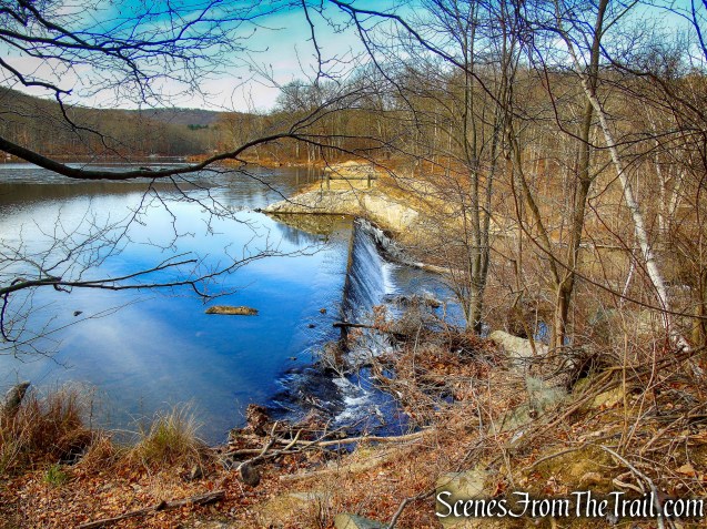
Silver Mine Lake
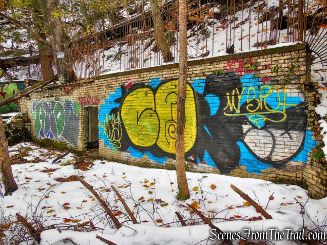
In 1989, the Park removed the wooden walkway across the dam.
Silver Mine Lake
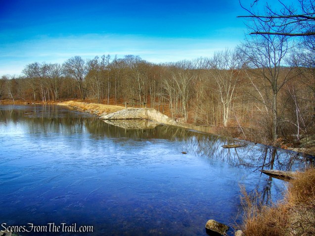
The lake was originally named Menomine, meaning “wild rice.” In 1951, the lake was renamed Silver Mine Lake.
Silver Mine Lake
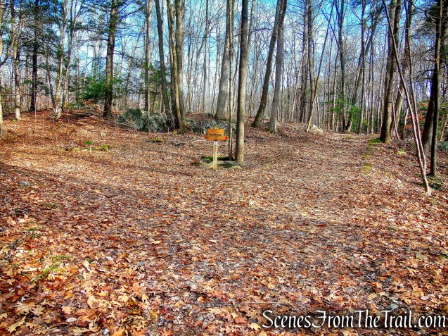
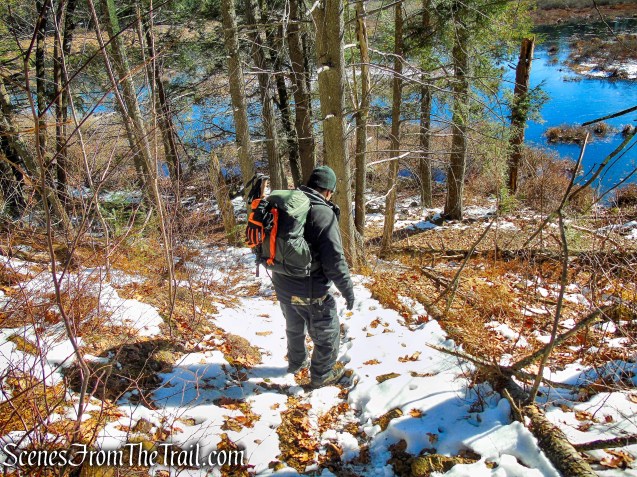
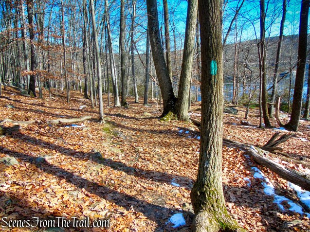
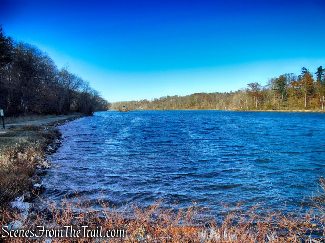
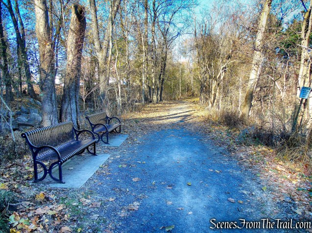
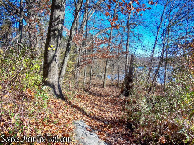
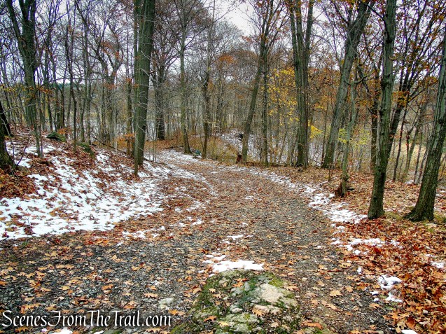
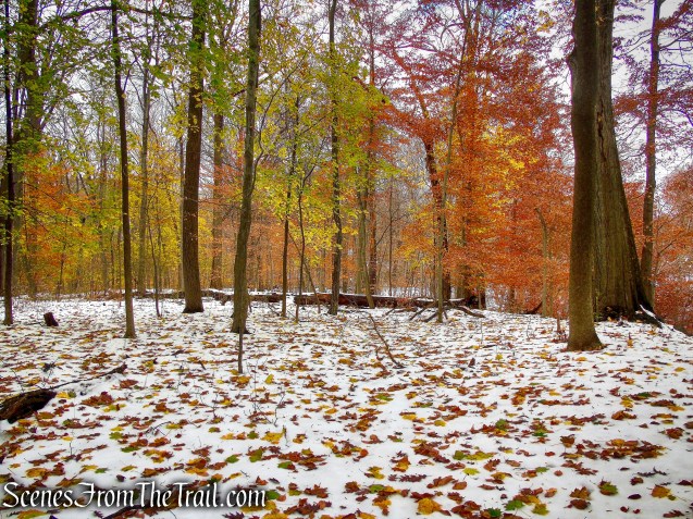
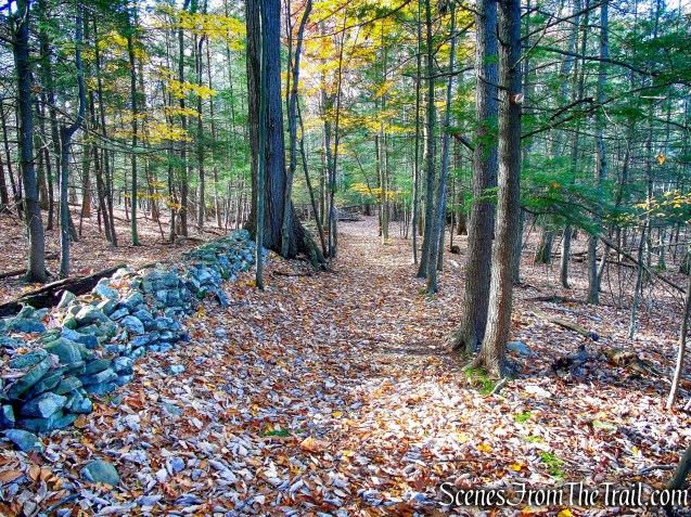
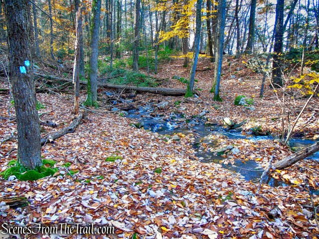
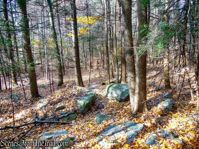
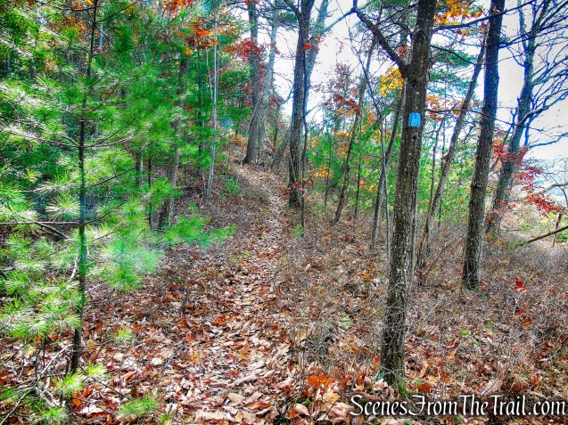
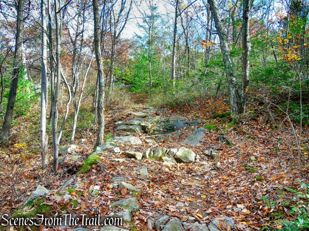
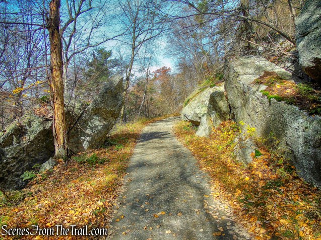
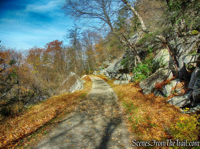
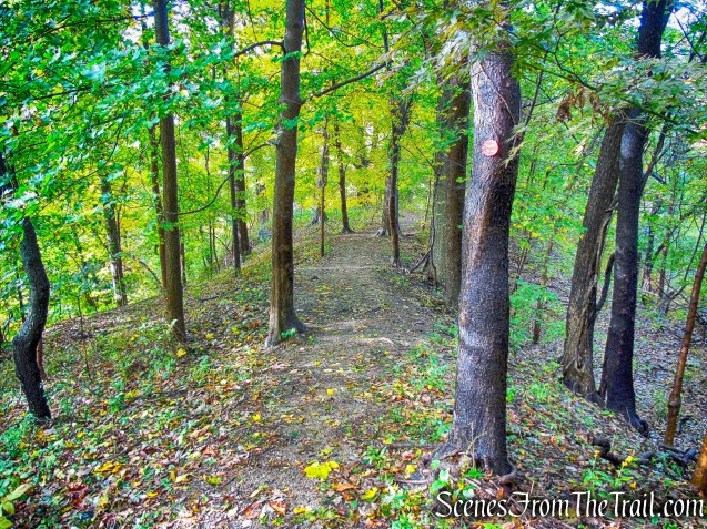
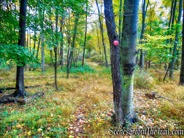
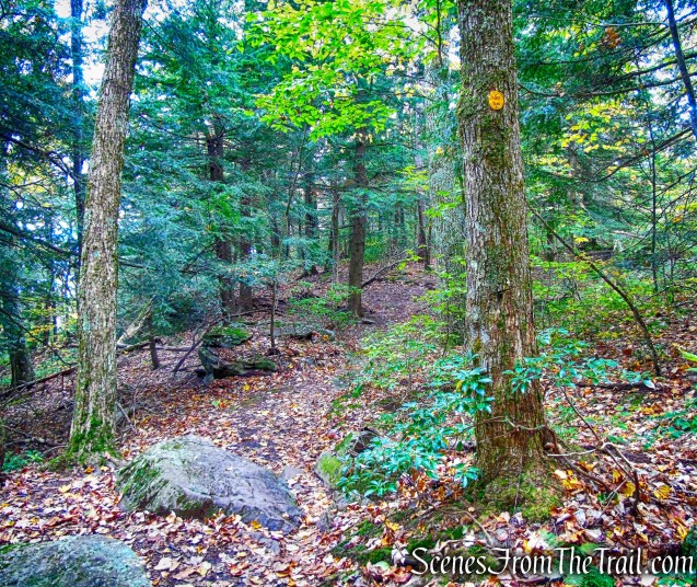
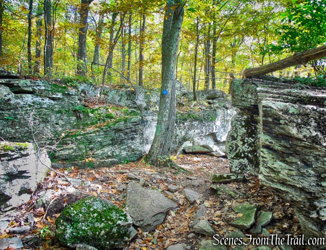
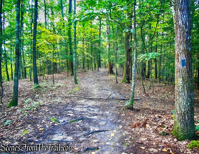
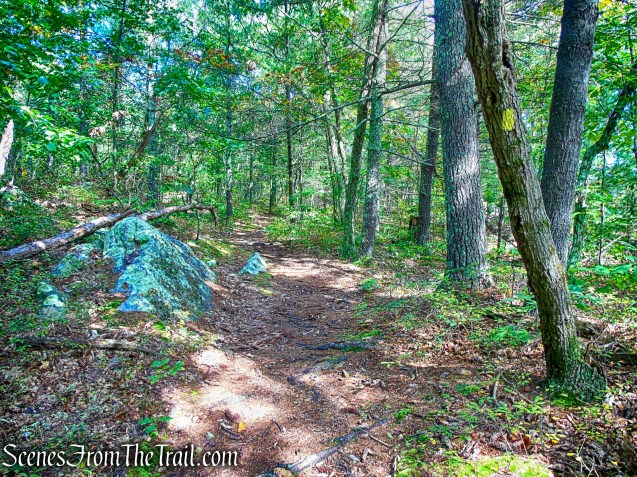
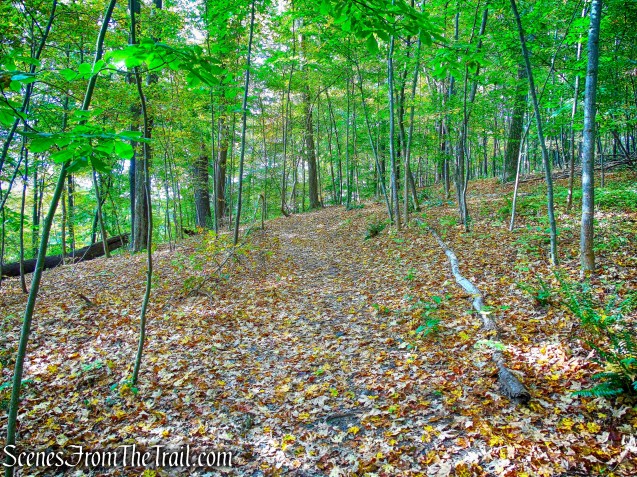
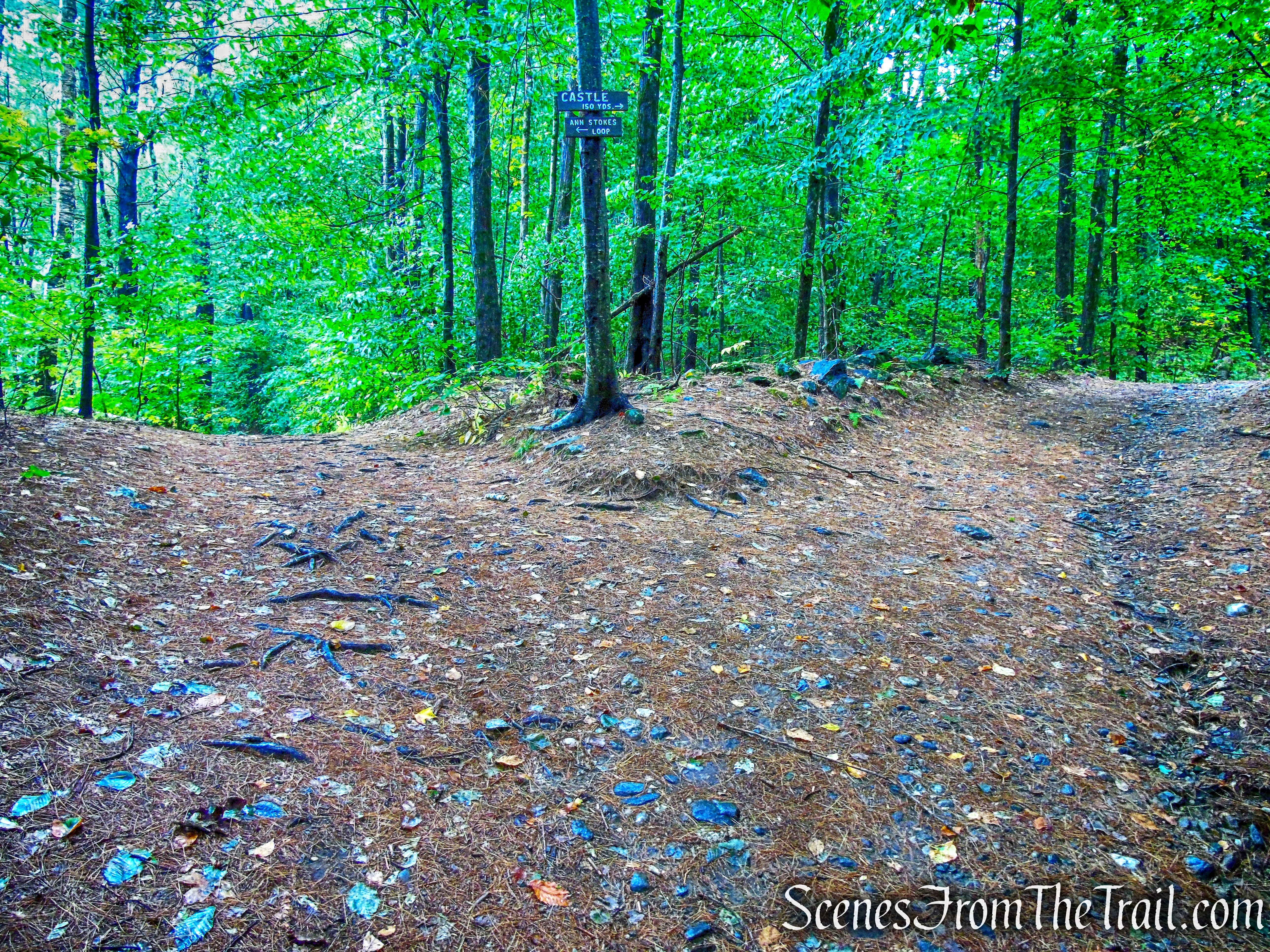
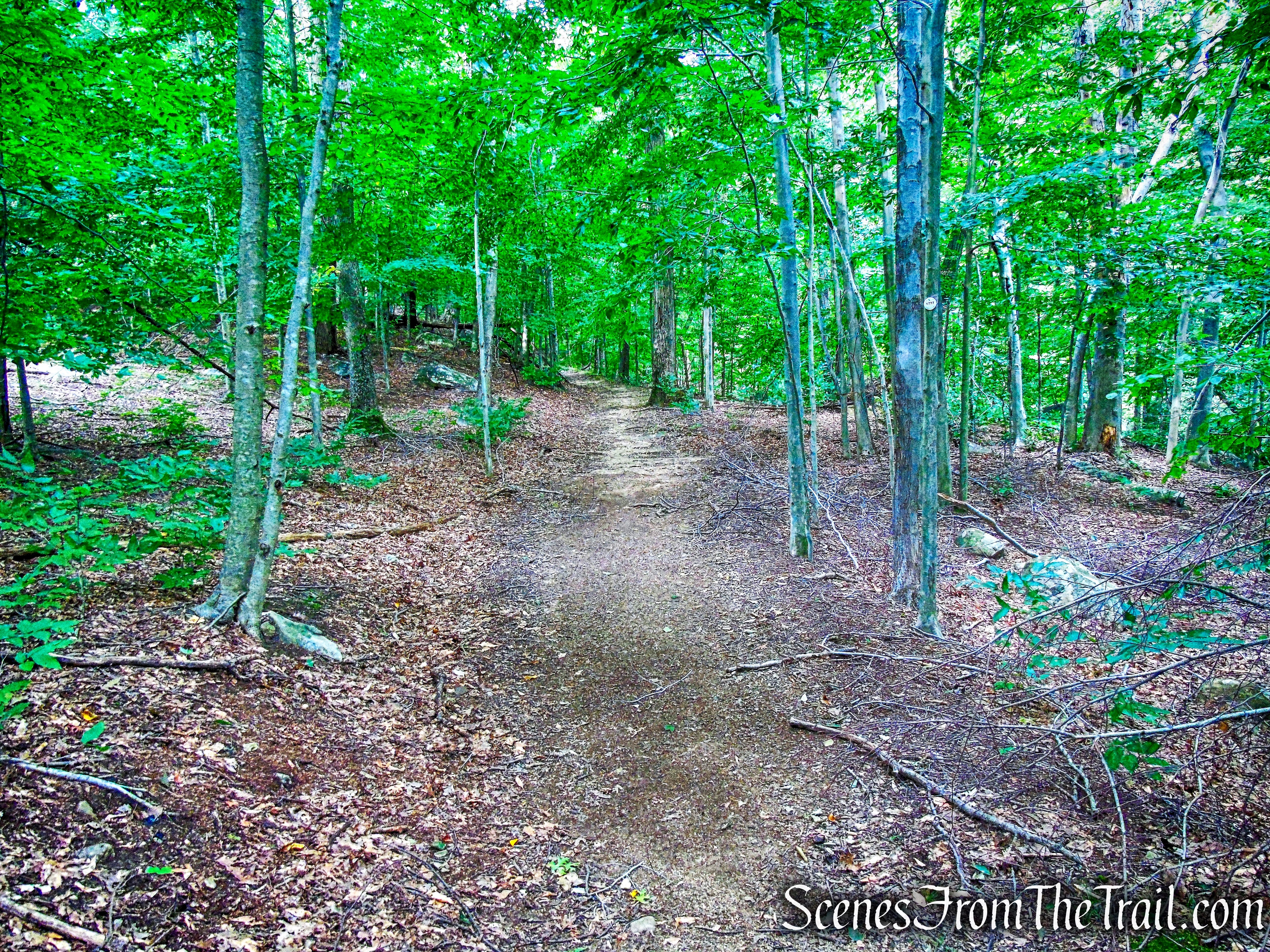
Silvermine Road heads south along the east shore of the lake, curves to the southeast, climbs steadily, then levels off as it goes up through the notch between Black and Letterrock Mountains
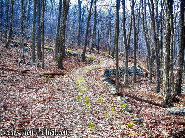
Silvermine Road
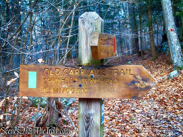
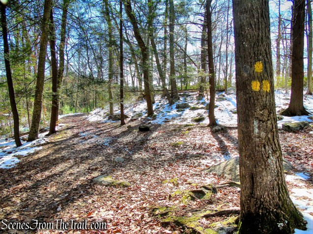
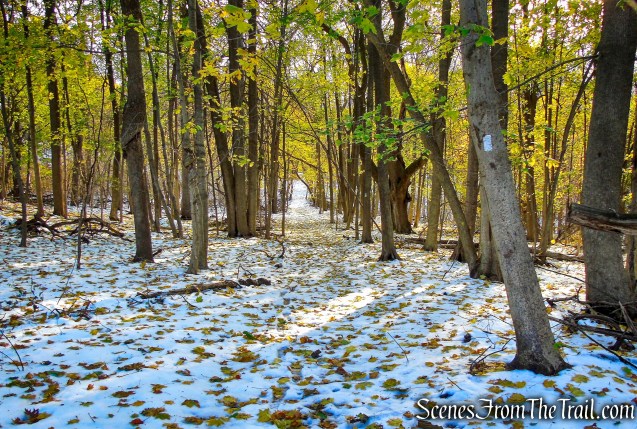
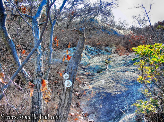
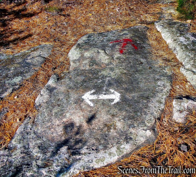
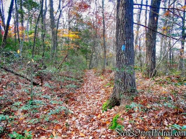
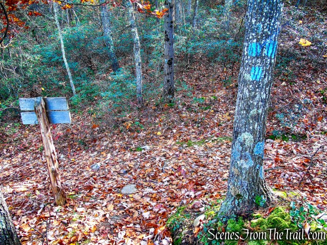
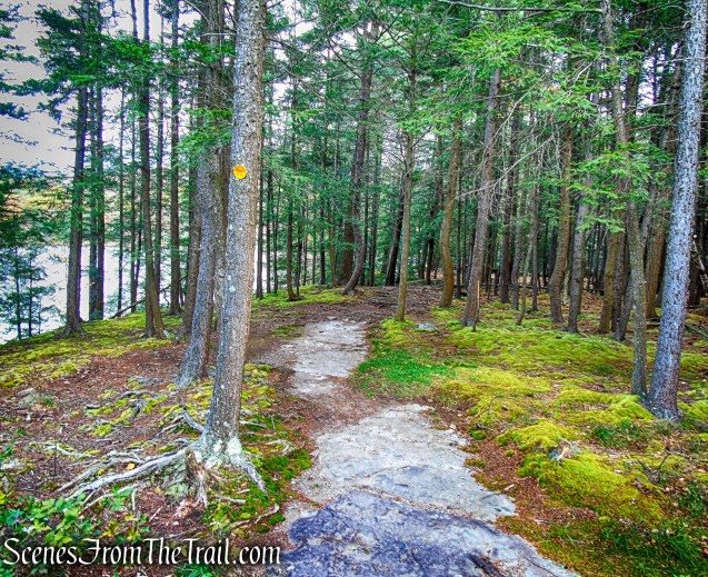
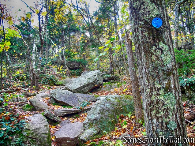
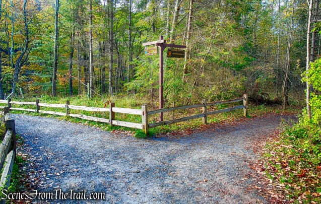
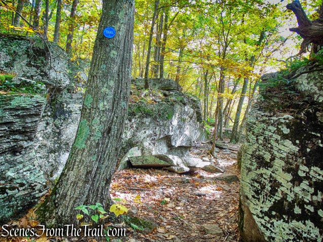
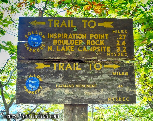
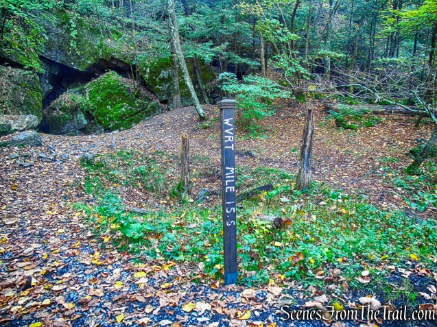
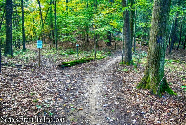
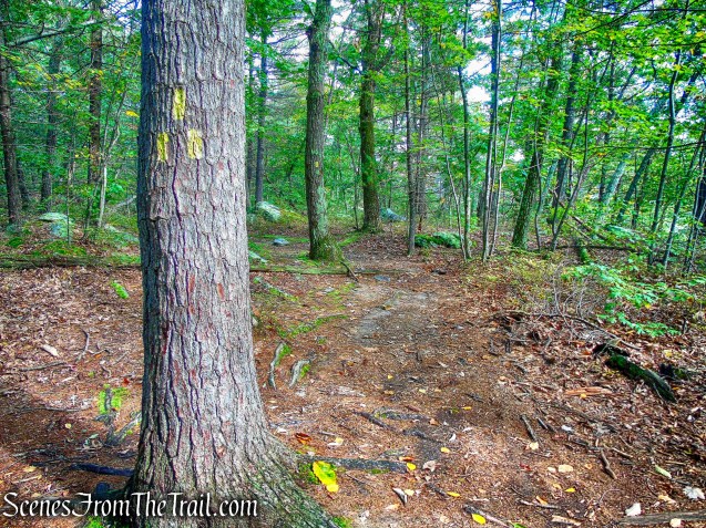
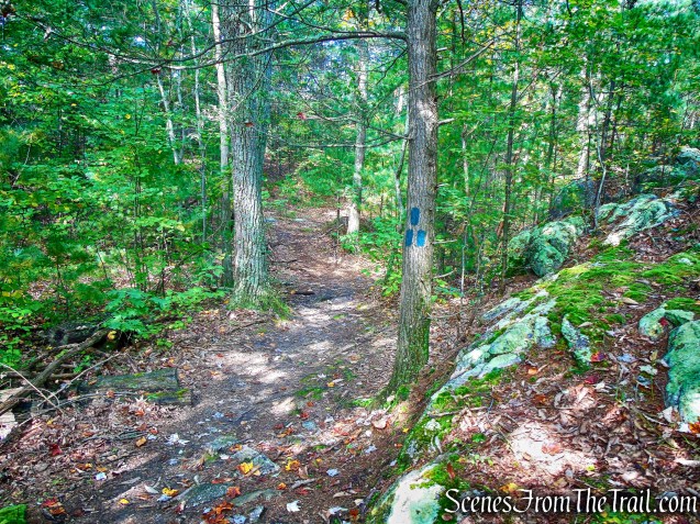
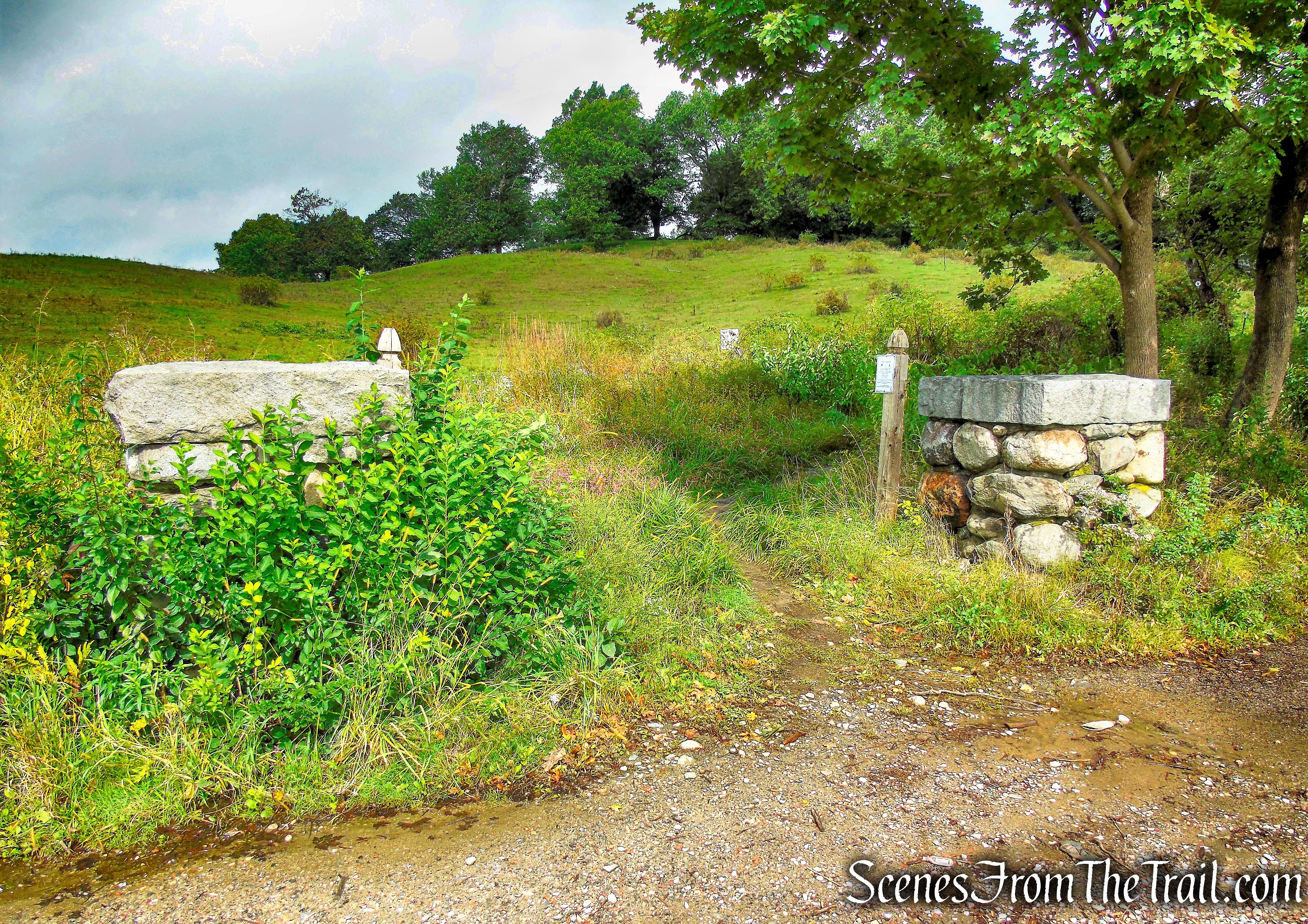
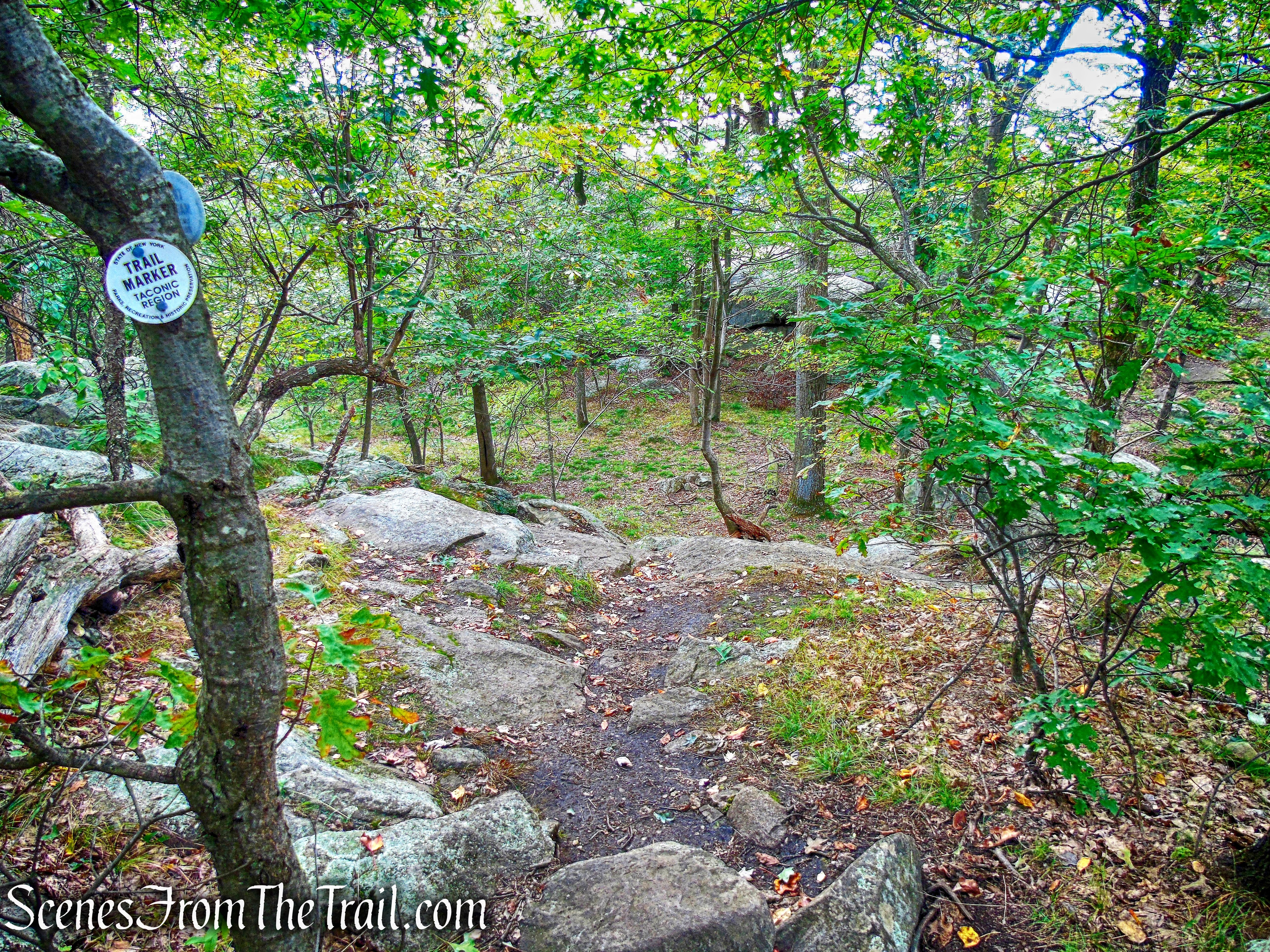
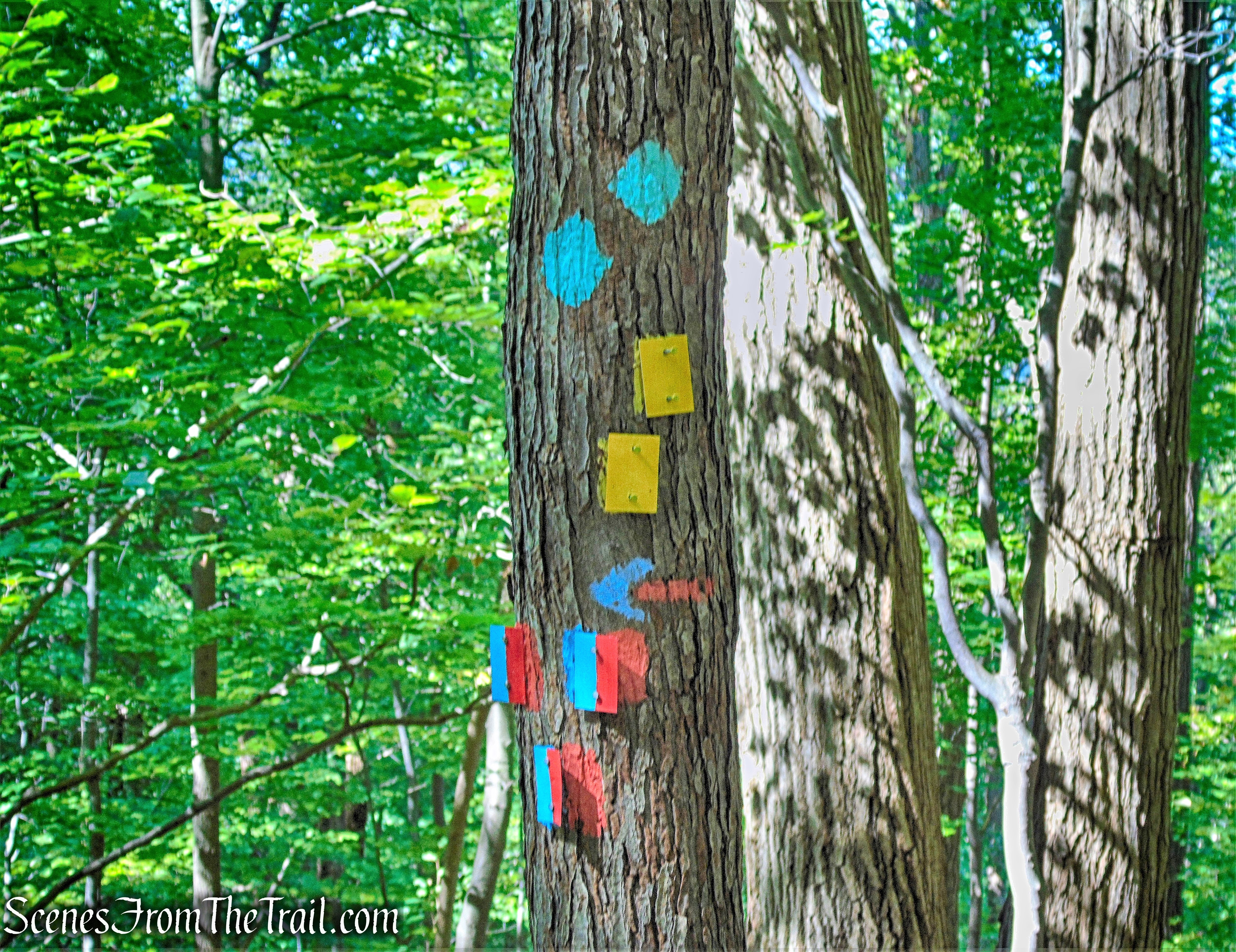
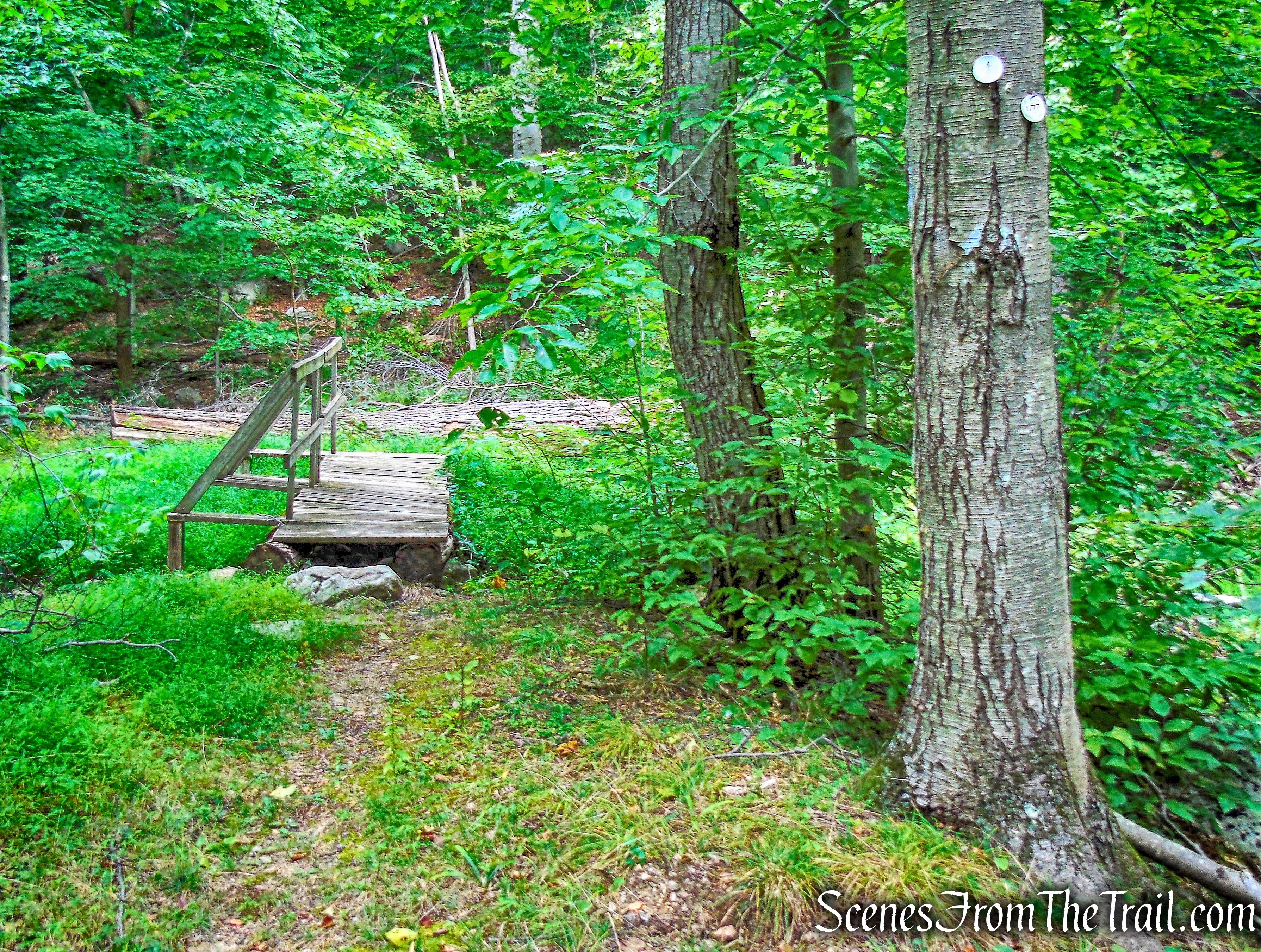
Silvermine Road arrives at the junction of the joint Appalachian/Ramapo-Dunderberg Trail (AT/R-D) at 0.65 mile (from the east side of the dam).
joint AT/R-D Trail – Black Mountain
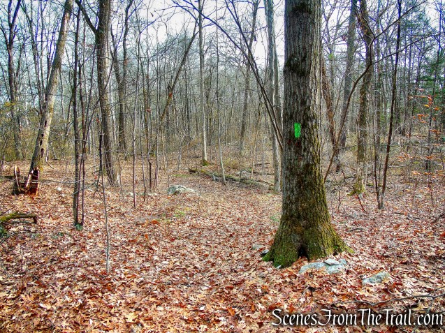
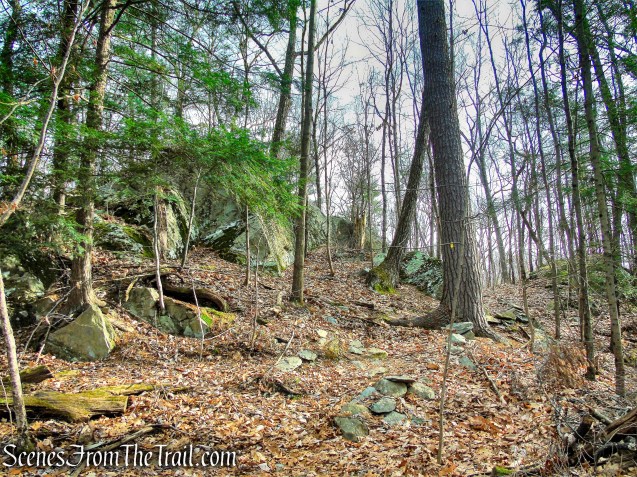
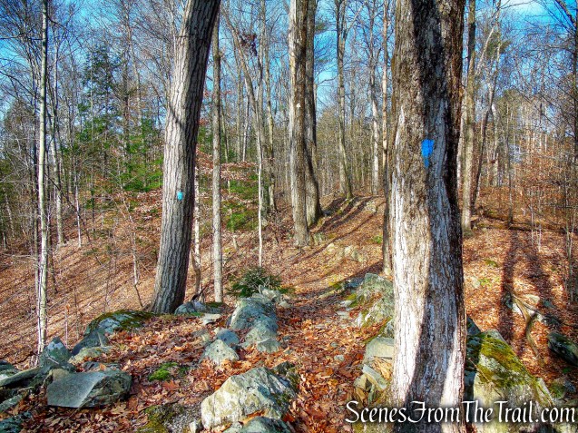
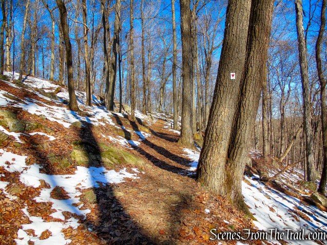
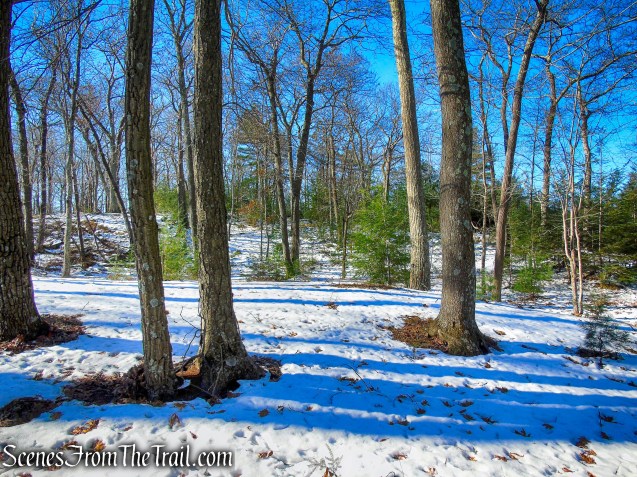
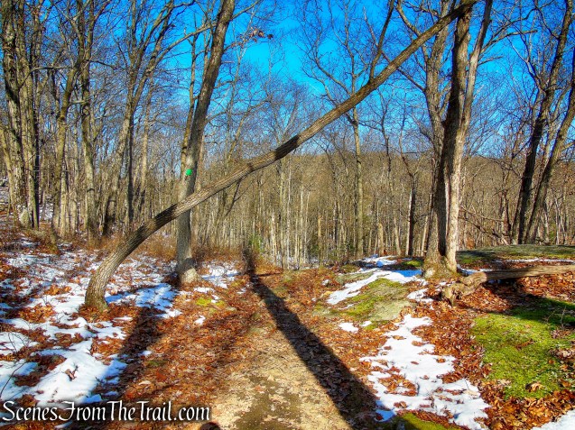
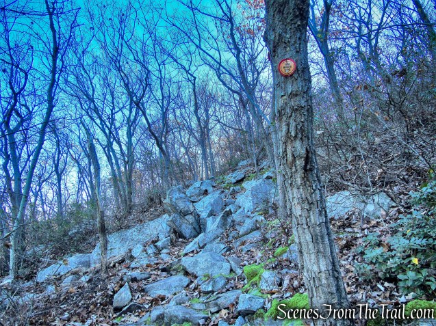
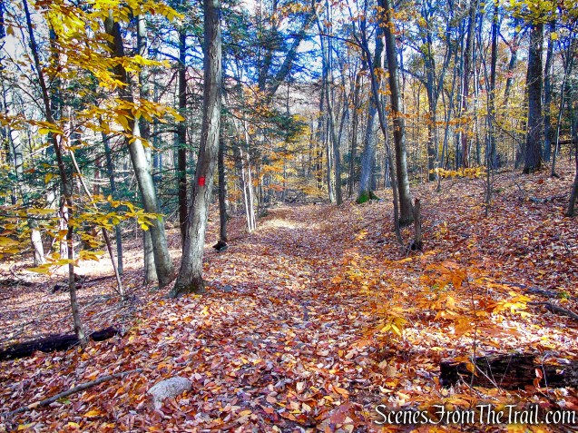
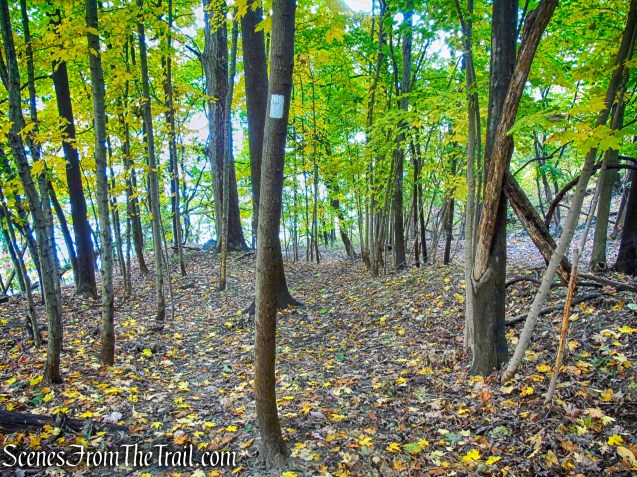
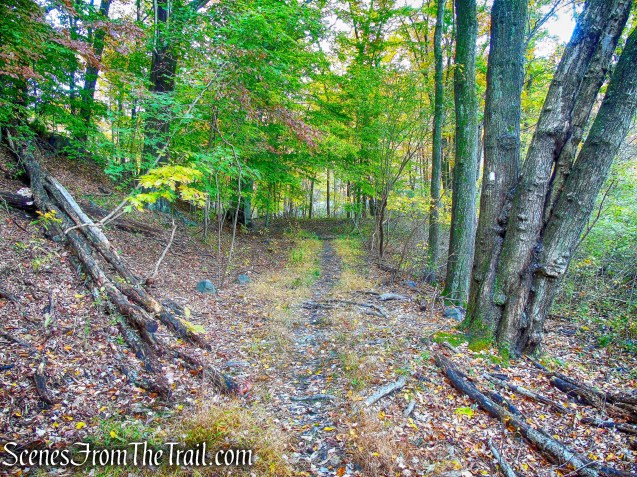
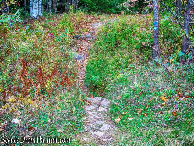
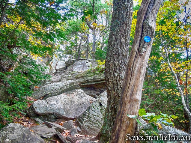
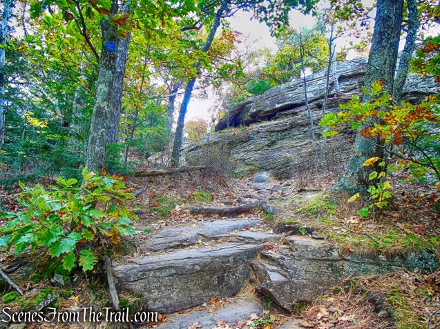
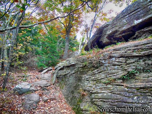
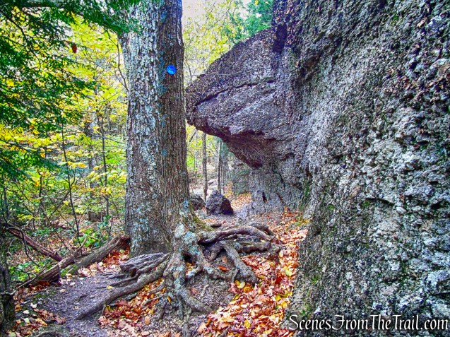
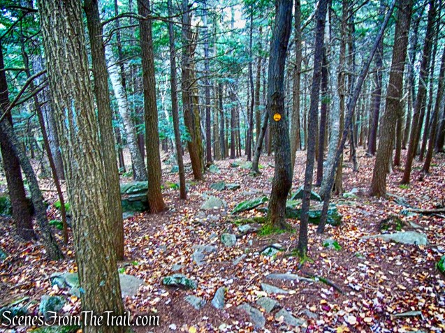
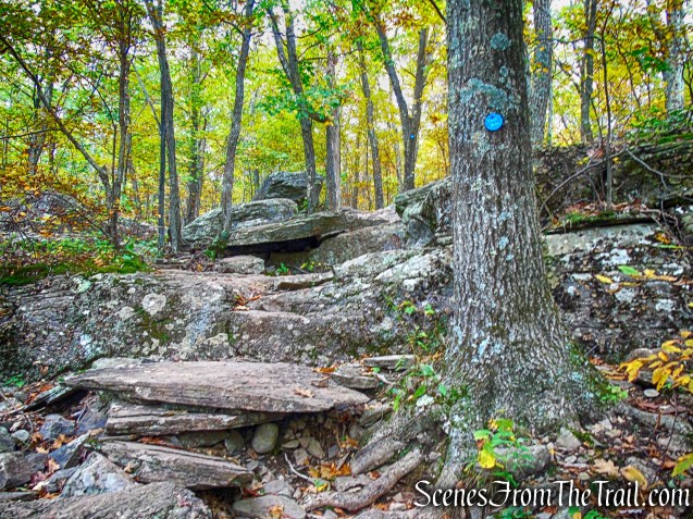
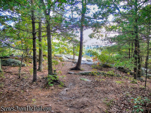
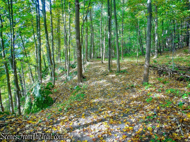
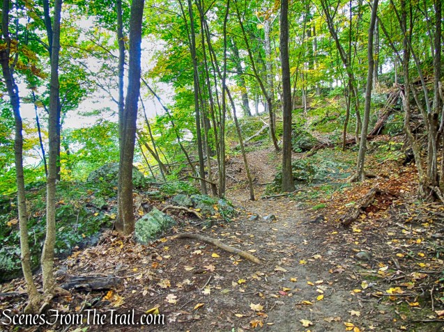
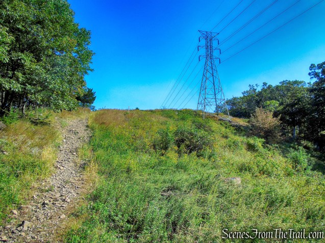
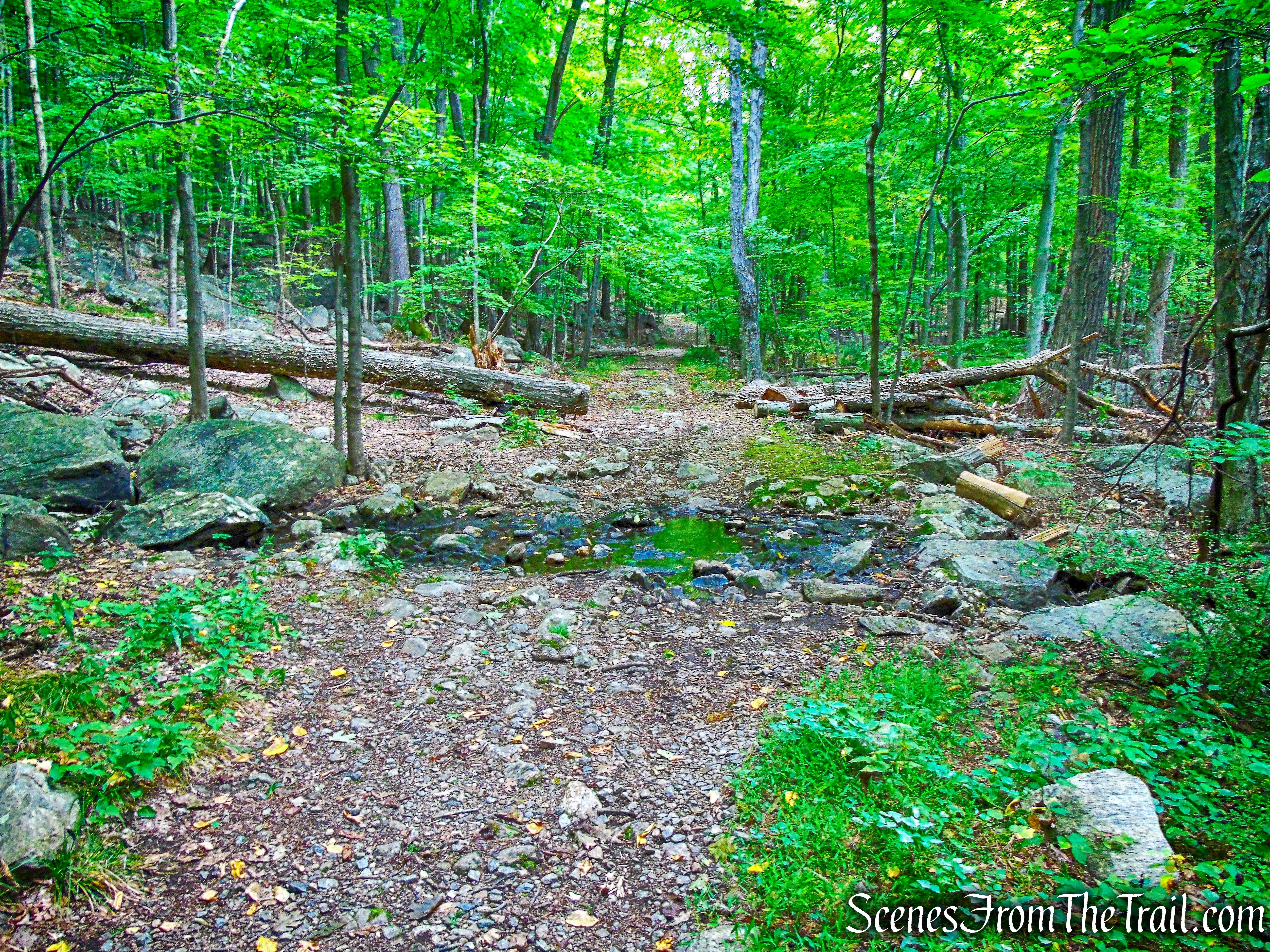
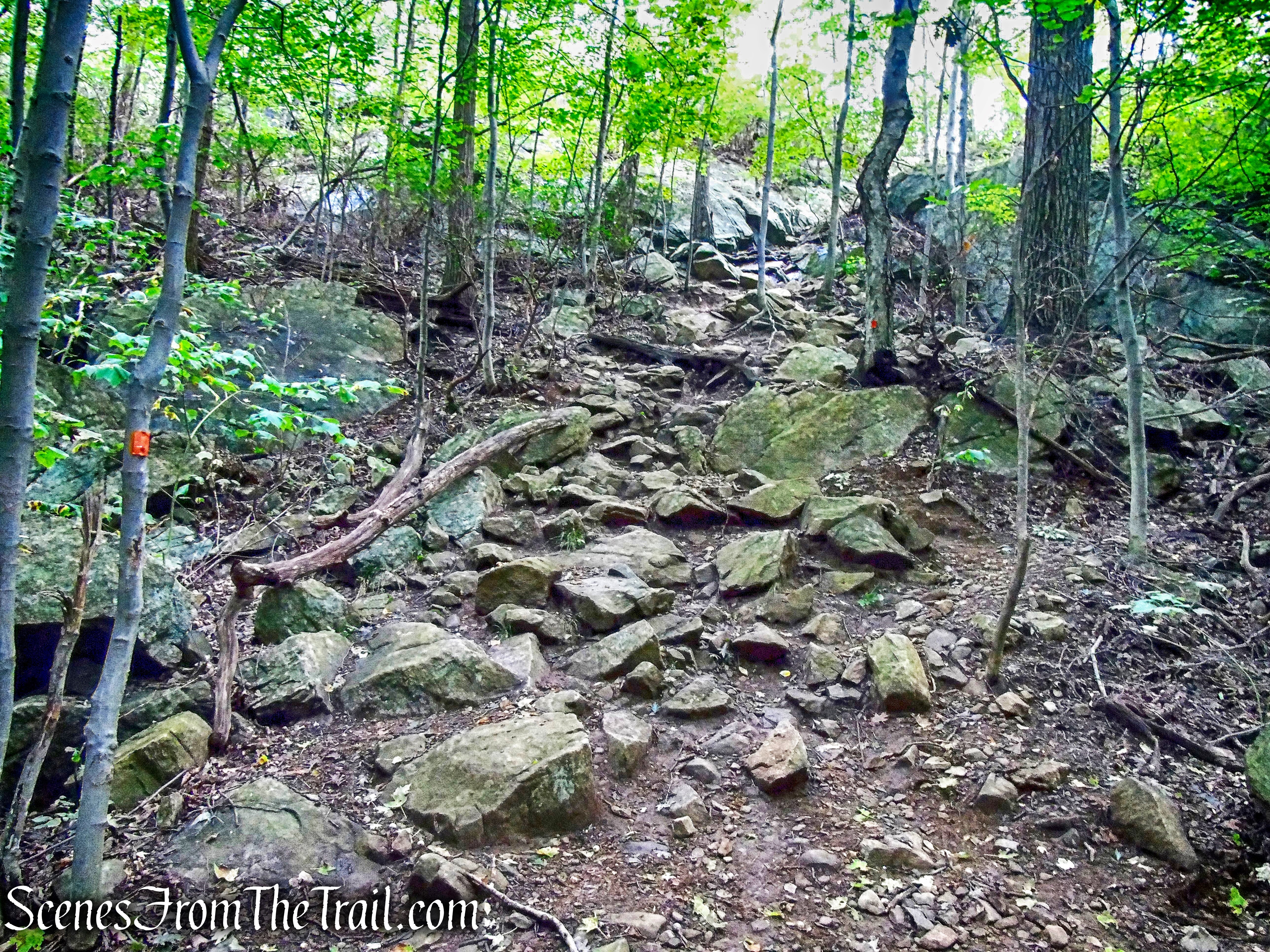
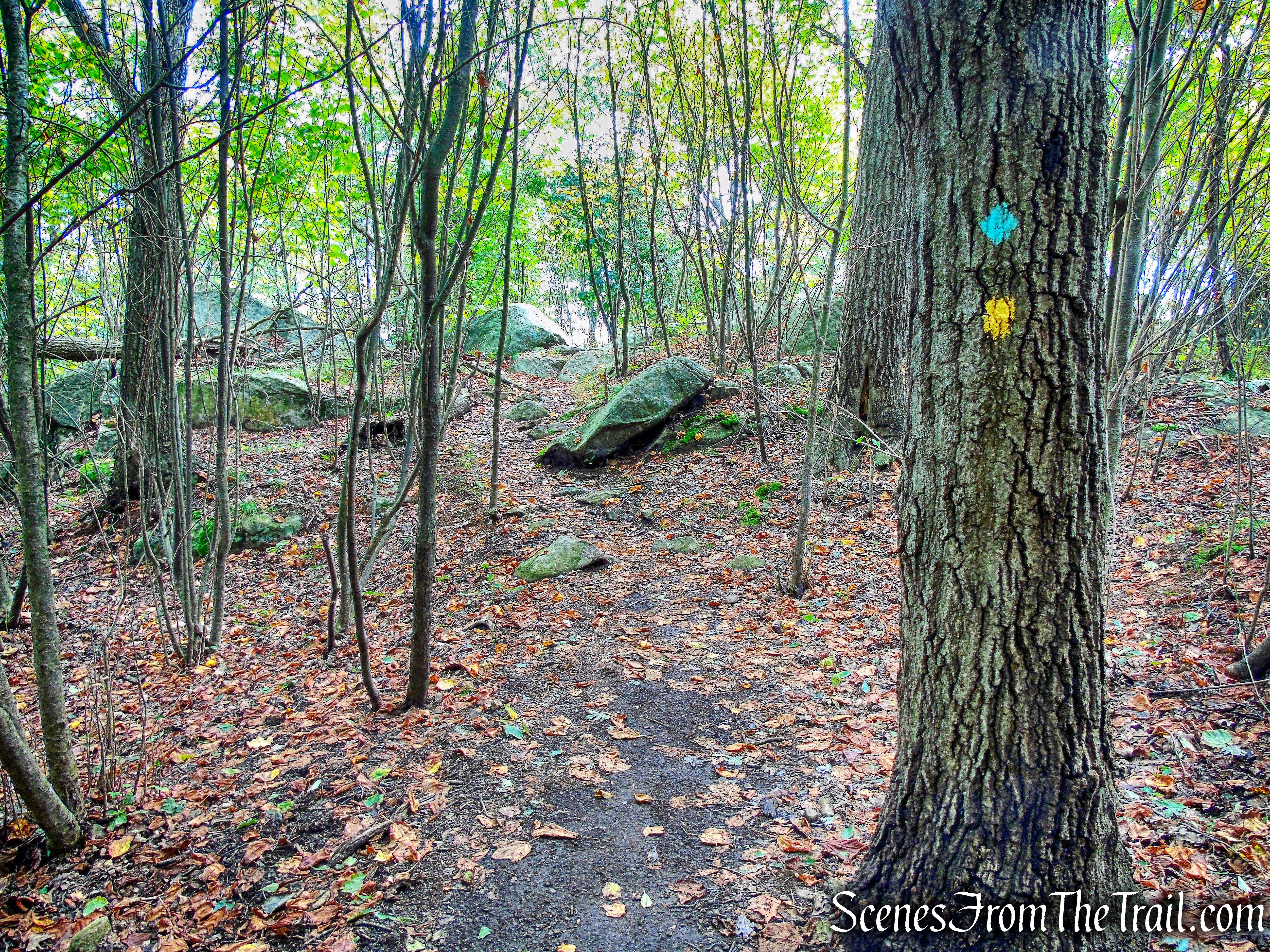
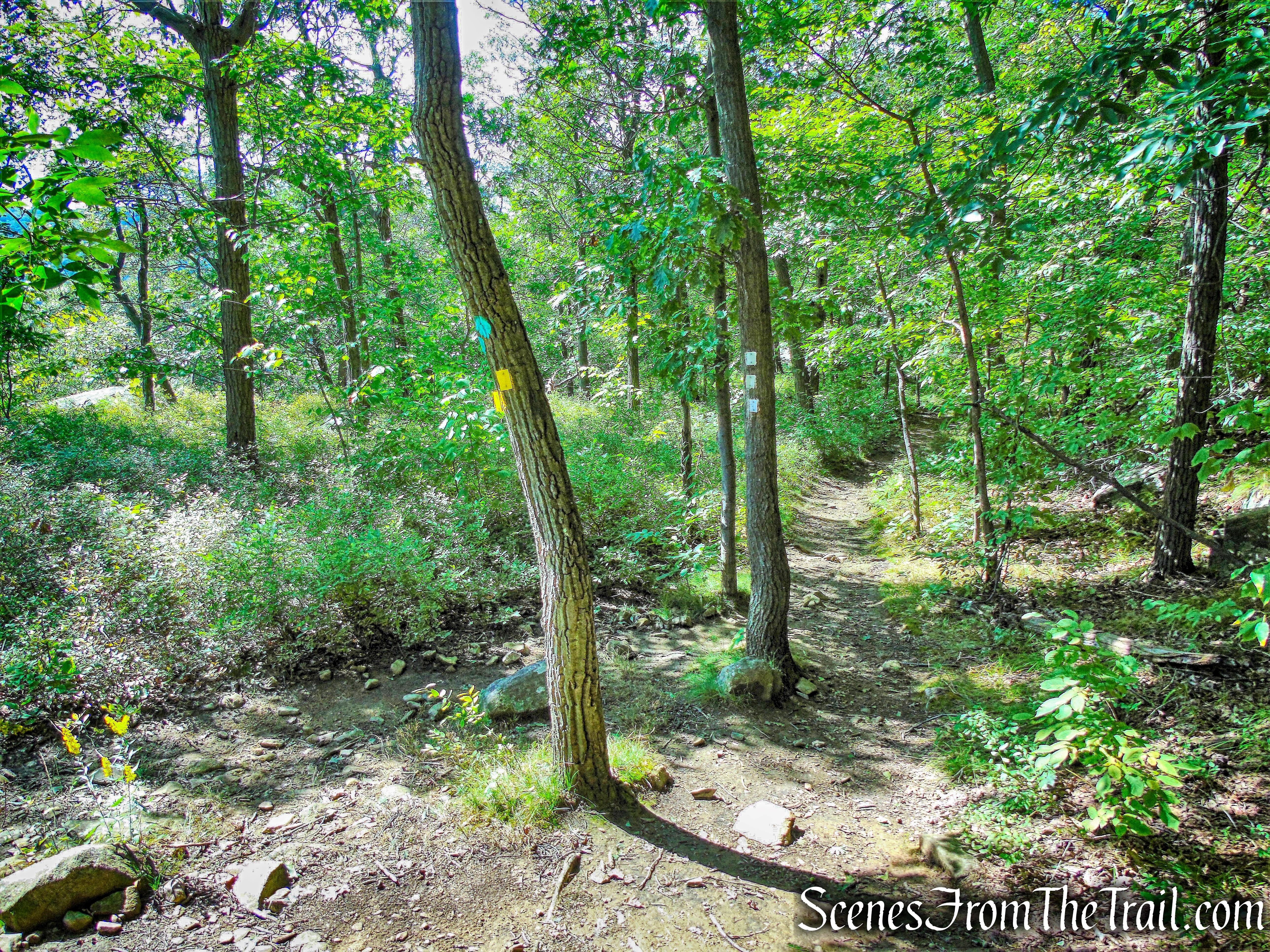
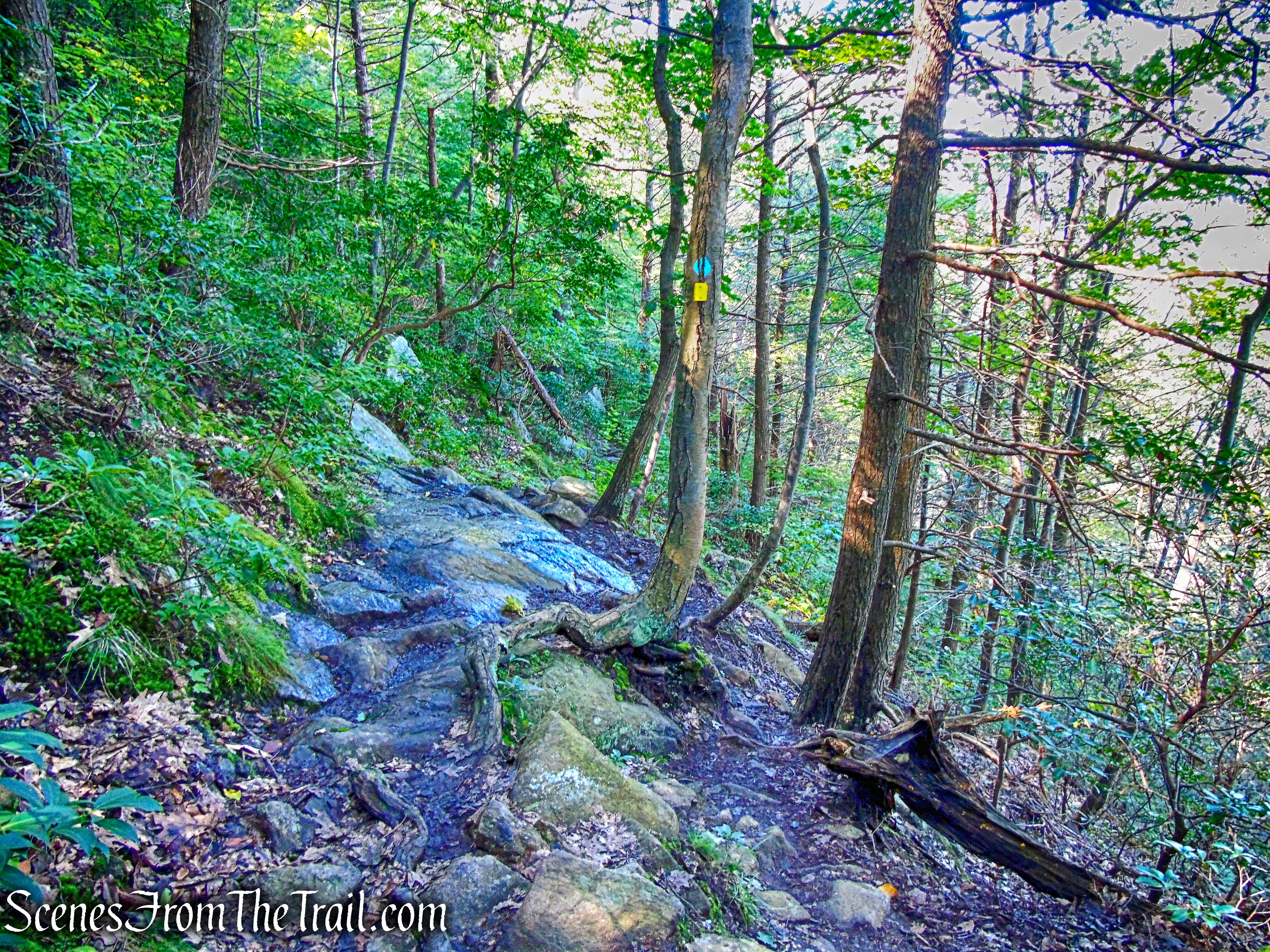
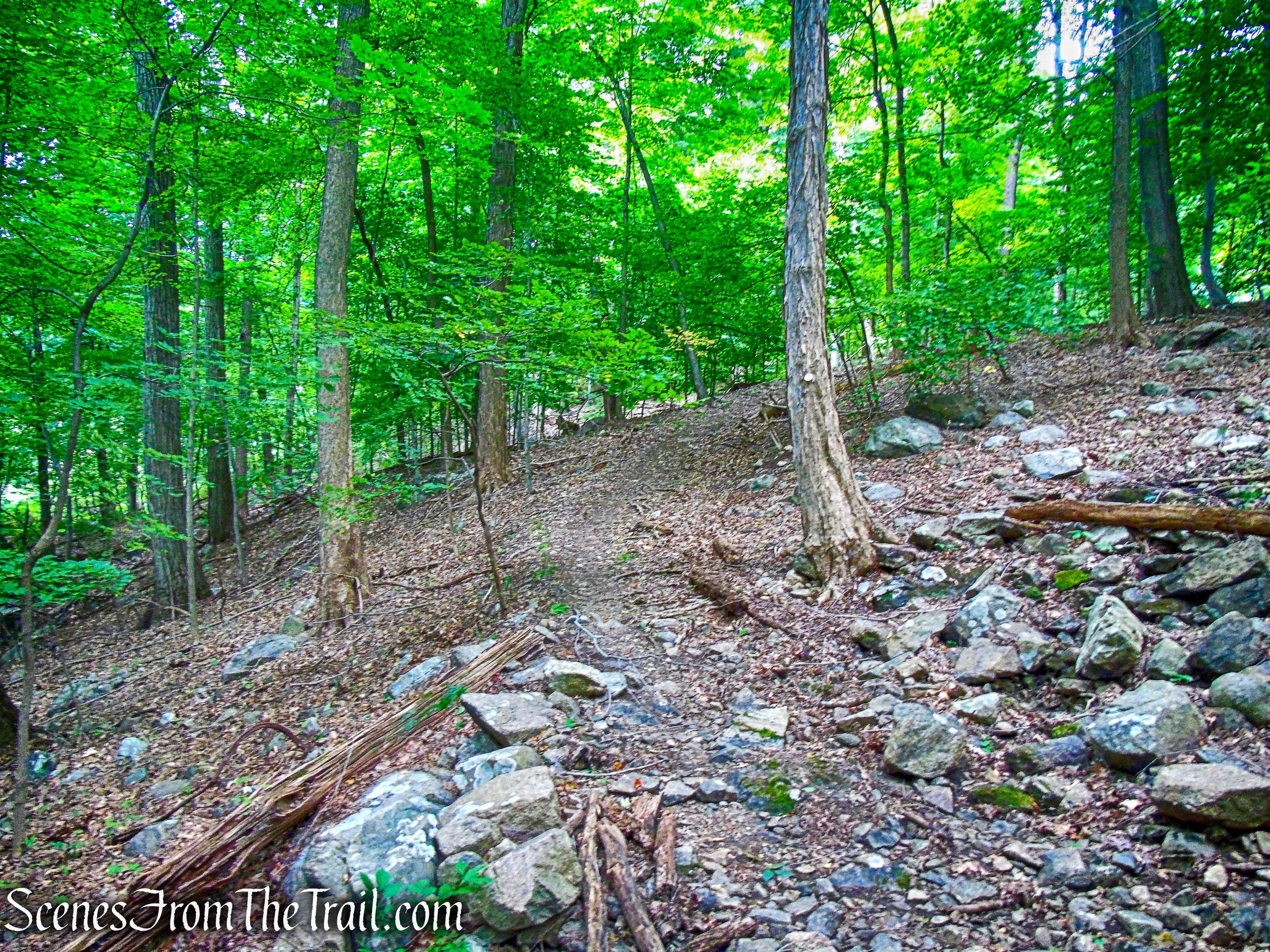
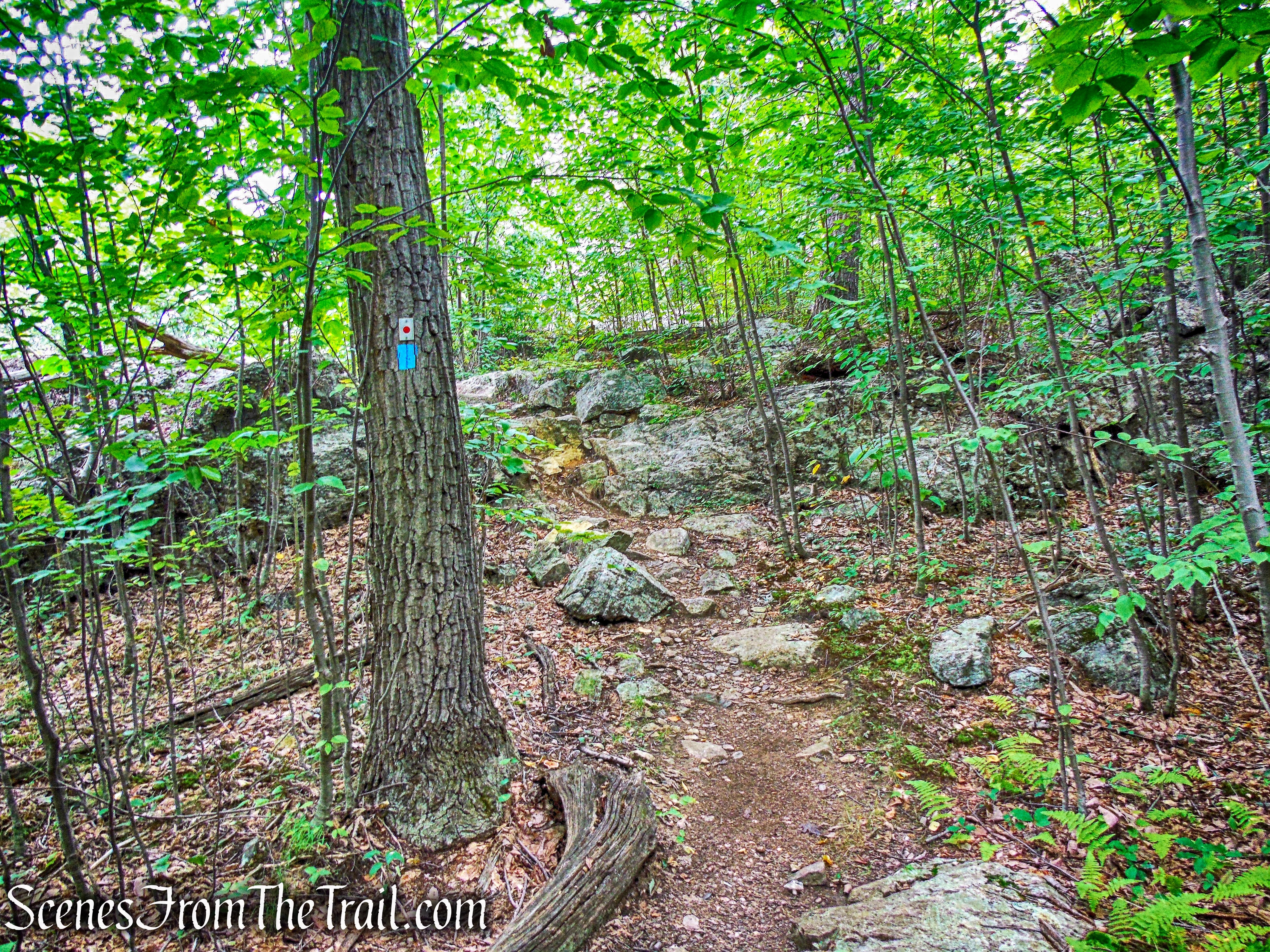
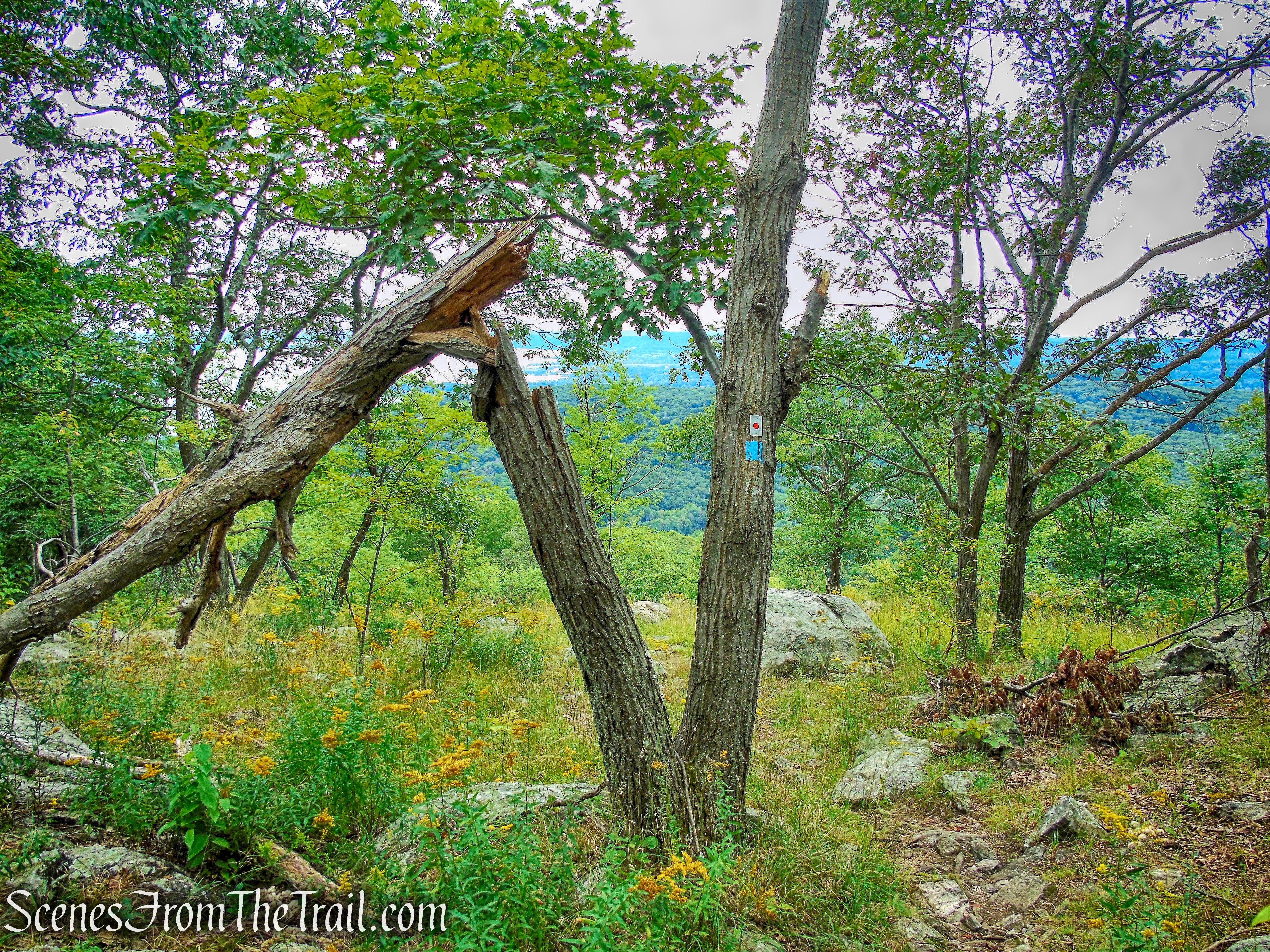
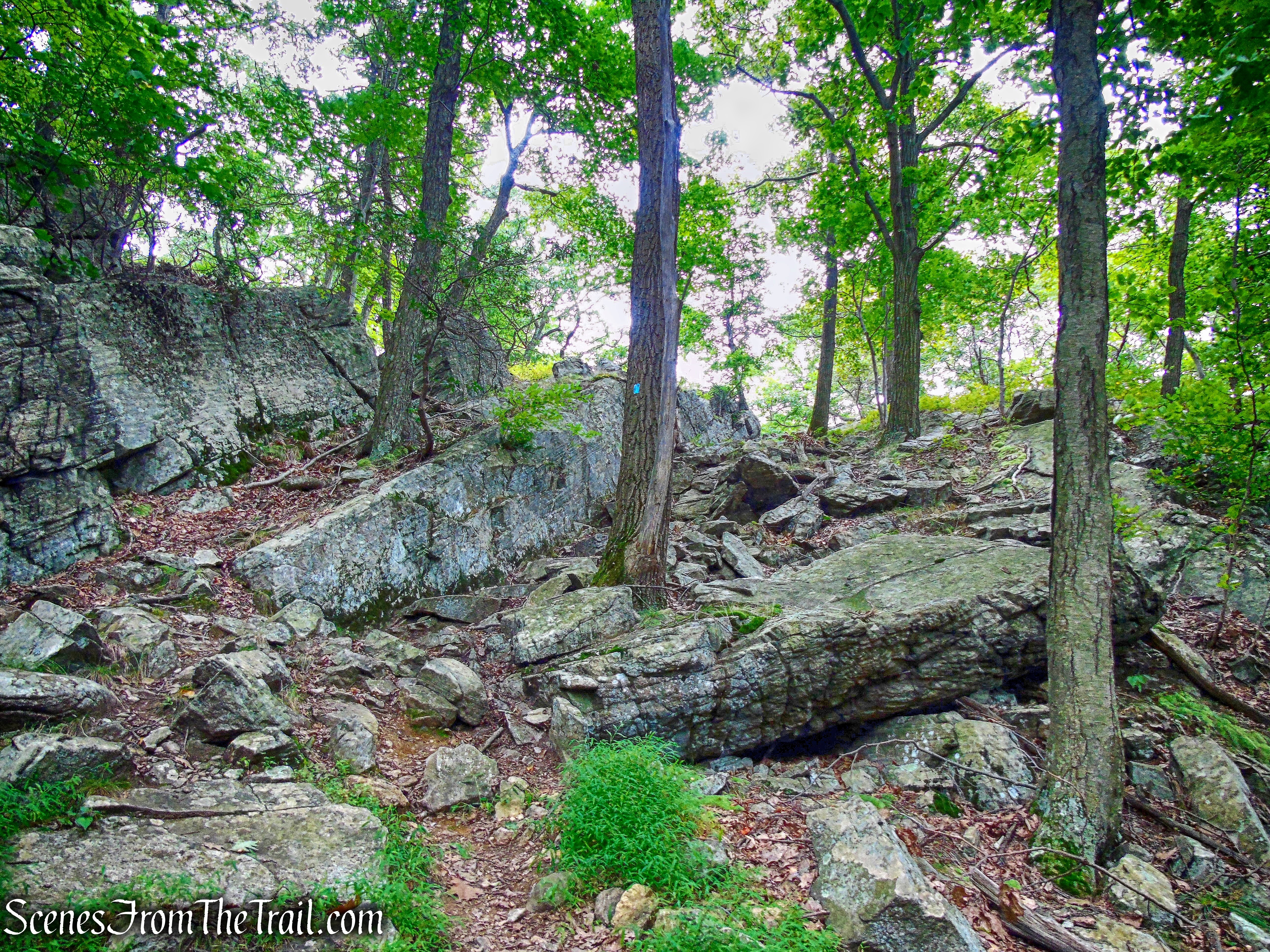
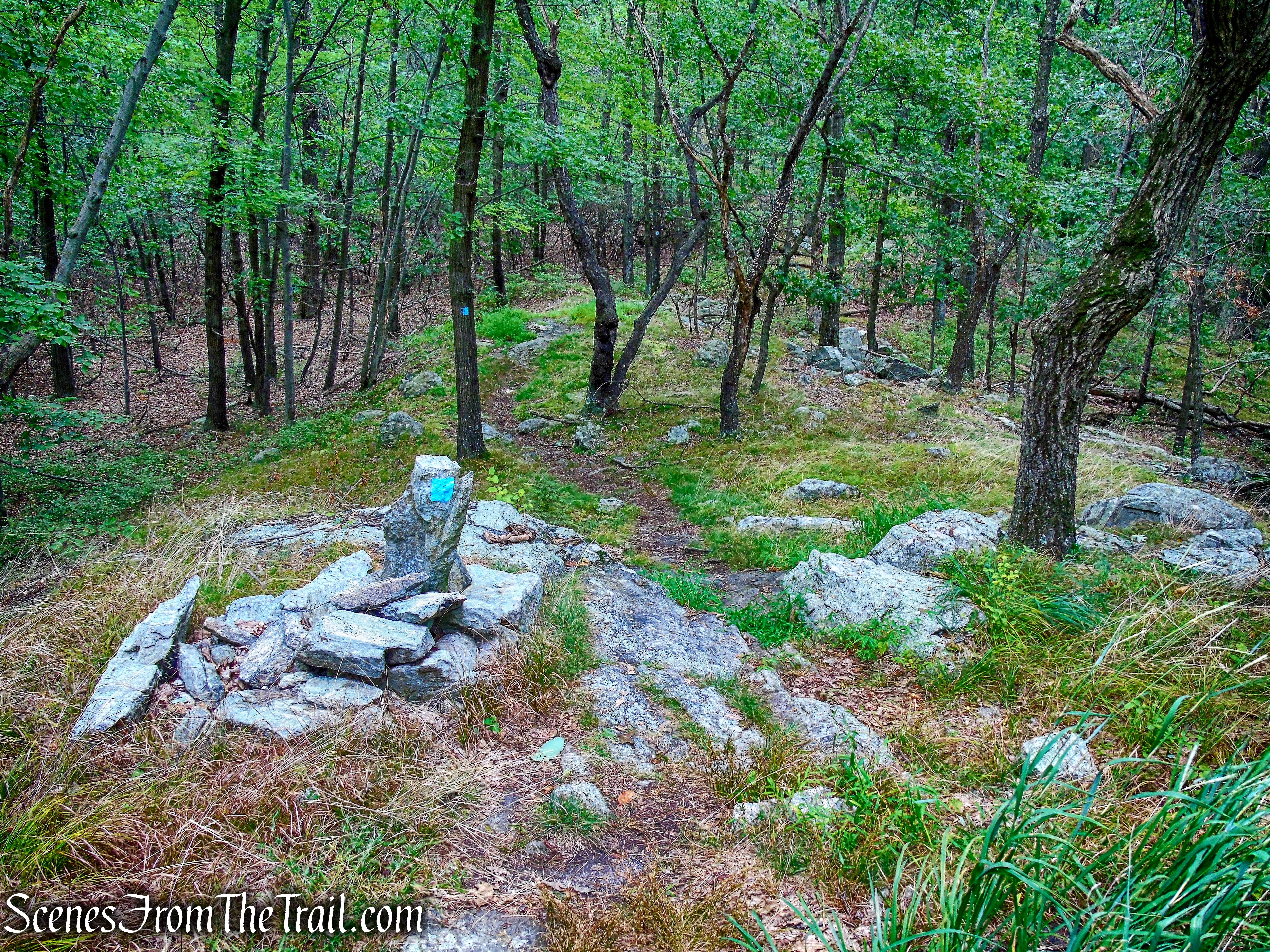
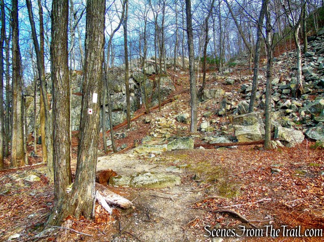
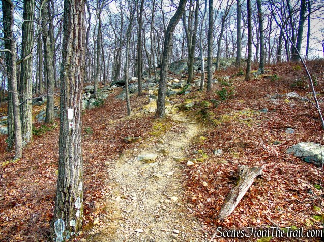
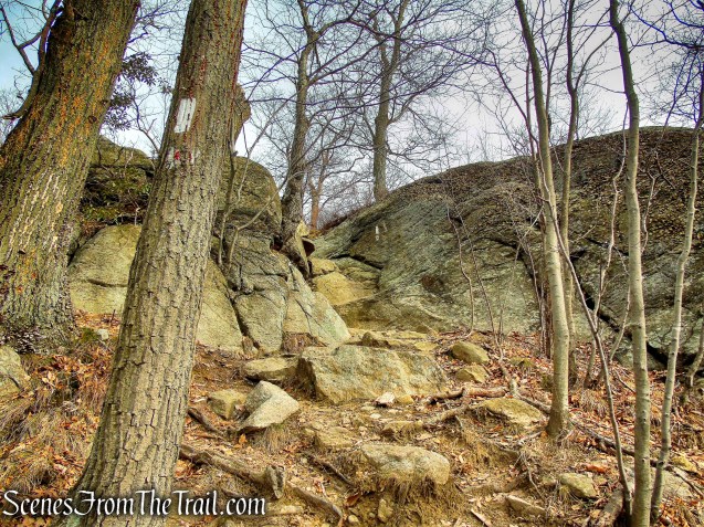
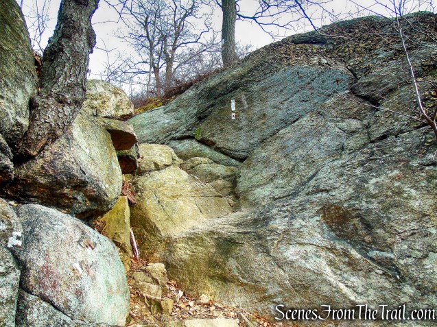
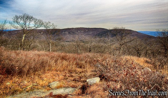
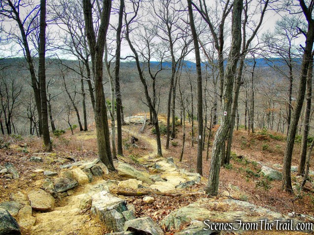
We turned left onto the joint AT/R-D Trail and began the steep ascent of Black Mountain.
joint AT/R-D Trail – Black Mountain
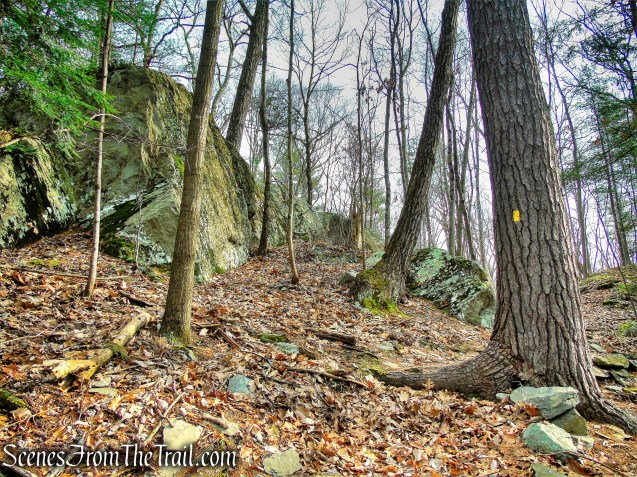
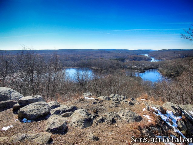
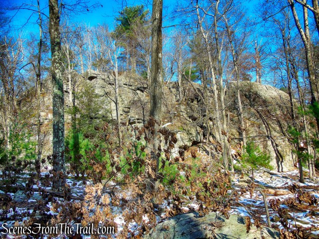
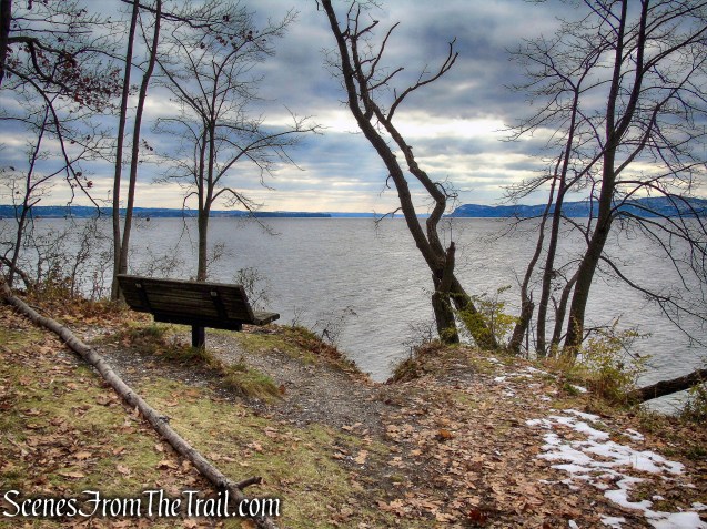
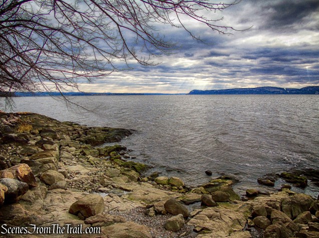
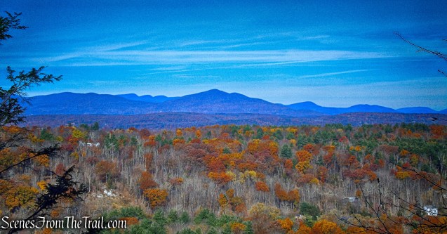
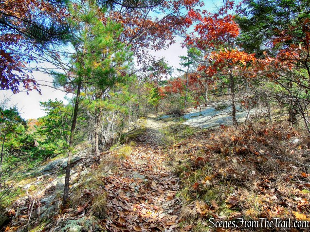
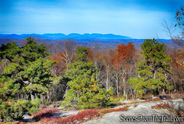
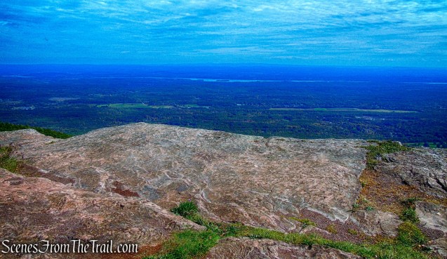
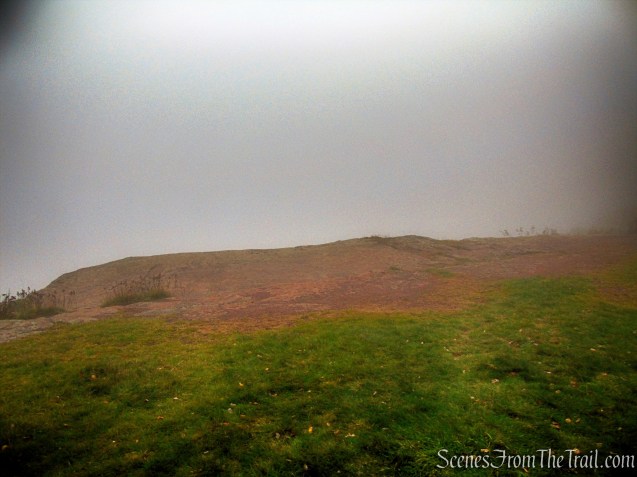
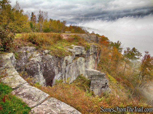
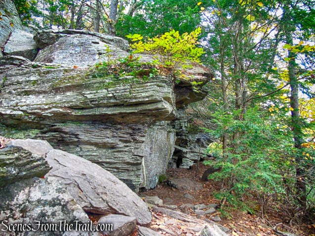
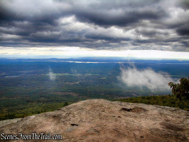
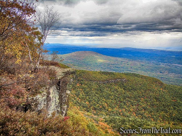
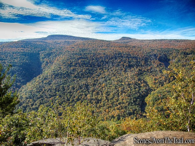
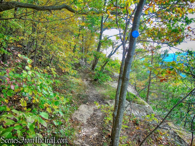
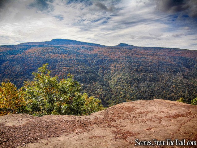
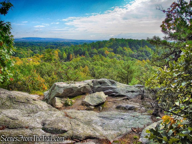
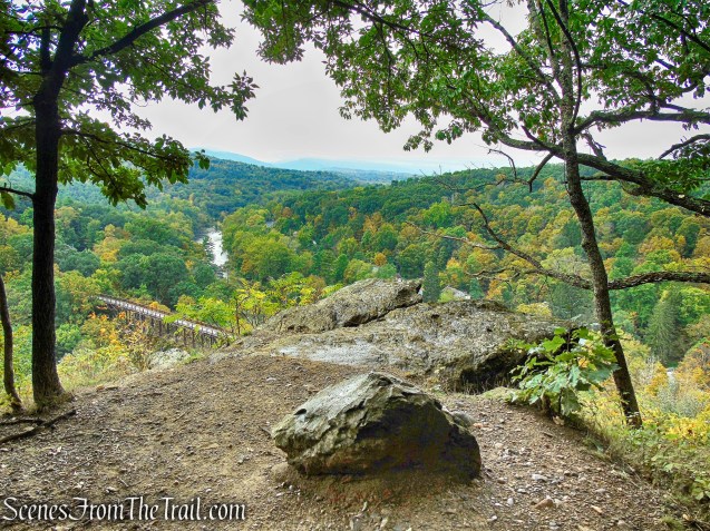
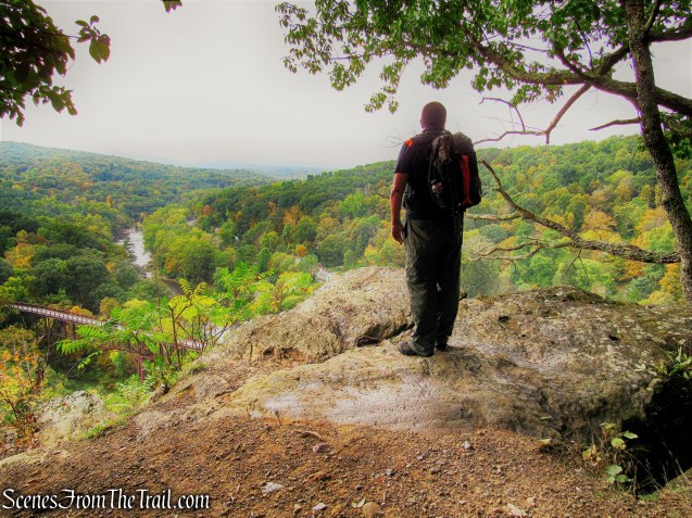
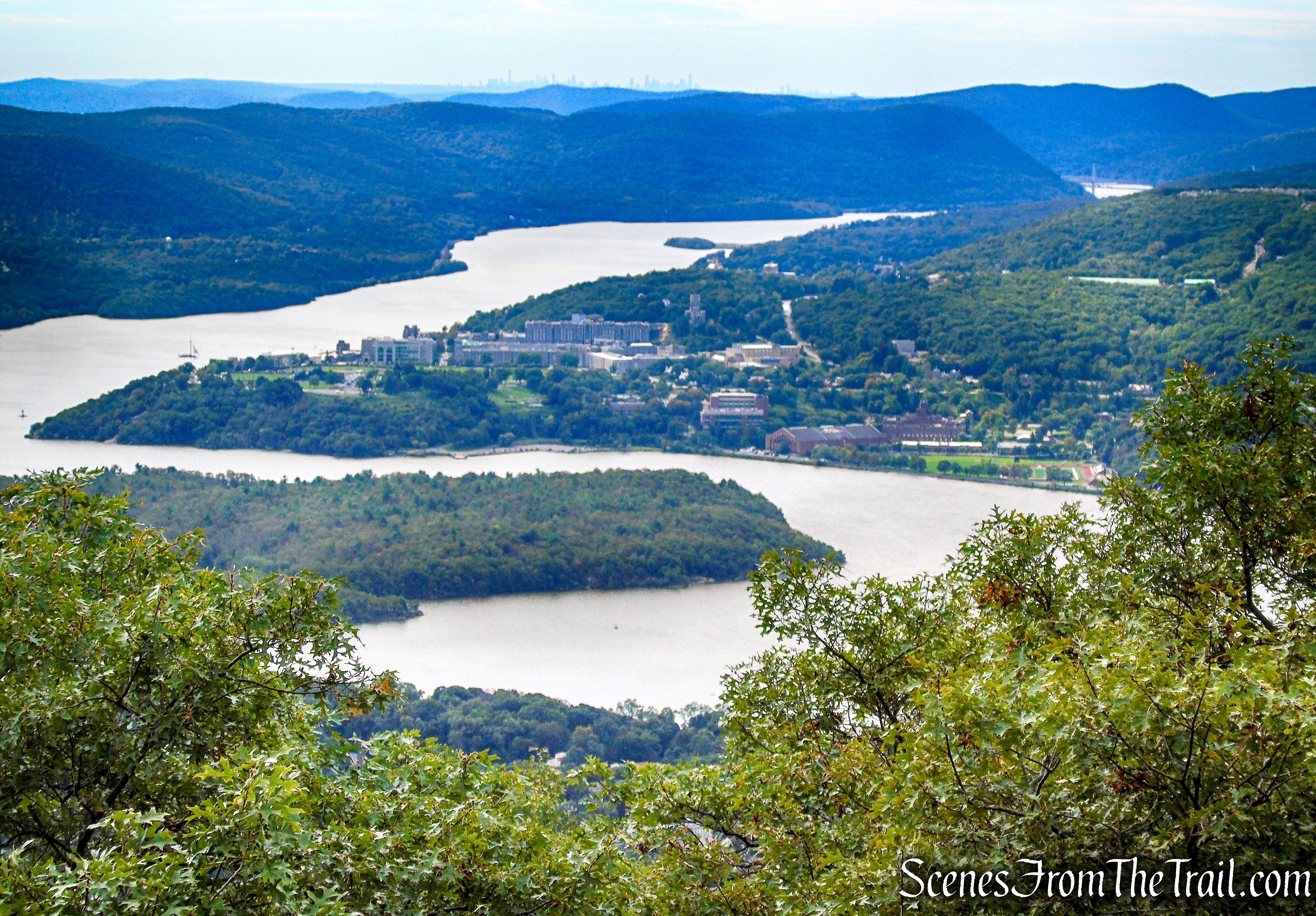
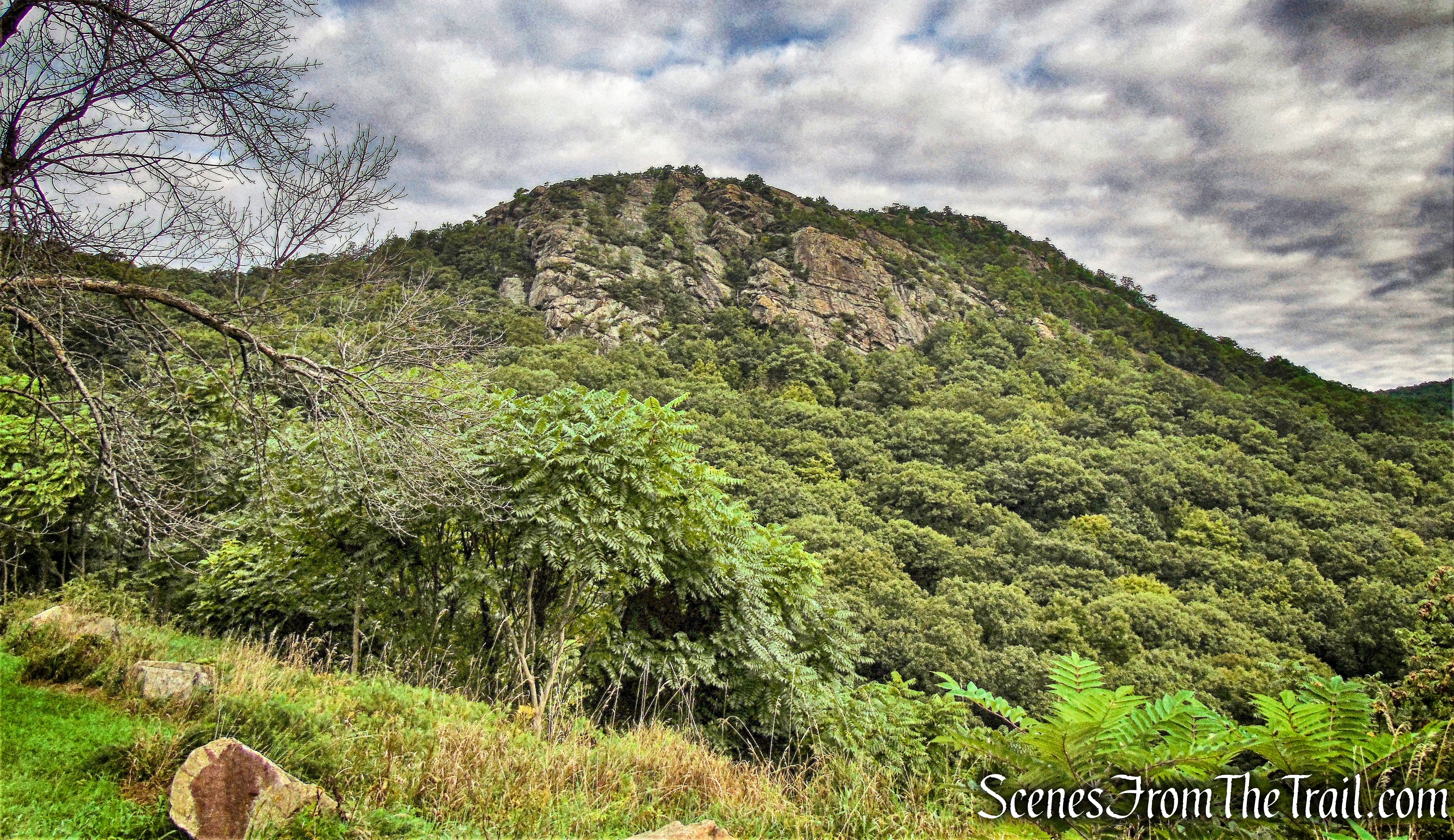
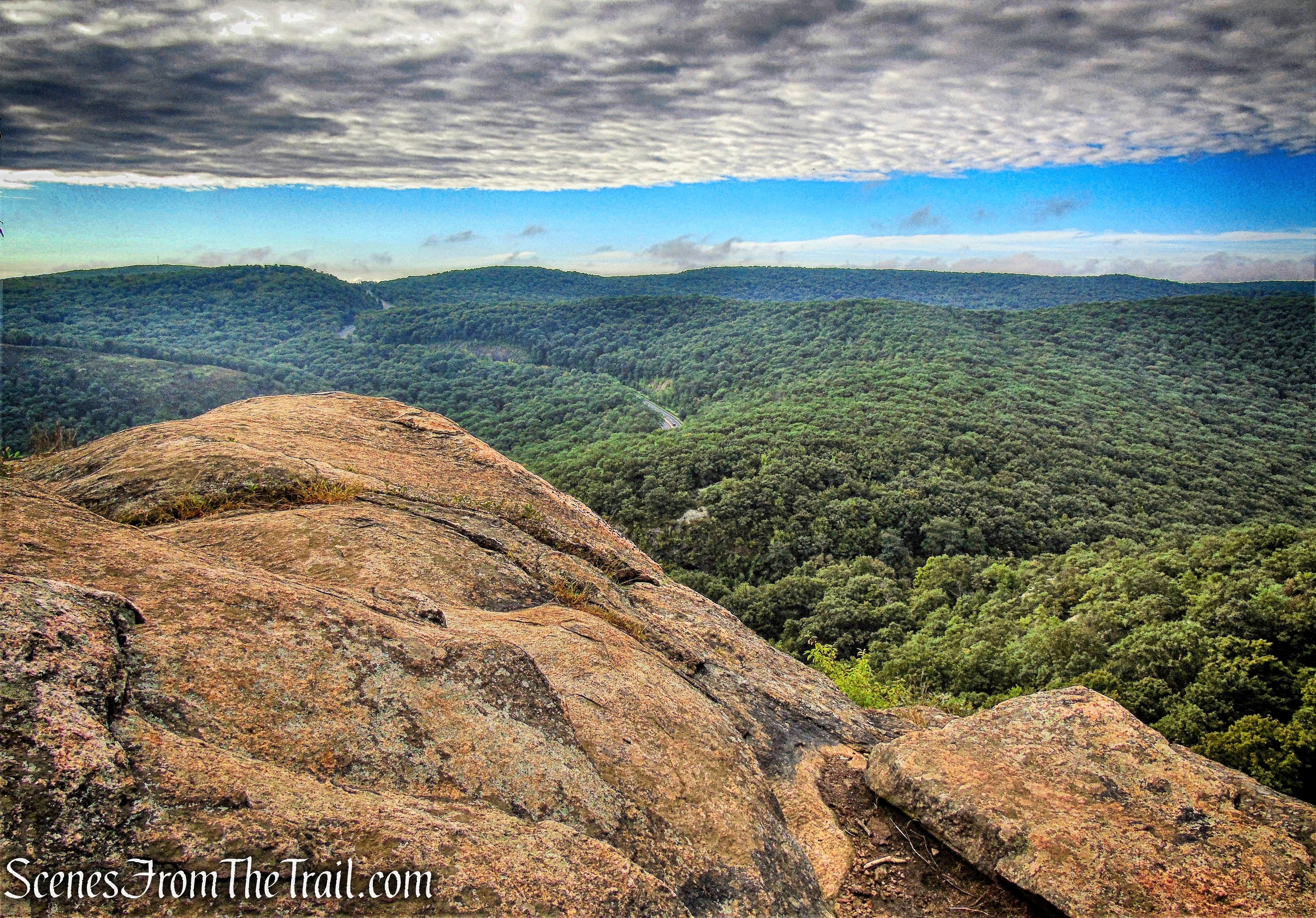
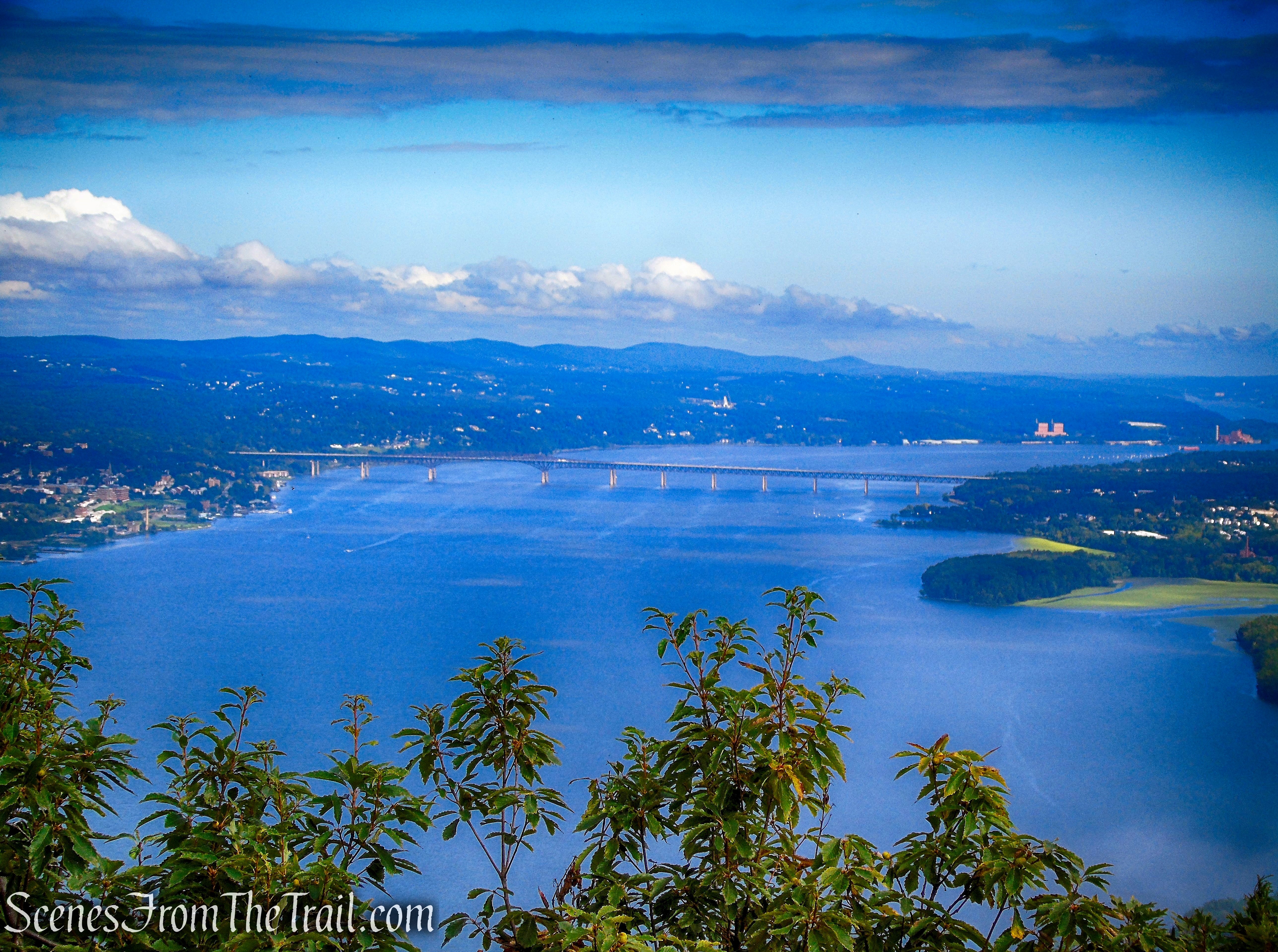
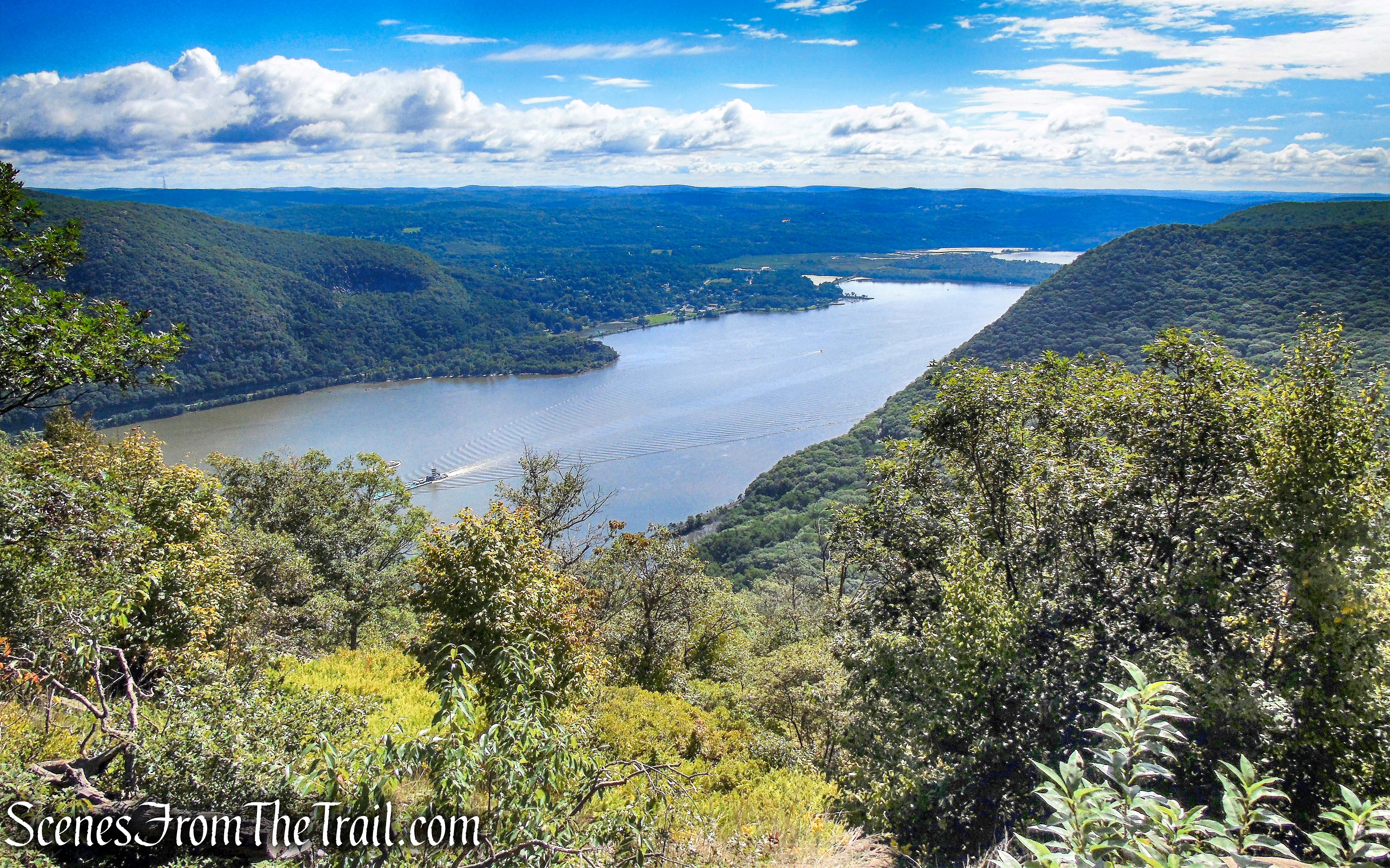
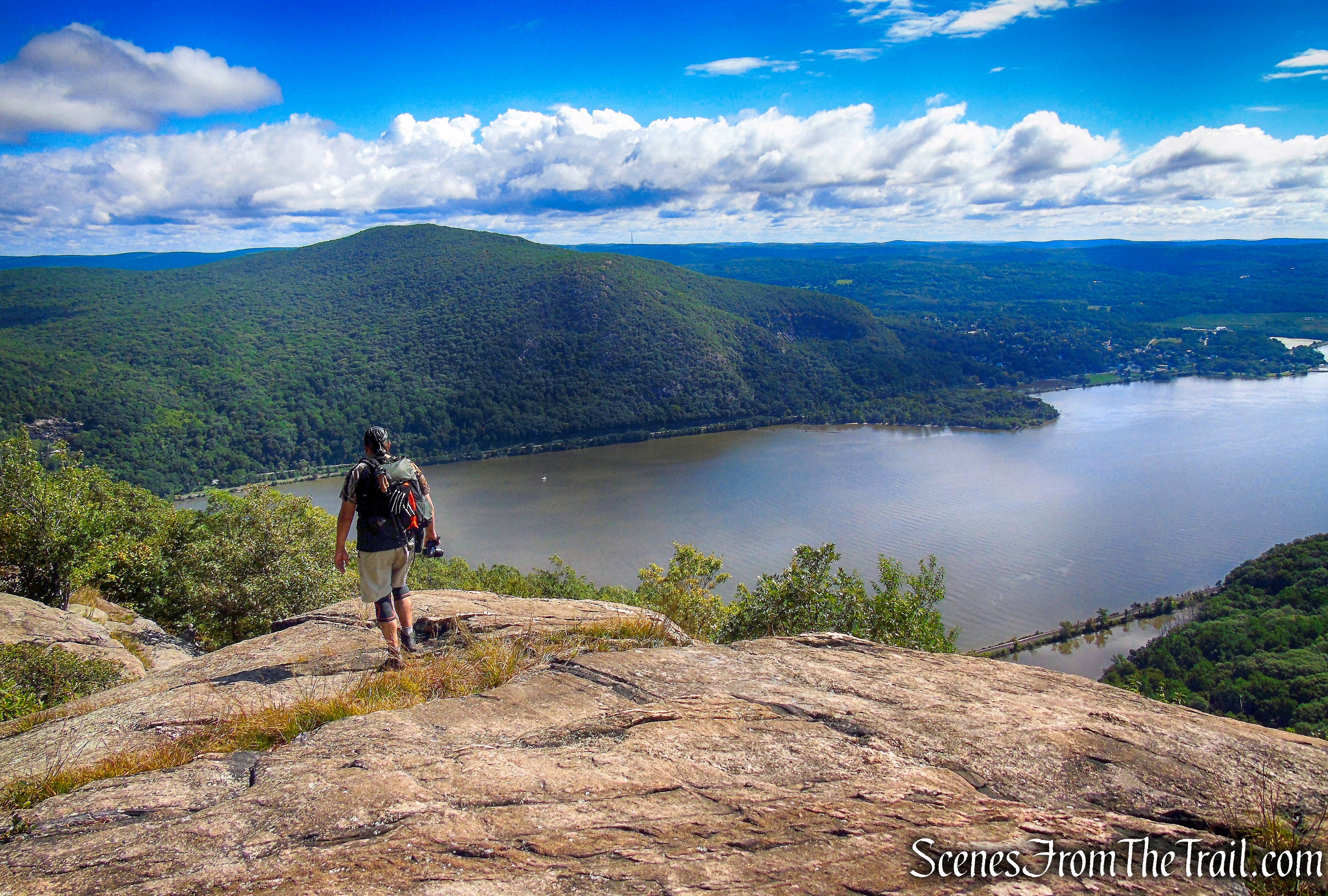
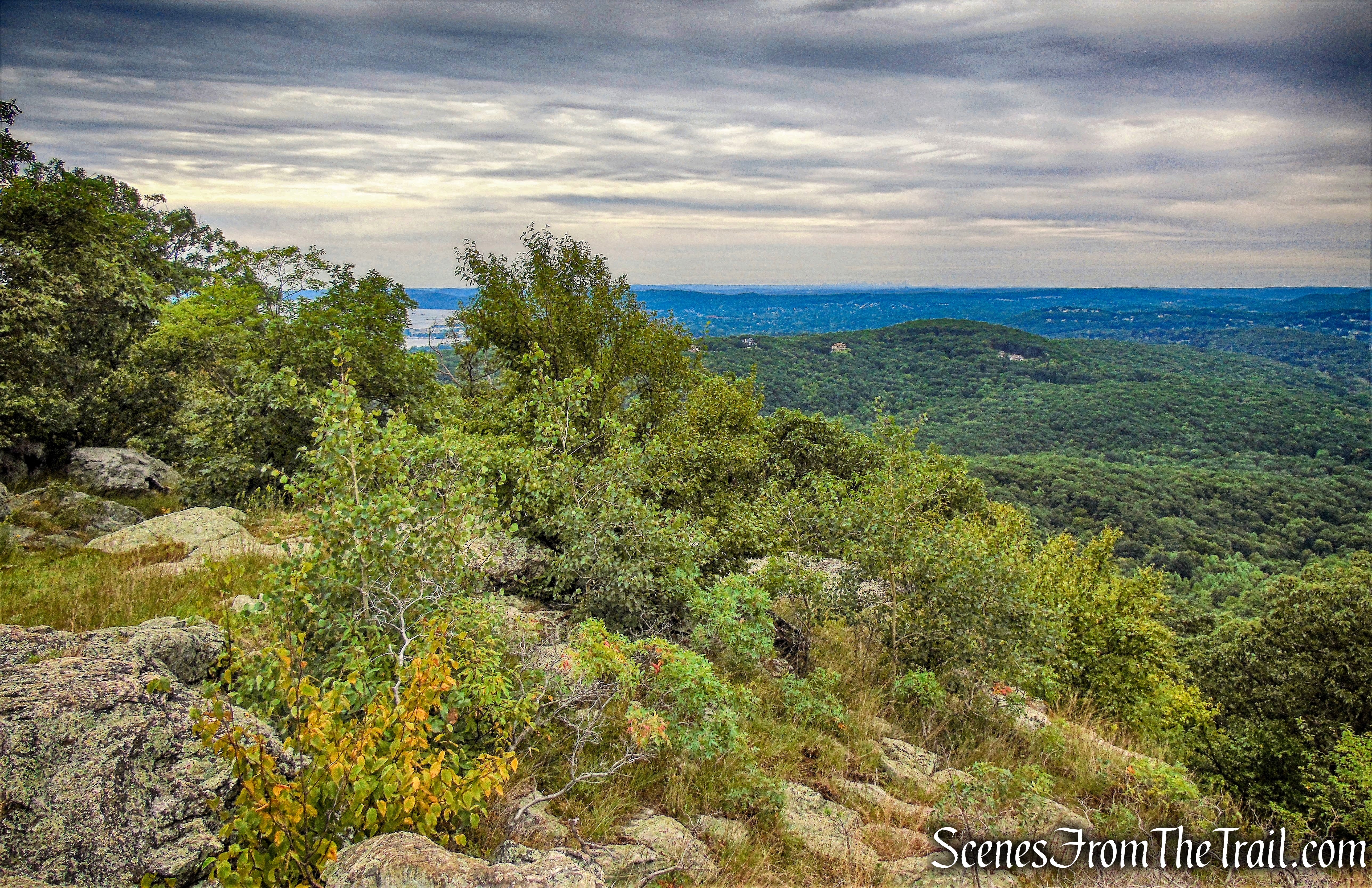
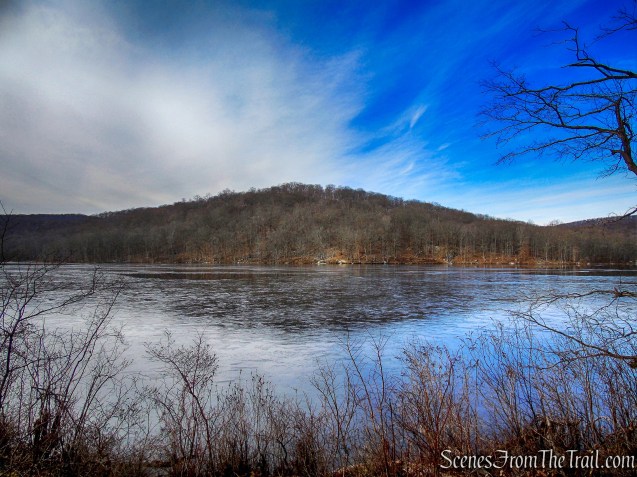
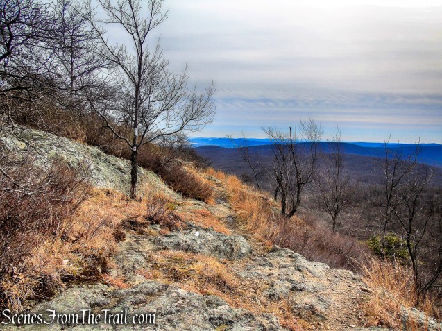
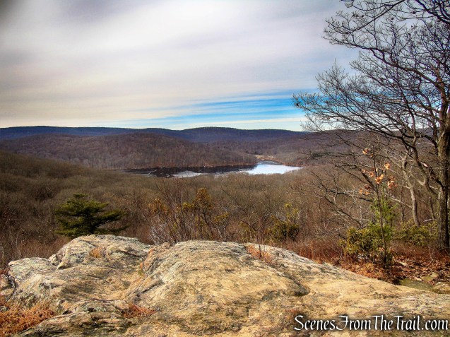
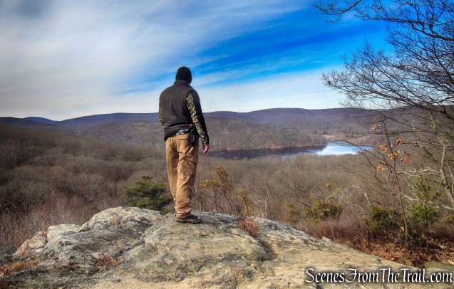
After a short climb, the trail comes out to a rock ledge with a great western facing view of Silver Mine Lake and the surrounding Harriman Hills.
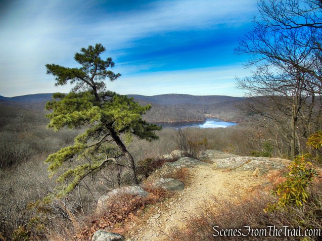
Black Mountain
We took a break here to enjoy the view.
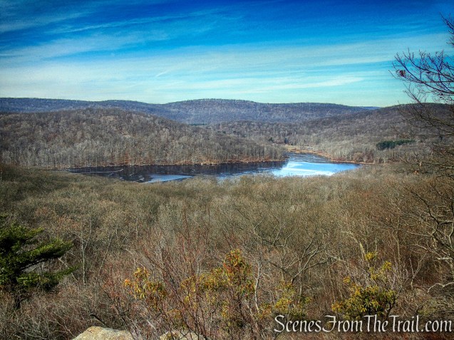
Silver Mine Lake from Black Mountain
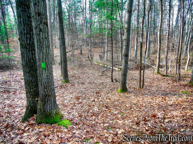
We then continued up towards the summit.
joint AT/R-D Trail
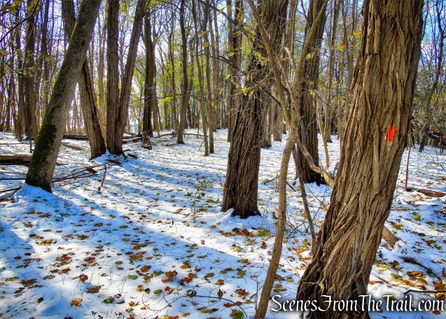
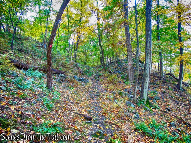
We then left the trail around this spot and began our bushwack along the southern slope of Black Mountain. We actually began our bushwack too early and should have continued on the trail a little further.
joint AT/R-D Trail
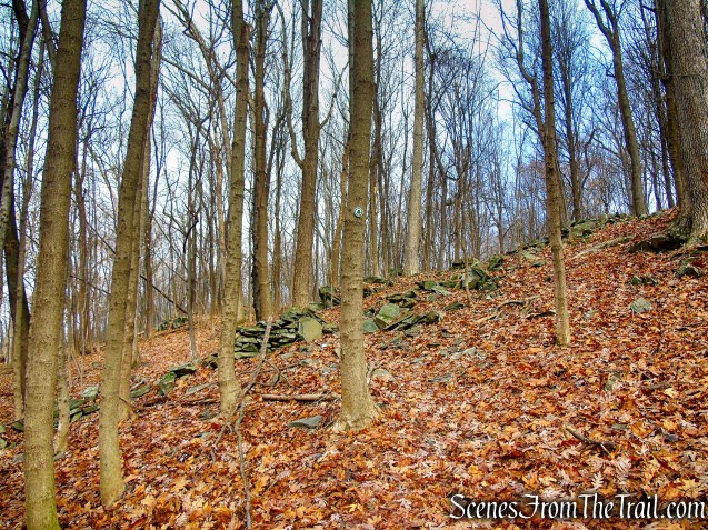
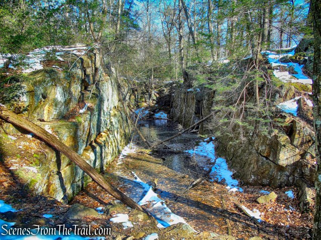
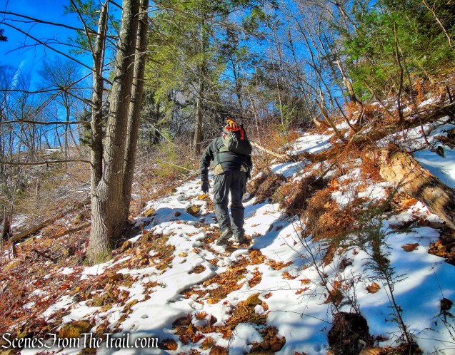
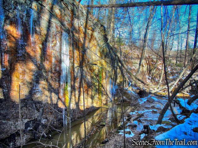
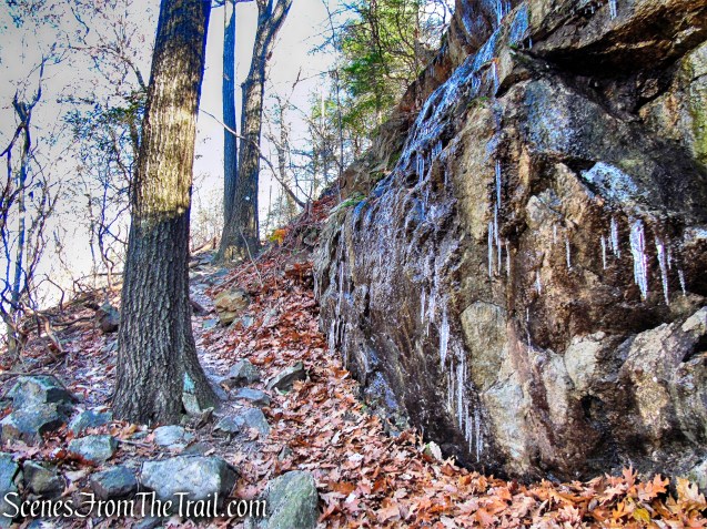
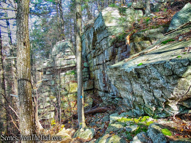
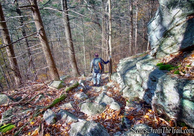
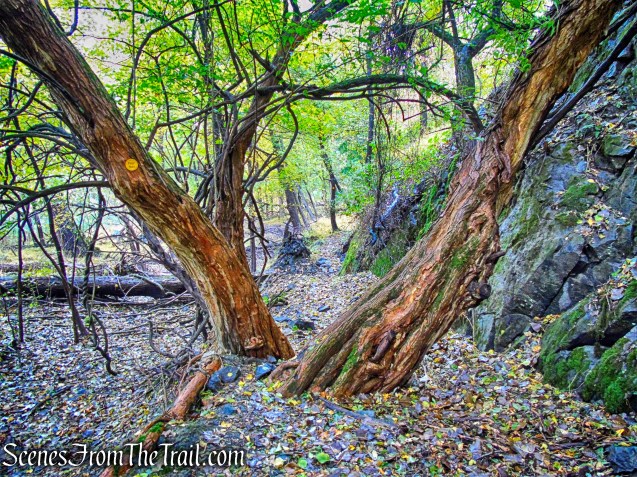
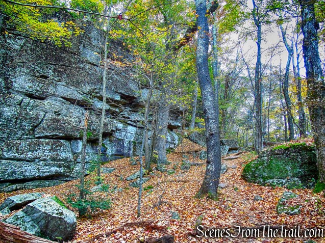
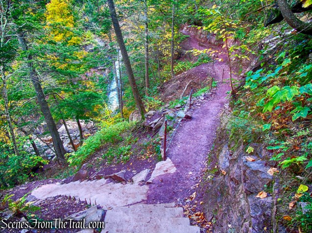
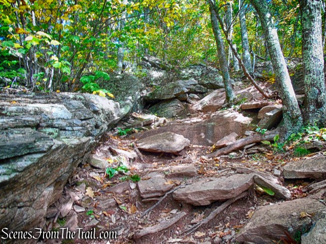
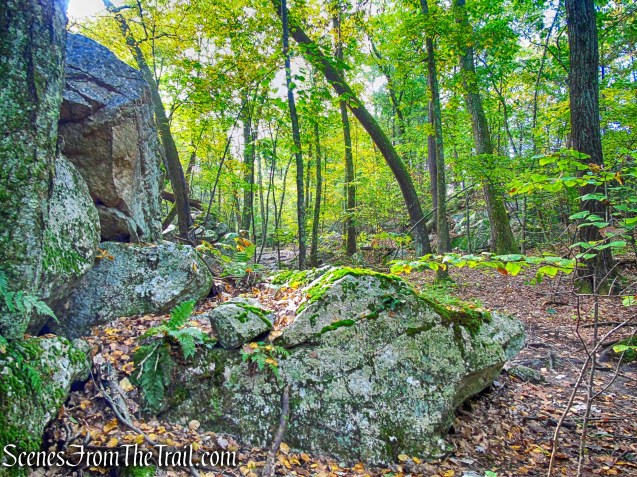
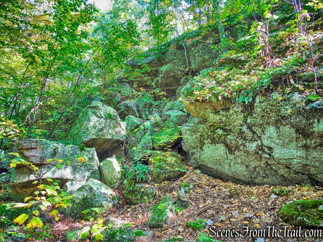
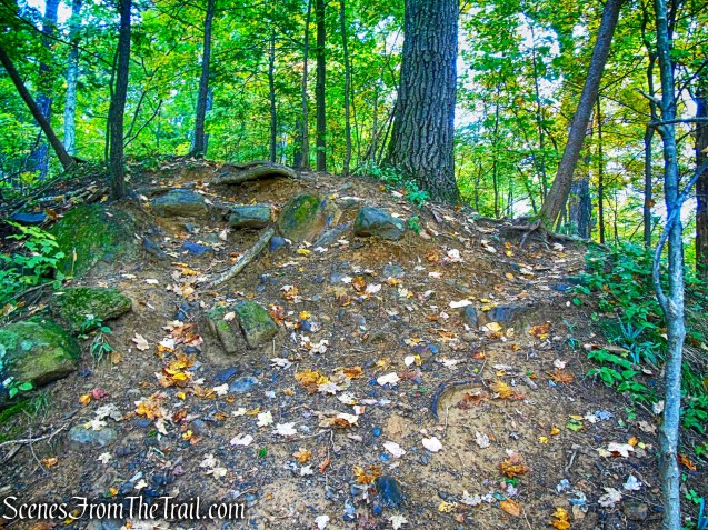
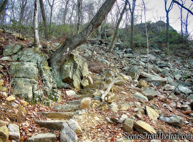
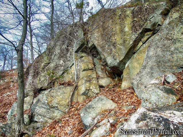
Traversing the talus slope was the toughest part of the hike. The footing in this area is treacherous.
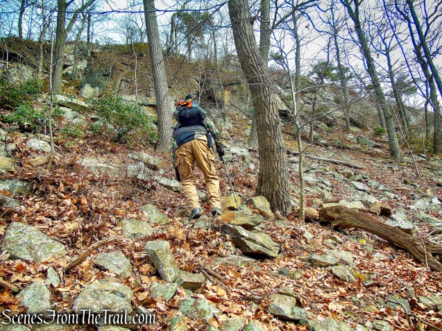
bushwack – Black Mountain
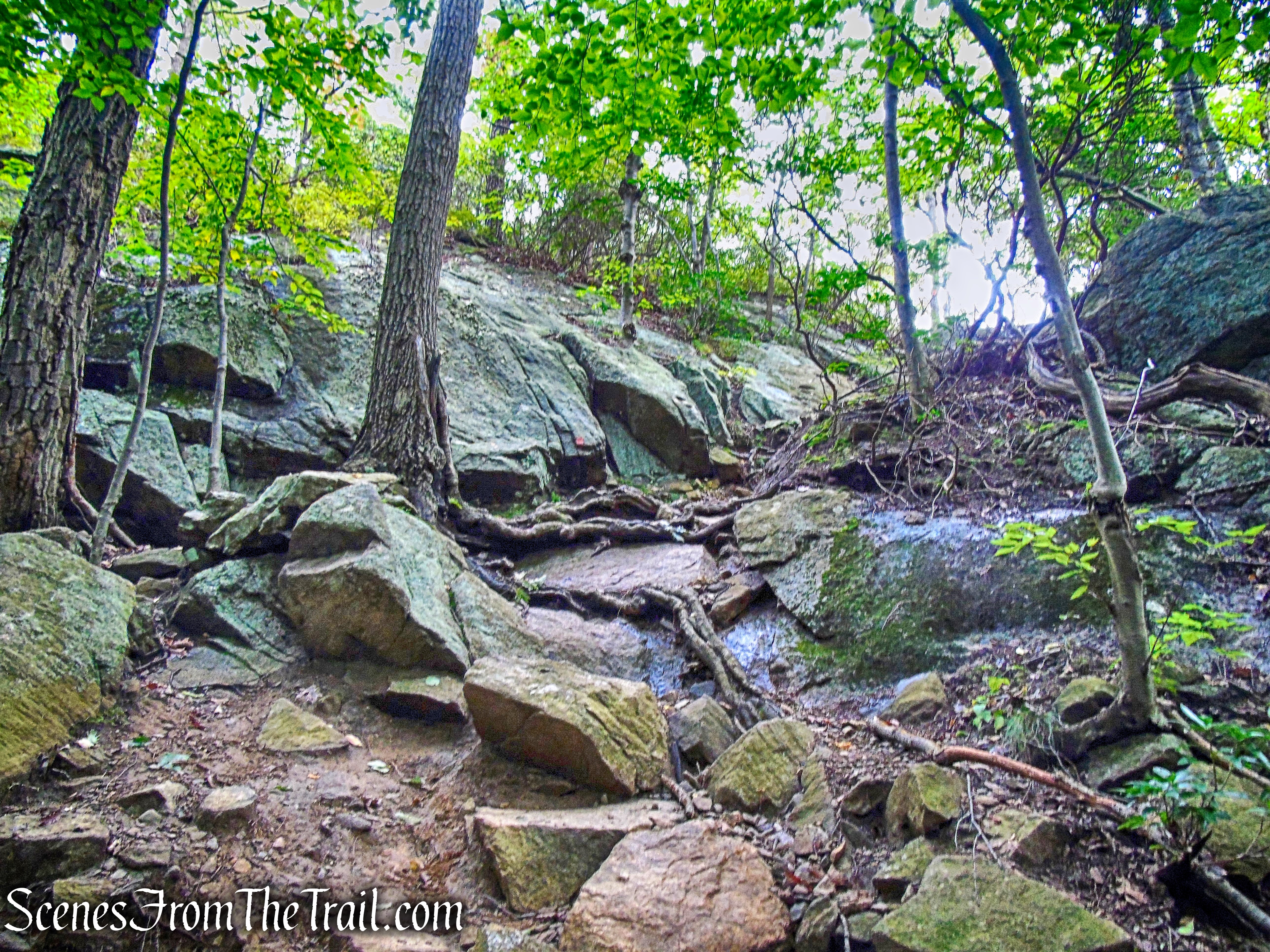
We slipped and slid numerous times as we made our way in an easterly direction around the face of the cliff. Since we left the trail too soon, we had to climb up to the mine.
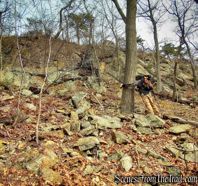
bushwack – Black Mountain
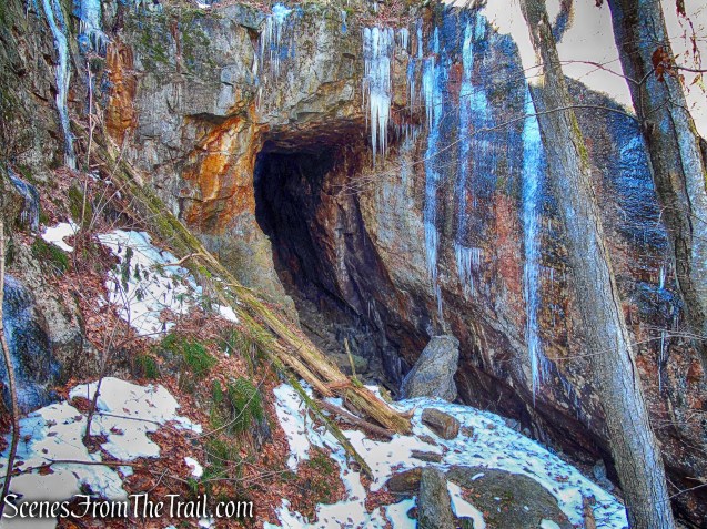
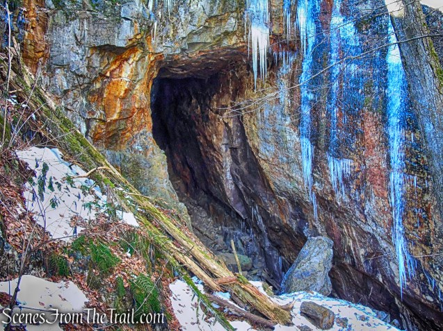
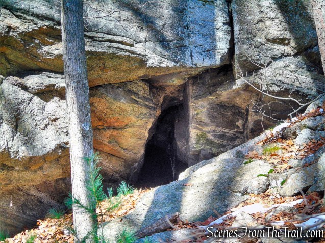
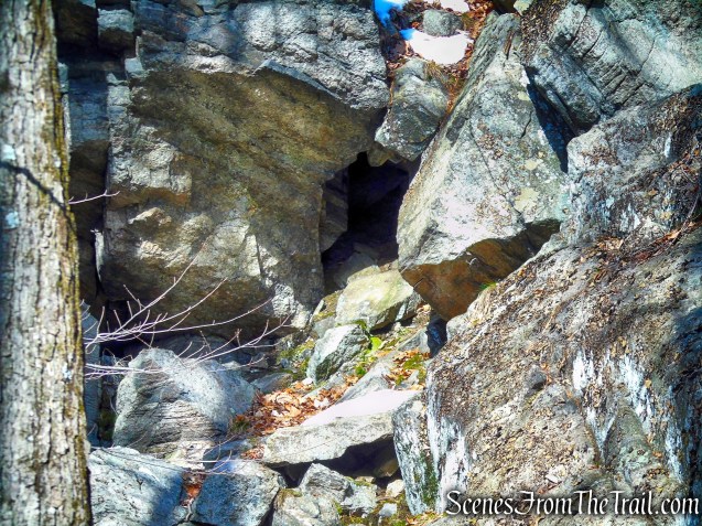
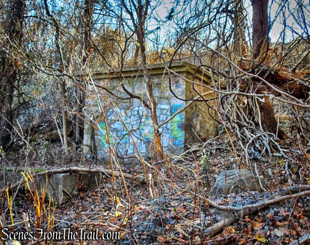
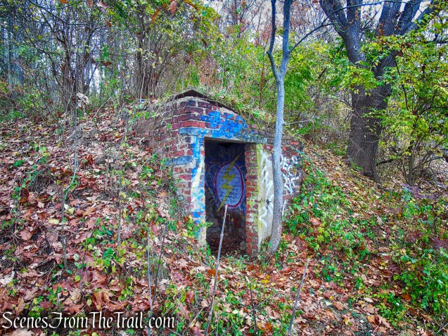
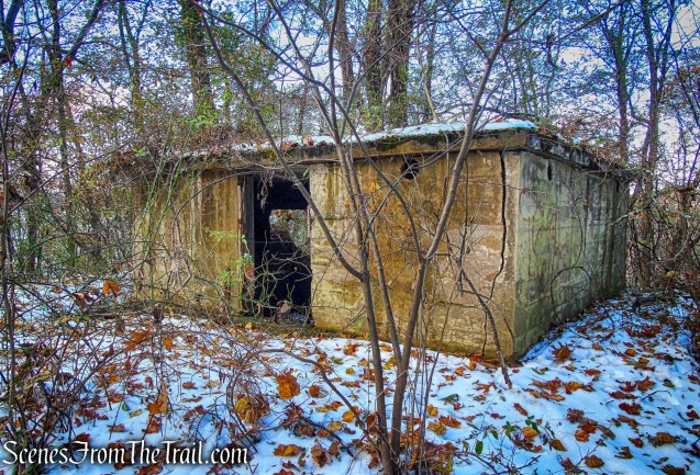
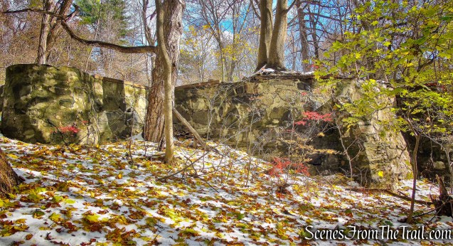
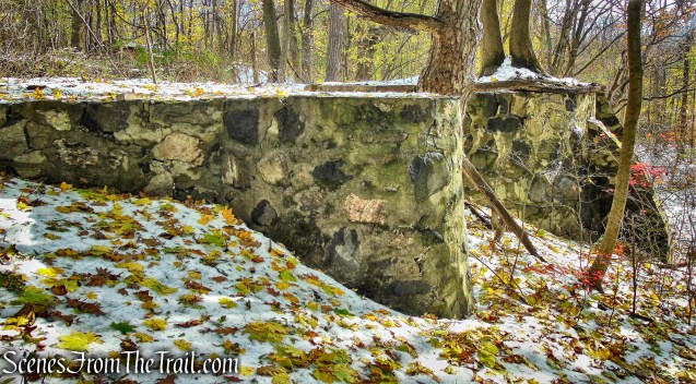
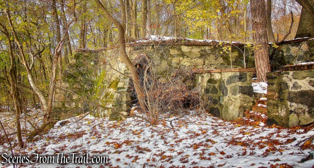
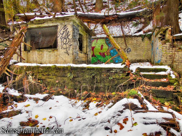
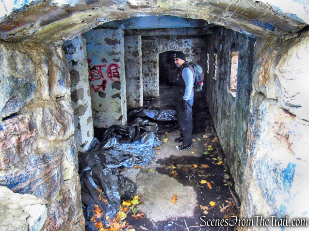
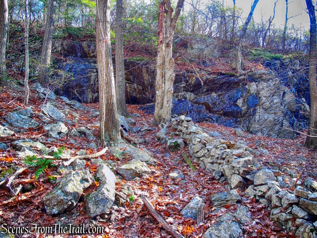
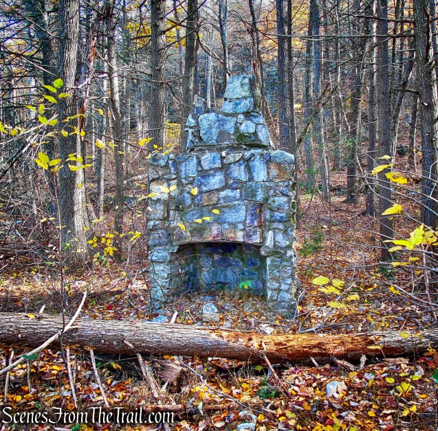
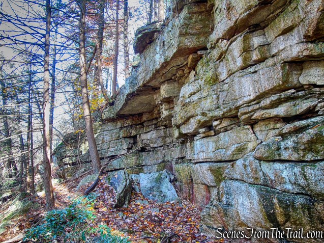
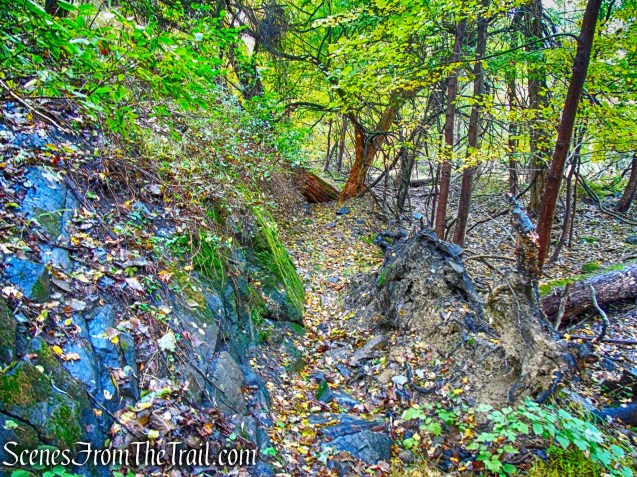
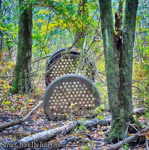
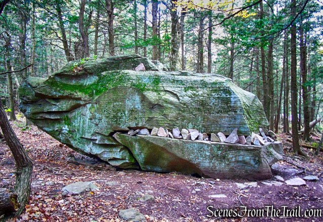
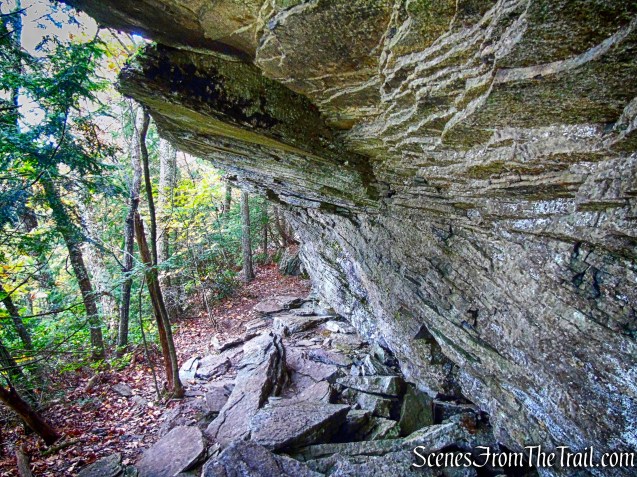
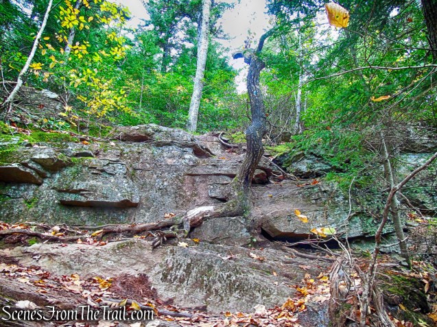
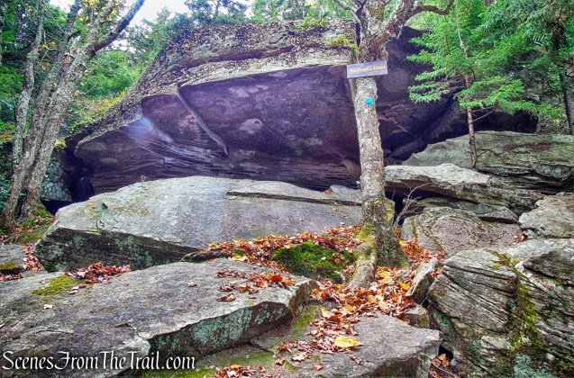
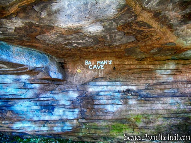
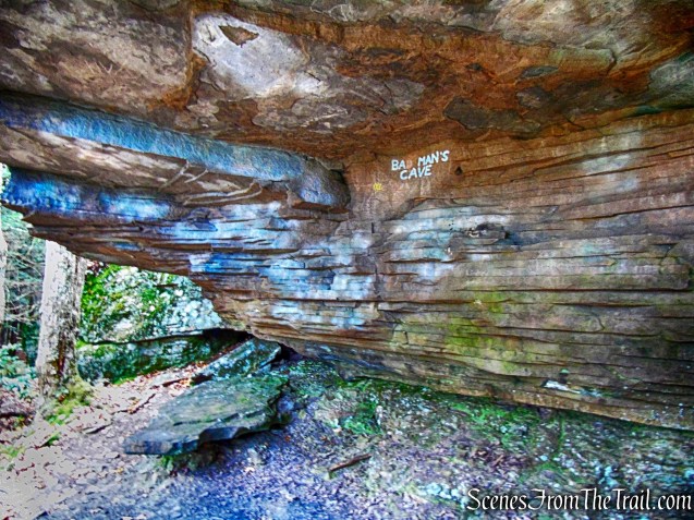
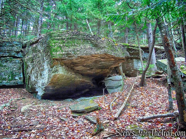
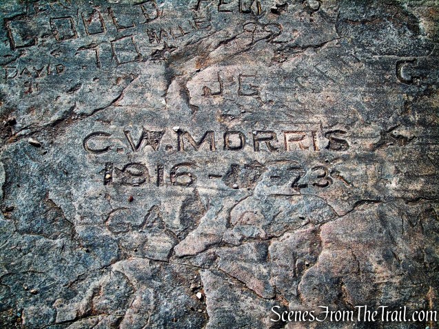
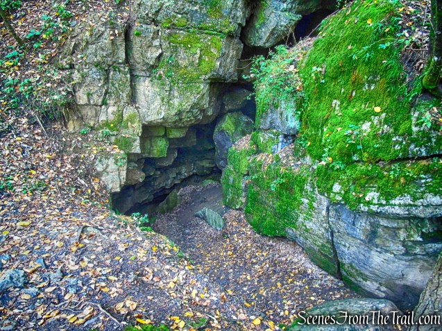
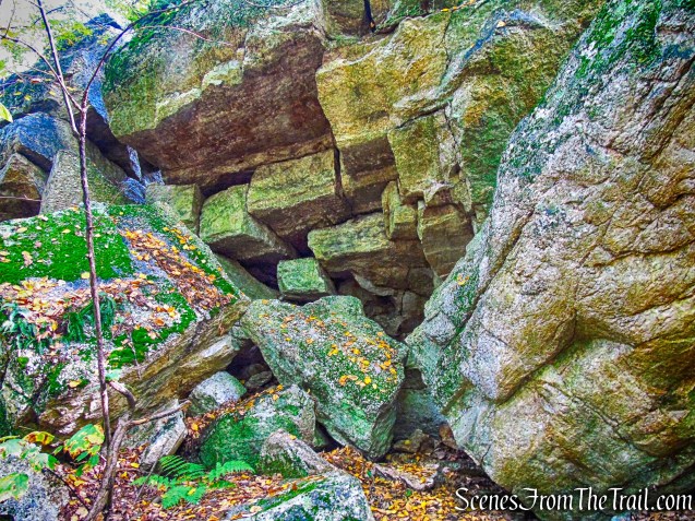
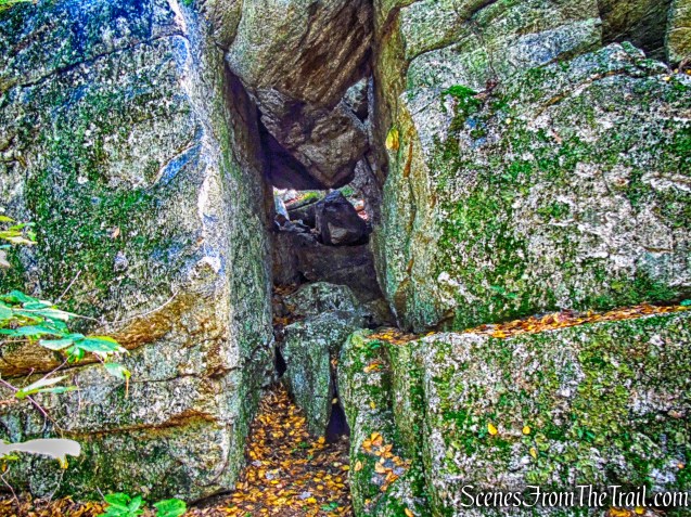
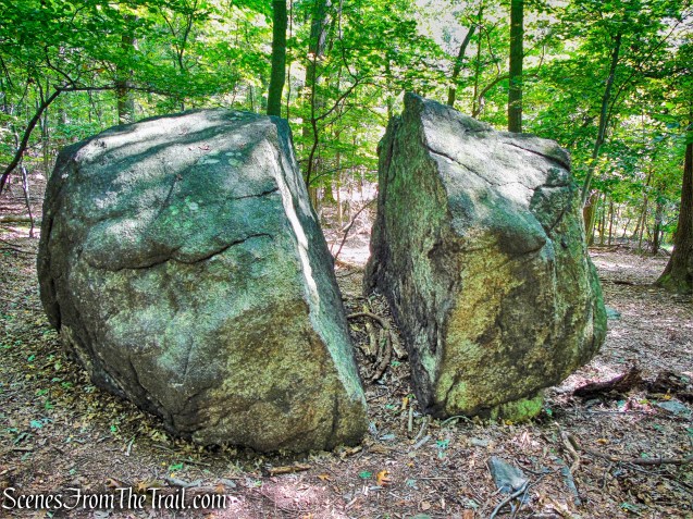
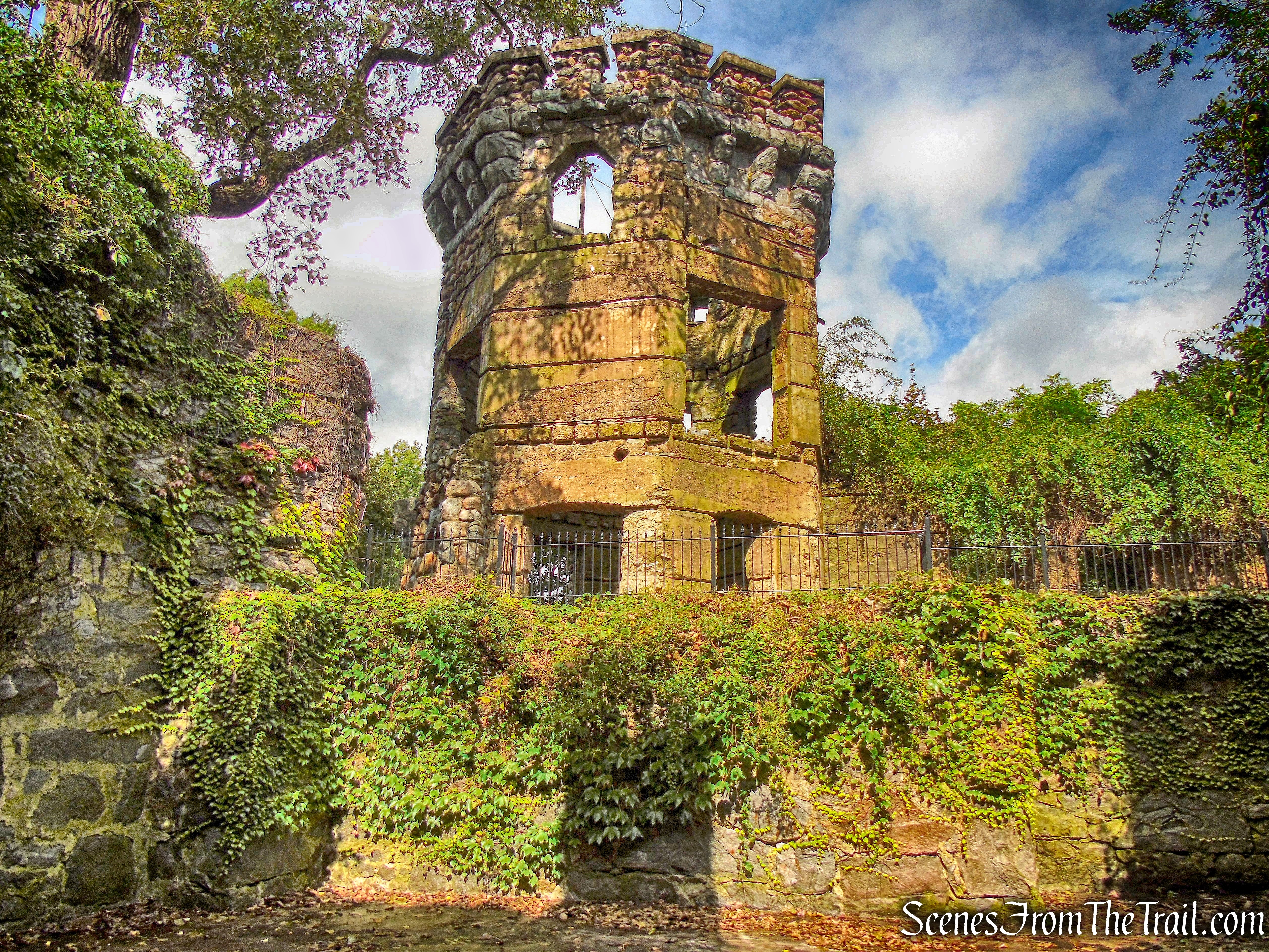
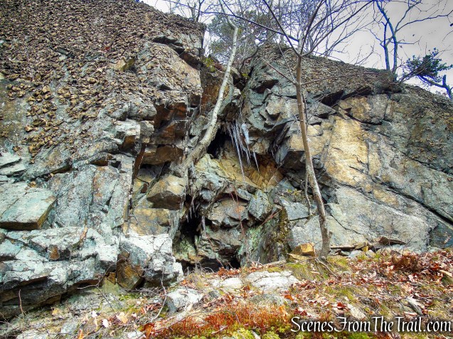
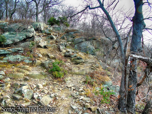
After about a 0.4 mile traverse of the talus slope, the Spanish Silver Mine was just above us. The opening is blasted into the rock of the mountain above the talus slope.
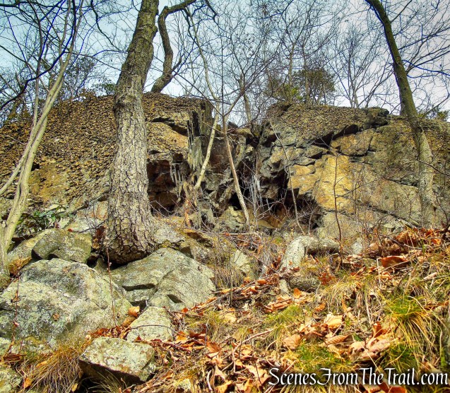
Spanish Silver Mine
The last few feet were not easy as it becomes very steep right in front of the adit.
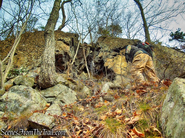
Spanish Silver Mine
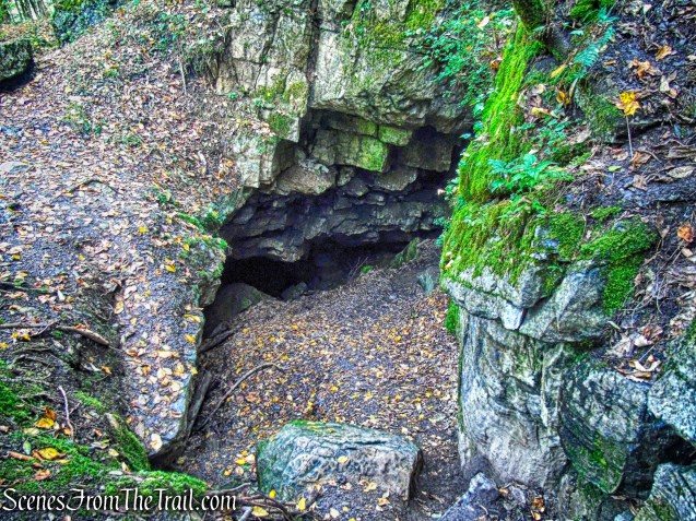
We climbed up to the mine to get a better look.
Spanish Silver Mine
This shaft is ten feet wide, nine feet high and penetrates some fifteen feet into the mountain.

Spanish Silver Mine
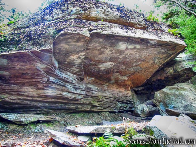
There is no real good spot to stand in front of it to capture a good image. A wide angle lens would come in handy here.
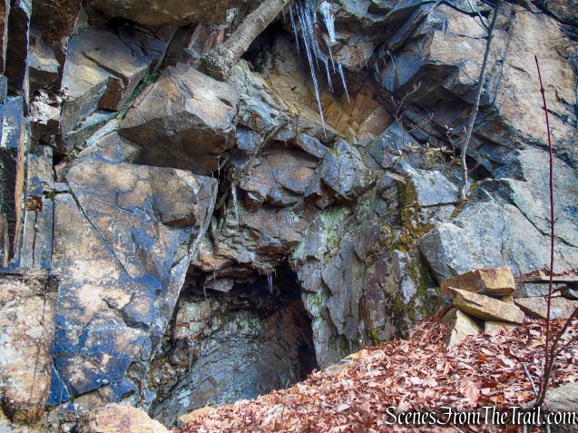
Spanish Silver Mine
From the location of the mine, I can’t imagine that it was ever intended to be worked. There is no easy access to it, which would have made transporting any minerals extremely difficult. I tend to believe that the opening was created to serve as a hiding spot rather than to mine silver.
Spanish Silver Mine
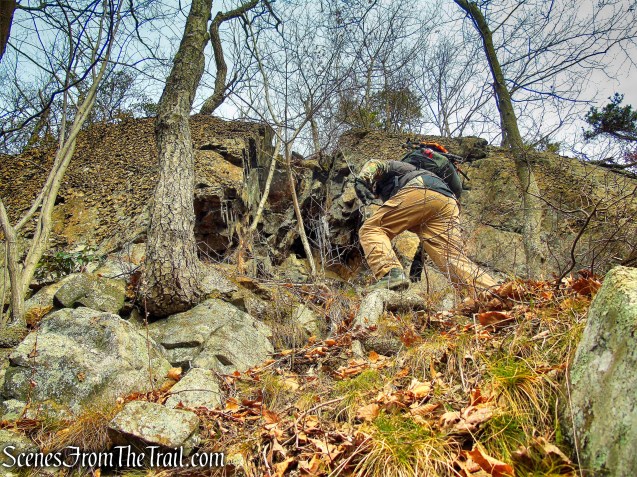
Mission now complete, we had to make our way back to the trail. We headed in a northerly direction alongside the cliff face.
bushwack – Black Mountain
We made our way around the the cliff, still slipping and sliding along the way, and made our way up towards the summit.
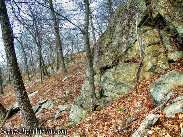
bushwack – Black Mountain
The mine is only about 215 feet from the trail, and about 100 vertical feet below the summit. This is where we rejoined the joint AT/R-D Trail and would have been a better approach as well.
joint AT/R-D Trail
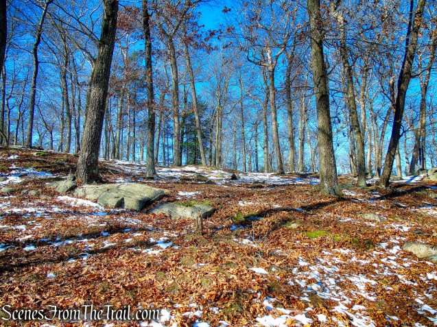
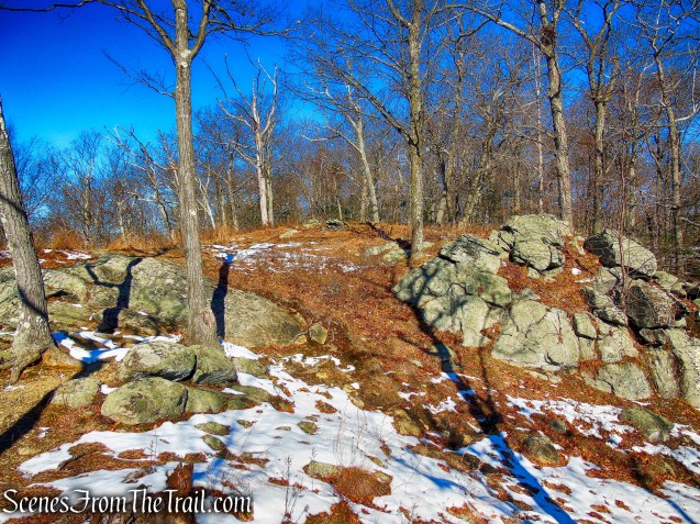
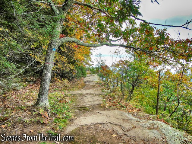
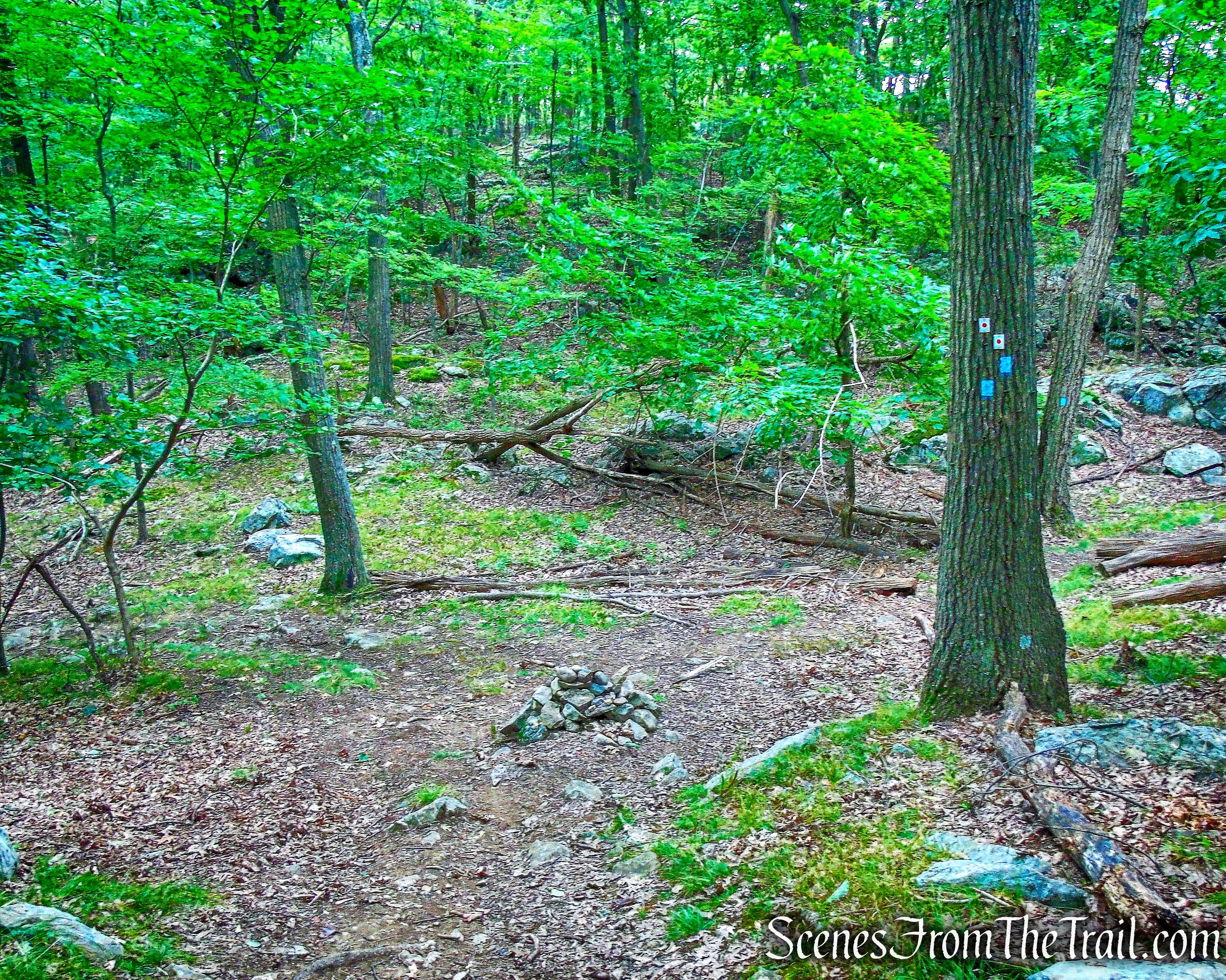
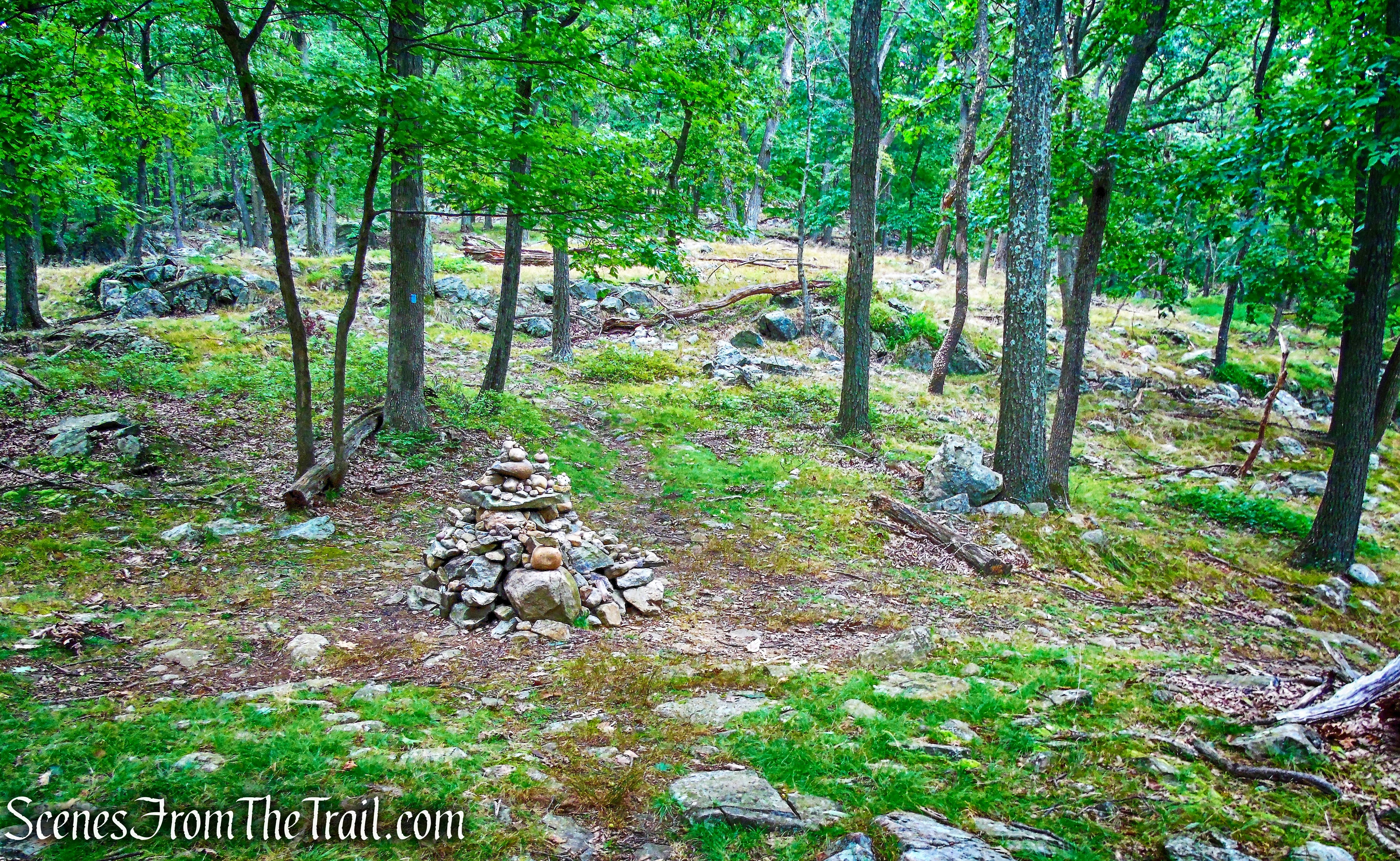
We were within feet of the summit, so we scrambled up towards it,
joint AT/R-D Trail
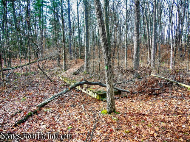
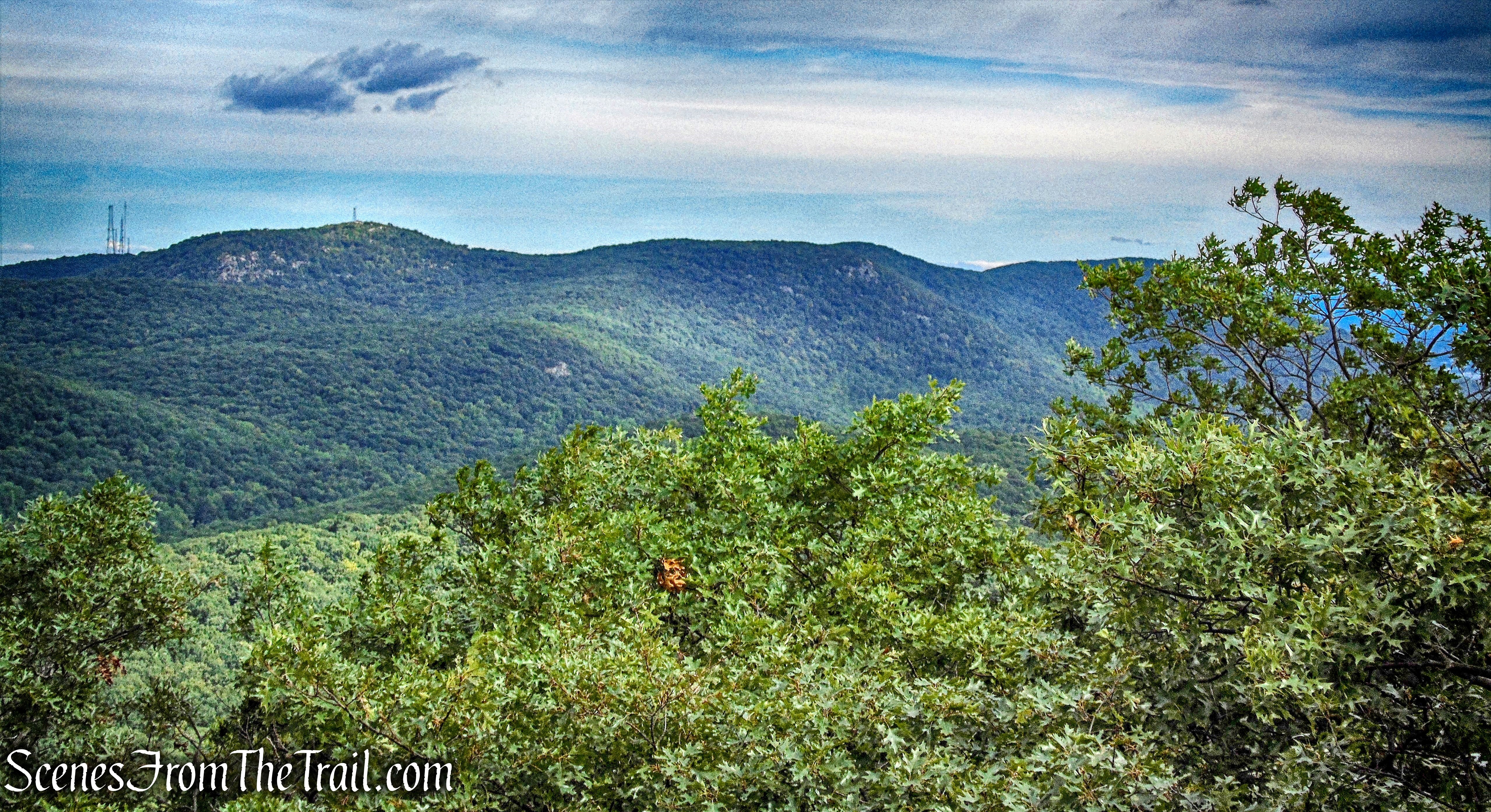
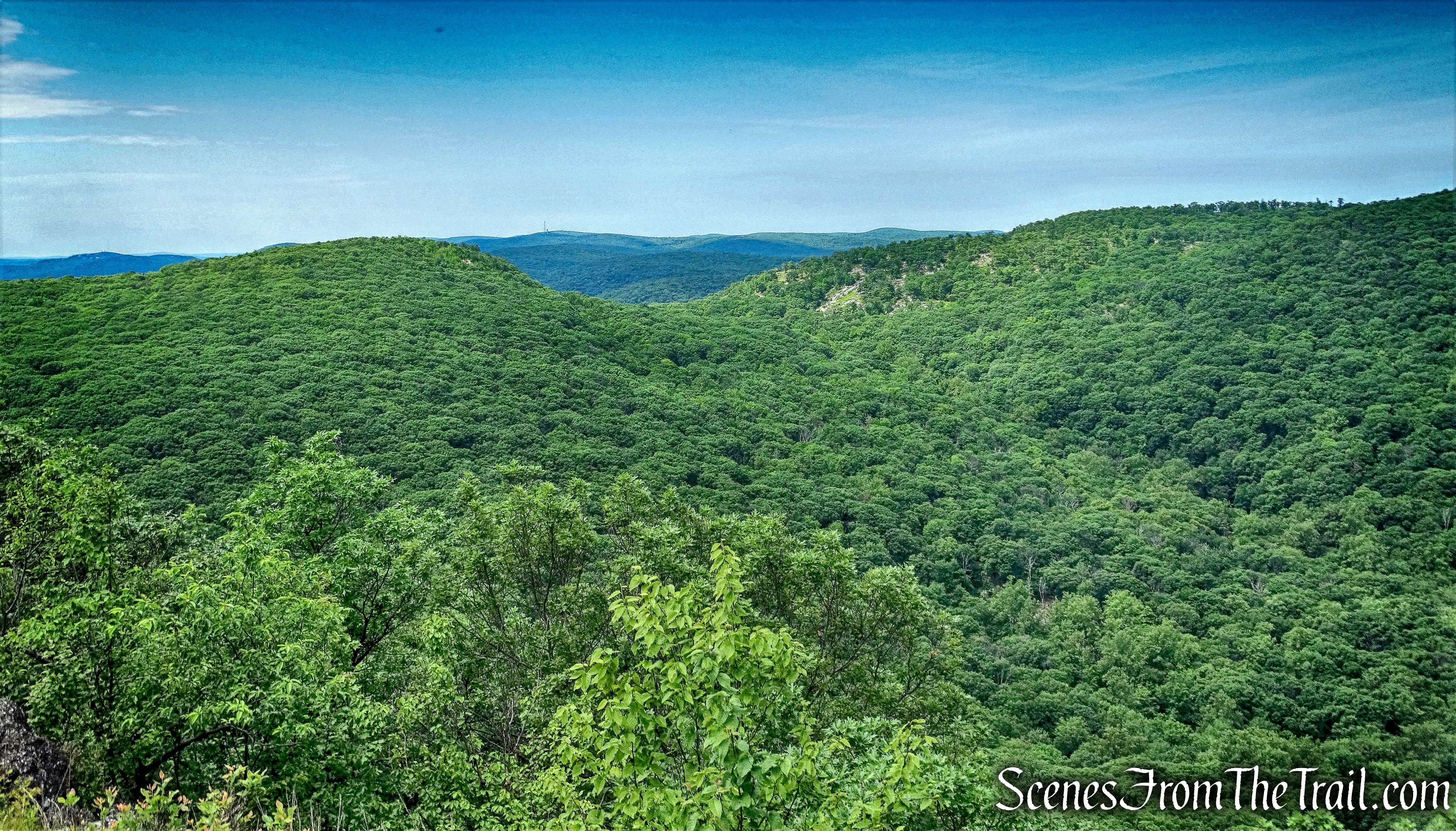
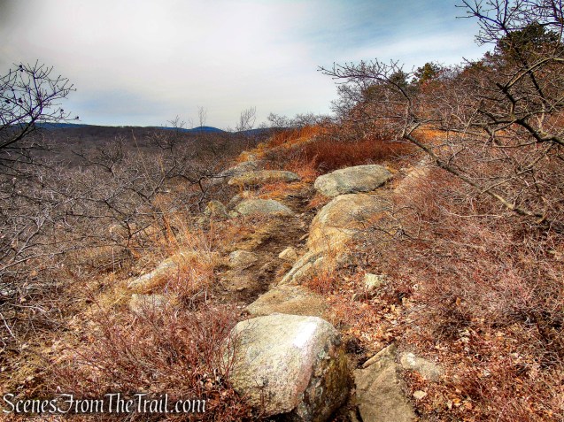
and continued southeast along the ridge.
joint AT/R-D Trail
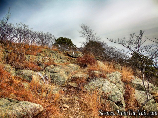
joint AT/R-D Trail
No foot traffic in this area, which was nice.
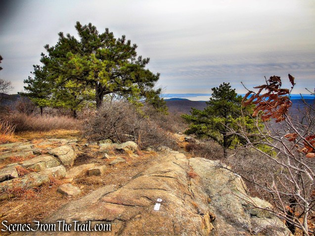
joint AT/R-D Trail
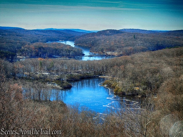
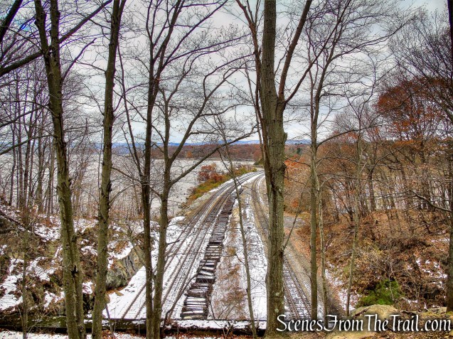
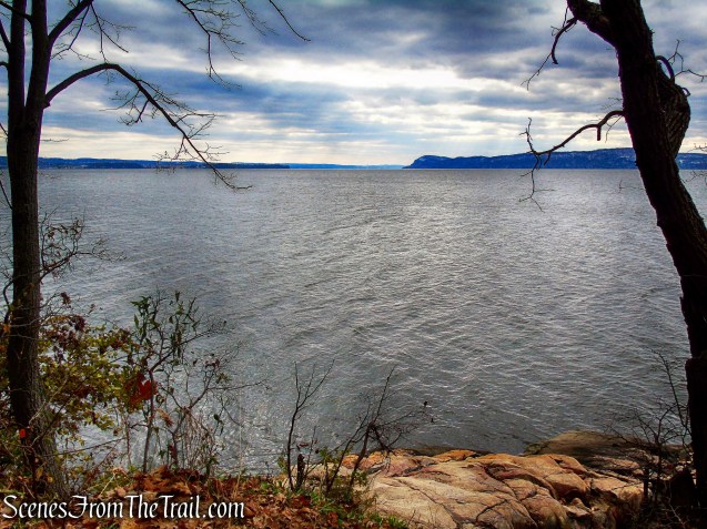
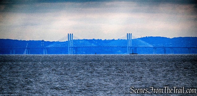
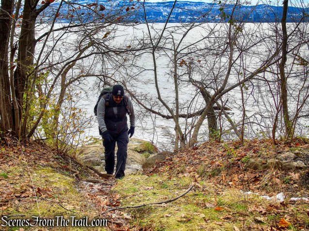
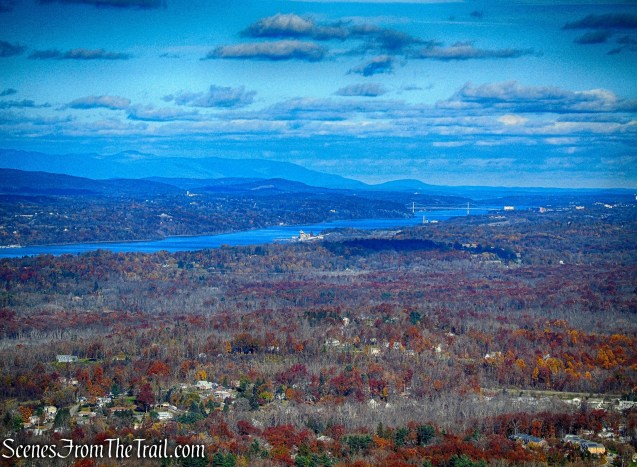
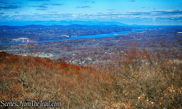
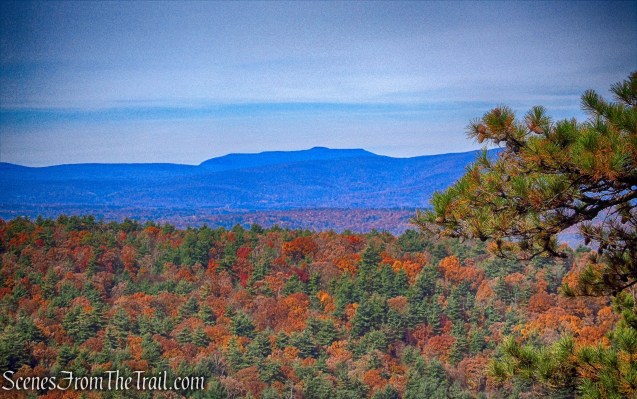
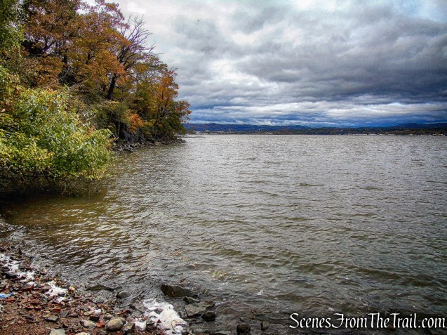
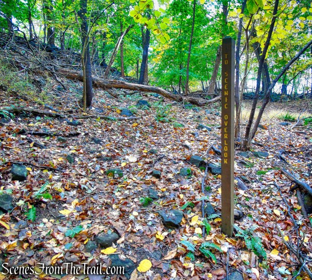
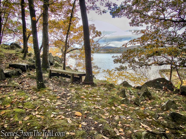
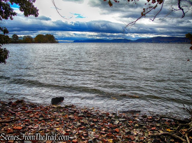
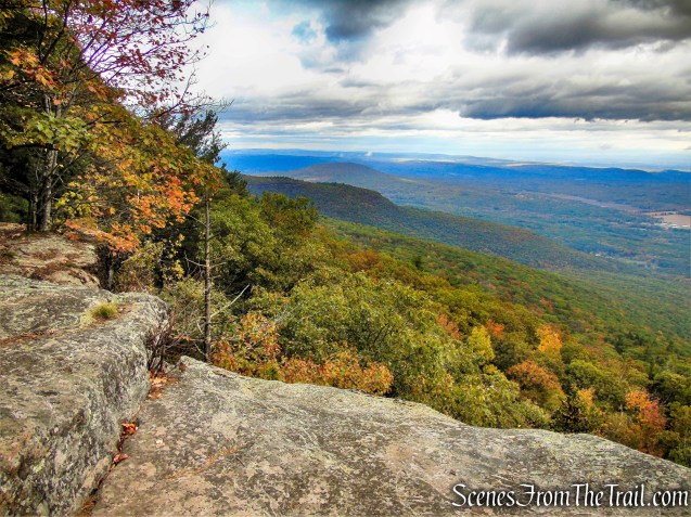
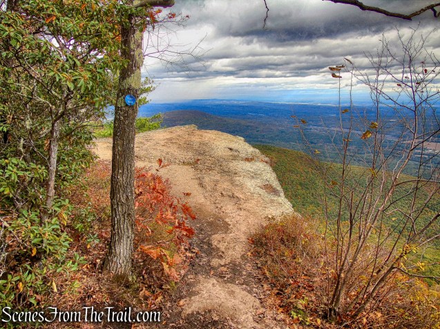
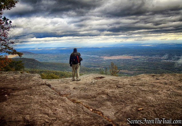
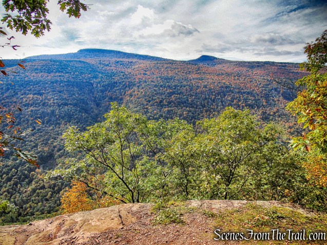
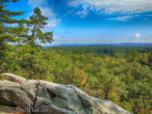
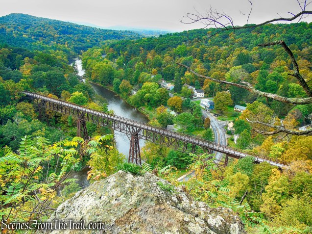
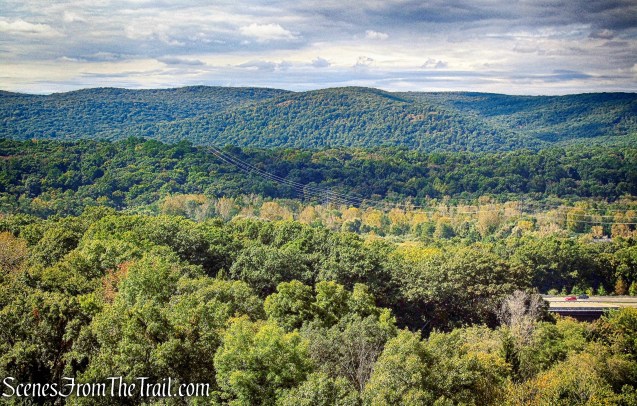
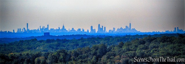
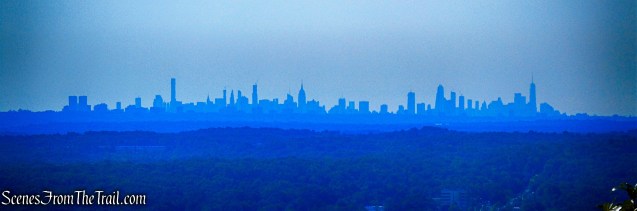
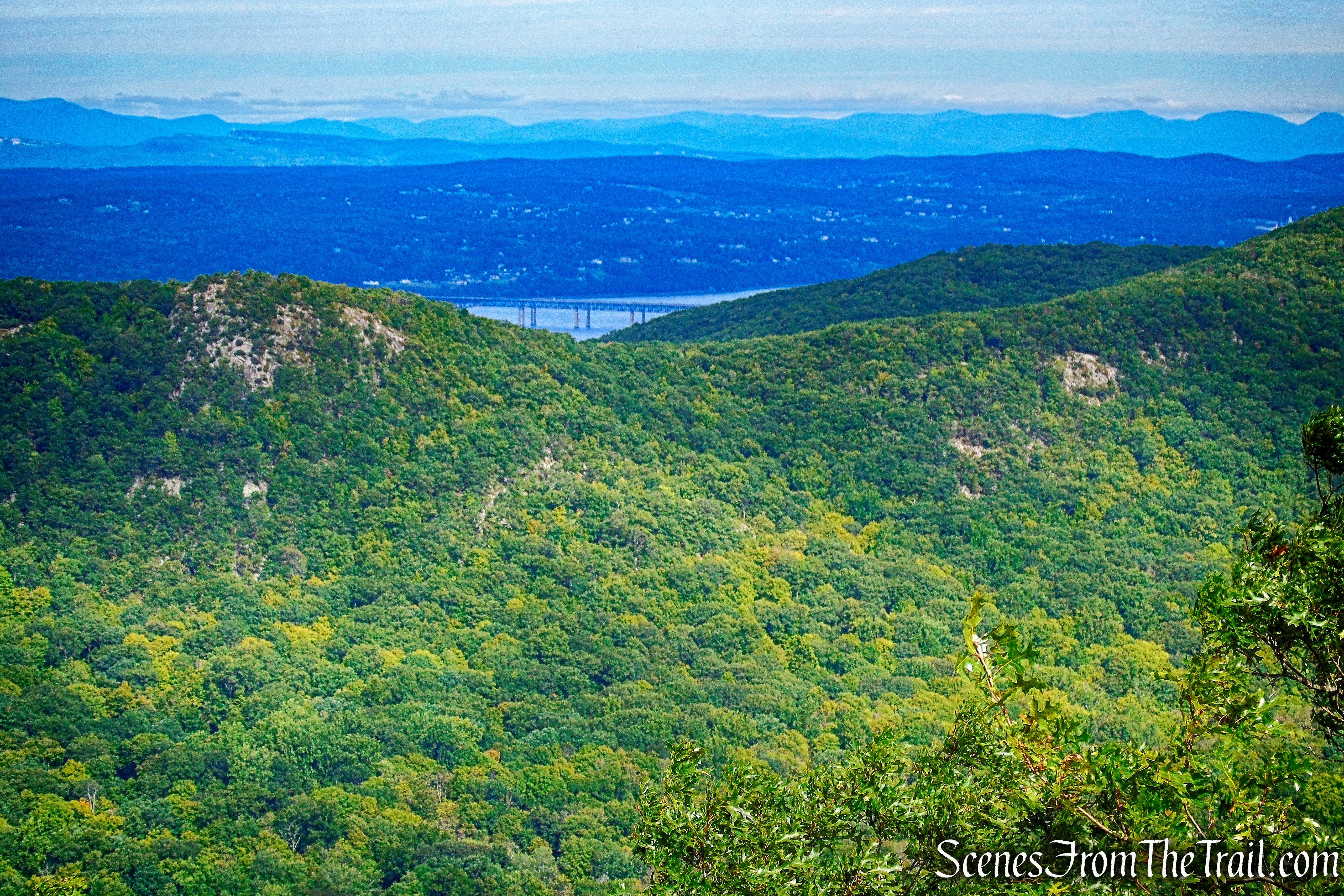
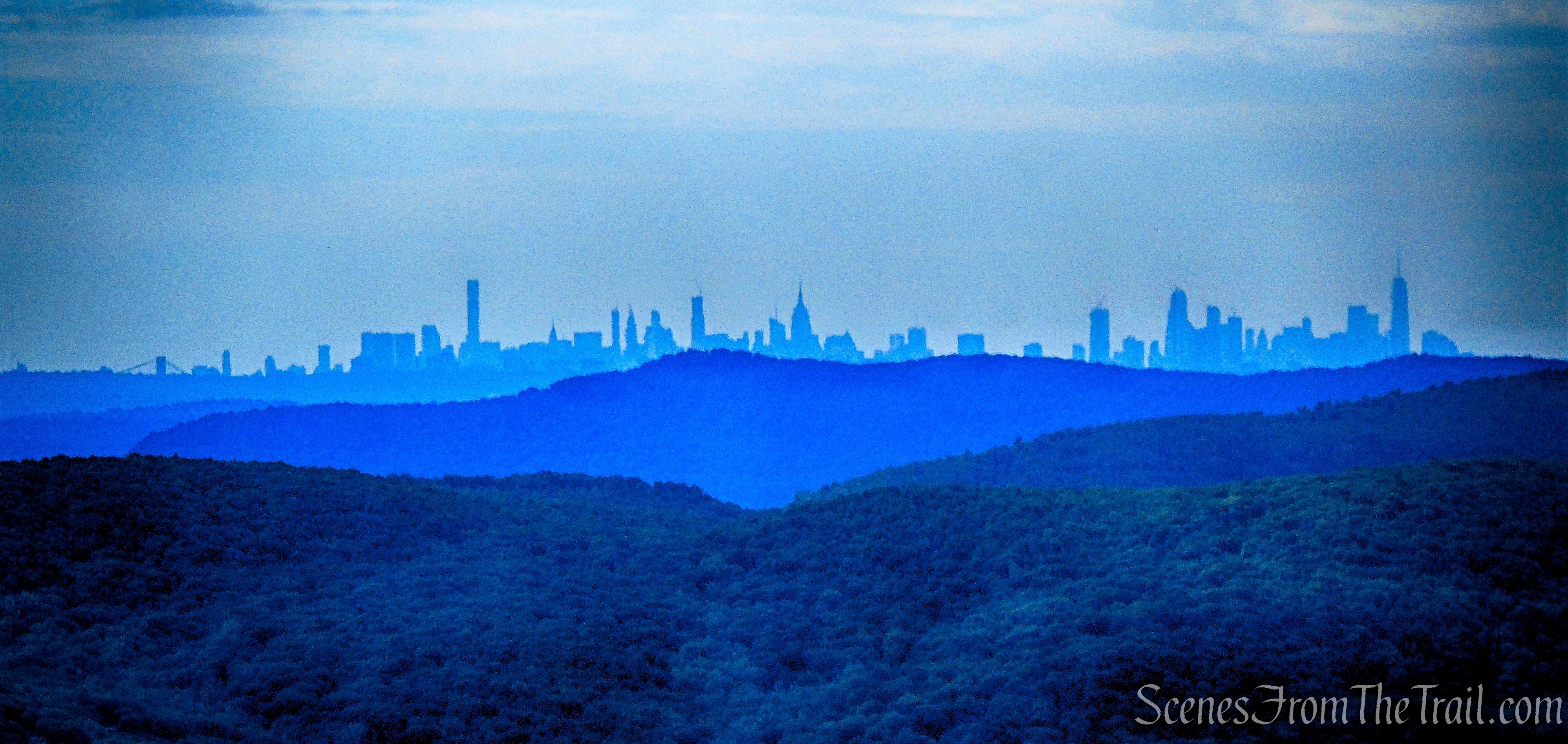
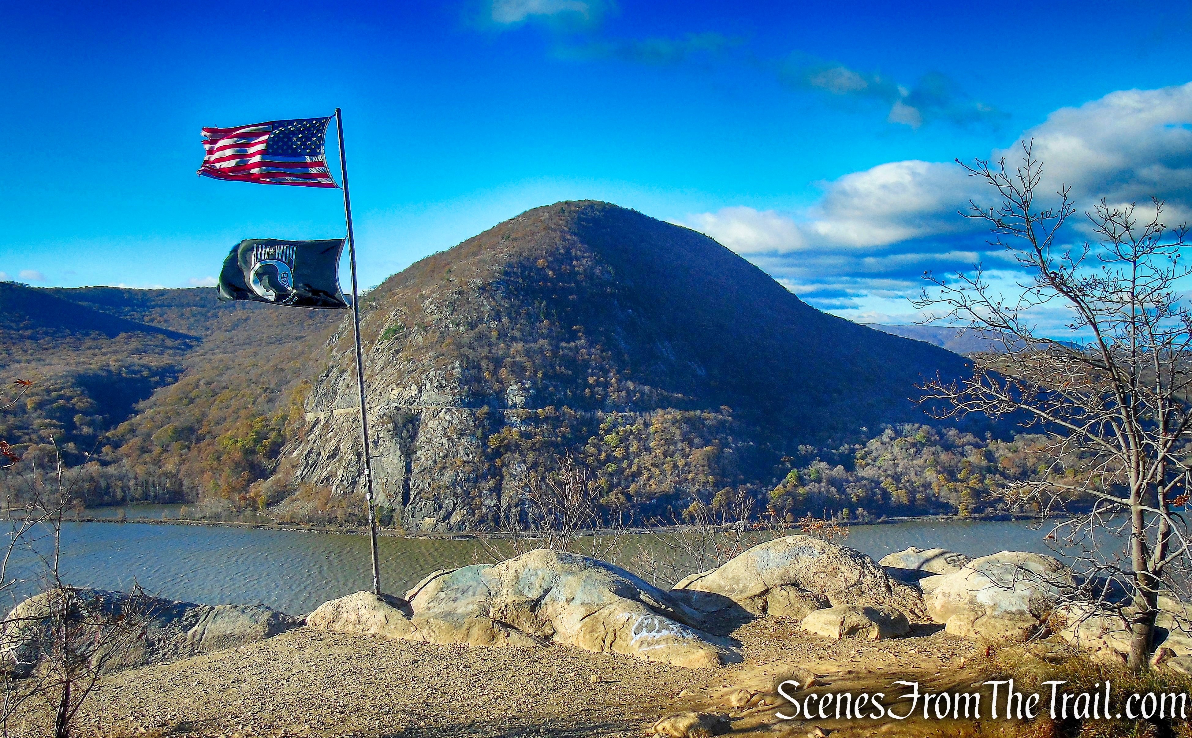
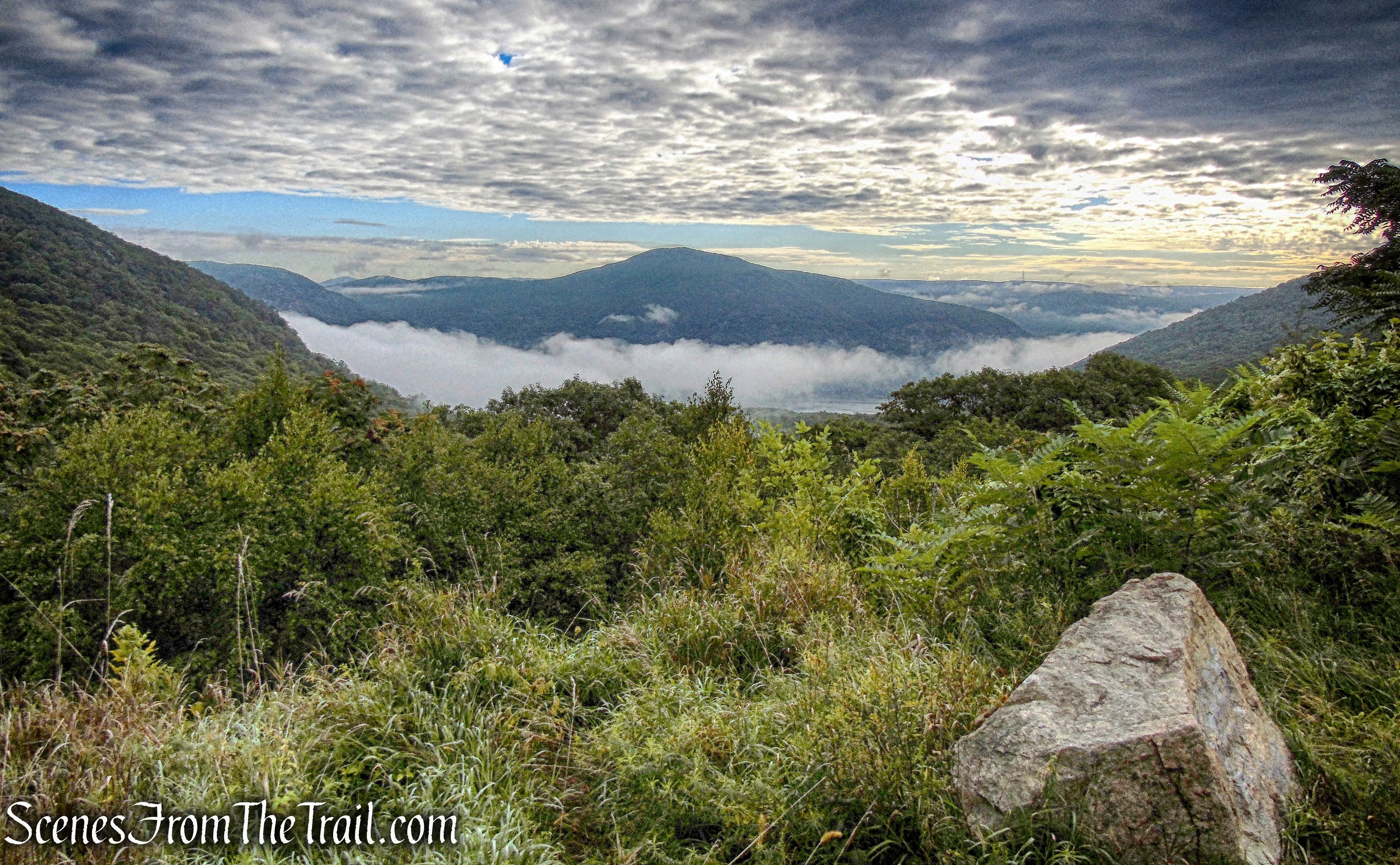
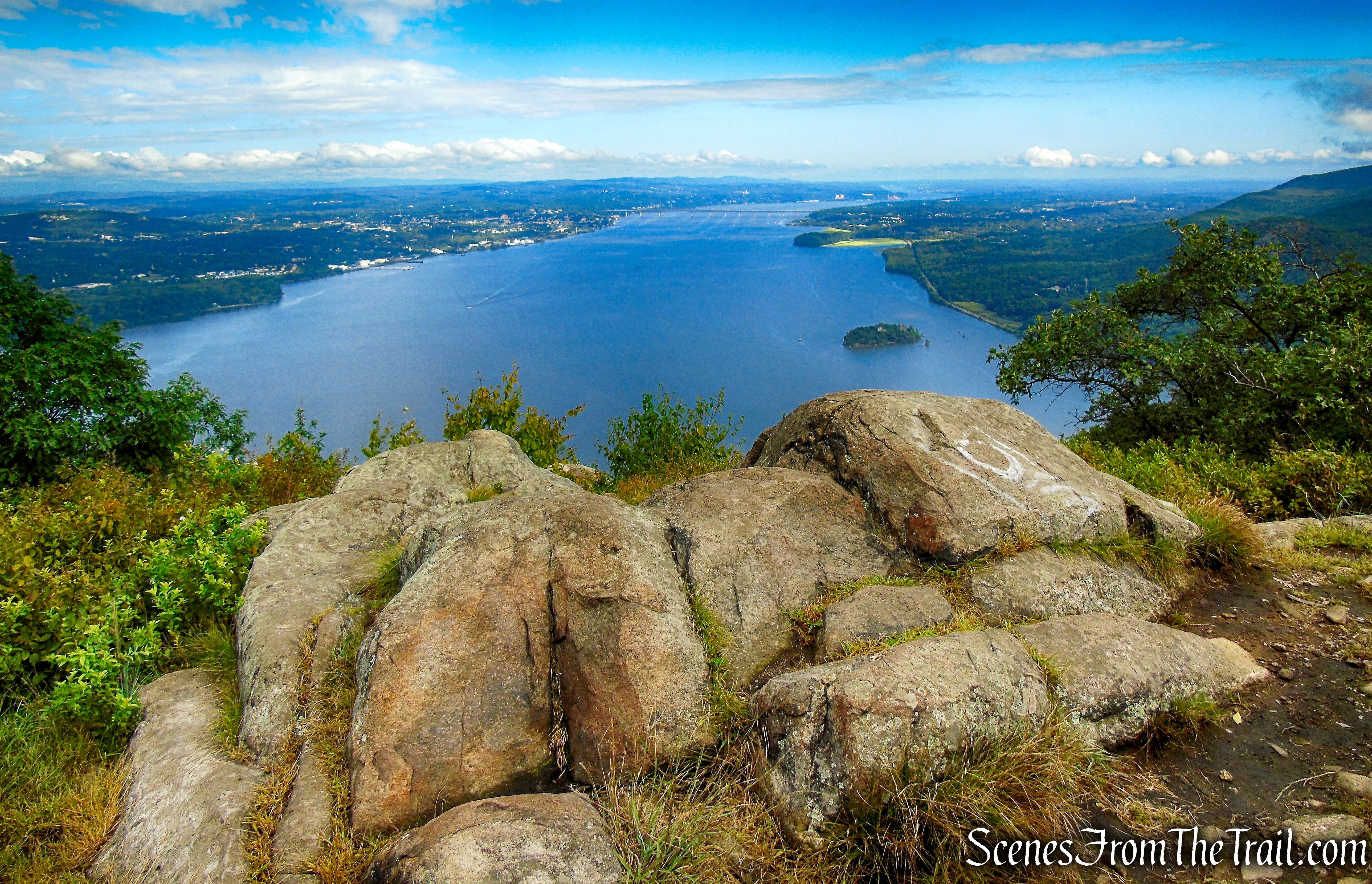
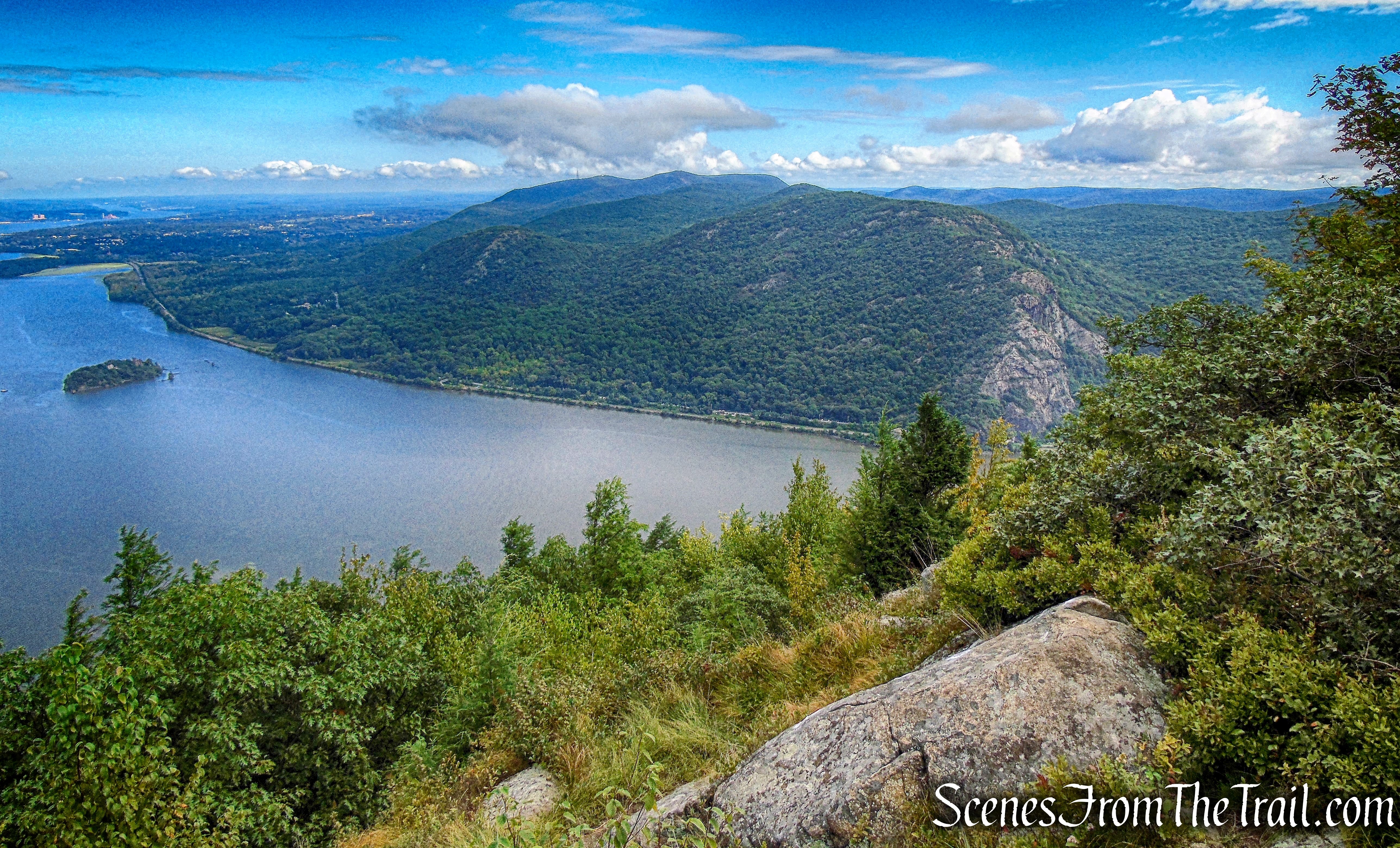
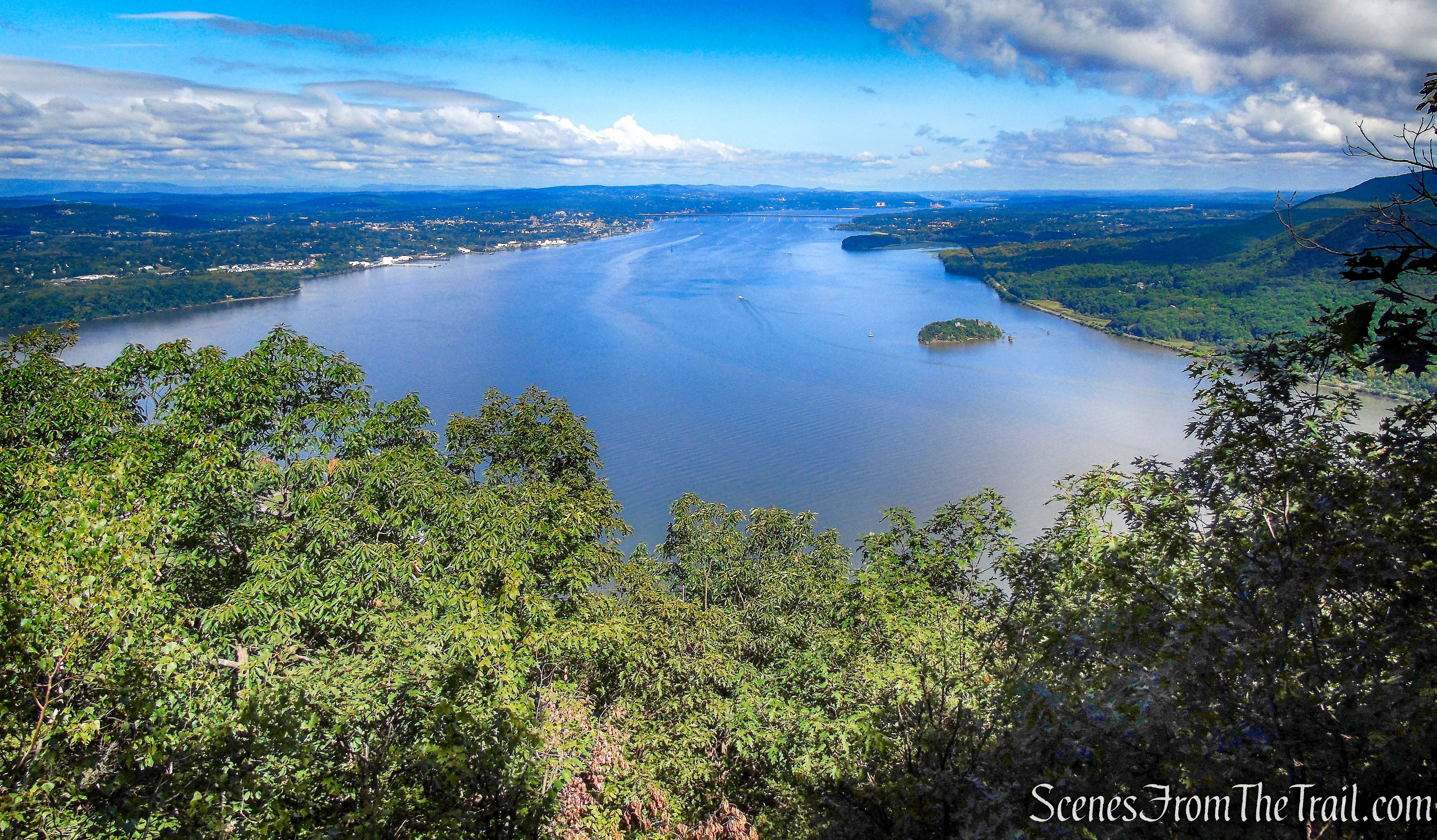
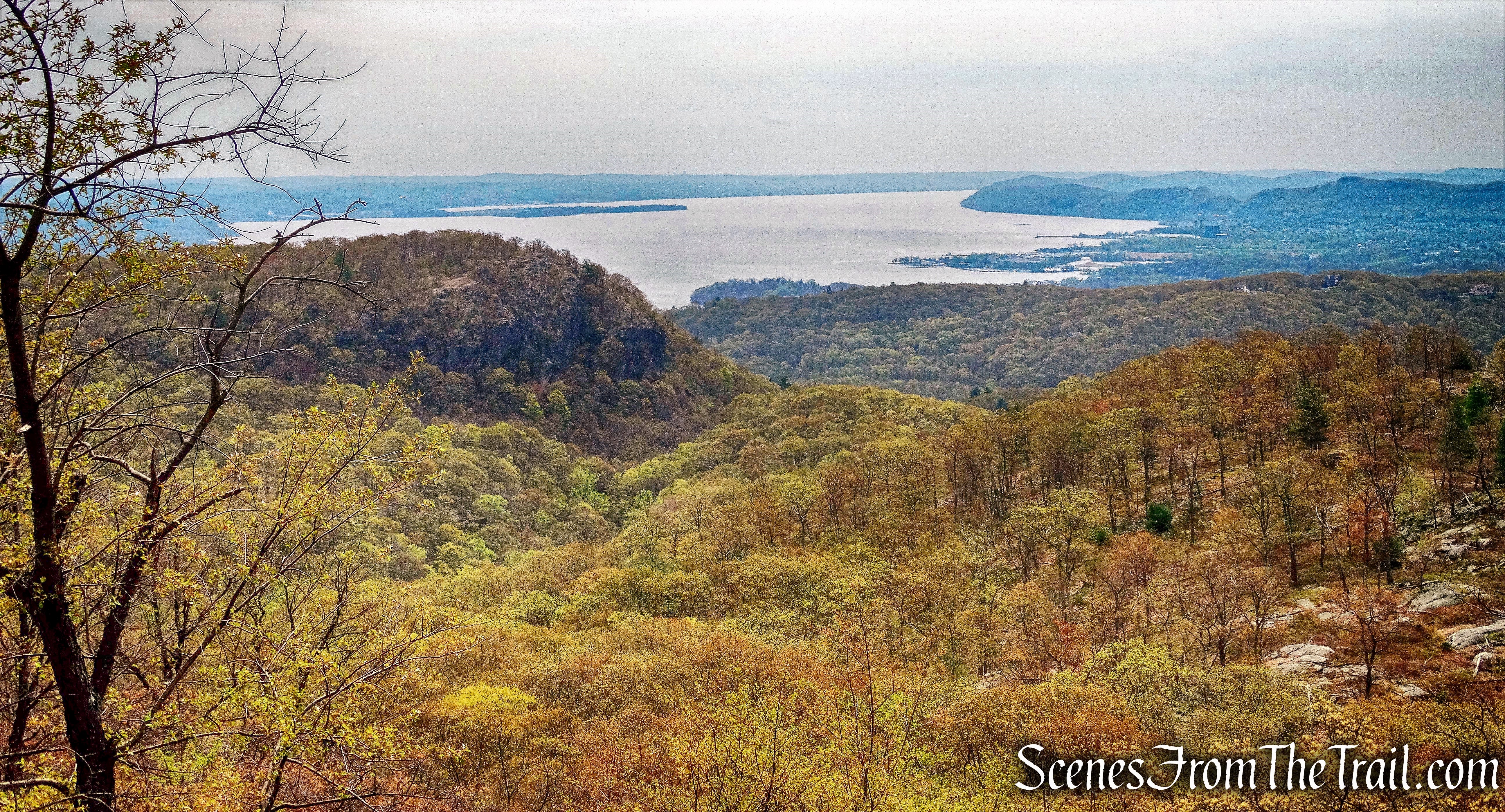
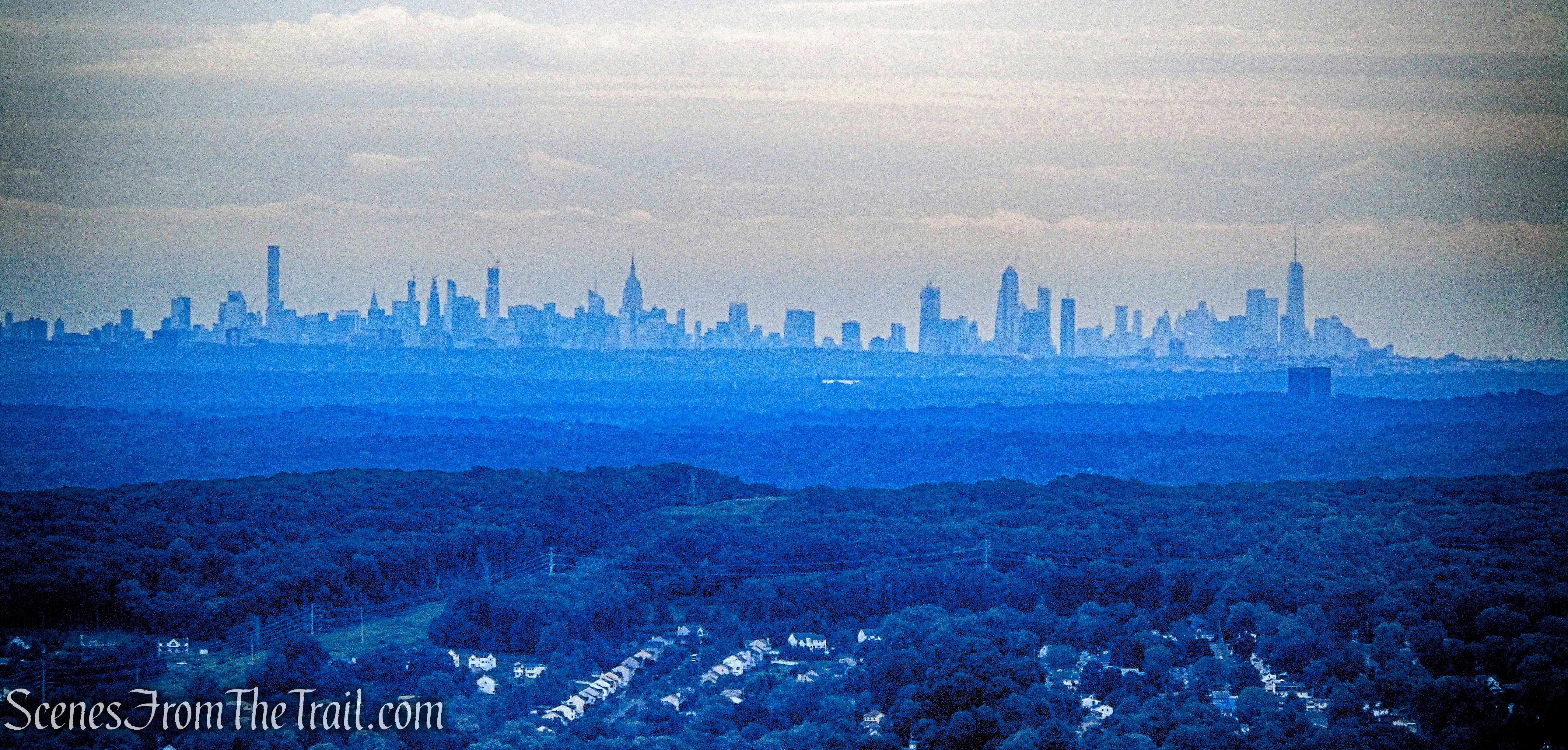
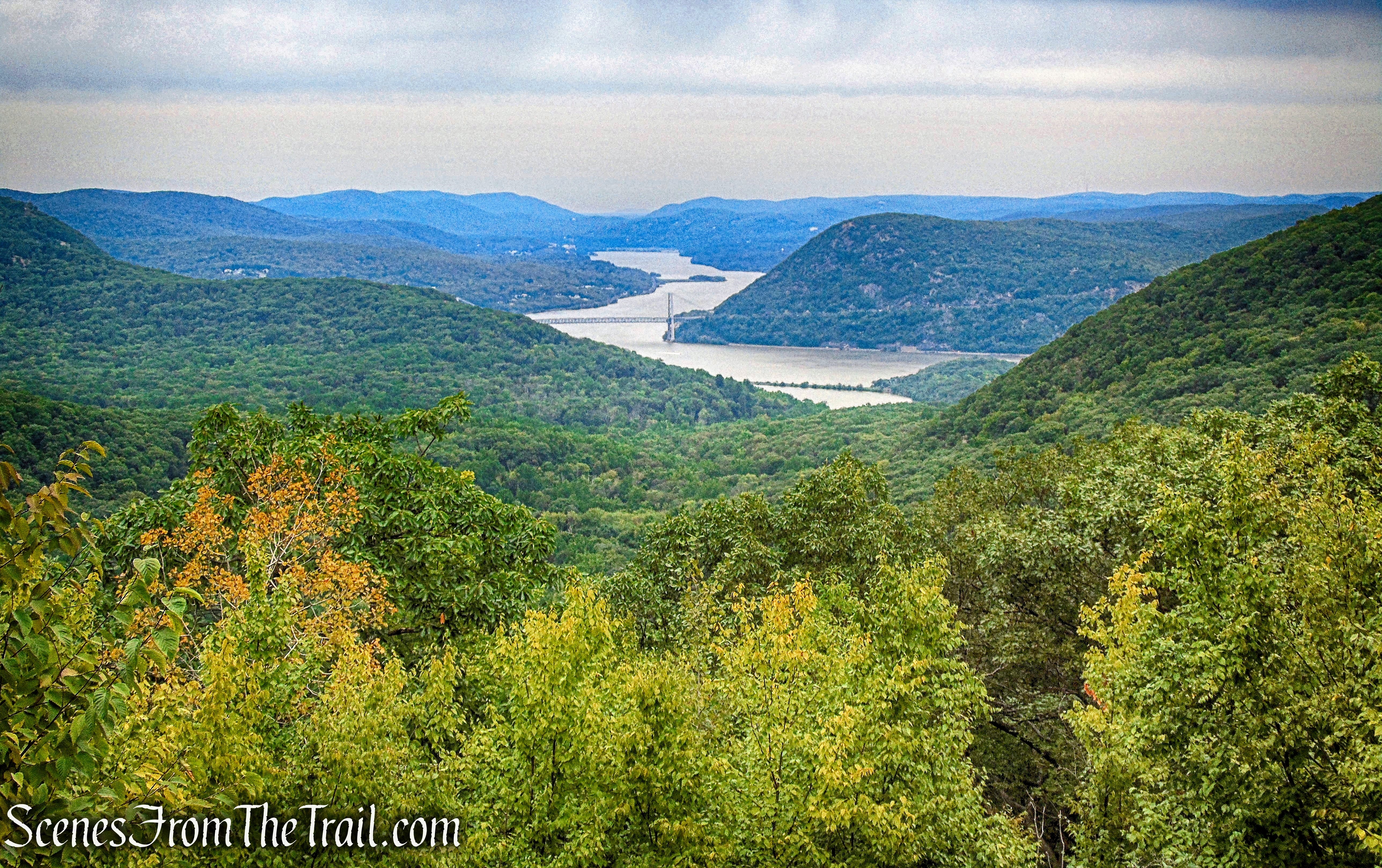
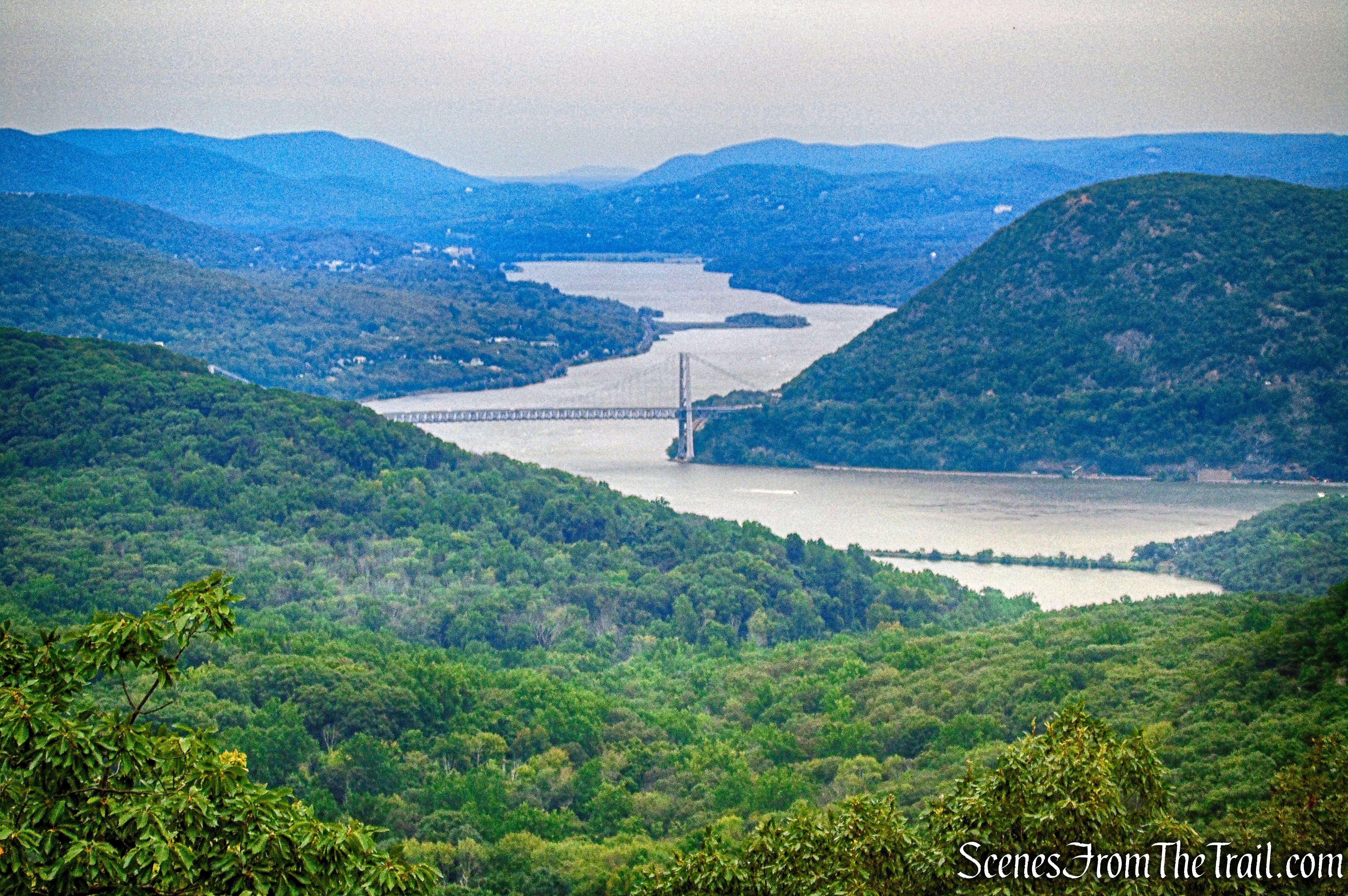
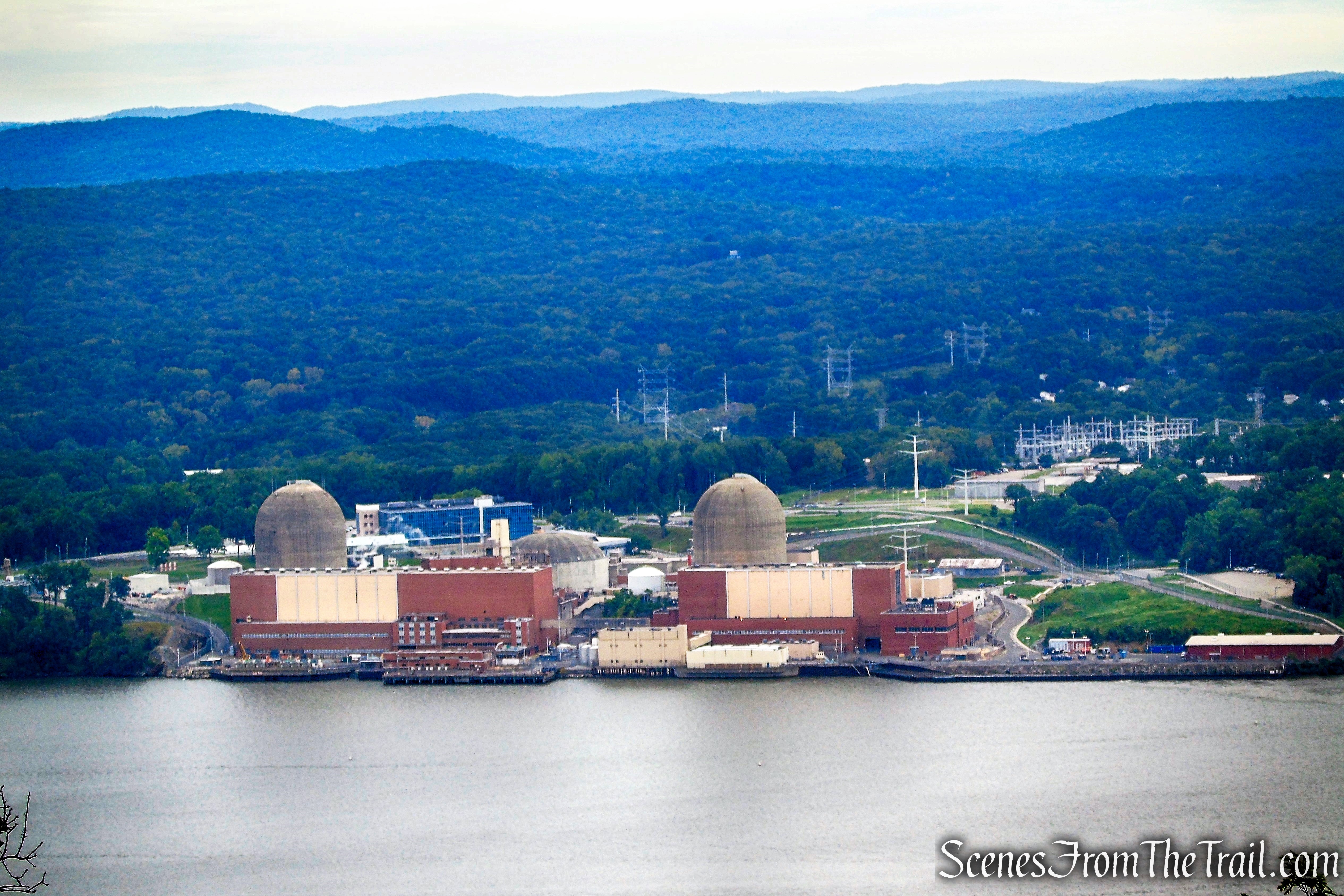
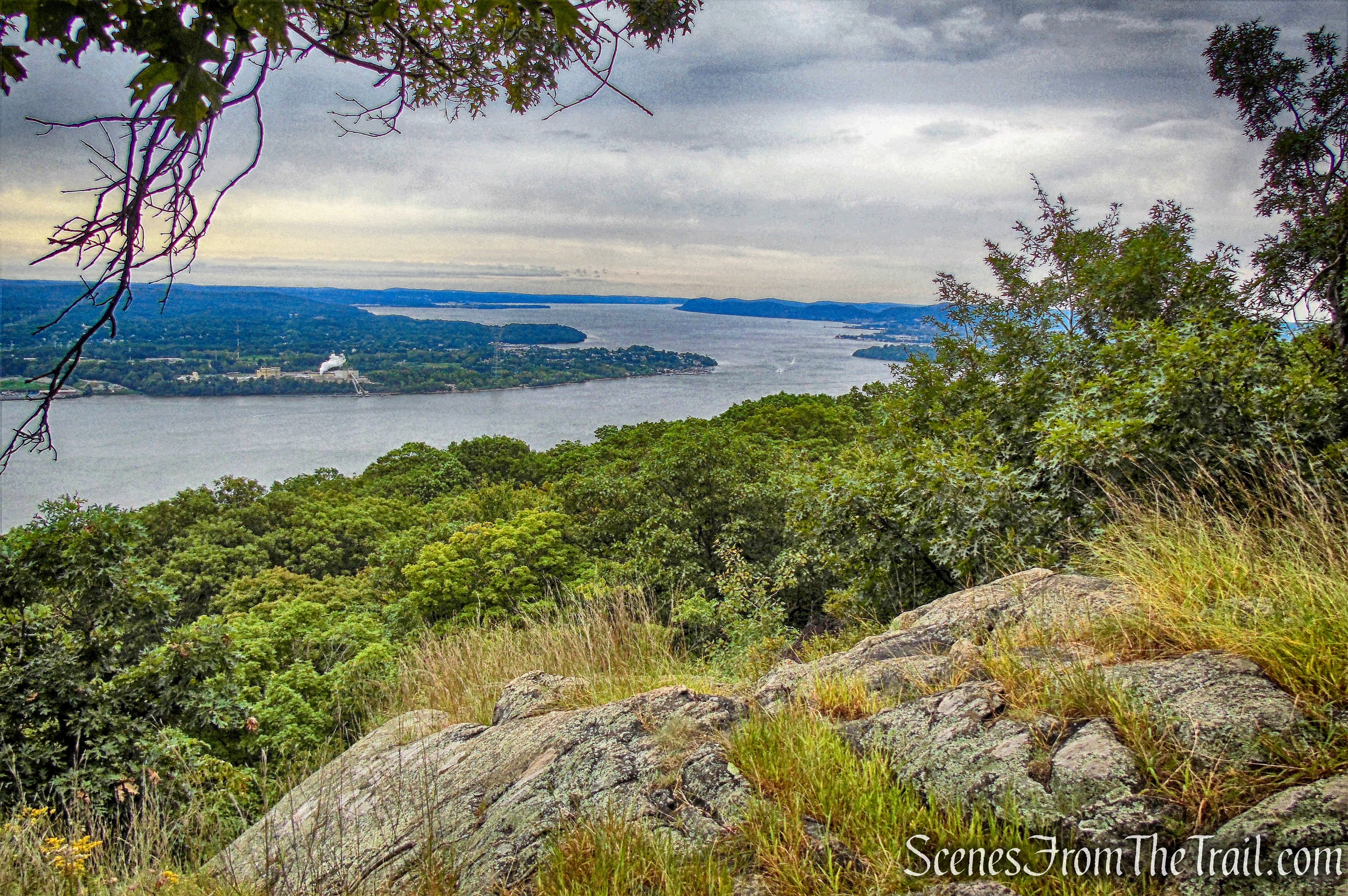
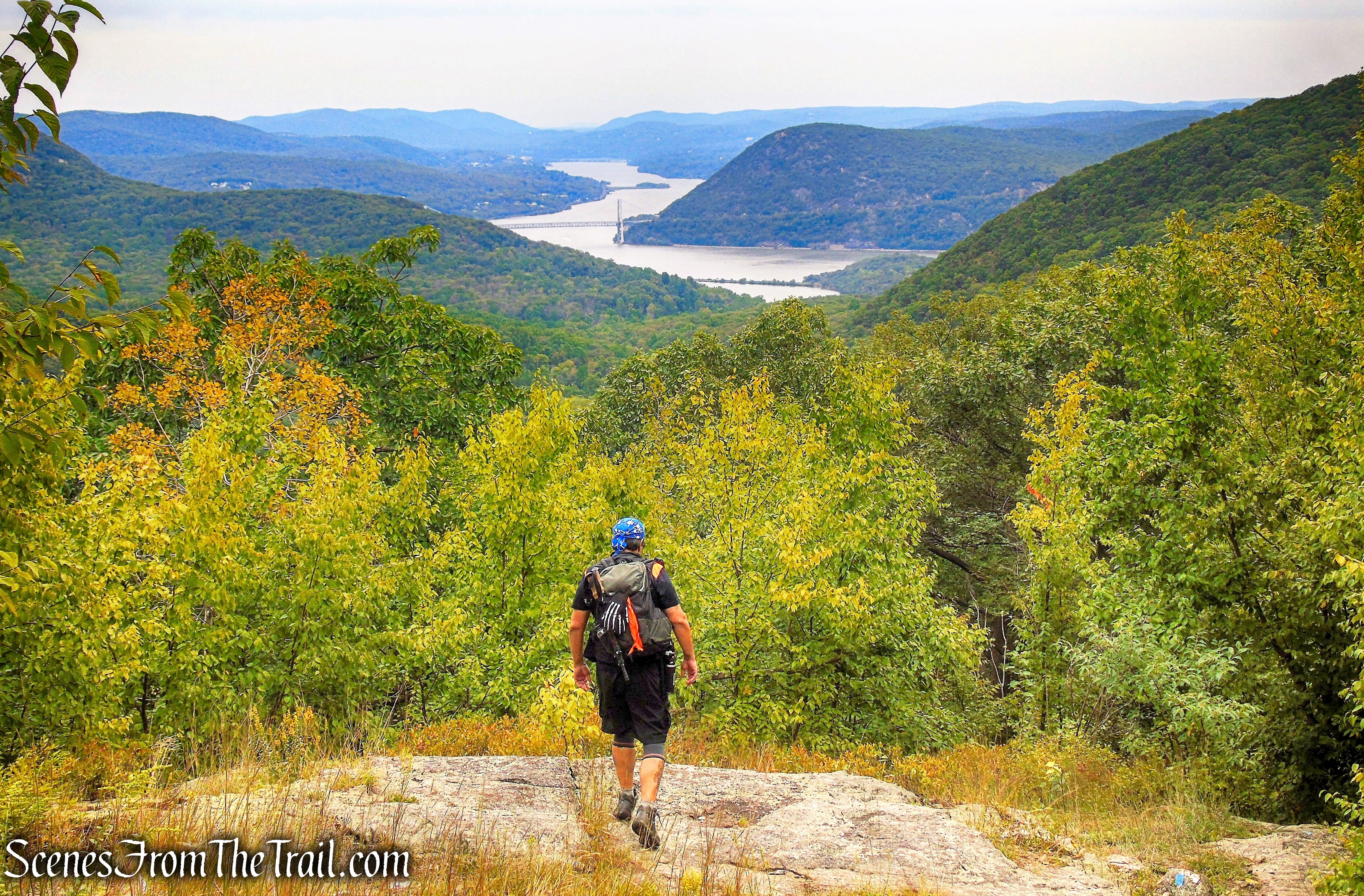
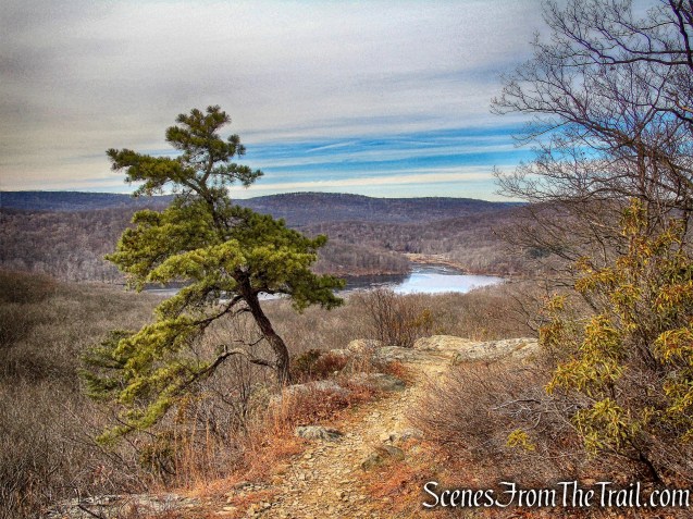
In a short distance we came to a viewpoint over the Hudson River, with the Palisades Interstate Parkway almost directly below.
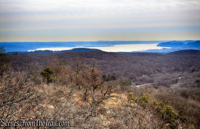
joint AT/R-D Trail
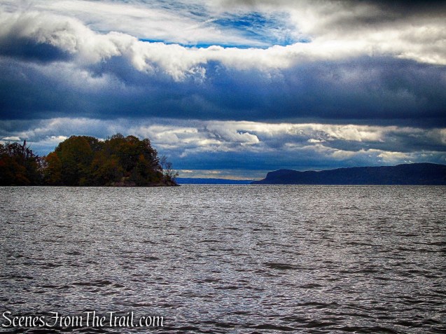
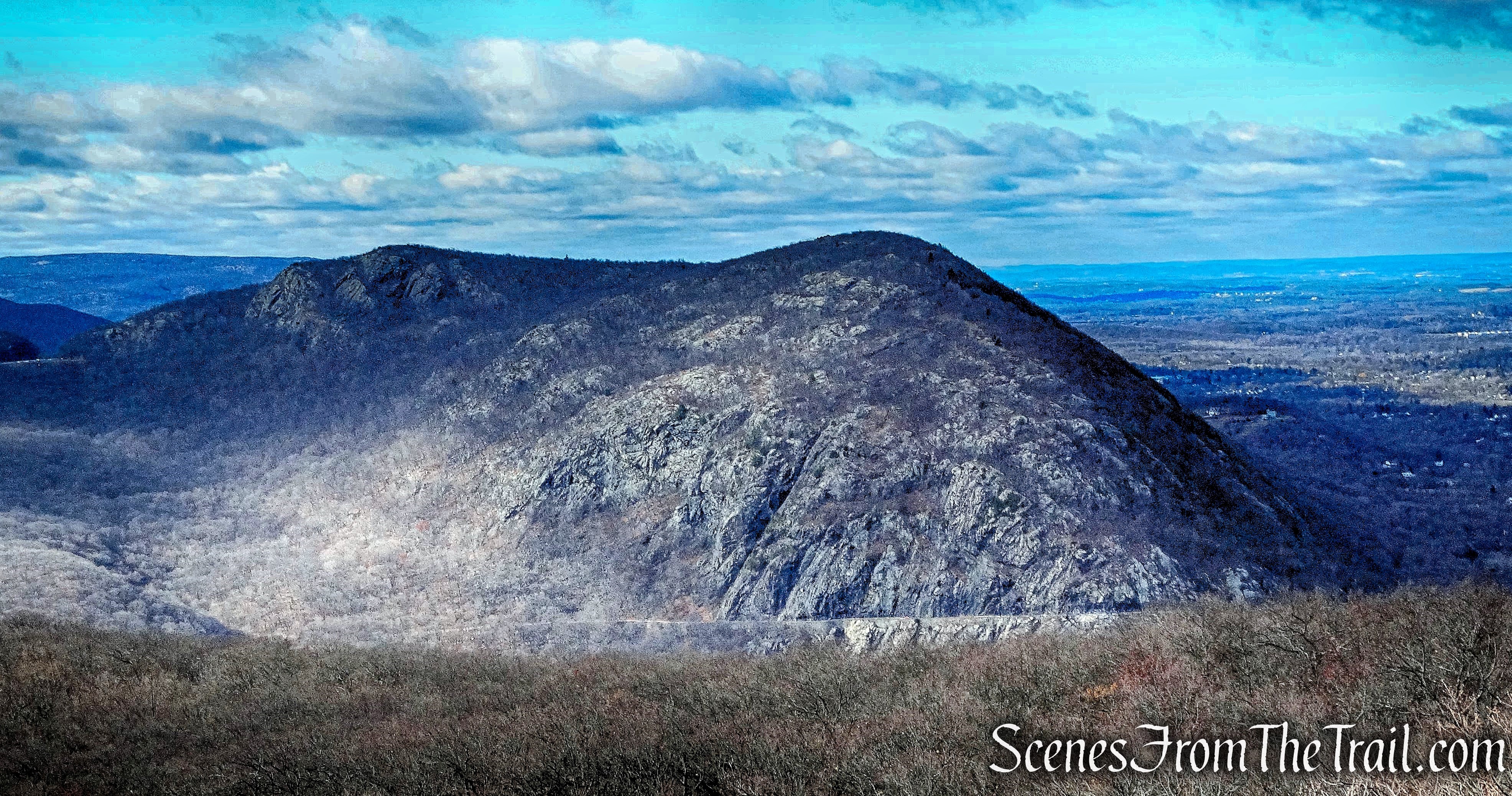
We walked on the joint AT/R-D Trail until just before it begins to descend steeply towards the parkway. West Mountain is visible to the northeast.
joint AT/R-D Trail
We then turned around and began heading northwest on the joint AT/R-D Trail.
joint AT/R-D Trail
Once again returning to the area just above the Spanish Silver Mine.
joint AT/R-D Trail
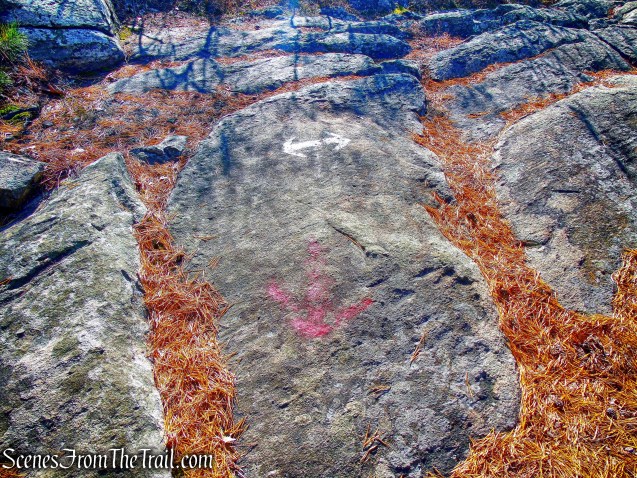
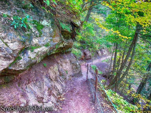
To get to the mine, as the trail descends steeply for about 20 vertical feet, turn left, leaving the trail, and continue in an easterly direction around the face of the cliff.

joint AT/R-D Trail
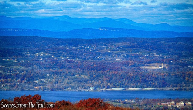
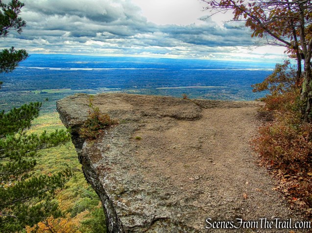
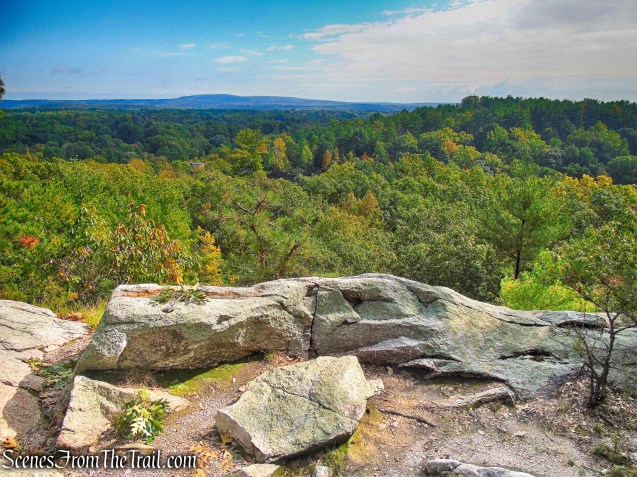
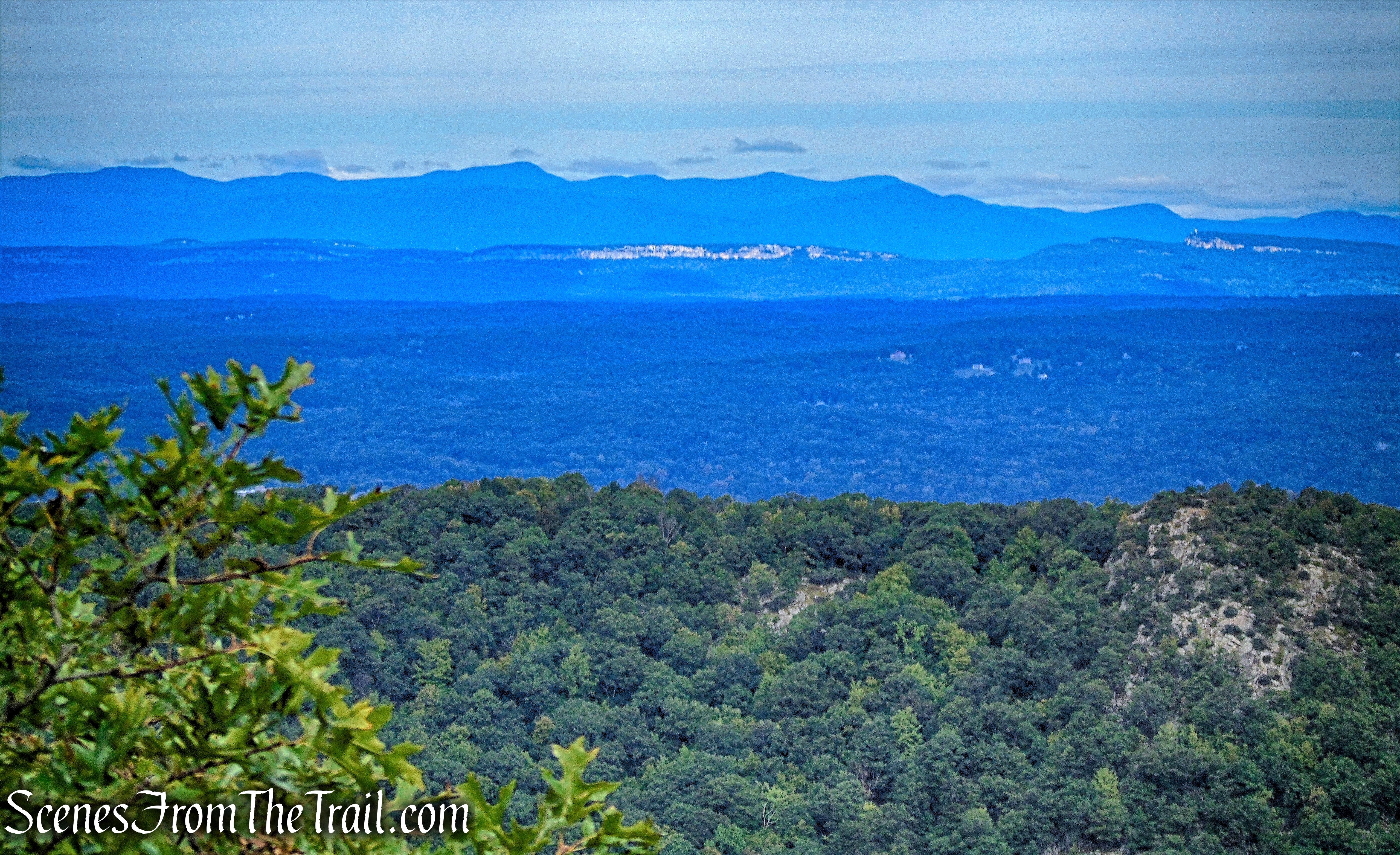
We stayed on the trail and headed towards the first viewpoint.
joint AT/R-D Trail
Once again we stopped here to take in the gorgeous view.
joint AT/R-D Trail
joint AT/R-D Trail
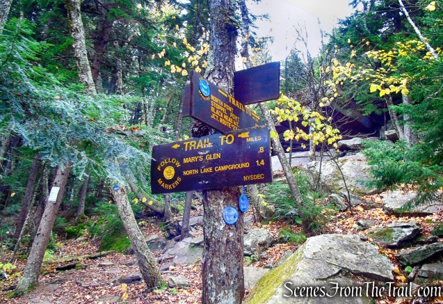
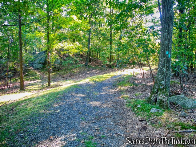
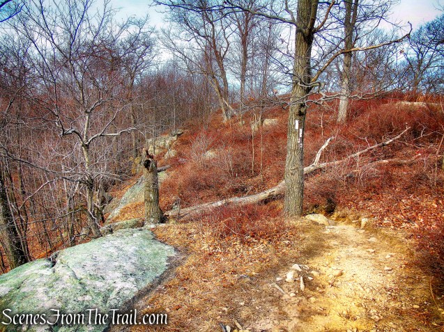
We continued on the joint AT/R-D Trail and after the short steep descent, we arrived at the junction with Silvermine Road.
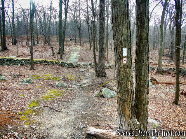
joint AT/R-D Trail
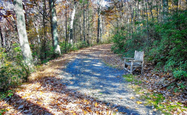
We turned right on Silvermine Road and made our way back down towards Silver Mine Lake.

Silvermine Road
A nice pleasant walk along Silver Mine Lake.

Silvermine Road
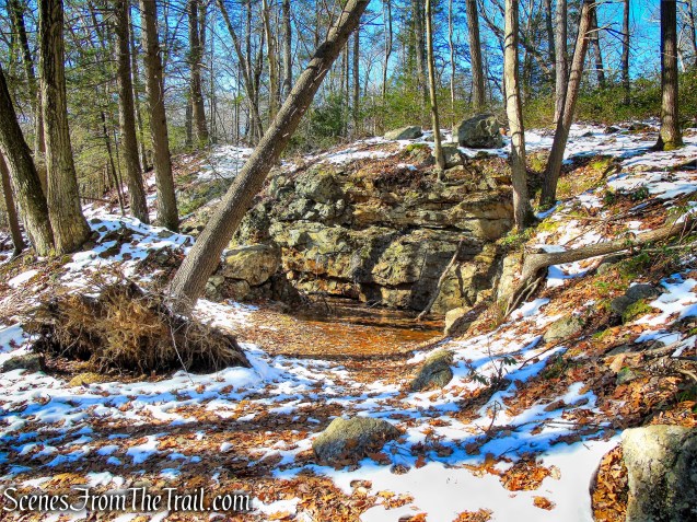
We stopped at a rock outcrop near the dam for a moment.
Silver Mine Lake
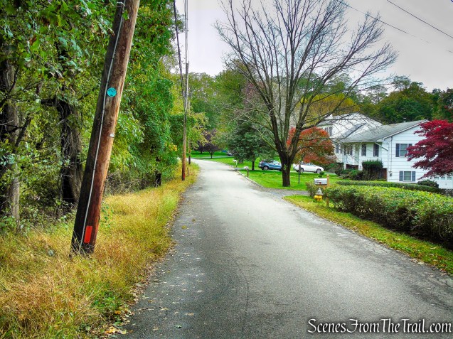
We recrossed the concrete-and-stone bridge over Queensboro Brook and bushwacked (we couldn’t see the faint footpath) about 300 feet to Seven Lakes Drive and turned left.

Silvermine Road
We then walked west for about 0.4 mile on Seven Lakes Drive, back to the parking area, where the hike began.
Seven Lakes Drive
Review:
A hike to Black Mountain is always exhilarating and the views aren’t too shabby either. Finding the Spanish Silver Mine was the highlight of the hike on this trip though. I only wish I had brought my wide angle lens to better photograph it. The mine sits on such a steep slope that it is hard to get a good shot of it. All things considered, It was well worth the effort. The AT/R-D is well blazed and Silvermine Road is easy to follow. The terrain near the mine is precarious. The steepness and loose rocks caused us to lose our footing several times as we slid down the slope a few feet, but using hiking poles in this area was a big help.
Pros: Spanish Silver Mine, historical features, Hudson Valley views, Appalachian Trail.
Cons: Road walk.
Take a hike!
Black Mountain
Sources:
- When Spaniards Carried Sacks of Silver From Black Mountain PDF
- When Spaniards Carried Sacks of Silver From Black Mountain PDF (cont’d)
- Lenik, Edward J.. Iron Mine Trails (Kindle Locations 1645-1651). New York – New Jersey Trail Conference. Kindle Edition.