September 30, 2018 – New City, NY
Difficulty: Strenuous
Length: Approximately 7.6 miles
Max elevation: 774 ft.– total elevation gain approximately 1,289 ft.
Route type: Out and back
Map: Hudson Palisades Trails Map #112
Trailhead parking: Gurnee County Park – Andreanna Park Rd, New City, NY 10956
Little Tor is a peak on South Mountain, part of The Palisades escarpment in High Tor State Park. It rises about 693 feet above the Hudson River and offers superb views of the Hudson Valley and the Manhattan skyline.
Extending 358 miles from the 175th Street Subway Station in New York City to John Boyd Thacher State Park near Albany in New York, the aqua-blazed Long Path Trail is a thread connecting many of New York’s parks, preserves, and state forest land. The Long Path follows the Palisades Escarpment from Fort Lee, NJ to its end in Mt. Ivy. There are many spectacular views of the Hudson River and New York City along the way. Much of the route is through State Parks but the trail also serves as a link to smaller county and town parks.
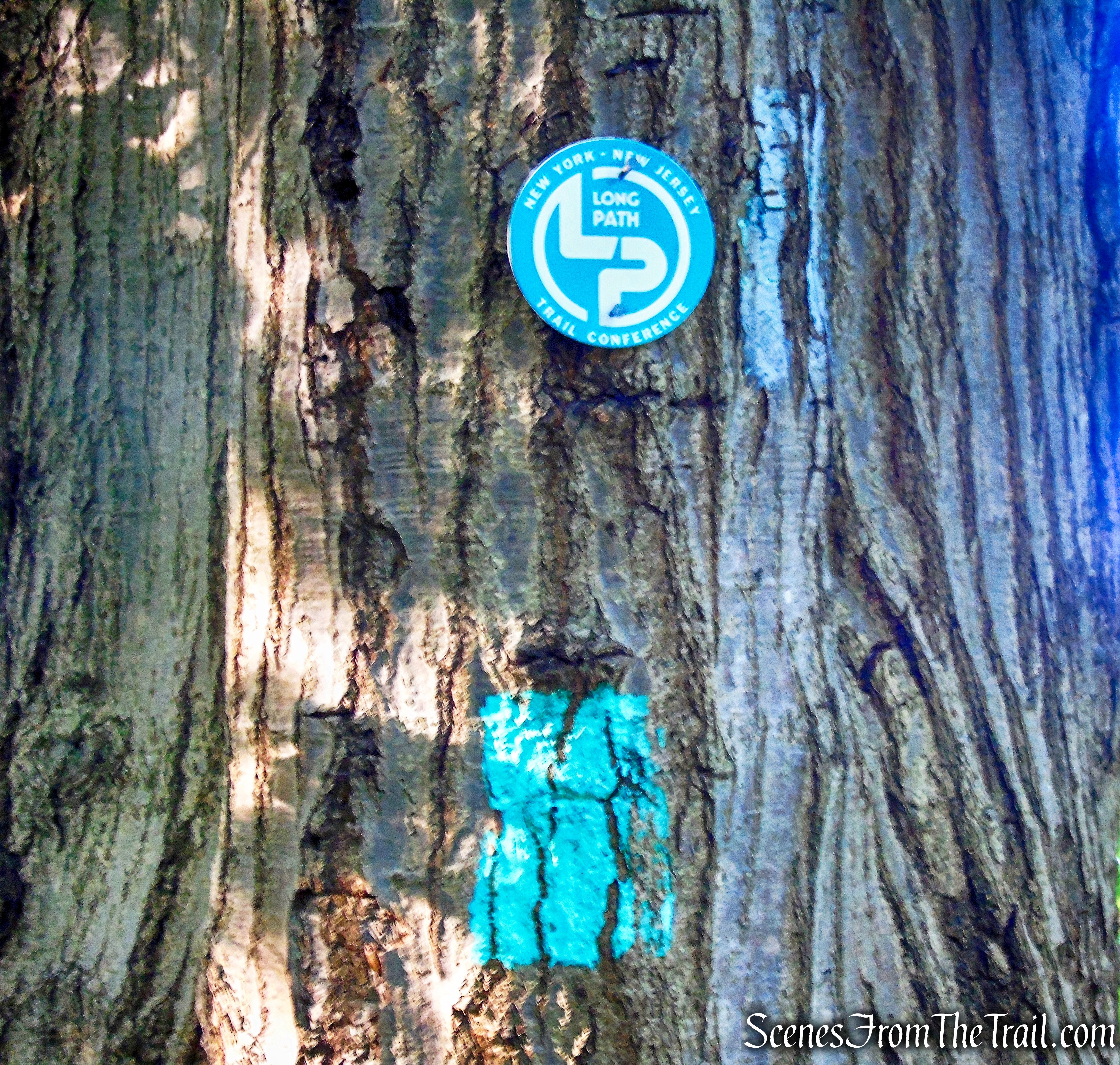
The Long Path
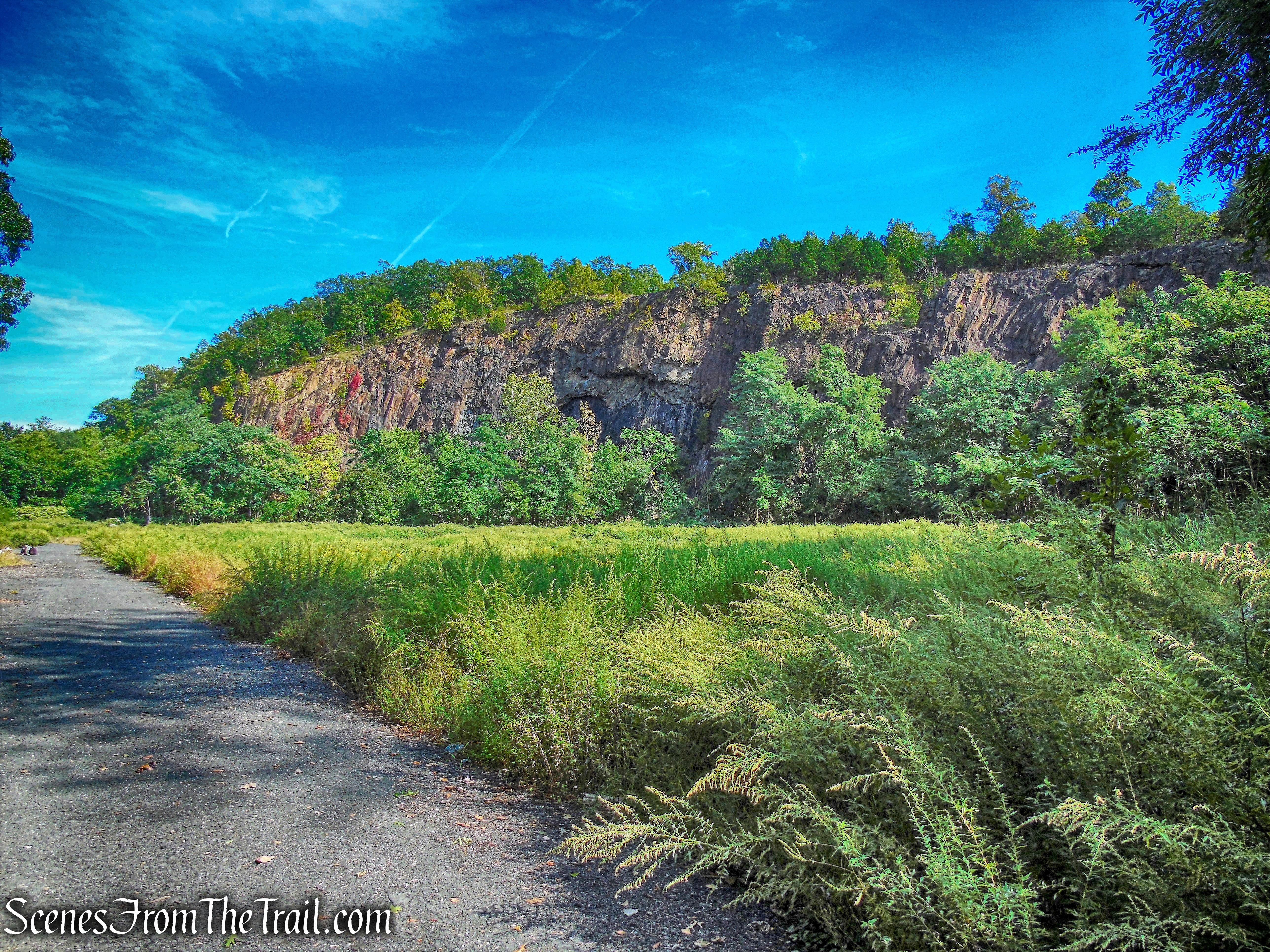
The 23-acre Gurnee County Park is an old quarry arena, having a 40 to 80 foot escarpment as a backdrop. The grounds are hard packed with traprock, and partly covered with brush and small trees. It first began business in 1896 and continued for 34 years. Rock was removed by hand drilling and blasting. The crushed stone was shipped by rail from the former Mount Ivy railroad station. The high quality of the stone was used for driveway and roadbeds throughout eastern and southern New York. In 1981 the land was acquired through tax delinquency.
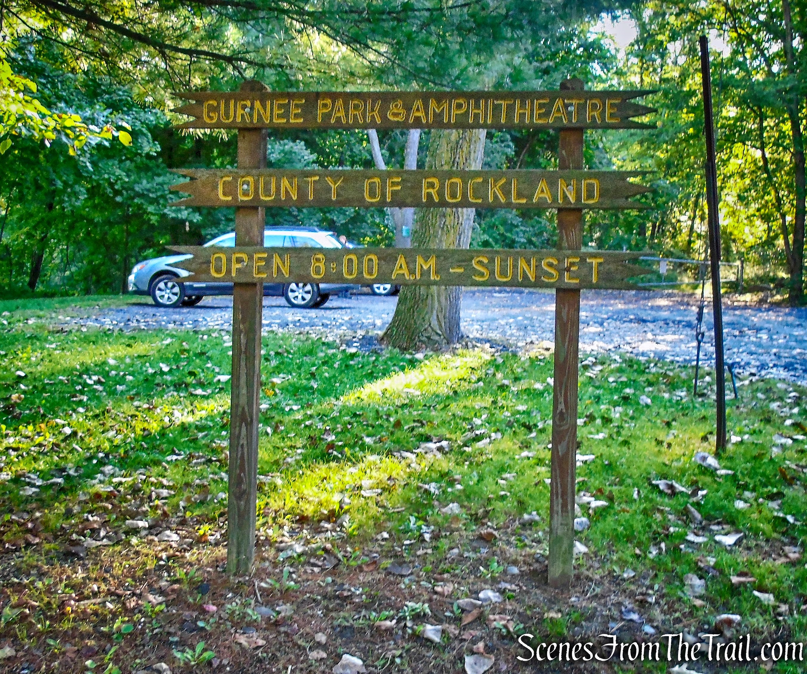
Gurnee County Park
This mountainous ridge within the 239-acre South Mountain County Park is part of the Palisades escarpment. It borders High Tor State Park to the east and Gurnee County Park to the west. From Gurnee County Park, South Mountain County Park runs along the ridge eastward for almost two miles to Central Highway. It has a number of scenic views overlooking Haverstraw and the Hudson River, Mt. Ivy and Thiells, Clarkstown and Orangetown. It is covered with a mature stand of hardwood trees and in season there are blueberries, wild grapes and raspberries.
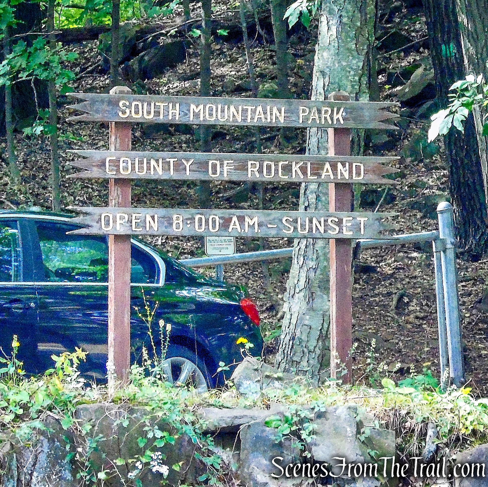
South Mountain County Park
Named for their vertical columns of volcanic rock resembling a stockade fence (or palisade) from a distance, The Palisades are directly across the Hudson River from where I grew up. Since childhood I have admired and visited The Palisades. I remember jumping in my dad’s old Chevy and driving across the Tappan Zee Bridge and stopping along the scenic overlooks and at times trying to spot familiar landmarks from the top of the cliffs. That youthful exuberance continues to this day. Having never hiked the northernmost section of The Palisades, it was the right day for this hike.
We traveled through three different parks on this out and back hike. With the exception of the white-blazed spur trail that leads to Little Tor, The Long Path is the only official marked trail that spans this section of The Palisades. That means that loop hikes are difficult unless it involves a road walk or some bushwacking. My intent was to reach Little Tor and then retrace my steps back to Gurnee County Park. Three side trips are included in this hike which can be eliminated to shorten the mileage and elevation gain.
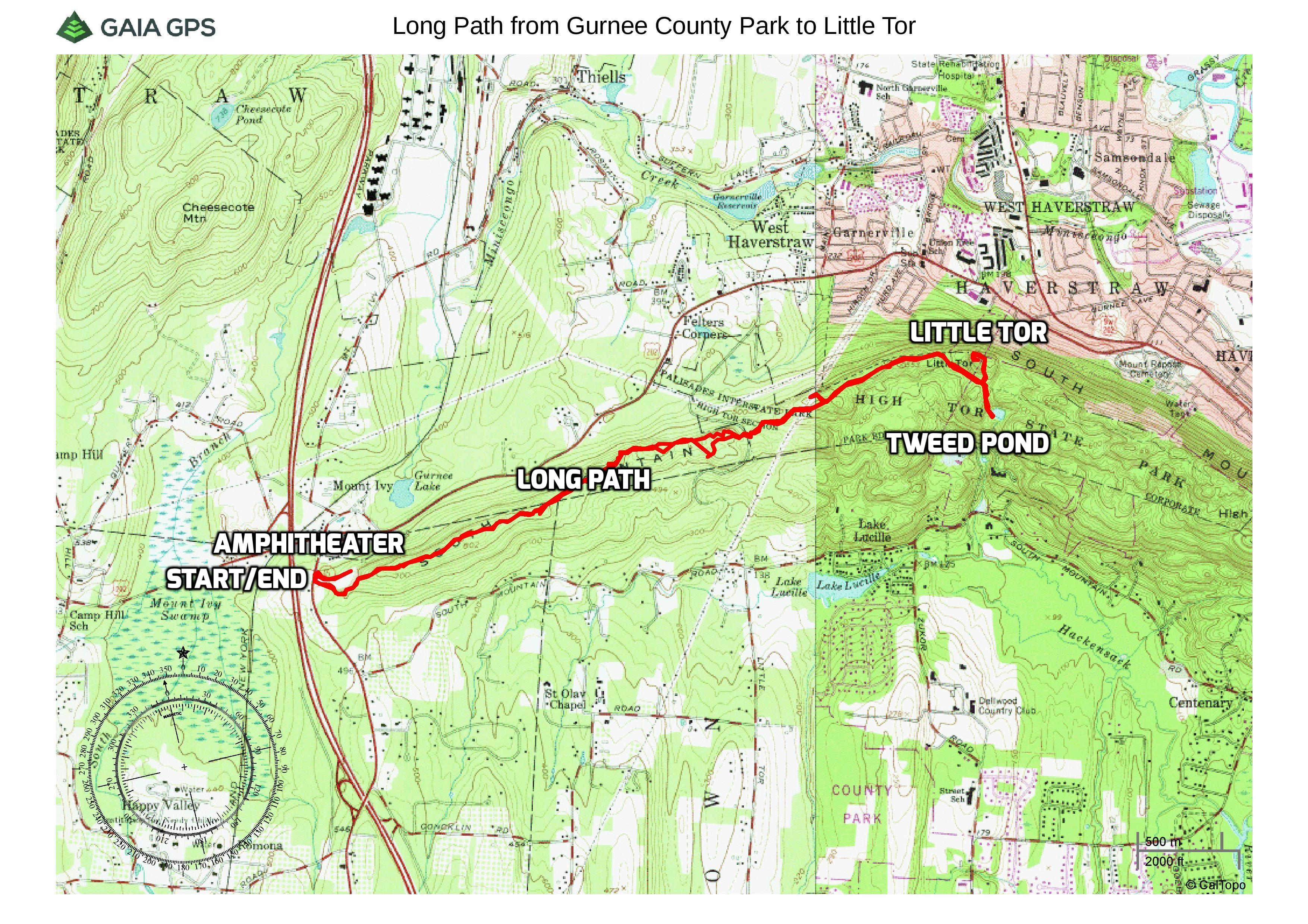
Long Path from Gurnee County Park to Little Tor
We arrived at the parking area at about 8:45 am and there was only one car in the lot. Upon returning mid-afternoon, there were no other cars in the lot. Before beginning the hike, we made a side trip to the Amphitheater. This is a short and worthwhile side trip. The light is not very good in the morning, and at the end of the hike, I returned to capture some much better images.
We walked past the gate at the rear of the parking lot and walked a short distance on a gravel road.
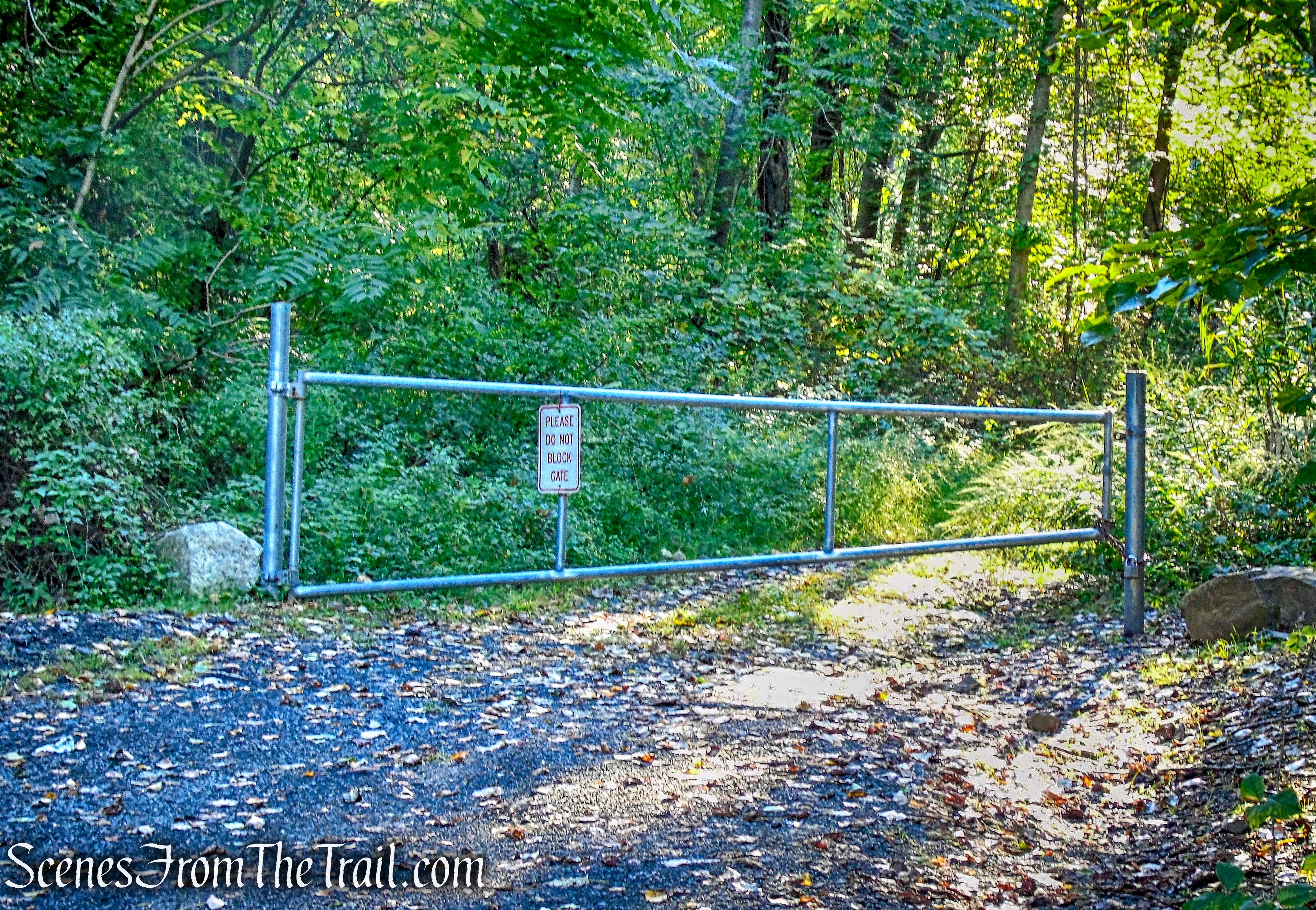
Gurnee County Park
The old quarry arena is quite impressive with its 80 foot escarpment as a backdrop. With the sunlight just peeking over the top of the cliffs, the amphitheater was somewhat shaded. The image below was captured at the end of the hike when the sun was behind me.
Gurnee County Park Amphitheater
We then retraced our steps back to the parking area. The aqua-blazed Long Path is at the left side of the entrance while facing the road. The hike begins exactly where the entire Palisades escarpment ends, dipping right into the ground.
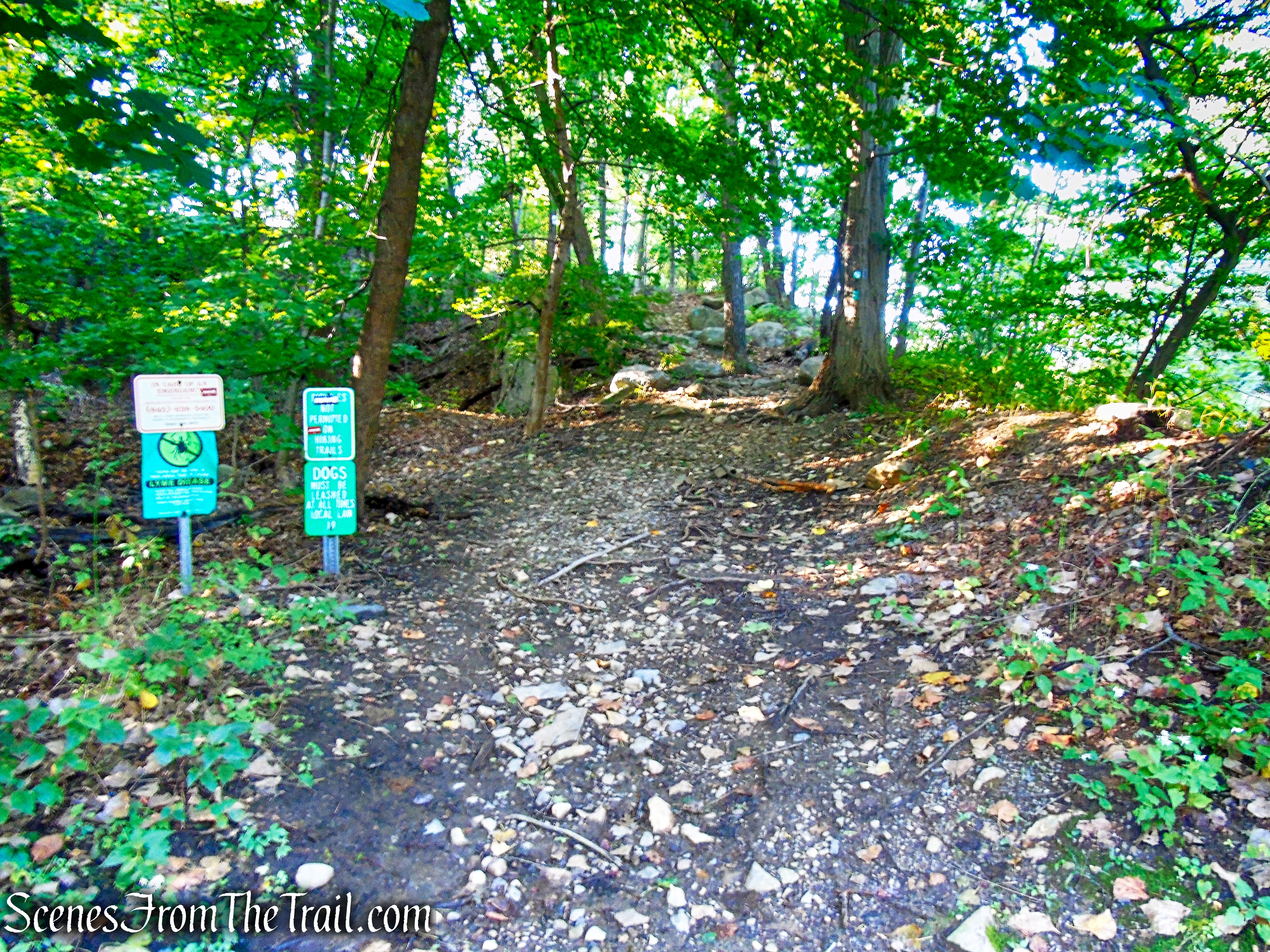
The Long Path
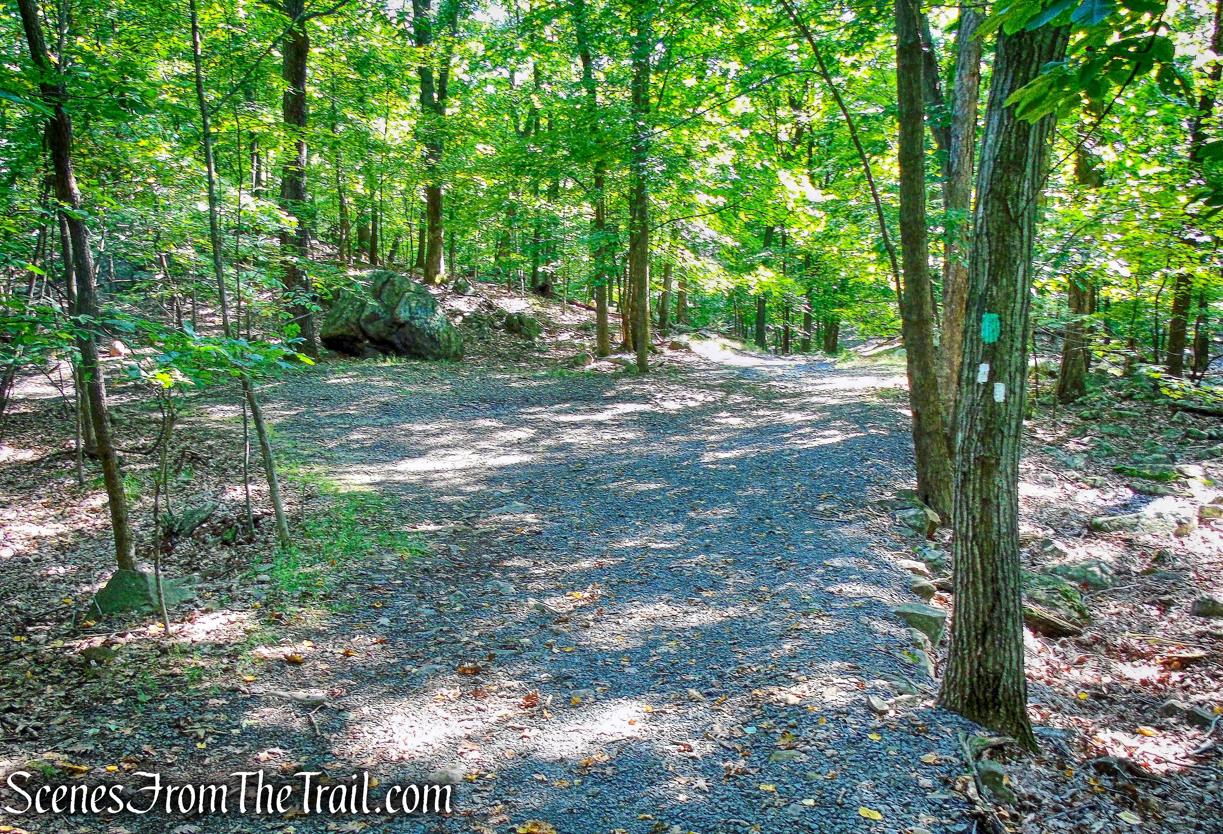
The Long Path climbs gradually along the side of the cliffs.
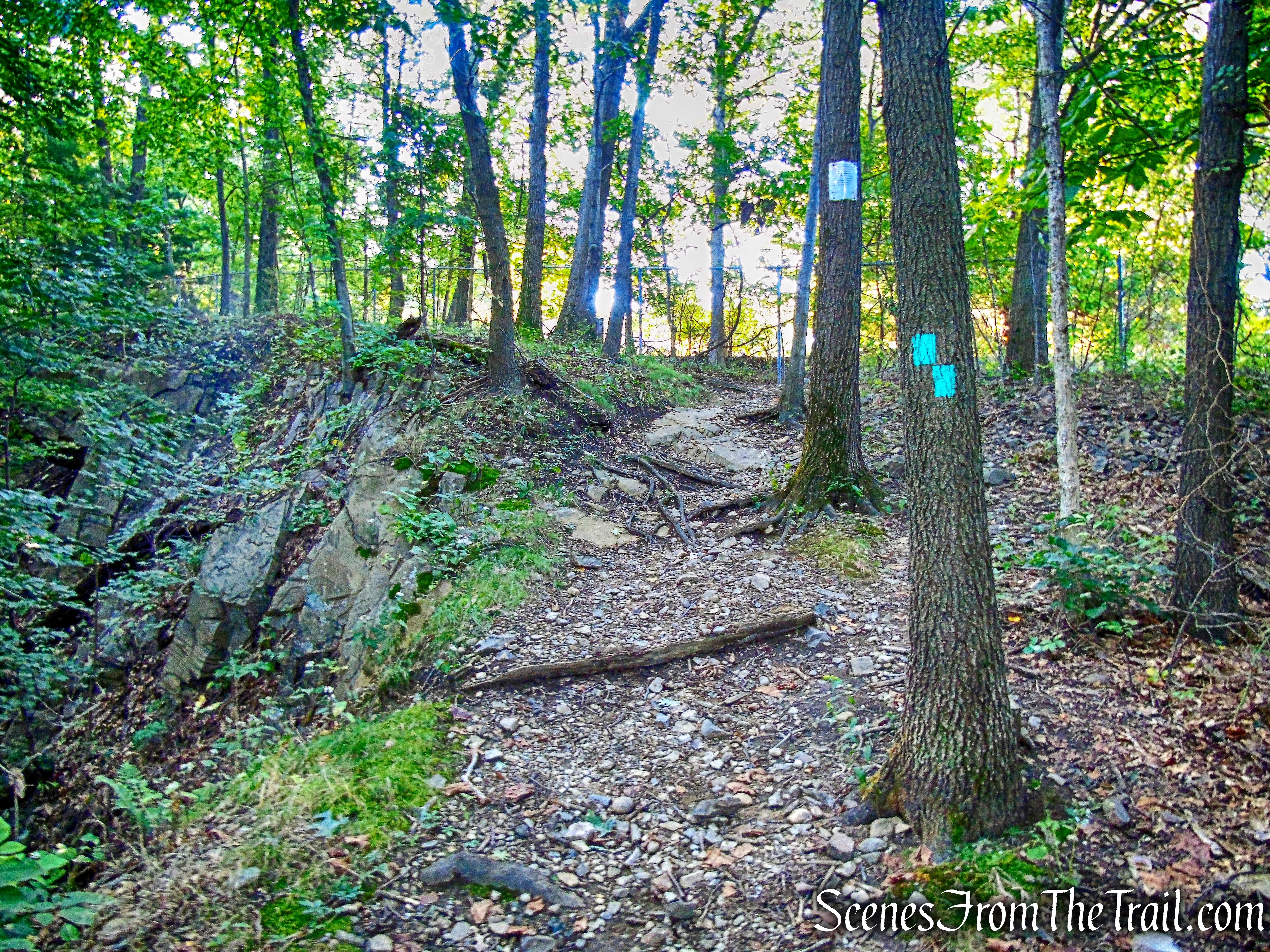
The Long Path
It briefly skirts a chain link fence alongside private property.
The Long Path
At the top of the rise, as the trail turns right, there is a north-facing viewpoint from the top of the cliffs, with the amphitheater just below. This image was captured on the way back.
north-facing viewpoint
A short distance ahead, there is another rock outcrop that looks down into the amphitheater and across to the Harriman and Ramapo hills.
west-facing view Gurnee County Park
Looking west across the Palisades Interstate Parkway towards Cheesecote Mountain and Harriman State Park.
west-facing view Gurnee County Park
The Long Path continues to ascend South Mountain as it leaves Gurnee County Park and enters South Mountain County Park.
Long Path – South Mountain County Park
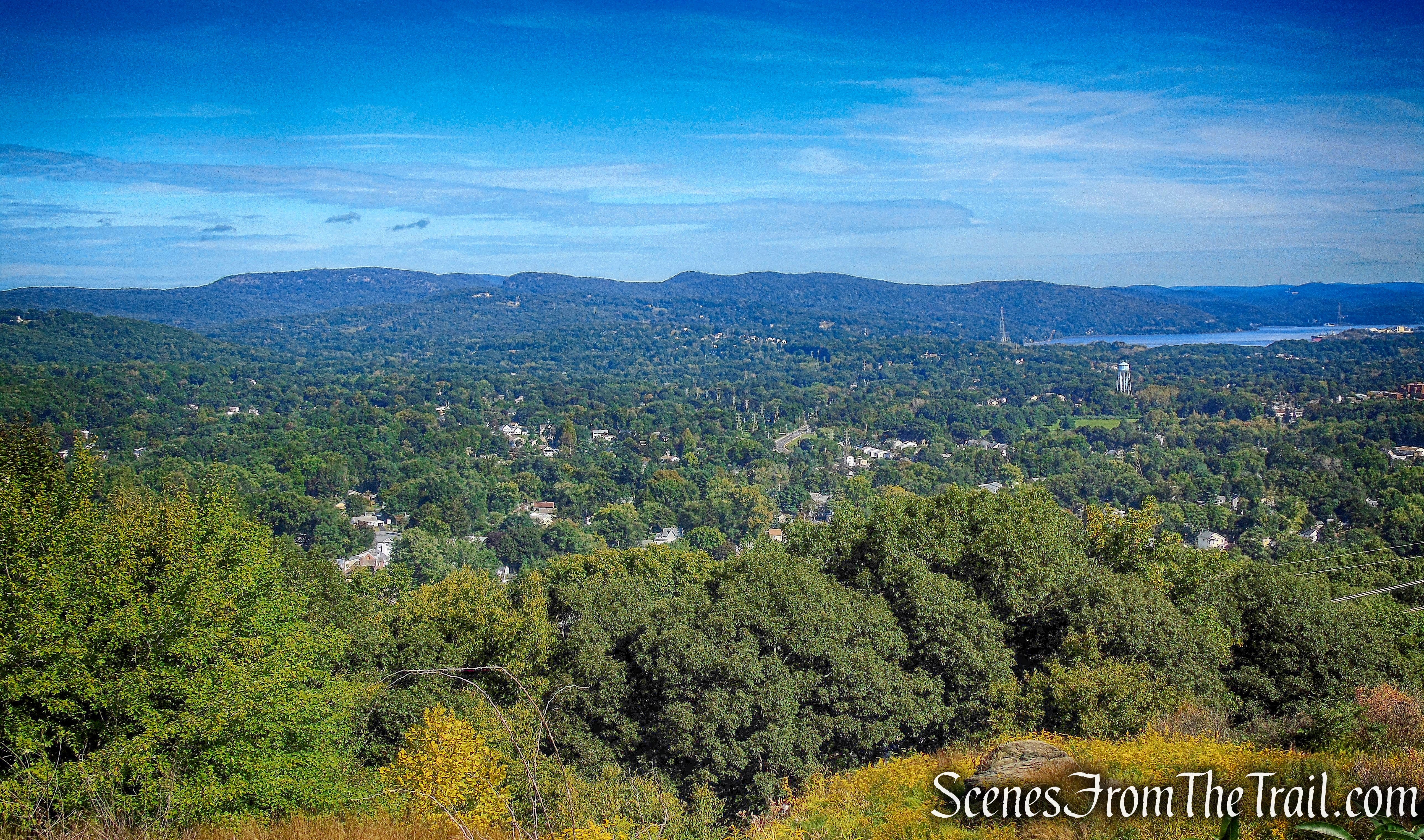
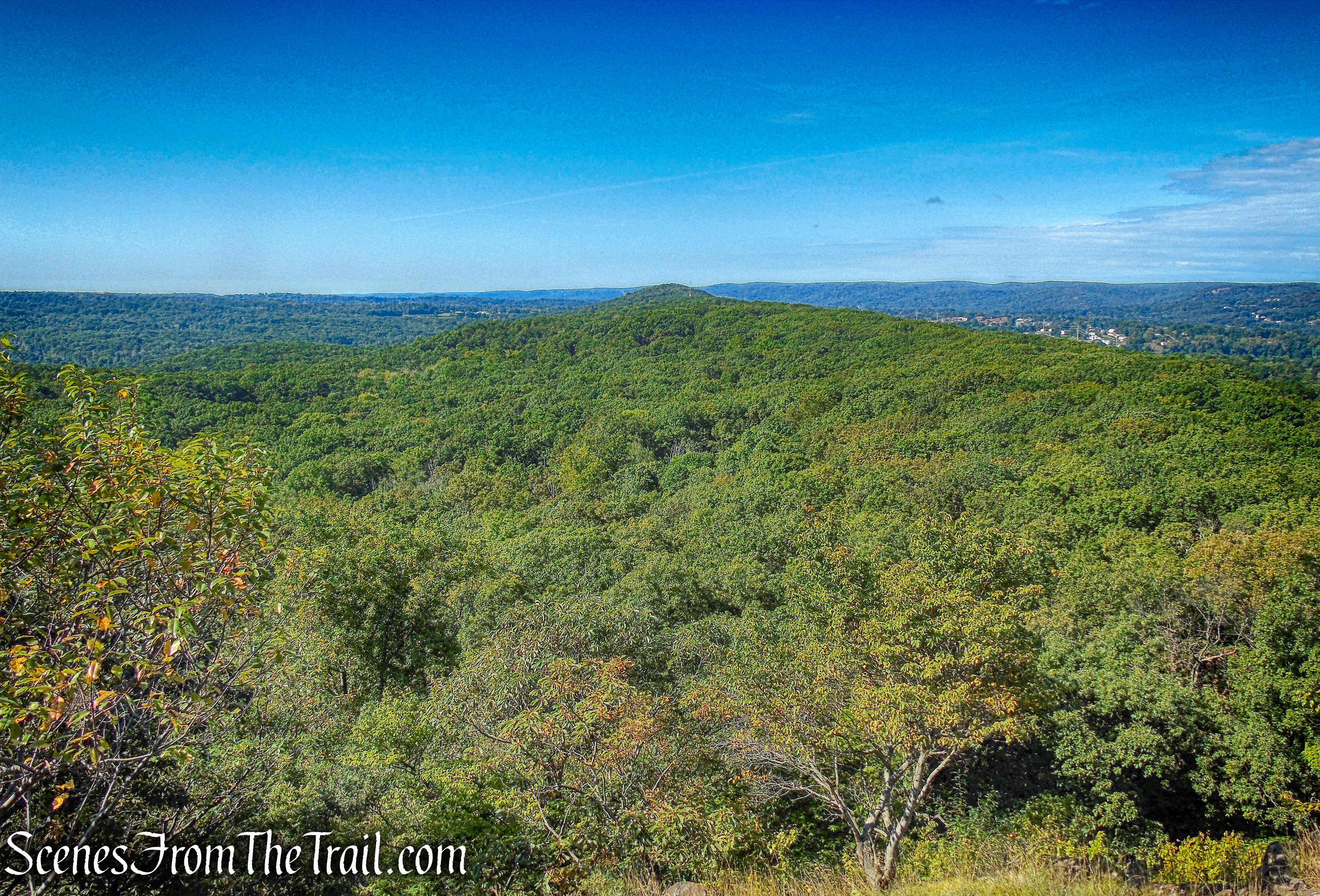
After just over one mile from where we started on The Long Path, we came to a south-facing viewpoint, just to the right of the trail. In the distance, the Manhattan skyline can be seen.
south-facing viewpoint – South Mountain County Park
South Mountain ridge has plenty of ups and downs, with some short steep sections thrown in.
Long Path – South Mountain County Park
Long Path – South Mountain County Park
The Long Path briefly joins a woods road, then almost immediately leaves to the left.
Long Path – South Mountain County Park
After a rather steep ascent and descent, the Long Path exits South Mountain County Park and crosses Central Highway (CR-33).
Long Path – South Mountain County Park
The Long Path now enters High Tor State Park and travels along a fire road as it ascends gradually. After approximately 430 yards from entering High Tor State Park, we came to the power lines. The rocky trail alongside the power lines is a worthwhile detour. The trail leads up to some views and then connects with a woods road, a little farther down in the same direction we were traveling. We did not venture up this trail, but I wish I had.
power lines – High Tor State Park
Instead, we continued on the Long Path and turned left on the woods road that connects with the power line trail.
woods road to power lines – High Tor State Park
Looking north, Bear Mountain State Park is visible, with the Hudson River to the northeast.
power lines view – High Tor State Park
We then retraced our steps back down to the Long Path and turned left, continuing south along the Long Path. In about 0.7 mile from the power lines woods road, we turned left onto the white-blazed Little Tor Trail, another woods road.
left on the white-blazed Little Tor Trail
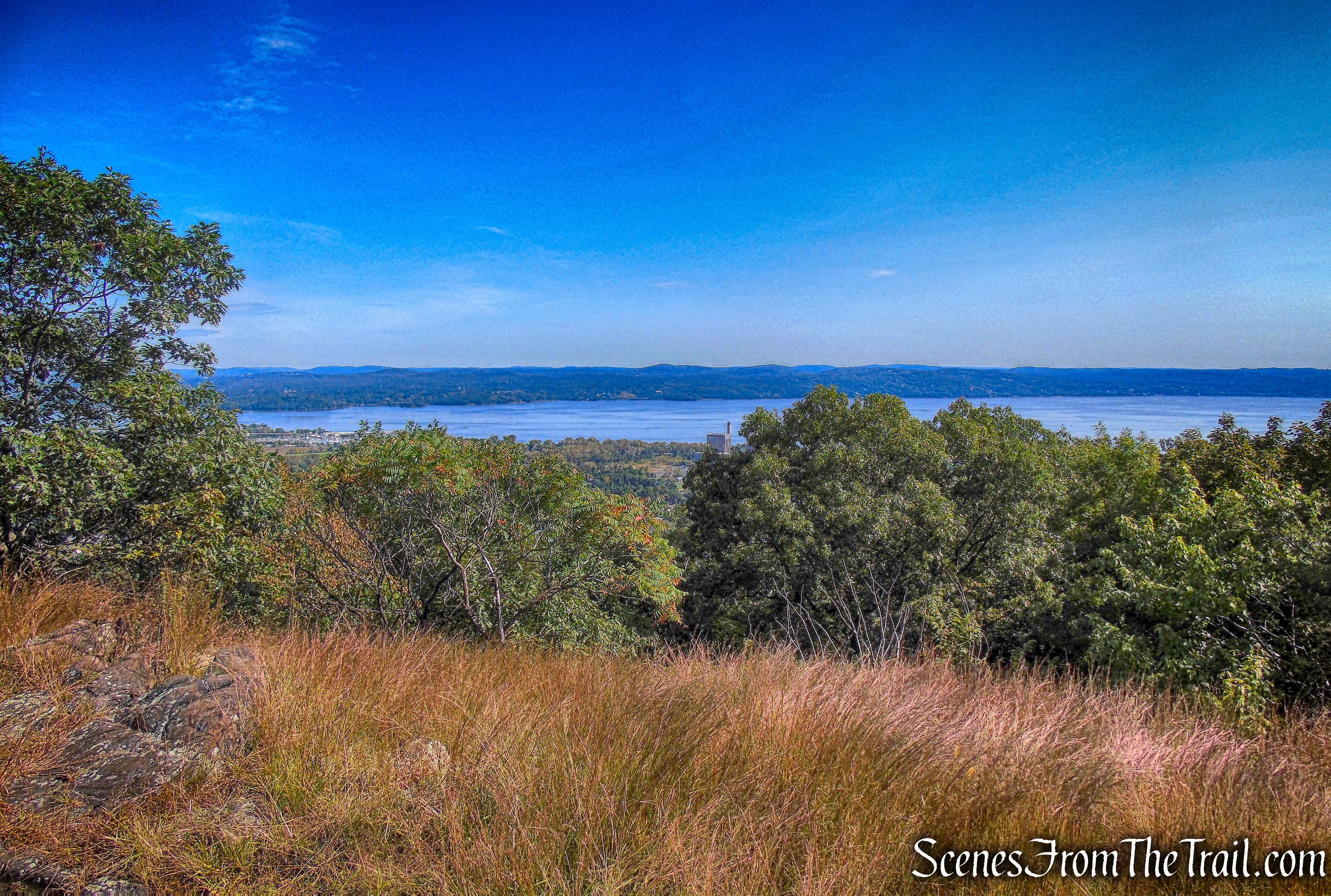
The road heads briefly uphill and swings to the front of the open summit of Little Tor. Haverstraw is directly below with the Hudson River in the distance.
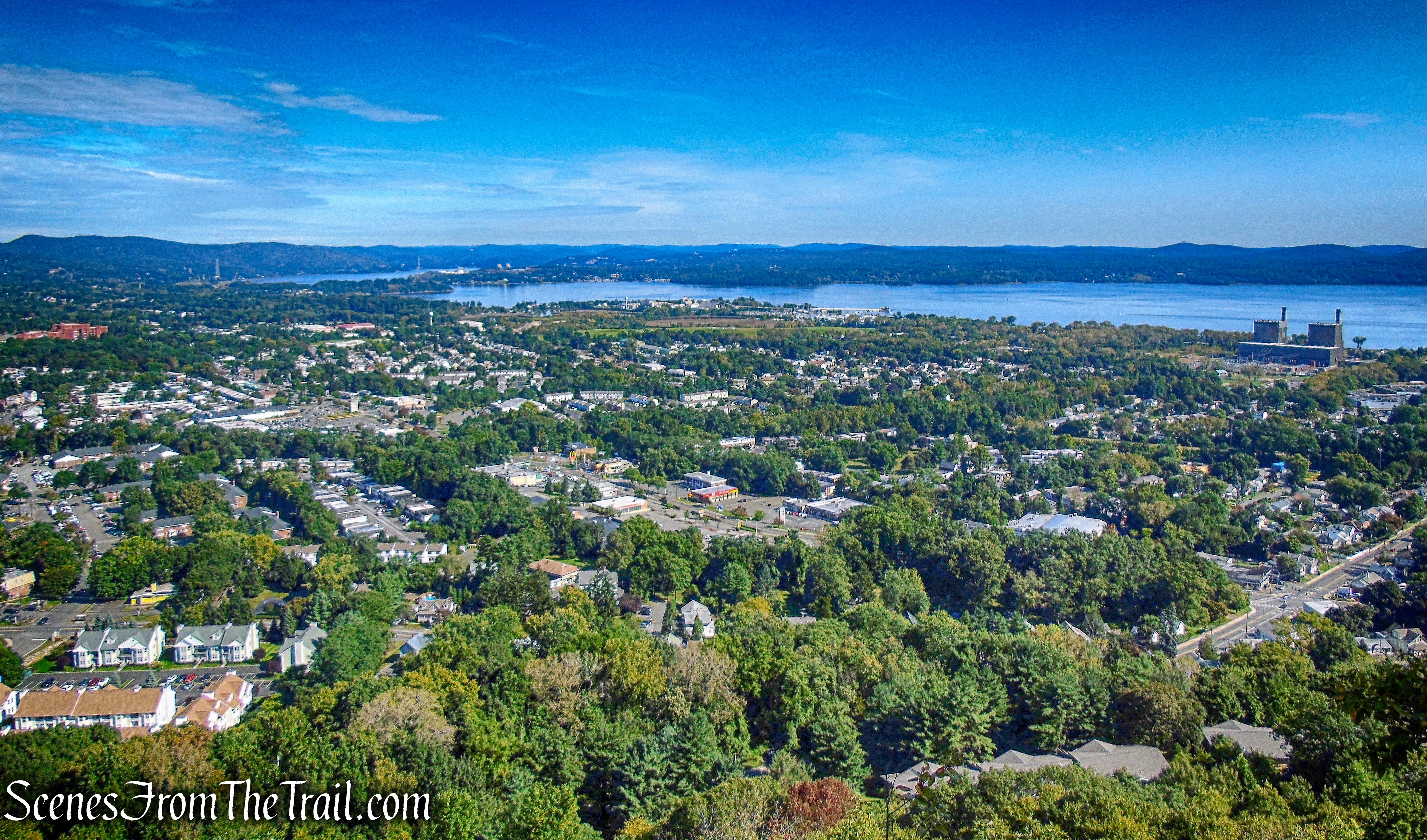
view northeast – Little Tor
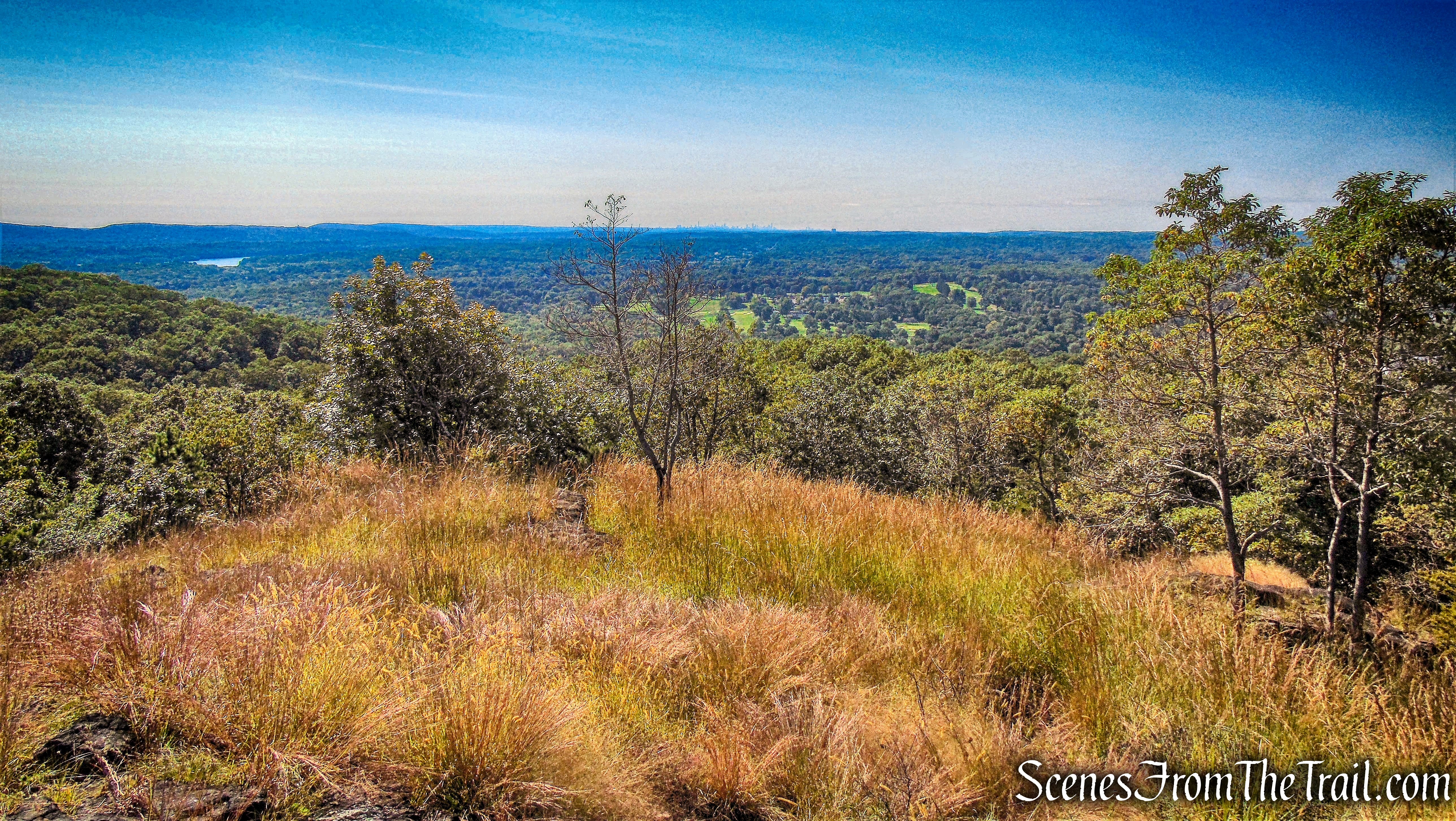
The white trail continues a little farther up to the true summit, with views south of the Manhattan skyline.
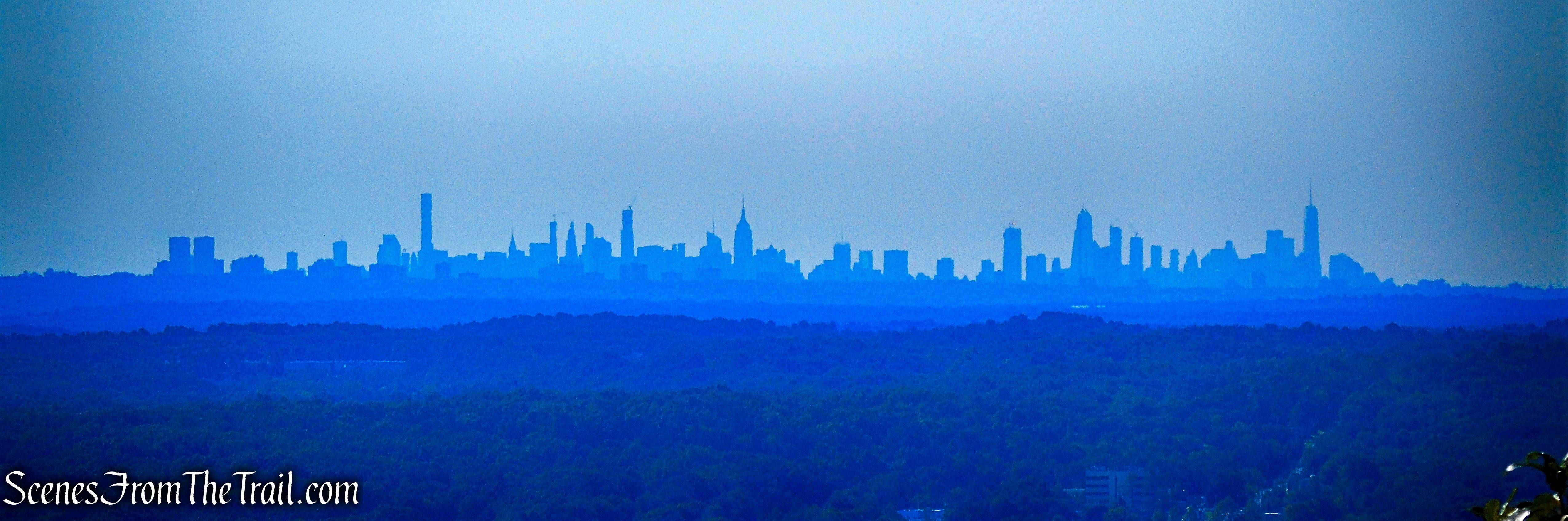
Manhattan skyline – Little Tor
We found a nice spot at the summit and had a snack while enjoying the view.
view west – Little Tor
view southeast – Little Tor
view east – Little Tor
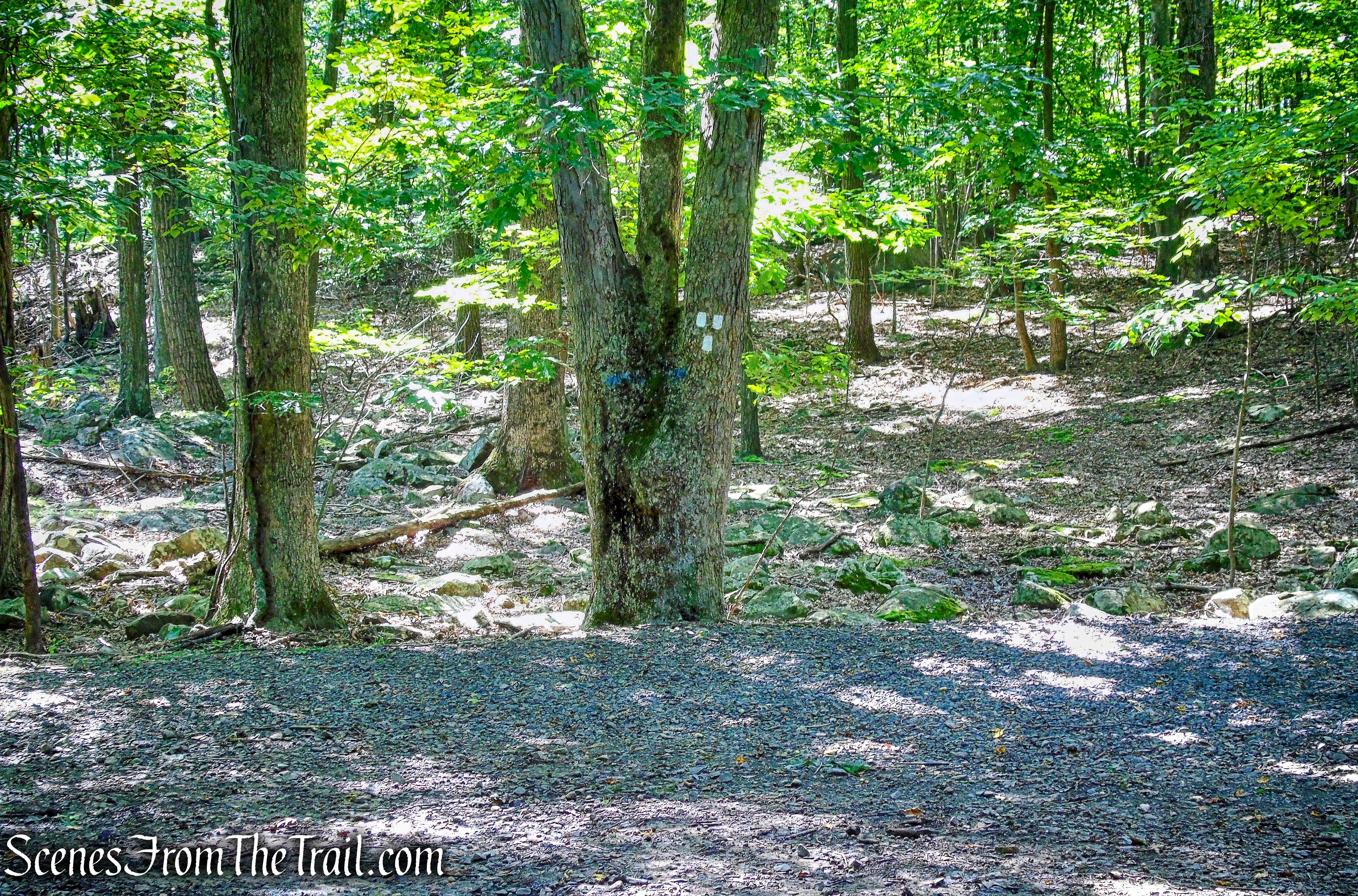
After spending some time at the summit and chatting with other hikers, we retraced our steps on the white-blazed Trail back to the Long Path. Just to the left of the tree with the three white blazes is an unmarked woods road that leads steeply downhill.
Long Path junction
At the base of the descent is the man made Tweed Pond. It was the water source for the Kaatz mansion, a building demolished in the early 1970’s during the construction of High Tor State Park.
Tweed Pond
Tweed Pond outlet
This side trip wasn’t really worth the effort, but it was only an extra 500 yards and another 100 feet of elevation gain.
unmarked woods road
Back on the Long Path, we turned left and began to retrace our steps. The trail passes two painted posts, to the left an unmarked trail leads down to the swimming pool in High Tor State Park. To the right, the trail heads steeply down the eastern face of the mountain.
Long Path – High Tor State Park
Along the way, we passed a split rock, most likely dropped by a glacier and fractured by frost action.
glacial erratic – High Tor State Park
The Long Path then exits High Tor State Park, crosses Central Highway (CR-33) and re-enters South Mountain County Park.
approaching Central Highway (CR-33)
After entering South Mountain County Park, we opted for the fire road which parallels the Long Path, but with a more moderate grade. The fire road reconnects with the Long Path in several places. It can be taken past the communication tower where it meets up with the Long Path again. We continued heading west along the ridge, leaving South Mountain County Park and re-entering Gurnee County Park. A short distance later we returned to the parking area where the hike began. I then took a walk back to the amphitheater, where the light was better.
Gurnee County Park Amphitheater
This was another great hike in the Hudson Valley that was definitely worth doing. From Gurnee Park to High Tor State Park, we didn’t encounter any other hikers. Since Little Tor is reached via the fire road and just over a mile from Central Highway (CR-33), there was some foot traffic. It was such a gorgeous day that I was surprised there wasn’t more people in that area.
Pros: Hudson Valley views, well marked trails, secluded woods.
Cons: More foot traffic near Little Tor.
Take a hike!
Long Path from Gurnee County Park to Little Tor
