September 1, 2018 – Garrison, NY
Difficulty: Easy
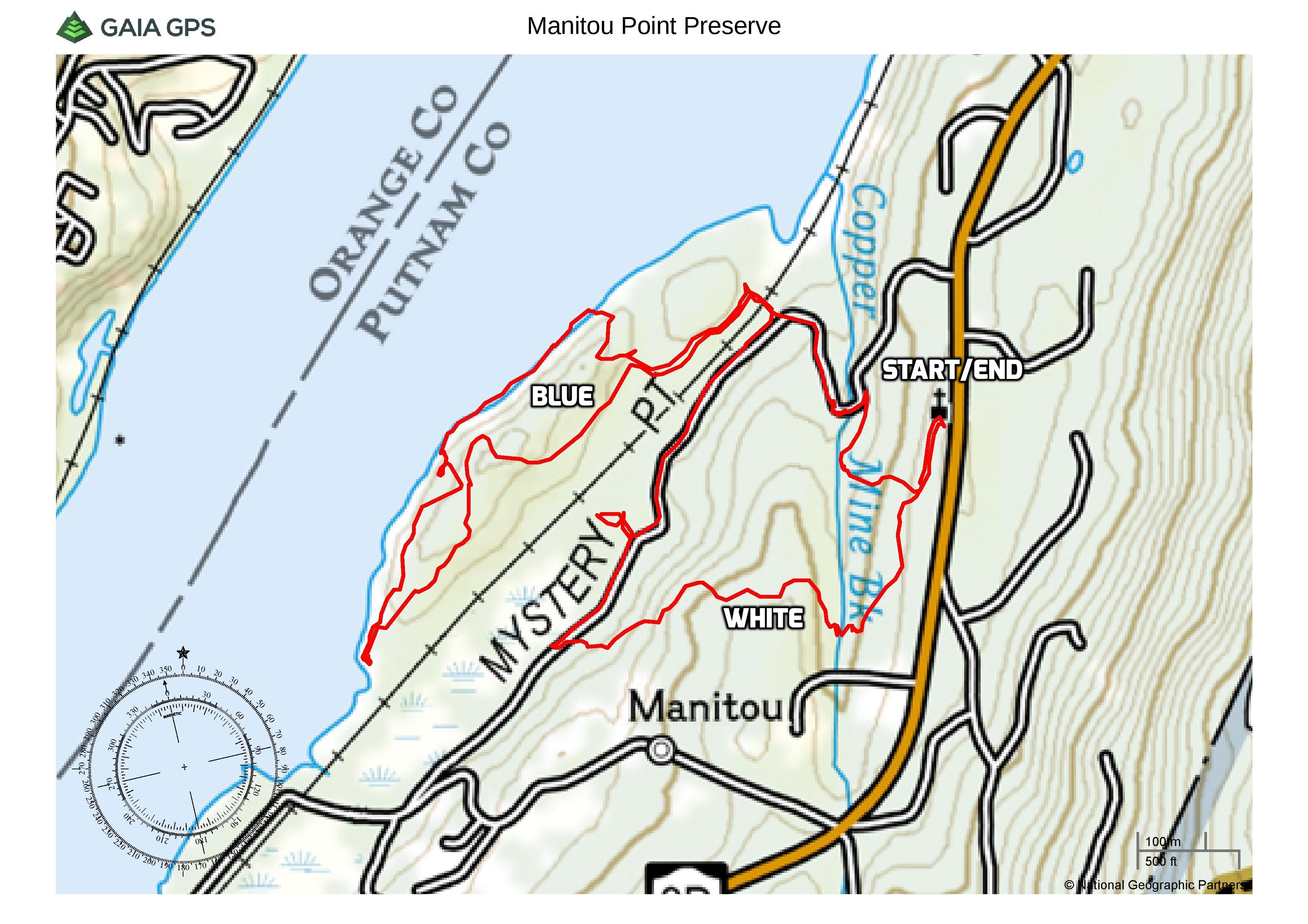
Length: Approximately 3 miles
Max elevation: 172 ft. – total elevation gain: approximately 287 ft.
Route type: Circuit
Map: East Hudson Trails Map #101 – Free Web Map
Trailhead parking: 411 NY-9D Garrison, NY 10524
PLEASE NOTE: Although this property is now privately owned, an agreement with the landowner allows for public access to the preserve and its trail network. Please respect the owner’s privacy by paying attention to all signs and avoiding areas marked as private.
Featuring dramatic rock outcroppings that look out upon the Hudson River, Manitou Point Nature Preserve is comprised of more than 100 acres, all open to the public. Manitou Point is a scenic landscape steeped in history. Formerly known as Mystery Point, Manitou Point was once owned by Edward Livingston, descendent of Philip Livingston, a signer of the Declaration of Independence. 4 miles of trails, most narrow and rocky, traverse Manitou Point’s rugged terrain, exploring Copper Mine Brook, Manitou Marsh and the rocky Hudson River shoreline. Manitou Point Preserve is managed by the Open Space Institute with trail maintenance performed by the New York-New Jersey Trail Conference.
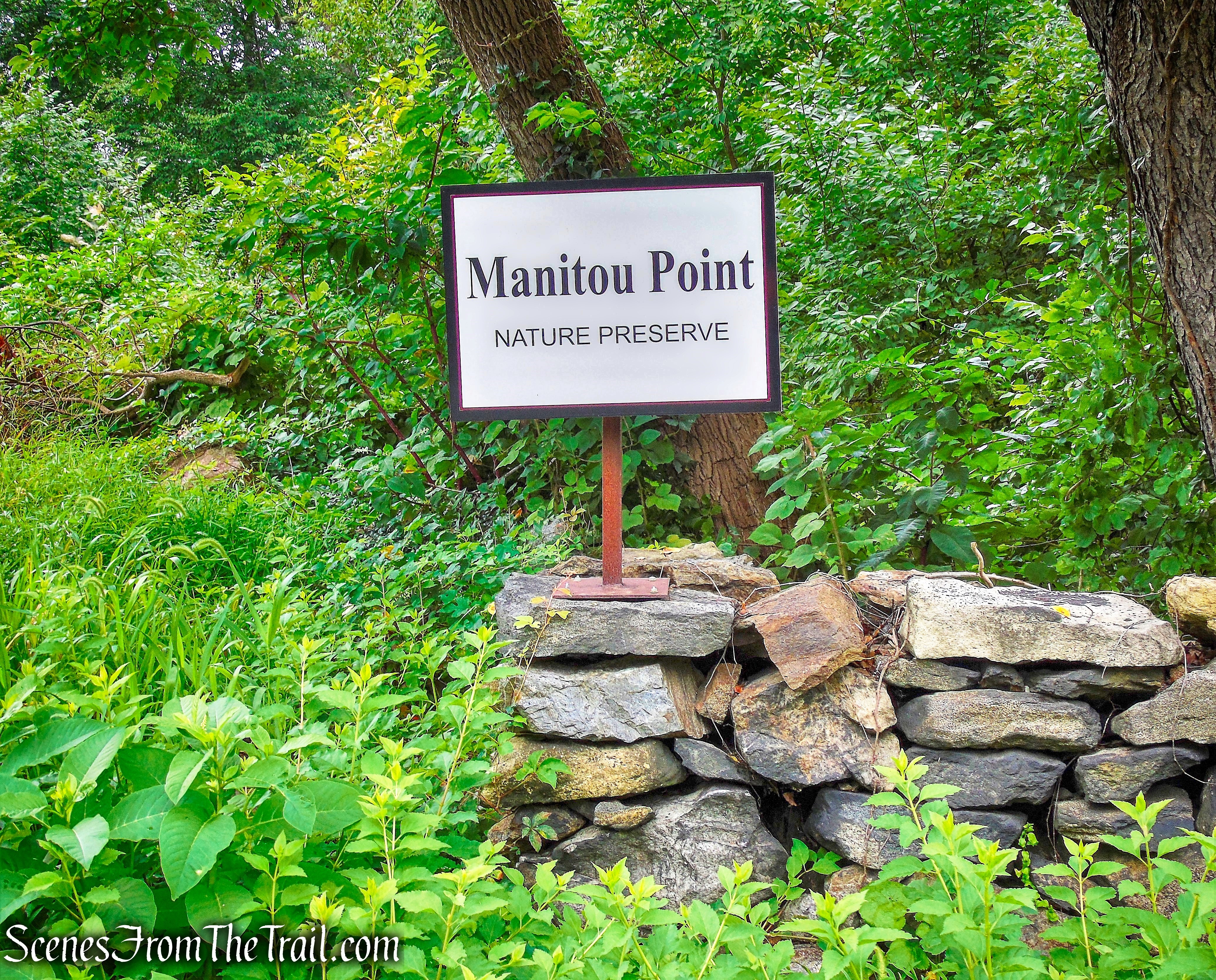
Manitou Point Preserve
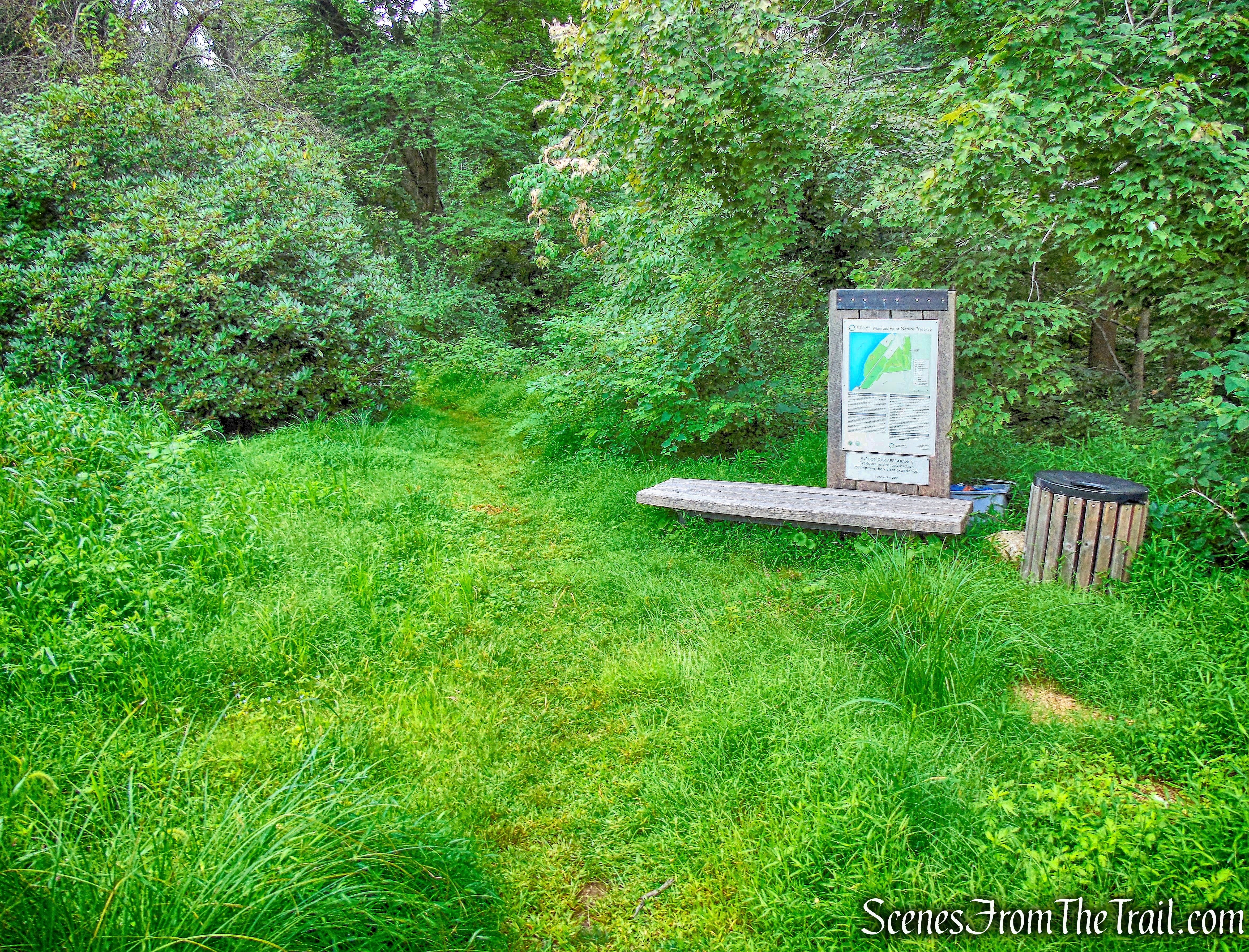
With rain possibly in the forecast, I didn’t want to be miles deep in the woods and get caught in a downpour. This small preserve had been on my to-do list for quite some time, and I saved it for a day like this. In late 2017 some of trails were rebuilt and a new larger parking area was established. The parking area comes up kind of suddenly along the fast moving Route 9D and care should be taken entering and exiting. We arrived at approximately 8:45 am on an overcast Saturday morning. There were no cars in the lot when we arrived or when we concluded the hike, and we didn’t encounter anyone else along the trails.
Manitou Point Preserve
The hike begins to the left of the kiosk, at the southwest end of the parking area.
Manitou Point Preserve
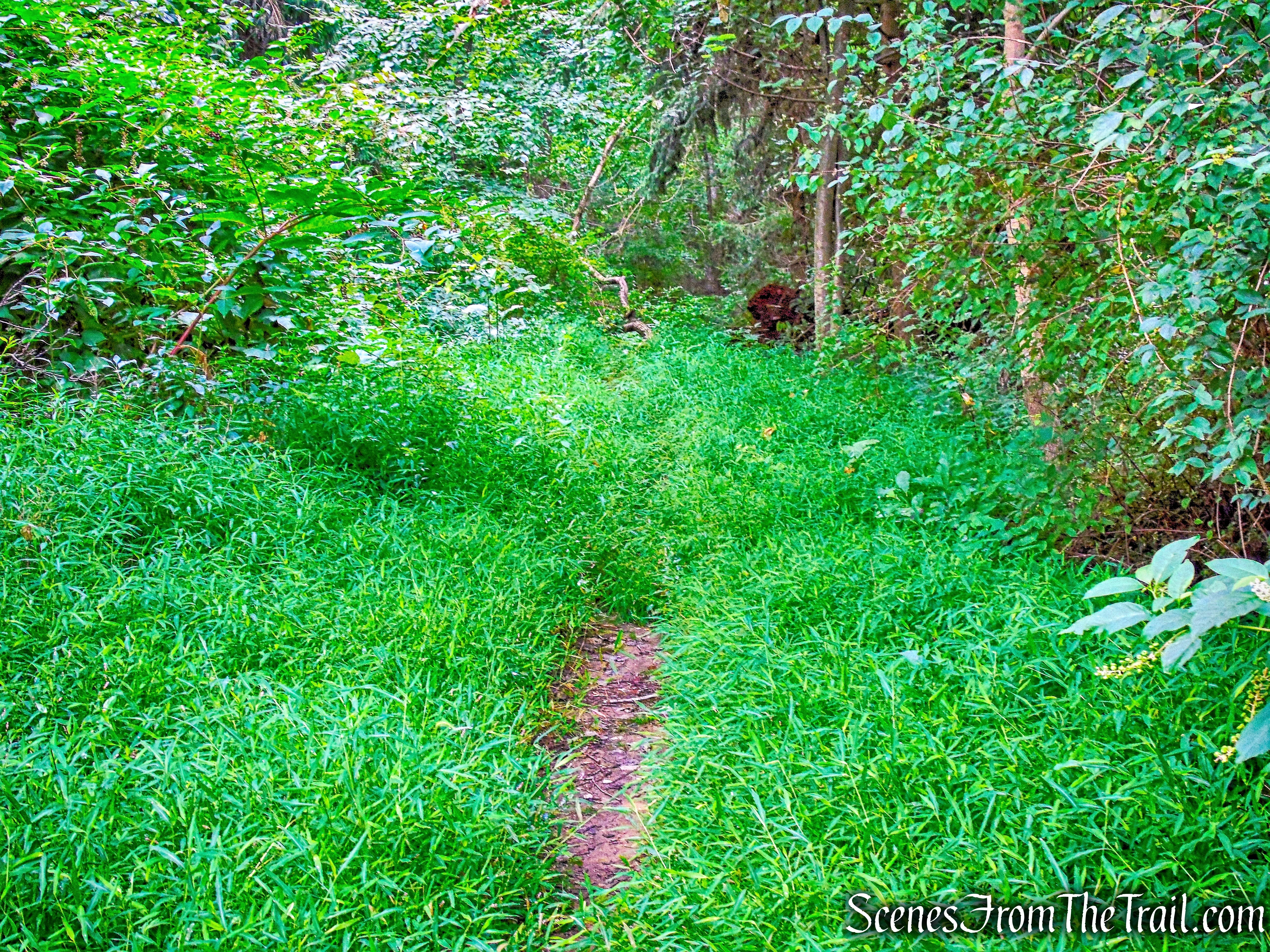
From the kiosk, we headed south on the white-blazed Perimeter Trail, which parallels Route 9D. This trail was overgrown for a good part of the way.
white-blazed Perimeter Trail
The white trail travels past a stone wall.
white-blazed Perimeter Trail
Soon, a blue trail begins on the right, and then a yellow trail begins on the right, but we continued ahead on the white trail.
Perimeter Trail
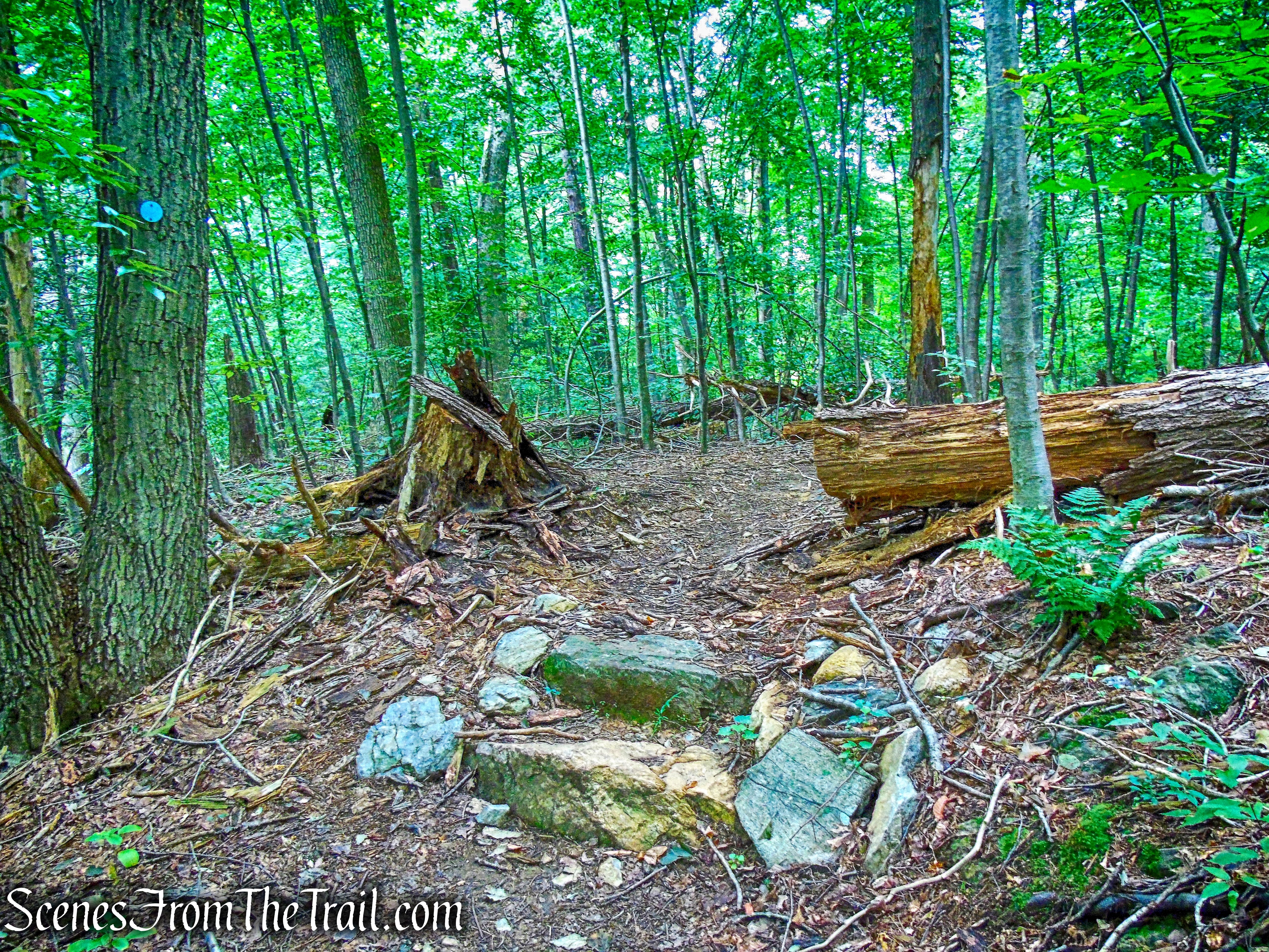
In a quarter mile, the white trail bears right, away from the road, and descends rather steeply into a ravine, where it crosses a stream on large boulders.
Perimeter Trail
The trail turns right and briefly parallels the stream, then bears left and climbs out of the ravine. The trail now bears right and continues to parallel the stream.
Perimeter Trail
At the crest of the rise, the pink trail begins on the right, but we stayed left, continuing to follow the white trail, which begins to head south.
Perimeter Trail
We immediately passed the start of the orange trail on the right, but continued on the white trail.
Perimeter Trail
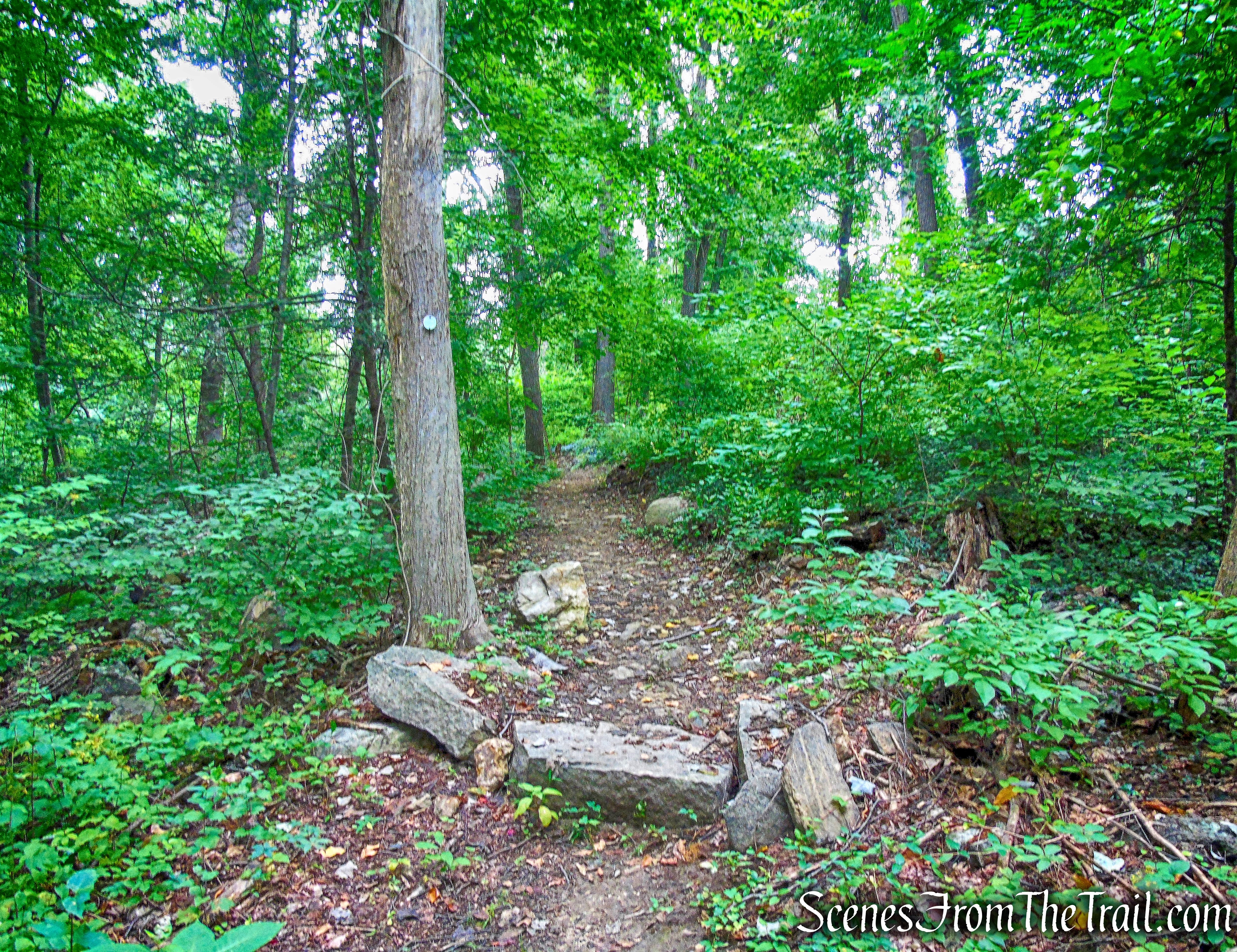
Soon, the white trail begins a gradual descent towards the Hudson River, running close to the southern boundary of the preserve.
Perimeter Trail
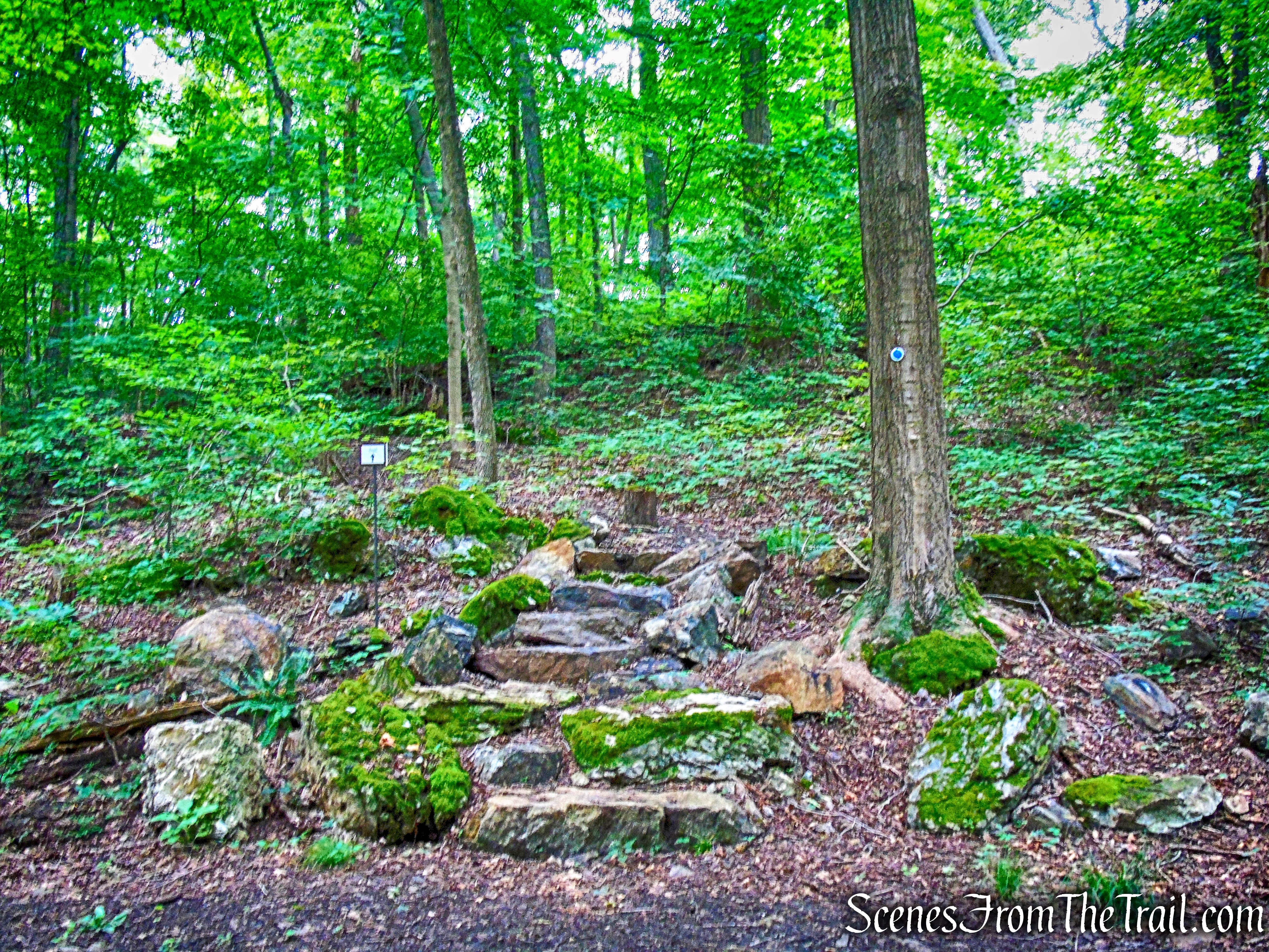
About two-thirds of a mile from the start, after descending through a shallow ravine on rock steps and paralleling an old stone wall,
Perimeter Trail
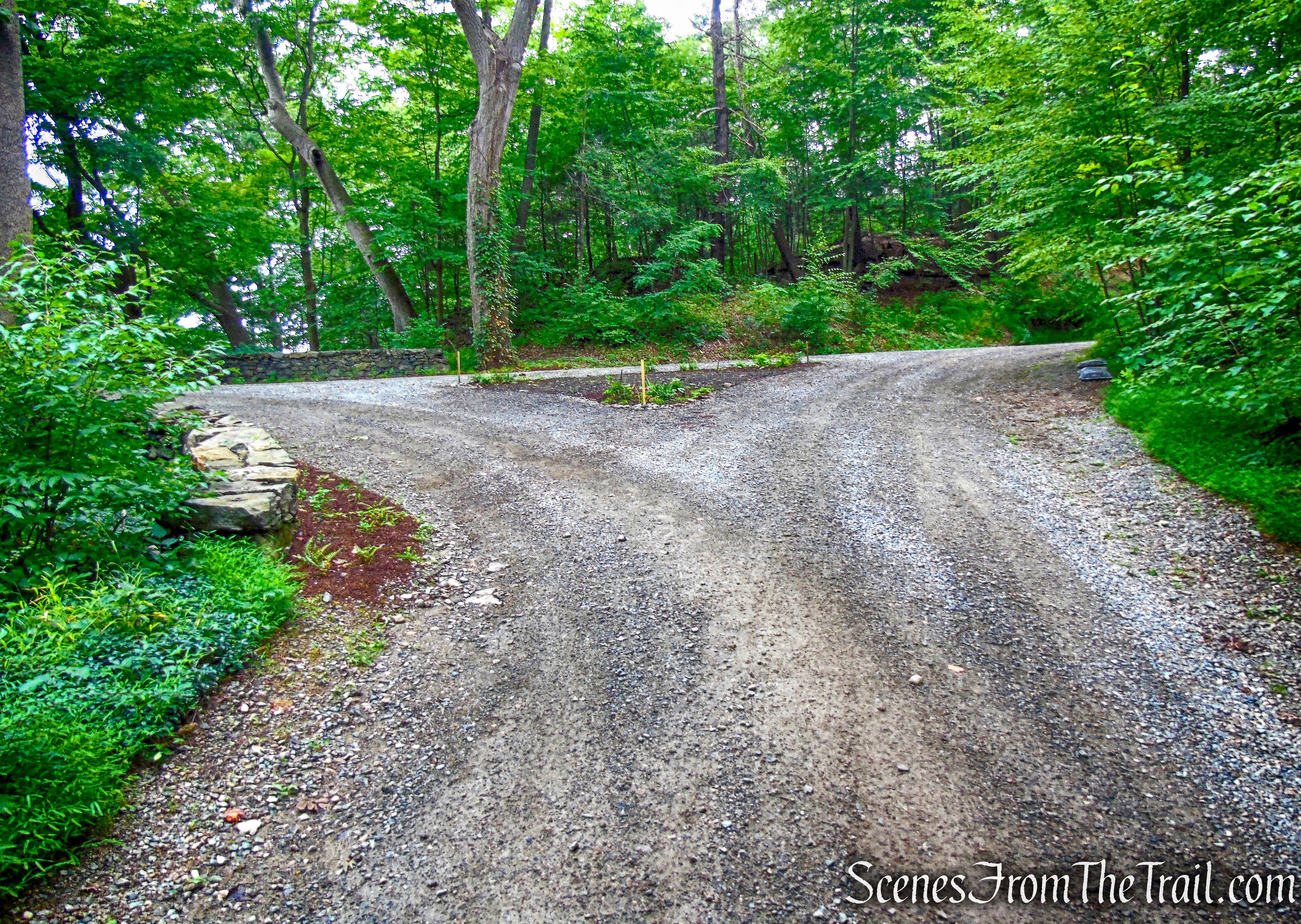
the white trail ends at a gravel road, referred to on the map as Mystery Point Road.
terminus of Perimeter Trail
We turned right and proceeded north on the road,
Mystery Point Road
passing the Manitou Marsh on the left.
Manitou Marsh
Mystery Point Road snakes its way northeast.
Mystery Point Road
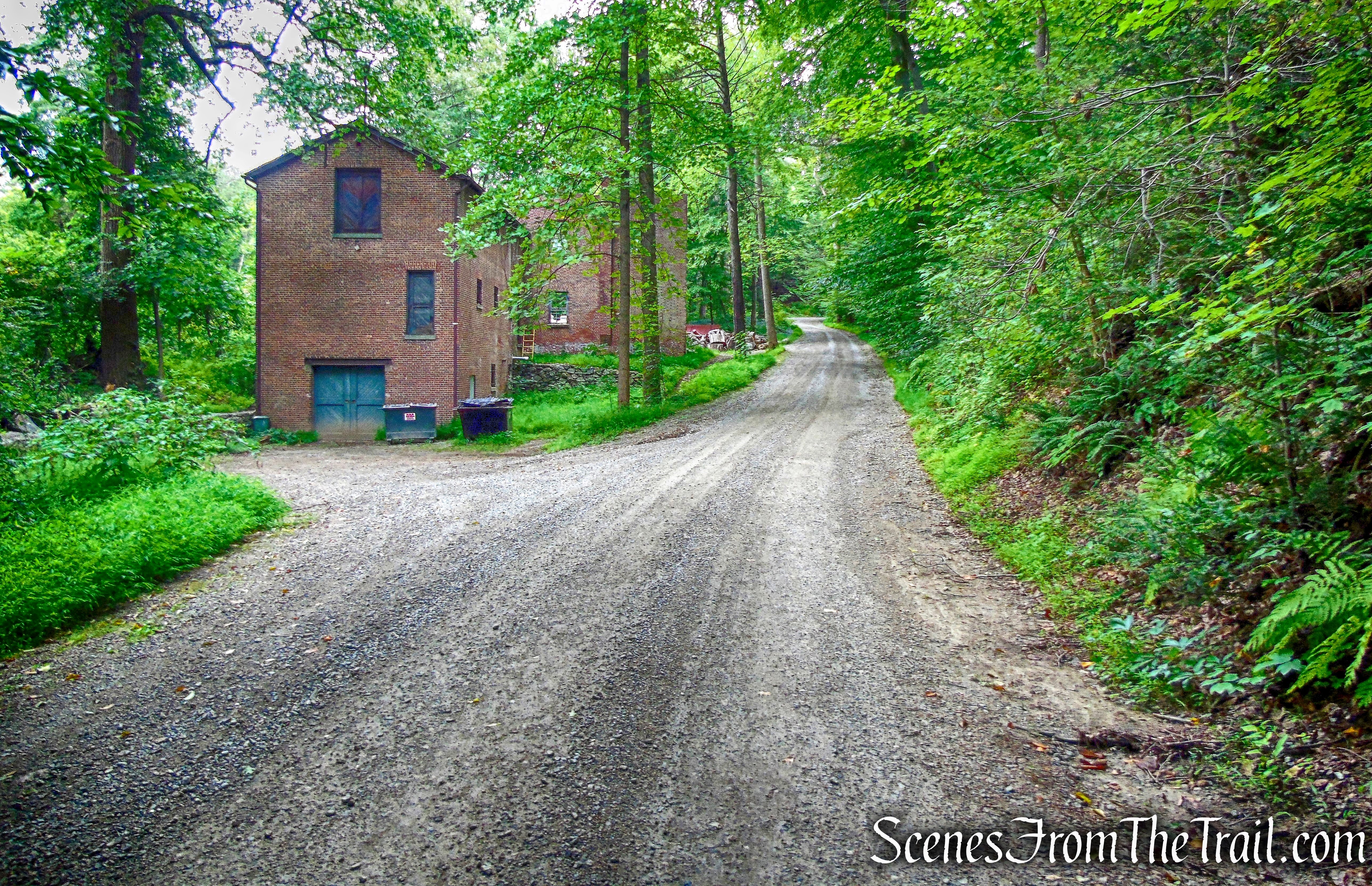
Soon, there is an orange-blazed trail and then a wide green-blazed trail on the right. We noticed an unmarked path on the left, with a structure visible through the trees.
unmarked path
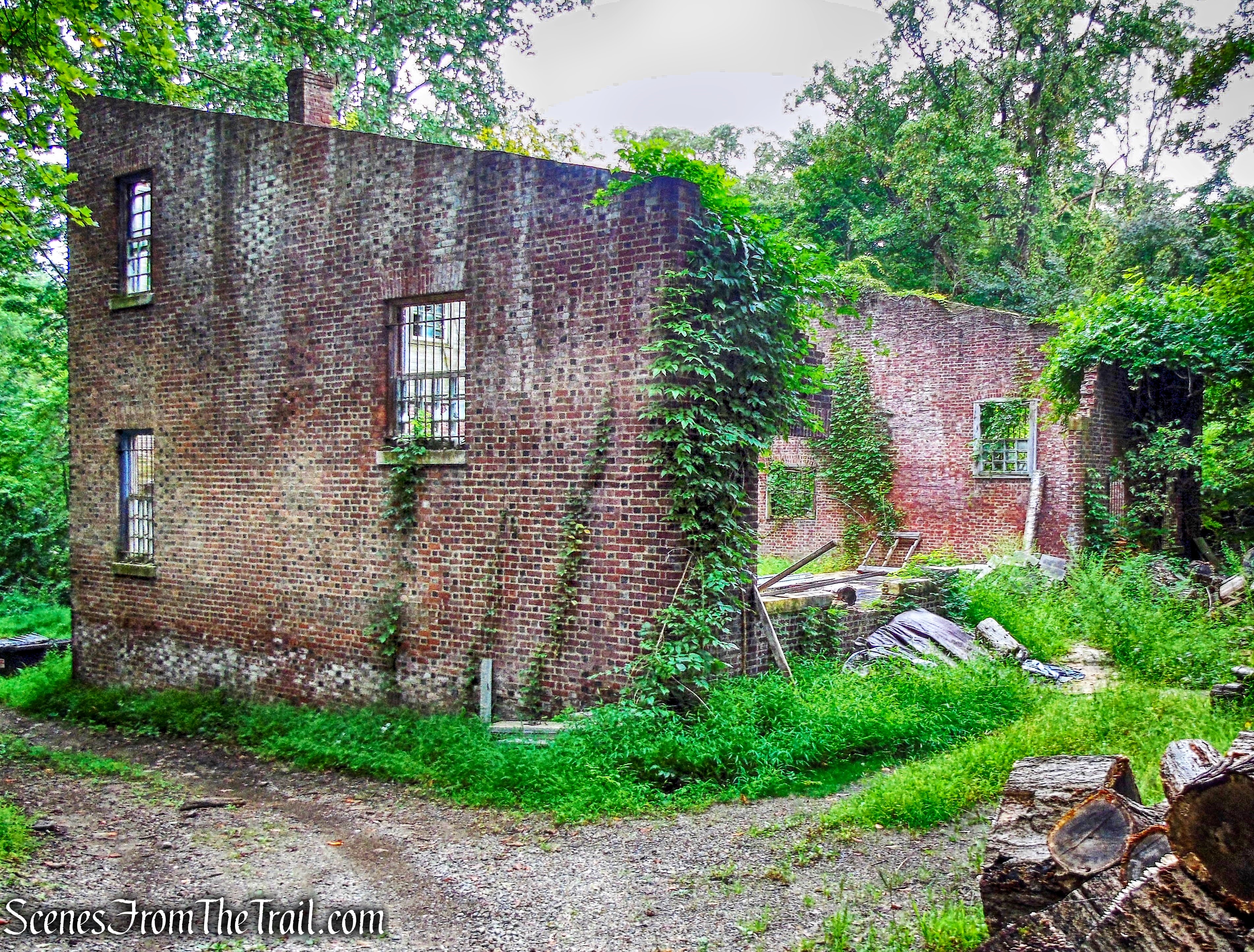
We walked down this path to explore this old roofless structure.
ruins
It appears to be the ruins of a large brick barn.
ruins
ruins
We then retraced our steps back out to Mystery Point Road and turned left. We walked by what appeared to be a private residence on the right and then some old brick buildings on the left.
Mystery Point Road
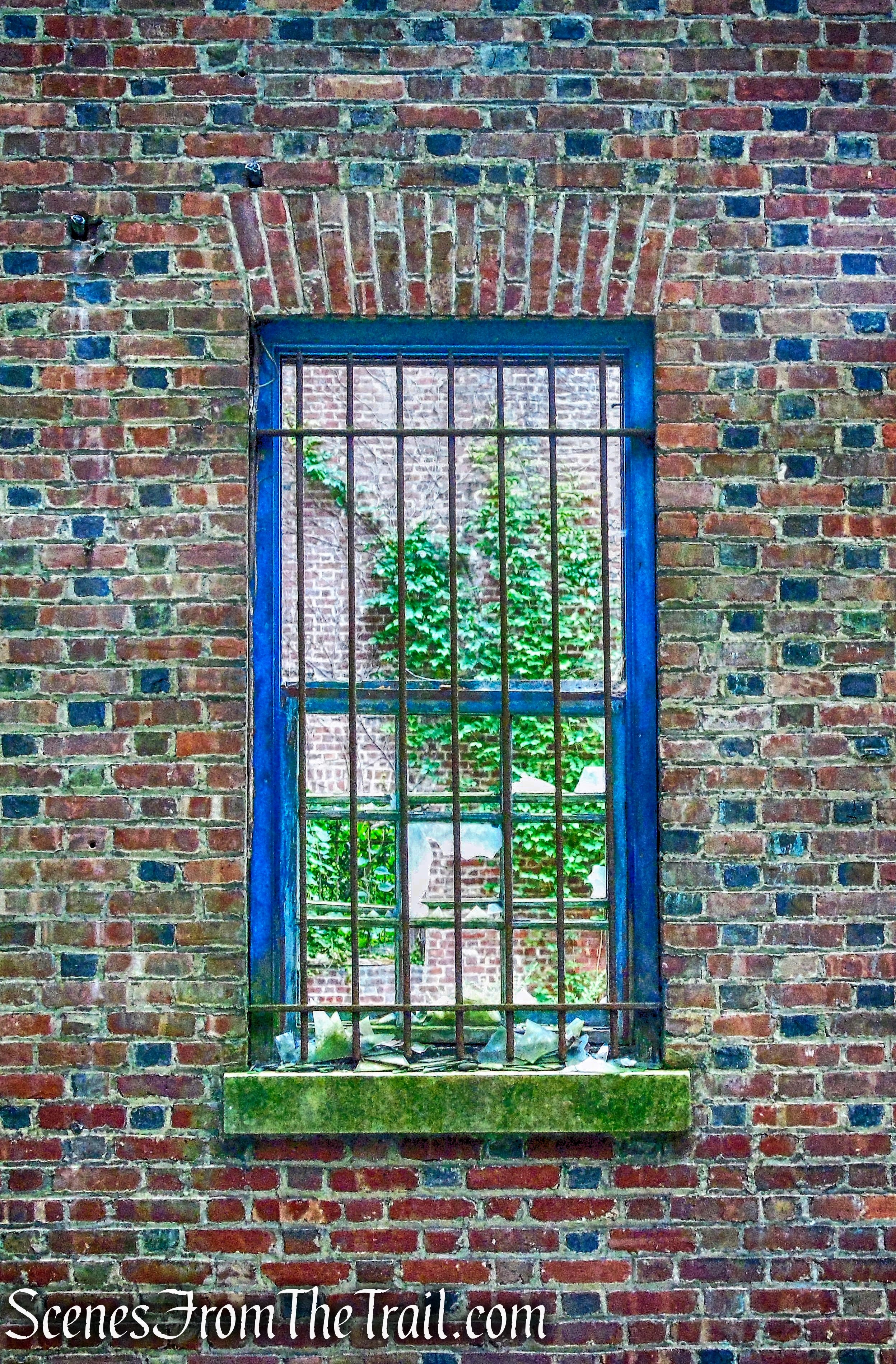
ruins – Mystery Point Road
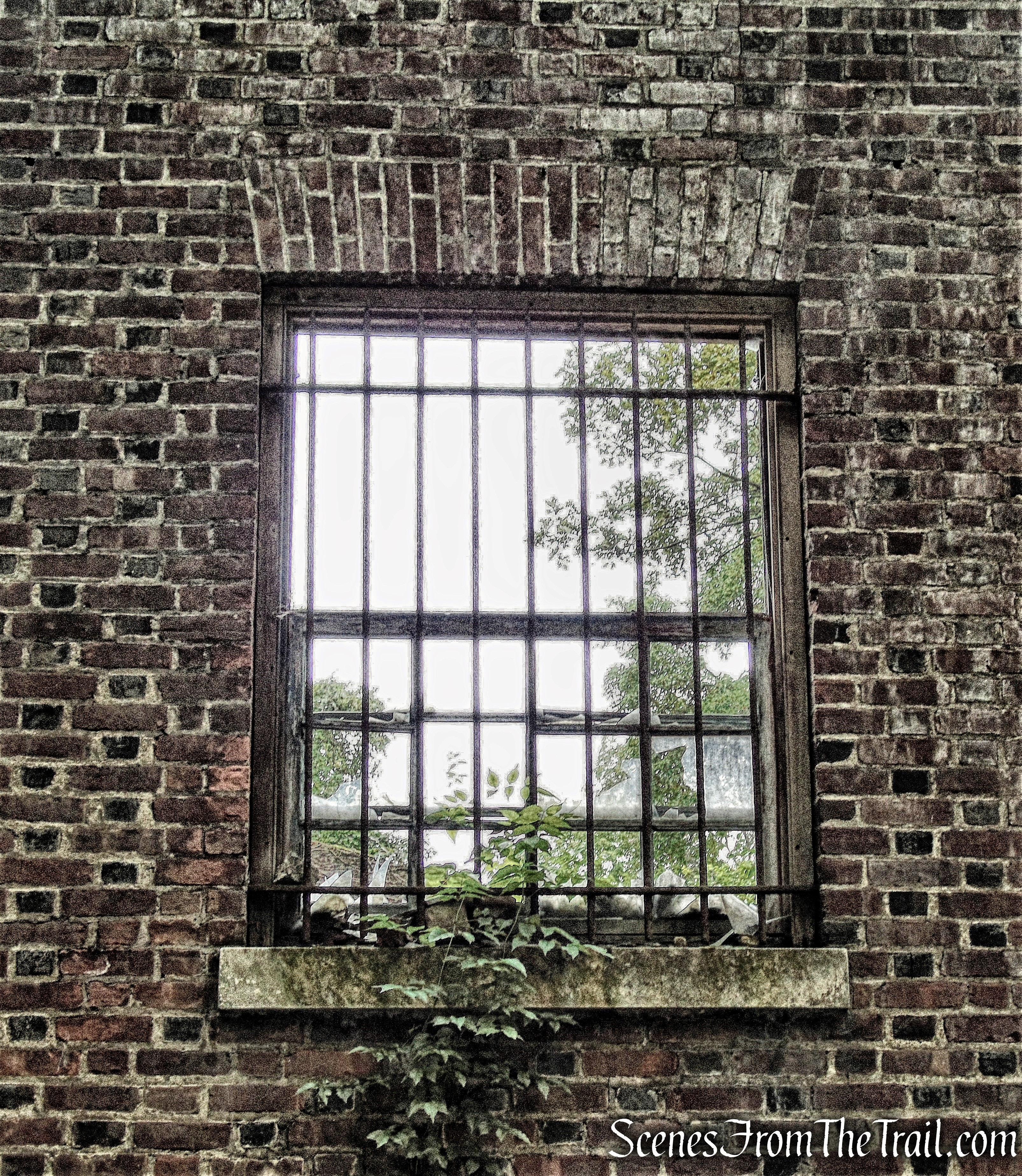
ruins – Mystery Point Road
ruins – Mystery Point Road
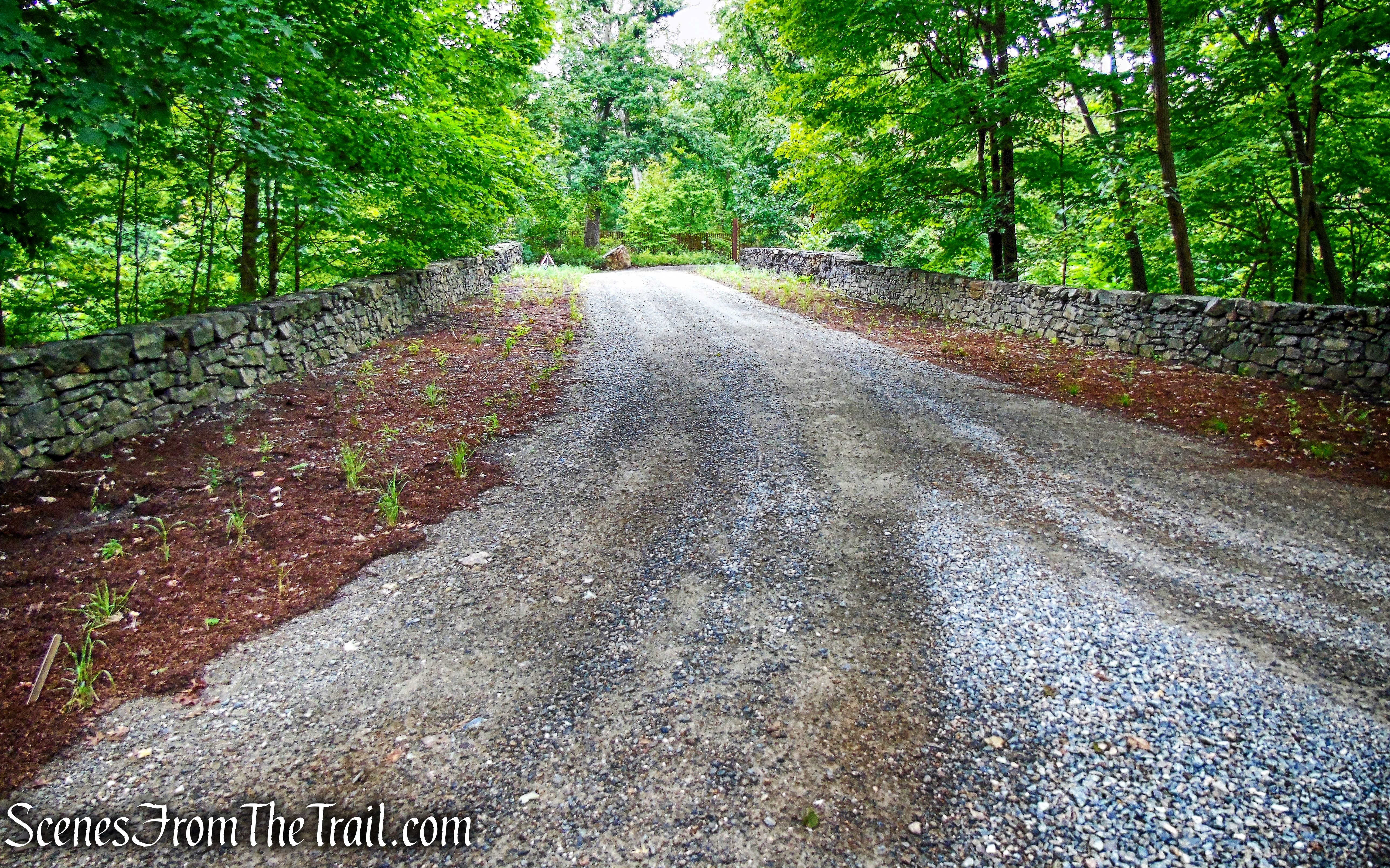
At the end of the road, we turned left.
turn left – Mystery Point Road
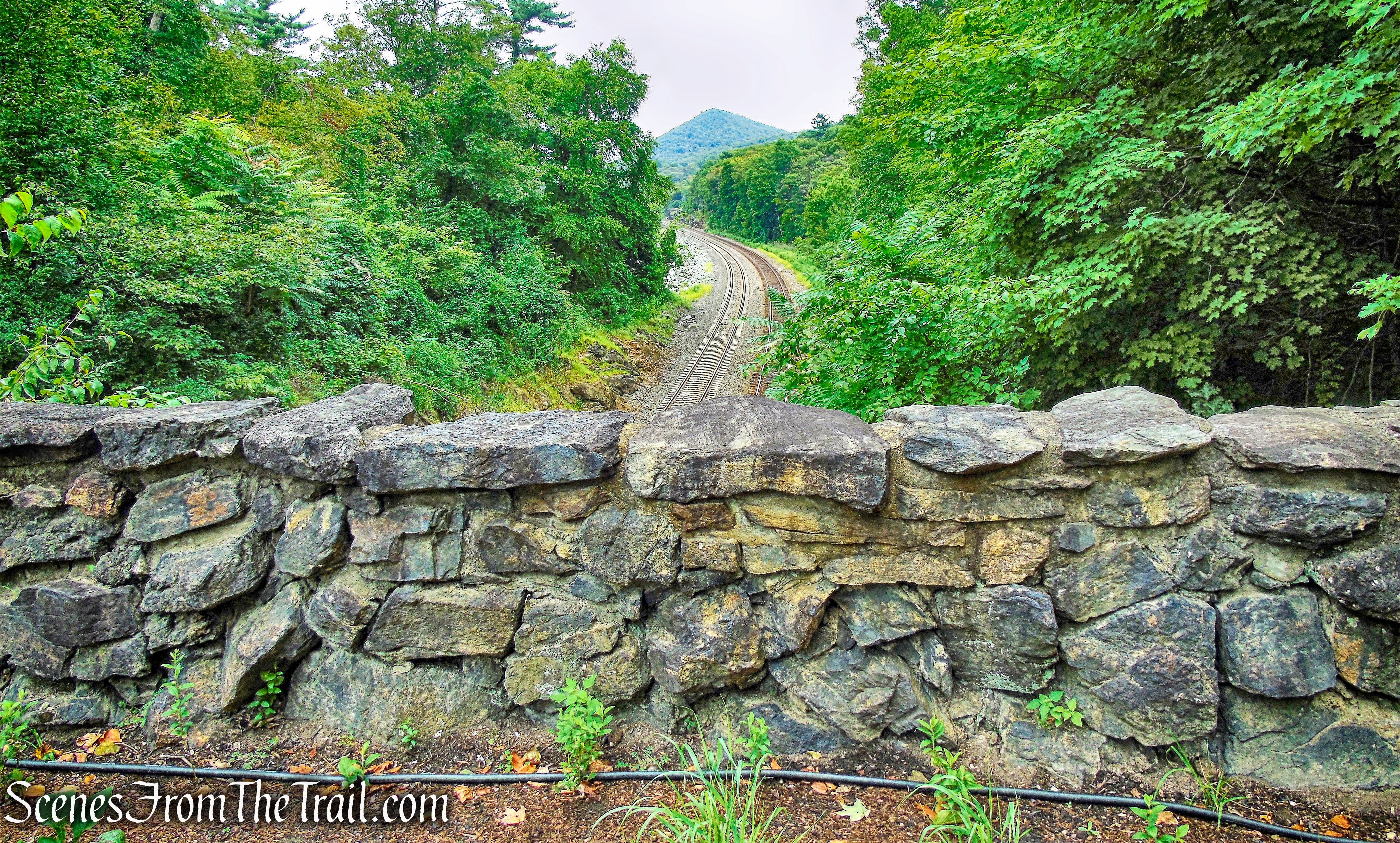
We crossed over the Metro-North railroad tracks on a wide stone-arch bridge. This is an active railroad, and Metro-North or Amtrak passenger trains routinely pass on their way to Poughkeepsie, Albany or New York.
stone-arch bridge
To the right (north), the cone-shaped hill in the distance is Sugarloaf Hill.
looking north to Sugar Loaf Hill
On the other side of the bridge, beyond an iron gate, is the historic Livingston Mansion.
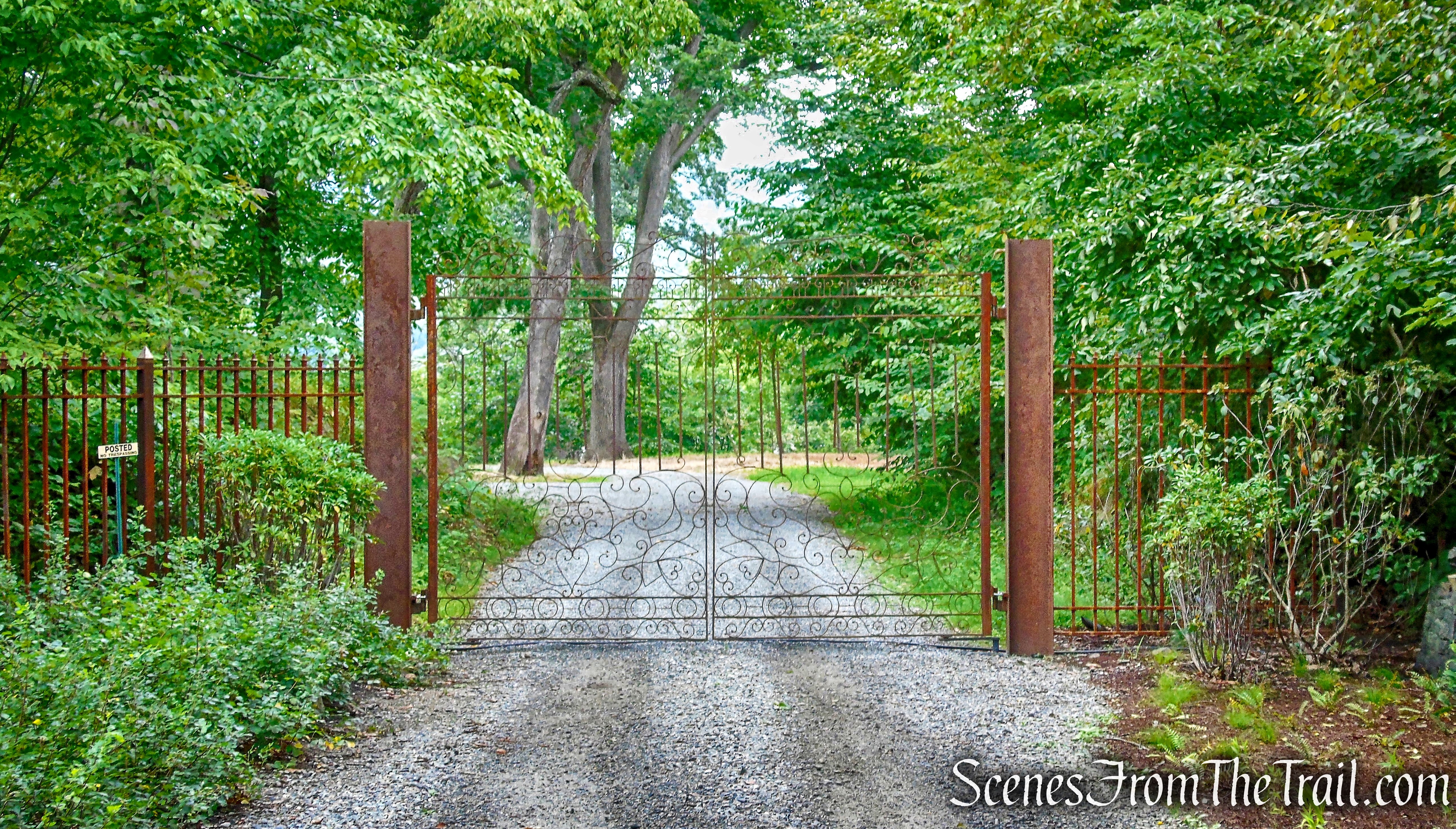
gate – Livingston Mansion
Just before reaching the gate, we turned left onto the blue-blazed River Trail, which parallels the railroad tracks.
start of River Trail
River Trail
On the right, beyond a wooden fence,
River Trail
is the Livingston Mansion, built in 1897 (the mansion and its grounds are privately owned and not open to the public).
Livingston Mansion
Soon, the trail curves right, away from the tracks, and reaches a dirt road. We crossed the road and continued on the blue-blazed trail, which climbs over a rise on switchbacks and stone steps.
River Trail
The trail then descends to the shore of the Hudson River. There is an ornate wrought iron gate to the right that leads to the mansion property.
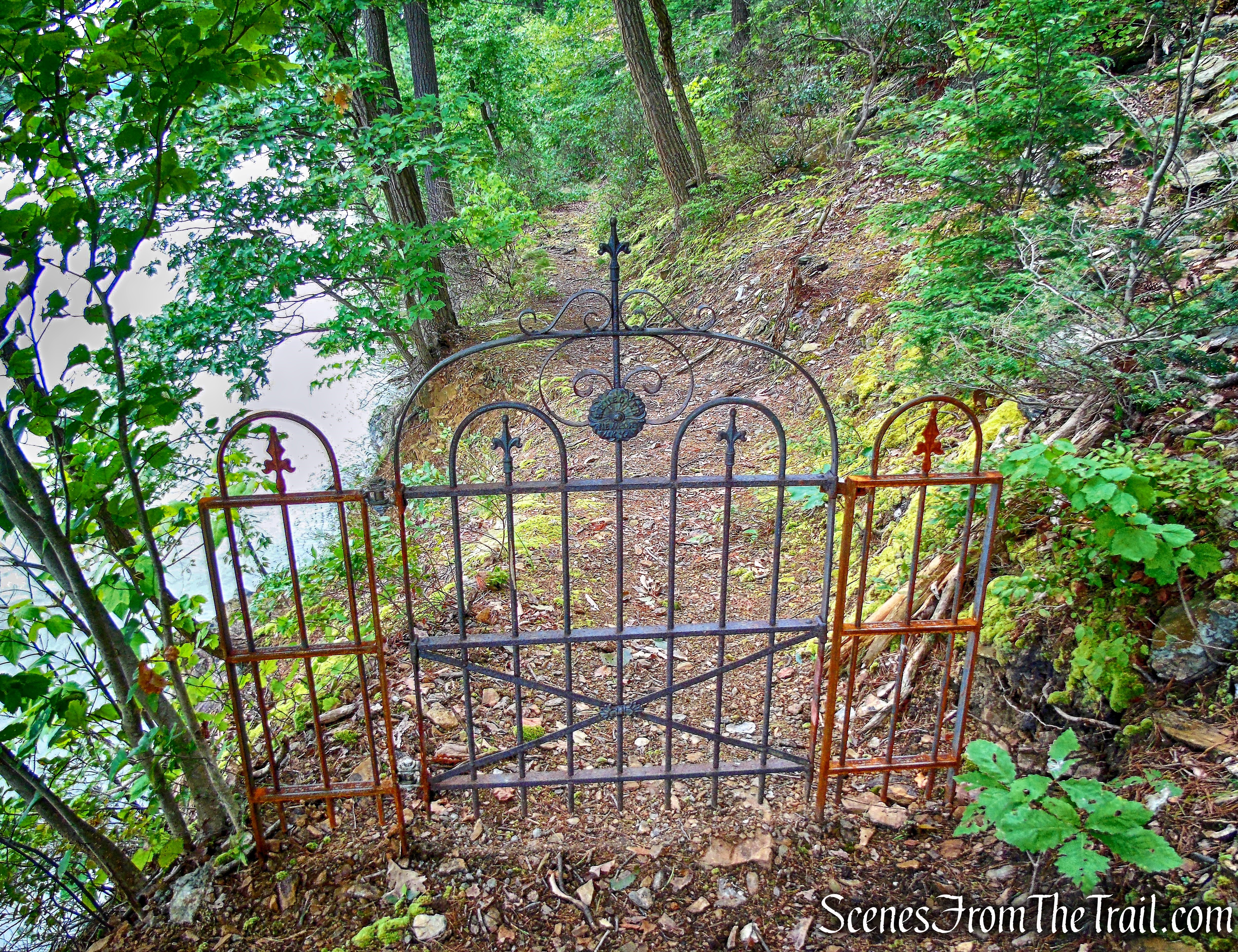
wrought iron gate – River Trail
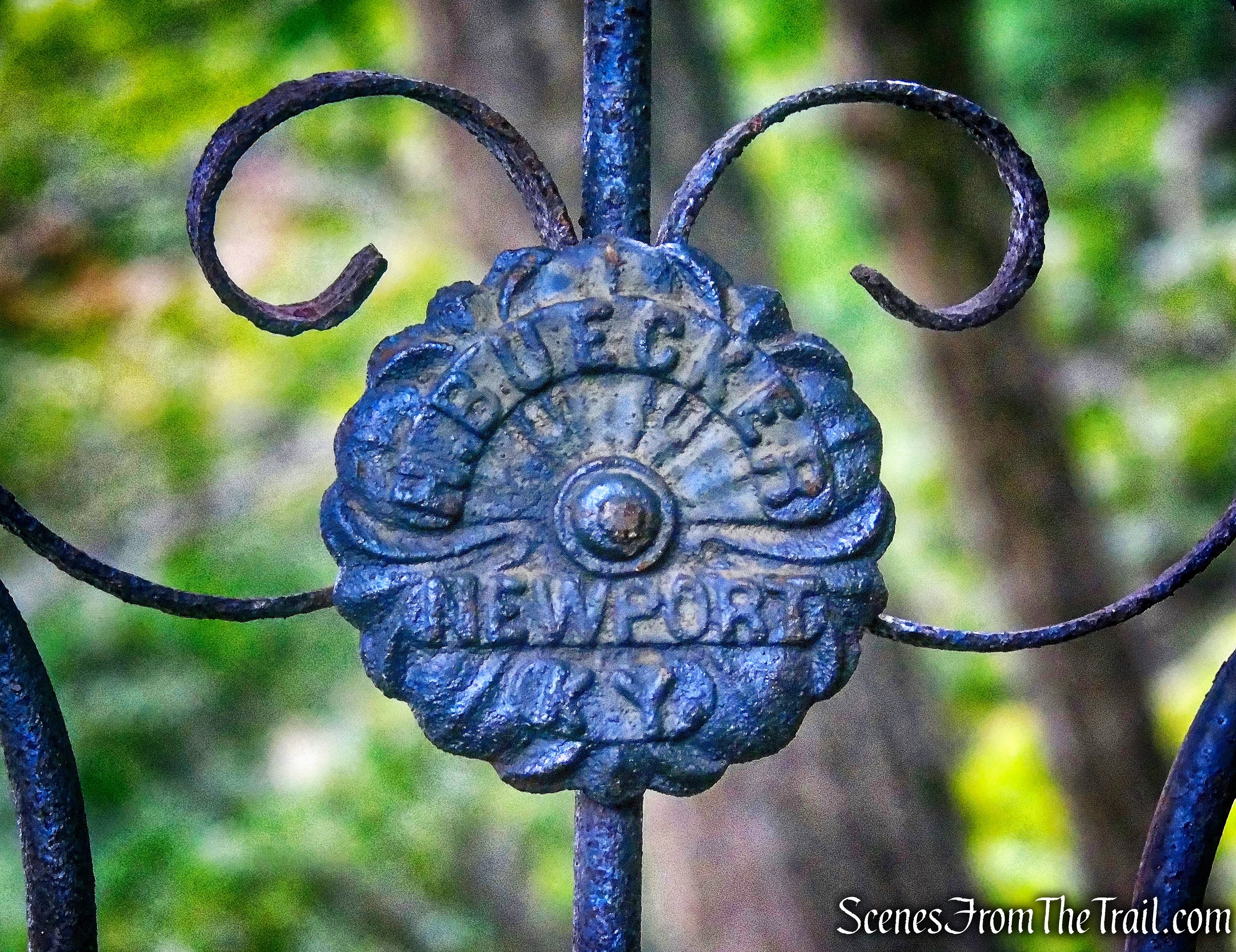
wrought iron gate – River Trail
The trail turns left onto a narrow footpath, heading south along a bluff overlooking the Hudson River, with views across the river.
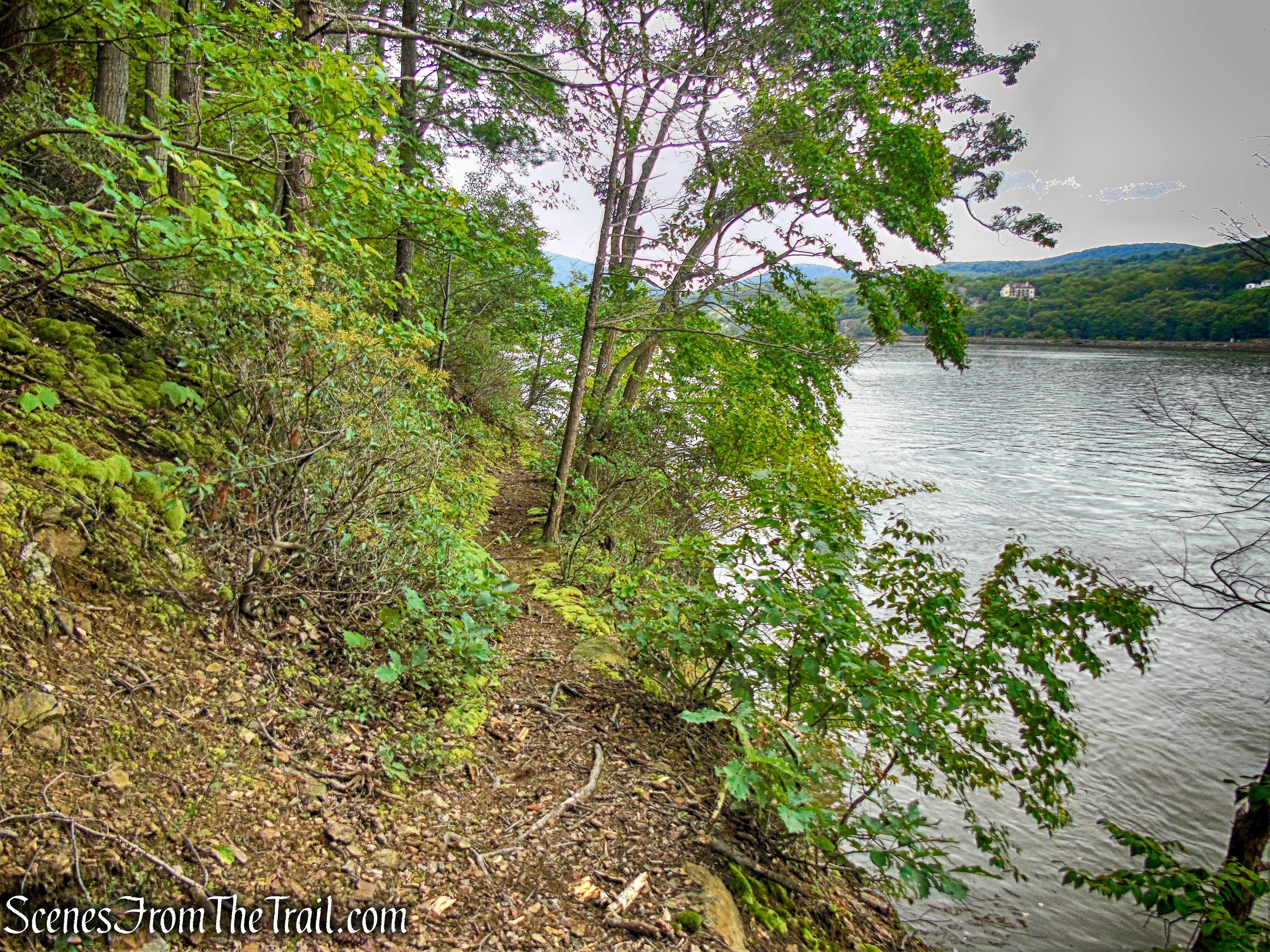
River Trail
Using caution, as there are steep drop-offs on the right.
River Trail
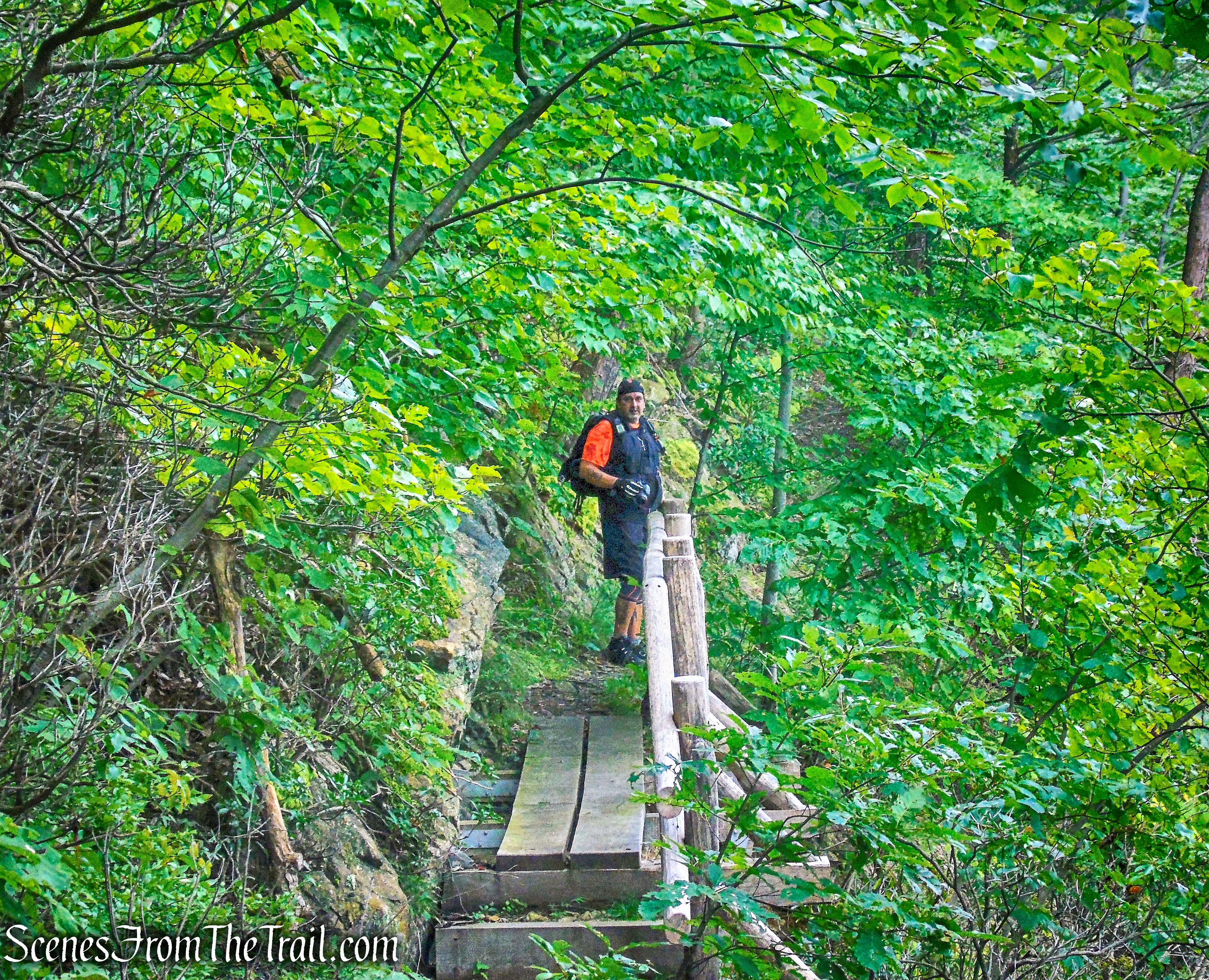
At one point, the trail crosses a wooden bridge over an area where the footpath had become eroded.
River Trail
The trail follows closely along the river for about a quarter of a mile.

River Trail
River Trail
The trail turns left and steeply climbs rock steps. In a short distance, the trail bears left again and heads inland, soon reaching a complex junction, with a grassy carriage road on the left and two branches of the blue-blazed River Trail on the right. We turned sharply right and followed the branch of the blue-blazed trail that runs closest to the river. In another quarter mile (after bearing right at a fork), the blue-blazed trail ends at a south-facing viewpoint, with a stone bench.
south-facing viewpoint
Bear Mountain can be seen be seen in the distance, with The Torne to its right.
south-facing viewpoint
After taking in the view, we retraced our steps on the blue-blazed trail for 200 feet, then turned sharply right at a trail junction.
turn sharply right at trail junction
We were now following the inland branch of the blue-blazed River Trail.
inland branch of the blue-blazed River Trail
This section of trail was also overgrown on our visit.
inland branch of the blue-blazed River Trail
The trail leads to the complex junction we encountered earlier in the hike. The blue-blazed River Trail turns right onto the carriage road, but we turned left onto the grassy road.
turn left onto the grassy road
We were now on the red-blazed Battlement Loop Trail. The trail heads north, paralleling the river, just above the blue trail we were on earlier.
red-blazed Battlement Loop Trail
A bench sits on the hill to the right of the trail, possibly offering a view when there are no leaves on the trees.
red-blazed Battlement Loop Trail
The red trail loops around and reconnects with the blue trail. We turned left on blue, heading north on the carriage road.
blue-blazed River Trail
When we reached the next junction (the road ahead is blocked off with a gate), we turned right and retraced our steps on the blue-blazed trail to its terminus at the bridge over the railroad. Turning right again, we recrossed the bridge, and veered left, following the gravel road uphill.
follow the gravel road uphill
The road heads uphill and comes to a stone bridge that spans Copper Mine Brook. There is a small cascade that flows underneath the bridge.
Copper Mine Brook
After crossing a stream, the road curves to the left. On the right, there are stone steps, which mark the start of the yellow-blazed Copper Mine Trail.
turn right on yellow-blazed Copper Mine Trail
We turned right, climbed the steps, and followed the yellow trail uphill as it briefly parallels the brook. Through the trees, a dam and an old structure across the brook (possibly an icehouse) can be seen.
Copper Mine Trail
The Copper Mine Trail reaches a T-intersection, where we turned left onto the blue-blazed Connector Trail.
turn left onto the blue-blazed Connector Trail
In a short distance we reached the white-blazed Perimeter Trail, turned left and followed it a short distance to the parking area where the hike began.
Perimeter Trail
This is a nice hike if you are short on time or prefer some solitude. The trails could use a little work, which would make this place more enjoyable. Walking the blue-blazed River Trail along the Hudson River was very enjoyable. The brick ruins along the way were fun to explore as well.
Pros: Lesser traveled area, well marked trails, ruins, Hudson River views.
Cons: Trails overgrown in spots.
Take a hike!
Manitou Point Preserve
Source
