April 10, 2022 – North Haven, Connecticut
Difficulty: Easy
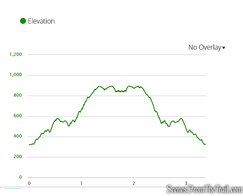
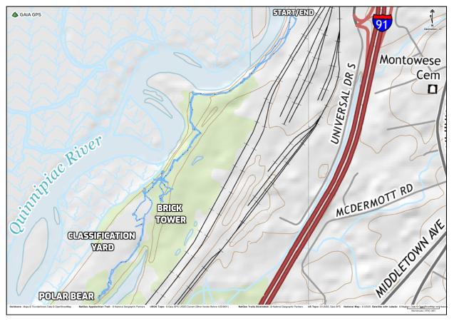
Length: Approximately 3.1 miles
Max elevation: 30 ft.– total elevation gain approximately 70 ft.
Route type: Out and Back
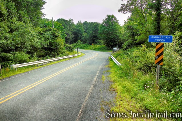
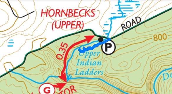
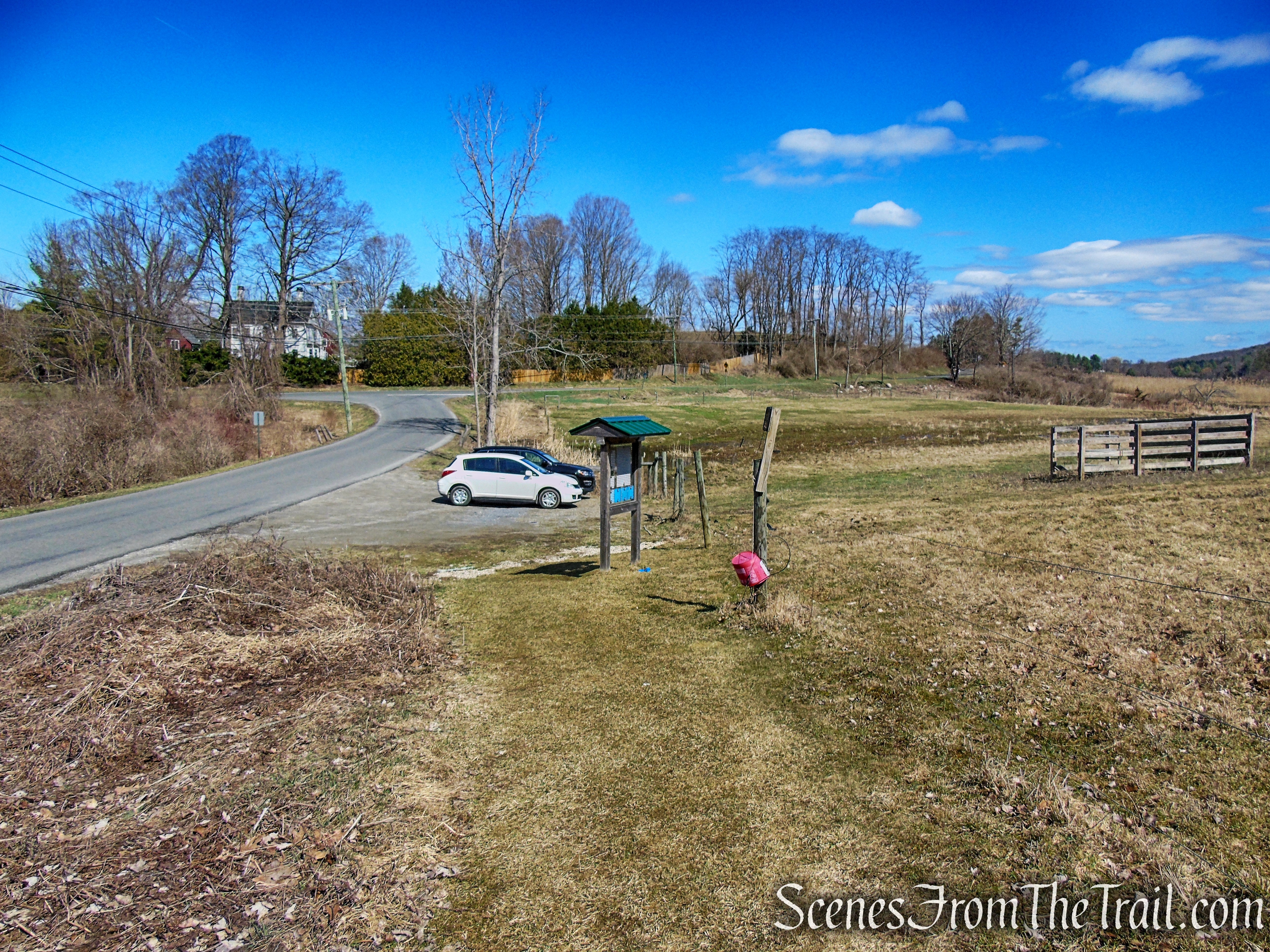
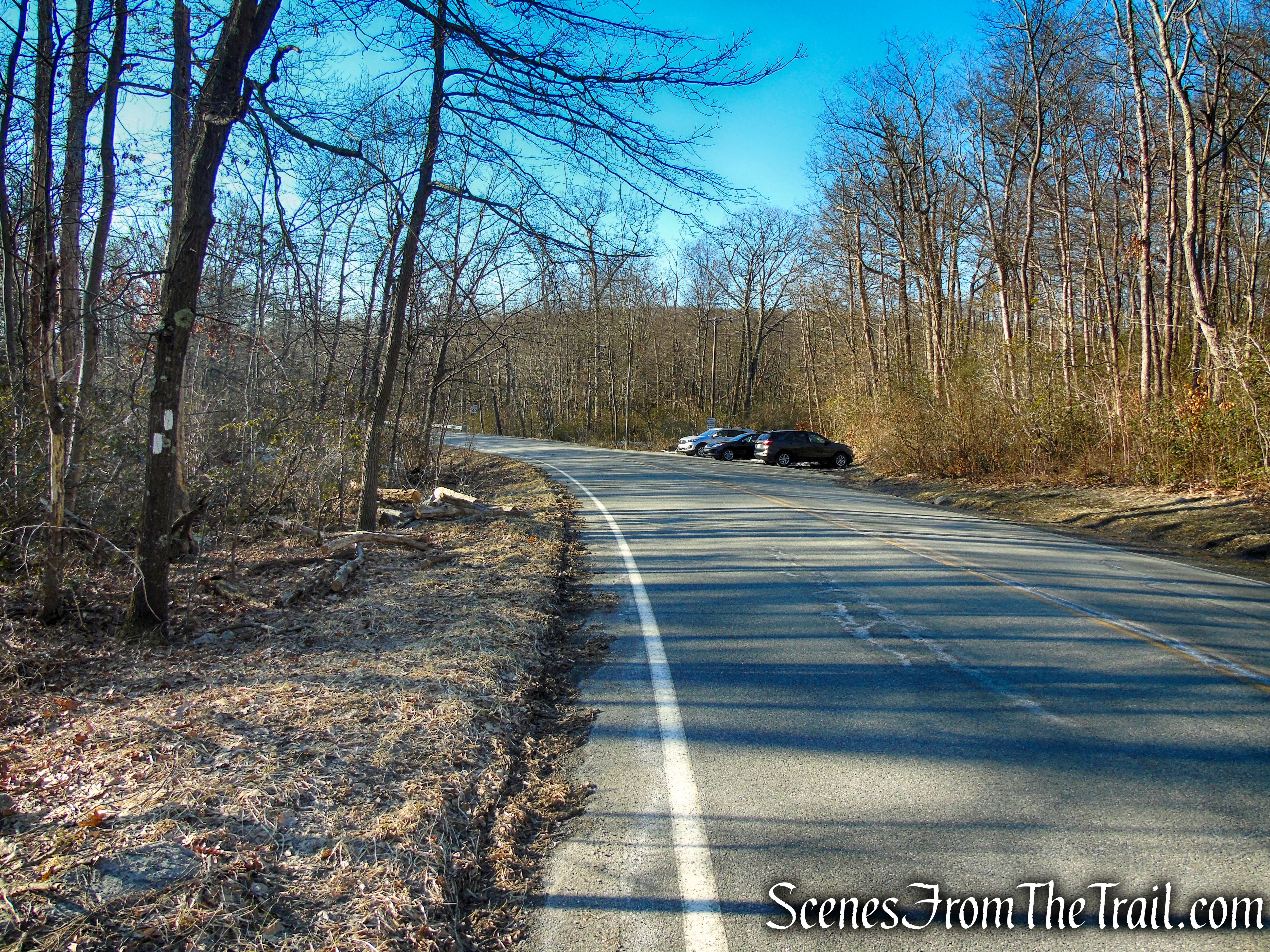
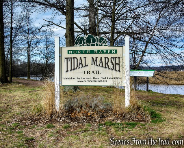
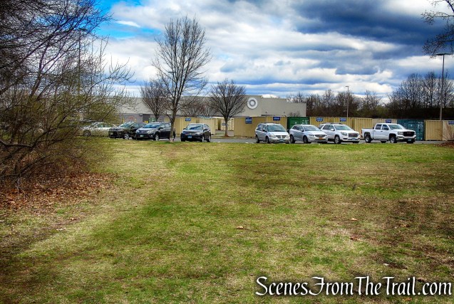
Trailhead parking: 200 Universal Drive, North Haven, CT 06473 (Behind Target)
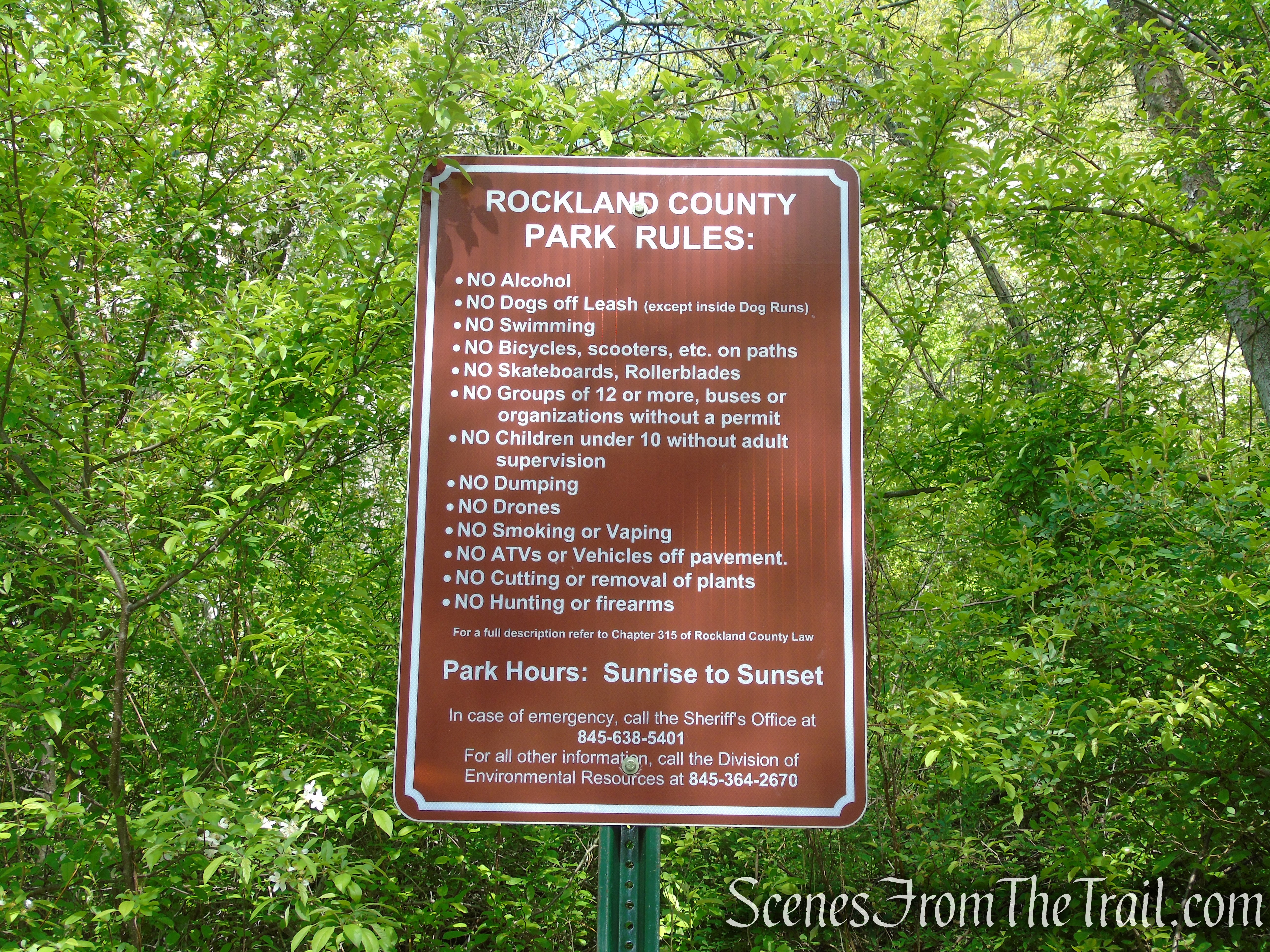
No bathrooms on site – No entrance or parking fees
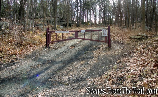
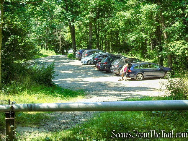
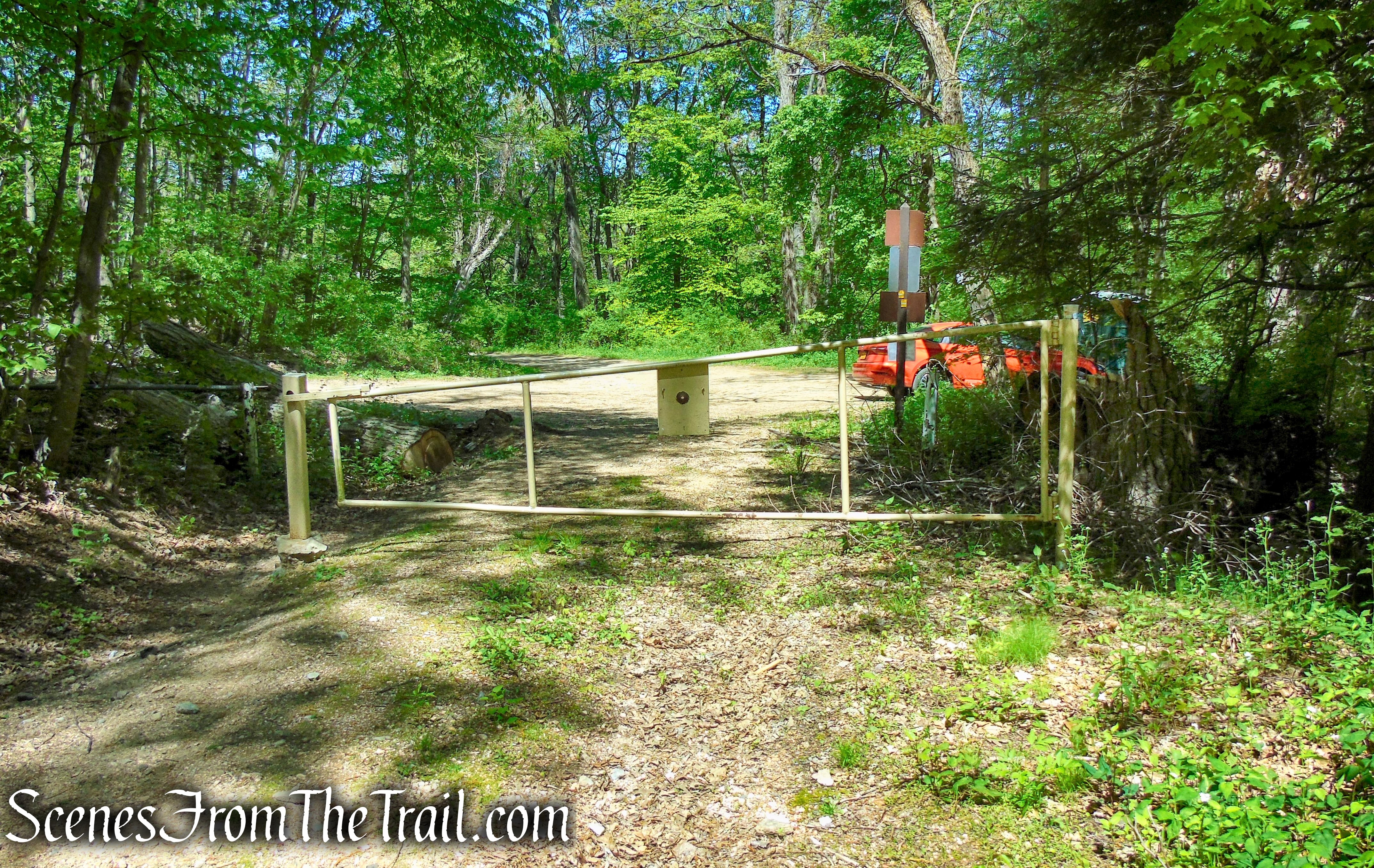
Plenty of parking at the trailhead.
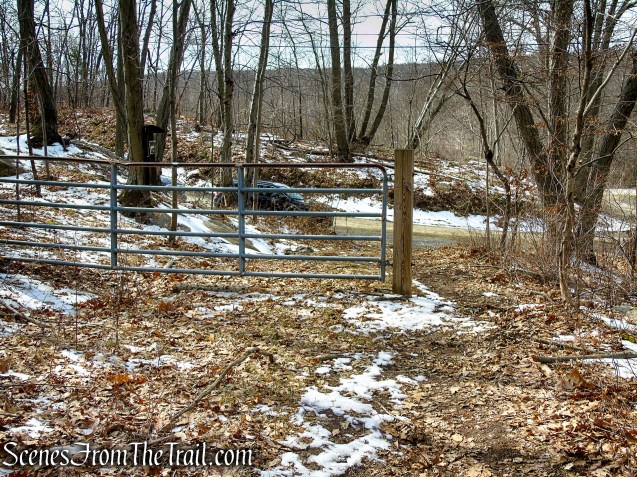
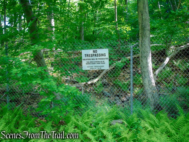
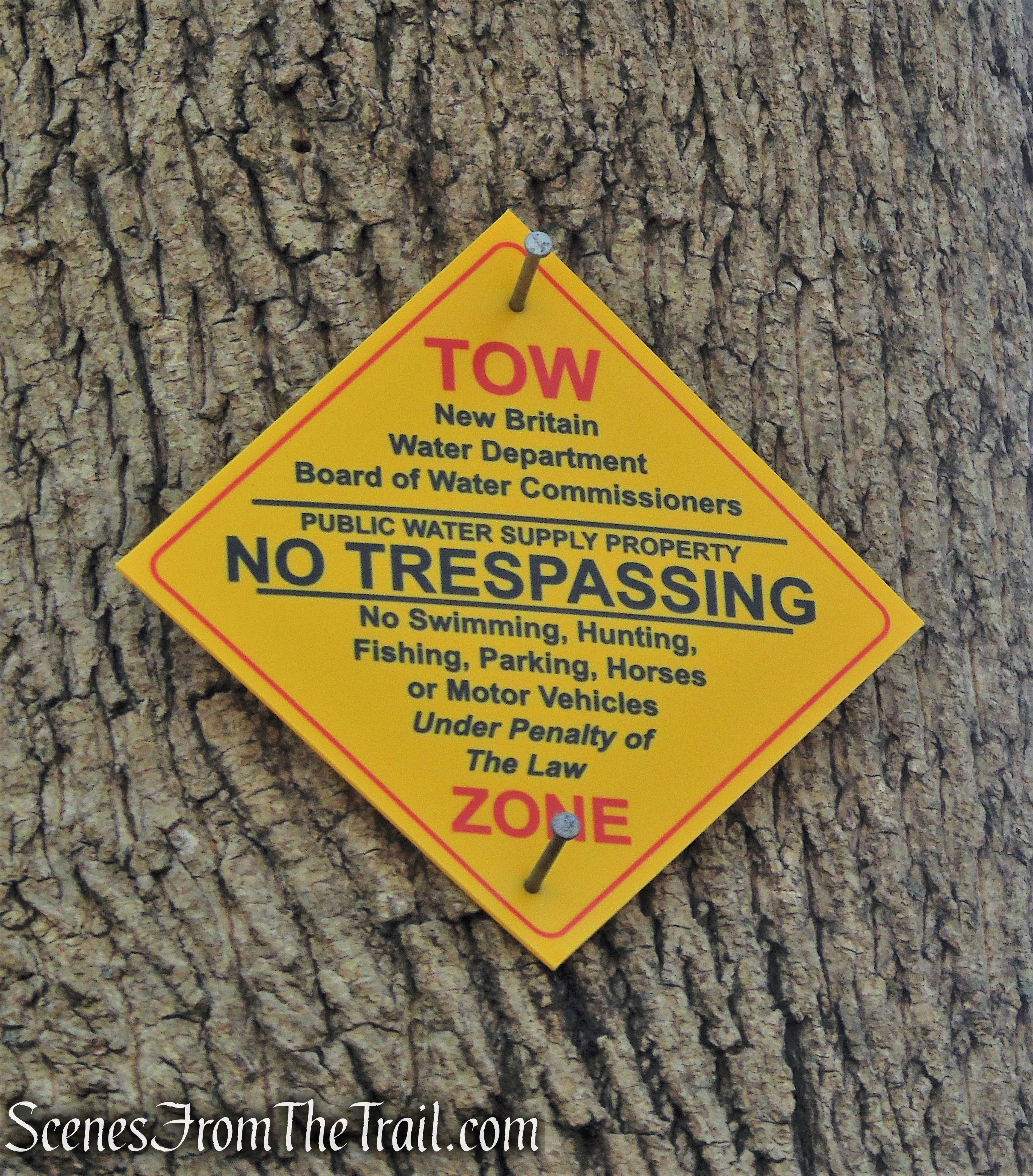
Please Note: This hike is no longer possible due to the property being fenced off.
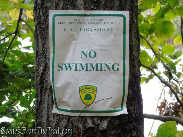
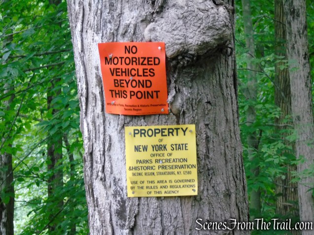
North Haven Trail Association: We regret to inform you that, until further notice, the Tidal Marsh Trail, behind Target on Universal Drive, is no longer open to the public. The property’s owners have advised us that, due to contaminated wetlands on the property, they no longer can allow the public to use the Tidal Marsh Trail until such time as they have cleaned up the property. We will share more information as we receive it.
Overview:
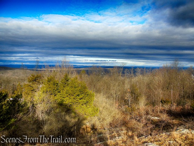
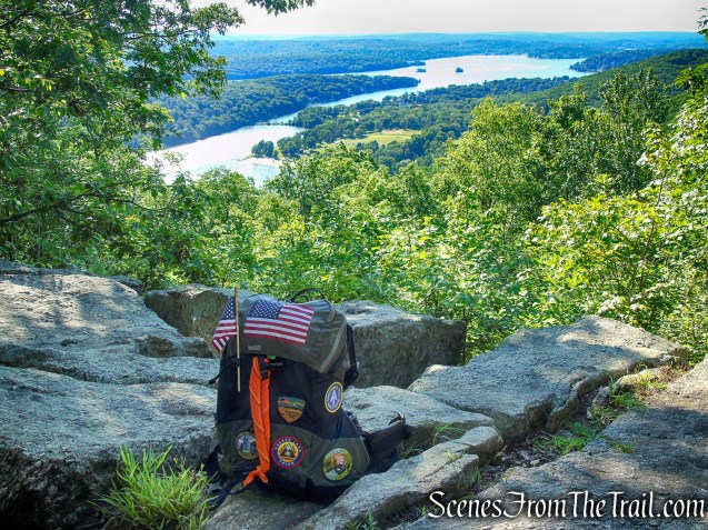
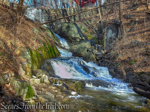
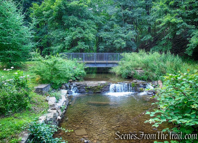
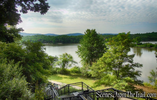
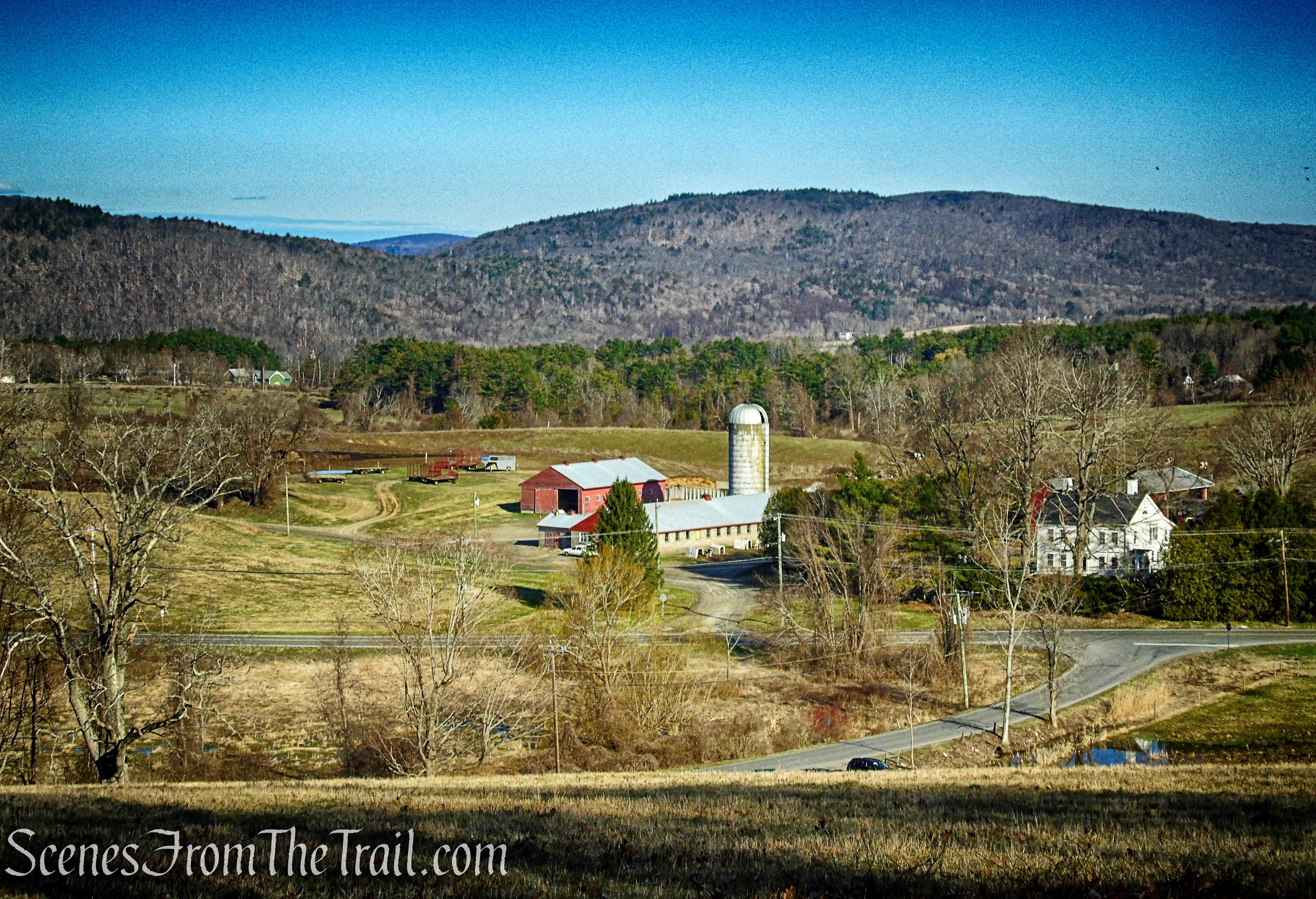
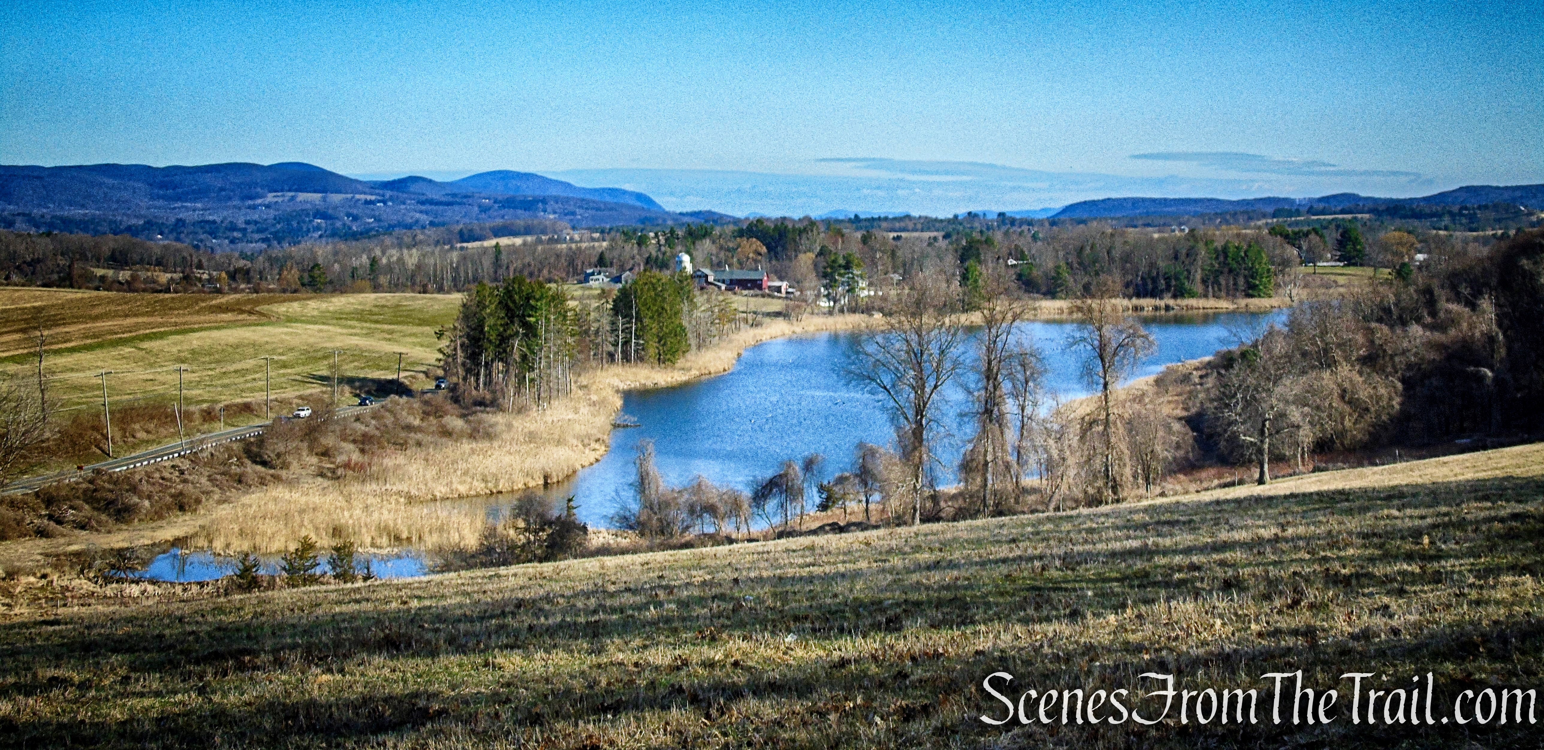
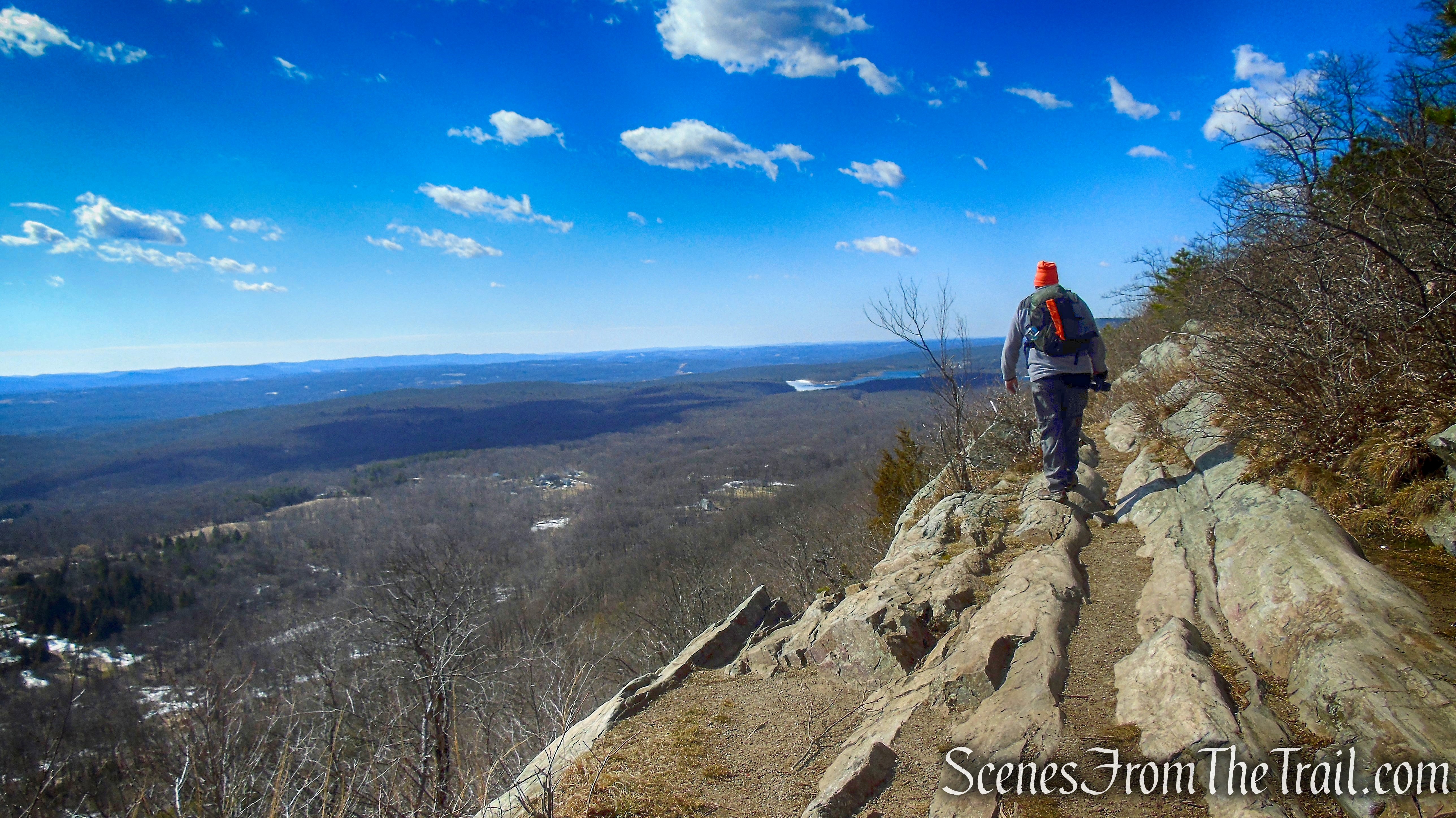
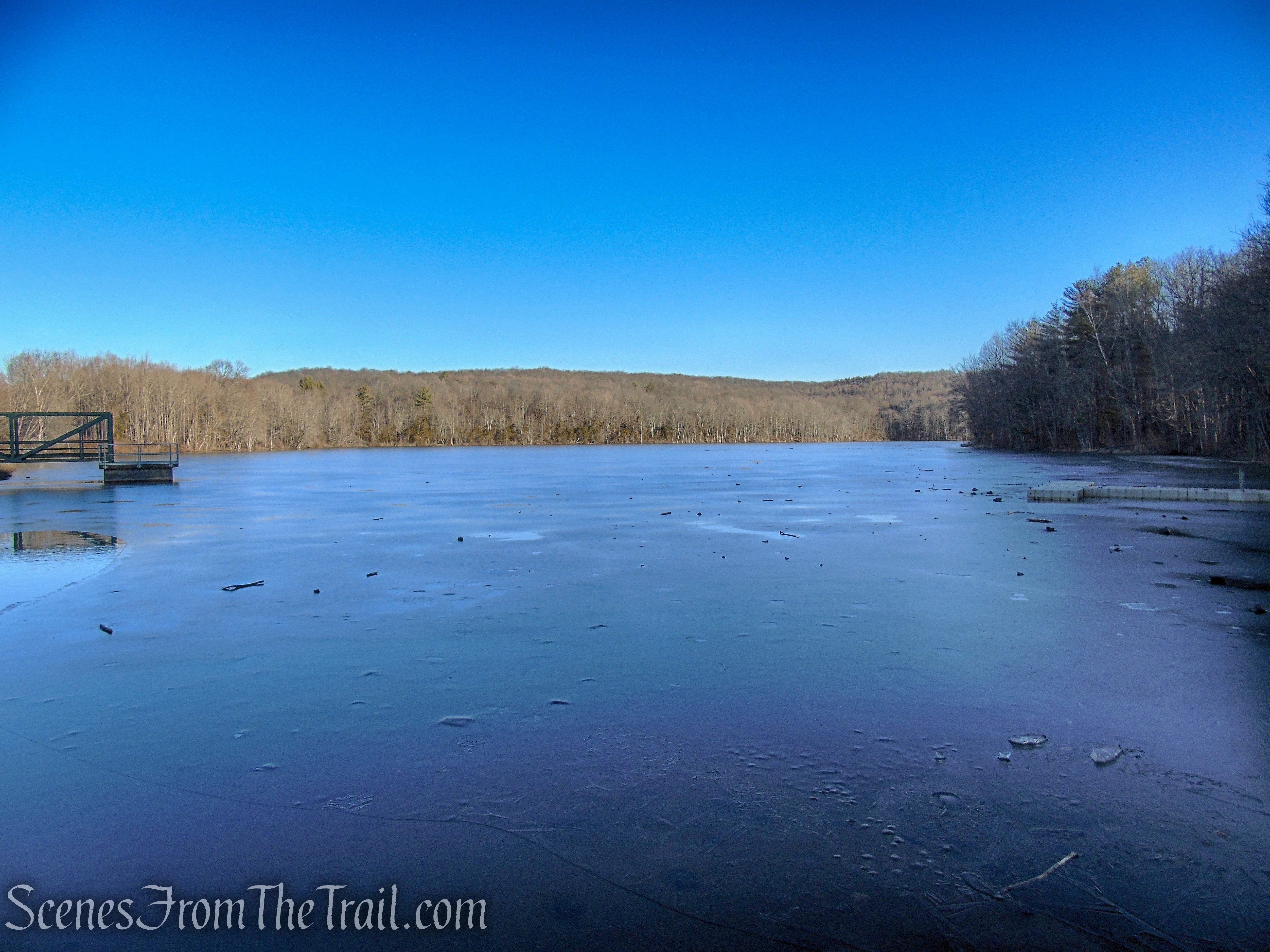
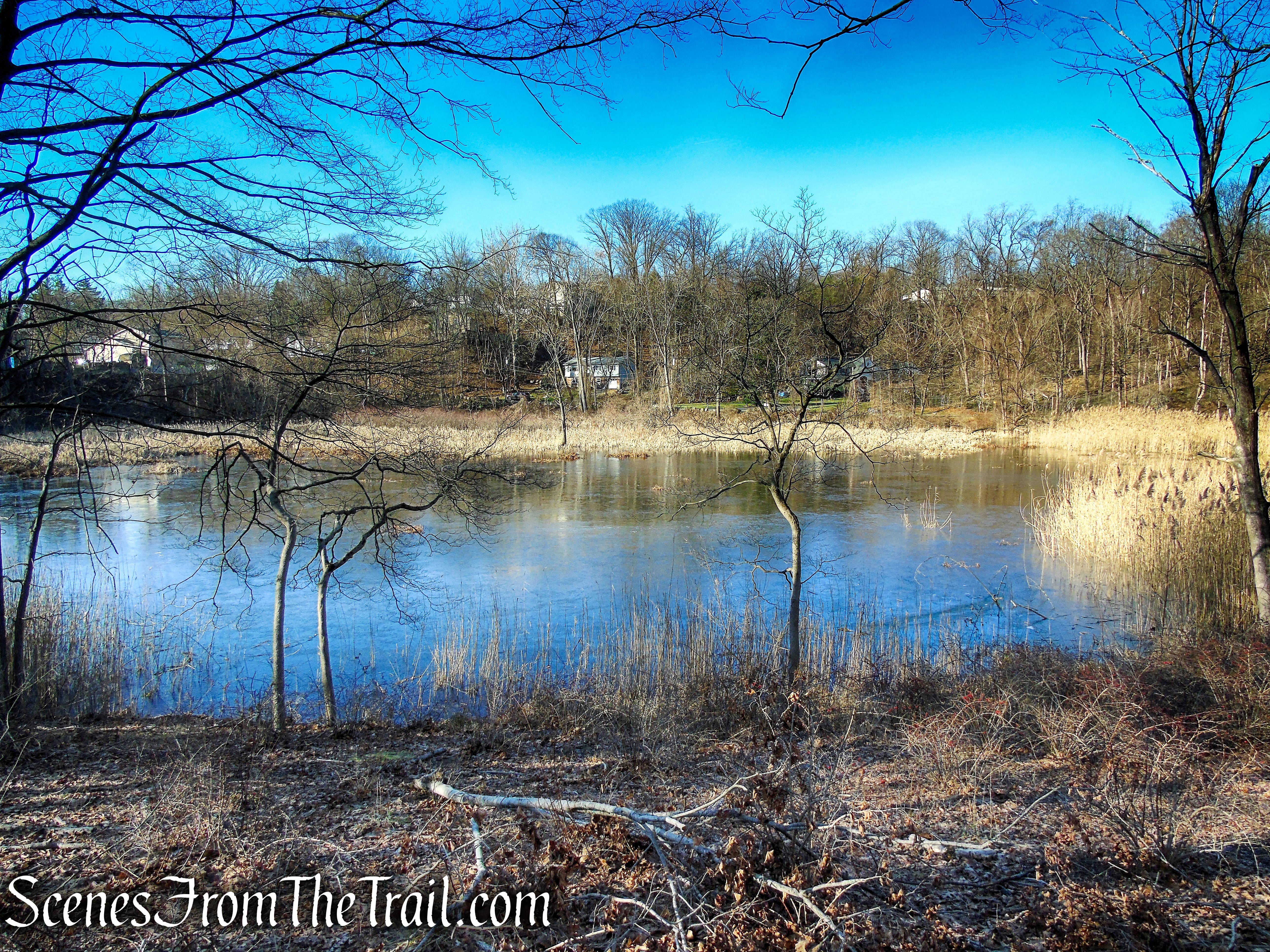
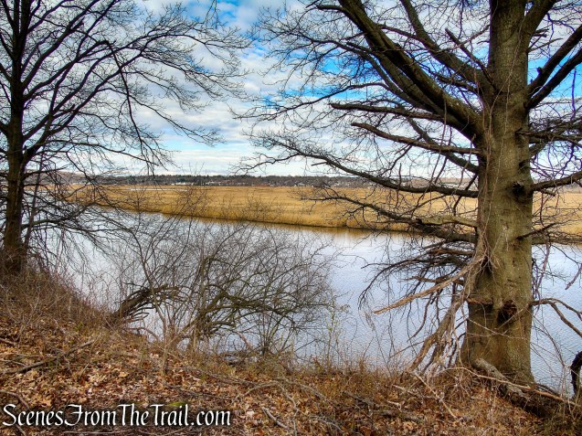
Tucked behind the Target Department Store on Universal Drive in North Haven, the Tidal Marsh Trail offers visitors a rewarding experience. A leisurely stroll on a trail along the Quinnipiac River. Starting on a small bluff above the river, with stunning views of Sleeping Giant, lower Hamden, and the river’s marshes. The trail meanders south through stands of different species of trees between the river and abandoned train tracks. The trail is maintained by the North Haven Trail Association.
Tidal Marsh Trail – North Haven
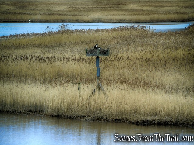
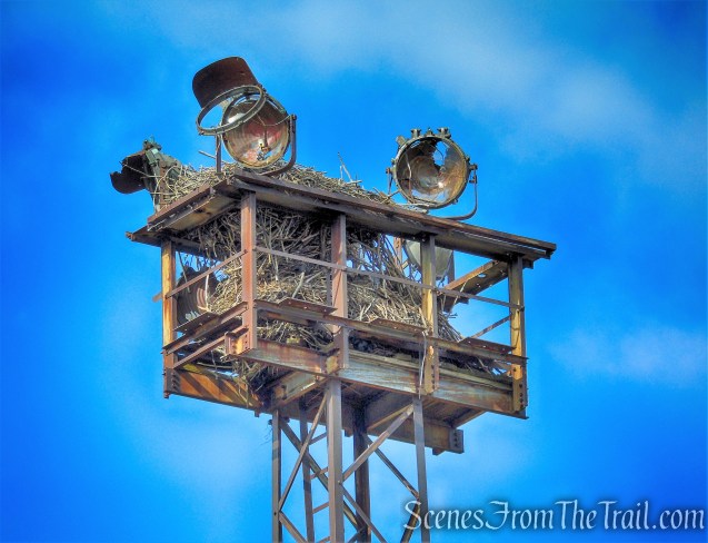
The Tidal Marsh Trail offers wonderful opportunities to bird watch. You may spot Bald Eagles, Hawks, Ospreys, ducks, geese, and other migratory birds in or near the water, or riding the thermals high in the sky.

Ospreys – Tidal Marsh Trail
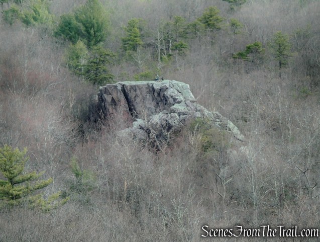
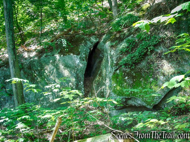
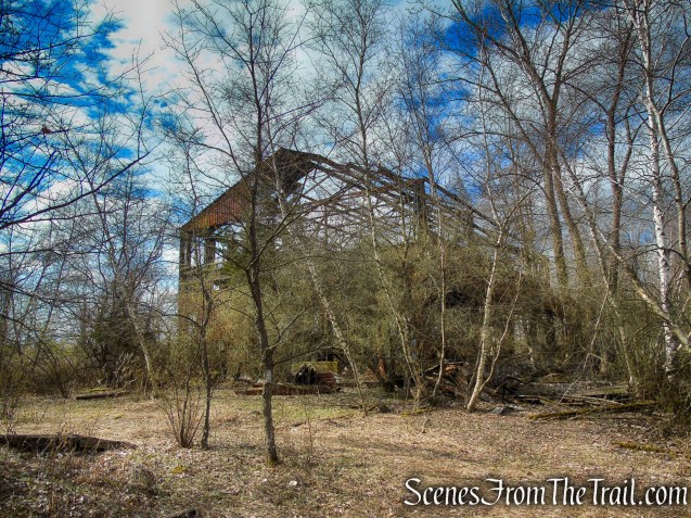
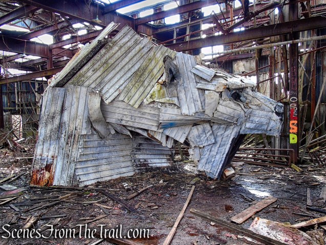
If you follow the sporadic blazes Just beyond, into the abandoned Cedar Hill Rail Yard, You will come across a 14-ft. tall Polar Bear sculpture made from wood, sheet metal and other items reclaimed from the dilapidated building that it rests in. The sculpture was created by Connecticut artist Michael DeAngelo.

Polar Bear sculpture – Cedar Hill Rail Yard
History:
The North Haven Trail Association began developing the Tidal Marsh Trail in 2012 with the help of private and public funds to secure easements along the Quinnipiac River to provide North Haven residents access to the River for recreational purposes and to ensure protection of the River and its surrounding watershed.
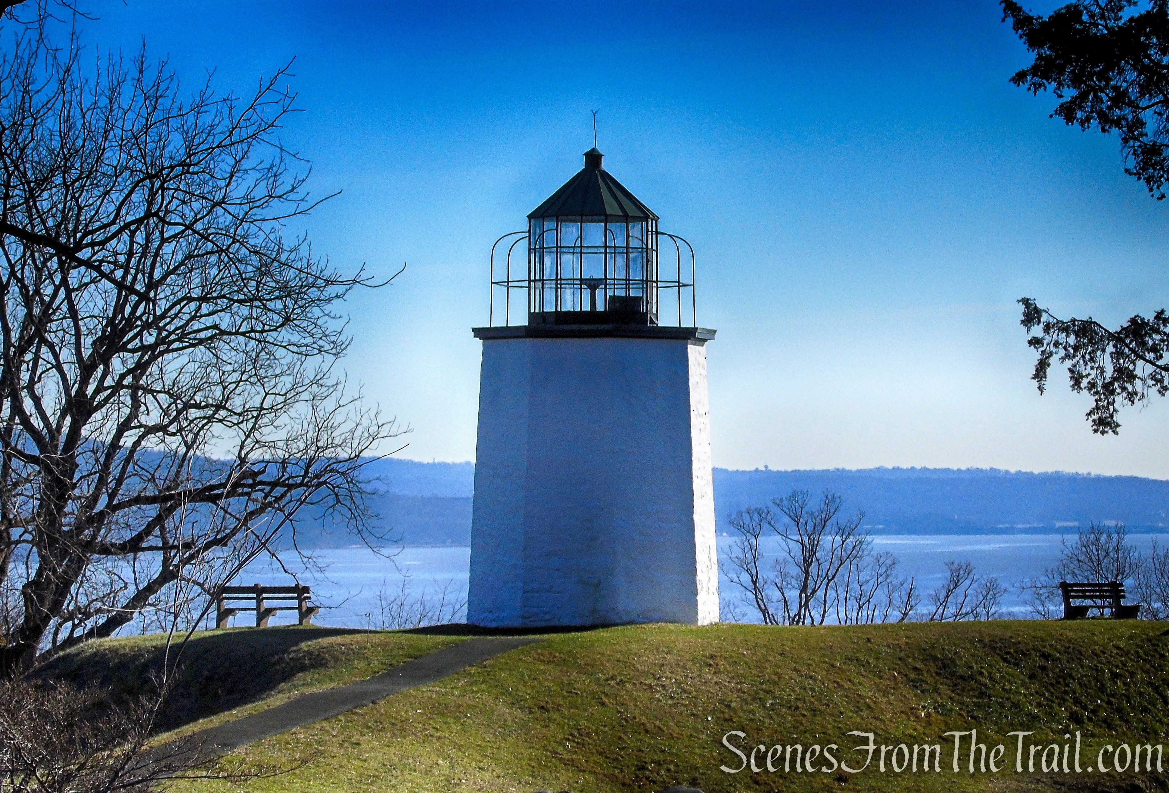
The Quinnipiac River is a 45.5-mile long river located entirely in the state of Connecticut. The river rises in West Central Connecticut from Dead Wood Swamp near the city of New Britain. It flows roughly southward to Plainville, Southington, and Cheshire, west of the city of Meriden, through Wallingford and Yalesville, North Haven, and flows into New Haven Harbor, an inlet of Long Island Sound, east of downtown New Haven. The name “Quinnipiac” comes from an Algonquian phrase meaning “long water land.”
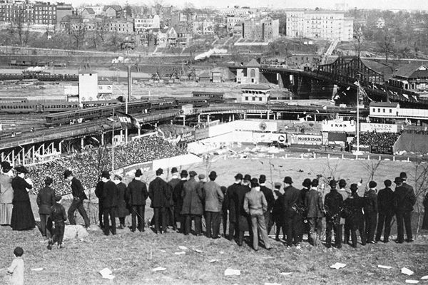
According to the 1928 issue of Railway Age magazine, there were once 14 yards at Cedar Hill with a capacity of 15,000 rail cars. The yard covered 880 acres and extended more than seven miles from New Haven into North Haven. It was 1.5 miles wide at its widest point.
The Cedar Hill Rail Yard was built by the New York, New Haven and Hartford Railroad (known simply as The New Haven) and first opened for service in December 1894, with a capacity of approximately 400 railroad cars in and around New Haven’s Cedar Hill neighborhood, which gave the yard its name. At its peak during World War II, Cedar Hill Yard handled more than 5,000 railroad cars per day. Following the end of the war, the yard’s importance began to decline as freight traffic across New England shifted to road transport, and heavy industry left the region. Much of the yard began to fall into decay following the New Haven Railroad’s bankruptcy in 1961.
In 1969, the bankrupt New Haven Railroad was merged into newly-formed Penn Central Transportation Company, which inherited the yard. Just one year after acquiring Cedar Hill Yard with the rest of the New Haven, Penn Central declared bankruptcy. The company was merged into Conrail in 1976, along with many other bankrupt or troubled railroads in the Northeast, making Conrail the yard’s new owner. Conrail began efforts to bring portions of Cedar Hill into a state of good repair, spending over $3 million (equivalent to $14,300,000 in 2021) on track resurfacing and tie replacement in 1976 alone between Cedar Hill and Hartford Yard. In 1978, two years into Conrail’s tenure, Cedar Hill was processing roughly 300 cars a day, significantly less than it had in the New Haven days. At this point the yard employed 200 workers, down from its peak of 1,000.
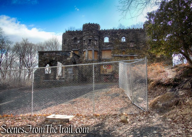
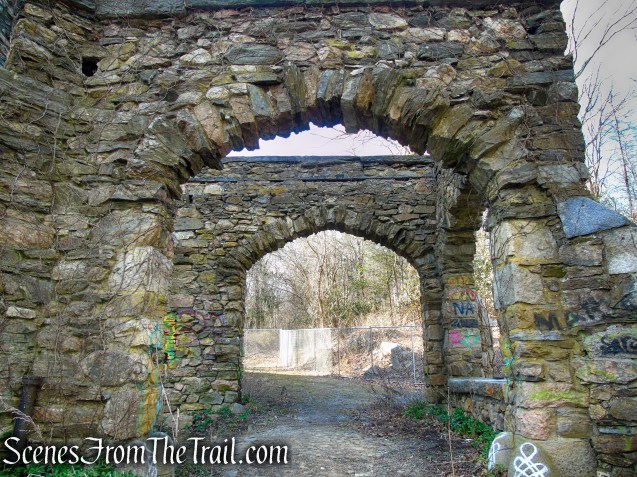
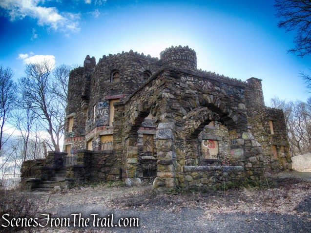
In 1999, Conrail’s lines in New England were purchased by CSX Transportation. As of 2021, CSX remains the owner and main operator at Cedar Hill Yard. Presently much of the yard now lies abandoned and is an attraction for urban explorers, despite the dangers of the old buildings and facilities which contain lead paint and asbestos.
Trail Overview:
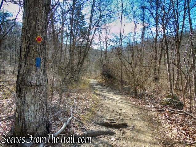
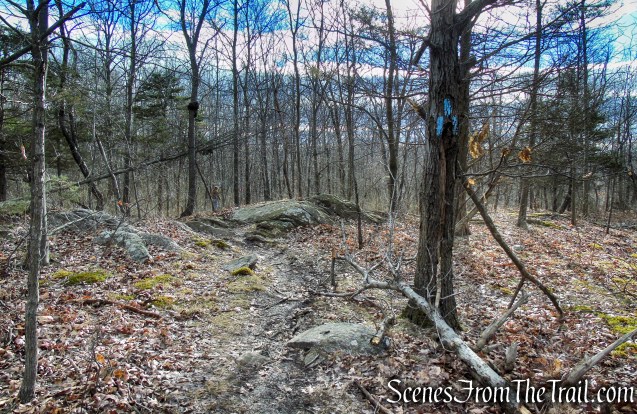
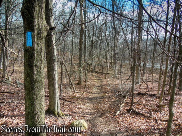
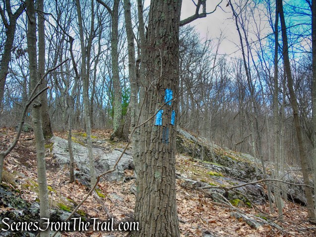
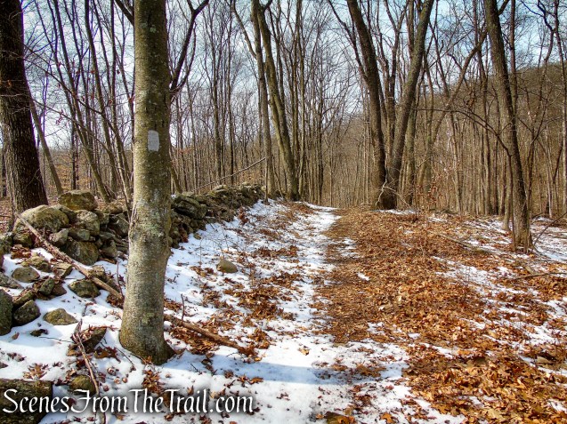
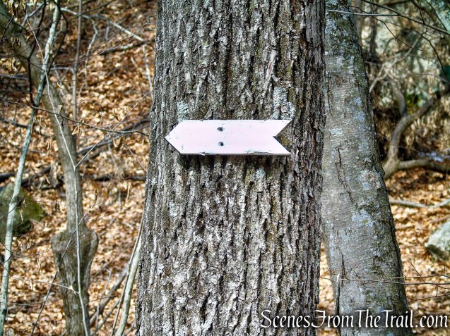
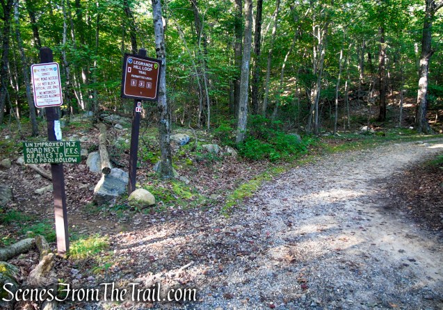
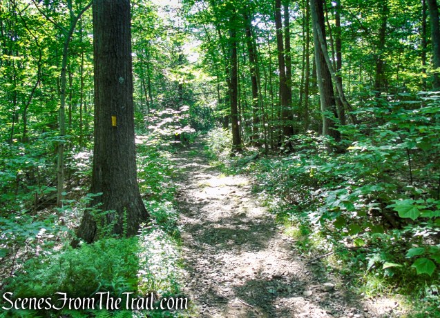
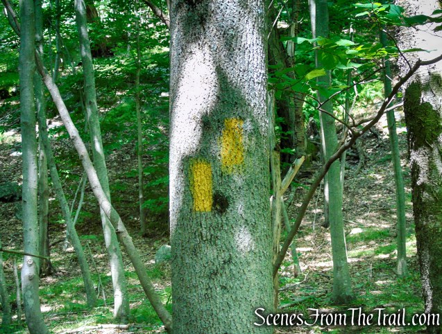
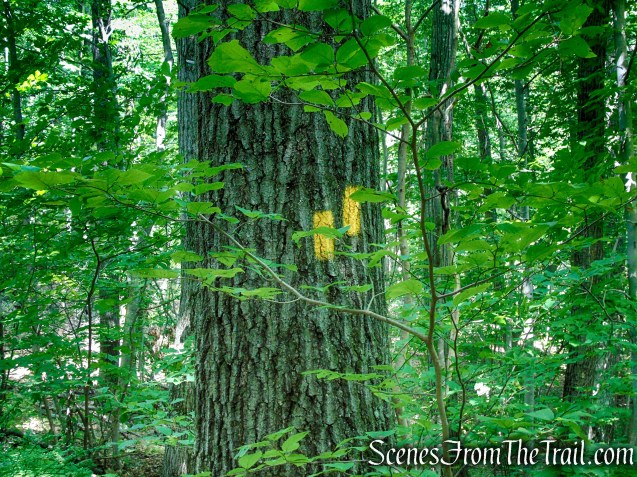
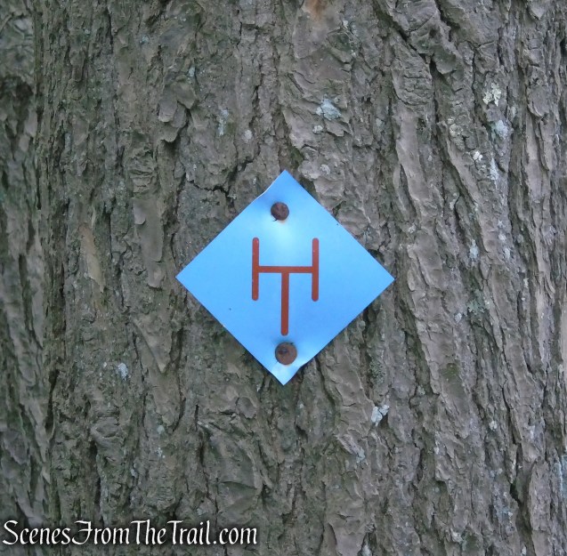
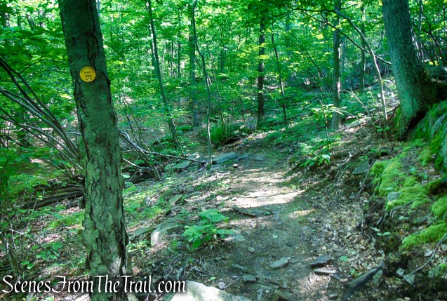
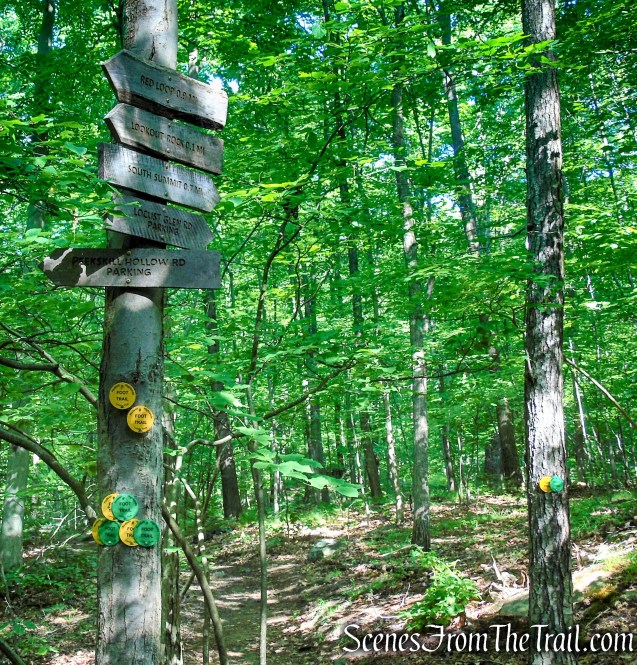
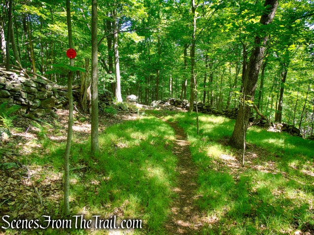
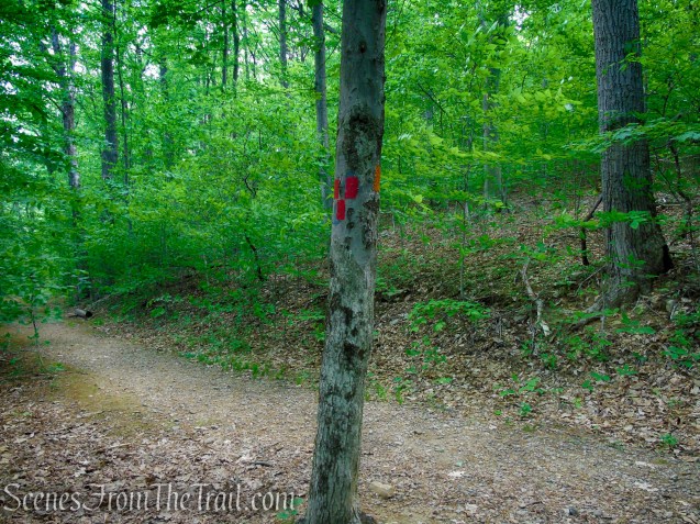
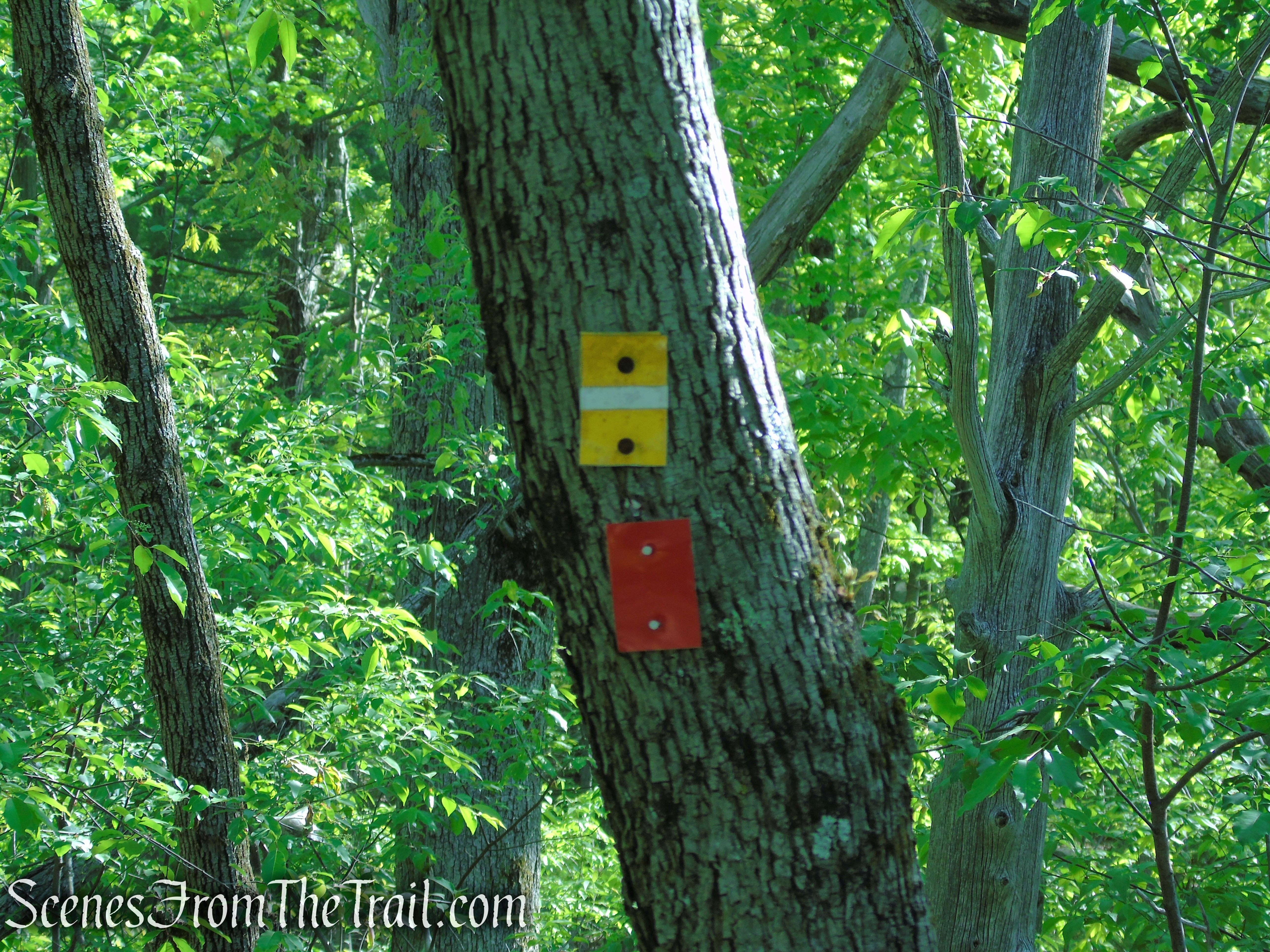
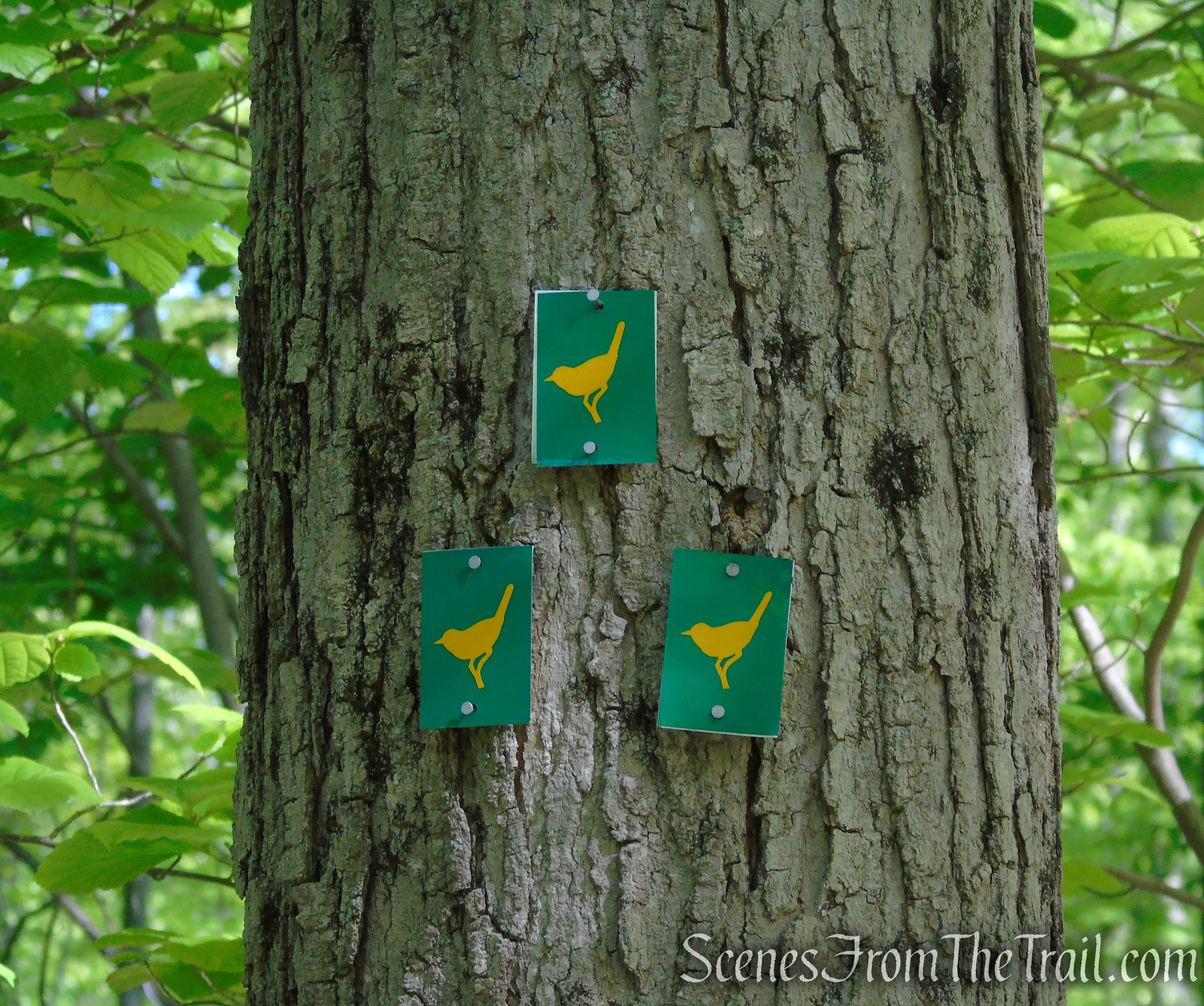
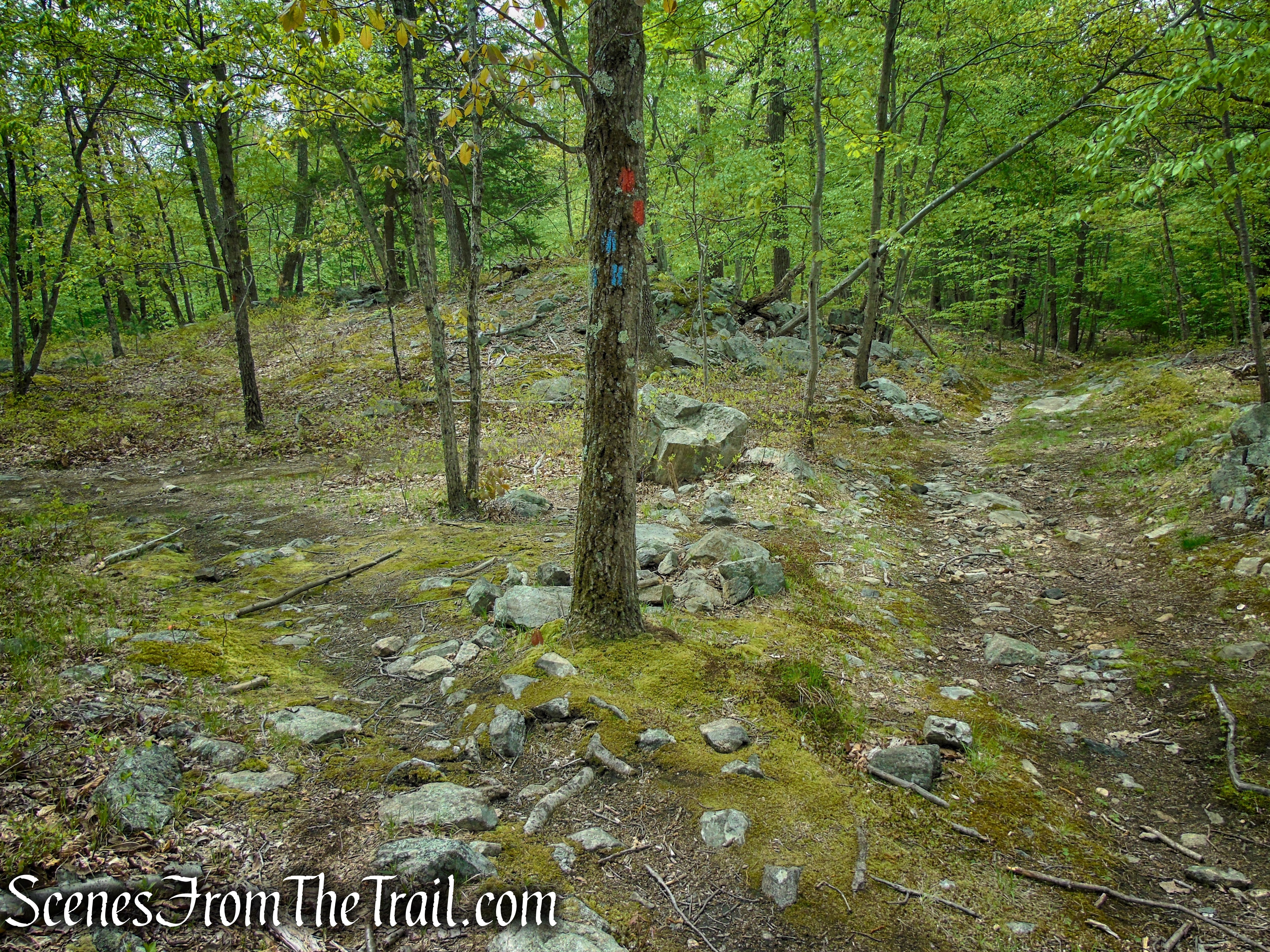
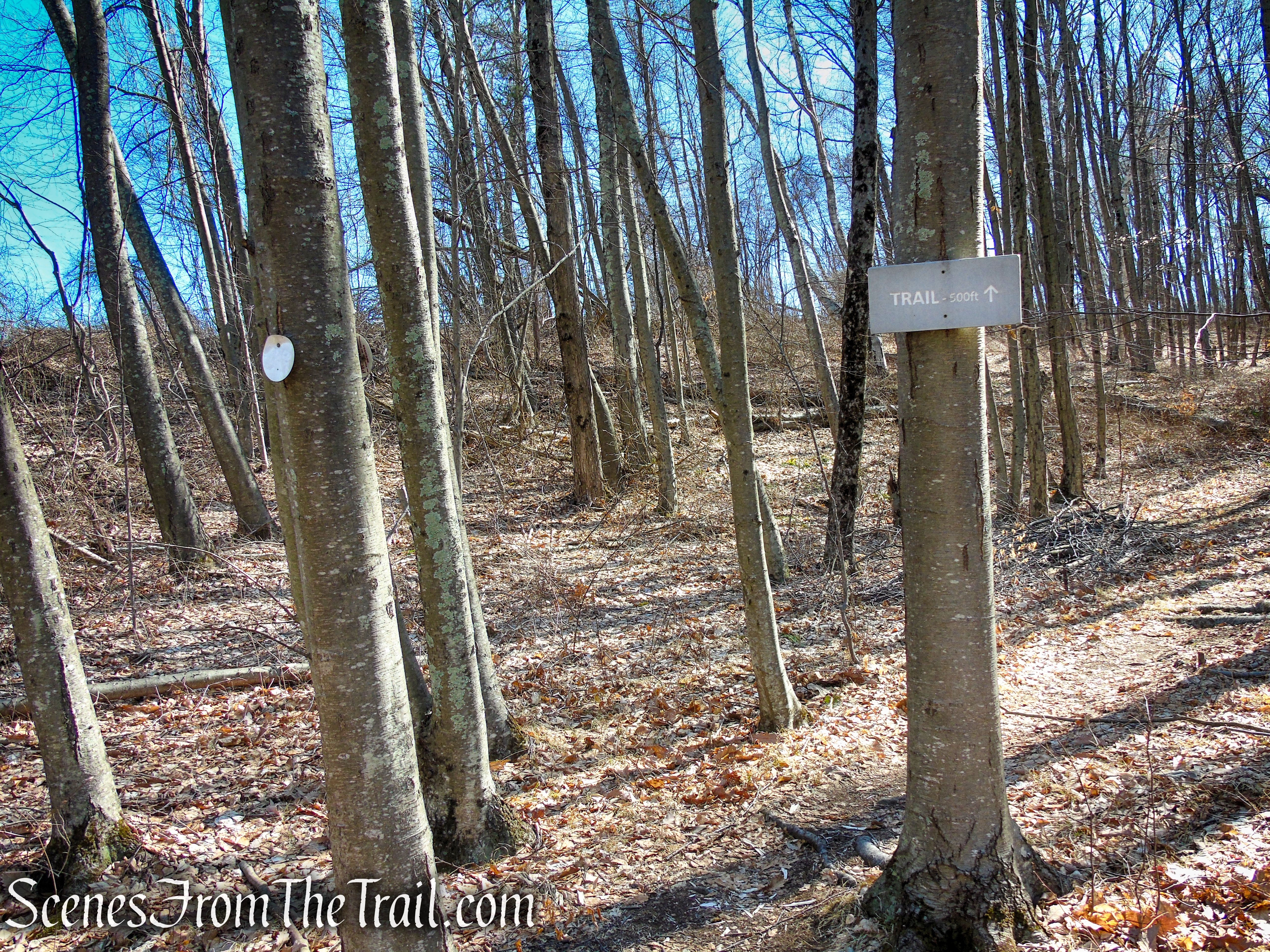
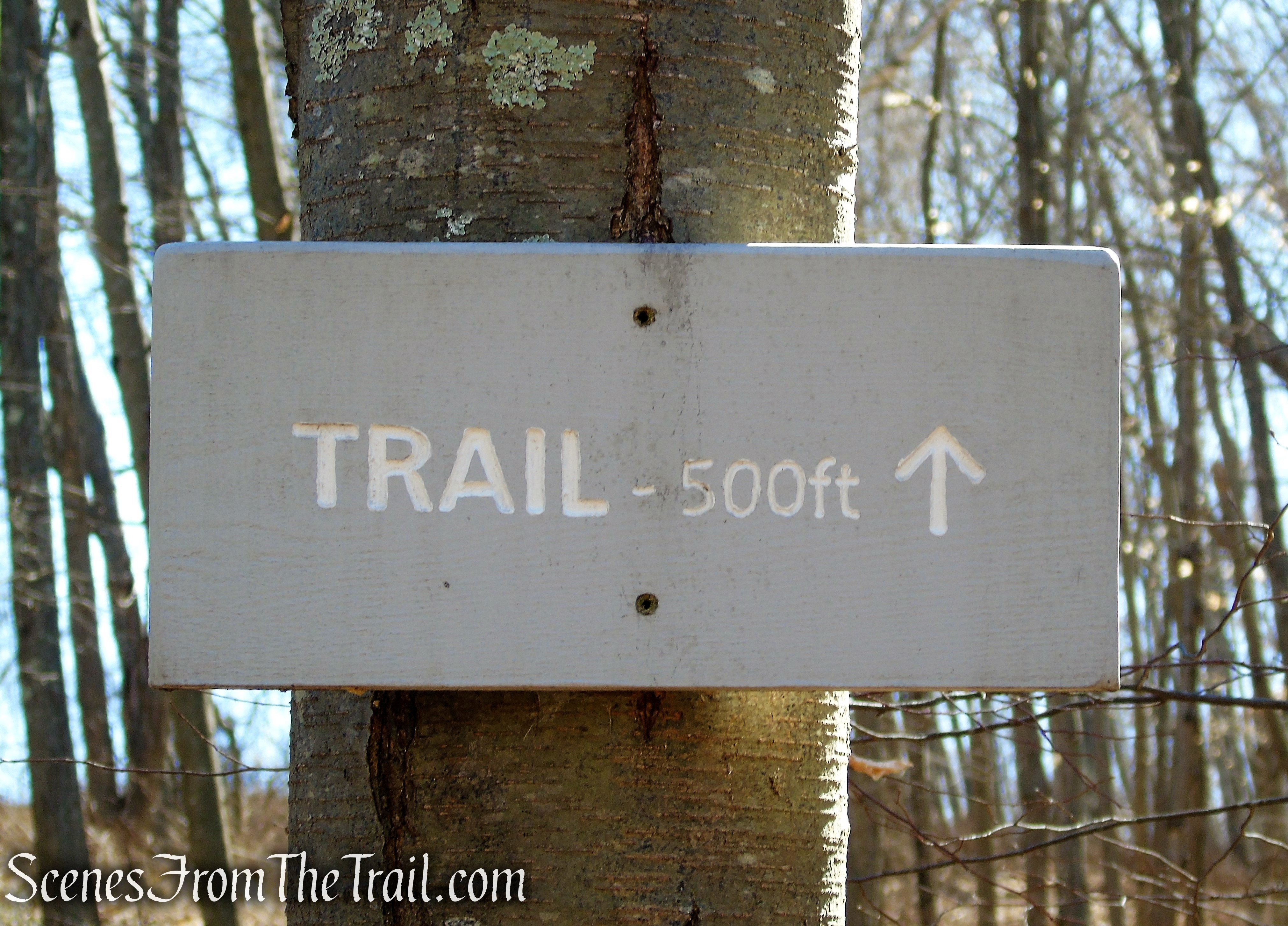
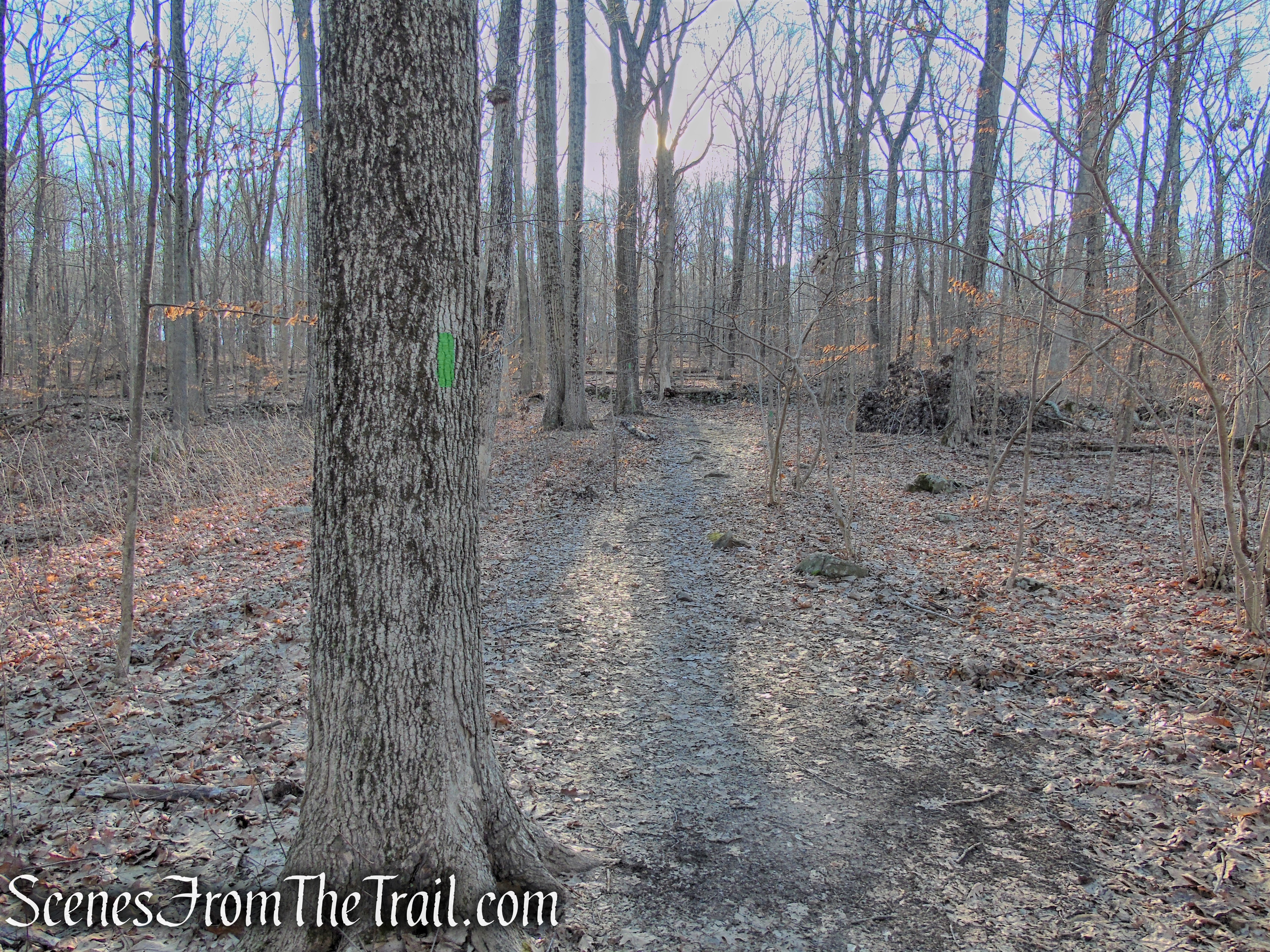
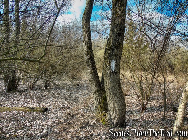
Although the trail map (2016) shows the trail as blazed orange, it is marked with white blazes. The map indicates that the trail is about a 1/2 mile long (1 mile round trip), but it is approximately 1.5 miles to the Polar Bear sculpture. The intermittent white blazes are an indication that the trail was extended since the map was published.
Please note: I contacted the North Haven Trail Association and the reply that I received was “The trail is about 1 mile long. There is no “Polar Bear” sculpture on this trail.” Apparently the “Polar Bear” sculpture is on the abandoned Cedar Hill Rail Yard property and not part of the Tidal Marsh Trail. Since the entire route is blazed white, for the purpose of this guide, the entire trail will be referred to as the “Tidal Marsh Trail.”
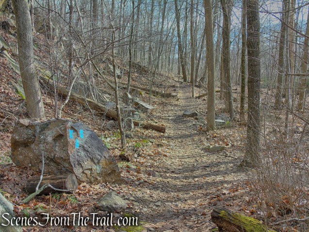
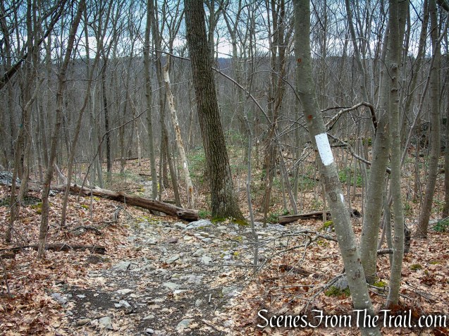
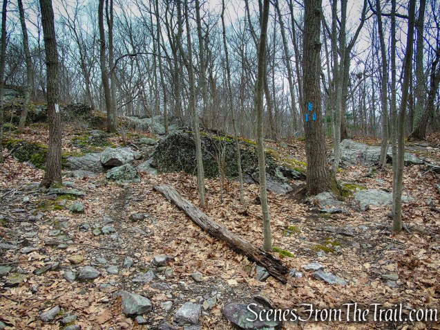
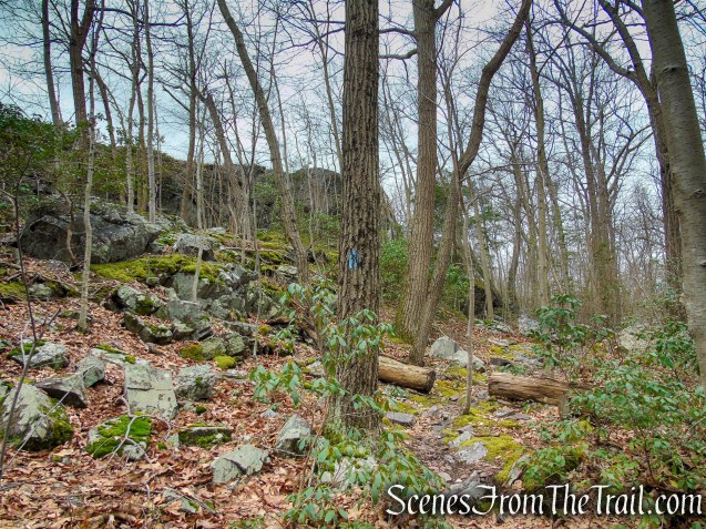
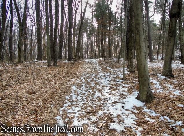
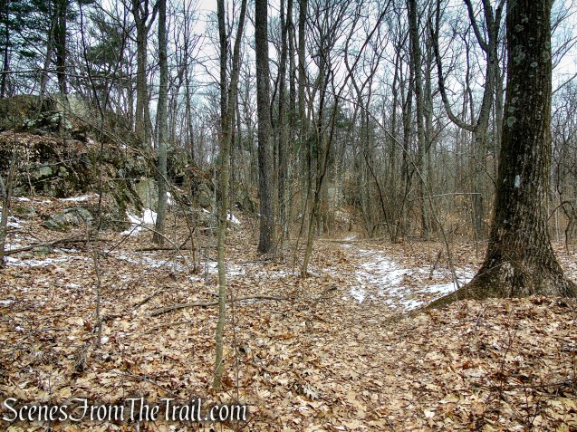
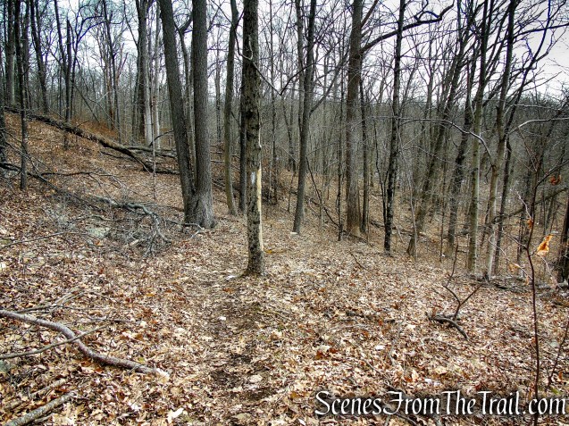
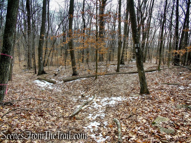
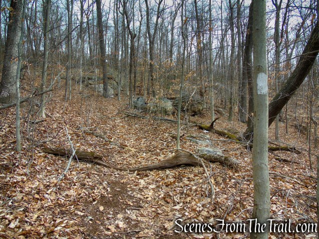
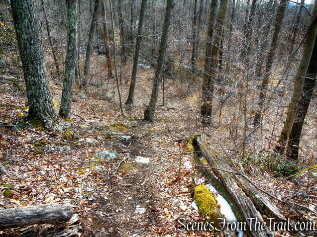
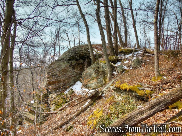
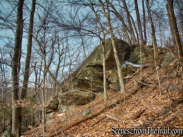
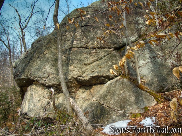
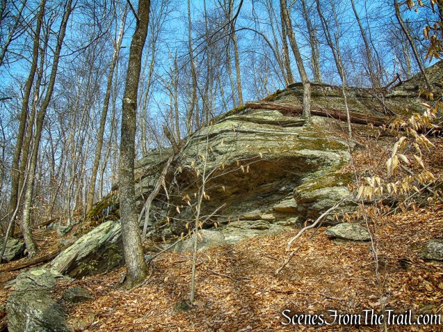
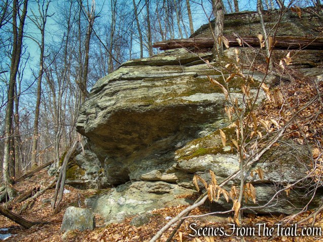
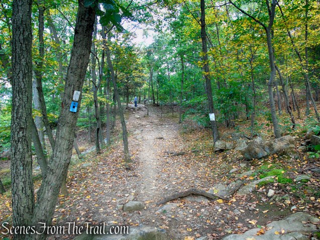
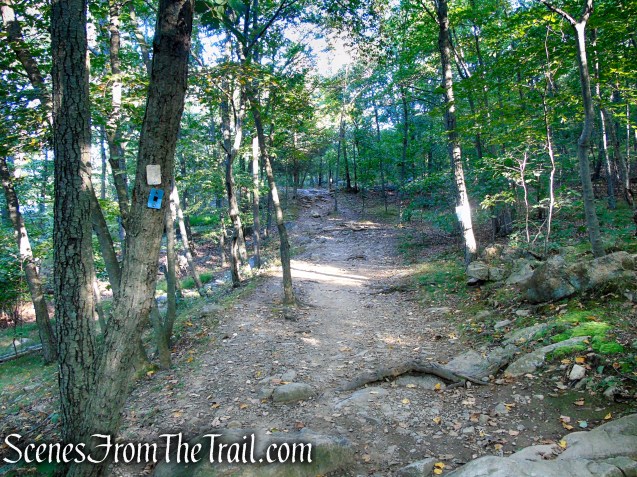
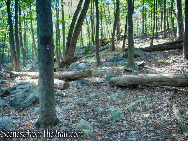
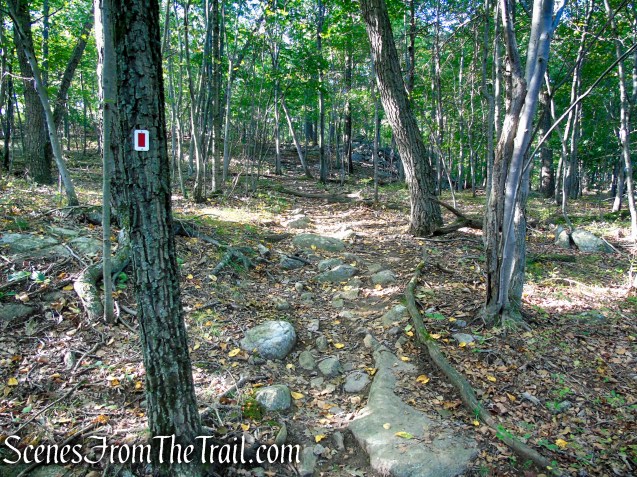
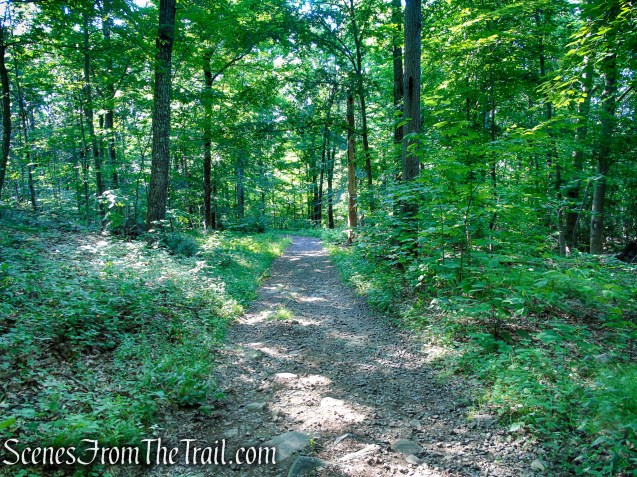
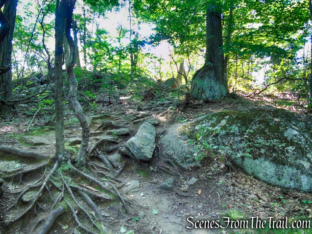
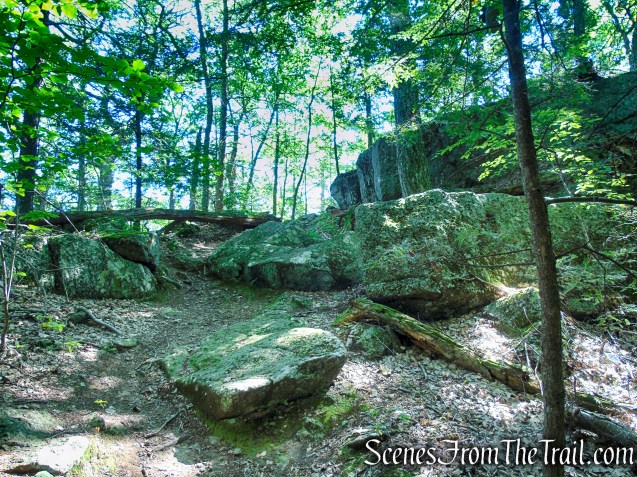
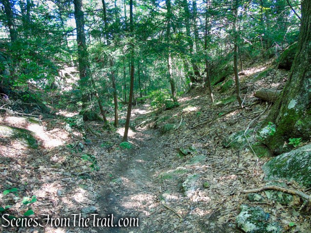
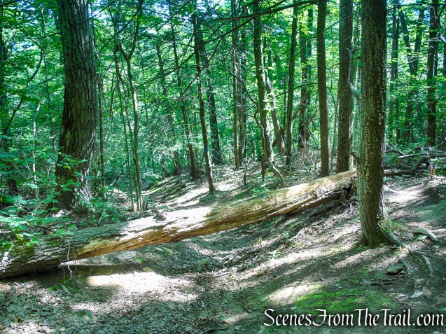
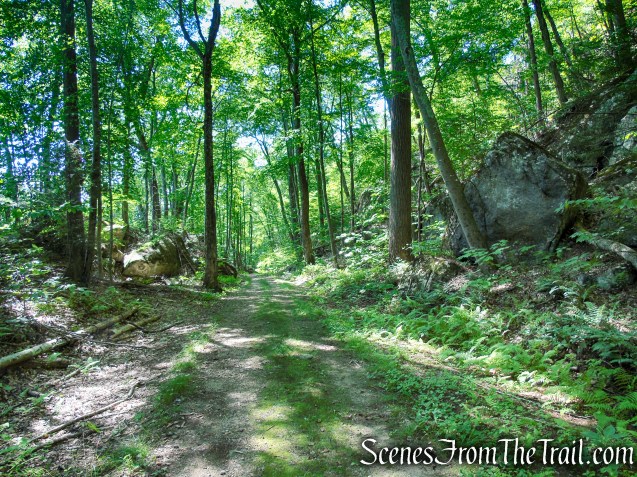
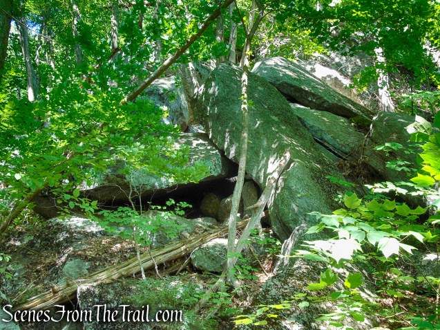
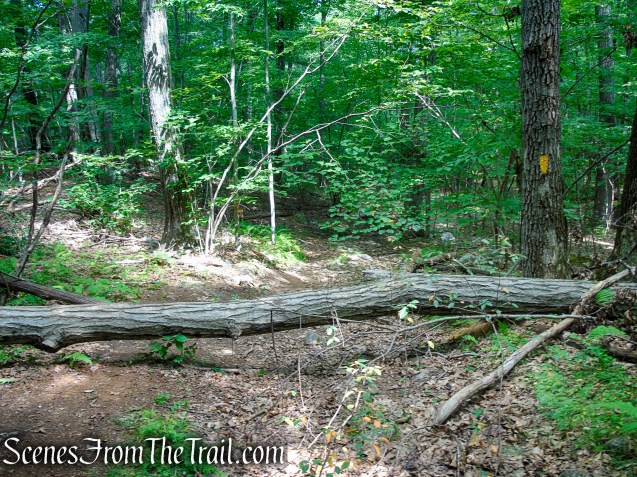
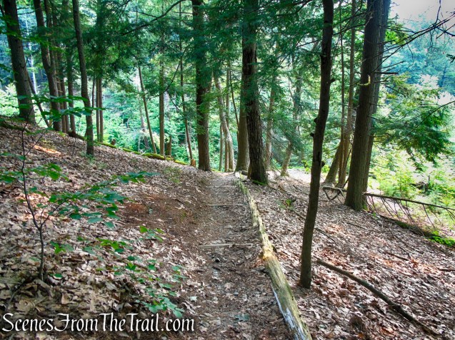
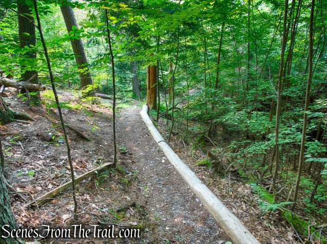
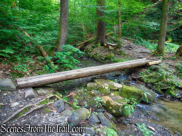
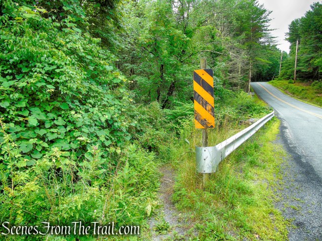
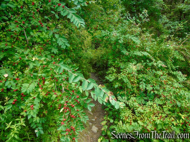
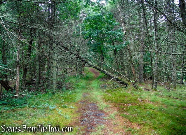
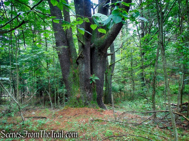
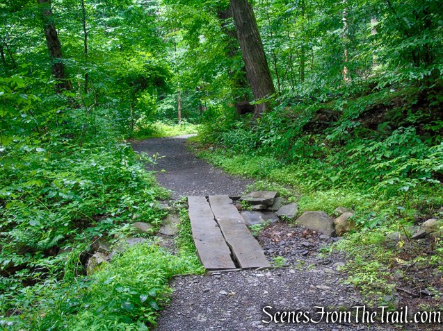
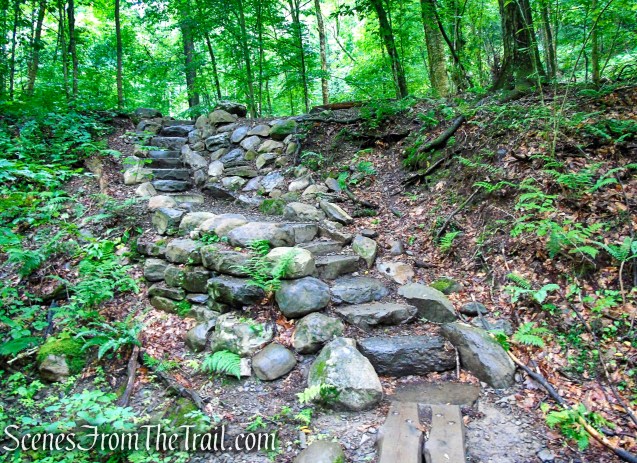
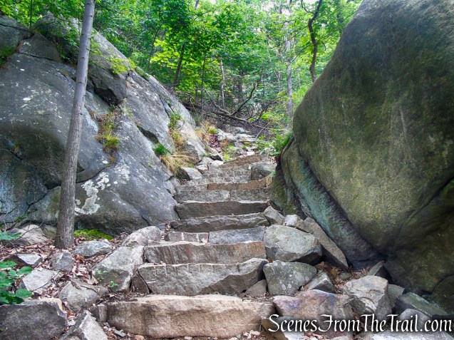
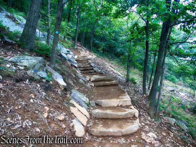
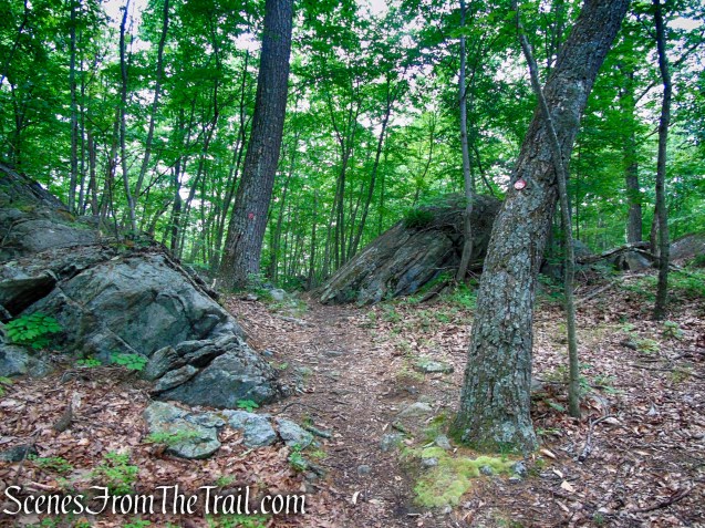
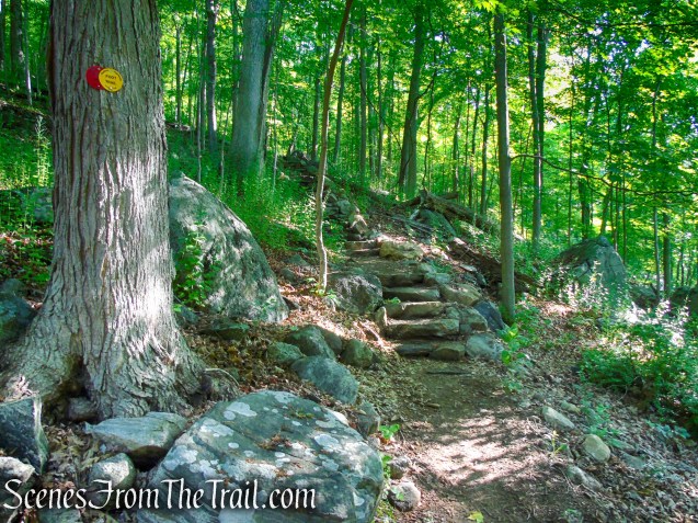
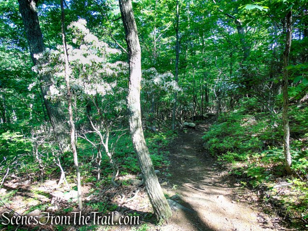
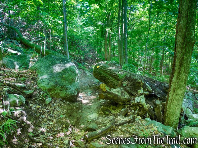
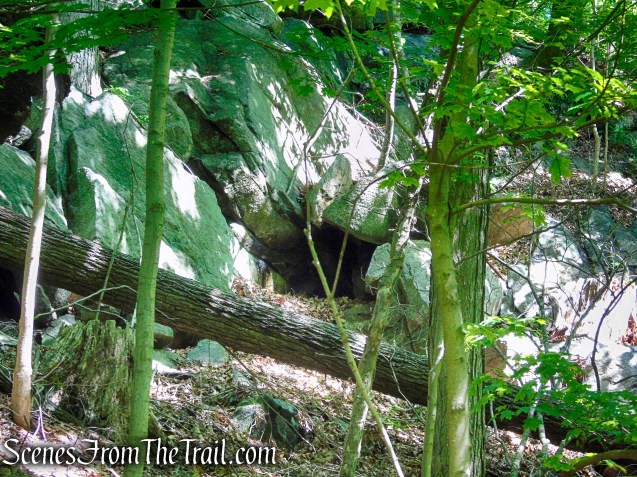
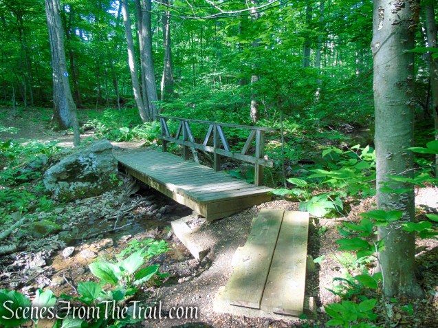
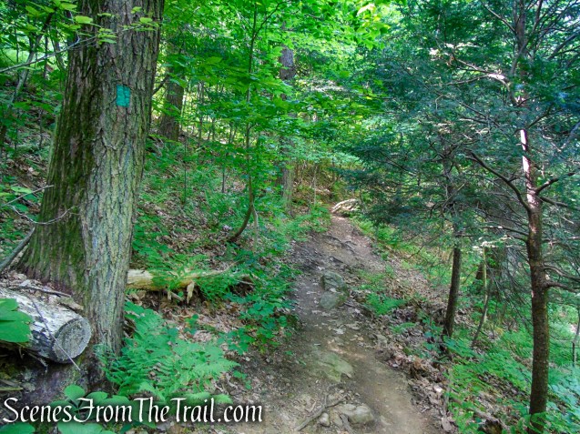
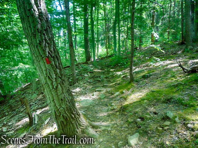
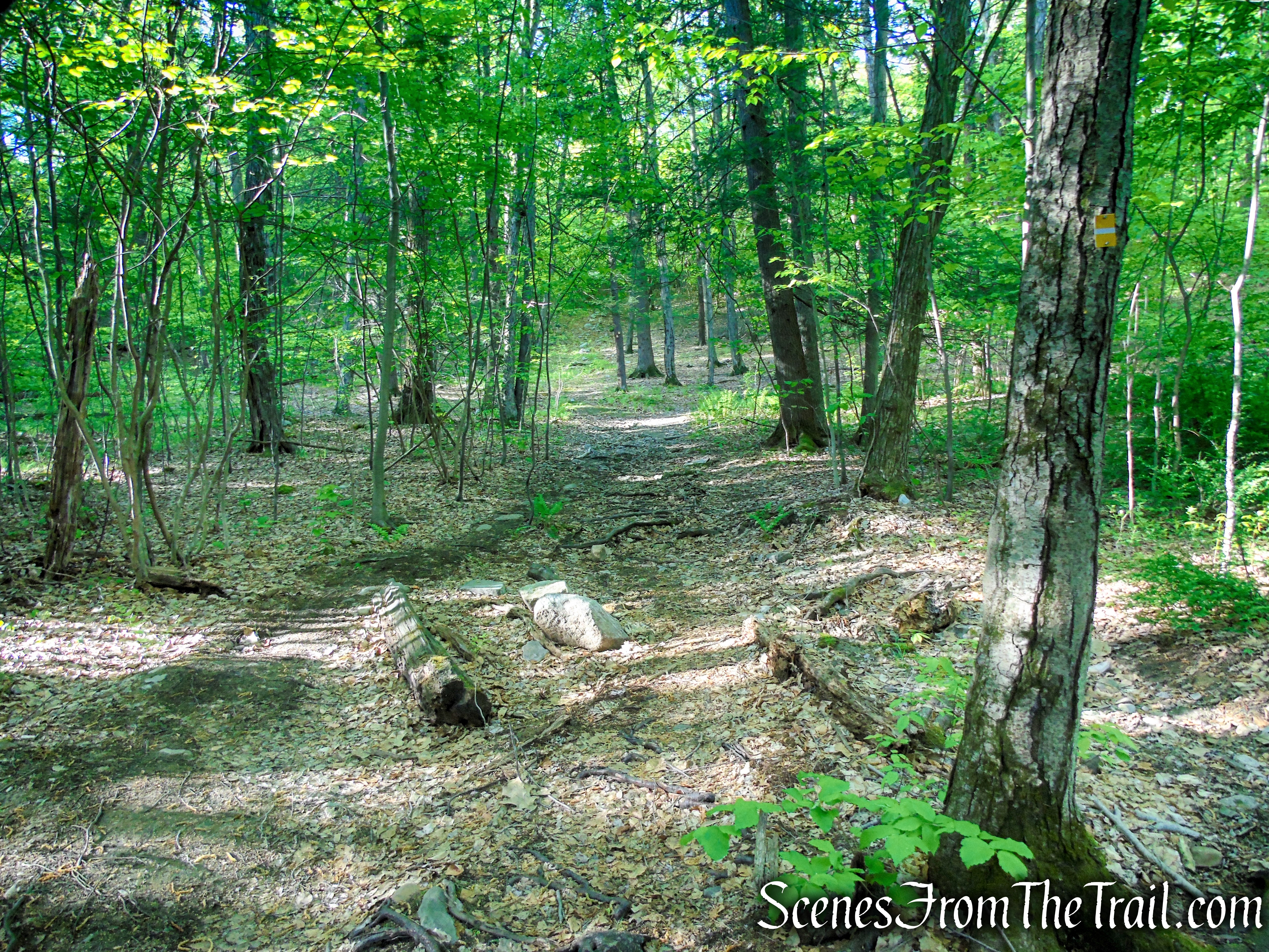
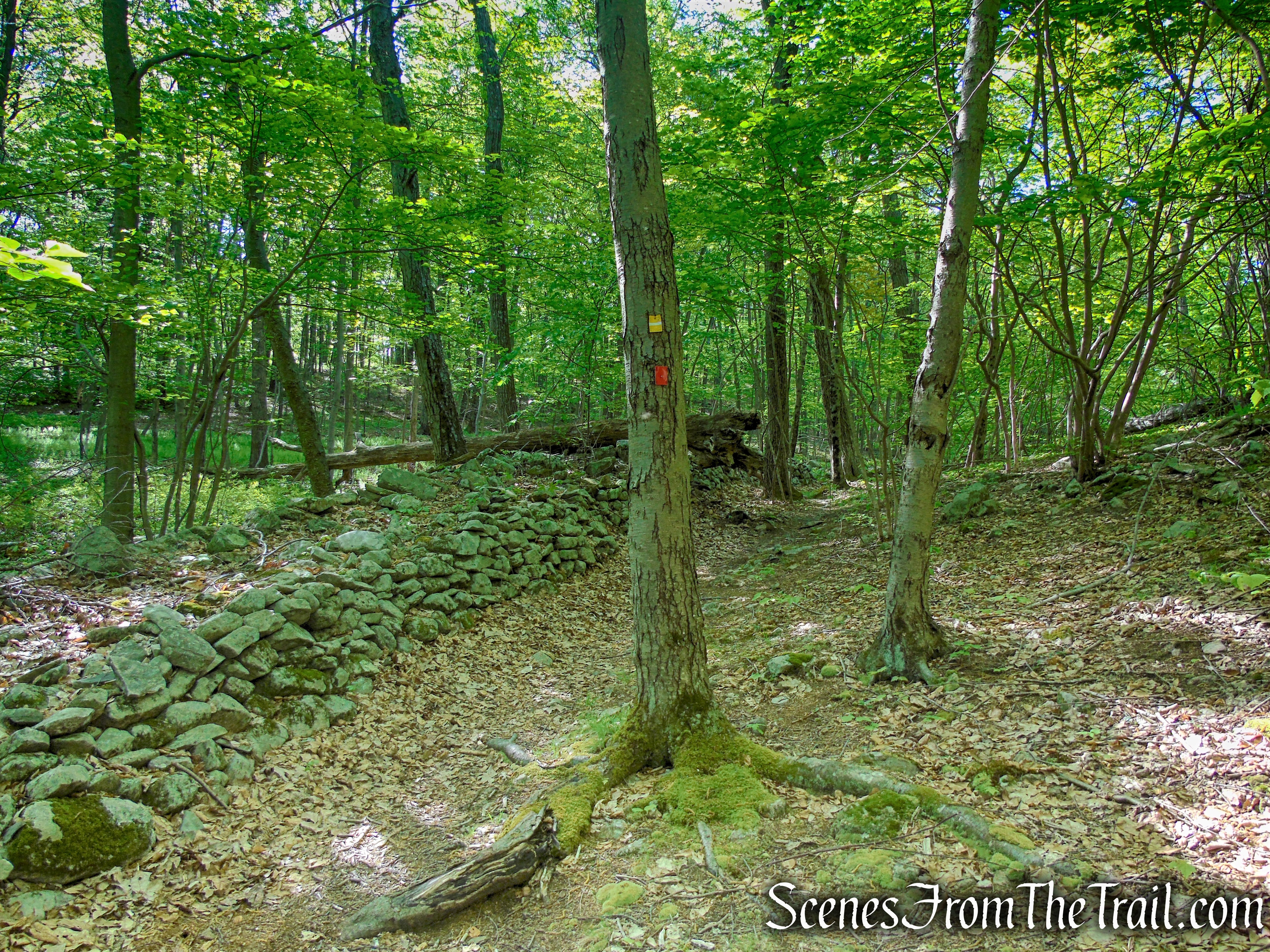
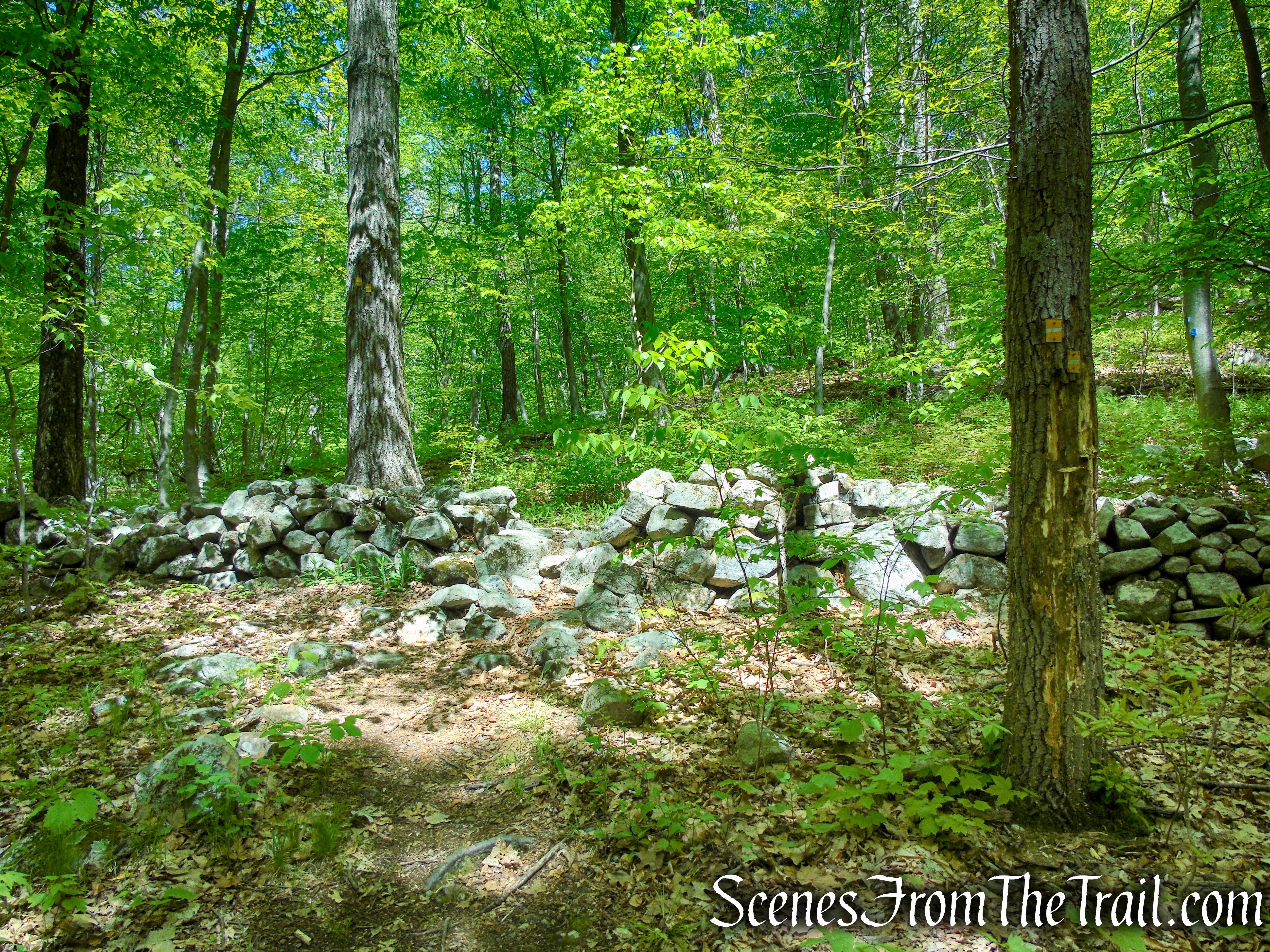
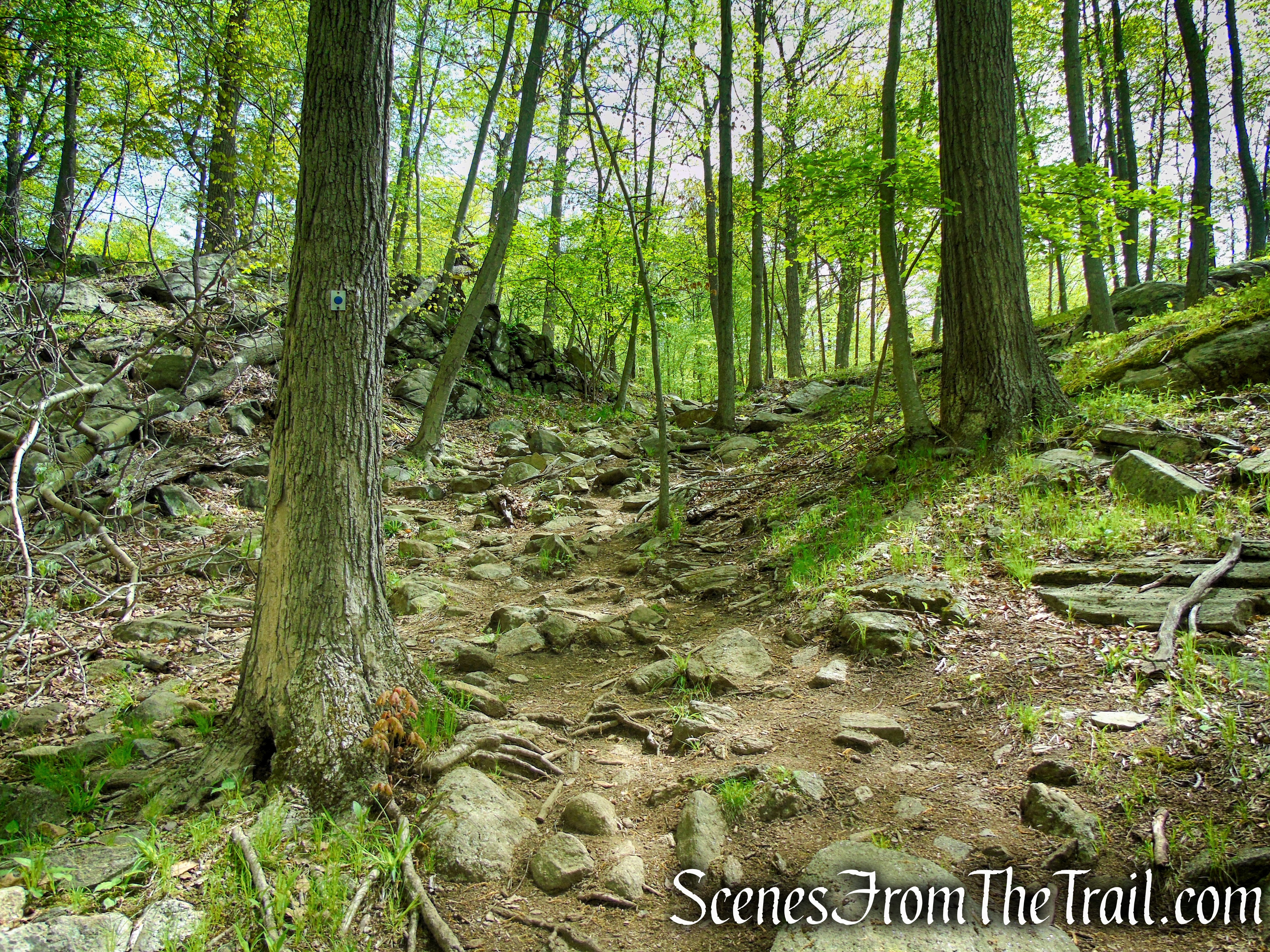
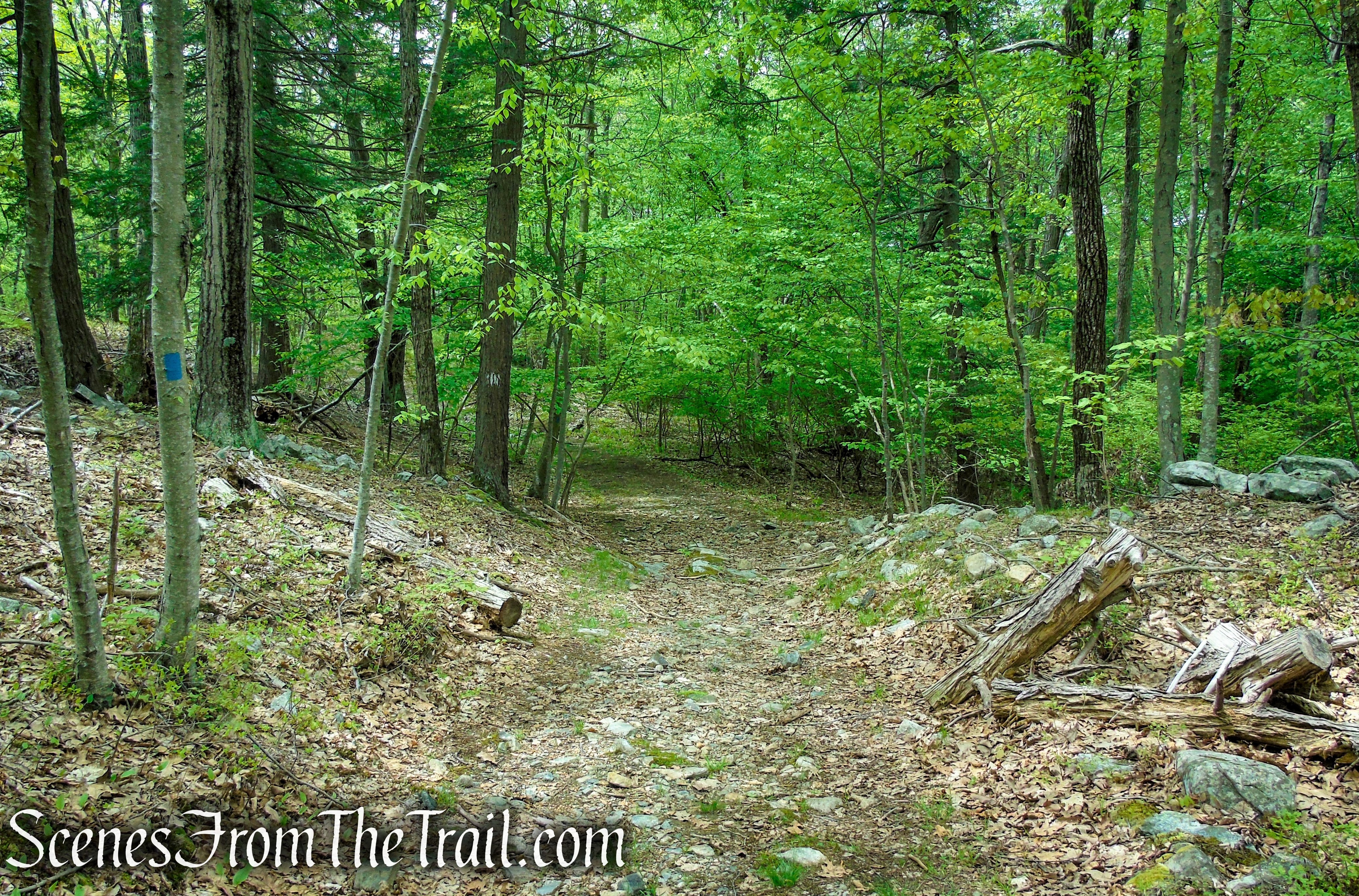
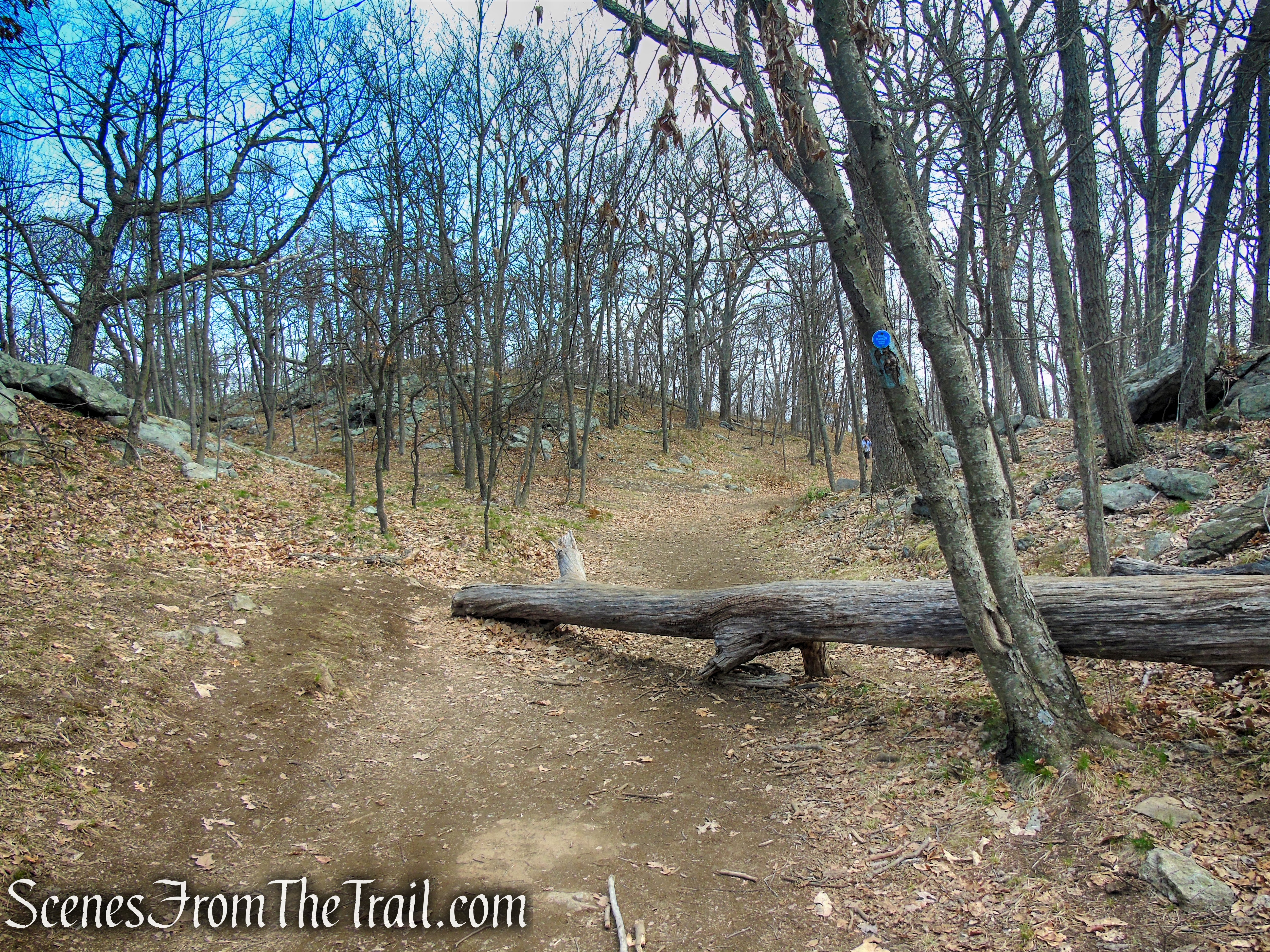
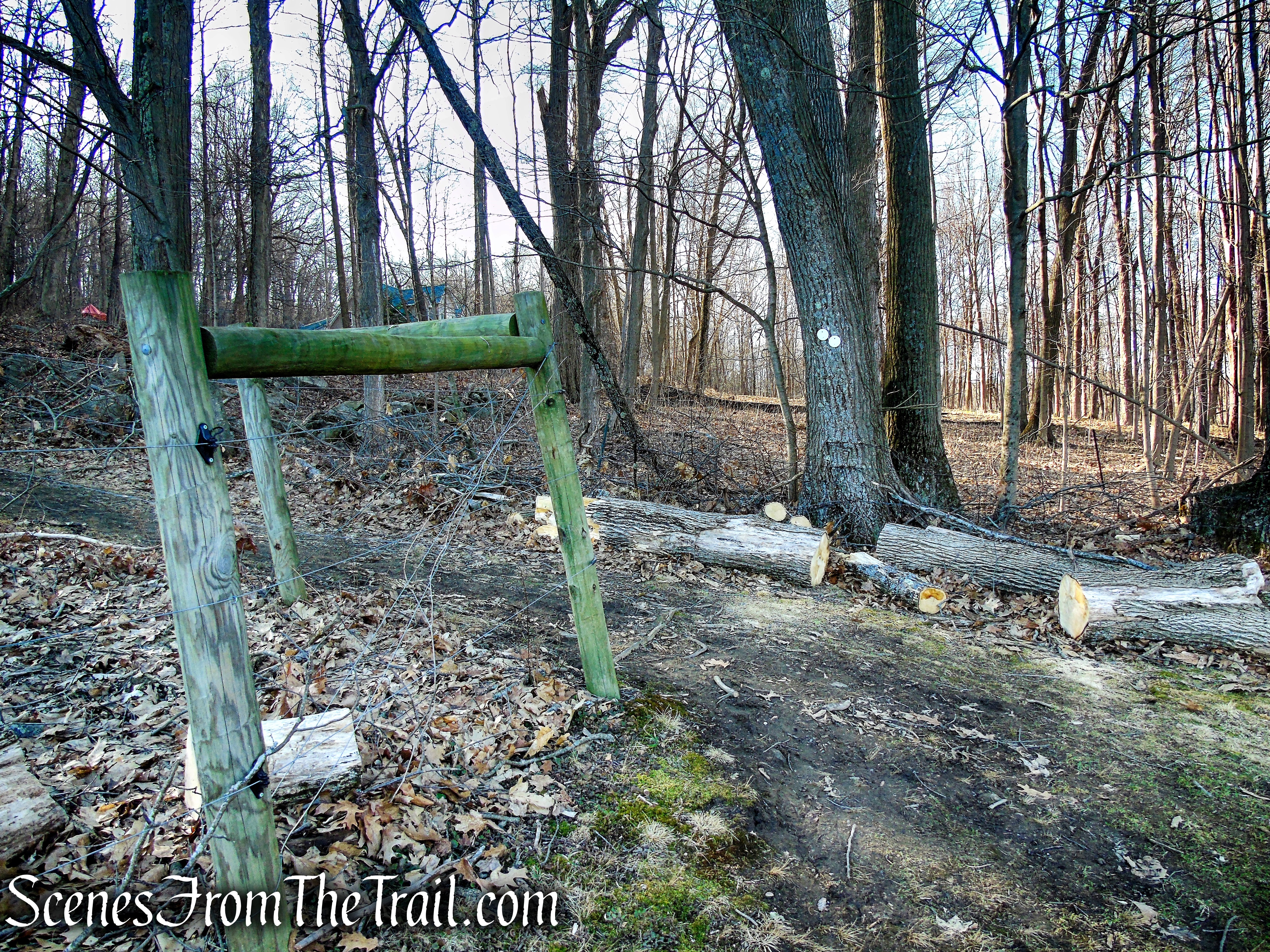
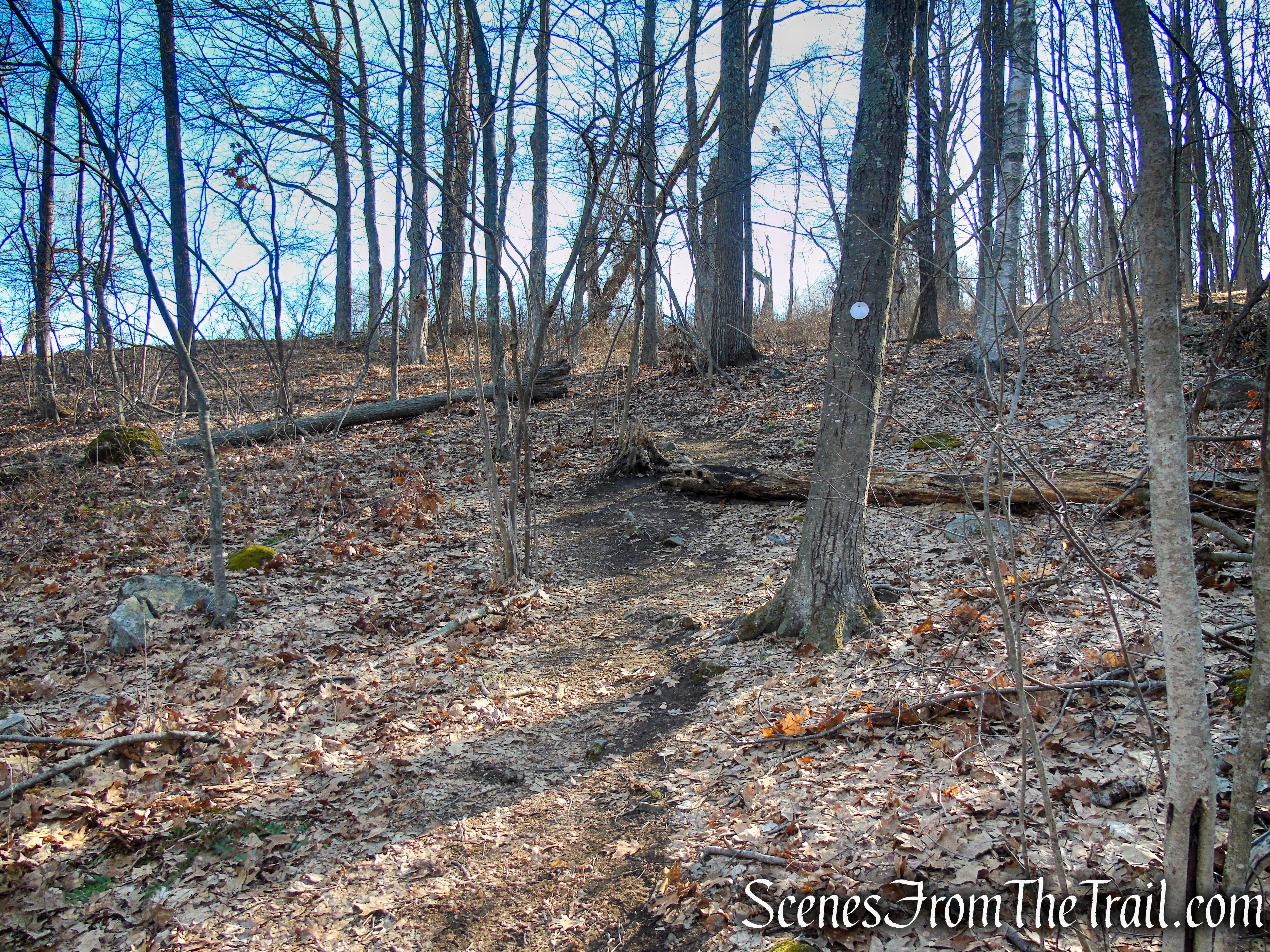
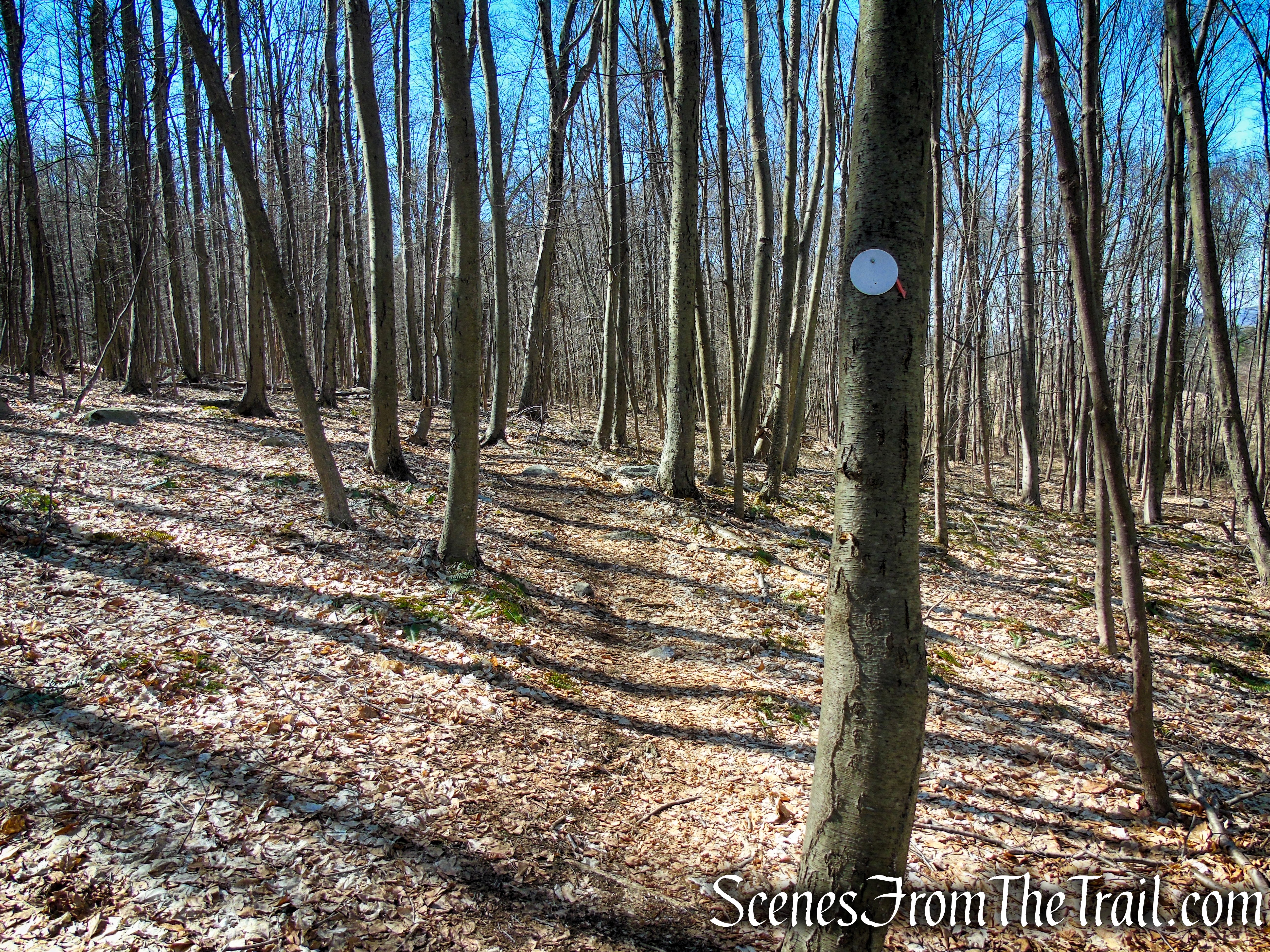
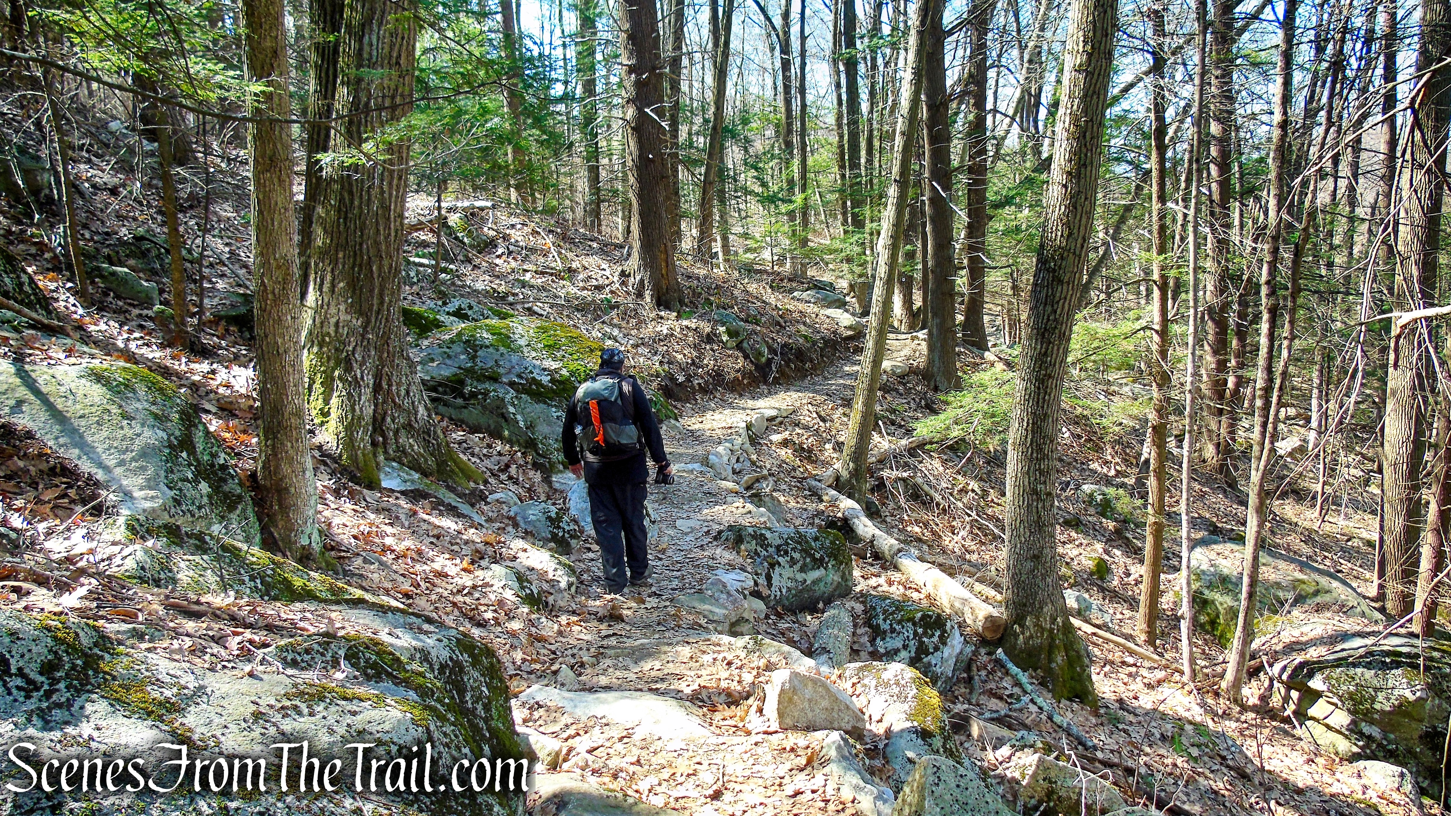
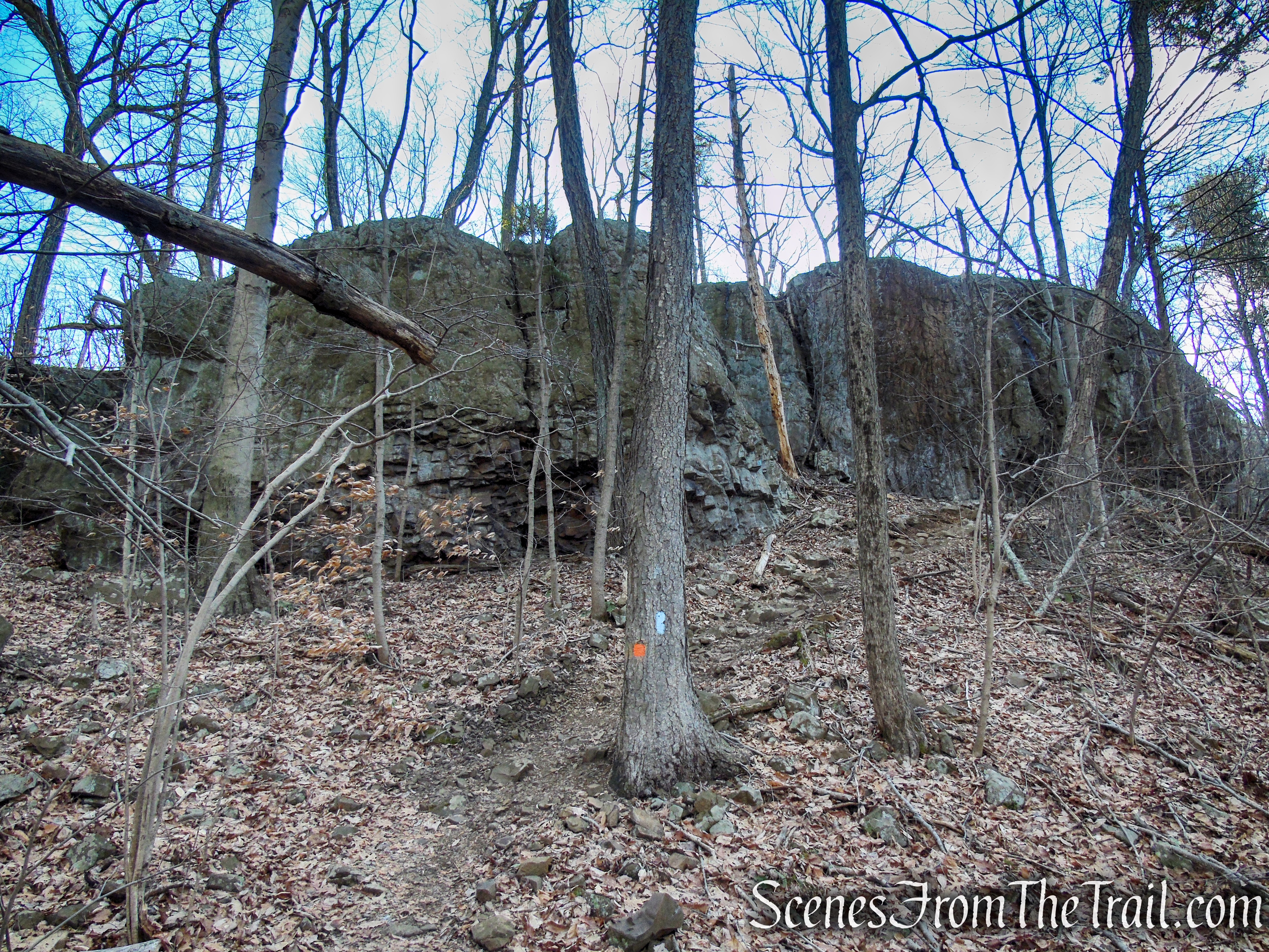
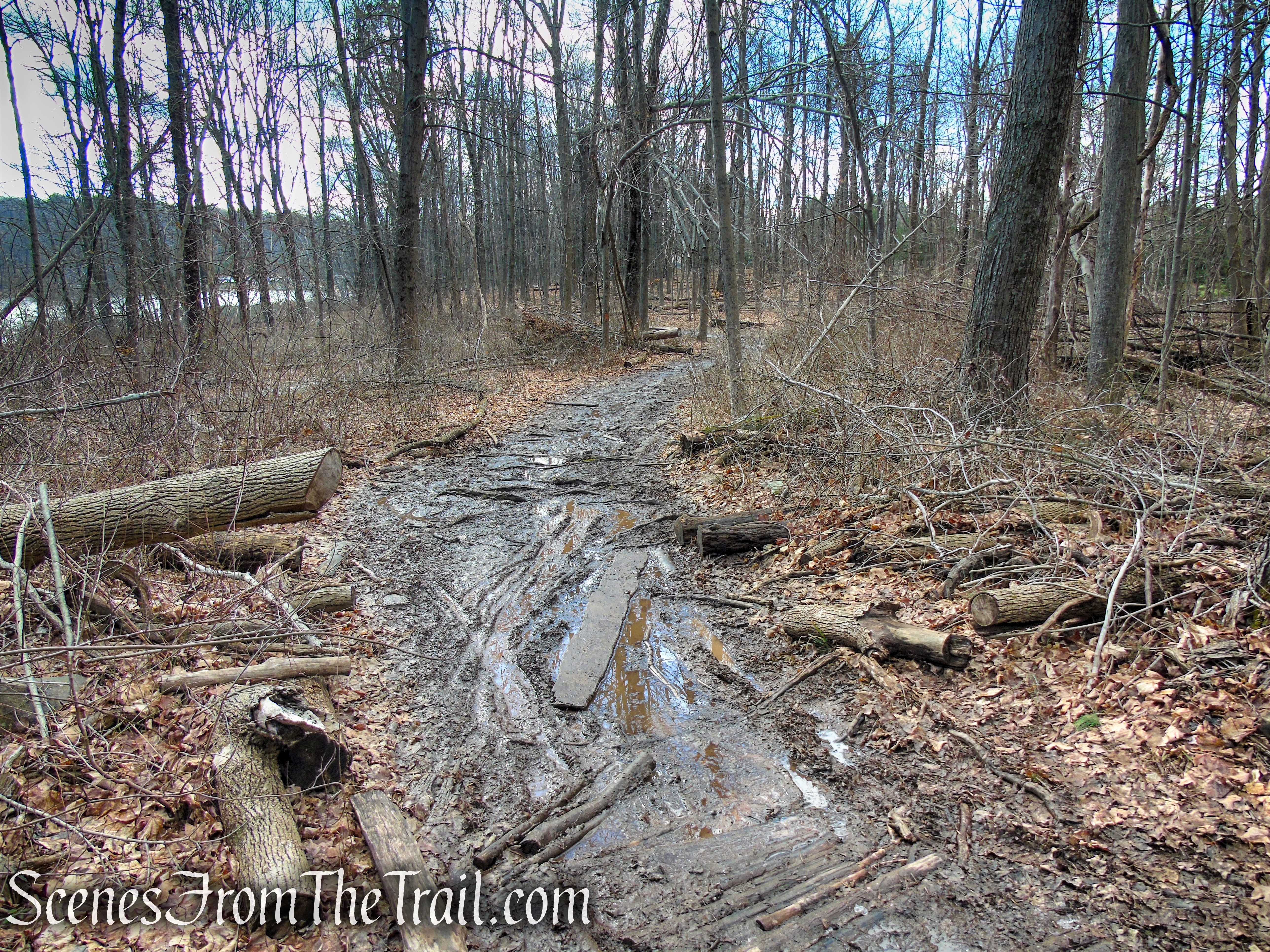
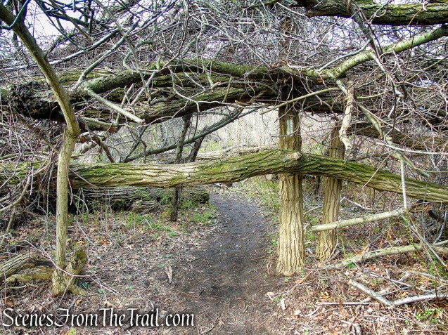
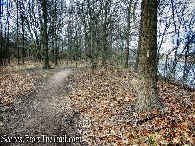
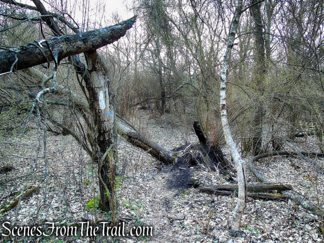
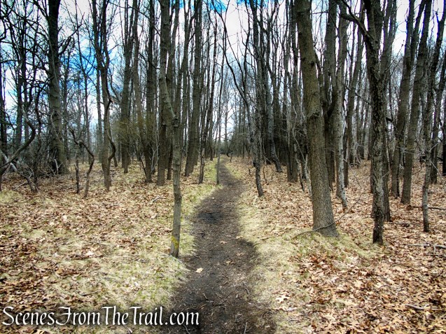
There are a lot of leaning/fallen trees along the trail that you will have to step over or duck under.
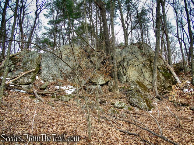
Tidal Marsh Trail – North Haven
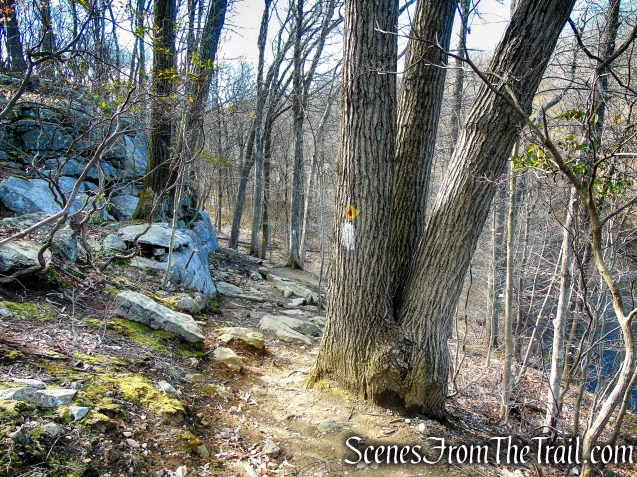
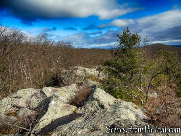
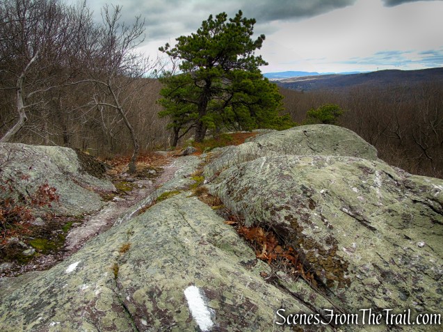
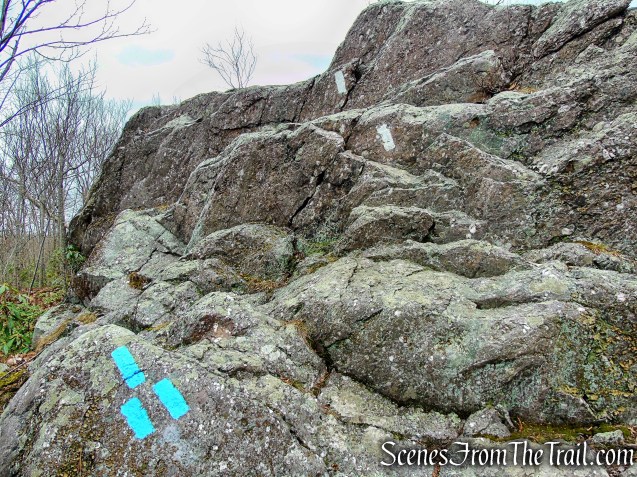
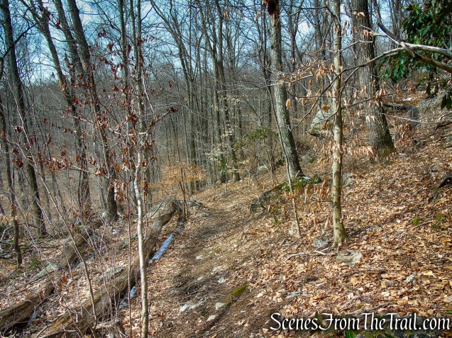
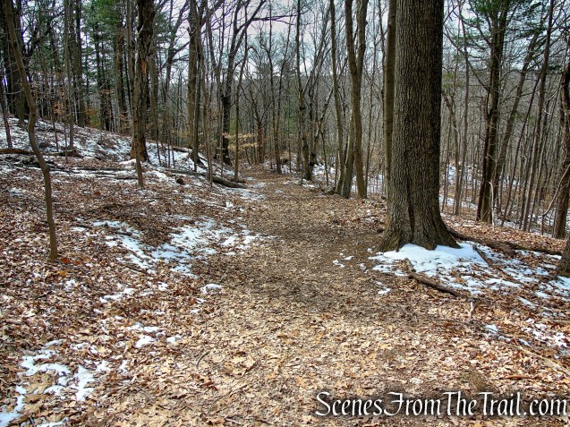
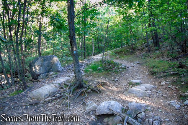
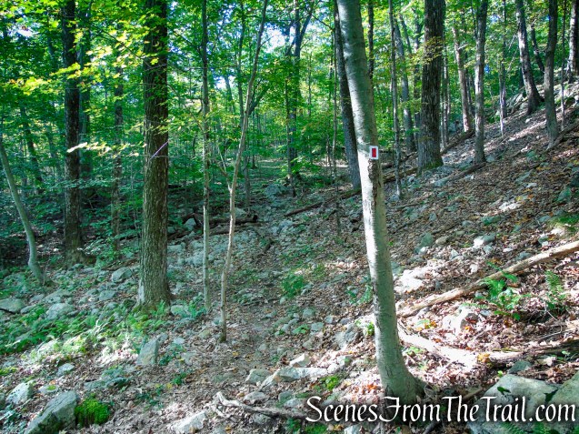
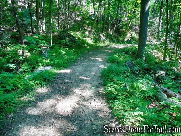
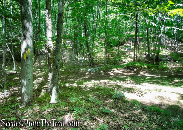
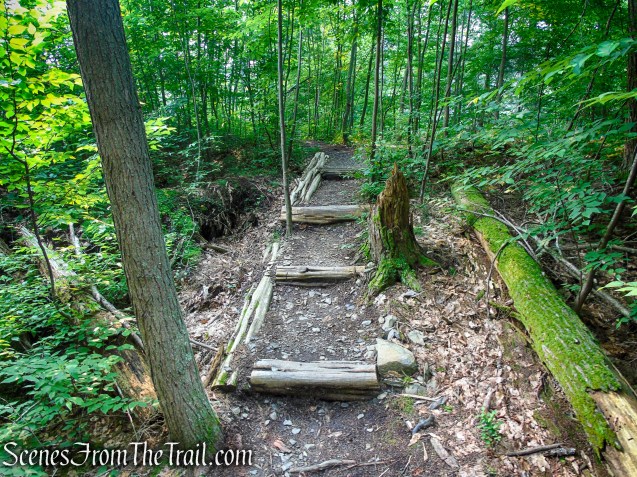
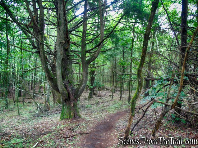
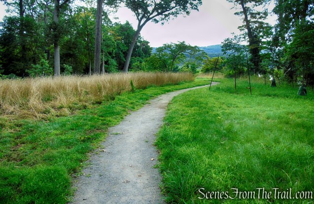
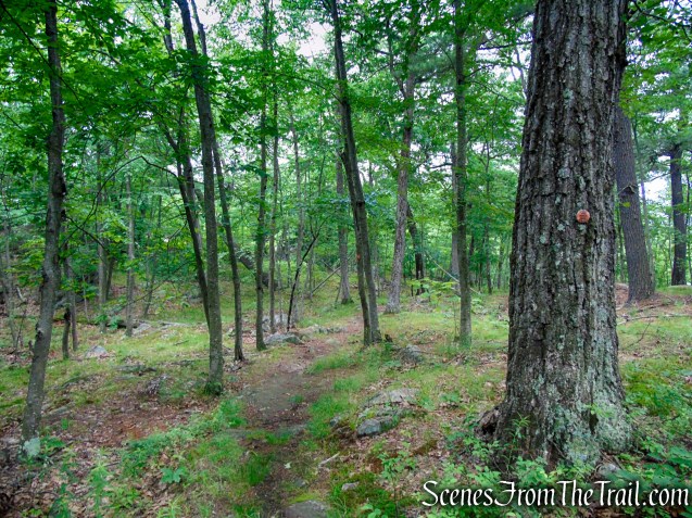
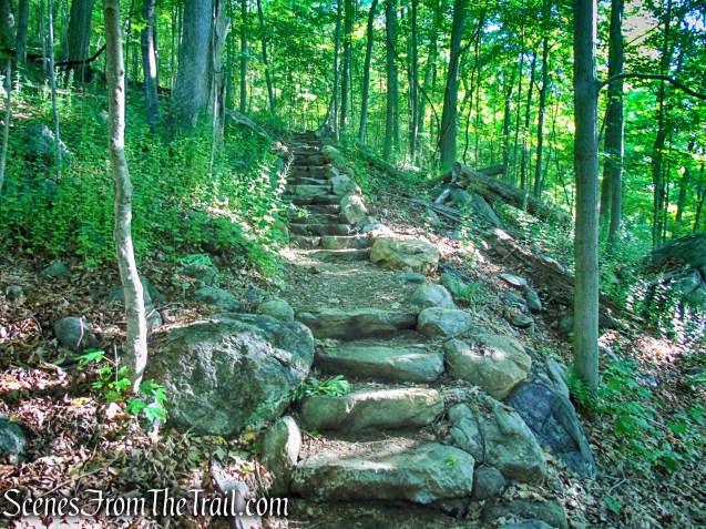
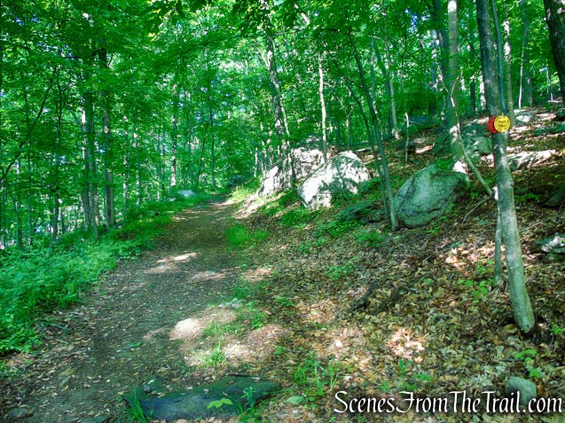
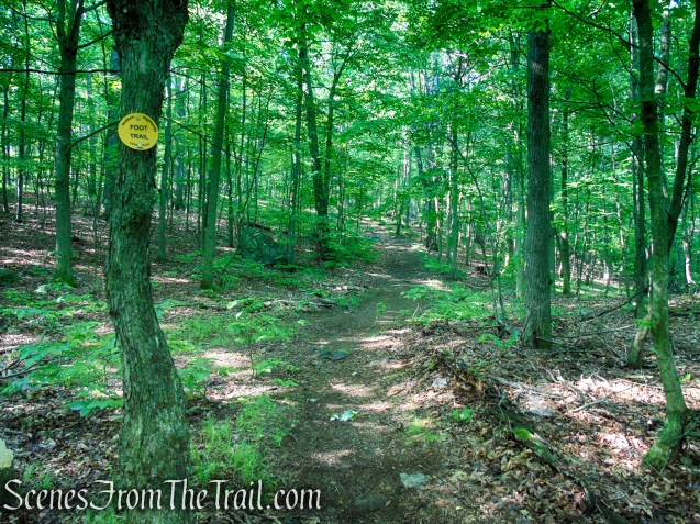
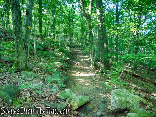
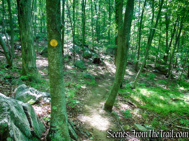
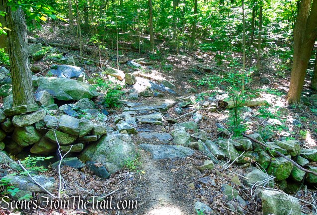
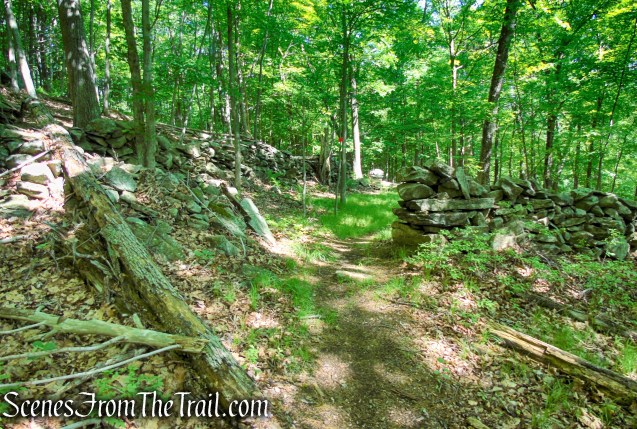
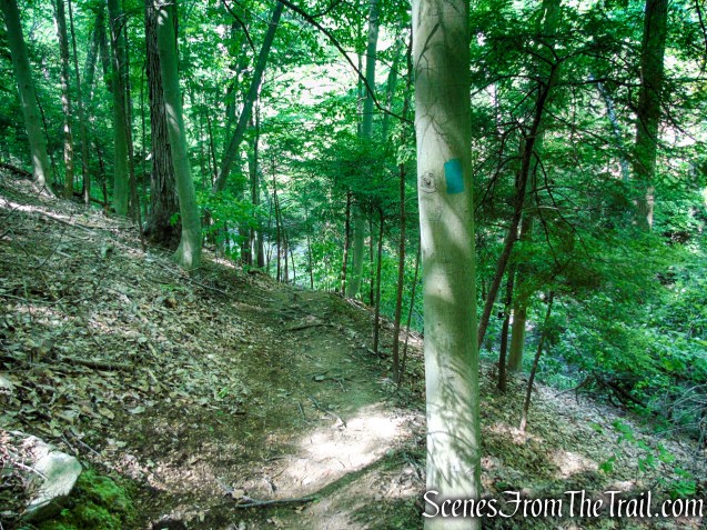
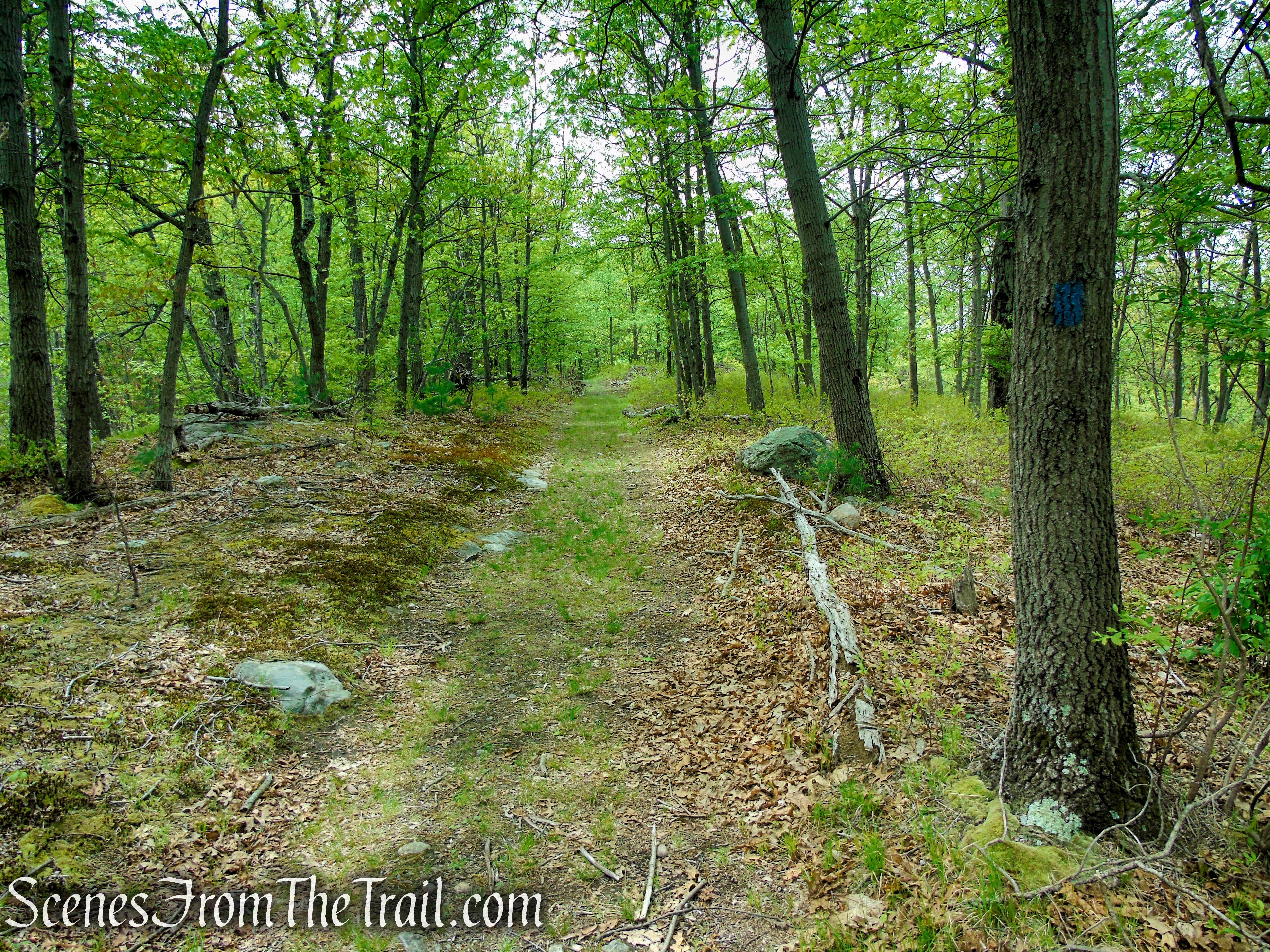
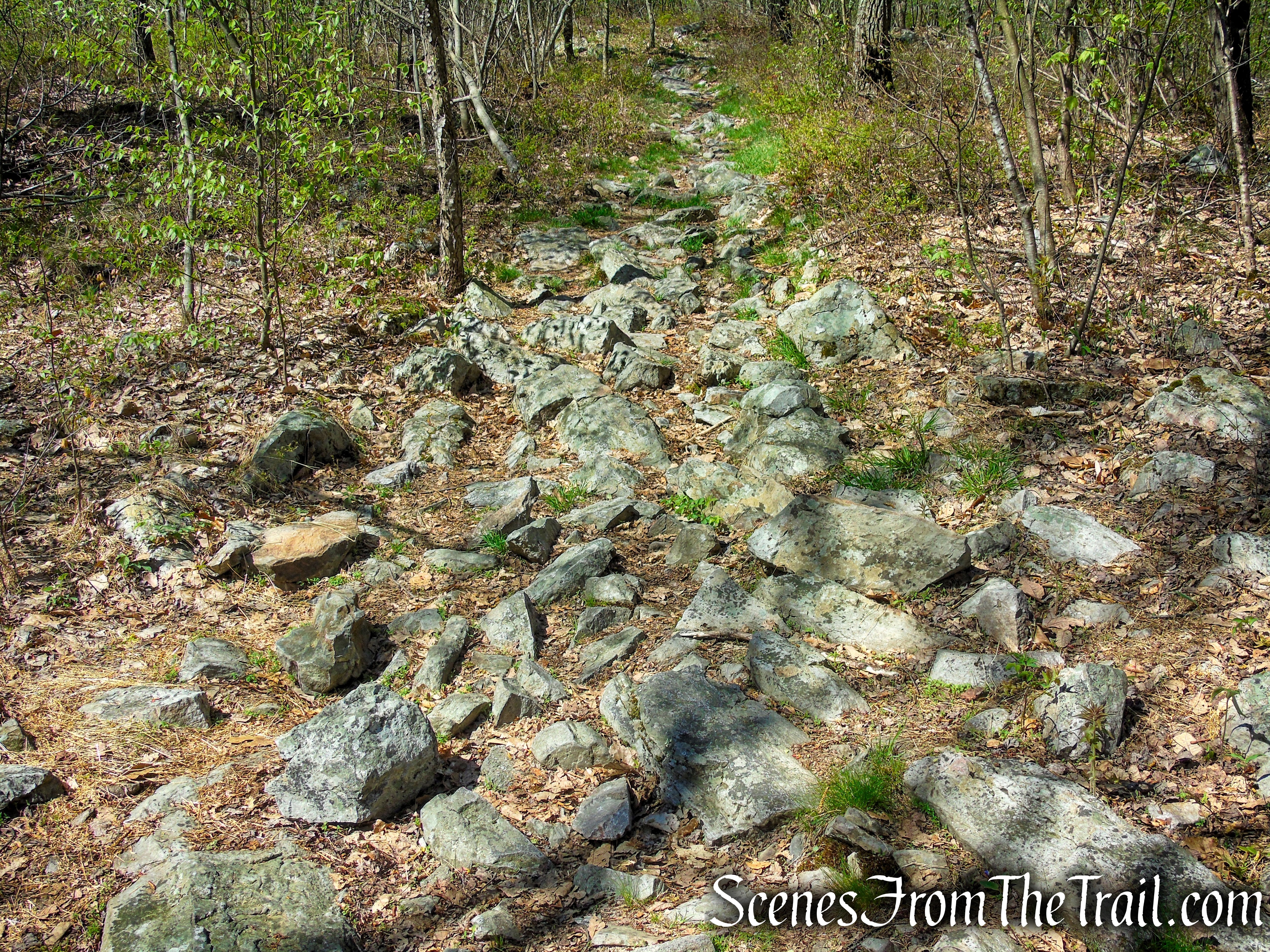
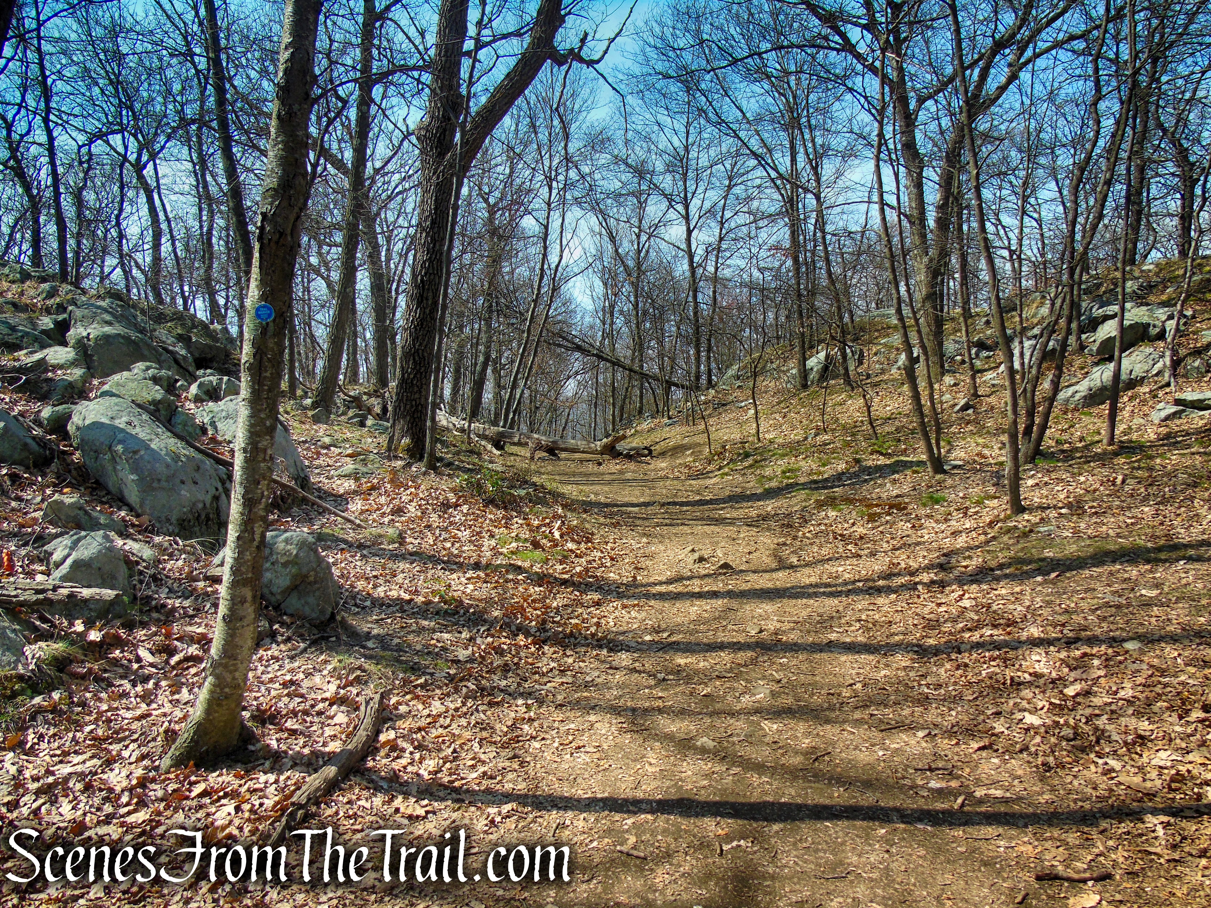
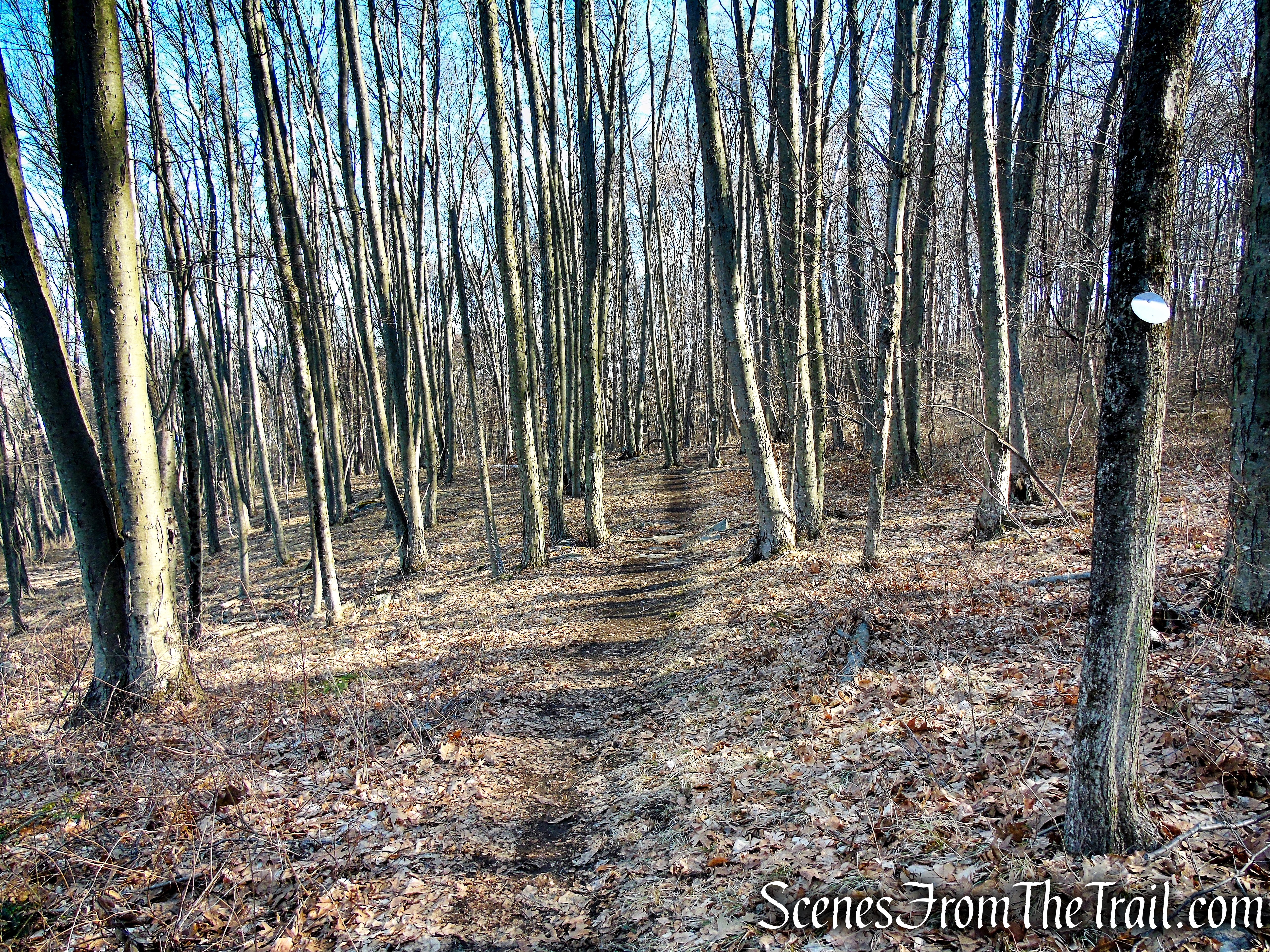
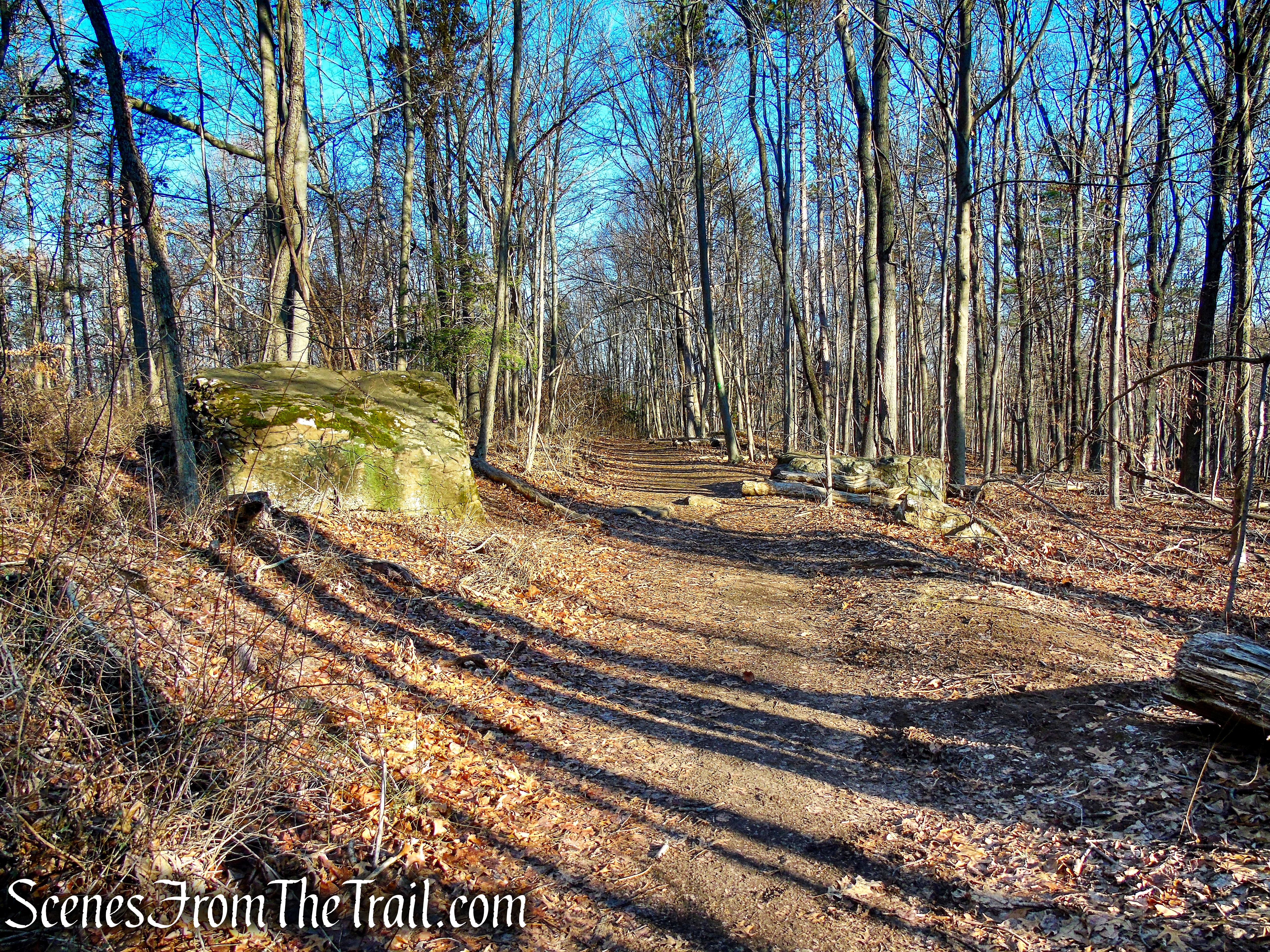
The well trodden trail is relatively easy to follow although most of the blazes are faded or the trees that they are painted on, have fallen.
Tidal Marsh Trail – North Haven
Hike Overview:
There is plenty of parking at the trailhead which is behind Target.
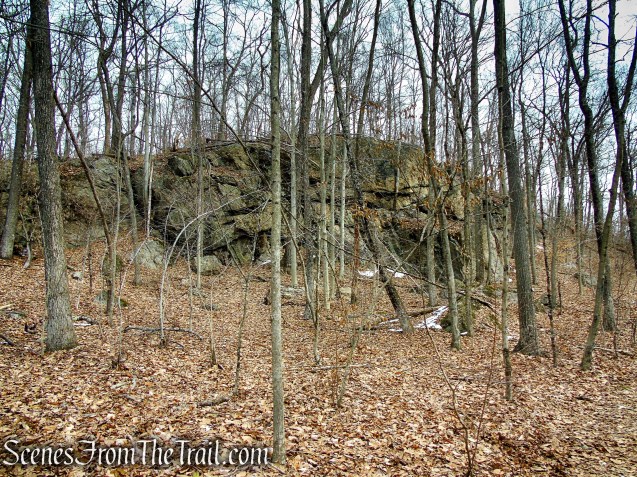
Tidal Marsh Trail – North Haven
Although this is an easy hike, from what I have read on Facebook, many people never find the Polar Bear sculpture, which is one of the highlights of the hike. When I was reading the comments on someone’s post, what stuck with me was “If you think you went too far for the bear… keep going farther. You’ll eventually come across the old rail building with the bear inside.” That comment was helpful in not turning back too soon.
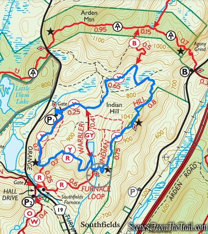
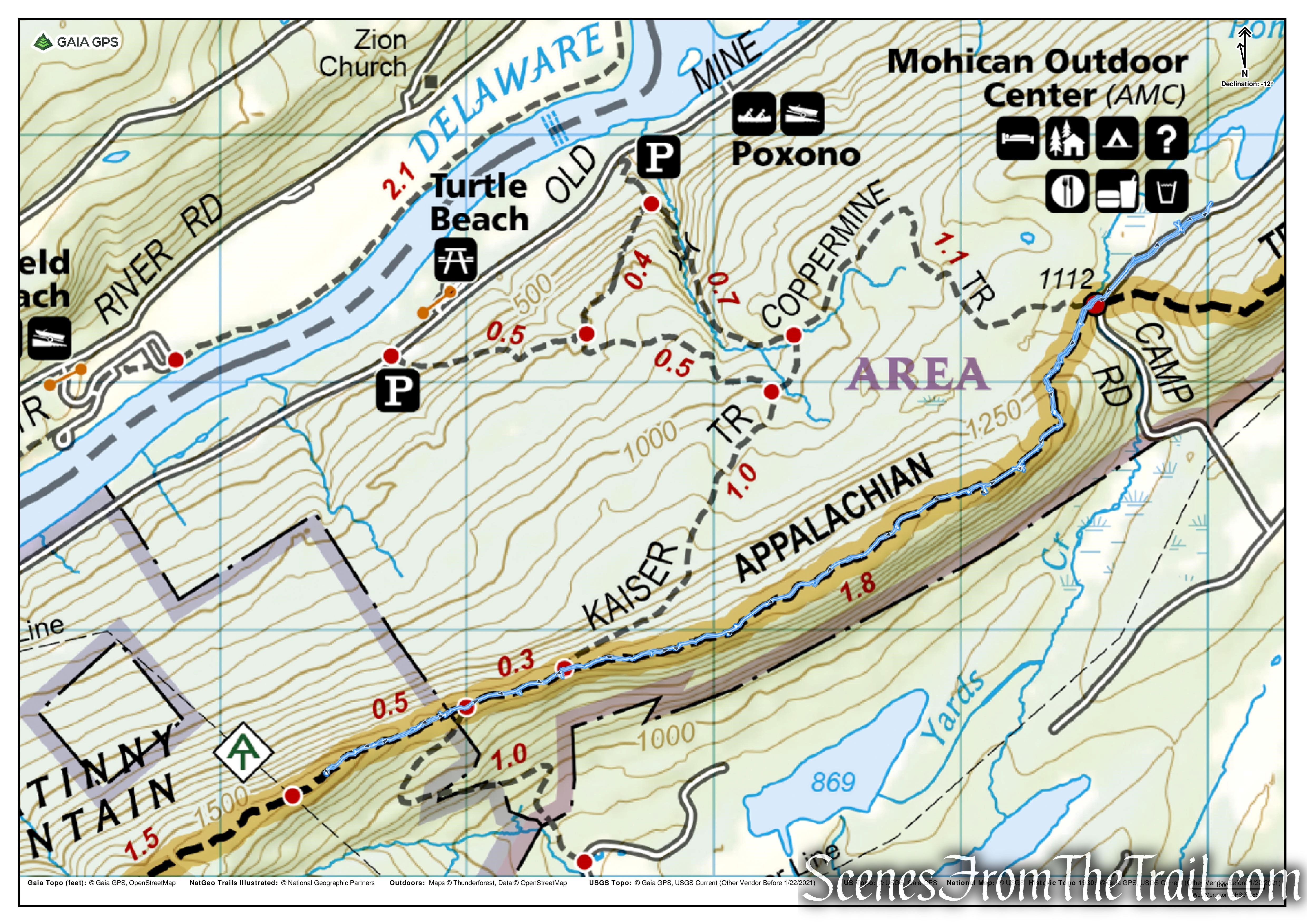
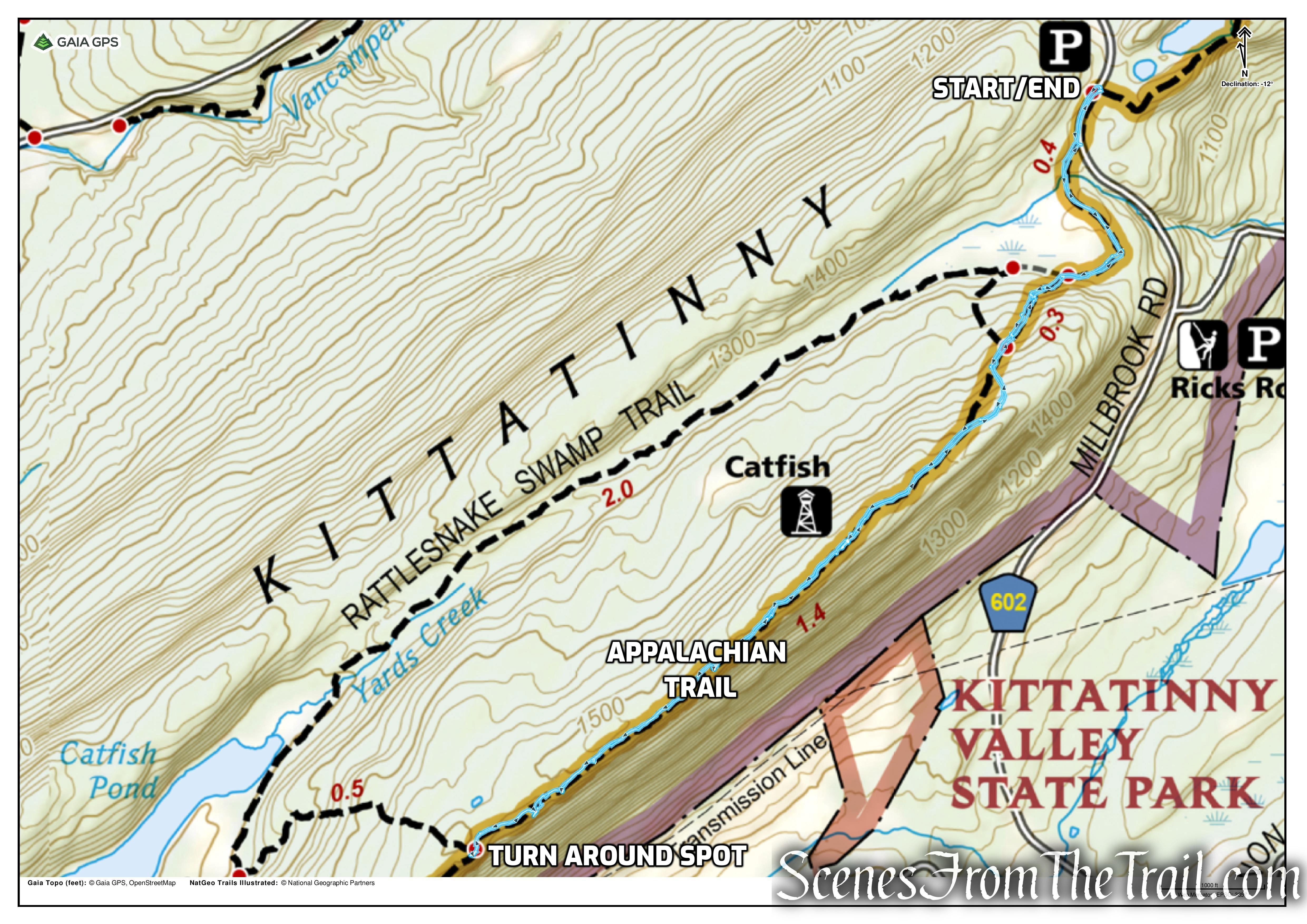
The map below shows the route that we took. The trail is mostly flat with minimal elevation gain.
Tidal Marsh Trail – North Haven
This hike, from what I read, is better done during leaf off season. According to those that have visited, the trail gets overgrown, making the trail harder to follow. There are also a lot of bugs and ticks during the warmer months. Also, since it is located in an industrial area, it is probably better not to hike alone. We did not encounter any of these issues on our visit.
The Hike:
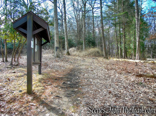
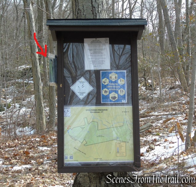
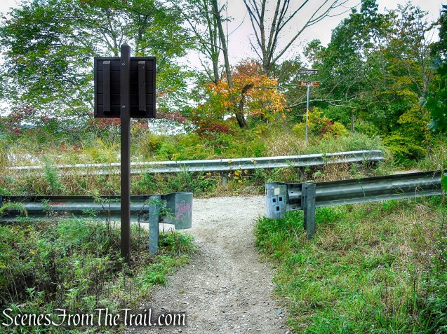
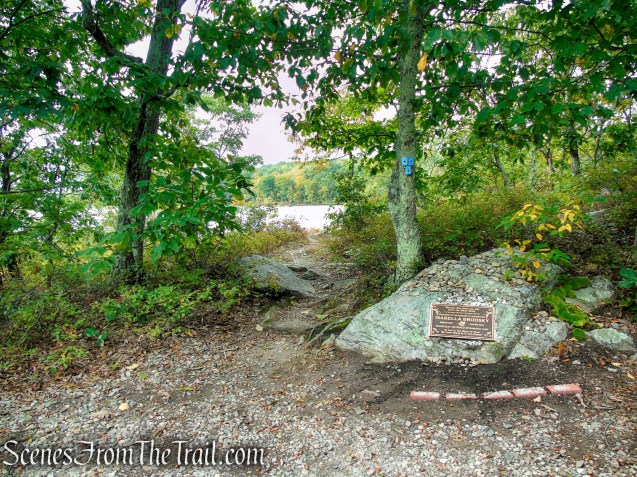
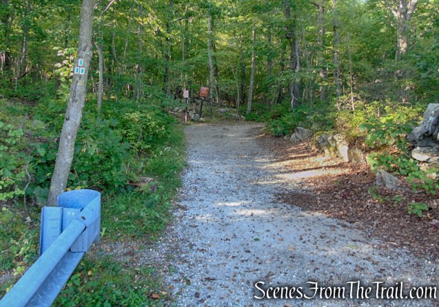
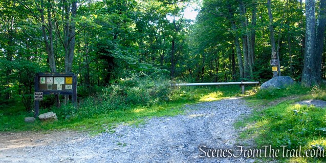
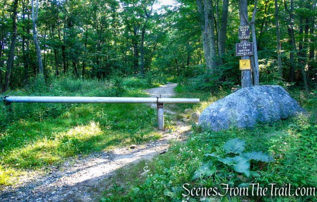
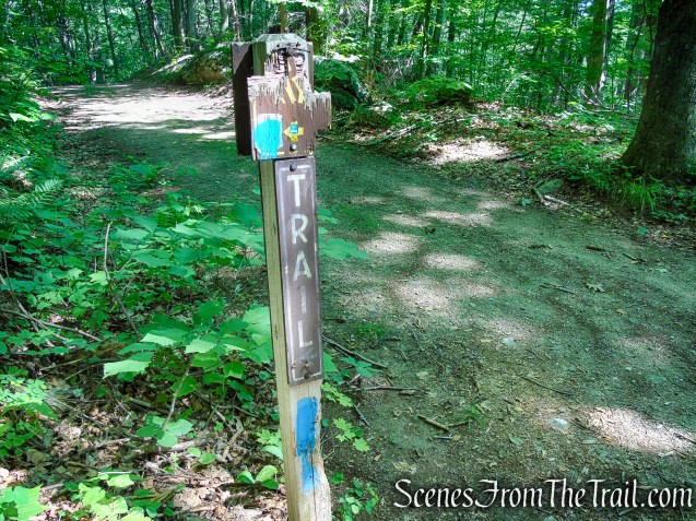
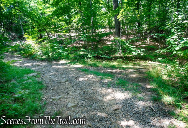
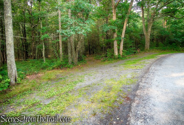
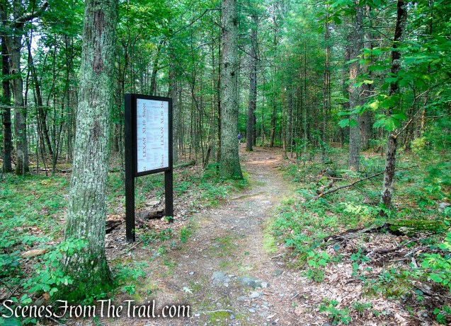
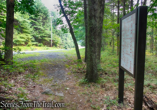
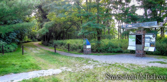
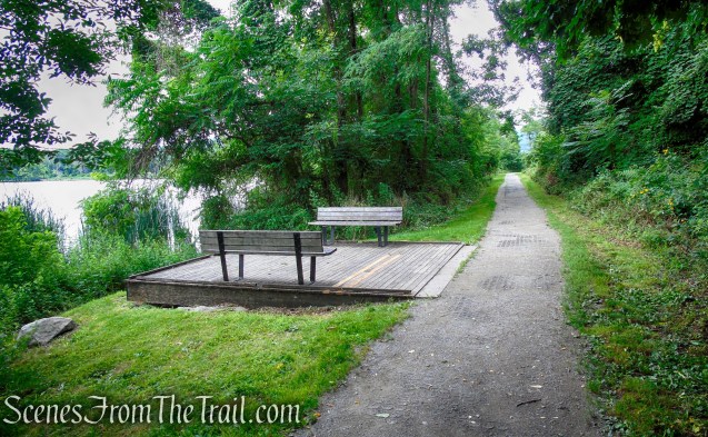
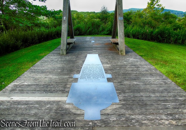
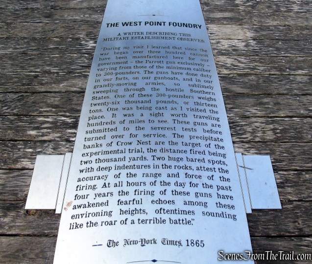
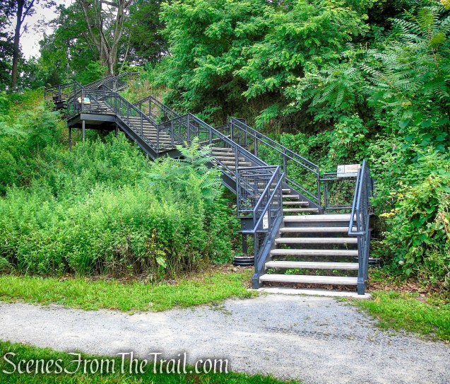
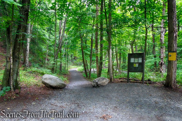
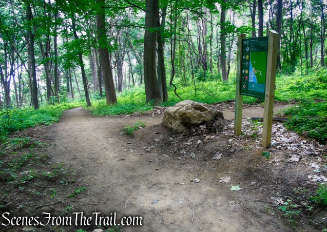
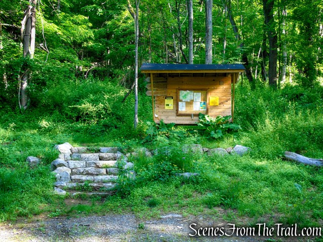
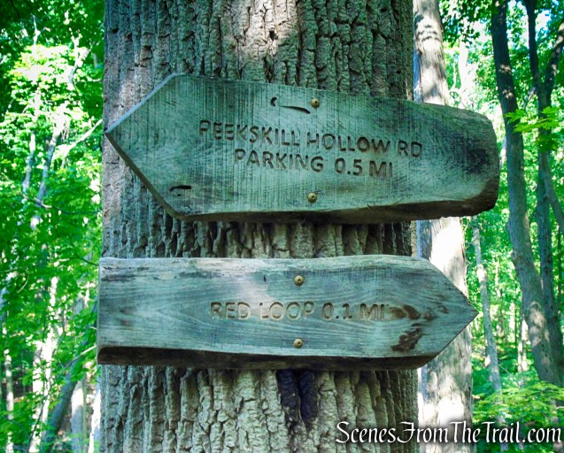
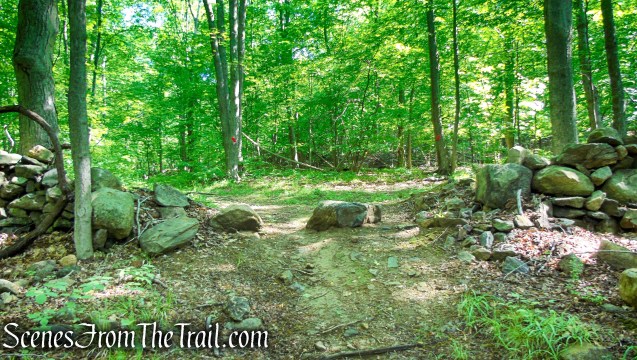
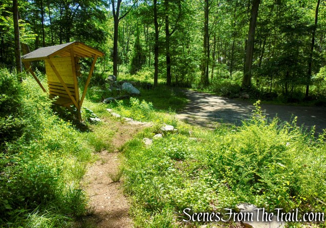
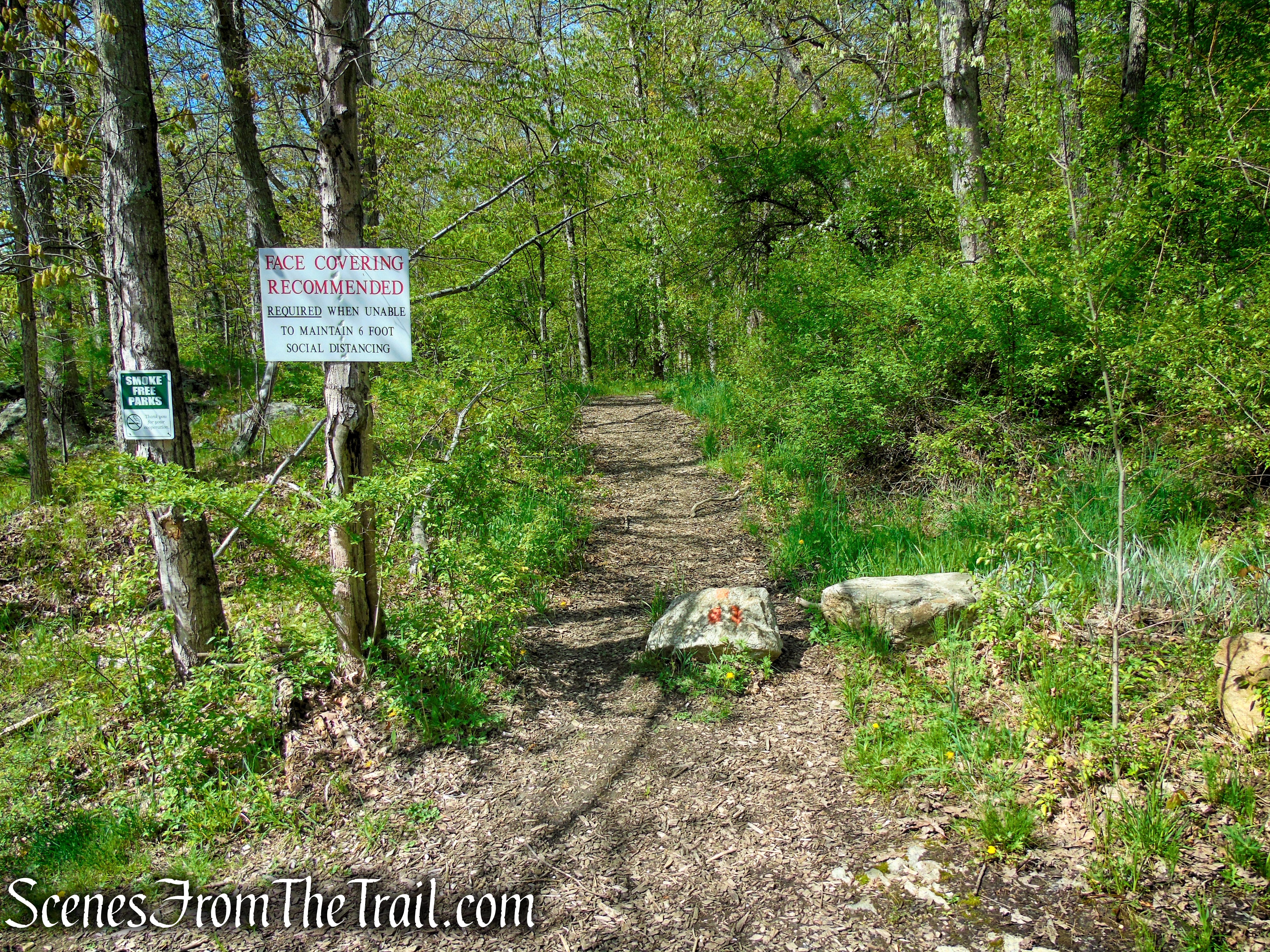
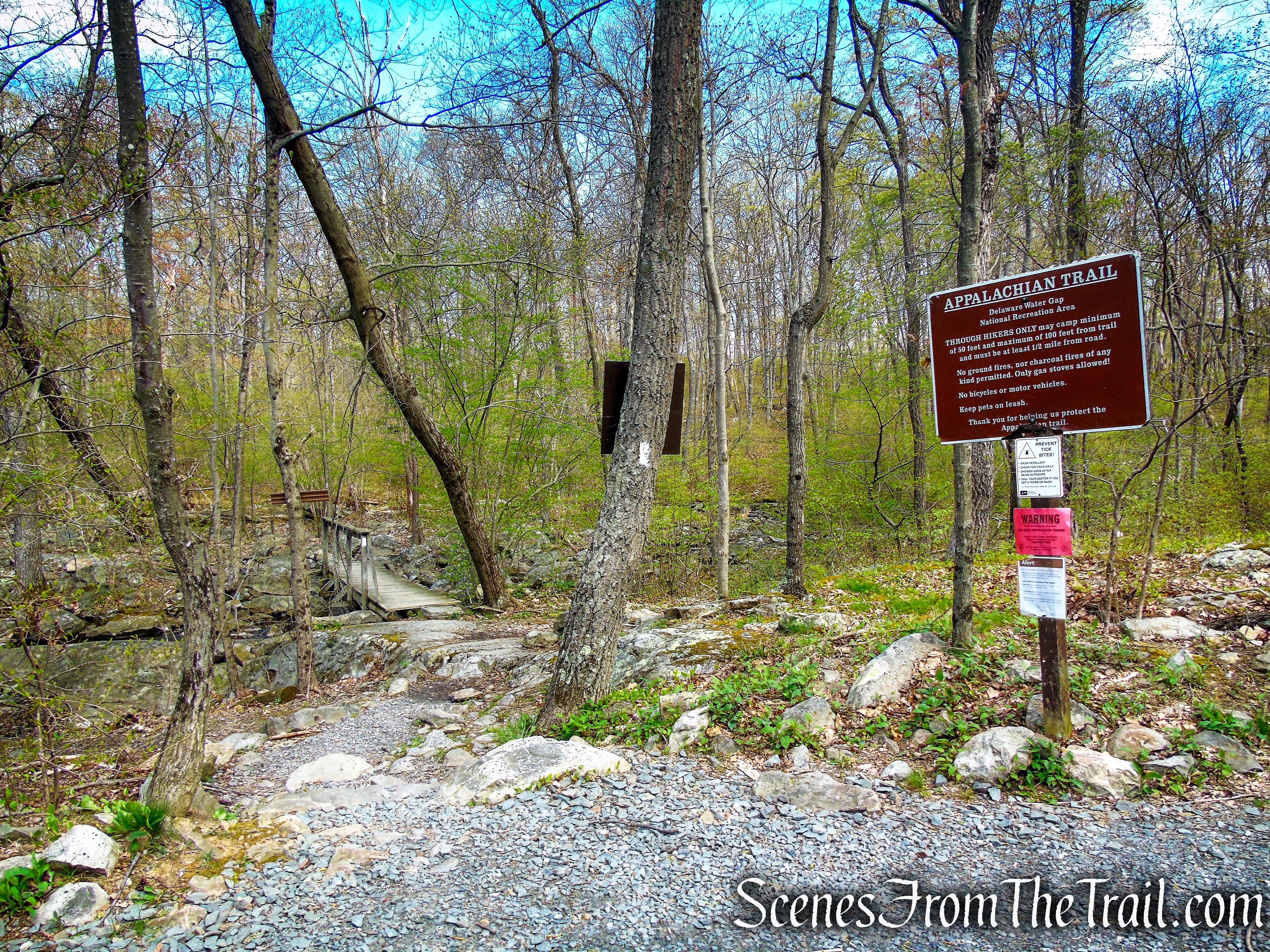
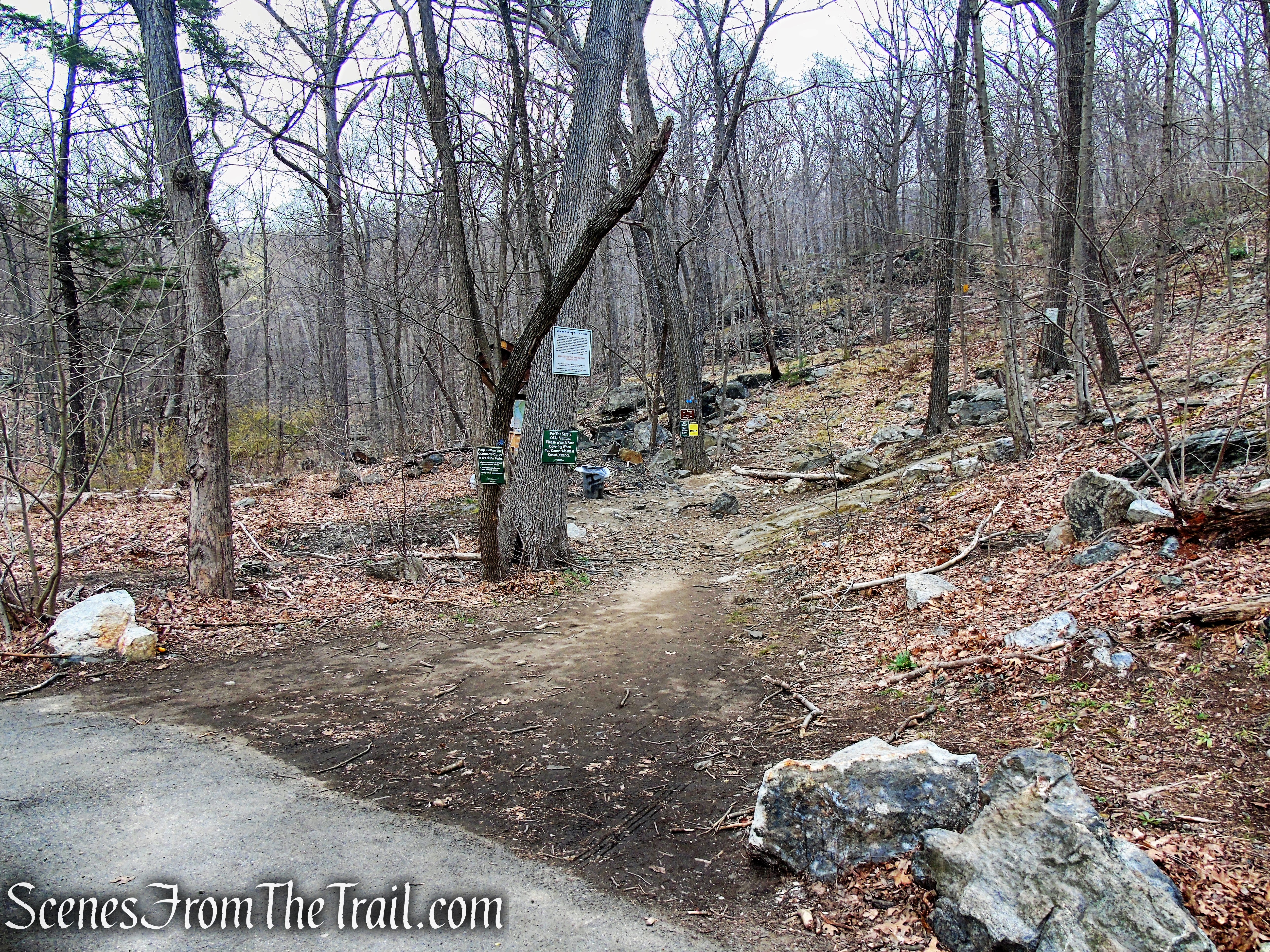
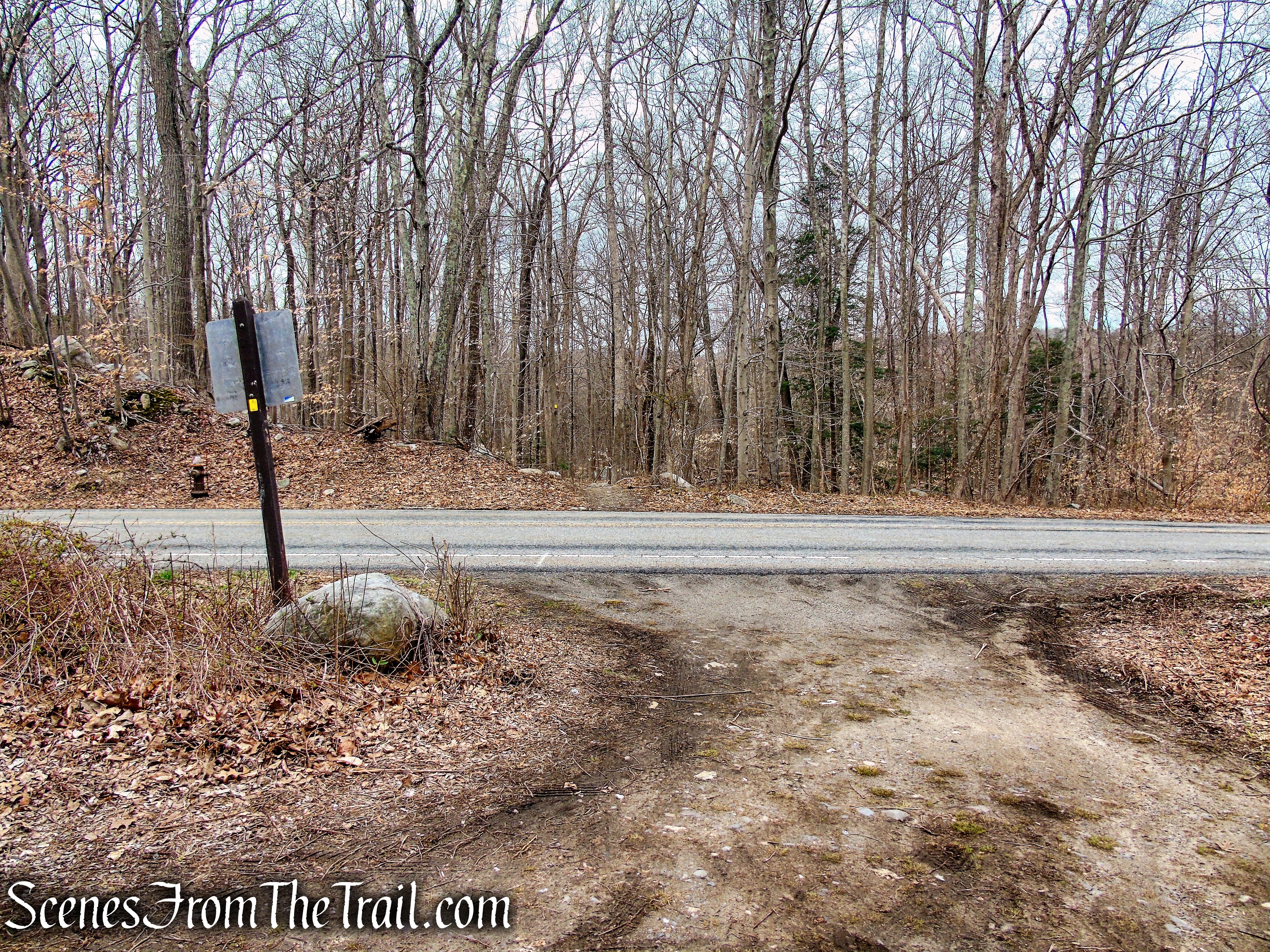
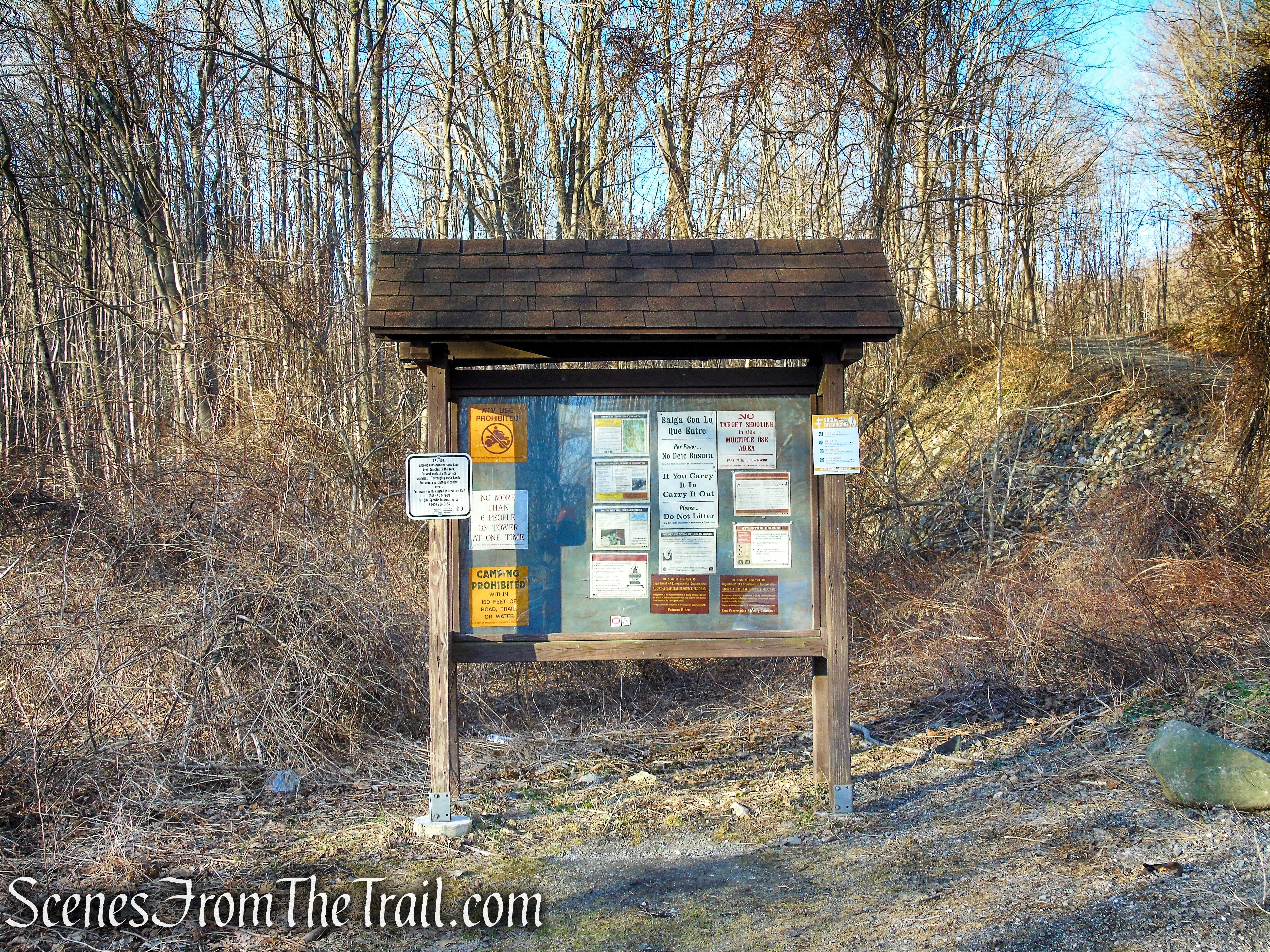
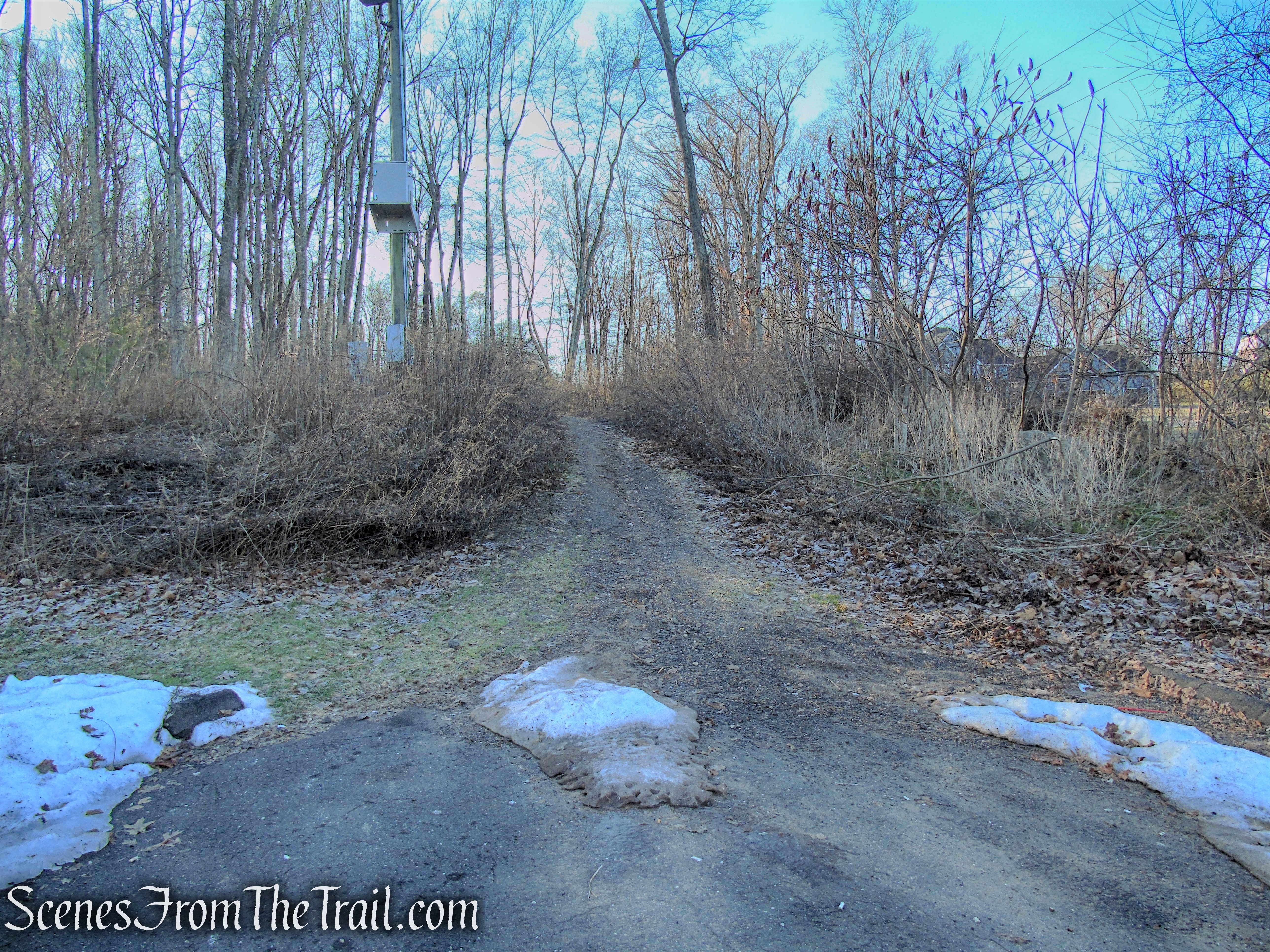
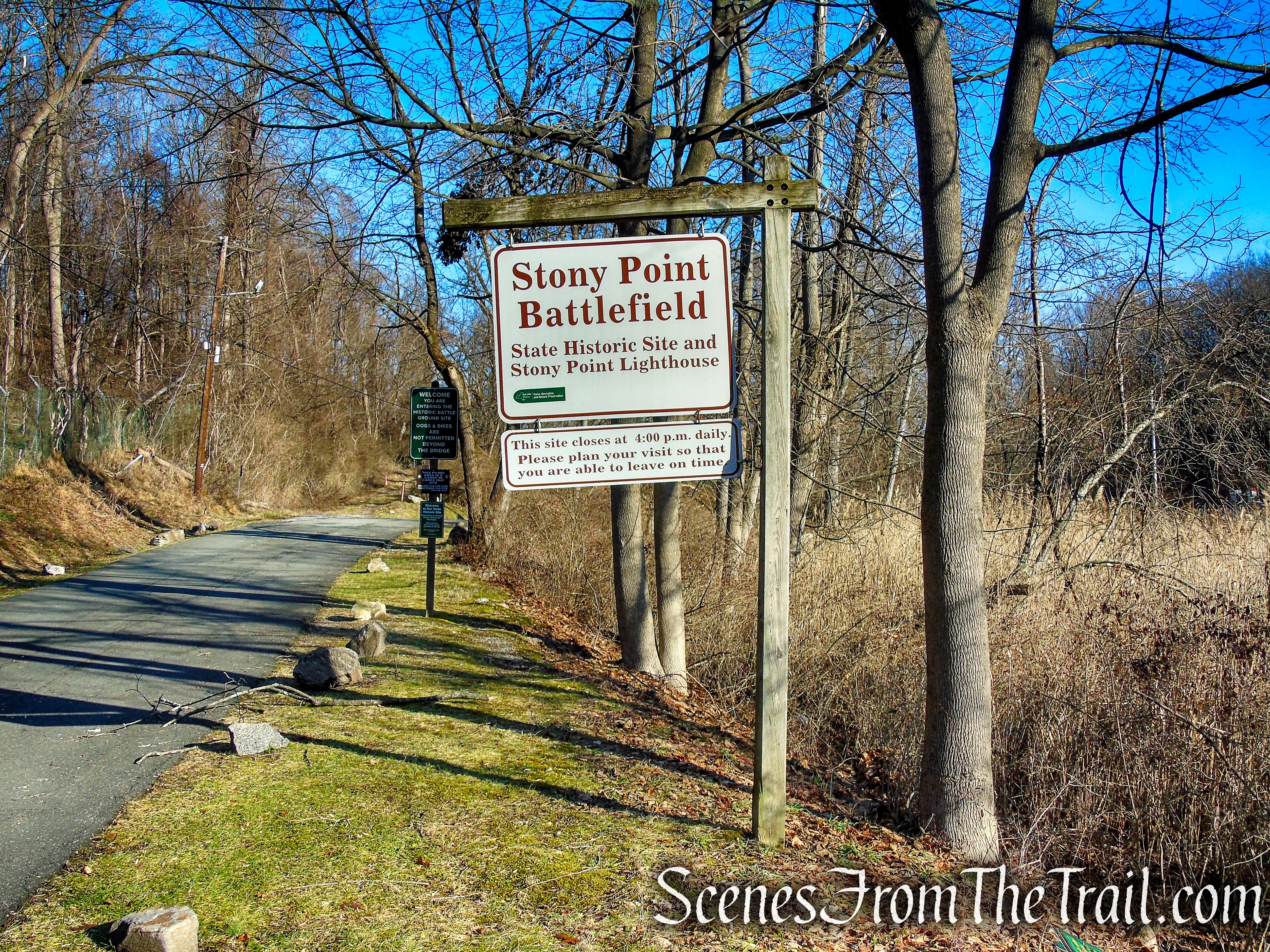
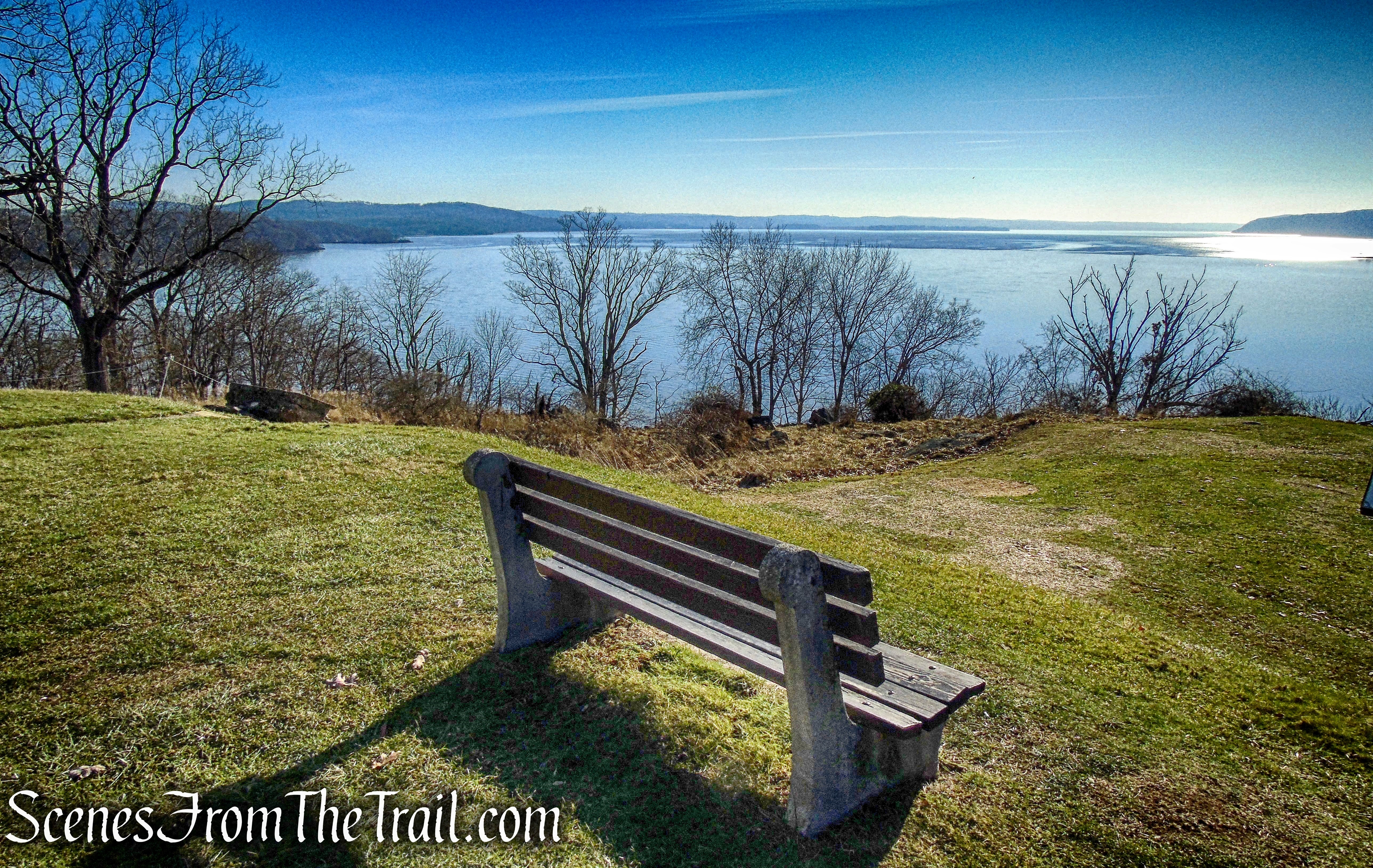
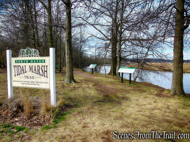
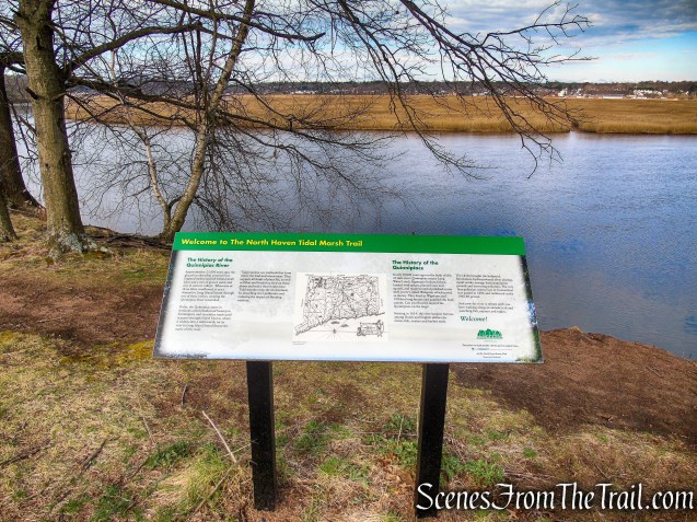
The hike begins in the parking lot behind the Target Department Store. The trailhead is clearly marked with a large sign and there are informational signs detailing the history of the Quinnipiac River. There is a bench for relaxing right at the trailhead.
Tidal Marsh Trail – North Haven
Tidal Marsh Trail – North Haven

Tidal Marsh Trail – North Haven
Tidal Marsh Trail – North Haven
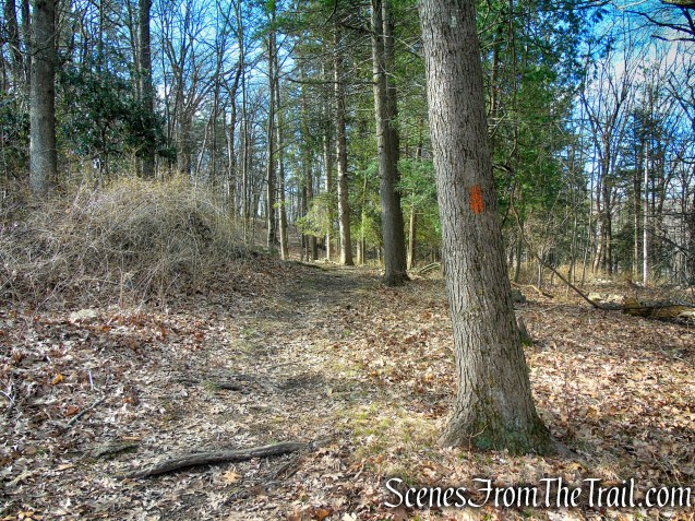
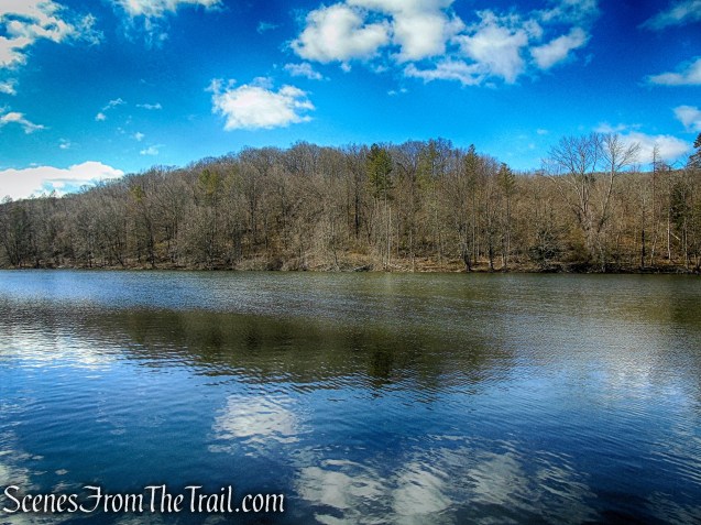
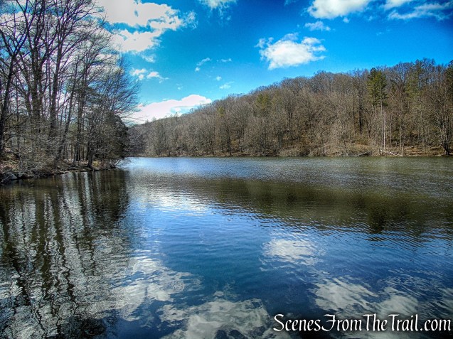
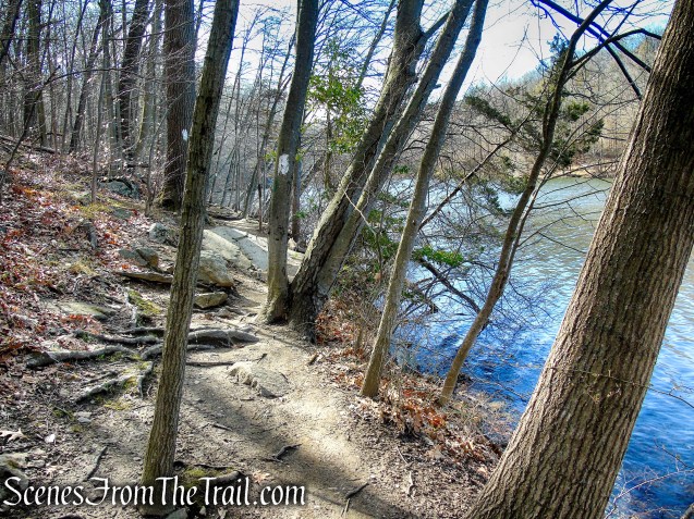
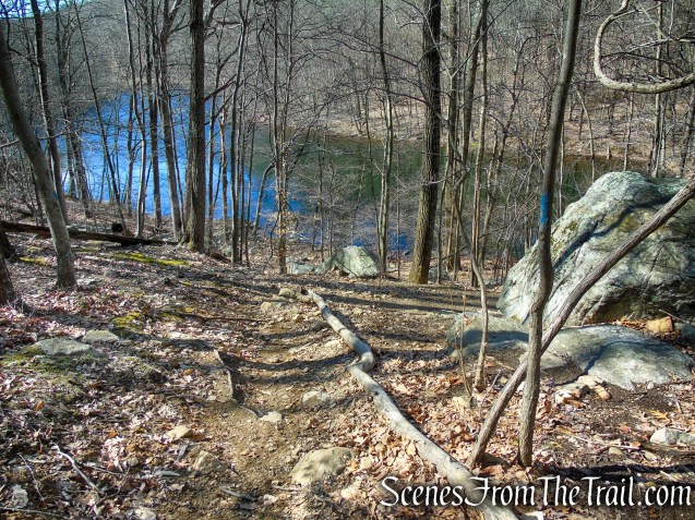
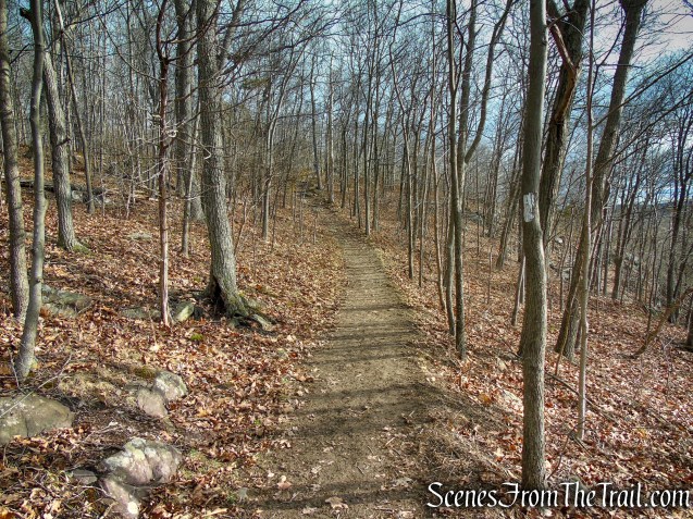
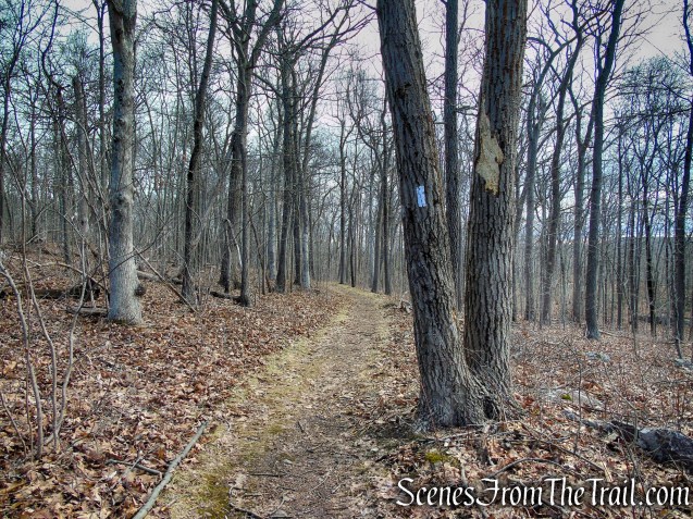
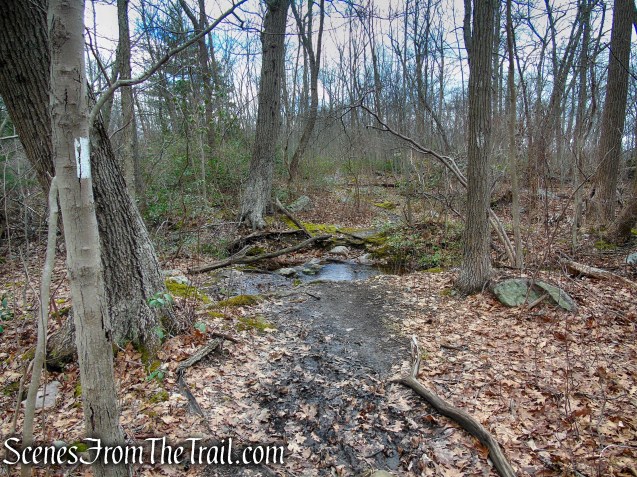
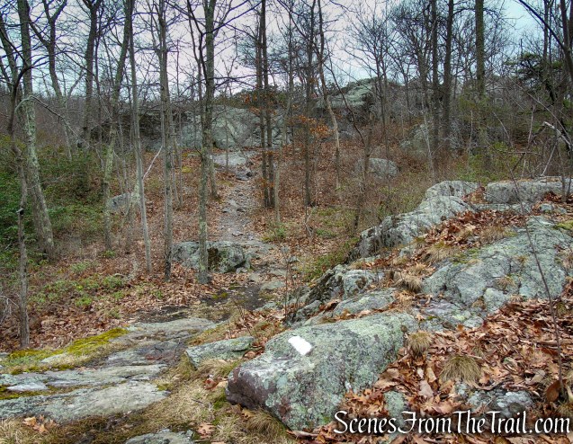
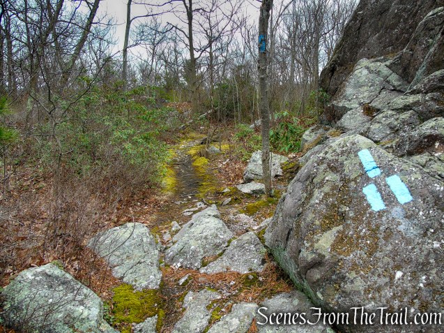
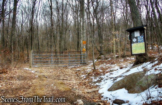
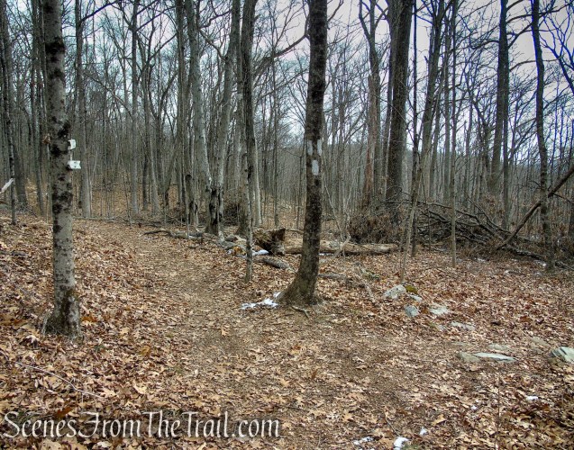
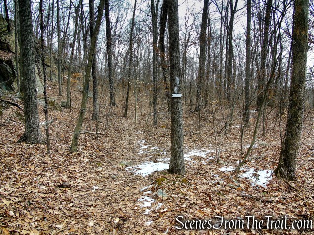
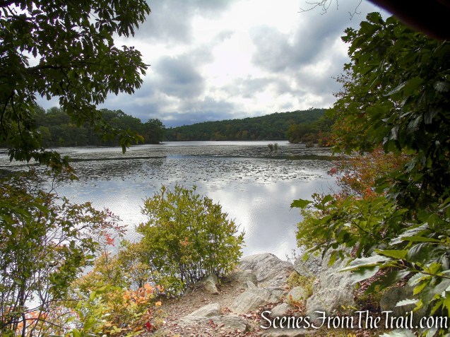
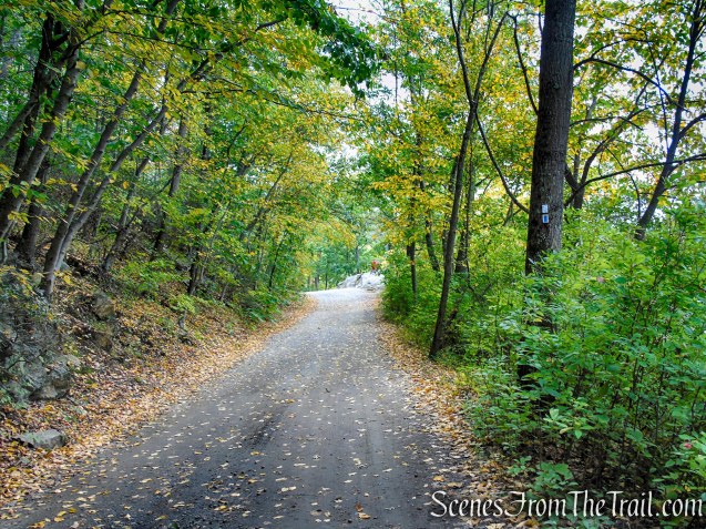
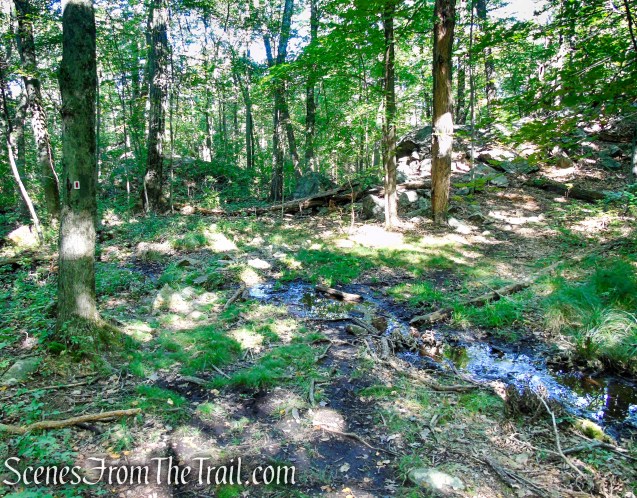
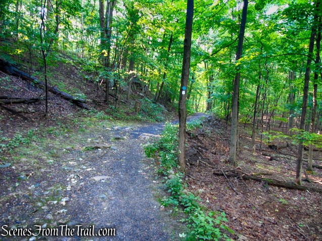
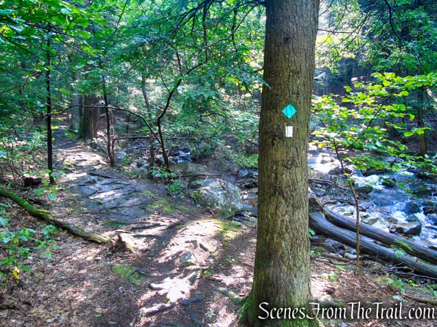
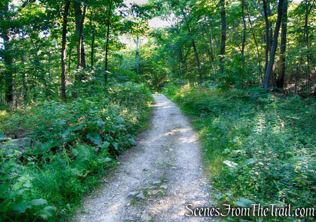
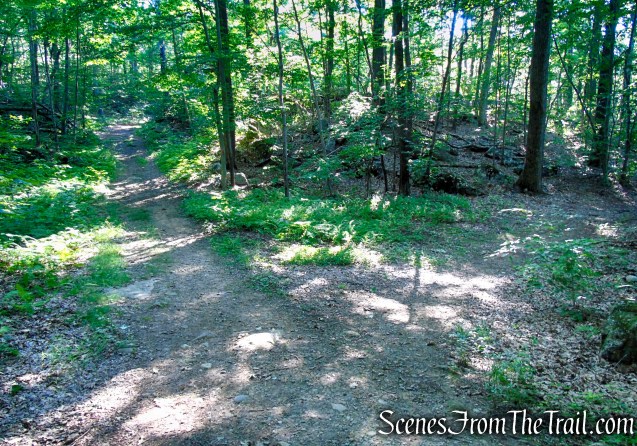
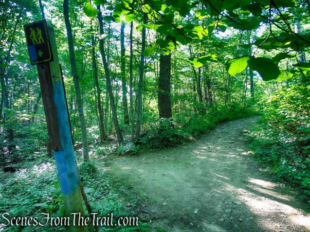
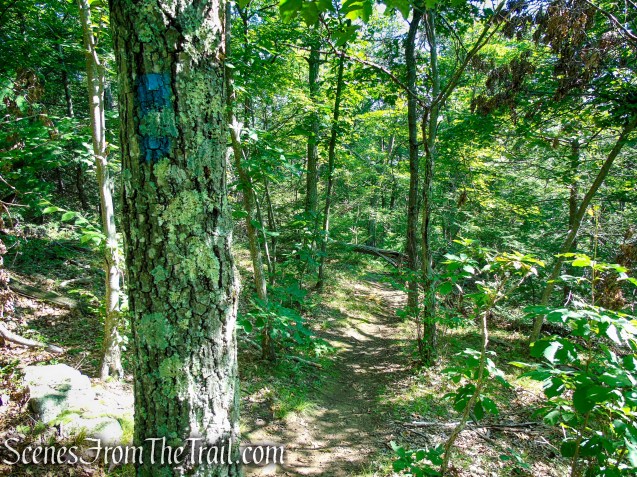
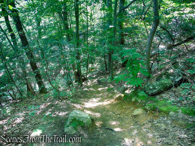
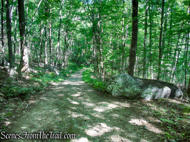
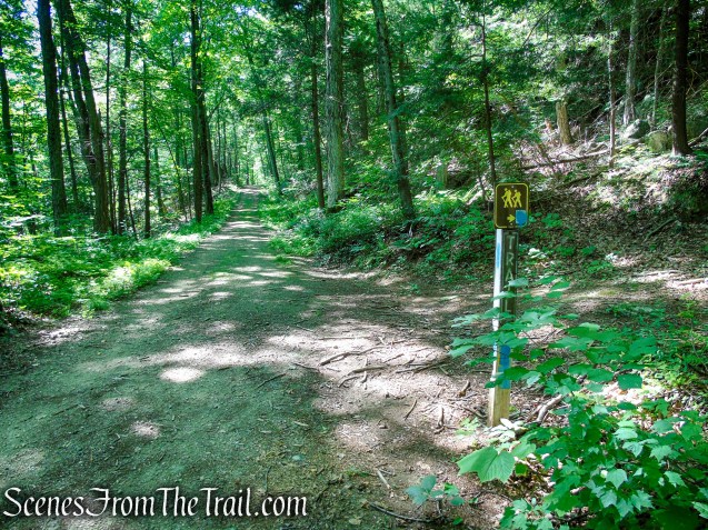
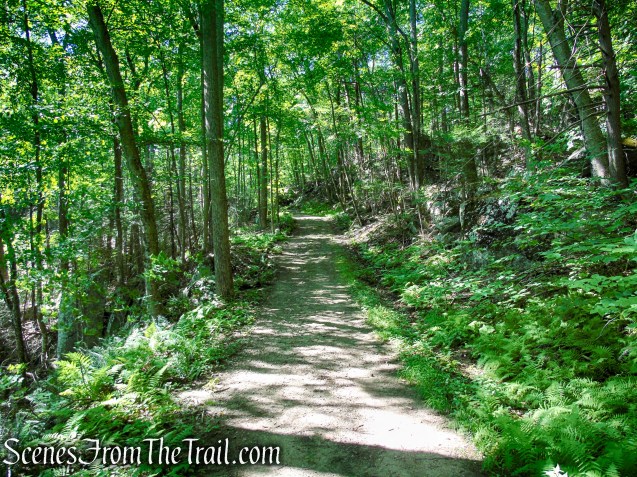
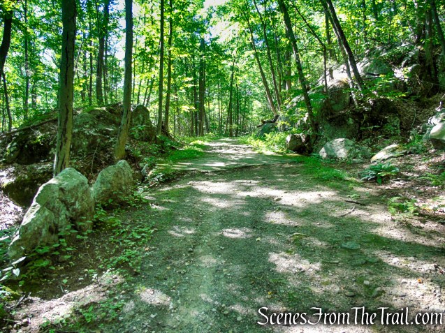
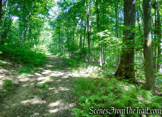
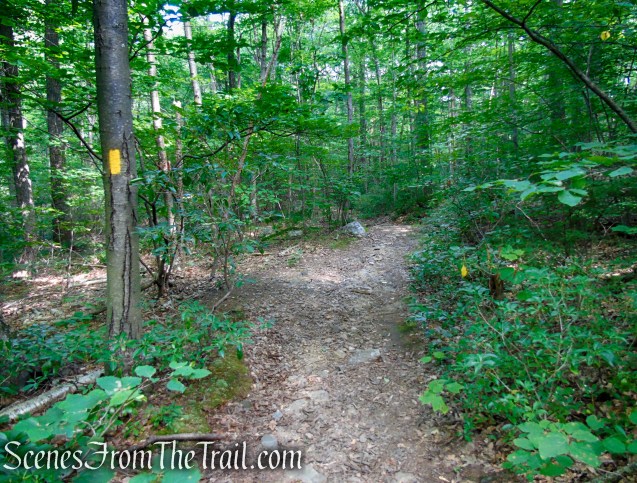
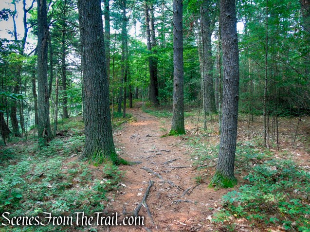
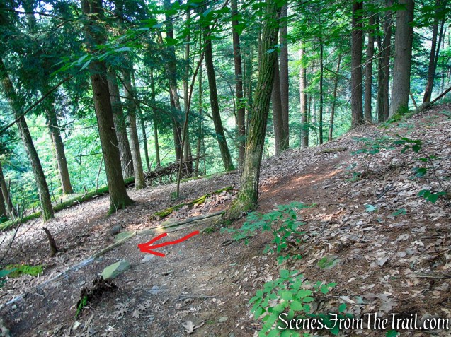
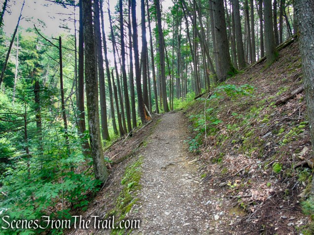
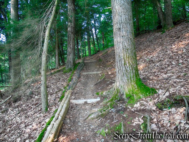
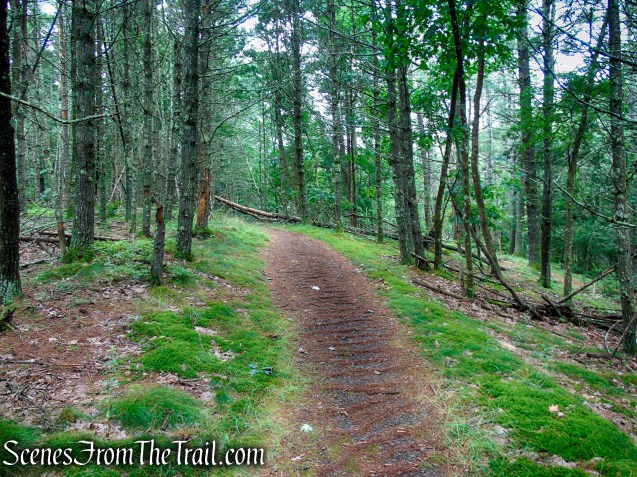
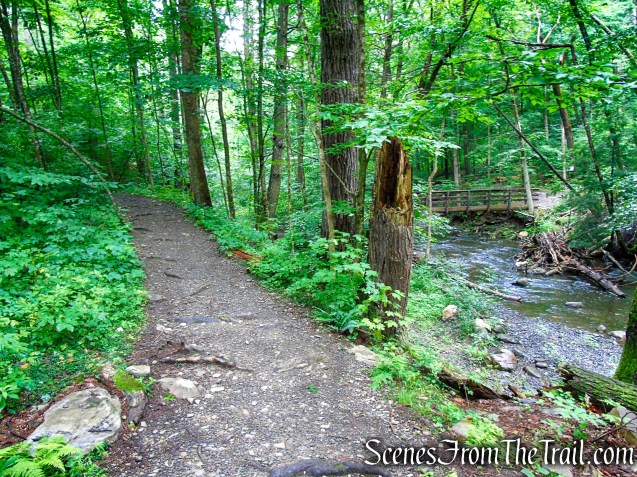
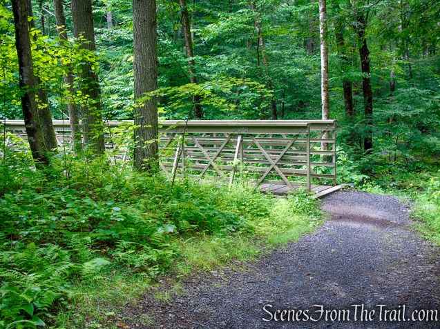
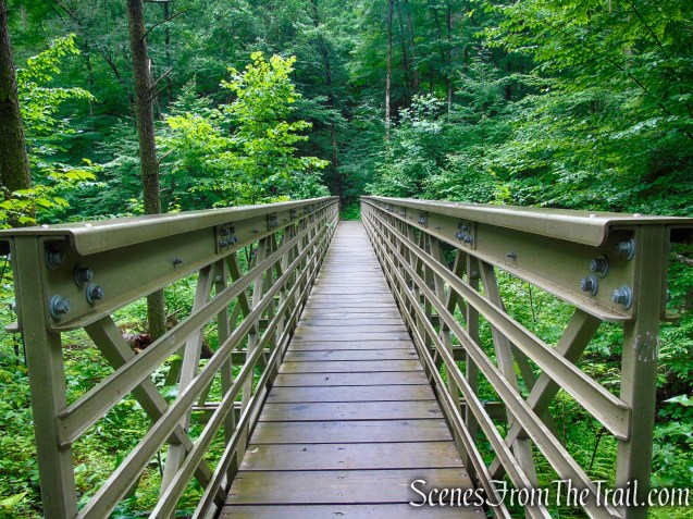
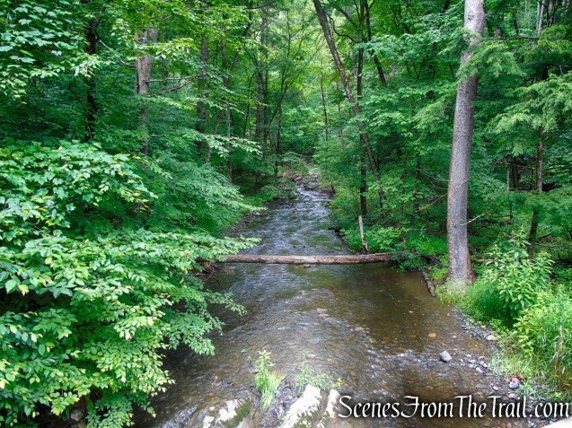
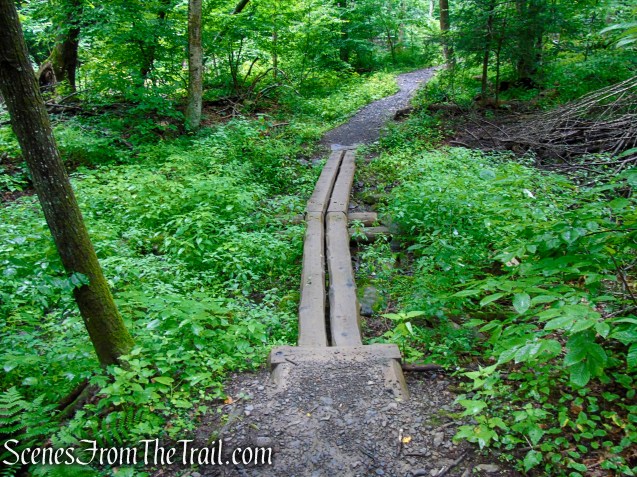
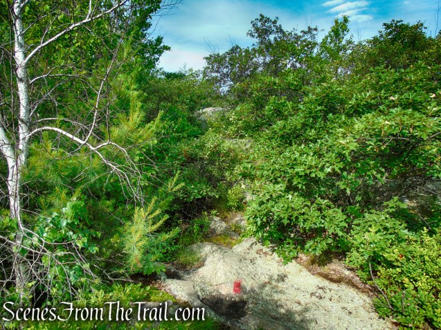
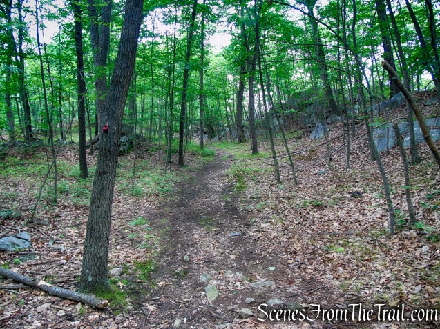
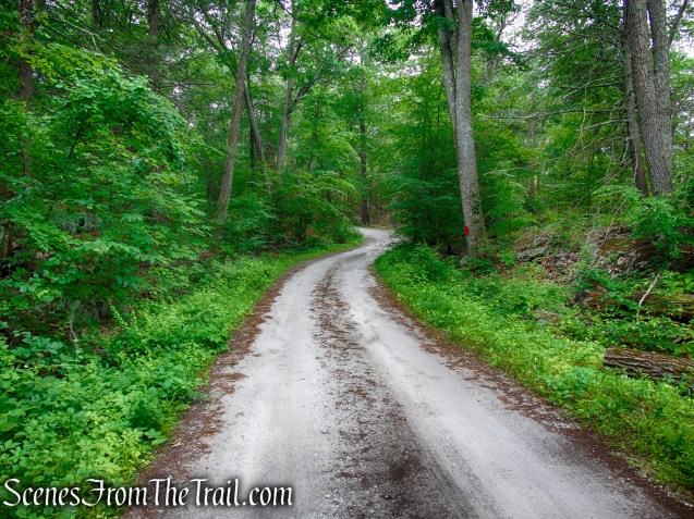
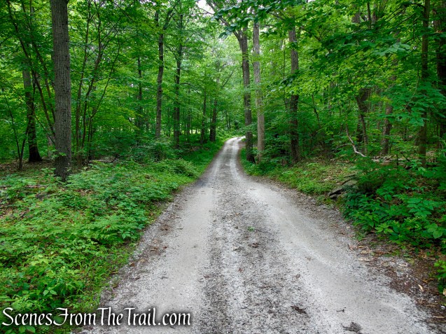
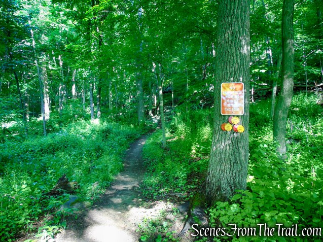
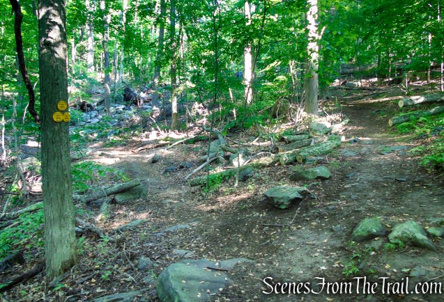
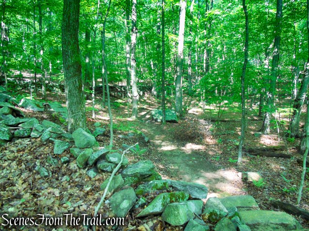
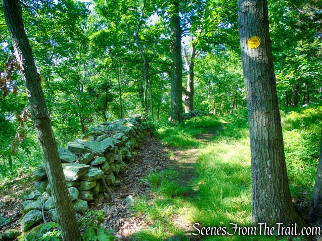
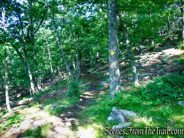
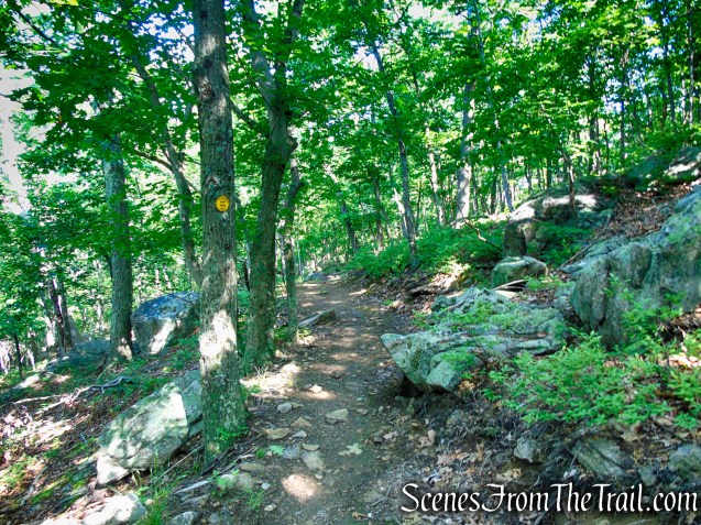
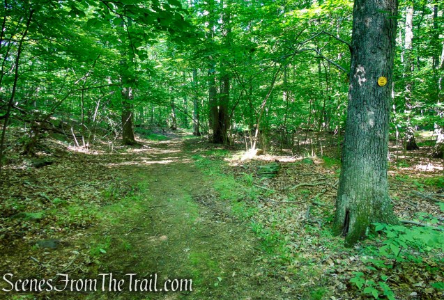
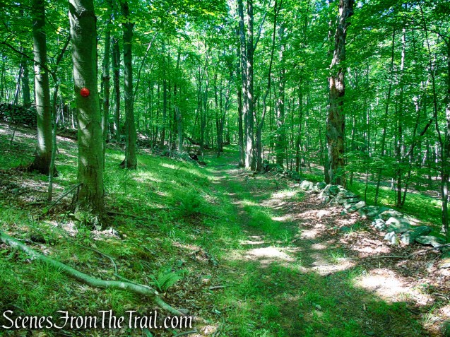
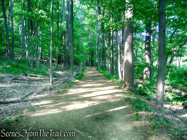
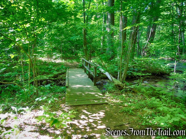
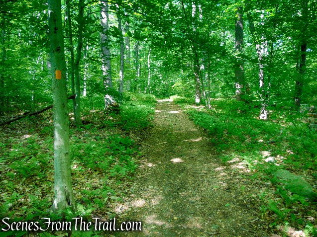
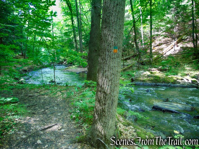
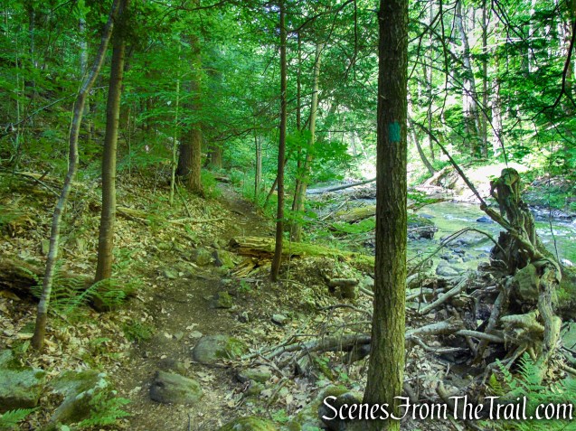
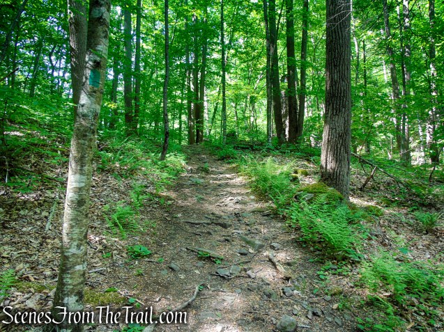
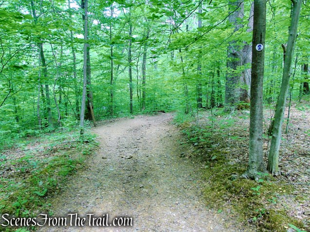
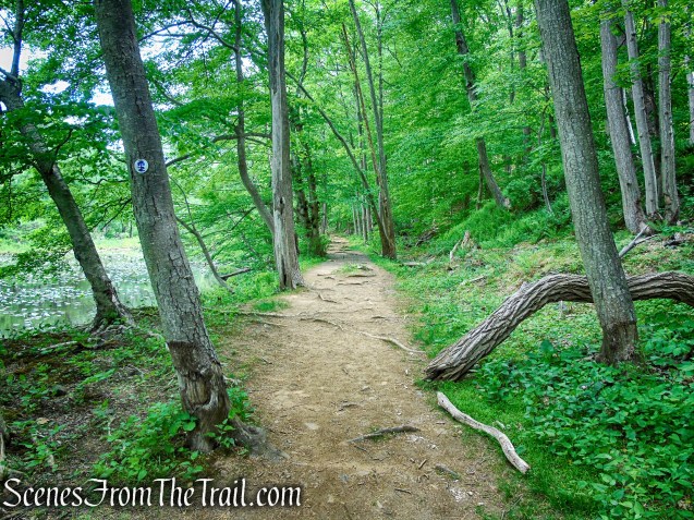
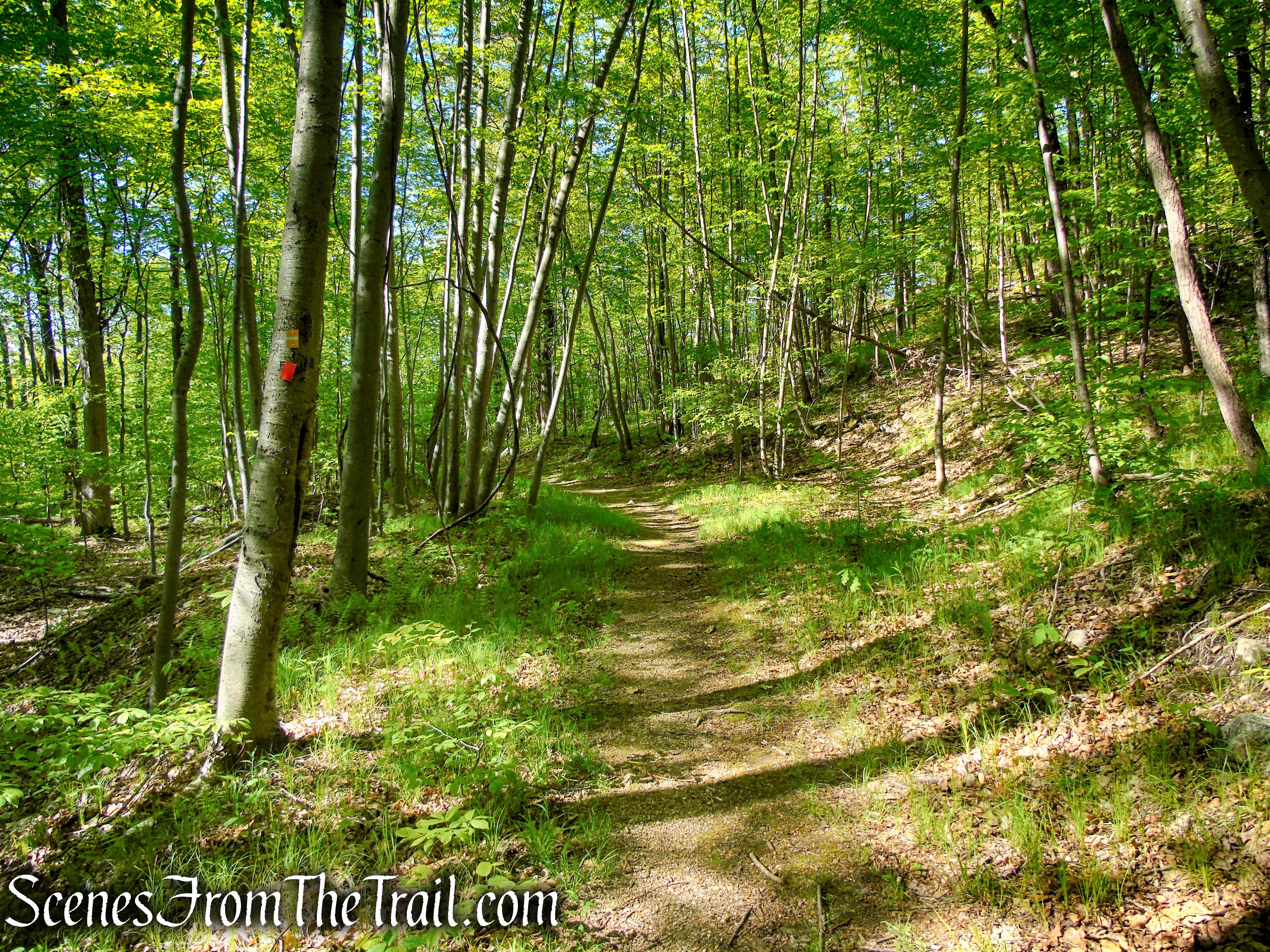
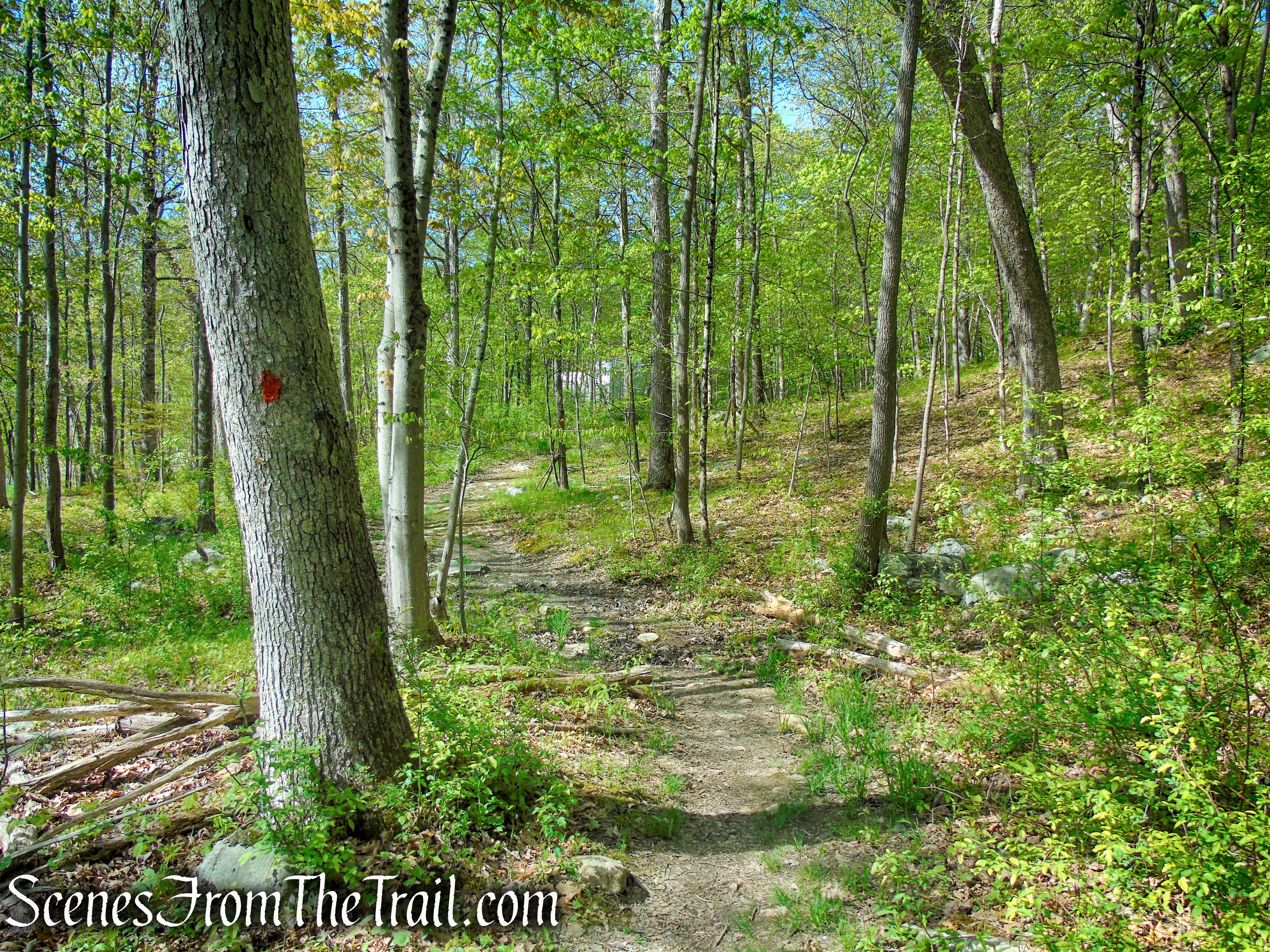
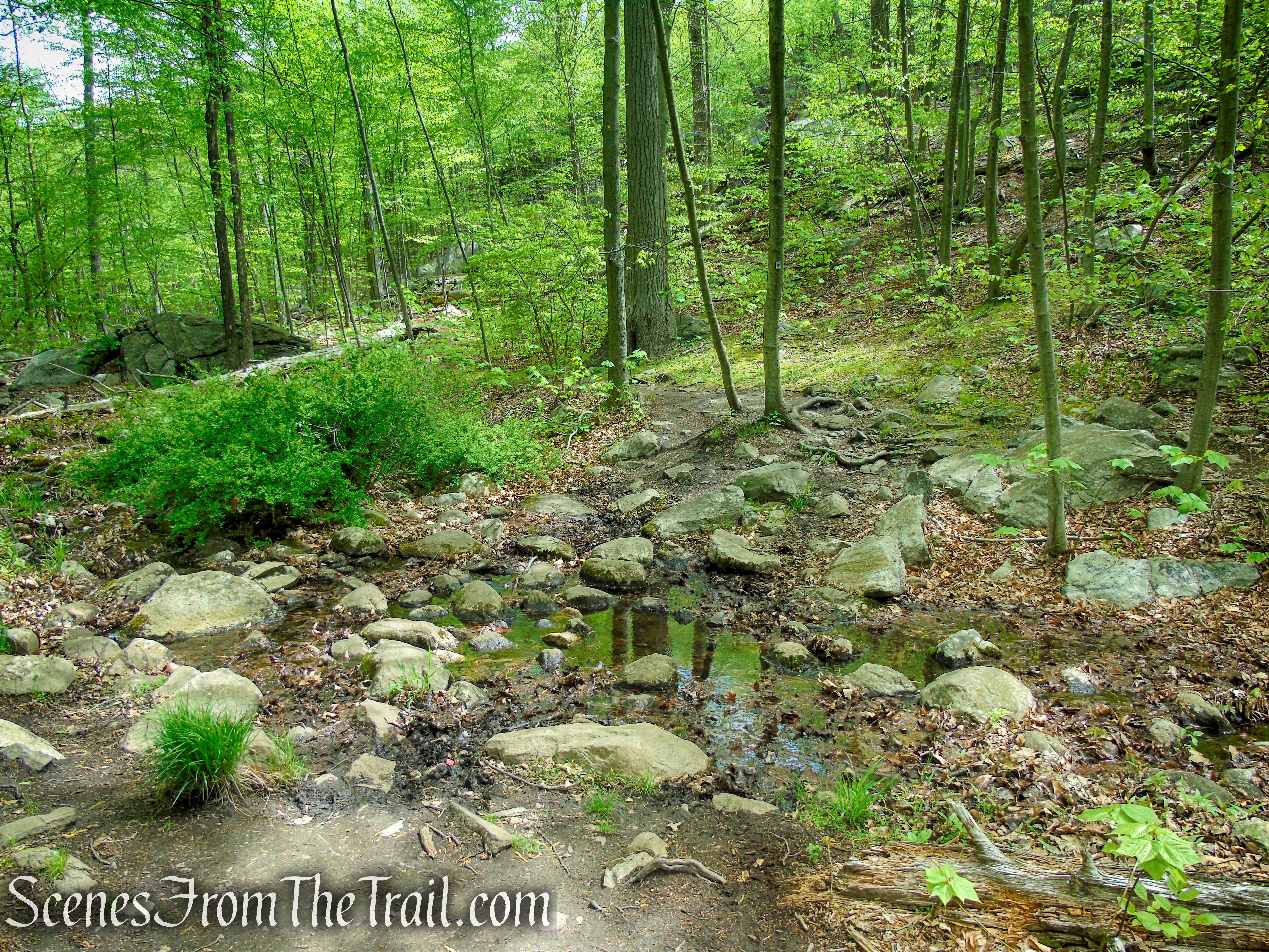
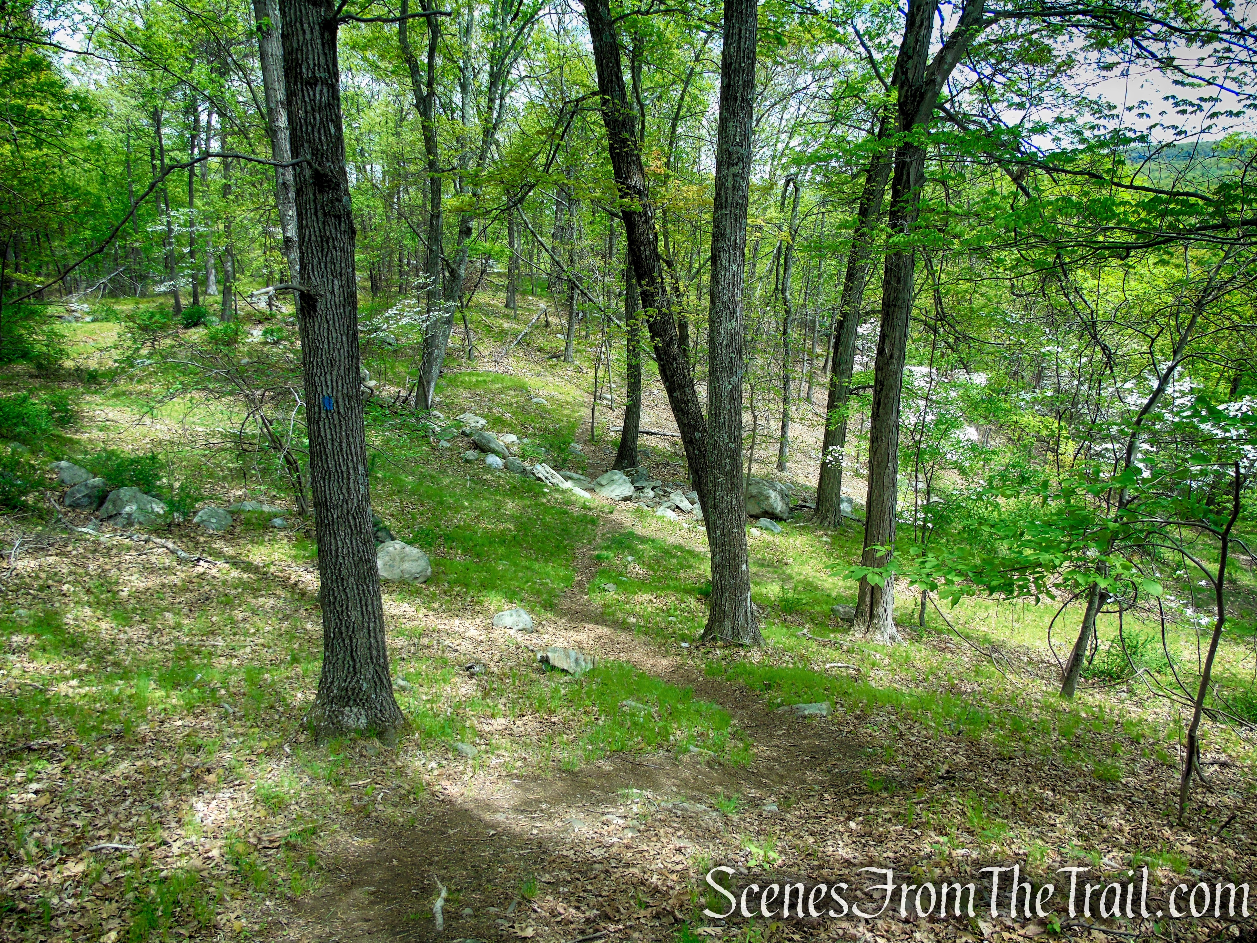
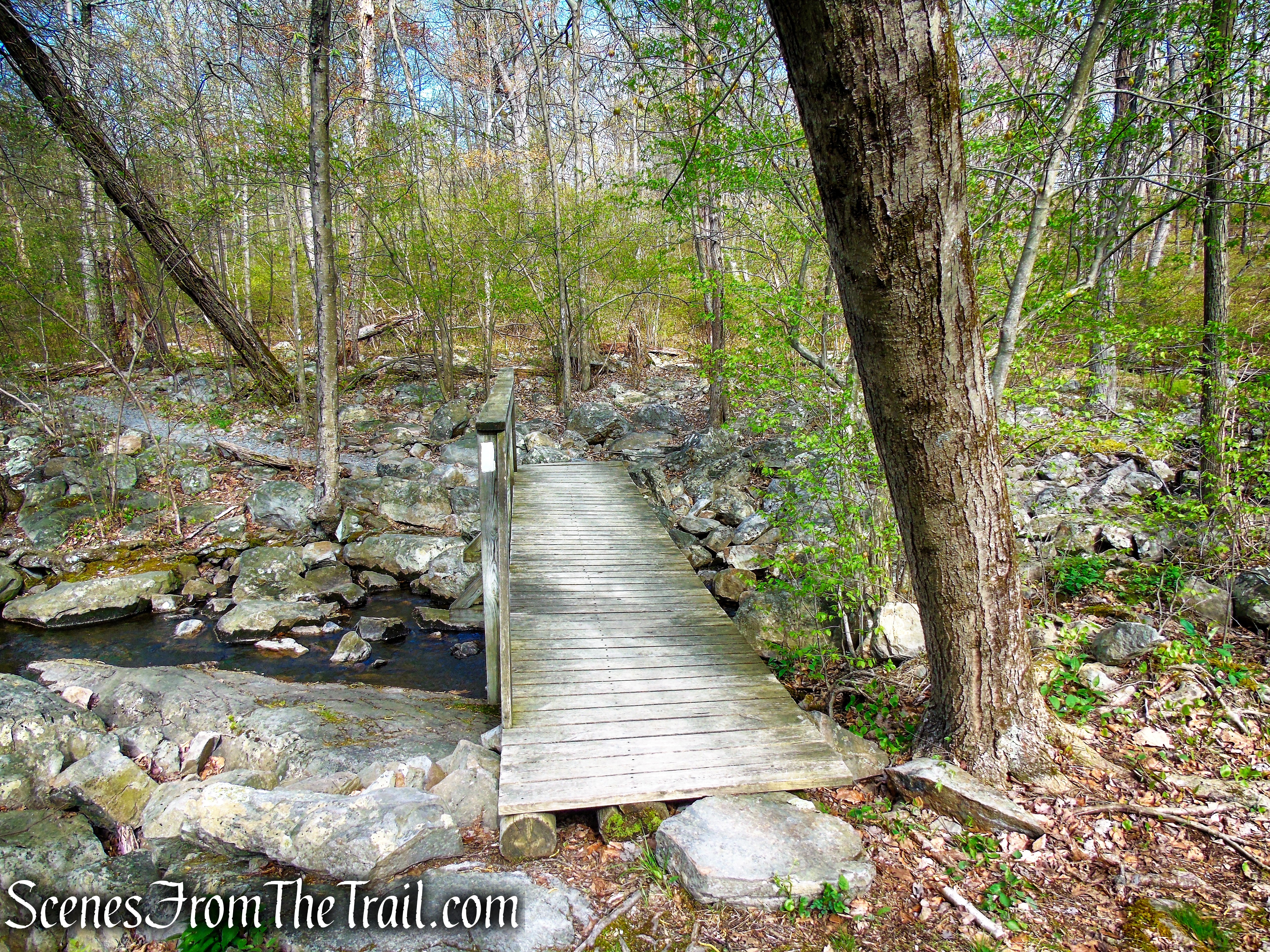
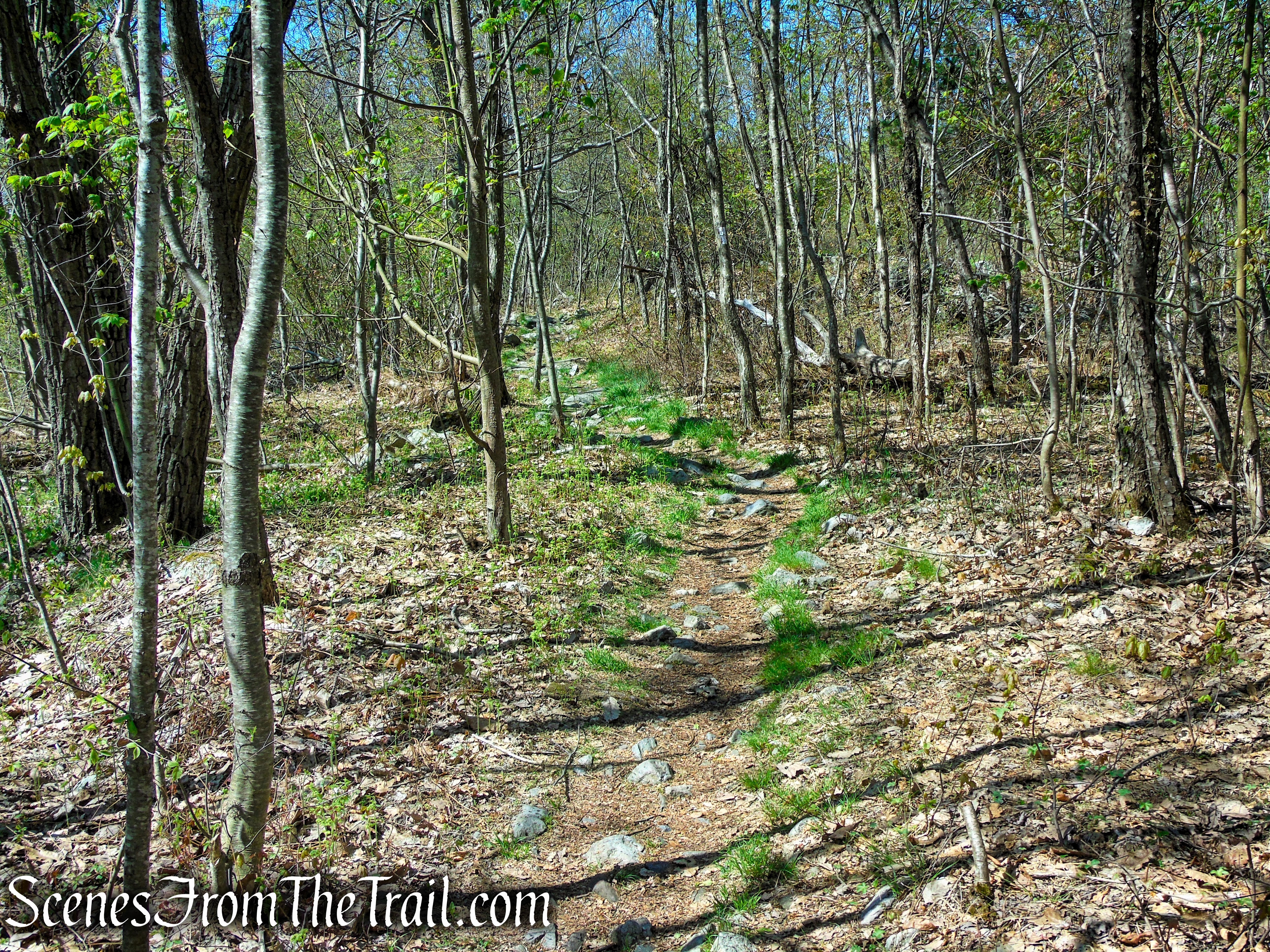
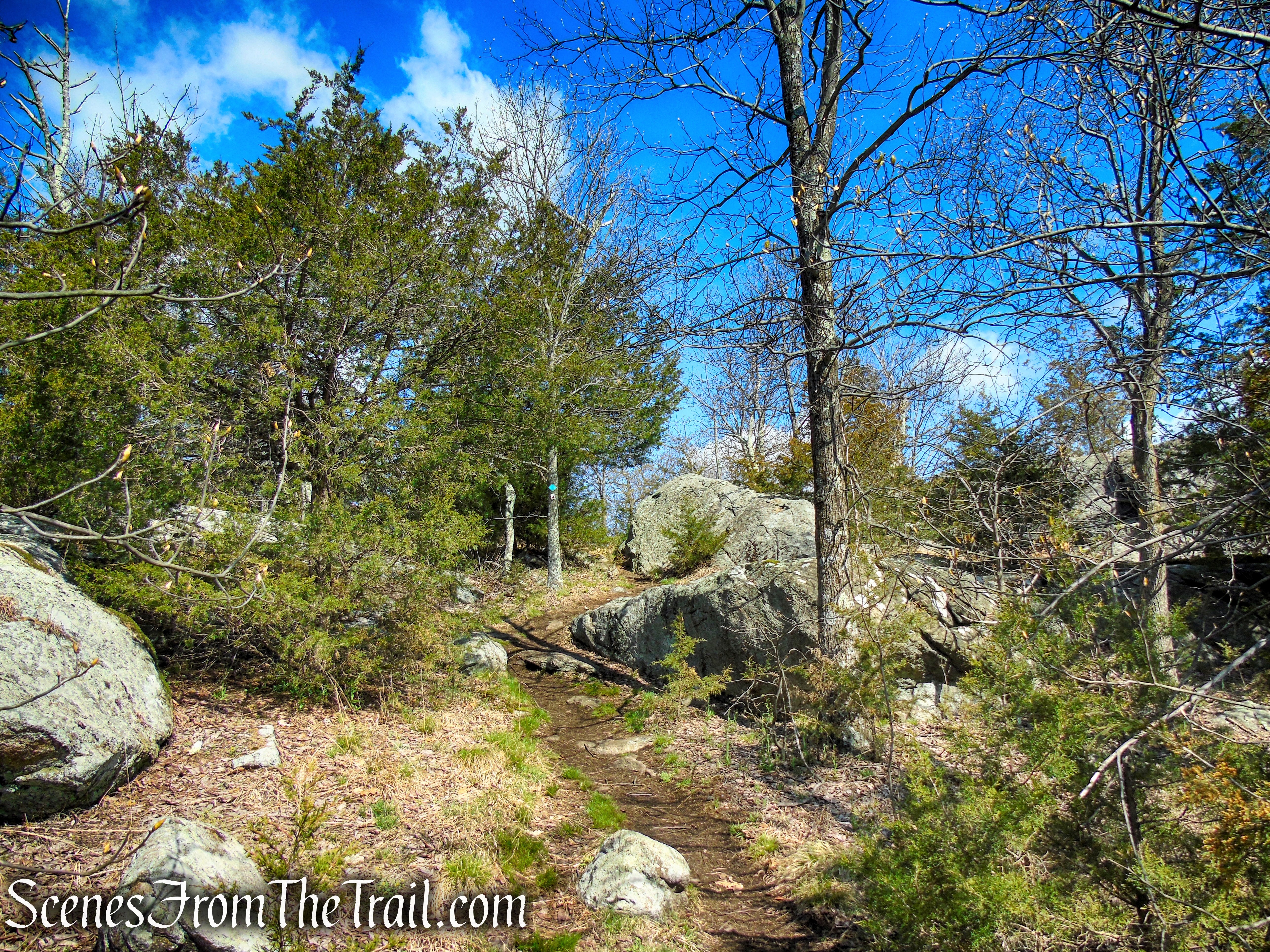
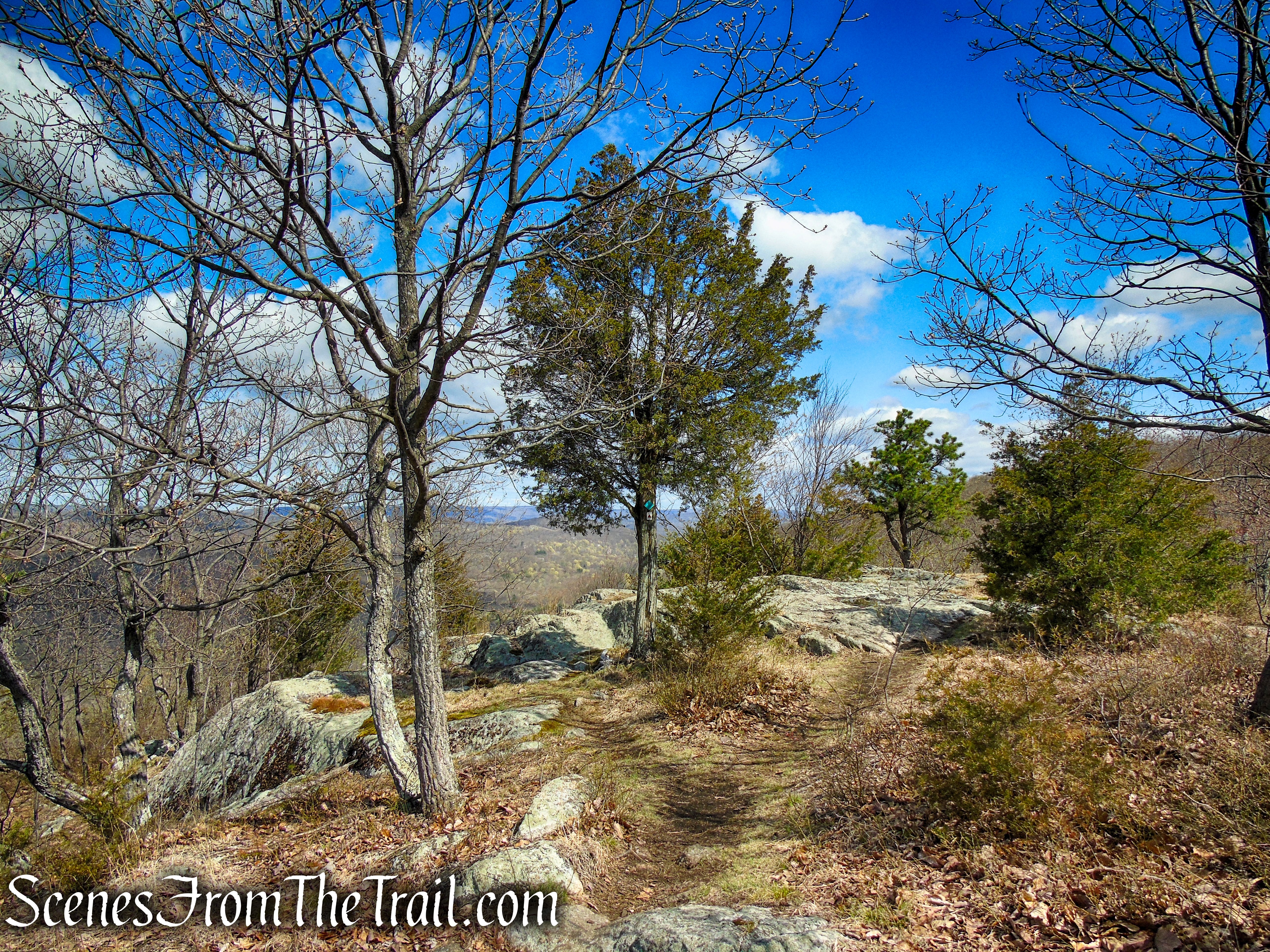
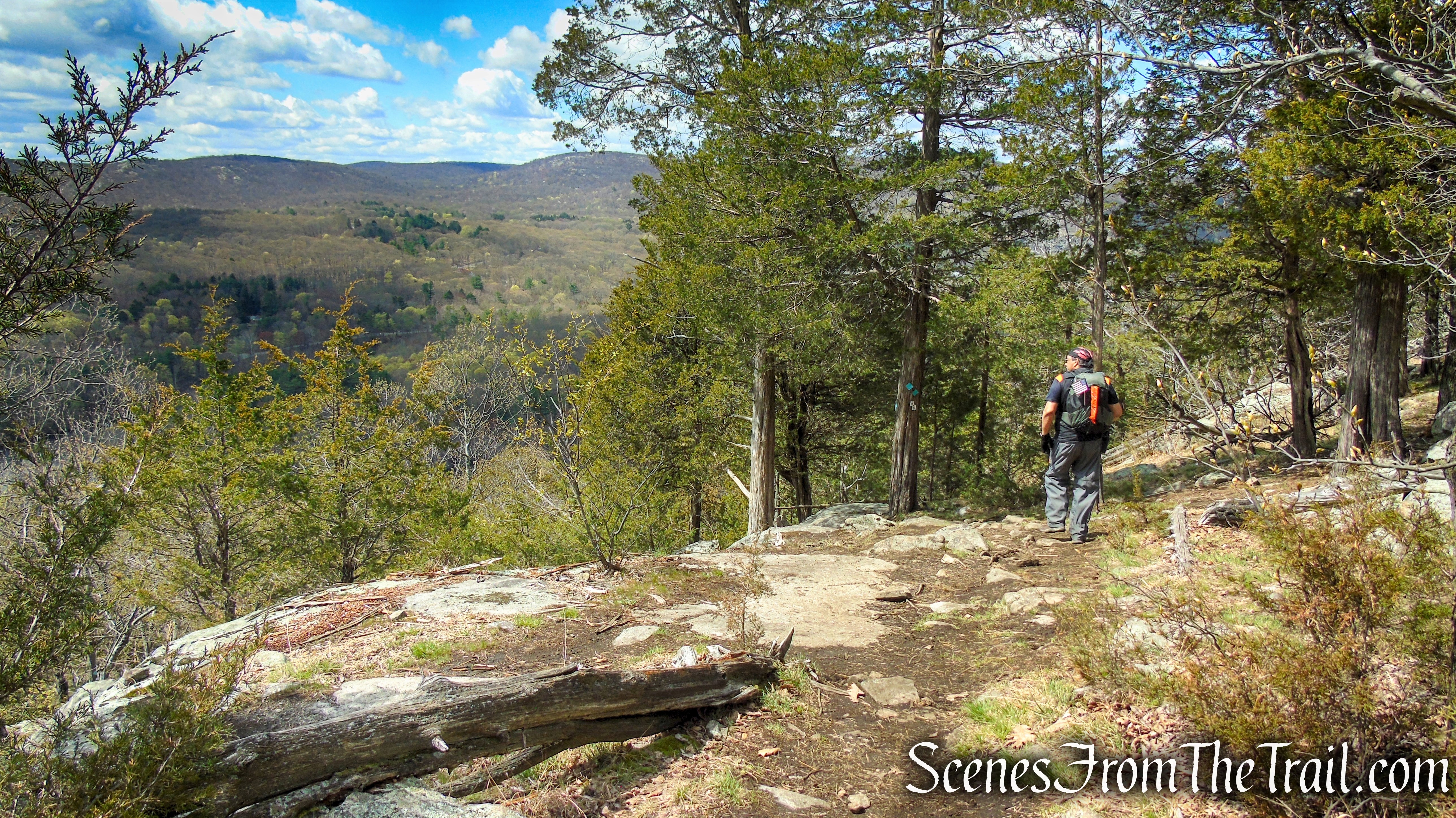
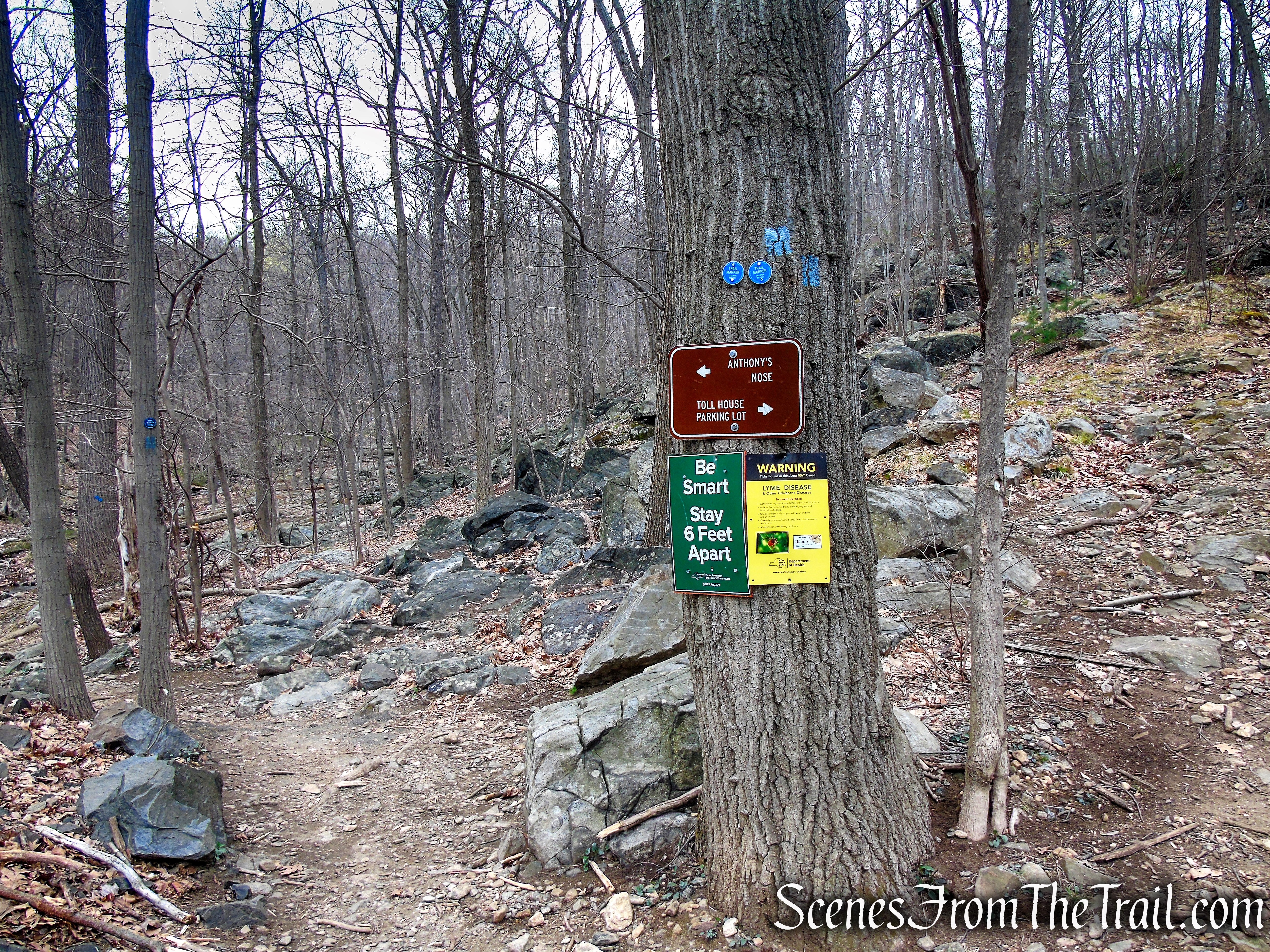
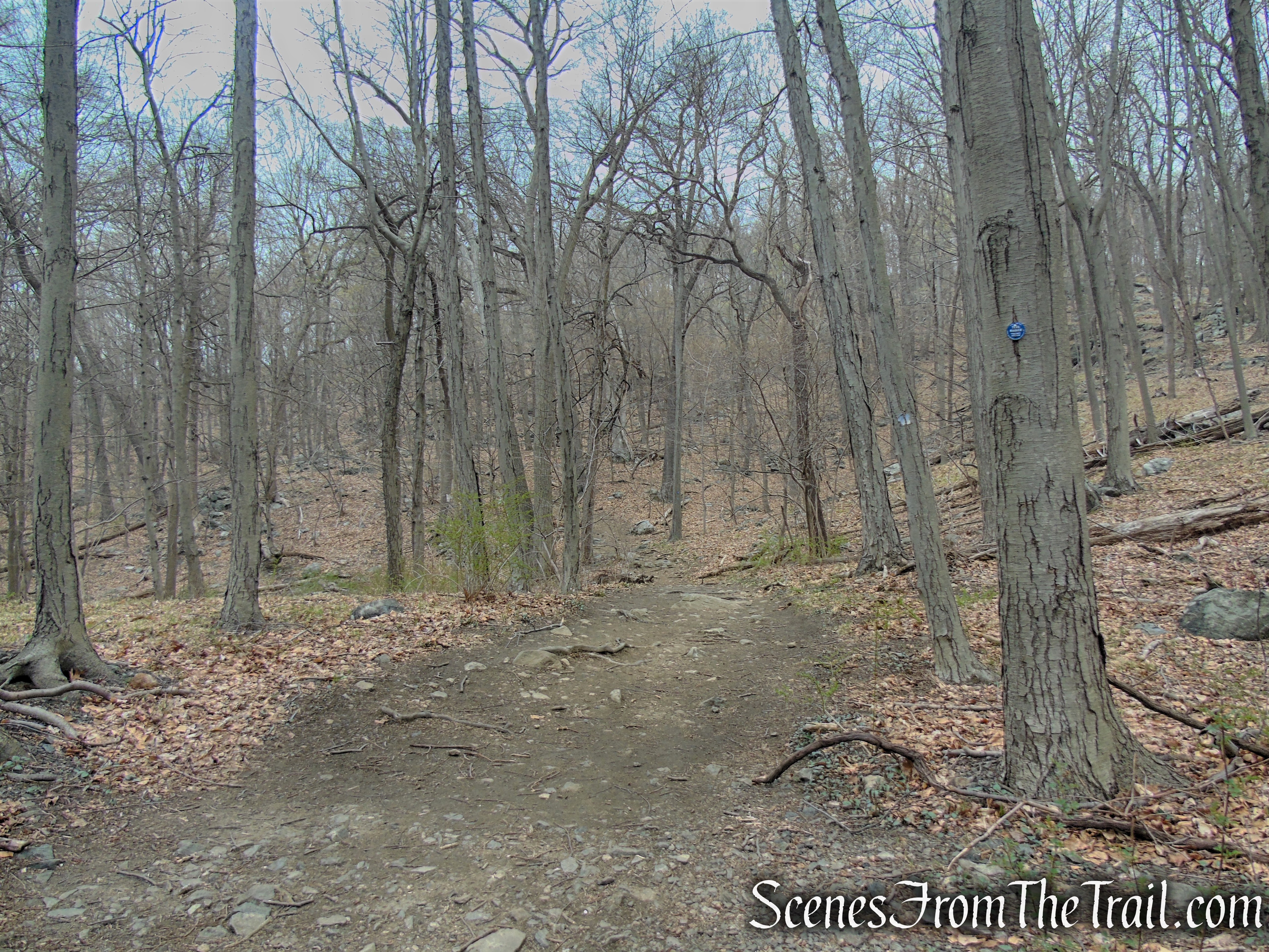
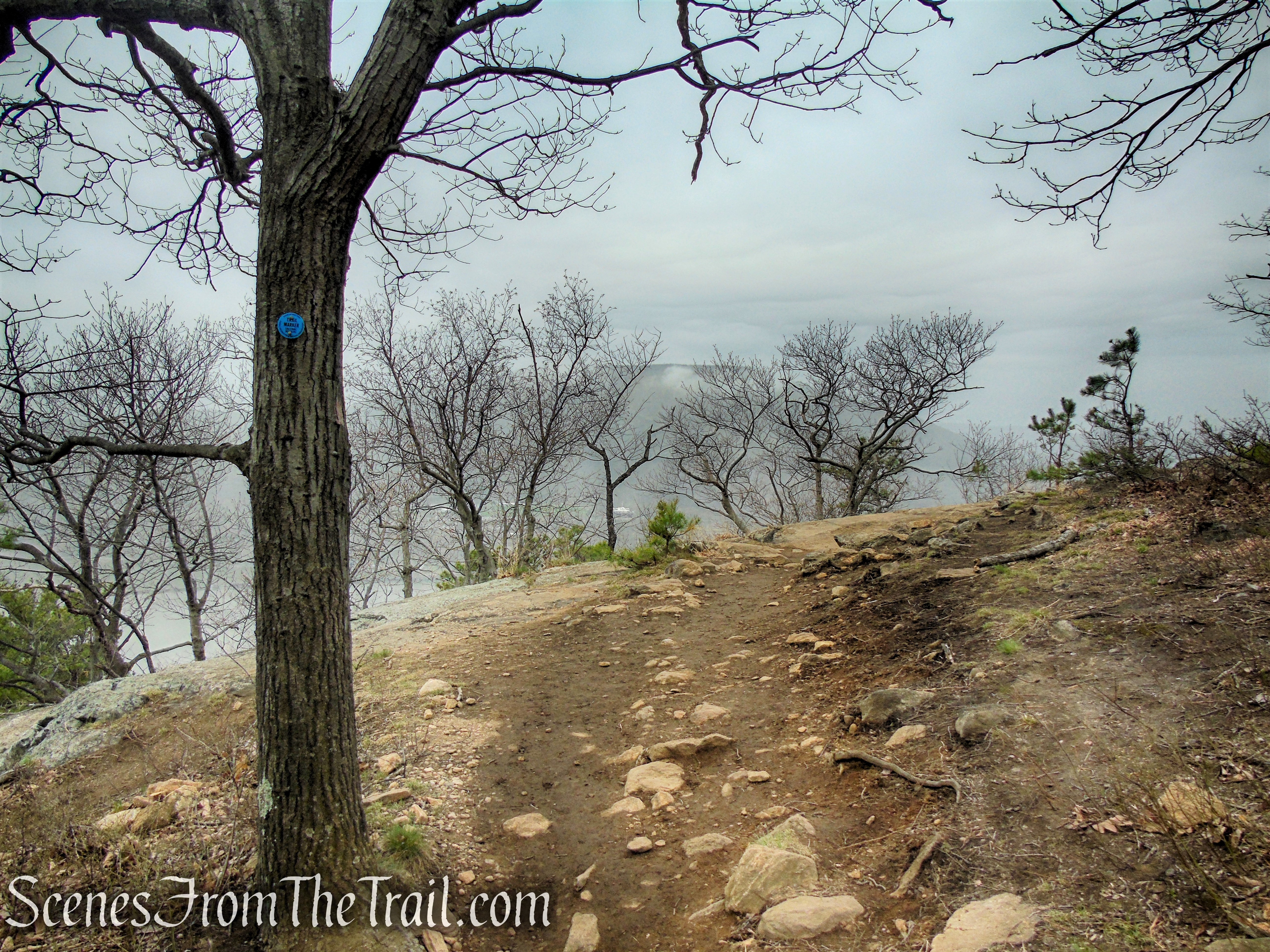
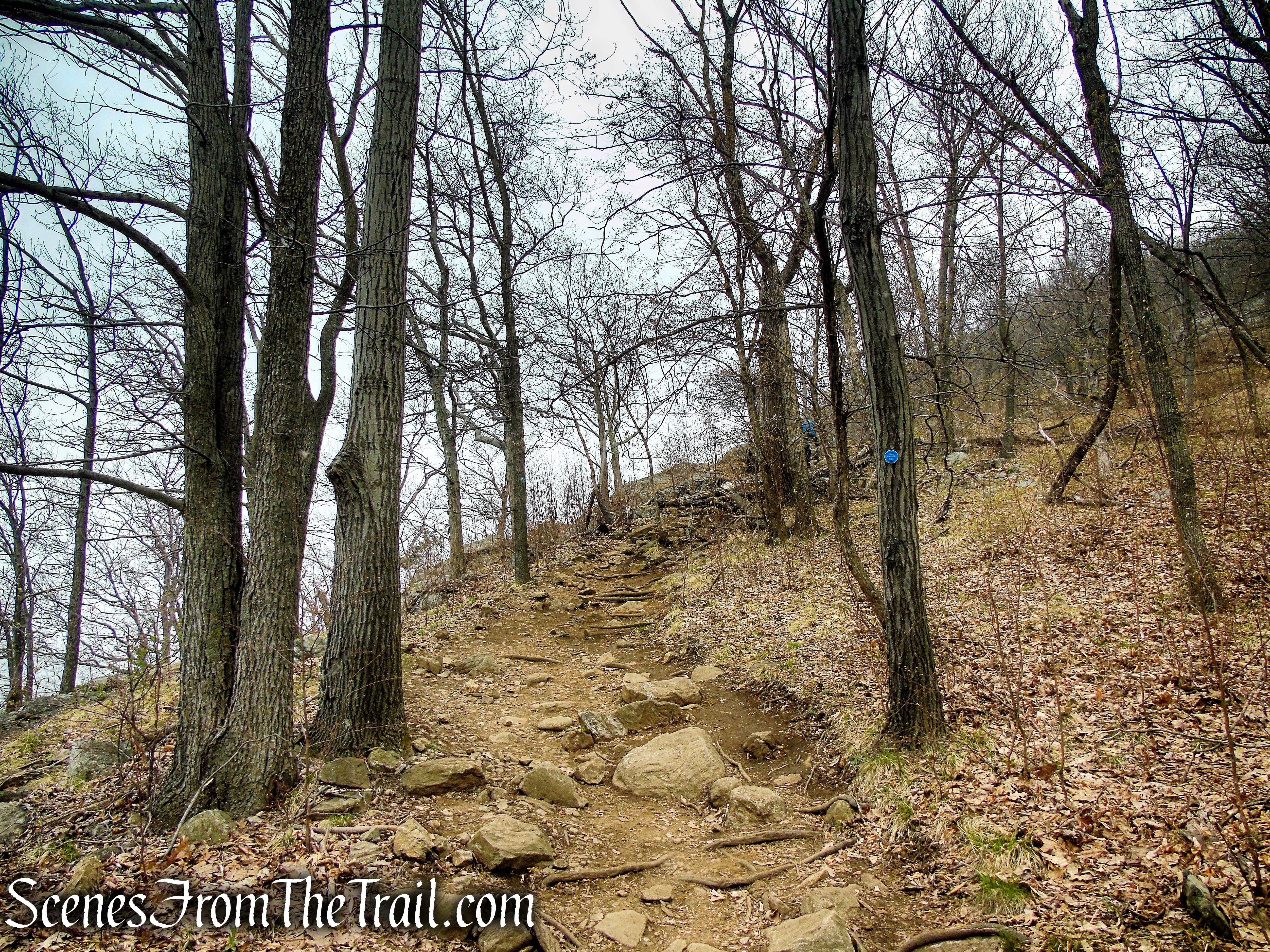
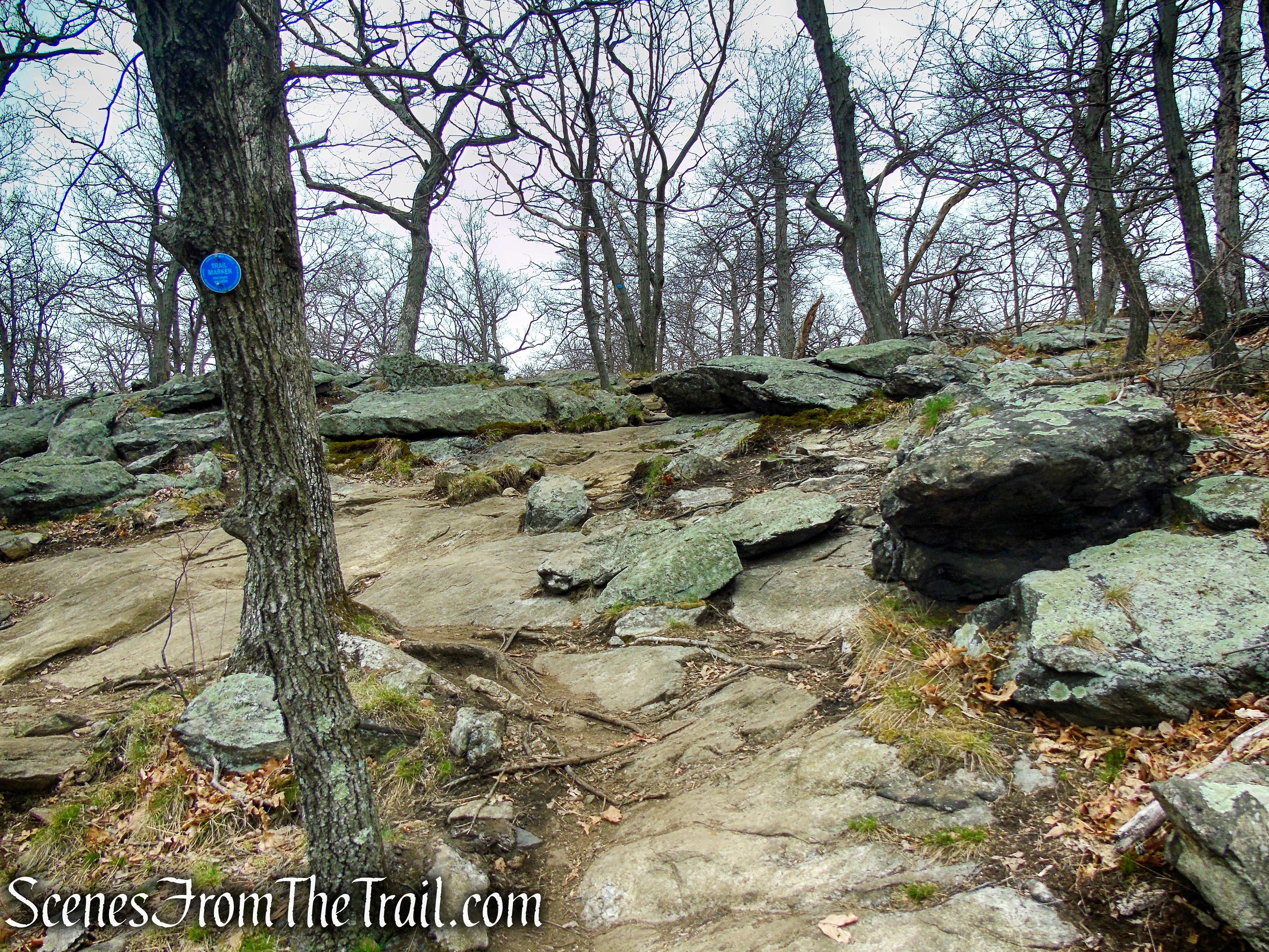
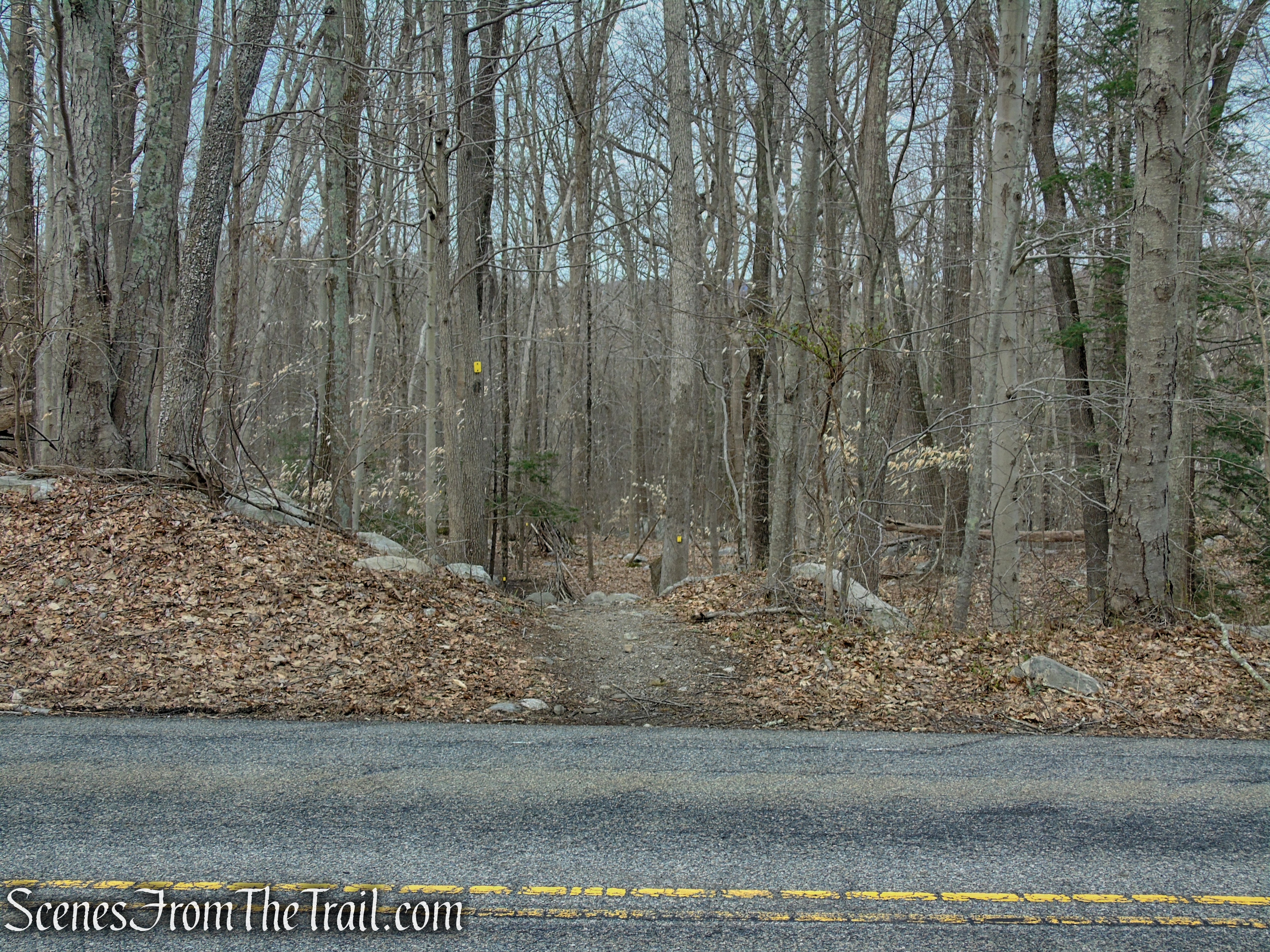
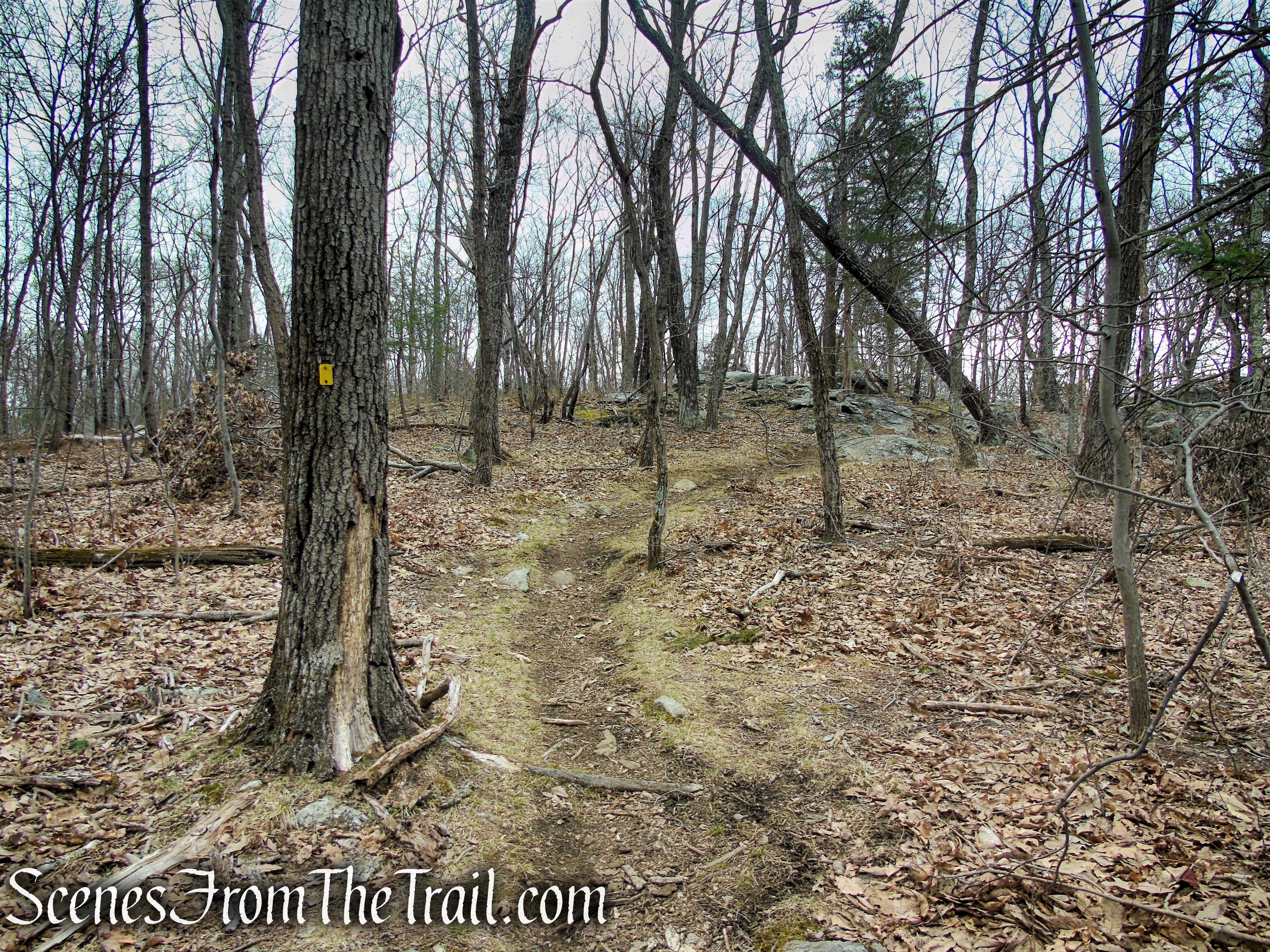
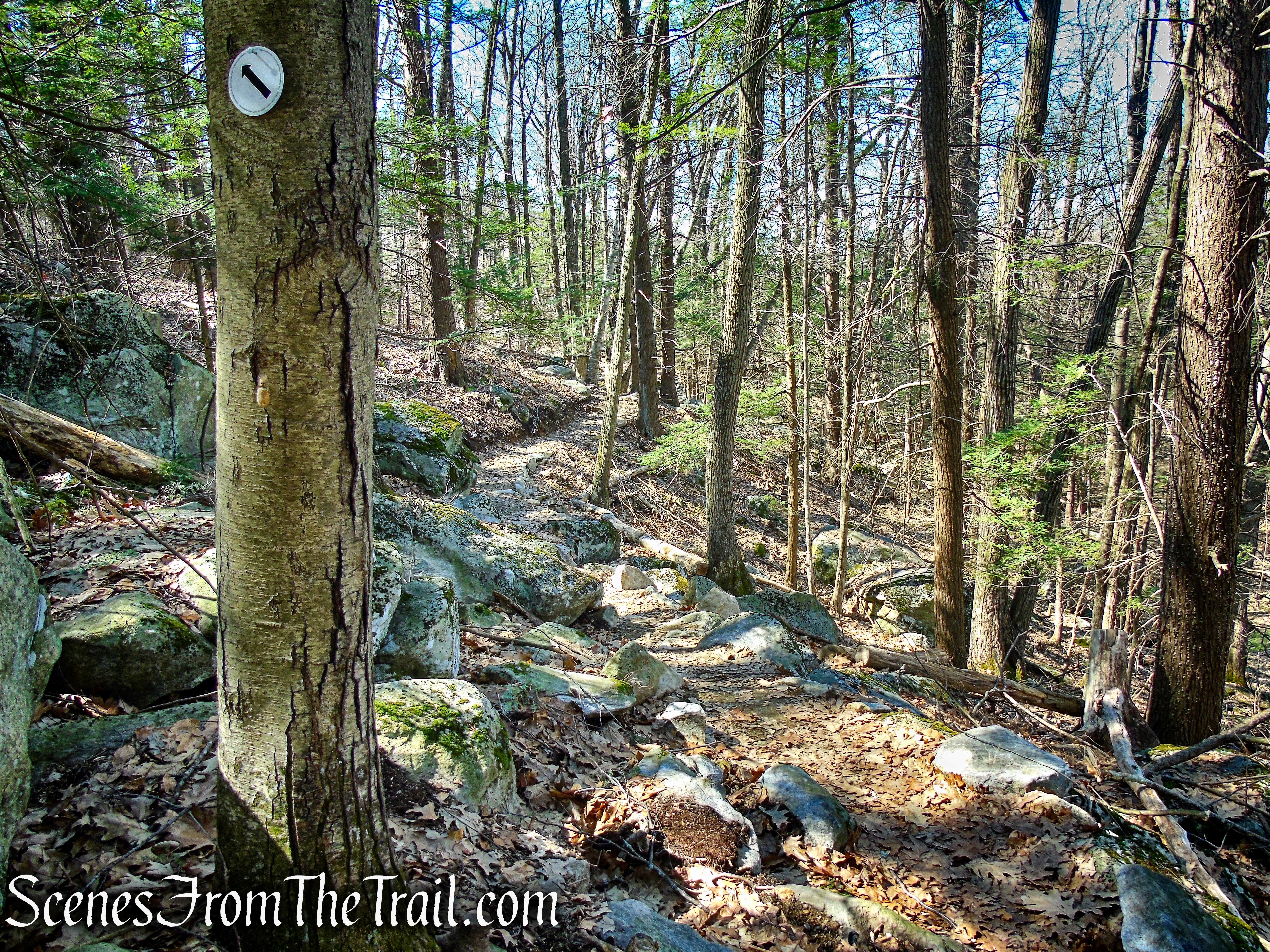
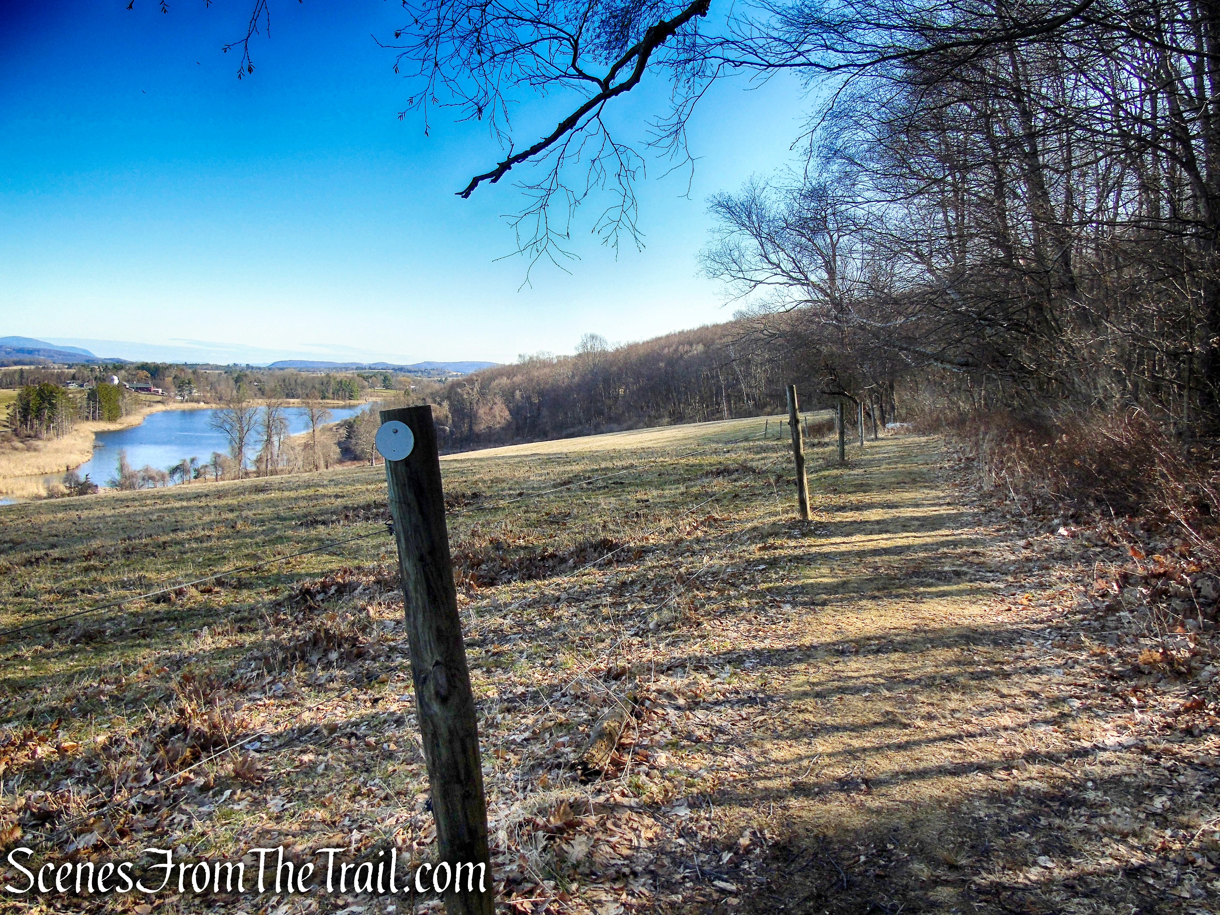
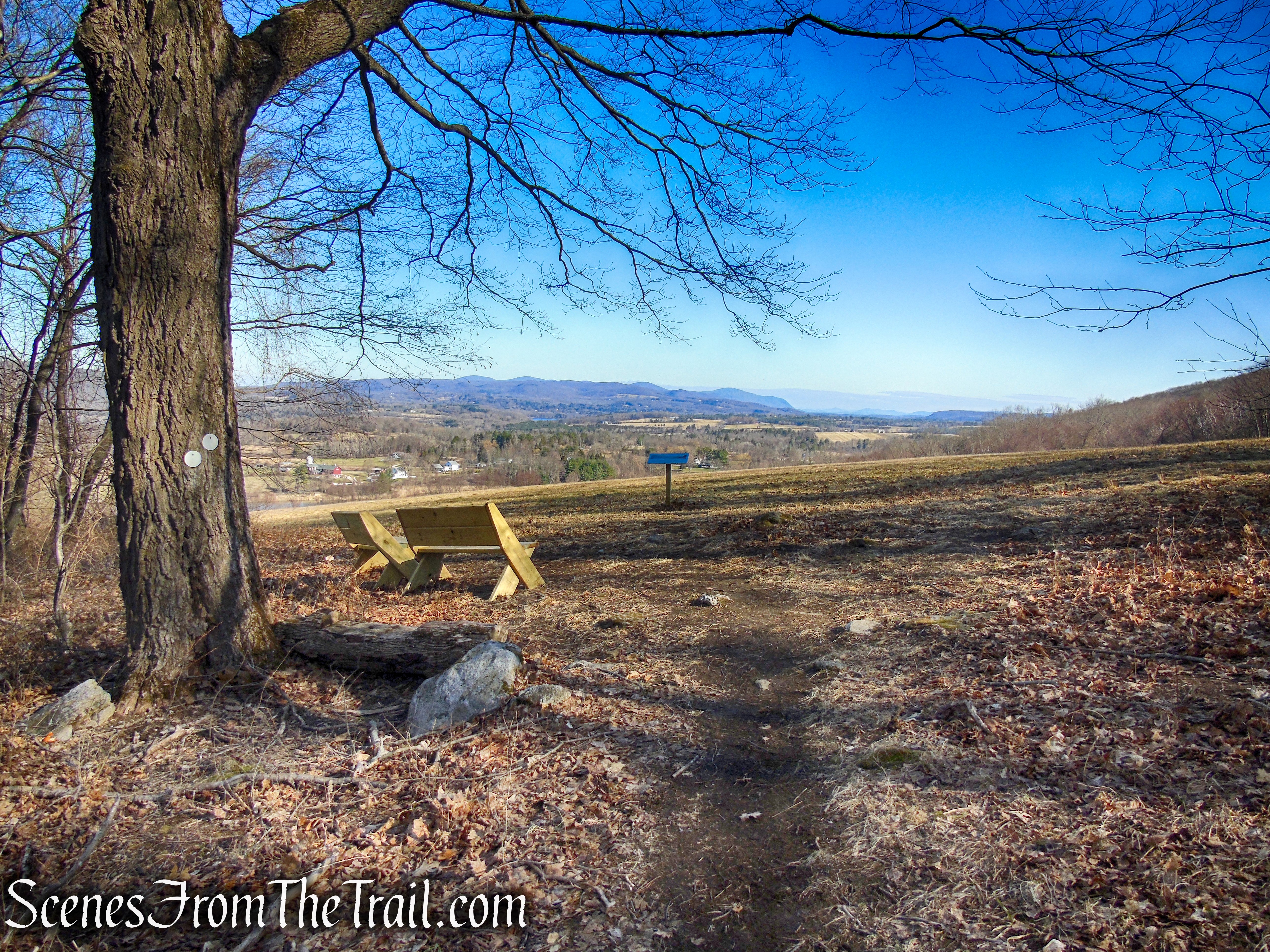
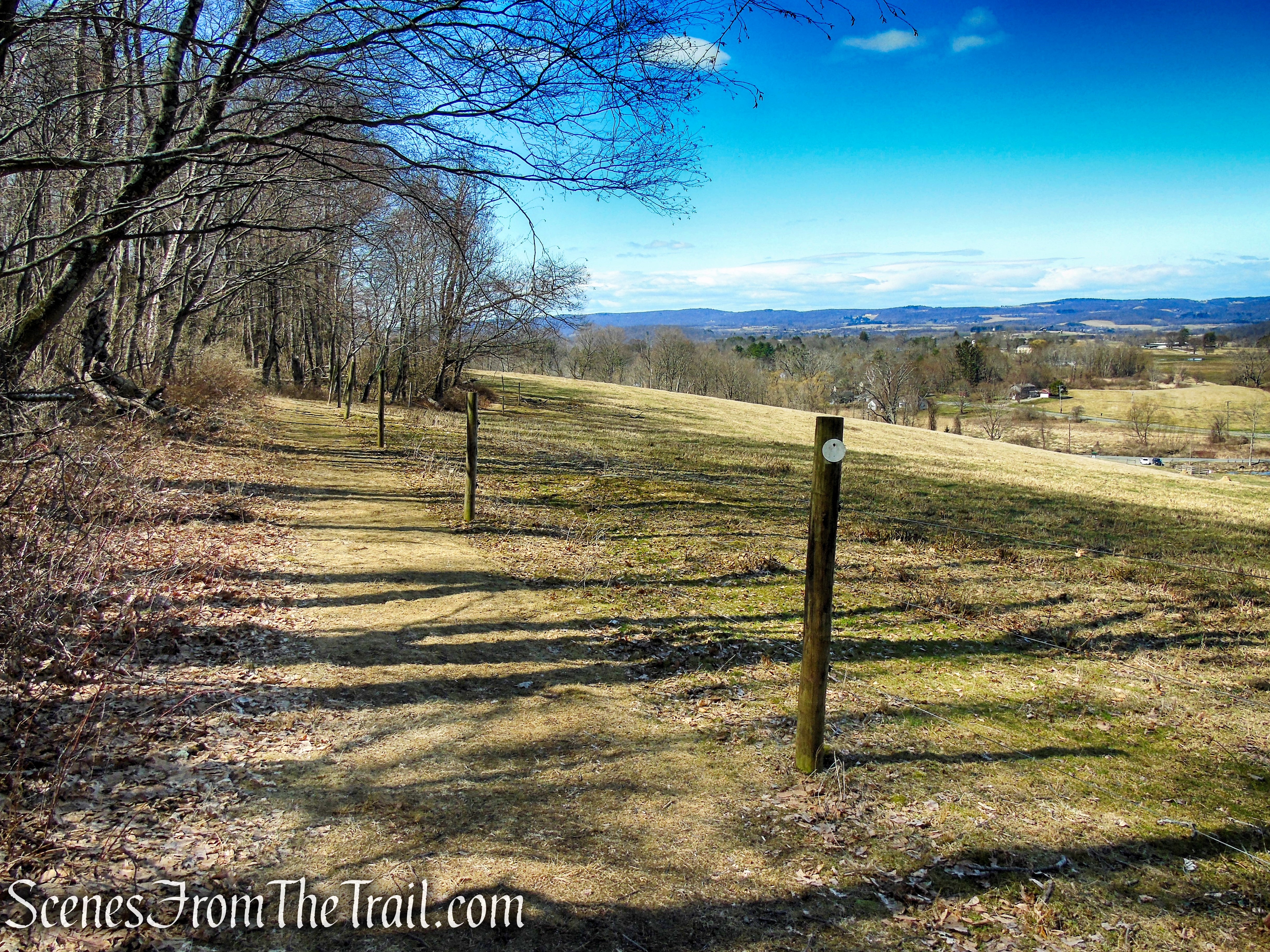
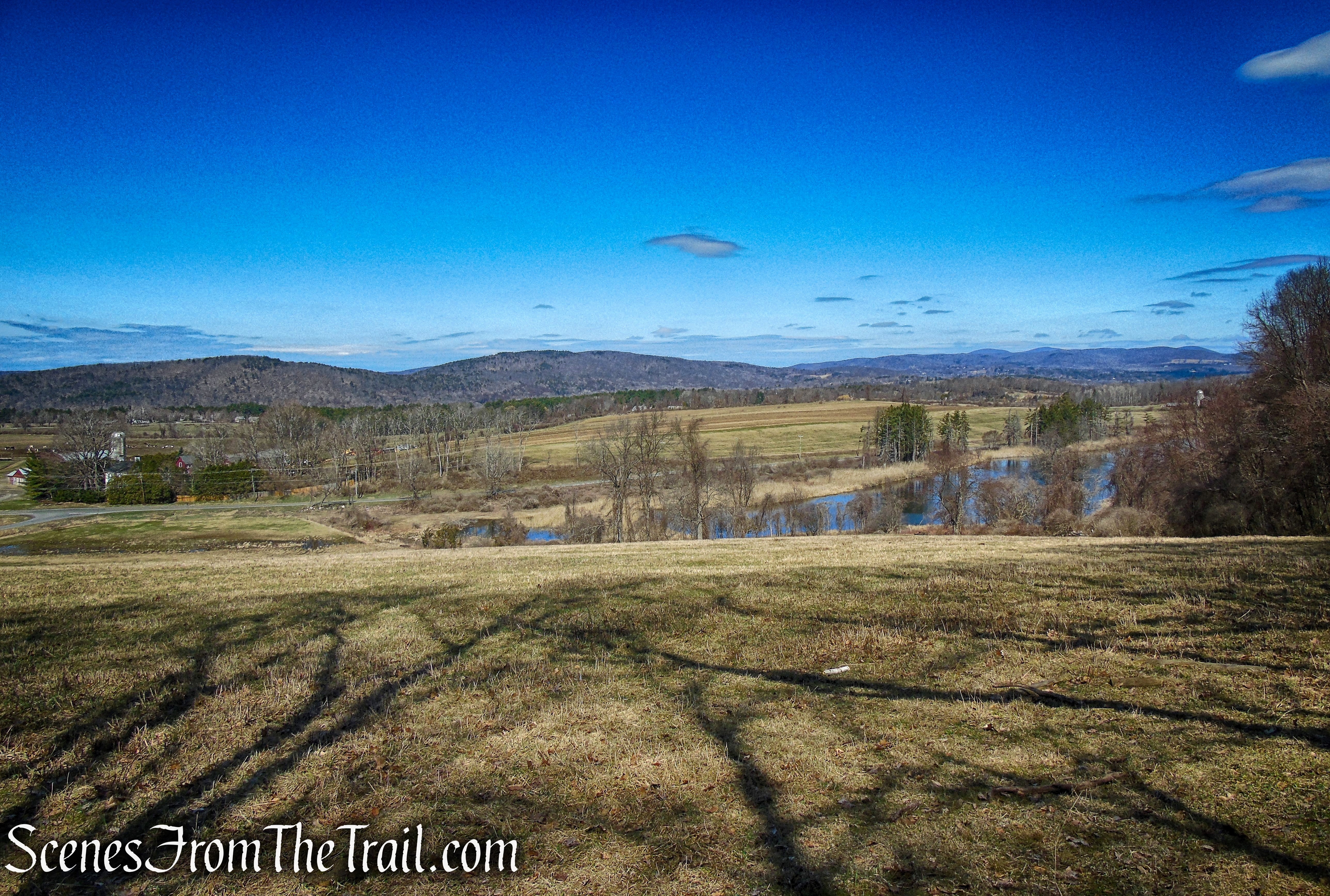
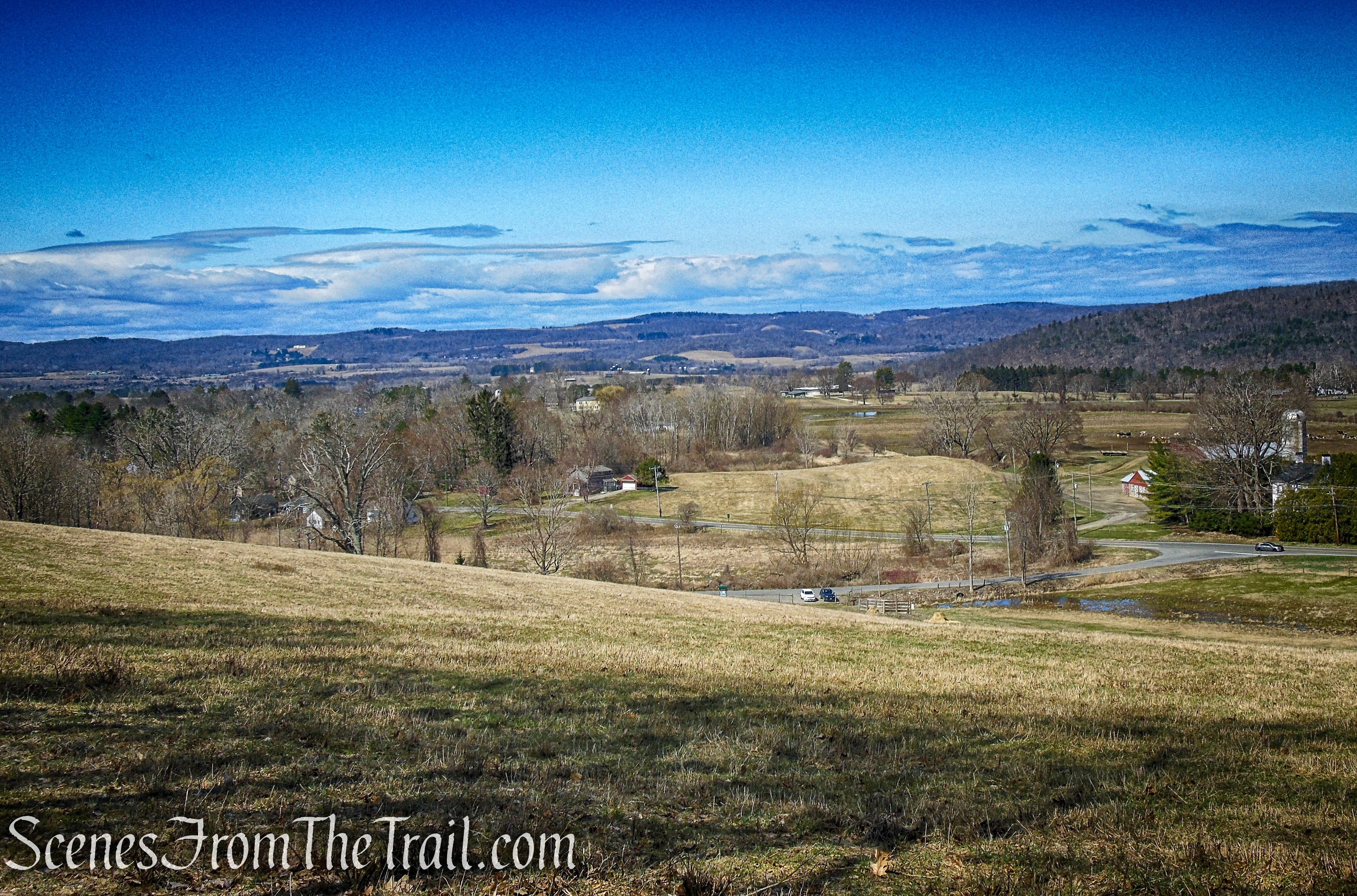
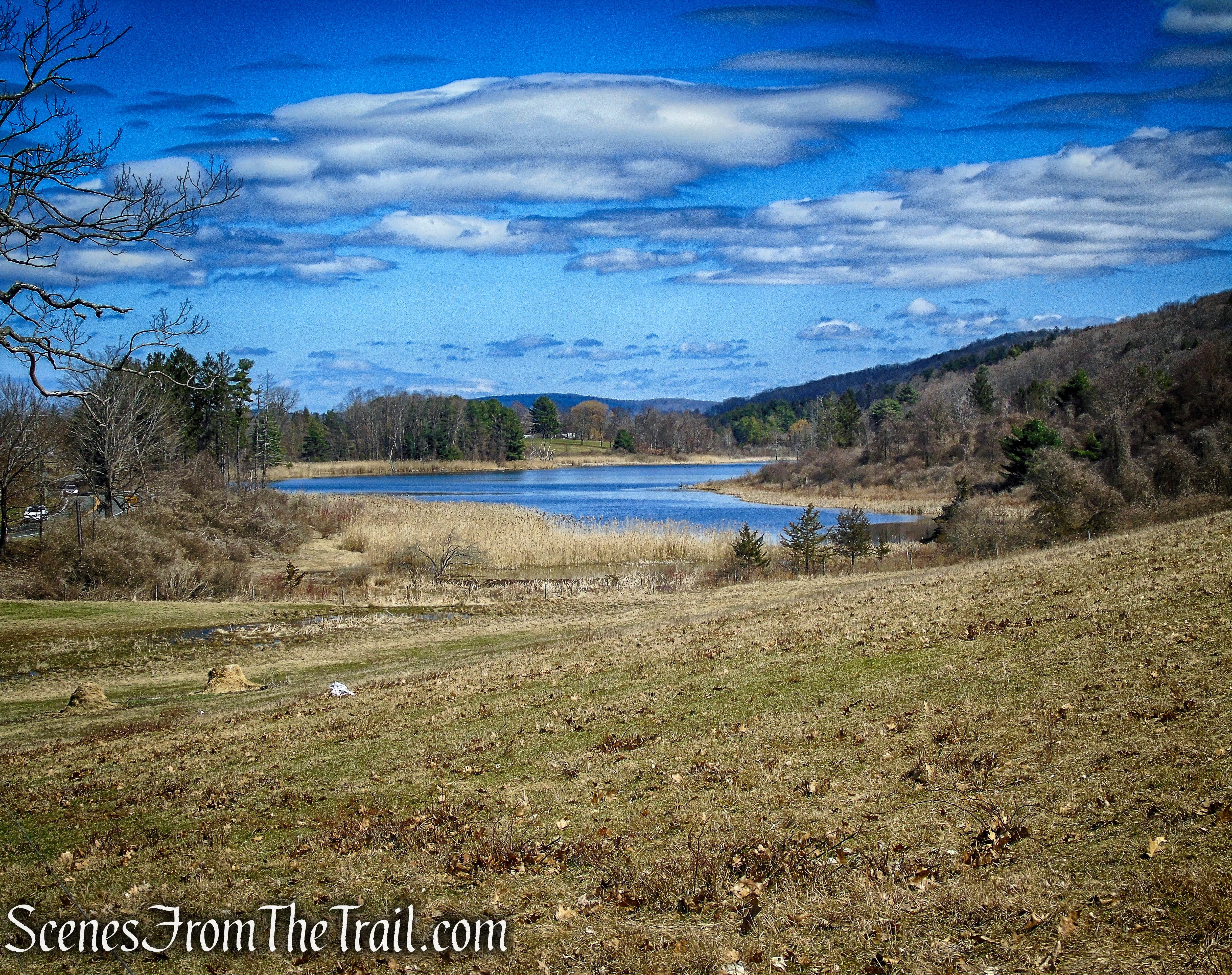
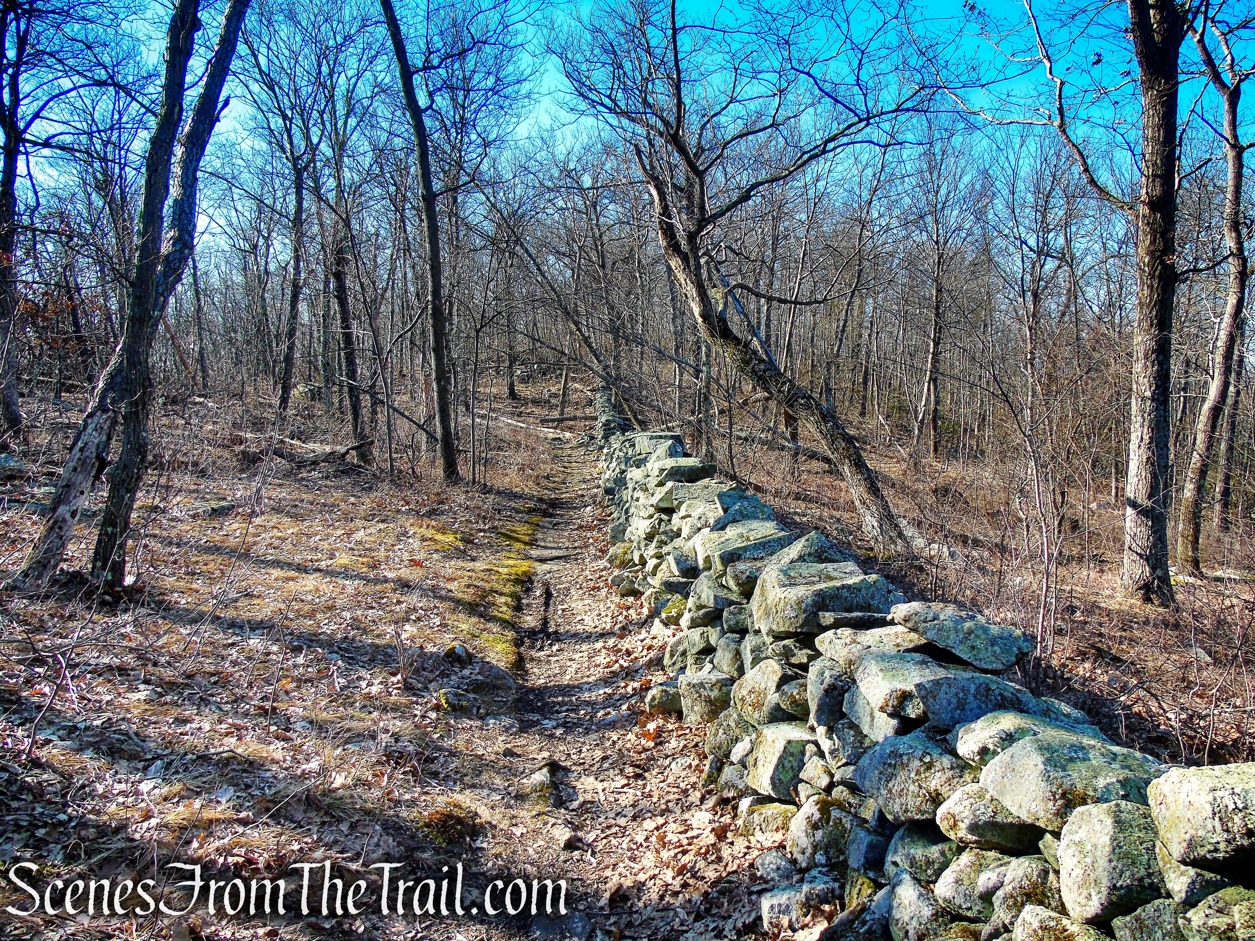
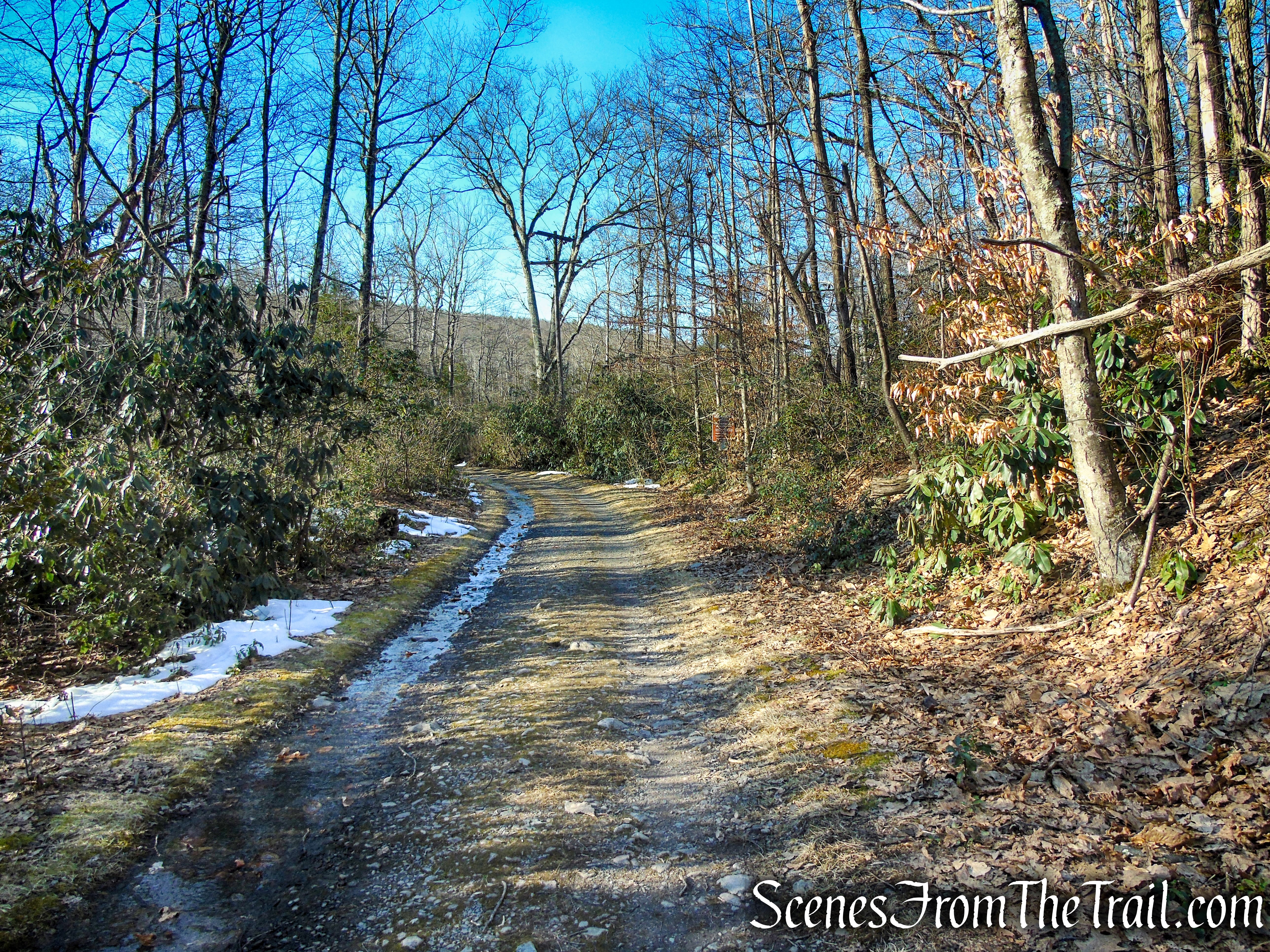
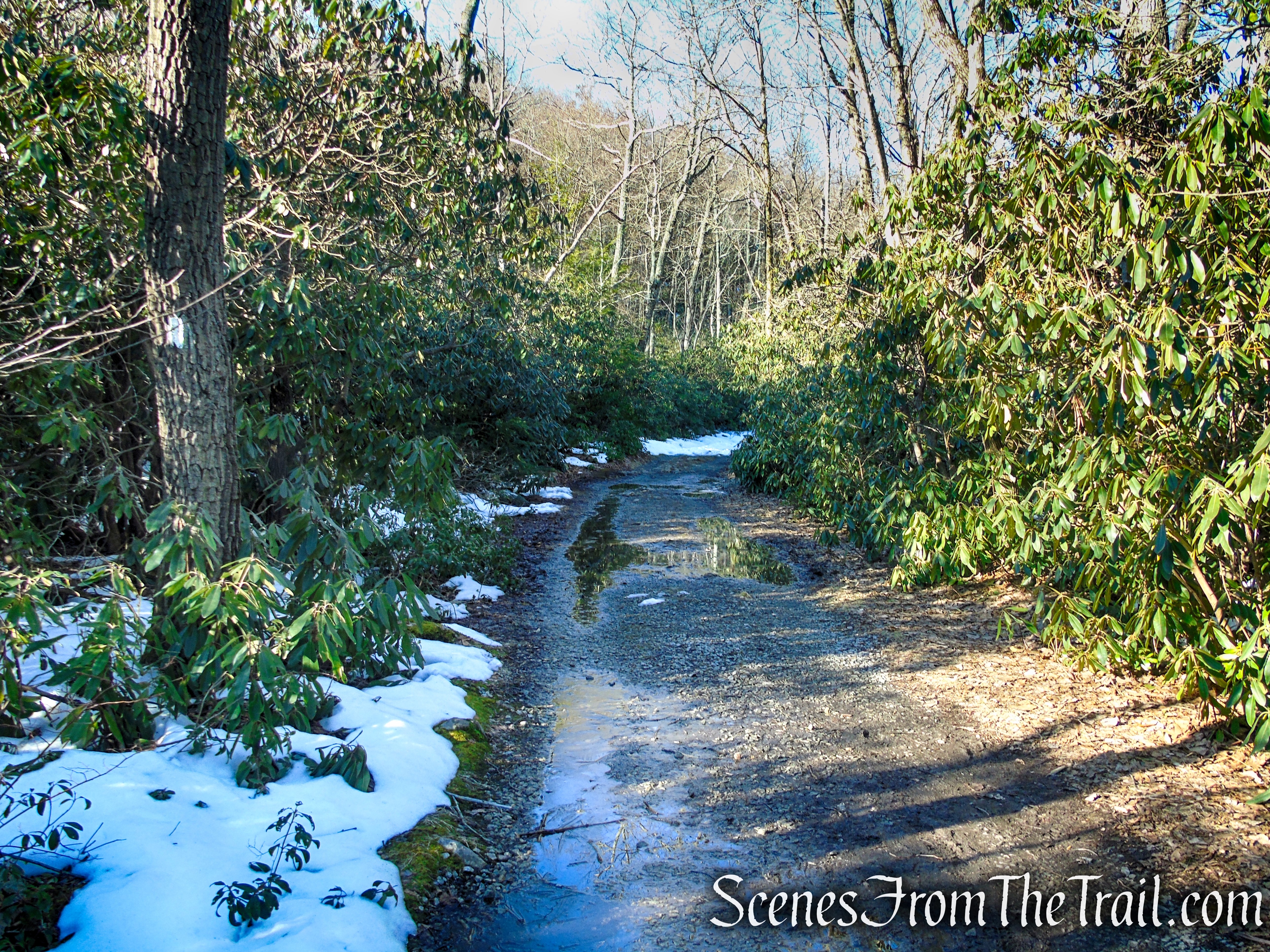
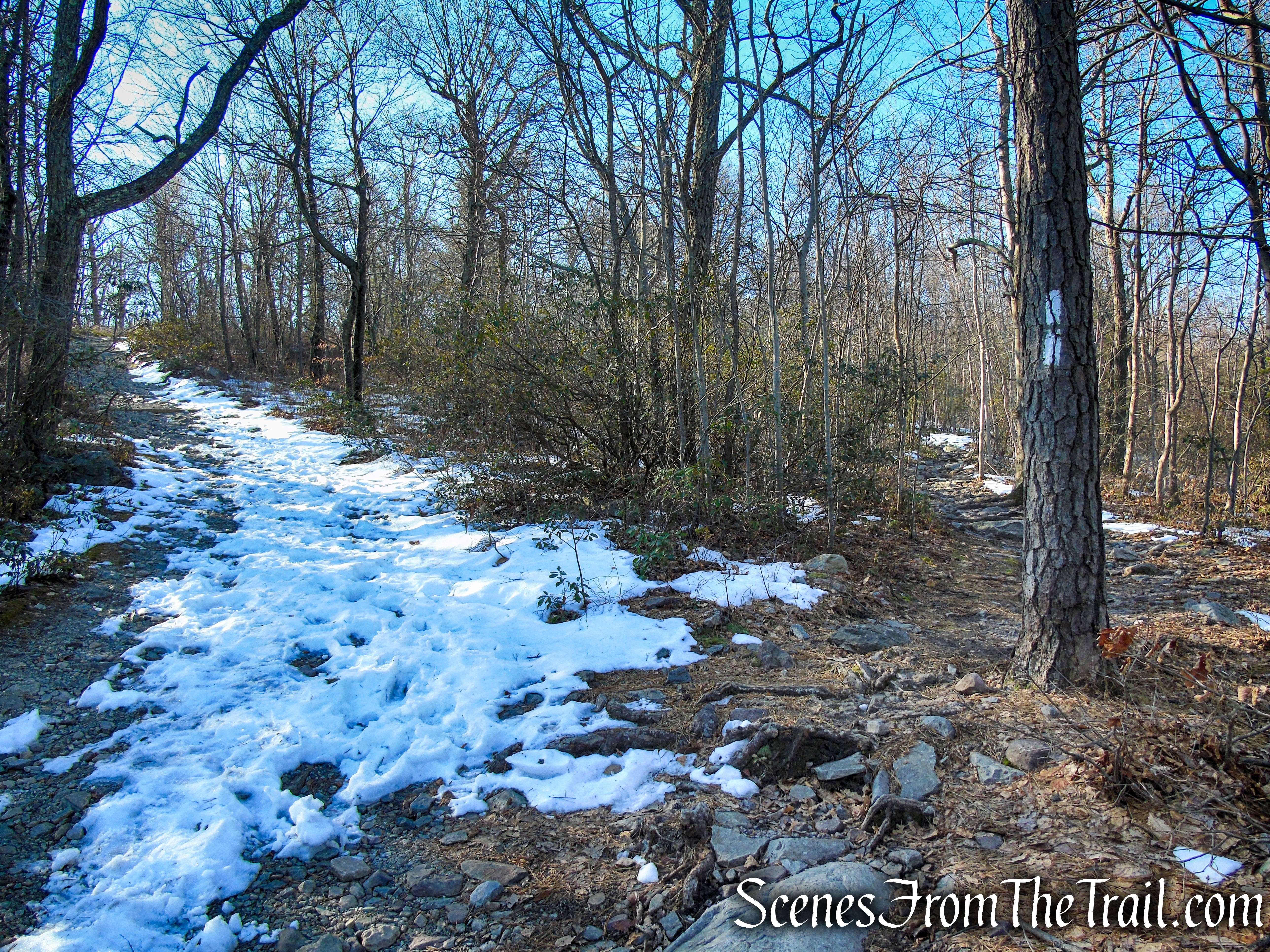
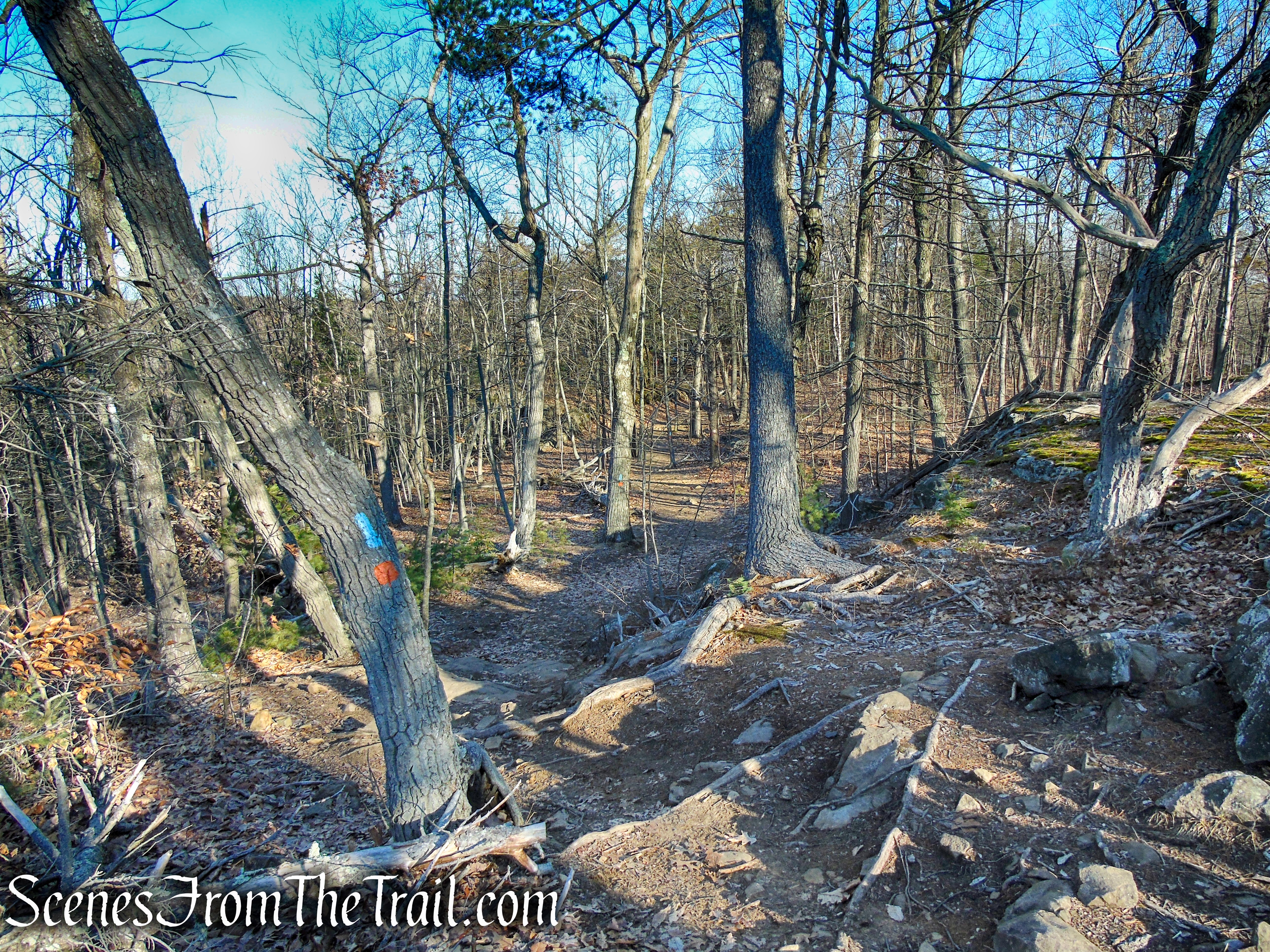
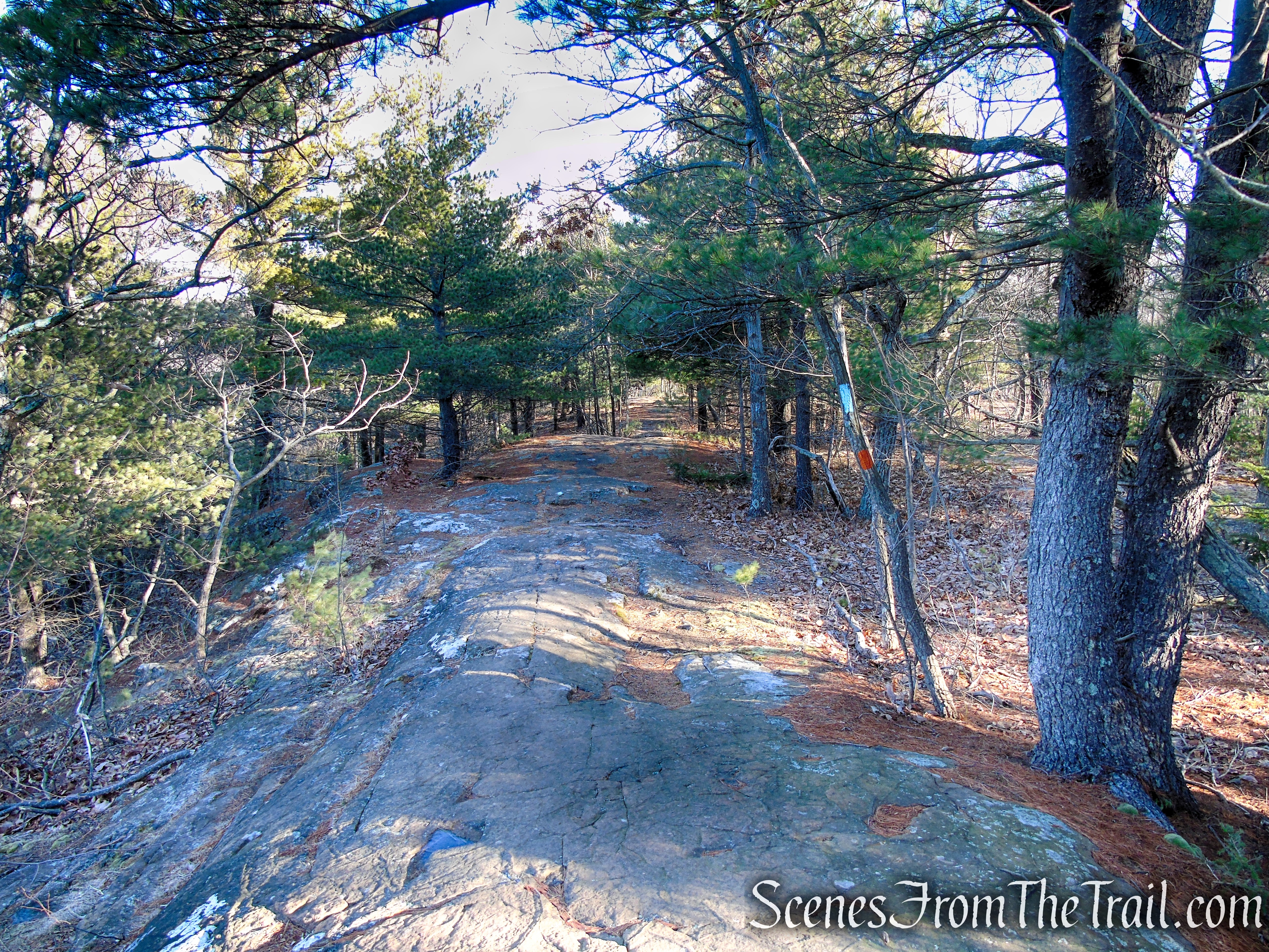
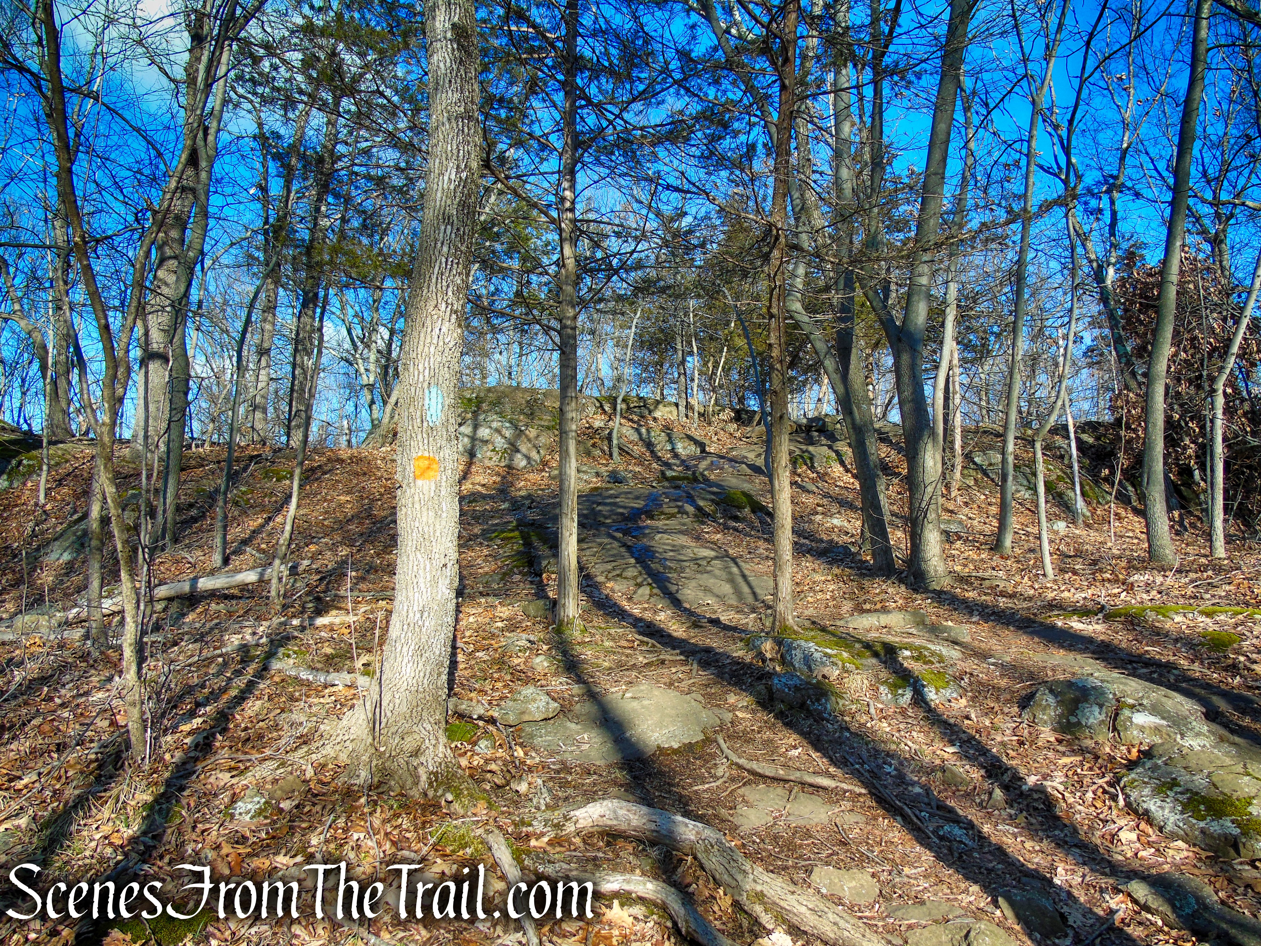
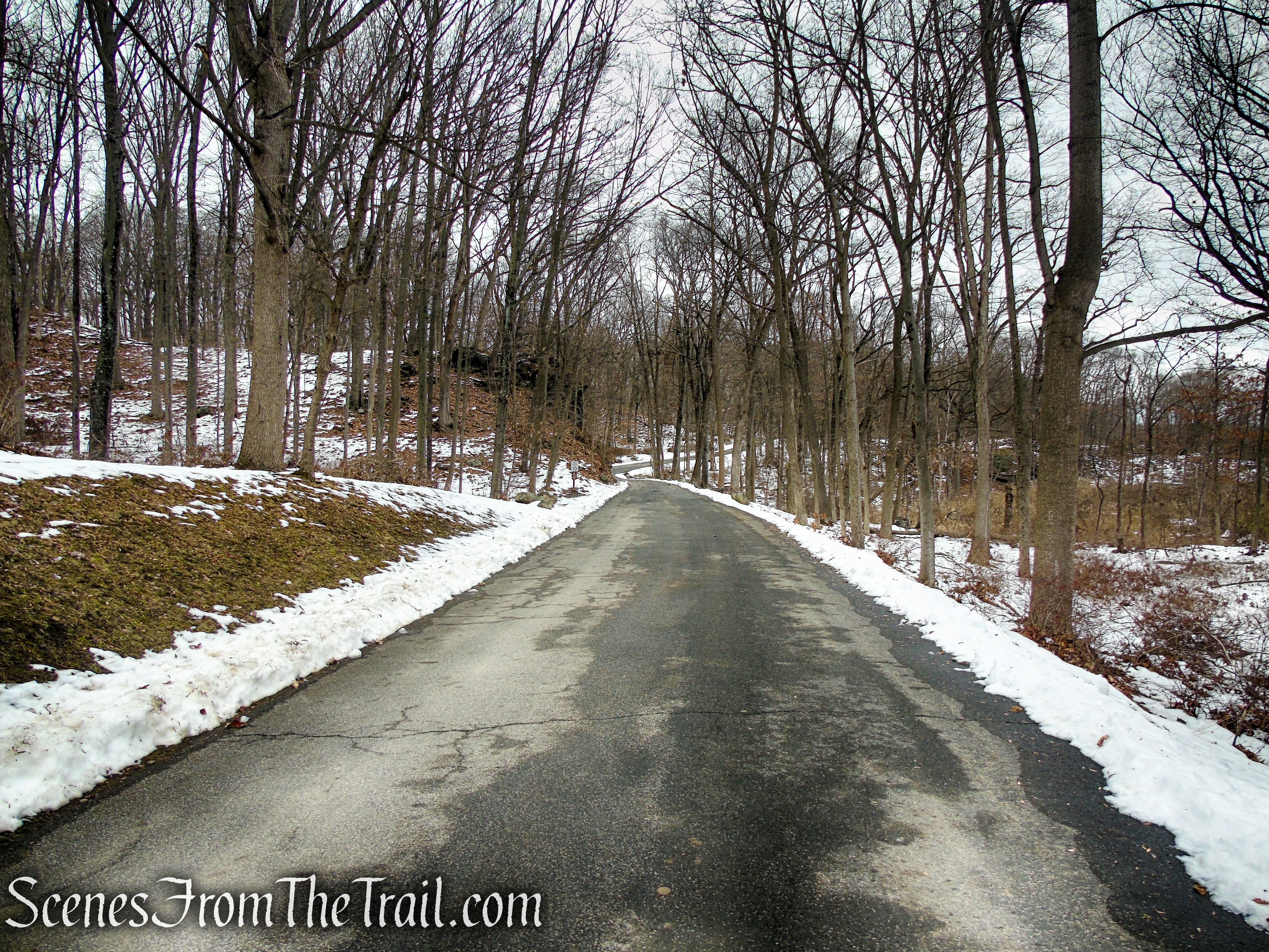
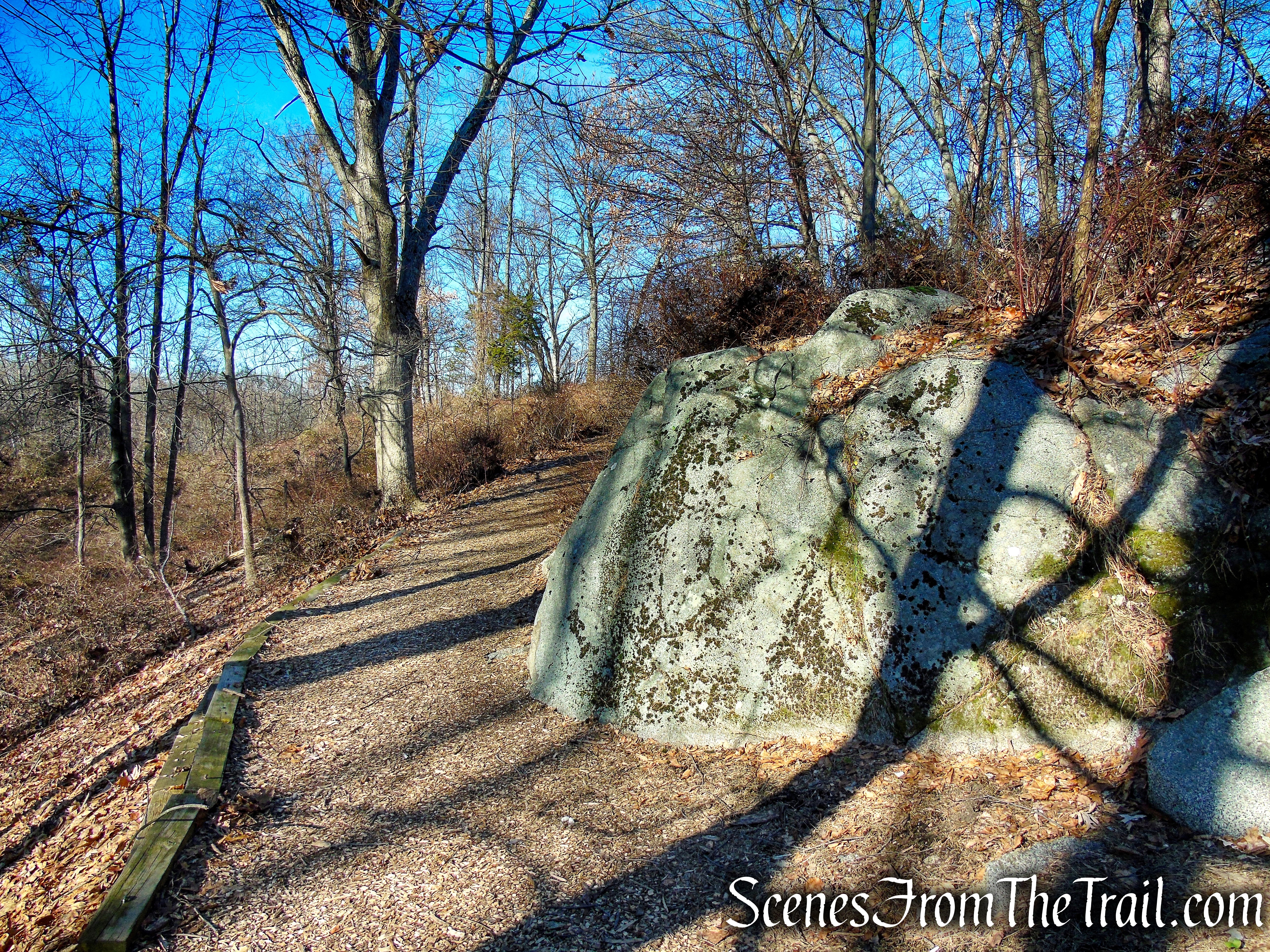
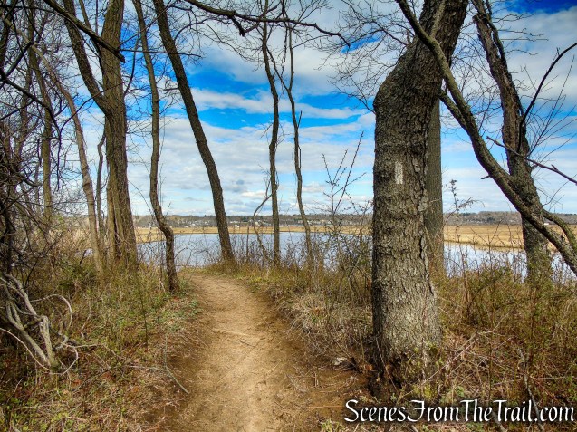
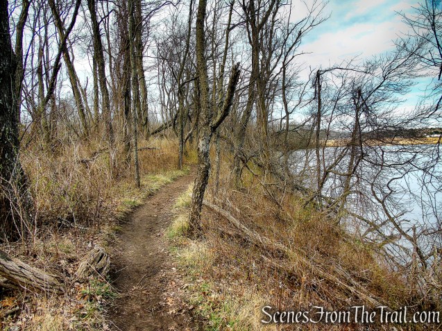
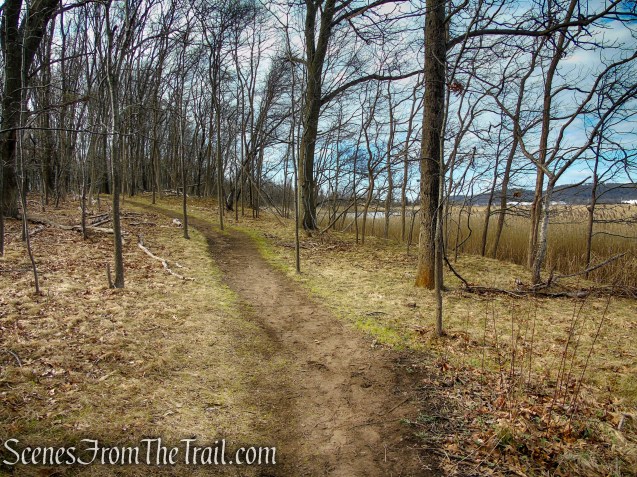
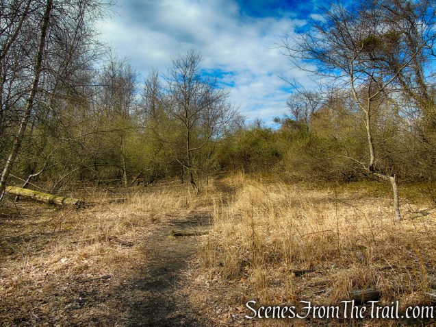
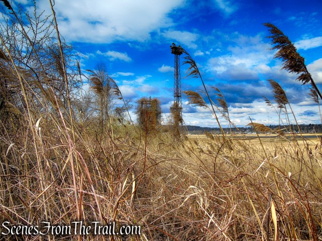
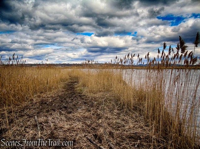
Proceed ahead on the white-blazed trail which heads in a southwesterly direction along a bluff above the Quinnipiac River. As you walk along the trail, look for an Osprey stand on the edge of the marsh. We saw an Osprey fly overhead and land, joining the one that was already there.
Tidal Marsh Trail – North Haven
Tidal Marsh Trail – North Haven
Tidal Marsh Trail – North Haven
Tidal Marsh Trail – North Haven
Ospreys – Tidal Marsh Trail
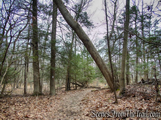
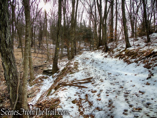
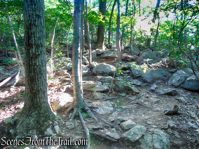
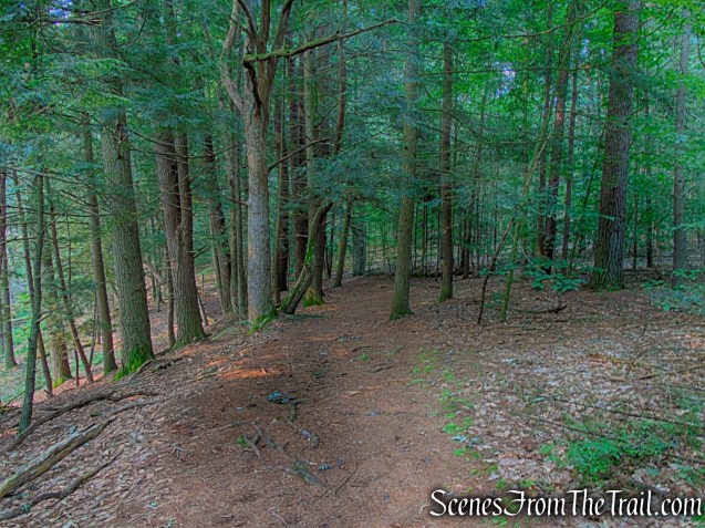
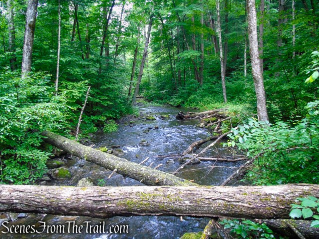
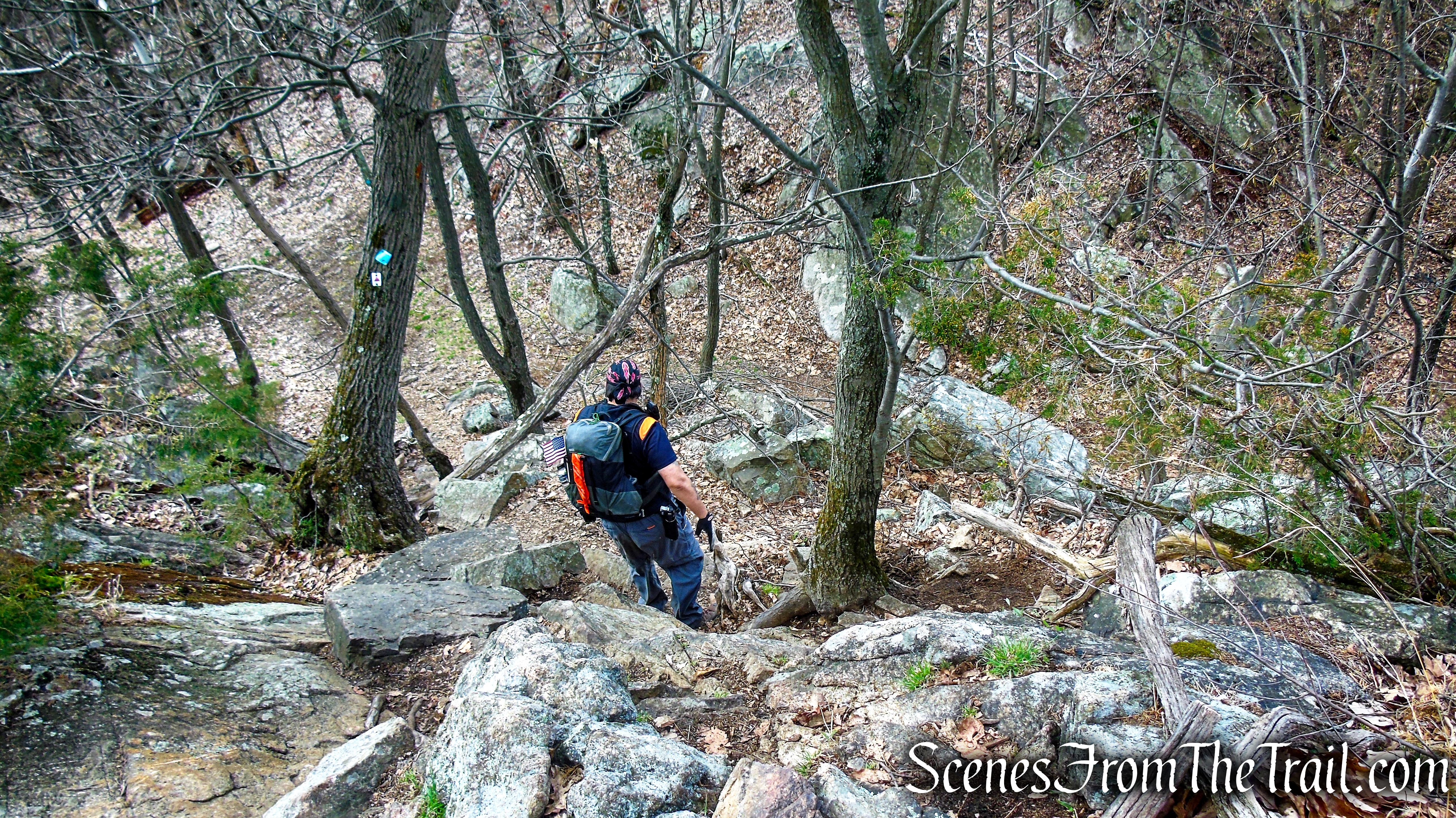
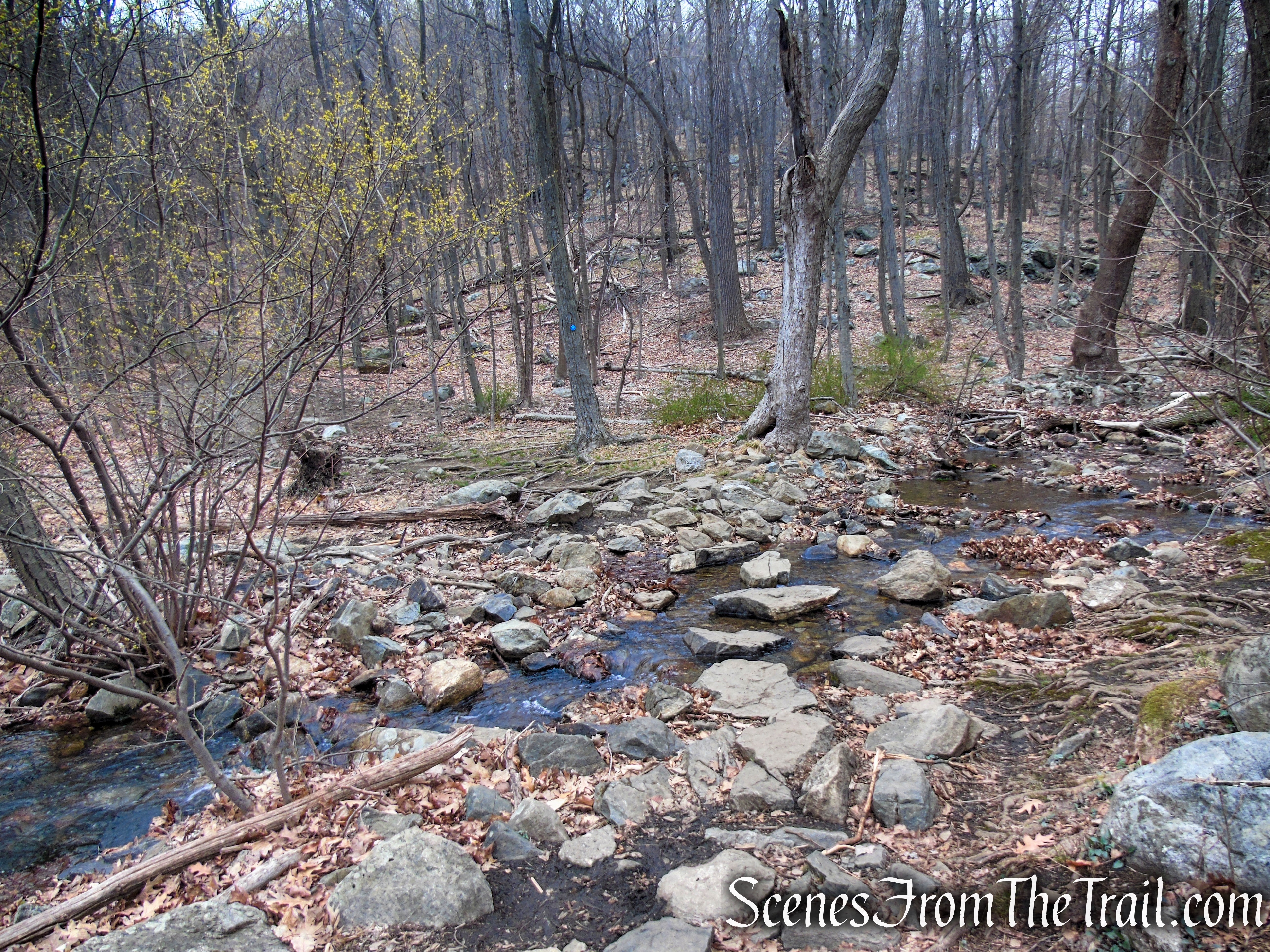
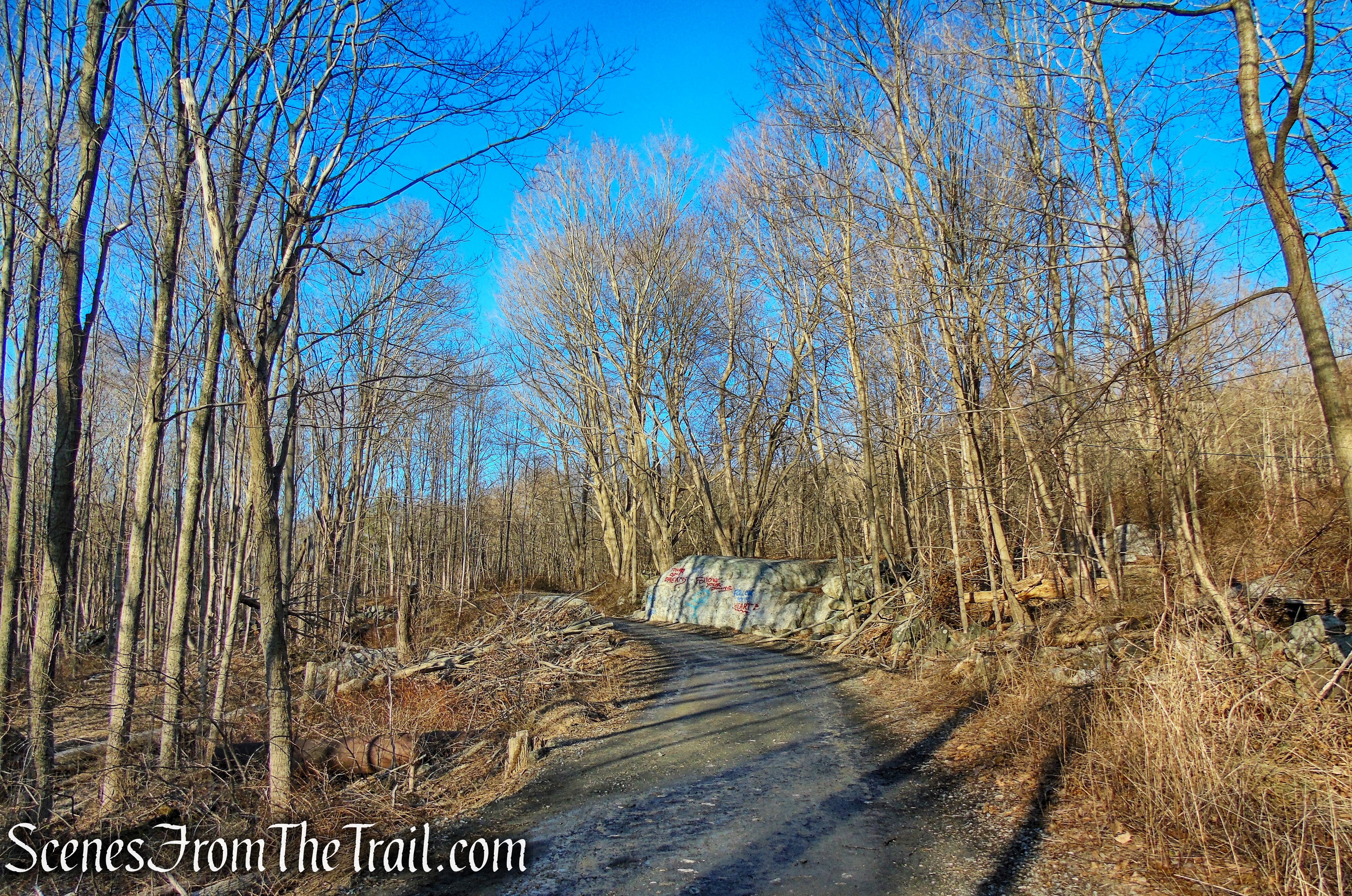
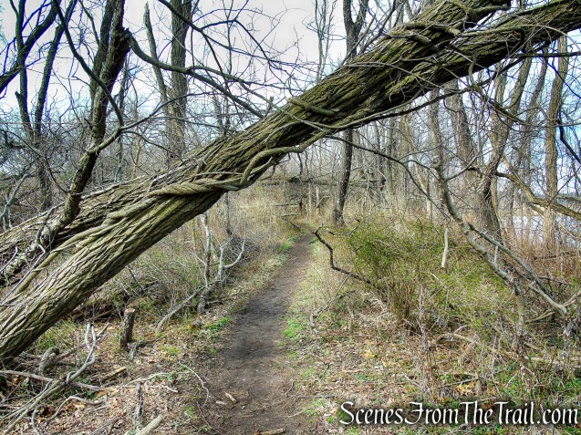
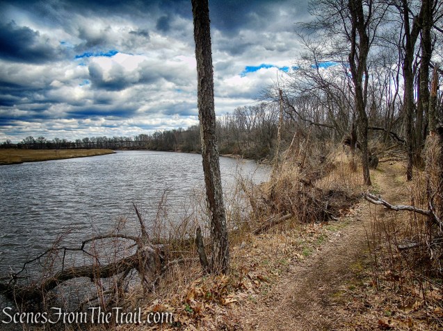
You will probably have to do some ducking along the way as there are numerous trees laying across the trail. In August 2020, the area was hit by a tornado that barreled through Hamden, North Haven, and Bethany.
Tidal Marsh Trail – North Haven
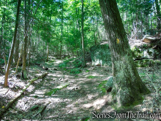
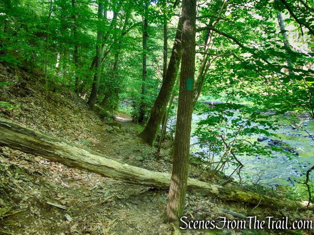
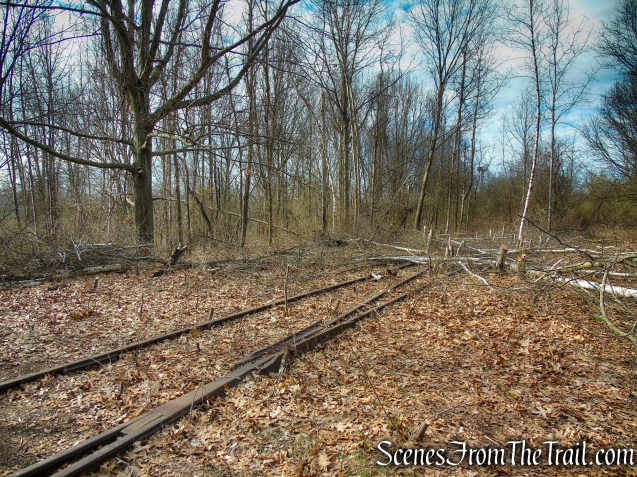
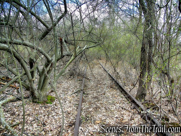
Next to the trail are lines of rusted tracks with large trees growing between the rails.
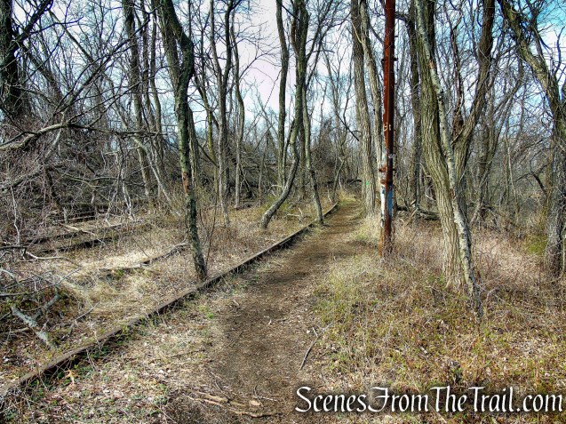
Tidal Marsh Trail – North Haven
A rusty ladder on a steel pole stretch high into the canopy.
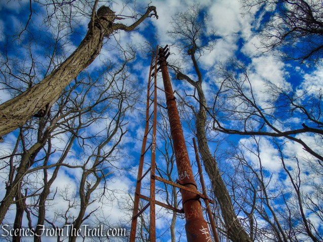
Tidal Marsh Trail – North Haven
Tidal Marsh Trail – North Haven
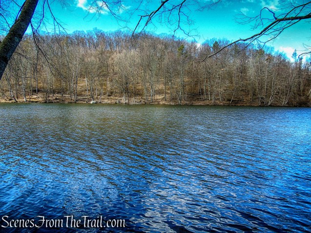
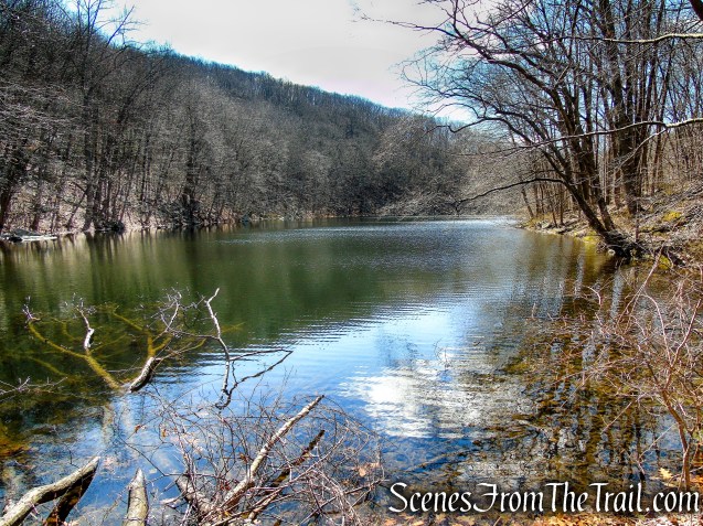
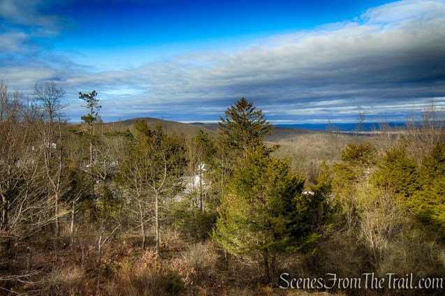
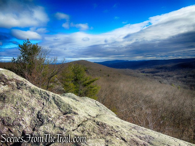
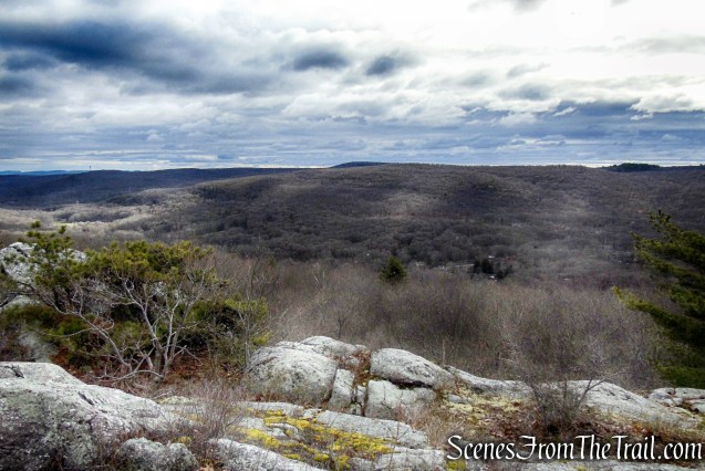
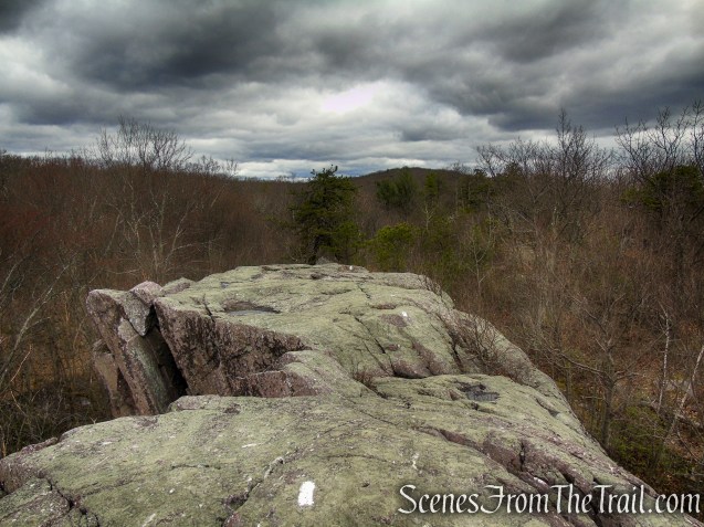
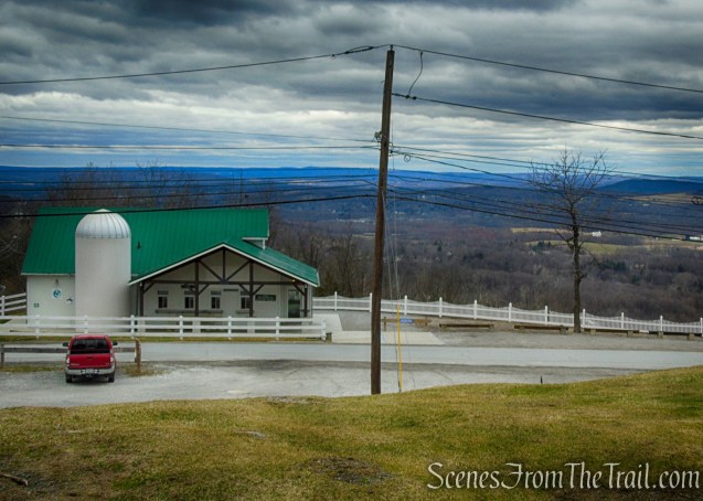
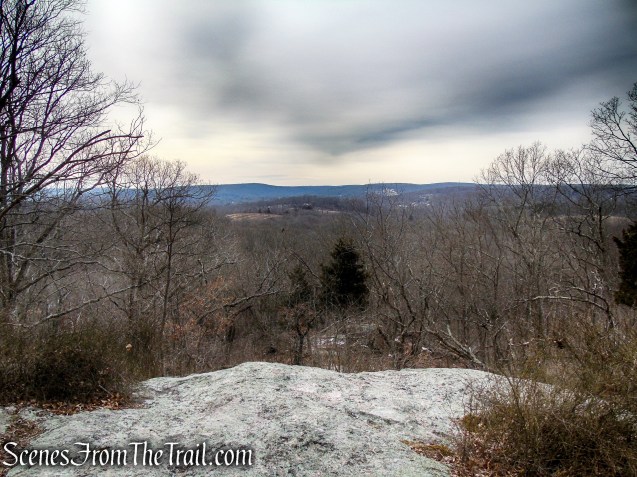
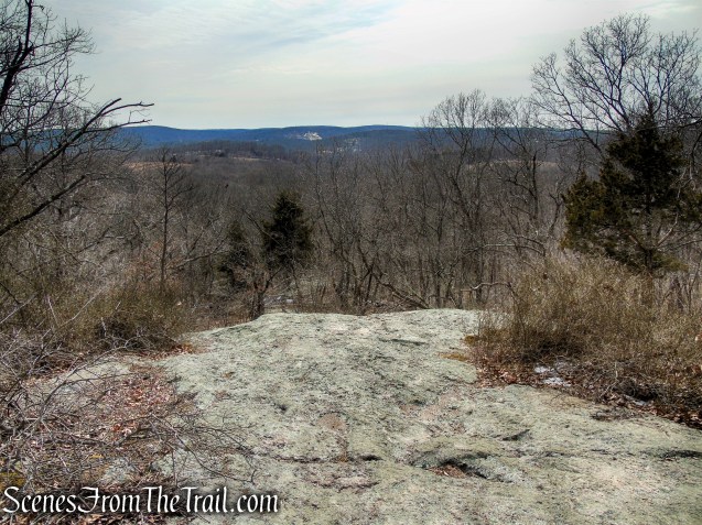
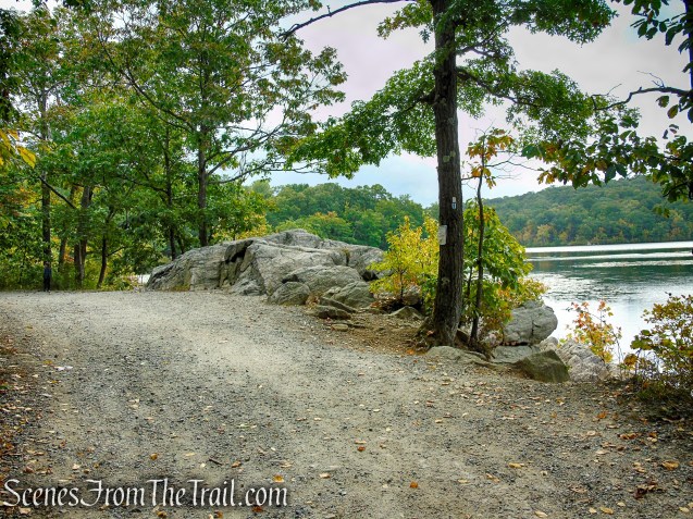
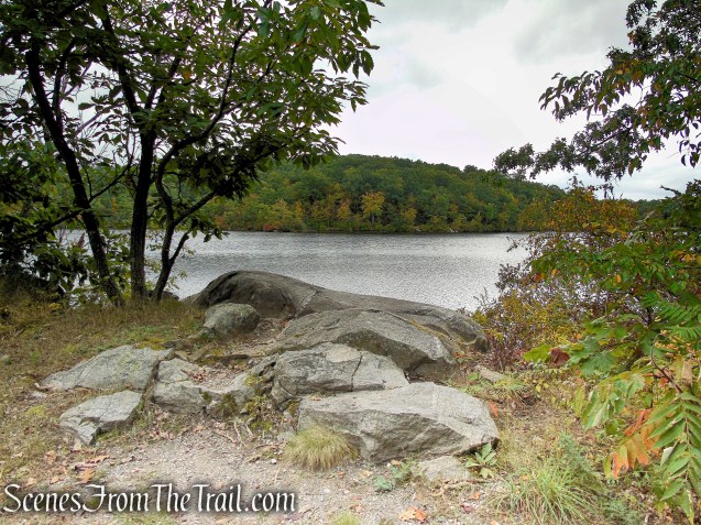
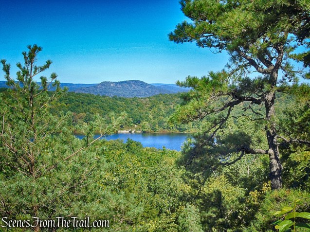
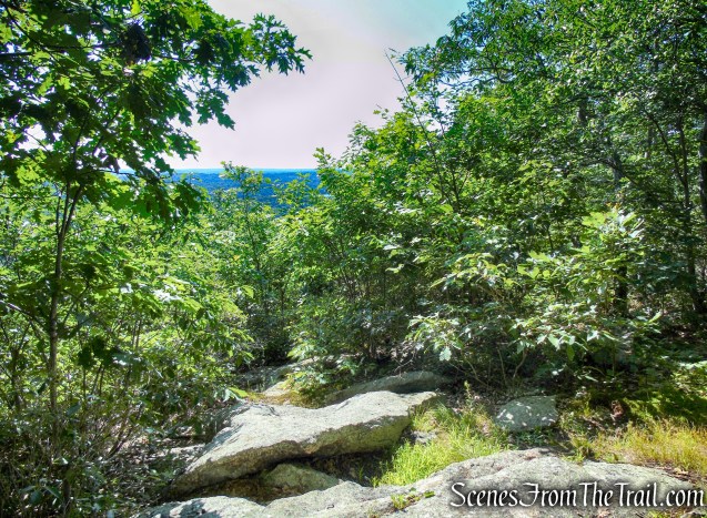
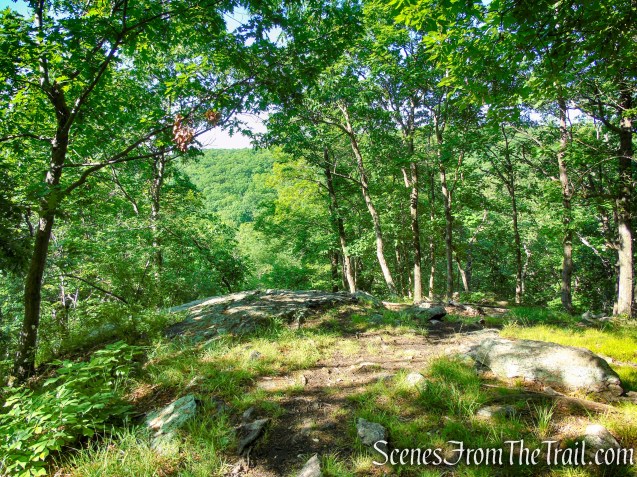
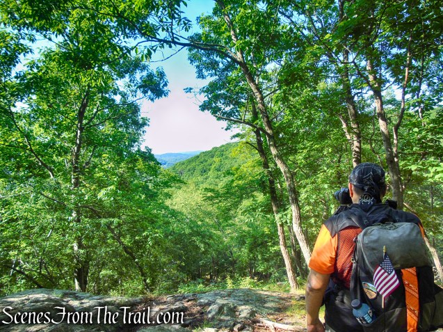
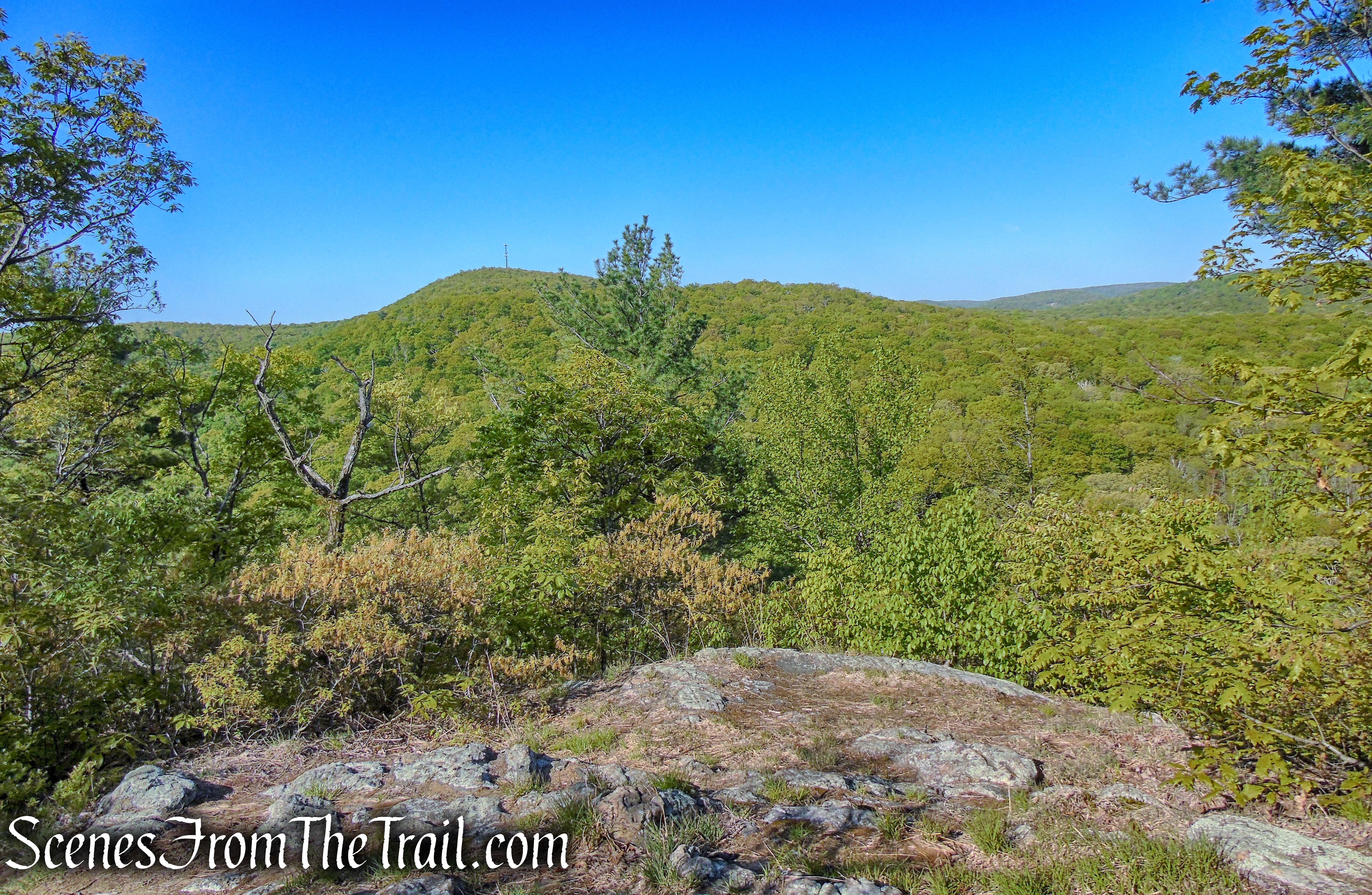
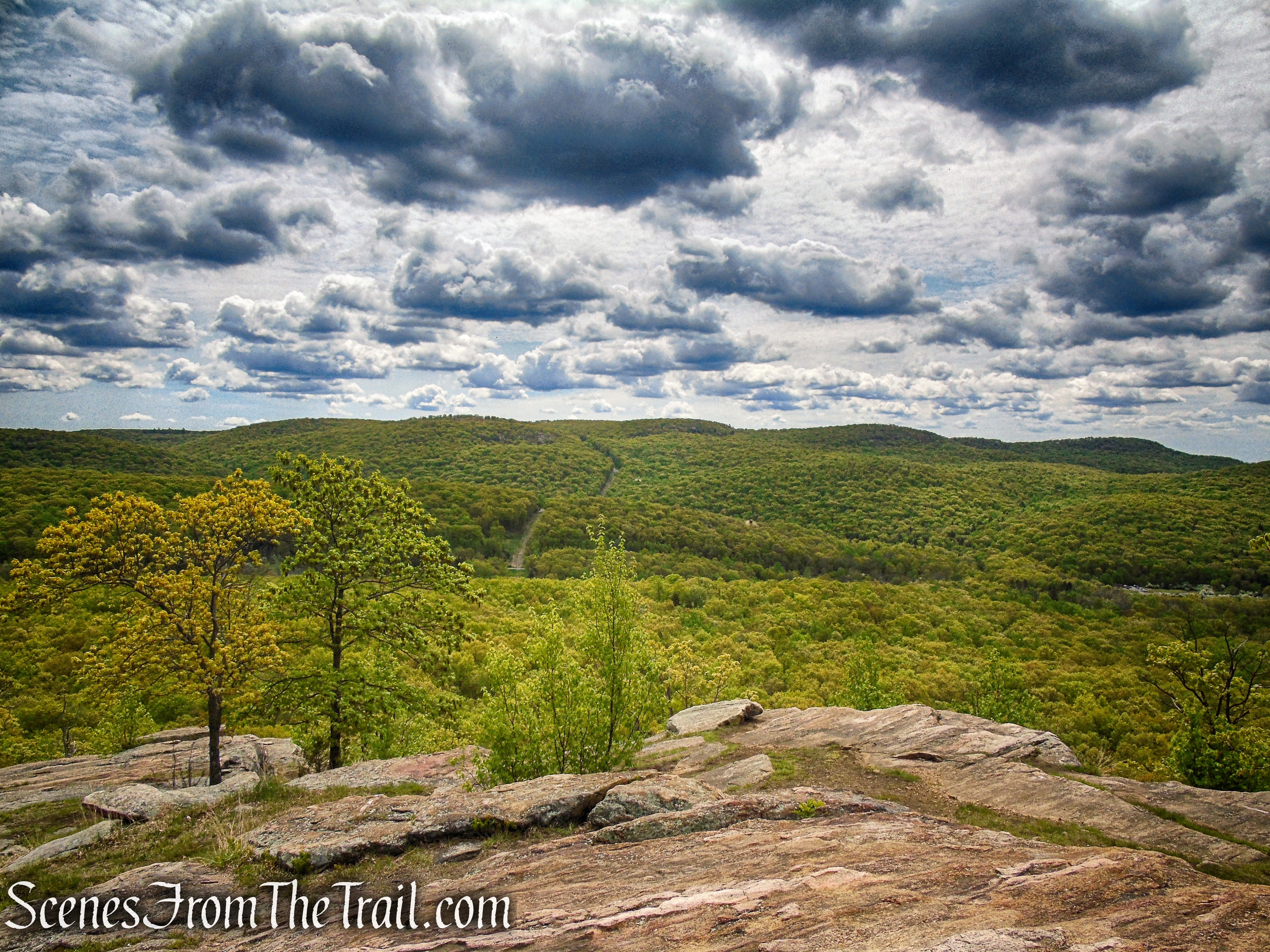
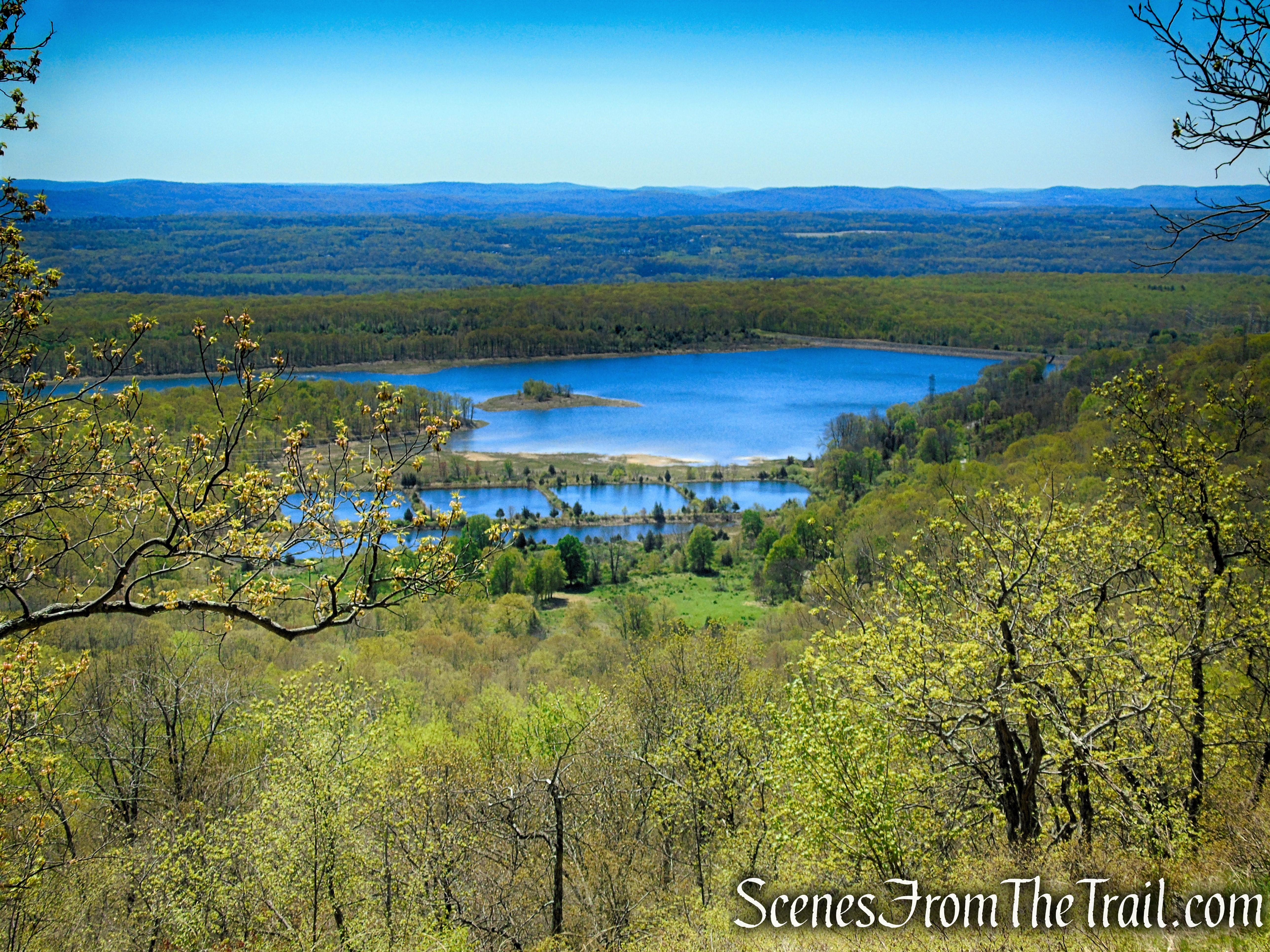
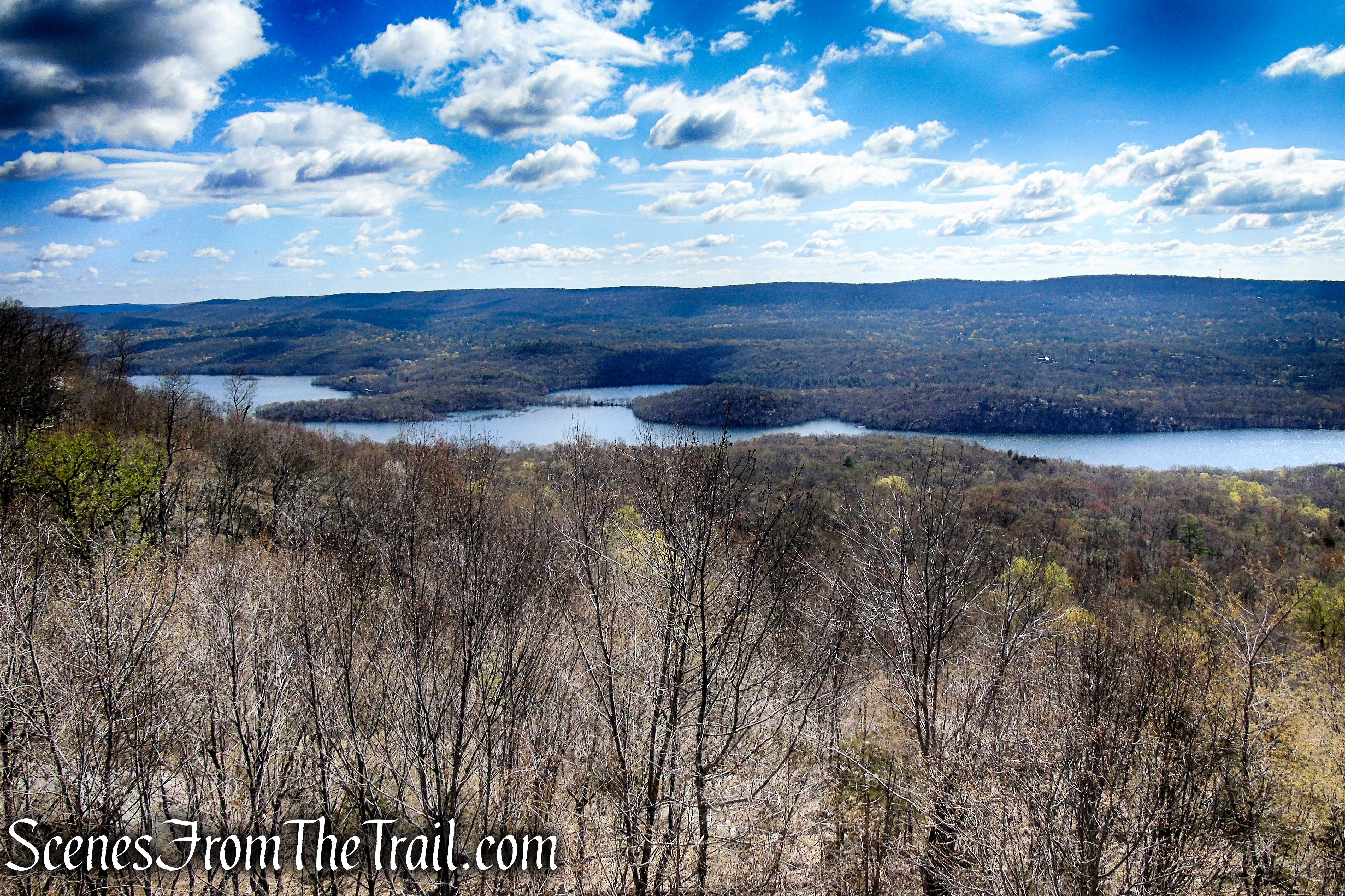
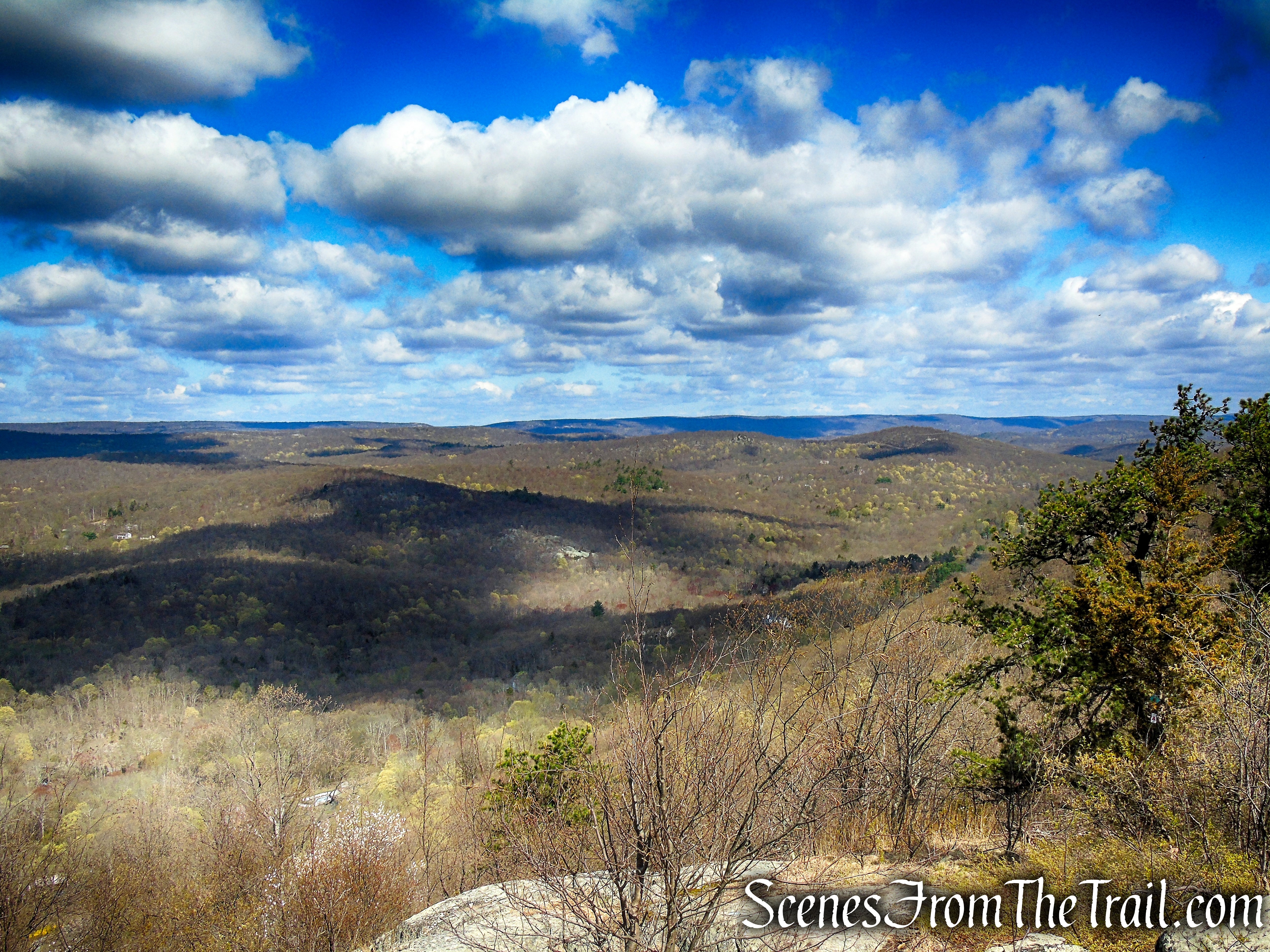
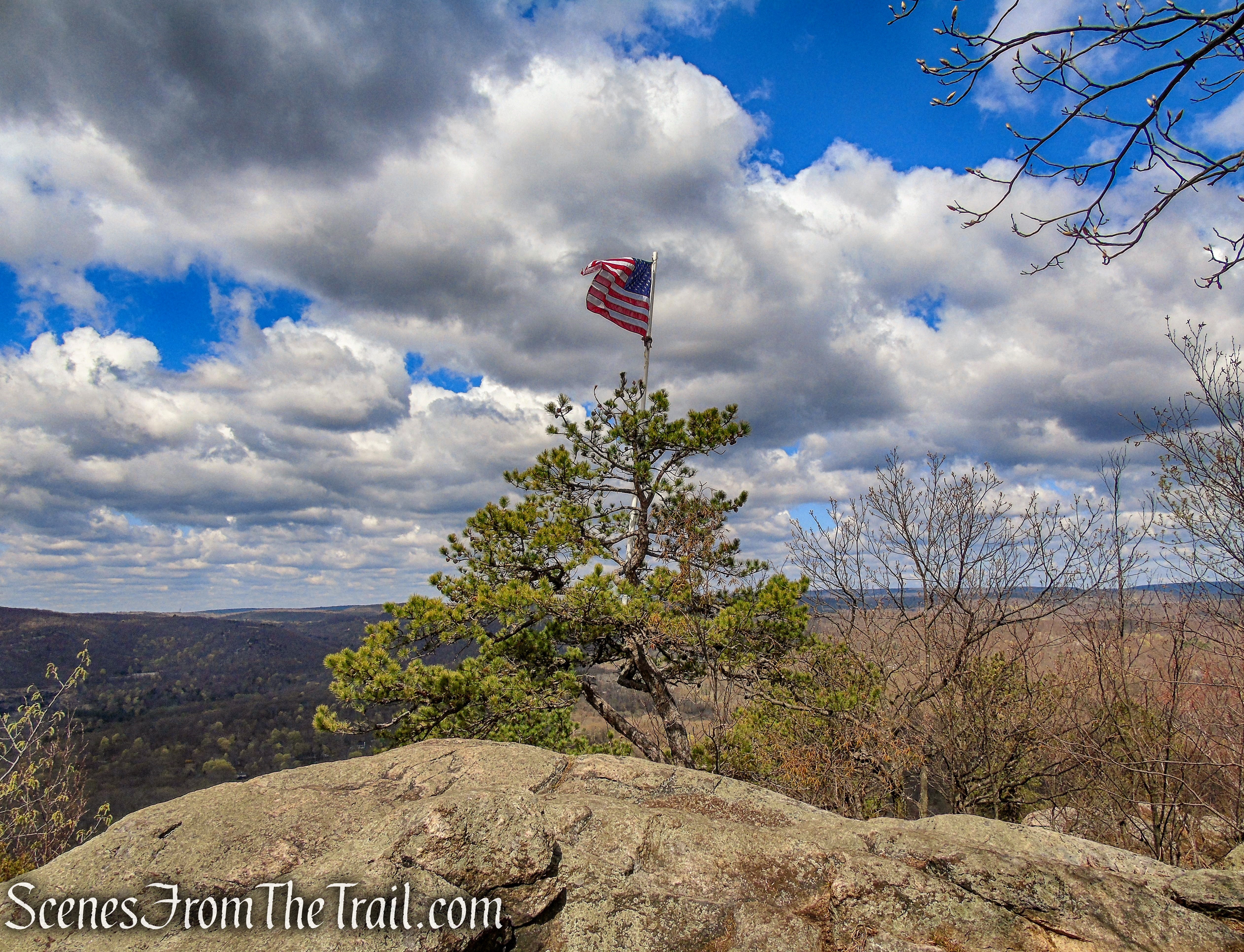
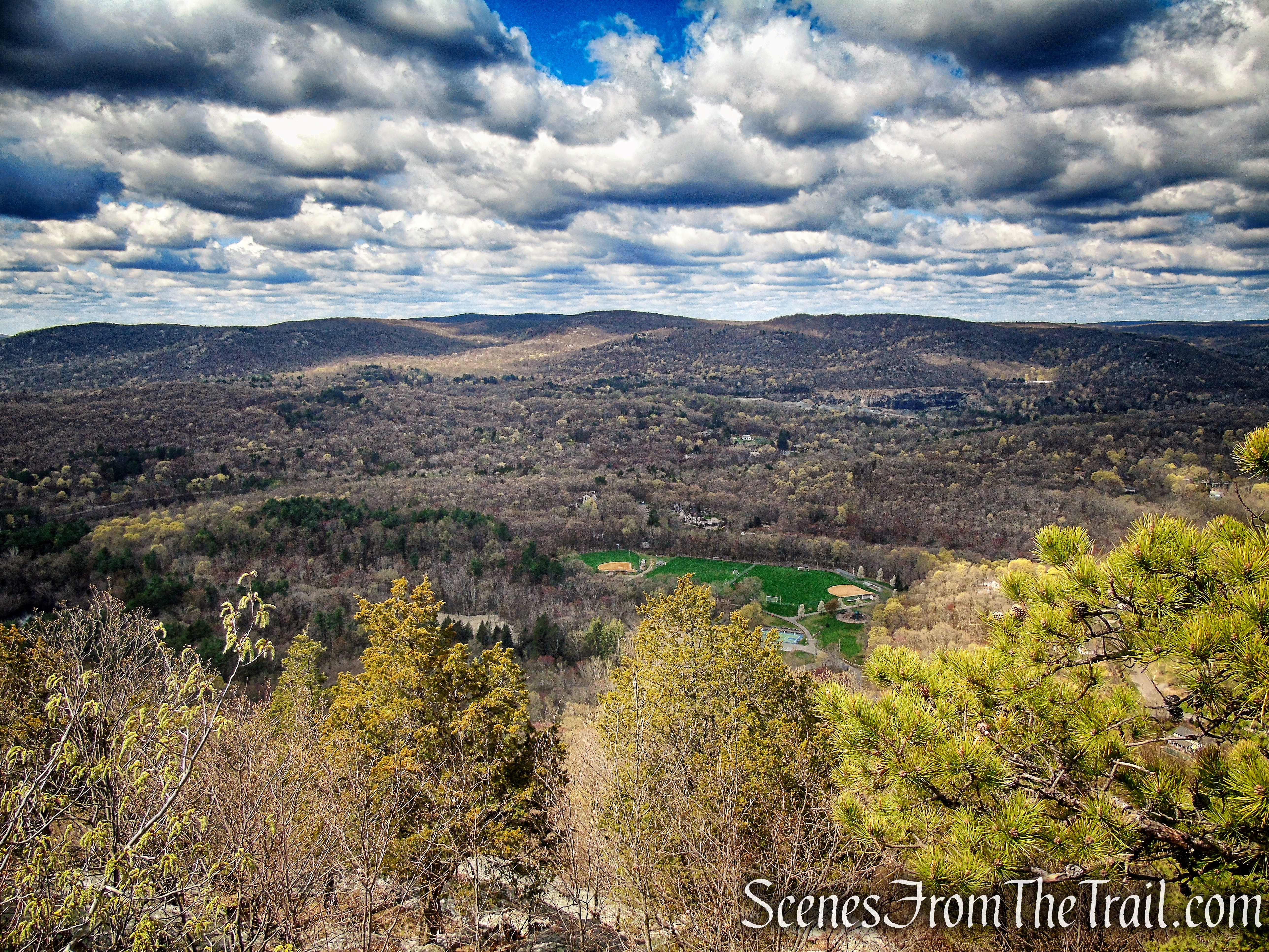
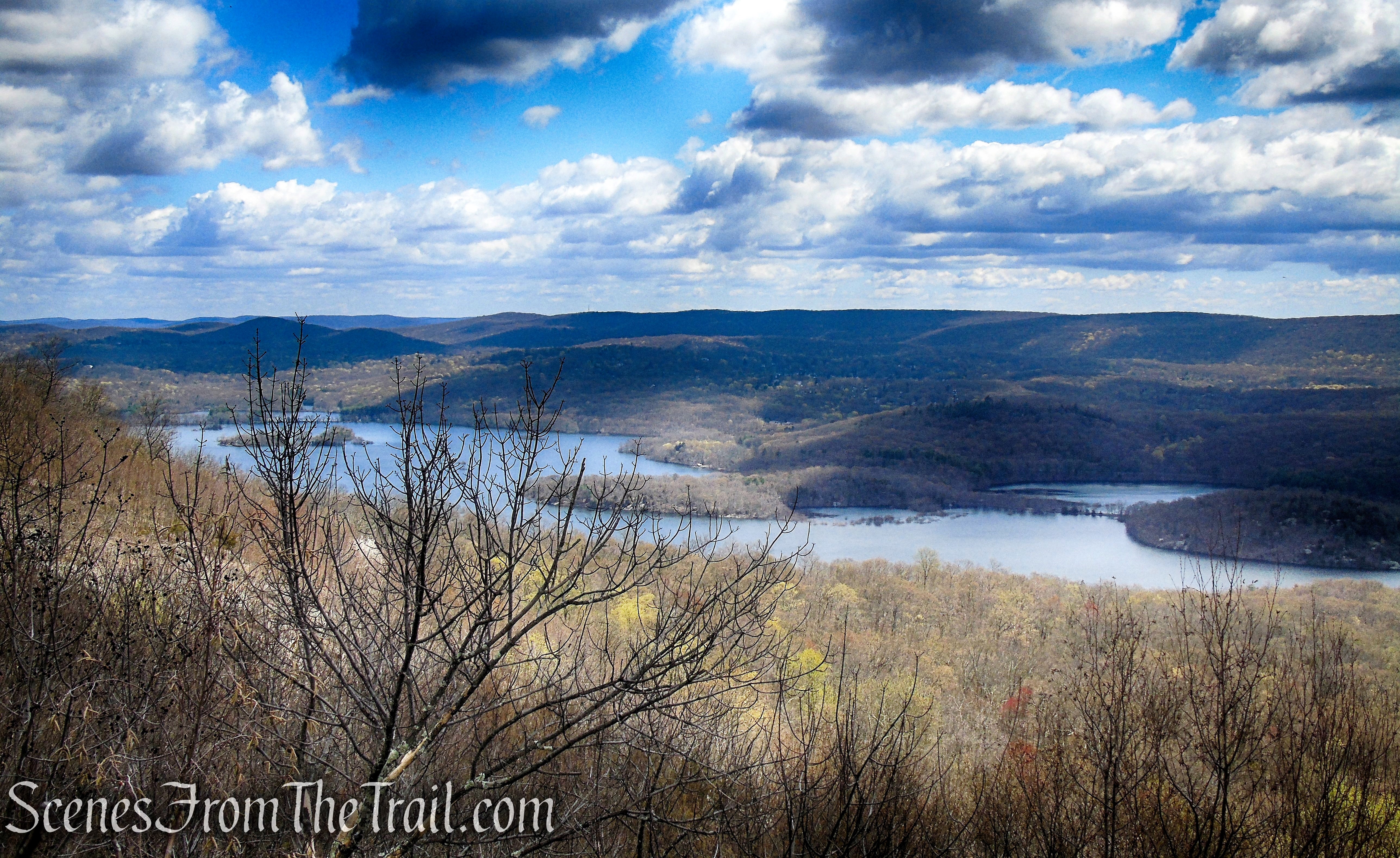
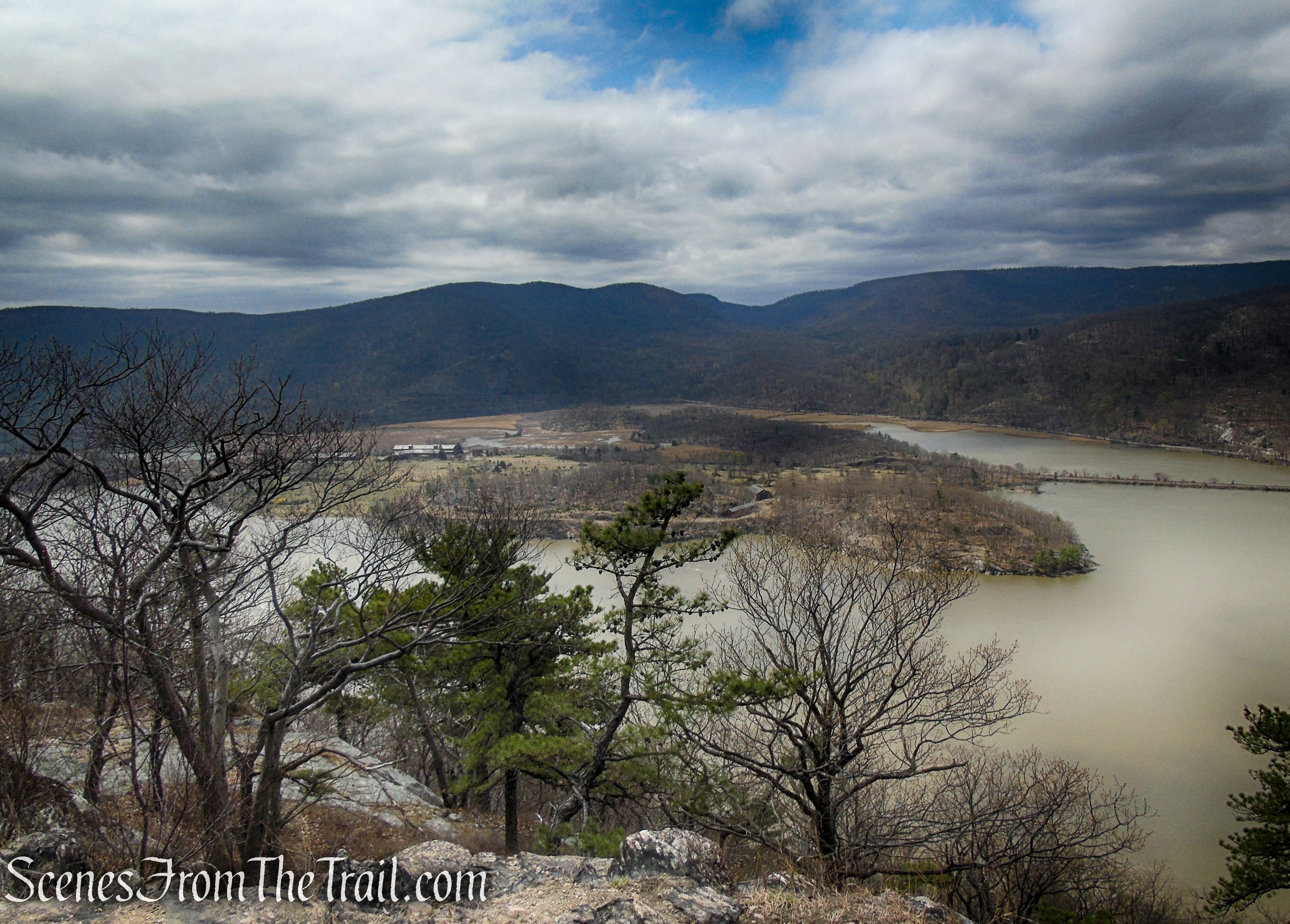
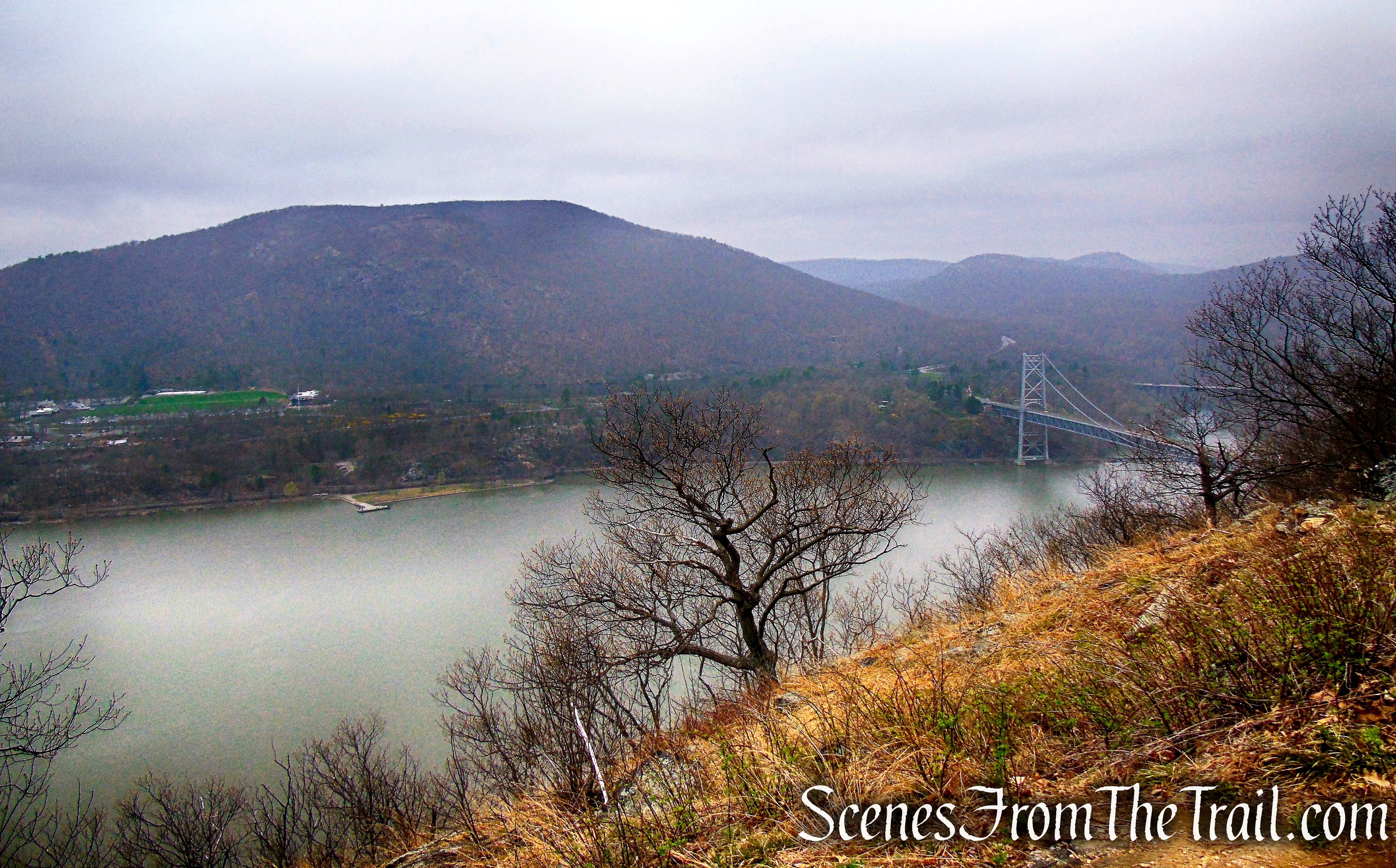
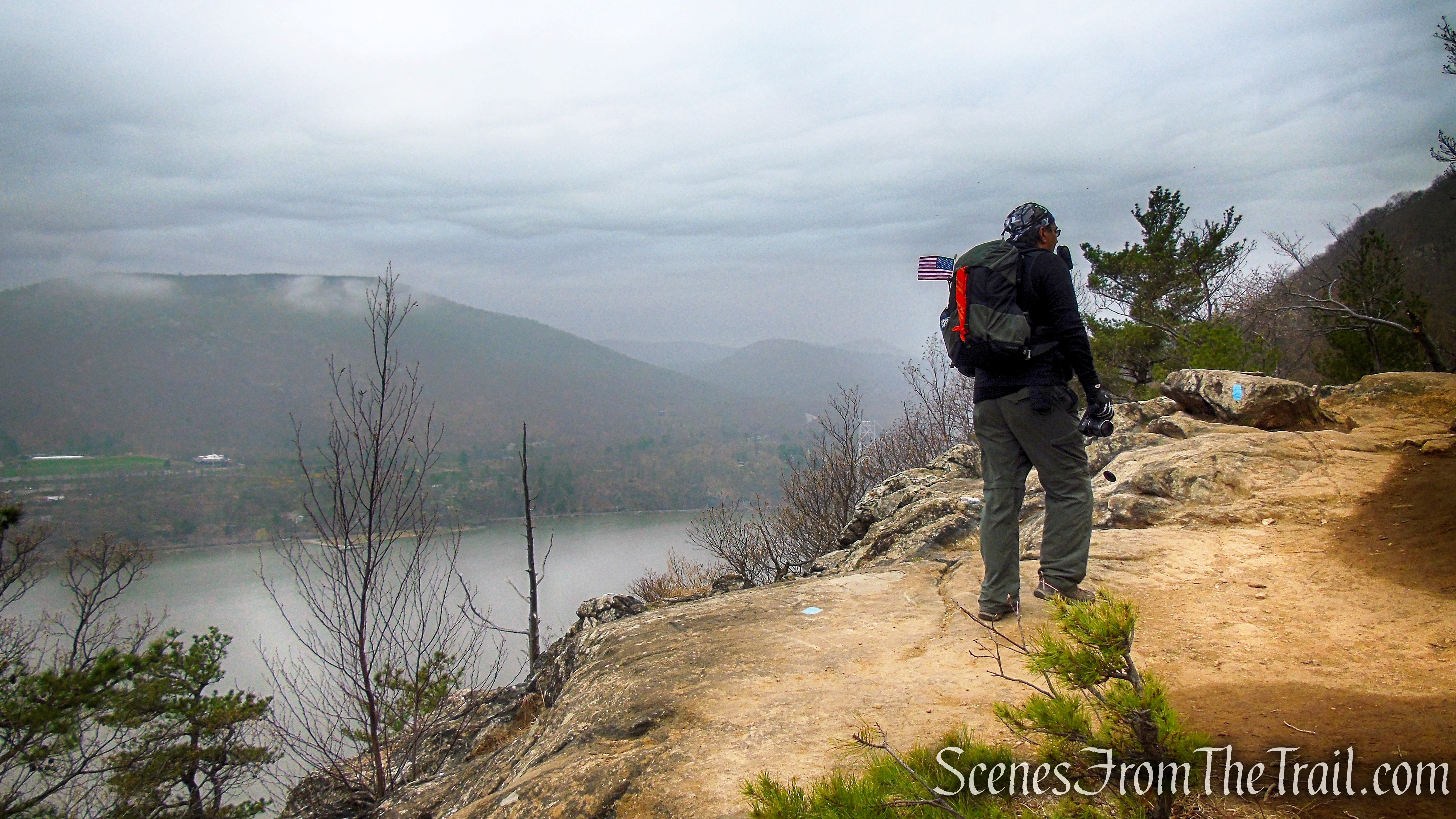
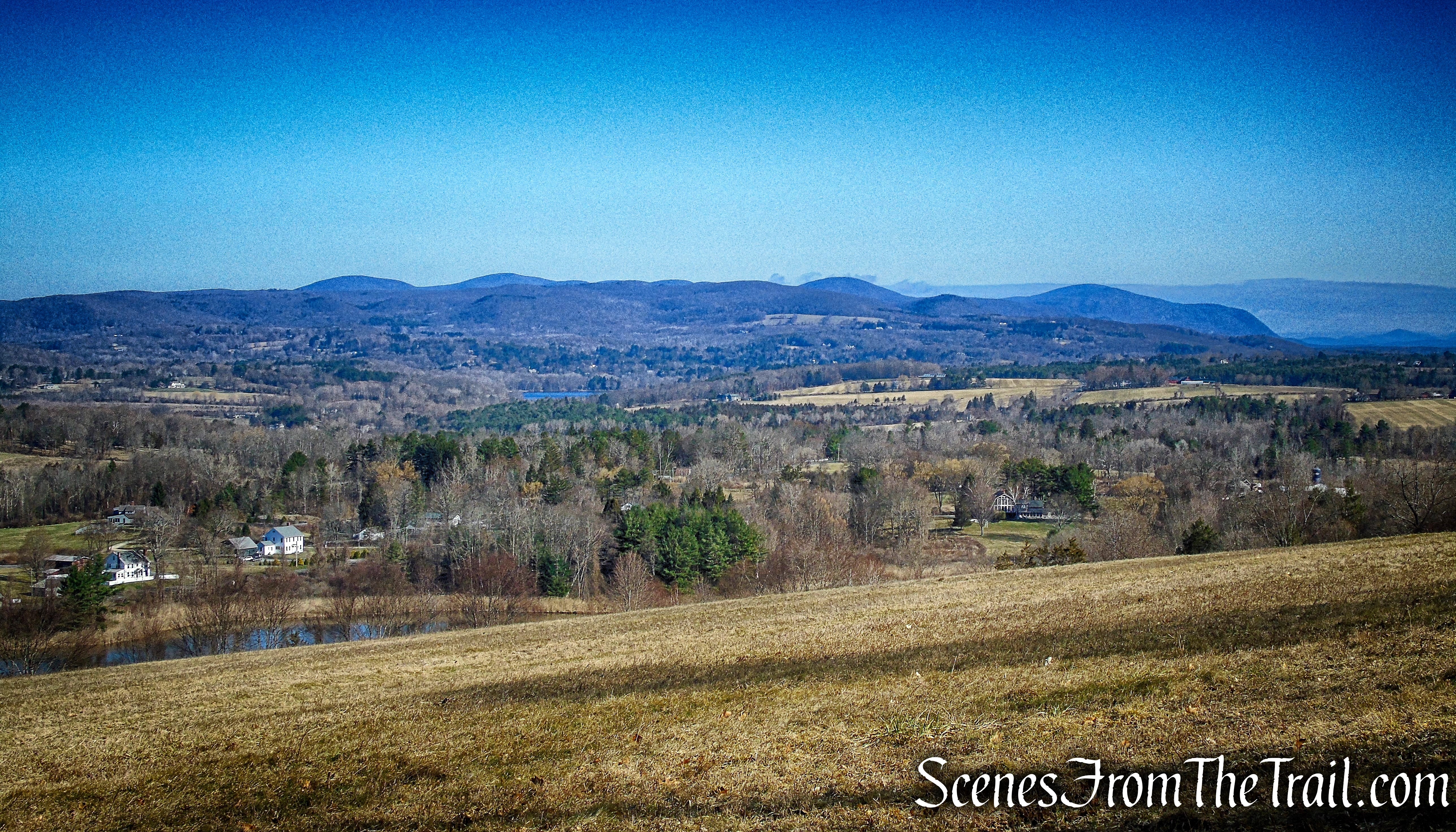
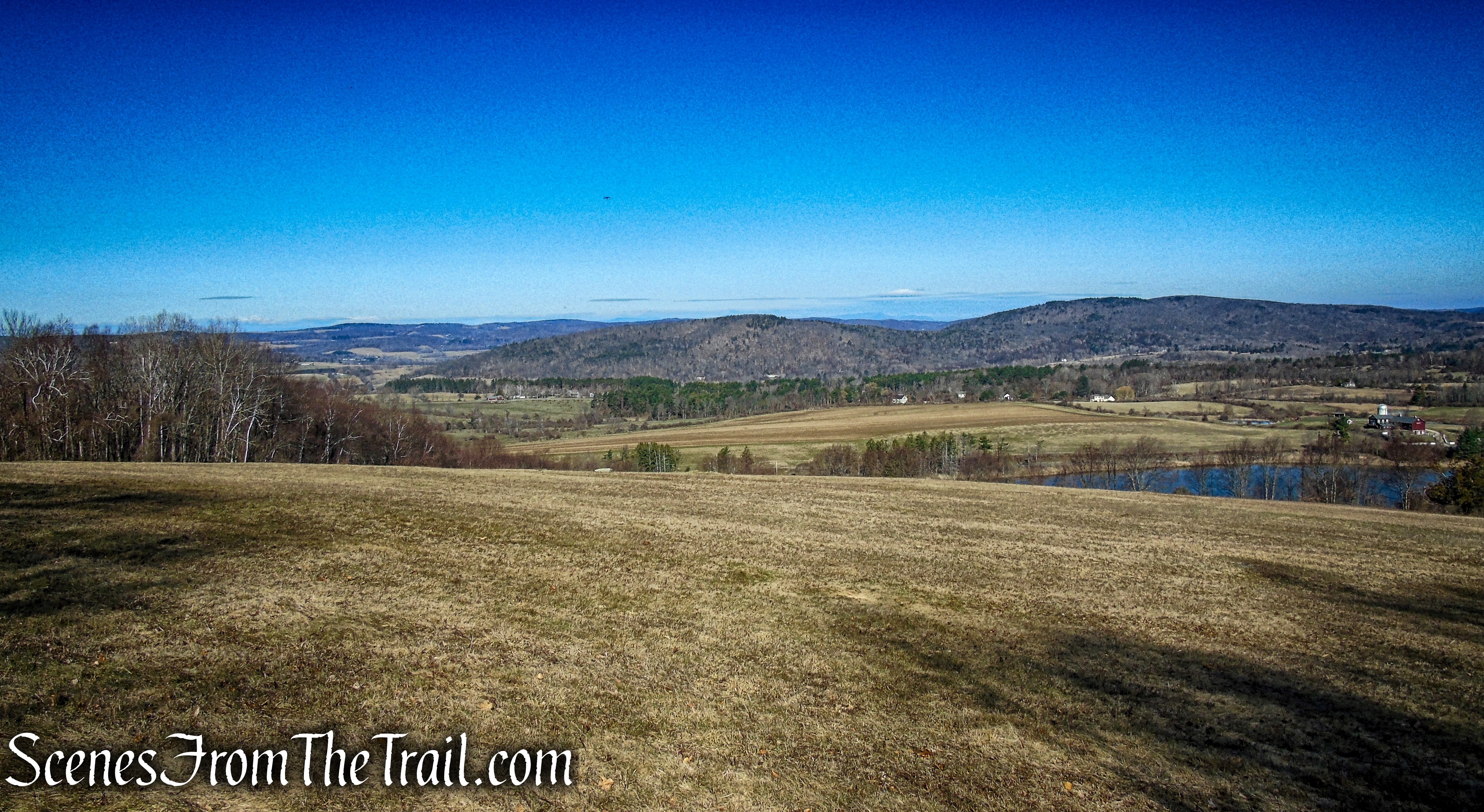
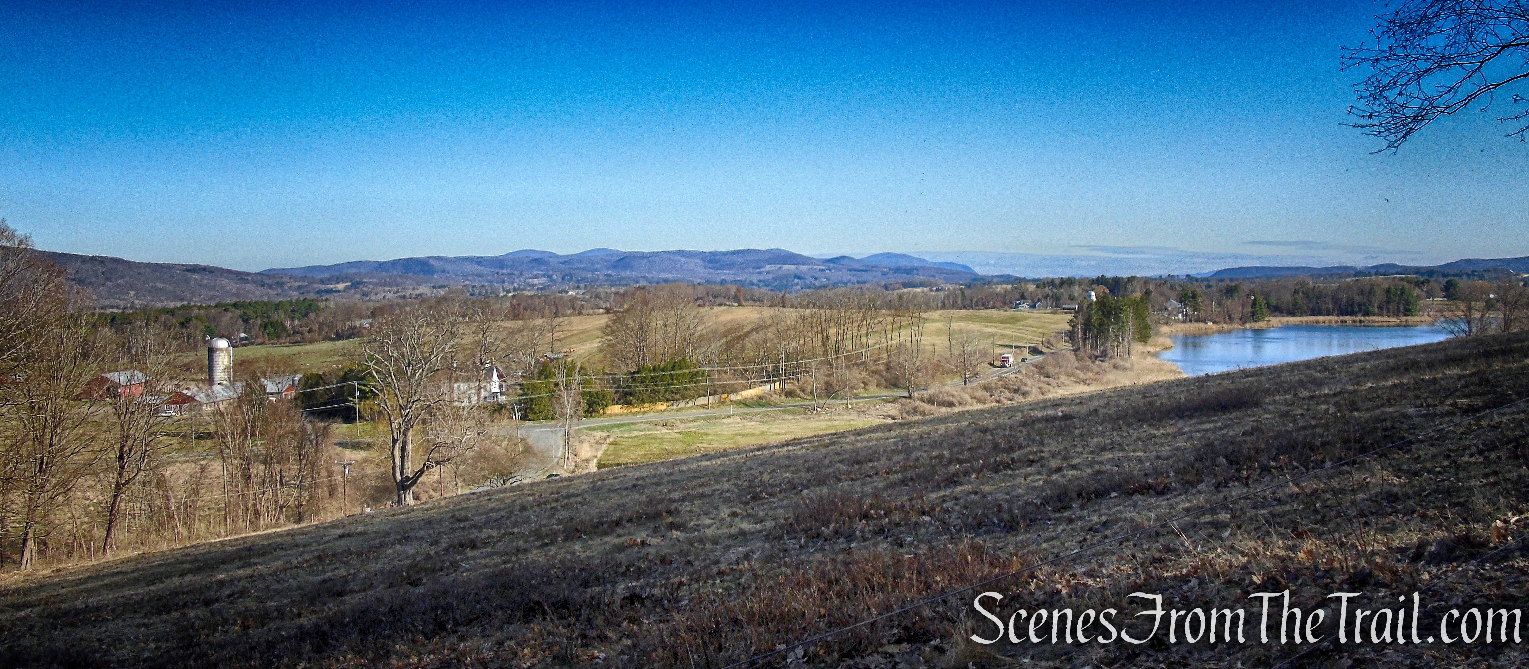
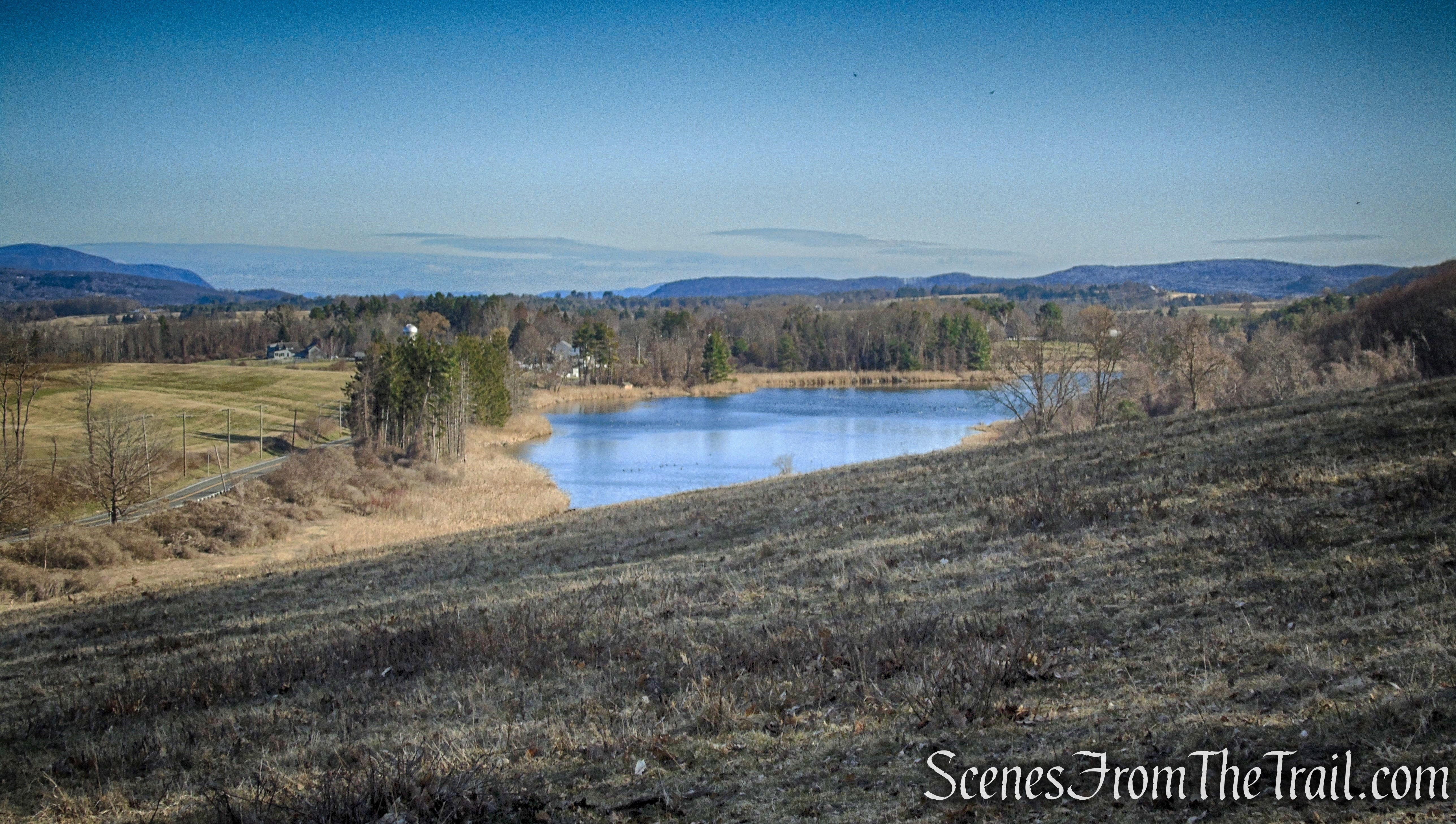
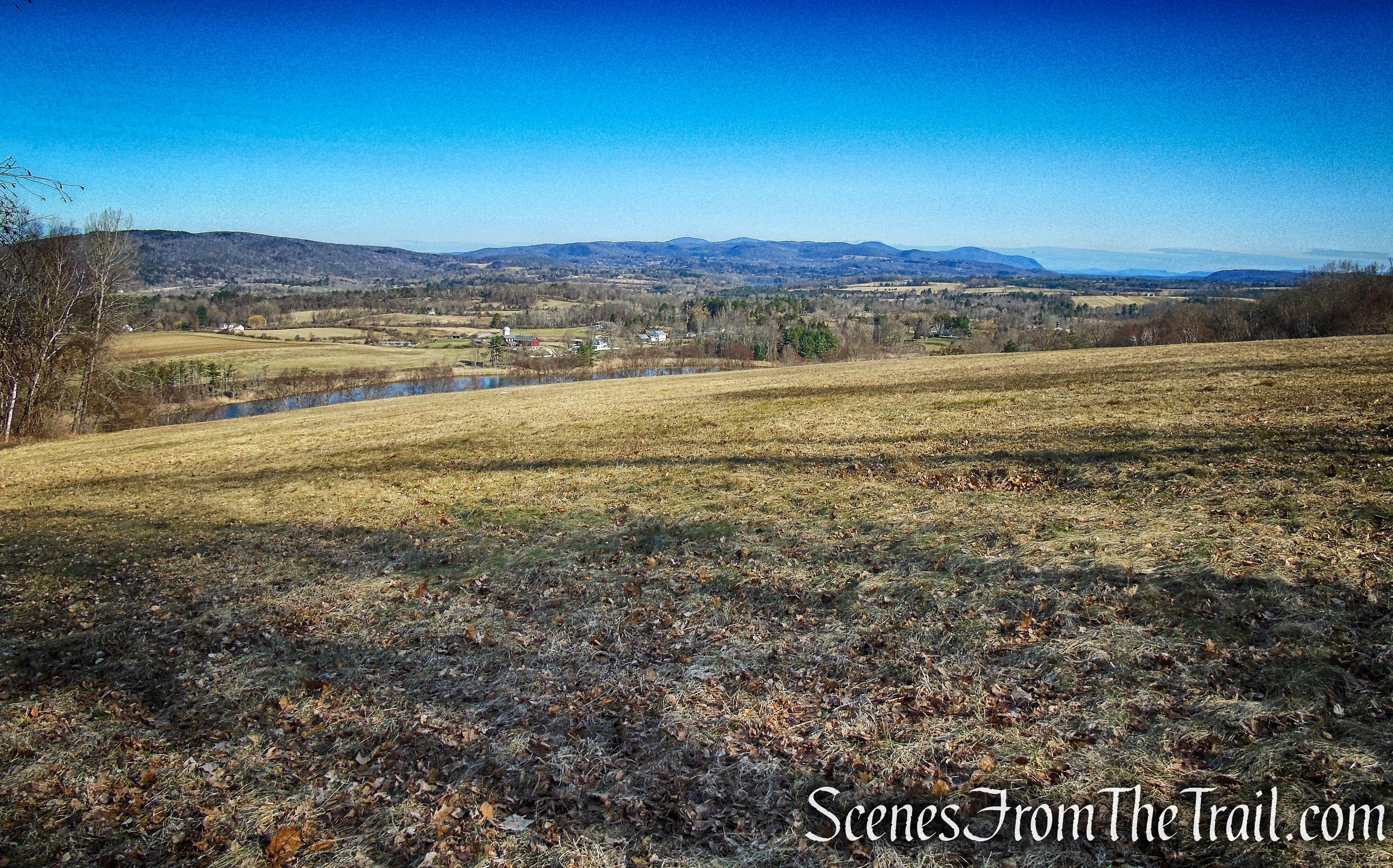
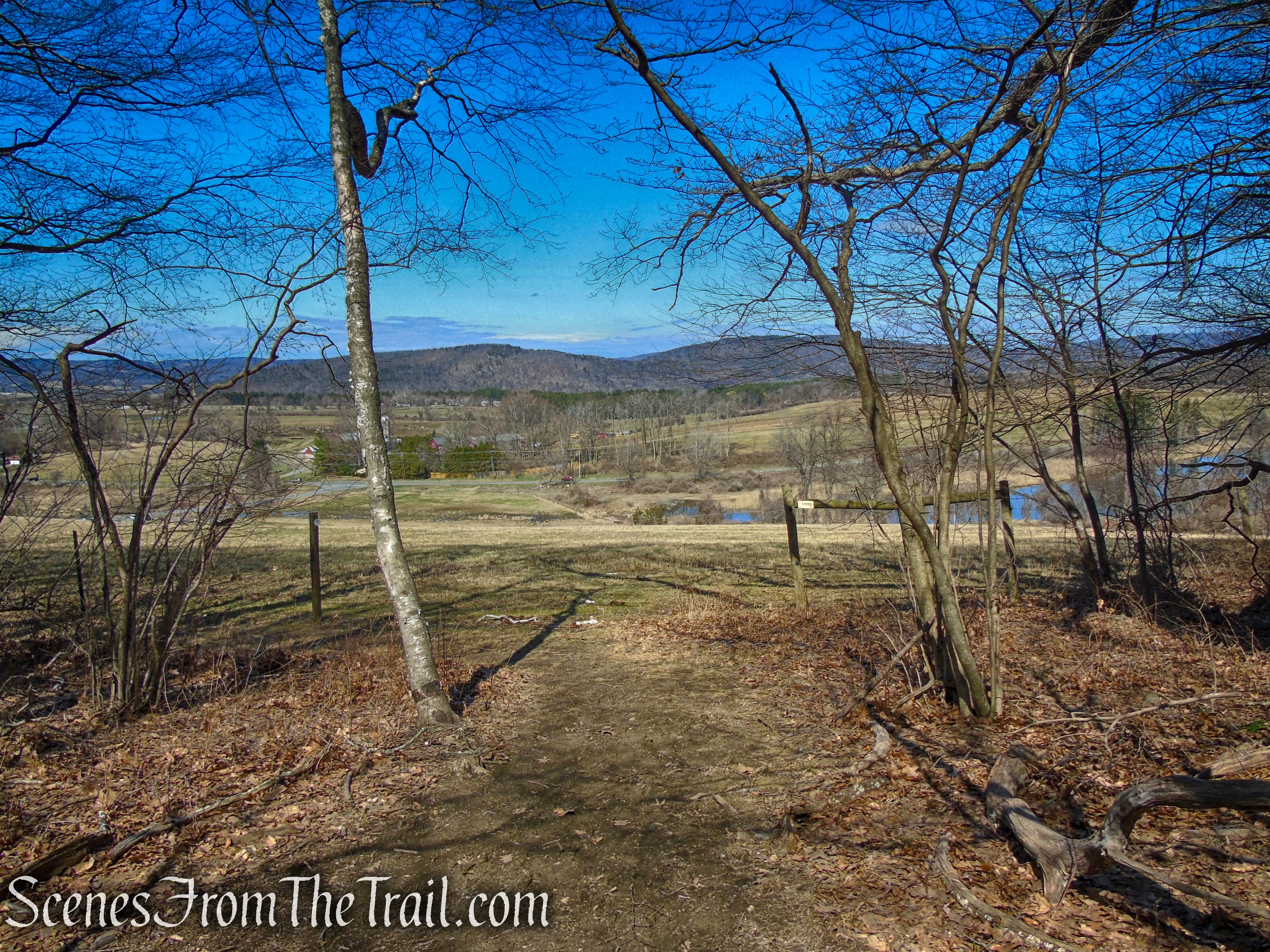
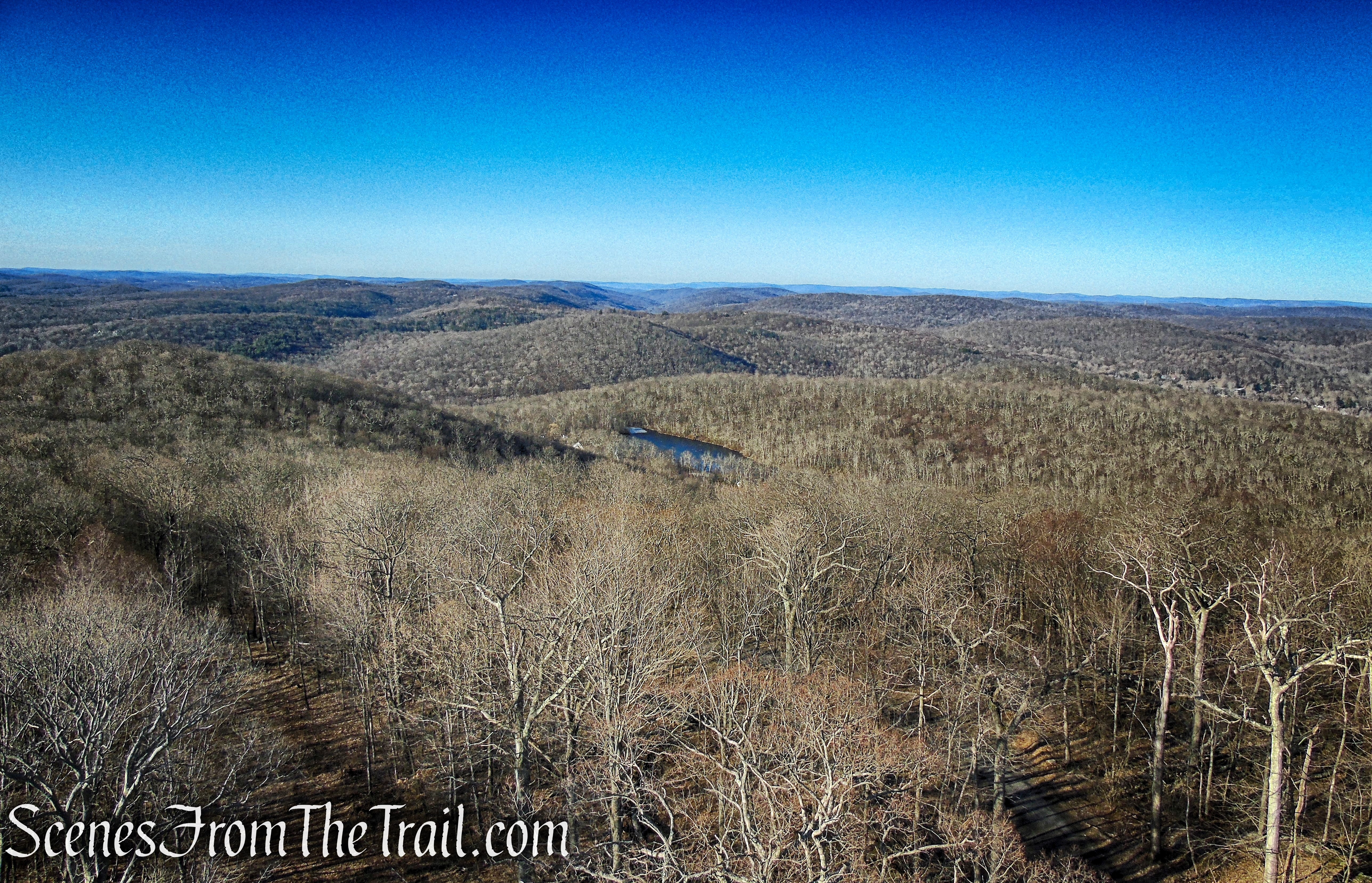
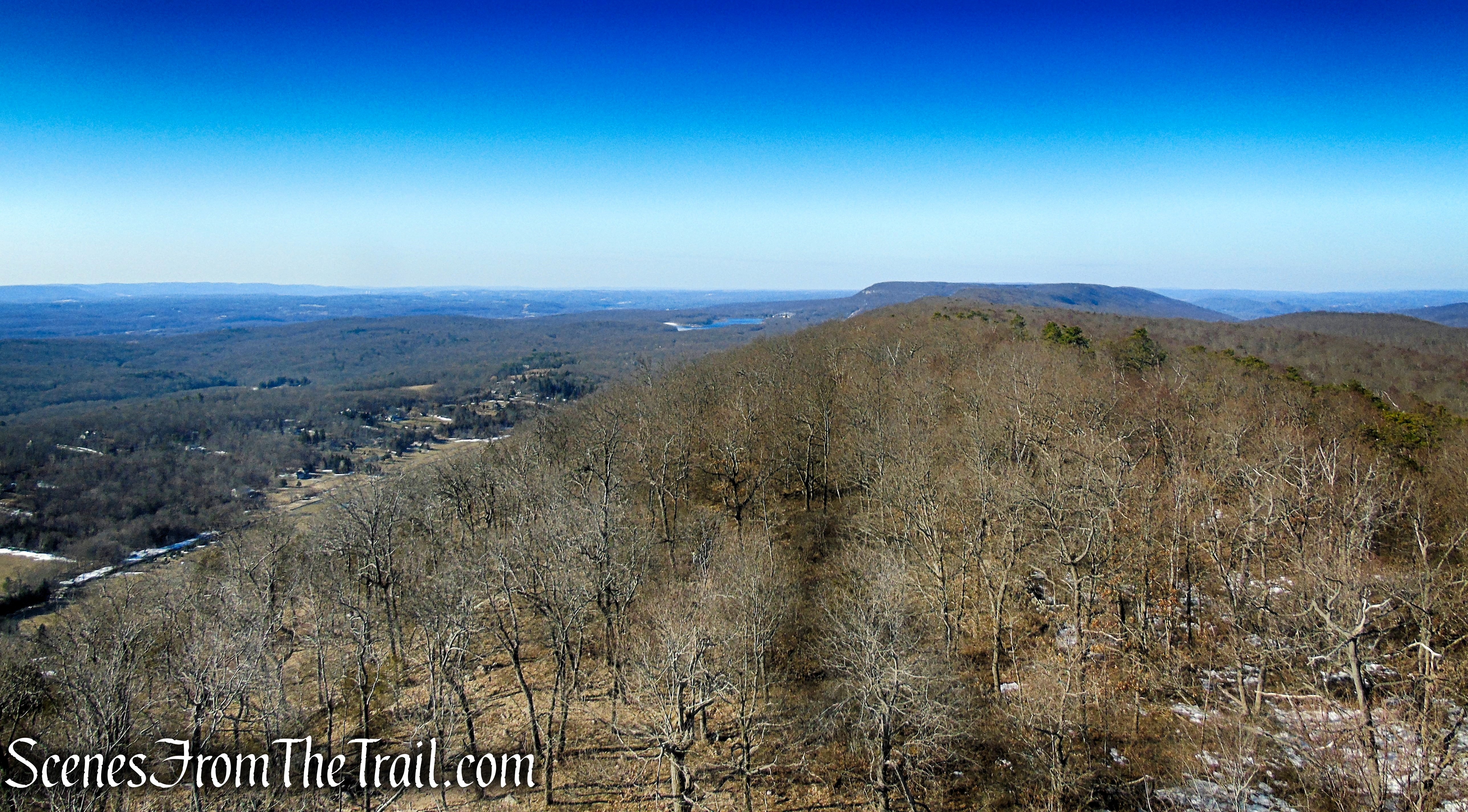
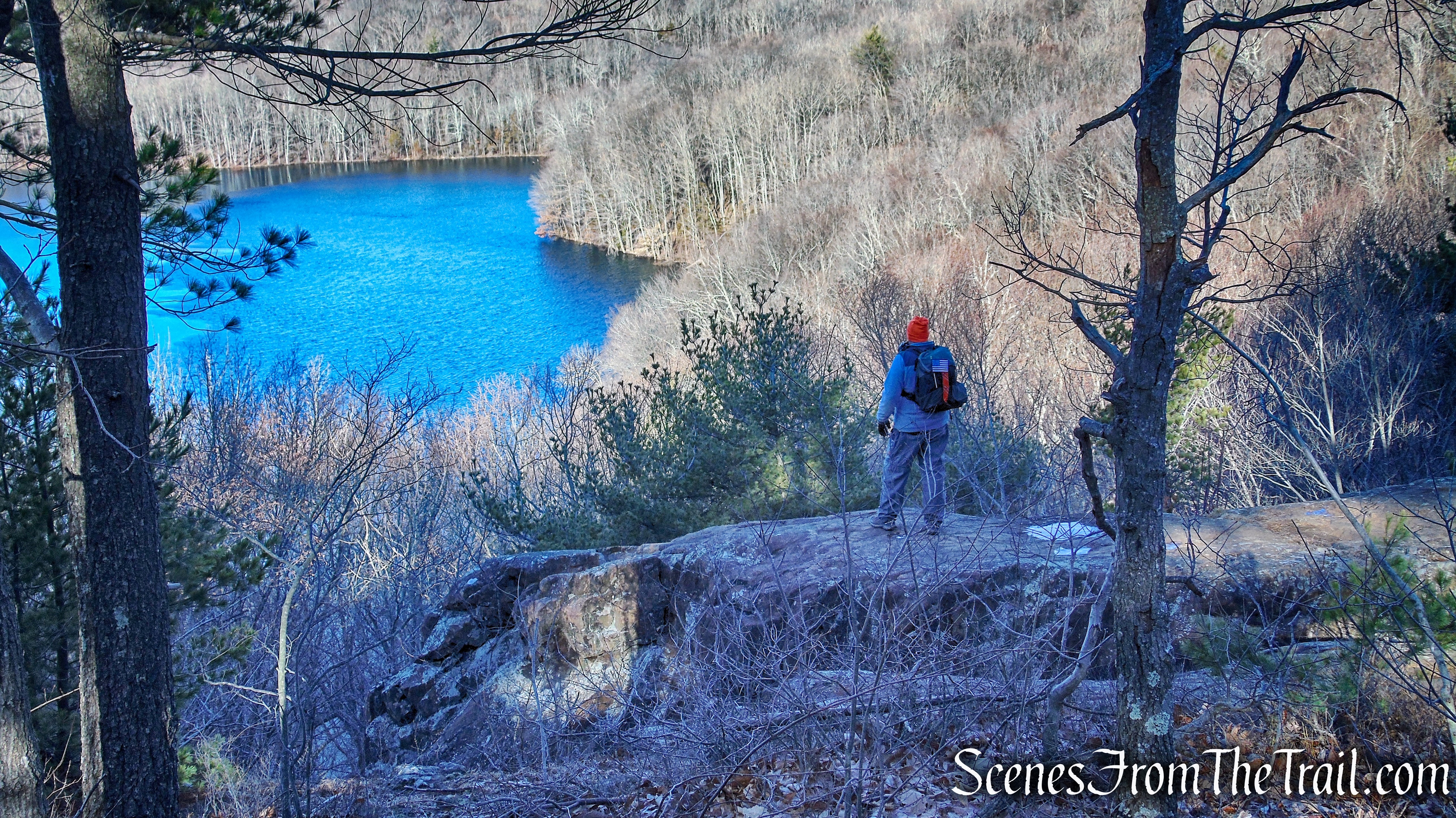
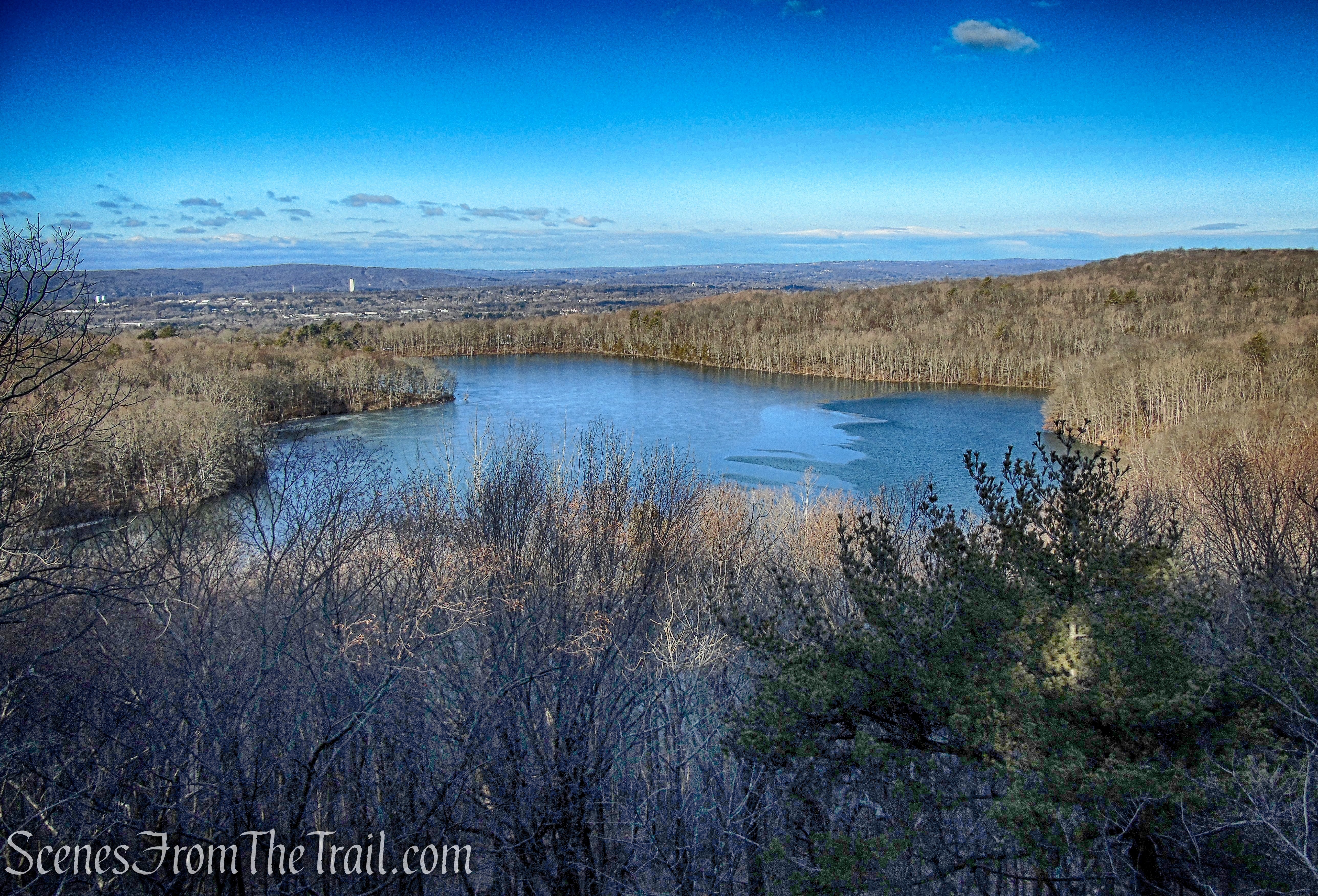
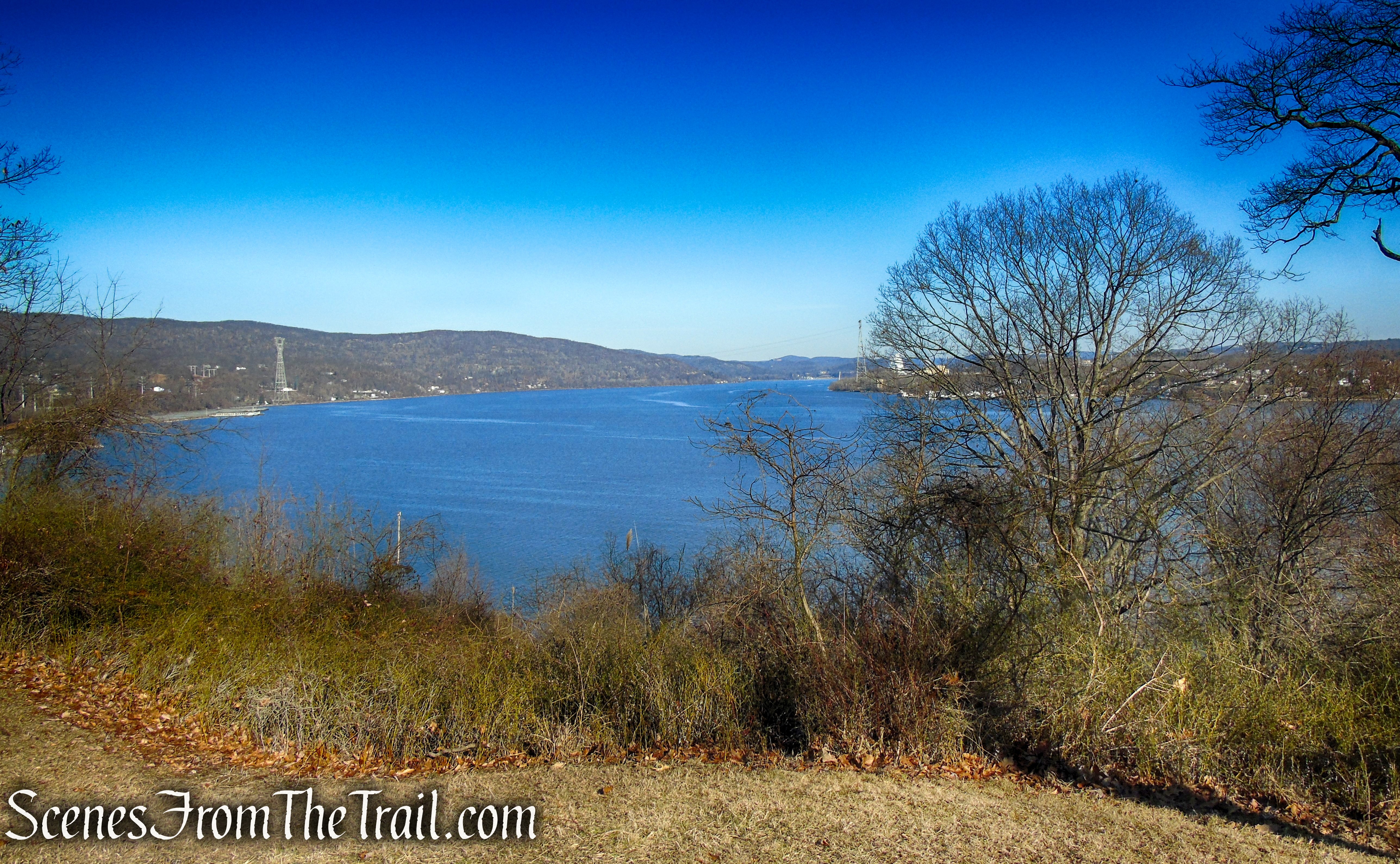
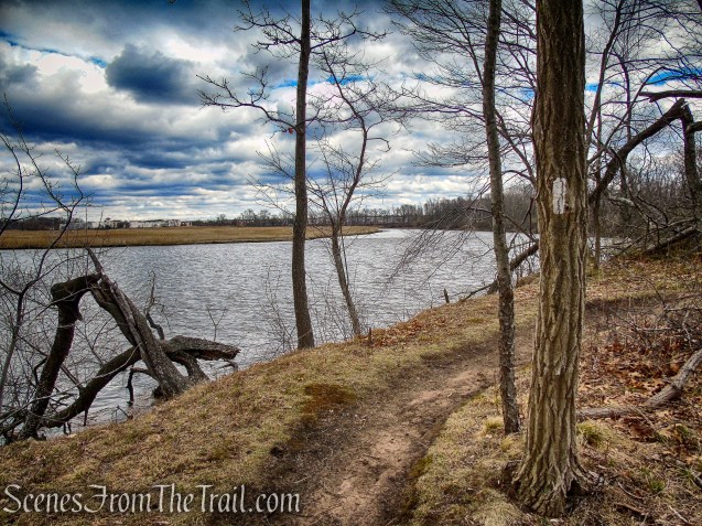
There are wide gaps in the trees that afford open westerly views across the river into Hamden.
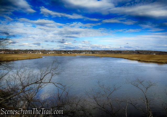
Tidal Marsh Trail – North Haven
To the north, Sleeping Giant is visible in the distance.

Tidal Marsh Trail – North Haven

Tidal Marsh Trail – North Haven
Tidal Marsh Trail – North Haven
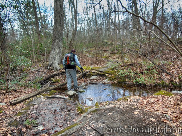
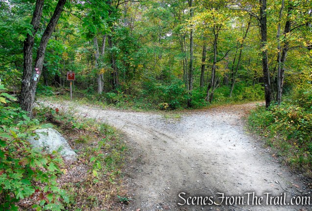
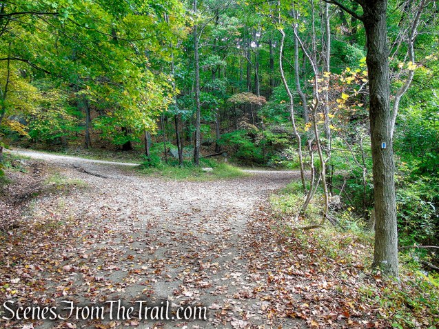
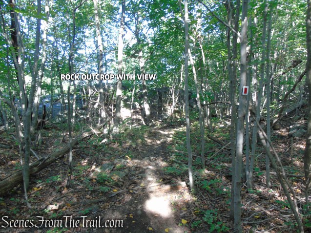
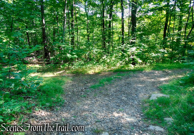
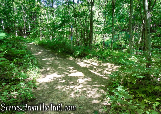
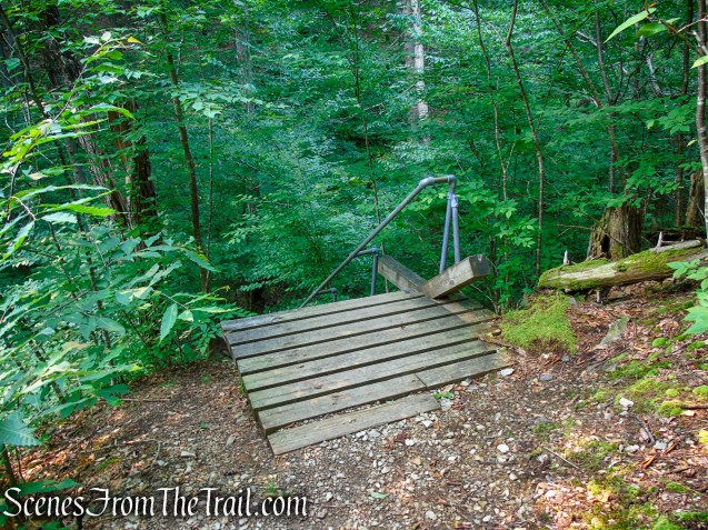
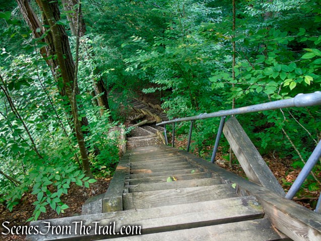
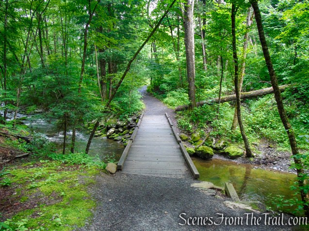
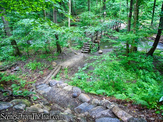
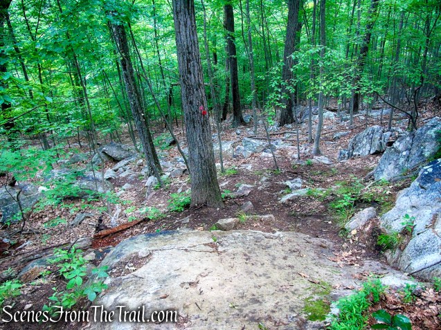
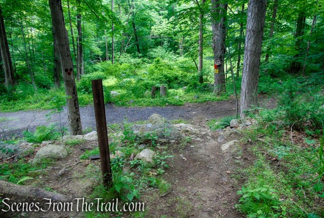
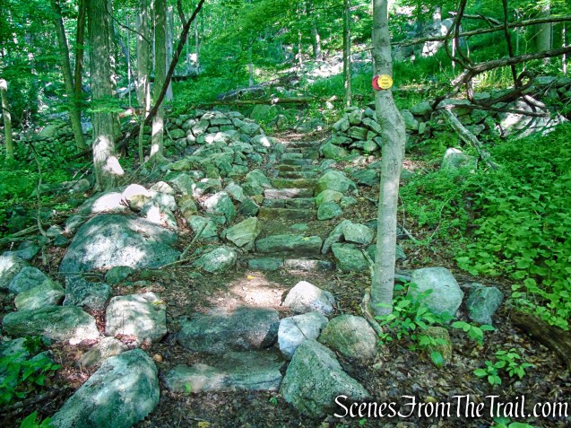
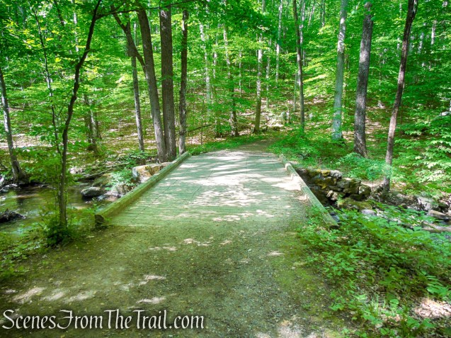
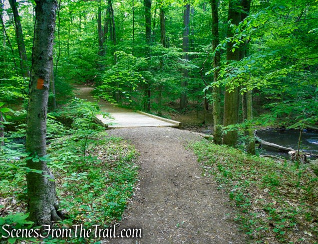
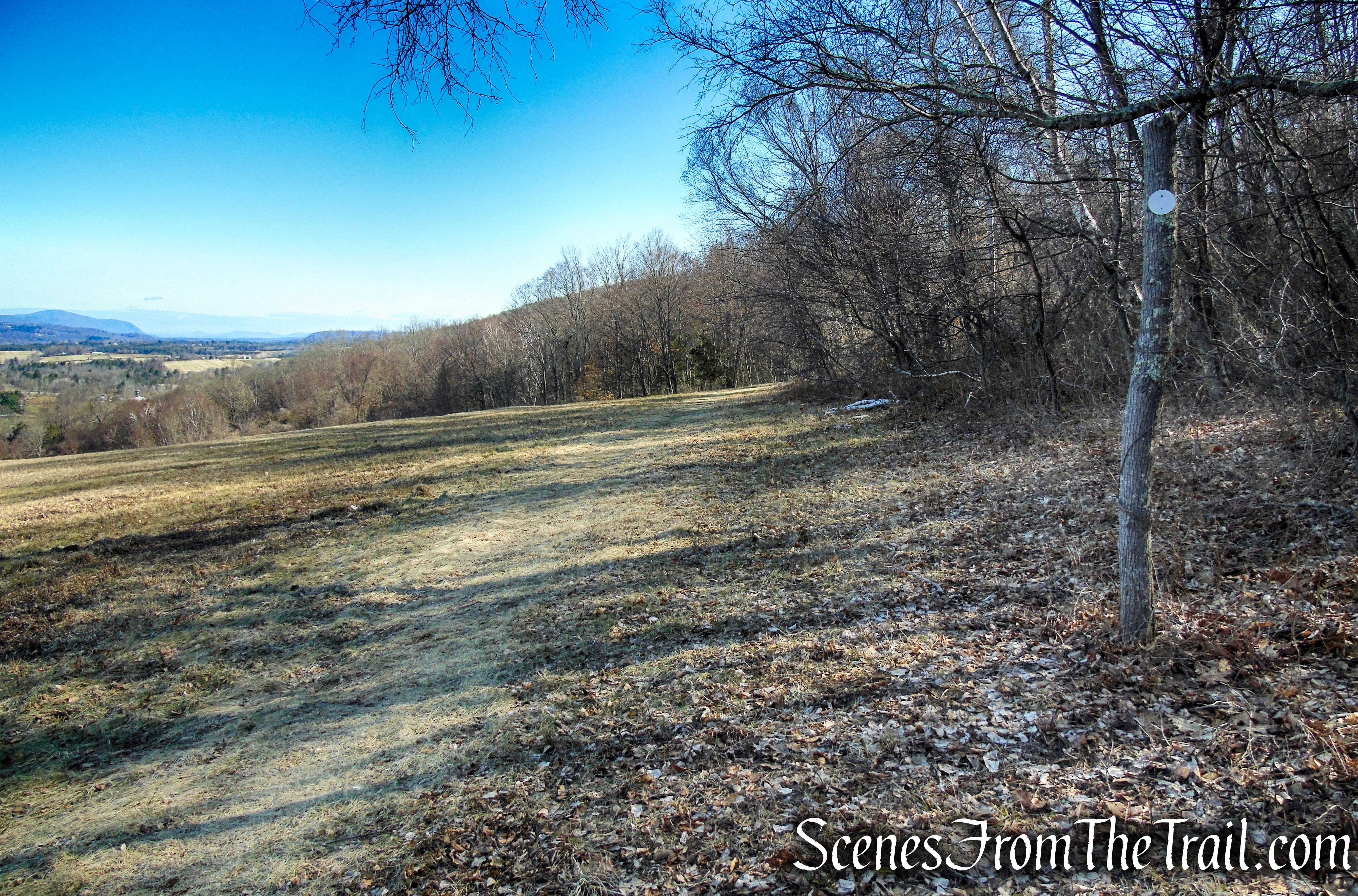
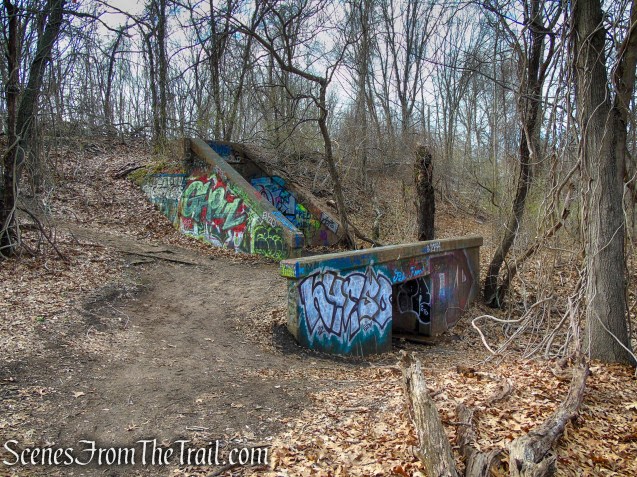
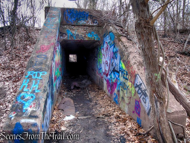
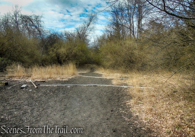
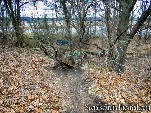
I believe that this marks the end of the Tidal Marsh Trail, which is about a 1/2 mile from the start. To continue on to the Cedar Hill Rail Yard and the Polar Bear sculpture, follow the trail to the left of the concrete culvert. Do not walk through the tunnel.
Tidal Marsh Trail – North Haven
Tidal Marsh Trail – North Haven

Tidal Marsh Trail – North Haven
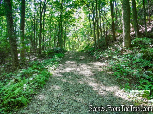
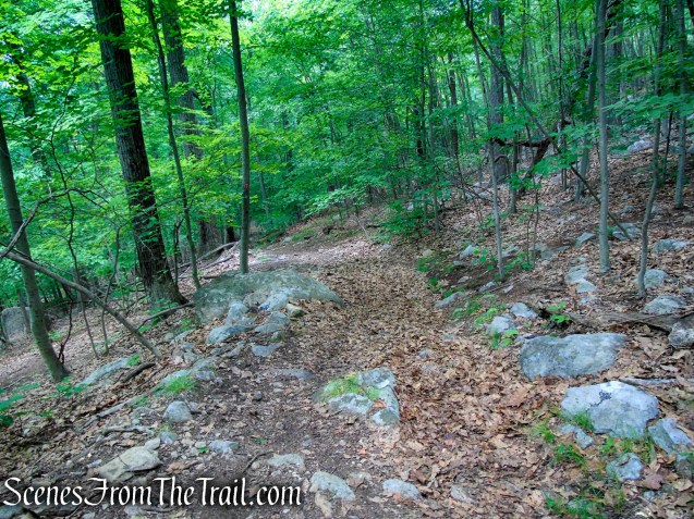
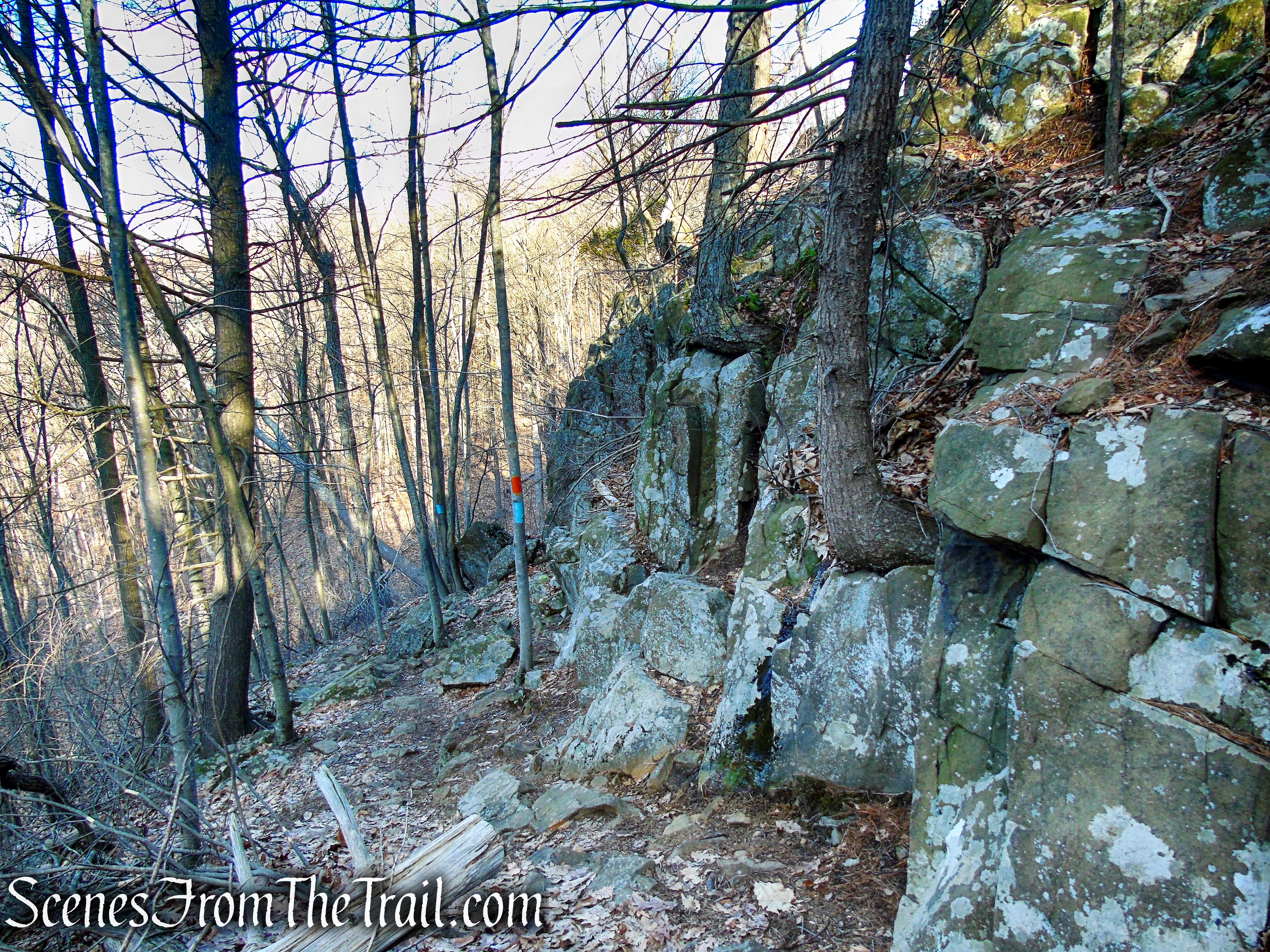
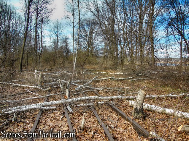
Once above the culvert, turn right and follow the train tracks. You may see some fallen Birch trees laying across the tracks. Proceed ahead and you will pick up the trail a short distance later.
Tidal Marsh Trail – North Haven
Tidal Marsh Trail – North Haven
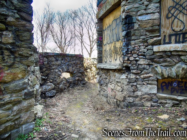
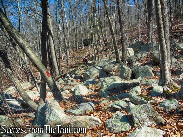
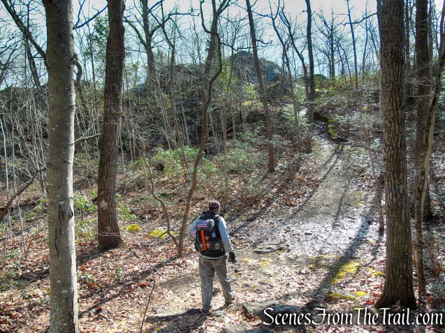
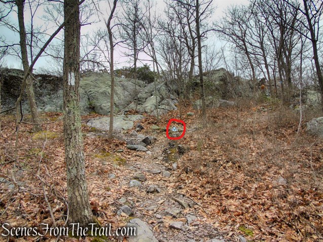
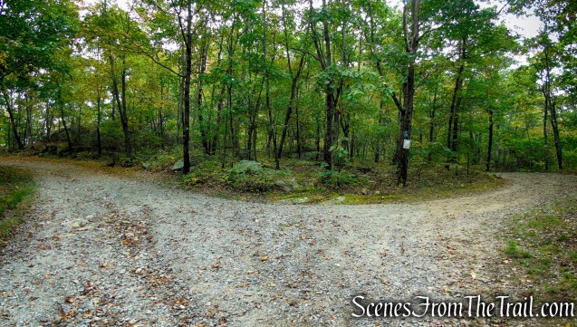
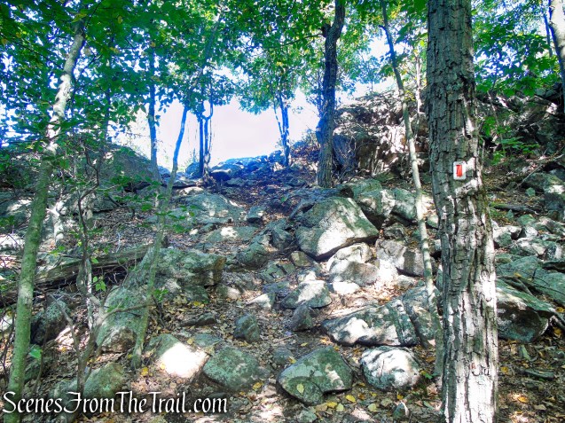
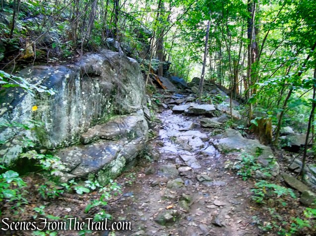
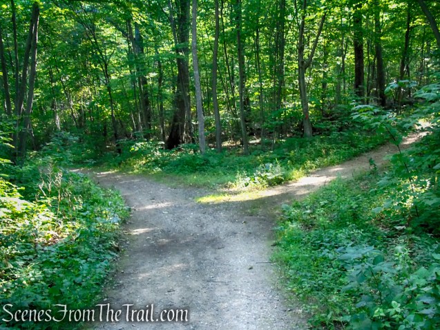
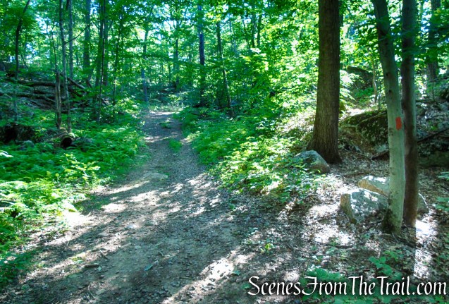
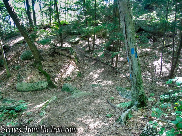
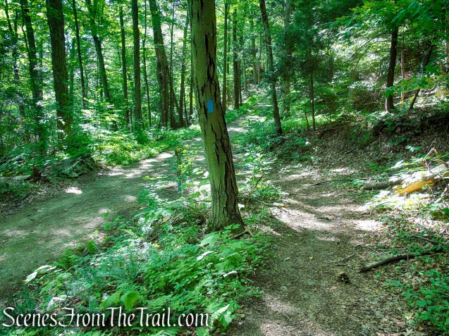
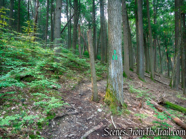
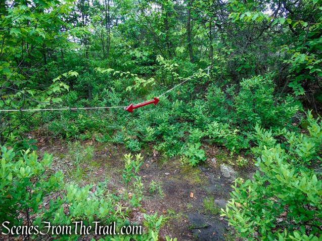
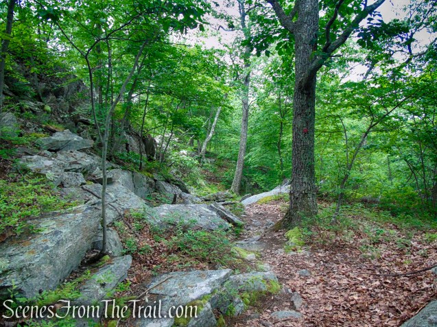
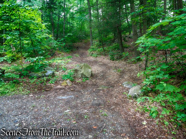
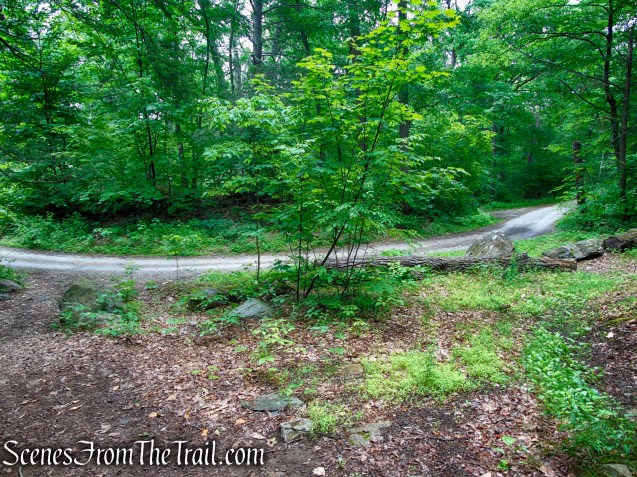
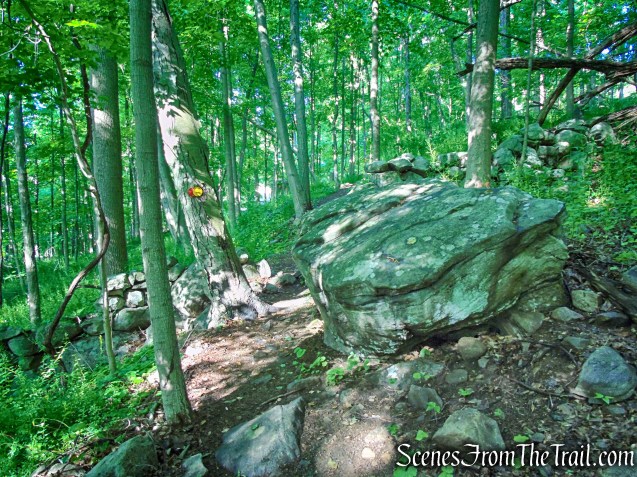
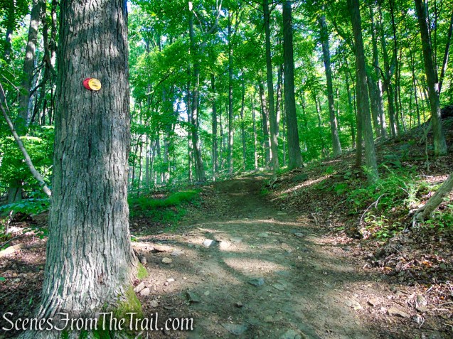
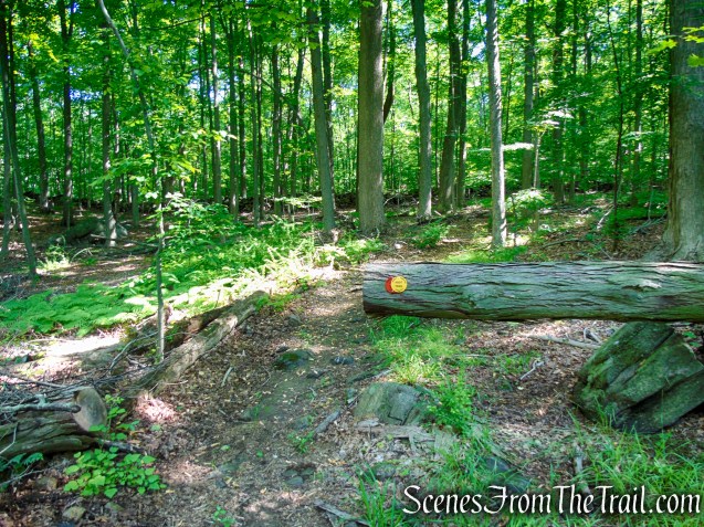
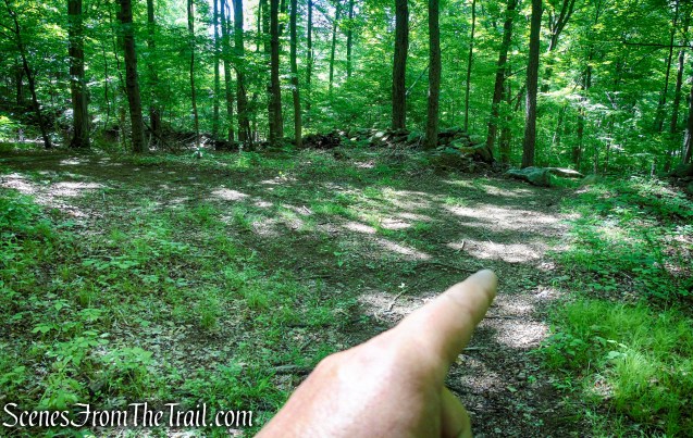
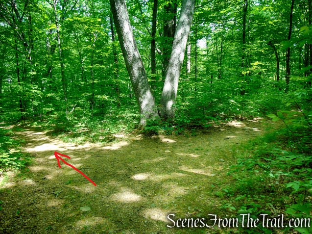
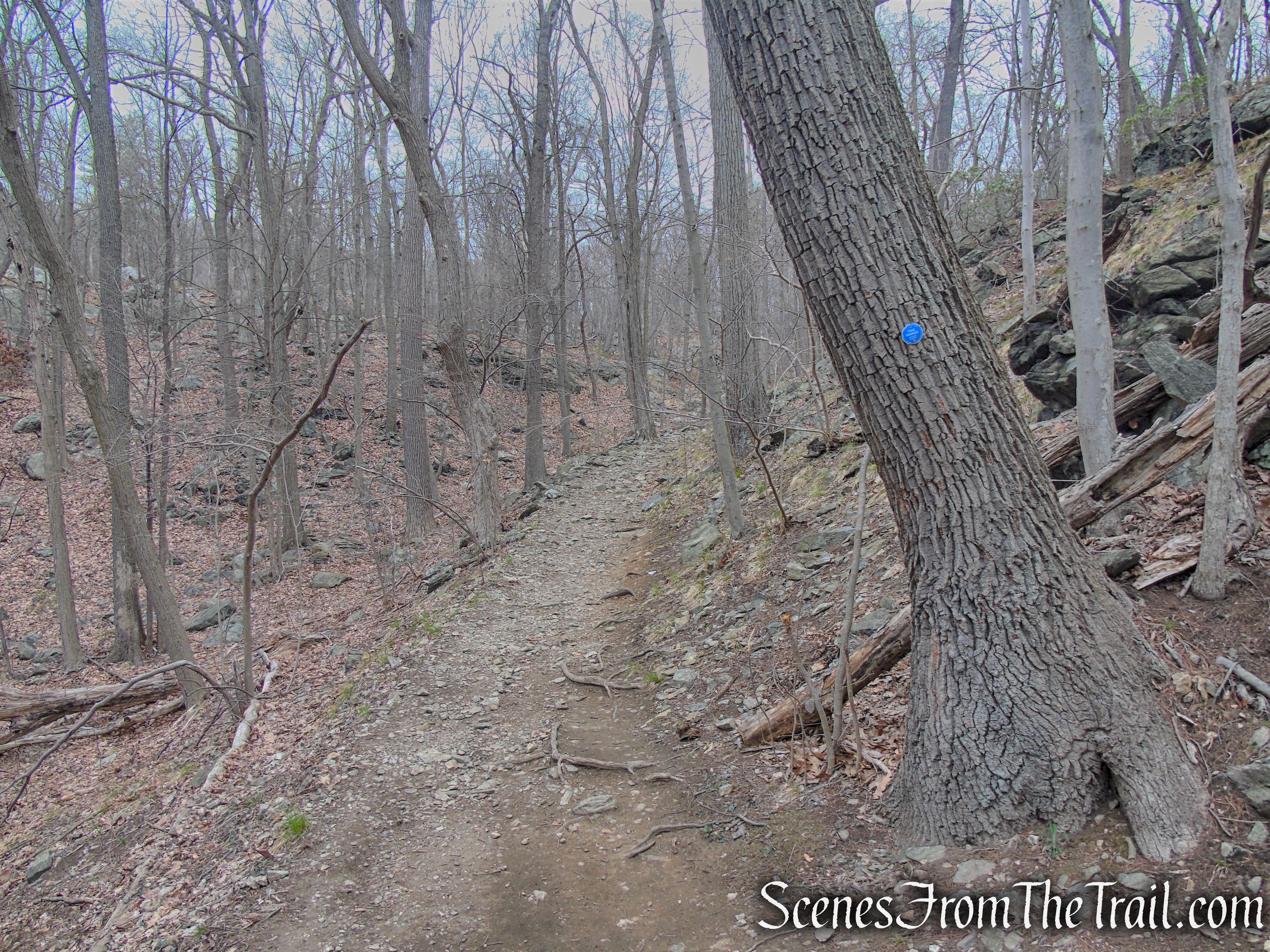
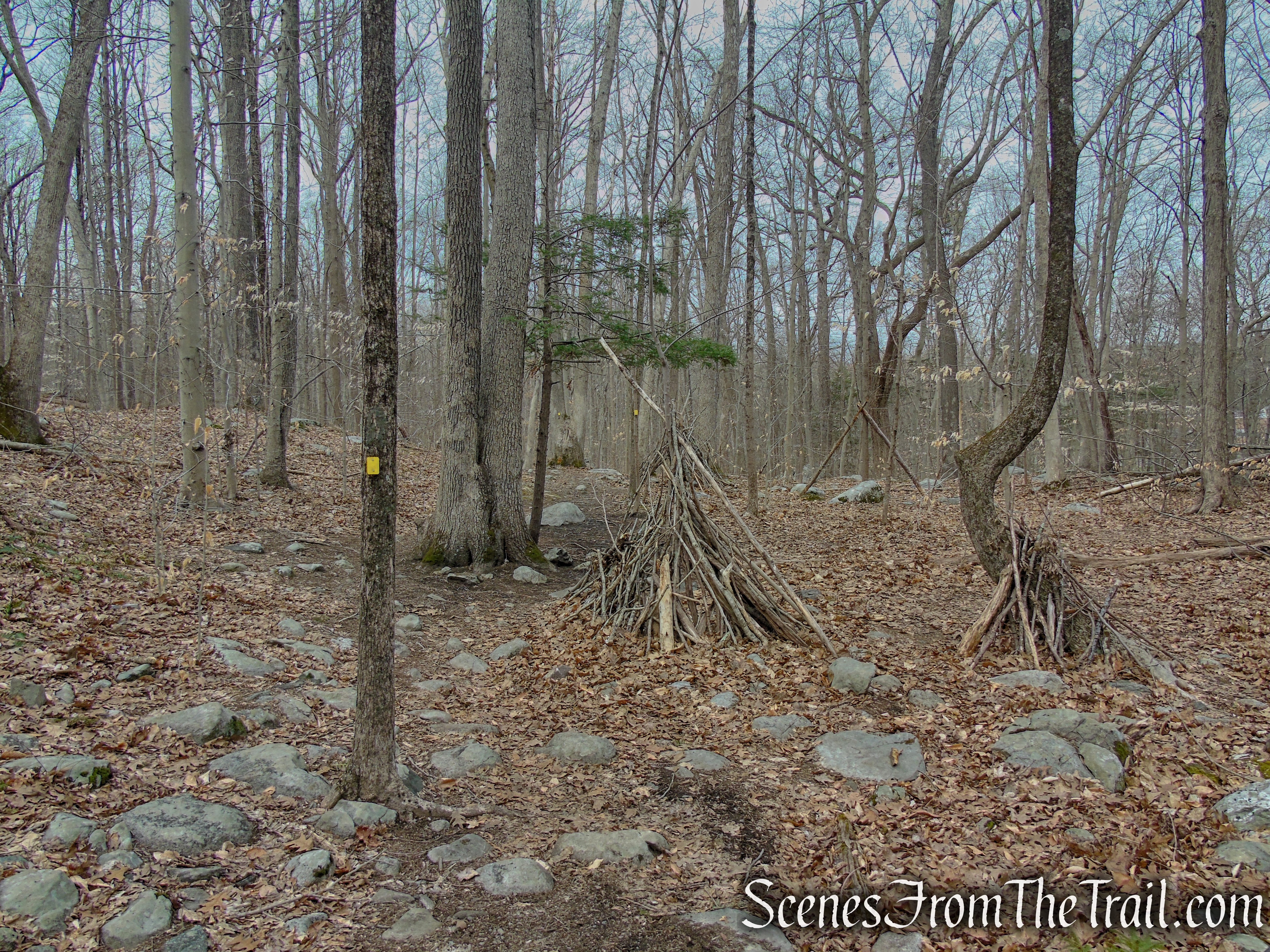
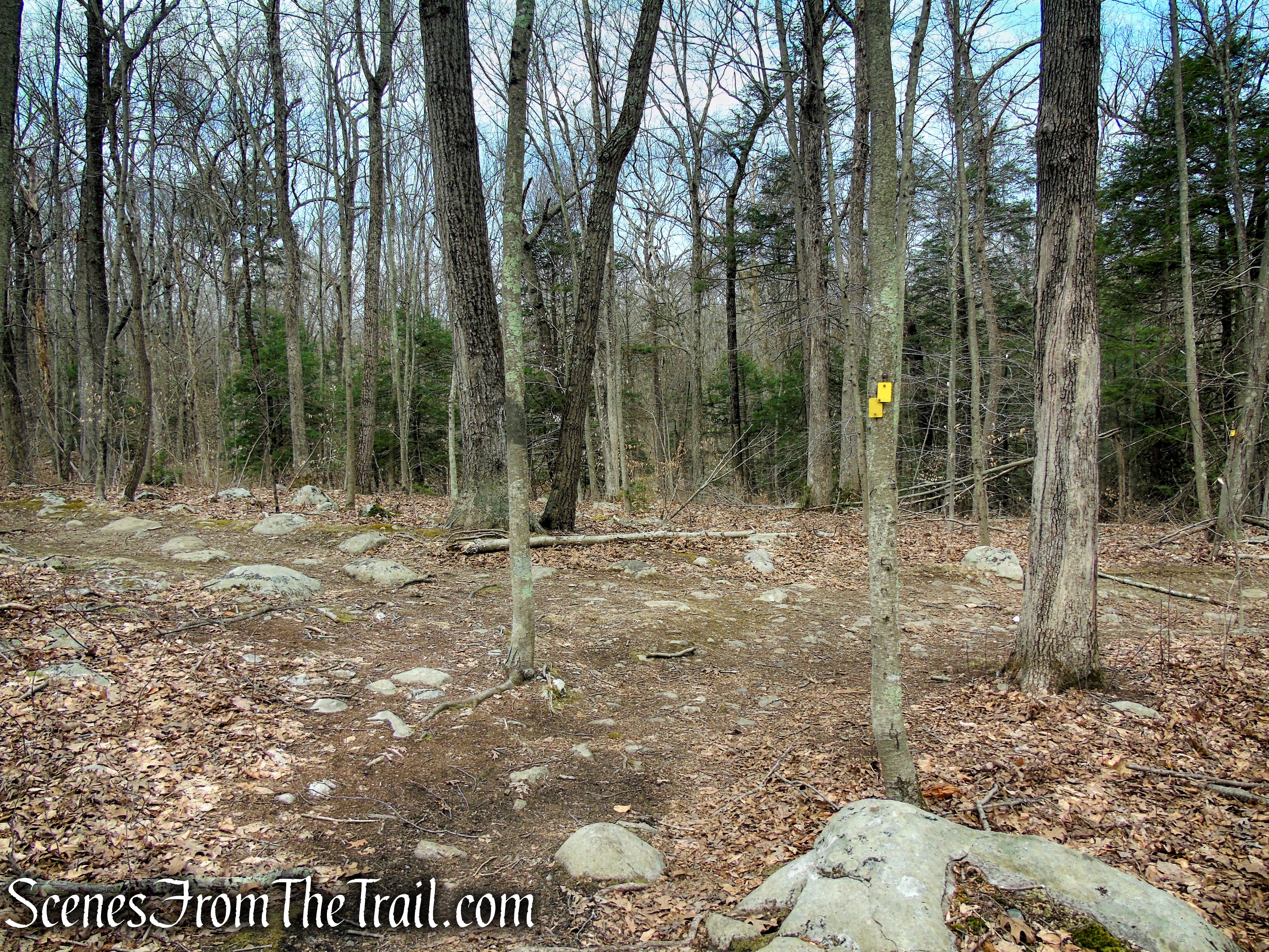
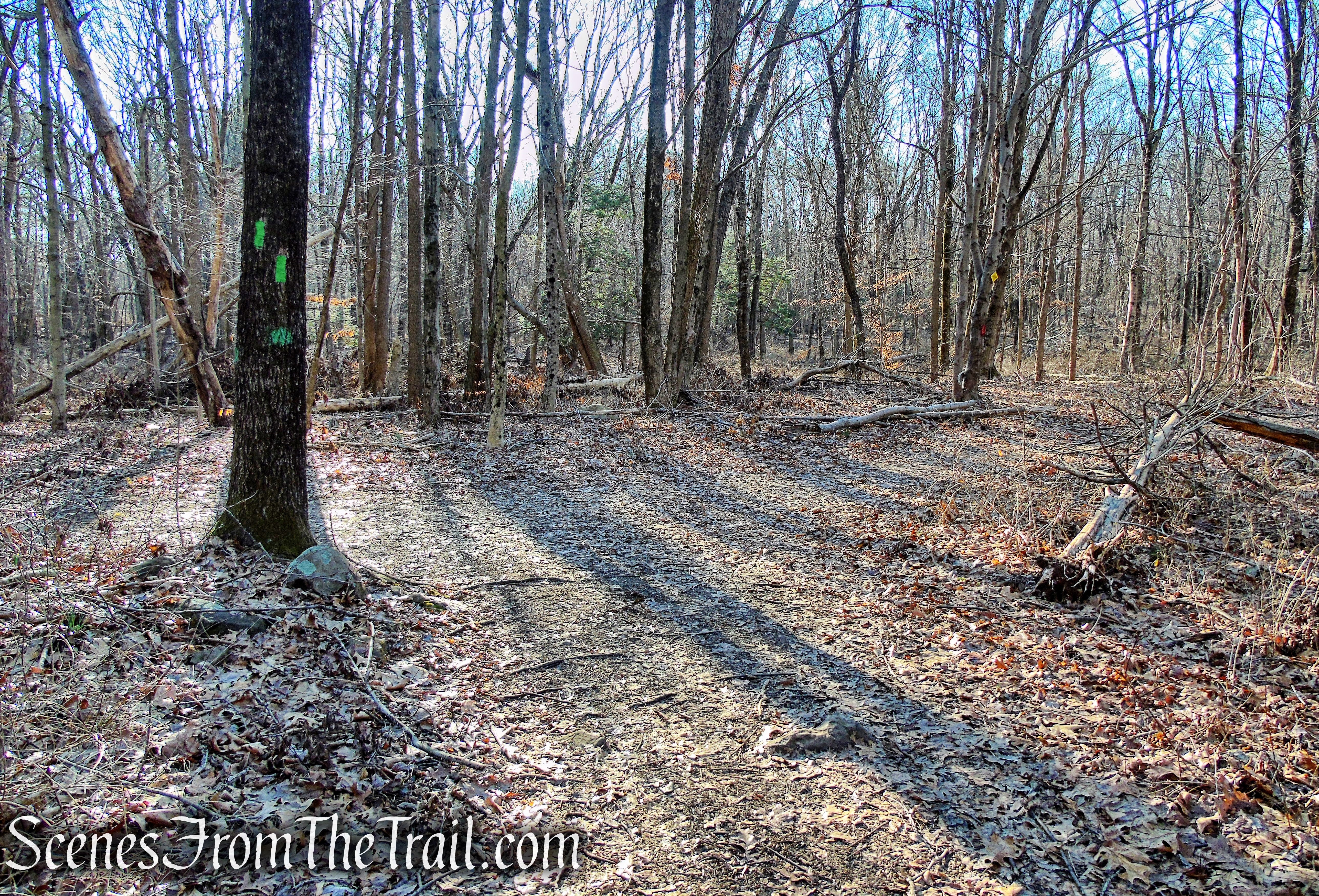
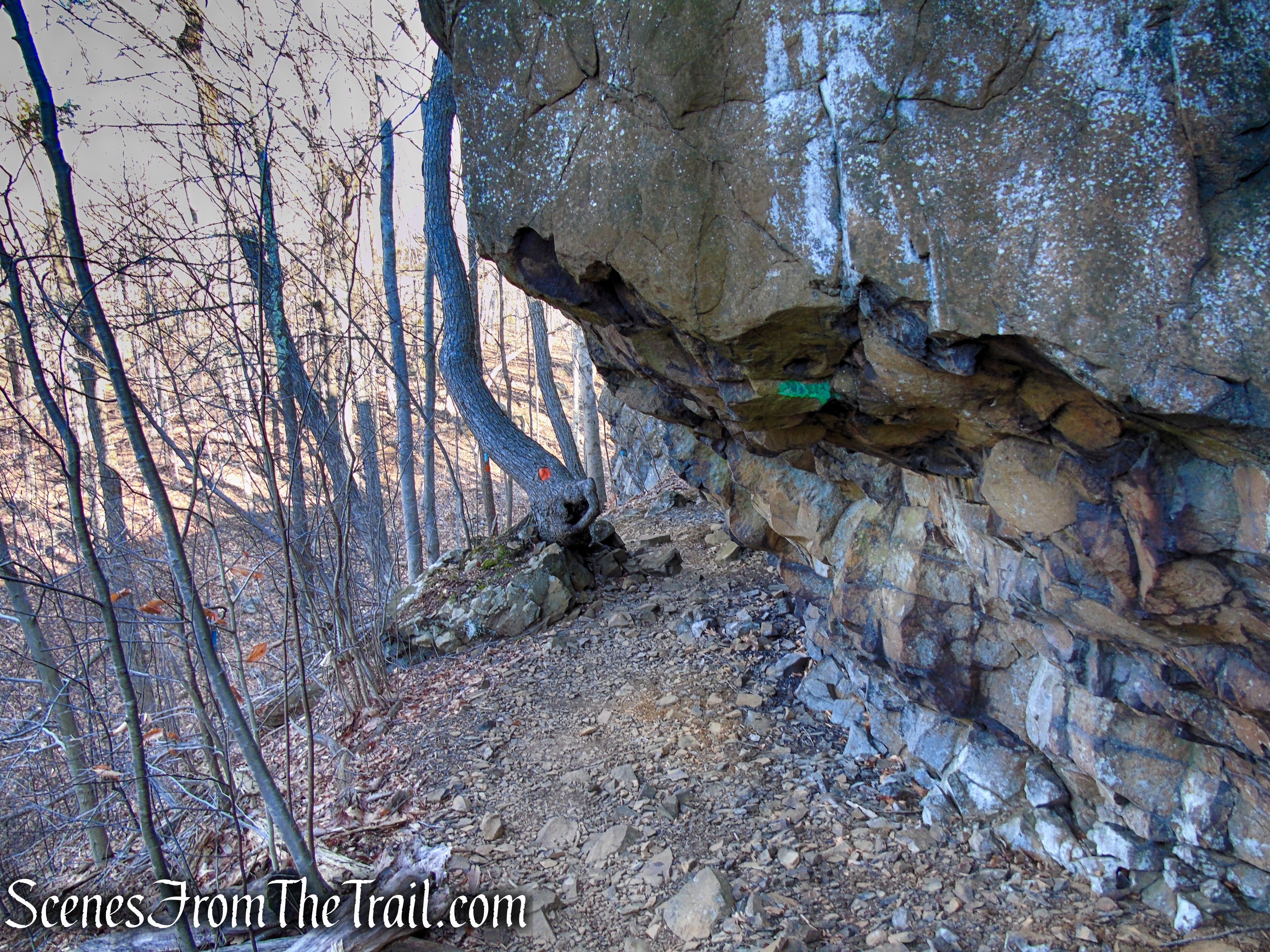
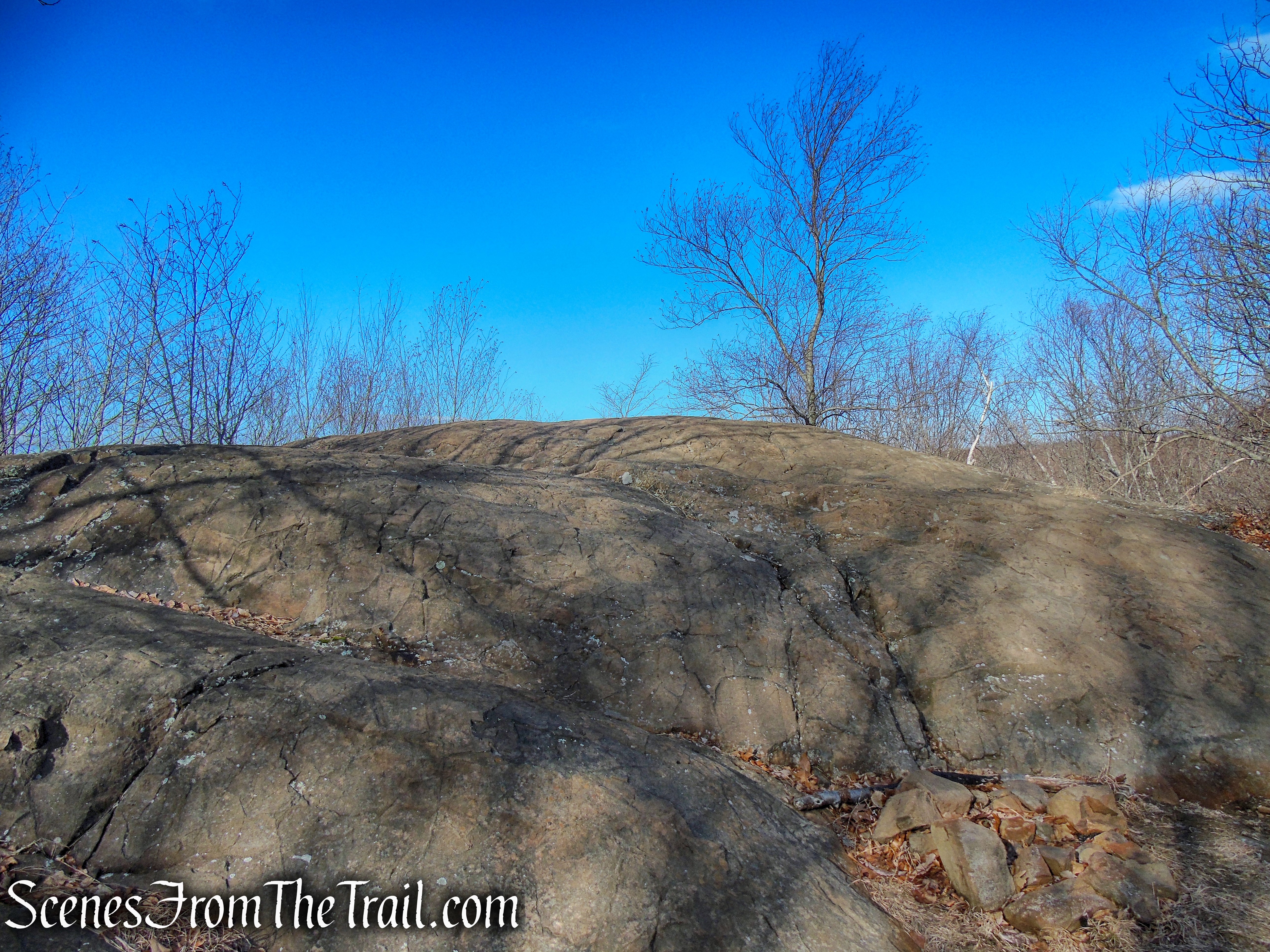
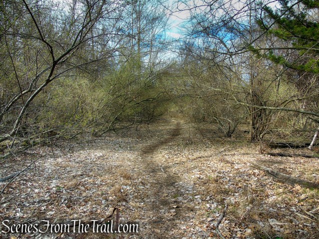
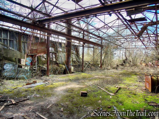
There are no visible blazes in this area, but continue southwest along the well beaten path. When the trail splits, taking the left fork will take you directly to the Polar Bear sculpture. We did not know that at the time so we stayed right which led us to a paved area of the rail yard that was interesting to check out.
Tidal Marsh Trail – North Haven
Tidal Marsh Trail – North Haven
Tidal Marsh Trail – North Haven
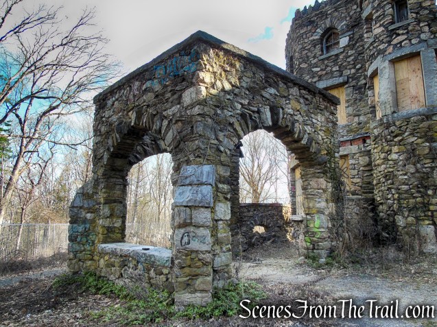
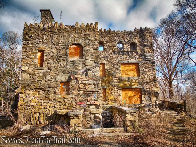
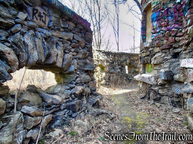
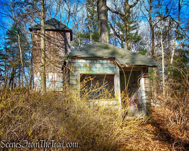
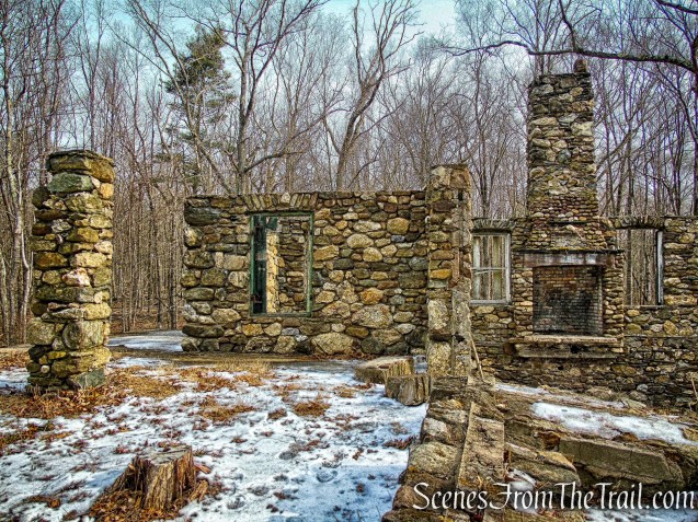
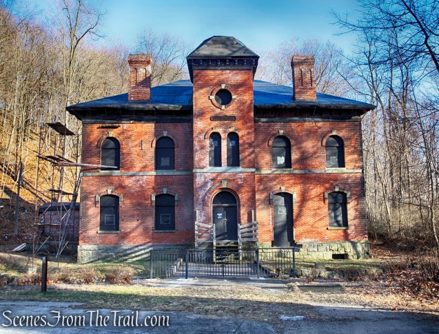
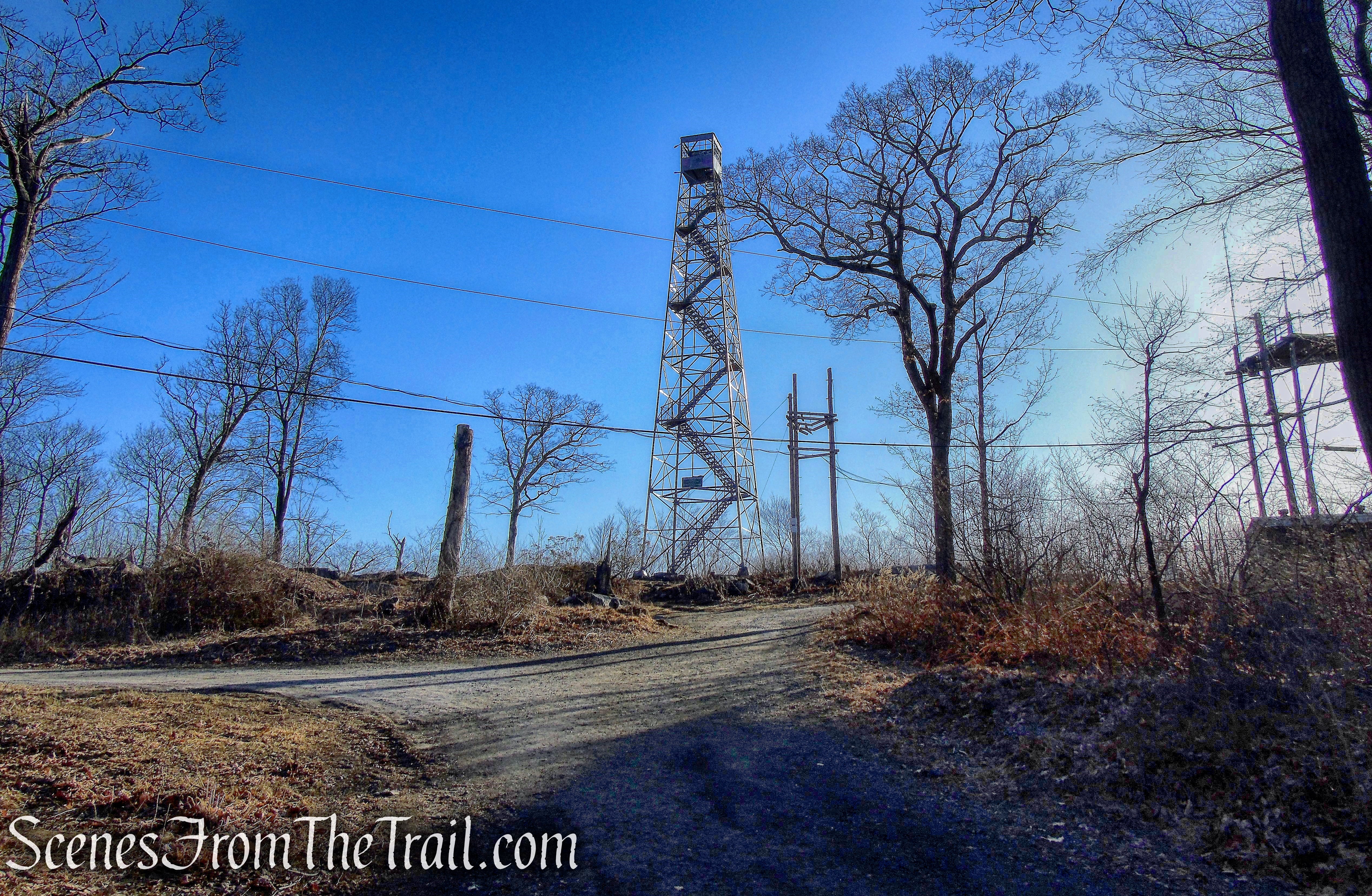
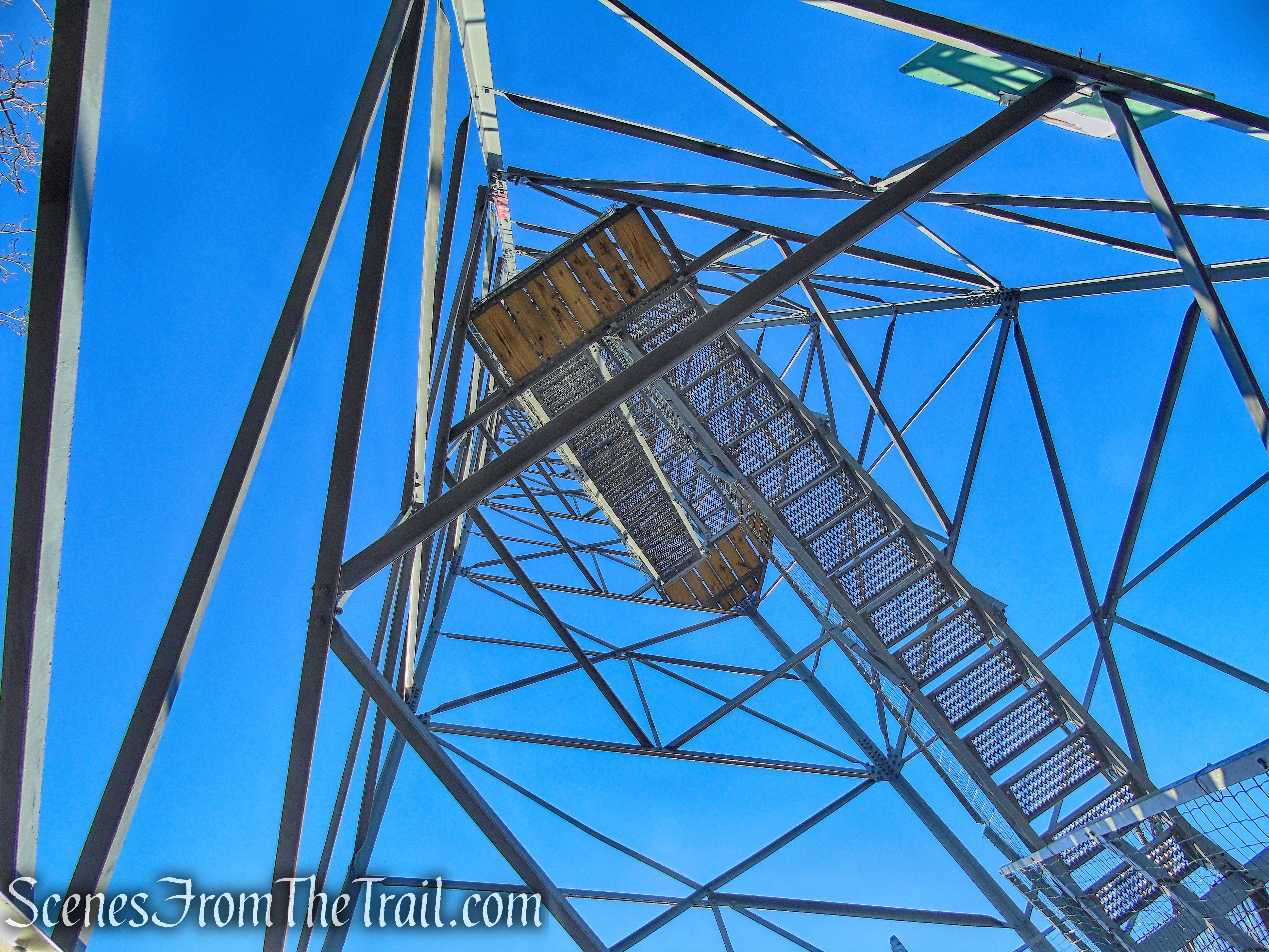
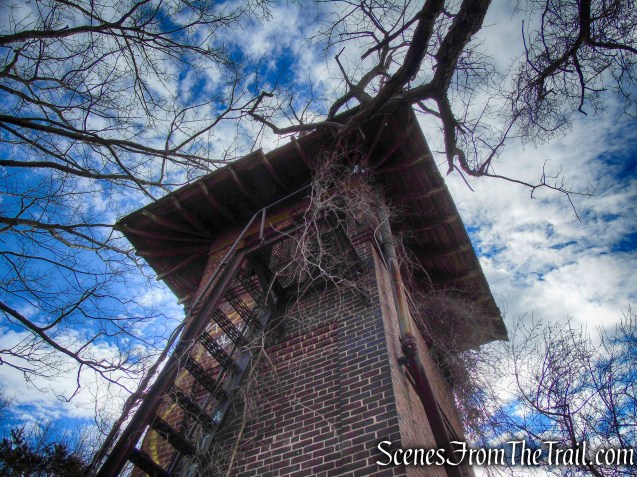
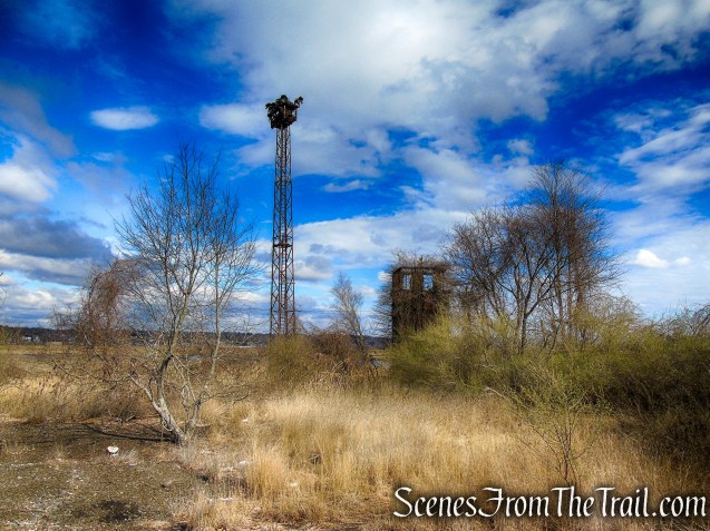
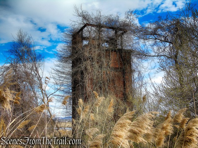
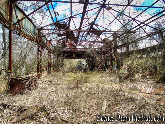
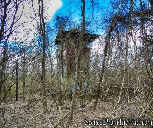
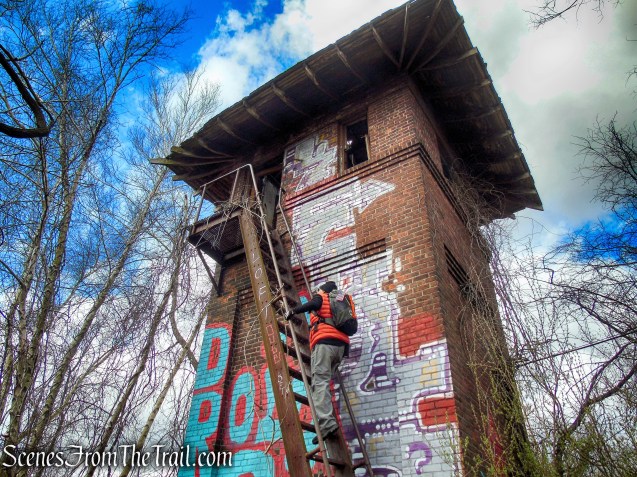
An old abandoned switch tower, that once guided trains into the Cedar Hill Rail Yard.
Tidal Marsh Trail – North Haven

Tidal Marsh Trail – North Haven
Tidal Marsh Trail – North Haven
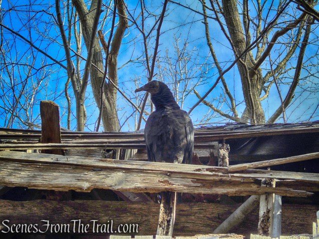
The old light towers now serve as nests for raptors.
Tidal Marsh Trail – North Haven
Tidal Marsh Trail – North Haven
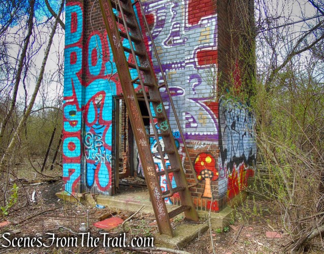
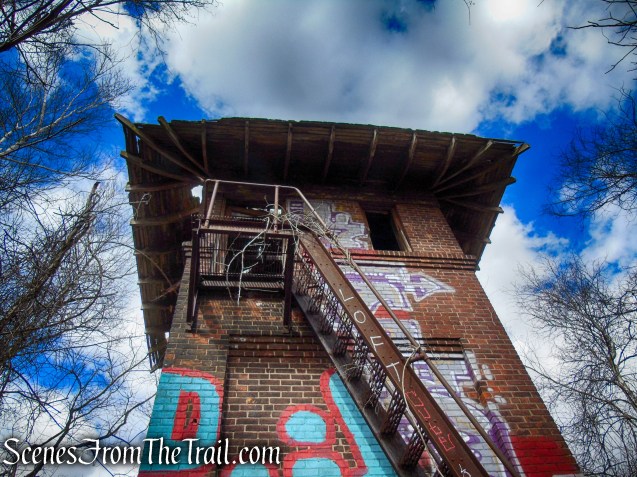
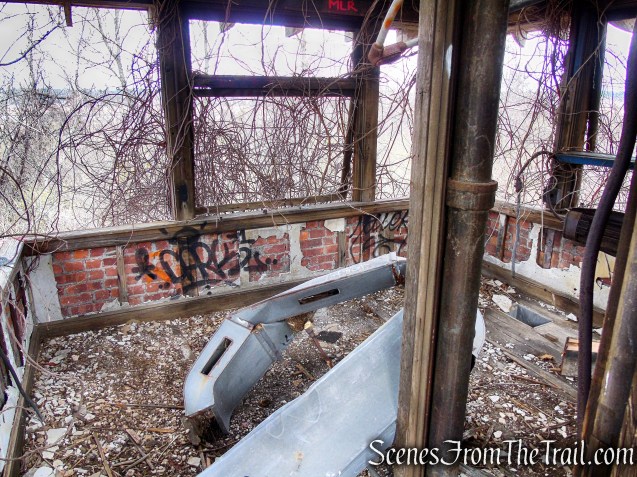
A roofless switch tower.
Tidal Marsh Trail – North Haven
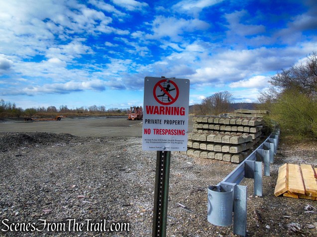
Classification Yard.
Tidal Marsh Trail – North Haven
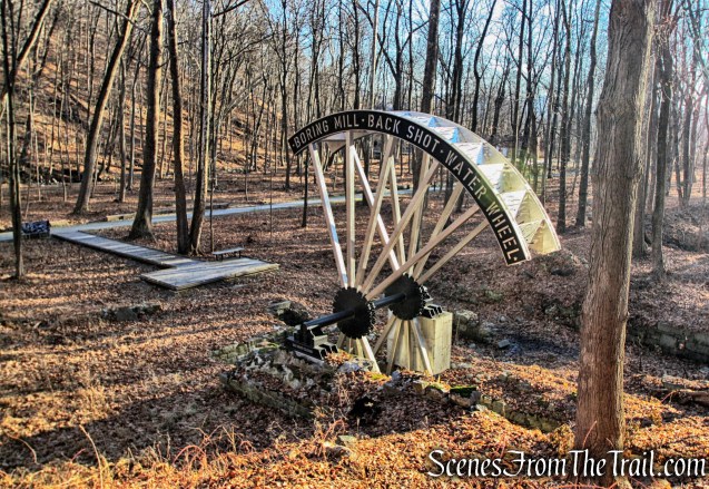
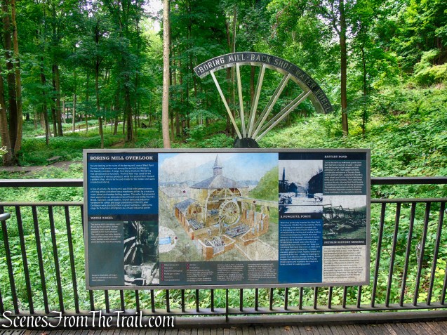
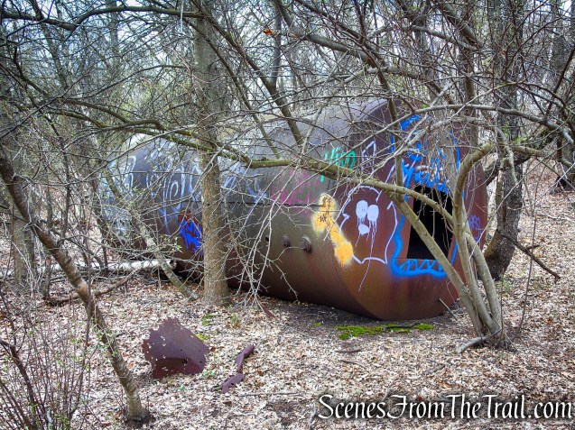
Heavy machinery for rail maintenance.
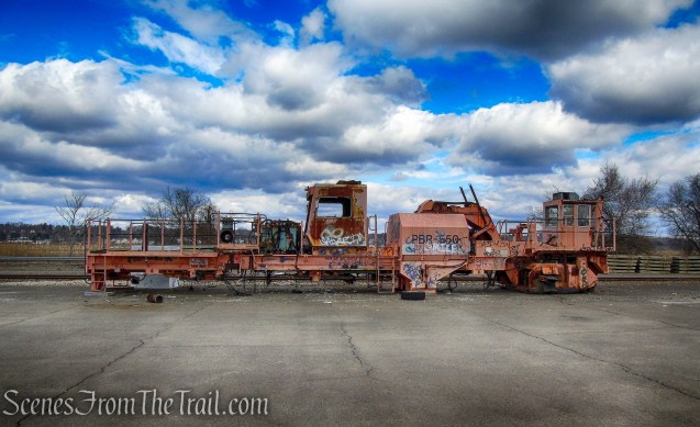
Cedar Hill Rail Yard
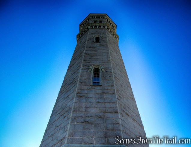
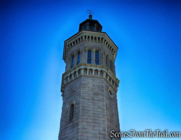
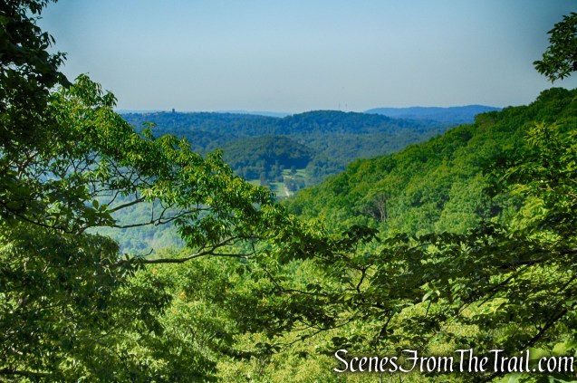
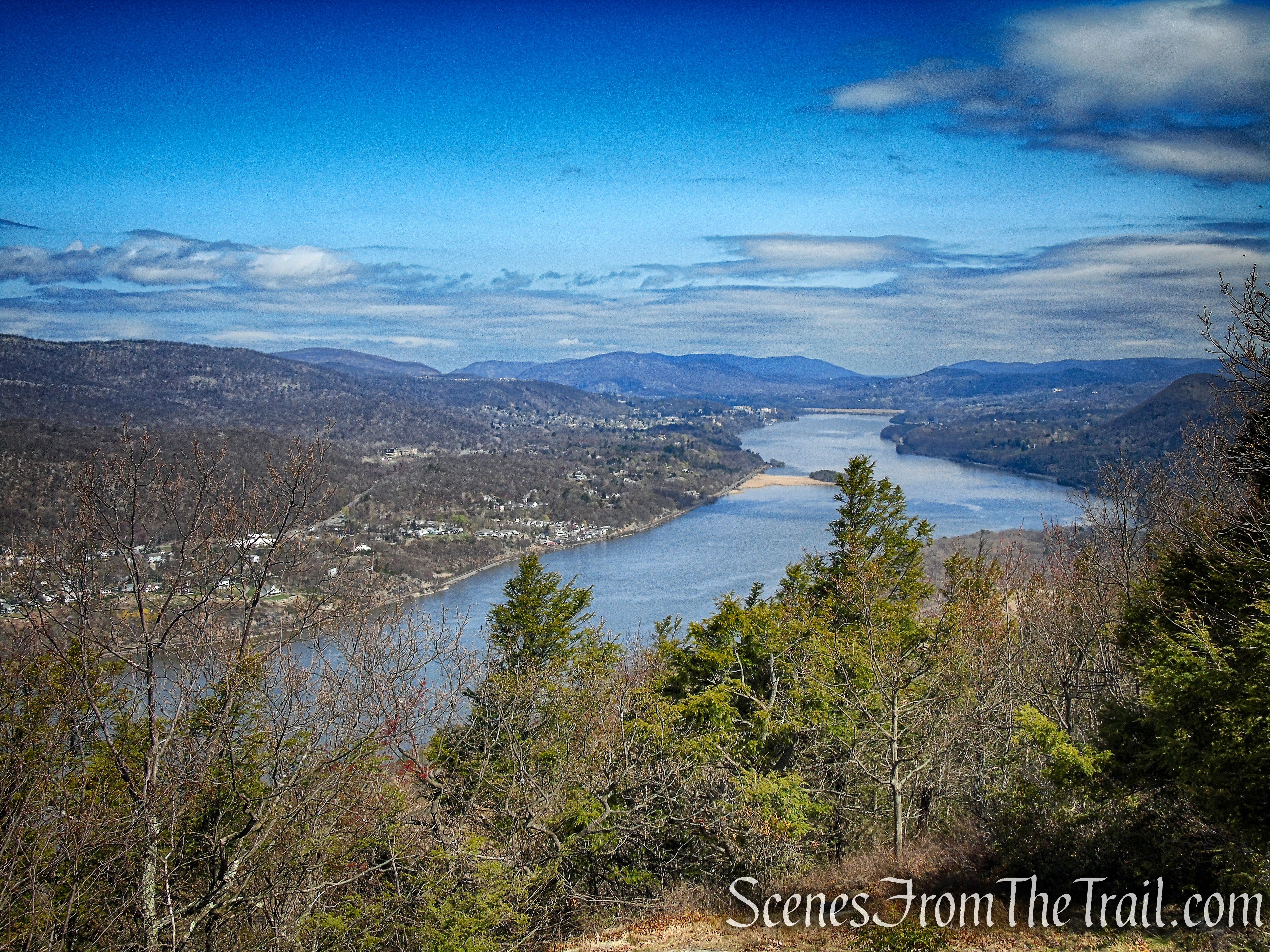
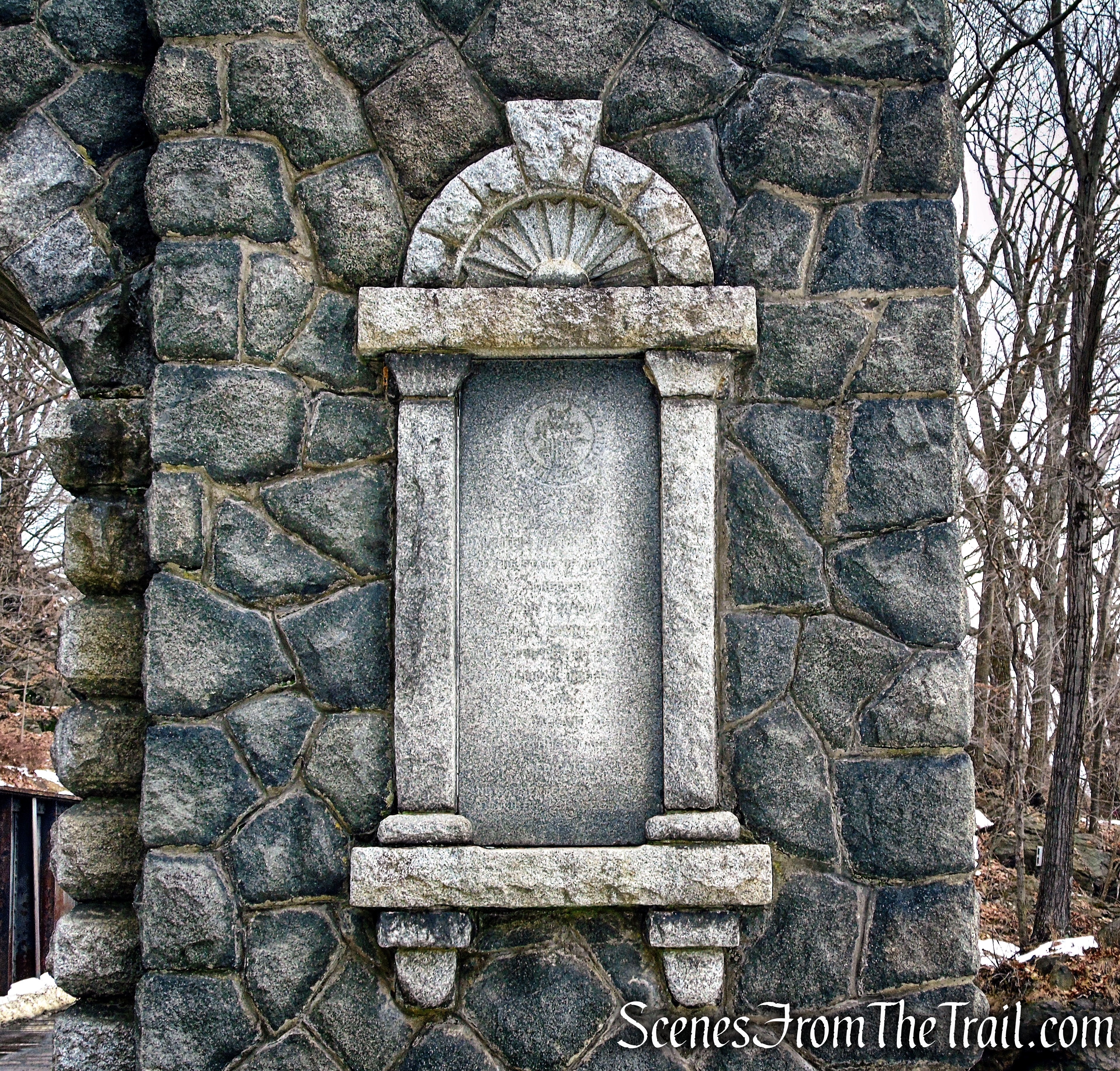
The 110-foot tall Soldiers’ and Sailors’ Monument high above New Haven, is visible for miles on a clear day. The monument, at the summit of East Rock Park, was dedicated in 1887 to honor soldiers and sailors who fought in the American Revolution, the War of 1812, the Mexican-American War and the Civil War.

Soldiers and Sailors Monument – East Rock Park
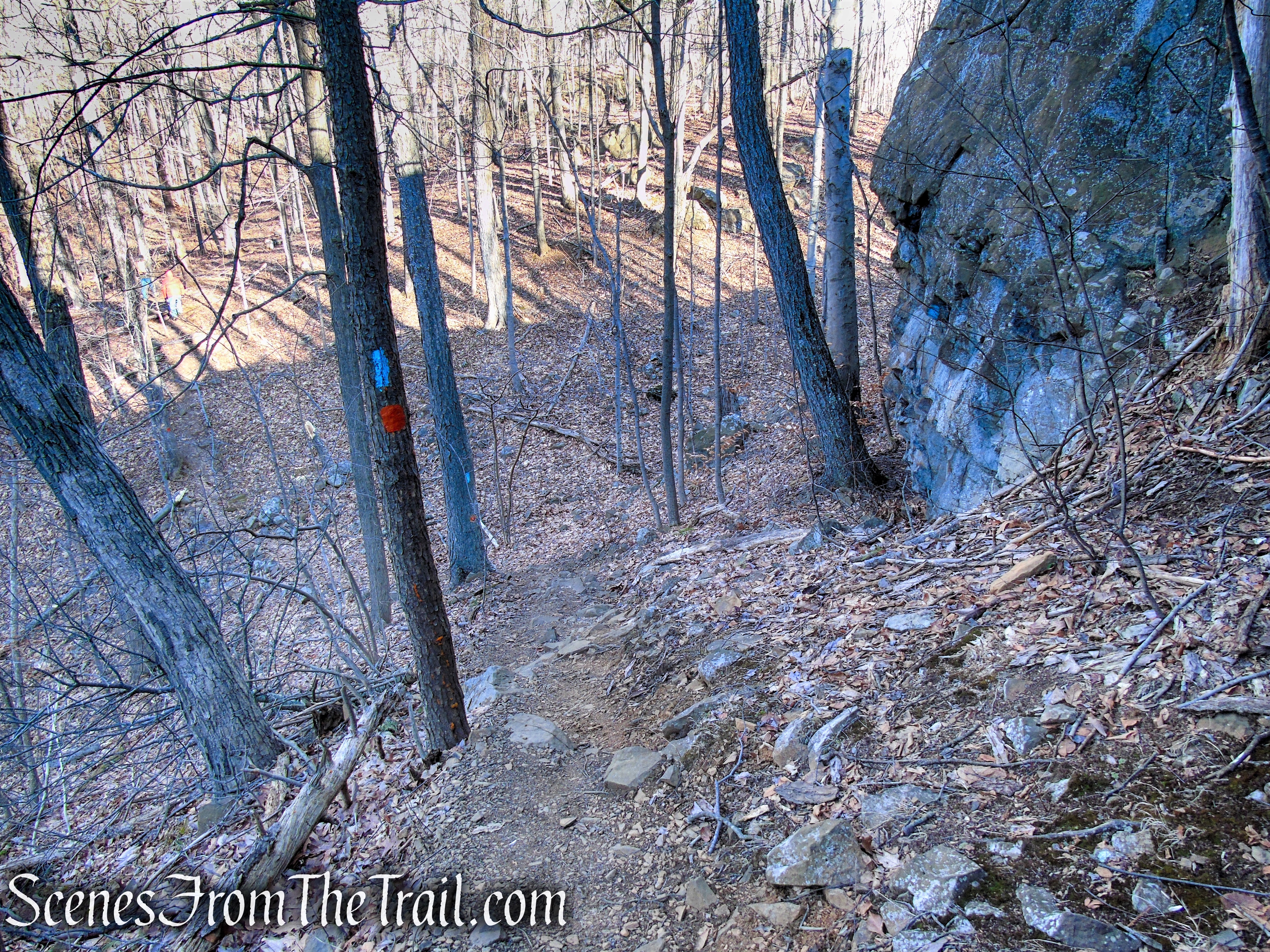
We took this unmarked path a short distance east until we hooked back up with the White Trail, where we turned right.
Tidal Marsh Trail – North Haven
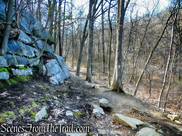
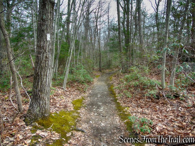
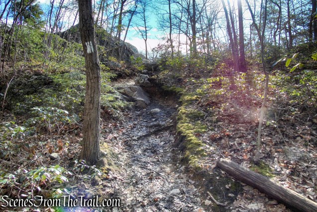
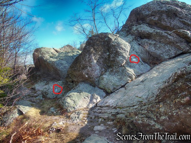
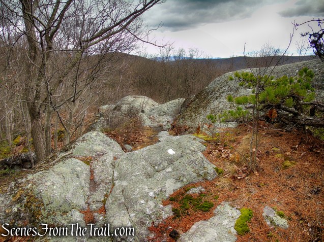
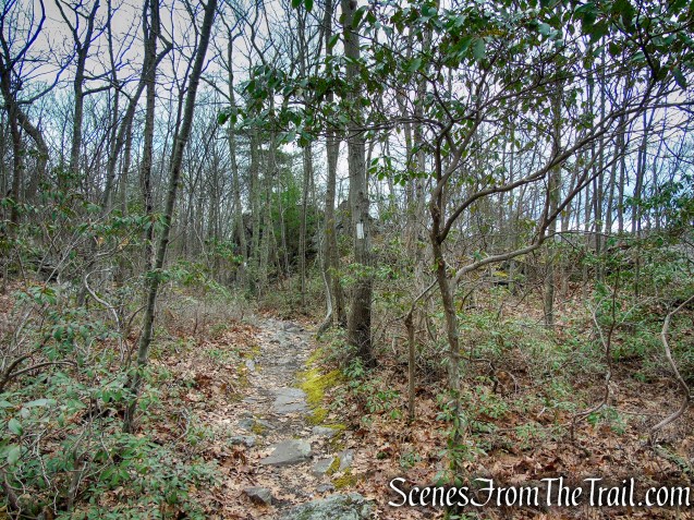
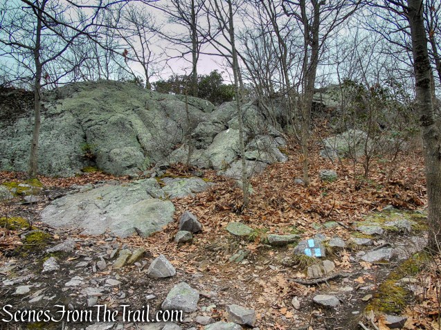
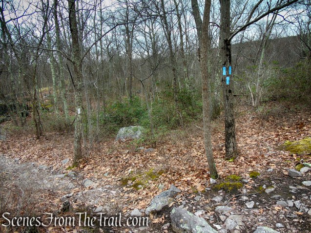
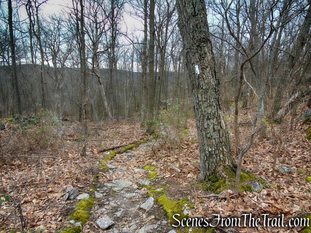
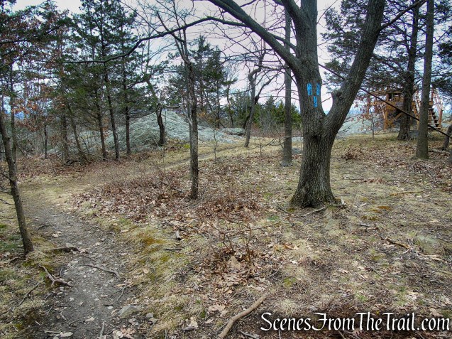
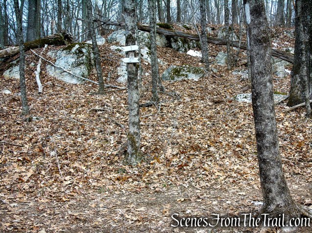
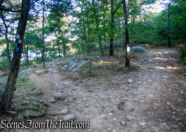
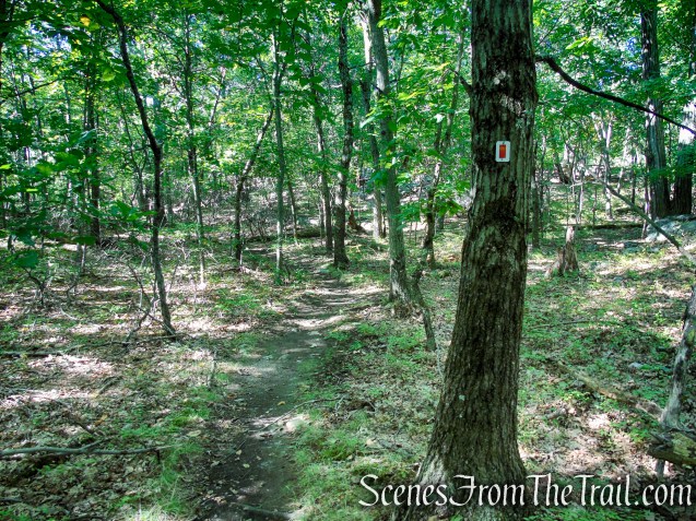
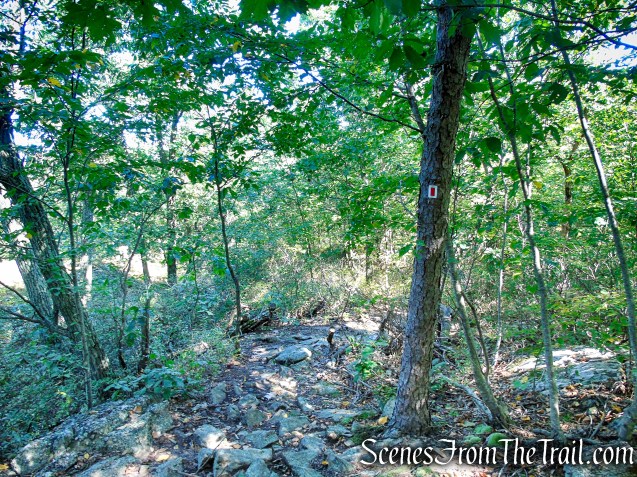
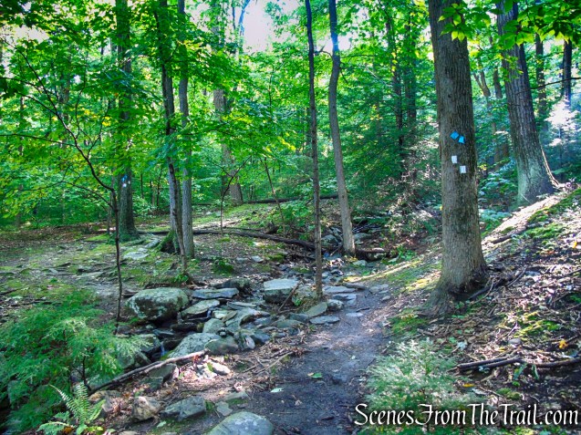
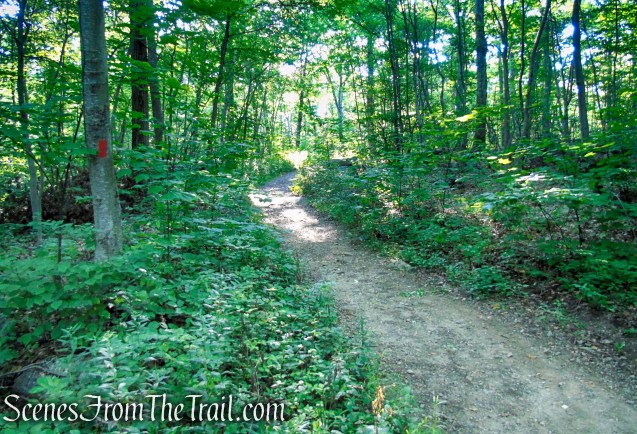
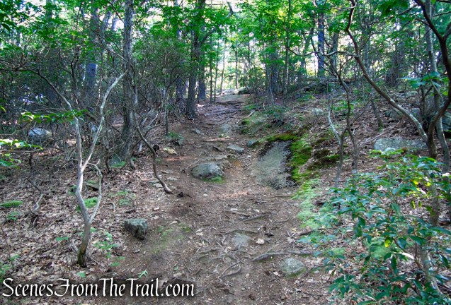
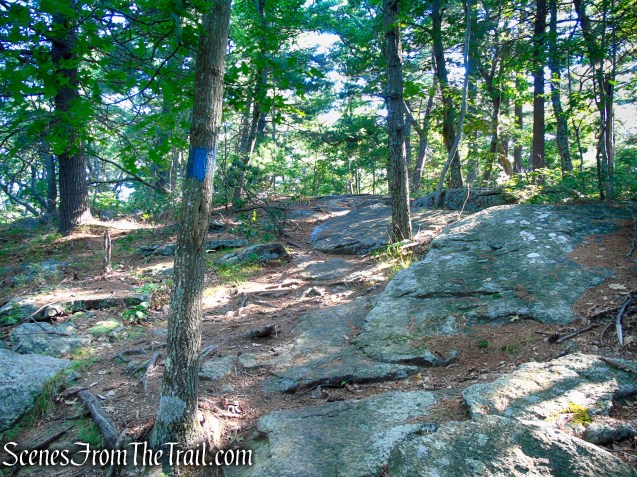
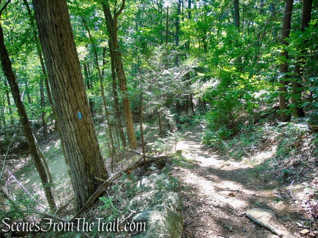
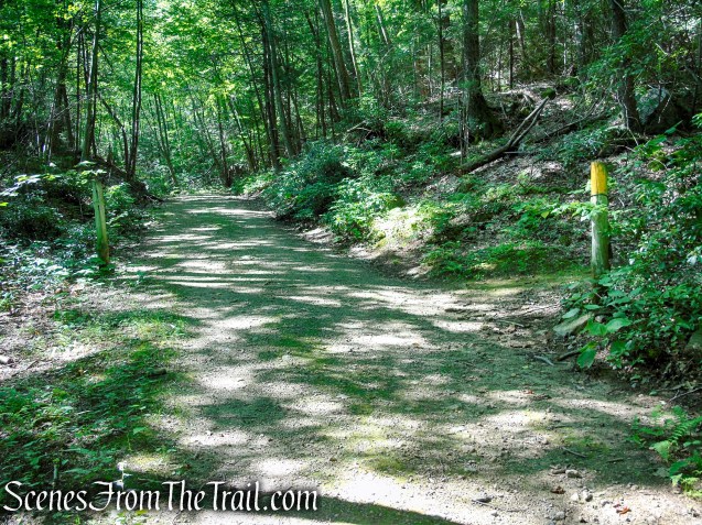
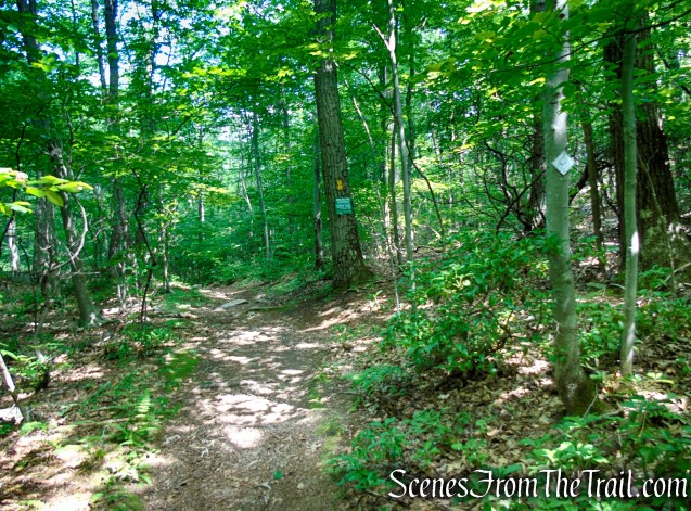
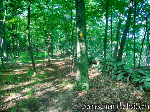
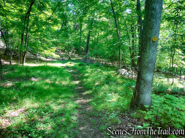
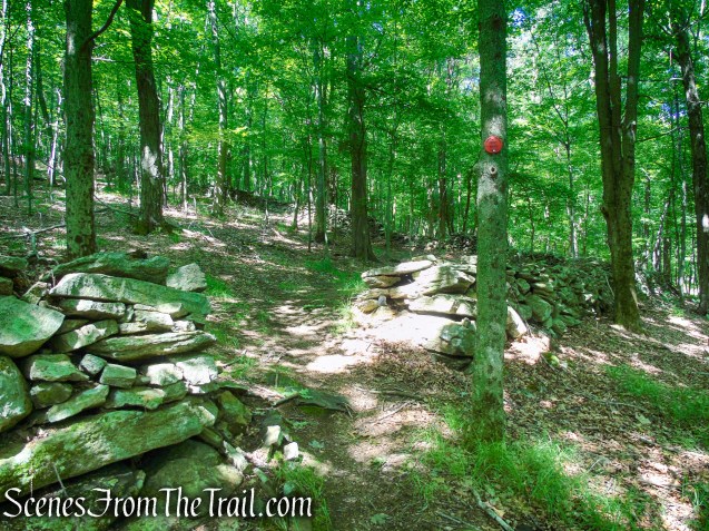
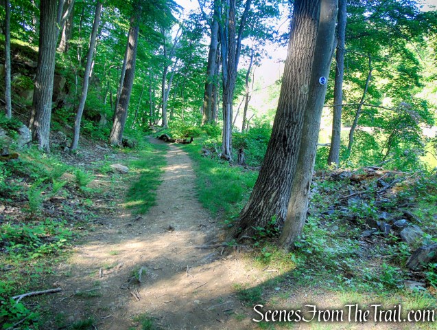
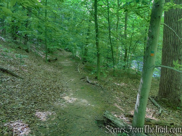
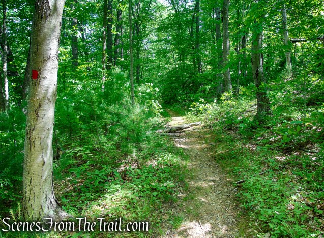
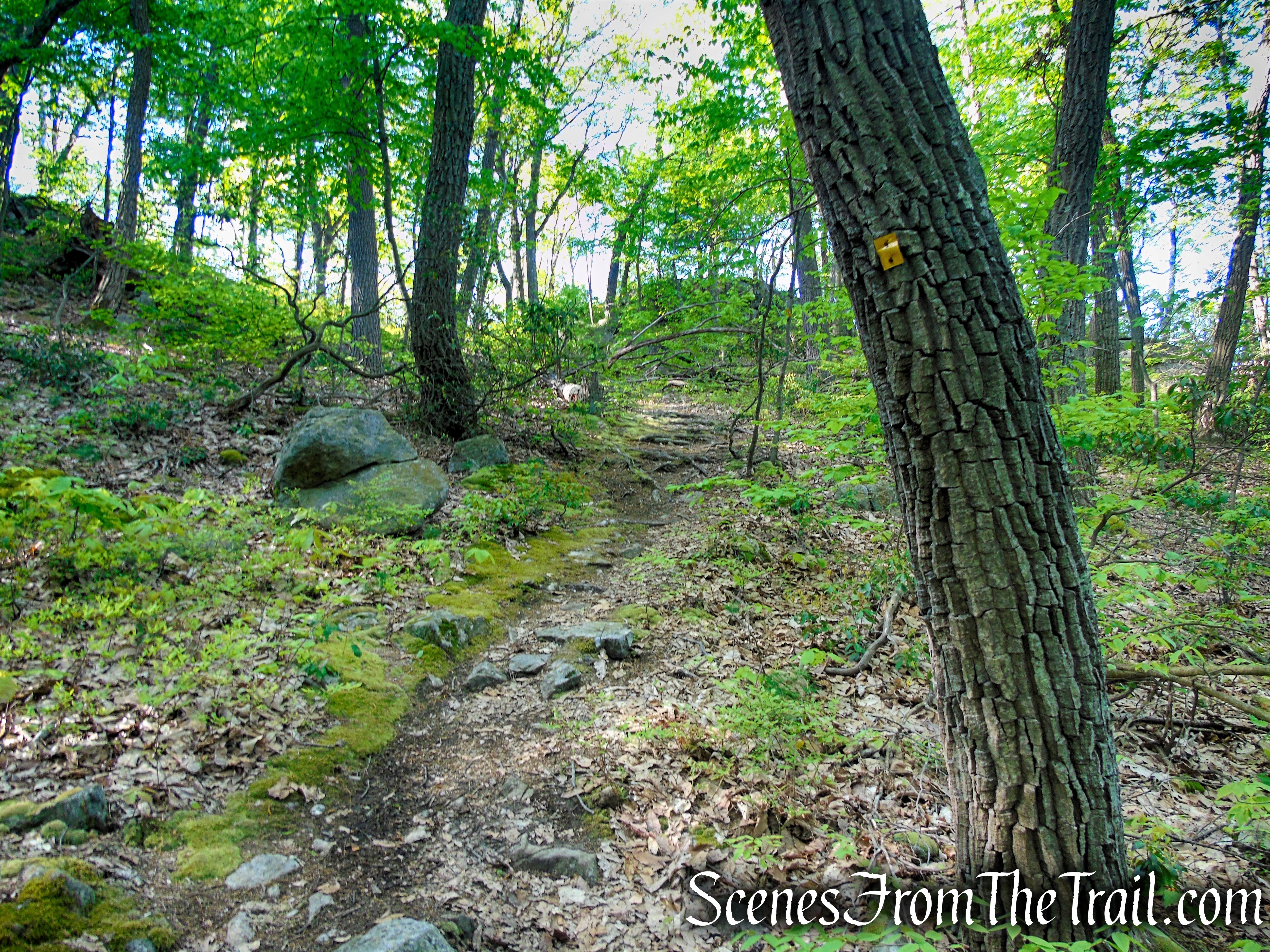
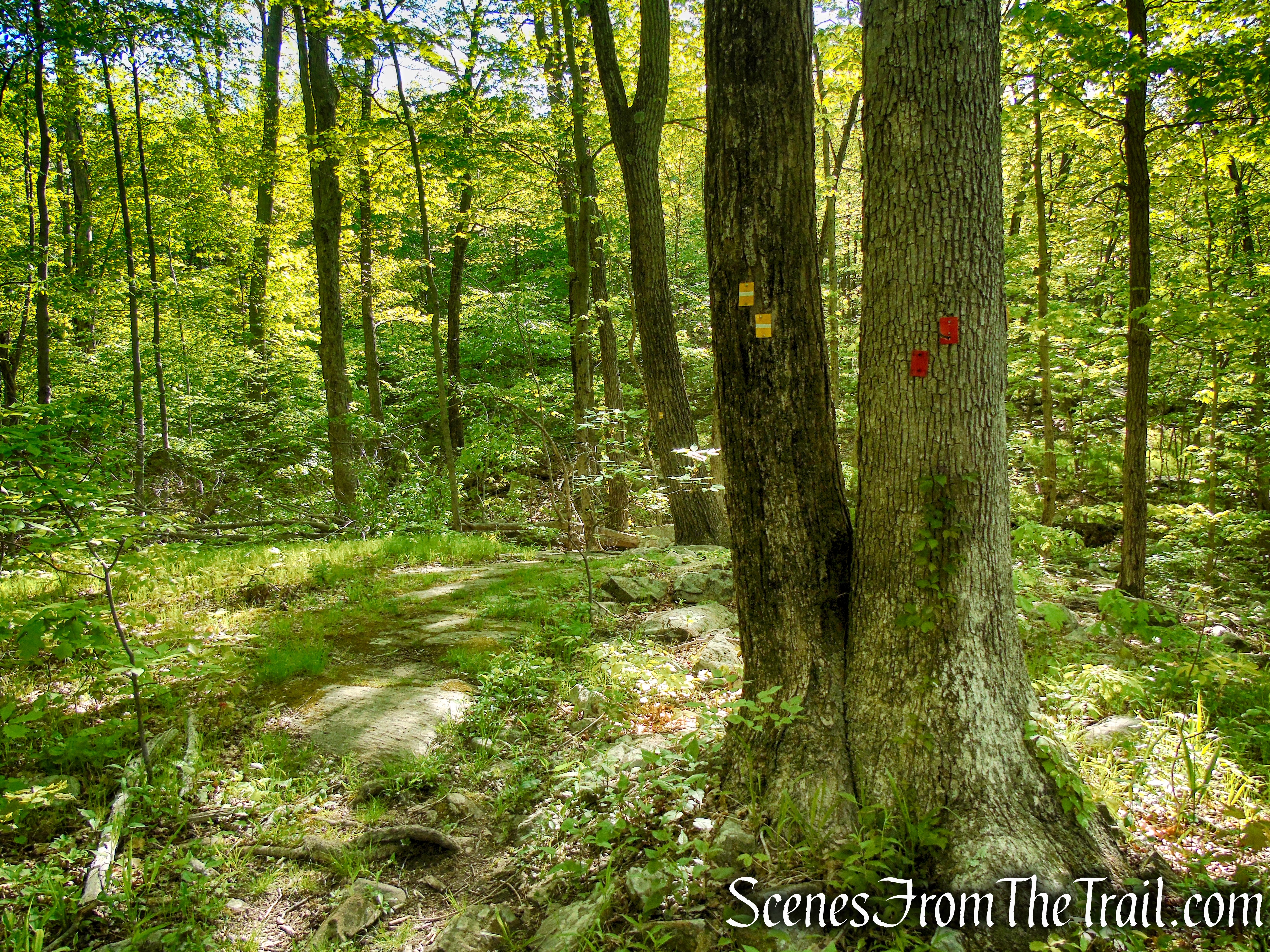
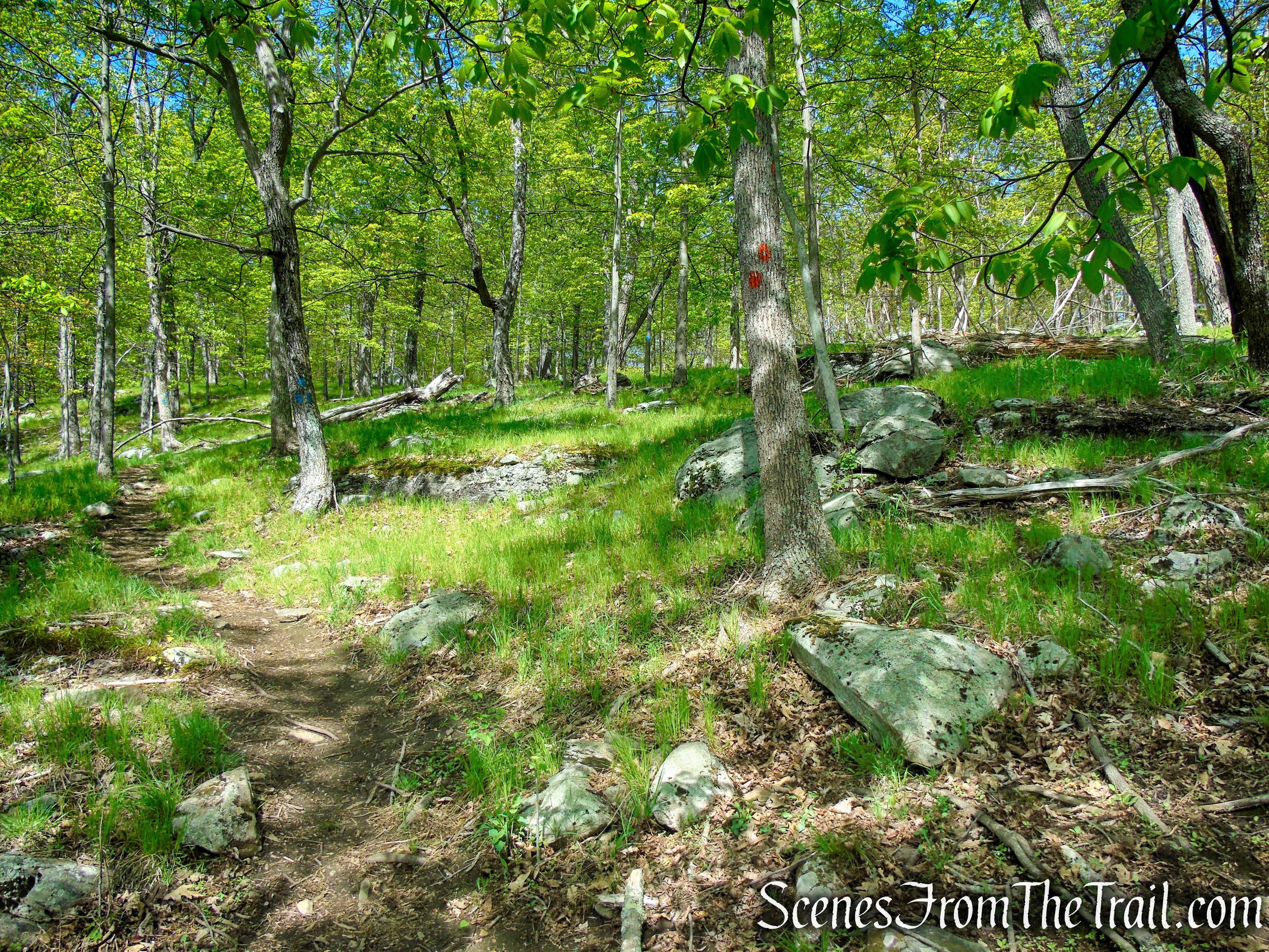
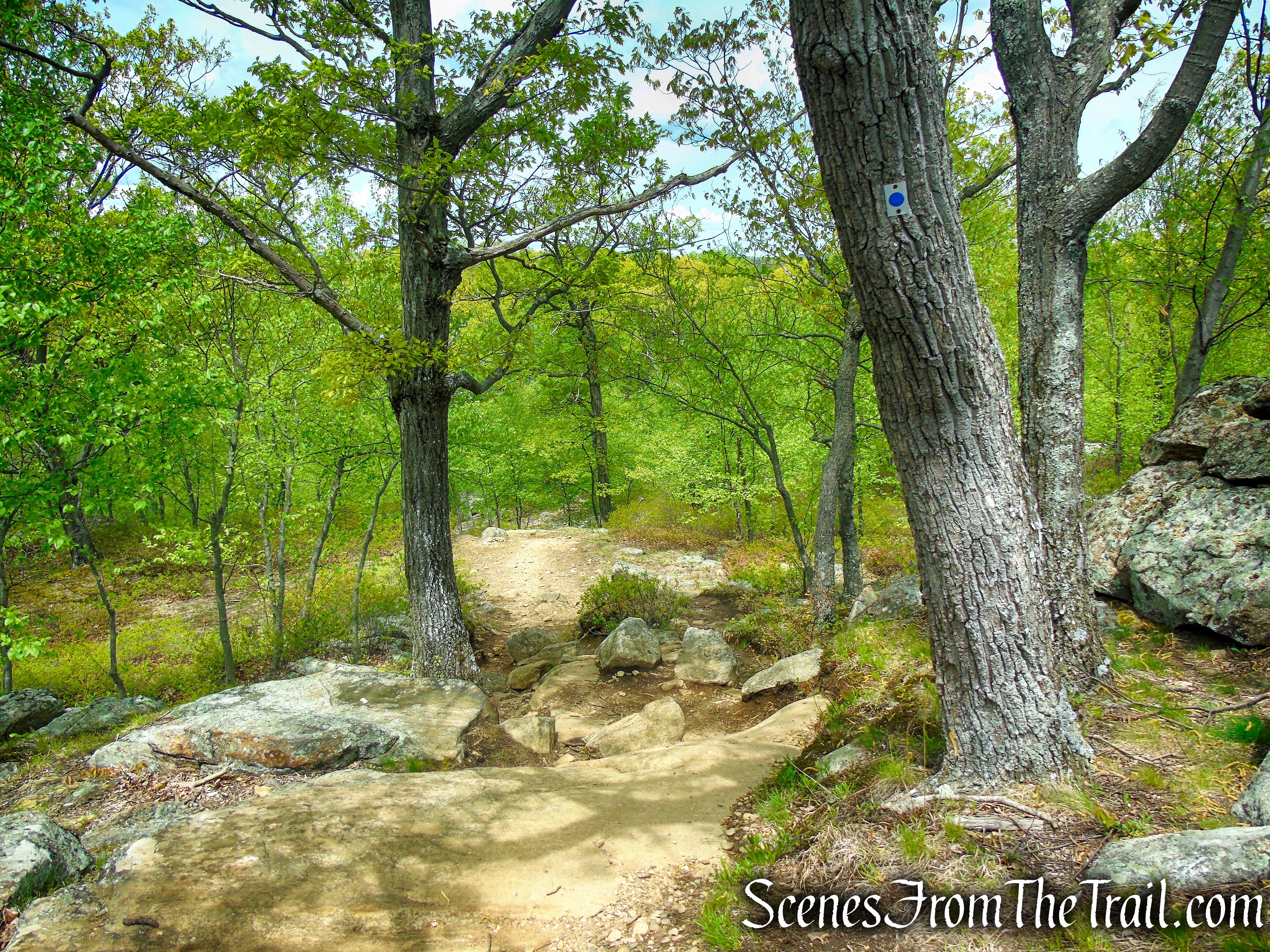
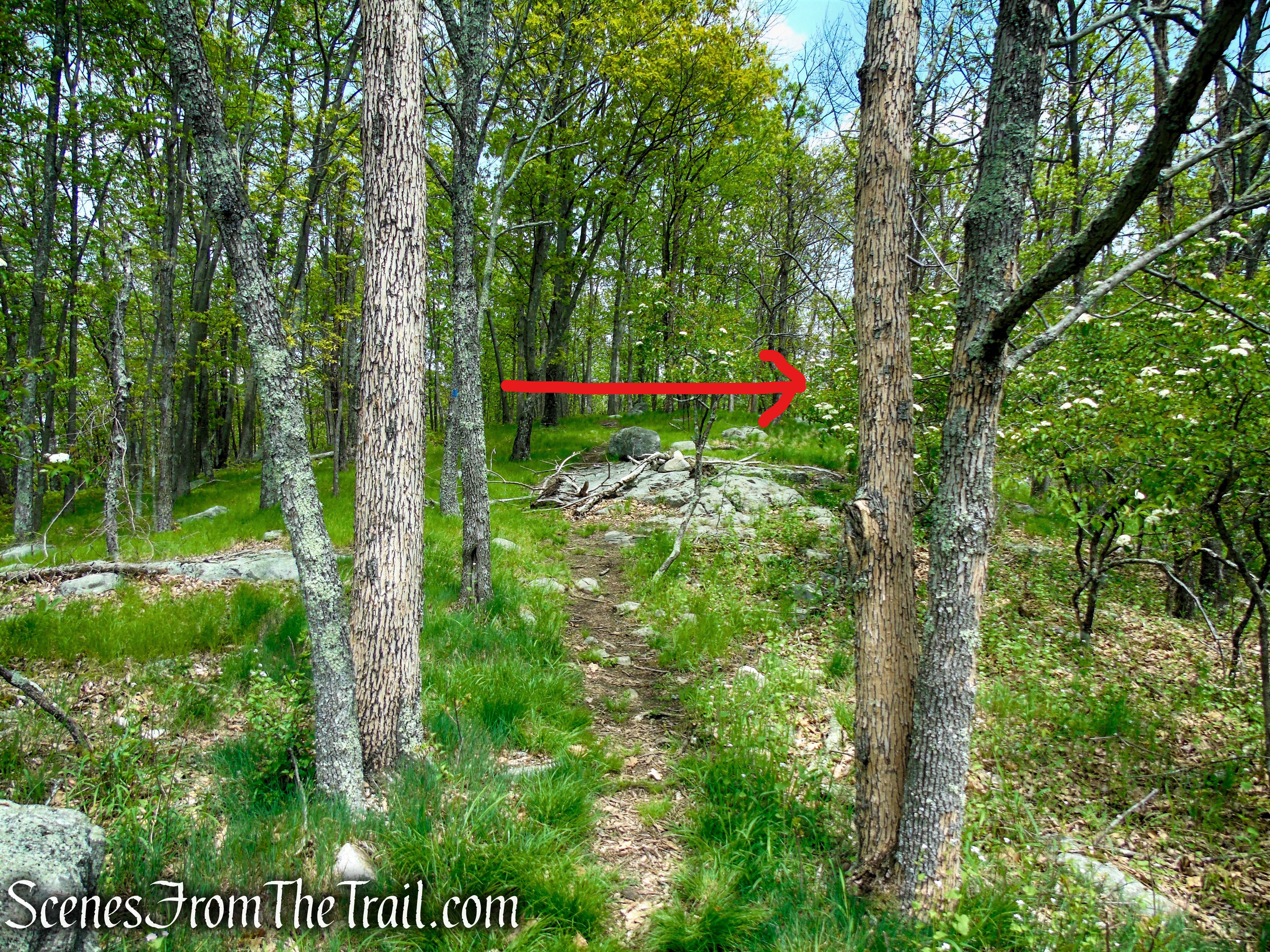
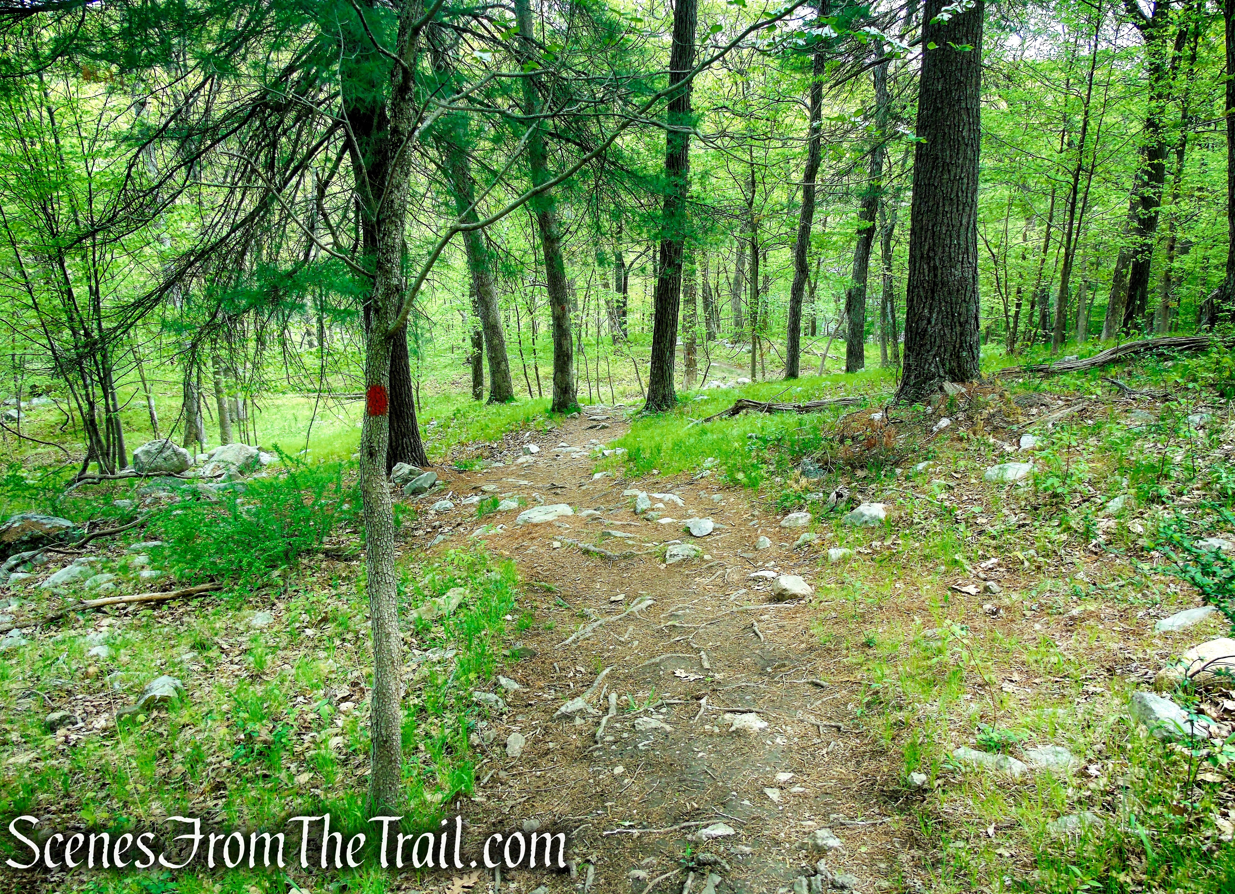
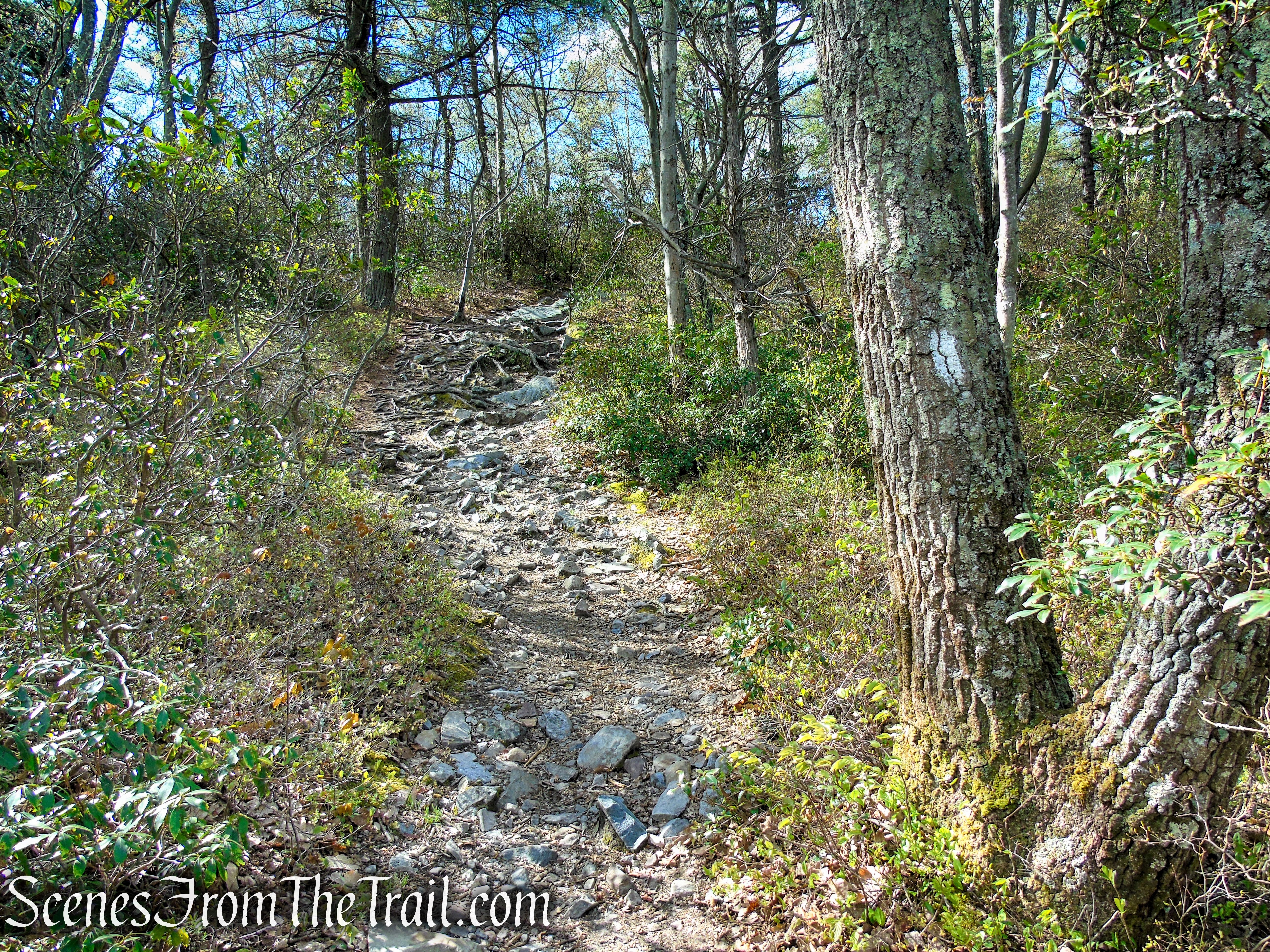
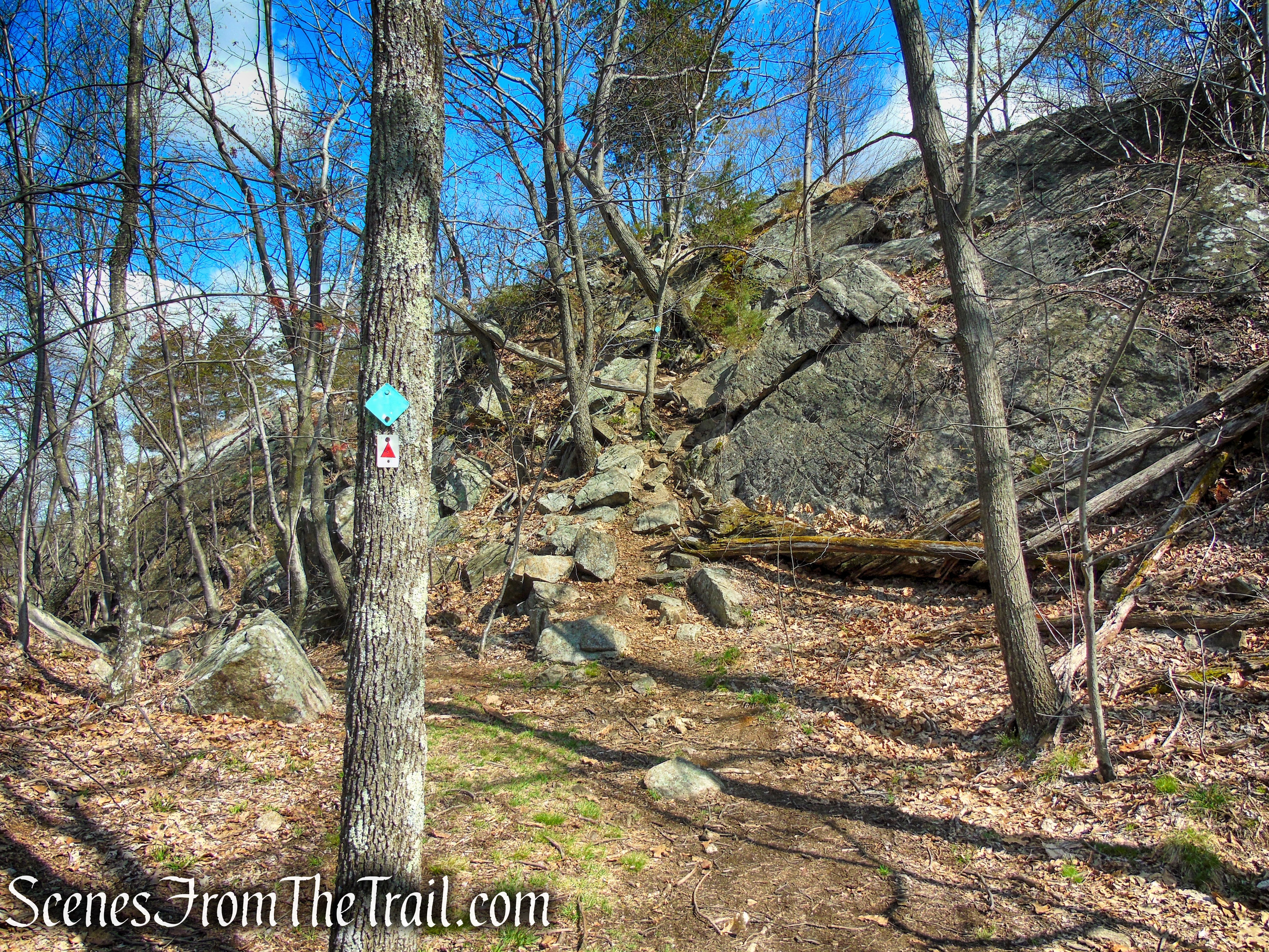
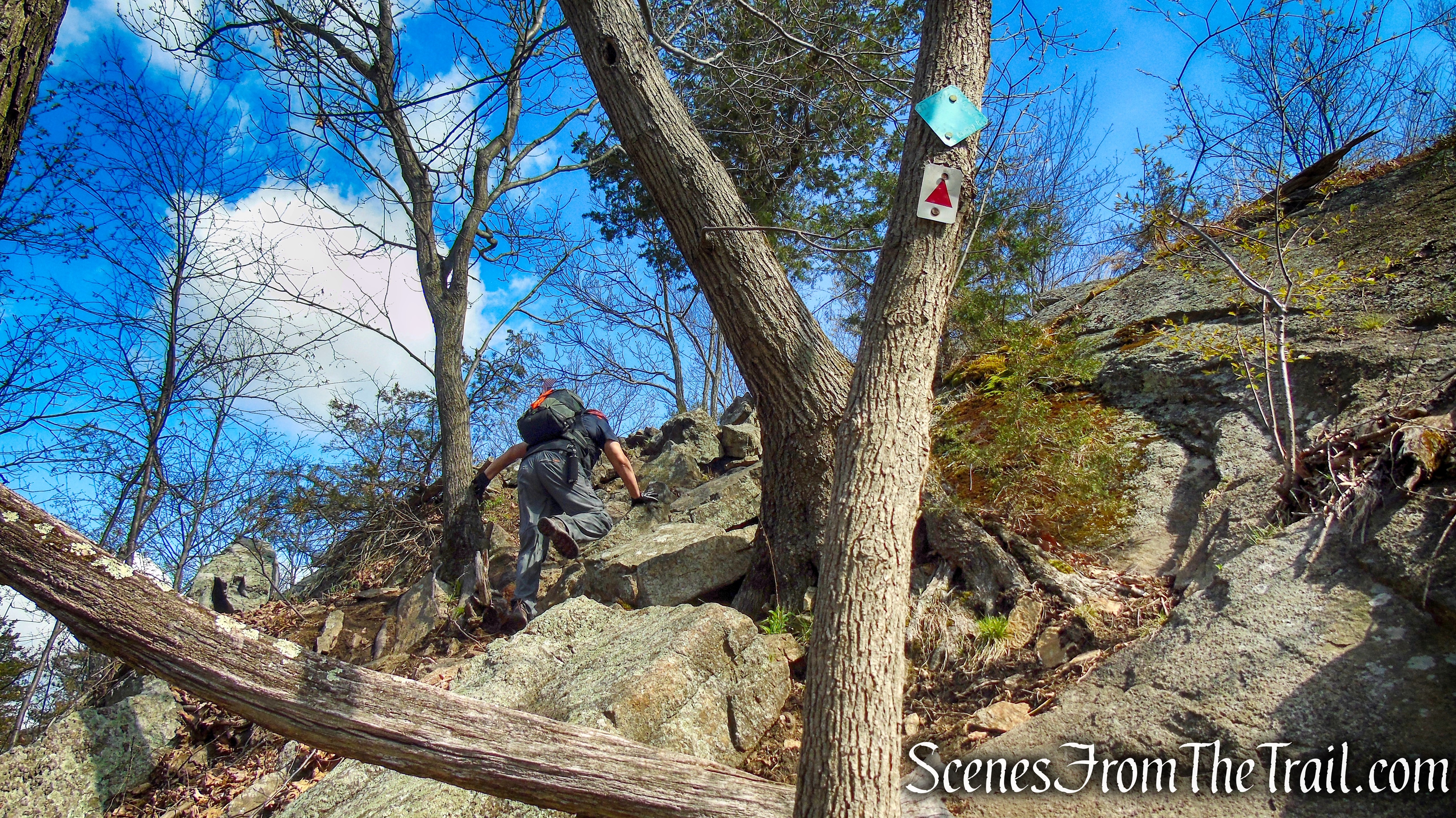
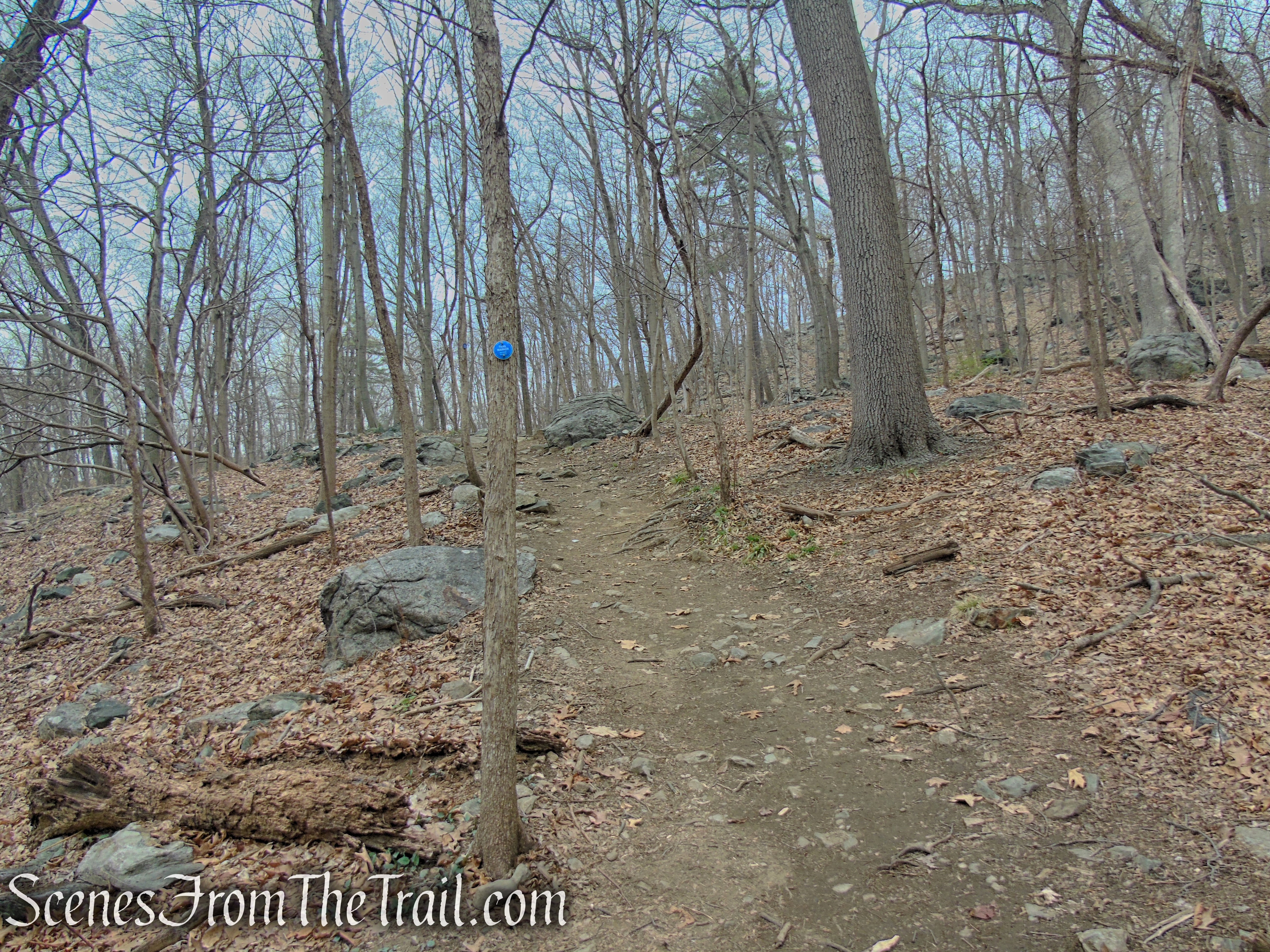
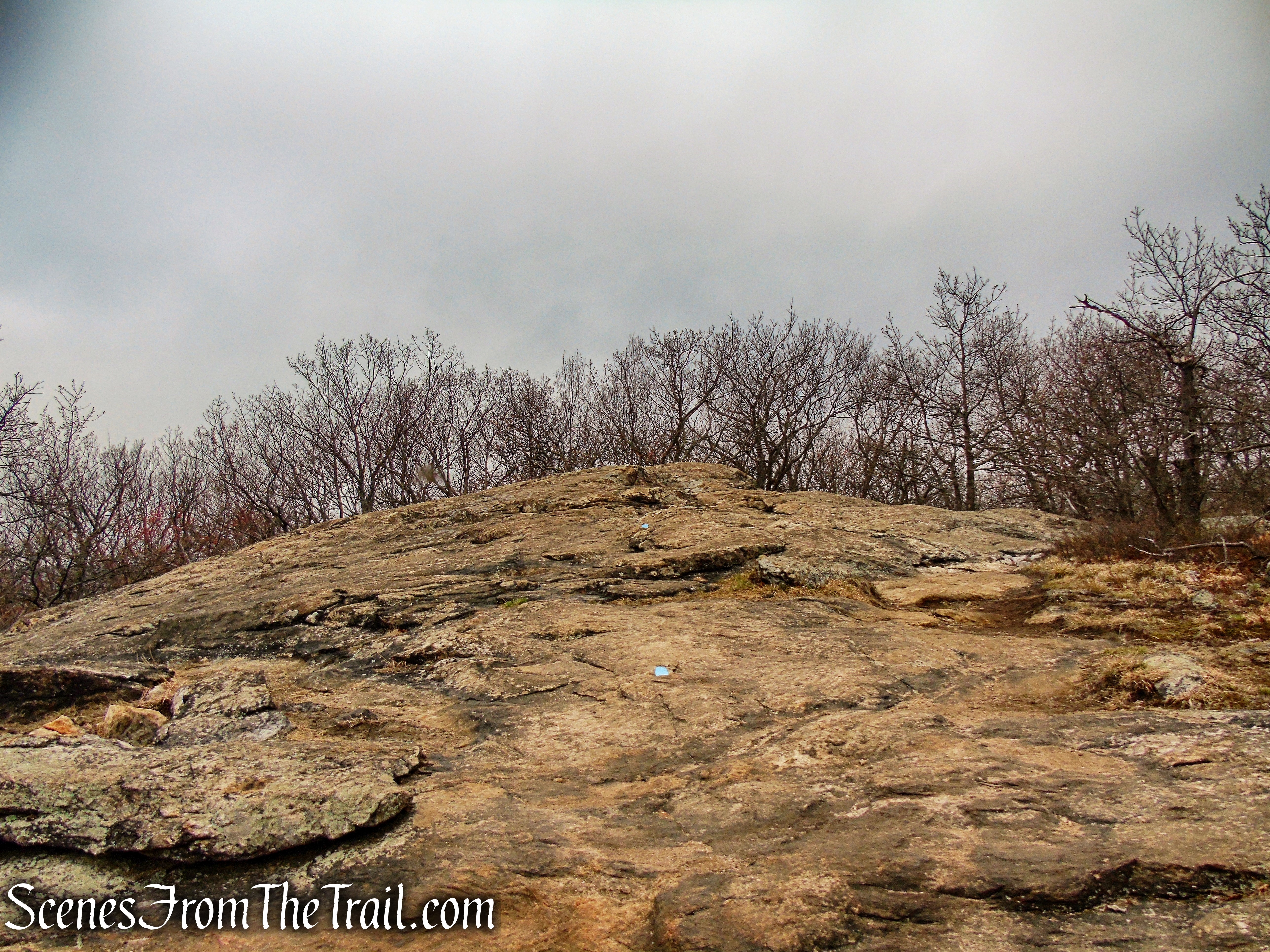
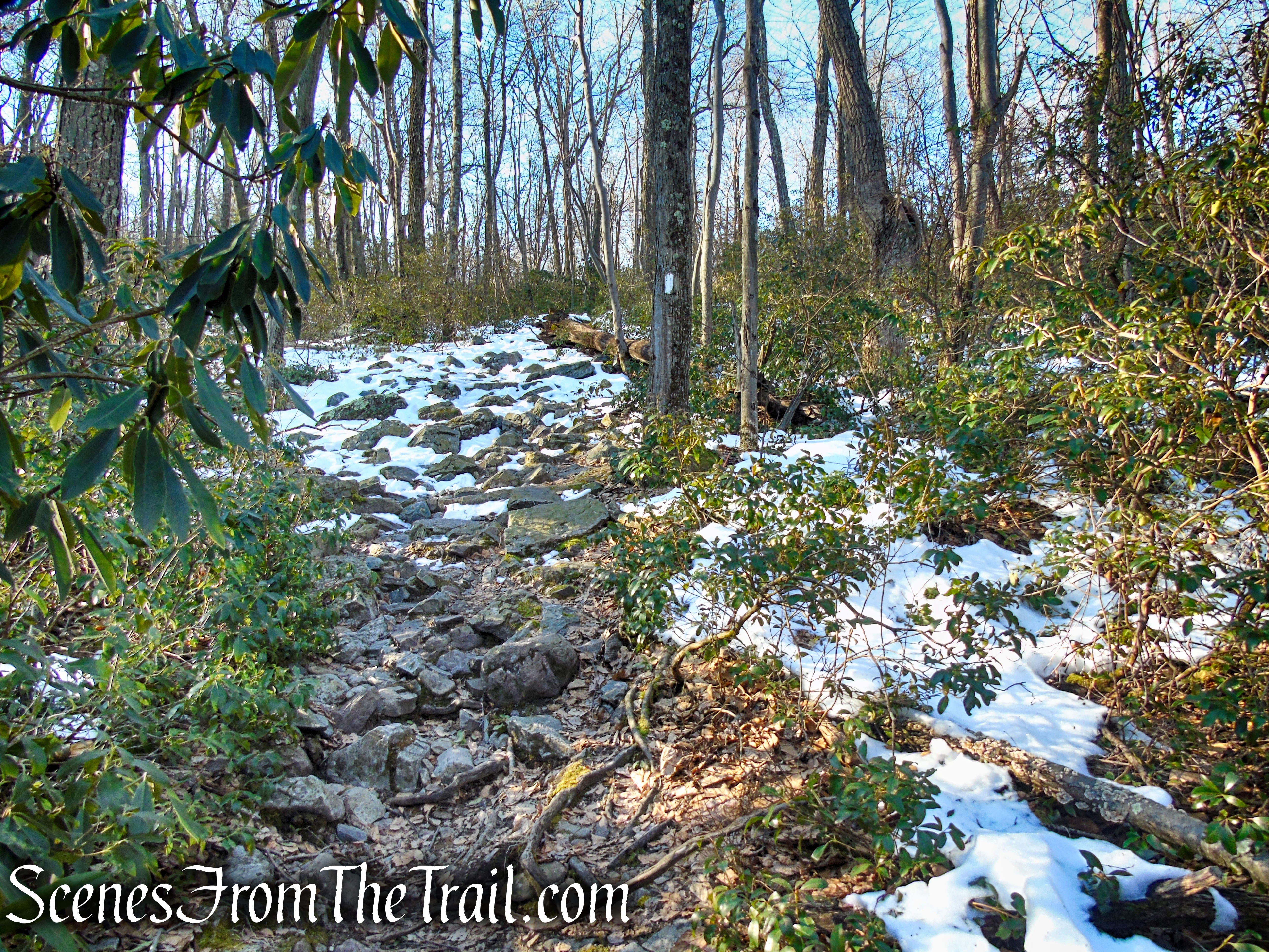
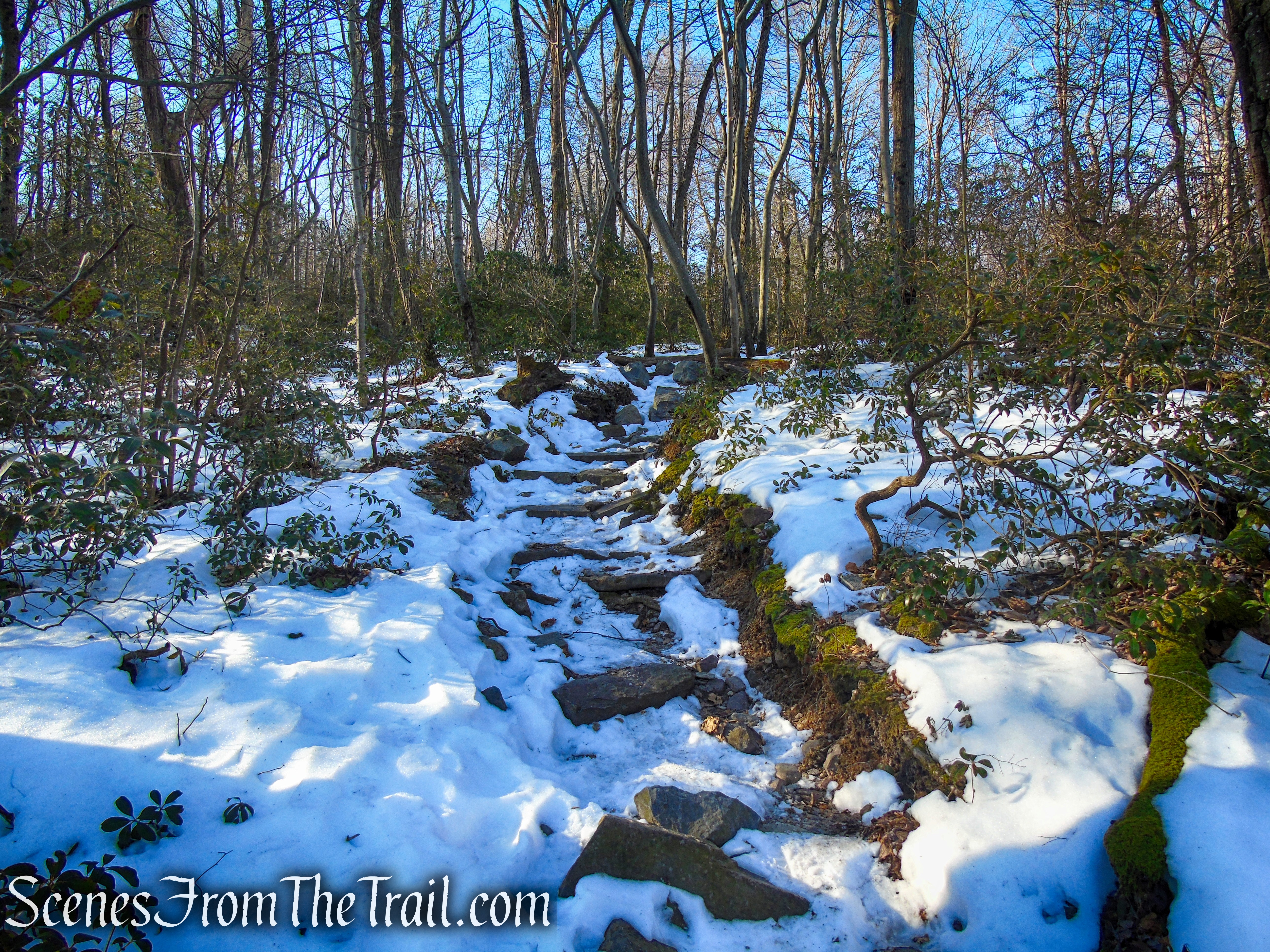
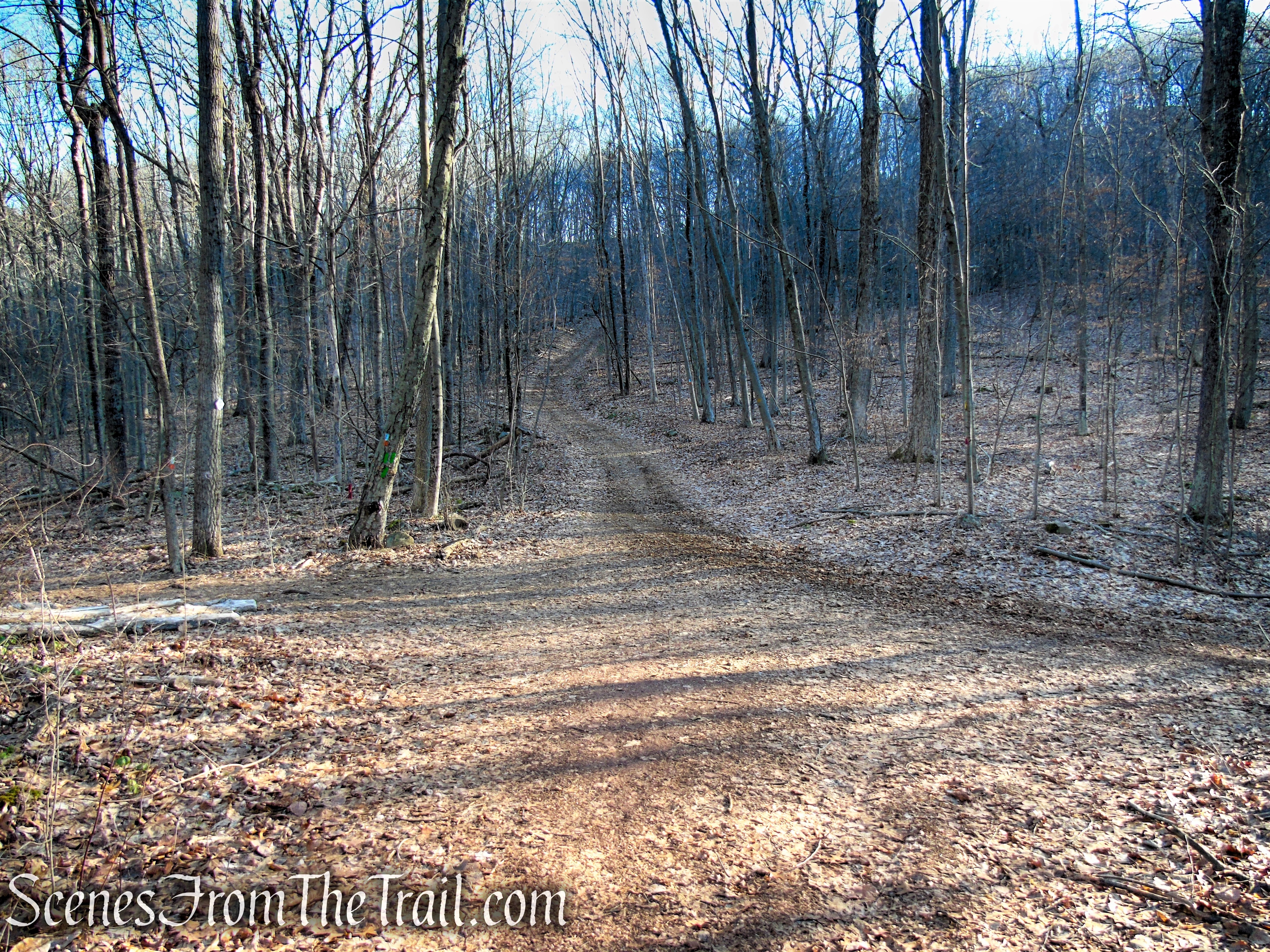
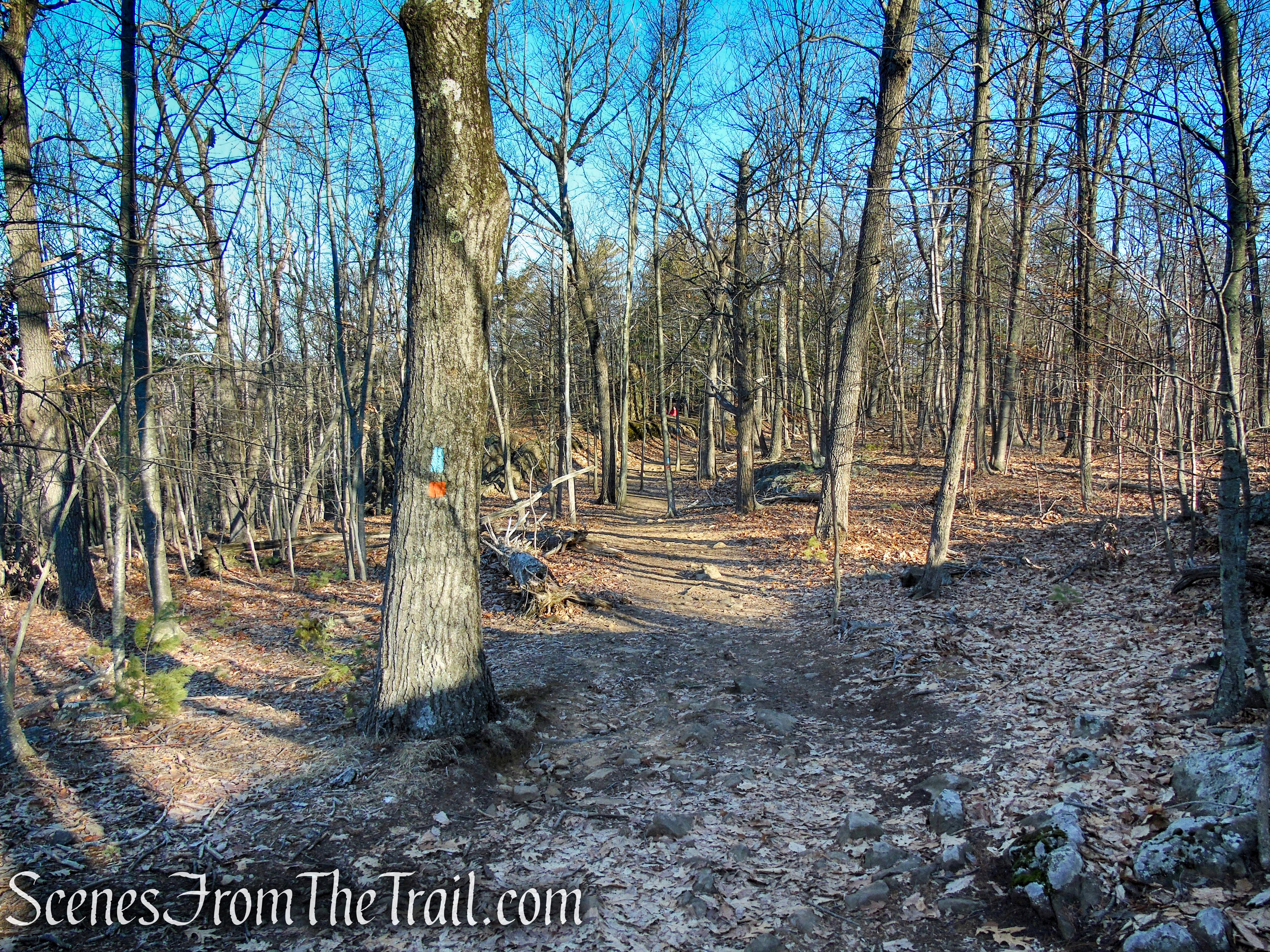
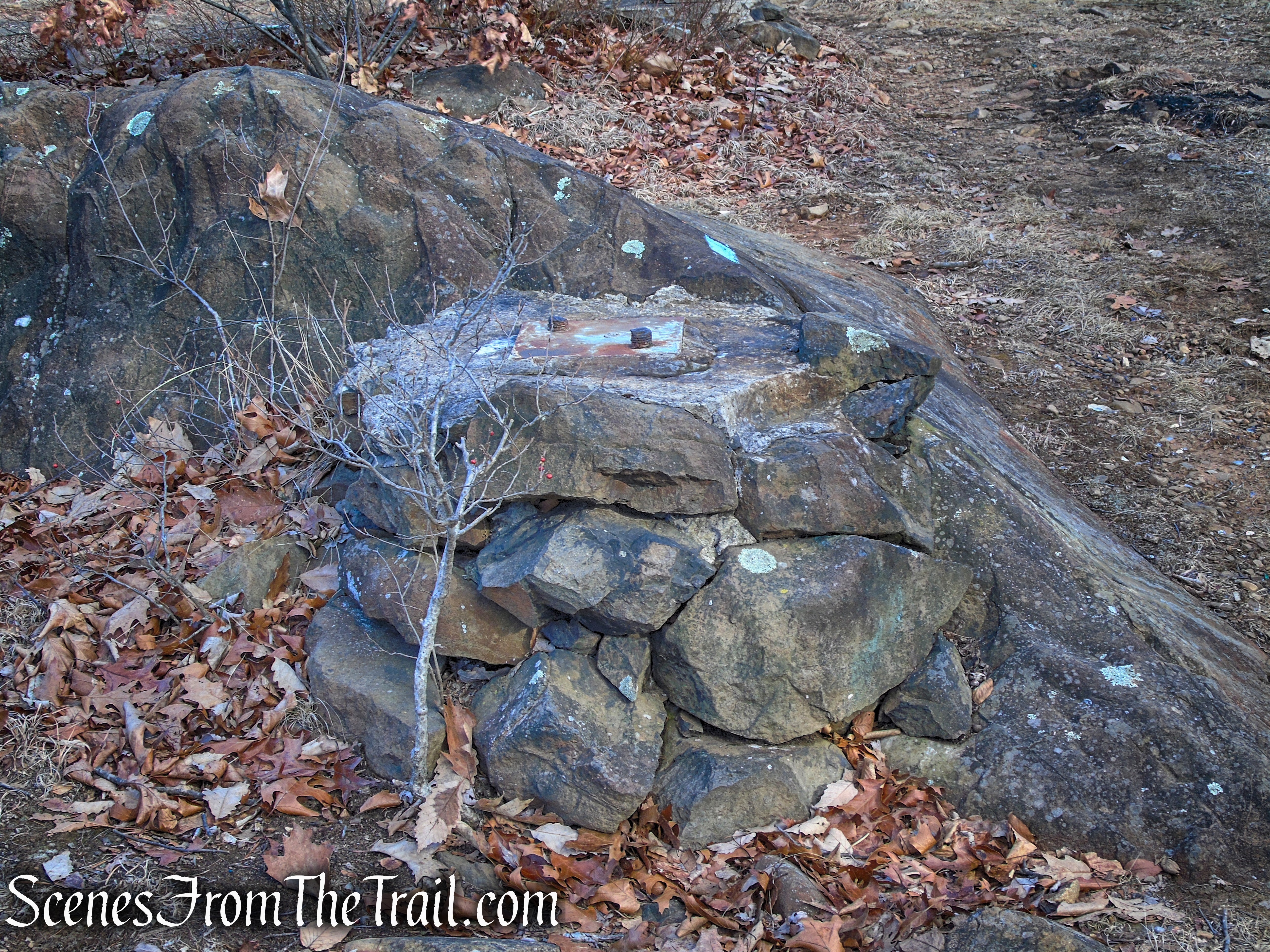
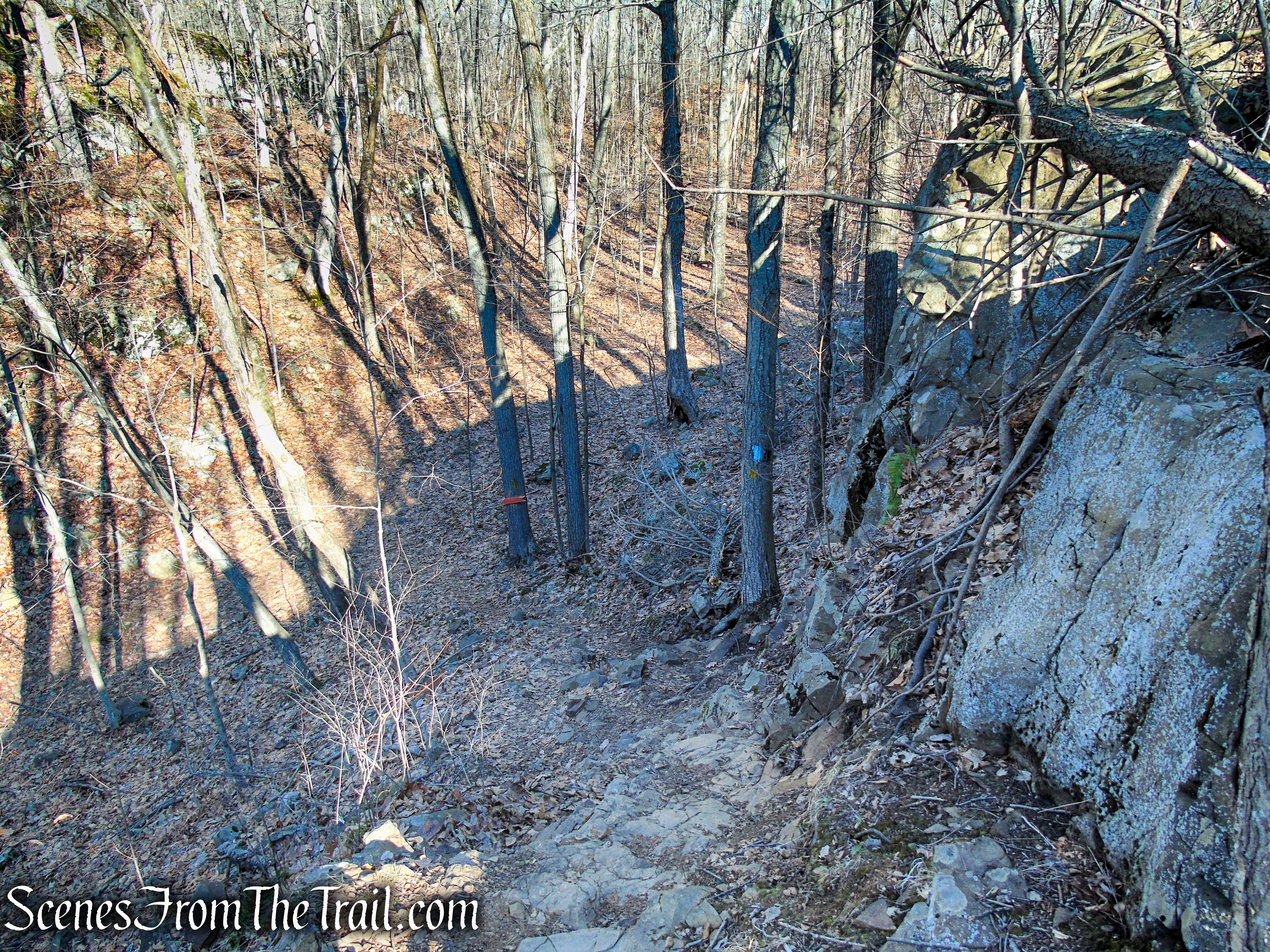
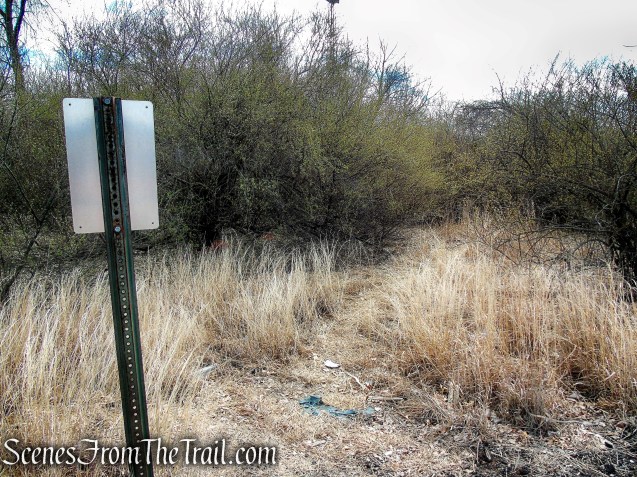
The trail is obvious although it is sparsely blazed, but as you proceed southwest, white blazes start to appear.
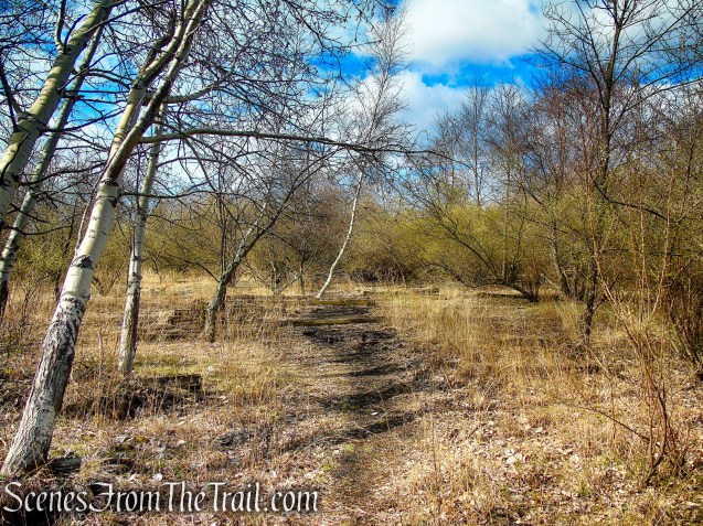
Tidal Marsh Trail – North Haven

Tidal Marsh Trail – North Haven
Tidal Marsh Trail – North Haven
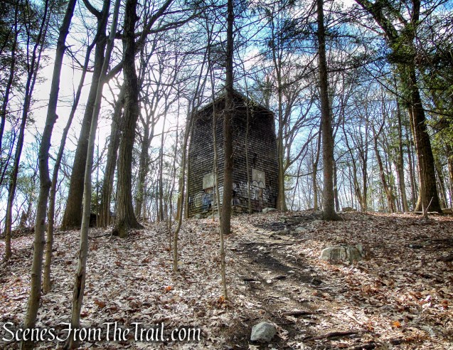
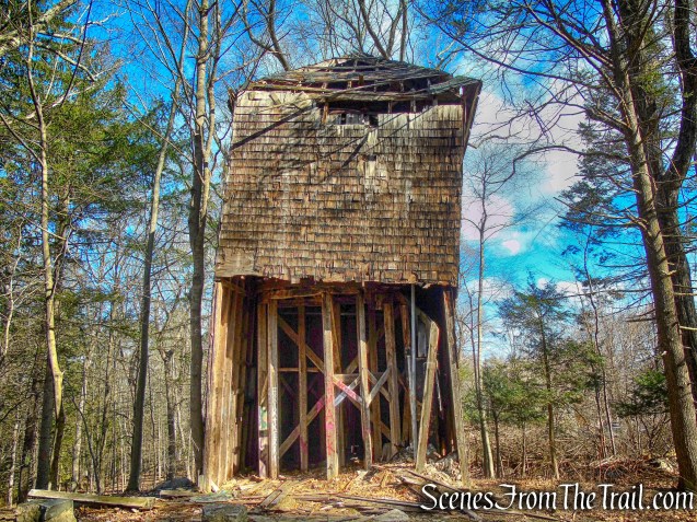
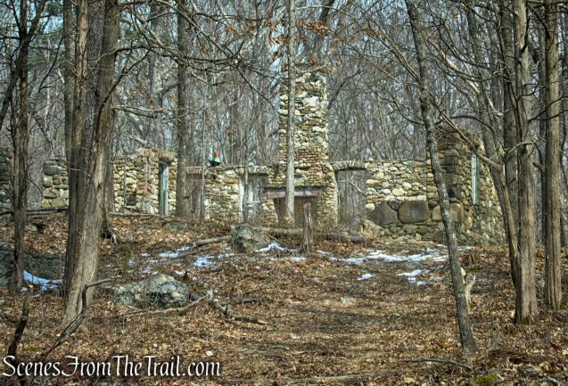
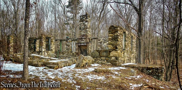
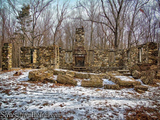
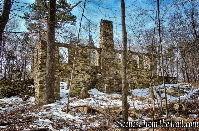
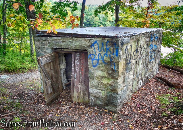
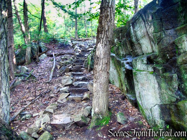
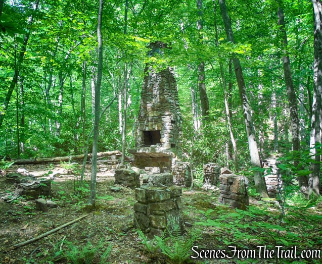
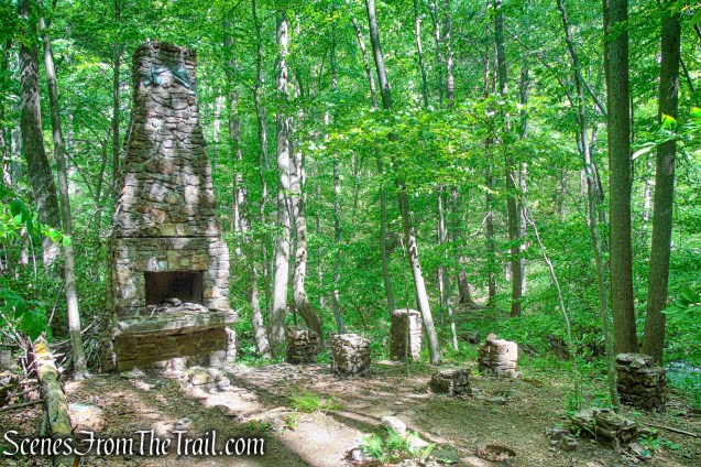
When you come to a metal, roofless building that is where the Polar Bear sculpture resides. This building is approximately 1.5 miles from the start of the hike.
Tidal Marsh Trail – North Haven
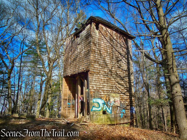
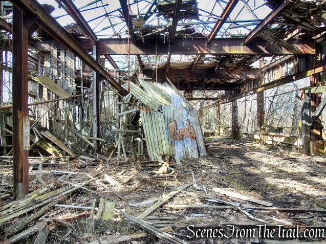
If you enter from the south, you will see the back of the Polar Bear first. Continue past the white sheet metal until you are face to face with the work of art that is hidden in the ruins of an old rail yard.
Polar Bear sculpture – Cedar Hill Rail Yard
The bear is the work of New Haven-based artist M.J. DeAngelo. “This guy is made from reclaimed wood and metal falling off of the decaying building he sits in, 14 feet tall, smashed, nailed together, sprayed with a fire extinguisher, and spray painted deep in the woods.”
Polar Bear sculpture – Cedar Hill Rail Yard
Cedar Hill Rail Yard

Polar Bear sculpture – Cedar Hill Rail Yard

Polar Bear sculpture – Cedar Hill Rail Yard
A very cool Instagram video from May 2020 of the sculpture being created.
Cedar Hill Rail Yard
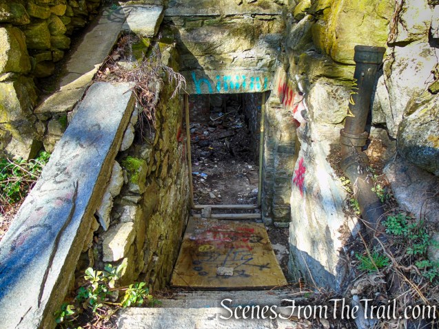
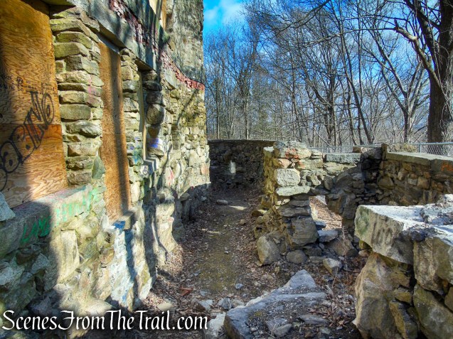
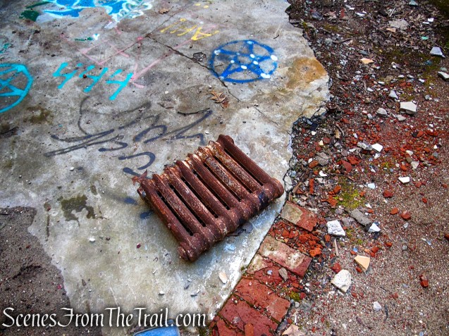
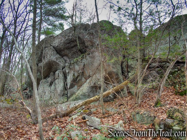
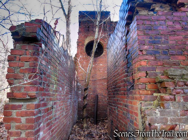
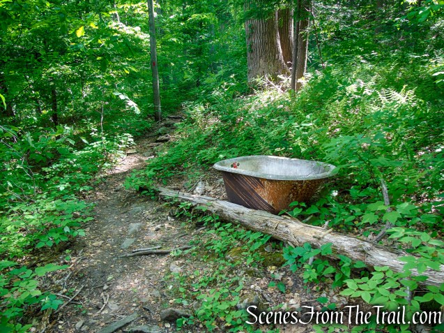
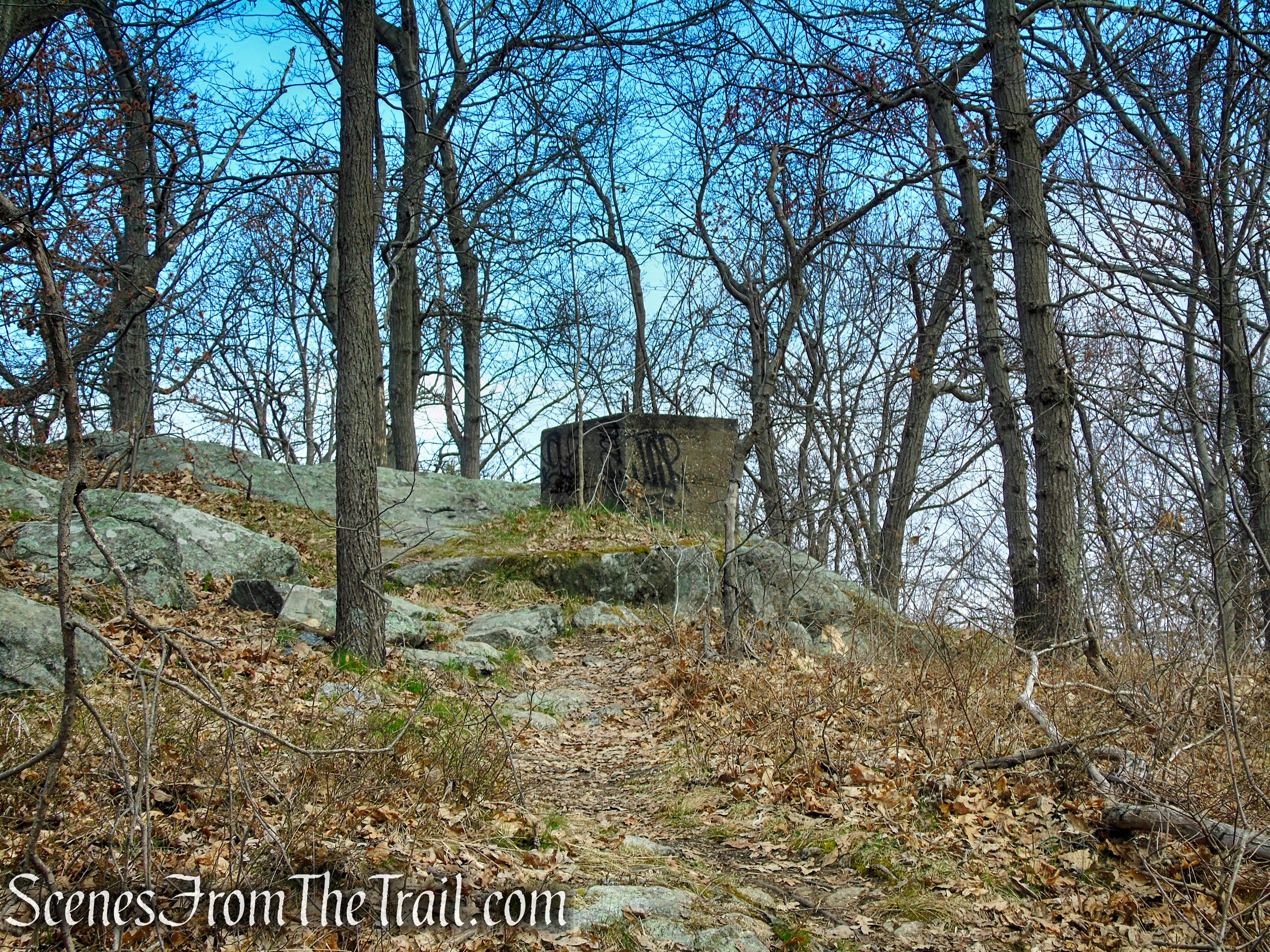
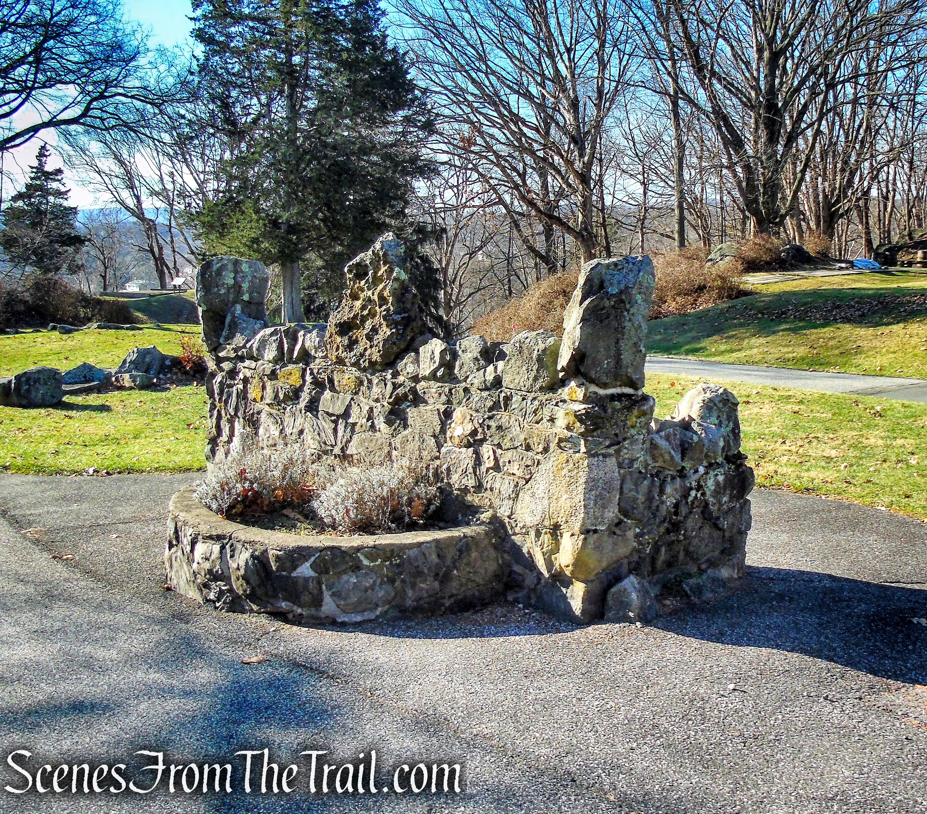
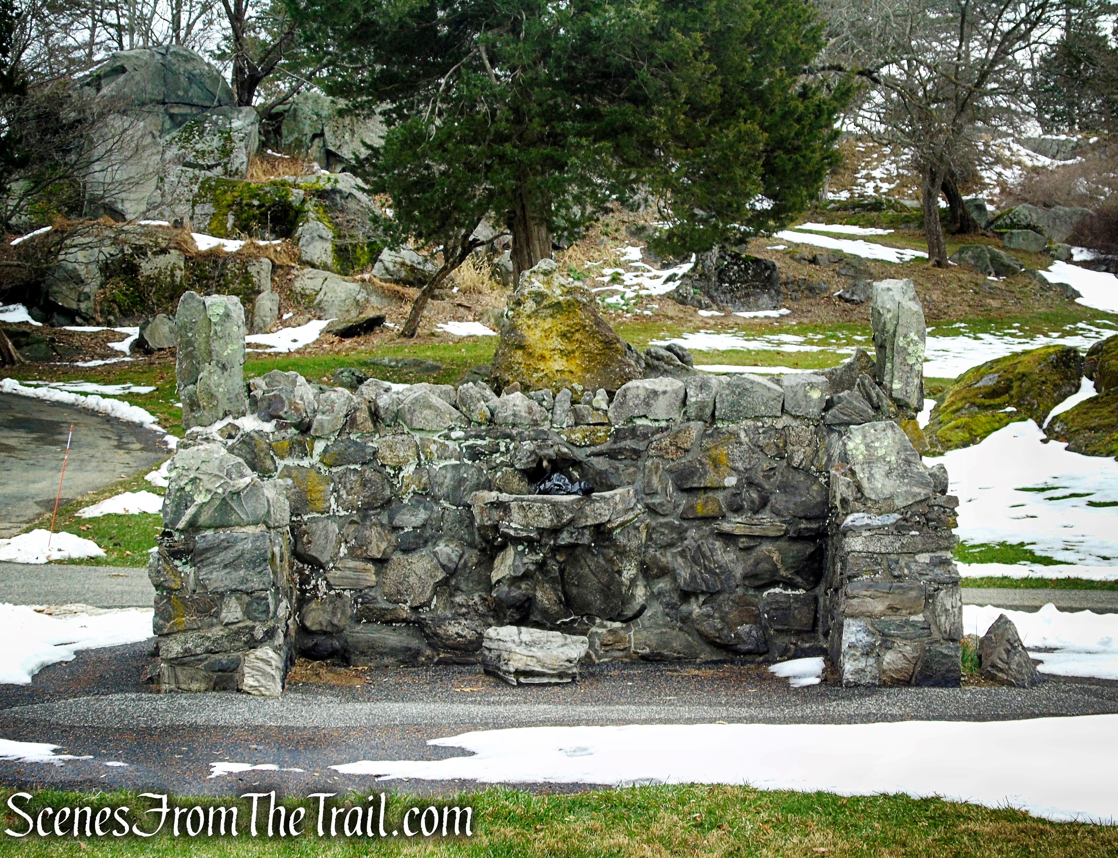
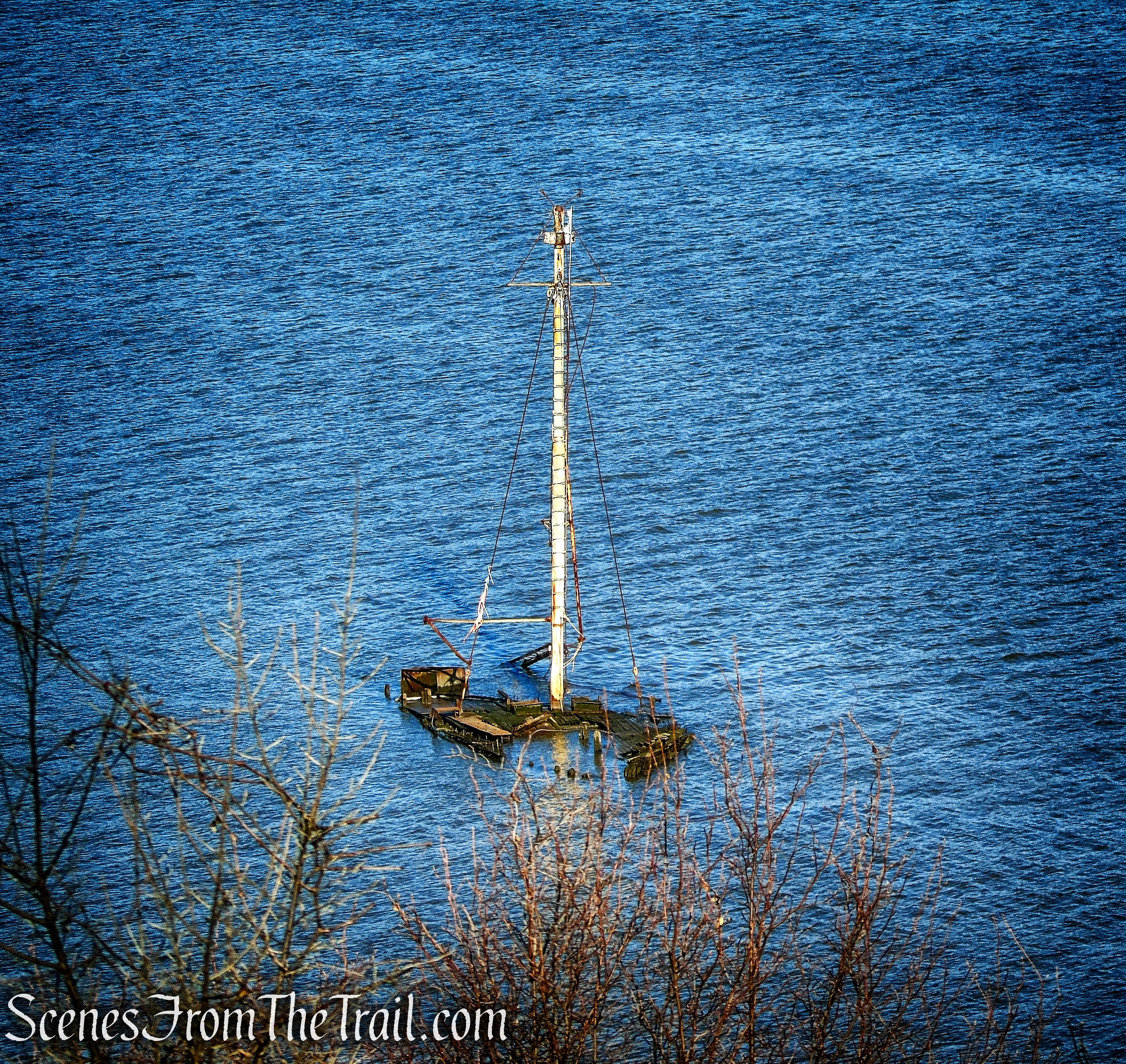
This was our turnaround point and we began retracing our steps. At times we wandered around a bit exploring the numerous railyard remnants scattered throughout the woods.
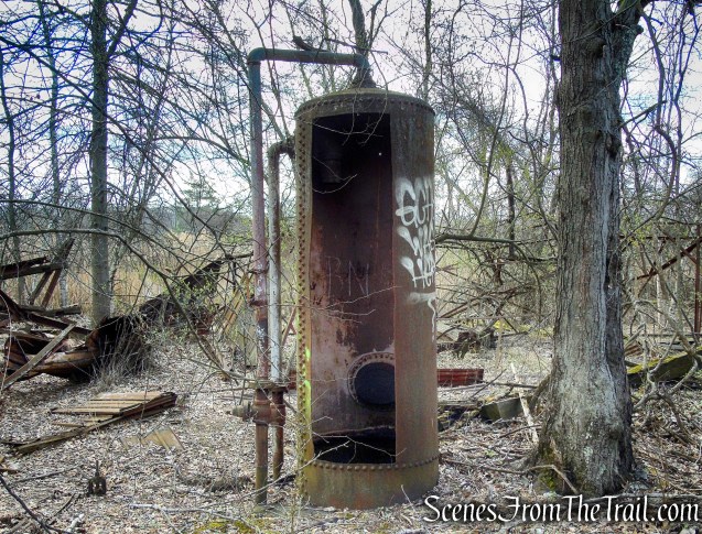
Cedar Hill Rail Yard
Cedar Hill Rail Yard
Cedar Hill Rail Yard
Cedar Hill Rail Yard
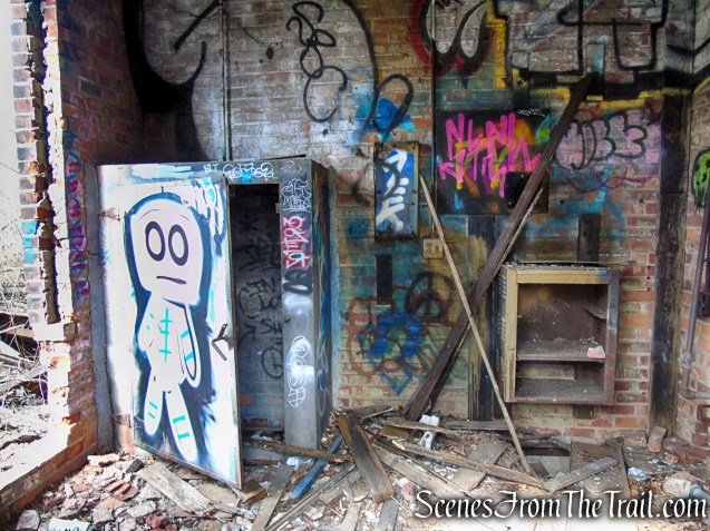
Cedar Hill Rail Yard
Cedar Hill Rail Yard
Cedar Hill Rail Yard
Cedar Hill Rail Yard
Cedar Hill Rail Yard
Cedar Hill Rail Yard
We turned left at the concrete culvert, descended back to the “official” section of the Tidal Marsh Trail and continued northeast along the Quinnipiac River, back to the parking area, where the hike began.
Tidal Marsh Trail – North Haven
Tidal Marsh Trail – North Haven
Tidal Marsh Trail – North Haven
Tidal Marsh Trail – North Haven
Tidal Marsh Trail – North Haven
Tidal Marsh Trail – North Haven
Review:
A really good walk through the woods with lots to see. The Polar Bear sculpture is a worthy destination on its own. We got there early enough that we didn’t encounter anyone on the way in. As we were making our way back (about 1/2 mile from the trailhead), we did pass several small groups going in the opposite direction. All in all a nice hike with many points of interest to see and photograph.
Pros:
Scenic area, Polar Bear sculpture, First 1/2 mile of the trail is well marked, a lot of bird activity, plenty of parking.
Cons:
A lot of leaning trees which means a lot of ducking.
Take a hike!

Tidal Marsh Trail – North Haven
Sources:
- A Trip To The Past Along The Forgotten Quinnipiac River
- Quinnipiac Trail Bears A Visit
- Cedar Hill Rail Yard
- North Haven Trails Association