March 20, 2022 – Warwick, NY
Difficulty: Moderate
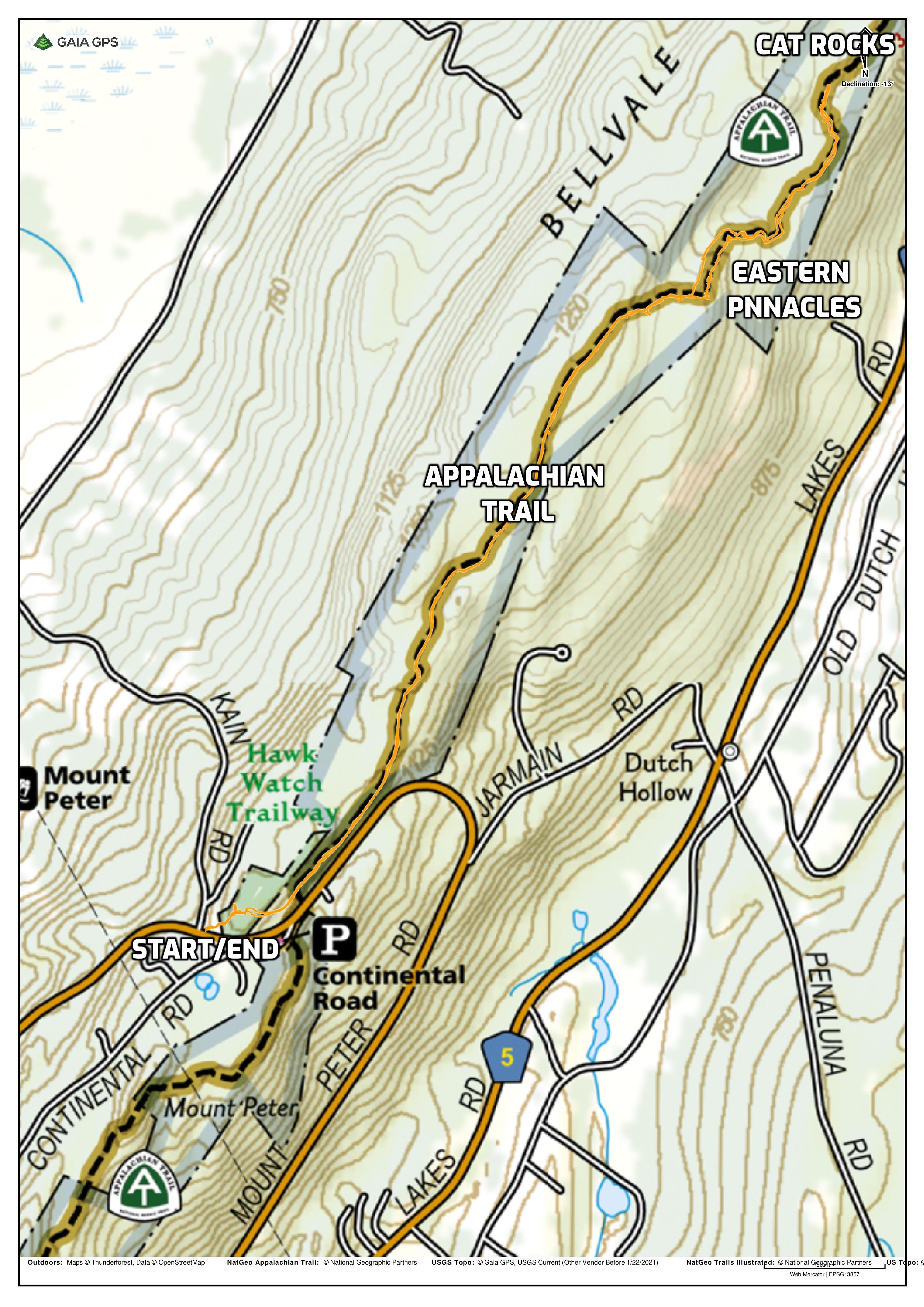
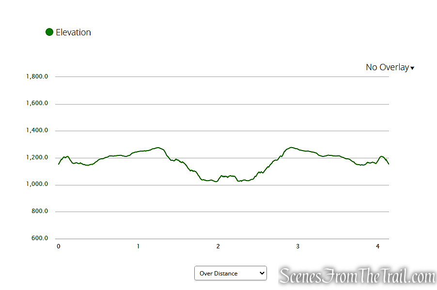
Length: Approximately 4 miles
Max elevation: 1,278 ft.– total elevation gain approximately 584 ft.
Route type: Out and Back
Map: Sterling Forest Trails Map – Avenza – Sterling Forest State Park (FREE)
Trailhead parking: 385 NY-17A, Warwick, NY 10990
No bathrooms on site – No entrance or parking fees
Ample Parking in two parking lots on North side of 17A and two parking lots across the road
Overview:
This moderate out-and-back hike travels along the Appalachian Trail, the most famous marked footpath in the world. It climbs to two fascinating puddingstone rock outcrops, with panoramic views north and east over the hills of Sterling Forest.
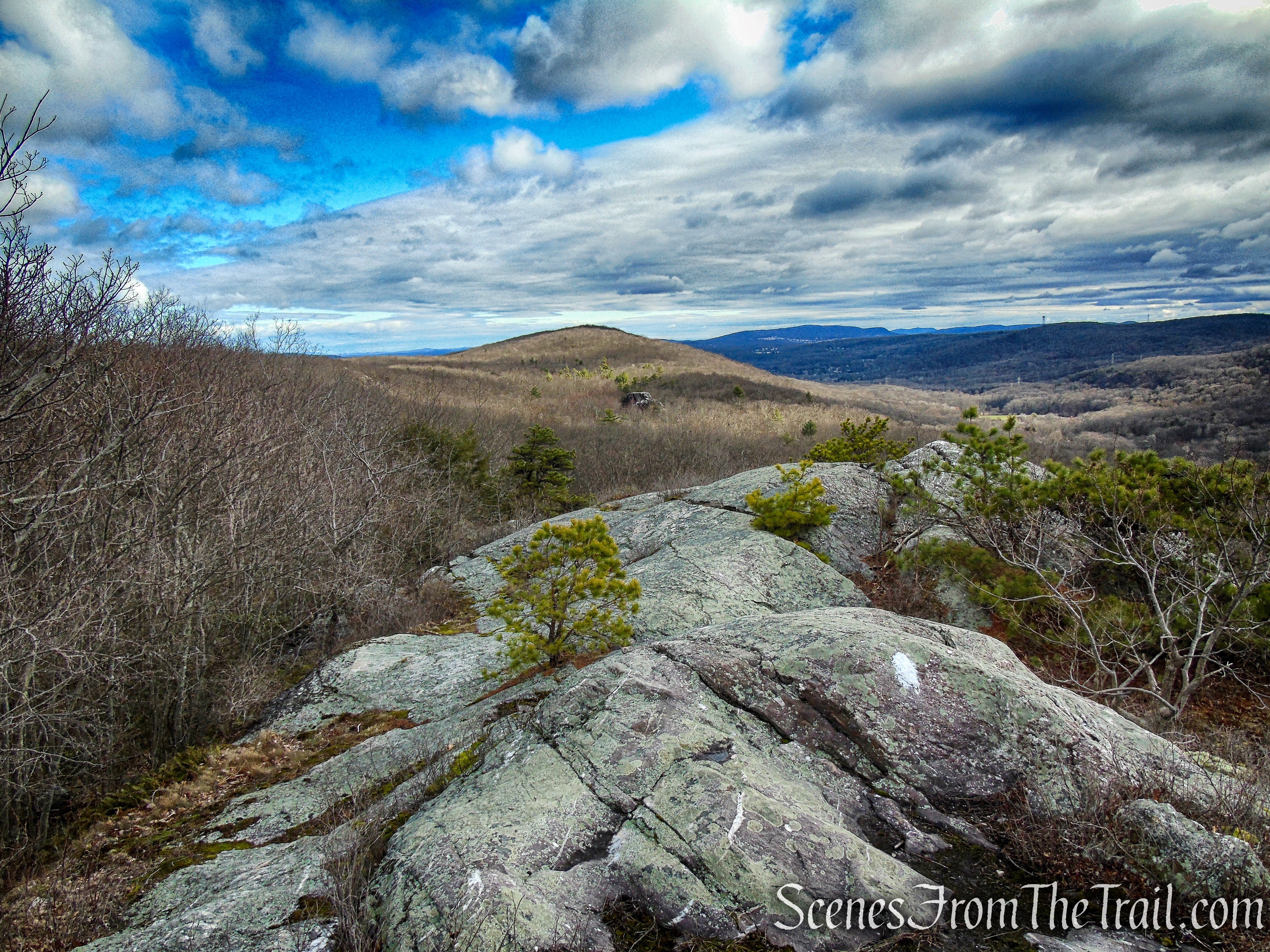
Eastern Pinnacles – Appalachian Trail
History:
The Appalachian Trail is a 2,180+ mile long public footpath that traverses the scenic, wooded, pastoral and wild lands of the Appalachian Mountains, from Georgia to Maine. When Congress passed the National Trails System Act in 1968, the Appalachian National Scenic Trail was federally established as a unit of the National Park System that was to be “administered primarily as a footpath.”
Approximately 40 miles of that famous foot trail are in Orange County, NY and include some of the most beautiful, wild and challenging hiking in all of the Northeast. In fact, the Appalachian Trail, the most famous foot trail in the Western Hemisphere, was conceived, planned and born right in Orange County.
It began back in 1921, when forester, planner and conservationist Benton MacKaye, living in Arden Valley at the time, began promoting an idea for a trail that would wind along the mountaintops of the Appalachians. Shortly thereafter, the newly formed Palisades Interstate Park Trail Conference adopted the plan and just two years later, on Oct. 7, 1923, the first official section of the Appalachian Trail opened between Bear Mountain and Arden Valley.
The Town of Warwick, NY, in Orange County, was designated an official Appalachian Trail Community by the Appalachian Trail Conservancy in 2012. Appalachian Trail Communities are noted for promoting and protecting the Appalachian Trail, in addition to being good neighbors to those who hike the AT.
Trails Overview:
Although this hike is almost entirely on the Appalachian Trail (AT), there are short stints on blue-blazed trails. A Blue Blaze is a spur, bypass or connector trail branching off of the Appalachian Trail that can be used as an alternate route of the AT that rejoins it further down the path.
The trails on this hike are well marked and easy to follow. The only challenging sections are where the AT climbs over the Eastern Pinnacles and Cat Rocks. In both instances there is a blue-blazed trail that lets you bypass the rock scramble. By bypassing the scramble over the two rock formations, you would also be bypassing the views as well.
Hike Overview:
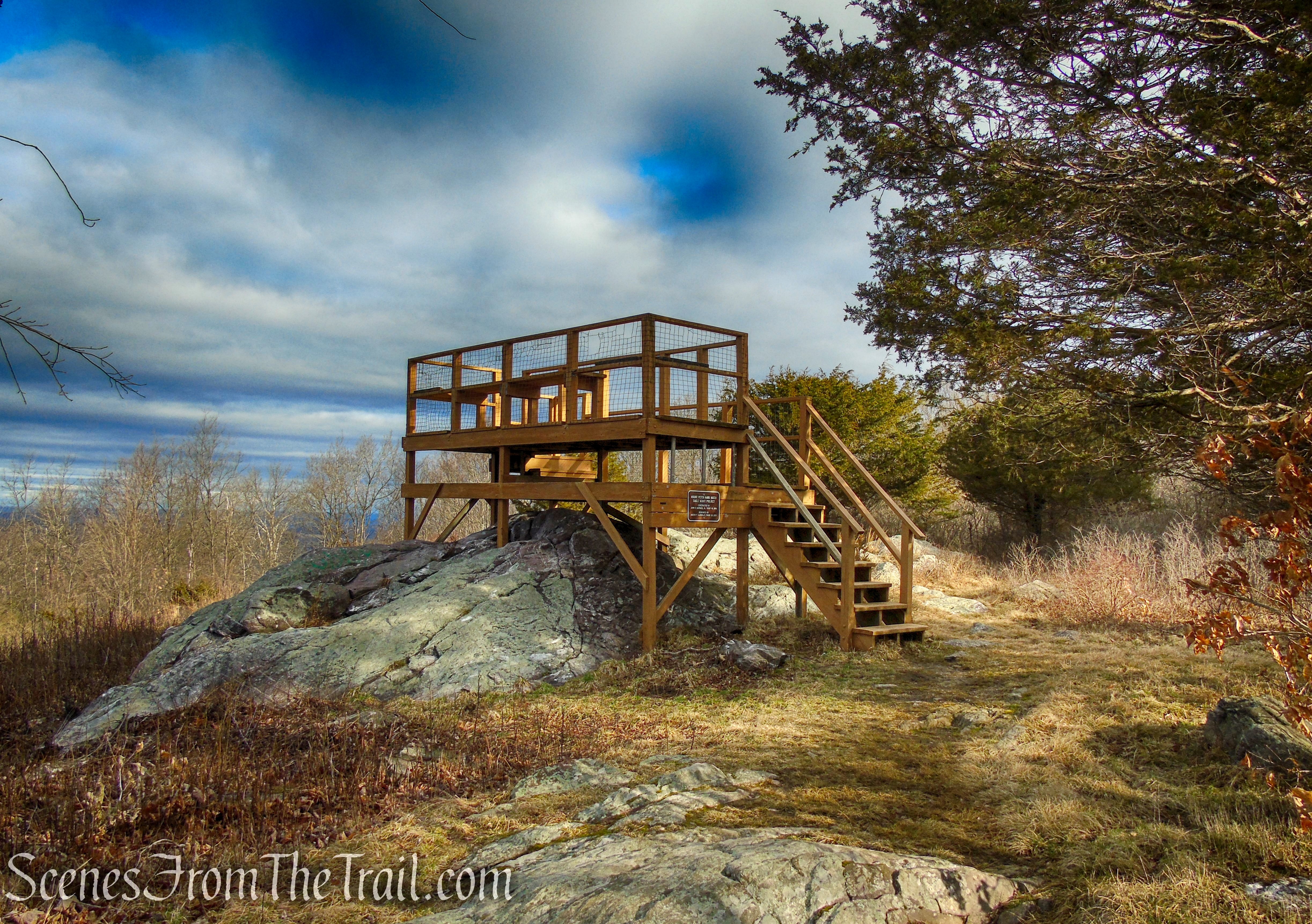
This hike begins at the parking lot that is adjacent to the Bellvale Farms Creamery. This is the parking area for the Mount Peter Hawk Watch. I chose beginning the hike from here to avoid having to cross Route 17A. There are additional gravel parking lots on the opposite side of Route 17A, directly across from the Creamery.
From the parking lot on the same side as the Bellvale Farms Creamery, there are stone steps that lead up to the viewing platform for the Mount Peter Hawk Watch. A blue-blazed connector trail begins just to the right of the platform that connects to the AT in about 1,000 feet.

stone steps – Mount Peter Hawk Watch
The AT travels along the ridge of Bellvale Mountain in the Town of Warwick. Along the way it climbs and crosses over the Eastern Pinnacles, a puddingstone rock formation with dramatic views to the north and east.
The trail descends, then climbs to Cat Rocks, another fascinating puddingstone rock formation that protrudes out of the forest like a tower. Cat Rocks is the turn around spot for this hike. From there it’s just retracing your steps along the AT, using the Blue Bypass Trails if you don’t feel like reclimbing the rock formations.
Eastern Pinnacles & Cat Rocks from Route 17A
Eastern Pinnacles & Cat Rocks from Route 17A
The Hike:
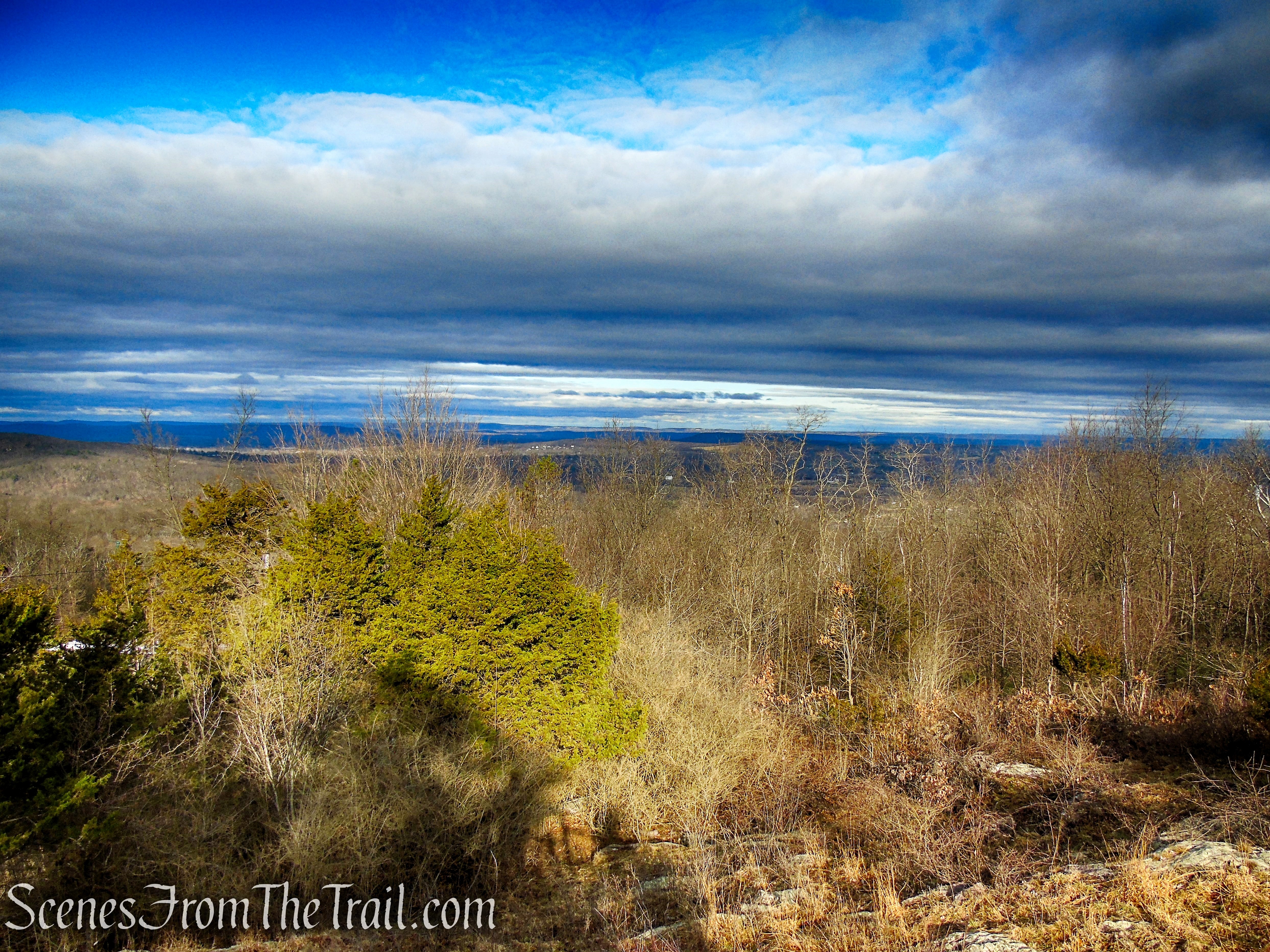
From the gravel parking area, climb the stone steps about 150 feet to the start of the Blue Connector Trail. To the left is the Mount Peter Hawk Watch viewing platform. Take a moment here if you like to check out the west-facing views.
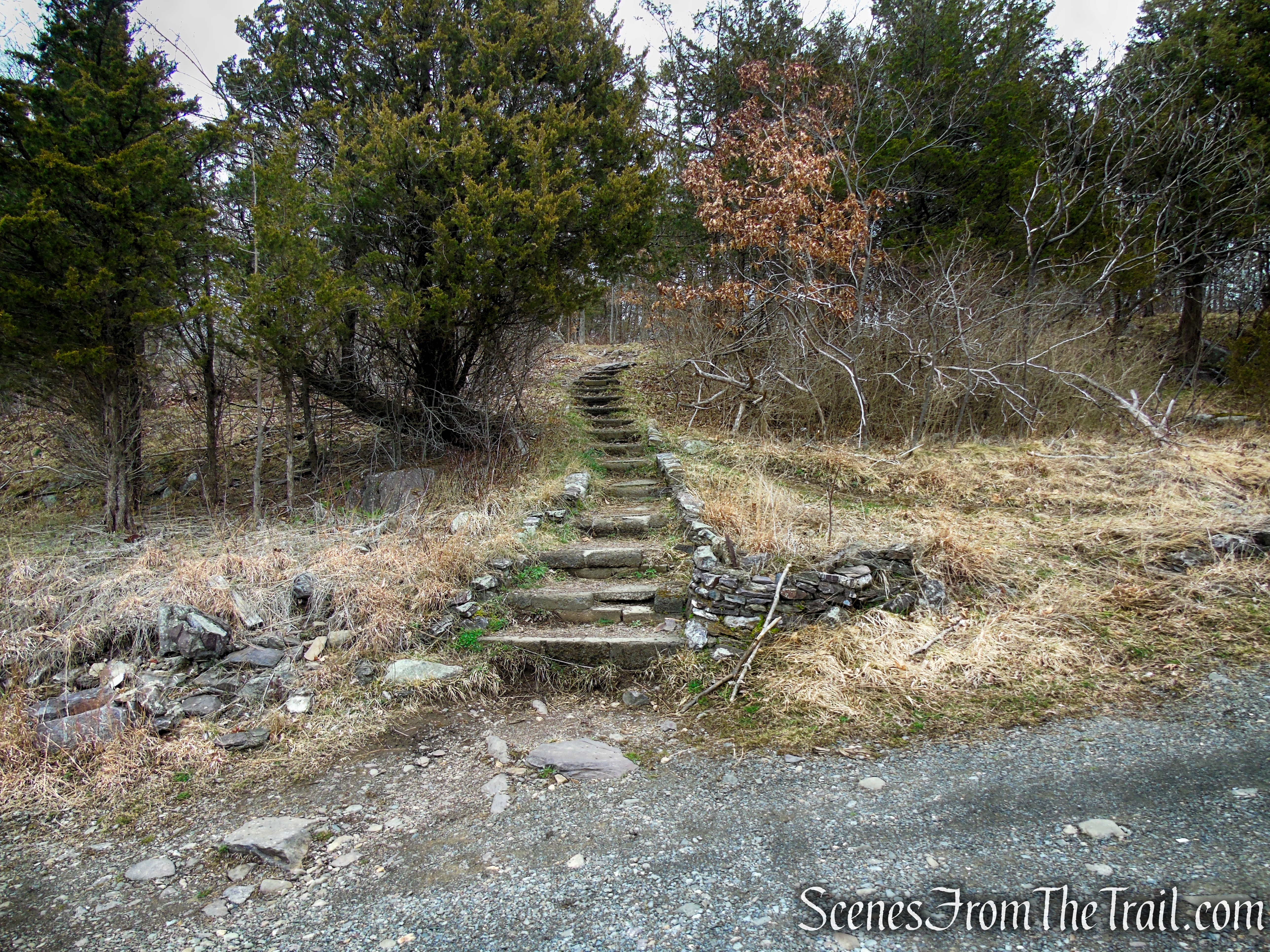
stone steps – Mount Peter Hawk Watch
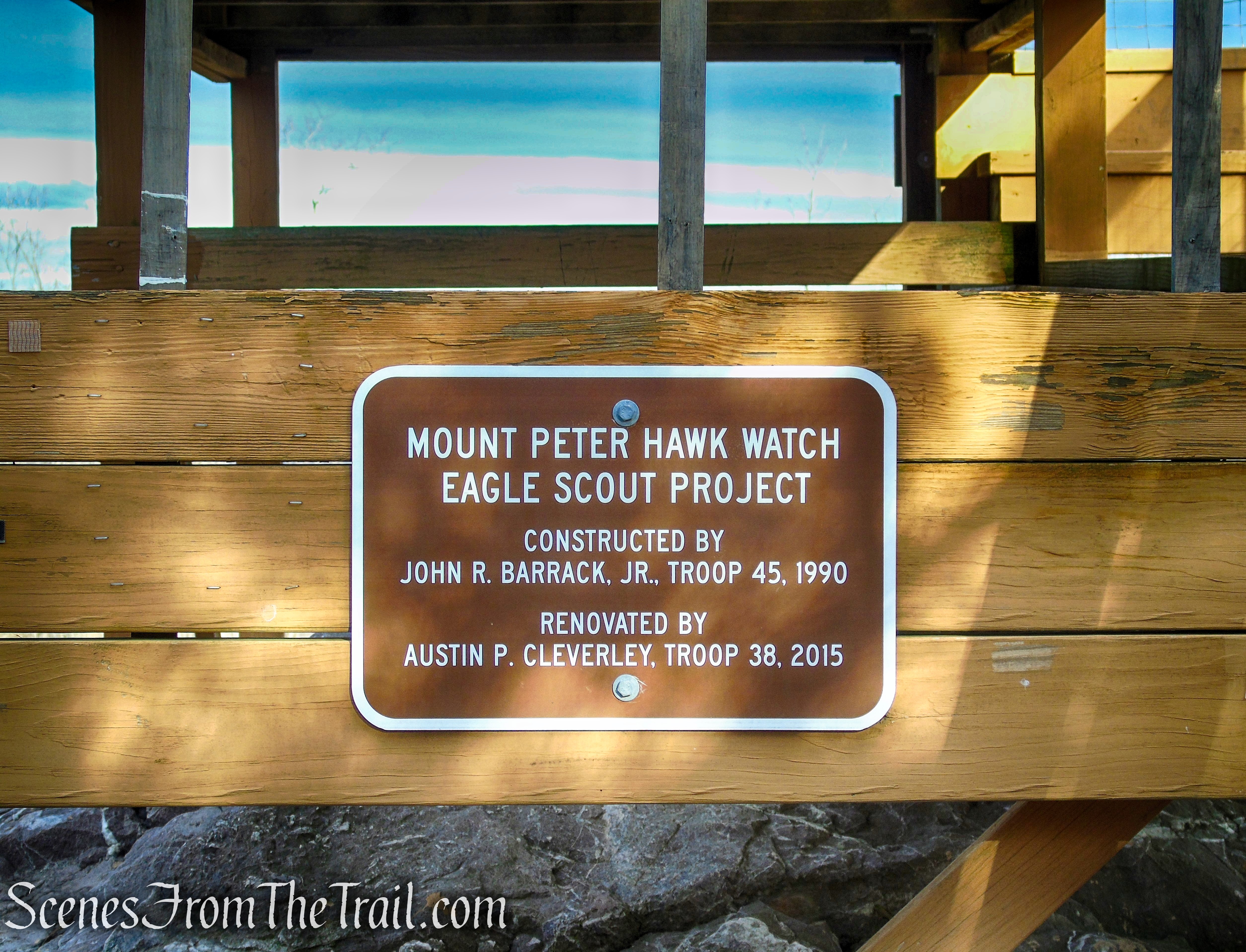
Mount Peter Hawk Watch is one of several famous hawk watches in the northeast and is the third oldest in the country. This scenic overlook provides an expansive view of the Warwick Valley through which record numbers of migrating raptors pass during fall migration.
Mount Peter Hawk Watch
Mount Peter Hawk Watch
Mount Peter Hawk Watch
Mount Peter Hawk Watch
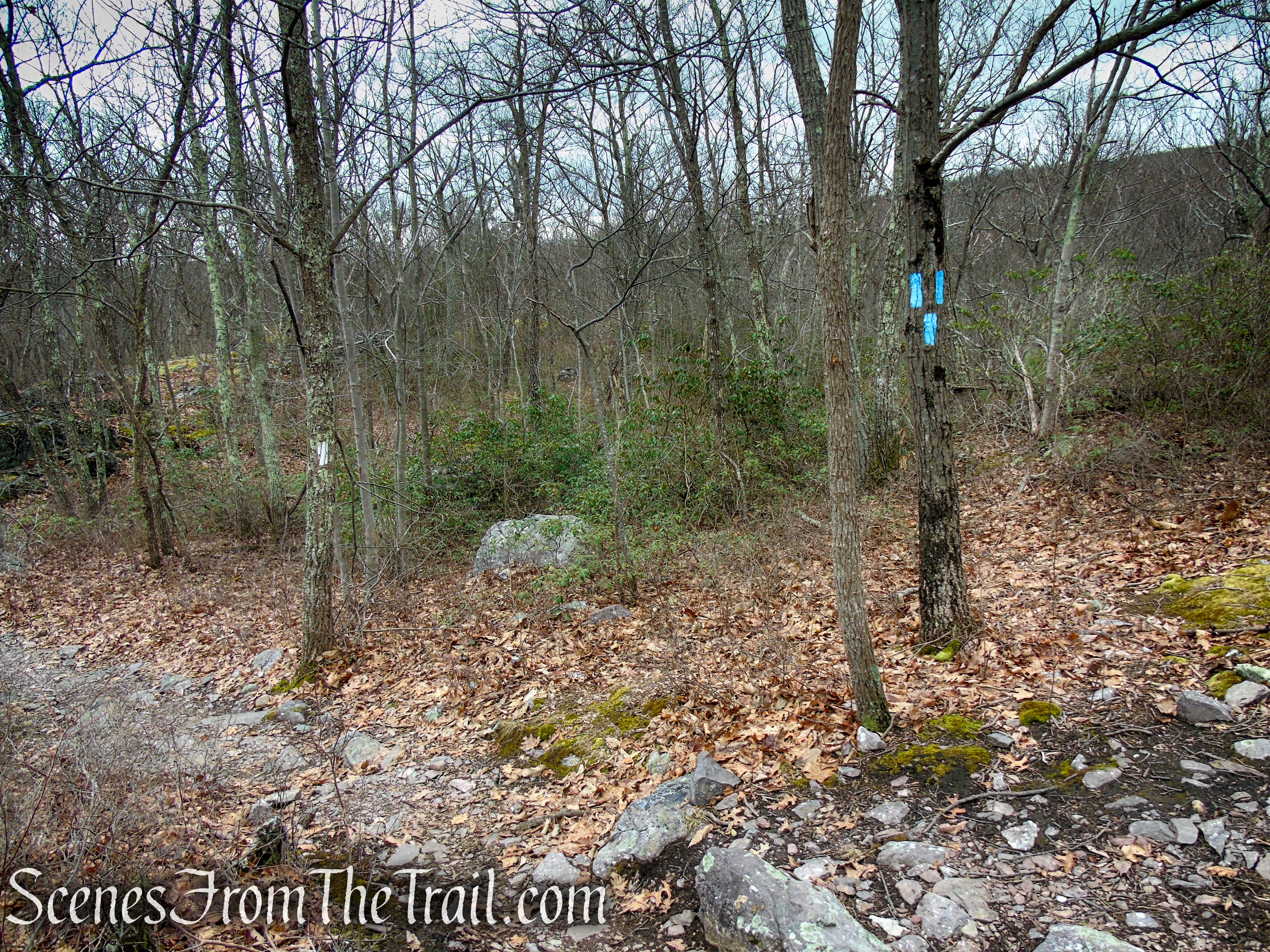
When you are ready to continue, look for three blue blazes on a tree and proceed ahead on the Blue Trail. The Blue Trail descends towards Route 17A then turns left paralleling the road. In about a 1,000 feet there are three blue blazes on a rock signaling the end of the Blue Trail. Just ahead is the Appalachian Trail (AT), which comes in from the right. Continue straight (Do not turn right. If you cross the road you are going the wrong way.), now following the white blazes of the AT.
Blue Connector Trail
Blue Connector Trail

terminus of Blue Connector Trail
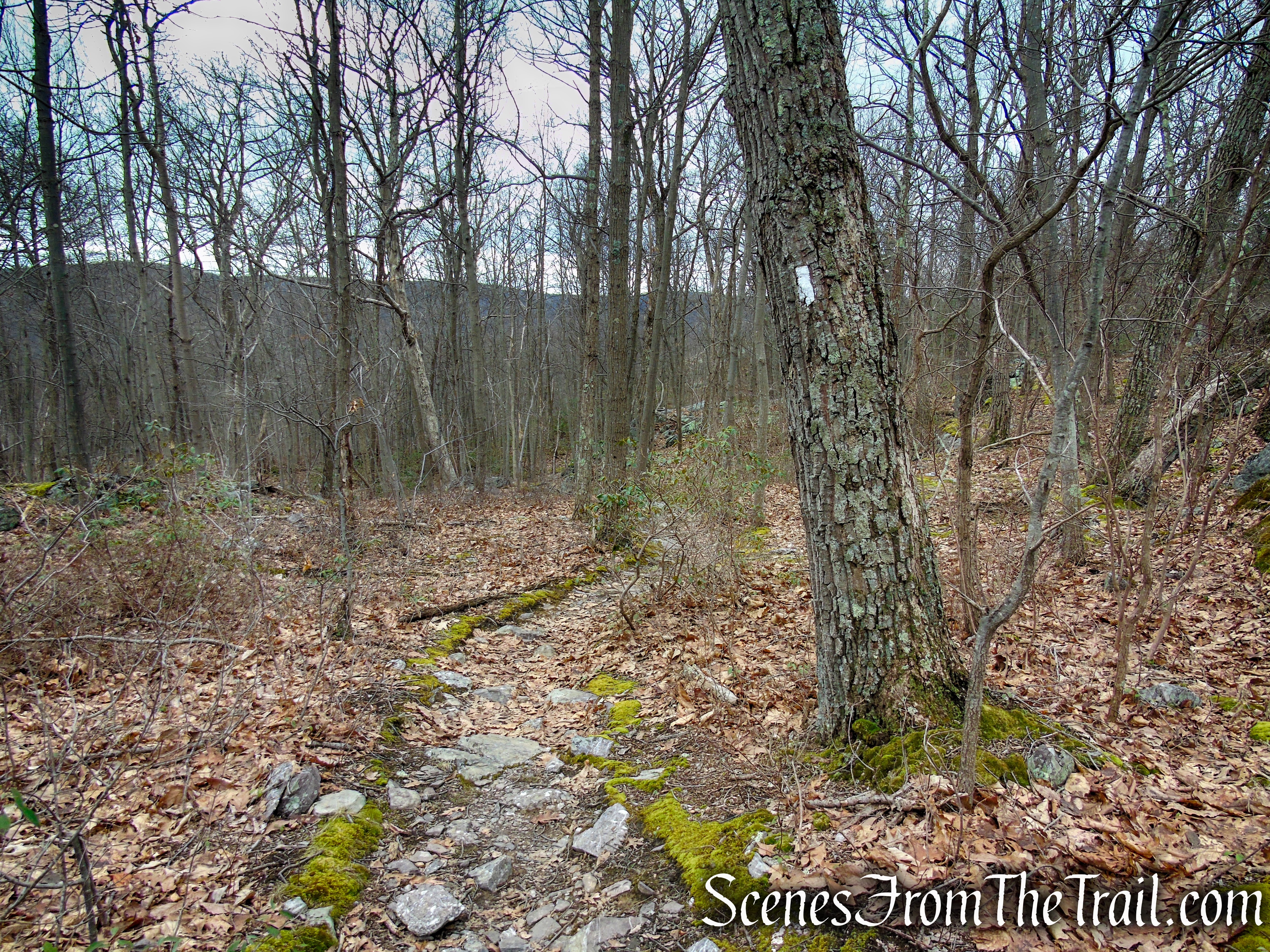
At first, the trail parallels the noisy Route 17A, but the road soon bends to the right, away from the trail, and the sounds of traffic disappear. The A.T. proceeds gently uphill, crosses a gas pipeline, and continues through an area with dense hemlock and mountain laurel. It then begins a gradual descent.

Appalachian Trail – Bellvale Mountain

Appalachian Trail – Bellvale Mountain

Appalachian Trail – Bellvale Mountain

Appalachian Trail – Bellvale Mountain
Appalachian Trail – Bellvale Mountain
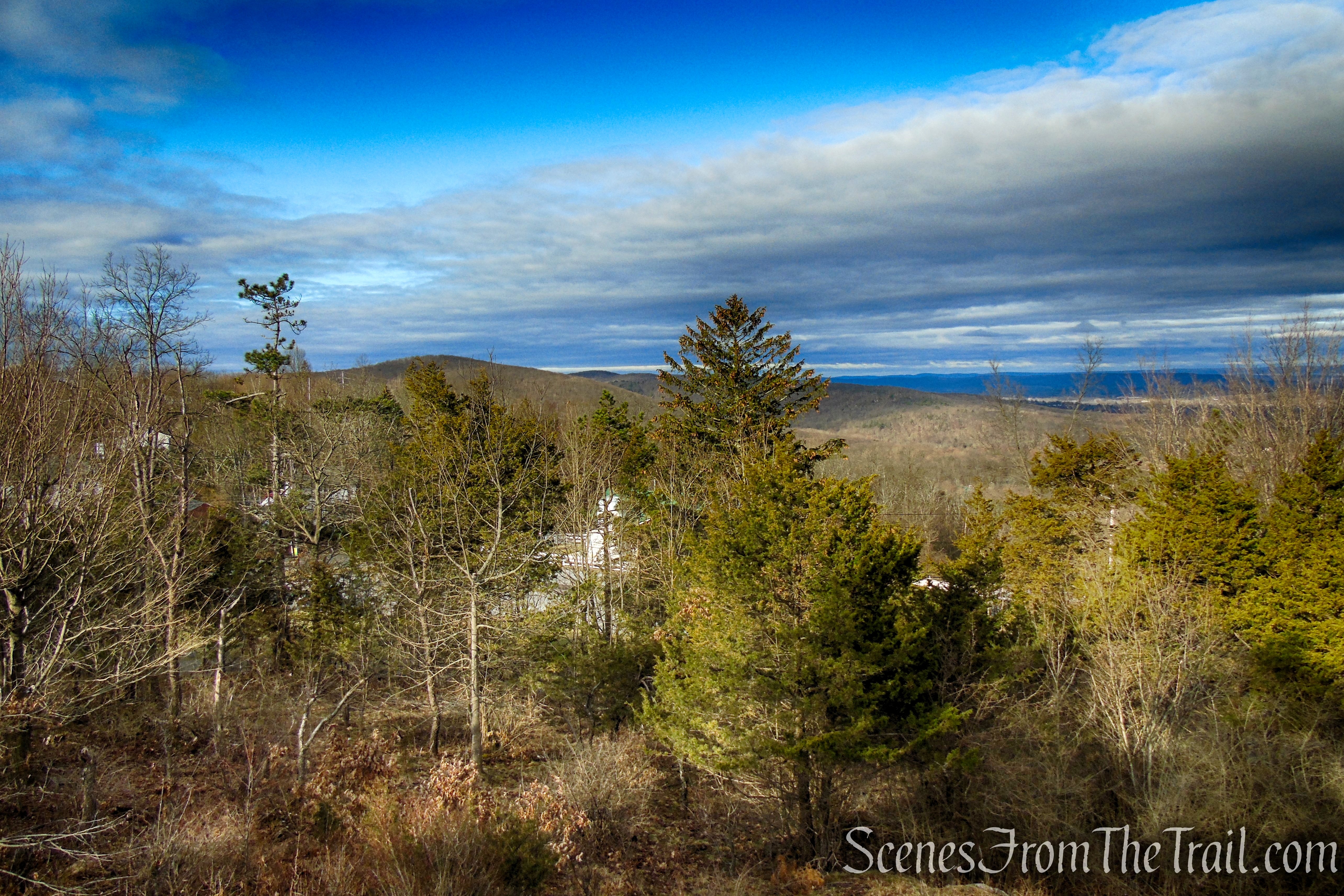
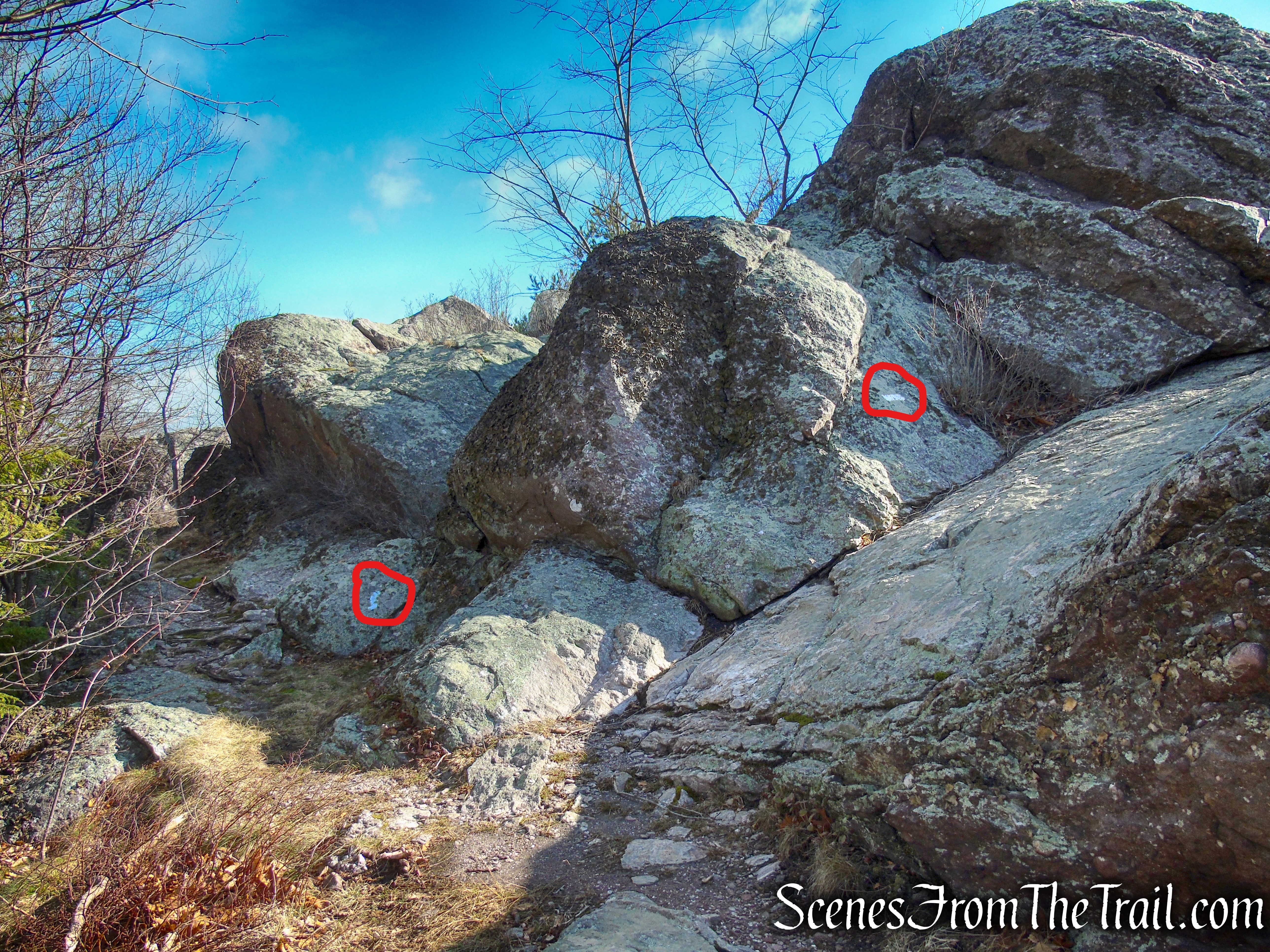
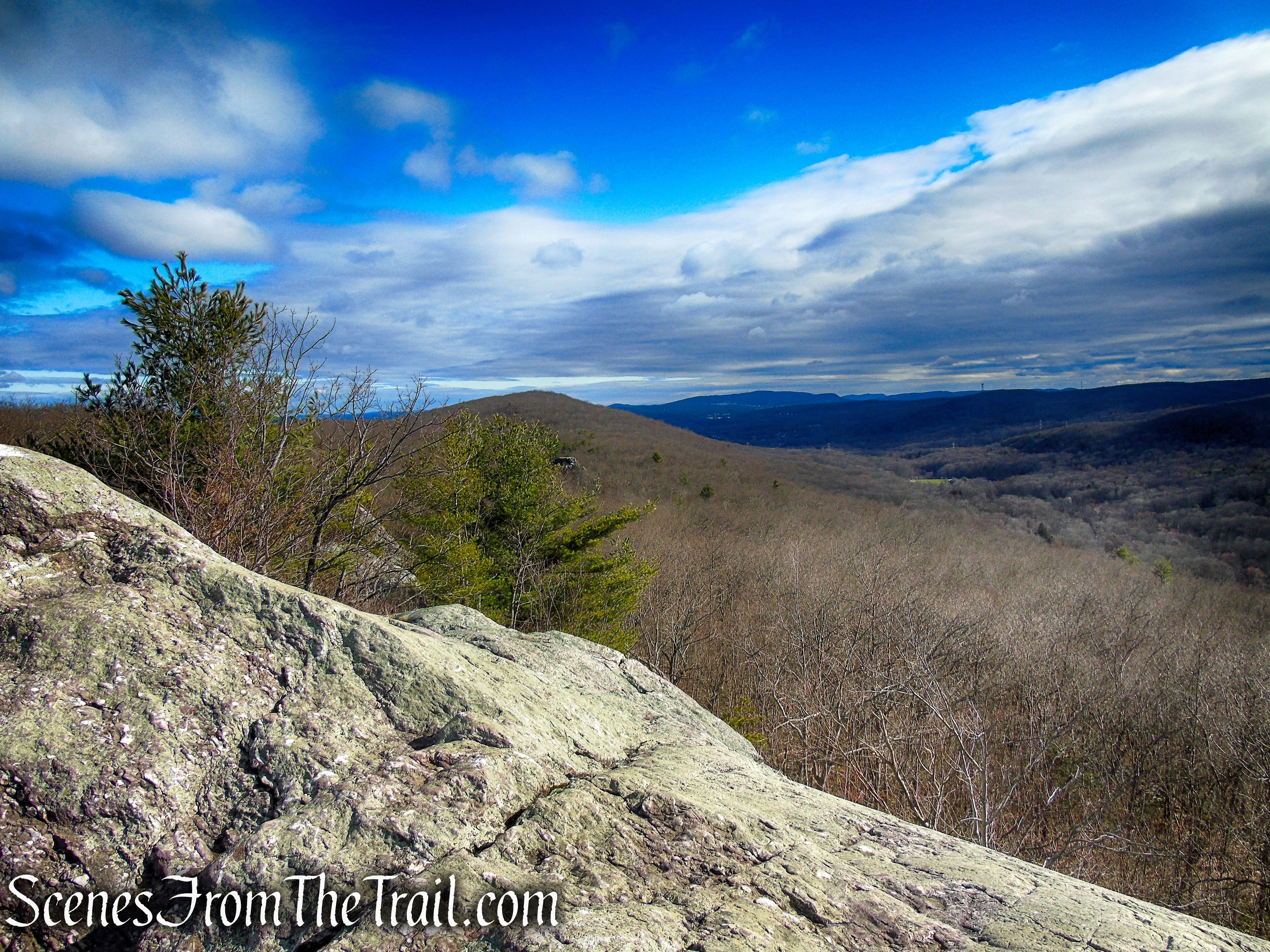
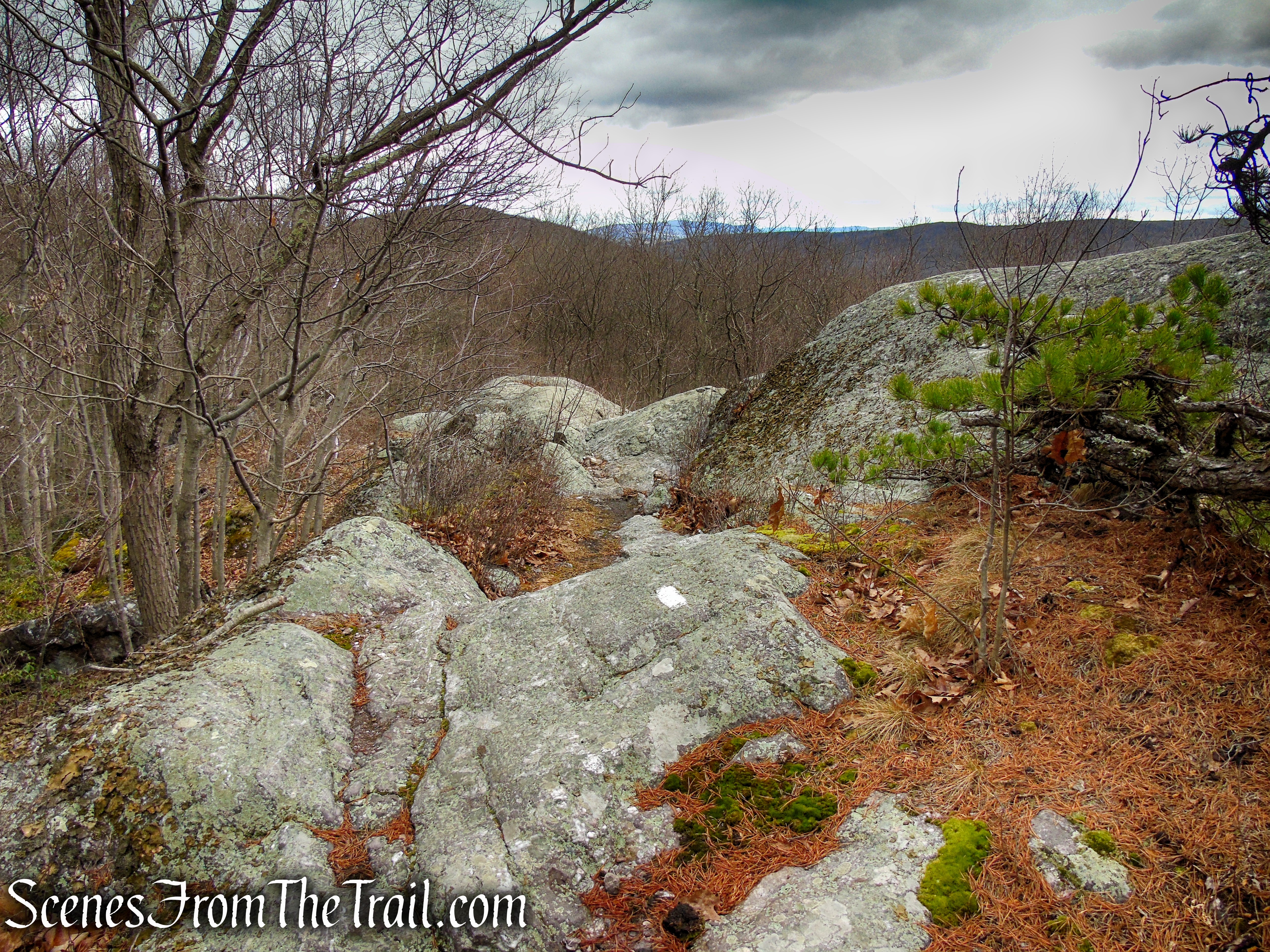
About 1.4 miles from the start, you’ll notice the start of a blue-blazed side trail. You’re now just below a spectacular outcrop of puddingstone rock known as the Eastern Pinnacles, and the side trail is provided so that A.T. thru-hikers won’t have to climb up the rock outcrop in bad weather (the rocks can be very slippery when wet). Hopefully, you’ve picked a day with good weather for your hike, and you’ll want to follow the white blazes ahead and scramble up the rock outcrop, which offers magnificent views to the north and east over the hills of Sterling Forest.
junction of AT and Blue Bypass Trail

Eastern Pinnacles – Bellvale Mountain
As you begin the climb of the Eastern Pinnacles, there is a shorter bypass trail on the left (also marked blue) that lets hikers skip the first steep climb.

Eastern Pinnacles – Bellvale Mountain
Eastern Pinnacles – Bellvale Mountain

Eastern Pinnacles – Bellvale Mountain
Eastern Pinnacles – Bellvale Mountain
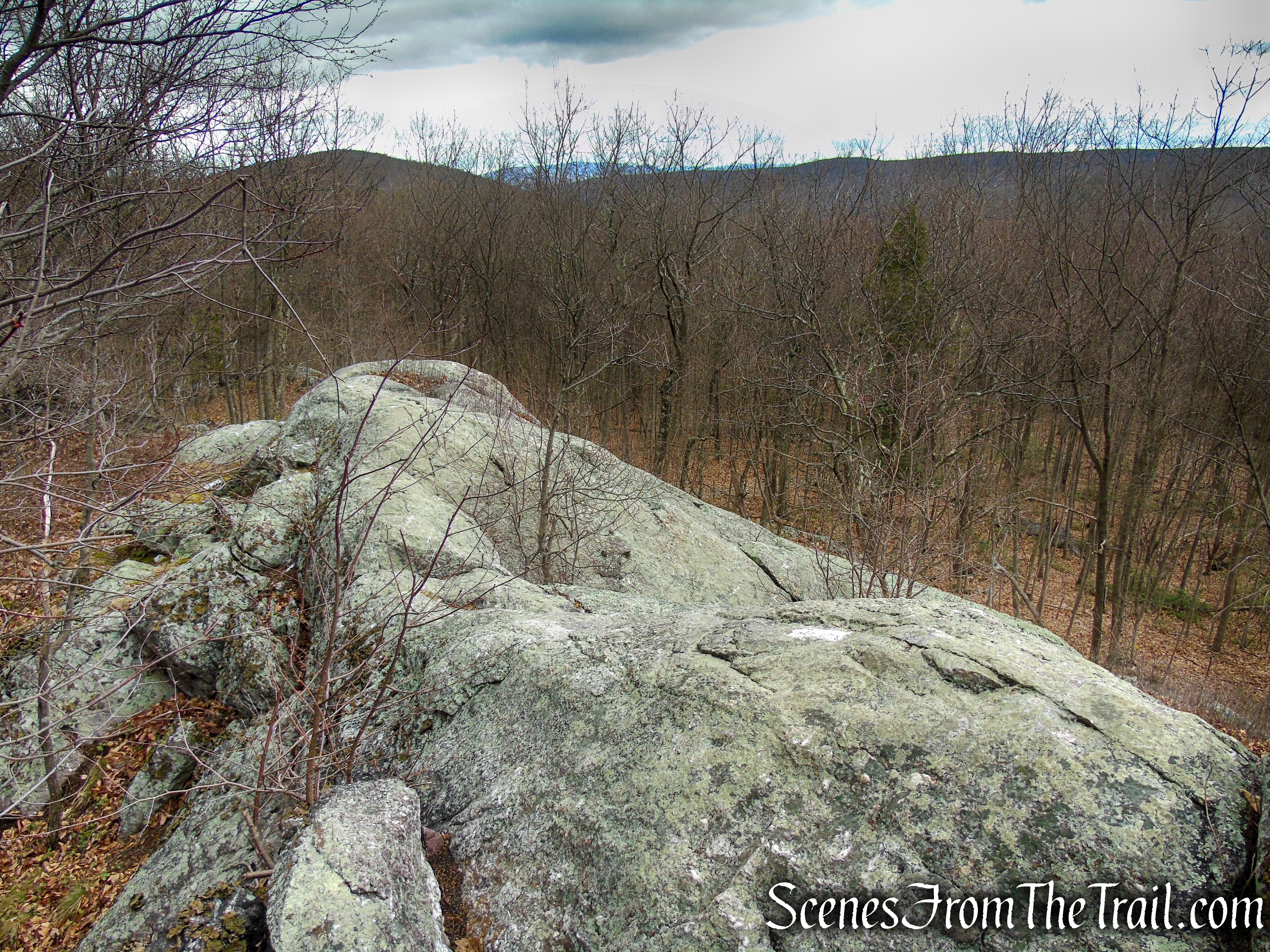
The A.T. continues along the exposed rocks, with more views. You’ll have to use both your hands and your feet to negotiate this trail section.

Eastern Pinnacles – Bellvale Mountain

Eastern Pinnacles – Bellvale Mountain

Eastern Pinnacles – Bellvale Mountain
Eastern Pinnacles – Appalachian Trail
Eastern Pinnacles – Bellvale Mountain
That rock tower that protrudes out of the forest to the north, is Cat Rocks.

view of Cat Rocks and beyond from Eastern Pinnacles
A zoomed in view shows two hikers sitting at the top of Cat Rocks enjoying a break.

Cat Rocks as viewed from Eastern Pinnacles
At the end of the Eastern Pinnacles, the trail comes to the northern junction of the Blue Bypass Trail.
Eastern Pinnacles – Appalachian Trail

Eastern Pinnacles – Appalachian Trail
Eastern Pinnacles – Bellvale Mountain
Eastern Pinnacles – Bellvale Mountain
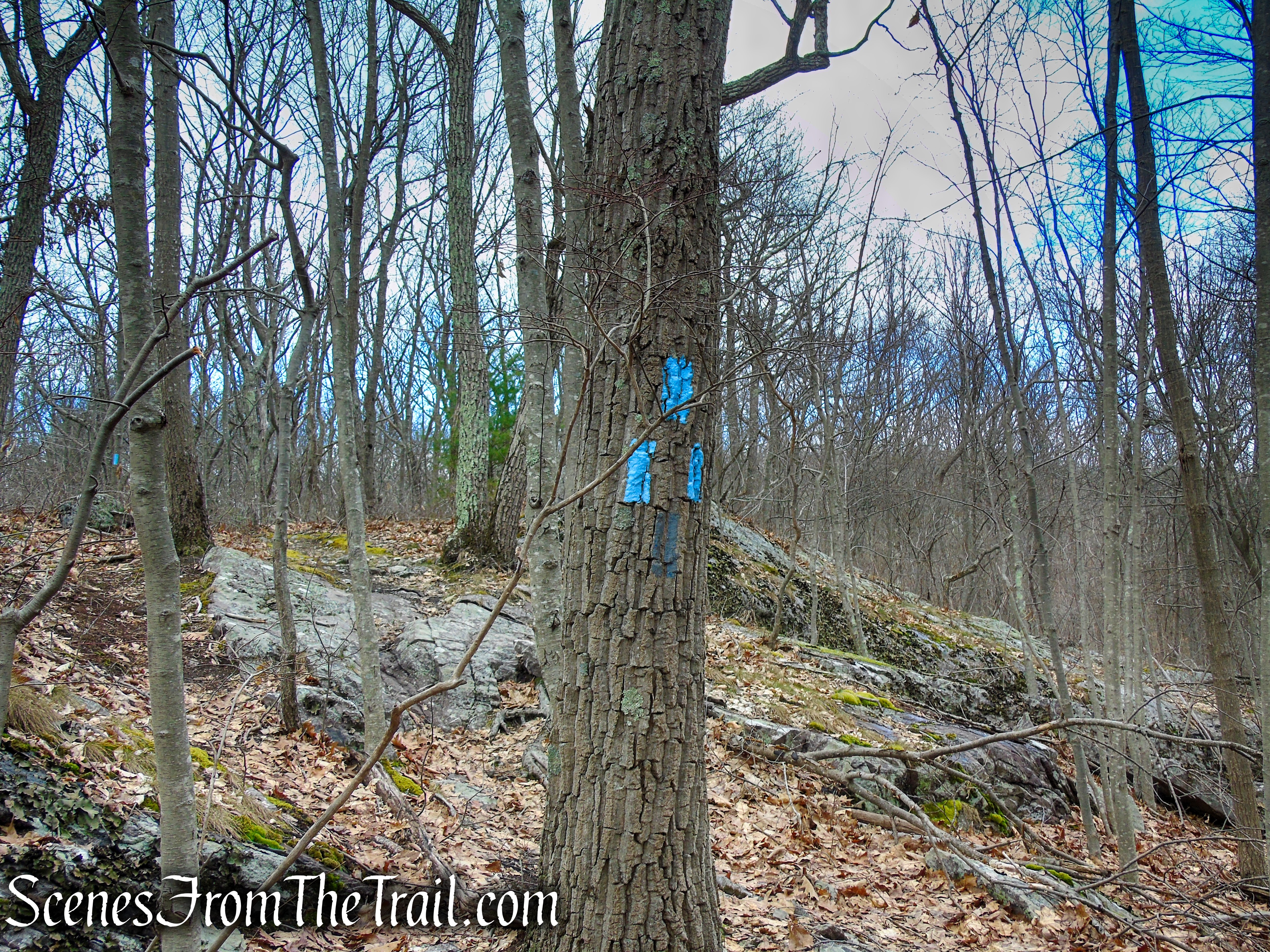
junction of AT and Blue Bypass Trail
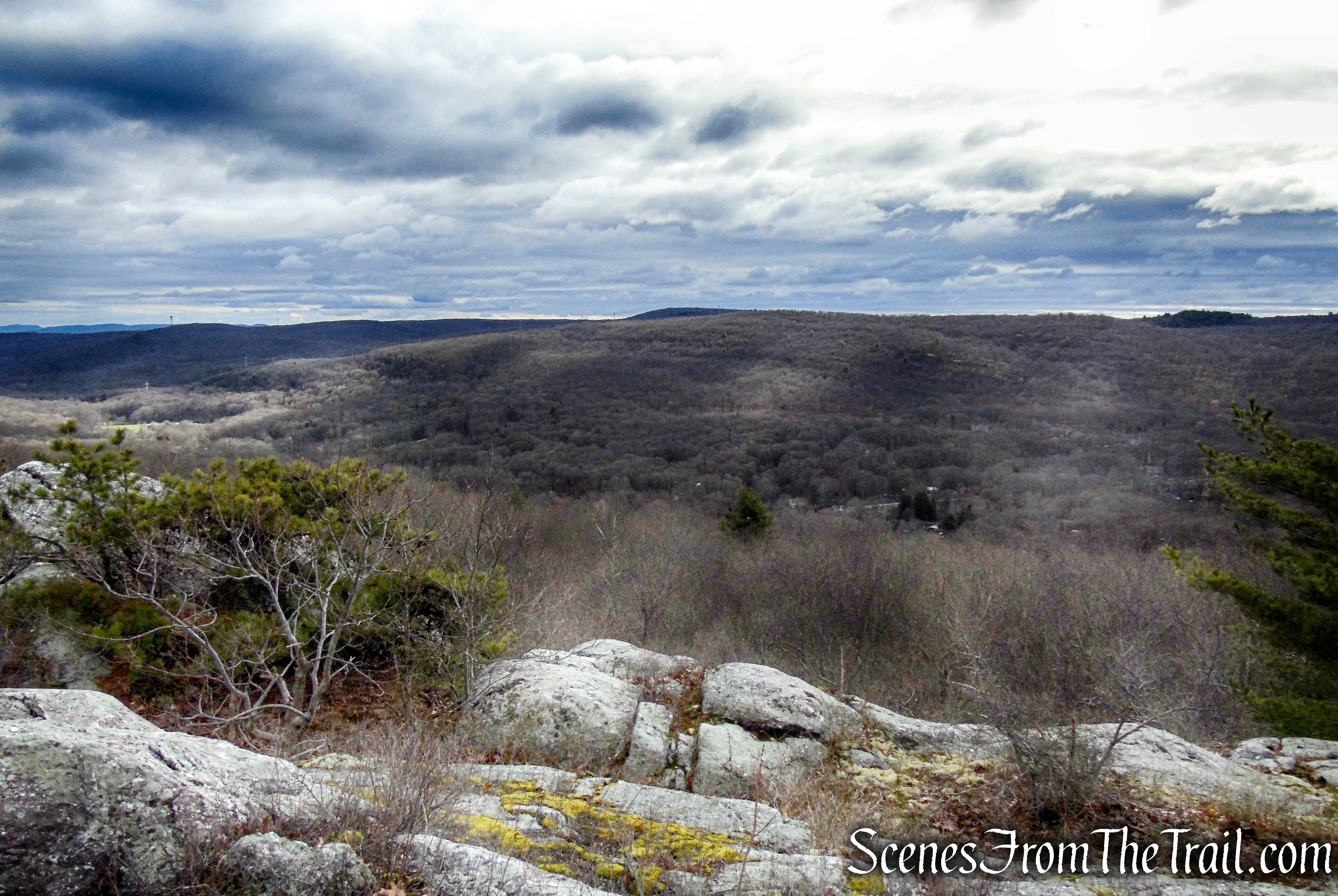
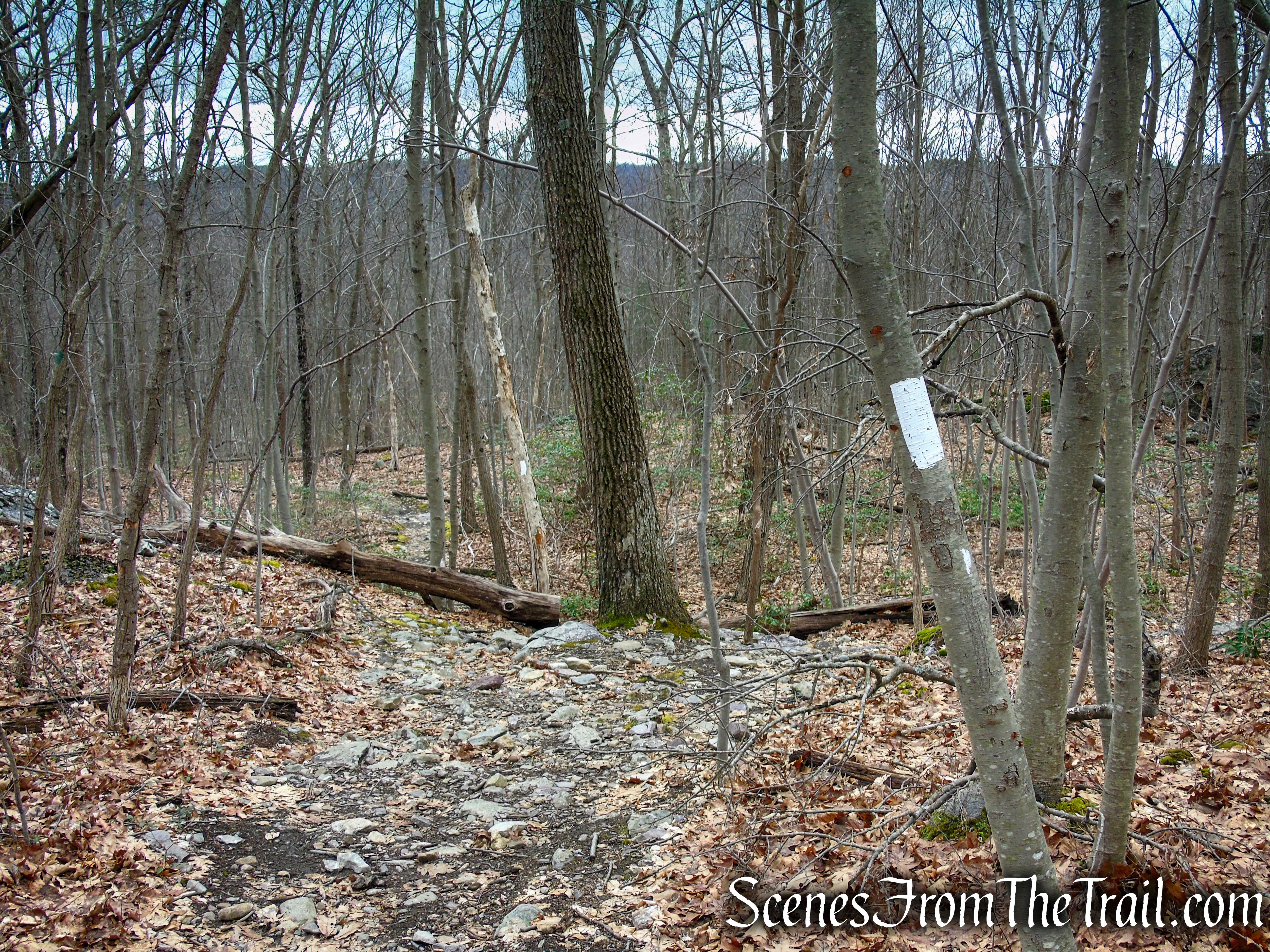
The white-blazed A.T. now heads gently downhill. It goes through dense mountain laurel thickets and traverses a wet area, crossing several streams as it levels off.
Appalachian Trail – Bellvale Mountain
Appalachian Trail – Bellvale Mountain

Appalachian Trail – Bellvale Mountain
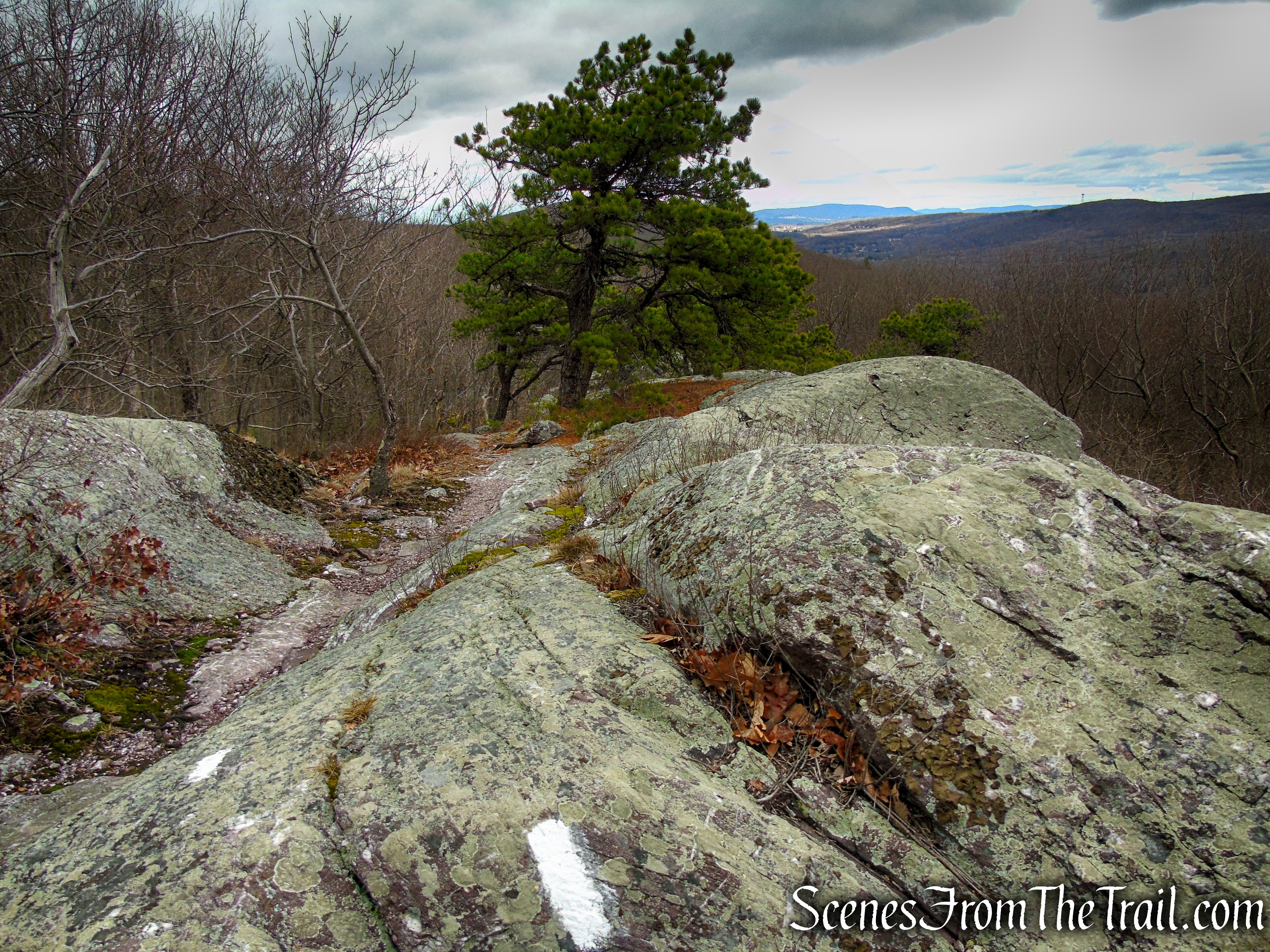
Soon the trail begins to climb moderately then levels off somewhat.

Appalachian Trail – Bellvale Mountain
The AT passes a skull-like rock formation along the way.

Appalachian Trail – Bellvale Mountain
The AT then climbs to Cat Rocks, another dramatic rock formation. Again, there is a blue-blazed trail that bypasses this feature, but you’ll want to follow the white blazes to the top of these fascinating puddingstone rocks. The east-facing view from Cat Rocks has largely grown in, but this outcrop is even more spectacular than the Eastern Pinnacles because of the sheer drop from the top of the outcrop and the deep crevice on the left at the north end.

Appalachian Trail – Bellvale Mountain
Cat Rocks – Bellvale Mountain

Cat Rocks – Bellvale Mountain

Cat Rocks – Bellvale Mountain

Cat Rocks – Bellvale Mountain

Cat Rocks – Bellvale Mountain

Cat Rocks – Bellvale Mountain

Cat Rocks – Bellvale Mountain
At the top of Cat Rocks, the AT levels off (this is the same spot where we saw hikers sitting in the zoomed in view). Soon the trail begins to descend steeply to a junction with the other end of the Blue Bypass Trail.

Cat Rocks – Bellvale Mountain
Looking back at the route from which we just descended.
Cat Rocks – Bellvale Mountain
This is the turn around spot for this hike. Turn right on the Blue Bypass Trail and follow it to its terminus at a junction with the AT and turn left.
Blue Bypass Trail – Cat Rocks
Blue Bypass Trail – Cat Rocks
Now you’ll be heading in a southerly direction on the AT, retracing your steps.
Appalachian Trail – Bellvale Mountain
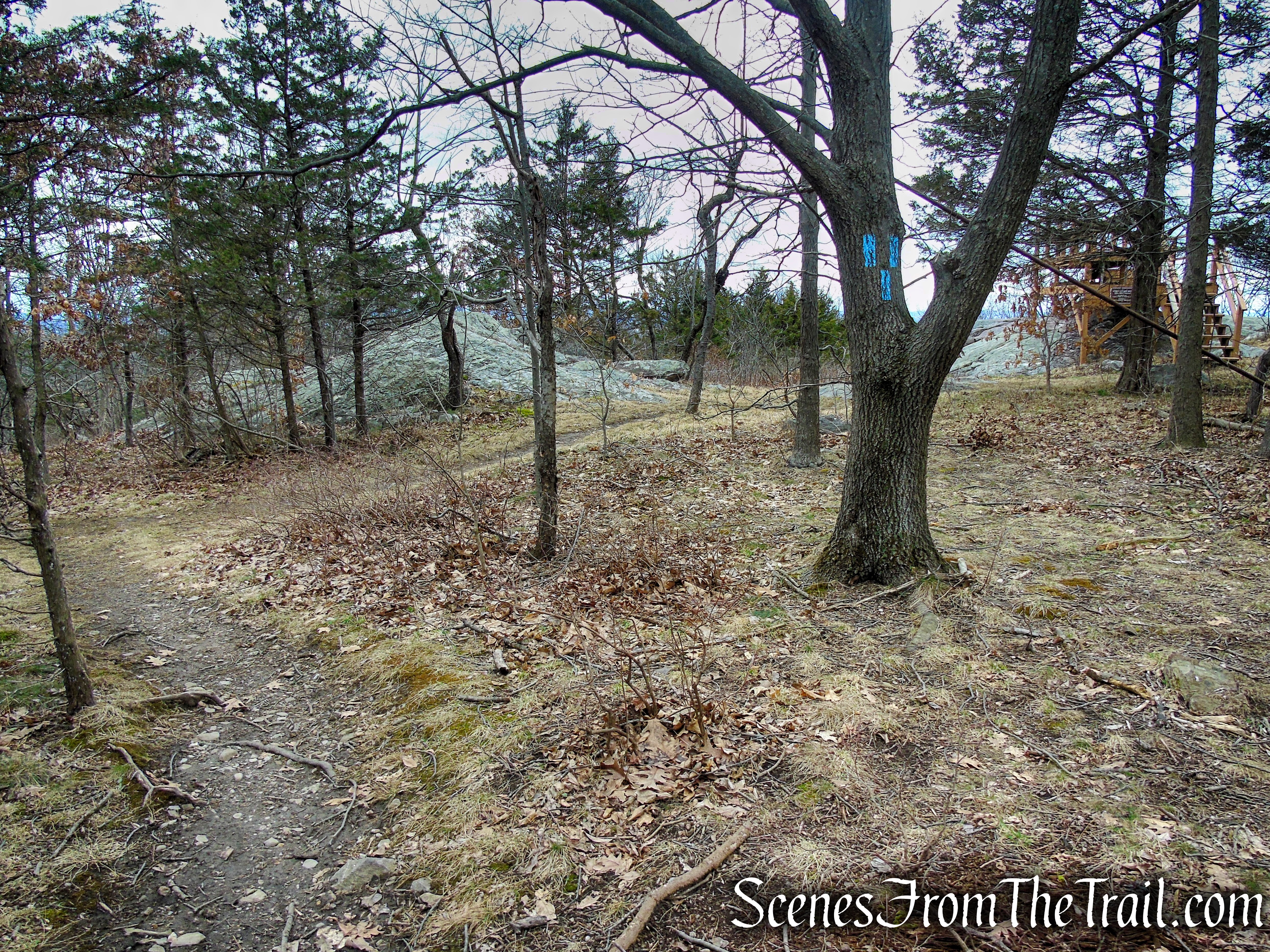
When you reach the Eastern Pinnacles, veer right onto the Blue Bypass Trail (unless of course you want to do the rock scramble again) and follow the blue blazes as they lead uphill with the Eastern Pinnacles visible through the trees on the left.

AT & Blue Bypass Trail junction

Blue Bypass Trail – Eastern Pinnacles
At the end of the Blue Bypass Trail, turn right, rejoining the AT. In about another mile, The AT turns left to cross Route 17A at a junction with the Blue Connector Trail. Continue straight, now following the blue blazes until its terminus near the Mount Peter Hawk Watch. Turn left and descend the stone steps that you climbed at the beginning of the hike, returning to the gravel parking lot, where the hike began.

Blue Bypass Trail – Eastern Pinnacles

AT & Blue Connector Trail junction
Blue Connector Trail – Mount Peter Hawk Watch
You may want to stop at the Bellvale Farms Creamery which is adjacent to the parking lot. They have some of the best ice cream around. They are open from April 1st to October. Unfortunately for us, it wasn’t yet open for the season when we did this hike.
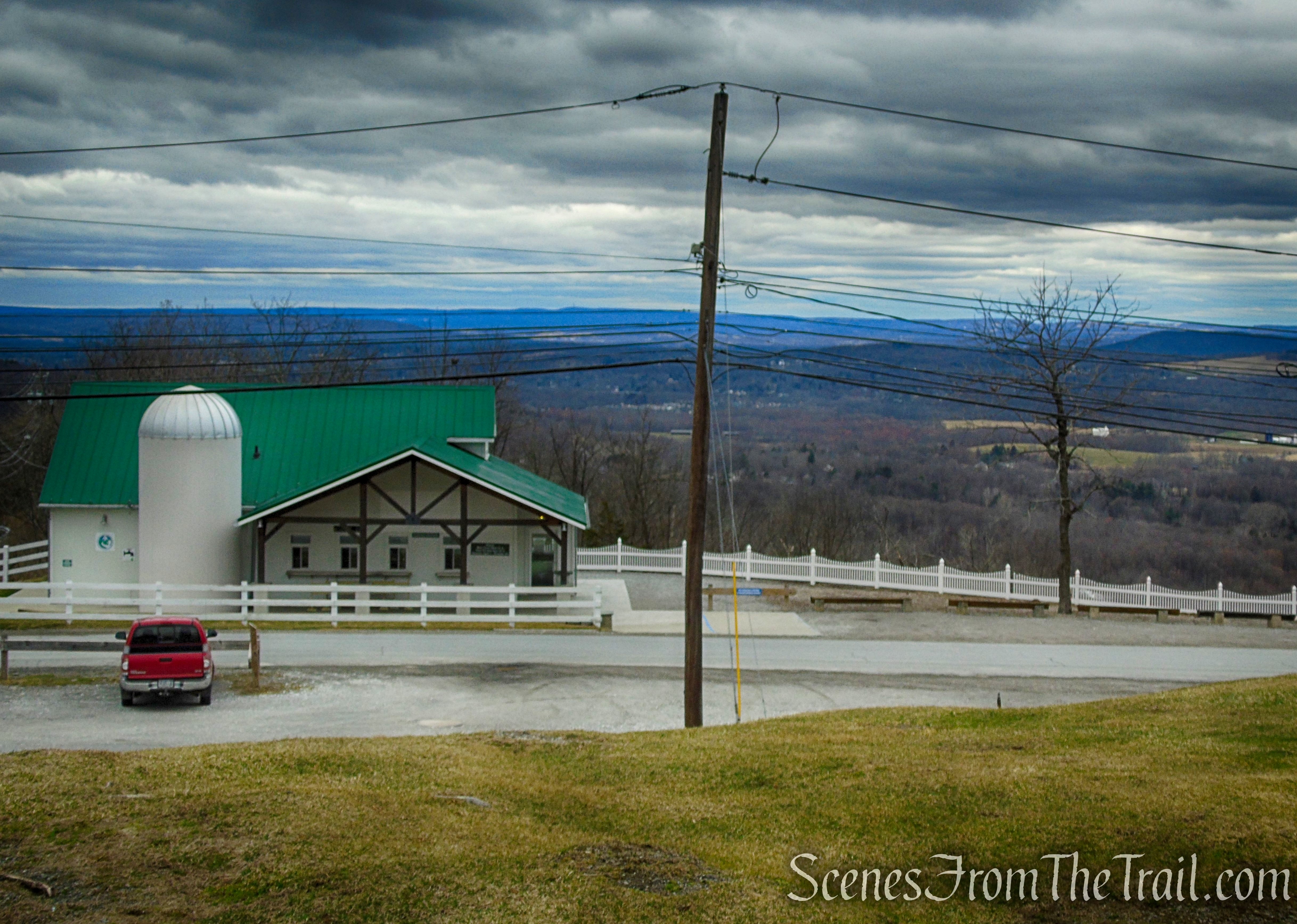
Bellvale Farms Creamery
Review:
This hike was very enjoyable and a lot of fun. Although we crossed paths with quite a few hikers, it didn’t feel crowded. In most cases they were going in the opposite direction. The AT is well marked and maintained. The Blue Bypass Trails make it easy for anyone that doesn’t want to do the rock scrambles to skip those sections. The views from the Eastern Pinnacles are some of the best around. A must do hike in the Hudson Valley.
Pros:
Eastern Pinnacles, Cat Rocks, Appalachian Trail, outstanding views.
Cons:
Some road noise at the beginning and end of the hike near Route 17A.
Take a hike!

Eastern Pinnacles & Cat Rocks from Route 17A
Sources:
- New York-New Jersey Trail Conference
- Orange County’s slice of the Appalachian Trail
- Mount Peter Hawk Watch
