April 2, 2022 – Danbury, Connecticut
Difficulty: Moderate
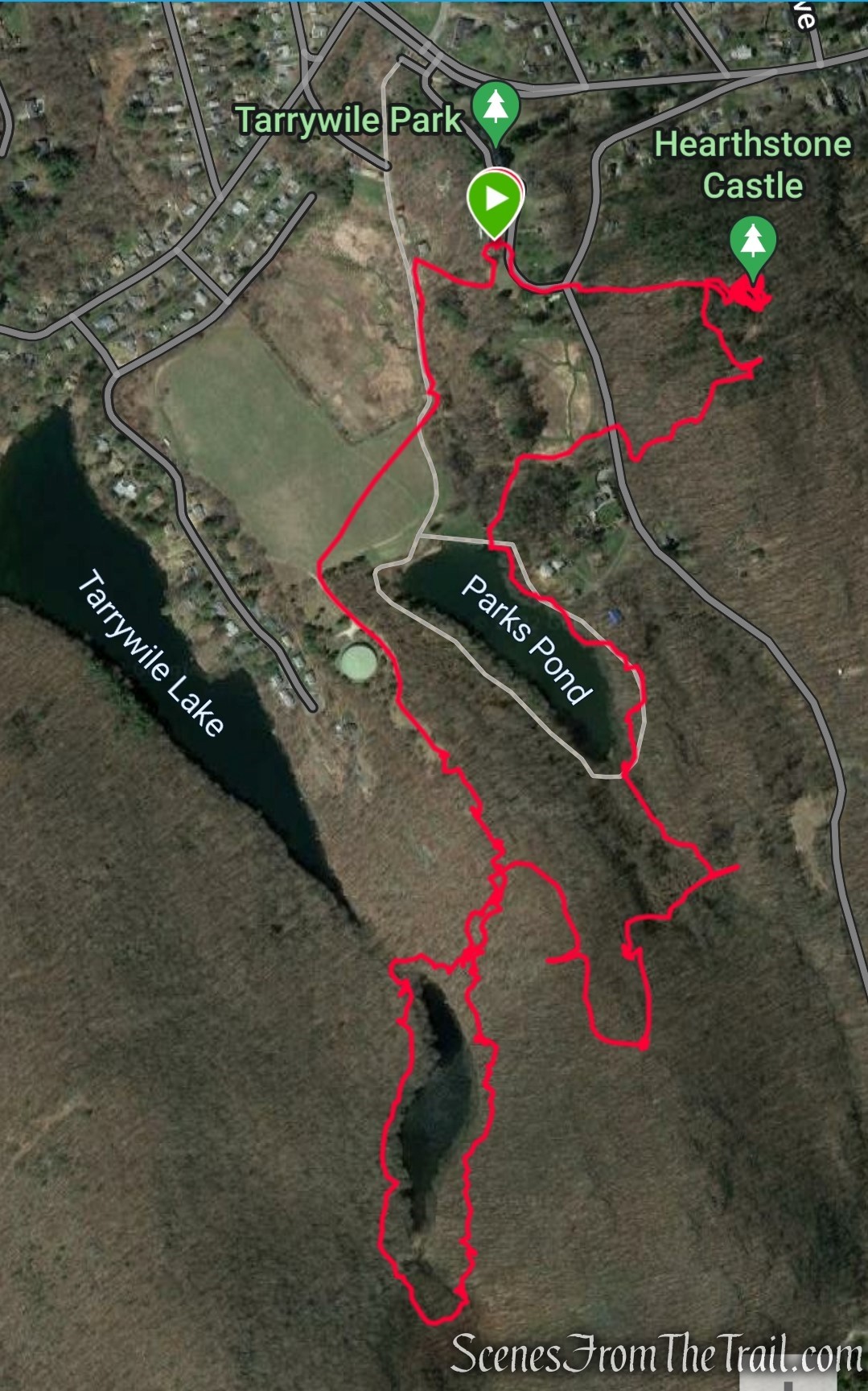
Length: Approximately 4 miles
Max elevation: 710 ft.– total elevation gain approximately 587 ft.
Route type: Figure-8 Loop
Maps: Tarrywile Park Trail Map
Trailhead parking: 70 Southern Blvd, Danbury, CT 06810
Portable toilets on site – No entrance or parking fees
Parking in paved lot
Park Overview:
Tarrywile Park is the largest municipally owned town Park in the State of Connecticut. The park consists of 722 acres of woodlands, fields, dense forests and steep hillsides punctuated by dramatic outcrops of granite, and glistening streams and ponds.
Within the boundaries of Tarrywile Park stand both the Tarrywile Mansion and Hearthstone Castle. These structures are listed on the National Register for Historic Preservation.
The park has a variety of trails, and is open for hiking, picnicking, and other outdoor activities. The mansion can be toured by appointment, and is rentable for private functions.
History:
Located approximately one mile from downtown Danbury, Tarrywile Park was once an active dairy farm and fruit orchard. The City purchased the parcel from the Charles D. Parks Estate in 1985. The family had offered the land to the City and was turned down several times. When the family looked to sell the acreage for a condo development, neighbors took action and through a grass roots effort forced the purchase question to a referendum. The citizens of Danbury voted to approve the purchase of 535 acres of meadows, forests, mountains, lakes and ponds as well as 19 buildings and all at a cost of 4.7 million dollars.
The voters of Danbury, in November 1999, continued to support the Park and the conservation of open-space lands with the approval of the purchase of 100 acres of land adjacent to Tarrywile Lake. In August 2000 an additional 18 acres located near the beacon was purchased, bringing the total to 653 acres. Additional acres were added to the Park over the nest several years bringing the total acerage to 722 acres.
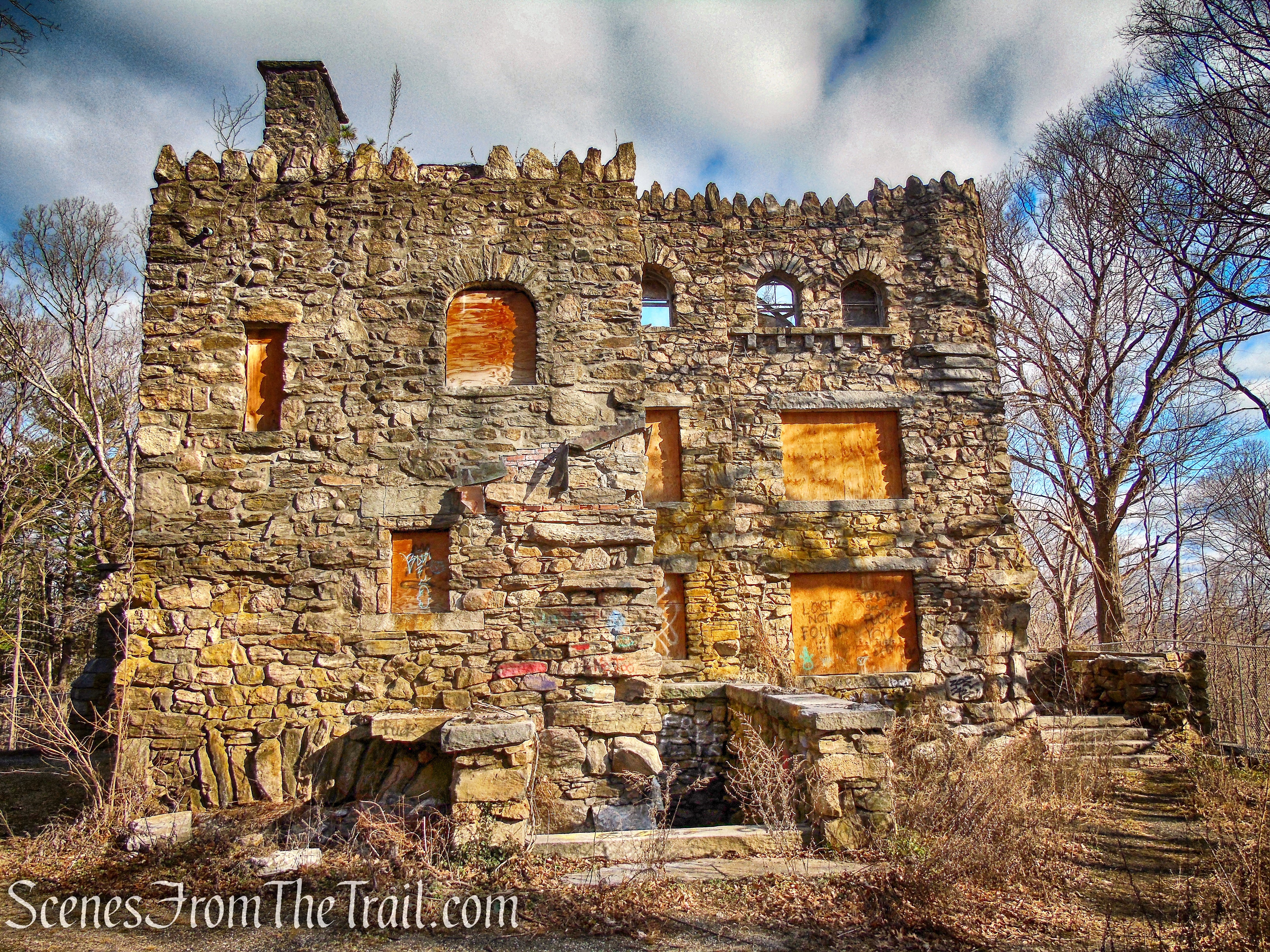
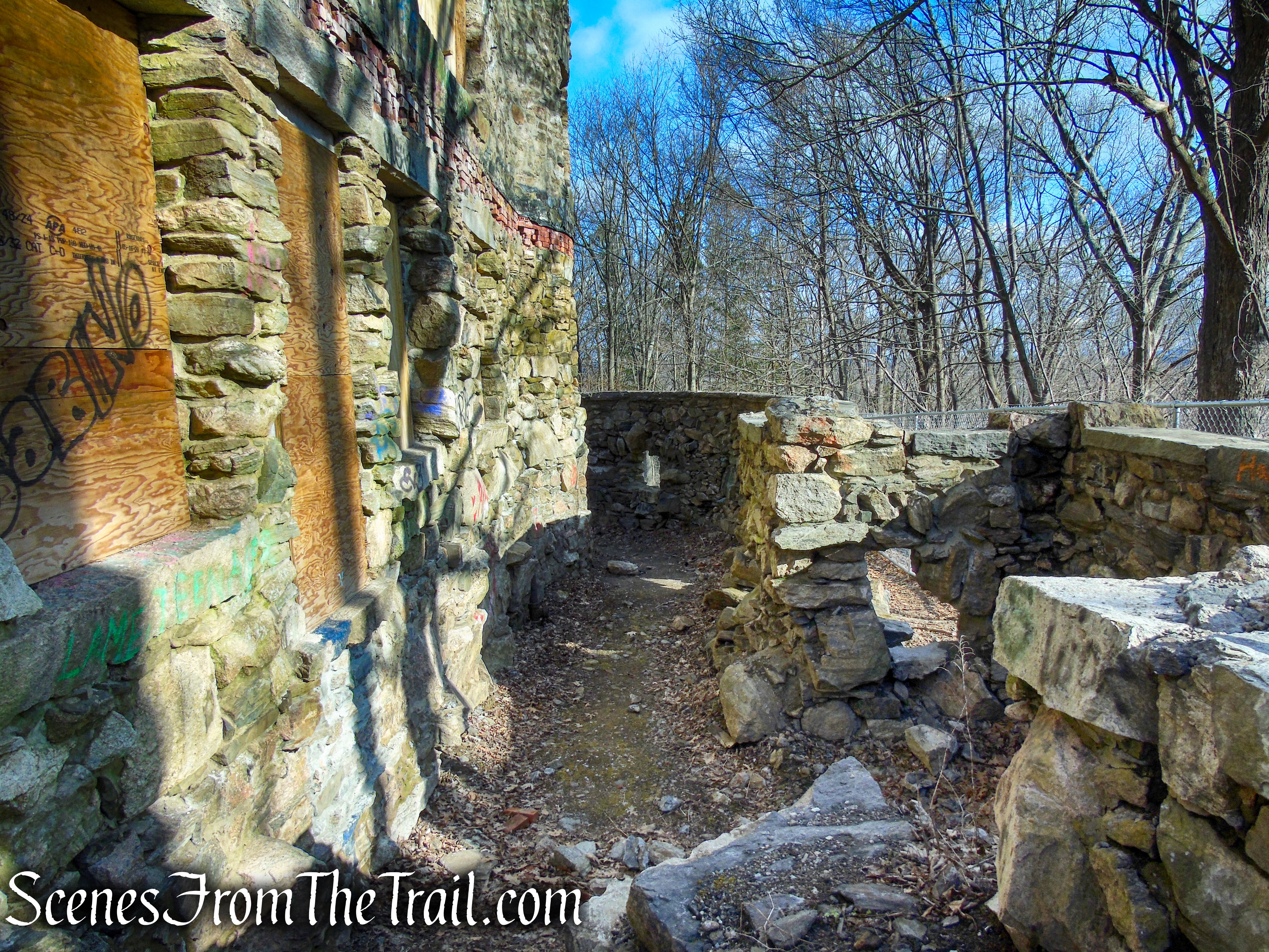
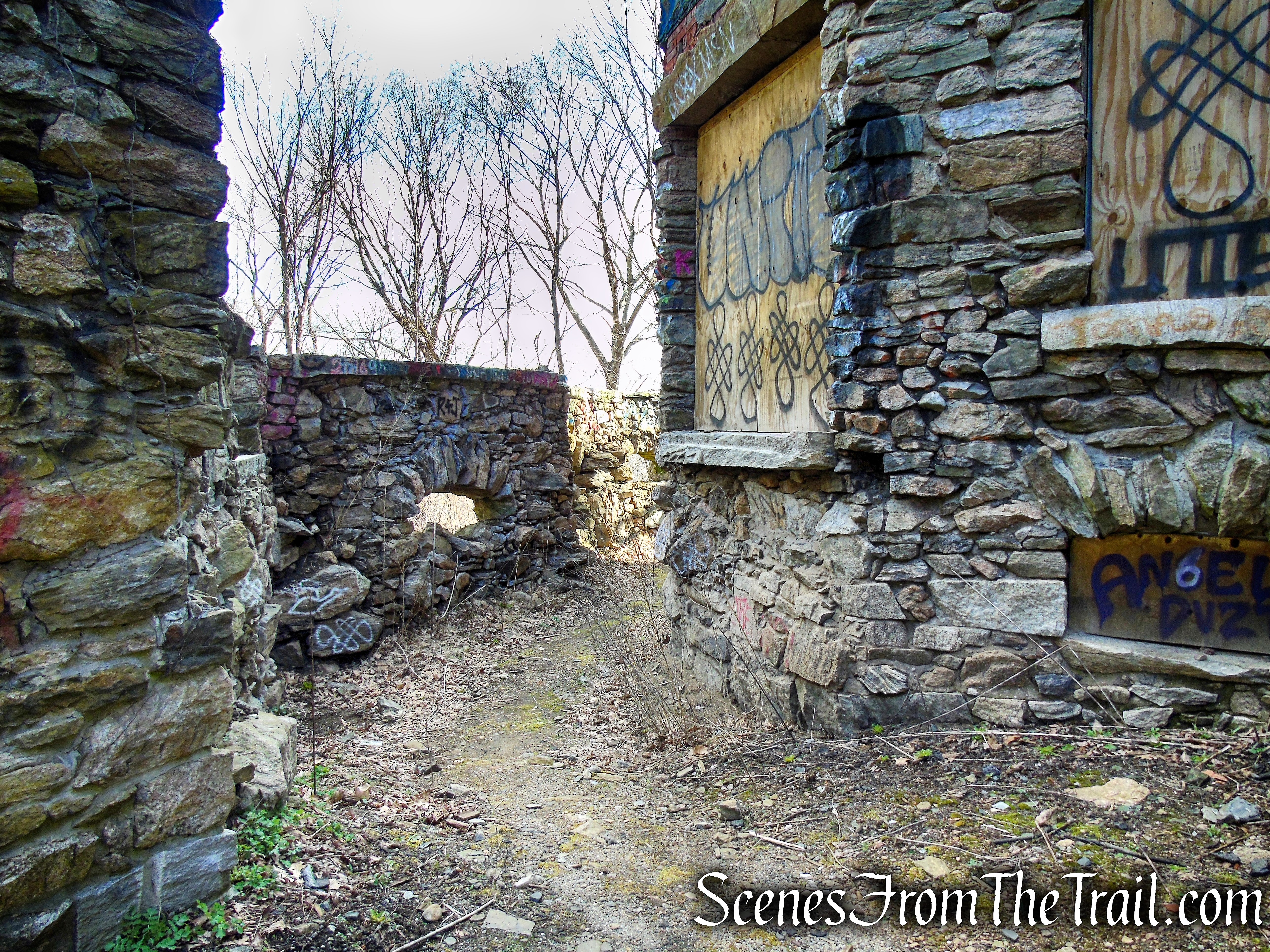
Hearthstone Castle was a three-story, sixteen room stone castle with associated outbuildings built between 1895 and 1899. It is located in a wooded setting at the crest of a hill to the east of Brushy Hill Road.
Trails Overview:
There are twenty-one miles of marked hiking trails along with numerous other unmarked footpaths that are not on the trail map. The trail map, produced in 2010, doesn’t accurately represent the current layout of the marked trails. For instance, the Red Trail near Back Pond is shown as a spur trail that ends at a lookout. It actually descends steeply from the lookout and and runs along the eastern shore of Back Pond. A stream crossing connects the Red Trail to the Blue Trail at the southern end of Back Pond.
That is one example, but to be honest following the trail map is quite confusing and at times a little frustrating. We felt like we were wandering around trying to figure out what trail went where more than just enjoying the hike. For the average day hiker with little or no experience, it would be helpful to have an up to date trail map.
Hike Overview:
Having visited the park several times just to visit Hearthstone Castle, we never ventured much farther than the area around it. We decided to explore the trails on this visit. The areas closest to the mansion are well maintained more suited for the casual walker/hiker. The southwestern section of the park is more remote and rugged, with steep slopes that require more effort and sturdy footwear.
Tarrywile Park

elevation profile – Tarrywile Park
I don’t want to discourage anyone from visiting this park. Hearthstone Castle is worth checking out and the more maintained sections of the park are quite scenic as well.
The Hike:
Rather than try to describe the route that we took and risk getting you lost. I will point out the highlights and lowlights of the sections of trails that we hiked.
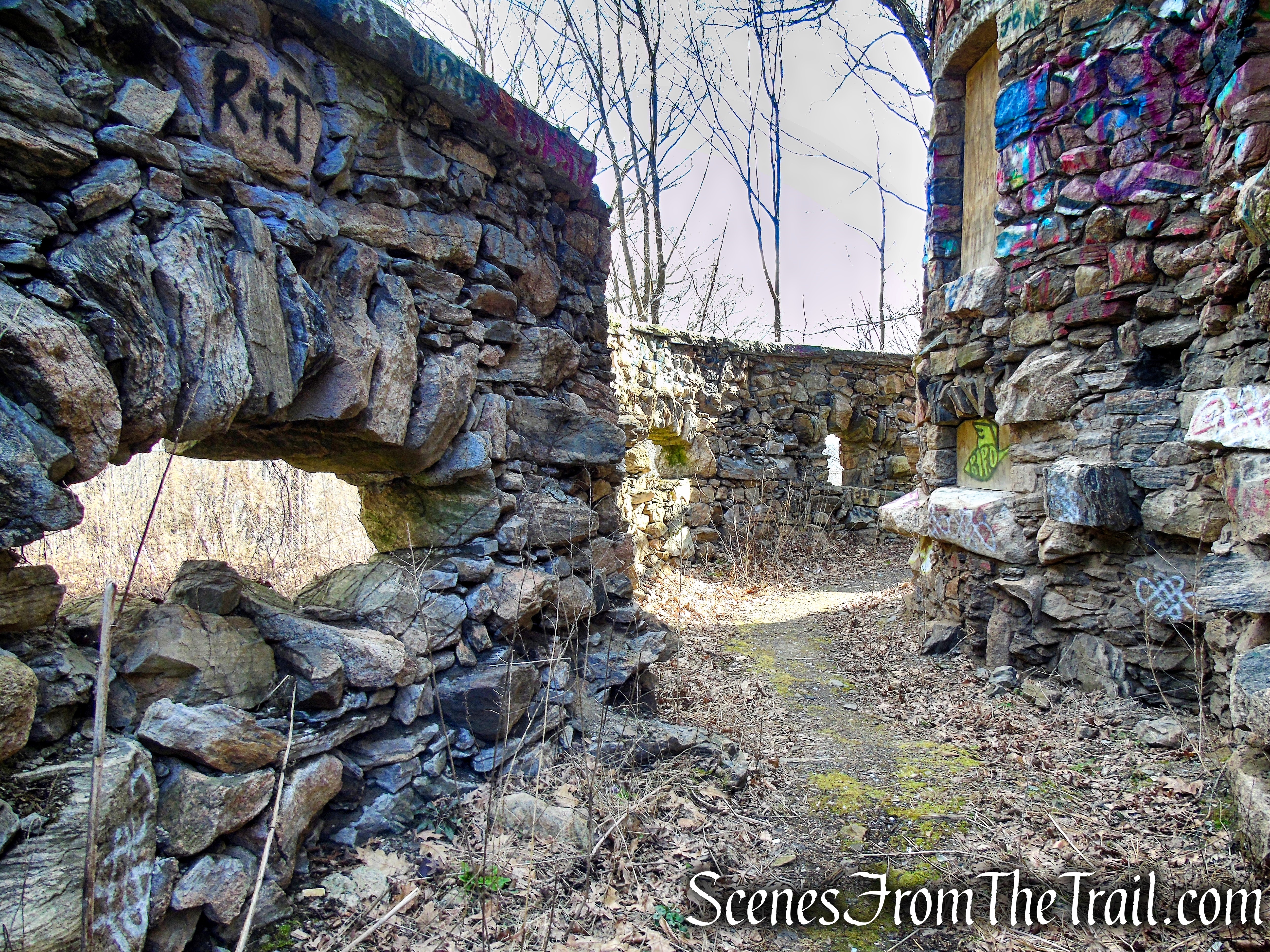
- Hearthstone Castle
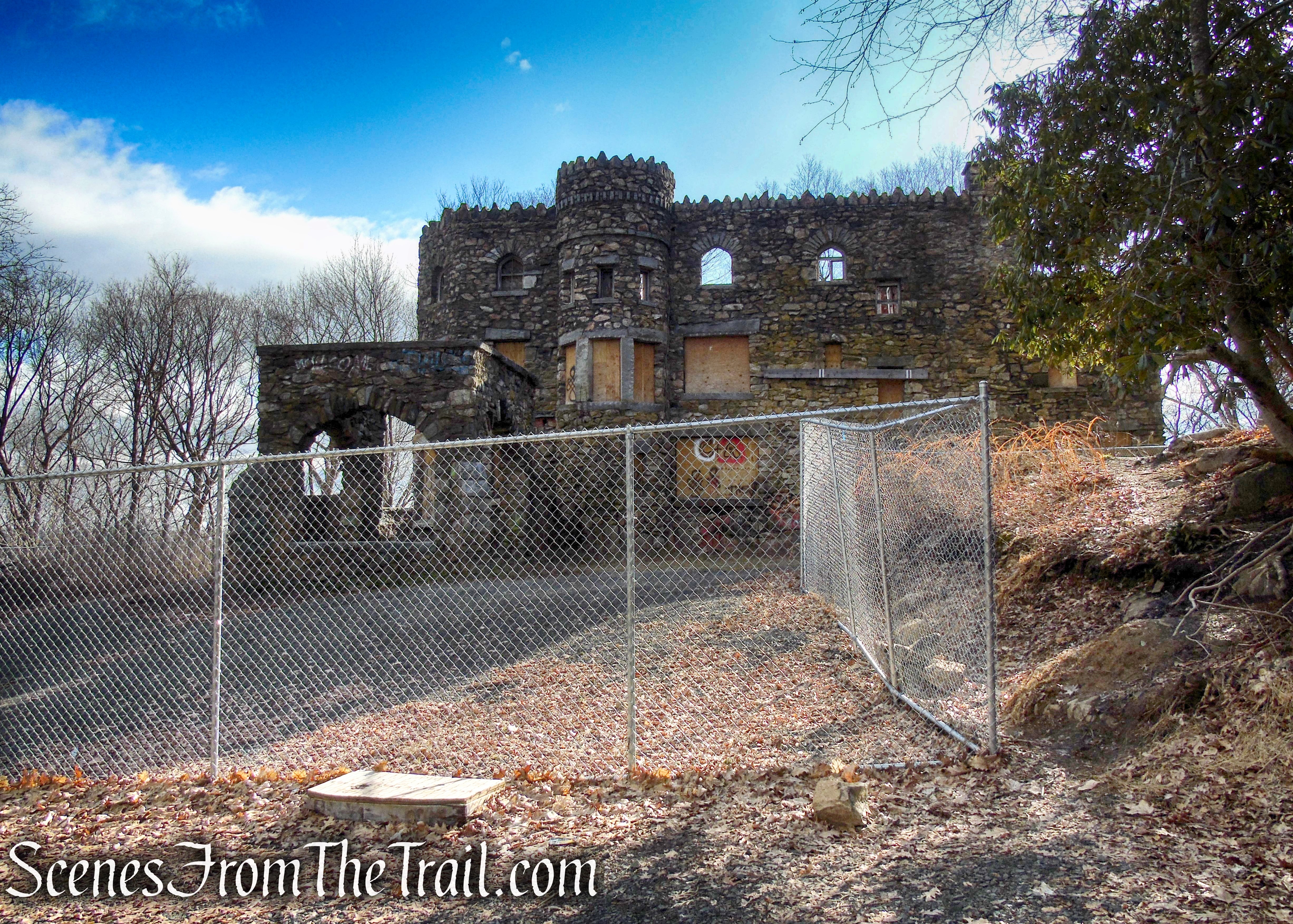
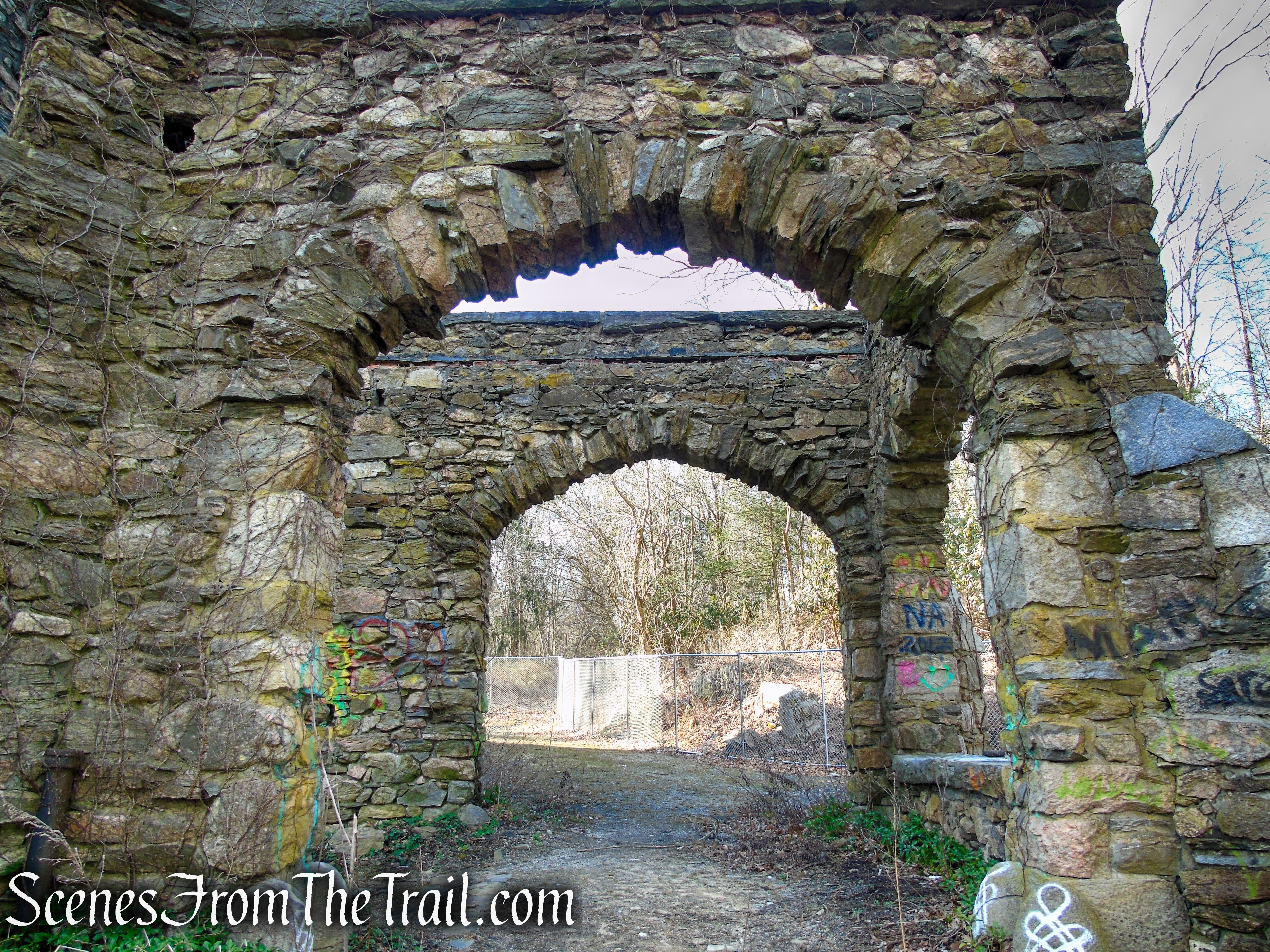
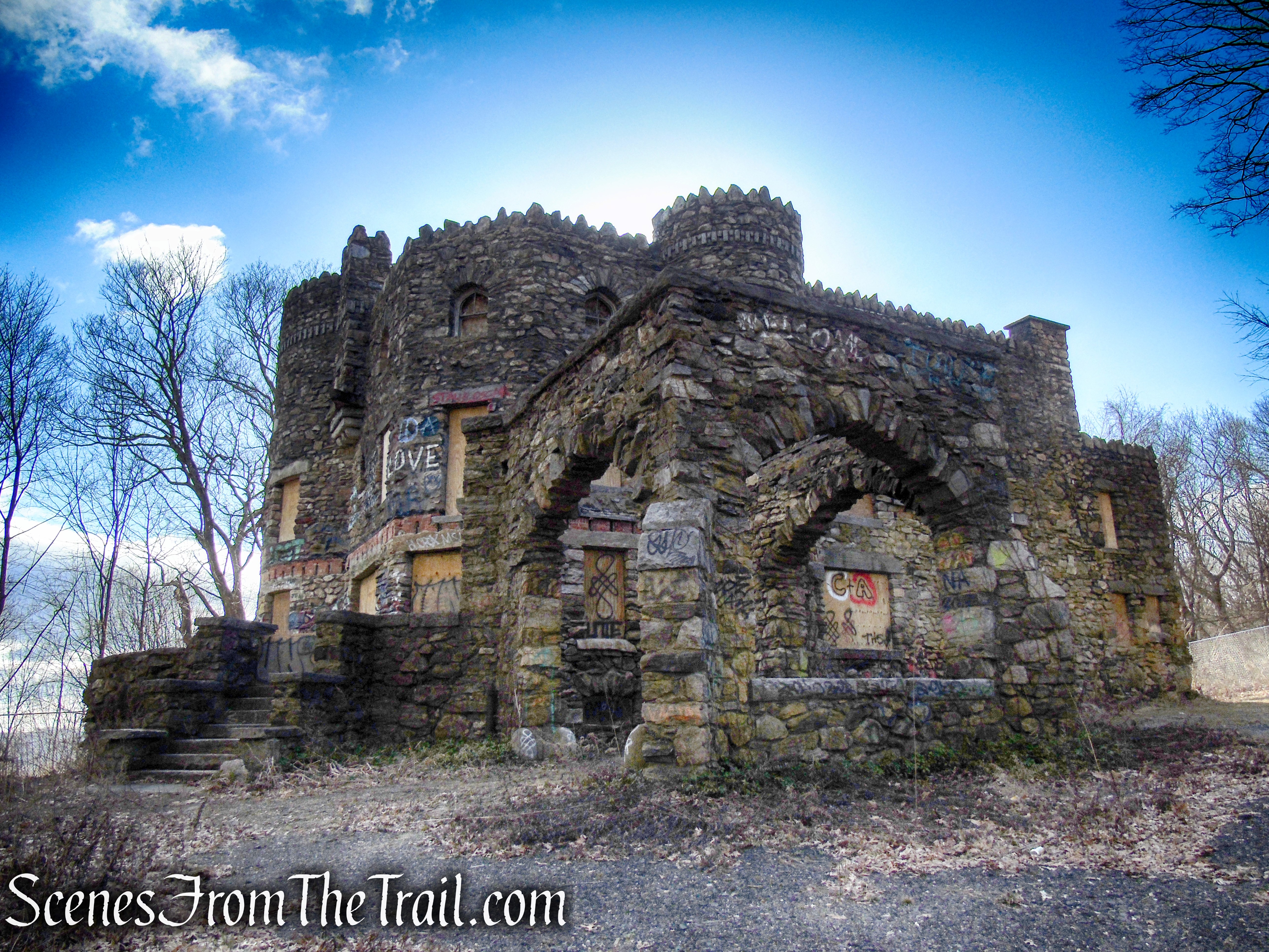
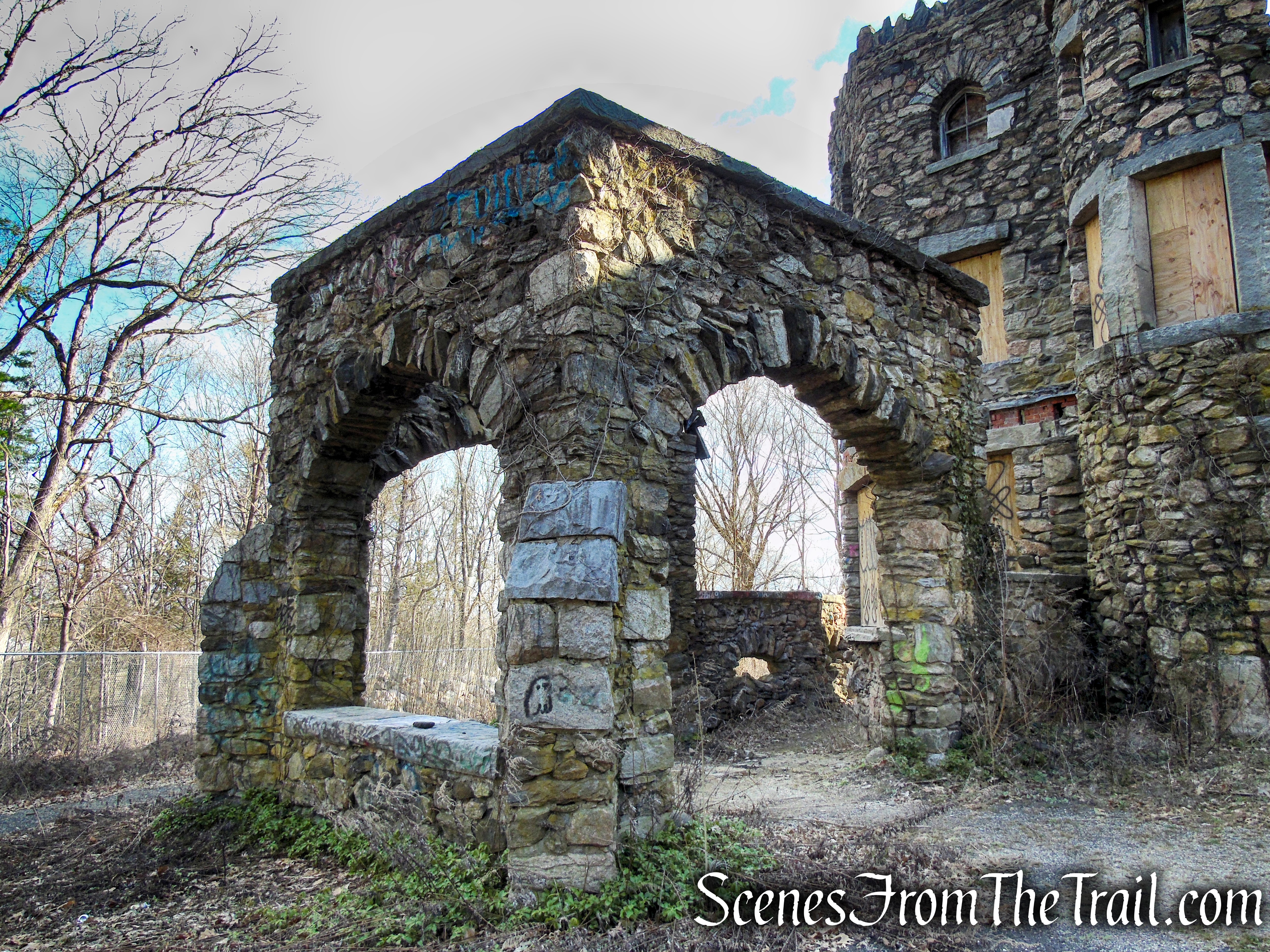
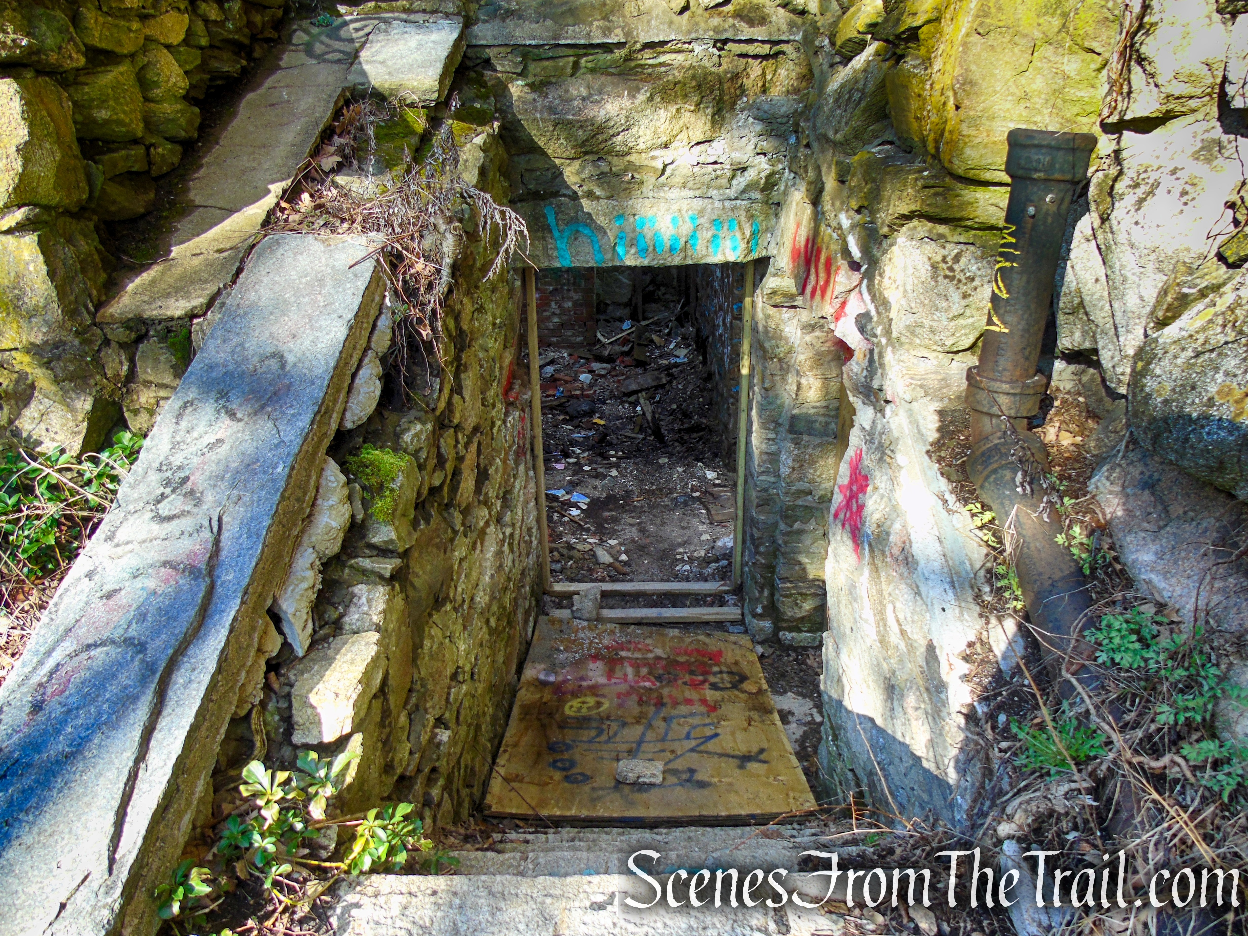
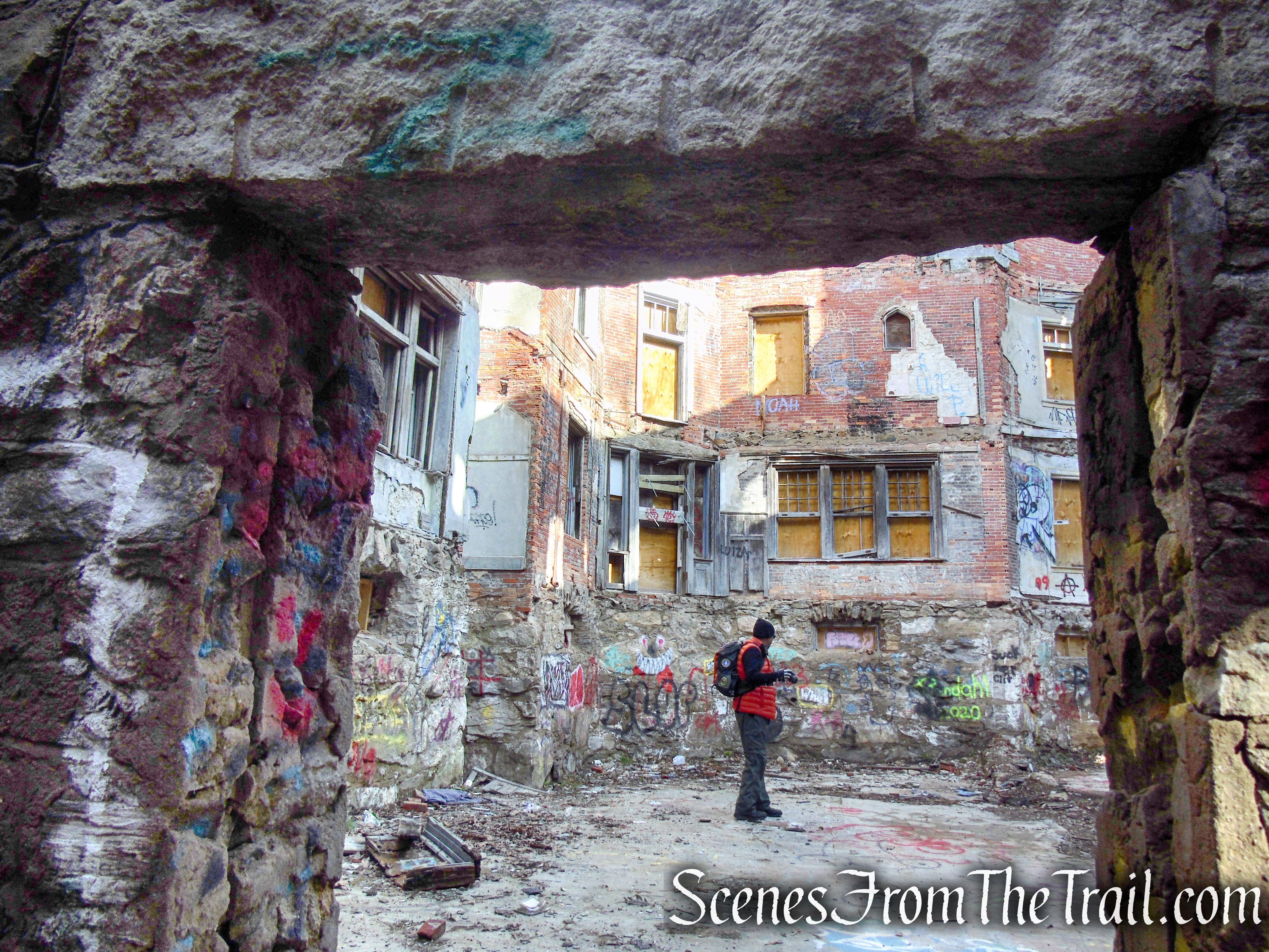
Please Note: Hearthstone Castle is currently lying in ruins and may be unstable. Visitors are not allowed inside the fenced-in area for their own safety. Trespassing is not allowed.
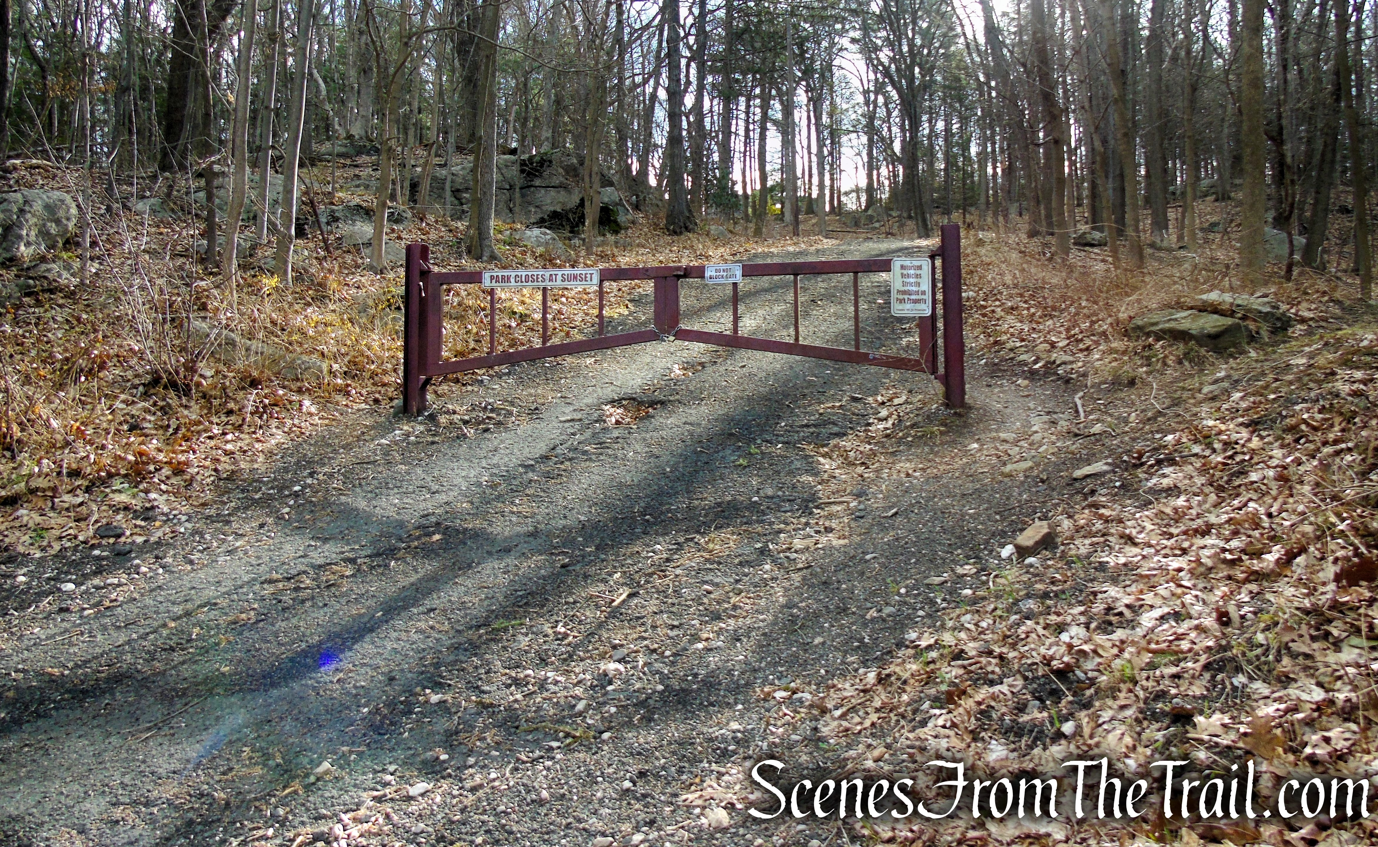
From the main parking lot, walk out to the road and turn right. Follow the road down to Brushy Hill Road. Carefully cross the road and proceed up the driveway past the gate. Walk up the hill about 245 yards to the site of Hearthstone Castle.
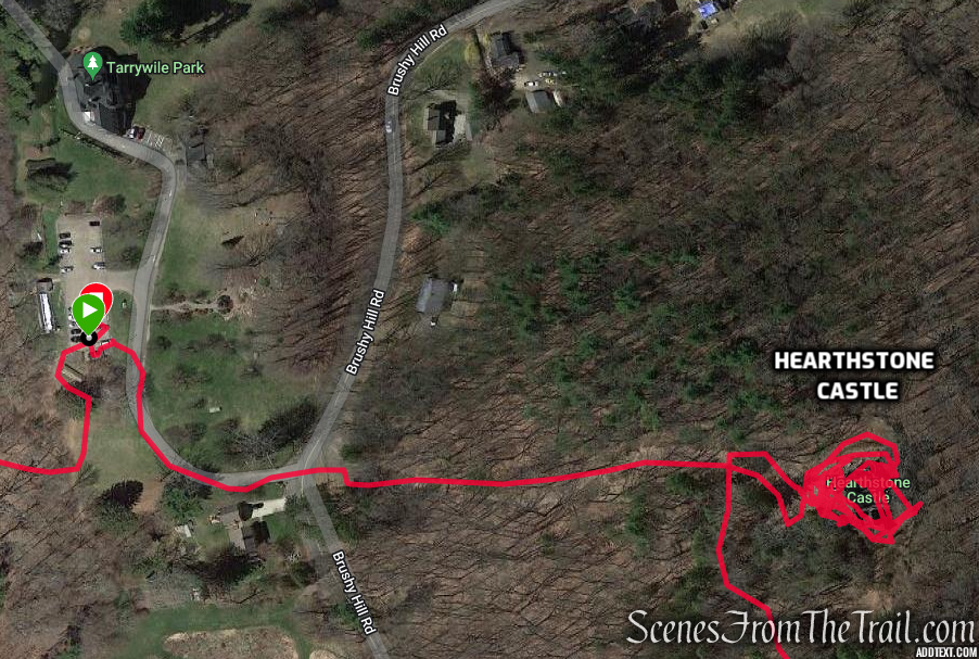
Tarrywile Park to Hearthstone Castle
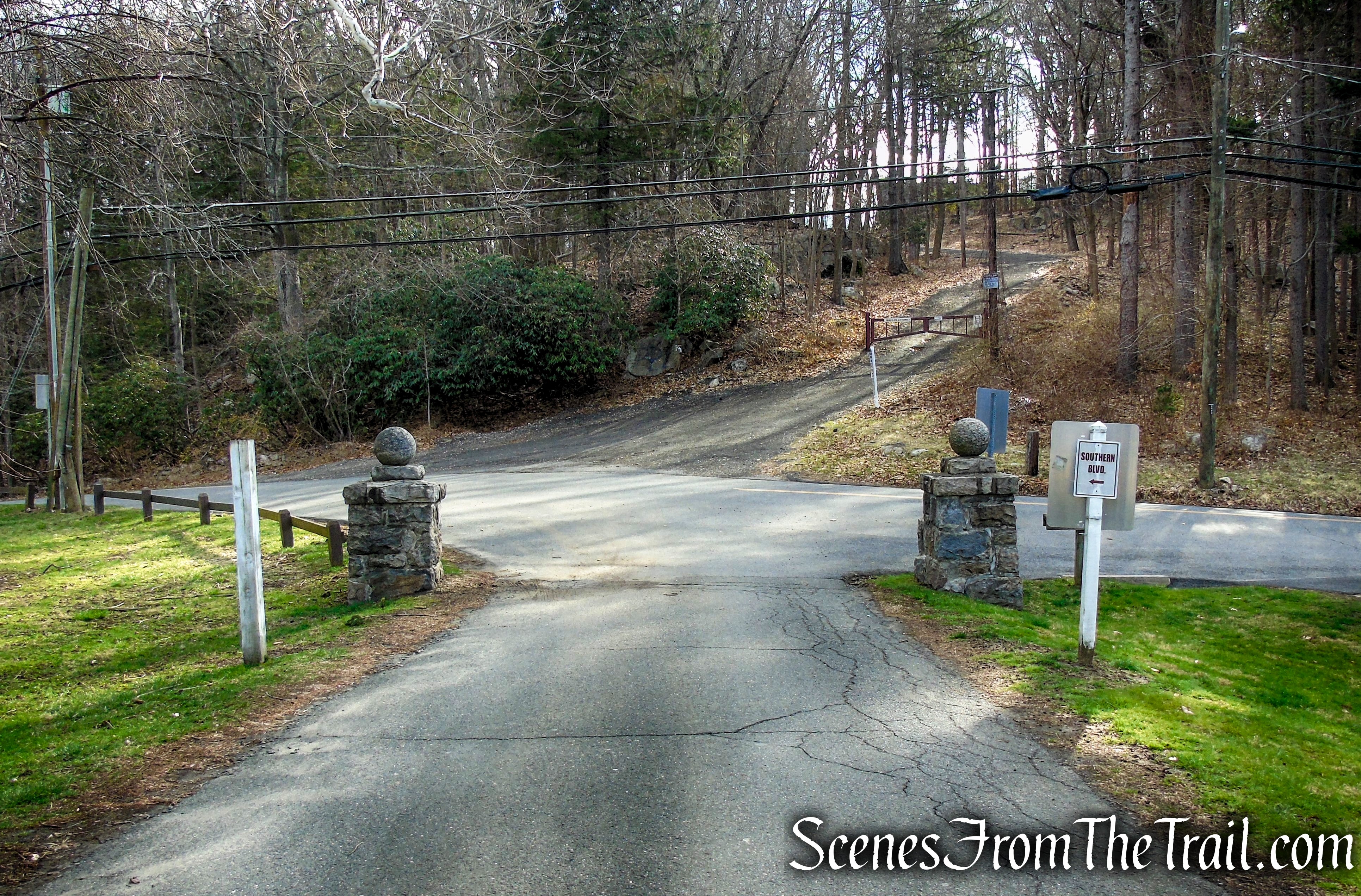
entrance at Brushy Hill Road
entrance to castle at Brushy Hill Road
First known as “Sanford Castle,” Hearthstone was designed and constructed as a summer estate between 1895 and 1899 by architect Ernest G.W. Dietrich for Elias Starr Sanford, and his wife Emma.
Hearthstone Castle
In 1895, at the height of his success, Sanford purchased eighteen acres of woodland at “Mountain End,” a rocky promontory that overlooks the southern part of Danbury. Two acres were cleared but the property was left ungraded except in the immediate vicinity of the building. Construction of the castle commenced in the fall of 1895 and was completed in June 1899.
Hearthstone Castle
The castle was intended to be a honeymoon “cottage” for Sanford’s wife. Sanford and his family owned the castle for only five years before selling it to Victor Buck, a retired New York industrialist. Mrs. Sanford is reported to have disliked the castle.
Hearthstone Castle
When the Buck family moved in, they renamed the castle “Buck’s Castle.” The Bucks used it as a summer residence until 1918.
Hearthstone Castle
In 1910, Charles Darling Parks bought the neighboring Tarrywile Mansion from Dr. William C. Wiles. Later, in 1918, C.D. Parks then bought “Buck’s Castle” for his oldest daughter, Irene Parks, as a wedding gift. During this time the castle was renamed “Hearthstone Castle.” The name was possibly changed due to the eight fireplaces, which were all made out of stone, as was the rest of the castle.
Hearthstone Castle
All of the rock that was used to build the castle was quarried on-site and transported the short distance across the property on a small railroad which was built solely for this purpose. All of the woodwork throughout the building of the castle was brought in from Italy.
Hearthstone Castle
Hearthstone Castle was listed on the National Register of Historic Places in 1987.
Hearthstone Castle
Hearthstone Castle
Hearthstone Castle
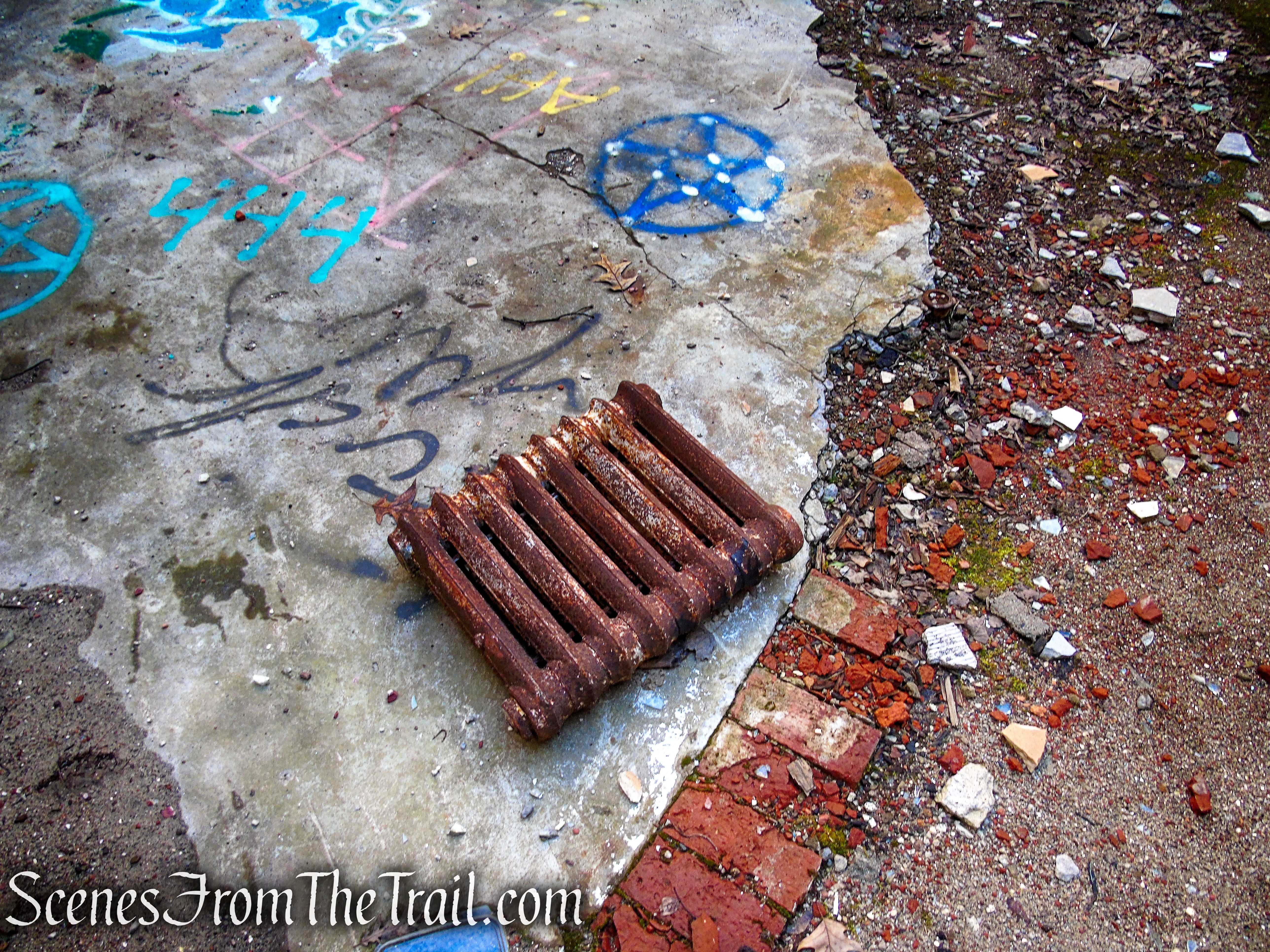
Hearthstone Castle
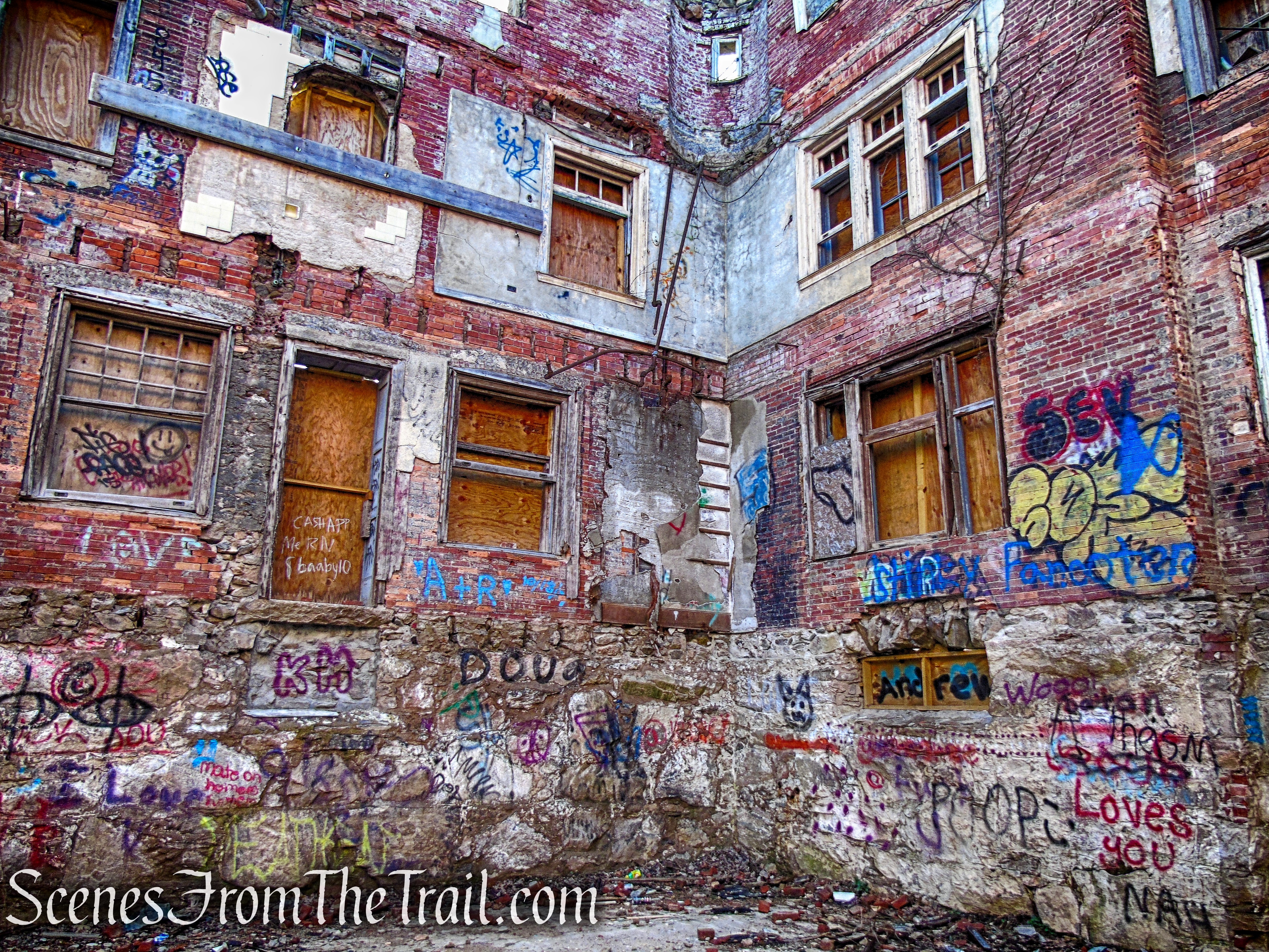
Hearthstone Castle
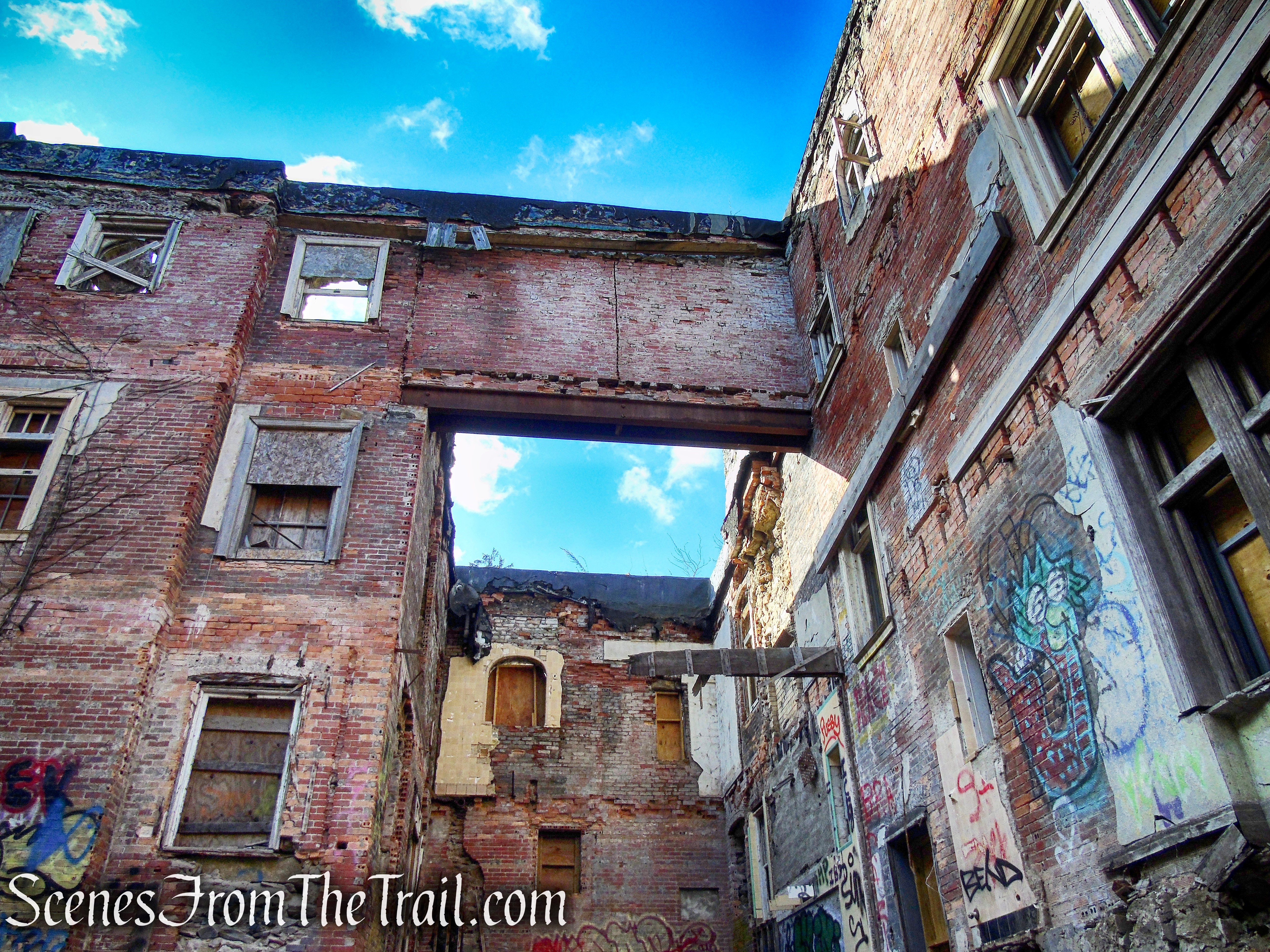
Hearthstone Castle
Hearthstone Castle
Hearthstone Castle
Hearthstone Castle
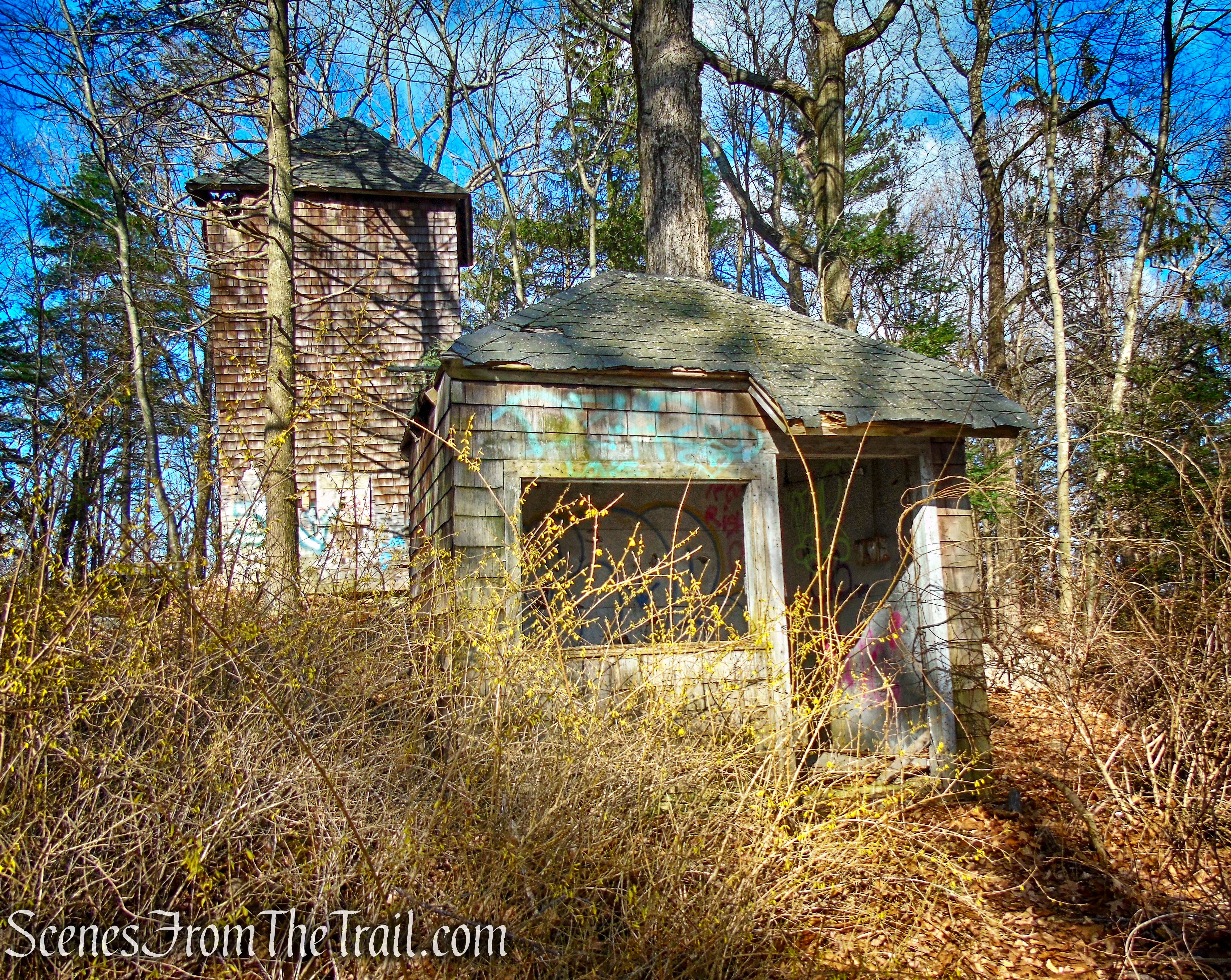
- Water Tower & Pump-House
Just before reaching the castle, there is a kiosk on the right. Follow the footpath beside the kiosk up the hill to the site of an old water tower and a pumphouse nearby. You may notice orange blazes on the trees. This little section of trail is not on the trail map, but it connects to the Orange Trail that is shown on the map.
kiosk near Hearthstone Castle
Orange Trail – Tarrywile Park
Water Tower – Hearthstone Castle
Water Tower – Hearthstone Castle
Water Tower – Hearthstone Castle
Water Tower & Pump-House – Hearthstone Castle
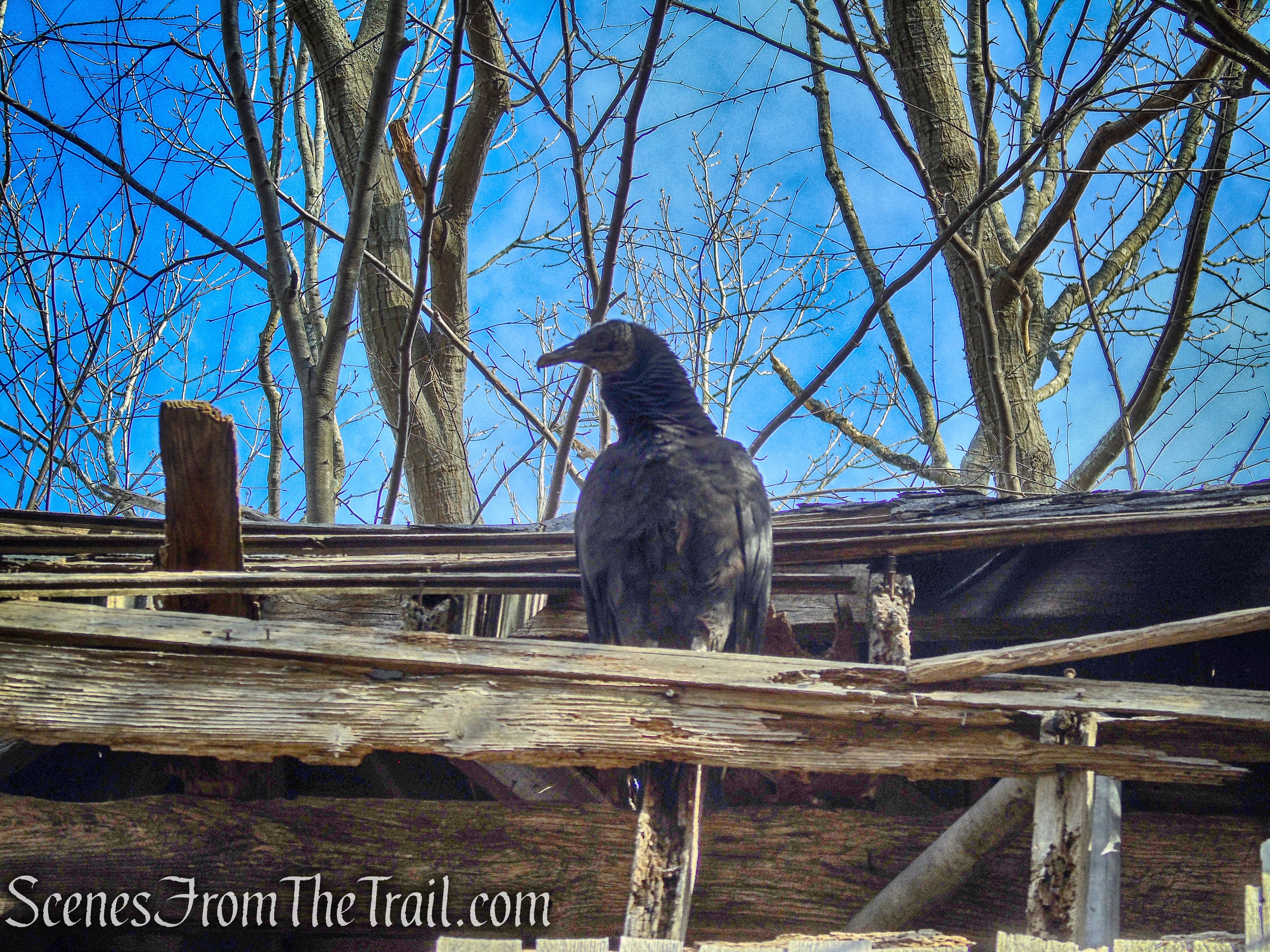
Black Vulture on the Water Tower
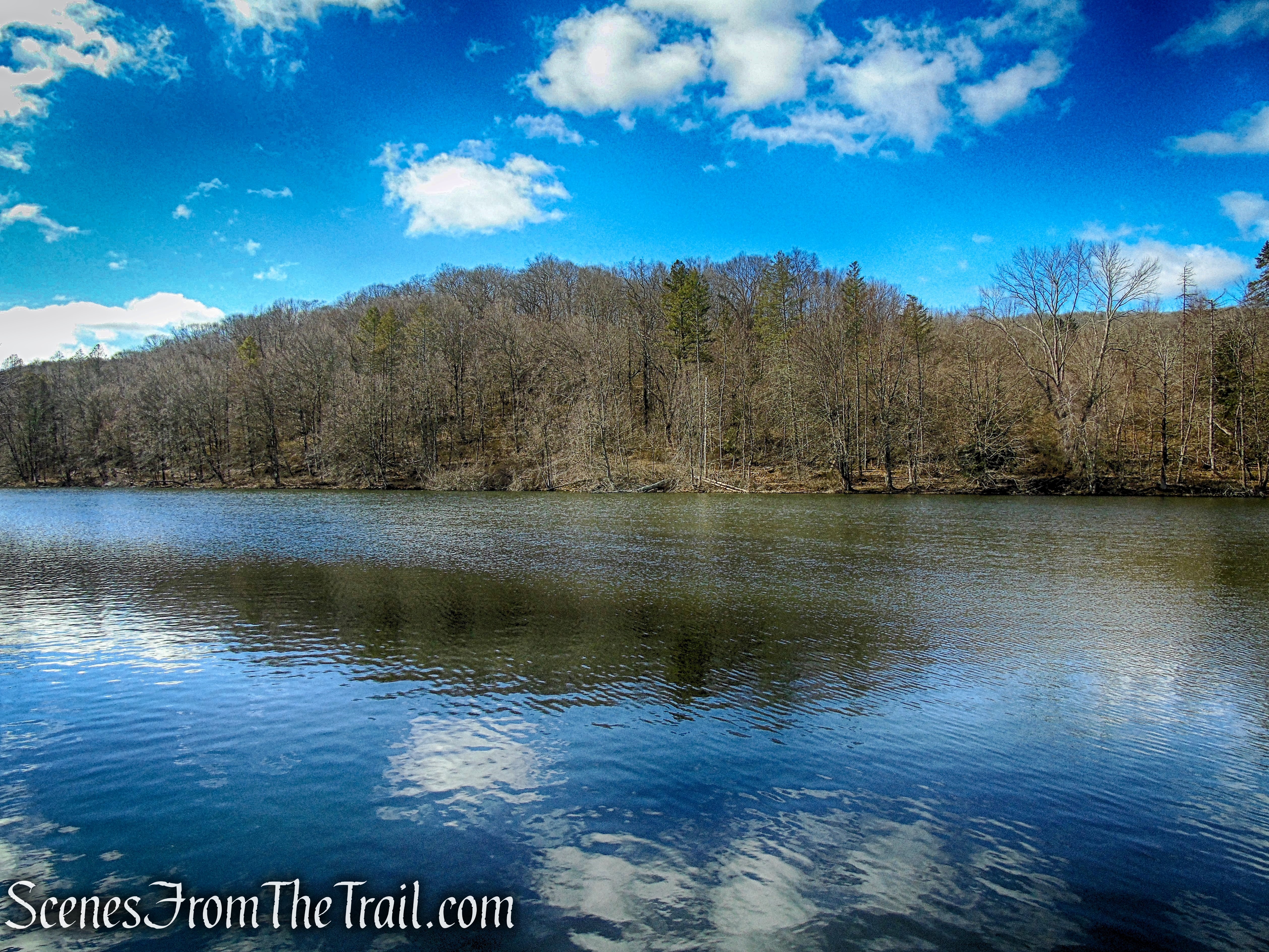
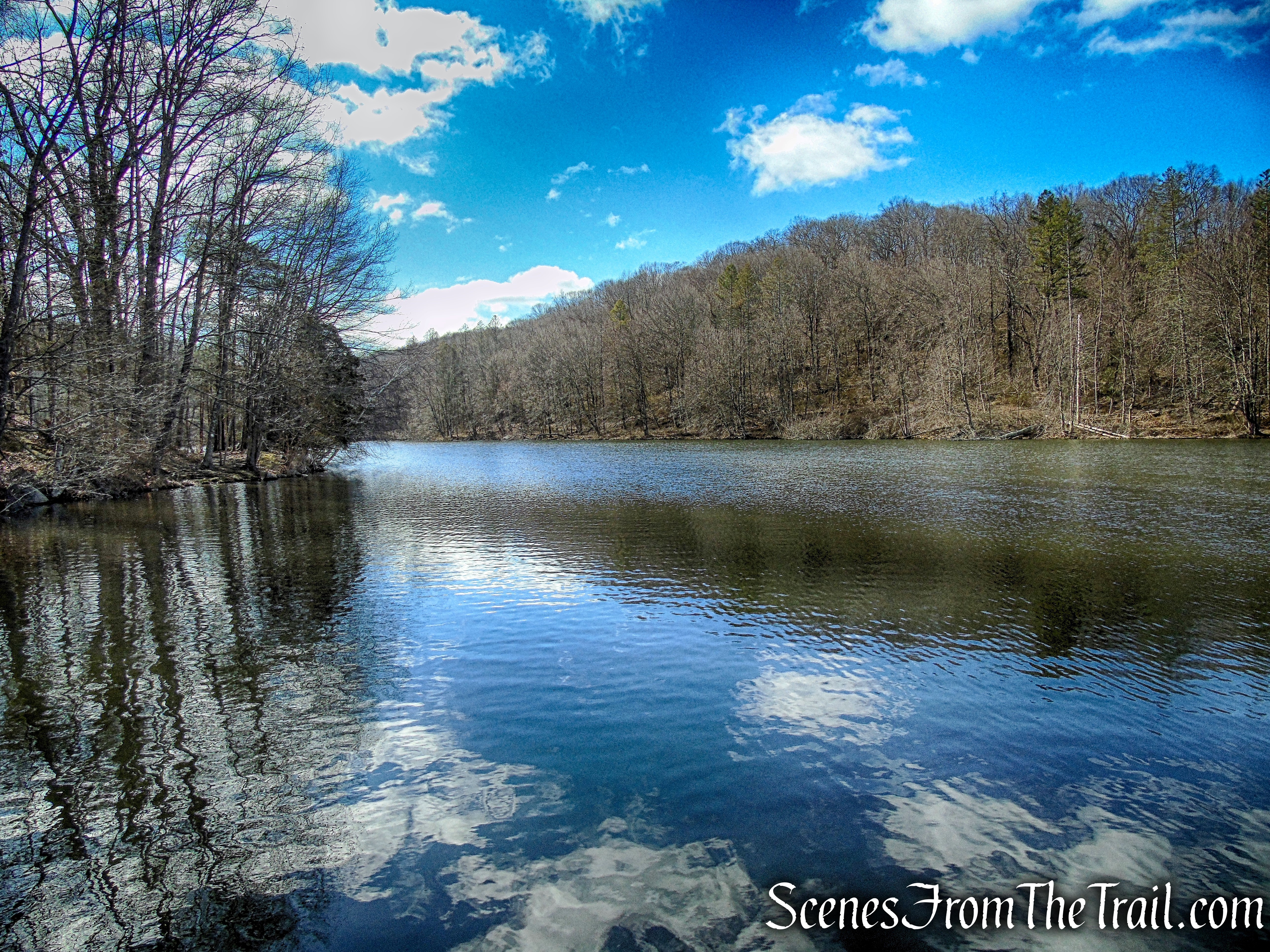
- Parks Pond
Parks Pond offers a place for quiet reflection with benches and picnic tables scattered around for those who just want to enjoy nature. It is home to multiple species of fish as well as Snapping Turtles and the occasional Swan or Blue Heron. Fishing is allowed during fishing season with a fishing permit.
Parks Pond – Tarrywile Park
Parks Pond – Tarrywile Park
The White Trail (also the route of the Ives Trail), is a lovely stretch of trail that runs along the eastern shore of the pond. I didn’t hike the opposite side of the pond, but it would make for a nice scenic loop.
Parks Pond – Tarrywile Park
Parks Pond – Tarrywile Park
White Trail – Parks Pond
White Trail – Parks Pond
- Back Pond
The area around Back Pond is more remote and wild. The Blue Trail leads from Parks Pond to Back Pond, descending steeply down the eroded hillside to the northern end of the pond. The section of Red Trail (not on the trail map) which runs along the eastern banks of Back Pond, at times feels more like a bushwack rather than an actual trail. It is extremely rocky and looks like it doesn’t get much foot traffic. There is a stream crossing at the southern end of Back Pond between the Blue and Red Trails which can be challenging in times of high water and the area near the stream is a little swampy.
Blue Trail to Back Pond
Back Pond – Tarrywile Park
Red Trail – Back Pond – Tarrywile Park
- Miscellaneous Trails:
Blue Trail ~ At the southern end of Parks Pond, the Blue Trail climbs the hillside on a woods road. At times it is coaligned with the Ives Trail.
Blue Trail – Tarrywile Park
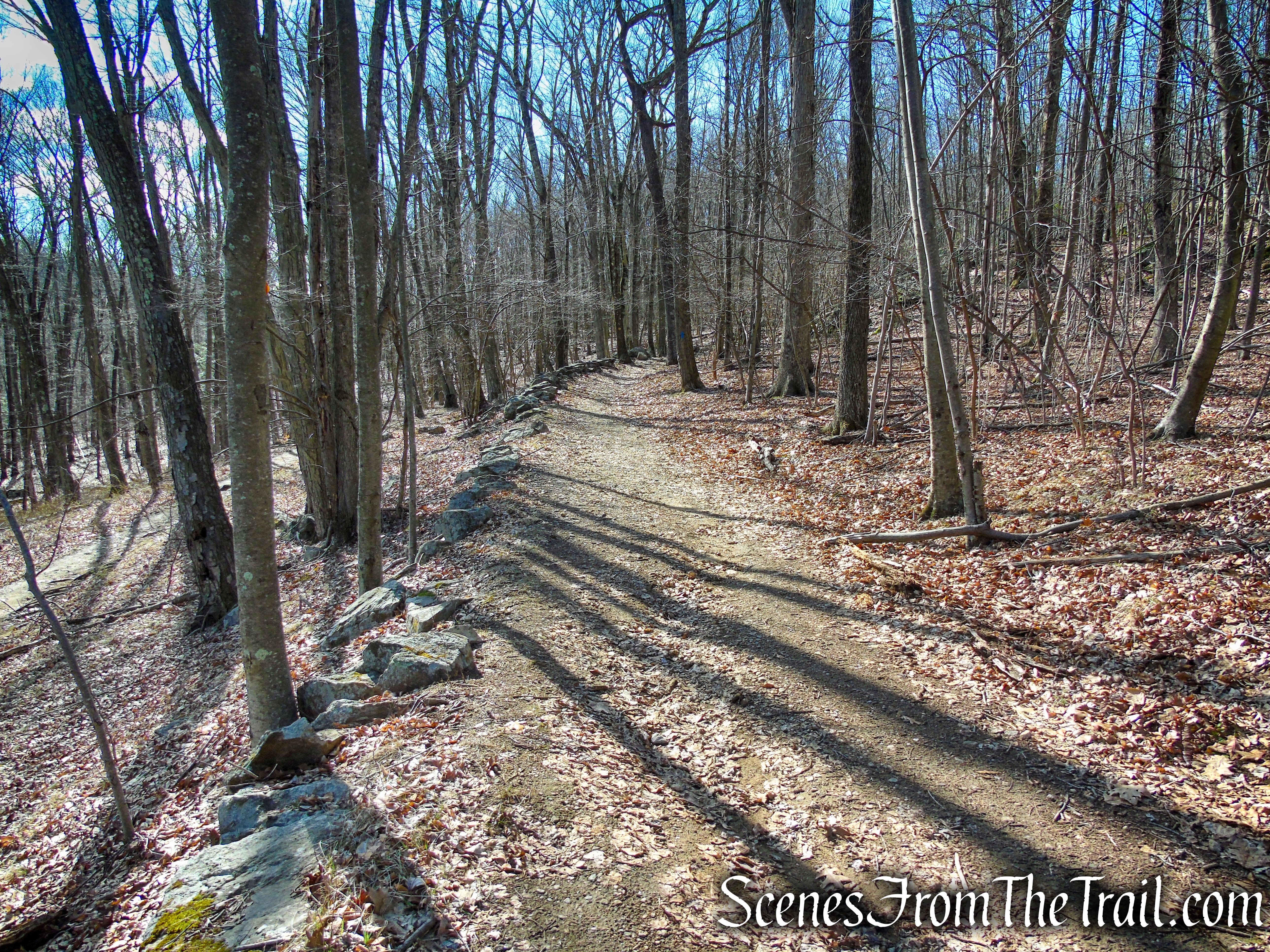
Blue Trail – Tarrywile Park
Green Trail ~ This is a short connector trail that allows hikers to bypass the steeper section of the Blue Trail that connects with the Yellow Trail at the southwest end of the park.
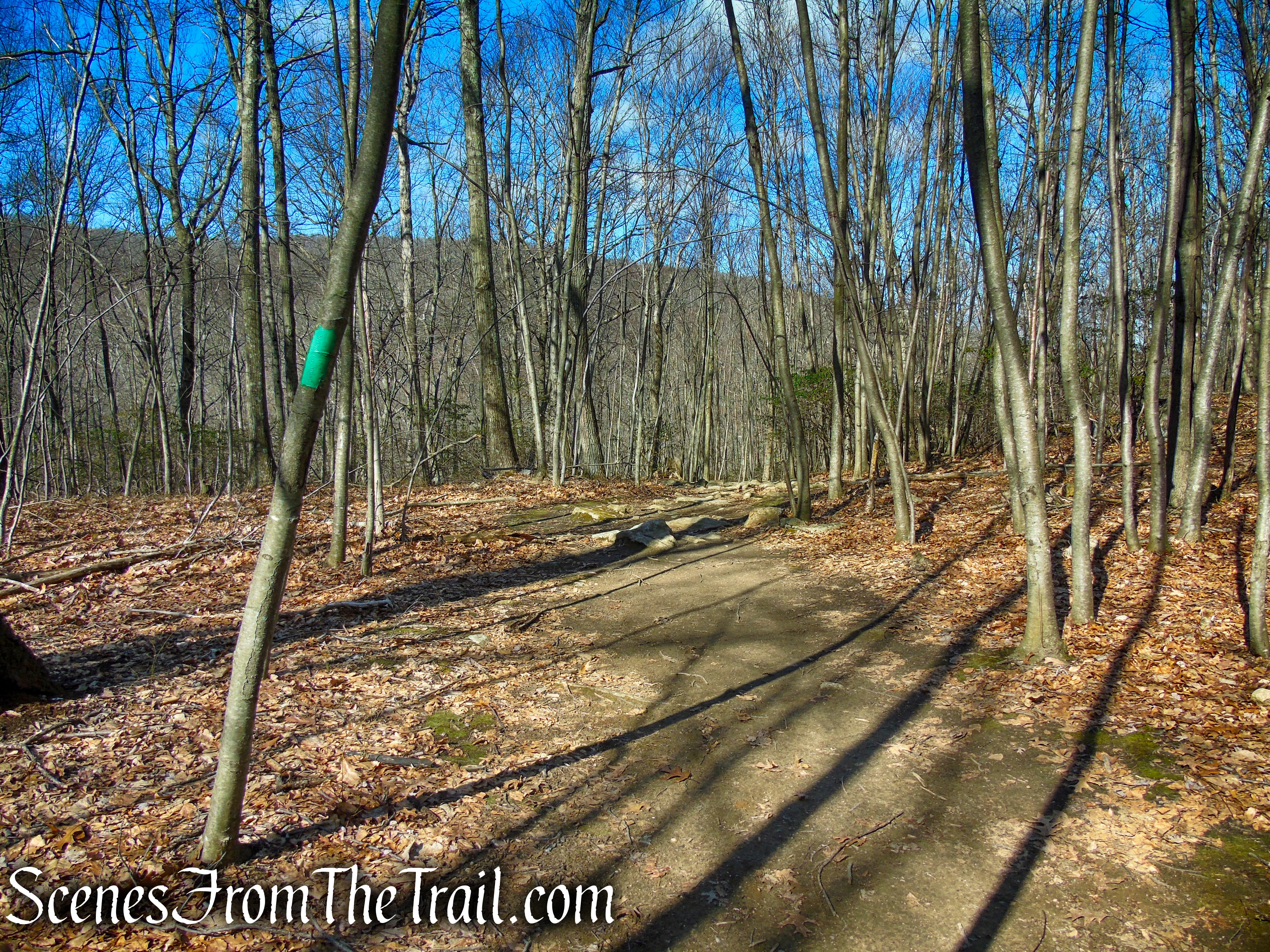
Green Trail – Tarrywile Park
In Conclusion:
While doing this write-up, I started thinking about visiting the park again. Since we never made it to any of the viewpoints, that would be my objective. I do not want to discourage anyone from visiting this lovely park, but enlighten them to what awaits them if they venture to certain areas of the park. If you want solitude, then the farther away you get from the mansion, the more alone you will be. We passed several people in the area of Back Pond, but were alone for most of the time. The park merits a visit just for the castle ruins alone, but explore other parts of the park. You can make it a lovely stroll or an adventure, it’s up to you.
Take a hike!
Tarrywile Park
Sources:
- Tarrywile Park
- Tarrywile Park Trails Guides
- Tarrywile Park History
- Friends of Tarrywile Park
- Tarrywile Park – City Of Danbury
