July 22, 2017 – Orangeburg, NY
Difficulty: moderate
Length: Approximately 7 miles
Max elevation: 682 ft. – total elevation gain approximately 819 ft.
Route type: Circuit
Map: Hudson Palisades Trails Map #109 – Clausland Mountain County Park map
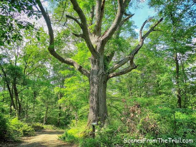
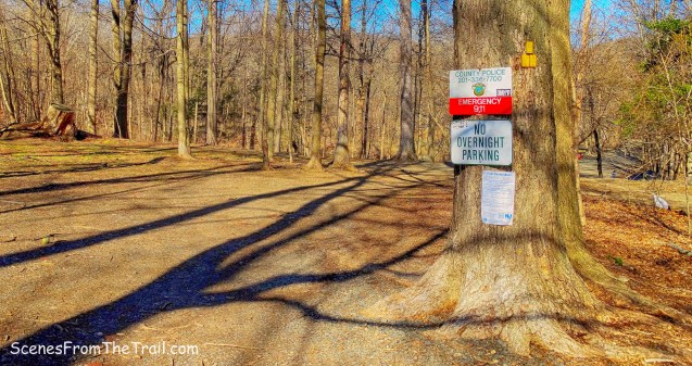
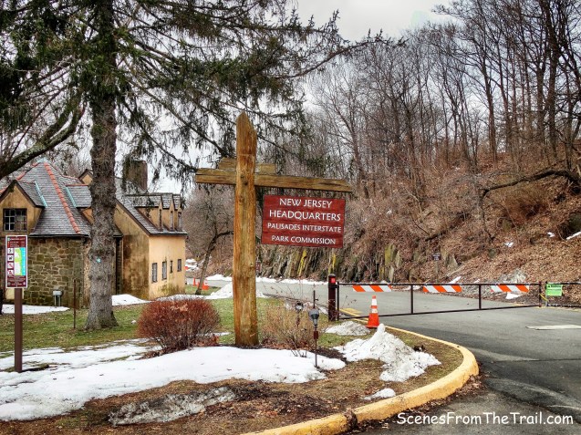
Trailhead parking: Rockland Cemetery
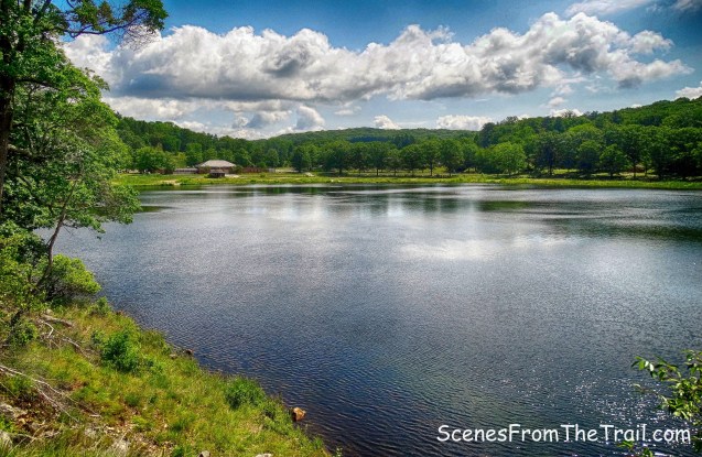
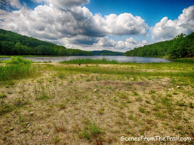
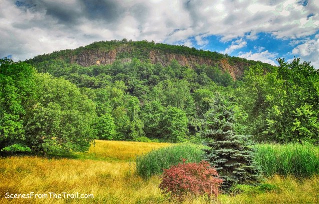
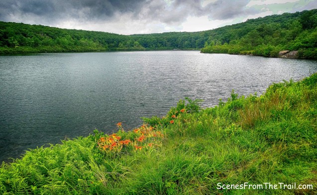
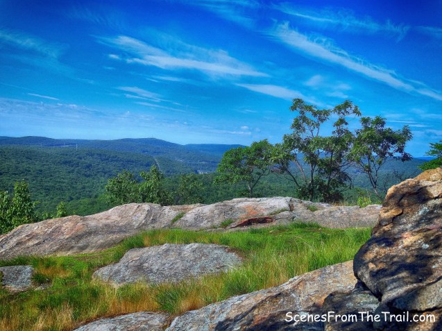
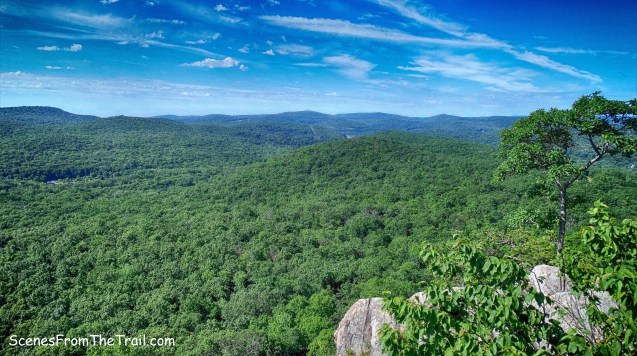
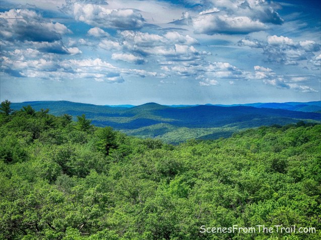
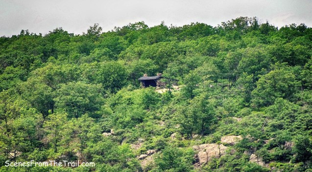
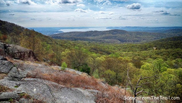
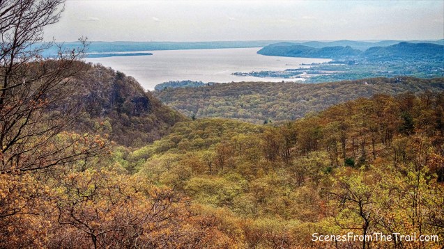
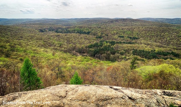
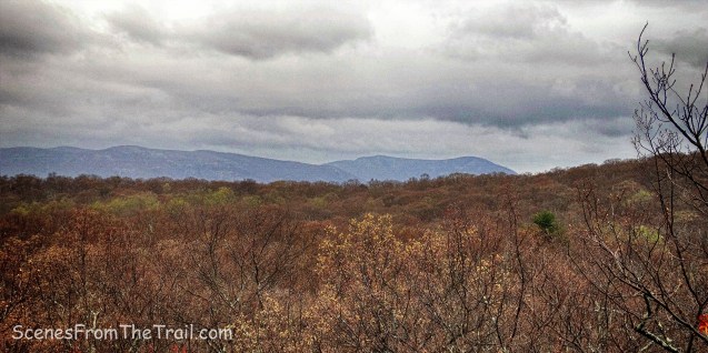
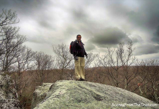
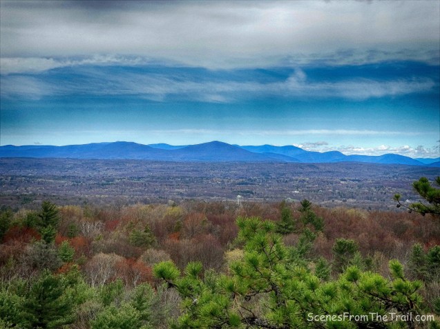
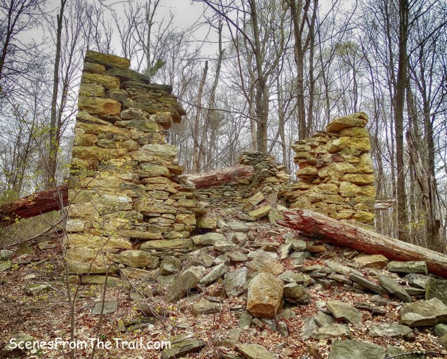
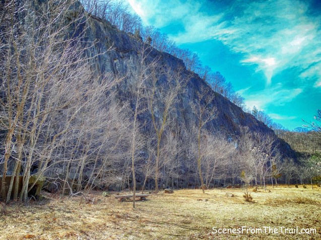
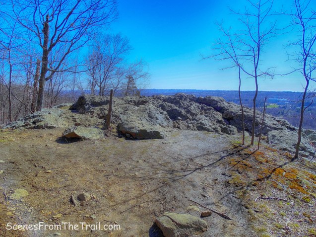
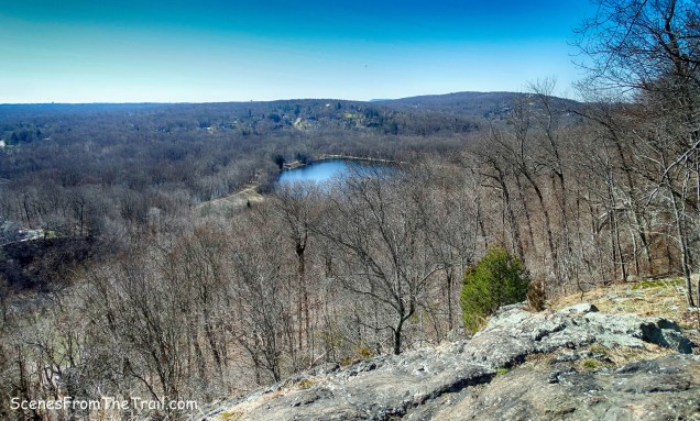
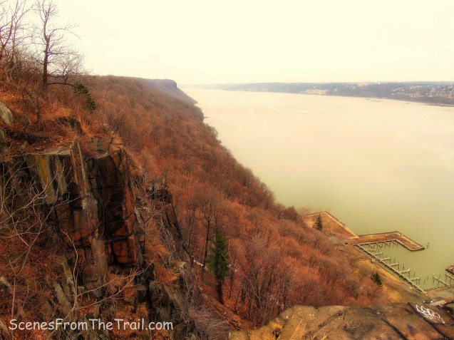
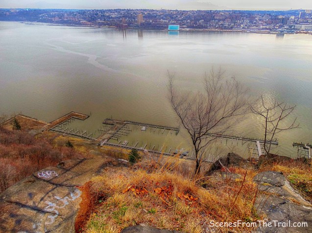
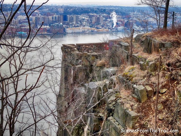
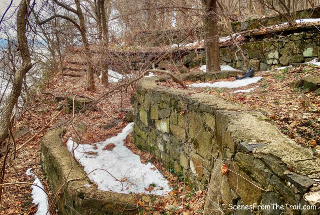
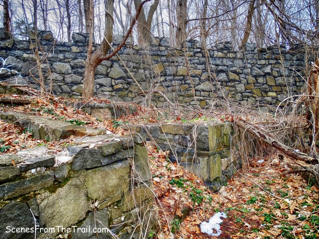
Mount Nebo in Orangeburg, NY with an elevation of 682 feet has no views to speak of. From 1955 to 1974 it was the site of one of 19 Nike missile bases near New York City that protected the United States from nuclear attack by the Soviet Union. Project Nike, named for the Greek goddess of victory, was a program which ultimately produced the world’s first successful, widely-deployed, guided surface-to-air missile system. They stood guard as a last resort defense against soviet bombers. Some of the original structures are still standing on the mountain.
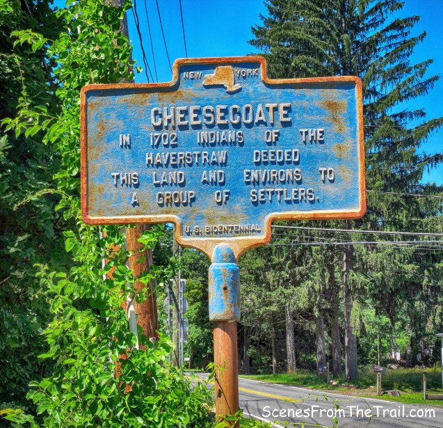
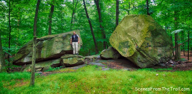
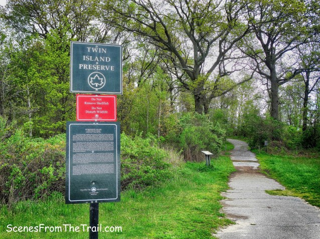
Clausland Mountain is named after the “Clever Indian,” Jans Claus, whose Indian name was Tackamack. He acted as an agent for the sale of land to Dutch settlers. Now an undeveloped county park, it consists of 532 acres of heavily wooded terrain with the Long Path running through it in a south-north direction. There are several other trails, both blazed and unmarked that could be combined to form a loop hike.
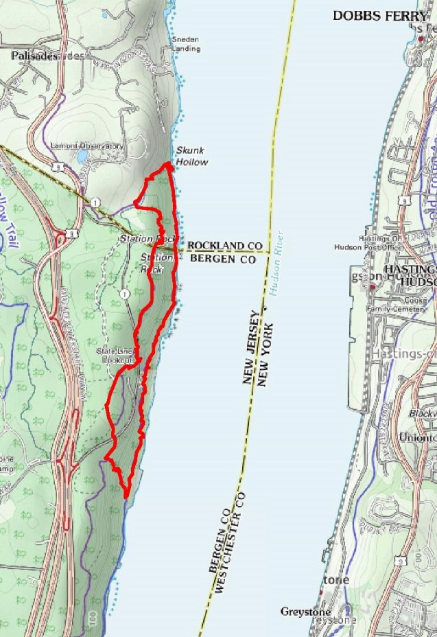
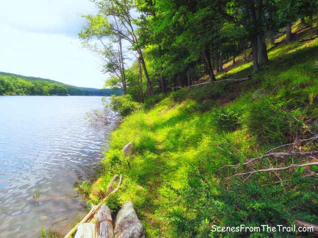
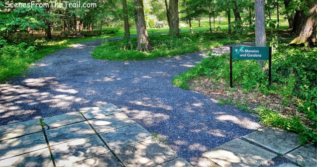
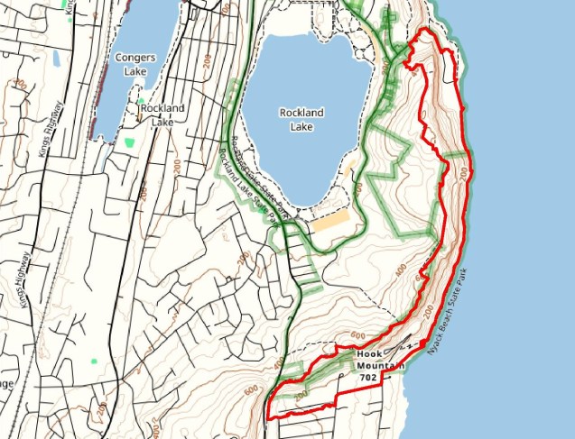
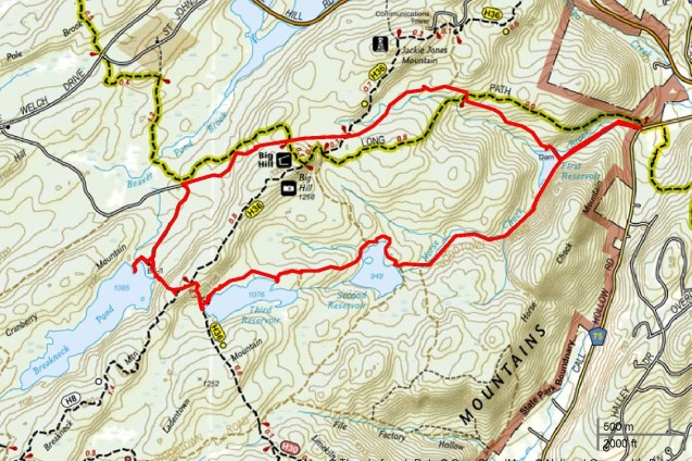
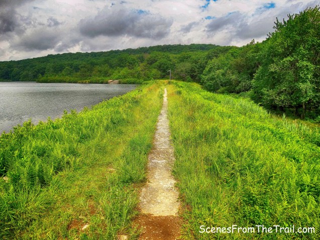
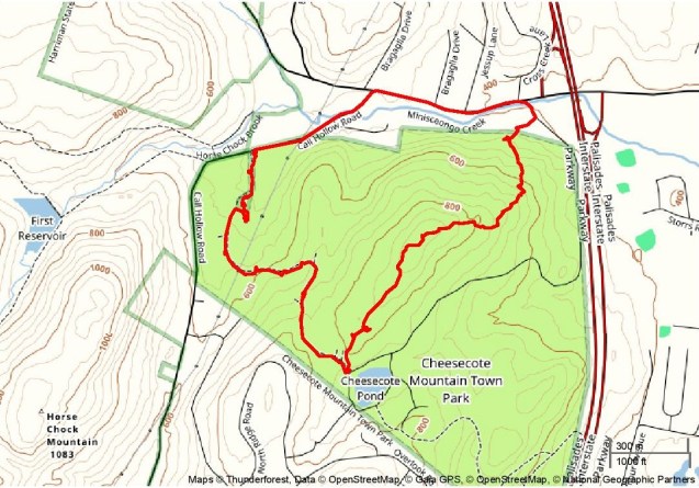
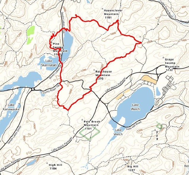
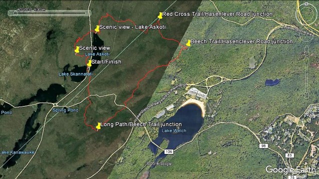
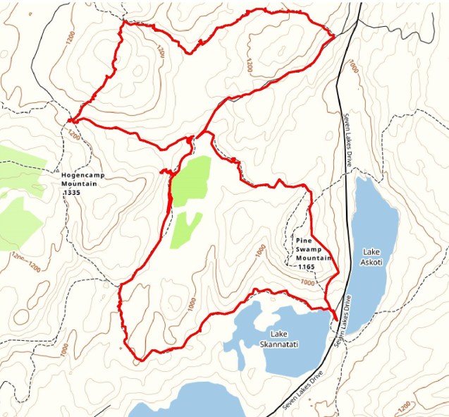
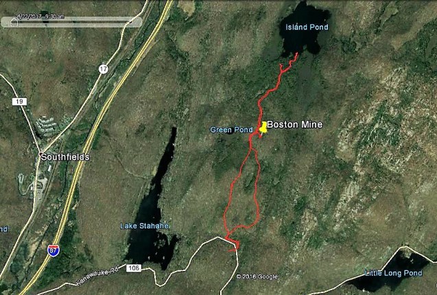
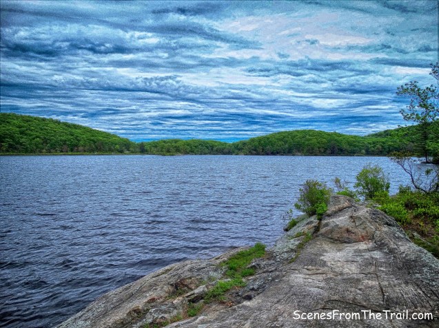
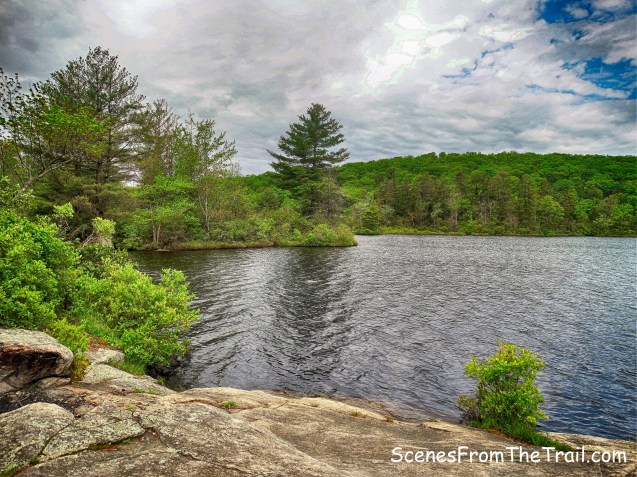
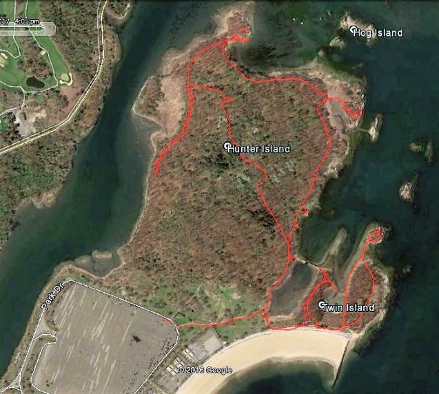
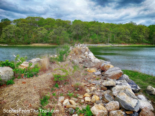
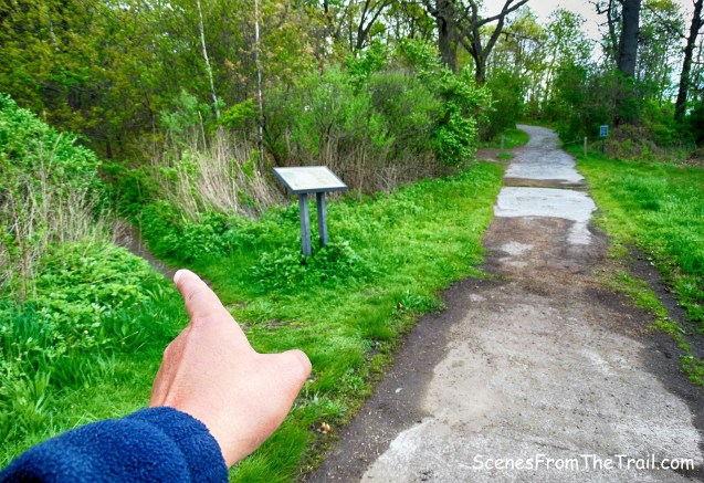
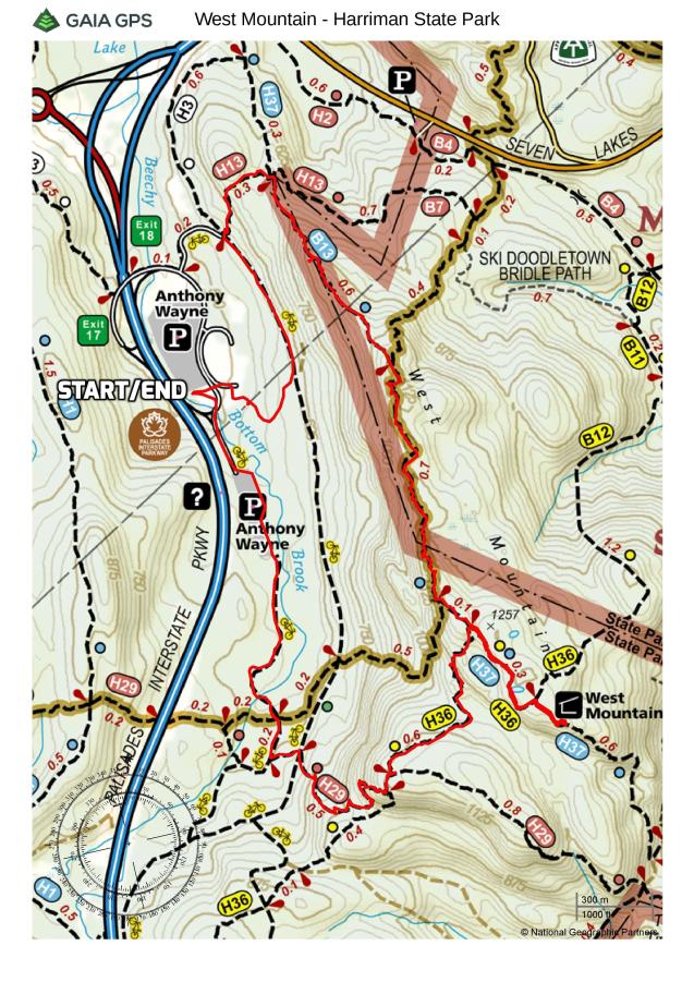
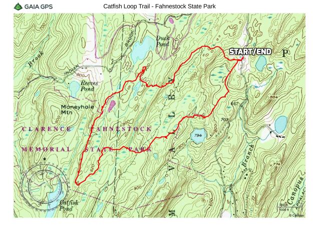
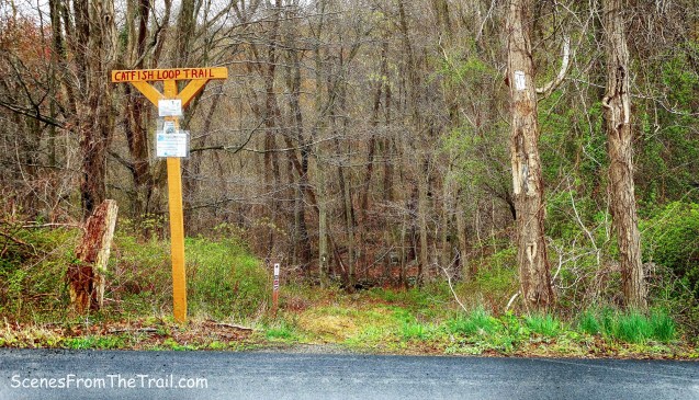
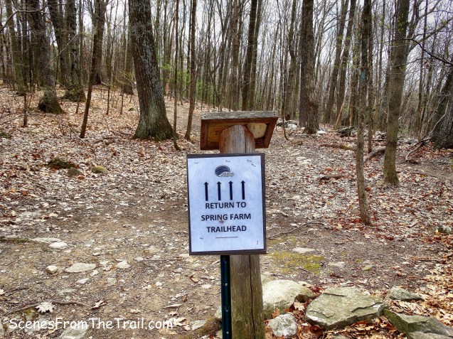
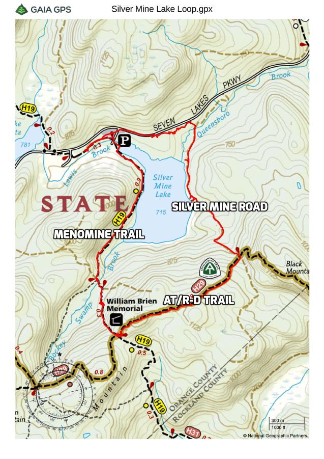
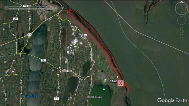
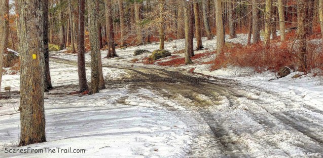
I was curious about the Nike missile base and decided to map out a hike to go check it out. Since the only maintained trail that runs through there is the Long Path, I knew that there would probably be some bushwacking involved. We did this hike in counter-clockwise starting at the northern end (bottom of the map) of Rockland Cemetery.
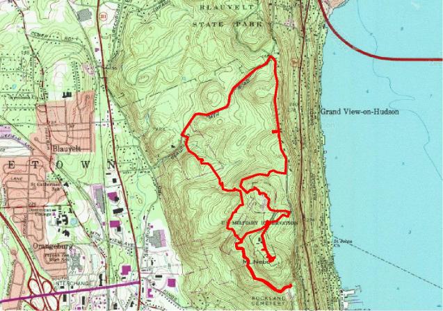
hike route
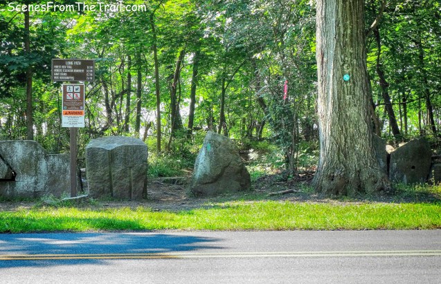
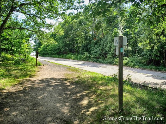
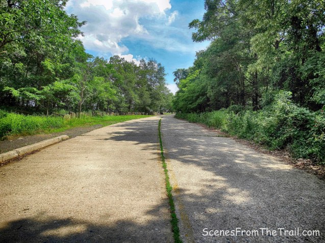
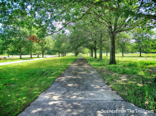
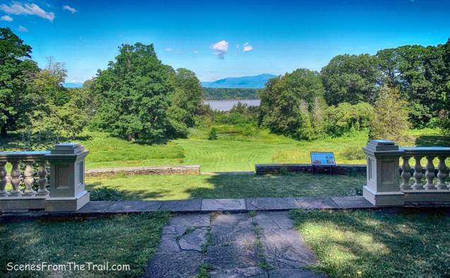
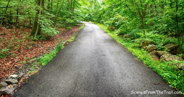
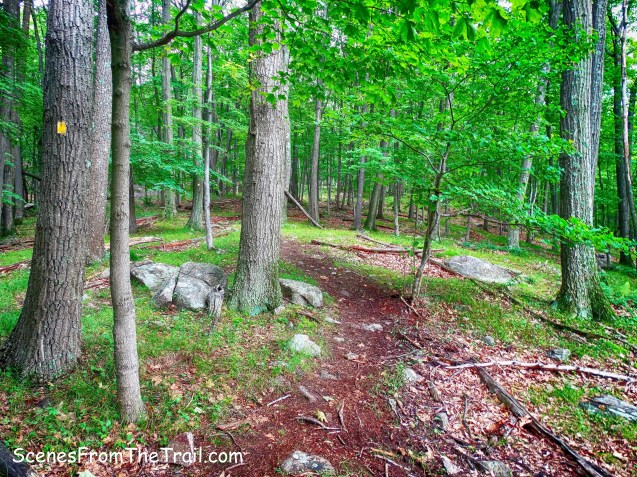
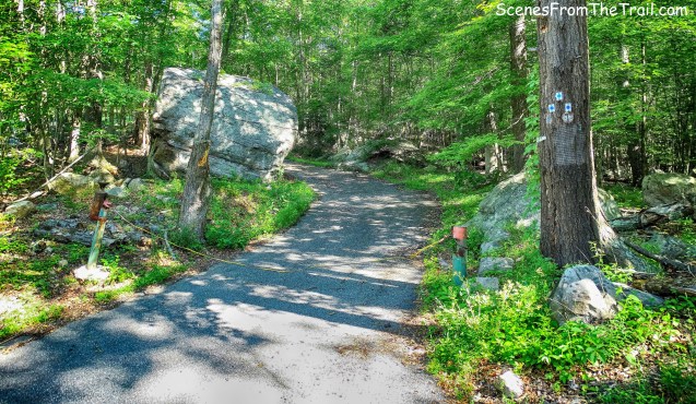
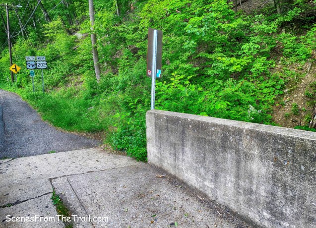
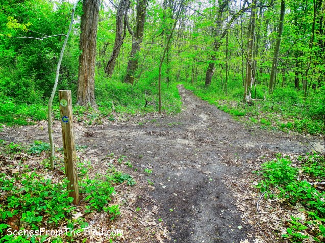
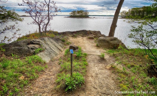
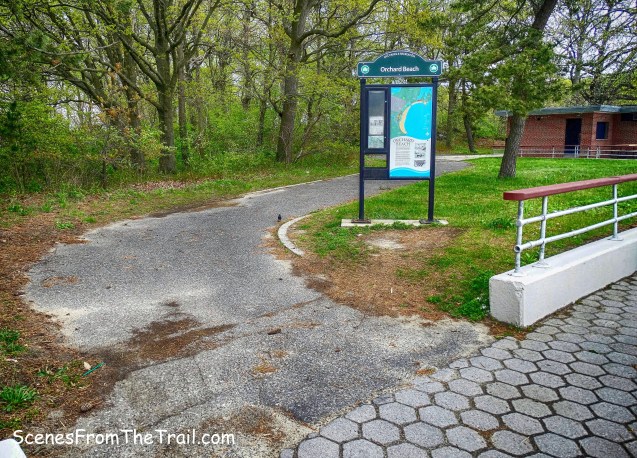
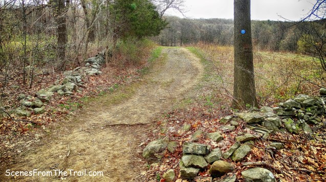
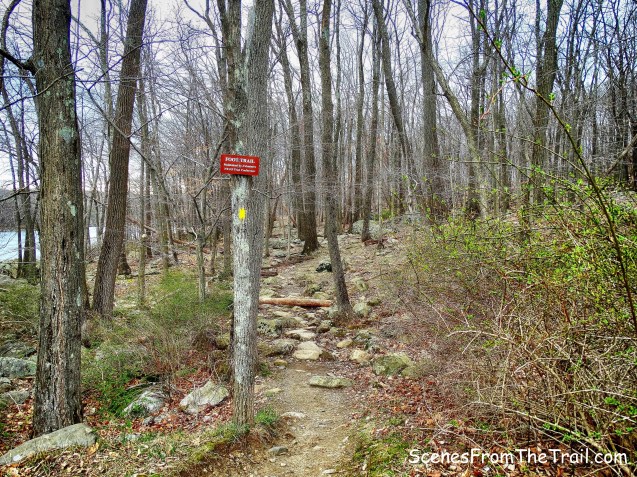
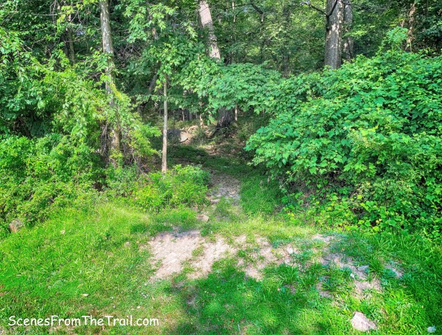
The aqua-blazed Long Path weaves through the cemetery on its paved roads so we drove to the northernmost section of the cemetery and parked there. Their website states: “We welcome visitors here,” said Jackie Curtiss, Office Manager at Rockland Cemetery. Treasurer Tim Temple added that there are a series of roads and trails throughout the cemetery, headstones dating back before the Civil War and there is even a branch of the Long Path that comes through the property. After reading that, I didn’t foresee any issues with parking there for a few hours. Driving on the road, the aqua blazes are visible on the trees so we just followed them up to the back and parked on a pull off along the road. The Long Path ducks into the woods just past the Private Property sign on a tree.
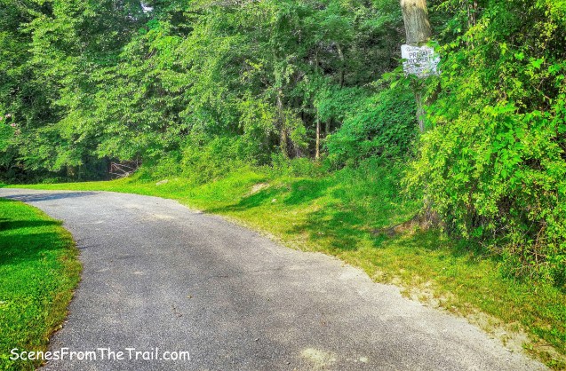
Long Path trailhead
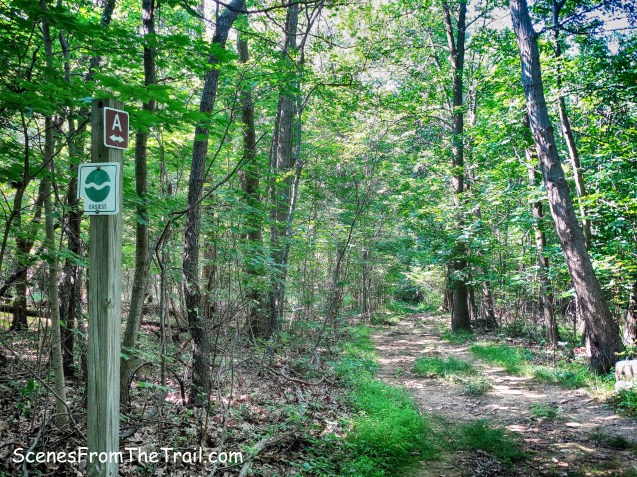
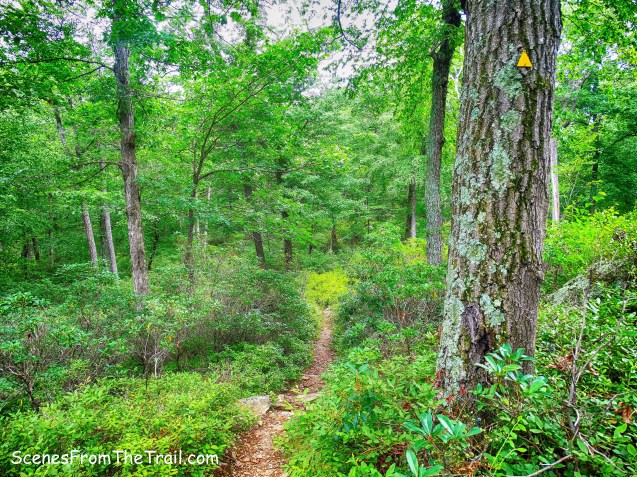
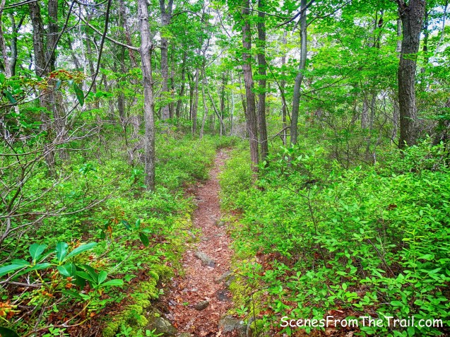
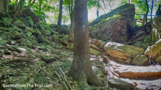
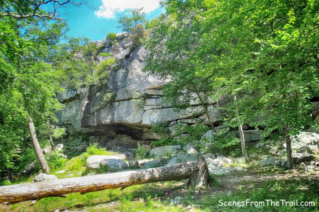
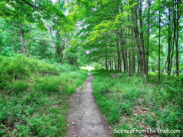
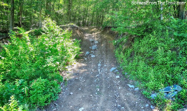
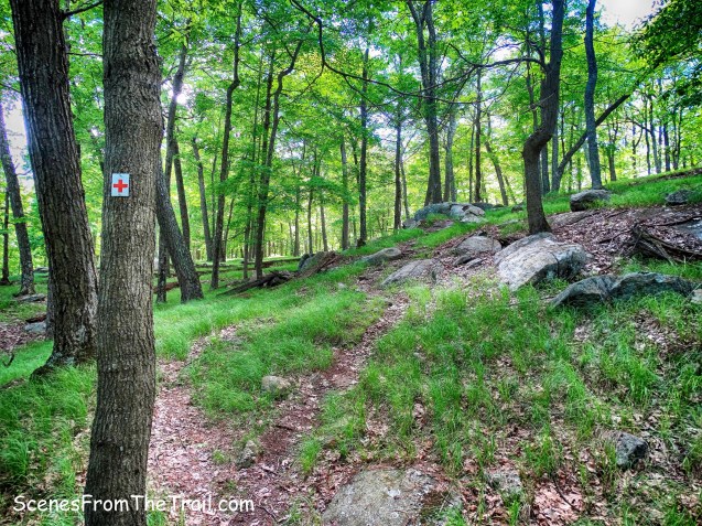
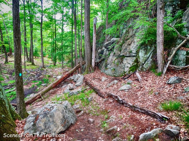
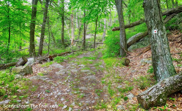
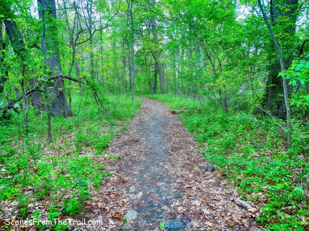
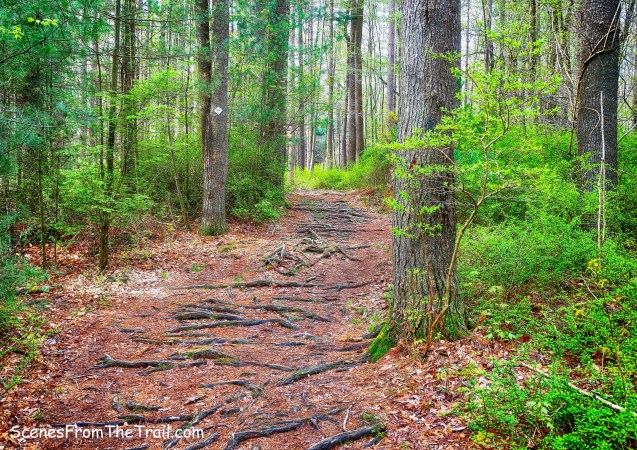
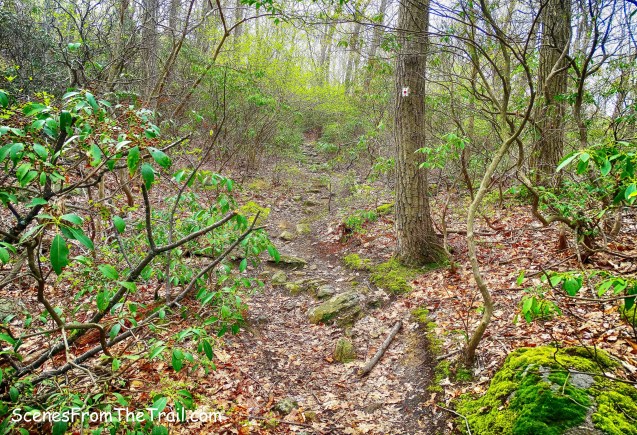
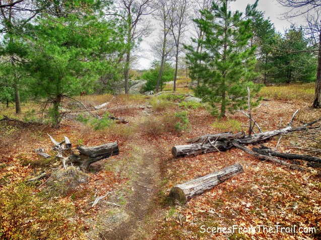
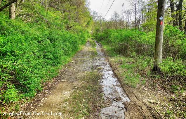
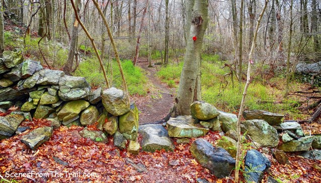
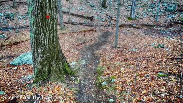
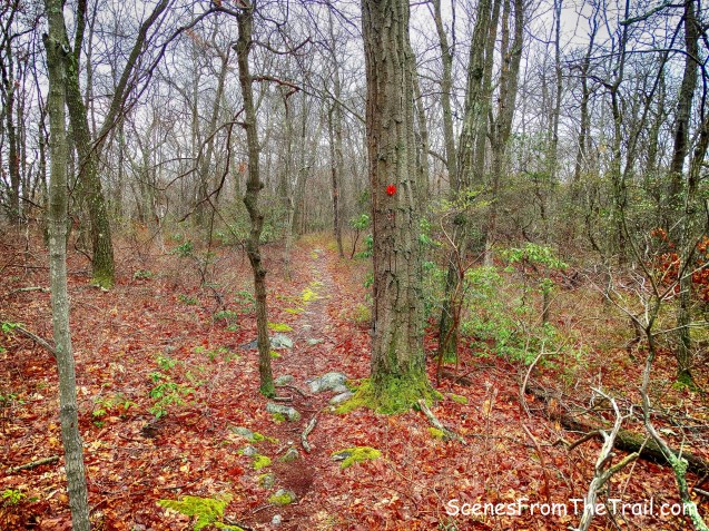
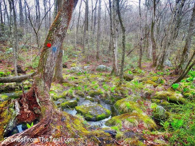
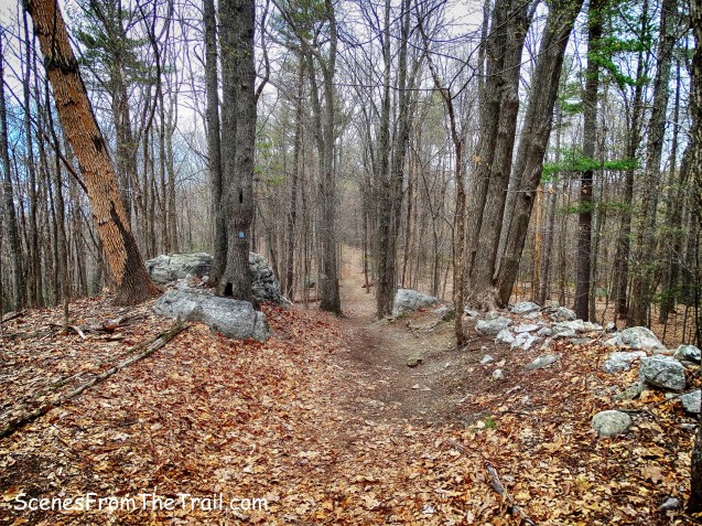
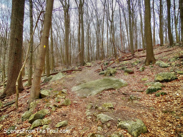
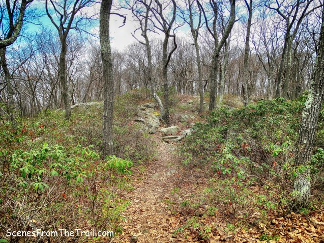
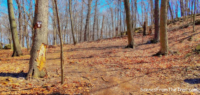
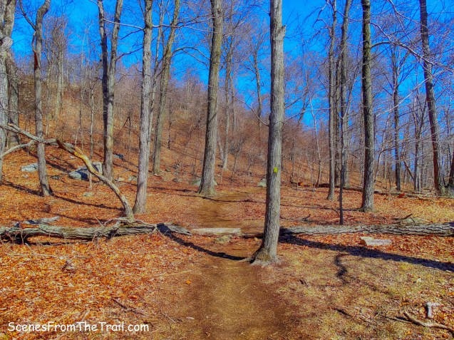
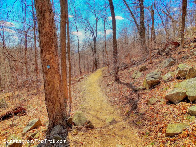
The trail is evident as we approached it.
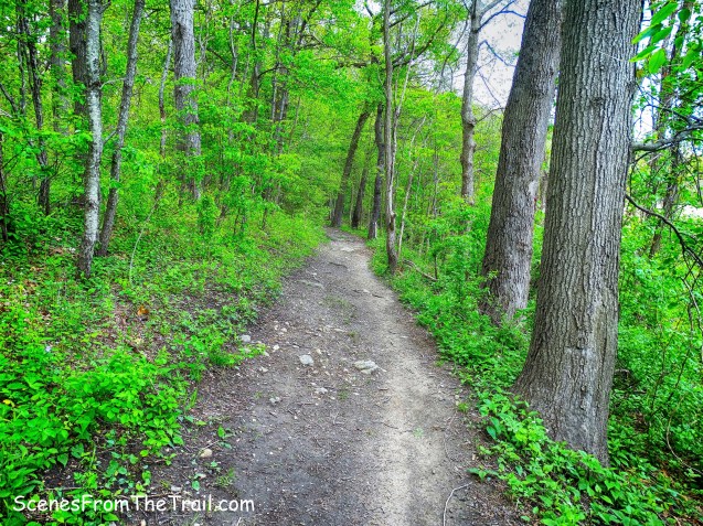
Long Path
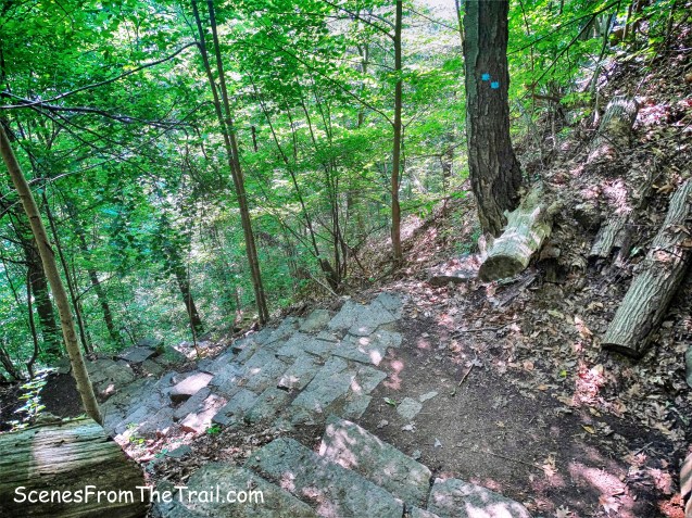
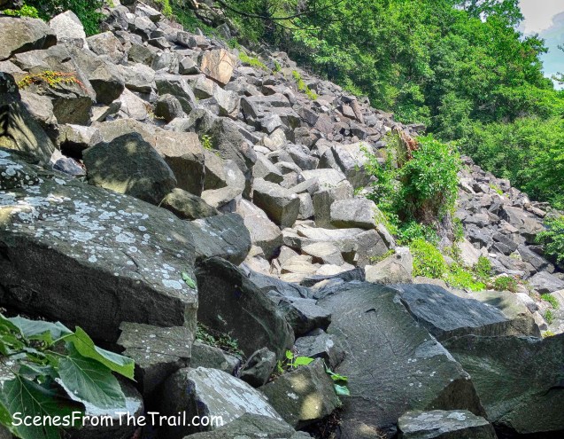
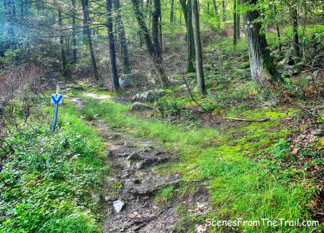
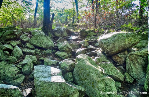
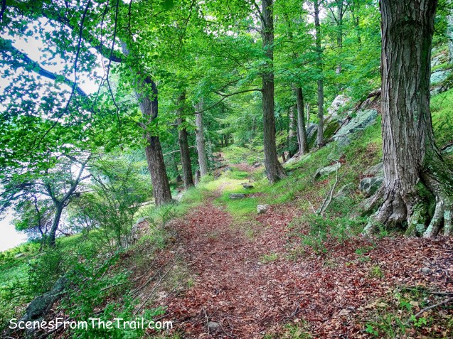
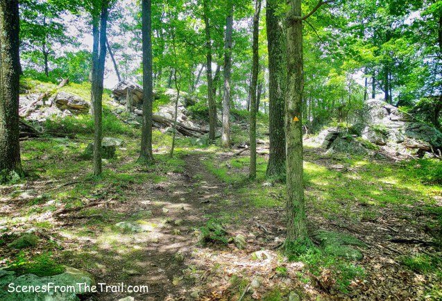
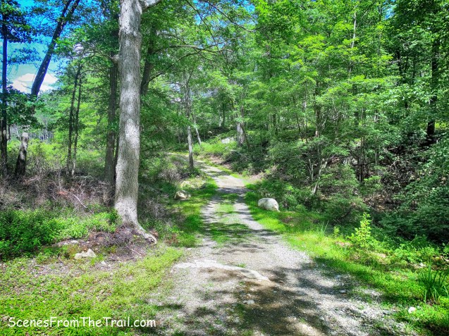
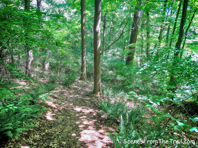
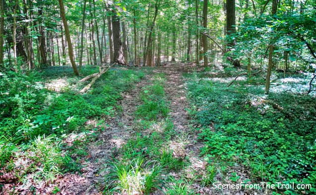
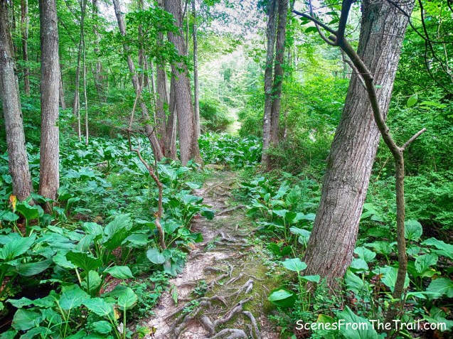
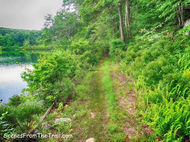
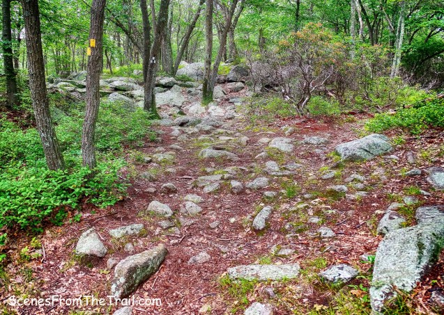
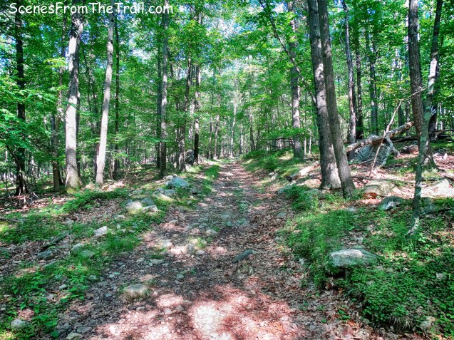
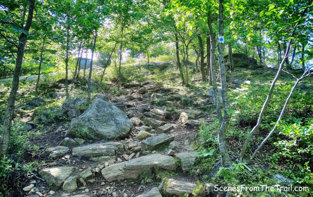
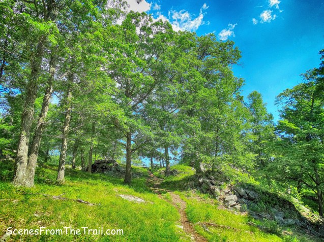
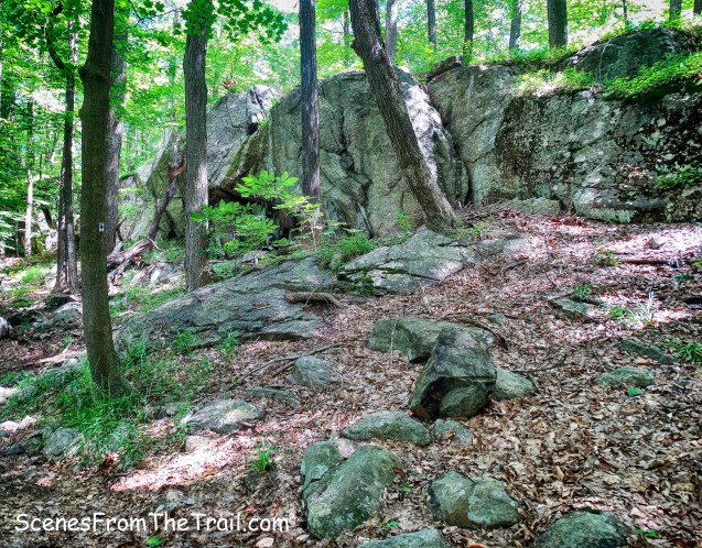
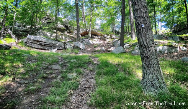
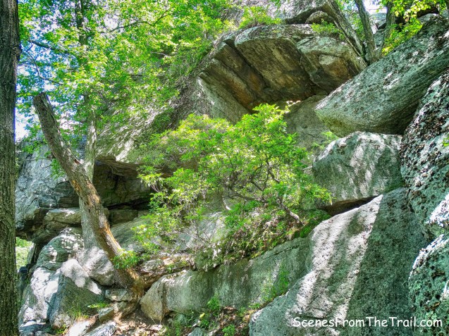
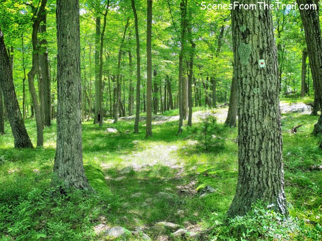
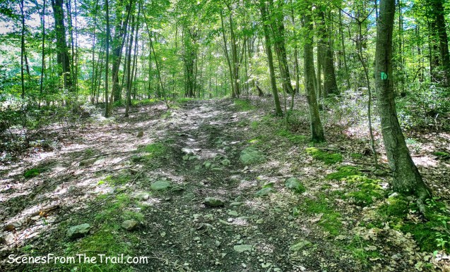
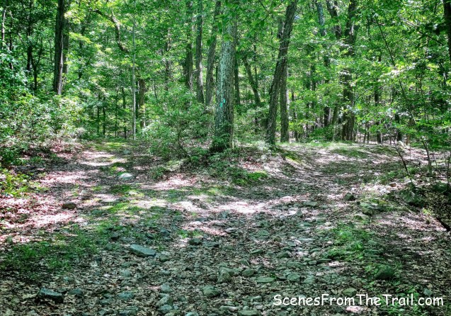
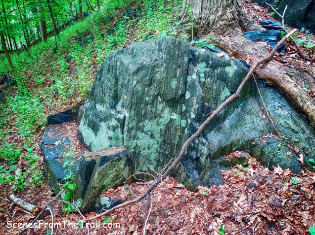
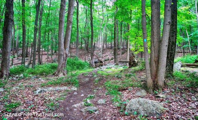
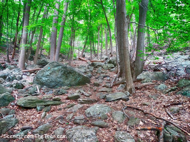
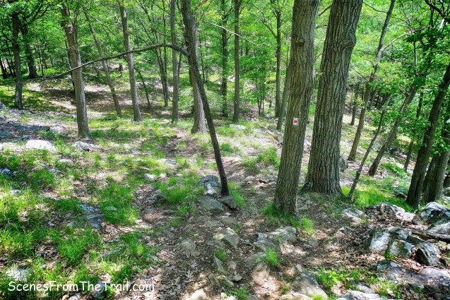
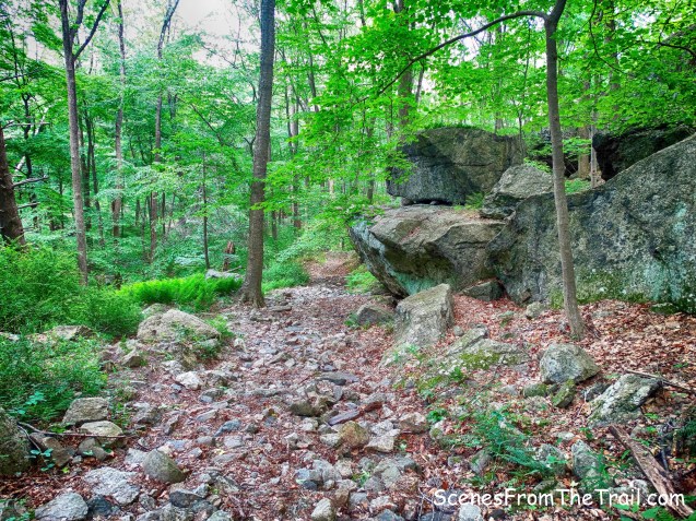
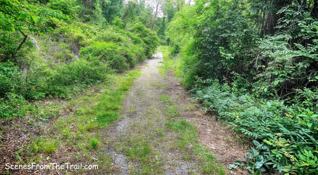
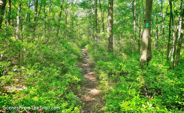
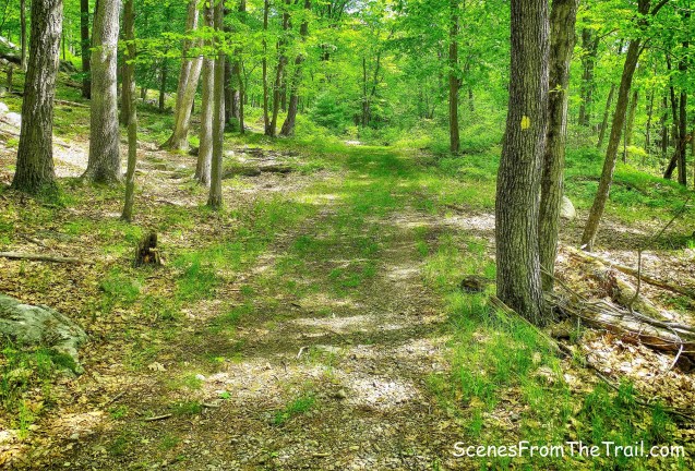
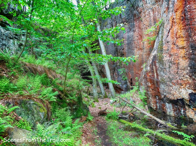
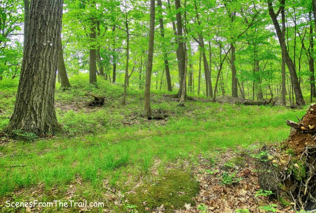
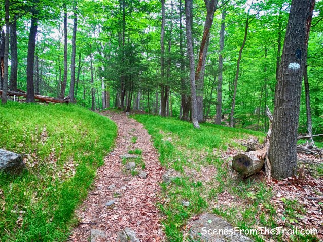
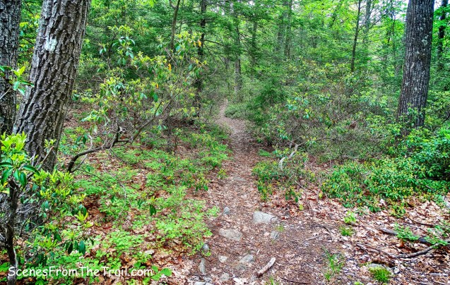
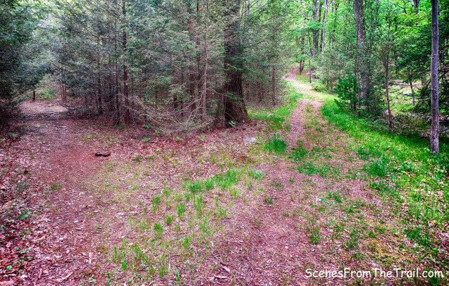
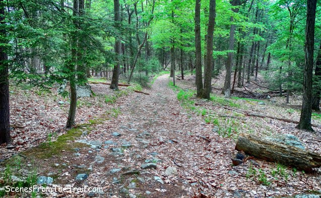
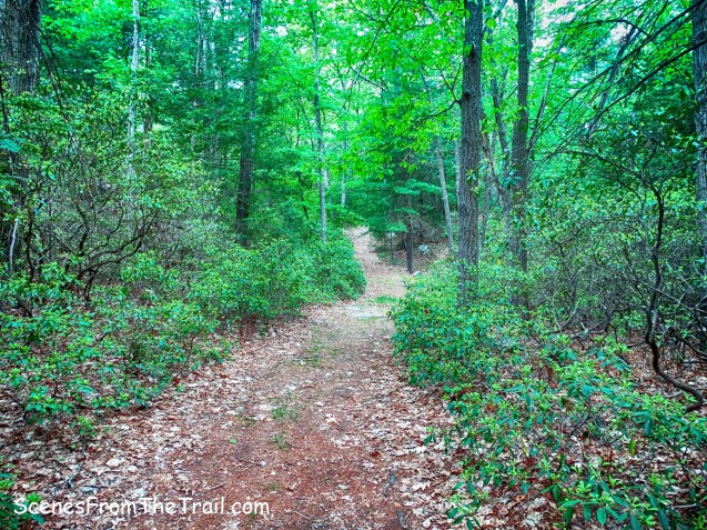
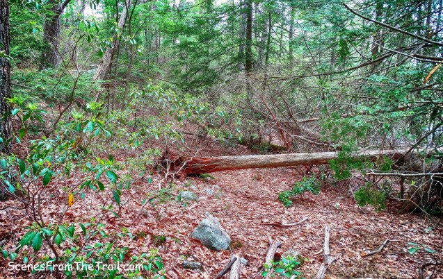
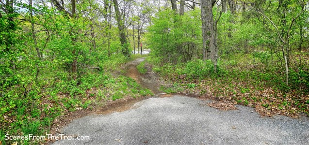
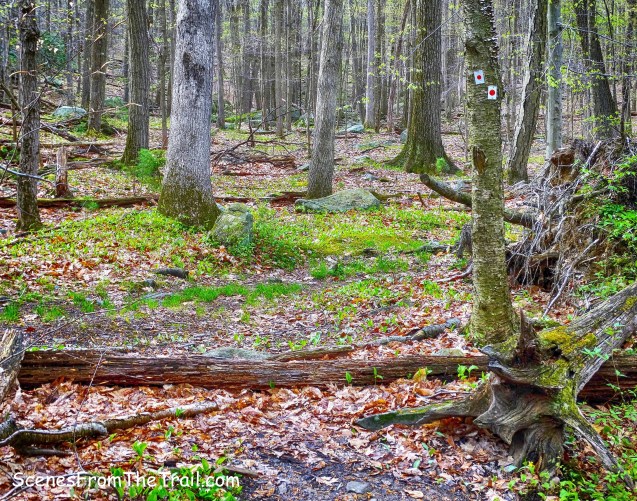
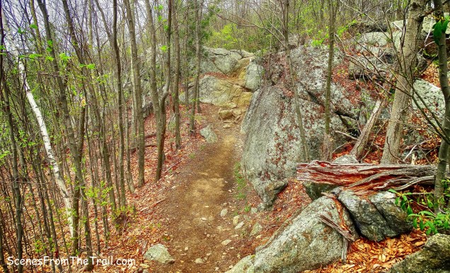
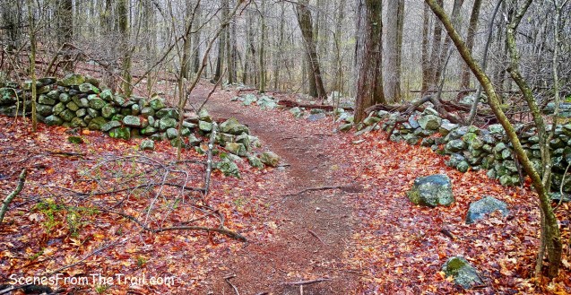
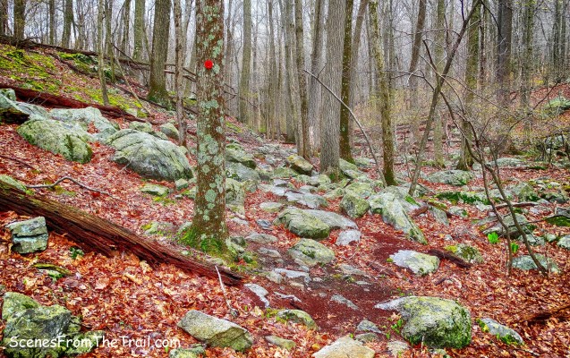
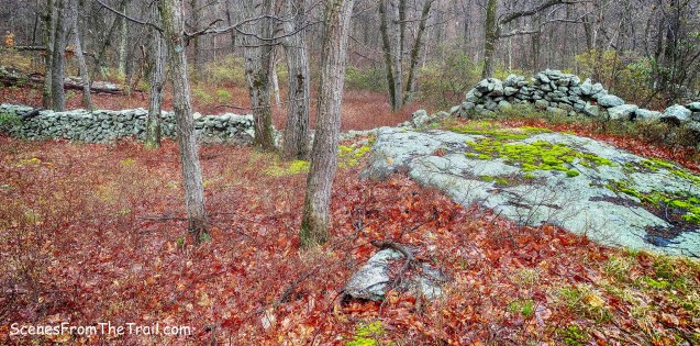
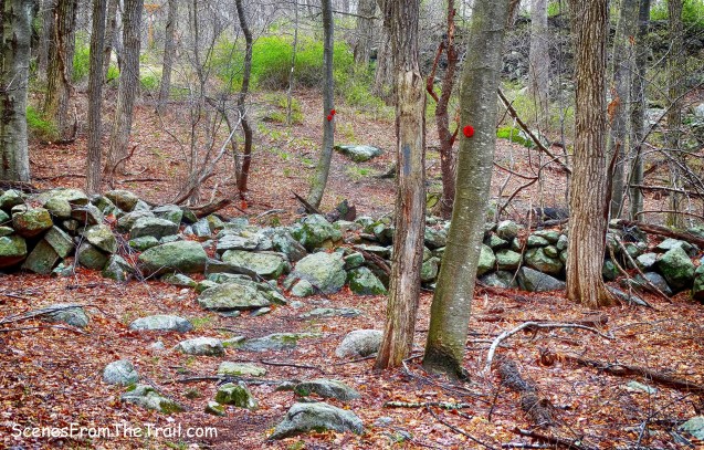
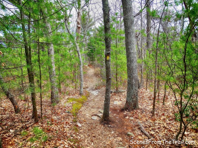
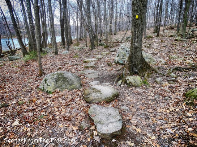
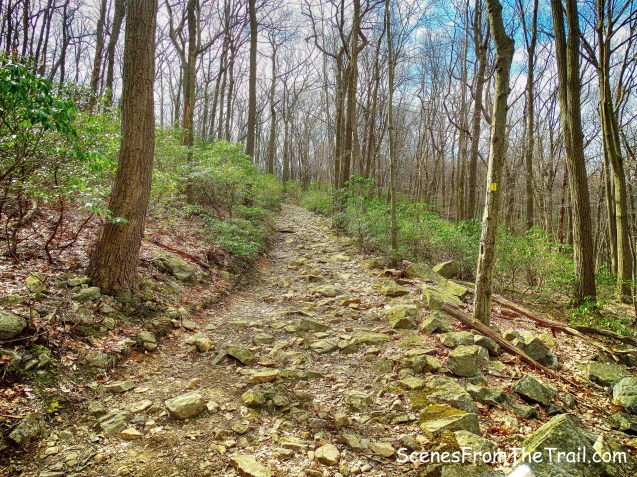
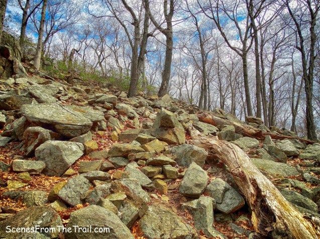
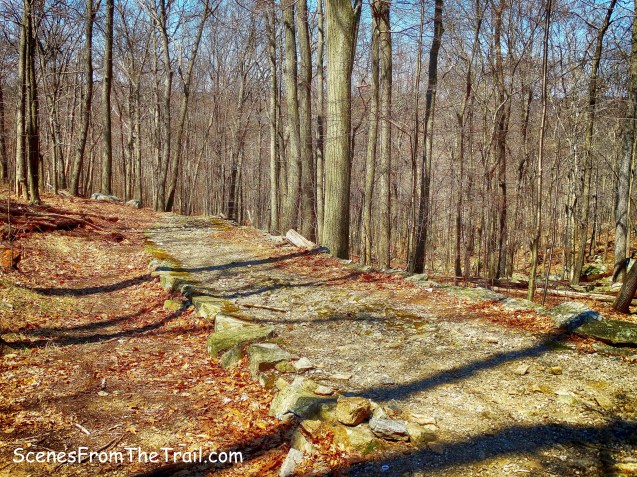
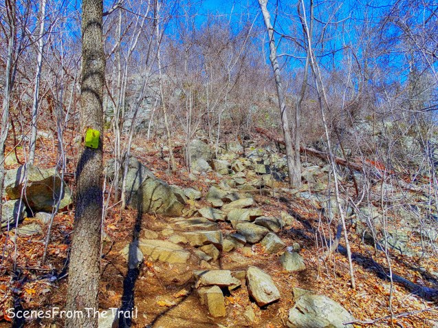
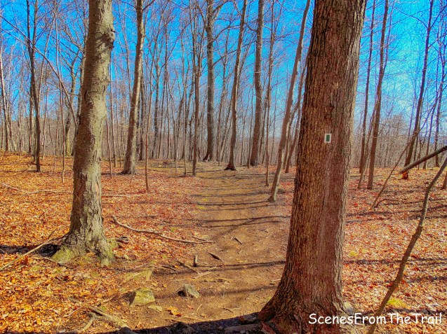
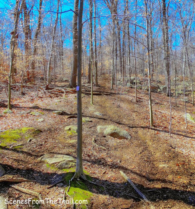
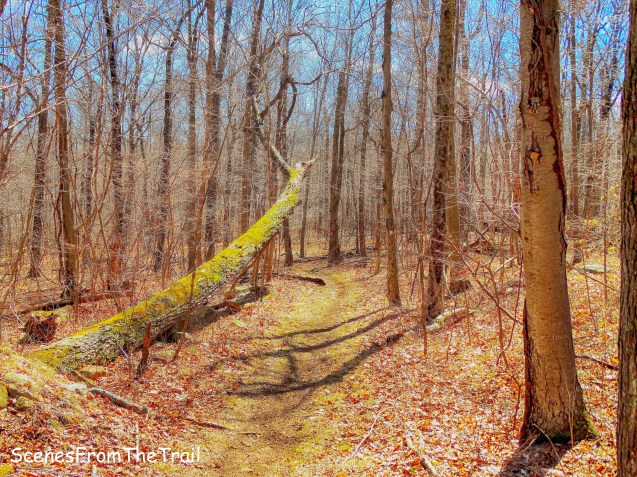
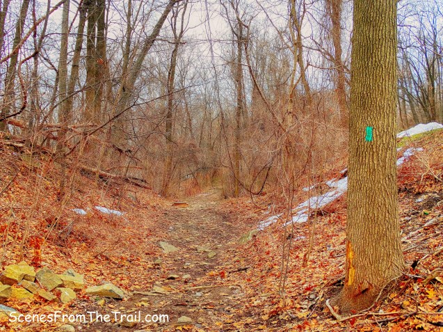
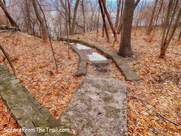
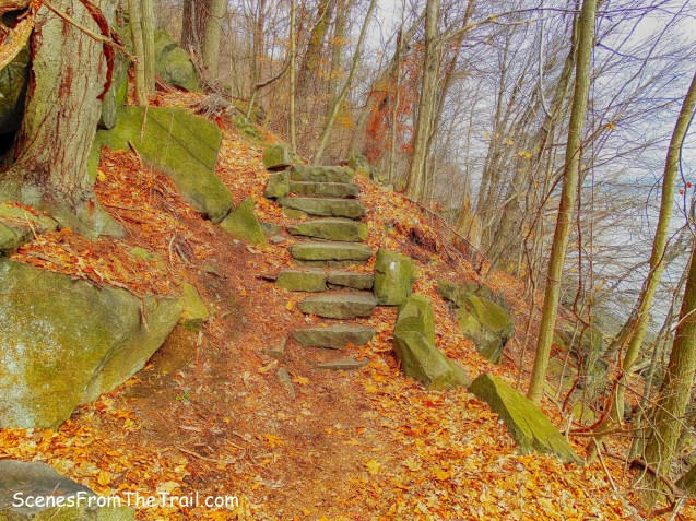
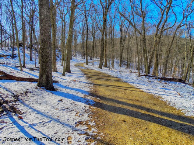
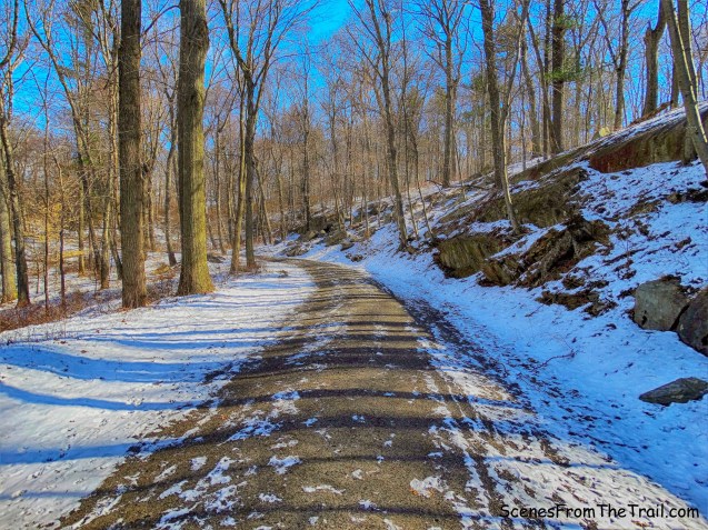
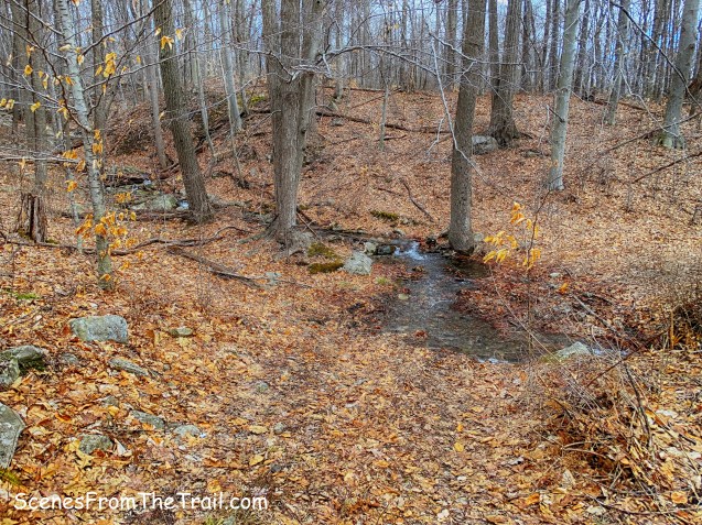
The trail climbs through the woods gradually. The first 1.3 miles of the hike to the summit, we gained about 190 feet of elevation. In a few sections, the trail is a bit overgrown…….
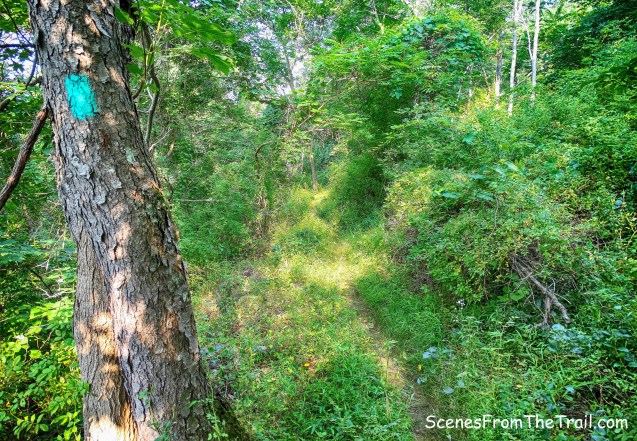
Long Path
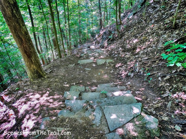
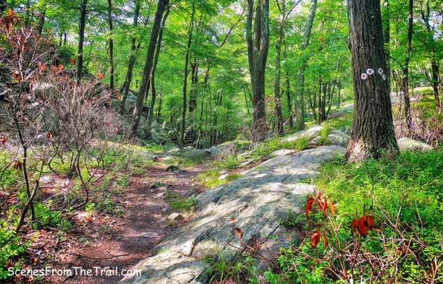
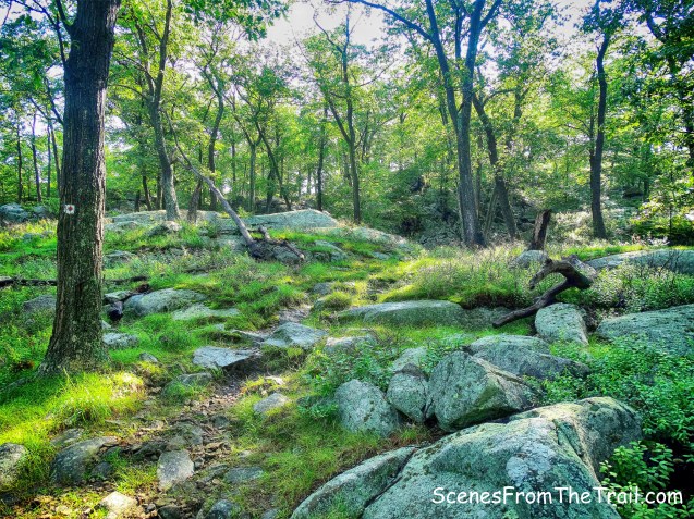
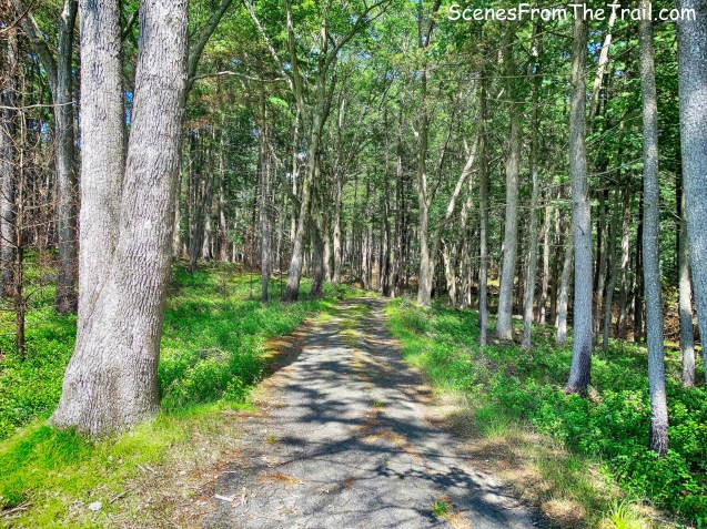
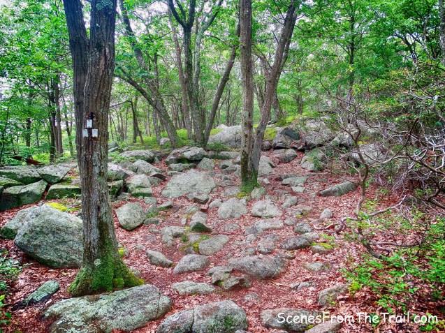
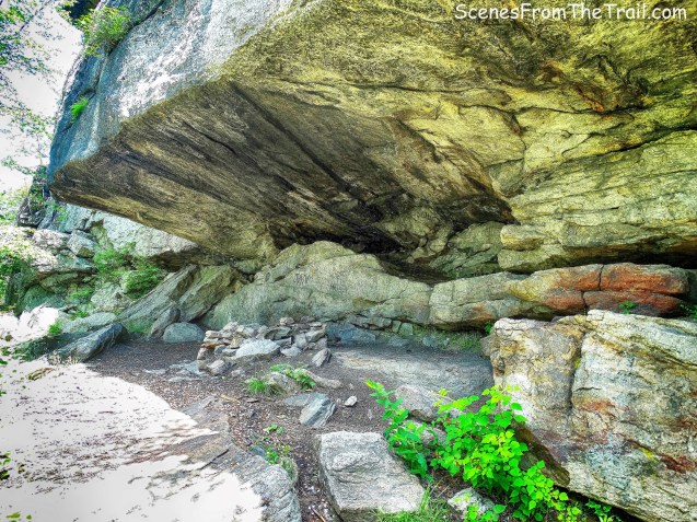
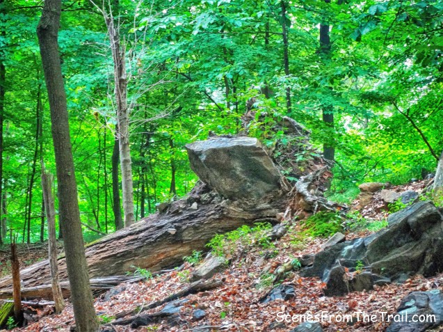
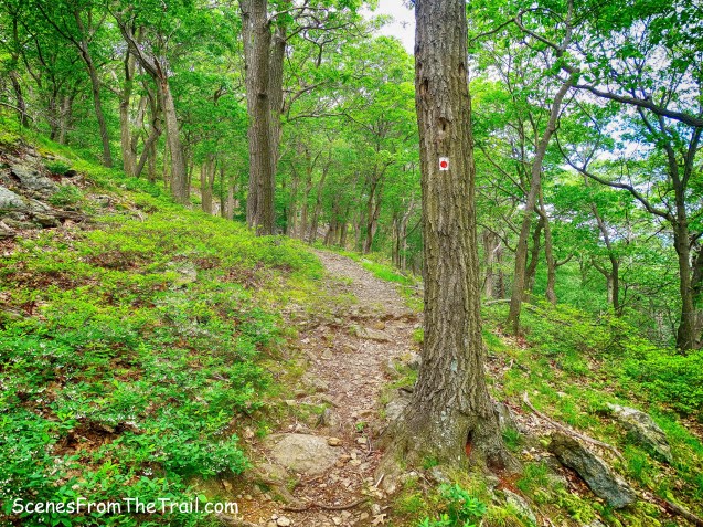
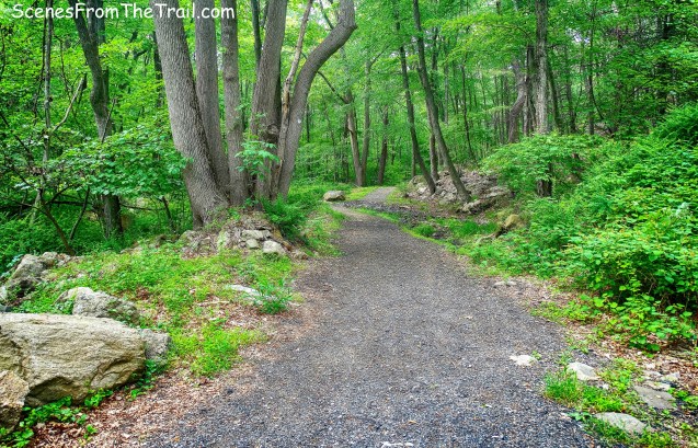
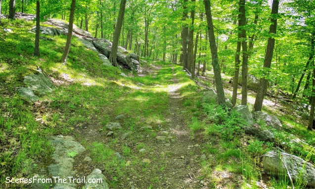
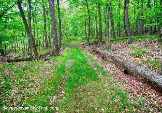
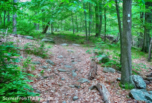
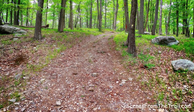
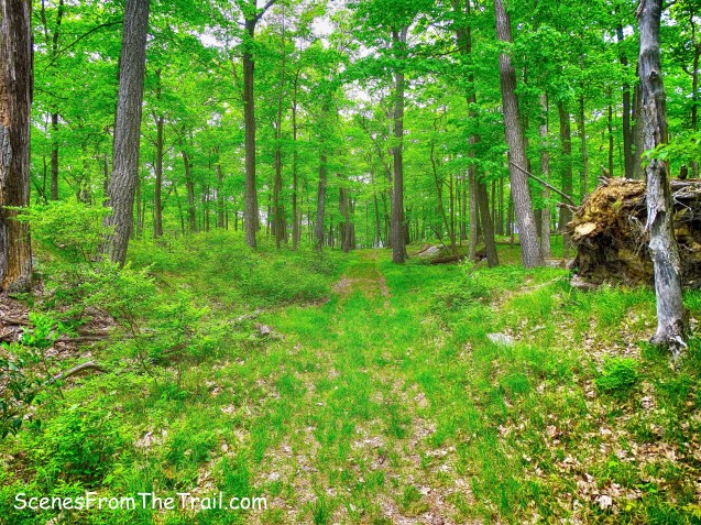
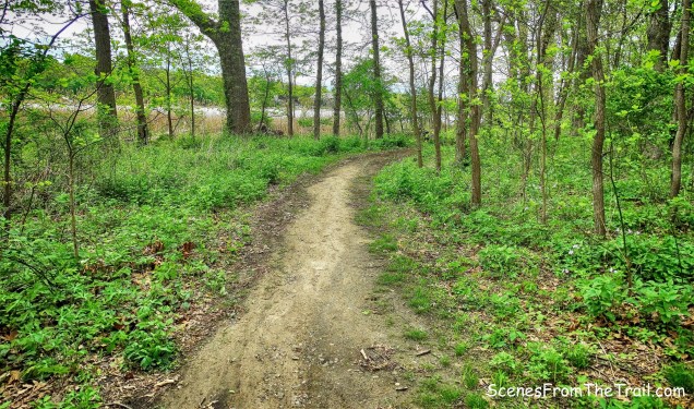
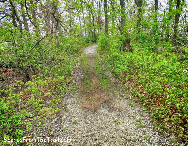
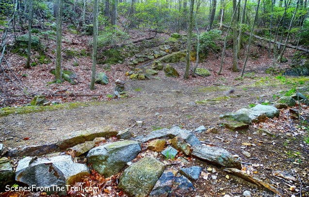
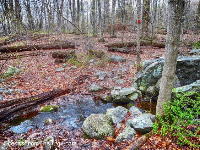
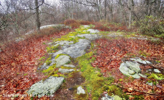
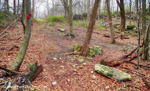
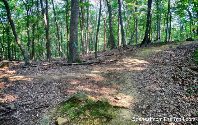
and in some other sections it was well manicured.

Long Path
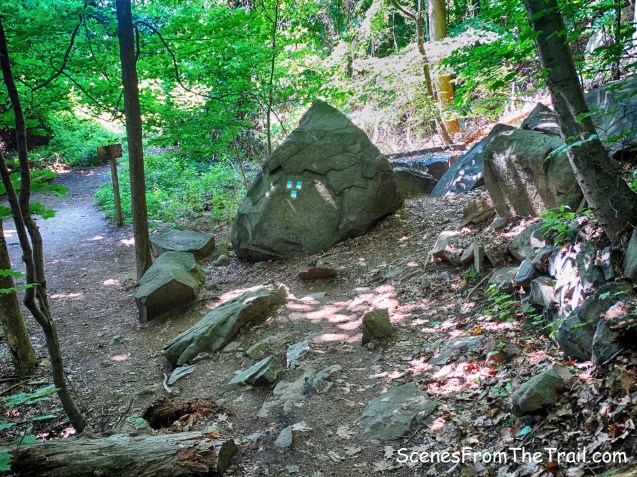
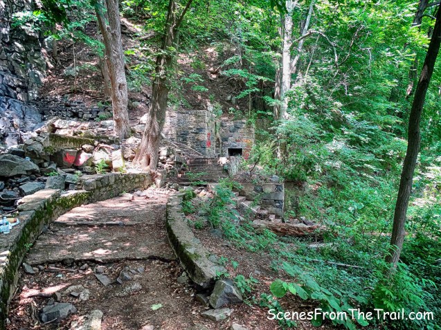
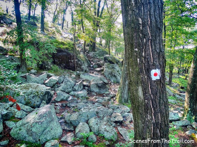
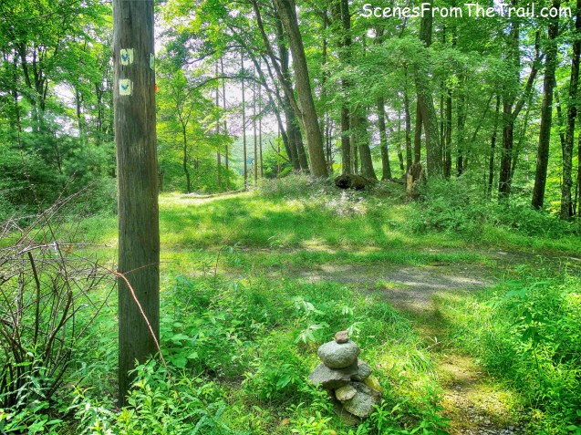
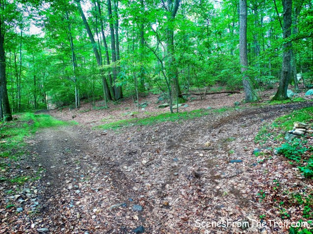
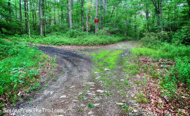
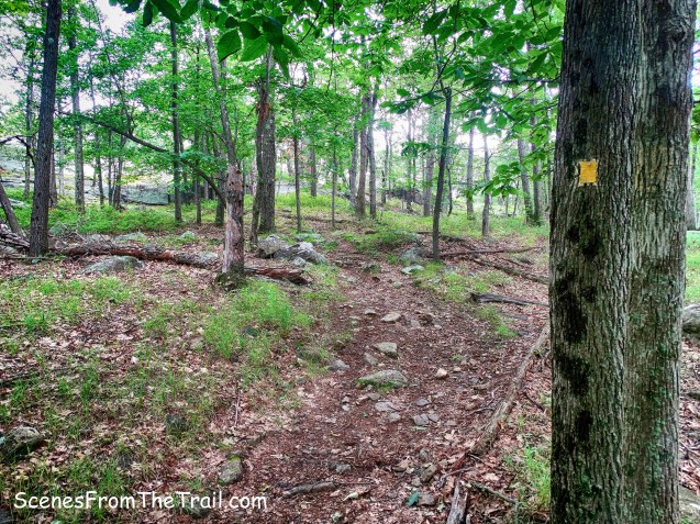
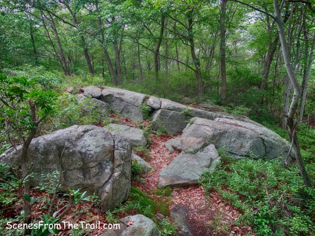
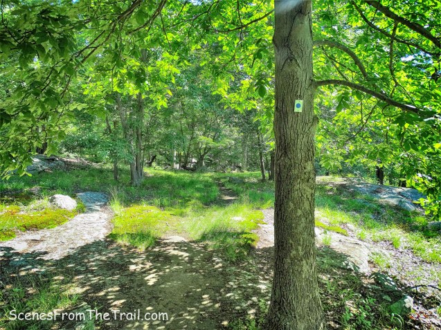
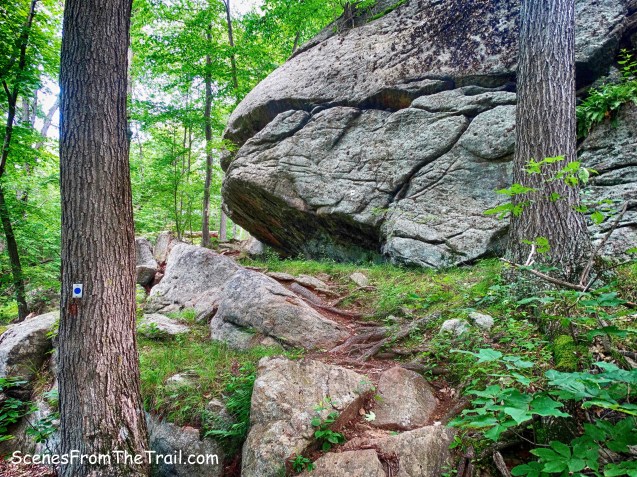
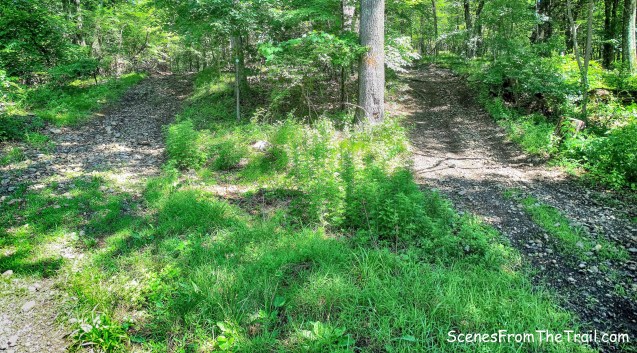
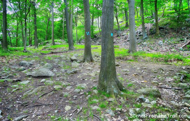
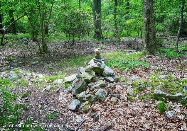
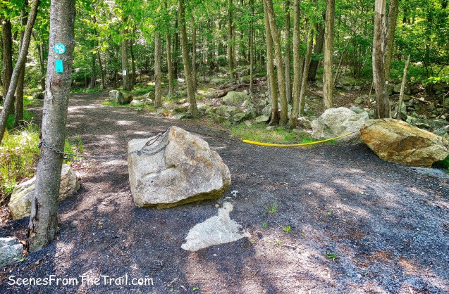
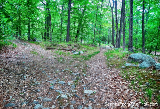
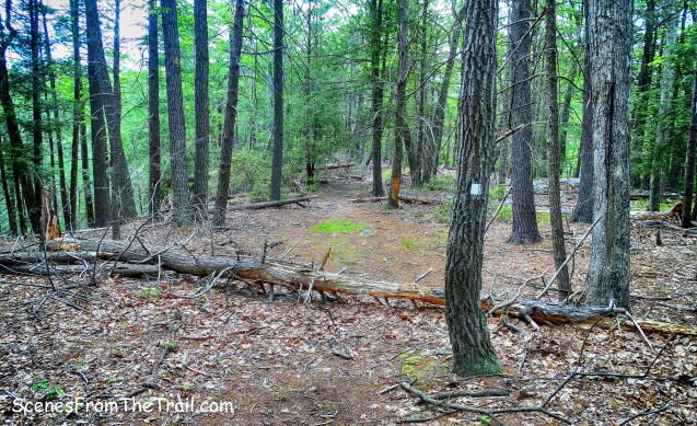
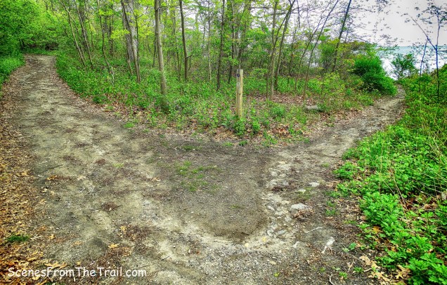
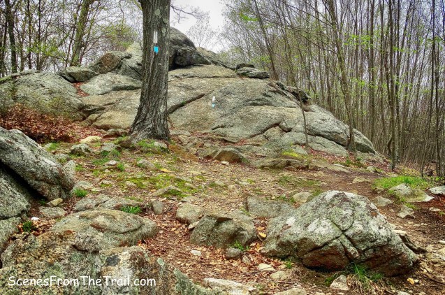
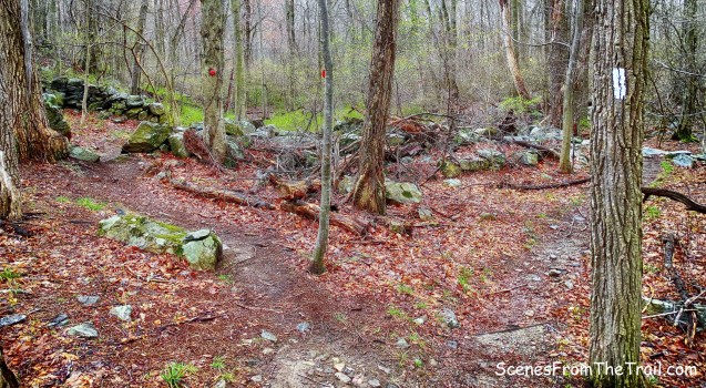
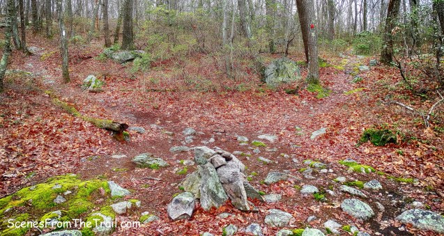
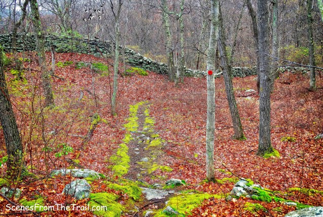
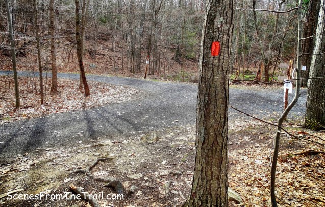
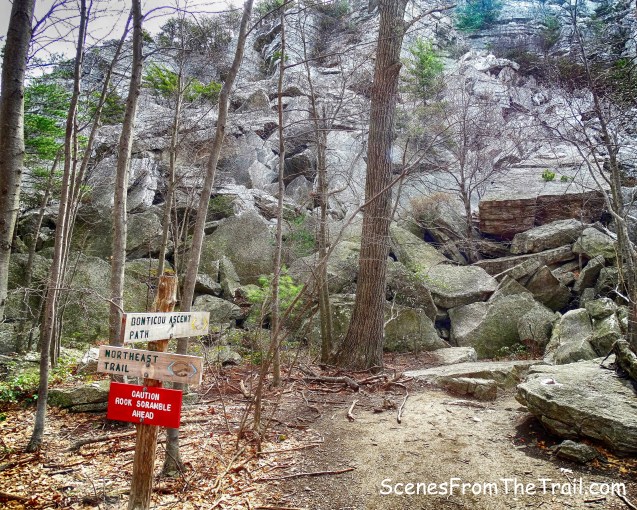
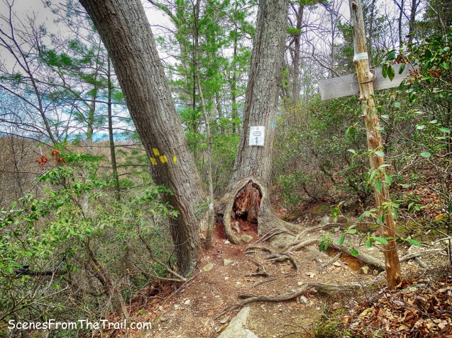
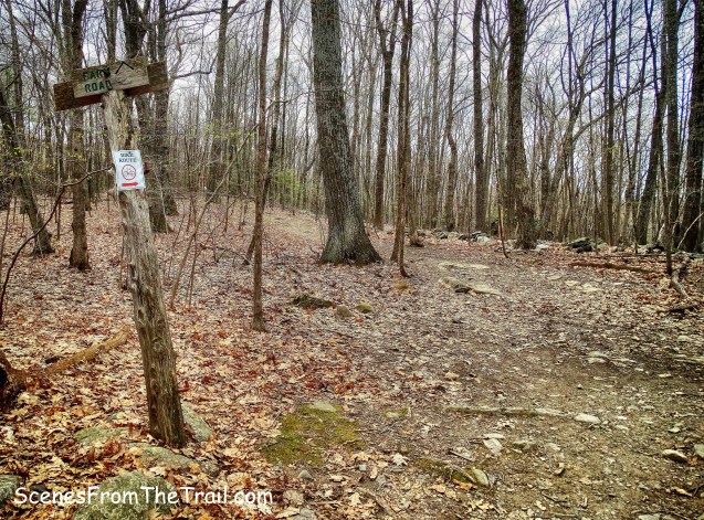
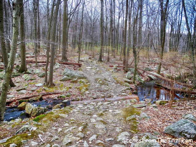
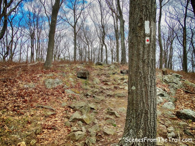
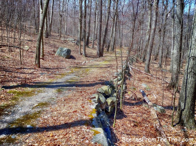
We arrived at a junction with an orange-blazed trail and veered right as the Long Path went to the left.
trail junction
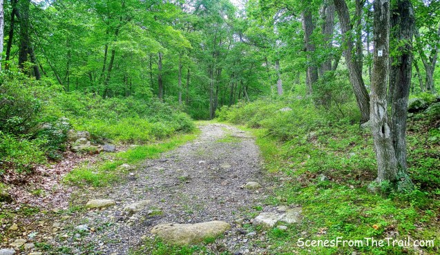
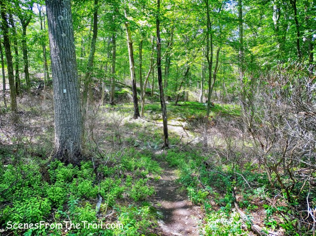
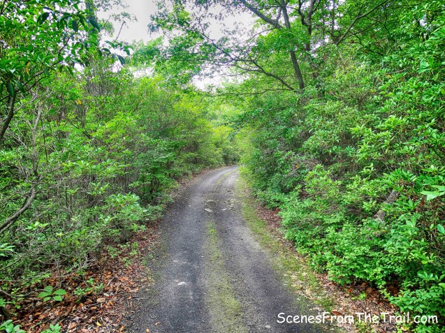
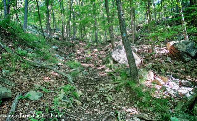
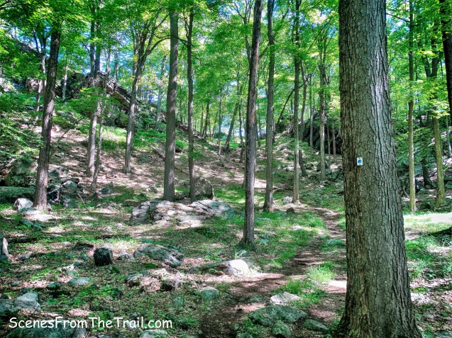
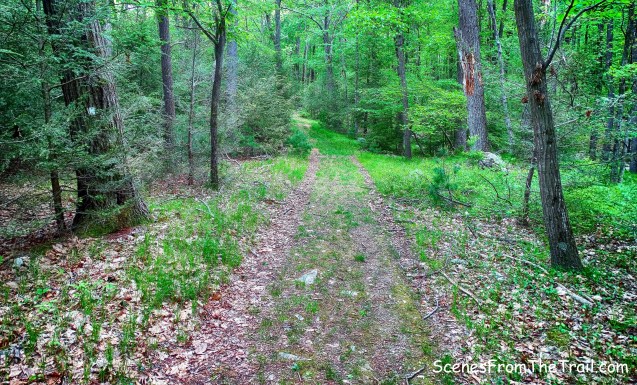
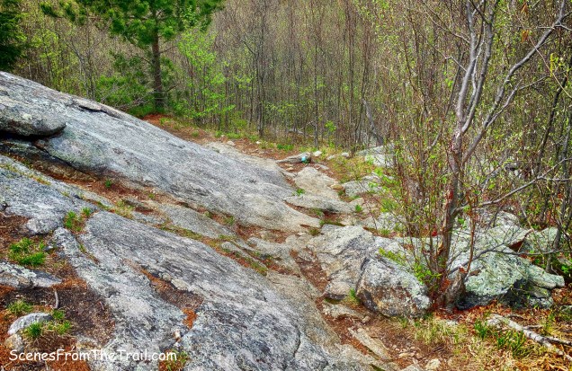
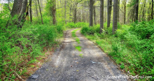
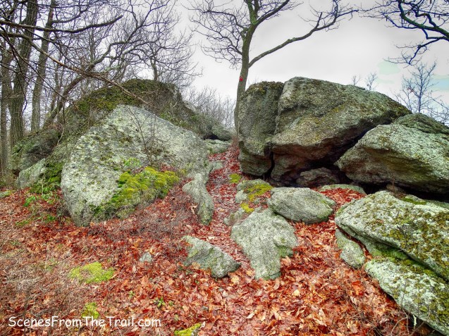
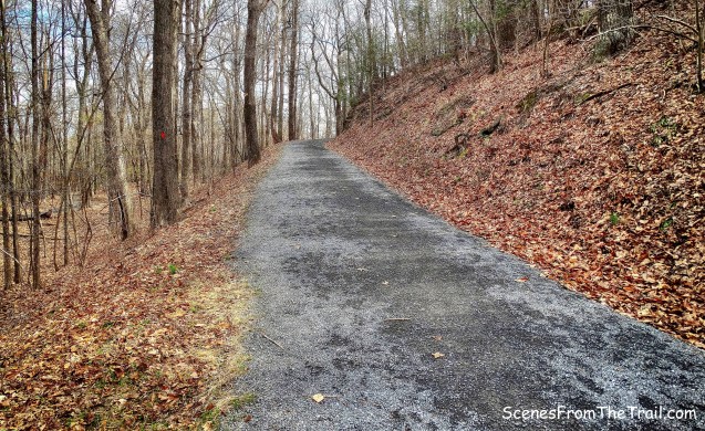
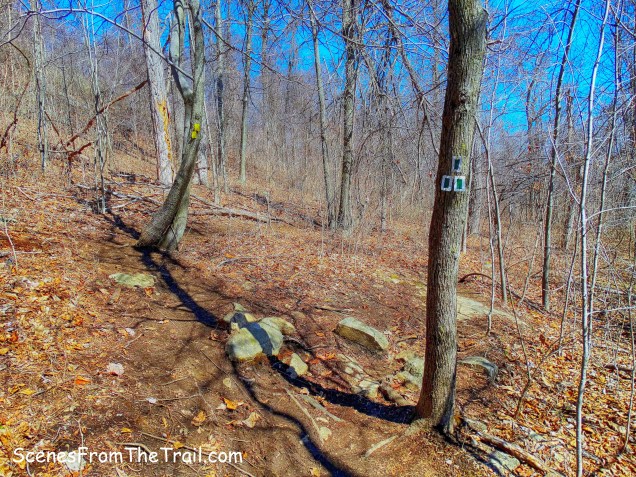
The orange trail begins as a woods road and then narrows to a footpath as it ascends Mount Nebo.

orange-blazed trail
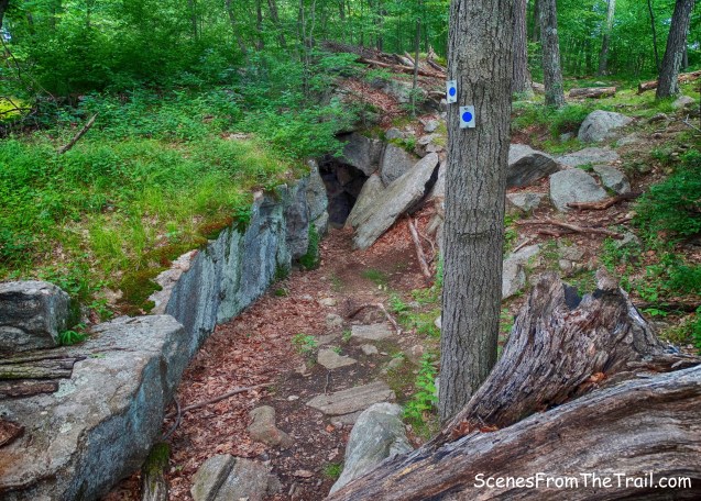
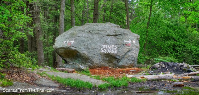
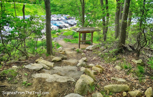
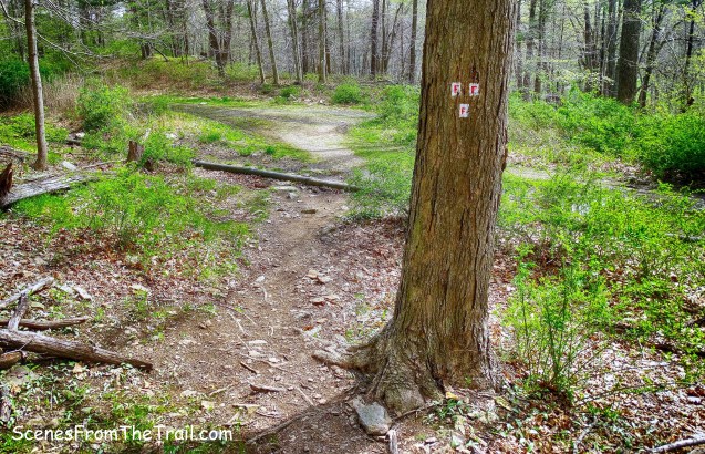
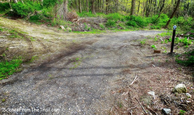
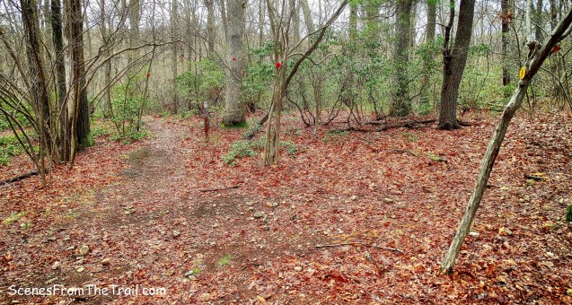
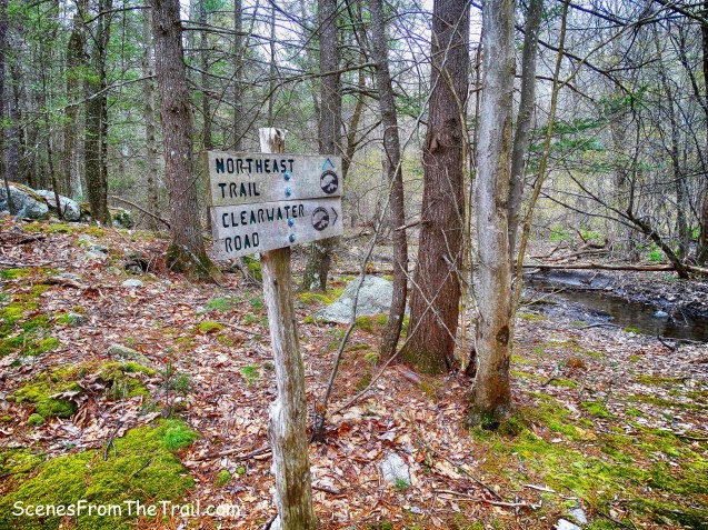
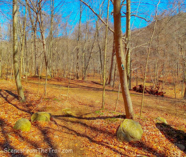
We took another right fork onto a short unmarked trail and came out on Nike Lane by a parking area for Clausland Mountain County Park.
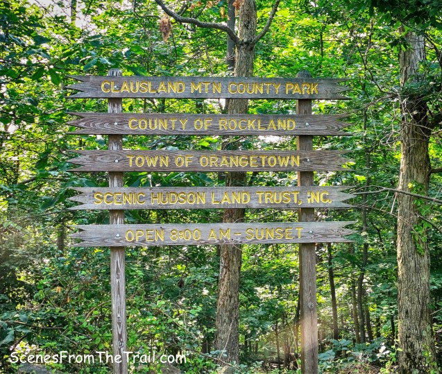
Clausland Mountain County Park
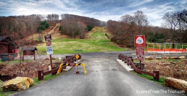
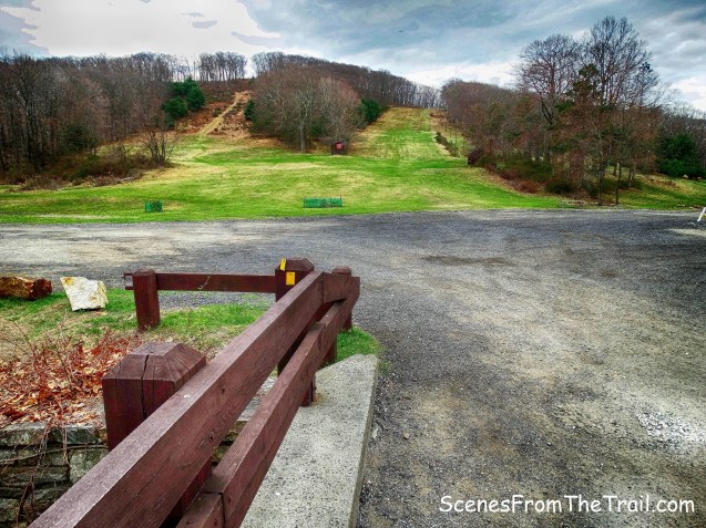
Turning right, we headed up Nike Lane towards the Nike missile base which is also Nike Town Park South.

Nike Lane
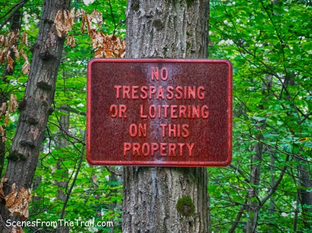
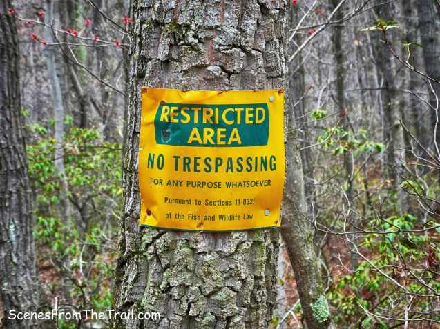
The signage on the fence is confusing. On the left is a park sign and on Google Maps this area is shown as Nike Town Park, but the other signs contradict the park sign.
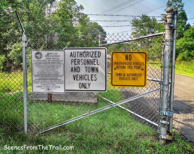
Nike Town Park
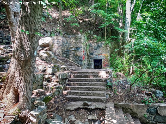
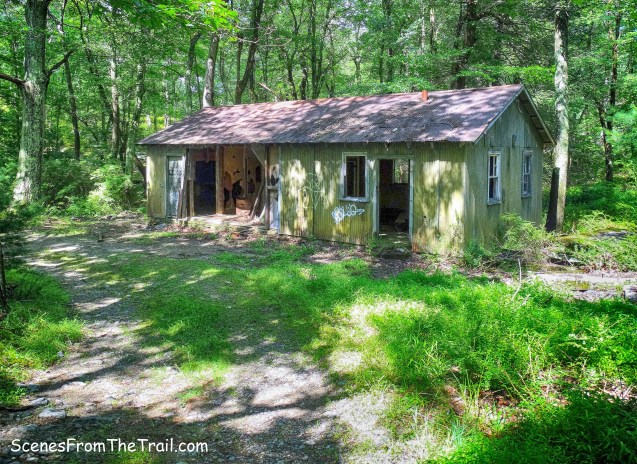
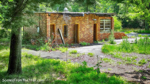
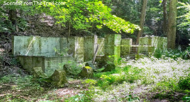
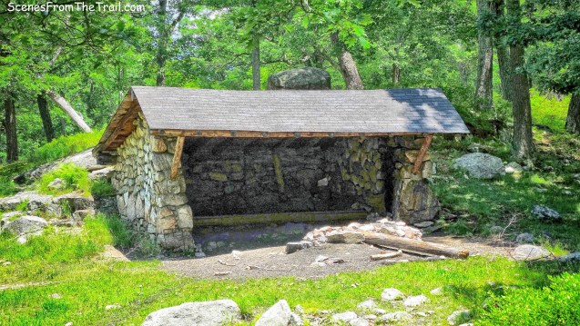
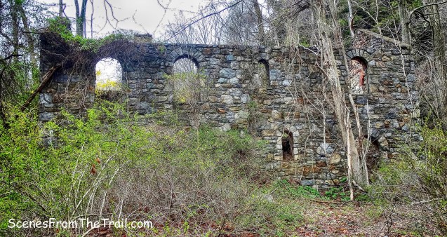
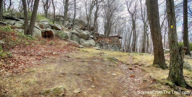
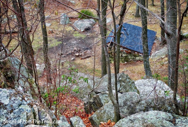
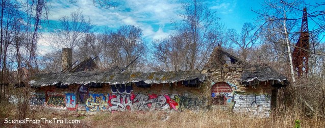
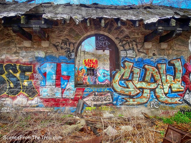
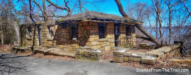
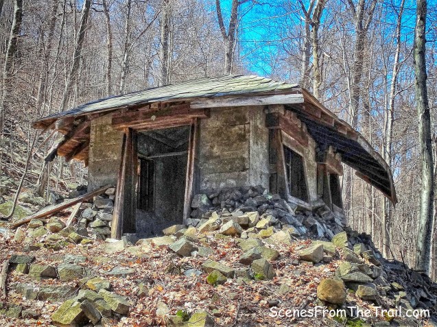
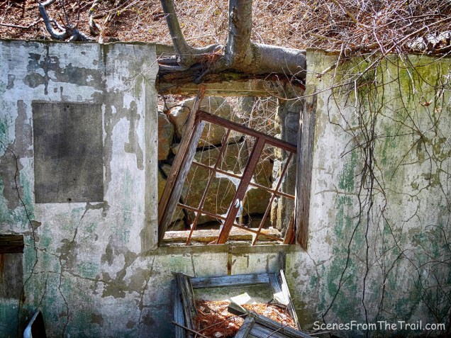
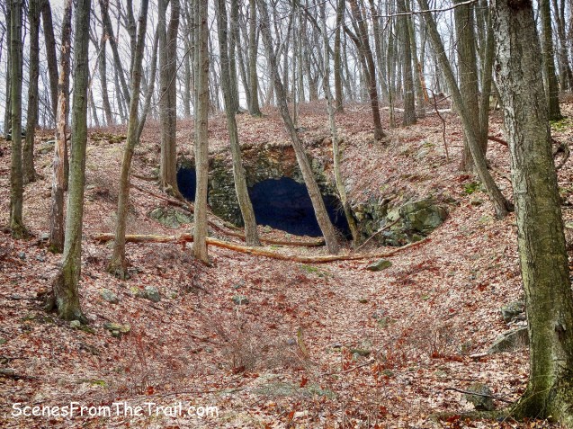
We were a little hesitant about venturing beyond the gate, but then decided to go forward. There were several cars parked by one of the buildings, but no one came out while we were there.
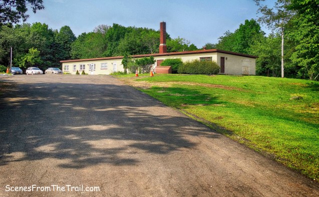
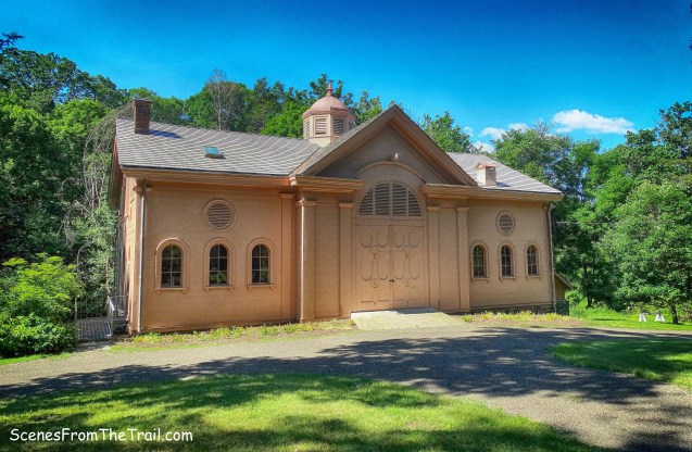
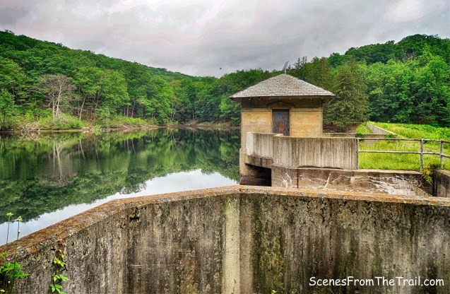
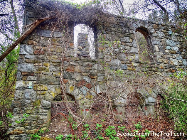
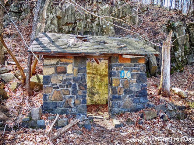
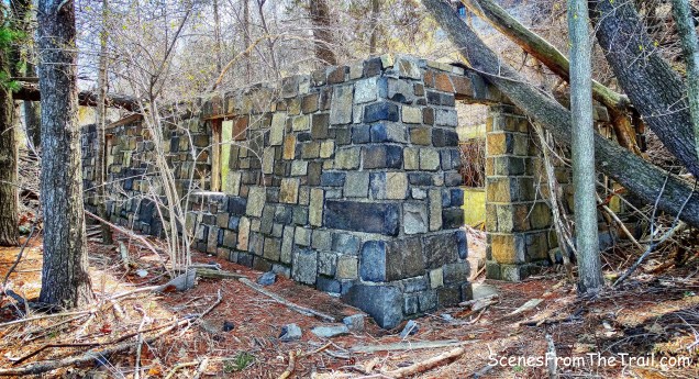
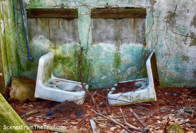
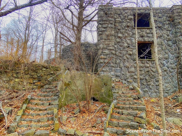
Nike Battery NY-03/04
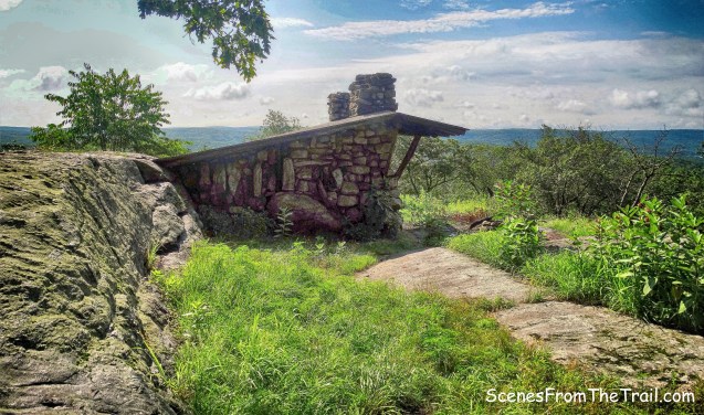
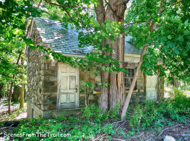
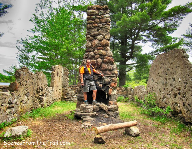
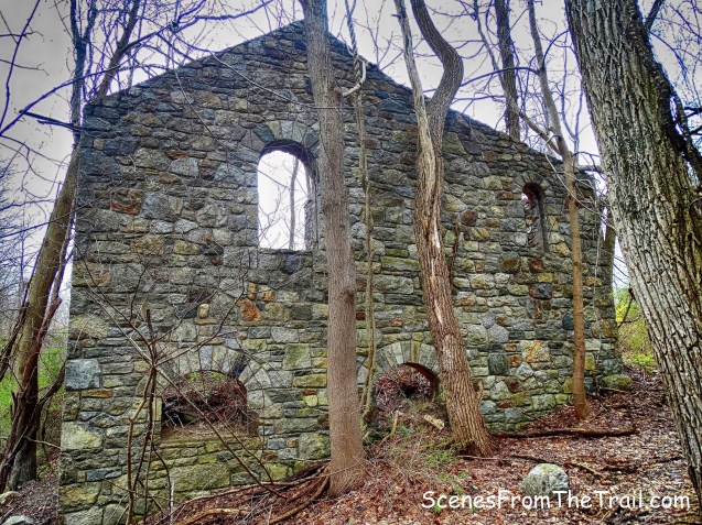
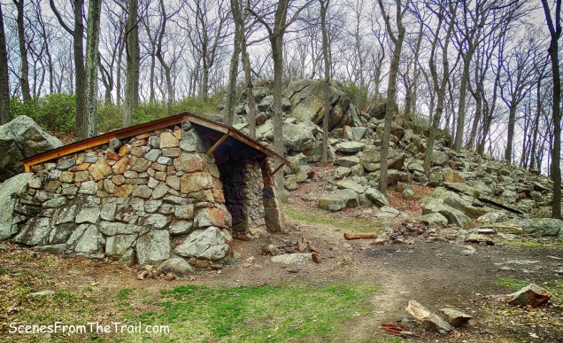
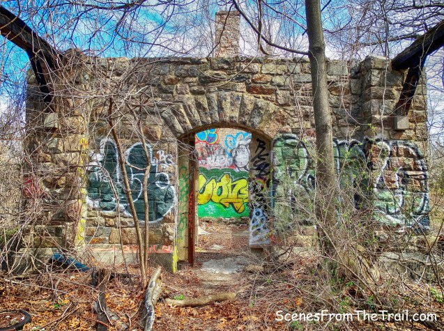
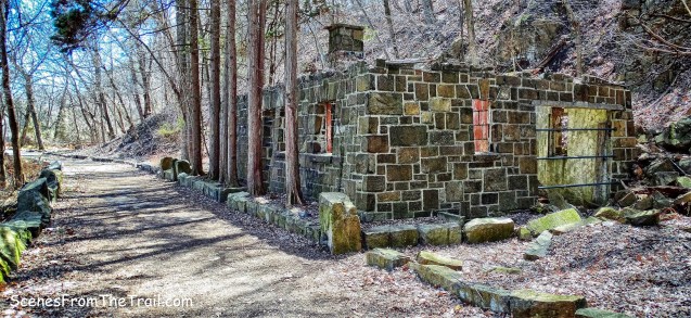
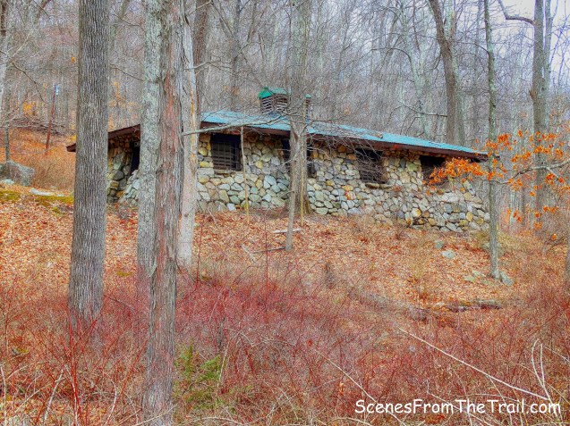
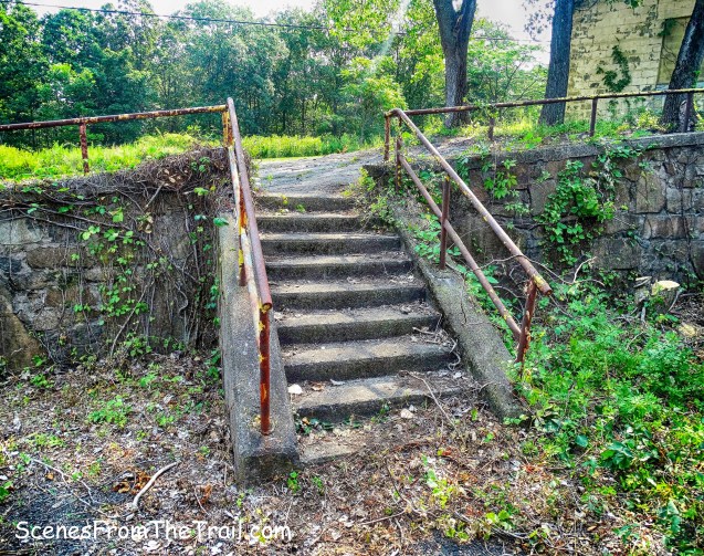
We walked up the road and veered left past another building and approached two other buildings which sit at the summit.
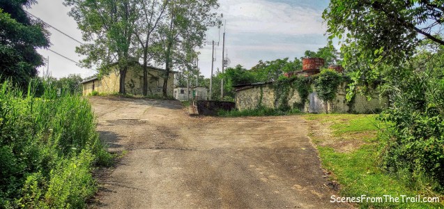
Nike Battery NY-03/04
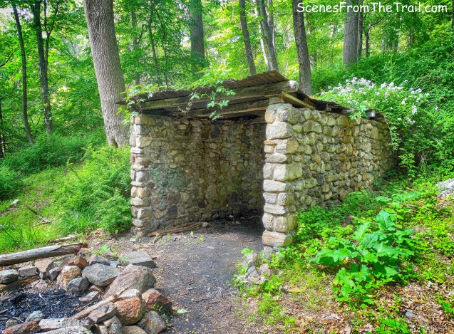
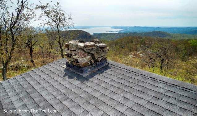
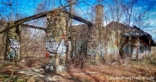
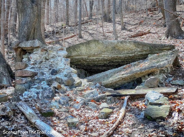
I don’t know the purpose of these buildings as there is not much information online.

Nike Battery NY-03/04
Just up the road there is a plaque mounted on a boulder that is dedicated to veterans.
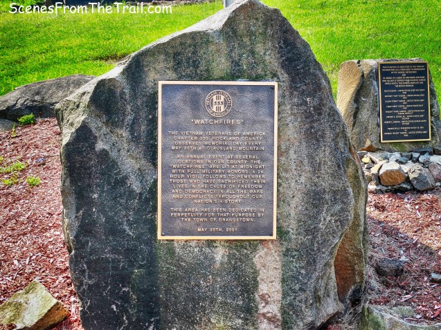
veterans plaque
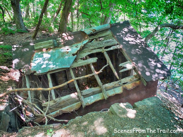
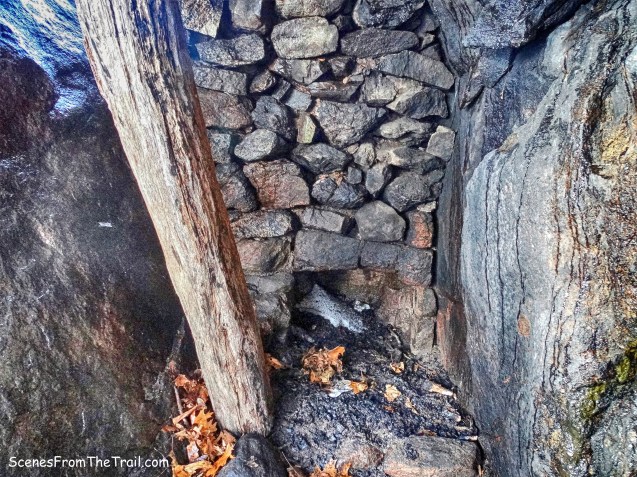
To the left, almost hidden, is a rusty steel radar platform.

rusty steel platform
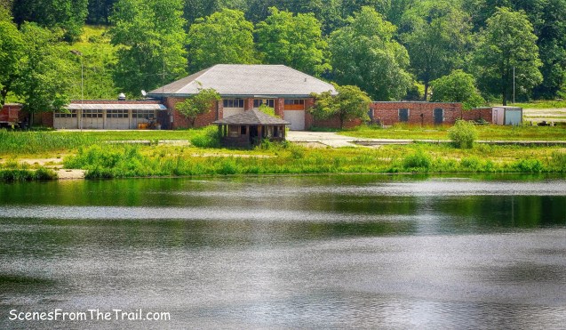
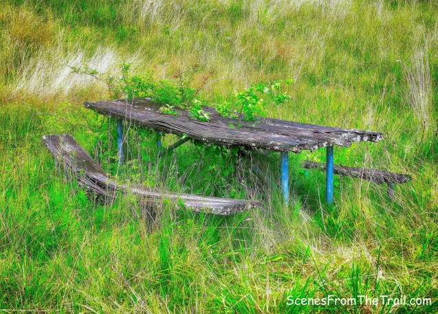
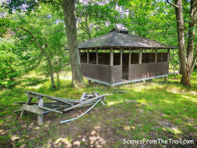
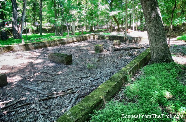
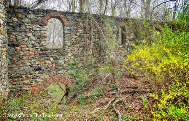
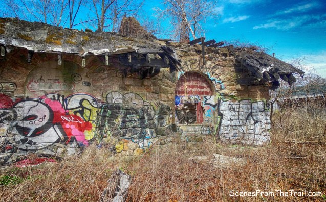
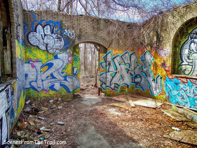
There are almost as many picnic tables as there are antennas.
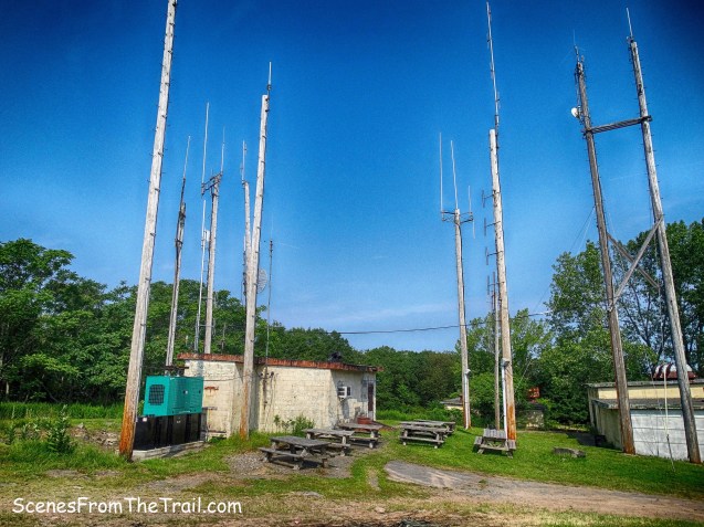
Nike Battery NY-03/04
Nike Battery NY-03/04

Nike Battery NY-03/04
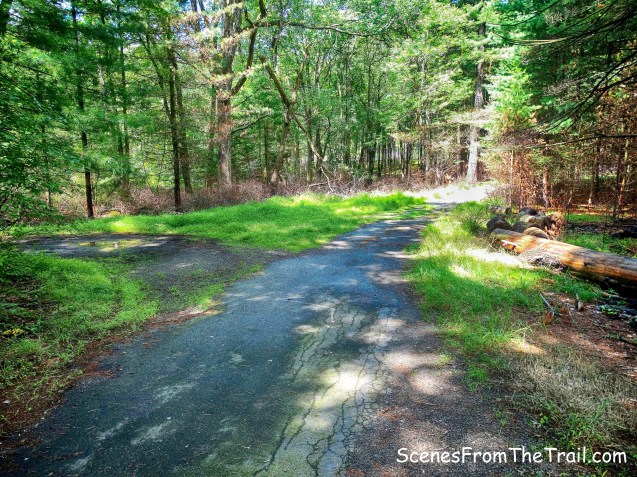
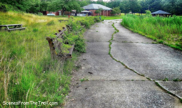
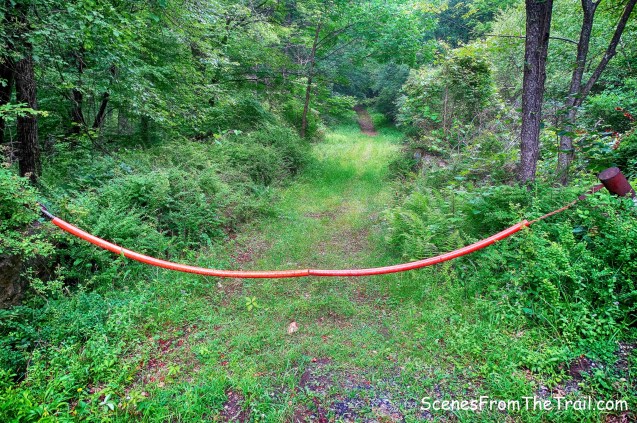
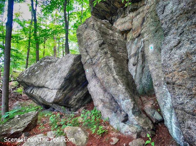
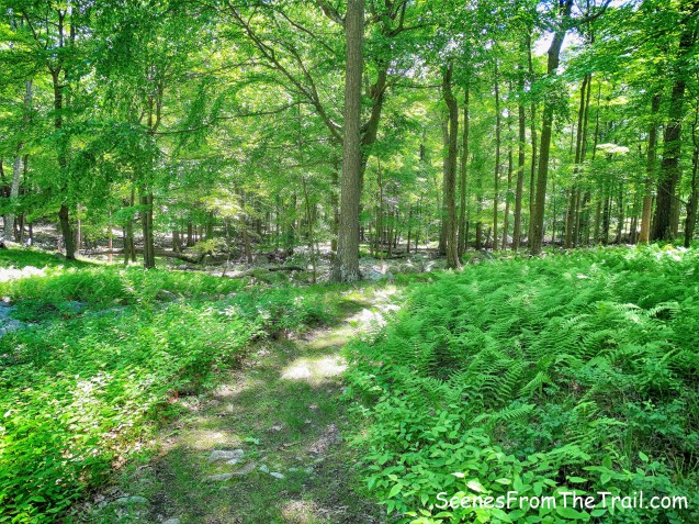
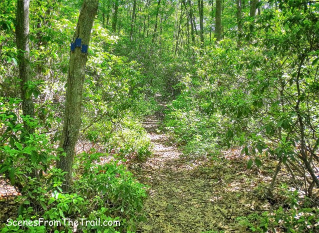
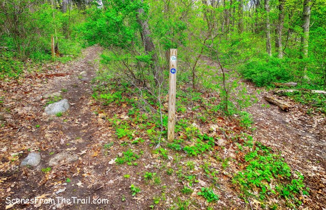
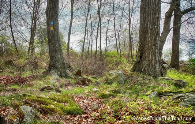
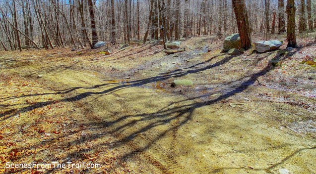
We walked back down the road and exited through the gate where we came in and turned right by the Clausland Mountain County Park sign and began walking on the blue trail.

the blue trail
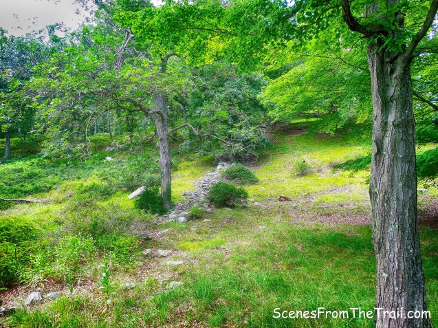
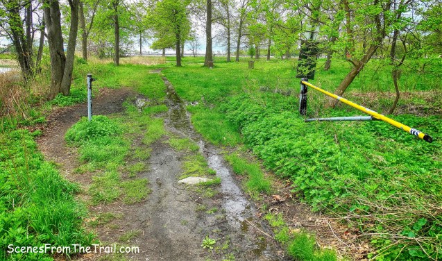
The blue trail is shown on the map as a 1/2 mile loop which ends back where it begins. The trail was kind of boring so we bushwacked northwest towards the road and headed uphill to Nike Town Park North. The road forks at the sign, left goes to south, where we were just exploring and right goes to Nike Town Park North. We veered right at the sign.

Nike Town Park
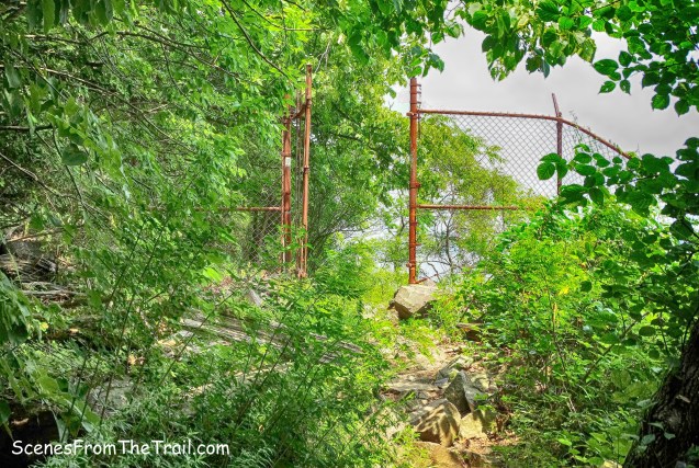
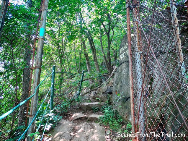
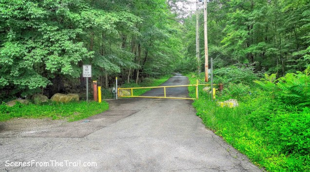
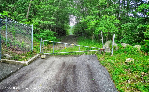
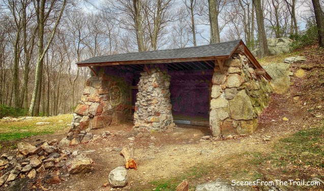
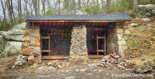
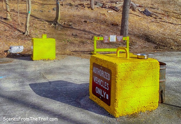
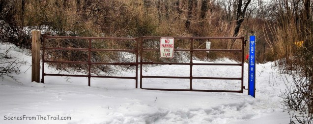
We walked up the road to the park entrance and walked around the yellow gate.

Nike Town Park North
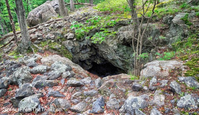
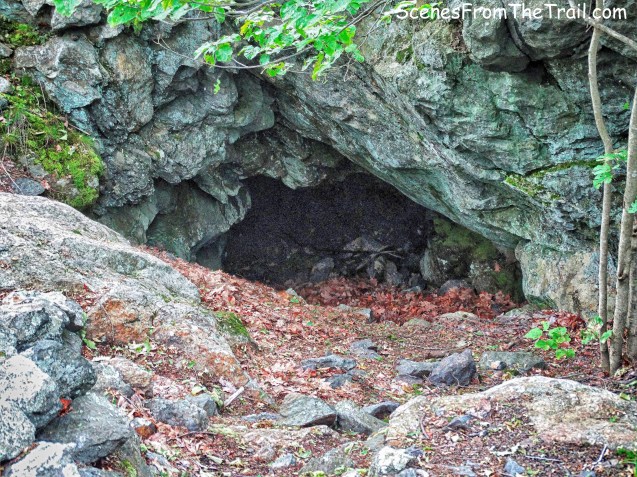
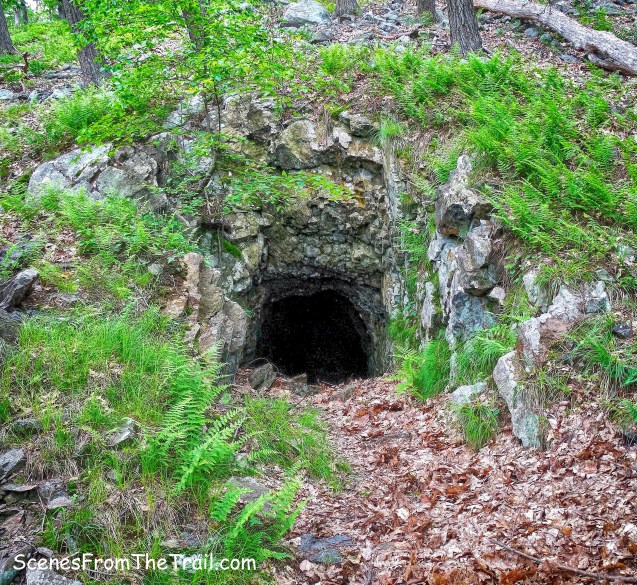
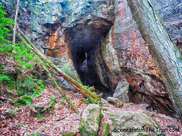
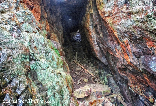
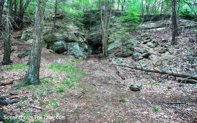
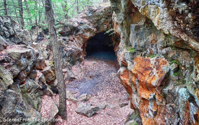
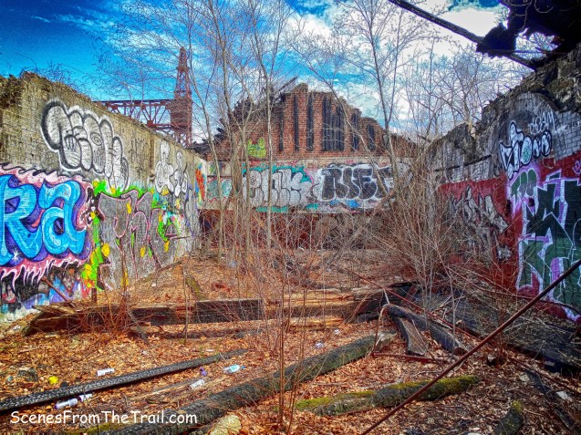
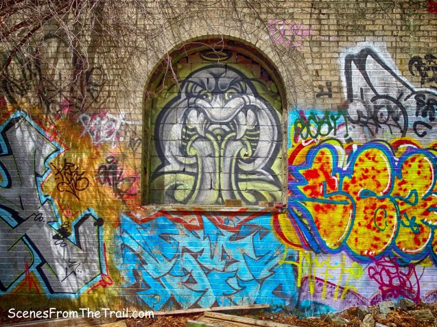
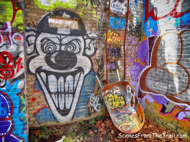
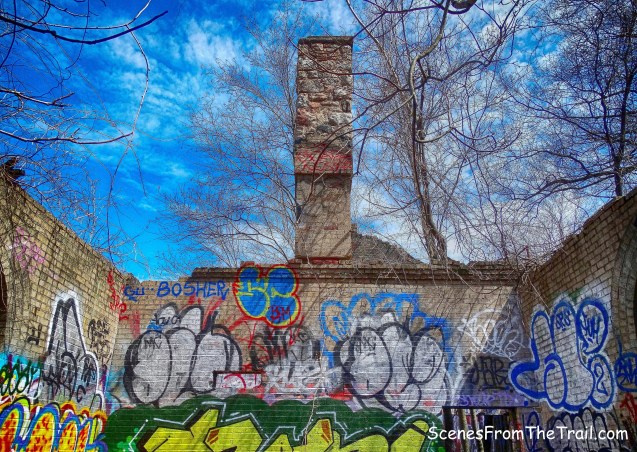
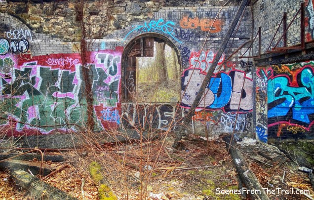
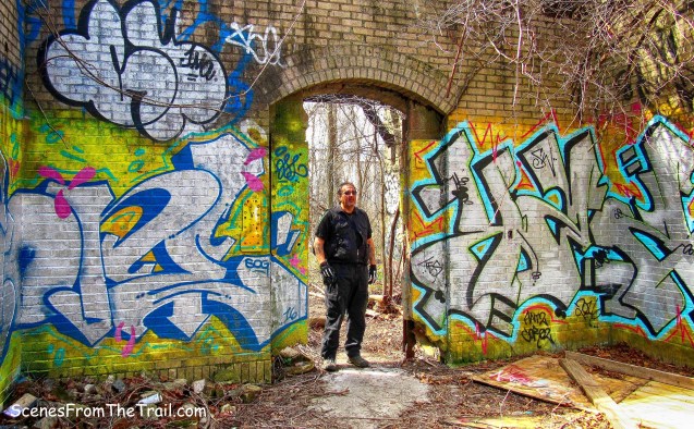
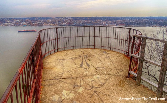
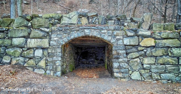
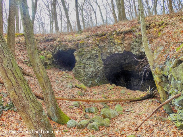
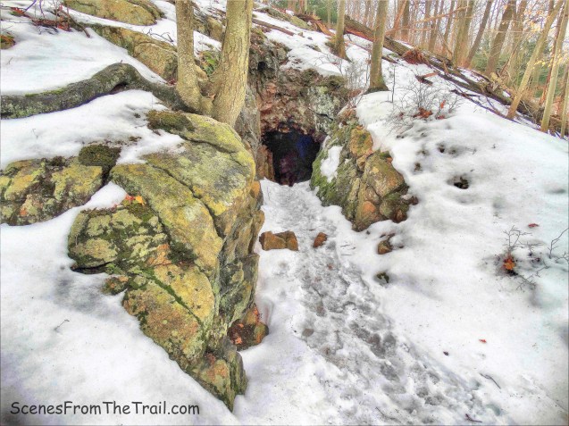
There is a good amount of graffitti on the pavement just past the gate. The writing below refers to the abandoned army tunnels of Camp Bluefields which are said to be haunted and are nearby.

Nike Town Park North
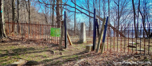
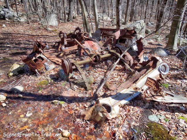
There isn’t much to see in this area of the park. We did see what appears to be concreted stands that once held some kind of tank.
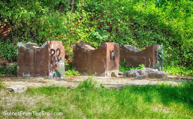
Nike Town Park North
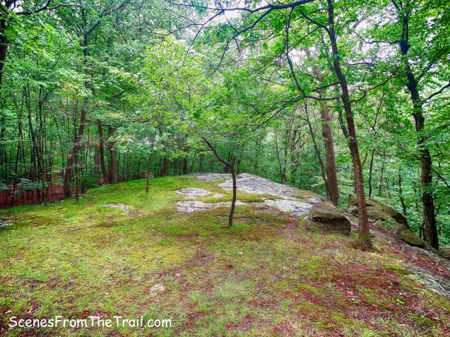
There is an odd looking octagonal concrete ring in the field near the edge of the woods.

Nike Town Park North
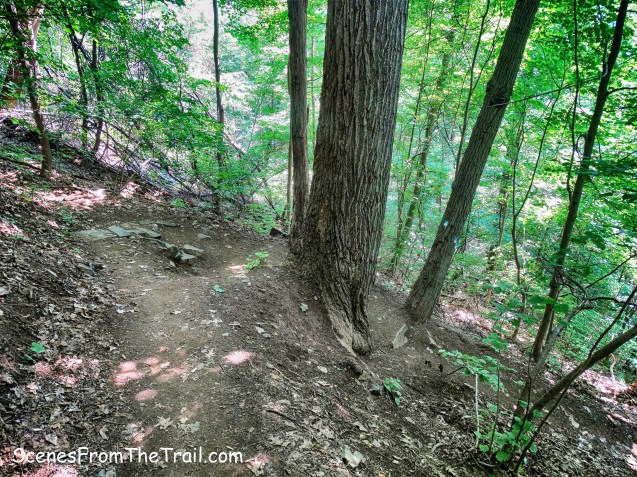
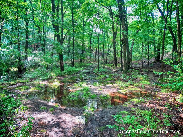
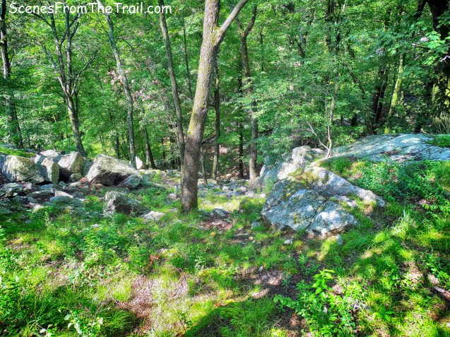
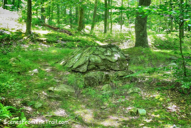
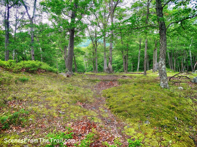
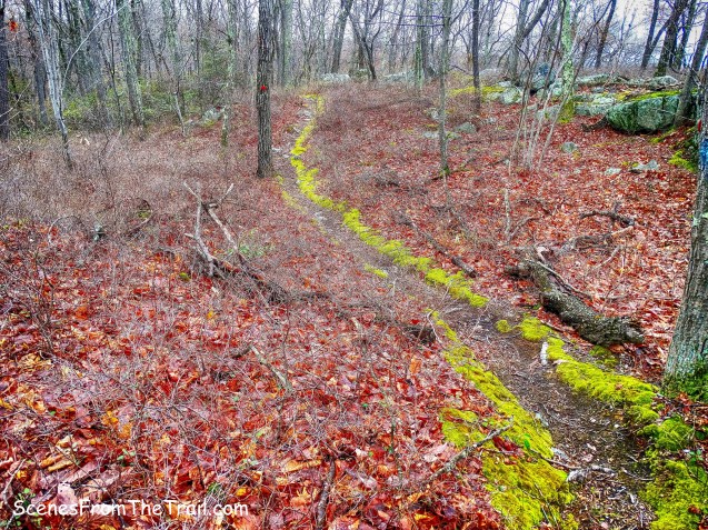
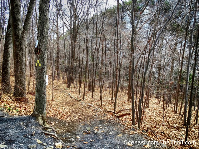
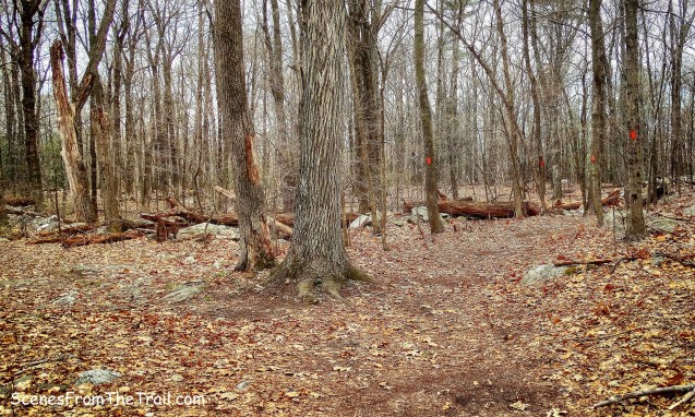
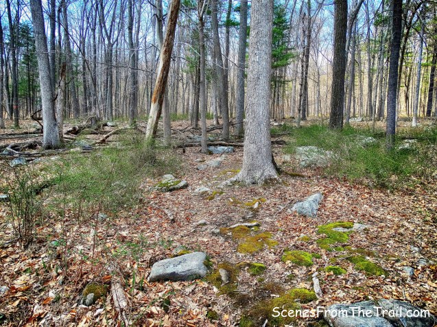
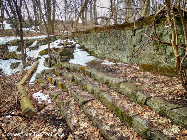
We then ducked back into the woods on an unmarked trail, heading northwest. The Long Path lies to the west of this park so I figured we would run into it. As we descended down the mountain, we saw some aqua blazes a short distance away, but I made an executive decision to continue on the unmarked trail. The trail starts to curve to the east as it follows a stone wall.
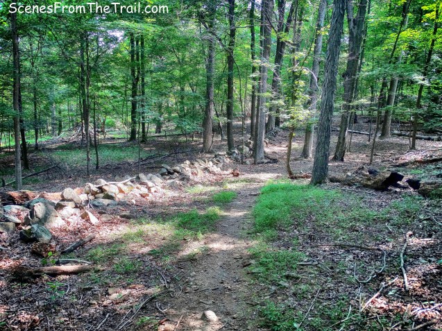
unmarked trail
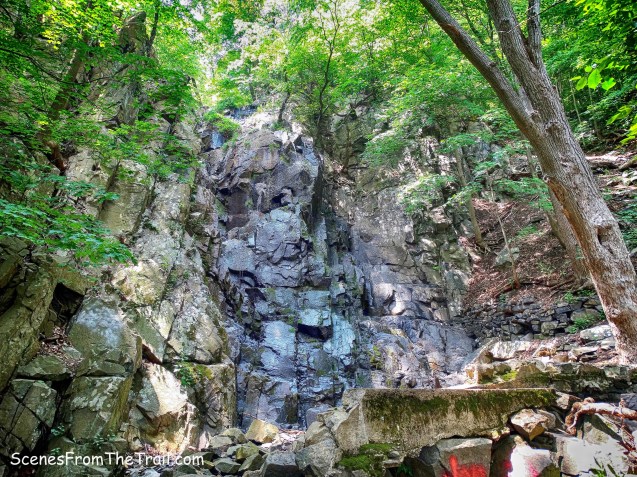
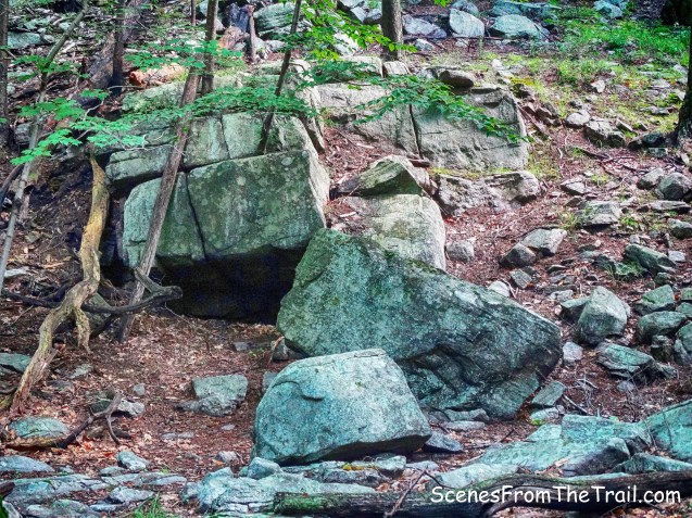
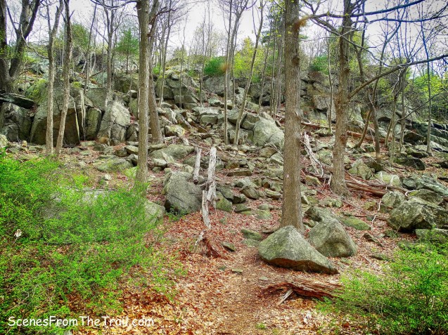
There are still signs of the fire that tore through the mountain in November of 2015.
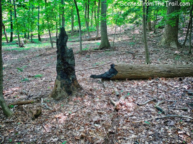
fire damage on unmarked trail
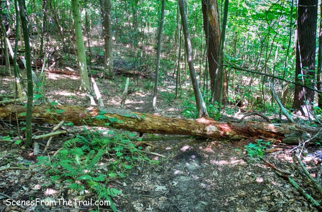
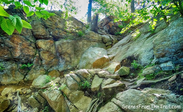
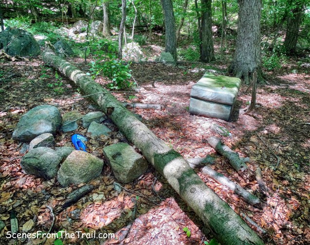
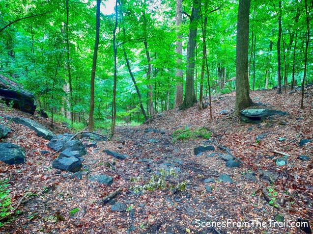
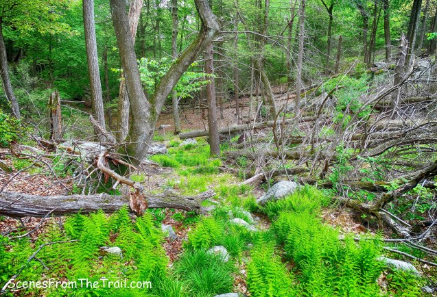
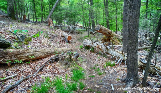
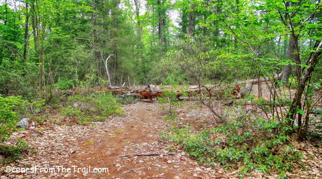
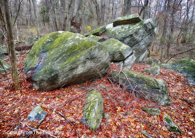
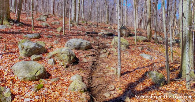
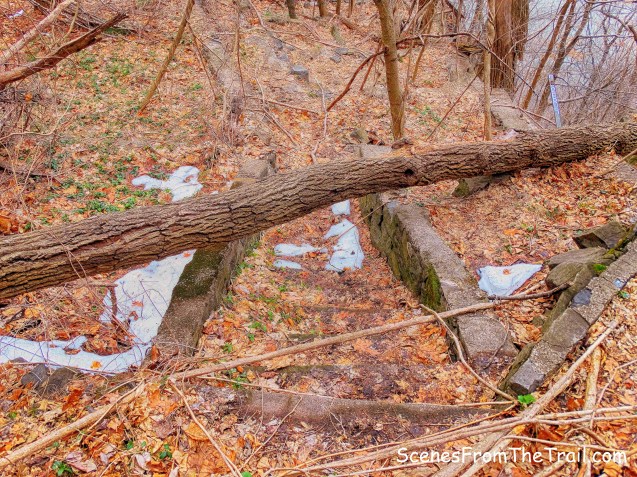
There were numerous blowdowns and the trail became harder to follow.
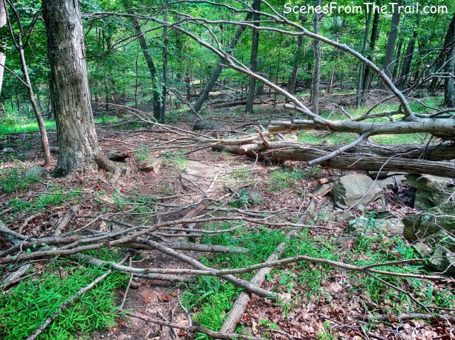
blowdown on unmarked trail
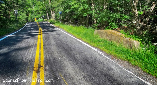
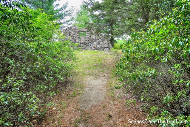
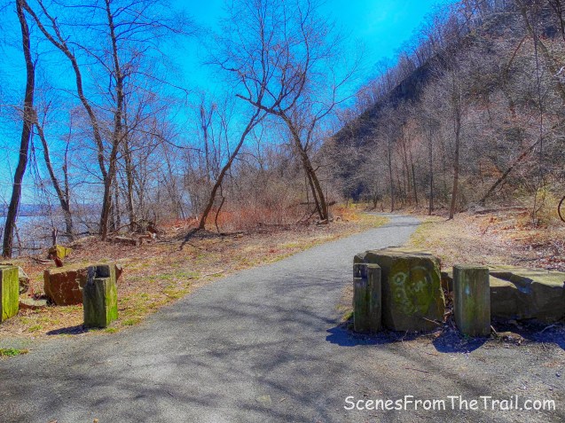
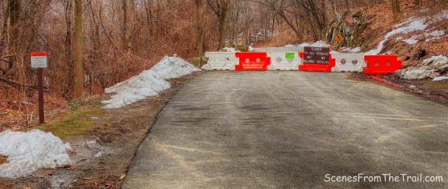
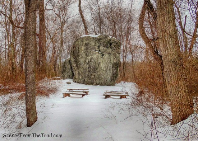
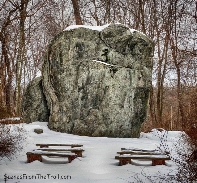
We lost the trail, but the road was visible through the trees so we headed towards it. The Long Path crosses Clausland Mountain Road so we ended up doing about a 3/4 mile road walk. We came out of the woods onto Tweed Boulevard and turned left on Clausland Mountain Road. I dislike road walks, but it was easier than bushwacking through the dense woods covered with fallen trees. We arrived at Tackamack Park which also has a north and south section.

Tackamack Park
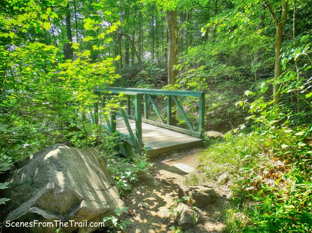
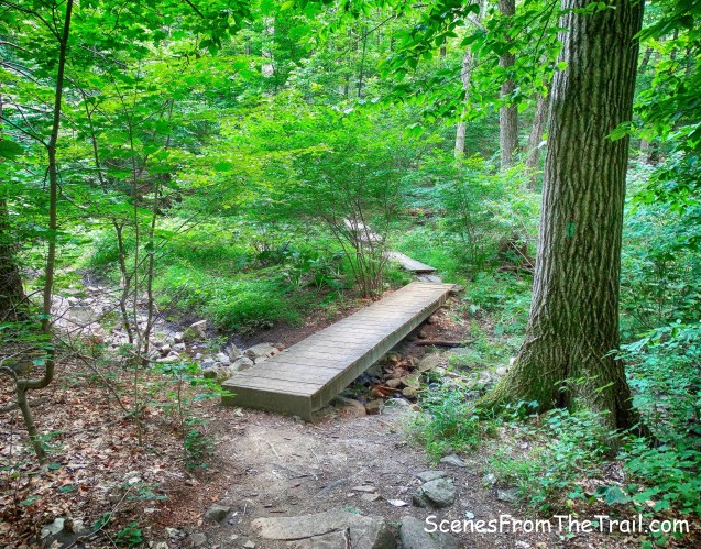
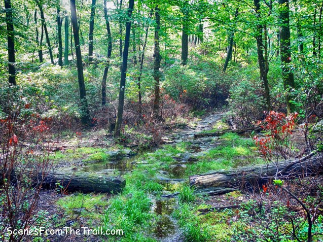
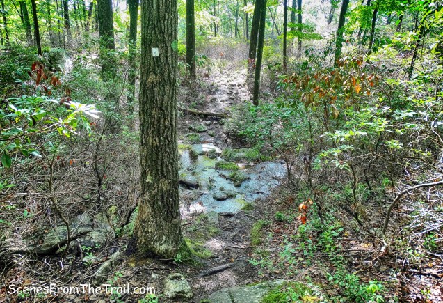
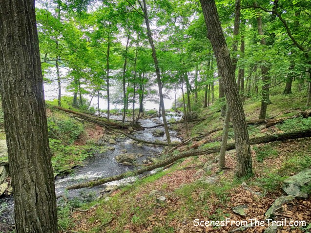
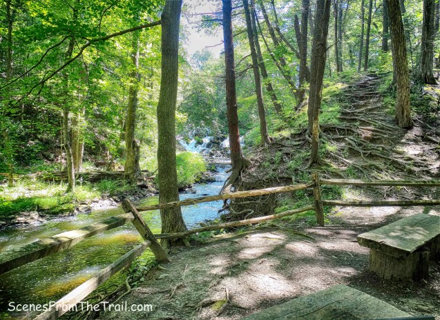
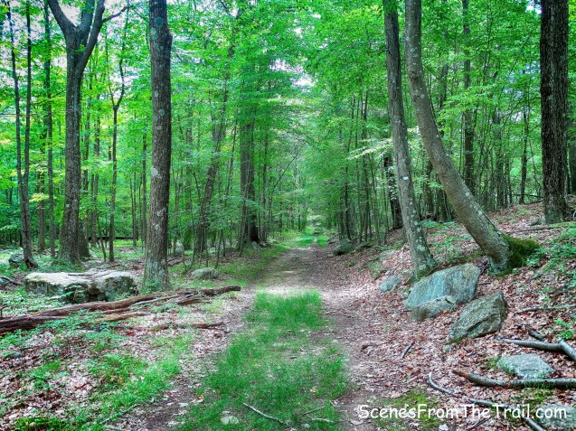
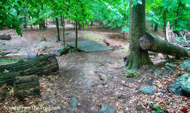
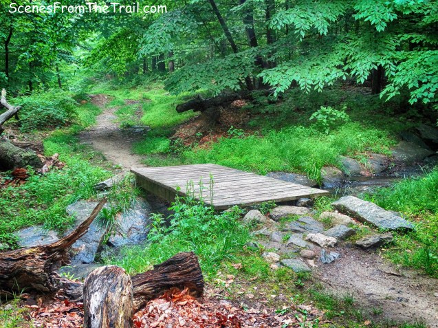
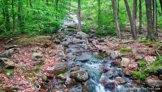
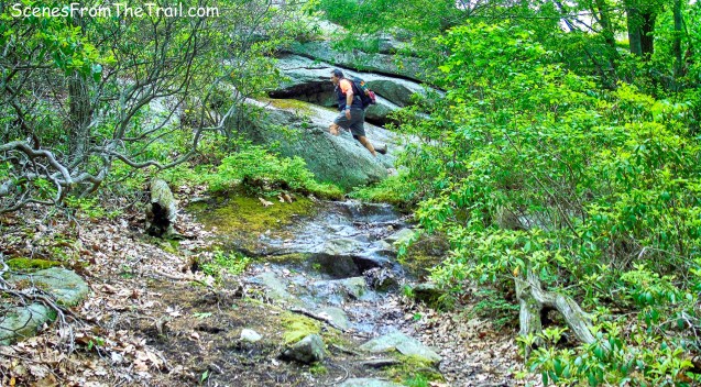
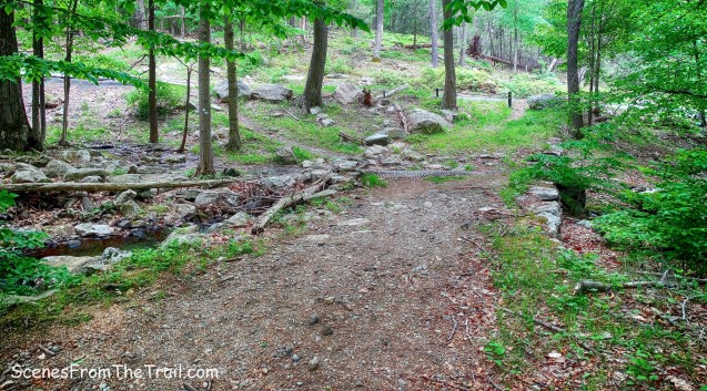
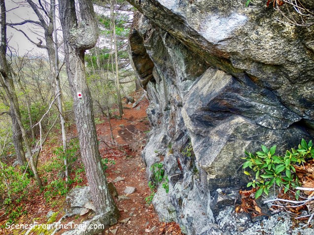
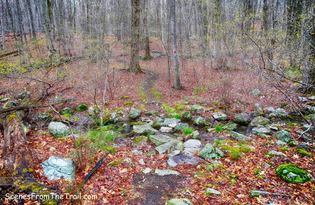
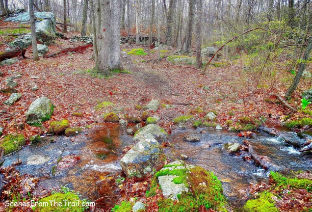
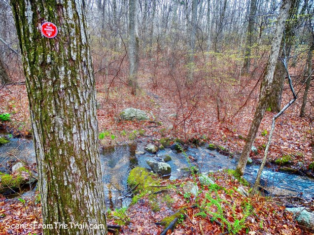
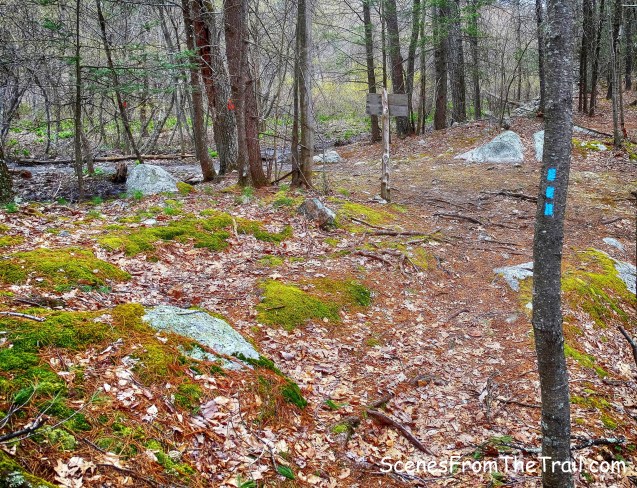
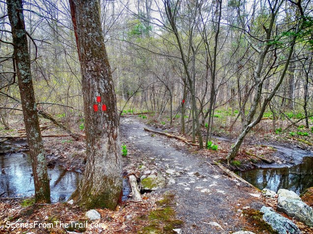
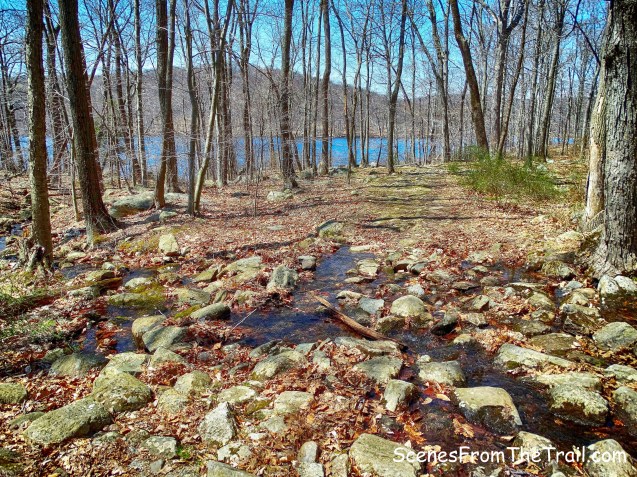
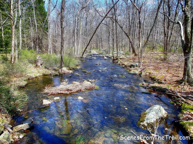
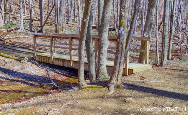
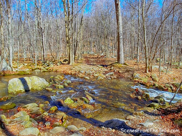
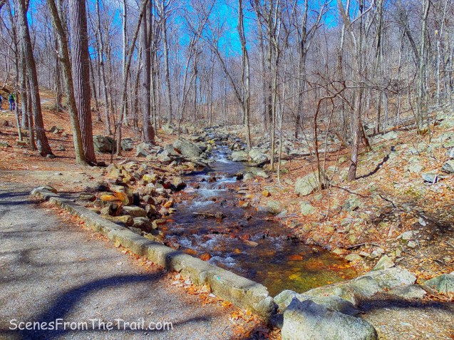
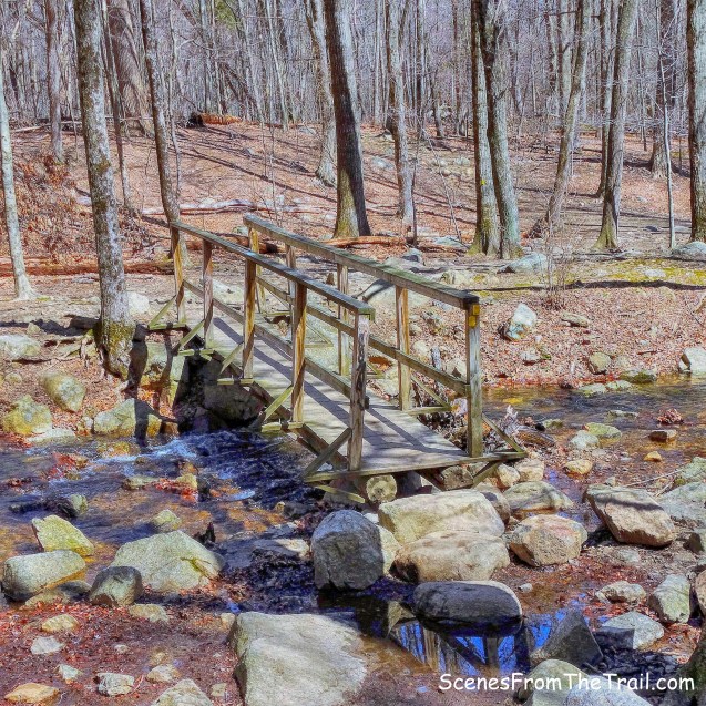
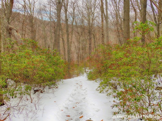
We turned left into the park and began heading south on the Long Path and crossed a stream on a wooden footbridge.

the Long Path
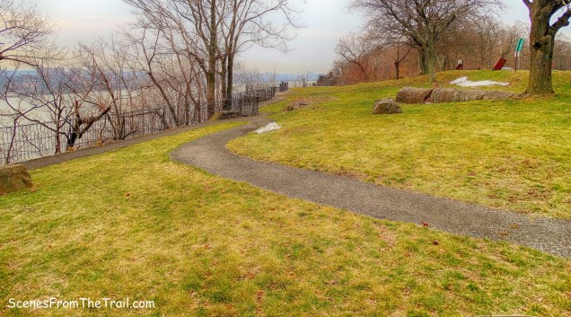
The Long Path ascends steadily for about a mile, gaining about 326 feet of elevation as we headed back up the mountain. We continued to follow the aqua blazes until we arrived back at Rockland Cemetery. We took a brief rest then walked over to check out the John Charles Frémont monument. Frémont was an American military officer and an early explorer and mapmaker of the American West, who was one of the principal figures in opening up that region to settlement and was instrumental in the U.S. conquest and development of California. He was also a politician who ran unsuccessfully for the U.S. presidency in 1856 as the first candidate of the newly formed Republican Party.

John C Fremont Monument
Not too far away is an obelisk for Henry Honychurch Gorringe. Gorringe was a United States naval officer who attained national acclaim for successfully completing the removal of Cleopatra’s Needle from Alexandria, Egypt to Central Park, New York City.

Henry Honychurch Gorringe obelisk
This copper inlay depicts the needle being moved.
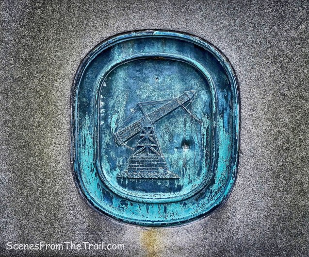
Henry Honychurch Gorringe obelisk
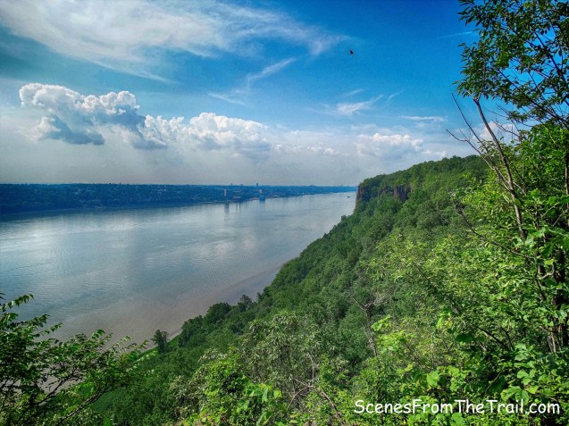
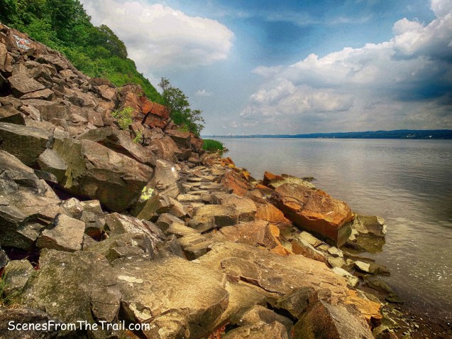
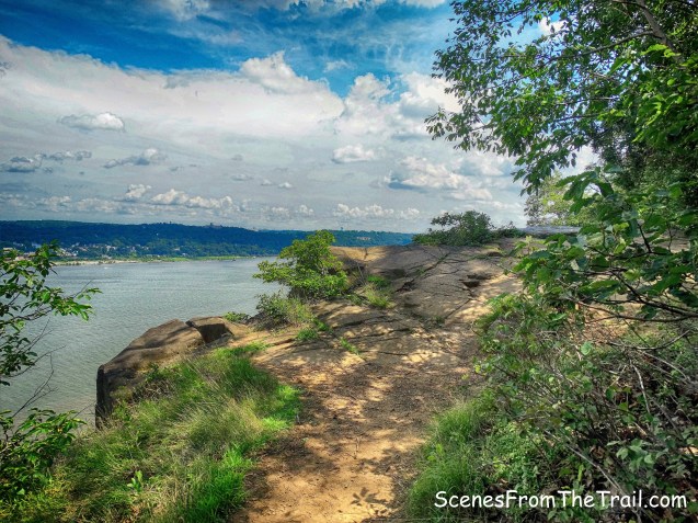
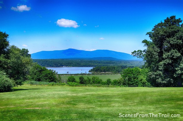
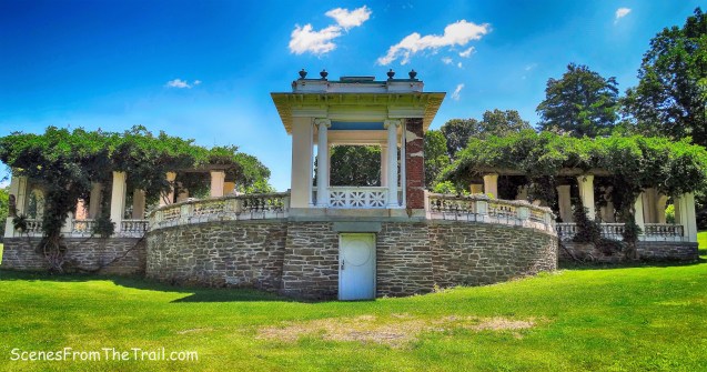
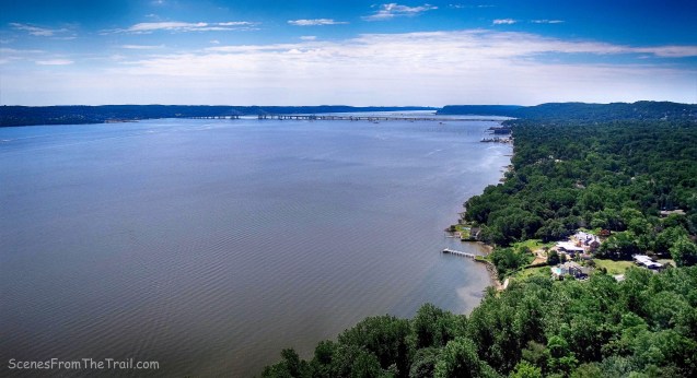
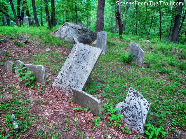
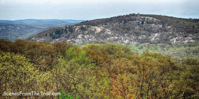
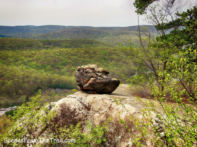
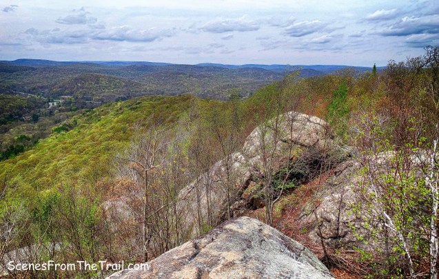
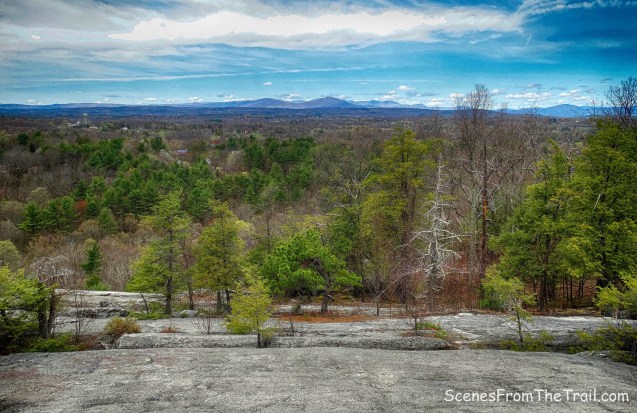
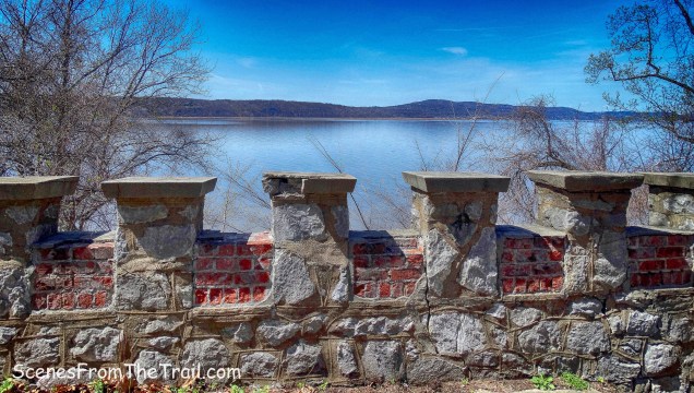
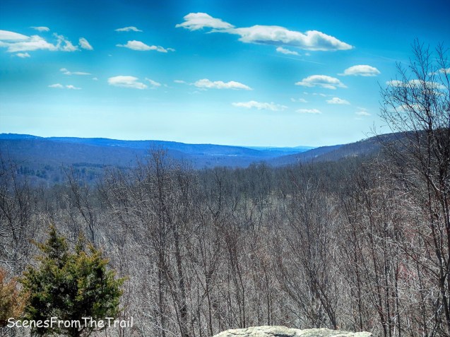
It’s a beautiful cemetery with some amazing architecture and I wish I wasn’t so tired because I would have liked to see more of it. We pulled out a couple of folding chairs and relaxed for a little while before we headed out. It was a decent hike that was relatively close to where I live. I enjoyed the historical aspects of it, but it lacked views. Don’t just sit there reading this, get out there and take a hike!
Pros: Nike missile site, Long Path, secluded woods, historic cemetery.
Cons: No views, road walk, too many blowdowns.

Take a hike!