January 19, 2019 – Hartsdale, NY
Difficulty: Easy
Trail Miles: Approximately 3.2 miles
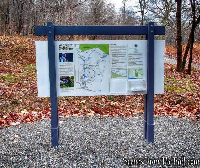
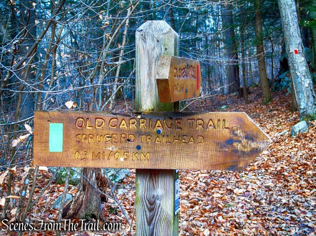
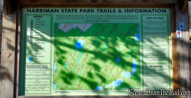
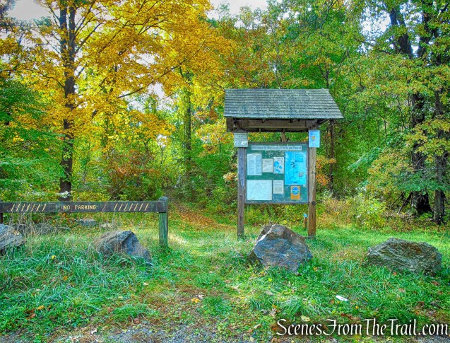
Map: Hart’s Brook Park and Preserve Trail Map – Brochure
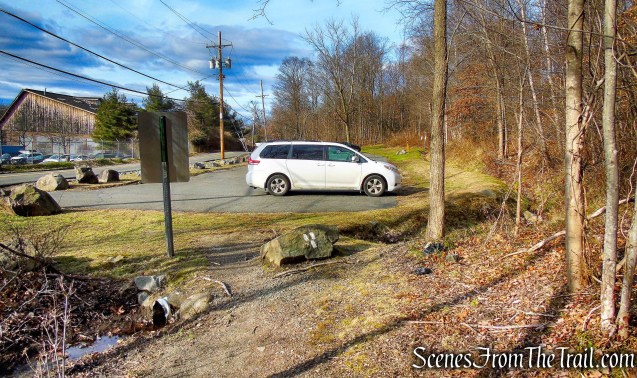
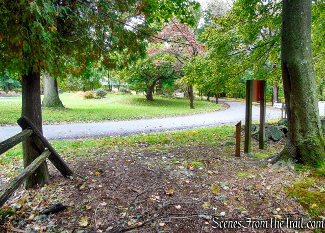
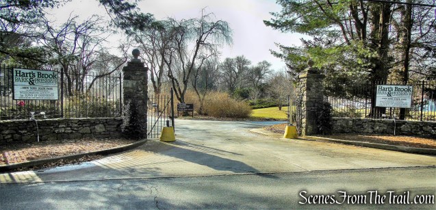
Trailhead parking: 156 Ridge Road, Hartsdale, NY 10530
Overview:
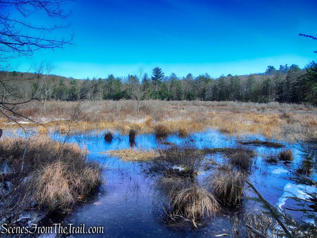
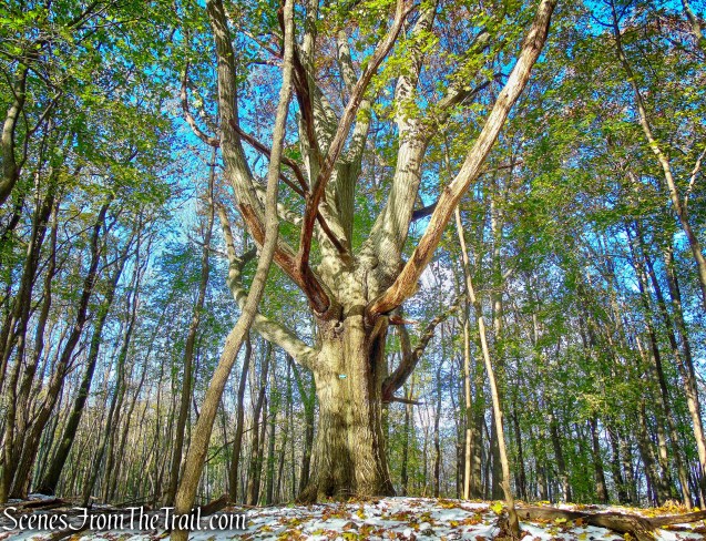
The woodlands that cover most of the tract of Hart’s Brook Park & Preserve contain an abundant variety of native flora and fauna, with streams, ponds, meadows and geologic features of interest. A smaller section of the property was developed as a more formal horticultural environment that includes specimen trees, bushes and rolling lawns.
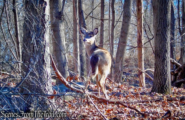
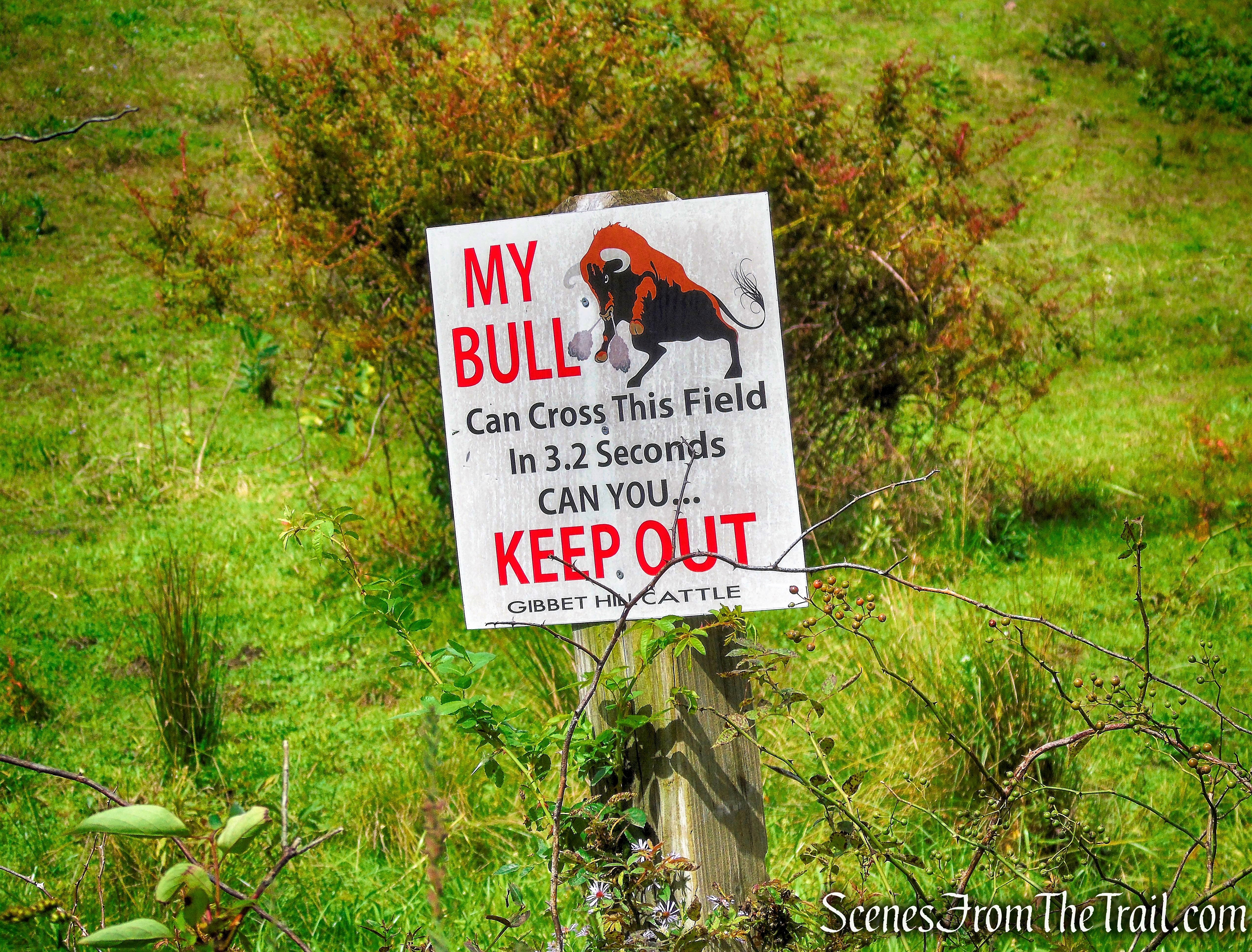
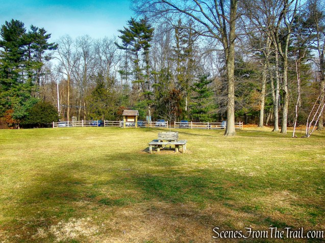
In front of the parking lot is a semi open field, numerous nest boxes scatter this area. Keep an eye out for nesting Eastern Bluebirds. The preserve has its own pair of Great Horned Owls and Screech Owls are present as well.
The 3.2 miles of trails are open to the public and the preserve is open dawn to dusk.
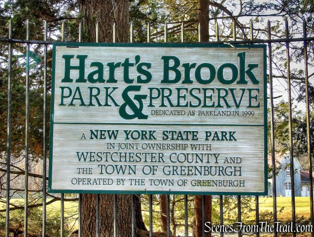
Hart’s Brook Park & Preserve
History:
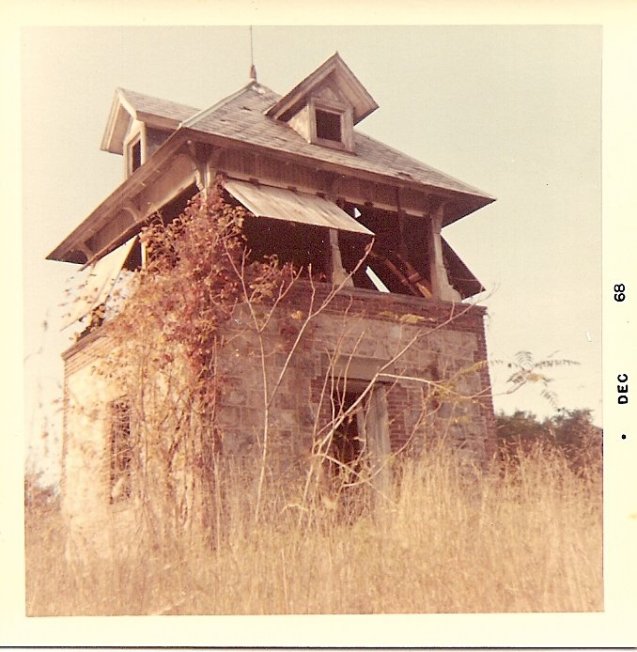
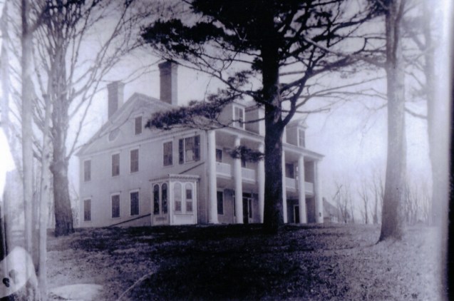
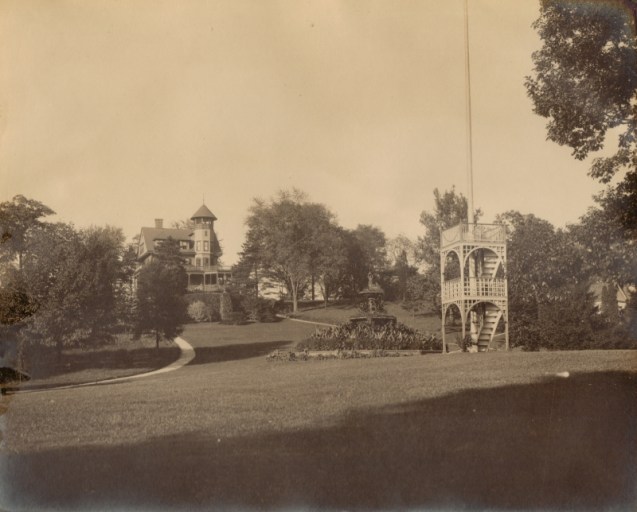
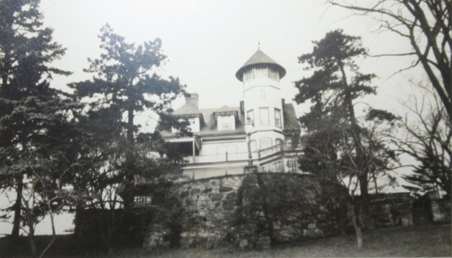
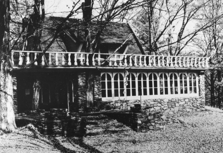
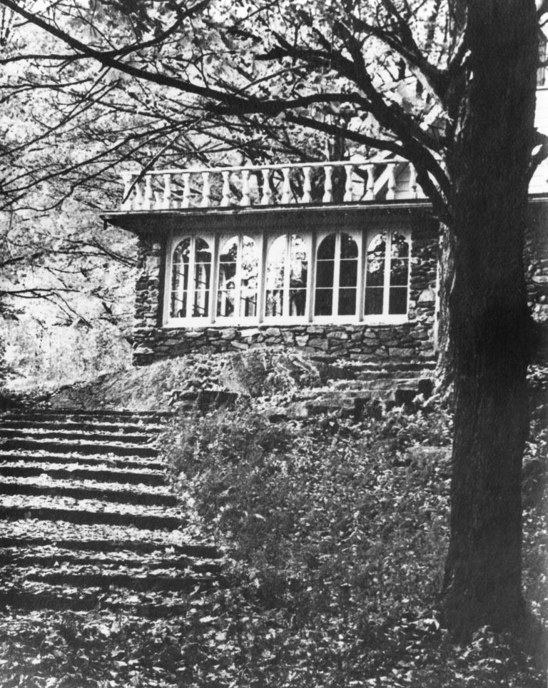
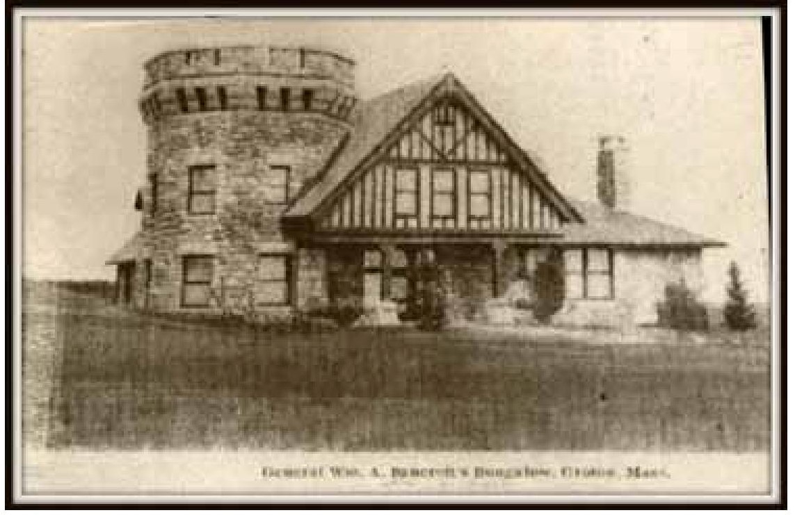
In 1932 Henry Gaisman, who had made his fortune as a founder of Gillette Safety Razor Company, purchased 135 acres of land from George Christiancy, a former United States minister to Peru. The property ran from the south side of Ridge Road and Hillcrest Avenue to Maple Avenue in Hartsdale. The Gaismans lived on the property for many years and in 1957 Gaisman passed the title to the land to the New York Archdiocese with the understanding that he and his wife Catherine, could live on the property as long as they so desired. Mr Gaisman lived here until 1974 until he died at the age of 104. Catherine continued to live here until 1995. The property was subsequently taken over by the Archdiocese, which leased the land to Marian Woods Convent, as a headquarters and future retirement home for aging nuns.
In 1999, through efforts of the Committee to Save the Gaisman Property, 124 acres were purchased jointly by New York State, Westchester County and the Town of Greenburgh. Eleven acres in the middle of the property were retained by Marian Woods Convent.
The park is administered by the Town of Greenburgh. The Master Gardener Demonstration Garden at Hart’s Brook Park was created in 2000 and has continued to grow every year.
Hart’s Brook Park & Preserve
Trails Overview:
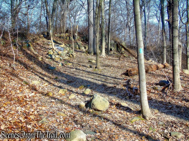
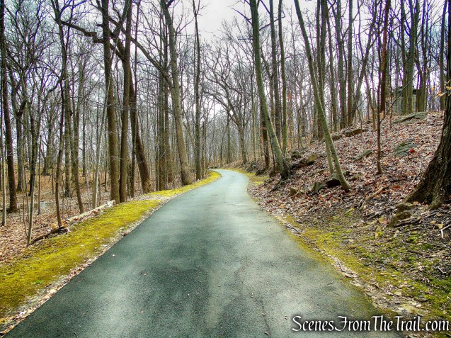
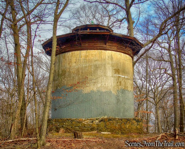
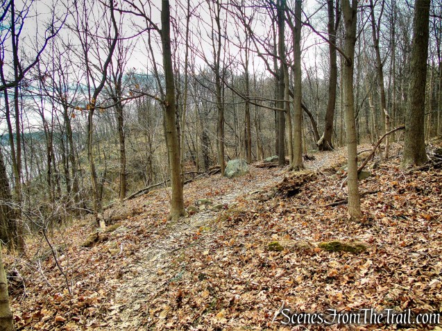
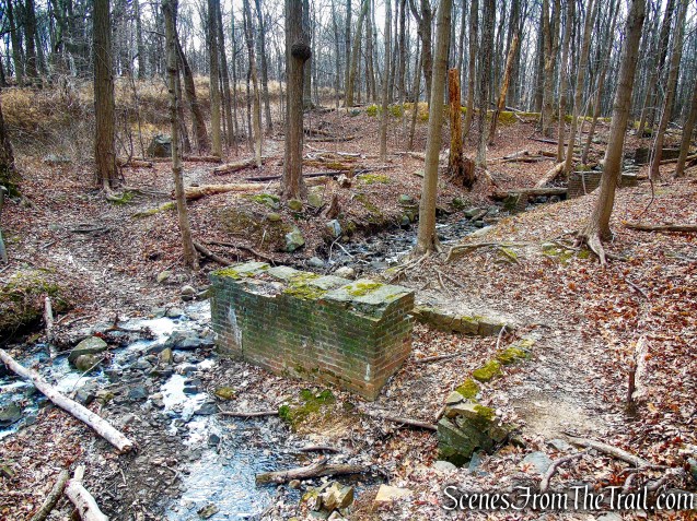
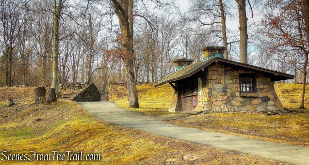
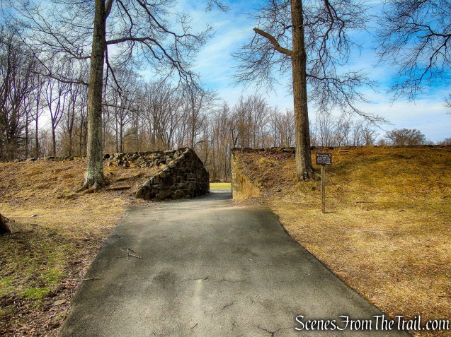
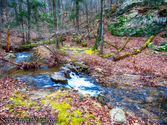
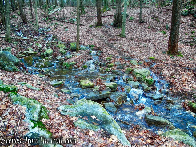
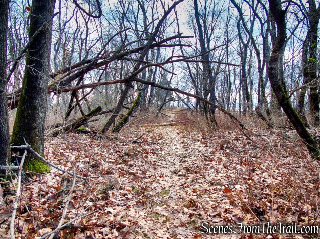
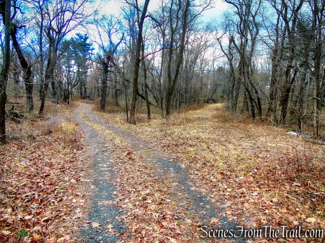
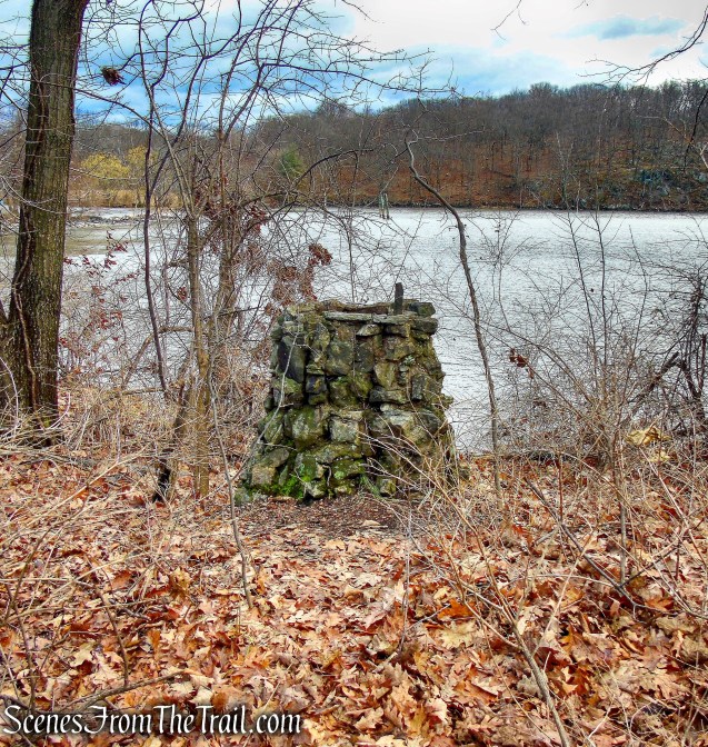
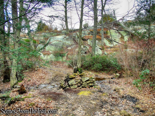
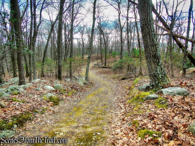
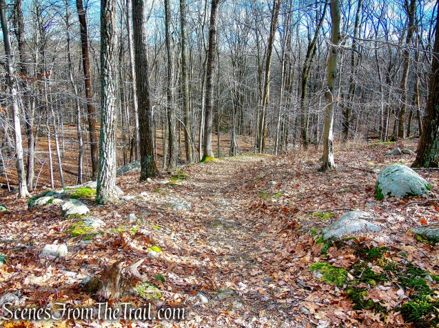
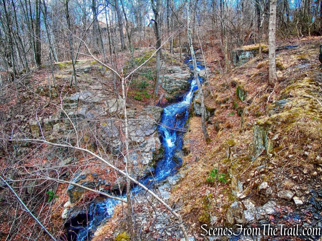
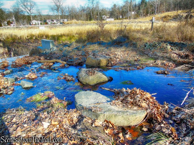
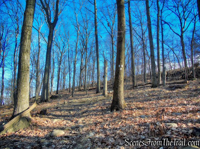
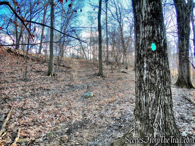
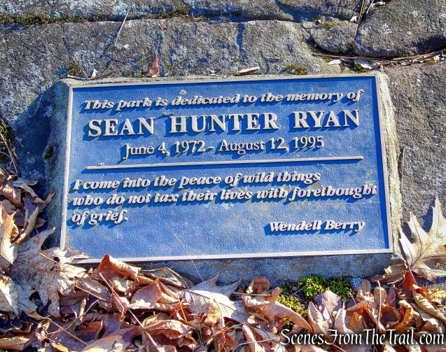
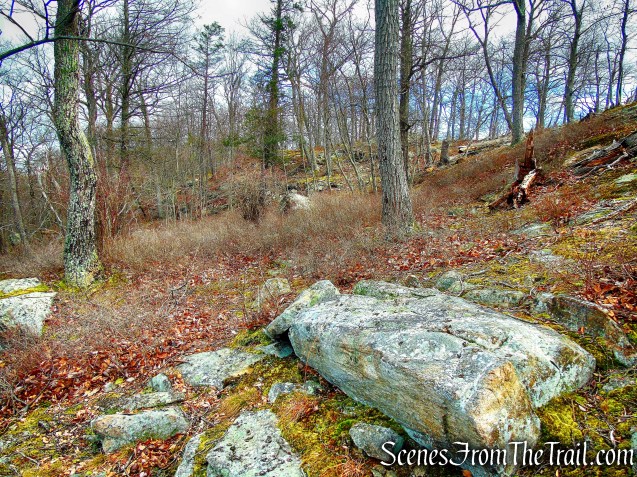
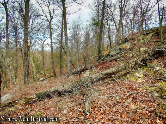
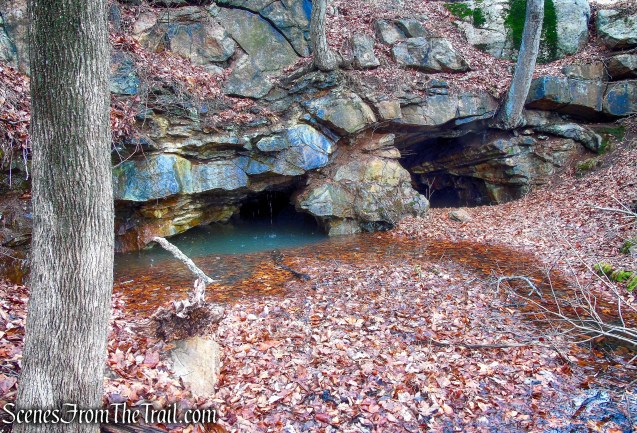
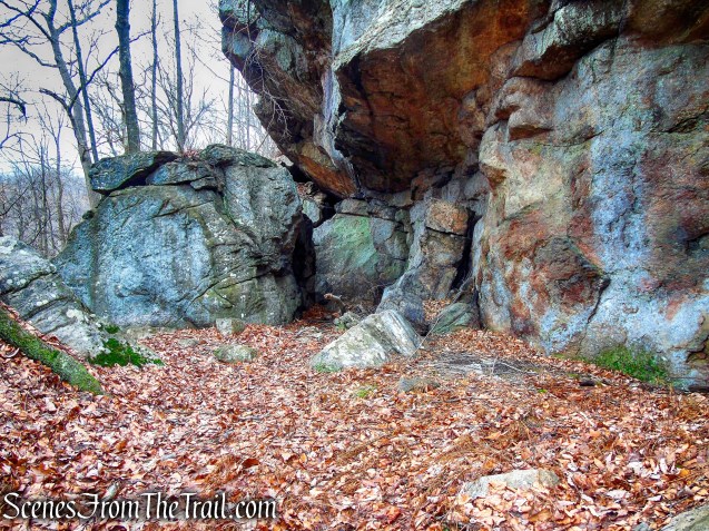
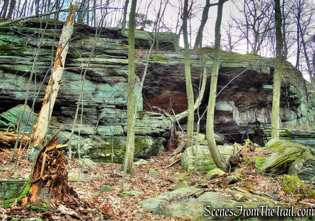
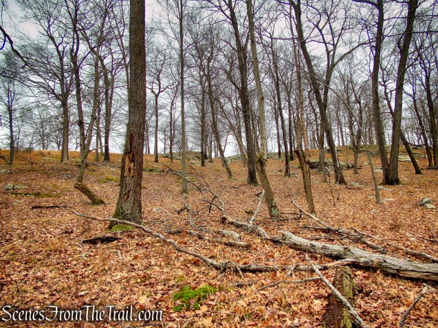
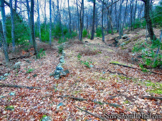
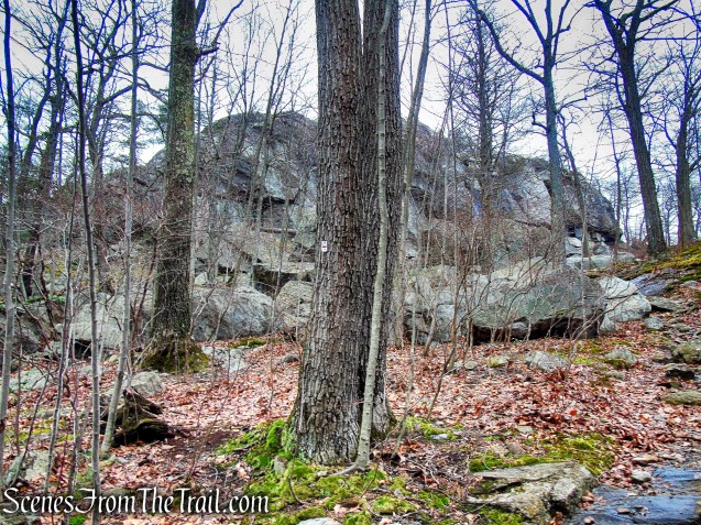
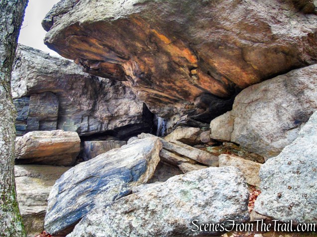
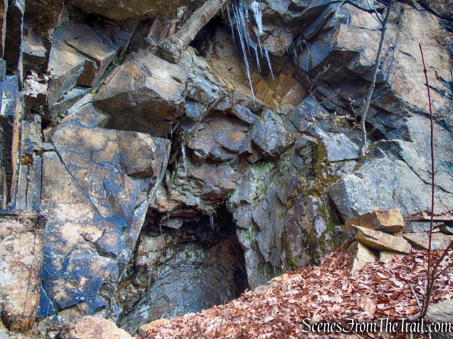
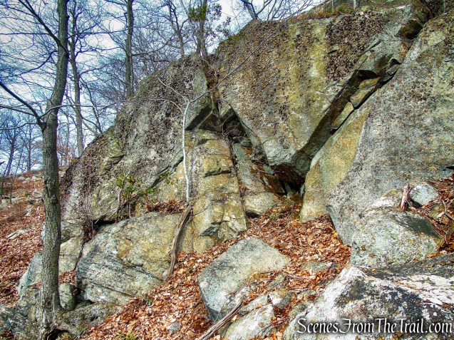
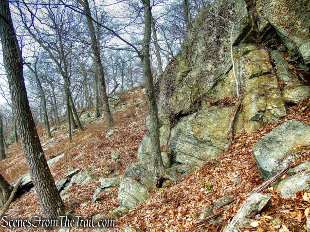
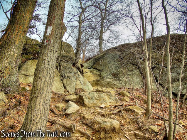
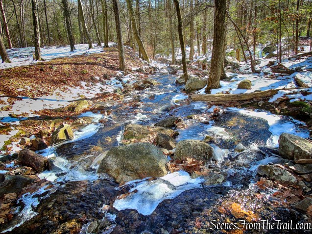
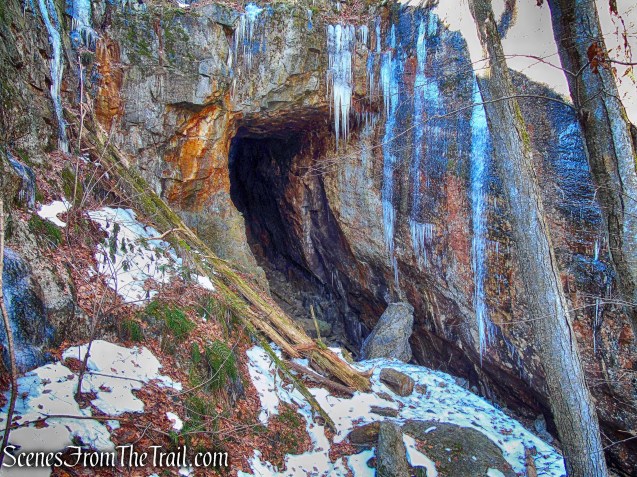
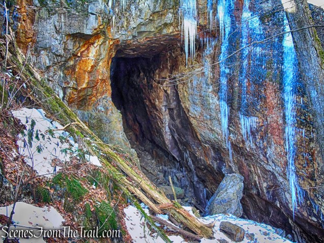
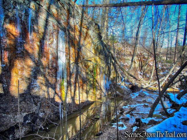
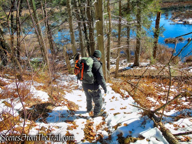
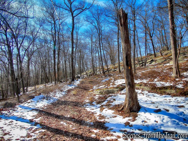
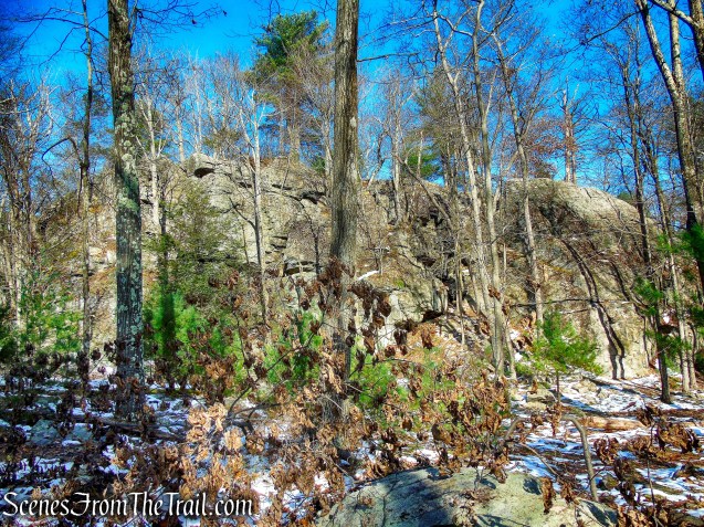
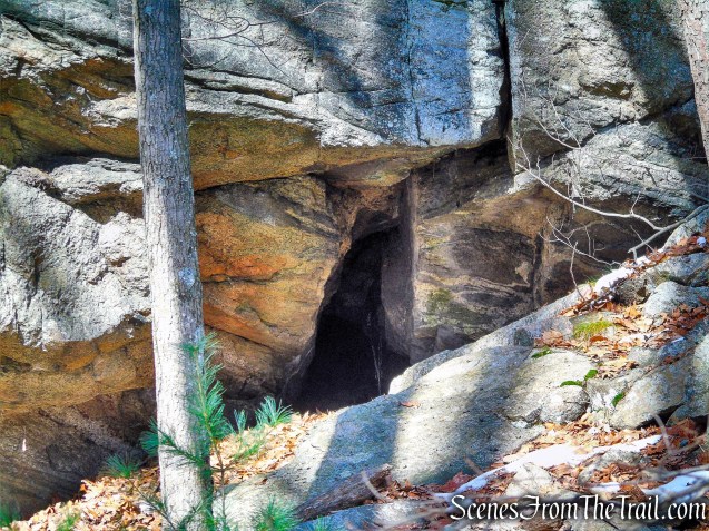
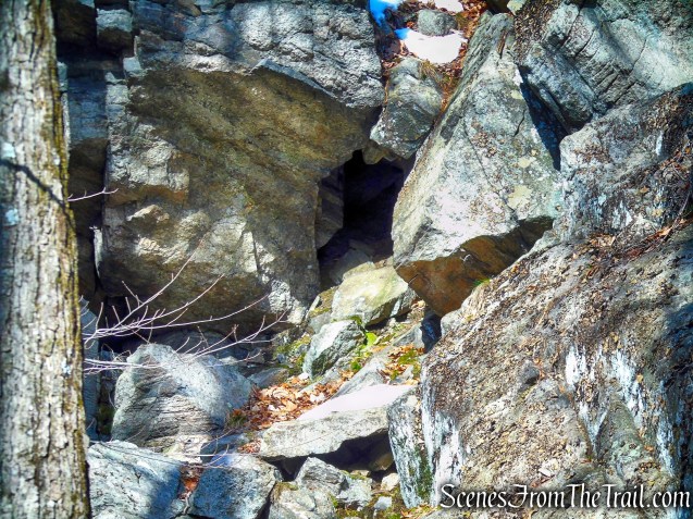
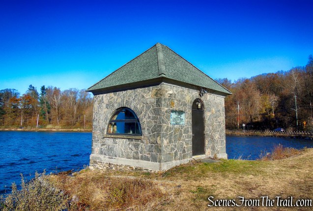
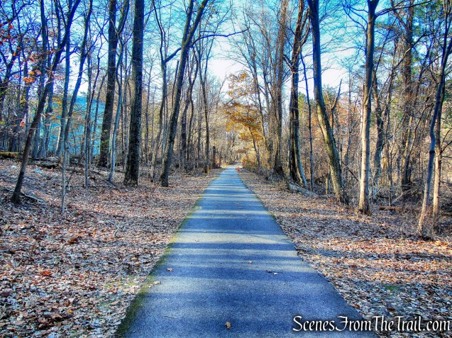
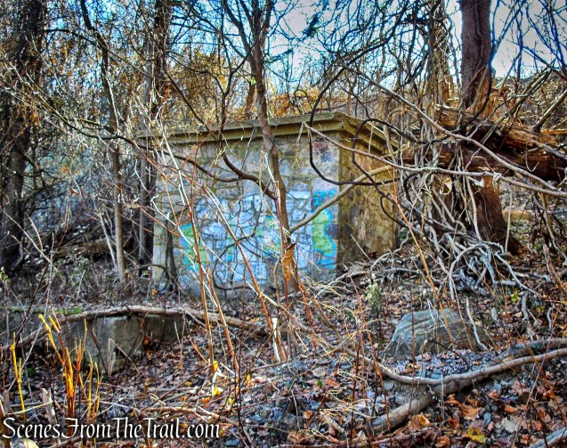
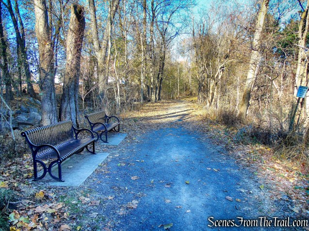
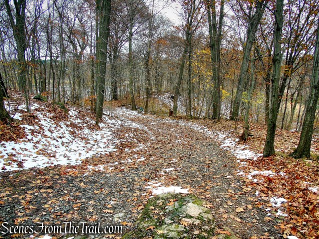
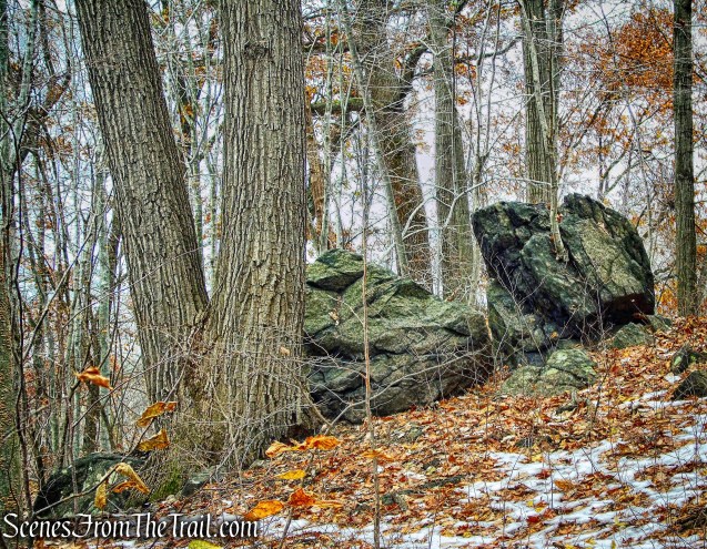
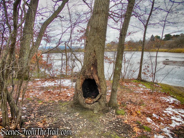
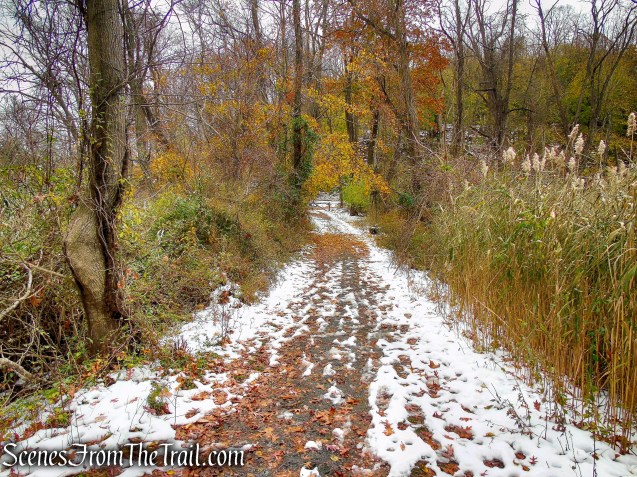
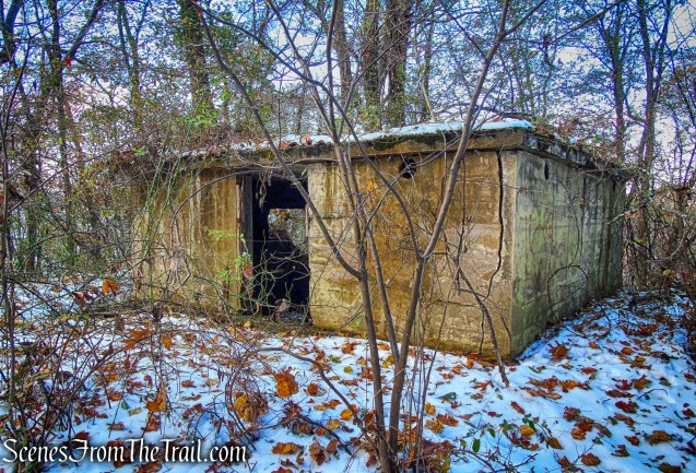
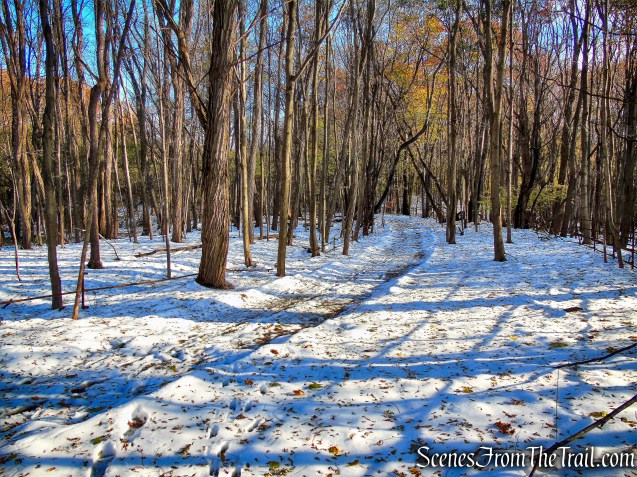
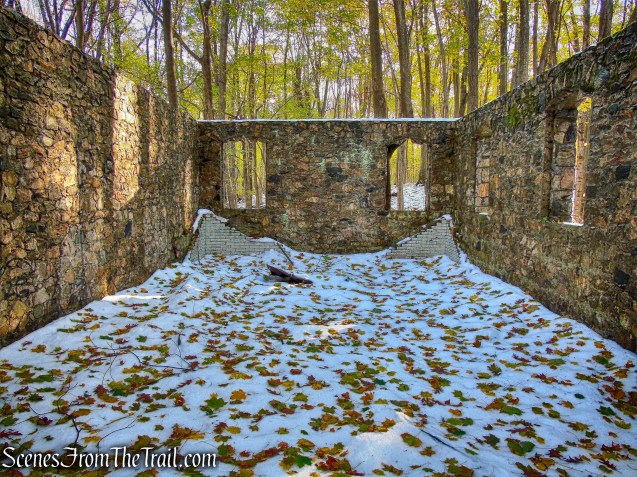
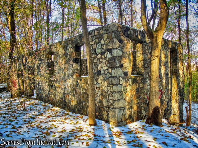
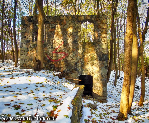
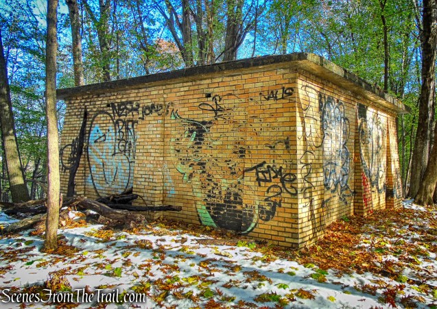
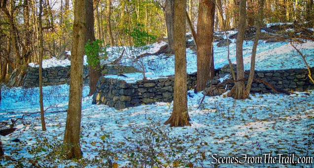
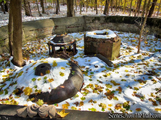
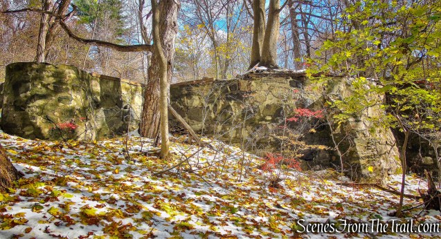
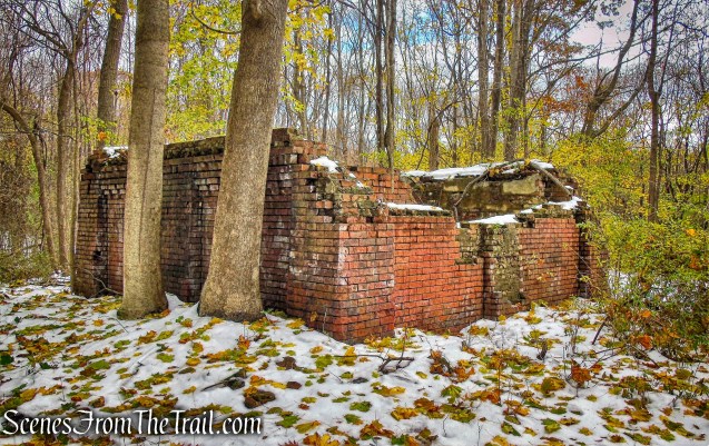
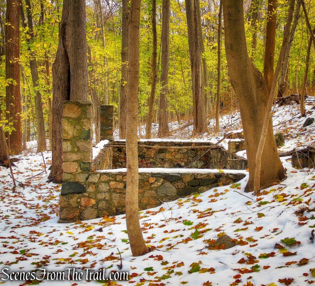
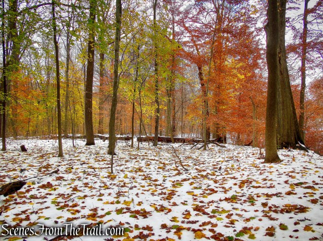
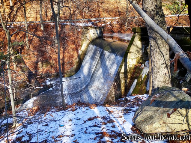
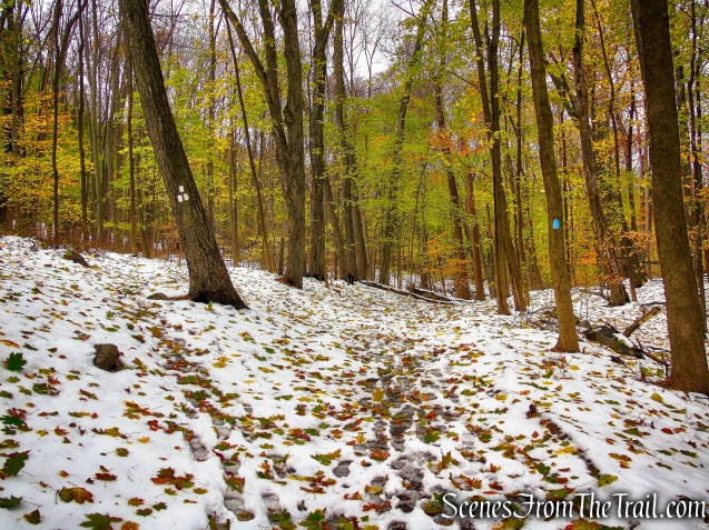
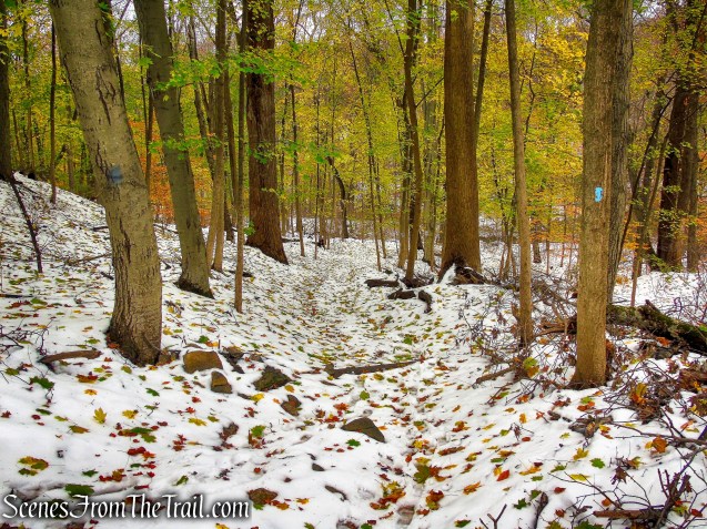
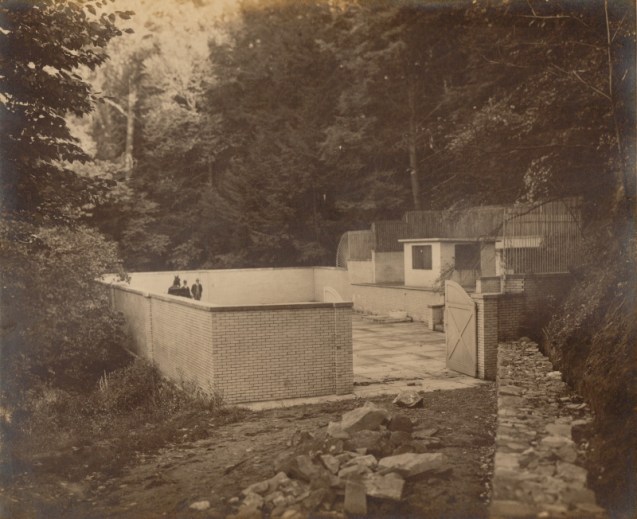
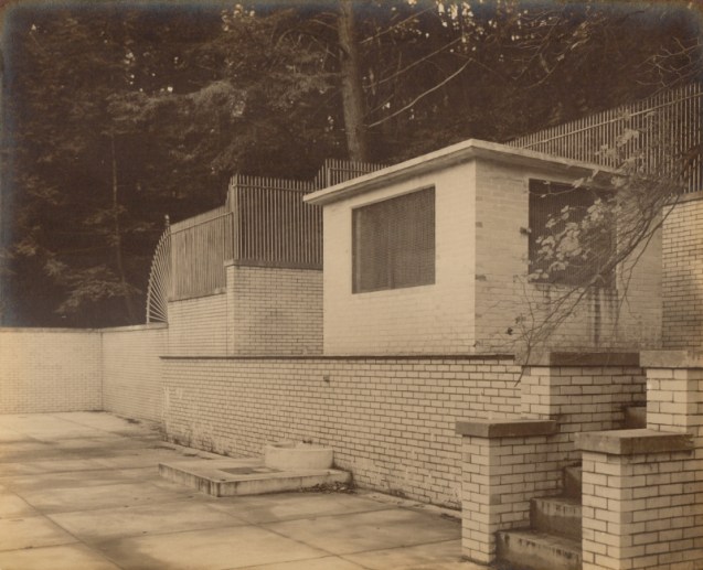
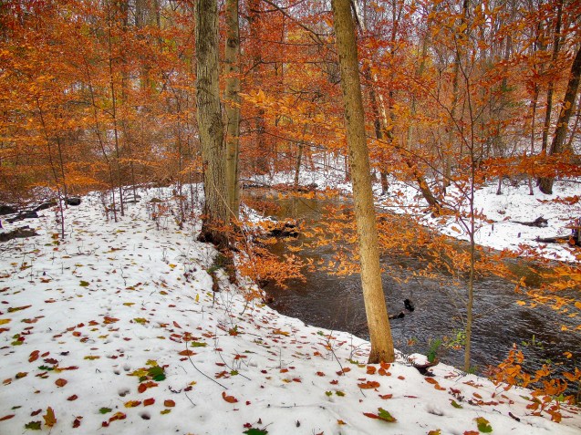
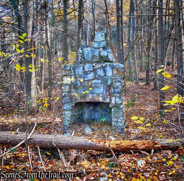
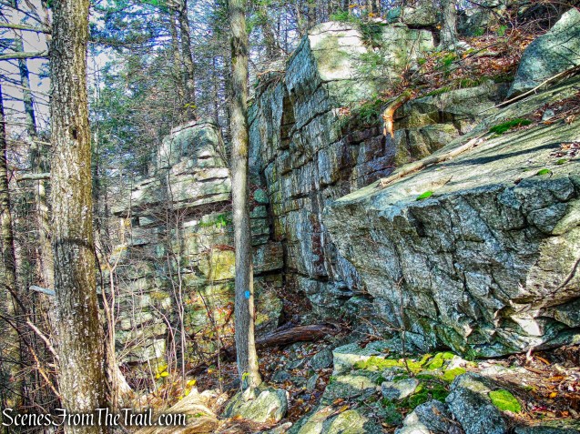
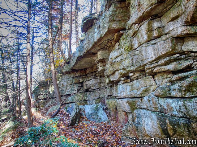
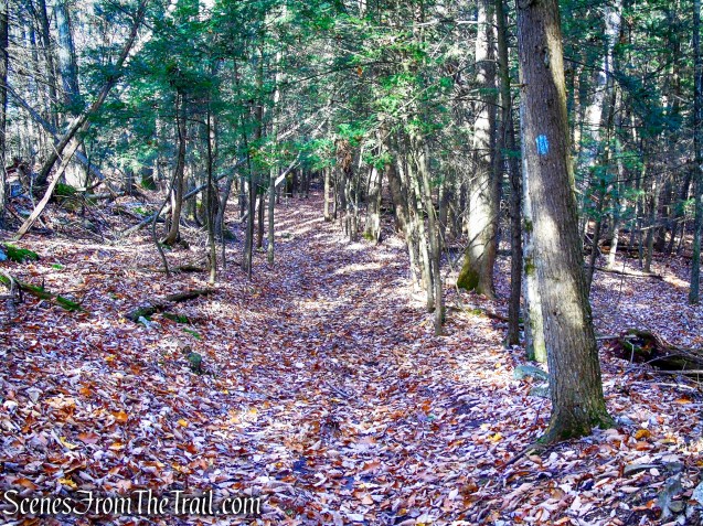
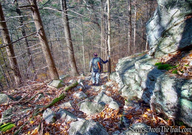
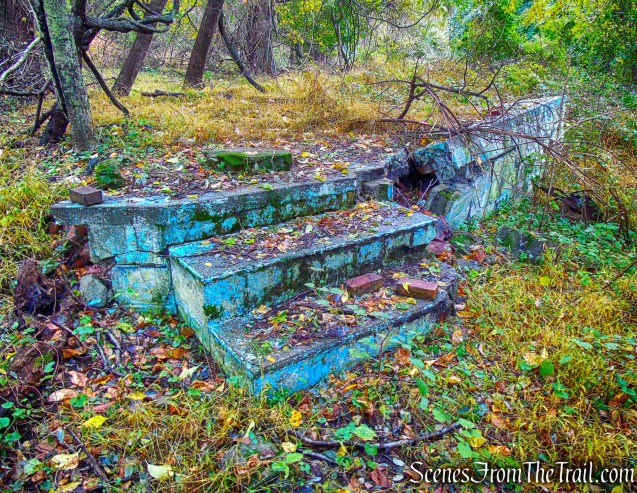
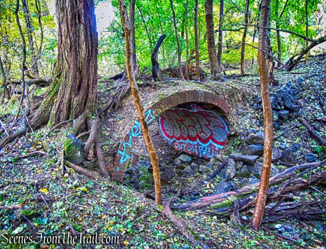
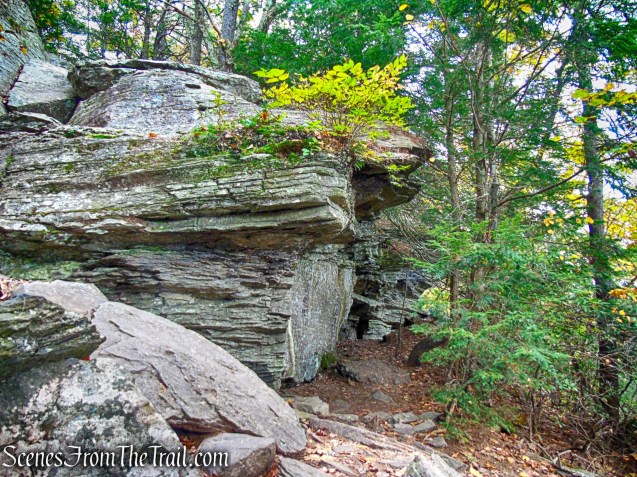
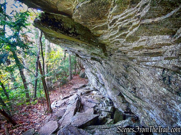
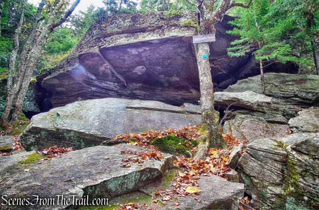
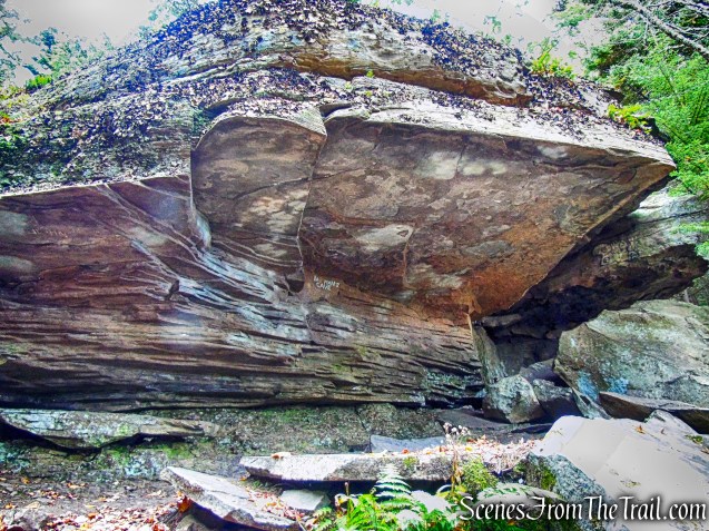
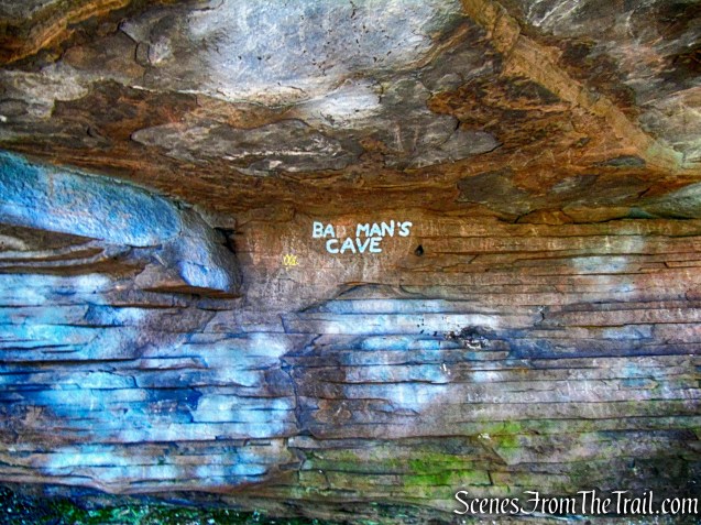
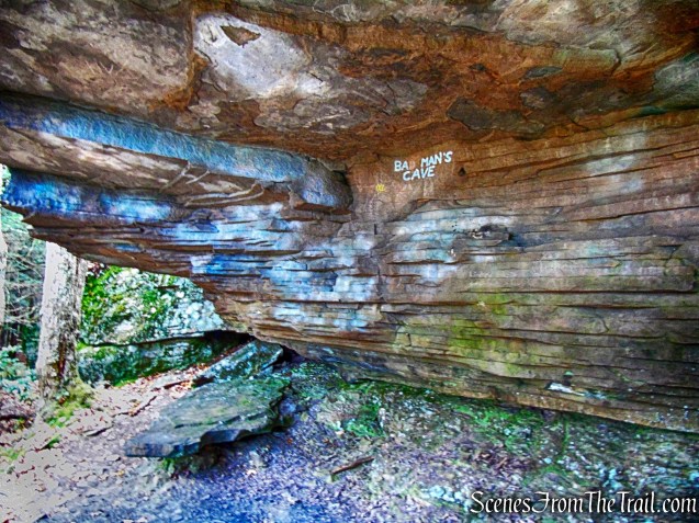
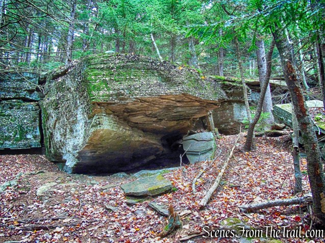
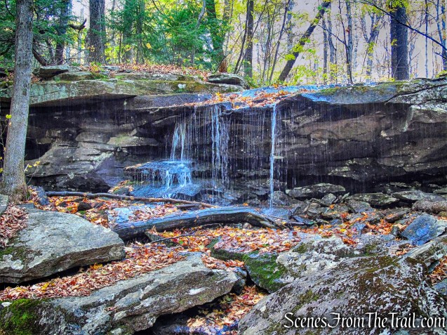
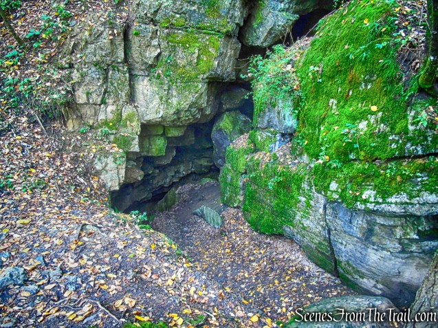
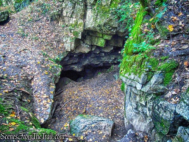
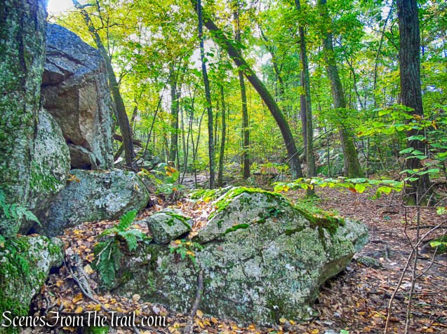
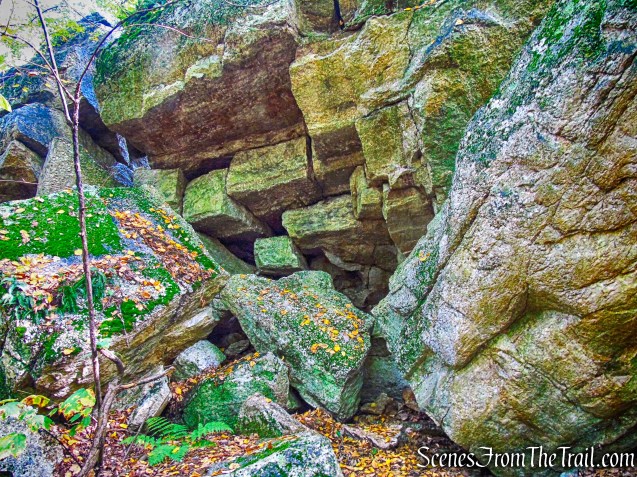
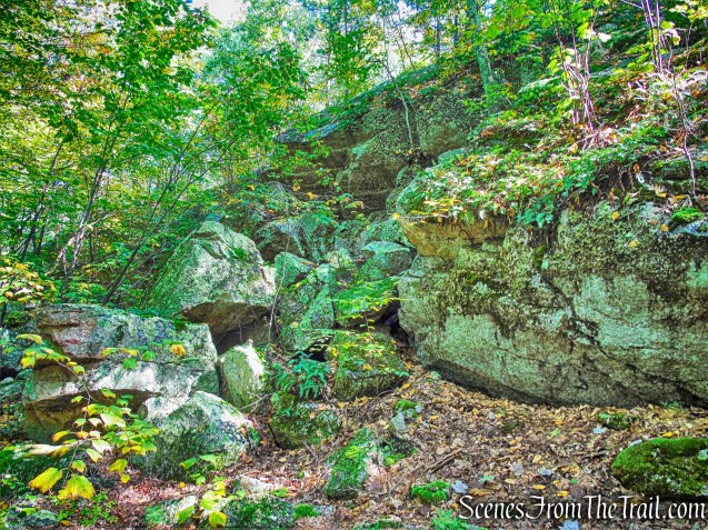
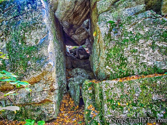
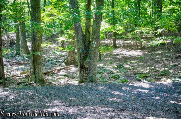
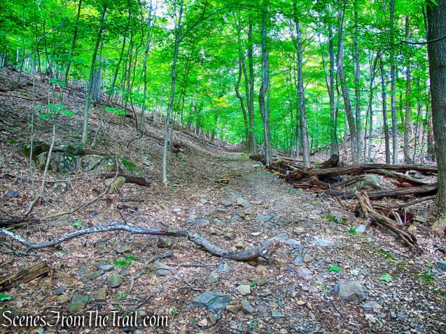
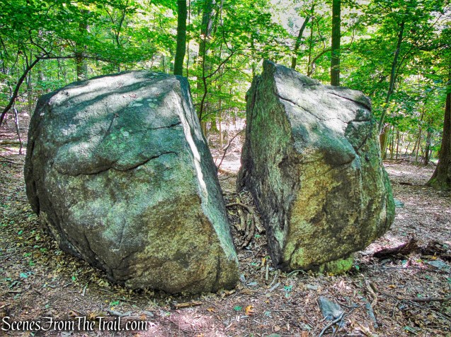
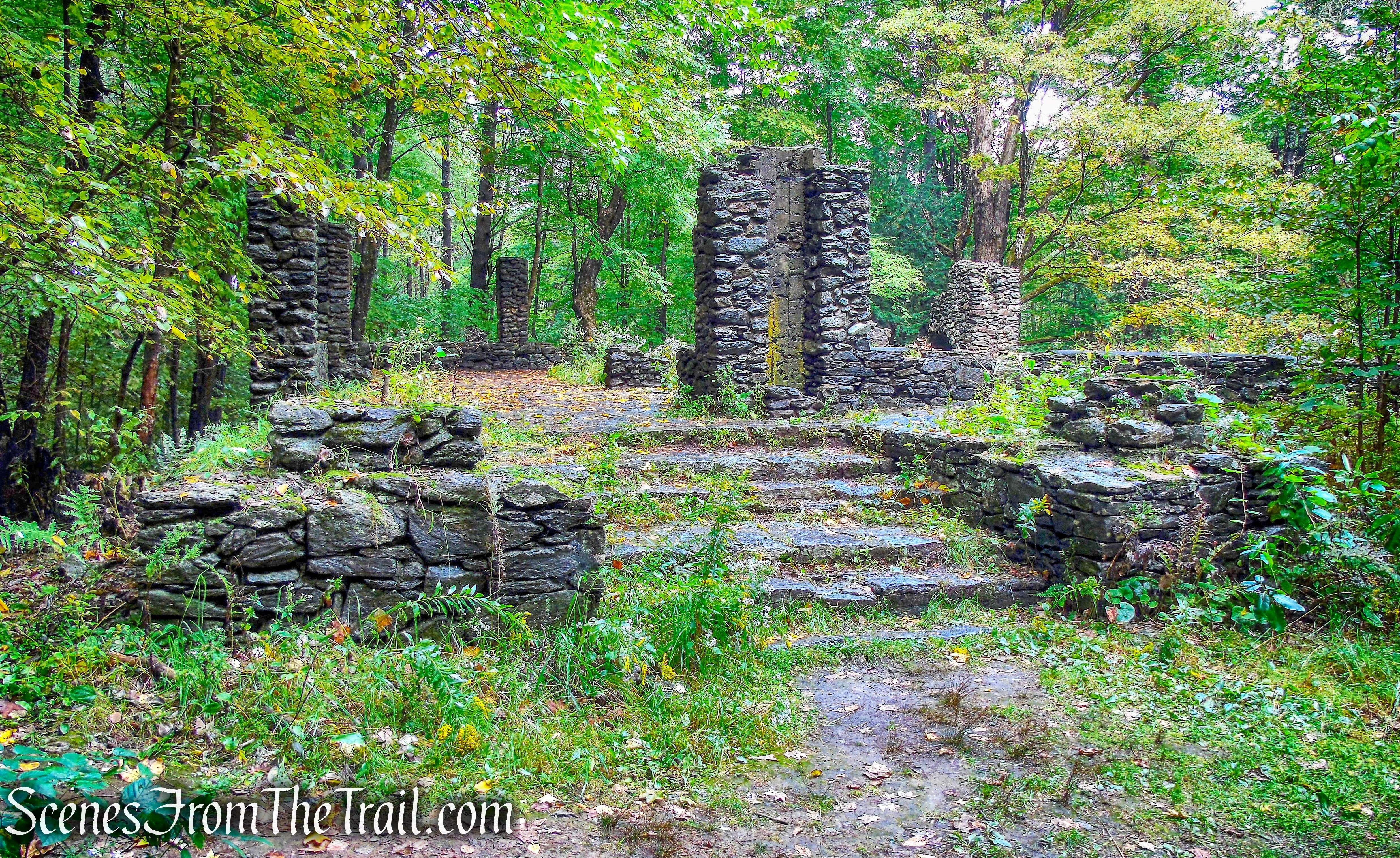
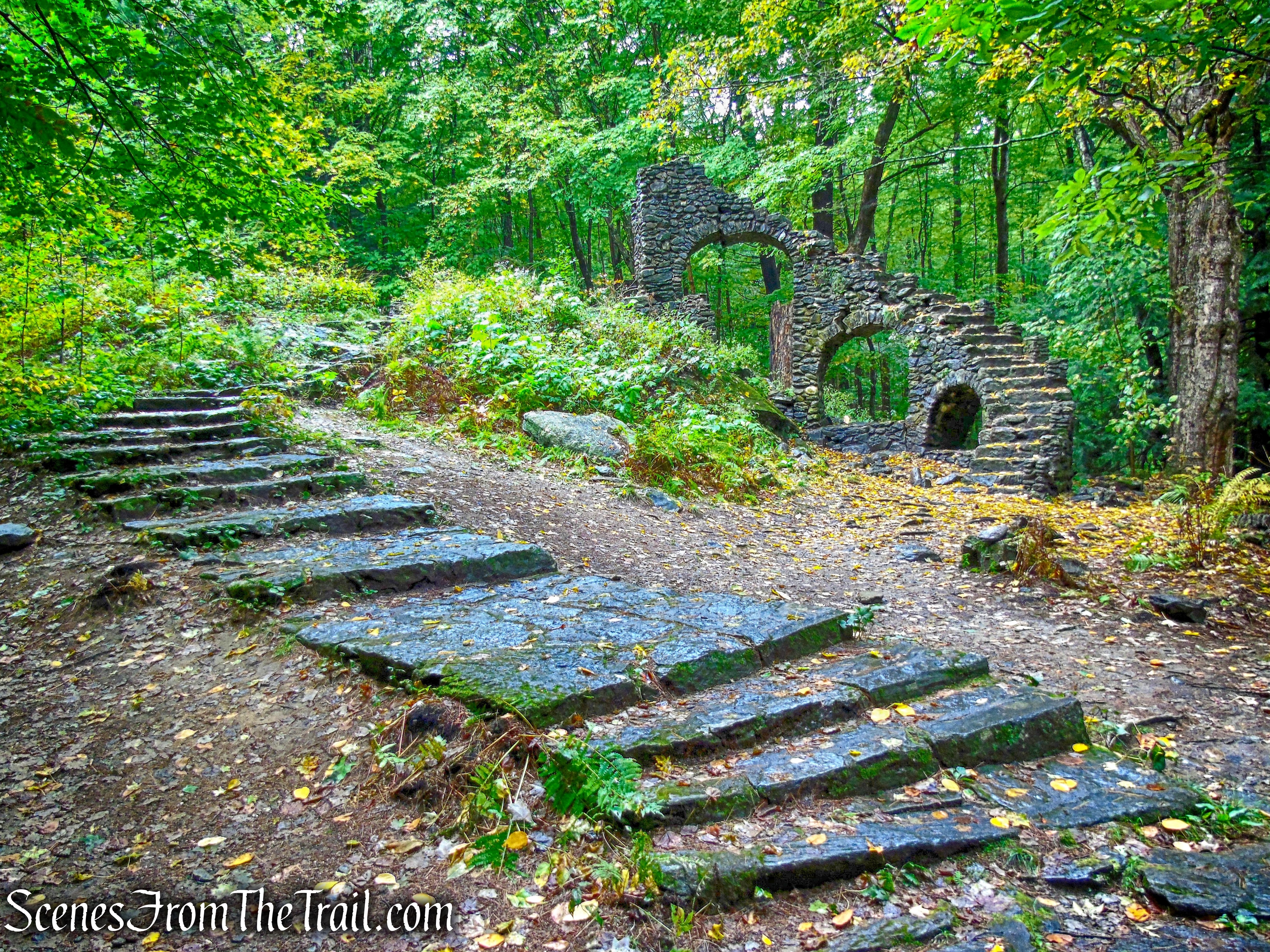
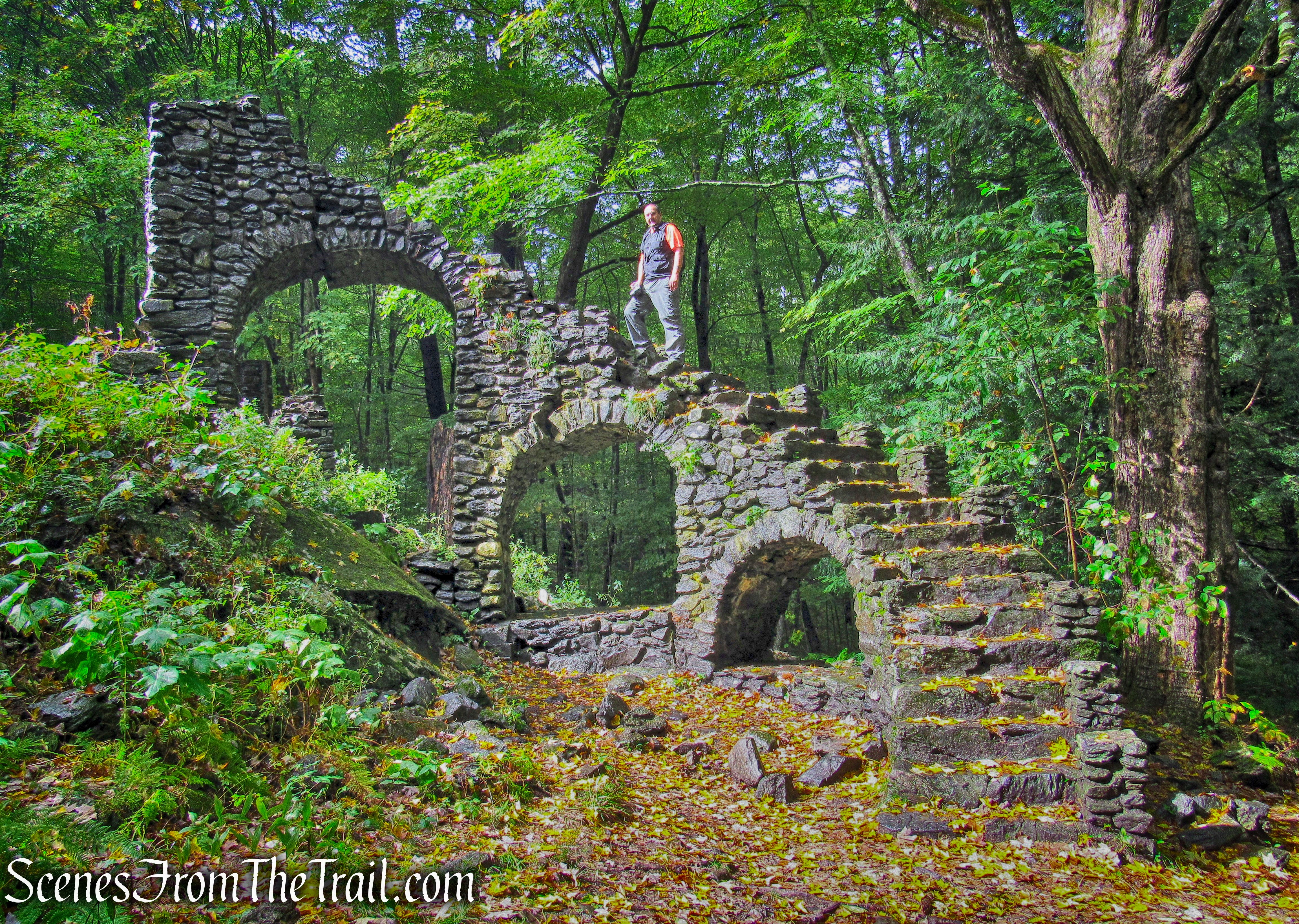
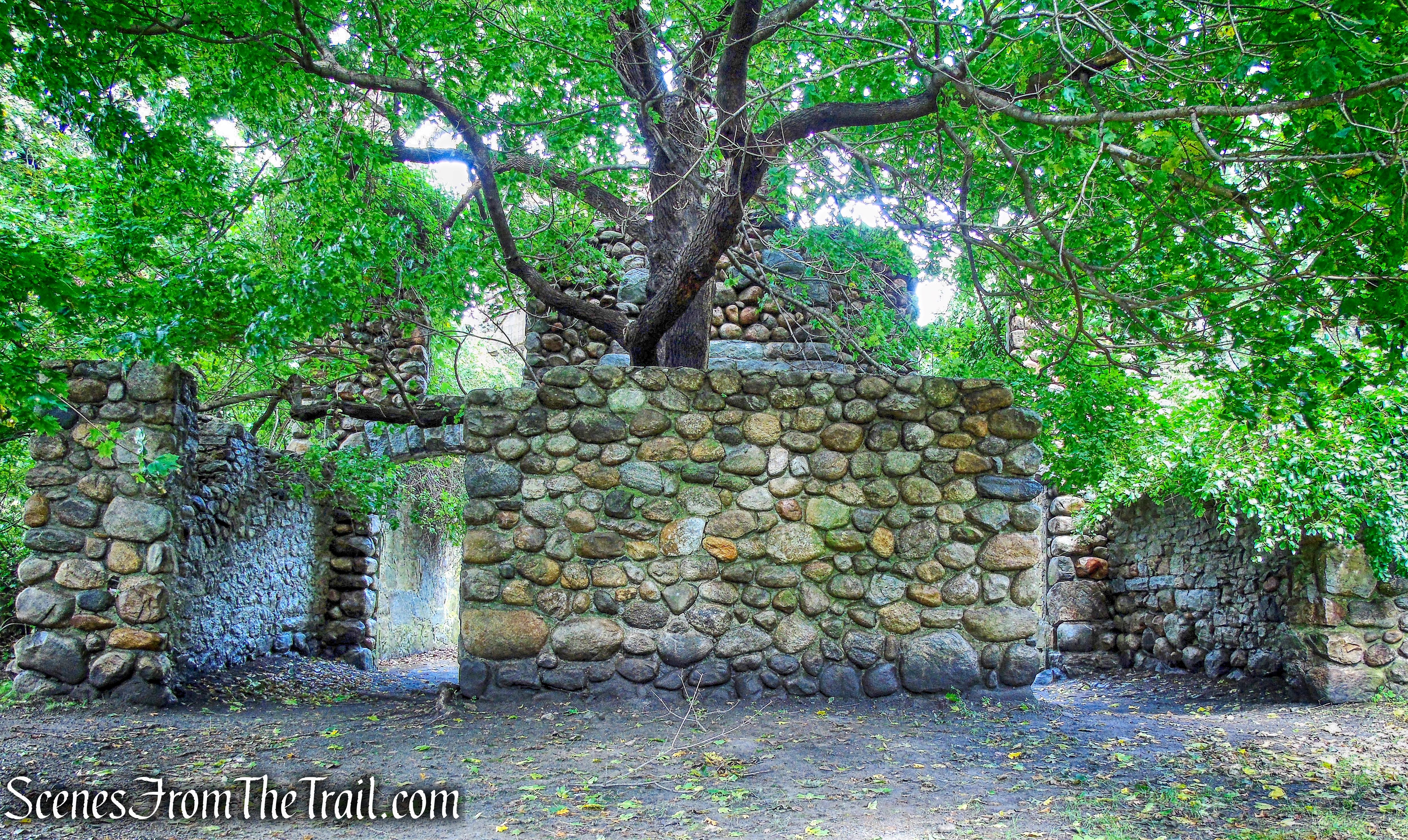
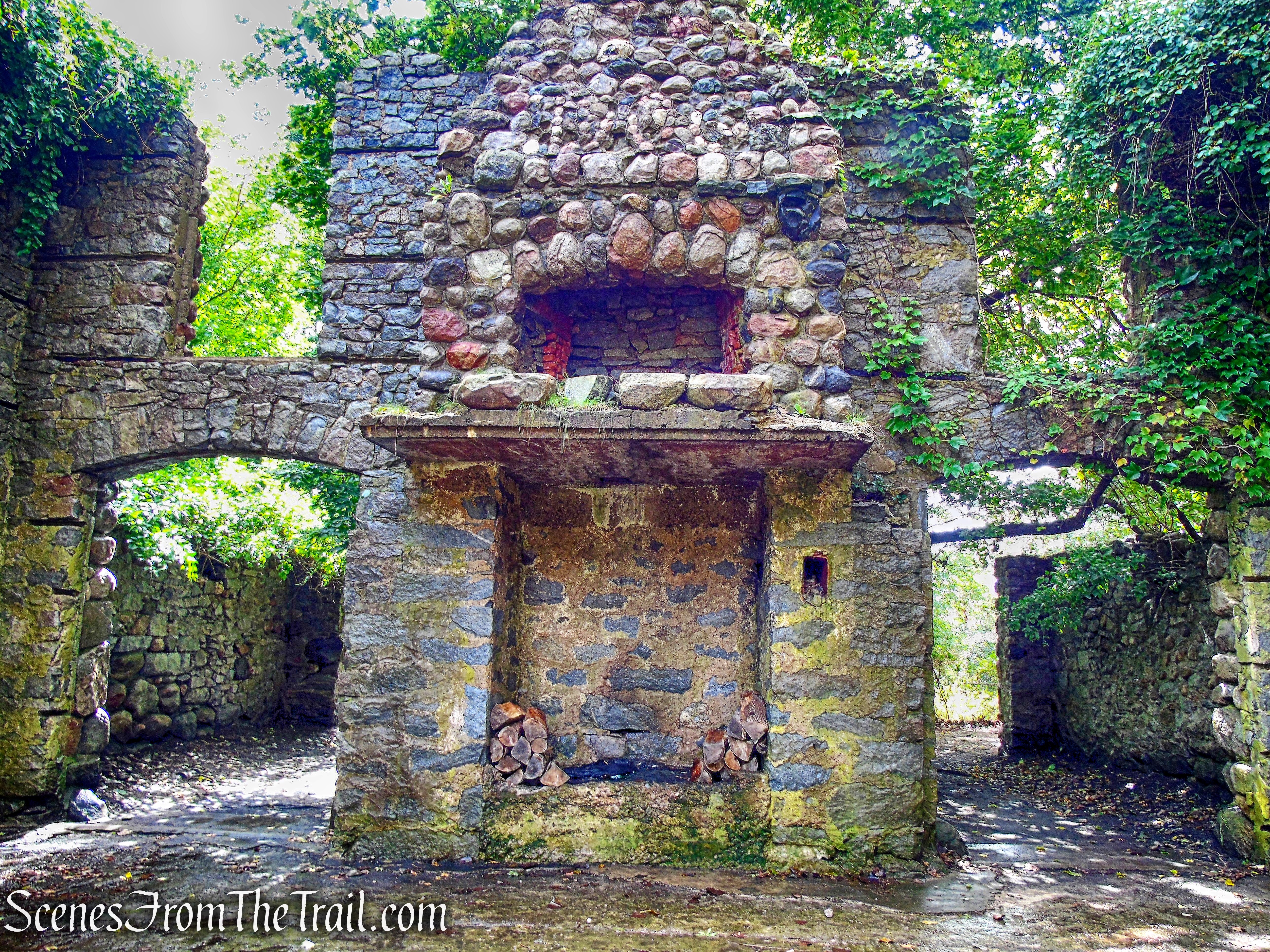
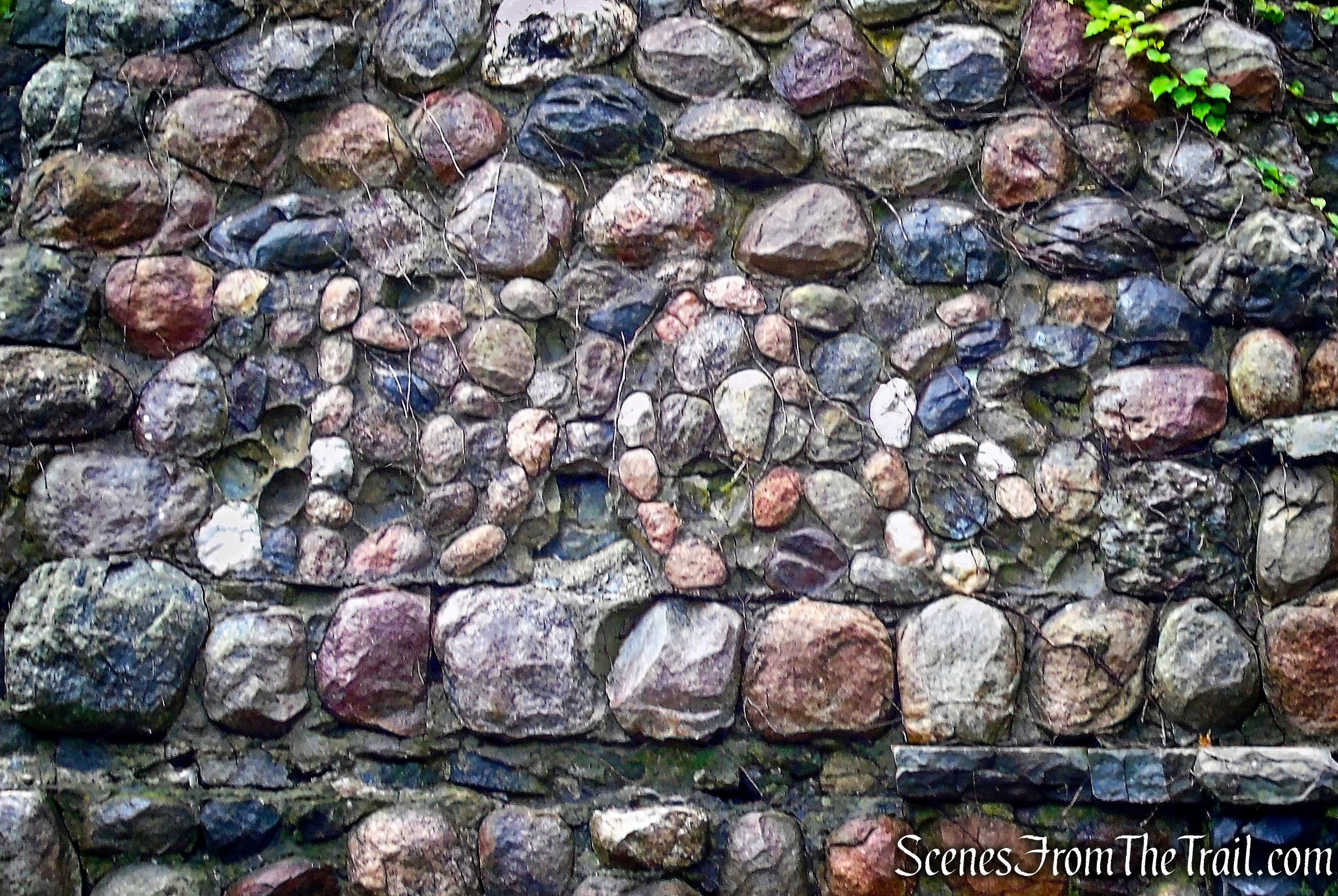
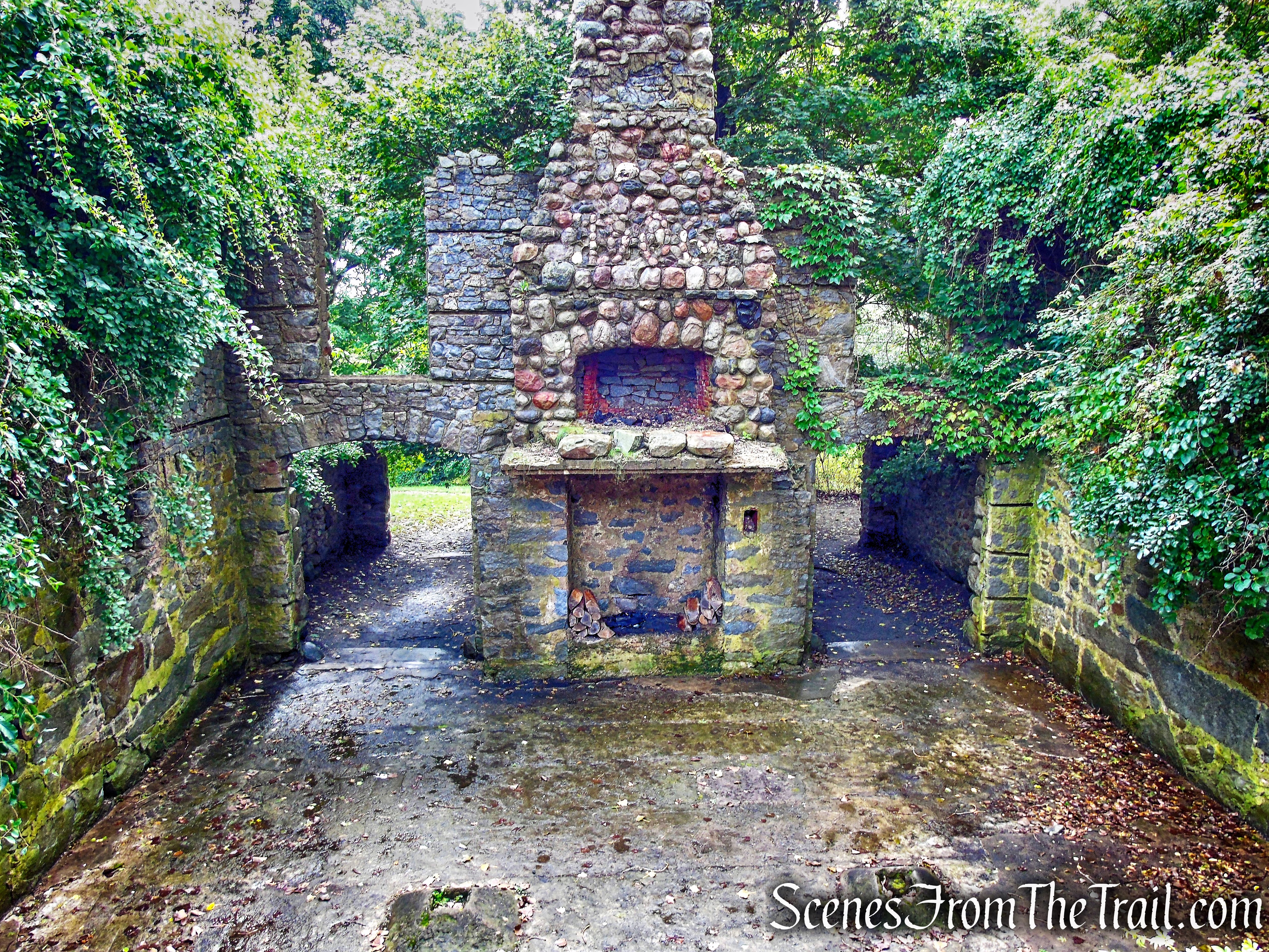
For the most part, the wide woodland trails are gently graded and wide enough for walking two or three abreast. Conditions permitting, the trails are ideal for snowshoeing or crosscountry skiing. There are geological features along the woodland trails and opportunities for studying a variety of wildlife. A stone building near the pond was a warming hut in winter. It silently attests to the opulence of a bygone era.
The trails intersect at various points which make loop hikes of various lengths possible.
The Hike:
Since this is a relatively small preserve, the objective was to hike all of the trails. We had to retrace our steps several times to accomplish that and also skipped a small section of several of the trails.
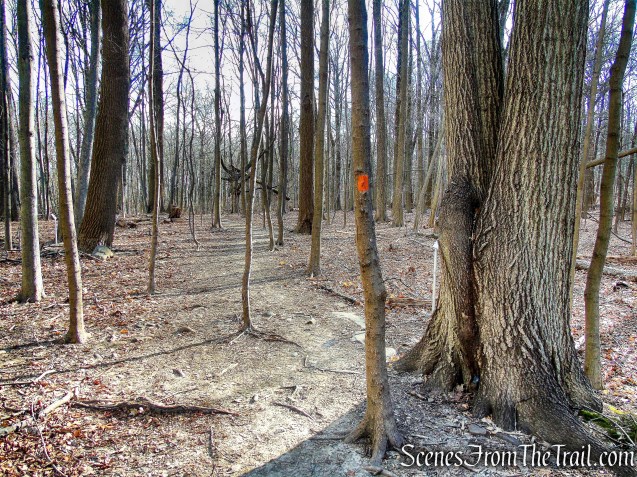
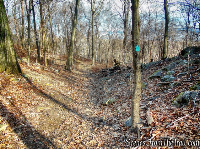
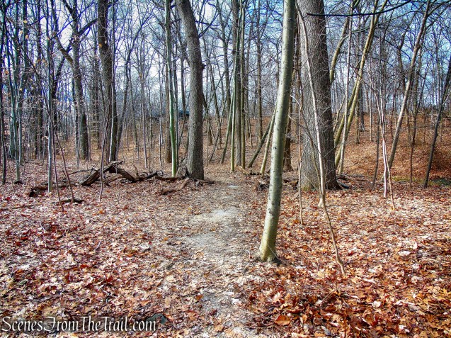
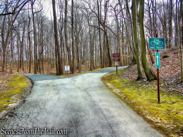
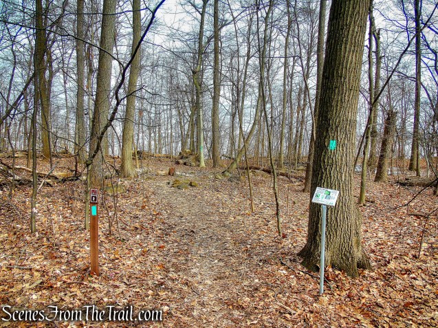
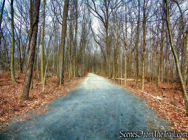
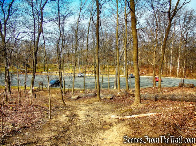
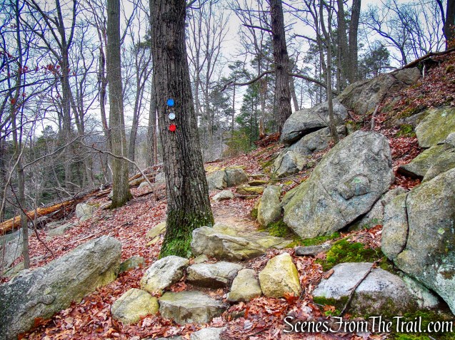
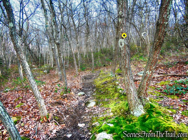
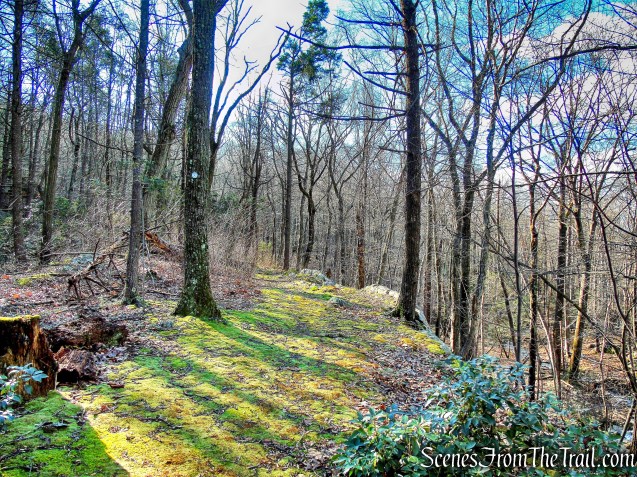
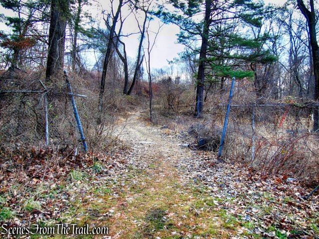
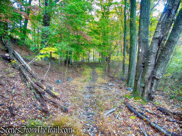
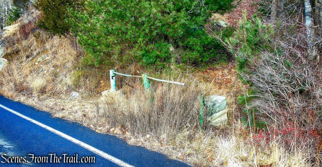
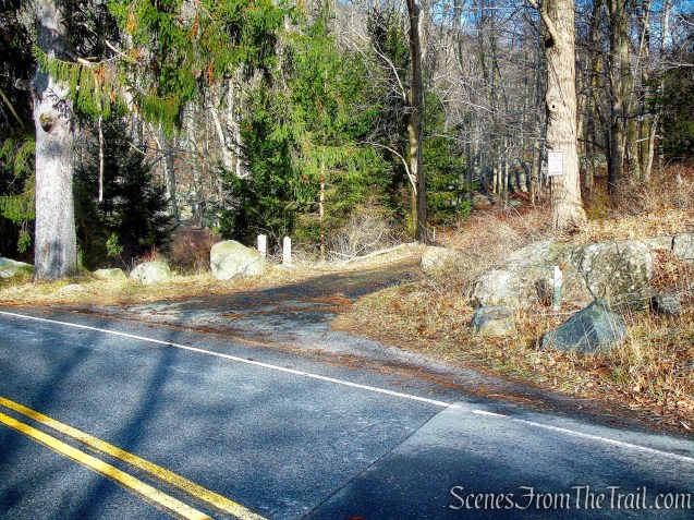
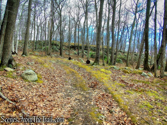
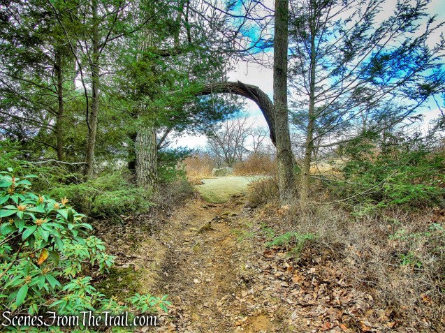
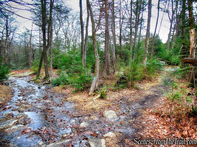
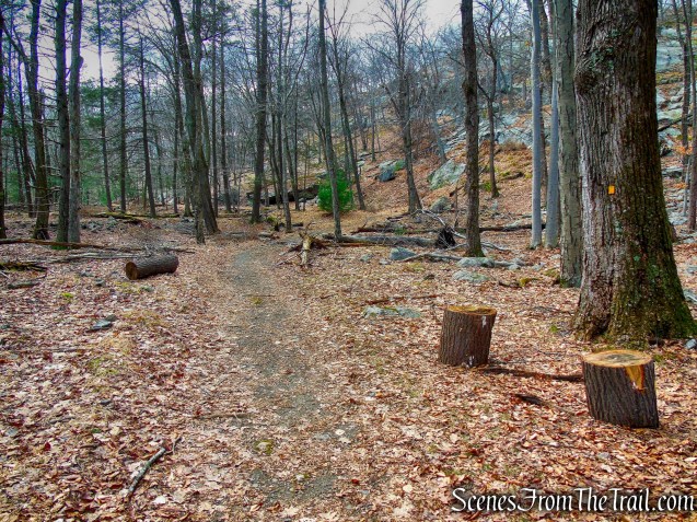
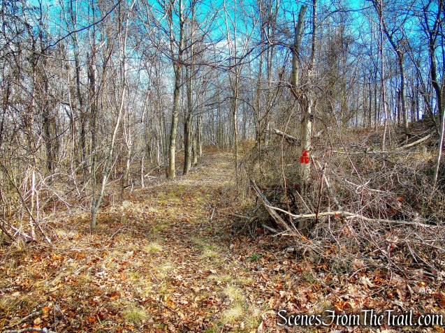
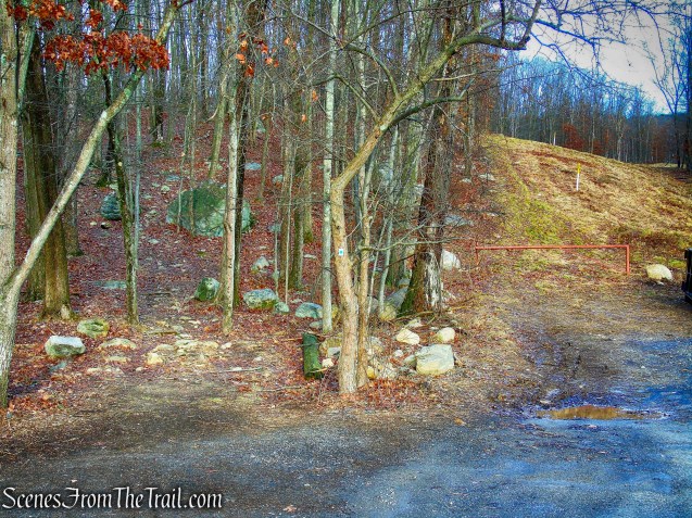
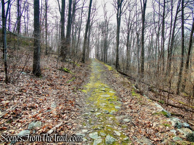
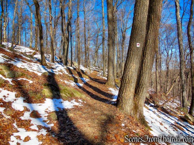
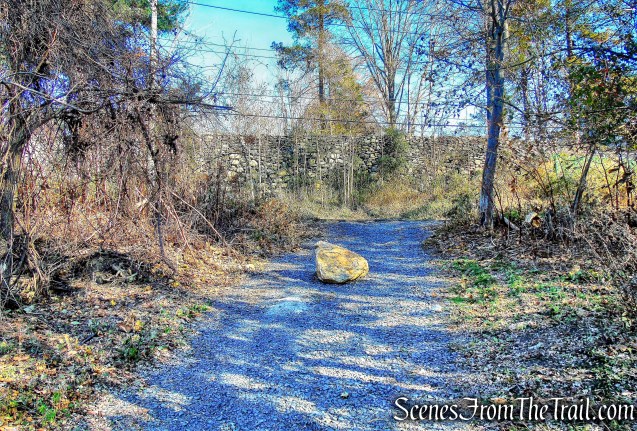
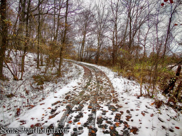
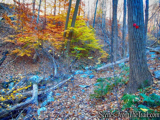
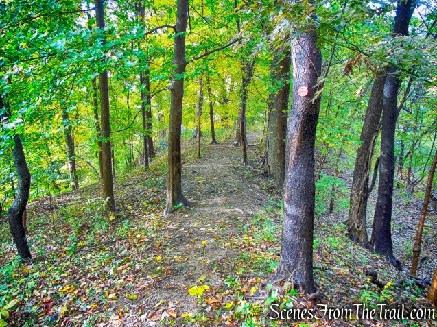
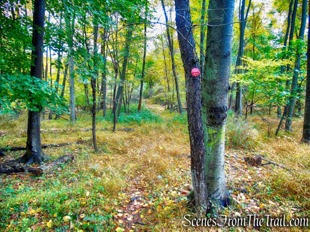
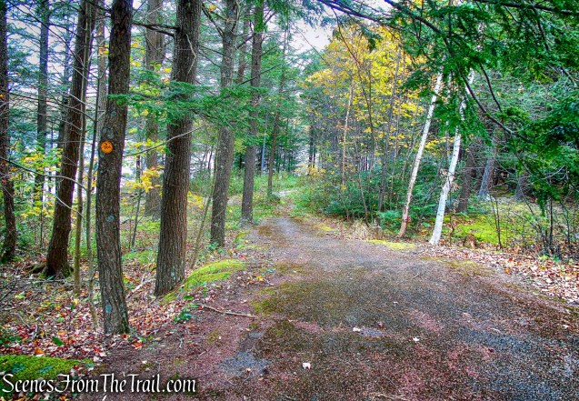
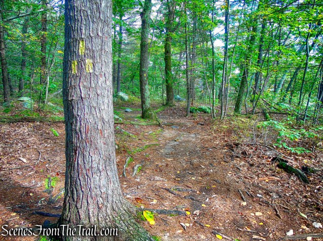
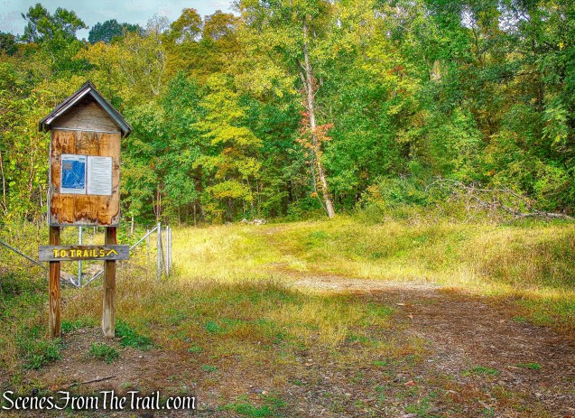
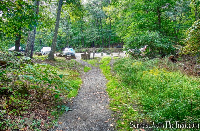
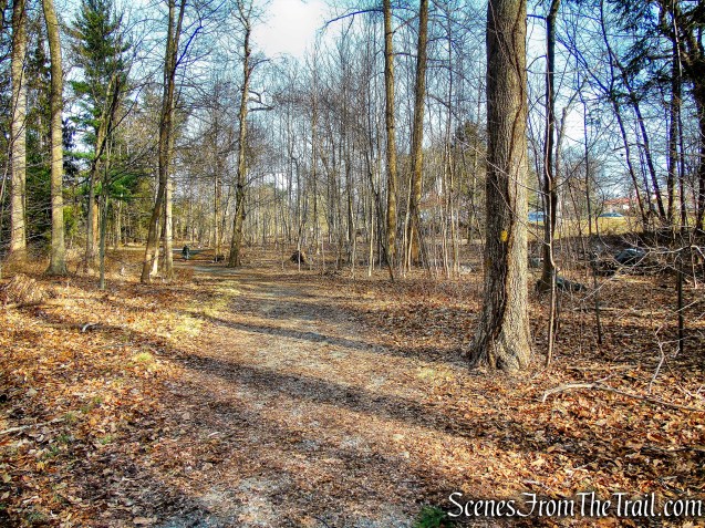
From the parking area, we headed west past the greenhouse onto a woods road that parallels Ridge Road. The red blazes soon appear on a tree as the road continued west, with Ridge Road visible through the trees on the right.

greenhouse – Hart’s Brook Park and Preserve
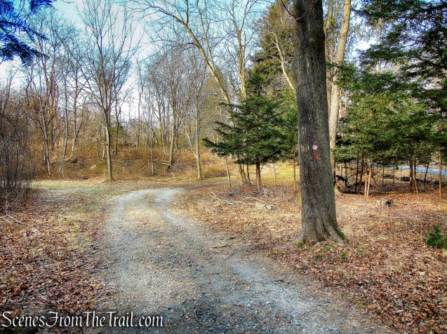
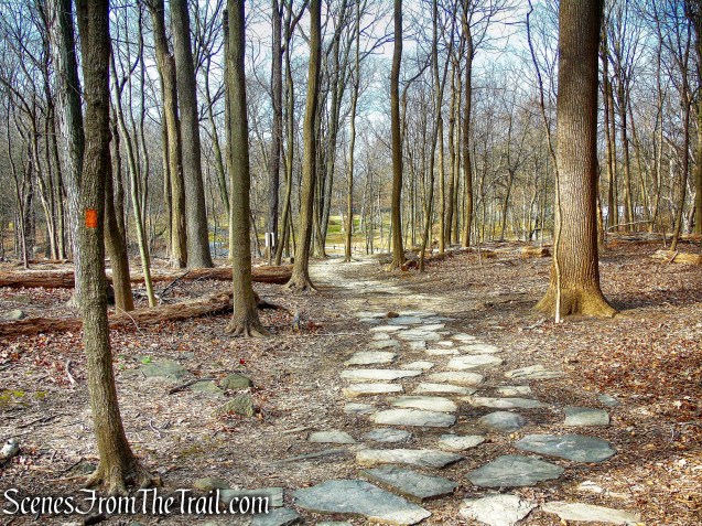
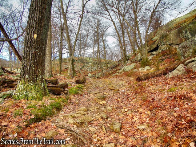
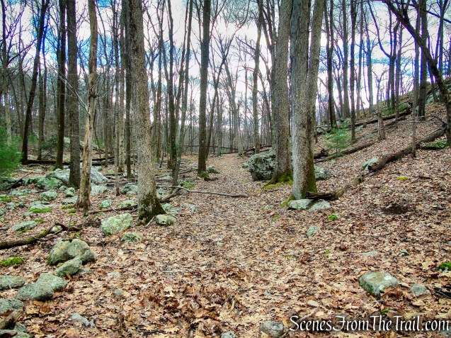
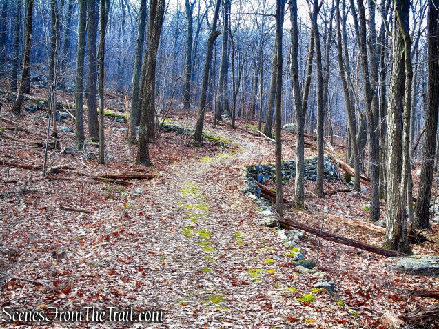
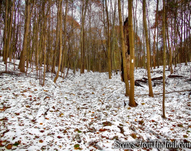
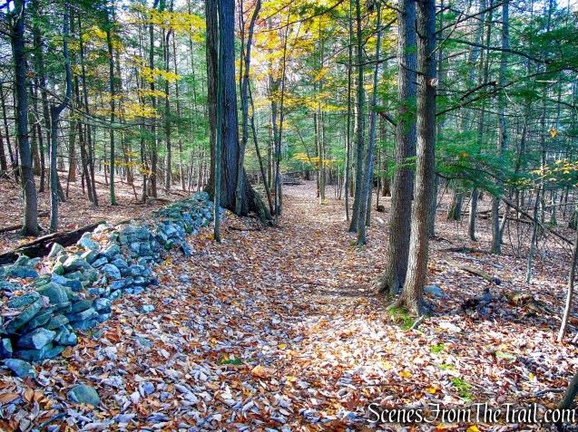
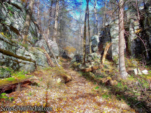
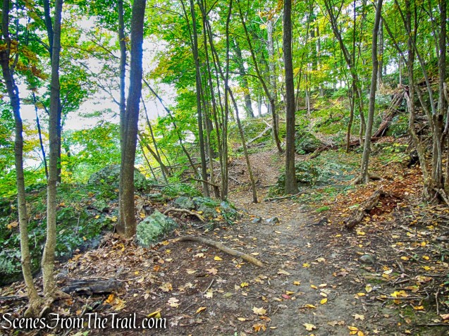
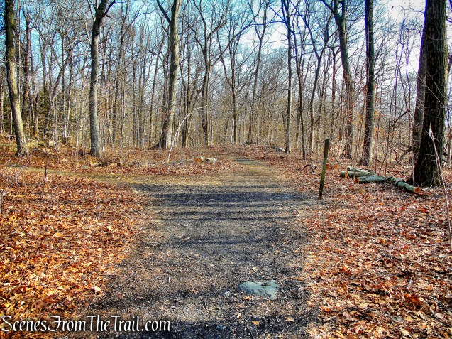
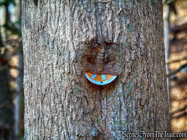
Red Trail – Hart’s Brook Park and Preserve

Red Trail – Hart’s Brook Park and Preserve
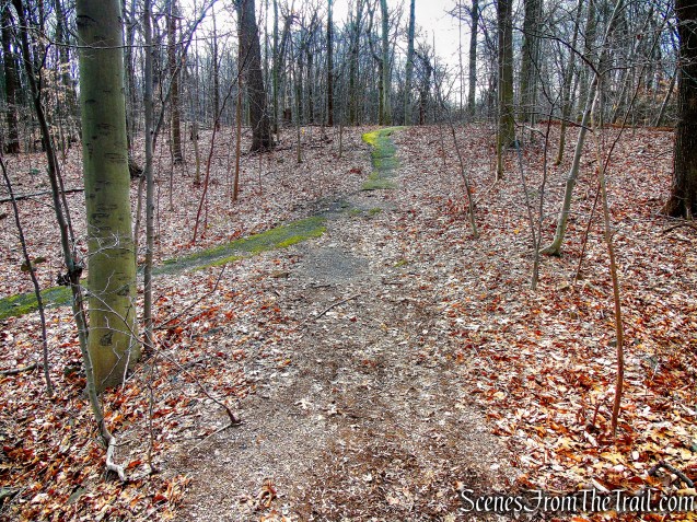
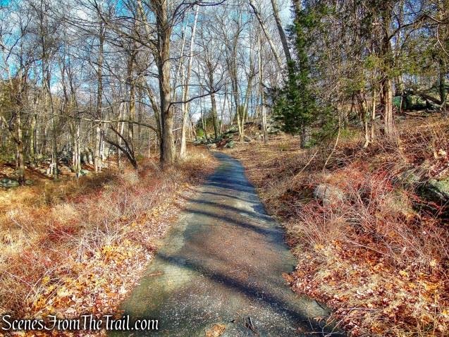
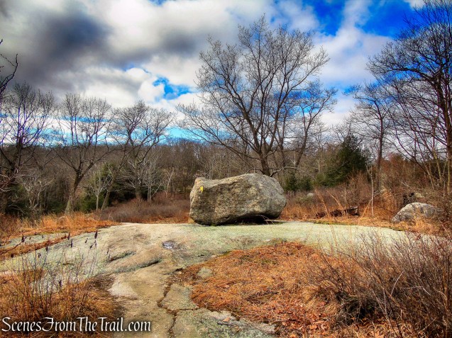
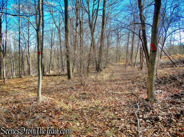
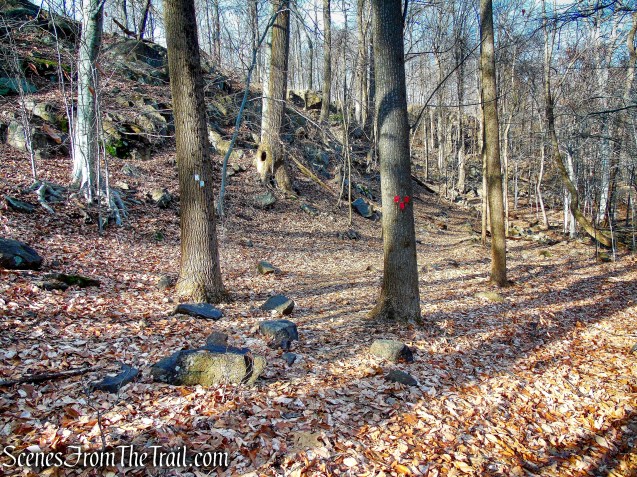
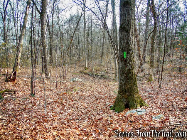
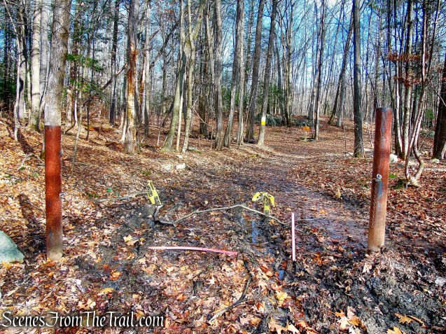
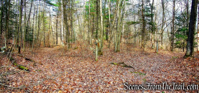
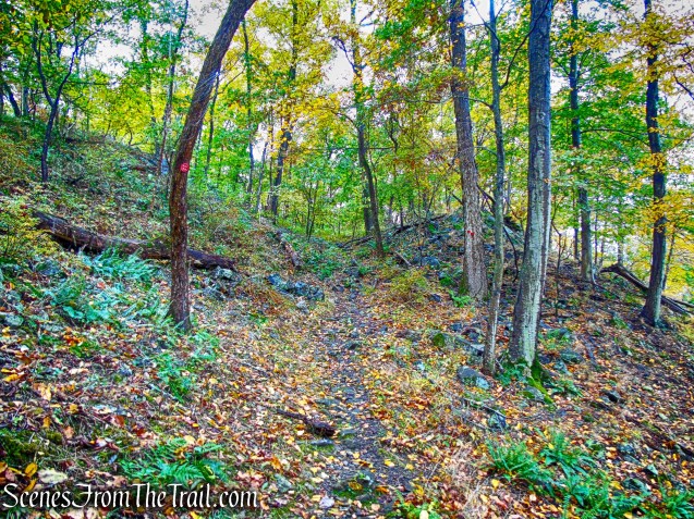
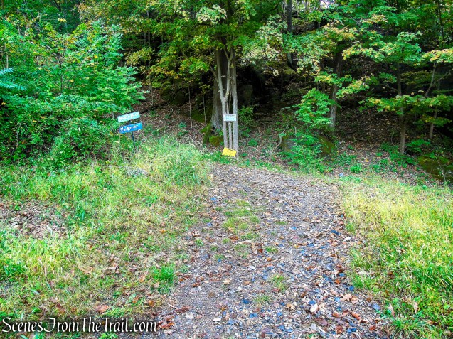
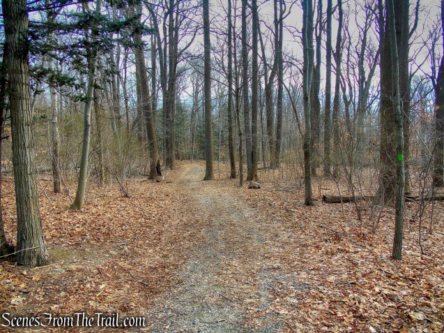
The trail soon turns left and heads south, away from Ridge Road. It then passes through an open area and soon comes to a junction where the red blazes turn left and also continue straight. The left turn leads back to the parking area, we continued straight.

Red Trail – Hart’s Brook Park and Preserve

Red Trail – Hart’s Brook Park and Preserve
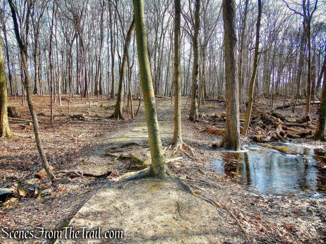
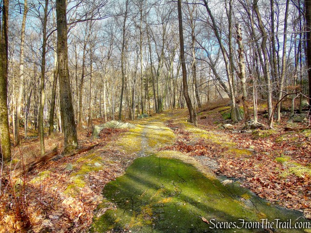
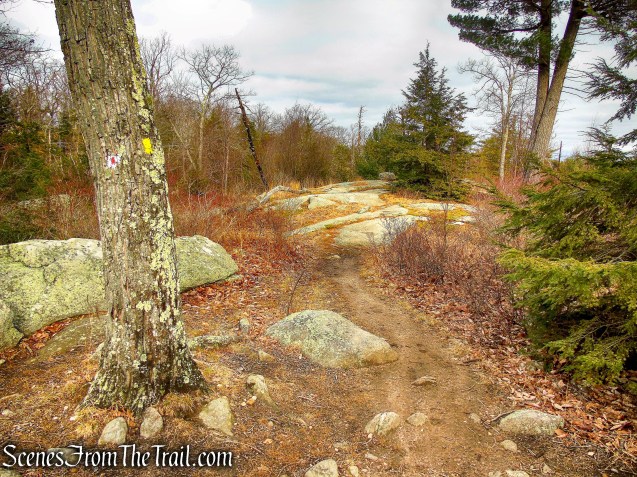
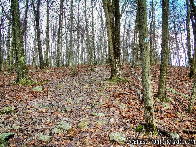
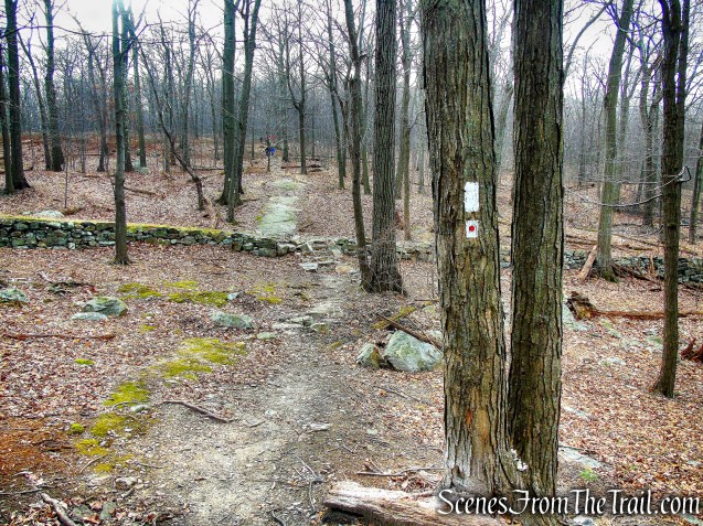
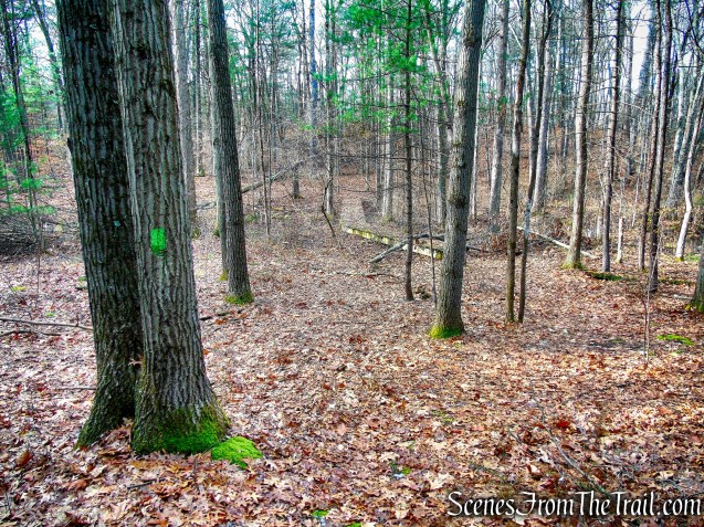
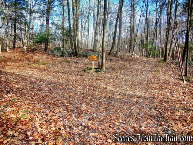
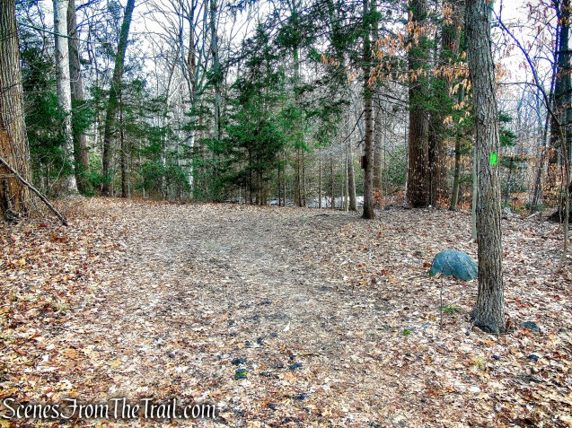
The Red Trail continues south and soon ends at a T-intersection with the Green Trail. We turned left and now headed east on the Green Trail.

Red Trail – Hart’s Brook Park and Preserve

junction of Red & Green Trails – Hart’s Brook Park and Preserve

junction of Red & Green Trails – Hart’s Brook Park and Preserve
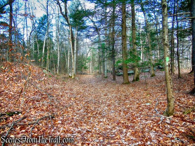
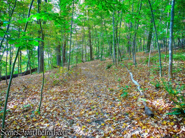
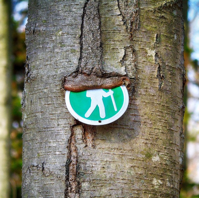
Green Trail – Hart’s Brook Park and Preserve
Green Trail – Hart’s Brook Park and Preserve
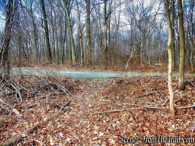
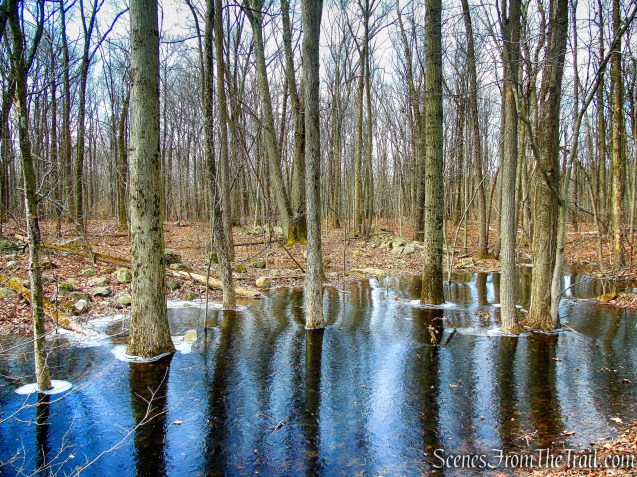
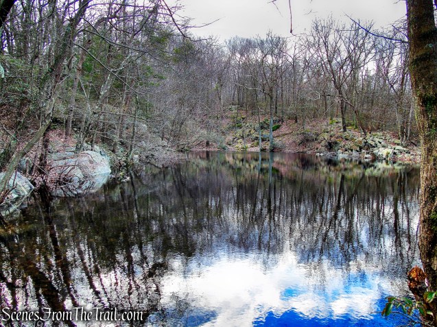
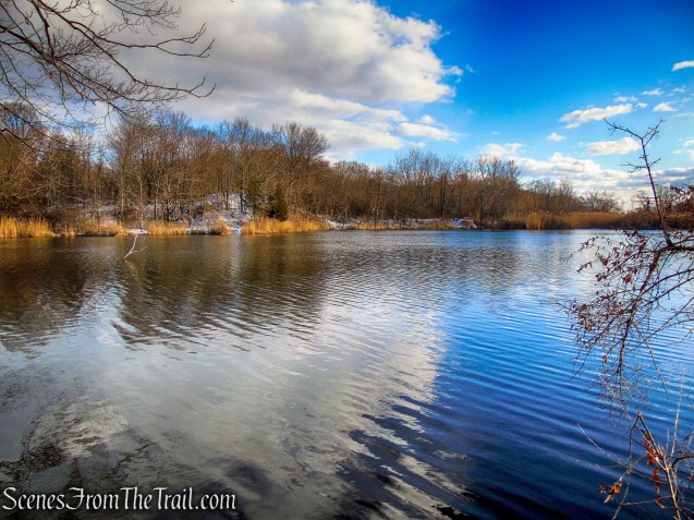
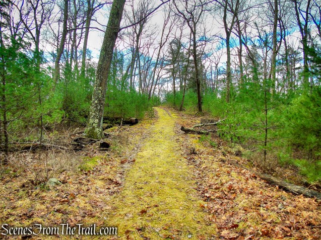
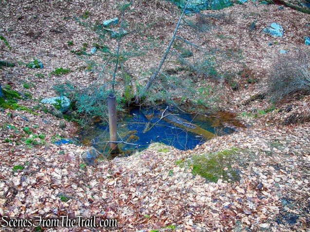
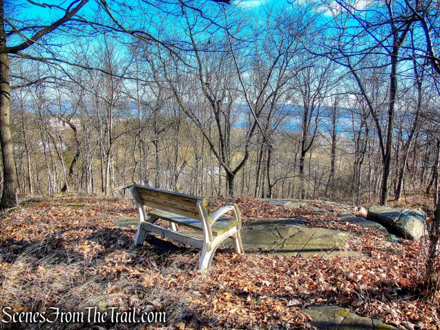
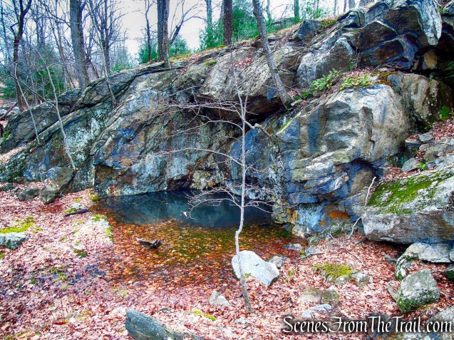
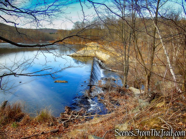
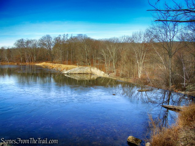
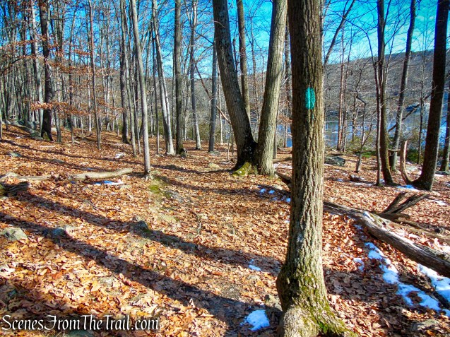
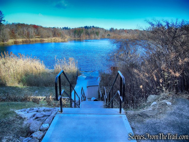
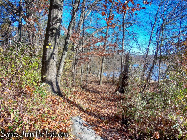
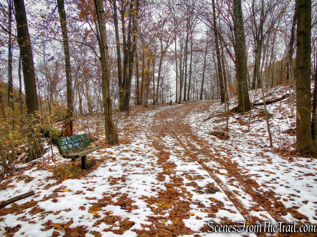
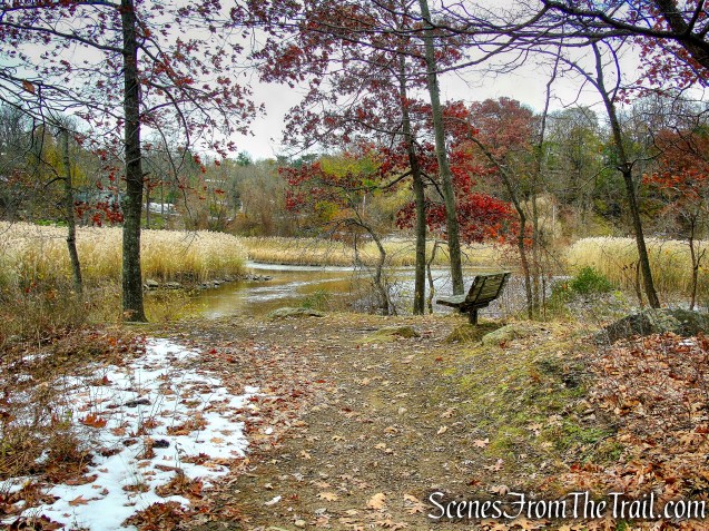
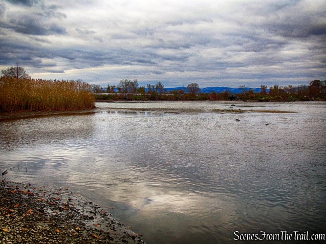
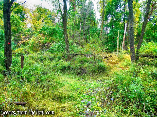
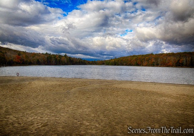
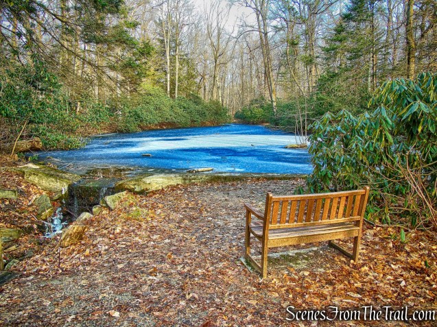
In about 450 feet, the Green Trail ends at a T-intersection with the Yellow Trail. Here we turned right and in a short distance reached a small pond with a bench.
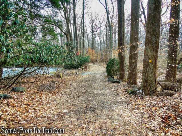
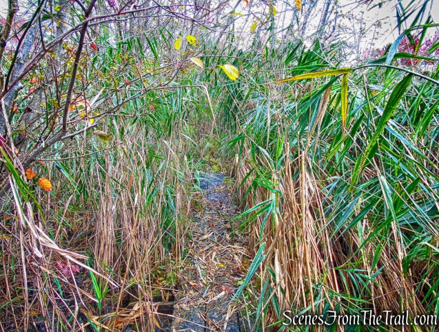
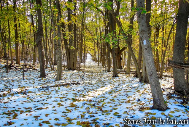
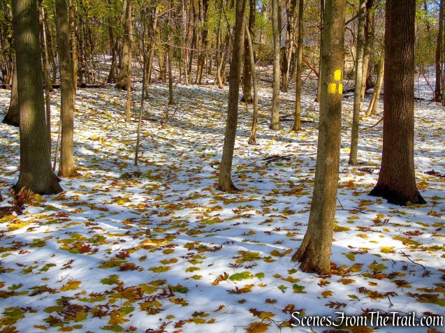
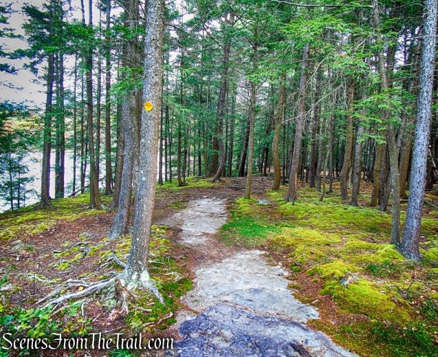
Yellow Trail – Hart’s Brook Park and Preserve

Yellow Trail – Hart’s Brook Park and Preserve

Yellow Trail – Hart’s Brook Park and Preserve
Yellow Trail – Hart’s Brook Park and Preserve
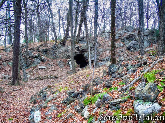
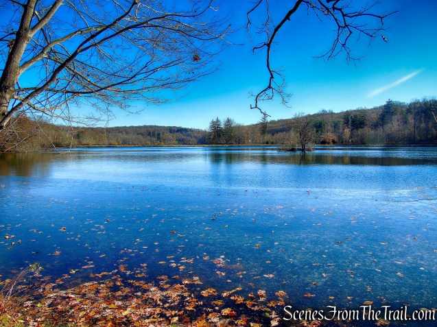
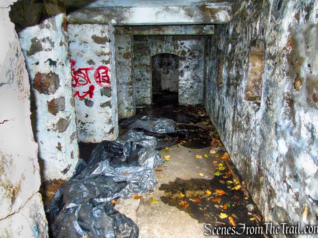
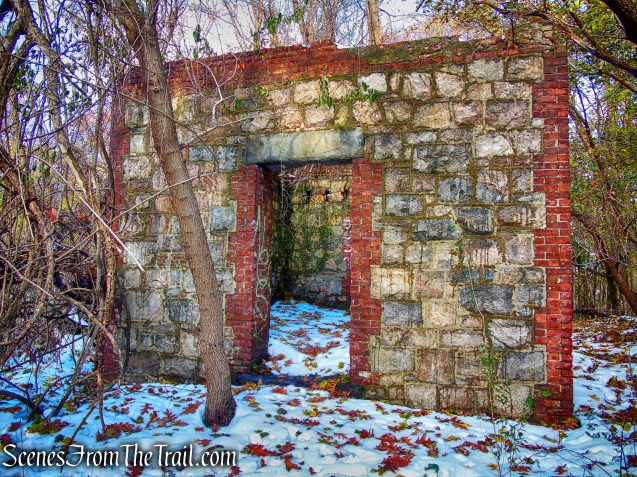
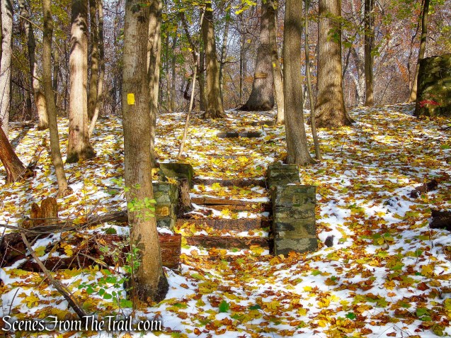
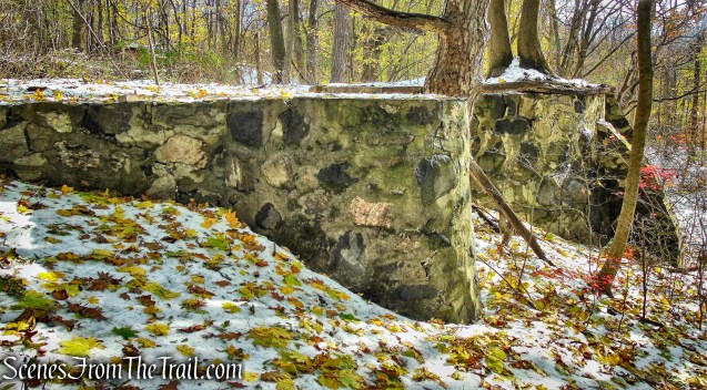
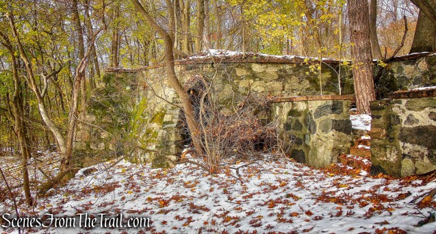
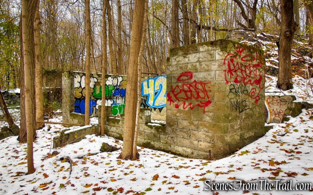
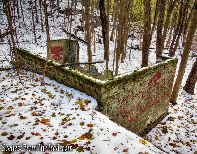
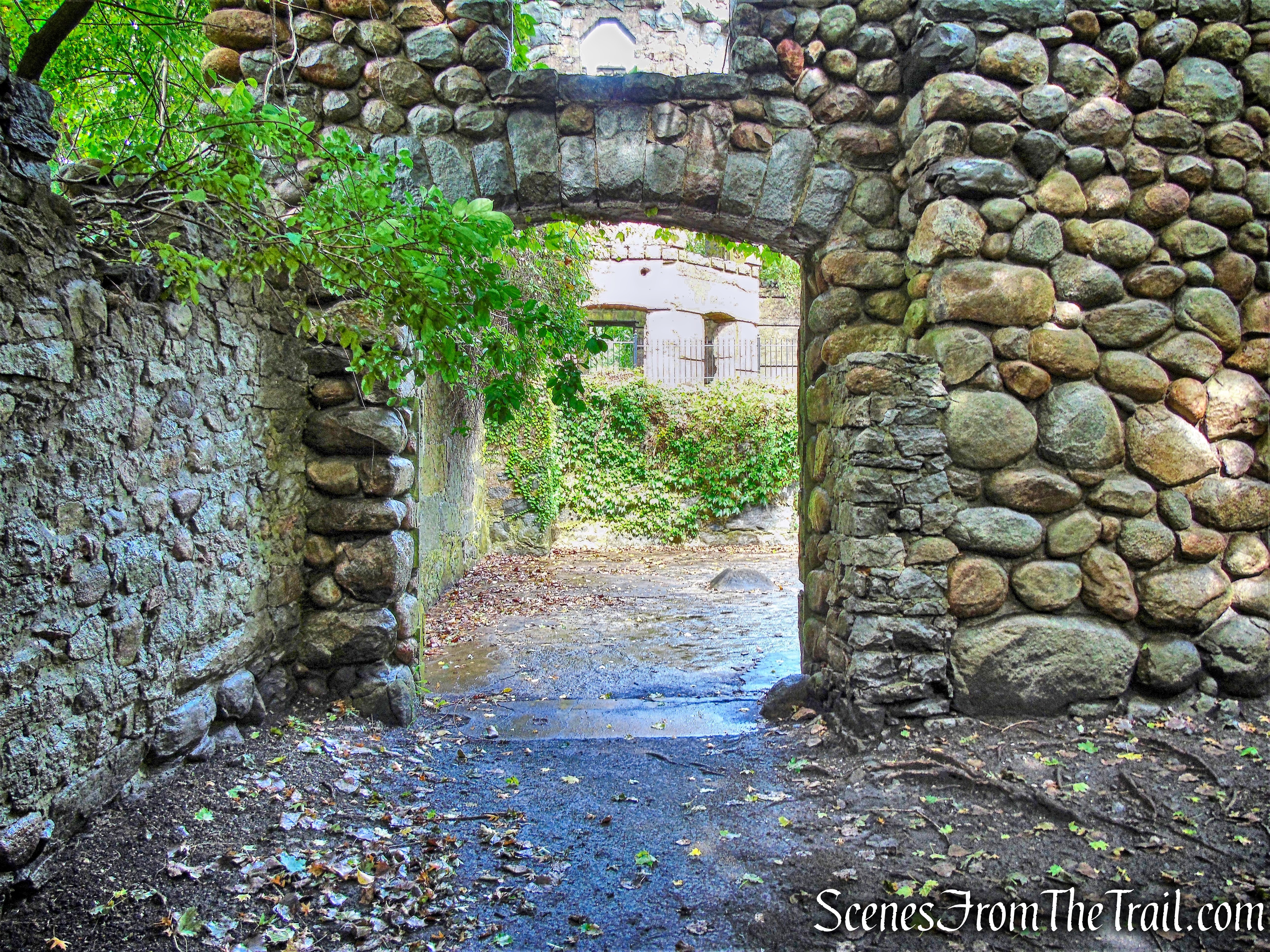
The Yellow Trail wraps around the east side of the pond and soon reaches a stone warming hut. The Yellow Trail continues north, but we turned left onto an unmarked woods road and then turned left again on the other leg of the Yellow Trail, which passes the west side of the pond. A short distance later, the Yellow Trail comes to the junction with the Green Trail and we turned right, retracing our steps here.

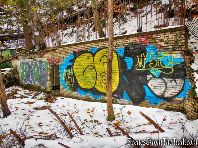
warming hut – Yellow Trail – Hart’s Brook Park and Preserve
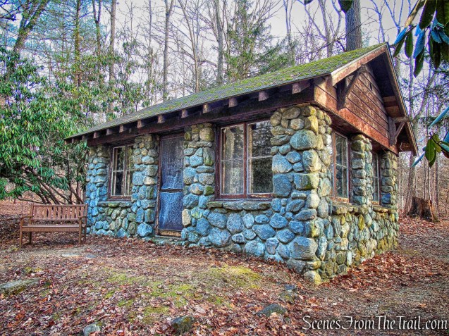
warming hut – Yellow Trail – Hart’s Brook Park and Preserve

Yellow Trail – Hart’s Brook Park and Preserve

junction of Green & Yellow Trails – Hart’s Brook Park and Preserve
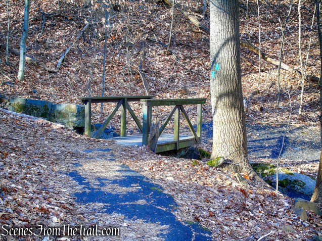
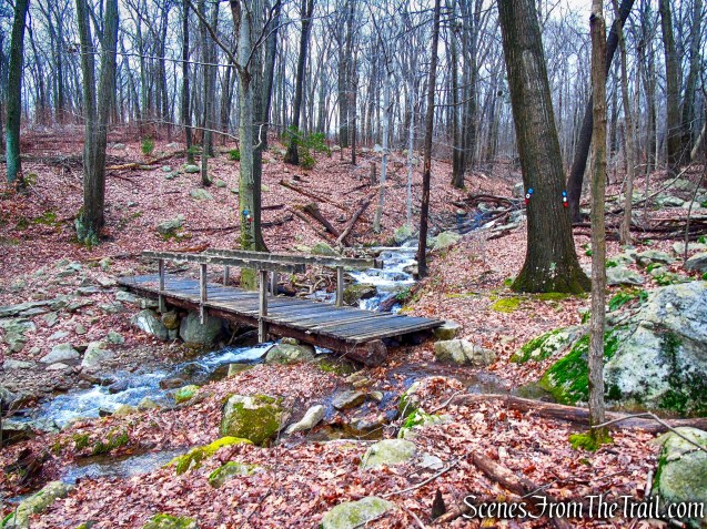
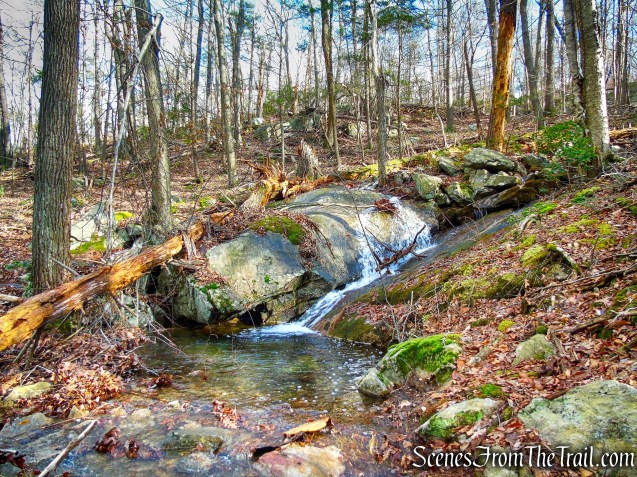
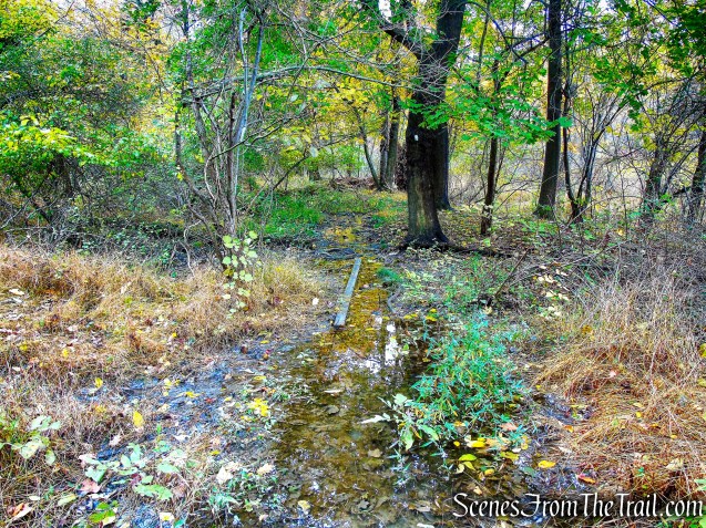
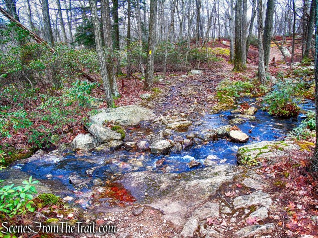
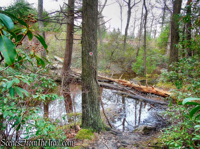
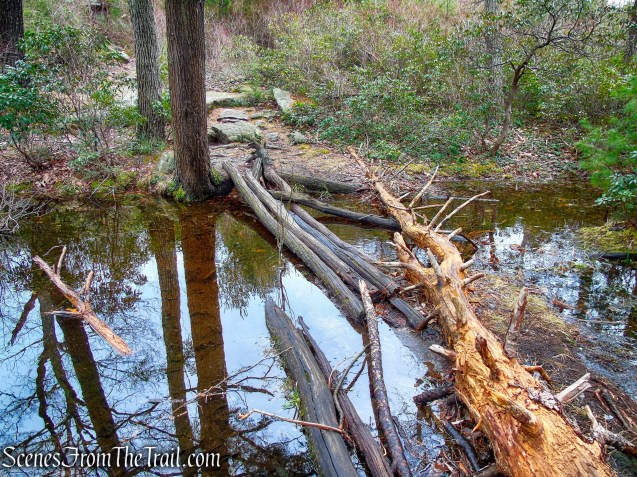
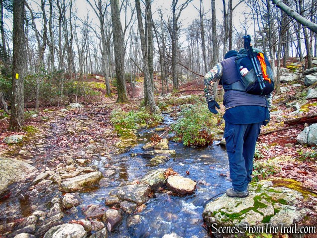
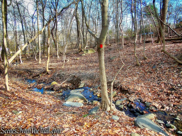
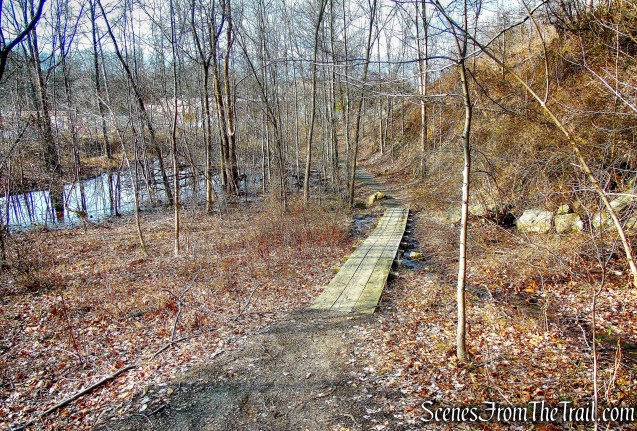
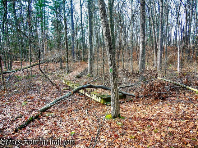
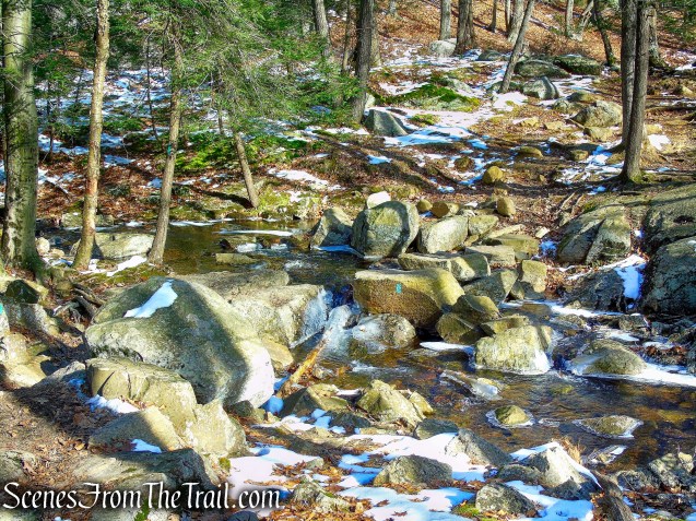
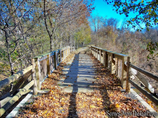
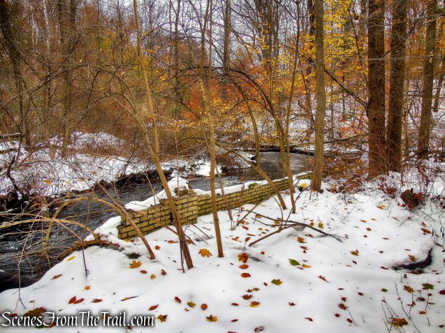
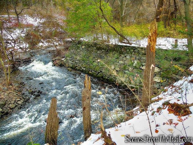
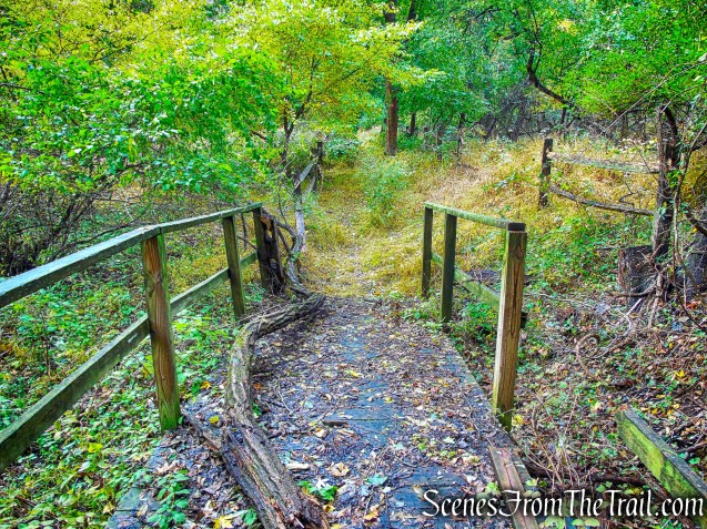
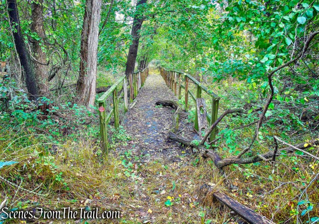
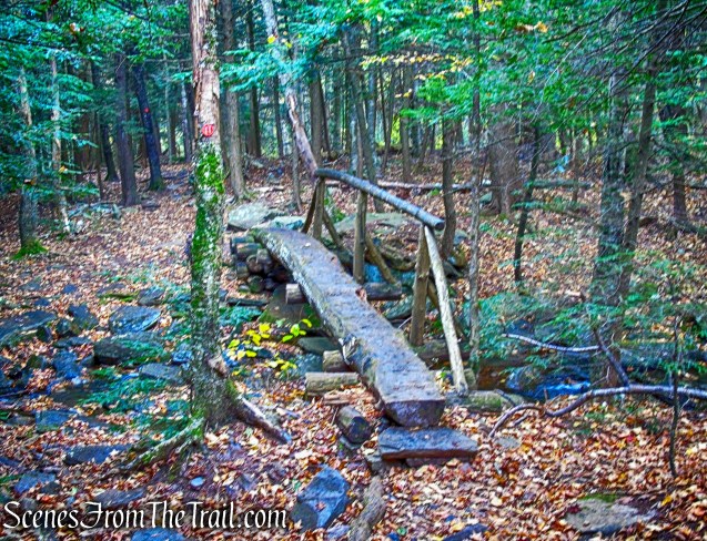
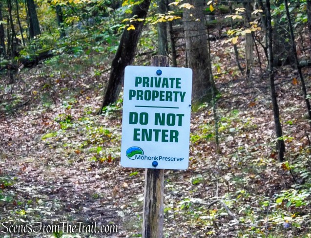
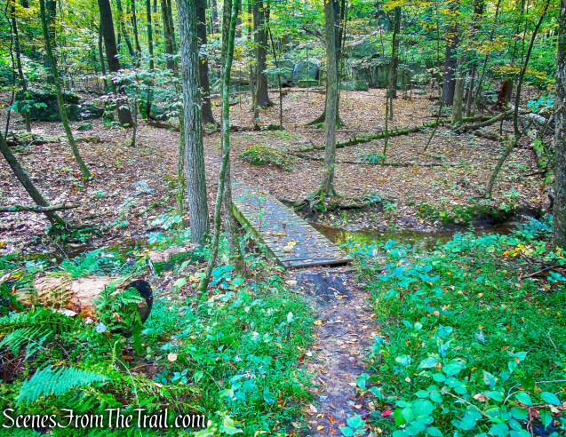
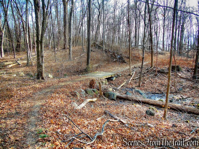
When we arrived at the junction with the Red Trail, we turned left to remain on Green. The trail now heads south, bordering private property and crosses a wooden footbridge.

junction of Red & Green Trails – Hart’s Brook Park and Preserve

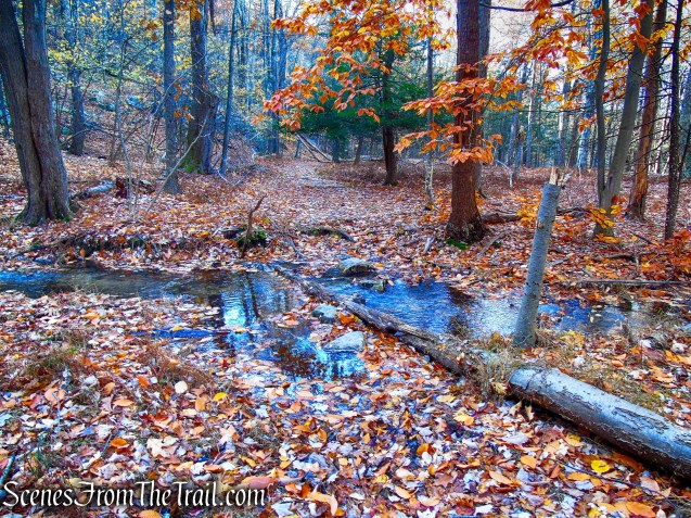
Green Trail – Hart’s Brook Park and Preserve
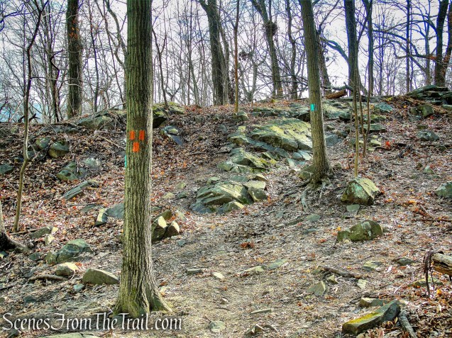
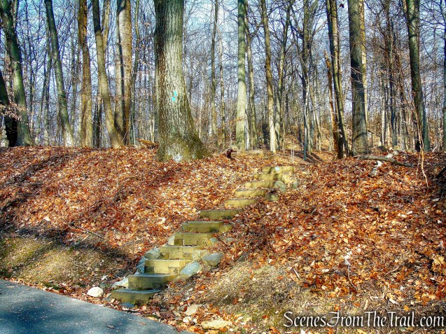
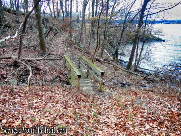
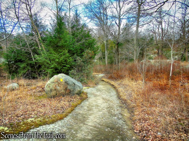
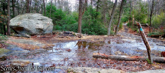
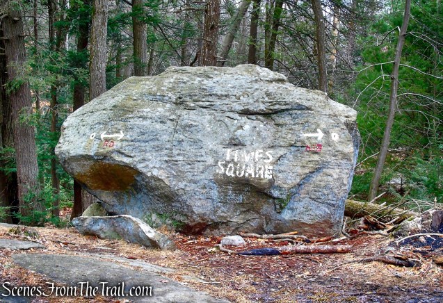
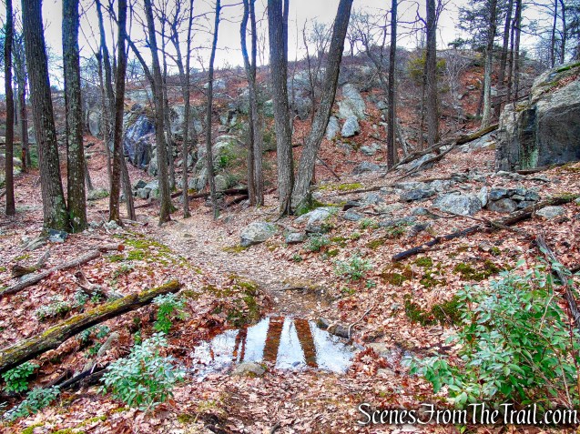
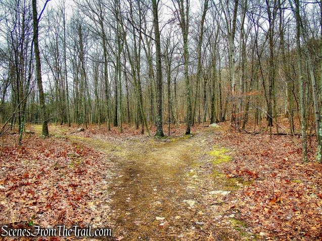
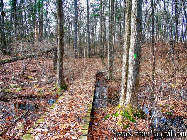
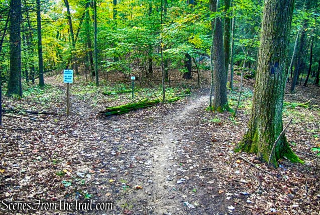
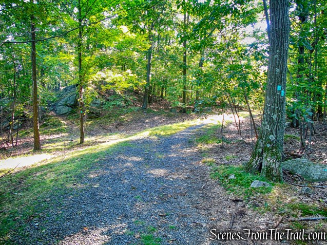
The Green Trail soon curves to the left and heads east along the southern end of the preserve. After crossing another wooden footbridge, the Green Trail soon reaches a junction with the start of the Orange Trail, which begins straight ahead as the Green Trail turns left.
Green Trail – Hart’s Brook Park and Preserve

Green Trail – Hart’s Brook Park and Preserve
junction of Orange & Green Trails – Hart’s Brook Park and Preserve
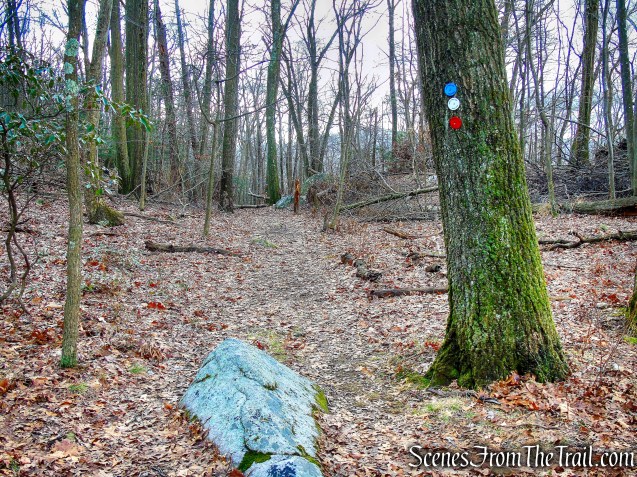
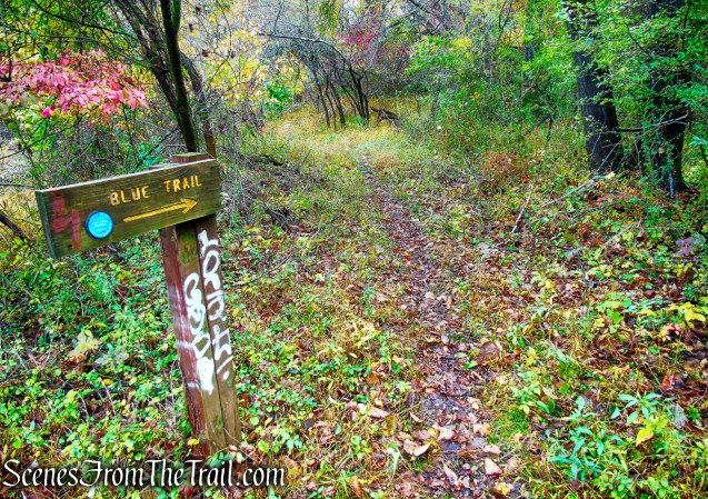
We followed the orange blazes a short distance to a junction with the Blue Trail. We then left the Orange Trail as it turns left and began on the Blue Trail.

Orange Trail – Hart’s Brook Park and Preserve

junction of Orange & Blue Trails – Hart’s Brook Park and Preserve
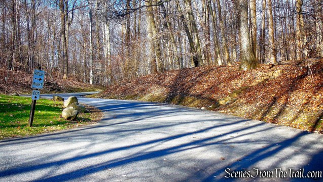
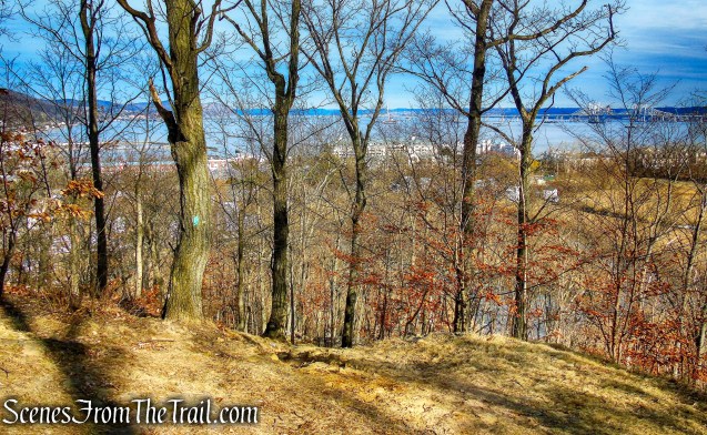
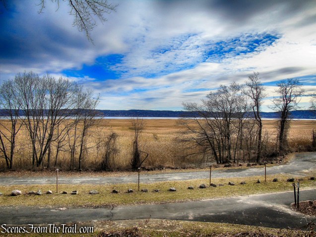
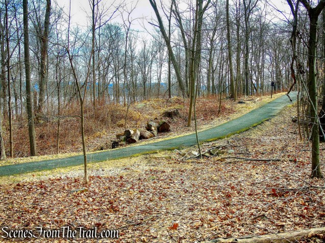
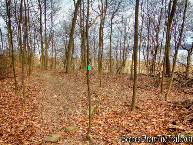
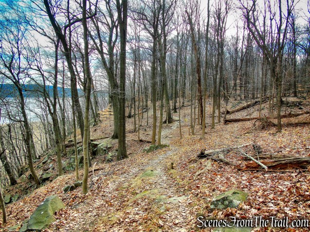
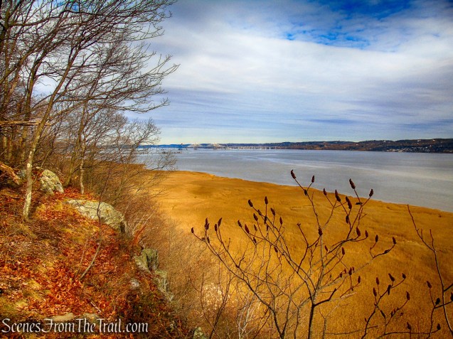
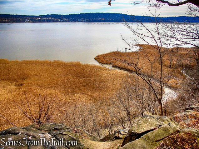
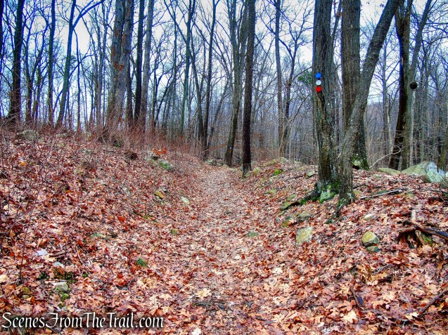
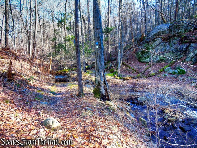
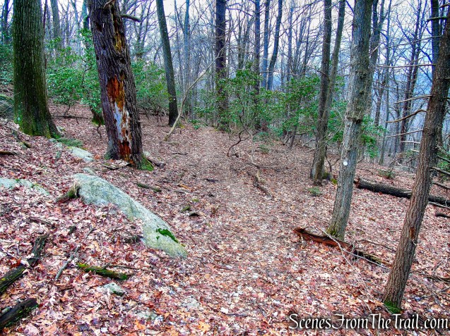
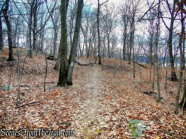
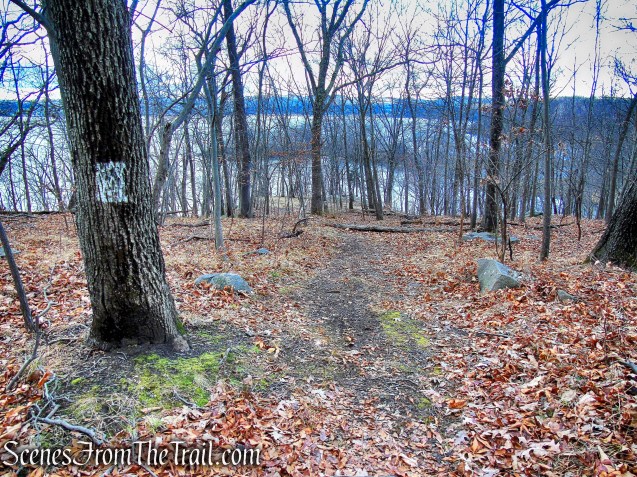
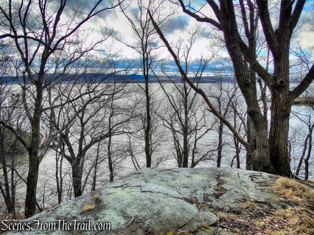
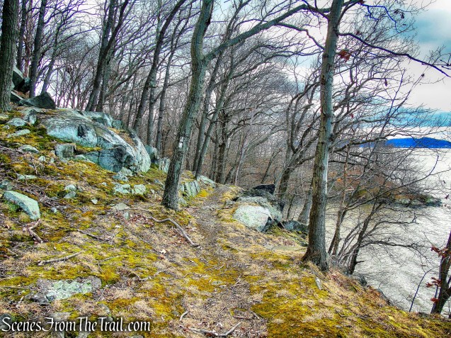
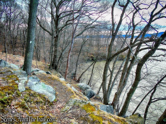
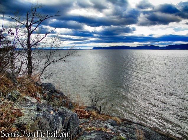
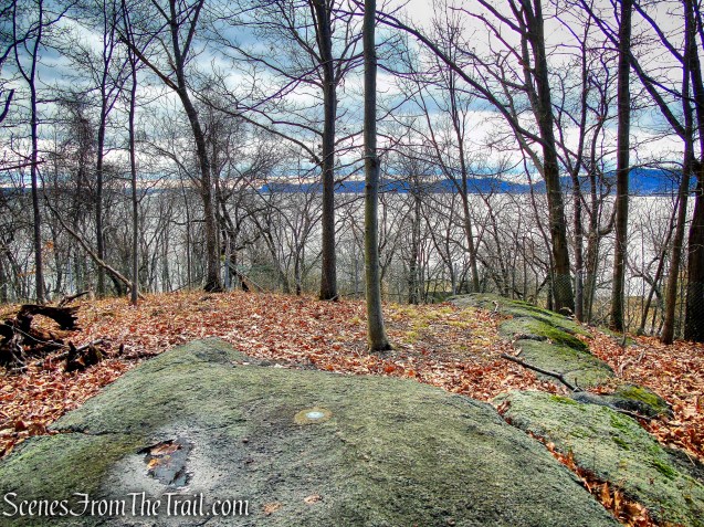
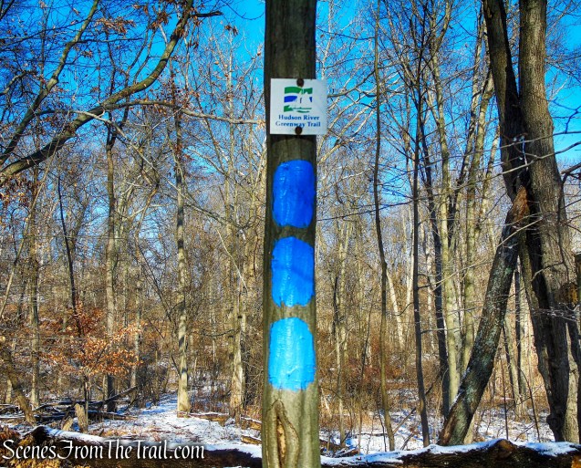
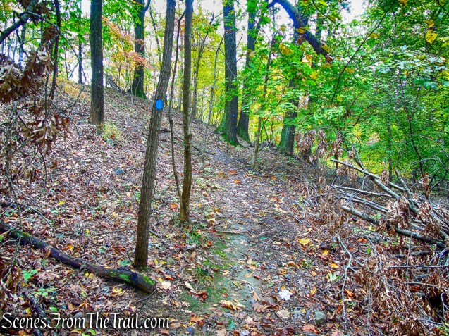
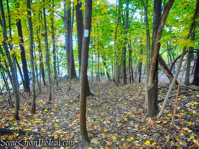
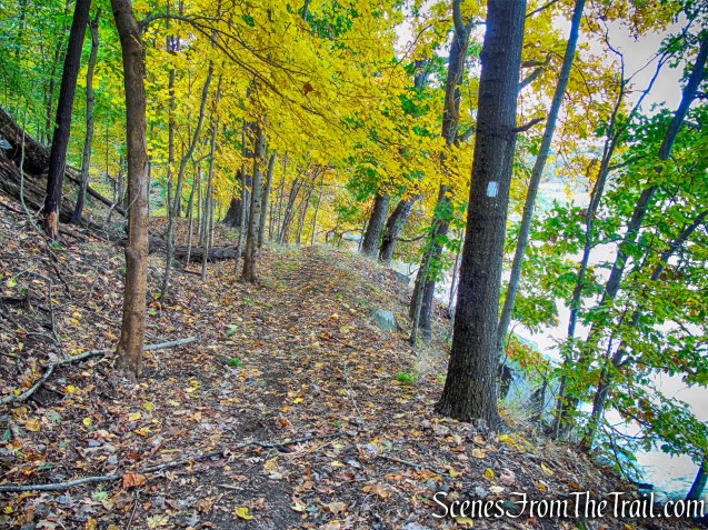
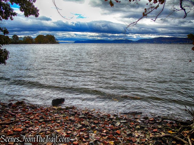
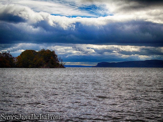
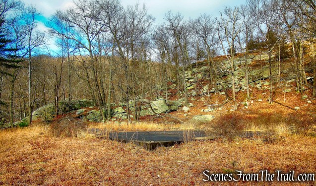
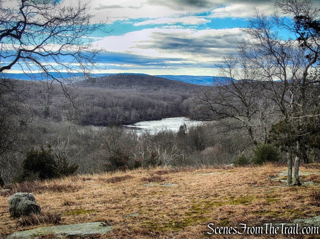
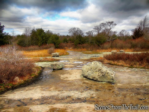
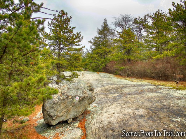
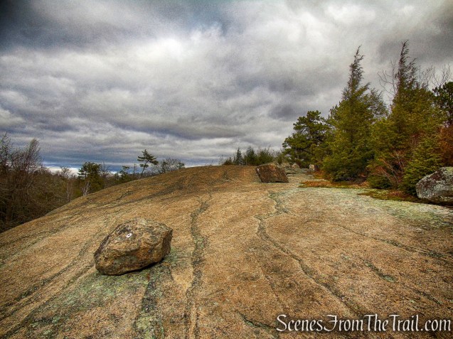
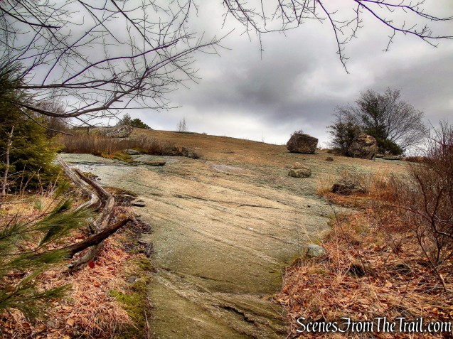
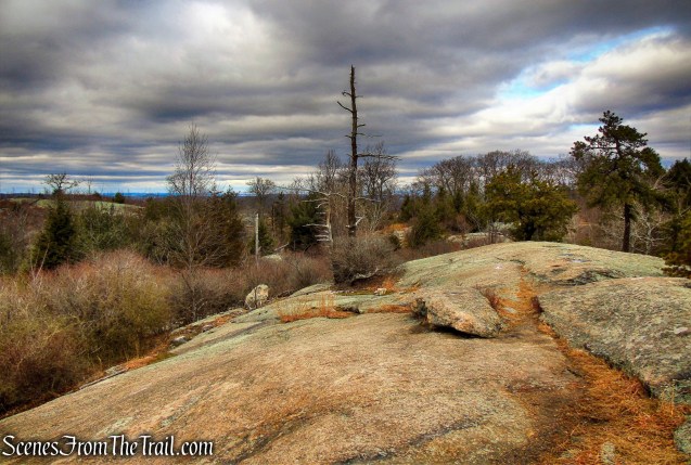
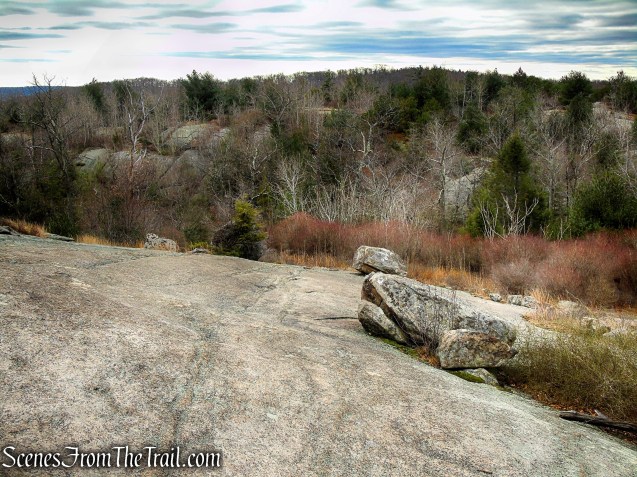
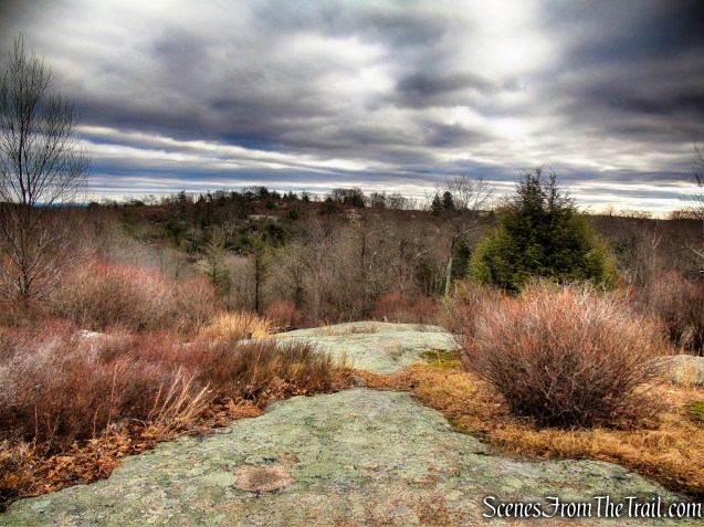
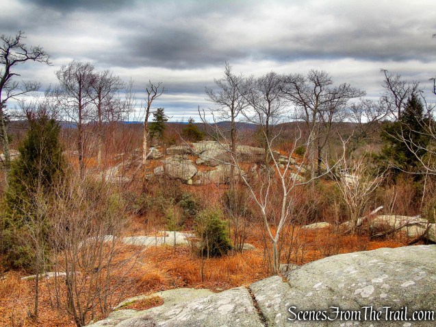
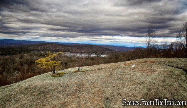
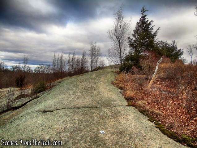
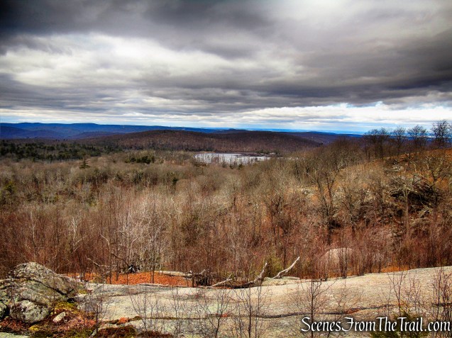
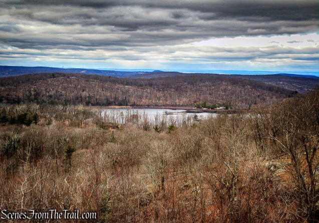
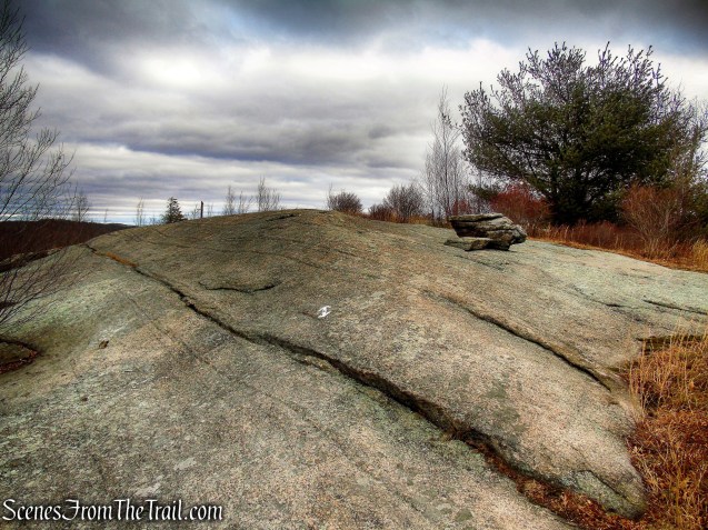
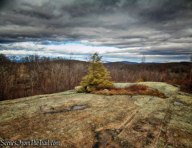
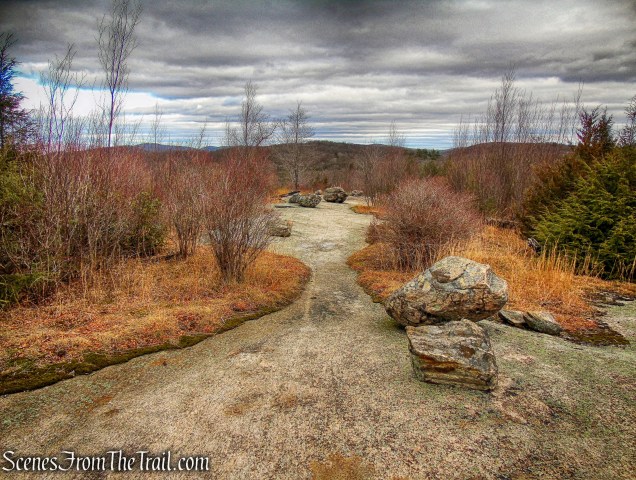
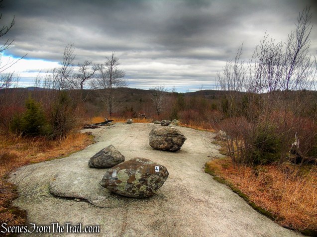
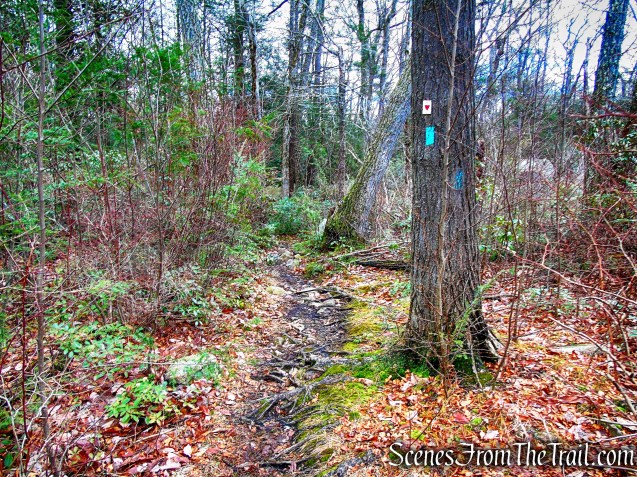
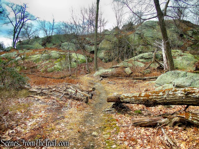
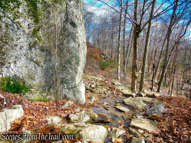
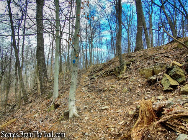
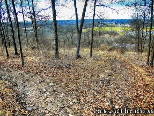
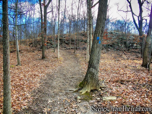
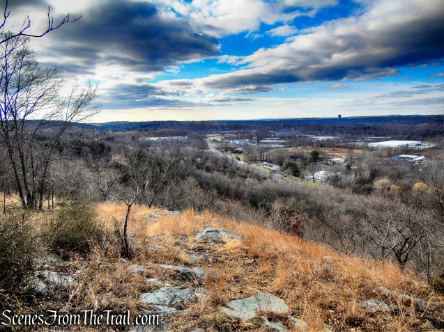
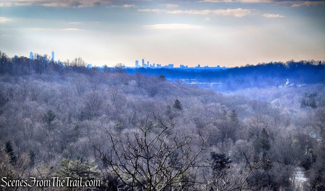
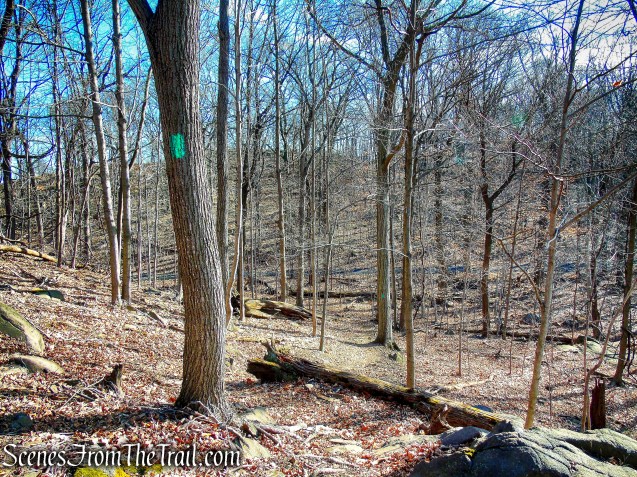
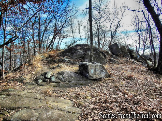
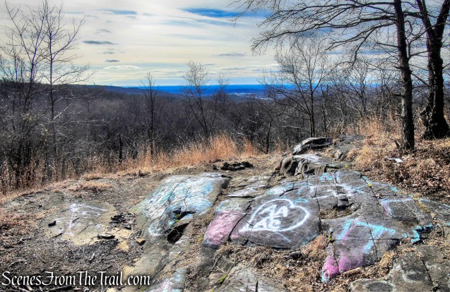
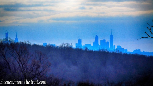
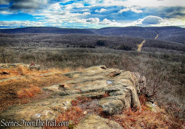
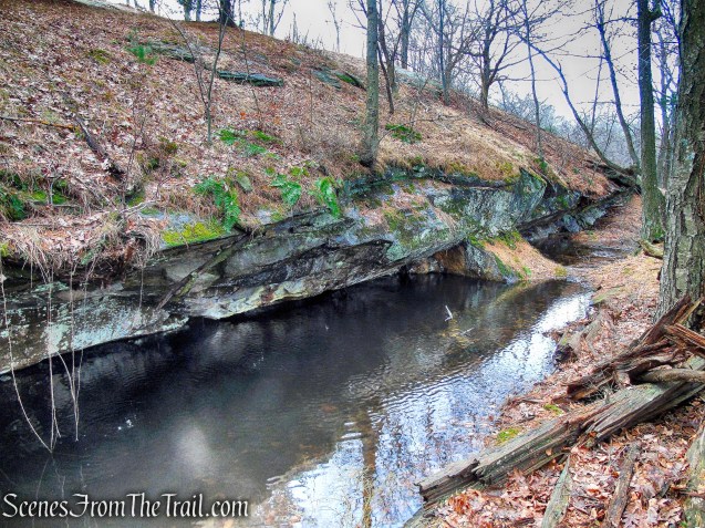
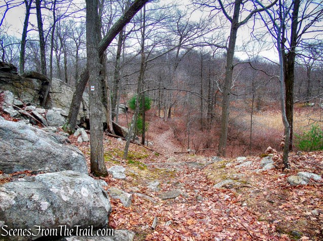
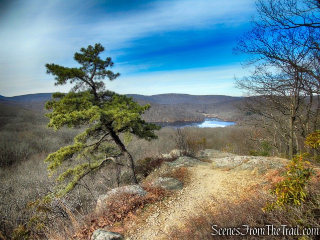
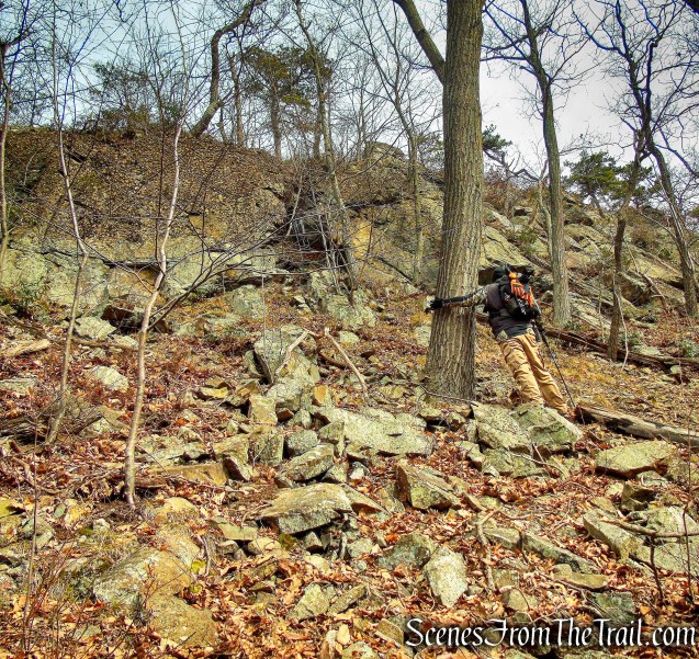
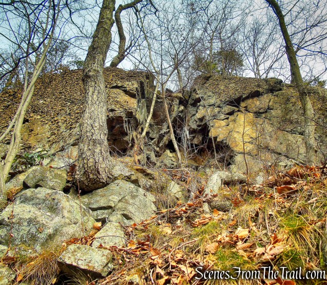
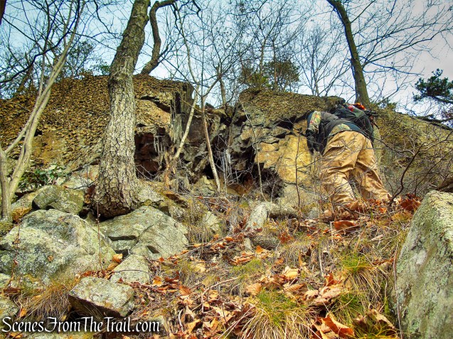
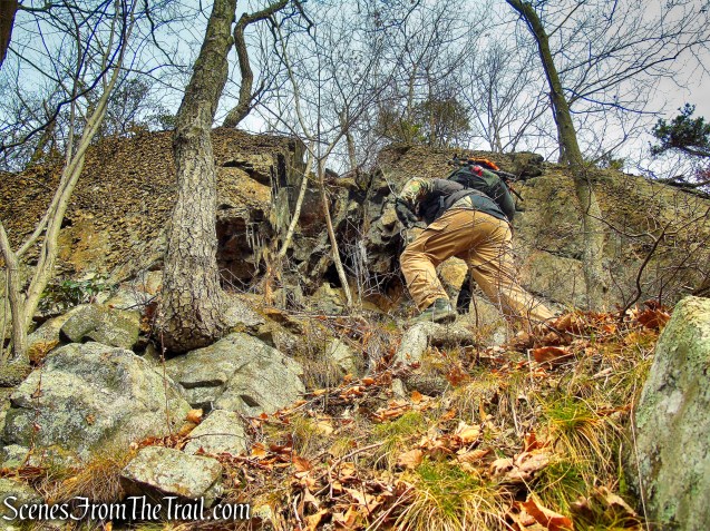
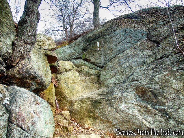
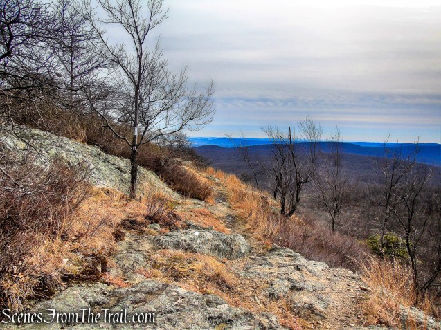
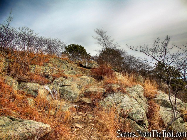
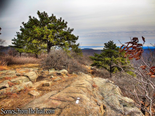
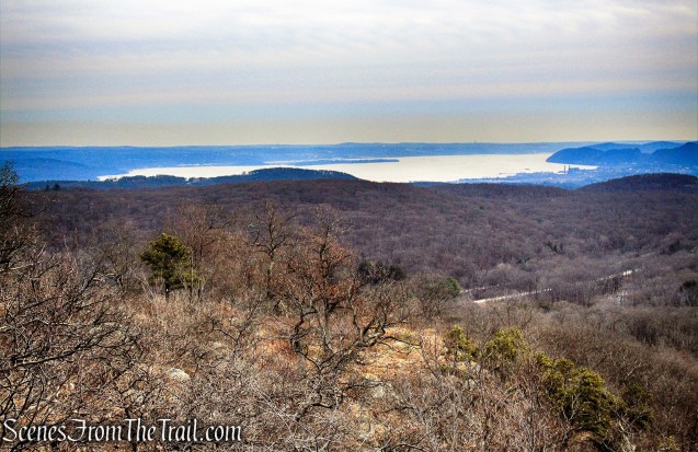
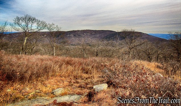
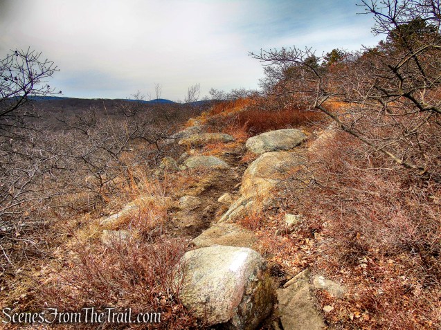
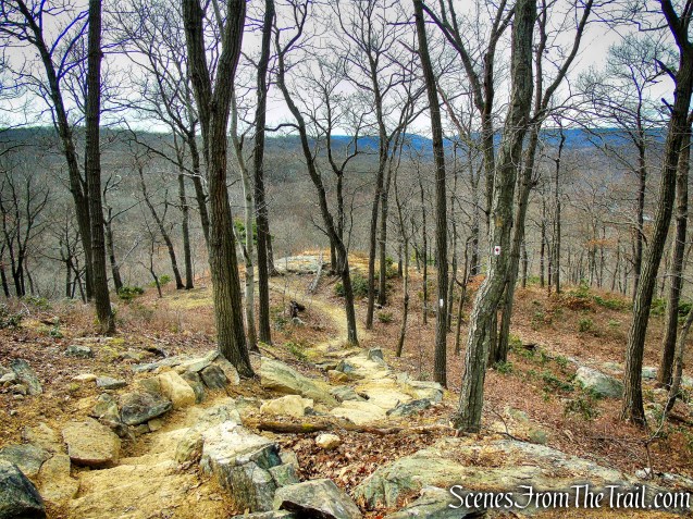
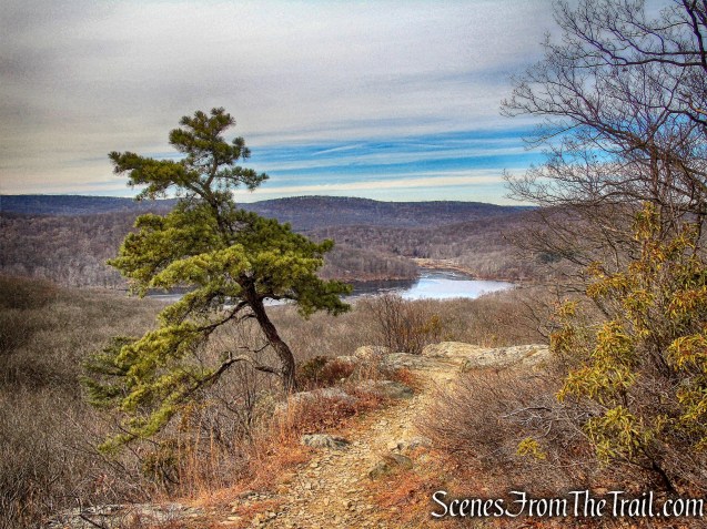
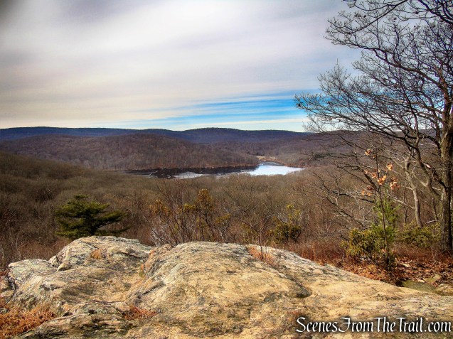
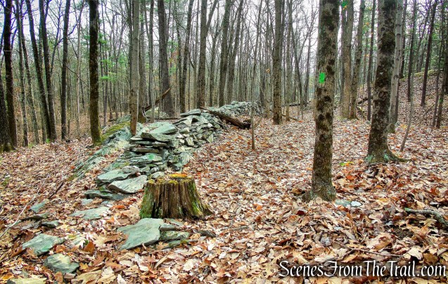
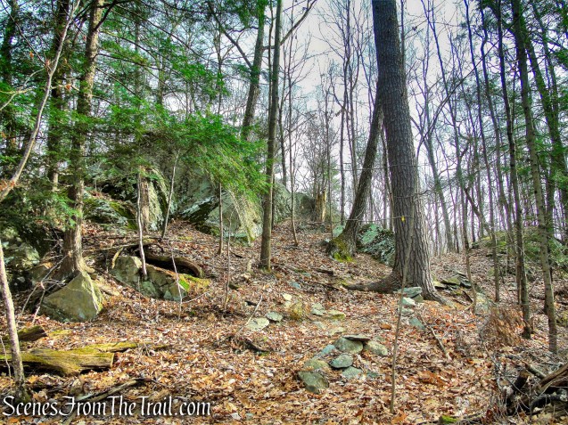
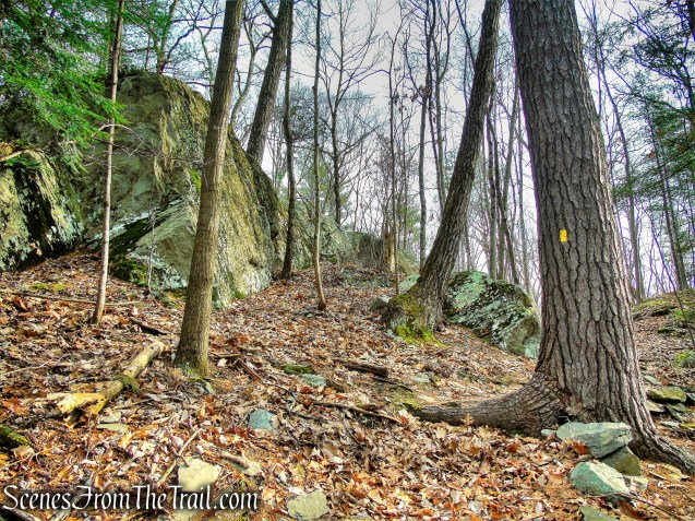
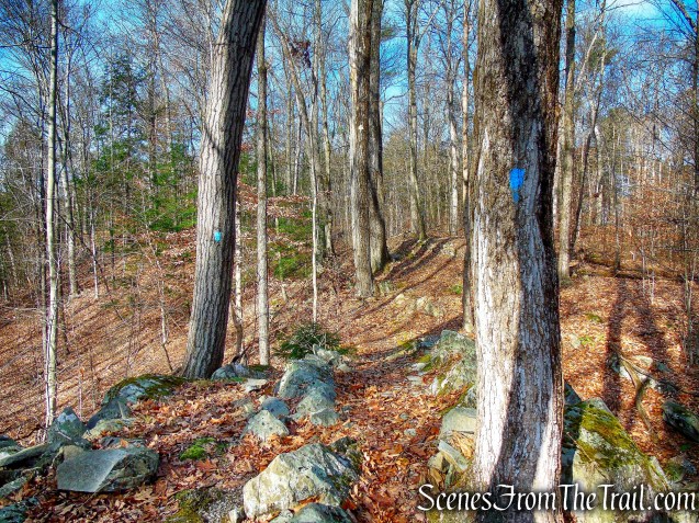
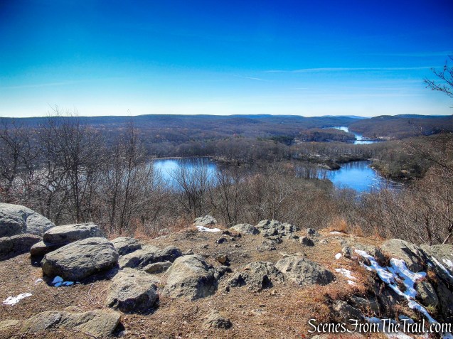
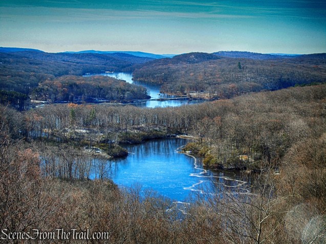
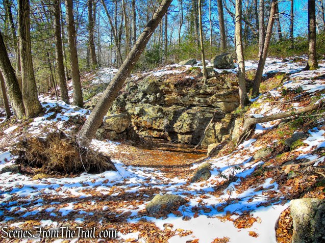
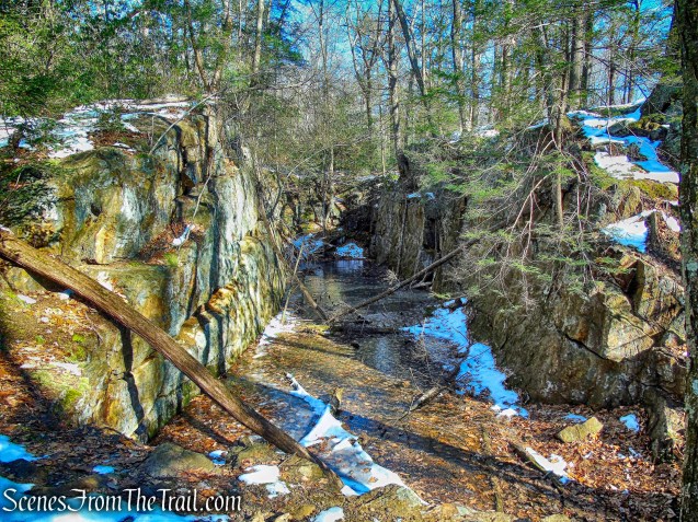
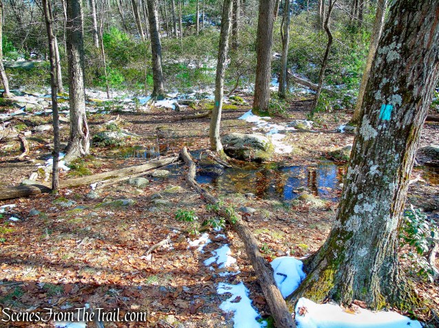
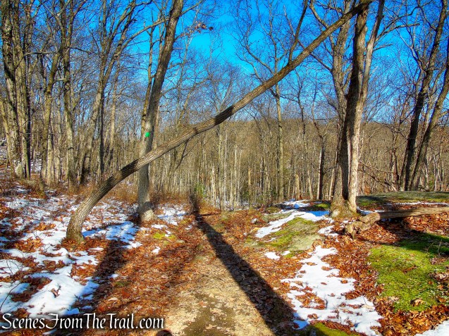
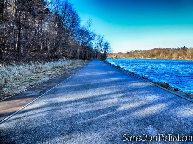
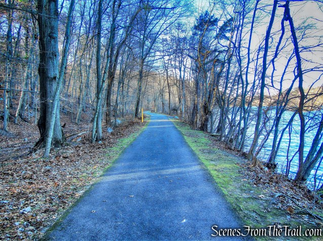
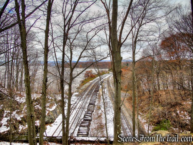
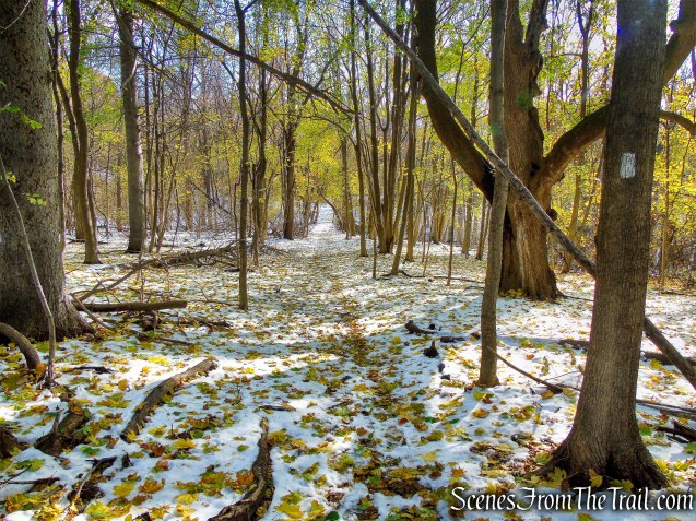
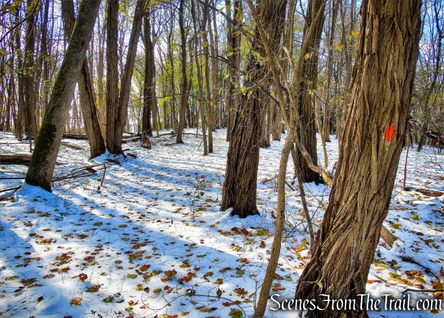
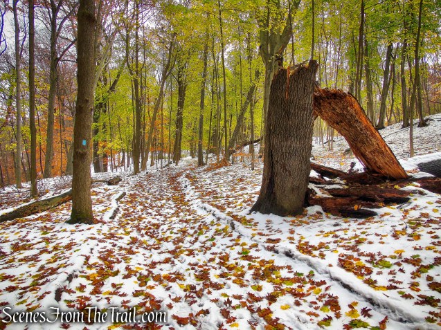
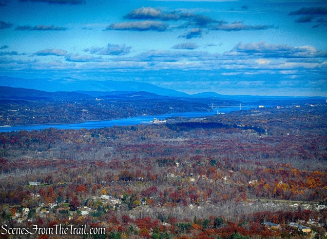
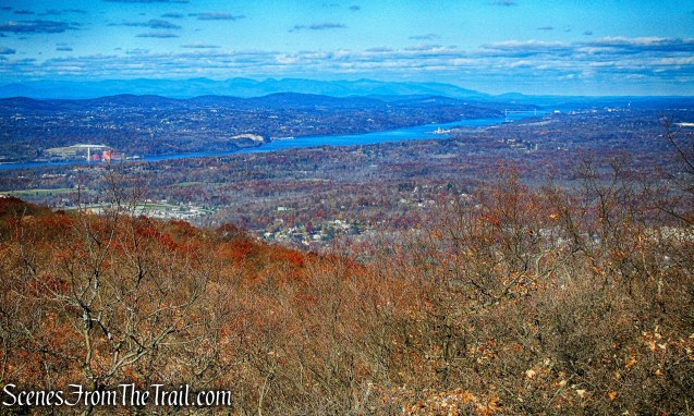
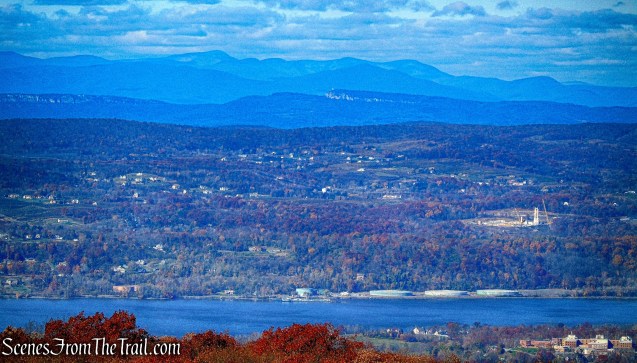
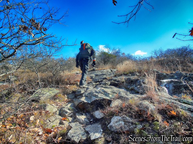
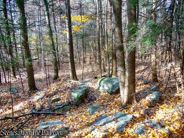
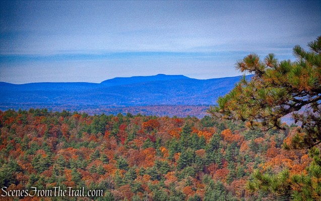
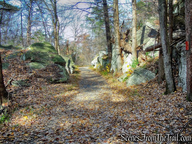
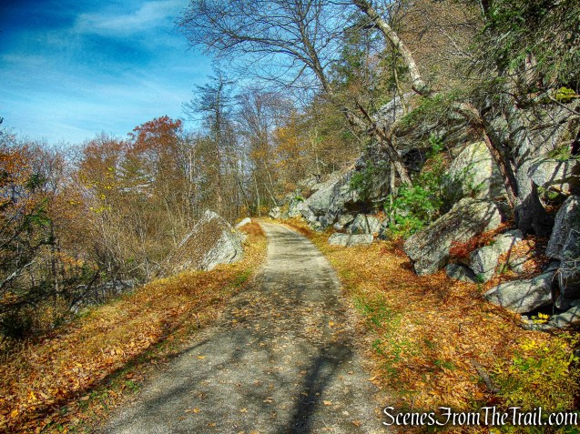
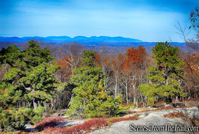
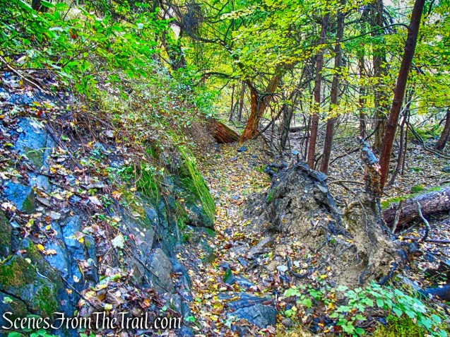
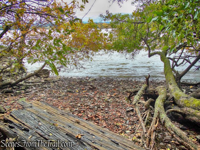
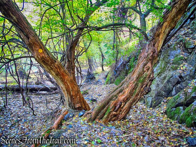
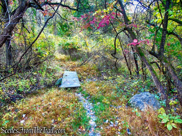
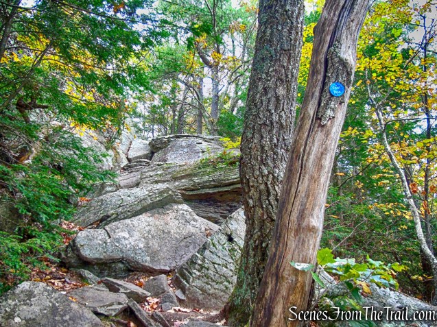
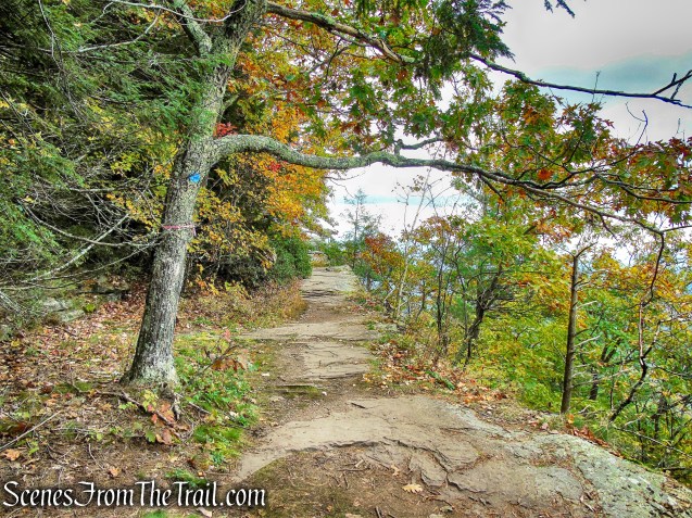
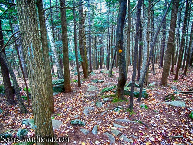
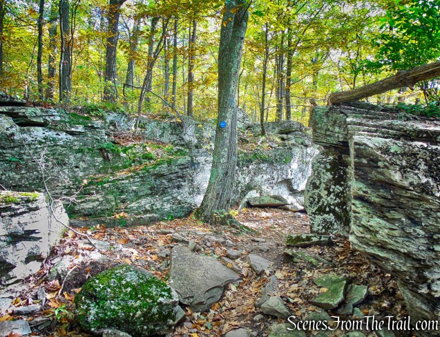
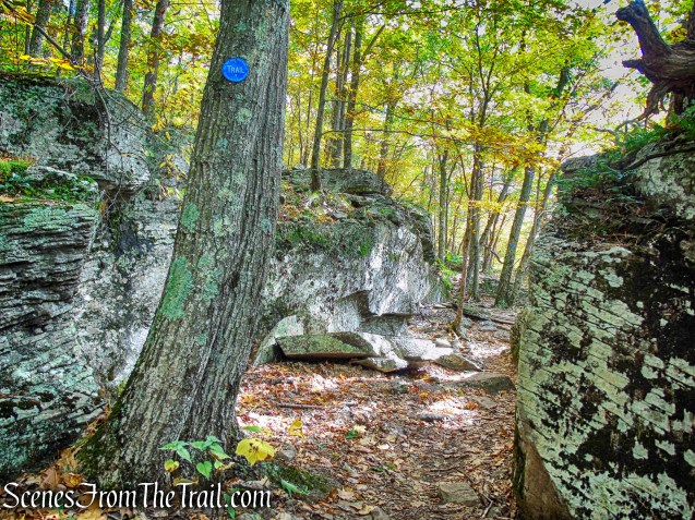
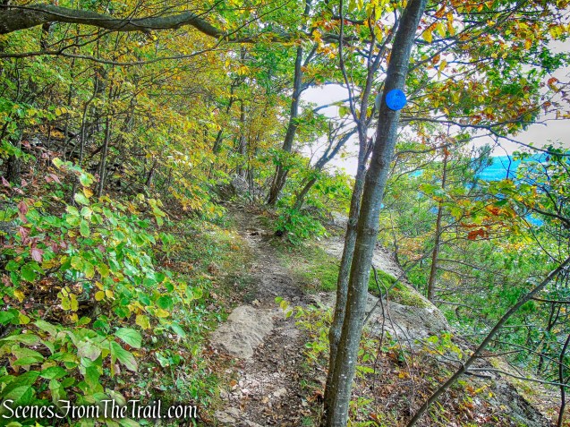
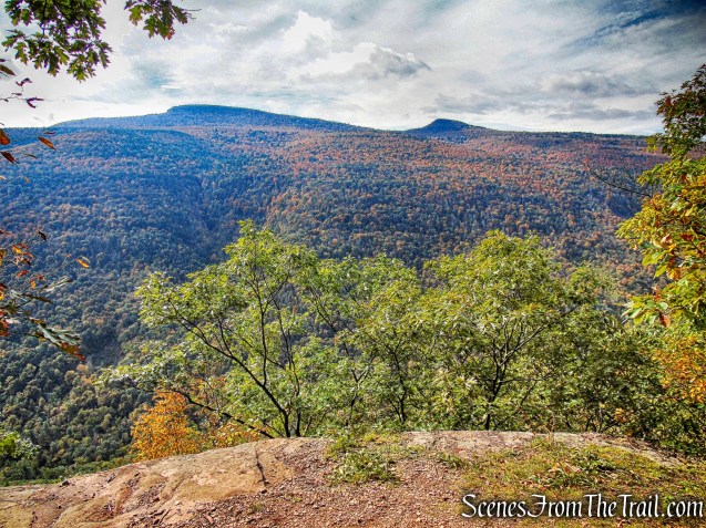
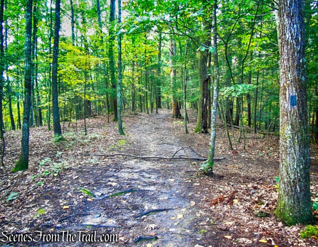
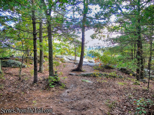
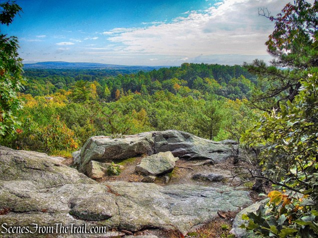
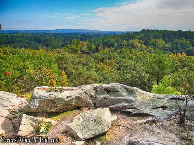
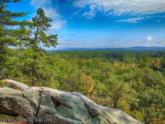
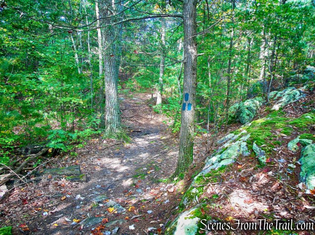
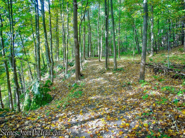
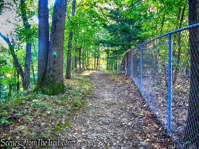
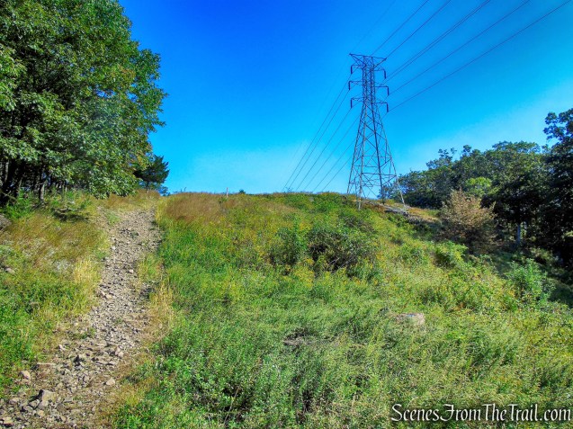
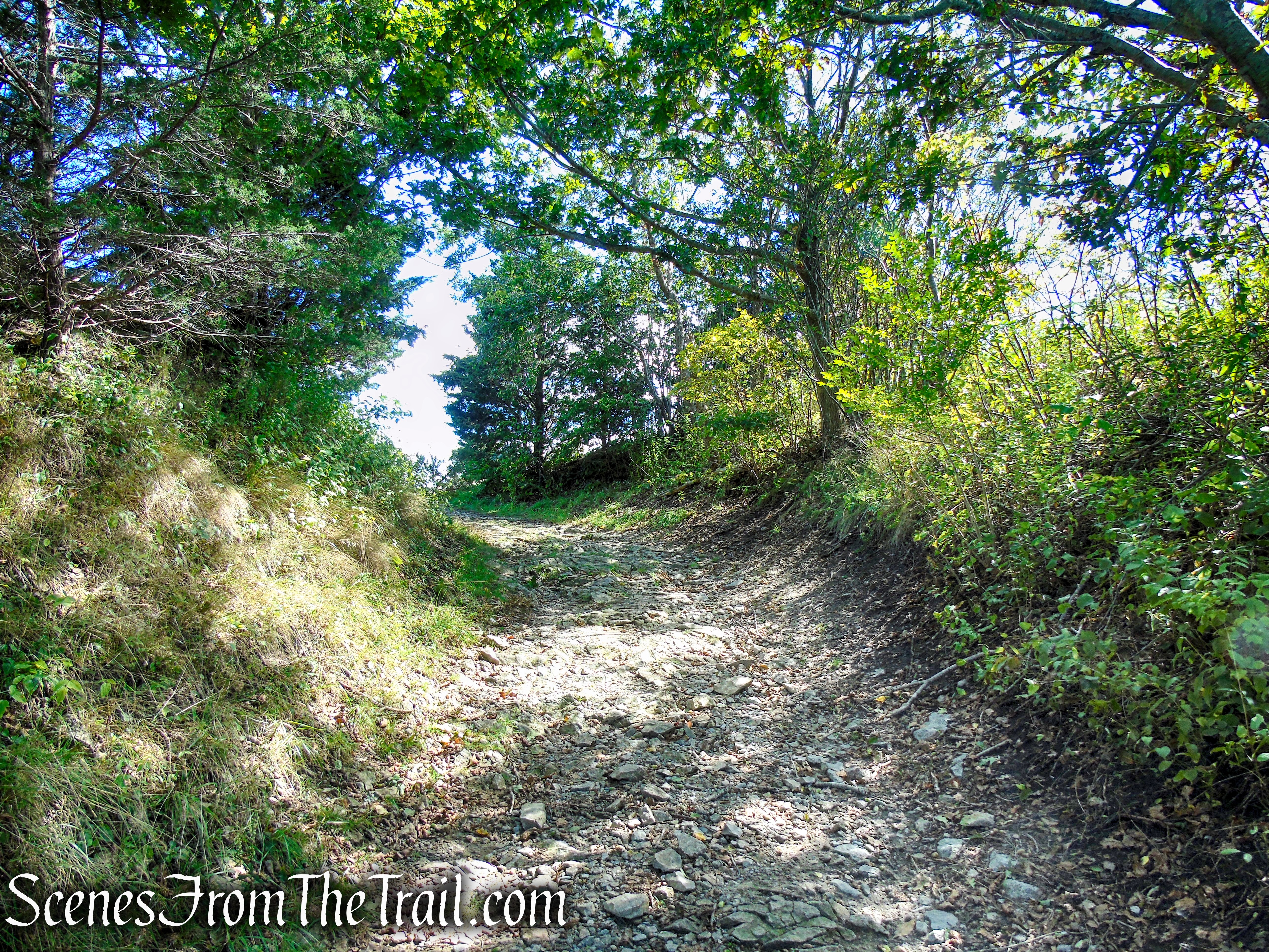
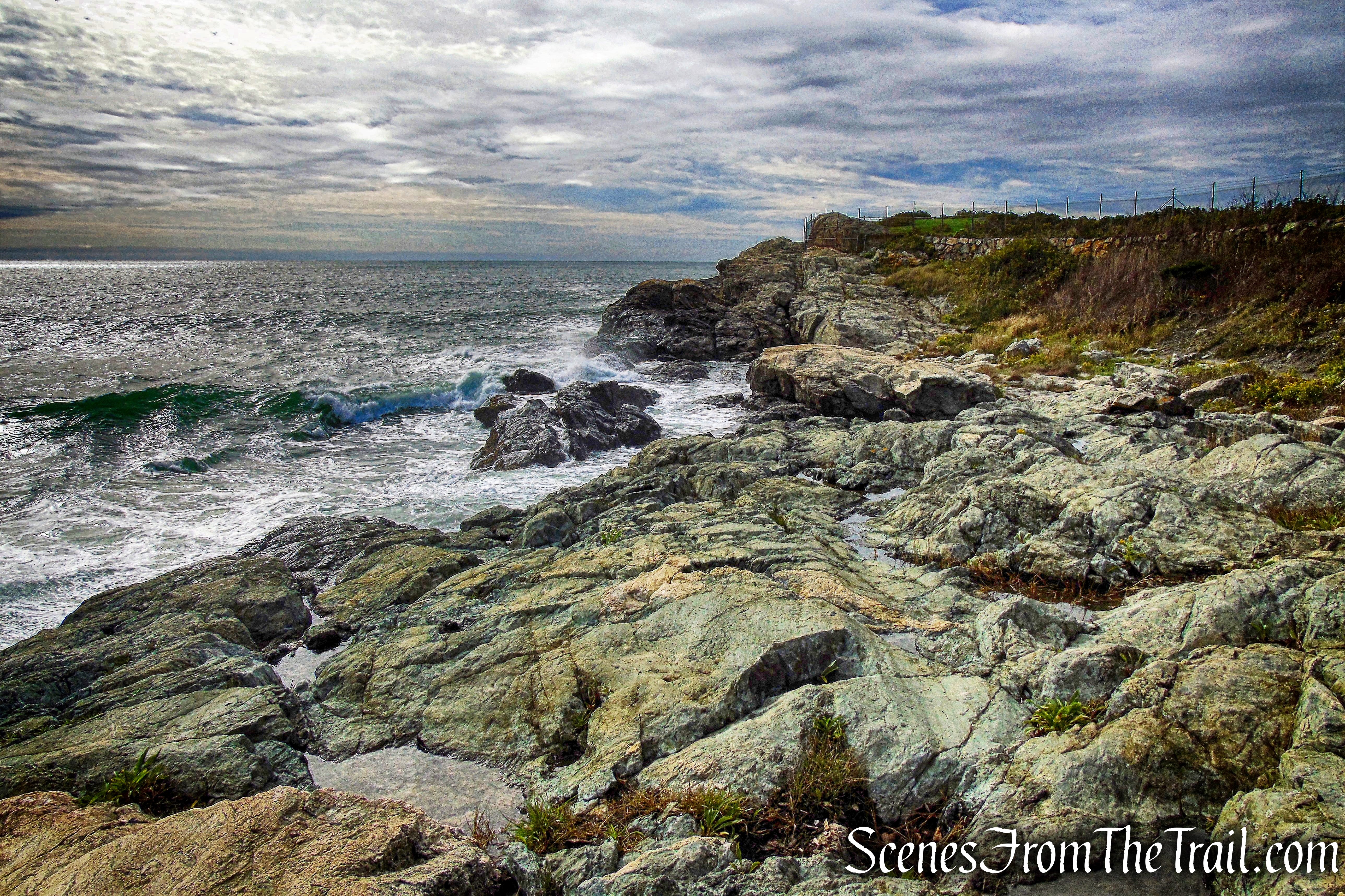
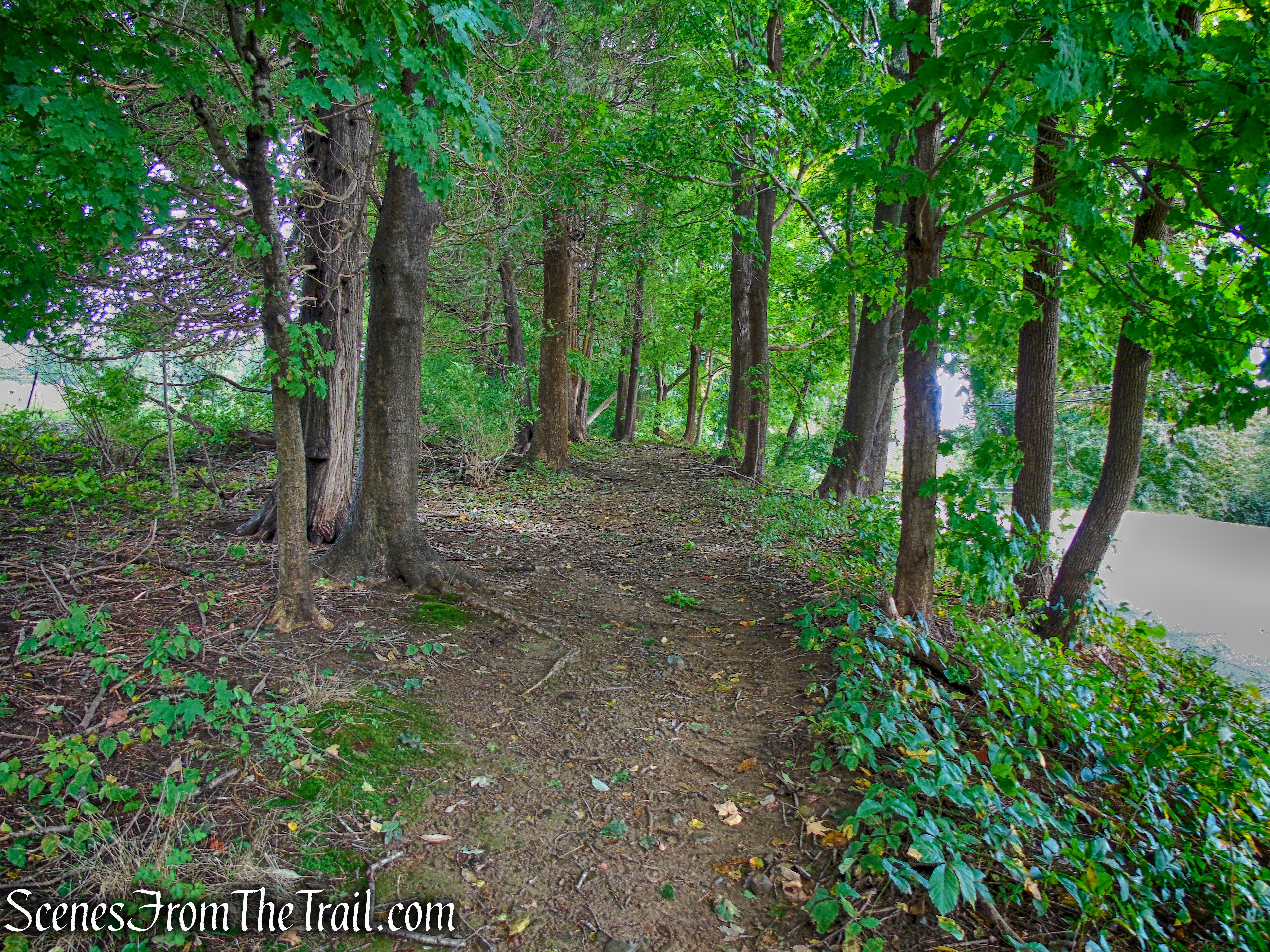
The Blue Trail begins heading south then turns left and heads northeast along the eastern edge of the preserve, with some views through the trees.

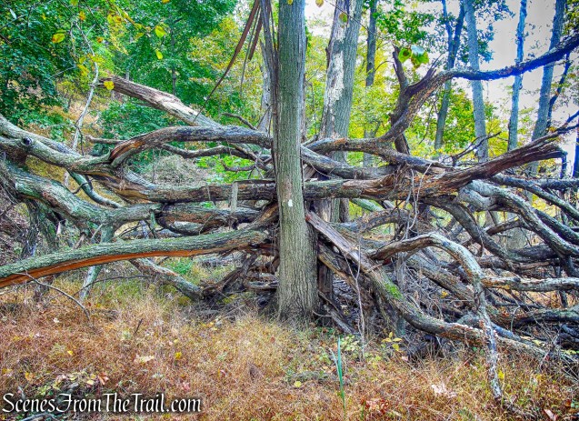
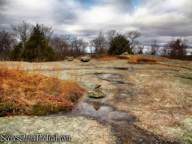
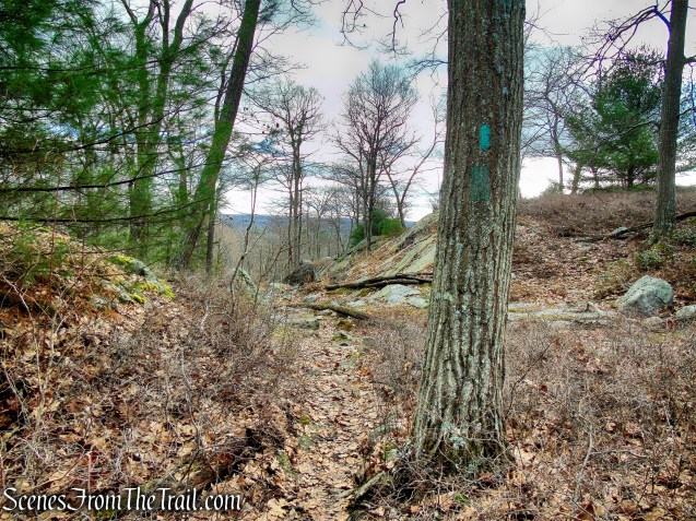
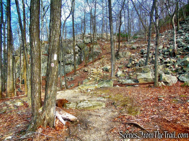
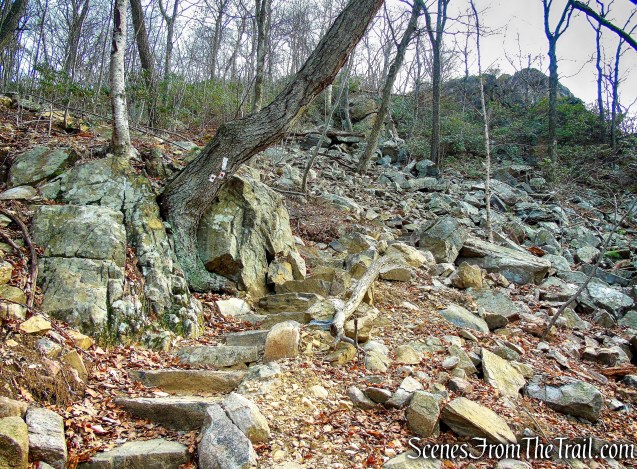
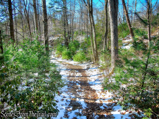
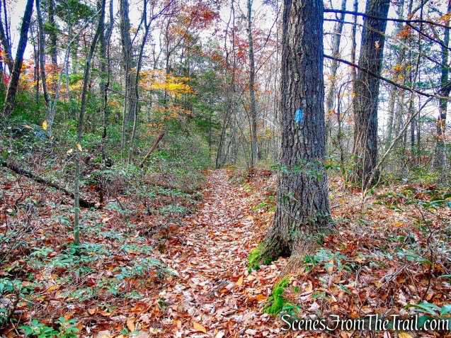
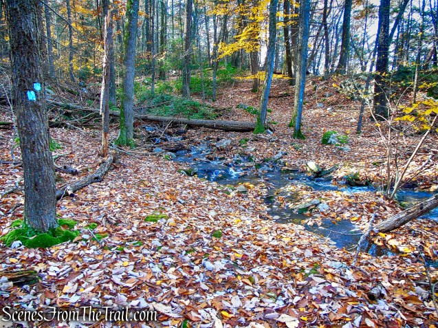
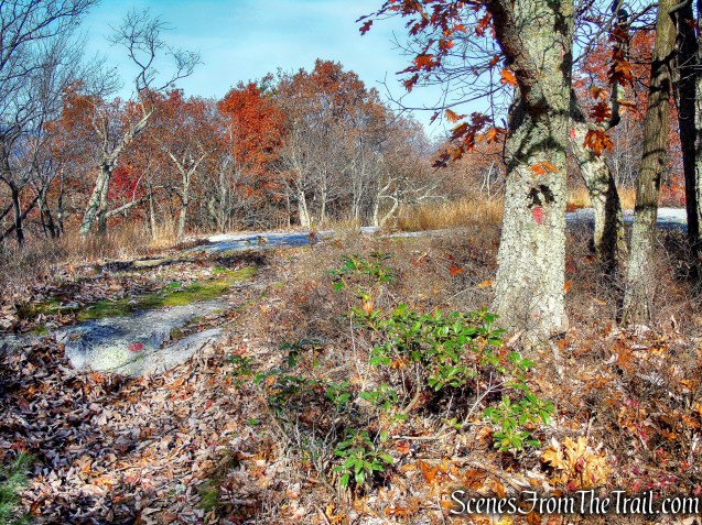
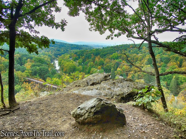
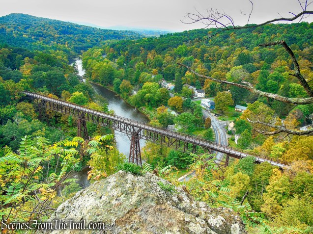
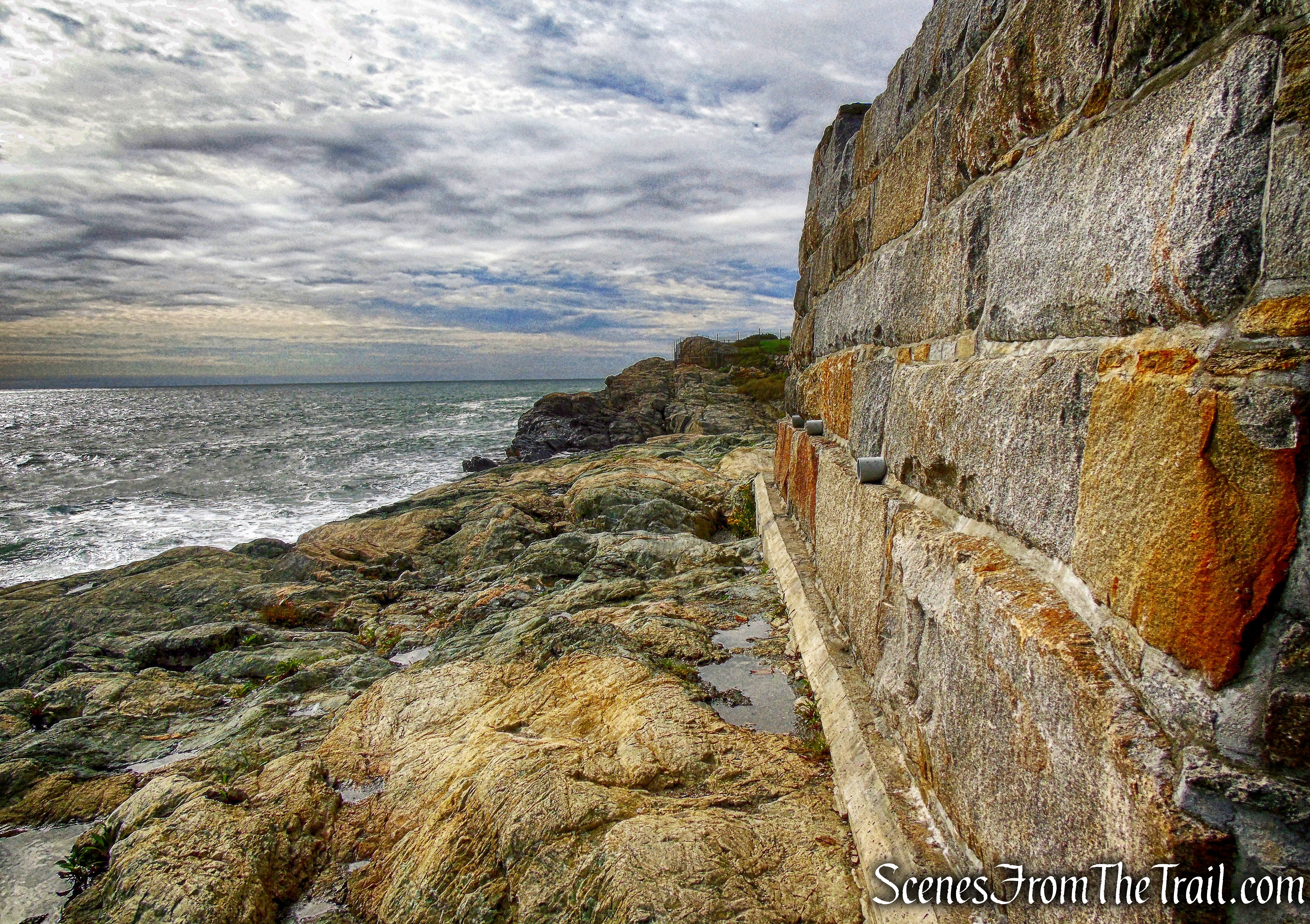
Blue Trail – Hart’s Brook Park and Preserve
Blue Trail – Hart’s Brook Park and Preserve

Blue Trail – Hart’s Brook Park and Preserve

Blue Trail – Hart’s Brook Park and Preserve
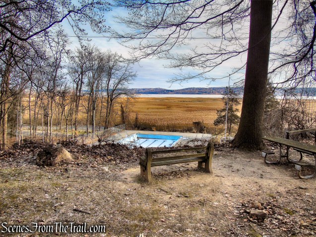
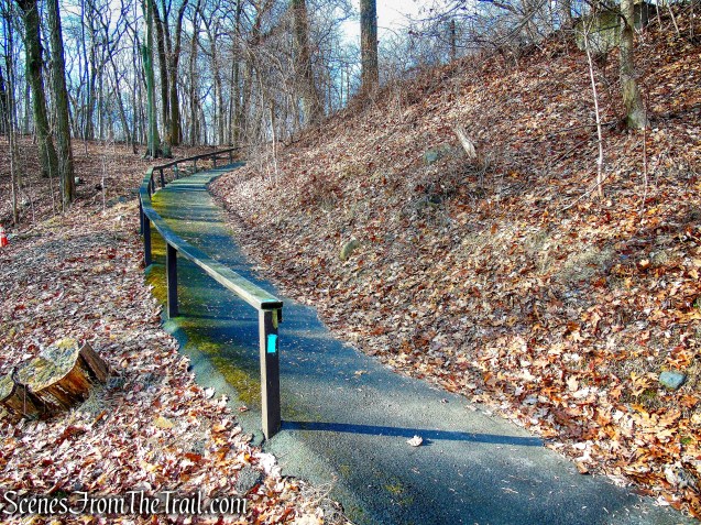
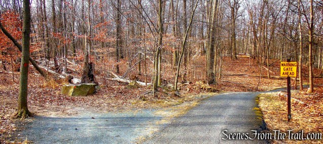
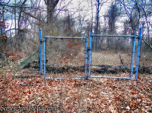
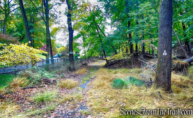
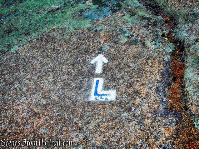
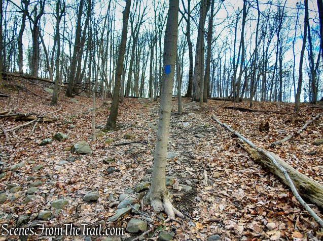
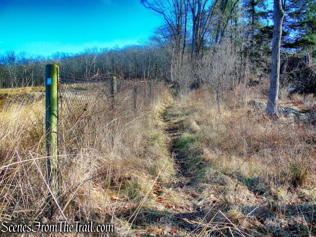
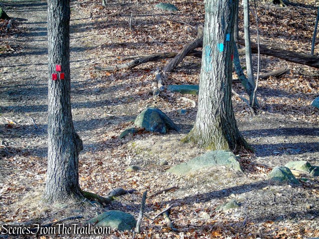
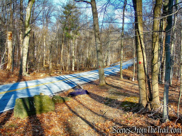
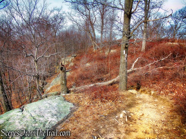
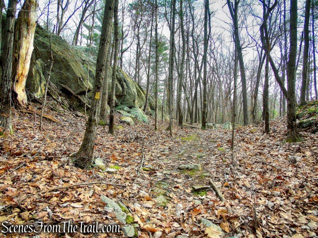
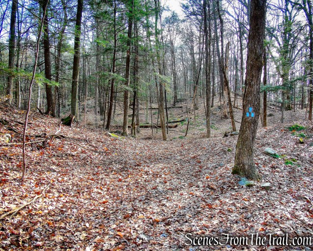
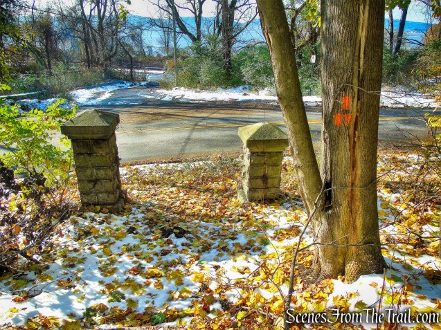
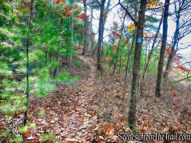
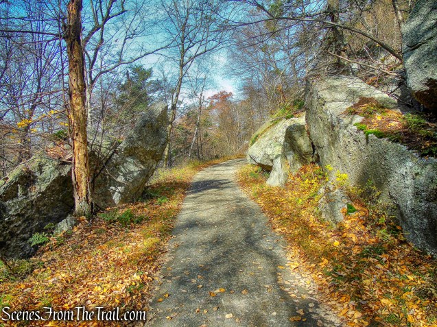
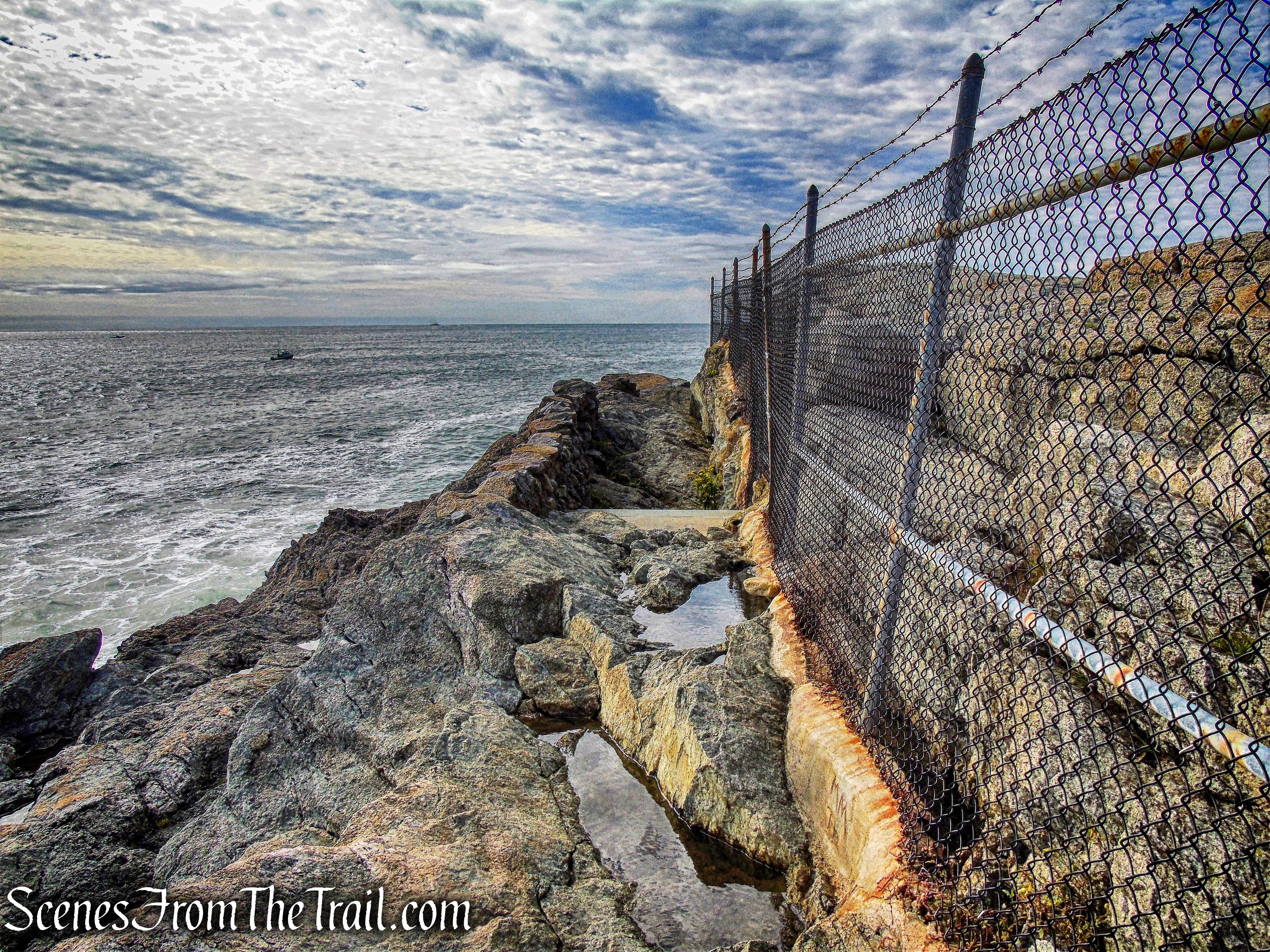
The Blue Trail soon reaches a junction with another leg of the Blue Trail, which goes to the left. We veered right on the outer leg of the Blue Trail, which soon passes between a fence and continues on a paved road.

Blue Trail – Hart’s Brook Park and Preserve

Blue Trail – Hart’s Brook Park and Preserve
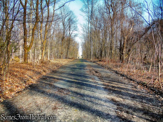
Blue Trail – Hart’s Brook Park and Preserve
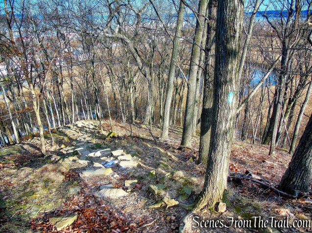
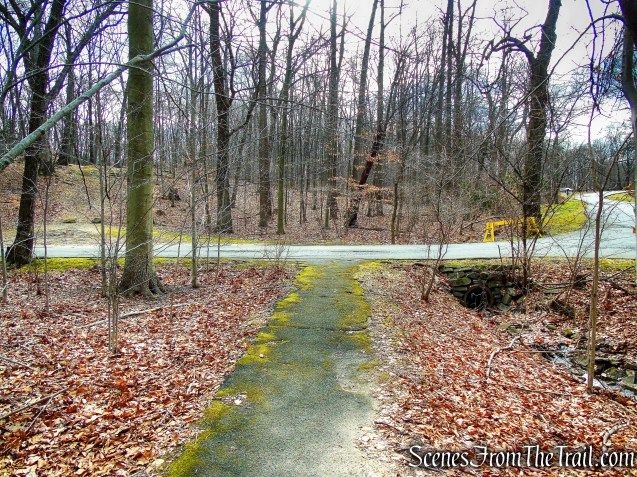
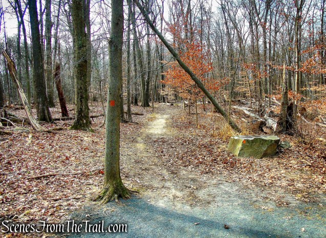
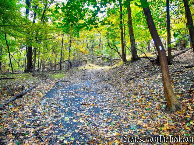
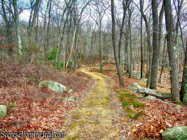
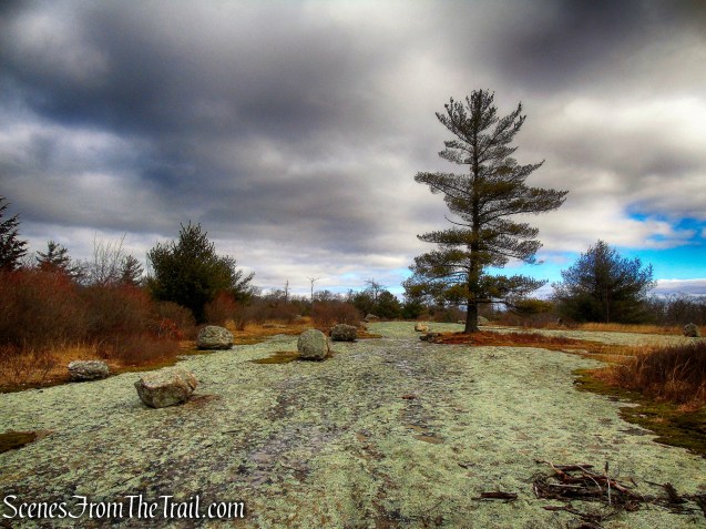
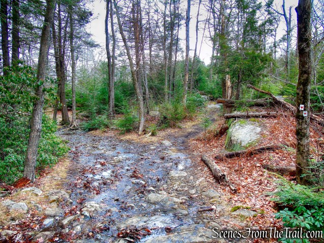
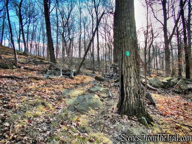
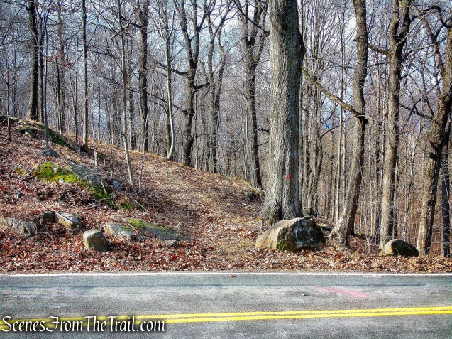
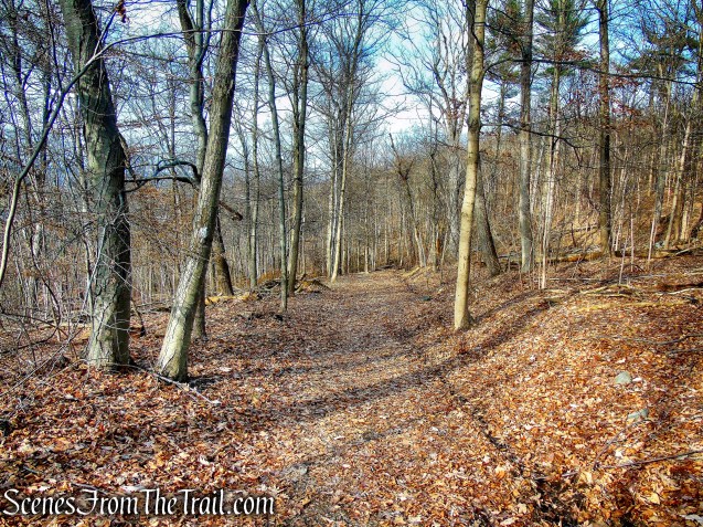
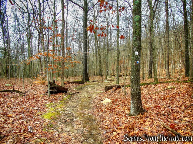
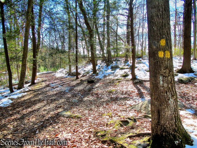
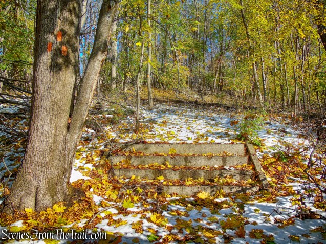
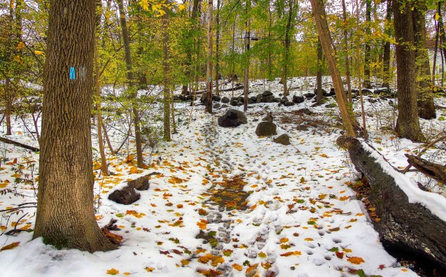
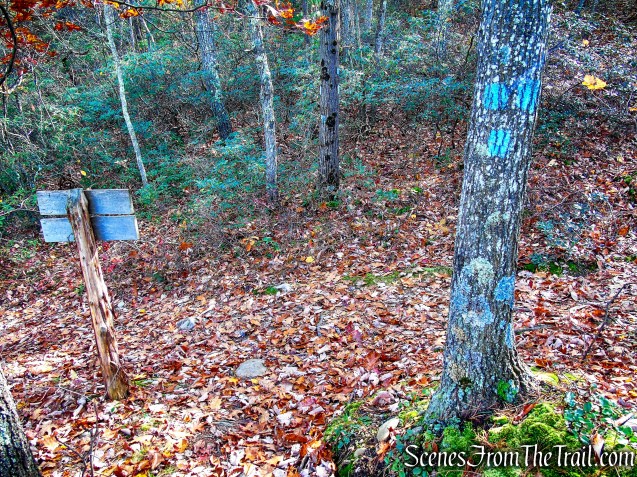
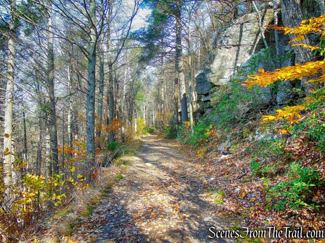
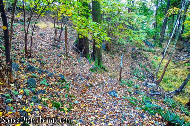
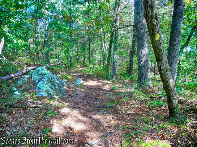
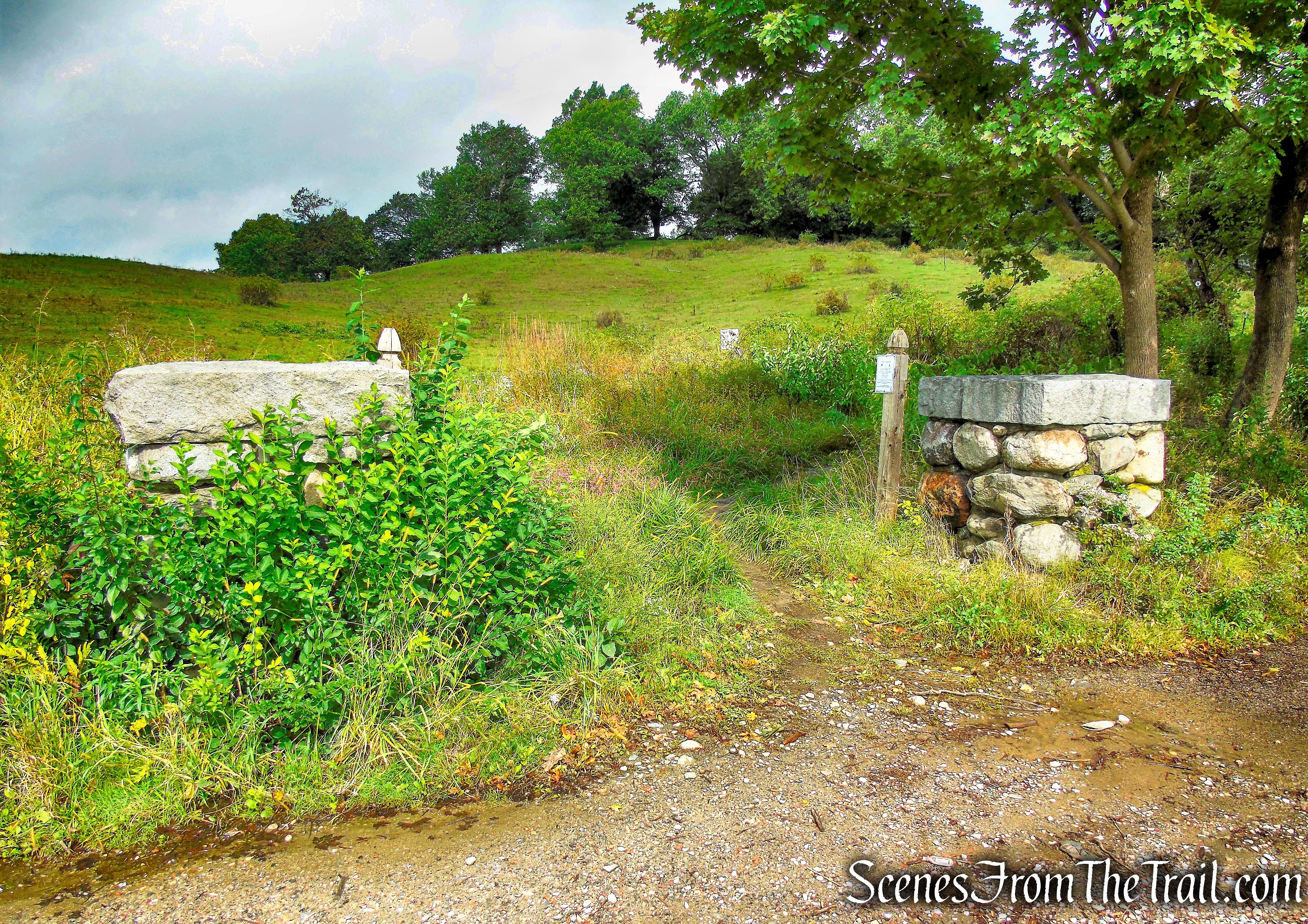
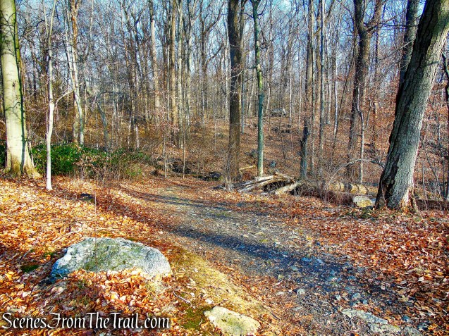
The Blue Trail soon turns left and leaves the paved road, now heading west through the woods. In just under 400 feet, the Blue Trail ends at a T-intersection with the Orange Trail. We turned left on Orange and now began heading southwest. We passed the junction of the start of the Blue Trail (from earlier), which begins on the left and followed the orange blazes until its terminus at the Green Trail.
Blue Trail – Hart’s Brook Park and Preserve

junction of Orange & Blue Trails – Hart’s Brook Park and Preserve

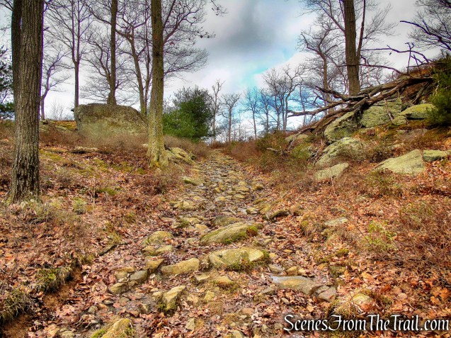
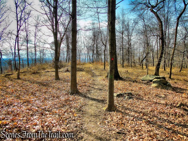
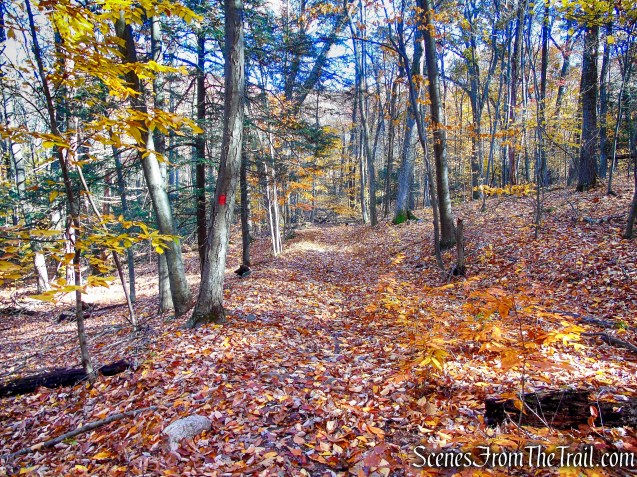
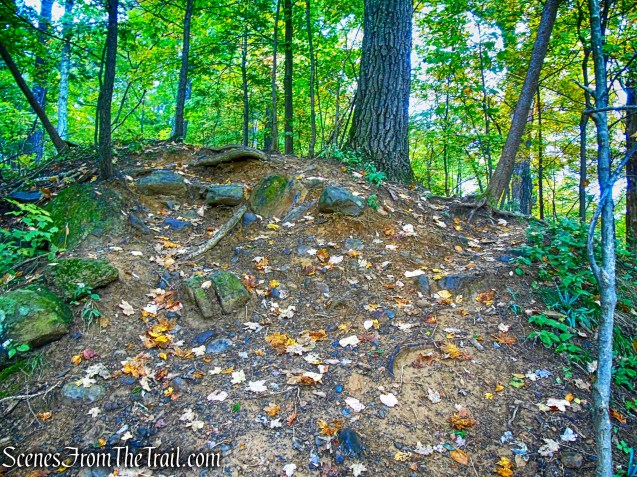
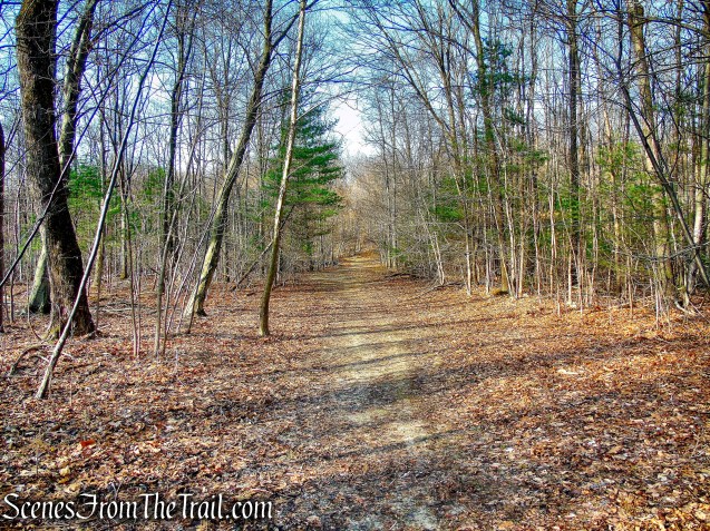
Orange Trail – Hart’s Brook Park and Preserve
Orange Trail – Hart’s Brook Park and Preserve
We turned right on Green and followed it north until its terminus, at a junction with the Yellow Trail.

Green Trail – Hart’s Brook Park and Preserve
Green Trail – Hart’s Brook Park and Preserve
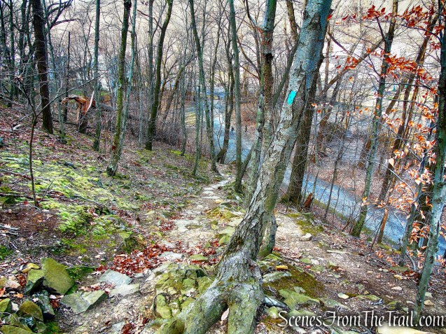
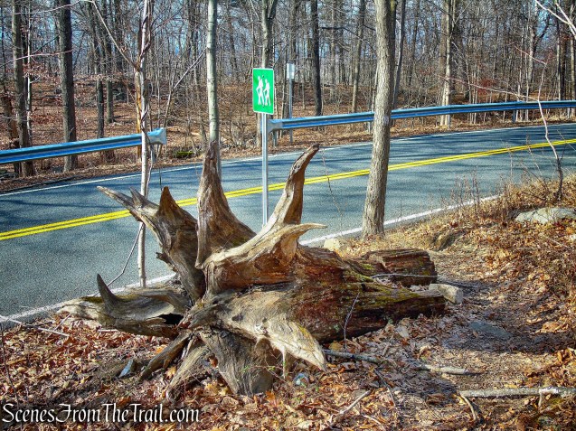
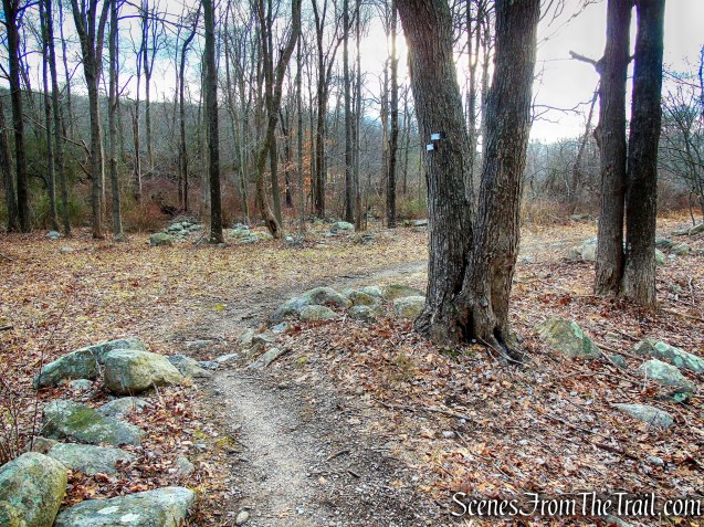
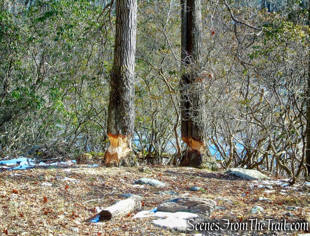
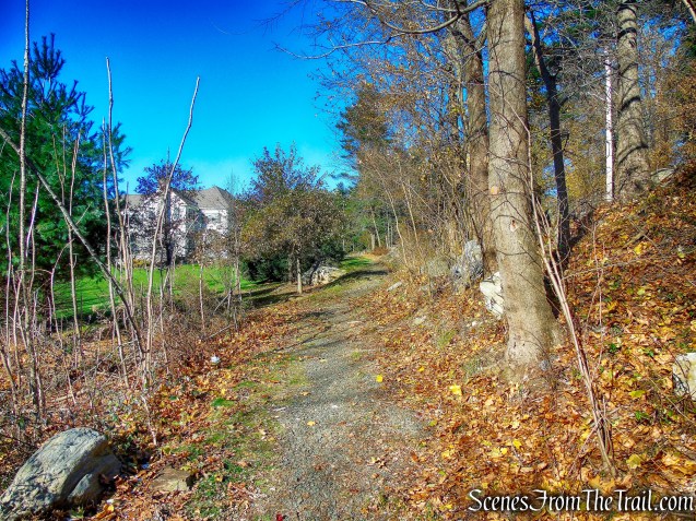
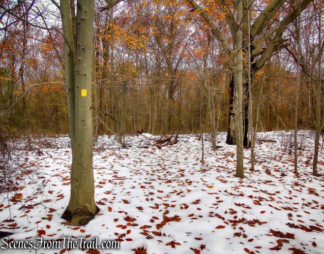
We continued ahead, now following the yellow blazes in a northerly direction. The Yellow Trail passes two junctions with unmarked woods roads on the left and a paved road (not on the map) which veers right and enters the Marian Woods Convent property.
Yellow Trail – Hart’s Brook Park and Preserve
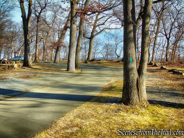
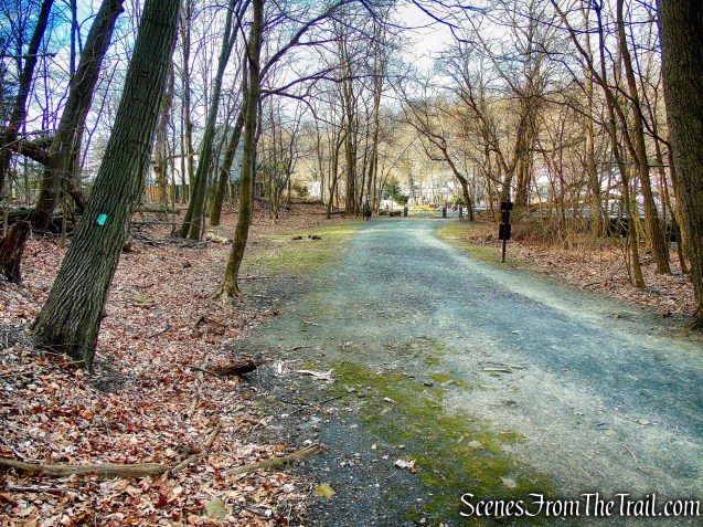
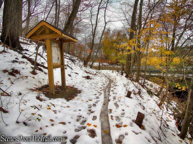
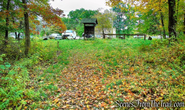
The Yellow Trail soon comes out behind the greenhouse and crosses a field and ends at the parking area.

greenhouse – Hart’s Brook Park and Preserve
Yellow Trail – Hart’s Brook Park and Preserve
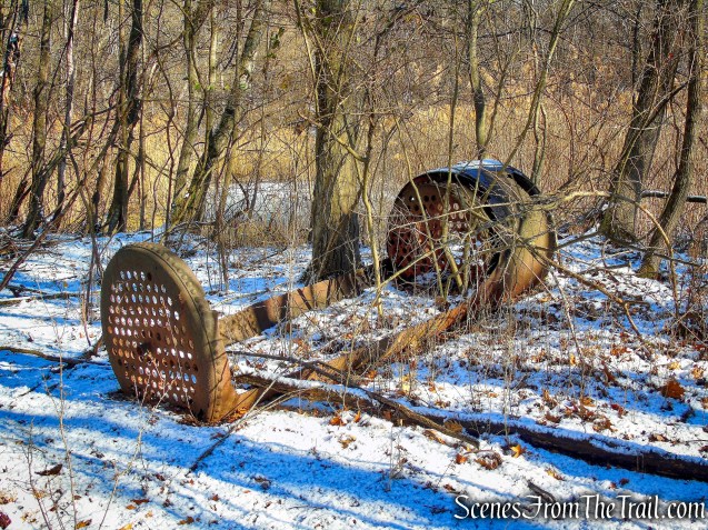
A steel sculpture sits along the entrance road.

steel sculpture – Hart’s Brook Park and Preserve
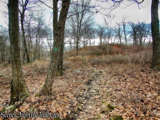
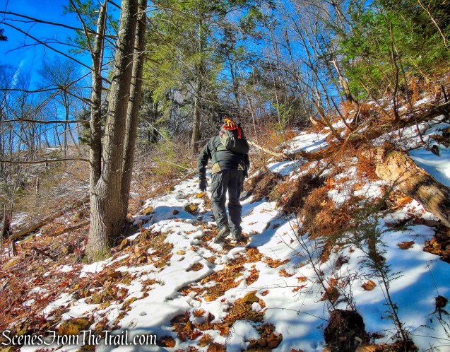
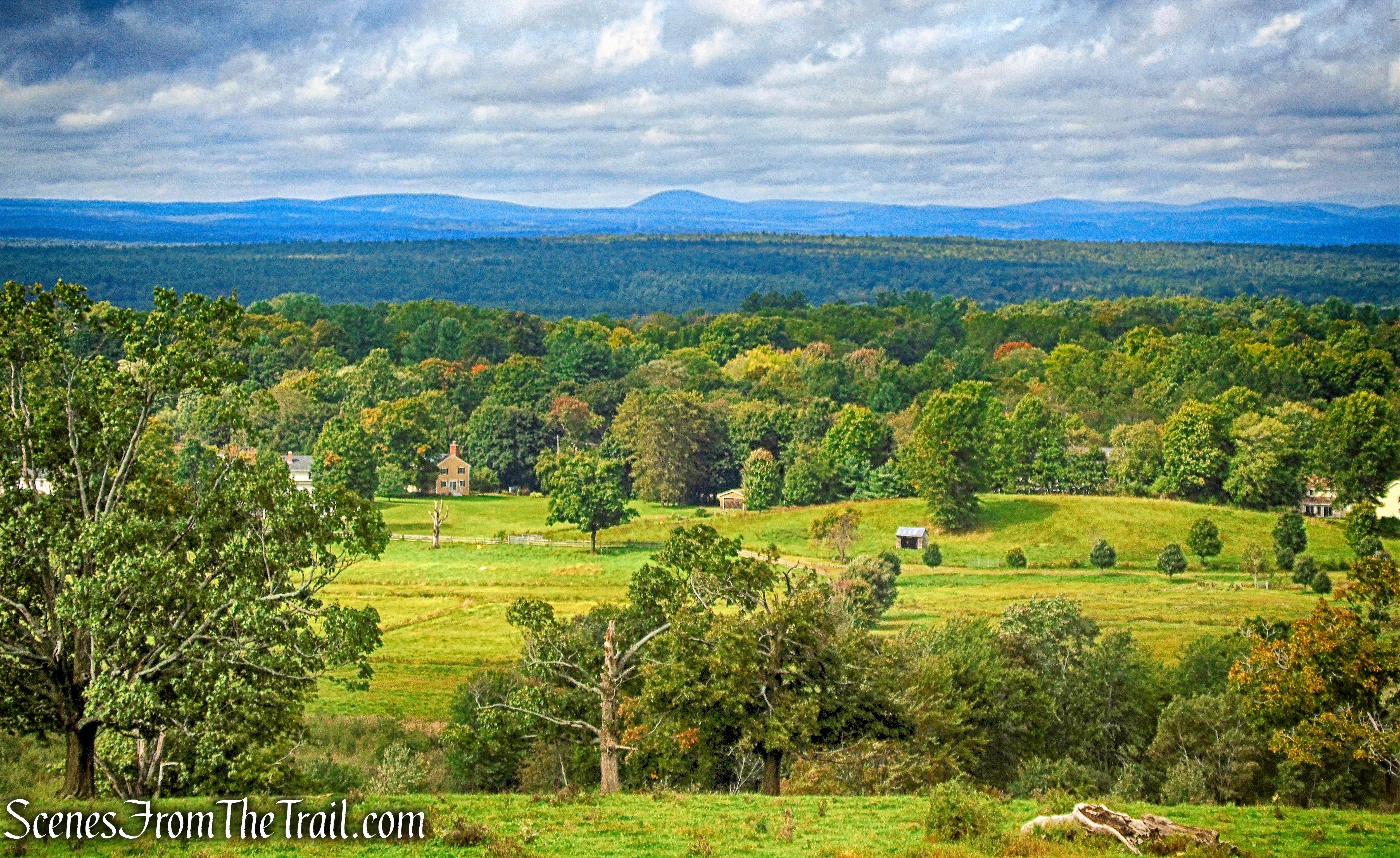
We then headed east on the Orange Trail which runs across the front lawn. In this area is where we saw what we thought was an owl.

Orange Trail – Hart’s Brook Park and Preserve
The Orange Trail soon crosses the paved exit road and enters the woods.

Orange Trail – Hart’s Brook Park and Preserve
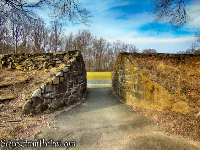
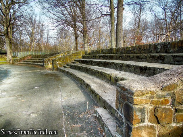
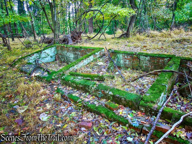
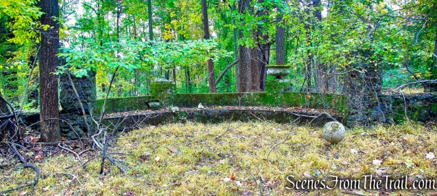
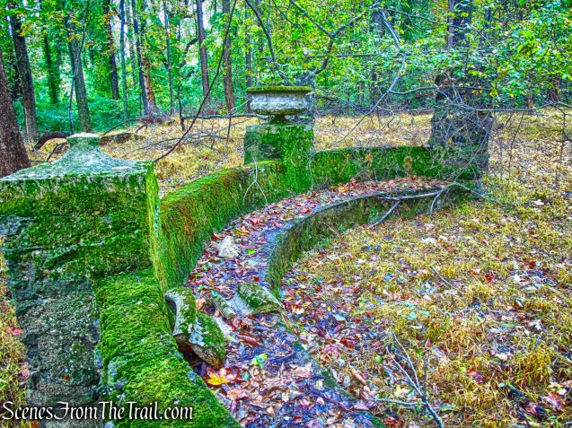
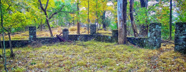
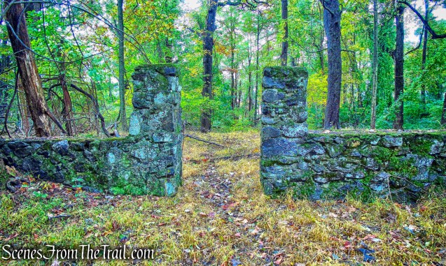
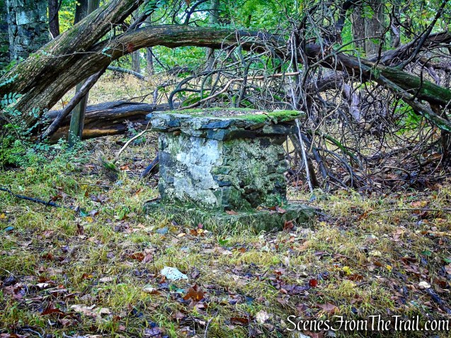
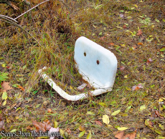
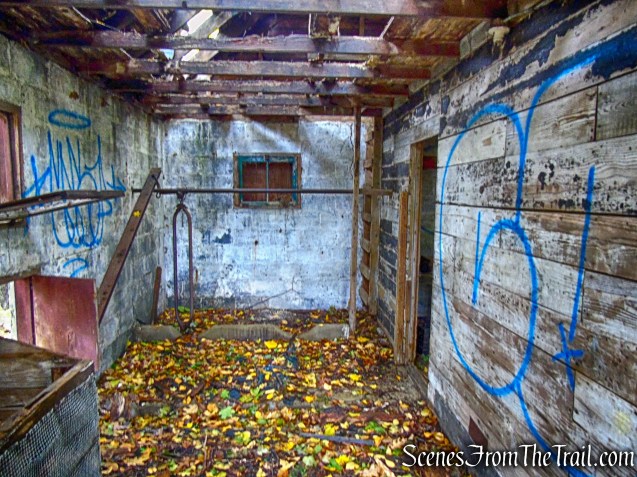
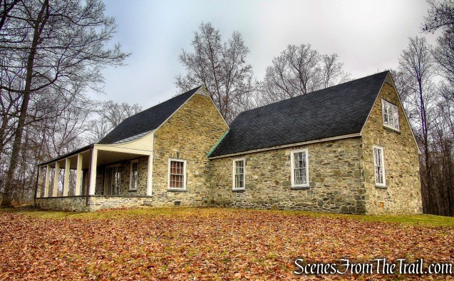
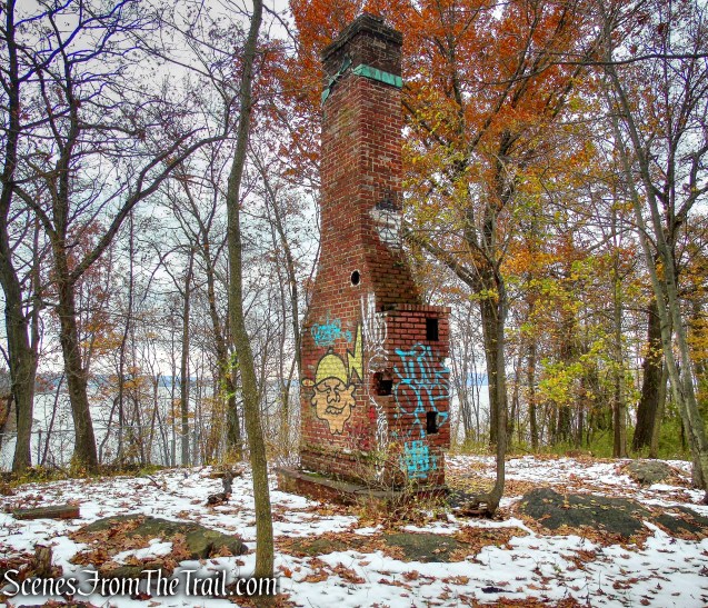
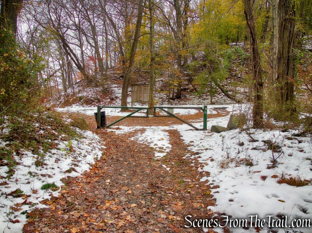
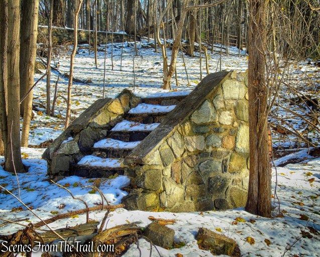
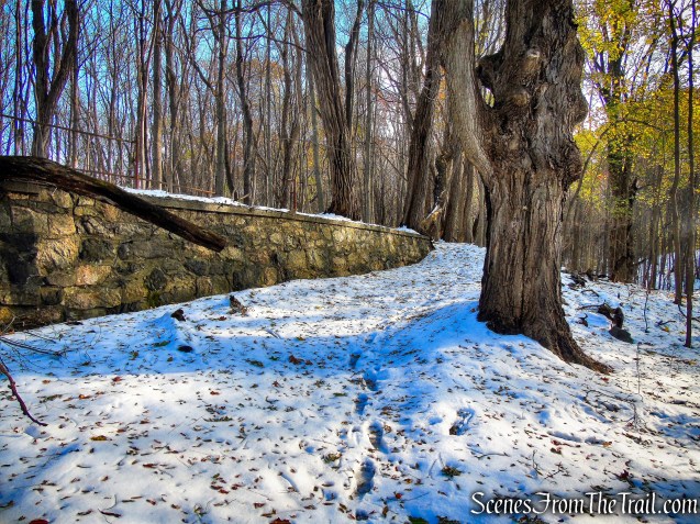
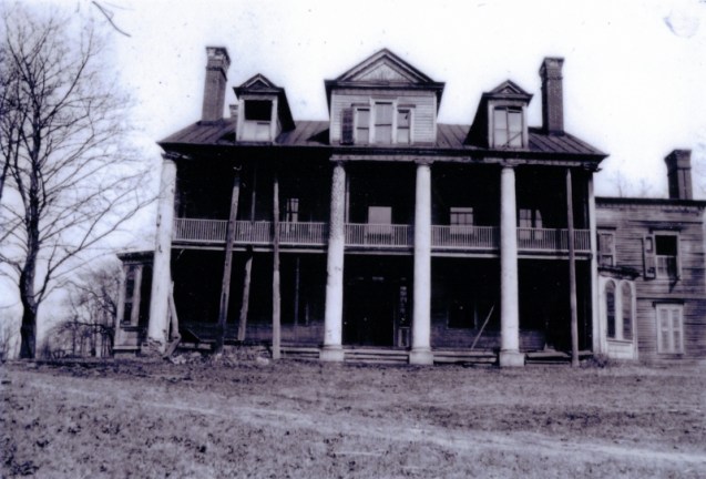
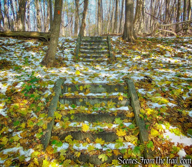
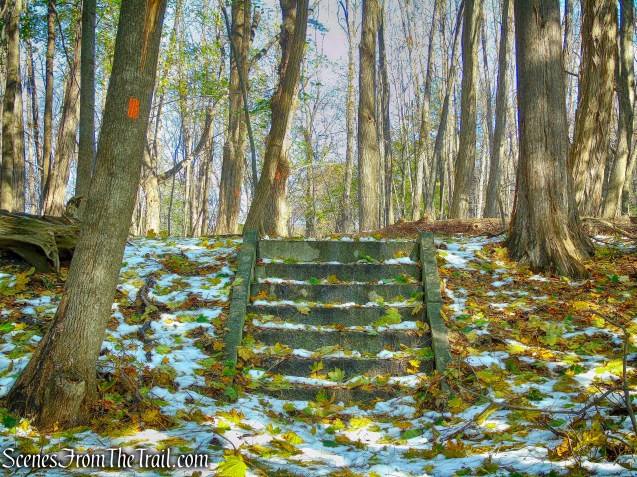
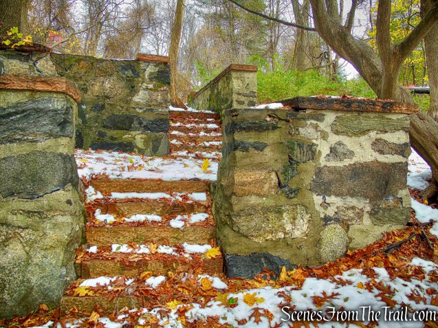
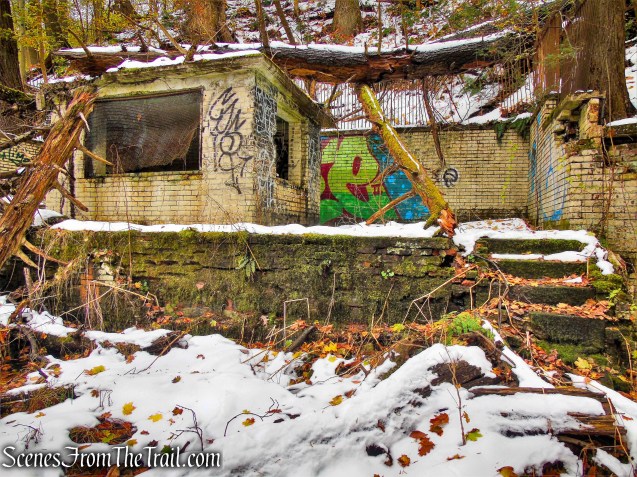
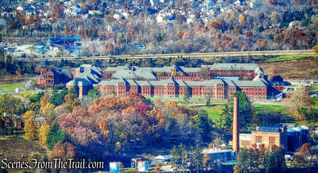
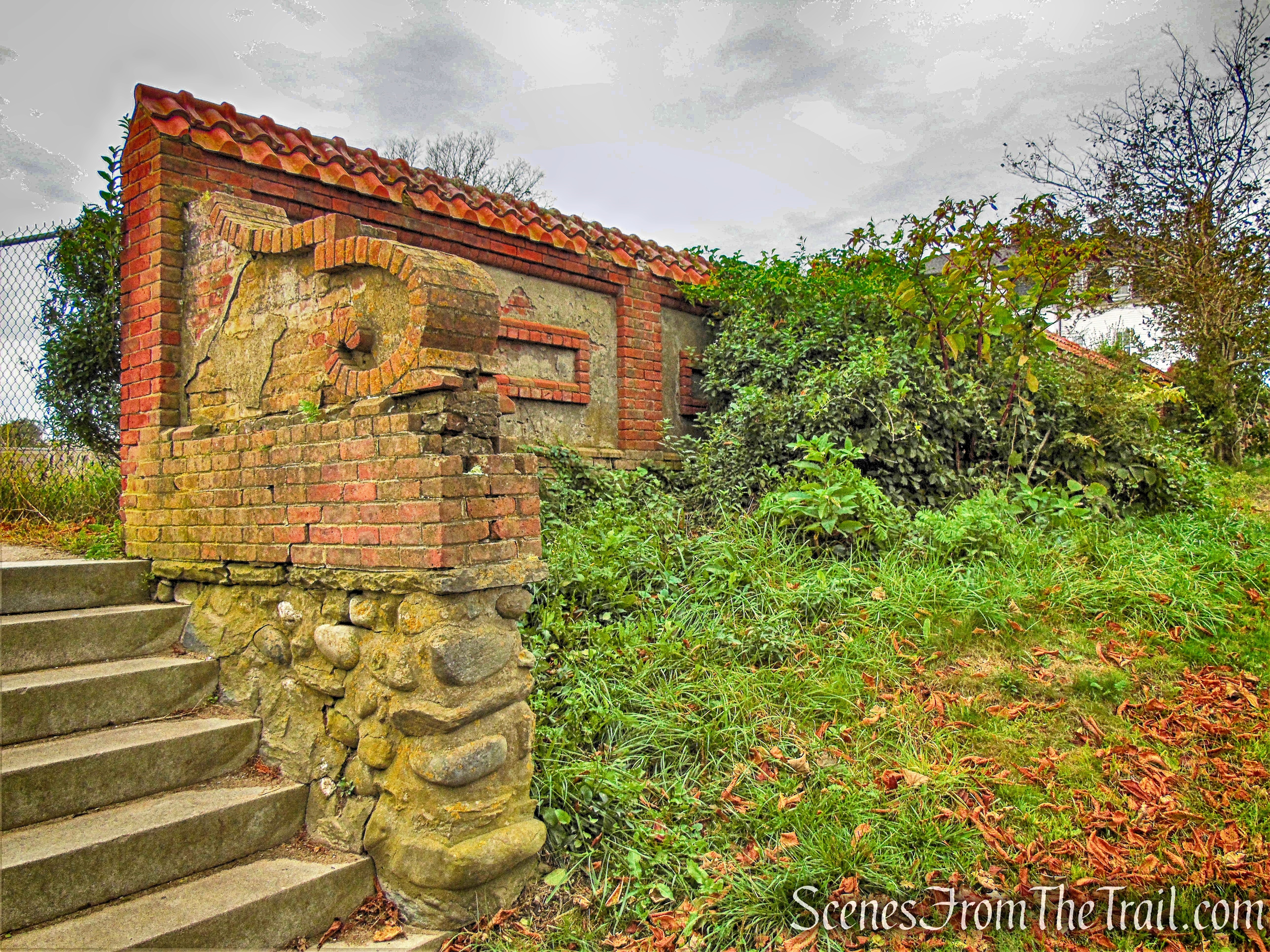
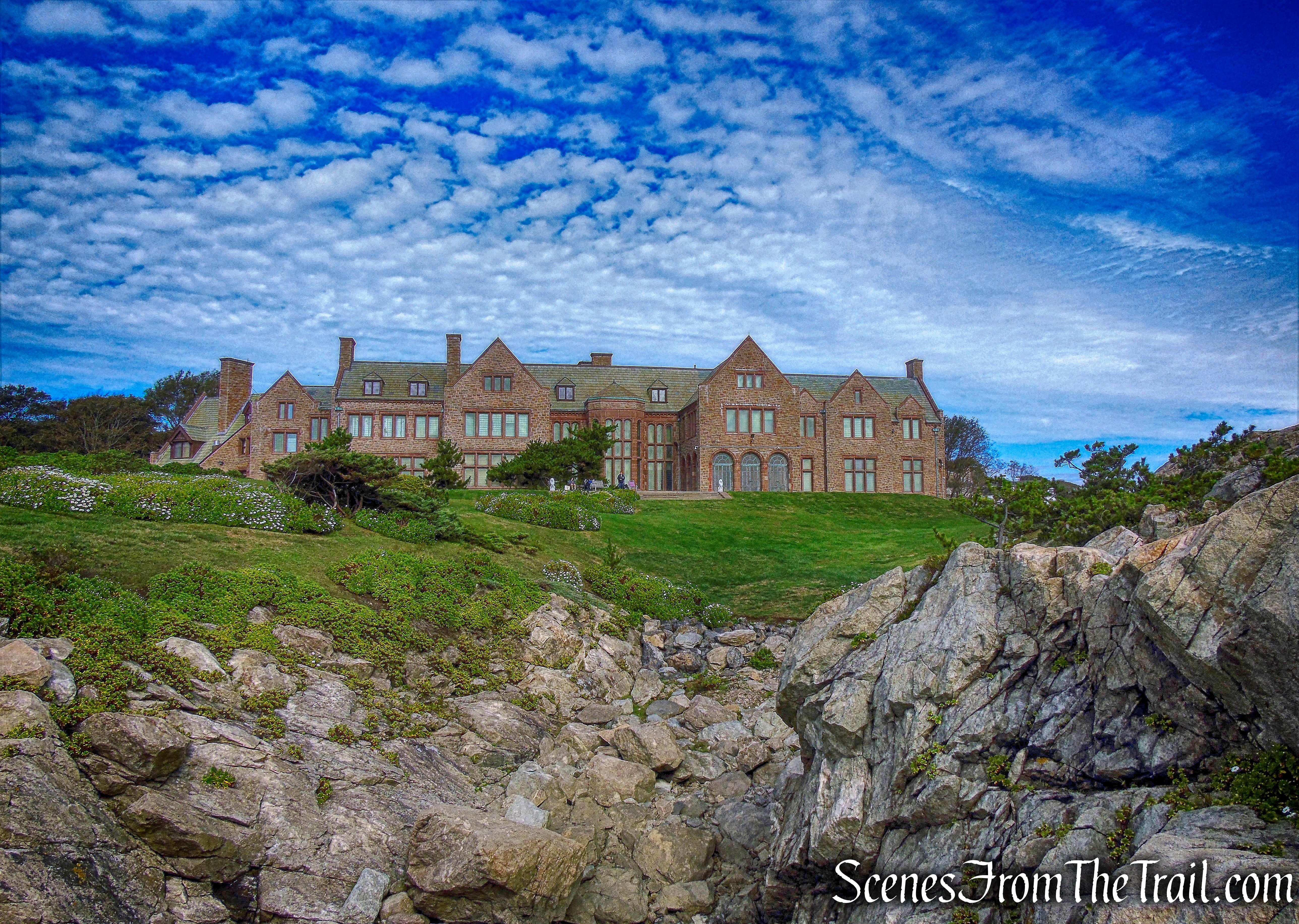
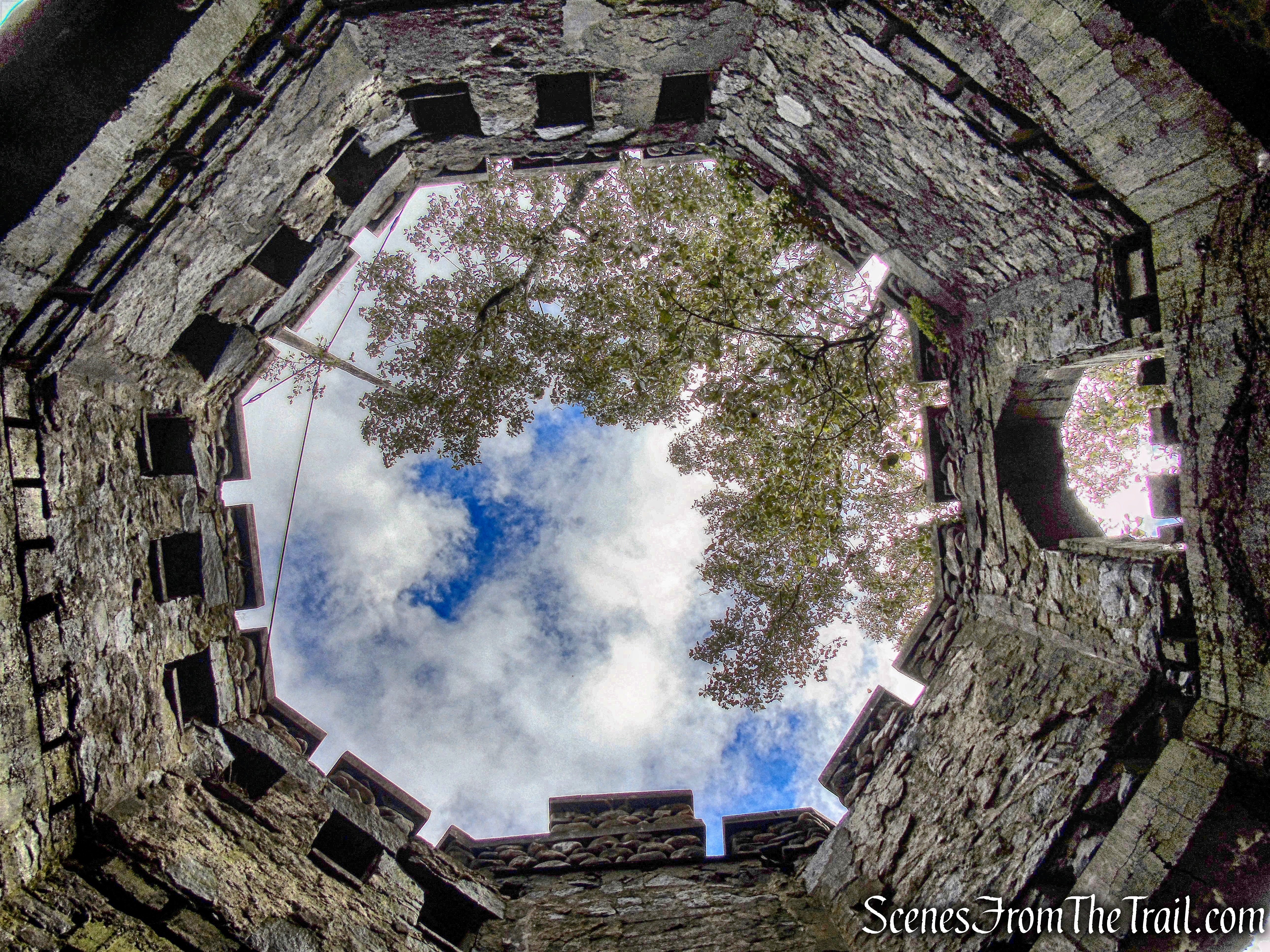
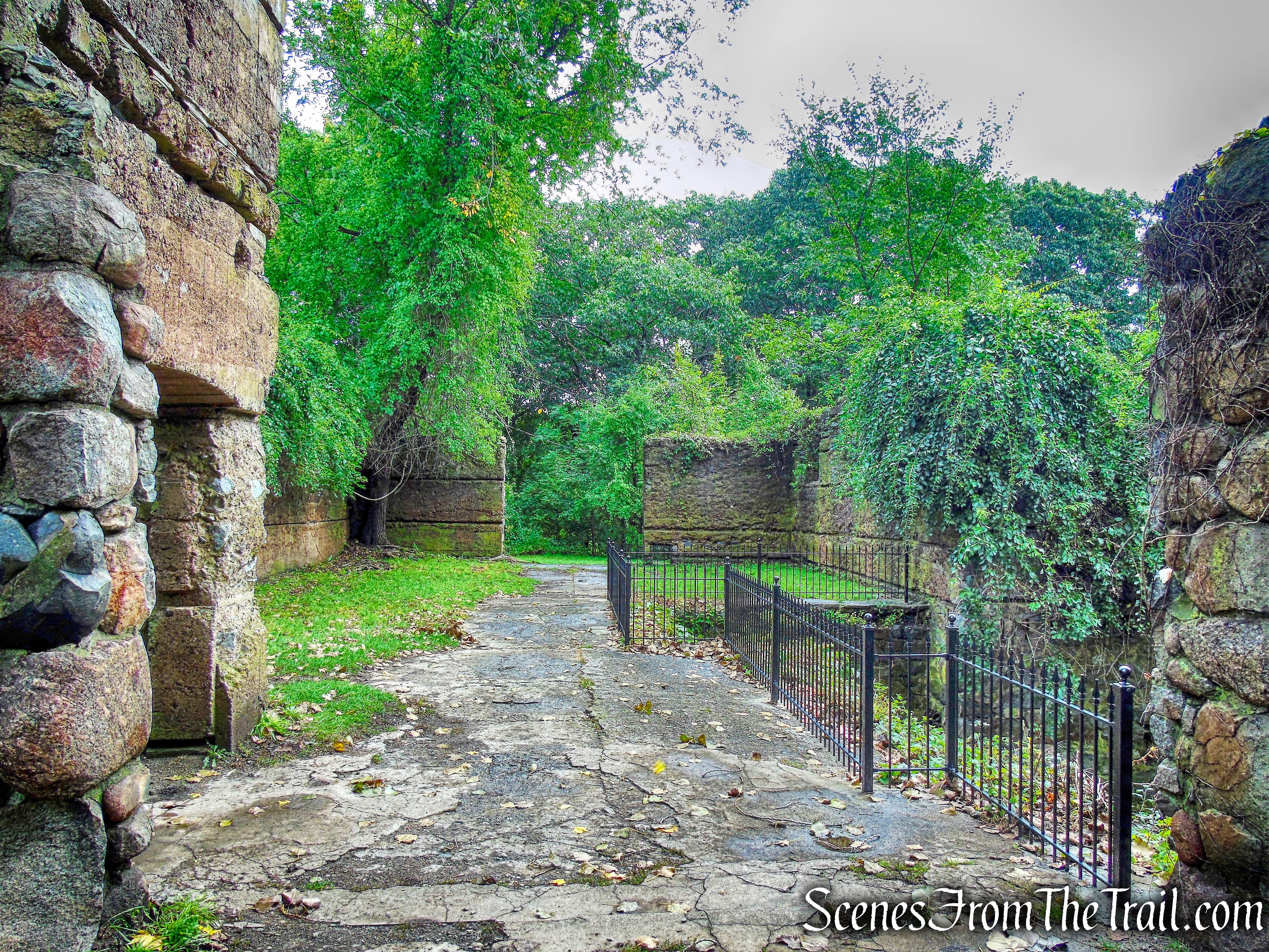
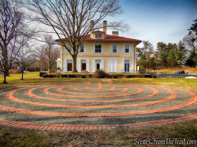
Just off the Orange Trail, the buildings of what used to be the Gaisman Estate, now Marian Woods property. The Orange Trail descends the hillside a short distance to where we already hiked. We then retraced our steps back on Orange, across the lawn and back to the parking area, where the hike began.
Orange Trail – Hart’s Brook Park and Preserve

Orange Trail – Hart’s Brook Park and Preserve
Review:
A very pleasant walk on woods roads through scenic woodlands. The trails are well blazed and the terrain is mostly level, with only several short, steep hills. On the day we visited, there were mostly dog walkers or people out for a walk. A good place to visit in cold weather when there would be less people. We saw what appeared to be a Great Horned Owl flying through the pine trees and a Red-tailed Hawk. Worth the time and effort to explore this lovely preserve.
Pros: Scenic woods, wildlife, lots of bird activity.
Cons: None.
Take a hike!