October 10, 2020 – Rhinebeck, NY
Difficulty: Easy
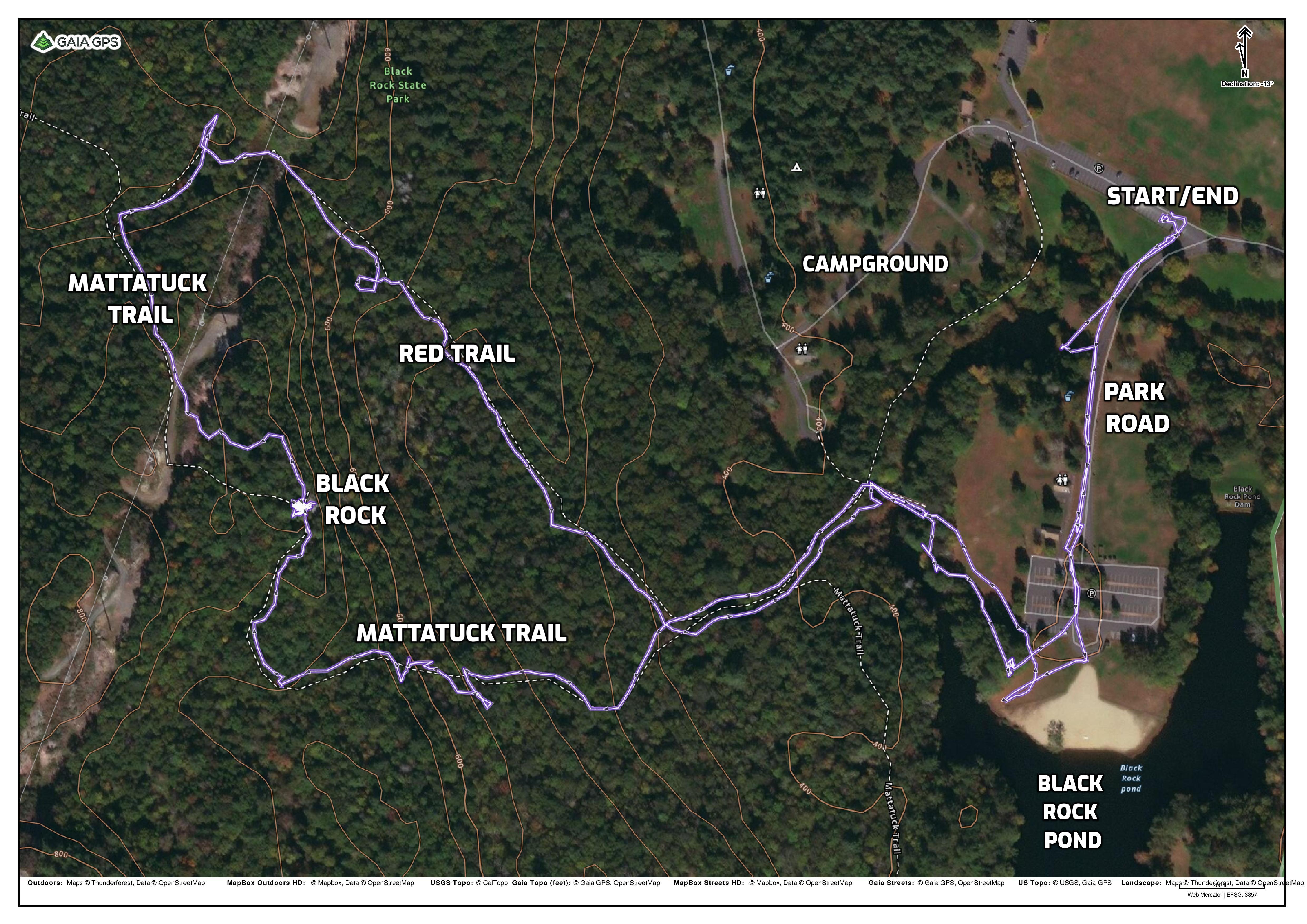
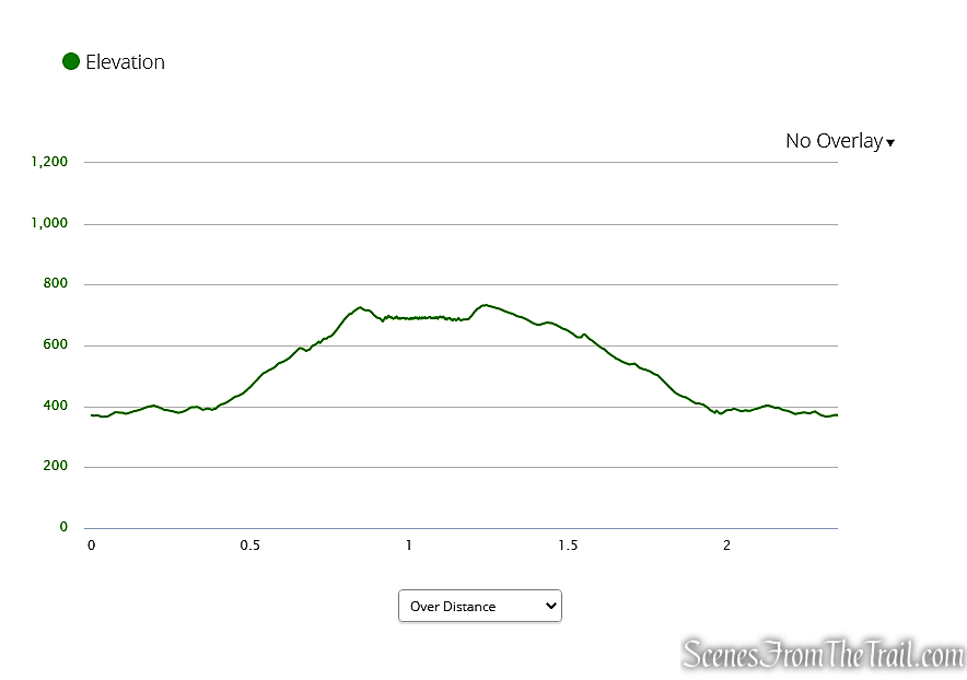
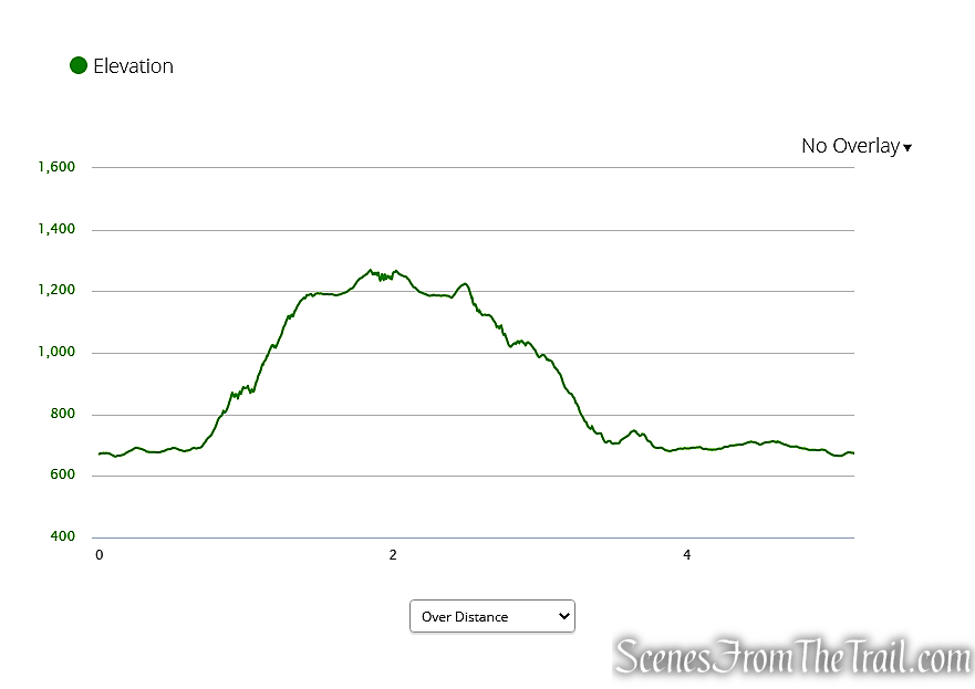
Length: Approximately 2.6 miles
Max elevation: 350 ft.– total elevation gain approximately 189 ft.
Route type: Circuit
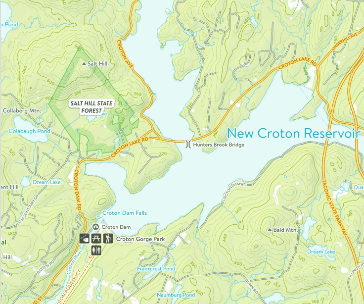
Map: Ferncliff Forest Trail Map 2019
Map: Ferncliff Forest Trail Map (Official)
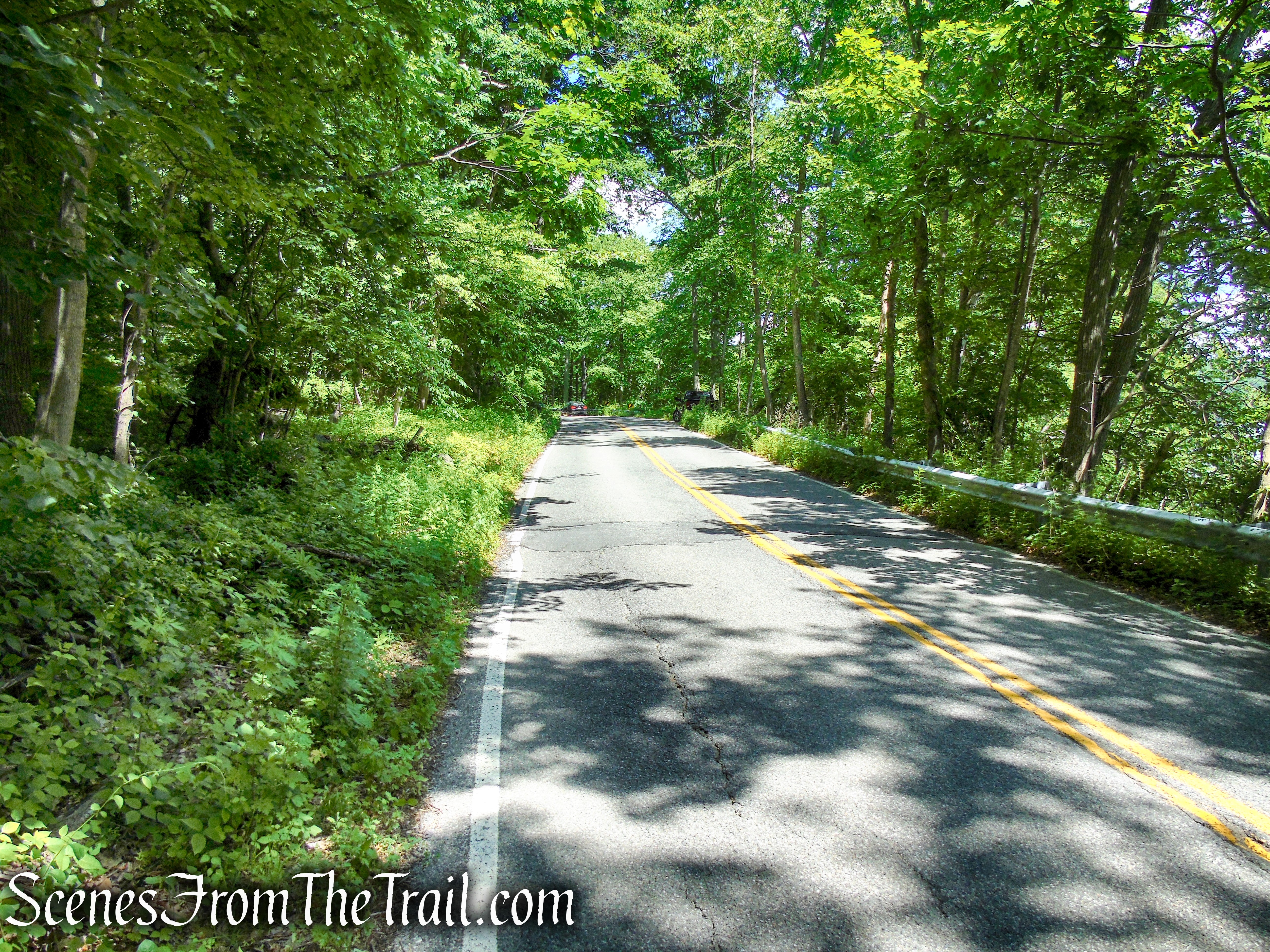
Trailhead parking: 68 Mt. Rutsen Rd, Rhinebeck, NY 12572
Overview:
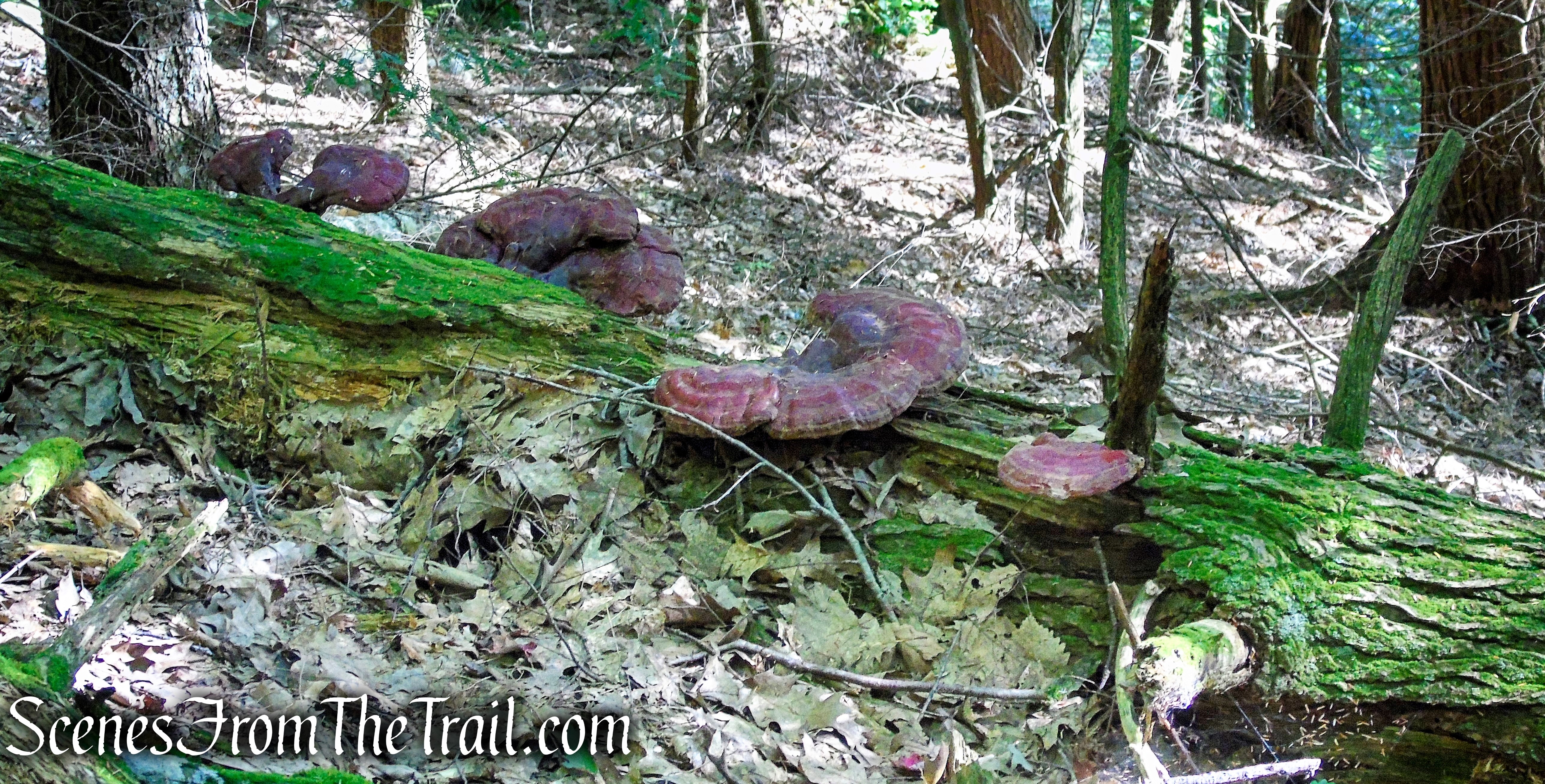
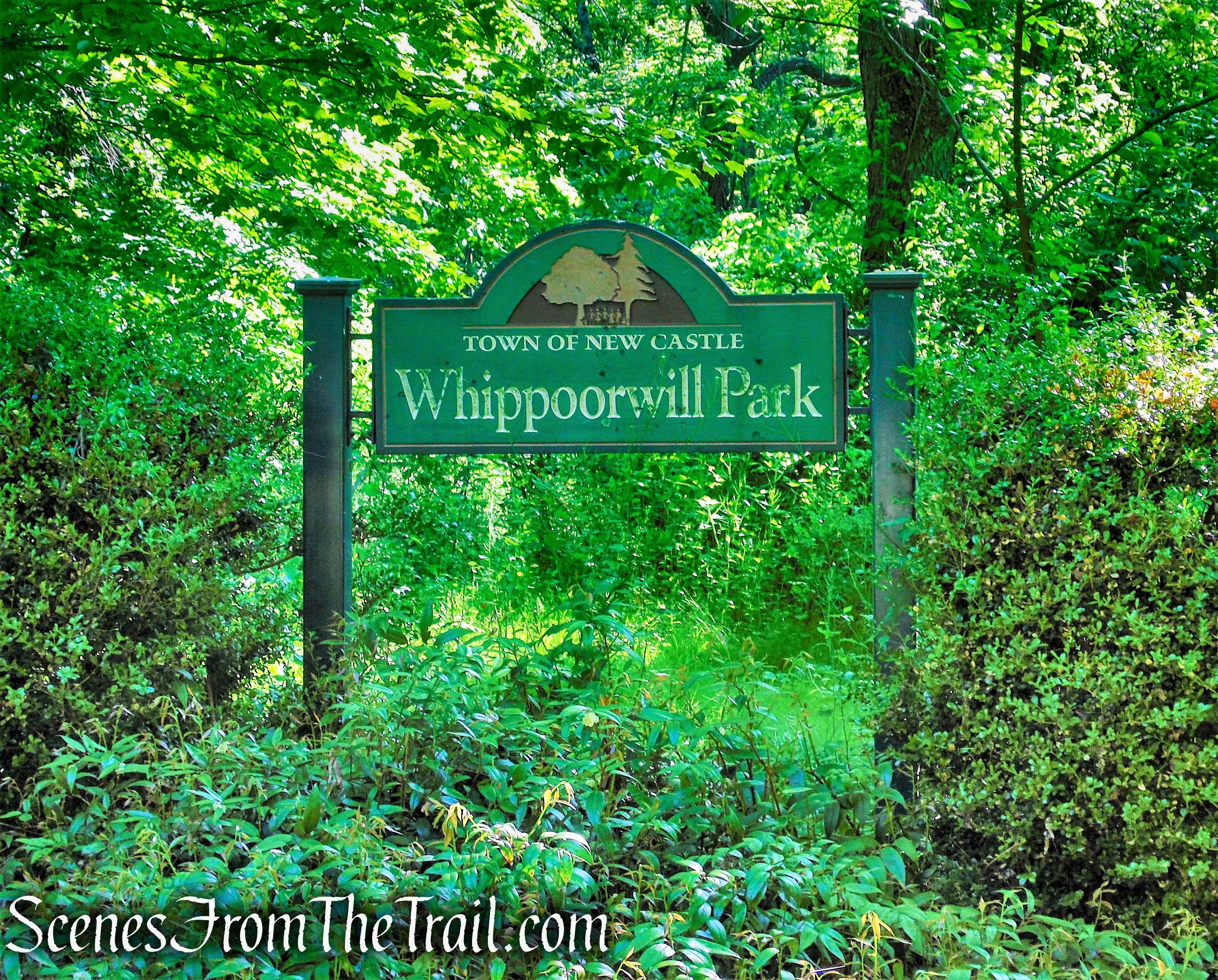
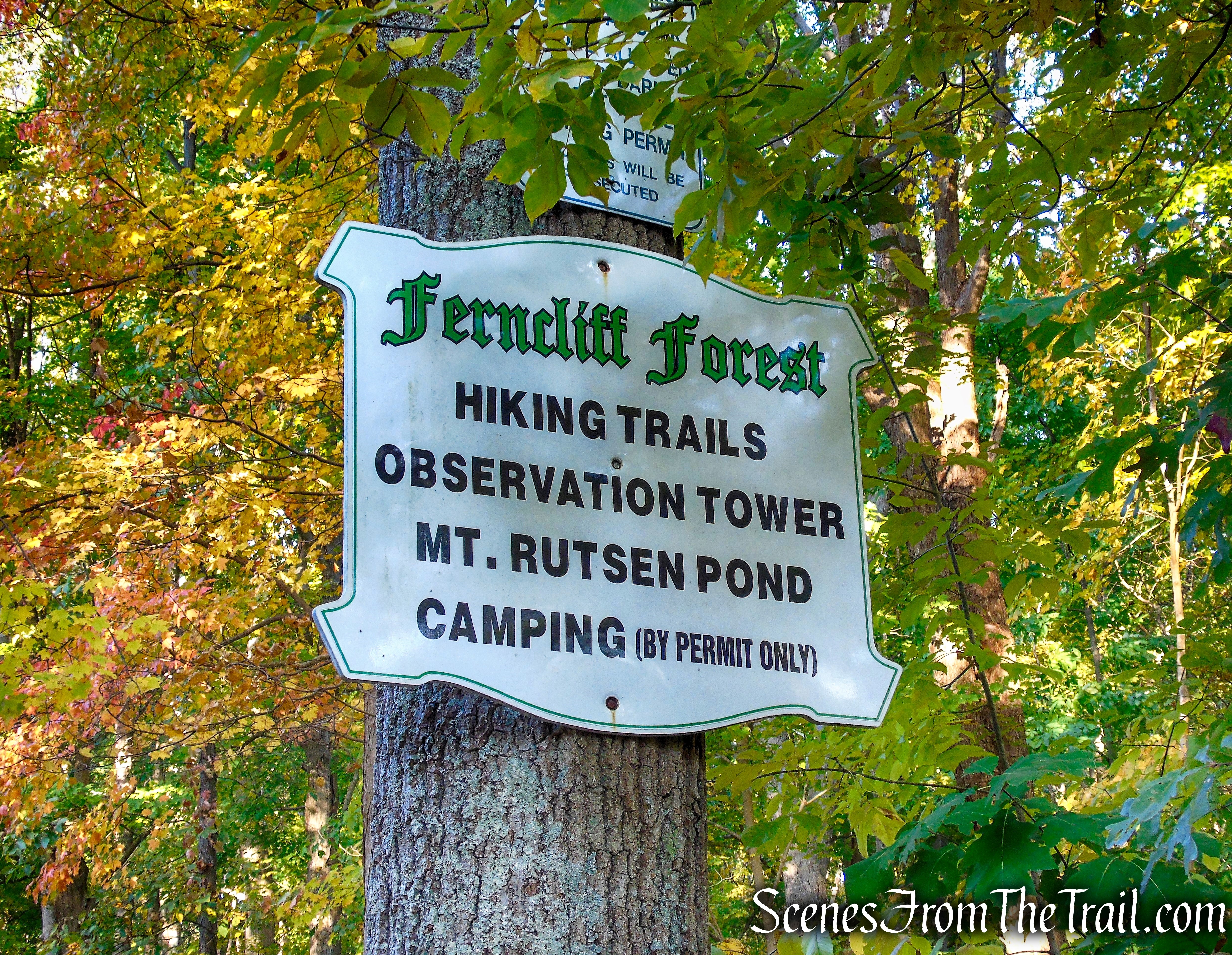
Ferncliff Forest Game Refuge and Forest Preserve is a 200-acre old-growth forest preserve of deciduous and hemlock trees located in Rhinebeck, in the northern part of Dutchess County, NY. It is a free public recreation area offering hiking, mountain biking, skiing, fishing, camping and picnicking.

Ferncliff Forest Game Refuge and Forest Preserve
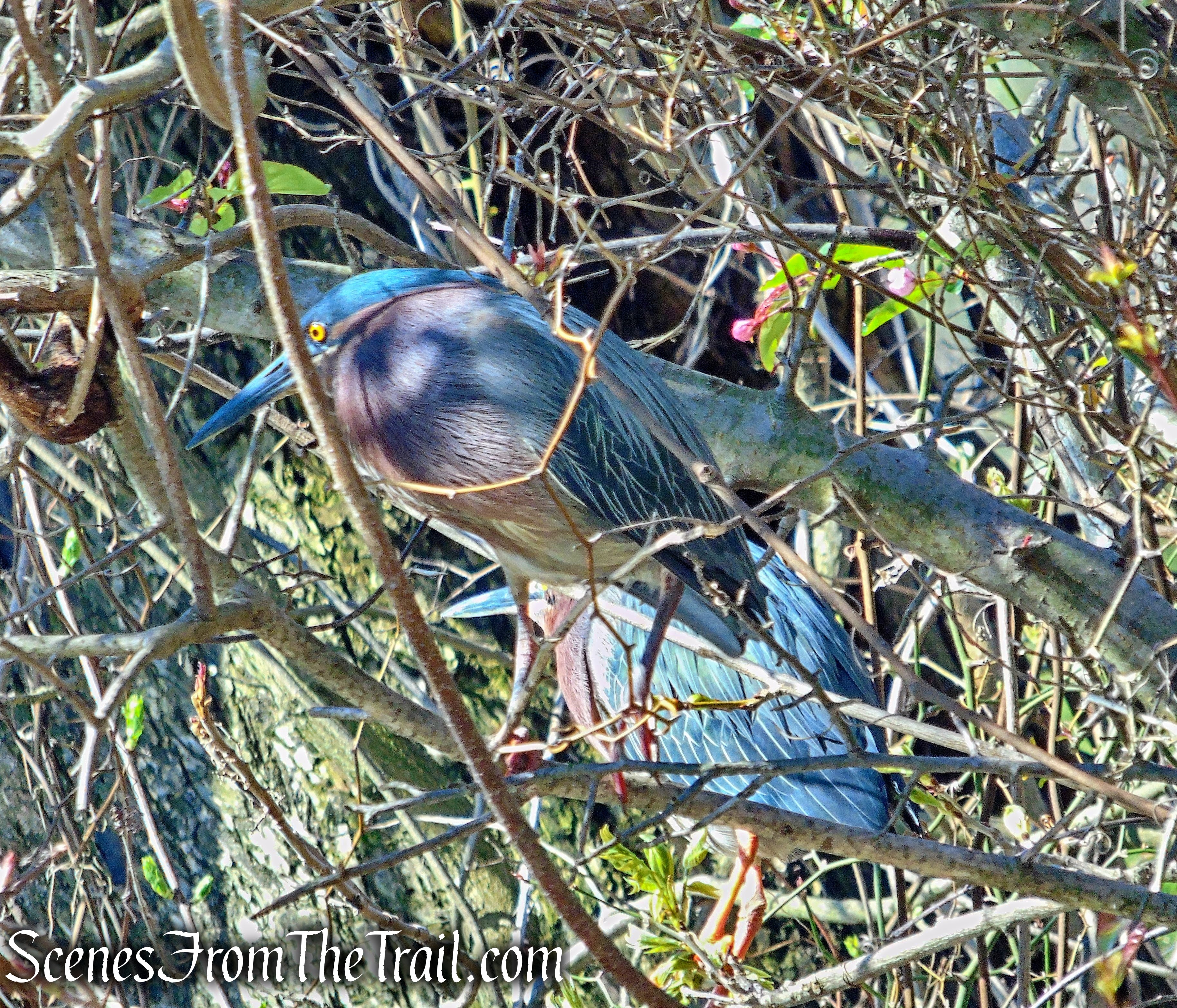
More commonly known as Ferncliff Forest, it bills itself as “Rhinebeck’s Number-One Free Attraction.” Ferncliff Forest today remains one of the few areas of old-growth forest in the region that is open to the public. Because the woodlands have never been clear cut, the plant life is quite varied, with many outstanding examples of large deciduous trees and numerous wildflower species. It’s an excellent spot for bird watching and nature study, especially in the spring.
Ferncliff Forest
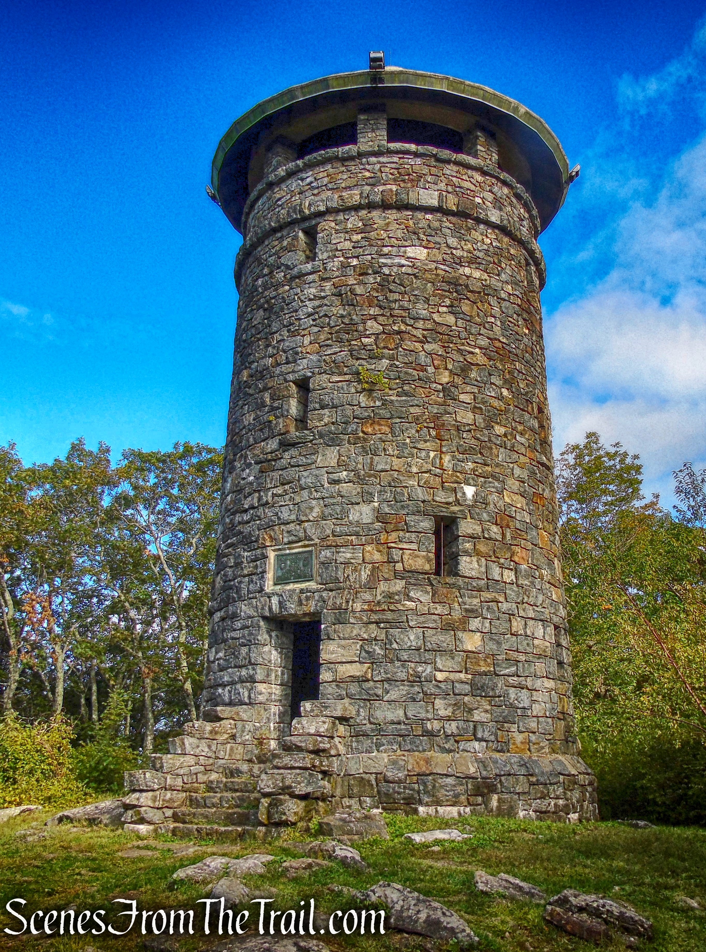
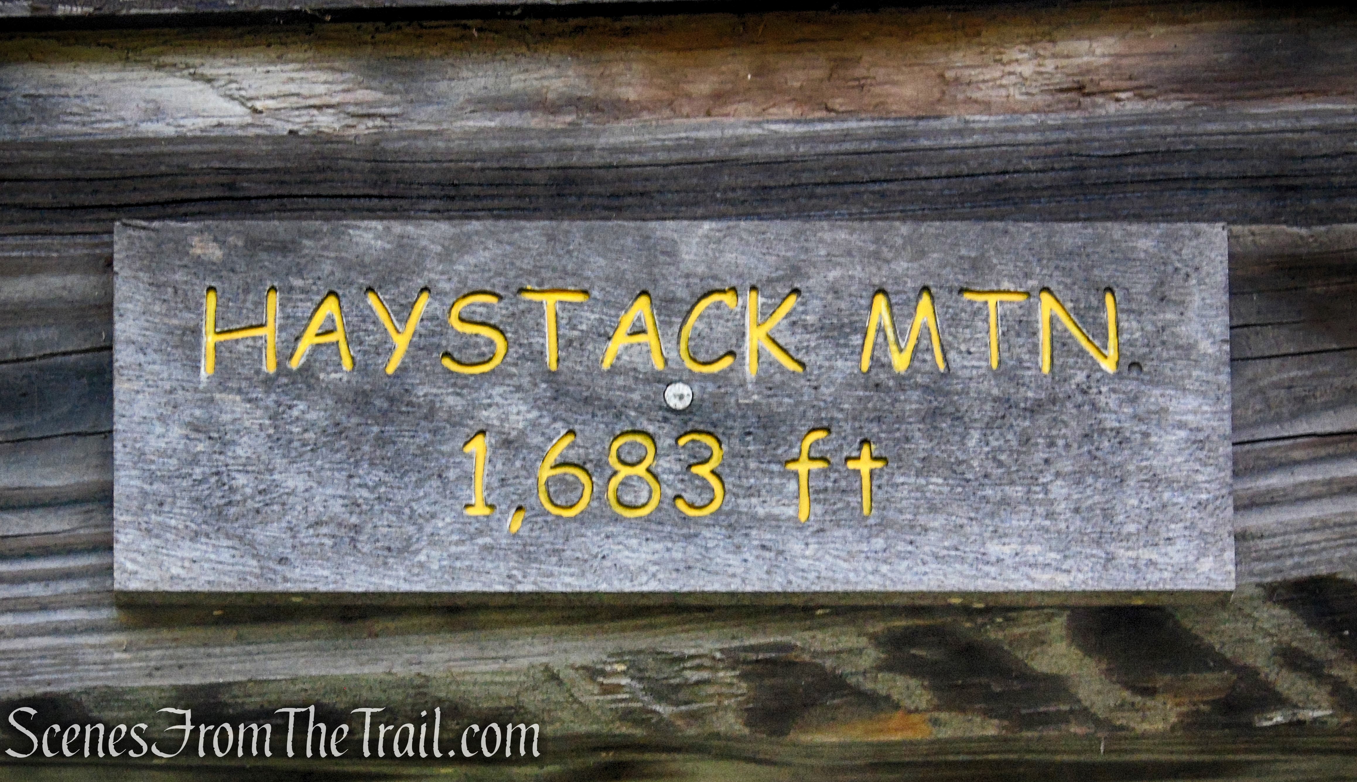
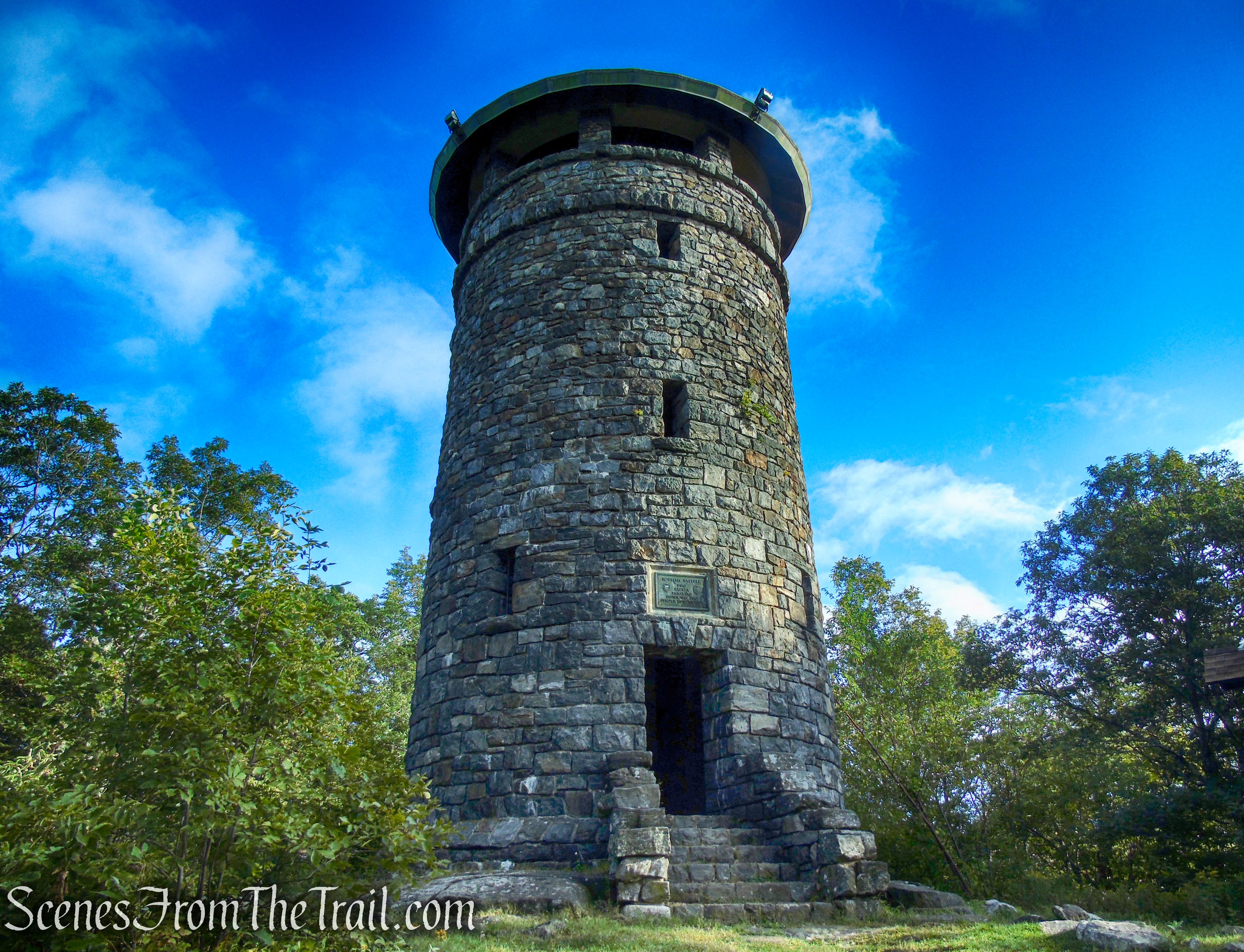
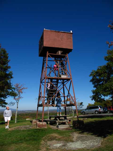
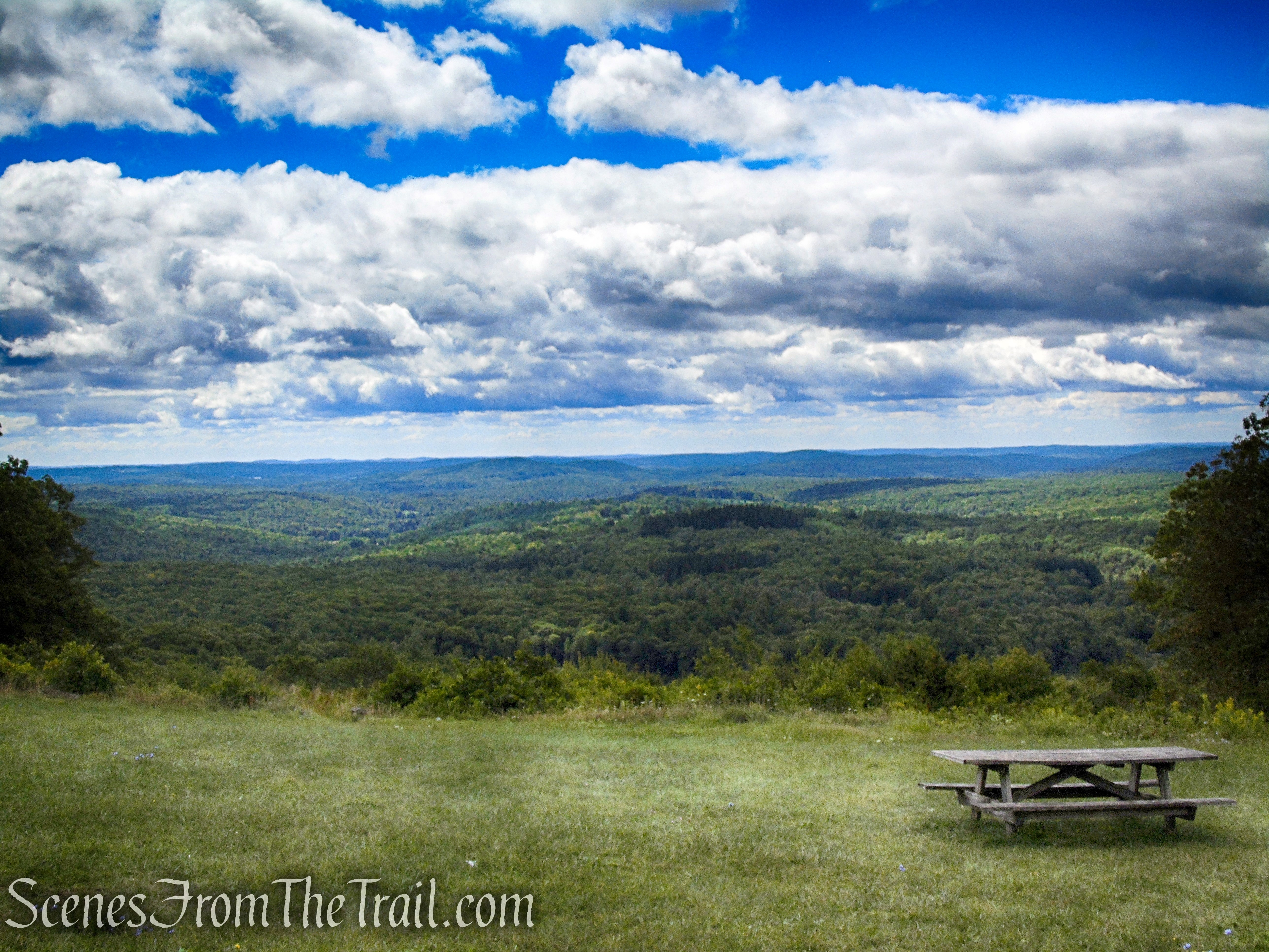
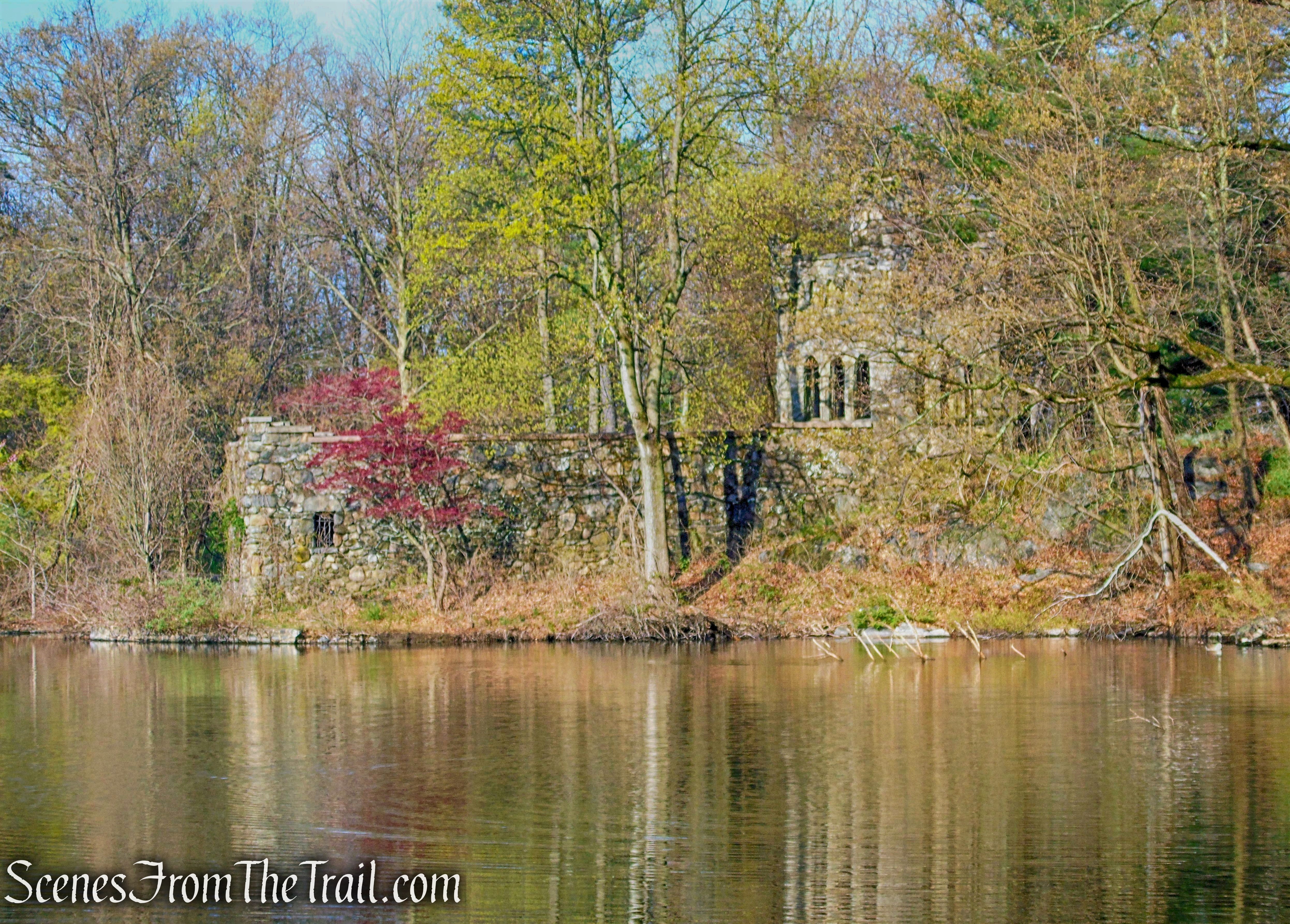
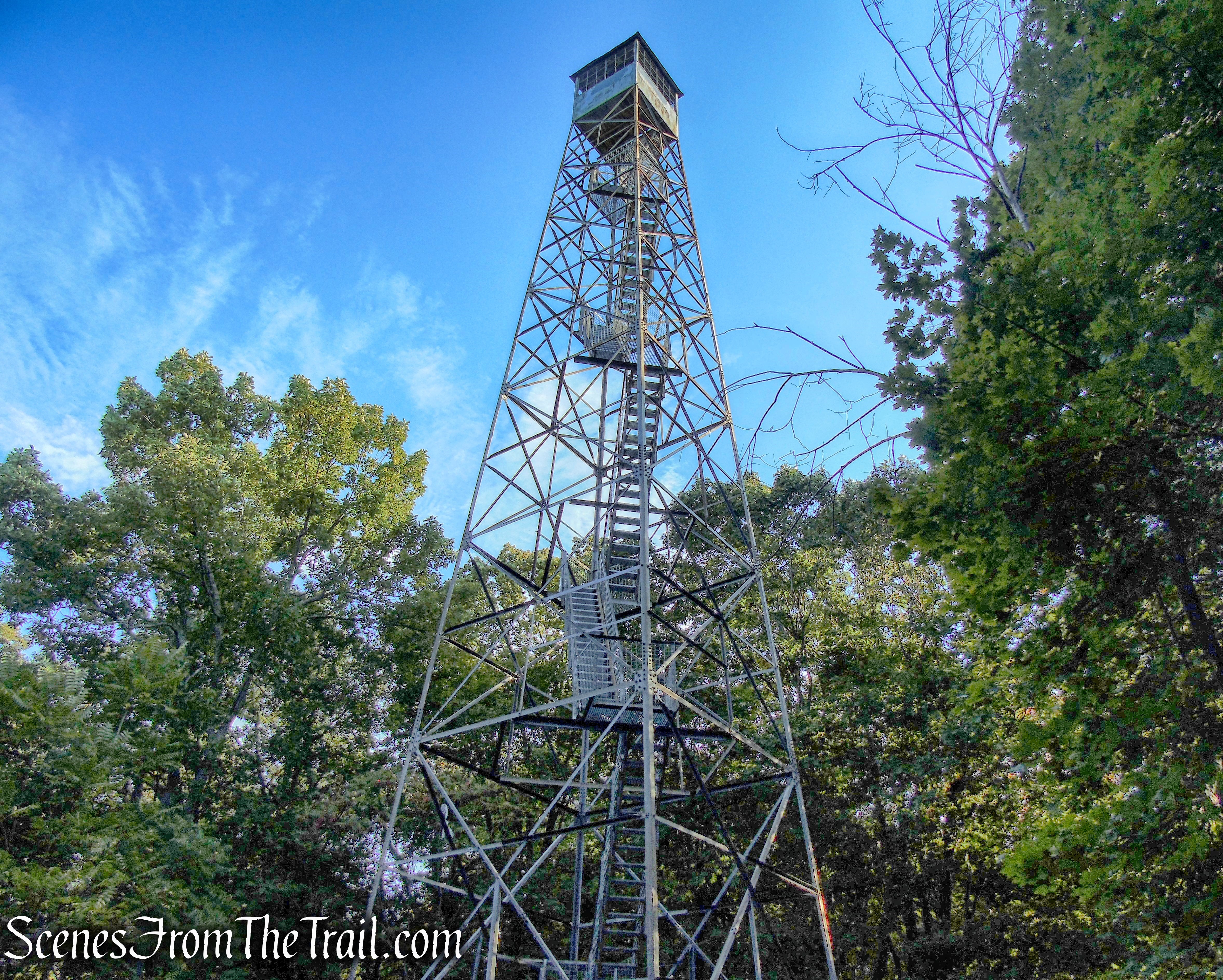
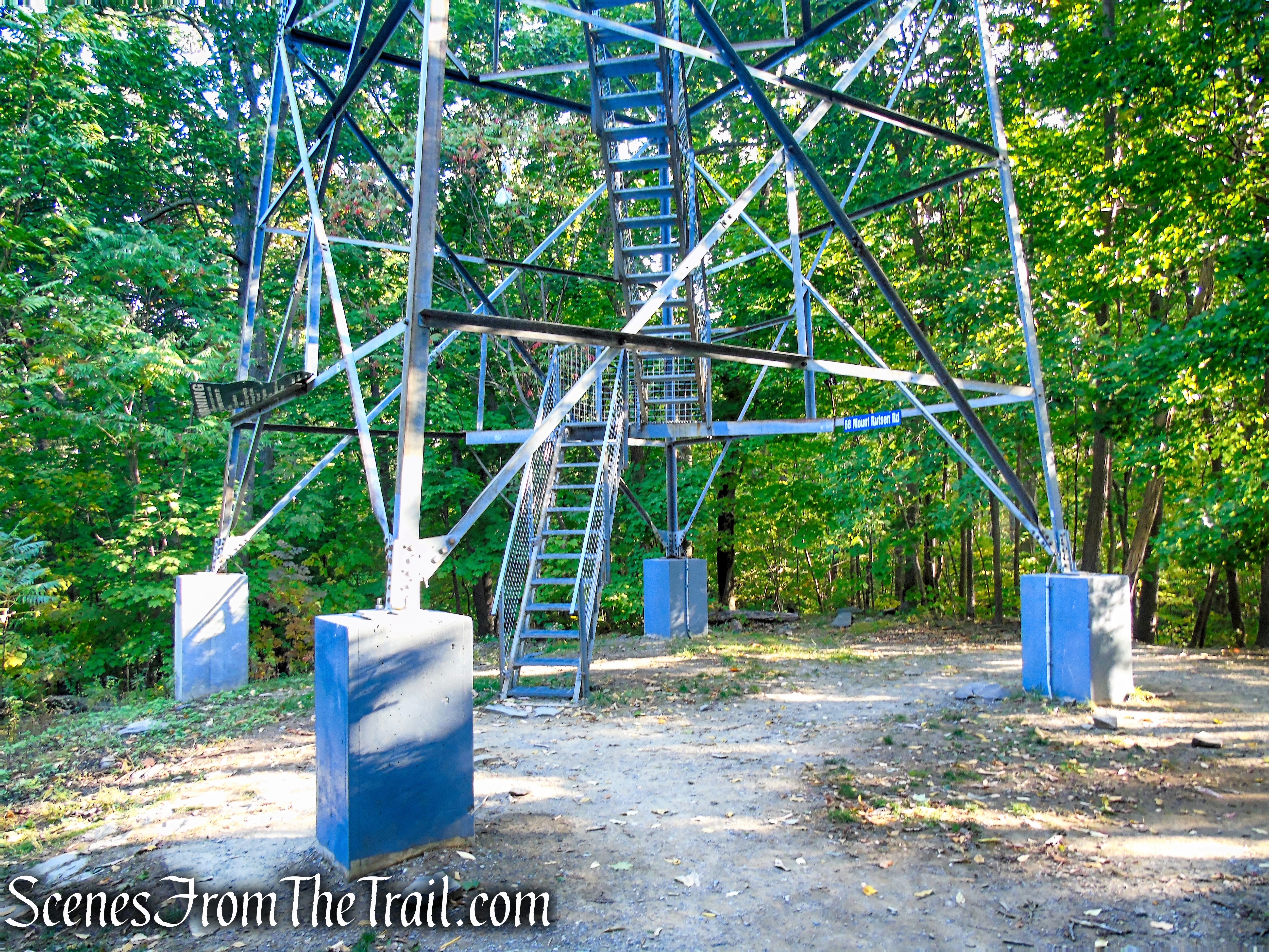
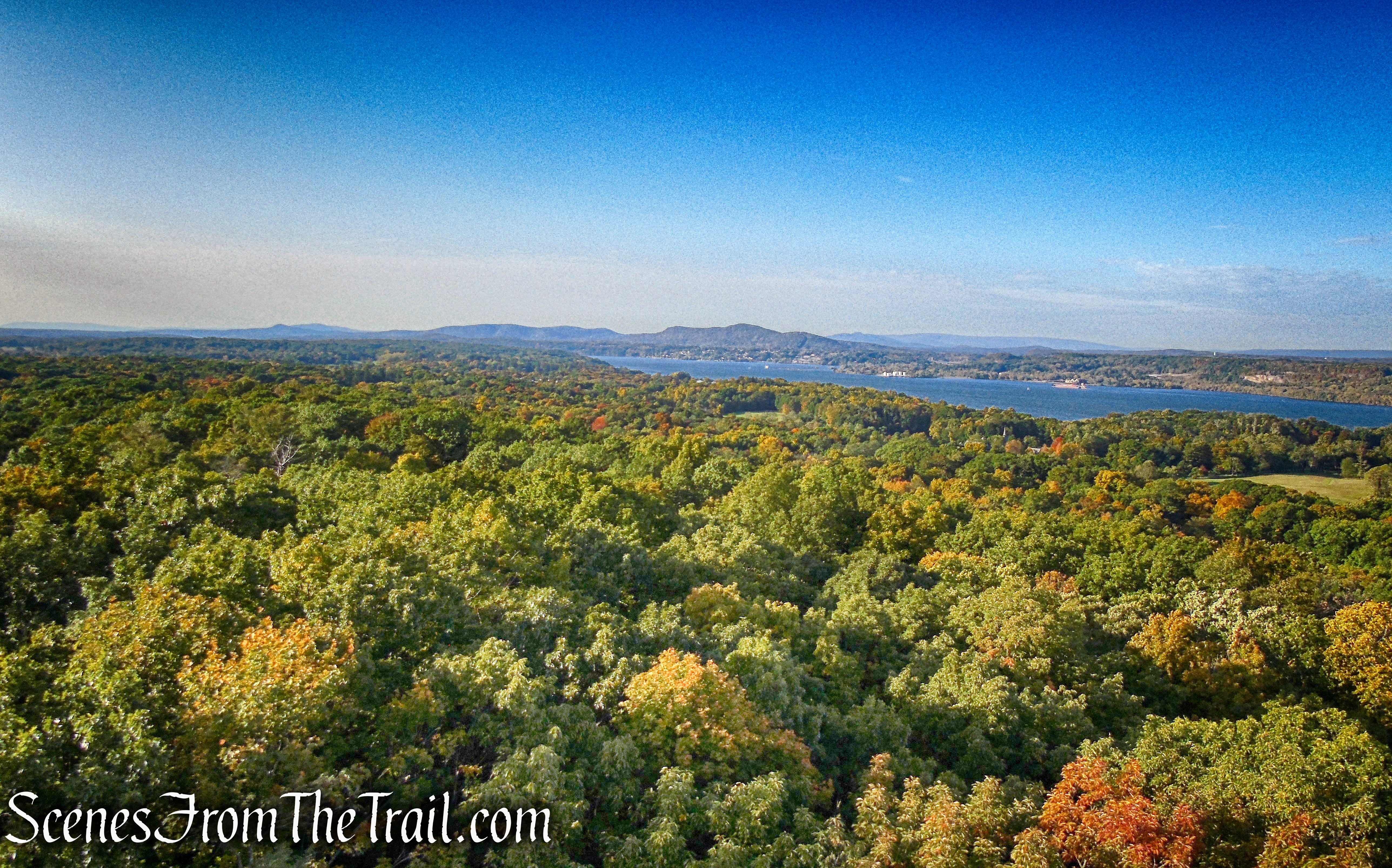
At the highest point in the preserve, about 350 feet above sea level, stands an 80-ft. steel observation tower. Those who climb it, are rewarded with spectacular views of the Hudson River, Catskill Mountains and the Kingston-Rhinecliff Bridge. Ferncliff Forest also offers miles of woodland trails to explore, along with a pond and a recently completed pavilion.

Ferncliff Forest Fire Tower
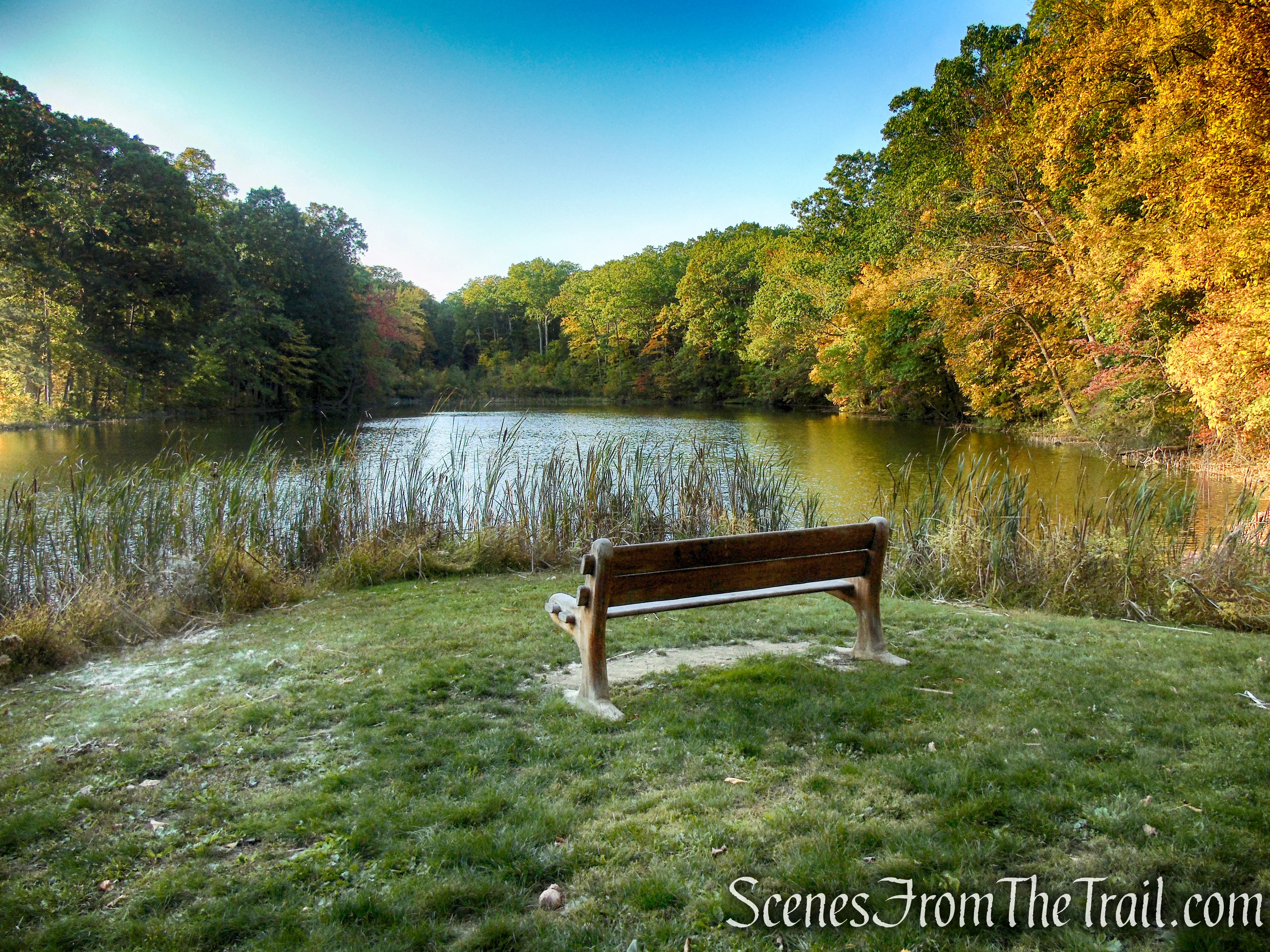
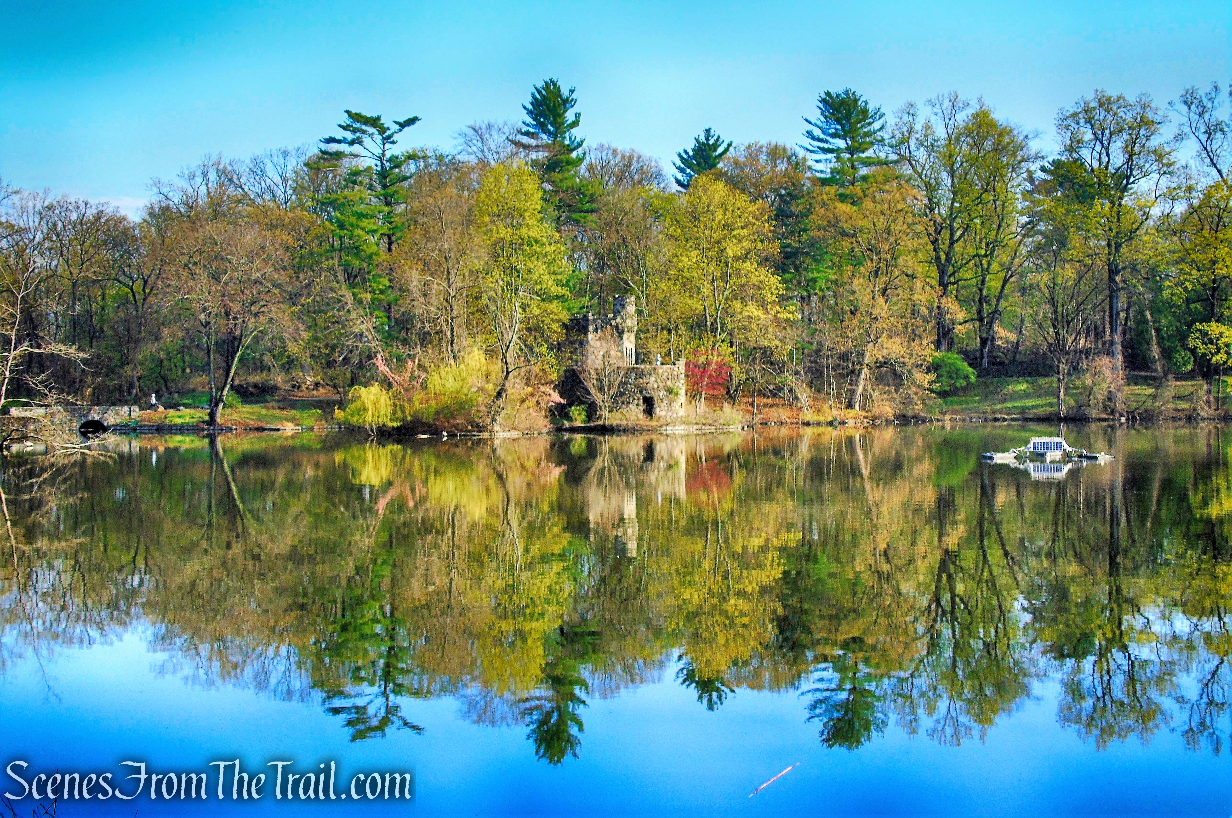
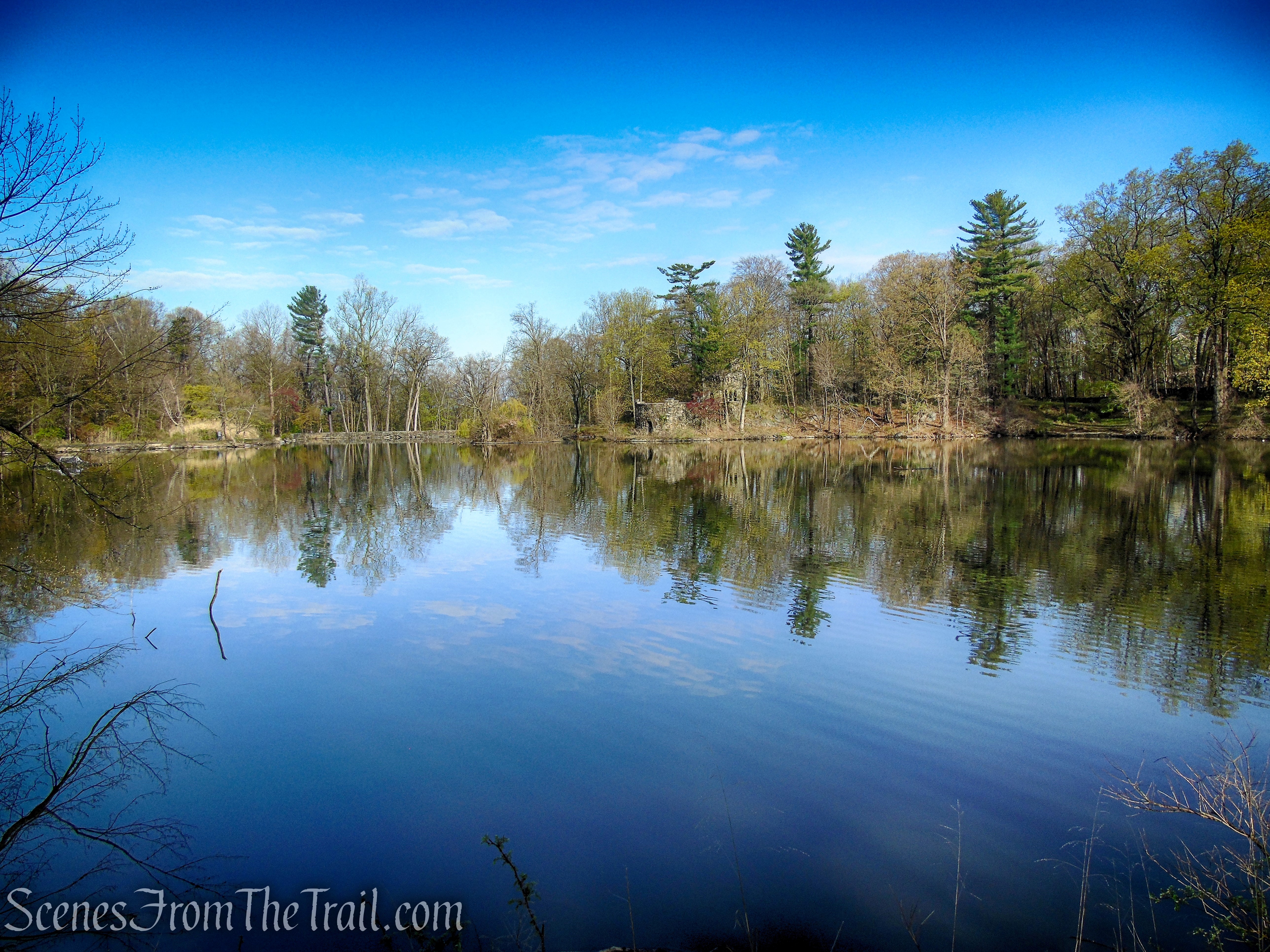
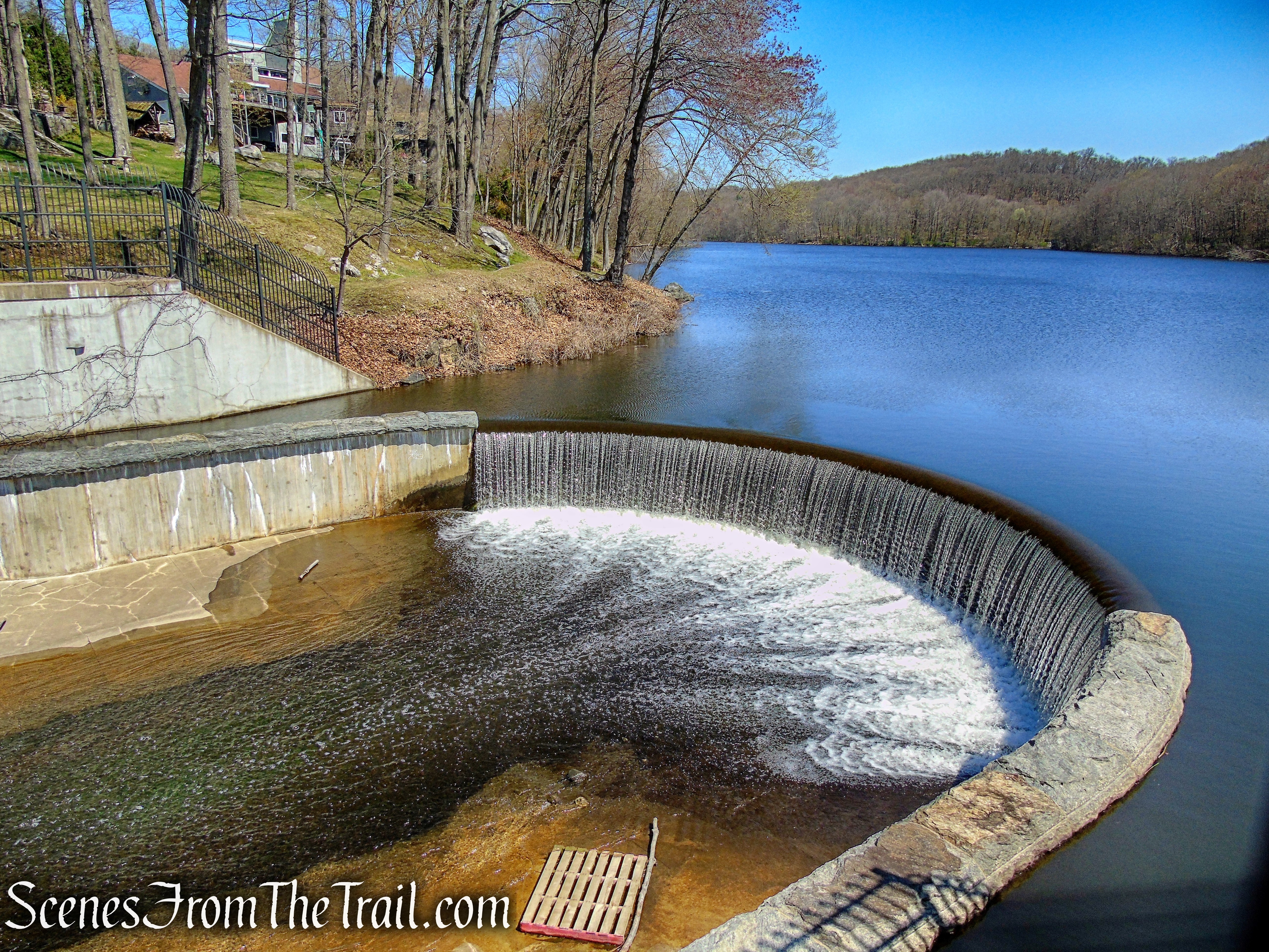
Mt. Rutsen Pond – Ferncliff Forest
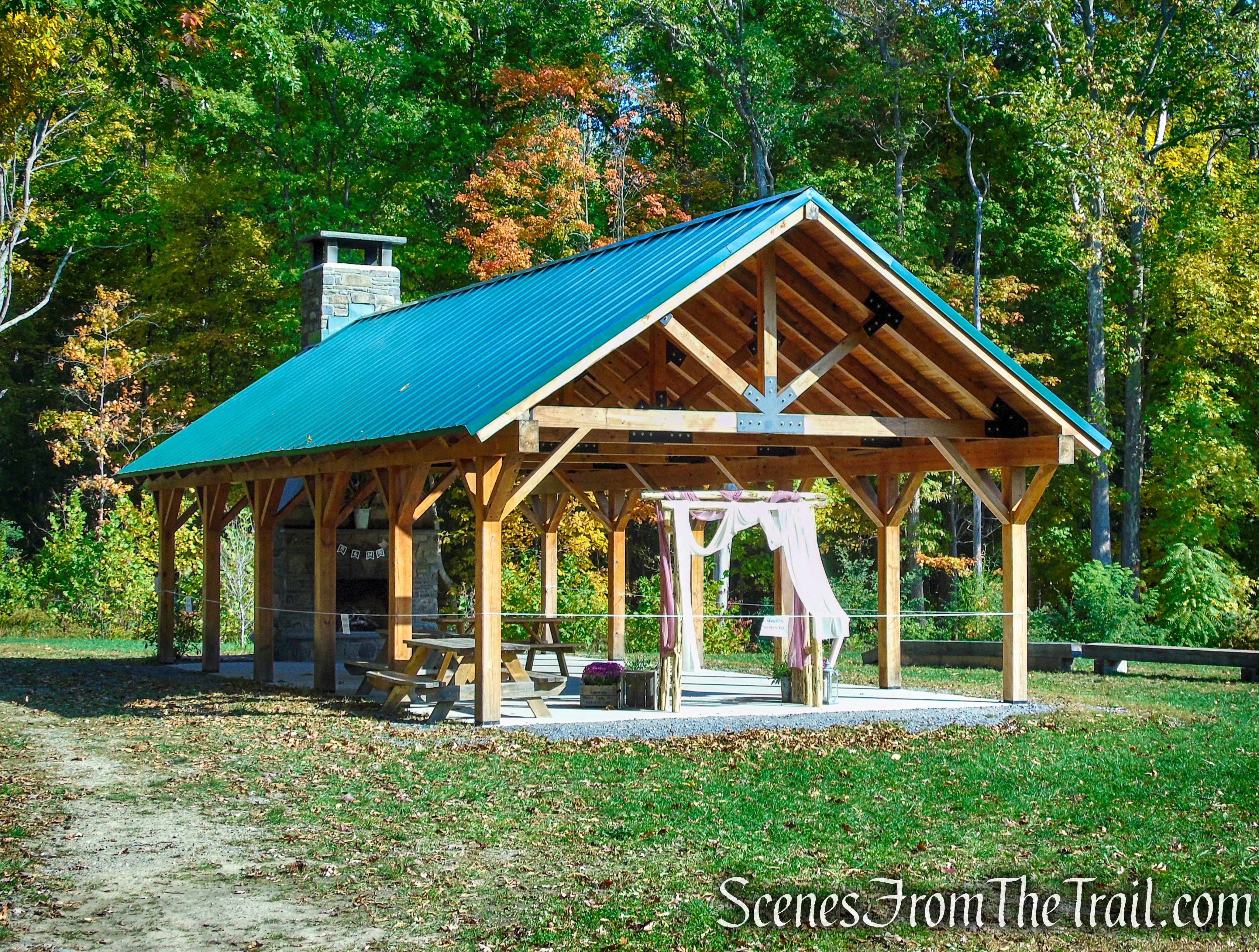
Pavilion – Ferncliff Forest
Ferncliff Forest is open year-round from dawn to dusk and is used by a number of local organizations, including scouting groups, conservation organizations, senior citizens and schools. It is managed and maintained by Ferncliff Forest, Inc.
History:
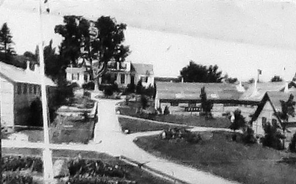
The land that is now Ferncliff Forest was too remote, hilly, and heavily wooded to be settled, and it stayed largely untouched until the early 1800’s. Small farms eventually grew up on land that is now part of the forest. In the 1850’s William Backhouse Astor, Jr., the grandson of John Jacob Astor (the richest man in America at the time and the fourth-richest American ever) bought up several of the farms on that part of the Forest and consolidated them into an estate called Ferncliff Farm. Over the years, William added more acres to the Ferncliff estate, eventually acquiring holdings that spread east of River and Mt. Rutsen roads all the way to the Old Post Road and what is now Route 9.
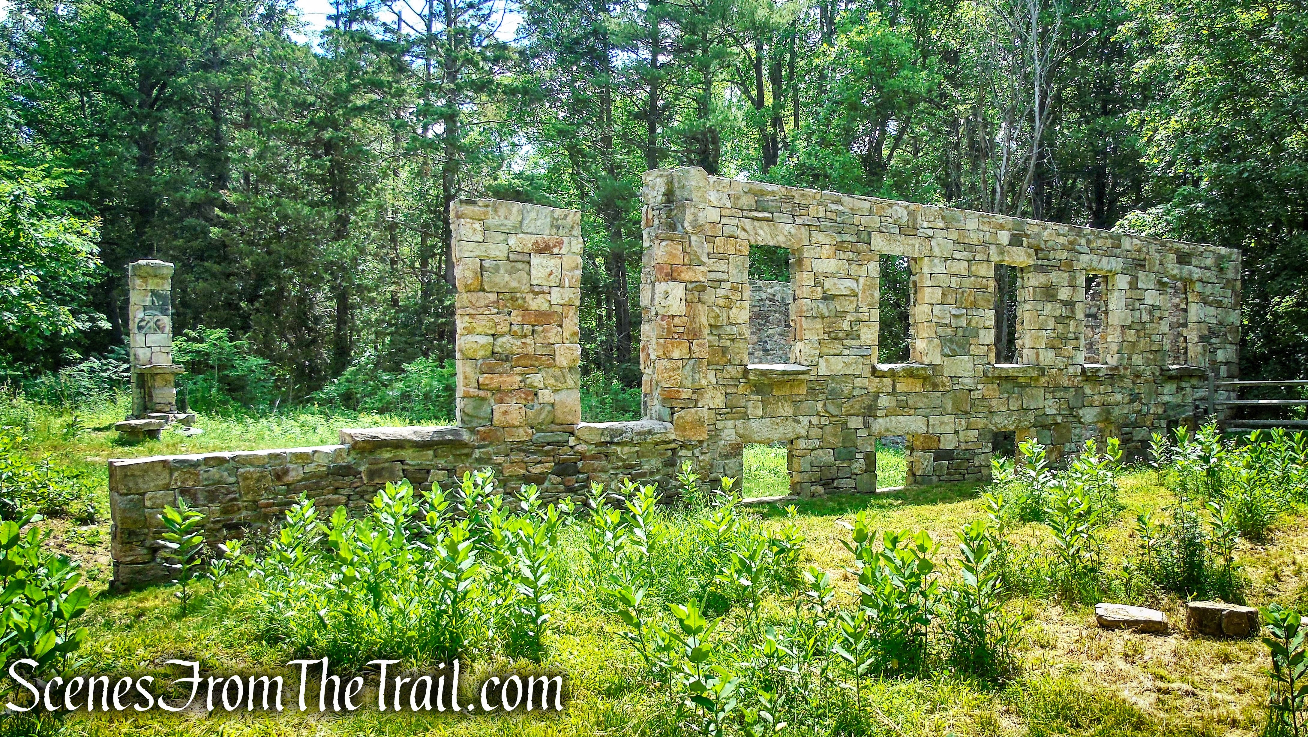
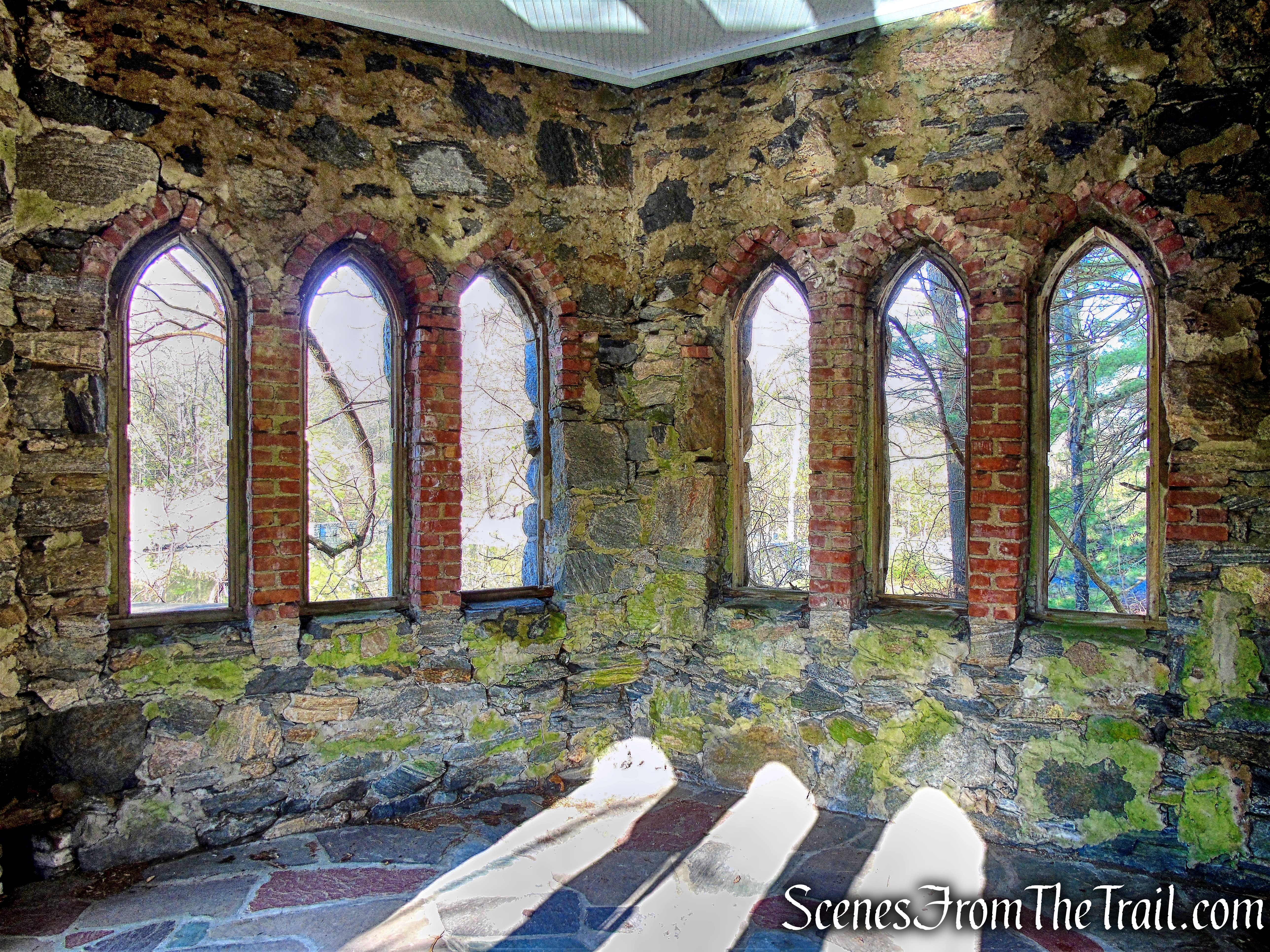
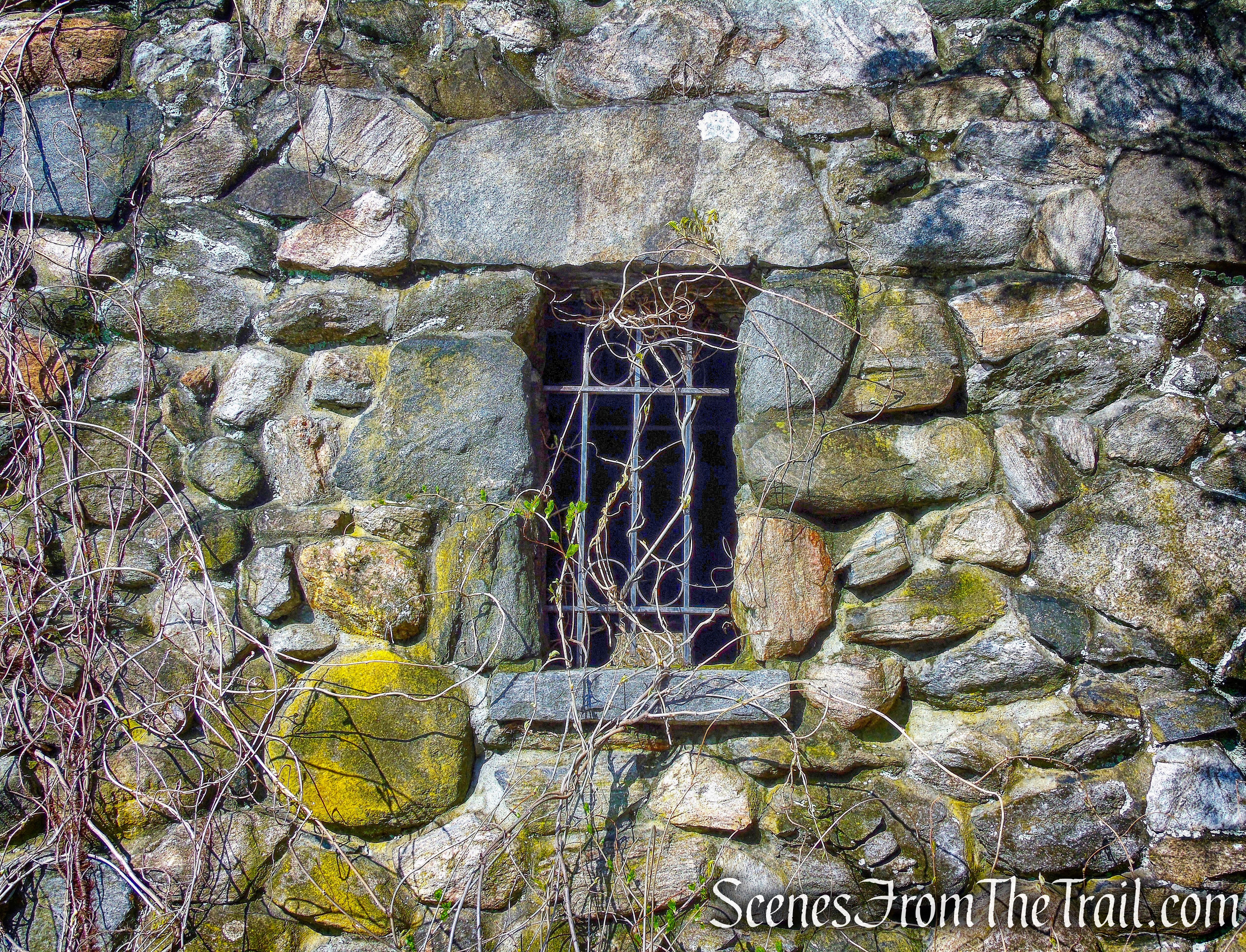
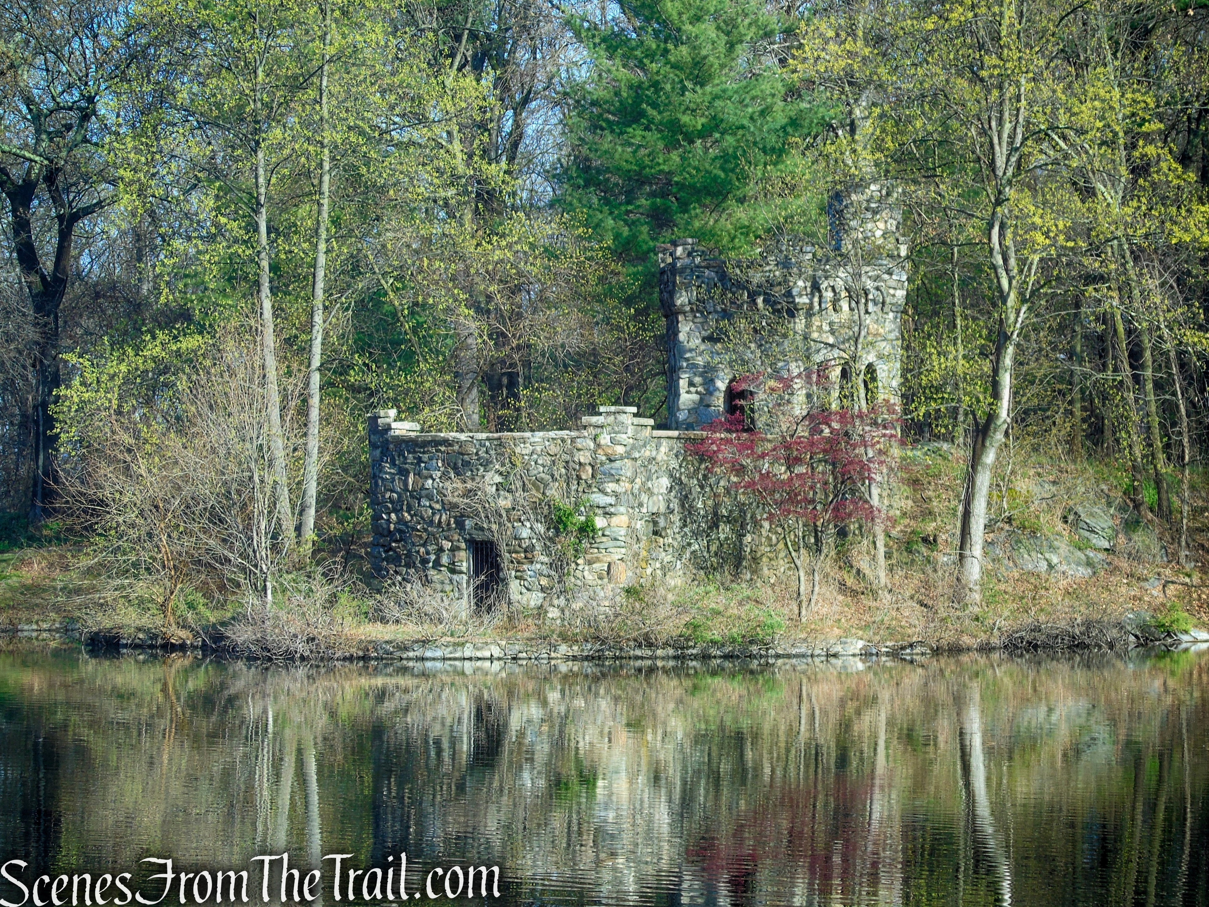
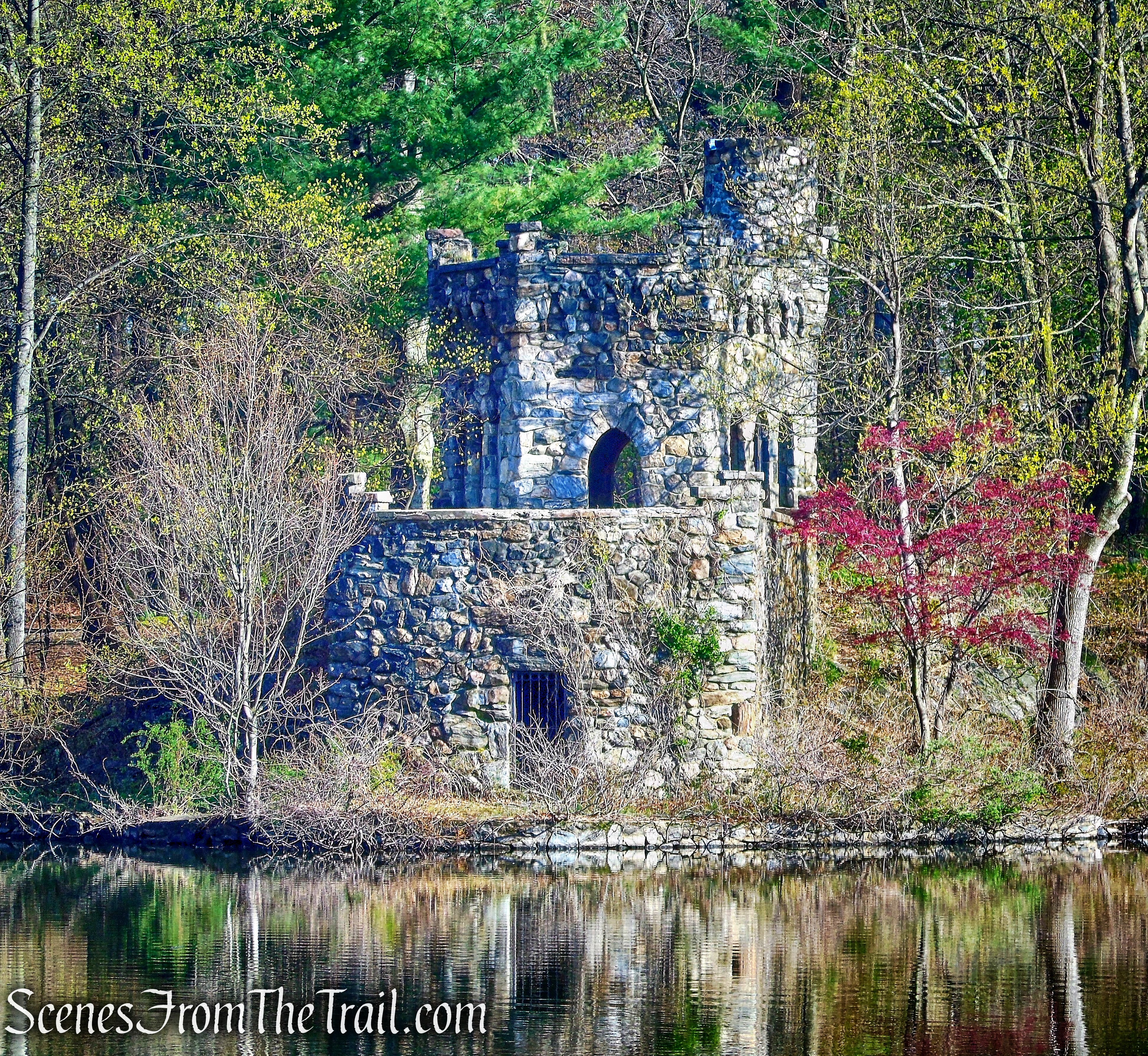
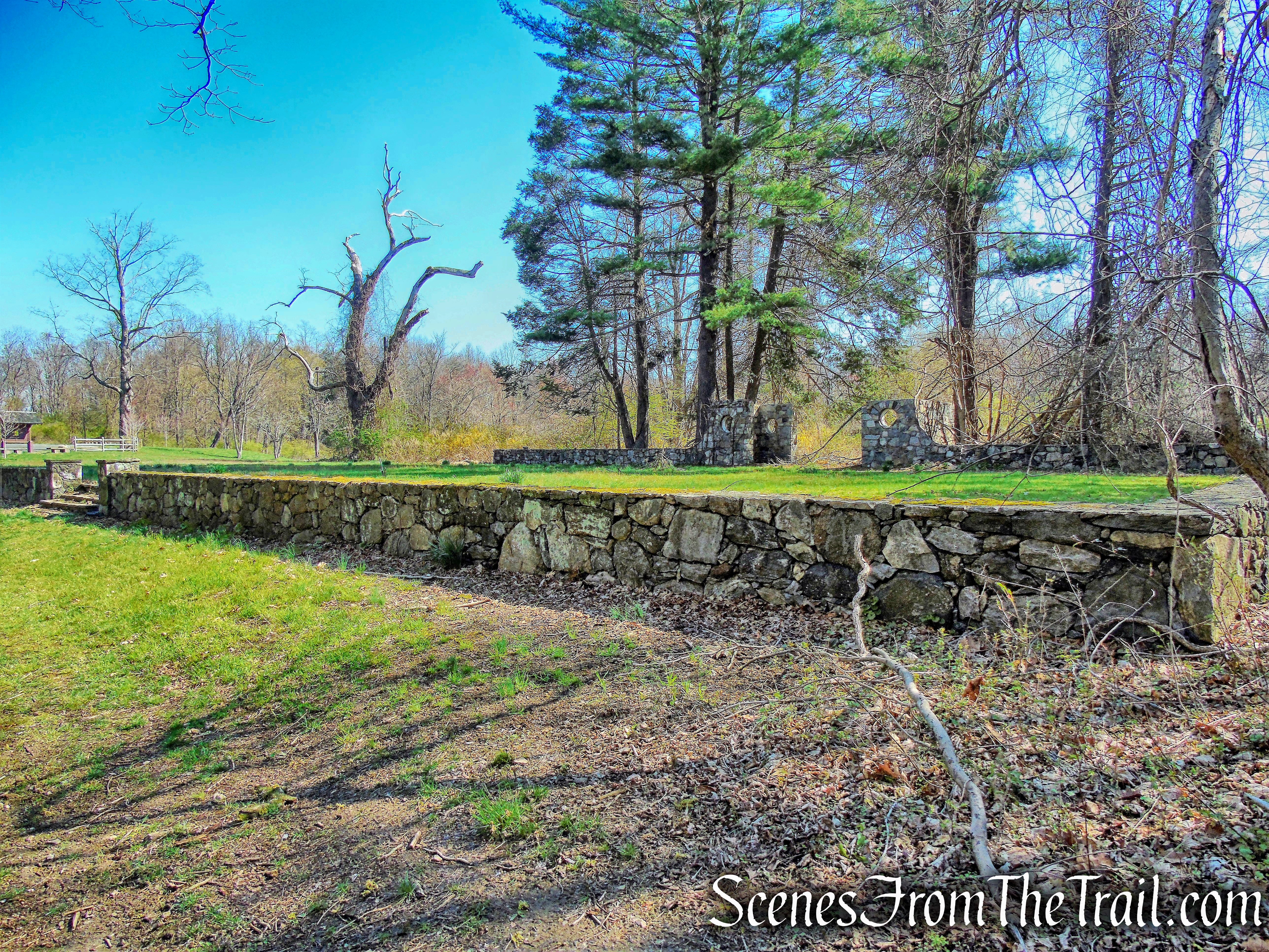
Another part of the land that is now Ferncliff Forest was owned by Thomas Suckley, known locally as the man who built Wilderstein, the Queen Anne style mansion on Morton Road that is now open to the public. In 1878, Suckley donated the farm on his property to the New York Methodist Conference as a retreat for retired clergy. The clergymen built cottages and a chapel and tried their hand at agriculture. They were notably unsuccessful as farmers, however, and by 1900, the colony was shut down.
In the meantime, William Backhouse Astor’s son John Jacob Astor IV had decided to increase his family’s holdings in the area; the 106 acres of the Methodist colony were sold to him in 1900 for $5,500 and incorporated into Ferncliff Farm. The Methodist chapel continued in use as a Sunday school for a few years beginning in 1902, but the cottage homes were torn down. The chapel fell into disuse and was eventually demolished. When Jack Astor went down with the Titanic in 1912, Ferncliff Farm went to his son Vincent, who continued to expand the family holdings until, by 1940, the estate had grown to 2,800 acres.
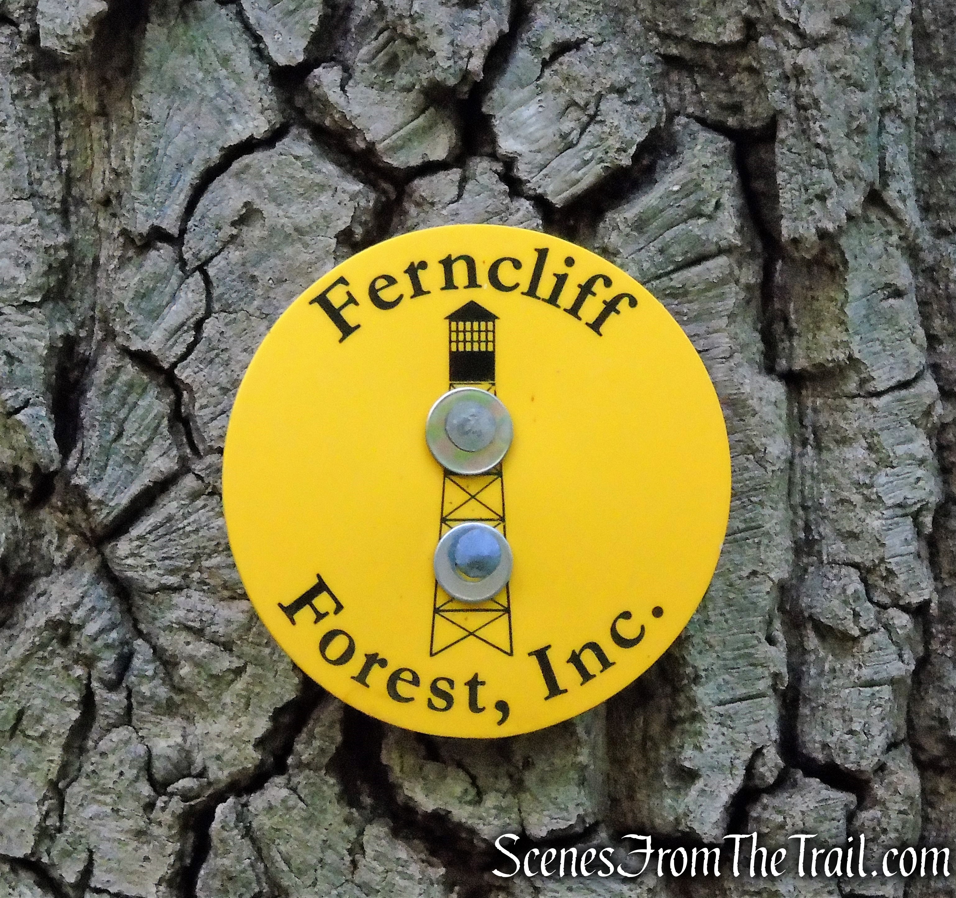
Vincent Astor died in 1959, leaving Ferncliff Farm to his wife, Brooke. Mrs. Astor (1902-2007) decided to break up the land, selling some of it and donating the rest. In 1963, Homer K. Staley, a local real estate broker who had spent some of his boyhood on the estate, asked Mrs. Astor to donate the 190-acre area known as Mt. Rutsen. She agreed, giving the land to the Rhinebeck Rotary for a forest preserve and game refuge that would remain forever wild. Homer K. Staley was named Ferncliff’s first Forest Ranger, a voluntary post he held for 30 years. In 1988, Ferncliff Forest was transferred from the Rotary, and became a nonprofit corporation known as Ferncliff Forest, Inc., funded entirely by donations.
History of the Fire Tower:
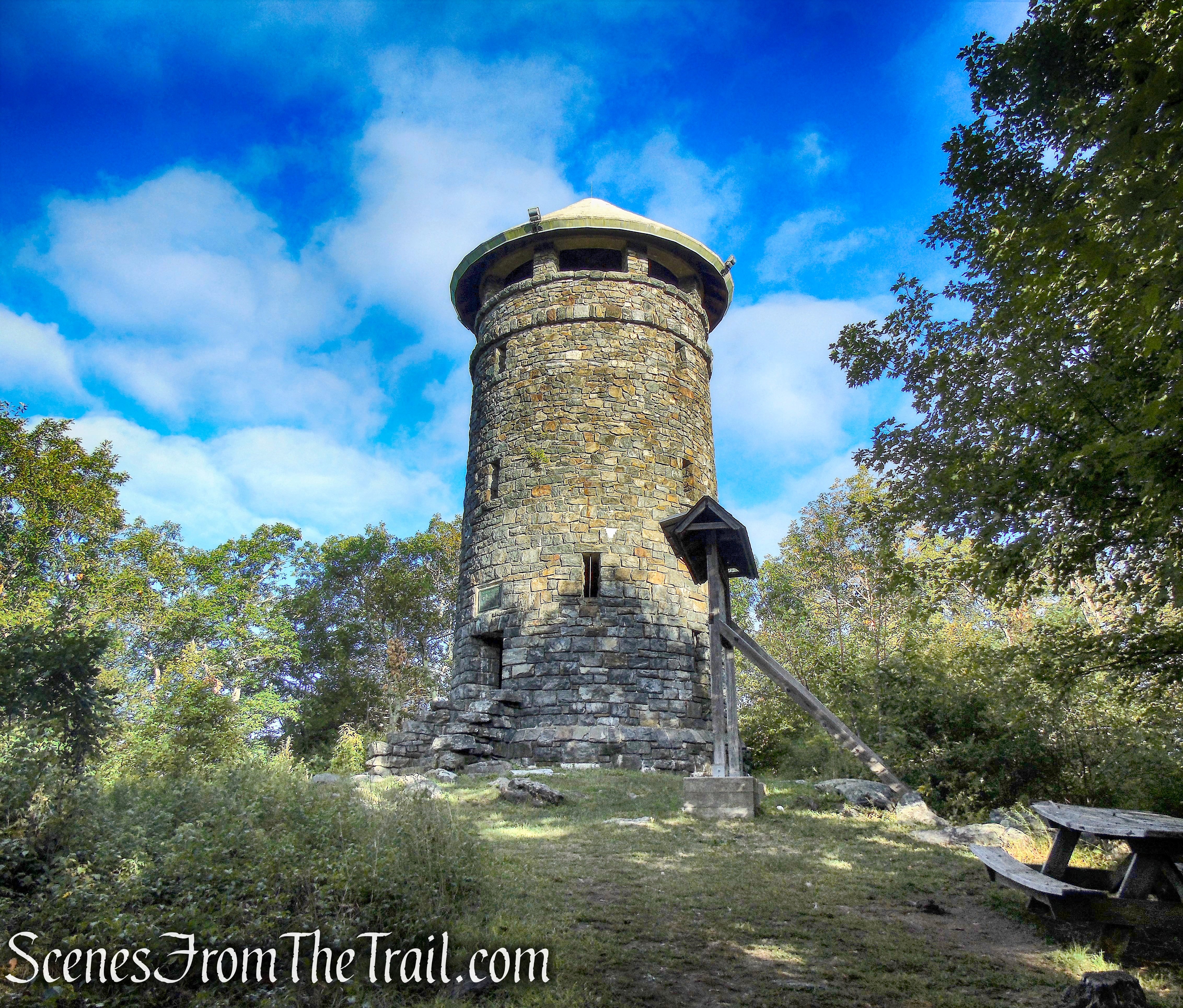
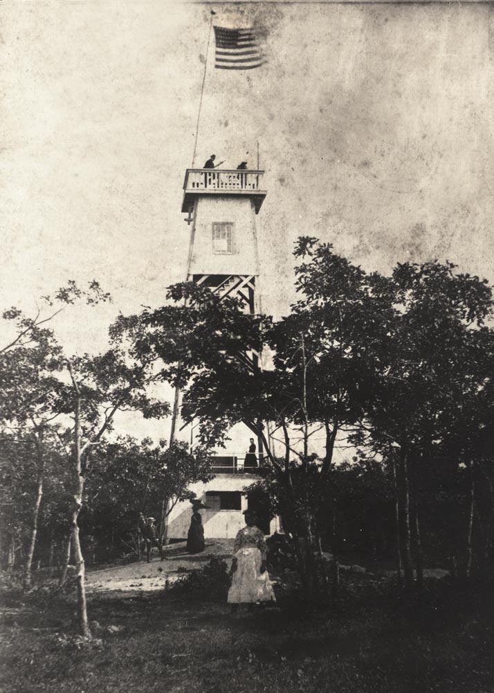
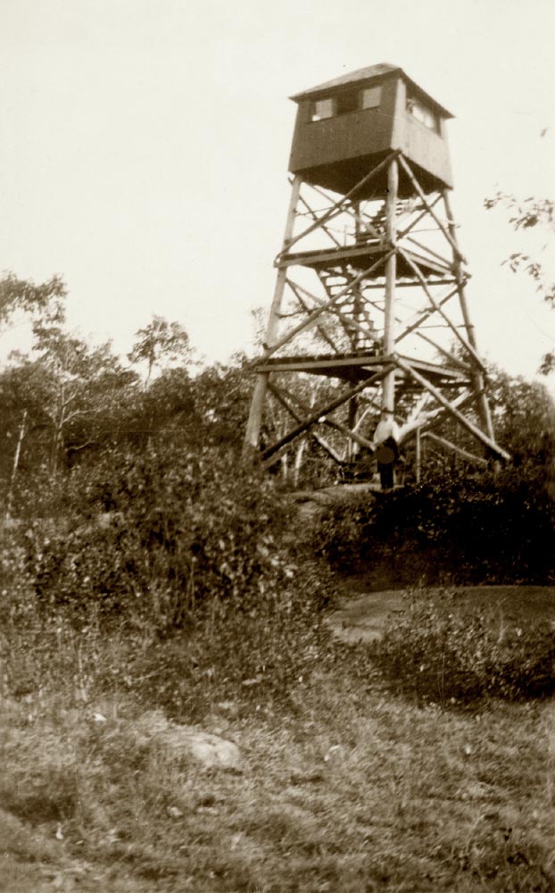
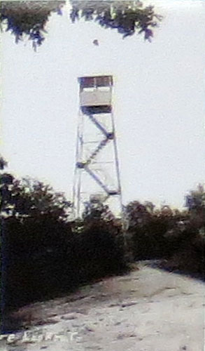
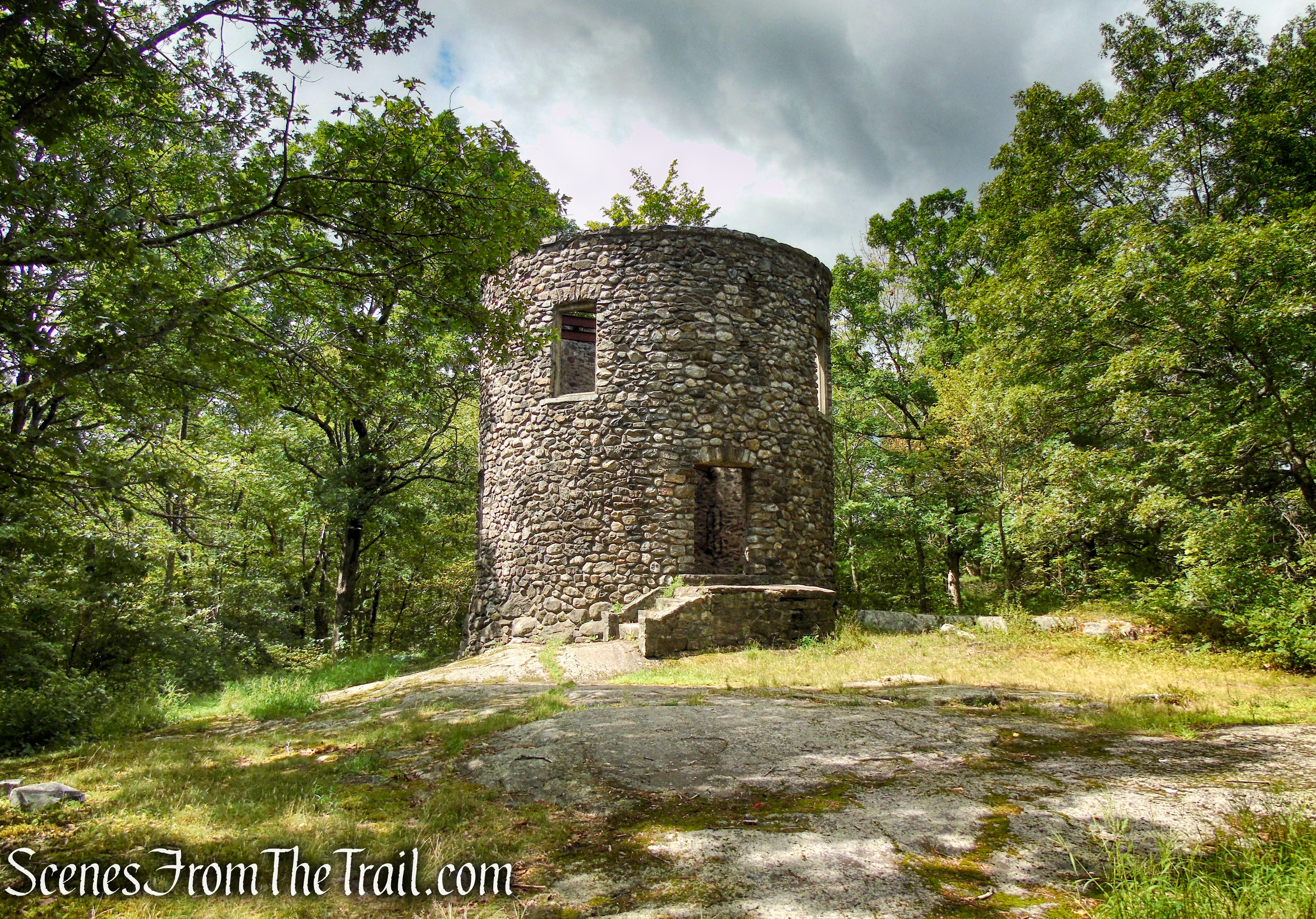
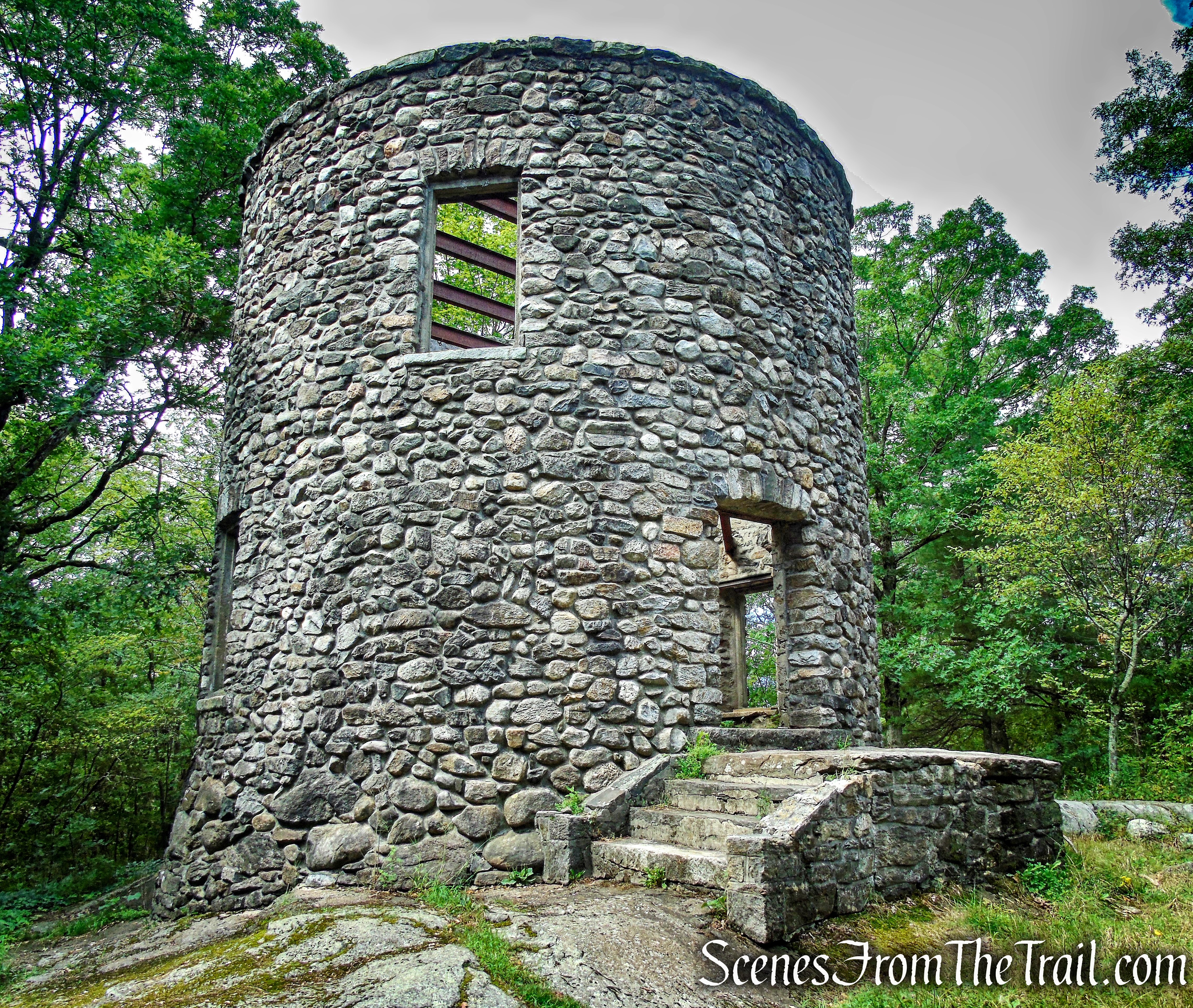
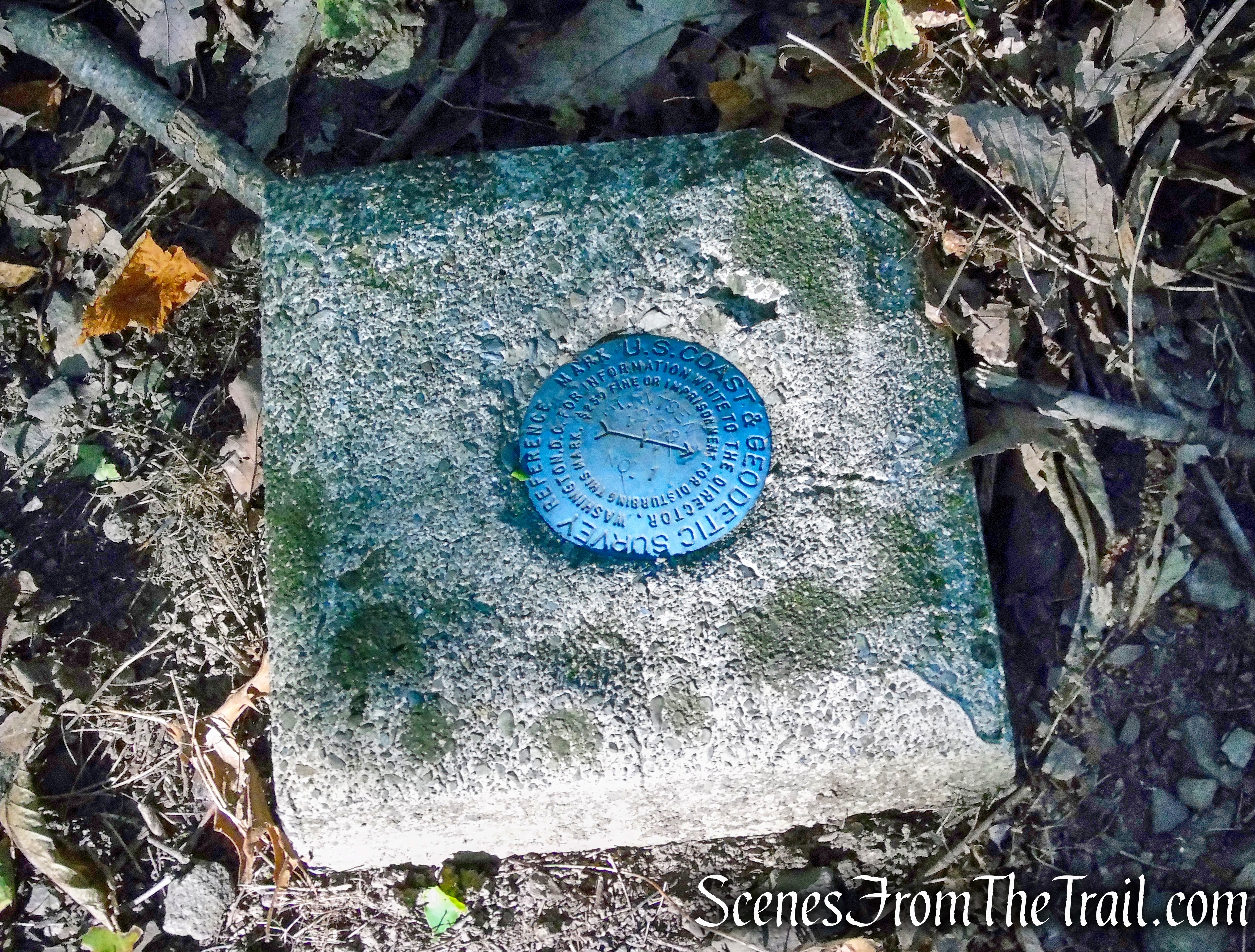
Ferncliff Forest has been the home of several towers over the last century. Each Tower has served a special purpose of its own. The first tower was a stone tower built by the Astors. That tower, now reduced to a pile of rocks perched high atop Mt. Rutsen, served as a point of reference for all who visited. The second tower was erected by the Geodetic Survey to aid in map-making. The third tower was built by the Army Corp of Engineers during World War II and served as a strategic watch tower to provide early warning of attacks, particularly on President Roosevelt’s home and planes that could be headed to New York City. That tower sadly, after serving its noble purpose, was deemed unsafe, and had to be removed in 2006. John Ochs came to Rhinebeck in 1942 with 5 other men from the Army Air Corp to serve on the Ferncliff Observation Tower. They manned the tower 24 hours a day until the day of President Roosevelt’s death.
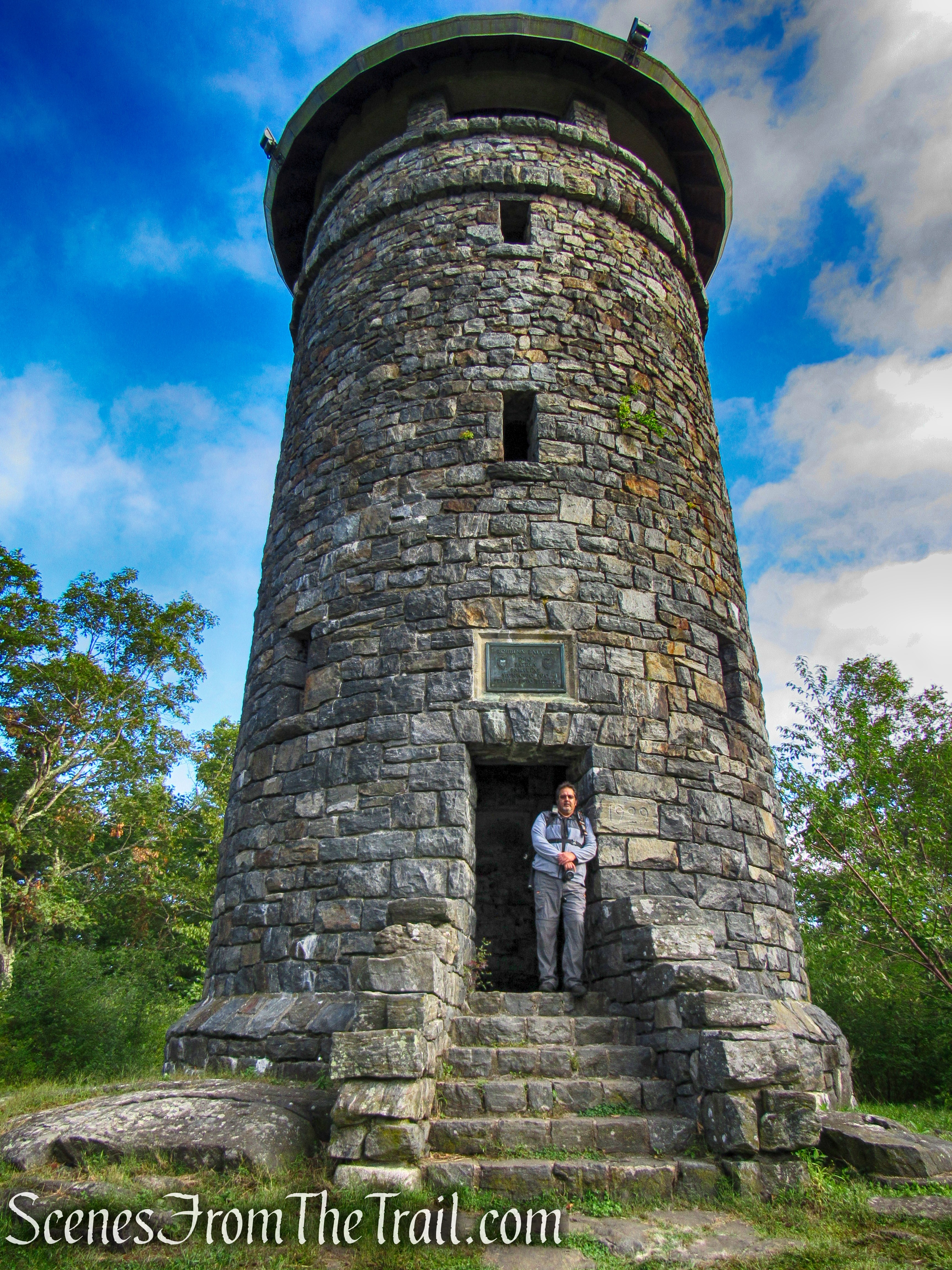
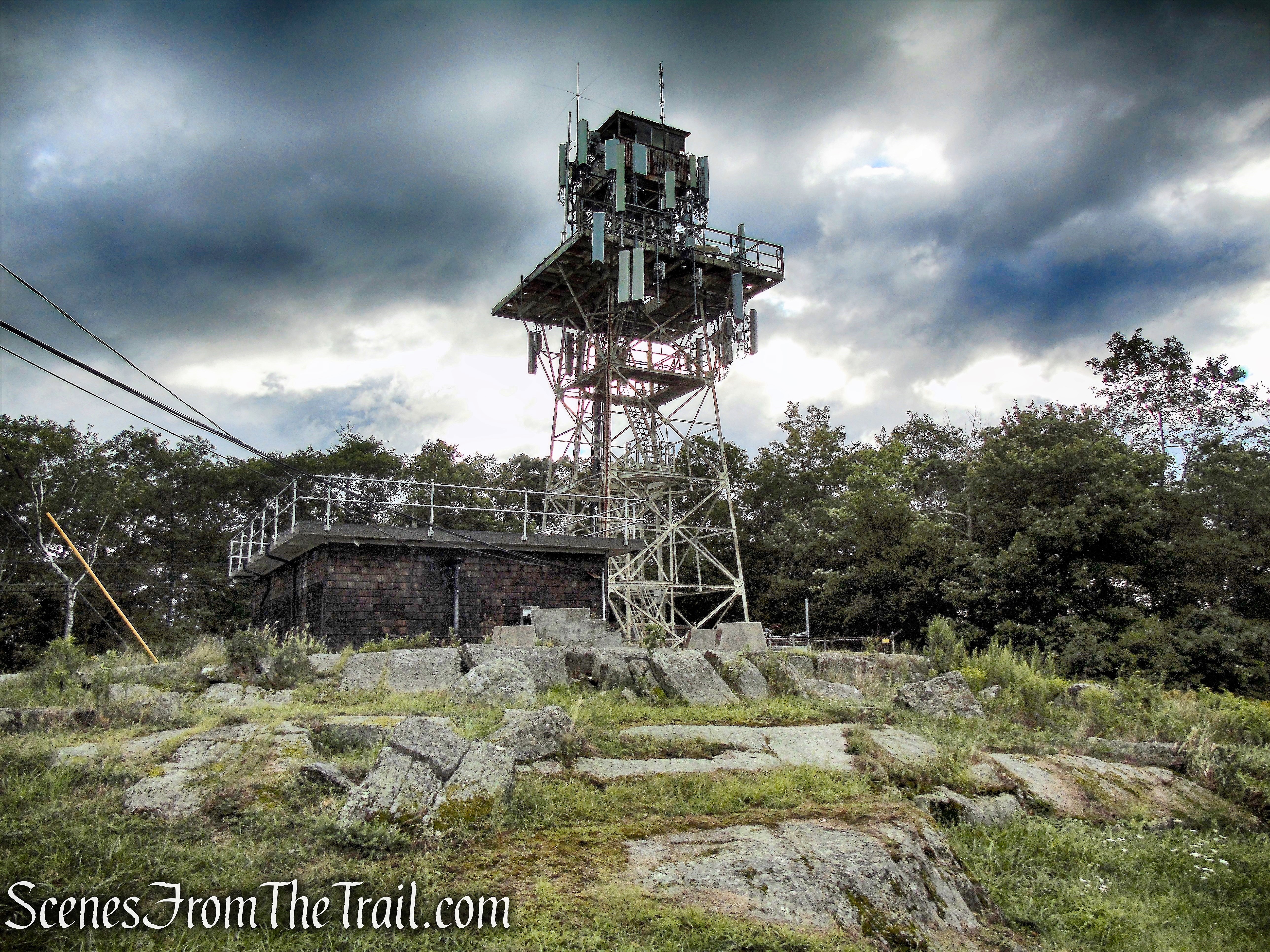
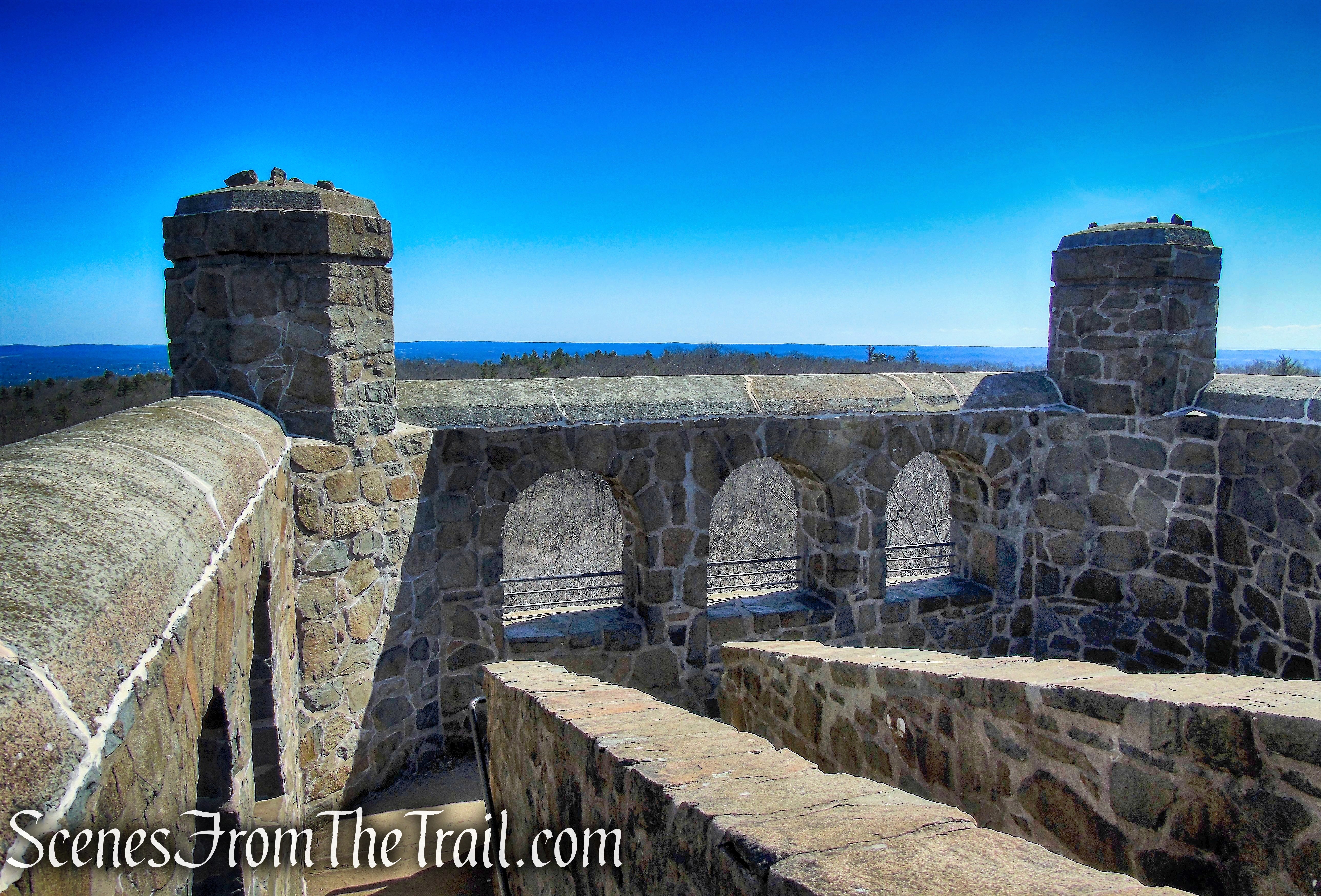
Ferncliff Forest’s current tower was constructed in the summer of 2007. The tower, a 1933 International Derrick fire tower made of Carnegie steel, was moved from its original site in Orangeburg, South Carolina. The tower is 80 feet tall and offers spectacular views of the Hudson River, Catskill Mountains and the surrounding area.

Looking northwest – Ferncliff Forest Fire Tower
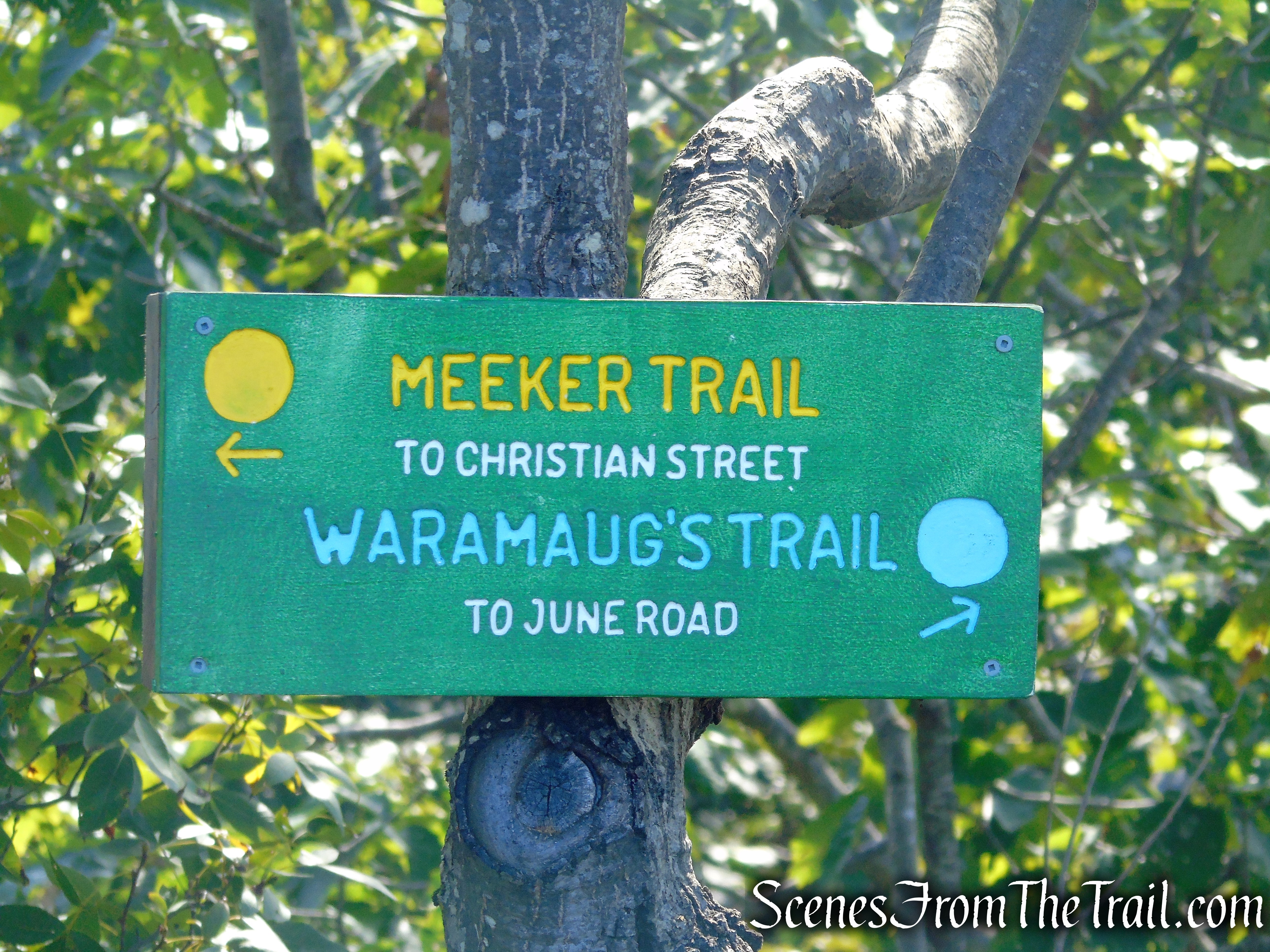
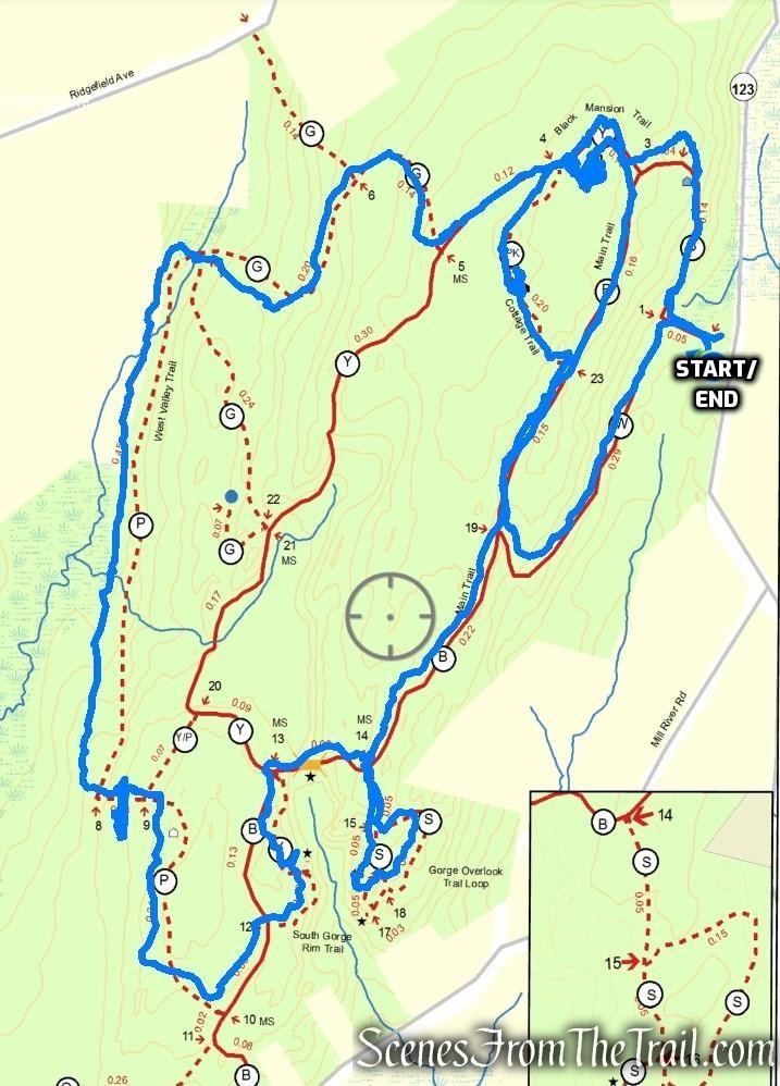
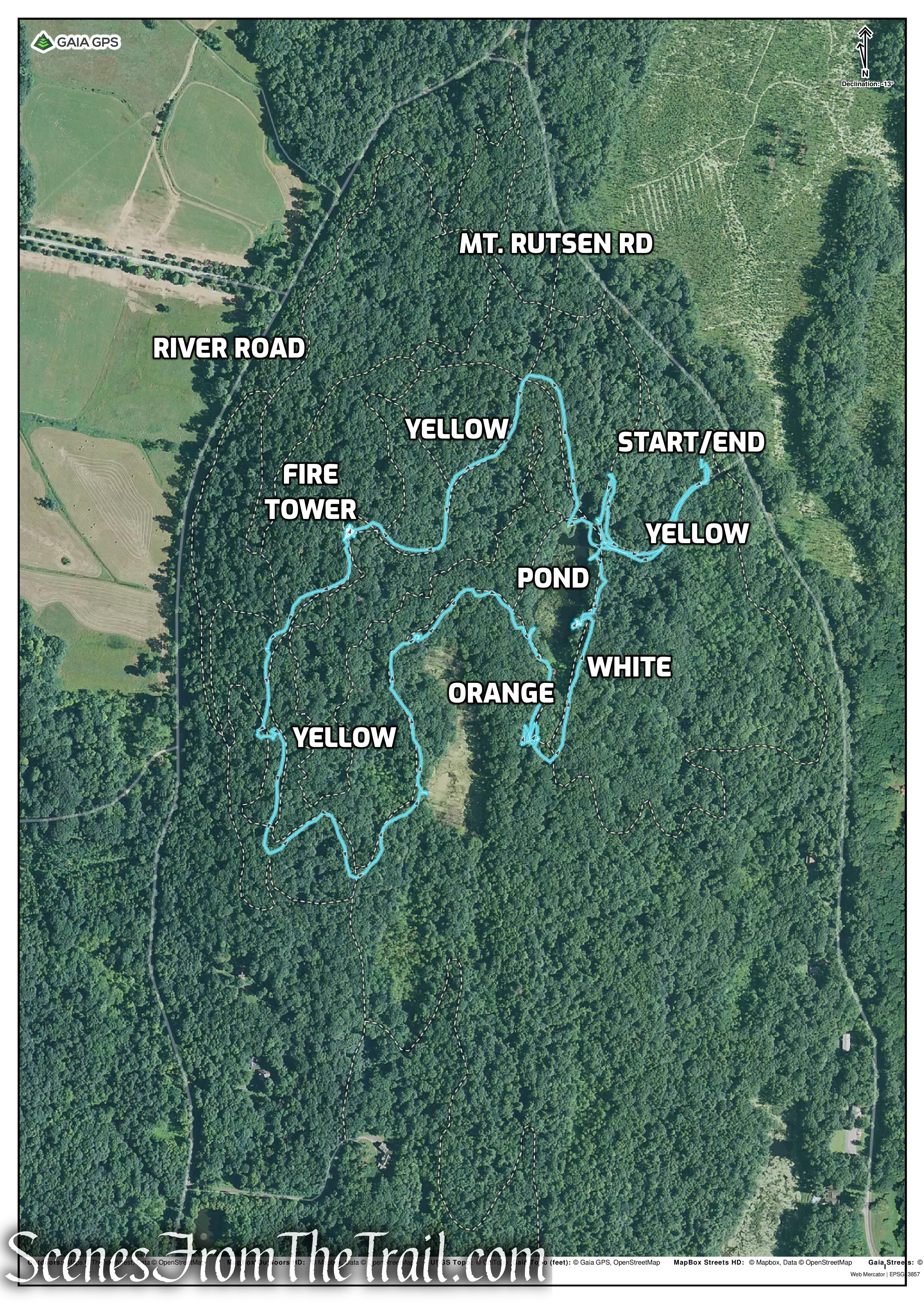
Trails Overview:
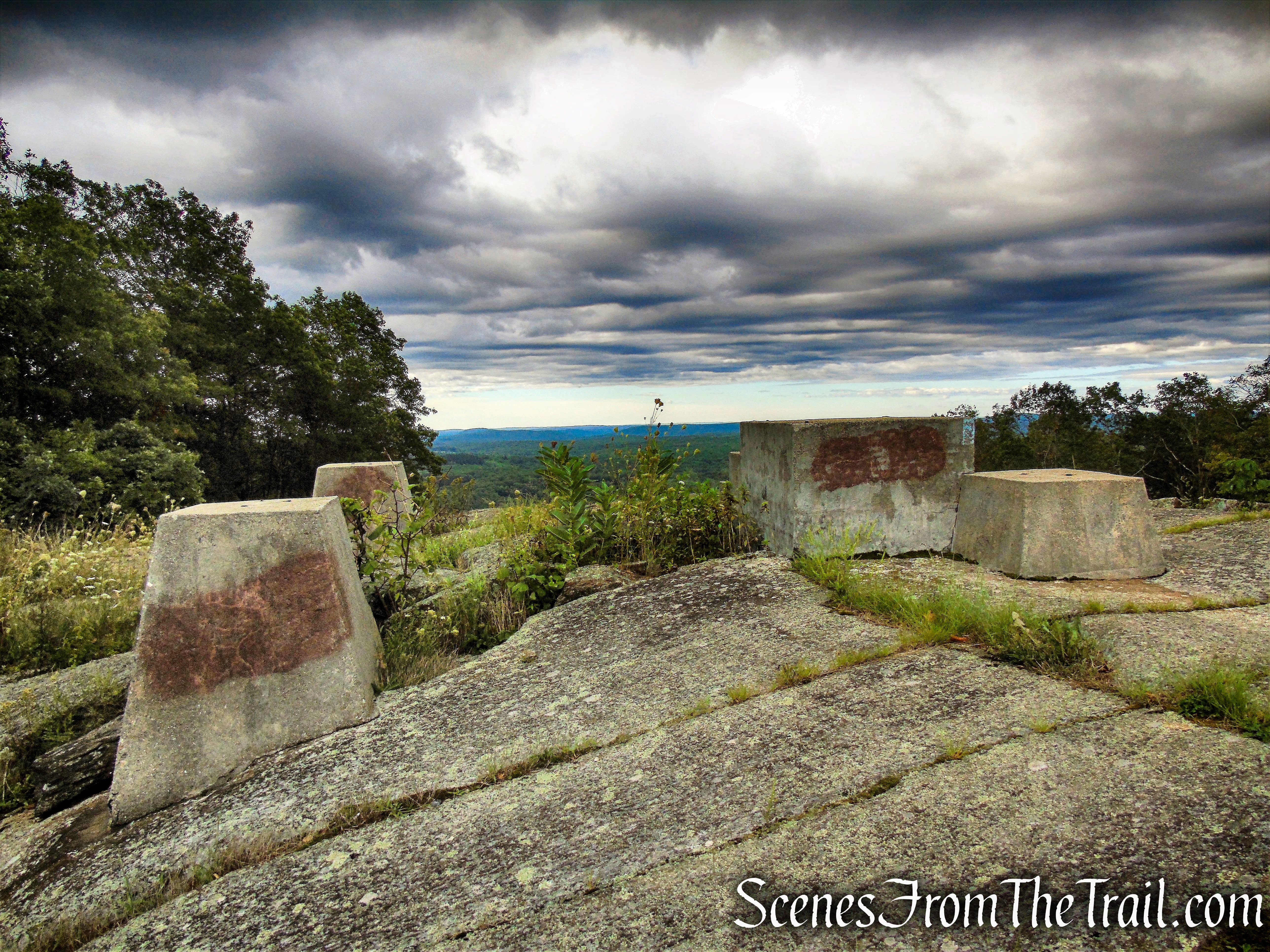
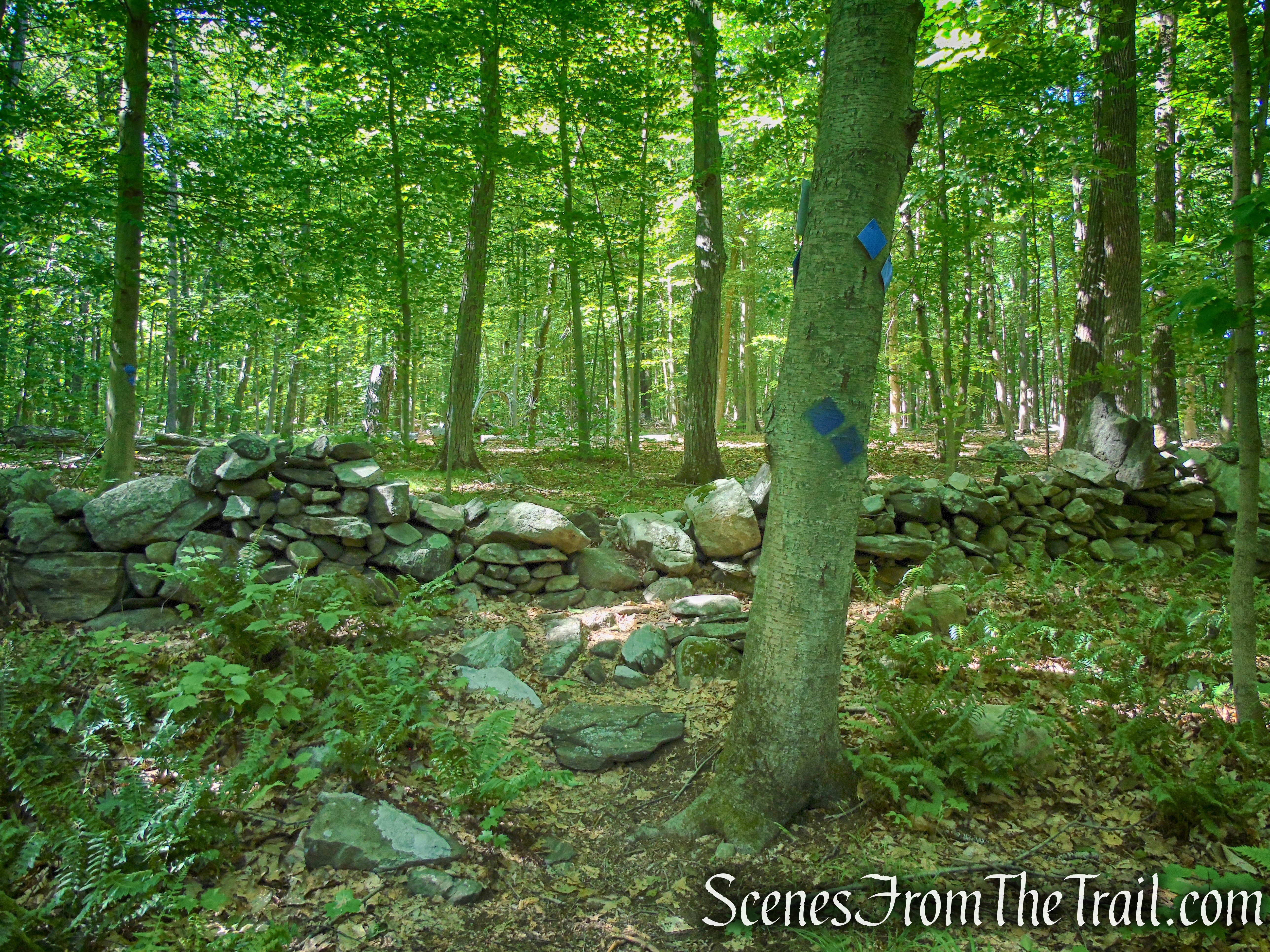
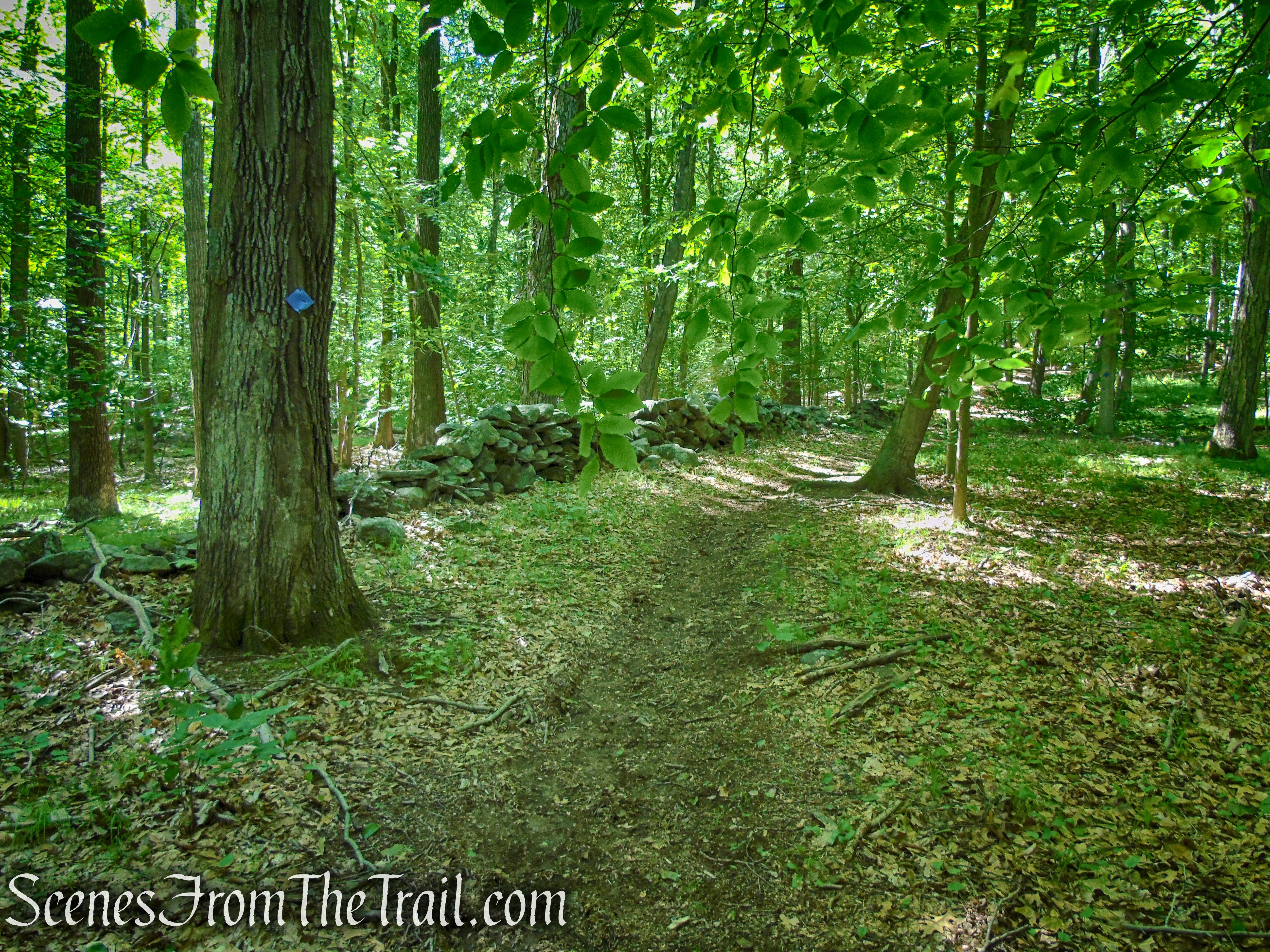
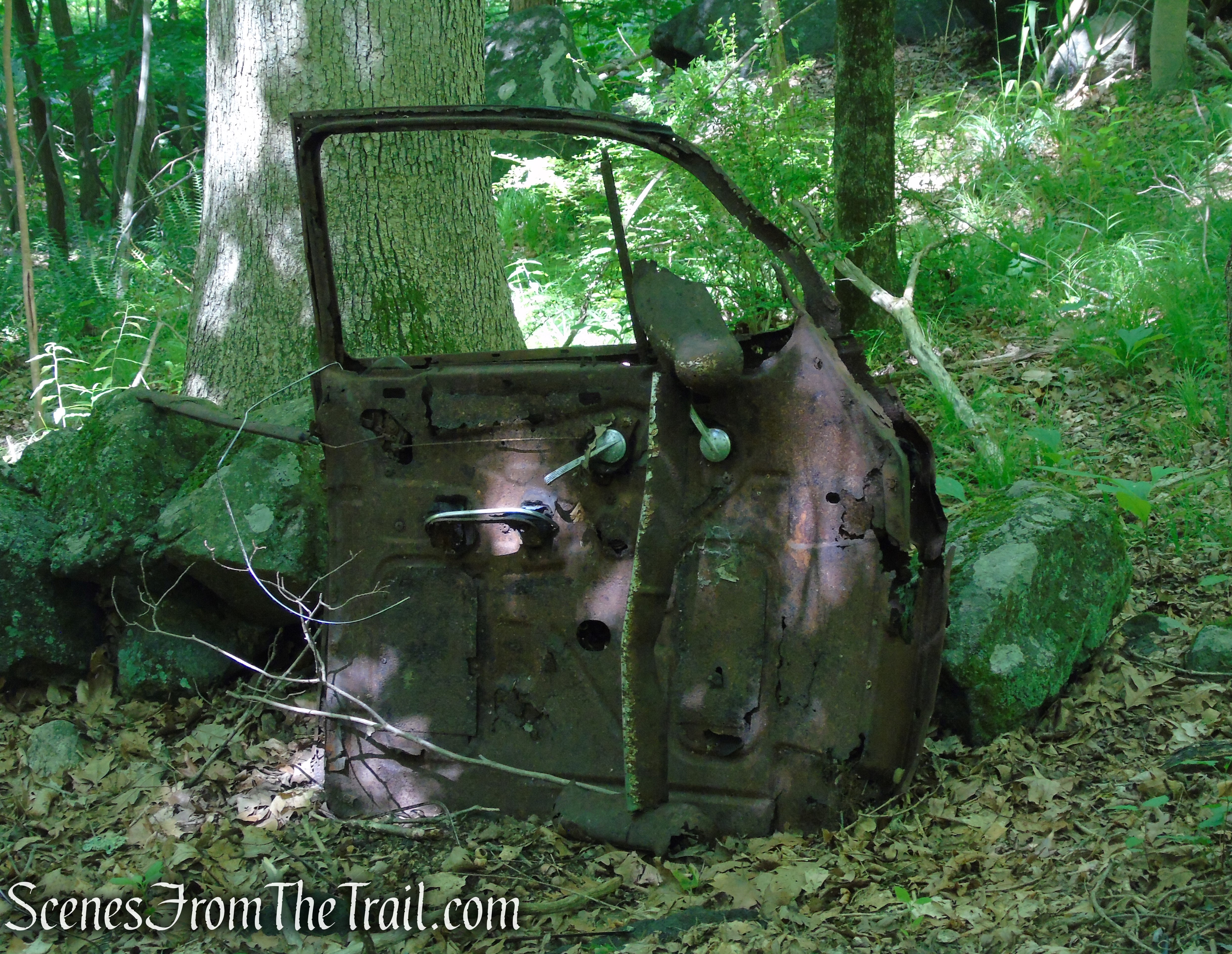
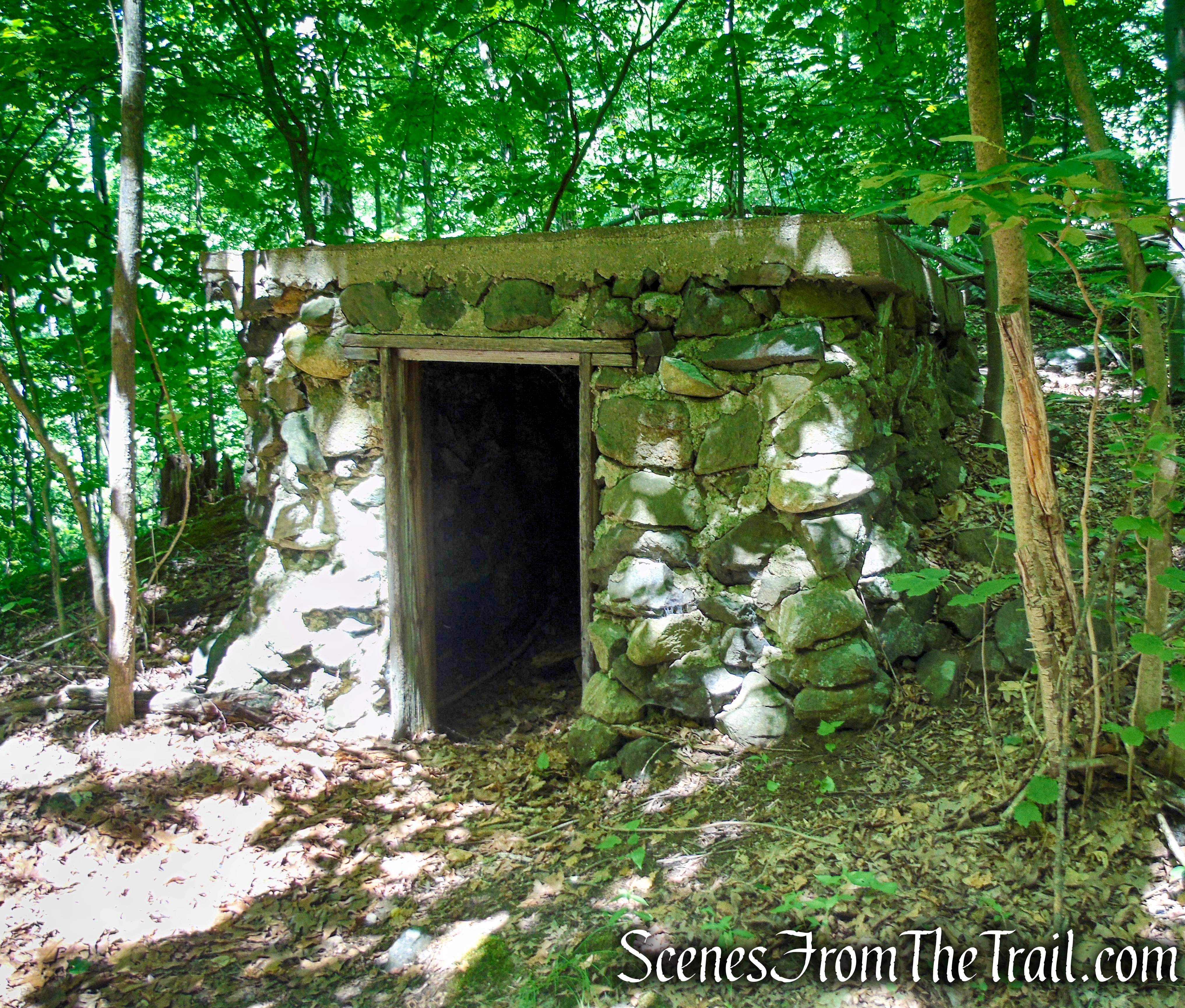
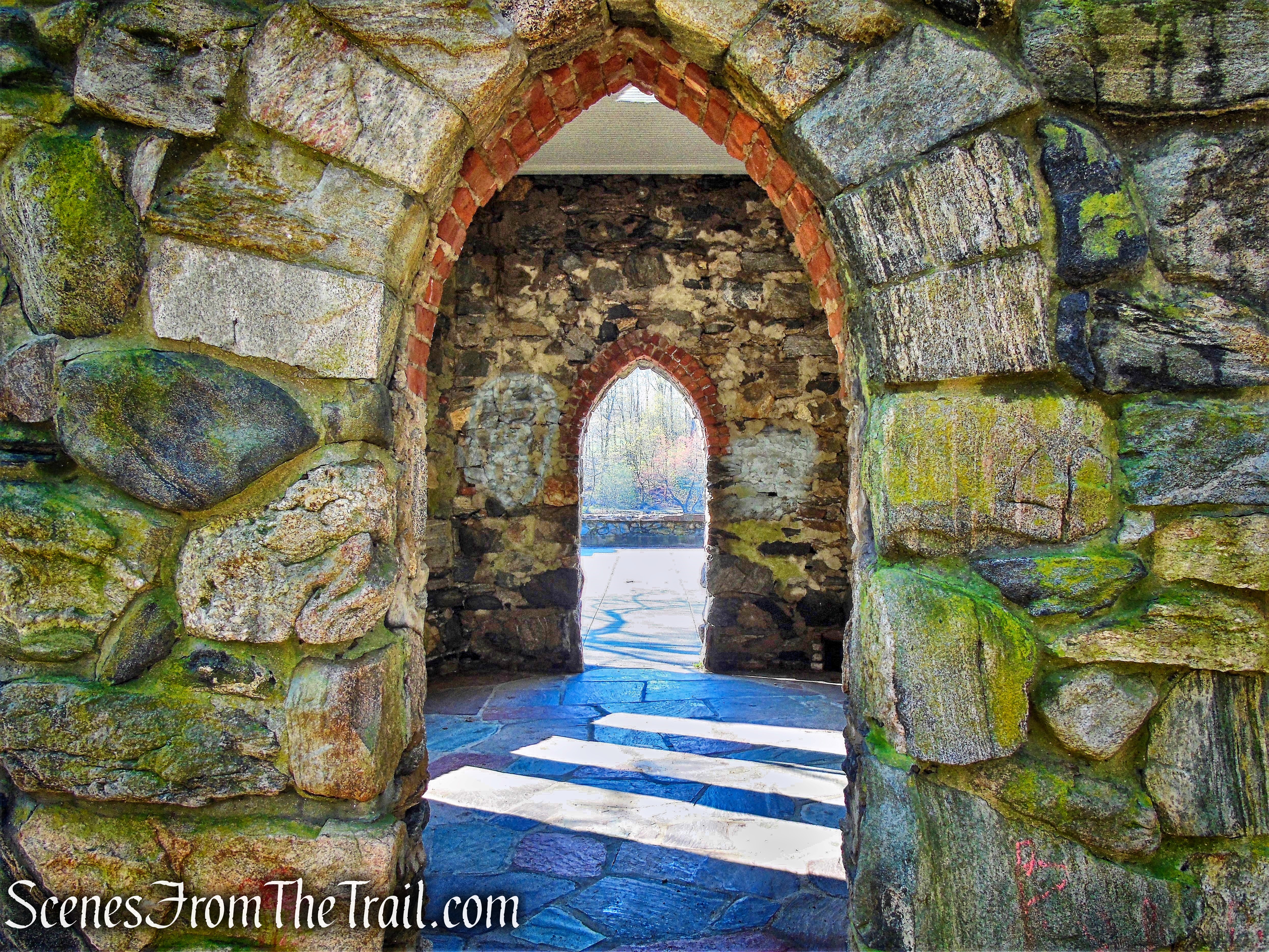
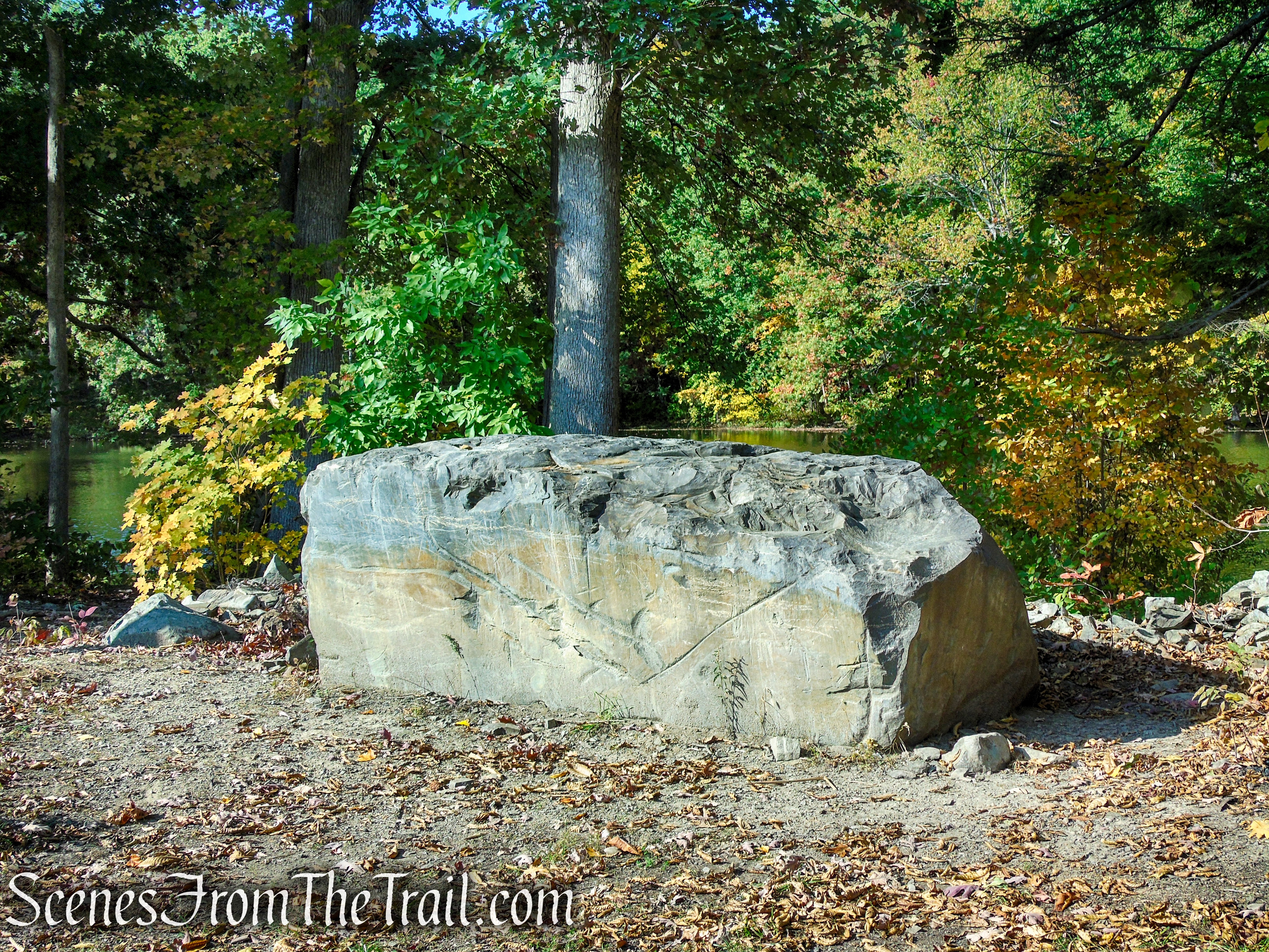
Alongside the 11 miles of marked trails you can find the remains of the former chapel, as well as hand-dug wells, cisterns, root cellars and old foundations from the land’s farmsteading days. The trails are easy to moderate and can be covered in a few hours, making this a great place for hiking with kids. Overnight camping is allowed by permit.
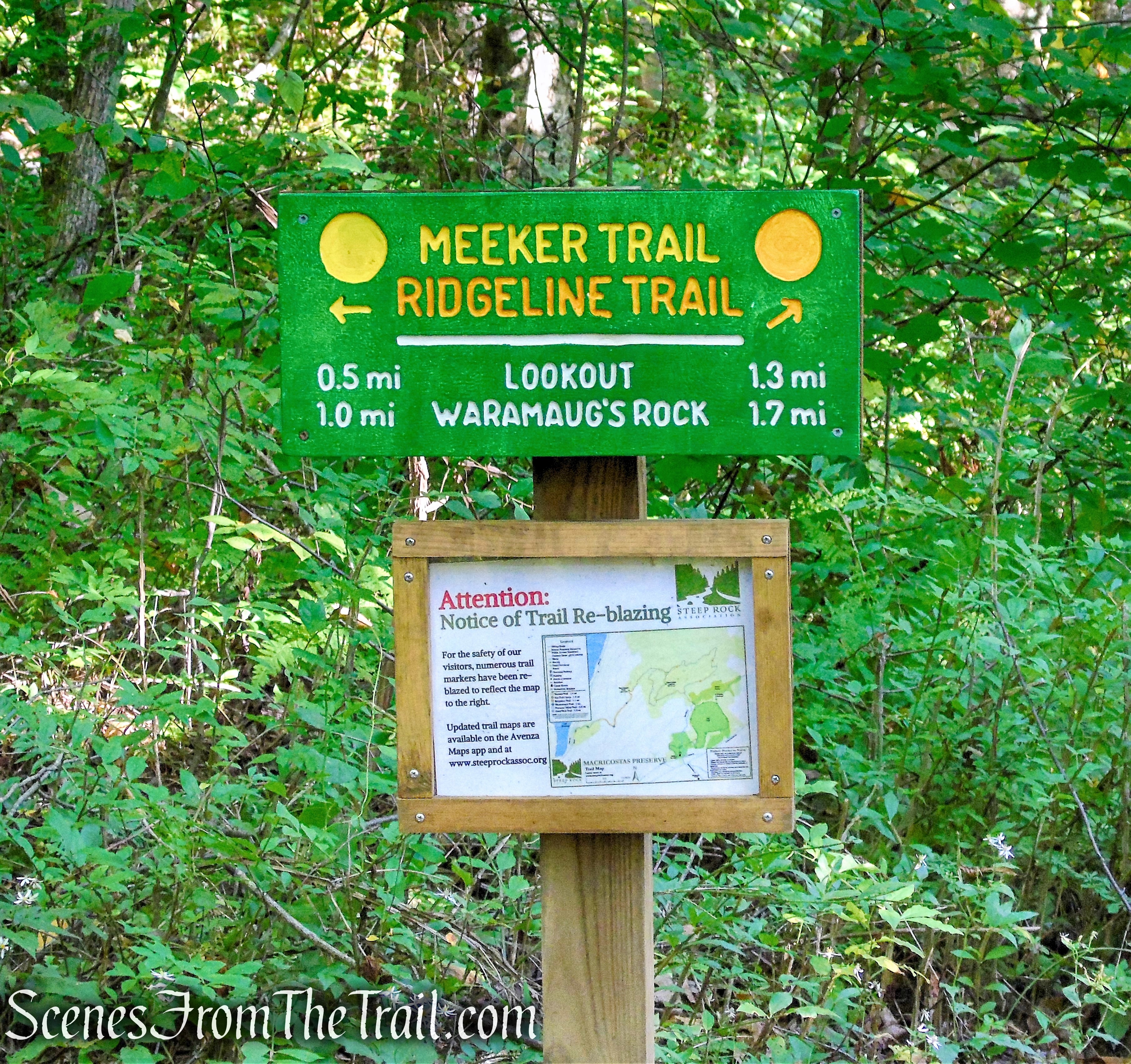
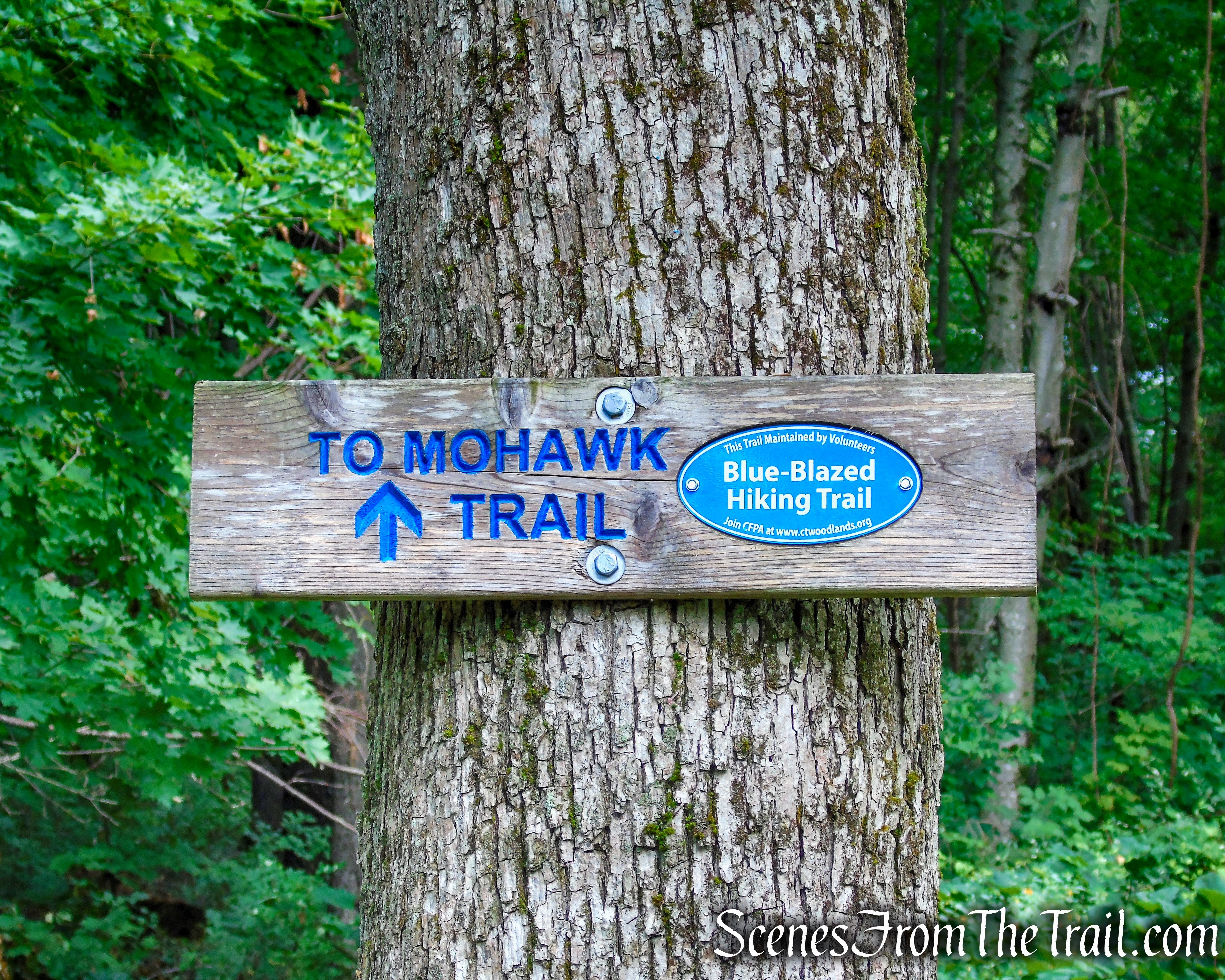
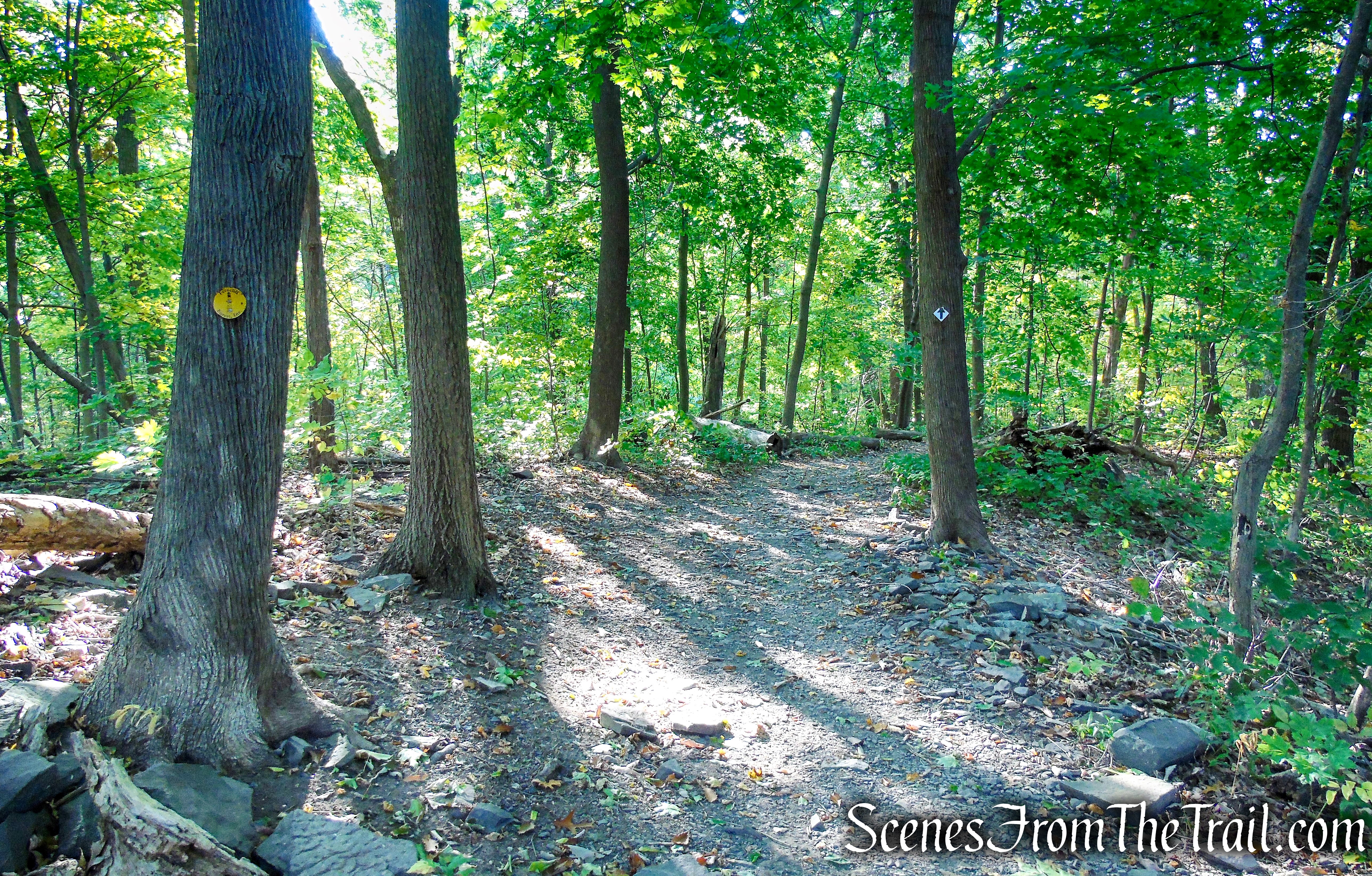
The tower is a very popular attraction and the highlight of any visit to Ferncliff Forest. The Ferncliff Forest Fire Tower can be climbed by visitors to enjoy the 360° views. The tower is open everyday all year long and is an easy hike of about 0.6 mile from the Ferncliff Forest parking lot, on the Yellow Circle Trail.
Yellow Circle Trail – Ferncliff Forest
Hike Overview:
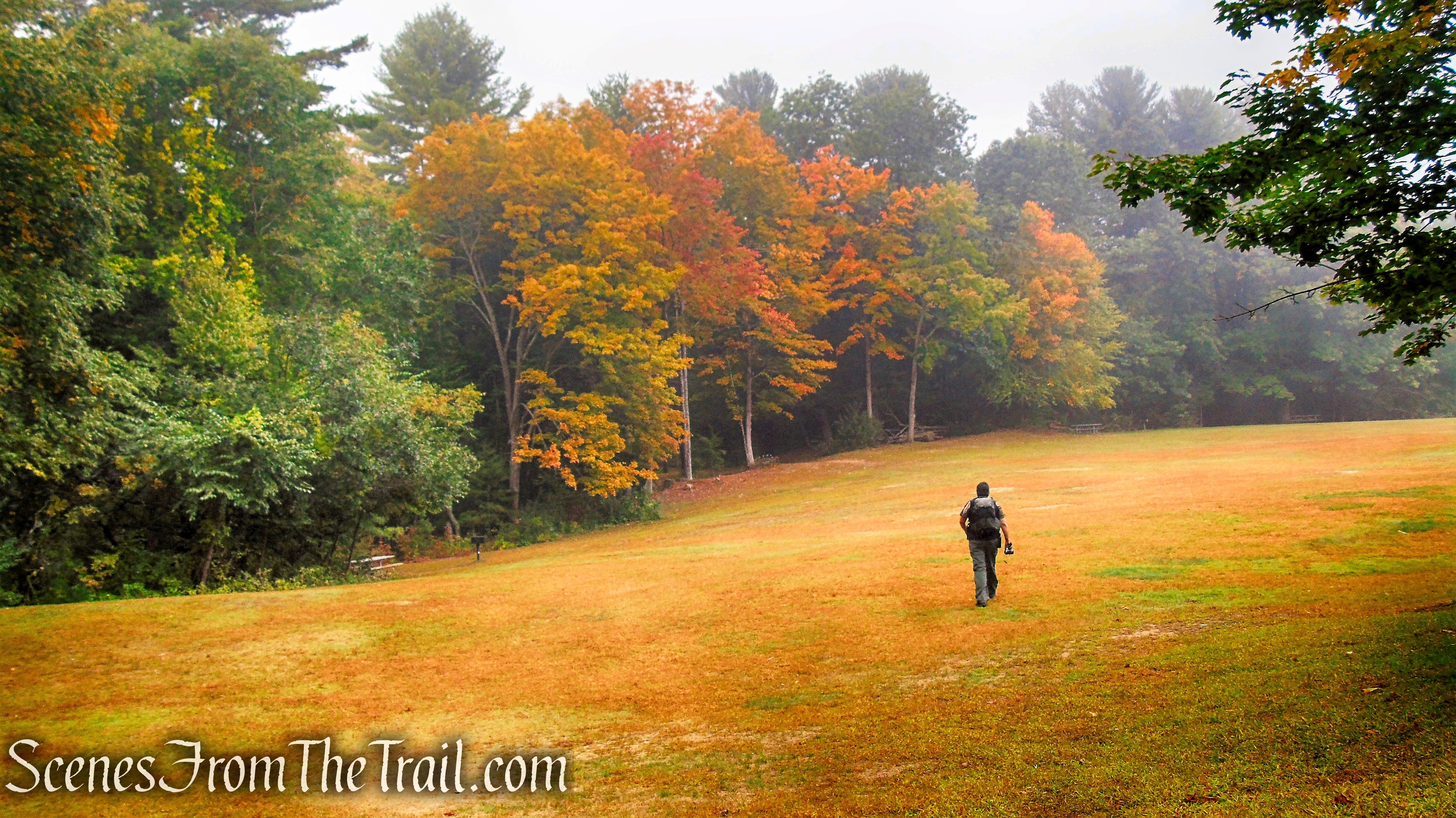
I hiked to the Fire Tower in 2014 and the trails were poorly marked and a little confusing to navigate. Fast forward to 2020, the trails are now well blazed and well maintained. I’ve been wanting to get up here for some time and with most of the popular trails in the Hudson Valley being overly crowded in recent months, I decided to make the 1-1/2 hour drive from the lower Hudson Valley.
Arriving shortly before 8:30am on a Saturday morning, there were several vehicles in the parking lot. We didn’t encounter any other hikers during our visit, only a lone fisherman at Mt. Rutsen Pond near the end of our hike.
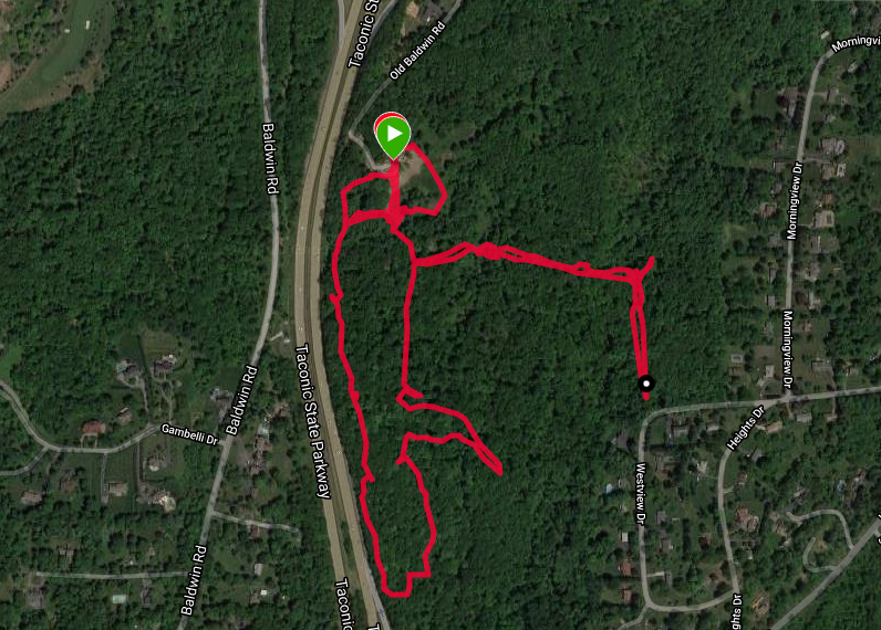
Although we kept the hike on the short side, with about 11 miles of trails available, one can log some more mileage if desired.
This hike was done counterclockwise from the Mt. Rutsen Parking lot.
Ferncliff Forest Fire Tower
The Hike:
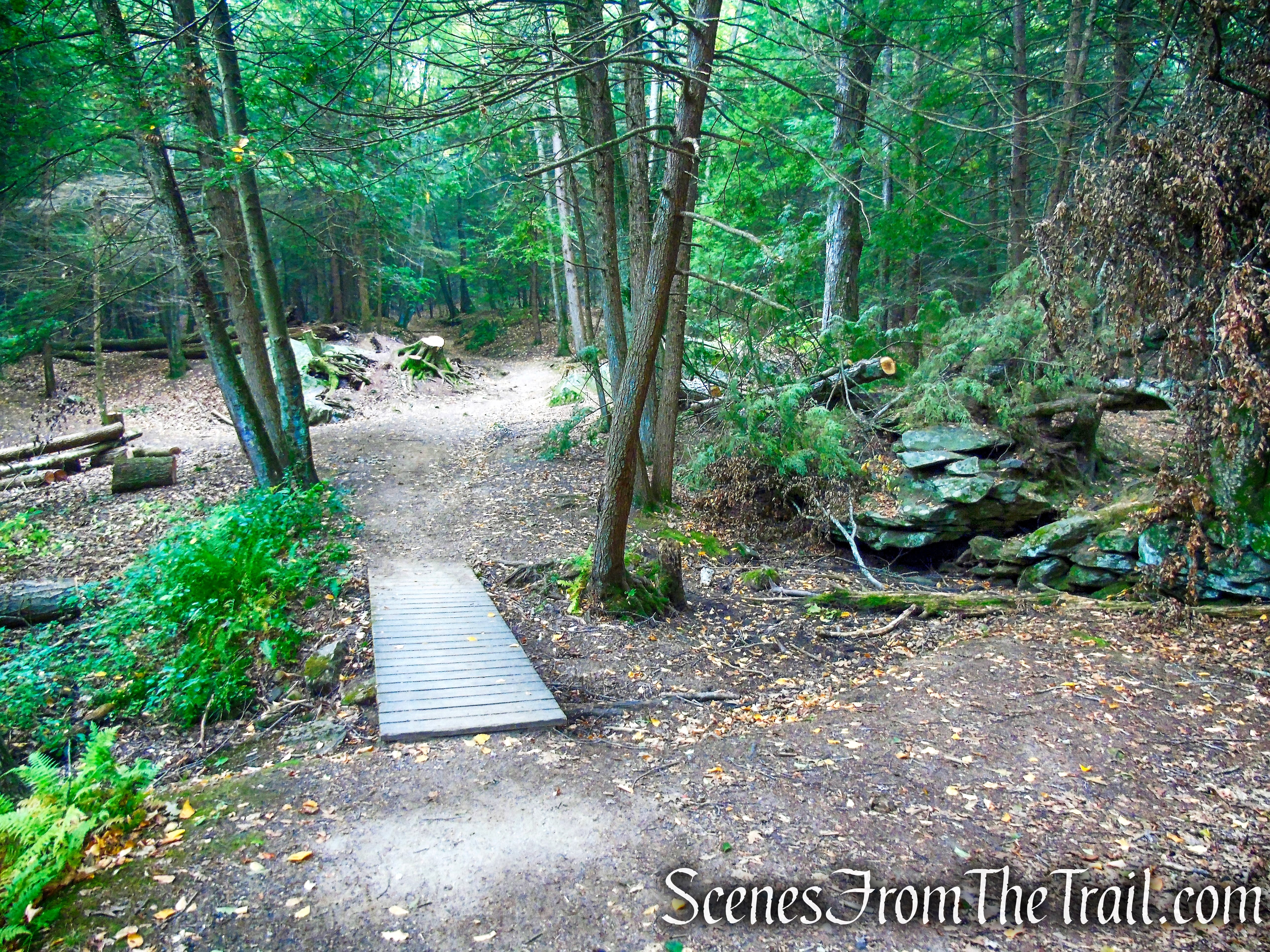
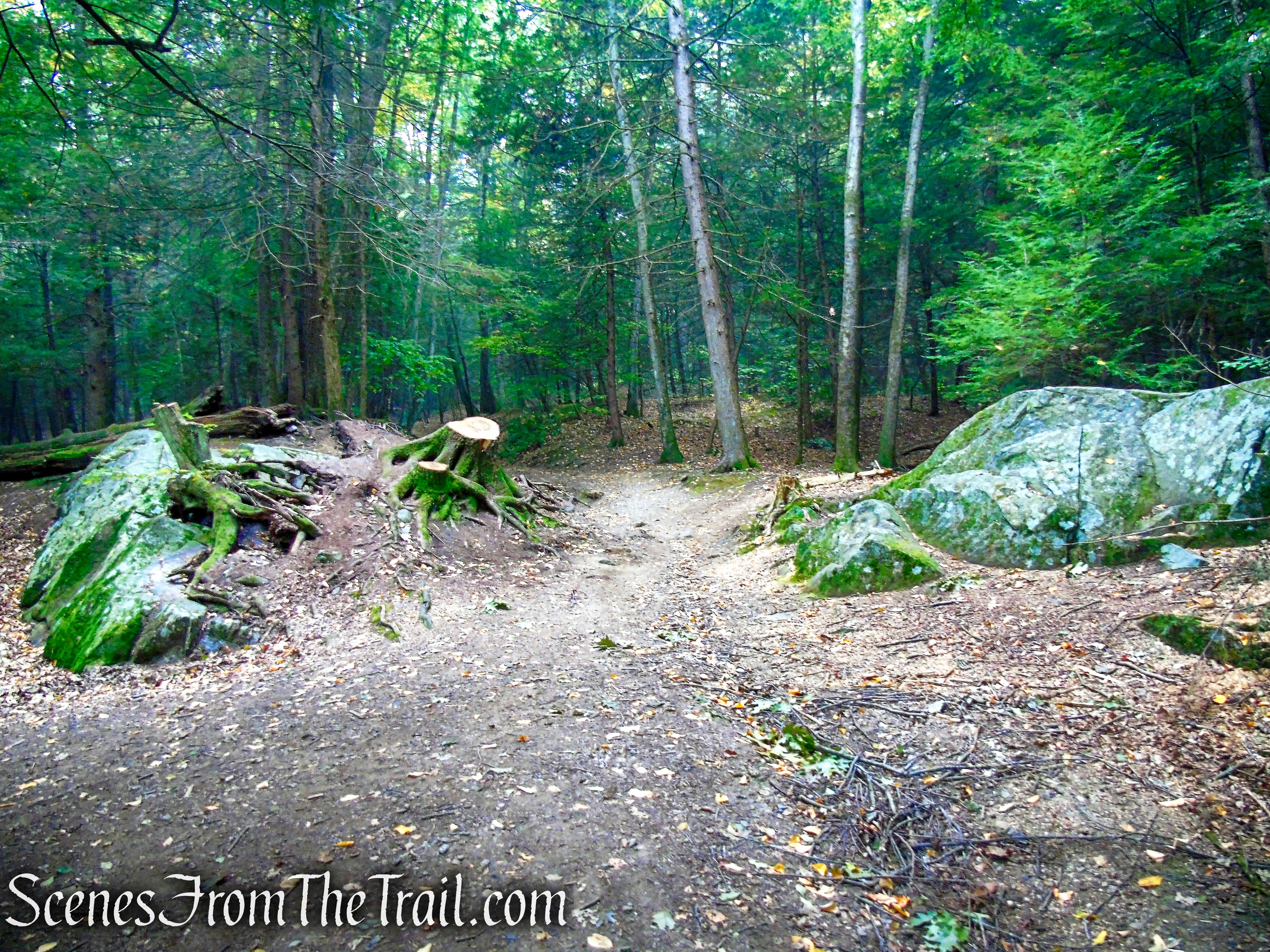
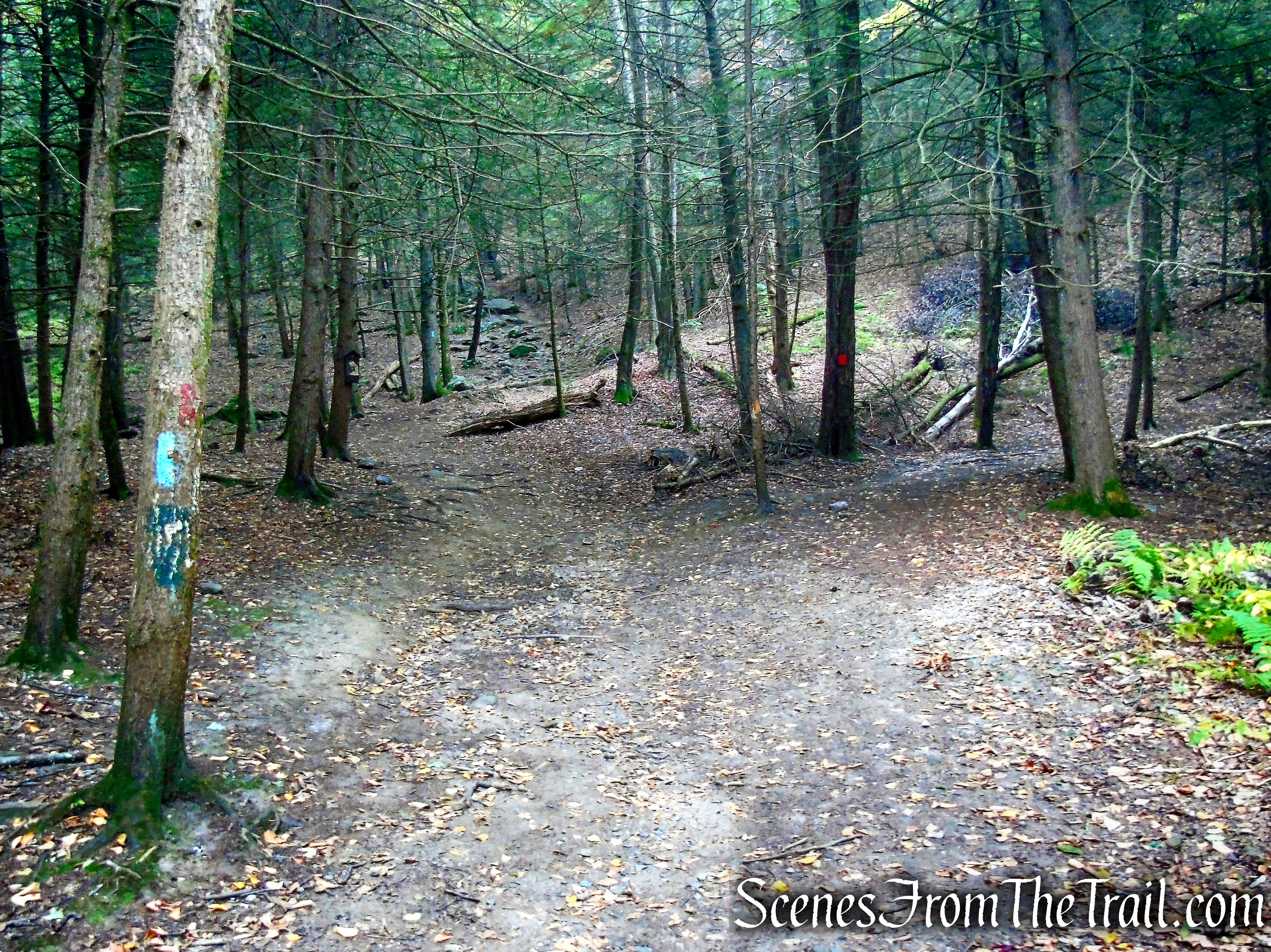
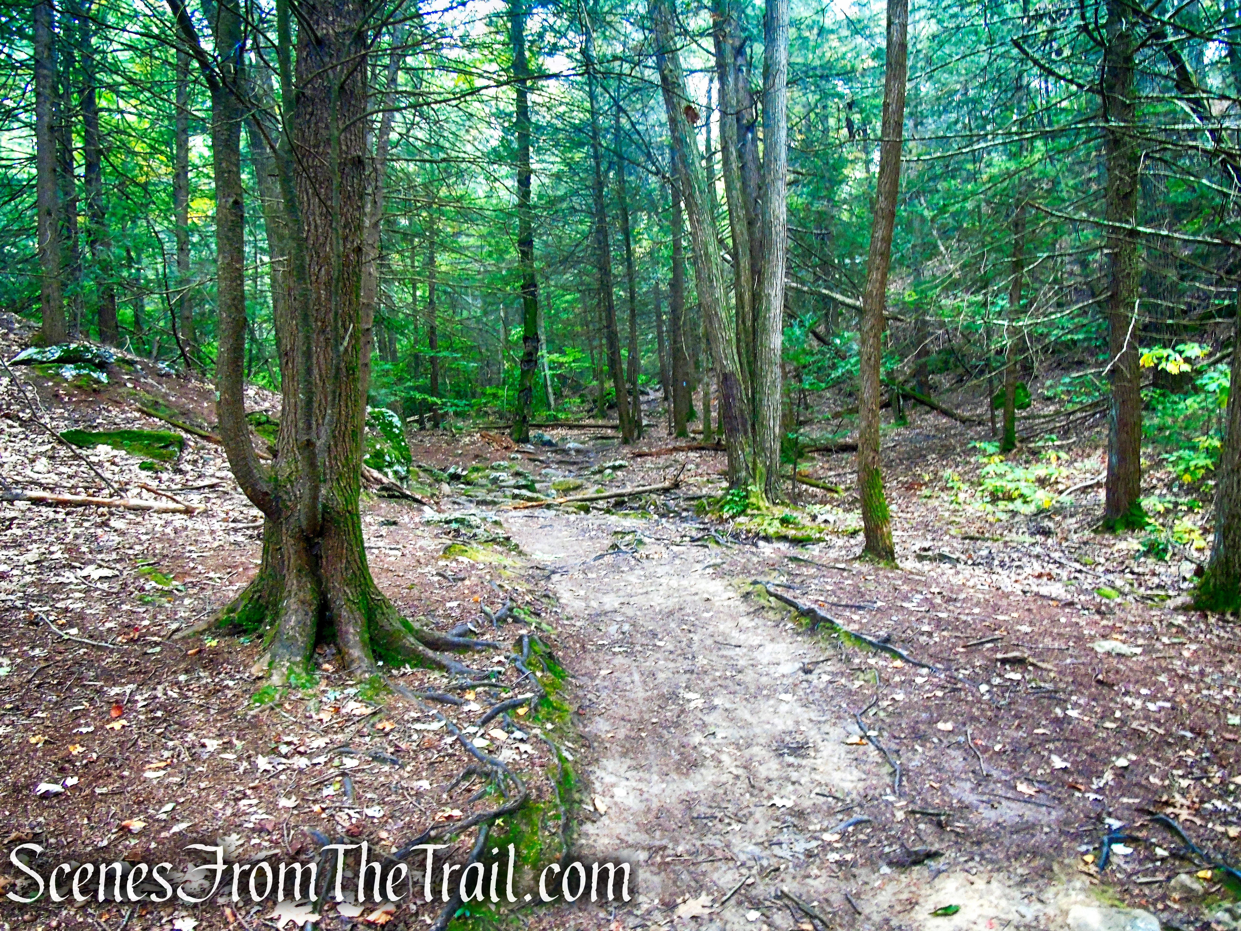
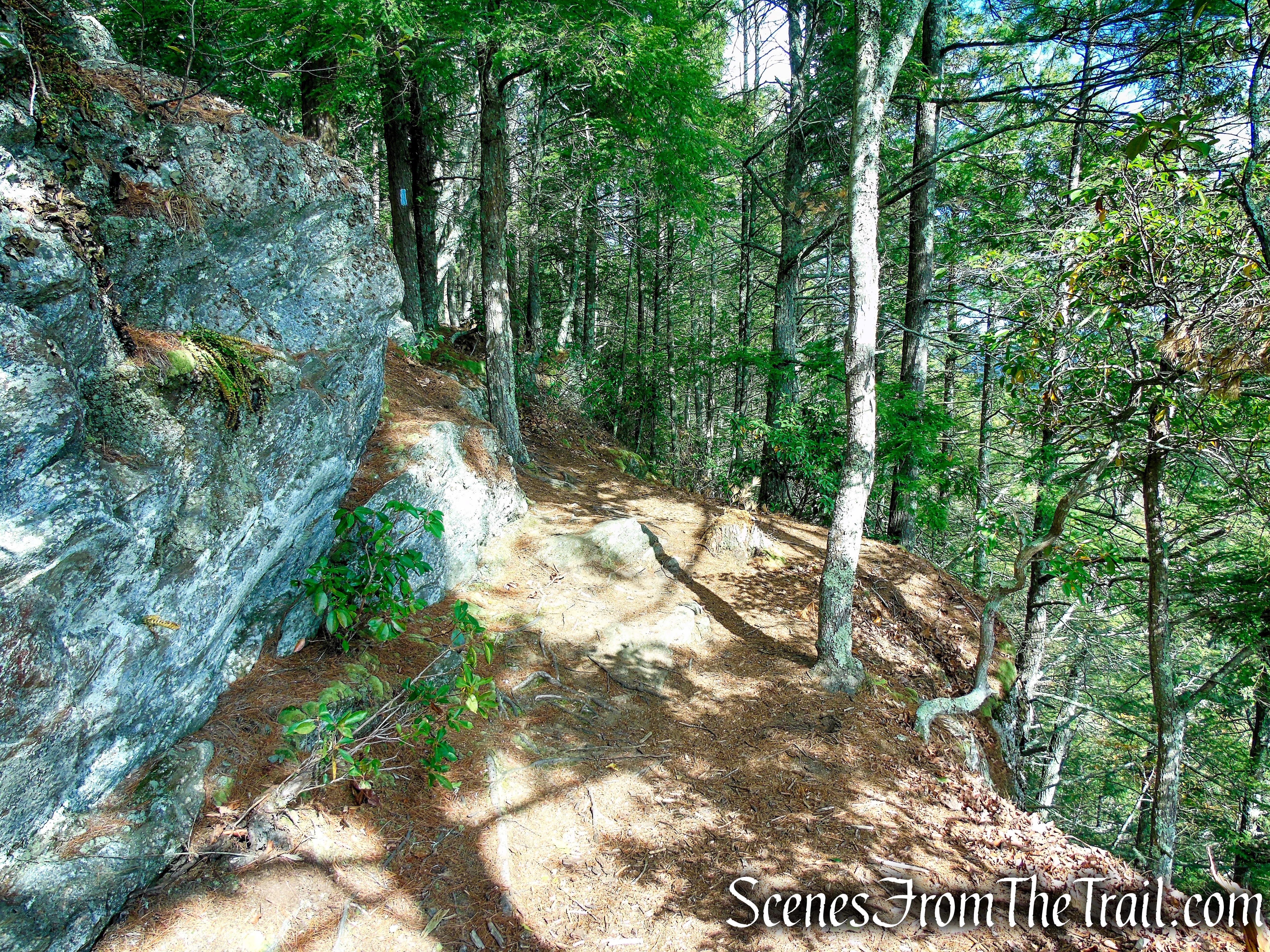
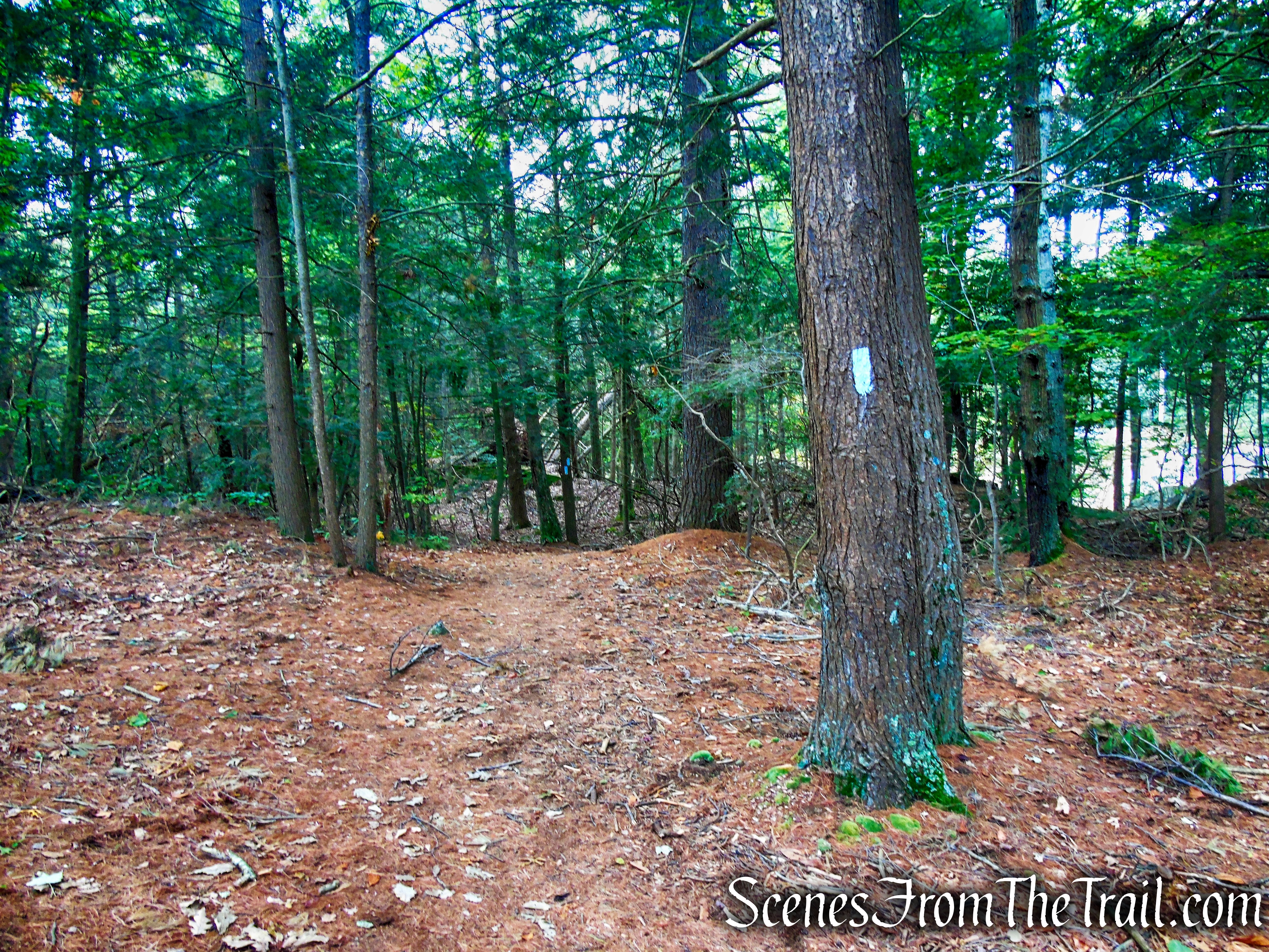
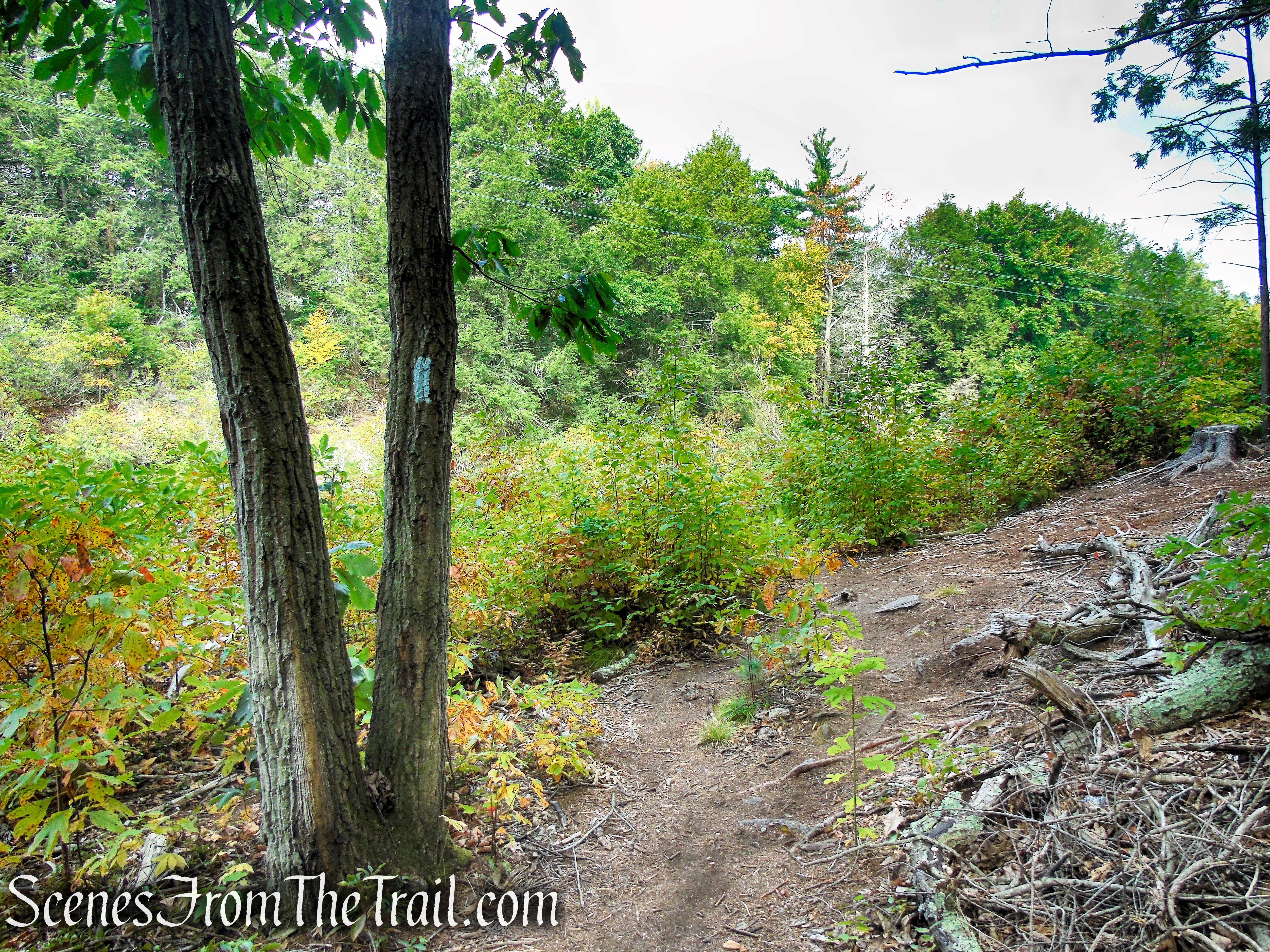
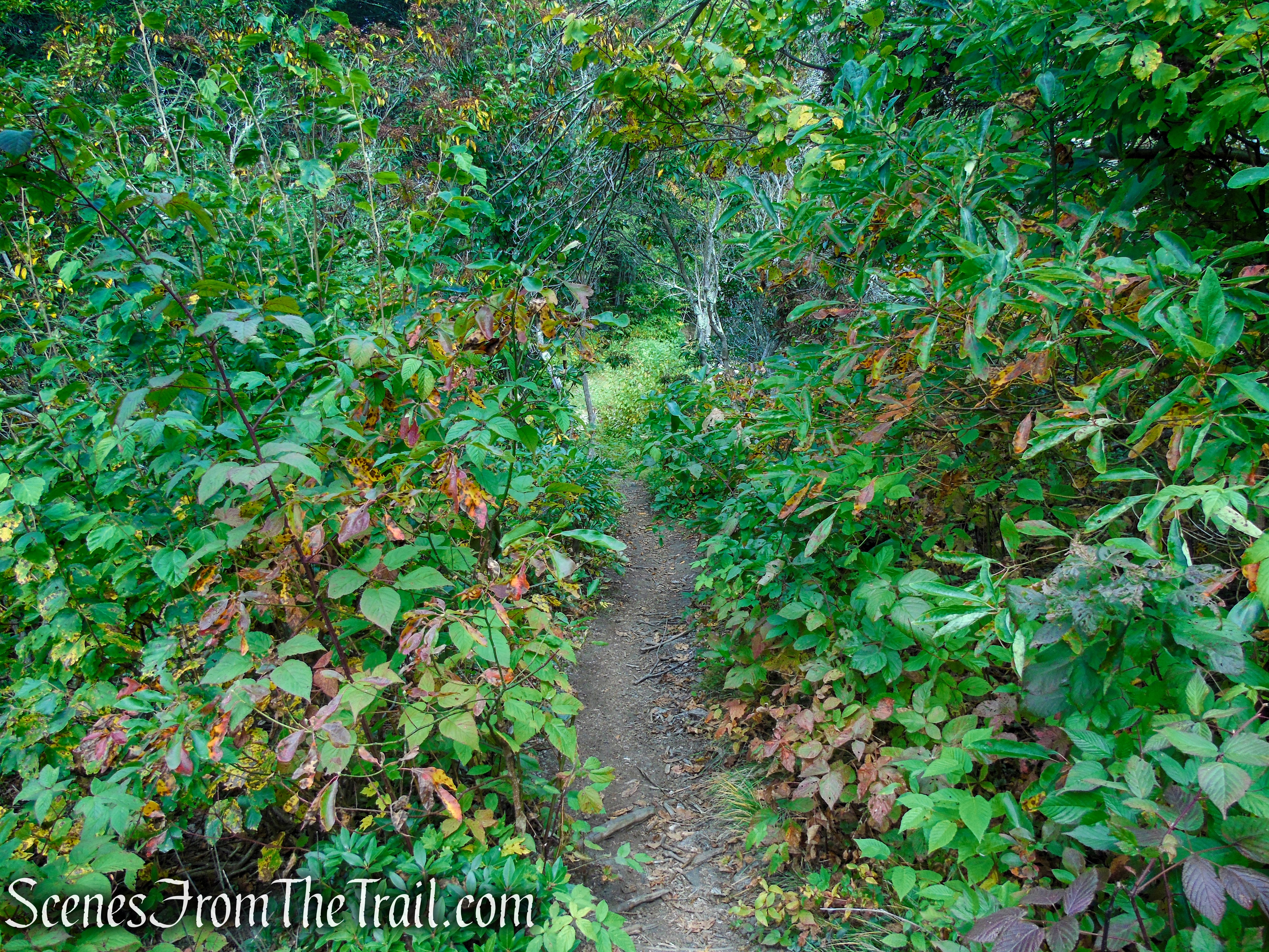
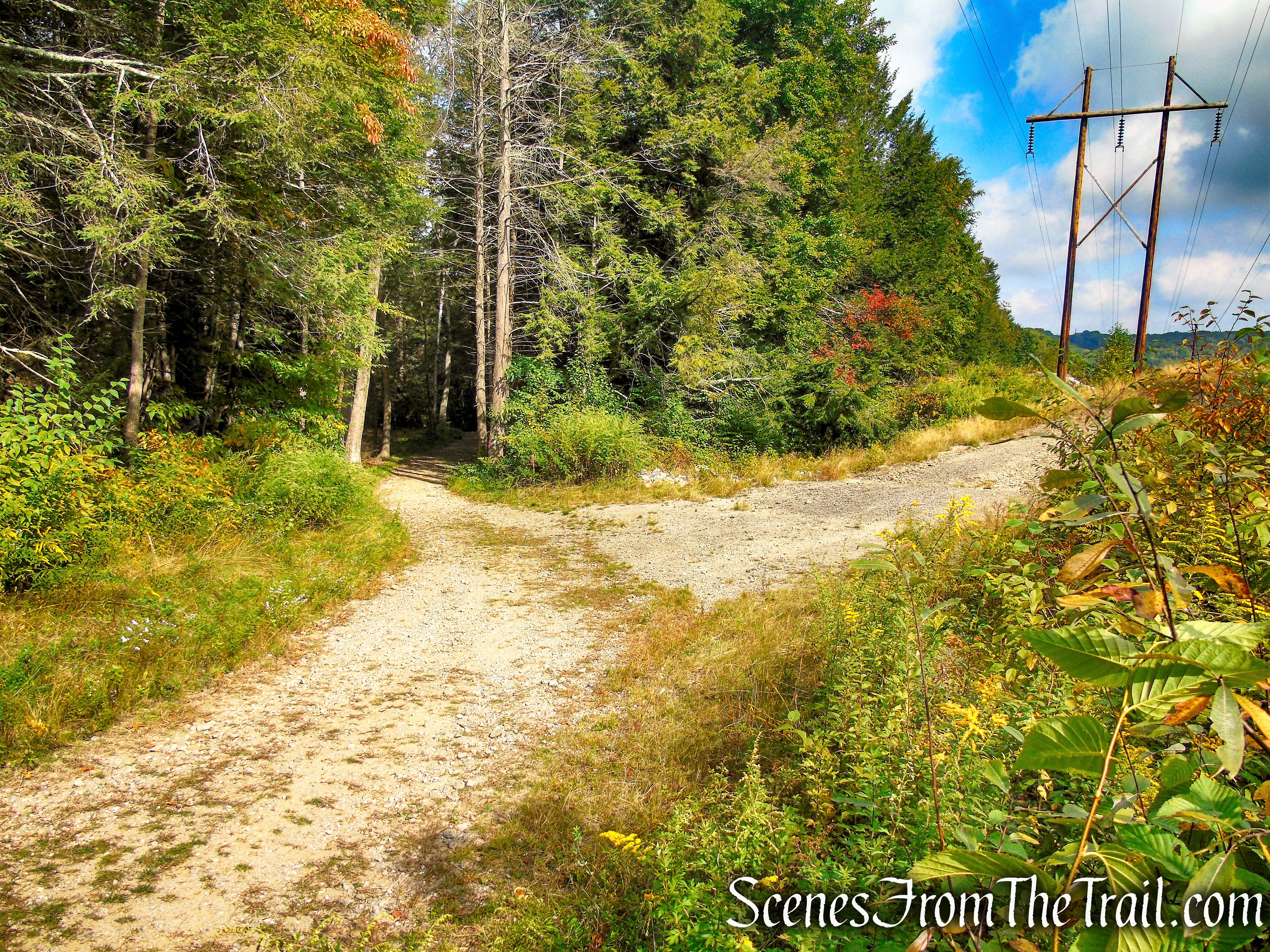
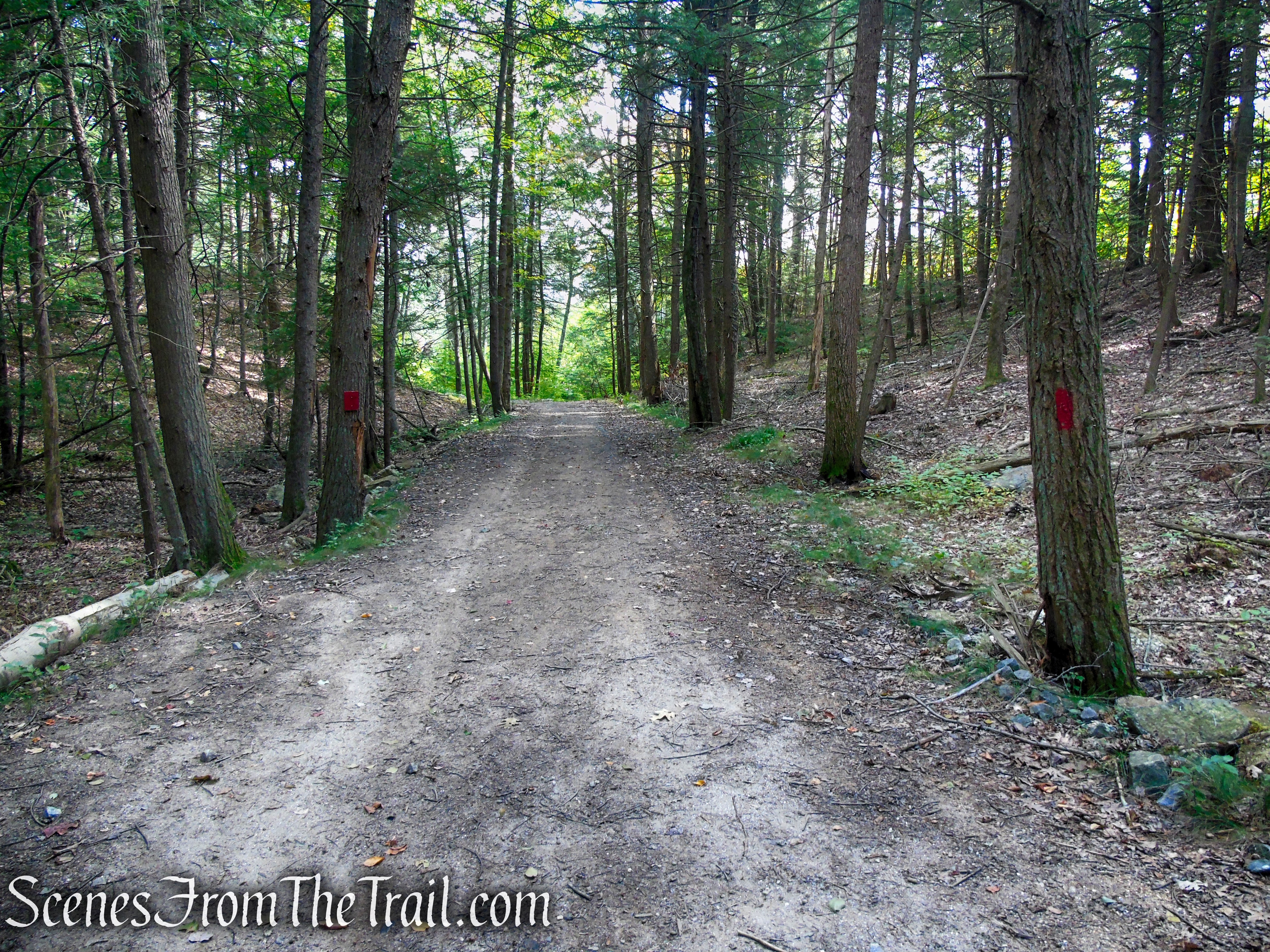
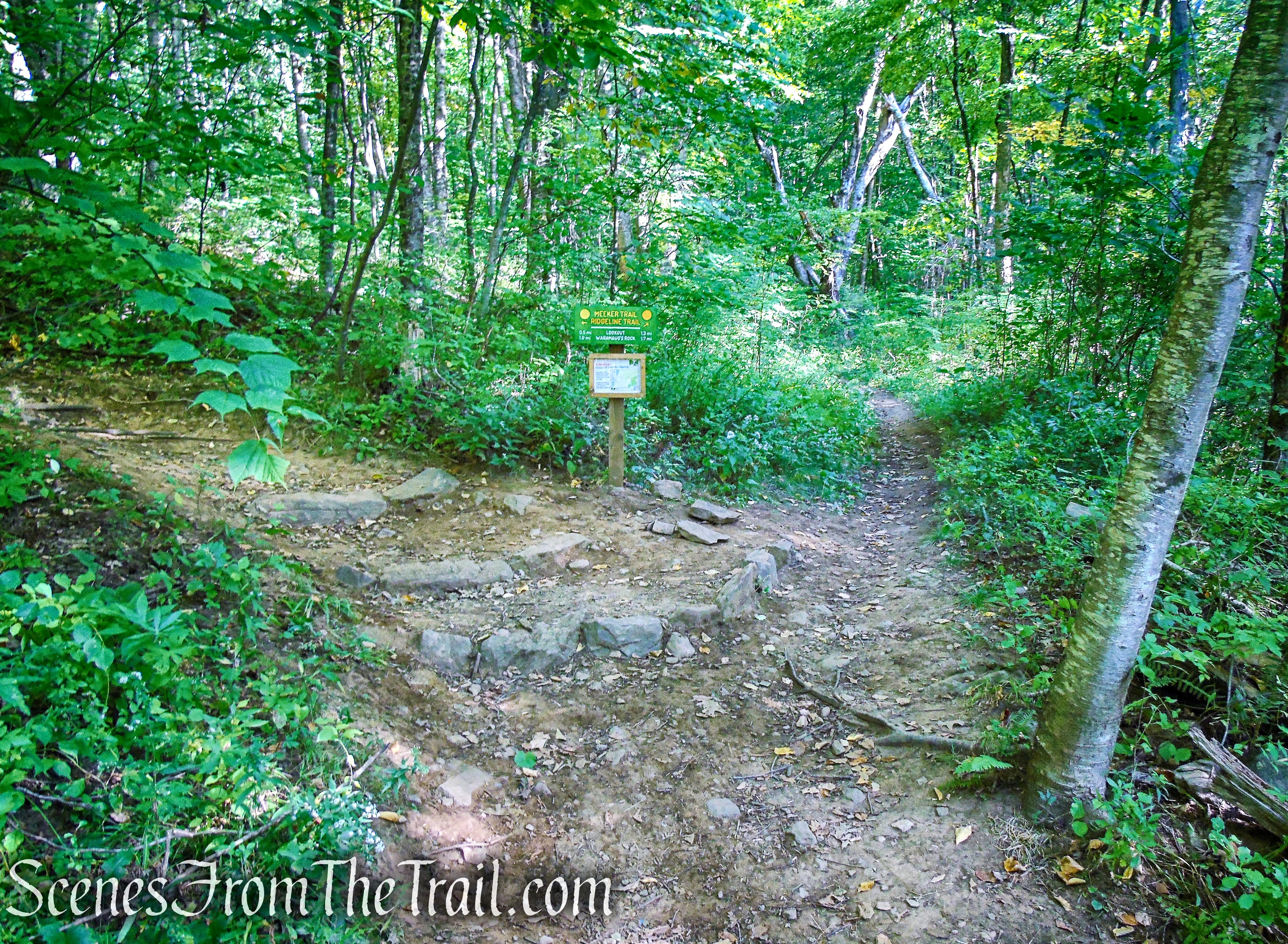
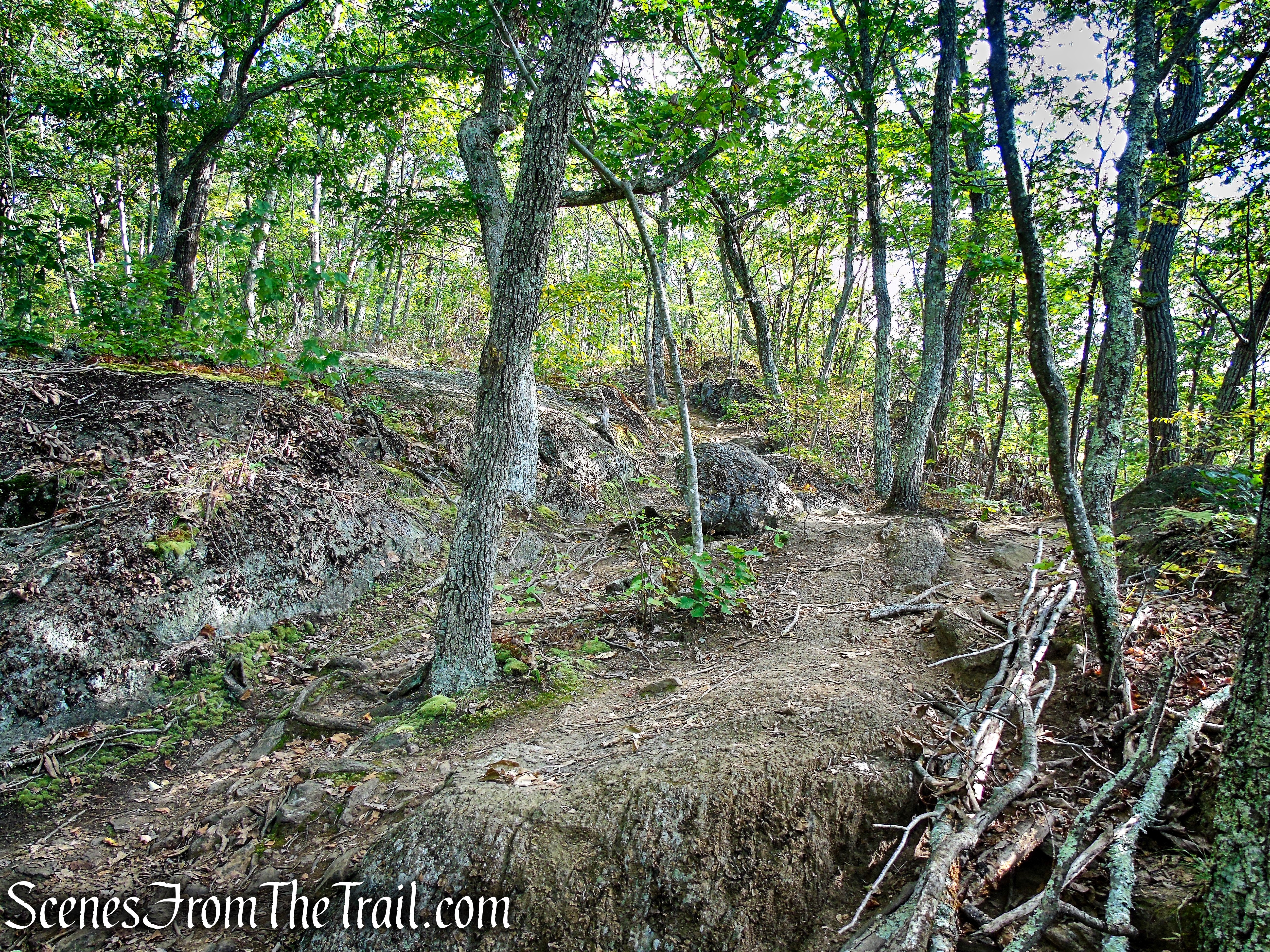
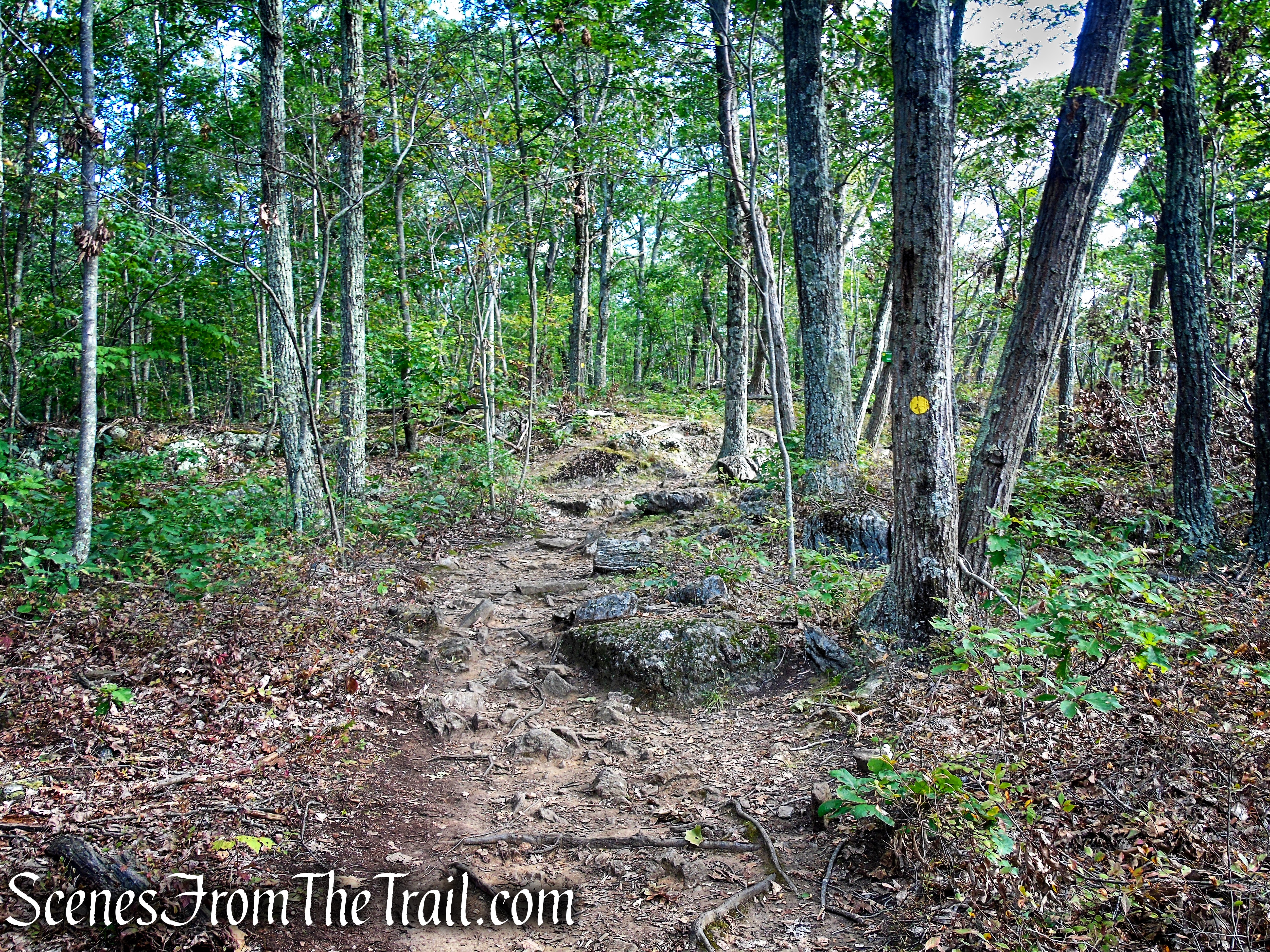
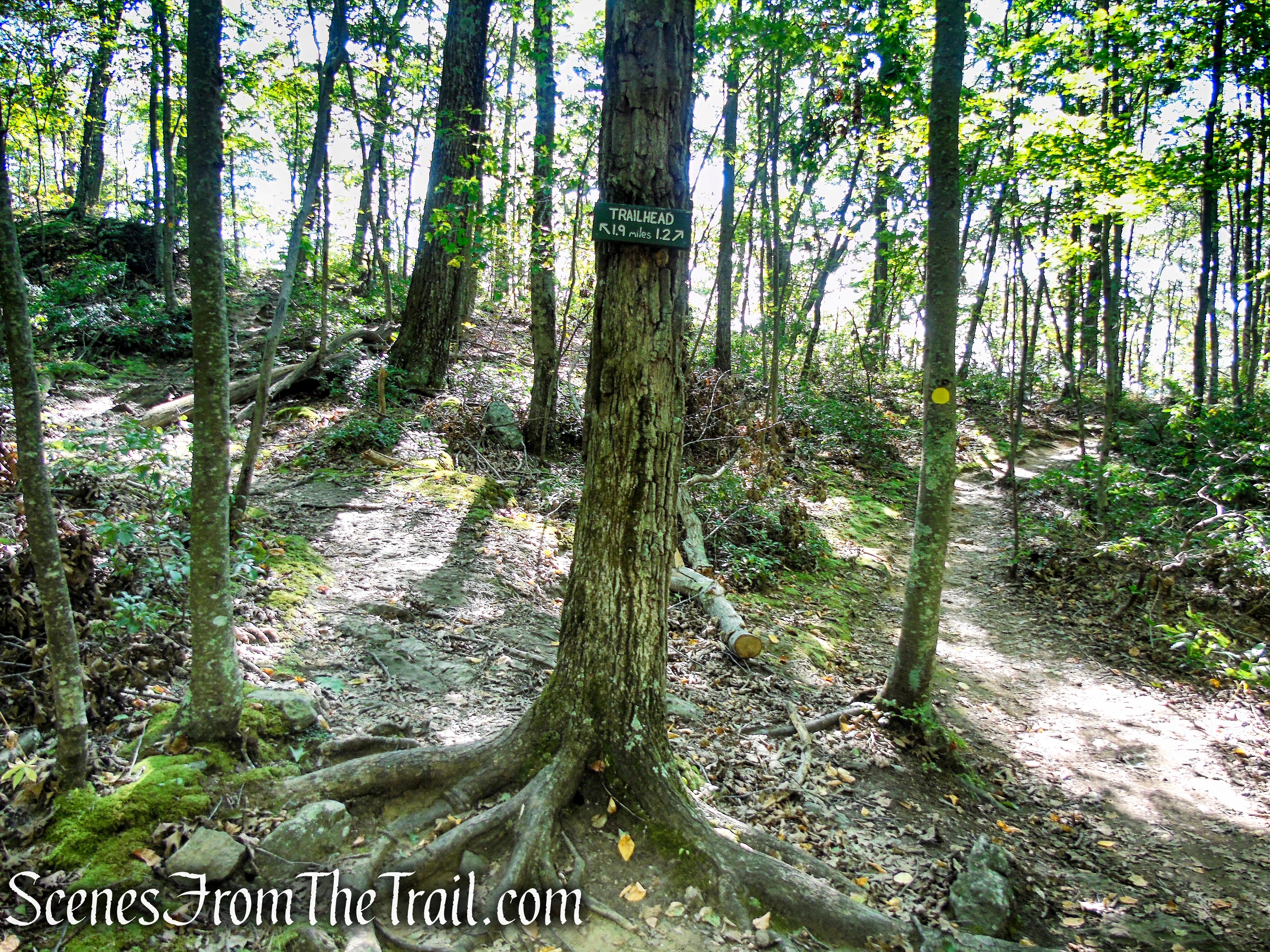
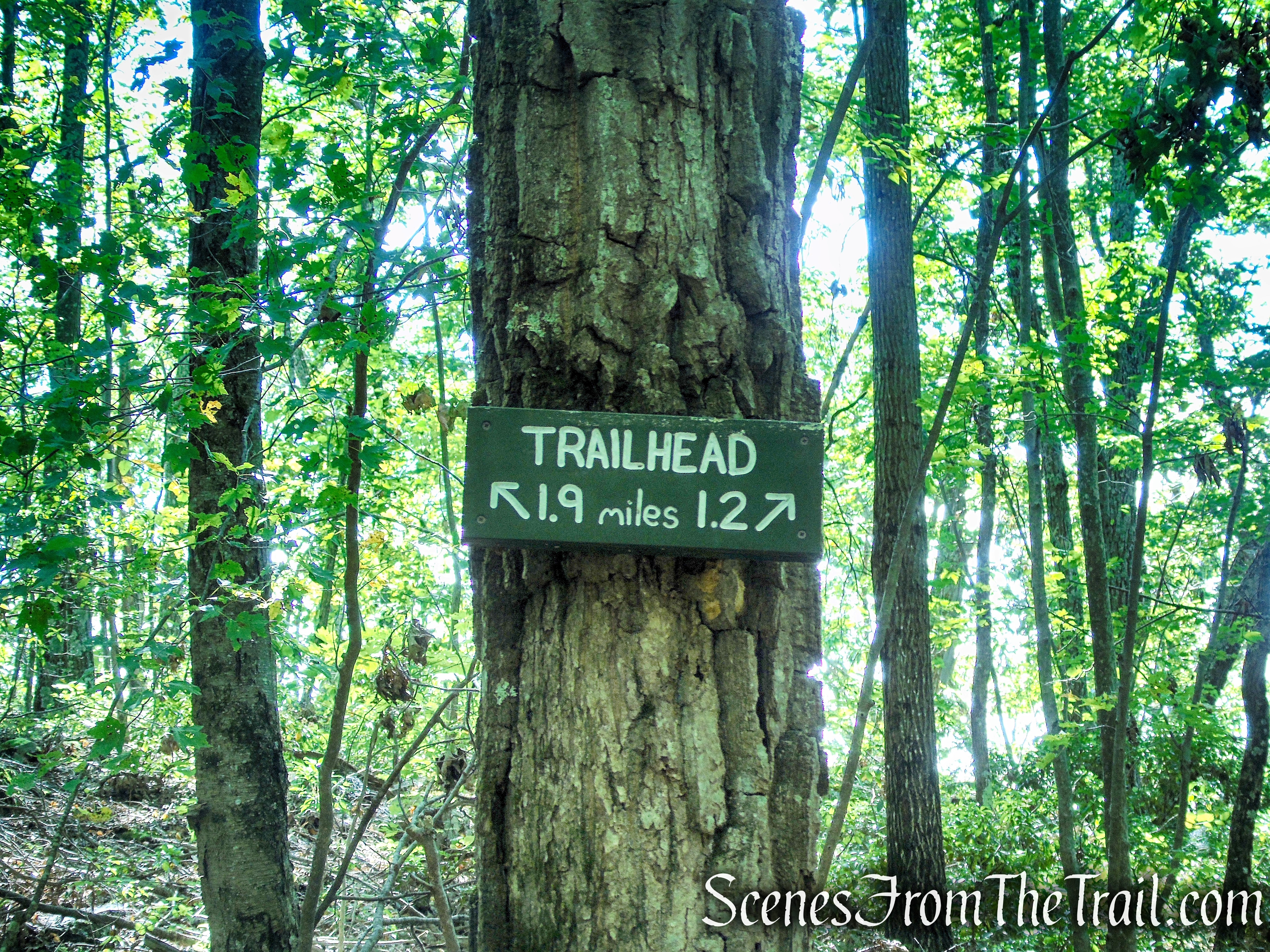
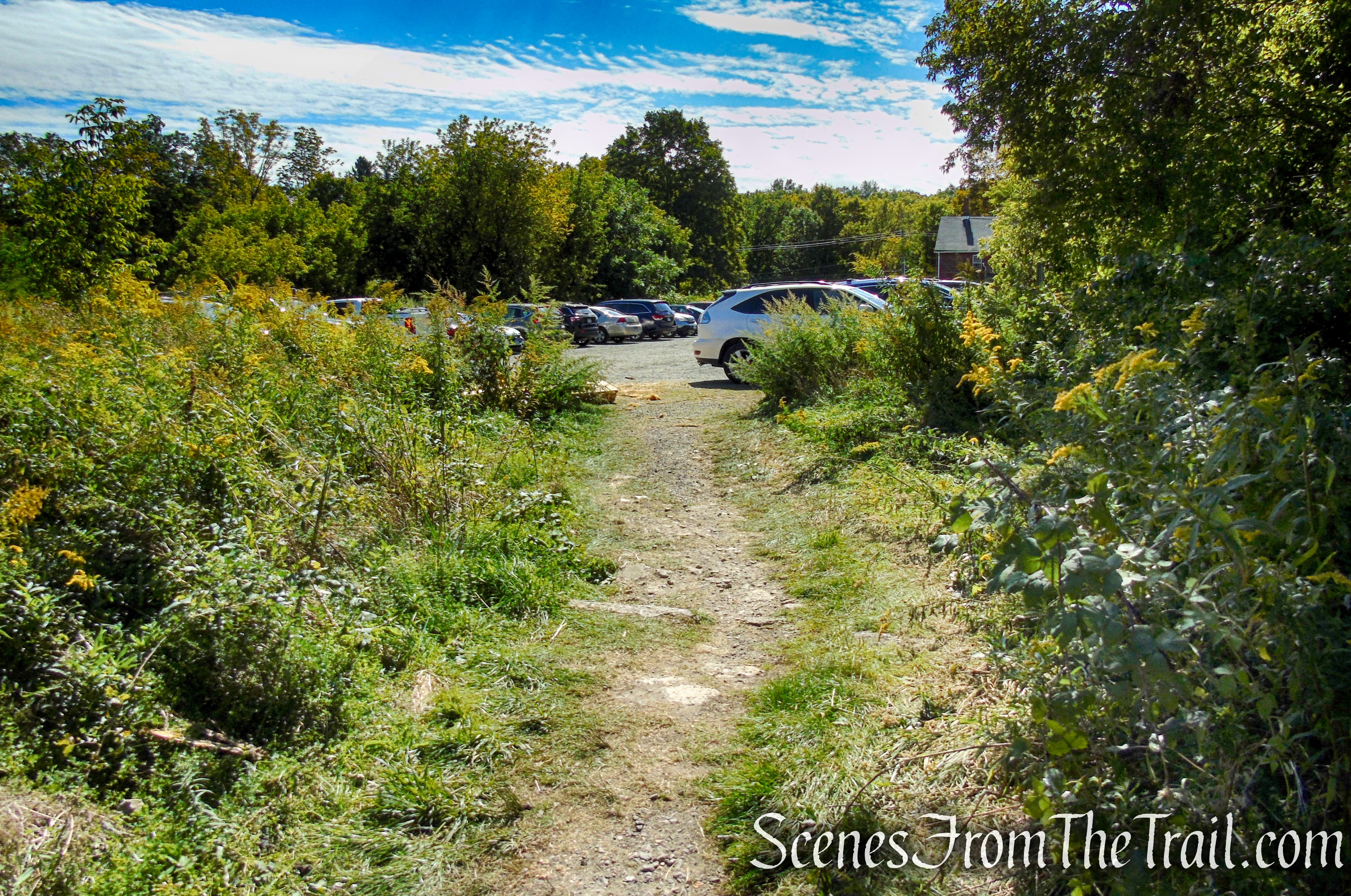
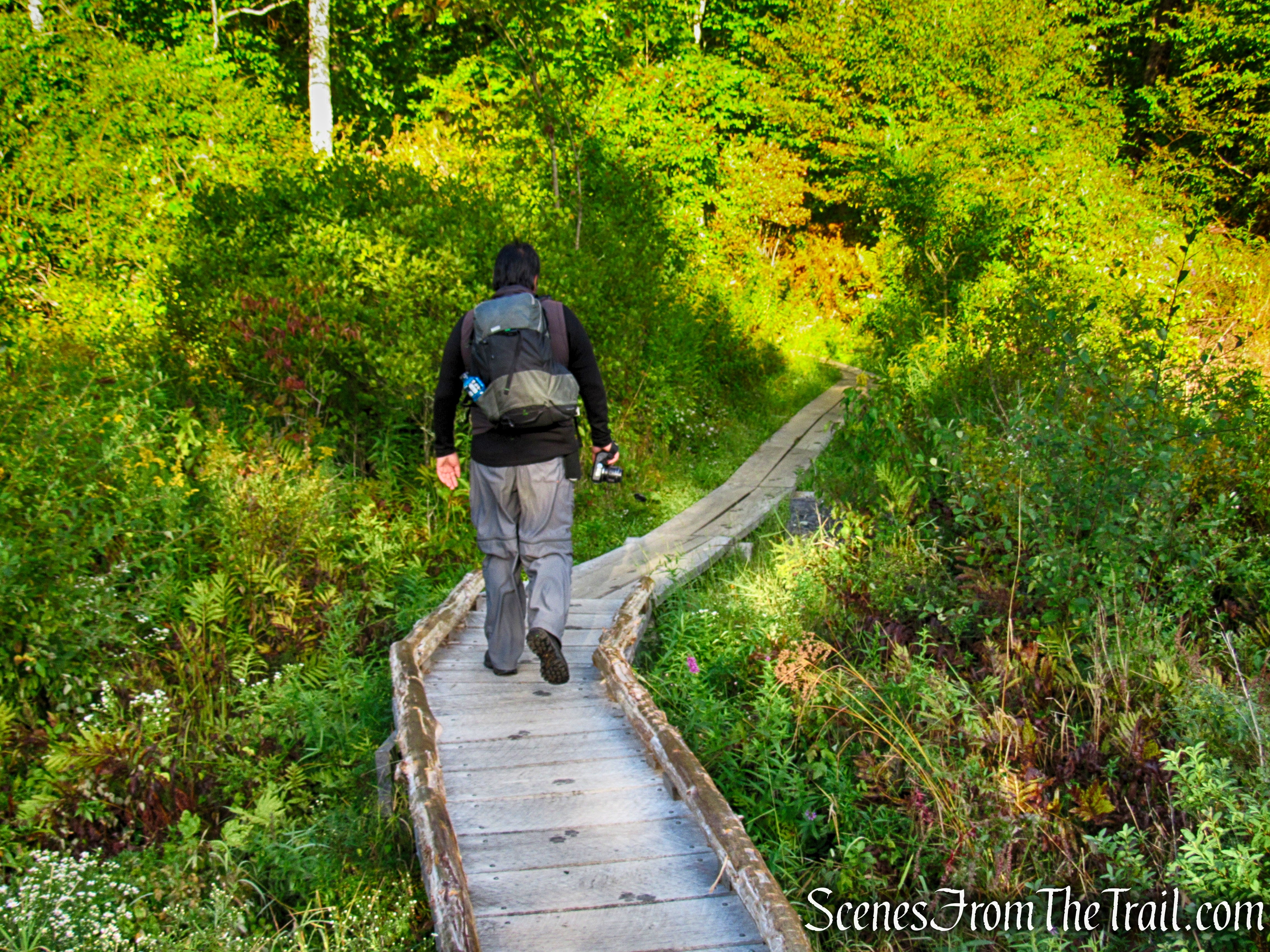
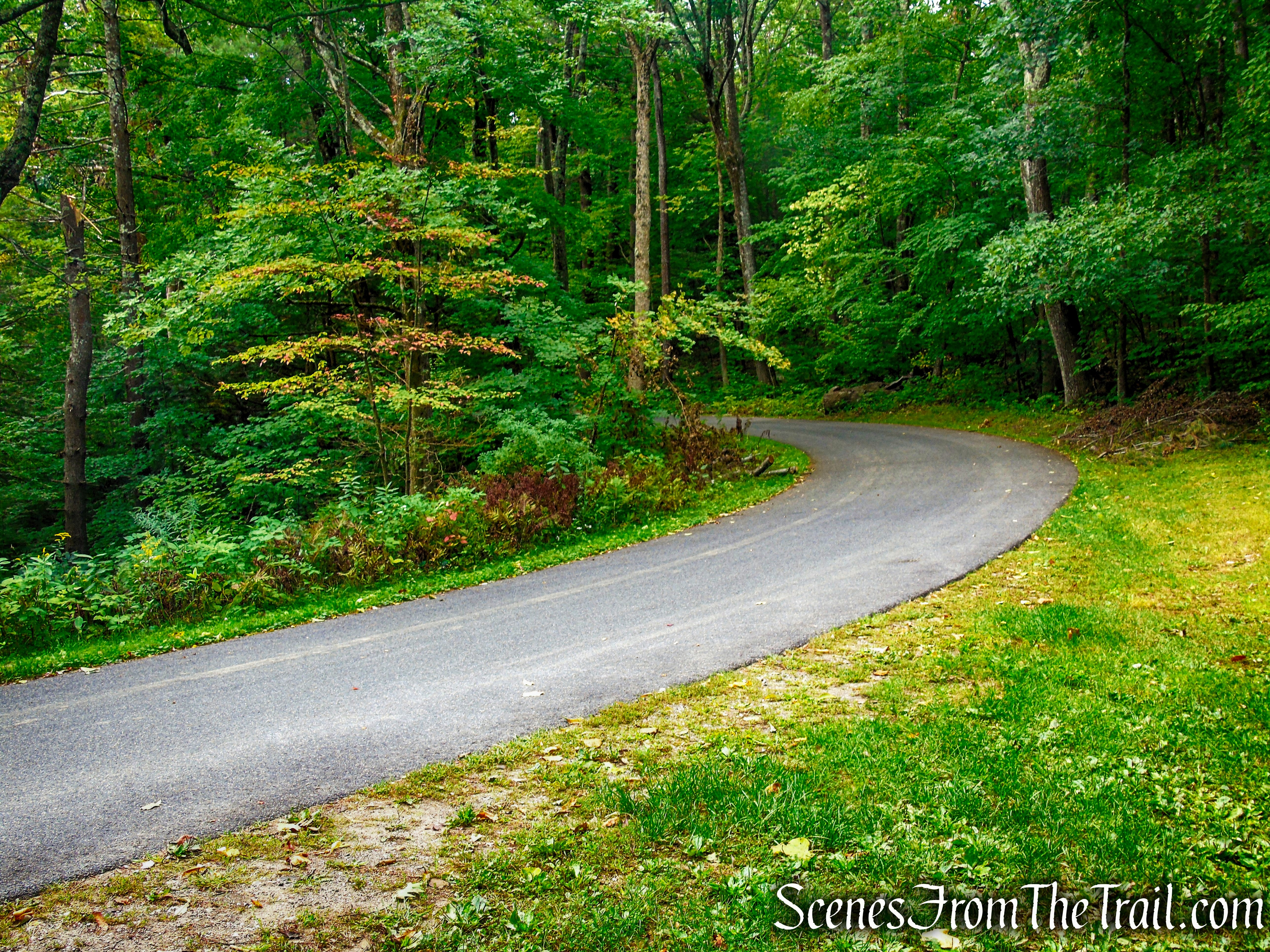
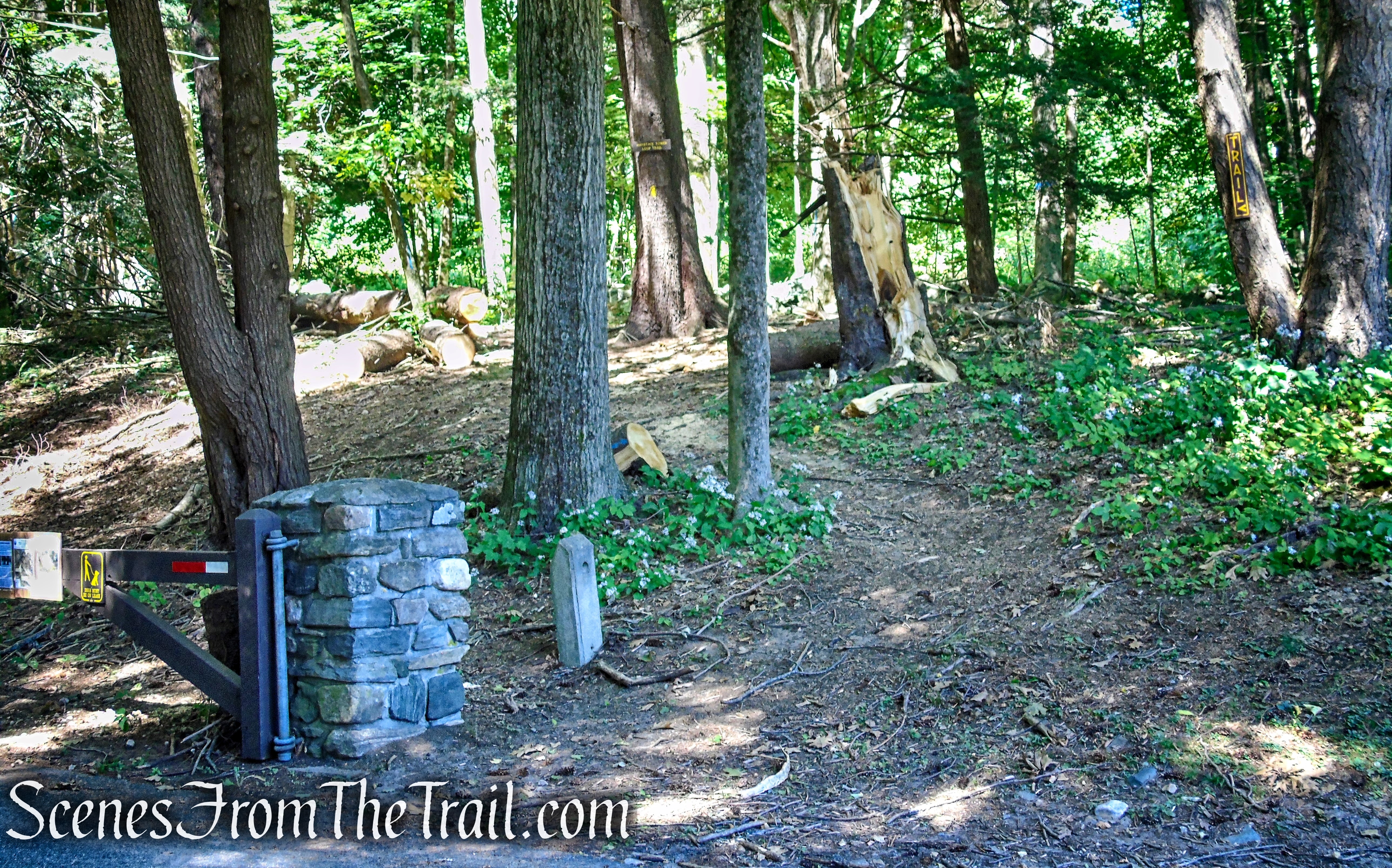
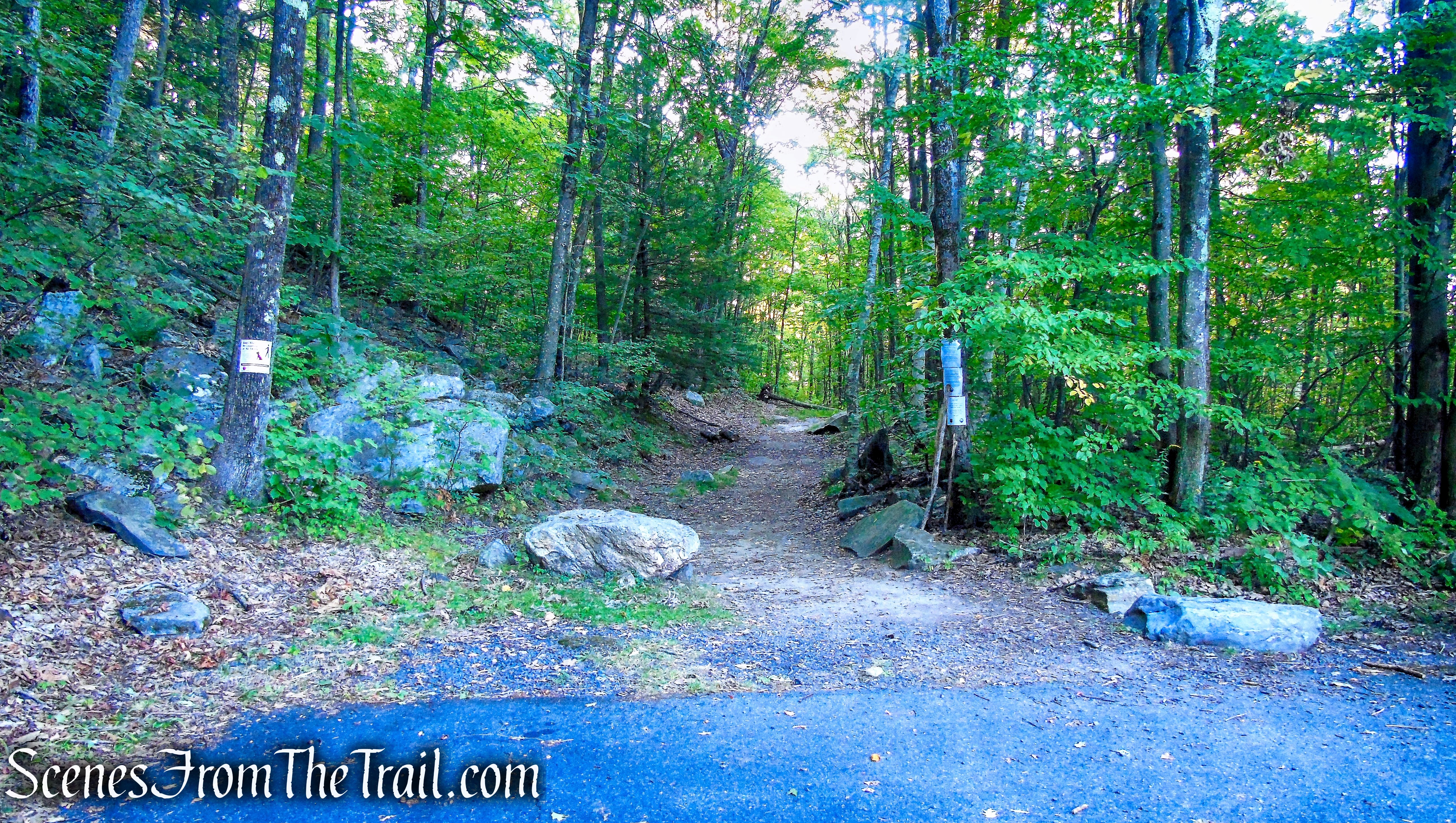
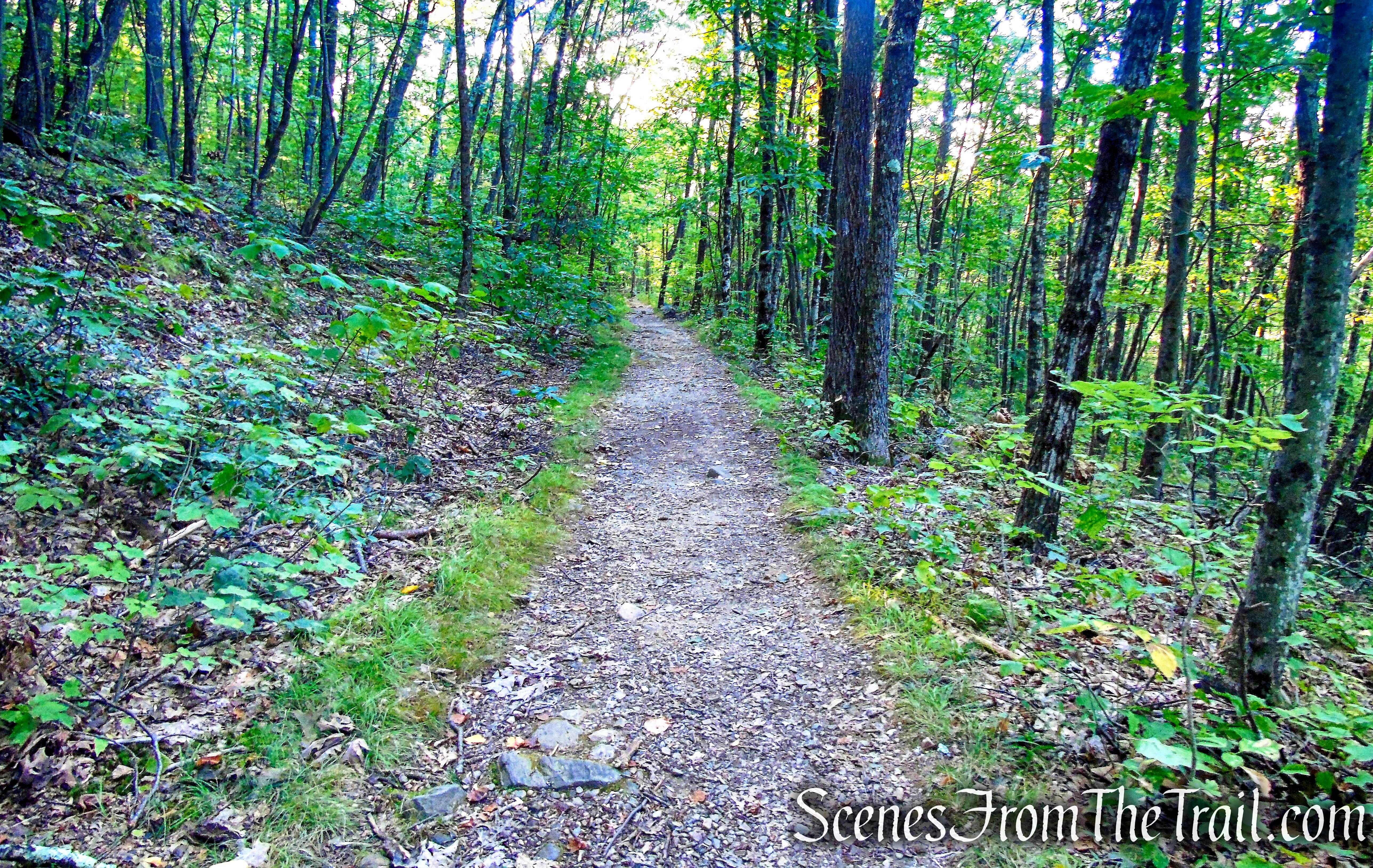
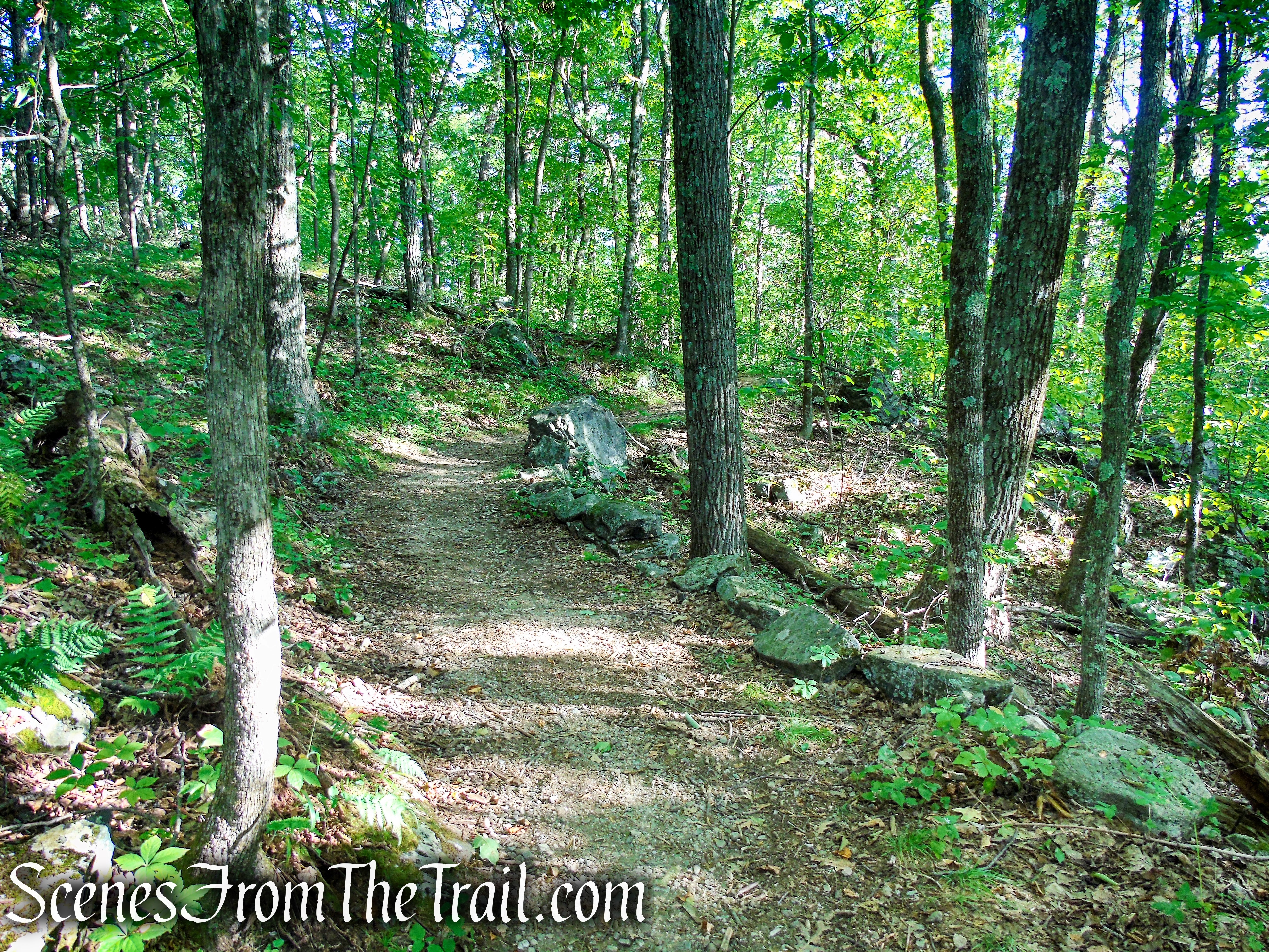
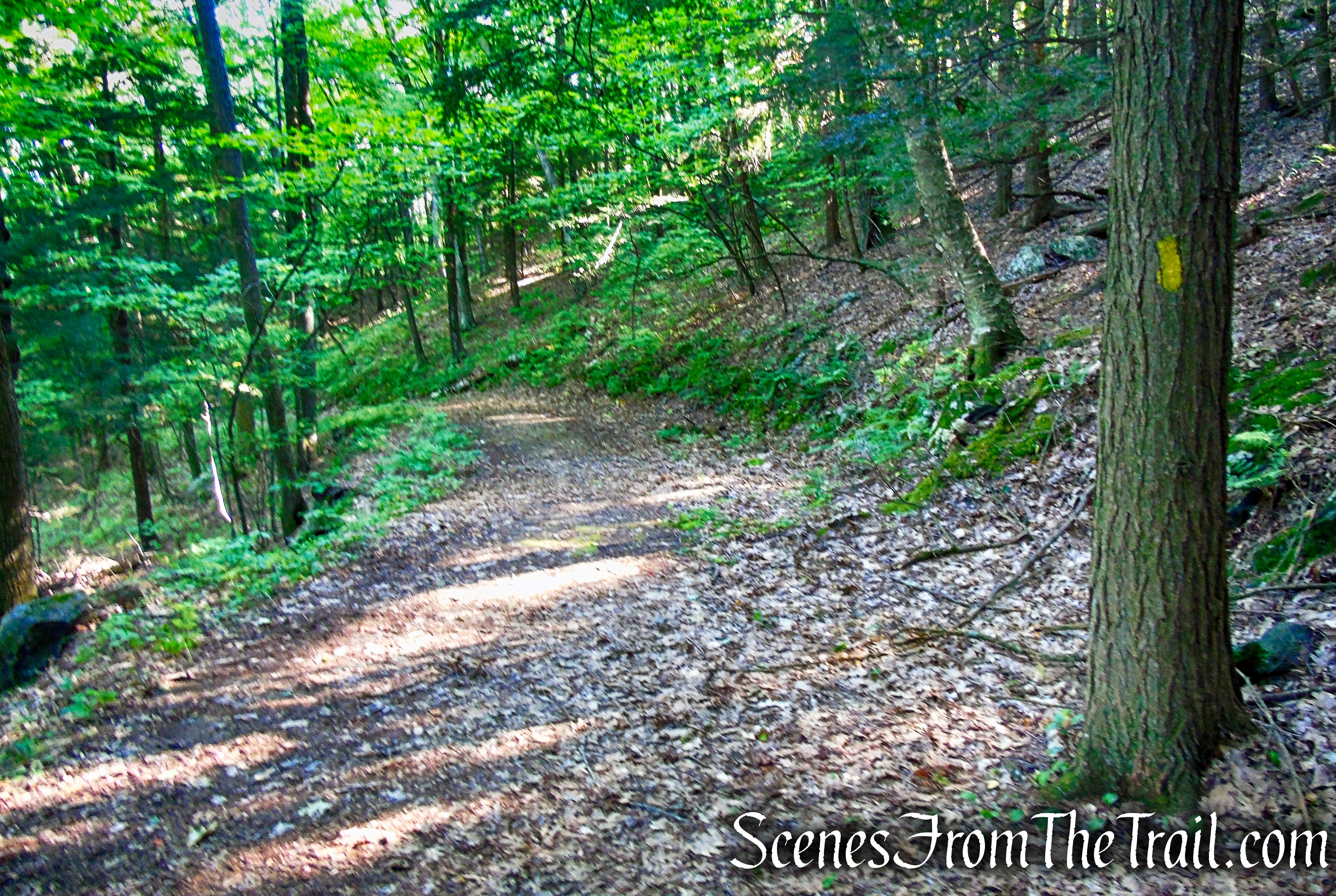
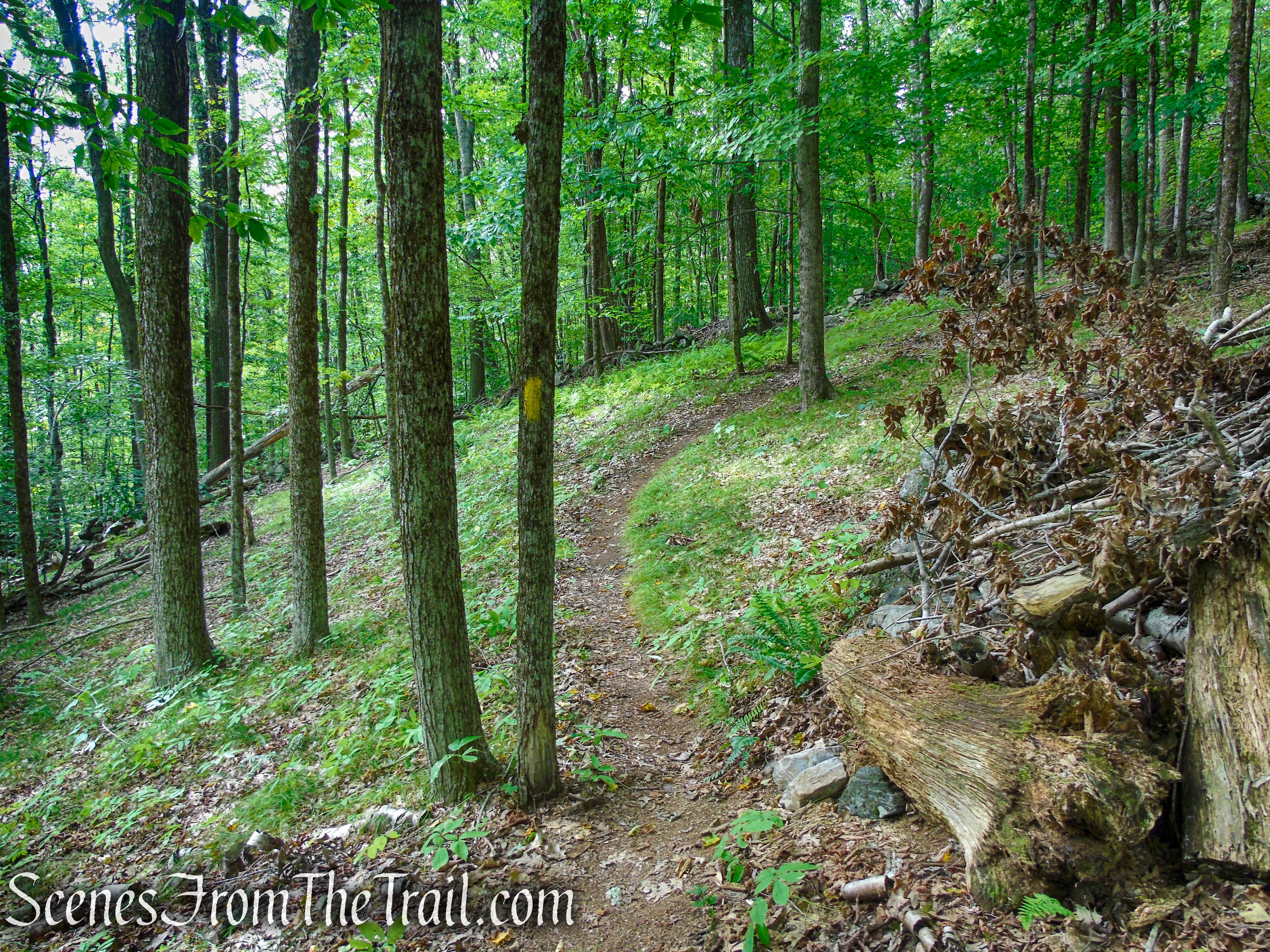
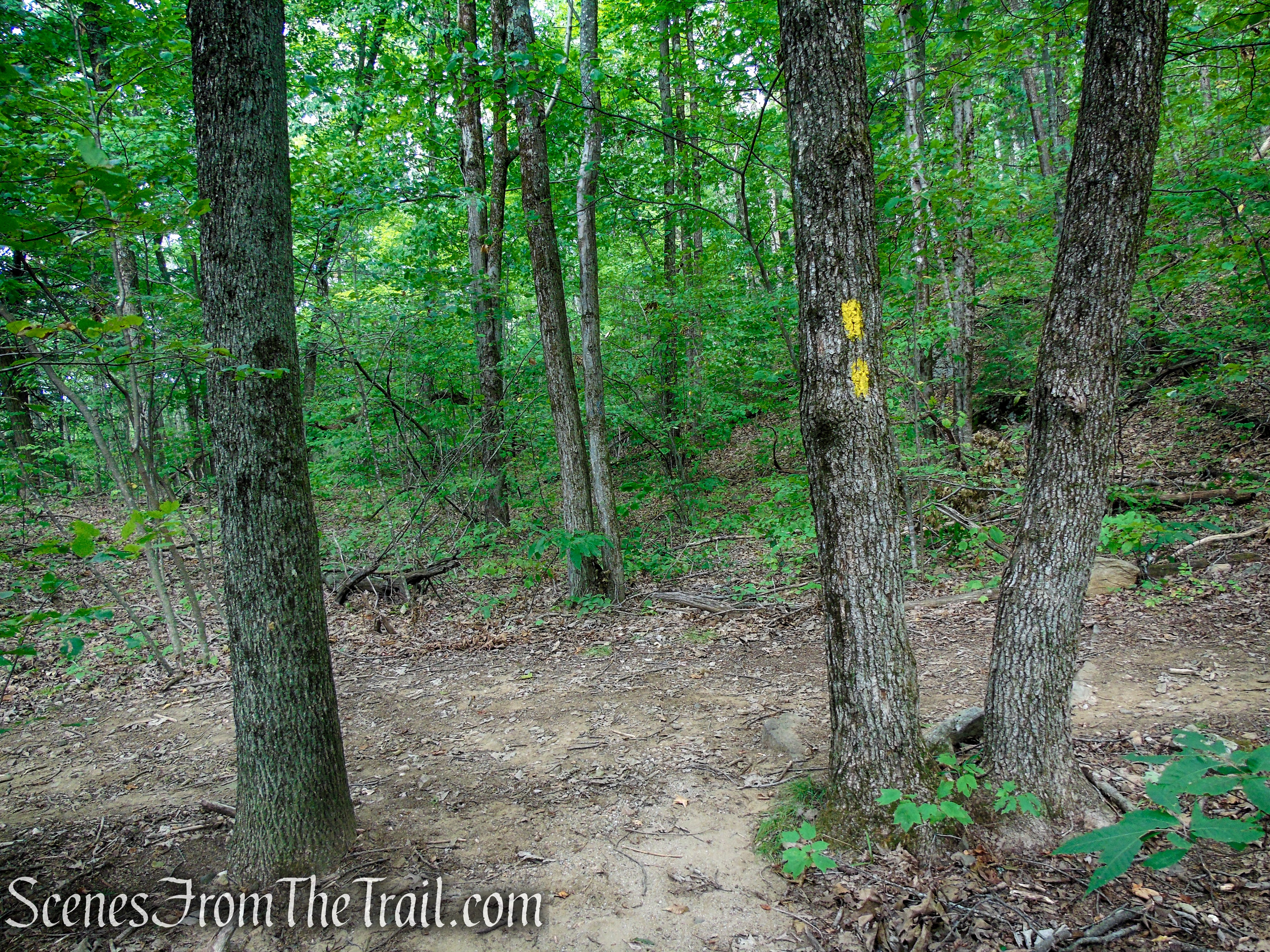
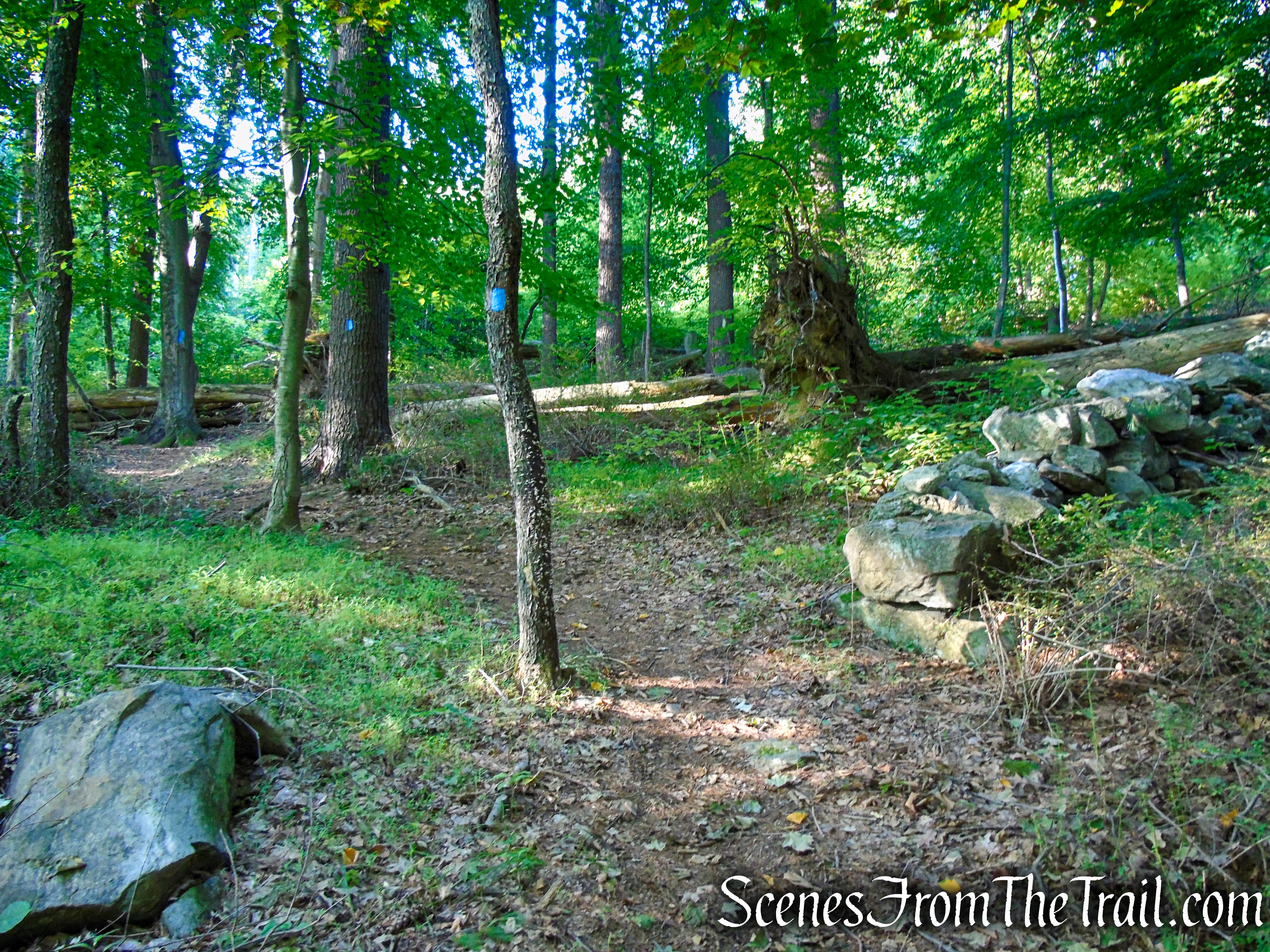
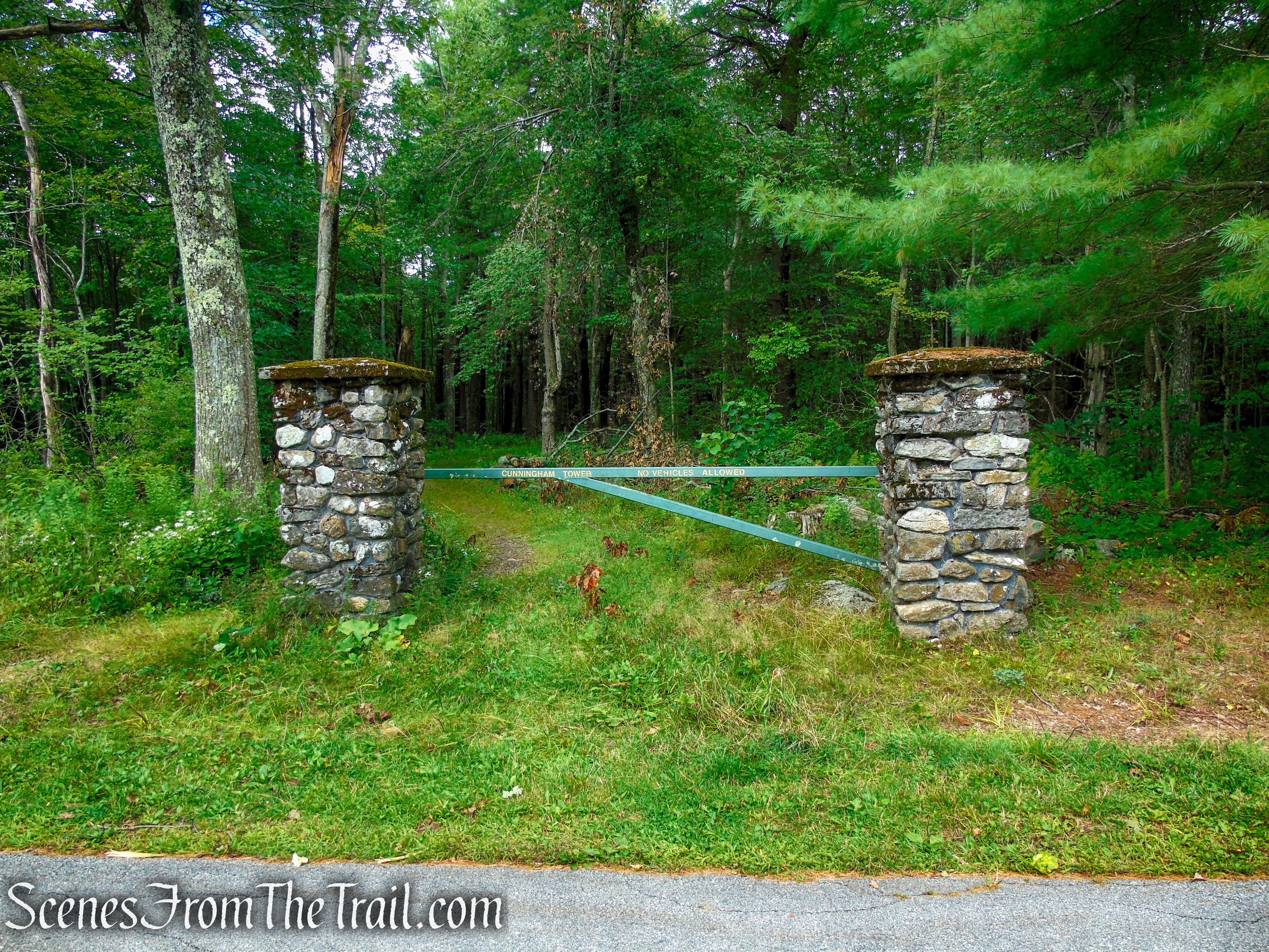
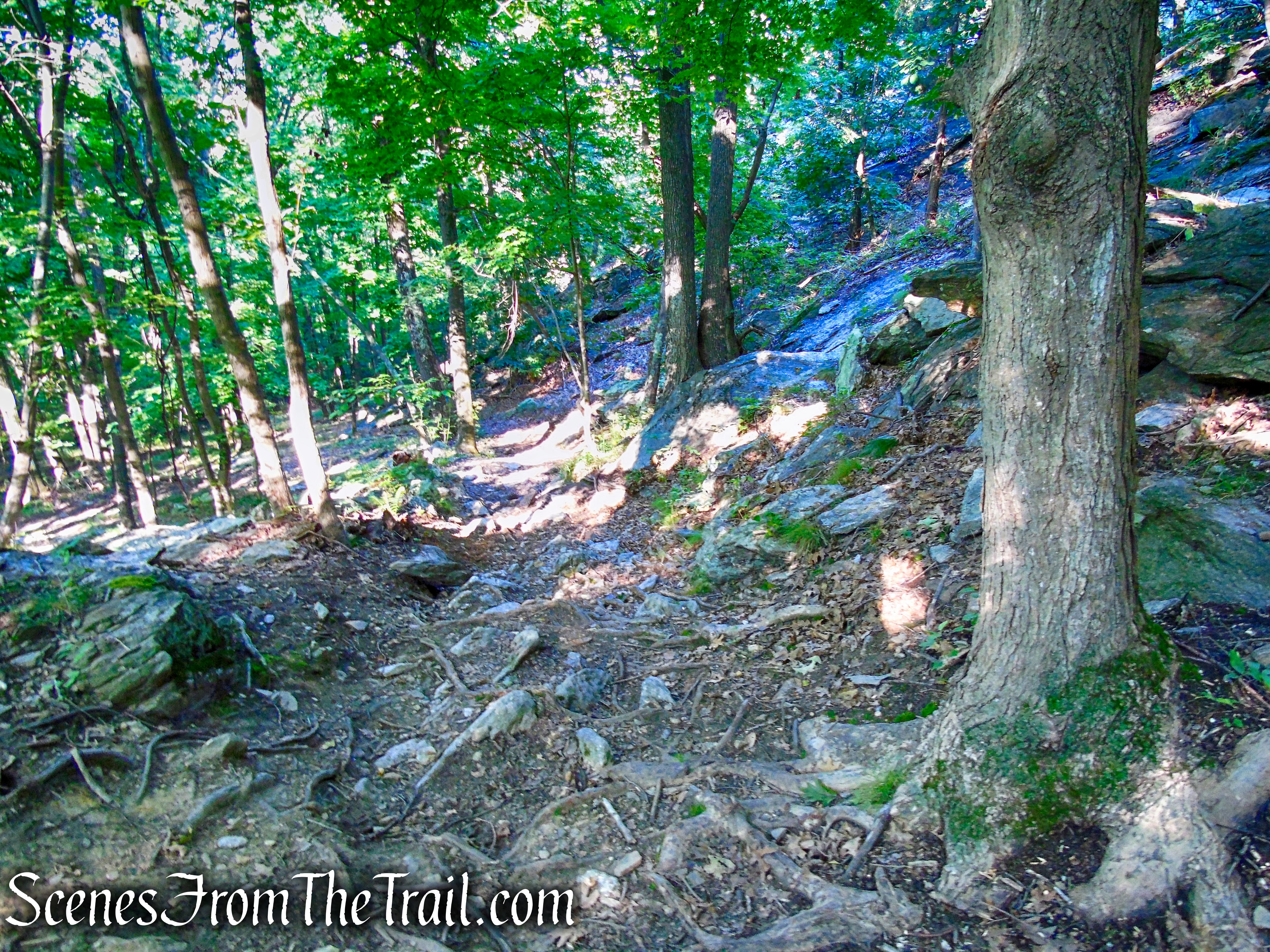
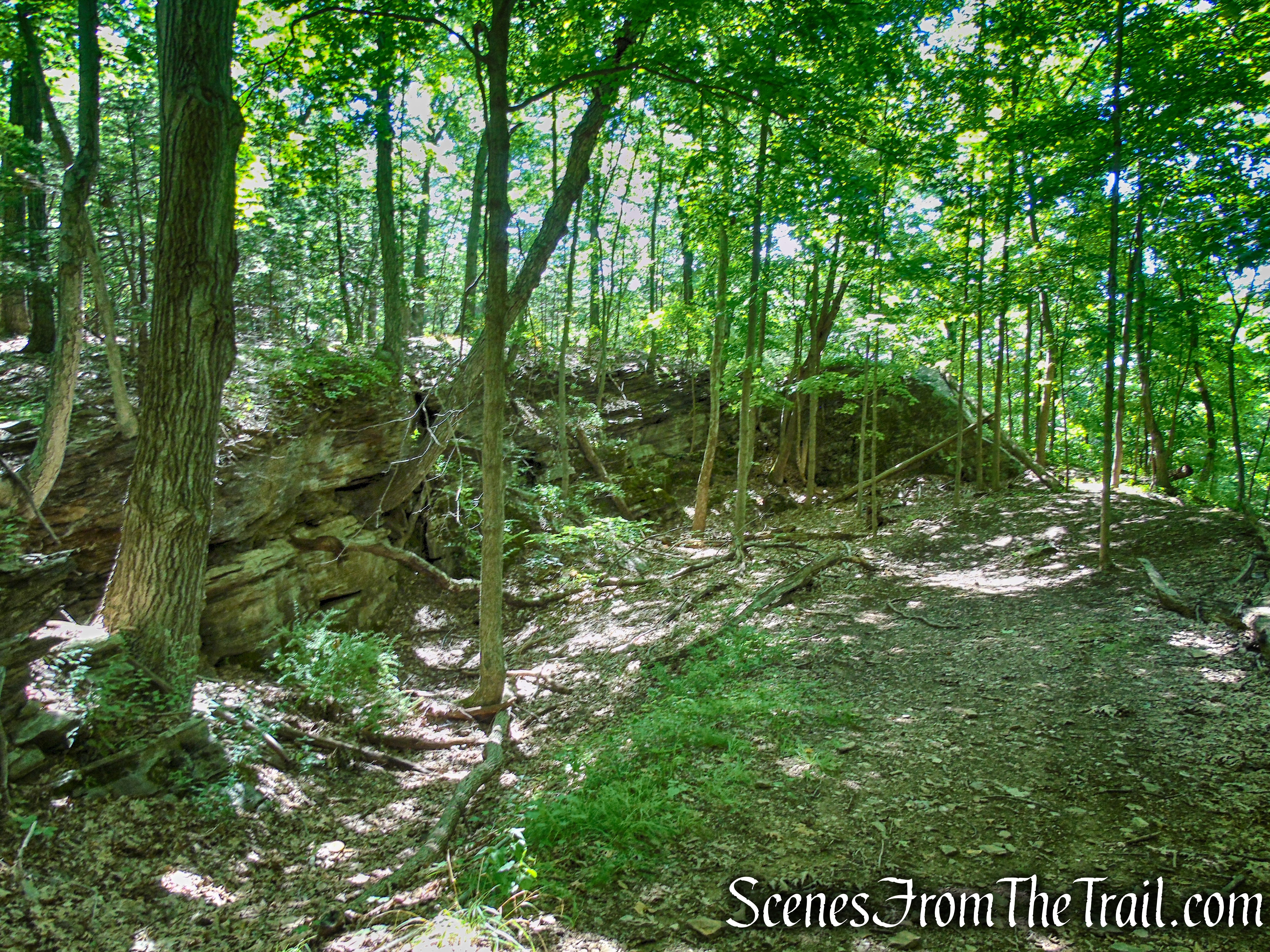
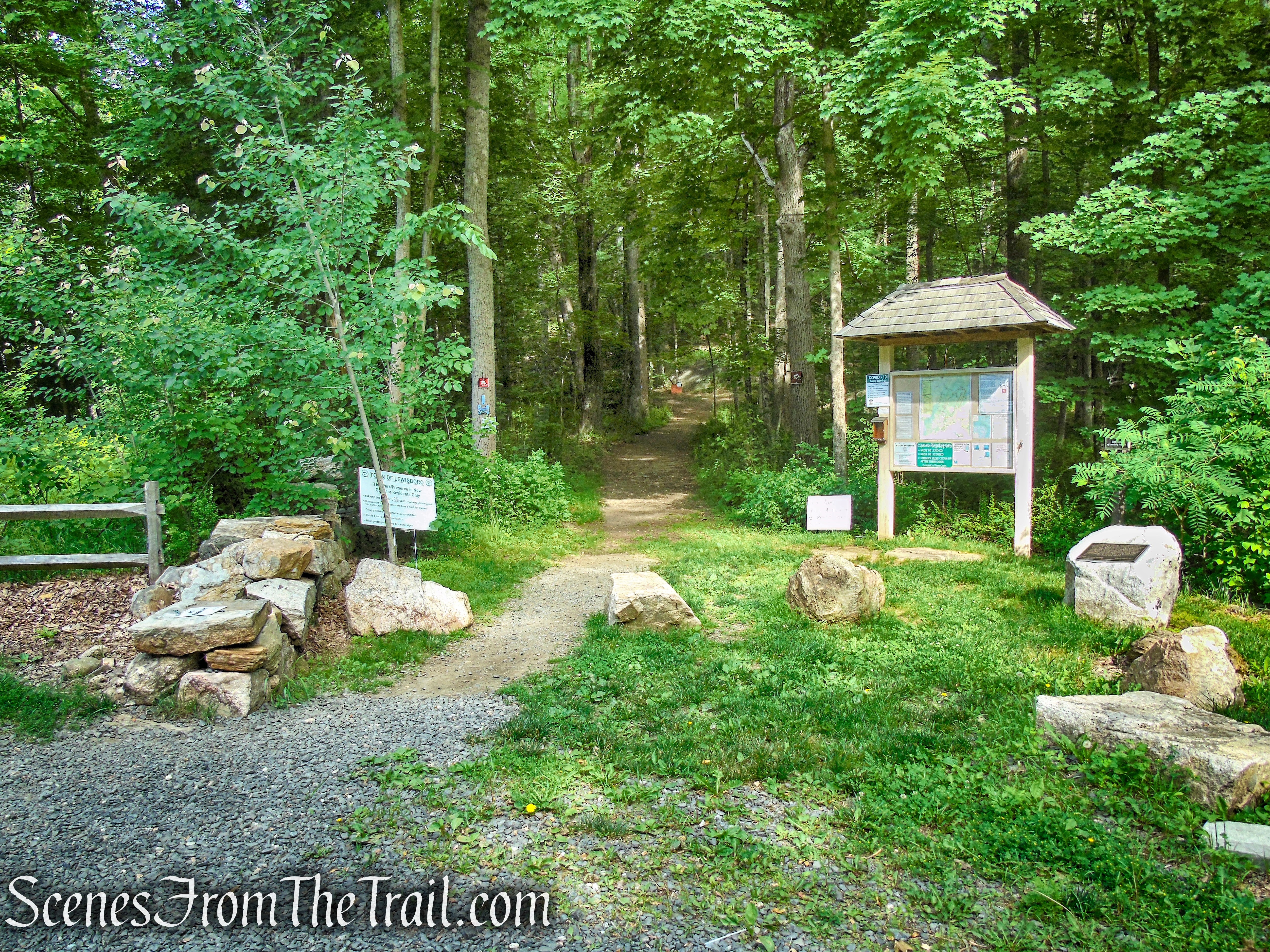
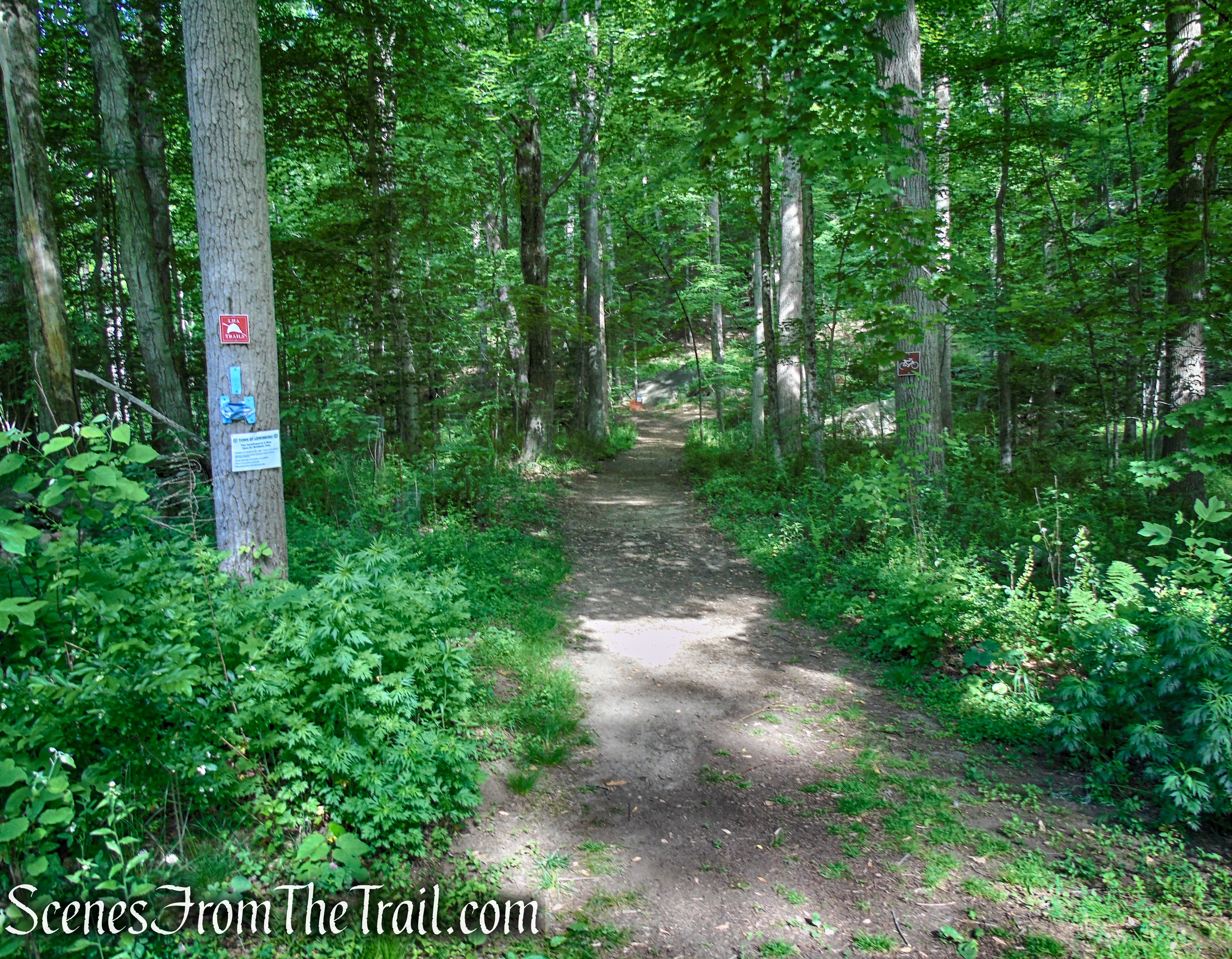
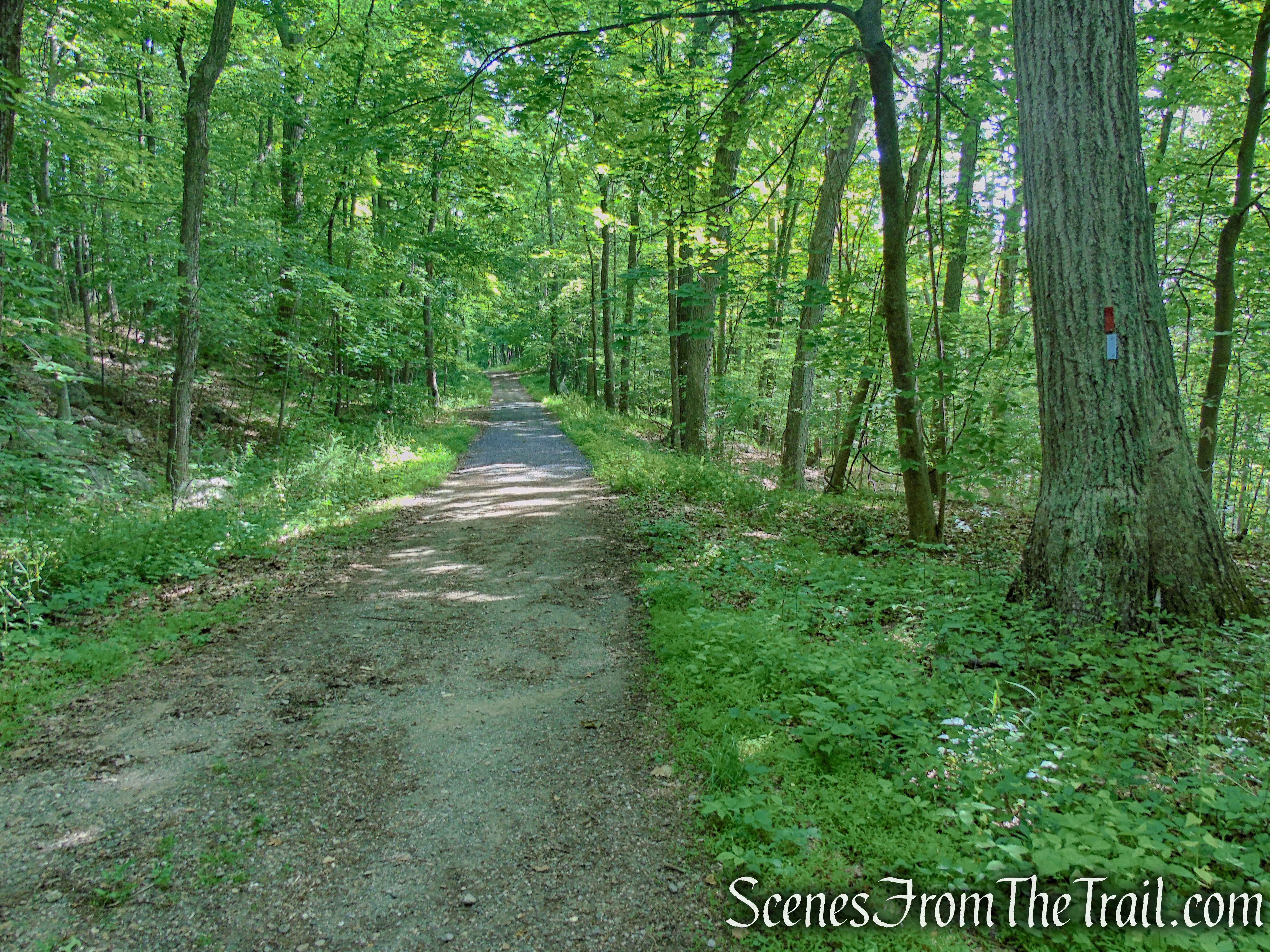
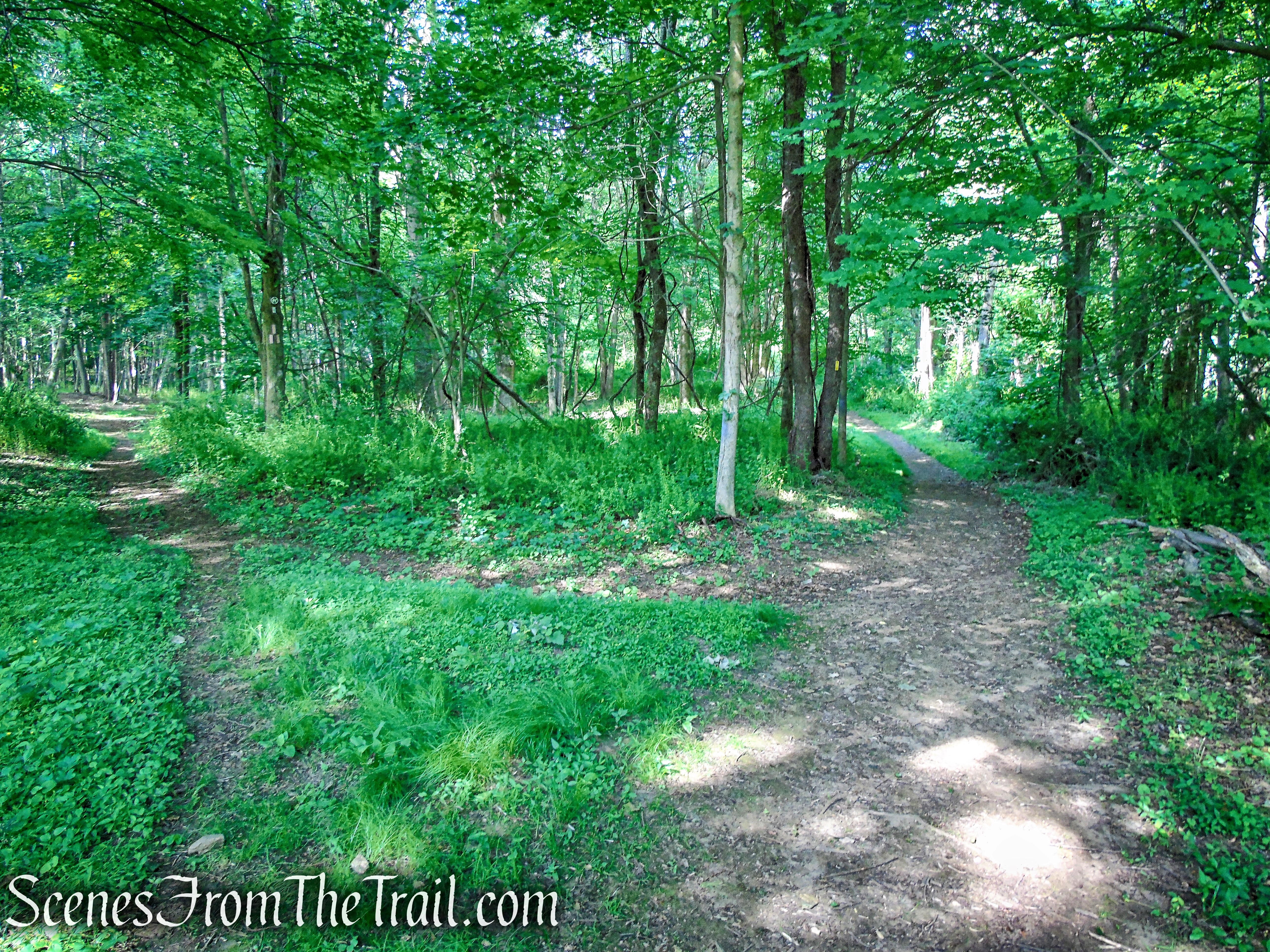
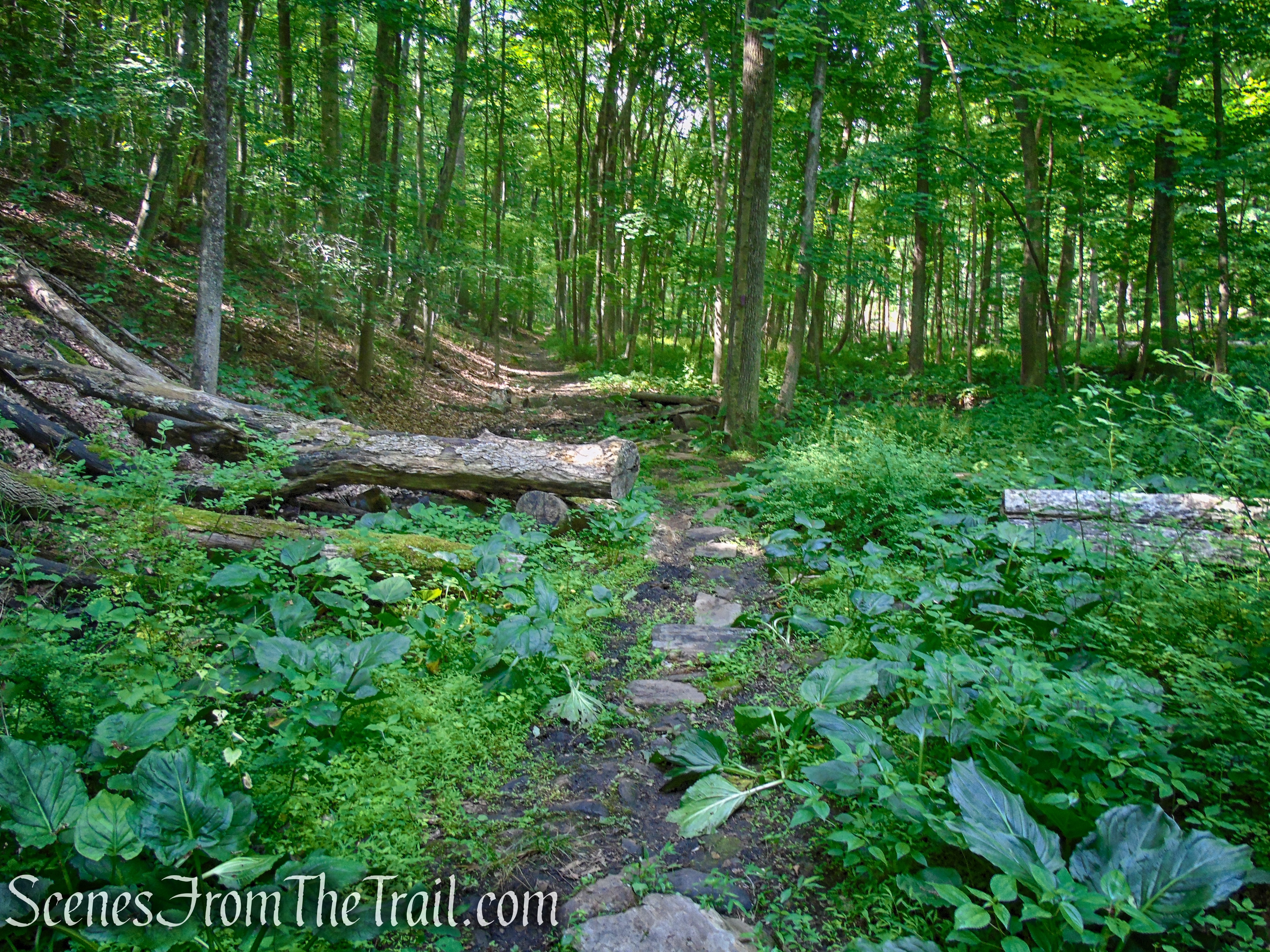
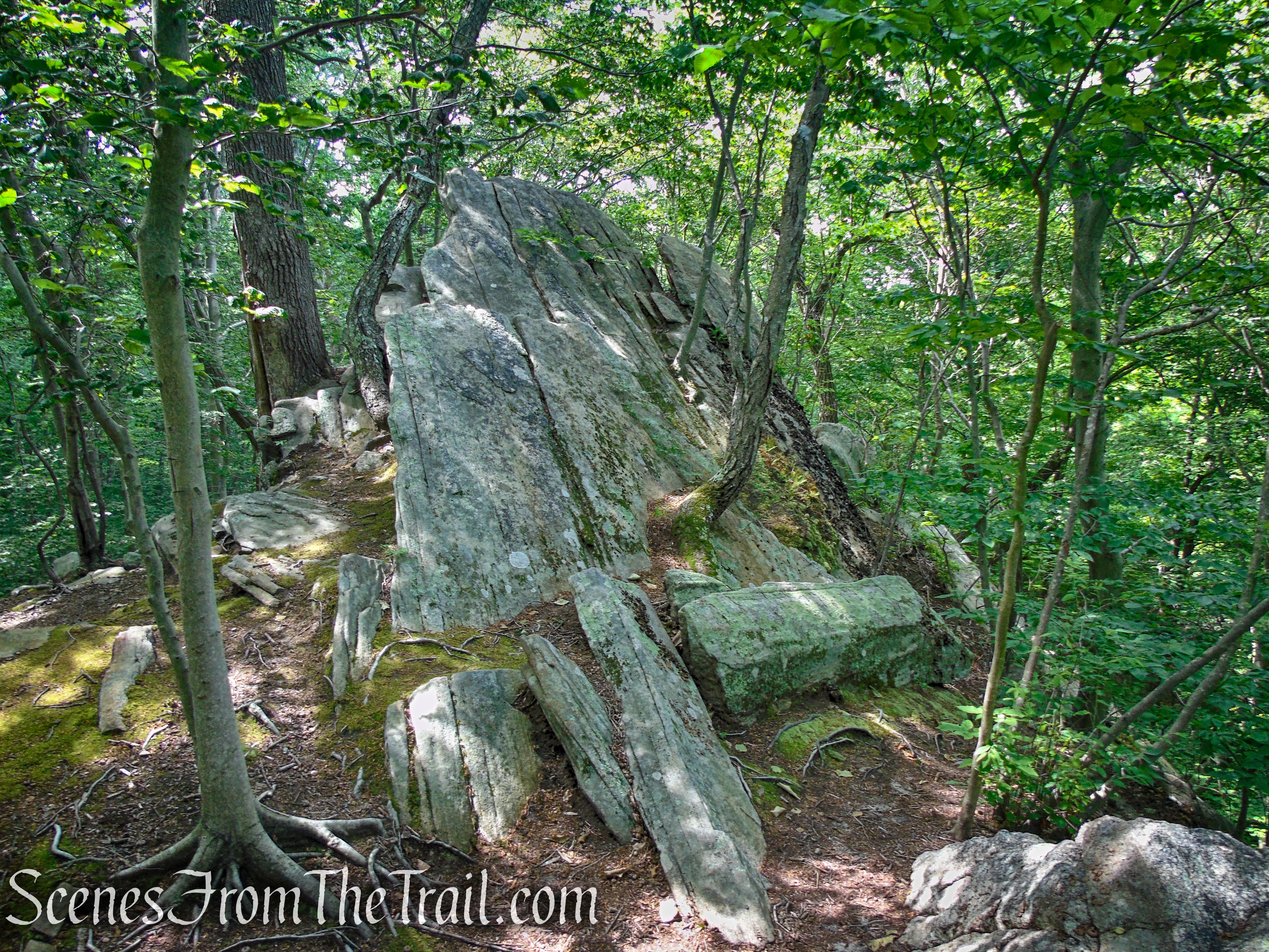
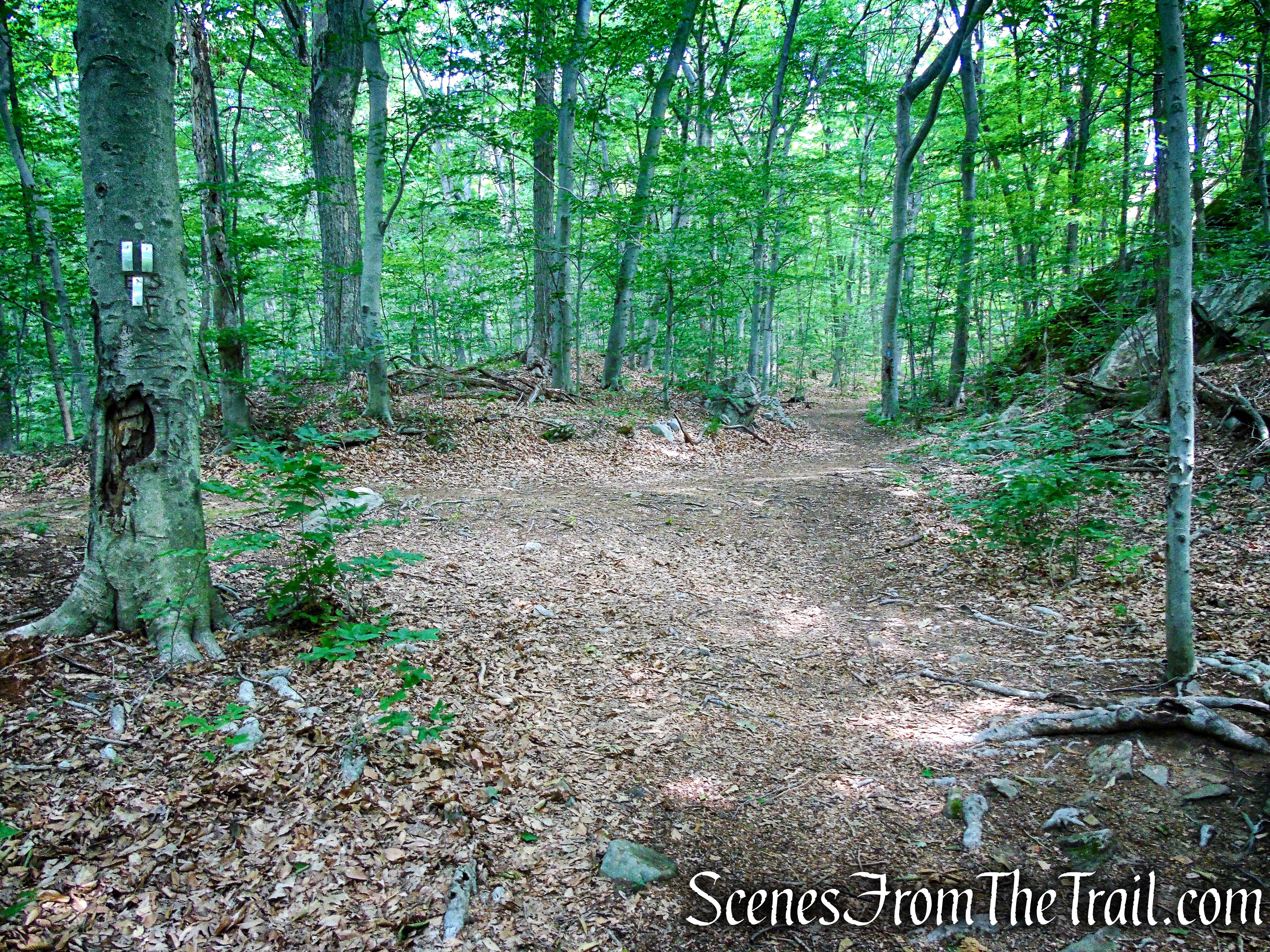
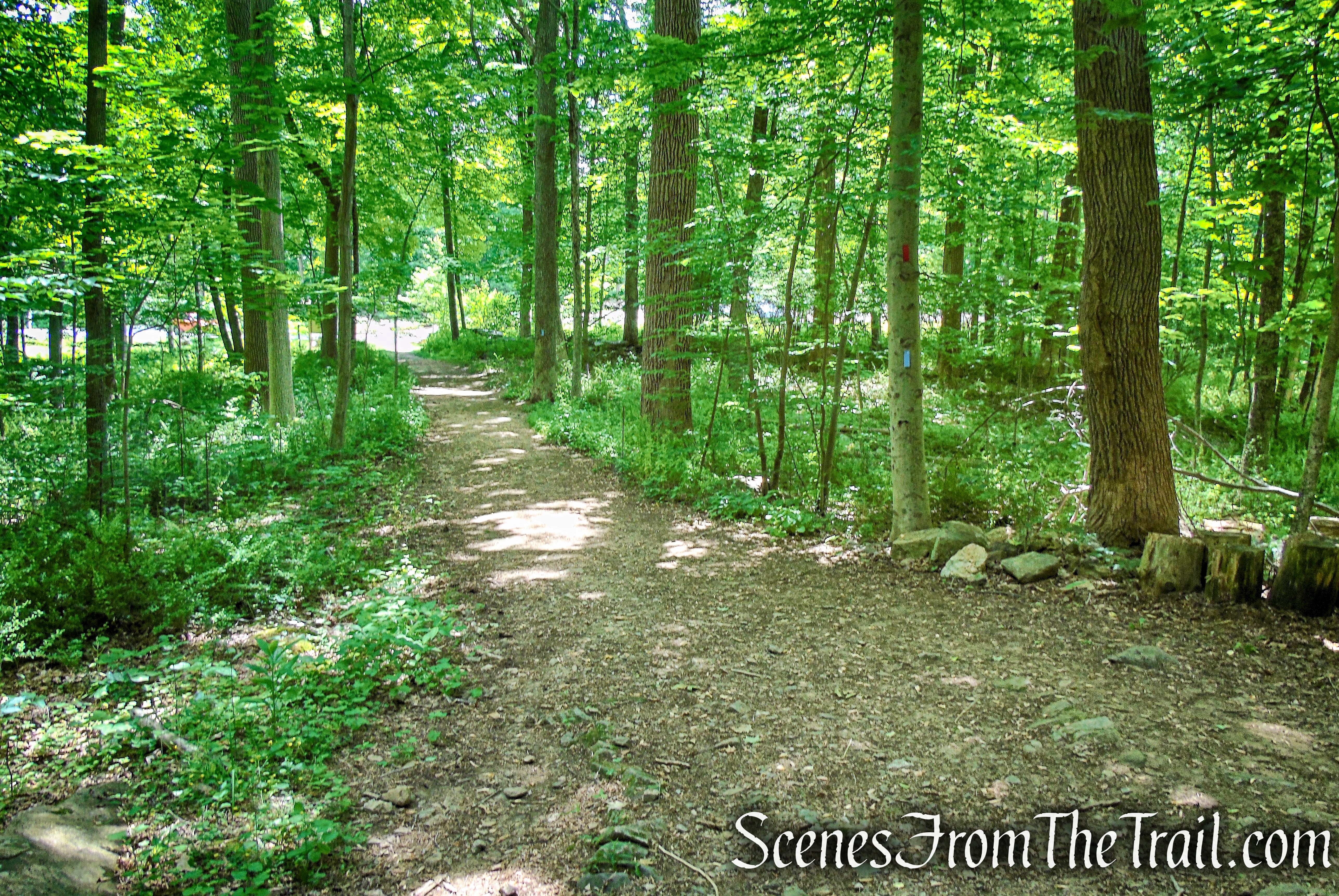
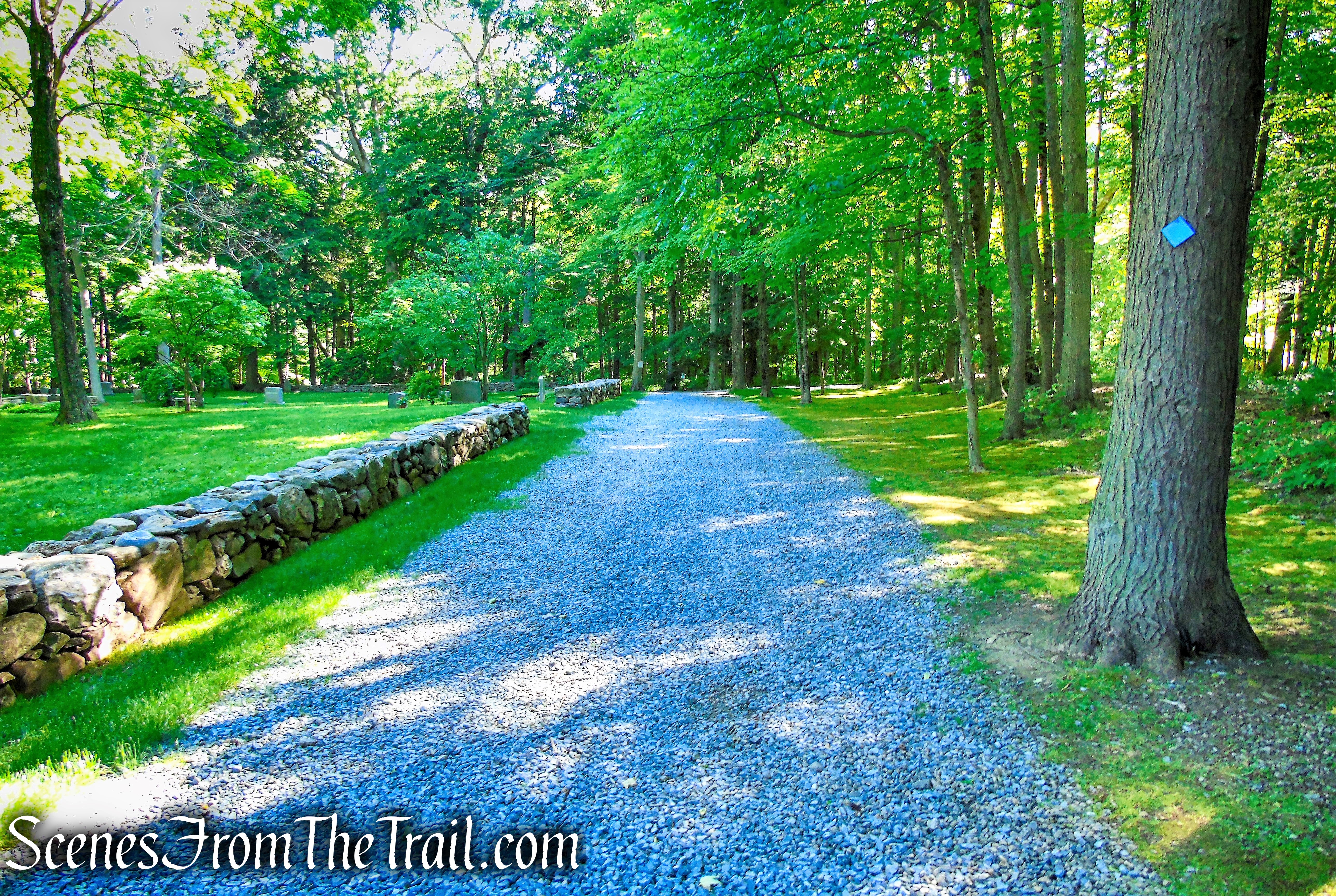
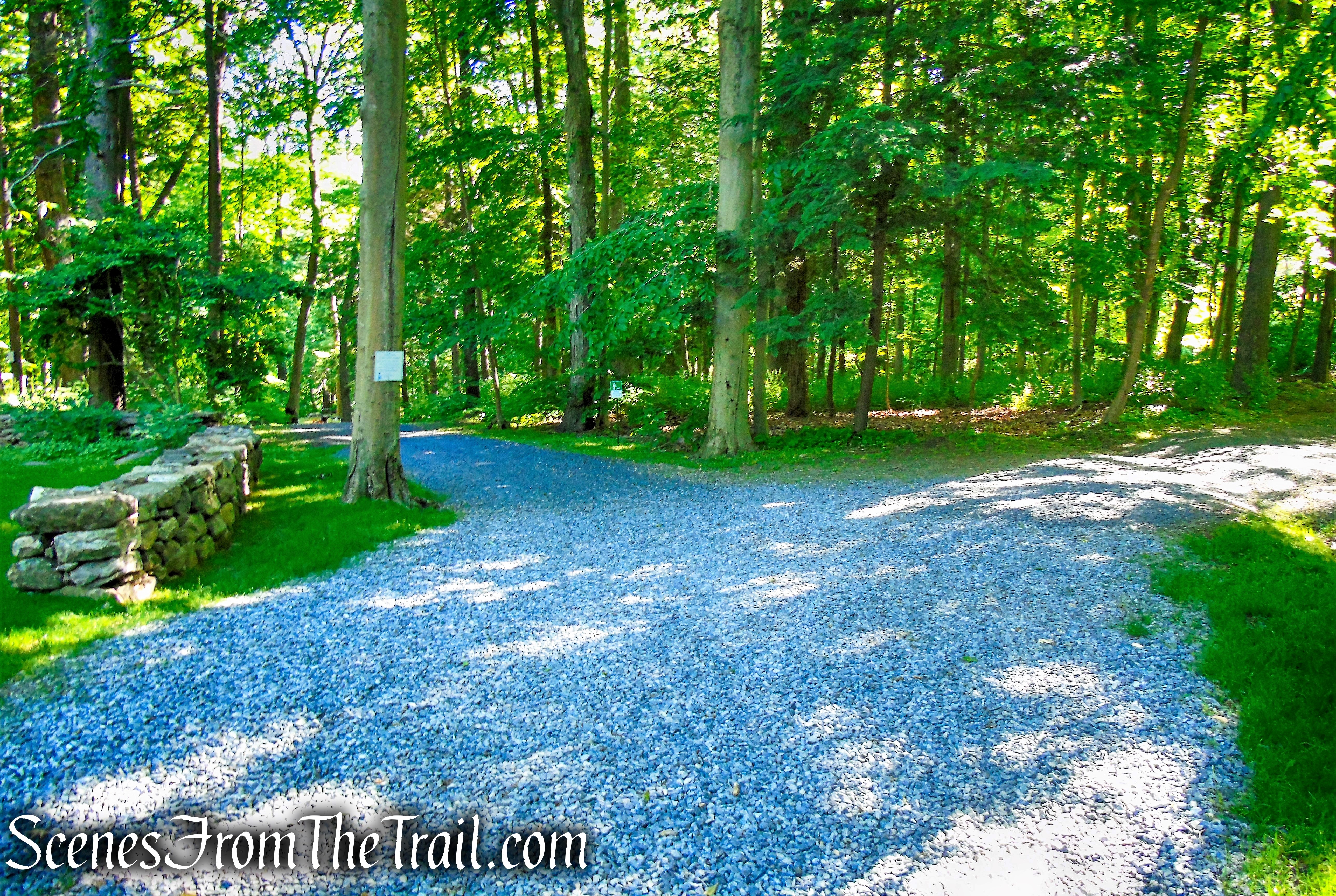
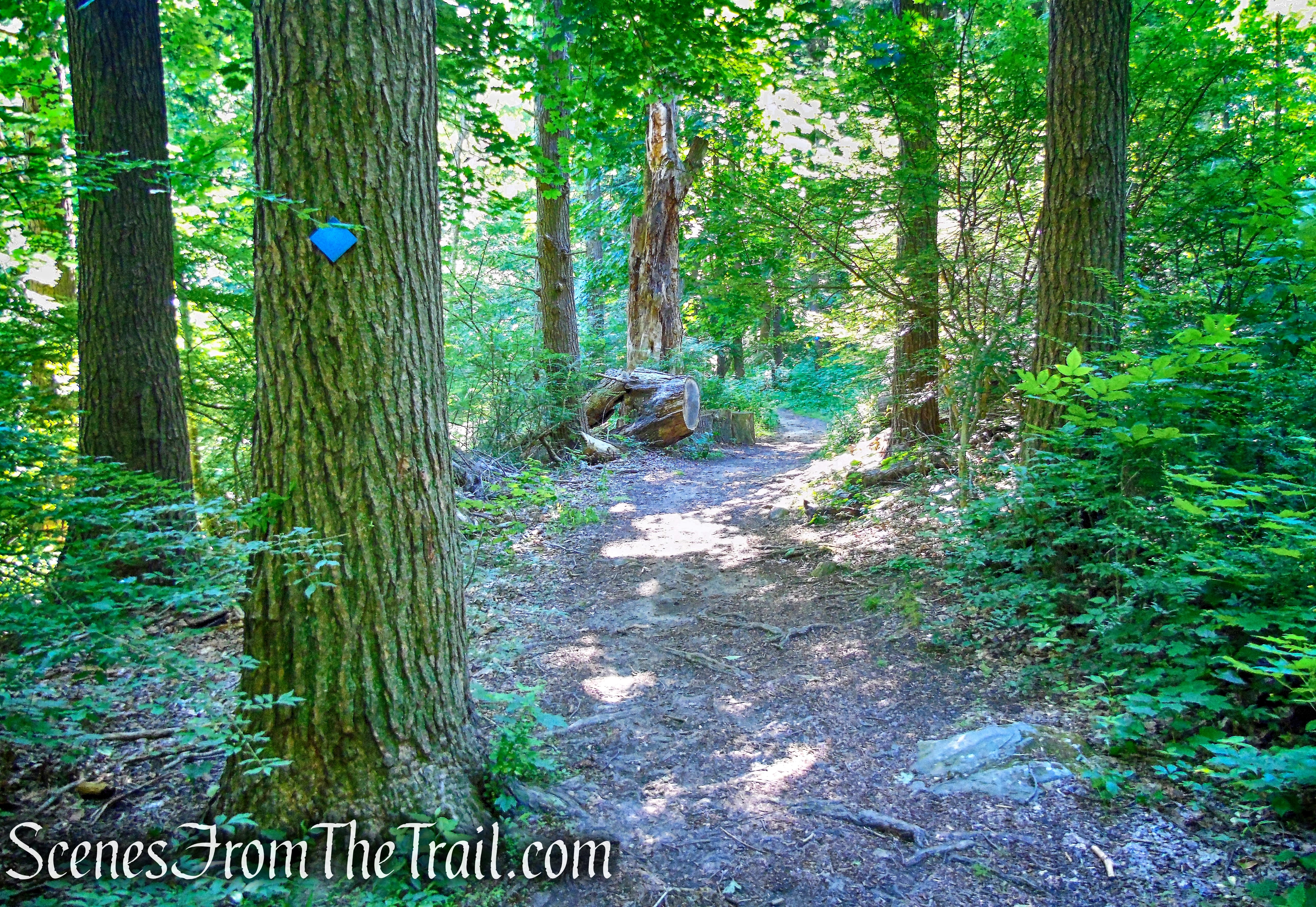
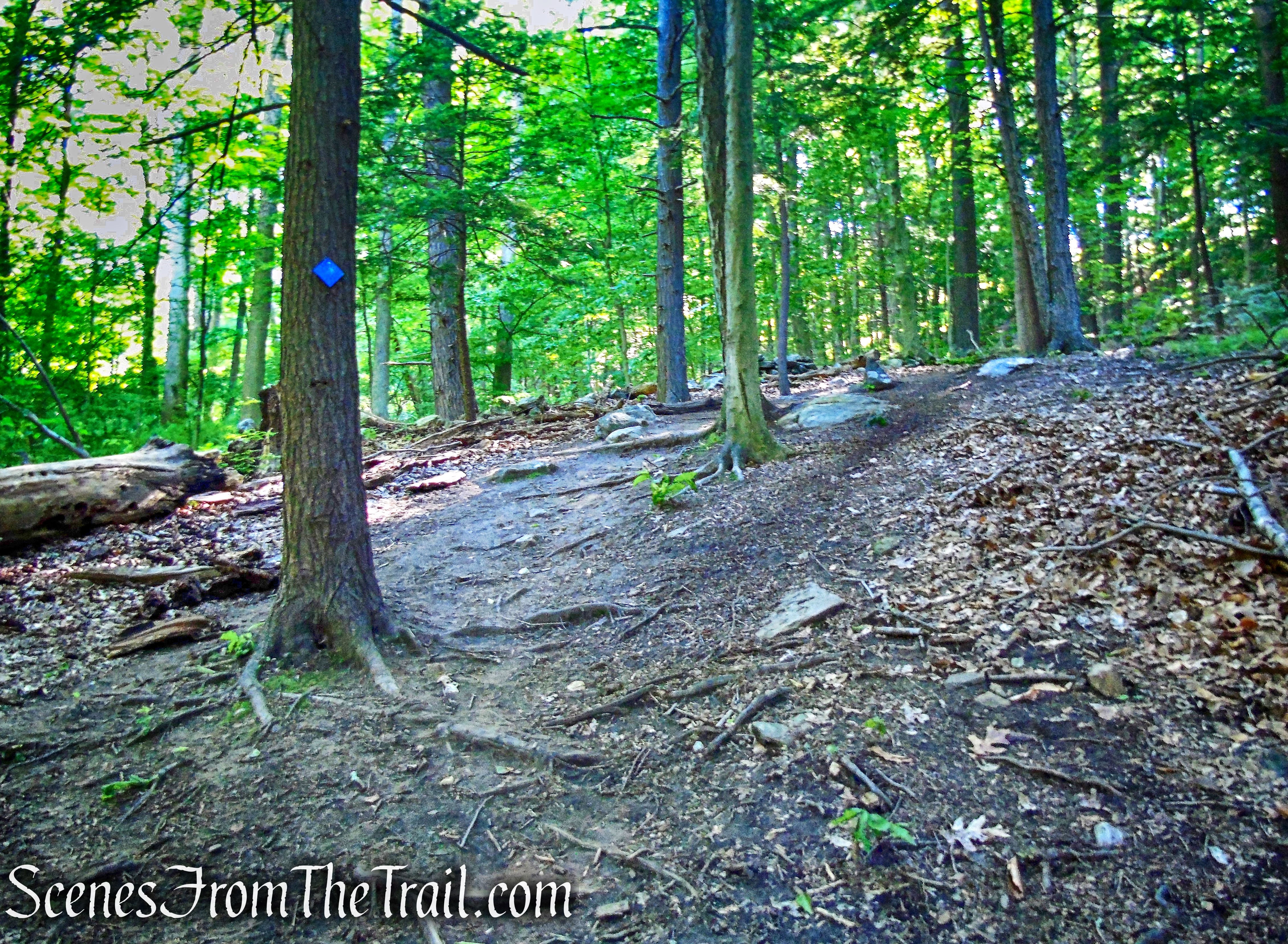
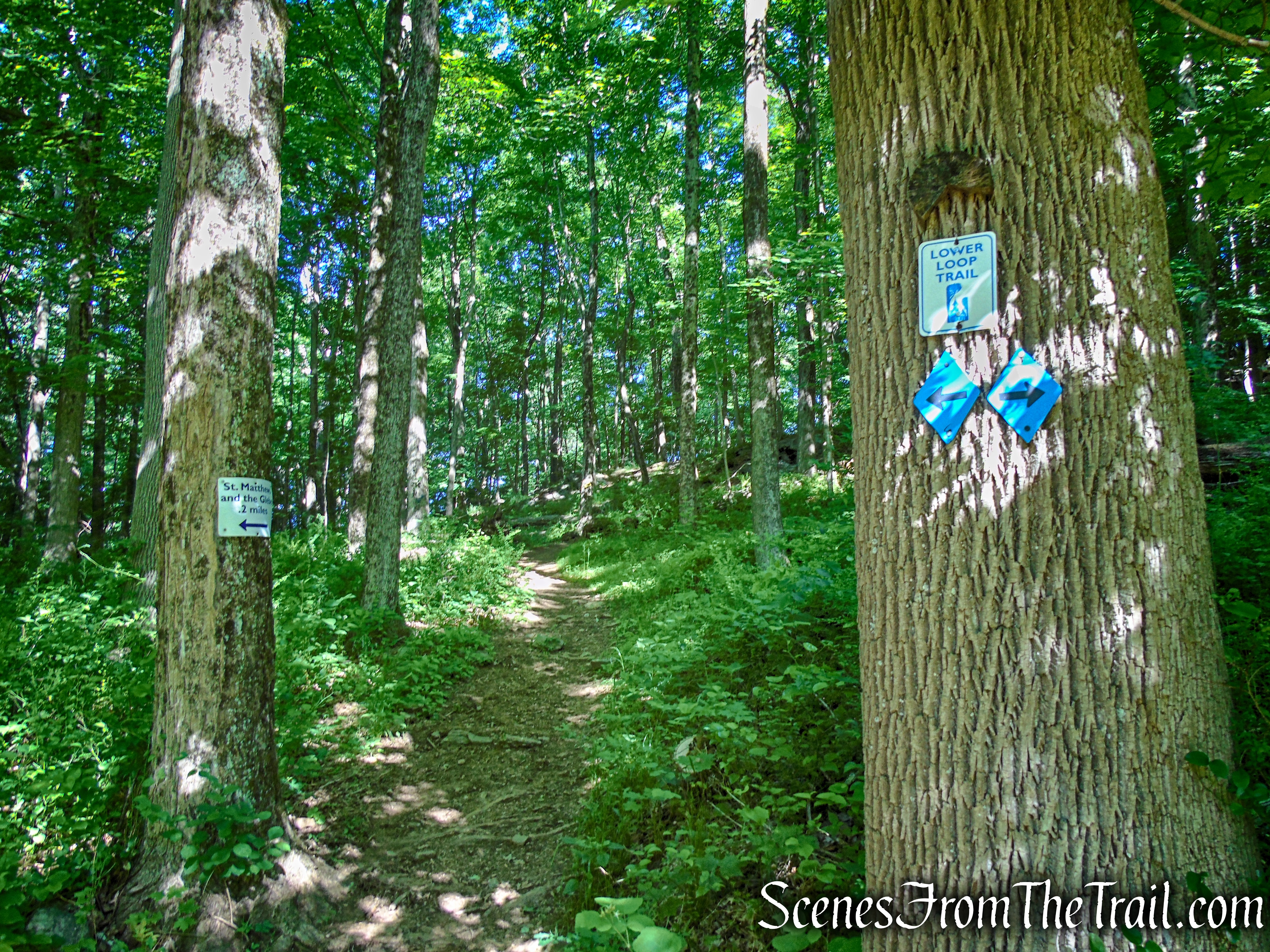
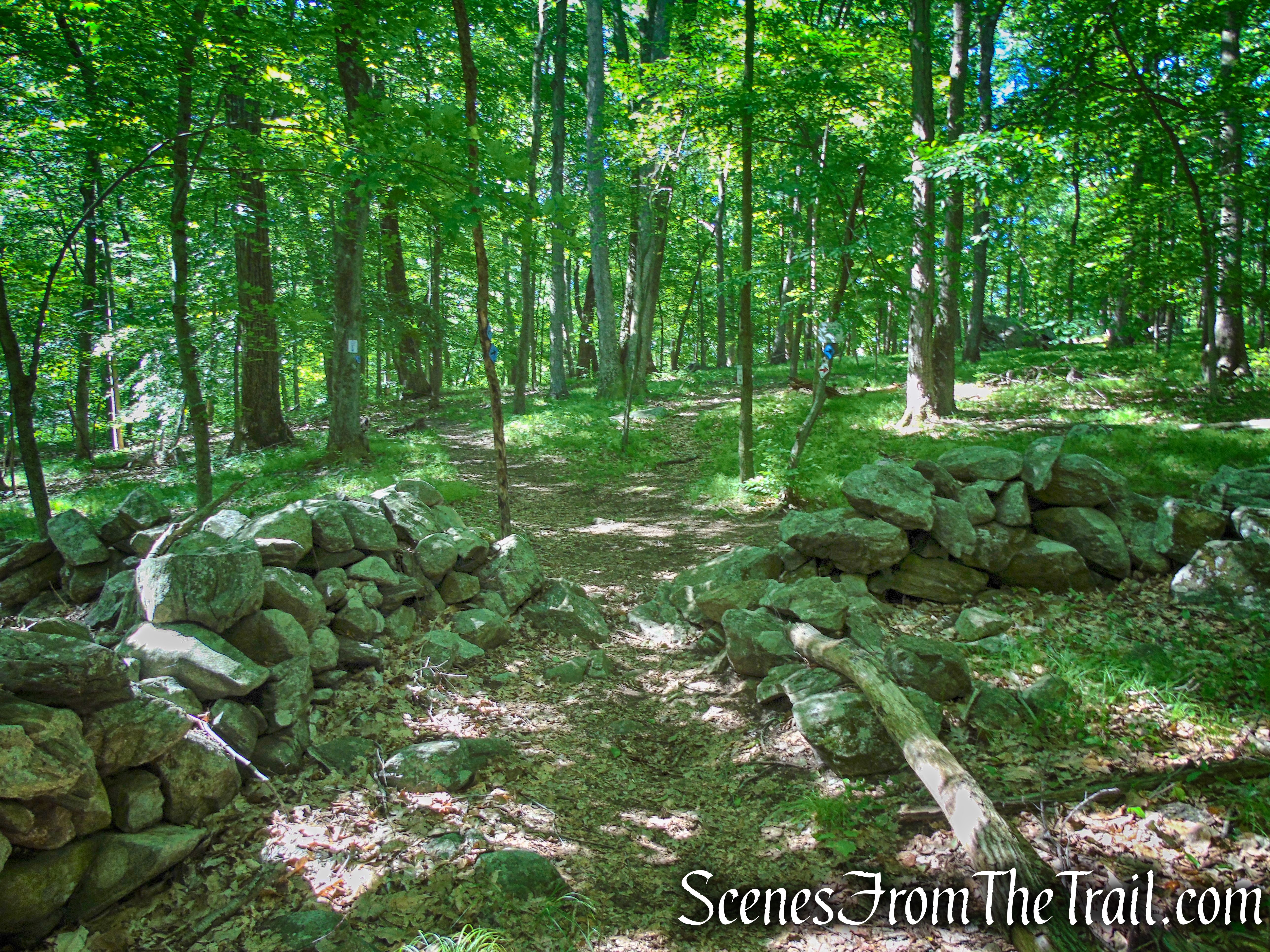
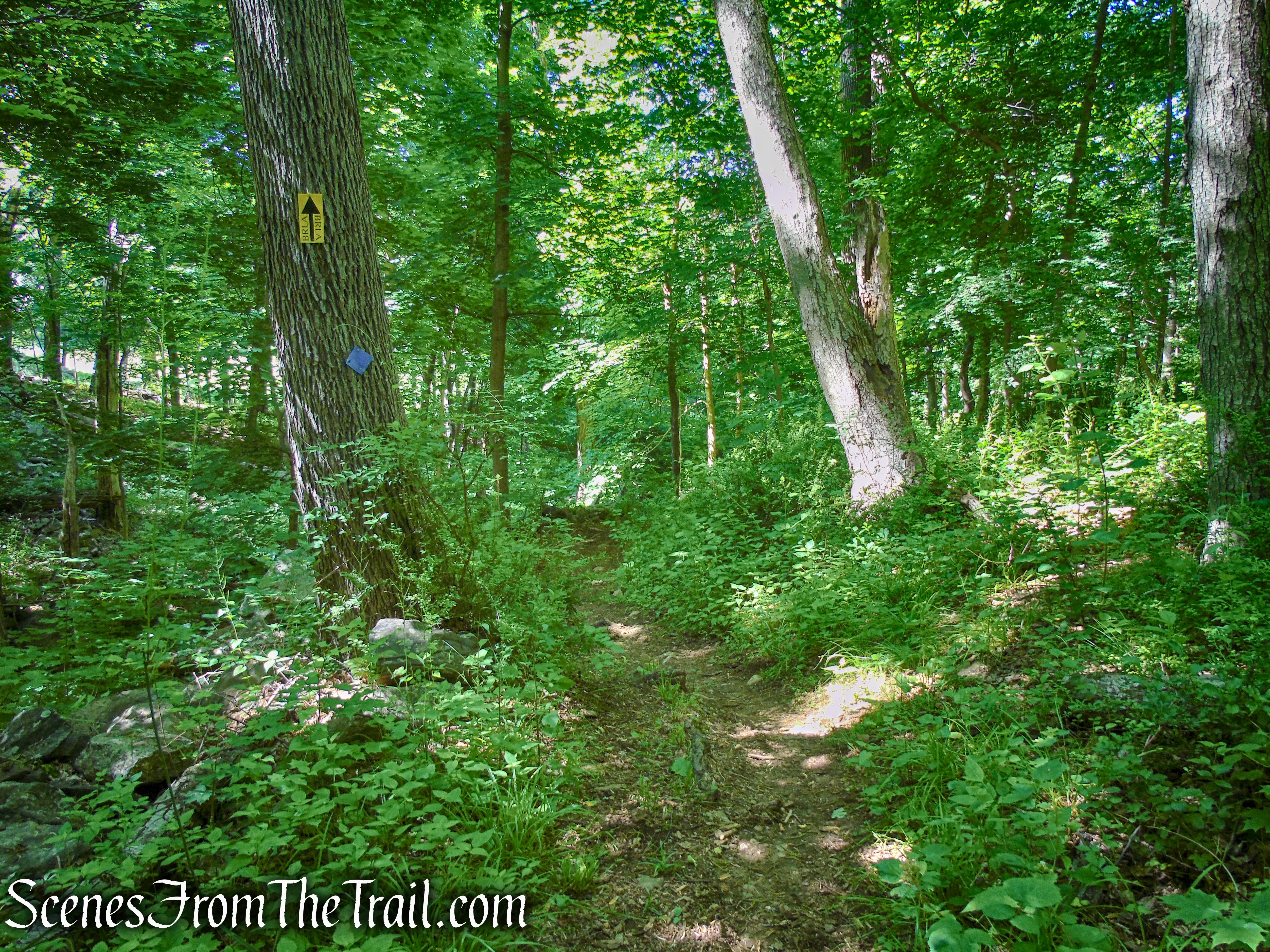
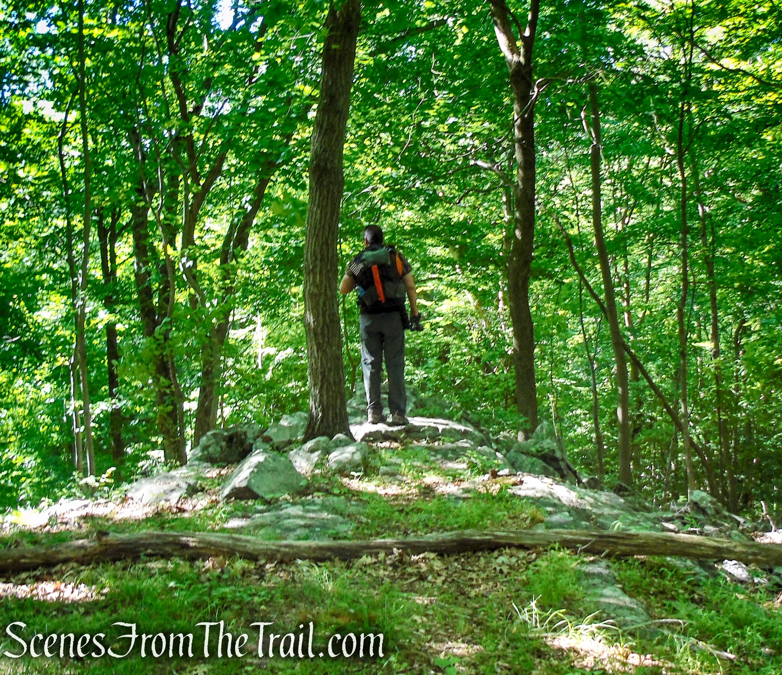
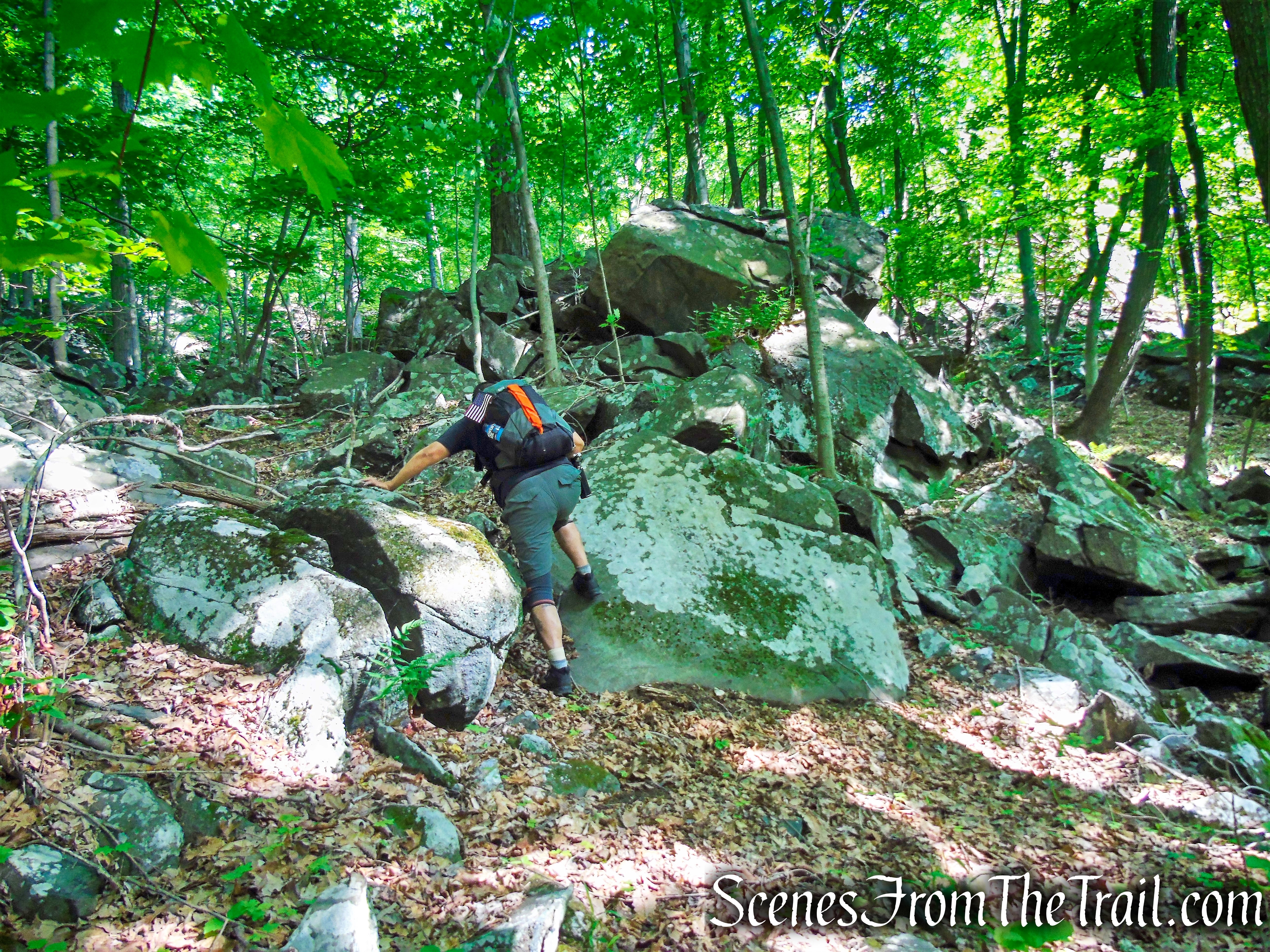
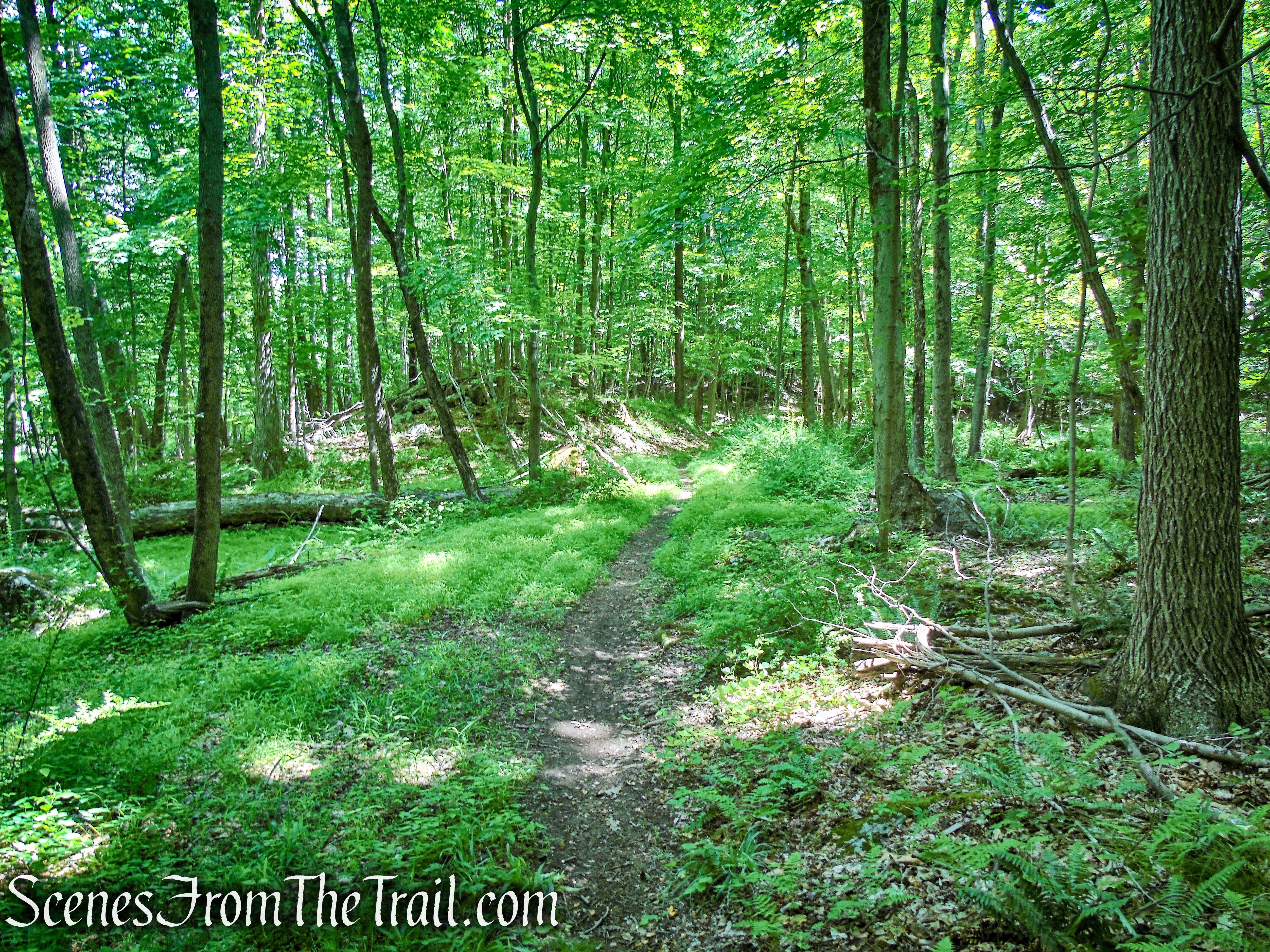
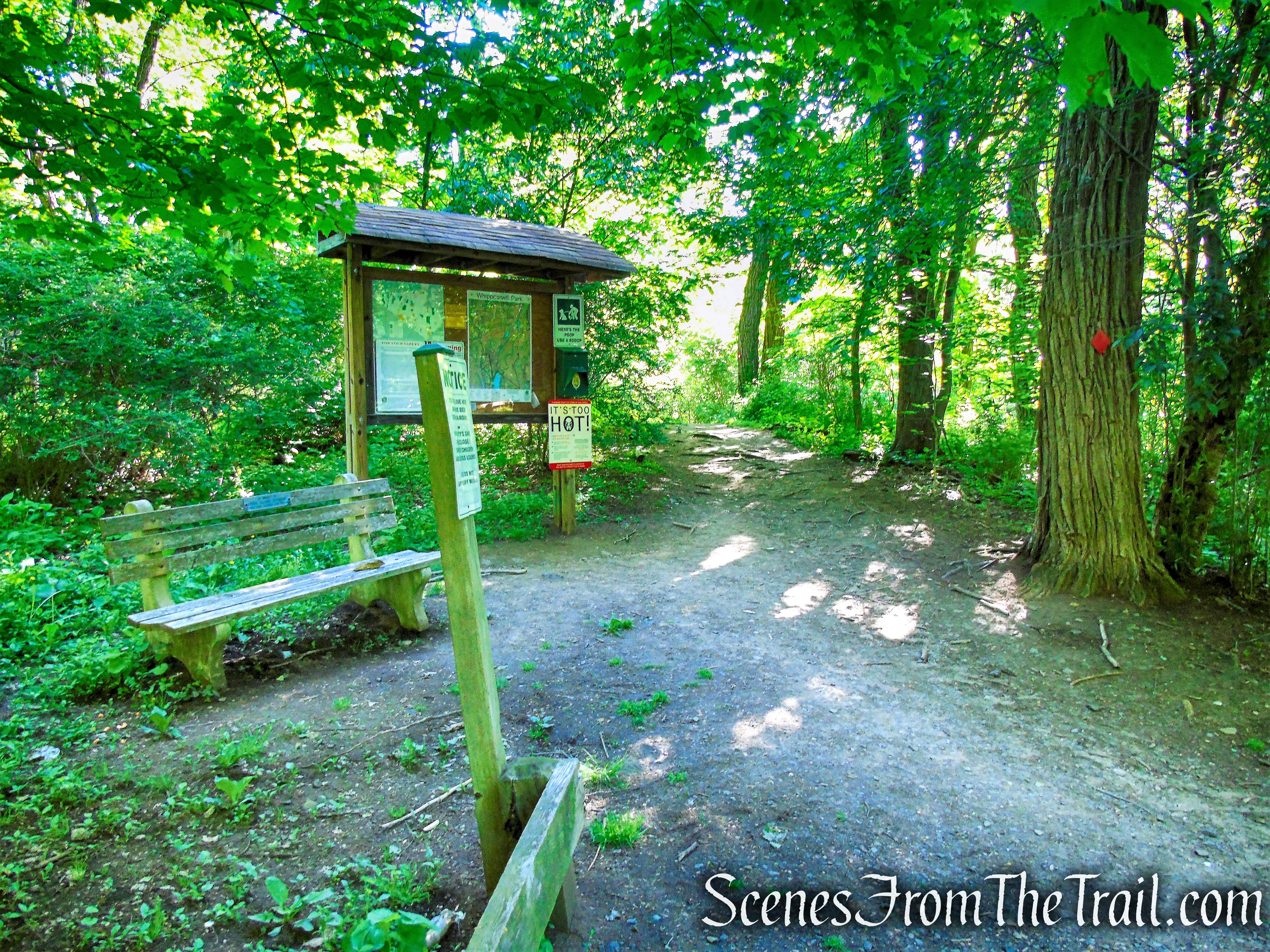
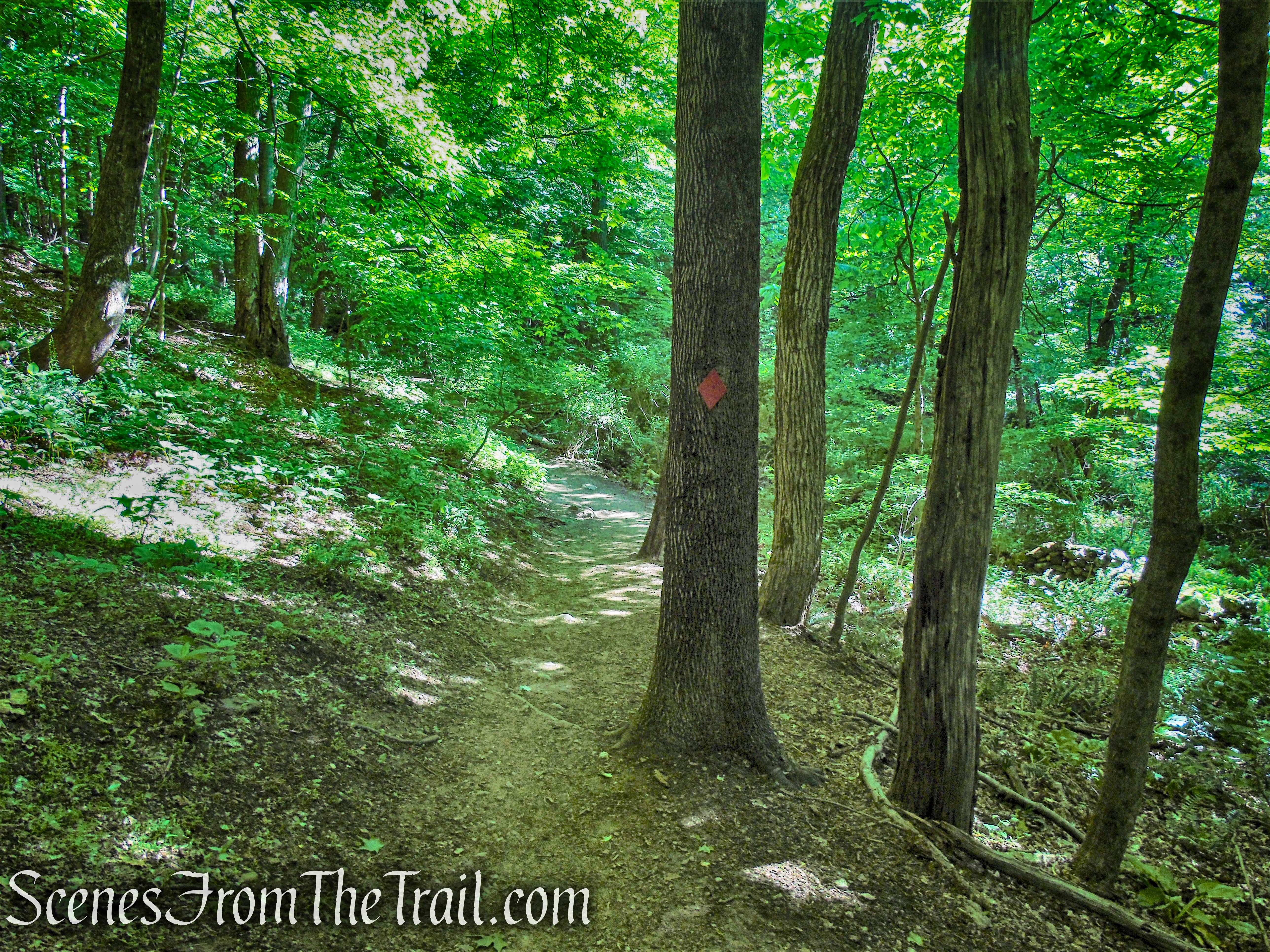
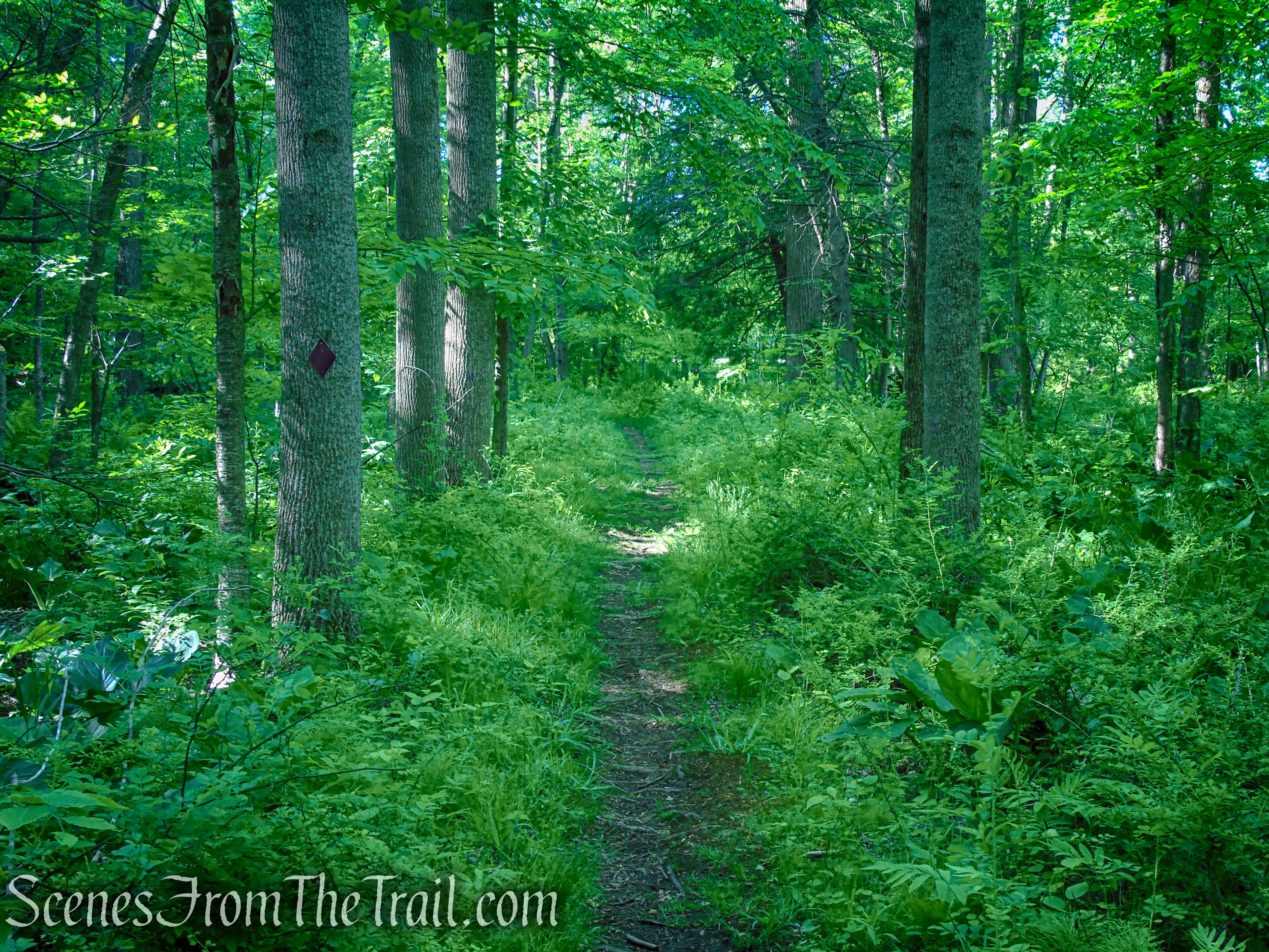
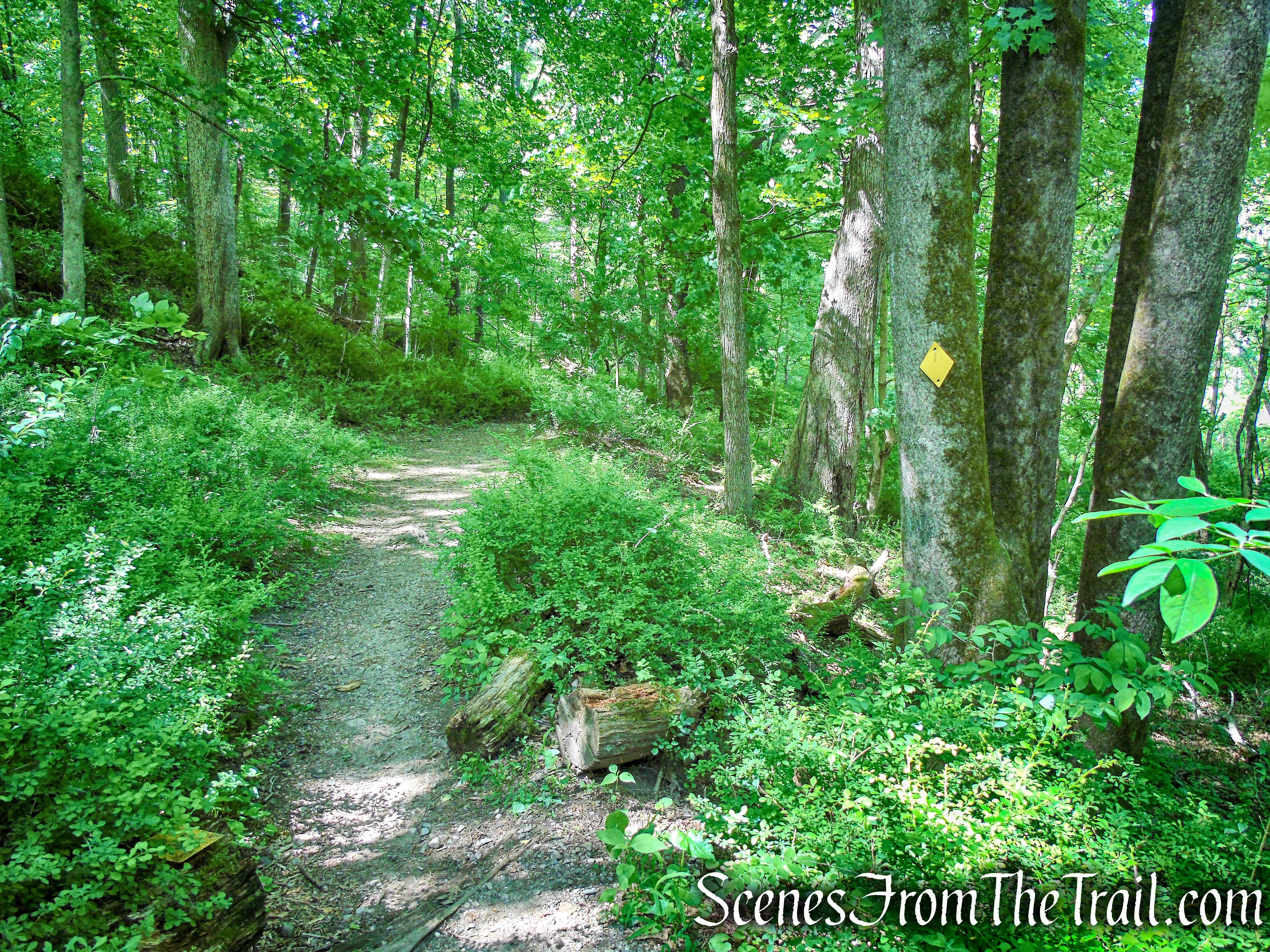
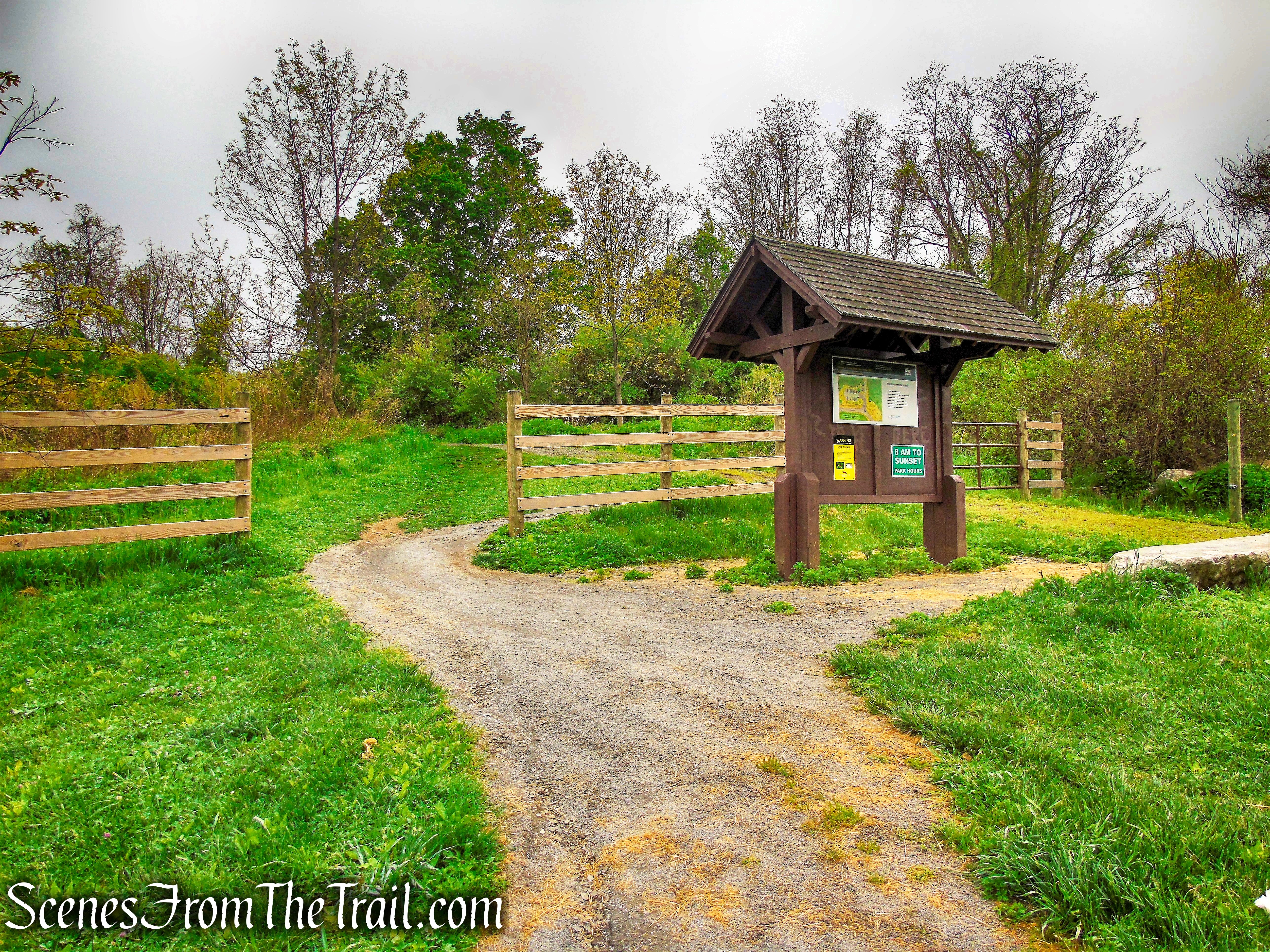
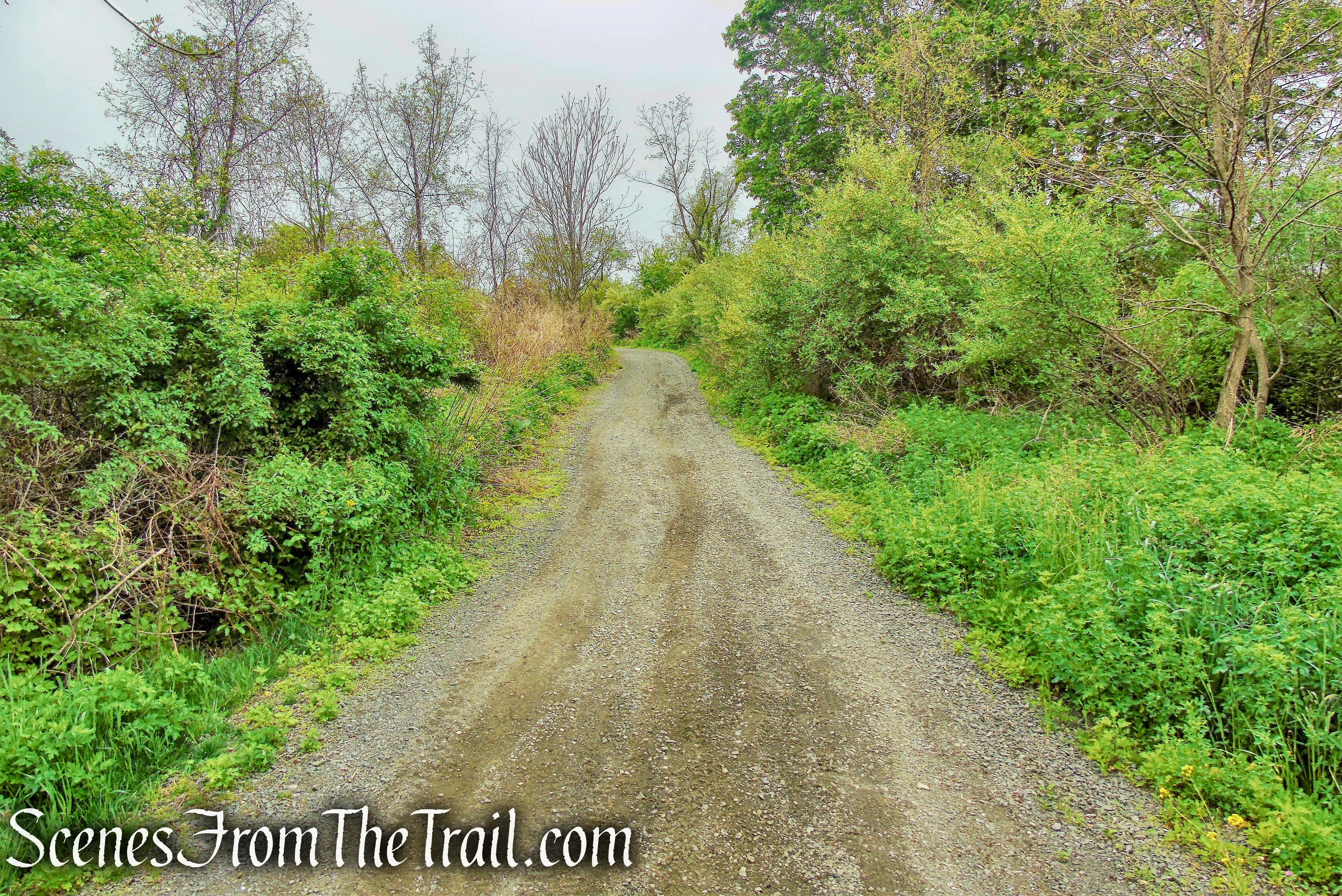
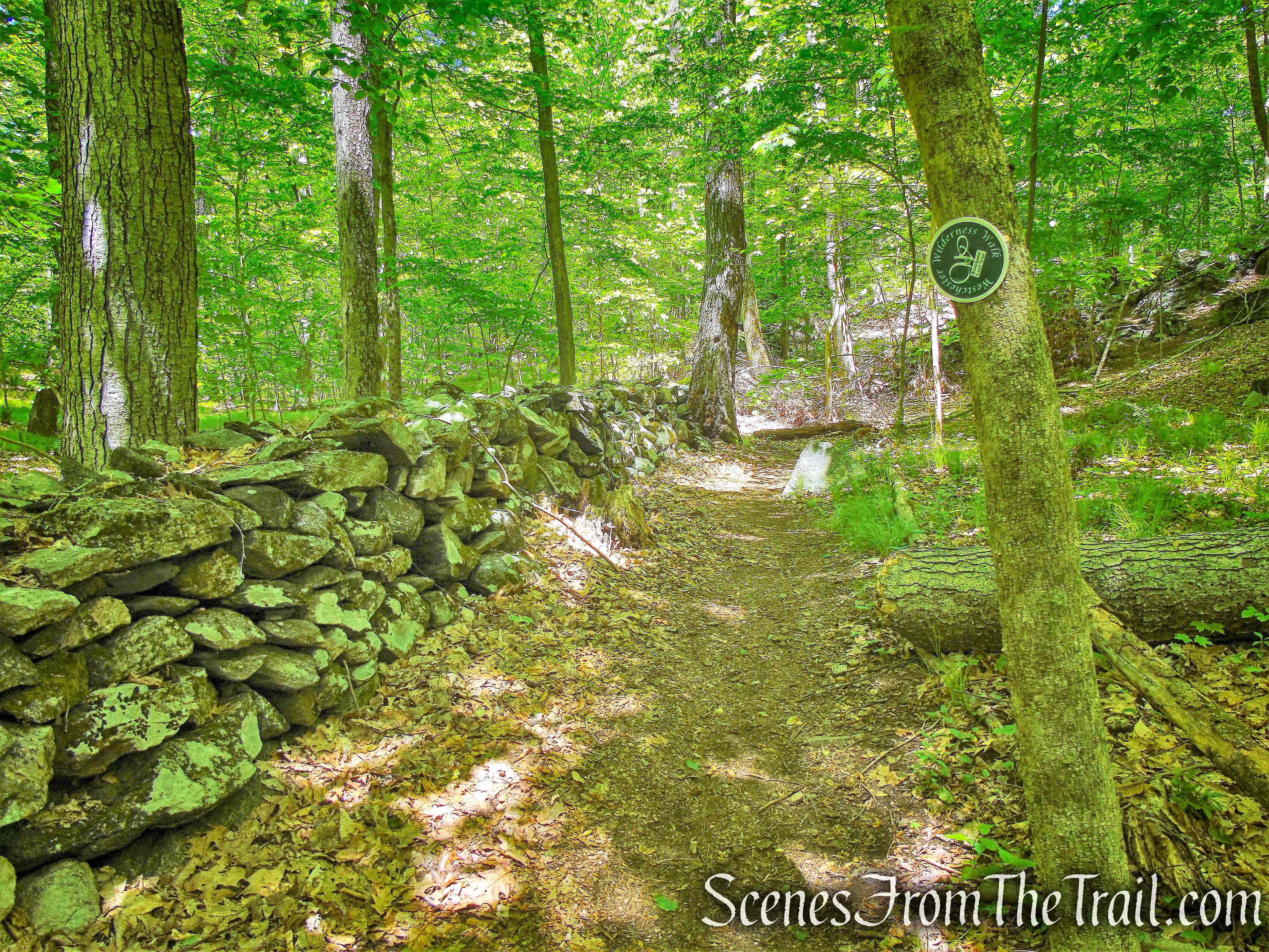
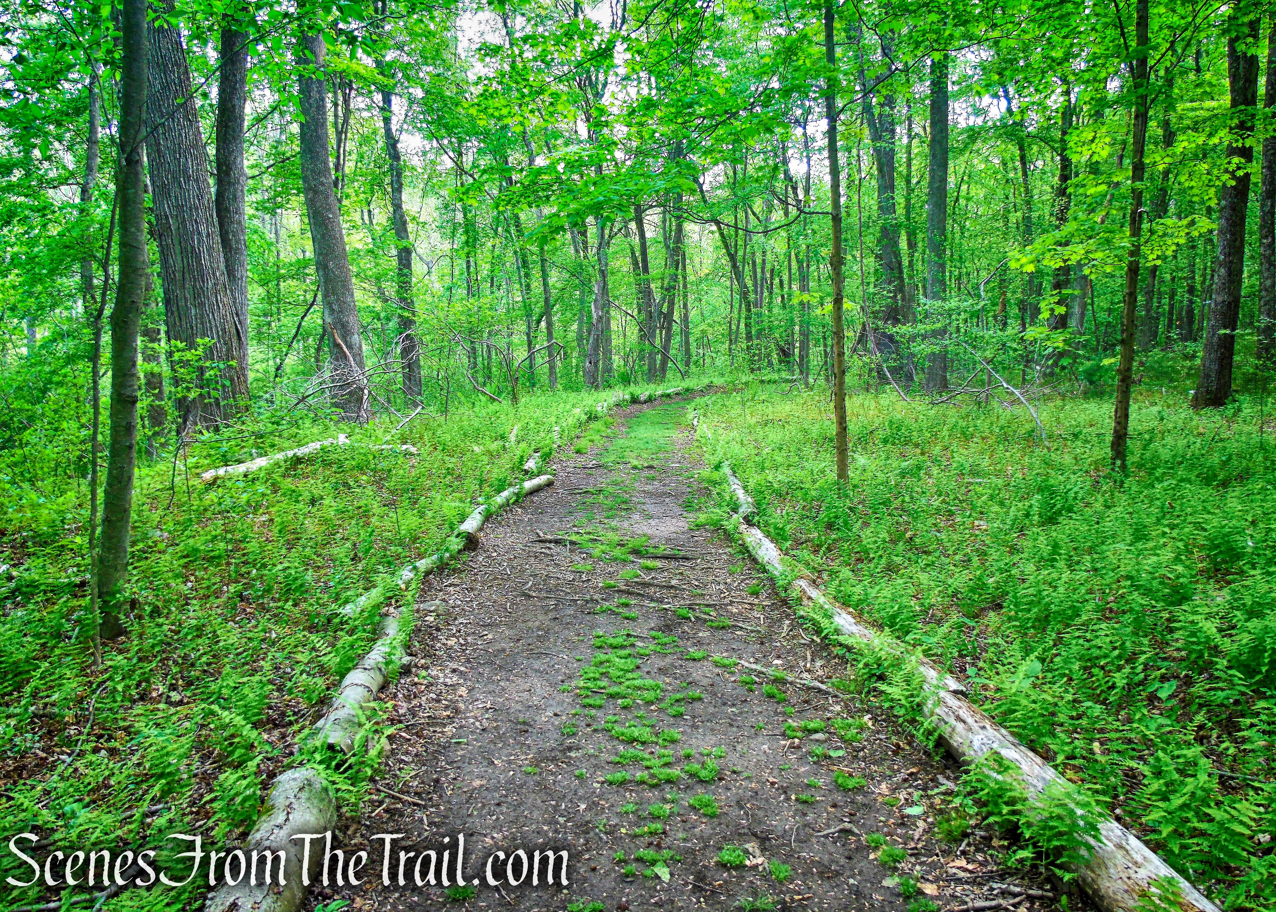
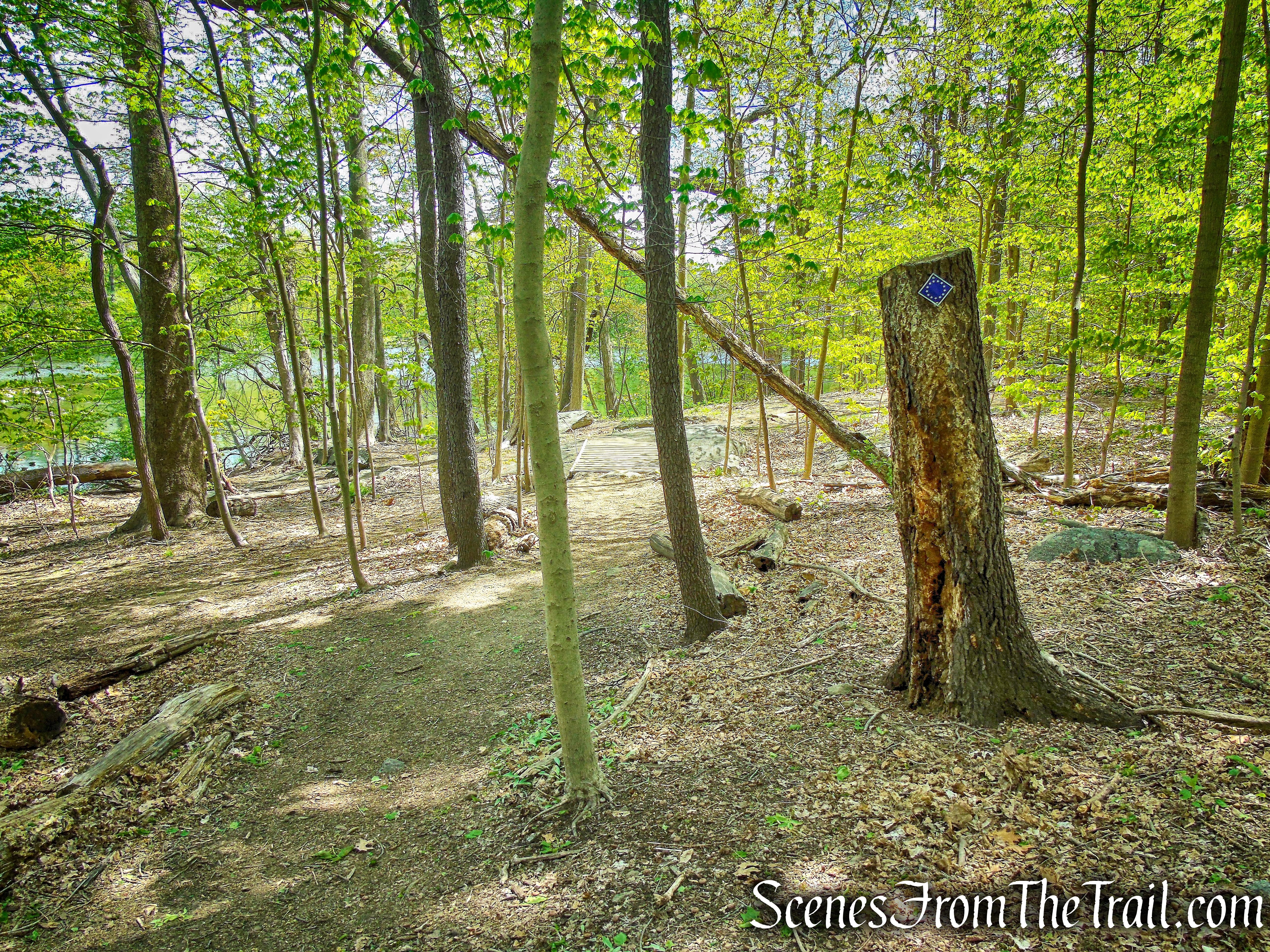
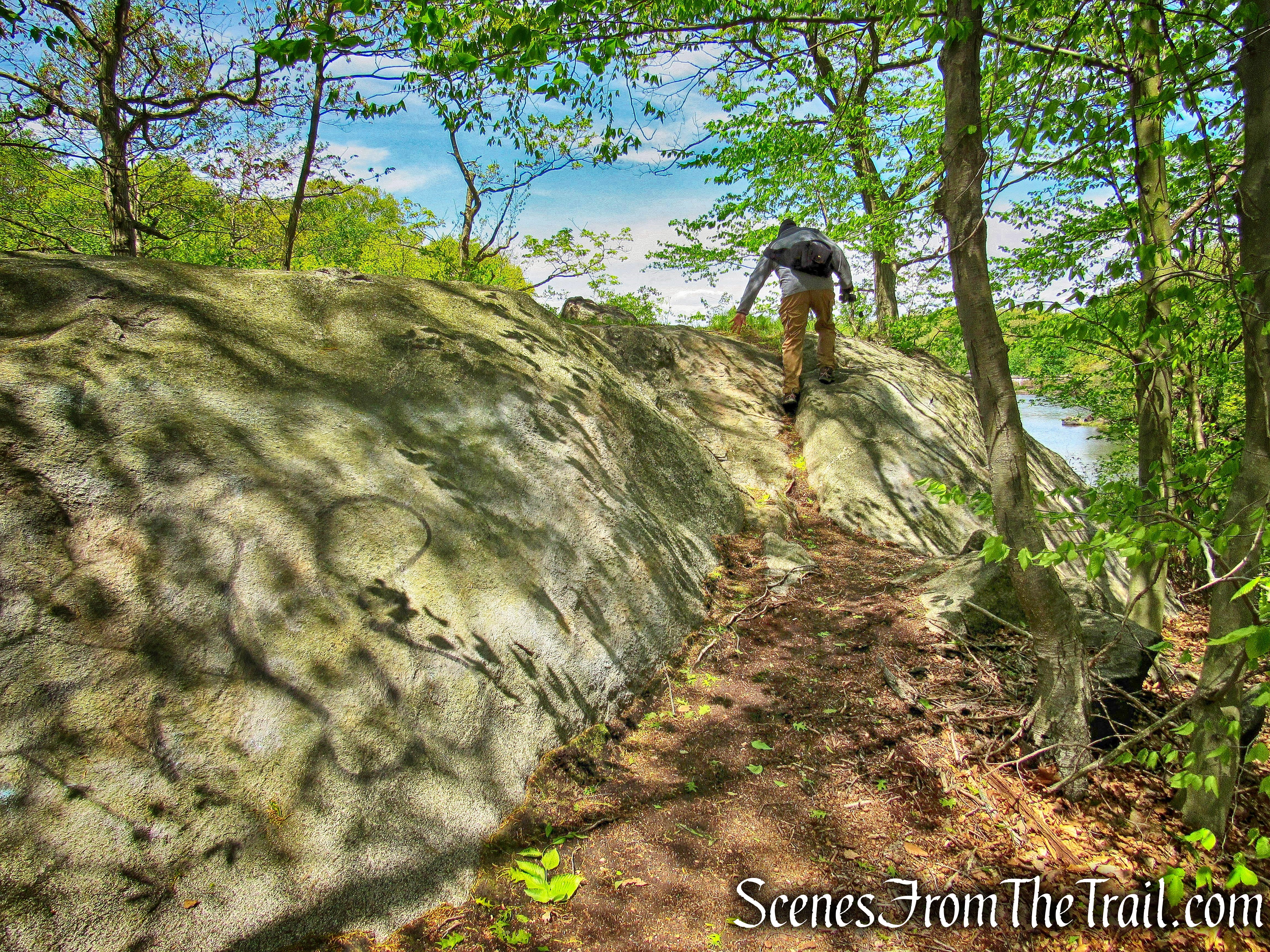
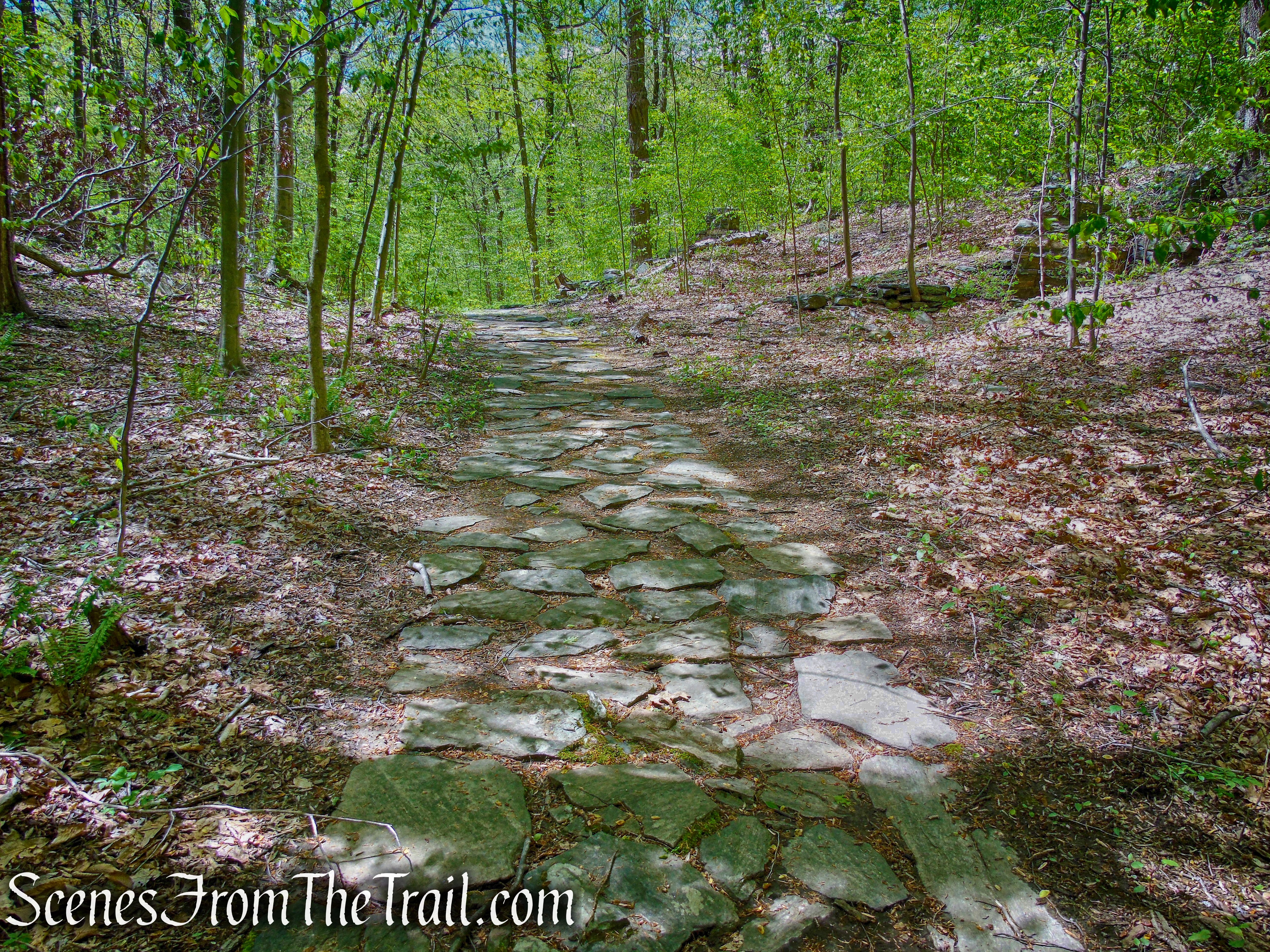
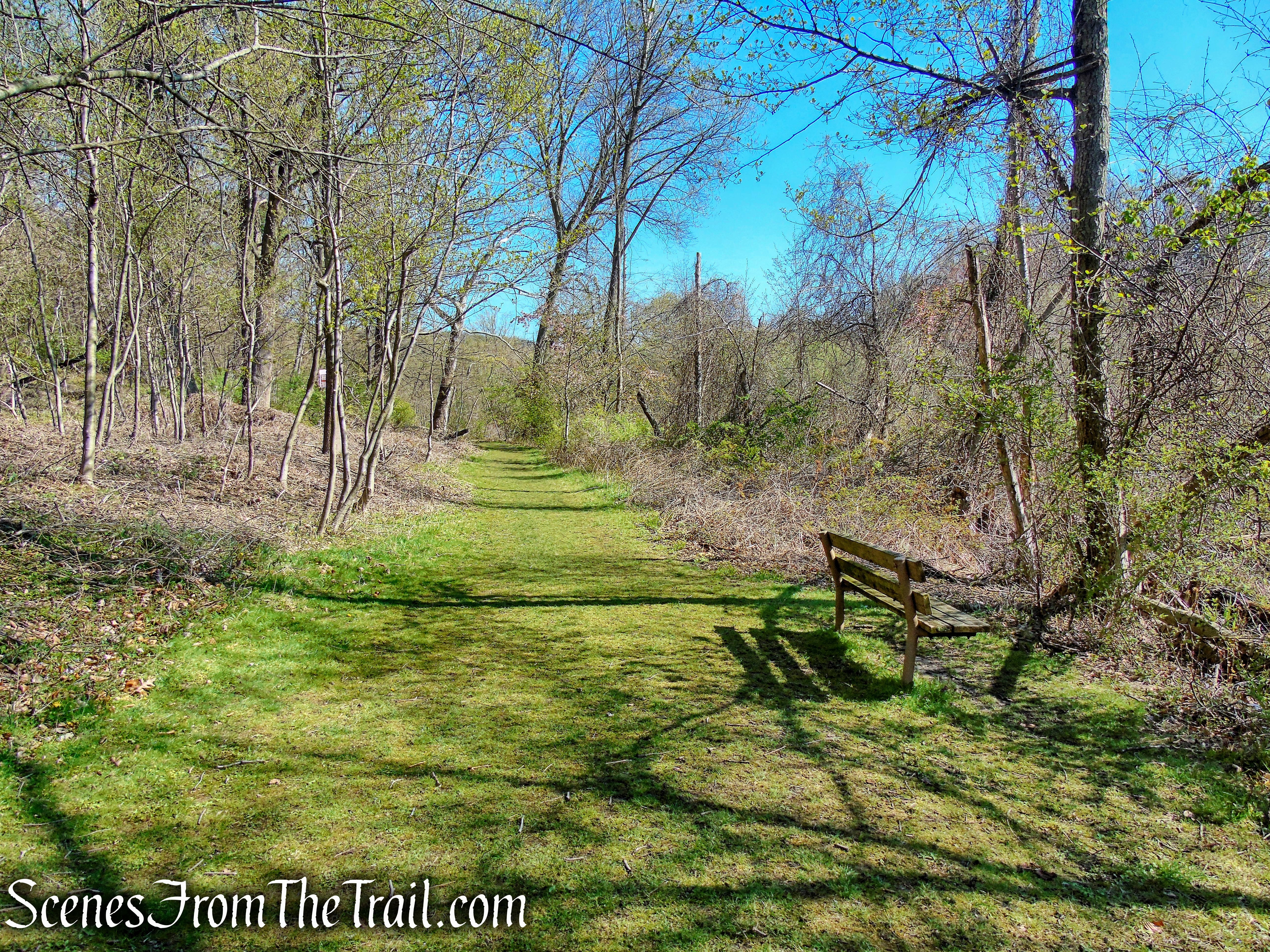
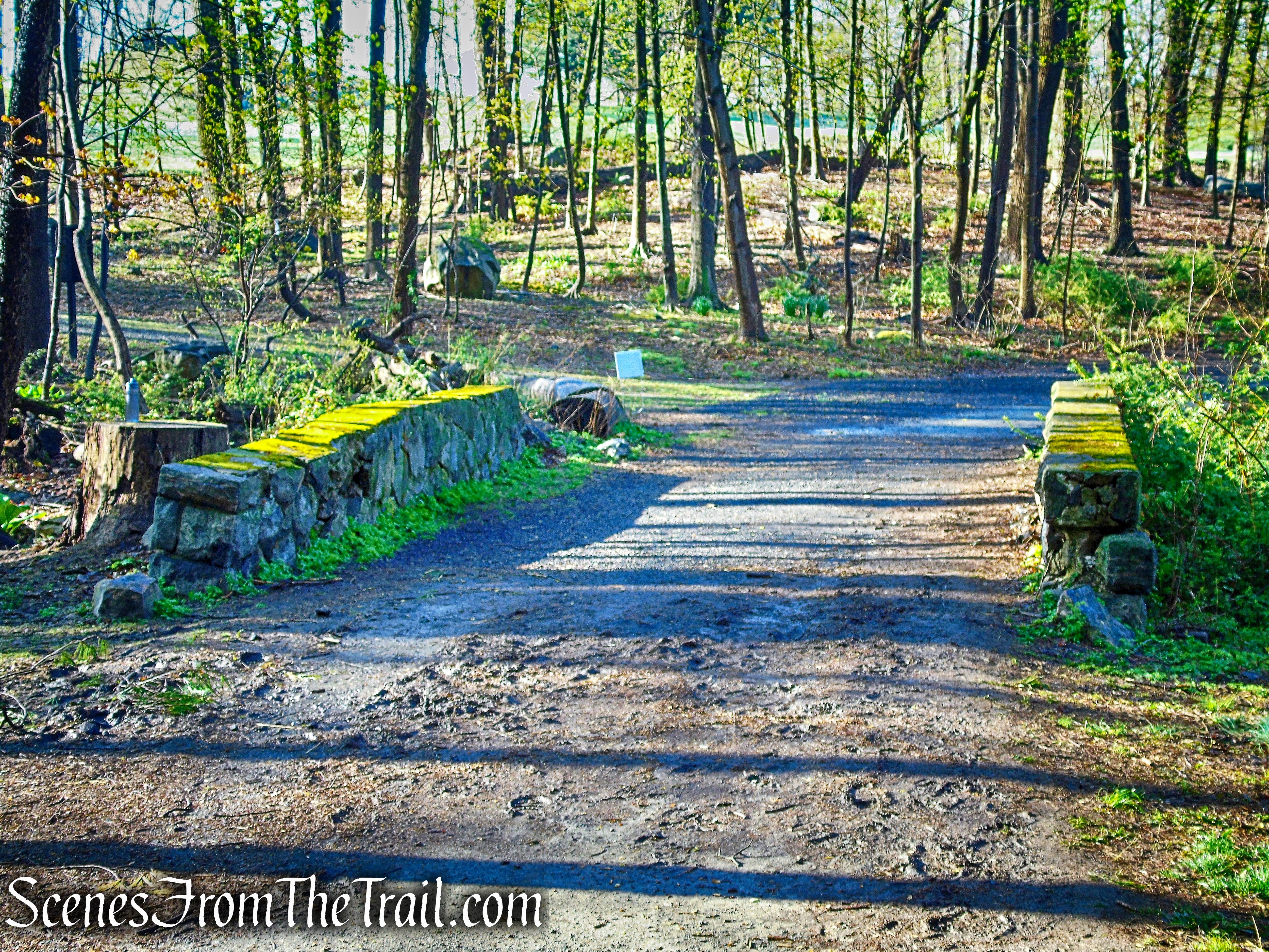
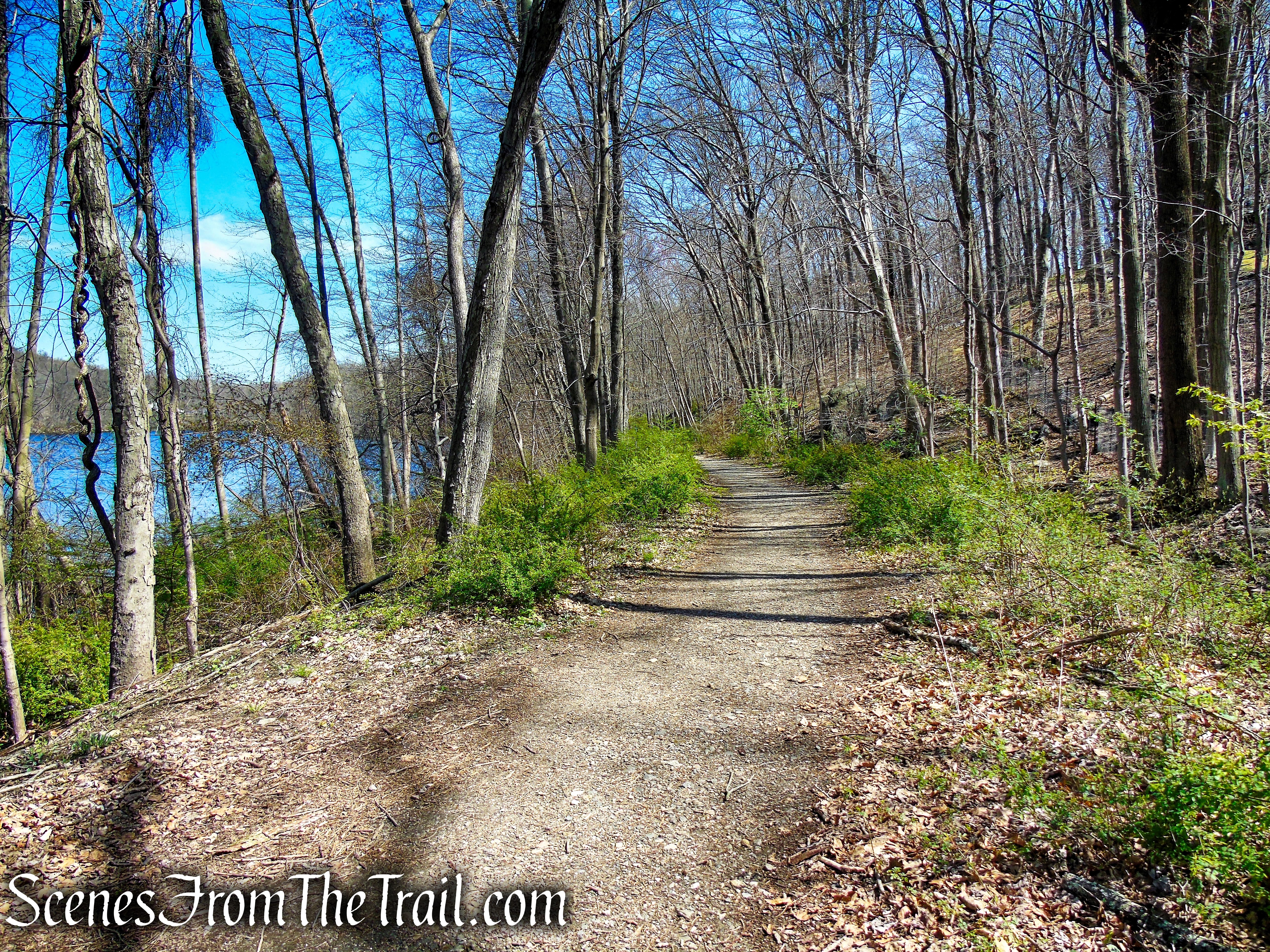
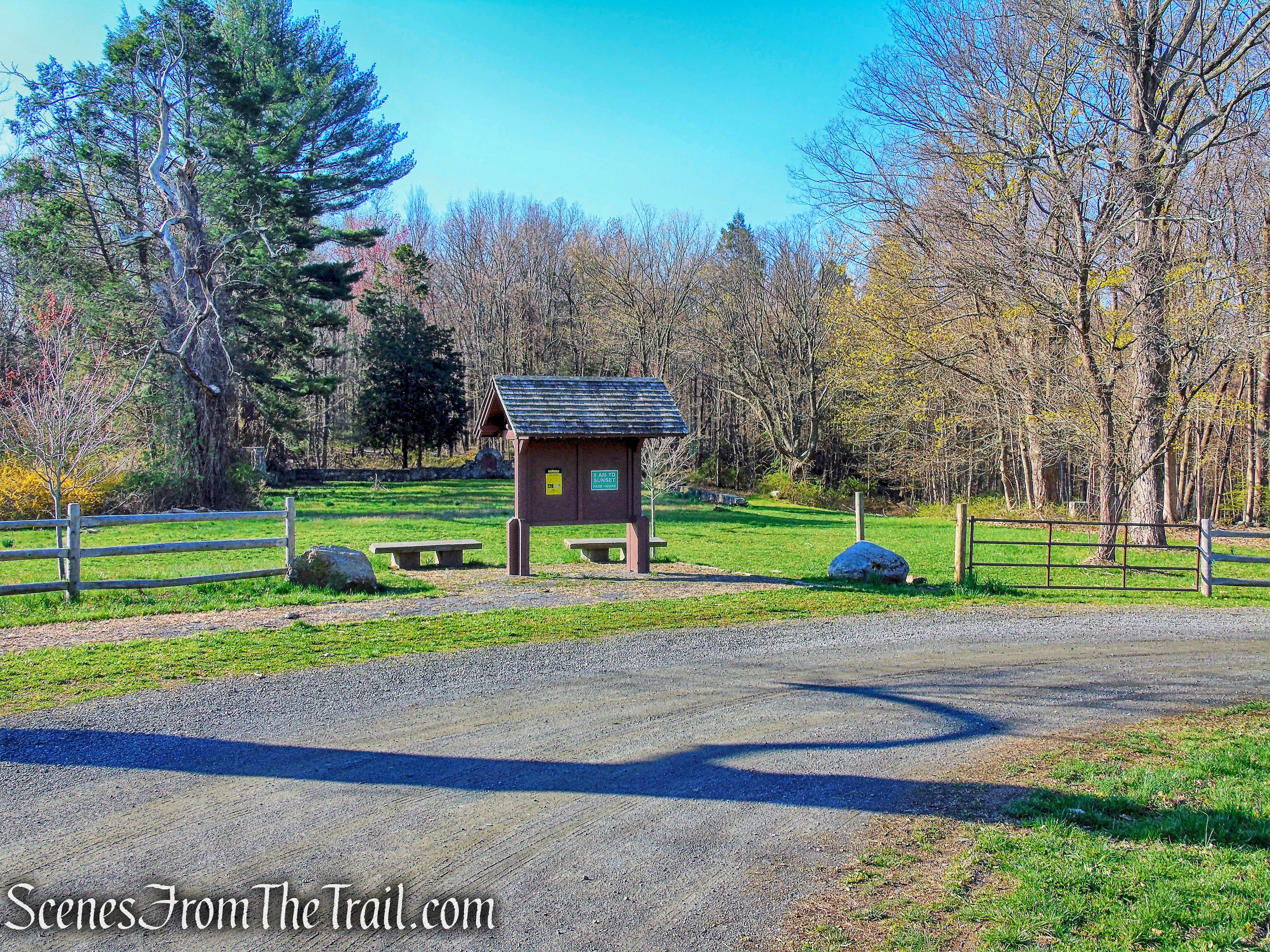
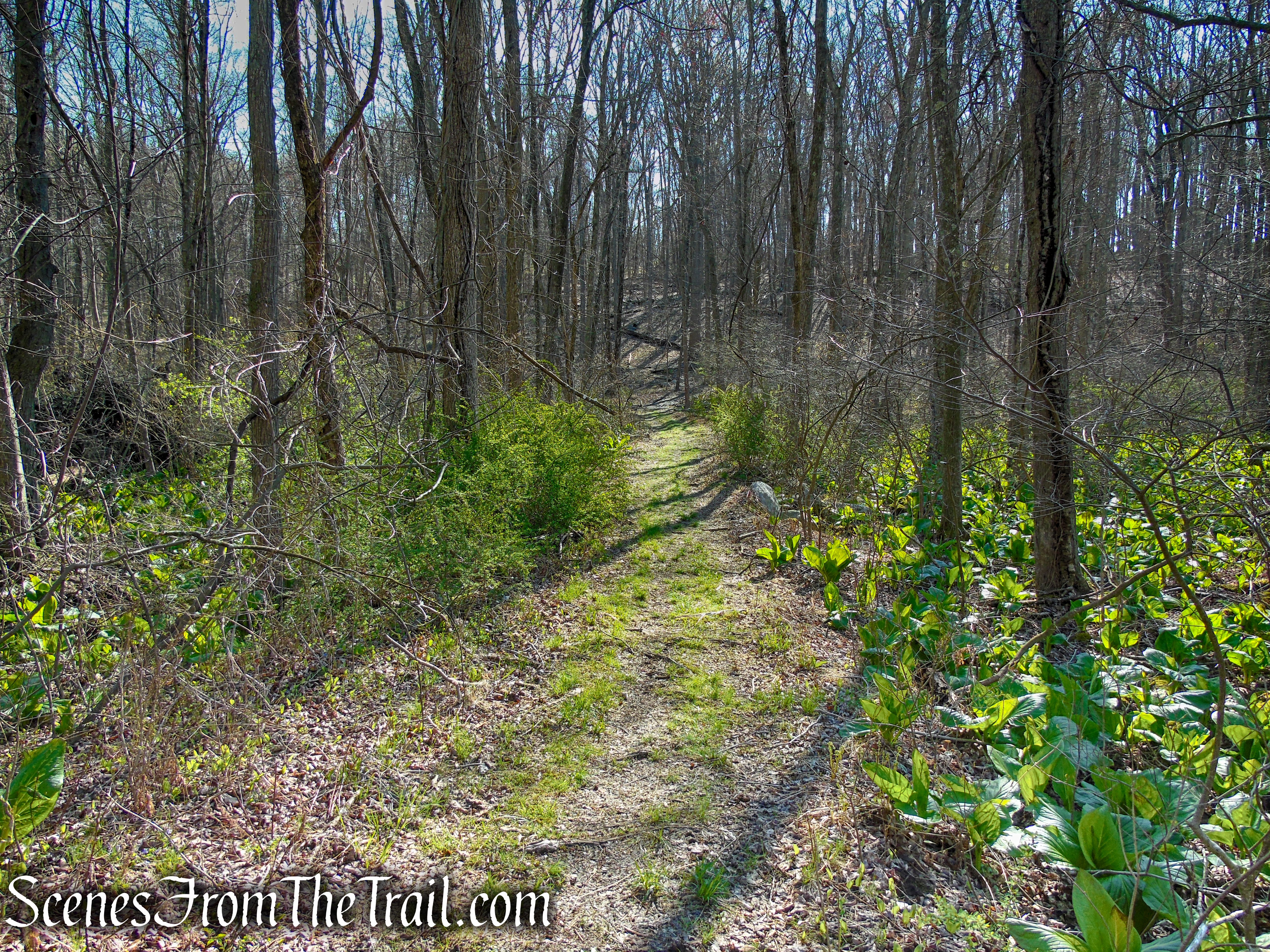
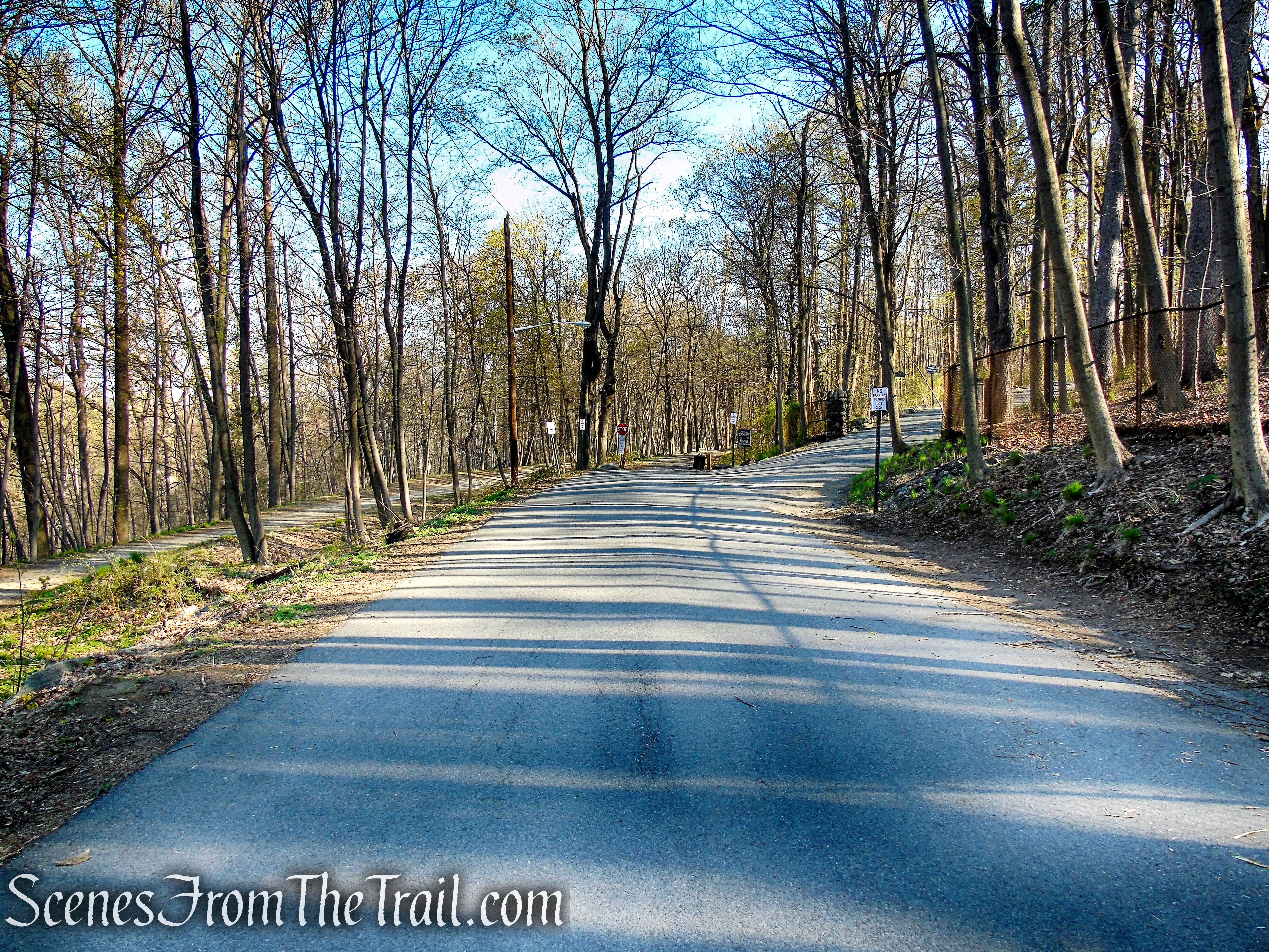
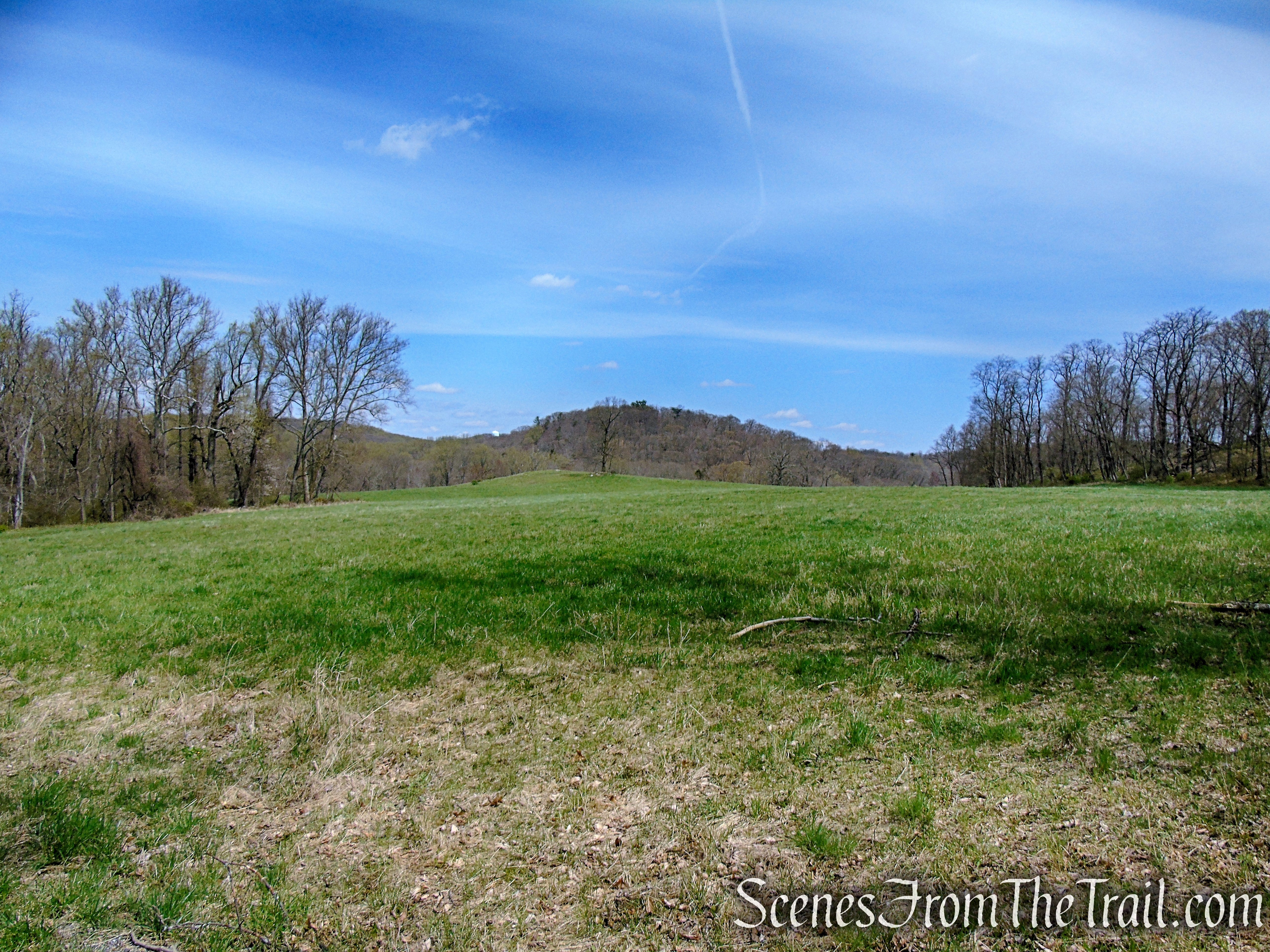
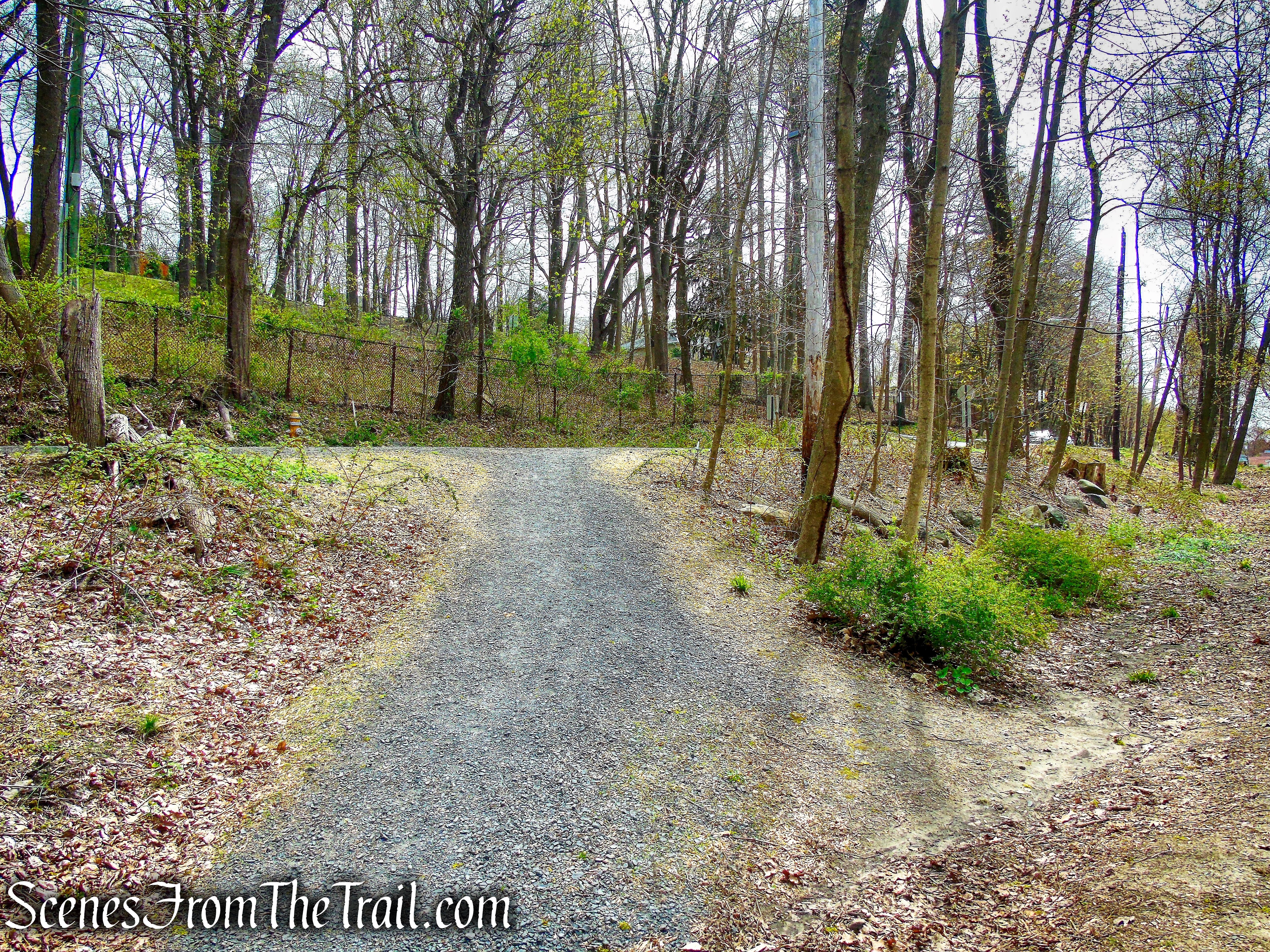
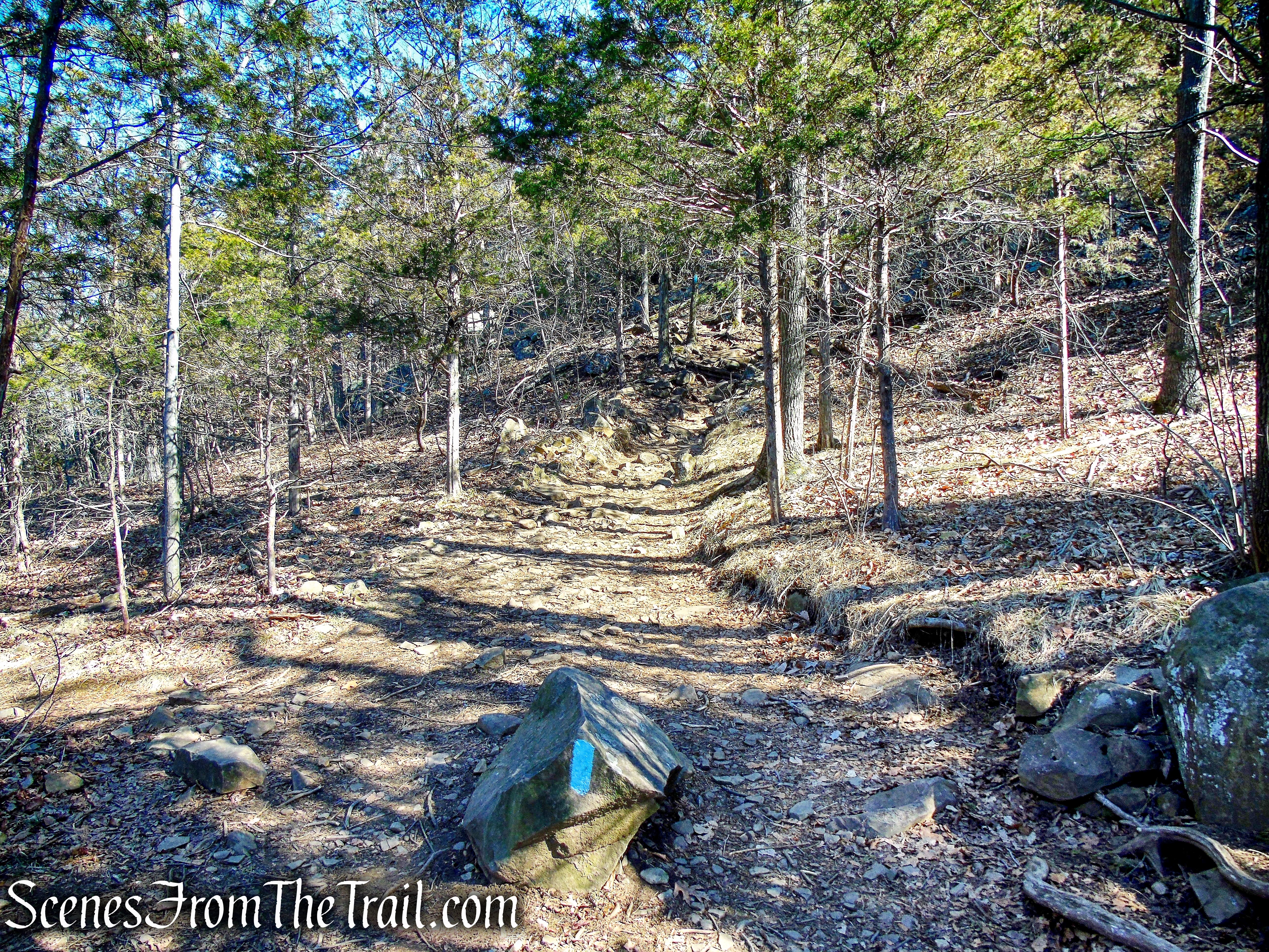
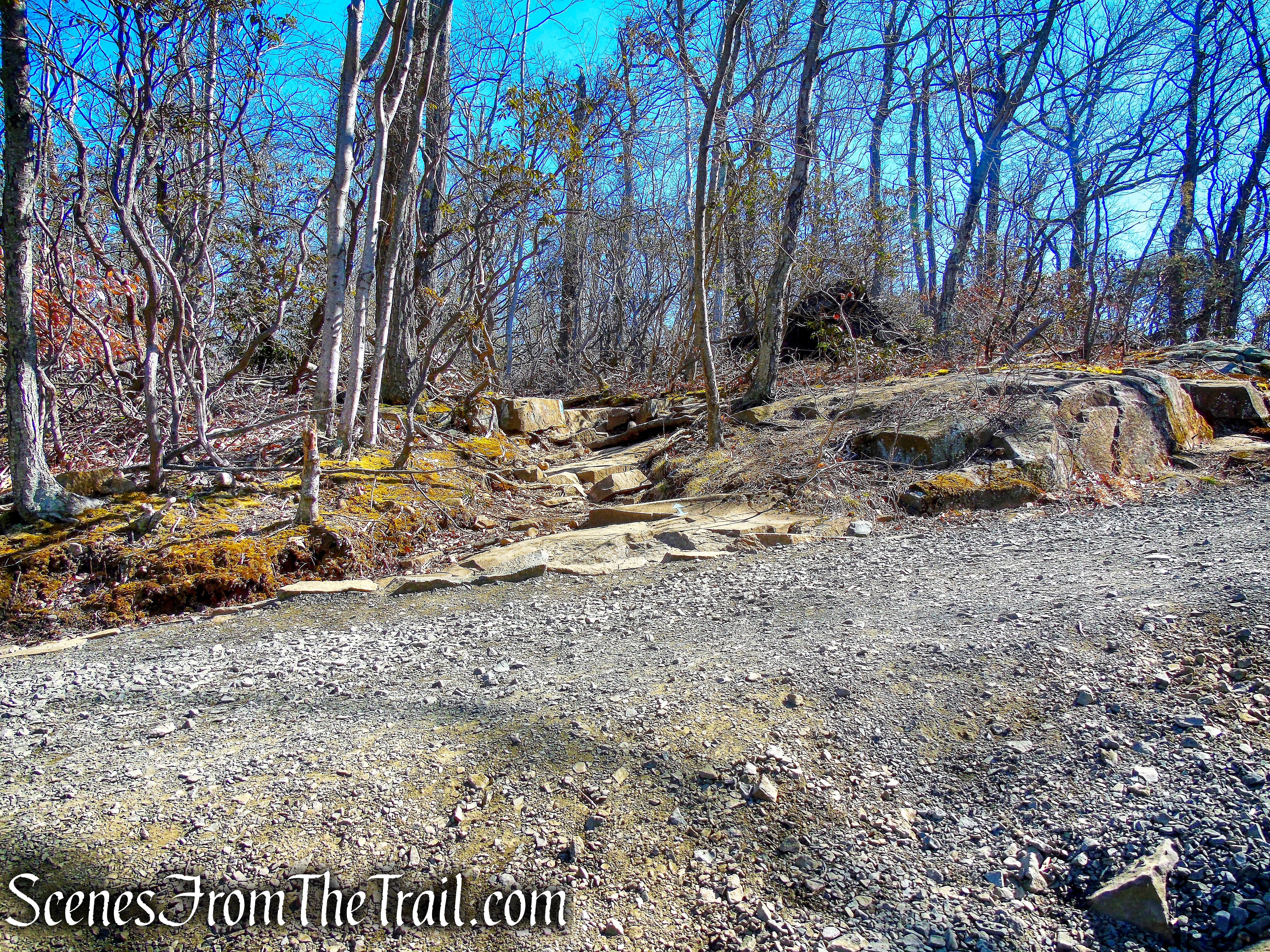
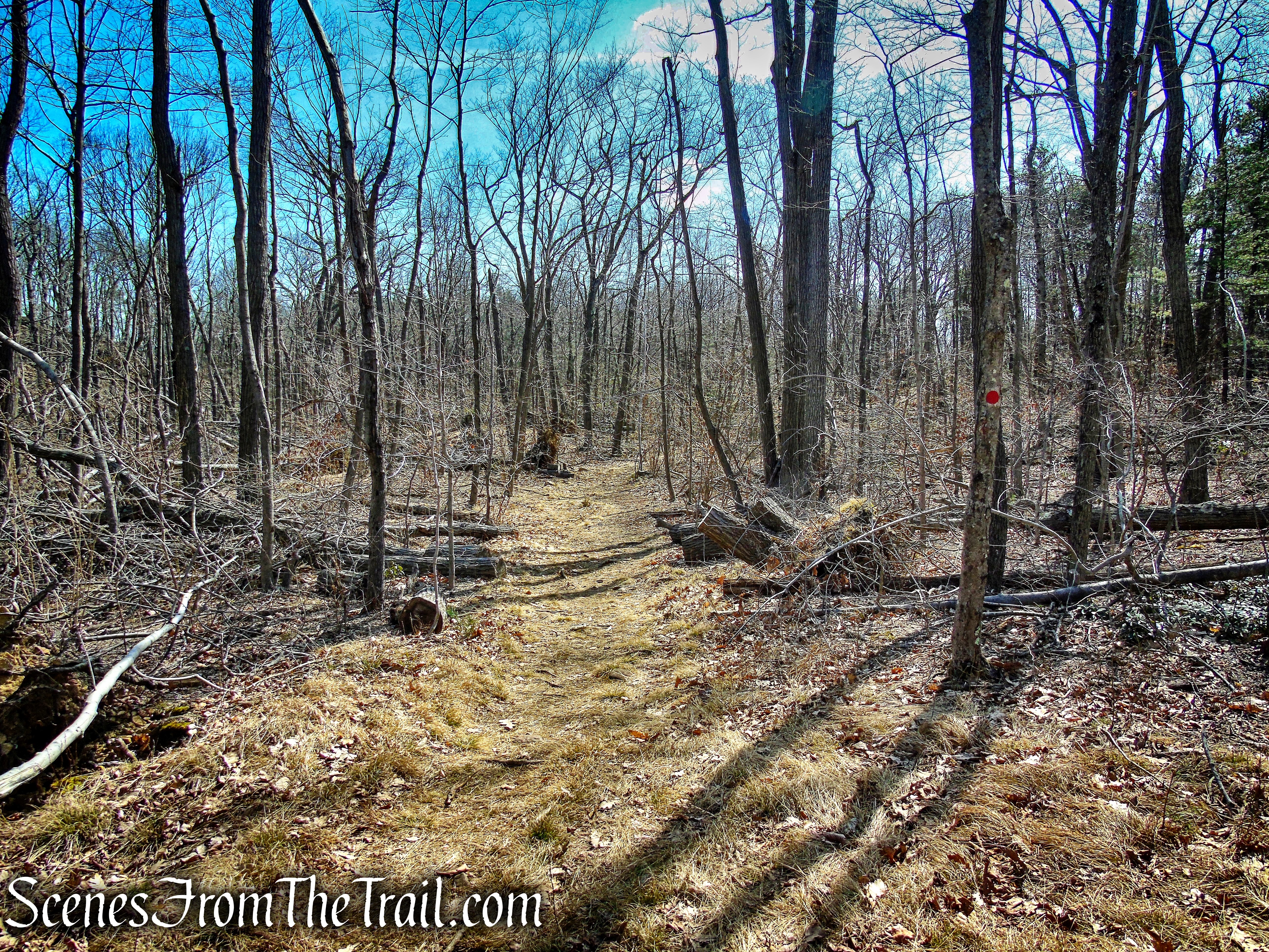
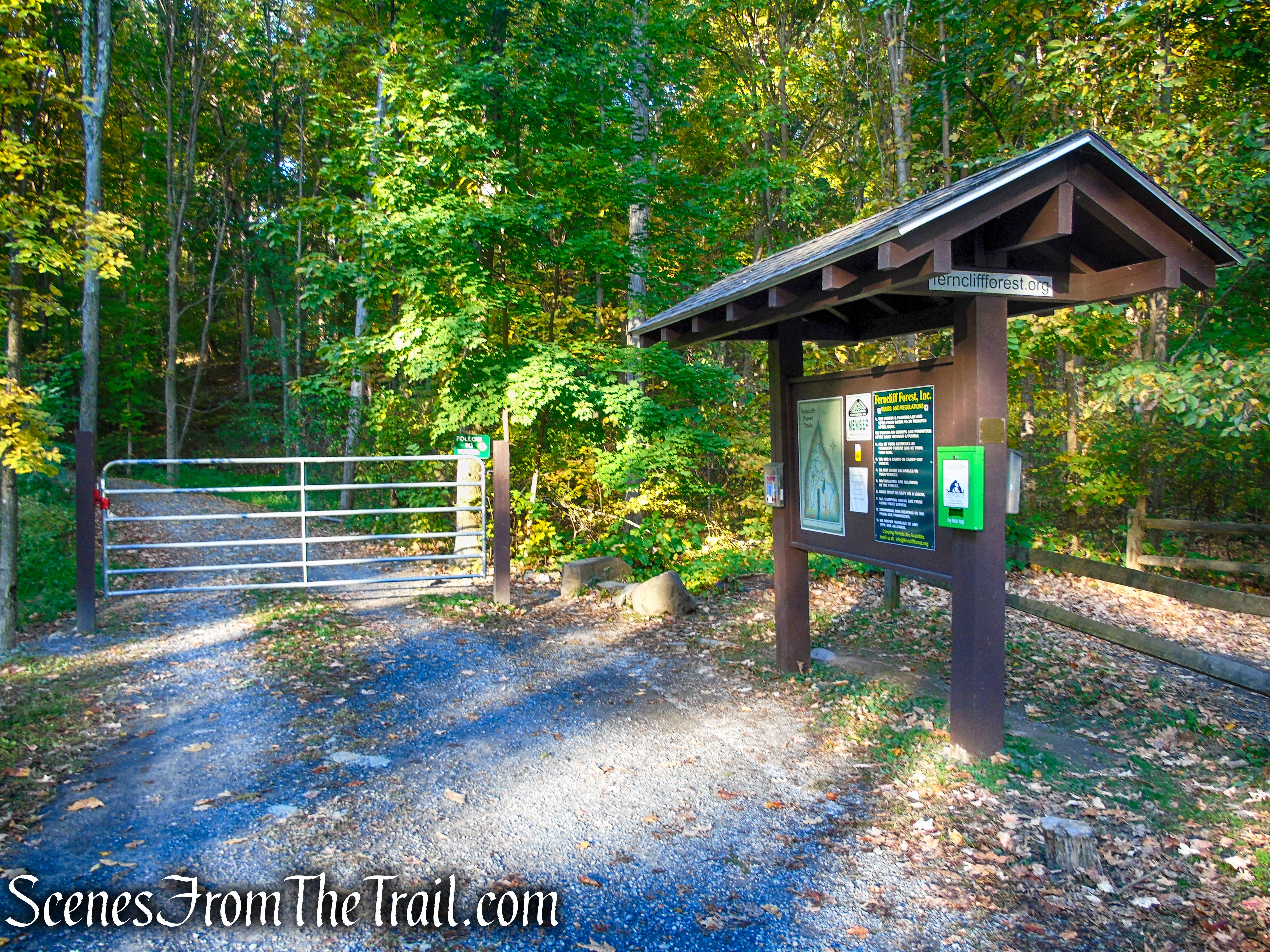
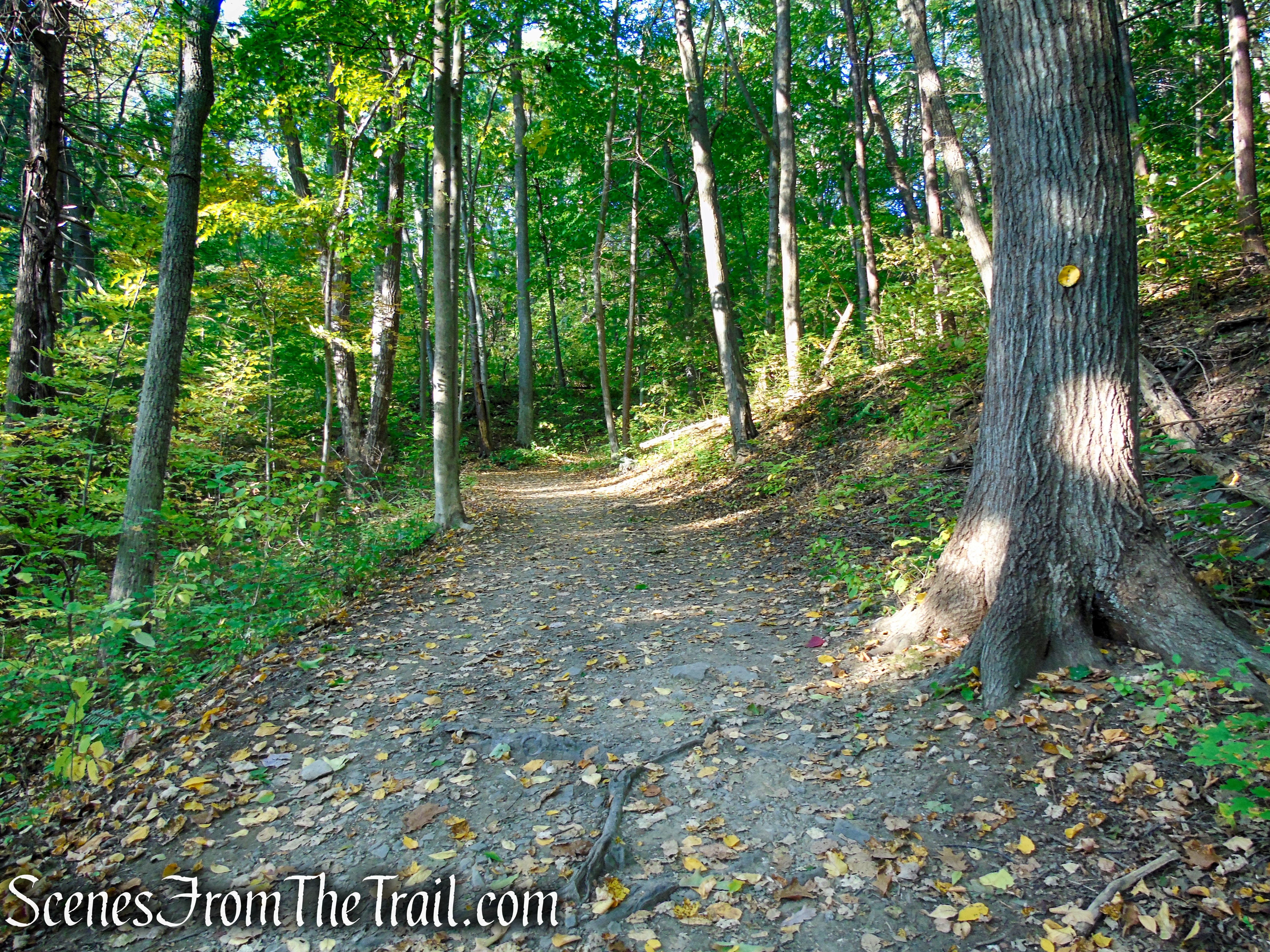
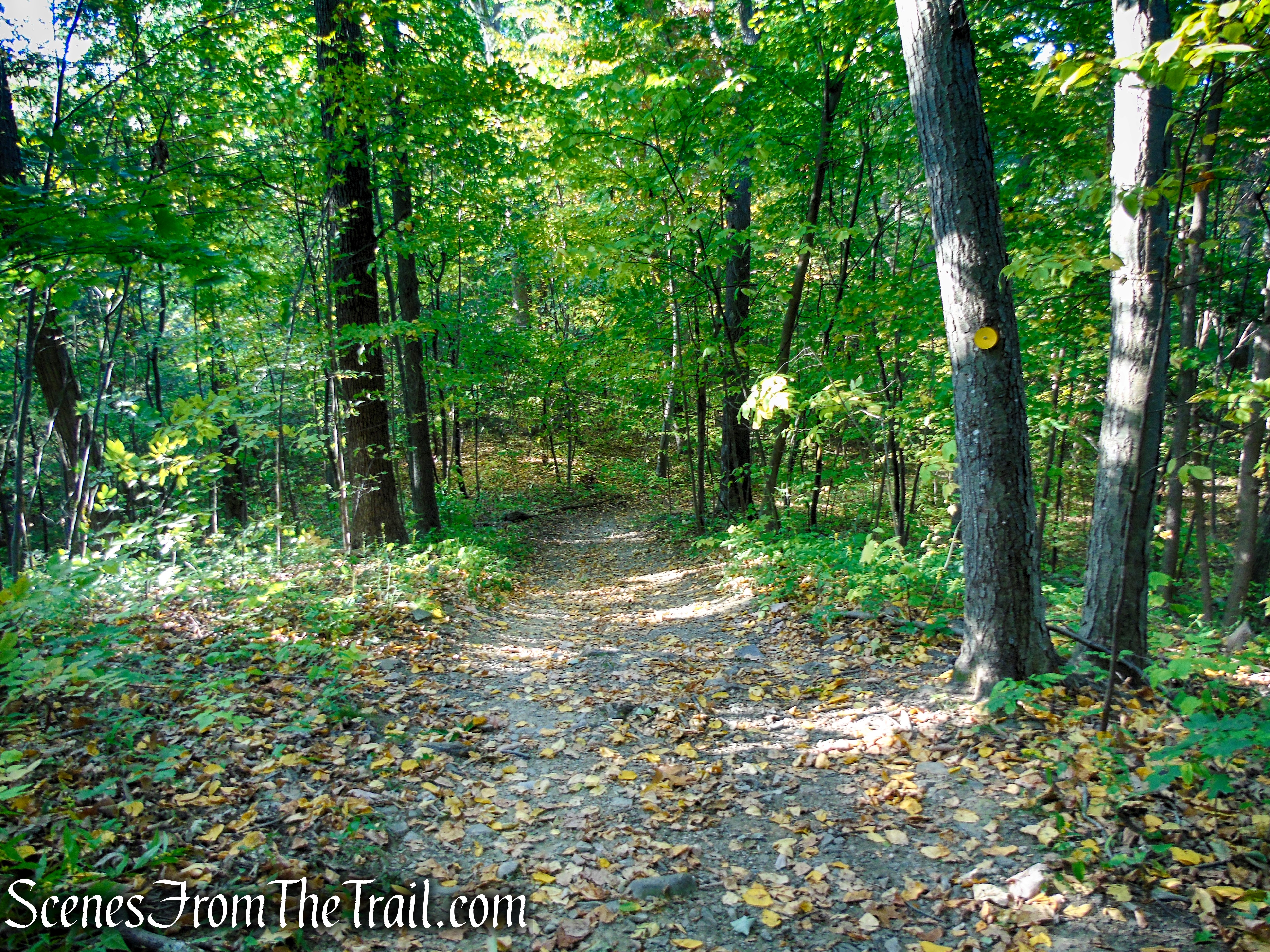
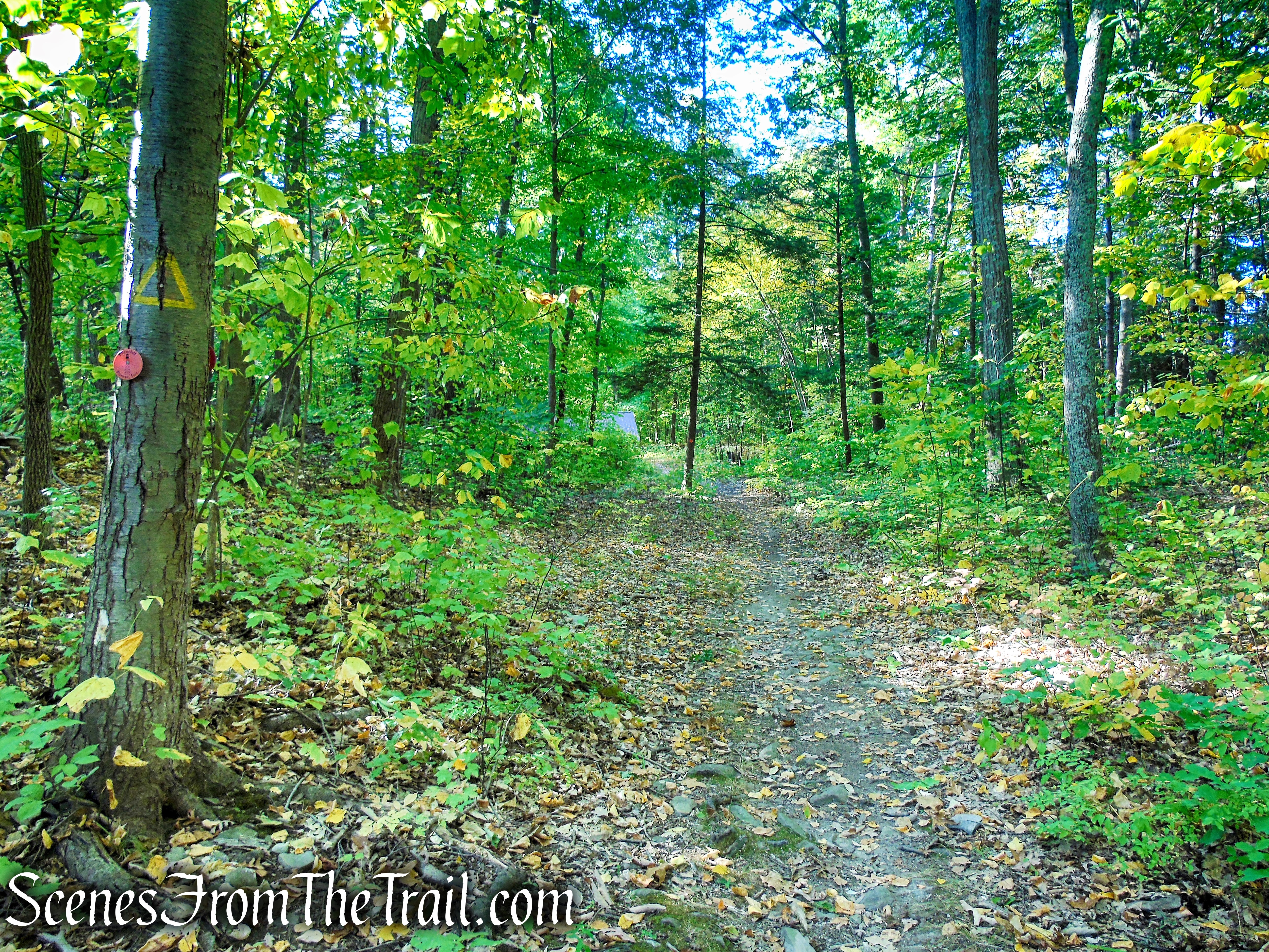
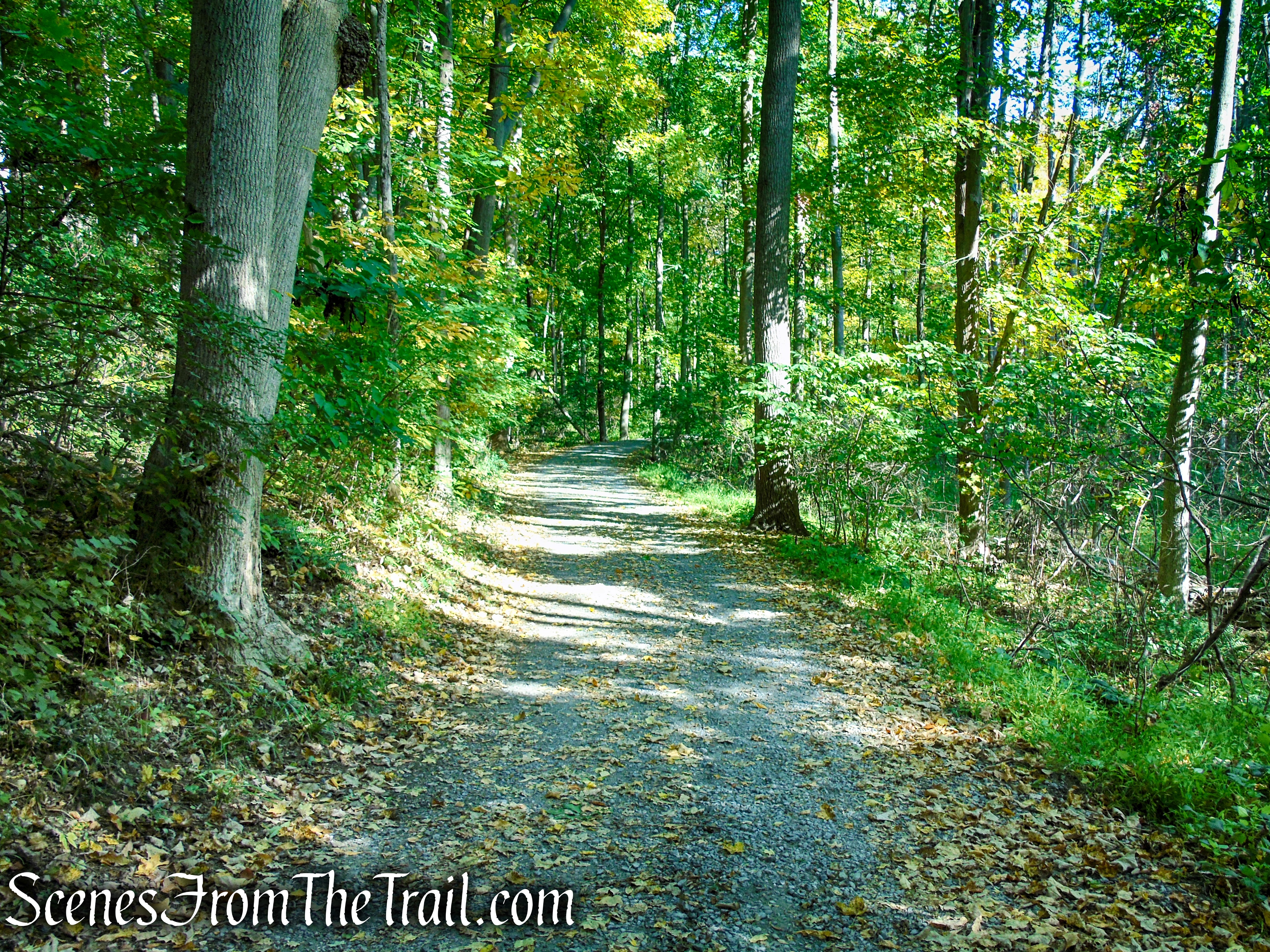
From the parking area, walk towards the kiosk and past the gate, this is the start of the yellow-blazed trail. It has been called by different names (Circle Trail, East Tower Trail etc.) For the purpose of this hike description, I will refer to it as the Yellow Circle Trail. Proceed ahead on the Yellow Circle Trail as it climbs gradually on a gravel road.
start of Yellow Circle Trail – Ferncliff Forest

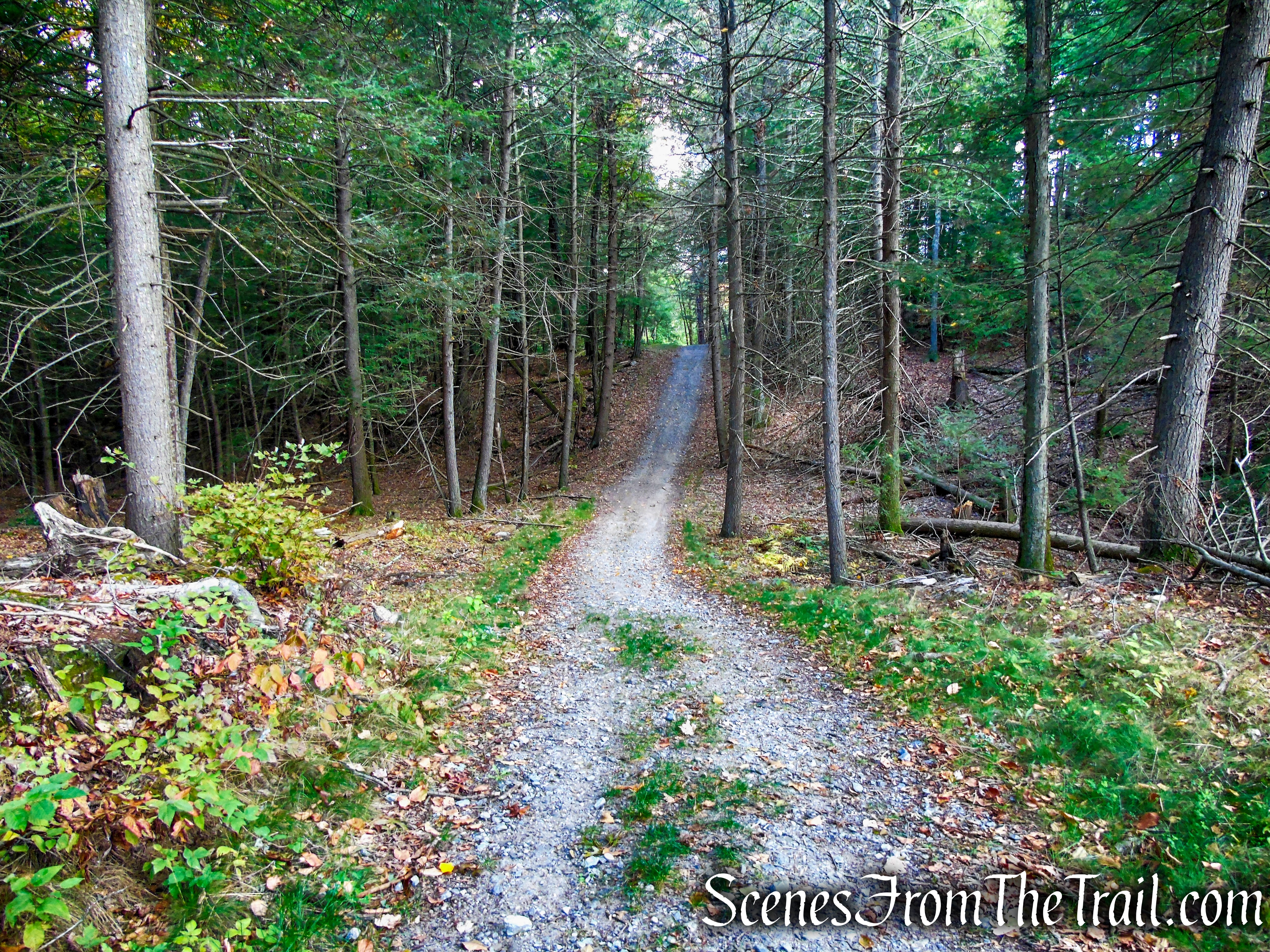
Yellow Circle Trail – Ferncliff Forest
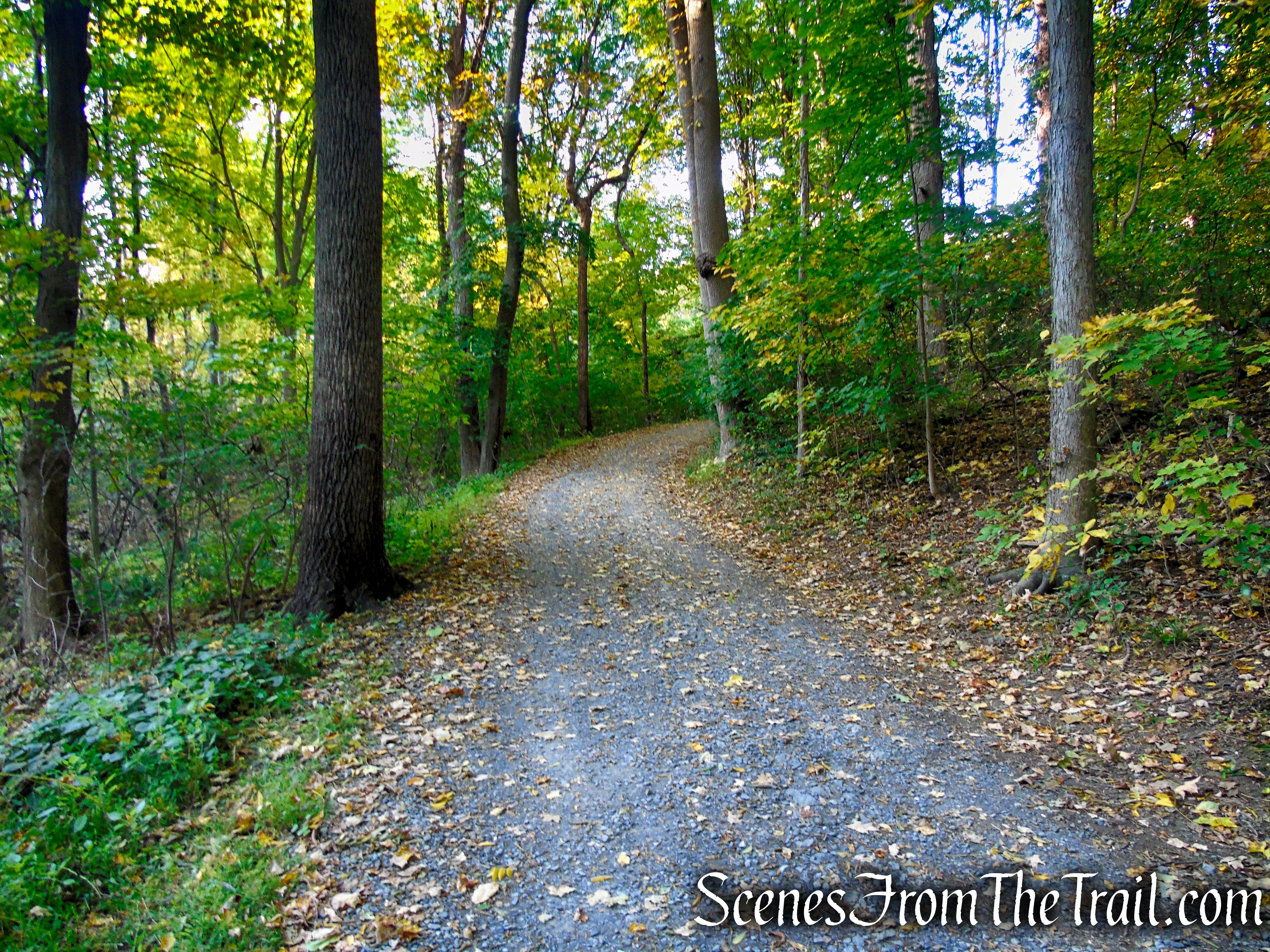
Yellow Circle Trail – Ferncliff Forest
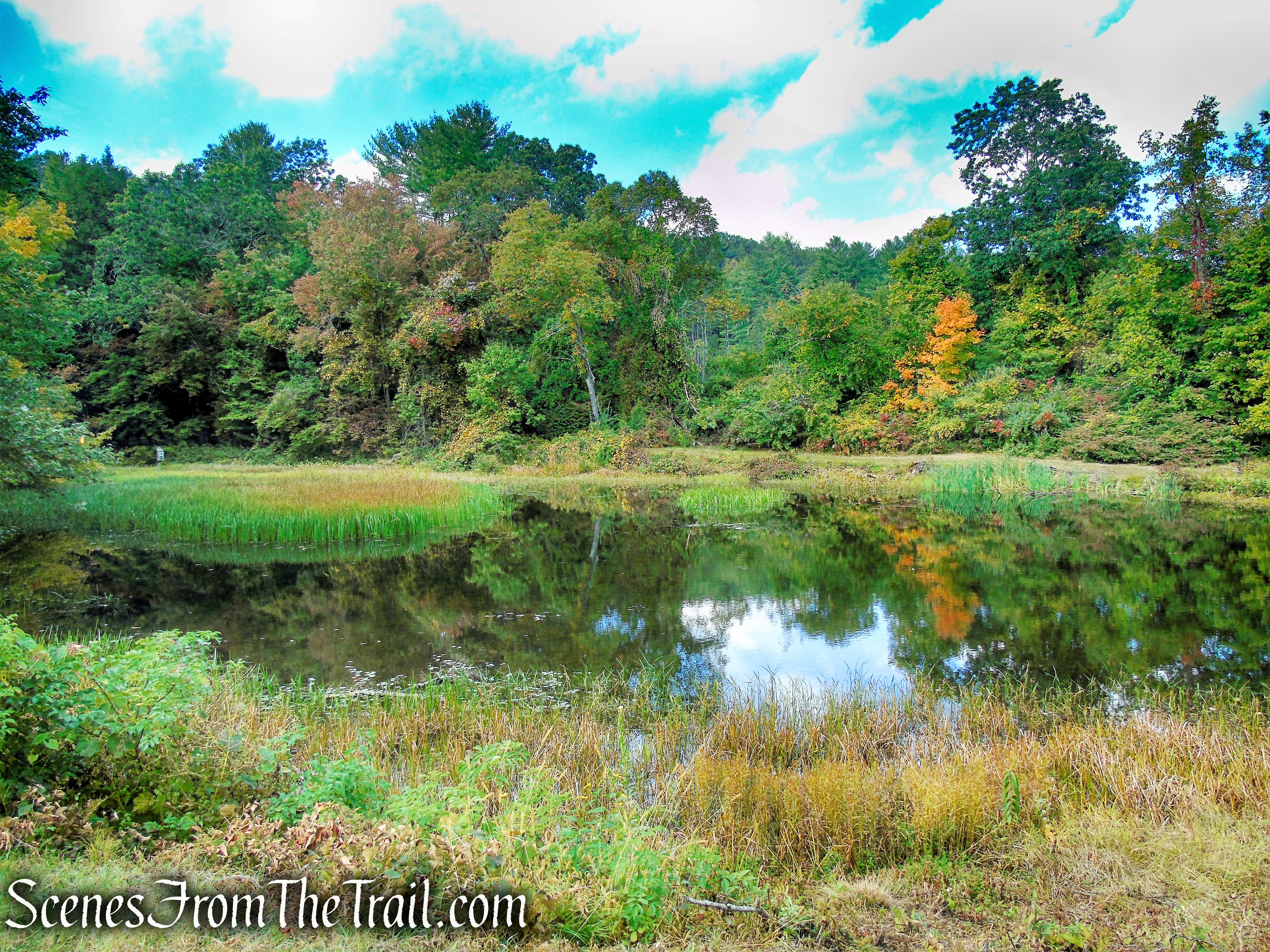
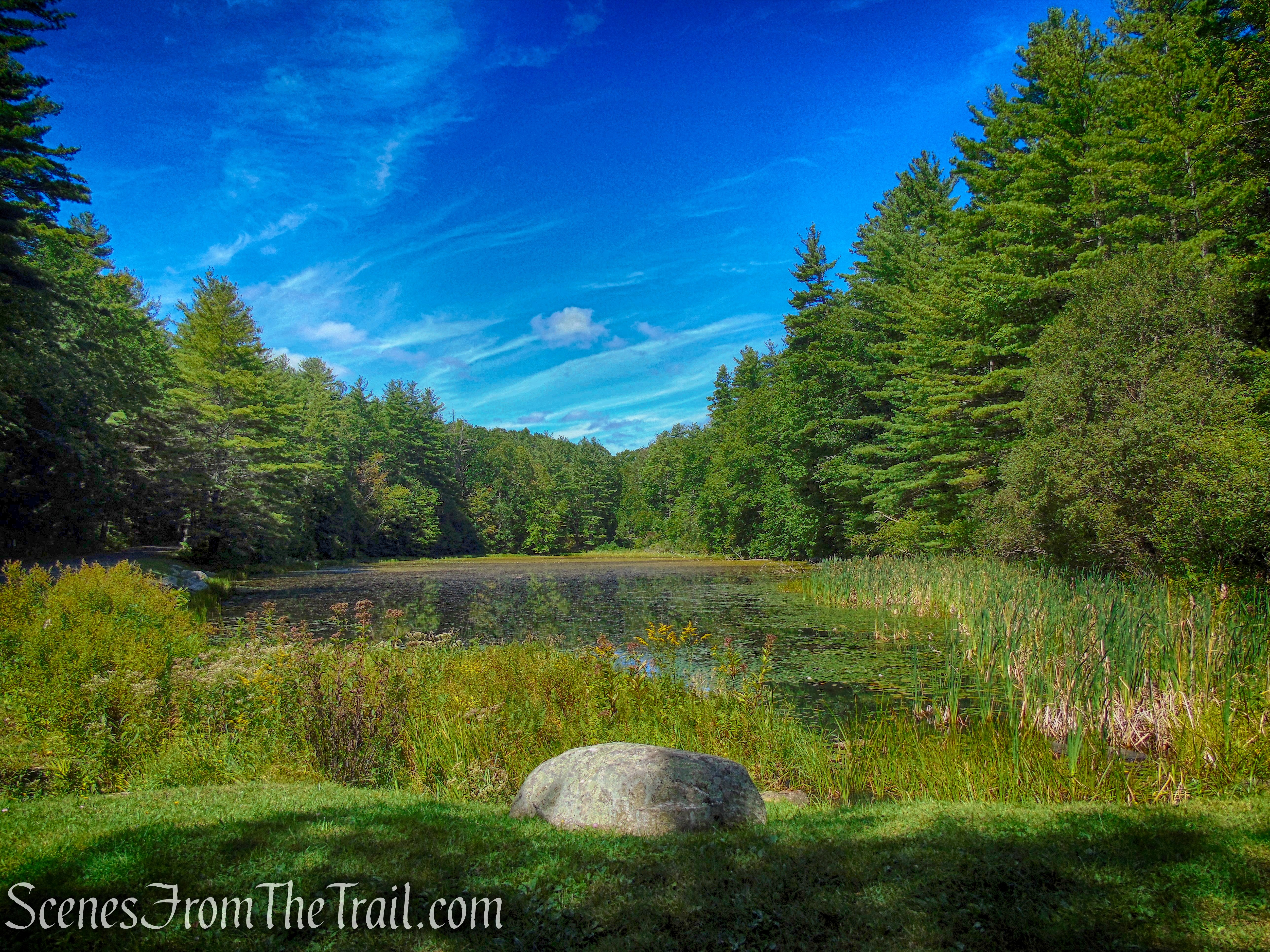
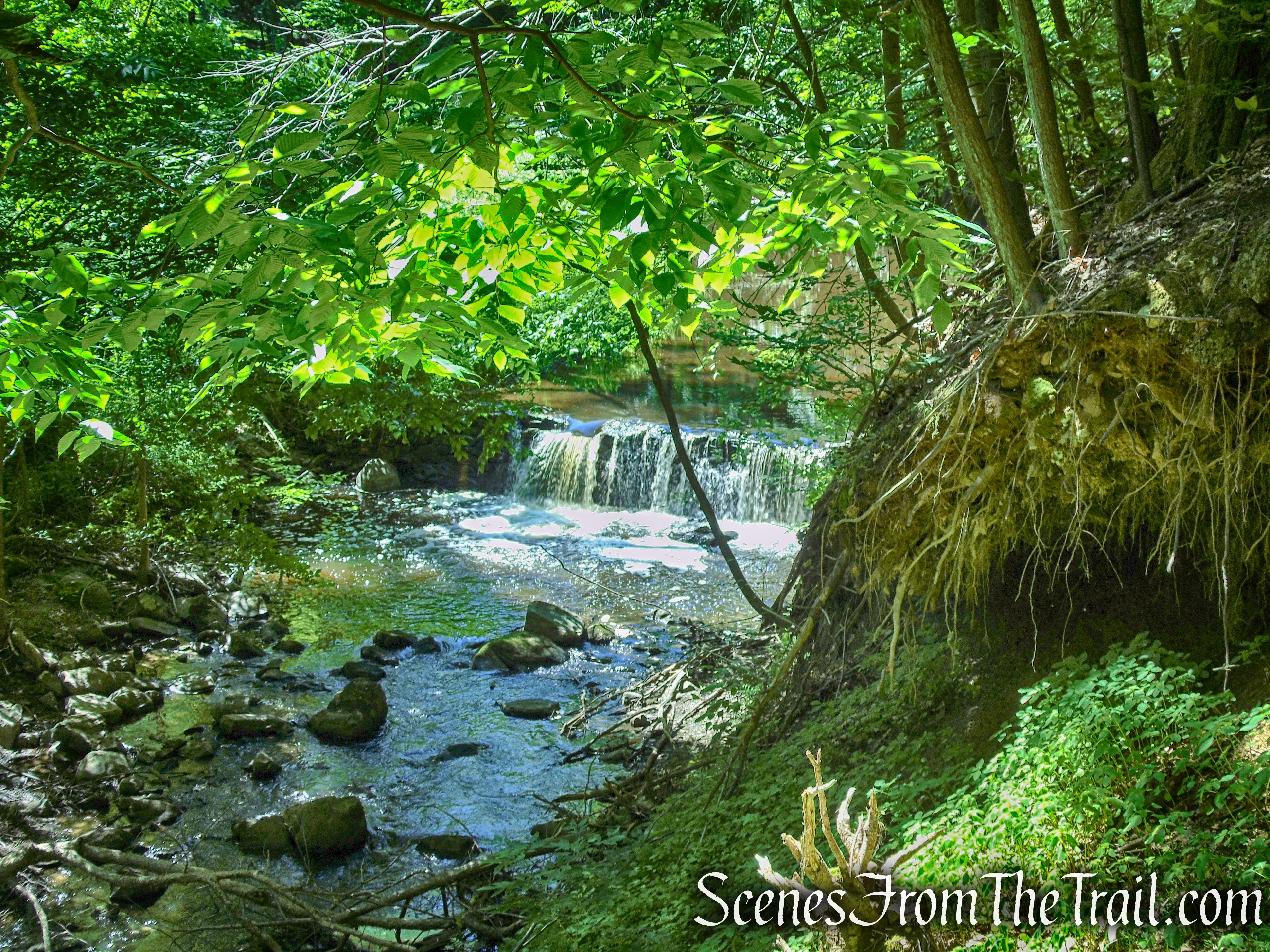
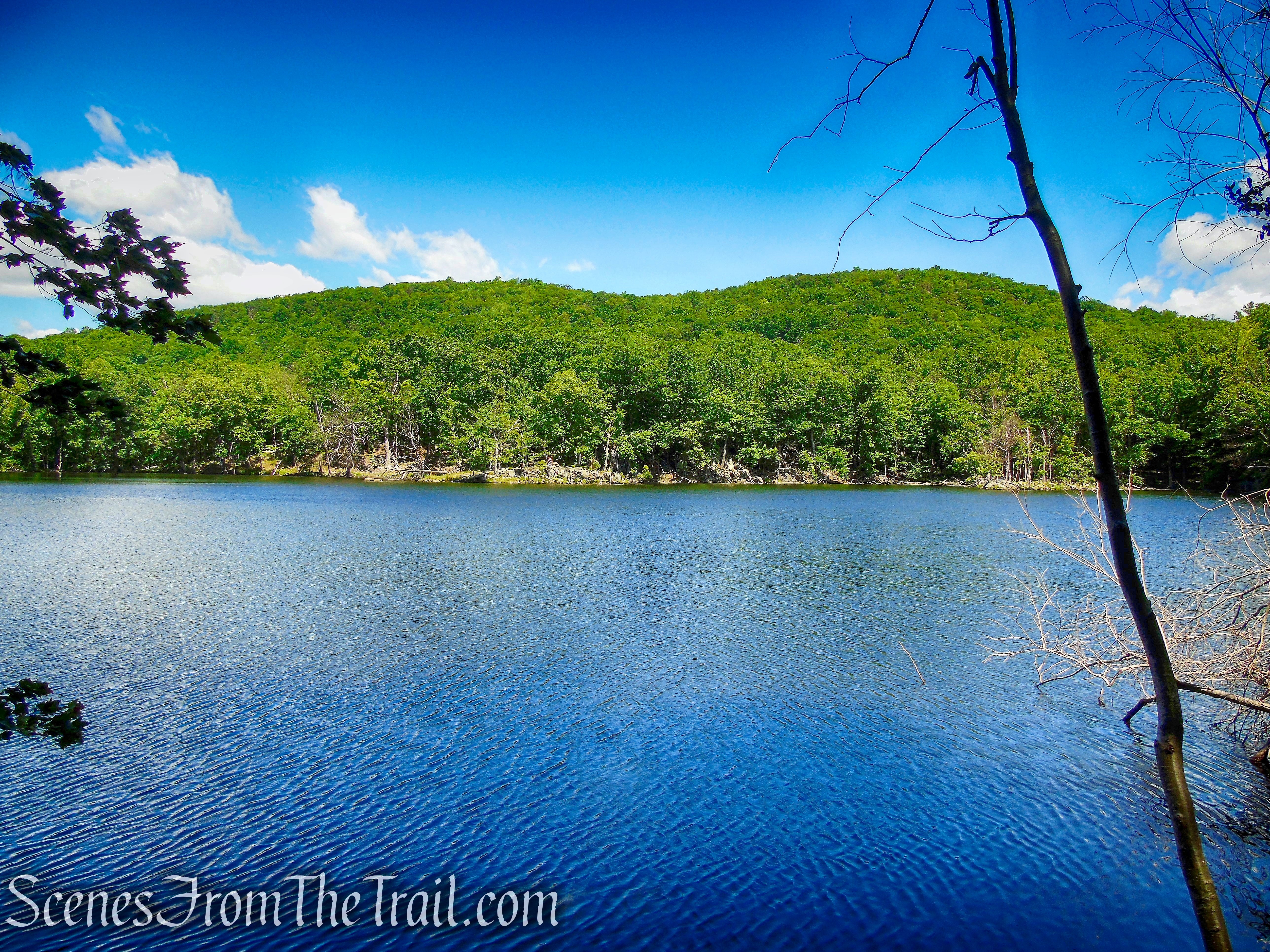
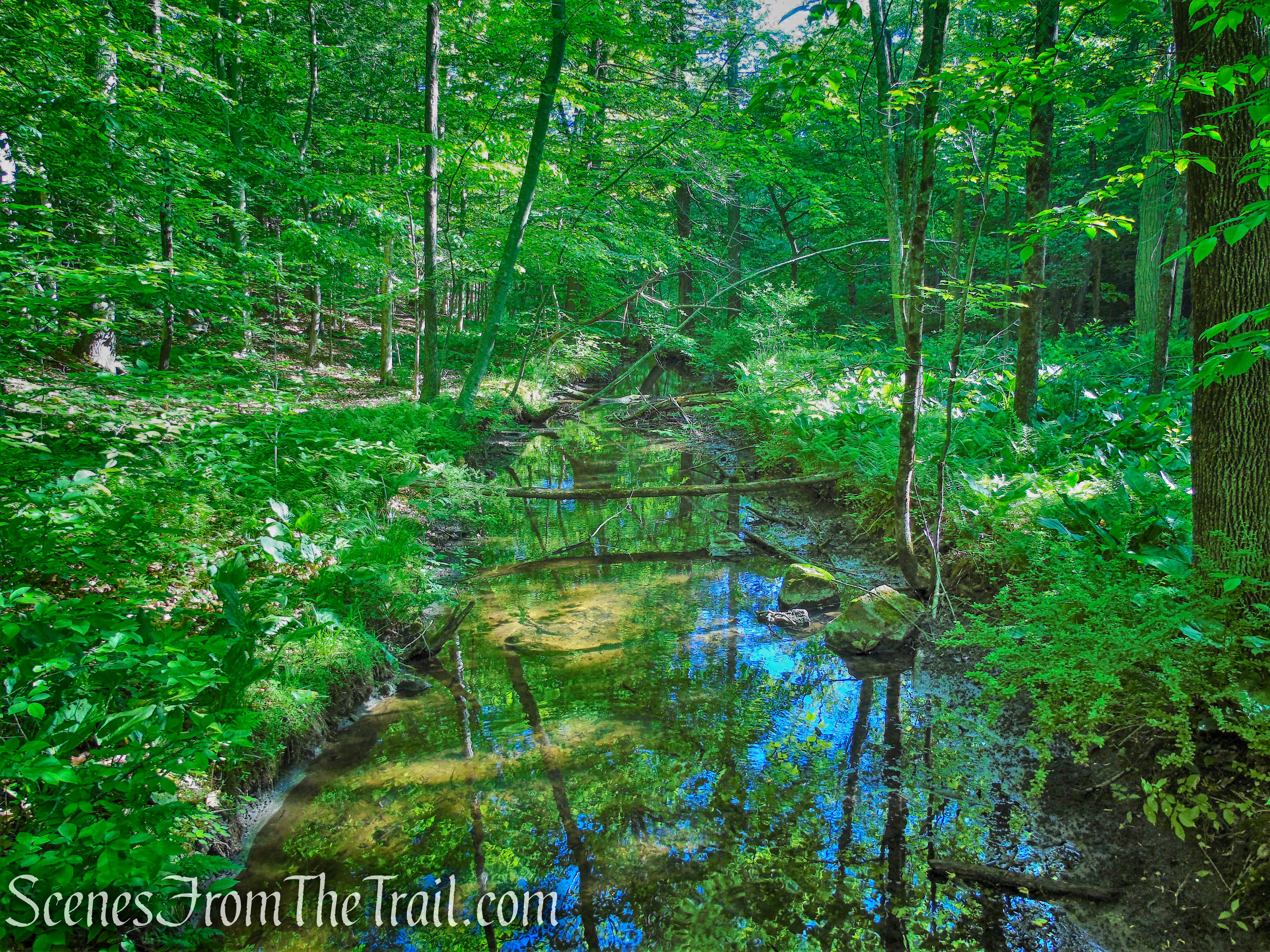
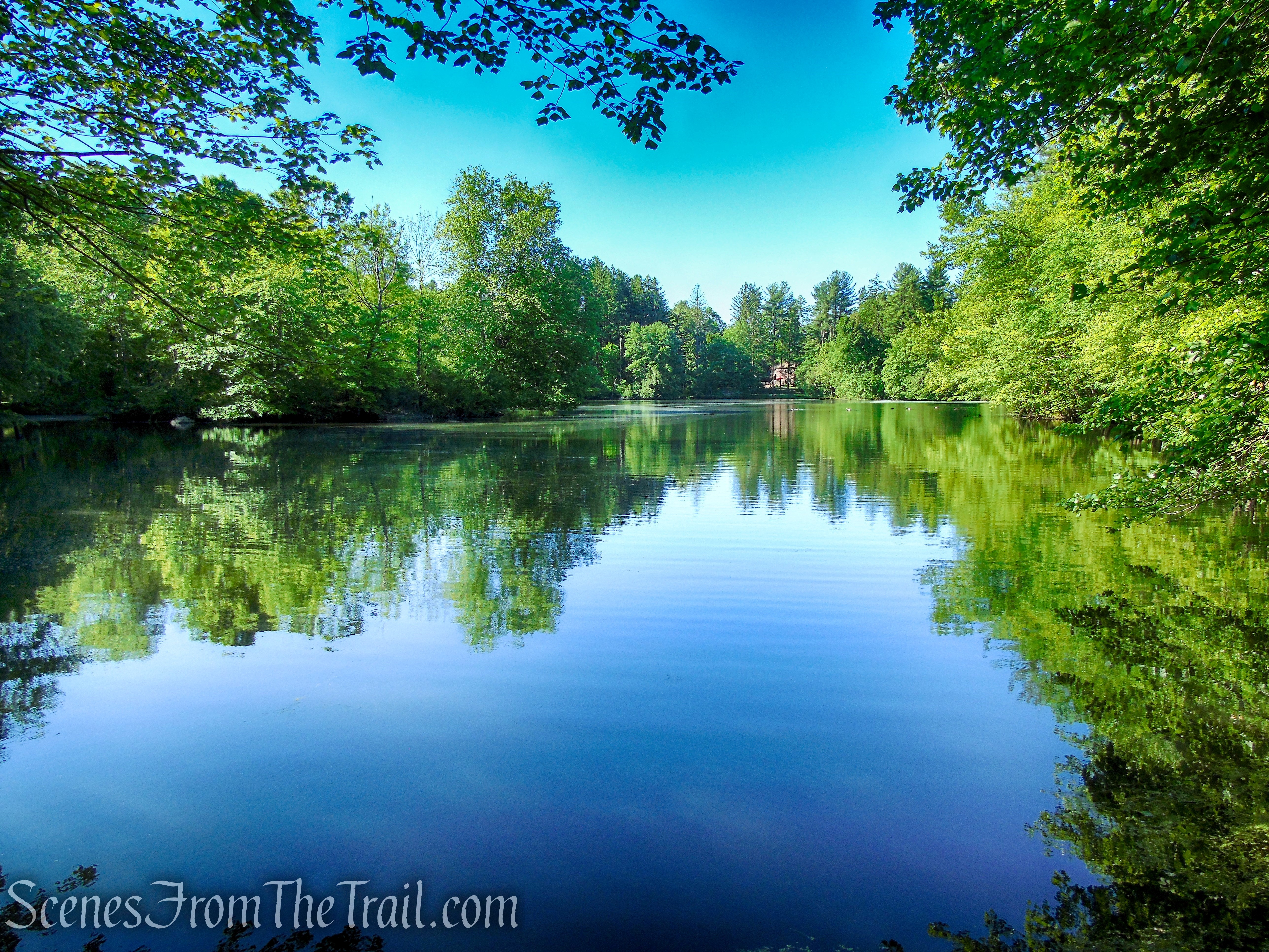
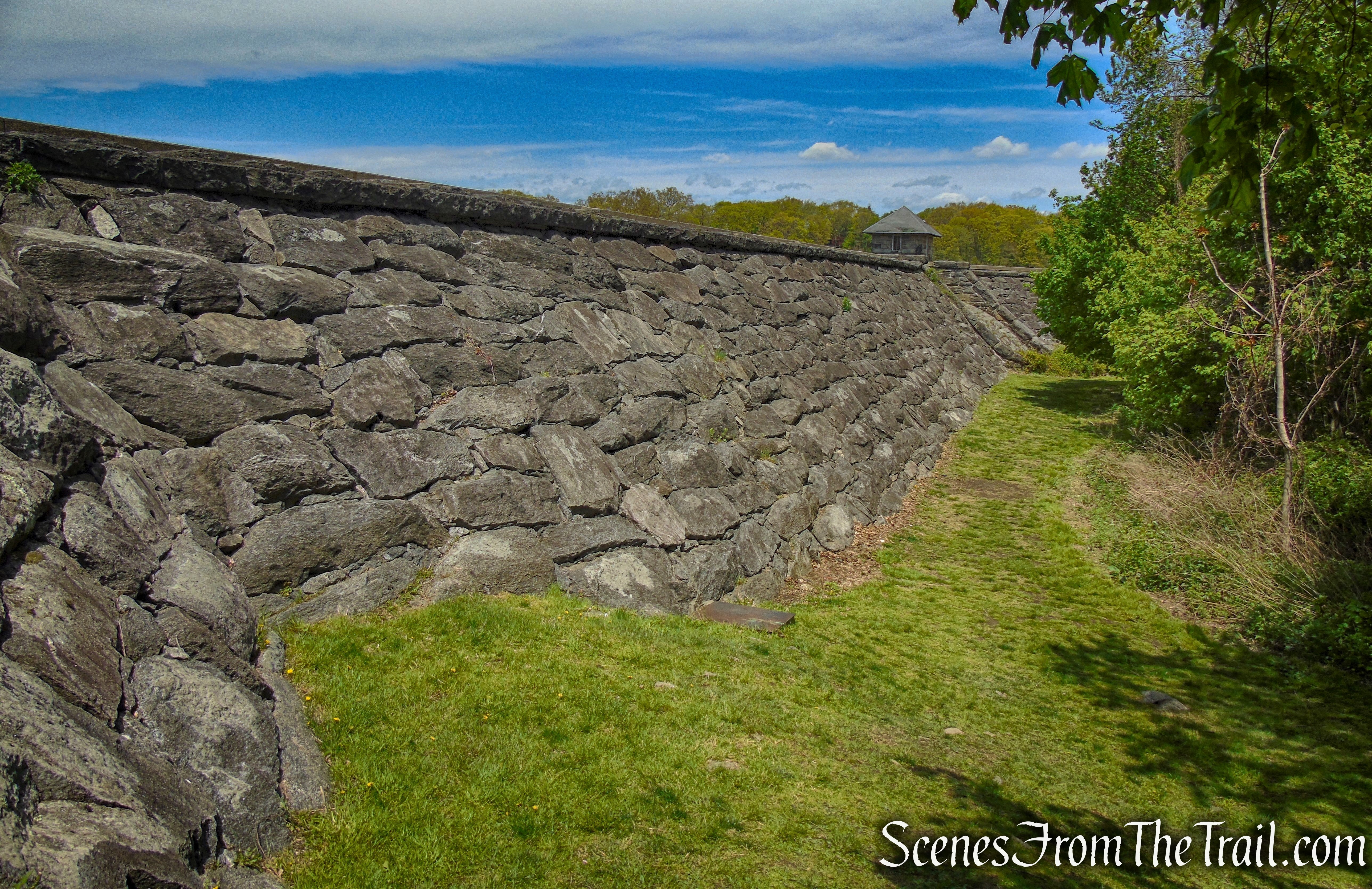
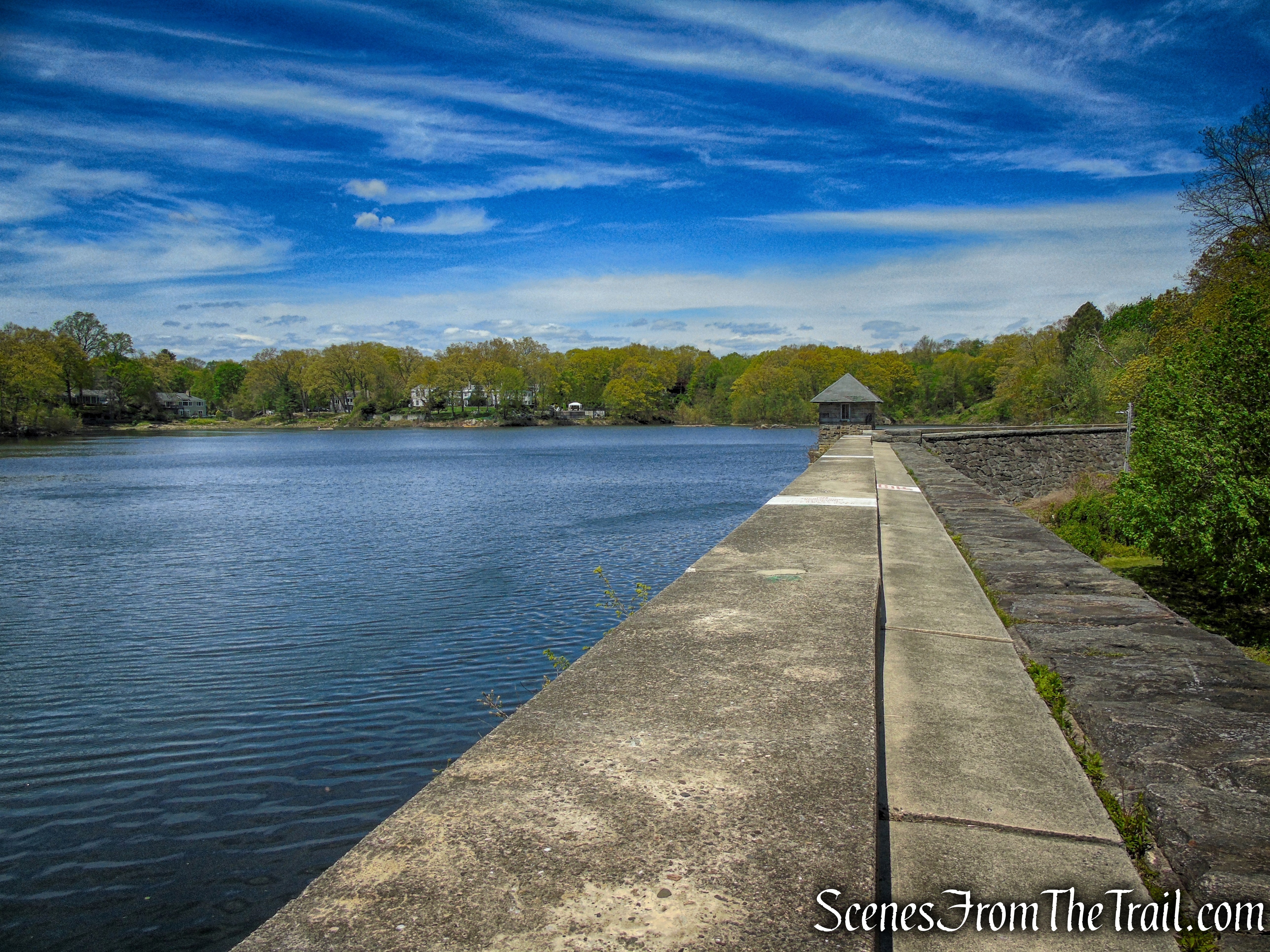
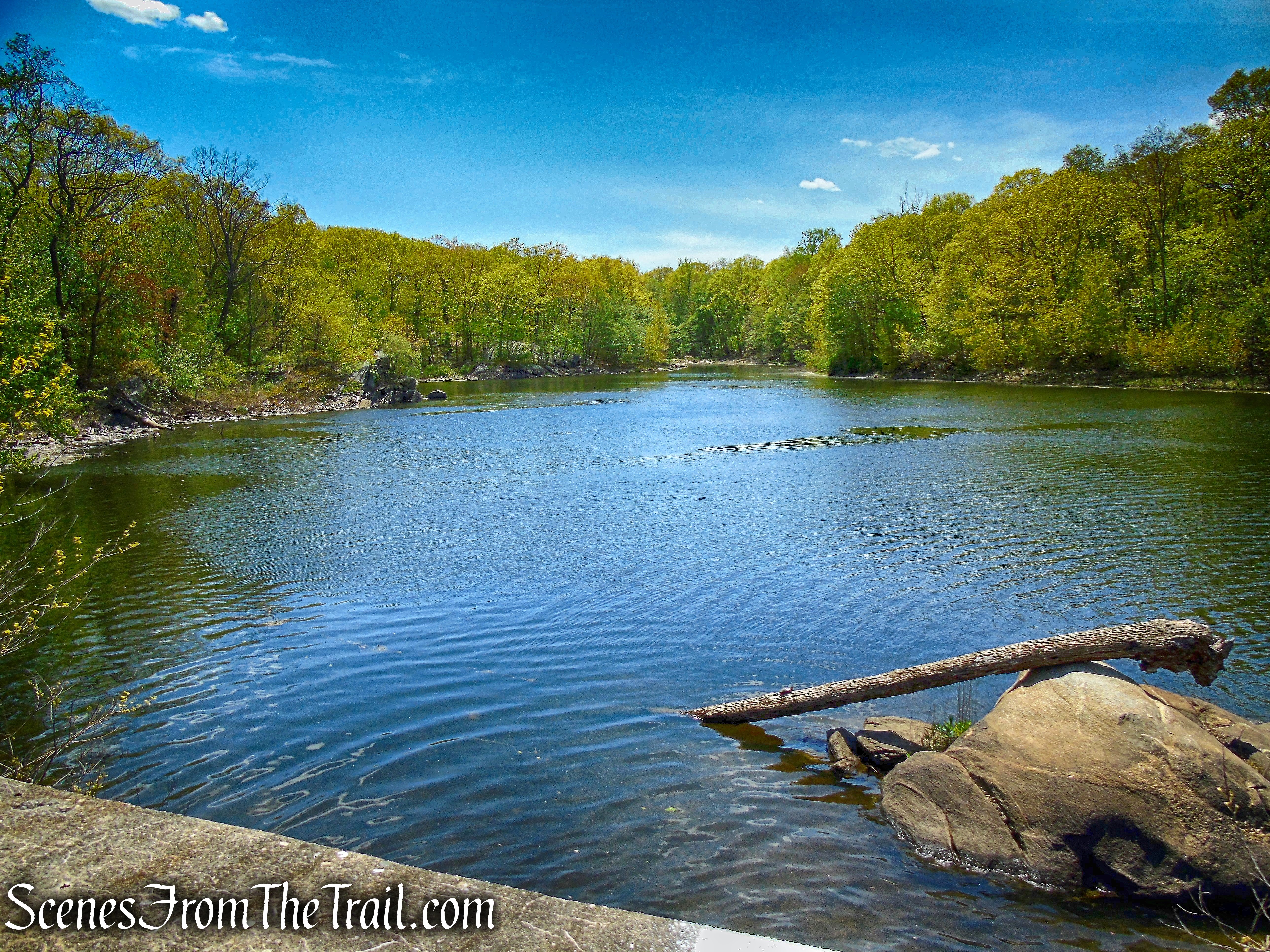
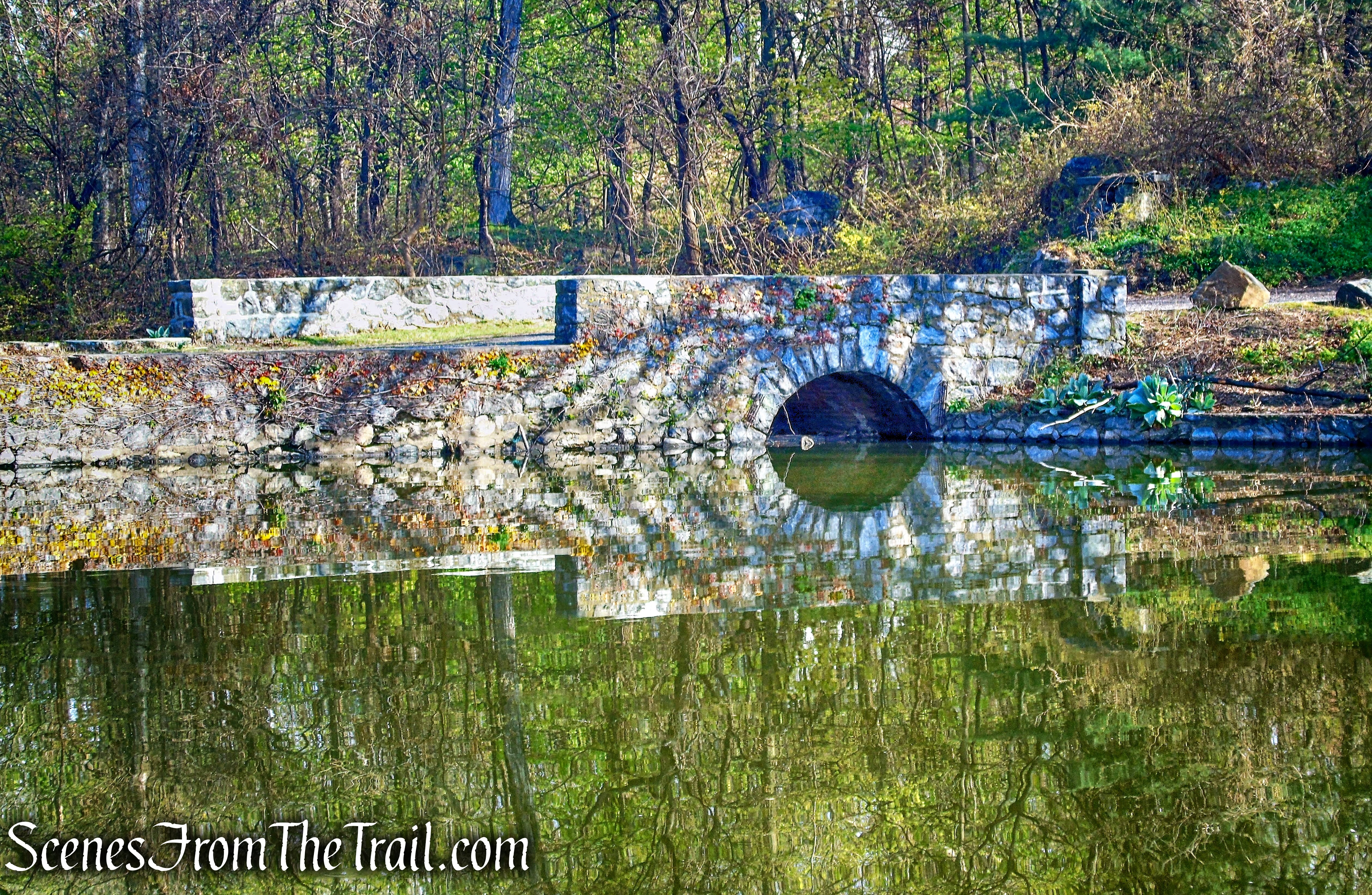
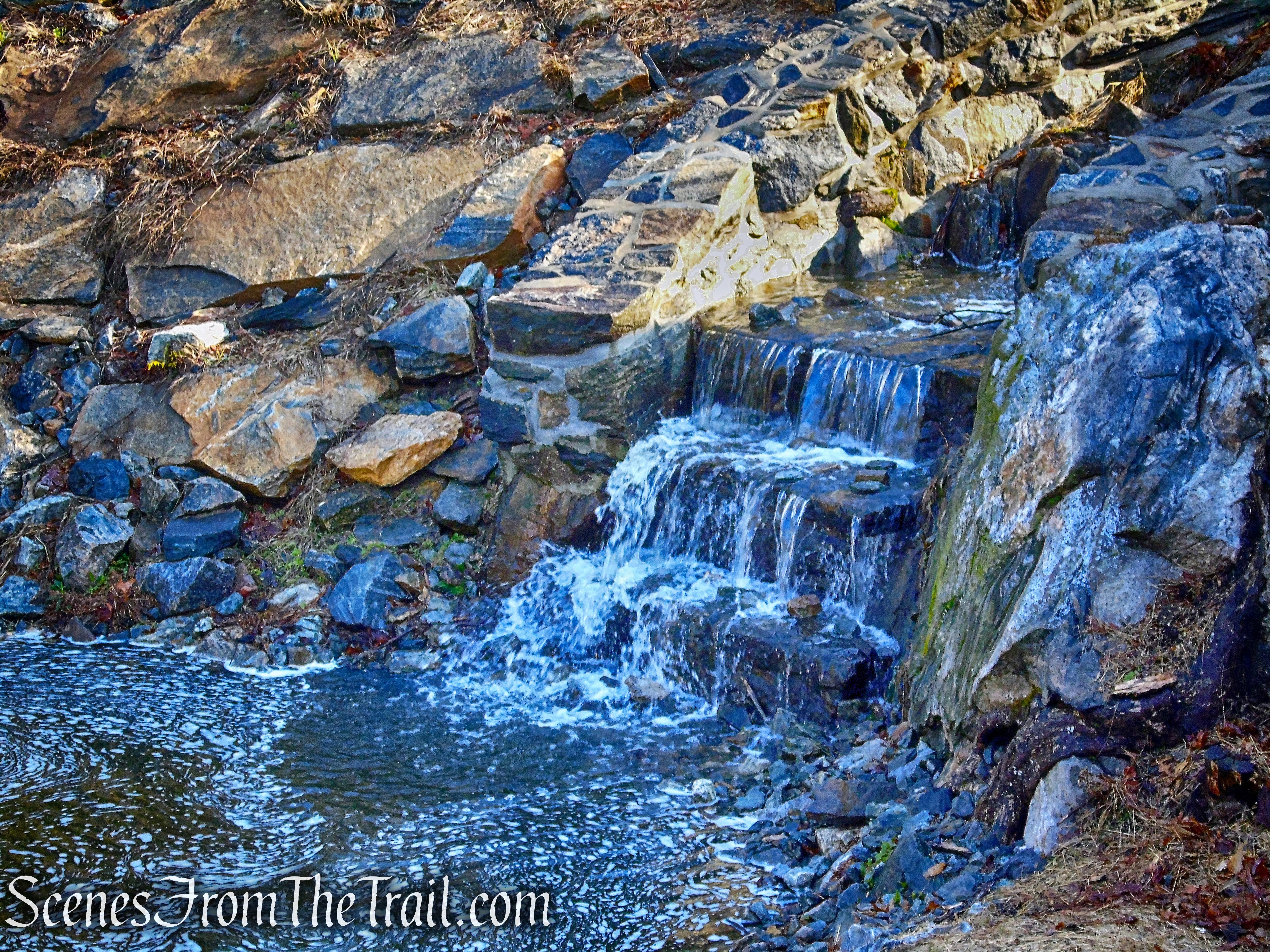
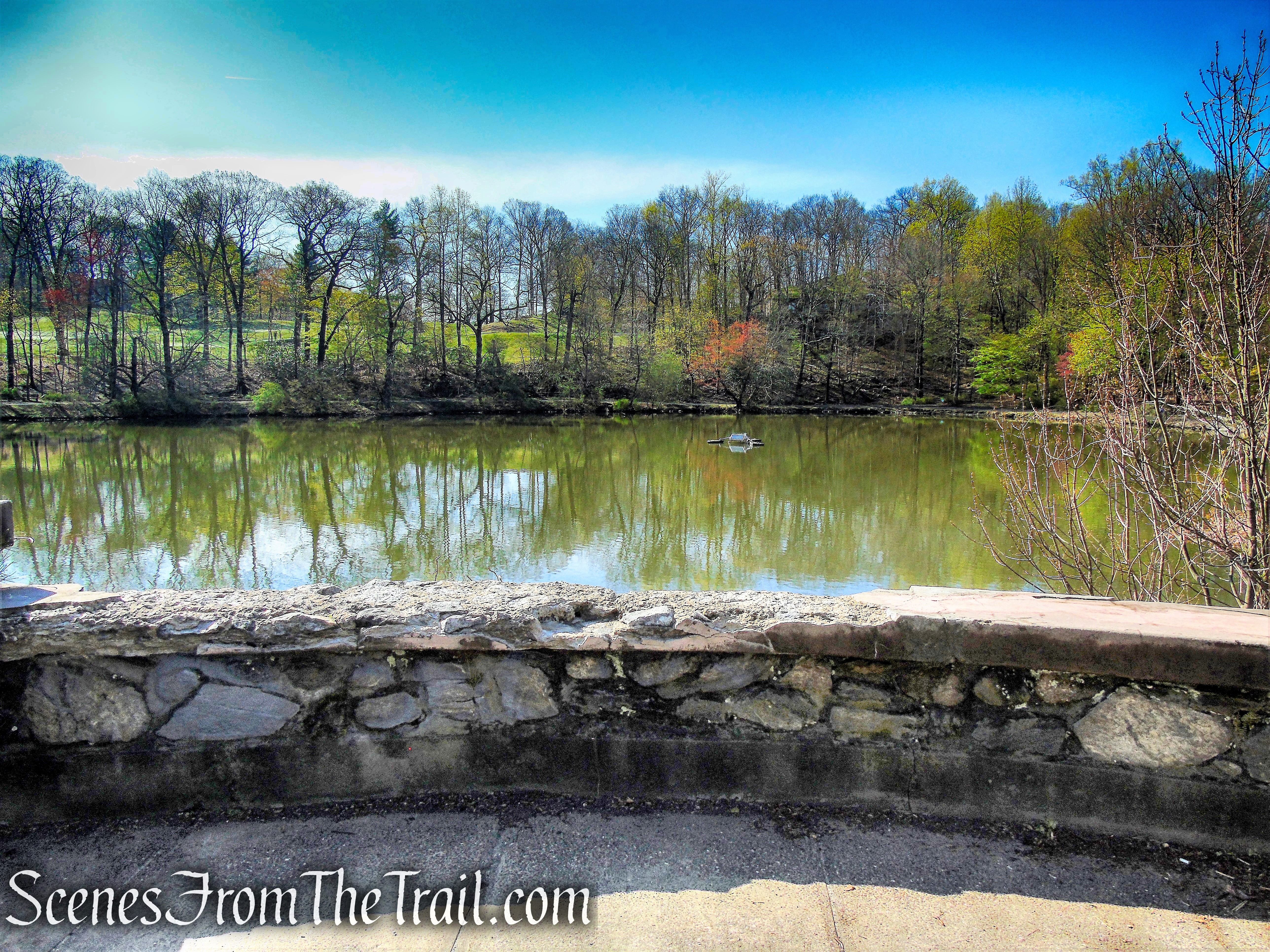
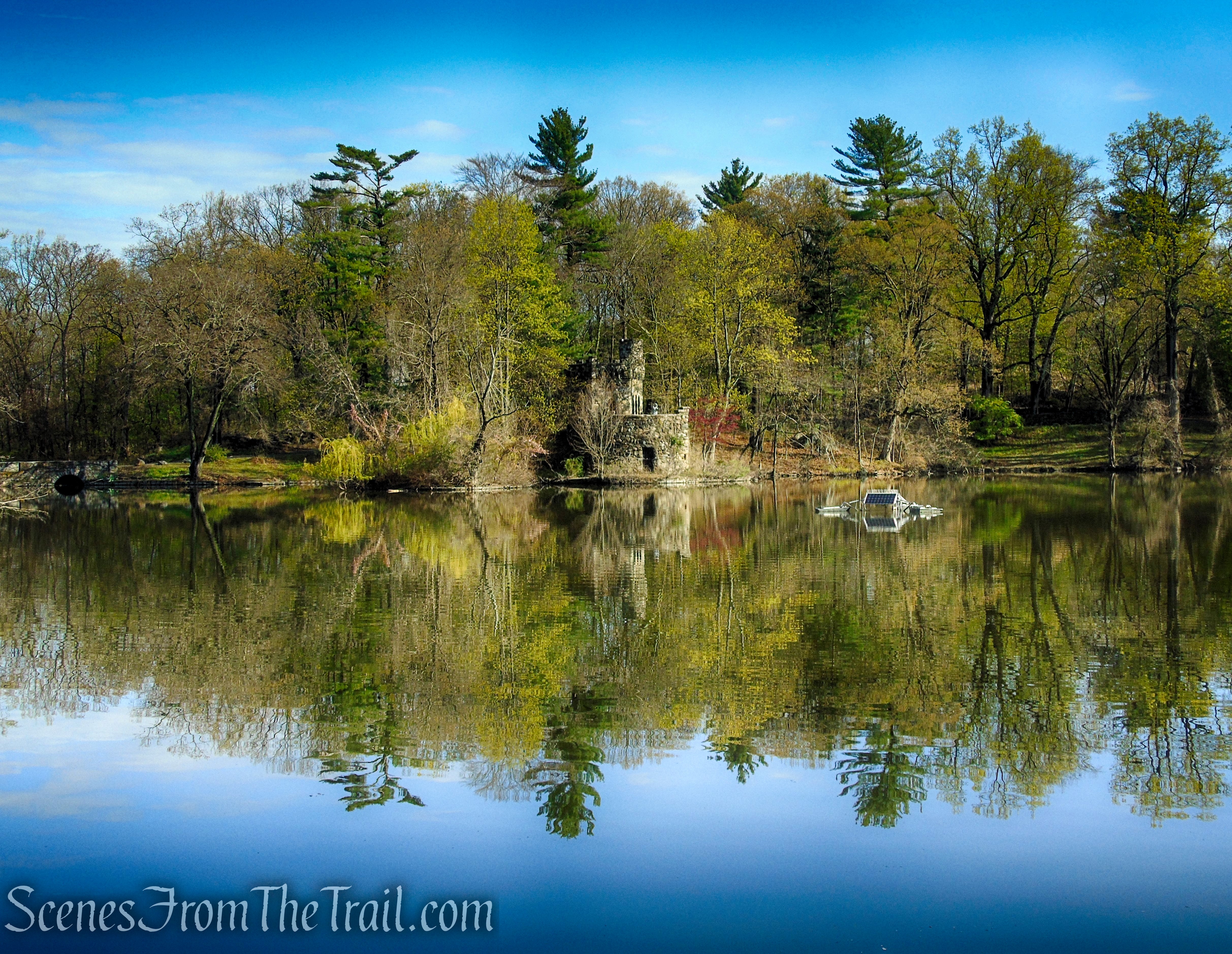
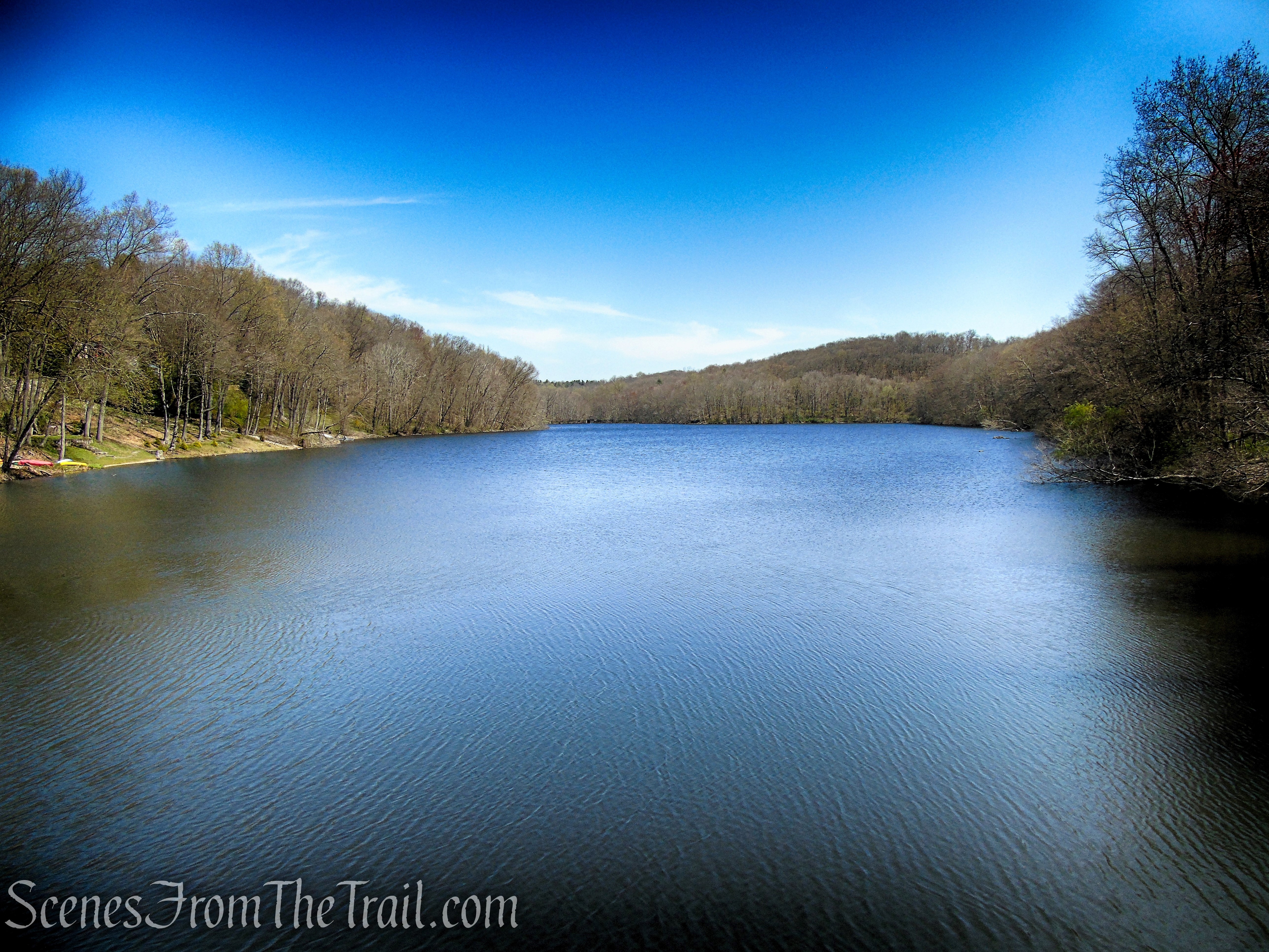
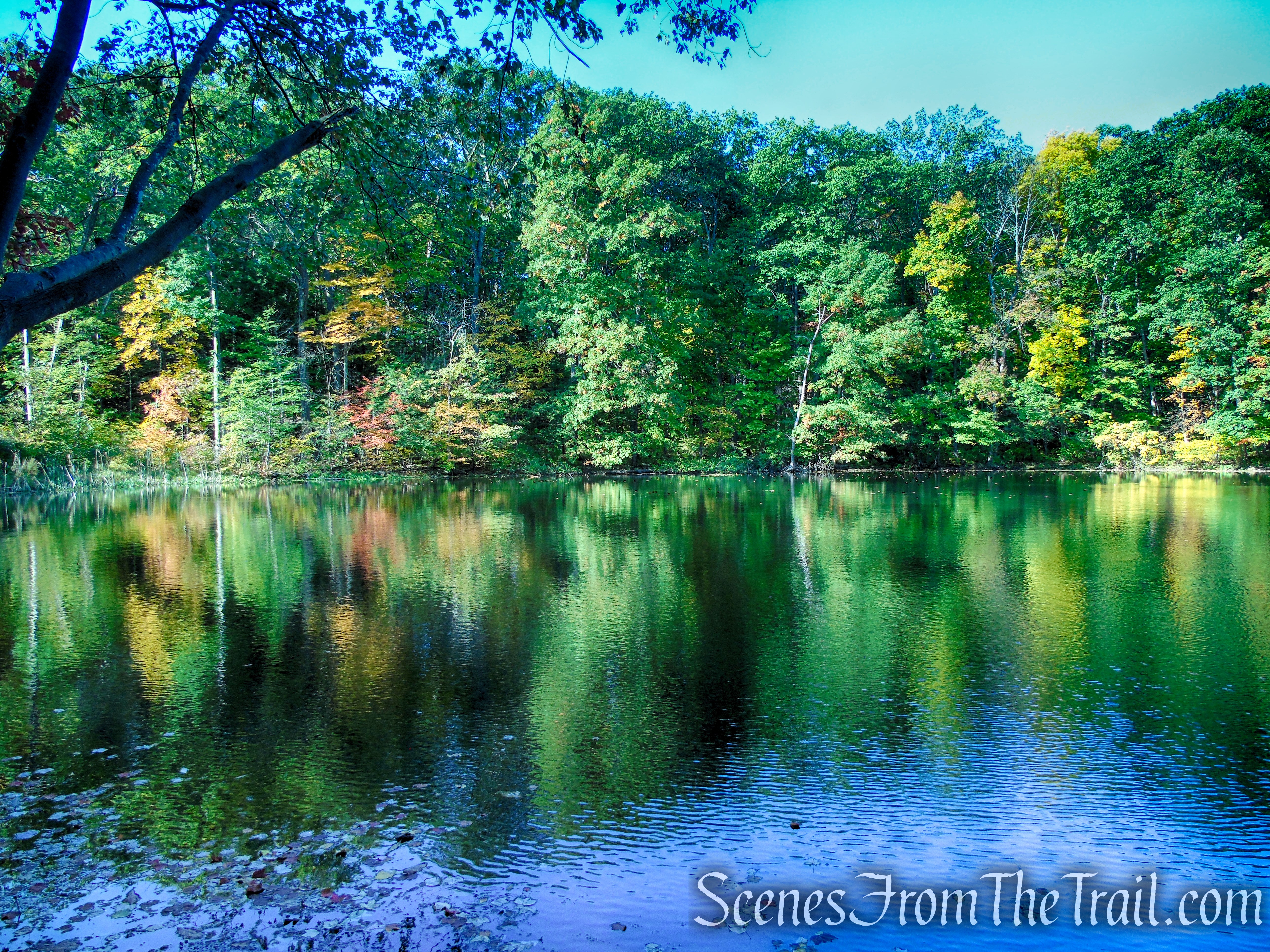
In about 700 feet from the gate, the Yellow Circle Trail crosses a gravel road (a white-blazed trail) with Mt. Rutsen Pond just beyond. You may want to stop for a moment and take in the beauty of this scenic spot.

Mt. Rutsen Pond – Ferncliff Forest
Mt. Rutsen Pond – Ferncliff Forest
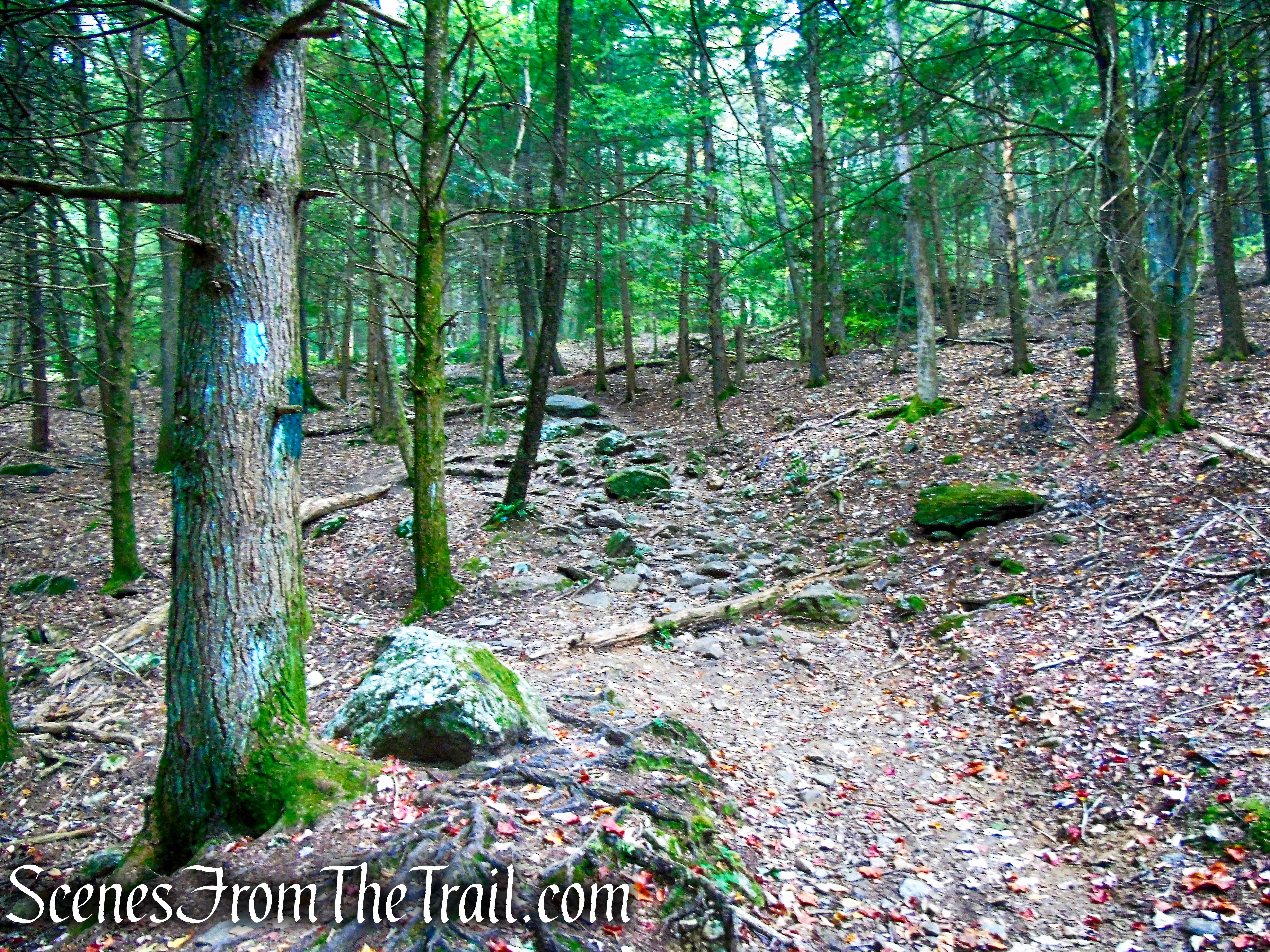
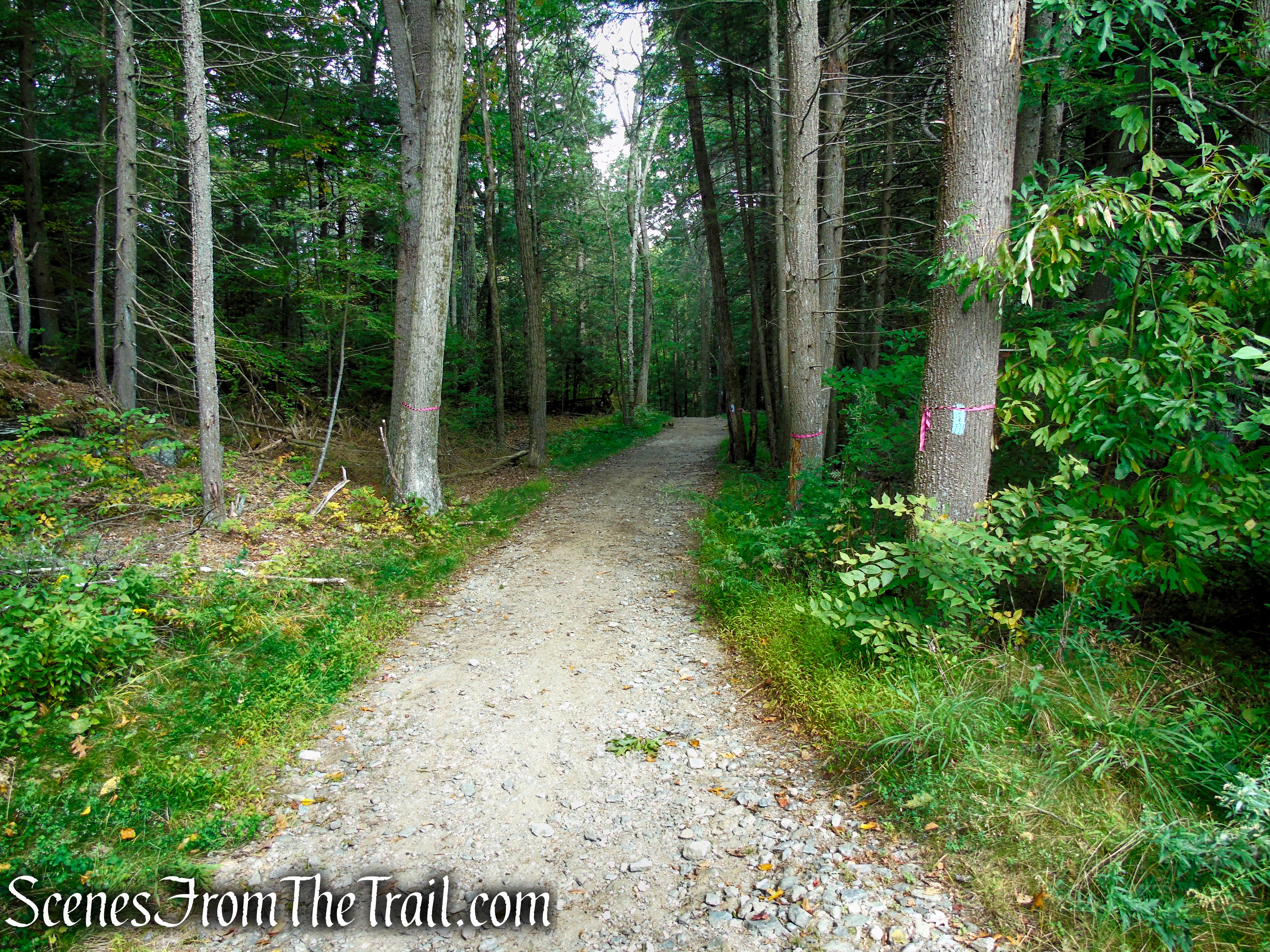
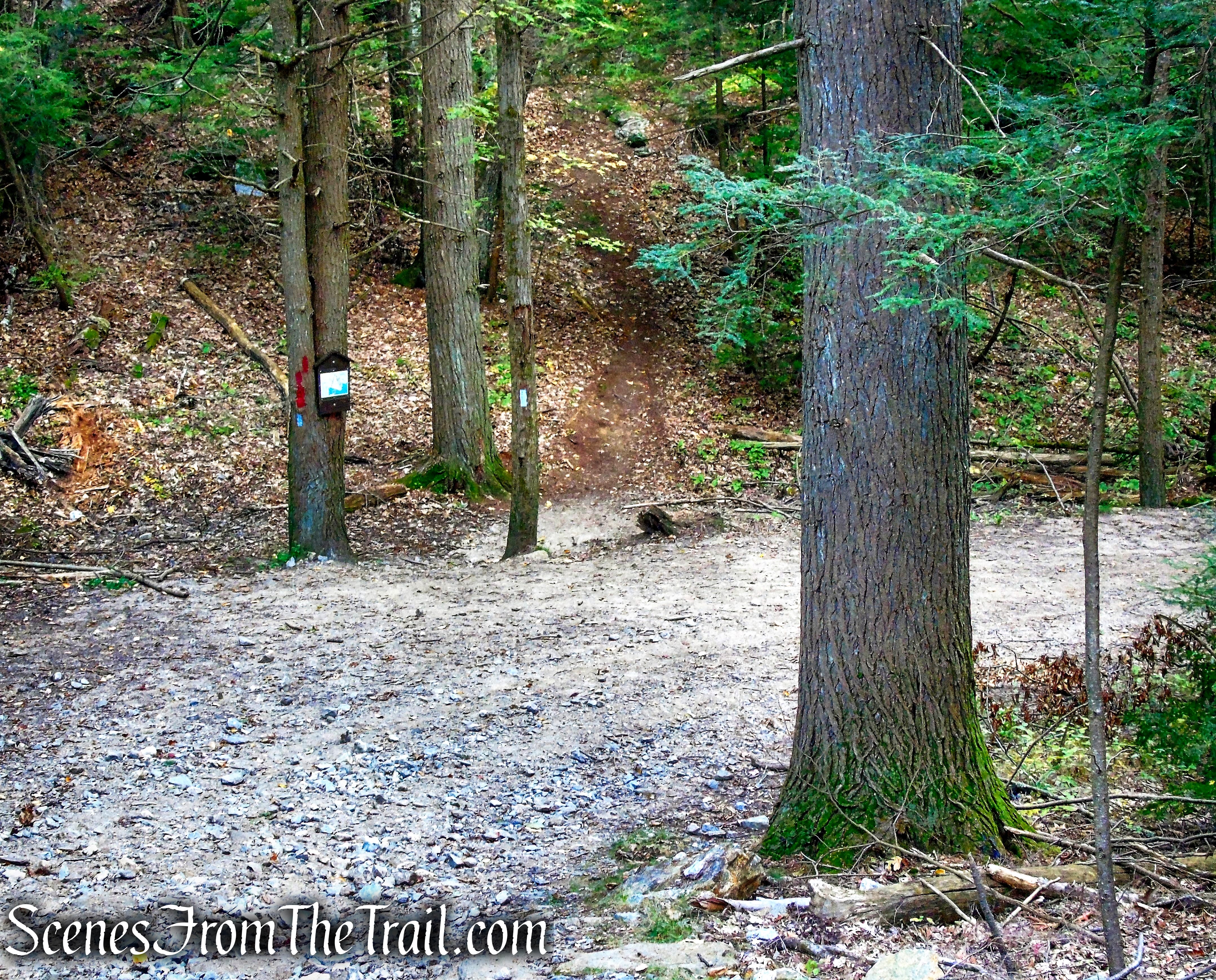
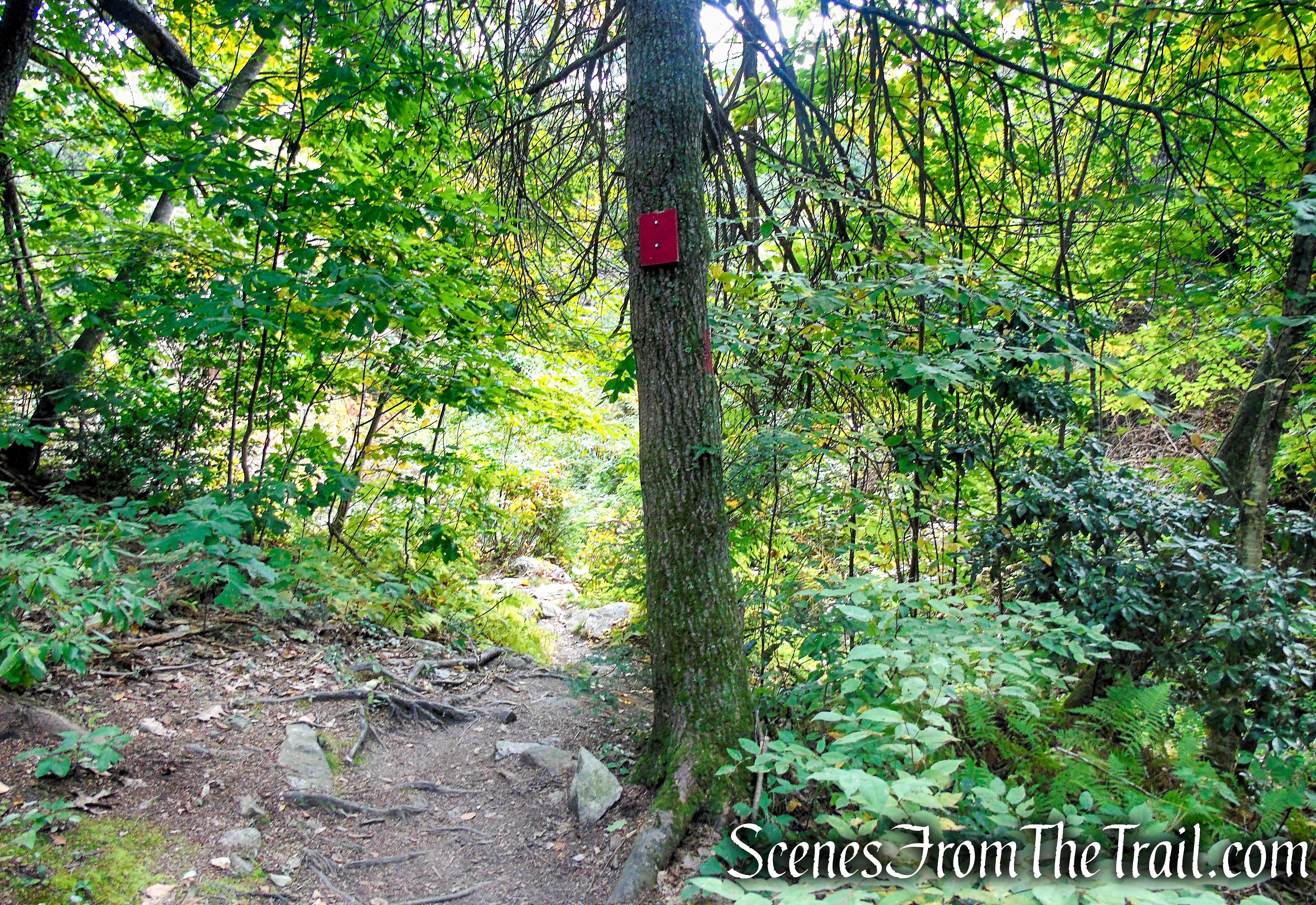
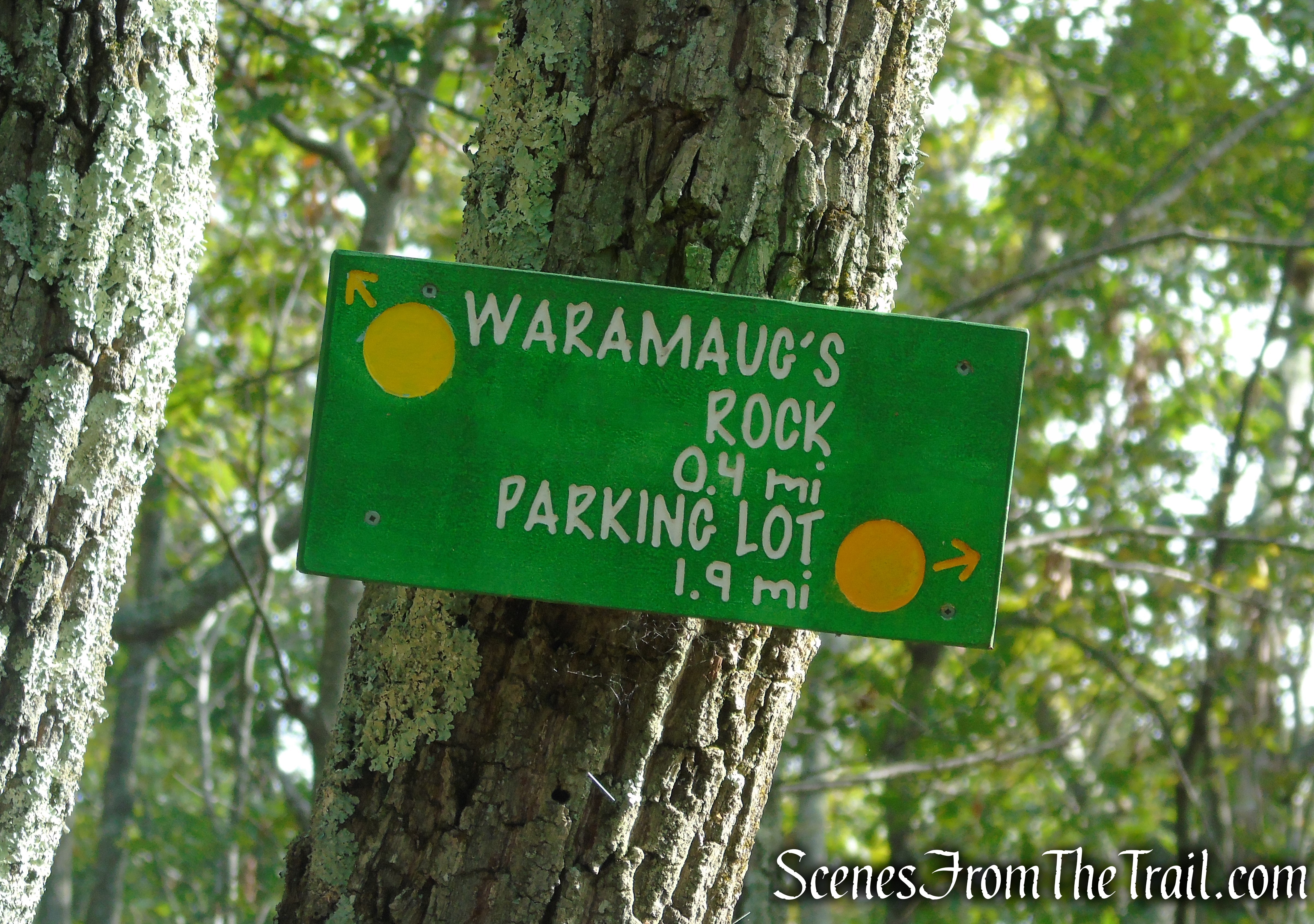
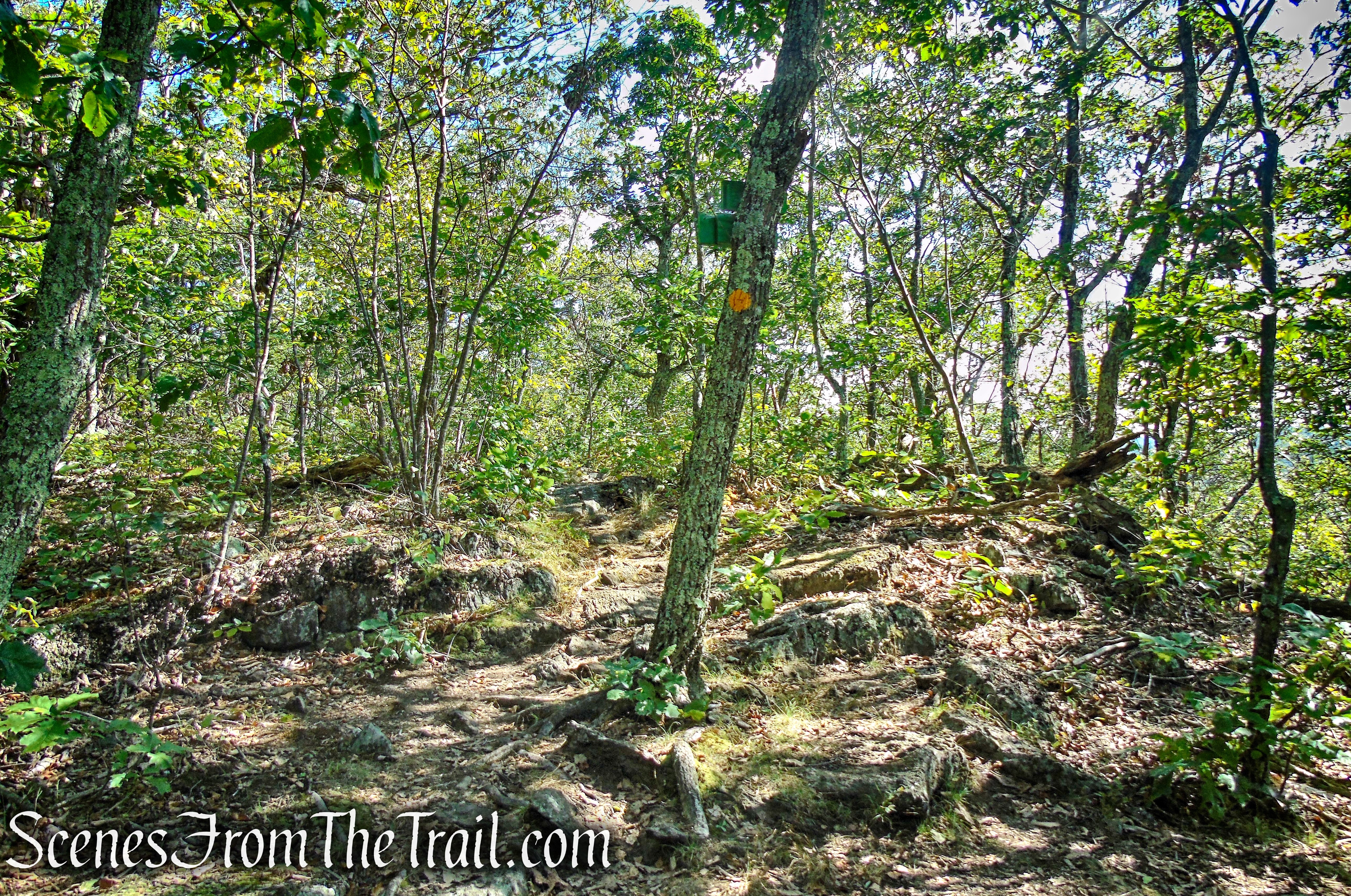
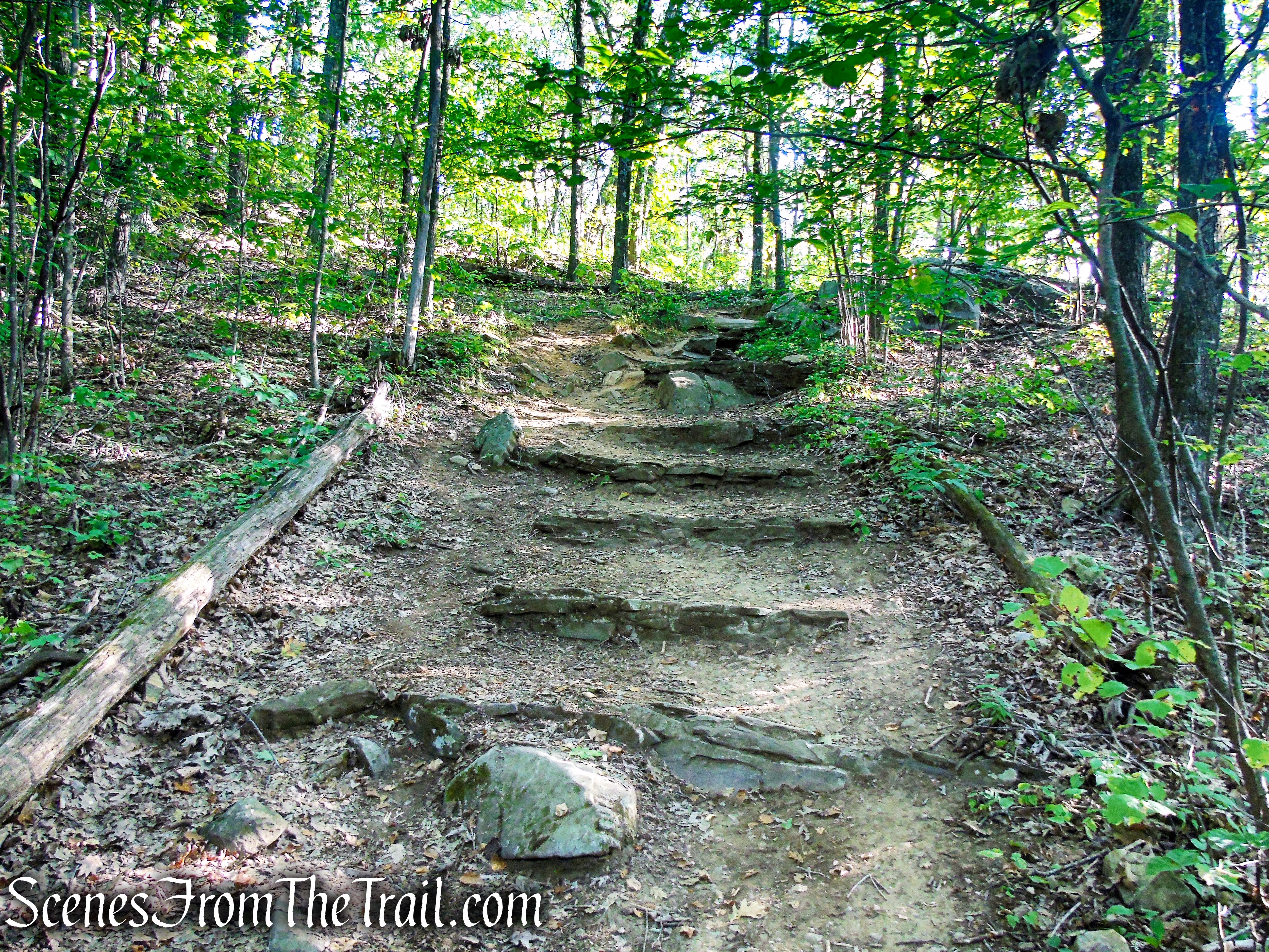
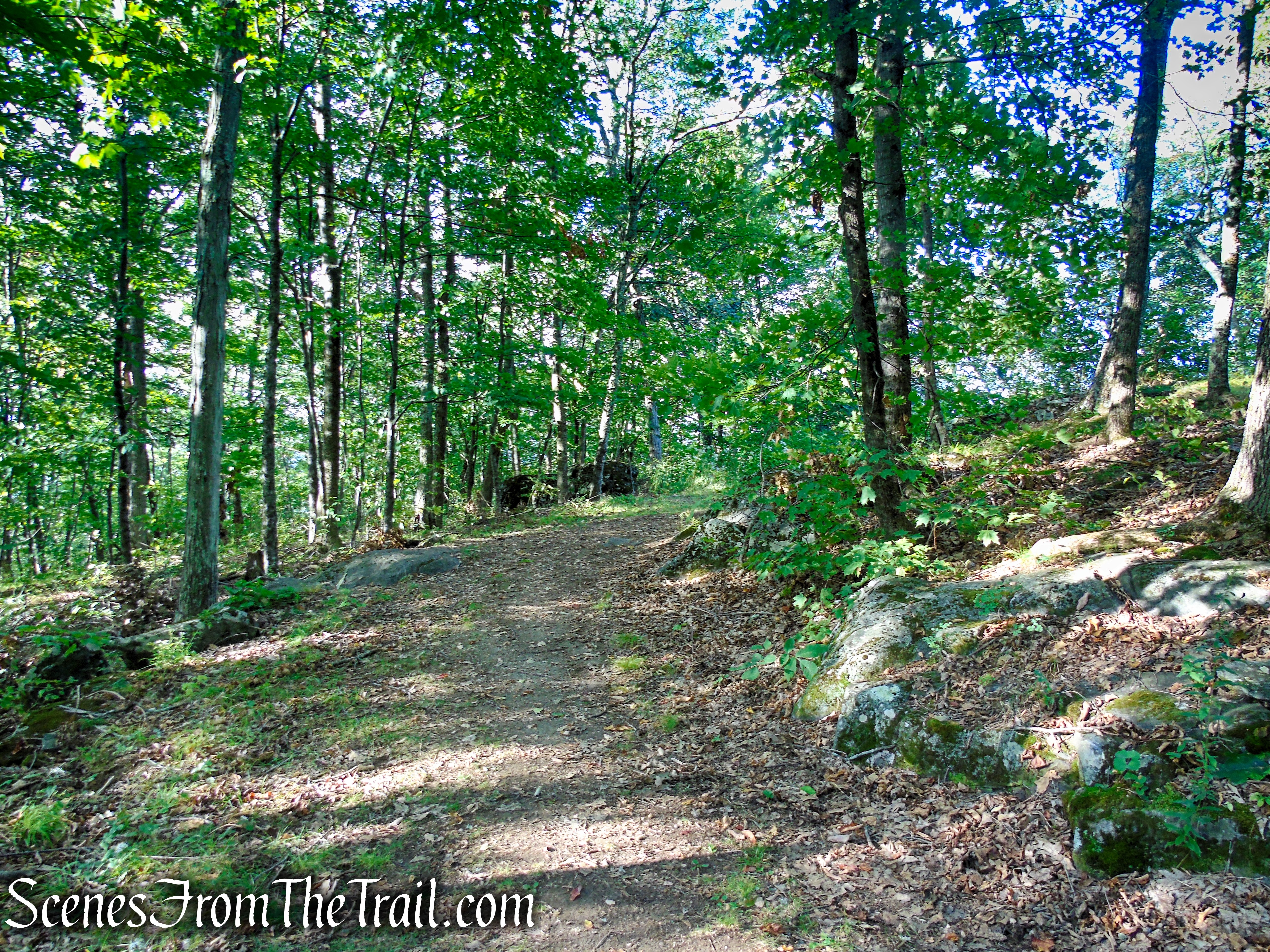
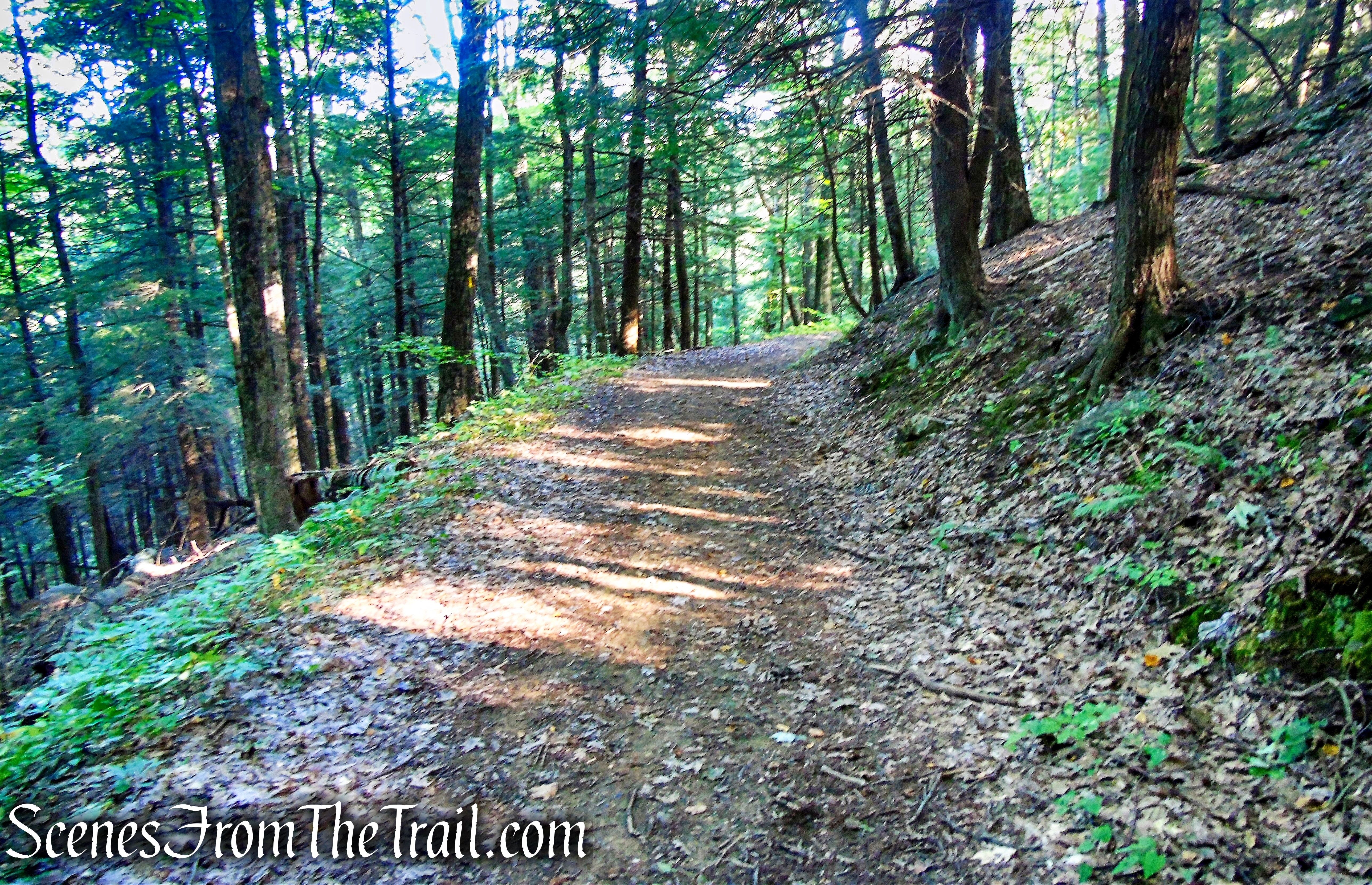
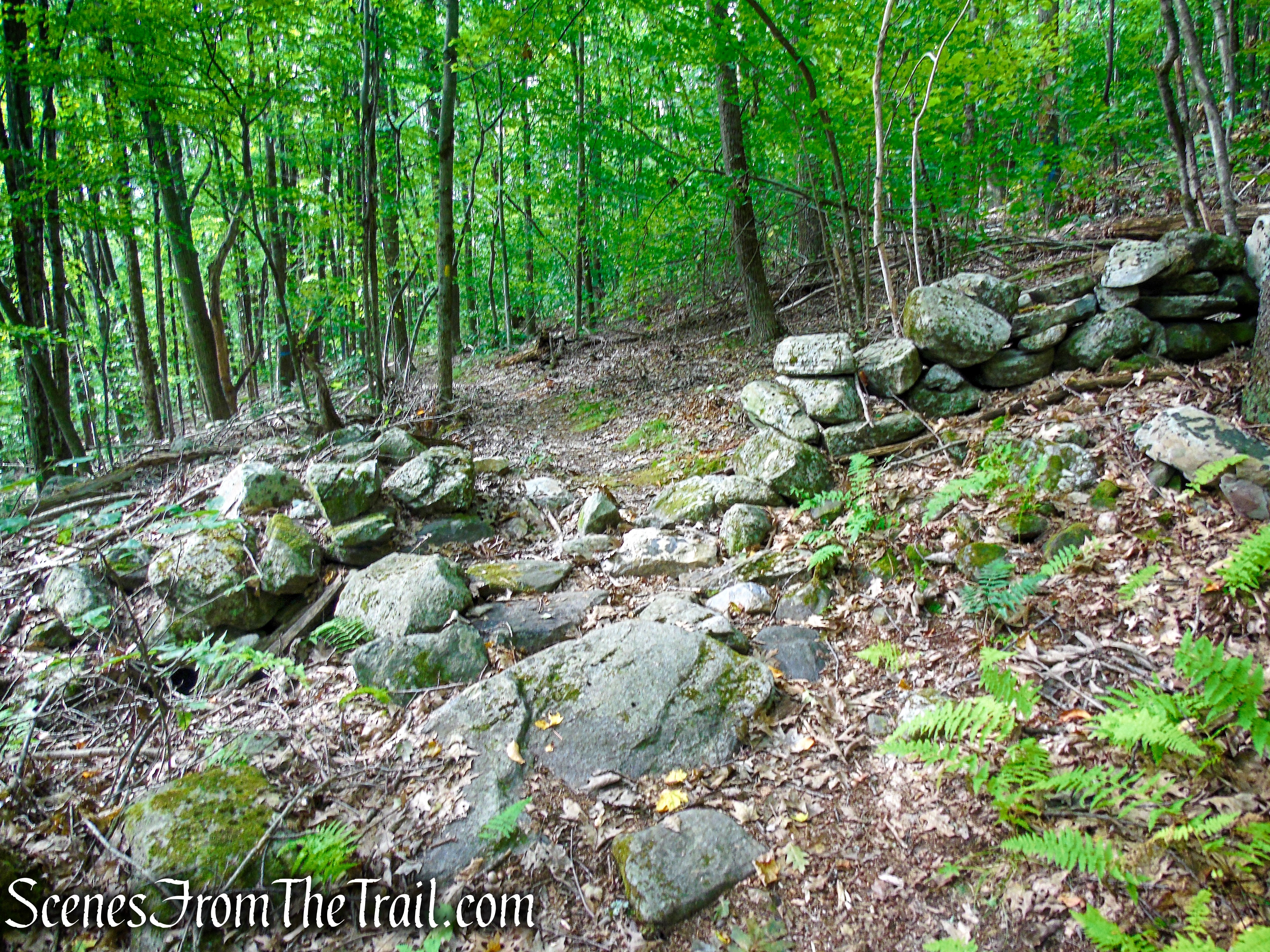
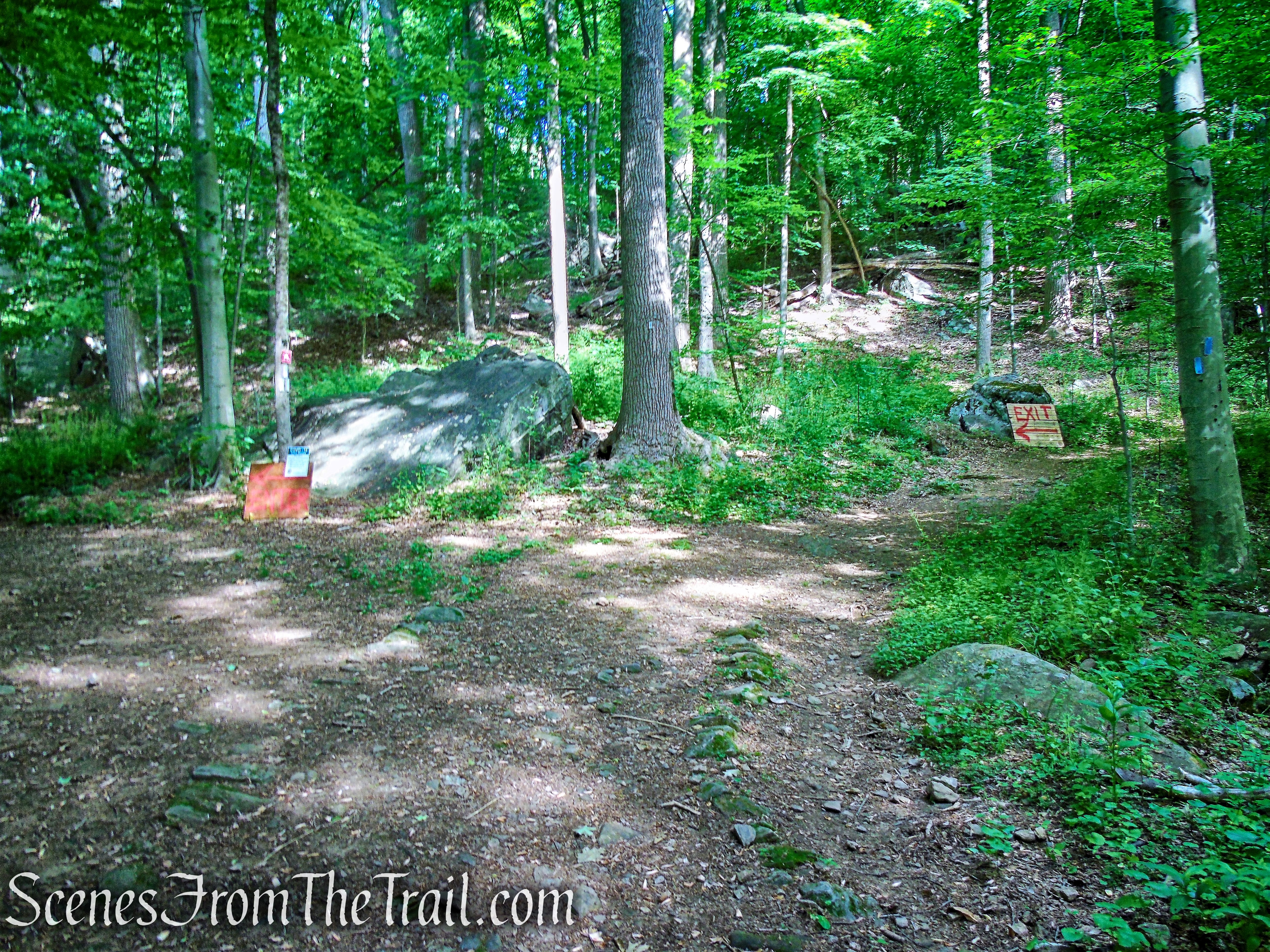
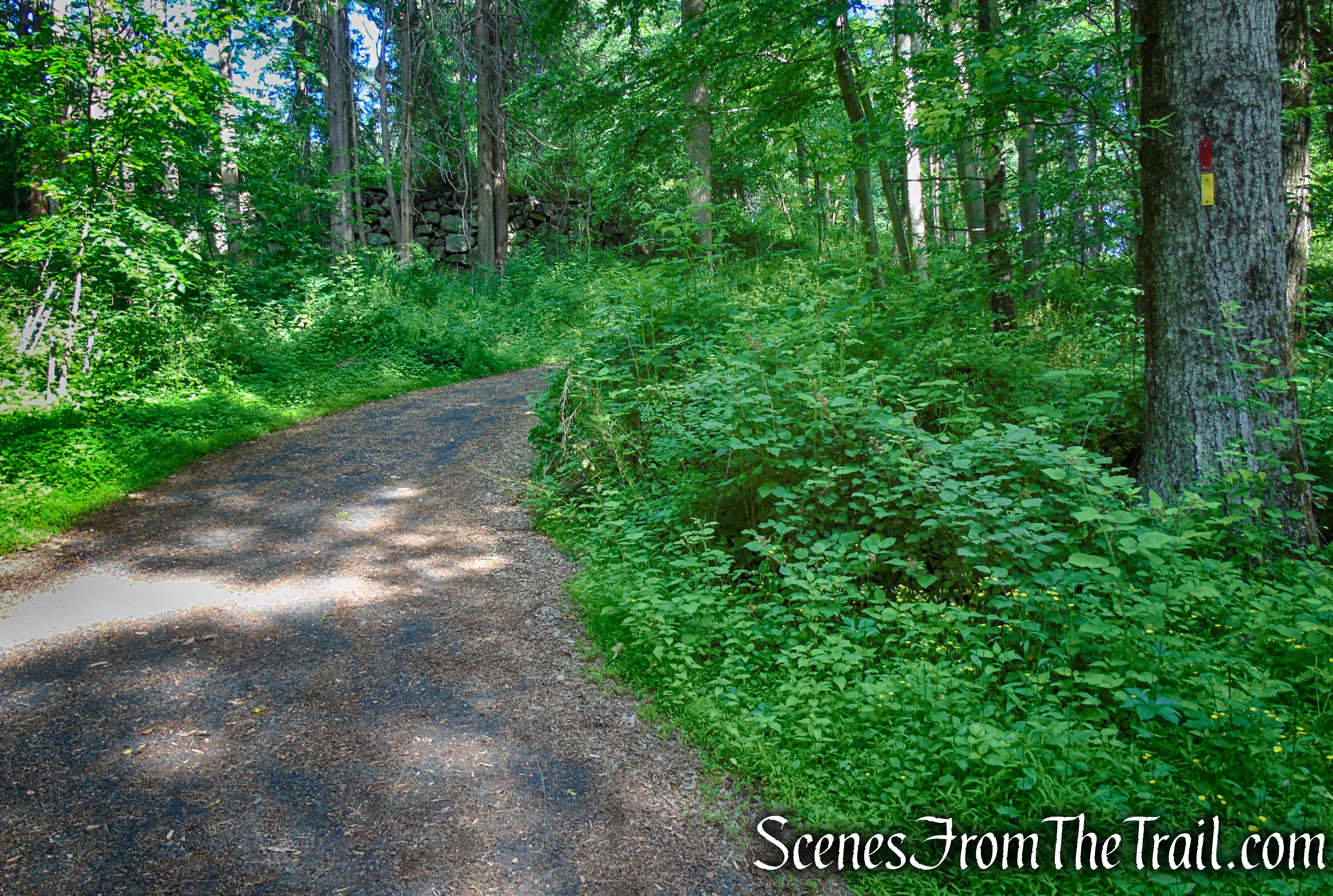
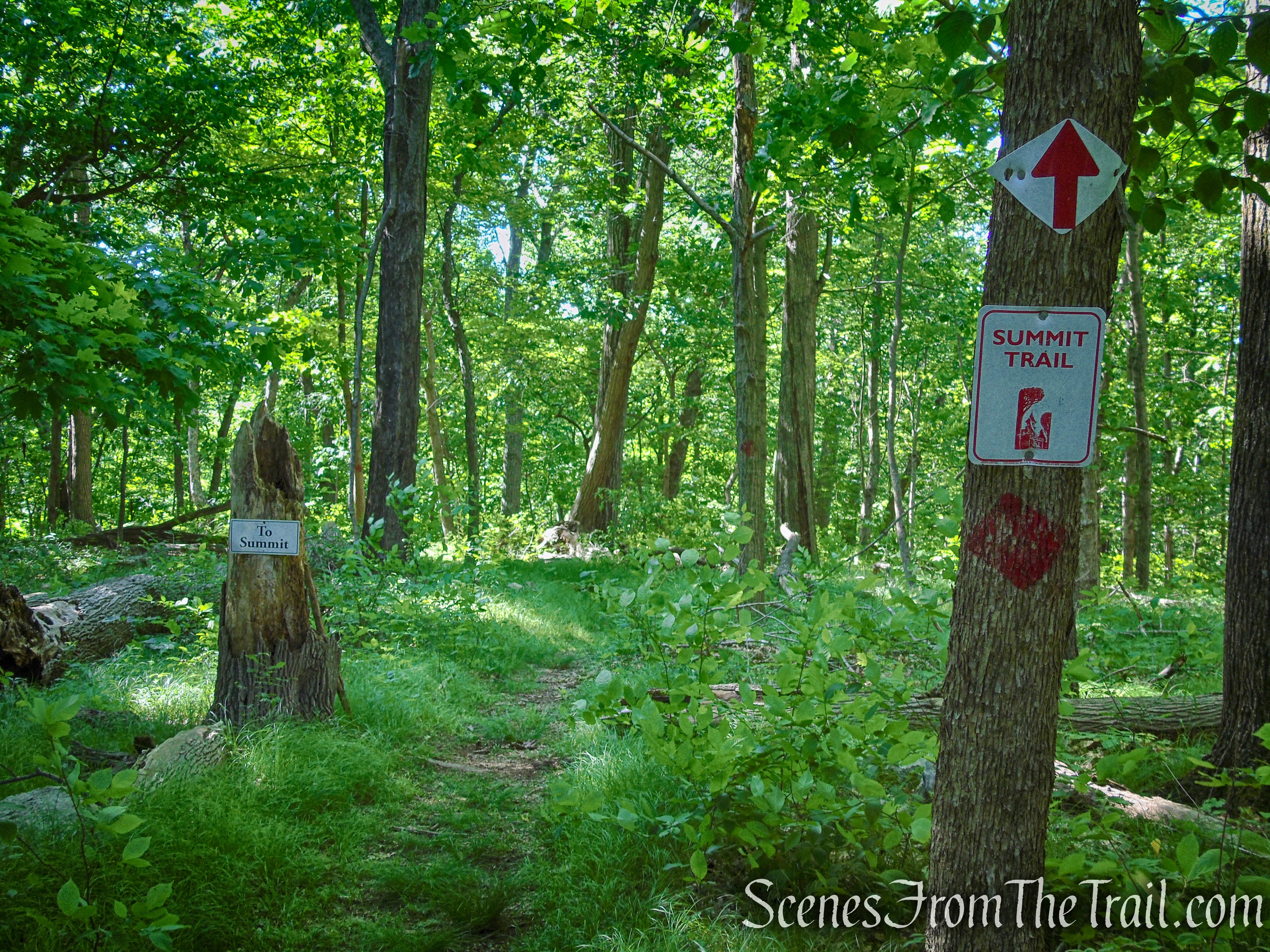
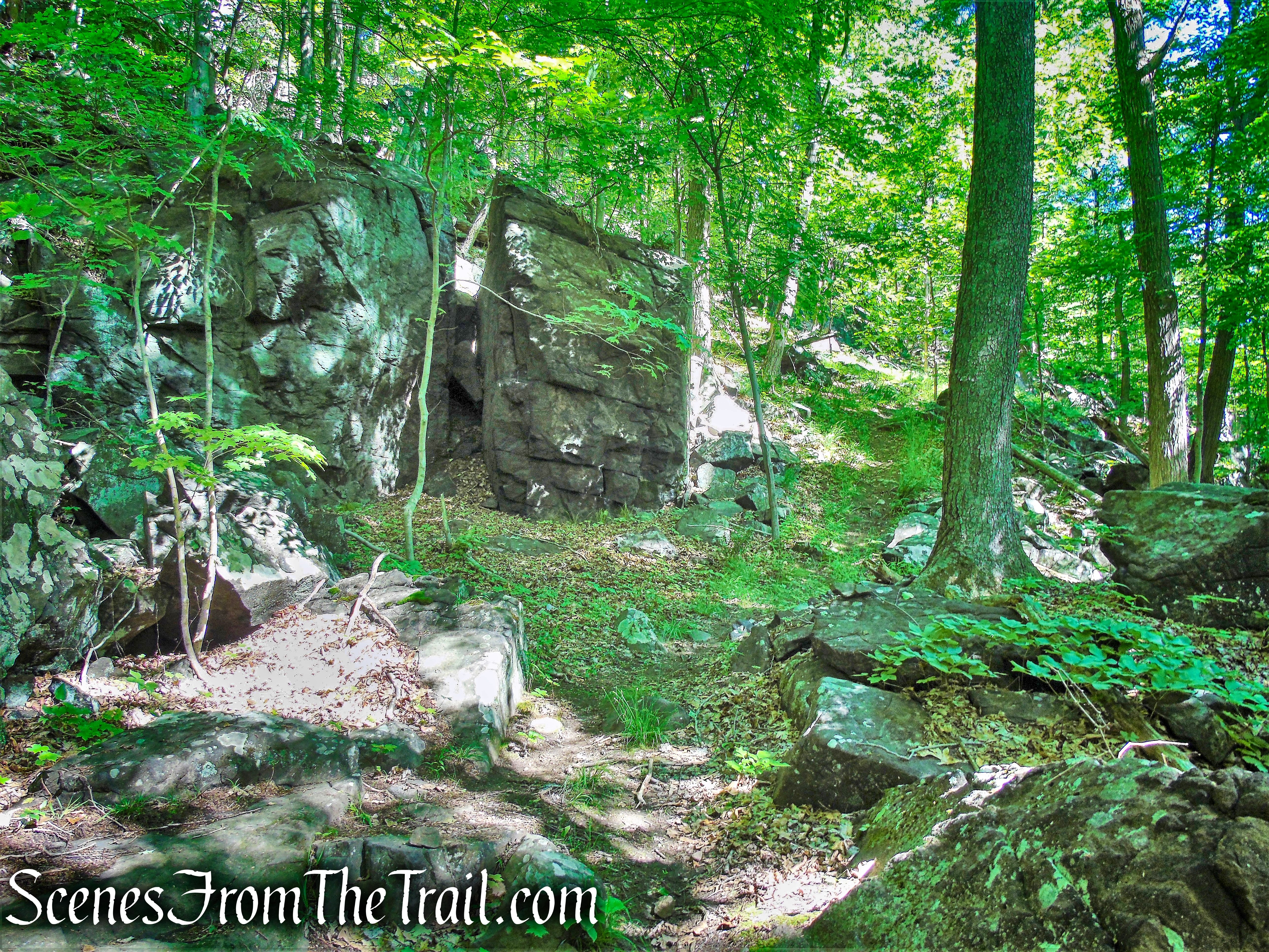
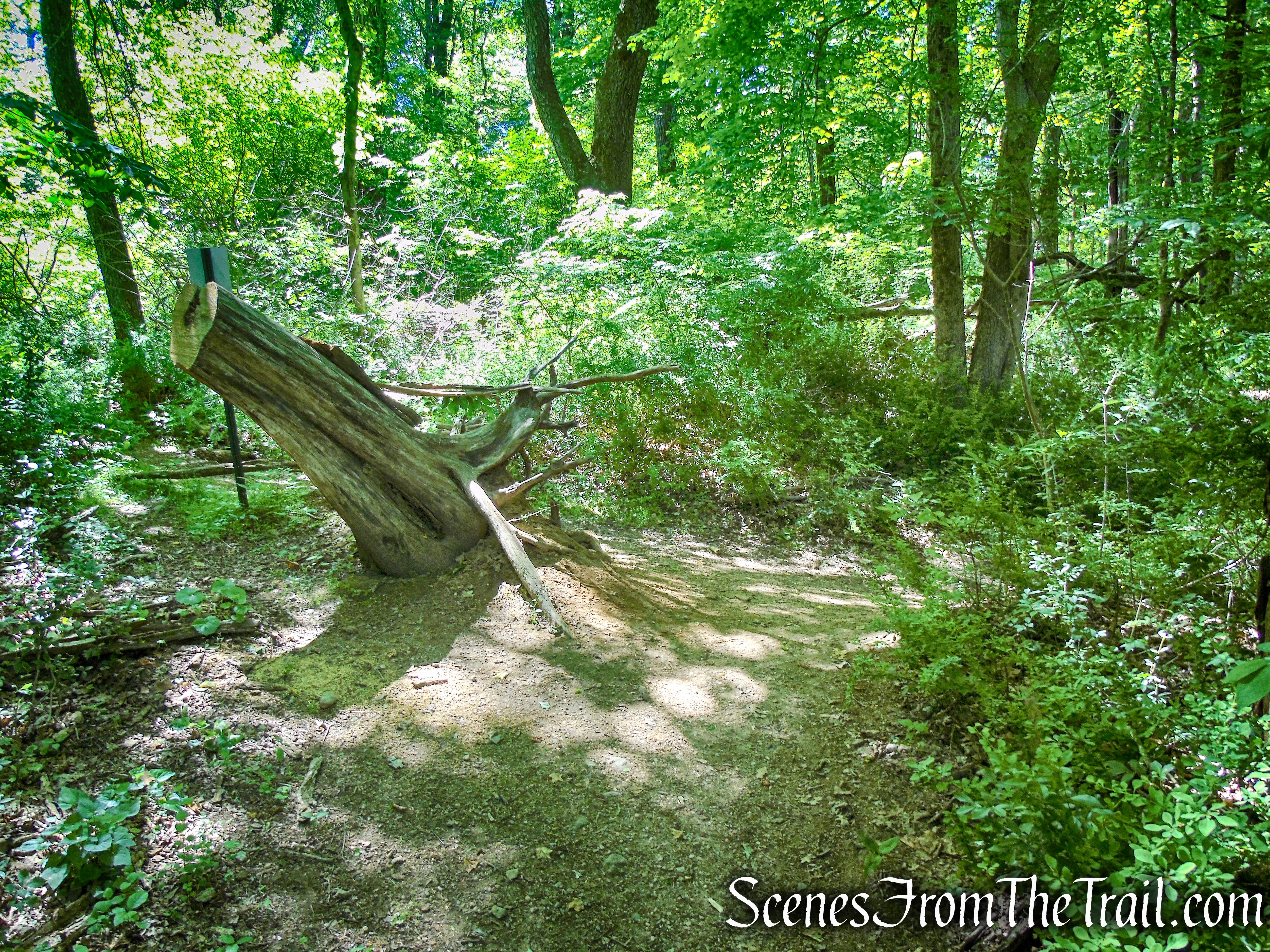
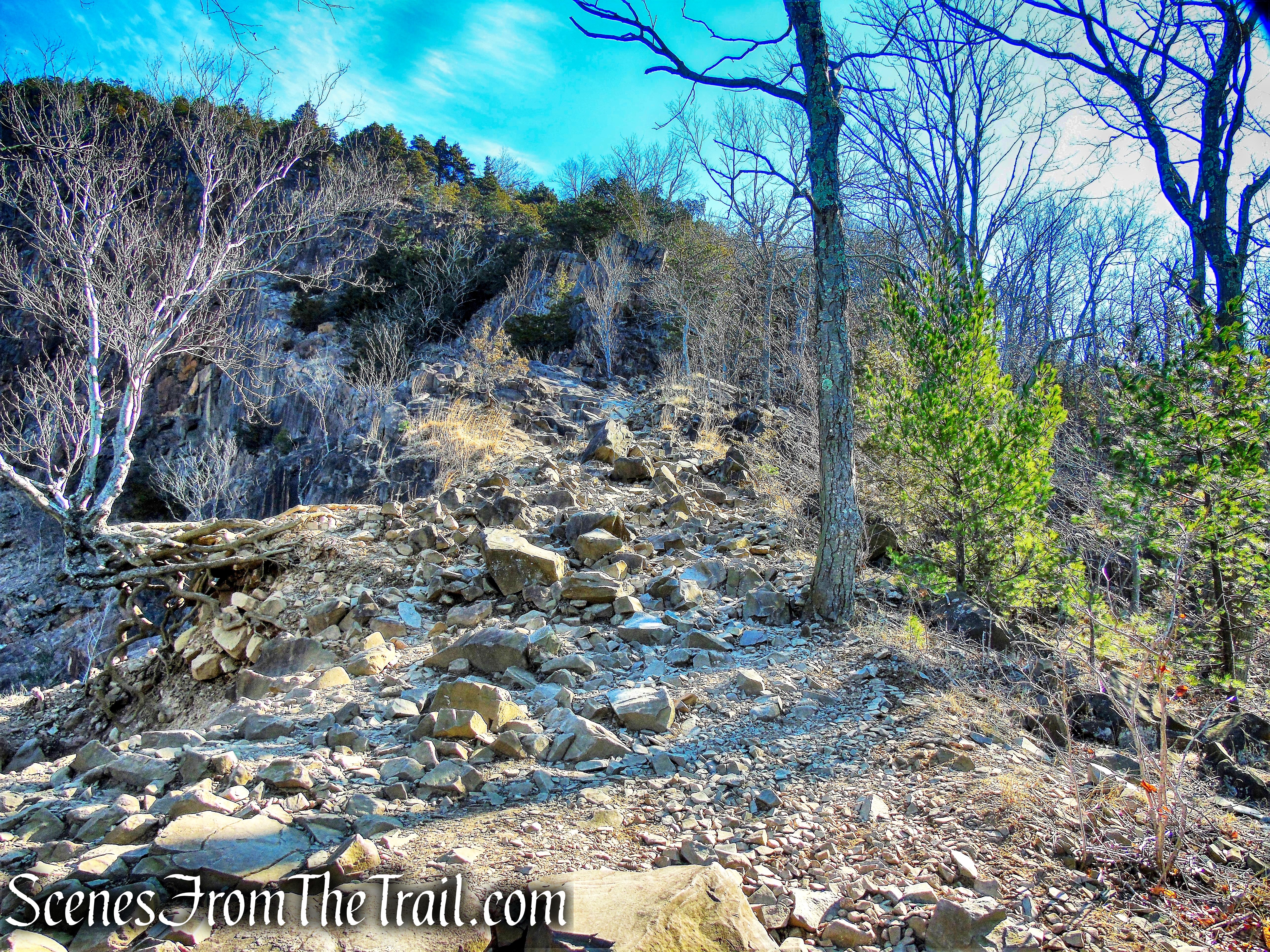
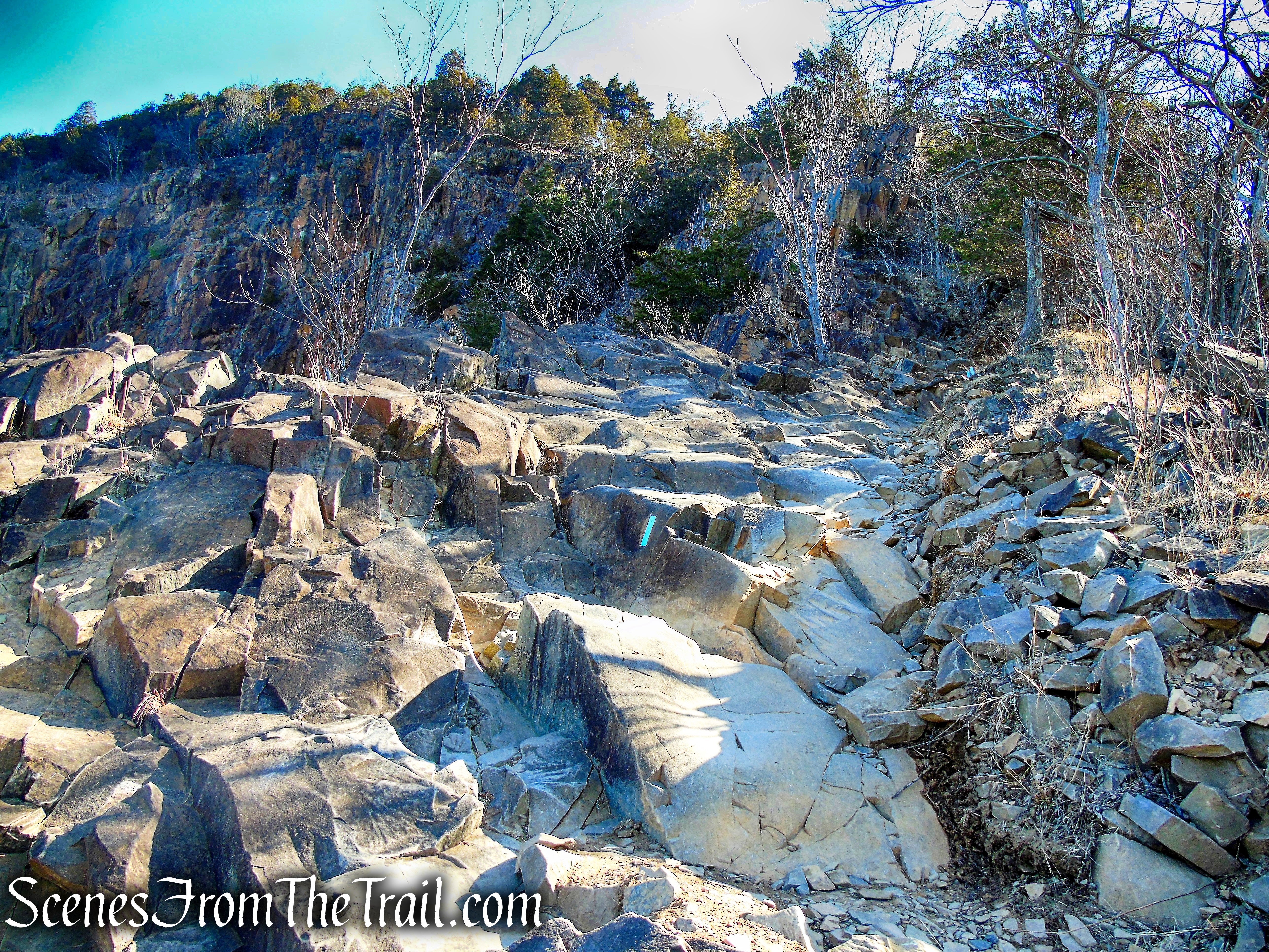
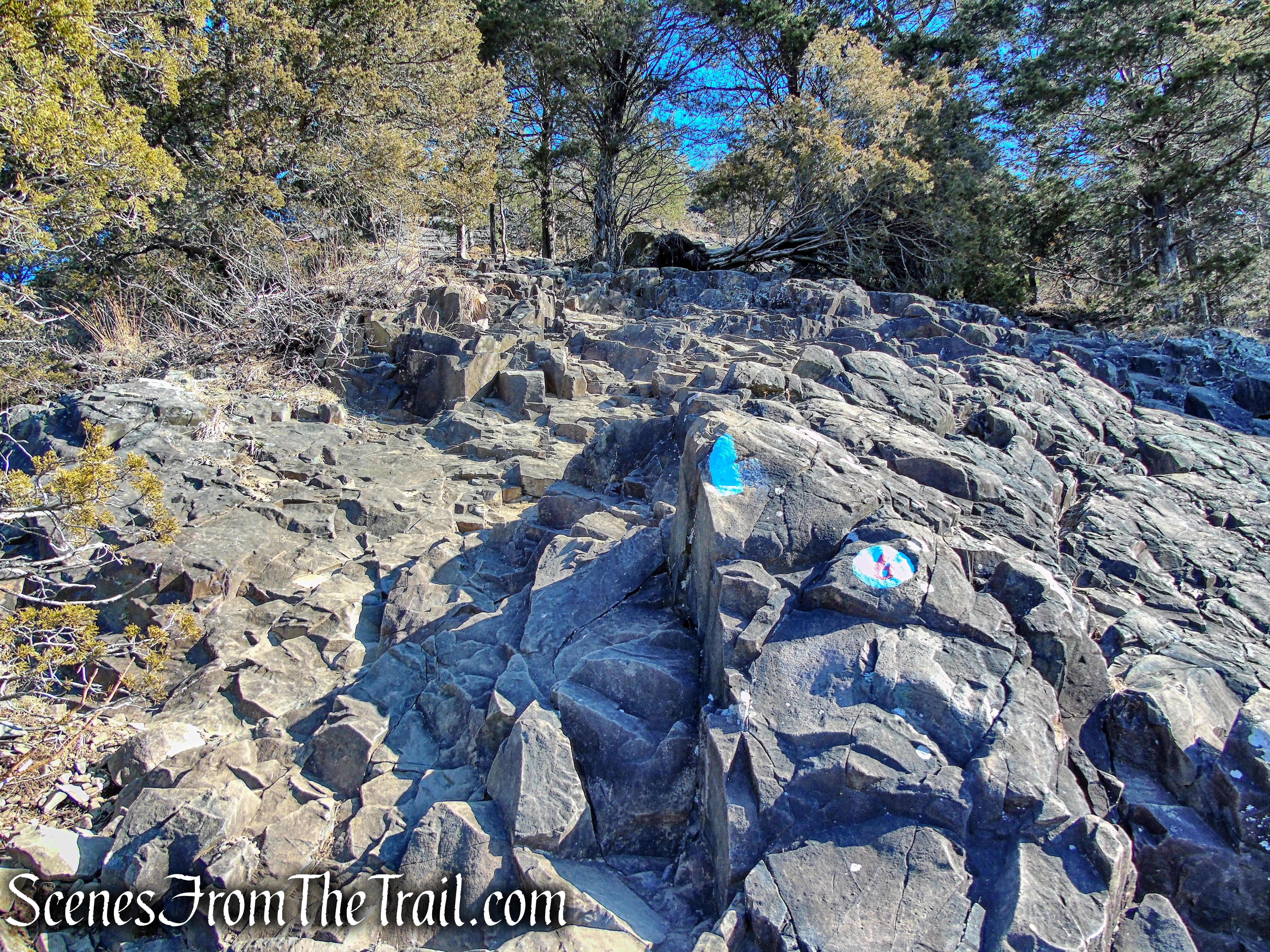
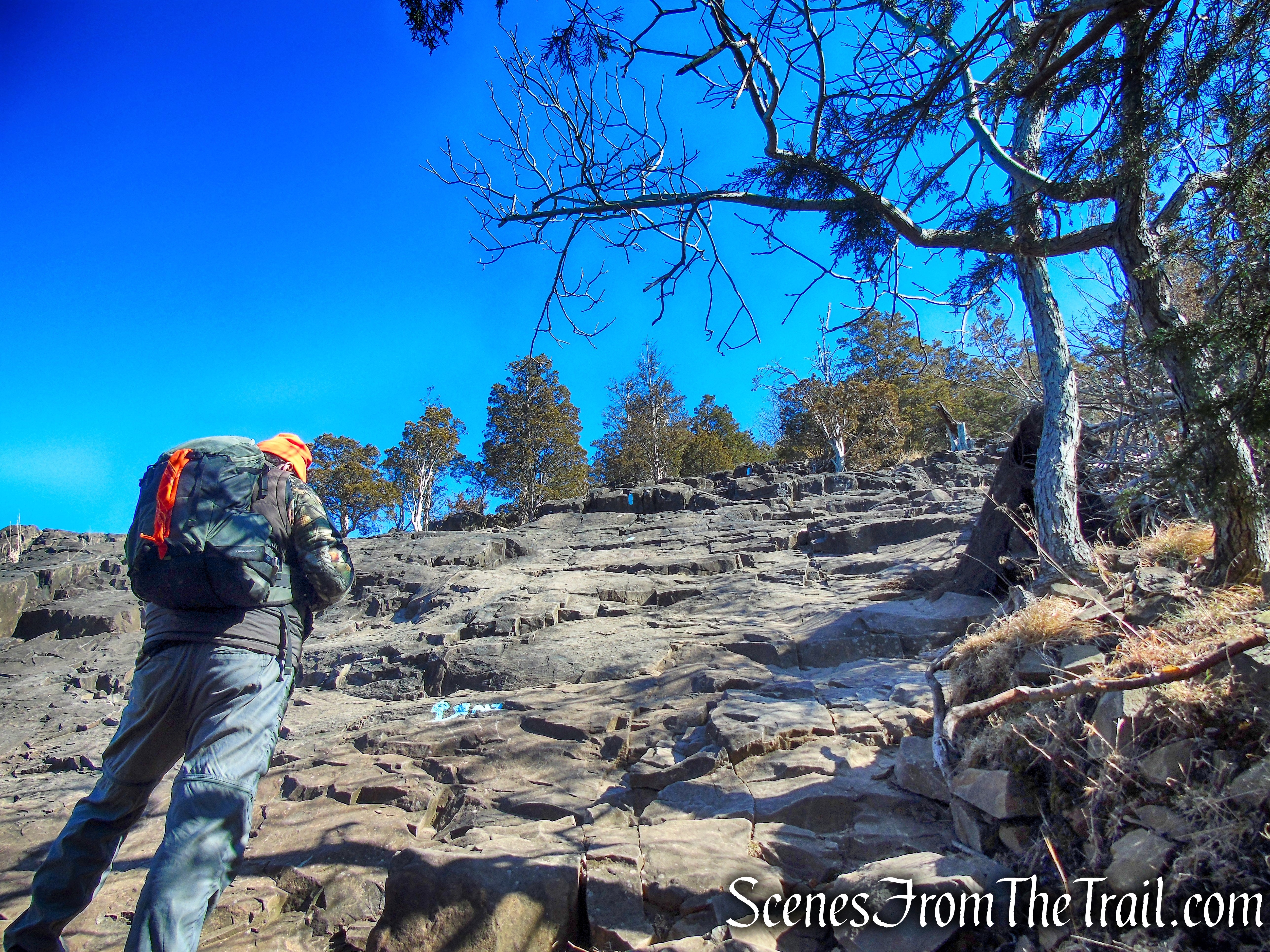
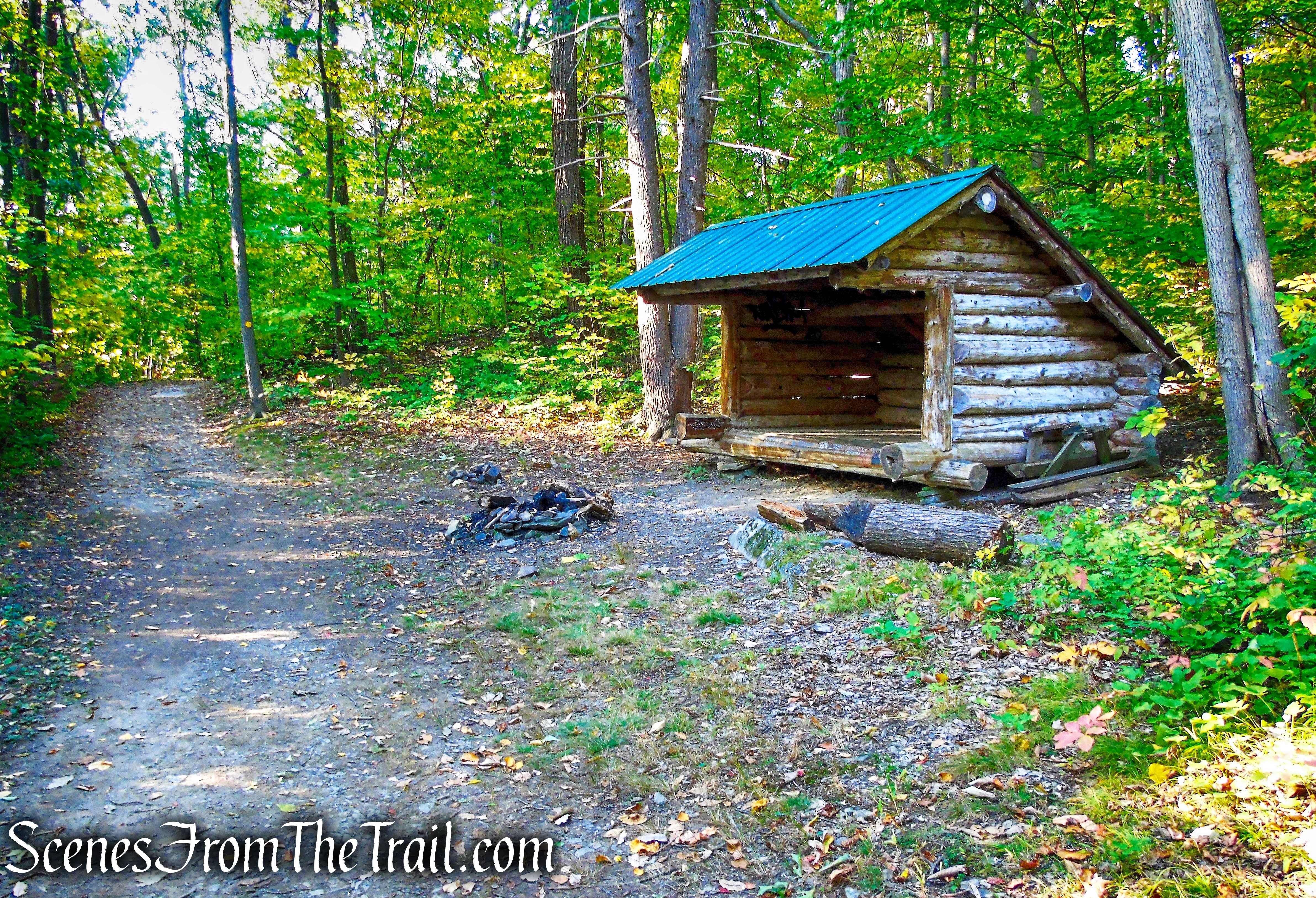
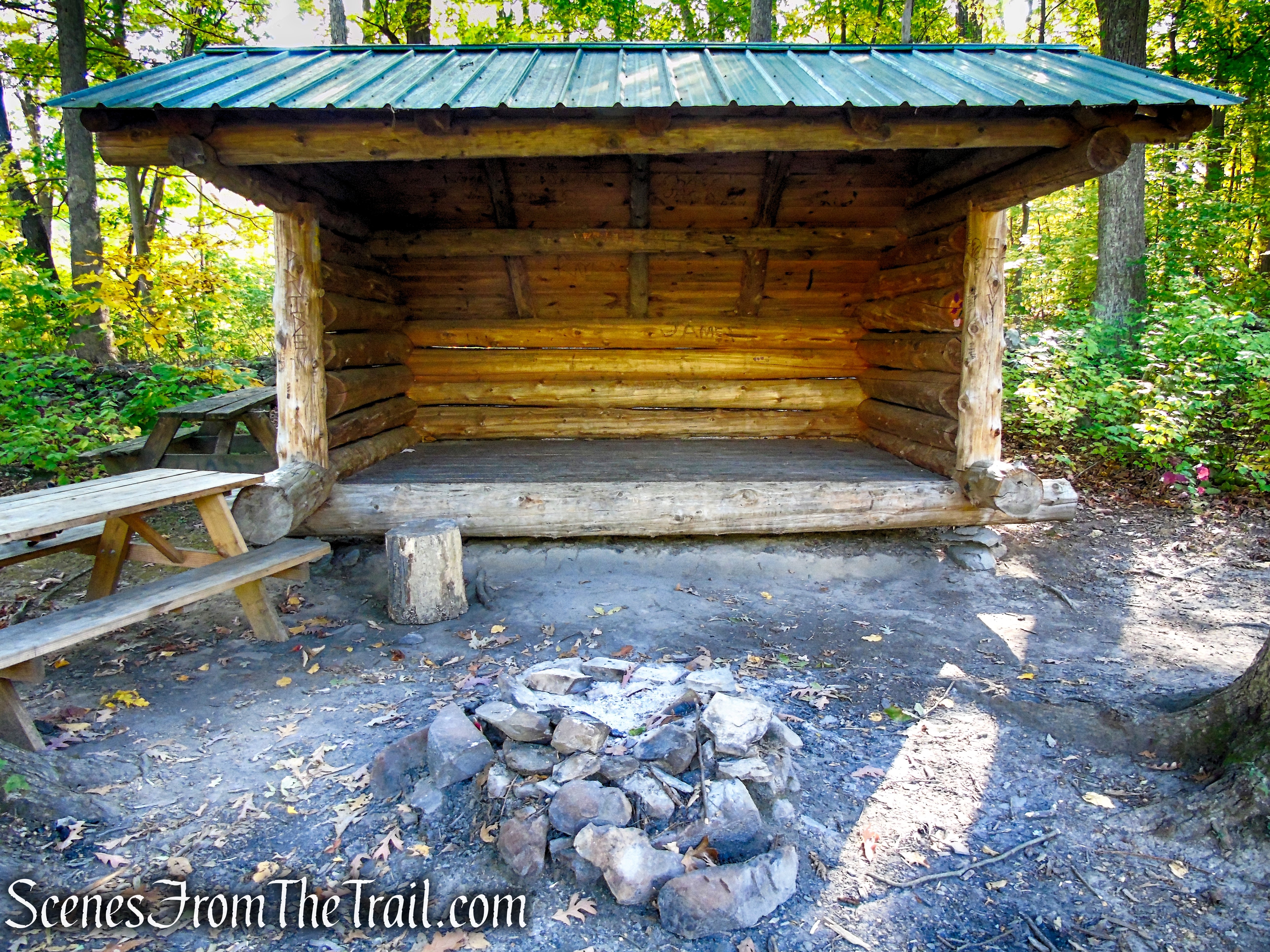
When you are ready to continue, stay right, past the lean-to, and continue to follow the yellow blazes. The road continues to climb gradually and soon passes another lean-to. In about 0.6 mile from the start of the hike, there is a short footpath on the left that climbs to the site of the fire tower. This is a shortcut to the tower, but if you miss it, don’t worry because the Yellow Circle Trail continues ahead and turns left, passing right by the tower.

Yellow Circle Trail – Ferncliff Forest
Yellow Circle Trail – Ferncliff Forest
Yellow Circle Trail – Ferncliff Forest
veer left on footpath
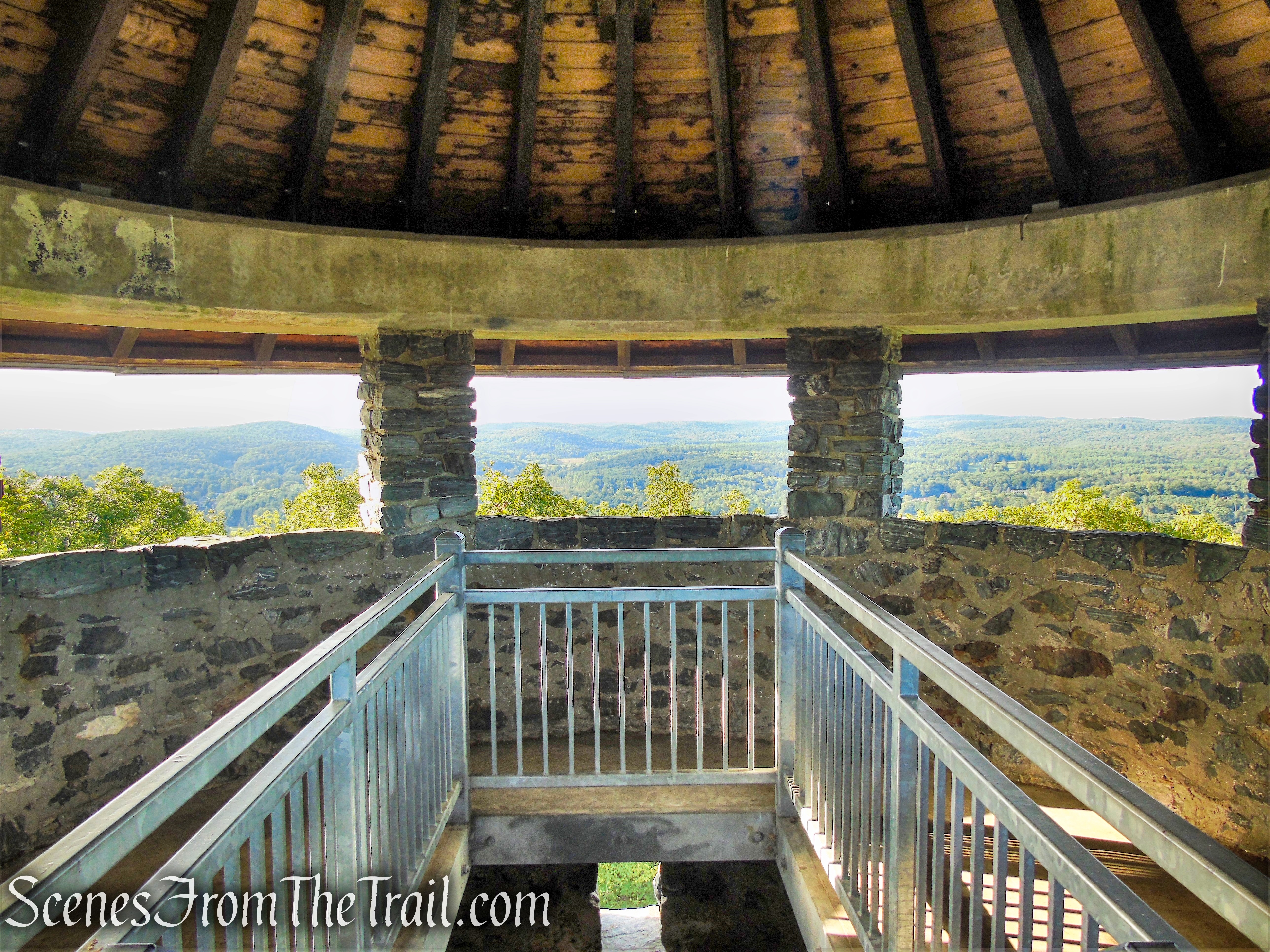
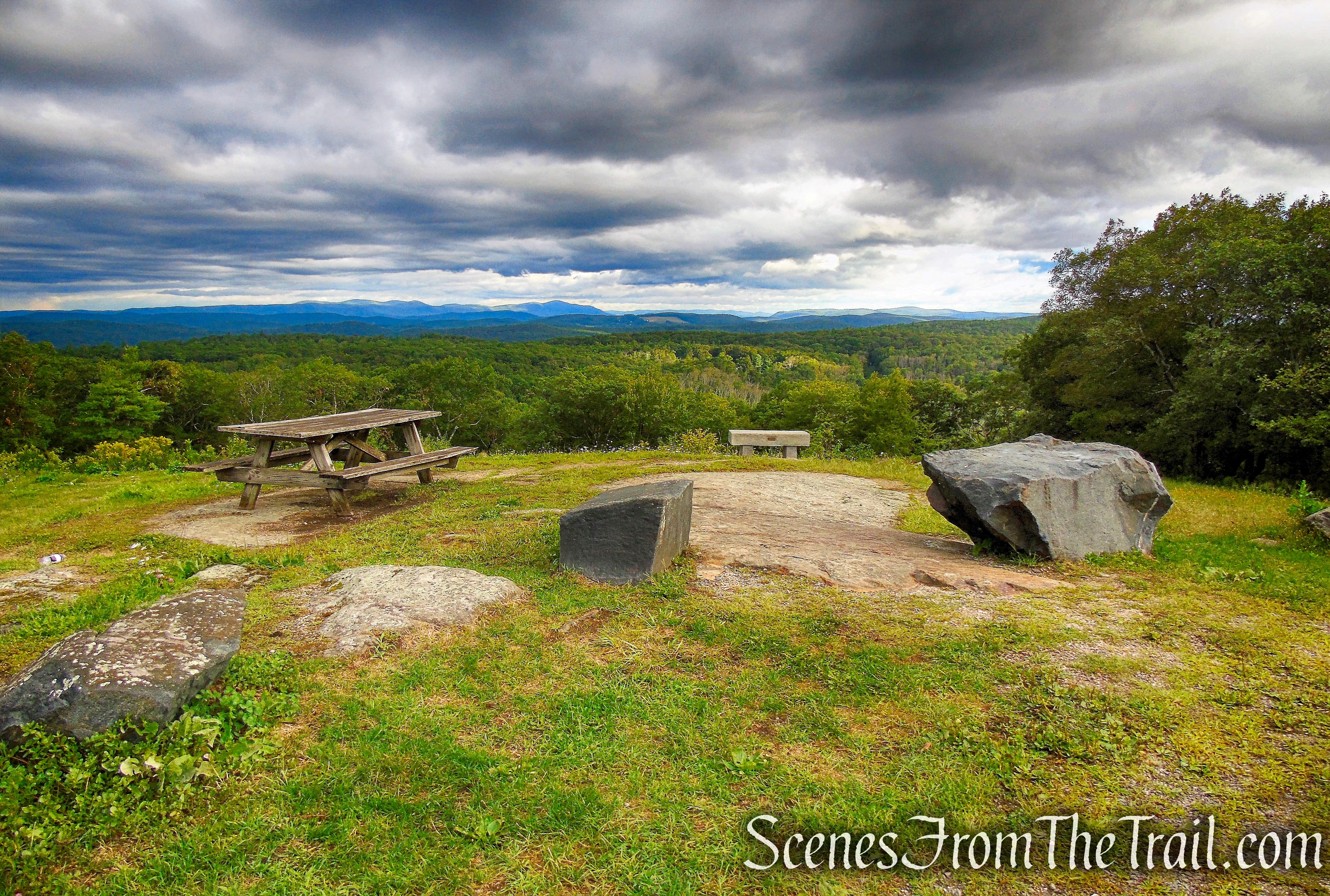
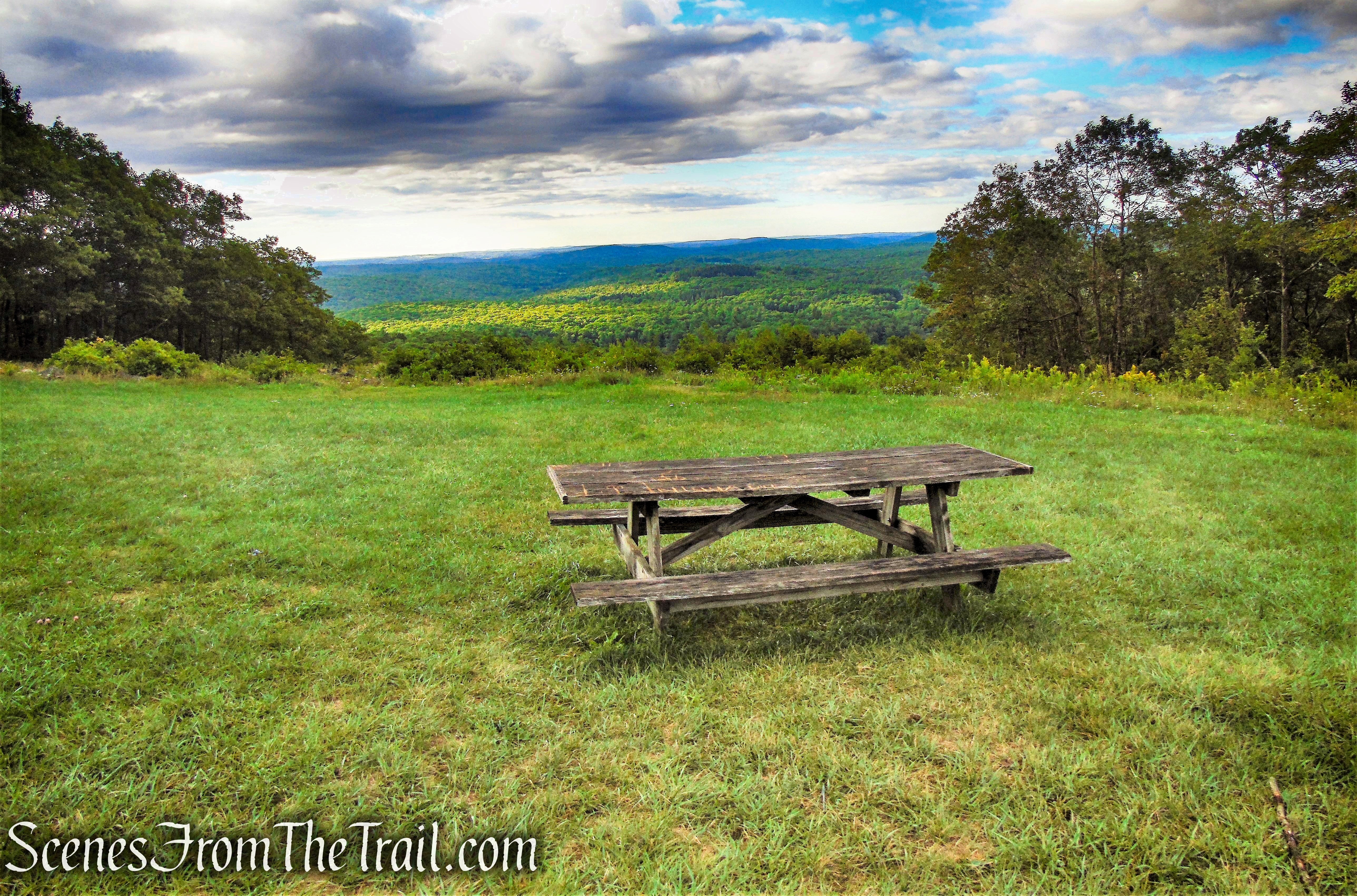
There are no views from the base of the tower, so you’ll have to climb it if you want to see some.

Ferncliff Forest Fire Tower
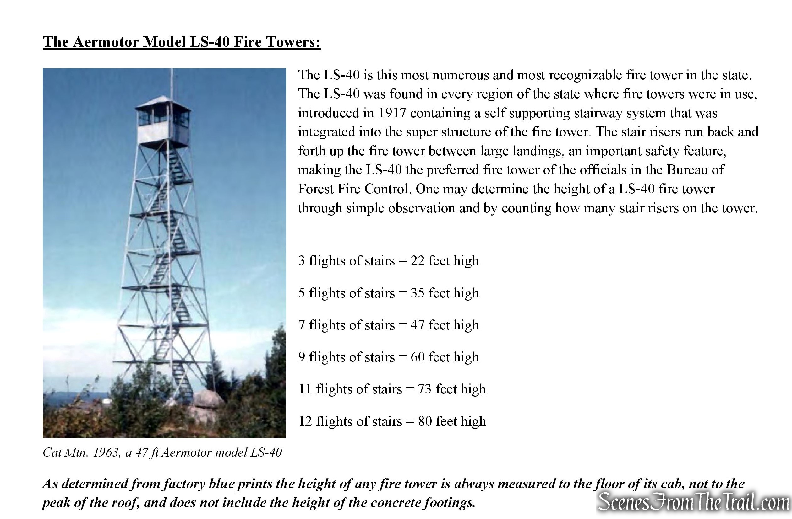
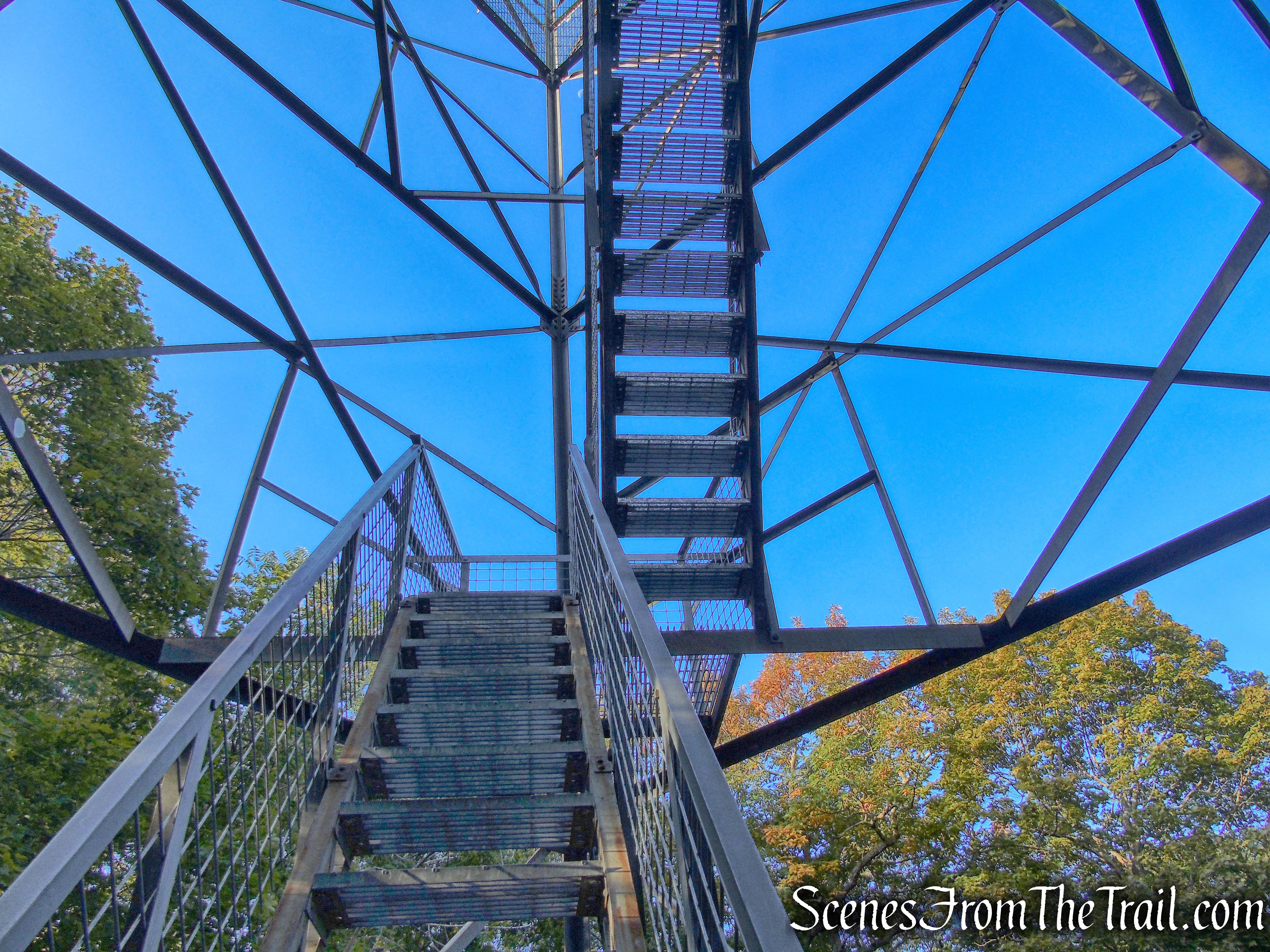
This International Derrick Model 1933, was developed through a cooperative effort between the Aermotor Company and the U.S. Forest service. The model 1933 was made by each of the major fire tower manufacturers inluding the International Derrick Company. The Aermotor MC-39 is essentially the same design as the 1933 model. This 80-ft. steel tower has 7 flights of stairs and a 7’x7’ metal cab.
Ferncliff Forest Fire Tower
The 1933 design of the International Derrick Fire Towers is arranged so that the flights of stairs, except for the lowest and highest, are oriented from one corner of the tower towards the corner diagonally opposite from it.
Ferncliff Forest Fire Tower
The Ferncliff Forest Fire Tower was never used for forest fire detection in NY State.

Ferncliff Forest Fire Tower
Ferncliff Forest Fire Tower
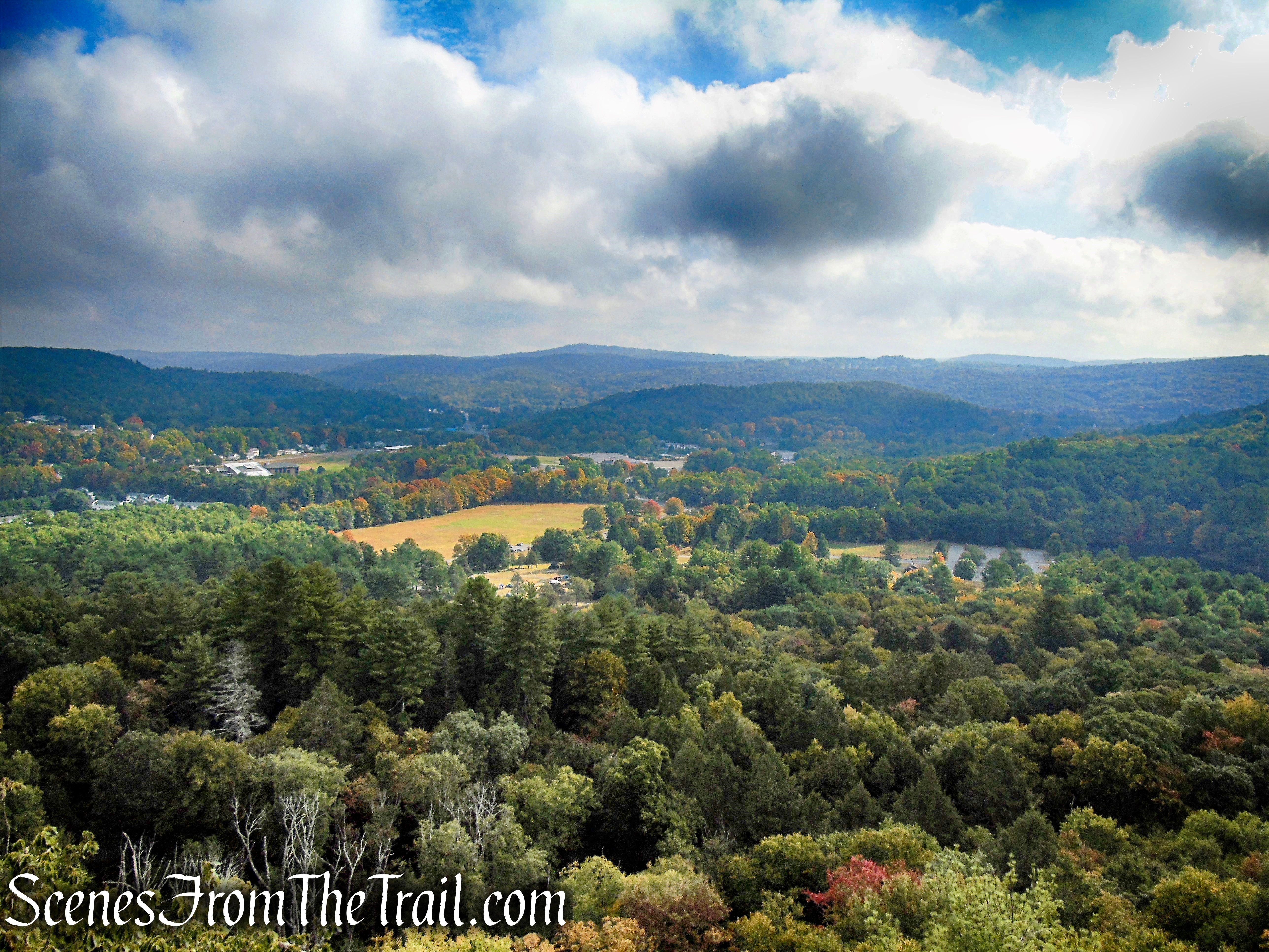
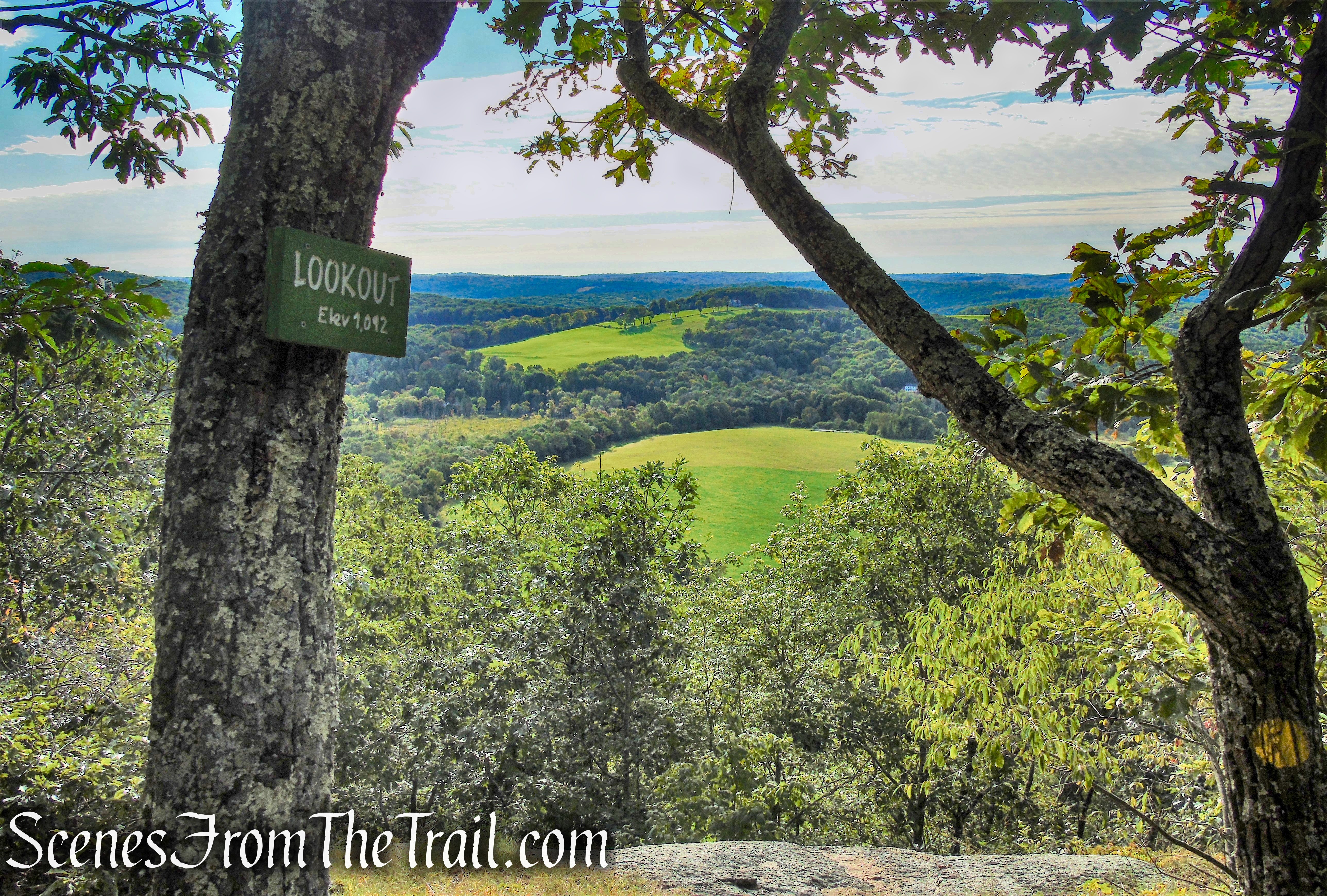
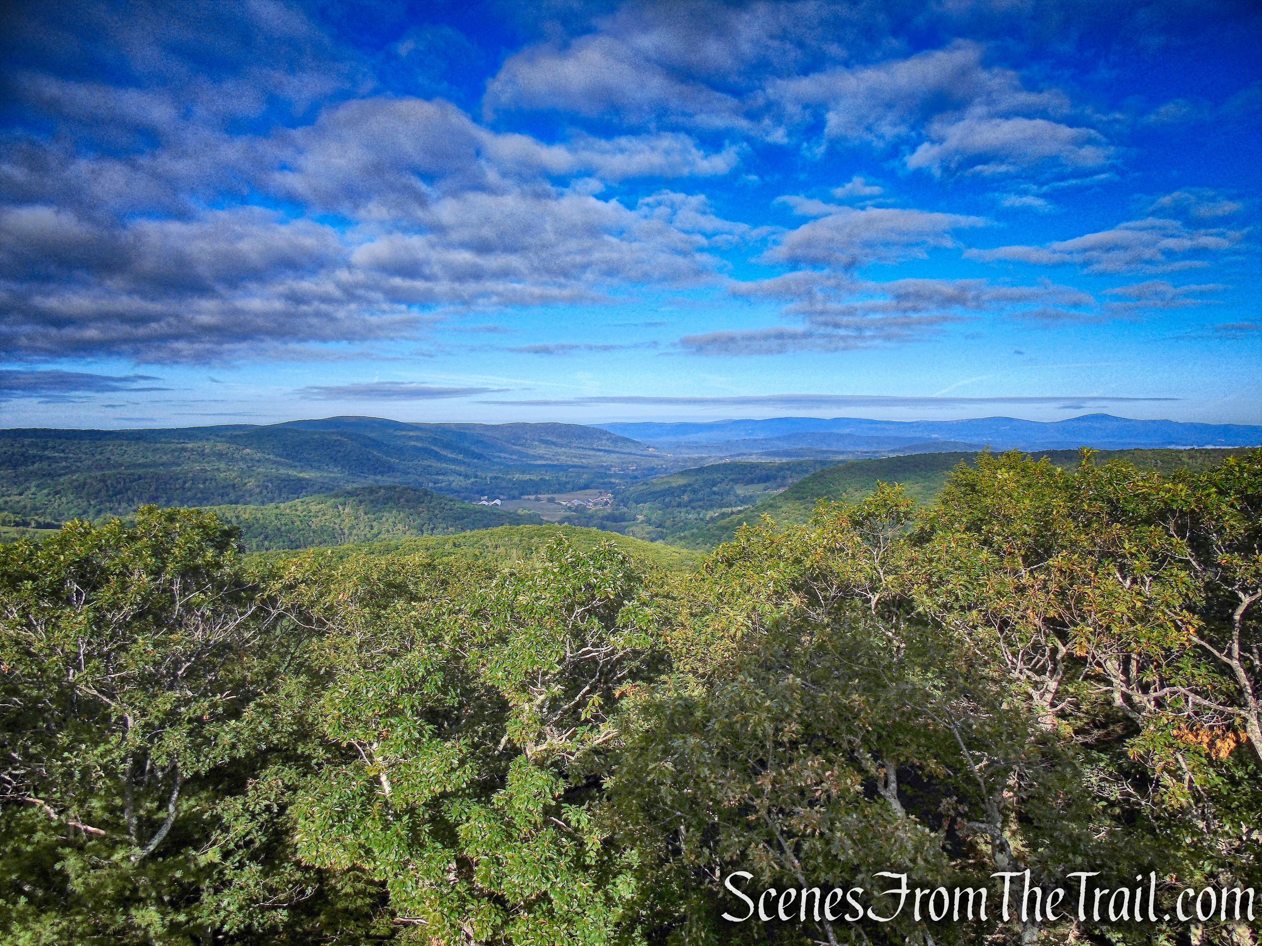
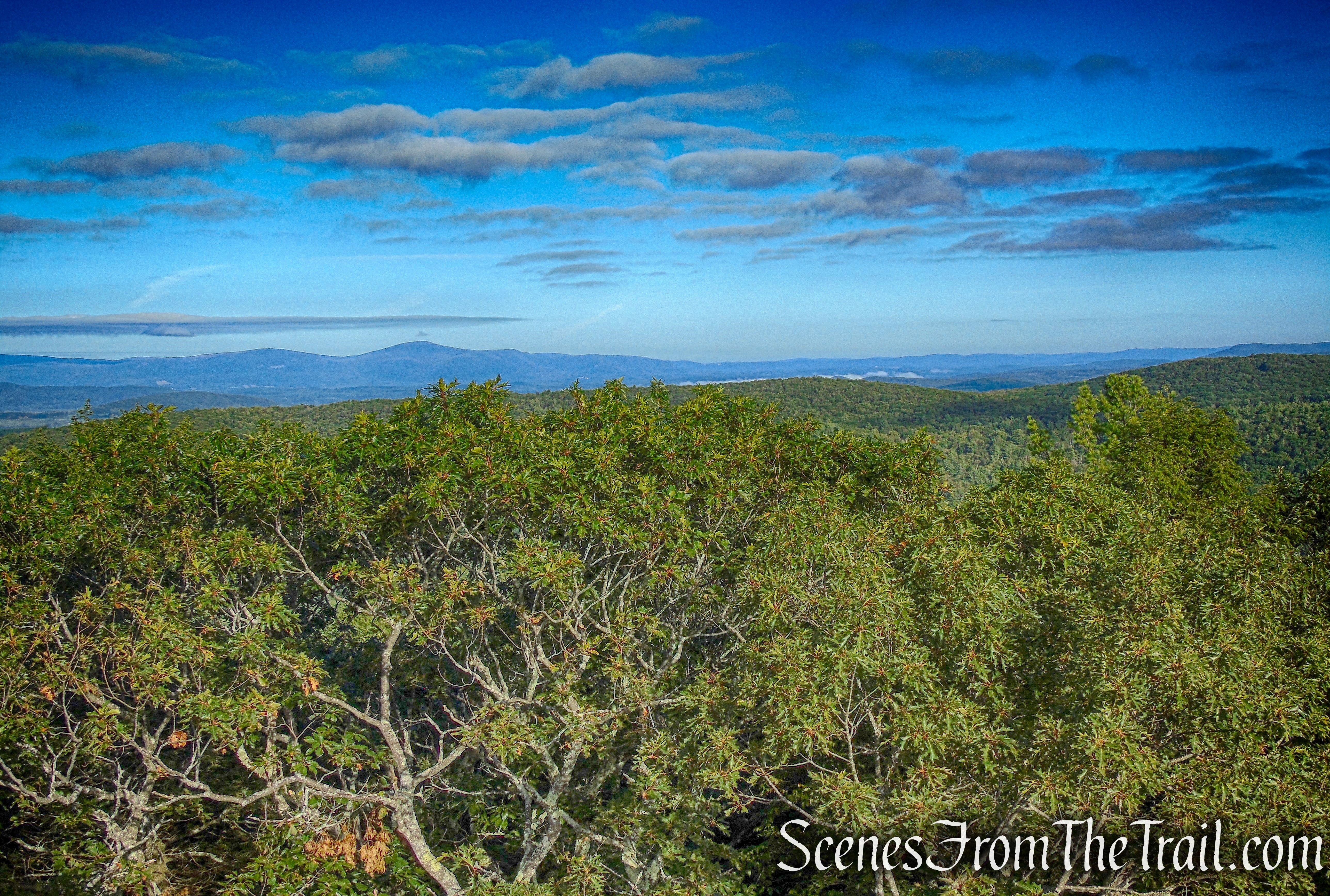
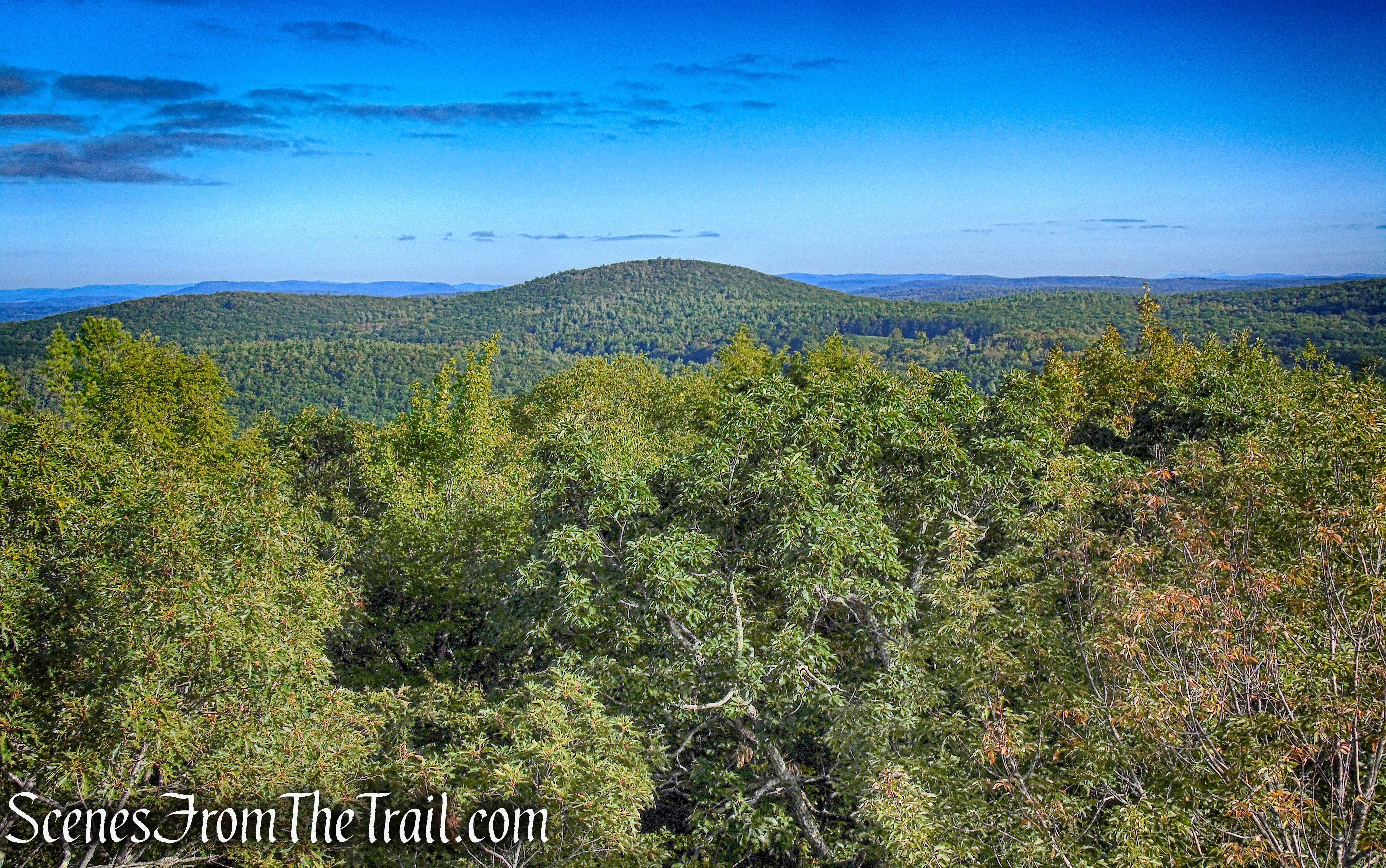
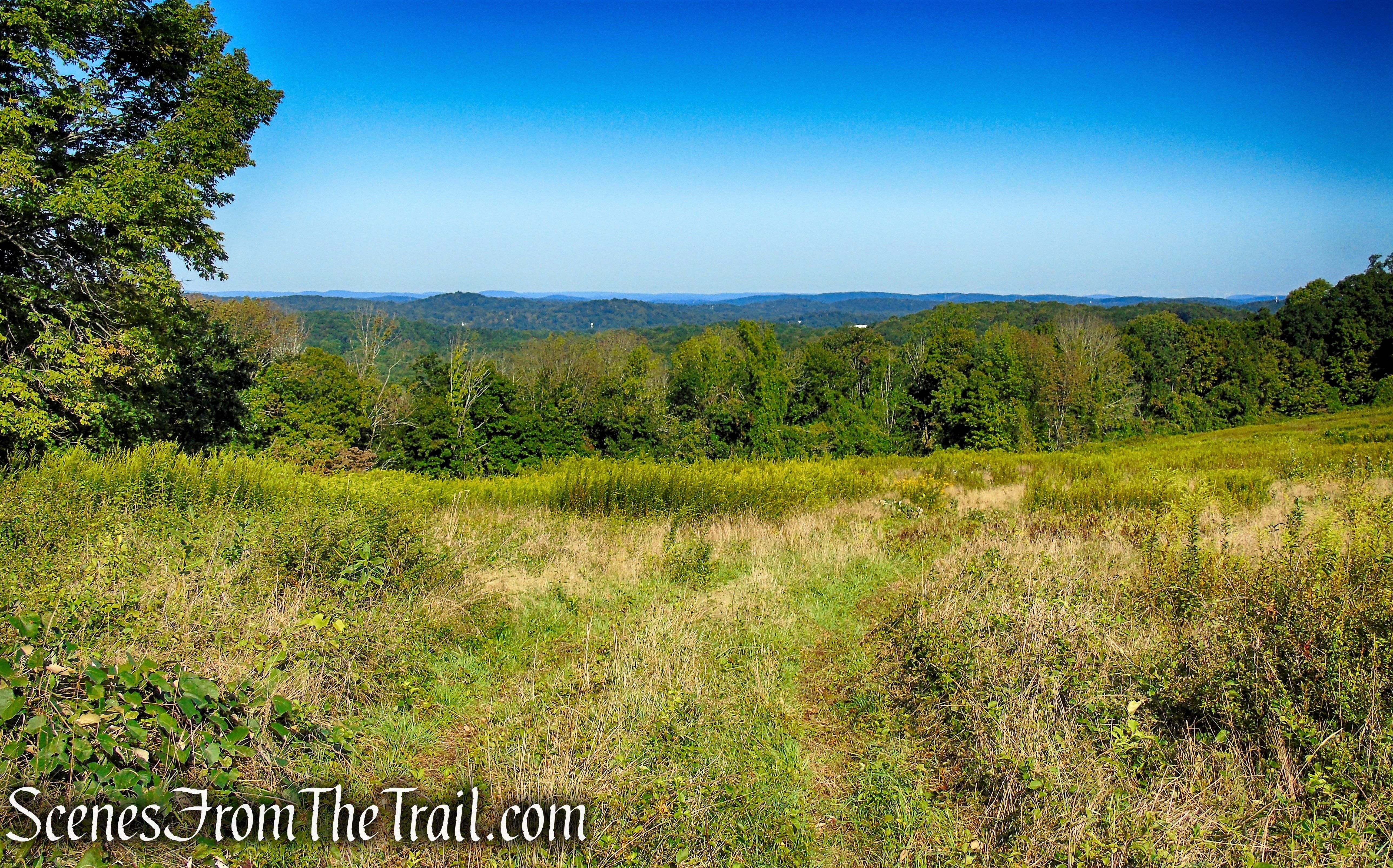
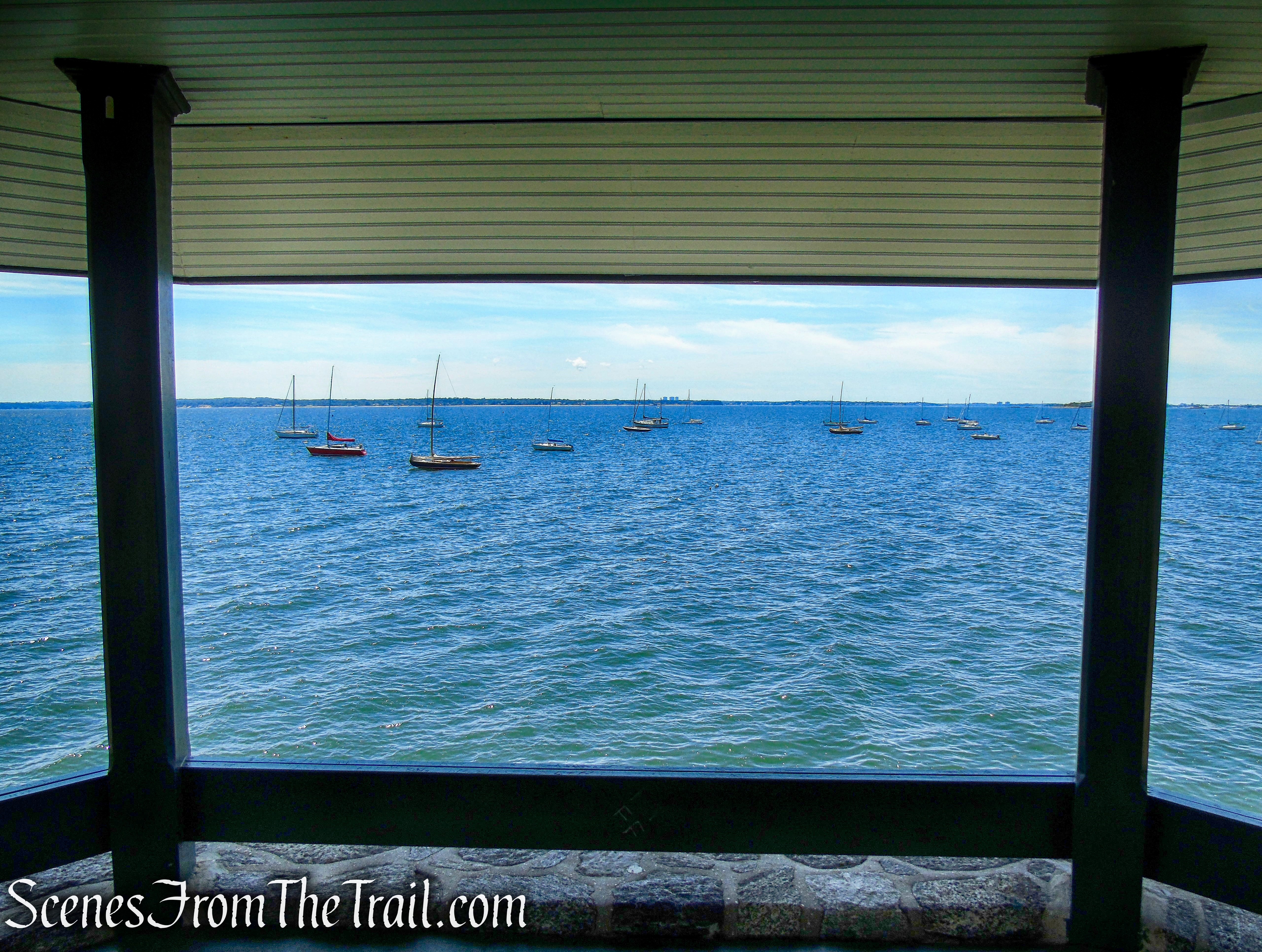
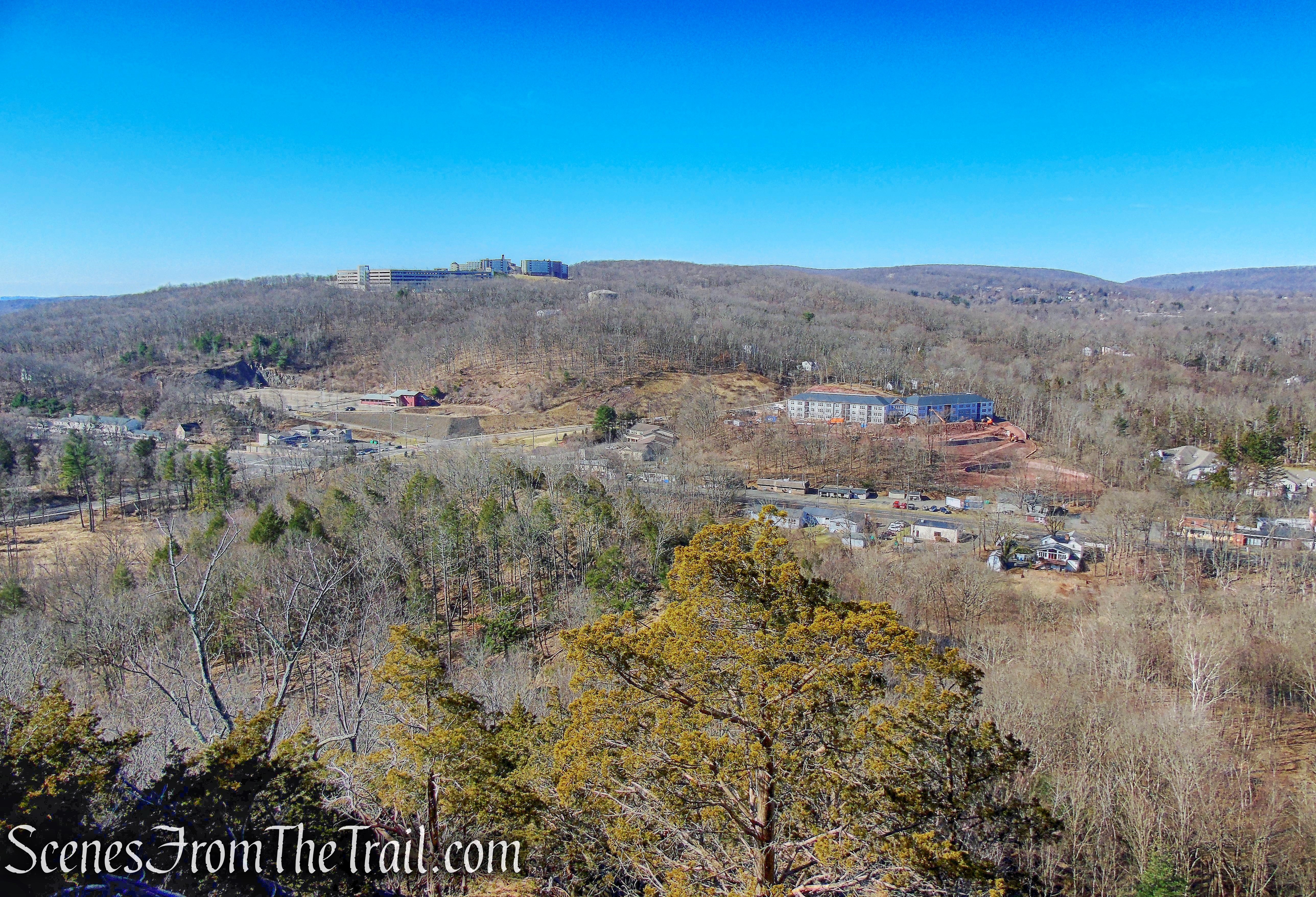
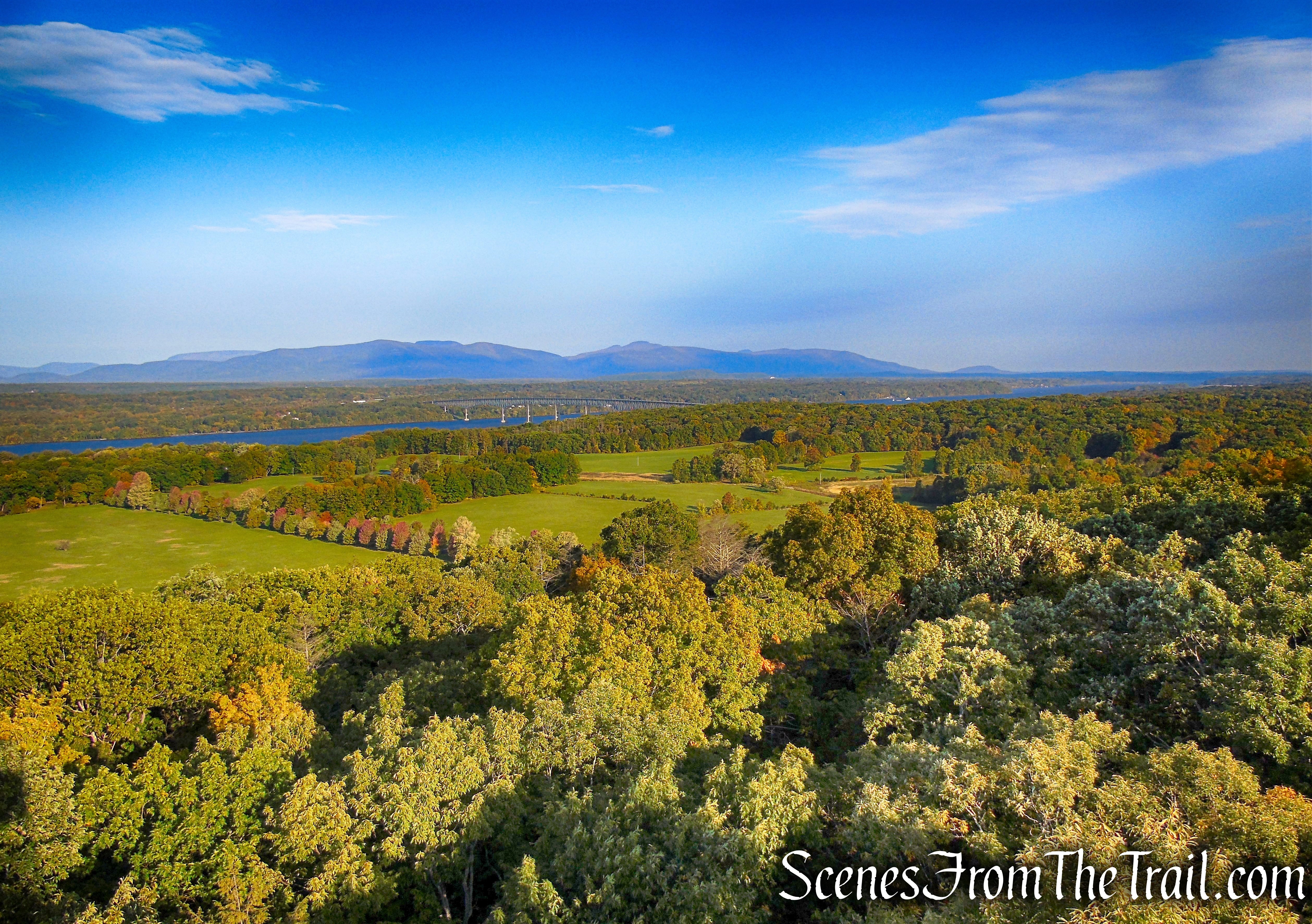
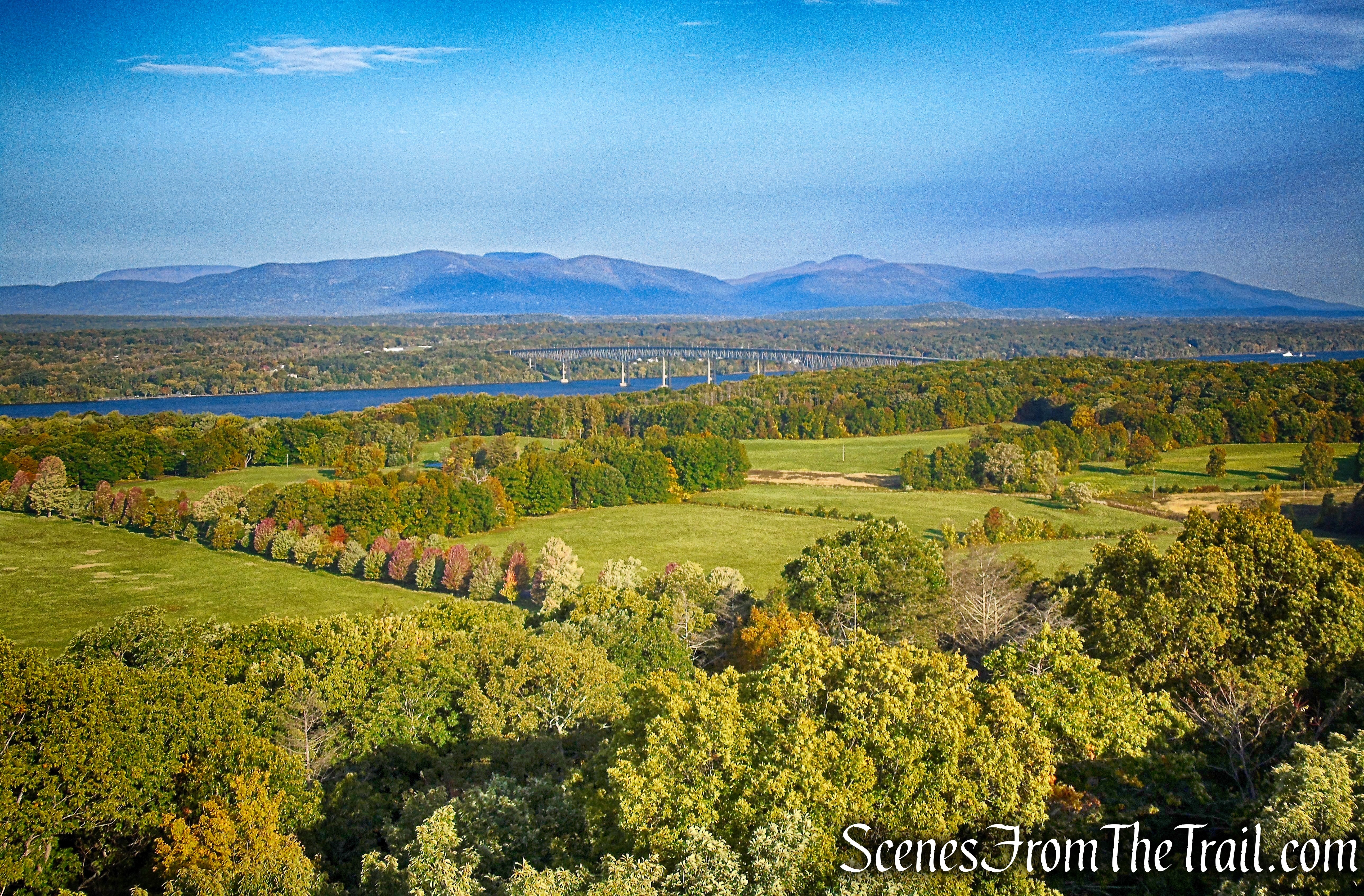
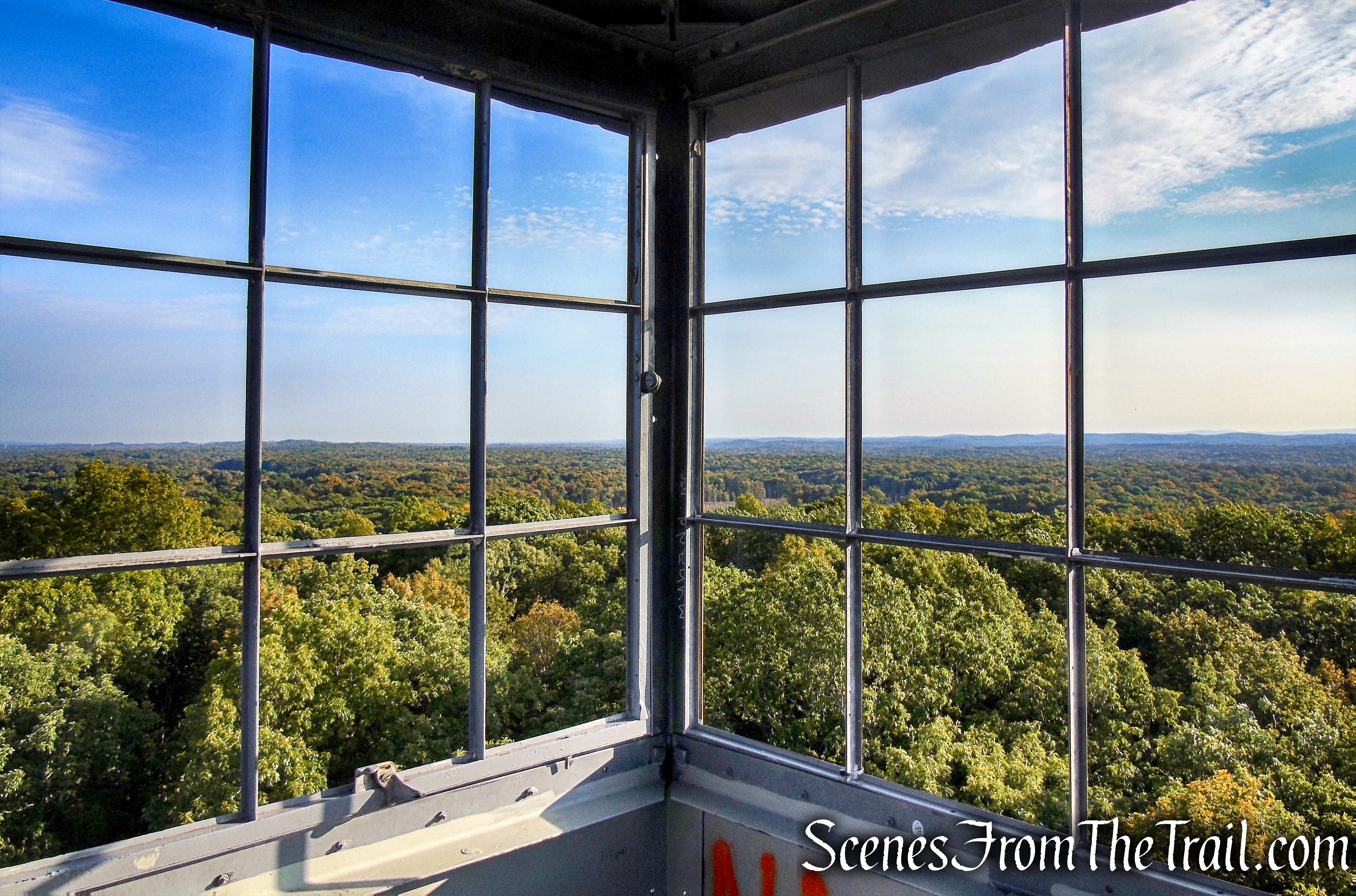
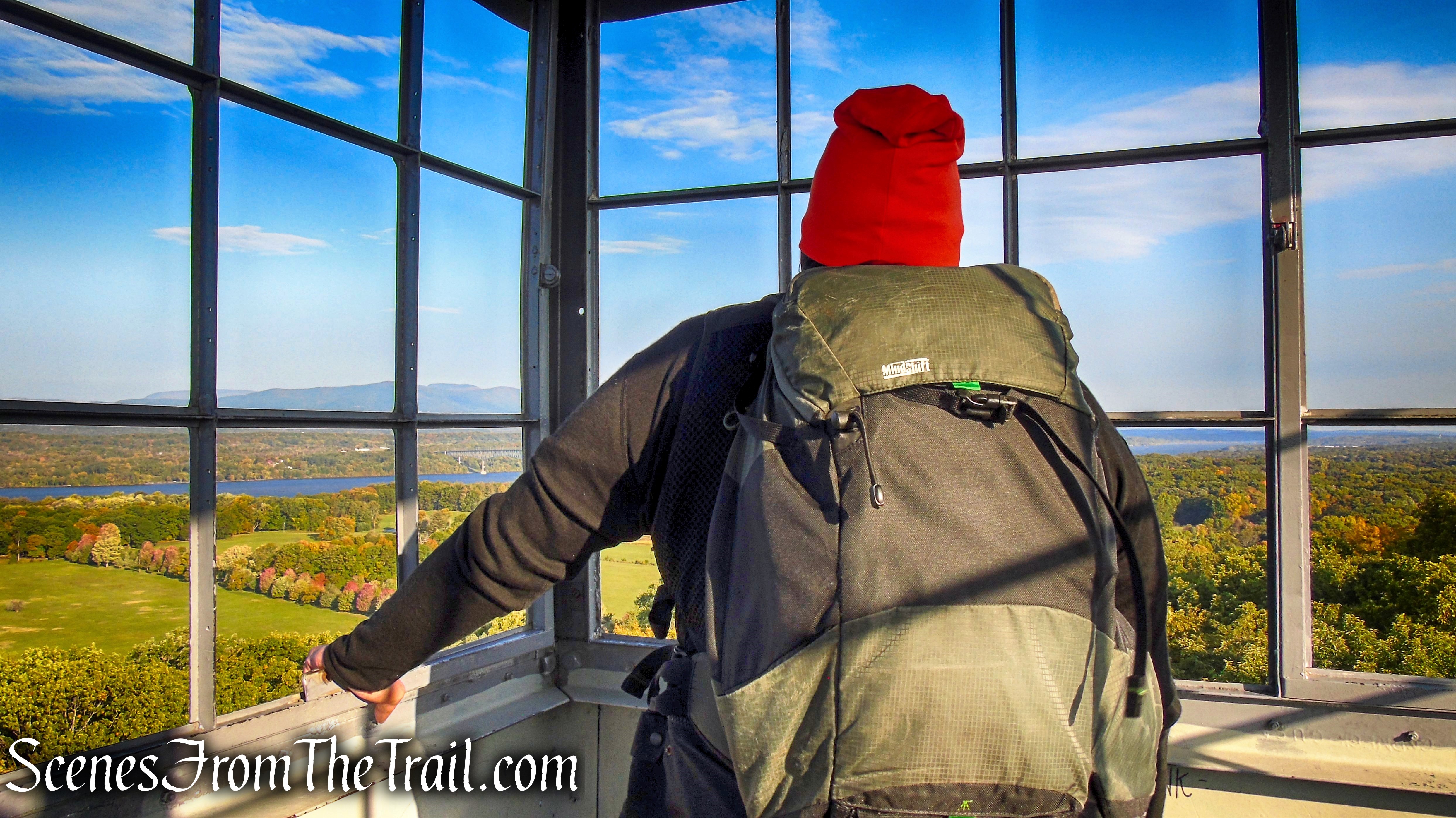
The panoramic views from the cab of the tower are outstanding.
Looking northwest – Ferncliff Forest Fire Tower
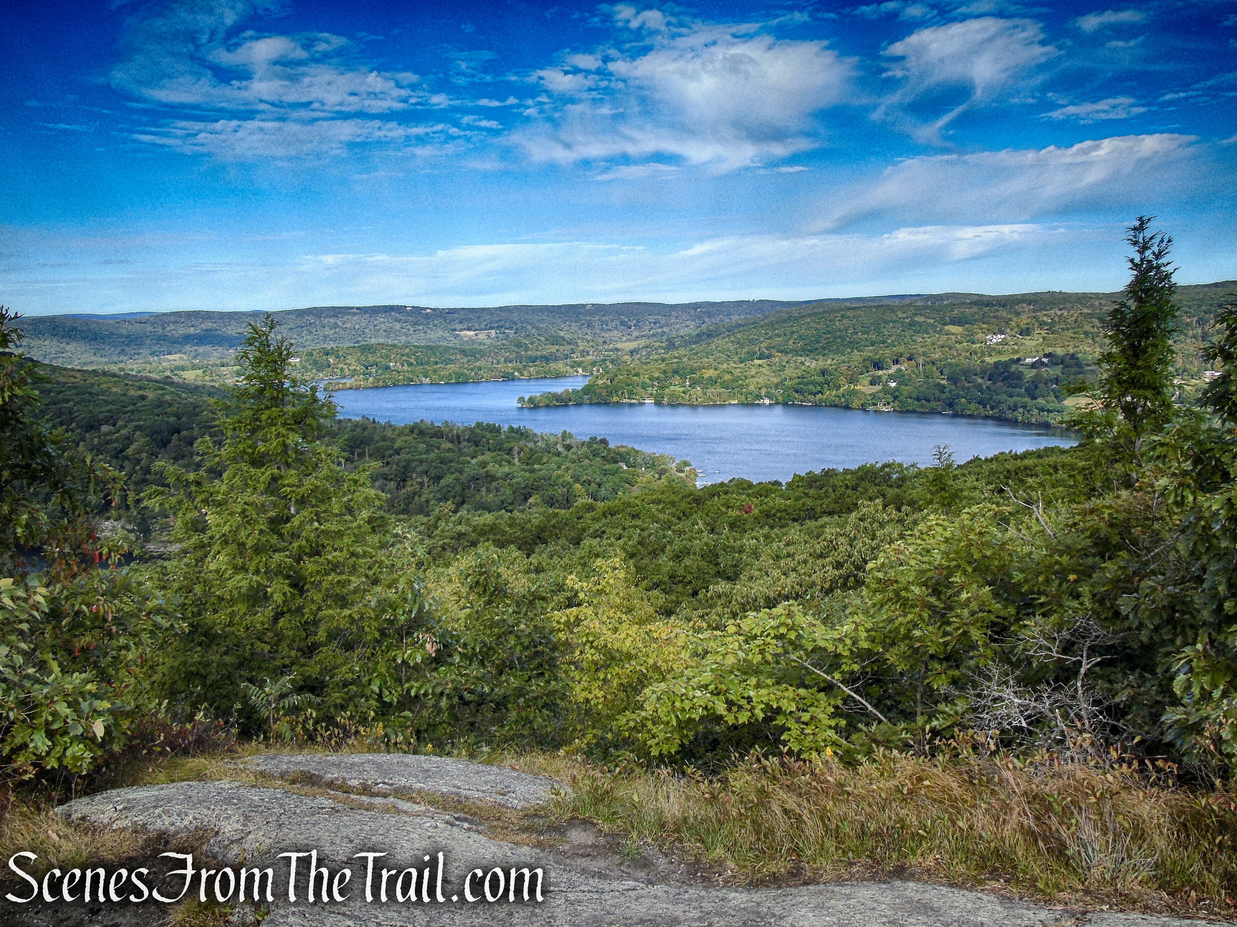
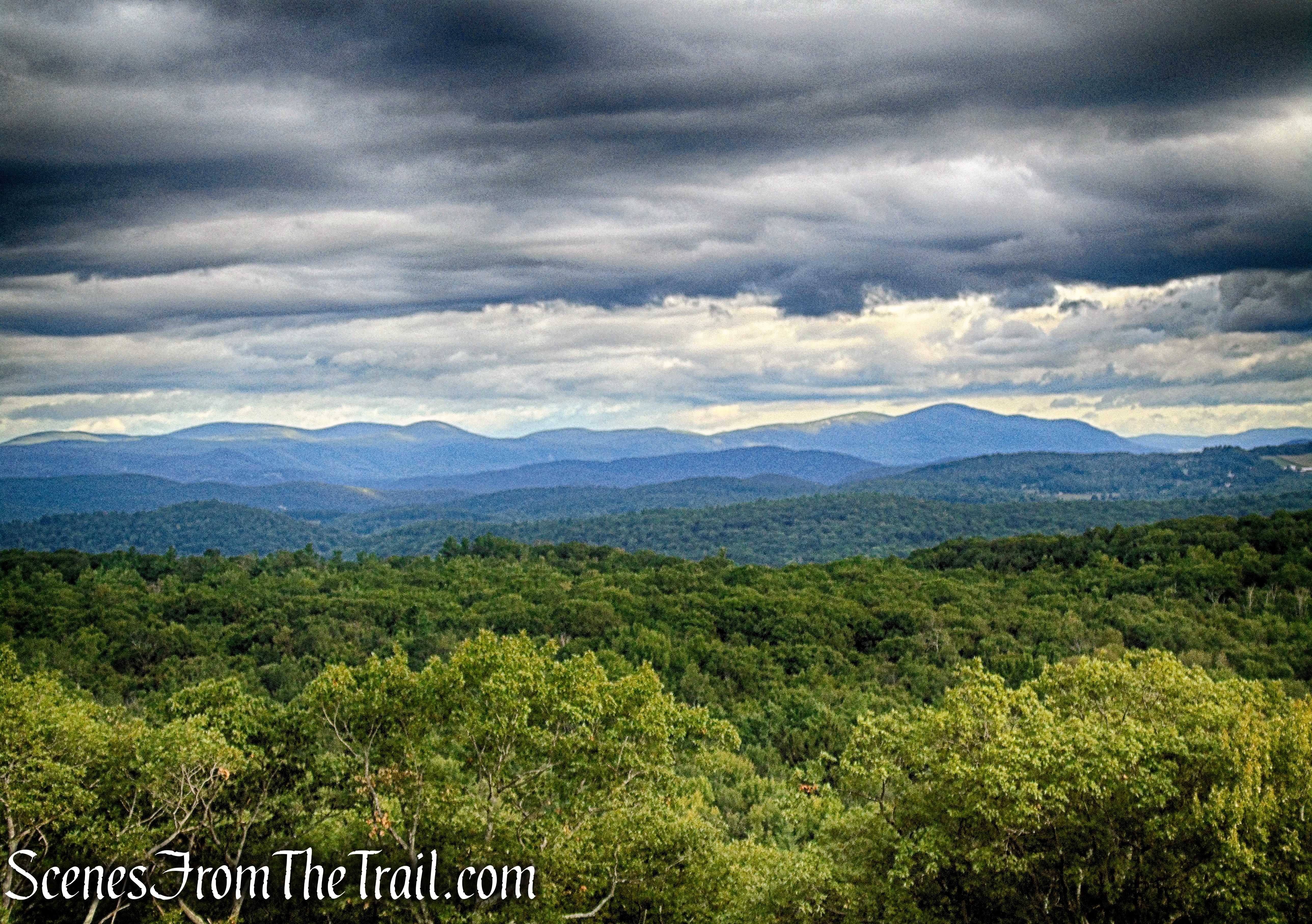
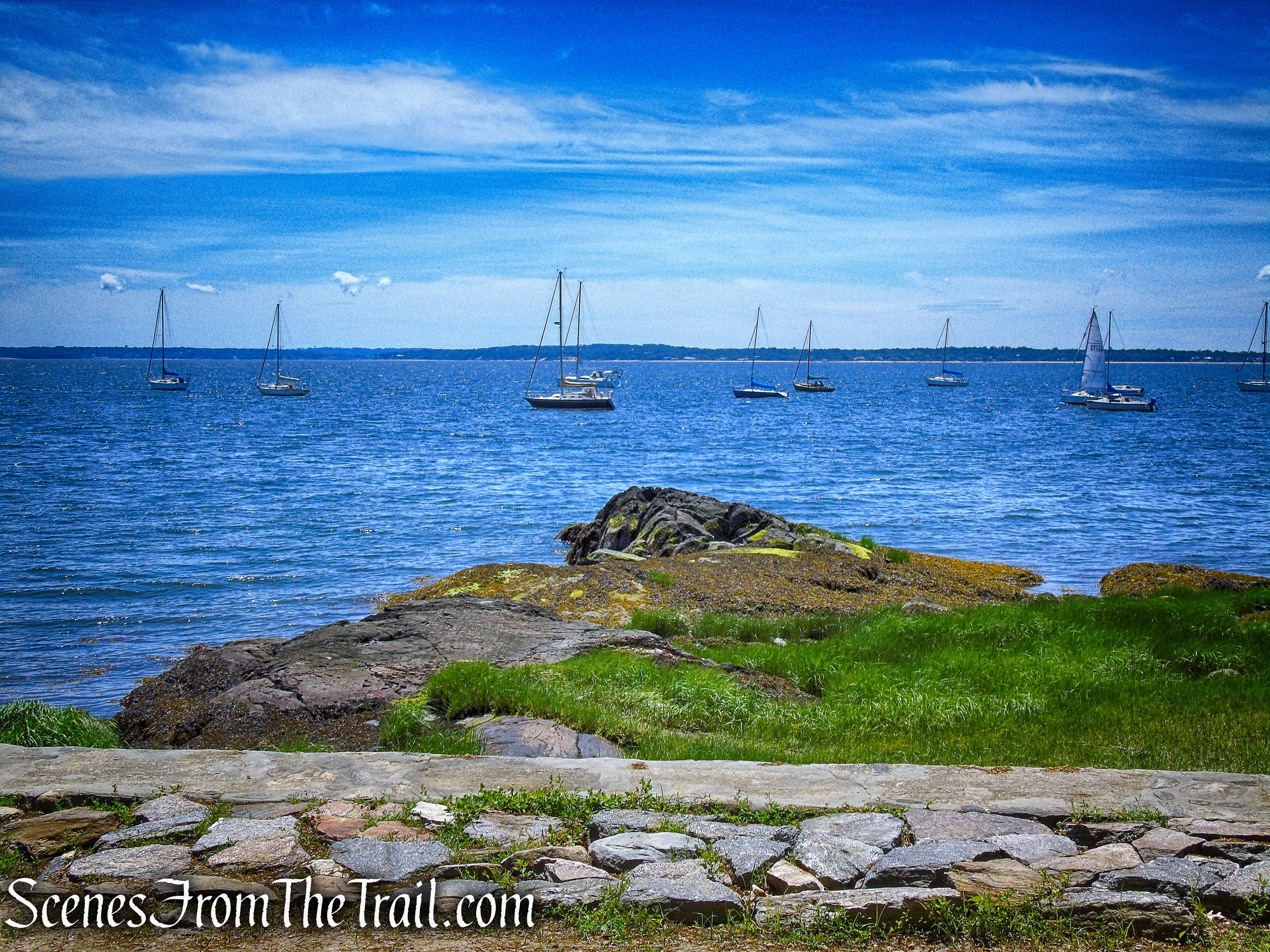
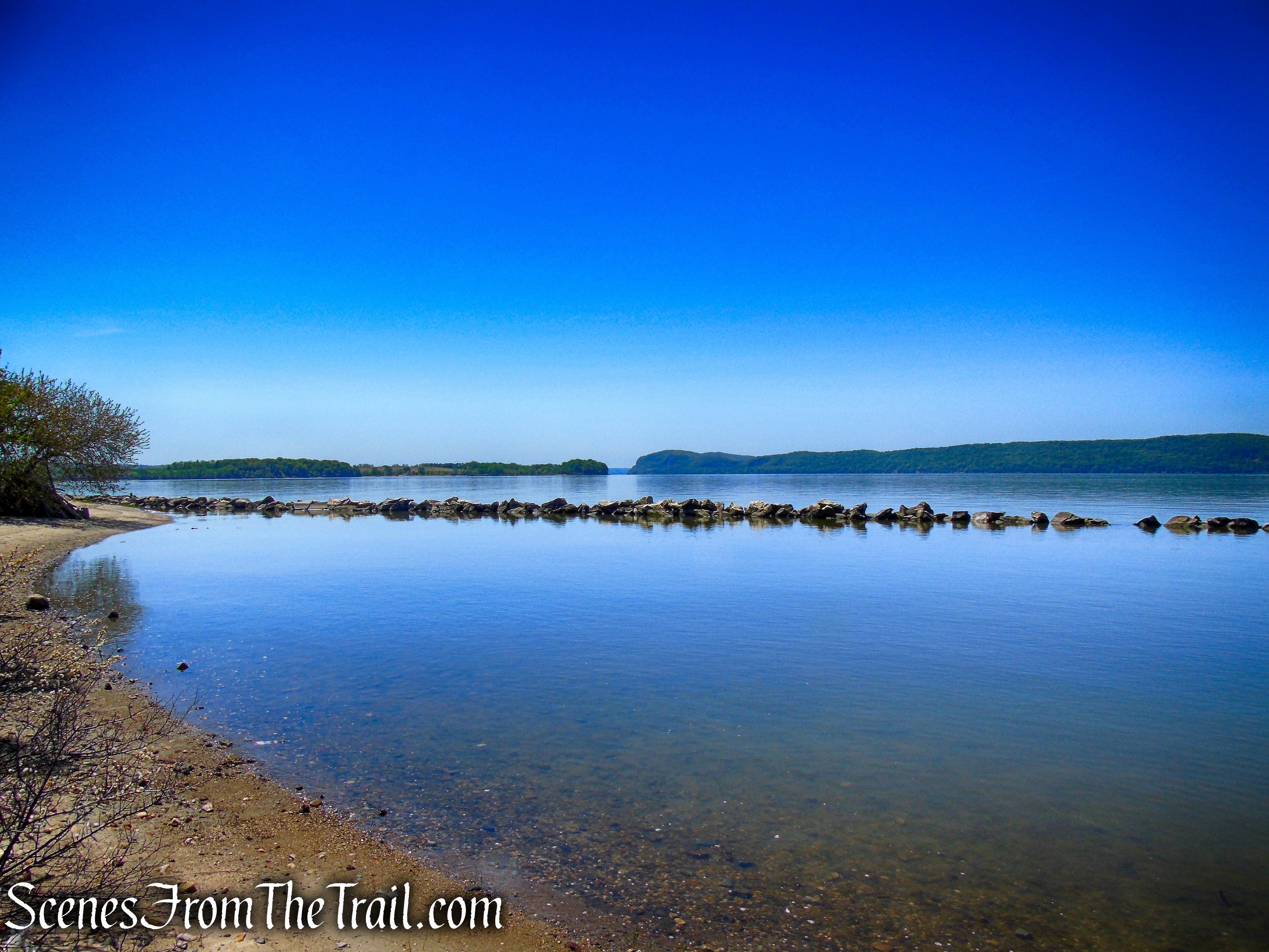
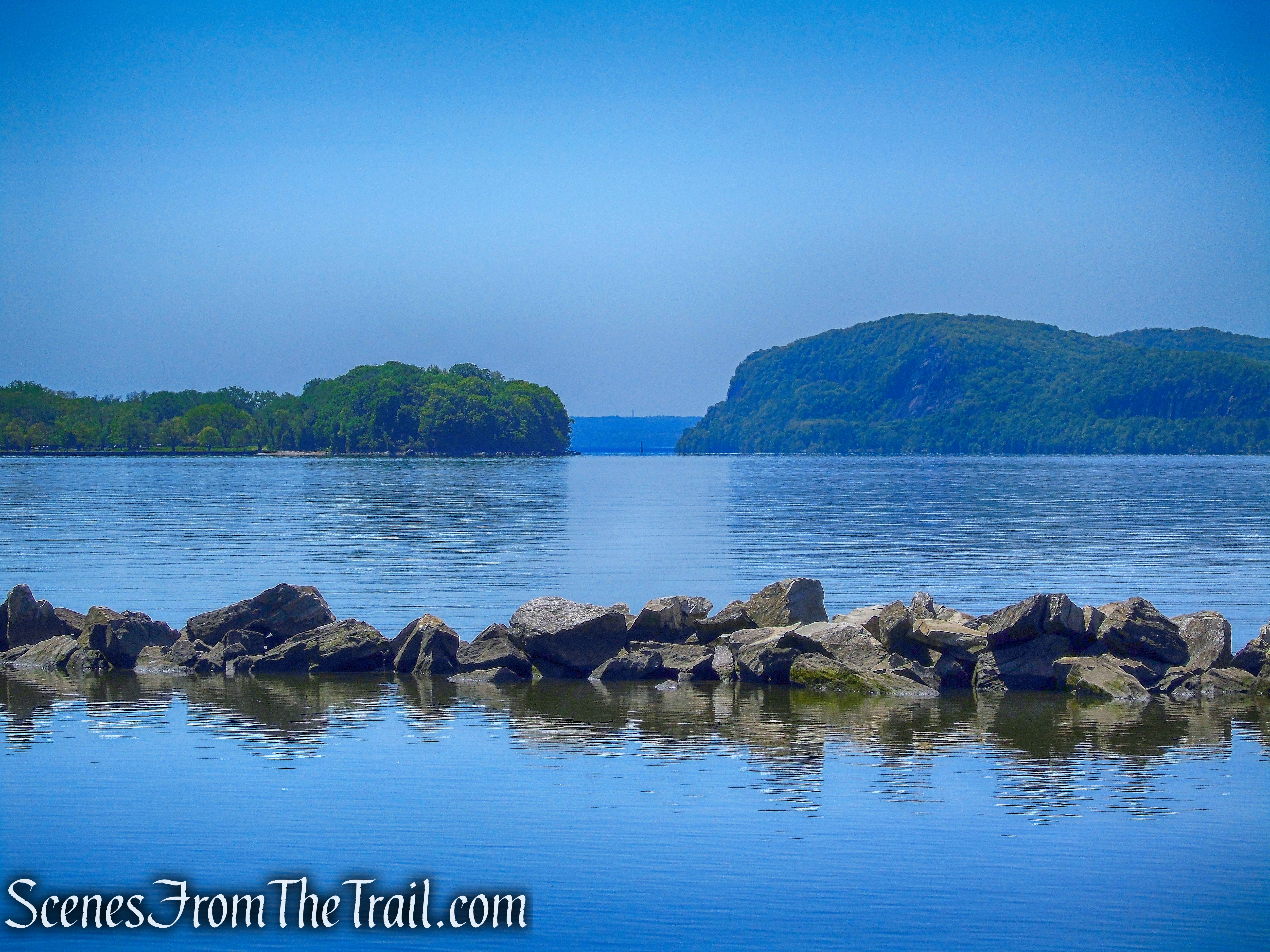
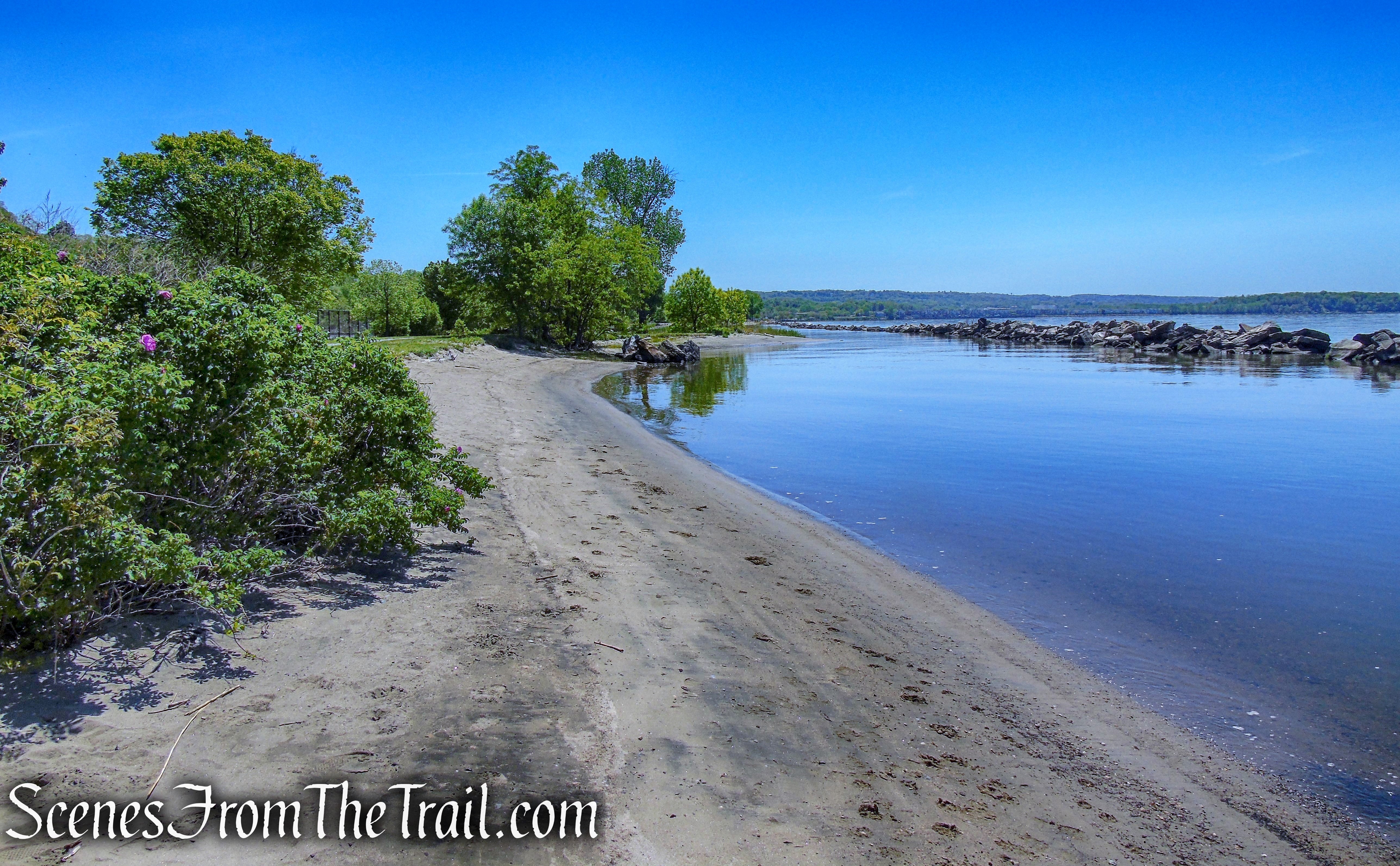
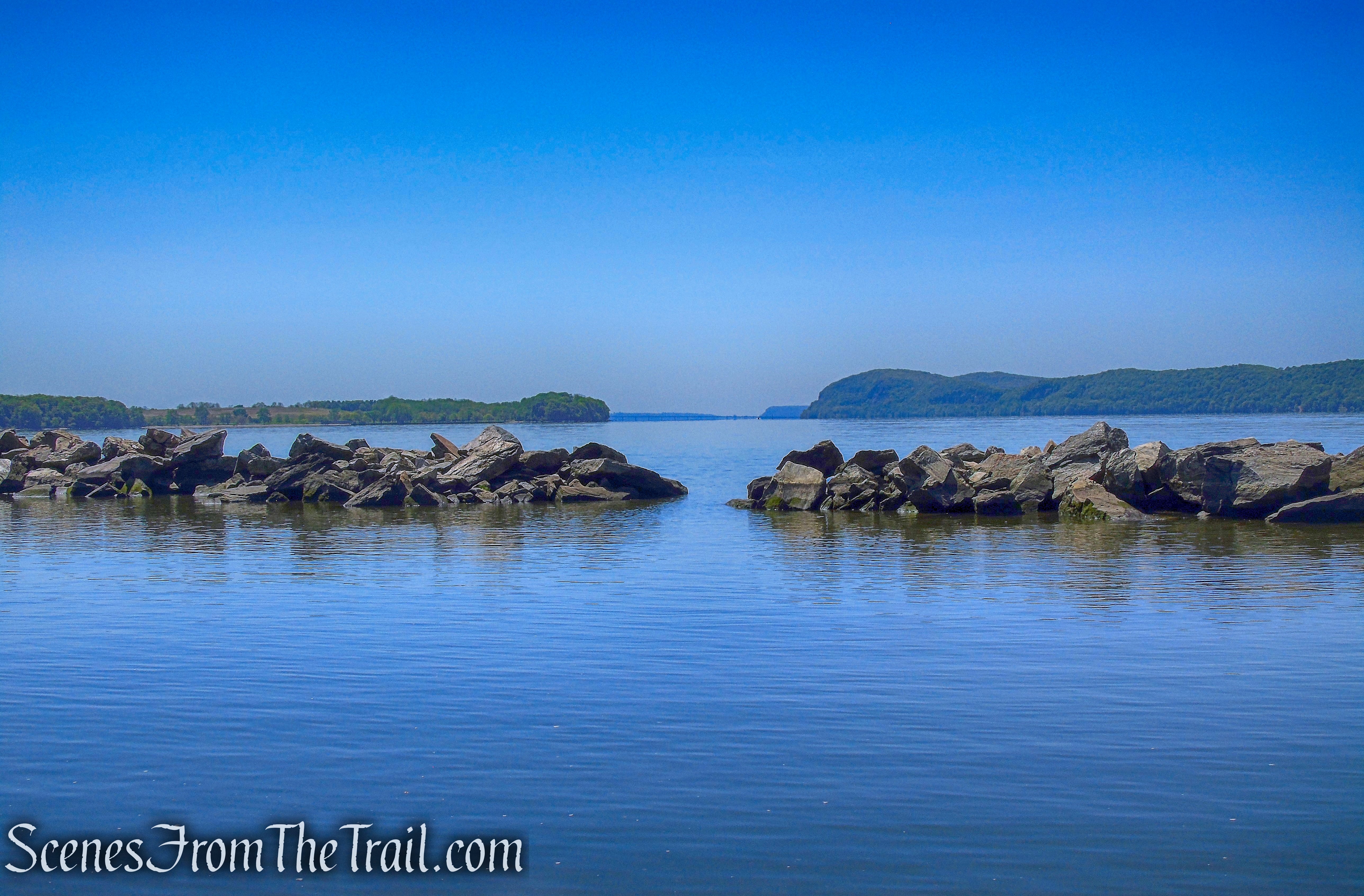
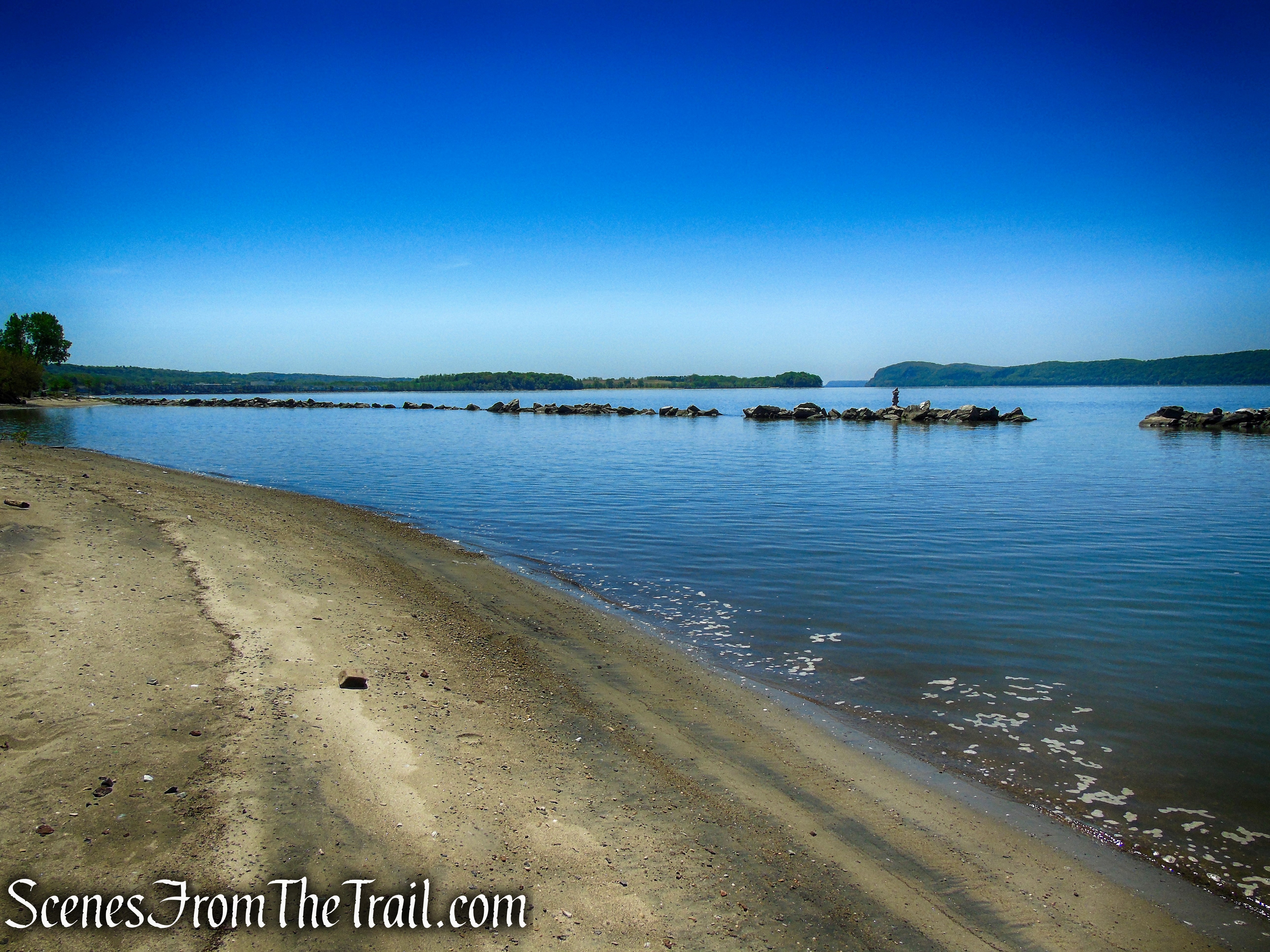
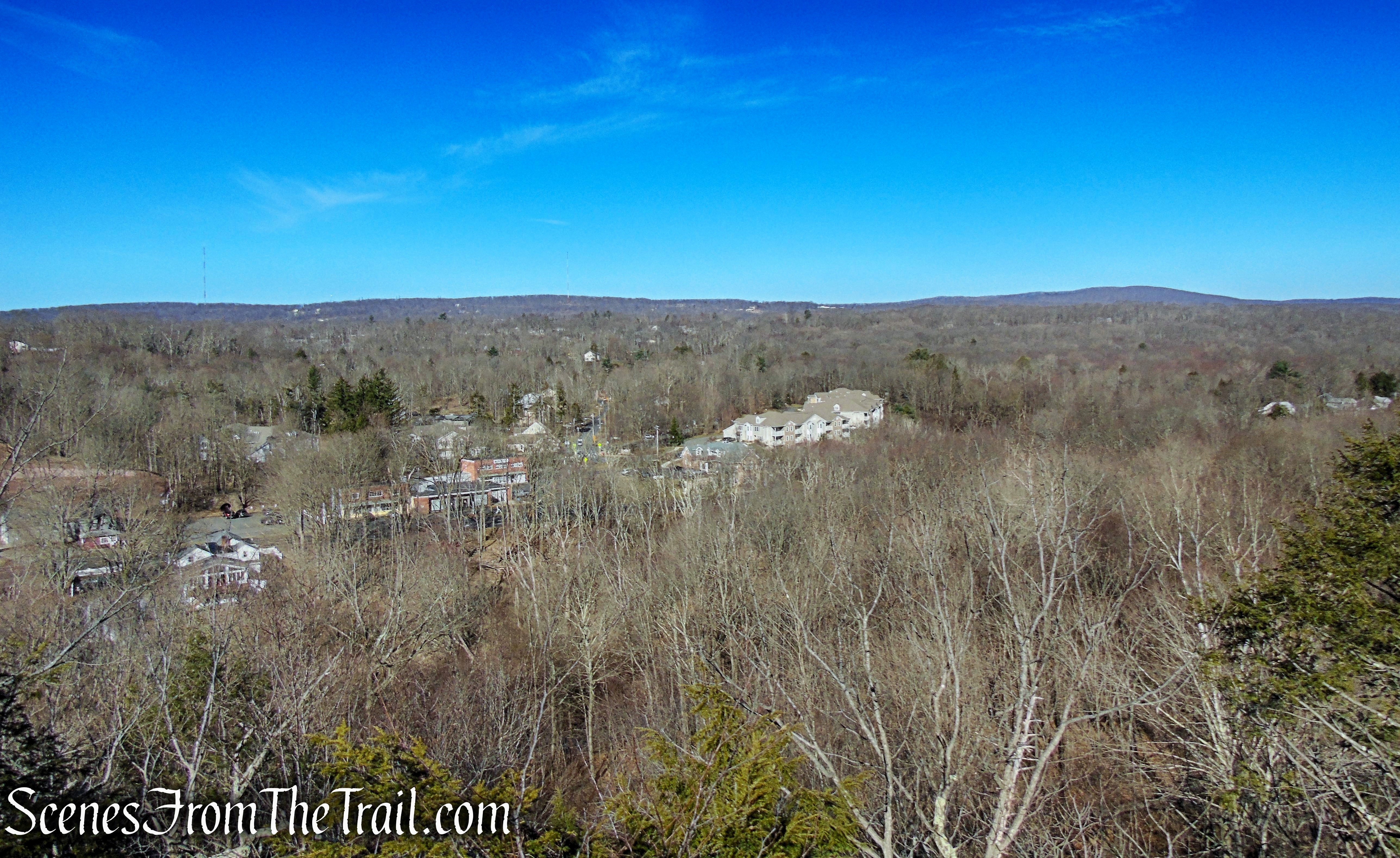
Looking northwest, the Hudson River, Catskill Mountains and the Kingston-Rhinecliff Bridge.
Looking northwest – Ferncliff Forest Fire Tower
Looking northwest – Ferncliff Forest Fire Tower
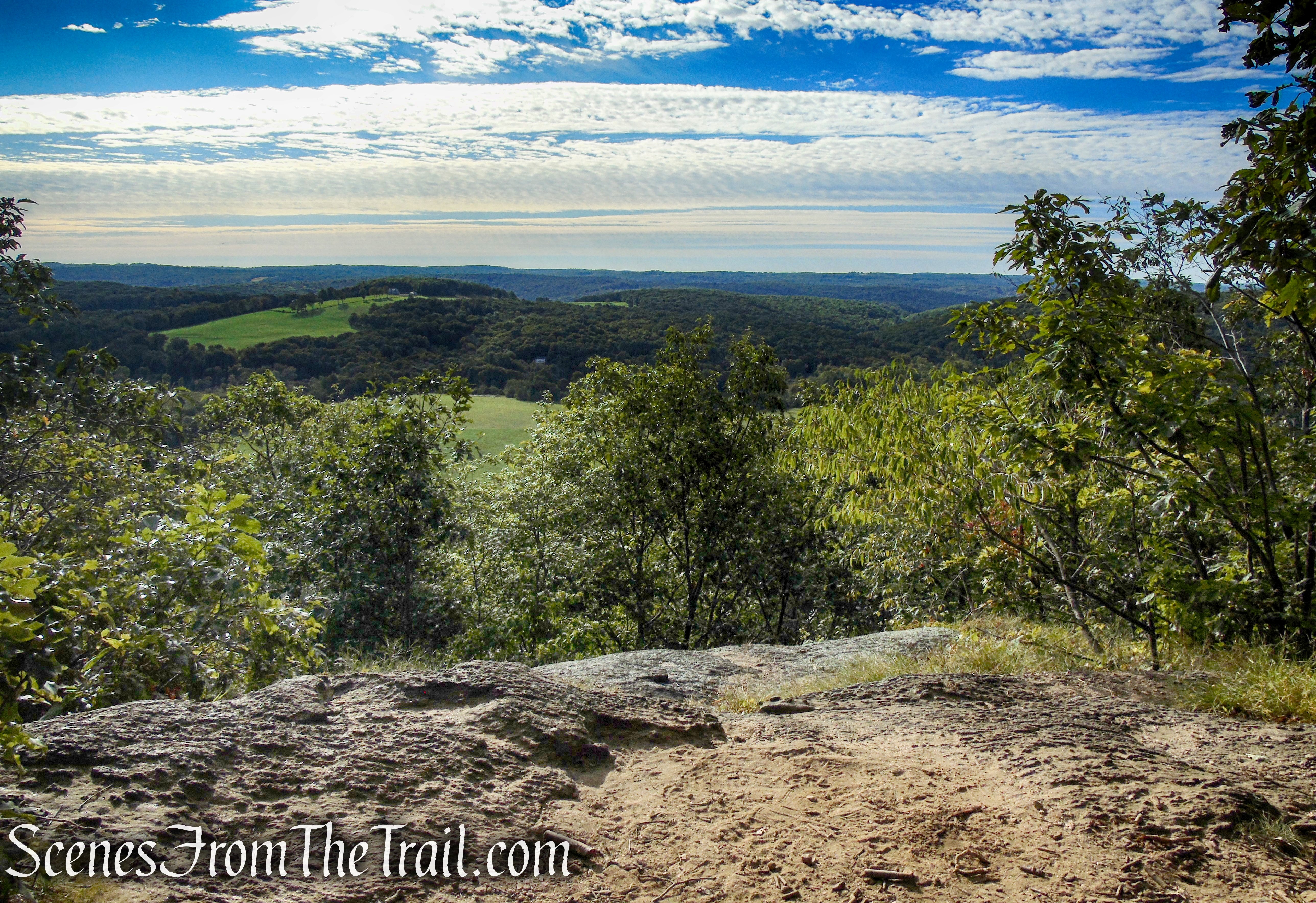
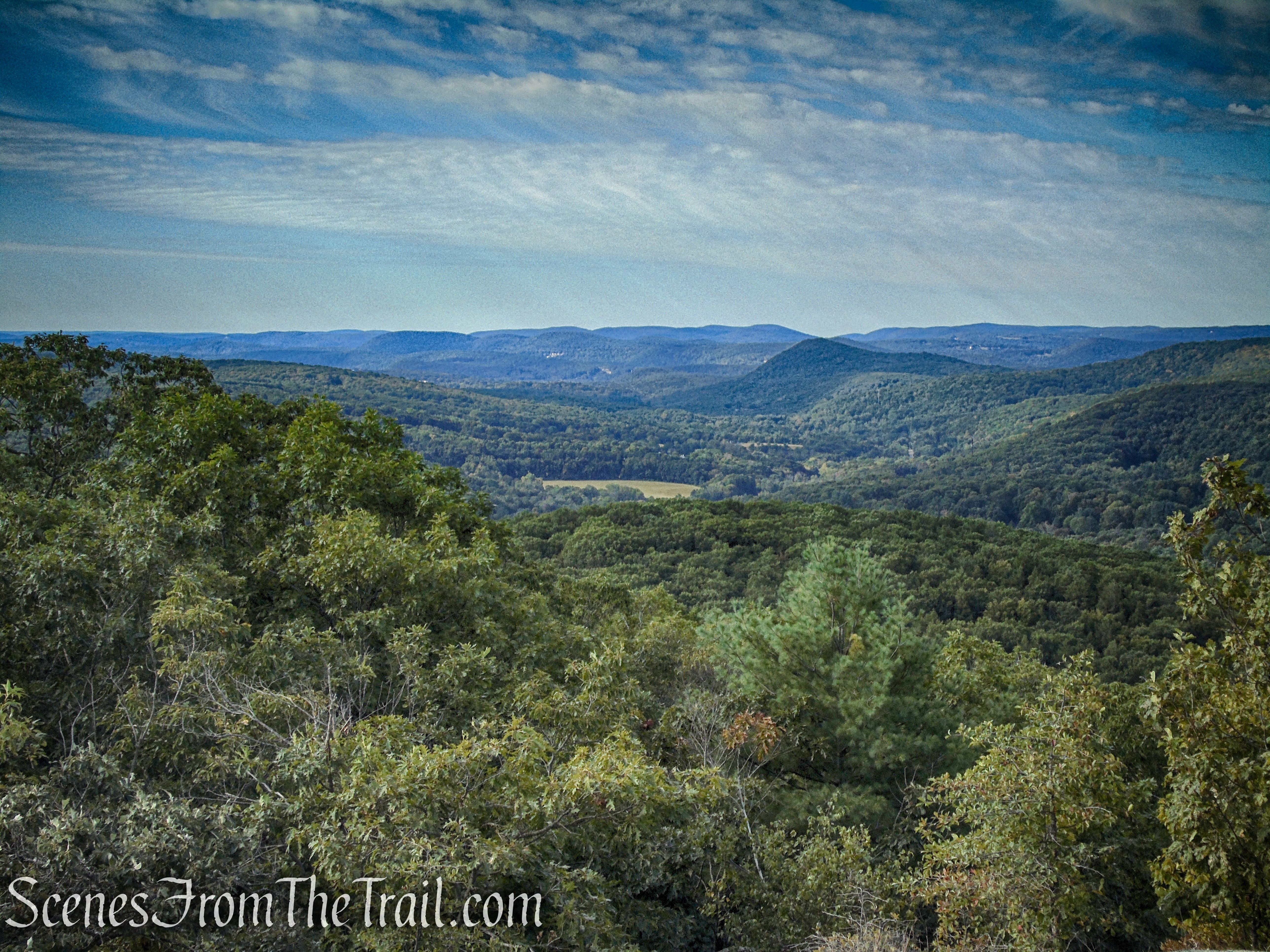
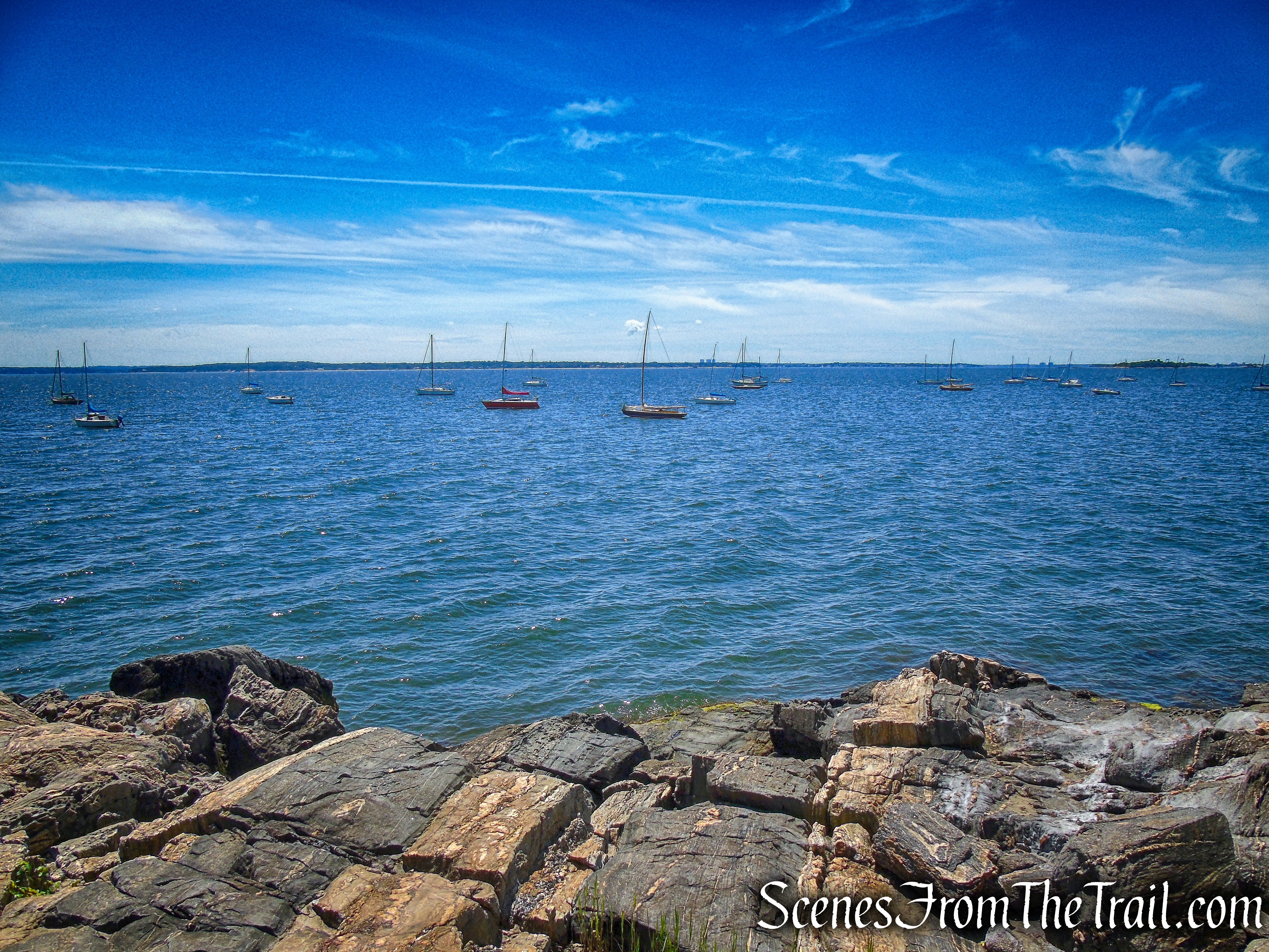
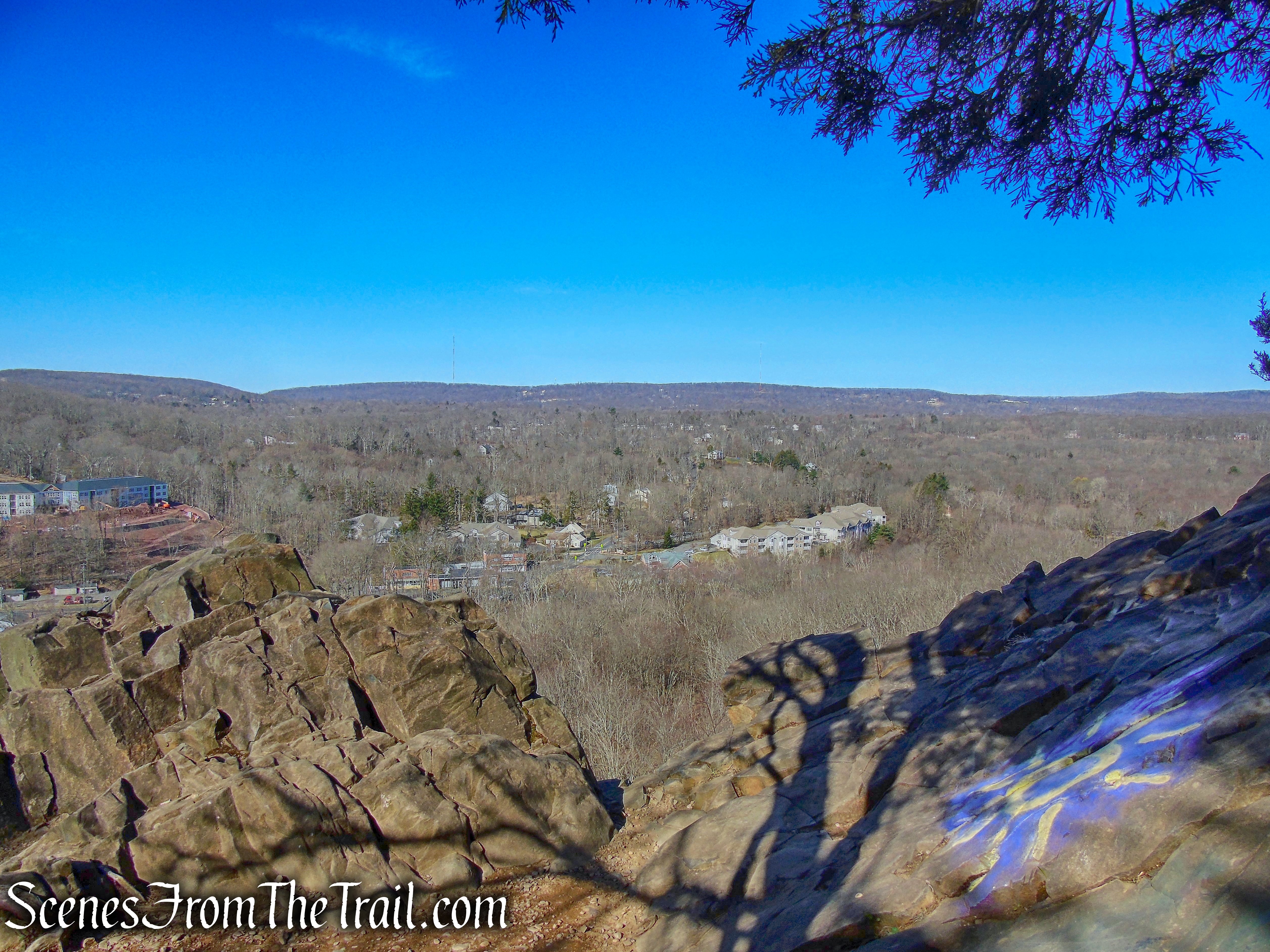
Looking southwest.
Looking southwest – Ferncliff Forest Fire Tower
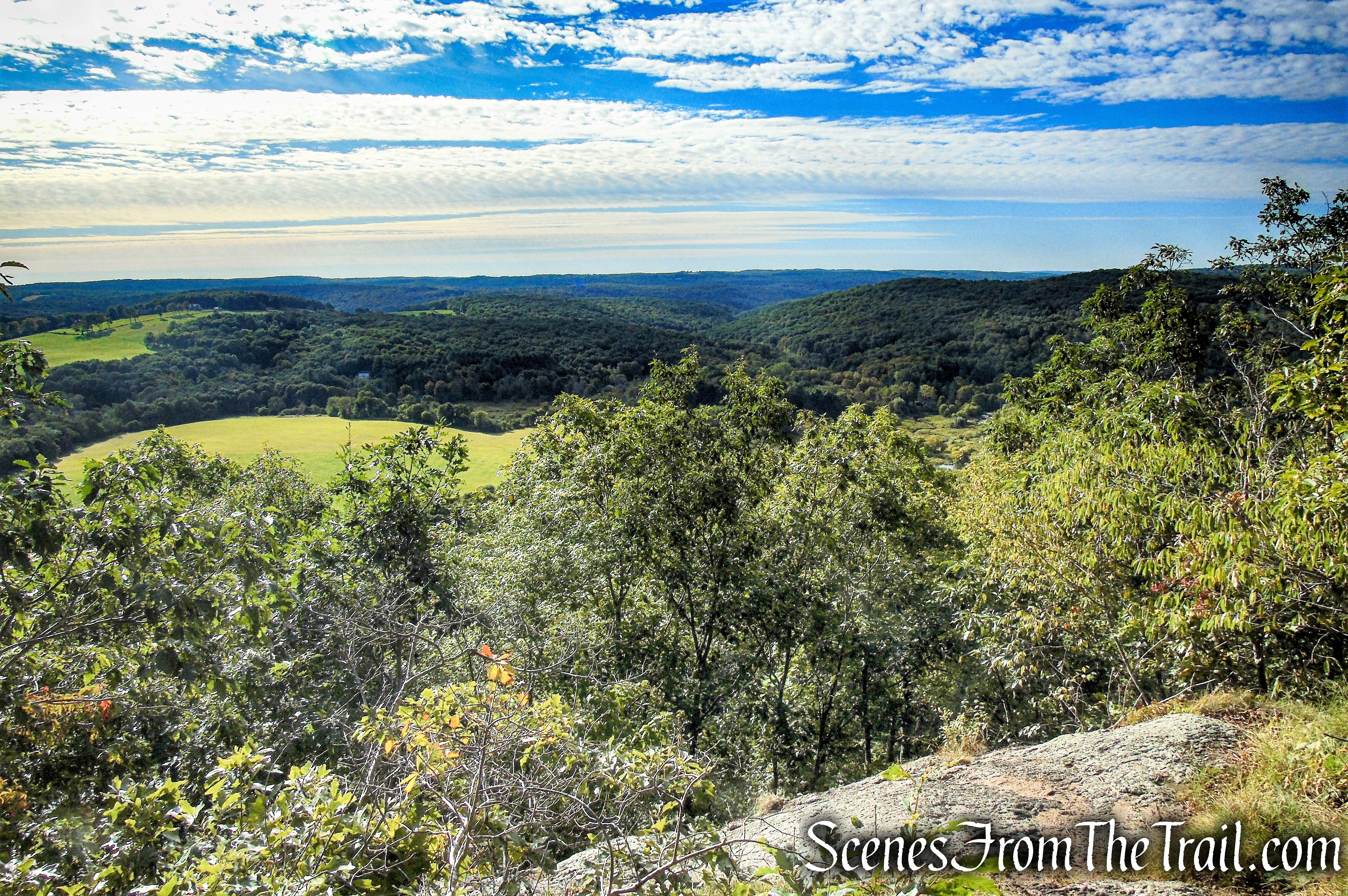
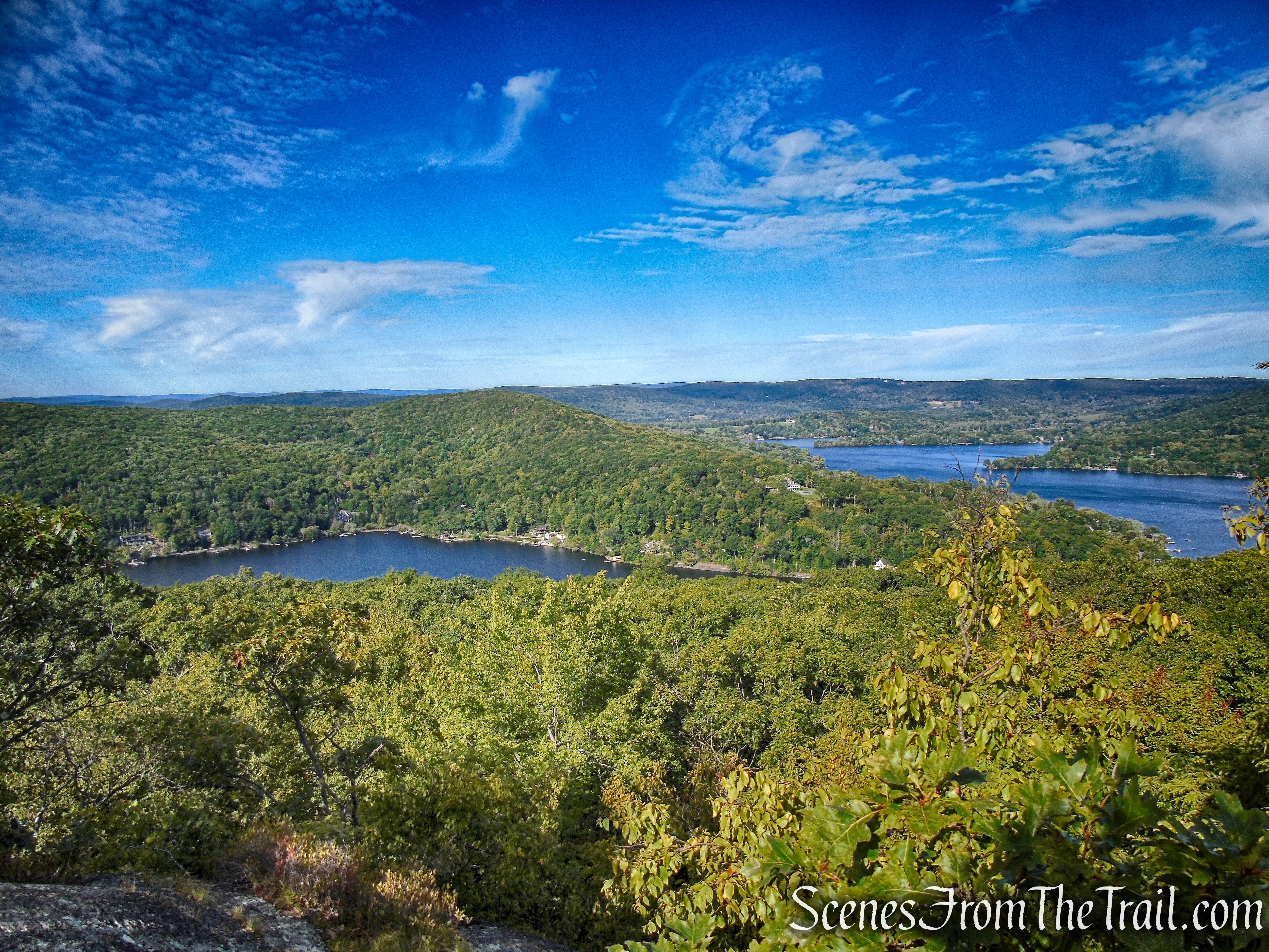
Looking northeast.
Looking northeast – Ferncliff Forest Fire Tower
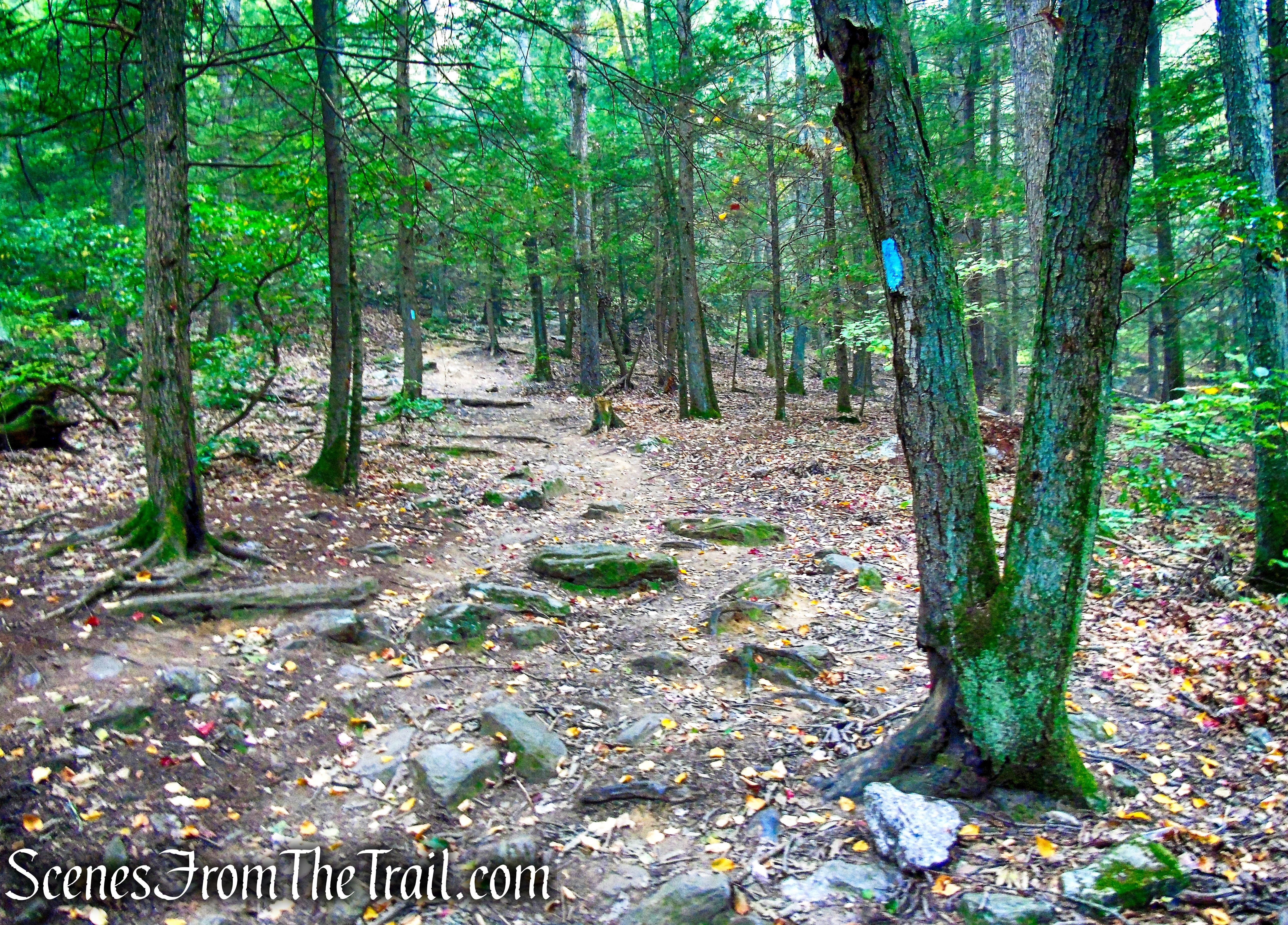
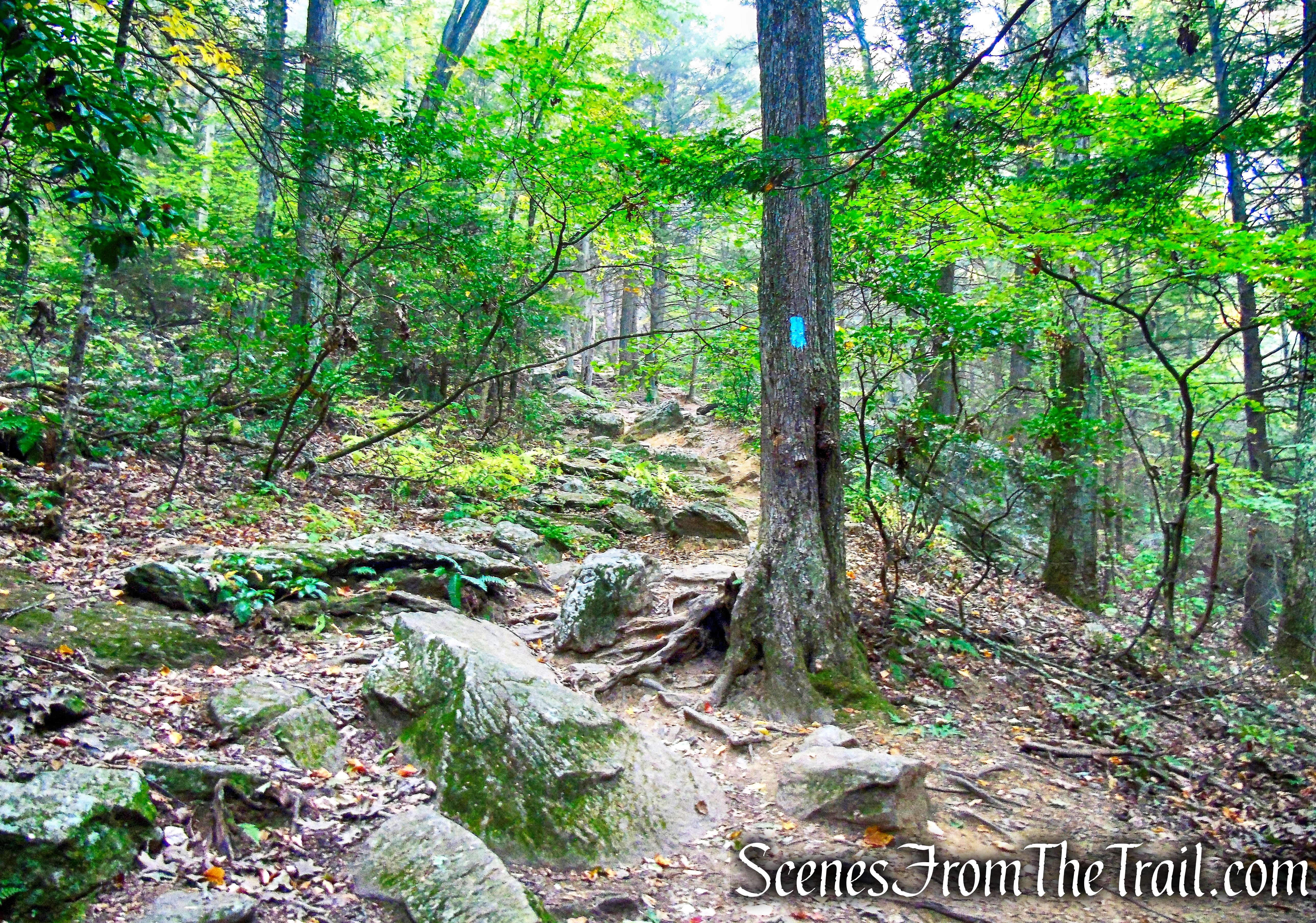
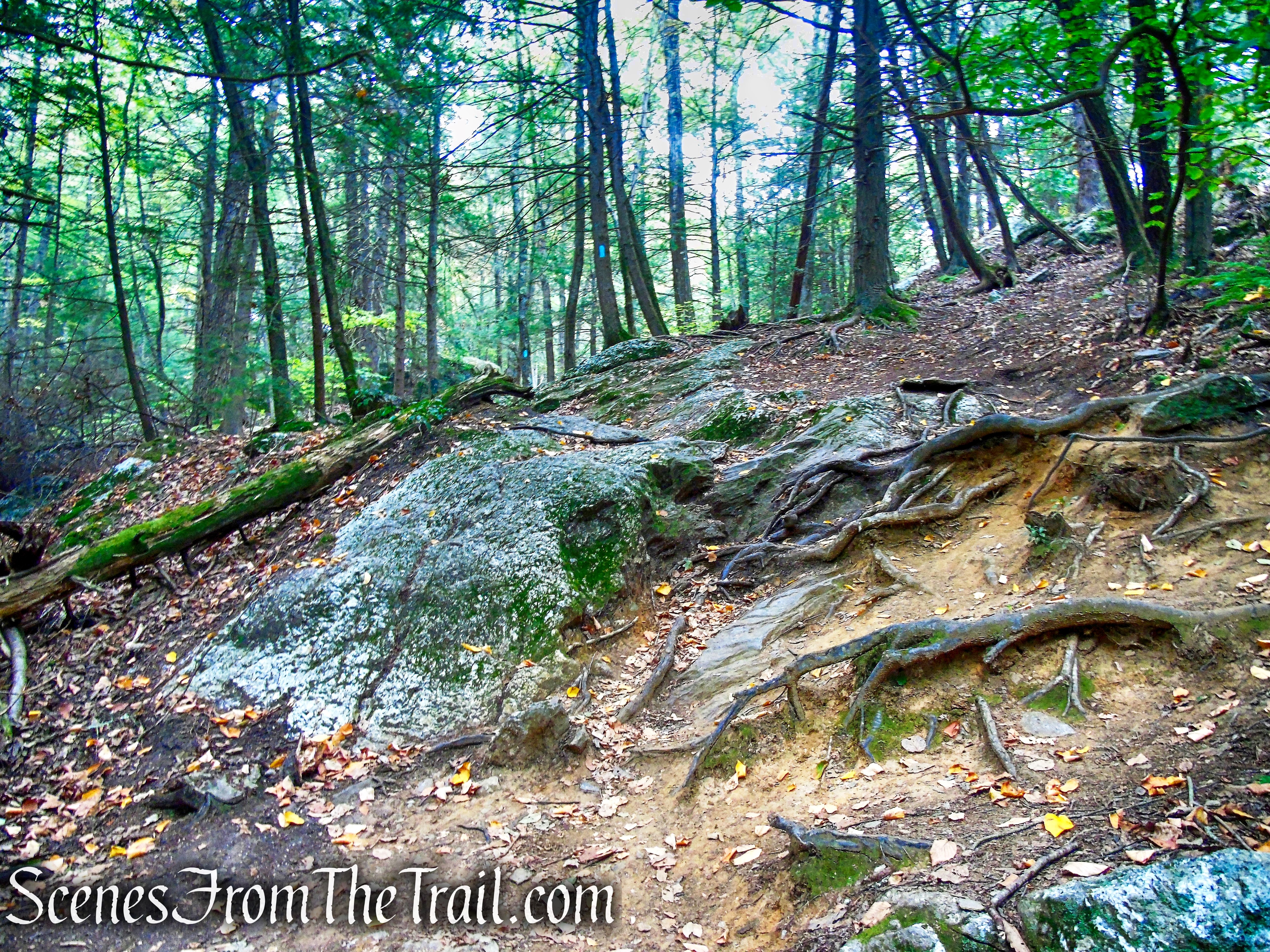
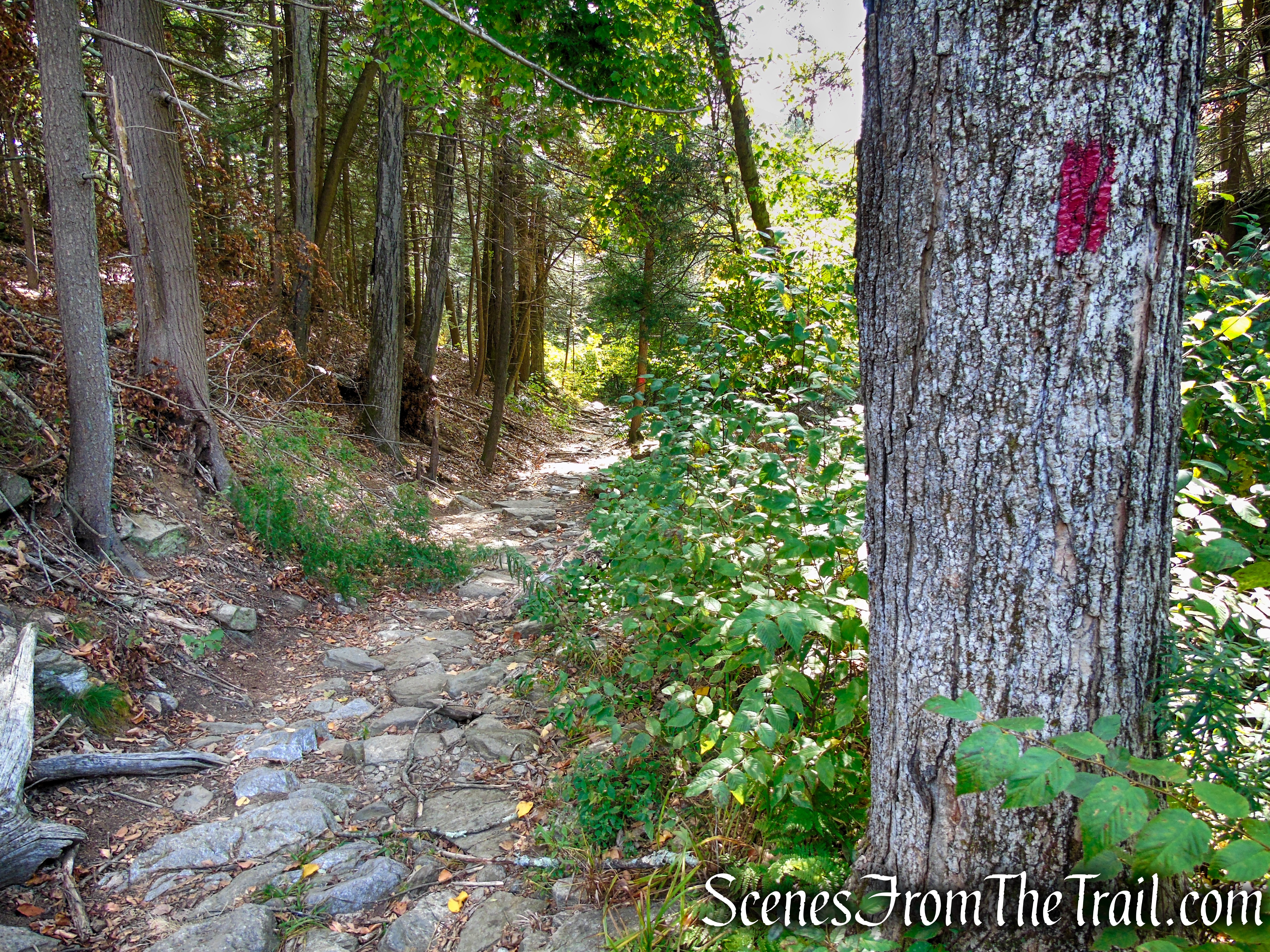
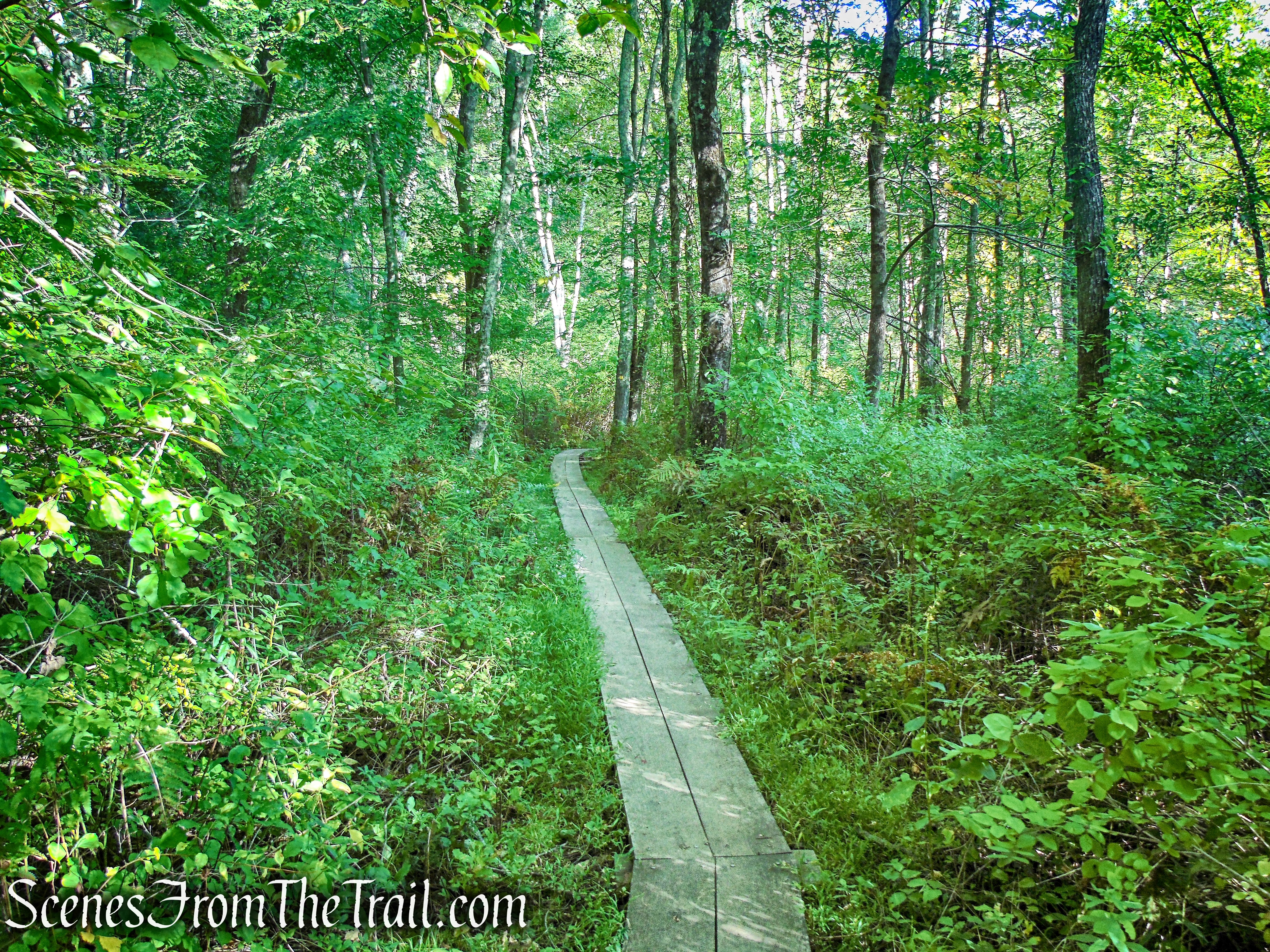
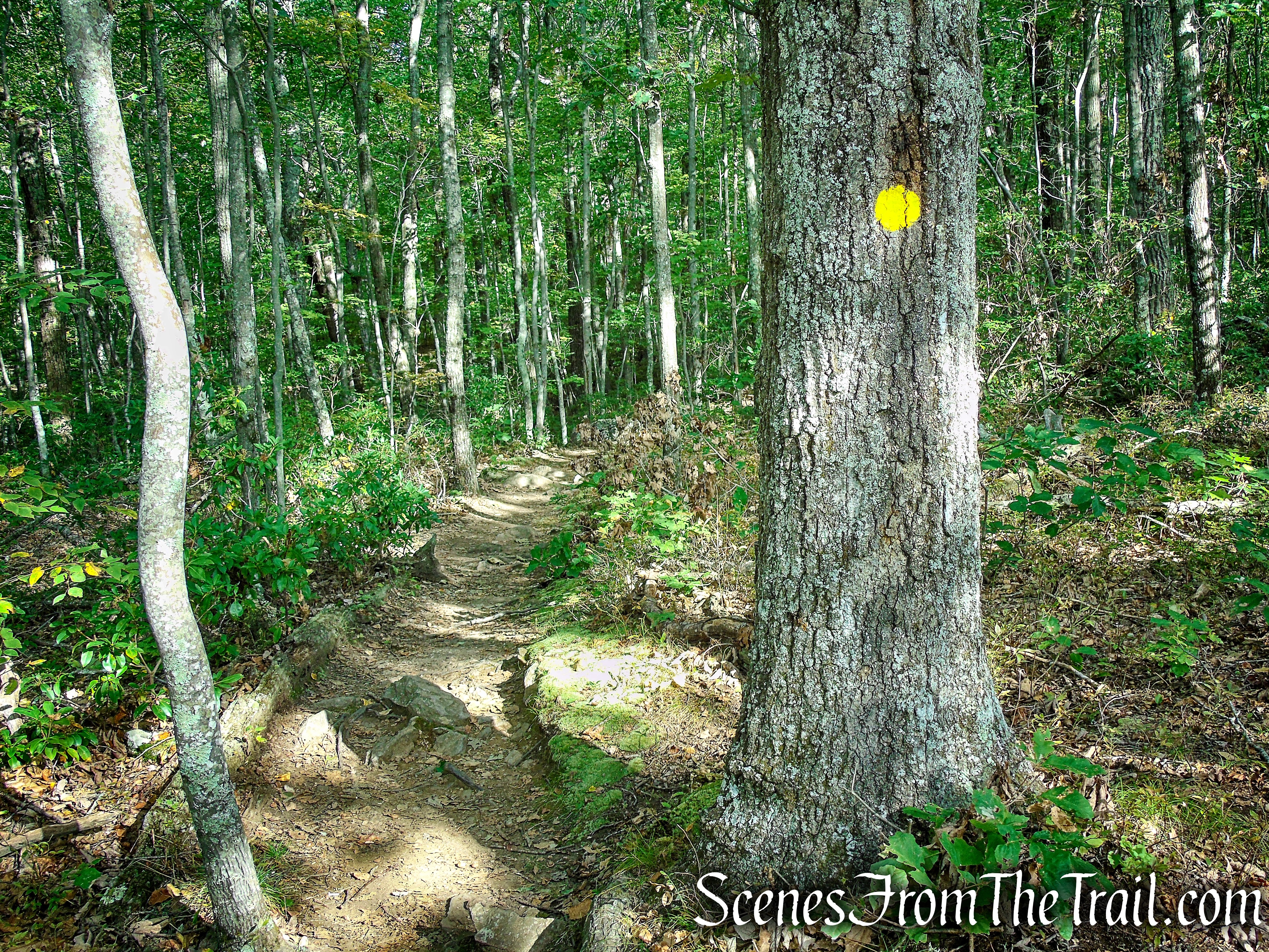
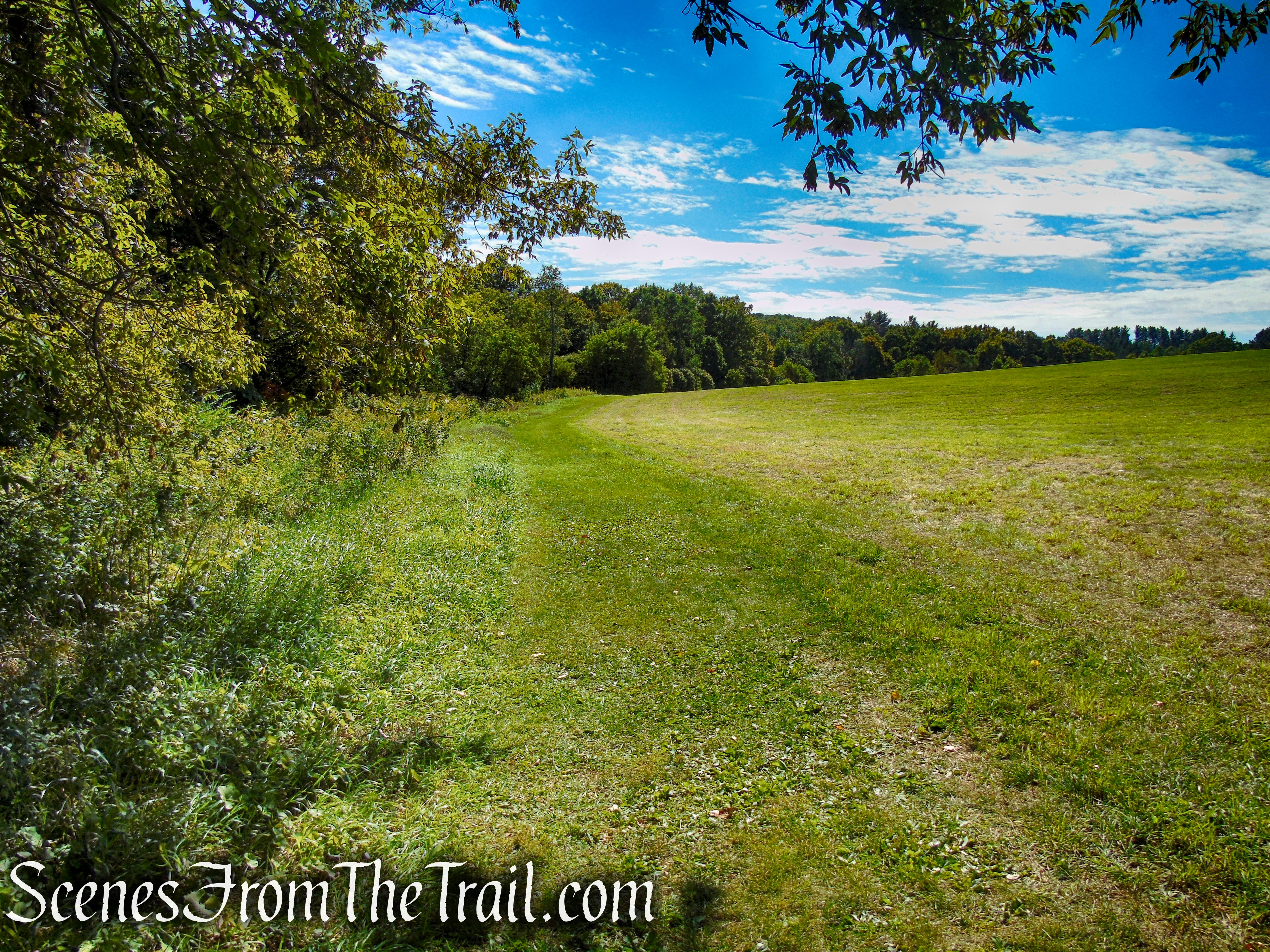
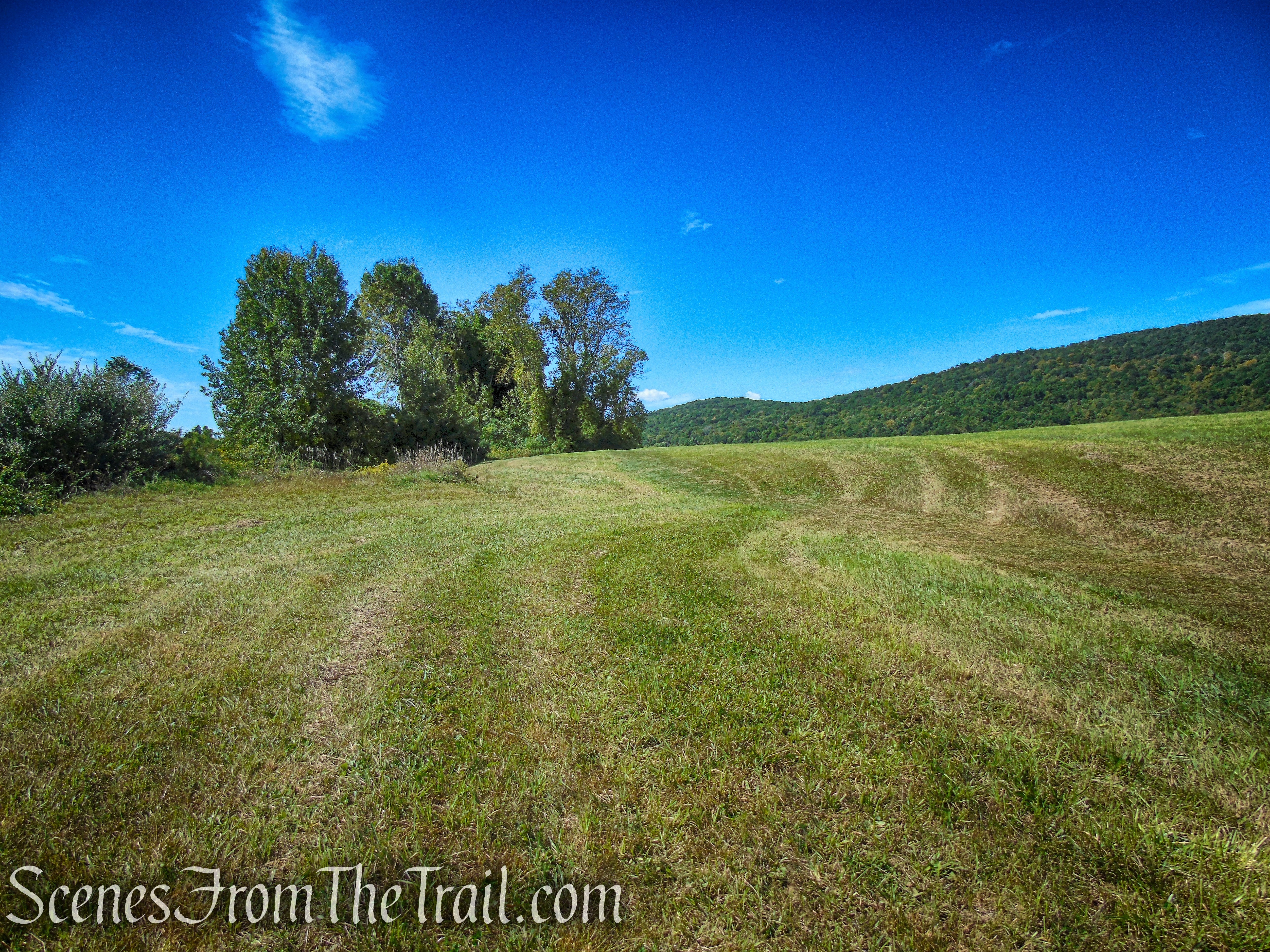
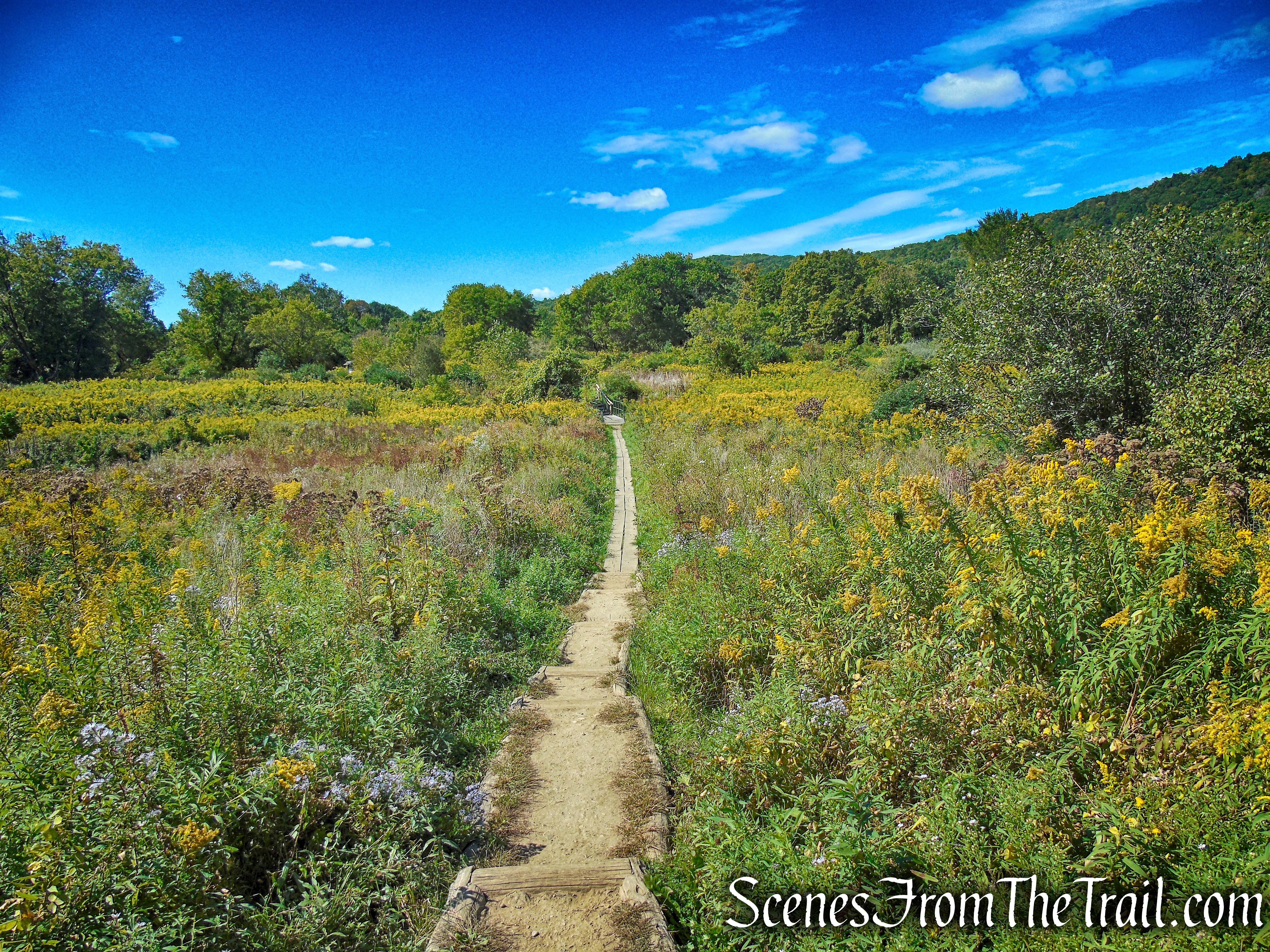
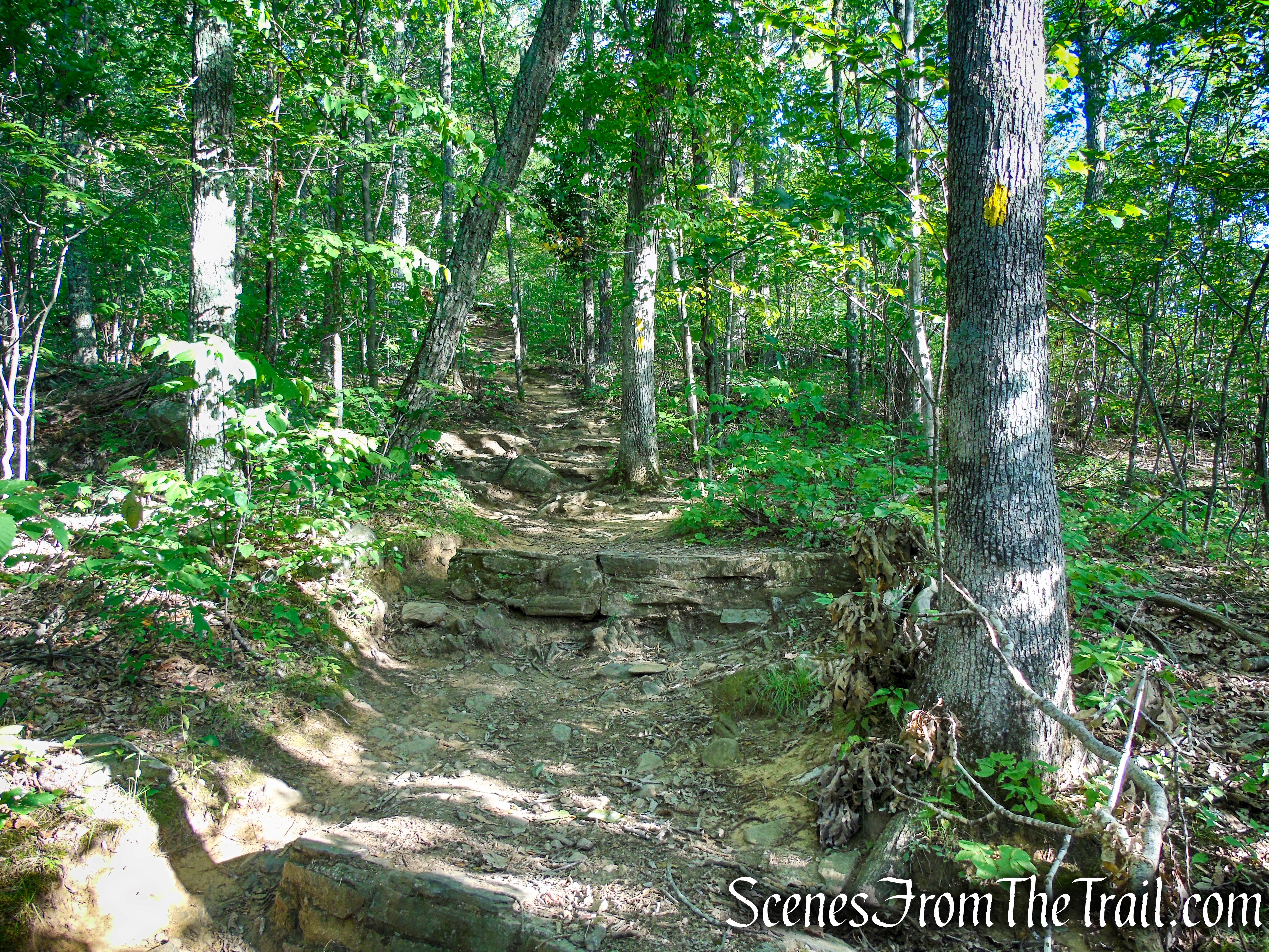
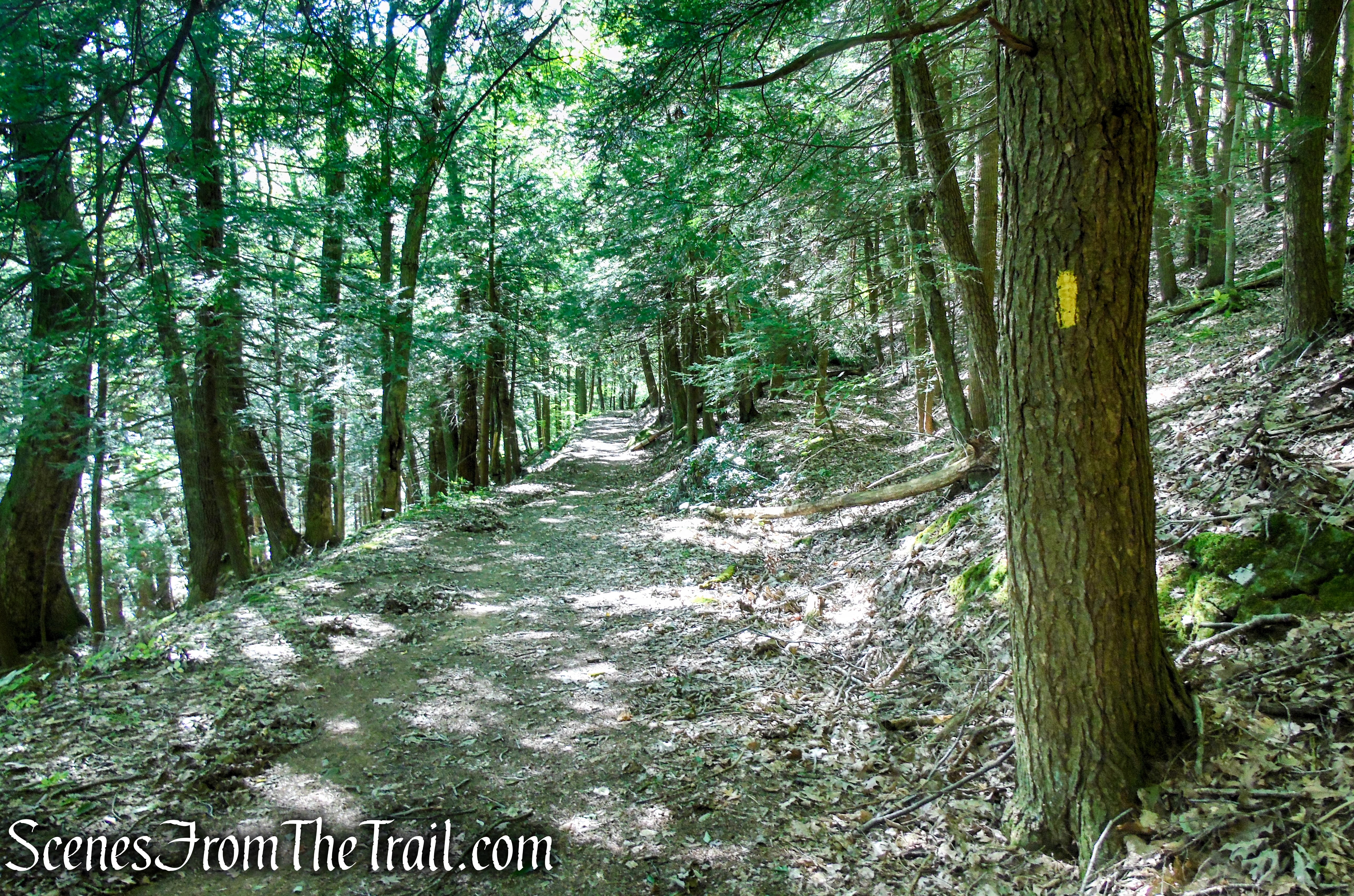
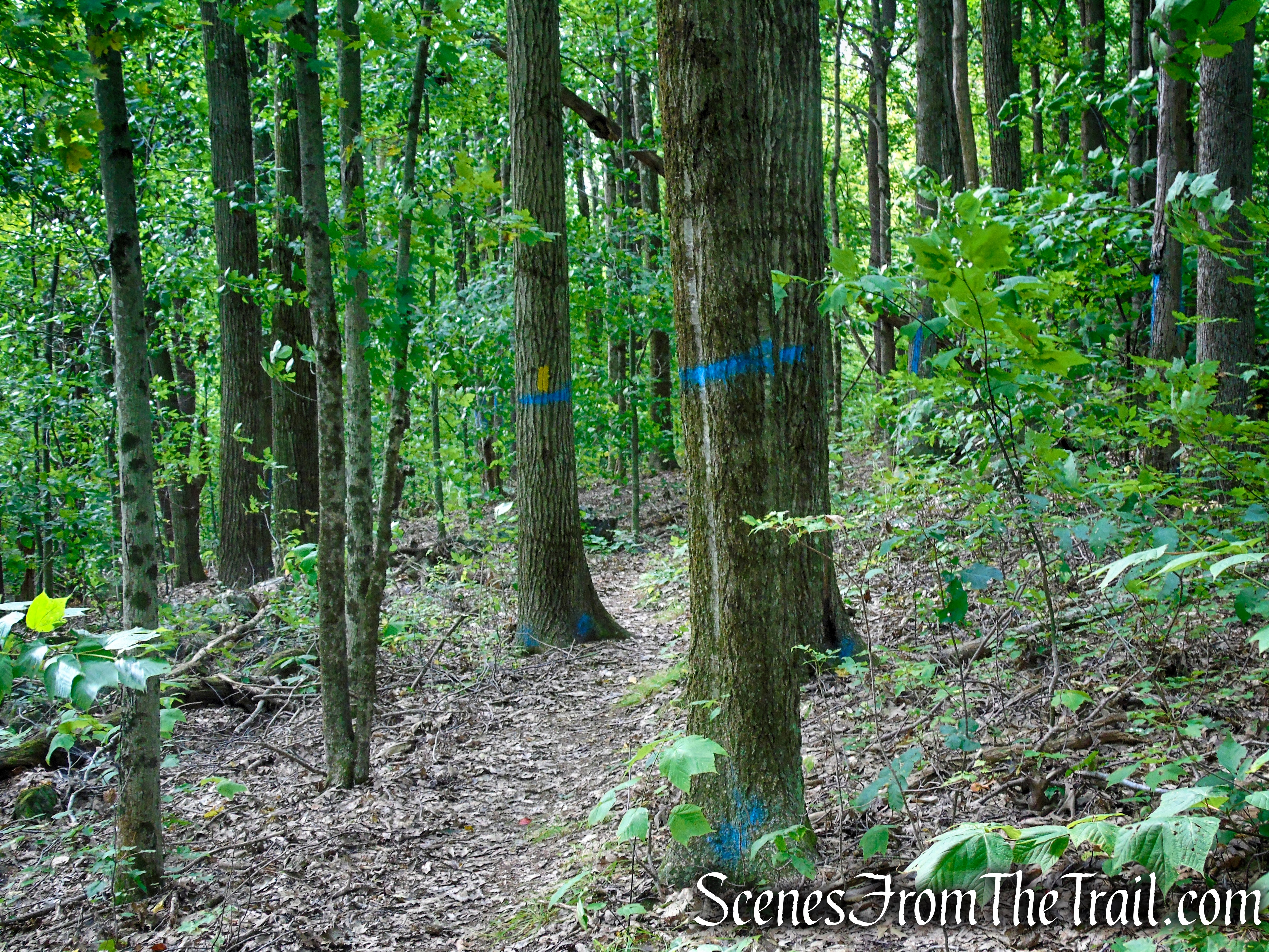
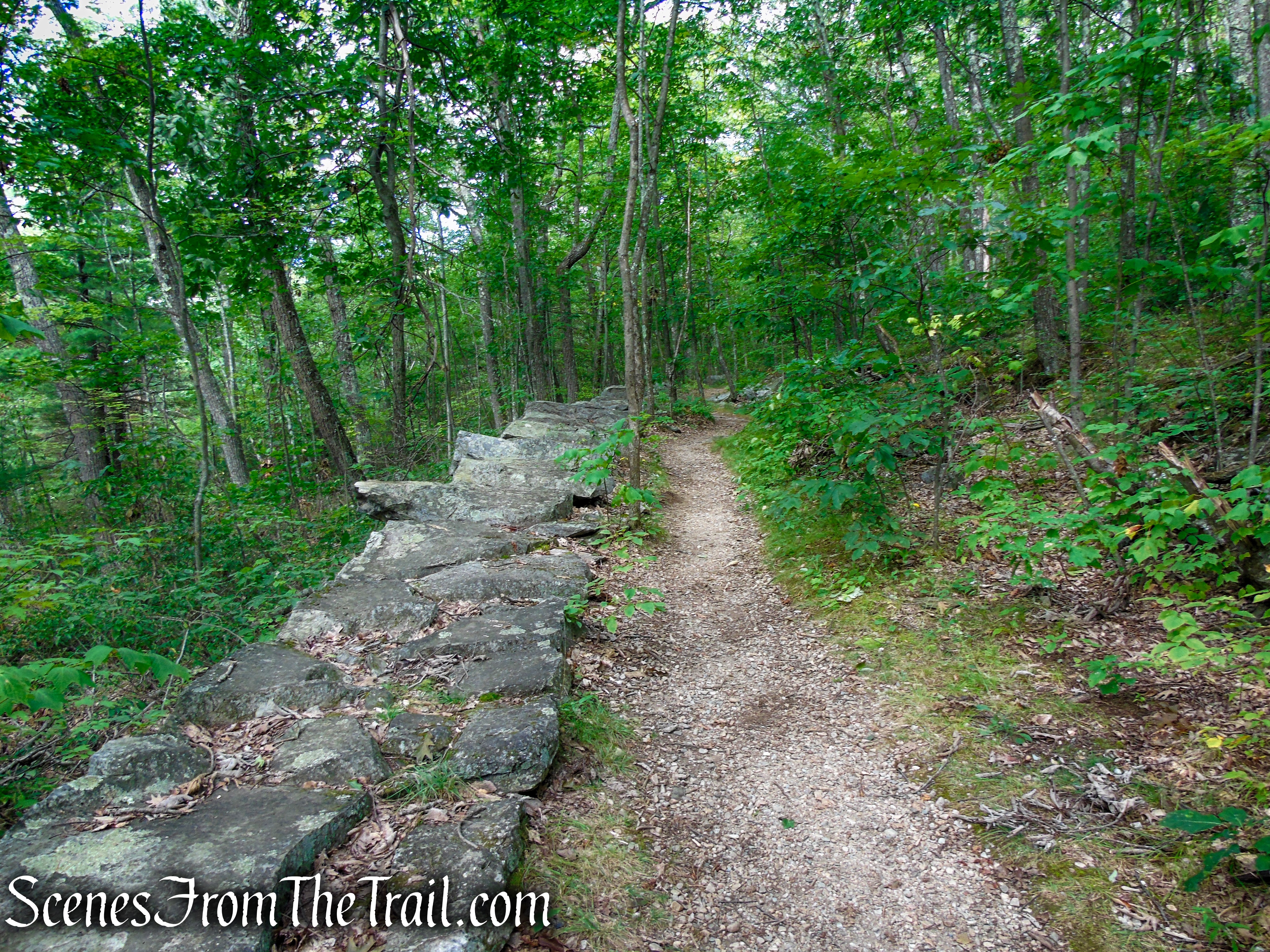
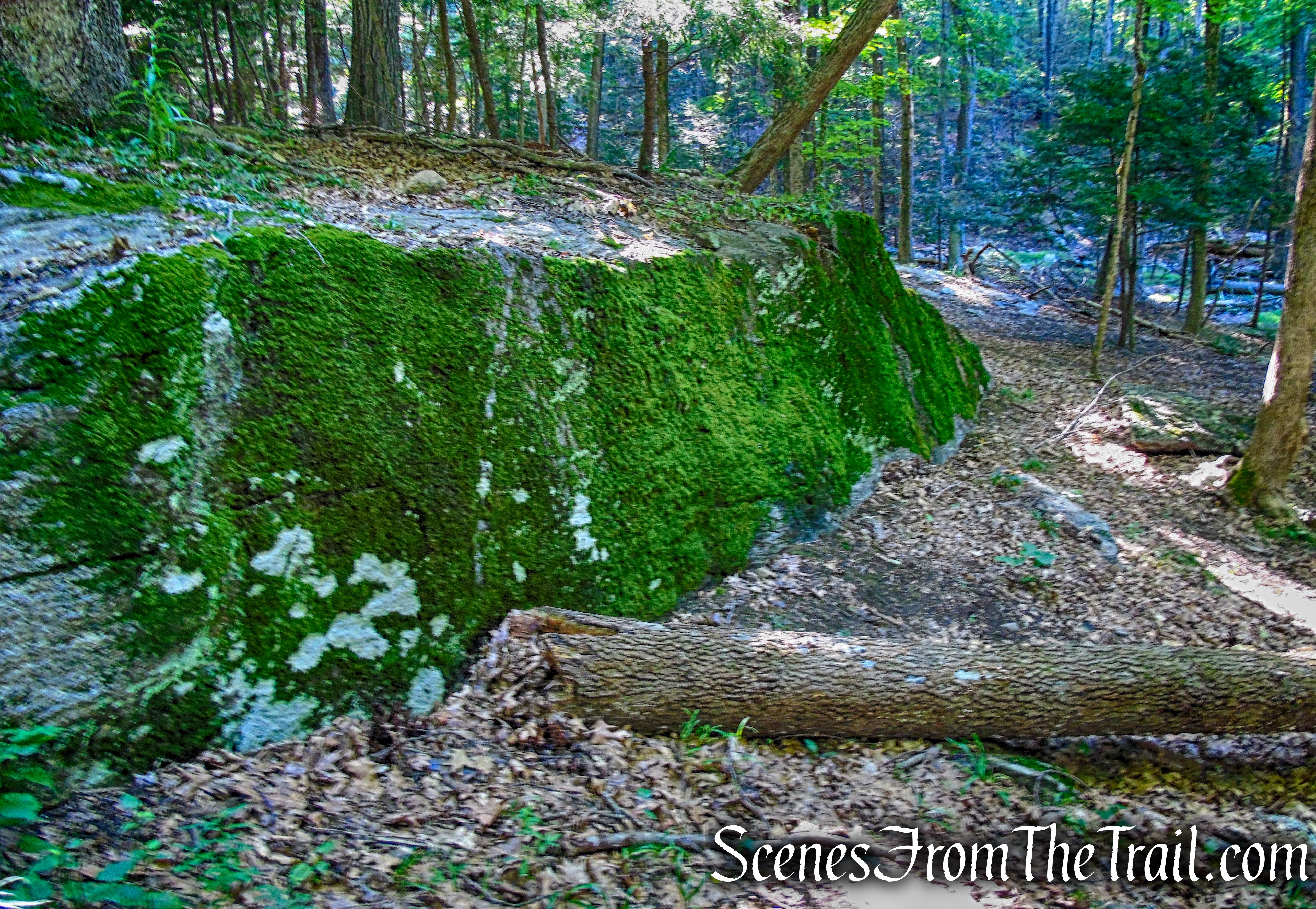
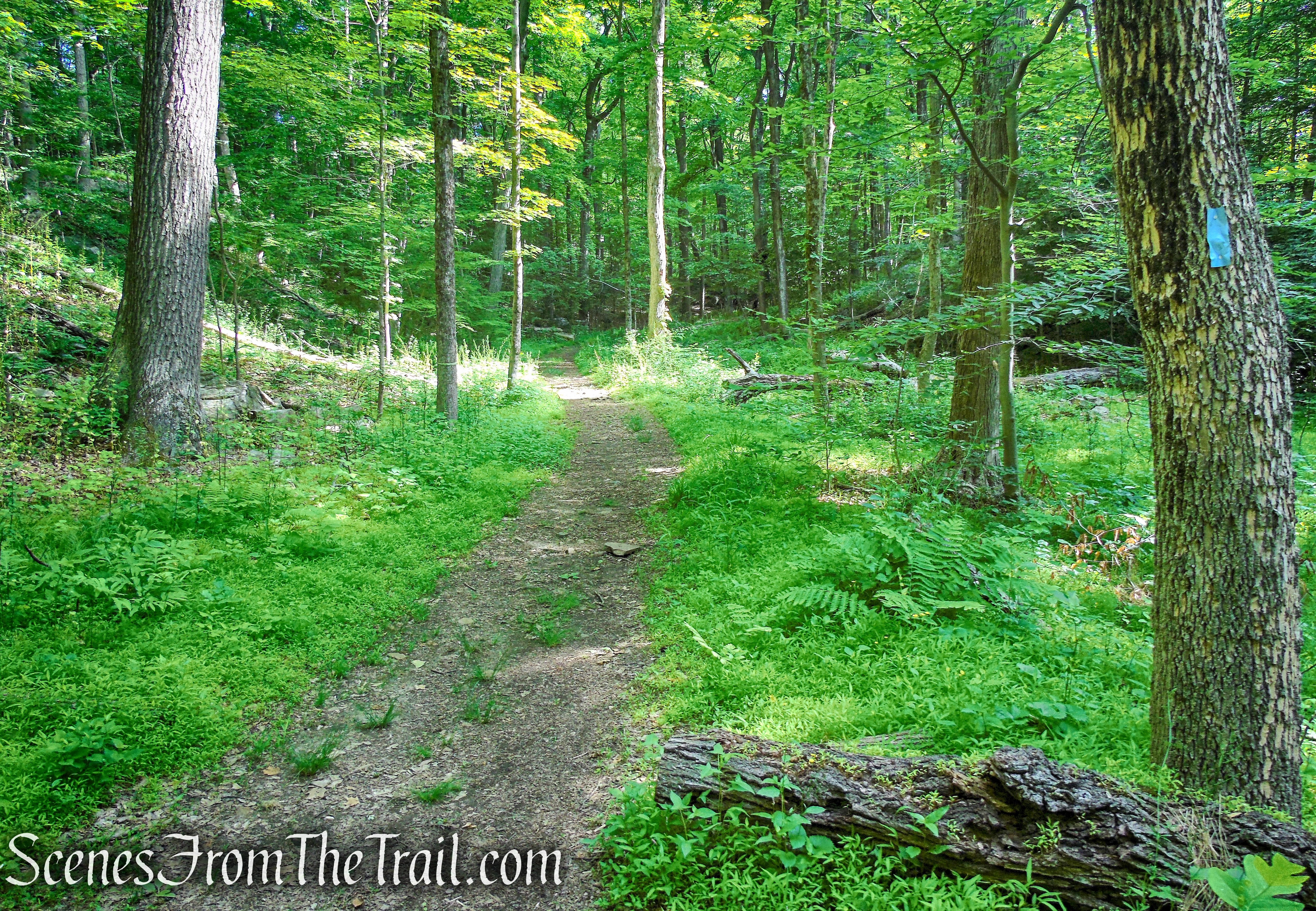
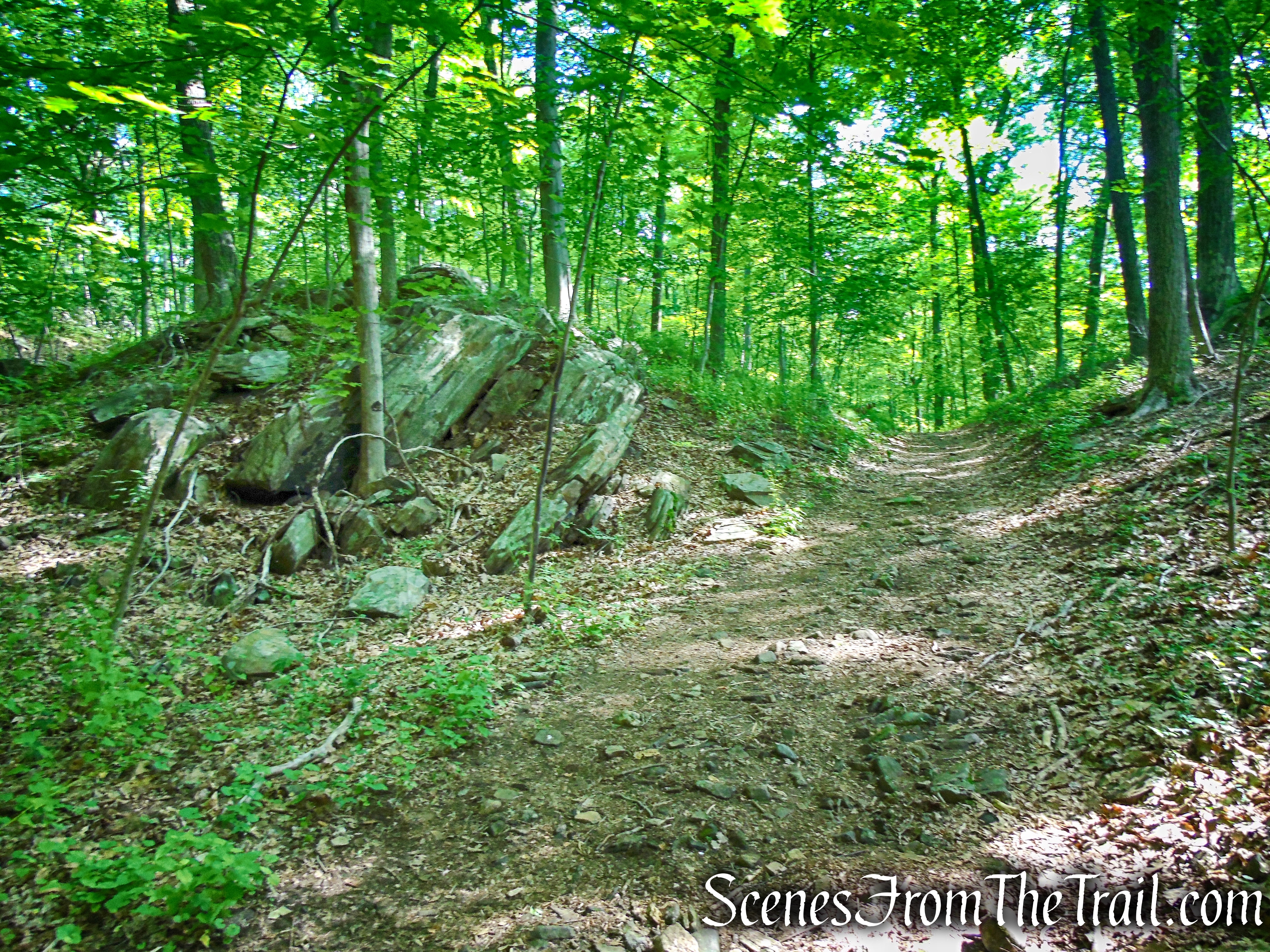
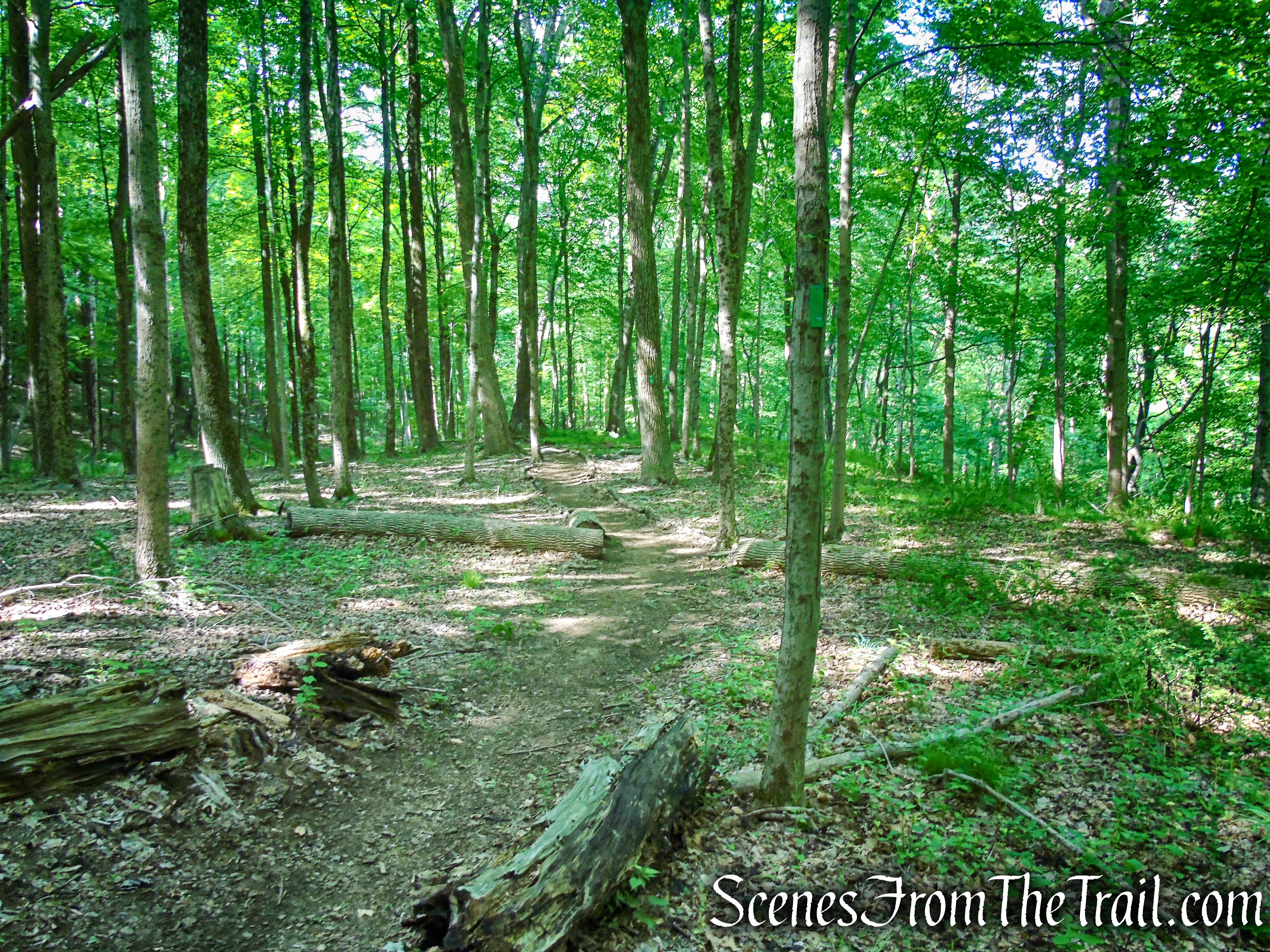
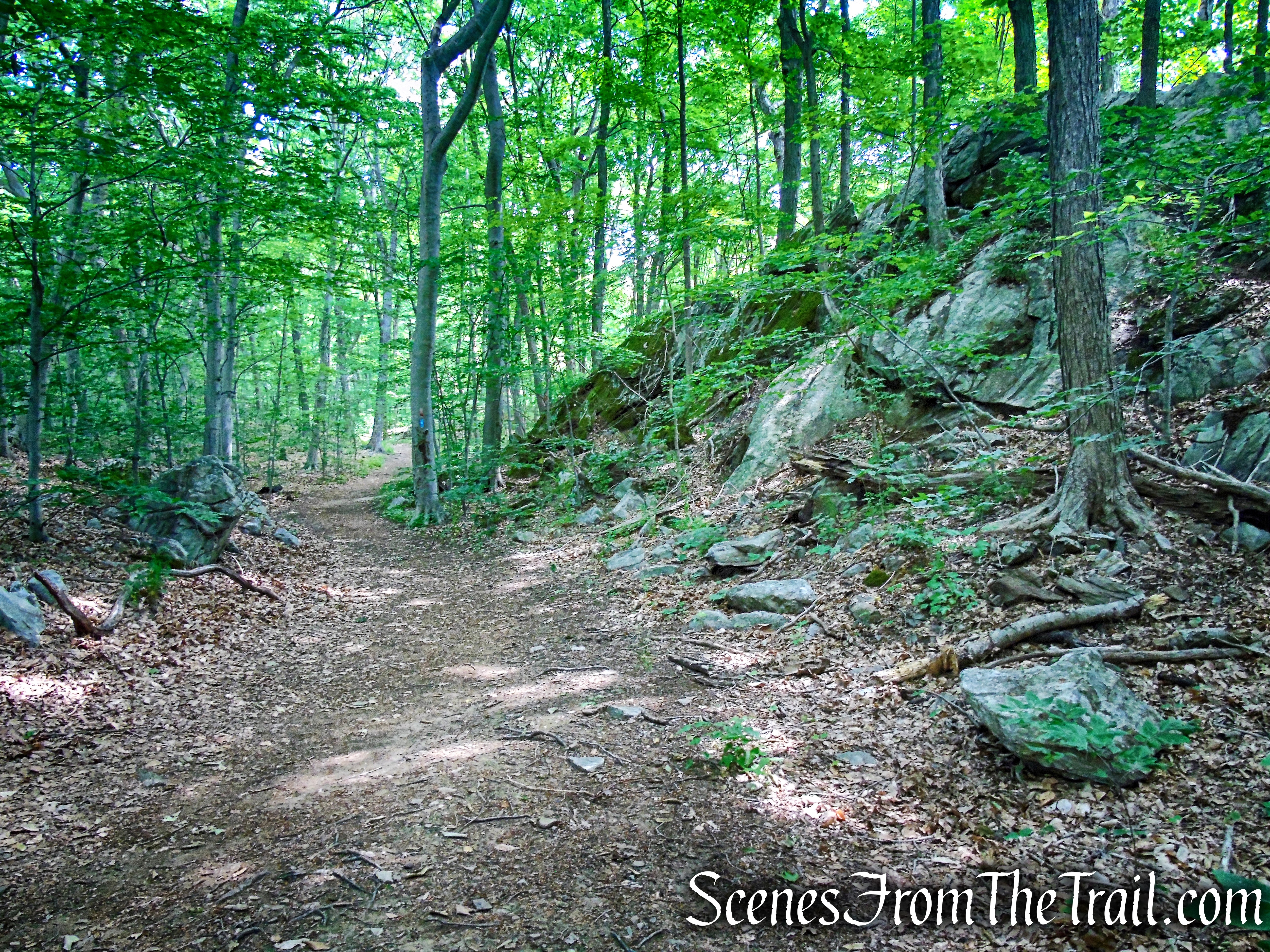
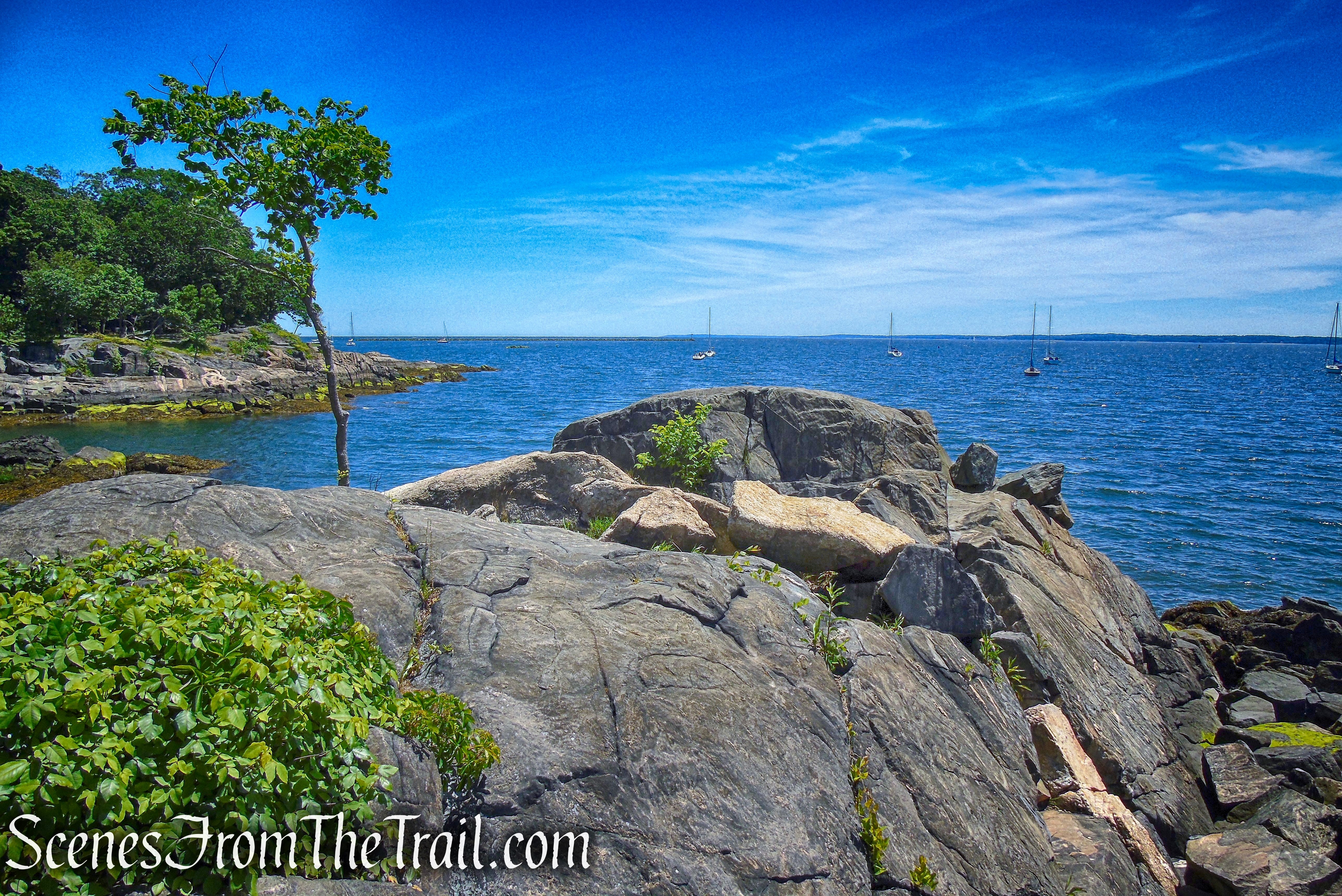
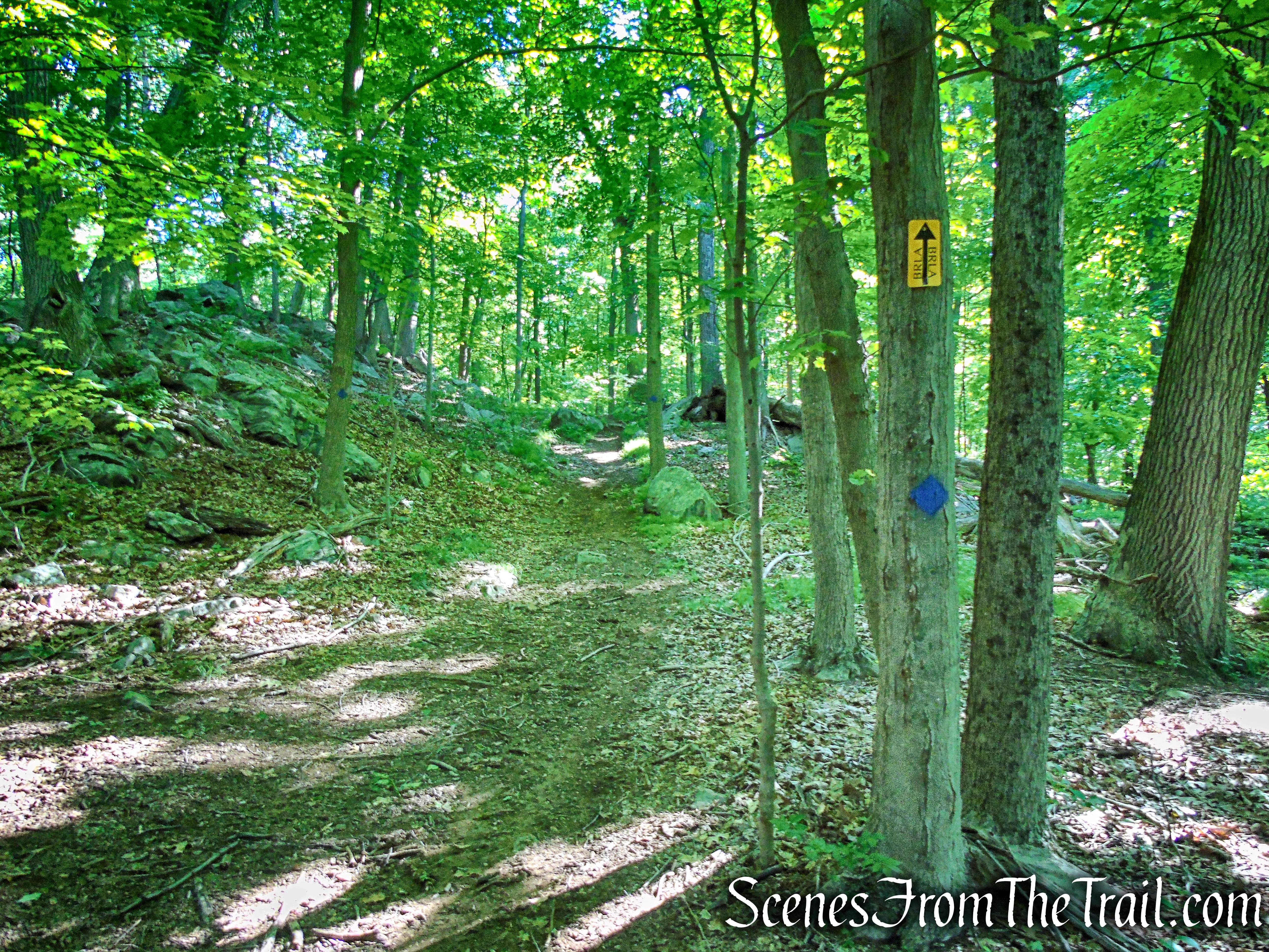
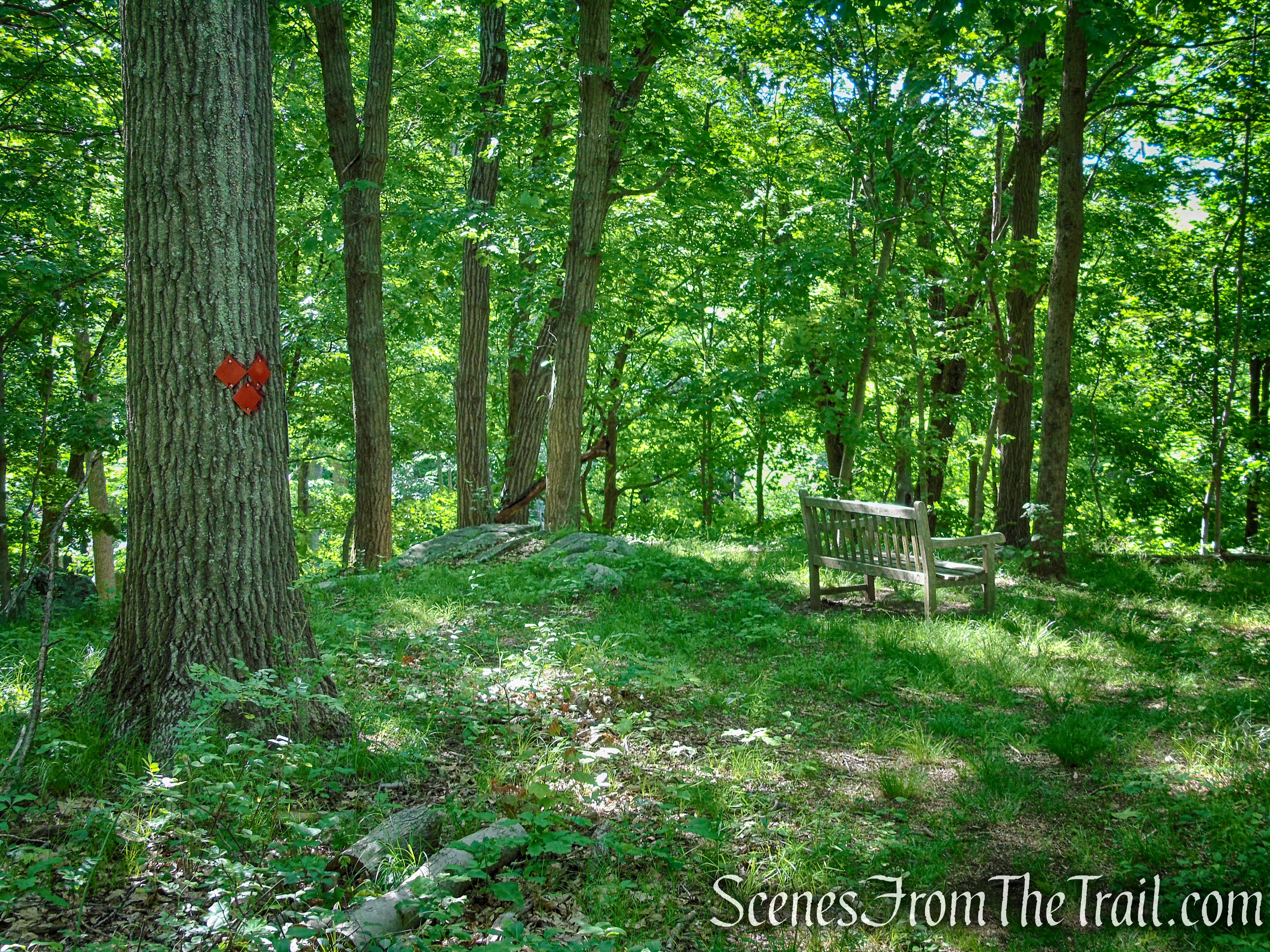
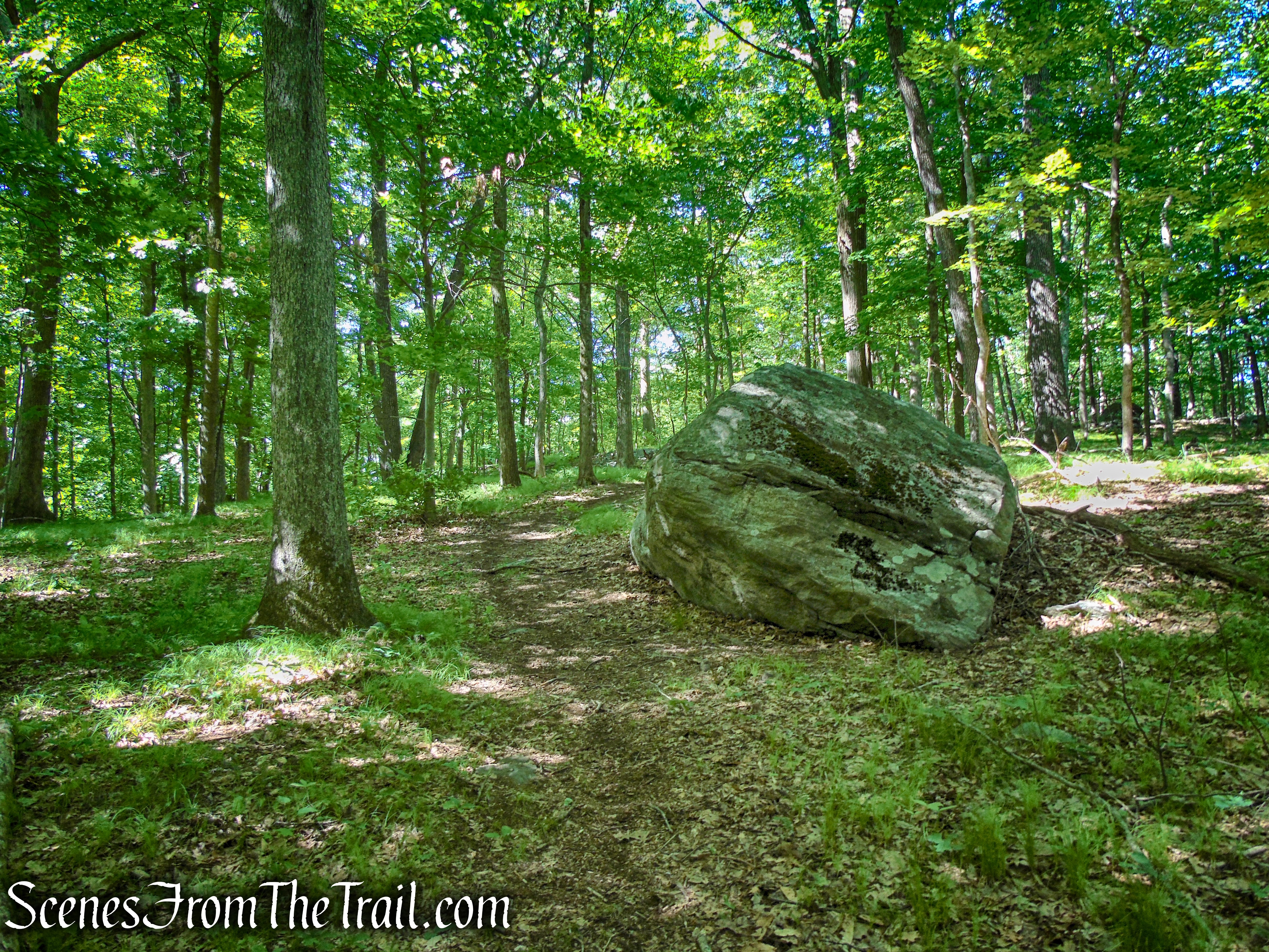
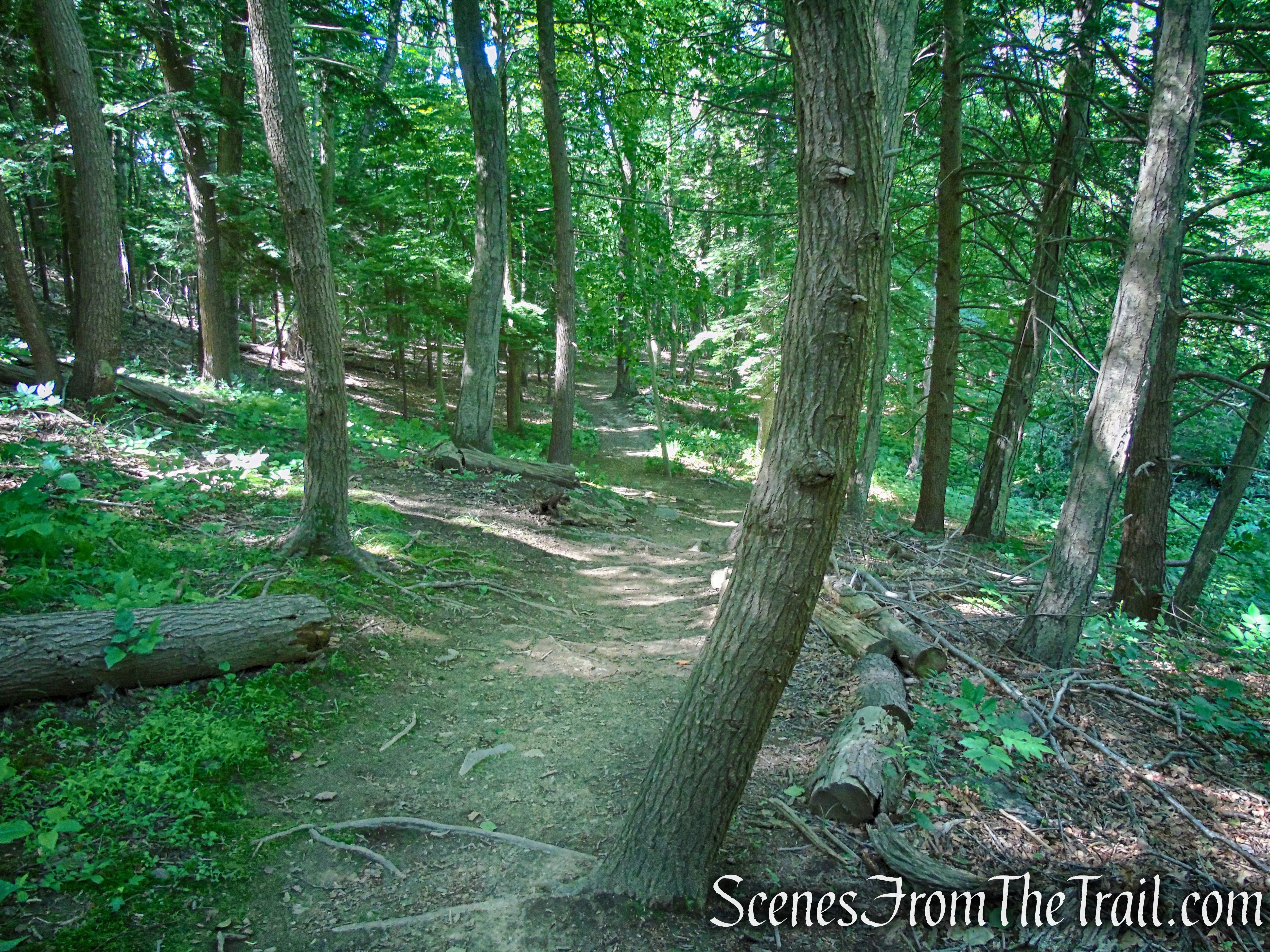
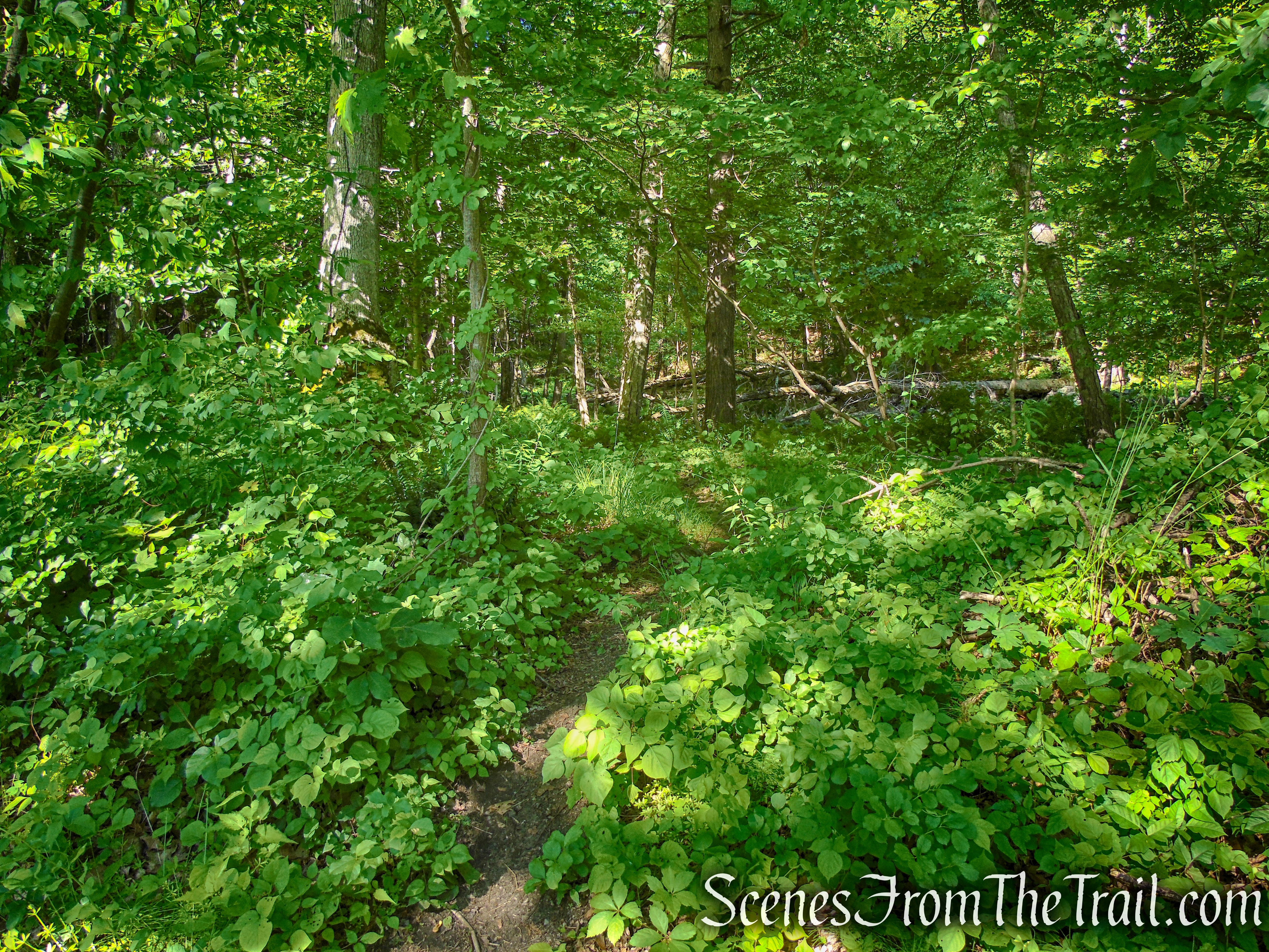
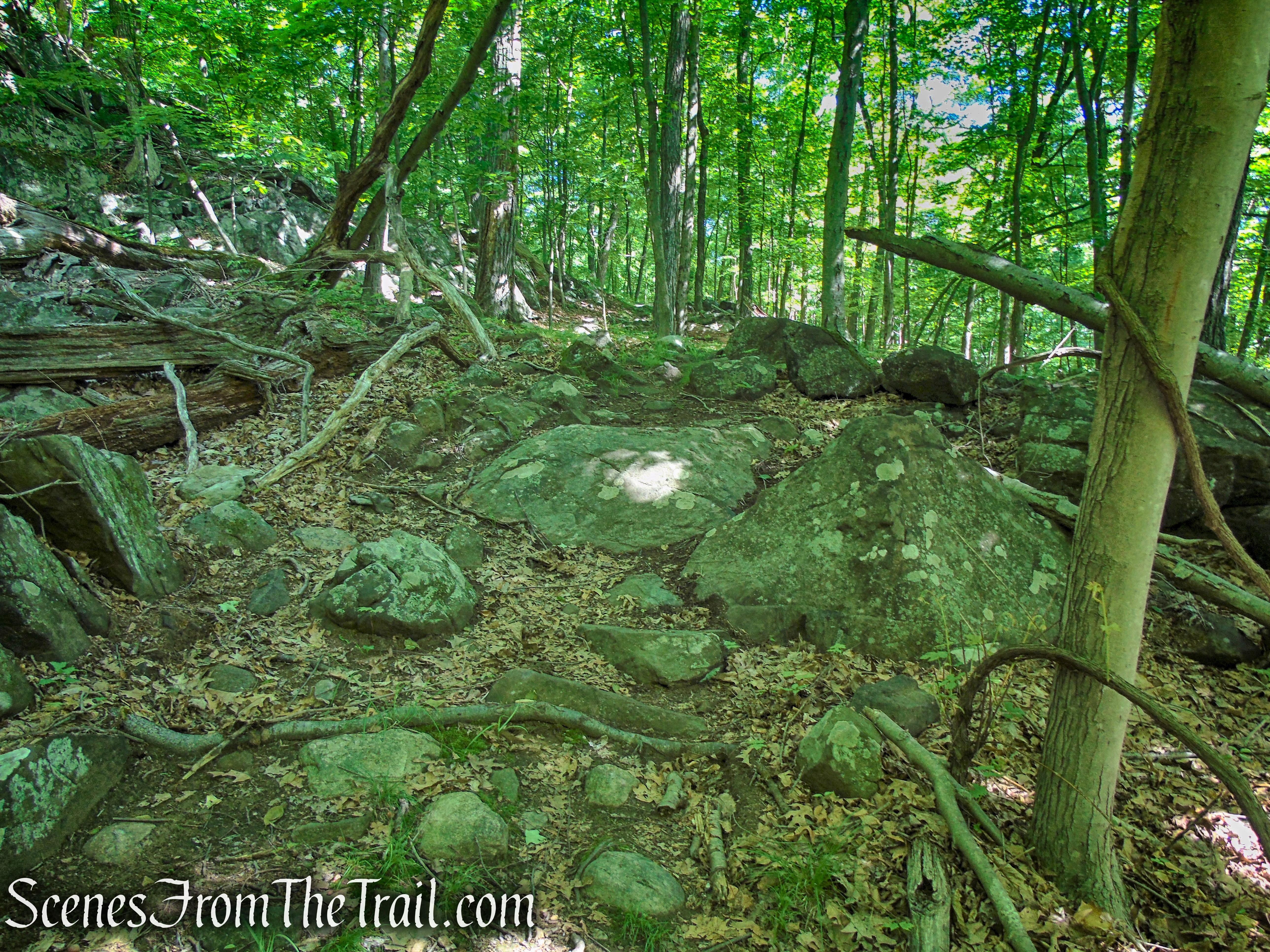
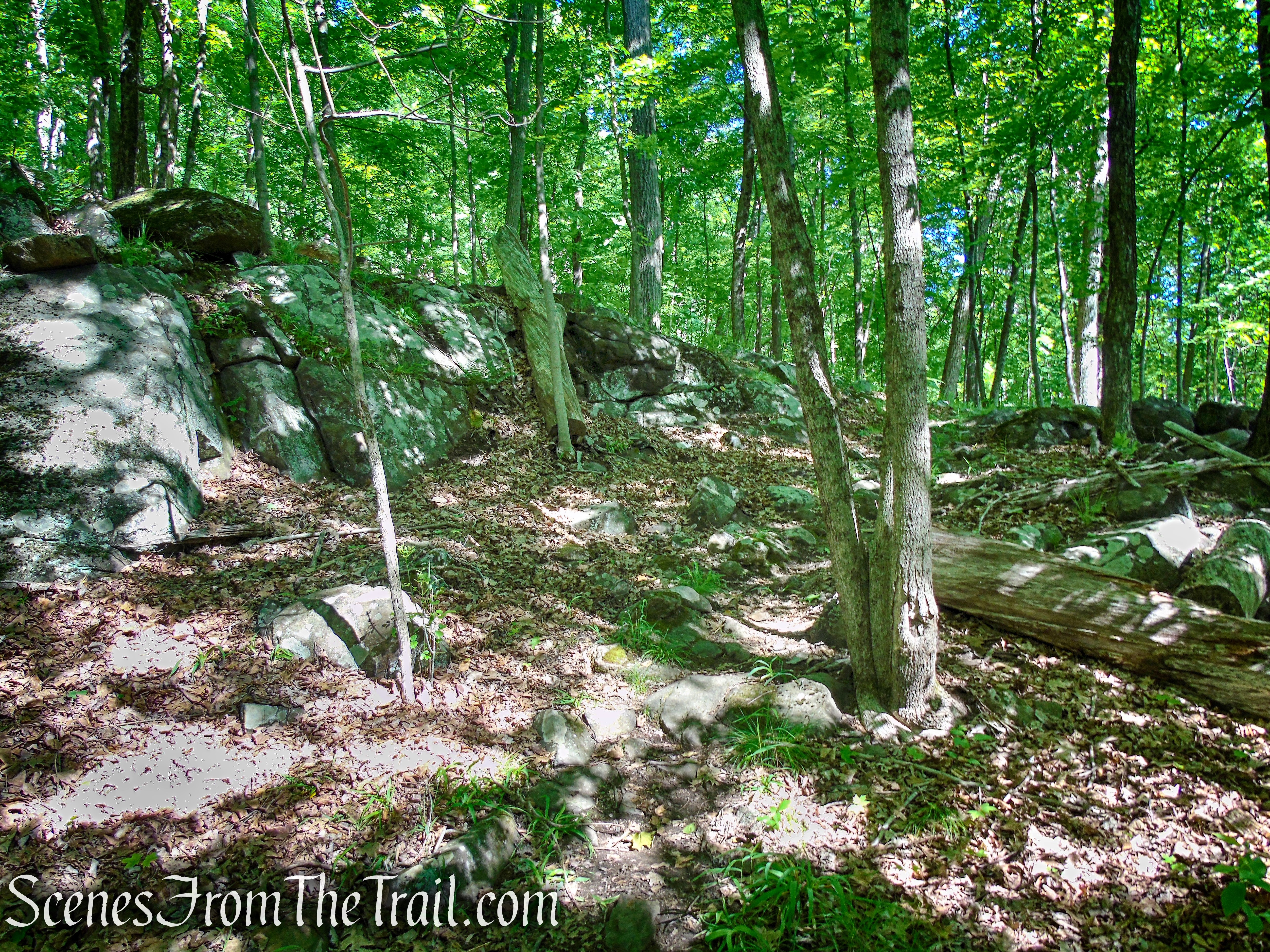
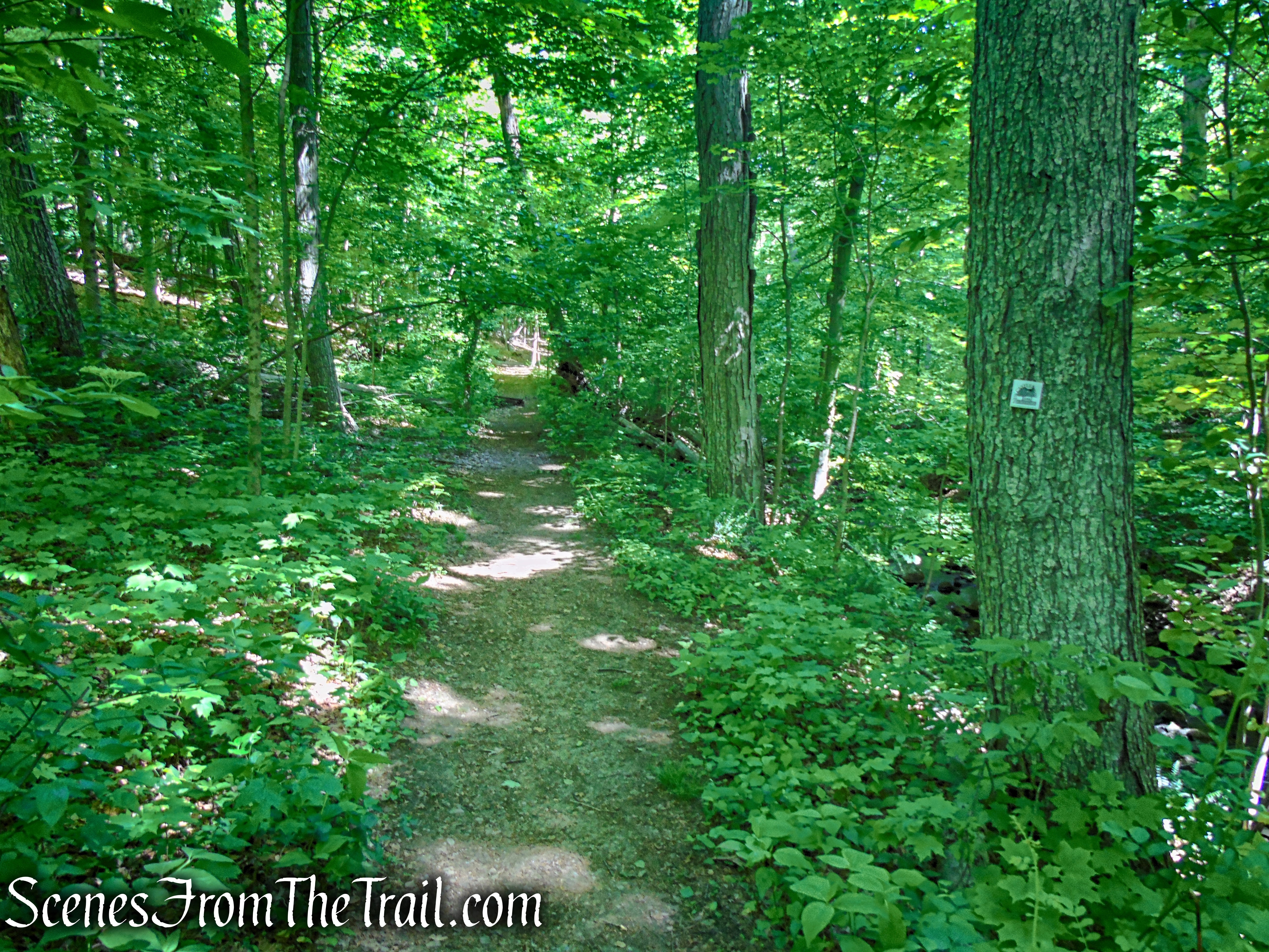
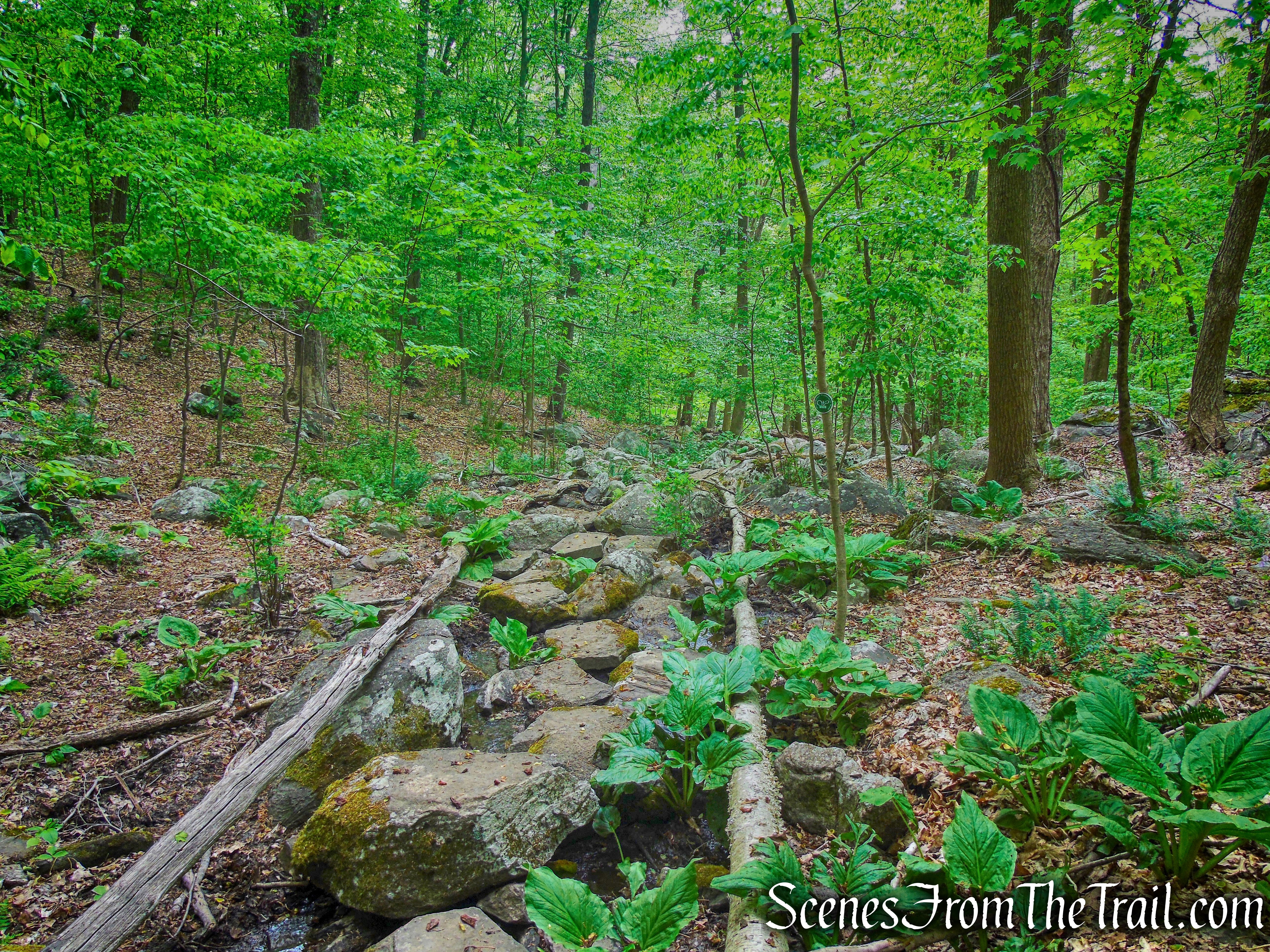
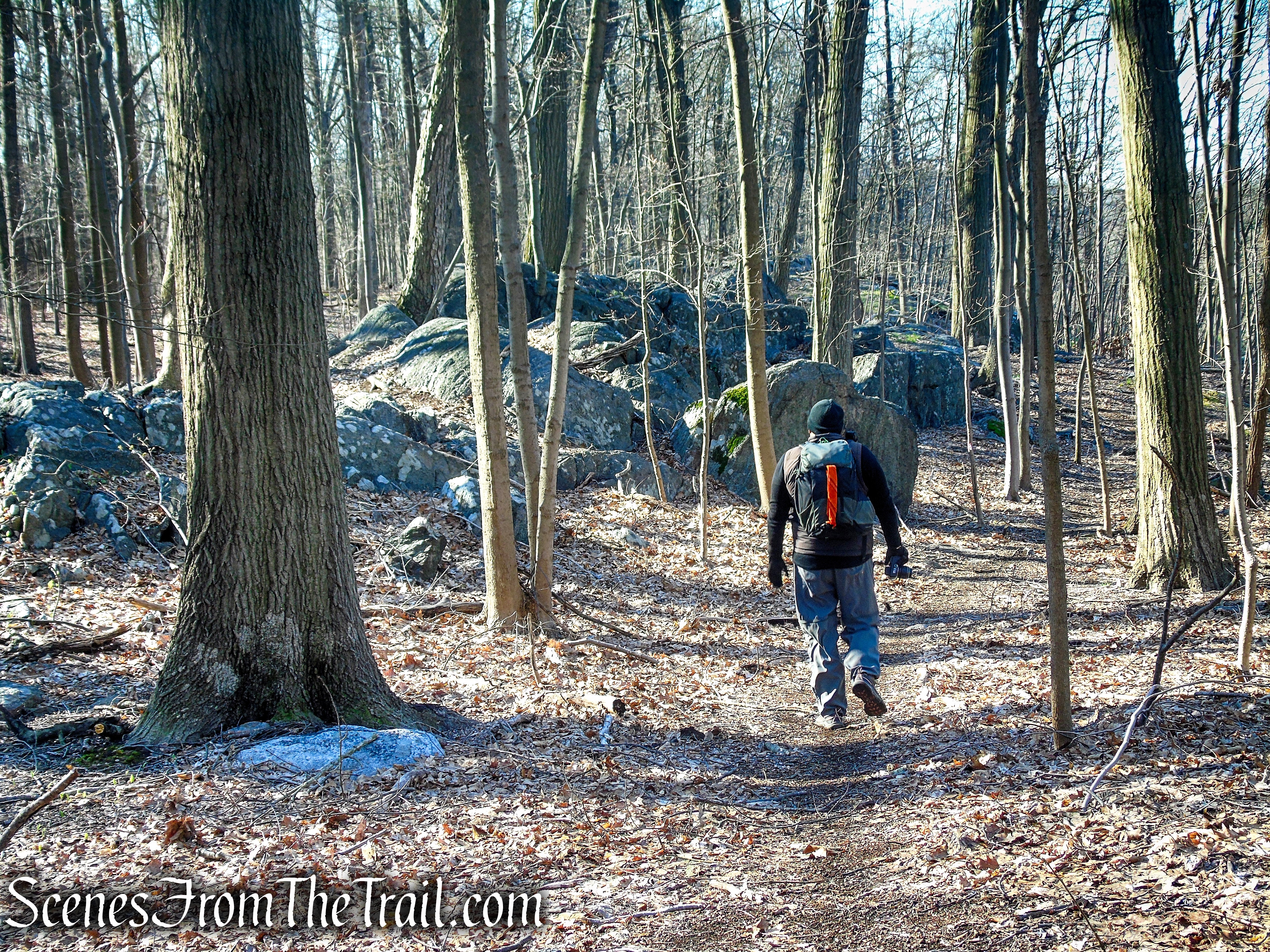
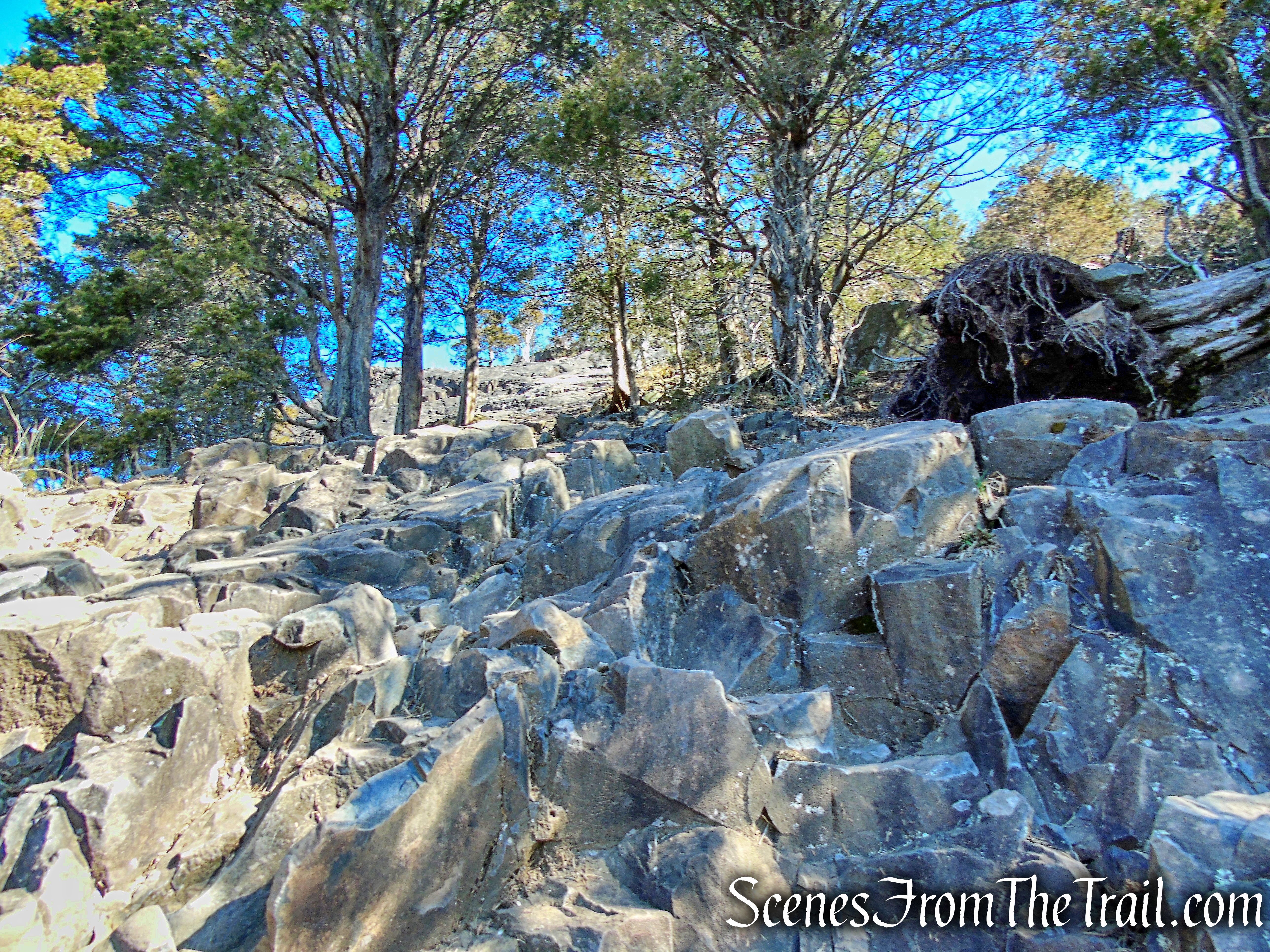
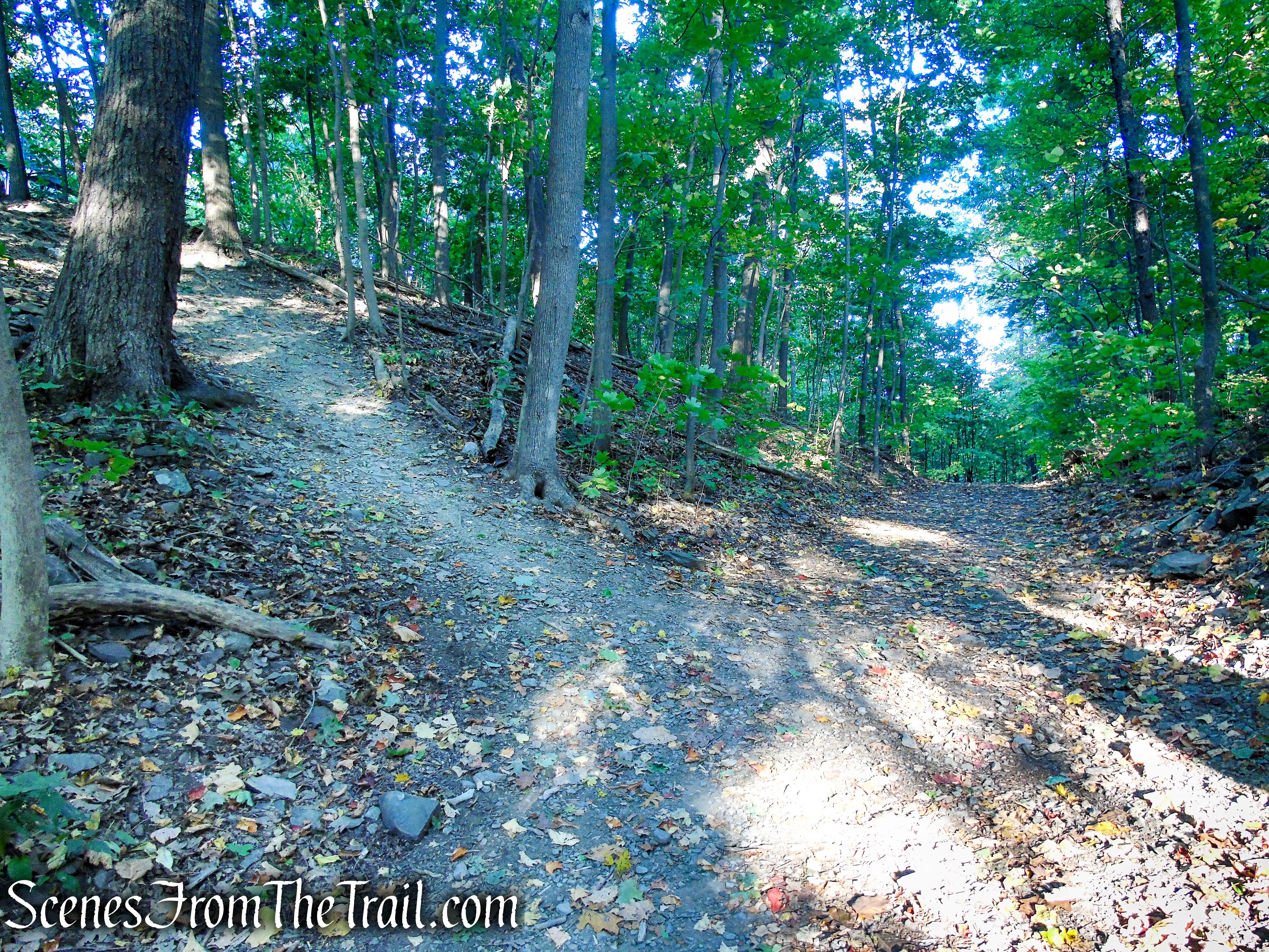
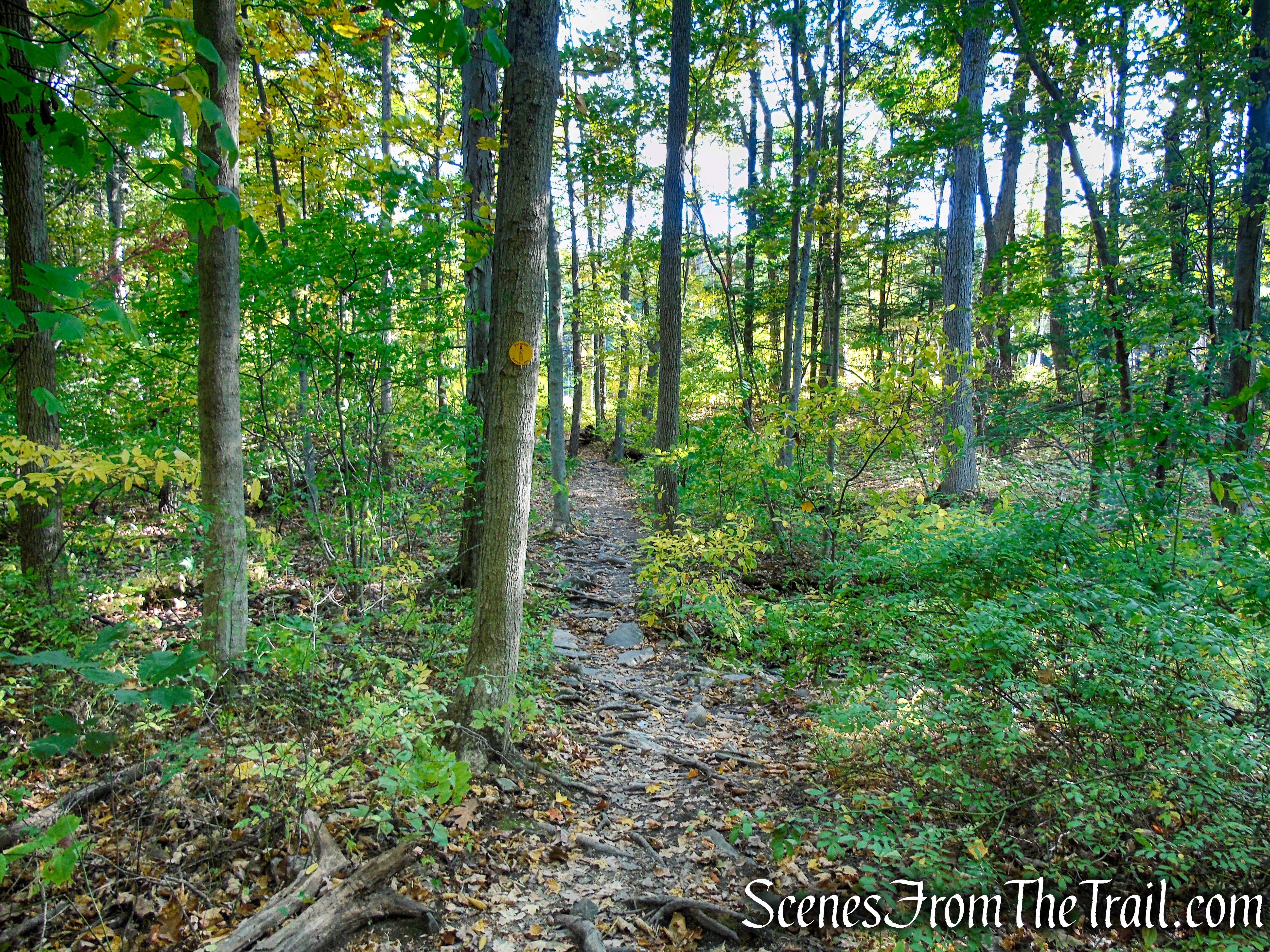
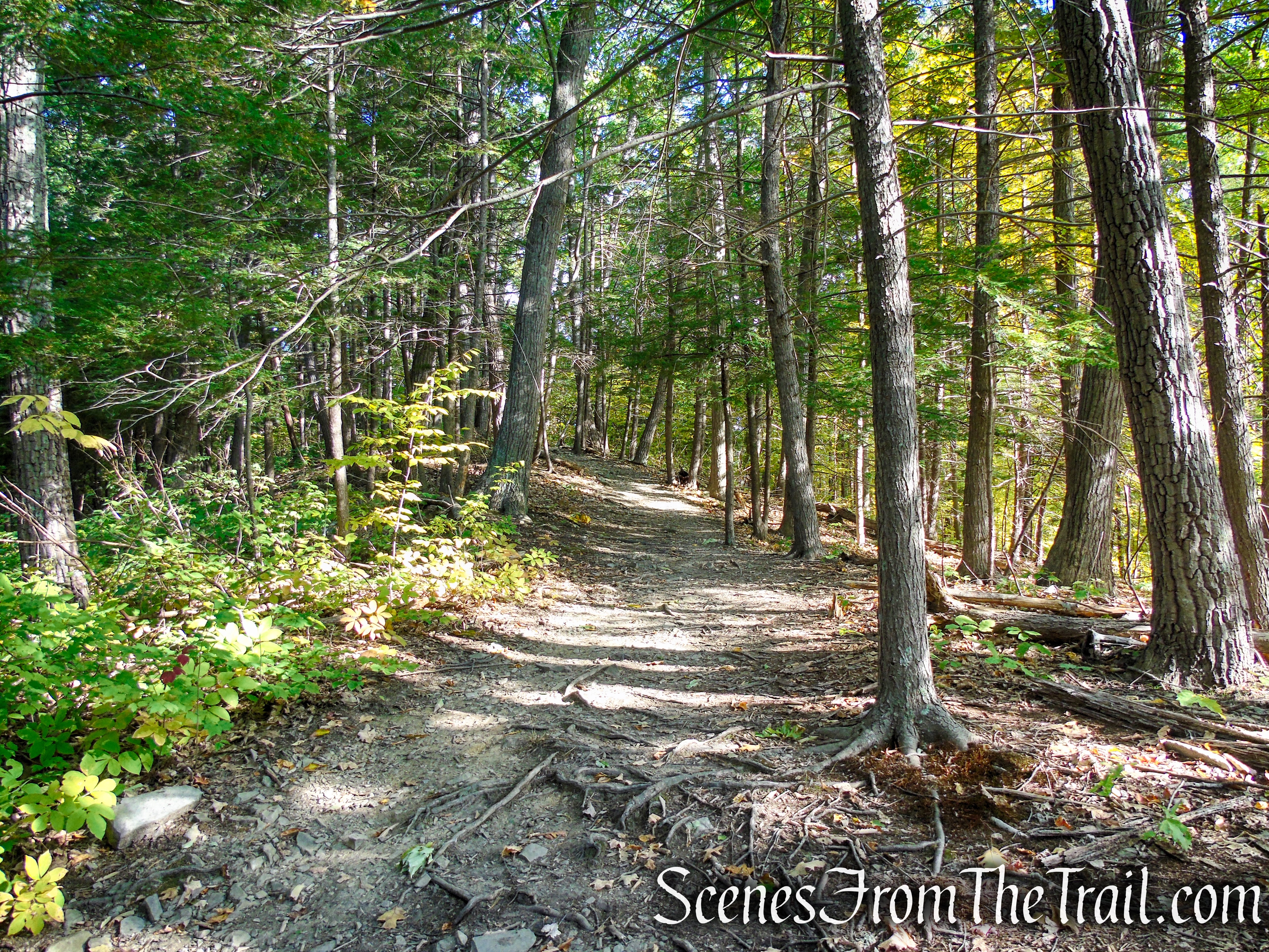
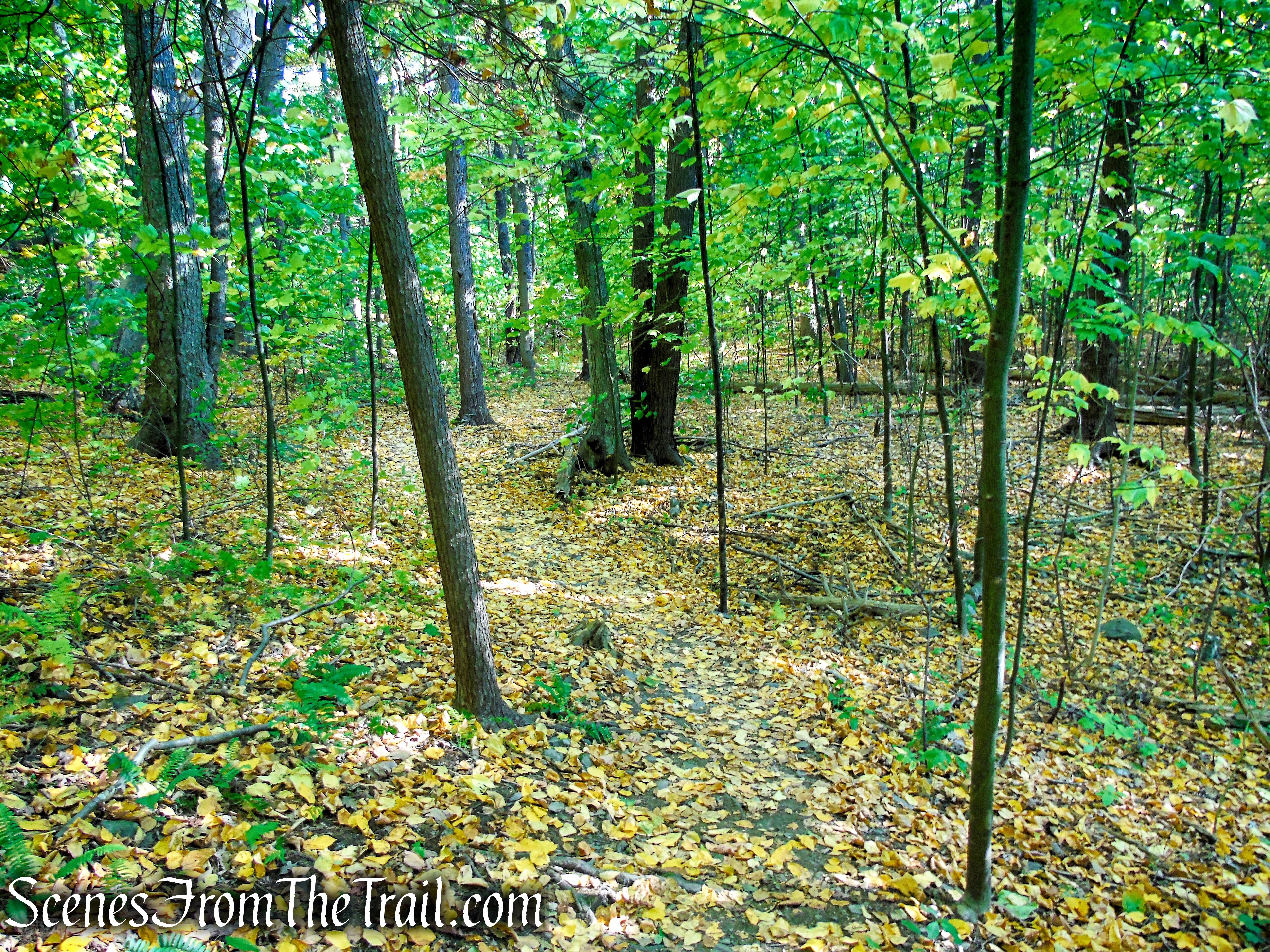
Once you are done enjoying the views, turn left after leaving the tower and continue on the Yellow Circle Trail as it weaves its way through the woods.
Yellow Circle Trail – Ferncliff Forest
Yellow Circle Trail – Ferncliff Forest
Yellow Circle Trail – Ferncliff Forest

Yellow Circle Trail – Ferncliff Forest
Yellow Circle Trail – Ferncliff Forest
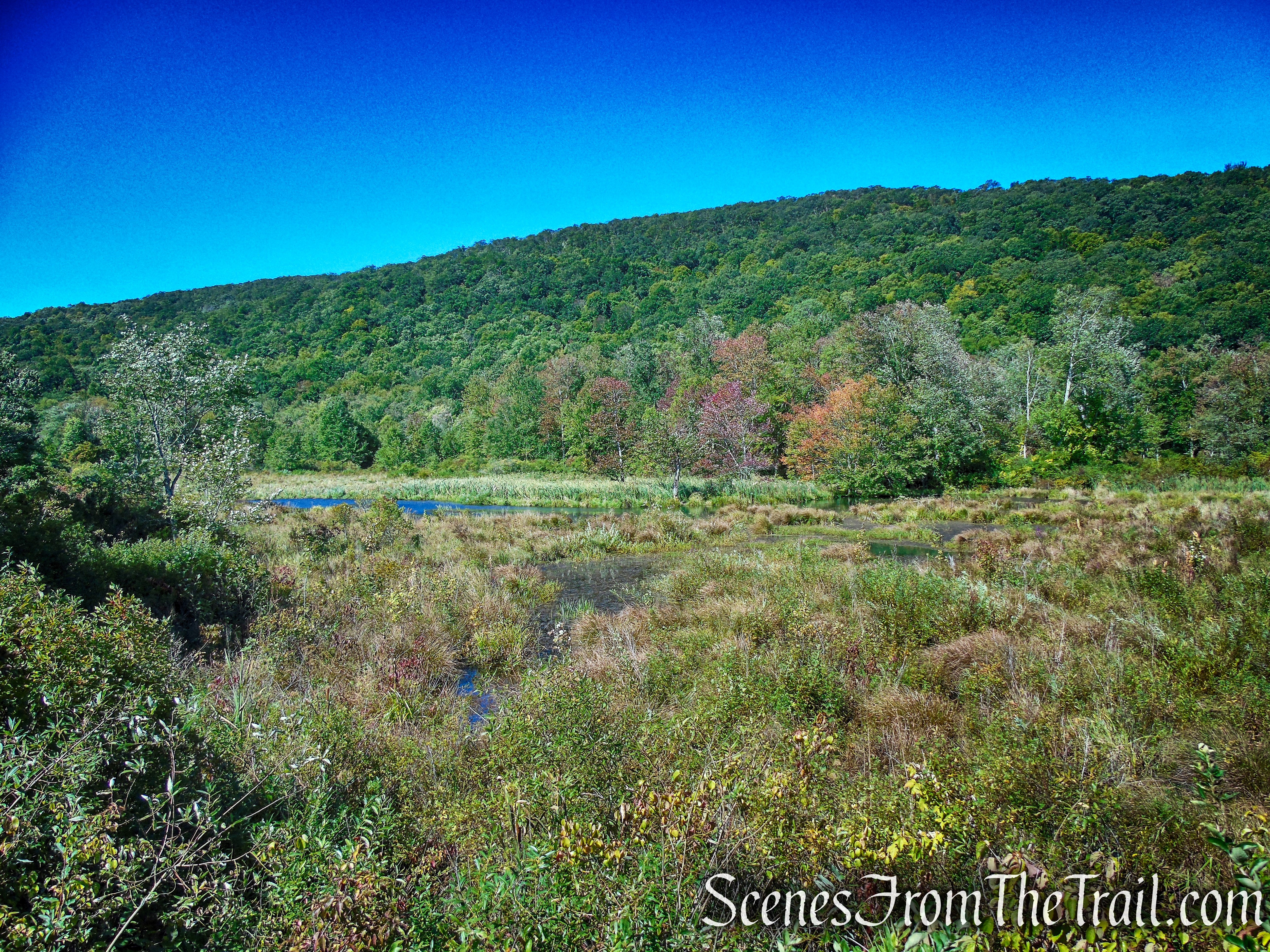
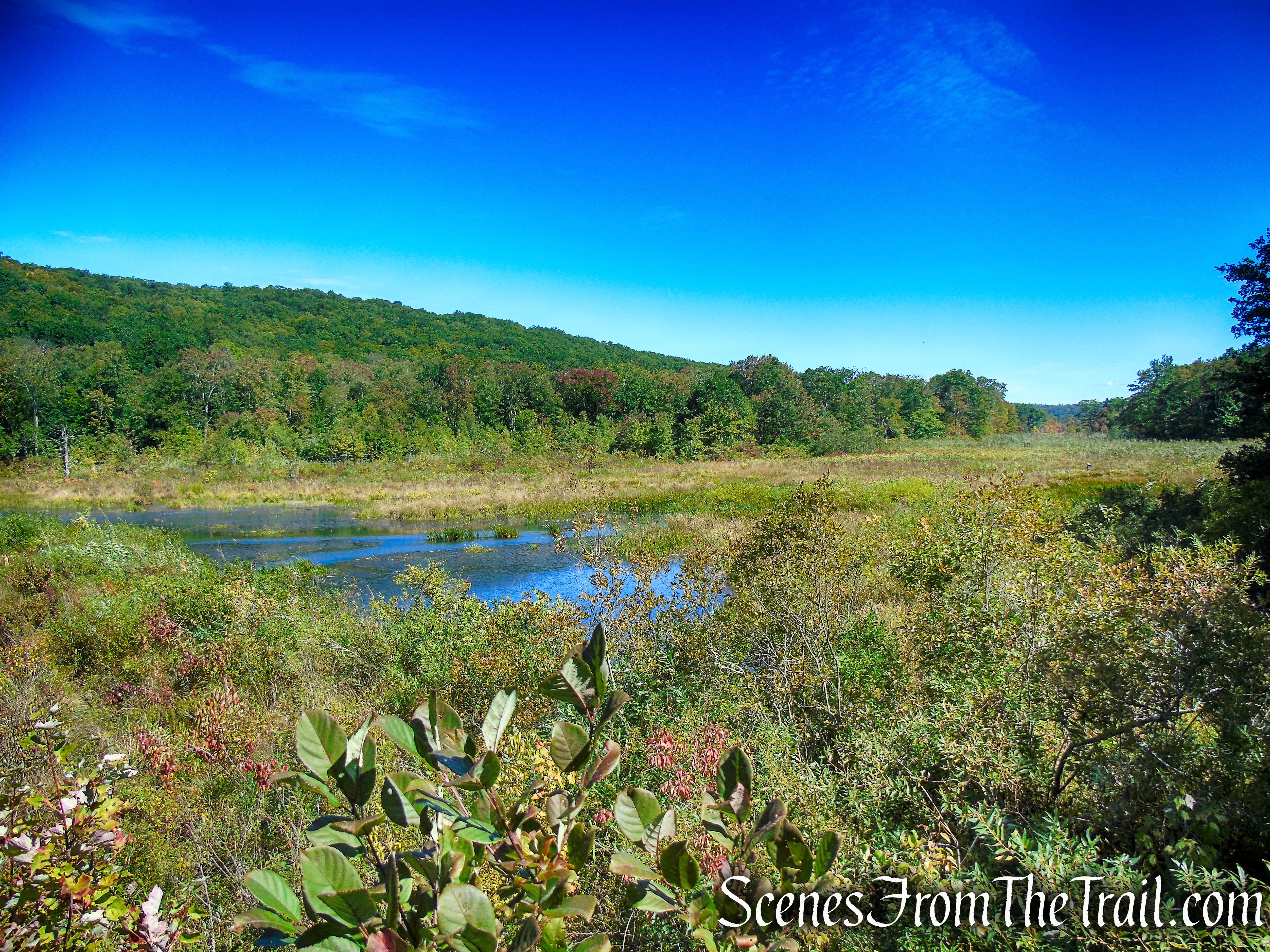
Yellow Circle Trail – Ferncliff Forest

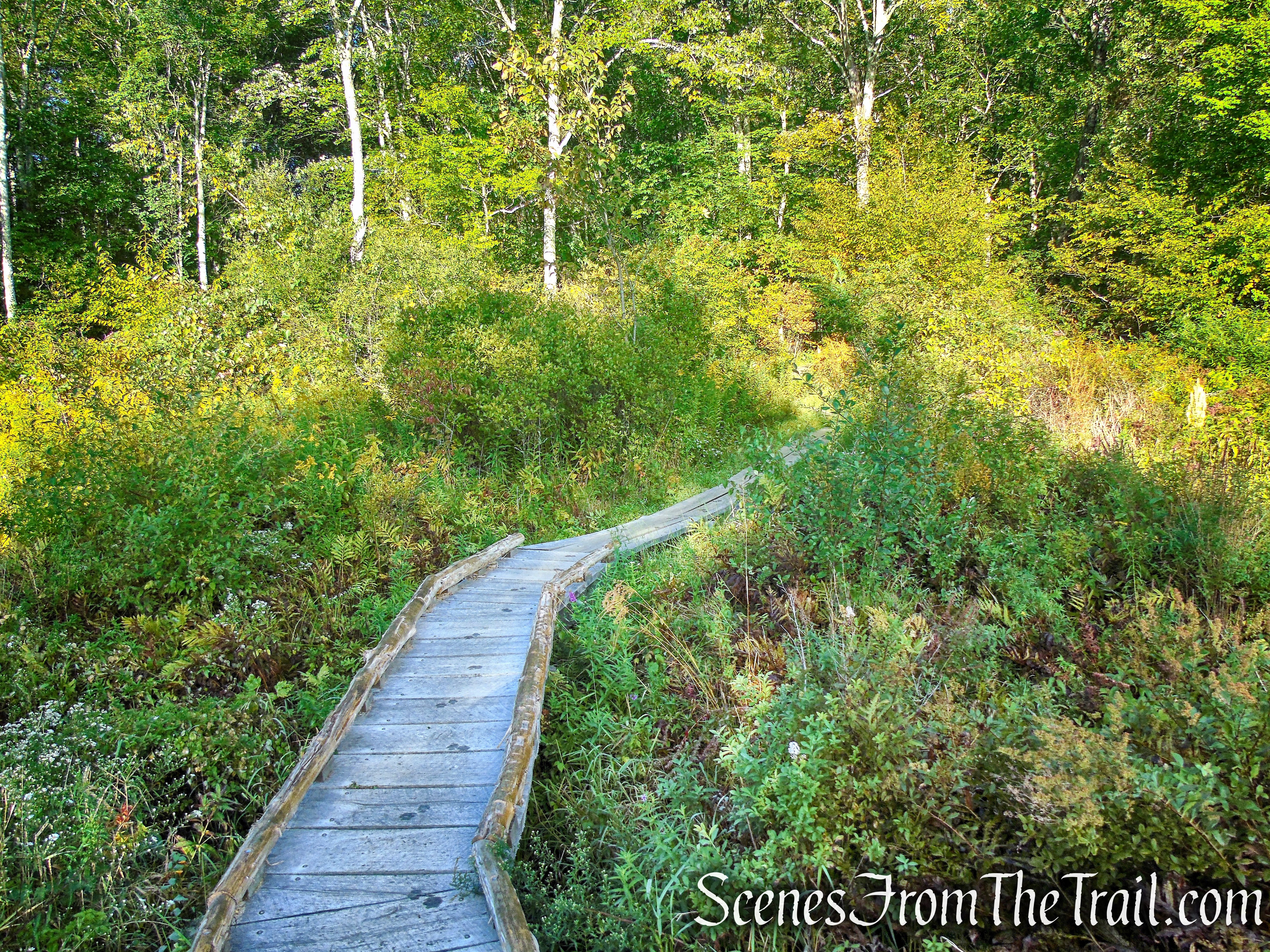
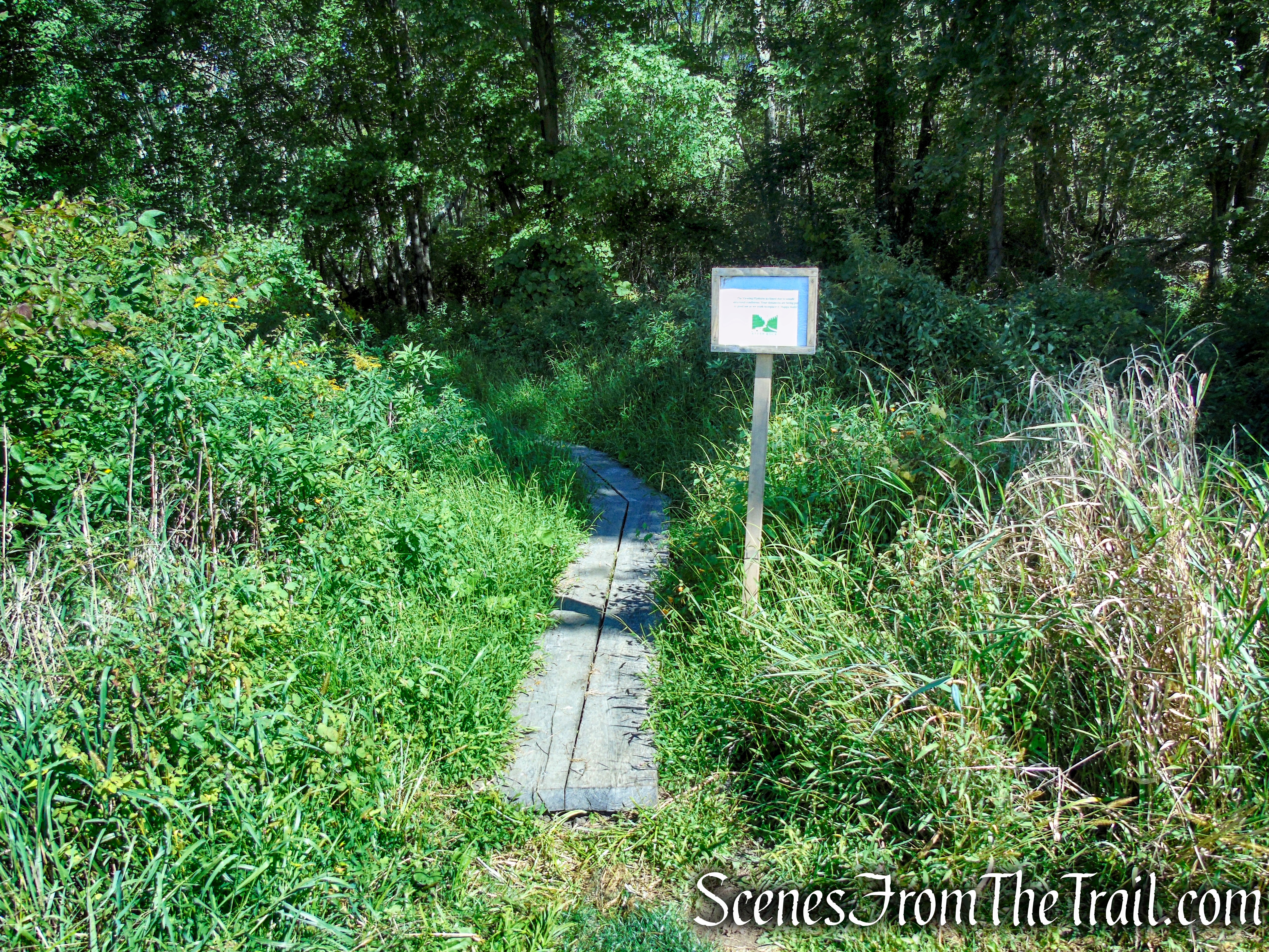
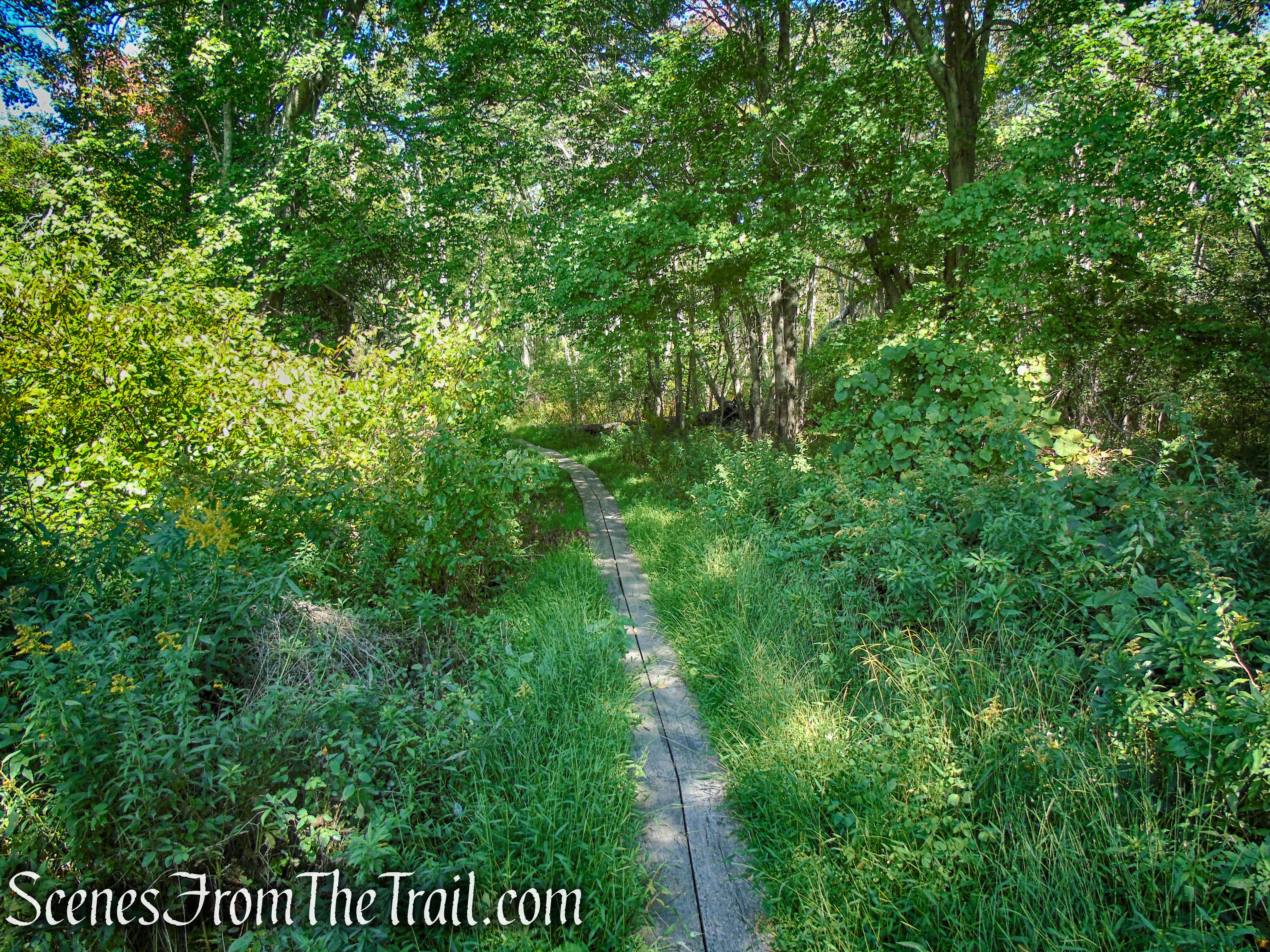
wetlands – Yellow Circle Trail
Yellow Circle Trail – Ferncliff Forest
Yellow Circle Trail – Ferncliff Forest
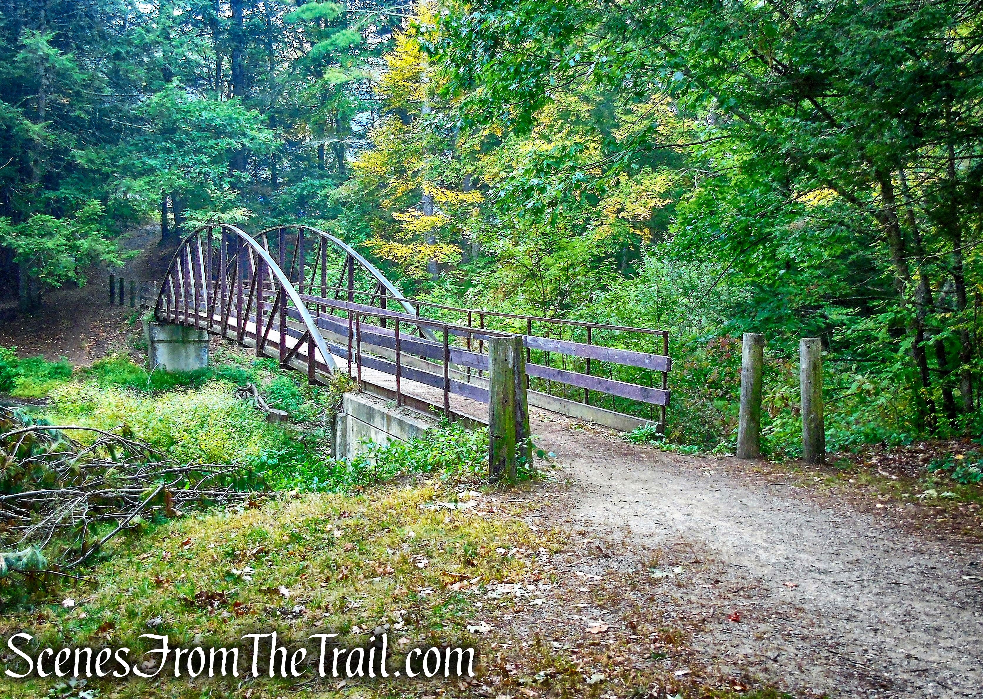
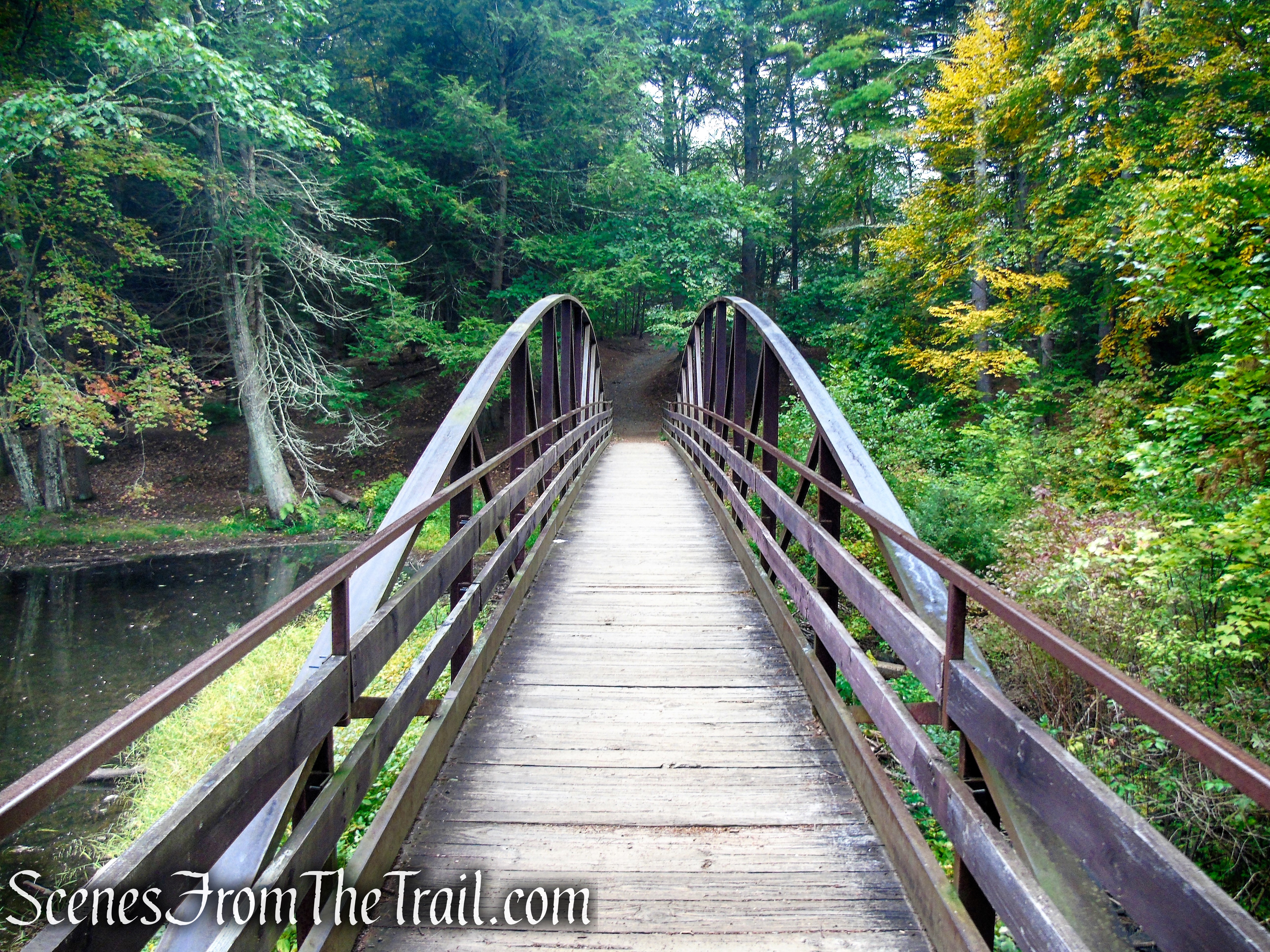
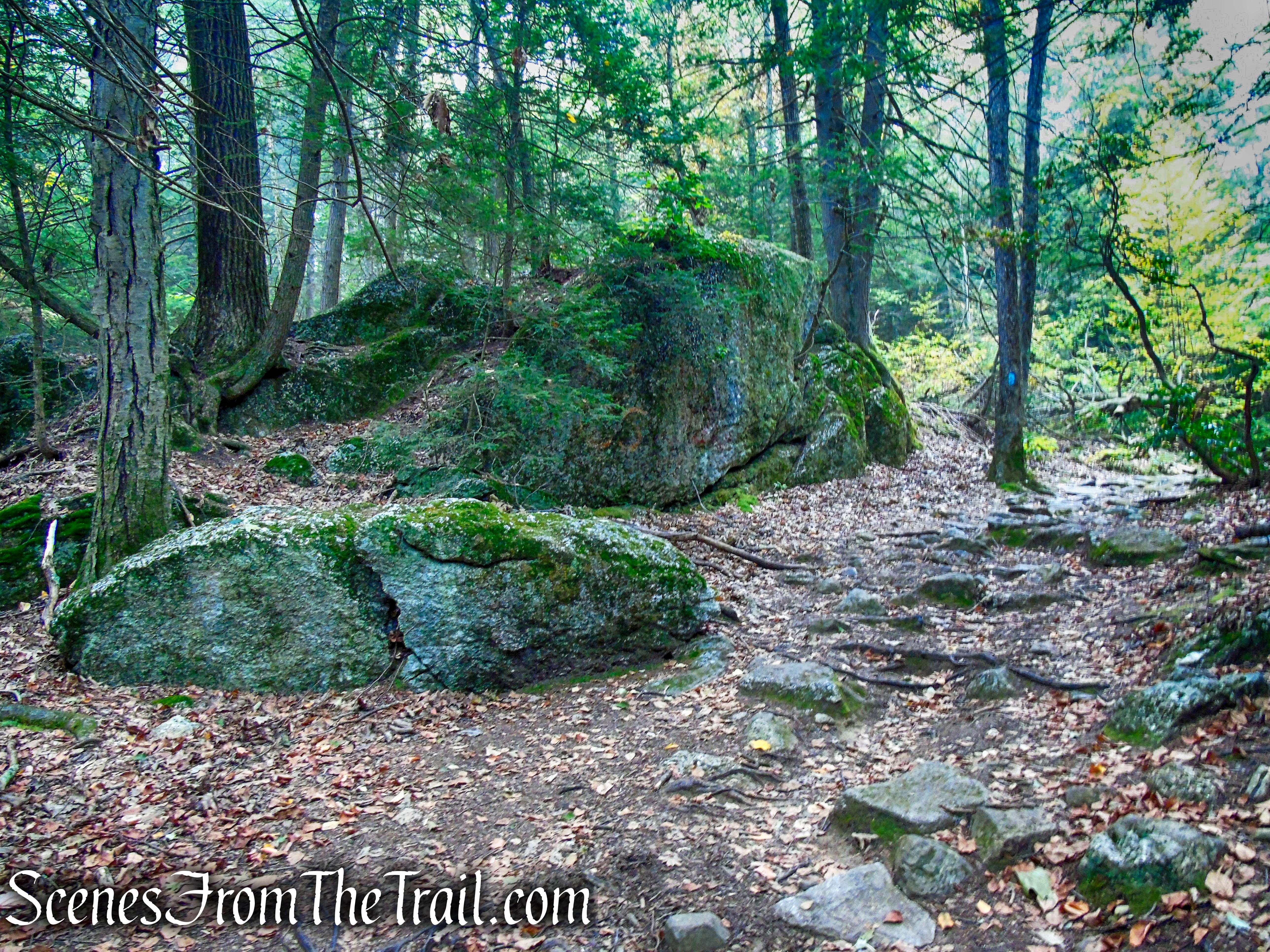
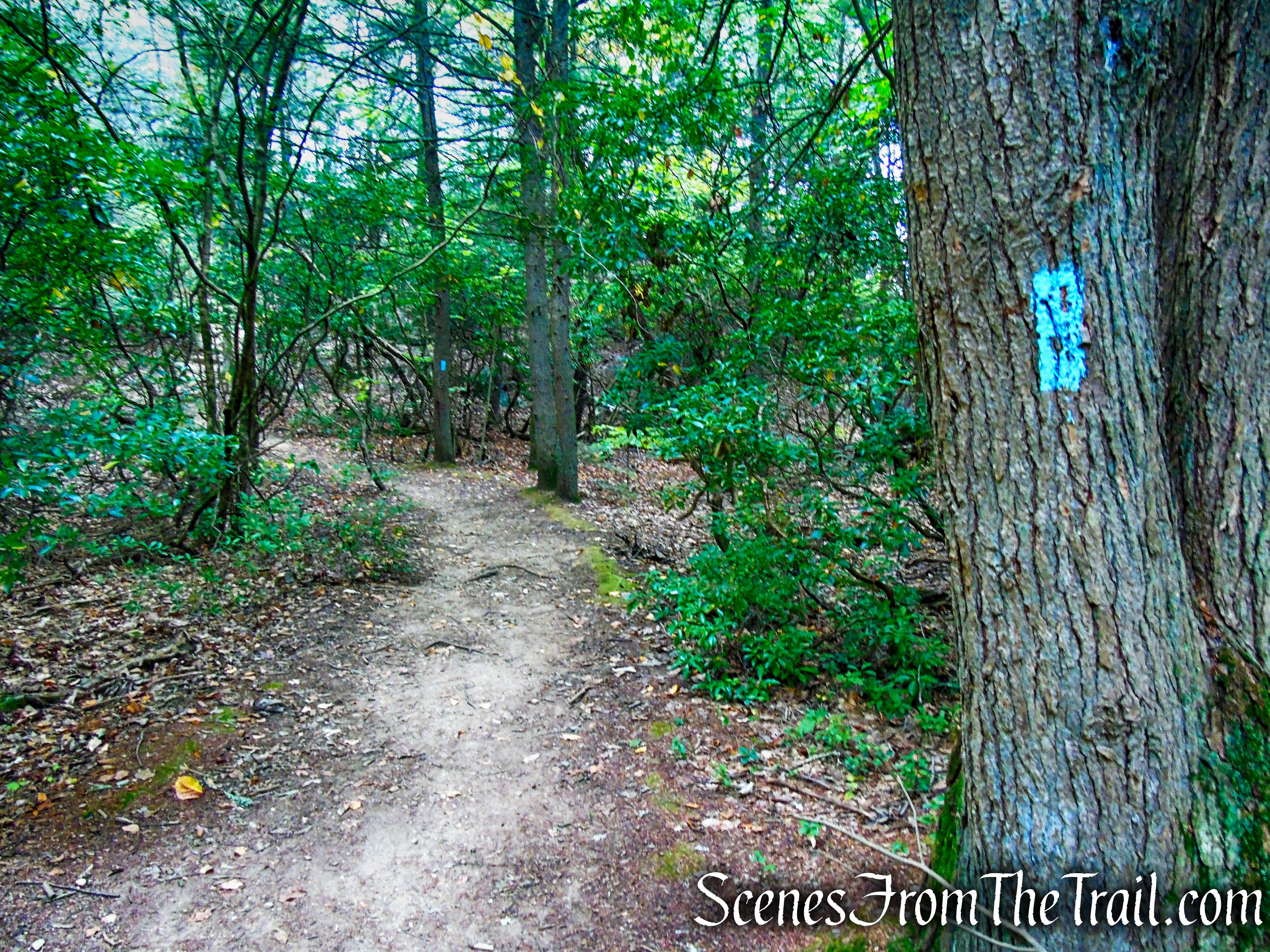
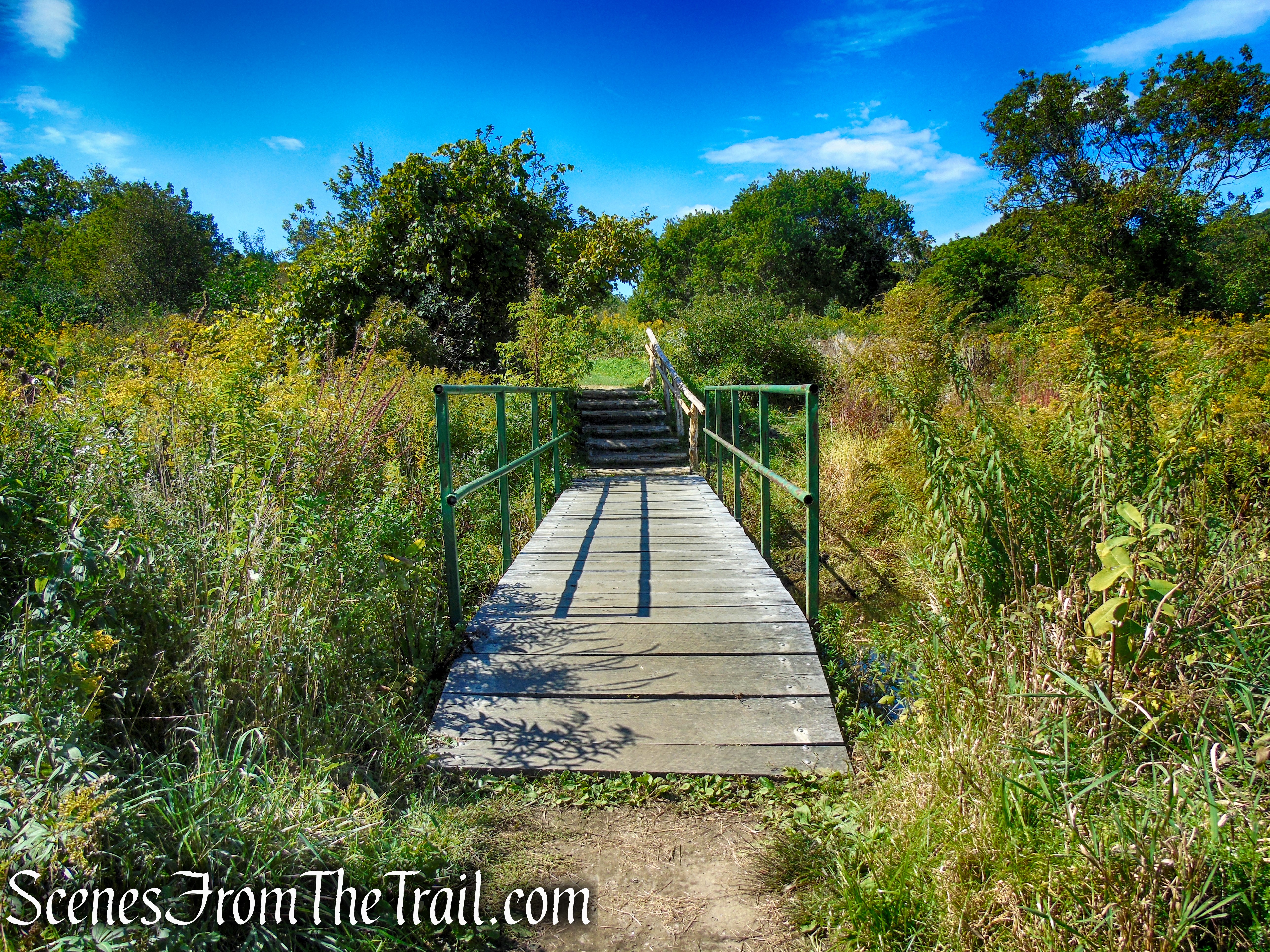
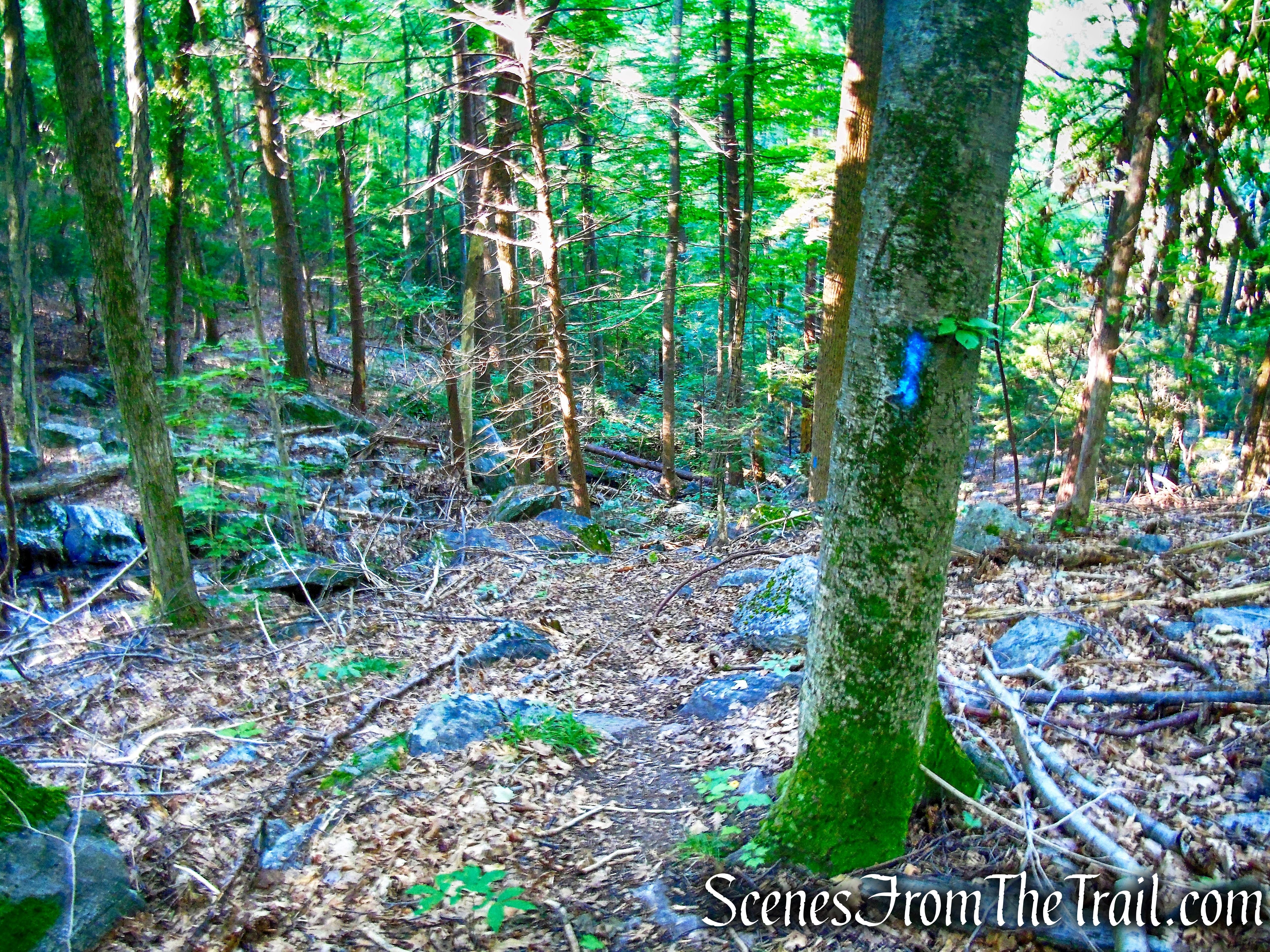
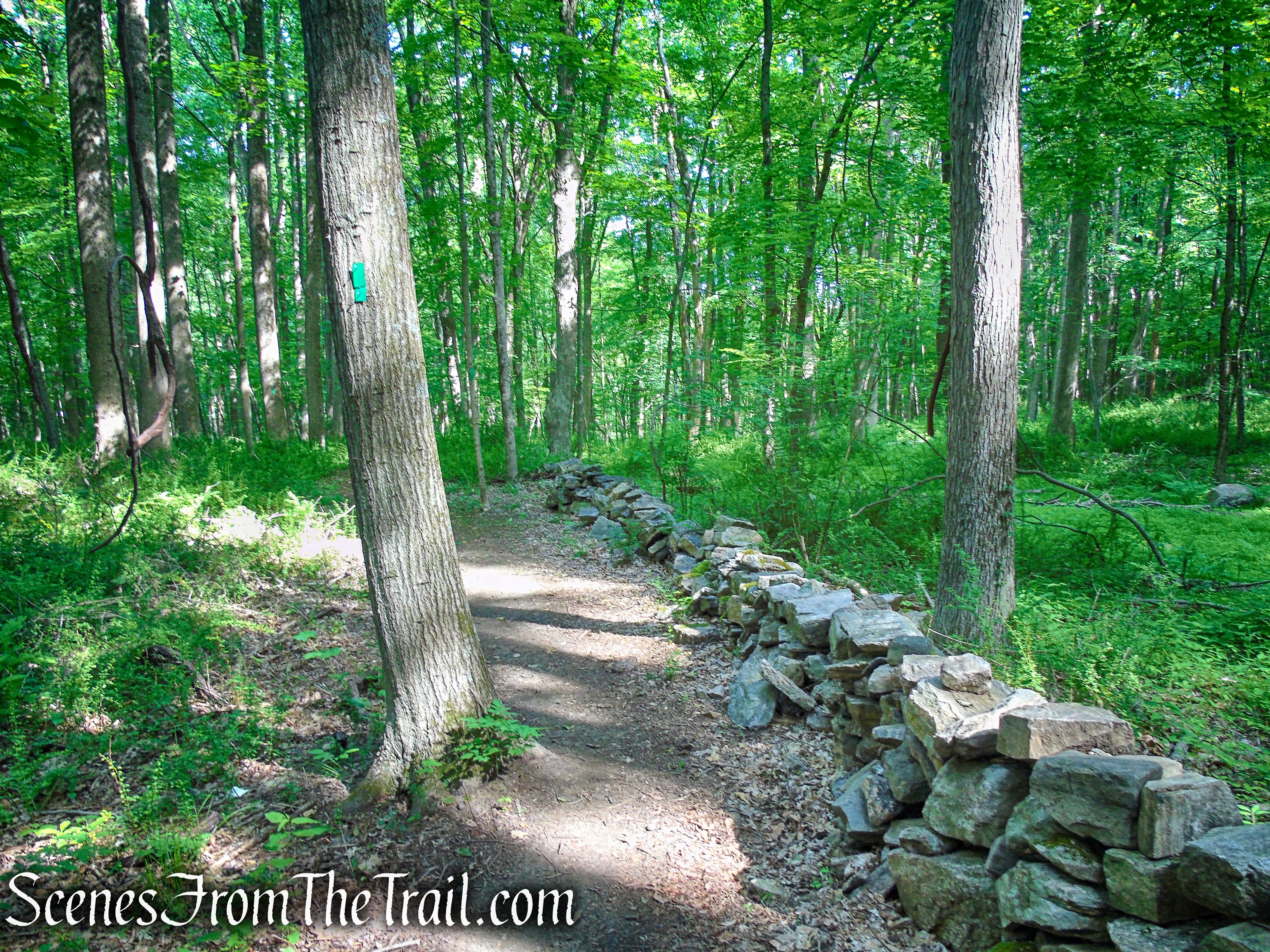
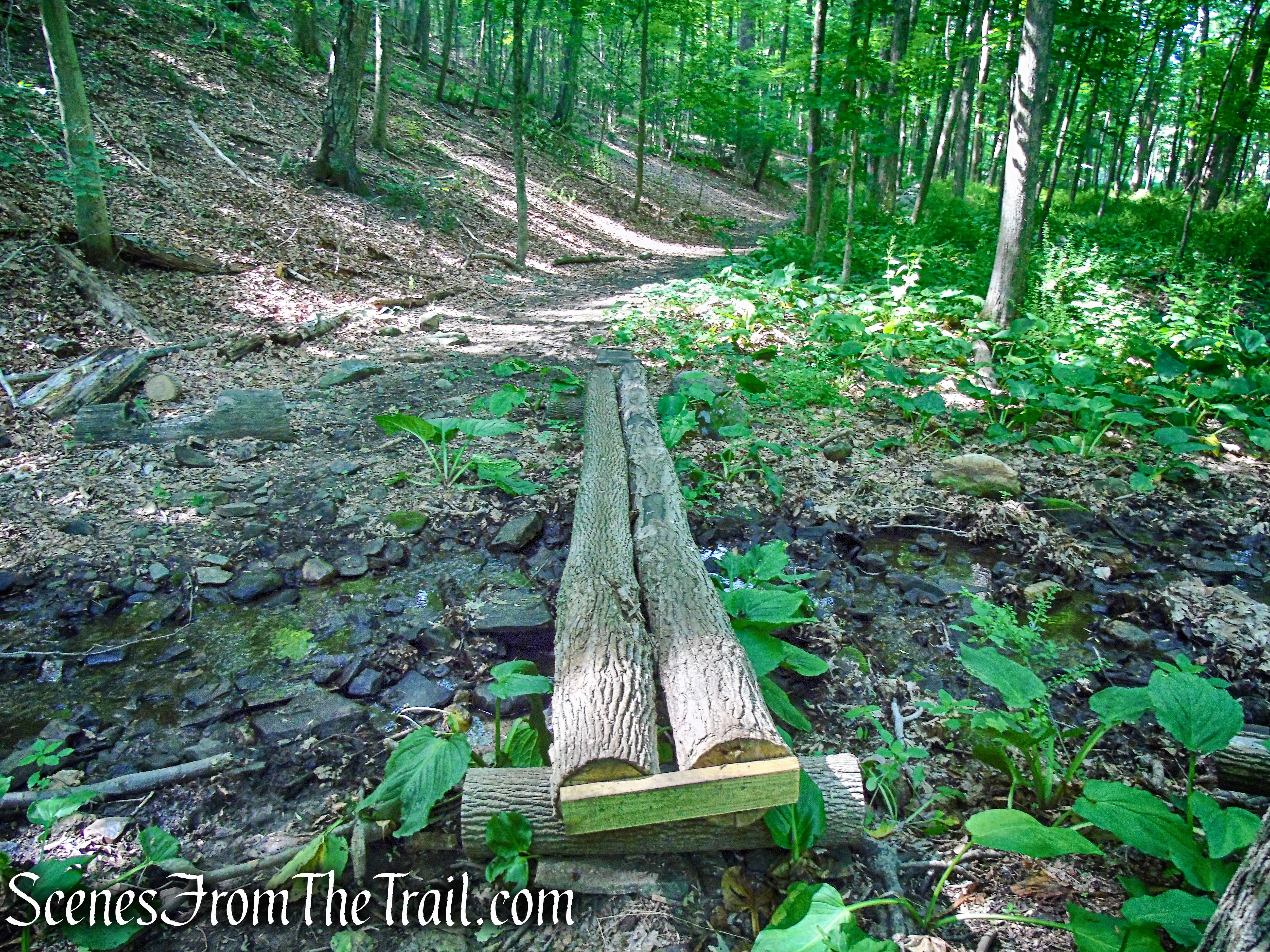
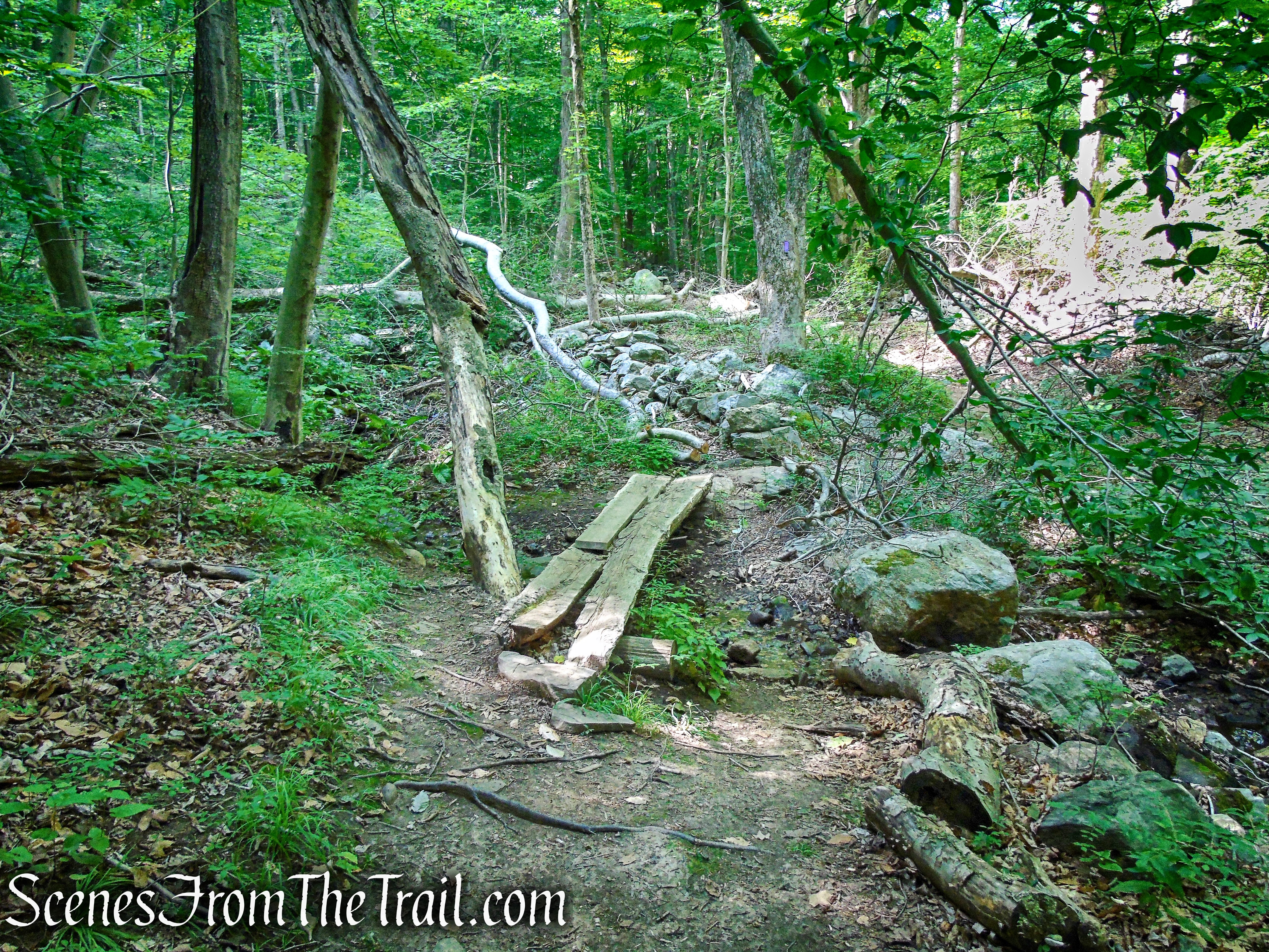
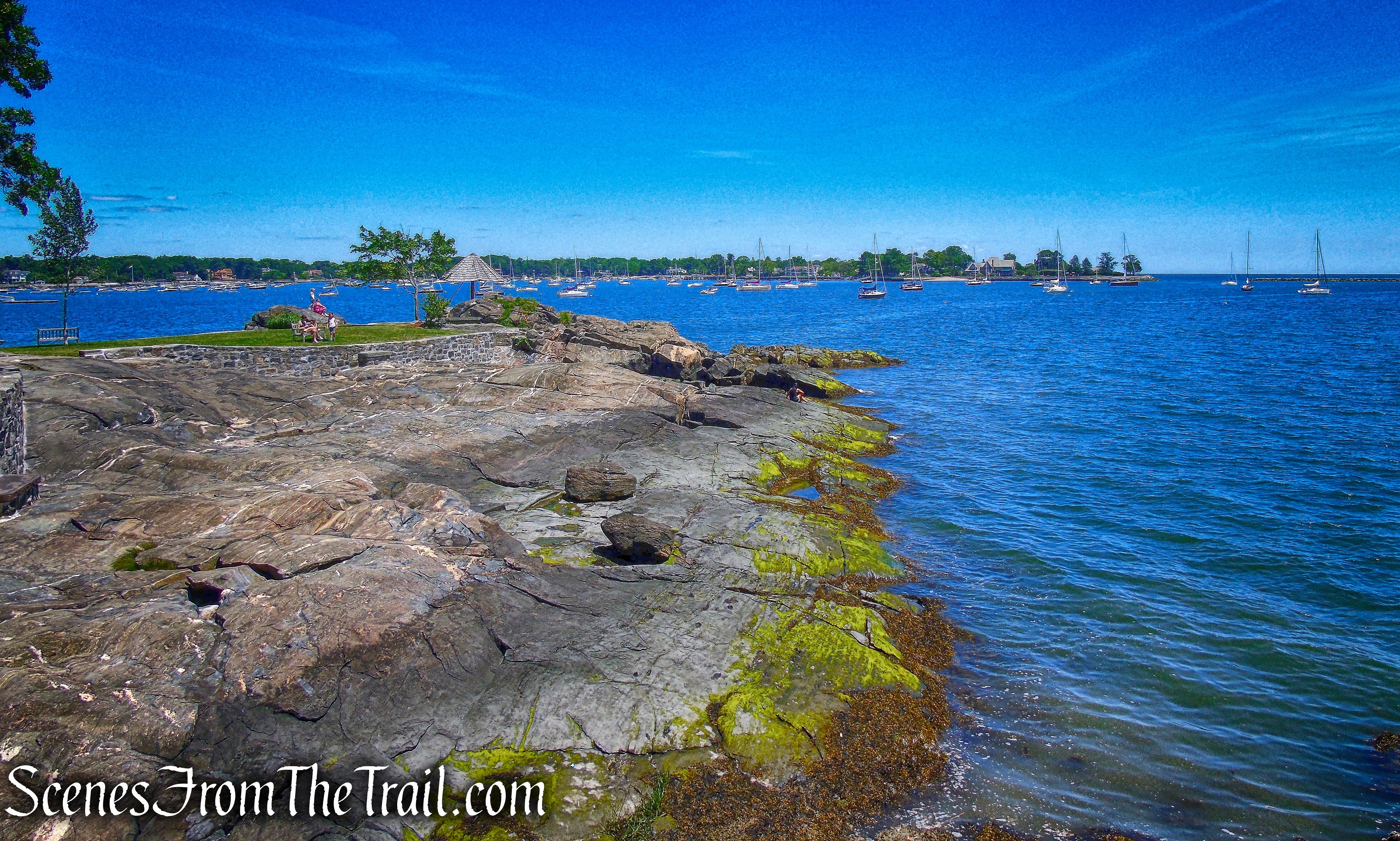
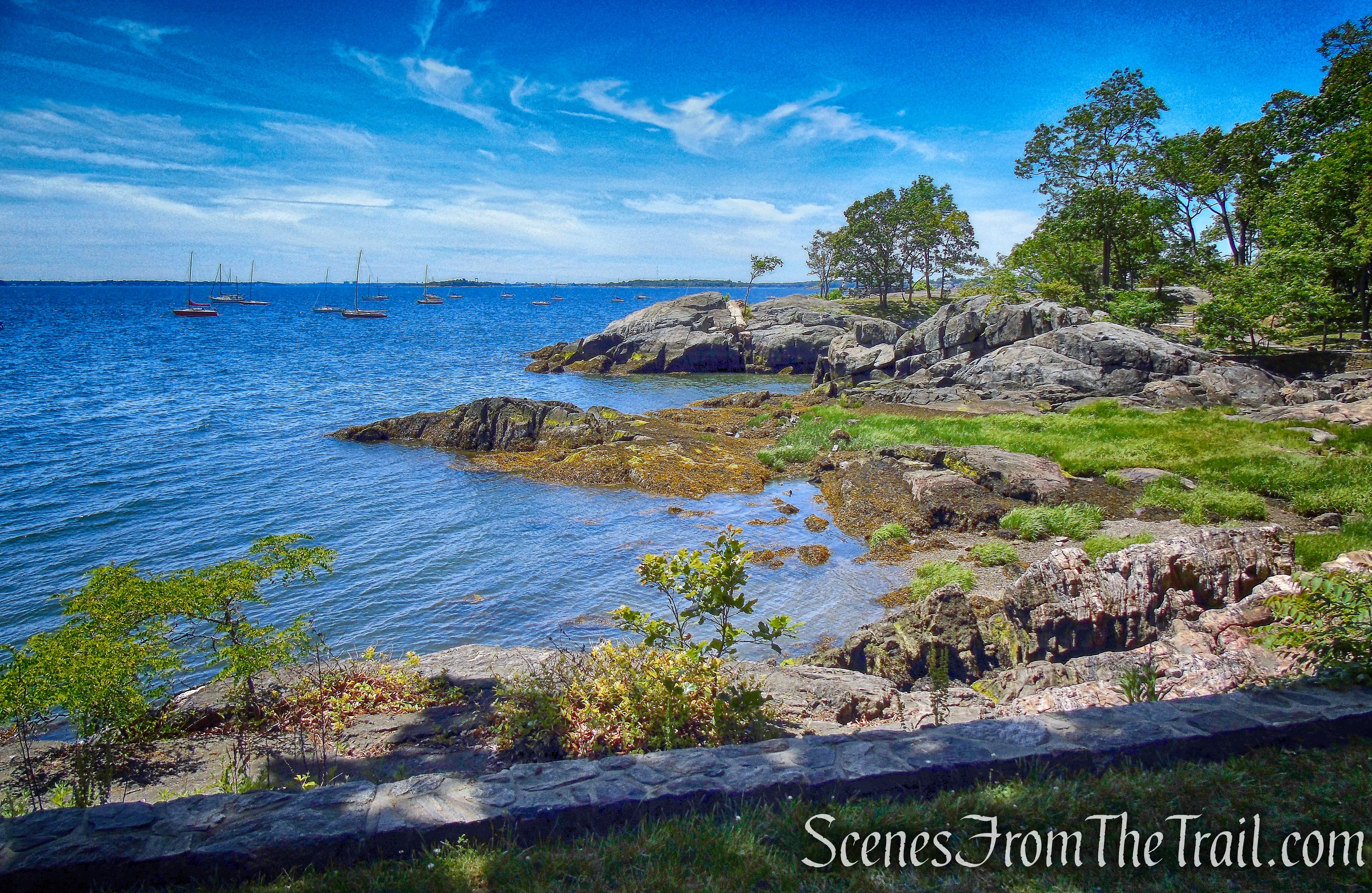
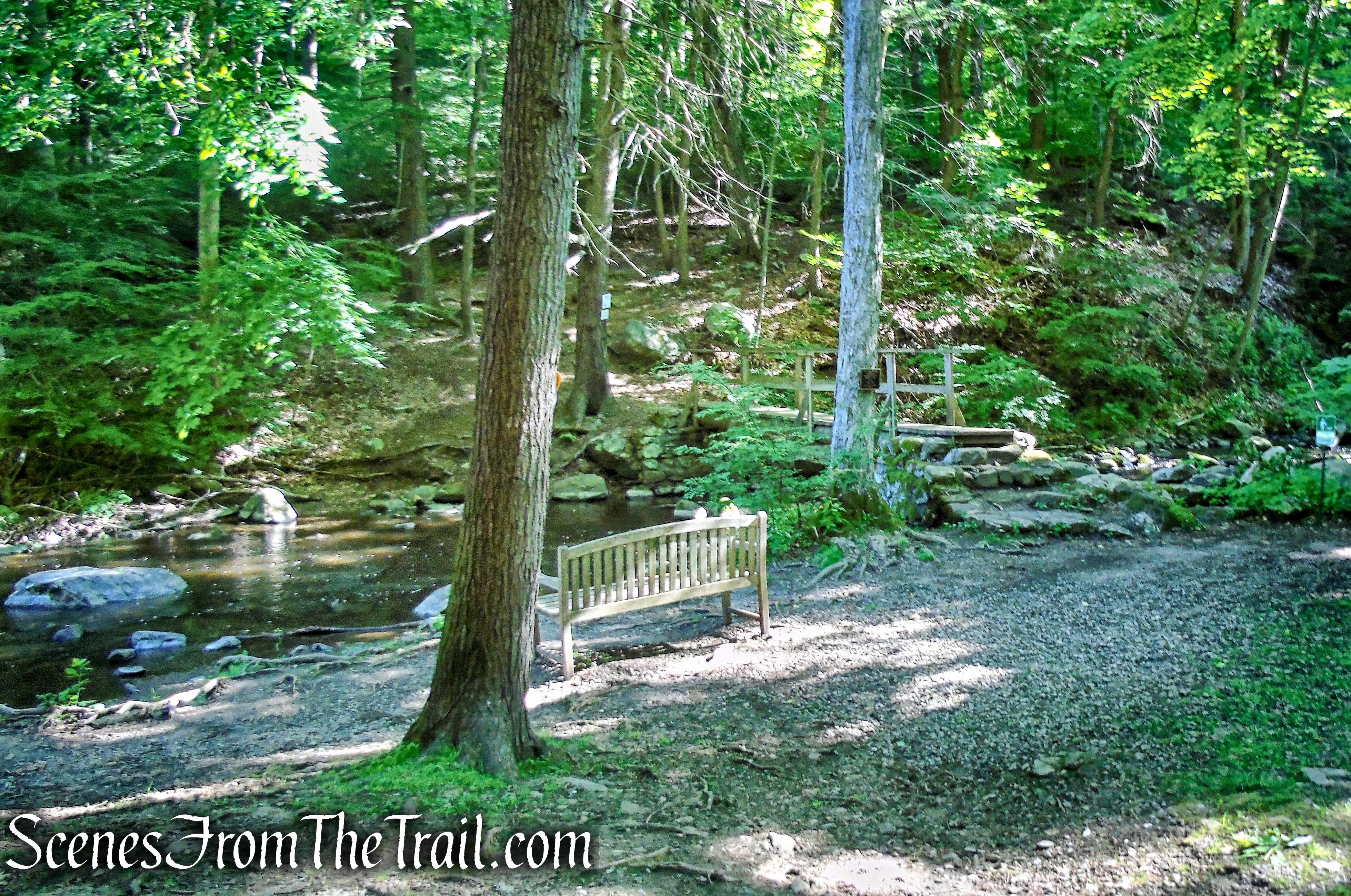
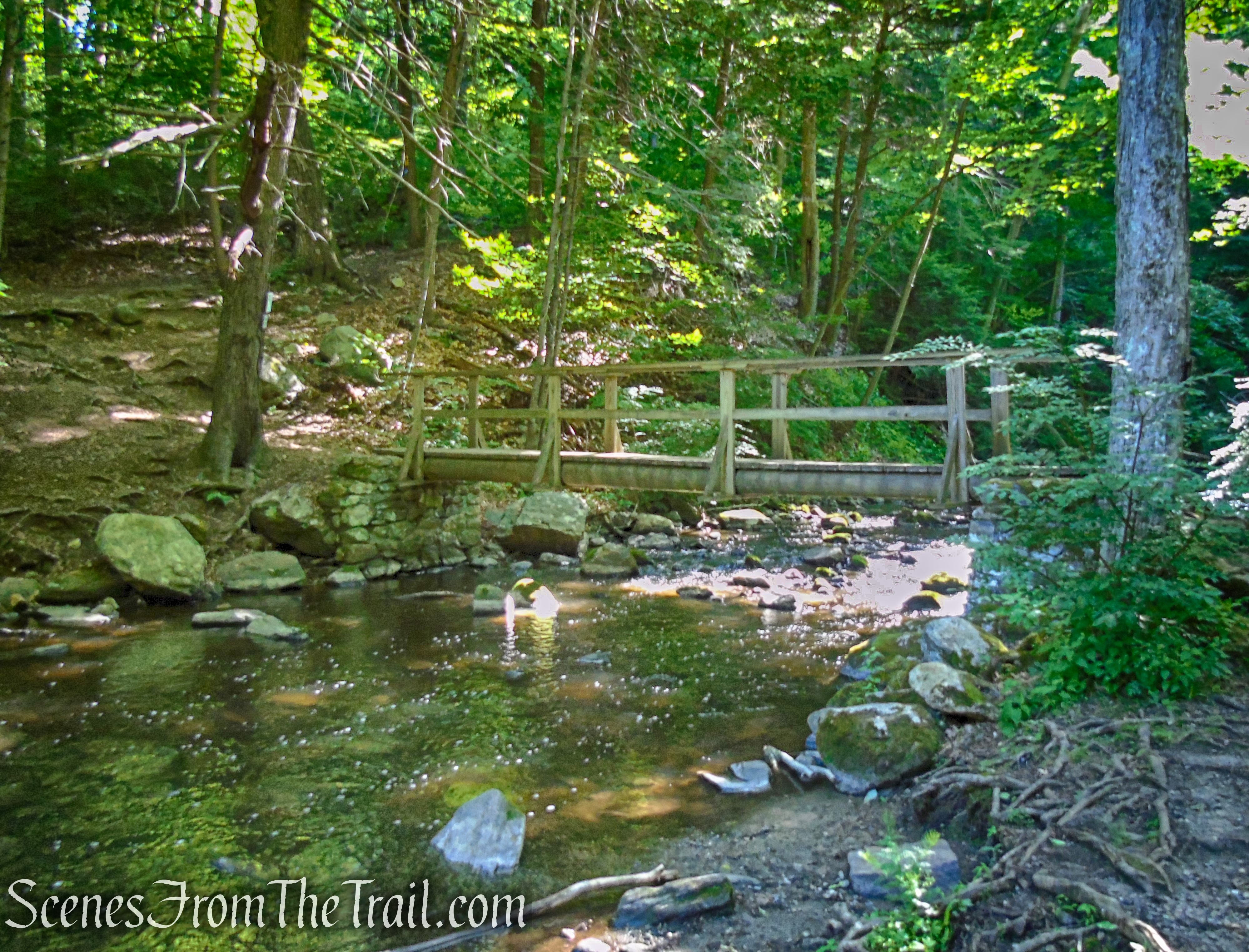
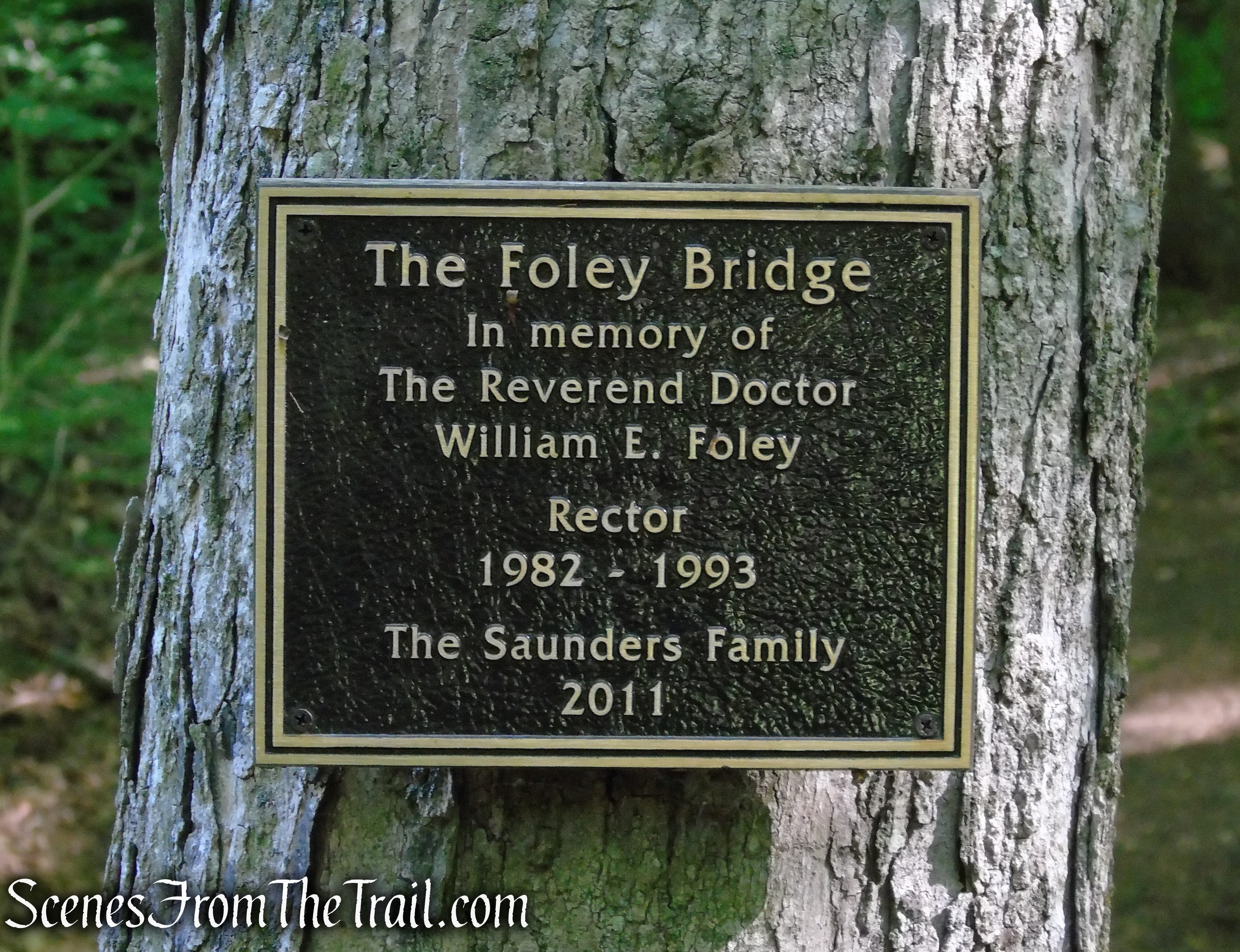
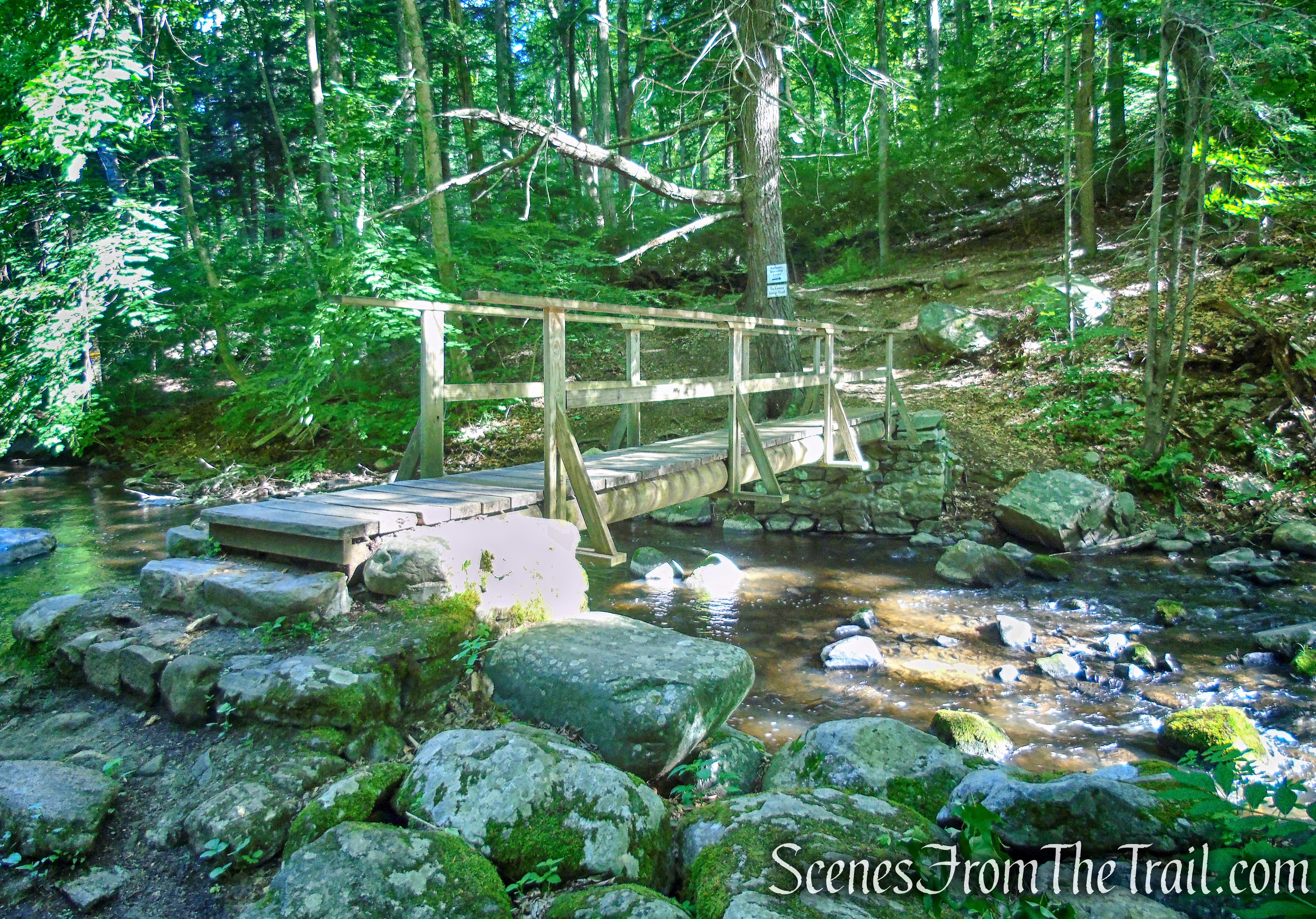
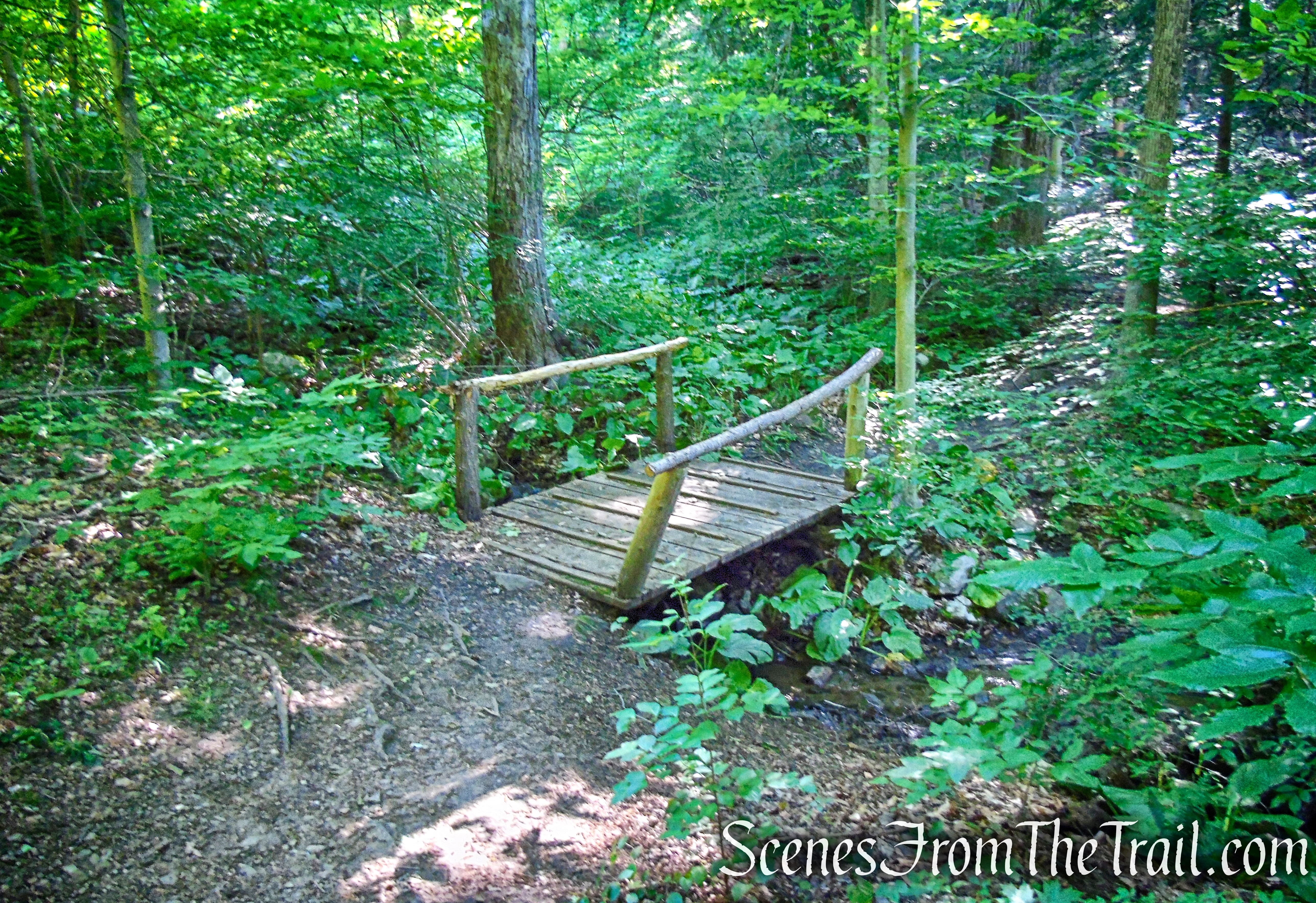
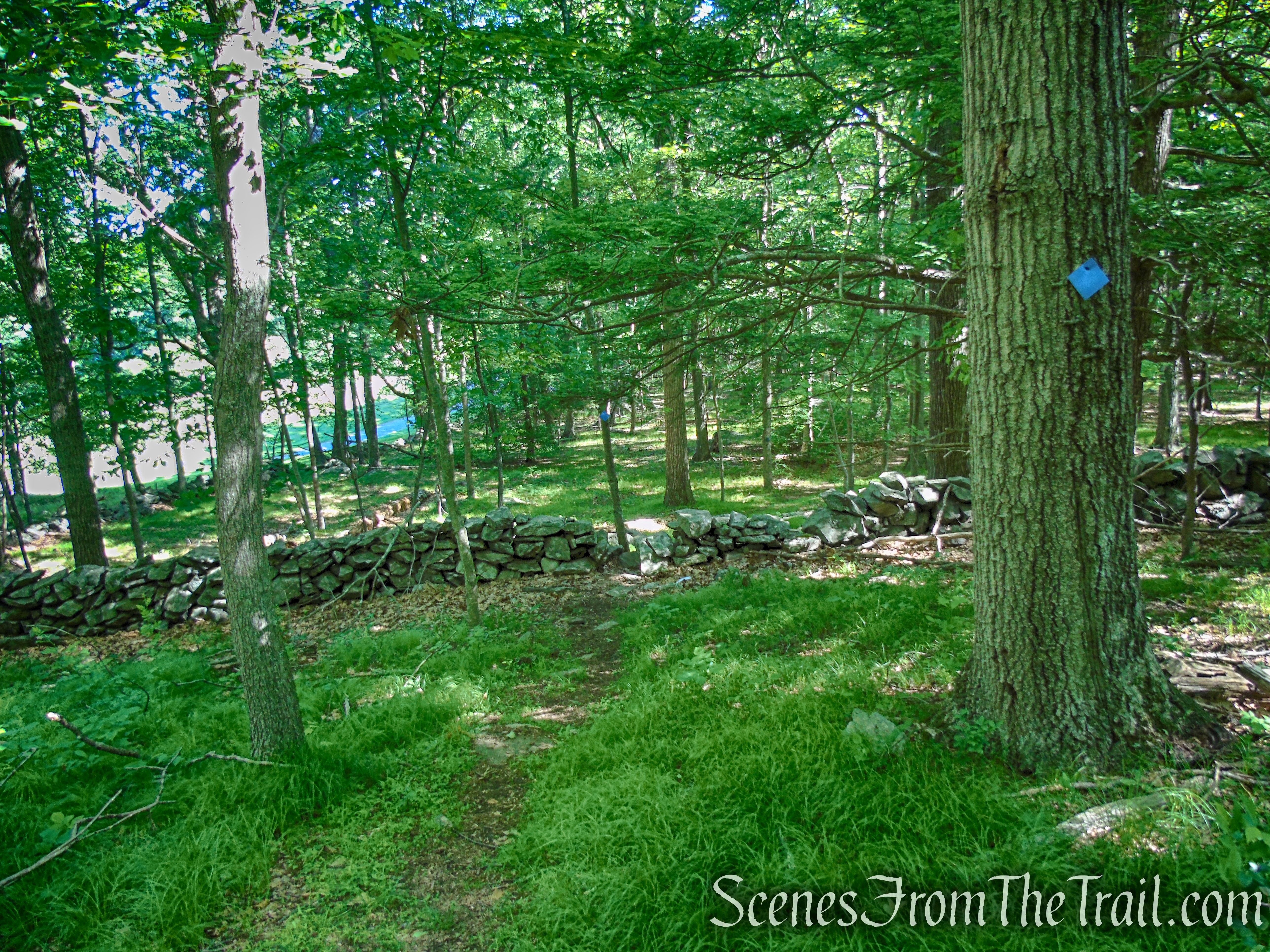
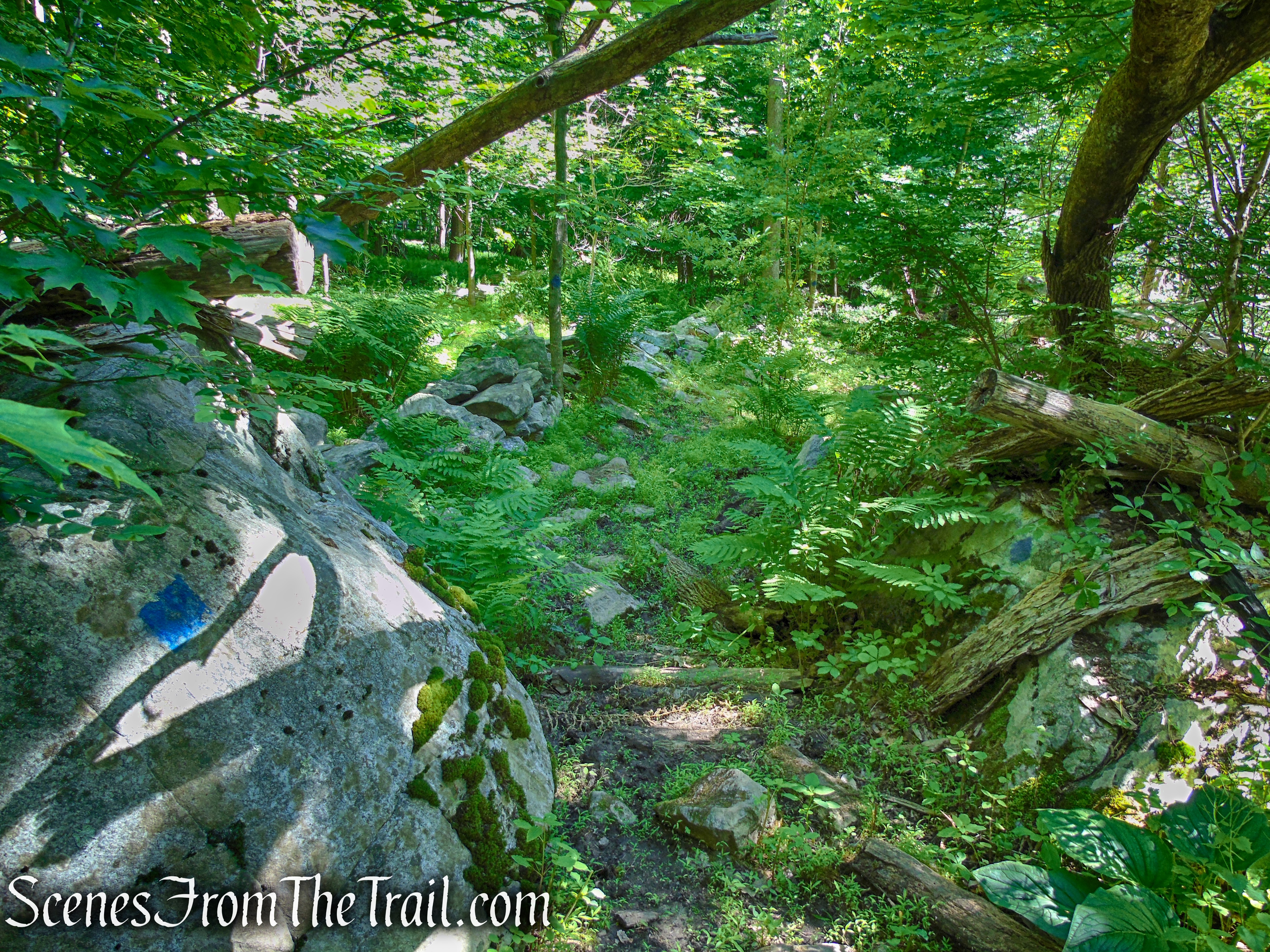
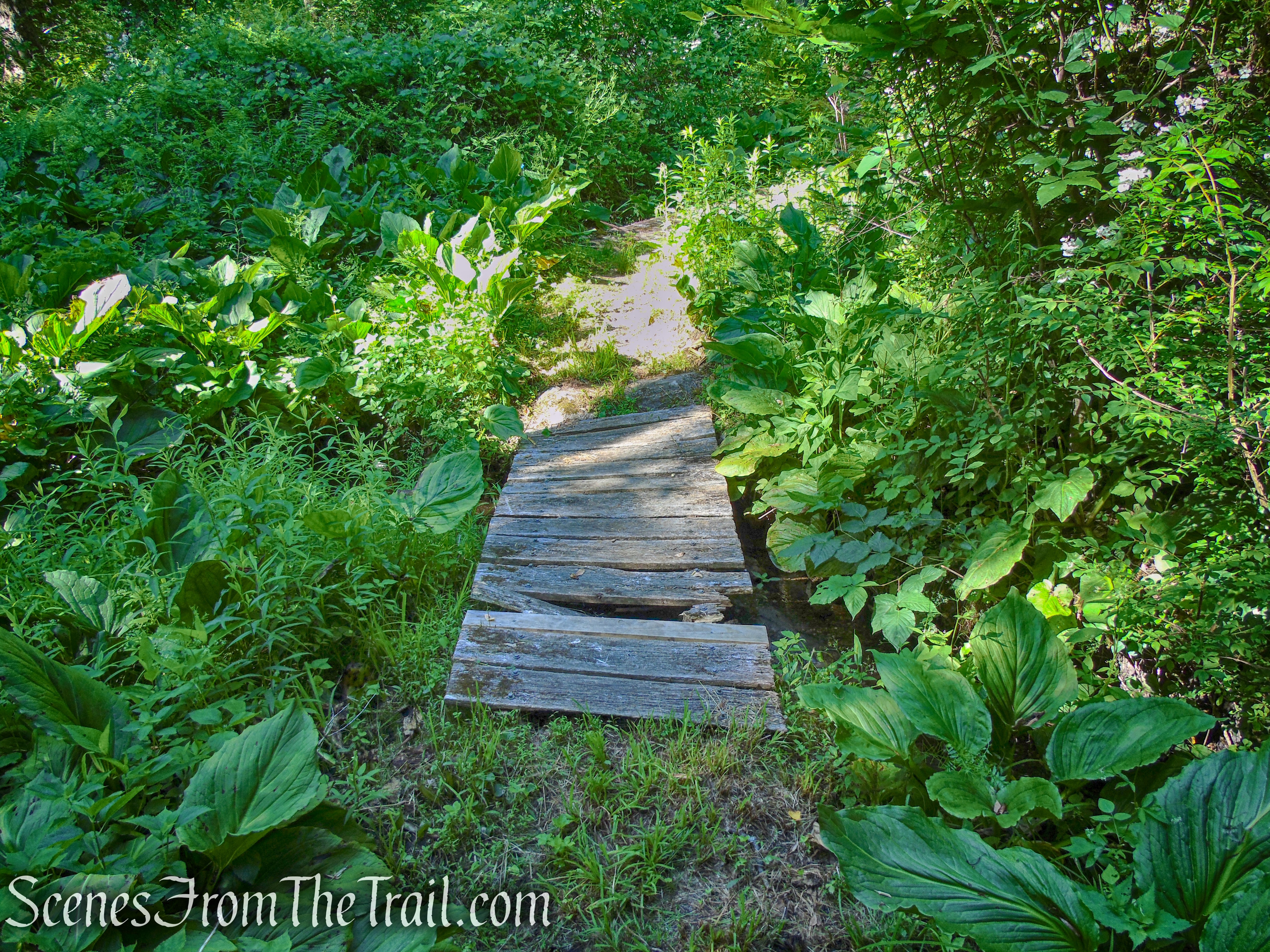
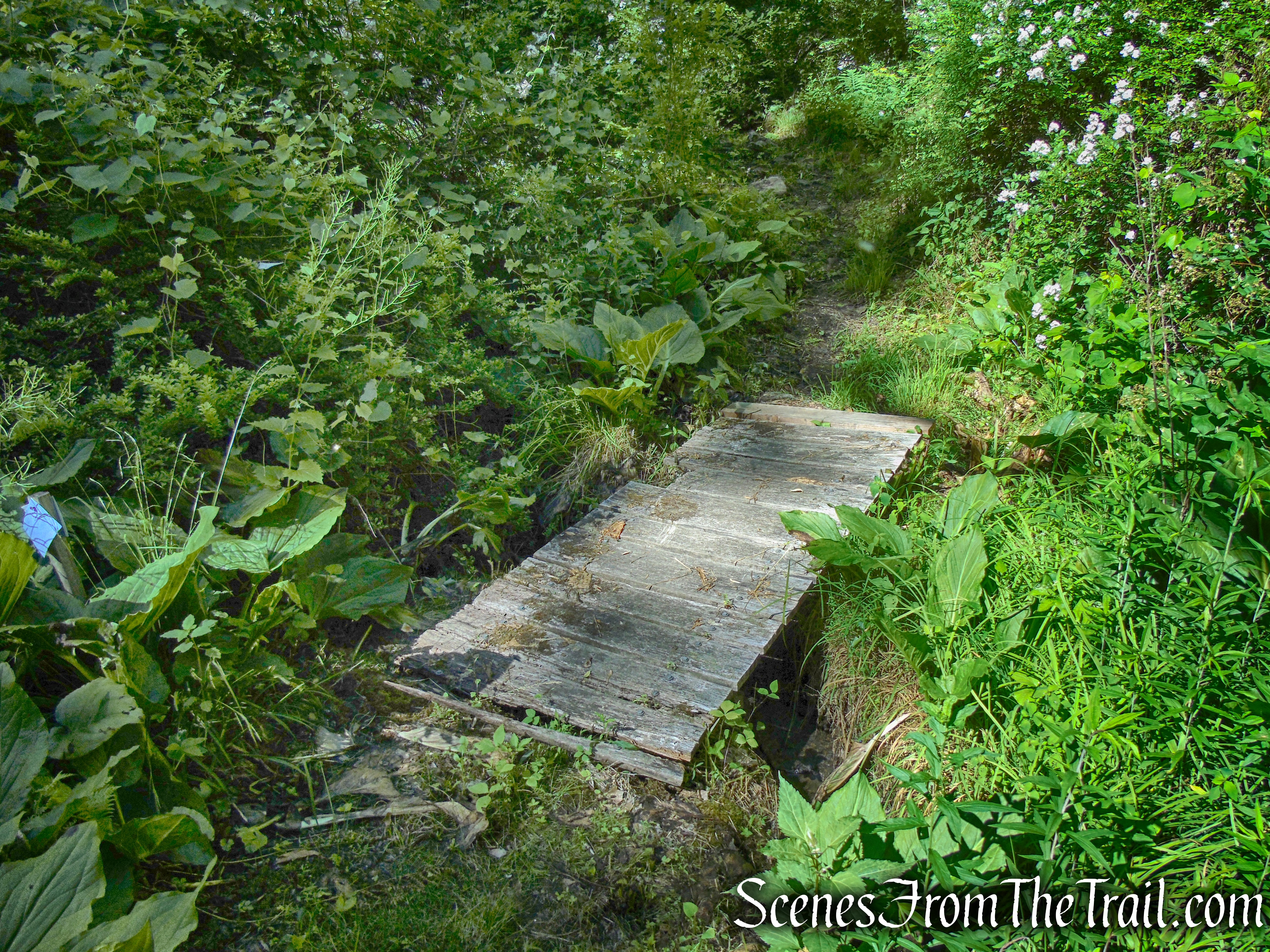
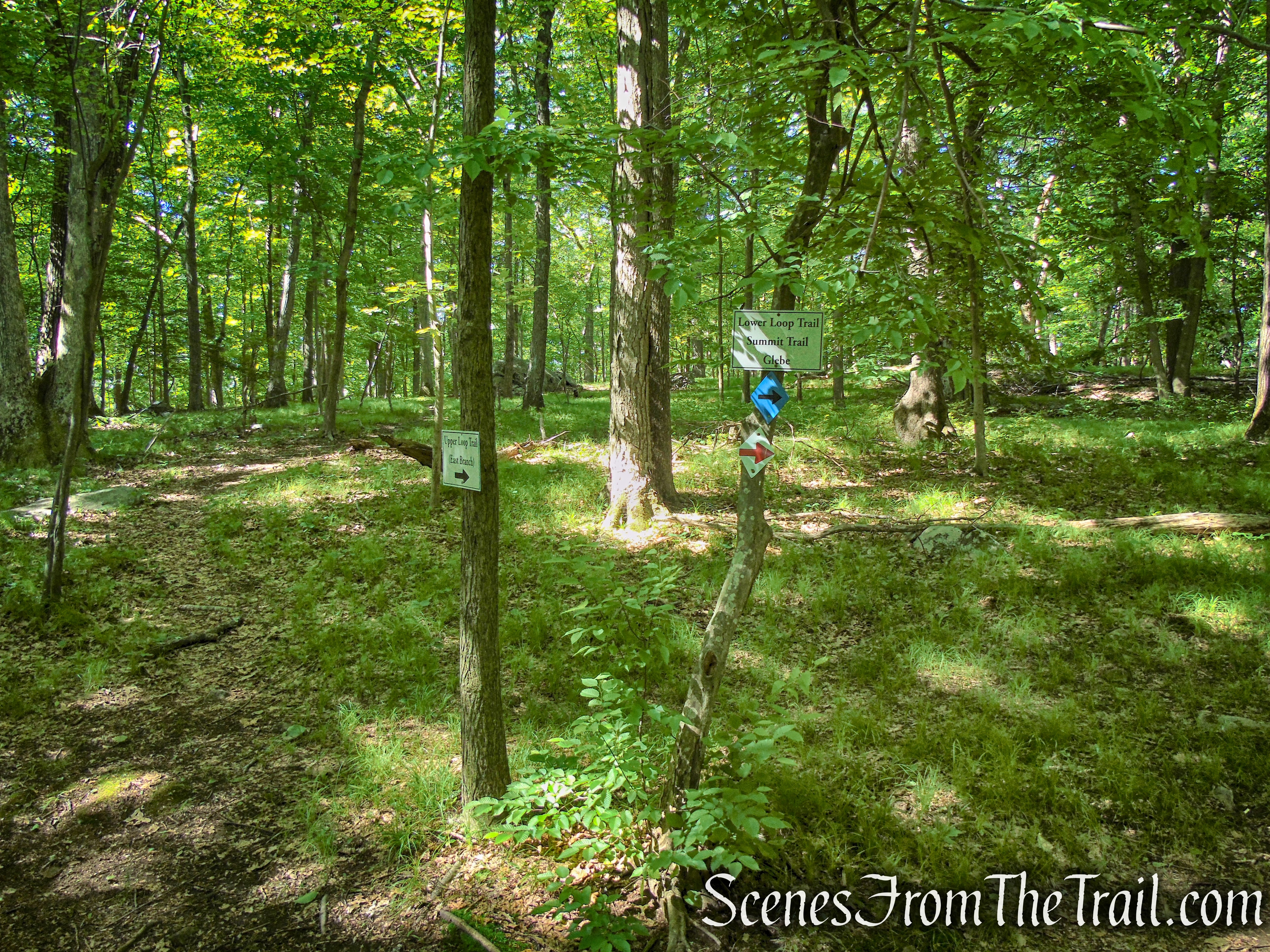
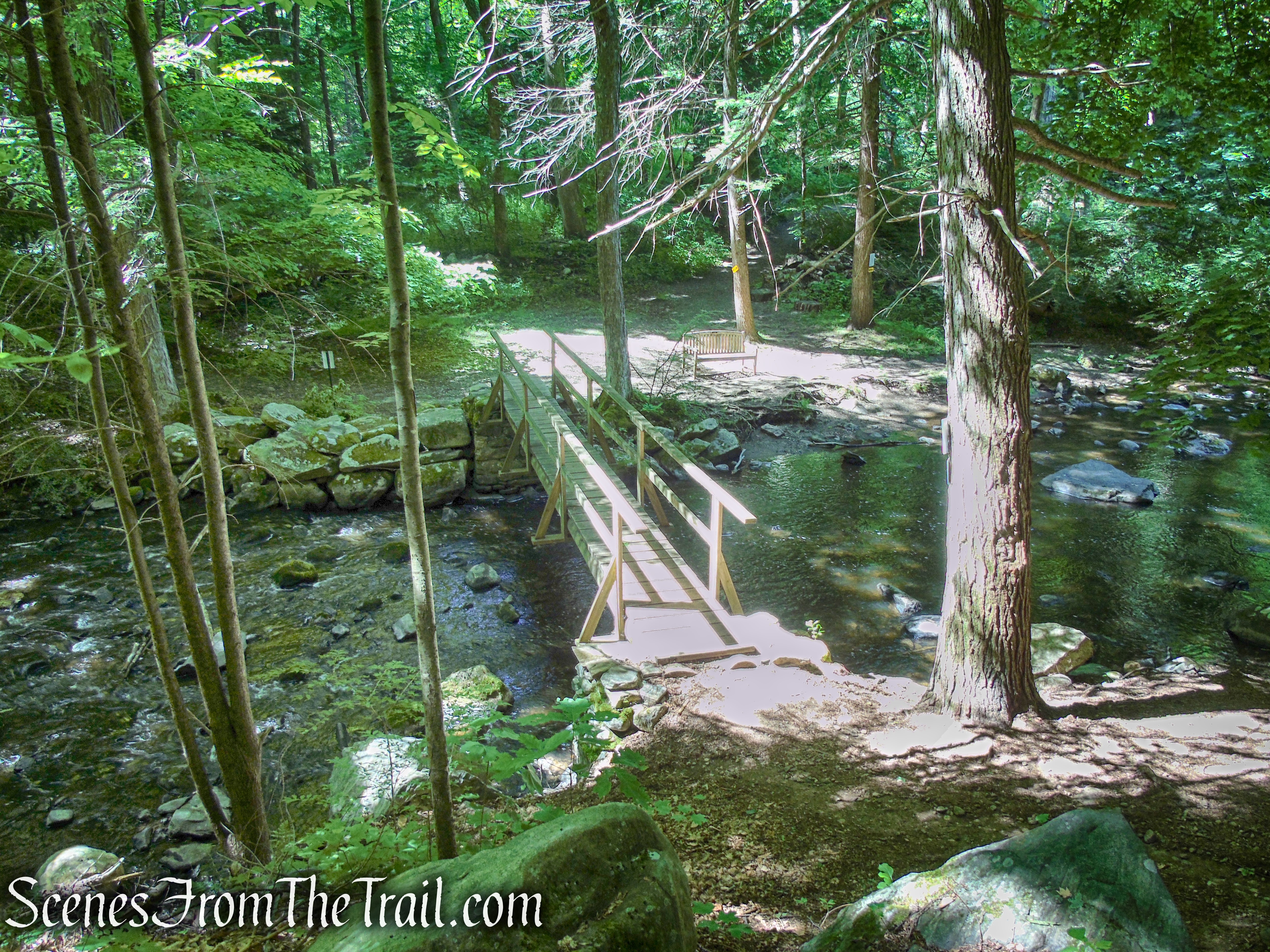
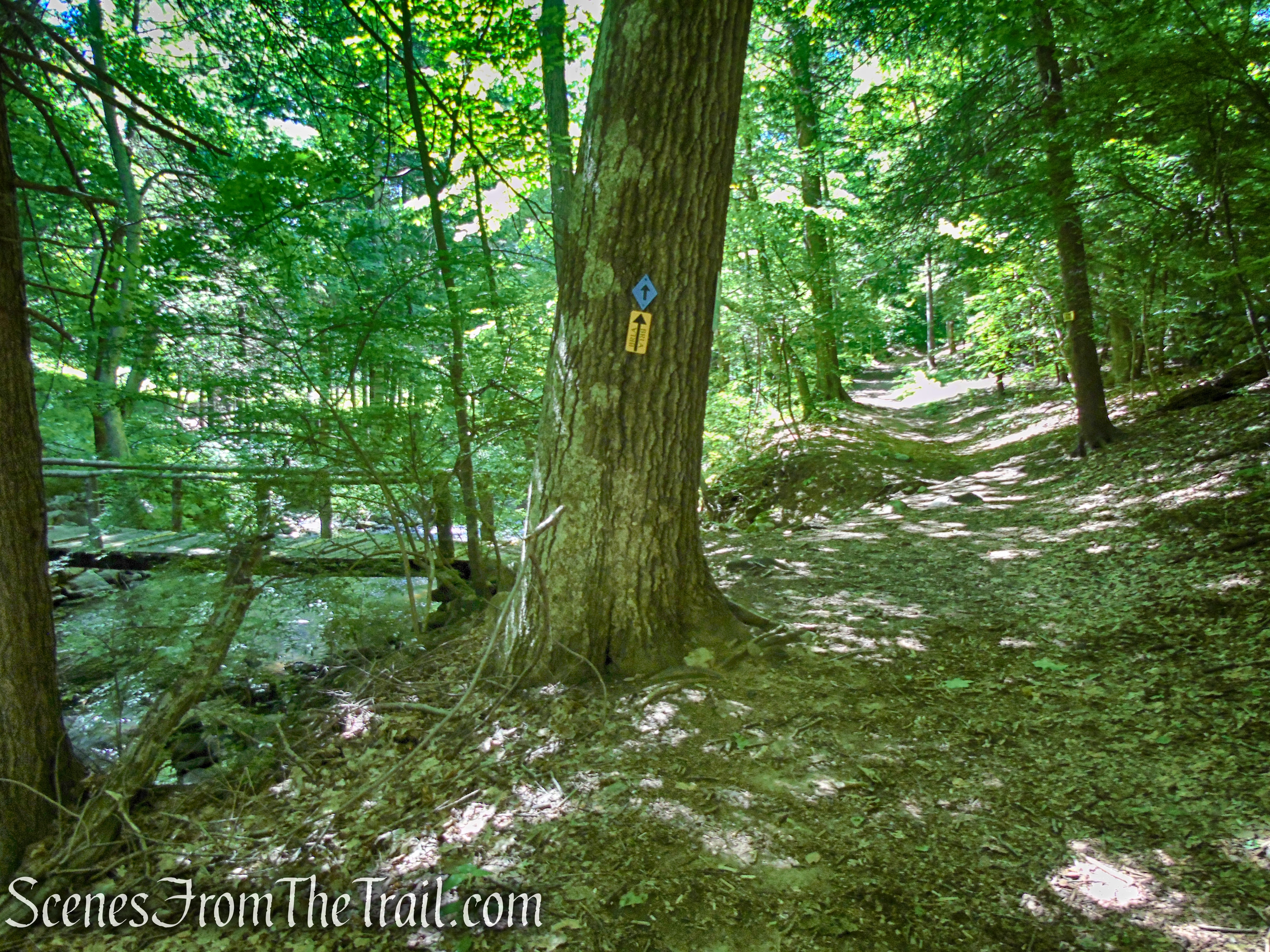
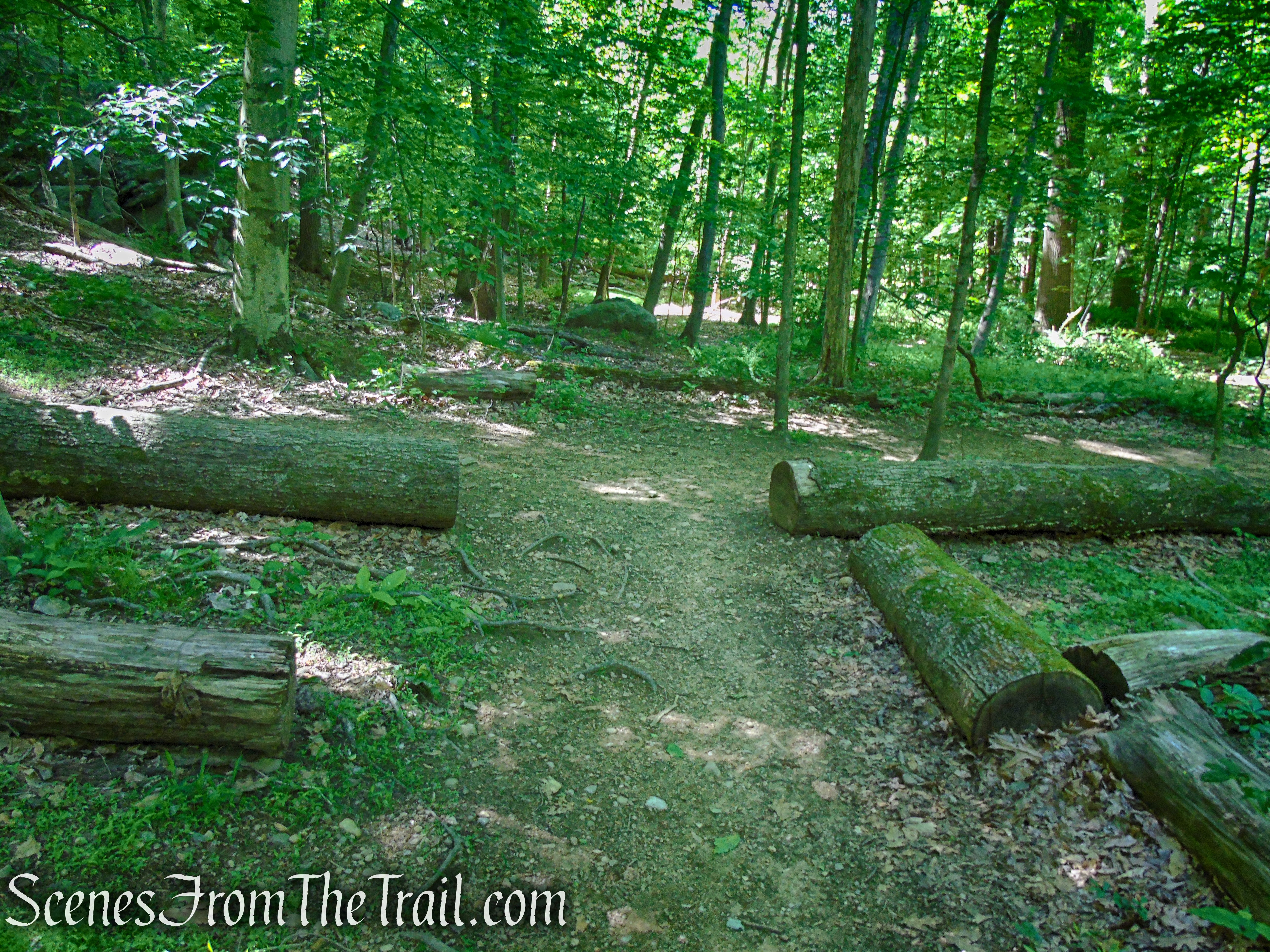
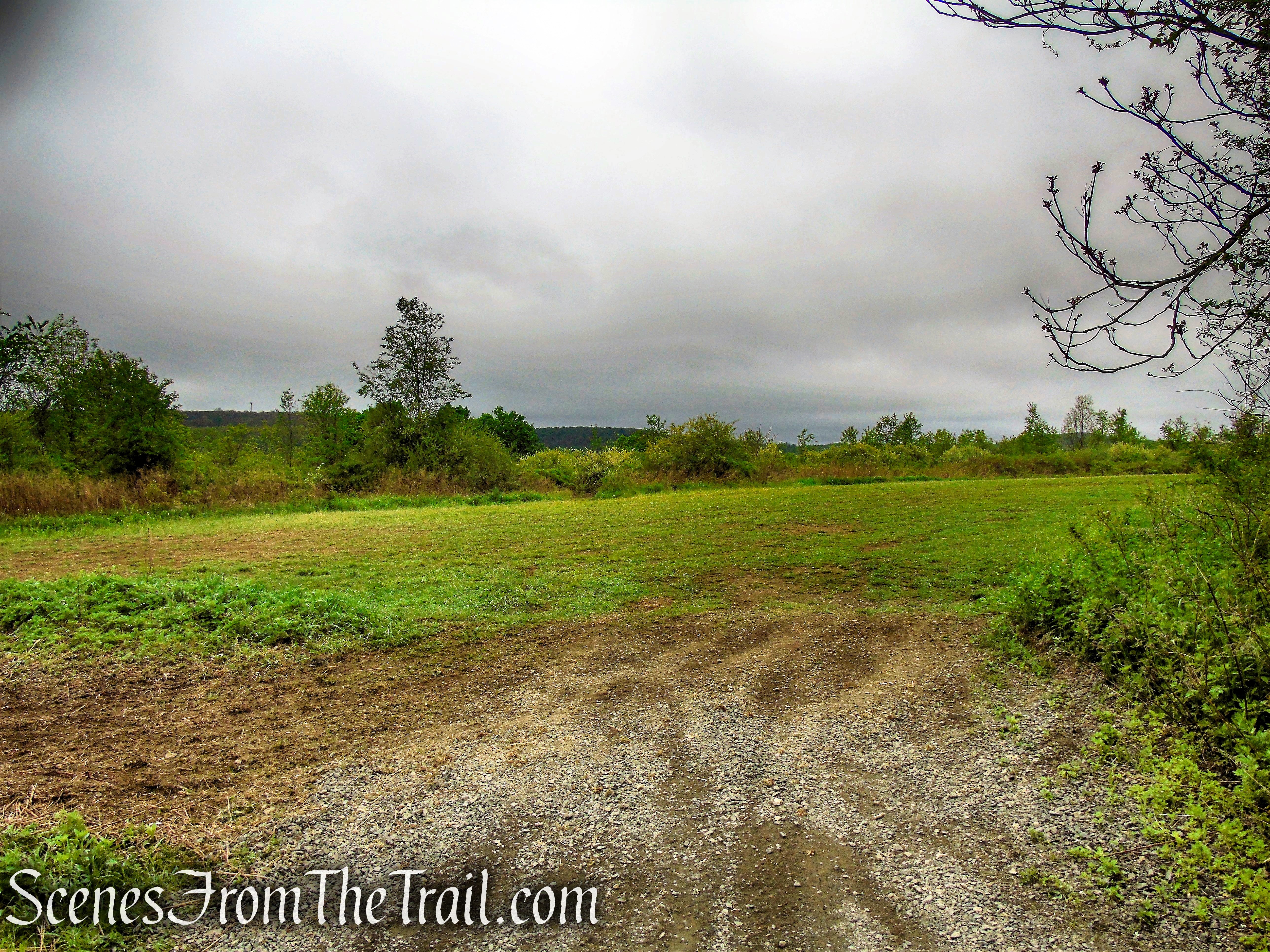
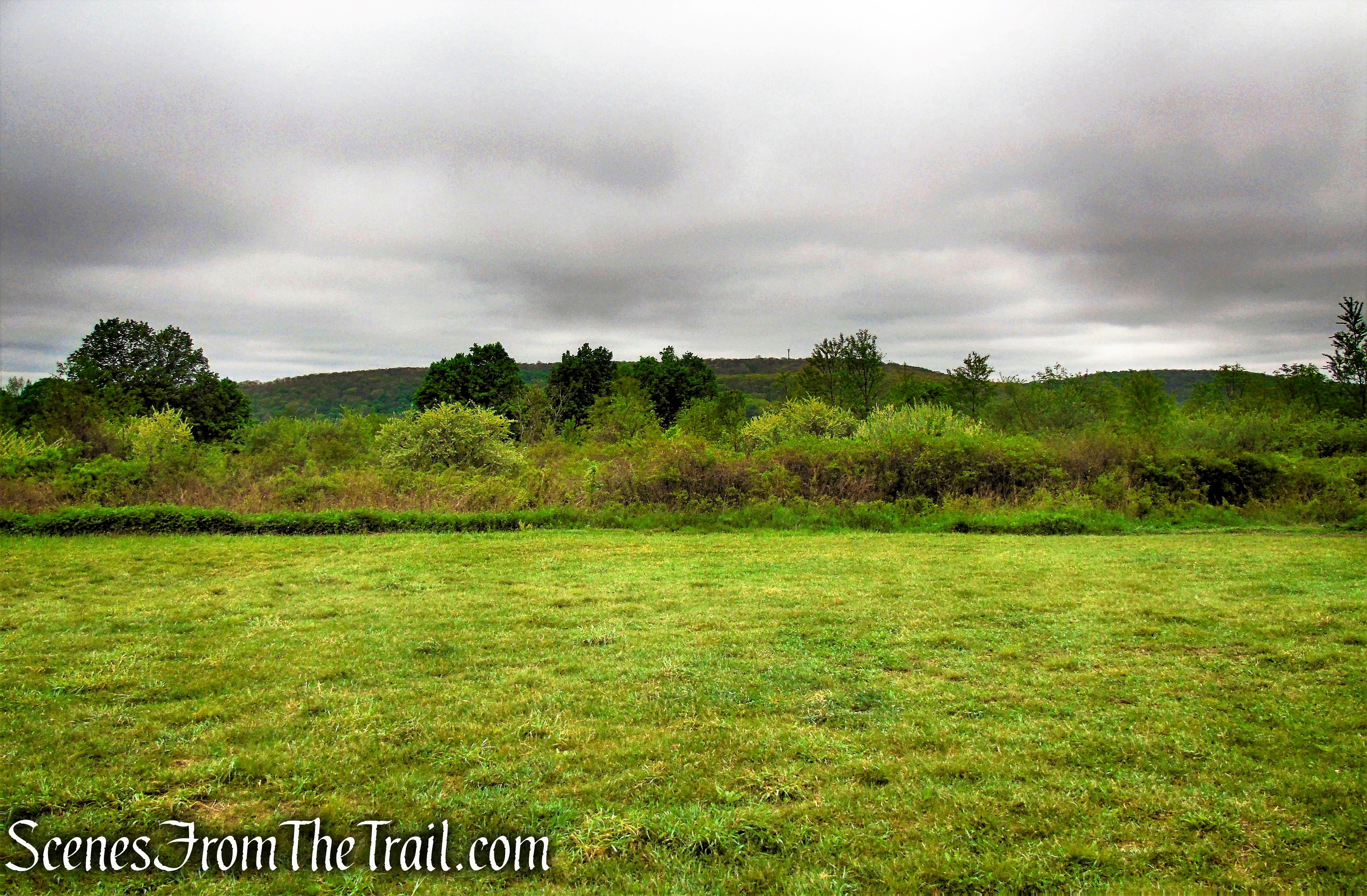
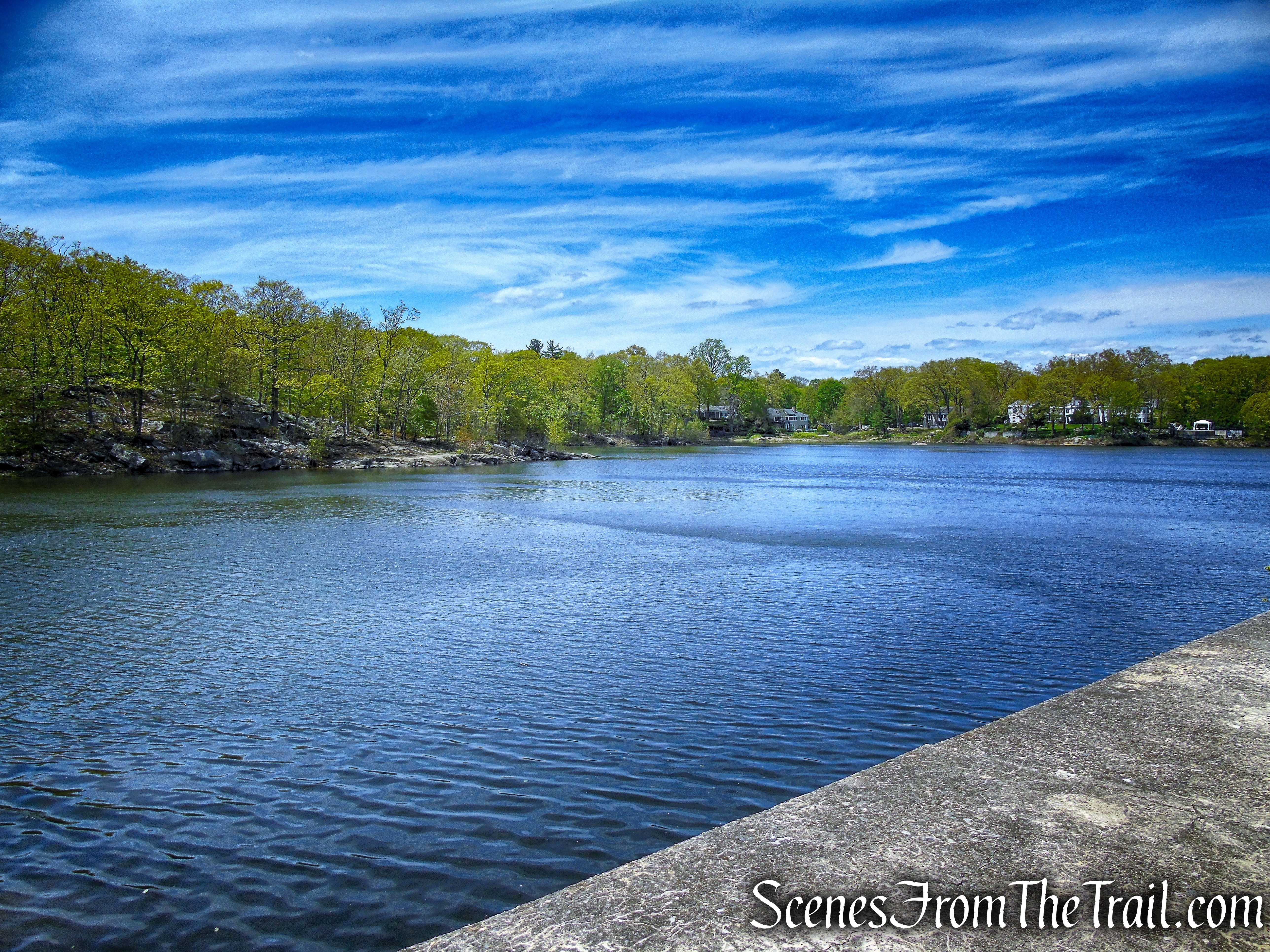
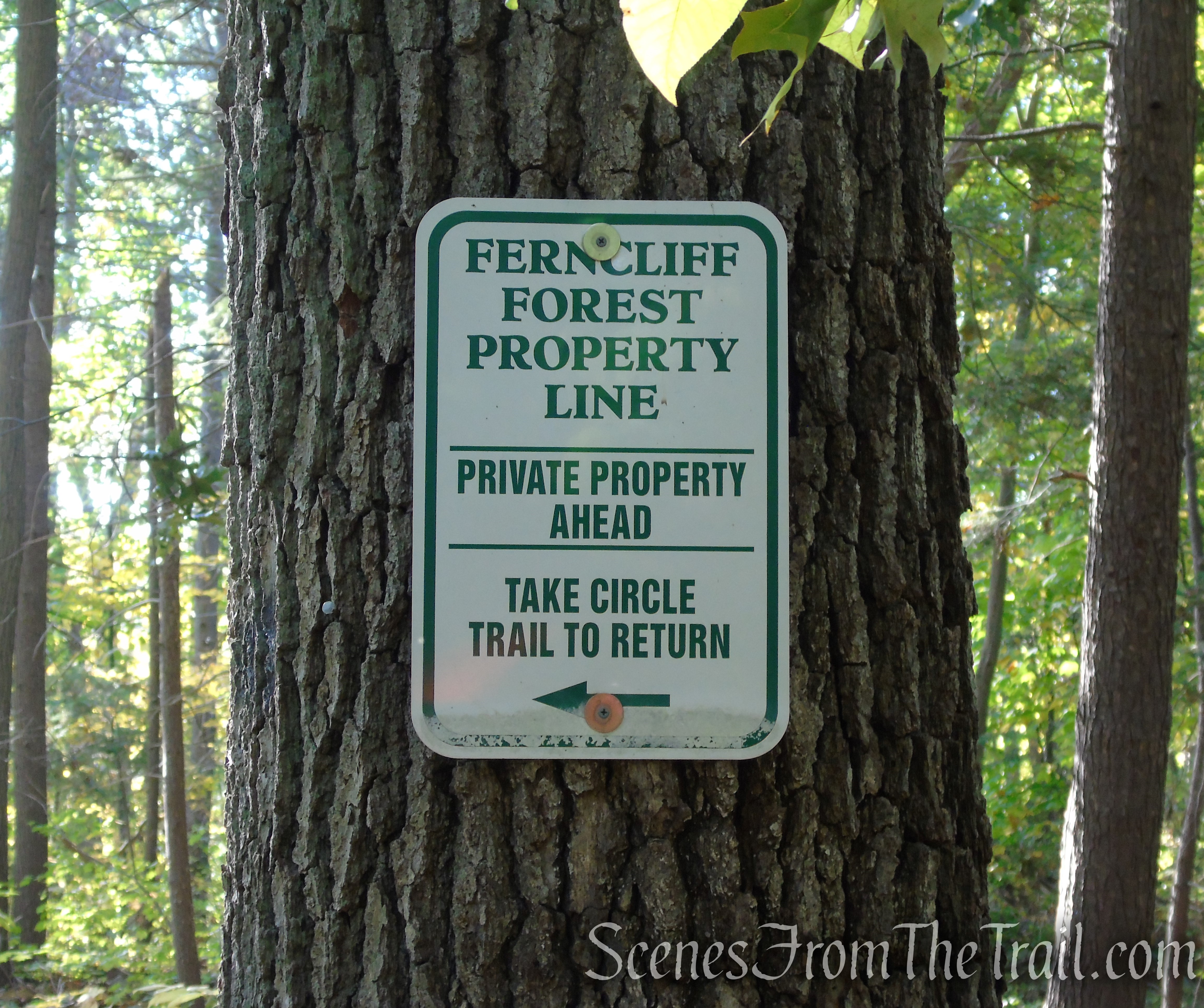
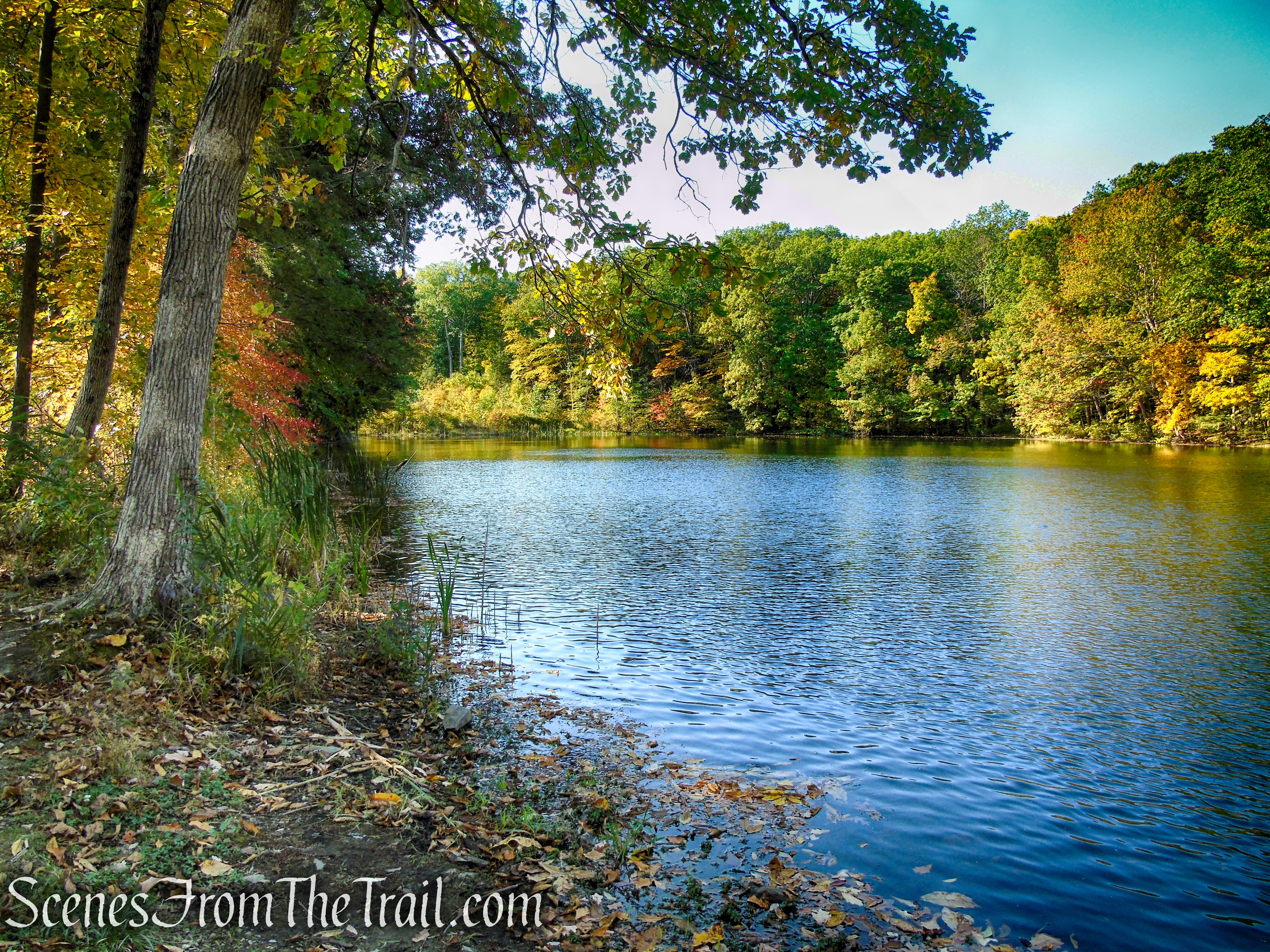
After another mile (from the fire tower), the Yellow Circle Trail reaches the southwest shore of Mt. Rutsen Pond and turns left. Leave the Yellow Circle Trail and bear right onto the orange-blazed Scout Trail, soon crossing a small wooden footbridge. When the trail comes to a fork, veer left and follow the orange blazes until you come to a junction with the White Trail. Turn left on the White Trail, now heading north.

Orange Trail – Ferncliff Forest
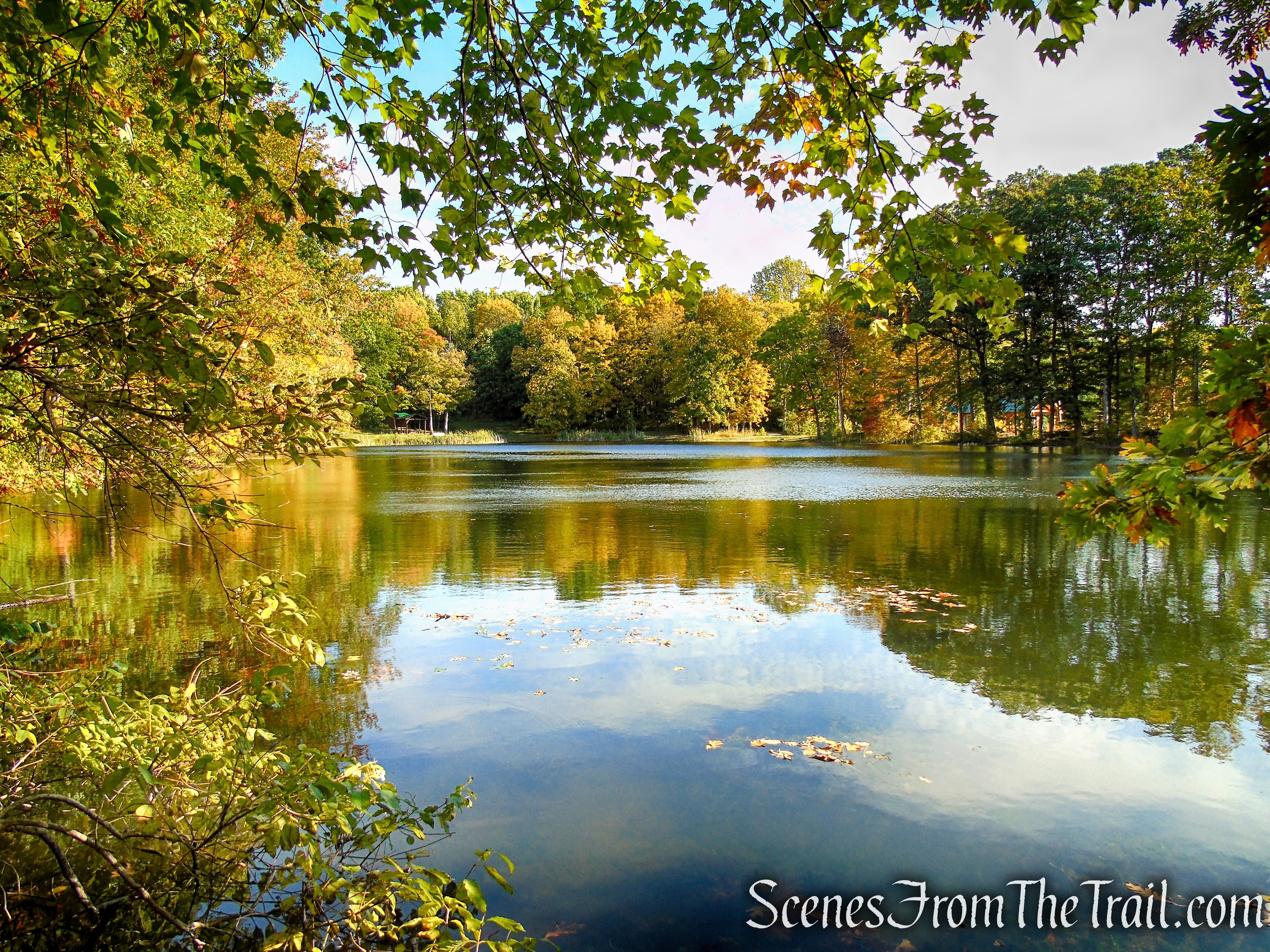
Mt. Rutsen Pond – Ferncliff Forest
Orange Trail – Ferncliff Forest
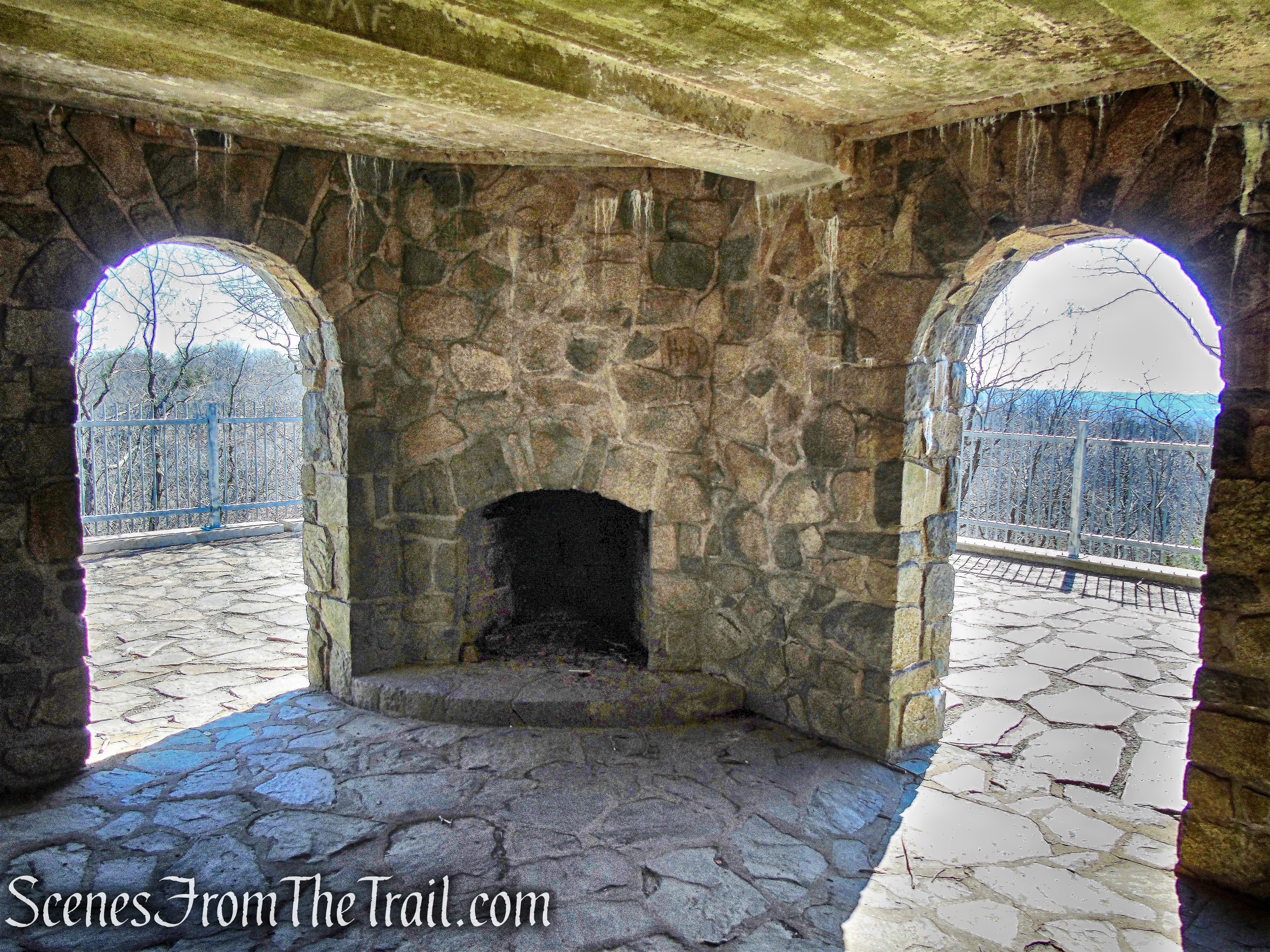
In a short distance, the White Trail passes a lean-to with a fireplace along Mt. Rutsen Pond. As you continue north, you will pass another lean-to as well.

White Trail – Ferncliff Forest

White Trail – Ferncliff Forest
White Trail – Ferncliff Forest
Mt. Rutsen Pond – Ferncliff Forest
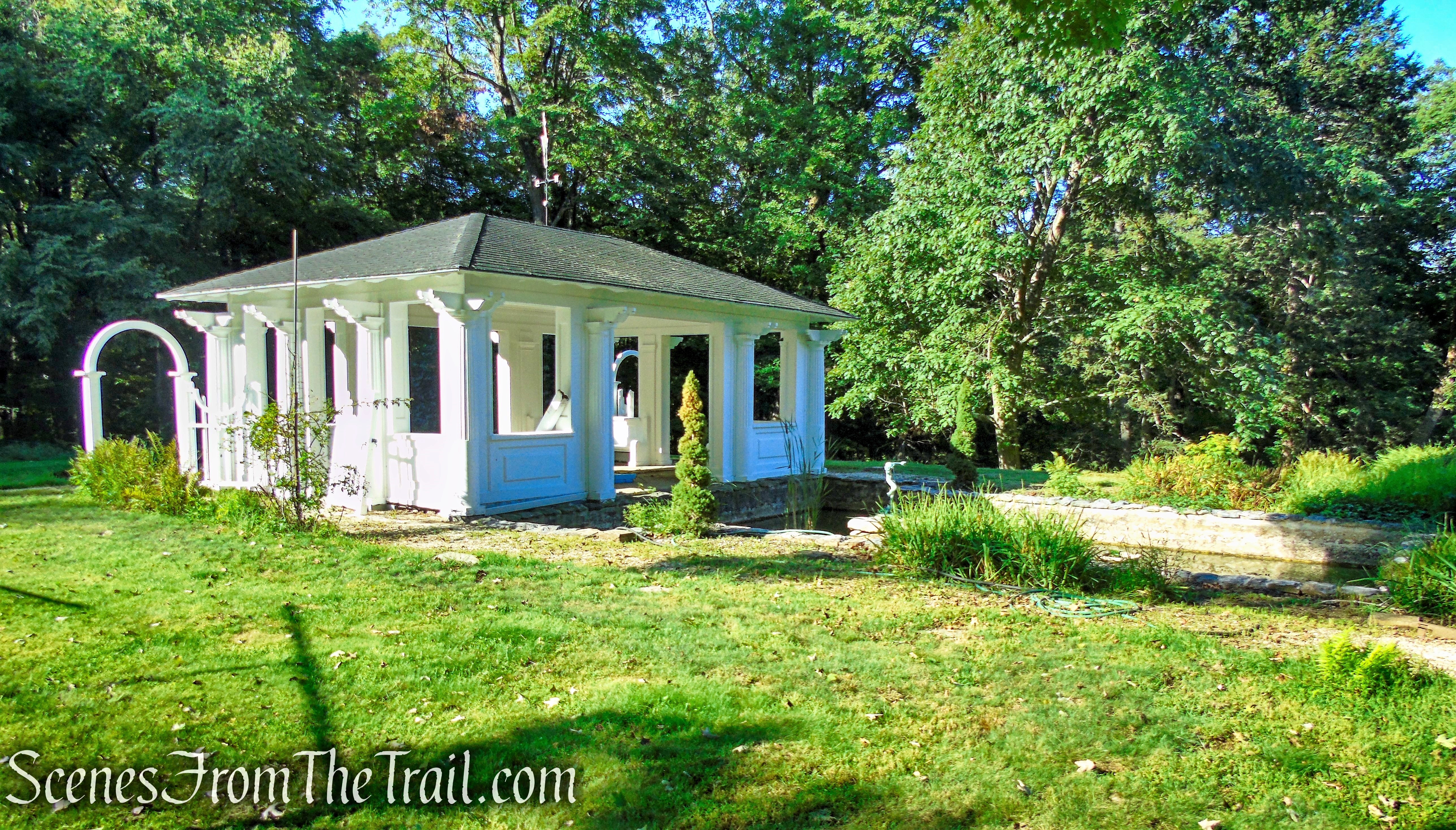
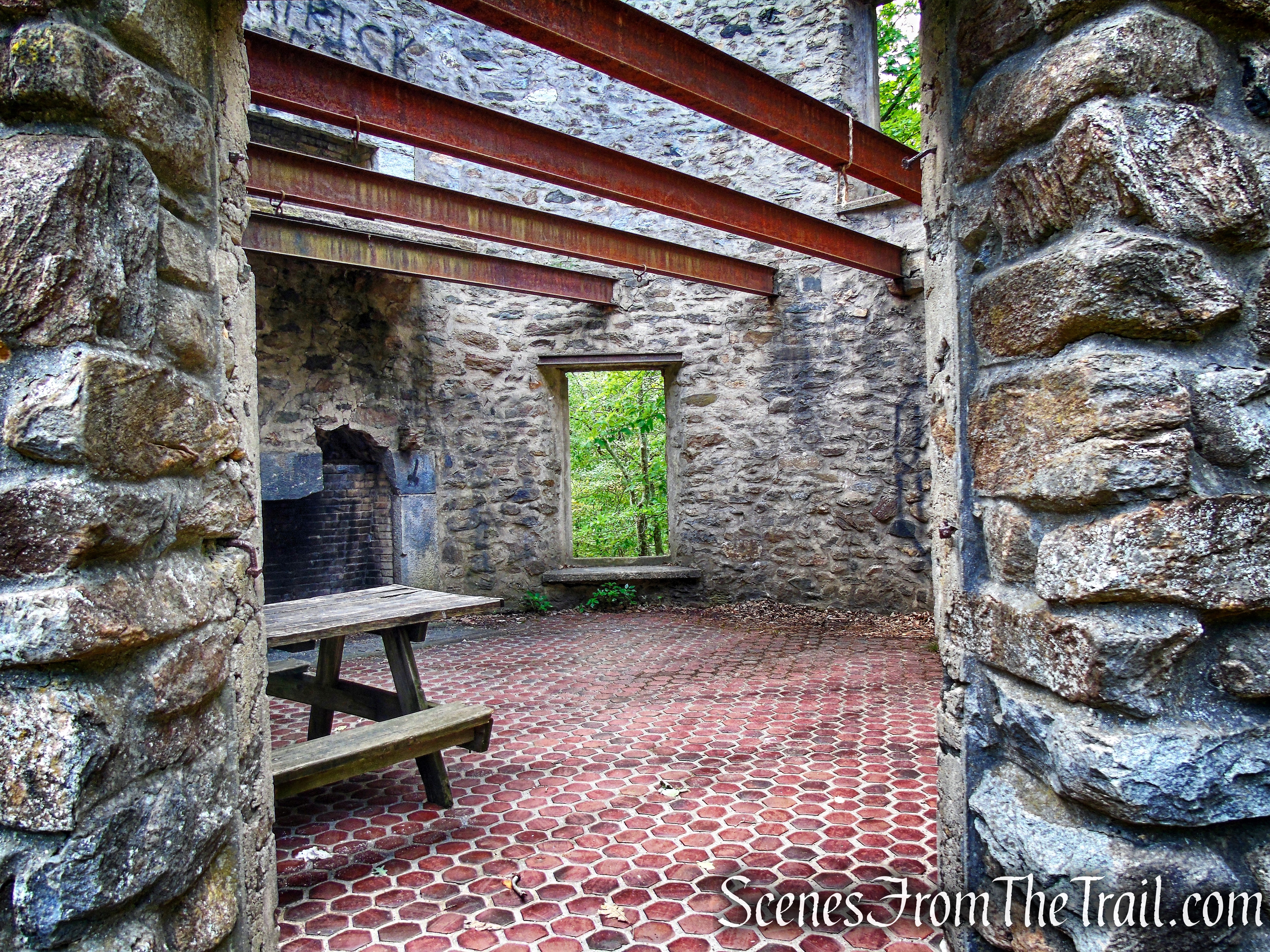
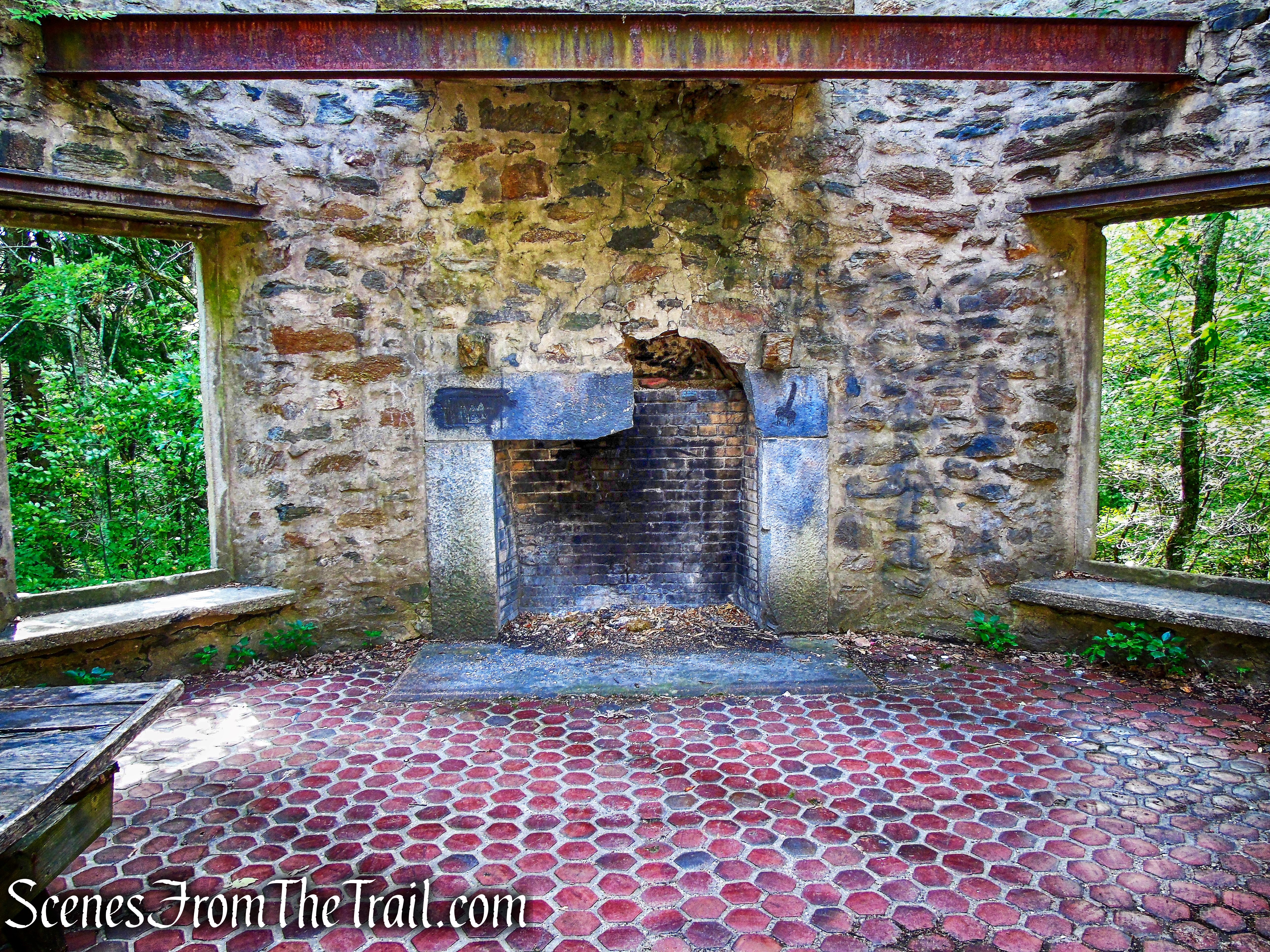
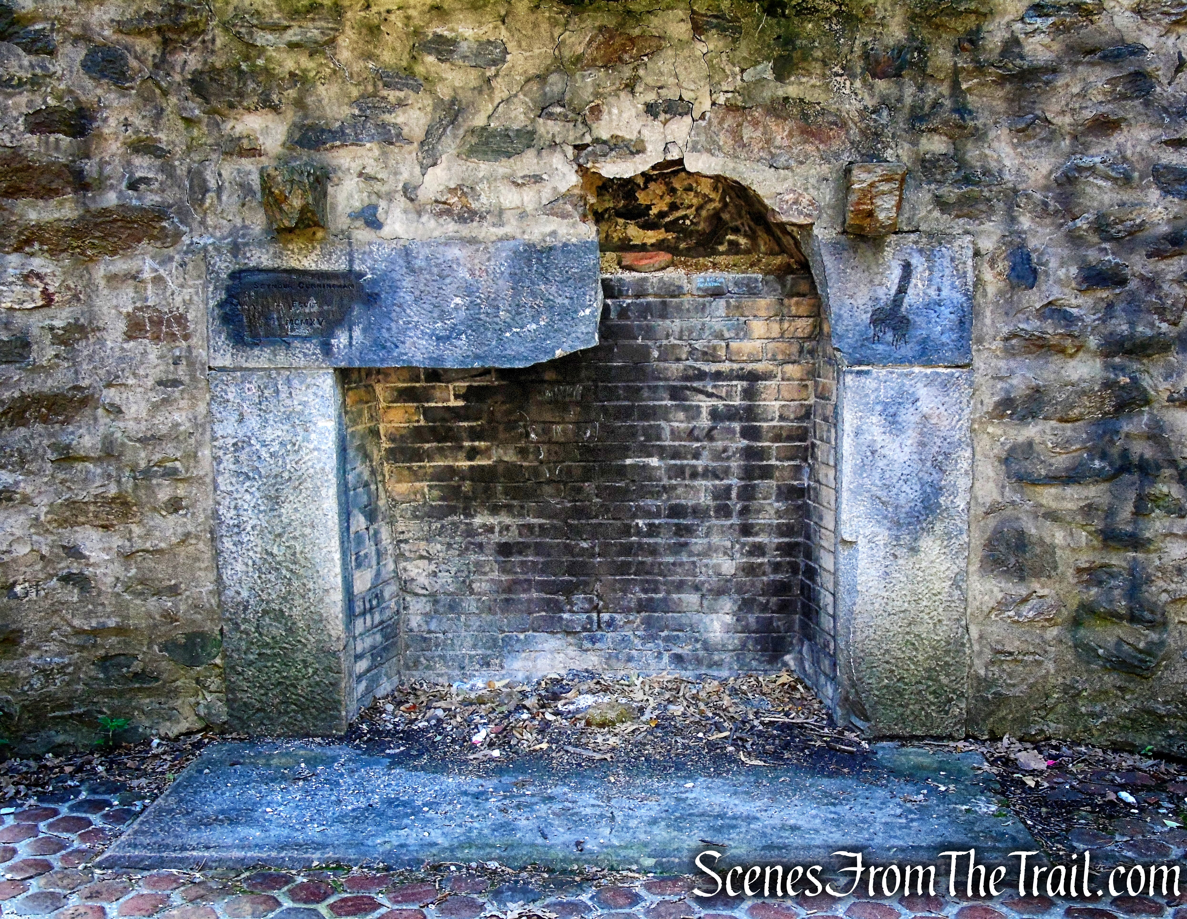
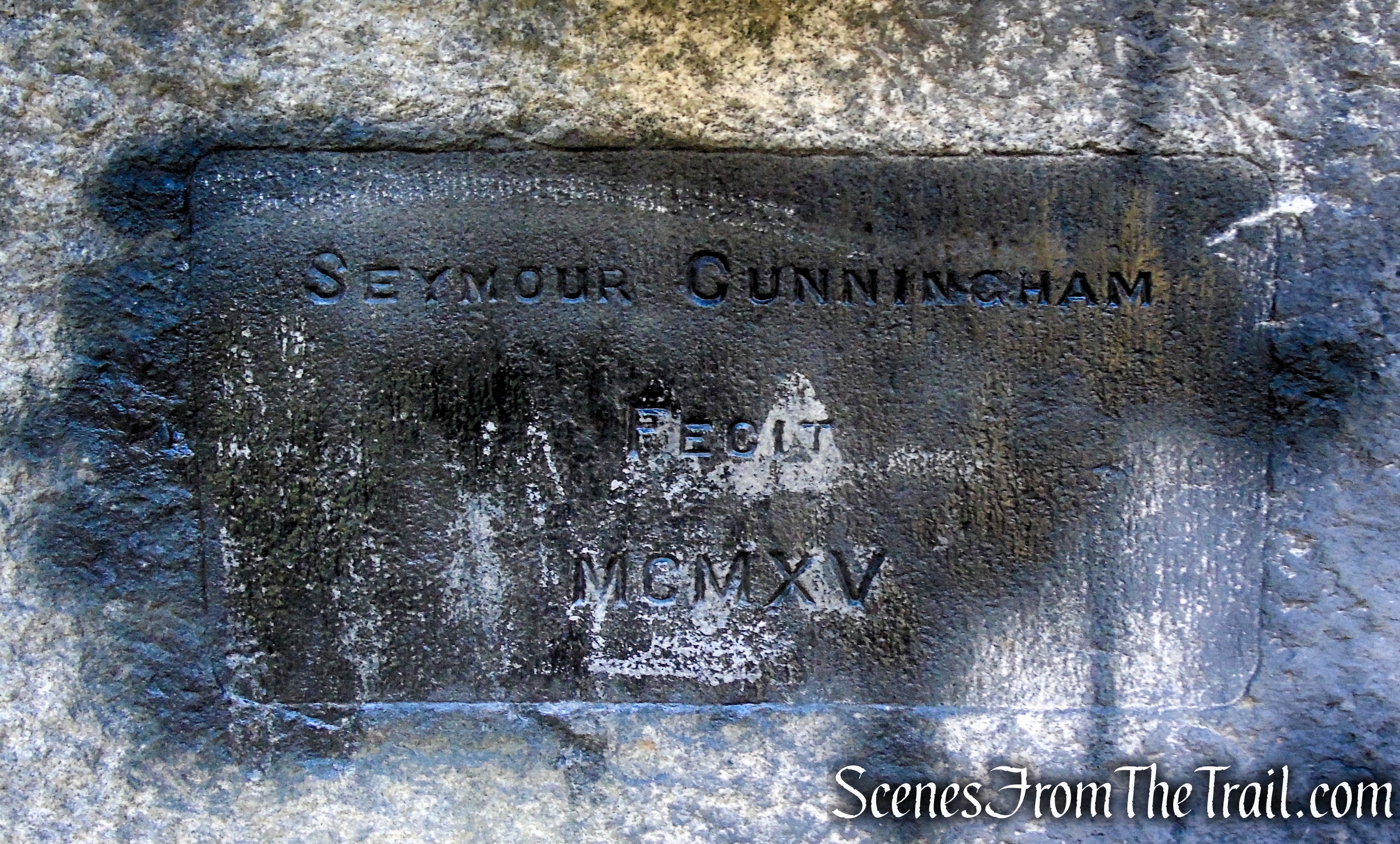
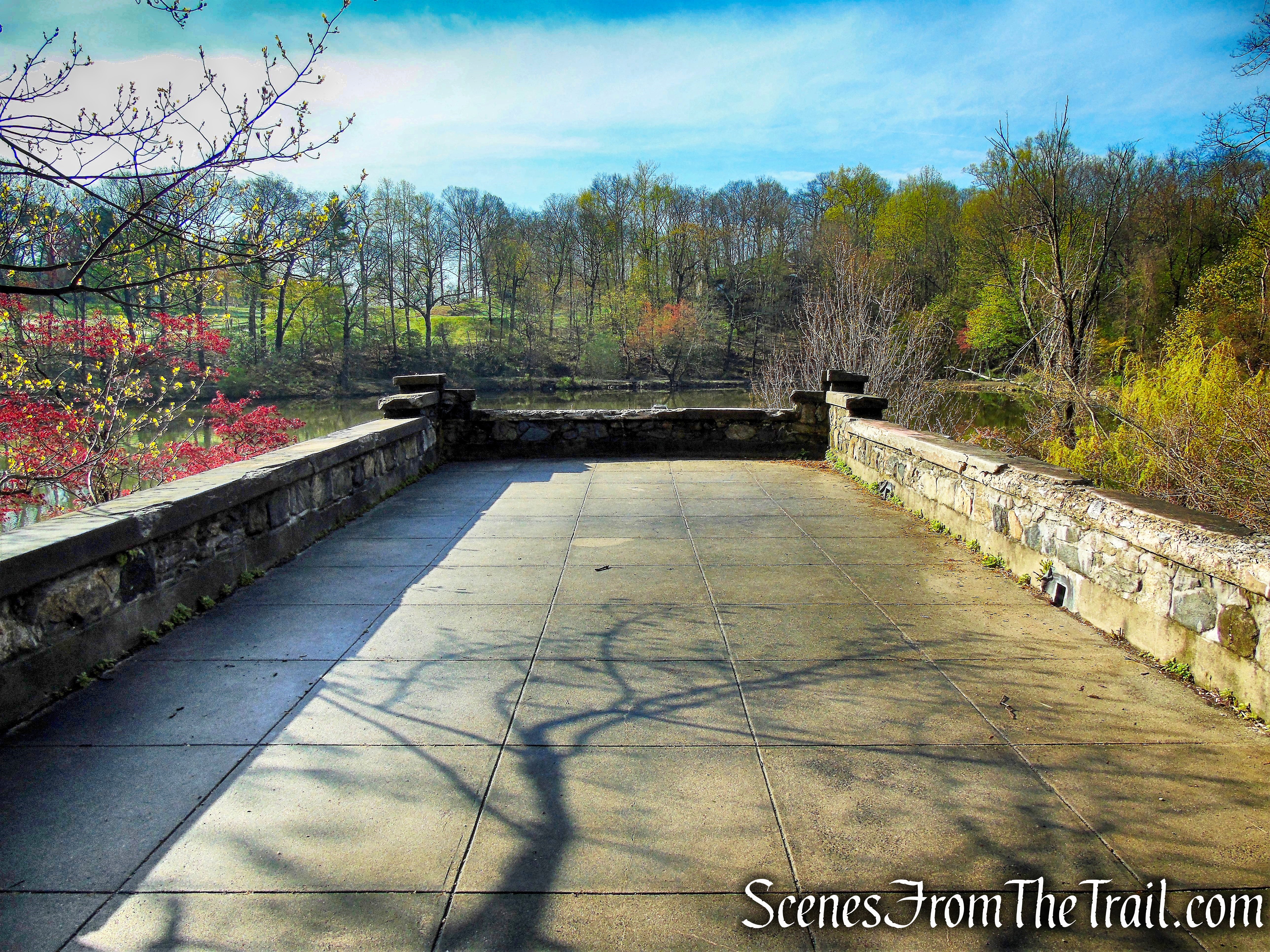
Continue north on the White Trail and near the northeast shore of the pond is a large pavilion with a fireplace.
Pavilion – Ferncliff Forest
White Trail – Ferncliff Forest
Mt. Rutsen Pond – Ferncliff Forest
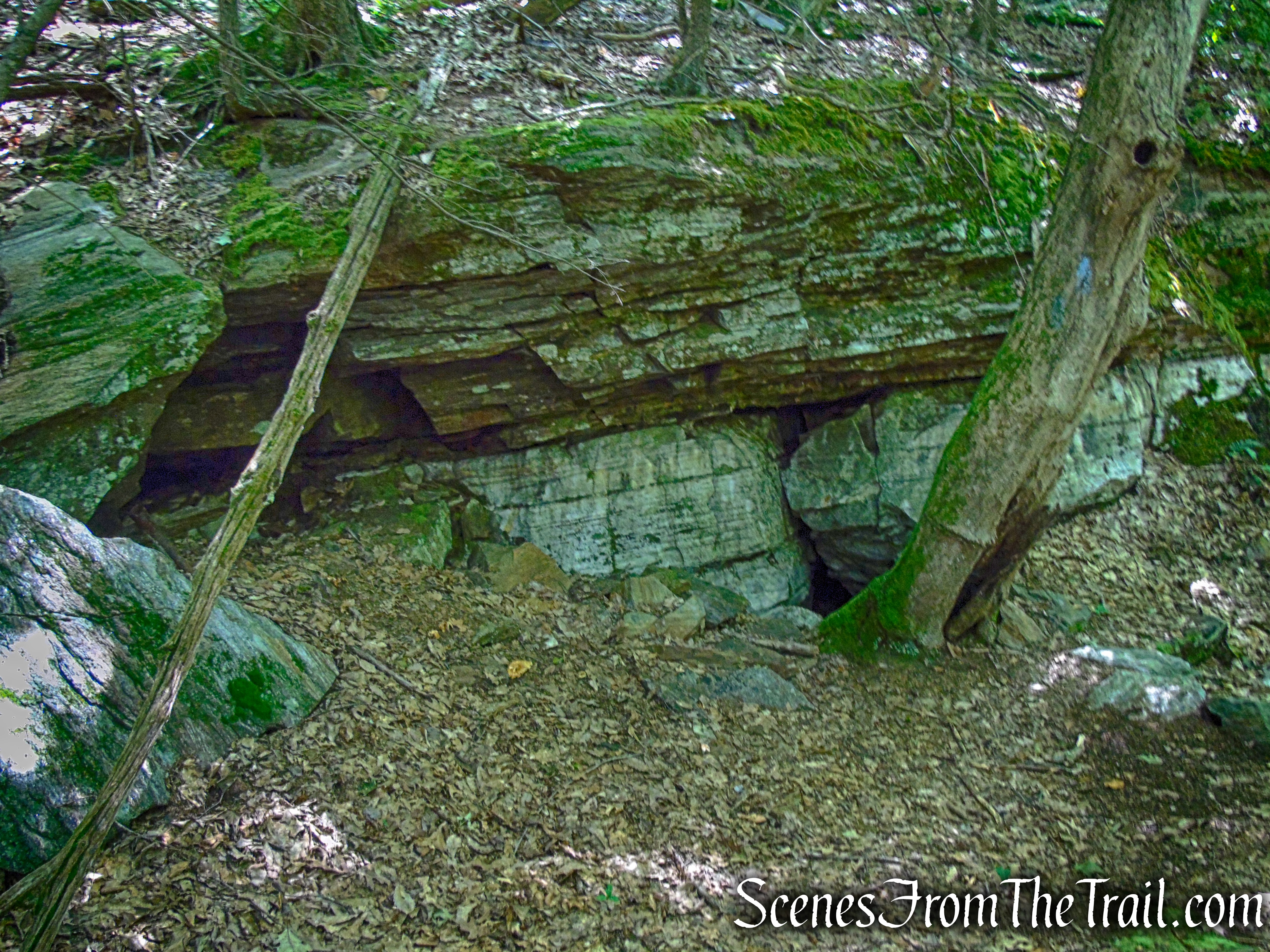
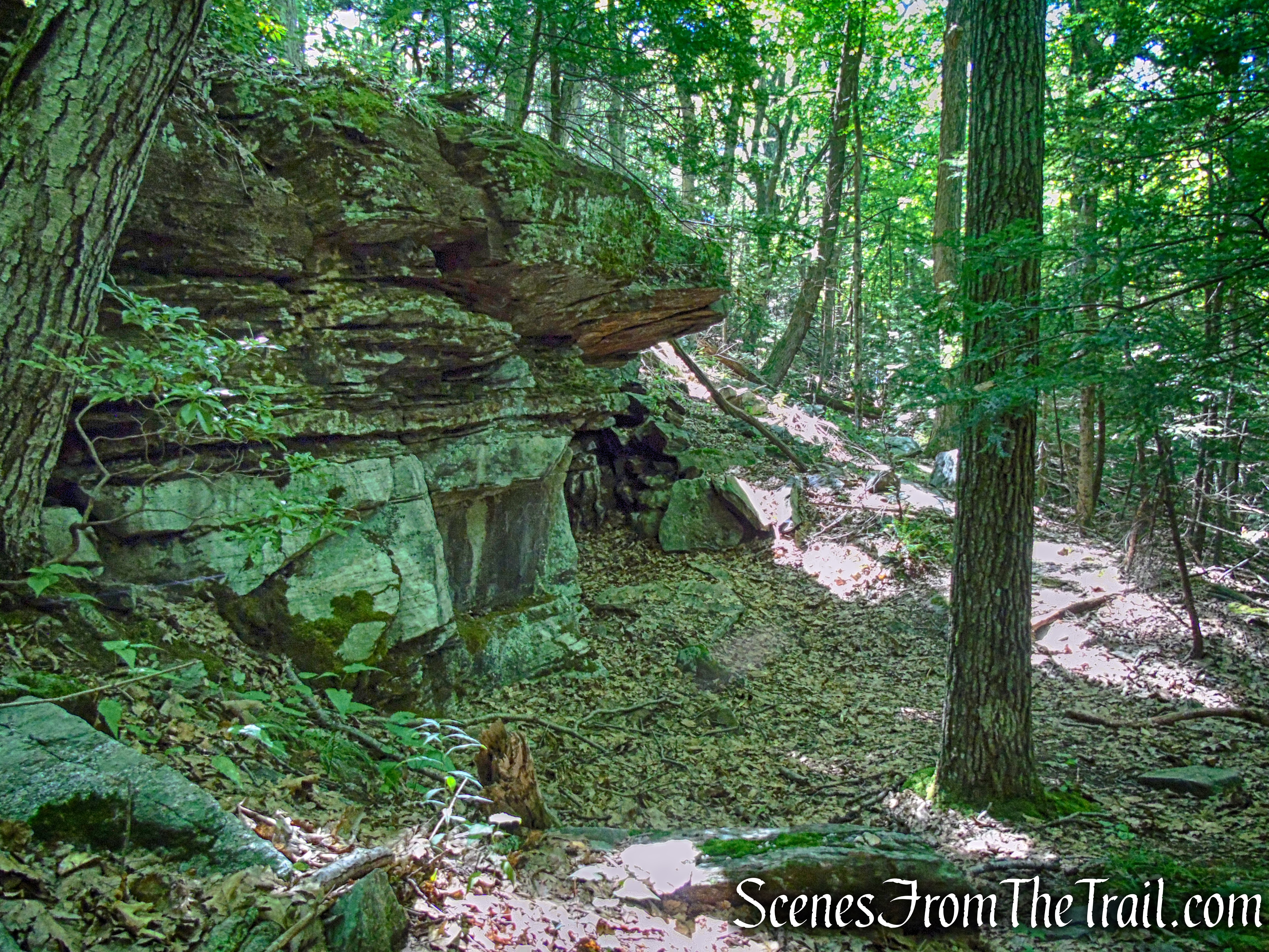
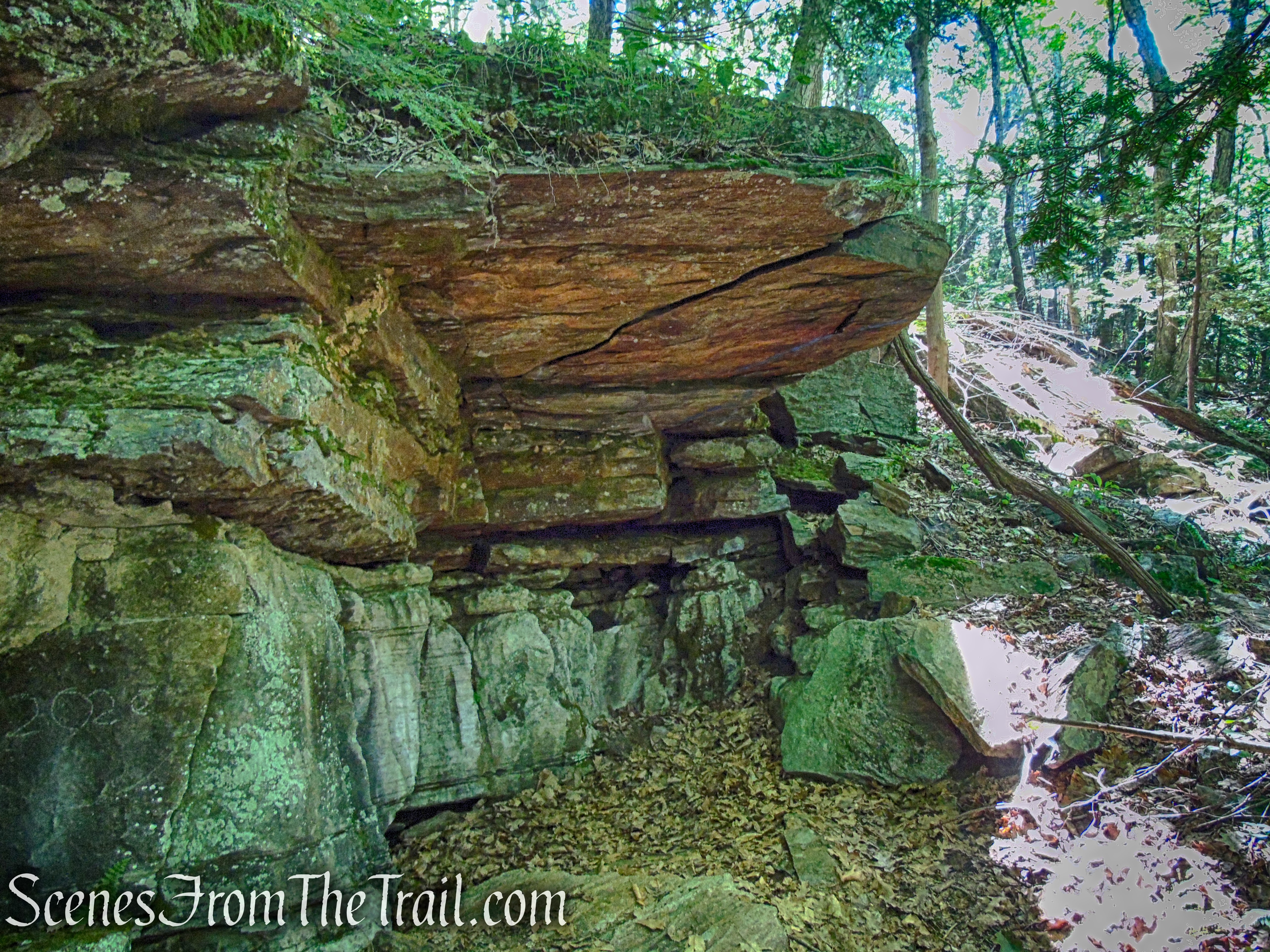
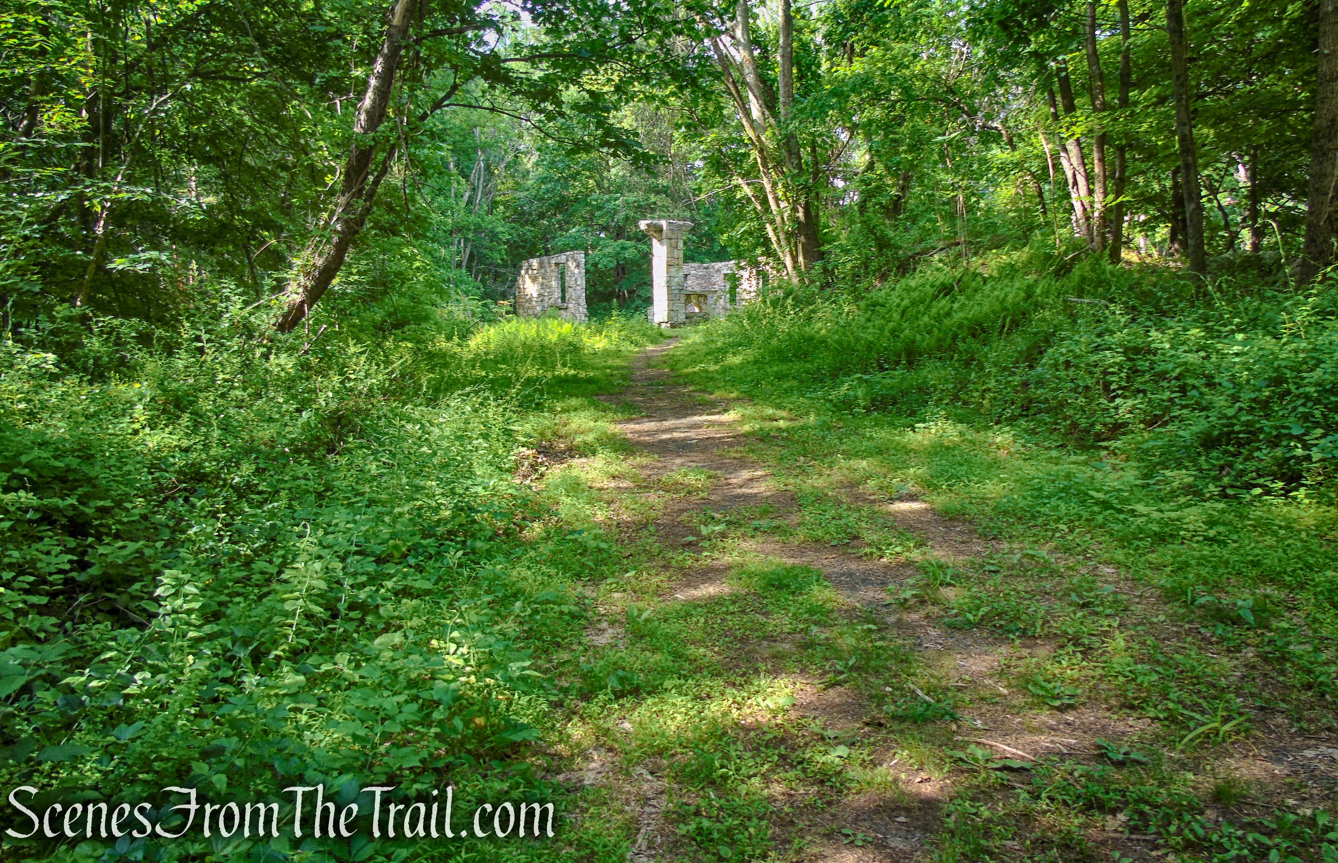
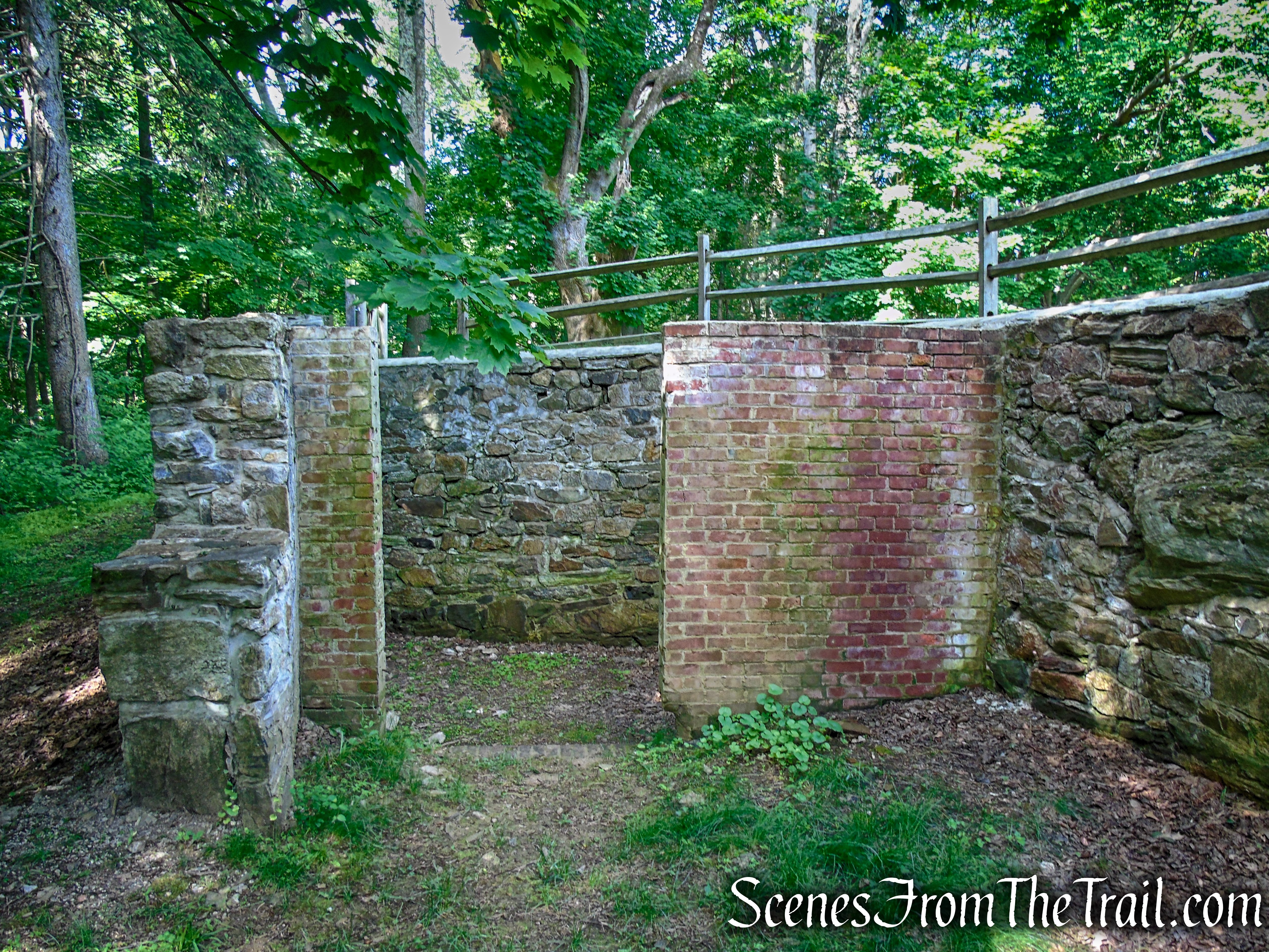
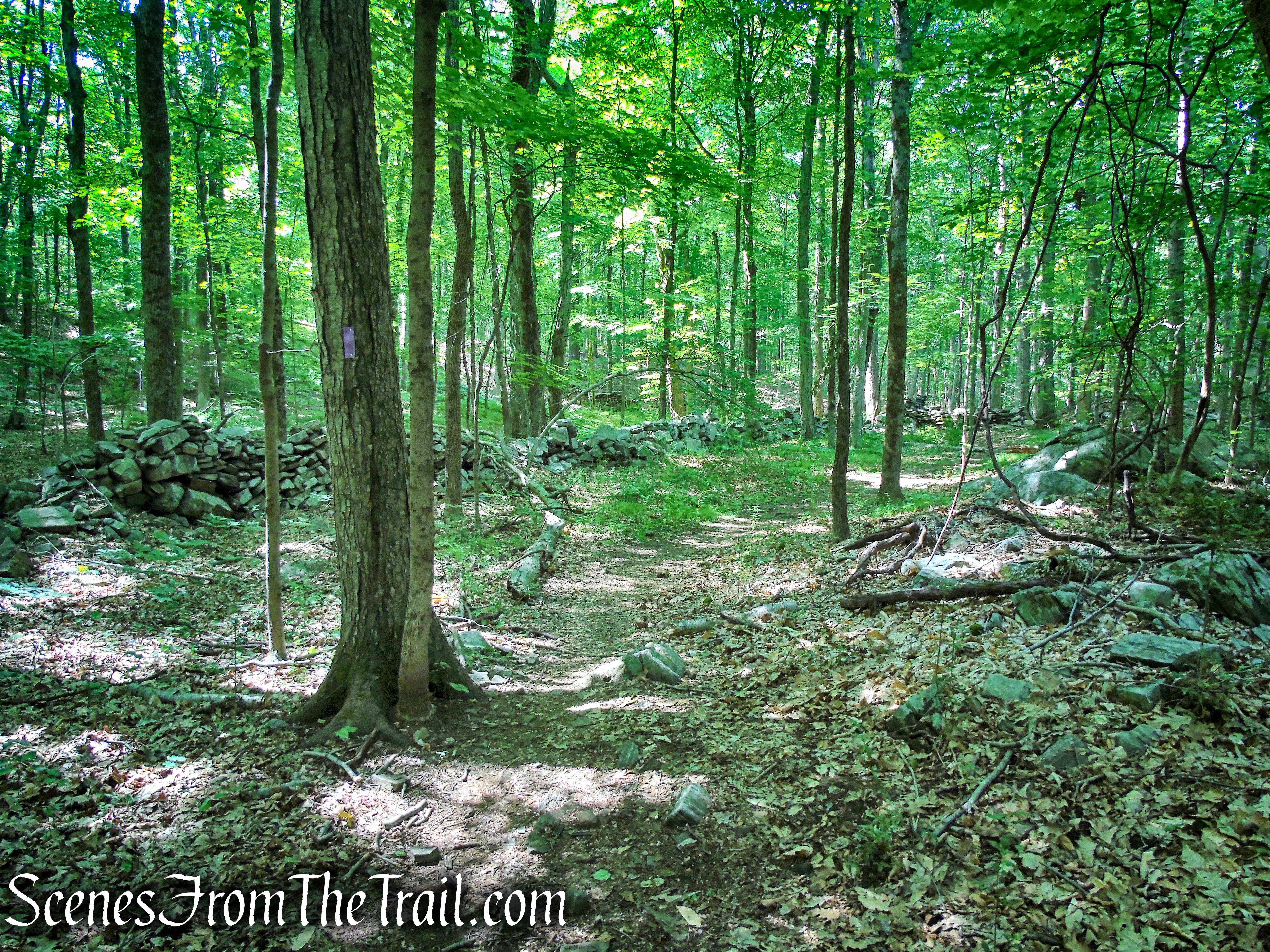
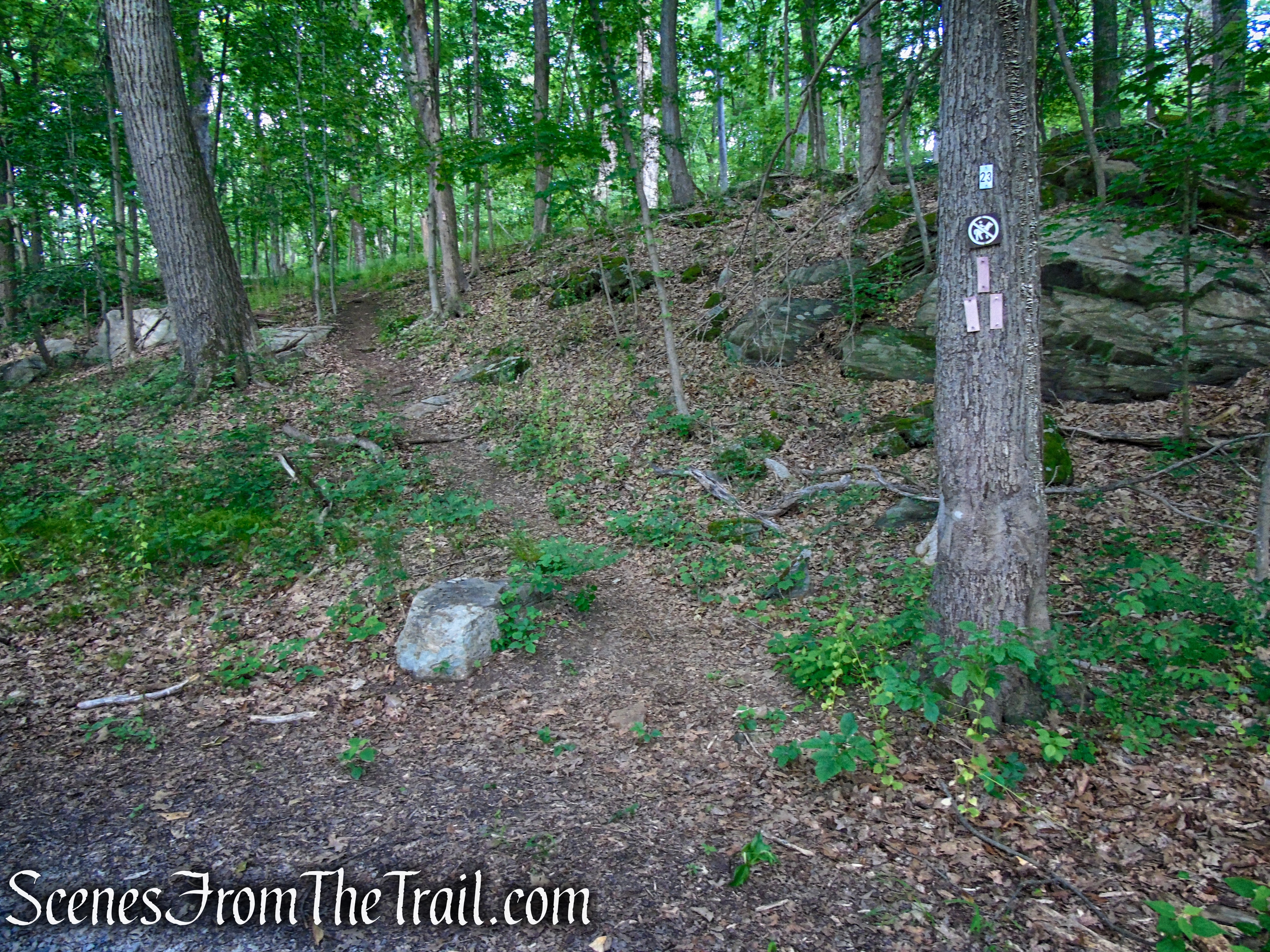
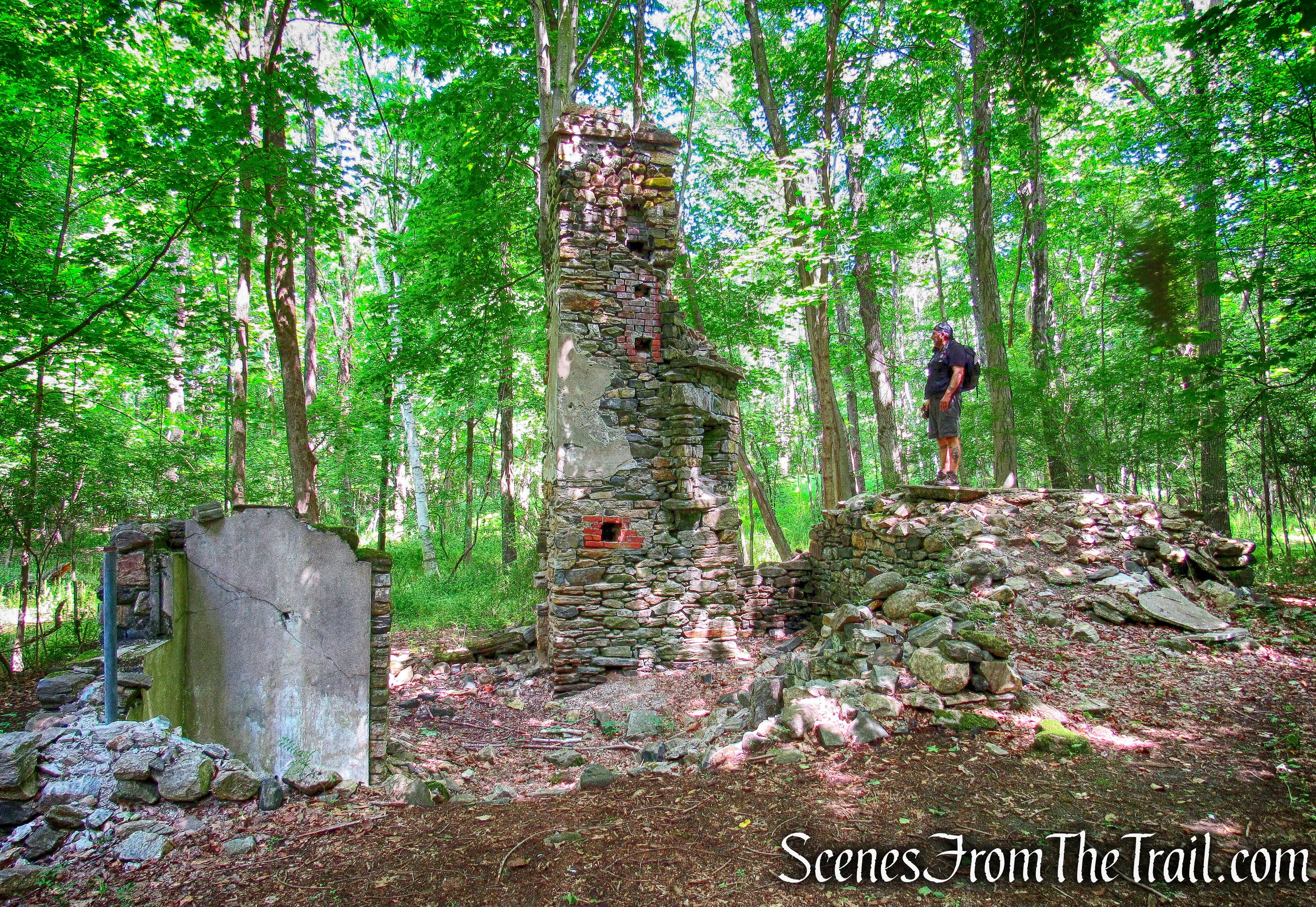
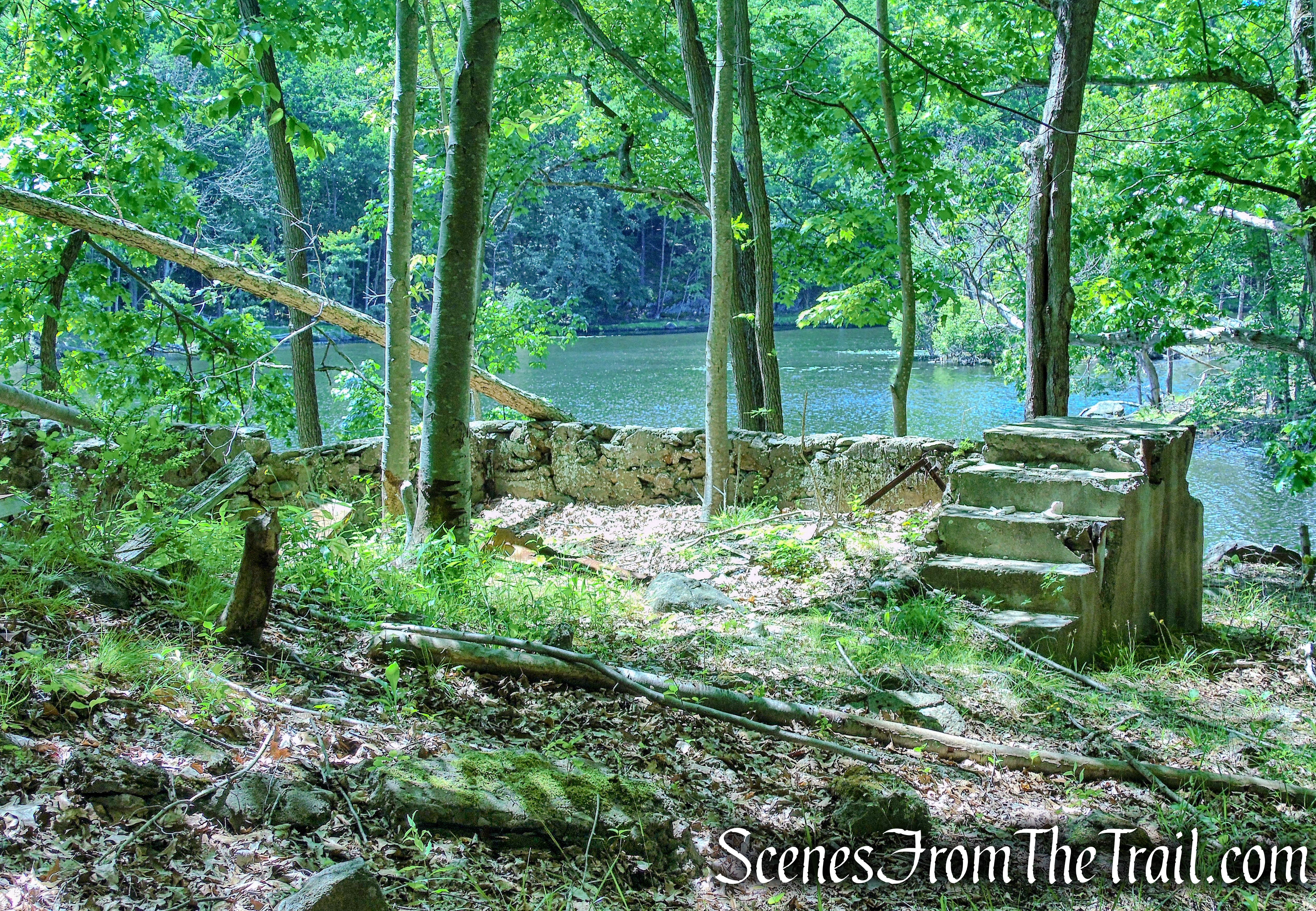
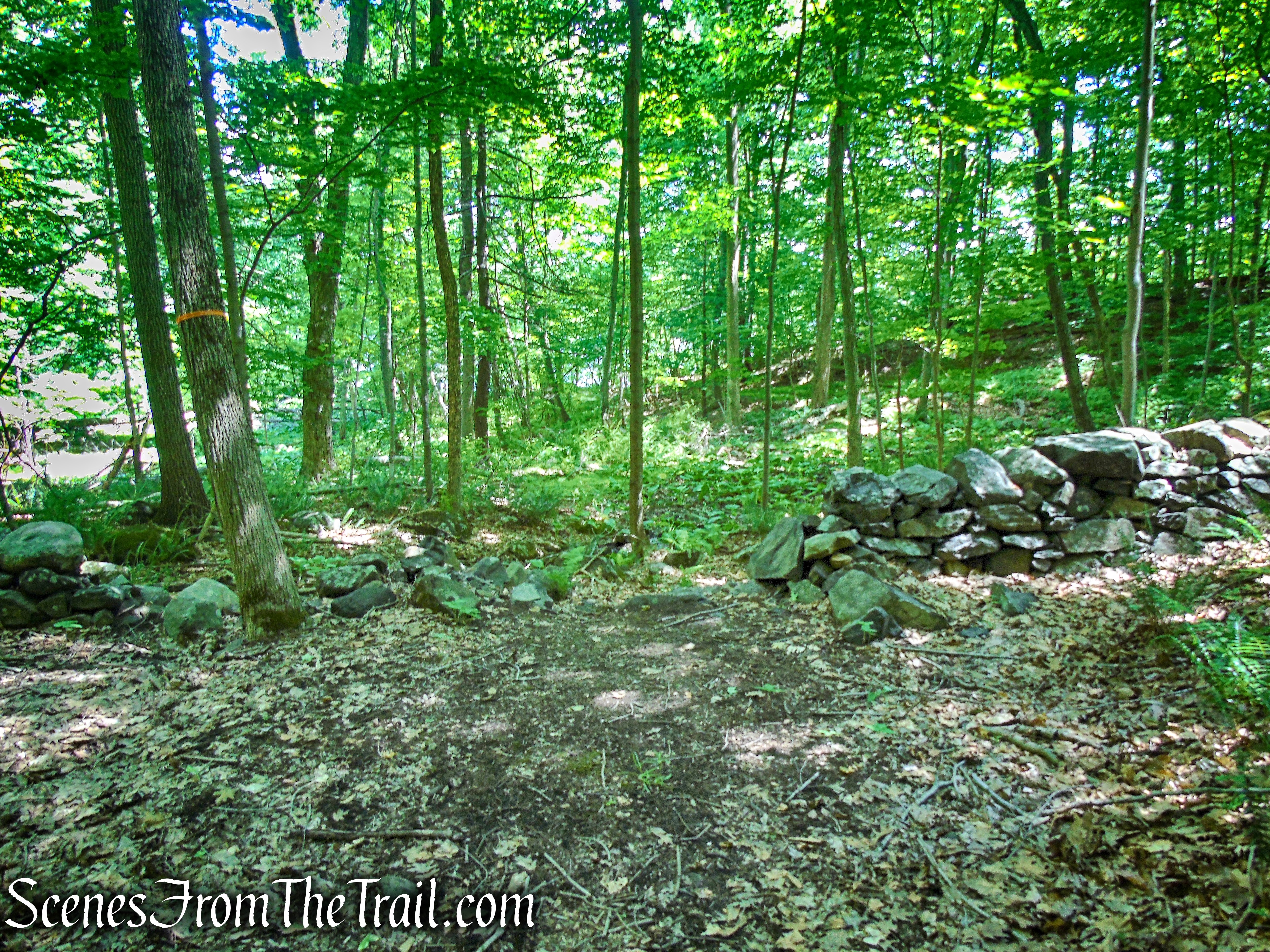
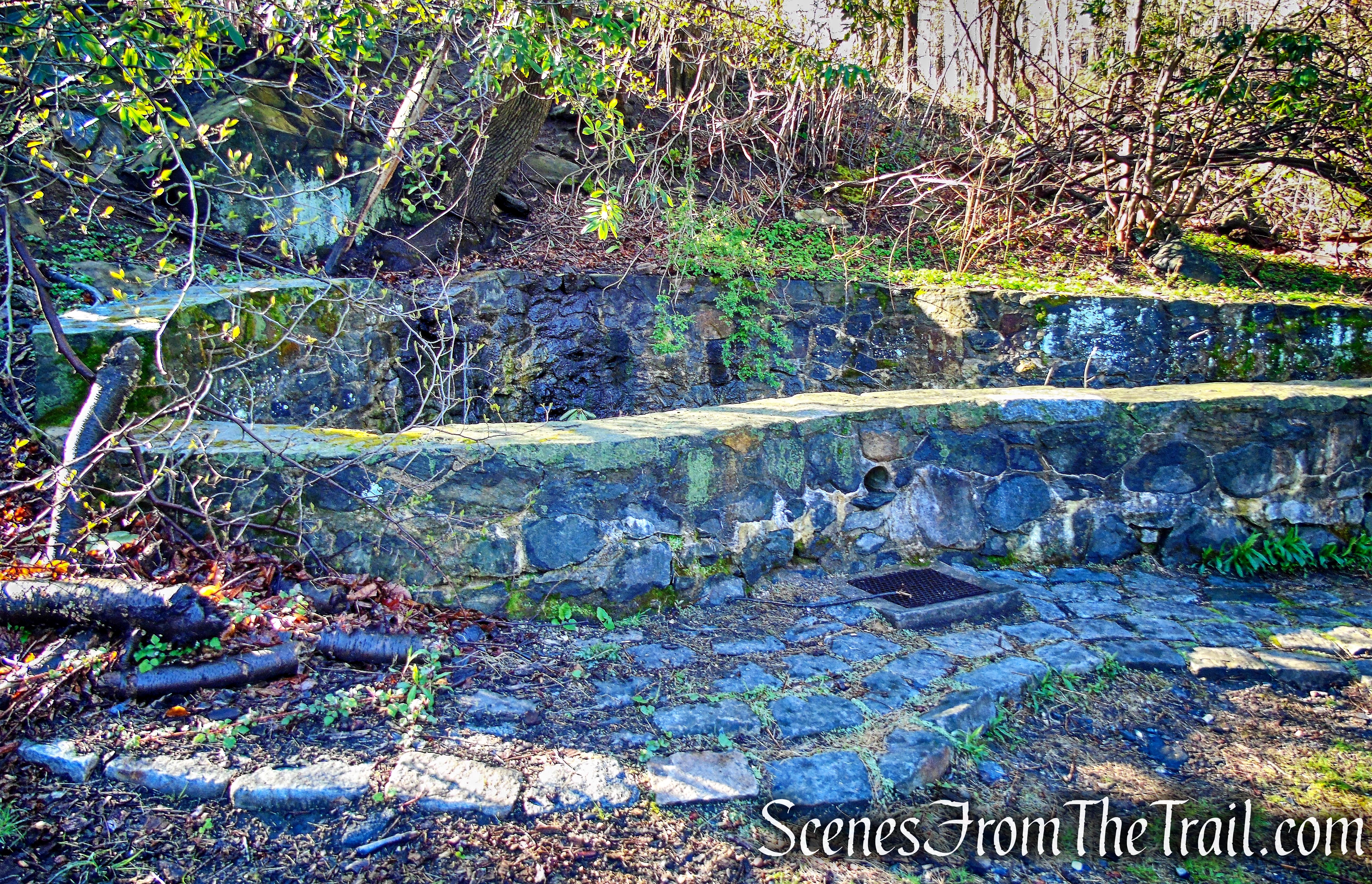
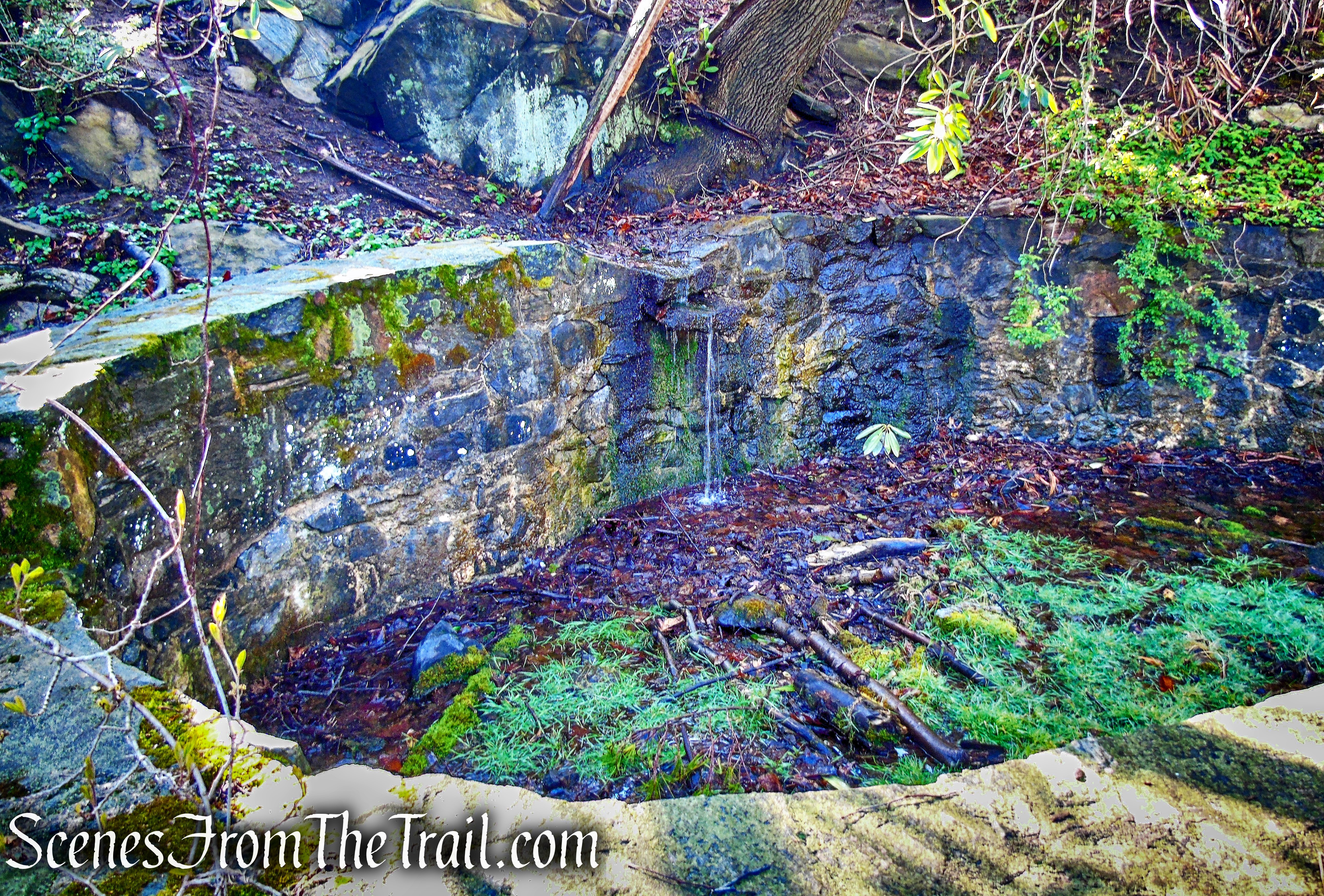
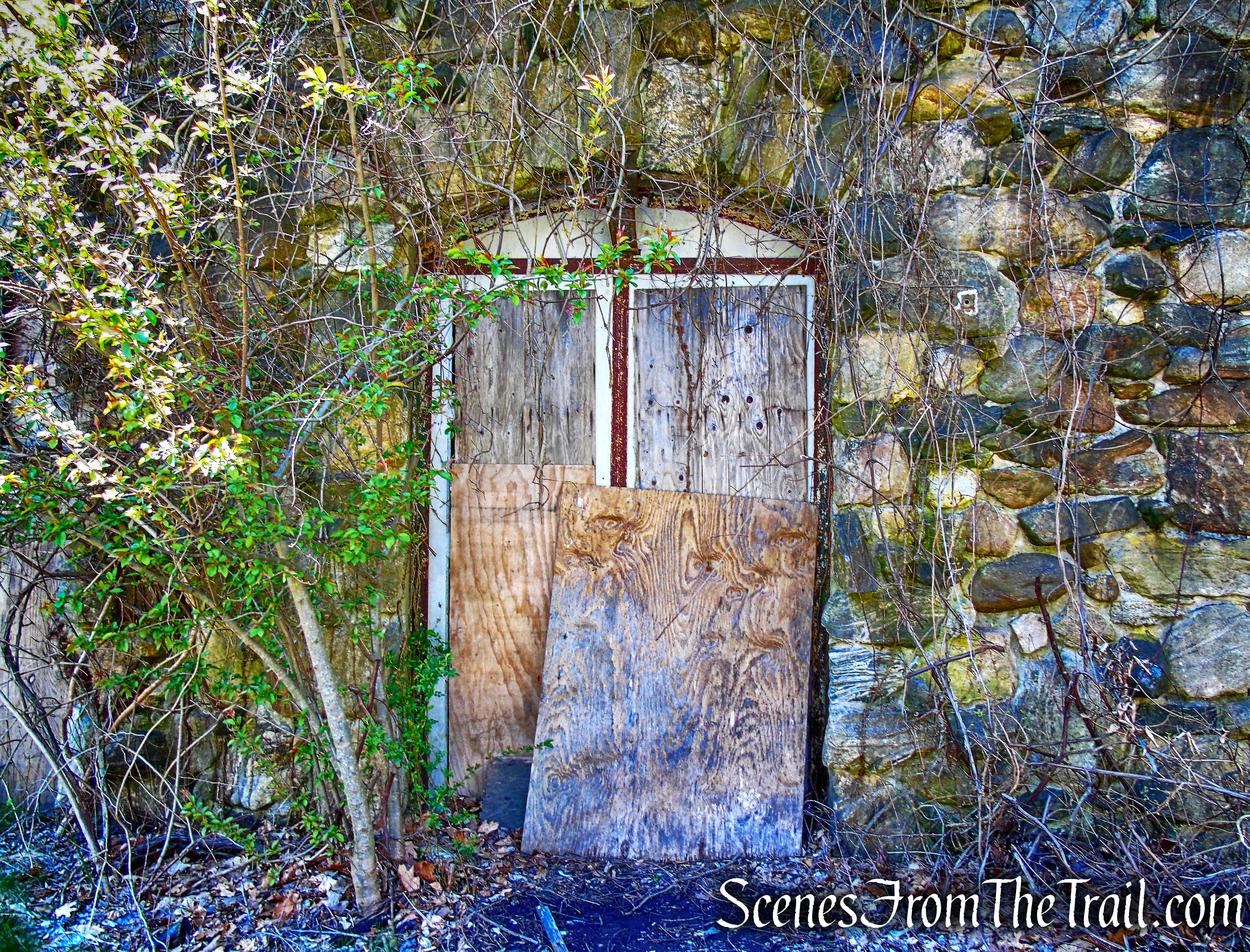
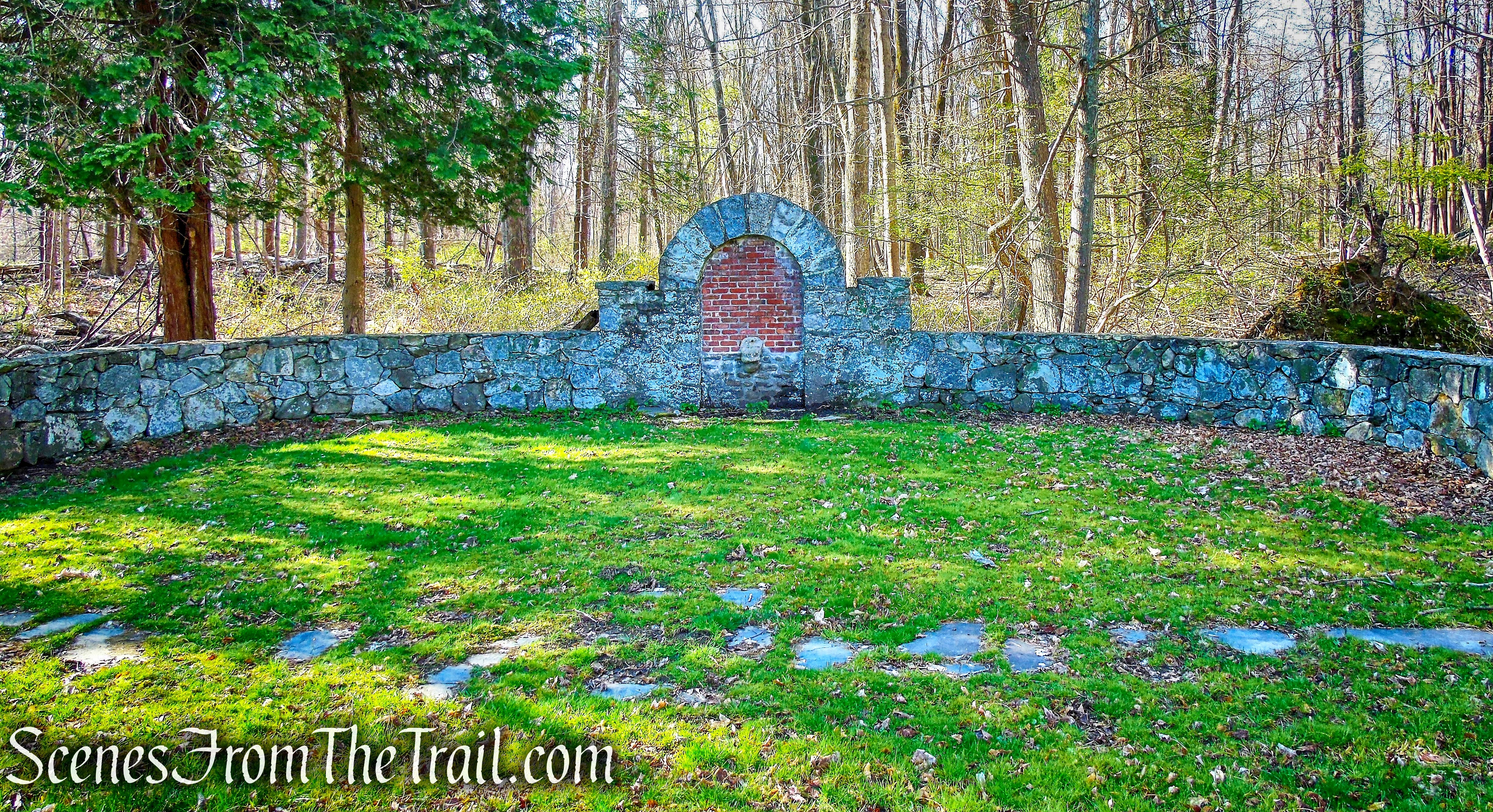
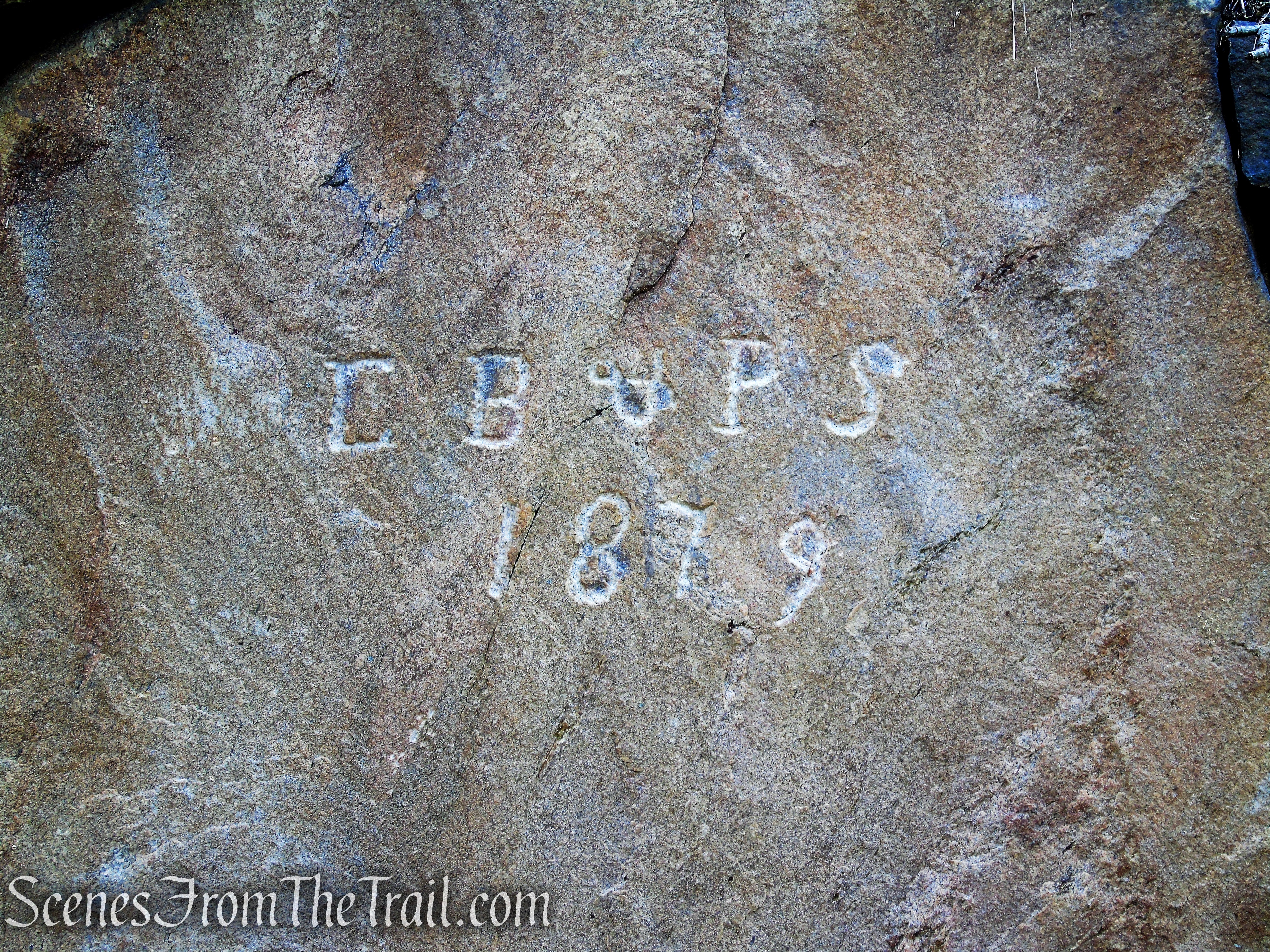
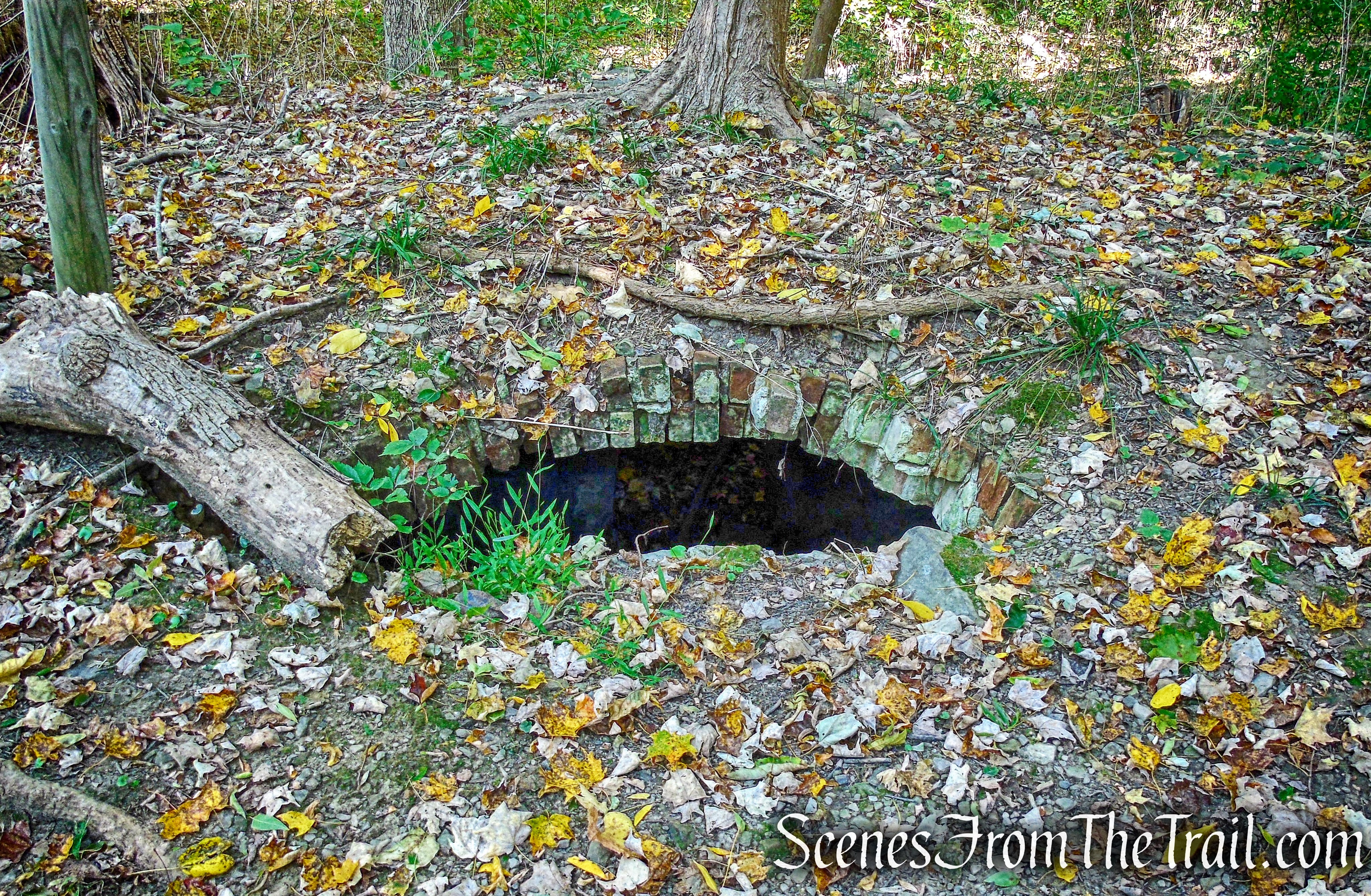
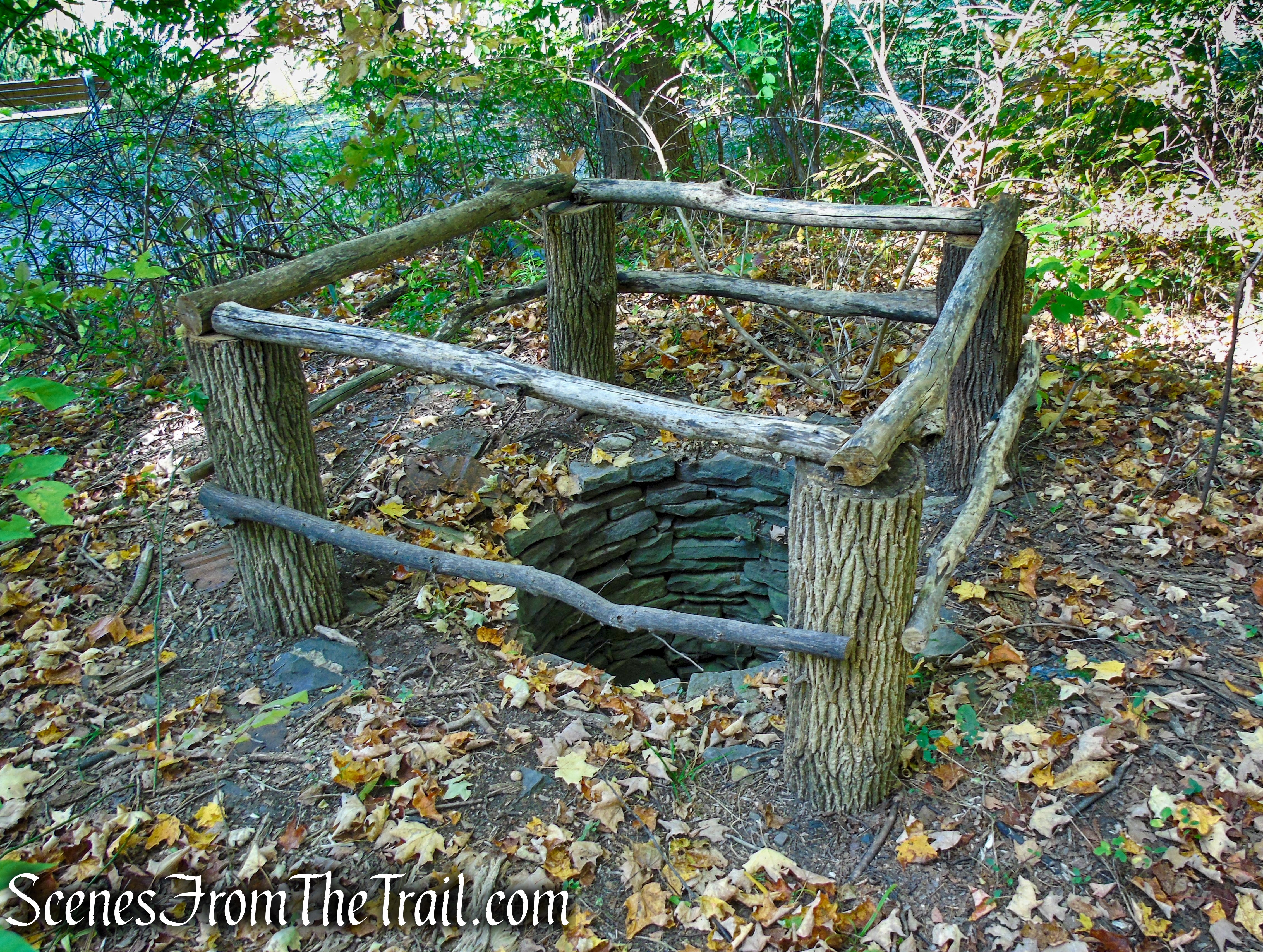
When you reach the northern end of Mt. Rutsen Pond, the White Trail crosses the the Yellow Circle Trail. Turning right will lead you back to the parking lot. Continue straight through the intersection on the White Trail and a short distance up ahead is an old root cellar and a stone lined well. Relics from the 1825 farm colony that was owned by Thomas Suckley. The root cellar has filled in over the last six years since the last time I visited.
root cellar – Ferncliff Forest
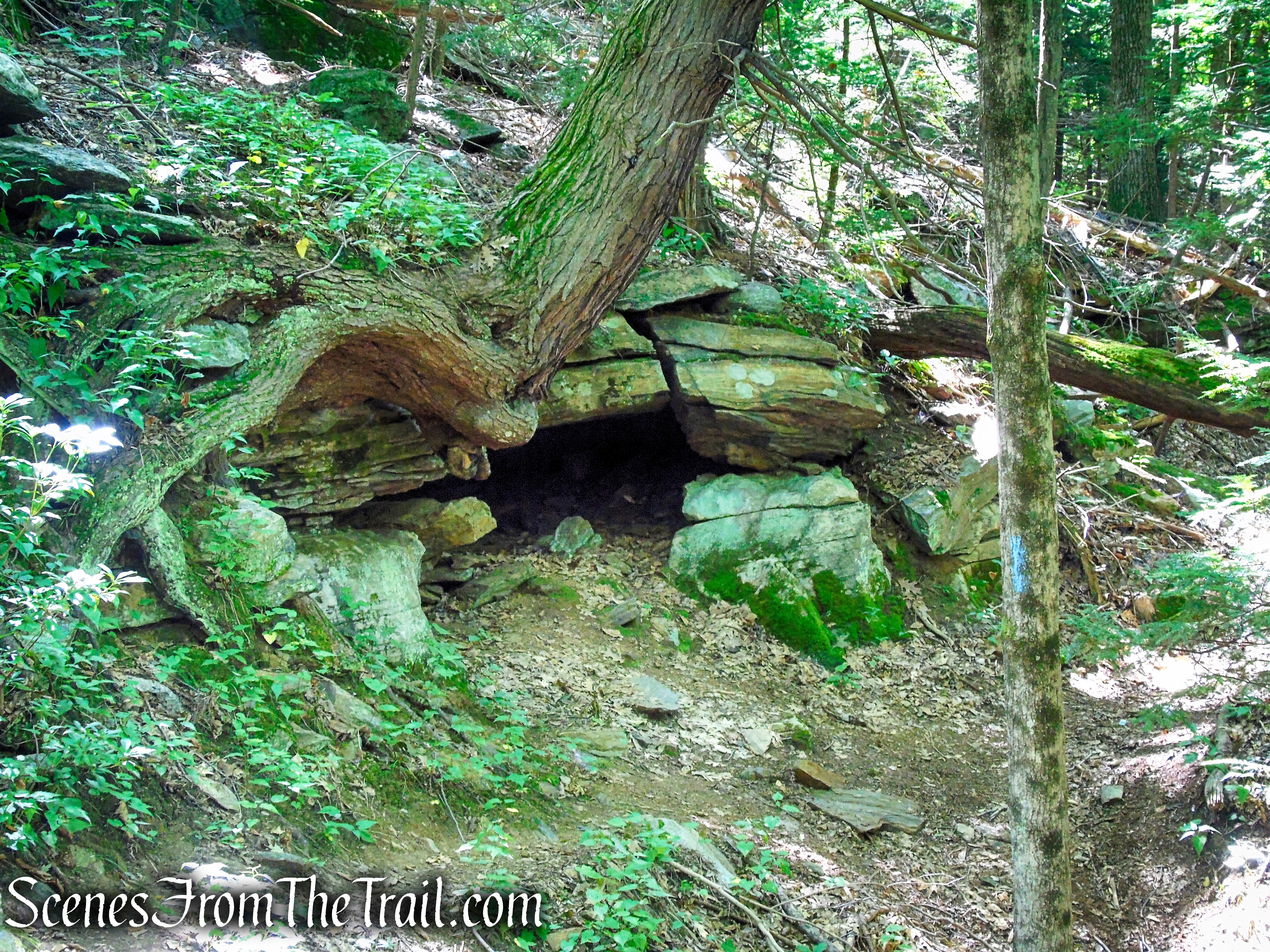
This is how it looked in December of 2014.

root cellar in December 2014
old well – Ferncliff Forest
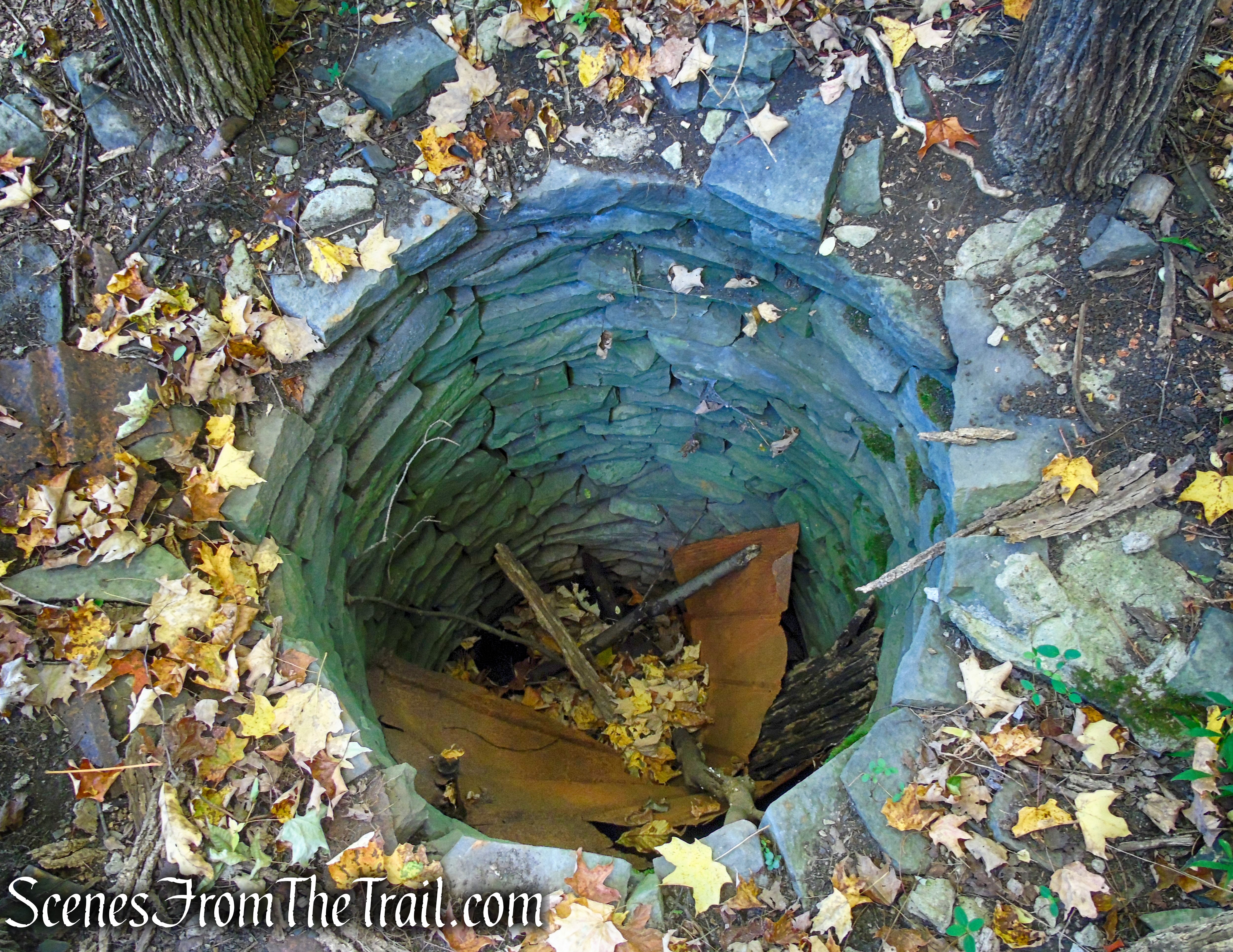
old well – Ferncliff Forest
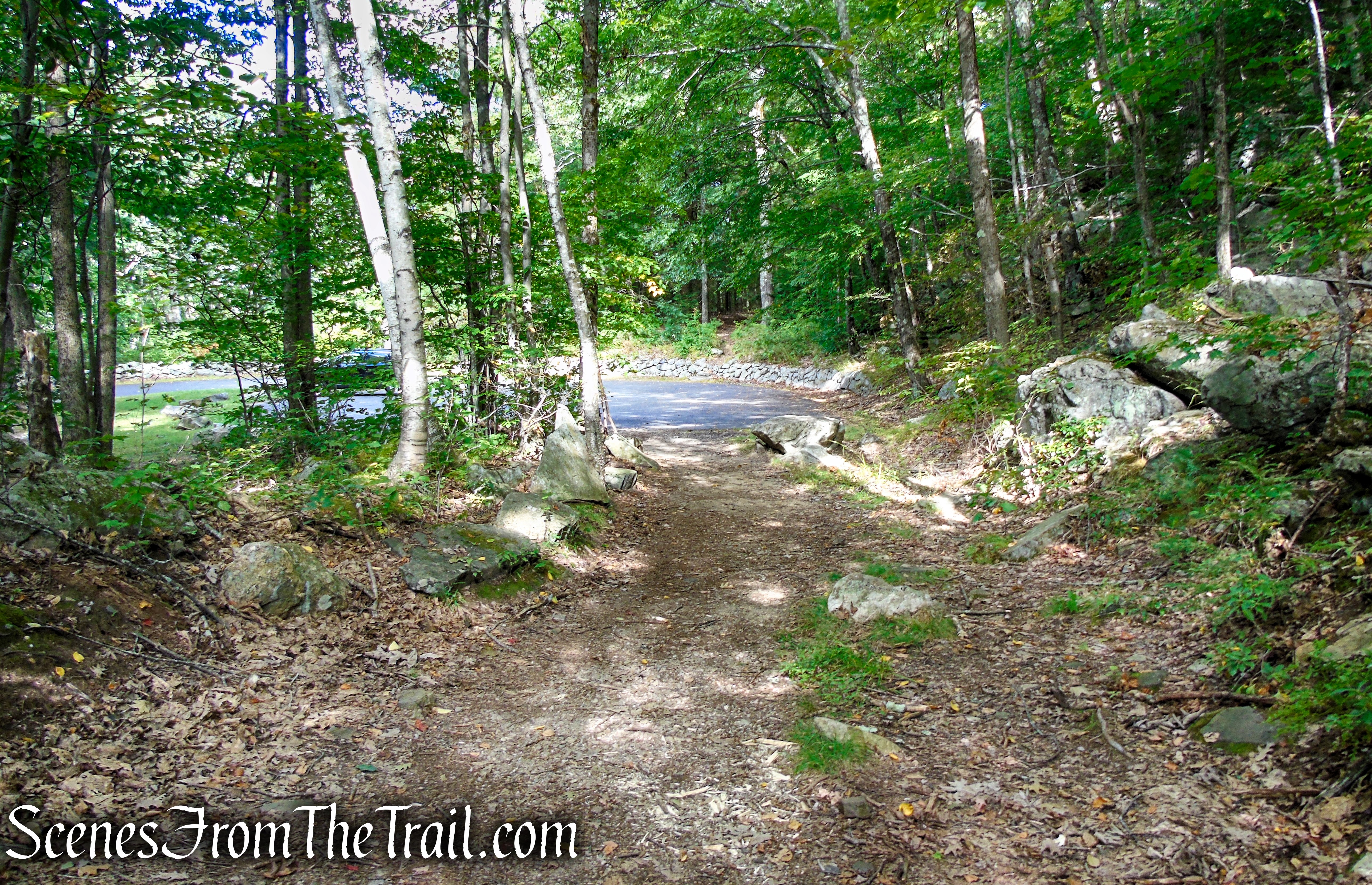
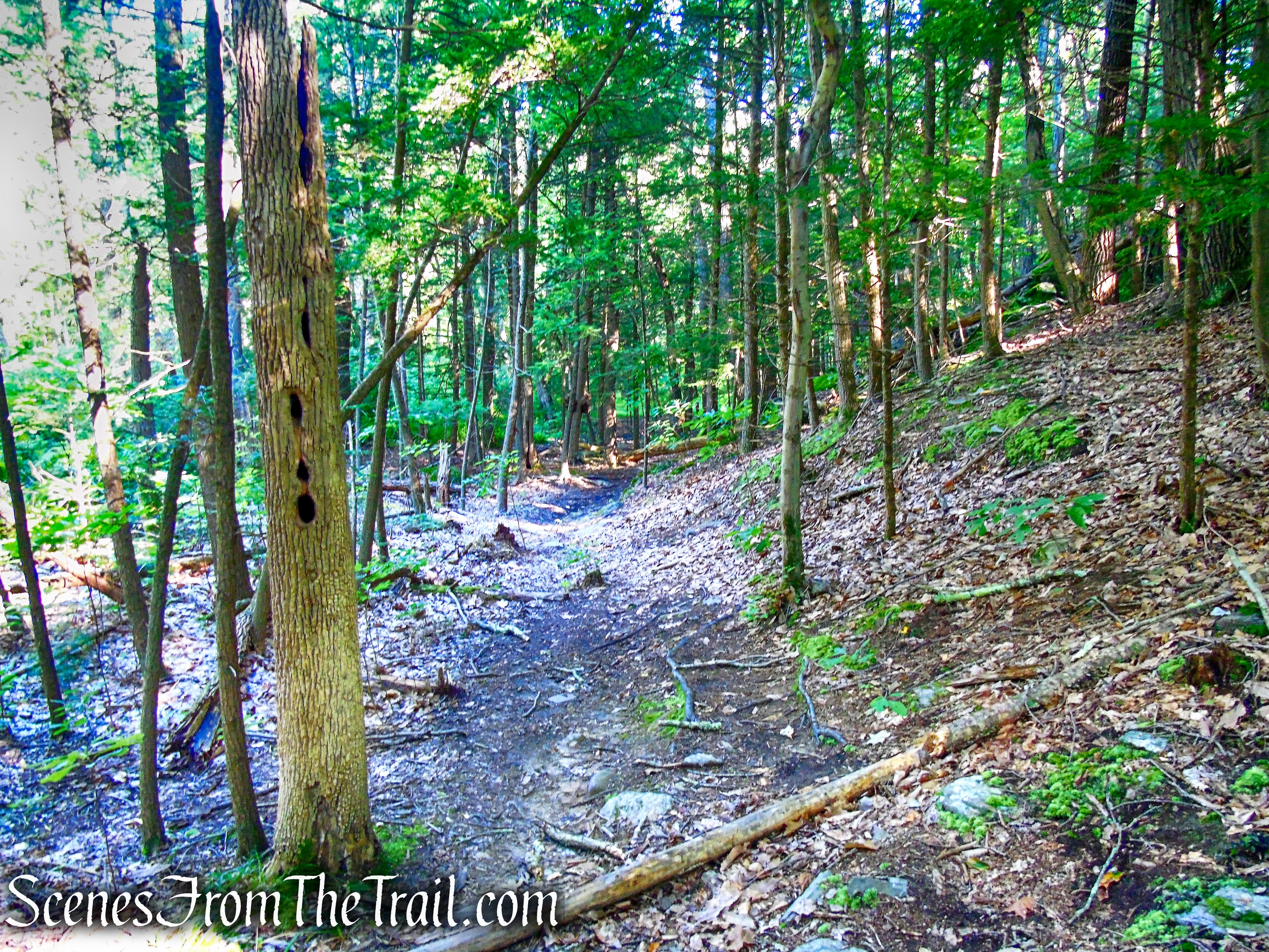
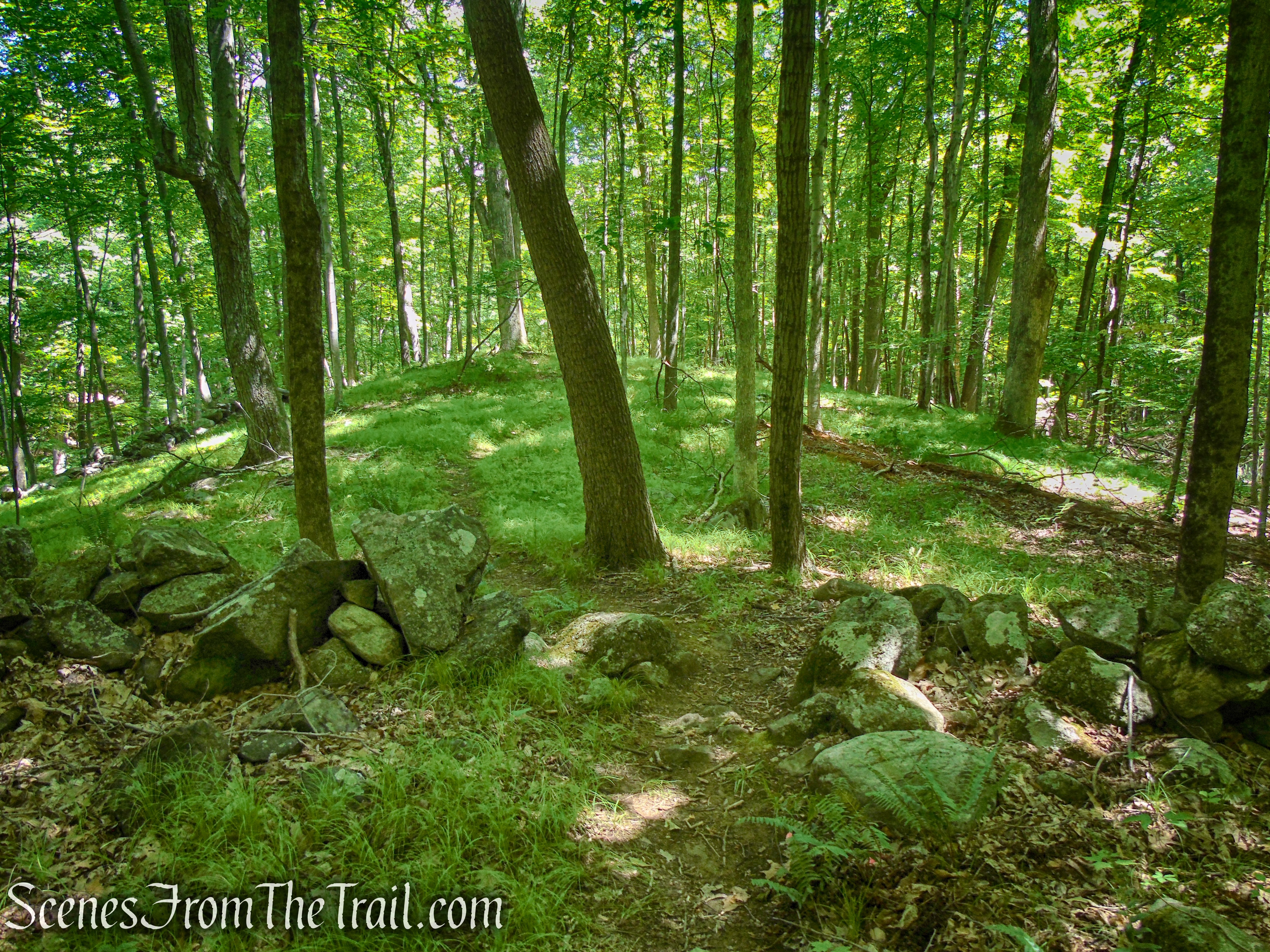
Retrace your steps back to the intersection with the Yellow Circle Trail and turn left. Follow the yellow blazes for about 700 feet down the hill, back to the parking lot, where the hike began.
Yellow Circle Trail – Ferncliff Forest
Review:
A quiet and lesser traveled area with well blazed trails that are easy to follow. The area is well maintained with no trash in sight. The highlight of the hike is the fire tower, with its outstanding Hudson River Valley views. The area around Mt. Rutsen Pond is very scenic and worth spending a little time at. This place is definitely worth a visit.
Pros:
Fire Tower, Mt. Rutsen Pond, scenic views, little foot traffic, picturesque landscape, well maintained property, well marked and easy to follow trails.
Cons:
None
Take a hike!
Ferncliff Forest Fire Tower
Sources: