May 31, 2020 – Chappaqua, NY
Difficulty: Easy – moderate
Length: Approximately 3.5 miles
Max elevation: 650 ft. – total elevation gain: approximately 447 ft.
Route type: Circuit
Map: Whippoorwill Park Trail Map
Trailhead parking: 403-399 Whippoorwill Rd, Chappaqua, NY 10514
Park Overview:
Whippoorwill Park, New Castle’s largest park, encompasses 169-acres. The topography is primarily heavily forested hillsides and steep slopes with rocky ridges and valleys. The Woodlands are primarily hardwoods, with some mature trees and some areas of young growth. The low elevation areas include wetlands, streams and a pond that is dammed at its north end. The higher elevations are more rugged terrain with rock outcroppings and glacial erratics.
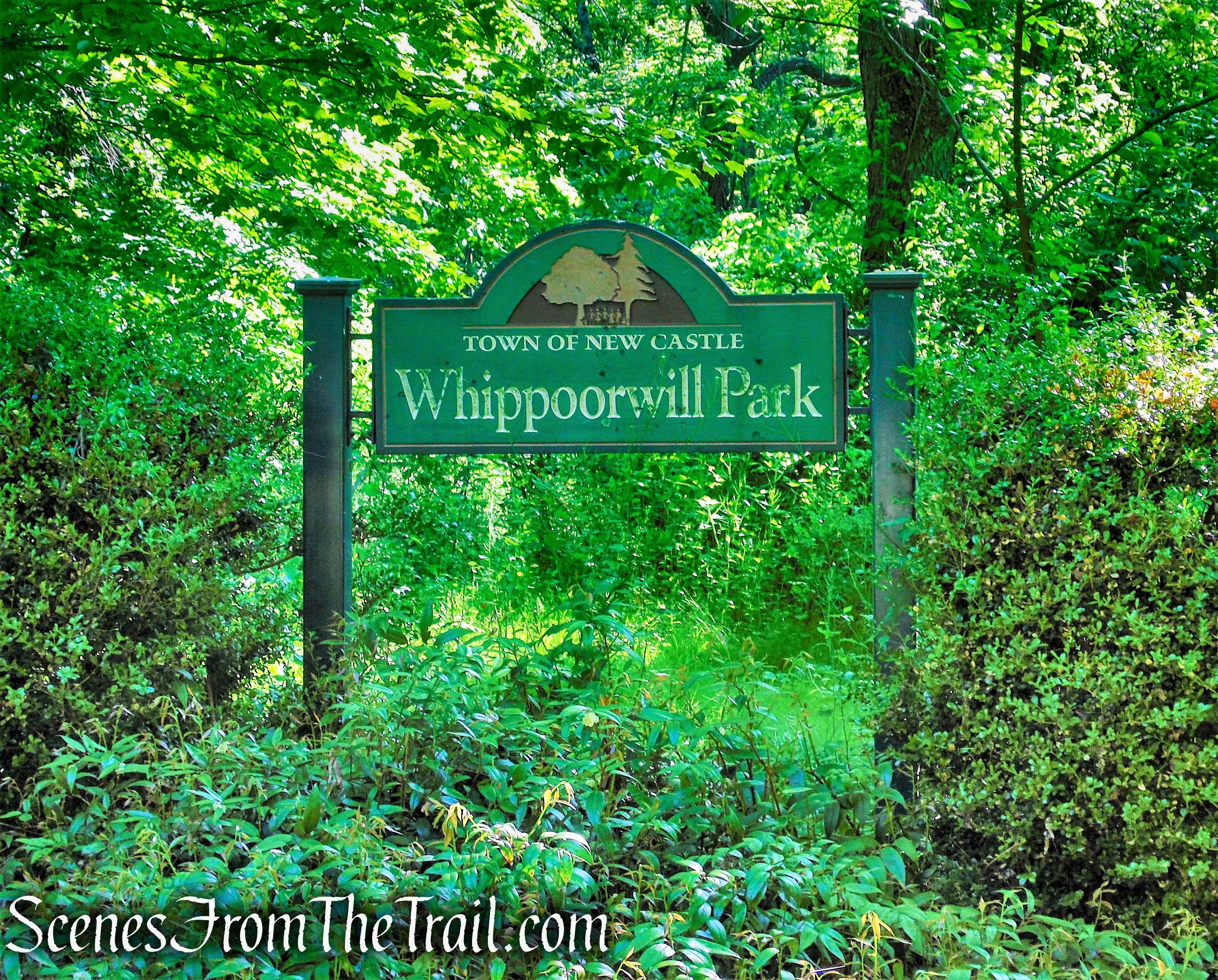
Whippoorwill Park
History:
Originally part of the Henry Berol Estate, it was purchased by the town in 1964 for $270,415.73, in part with State funds and designated as passive parkland. Berol’s 500-acre estate, used primarily as a game preserve, was broken up after 1966 into Whippoorwill park (169 acres) and the Stornawaye residential area.
Henry Berol (Berolzheimer until 1947) (1896-1976), was the fifth generation of his family to run the Eagle Pencil Company, later called the Berol Corporation, which was founded by Mr. Berol’s great-grandfather, Heinrich Berolzheimer, in Bavaria, and was moved to New York City in 1856.
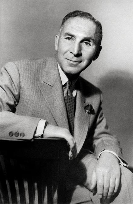
Henry Berol
The Eagle Pencil Co. was one of the world’s leading manufacturers and suppliers of Pencils. The company produced many writing instruments, including Copying, Indelible, and Woodcase graphite pencils. It also produced erasers, and other drawing/writing accesories.
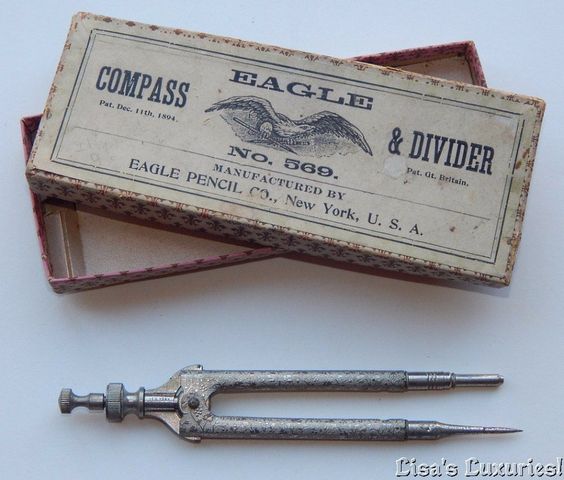
Eagle Pencil Company
After the Depression drastically lowered property values, Charles T. Butler found himself obliged to sell 57-acres on Whippoorwill Road at a loss to Henry Berol in 1932. Mr. Berol named the house “Berol Lodge” and acquired much additional property in the area, ultimately creating a 500-acre game preserve. He made several improvements of his own to the estate, such as facilities for raising game pheasants, exotic birds, English Pointers, and Cocker Spaniels. He donated part of the property to the town to create Whippoorwill Park. All the rest was sold in the 1960’s, and has been subsequently developed into such neighborhoods as Stornawaye and Whippoorwill Lake. The house which is located just west of Whippoorwill Lake, has since had four owners, but has changed little since it belonged to Mr. Berol.
Henry Berol was a man who adored Cocker Spaniels and along with his wife Gem, contributed greatly to Cocker field trials following World War II. He was one of the most important breeders of dogs that performed exceptionally well in trials and he was a respected leader who, as head of the Field Trial Committee of the American Spaniel Club for many years, organized the first National Cocker Field Trial Championship in 1953.
According to Sports Illustrated, by 1954 Berol Lodge Kennels had 75 cockers in its kennel in Chappaqua, NY. All of his cockers were large, strong, field-bred American Cockers, a type that no longer exists and they were known to be marvelous hunting companions and/or field trial competitors. Eleven became field trial champions, including three which won the National Cocker Field Trial Championships in 1957, 1960 and 1961.

GUNS Magazine August 1962
By the late 1950’s, Henry Berol decided to relocate from New York to the other bird dog capital of the world besides Grand Junction, Waynesboro, Georgia. There Mr. Berol purchased a plantation which he named Di-Lane Plantation in honor of his two daughters, Diane and Elaine, and he became actively involved in pointer/setter field trials. Today the plantation is a public wildlife area and on it is a cemetery where over 70 of Mr. Berol’s dogs are laid to rest, each with its own headstone.

Di-Lane Plantation
Trails Overview:
The trails are a combination of footpaths and old dirt roads from the former estate. The trails are relatively well marked with the exception of a few turns that are lacking blazes. The trail map accurately represents the trails, which are marked with colored diamond blazes. The trail map shows the park as having 4 miles of trails, but there are some unmarked trails within the property that one can explore as well.
Hike Overview:
With all the popular hiking spots being overwhelmed these days, I have been exploring some smaller and more local parks and preserves. Trying to keep the driving within 30 minutes of home, I have discovered some nice places to spend a little time in the woods. There are no stunning views or notable points of interests, but each of these local jaunts have their own allure. From the history to the charming woods, they are all worth a visit. The smaller parking areas assure that some of these places do not become overcrowded as some of the larger and more well-known parks.
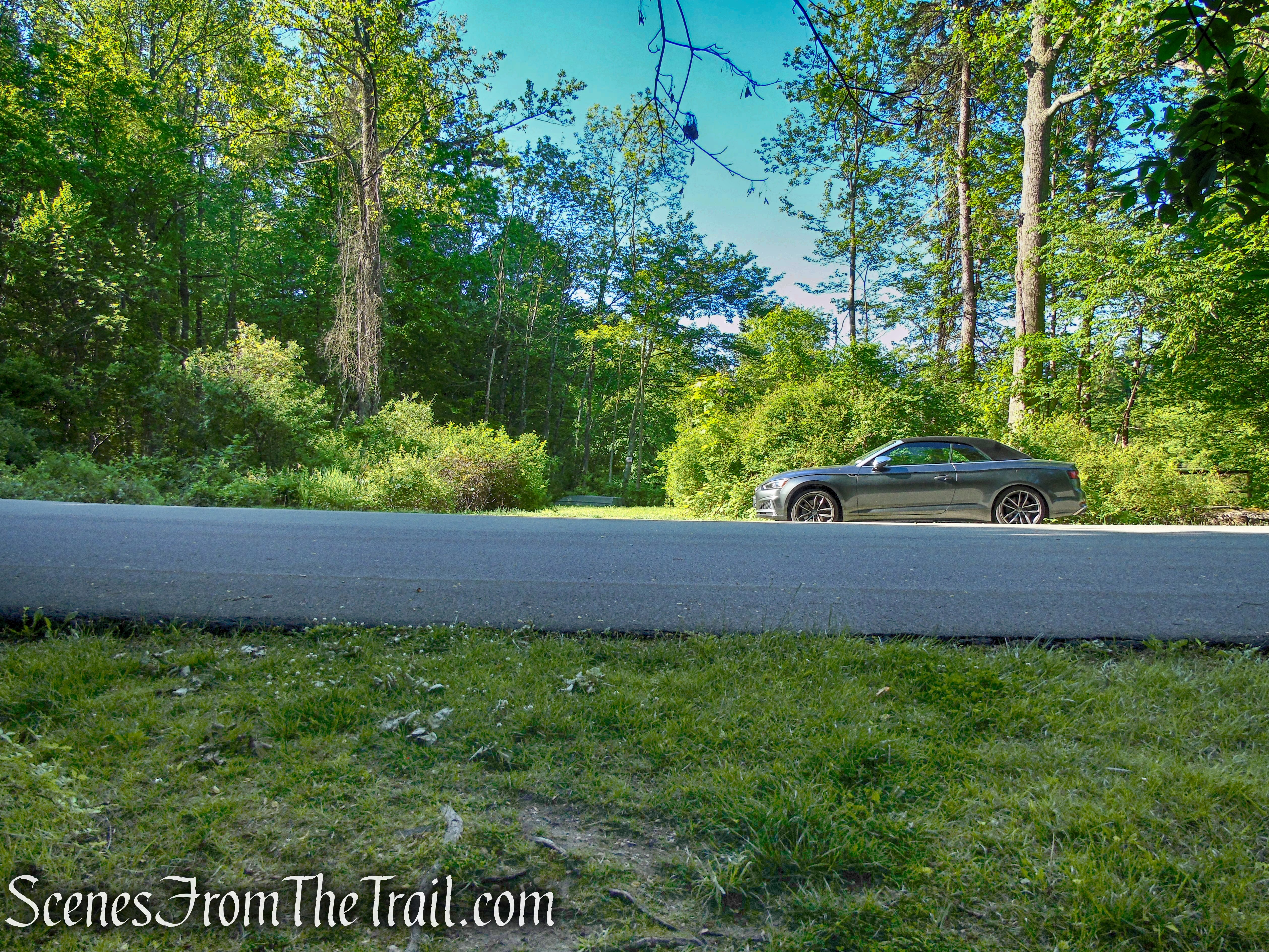
Whippoorwill Park has a gravel parking area with room for about 10 vehicles. It is surrounded by private property which means that the local residents frequent the park via the connecting trails from residential streets.
We tried to hit every trail in the park and tried to make it as long a loop as feasible, retracing our steps as little as possible. This hike was done counterclockwise, beginning on the Red Trail.

Whippoorwill Park Loop
The Hike:
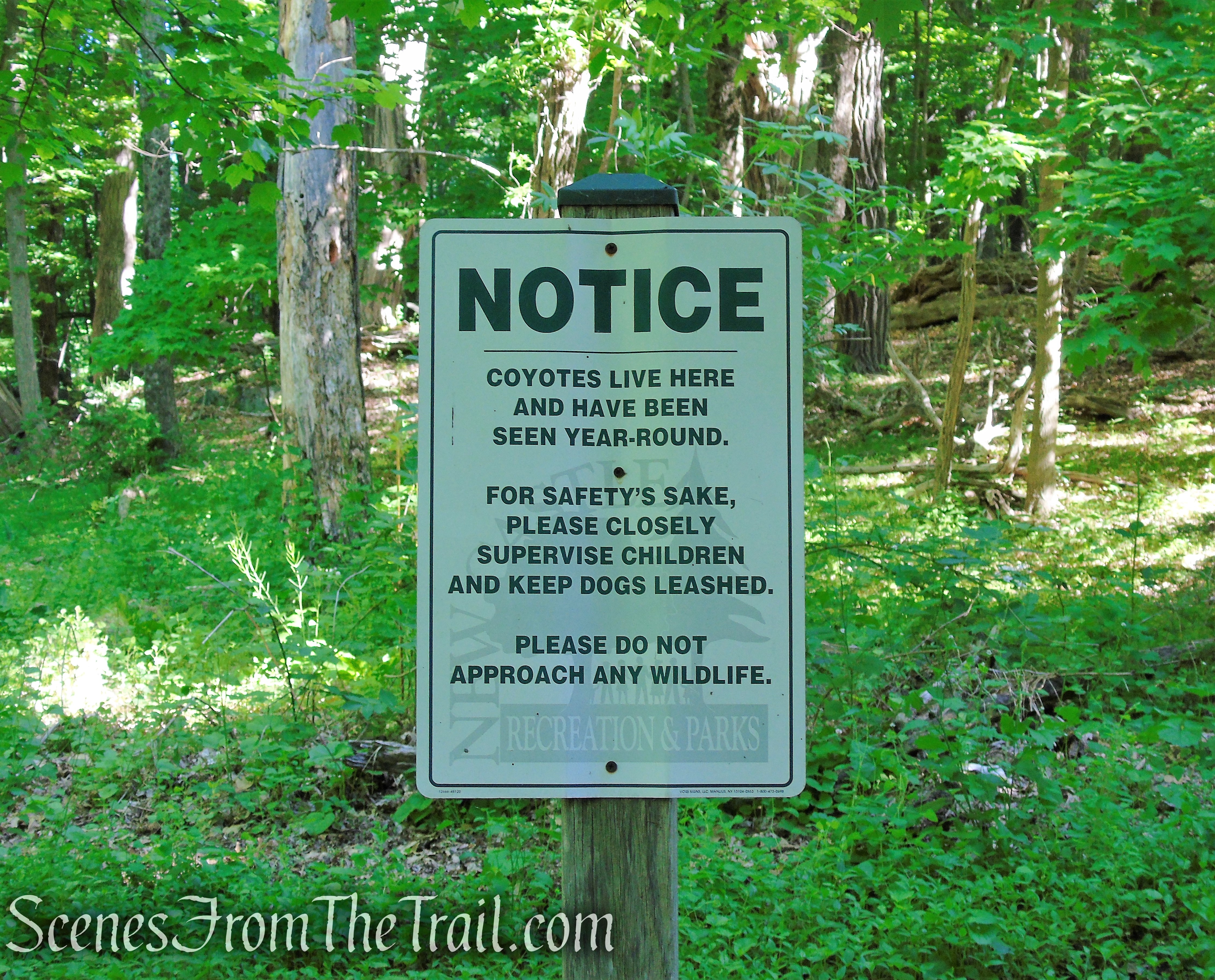
There is a call box at the trailhead in case of an emergency or maybe if you spot a Coyote.
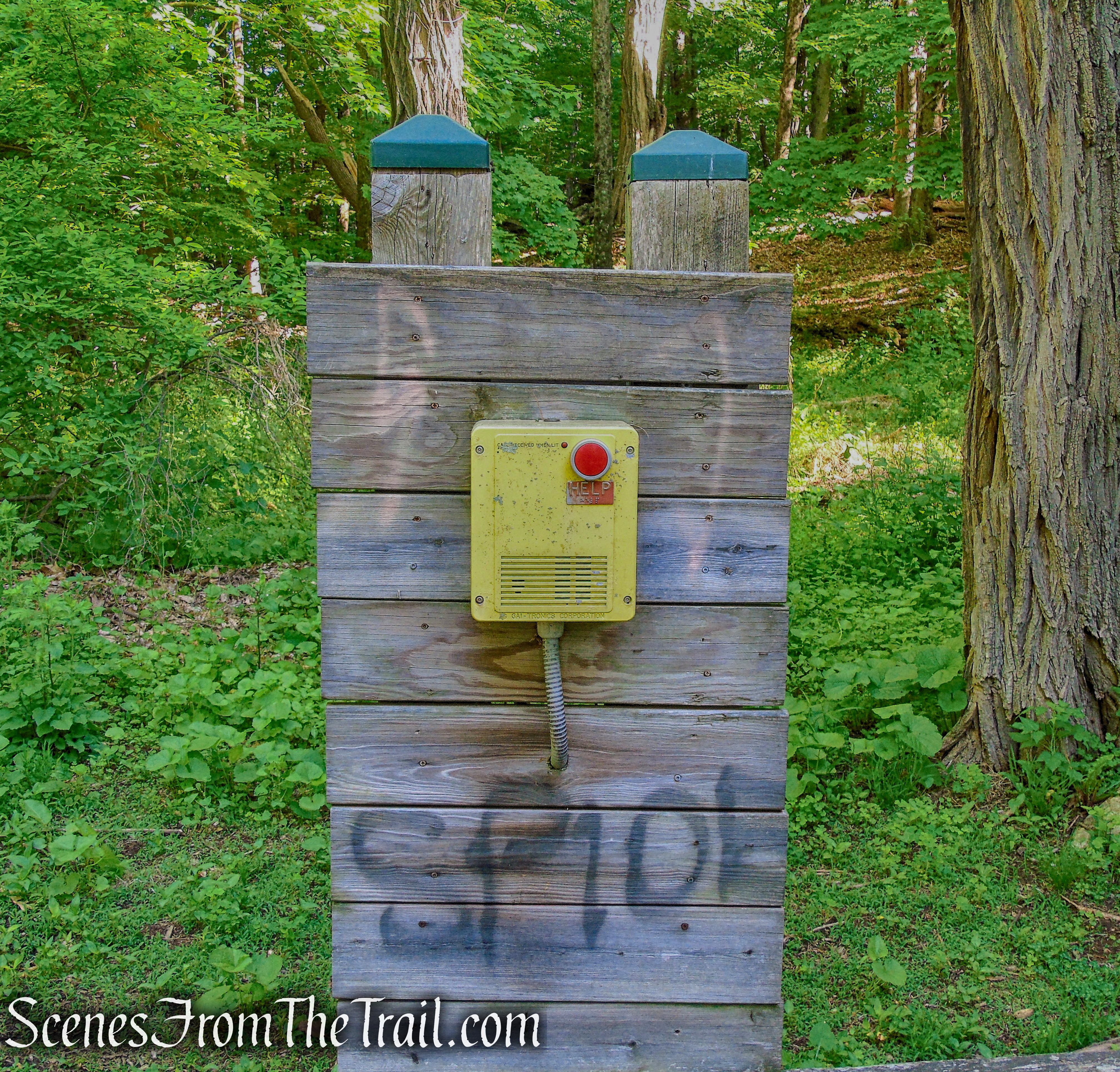
call box – Whippoorwill Park
Whippoorwill Park
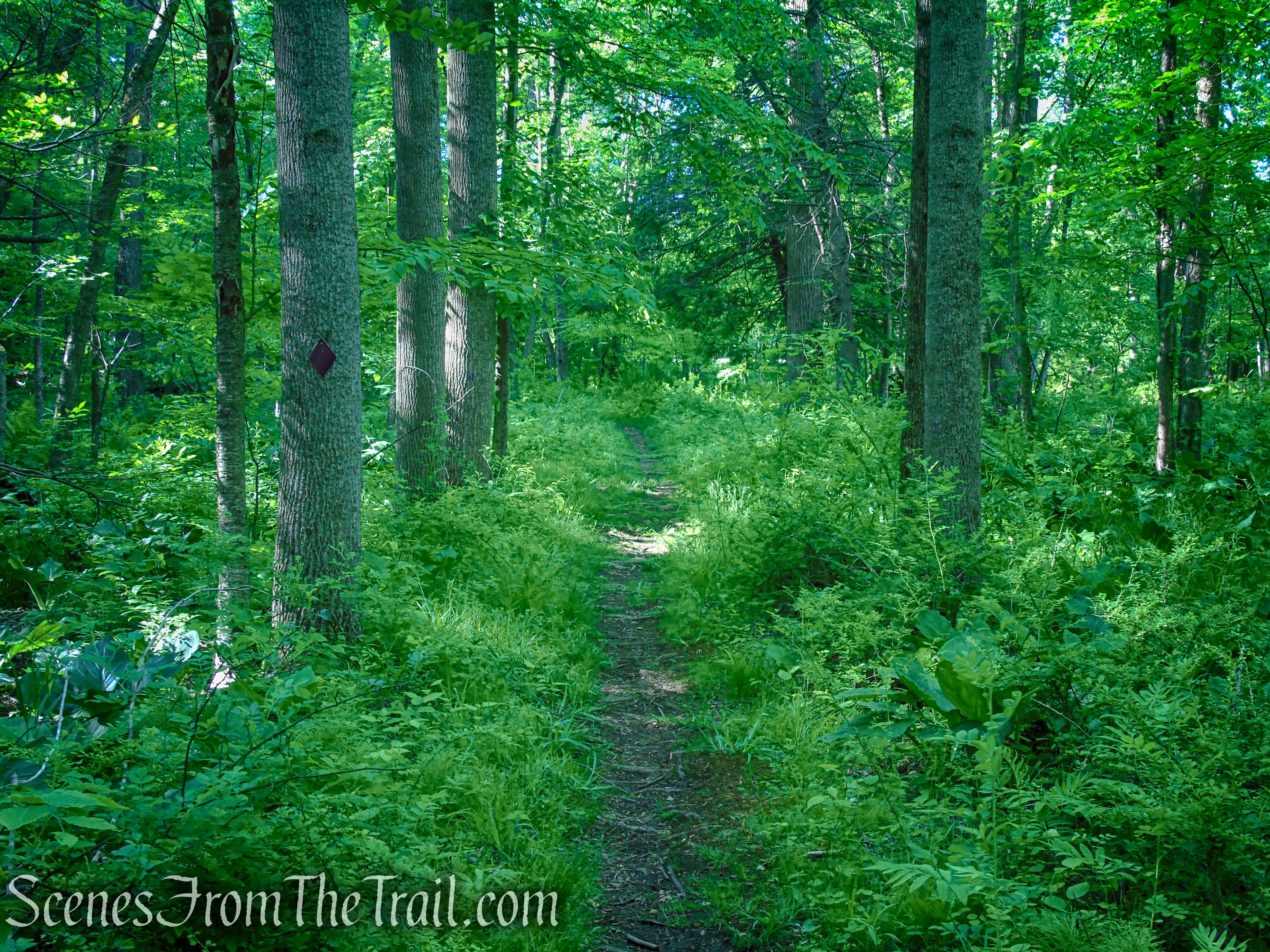
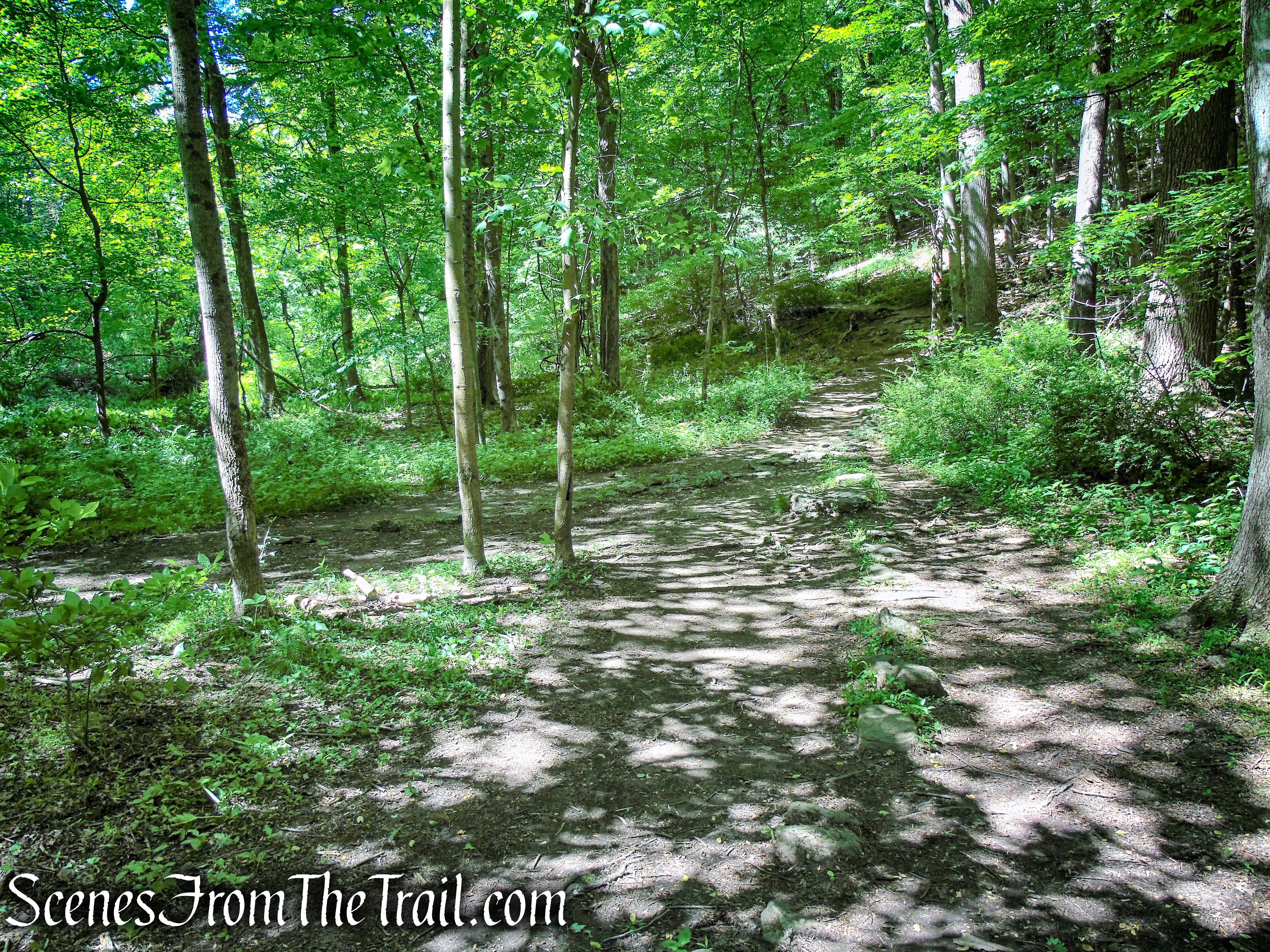
The Red Trail begins at the northeast corner of the parking lot and heads downhill on a narrow footpath. At the base of the descent, the Red Trail reaches a fork with the Blue Trail, that begins on the right.
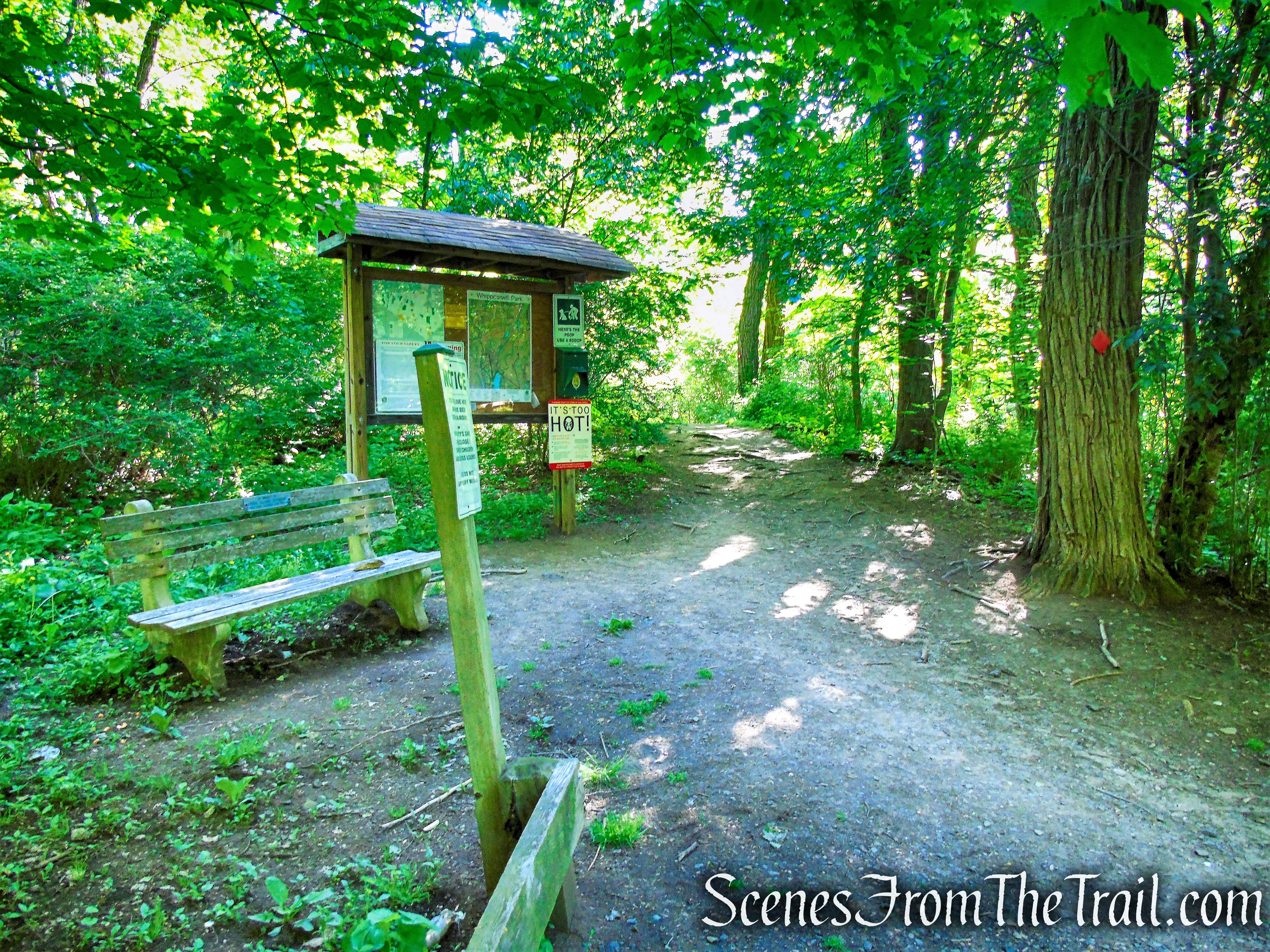
Trailhead – Whippoorwill Park

Red Trail – Whippoorwill Park
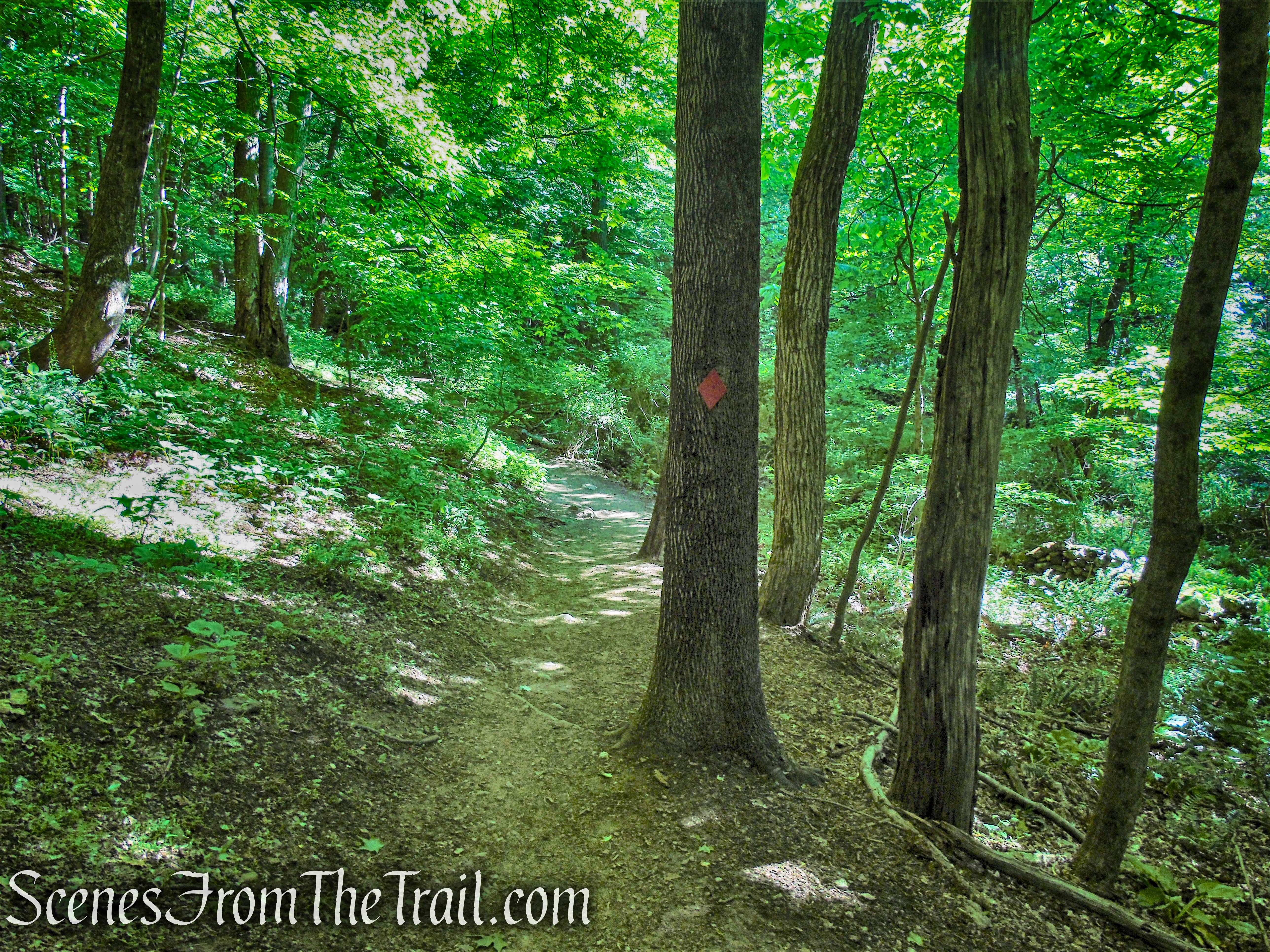
Red Trail – Whippoorwill Park

turn right on Blue Trail
Turn right on the Blue Trail, heading south, which skirts an extensive wetland and parallels a stone wall on the right. Soon the trail climbs a little and comes to a Y-intersection with the Purple Trail. There are no visible purple blazes until you walk a short distance in. Follow the Purple Trail which soon crosses a wooden footbridge over a stream.
Blue Trail – Whippoorwill Park
Blue Trail – Whippoorwill Park
turn right on Purple Trail
Purple Trail – Whippoorwill Park

Purple Trail – Whippoorwill Park
Purple Trail – Whippoorwill Park
A short distance after crossing the stream, the Purple Trail ends at Whippoorwill Lake Road, a residential street. Cross the road to the northern edge of the scenic Whippoorwill Lake. The area around the lake is private property, so it’s a good idea to take in the view and keep it moving.
Purple Trail – Whippoorwill Park
Whippoorwill Lake Road
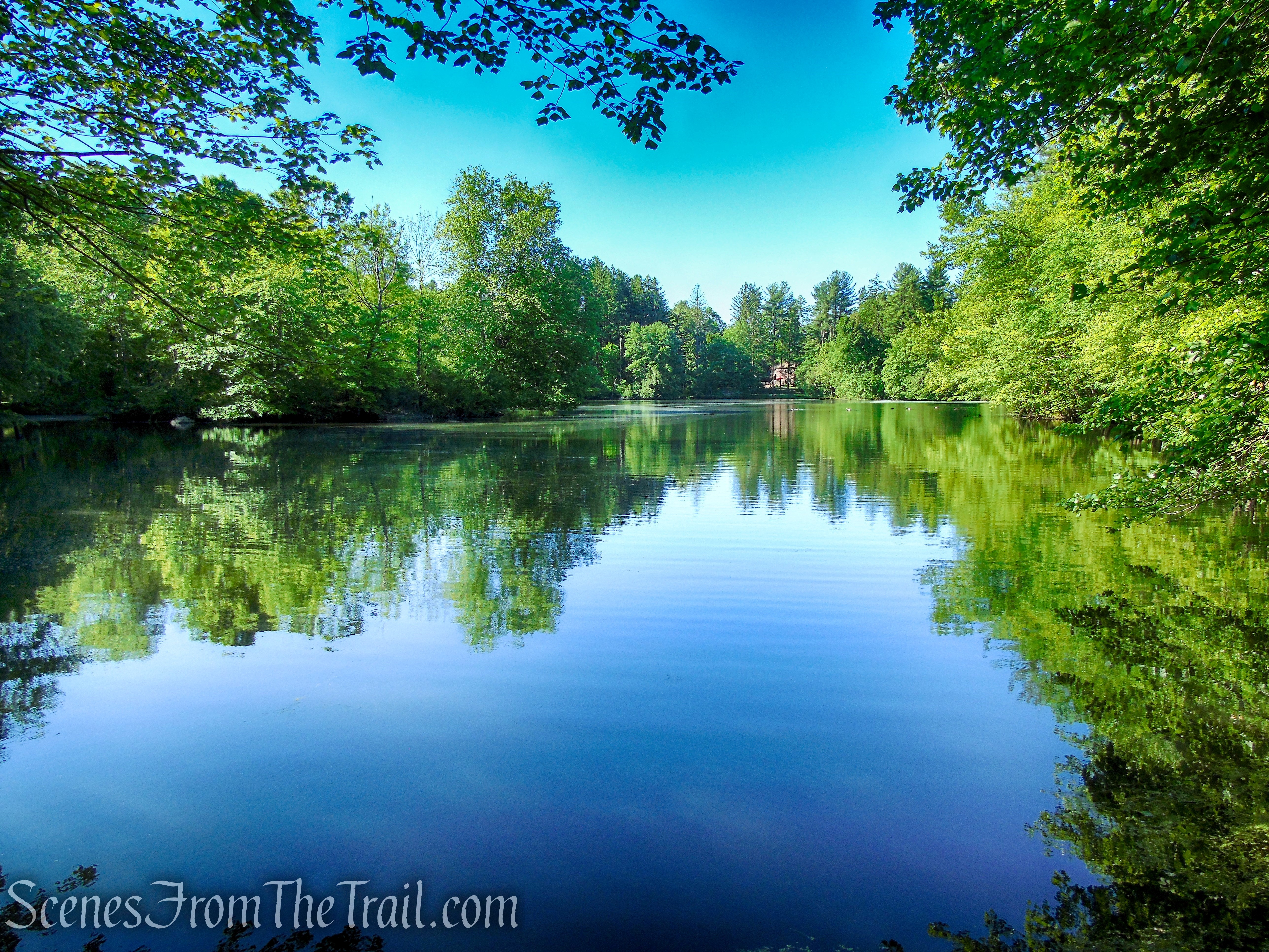
Whippoorwill Lake

Whippoorwill Lake
Return to the Purple Trail and retrace your steps. Shortly after recrossing the footbridge, there is a footpath that veers off to the right and heads uphill. This is the other leg of the Purple Trail. You may see some faded purple blazes on several trees. Follow the trail a short distance to its terminus at the Blue Trail.
Purple Trail – Whippoorwill Park
Purple Trail – Whippoorwill Park
veer right on Purple Trail – Whippoorwill Park

Purple Trail – Whippoorwill Park
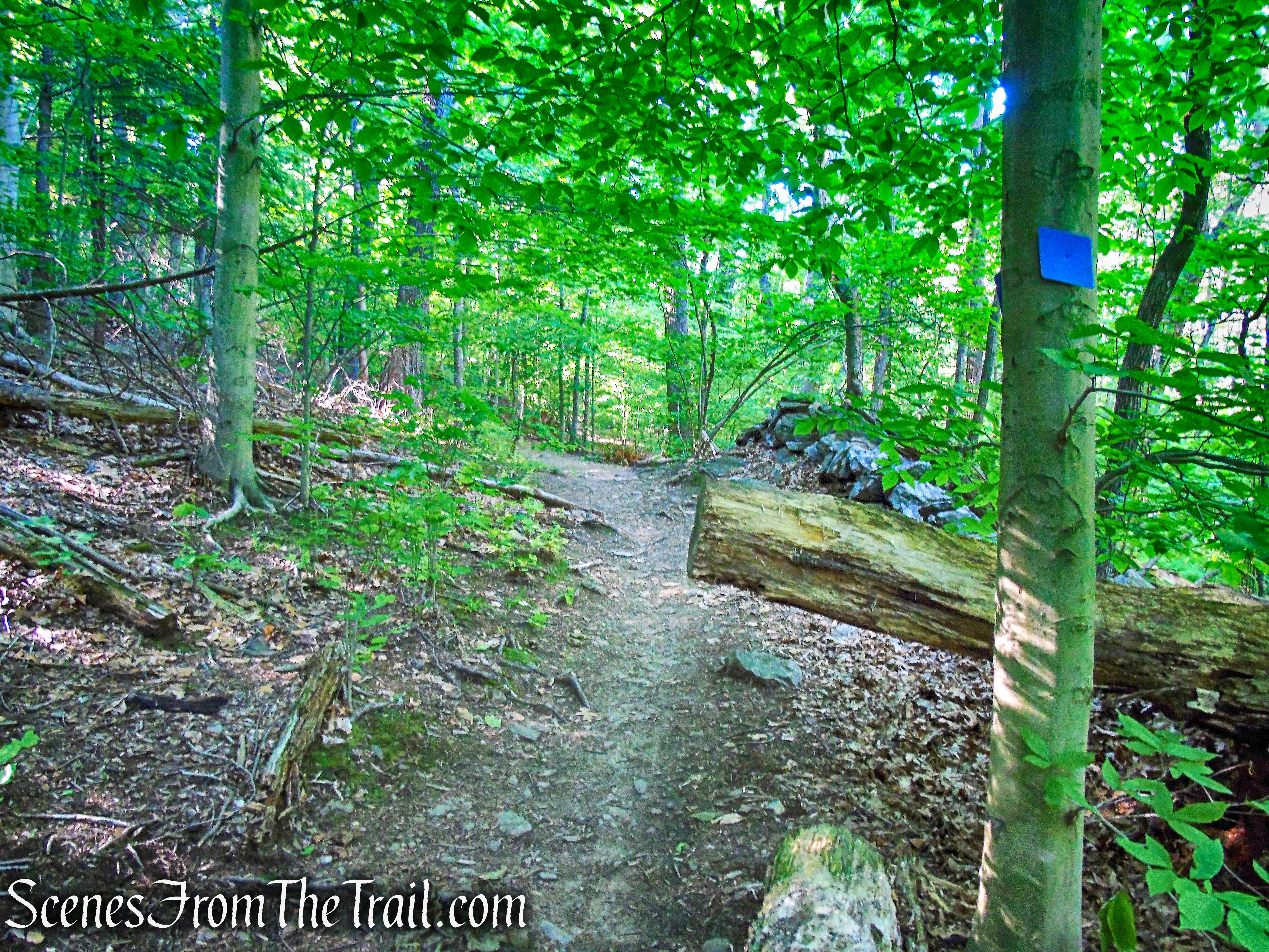
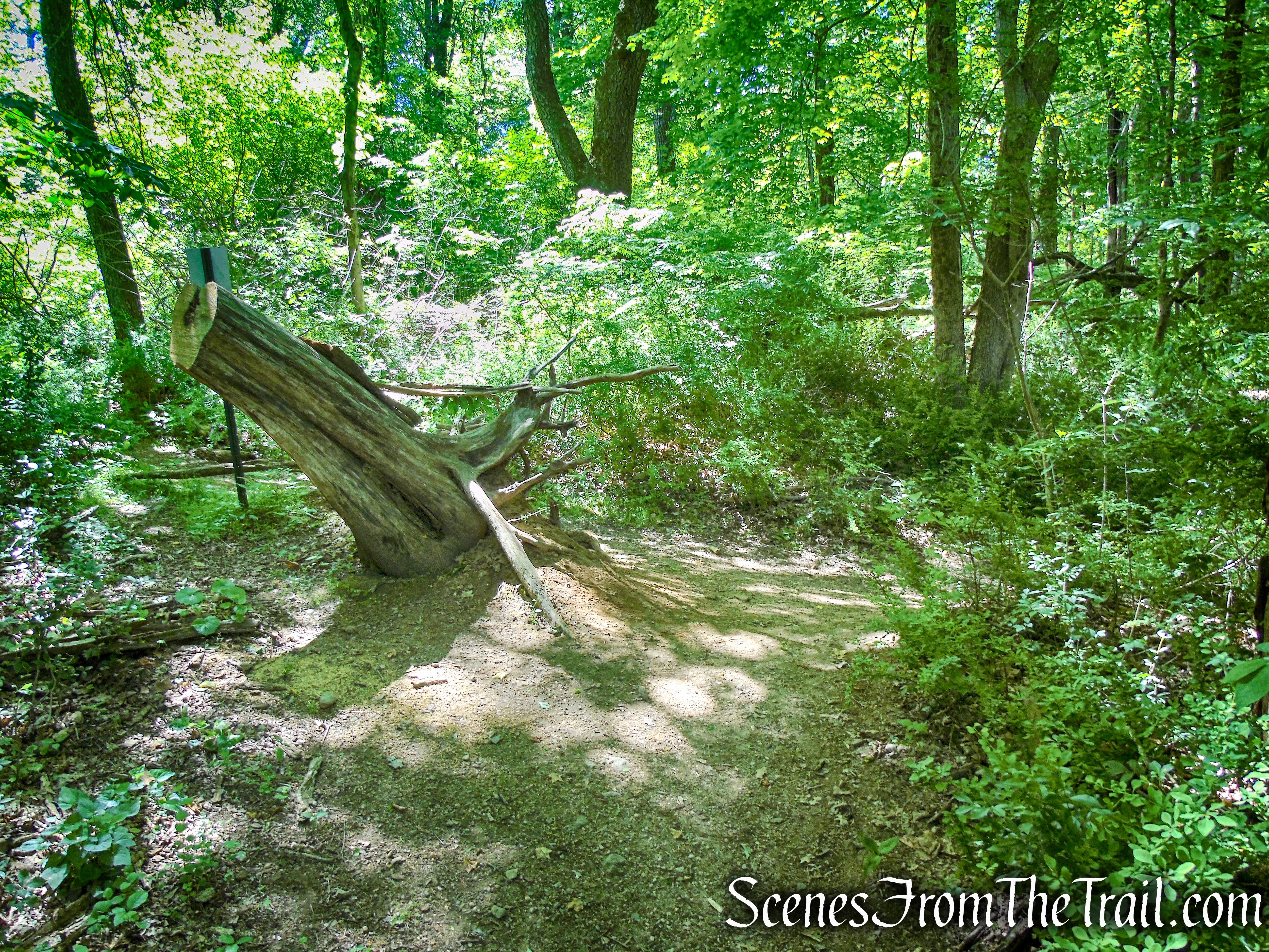
Turn right on the Blue Trail as it heads downhill. In a short distance, at the base of the descent, the Blue Trail splits. Take the right leg of the Blue Trail which passes through a large fallen tree. Soon the Blue Trail crosses a stream on a wooden footbridge and immediately turns sharp left.
Blue Trail – Whippoorwill Park
Blue Trail – Whippoorwill Park
Blue Trail – Whippoorwill Park
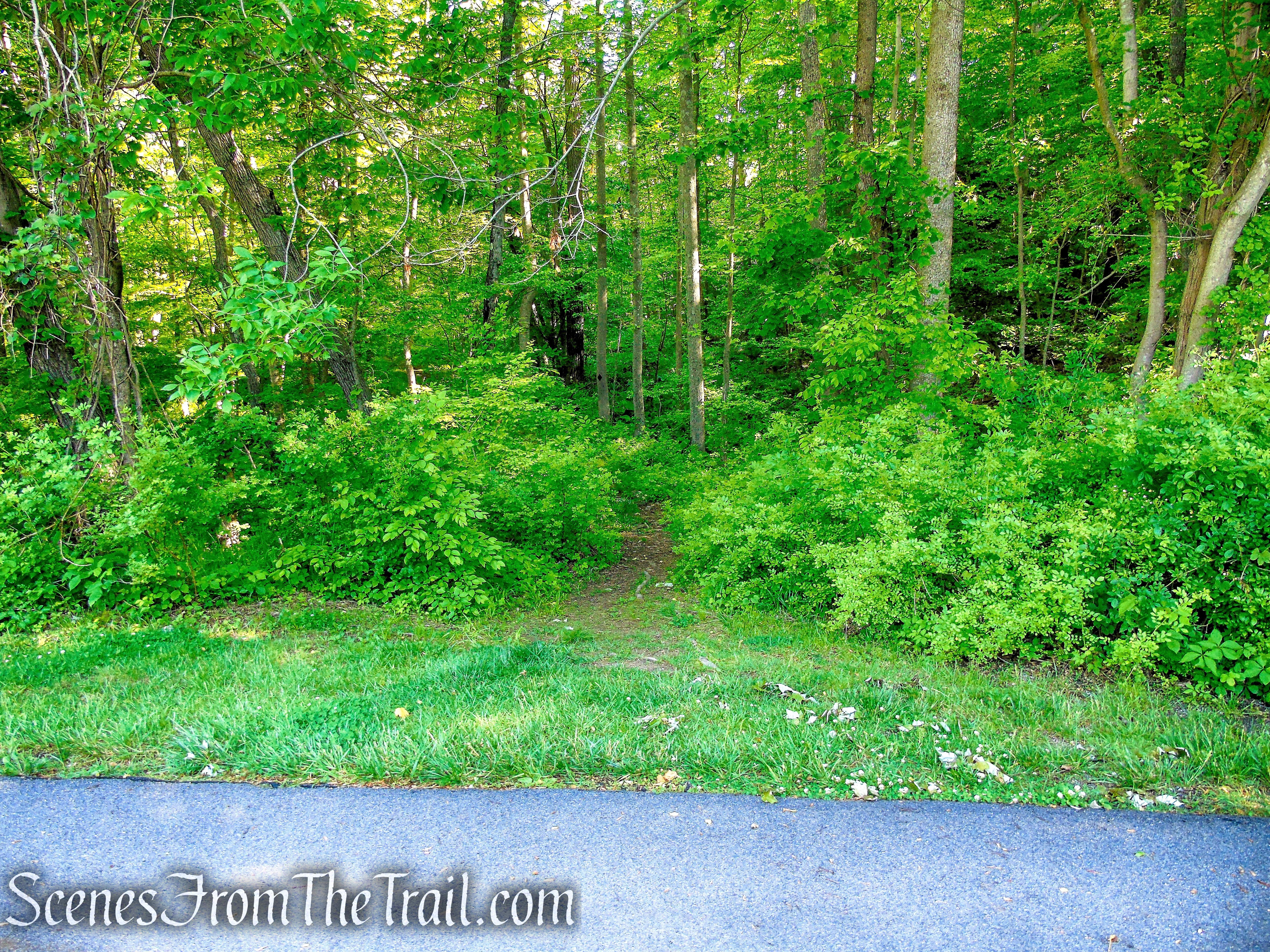
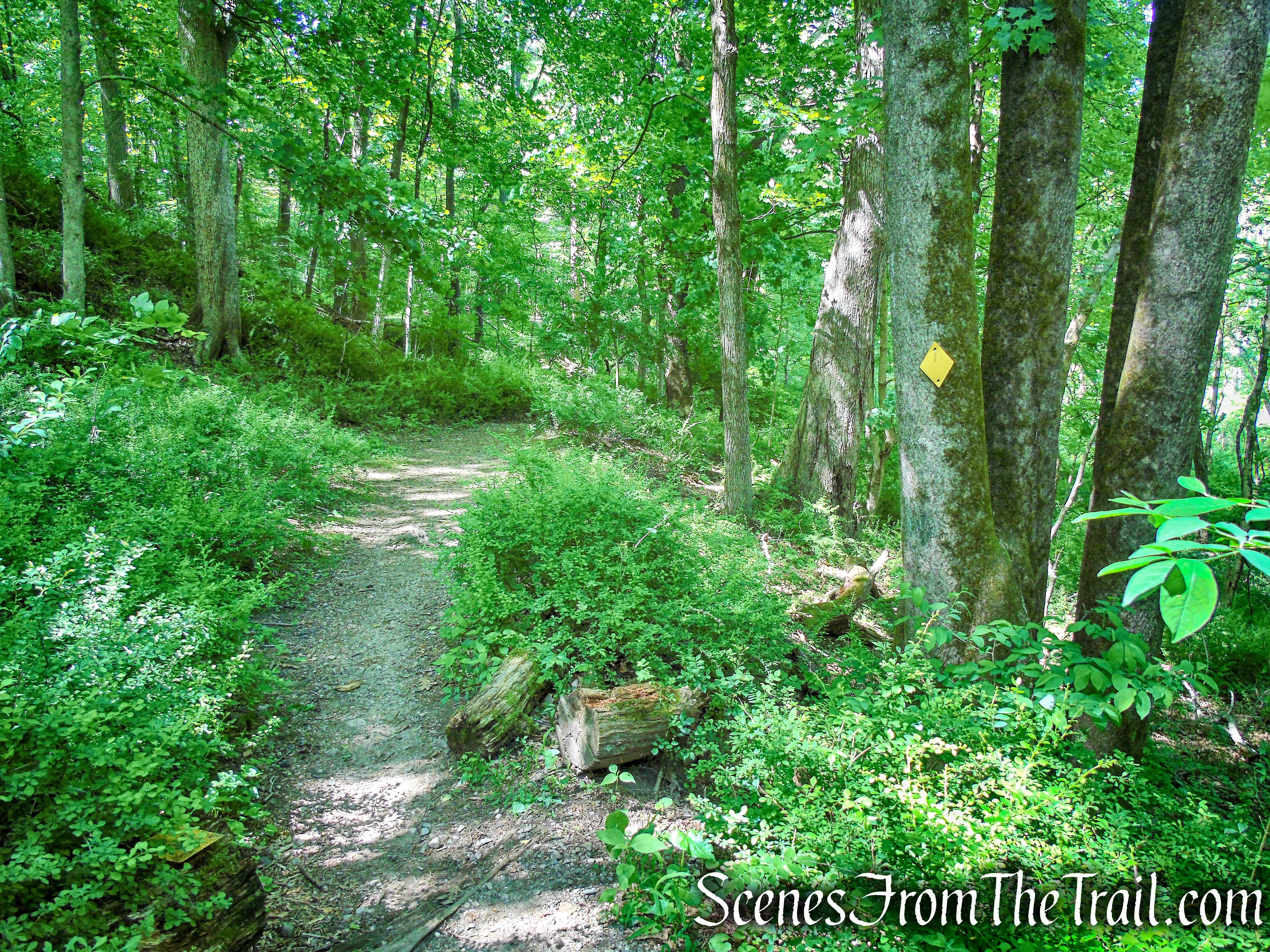
After crossing a wet section on rocks along the stream, the Blue Trail ascends on a woods road. In about 0.25 mile, as the Blue Trail turns left, the Orange Trail begins on the right. This junction is easy to miss as there was an orange marker hanging on a thin branch and covered by leaves on our visit.
Blue Trail – Whippoorwill Park
Blue Trail – Whippoorwill Park
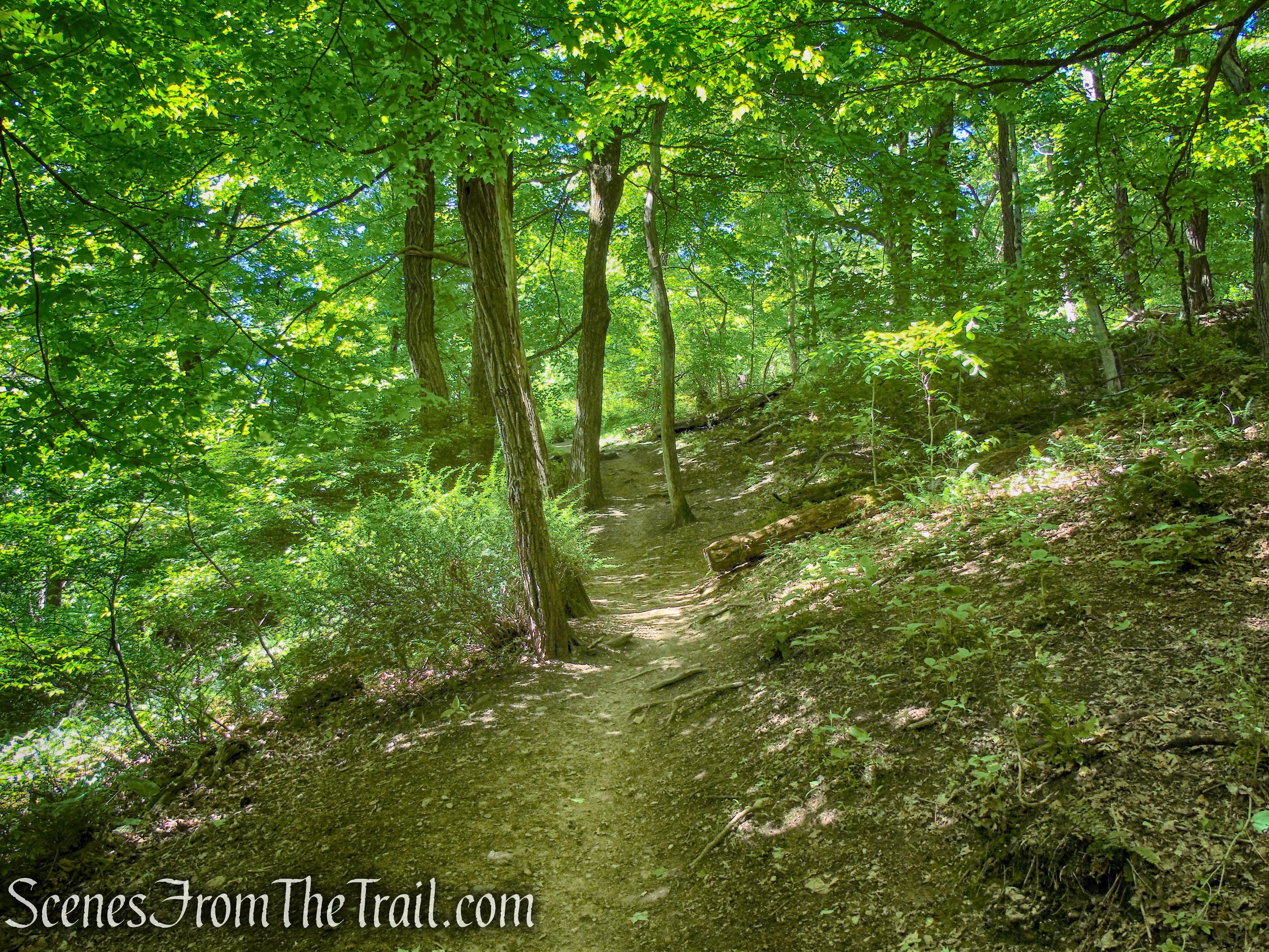
The Orange Trail climbs along the hillside on an old woods road, heading southwest. In about 0.4 mile, the Orange Trail ends at a junction with the Green Trail. If you continue straight on the Green Trail (south), you will come out on Whippoorwill Lake Road. Instead, turn left on the Green Trail and follow it as it climbs the hill rather steeply.

turn right on Orange Trail – Whippoorwill Park

Orange Trail – Whippoorwill Park
Orange Trail – Whippoorwill Park
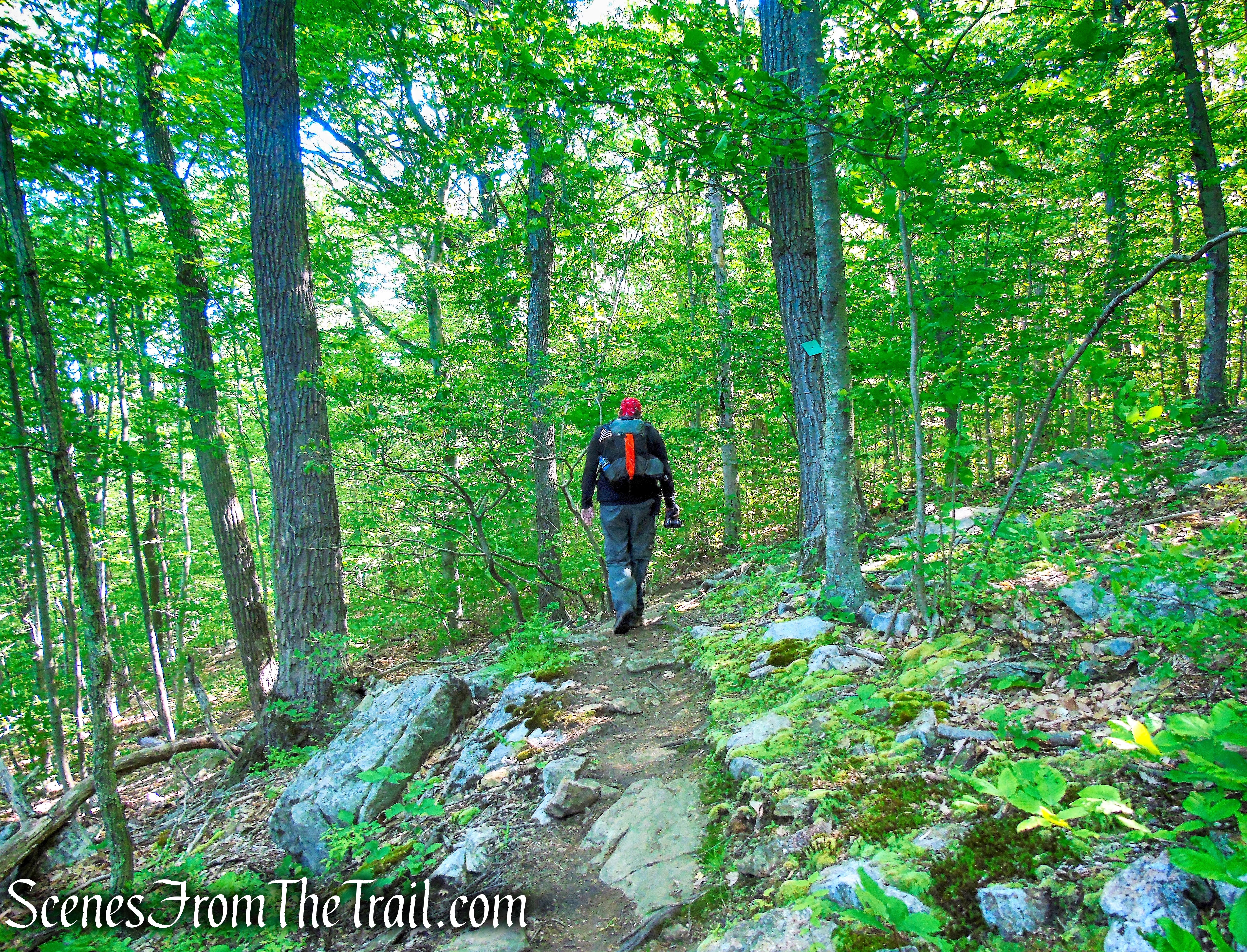
After a short but steep ascent, the trail levels off briefly, then continues to climb on a rocky footpath. At the top of the rise, there is a balanced boulder alongside the trail.
Green Trail – Whippoorwill Park
Green Trail – Whippoorwill Park
Green Trail – Whippoorwill Park
Green Trail – Whippoorwill Park
Green Trail – Whippoorwill Park
Green Trail – Whippoorwill Park
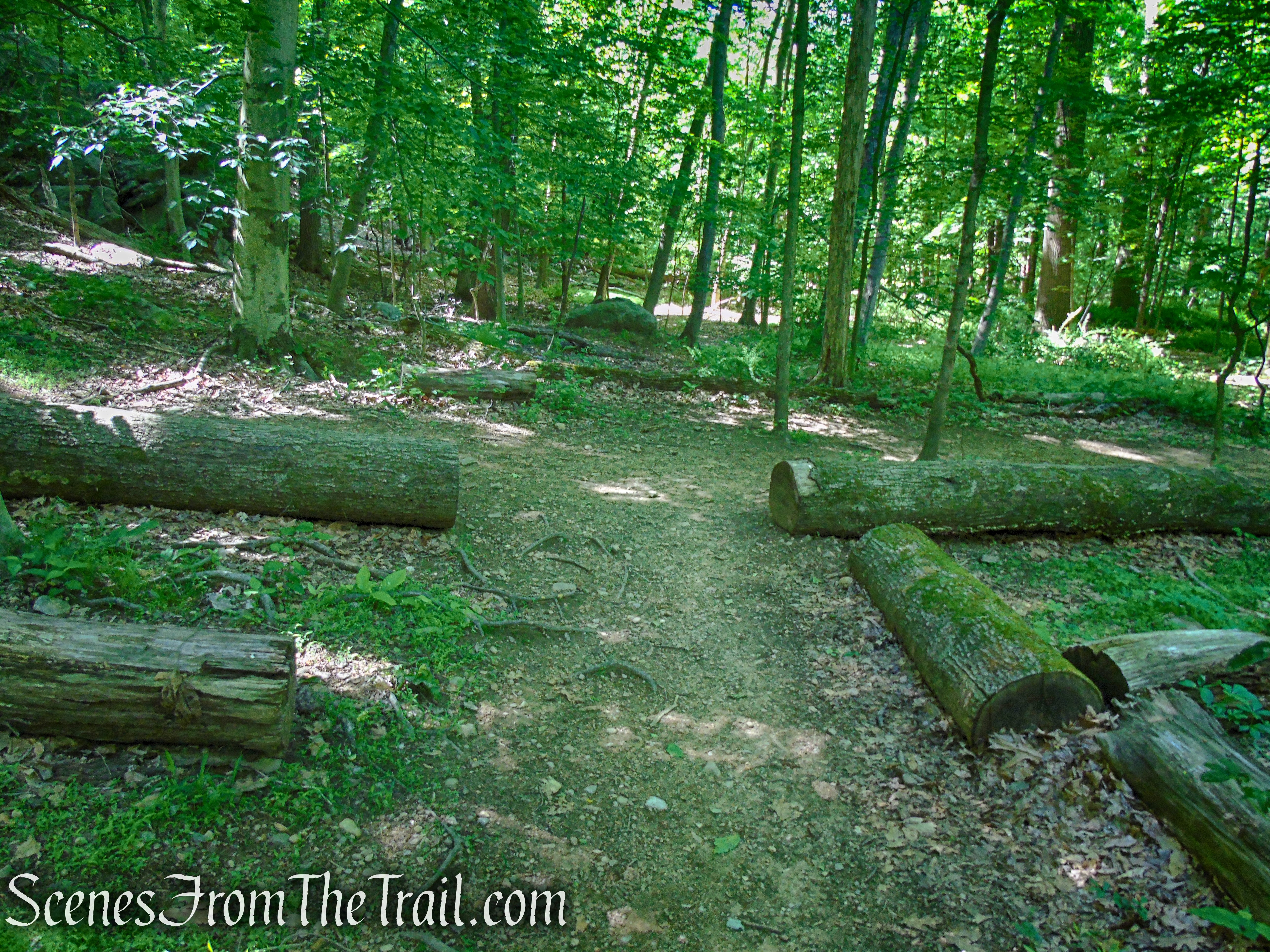
From here, the trail descends on a footpath along the rocky ridge. The Green Trail ends at a junction with the Blue Trail, a few feet from where the Orange Trail starts.
Green Trail – Whippoorwill Park
Turn right on the Blue Trail which heads north on an extremely eroded and rocky woods road. In about 240 yards, the Blue Trail turns left, leaving the woods road and proceeds on a footpath. This turn is also easy to miss.
Blue Trail – Whippoorwill Park
The Blue Trail turns left again, joining another woods road, crosses an intermittent stream on rocks, then crosses the outlet stream of the pond on rocks.

Blue Trail – Whippoorwill Park

Blue Trail – Whippoorwill Park
Almost immediately after crossing the stream, the Yellow Trail crosses the Blue Trail just before the Blue Trail turns left. Turn left on the Yellow Trail which follows the stream up to the ruined dam of the pond. The Yellow Trail then hugs the shoreline of the pond (there are no good views of the pond from the trail) and soon ends at a T-intersection with the Blue Trail.
turn left on Yellow Trail
Yellow Trail – Whippoorwill Park
Yellow Trail – Whippoorwill Park
Yellow Trail – Whippoorwill Park

Yellow Trail – Whippoorwill Park
Yellow Trail – Whippoorwill Park
Turn right on the Blue Trail and follow it a short distance to the intersection with the yellow Trail. When the Blue Trail turns right, proceed ahead on the Yellow Trail. A short distance later, there is a footpath on the right. This is the start of the White Trail. It is not marked at the junction, but you will see white markers a short distance in.
Blue Trail – Whippoorwill Park
Yellow Trail – Whippoorwill Park
The White Trail parallels the outlet stream of the pond, then veers away and crosses through stone walls. There are white informational signs along the trail which you may want to stop and read. Soon the trail passes an unmarked footpath on the right that leads to Kitchel Road. A short distance later, with houses visible through the trees on the right, the trail crosses an intermittent stream on rocks. The trail soon begins a steady climb through the woods then ends at a T-intersection with the Yellow Trail.
White Trail – Whippoorwill Park
White Trail – Whippoorwill Park
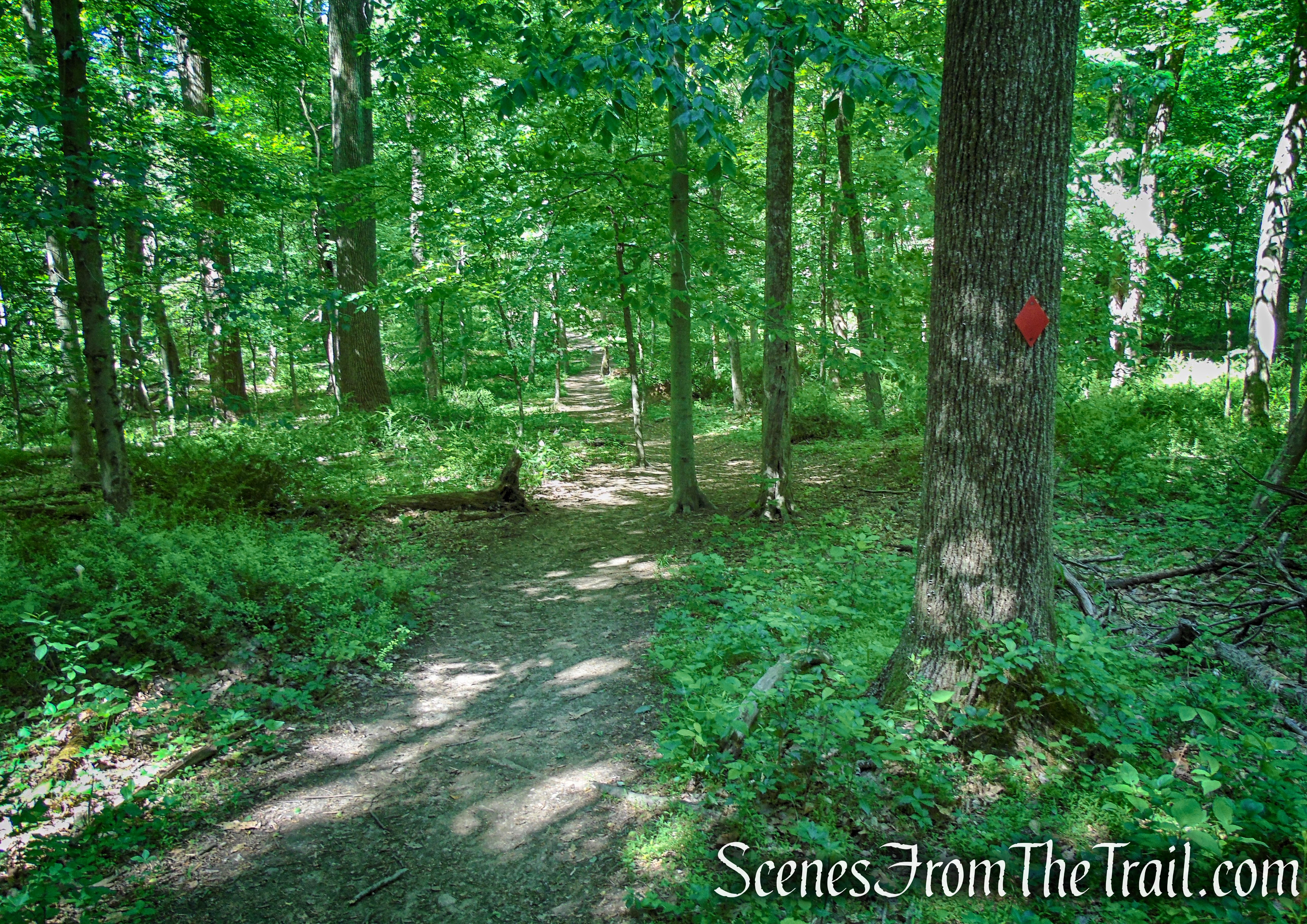
Turn right on the Yellow Trail and follow the footpath as it heads southwest. In about 0.2 mile, the Yellow Trail ends at a T-intersection with the Red Trail.
Yellow Trail – Whippoorwill Park
Yellow Trail – Whippoorwill Park
Turn right on the Red Trail and in about 175 yards, it passes the junction with the Blue Trail, which is on the left. Continue following the red blazes, now retracing your steps, and returning back to the parking area, where the hike began.
Red Trail – Whippoorwill Park
Red Trail – Whippoorwill Park
Red Trail – Whippoorwill Park
Review:
This is a nice hike through some scenic woods. The terrain is rugged enough to keep it interesting. The Green Trail is steep and rocky, and in my opinion, the highlight of the hike. The walk out to Whippoorwill Lake is a nice detour and quite scenic, the pond, not so much. There were quite a few people with dogs, a lot of them unleashed, that were probably from the adjacent neighborhoods. The park was more crowded than the previous places I have written about, but not in an uncomfortable way. I for one, go into the woods to get away from people and prefer not to see anyone while I’m there. When we arrived at about 8:20 am on a Sunday morning, the lot was just about full. When we arrived back at 10:30 am, the lot was full and there were several cars along the road.
Pros:
Well marked trails, scenic landscape, stream crossings.
Cons:
Some junctions can be better blazed, a lot of unleashed dogs, popular local spot which can get crowded.
Take a hike!
Whippoorwill Park Loop
Sources:
- Walkable Westchester: A Walking Guide to Westchester County, NY – by Jane and Walt Daniels
- Henry Berol
- The Eagle Pencil Strike of 1938
- Di-Lane Plantation Wildlife Management Area

Love reading your hikes. Looks like a beautiful place! I notice very little understory, there must be a high deer population. Looking forward to reading more of your work!
LikeLiked by 1 person