June 7, 2020 – Cortlandt, NY
Difficulty: Moderate
Length: Approximately 6 miles
Max elevation: 699 ft. – total elevation gain: approximately 680 ft.
Route type: Circuit
Map: None available
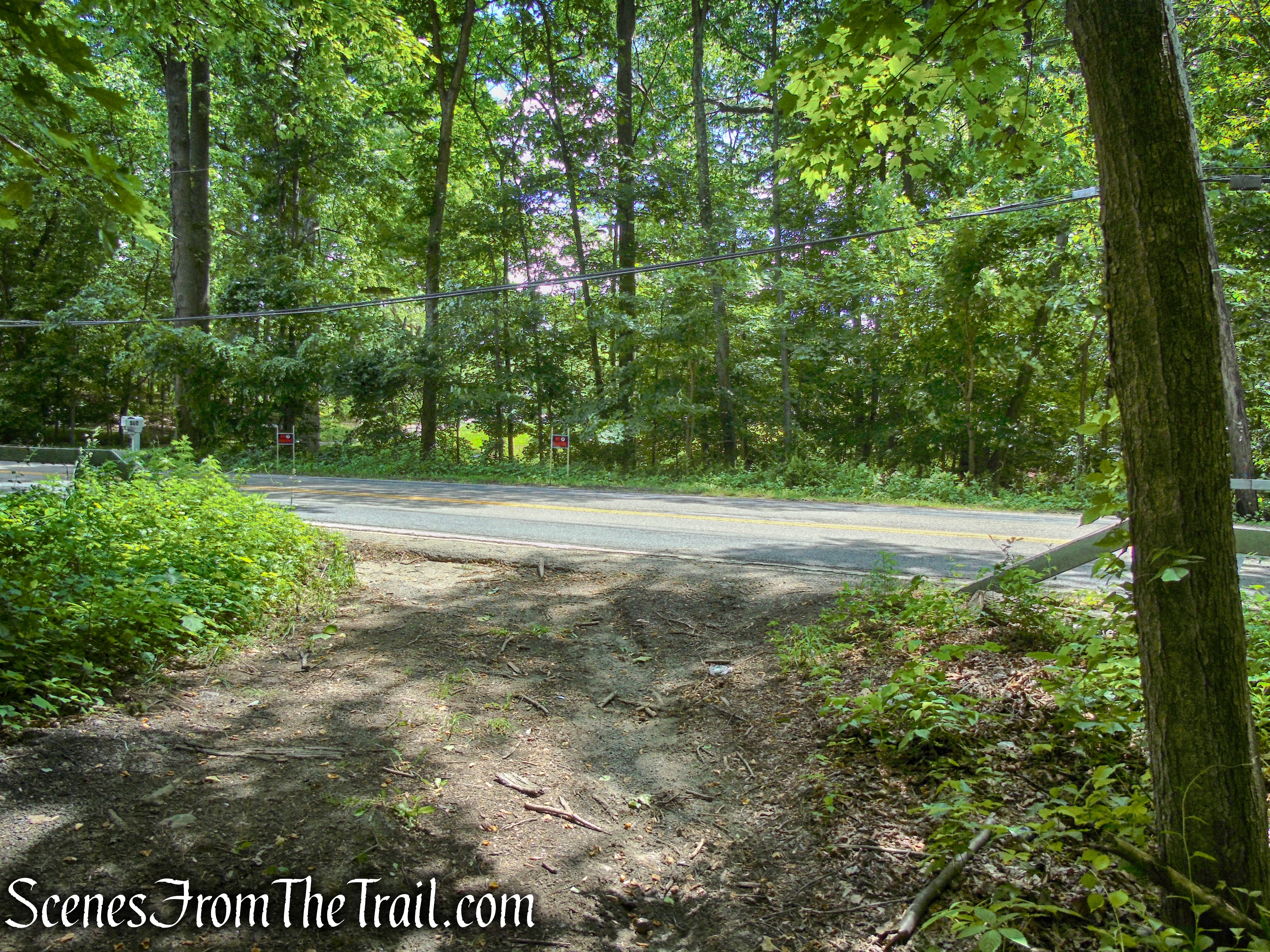
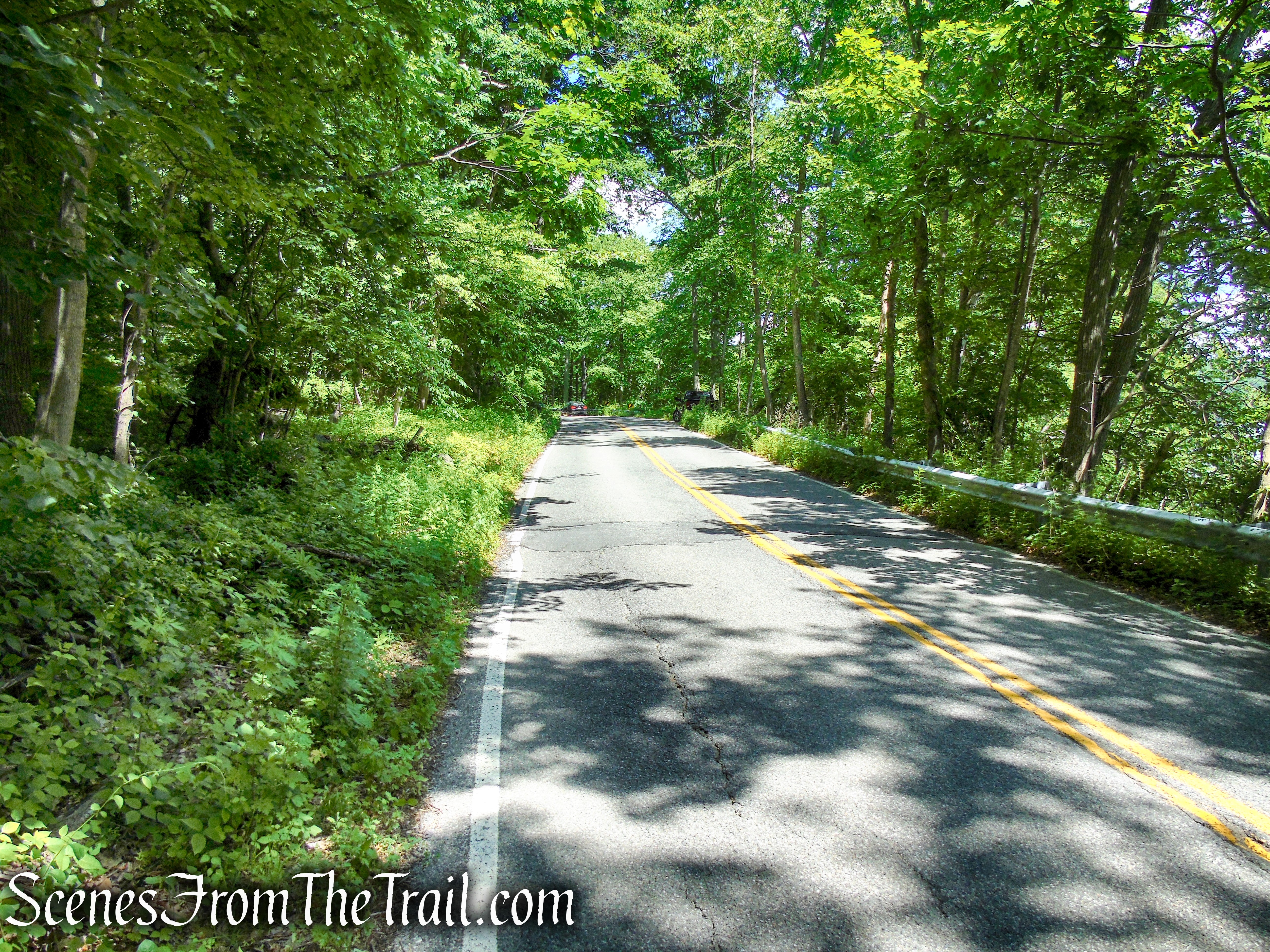
Trailhead parking: Croton Ave, Cortlandt, NY 10567
Please note: There is only room for 3 cars at the GPS location listed above. Pull-off parking for two cars on the western side of Croton Avenue and pull-off parking for one car directly opposite. There is more pull-off parking available, both north and south of the GPS location listed above.
Please note: A portion of this hike takes place on NYC watershed property and may require a DEP Access Permit, which comes with a mirror hanger parking permit. It is free and takes about five minutes to fill out and can be printed off your home computer.
Overview:
Salt Hill State Forest consists of 269.7-acres of rocky ridgelines cloaked in a green forest, with wetlands, fields, and associated wildlife and plant communities. The tract of land is bounded to the east by the Croton Reservoir, making it part of the New York City water supply system’s Croton Watershed. It is otherwise surrounded by dense residential development, and forms the nexus of a major corridor that ecologically links the Town of Cortlandt with Yorktown. There are roughly 15-acres of New York State protected wetlands on the property.
Salt Hill State Forest
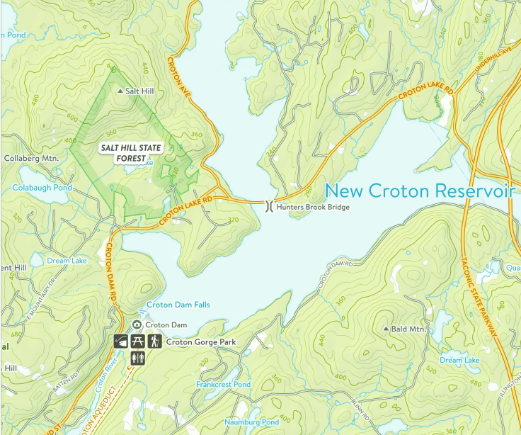
Salt Hill State Forest is a deciduous forest that climbs unbroken from Croton Avenue and Route 129, to the 699 ft. summit of Salt Hill, encompassing rocky outcrops, rolling hills, brooks, vernal pools and swamps. The centerpiece of Salt Hill State Forest is the picturesque Blue Lake, with its variety of fish including perch, brown trout and rainbow trout. Blue Lake is approximately 8-acres and was created/enhanced by a low dam. The area is peppered with old stone walls and some root cellars, as well as remnants of stone cottages.
Blue Lake – Salt Hill State Forest
History:
Most of Salt Hill was owned by a man named John R. Nelson for many years until his death on October 2, 1971. Mr. Nelson also owned other lands in the area, including the Croton Airpark, just across Route 129. Mining for emery (corundum) was done on the property at some time and John Nelson operated the Cortlandt Complex emery mines for two years, just southwest of Salt Hill. The area was logged by Mr. Nelson and and as early as 1930 and through WW II, a sawmill was being operated for lumbering purposes and the cutting of large timber for sale. One of his customers was the U.S. Government. Mr. Nelson also constructed the small summer cottages, the foundations of which can still be seen, along the shore of Blue Lake, which he would rent out during the summer.
Blue Lake – Salt Hill State Forest
In 1950, the NYS Department of Environmental Conservation erected a fire tower at the summit of Salt Hill. Known as the Nelson Mountain Fire Tower at Salt Hill, the tower was placed into service in 1951, reporting 22 fires and 70 visitors. With the advent of aerial detection, this tower was closed at the end of the 1971 season. Some time following that date, the tower was cut down or pulled over by persons unknown, and its twisted remains are still at the summit of Salt Hill.

Nelson Mountain Fire Tower at Salt Hill – image courtesy of Westchester County Historical Society
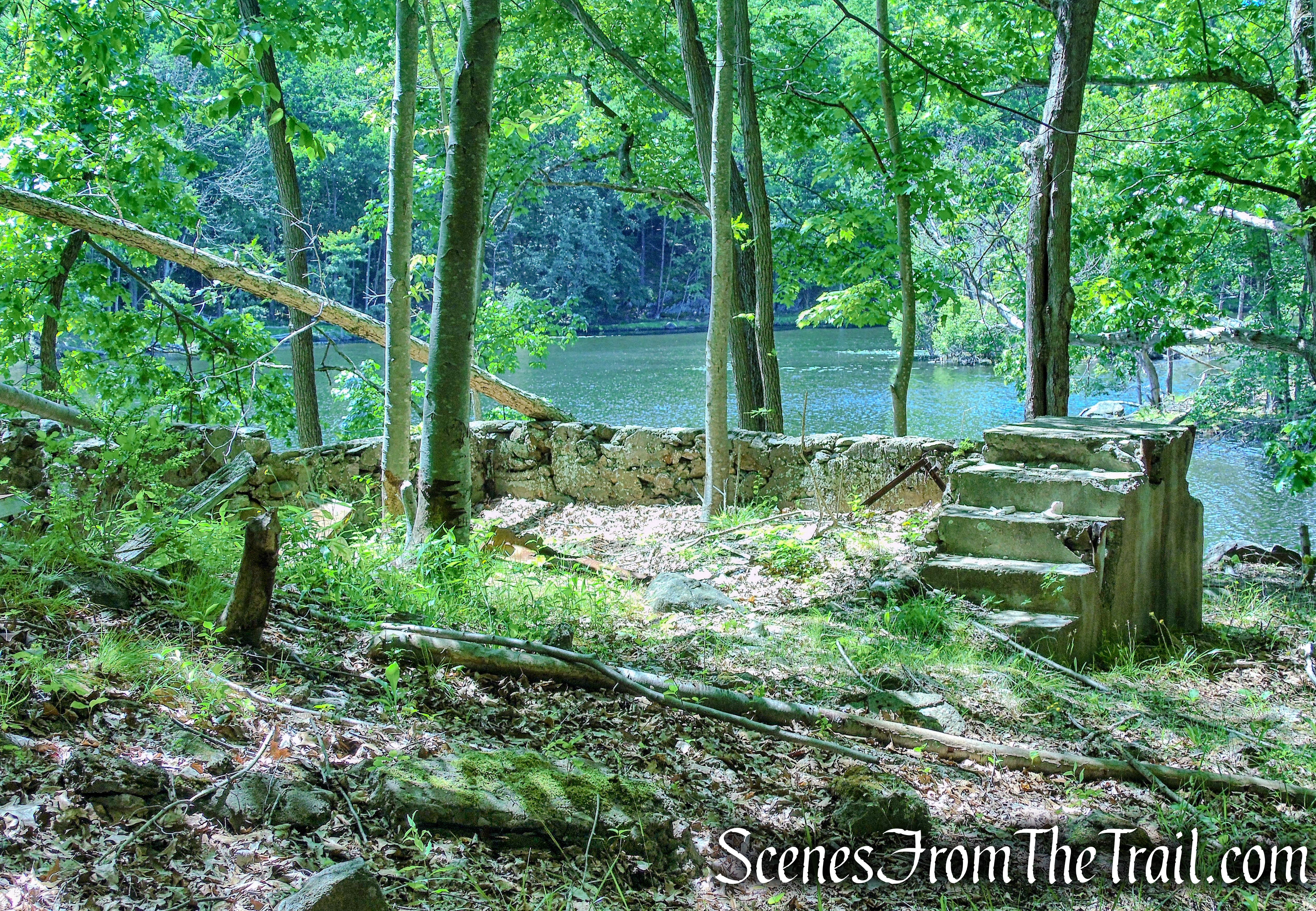
The 73′ Aermotor LS-40 tower had 11 flights of stairs. The LS-40 was the preferred fire tower of the officials in the Bureau of Forest Fire Control.
73′ Aermotor LS40 – Copyright 1984 – 2010 Unpublished Work by Bill Starr
The Roster of the NYS Forest Fire Observers that were employed during its time in service.

Nelson Mountain Fire Tower – Copyright 1984 – 2010 Unpublished Work by Bill Starr
After John R. Nelson died in 1971, the land was sold off to developers, but opposition from locals and conservation groups, the land stood idle and switched ownership several times. In 1997, Gov. George E. Pataki pledged $7.5 million to acquire environmentally sensitive lands in the Croton Watershed. In 2002, NY State purchased the 269-acre parcel for $2,940,000. The New York City Department of Environmental Protection (DEP) and NYSDEC hold conservation easements restricting development on this property.
The NYSDEC bought the property for transfer to the NY City Dept of Environmental Protection (DEP) to protect its watershed. However, property transfer has been delayed due to a lack of funding and the difficulty of access to the site, especially to the summit of Salt Hill where a building and collapsed firetower are located.
The property is open to hiking, fishing and hunting. Because of the ongoing intent to transfer the property to the NYC DEP, NY State is not advertising the property.
Trails Overview:
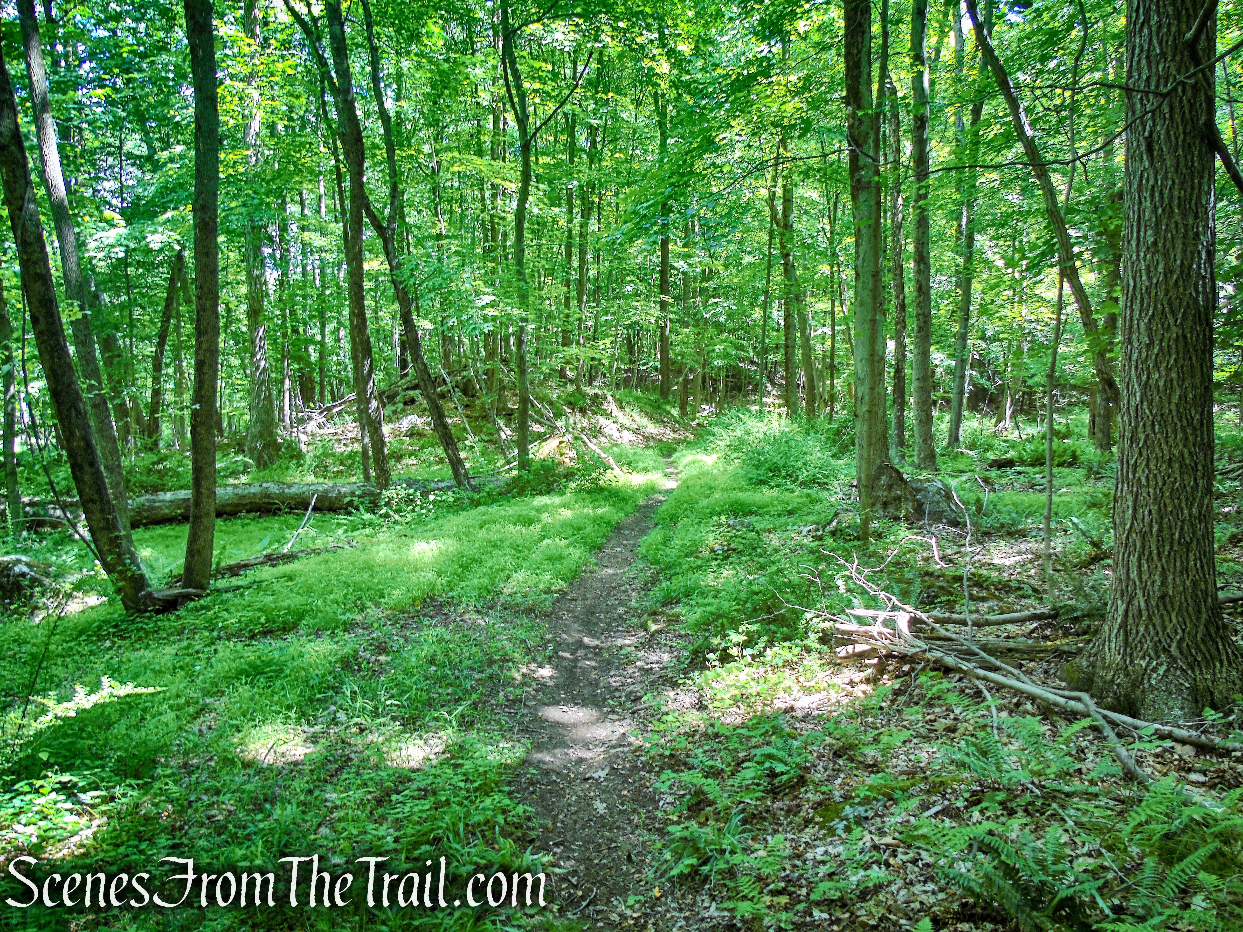
There are several footpaths throughout the forest, some with faded blazes, but mostly unmarked. The trails climb Salt Hill in big looping switchbacks and possibly connect to other properties. The trails were probably cut by mountain bikers, which I have encountered there in the past. An old woods road winds its way down from the summit. This old road was used to access the fire tower and passes by Blue Lake and comes out on Route 129. Another woods road circles the lake.
Hike Overview:
If you enjoy navigating your own path through the open woods with little undergrowth, this is an ideal hike. We basically bushwacked west up the rocky hillside, occasionally jumping on a trail when the cliffs became too steep. We stopped at the the summit, where there are no views, to see the mangled fire tower. From there we took the the woods road down to Blue Lake and enjoyed an early lunch. We circled the lake, exploring the stone ruins then made our way to Route 129 via the woods road. Approximately a 1 mile road walk along Route 129, Short Hill Road and Croton Avenue took us back to the vehicle. In hindsight, a bushwack would have been preferable to the road walk, but at the time, we didn’t know where the woods road would come out at. This hike was done counterclockwise.
UPDATED: The road walk is not necessary and this post has been updated to reflect that.
A good app for this hike is Gaia GPS with the USGS Topo map (see image below). It is the only map that I found that shows the location of the fire tower, Blue Lake and the woods road that connects them. It is very helpful with the bushwack to make sure you are headed in the right direction. The small black squares around Blue Lake depicts the ruined structures.

Salt Hill State Forest
The Hike:
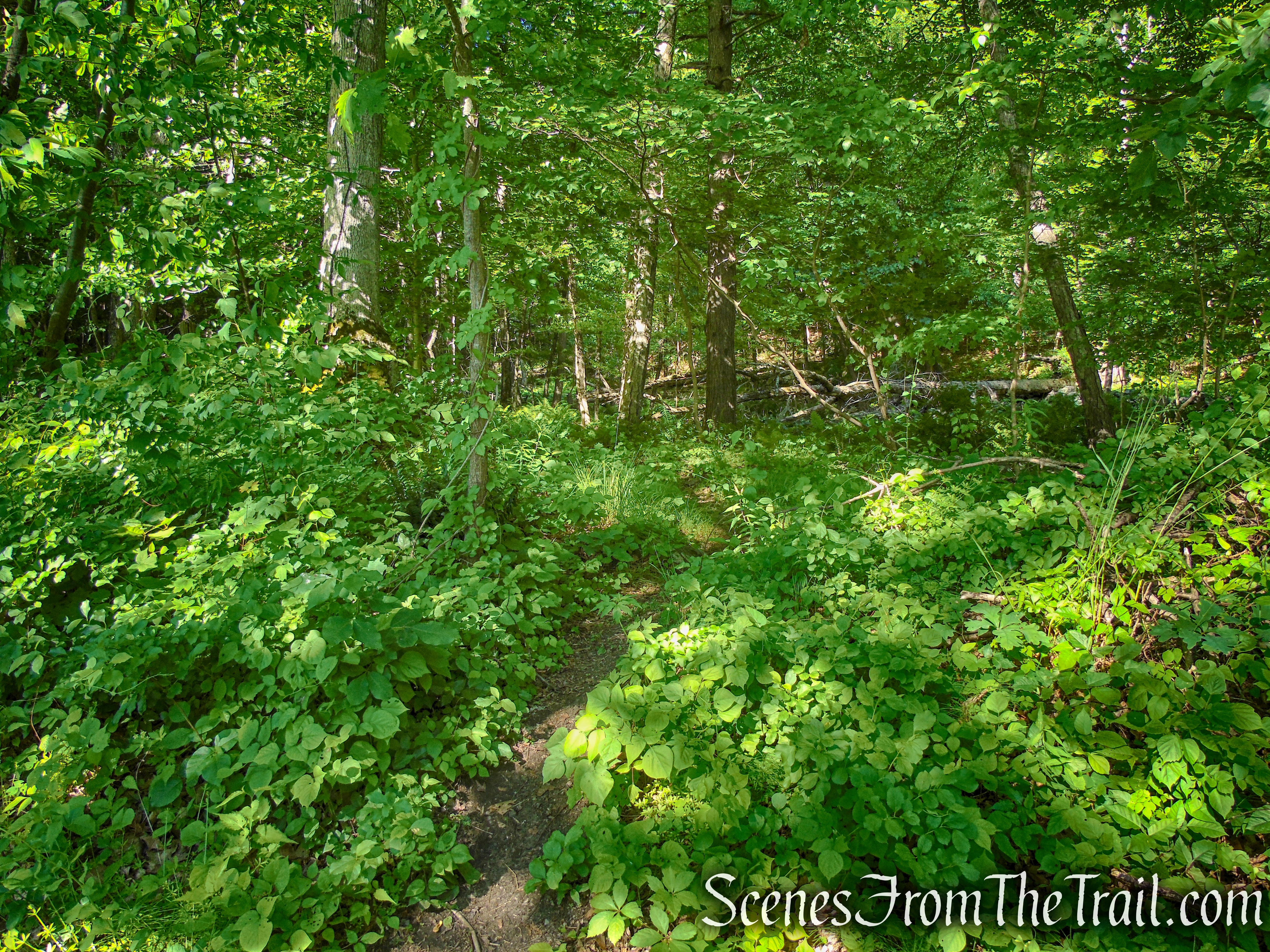
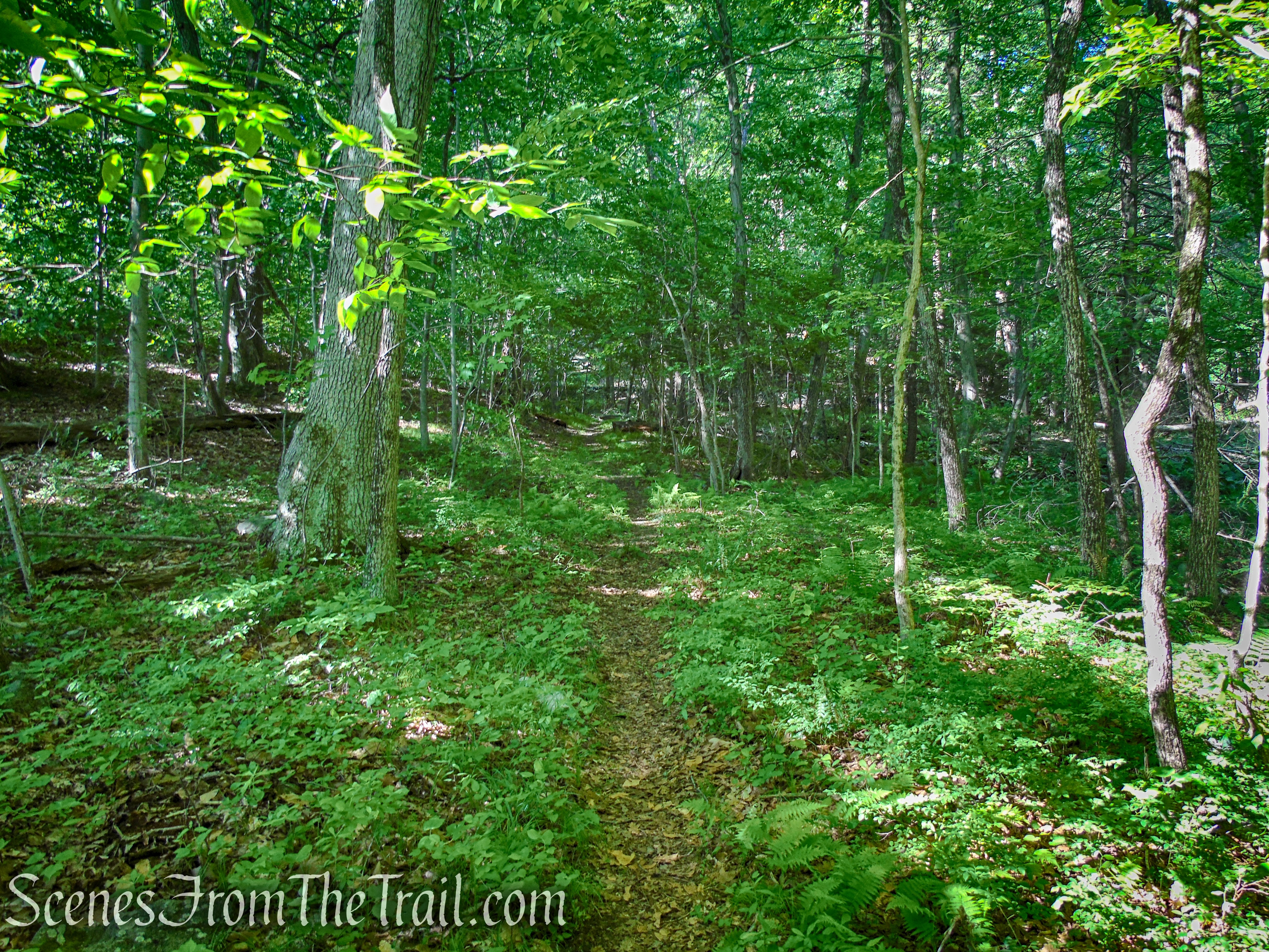
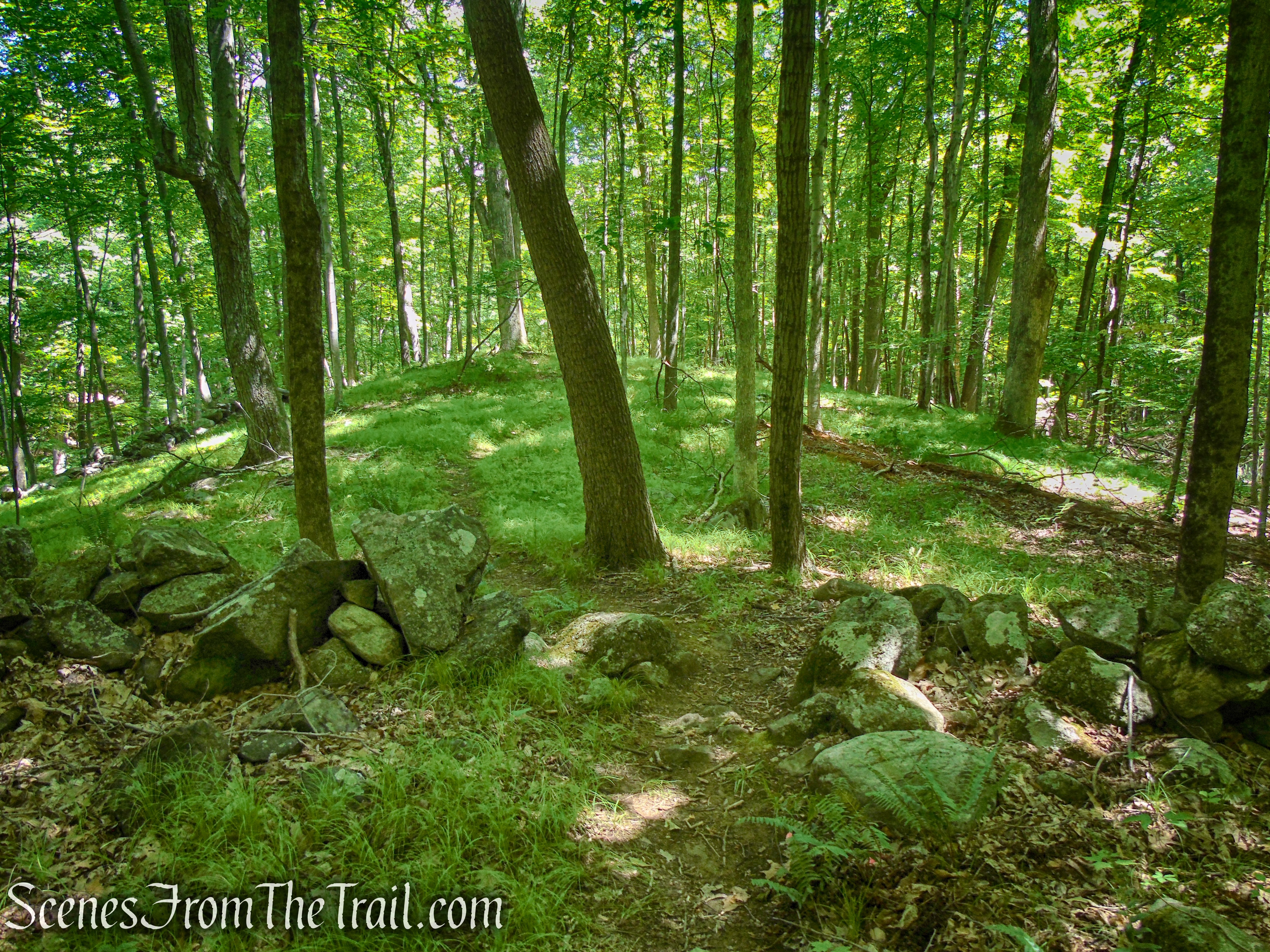
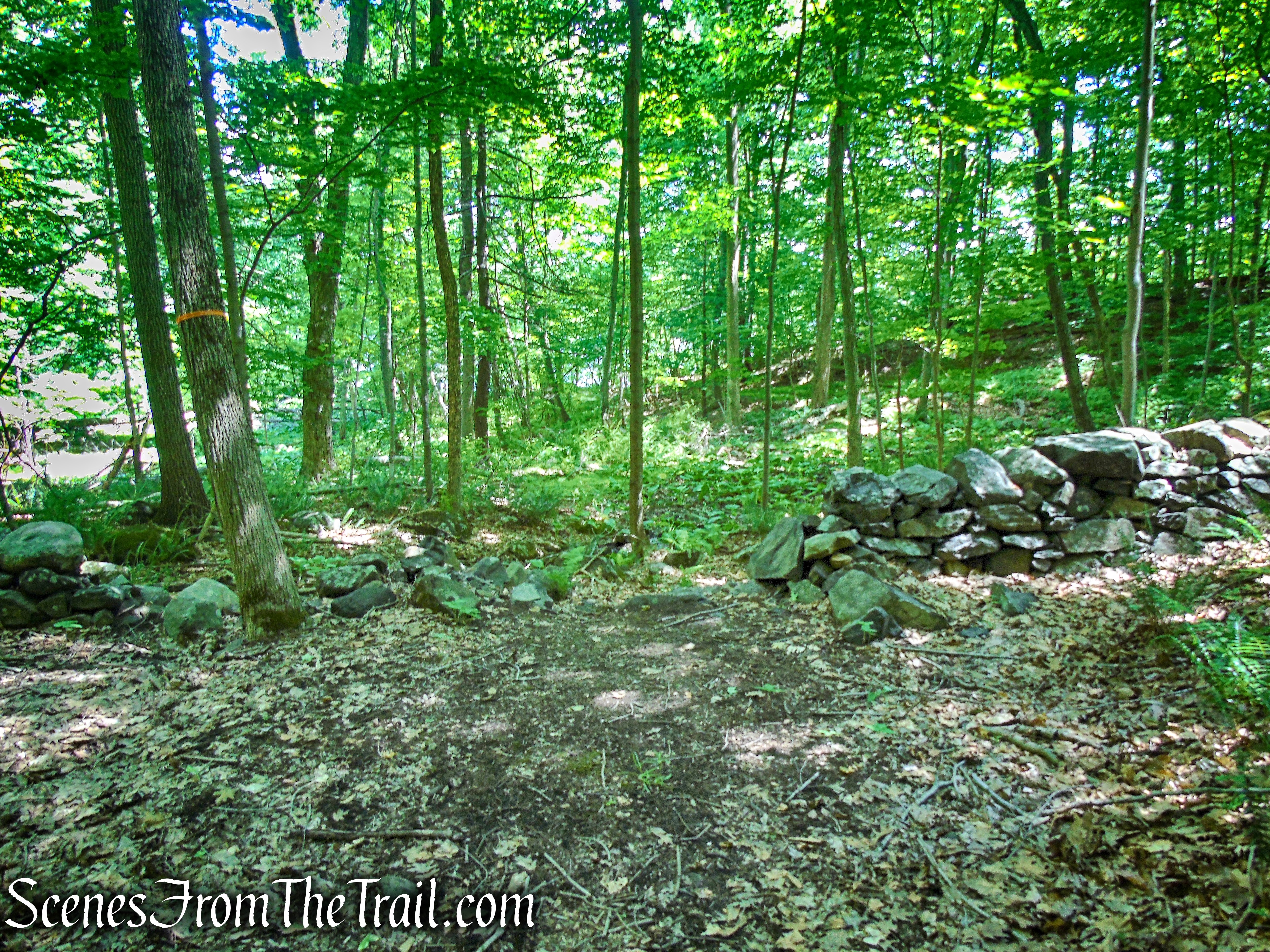
From the parking area, walk south along the road a short distance until you see a narrow footpath that leads into the woods. Follow this unblazed trail as it heads southwest. Although the trail is unmarked, it is well defined at the start. As the trail starts to head more south, you can follow it or do as we did, leave the trail and bushwack west. During this bushwack, we crossed several trails along the way, but we continued west, climbing over and around rocks, trying to hike the shortest (albeit more difficult) distance to the summit.
Salt Hill State Forest
Salt Hill State Forest
Salt Hill State Forest
Salt Hill State Forest

Salt Hill State Forest
Salt Hill State Forest
Salt Hill State Forest
Salt Hill State Forest
Salt Hill State Forest

Salt Hill State Forest

Salt Hill State Forest
Salt Hill State Forest
Once we got to an area where the cliffs were really steep, we jumped on the trail and headed in a southwesterly direction. The footpath curves around the cliffs as it continues to climb. In leaf off season there are views of the Croton Reservoir from rock outcrops along the way.
Salt Hill State Forest
Salt Hill State Forest
If you continue to follow the footpath, it will take you the long way to the summit. Once we saw the rusty top of the fire tower, we left the trail and made a beeline for it, climbing over some rock formations.

Salt Hill State Forest
Nelson Mountain Fire Tower at Salt Hill
The concrete footings make a good spot to take a break. You have now hiked (bushwacked) about a mile and gained well over 500 feet of elevation. The hard part of the hike is over and the rest of the hike is a breeze.

Nelson Mountain Fire Tower at Salt Hill
Nelson Mountain Fire Tower at Salt Hill
Nelson Mountain Fire Tower at Salt Hill
Nelson Mountain Fire Tower at Salt Hill
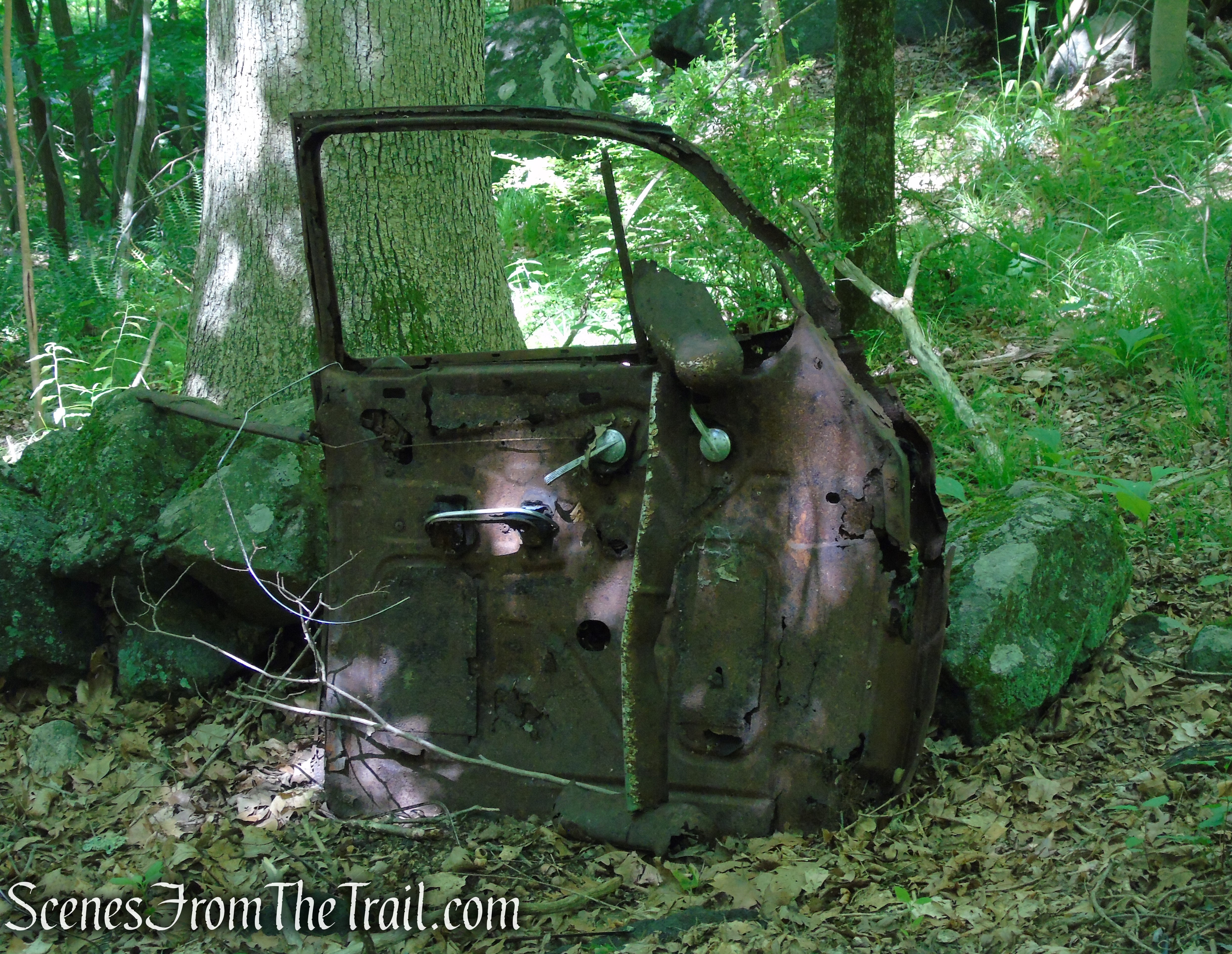
All along the woods, on either side of the open summit, there is scattered debris, including barrels, steel and foundations of structures that once stood near the fire tower. You may want to take some time to explore the woods in this area.

Salt Hill summit

ruins – Salt Hill summit
ruins – Salt Hill summit
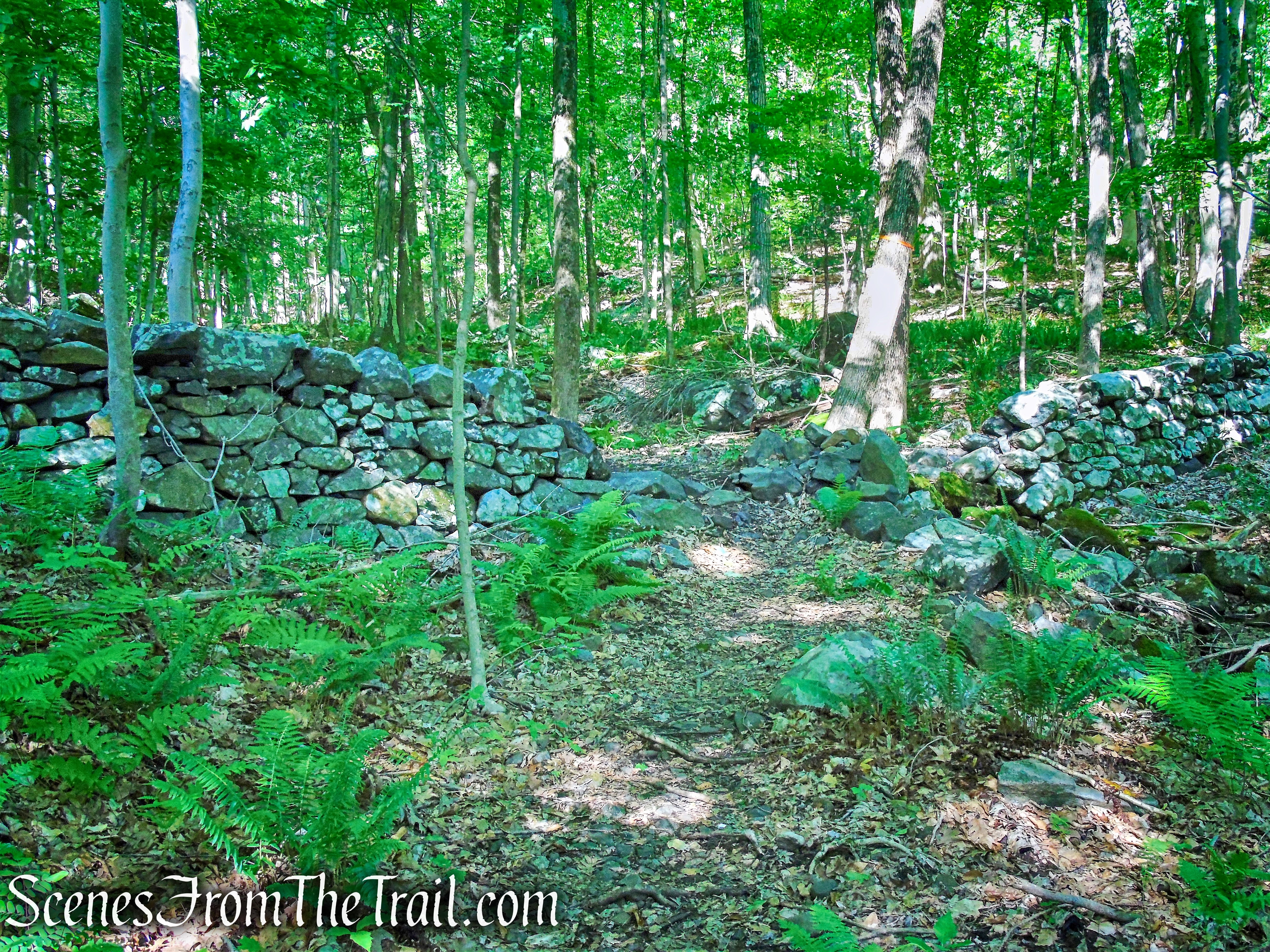
When you are ready to proceed, follow the woods road that begins near the northern end of the summit.
start of woods road – Salt Hill summit
woods road – Salt Hill State Forest
The front end of an old truck, perhaps Mr. Nelson’s, that was used to haul materials to build what now lies in ruins at the summit.
truck ruins on woods road – Salt Hill State Forest
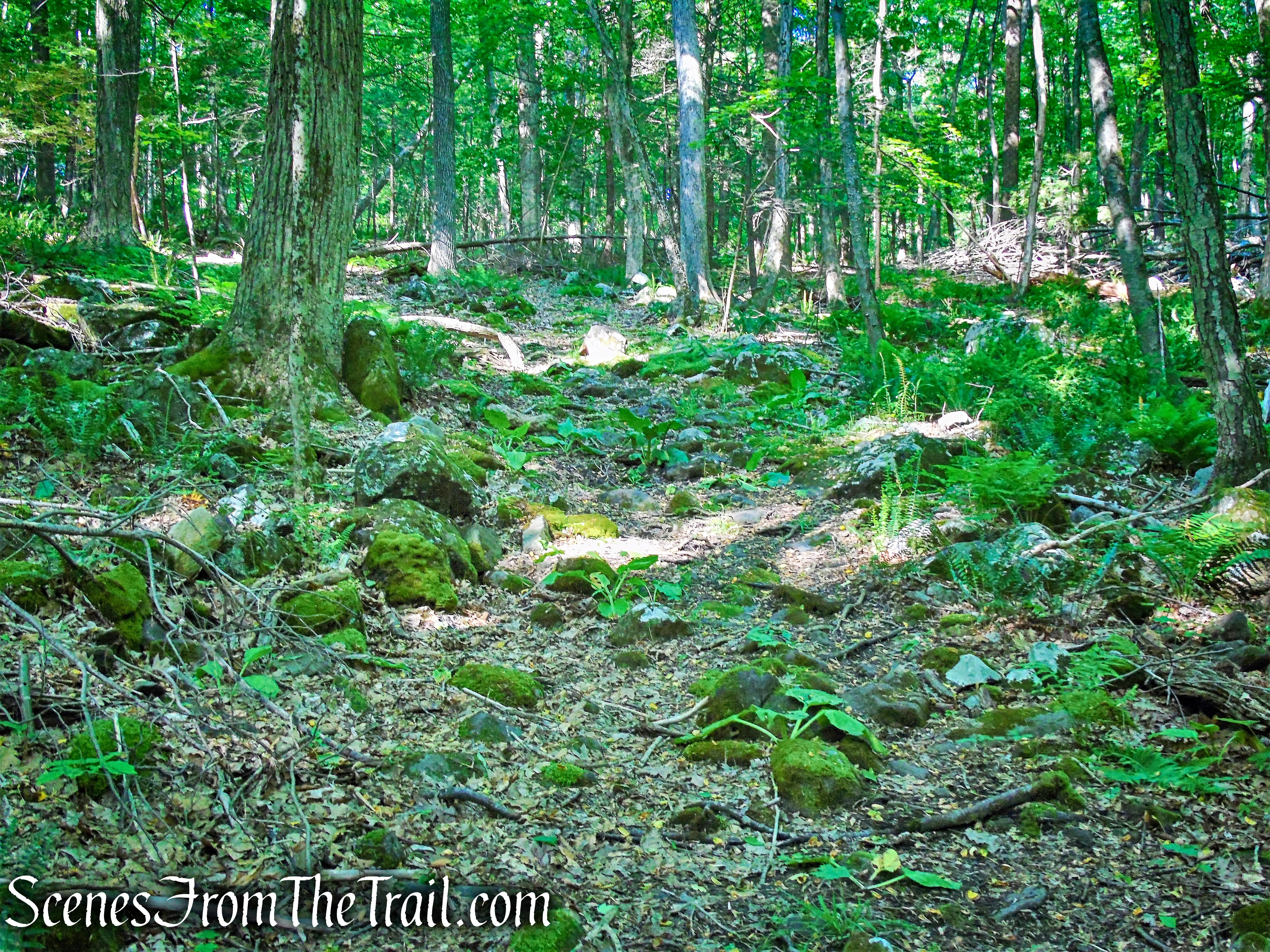
The woods road descends on big looping switchbacks, that were created to reduce the steepness of the road, in order to make it easier for vehicles to ascend and descend Salt Hill.

woods road – Salt Hill State Forest
woods road – Salt Hill State Forest
We saw a Box Turtle crossing the road on the way down.

Box Turtle on woods road – Salt Hill State Forest
Soon the road borders some wetlands and levels off a bit. Some sections of the road are rutted, wet and muddy in this area.
woods road – Salt Hill State Forest
In about 1.4 miles from the summit, the woods road reaches Blue Lake. This scenic lake makes a perfect setting to enjoy a picnic.

Blue Lake – Salt Hill State Forest
What appears to be what is left of an old BBQ grill, makes a good place to sit and take in the view.
Blue Lake – Salt Hill State Forest
Looking east.
Blue Lake – Salt Hill State Forest
Follow the road counter clockwise along the shore of Blue Lake.
woods road around Blue Lake – Salt Hill State Forest
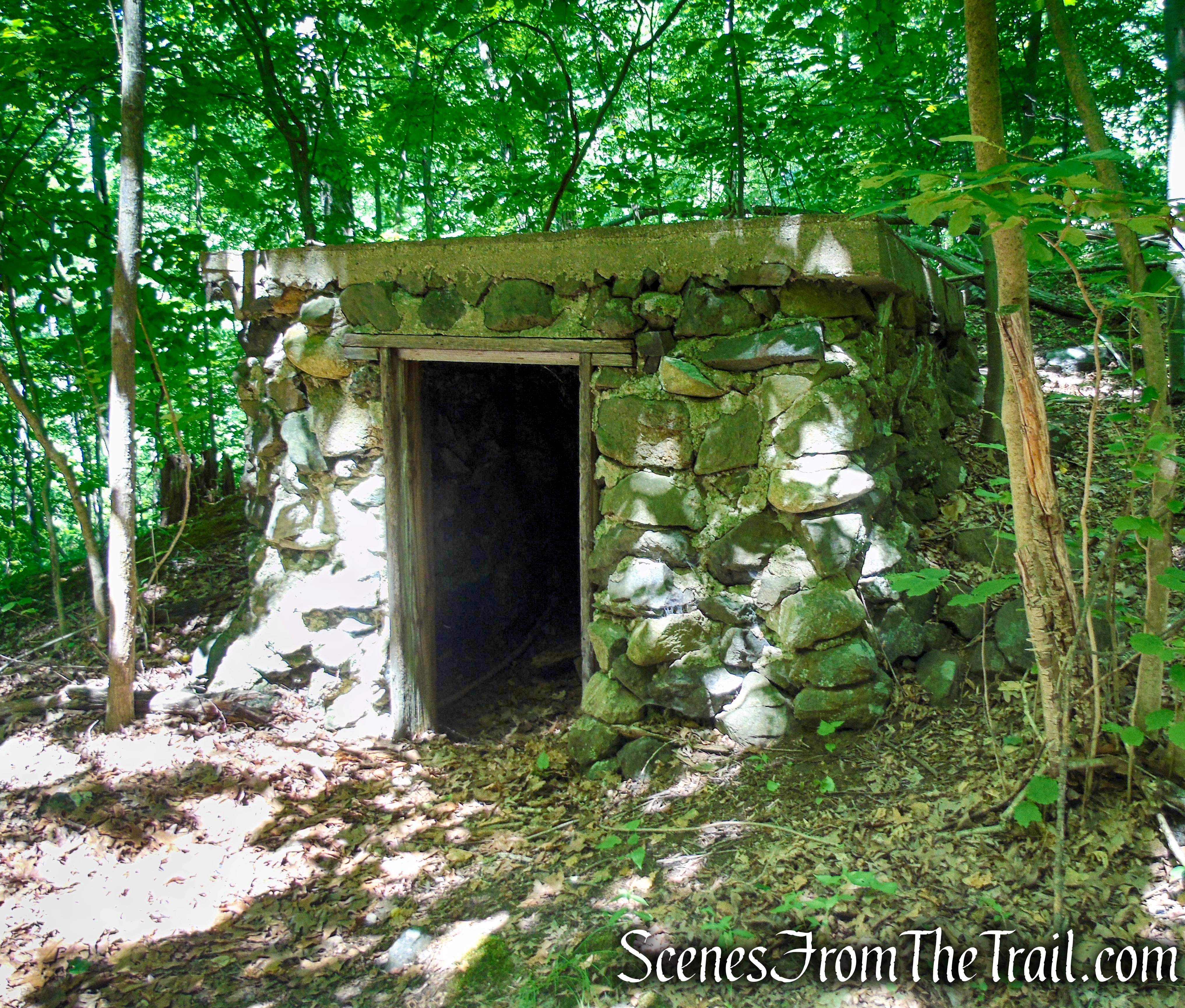
You may want to stop and explore the old stone structures that line the northern shore of Blue Lake.

ruins at Blue Lake – Salt Hill State Forest
Looking northeast.

Blue Lake – Salt Hill State Forest
The road hugs the shoreline, offering many views of the lake.
woods road around Blue Lake – Salt Hill State Forest
Looking north with Salt Hill in the background.
Blue Lake – Salt Hill State Forest
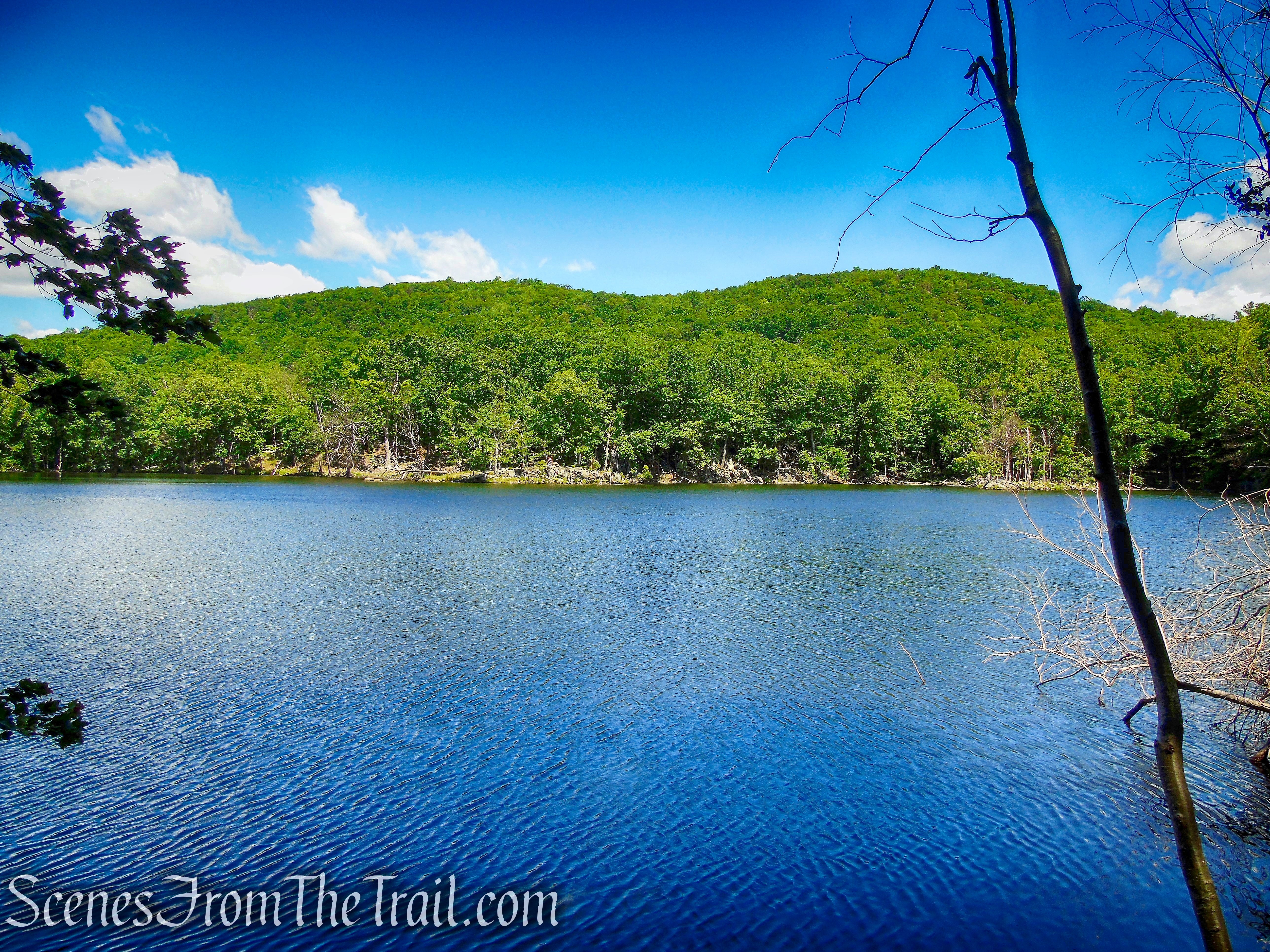
This stone structure appears to have been a pump house that was used to supply water to the cottages around the lake.
ruins at Blue Lake – Salt Hill State Forest
ruins at Blue Lake – Salt Hill State Forest
There is a trail to the left of this stone structure that ascends the hill steeply. At the top of the rise, the trail comes to a T-intersection. If you turn left at the intersection, you can take this trail all the way back to your starting point, eliminating the road walk. This trail is somewhat rugged with lots of ups and downs, but is only about 0.6 miles compared to the 1 mile road walk. There is an easier trail a little farther, at the eastern side of the lake that is less than 0.5 mile to the parking area.

unmarked trail alongside ruin
Blue Lake – Salt Hill State Forest
At the eastern end of the lake, if you look to the right, you’ll see a faint footpath that leads into the woods. This footpath which is well defined once entering the woods and easy to follow, is a more direct and mostly level route back to your starting point. It eliminates the road walk and also the elevation gain of the unmarked trail next to the stone ruin.
unmarked trail at east end of Blue Lake
truck hood – Salt Hill State Forest

Blue Lake – Salt Hill State Forest
Blue Lake – Salt Hill State Forest

ruins at Blue Lake – Salt Hill State Forest
After looping around the lake, continue on the road to the southern end of the lake. When you come to a fork, veer right and follow the road uphill past more stone ruins.
woods road around Blue Lake – Salt Hill State Forest
Blue Lake – Salt Hill State Forest
bear right at the fork

woods road – Salt Hill State Forest
ruins near Blue Lake – Salt Hill State Forest
ruins near Blue Lake – Salt Hill State Forest

ruins near Blue Lake – Salt Hill State Forest
From this point you can retrace your steps and walk along the south side of Blue Lake and take the trail alongside the pump house ruin, climbing the hill and turning left, following the unmarked trail back to your starting point or take the easier trail which is about 270 feet past the pump house ruins. You can also choose to continue ahead as described below.
Follow the road as it goes through an overgrown field, which at one time was a driving range.
woods road – Salt Hill State Forest
Soon the road climbs a little and joins a paved road. Follow the paved road a short distance and turn left near another set of ruins and follow the unpaved road.
asphalt road – Salt Hill State Forest
woods road – Salt Hill State Forest
Soon the road passes alongside a pond and a short distance later ends at Route 129. Turn left then veer left onto Short Hill Road, then left on Croton Avenue and follow it until you return to the parking area, where the hike began. The road is very narrow, with not much of a shoulder so great care should be taken while walking on the road. If you would prefer to avoid the road walk, retrace your steps back to Blue Lake and follow the directions below.

woods road – Salt Hill State Forest
pond – Salt Hill State Forest
terminus of woods road at Route 129
When you return to Blue Lake, turn right and walk along the south side of the lake. When you get to the pump house ruins, you can take the trail just to the left and climb steeply up the hill or take the easier route by walking approximately 270 feet past the stone pump house, turn right on an unmarked footpath, that was pointed out earlier.
ruins at Blue Lake – Salt Hill State Forest
I will call this the Blue Lake Trail, as it leads directly from Blue Lake to Croton Avenue.
Blue Lake Trail – Salt Hill State Forest
Once in the woods, the trail becomes well defined and you may occasionally see a red blaze on the trees. There is minimal elevation gain as this trail goes through the valley. The trail proceeds in a northeasterly direction through the woods. In about 300 yards, the trail turns left and there is an old car door on the left. Almost immediately, the trail turns right, passes a stone structure and continues northeast.
Blue Lake Trail – Salt Hill State Forest
Blue Lake Trail – Salt Hill State Forest

Blue Lake Trail – Salt Hill State Forest
Blue Lake Trail – Salt Hill State Forest
Soon the trail passes through wetlands, climbs slightly then descends gradually, bordering a seasonal stream. In just under 0.5 mile from Blue Lake, the trail reaches Croton Avenue. Turn left on Croton Avenue and walk about 225 feet back to the parking area, where the hike began.

Blue Lake Trail – Salt Hill State Forest
Blue Lake Trail – Salt Hill State Forest

Blue Lake Trail – Salt Hill State Forest
Blue Lake Trail – Salt Hill State Forest

Blue Lake Trail – Salt Hill State Forest
Croton Avenue
Review:
With the exception of the road walk (which can be averted), this is a great hike with lots to see. The woods were real quiet on our visit with hardly a soul around. We saw two mountain bikers coming down on a trail some distance away as we were bushwacking and a father and his sons fishing at Blue Lake. With the limited roadside parking along Croton Avenue, which is mostly used by fisherman, this place should never see crowds. The canopied forest makes this a good hike when the sun is hot. Blue Lake with its interesting stone ruins, makes it worth the trip on its own.
Pros:
Fire tower ruins, stone ruins, Blue Lake, off the beaten path.
Cons:
No trail map or official trails, road walk.
Take a hike!
Salt Hill State Forest

Enjoyed the hike! Sad about the fire tower being in ruins. Awesome you saw a Wood Turtle! Can’t say I’ve seen one in the wild yet.
LikeLiked by 1 person
we didn’t call the mountain salt hill. The small knoll at the bottom of the mountain was salt hill. It’s a quiet place, never any trees, looking out over the valley. The Boy Scouts would camp out there. I took great pleasure hiding in the woods, making wolf like calls, scaring them. I remember…….there was a rocky hill, which was covered with violets in the spring. I would bring my mother a bouquet. I never went near the area in the summer. I felt it was a den of snakes. I really don’t like snakes. Since this a vast space, I can only remember sensing a deer once. The lake had lots of large gold fish. Probable dumped from some fish bowl..in the winter when it was iced over you could see them hibernating under the ice. I never caught one. We caught sunnies, catfish, and small mouth bass, which we ate. We used namboo poles, no fancy rods for us. I remember,,,,,,,
LikeLike
it’s me again, More stories of salt hill state park in croton, n.y.
what a grand place to grow up. One time a went up the mountain and down the other side. Ended up in Valeria home property. Now to get home I had to walk up west mt. Airy road, over the top and down east mt. Airy road to home. What a. Adventure. I probably walked fifteen miles that day. What did I tell my parents. Where did you go….out….what did you do…..nothing much! Such freedom.
it would never happen now. We would skate on. Lue lake, after my father tested the ice. He was very strict about that. My mother would take a kitchen chair and go on the ice. Every year we
trade up on the skates of what we nad from the previous year. Who fits what this year! We had a lovely garden on the lake and willow trees around the back,of the house. On the water, where we would fish. We lived there till I was eighteen, then moved into croton when the property was sold. Mr. Eldon didn’t have the money for the taxes that year, on improved property, so my father bulldozed down all the houses around the lake. GONE! I was back often to visit, The last time I was there was about 2007 with my sister. It was very quiet back there and a little spooky. No one was there.
your pictures bring bad so,many memories, Thank you. It’s been a treat to write my remembrances….i knew in the forest I knew where every spring a Jack in the pulpit would come up. I checked every year for lit. Where the violets were, Where the tadpoles
we’re hatching. Oh, yes, I remember it well. Thank you!
LikeLiked by 1 person
ivl
LikeLiked by 1 person
My family lived at the property for over thirty years. Our father helped build the summer cabins and we lived in one of the cabins with a woodstove, even during the winter. It was a glorious place for children as the lake was perfect for swimming and the frozen lake was beautiful for skating. We had no idea it was now a state park.
LikeLike