June 13, 2020 – Bedford, NY
Difficulty: Moderate
Length: Approximately 3 miles
Max elevation: 618 ft. – total elevation gain: approximately 500 ft.
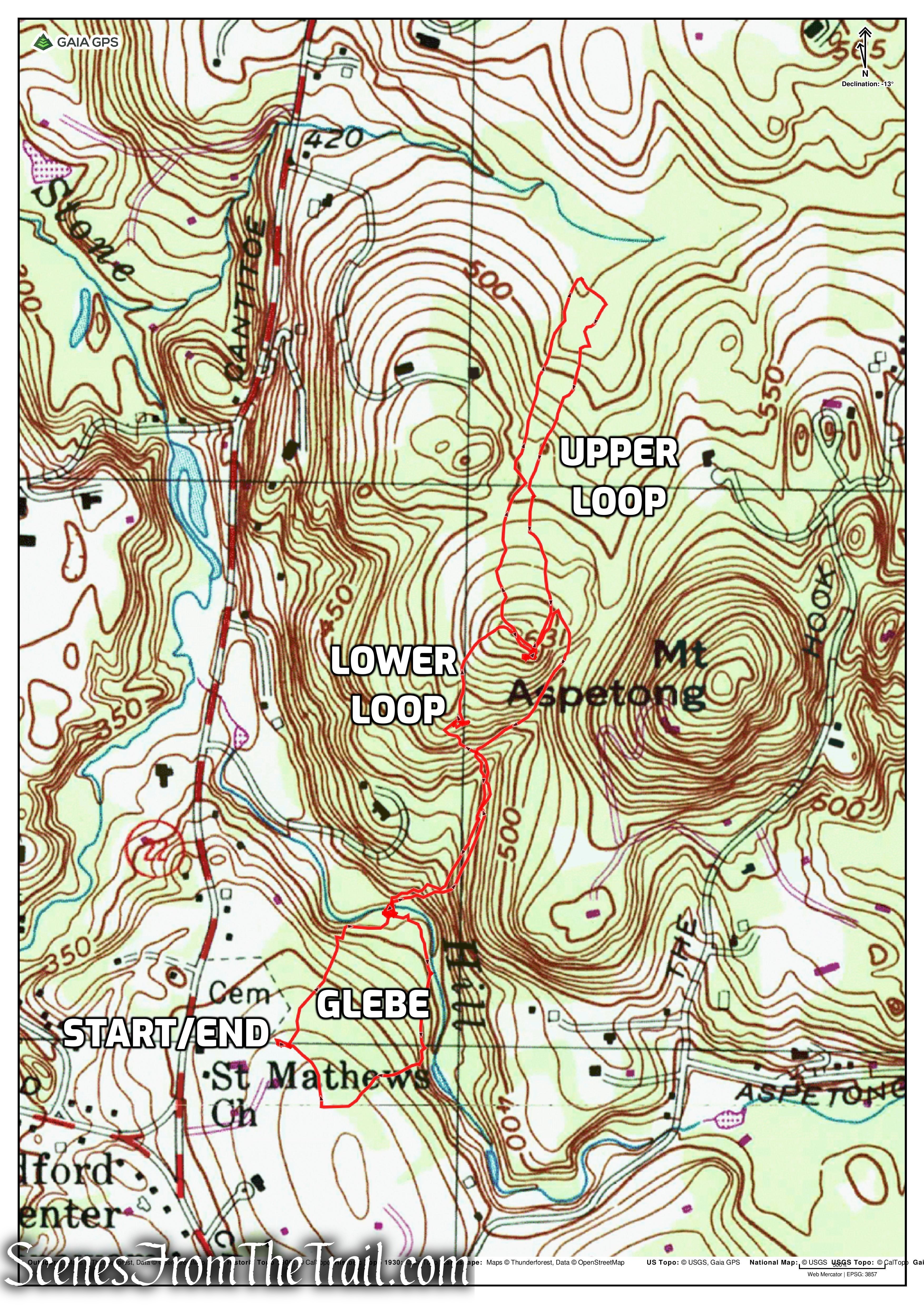
Route type: Triple Lollipop Loop
Map: Glebe and Ketchum Trails Map
Trailhead parking: 382 Cantitoe St, Bedford, NY 10506
Overview:
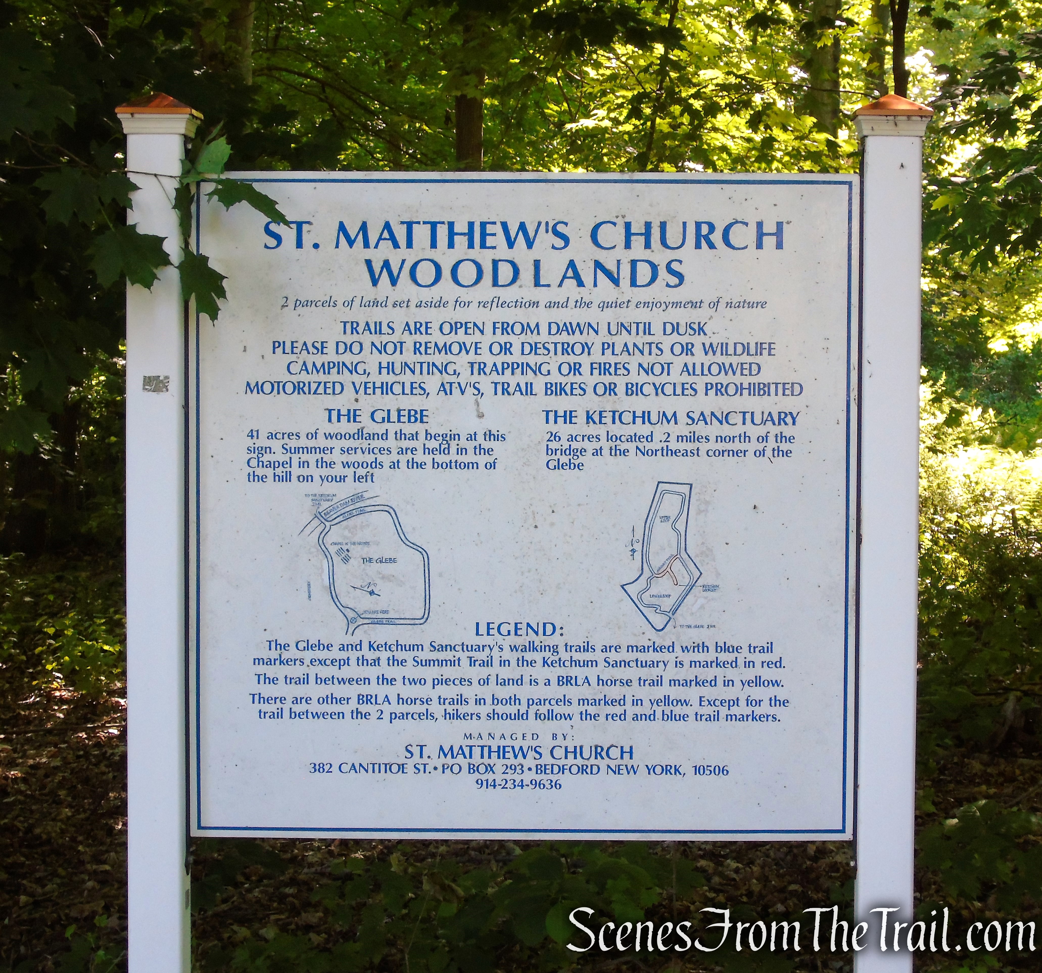
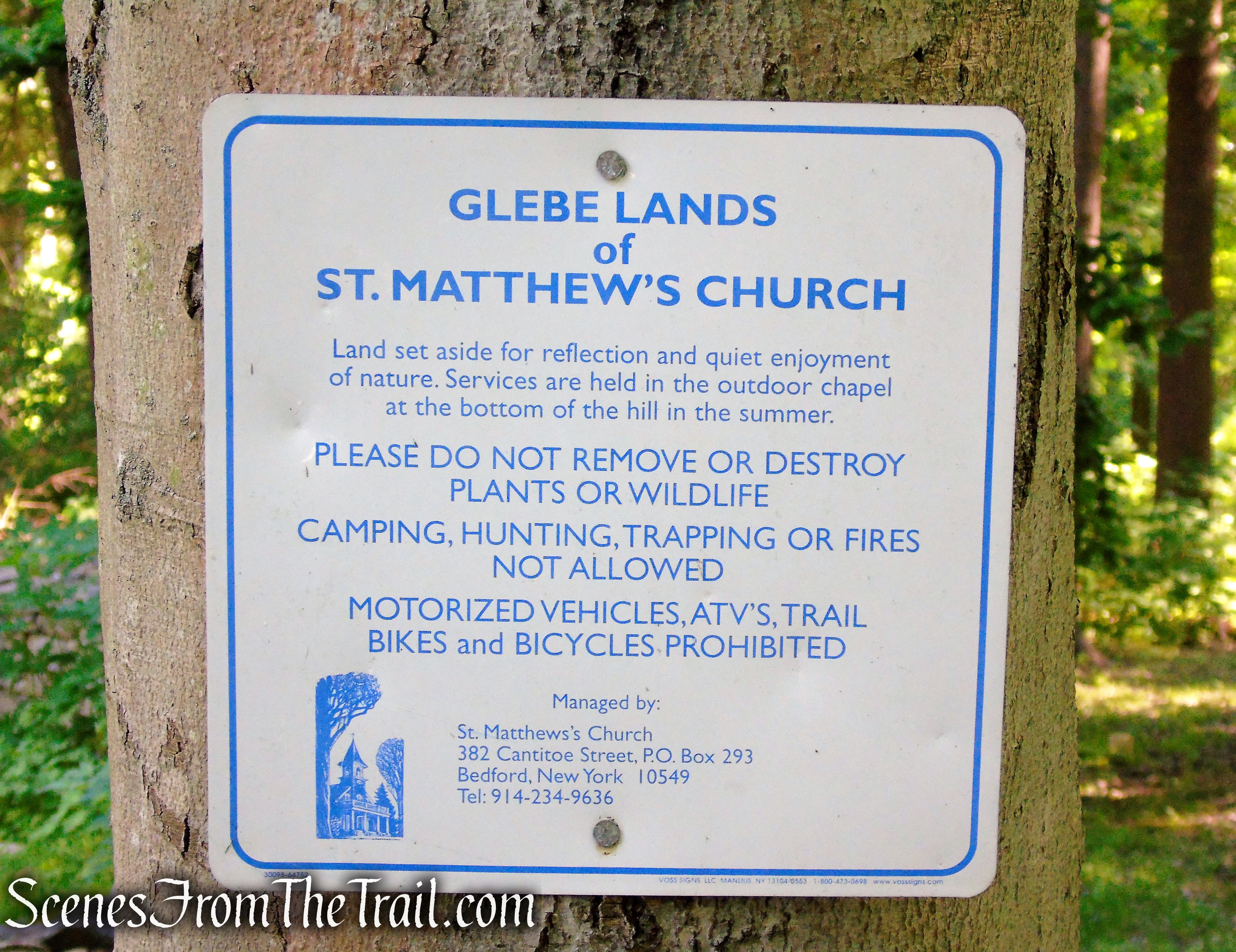
St. Matthew’s Church Woodlands in Bedford, NY, consists of The Glebe and the Ketchum Sanctuary, totaling 67-acres, that are nestled between ridges and surrounded by private estates. These two parcels of land were set aside for reflection and the quiet enjoyment of nature. The Glebe and Ketchum Trails are privately owned by St. Matthew’s Church but are open to the public for the enjoyment of nature and contemplation. They do ask that visitors respect the beauty of the flora and fauna. Please keep dogs on leashes and the trails clean.
St. Matthew’s Church Woodlands
History:
In 1803 forty acres of land (the Glebe) was purchased and construction began on “the Brick Church” that would lead to the consecration of St. Matthew’s Episcopal Church in 1810. The rectory was built the following year.
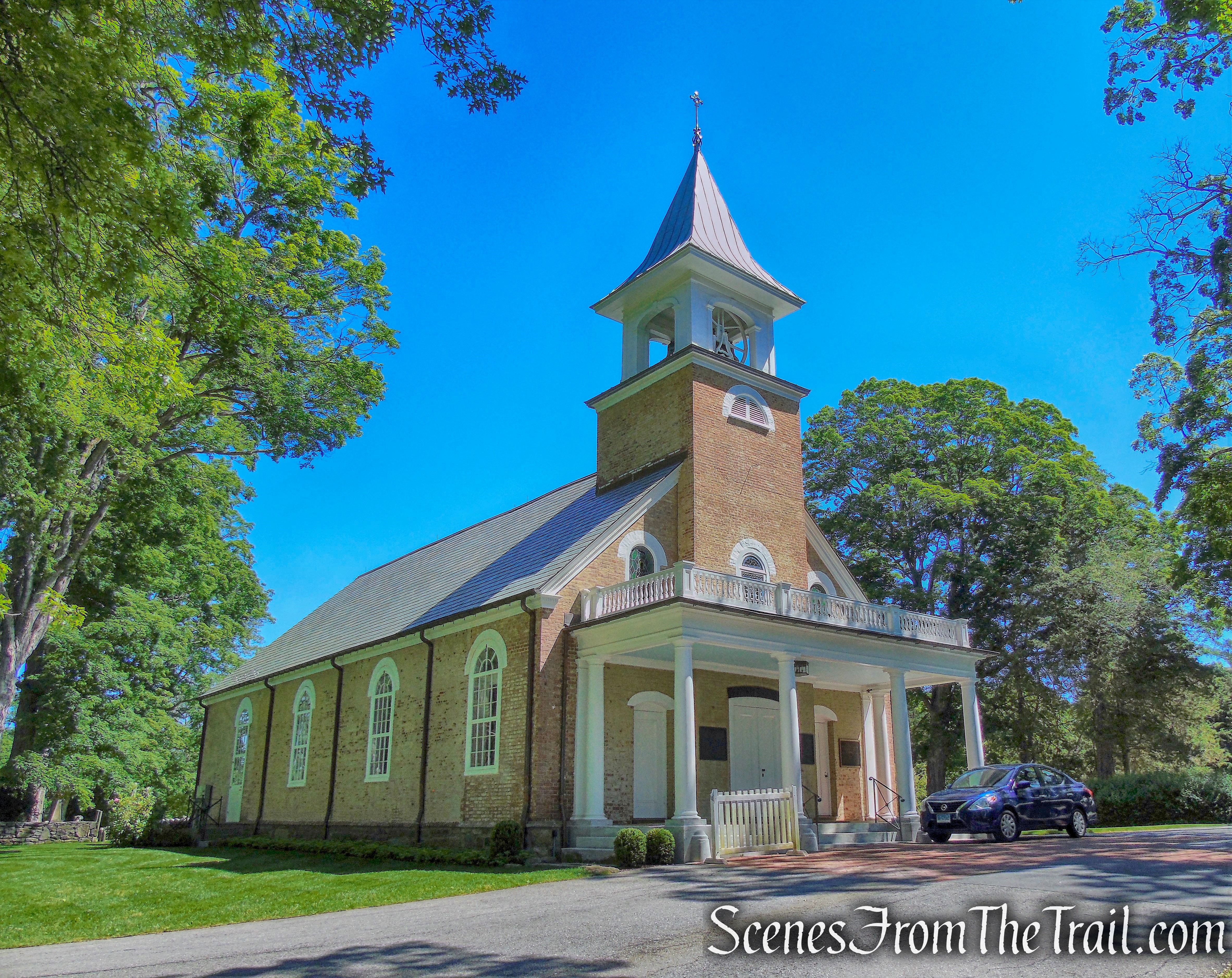
St. Matthew’s Church
The Churchyard, the burial ground for St. Matthew’s, was officially established in the northwest corner of the property in 1812, and has been extended several times toward the eastern edge of the glebe, bordered by the Beaver Dam River. In 2004, a new memorial garden was built and consecrated in the Churchyard.

The Churchyard

The Churchyard
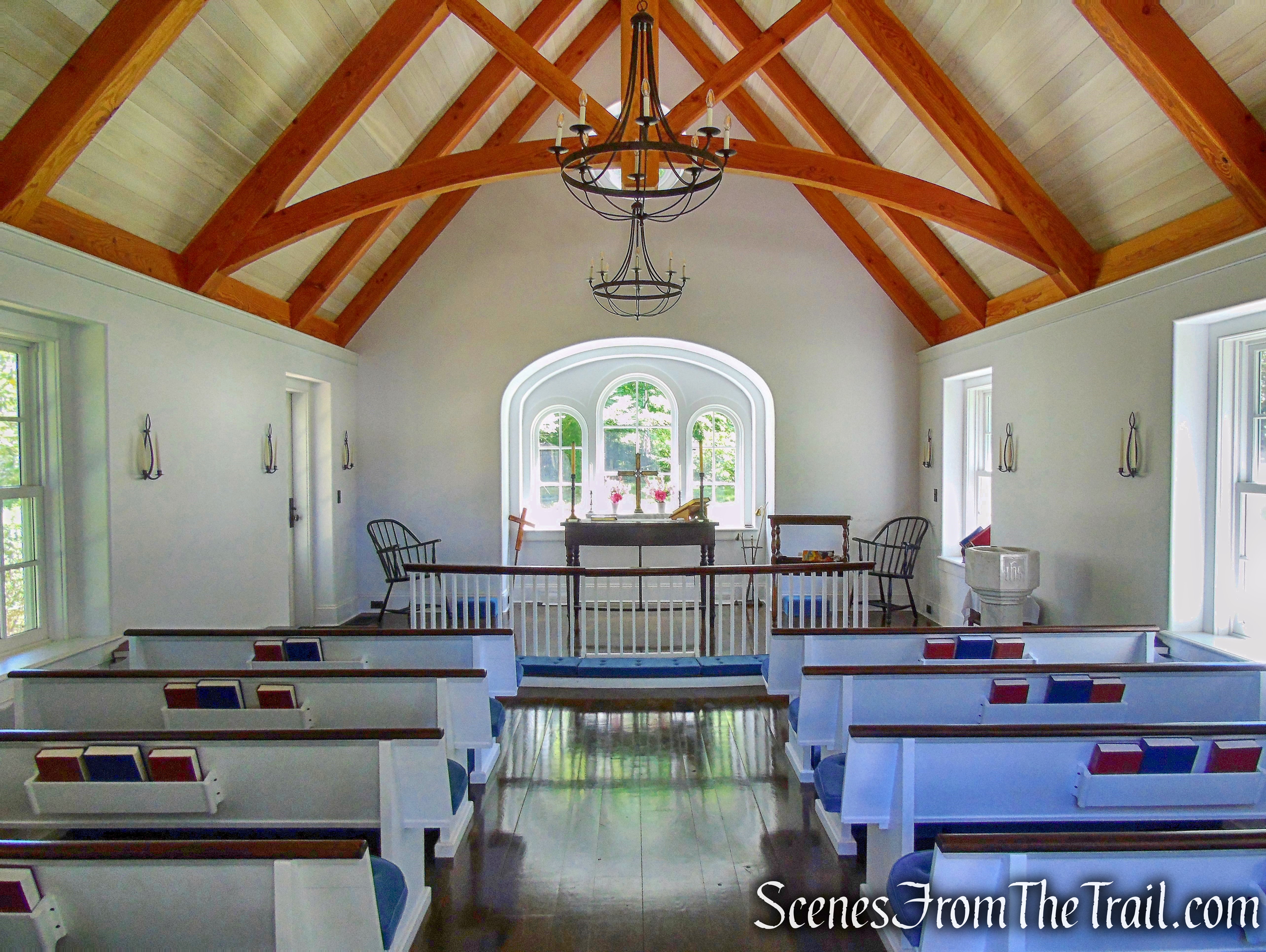
The Children’s Chapel, consecrated on September 14, 2013, was built for worship by the youngest children in the parish. Every child in the church school contributed a stone that is incorporated into the stonework.
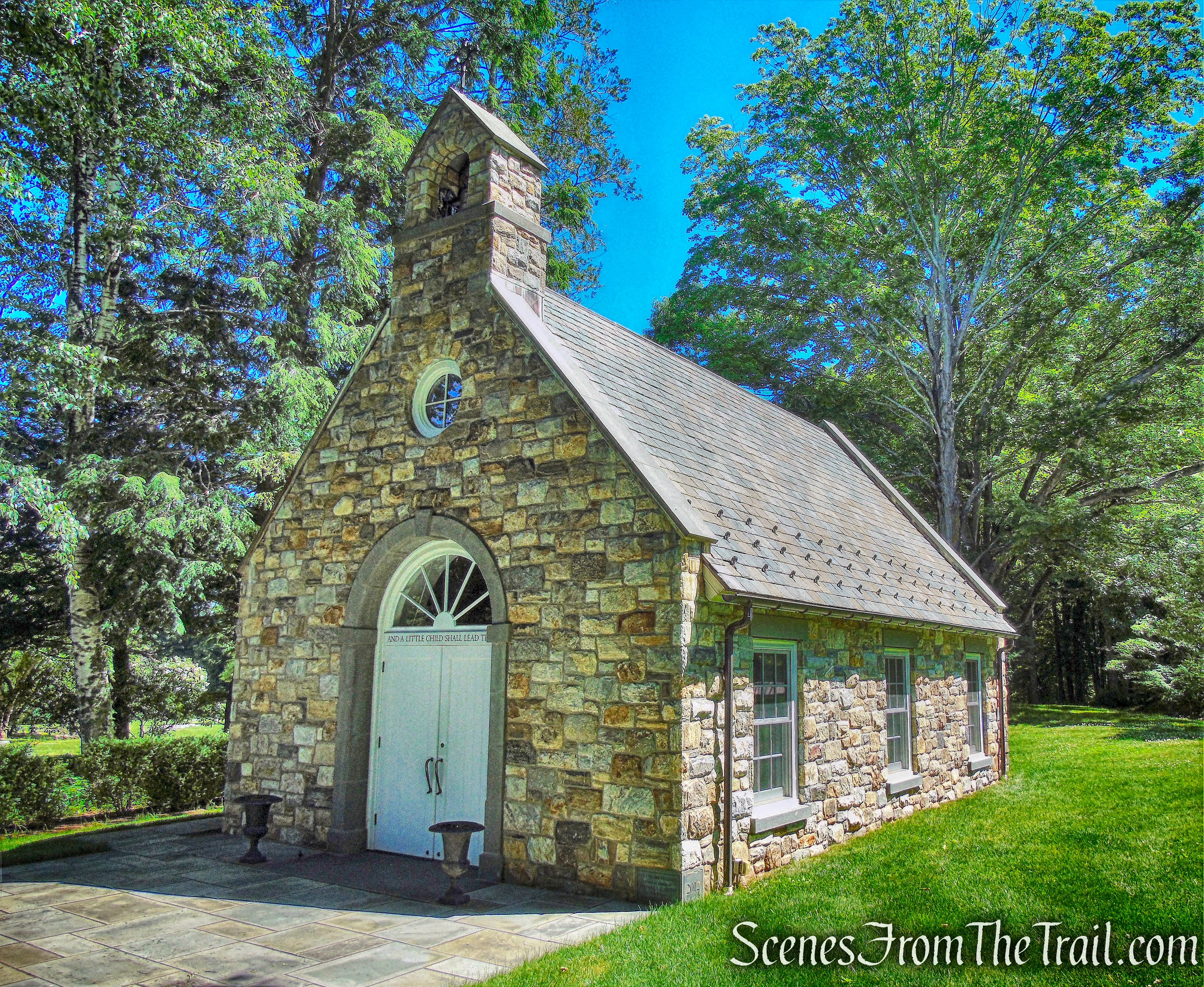
The Children’s Chapel
The Children’s Chapel
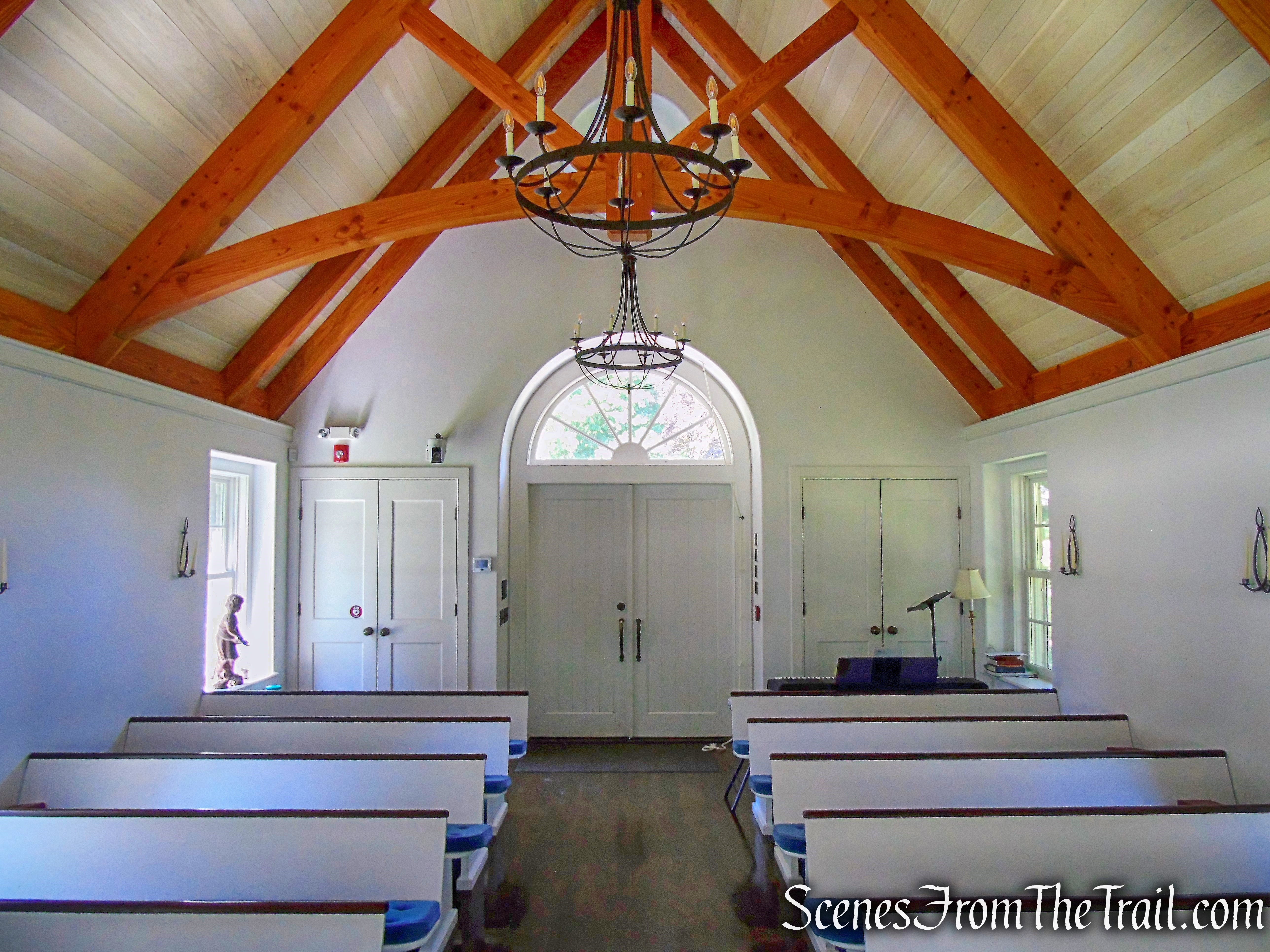
The Children’s Chapel
The 25-acre Ketchum Preserve was given to the Church in 2003 by the Nature Conservancy. Along with the Parsonage Glebe, St. Matthew’s owns a total of 67 acres and maintains both properties.
For a more detailed history of the church, click here.
Trails Overview:
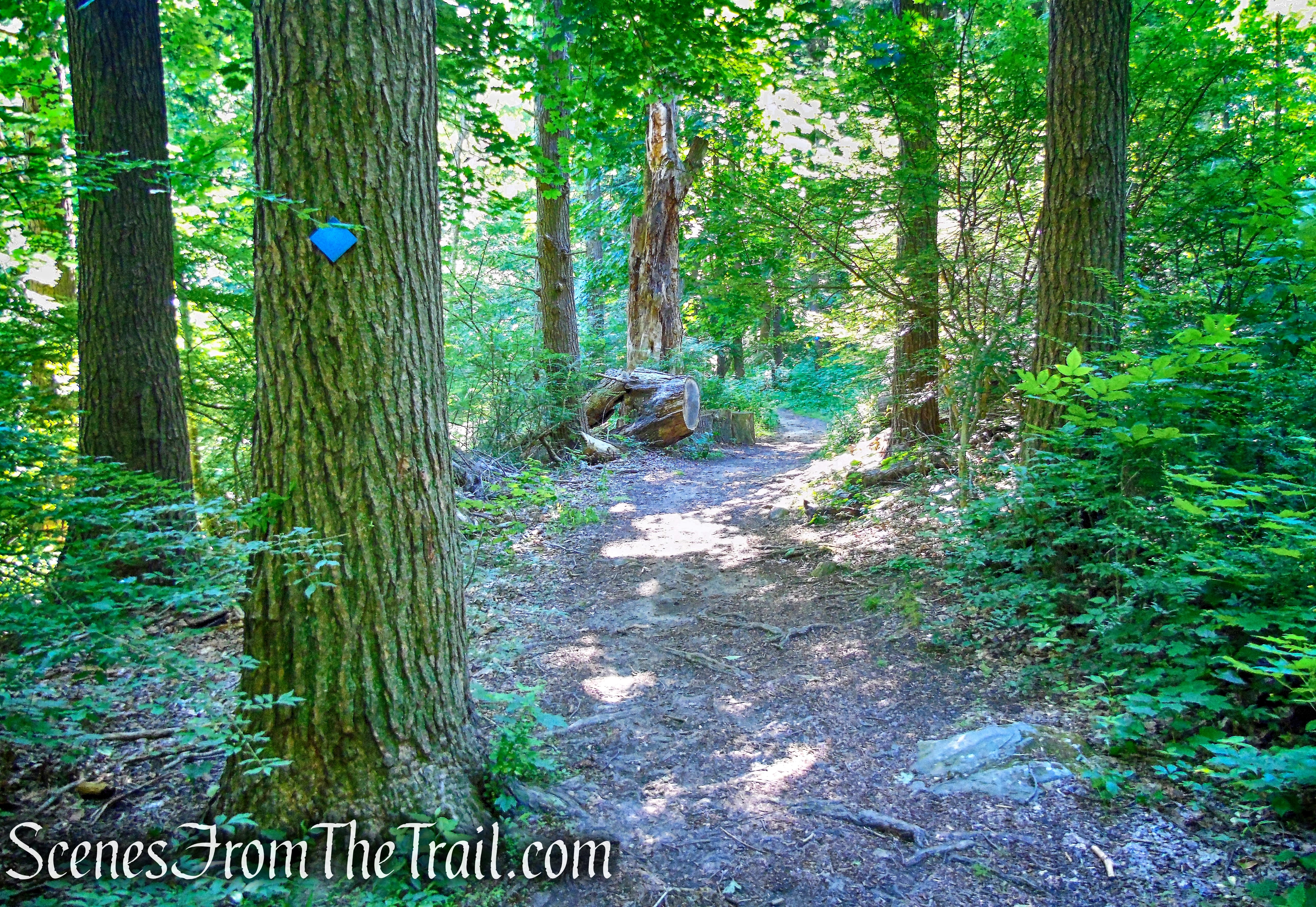
There are approximately 3 miles of hiking trails in St. Matthew’s Church Woodlands. They are well blazed with directional signs at the junctions. The Glebe and Ketchum Sanctuary’s trails are marked with blue blazes except for the Summit Trail in the Ketchum Sanctuary, which is blazed in red. The Summit Trail bisects the Lower and Upper Loop sections of the trail and can be used to create a shorter loop.
Glebe and Ketchum Sanctuary Trails
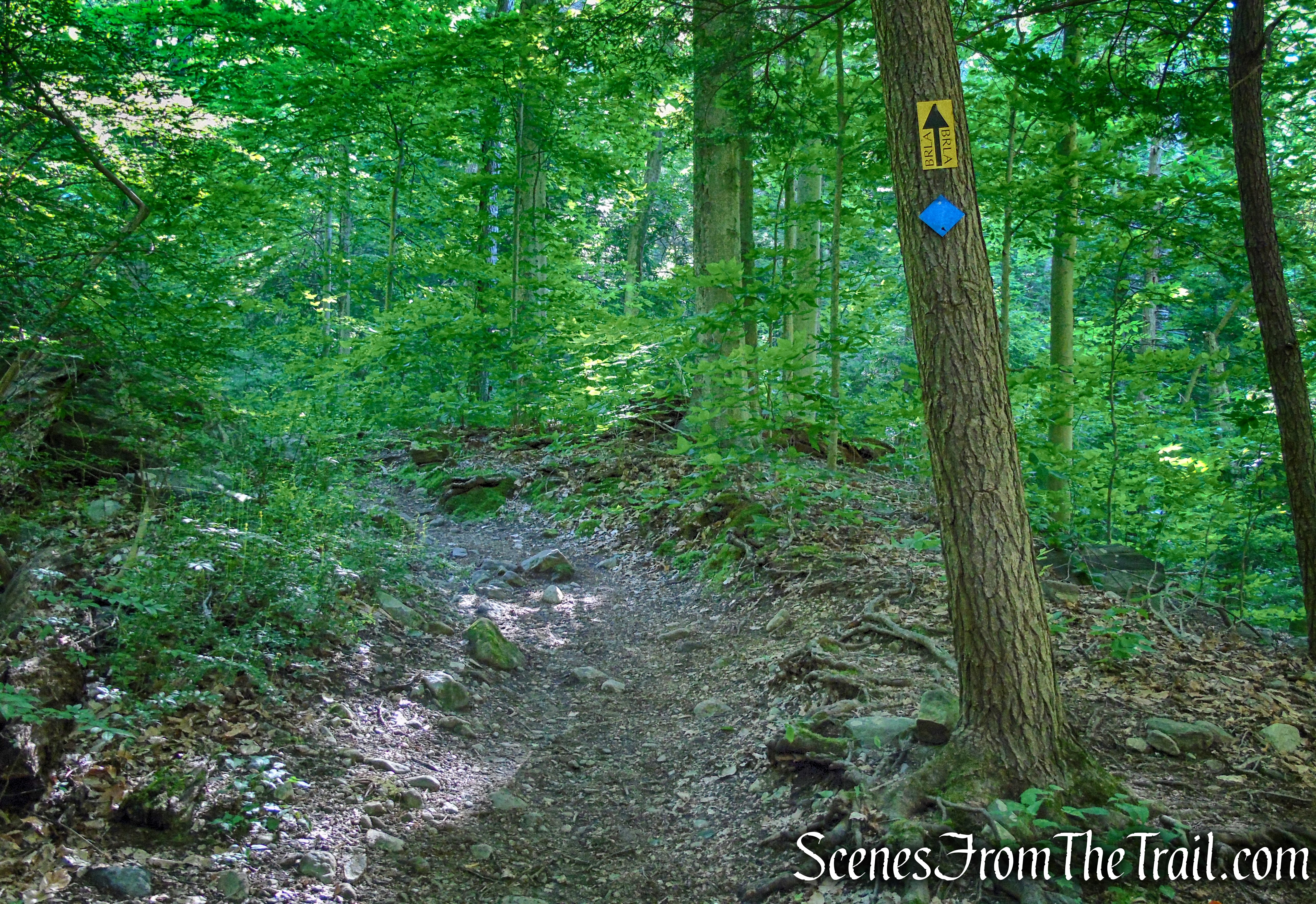
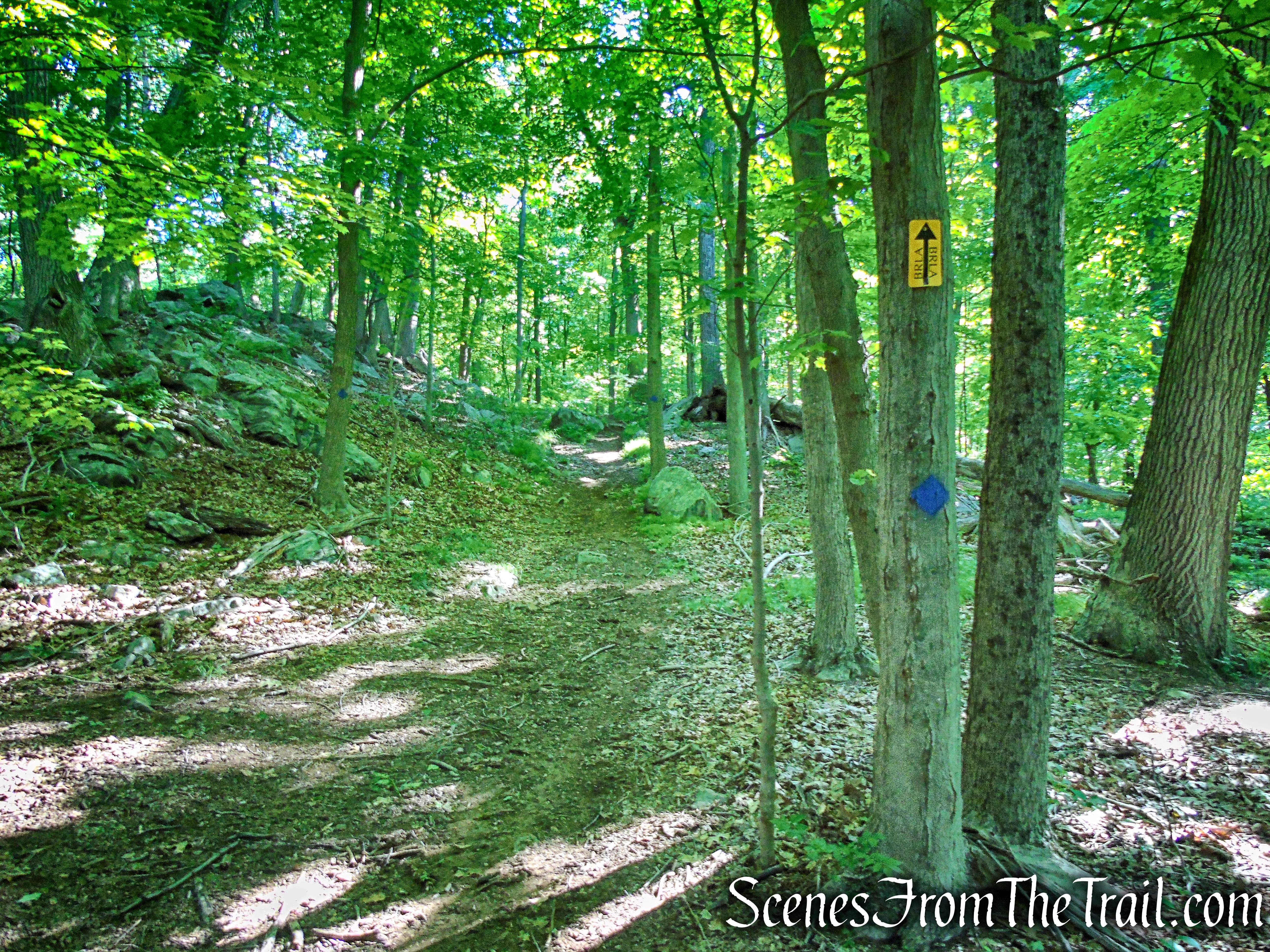
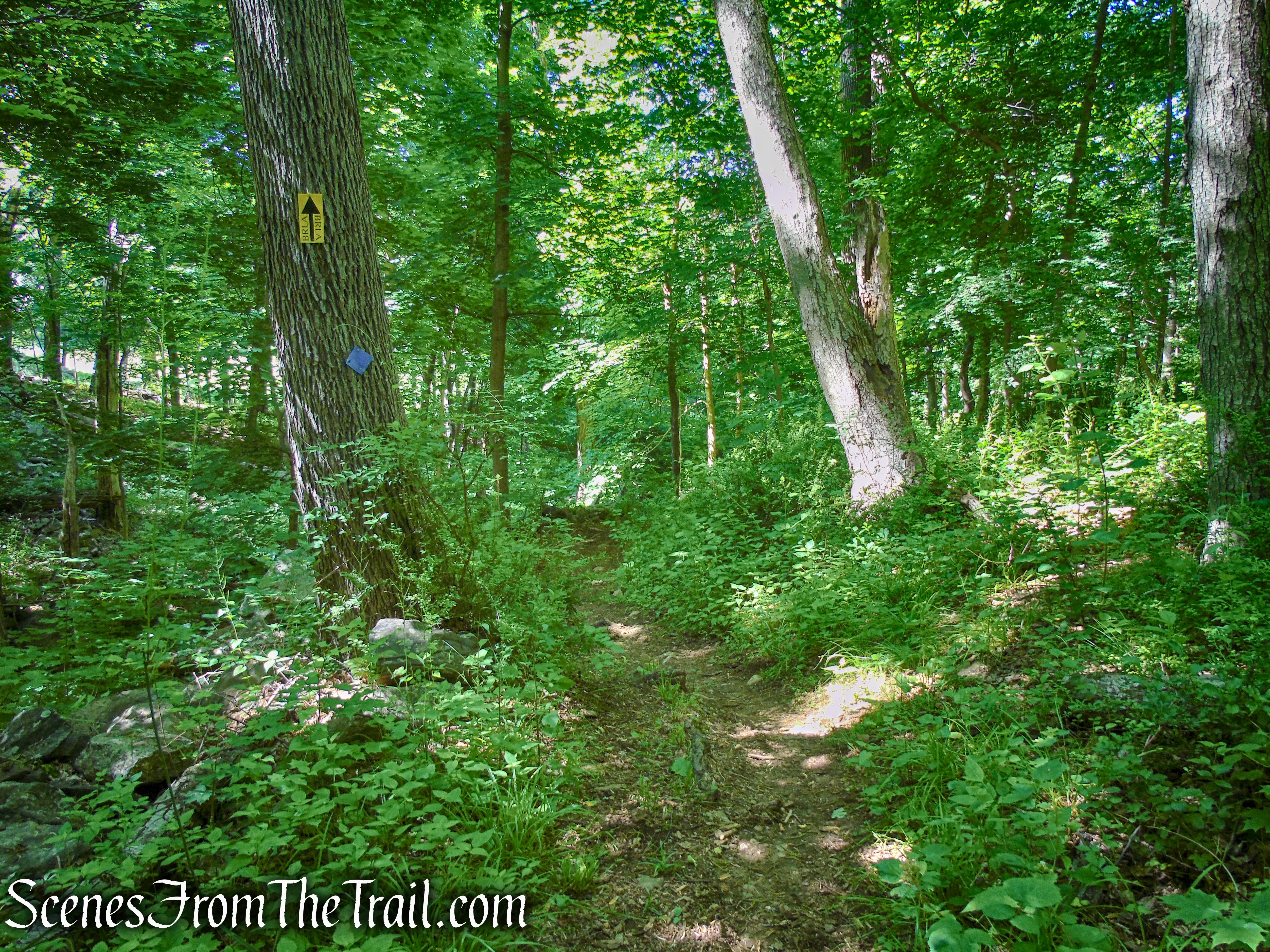
The trail that connects the two pieces of land is a BRLA horse trail marked in yellow and blue.
Glebe and Ketchum Sanctuary Trails
There are other BRLA horse trails in both parcels that are marked in yellow. Except for the the trail between the two parcels, hikers should only follow the red and blue trail markers.
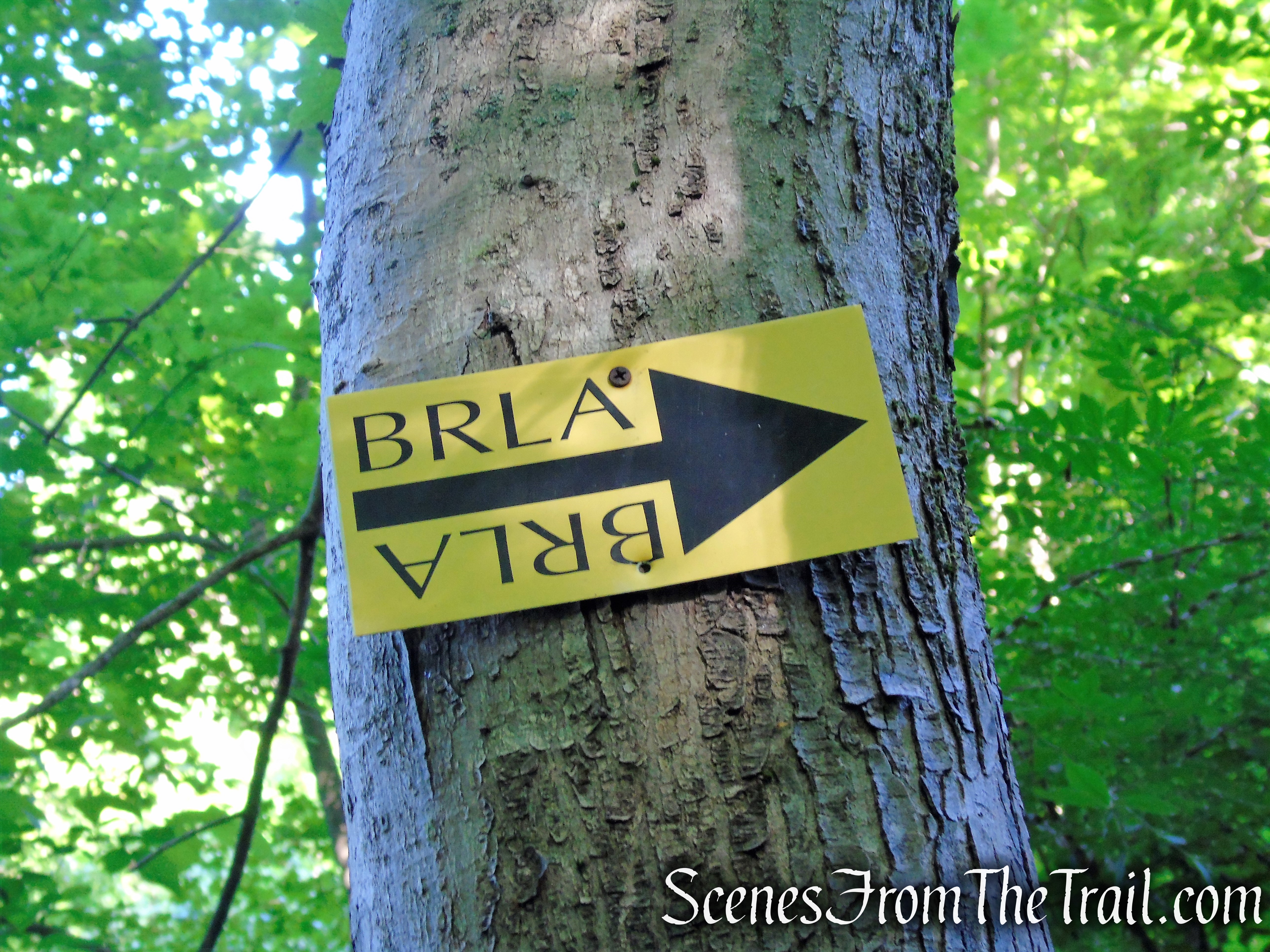
BRLA horse trail
Hike Overview:
Keeping with the recent trend of hiking local, I decided to give this place a try. We got there fairly early, about 8:30 am on a Saturday morning. The large parking lot had one car in the lot and the groundskeepers were working on the main church property. It was very quiet an peaceful. When we walked over to take a look at the Children’s Chapel, one of the groundskeepers told us that we could go inside and have a look, so we did.
The Blue Trails consist of three loops, with the trail that connects the two parcels, the stick. We did the hike clockwise, doing the west leg of the three loops on the way up and returning on the east leg. We stopped at the summit (no views) twice, where there is a bench. Once on the way up and again on the way back. We were the only ones in the woods during our hike and the scenic woods were quiet. Once back at the parking lot, where we stayed for a bit, several cars pulled up with persons that headed off on the trails.
This is a hike that is probably better done on any day other than a Sunday, when they hold services.
St. Matthew’s Church Woodlands
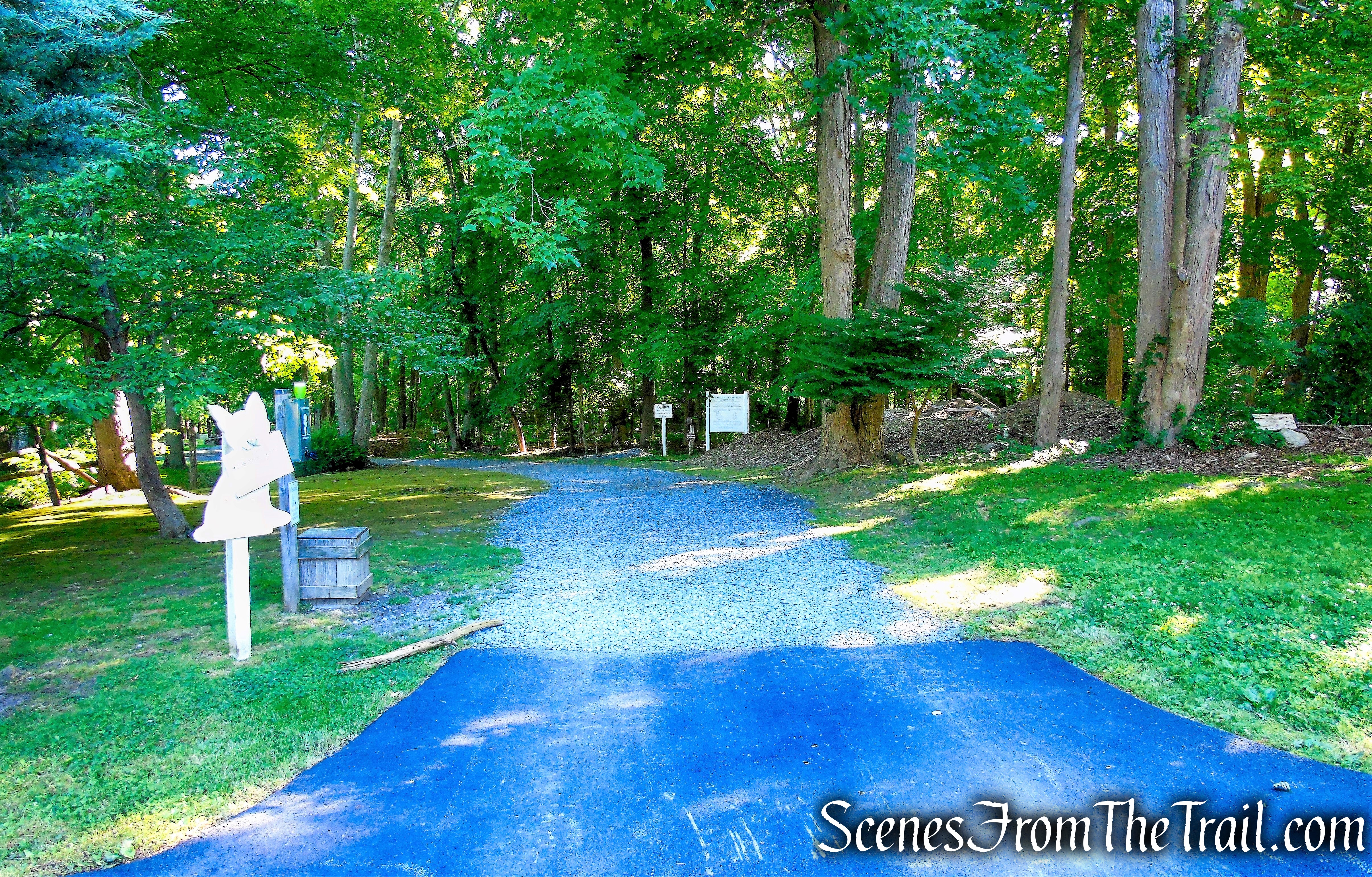
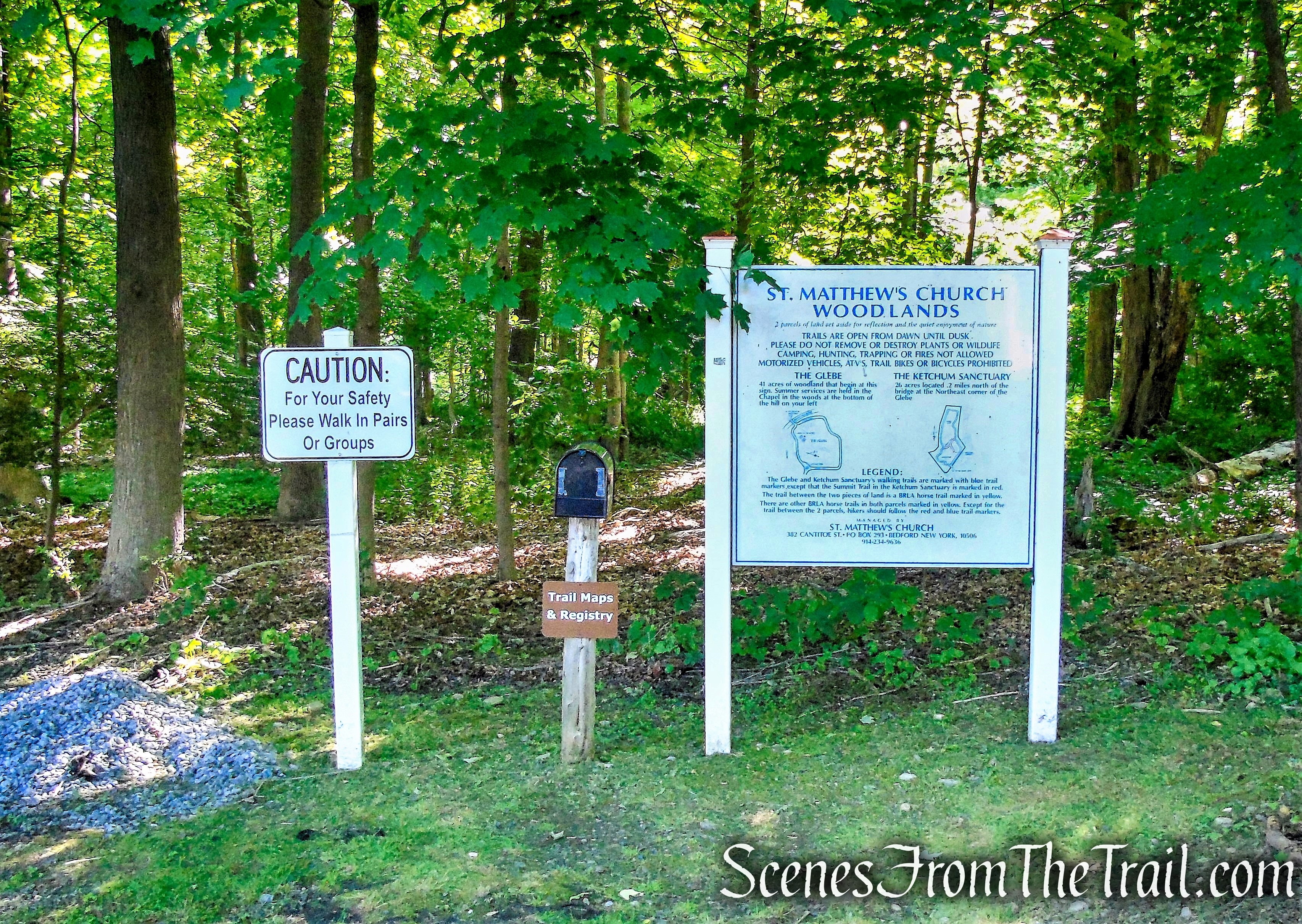
The Hike:
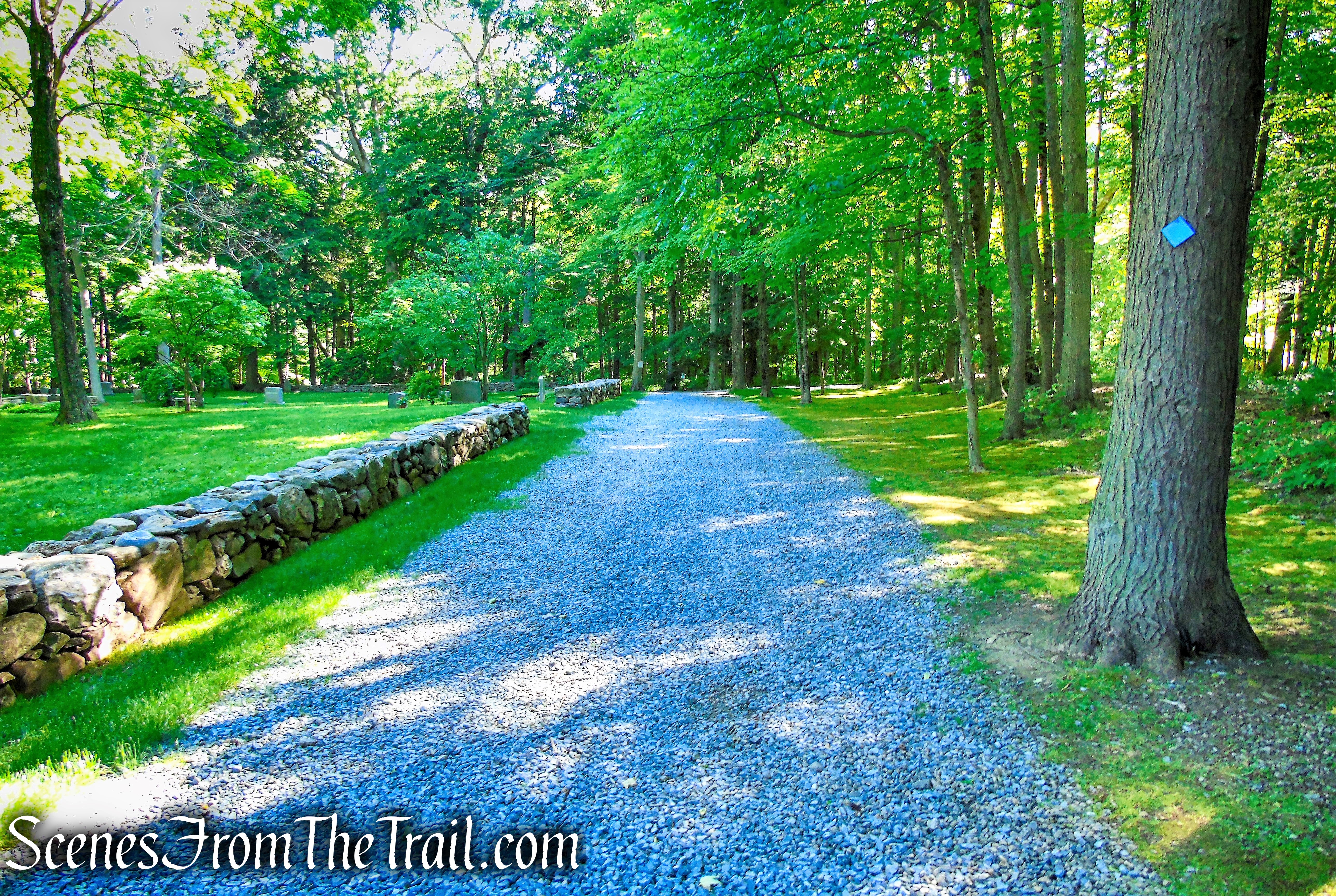
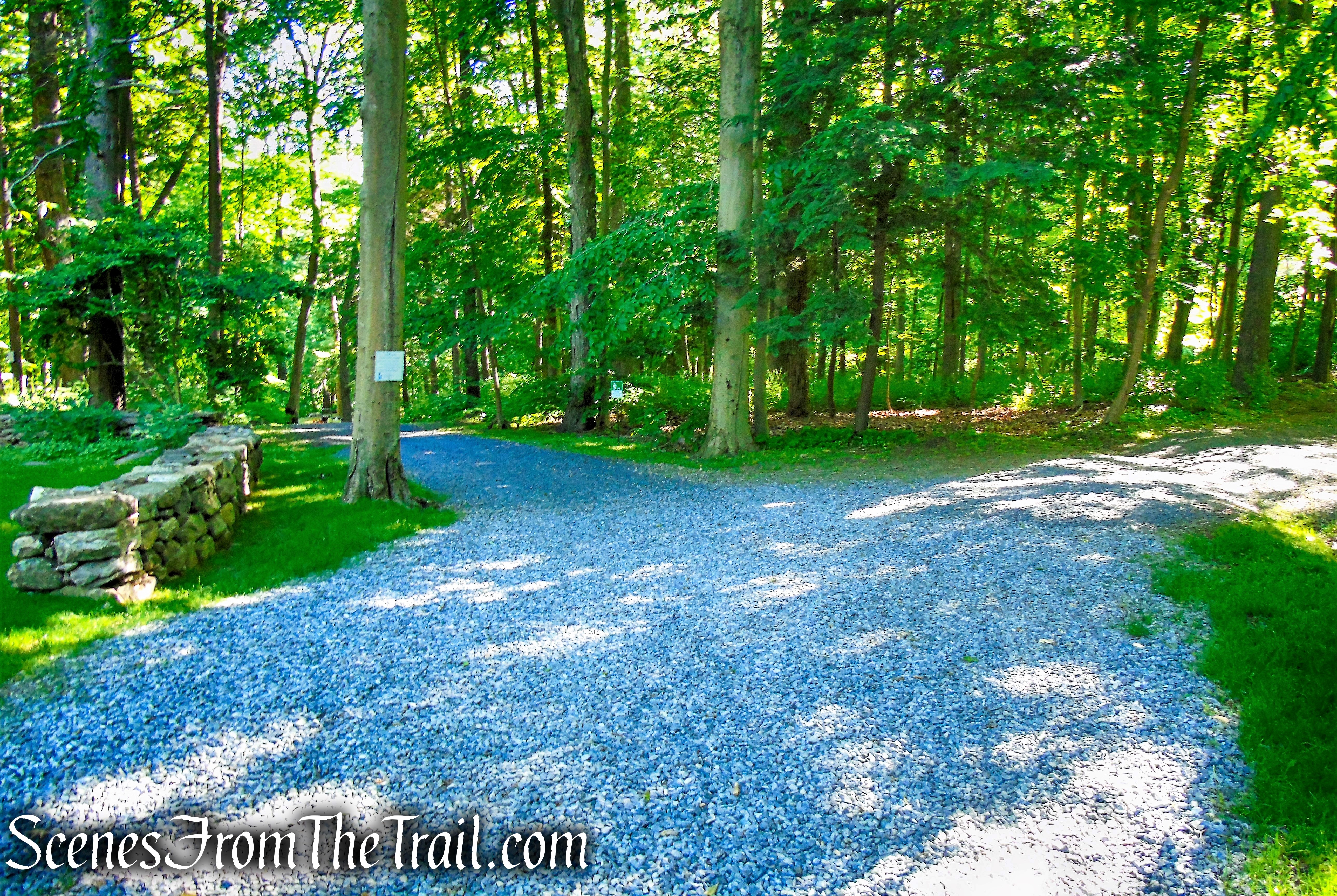
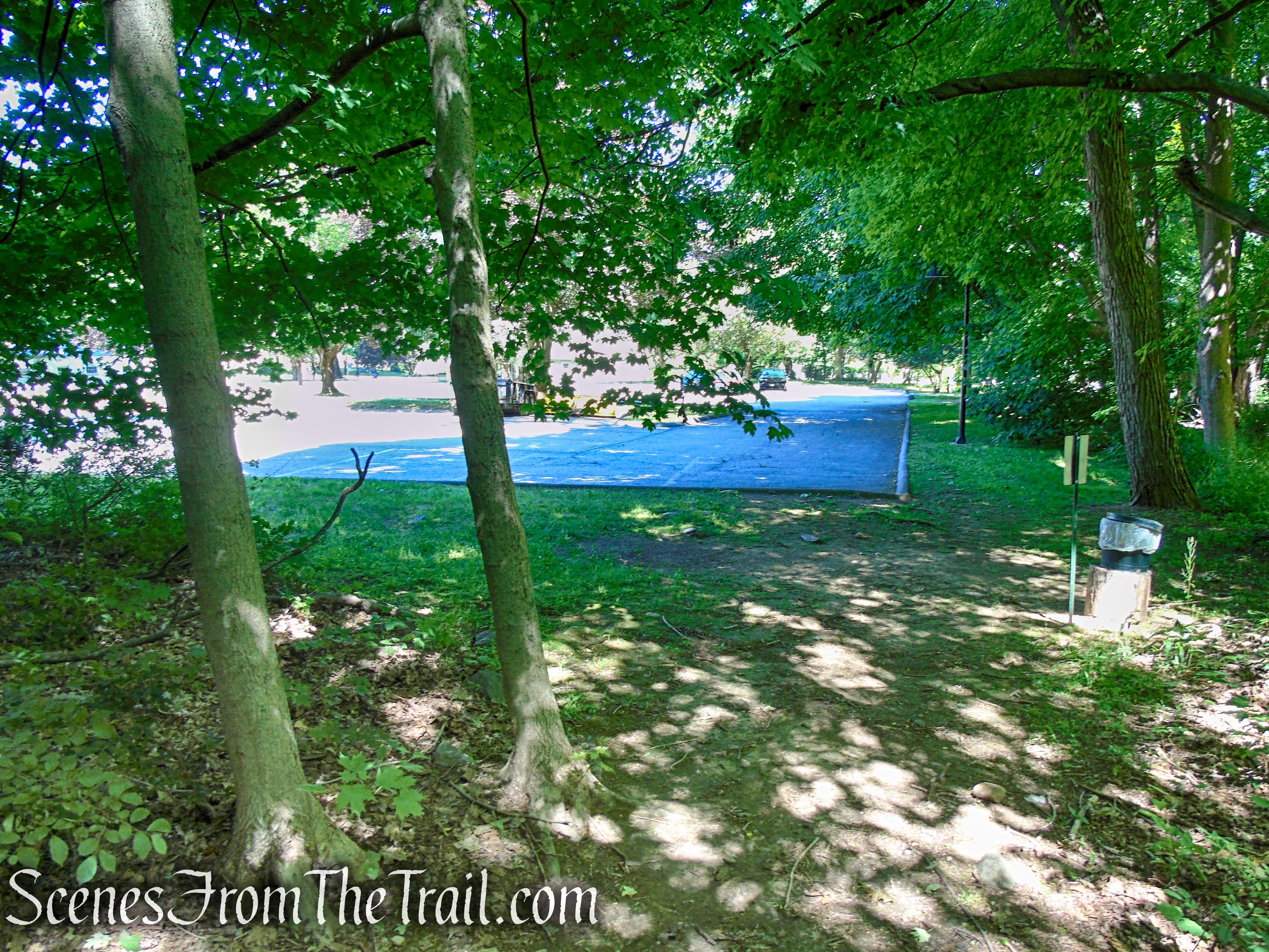
The hike begins at the northwest end of the parking lot on a gravel road. Follow the road a short distance in and you will see a large sign with a map and description of the trails, along with a mailbox containing trail maps (always print one at home just in case). This is the start of the Glebe Trail. Follow the gravel road as it heads downhill past the cemetery. When the road comes to a fork, bear left and continue downhill, soon passing the outdoor chapel, with wooden benches and a large bell.
Glebe Trail – St. Matthew’s Church Woodlands
Glebe Trail – St. Matthew’s Church Woodlands
Glebe Trail – St. Matthew’s Church Woodlands
bear left – Glebe Trail – St. Matthew’s Church Woodlands
Glebe Trail – St. Matthew’s Church Woodlands
In 1939, Rector Arthur Ketchum had a vision for an outdoor chapel to further capture the beauty of St. Matthew’s. The result was the rustic Chapel in the Woods with its rough-hewn benches and an altar made of fieldstone slab. The Chapel is used for summer services and for weddings, baptisms, and special events.
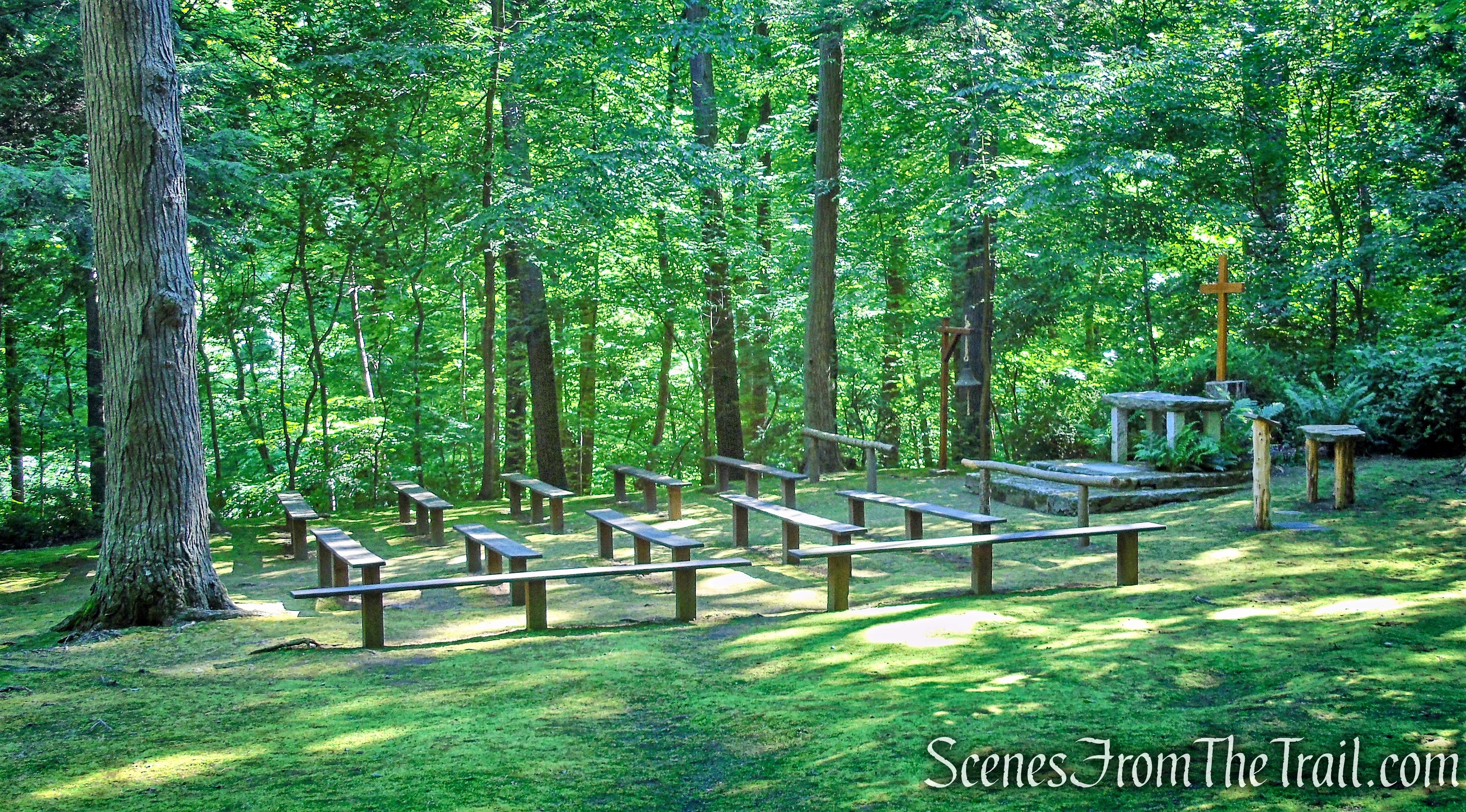
Outdoor Chapel – Glebe Trail – St. Matthew’s Church Woodlands

Outdoor Chapel – Glebe Trail – St. Matthew’s Church Woodlands
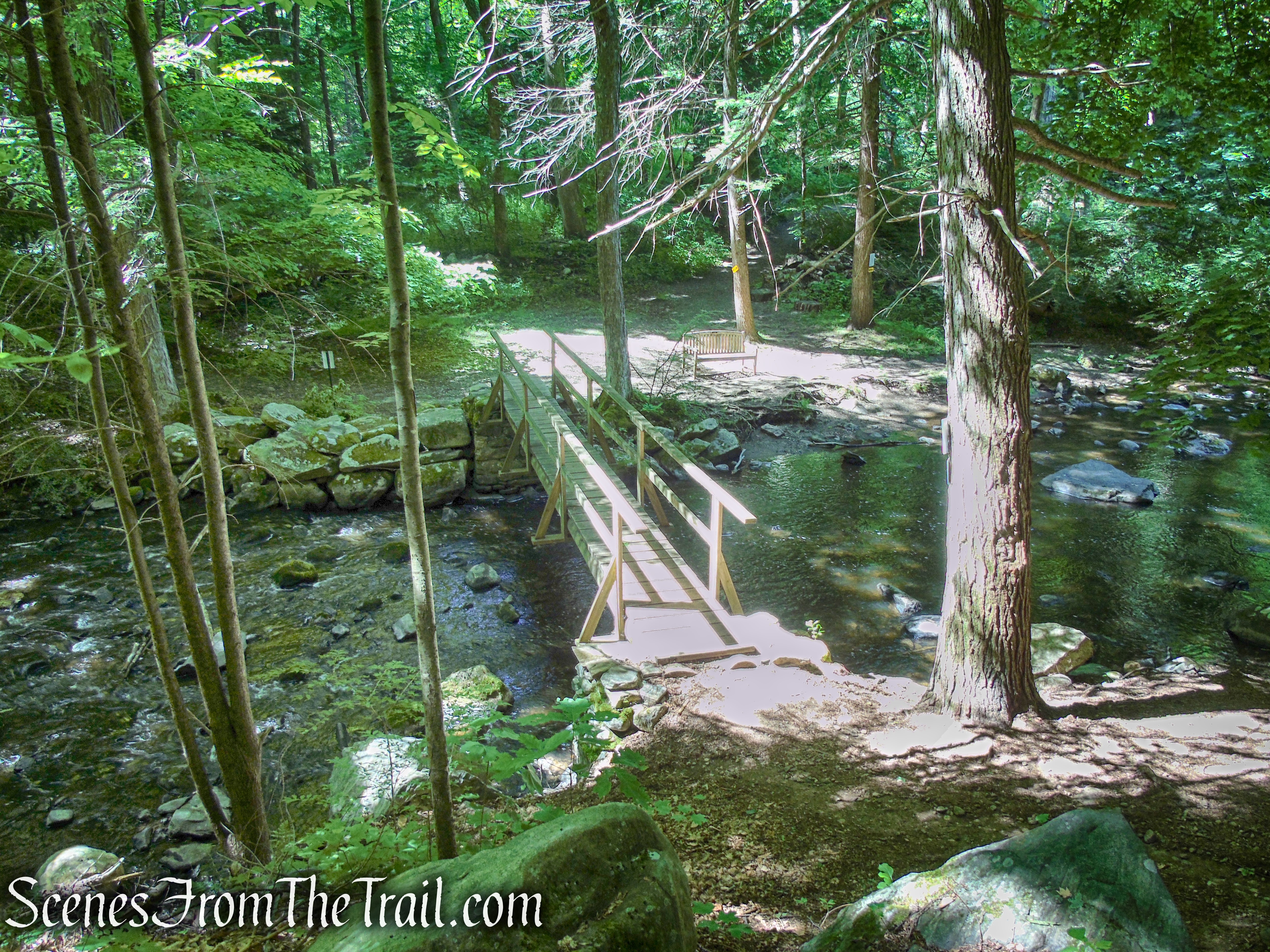
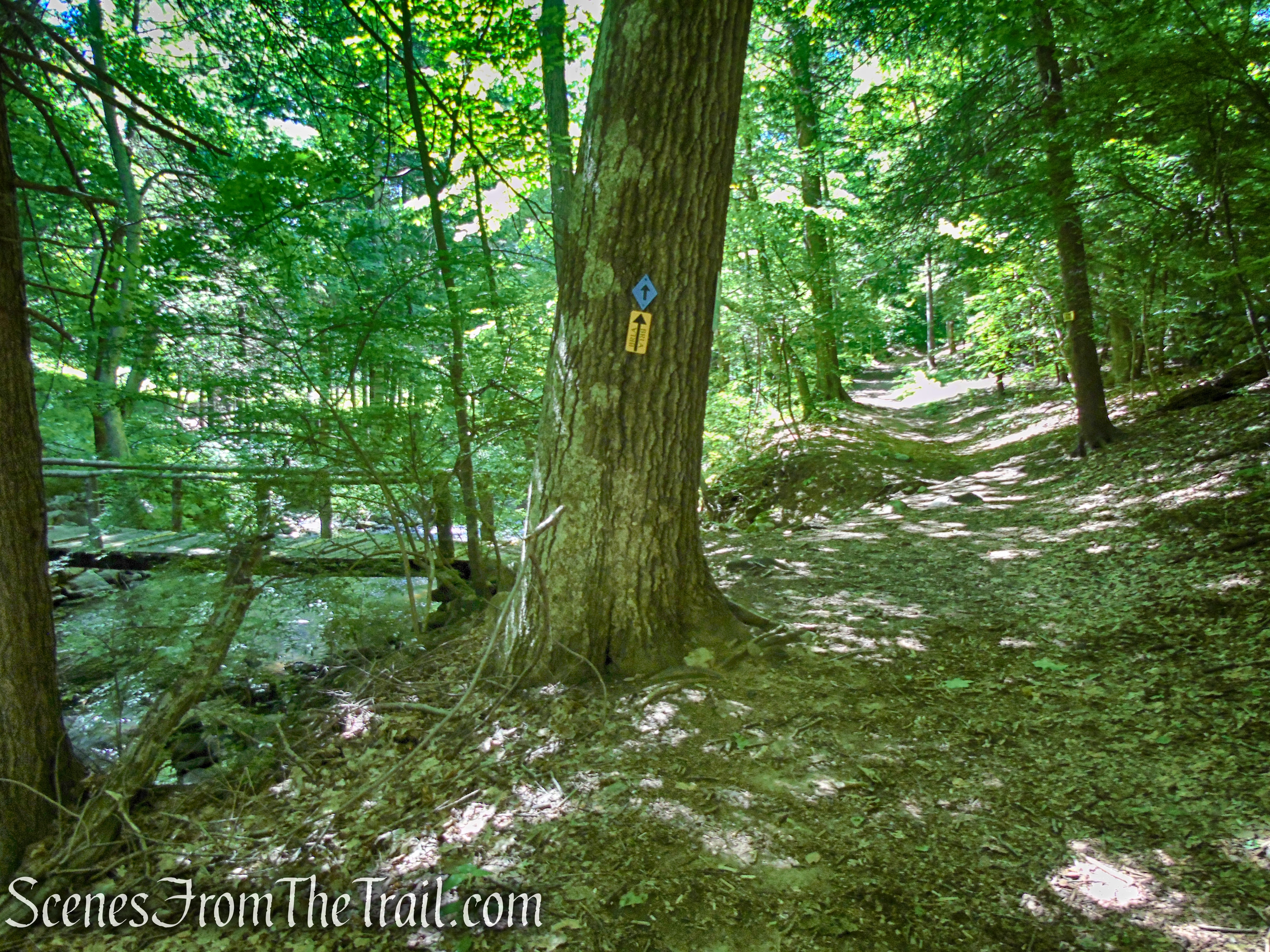
Continue downhill past the chapel and after 0.2 mile, the Glebe Trail reaches the Beaver Dam River. Cross the wooden footbridge and turn right as the trail leads steeply uphill on the Glebe – Ketchum Connector Trail, marked with both yellow BRLA and blue blazes.
Glebe Trail – St. Matthew’s Church Woodlands
Glebe Trail – St. Matthew’s Church Woodlands
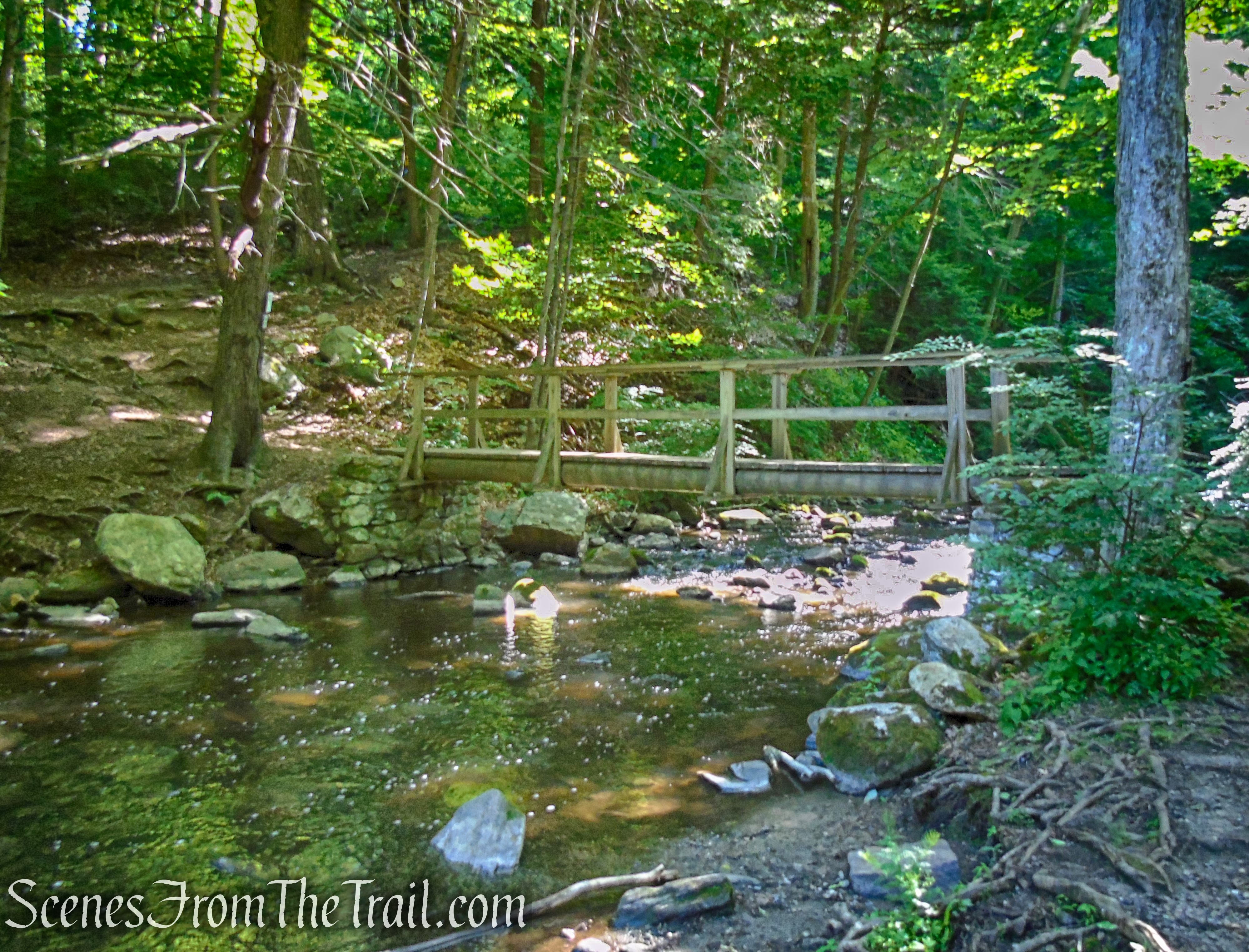
Foley Bridge – St. Matthew’s Church Woodlands
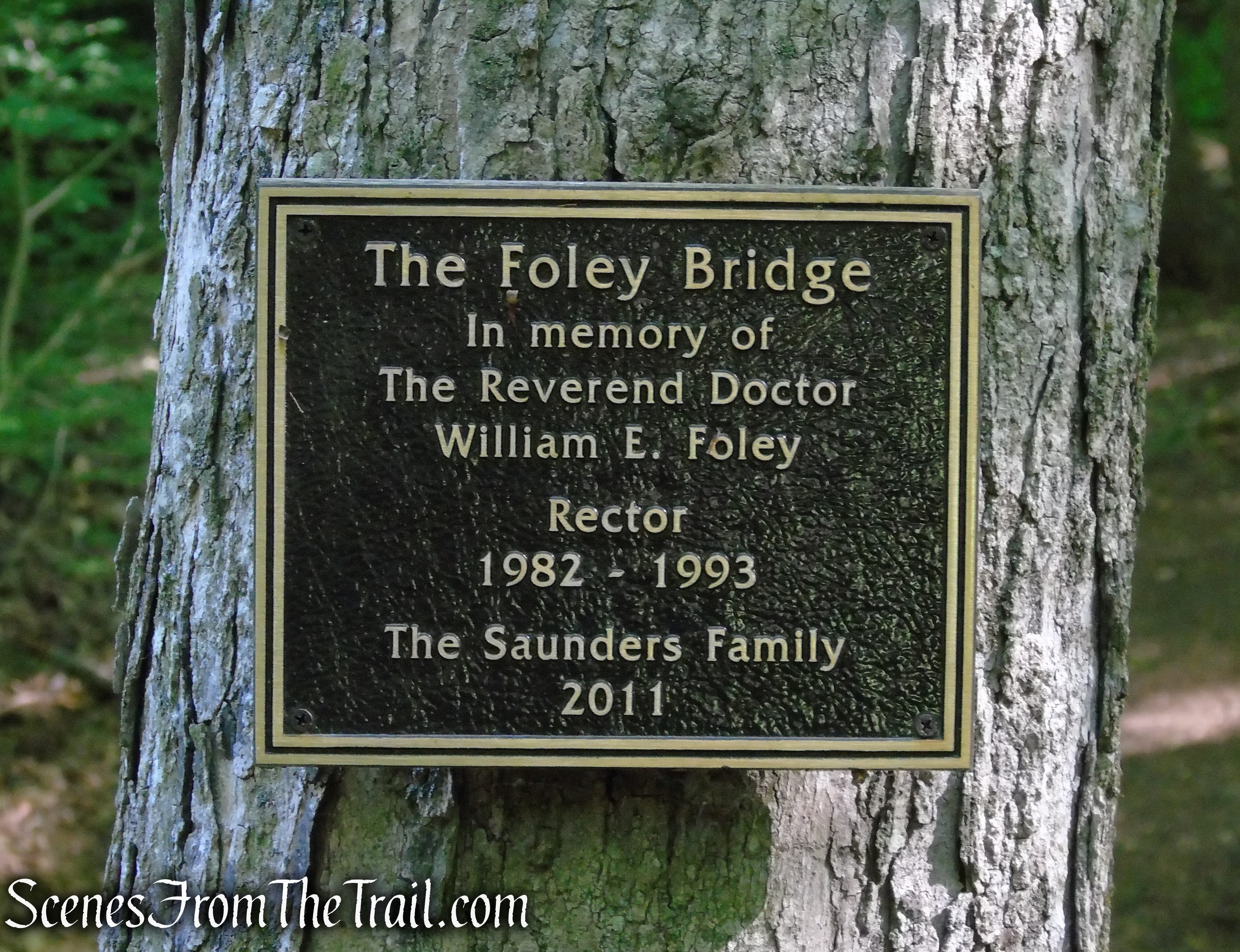
Foley Bridge – St. Matthew’s Church Woodlands
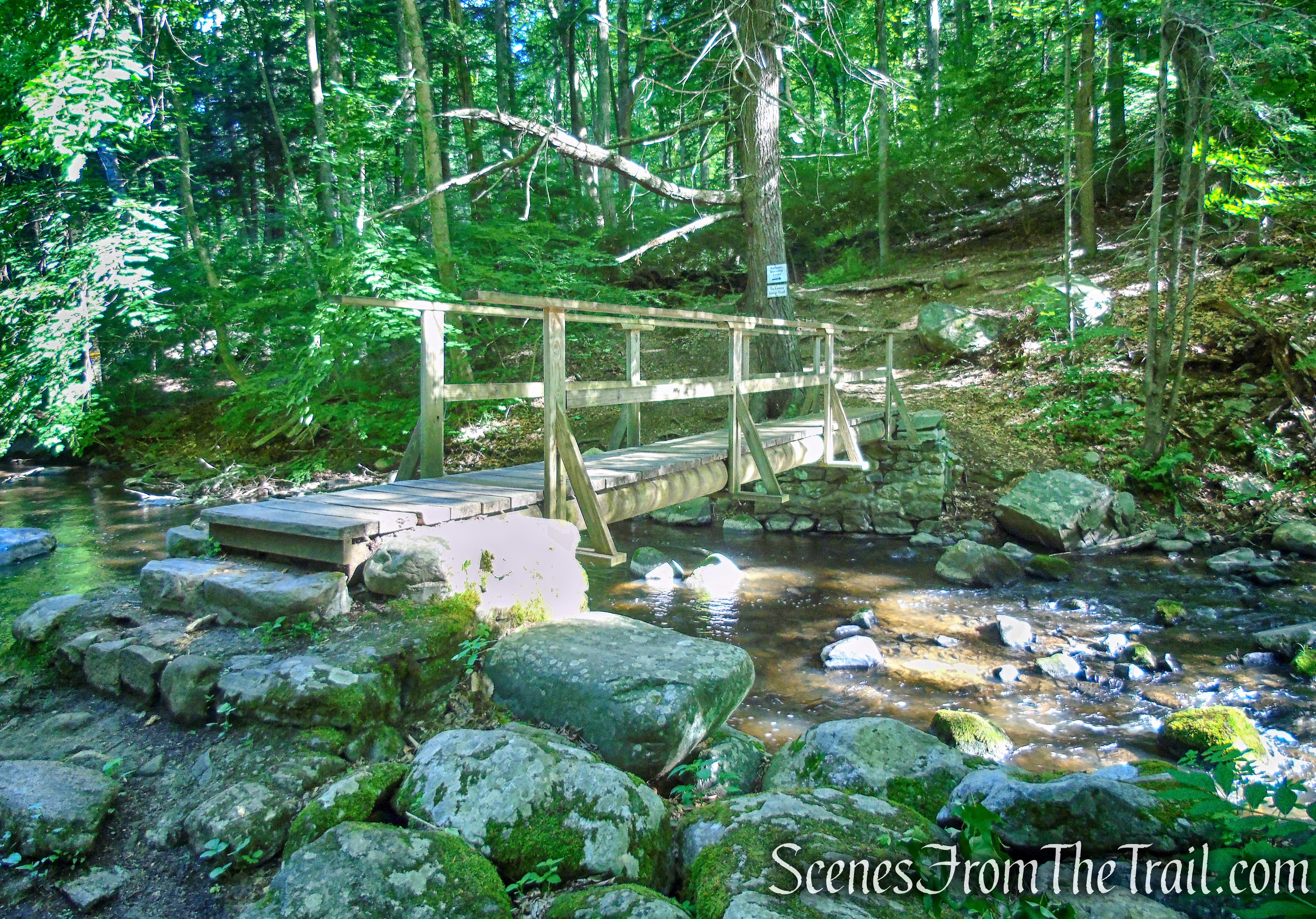
Foley Bridge – St. Matthew’s Church Woodlands
Glebe – Ketchum Connector
Glebe – Ketchum Connector
Glebe – Ketchum Connector
Glebe – Ketchum Connector

Glebe – Ketchum Connector
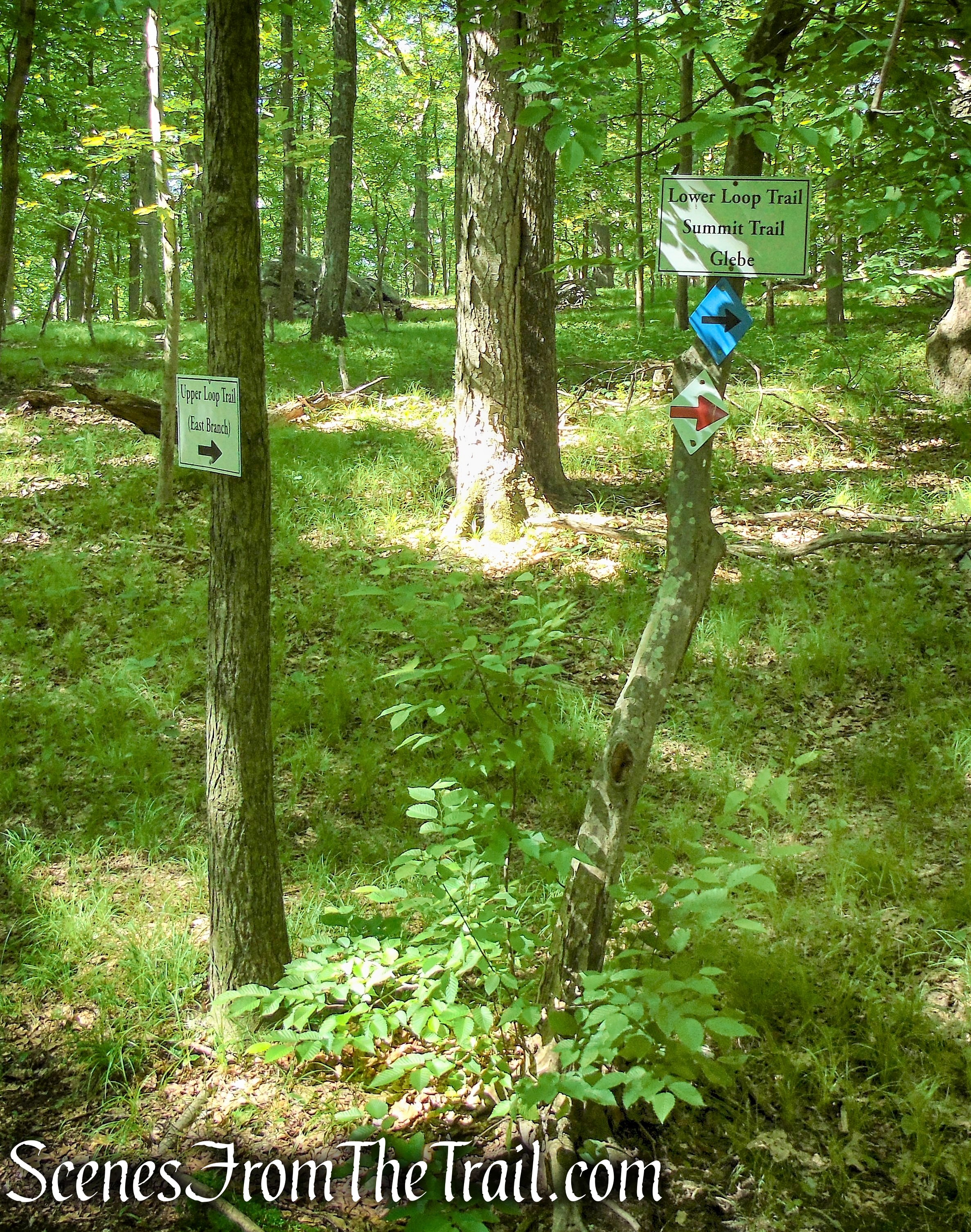
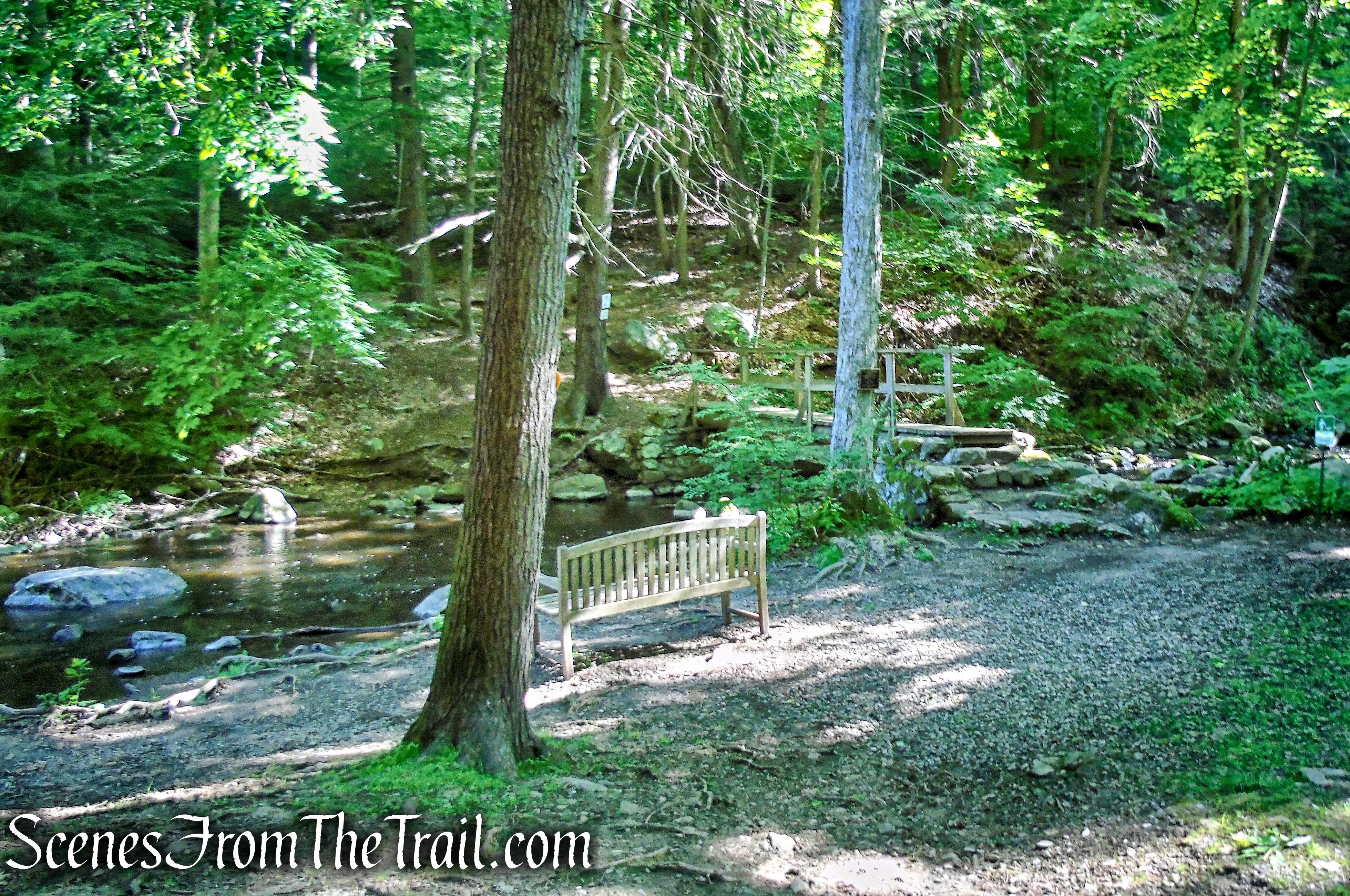
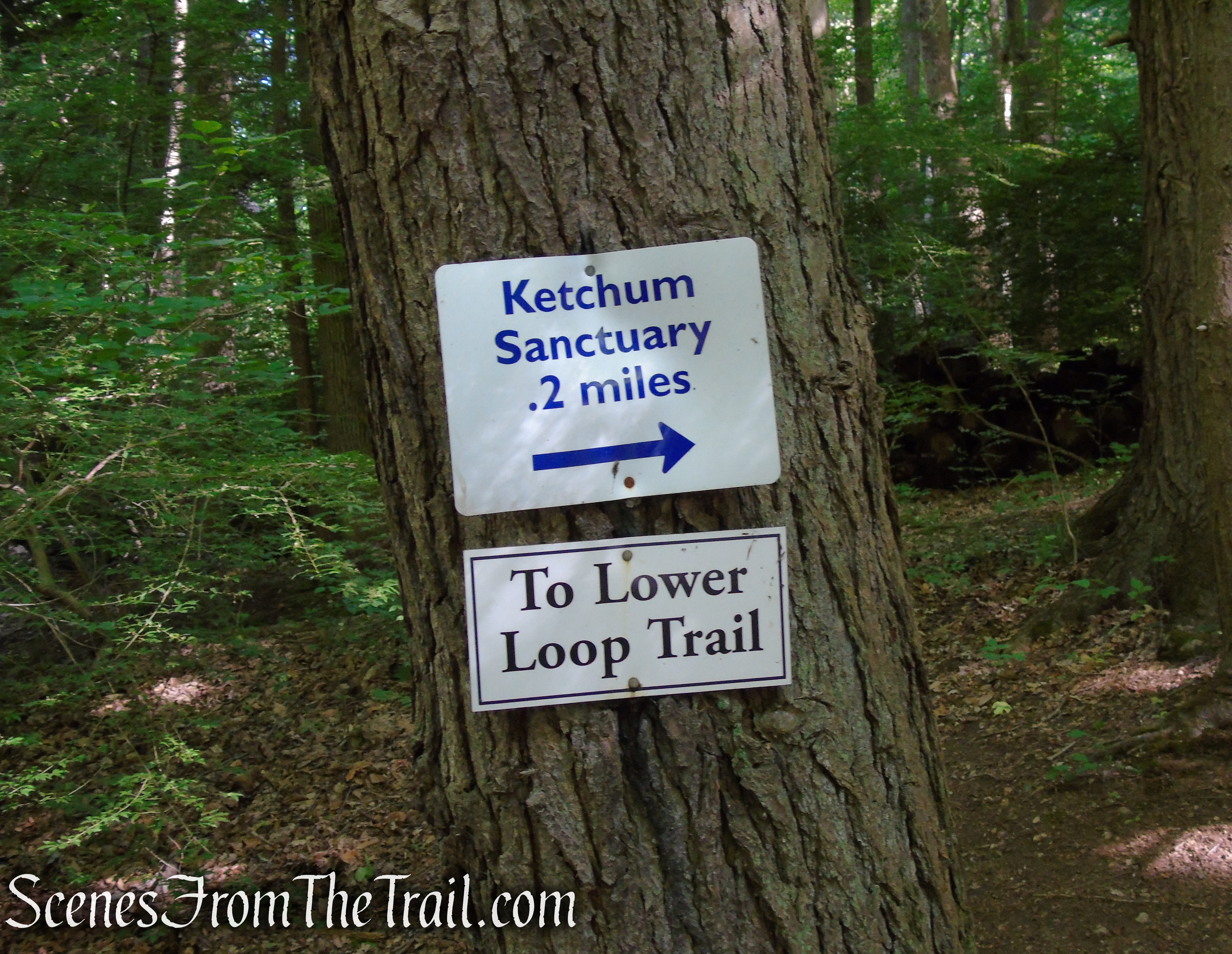
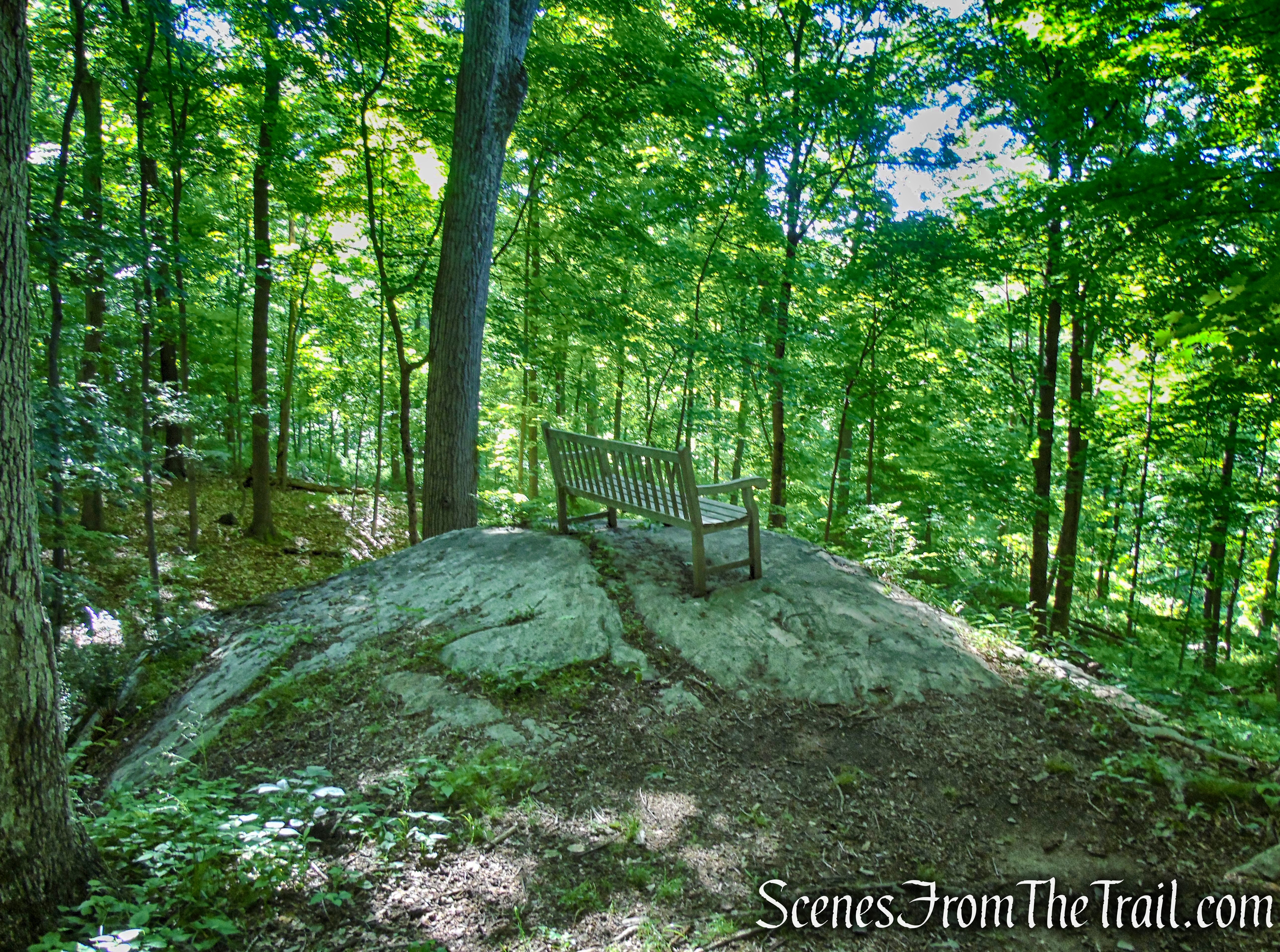
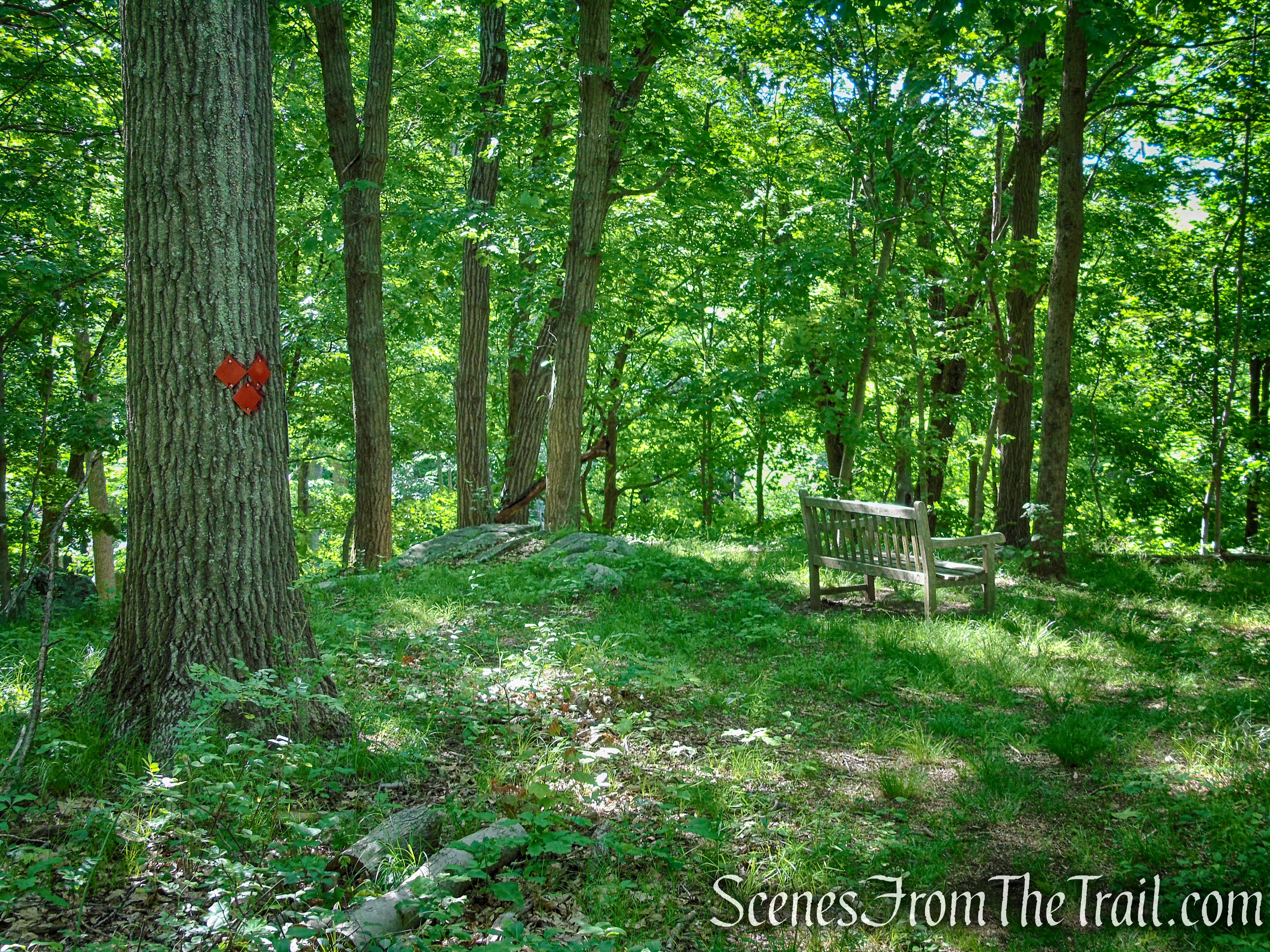
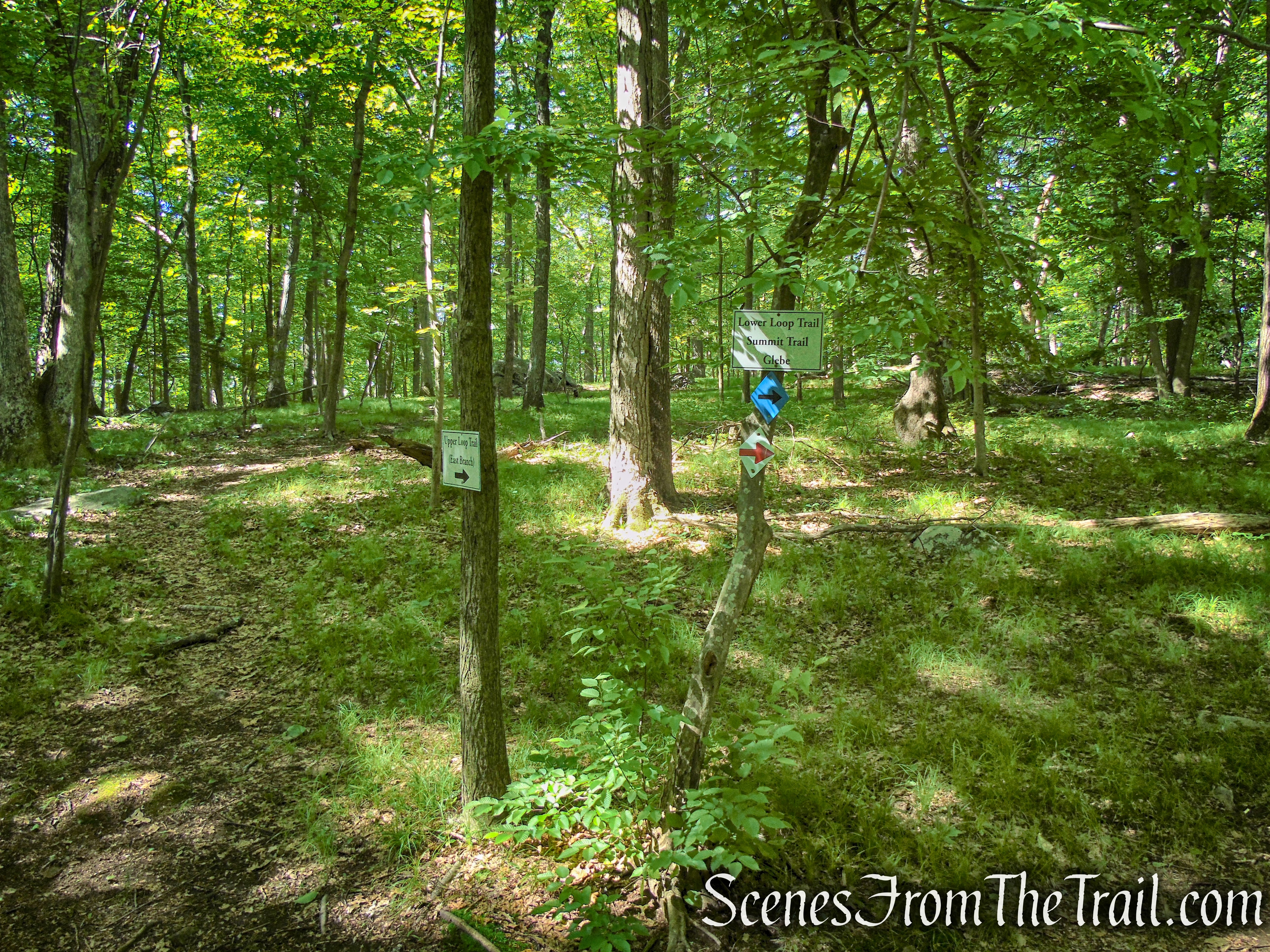
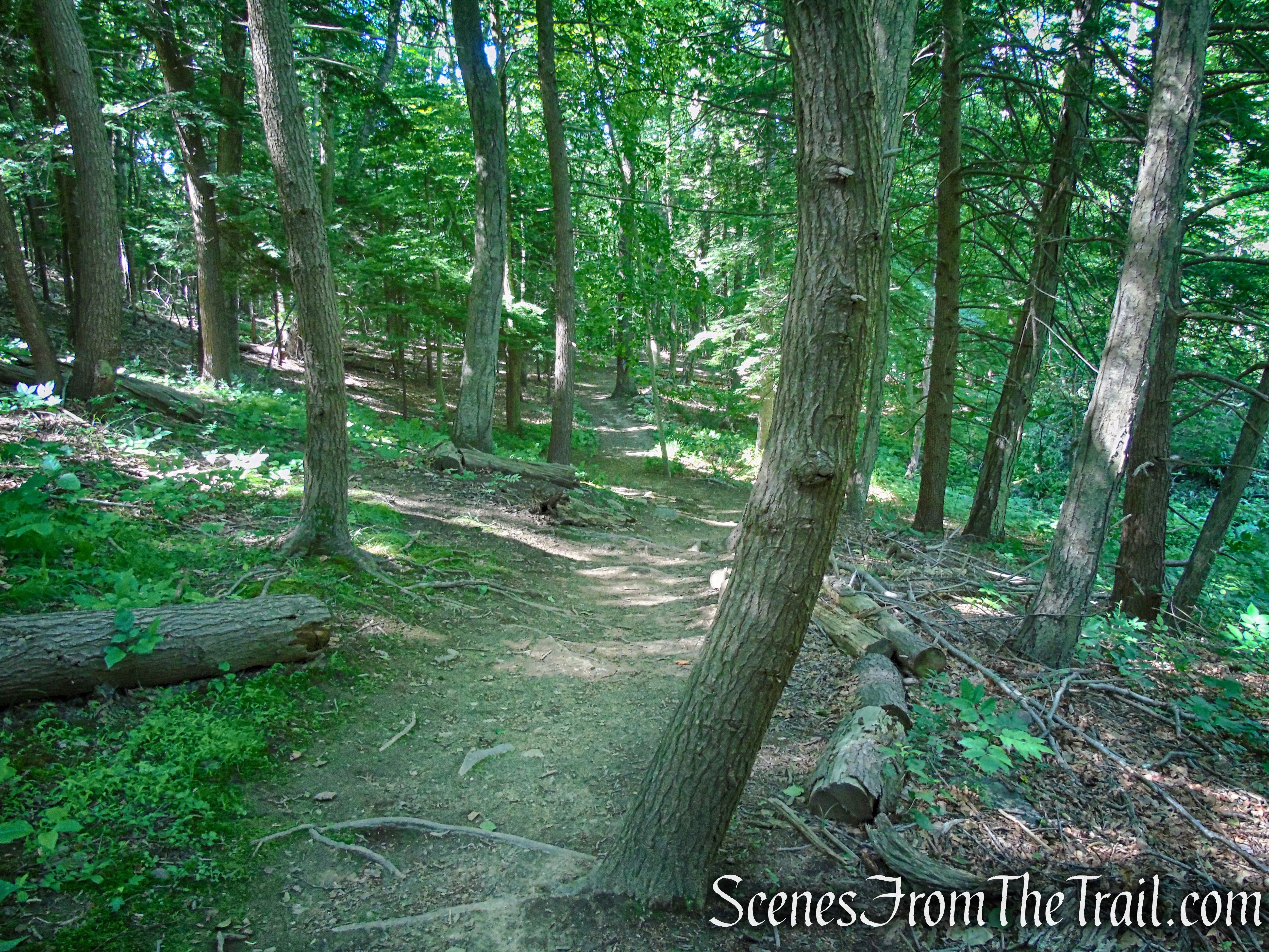
In another 0.2 mile, the Glebe – Ketchum Connector Trail comes to the start of the Lower Loop Trail, marked with arrows and signs. There is a bench to the left of the trail. The right leg of the loop is your return route, for now stay left and follow the Lower Loop Trail as it climbs steeply. The trail soon passes a rock outcrop with a bench that overlooks the woods, you may want to stop here and catch your breath.
Lower Loop – St. Matthew’s Church Woodlands
Lower Loop – St. Matthew’s Church Woodlands
Lower Loop – St. Matthew’s Church Woodlands

Lower Loop – St. Matthew’s Church Woodlands
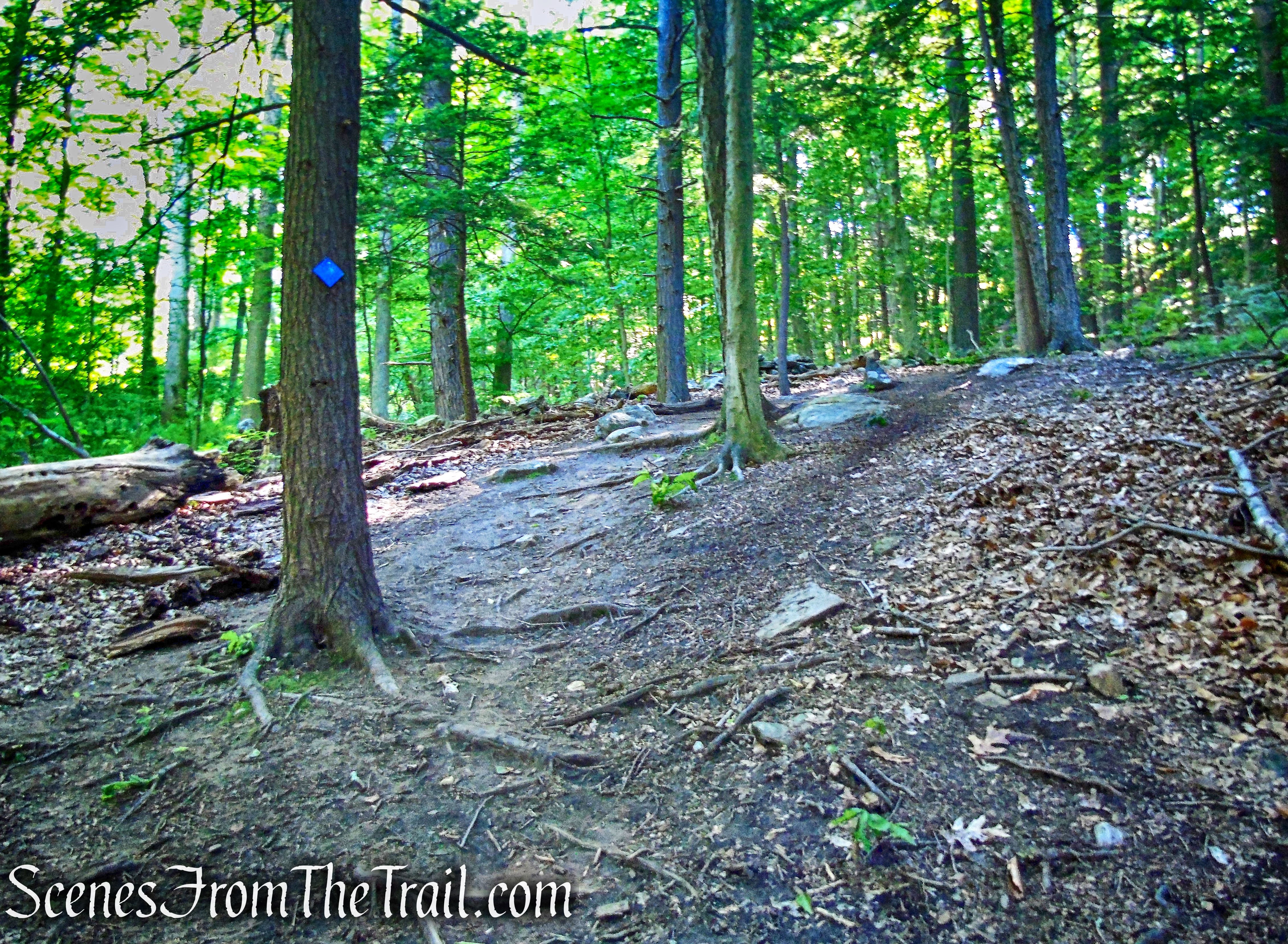
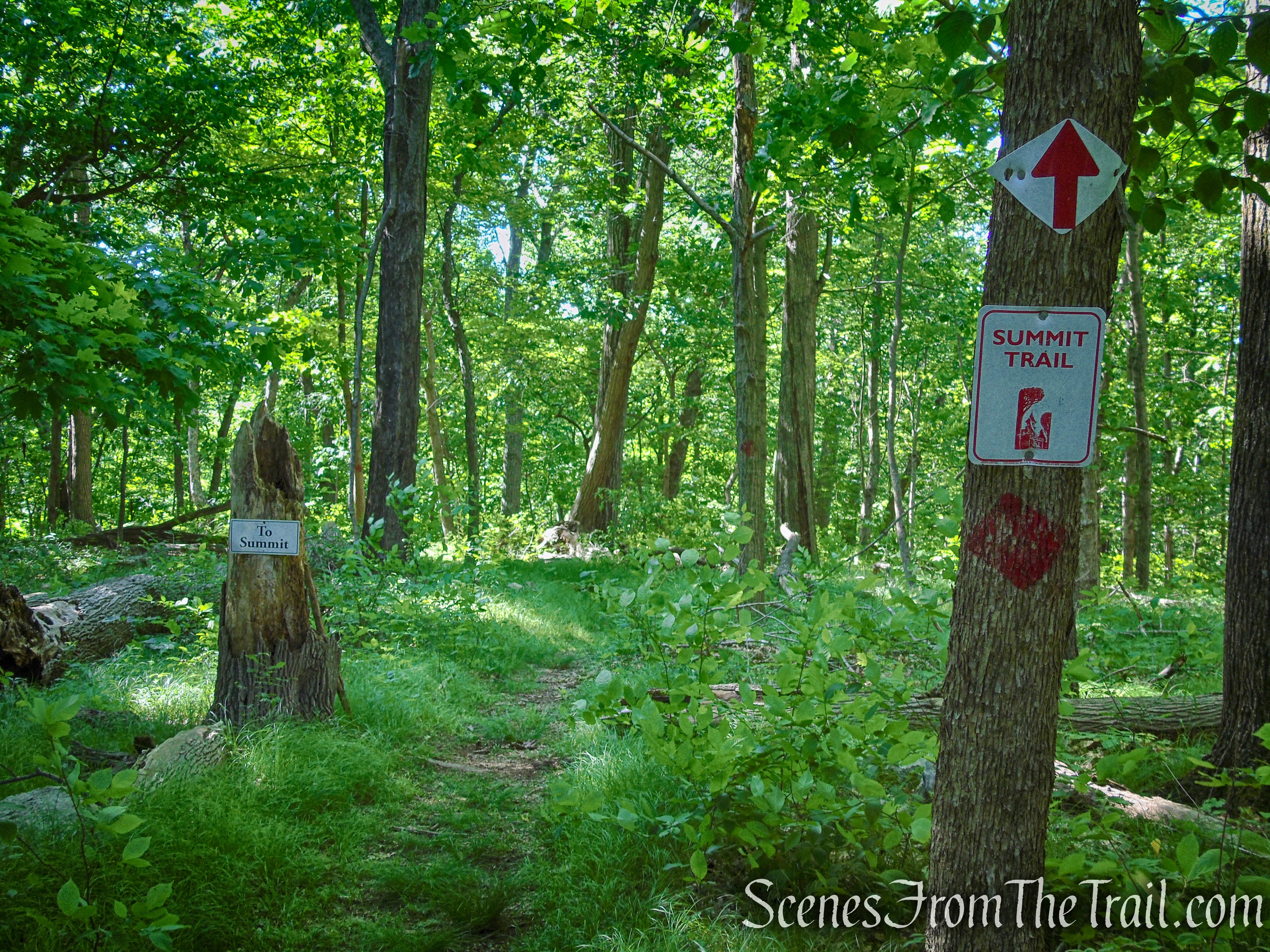
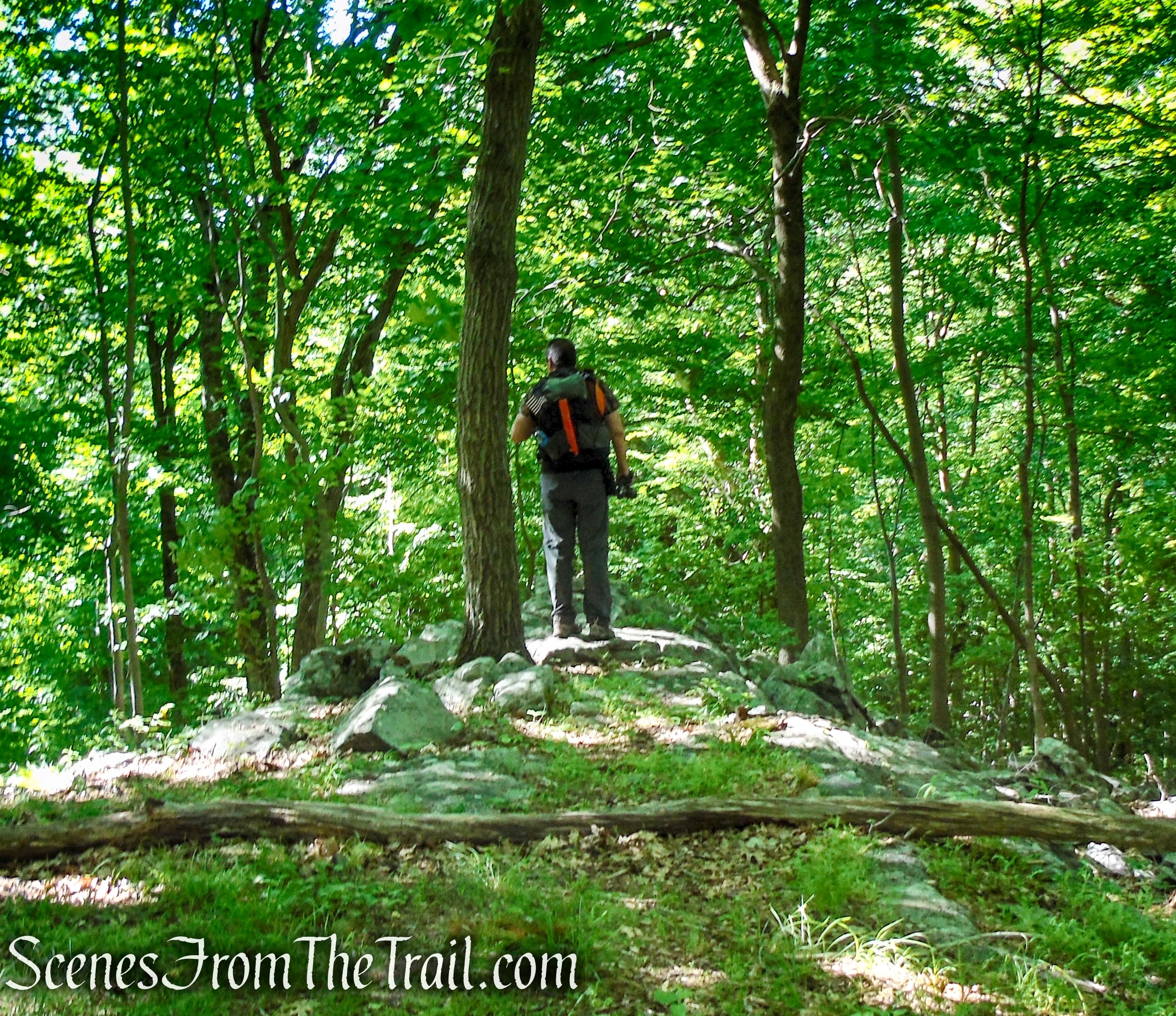
Continue following the blue blazes uphill and at 0.3 mile from the start of the Lower Loop, the trail comes to a Y-intersection with the Upper Loop and Summit trails. Turn right and follow the red-blazed Summit Trail for 0.1 mile, to its terminus where there is another wooden bench.

Lower Loop – St. Matthew’s Church Woodlands
Lower Loop/Upper Loop junction – St. Matthew’s Church Woodlands
Summit Trail – St. Matthew’s Church Woodlands

Summit Trail – St. Matthew’s Church Woodlands
Summit Trail – St. Matthew’s Church Woodlands
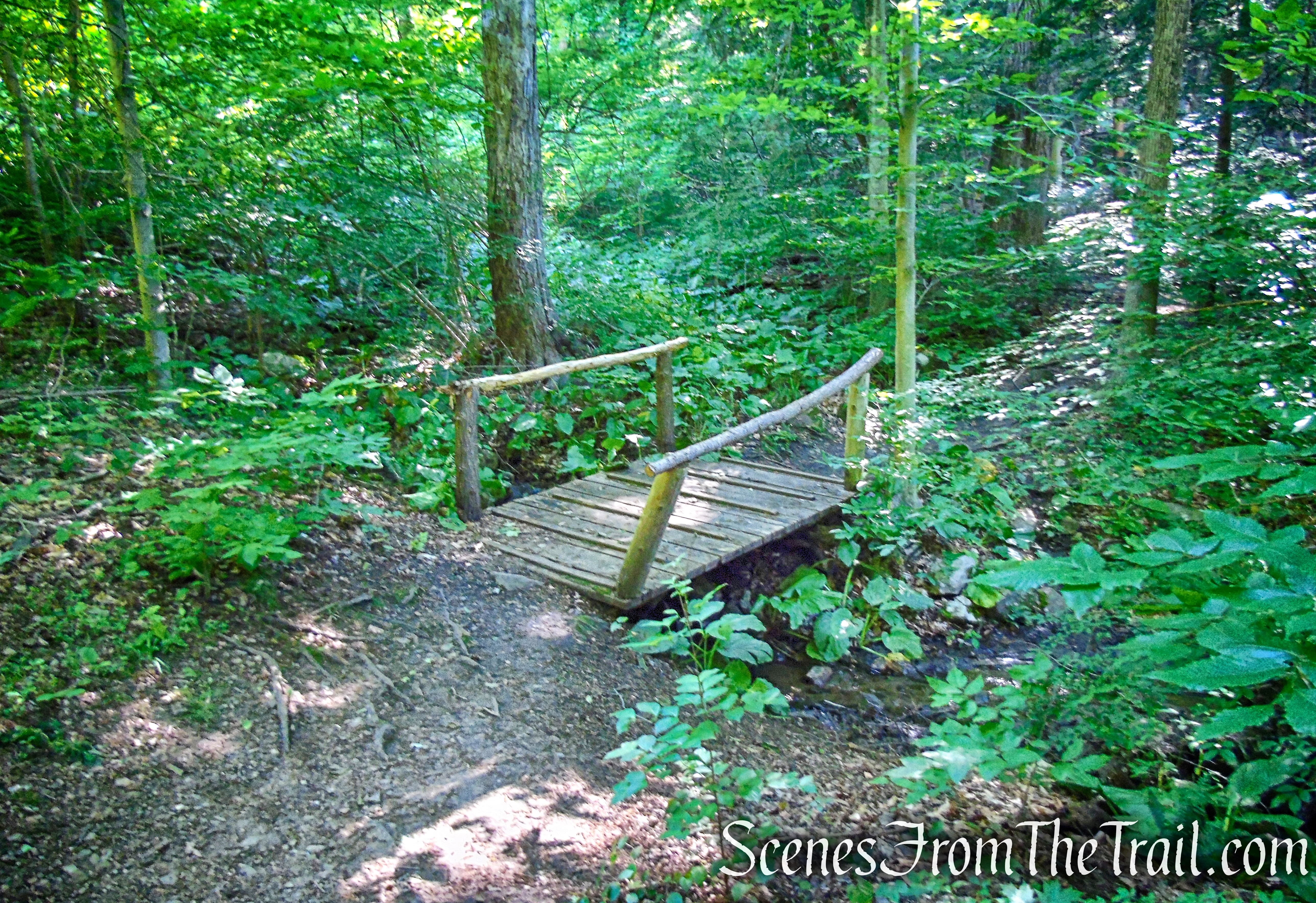
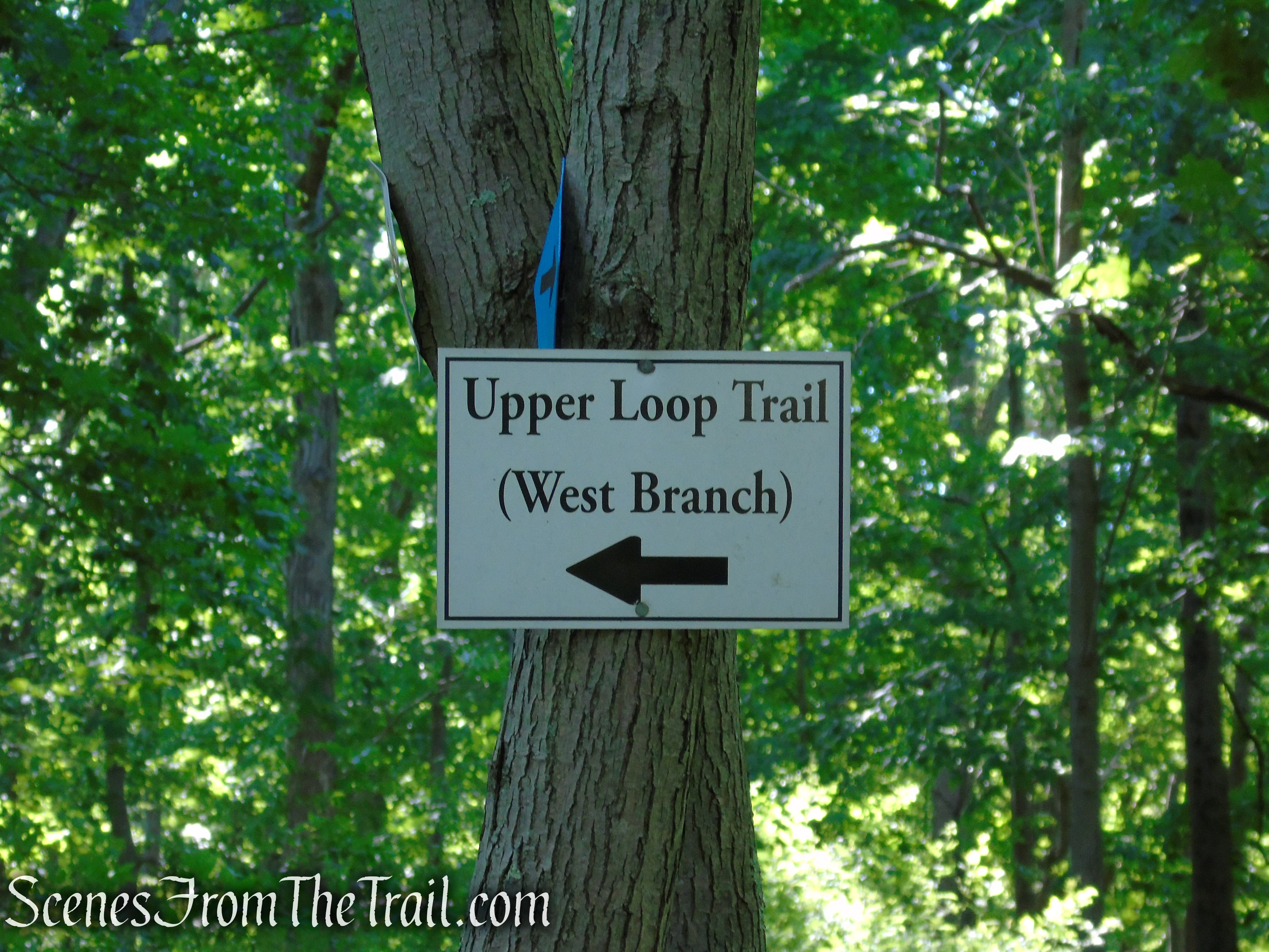
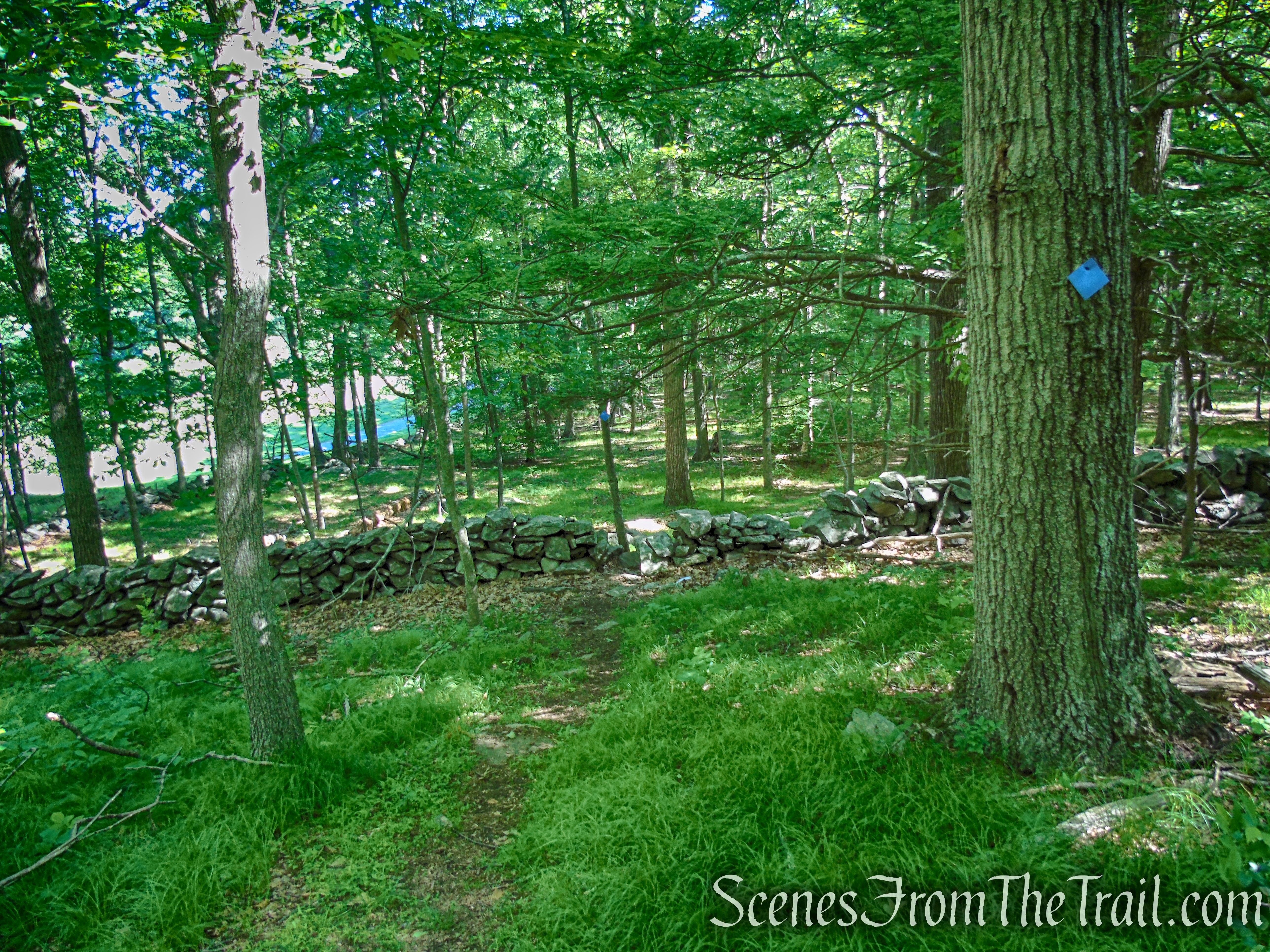
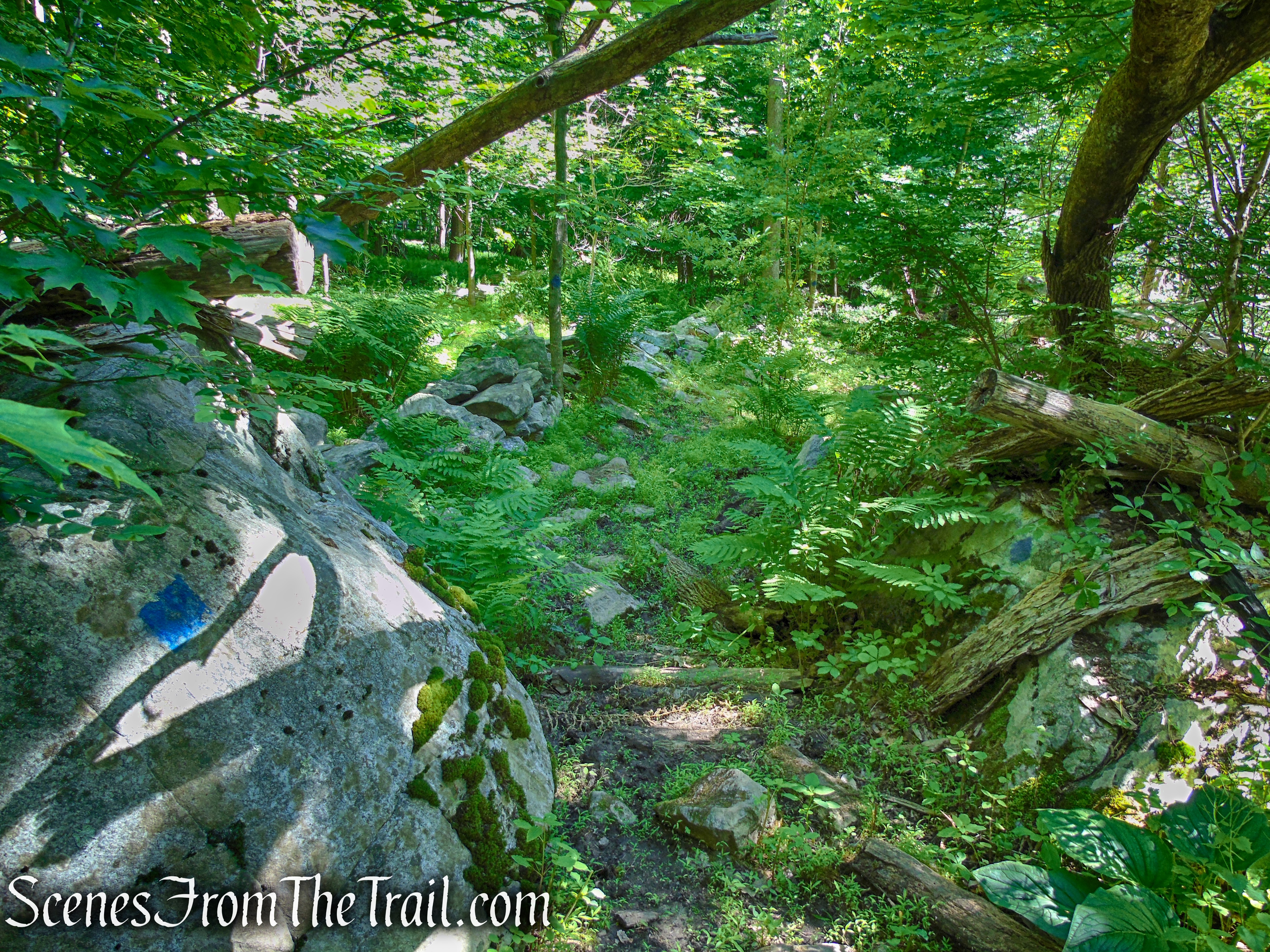
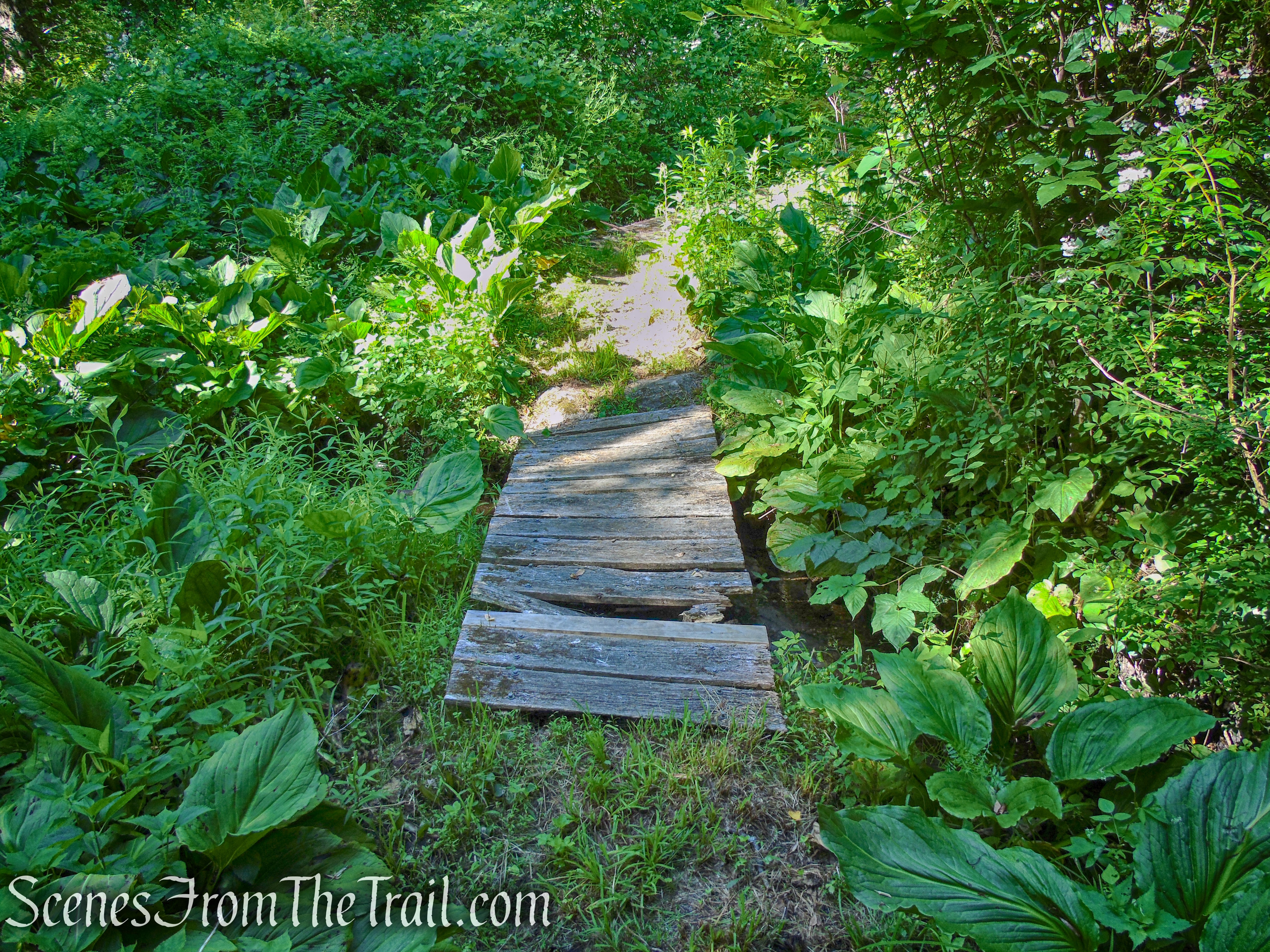
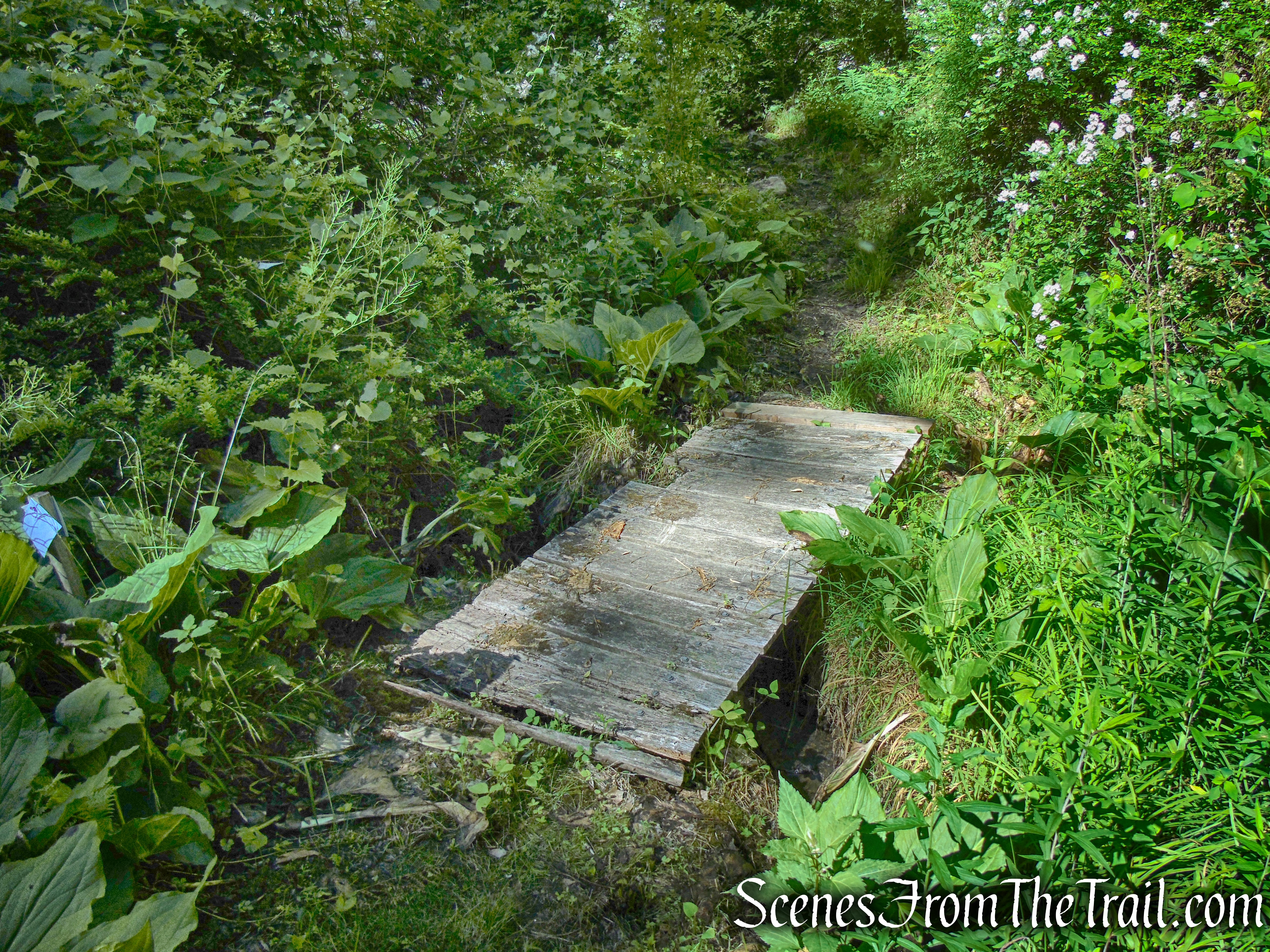
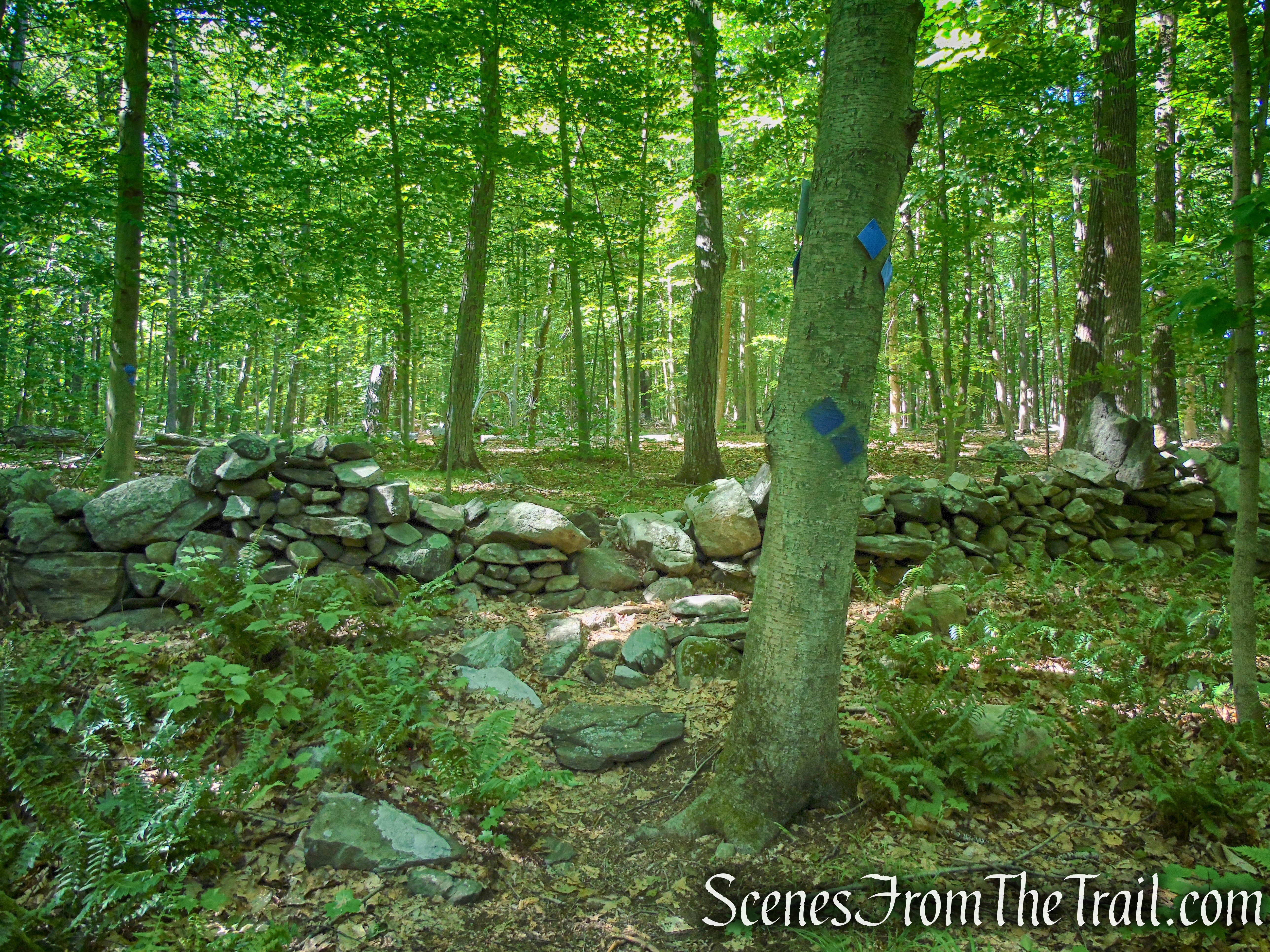
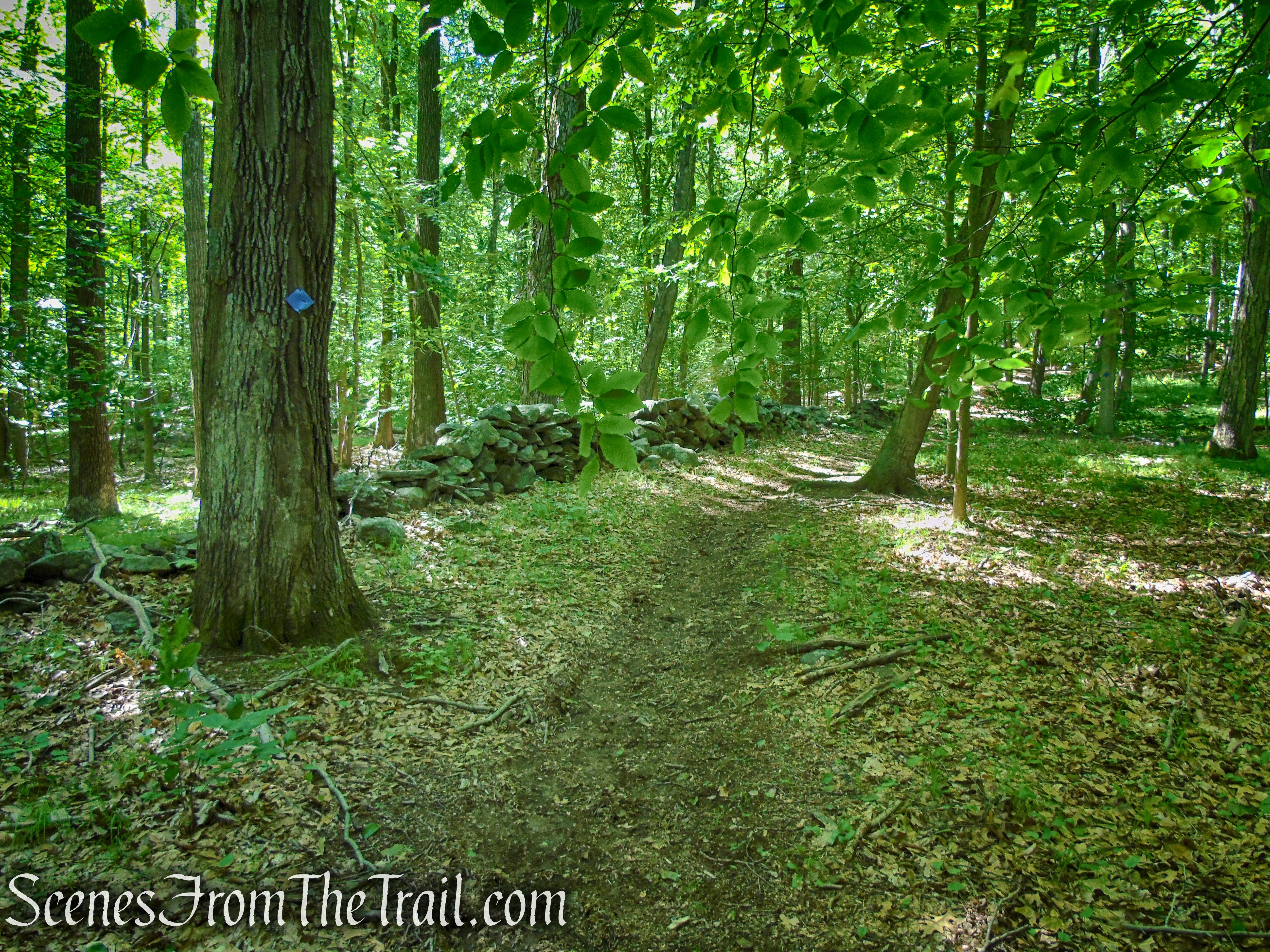
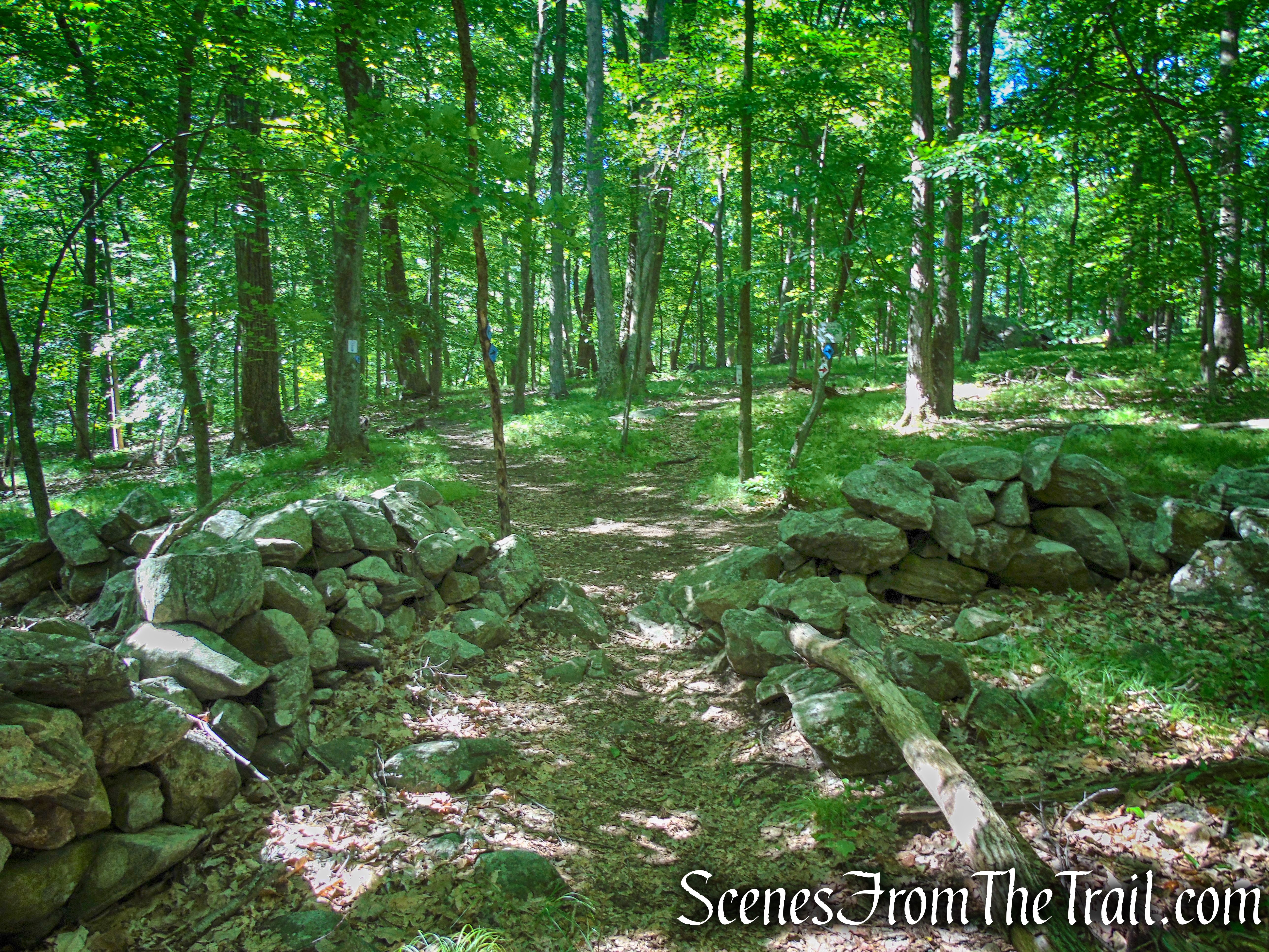
When you are ready to proceed, retrace your steps back to the Y-intersection and turn right, leaving the Lower Loop Trail and proceed ahead on the Upper Loop Trail (also blue). The Upper Loop Trail crosses through a stone wall and soon approaches private property, but veers right, away from it and heads downhill and through a wet area on rocks. The trail curves to the south and soon crosses two short footbridges in quick succession and heads to higher ground. The trail climbs gradually, crosses through a stone wall, turning left and soon parallels a stone wall. In about 0.8 mile from the start of the Upper Loop Trail, it goes through another stone wall and reaches a junction with the Lower Loop/Summit Trails.

Upper Loop – St. Matthew’s Church Woodlands
Upper Loop – St. Matthew’s Church Woodlands
Upper Loop – St. Matthew’s Church Woodlands
Upper Loop – St. Matthew’s Church Woodlands
Upper Loop – St. Matthew’s Church Woodlands
Upper Loop – St. Matthew’s Church Woodlands
Upper Loop – St. Matthew’s Church Woodlands
Upper Loop – St. Matthew’s Church Woodlands
Lower Loop/Upper Loop/Summit Trail junction – St. Matthew’s Church Woodlands
Straight ahead is an unmarked trail that leads to the wooden bench at the summit. You can choose to take or bypass this detour. If visiting this spot, when you are done, retrace your steps back to the junction and turn right, now following the Lower Loop Trail.
unmarked footpath to summit – St. Matthew’s Church Woodlands
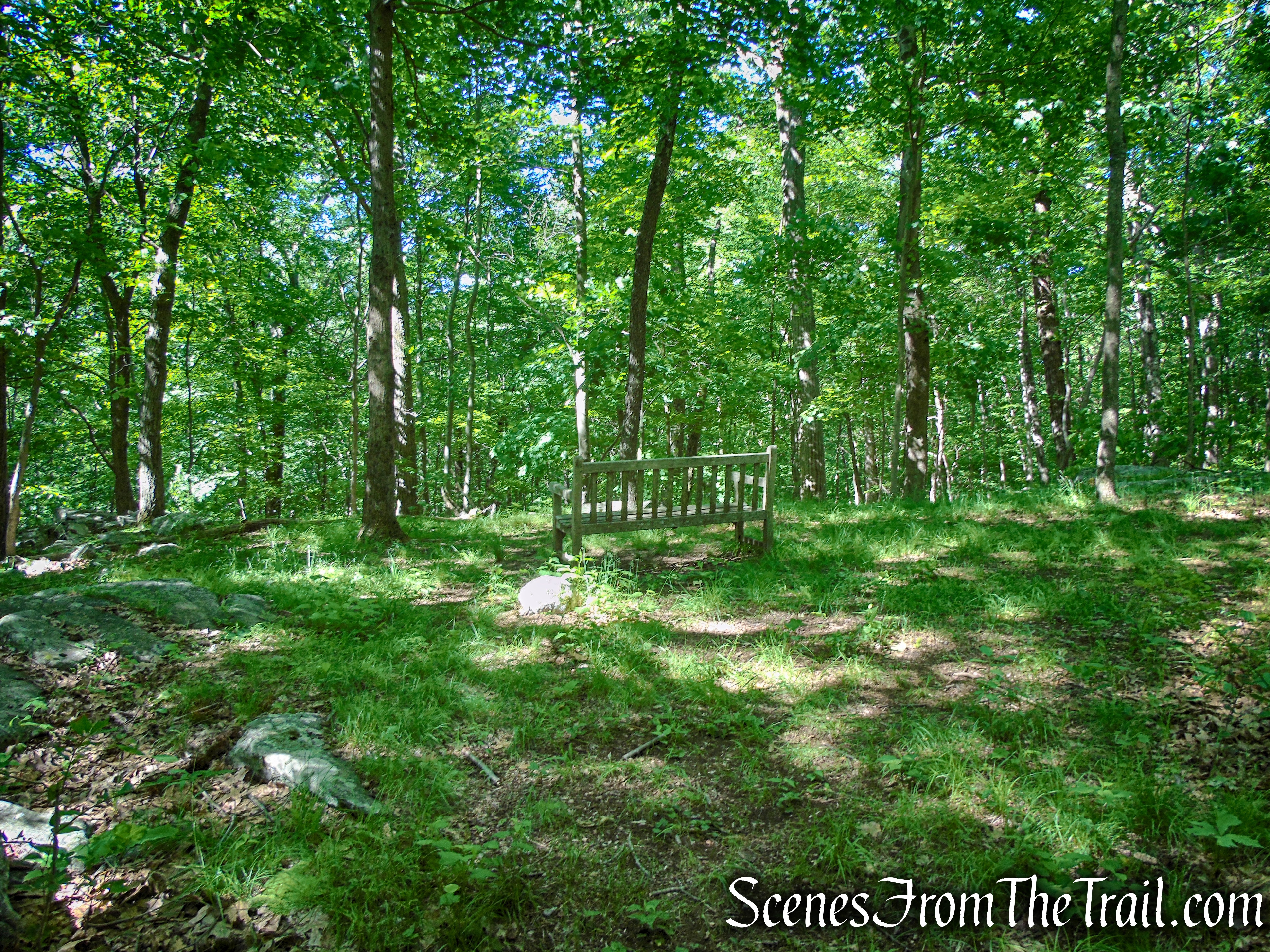
summit – St. Matthew’s Church Woodlands
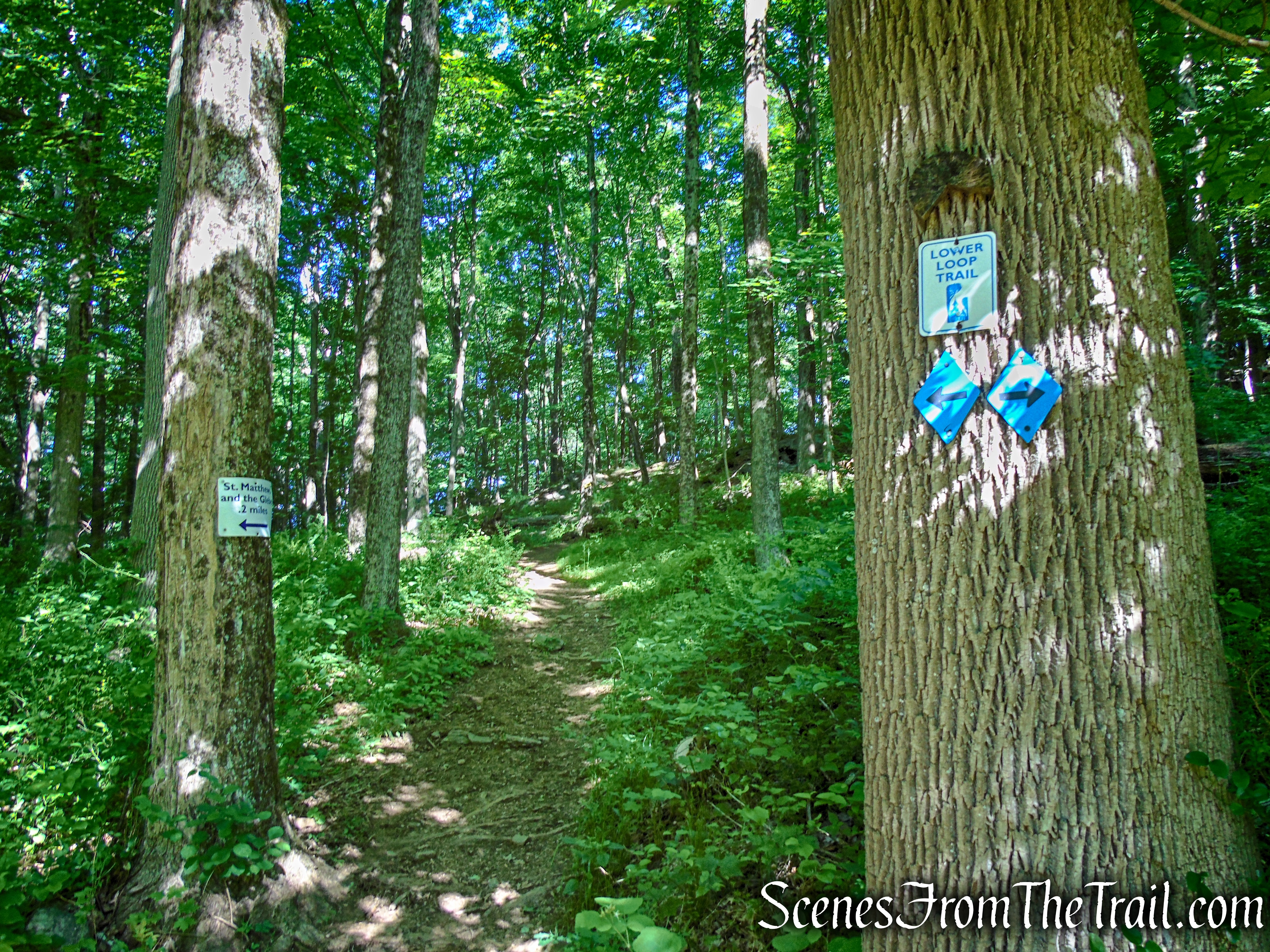
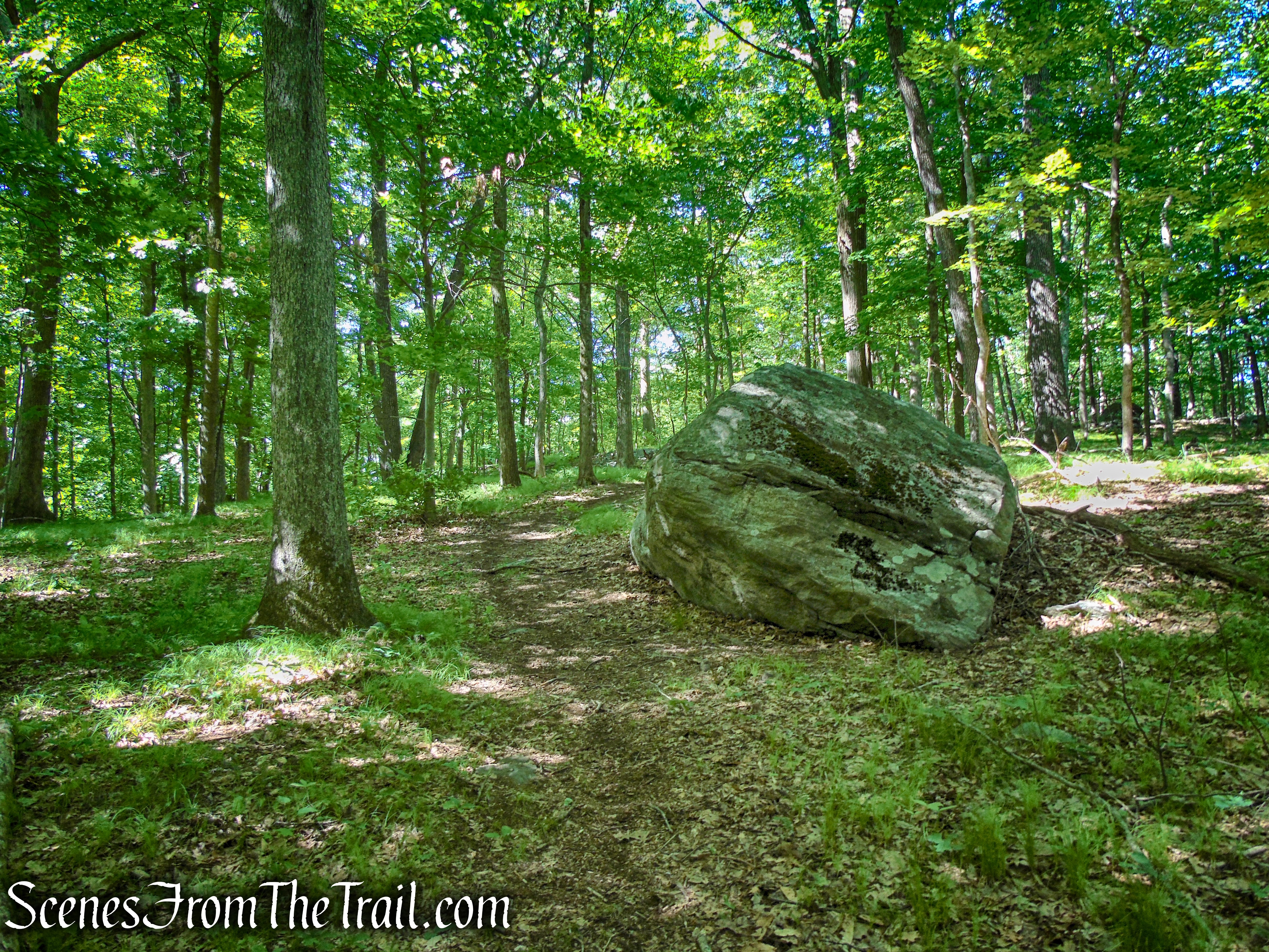
The eastern leg of the Lower Loop Trail parallels a stone wall and soon descends steeply. If you look up to the right, that large rock formation that you see, is the summit where the bench is located. Follow the Lower Loop Trail downhill to where a wooden bench is located at the junction with Glebe – Ketchum Connector Trail closing the loop. Turn left and retrace your steps on the Glebe – Ketchum Connector Trail for 0.2 mile, crossing the Foley Bridge and turn left on the Glebe Trail.

Lower Loop – St. Matthew’s Church Woodlands
Lower Loop – St. Matthew’s Church Woodlands
Glebe – Ketchum Connector
Glebe – Ketchum Connector
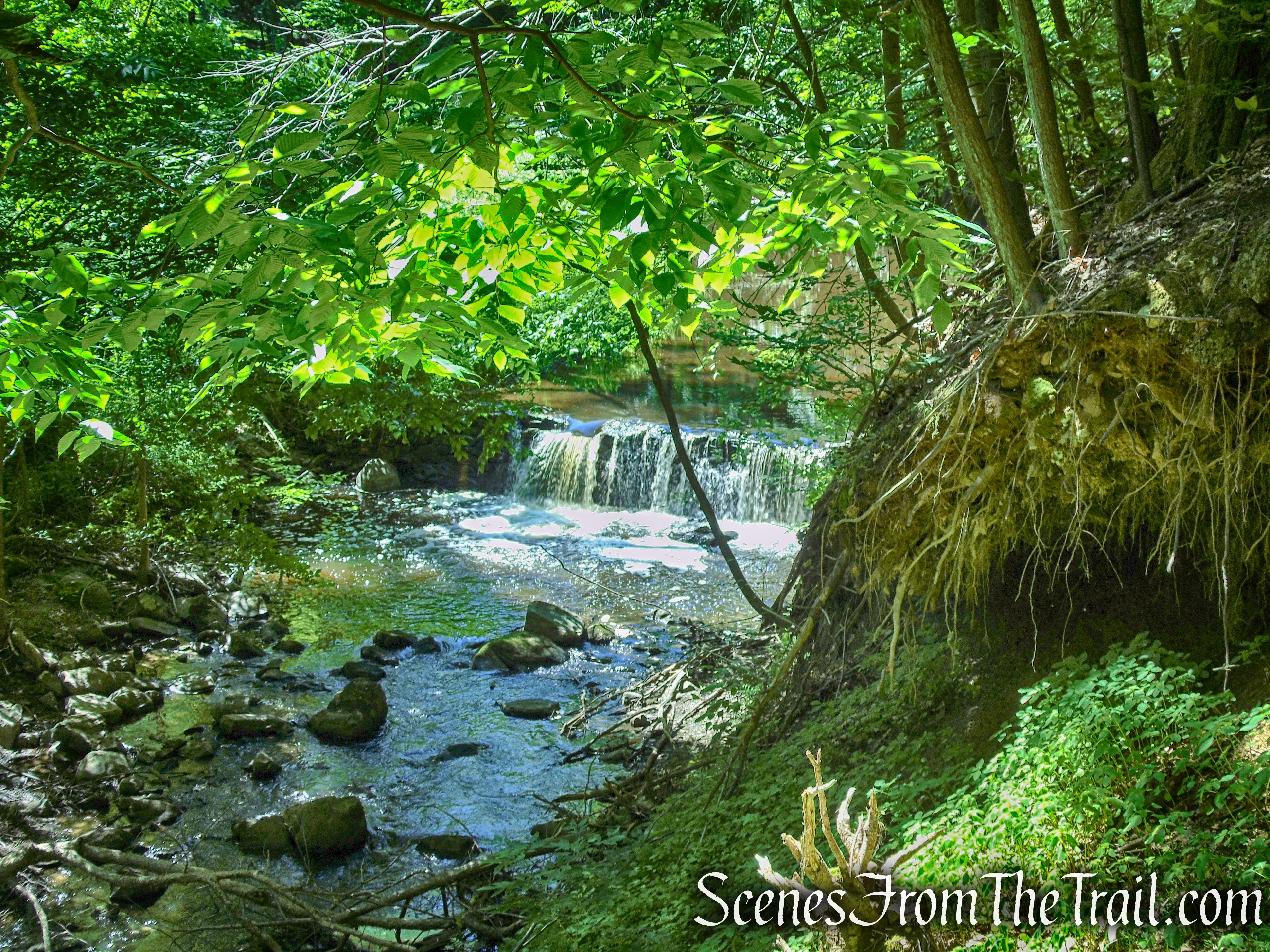
The Glebe Trail heads upstream on a woods road, along the Beaver Dam River, passing a bench along the way. The trail soon climbs a little, passing a BRLA wooden bridge. Do not cross the bridge. Continue uphill on the woods road, passing a lovely cascade. The trail soon turns right, leaving the woods road and enters the woods. In a short distance, the Glebe Trail turns right, paralleling the parking lot and in a couple of hundred feet, ends at the northeast end of the parking lot. Continue across the parking lot, back to where you parked your vehicle.

Lower Loop – St. Matthew’s Church Woodlands
Lower Loop – St. Matthew’s Church Woodlands
Lower Loop – St. Matthew’s Church Woodlands

Lower Loop – St. Matthew’s Church Woodlands

Lower Loop – St. Matthew’s Church Woodlands

Lower Loop – St. Matthew’s Church Woodlands
terminus of Lower Loop – St. Matthew’s Church Woodlands
Review:
A really nice hike through a quiet and peaceful area. The heavily forested woods offers respite from the sun on a hot day. Although there are no views, the summit makes a nice place to sit and relax for a bit. The well manicured grounds as well as the architecture are worth exploring as well. The Upper Loop Trail was somewhat uninteresting, wet and a little overgrown in spots, but since there are only three miles of trails, it is worth doing. I would recommend wearing long pants as your shins would be brushing up against the overgrowth in certain areas. The well marked trails and junctions make this a good hike for the novice hiker.
Pros:
Scenic landscape, well marked trails, shaded trails, Beaver Dam River, small waterfall, quiet and peaceful, not heavily trafficked.
Cons:
No views.
Take a hike!
St. Matthew’s Church Woodlands
Sources:
- St. Matthew’s Church Woodlands
- Walkable Westchester: A Walking Guide to Westchester County, NY – by Jane and Walt Daniels
