August 1, 2020 – Seymour, Connecticut
Difficulty: Moderate
Length: Approximately 2.3 miles
Max elevation: 547 ft.– total elevation gain approximately 314 ft.
Route type: Circuit
Maps: Little-Laurel Lime Ridge Park Trail Map 2022
Trailhead parking: At the end of the road, just past 99 Tibbets Road, Seymour, CT 06483
Park Overview:
Little-Laurel Lime Ridge Park is a 209-acre park that is owned and managed by the town of Seymour. Part of the Seymour Land Trust, the park features a unique ridge-top ecosystem dominated by chestnut oak, pitch pine and mountain laurel. The old mining roads lead to the ruins of an early 1800’s colonial limestone kiln, marble caves, stone shelters and quarries. The topography is characterized by rolling hills with intermittent steep slopes that offer spectacular views of the Housatonic River Valley from rock outcrops. There is no park signage currently, at the end of Tibbets Road (the main access point) and there are no facilities. This is a Carry In – Carry Out park.

view of the Housatonic River – Little-Laurel Lime Ridge Park
History:
Two hundred million years ago, the state was covered by an ocean that included a large coral reef that surrounded a volcanic island. Eventually, the reef metamorphosed into the marble that can still be seen in the park today. Local farmers in the late 18th and early 19th centuries made use of this marble to “sweeten” their crop fields and enhance plant growth by lowering soil acidity. But first they had to burn the marble in a kiln for six to seven days to drive off carbon dioxide and produce “burnt lime.” Two local lime kilns were constructed for this purpose, with one remaining in Seymour.

lime kiln ruins – Little-Laurel Lime Ridge Park
Little-Laurel Lime Ridge Park was purchased by the Town of Seymour in 1977 with Federal and state grants. Further funding was obtained by members of the Seymour Land Trust, a nonprofit that conserves nature in the Naugatuck River Valley in Connecticut. It was named for Jane Little, a local conservationist who saw the unique historical and ecological importance of preserving the area, the abundance of mountain laurel, the marble (lime) found on the property, and for the ridge that runs above the Housatonic River.
Trails Overview:
Little-Laurel Lime Ridge Park has an extensive network of blazed and unblazed woods roads and footpaths. The trail guide lists three main trails: The Southern Loop, Northern Loop and the Boundary Loop Trails, which total about 5.1 miles. There are other ATV trails and footpaths which are not depicted on the map that is provided by the Seymour Land Trust. The blazed trails are not clearly marked and are at times, hard to follow.
To better navigate this park, download the free Gaia GPS app on your smartphone and use the “Gaia Streets” or “Open Street Map” layers. As you zoom in, the points of interest will come into view. There are intersecting trails/woods roads that lead to public streets and by using the app, you are less likely to take a wrong turn or get lost.
Below is an image from the Gaia GPS app that was used during our visit. Some of the points of interest can only be seen when you zoom in while using the app.

Little-Laurel Lime Ridge Park
Hike Overview:
This is a great place to visit and explore. On our visit, we did not encounter any other hikers, nor were there any cars in the parking area at the end of Tibbetts Road when we arrived or when we left. Although I have read reports of unauthorized ATV use, we didn’t encounter any, nor did we hear any motorized vehicles in the park. We arrived shortly before 8:30 am on a Saturday morning and it was very quiet and peaceful throughout our visit.
The Hike:
Normally I do turn by turn descriptions of my hikes. With so many poorly blazed and unmarked trails and woods roads in the park, it is difficult to direct others. Even using the paper map and the app, I was confused at times which way to go.
The hike was done clockwise from Tibbetts Road and I will list the points of interest in that order.
The start of the Blue Trail at the end of Tibbets Road.

Blue Trail – Little-Laurel Lime Ridge Park

Blue Trail – Little-Laurel Lime Ridge Park
In about 500 yards, the Blue Trail splits. We took the left leg of the Blue Trail, doing the loop clockwise. The right leg was our return route, but if you just want to visit the “caves” and the view, it’s a much shorter distance if you take the right leg.

Blue Trail – Little-Laurel Lime Ridge Park
The area of the south quarry.

south quarry – Little-Laurel Lime Ridge Park

south quarry – Little-Laurel Lime Ridge Park
Interesting rock formation on the hillside above the Blue Trail.
rock formation – Little-Laurel Lime Ridge Park
A wrecked car just below the Blue Trail.
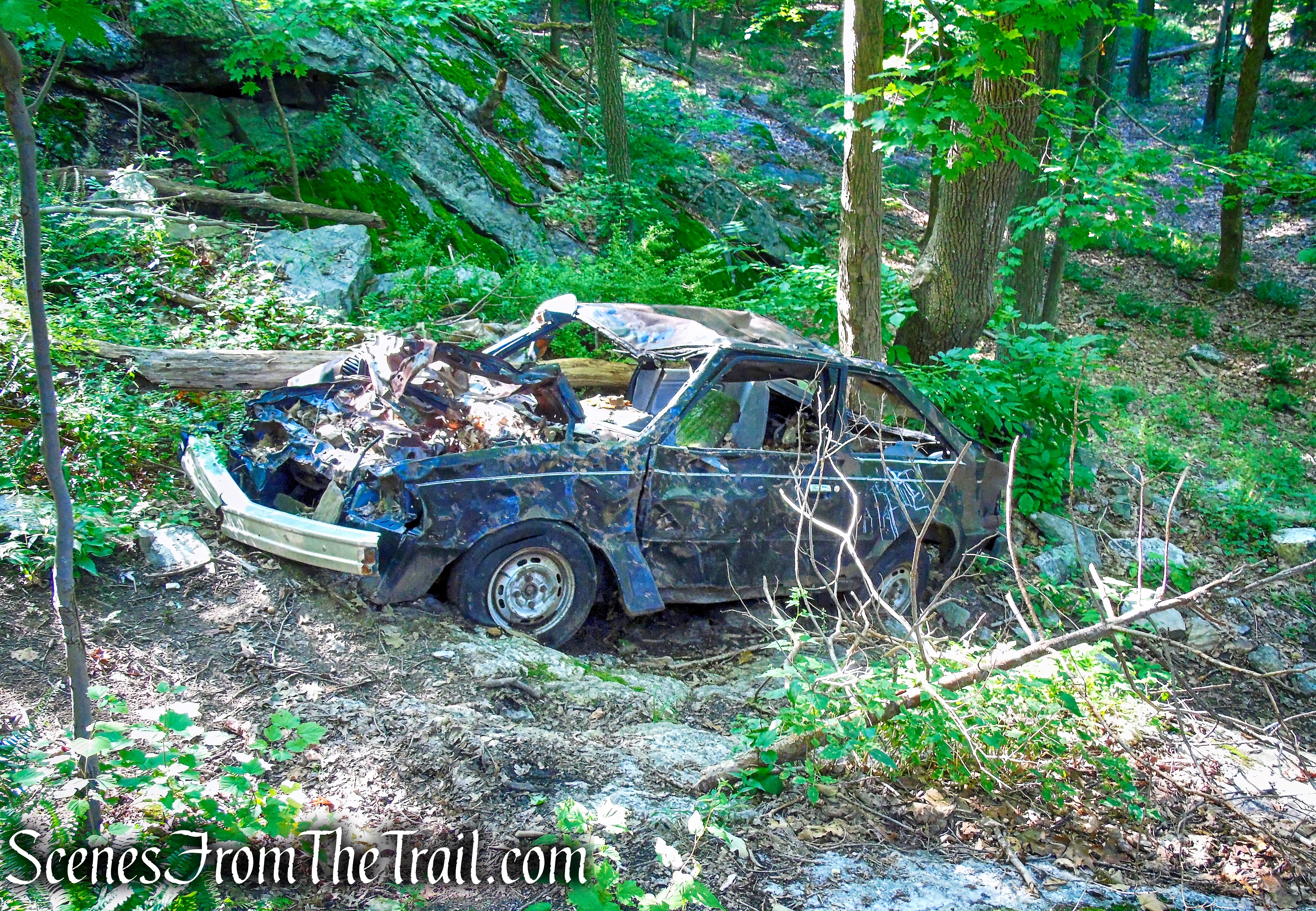
car wreck – Little-Laurel Lime Ridge Park
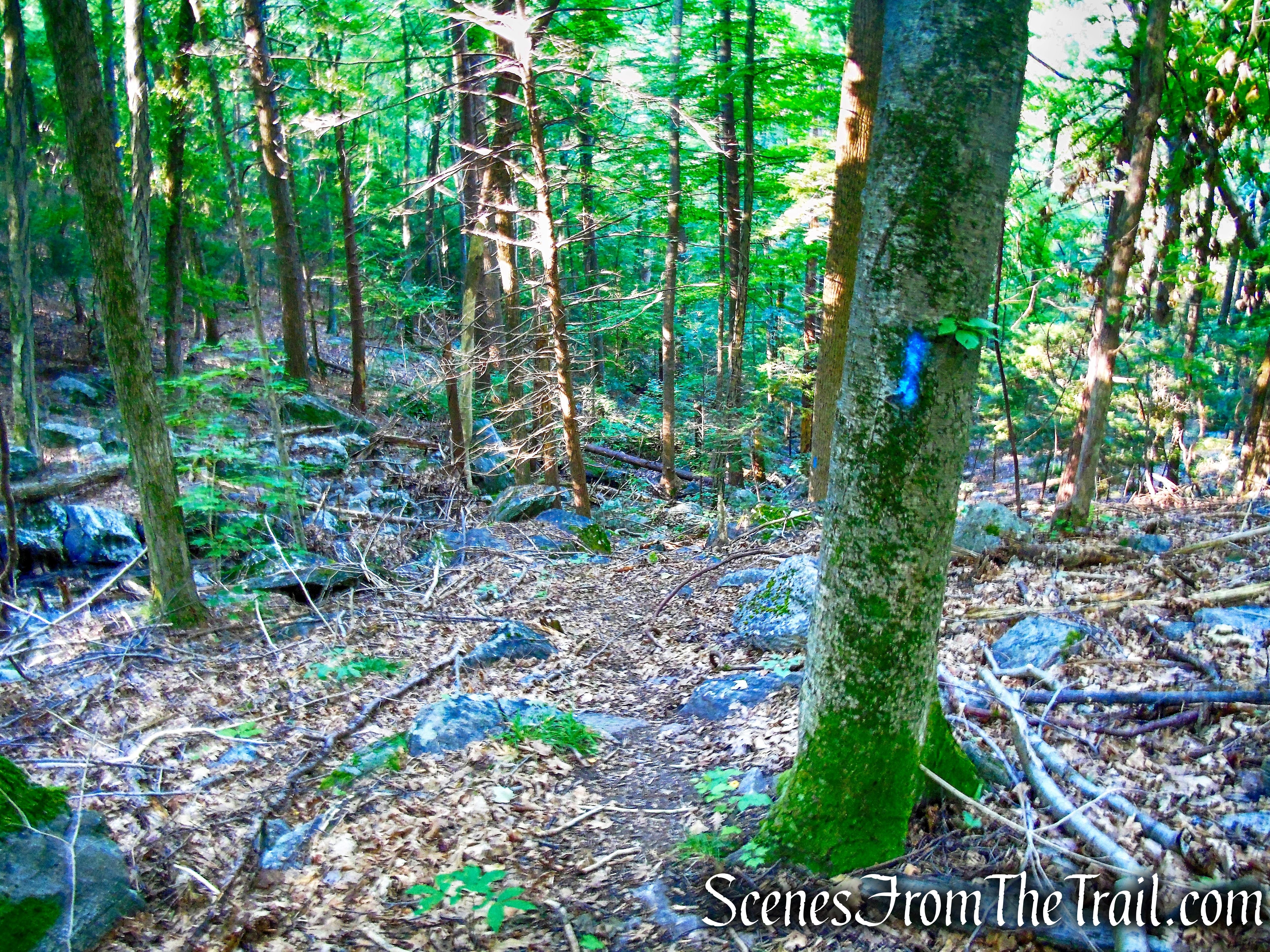
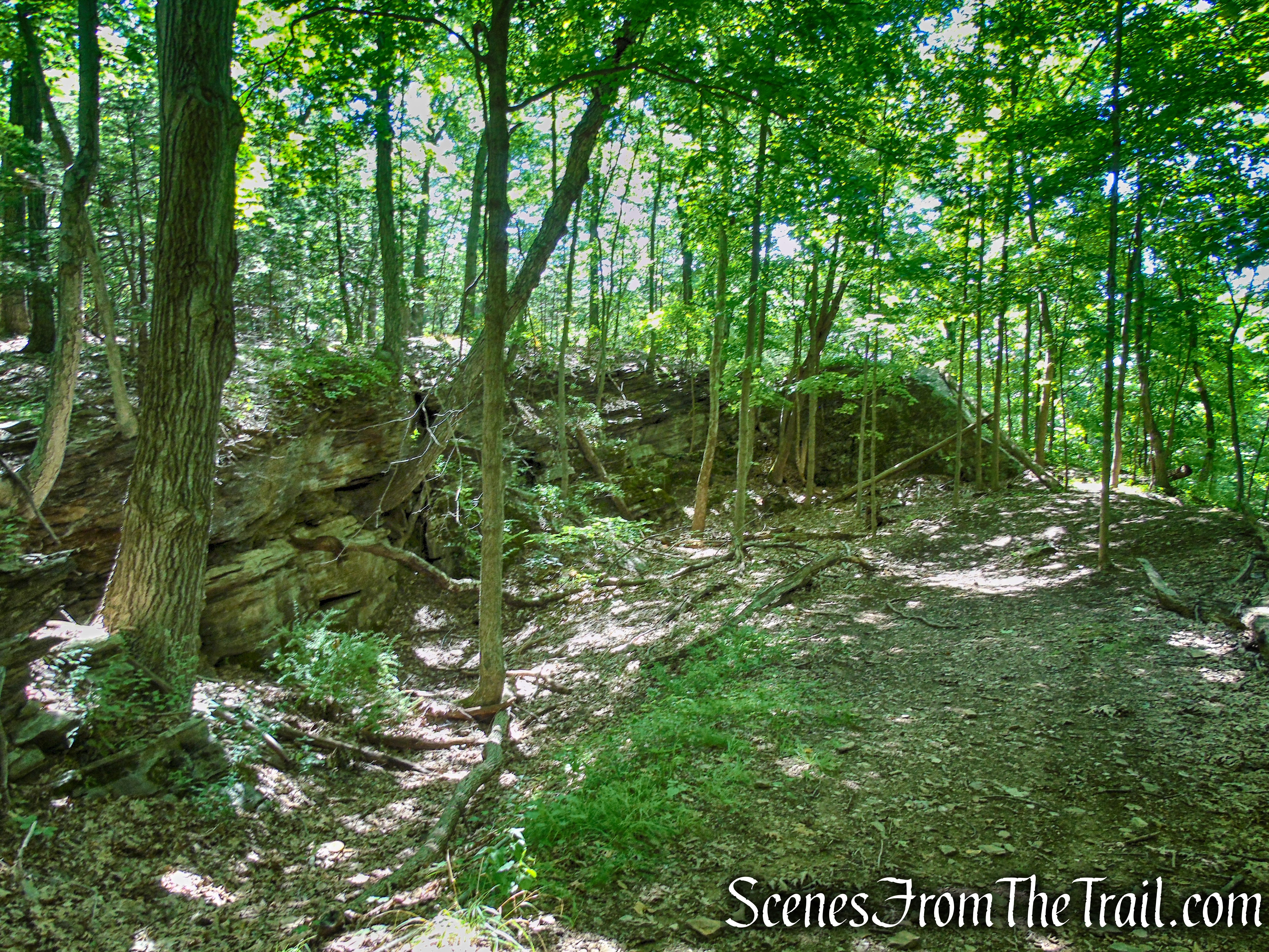
The Blue Trail descending in a southerly direction, in the center of the park, near its southern boundary.
Blue Trail – Little-Laurel Lime Ridge Park
A moss covered rock formation along the Blue Trail.
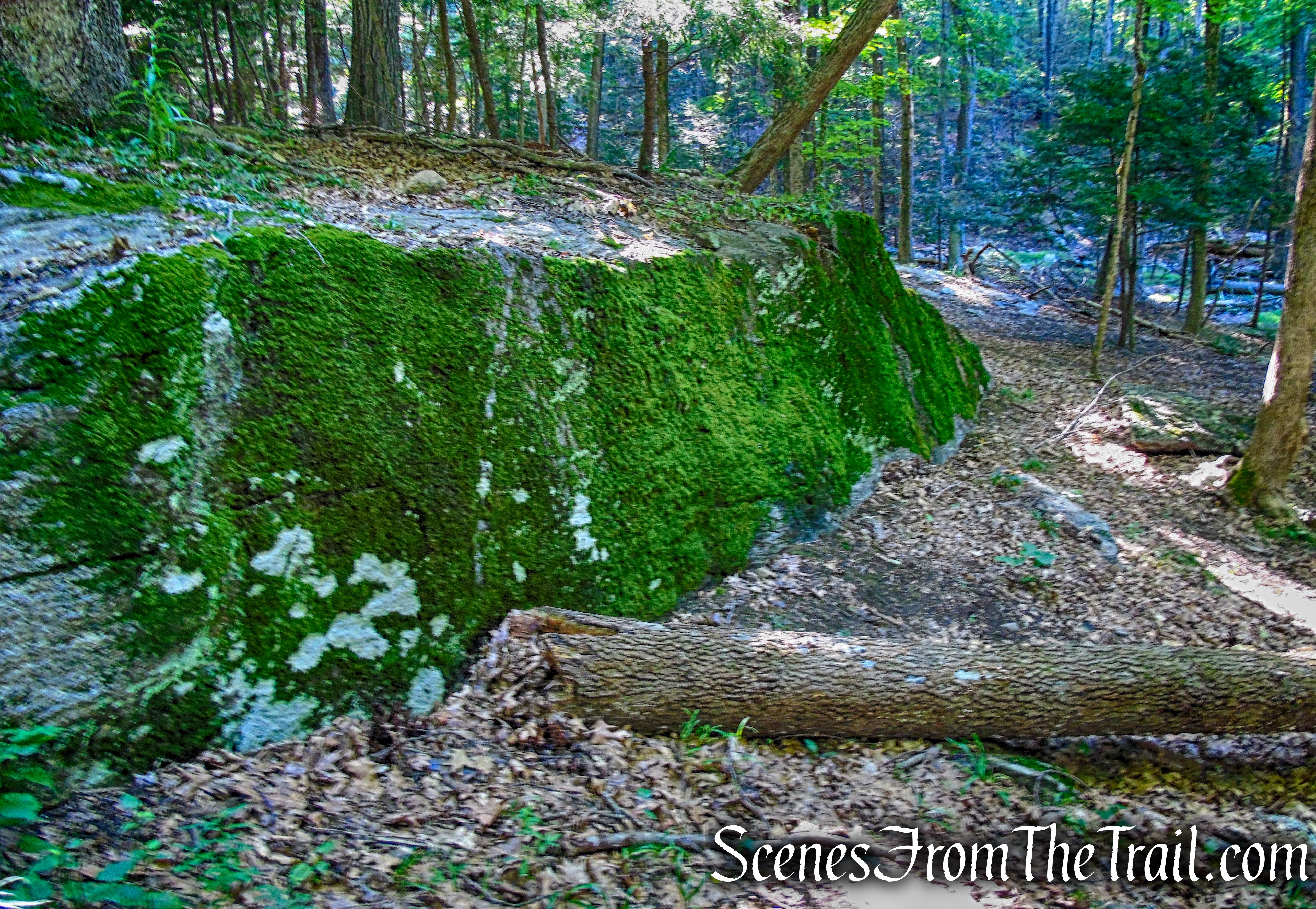
moss covered boulder – Little-Laurel Lime Ridge Park
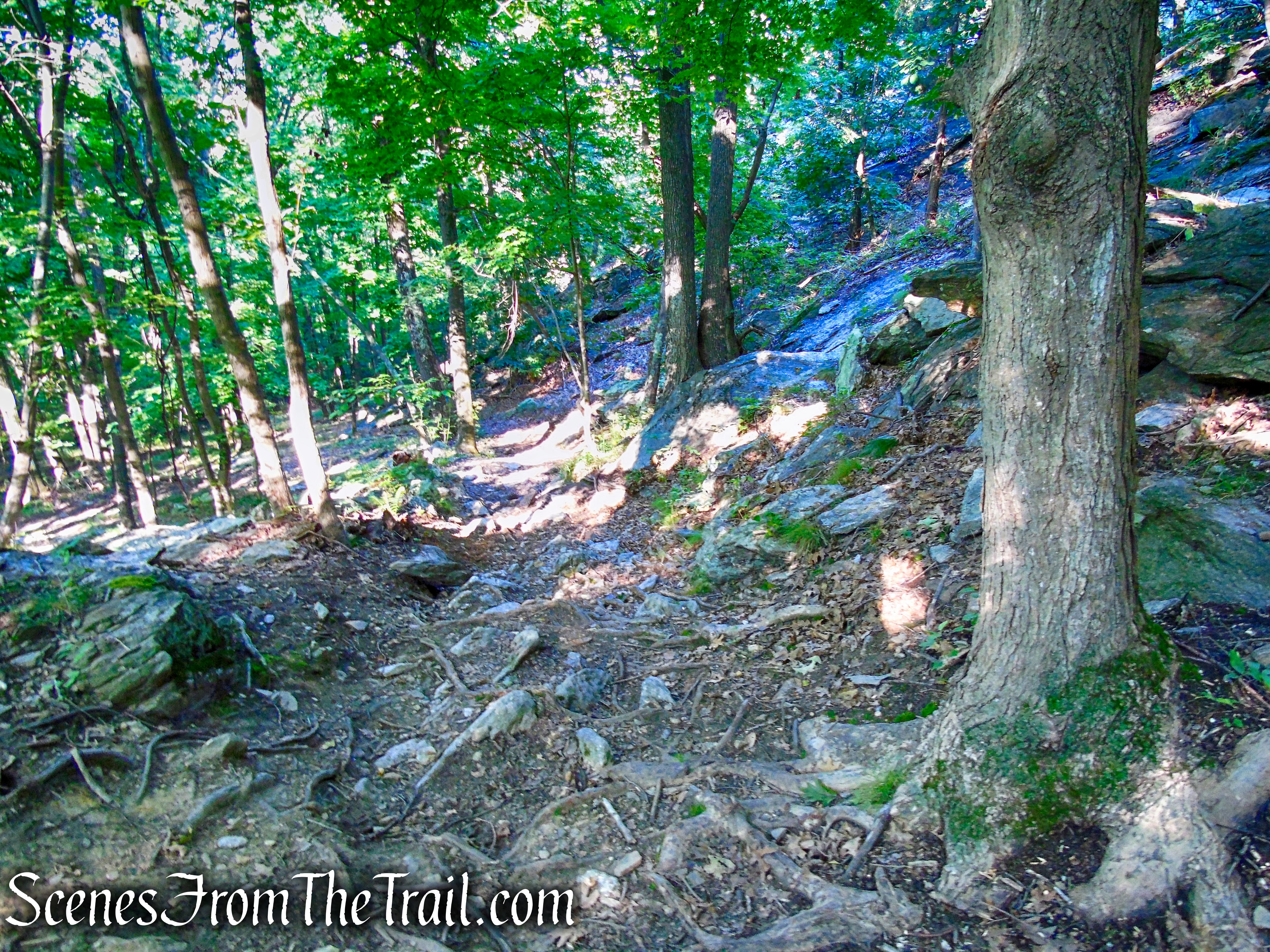
The Blue Trail descends more steeply as it heads west, along a seasonal streaming cascade.
Blue Trail – Little-Laurel Lime Ridge Park
An unmarked trail that heads in a northerly direction towards the area of the viewpoint. The Blue Trail continues its steep descent, but since we were headed to the viewpoint, We turned right onto the unmarked trail. The Blue Trail after descending steeply, ascends to the viewpoint. By taking the unmarked trail, we eliminated some elevation gain.
unmarked trail – Little-Laurel Lime Ridge Park
After climbing steeply along an unmarked footpath, a large open rock outcrop appears.
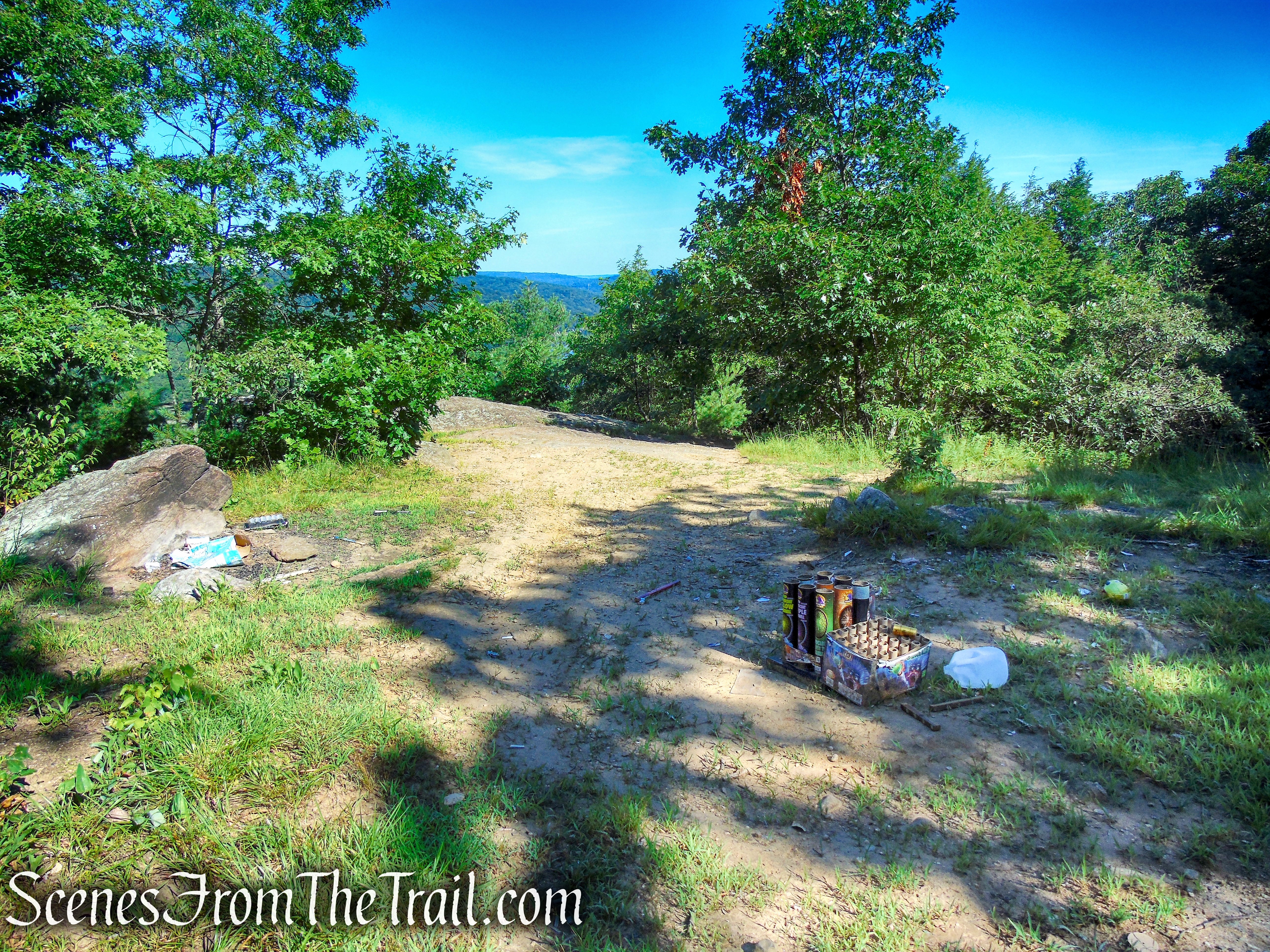
rock outcrop – Little-Laurel Lime Ridge Park
Spent fireworks left behind from previous visitors.

rock outcrop – Little-Laurel Lime Ridge Park
Looking north, up the Housatonic River. This is a good place to take a break and relax.
view of the Housatonic River – Little-Laurel Lime Ridge Park

view of the Housatonic River – Little-Laurel Lime Ridge Park
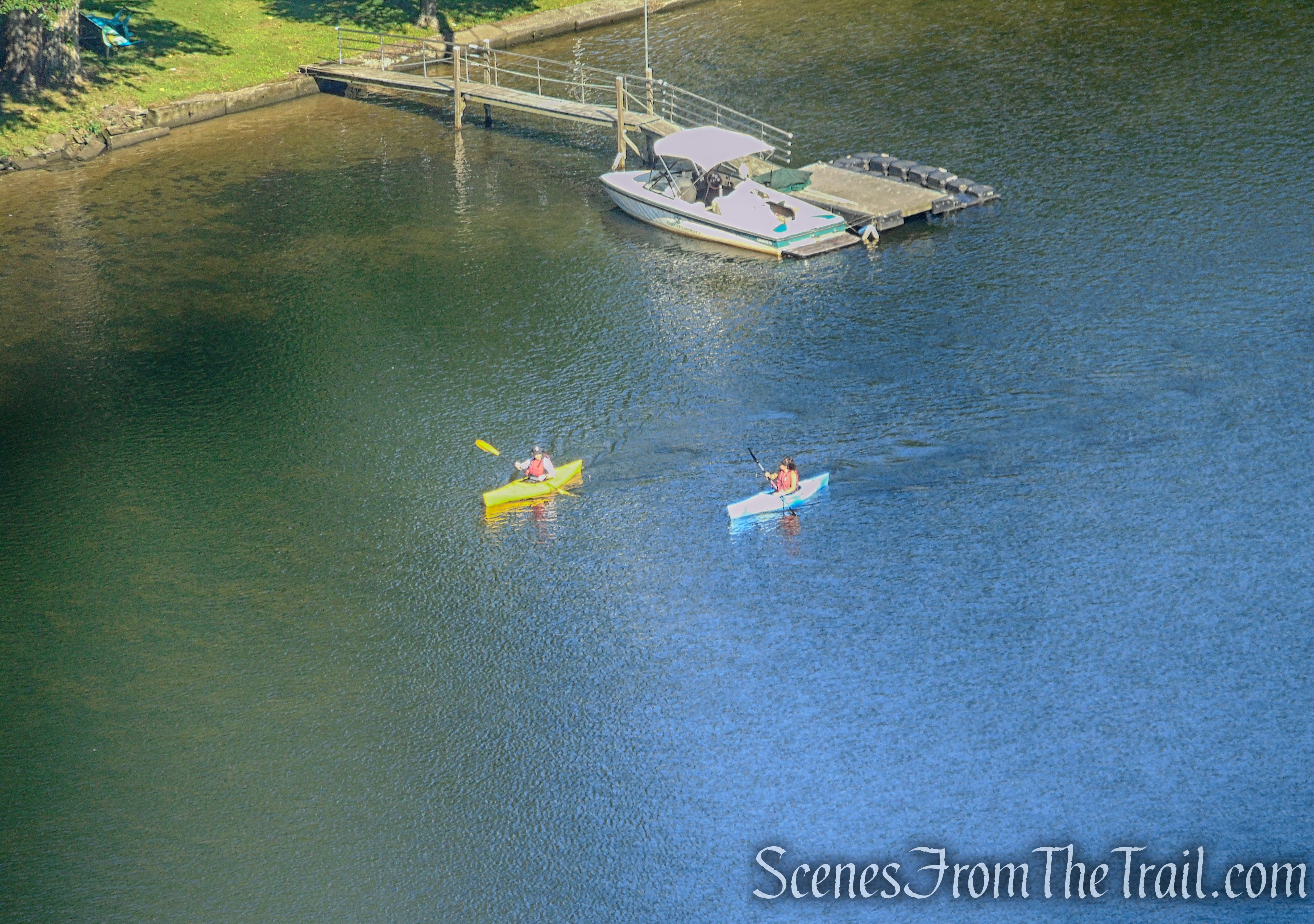
view of the Housatonic River – Little-Laurel Lime Ridge Park
The Blue Trail passes by the viewpoint, and heads northeast near the park’s northern boundary, as it ducks back into the woods.

Blue Trail – Little-Laurel Lime Ridge Park
The Blue Trail runs along an old mining road, leading to the ruins of an early 1800’s colonial limestone kiln.
lime kiln ruins – Little-Laurel Lime Ridge Park
As the Blue Trail heads south, not far from the kiln ruins, it passes alongside the northen quarry.

marble quarry – Little-Laurel Lime Ridge Park

marble quarry – Little-Laurel Lime Ridge Park
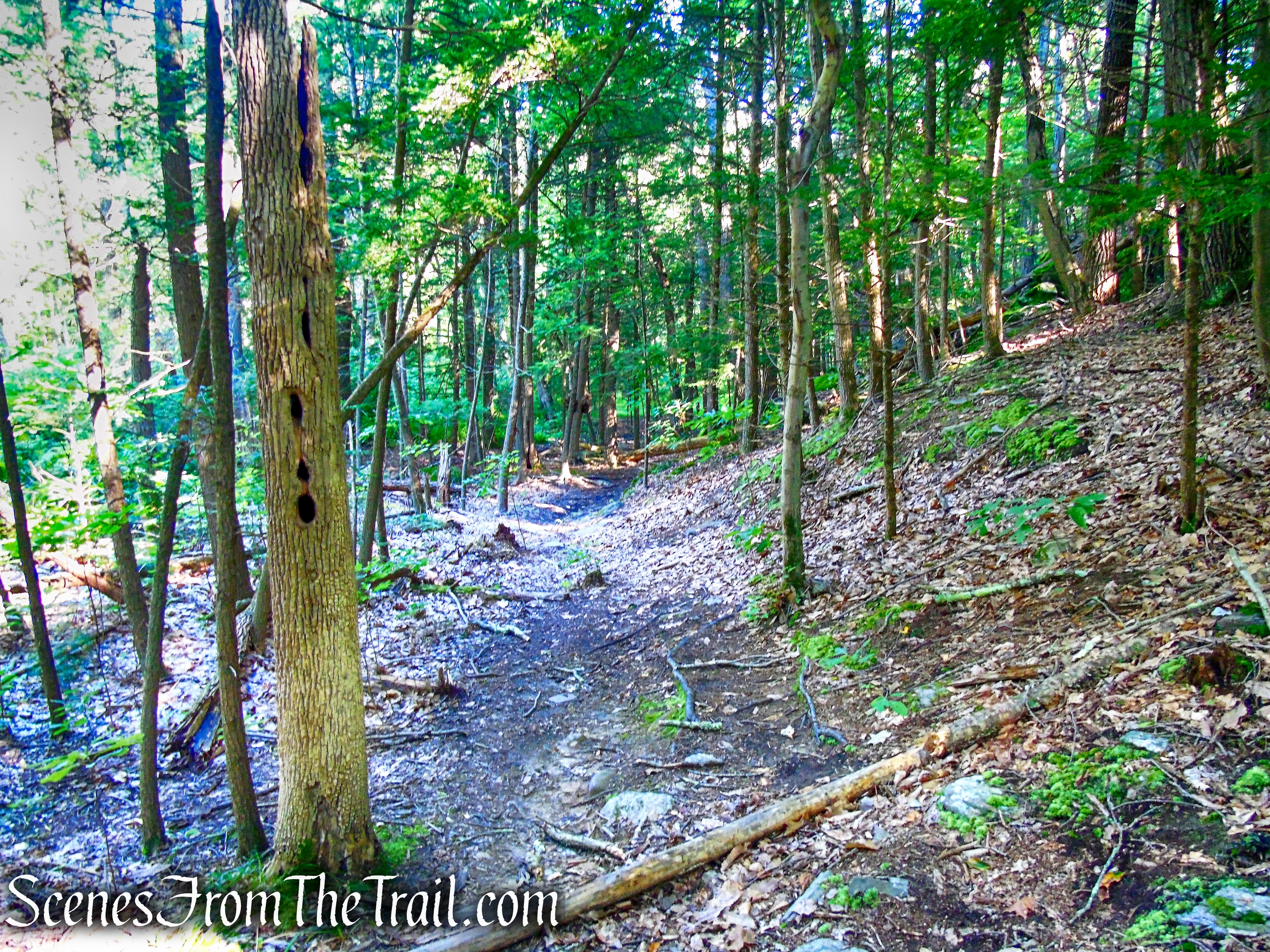
The Blue Trail continues south, through the center of the park……..

Blue Trail – Little-Laurel Lime Ridge Park
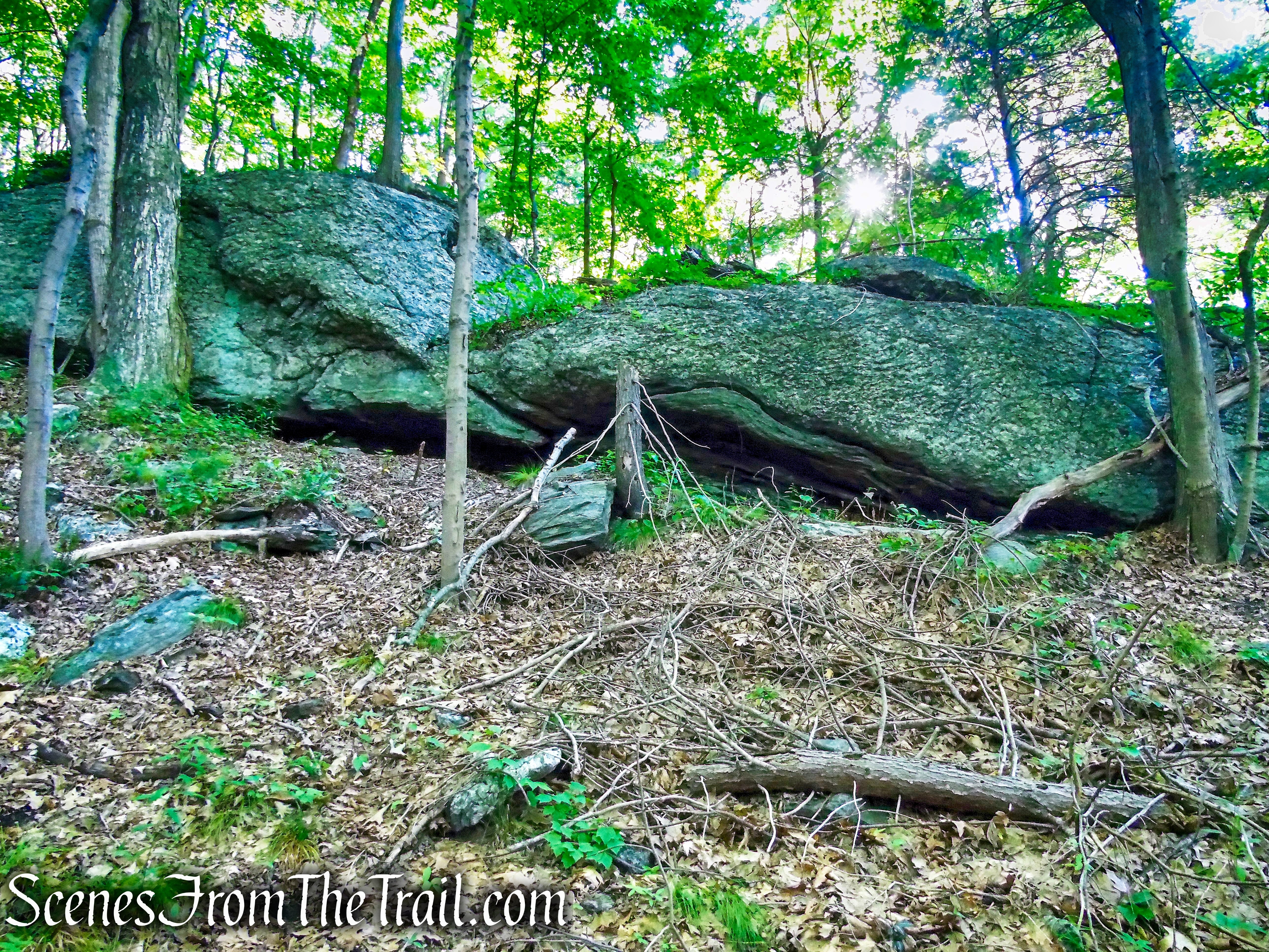
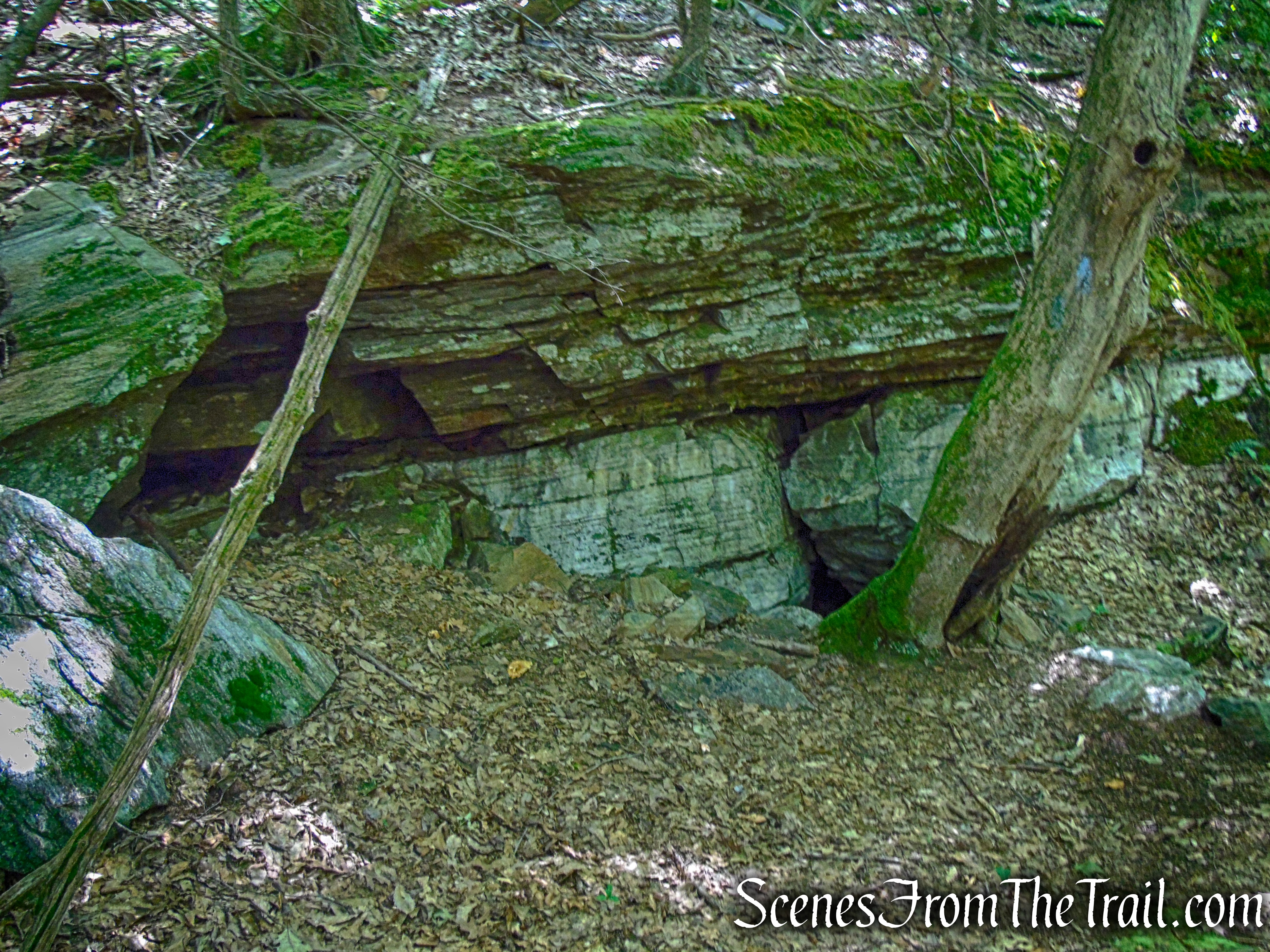
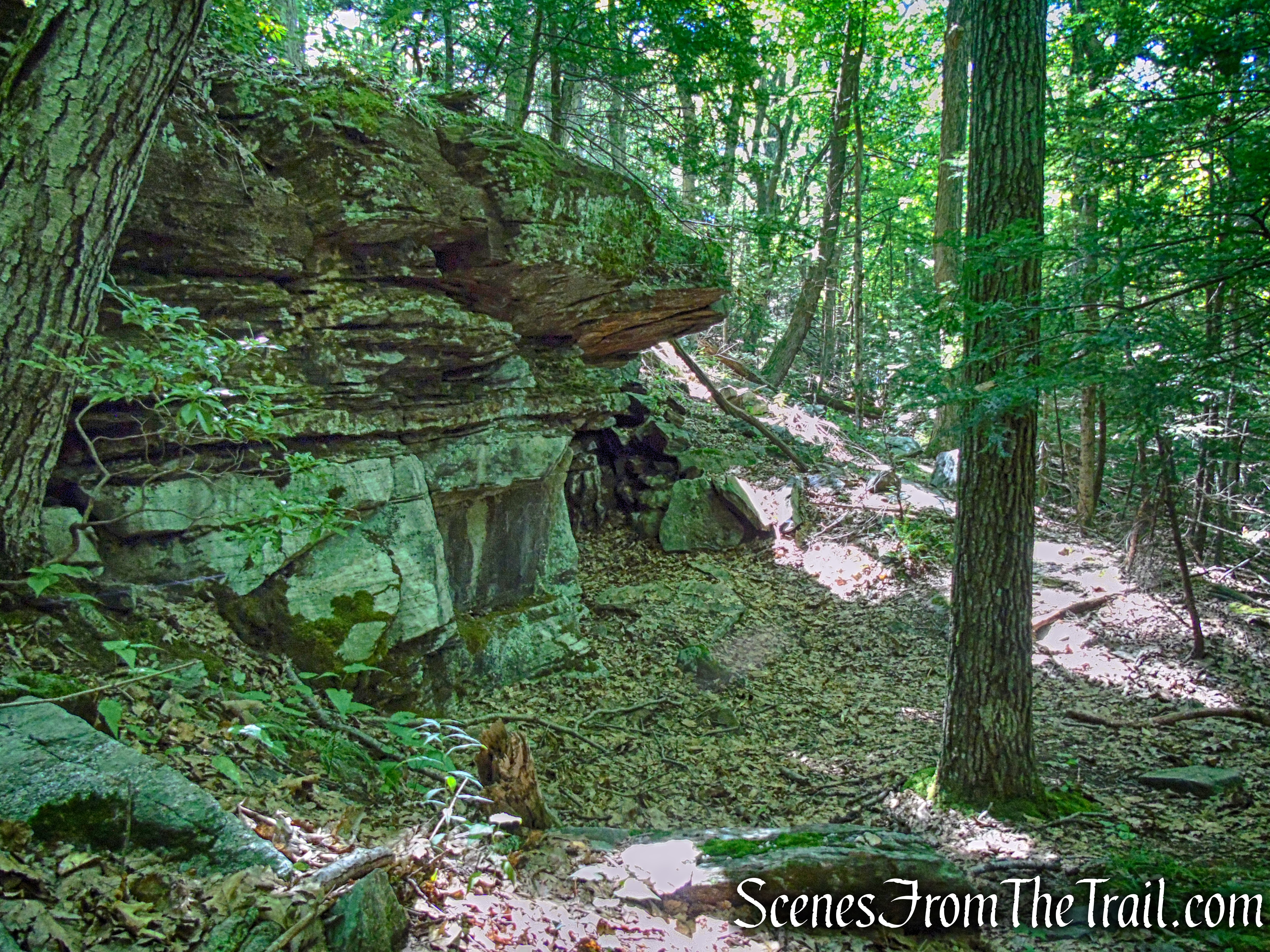
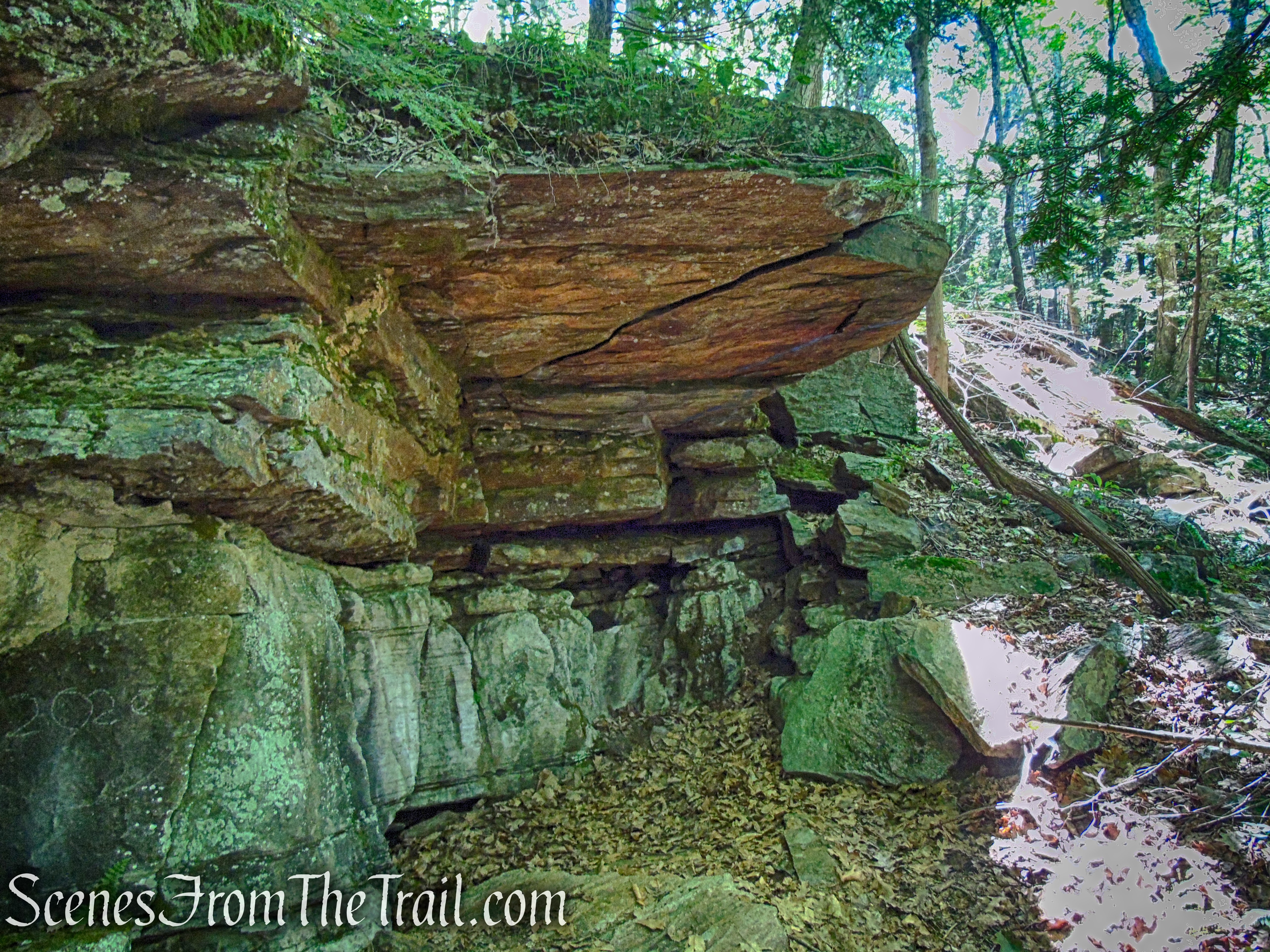
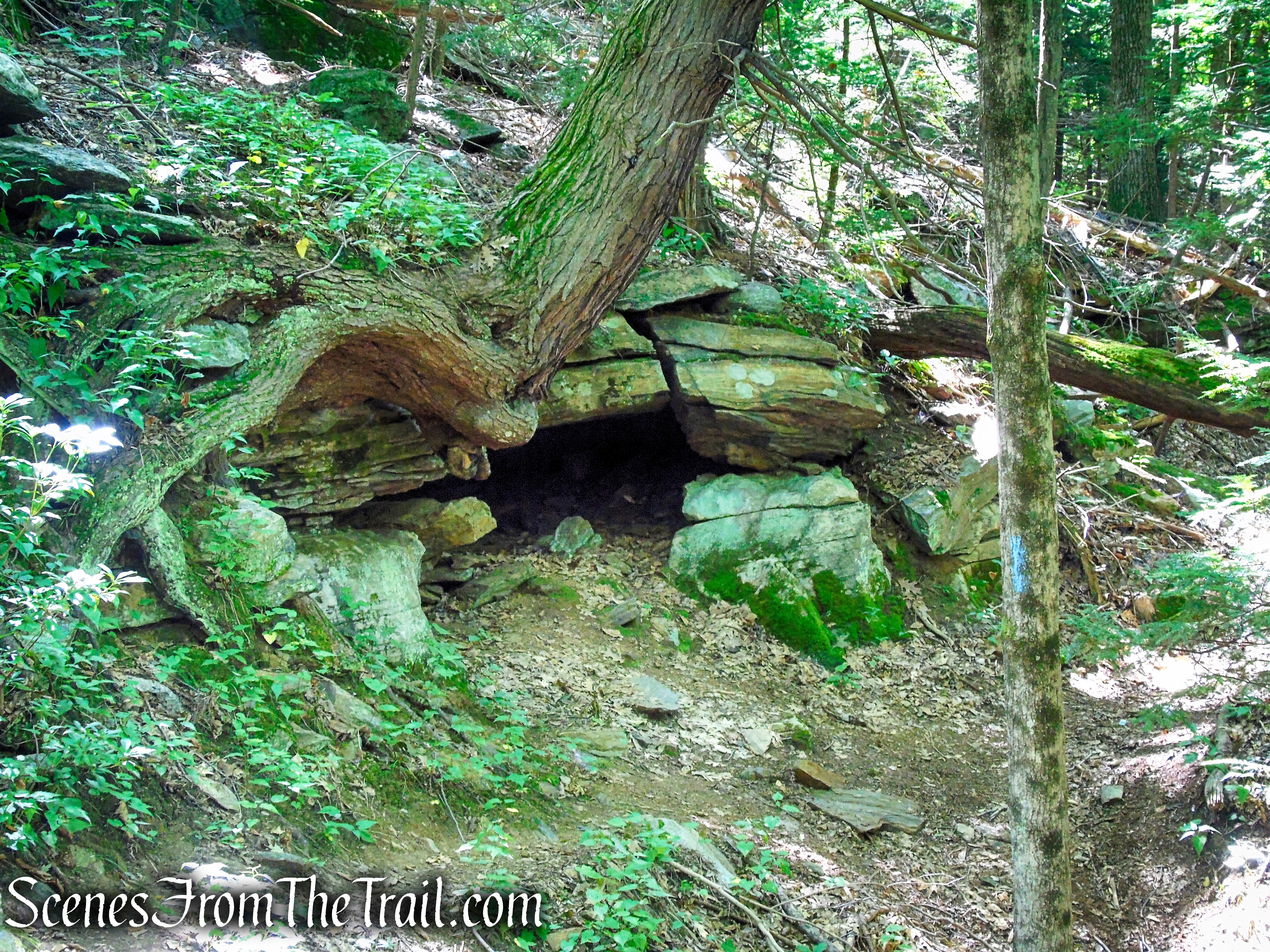
…..soon passing some interesting rock formations, rock shelters and marble caves.

Blue Trail – Little-Laurel Lime Ridge Park
Blue Trail – Little-Laurel Lime Ridge Park
Blue Trail – Little-Laurel Lime Ridge Park
Blue Trail – Little-Laurel Lime Ridge Park
If you’re expecting some deep caverns to walk into and explore, you will be sorely disappointed. These “holes in the rock” are still a very interesting geological feature to see.
Blue Trail – Little-Laurel Lime Ridge Park
Blue Trail – Little-Laurel Lime Ridge Park
Review:
A quiet place to explore with many points of interest. With the myriad of trails and old mining roads, along with ATV trails, one can spend a good deal of time in this park. The rock formations, quarries, caves and views of the Housatonic River make Little-Laurel Lime Ridge Park a worthwhile place to check out. The trails could be better blazed and an up-to-date trail map would be helpful, but all in all, a few hours well spent on the trails.
Pros:
Scenic views, rock formations, historical features, quarries, marble caves, not much foot traffic.
Cons:
Trails are not well marked and no updated trail map.
Sources:
