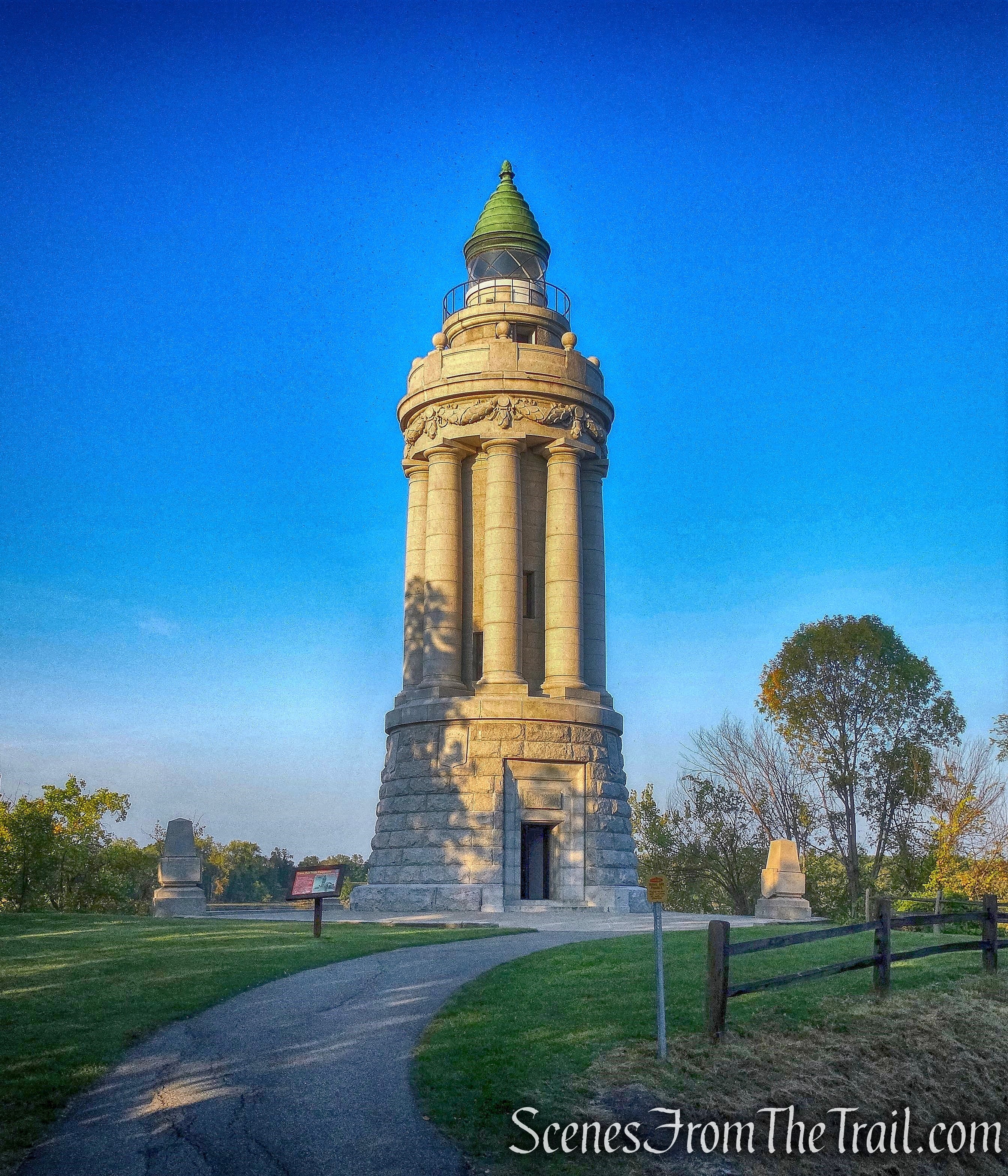
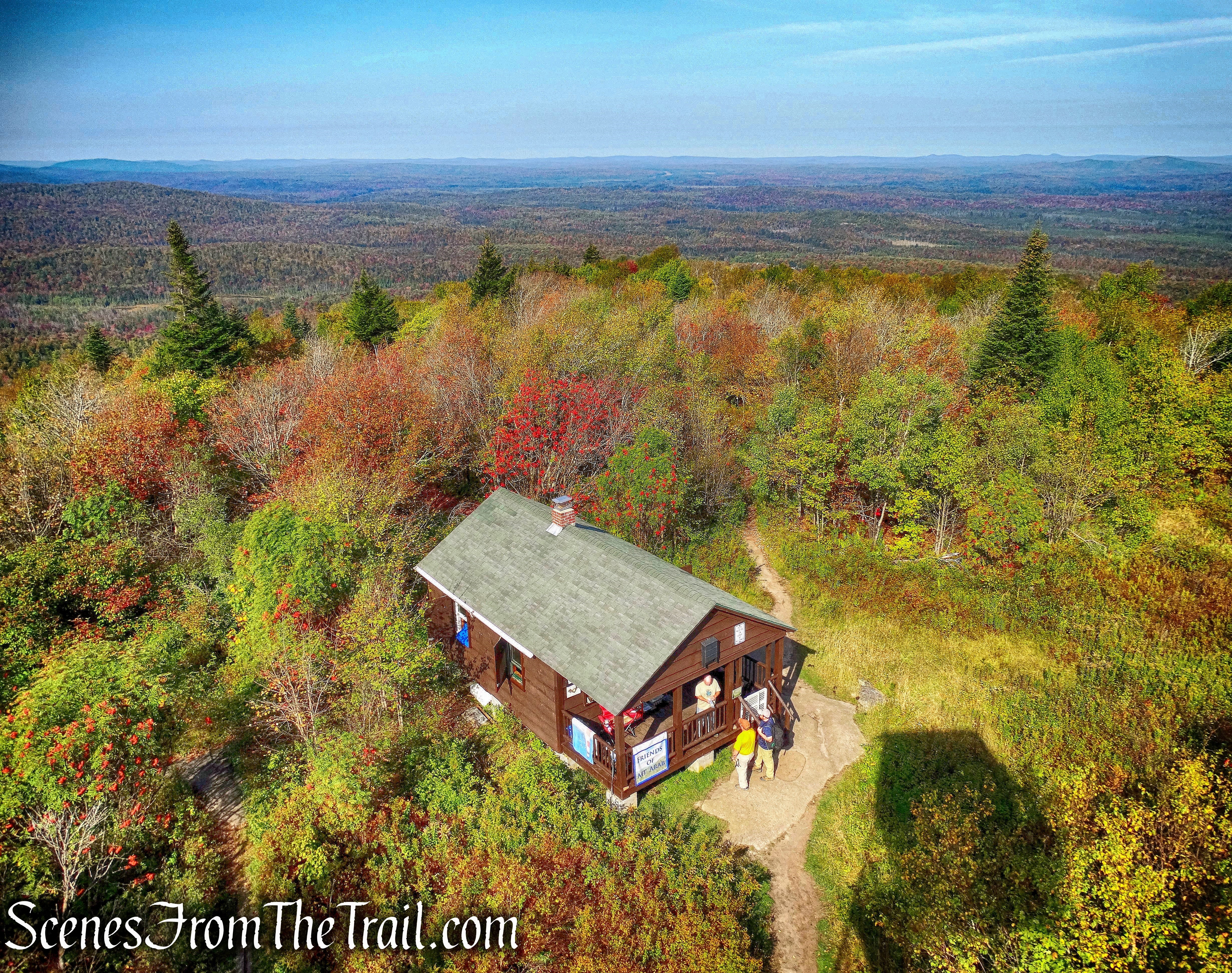
July 30, 2017 – Tomkins Cove, NY
Difficulty: Moderate – Strenuous
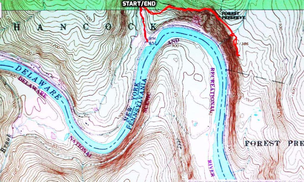
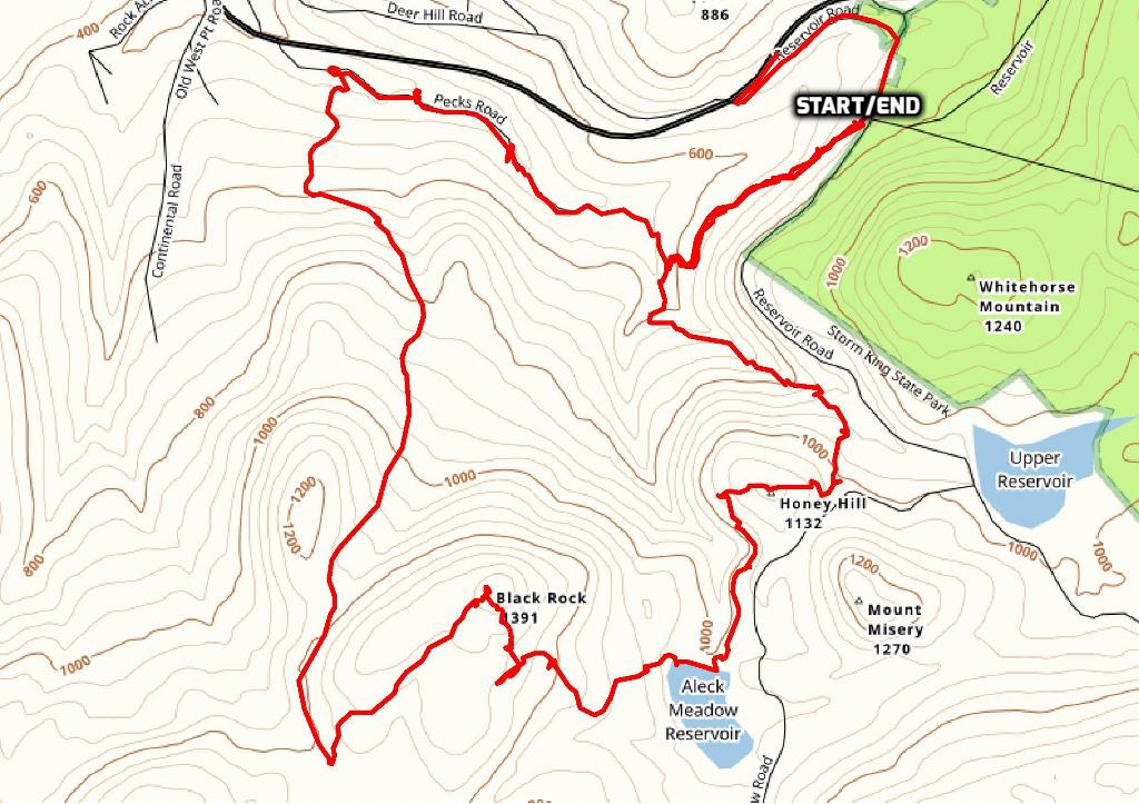
Length: Approximately 9 miles
Max elevation: 1,155 ft.– total elevation gain approximately 1,148 ft.
Route type: Circuit
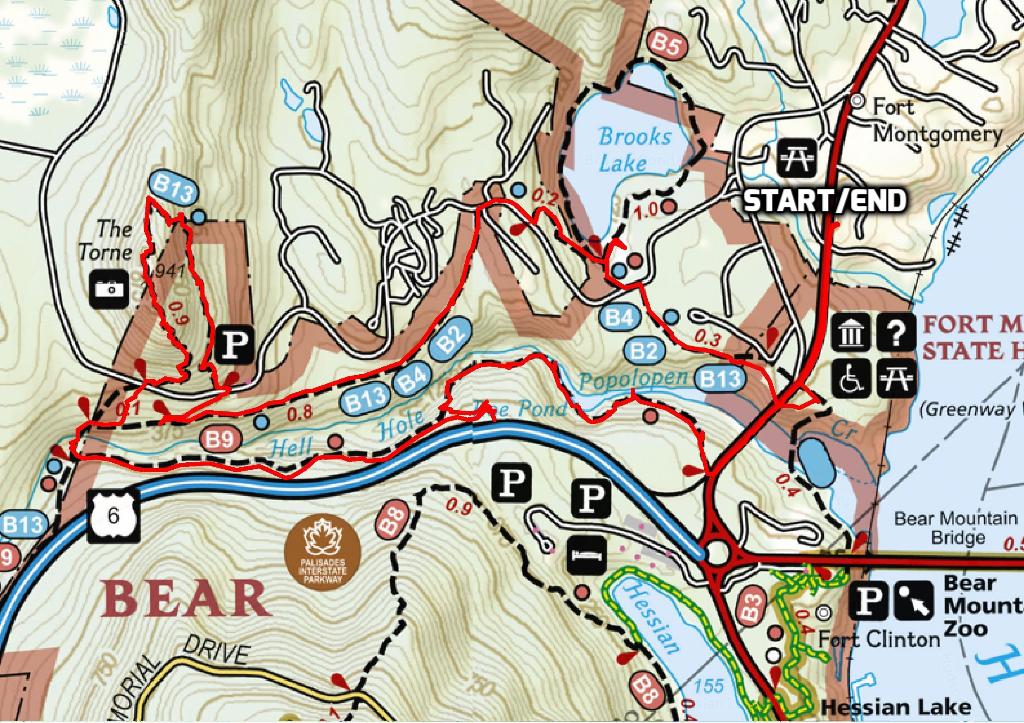
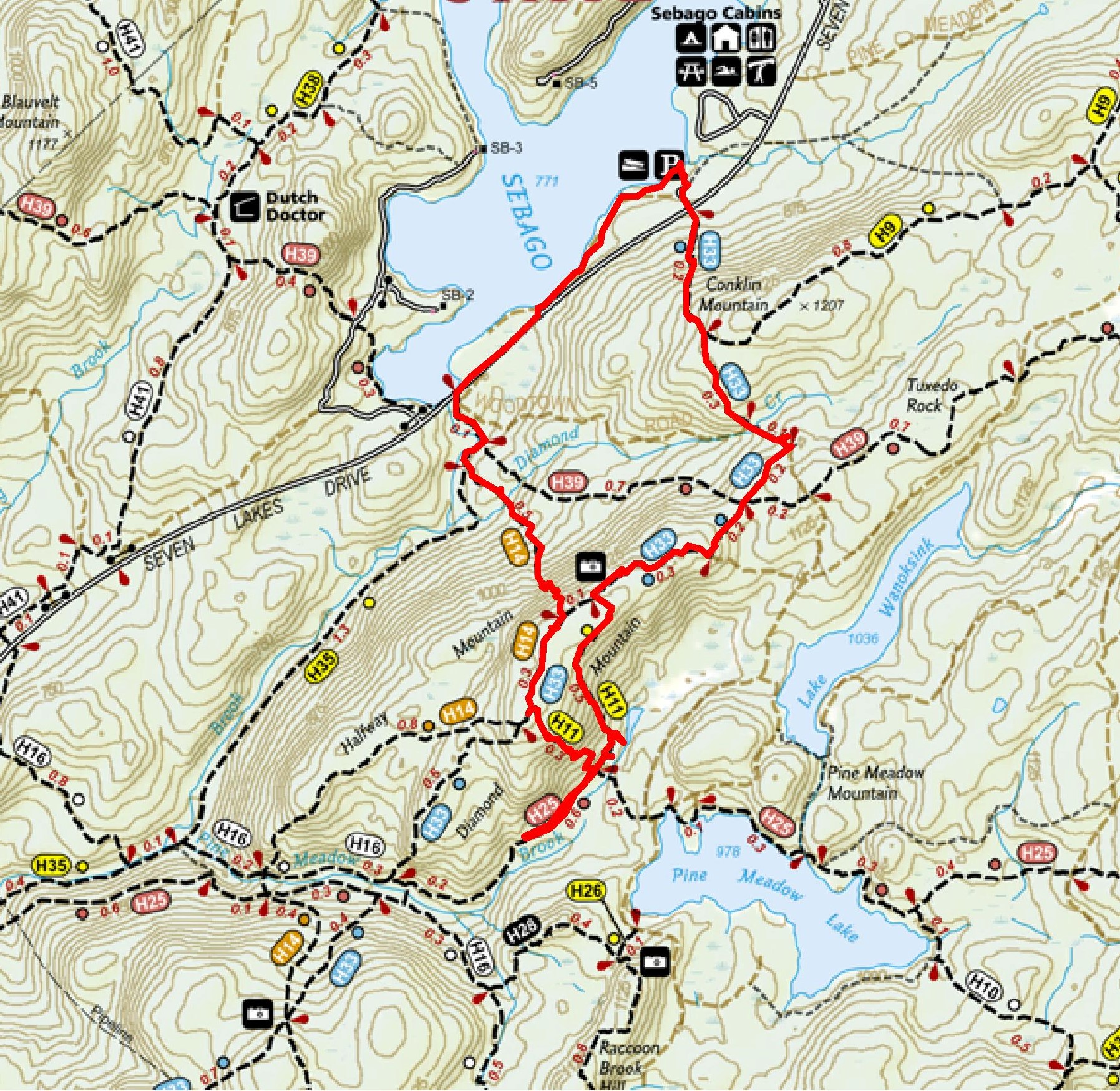
Map: Harriman-Bear Mountain Trails Map #119
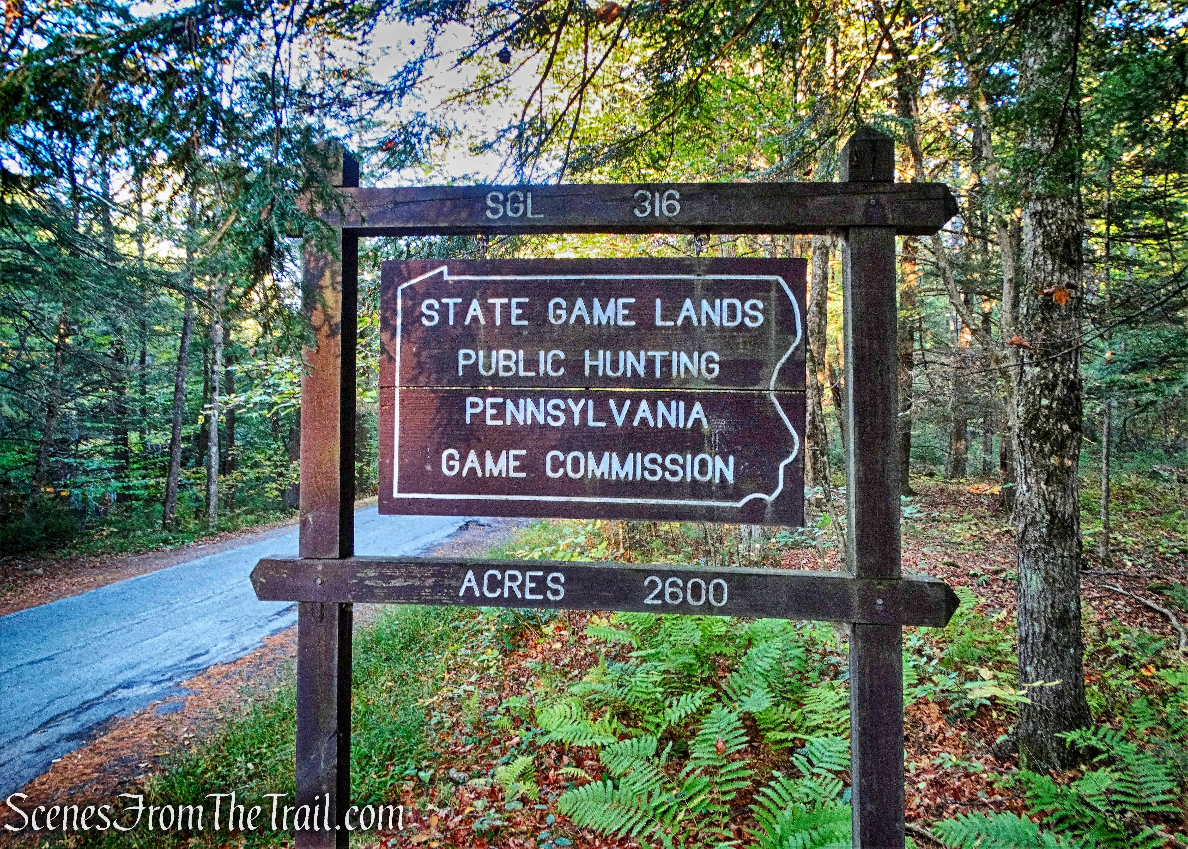
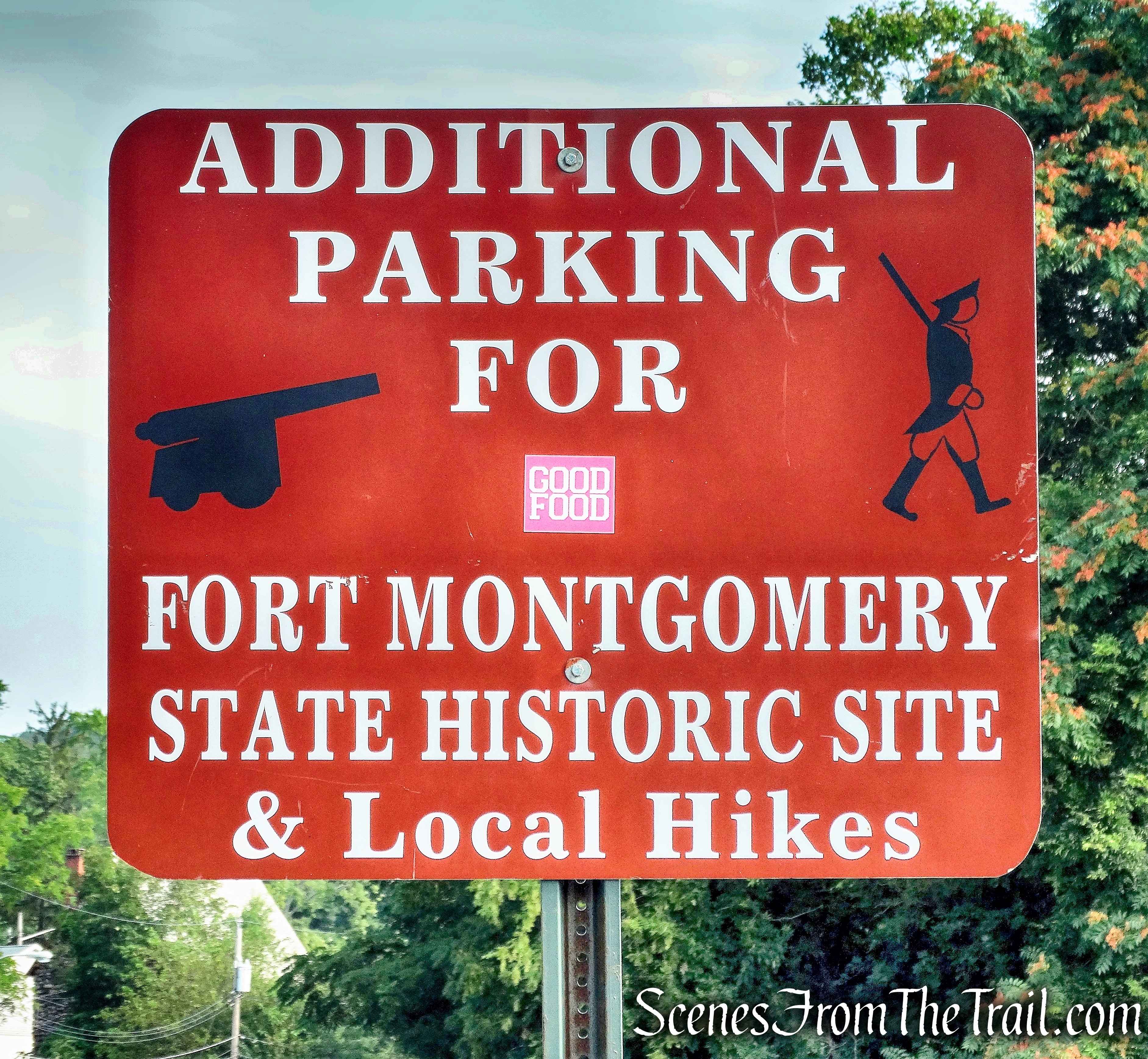
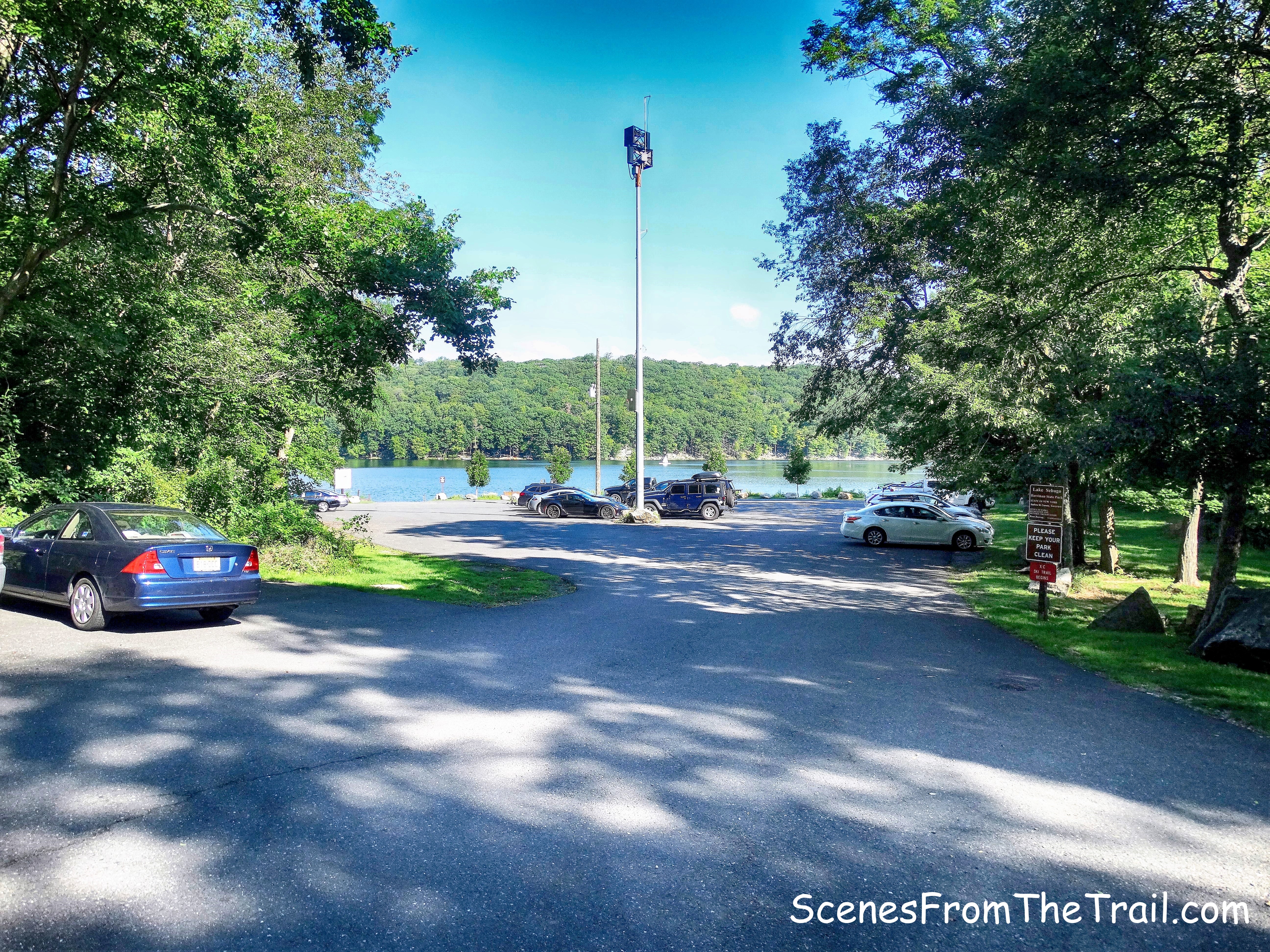
Trailhead parking: Anthony Wayne Recreation Area
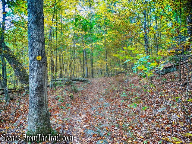
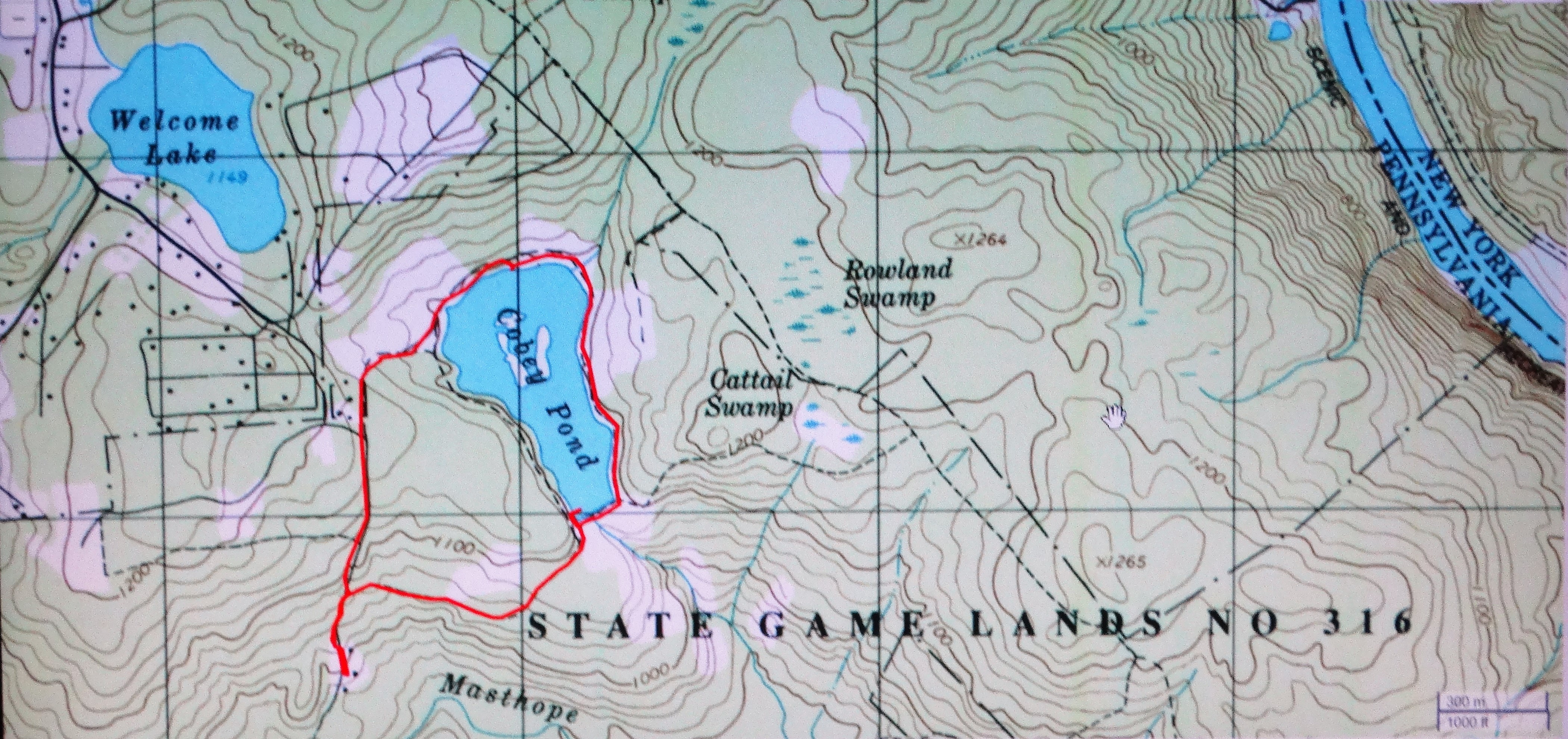
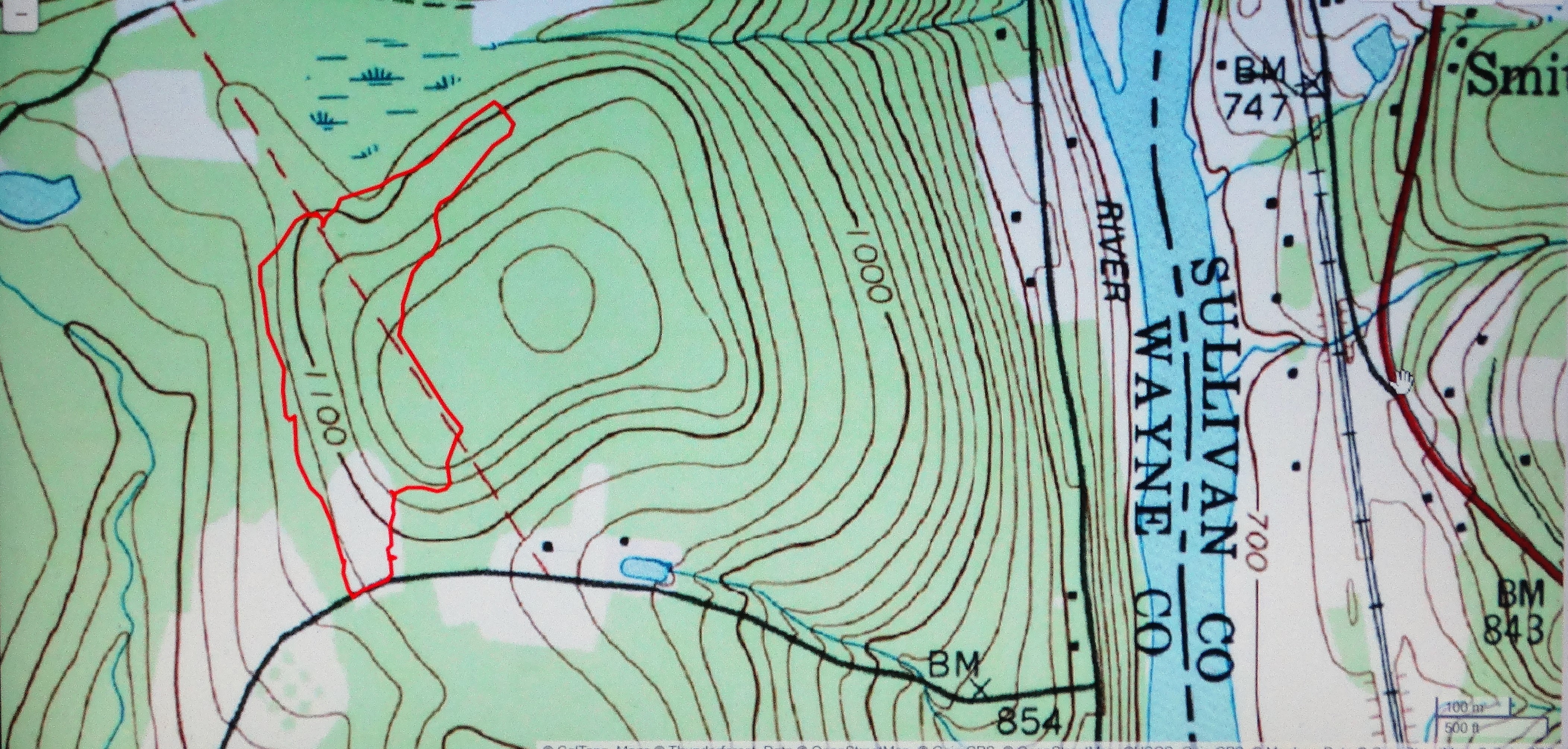
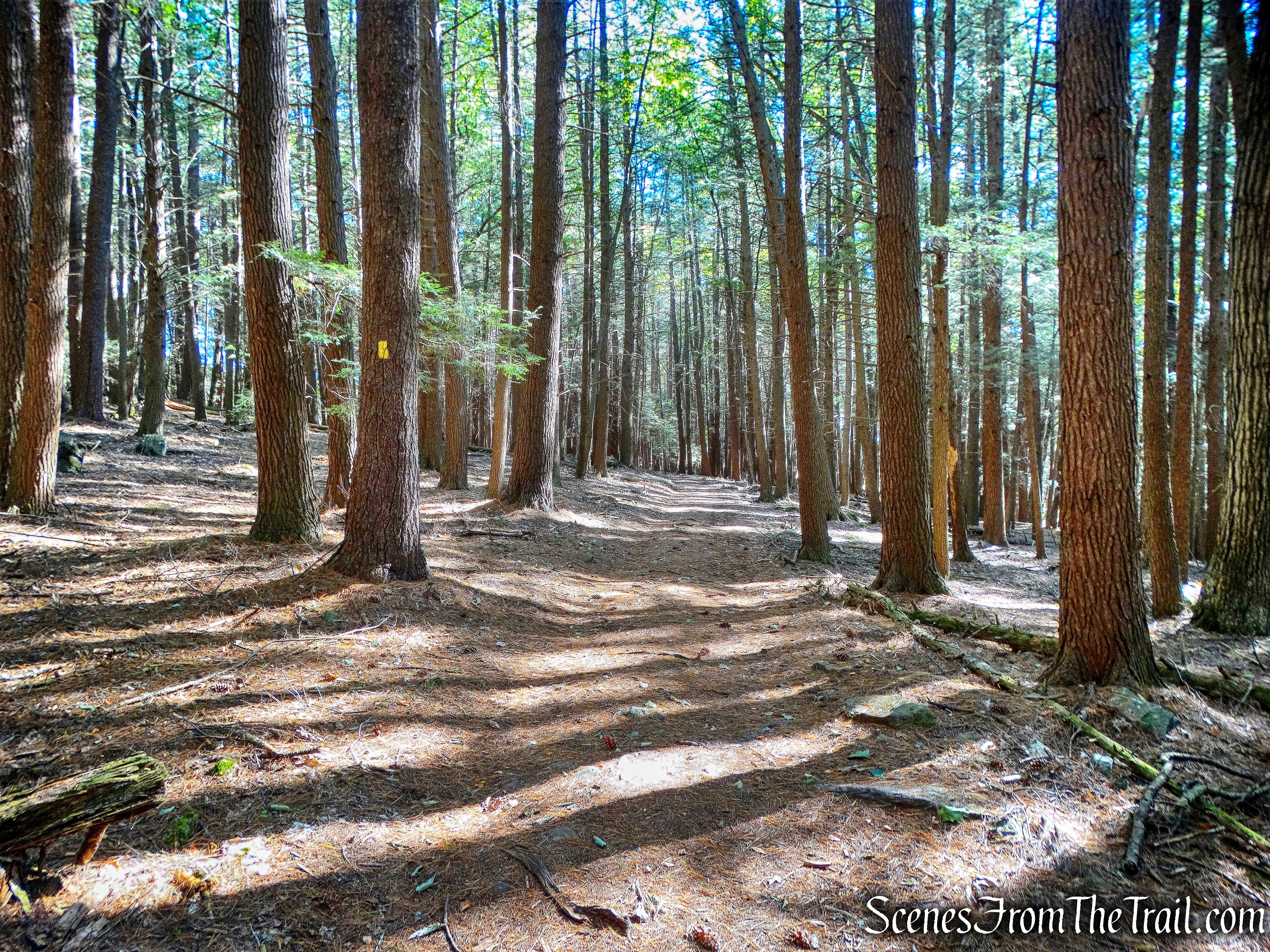
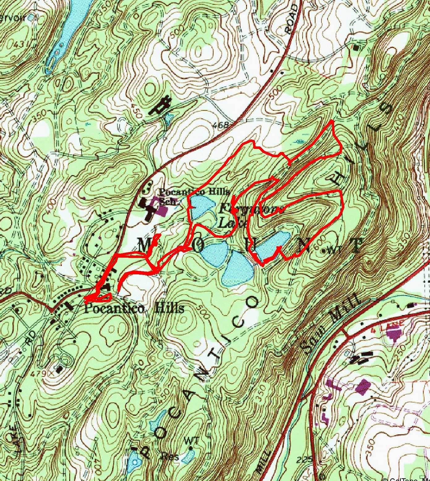
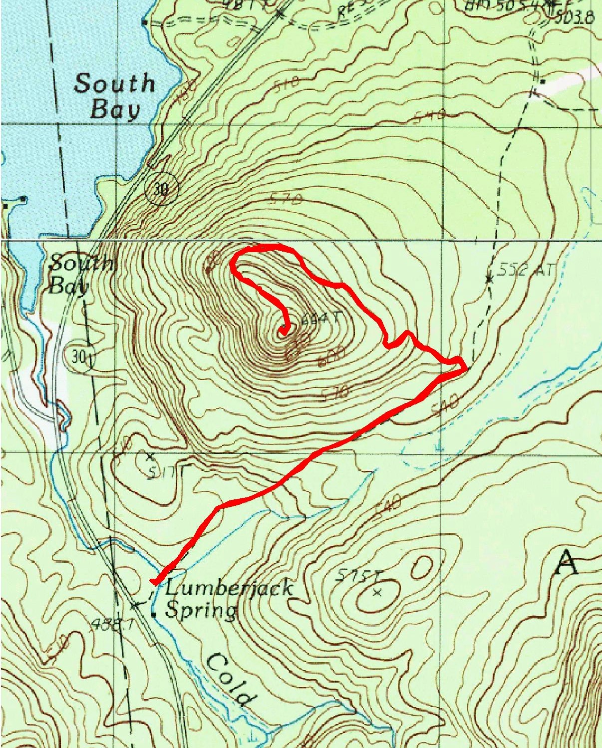
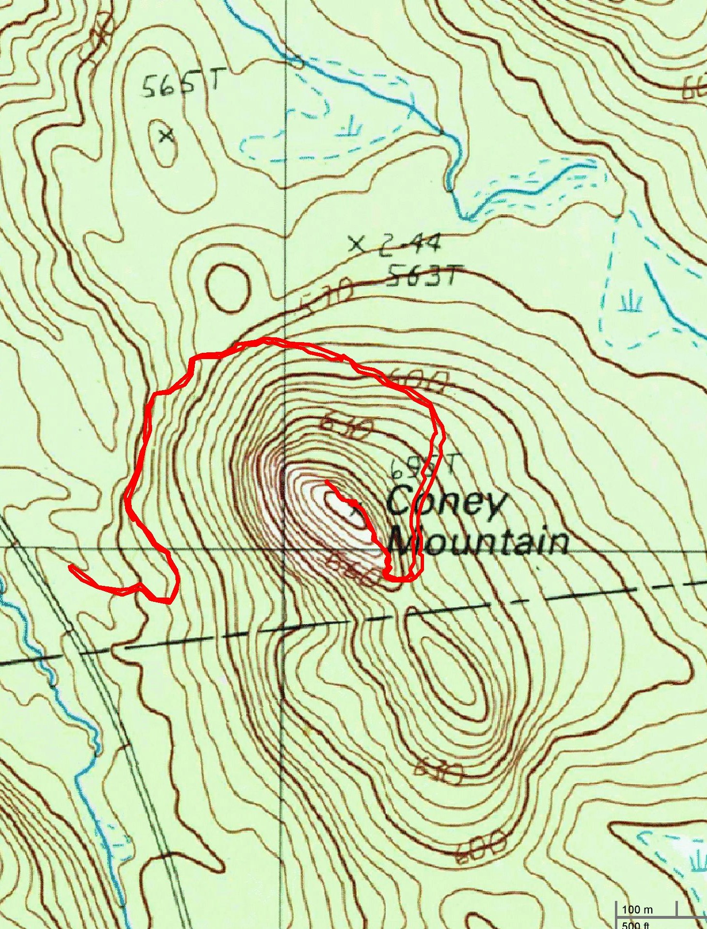
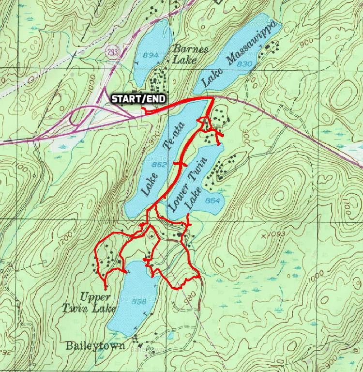
I try to map out hikes that have as many interesting features as possible with the least amount of traffic on the trails. Even at the height of the hiking season, the path less traveled is still traveled, especially when hiking near bodies of water or scenic views. This hike turned out to be everything I love about hiking and some things that I don’t. We did this hike counter clockwise starting at the bottom of the map.
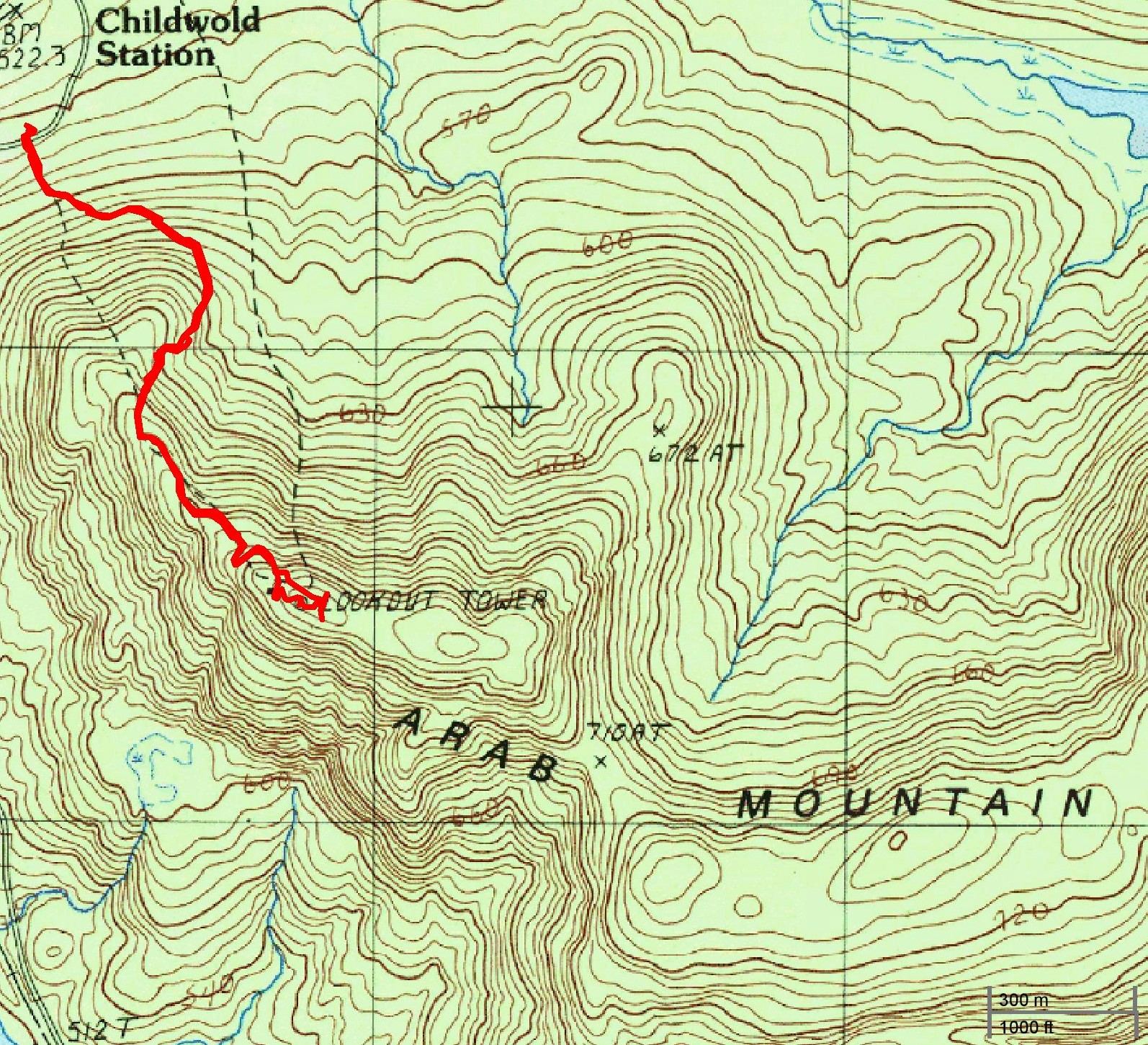
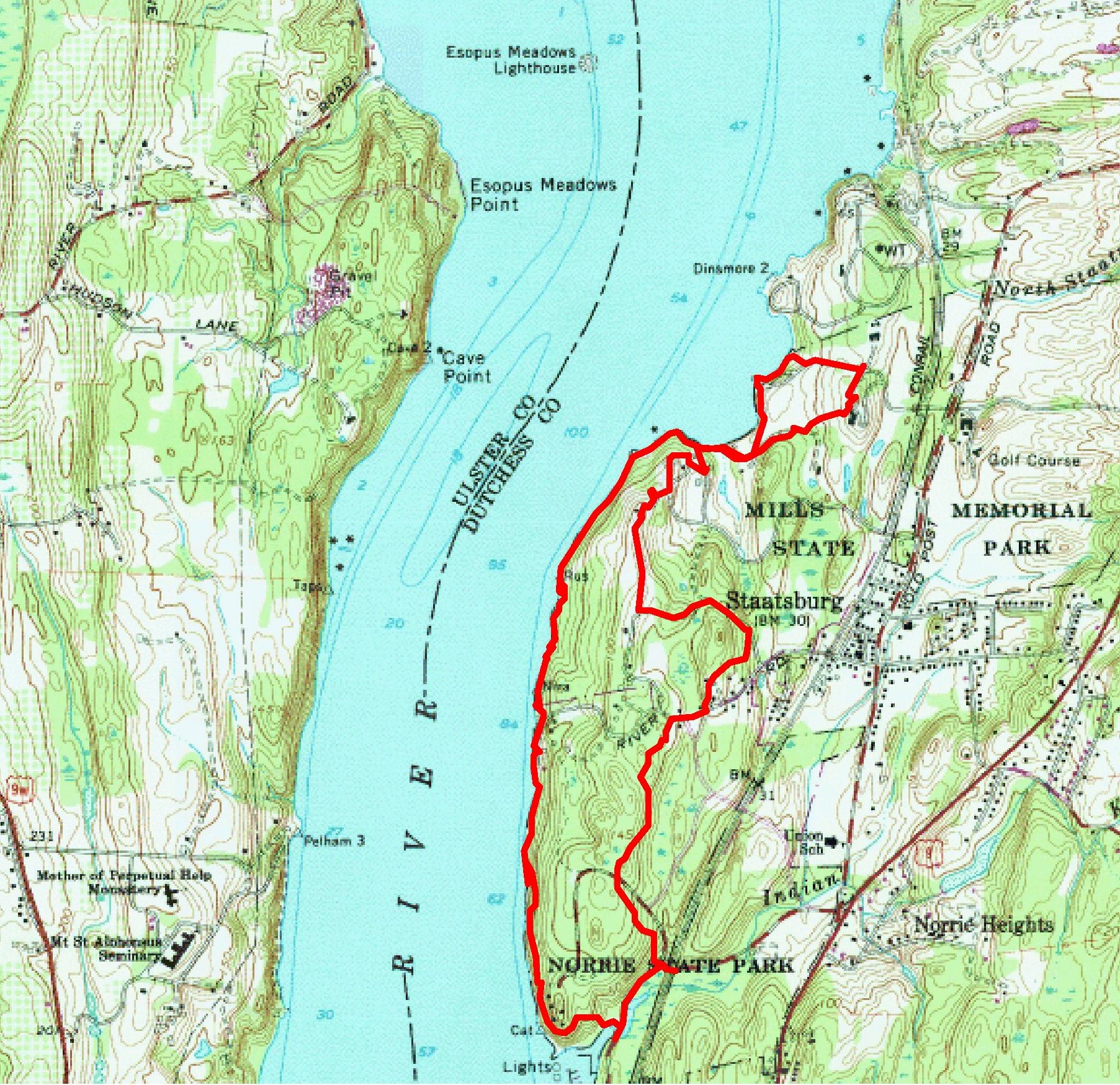
hike route
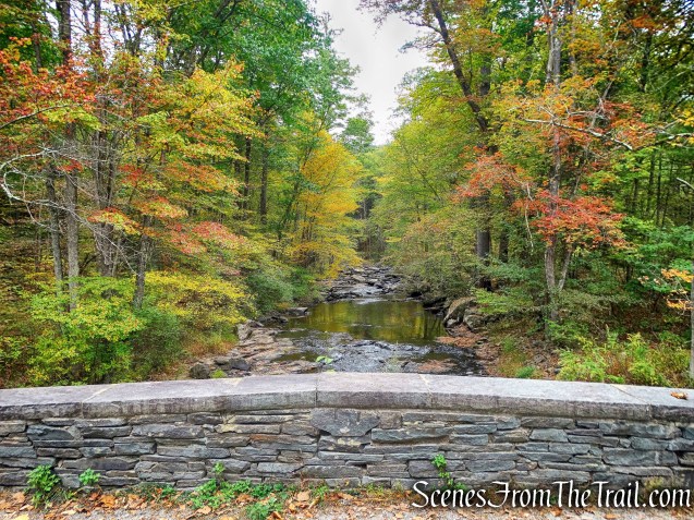
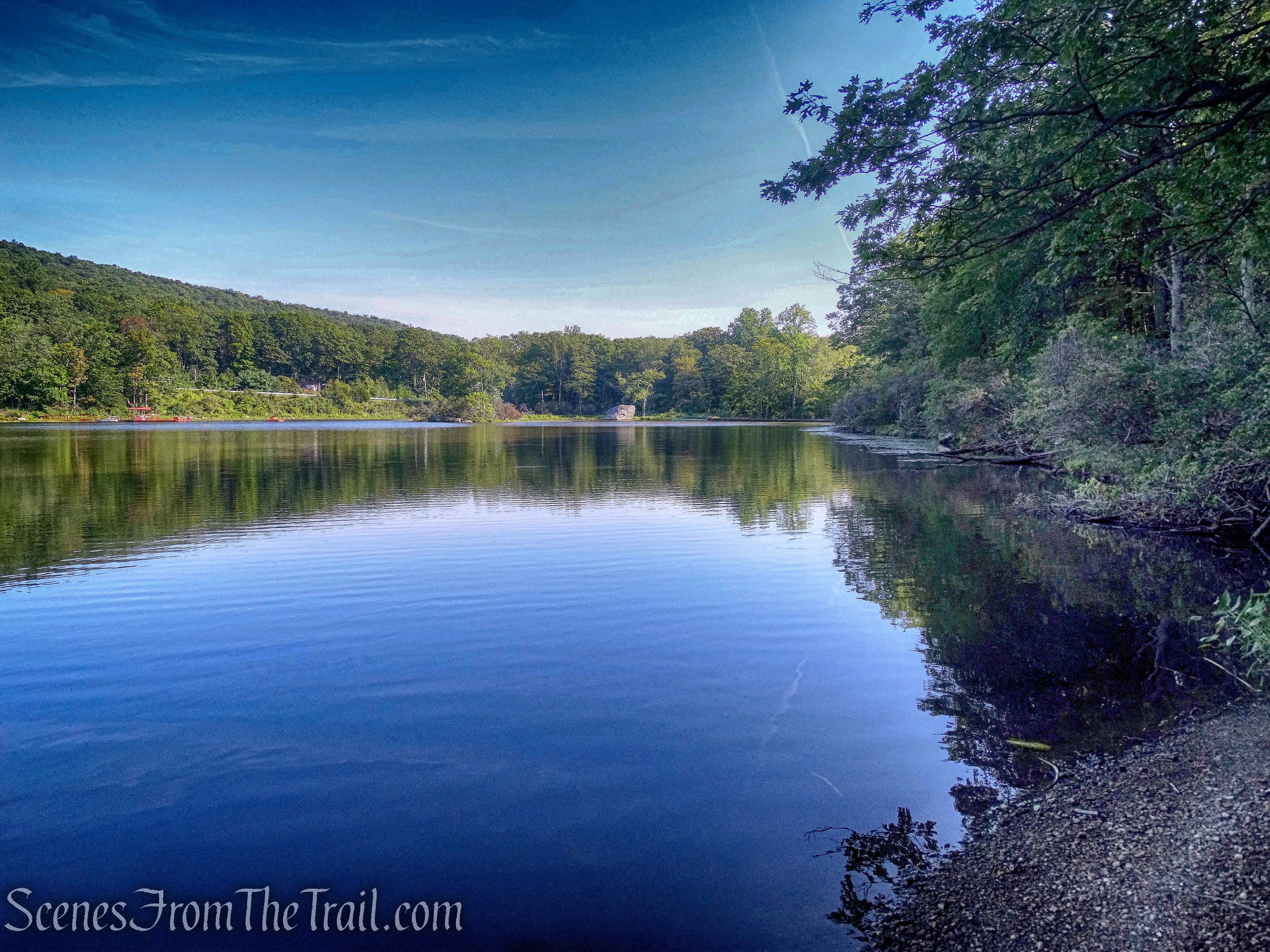
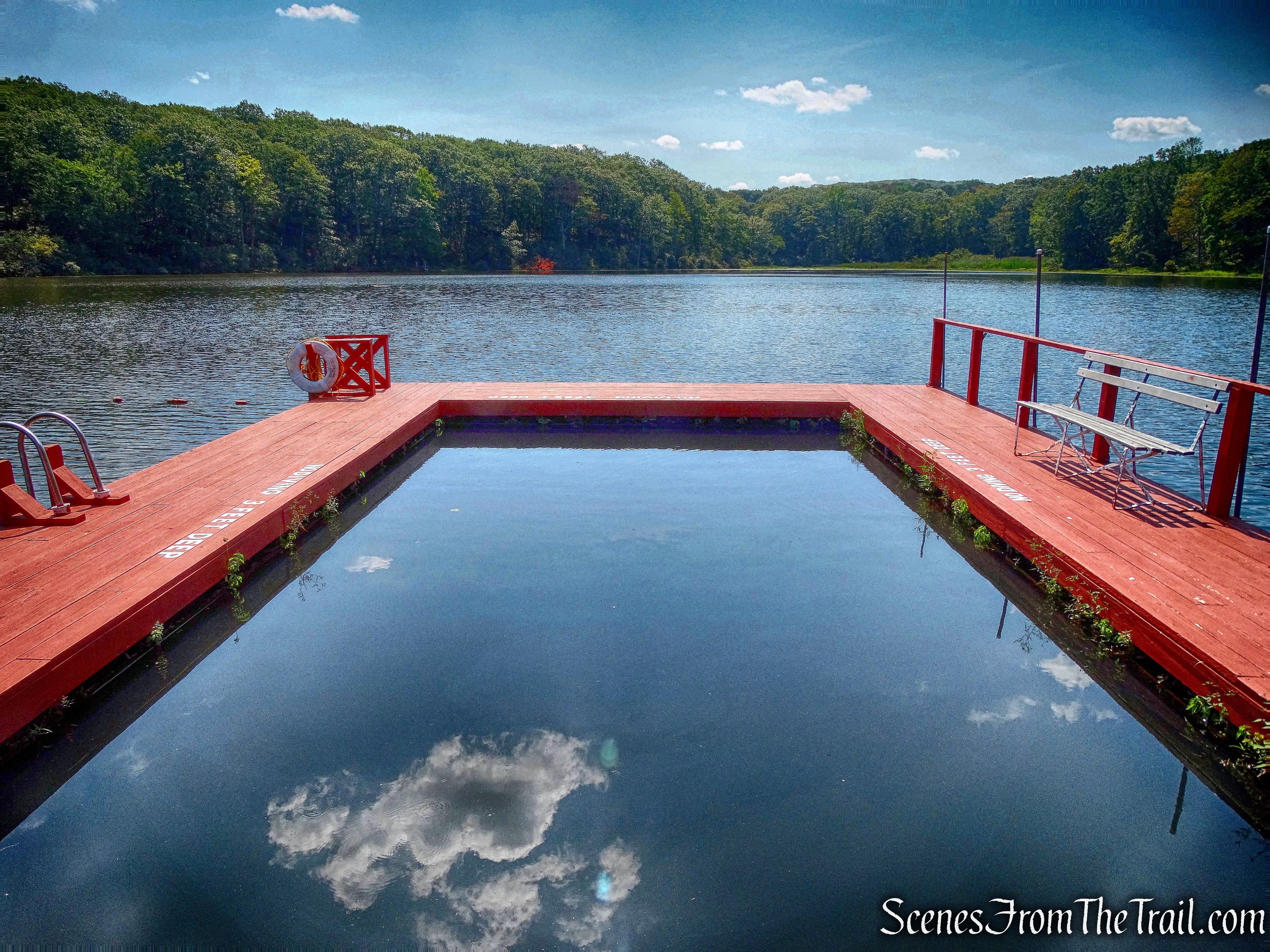
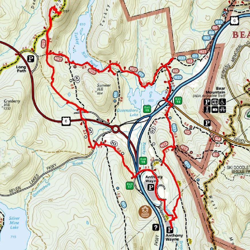
We arrived at the Anthony Wayne Recreation Area (south parking lot) at about 9:30 am on a gorgeous Sunday morning. The temps were in the low 70’s and would only reach the low-mid 80’s throughout the day. Perfect weather for a nice long hike. We started out by crossing the stone bridge over Beechy Bottom Brook at the northeast end of the south parking area.
stone bridge over Beechy Bottom Brook
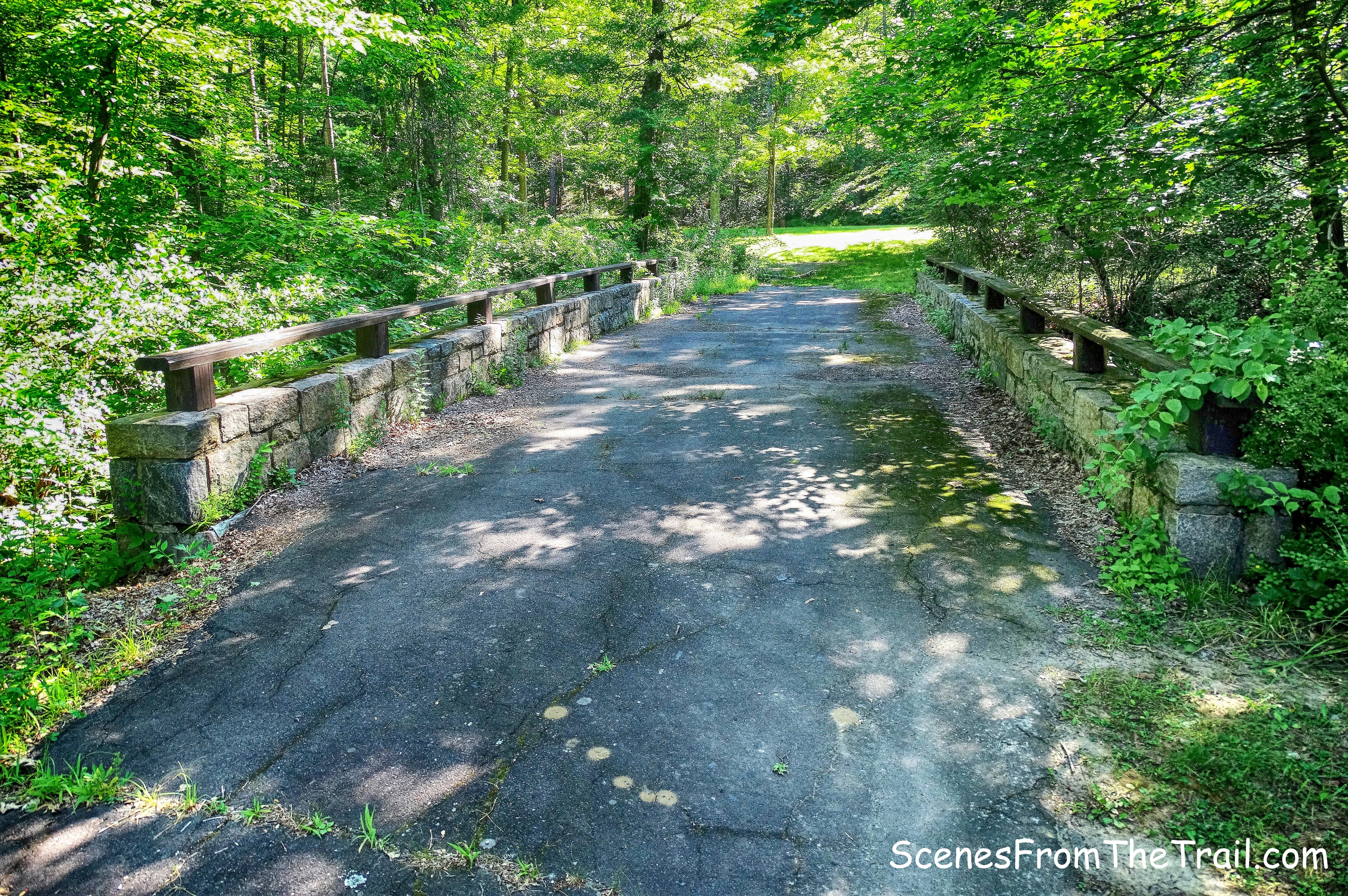
After crossing the bridge, we turned left and began walking on a grass field/picnic area and almost immediately veered right and walked up a short trail that leads to an old park road.
short trail
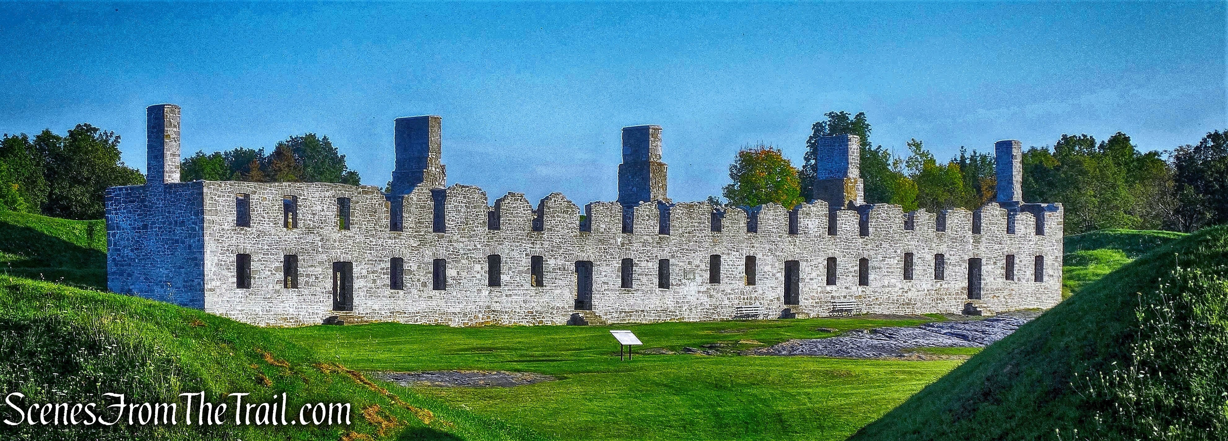
At the park road we came to an abandoned park building and turned left, heading north.
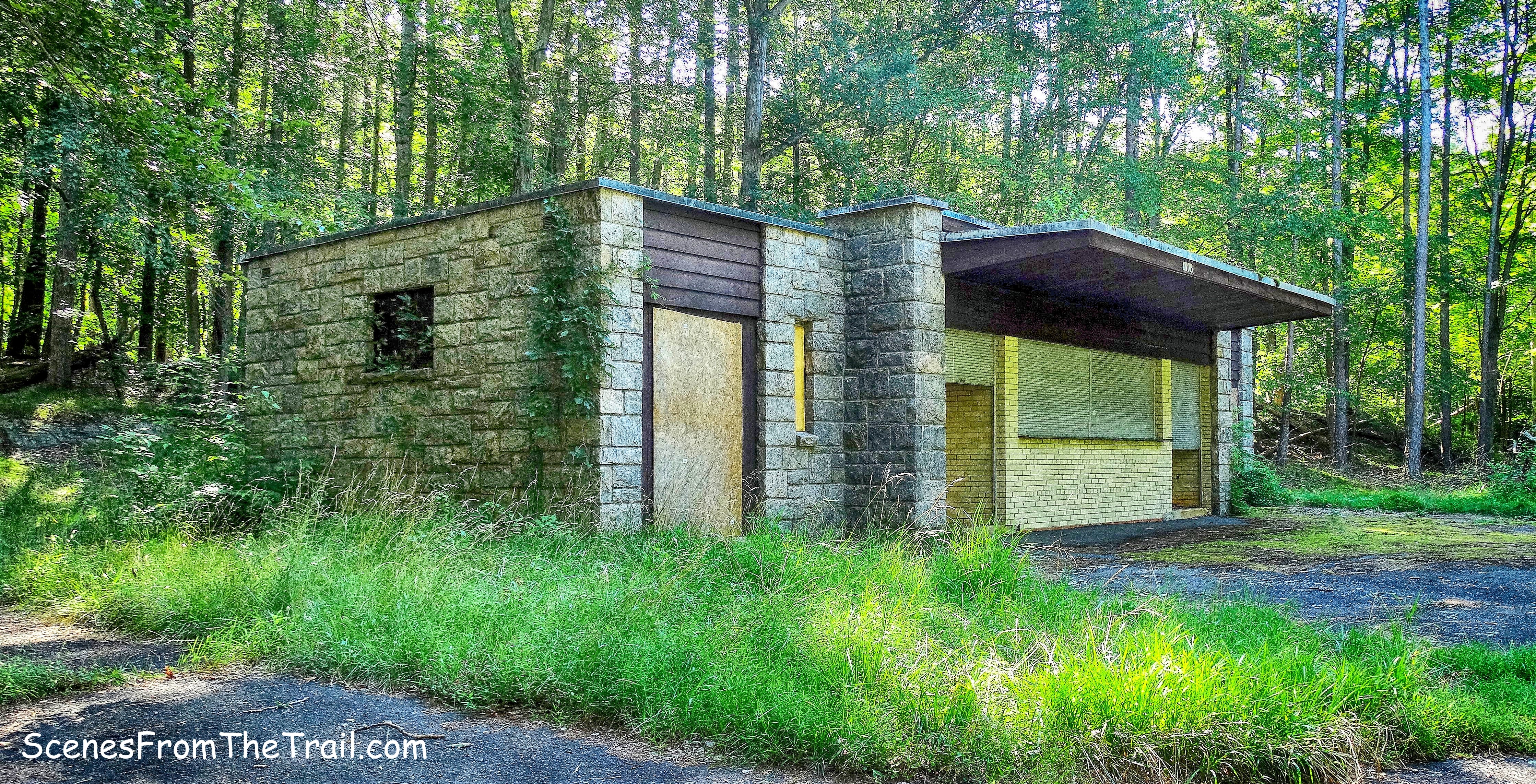
abandoned park building
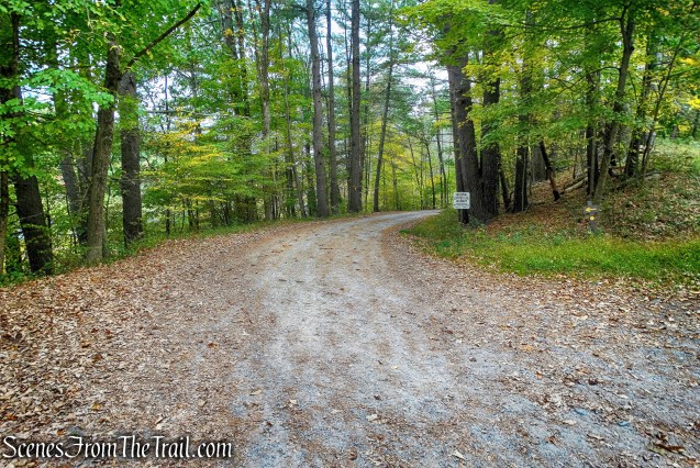
We walked on the gravel road for about 400 feet, where it comes to a fork. The left fork goes down towards the north parking area, we stayed right. In another 800 feet, we came to a junction where the gravel road turns sharply right and leads up to a concrete reservoir. We continued straight onto the grassy Beechy Bottom East Road.
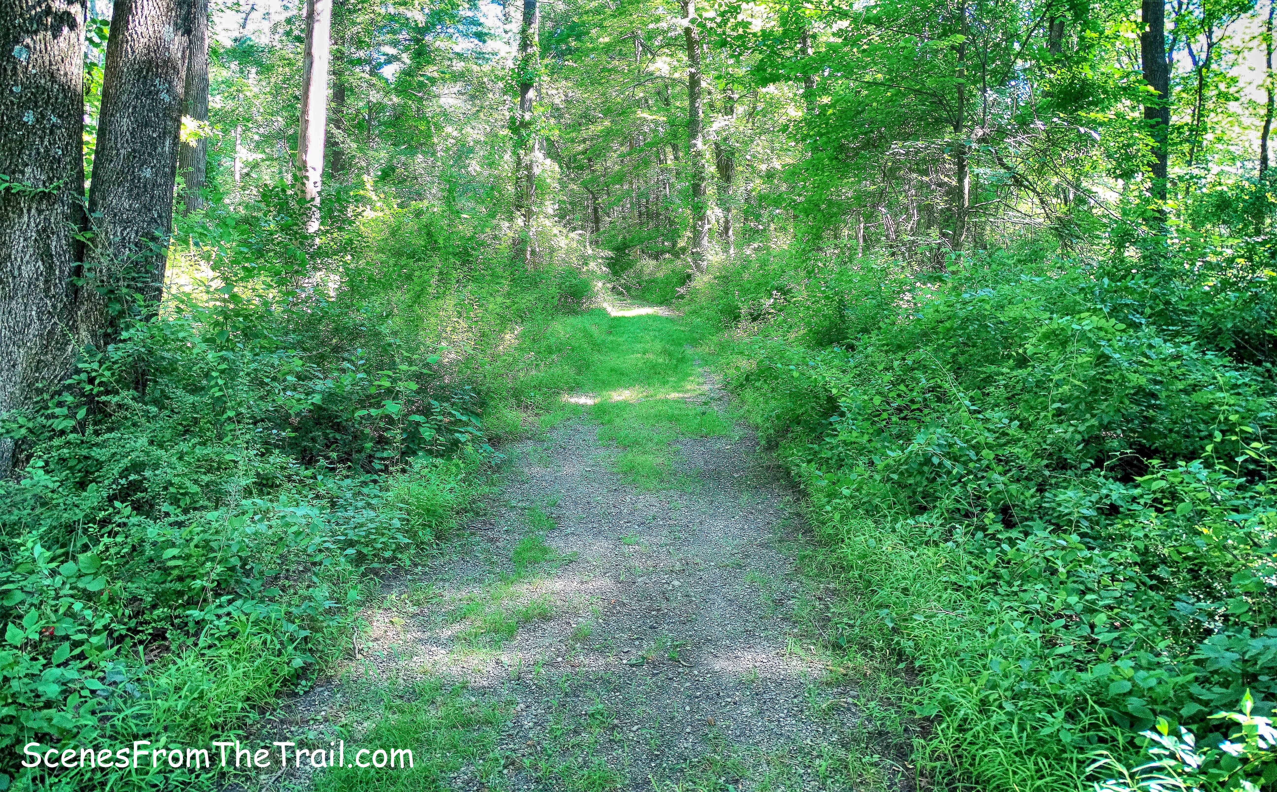
Beechy Bottom East Road
Beechy Bottom East Road runs jointly in this section with the Horn Hill Bike Trail, marked with blue-on-white blazes. The Horn Hill Bike Trail is the only trail in Harriman-Bear Mountain State Parks on which bicycles are permitted.
Beechy Bottom East Road/Horn Hill Bike Trail
Along the east side of the road there is a large pipe that comes down from the concrete reservoir along with an old fire hydrant.
fire hydrant
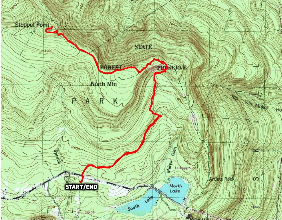
We then arrived at a 3-way junction where the white-blazed Anthony Wayne Trail goes left, Beechy Bottom East Road continues ahead and the red-F-on-white blazed Fawn Trail begins on the right. We turned right on the Fawn Trail, now heading northeast.
turn right on Fawn Trail
The Fawn Trail was shown on the first Park trail map in 1920. The blazes changed over the years, but in 1987 the blazes were changed to red F on white, and the western end of the trail was slightly relocated to the north so that it now ends at the junction with the Anthony Wayne Trail.
Fawn Trail
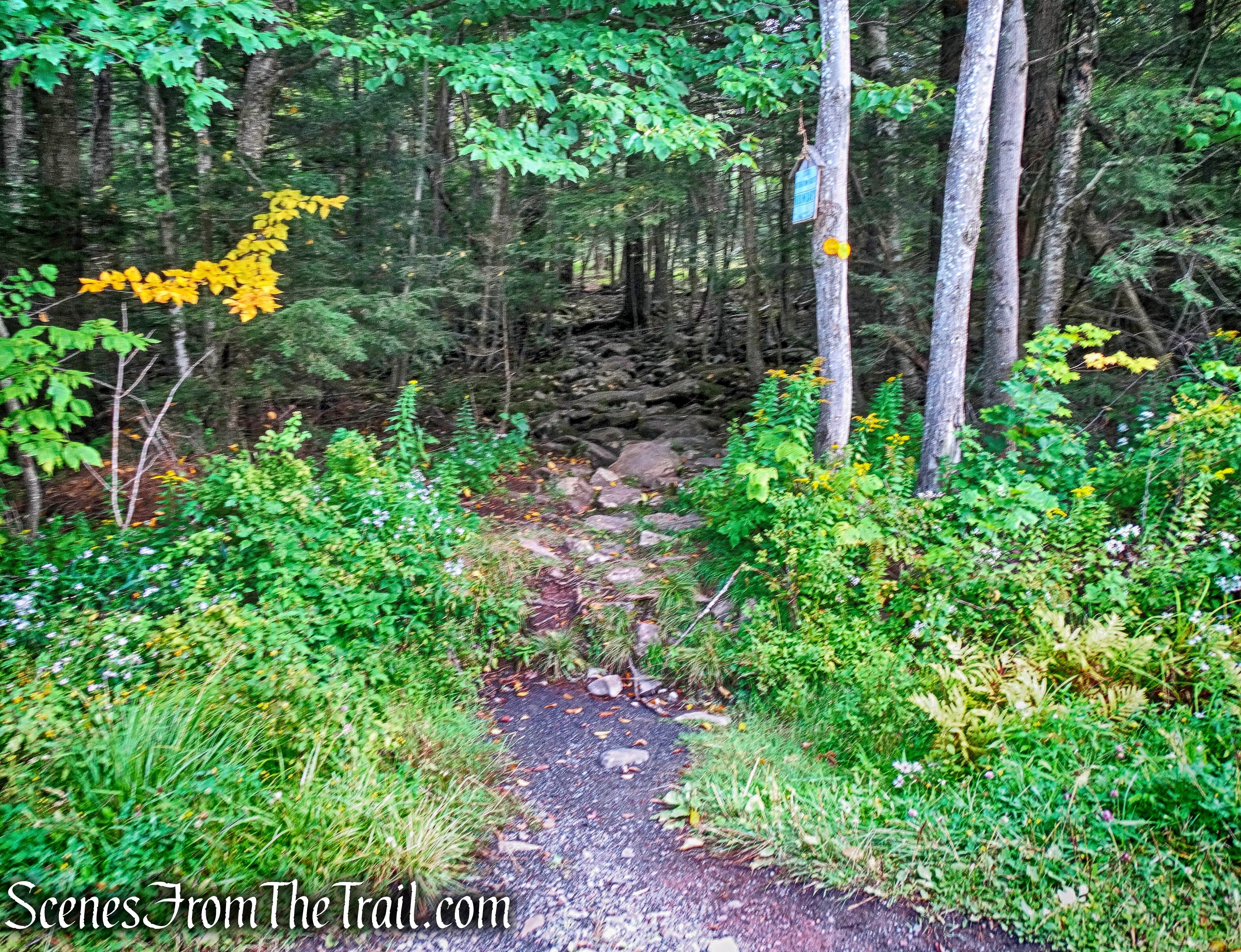
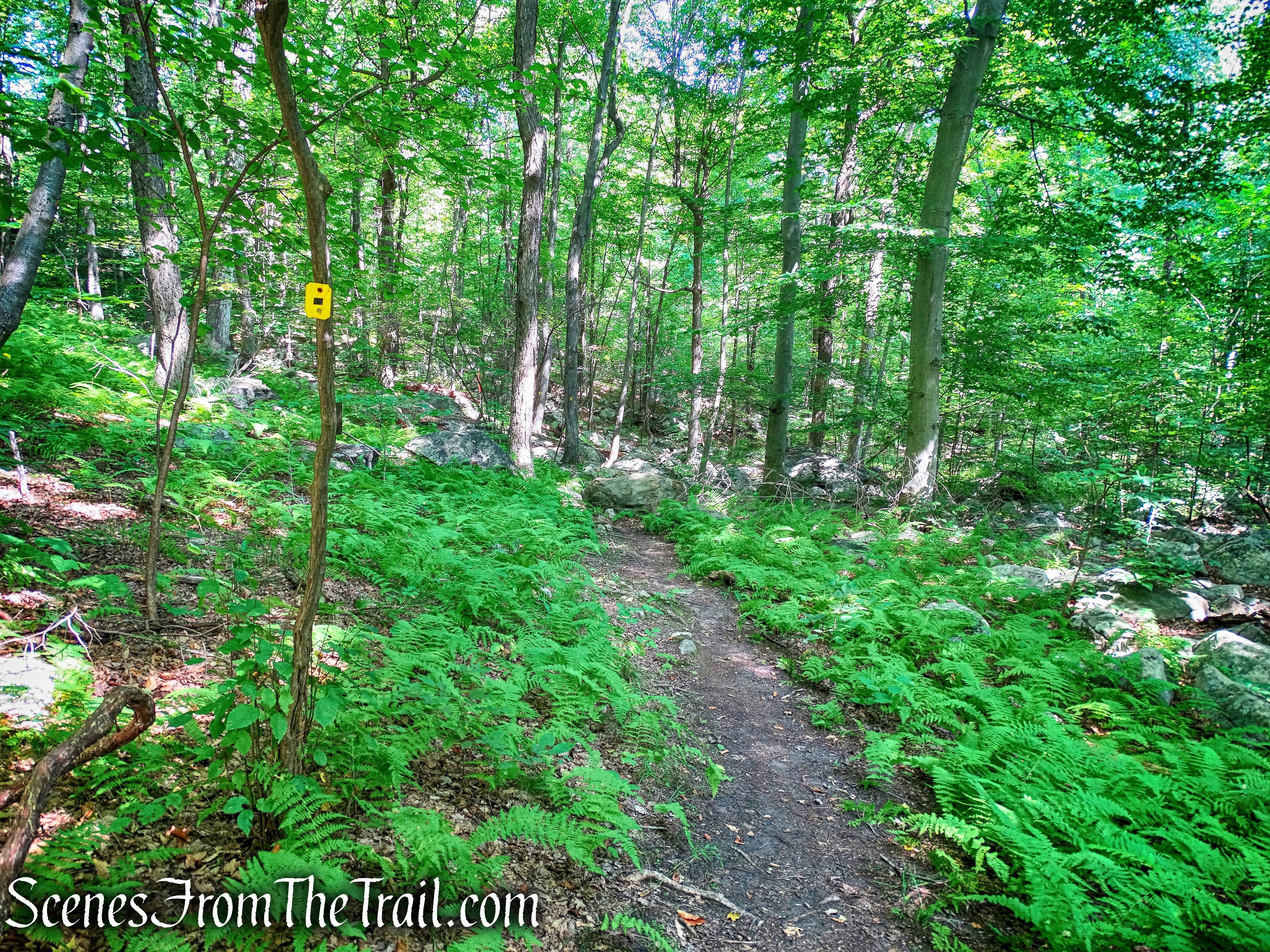
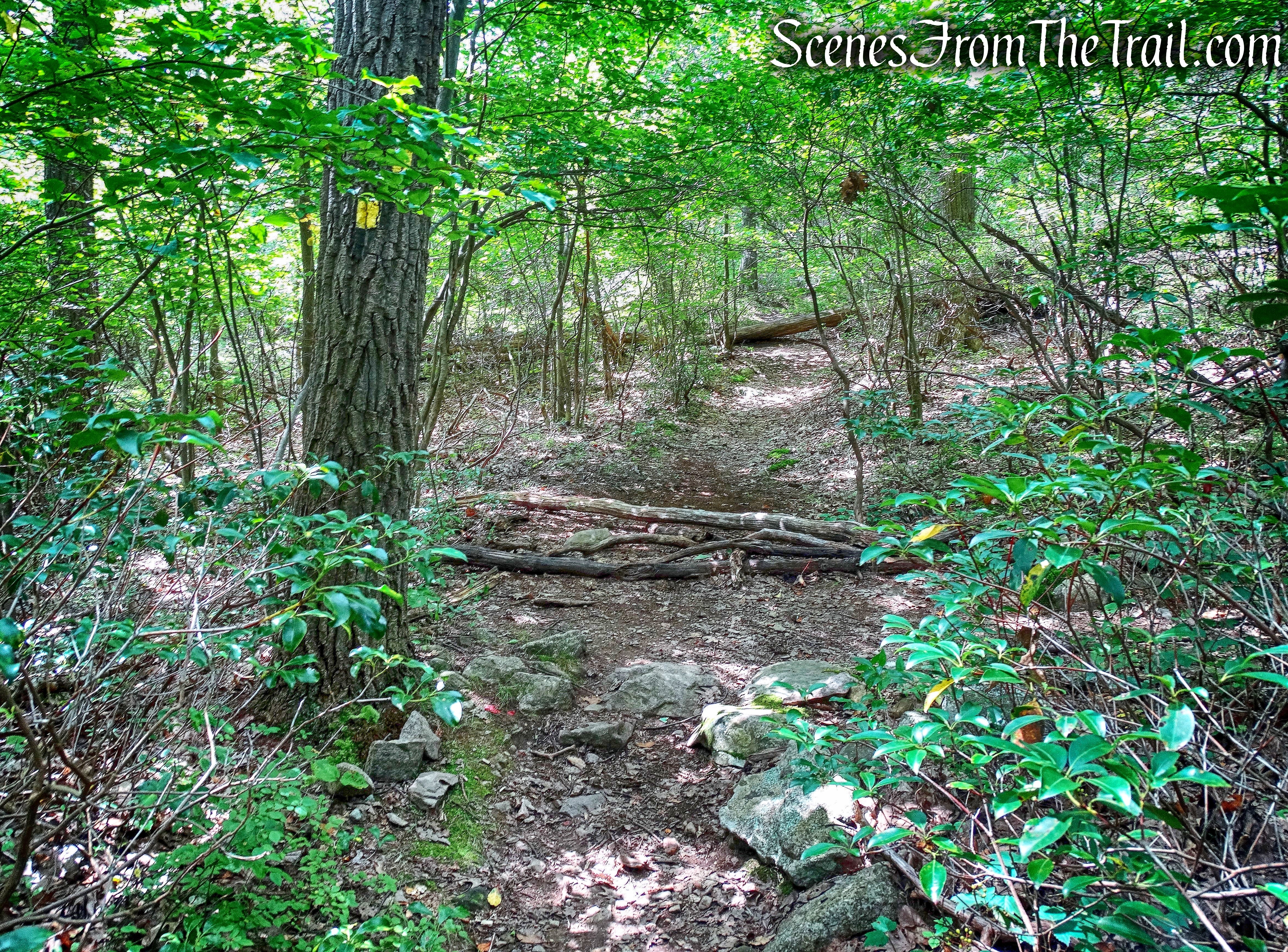
The Fawn Trail climbs through the woods…..
Fawn Trail
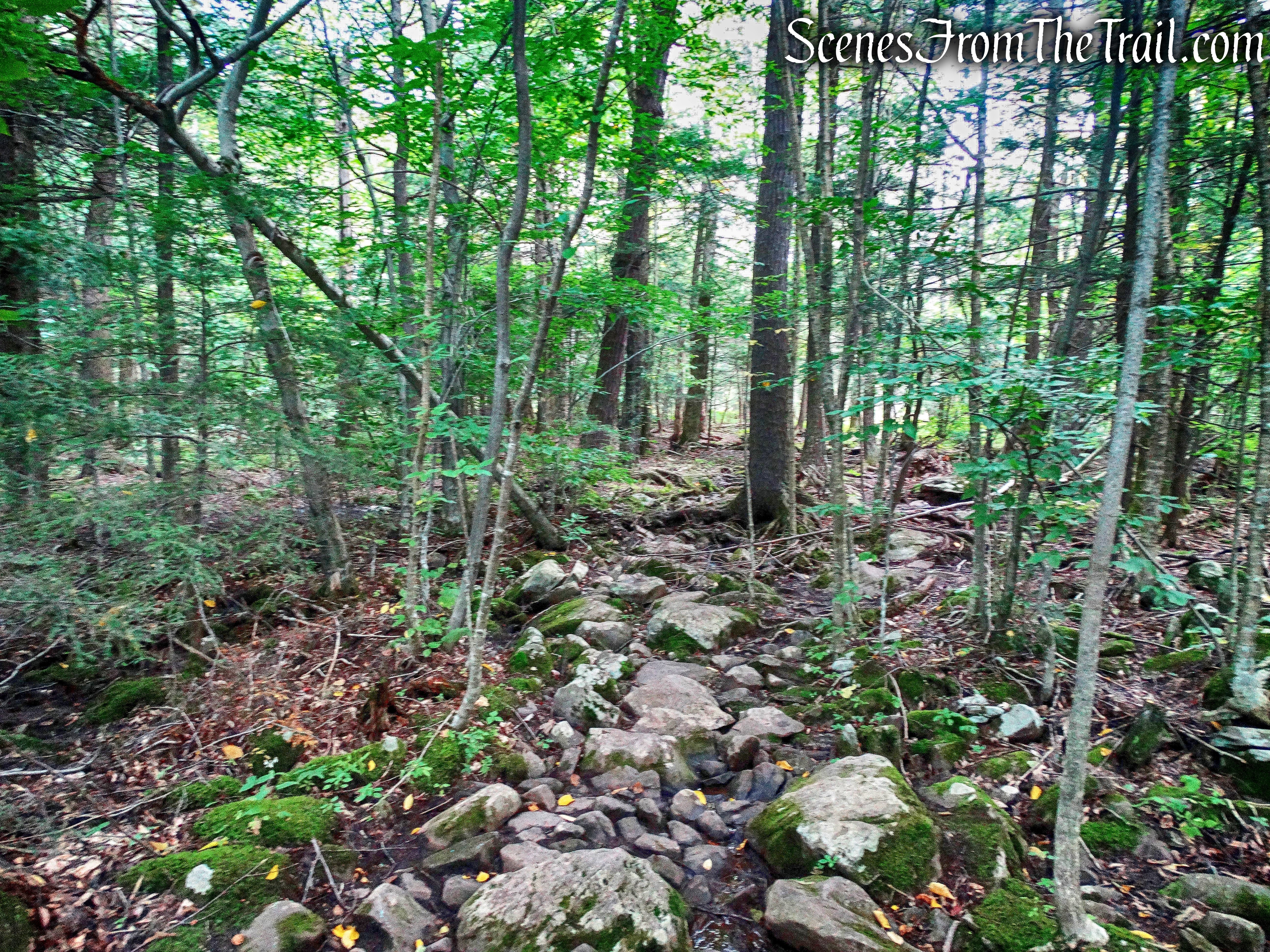
using switchbacks and stone steps.
Fawn Trail
In about .3 miles, we arrived at a junction with the blue-blazed Timp-Torne Trail and turned left, heading north.
turn left on Timp-Torne Trail
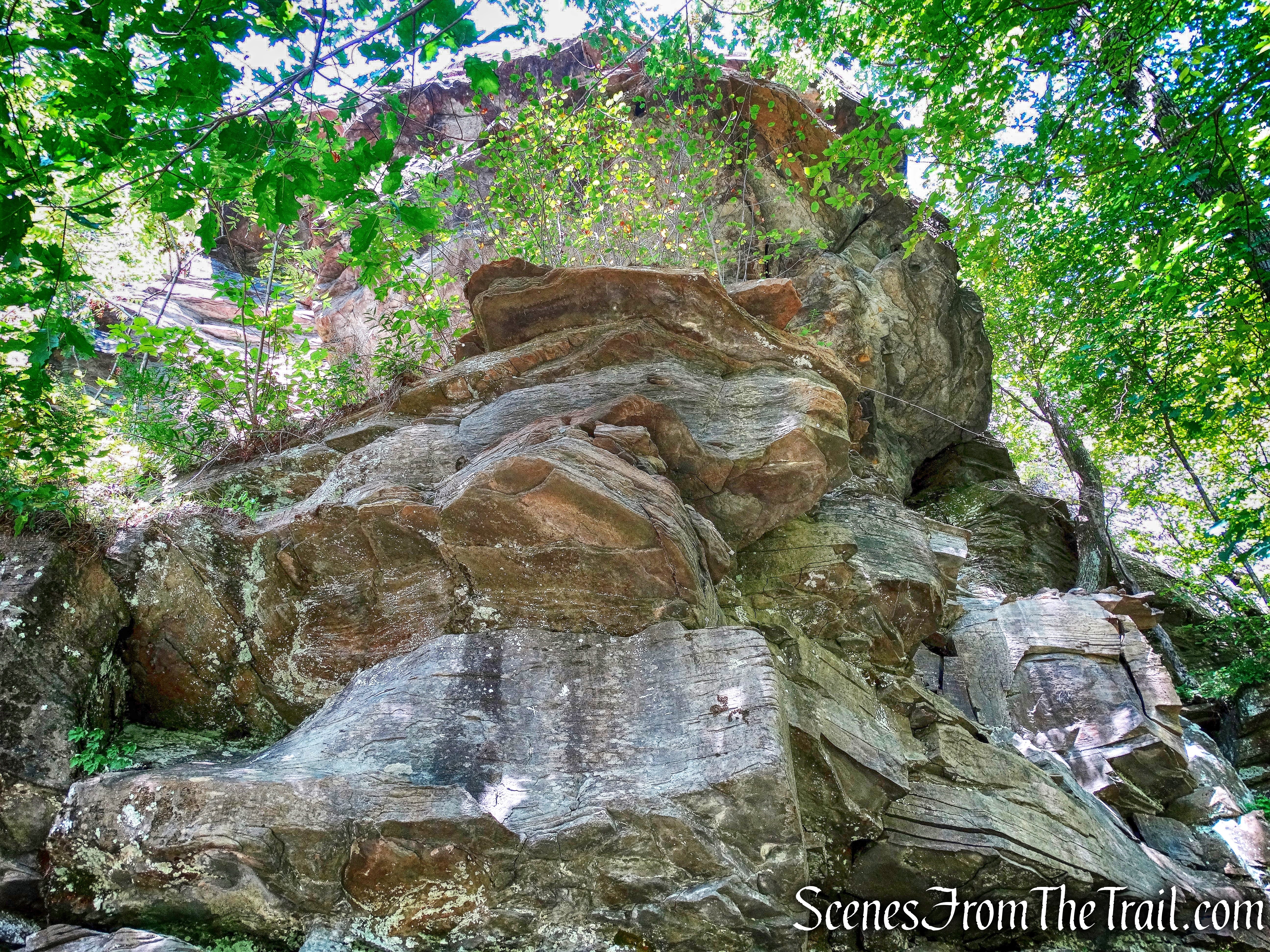
The Timp-Torne Trail climbs a rock ledge and there are partial views of Bear Mountain to the right. As the trail descends it goes right through the middle of lowbush blueberries. We try to make plenty of noise whenever we hike trails that have blueberries on them, we don’t want to surprise any bears while they are having a snack.
Timp-Torne Trail
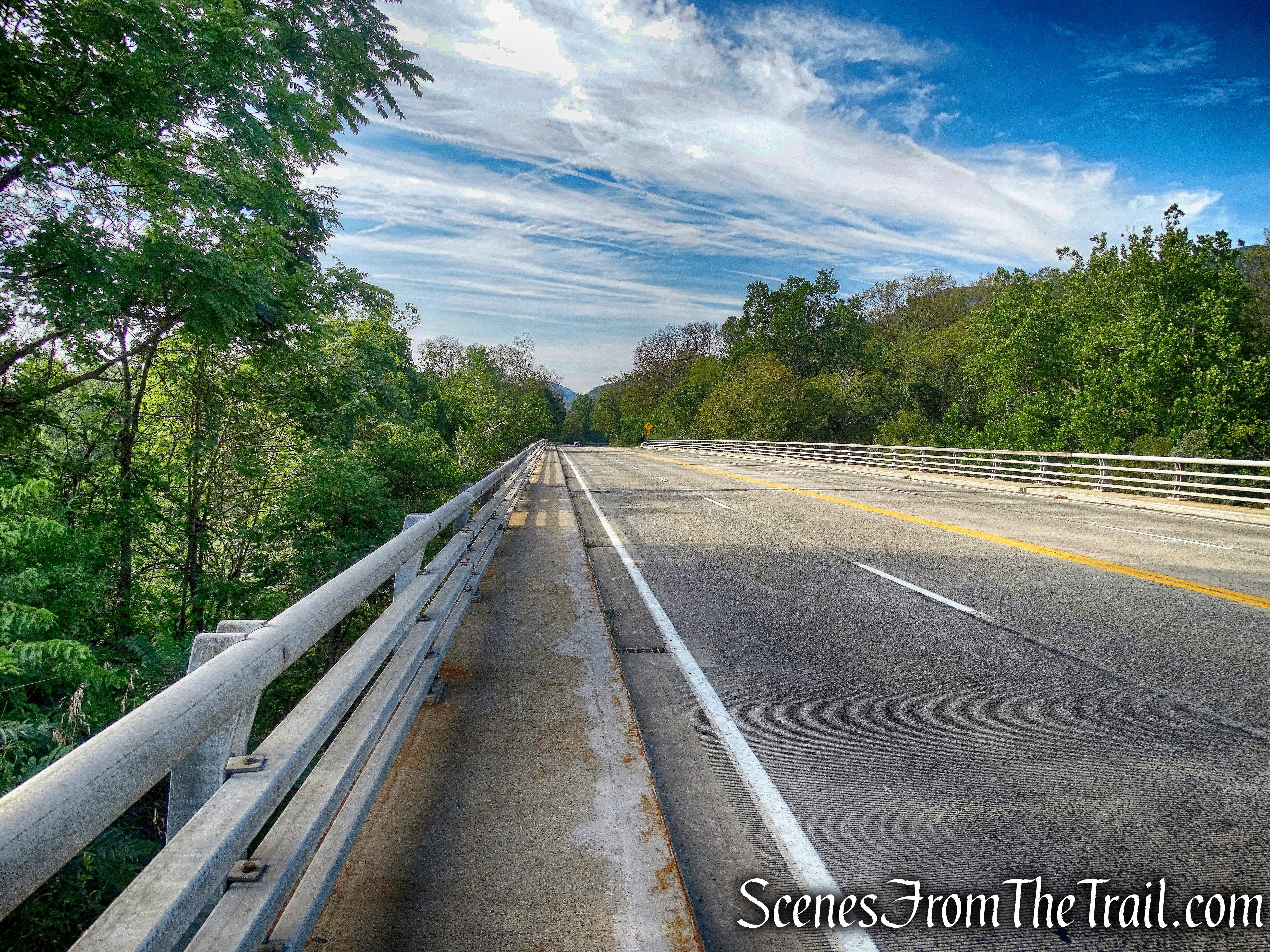
As the trail nears Seven Lakes Drive, the 1777W Trail (red 1777W on white) comes in from the right and joins the Timp-Torne Trail. We walked out to the highway ramp, following the joint 1777W/Timp-Torne Trail, which then turns left to cross the Palisades Interstate Parkway on a bridge that carries the Seven Lakes Drive over the Parkway.
Seven Lakes Drive
After crossing the bridge, we crossed the road and began heading north on Queensboro Road.
Queensboro Road
The blazes are visible just above the speed limit sign on the side of the paved Queensboro Road.
Queensboro Road
We headed down Queensboro Road and crossed a bridge that spans a stream.
Queensboro Road
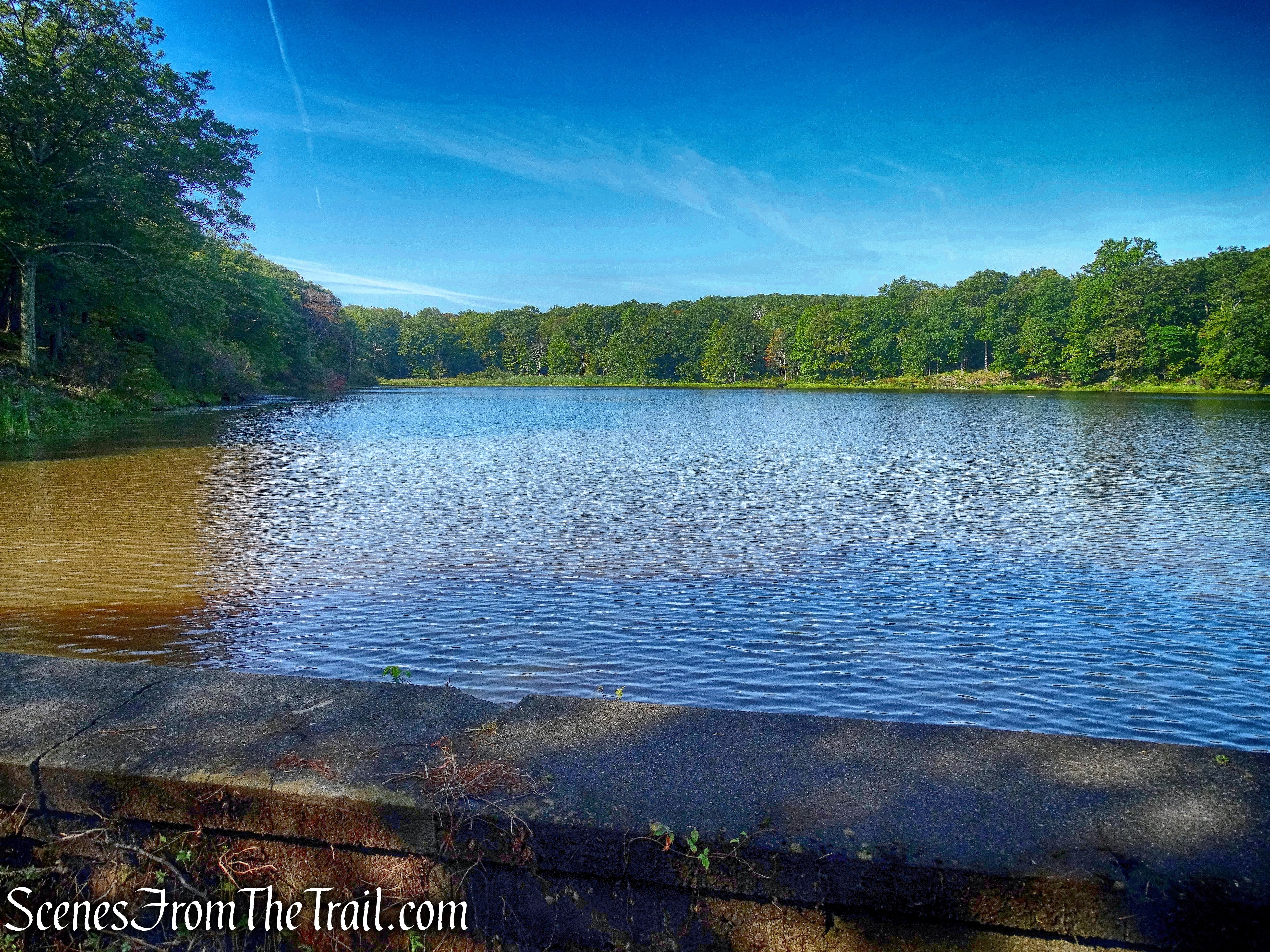
To the left of the bridge is a water treatment facility and the Queensboro Lake dam.
Queensboro Lake dam
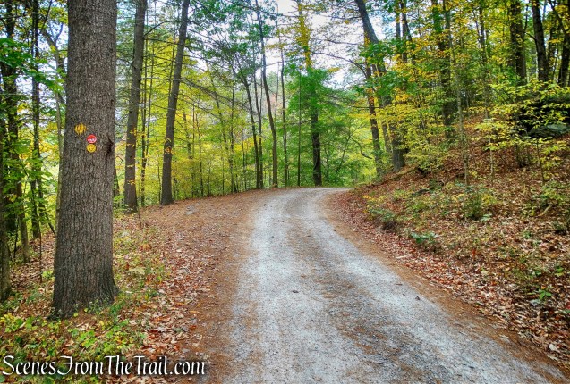
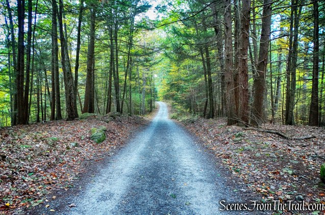
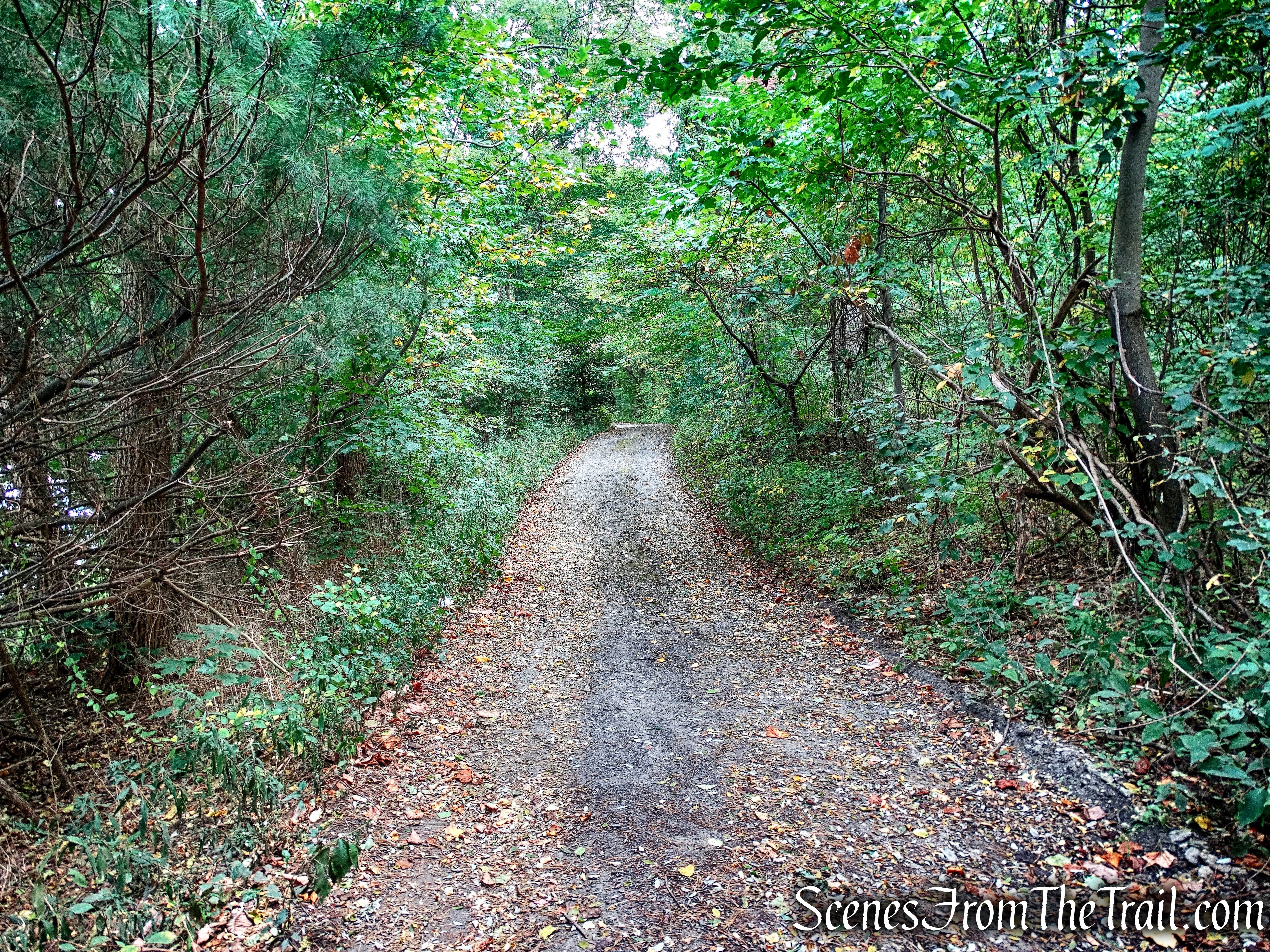
As the paved road curves to the left, we continued straight onto a gravel road.
gravel road
The blazes are visible on a tree as we walk down the gravel road.
joint 1777W/Timp-Torne Trail
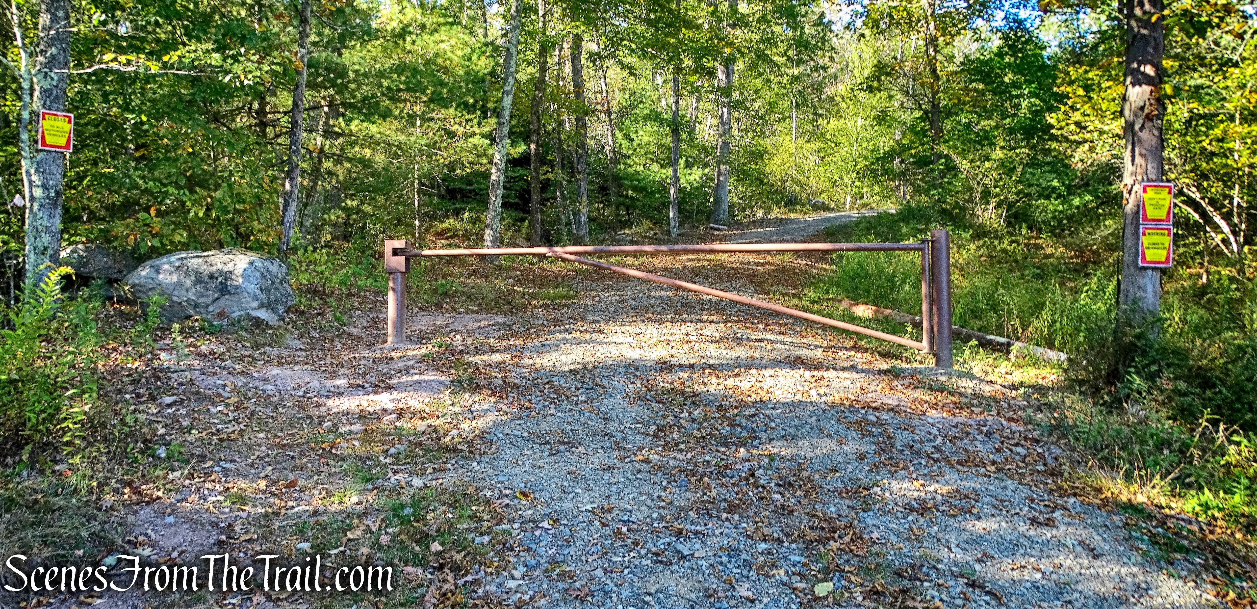
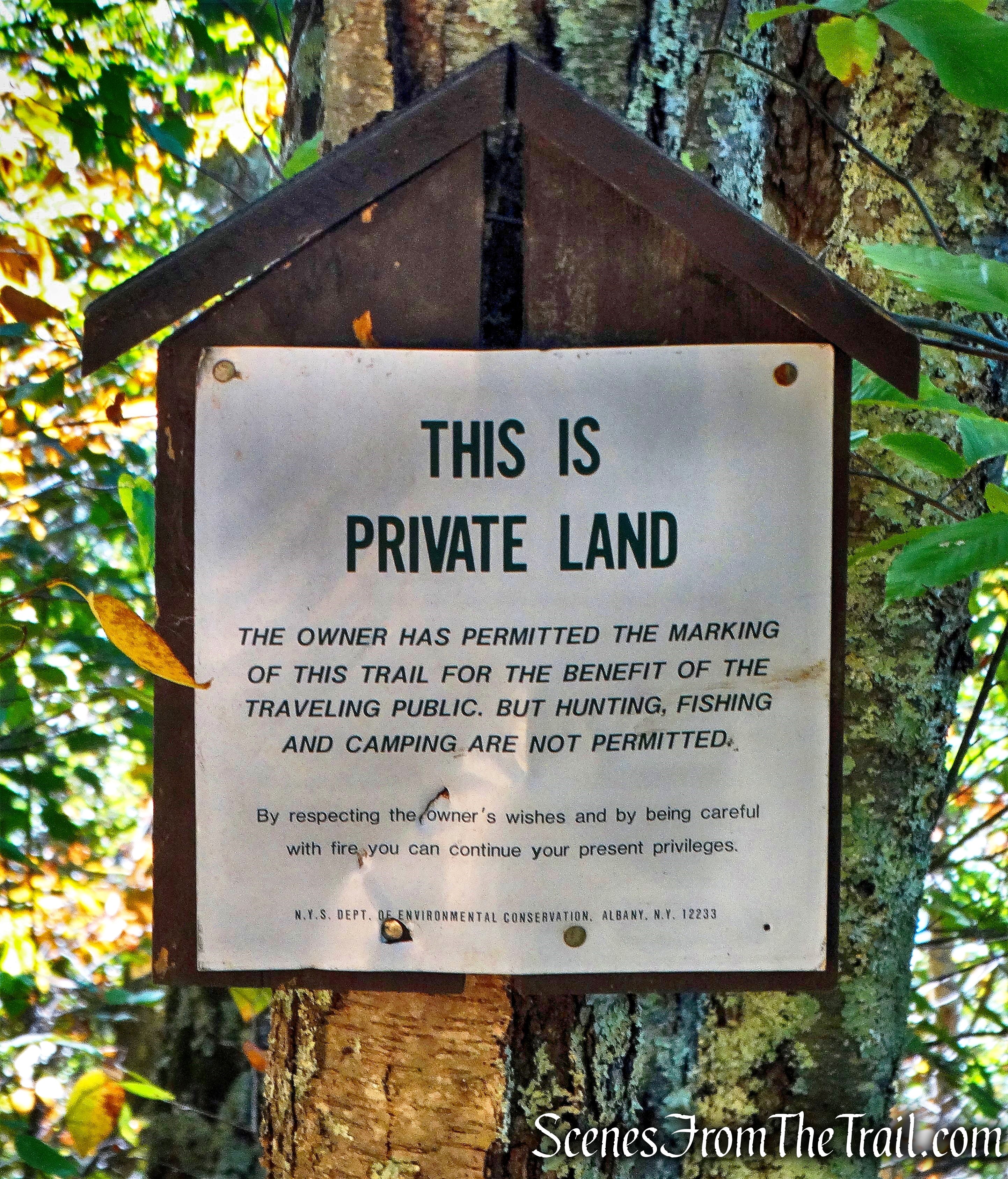
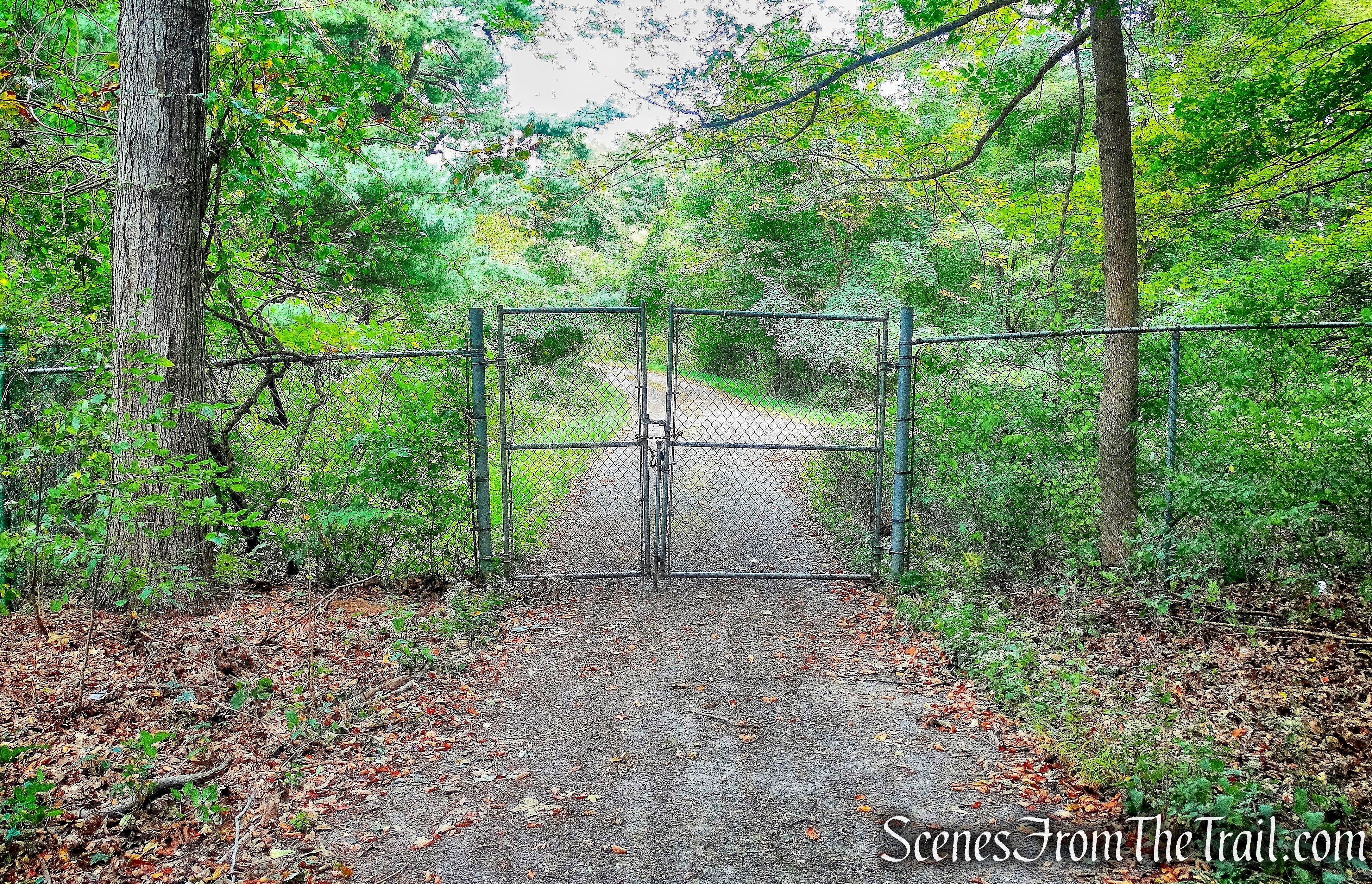
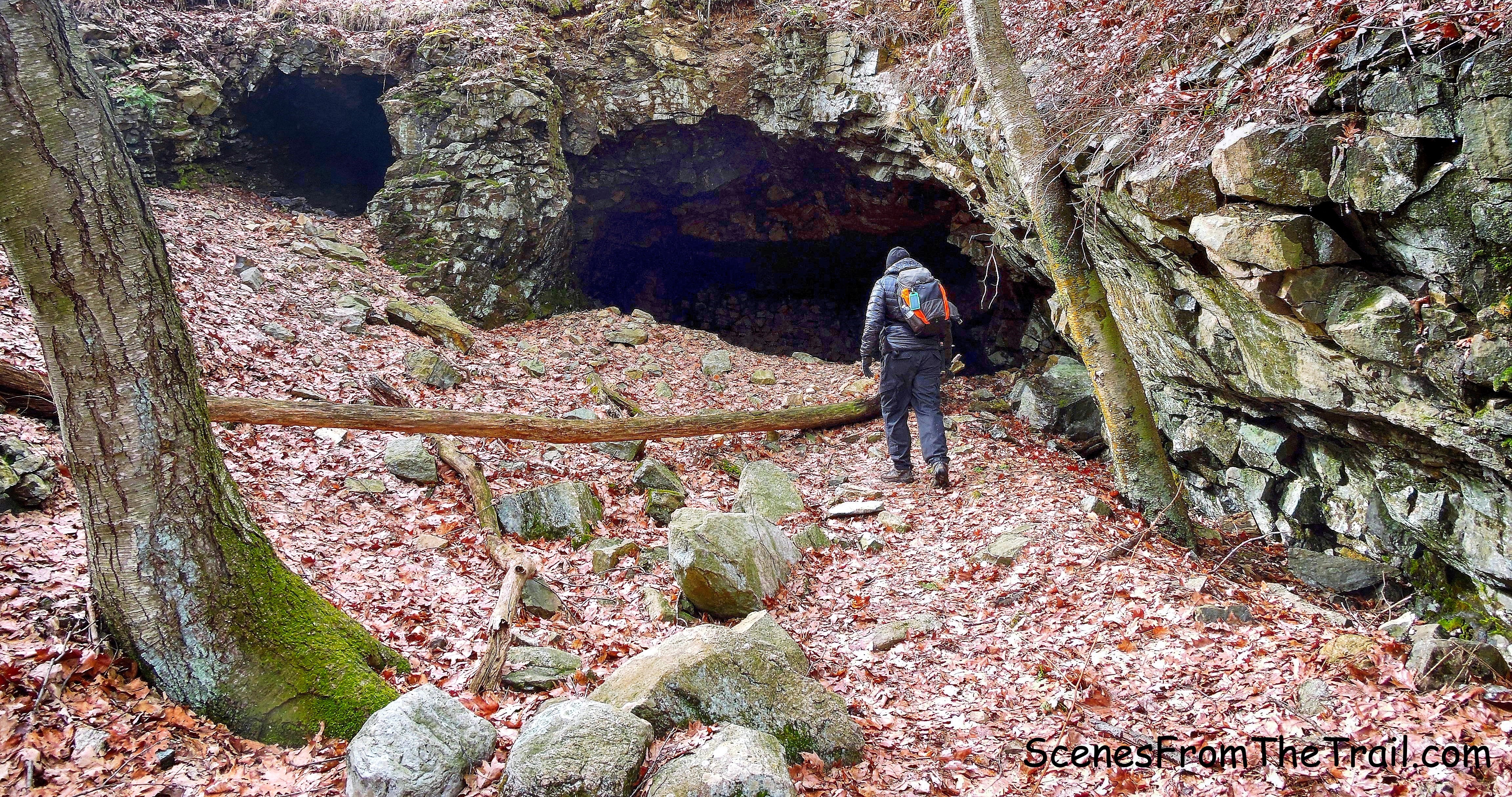
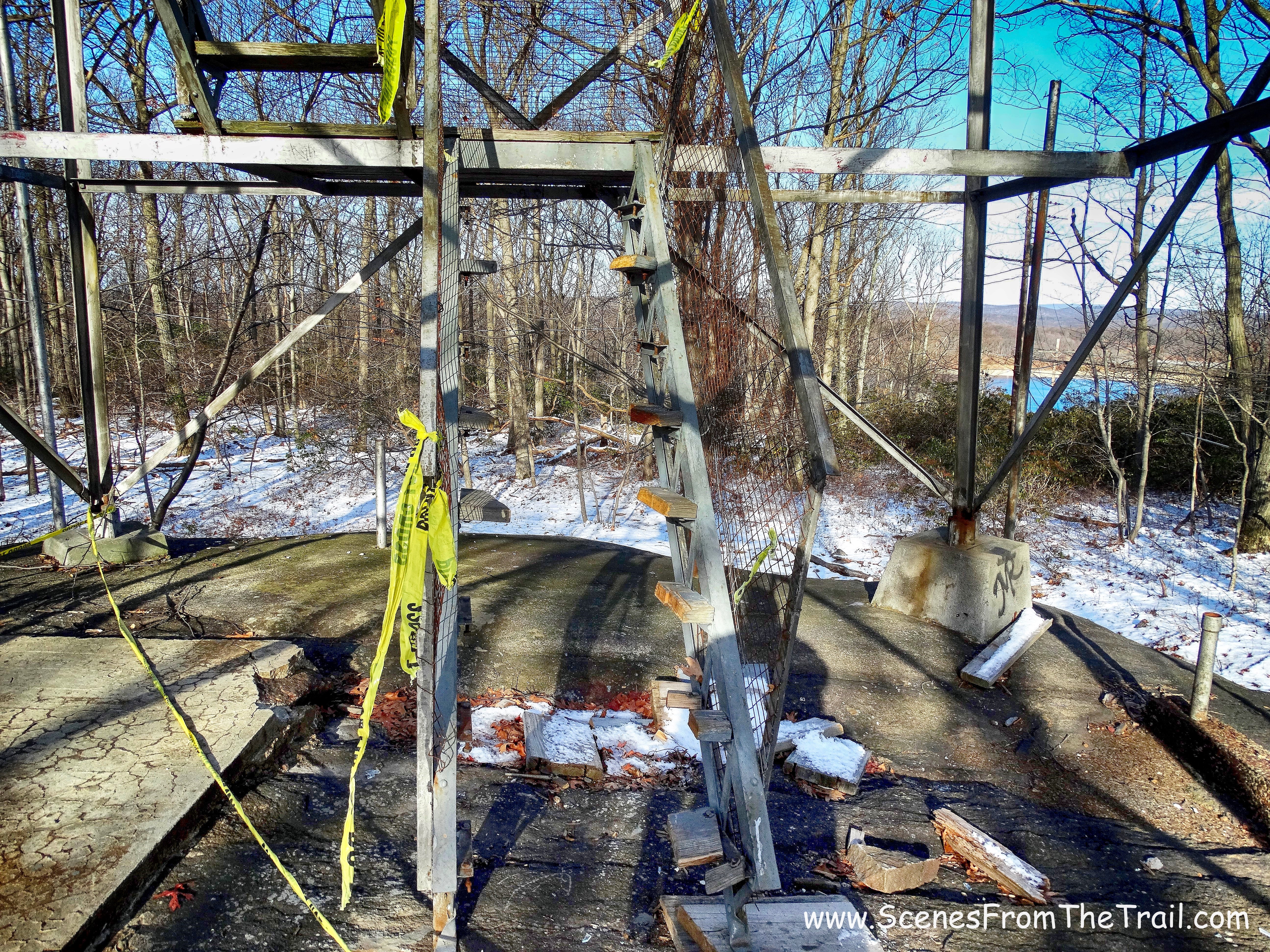
We came to a gate that leads to a park firing range. The gate was open, but the sign is clearly visible.
park firing range
The trail turns right just before the gate and ducks into the woods to bypass the firing range. The sign indicating the bypass is sitting on the ground and barely visible.
trail detour
The trail leads around the front of the firing range. They shoot from this side so no worries about getting hit with a stray bullet……hopefully.
joint 1777W/Timp-Torne Trail
The joint 1777W/Timp-Torne Trail descends slightly as it reaches Queensboro Road. There is a boulder and a faded out informational sign here.
junction with Queensboro Road
Here, the Timp-Torne and 1777W Trails turn right. We turned right here by mistake, but I realized quickly that we went the wrong way and turned around. Directly across from the boulder is the joint Popolopen Gorge/1779 Trails, but I did not see the markers on the sign post.
joint Popolopen Gorge/1779 Trails
Now following the joint red-square-on-white blazed Popolopen Gorge and blue-1779-on-white blazed 1779 Trail we continued on. The Popolopen Gorge Trail was first marked in 1940 by Alexander Jessup. In 1960 the trail was extended by Sam Wilkinson and Bill Burton to Long Mountain, passing the Queensboro and Turkey Hill Lakes.
joint Popolopen Gorge/1779 Trails
The 1779 Trail follows the route of Brigadier General “Mad Anthony” Wayne and his troops where they defeated the British at the Battle of Stony Point on July 16, 1779, during the American Revolutionary War.
joint Popolopen Gorge/1779 Trail
The trail began to parallel Queensboro Lake and it was visible through the trees, but we obeyed the signs and stayed on the trail.
pistol range warning sign
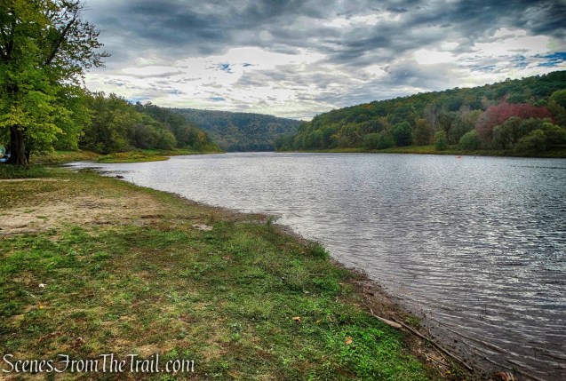
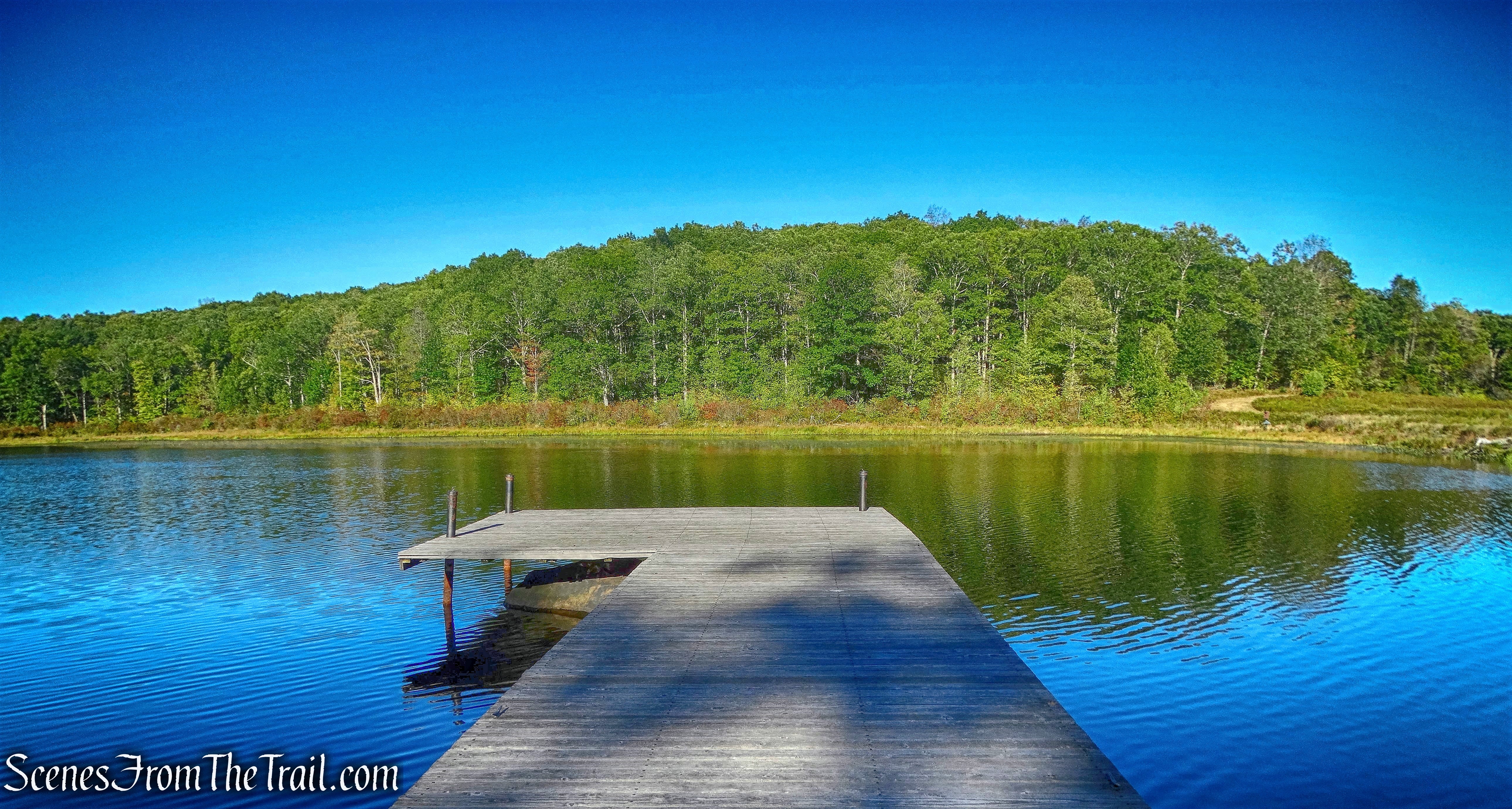
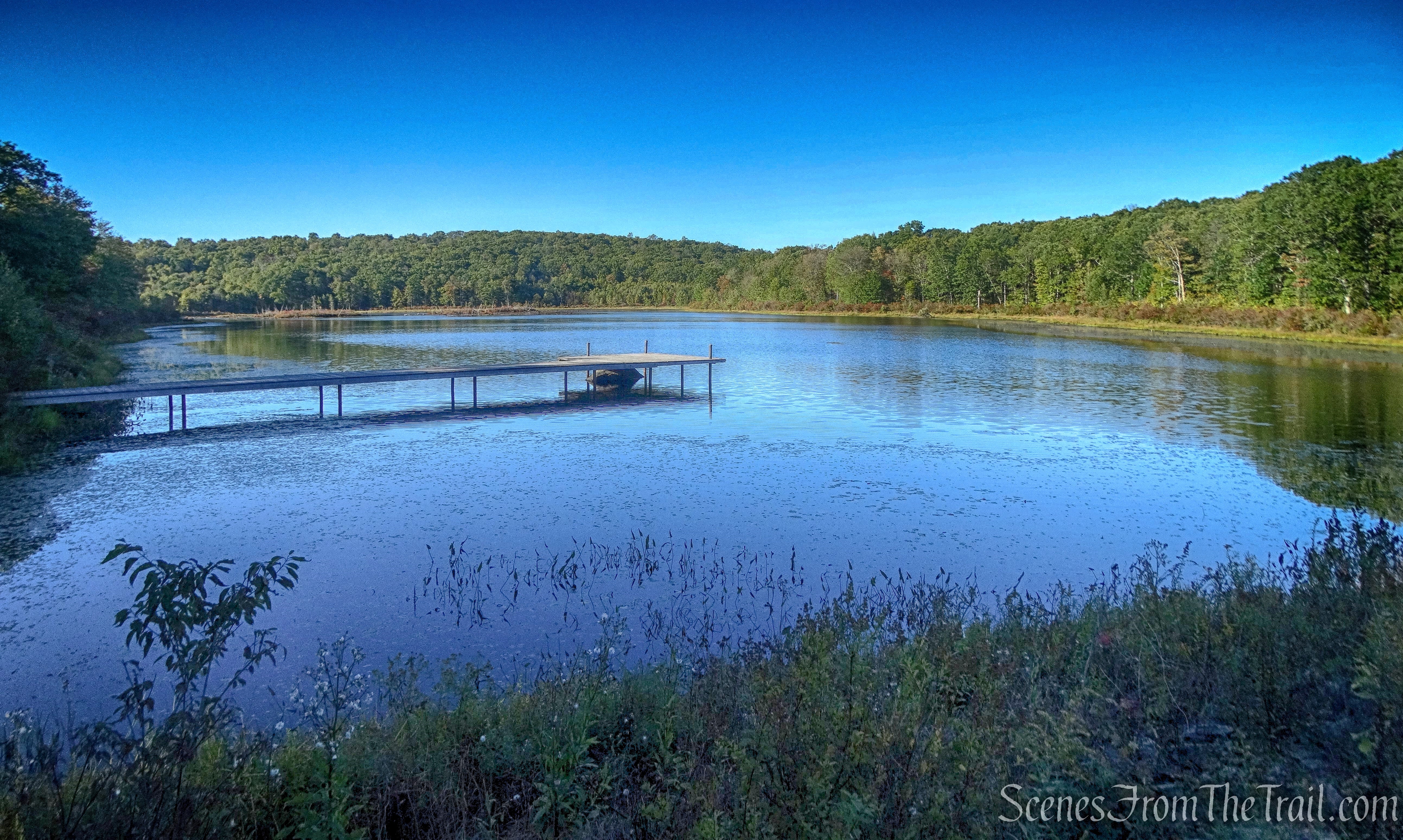
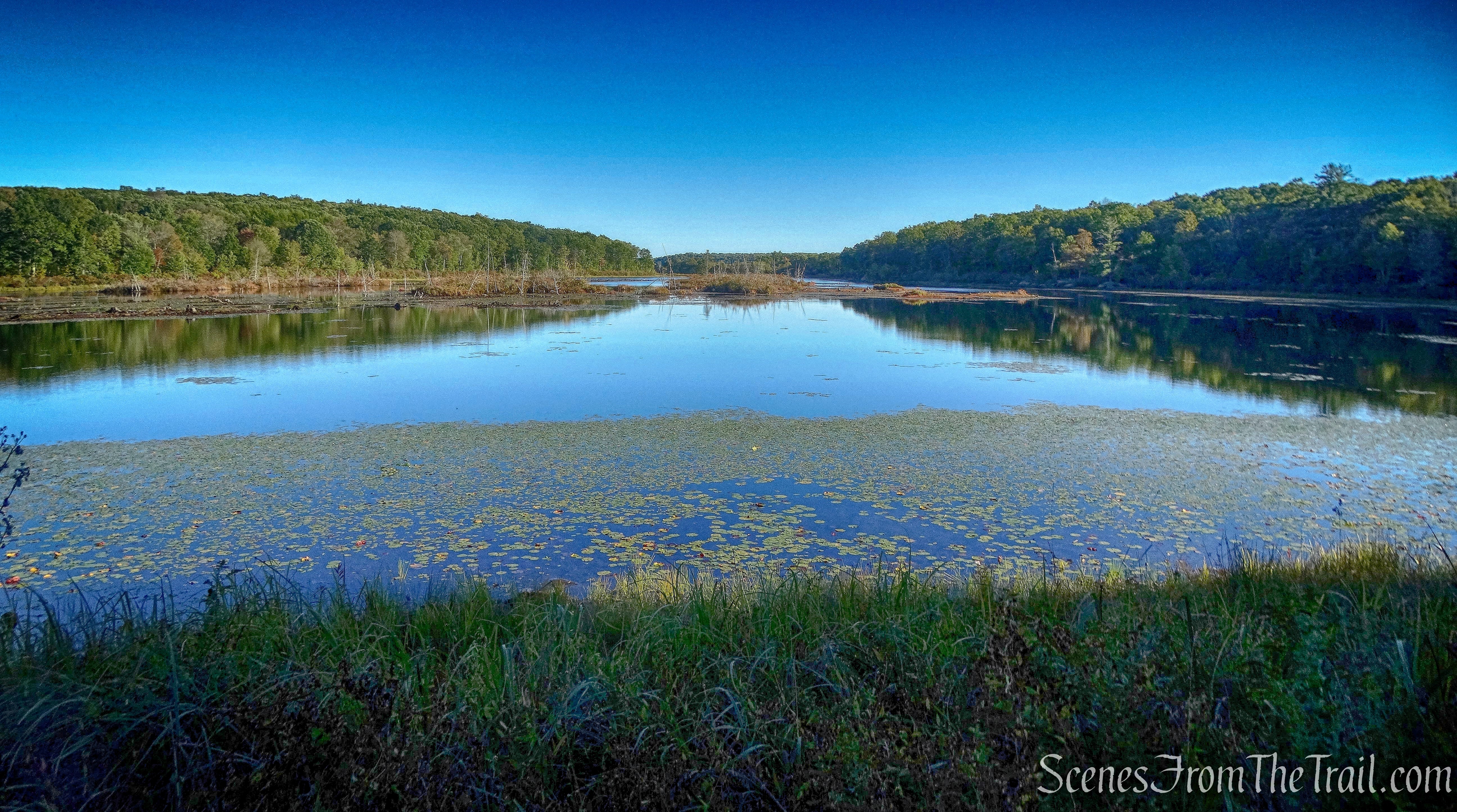
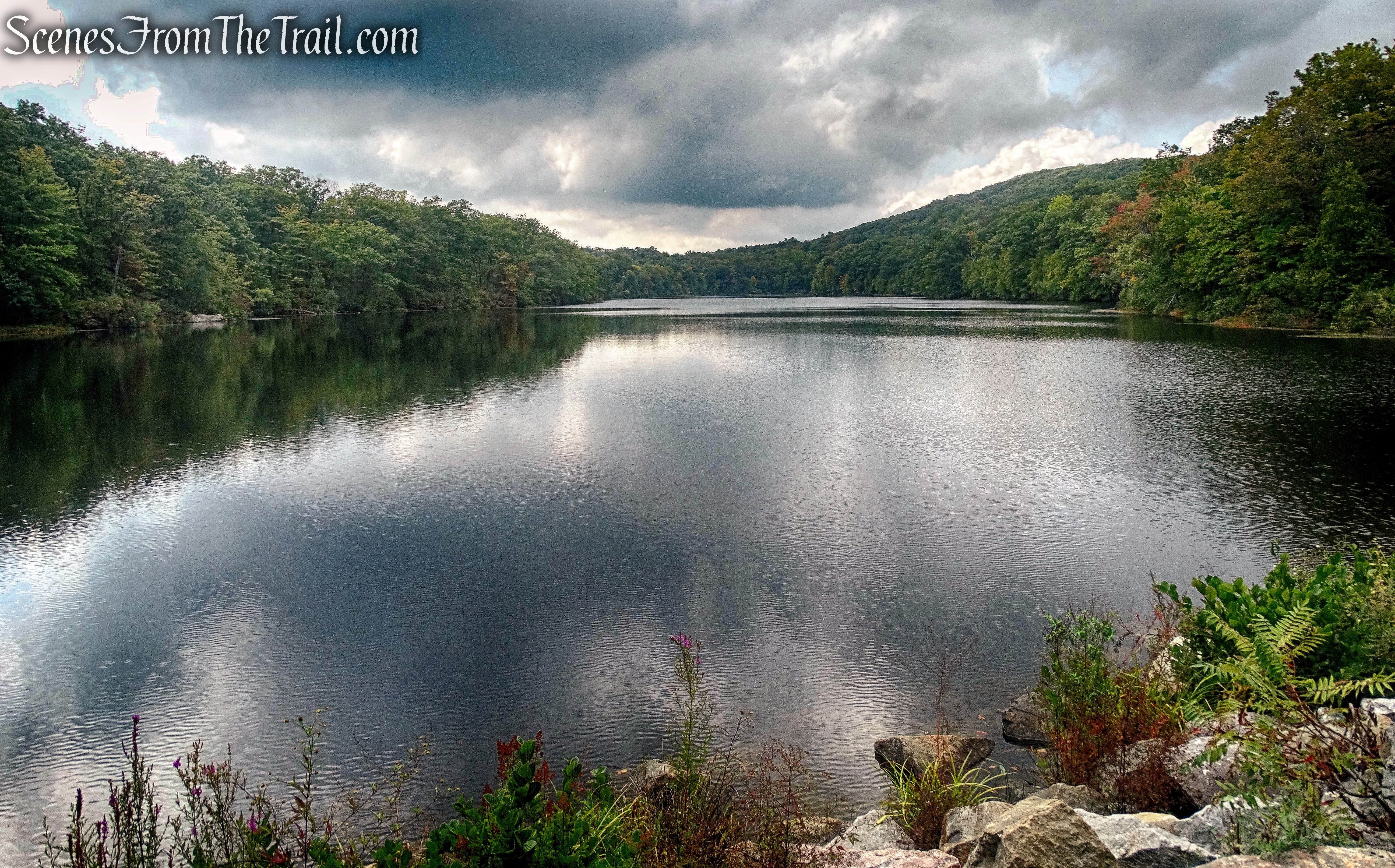
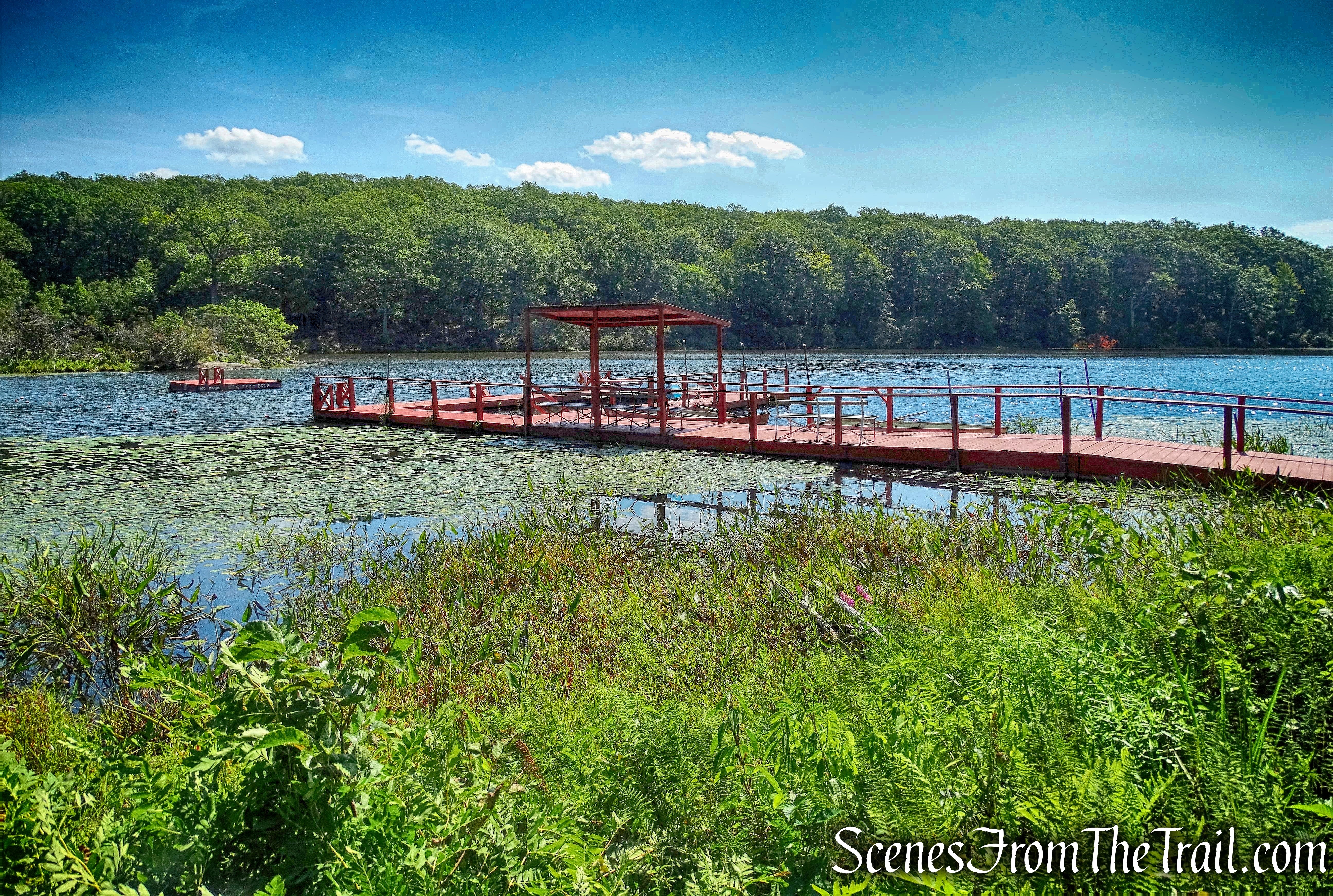
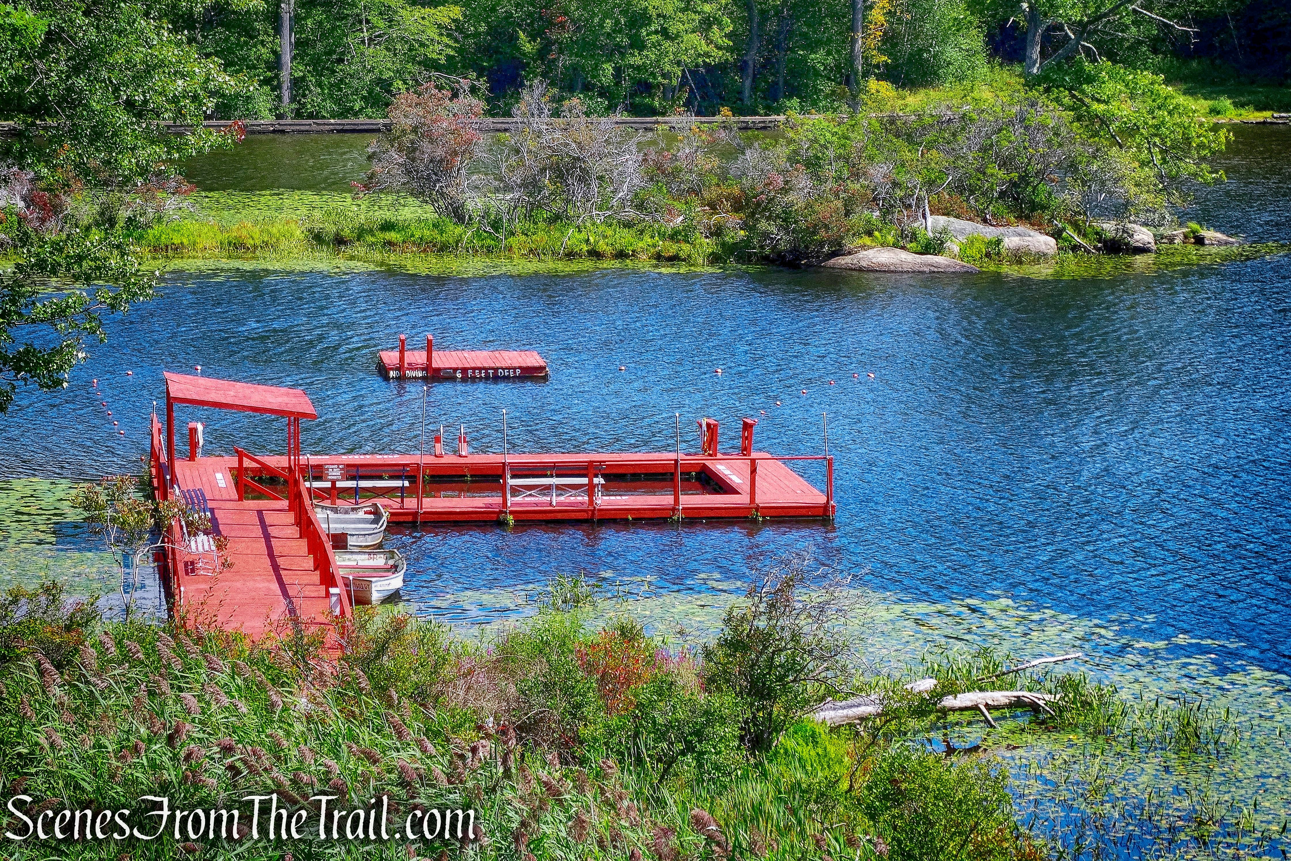
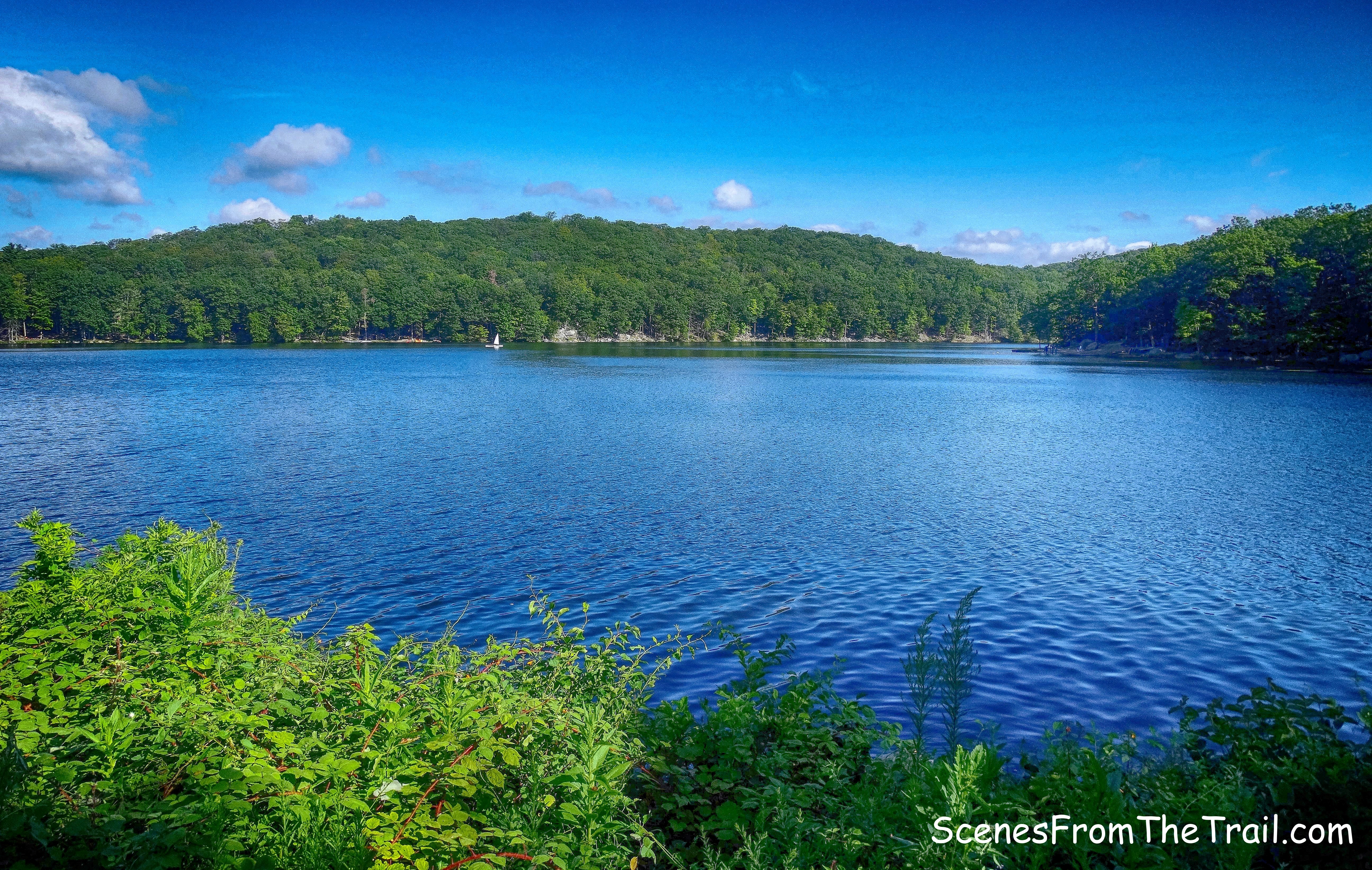
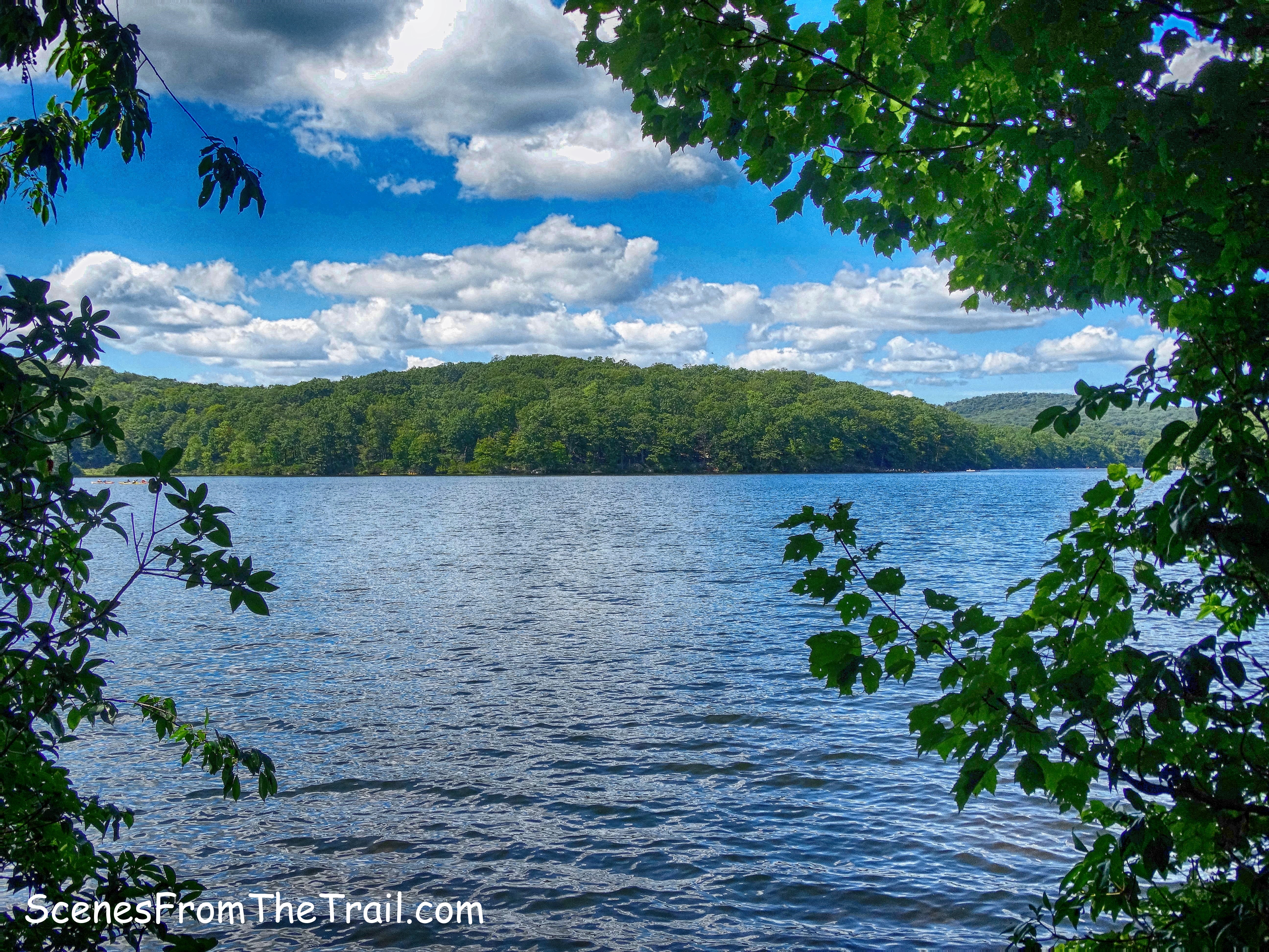
In a short distance we came to a view of Queensboro Lake. There were several spur trails that led closer to the water, but we didn’t want to tack on additional mileage and just admired the lake from here as we took a brief rest. Queensboro Lake was created in 1915 by building a dam on Queensboro Brook. The lake is about 20 feet deep.
Queensboro Lake
After crossing a stream on rocks, we came to a fork. Here, the 1779 Trail goes off to the left, but we stayed right, following the red-square-on-white blazes of the Popolopen Gorge Trail.
right at the fork
The Popolopen Gorge Trail climbs begins a steep climb, then descends to Summer Hill Road which was built in 1933 by 200 young men from the Civilian Conservation Corps in order to build the dam and clear the swamp that became Turkey Hill Lake.
Summer Hill Road
The PG Trail turns left on Summer Hill Road, then in 100 feet turns right and leaves the road. We walked about 500 feet past the turn as the blazes were hard to see due to the foliage and the narrow footpath. Up to this point the trail was well blazed and not seeing any blazes on Summer Hill Road, we turned around and were able to pick up the red-square-on-white blazes.
right on Popolopen Gorge Trail
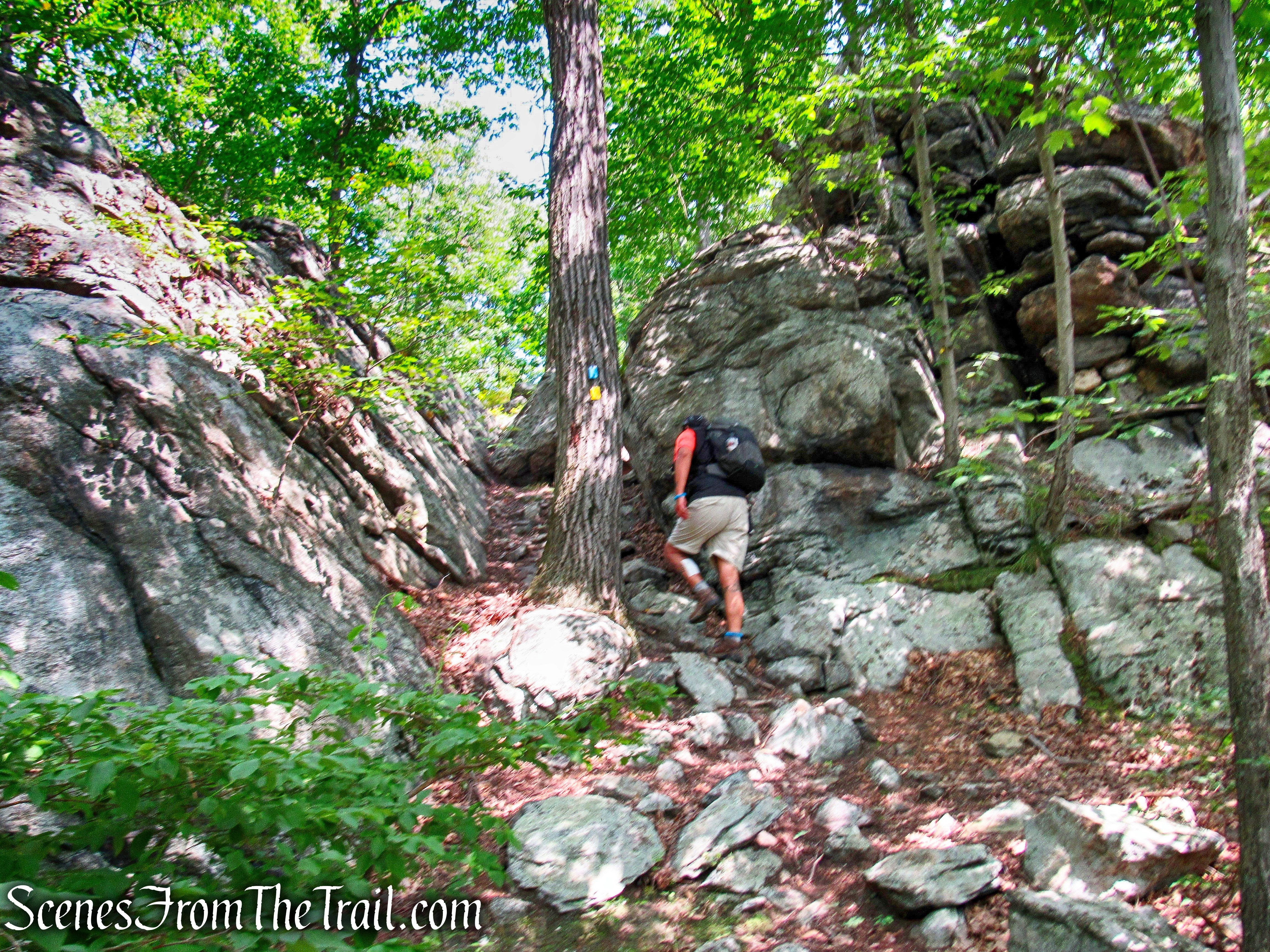
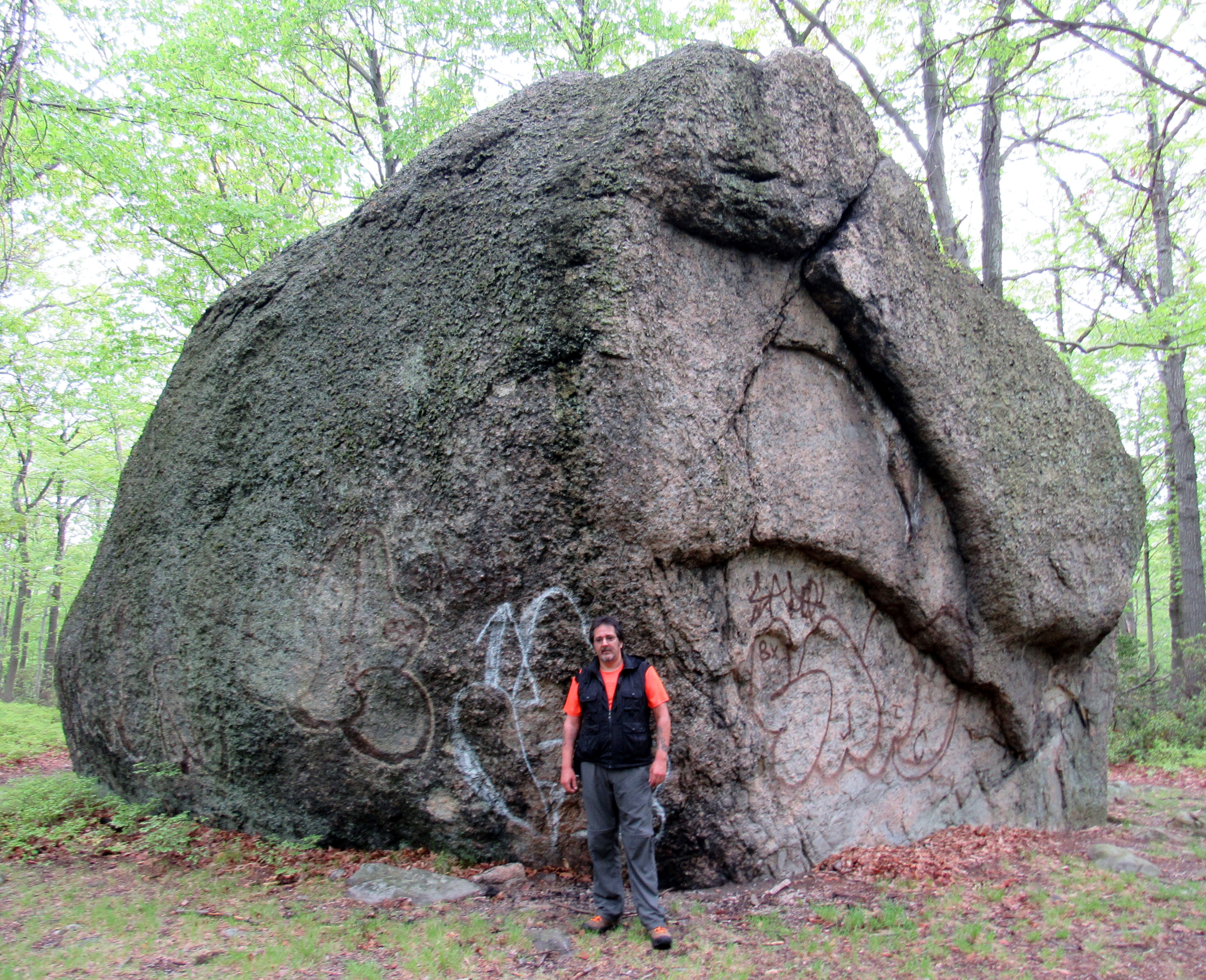
The PG Trail climbs up around some large rocks…….
Popolopen Gorge Trail
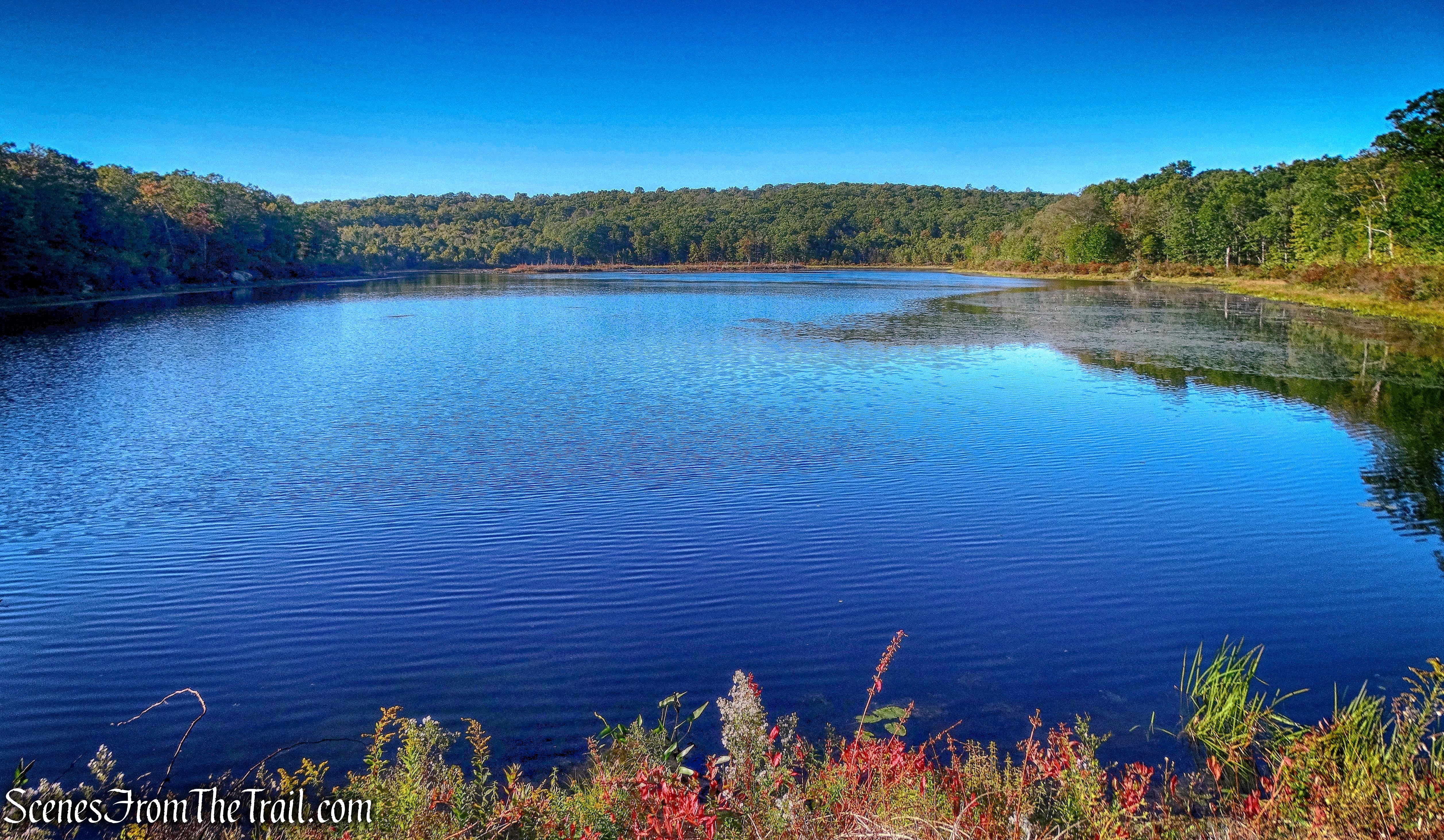
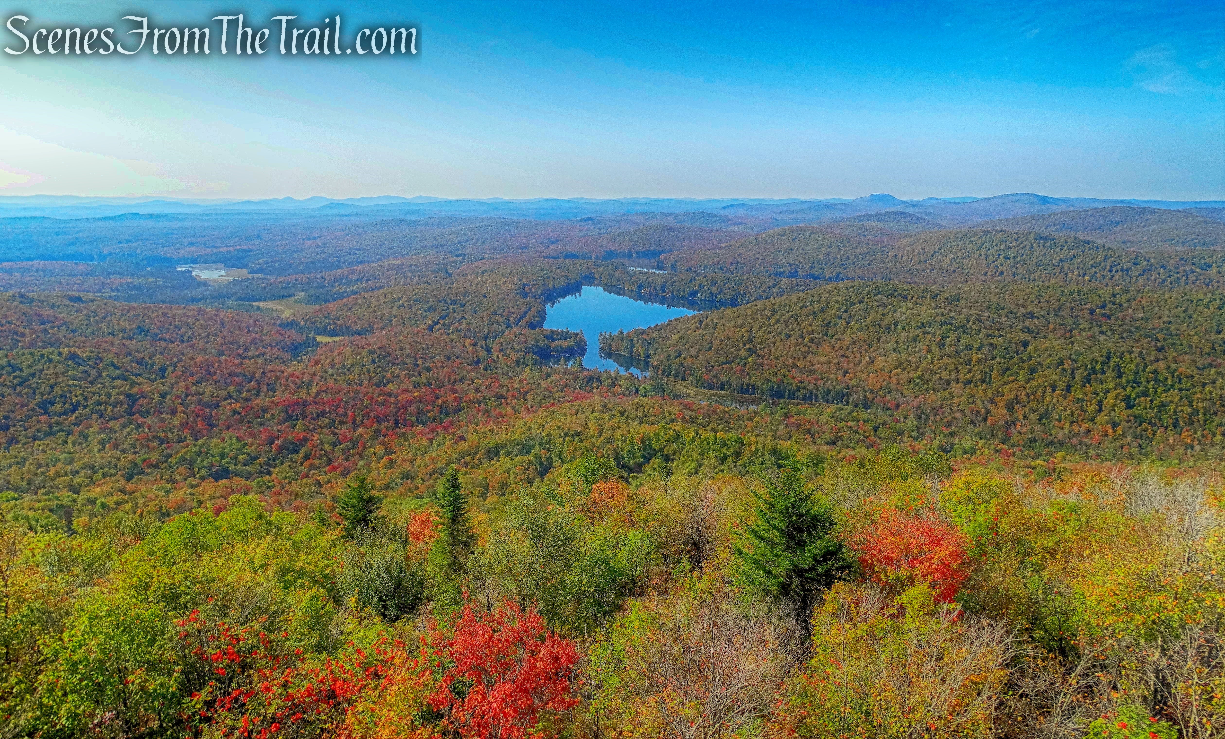
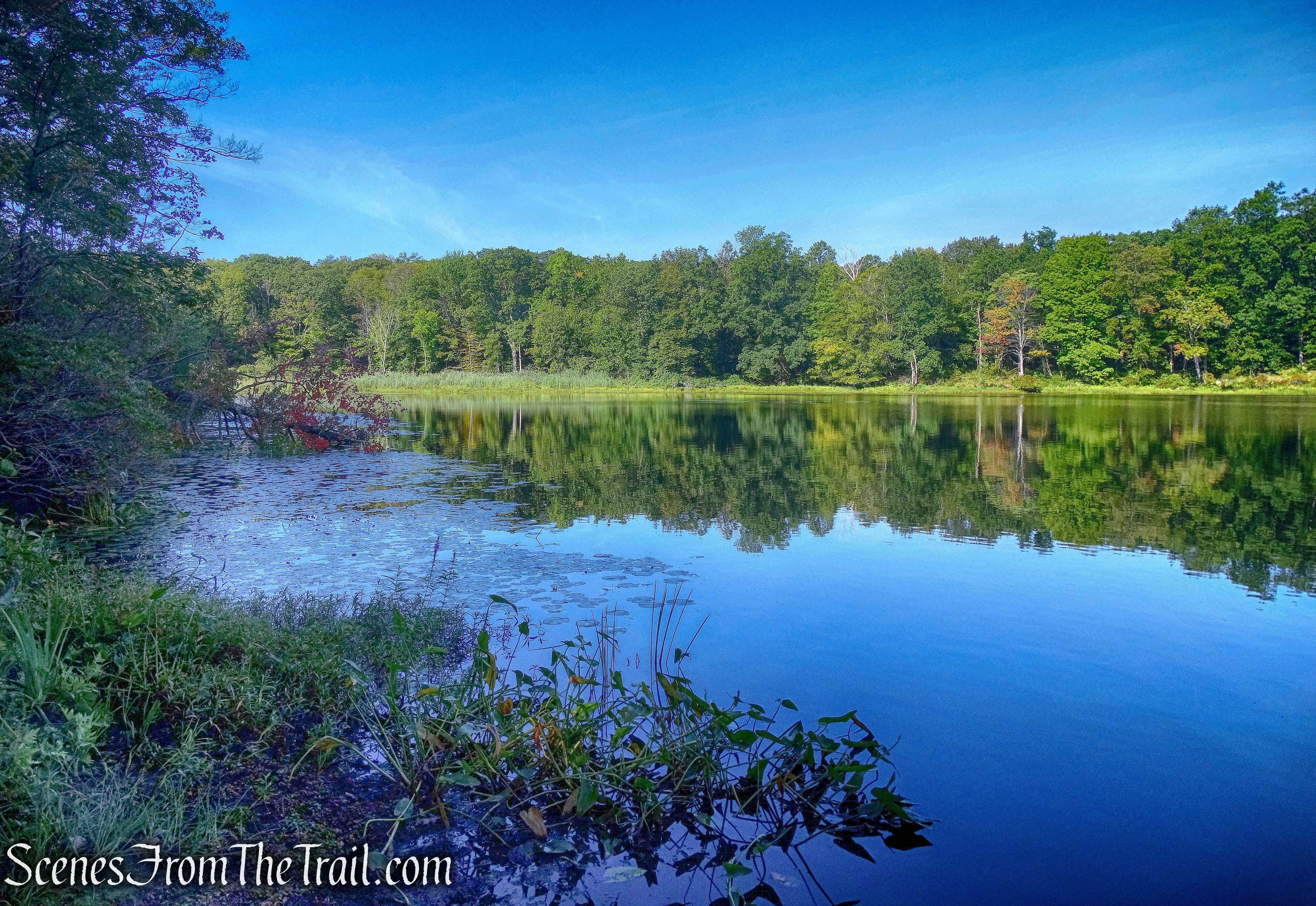
and then Turkey Hill Lake comes into view. The name “Turkey Hill Lake” first appeared on the Park’s 1937 trail map.
Turkey Hill Lake
The trail skirts the eastern side of the lake for about 1/2 of a mile. When we emerged on the southern shore, we found a nice rock outcrop and took a break while enjoying the view. A Bald Eagle flew over the lake and that was a bonus. To the east, Bear Mountain is visible in the distance.
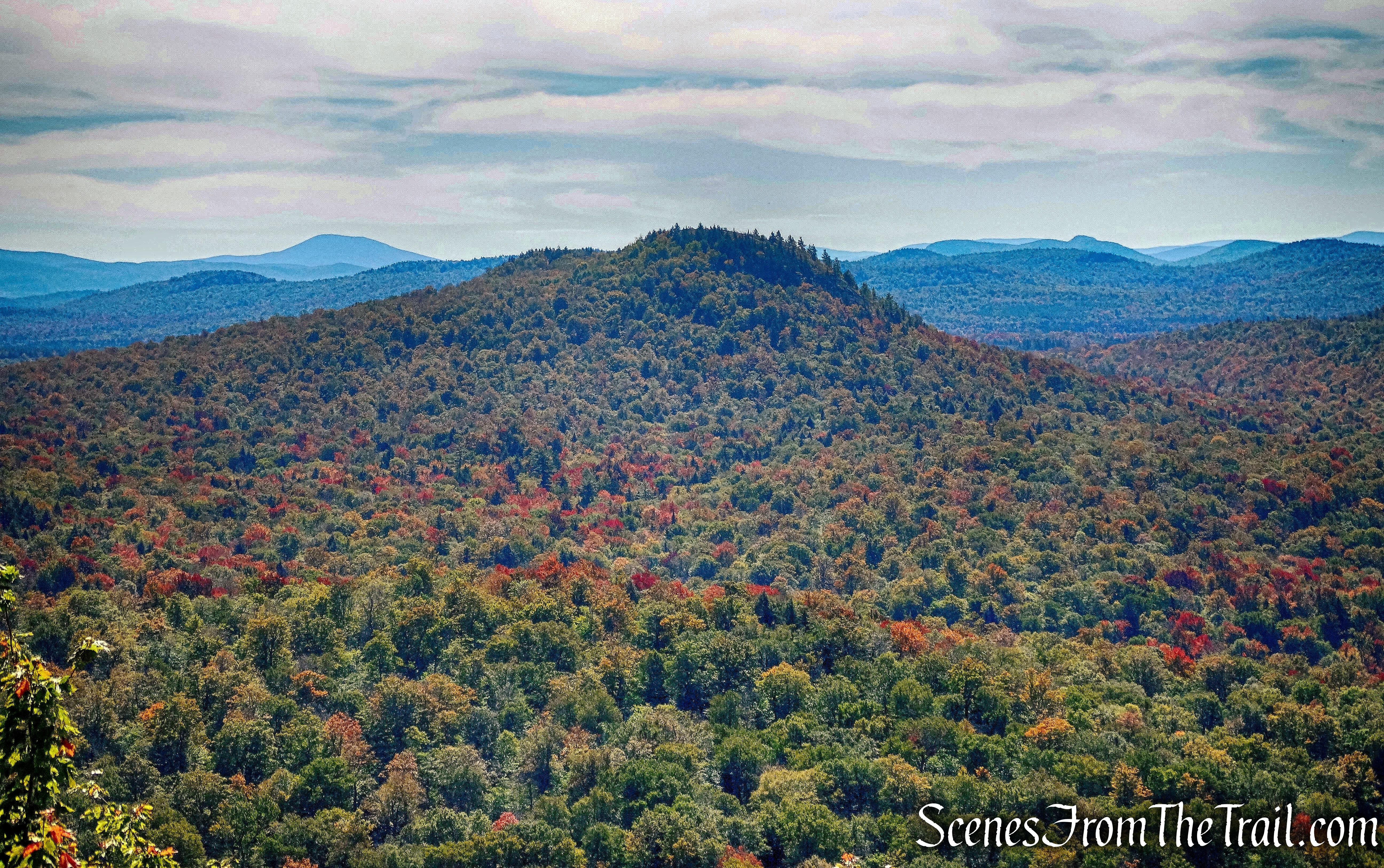
Turkey Hill Lake
To the right is Turkey Mountain and on the left is Long Mountain, which would be our next stop.
Turkey Hill Lake
After our break, we continued along the southern end of Turkey Hill Lake on the PG Trail.
Popolopen Gorge Trail at Turkey Hill Lake
There are numerous spur trails that lead towards campsites by the lake that provide views. We stopped at a few of them for a minute or so to capture an image or two. Long Mountain is the peak on the left that we were now headed to. We had hiked about 4 miles at this point and my colleagues were not that enthusiastic about climbing up there.
Turkey Hill Lake
At the southwestern end of the lake, we came to a junction with the Anthony Wayne Trail which goes left. If we weren’t going to Long Mountain this would be the turn around point. We of course, proceeded ahead on the PG Trail.
Anthony Wayne Trail junction at Turkey Hill Lake
The PG Trail begins to climb gradually at first, then more steeply.
Popolopen Gorge Trail
The PG Trail then turns right onto an old woods and continues to rise on a more moderate grade.
Popolopen Gorge Trail
In about 450 yards from when we turned right on the woods road, we came to a junction with the Long Path. The Popolopen Gorge Trail ends here, but the woods road continues. The blazes for the Long Path are visible going to the left, but I did not see any going up to the right. It could have been a little confusing, but I had studied the map somewhat and knew which way to go. I walked up a bit just to be sure and when I spotted a blaze, I called down for the others to follow.
the Long Path
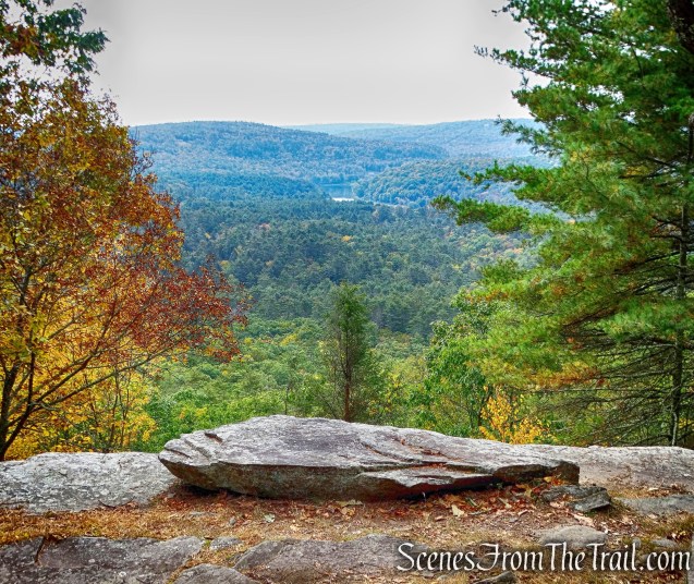
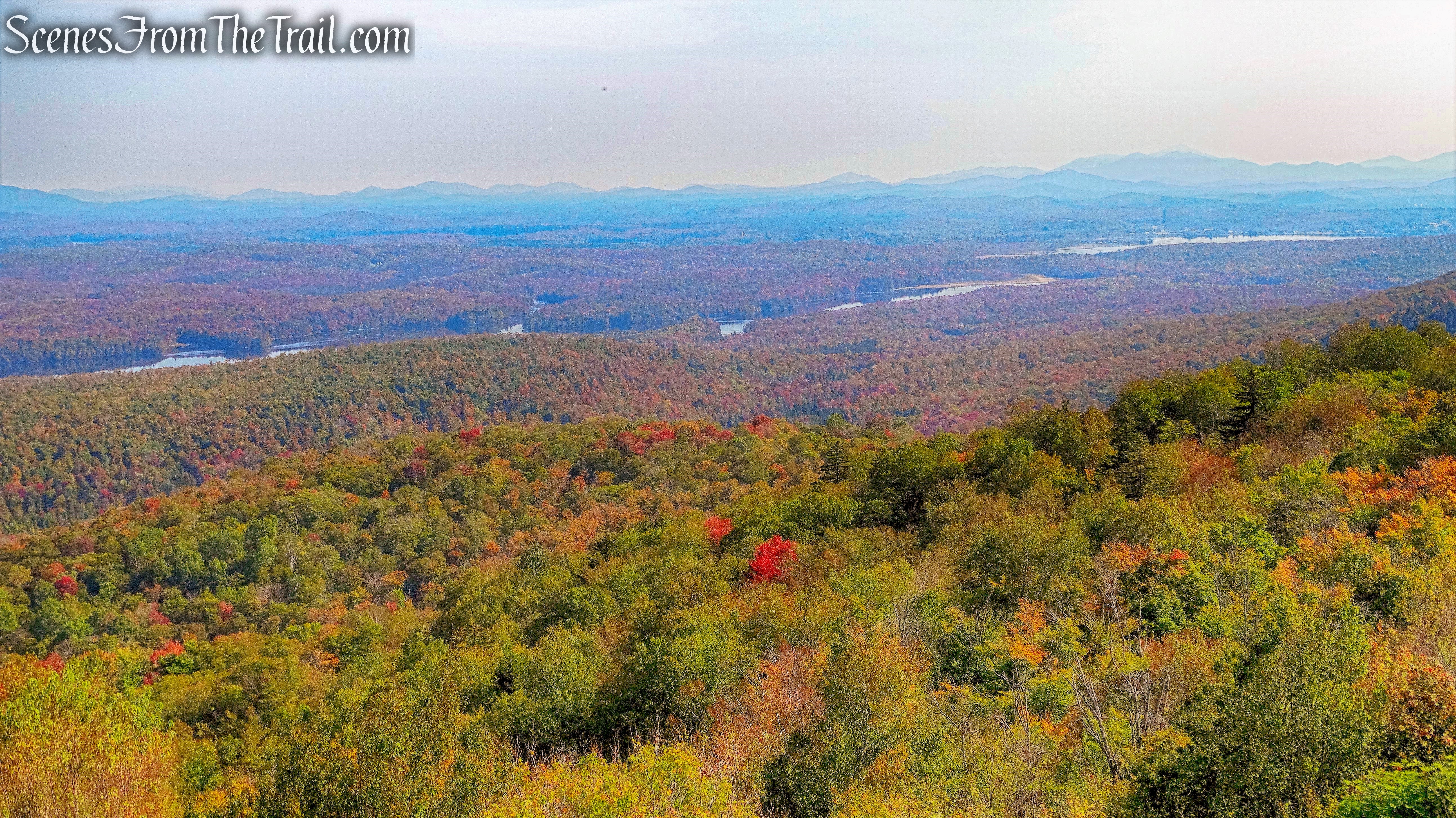
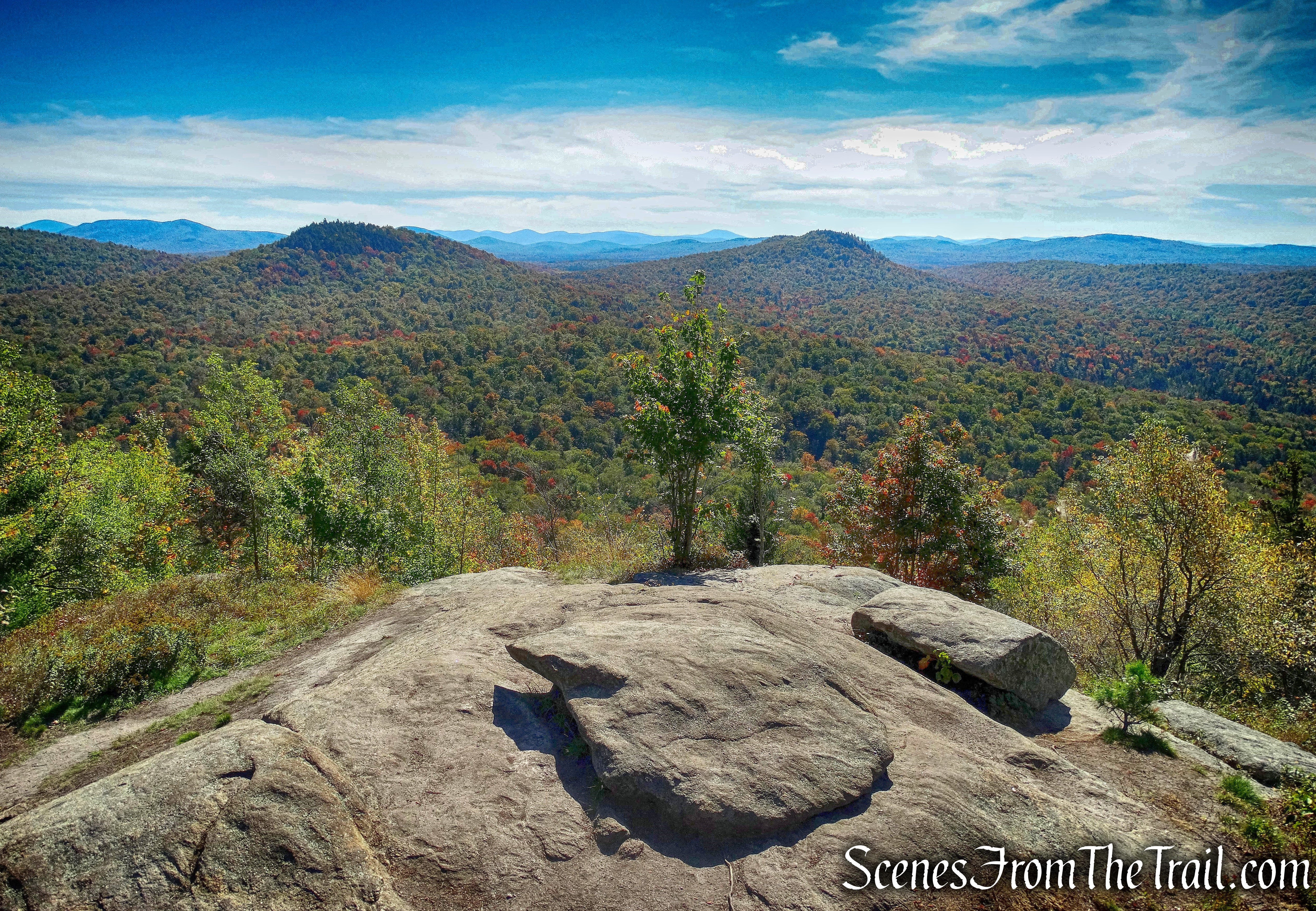
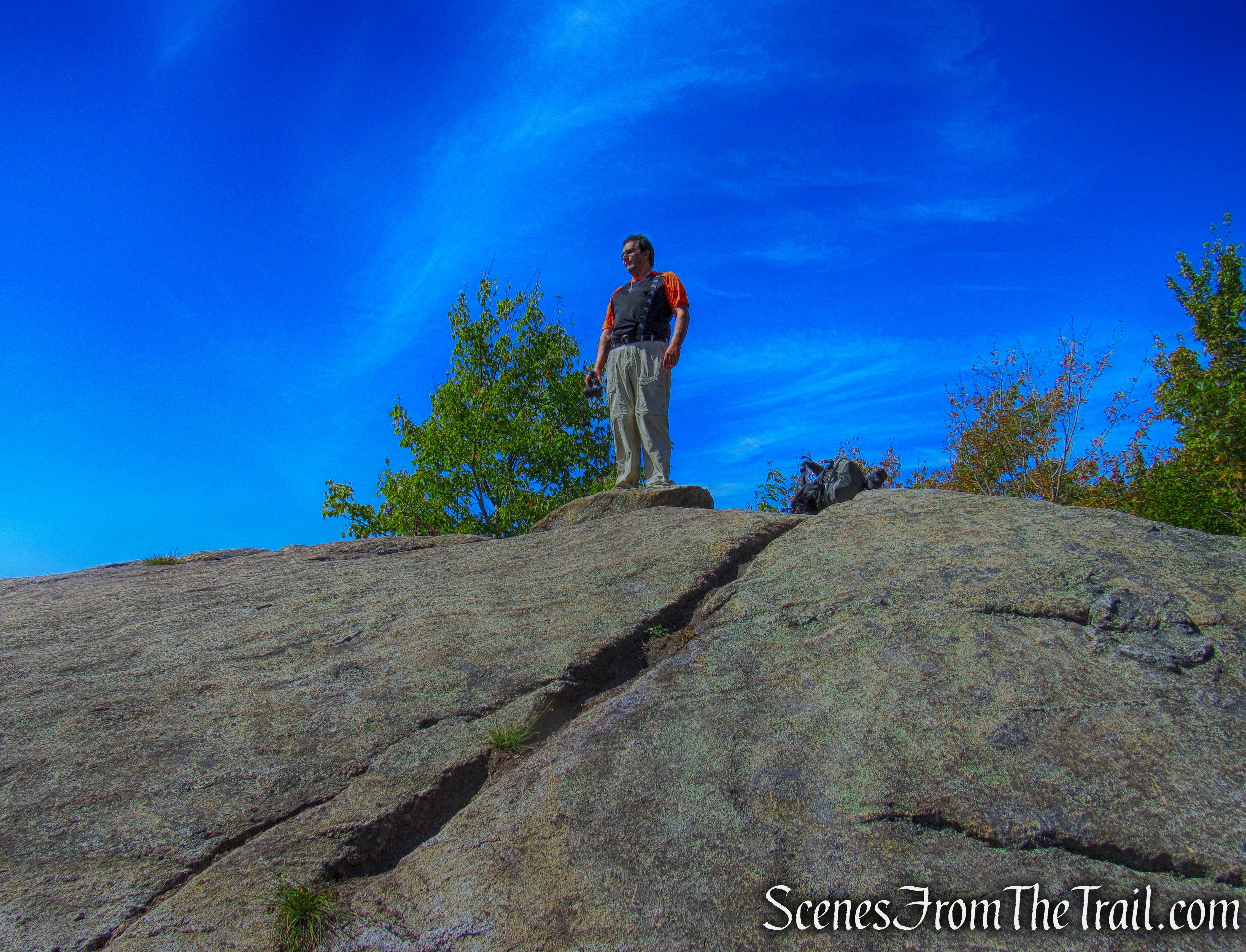
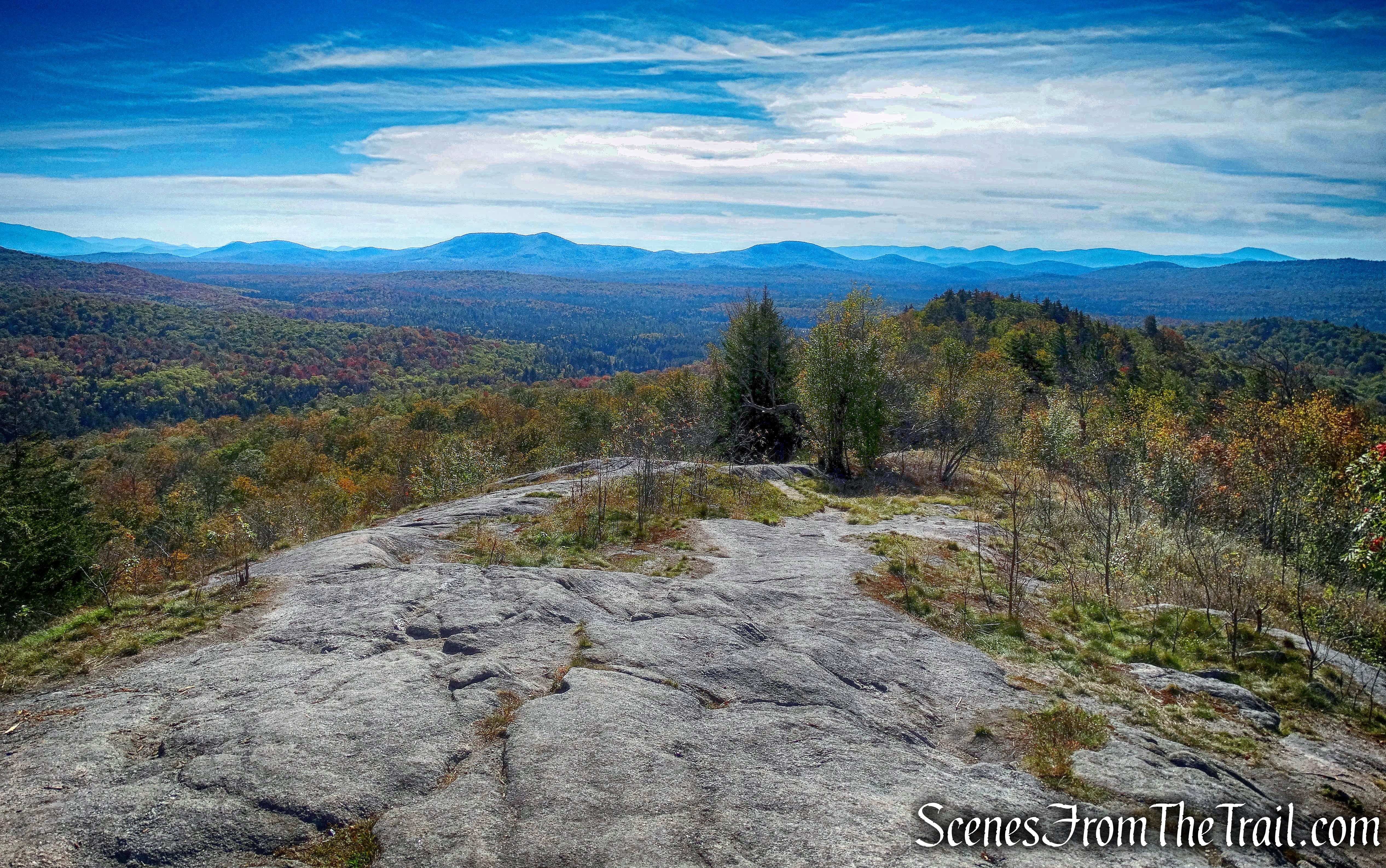
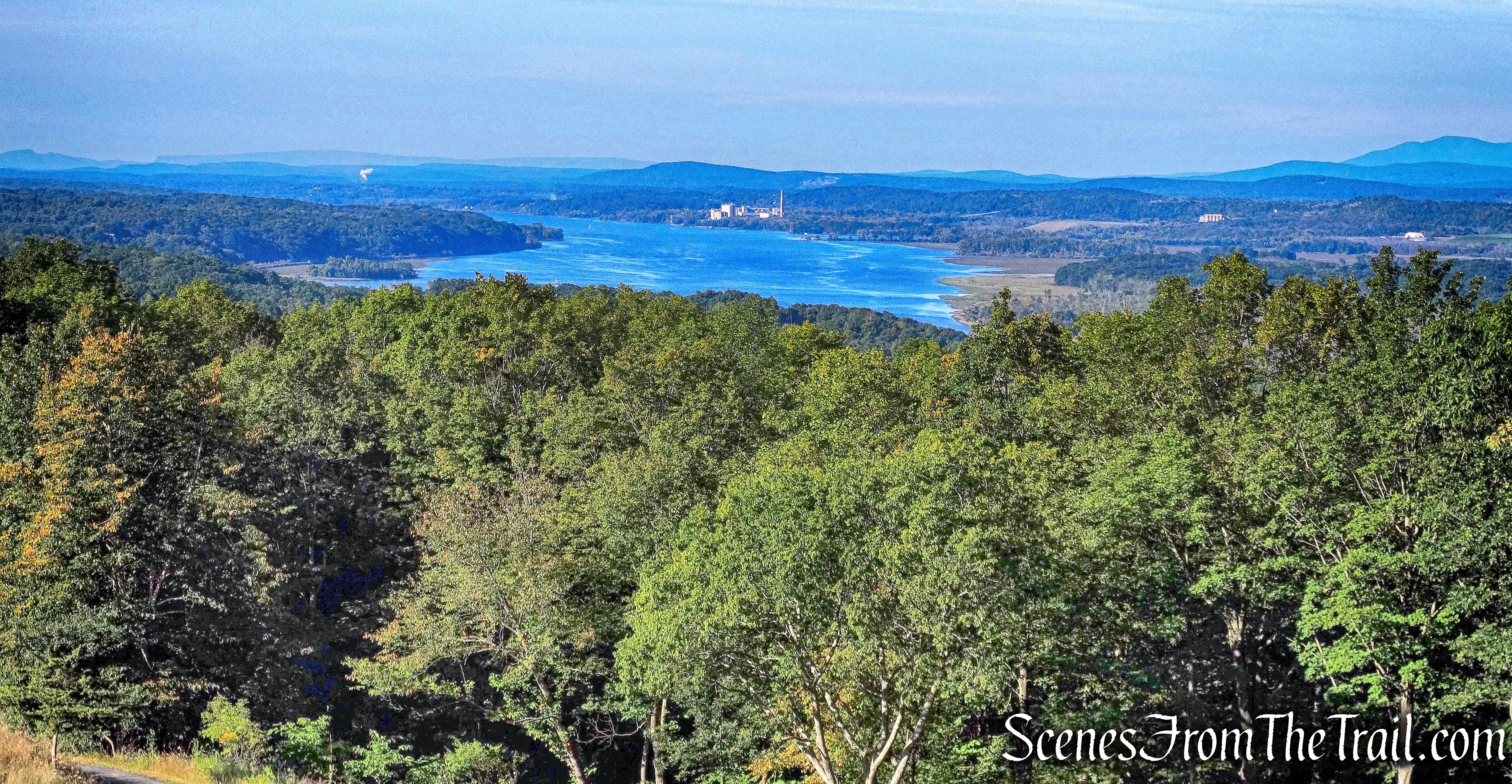
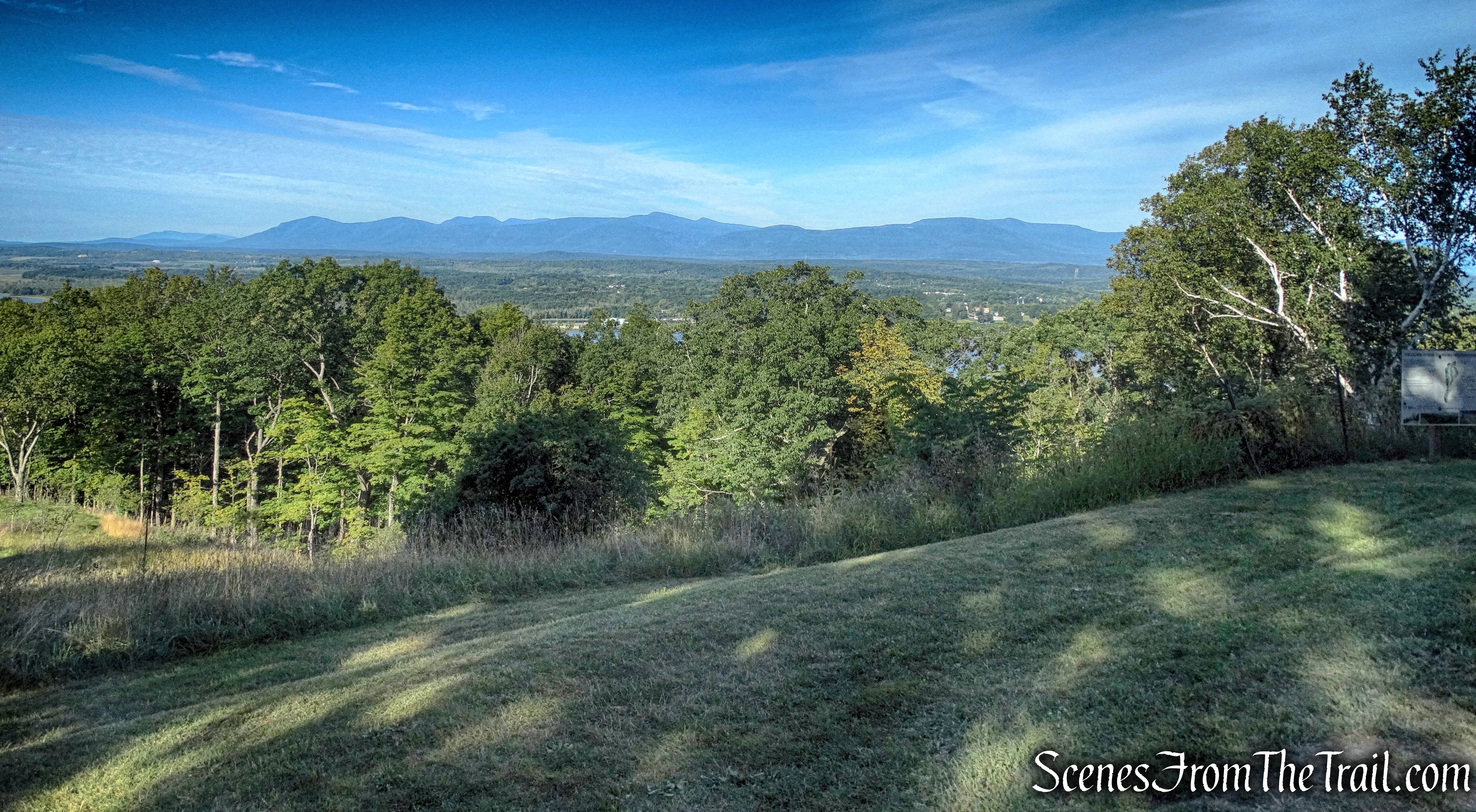
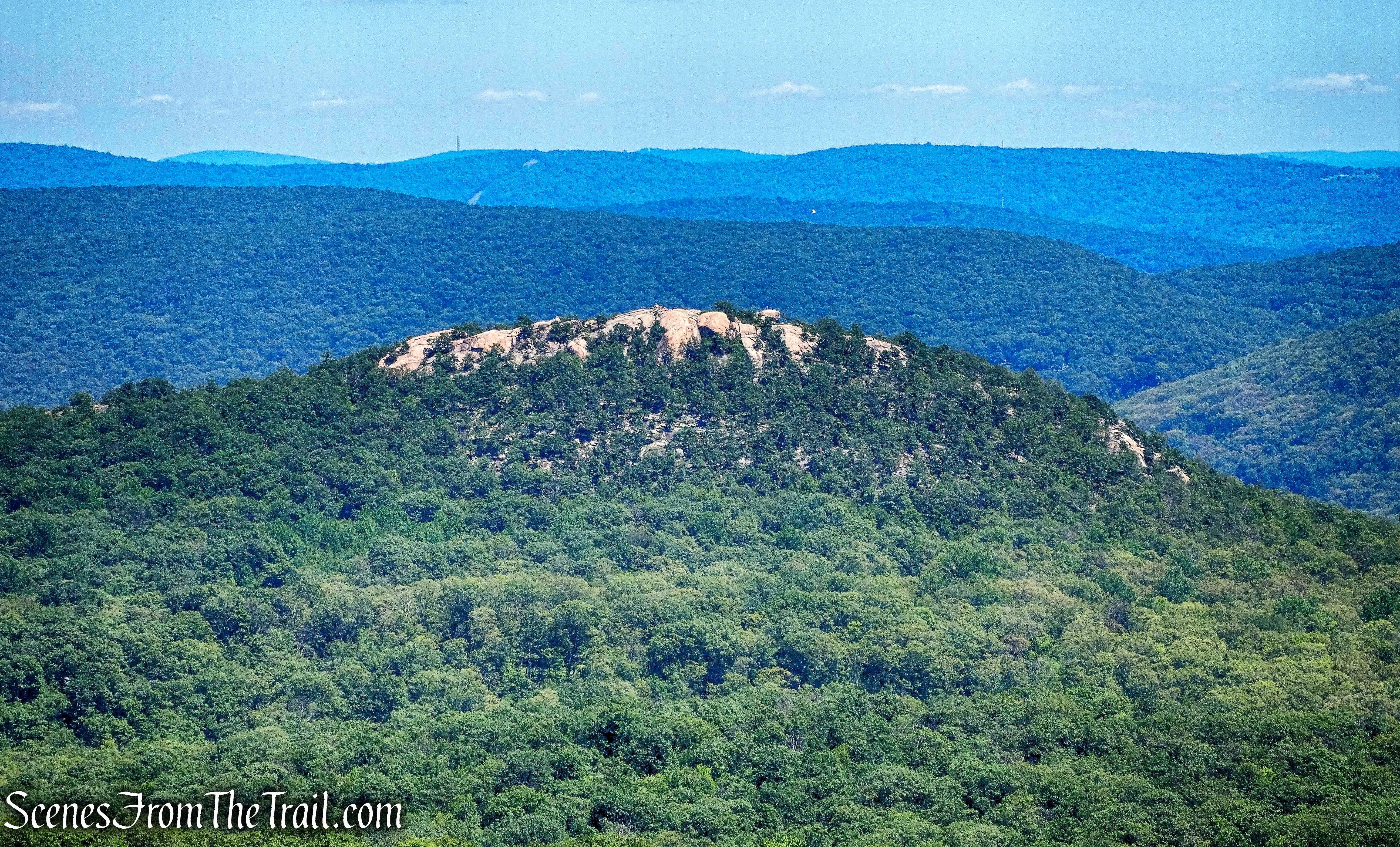
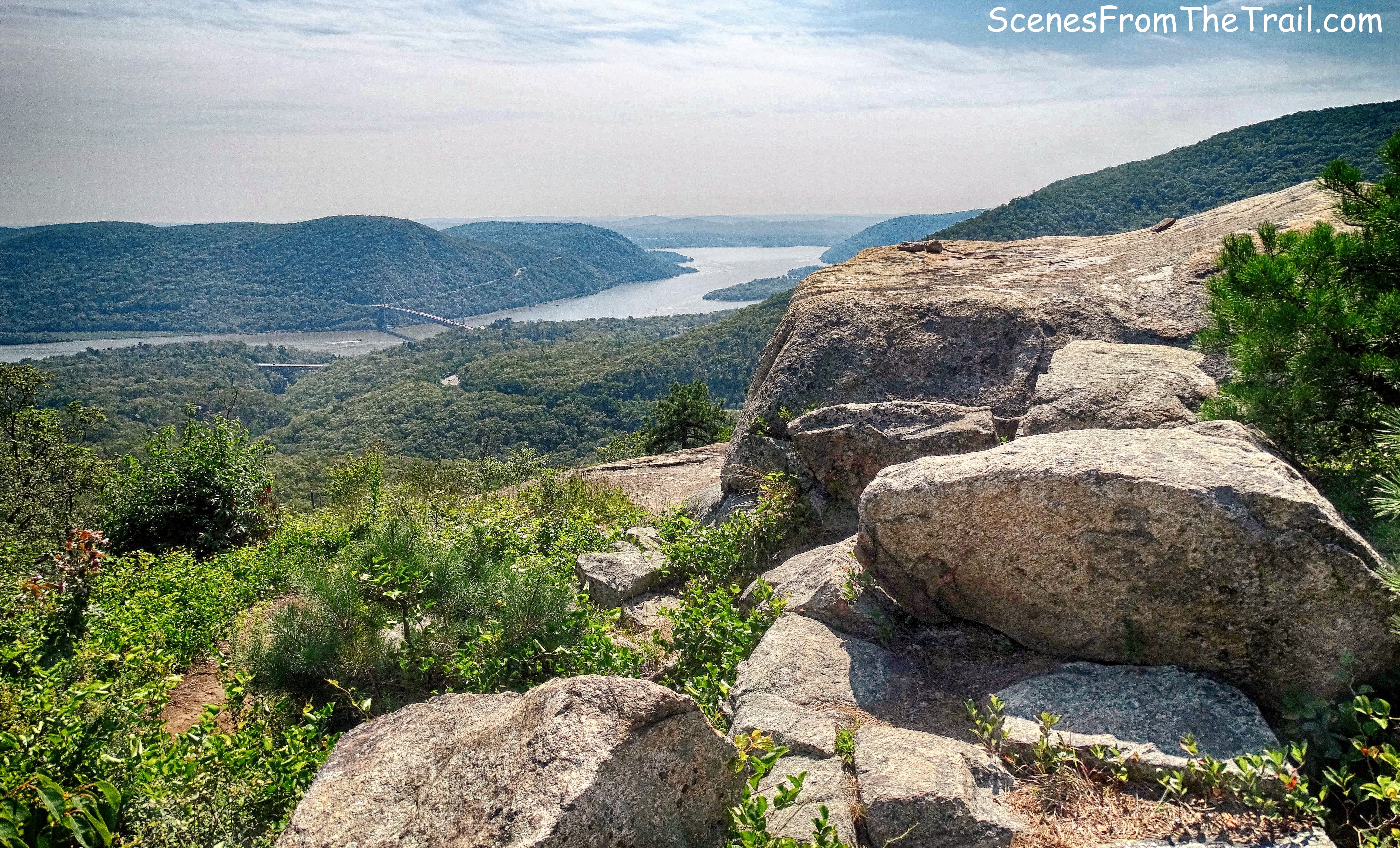
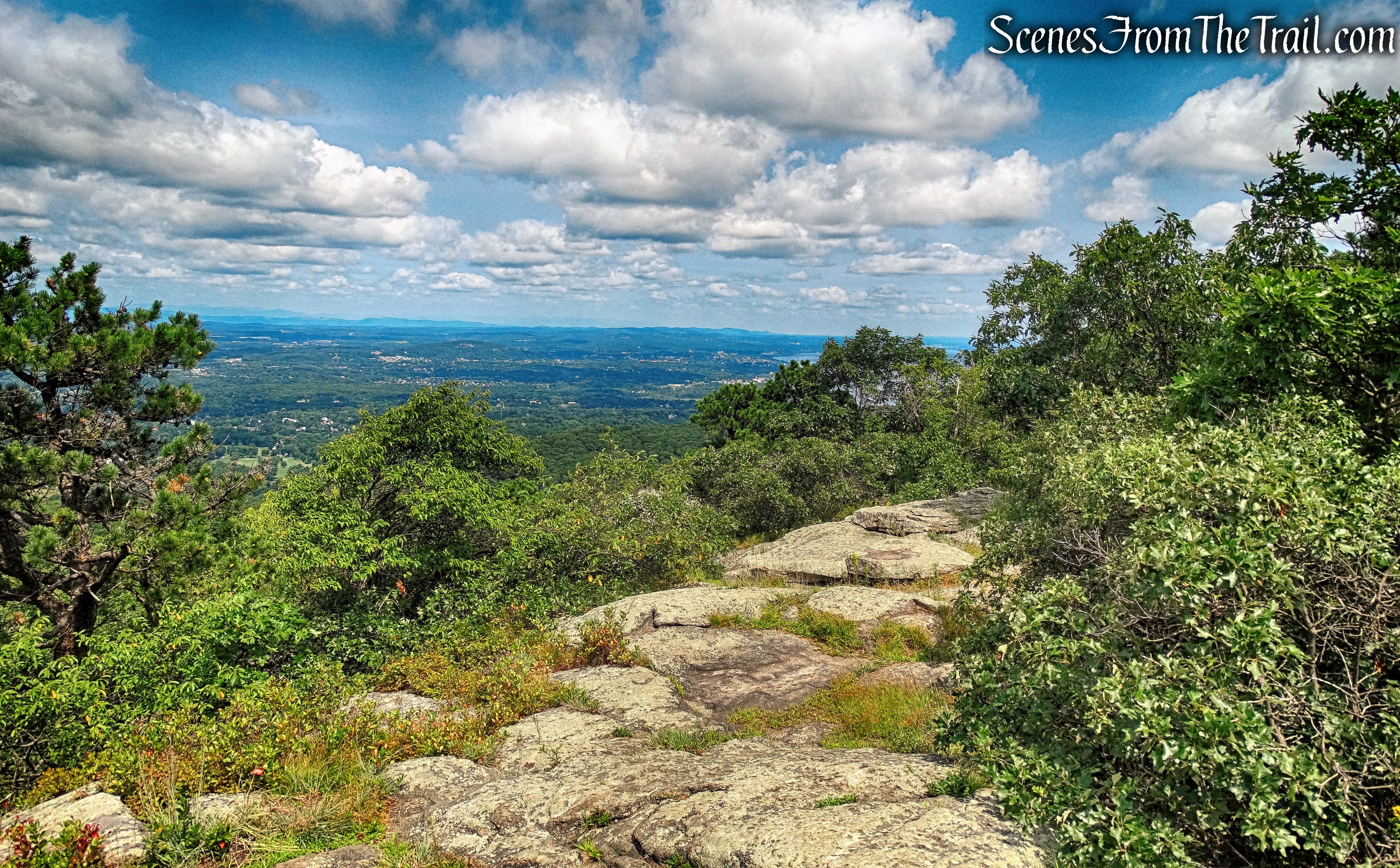
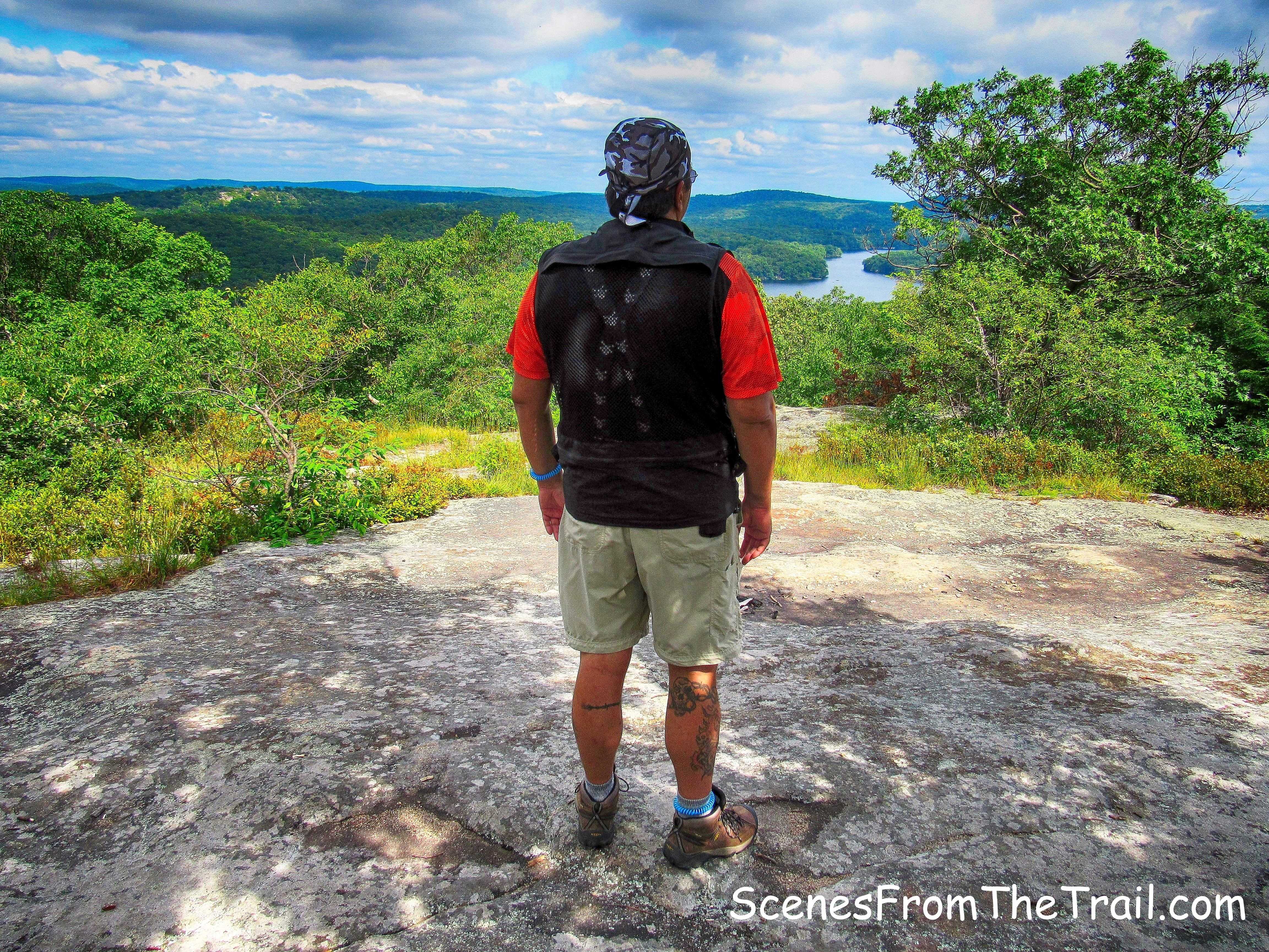
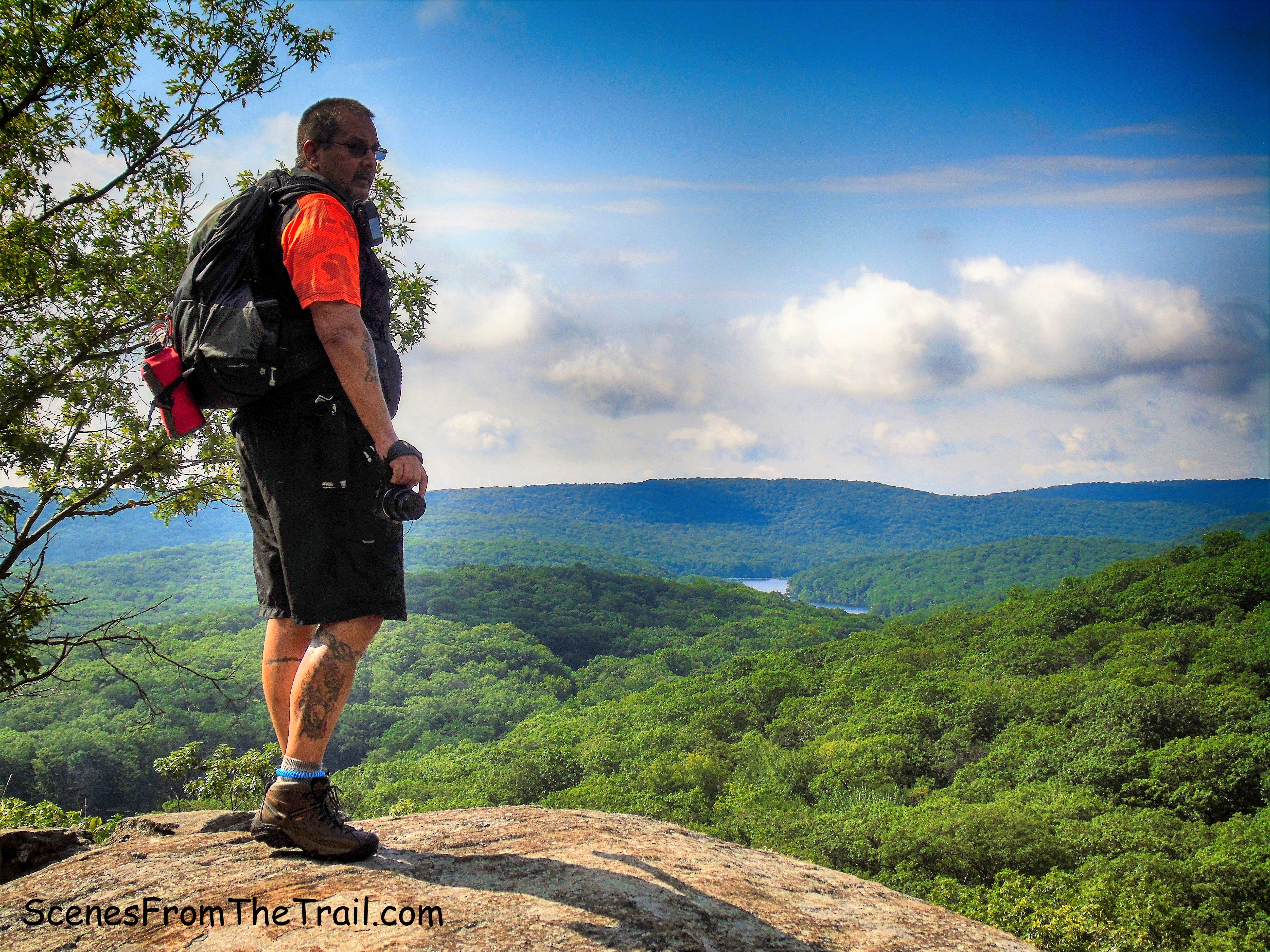
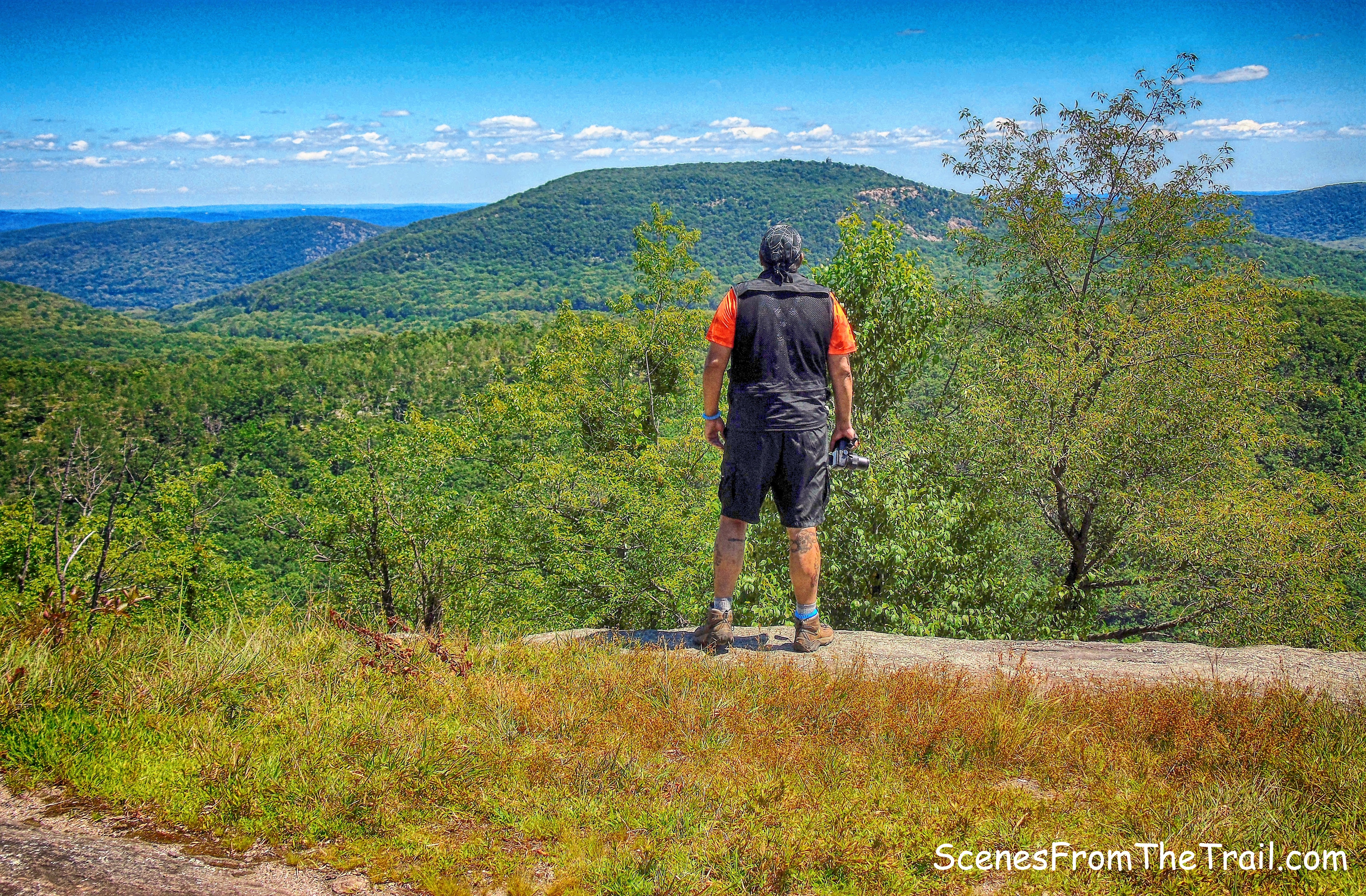
The climb was steep and and felt much longer than the .35 miles from the junction of the Long Path to the summit. The view was worth the climb as we came out on open rock and and looked south.
view south from Long Mountain
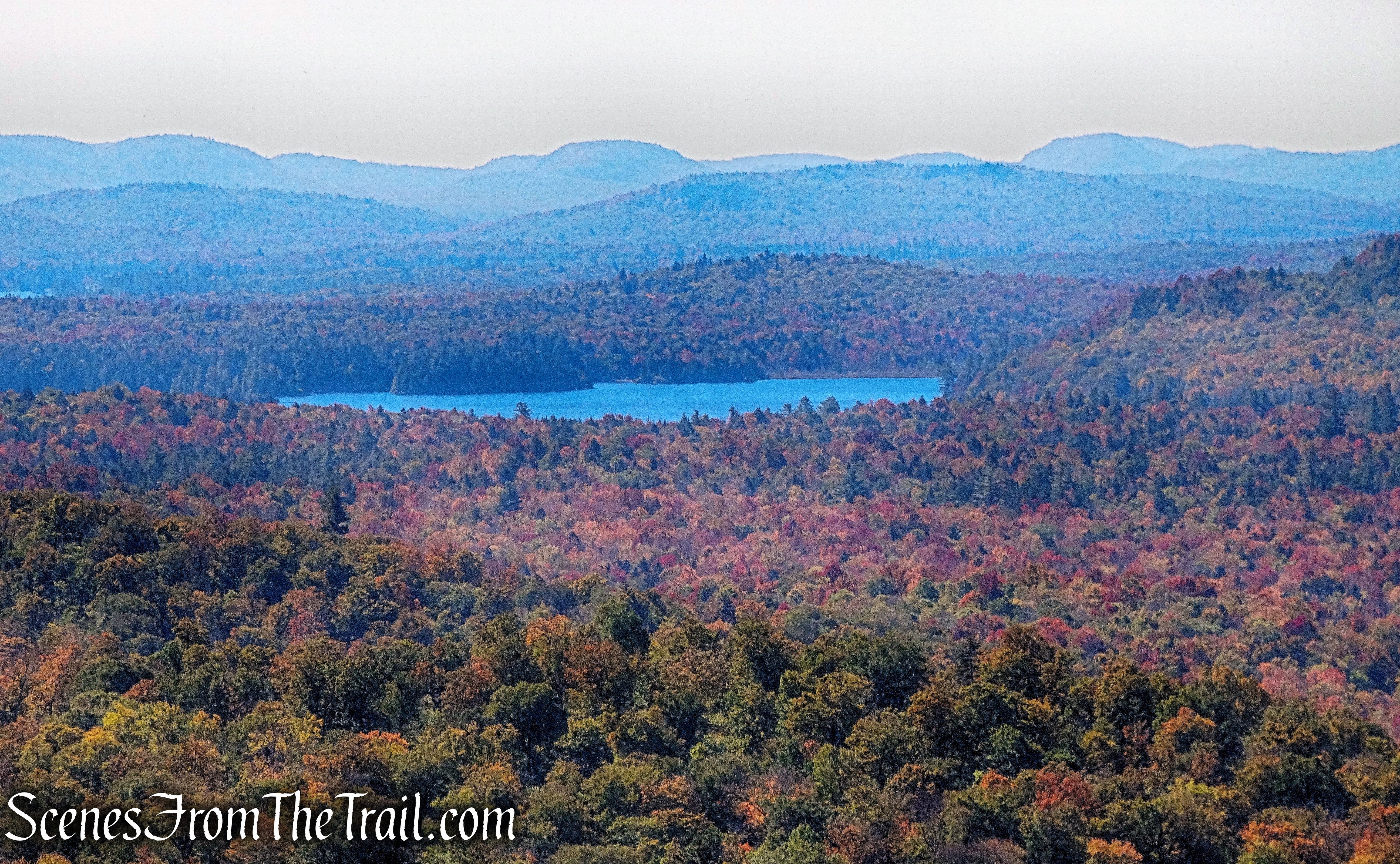
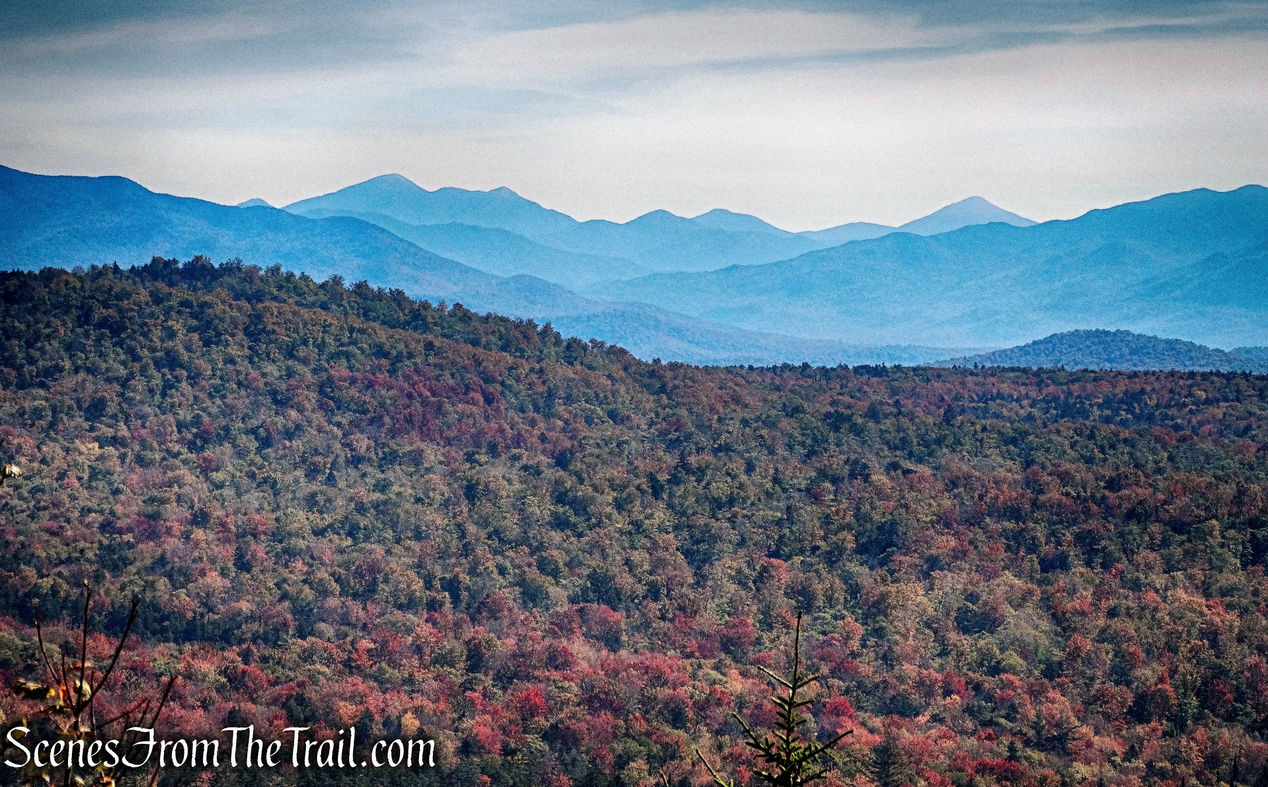
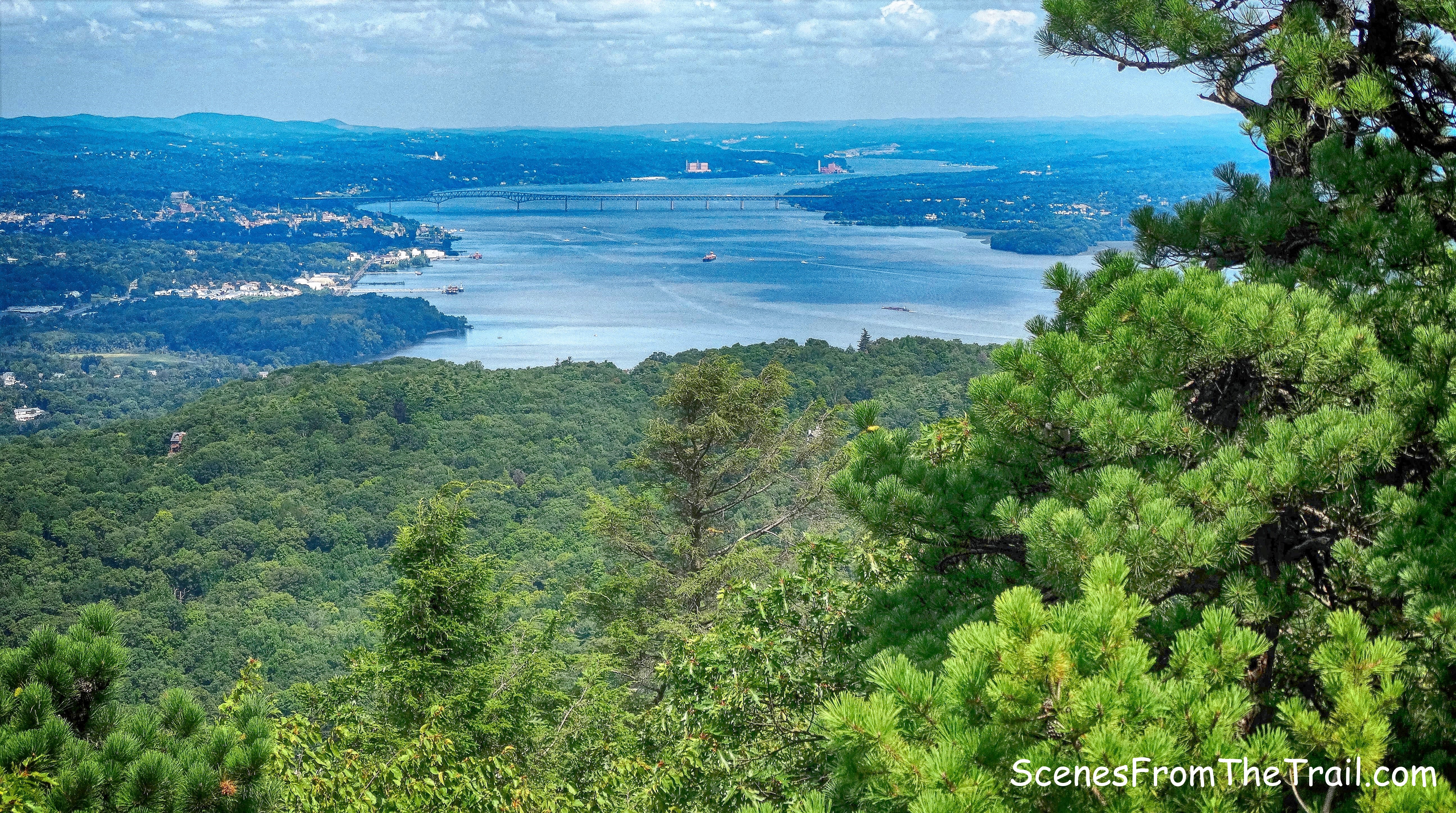
The true summit of Long Mountain is located on U.S. Military Academy (West Point) Land and is closed to the public. This was our turn around point and had hiked about 5 miles thus far so we sat here for a while and just enjoyed the view. Just below to the east, is Turkey Hill Lake.
view of Turkey Hill Lake from Long Mountain
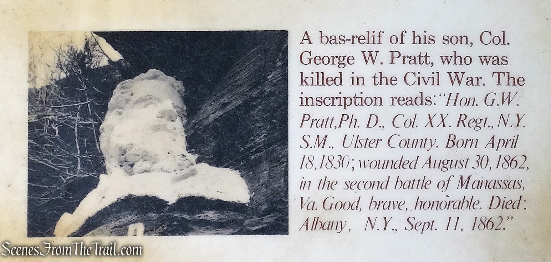
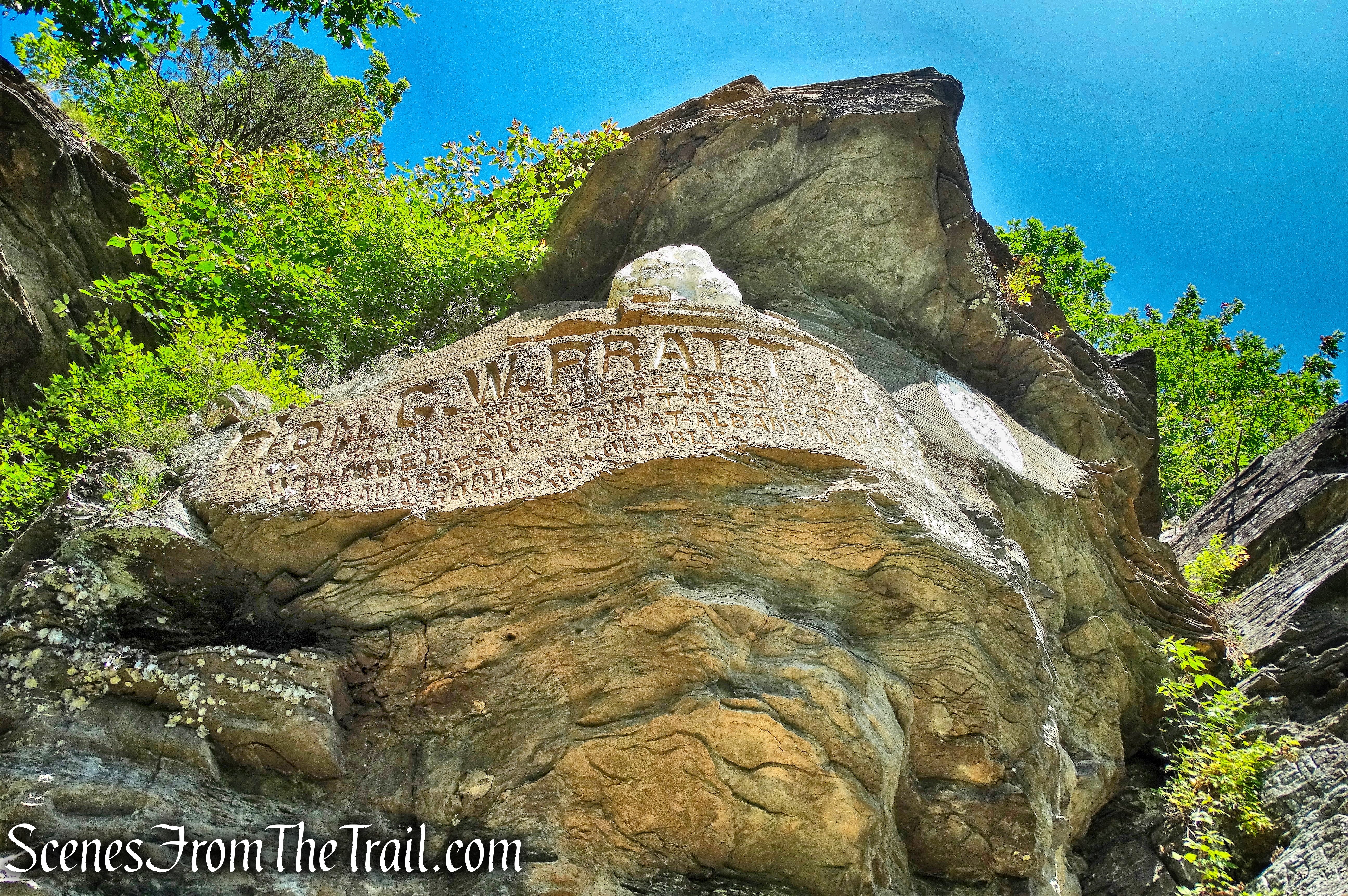
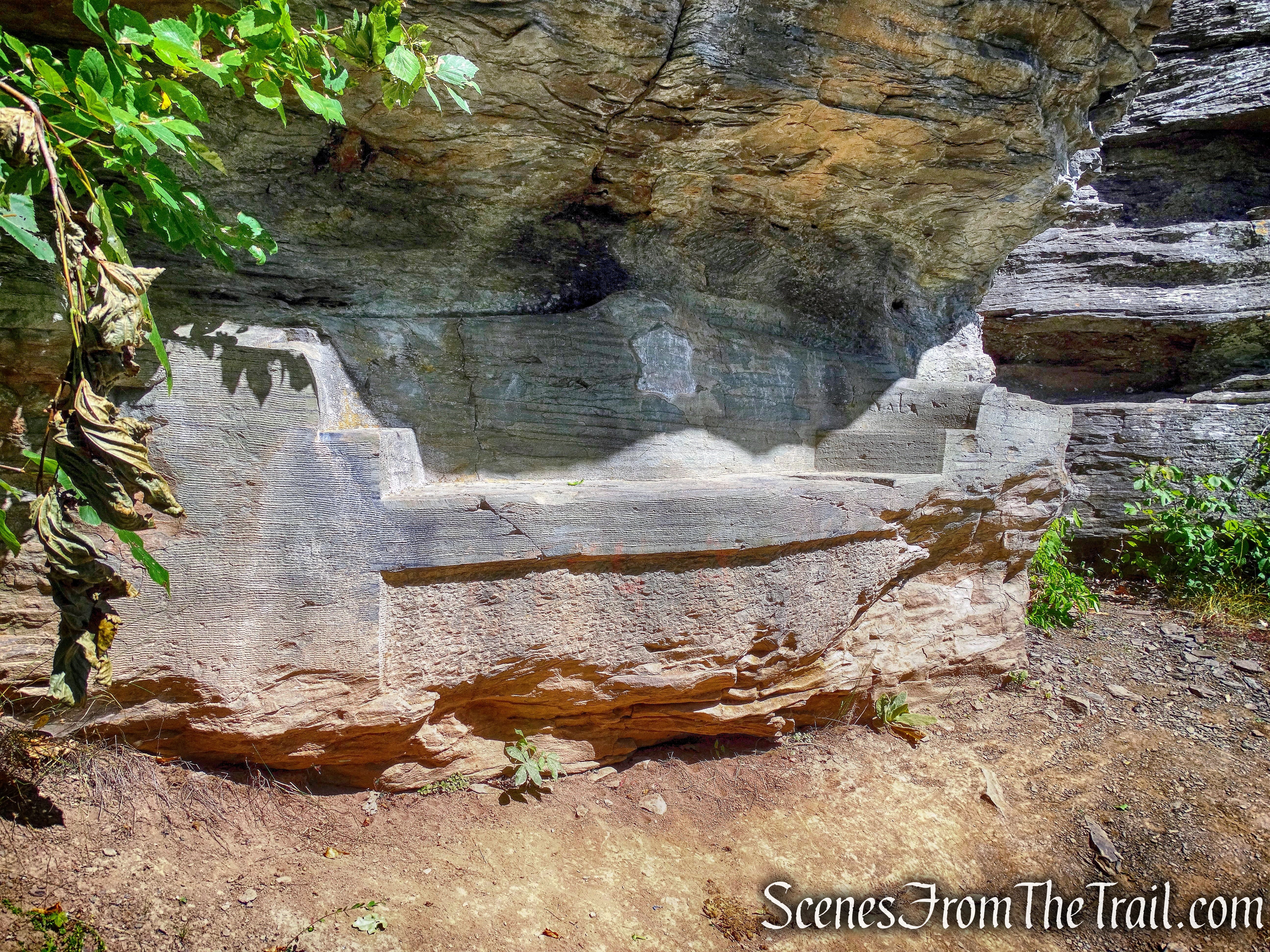
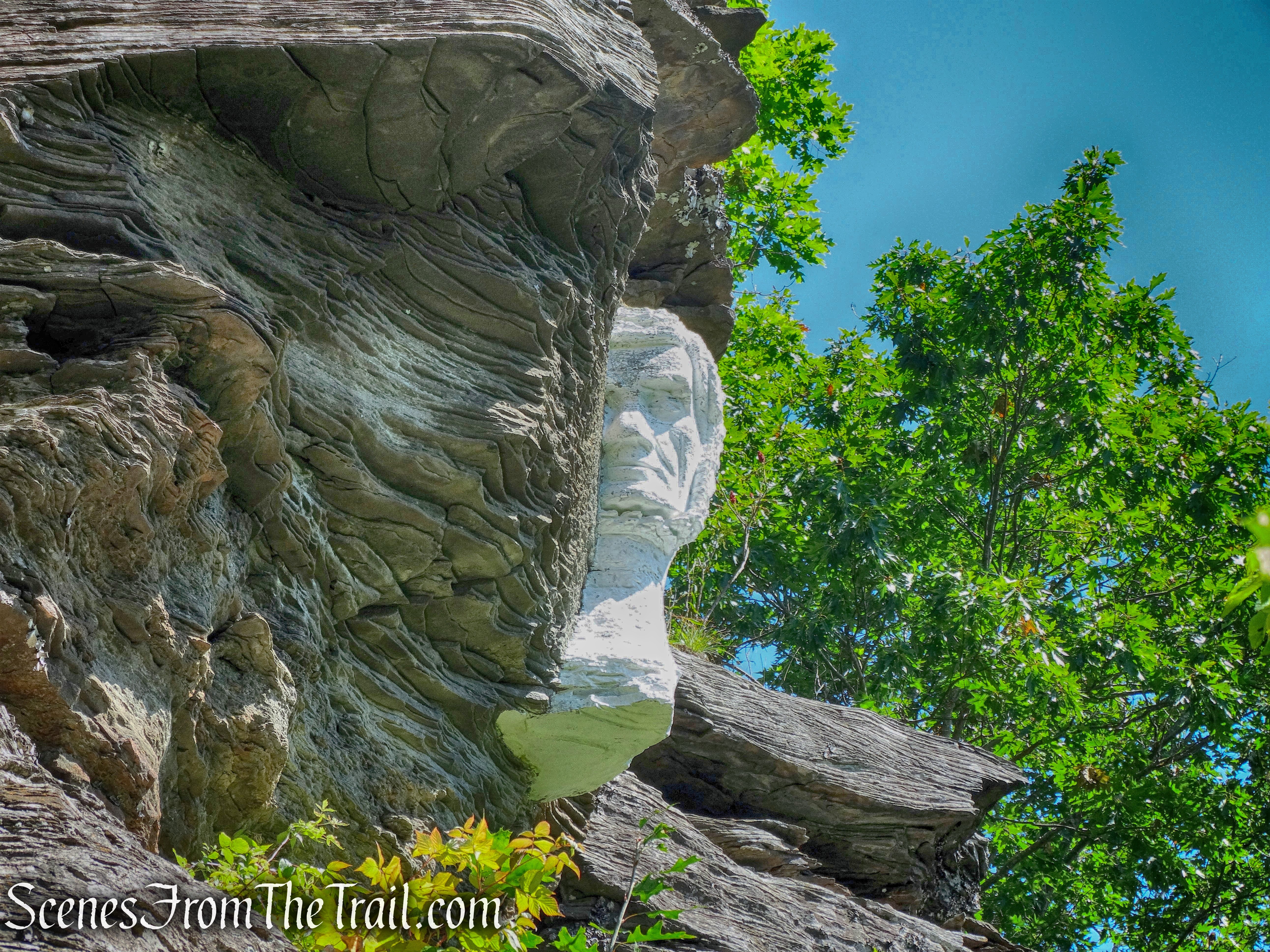
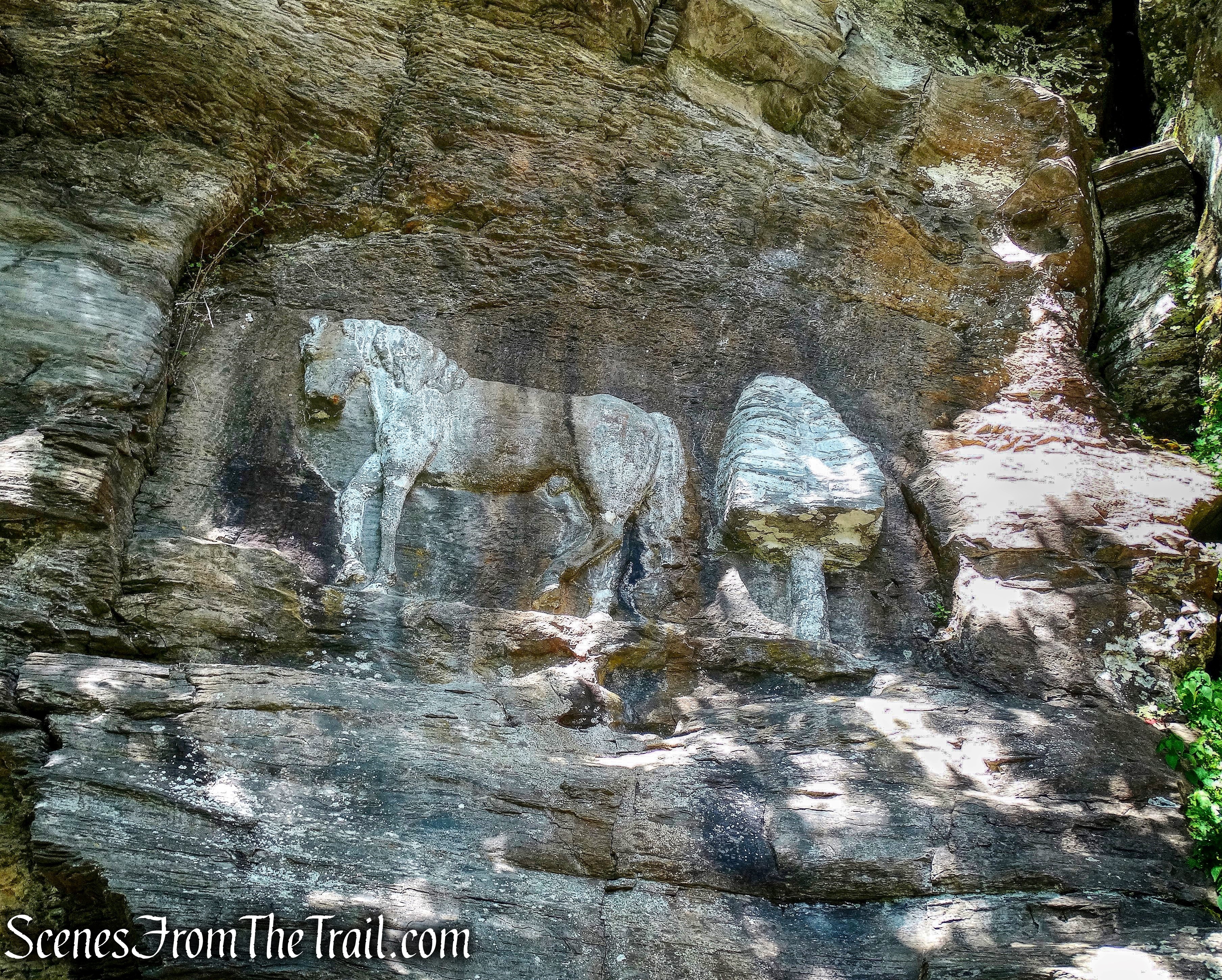
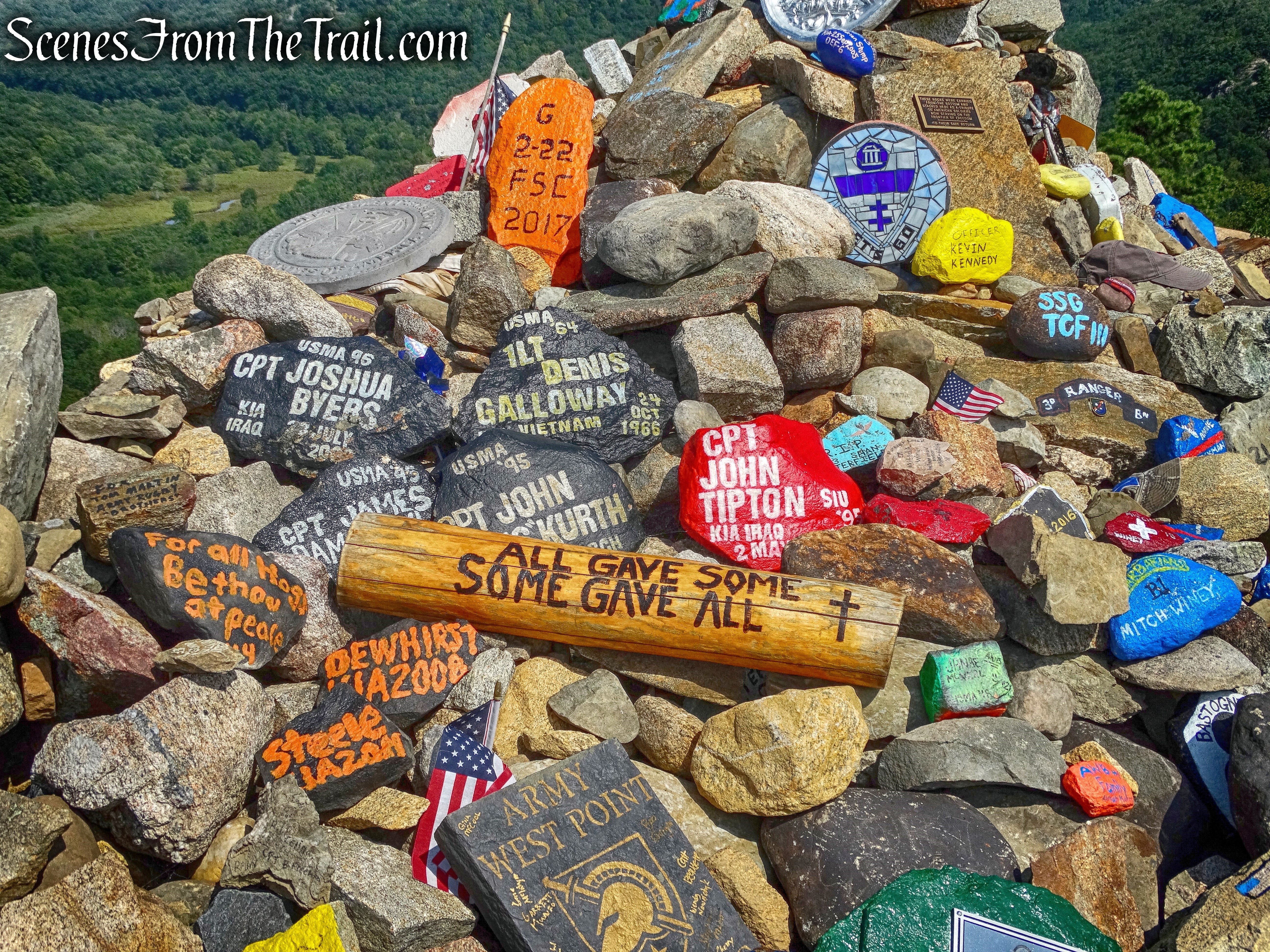
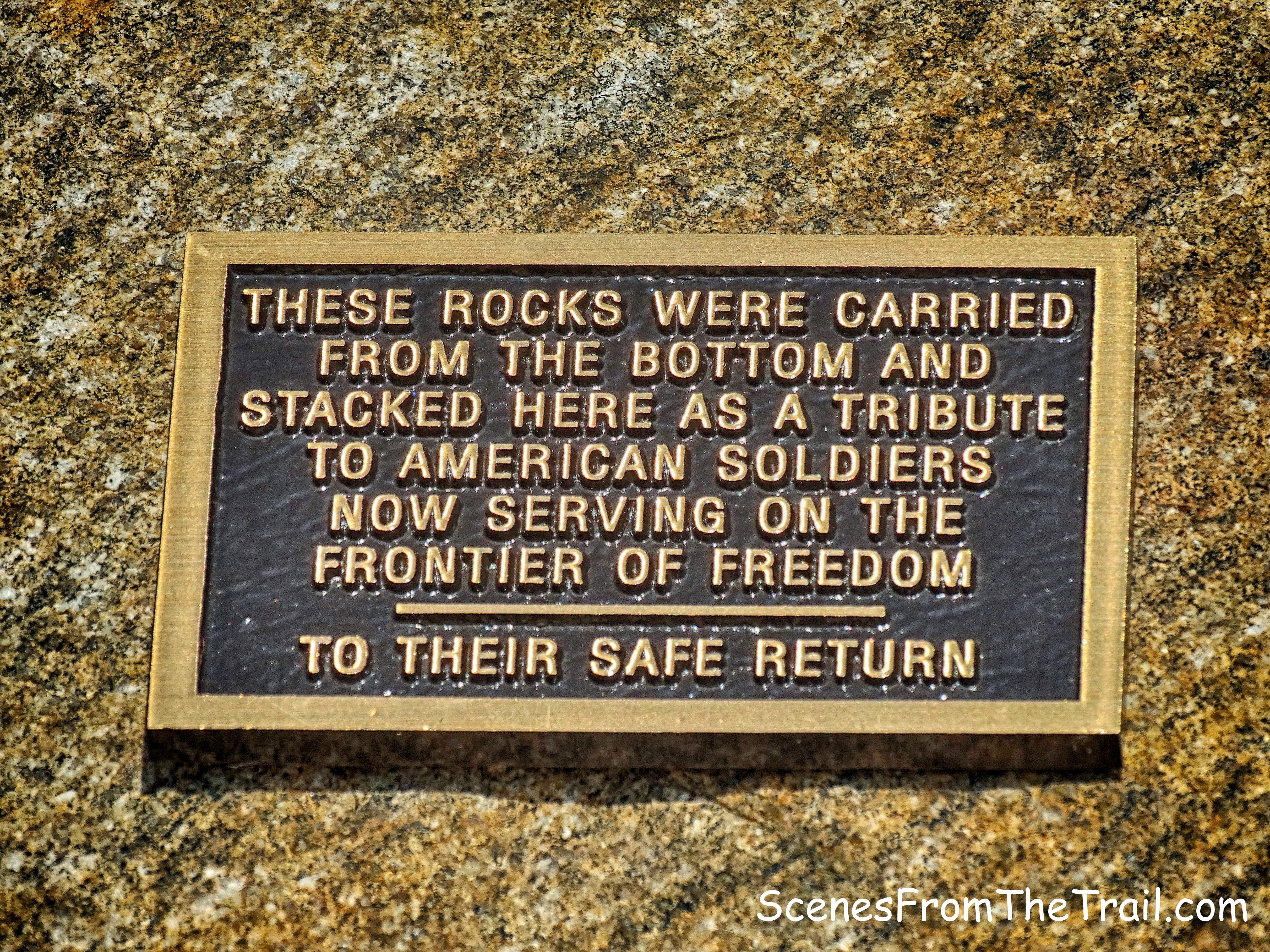
Right by where we were sitting is a memorial to Raymond H. Torrey which is chiseled into the rock. Torrey was the author of weekly columns, Outings and The Long Brown Path in the New York Evening Post in the 1920’s and 1930’s. The column played a major role in the development of the 2,100-mile Appalachian Trail, the Long Path and the popularity of hiking generally. He was a founding member of the New York–New Jersey Trail Conference. It reads:
“In Memory of Raymond H. Torrey, A Great Disciple of the Long Brown Path, 1880-1938.”
Raymond H. Torrey Memorial
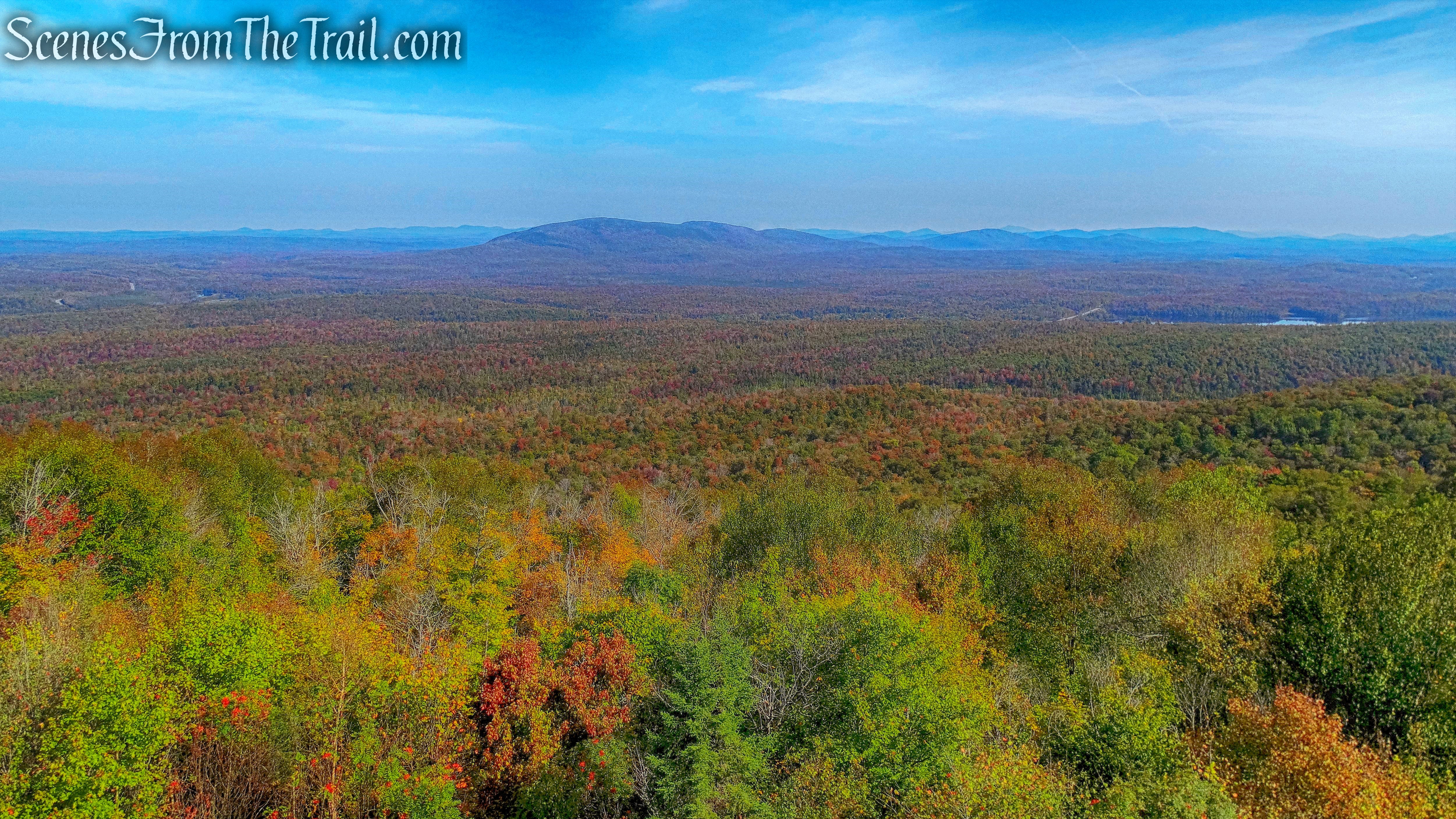
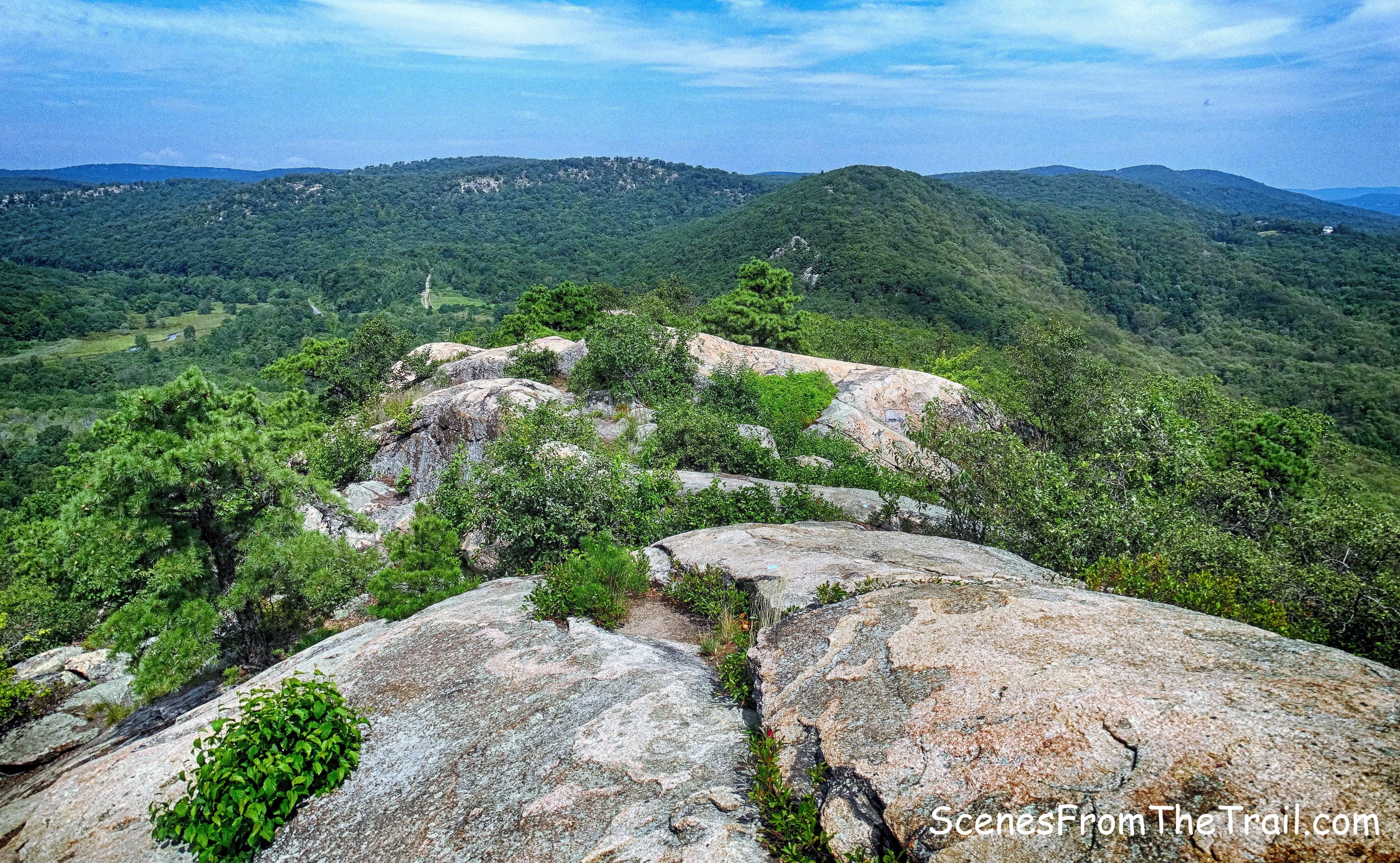
This was one of Raymond H. Torrey’s favorite views. His ashes were scattered to the winds here in a brief ceremony.
view of east from Long Mountain
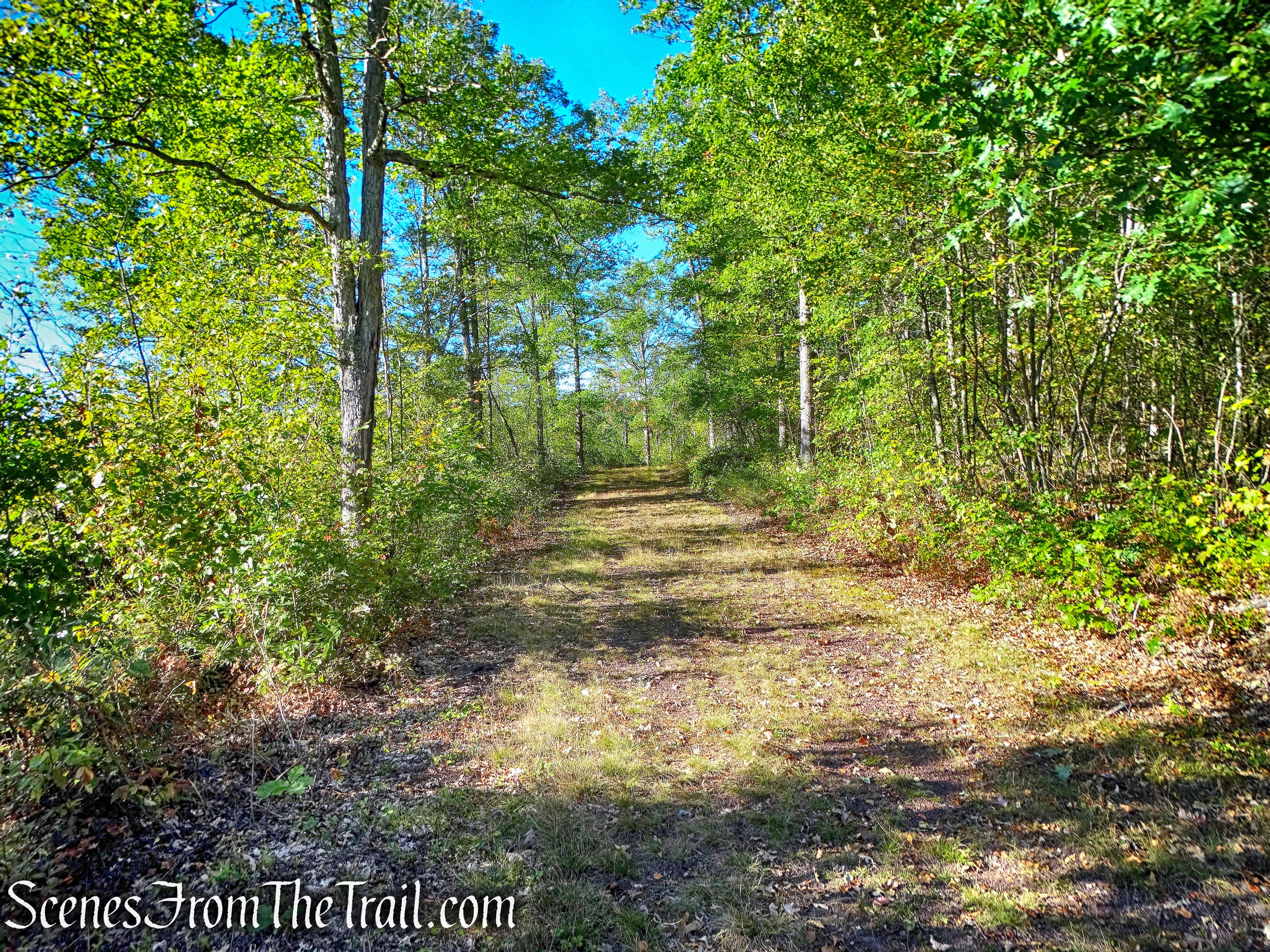
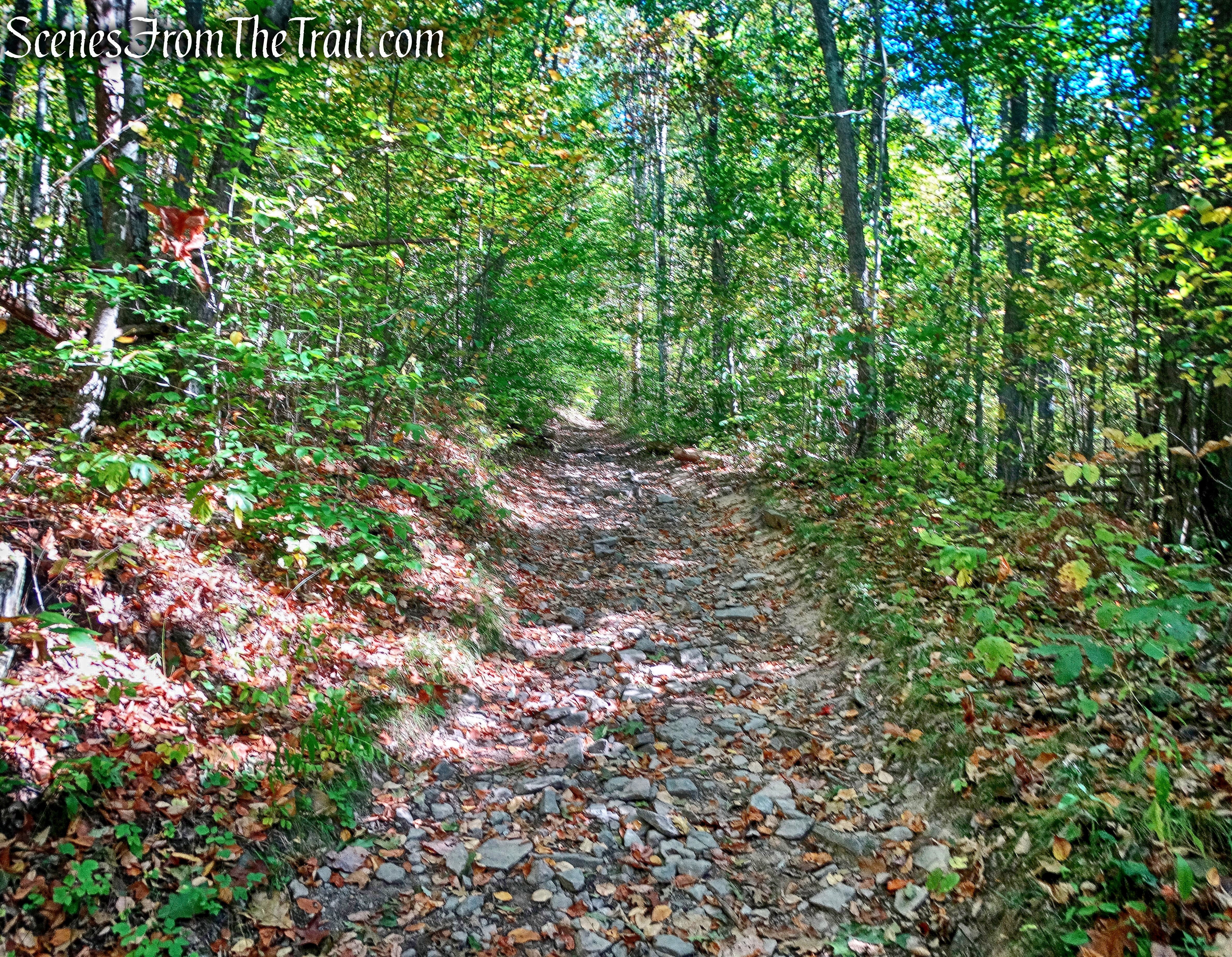
There isn’t much shade at the summit, but luckily the weather was perfect on this day so the sun felt pretty good. We then retraced our steps on the Long Path and turned left onto the Popolopen Gorge Trail, descending Long Mountain. When we got to the point where the PG Trail turns left off of the woods road, we continued straight ahead on the woods road which is not blazed.
woods road
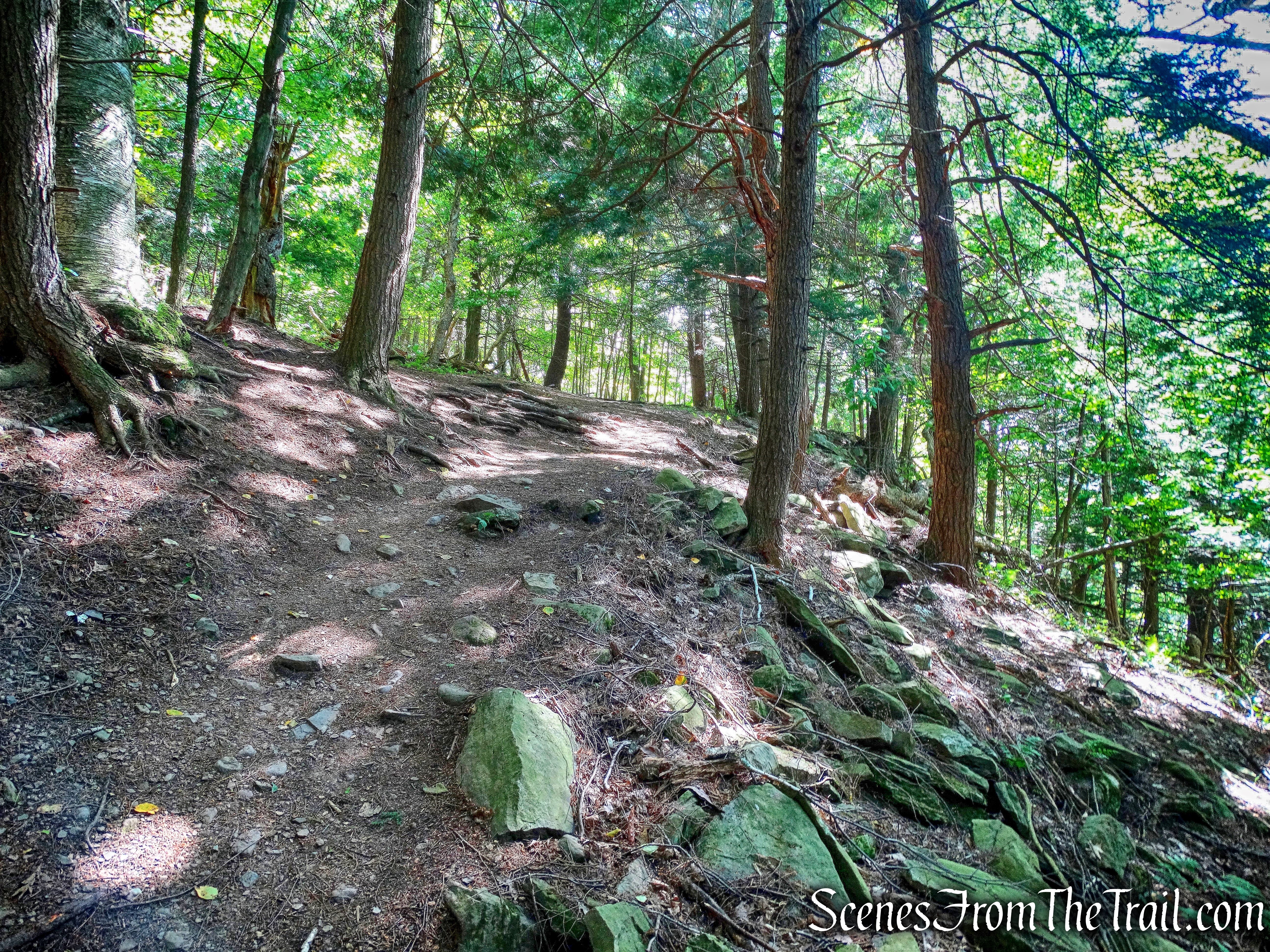
After climbing and descending Long Mountain somewhat steeply on the Long Path and the PG Trail, this woods road was a welcome reprieve from the rocky footpaths we encountered for much of the hike. It descended gently and was easy to walk on. At first it is a little narrow and has a mossy bottom which was gentle on our feet…….
woods road
and then it widens and becomes dirt packed. I enjoyed this part of the hike immensely even though it only last for about 3/4 of a mile.
woods road
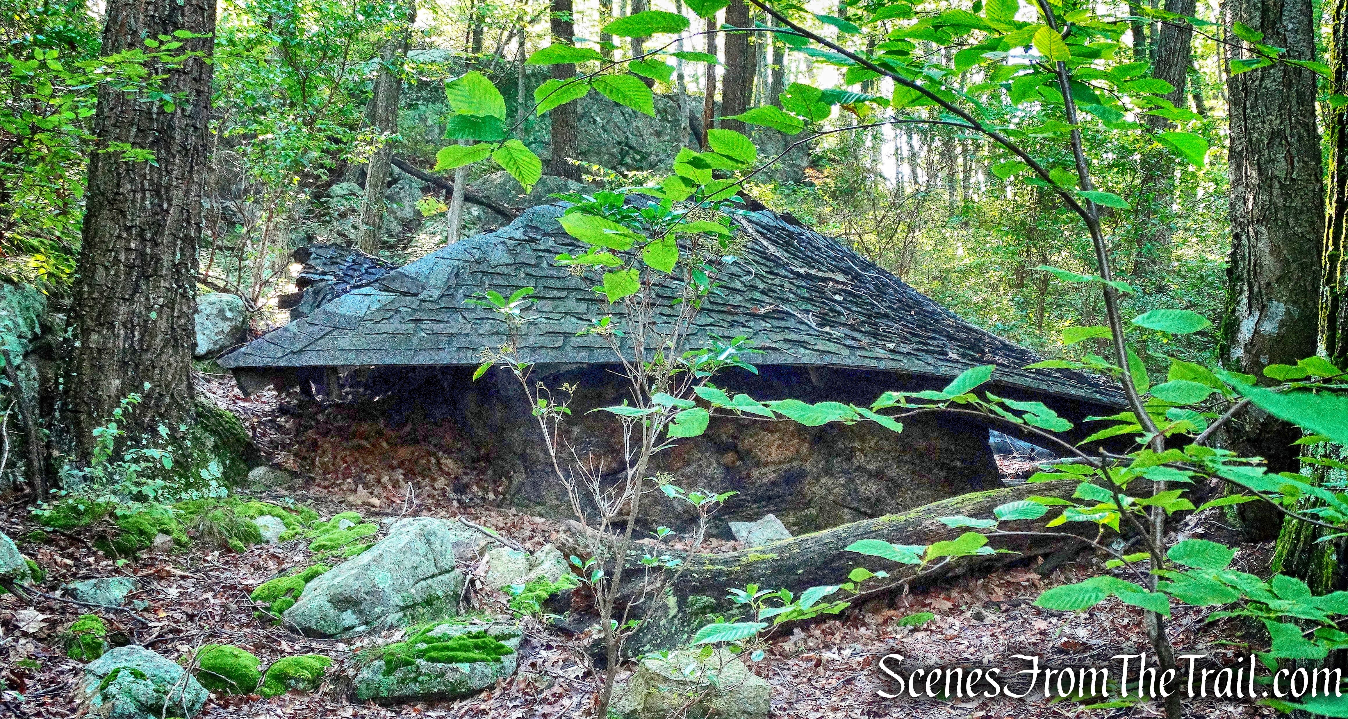
We came to a junction with the Anthony Wayne Trail and turned right. We actually missed the turn by a few feet, but quickly figured it out. Just past the junction with the AW Trail is an old park building.
old park building
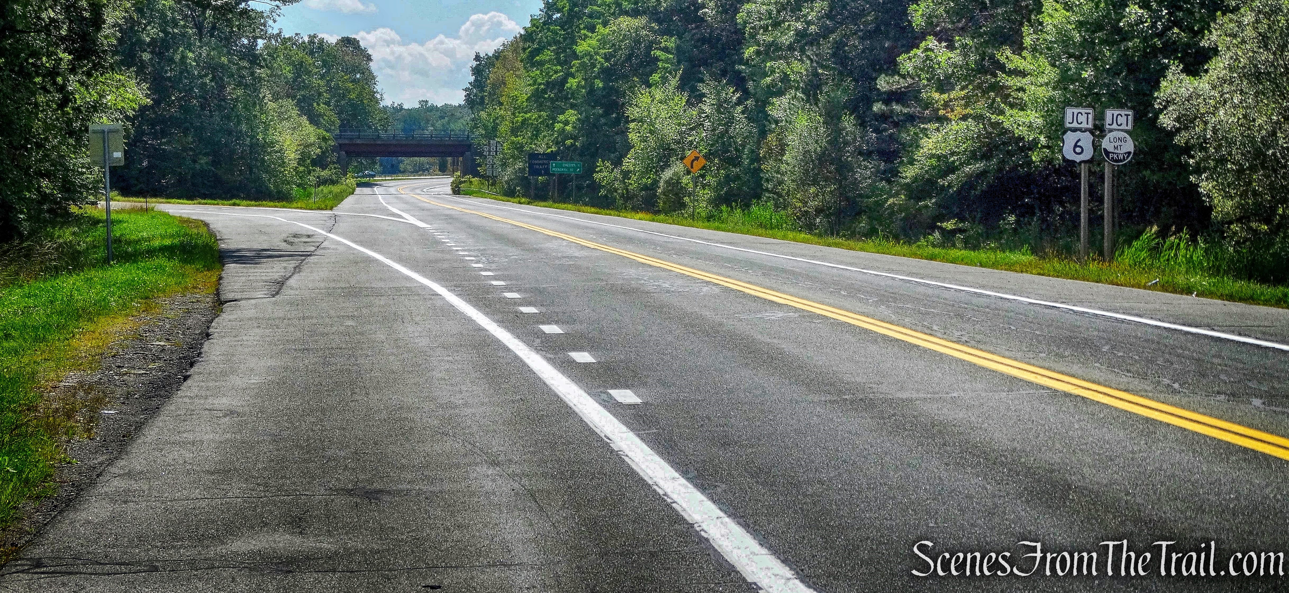
Now On the white-blazed Anthony Wayne Trail, I have to say that it was my least favorite part of the hike. It was so overgrown that at times the weeds were up to my waist. I tried to get through there as fast as I could. At times if not for the blazes, we would have lost the trail. When we got near U.S. Route 6, the weeds were taller than me and I am 6 feet tall. We came out onto U.S. Route 6 and walked along the road for about 50 feet and crossed over where the AW Trail resumes in the woods. U.S. Route 6 was full of traffic which made it easier to cross, but it could become a hazard if cars are flying by.
Anthony Wayne Trail
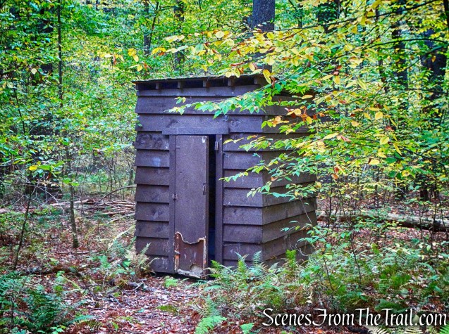
Once entering the woods the AW Trail is relatively level, but again overgrown. Even more so than earlier. No images for this section as I was racing through it as fast as possible. In about 1/3 of a mile, we came to an abandoned stone comfort station just before crossing Seven Lakes Drive.
abandoned stone comfort station
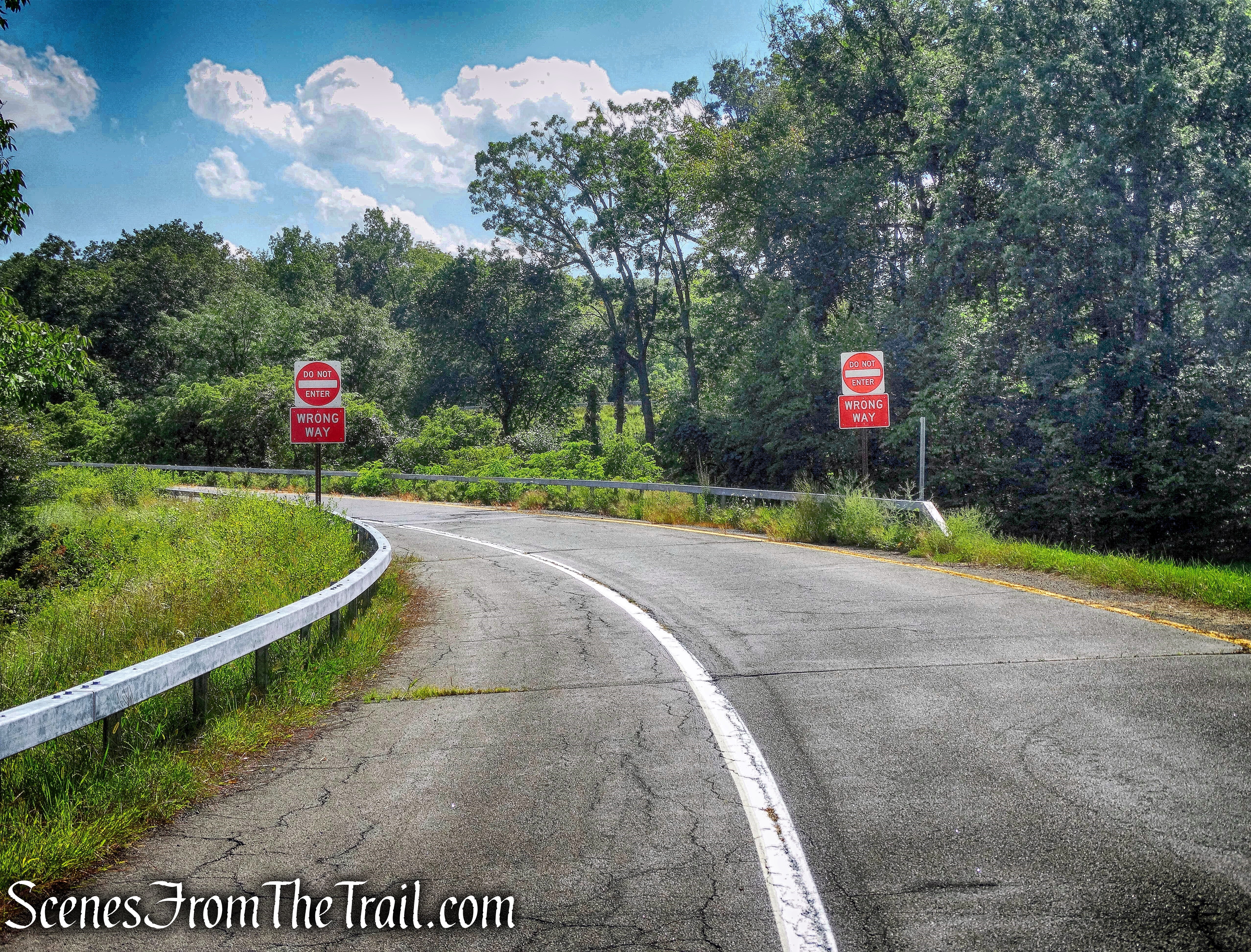
The trail crosses the road diagonally to the left, continues along the road for 225 feet (crossing over Queensboro Brook), then turns right and reenters the woods just past the signs.
U.S. Route 6
Once back in the woods, the AW Trail resembles a trail again.
Anthony Wayne Trail
The trail climbs the shoulder of a hill, passing a junction with the 1779 Trail and comes out at the entrance/exit ramp that spans the Palisades Interstate Parkway into the Anthony Wayne Recreation Area.
entrance/exit ramp – Anthony Wayne Recreation Area
We walked on the overpass and continued into the Anthony Wayne Recreation Area. The AW Trail turns left at the gate, but we were pretty tired at this point and took a more direct route along the park road.
Anthony Wayne Recreation Area
We walked on the grass along the road and veered left on the park road that leads to the restrooms. We then turned right on a paved walkway, past some picnic tables and onto a gravel road which leads to the grass field and to the stone bridge over Beechy Bottom Brook where our hike began.
gravel road- Anthony Wayne Recreation Area
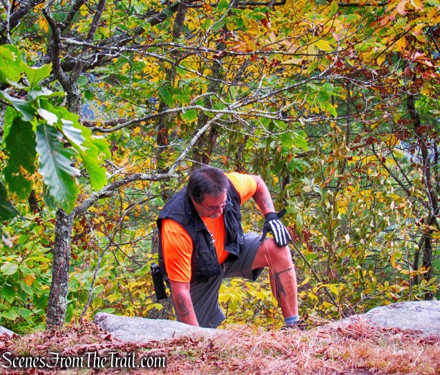
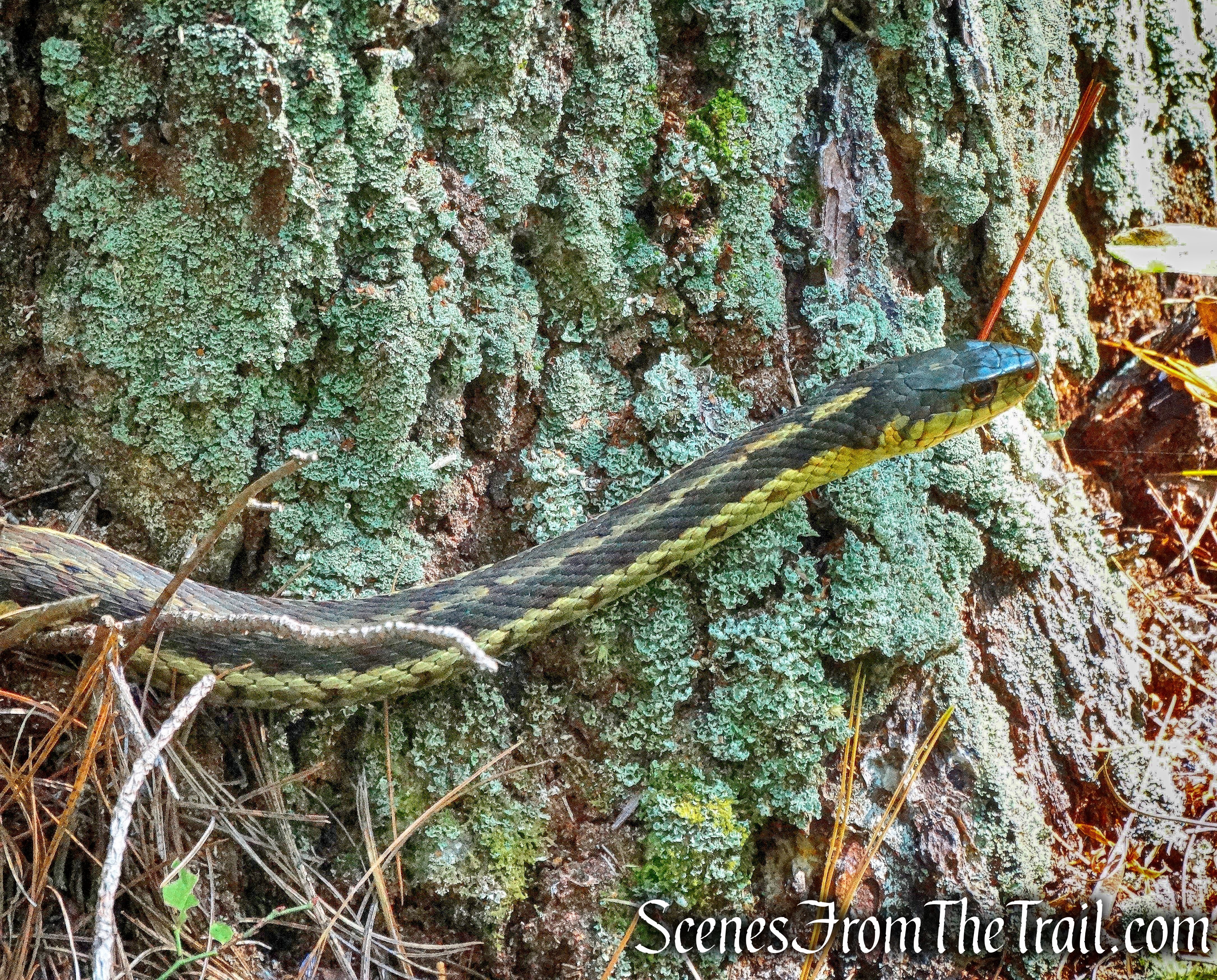
As stated in the intro, this hike had things that I liked and things that I didn’t. The likes outweighed the dislikes, but if I ever do this hike again, I would change the route. I would not turn right on the AW Trail from the unmarked woods road. Instead I would take the woods road until the 1779 Trail and turn right there. The 1779 Trail comes to a junction with the AW Trail and there I would turn left. That would bypass the overgrown section of the AW Trail. I did speak to someone at the NY/NJ Trail Conference and was told that someone would clear that trail, but knowing there is an alternate route is a good thing. We passed through several areas that had blueberry bushes and saw bear scat several times. I like blueberries, but I am always a little apprehensive hiking through them because I know bears like them too.
Pros: Scenic views, lakes, woods roads, mostly secluded except for Turkey Hill Lake and scenic view on Long Mountain, well blazed trails.
Cons: Overgrown Anthony Wayne Trail, several brief road walks, road crossings, some junctions obscured by foliage.
Take a hike!