August 13, 2017 – Pomona, NY
Difficulty: Moderate – Strenuous (2 steep climbs and 1 steep descent)
Length: Approximately 5.2 miles
Max elevation: 1,240 ft.– total elevation gain approximately 909 ft.
Route type: Circuit
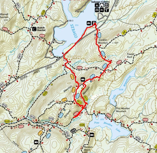
Map: Harriman-Bear Mountain Trails Map #118
Trailhead parking: Lake Sebago Boat Launch, Pomona, NY 10970
When researching trails while mapping out a hike, I try to combine as many points of interest as possible to create an enjoyable yet challenging experience. Otherwise it amounts to nothing more than just a walk in the woods. Harriman State Park’s network of trails makes it not only possible, but somewhat easy as well. I hiked the Pine Meadow Lake area once on an extremely cold winter morning, with significant snow and ice on the ground and the lot at Reeves Meadow was packed. It’s always packed, especially in the warmer months. I go into the woods to escape the crowds, not to run into them on the trails. Pine Meadow Lake is gorgeous and that area has a myriad of trails, which is why it’s so popular. This hike travels near Pine Meadow, but avoids the crowds. The views are spectacular and the trails are challenging enough for an old timer like me. We did this hike in a clockwise manner from the Lake Sebago Boat Launch.
Conklin and Diamond Mountains Loop from Lake Sebago Boat Launch
A new feature that I have added is the Google Earth Fly-Through. It follows the path that we hiked and it gives you a good idea of the terrain, layout, amount of parking etc. Check it out, it’s pretty cool.
View the Google Earth Fly-Through video of the hike below.
We got a late start on this Sunday morning, no fault of my own. The parking area has room for about 50 cars, but from my understanding, it fills up rather quickly. We arrived at about 9:15 am and it was partially filled.
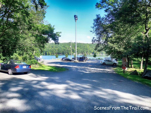
Lake Sebago Boat Launch
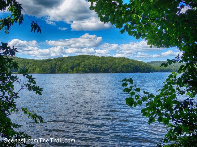
Lake Sebago is a very picturesque spot and it made for a good starting and ending point.
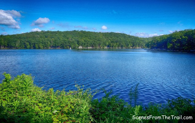
Lake Sebago
We began the hike by walking back out to the entrance of the parking area to Seven Lakes Drive. Directly across the street is the trailhead for the Seven Hills Trail (7H).
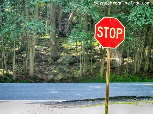
Seven Lakes Drive
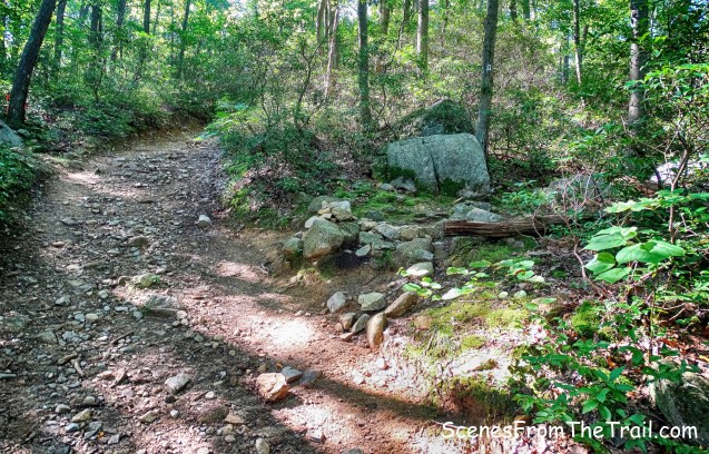
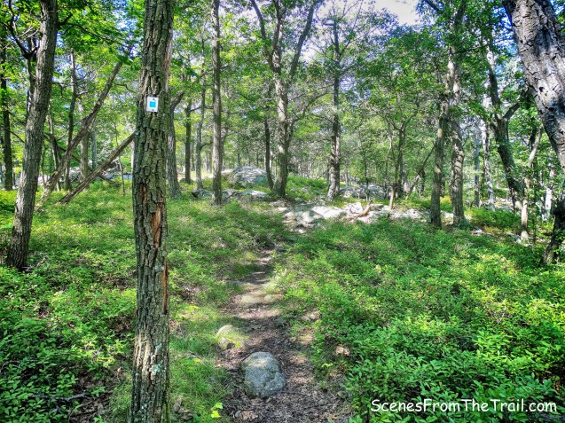
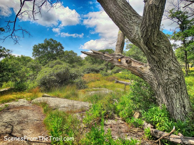
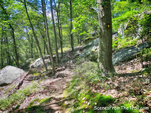
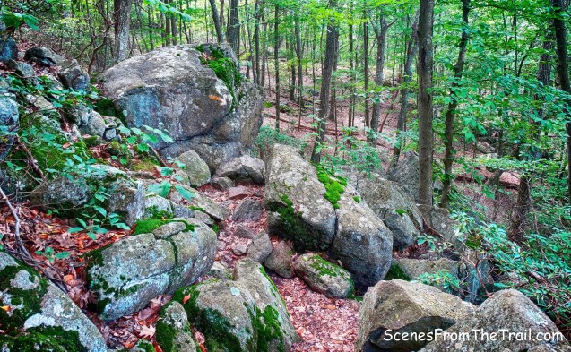
This blue-on-white-blazed Seven Hills Trail goes fairly steeply up Conklin Mountain on an old woods road, once known as the Monitor Trail.
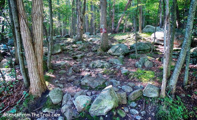
Seven Hills Trail
The first 0.3 miles of the trail climbs about 344 feet. It is steep, but nearly half of the elevation of the entire hike is done early on.
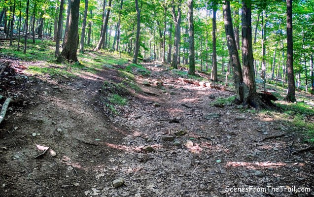
Seven Hills Trail
The heavily eroded woods road comes to a junction with the yellow-blazed Buck Trail, where we stayed to the right still following the blue-on-white blazes.

stay right at junction
The Seven Hills Trail levels off and begins a gentle descent of Conklin Mountain.
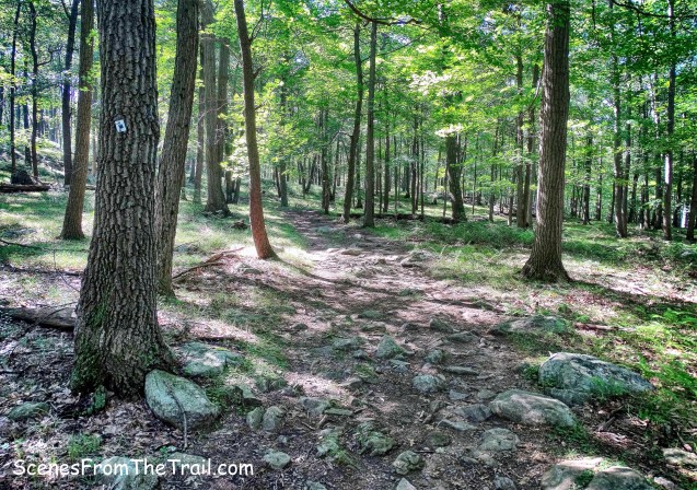
Seven Hills Trail
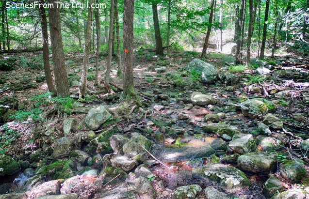
At about 0.6 miles from the start of the trail, the 7H Trail turns left and joins Woodtown Road West, an old woods road that comes in from the right. The 7H Trail then crosses Diamond Brook on rocks. On this day the brook was running dry so the crossing was insignificant.
Seven Hills Trail
A look at a mostly dry Diamond Brook.
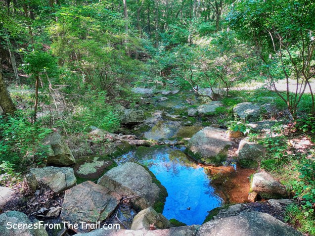
Diamond Brook
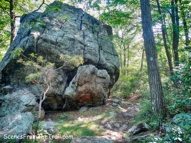
The trail rises slightly and then in about 0.1 miles, there is an unmarked trail that goes off to the left. We turned here onto the unmarked trail and walked about 300 feet to a ledge on which there is a large quartz boulder known as Monitor Rock. It is worth the side trip as it is one huge boulder. I banged my shin on a fallen tree here which drew some blood, so watch your step. The rock was so named by the Fresh Air Club when they found tucked under it a copy of the Christian Science Monitor newspaper.
Myles, William J.. Harriman Trails: A Guide and History (Kindle Locations 2221-2222). New York – New Jersey Trail Conference. Kindle Edition.
Monitor Rock
We retraced our steps back to the 7H Trail and turned left. Almost immediately the 7H Trail turns right and leaves Woodtown Road West.
right to stay on 7H Trail
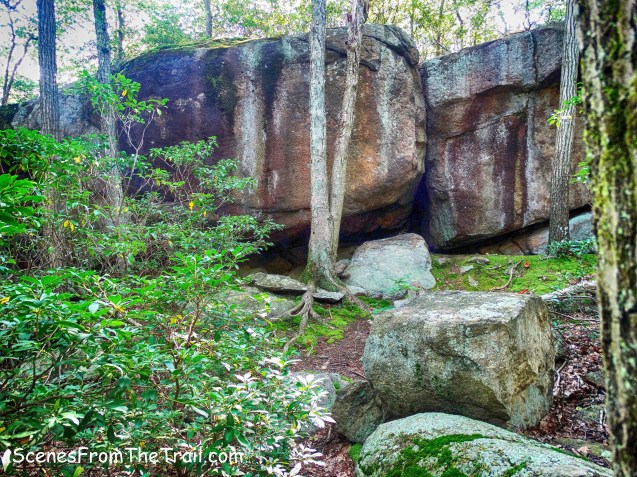
The trail narrows to a footpath as it goes along the ridge of Diamond Mountain. At about 1 mile from the start of the hike, it passes a large boulder, called the “Cracked Diamond.”
Cracked Diamond
Shortly after passing Cracked Diamond, the Tuxedo-Mt. Ivy Trail (red dash on white) crosses, but we continued to follow the blue-on-white-blazed Seven Hills Trail. The trail continues along the ridge of Diamond Mountain and passes through lowbush blueberries. Yes, the dreaded blueberries. I am always on high alert when we pass through this type of area. We did see bear scat on the trail in this section.
Blueberries on the Seven Hills Trail
We then came out onto open rock with a nice view of Lake Sebago and the surrounding hills.
view of Lake Sebago from Seven Hills Trail
We had now hiked about 1.3 miles and took a break here, surrounded by blueberry bushes. In the background, to the left is Parker Cabin Mountain and to the right is Tom Jones Mountain. To the center right is Brundige Hill.
view of Lake Sebago from Seven Hills Trail
After a nice long break, we continued on our way. Heading south on the 7H Trail, we came to a junction with the yellow-blazed Diamond Mountain-Tower Trail and turned left. There was once an 80-foot steel fire tower, 75 yards east of this junction, erected in 1935 from the steel of the tower that stood on Bear Mountain. It was removed in 1955, erected again in 1966, and removed again in 1986.
turn left onto Diamond Mountain-Tower Trail
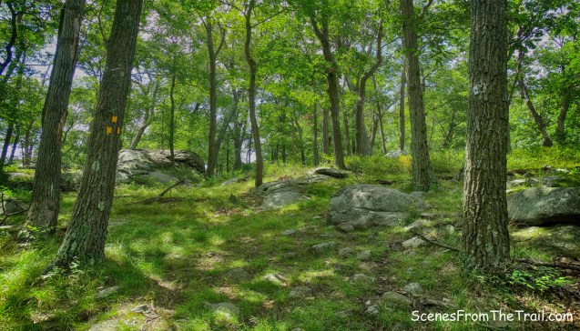
The Diamond Mountain-Tower Trail is quite scenic as it descends Diamond Mountain.
Diamond Mountain-Tower Trail
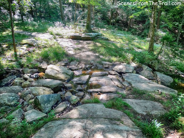
It travels over attractive open rock slabs…….
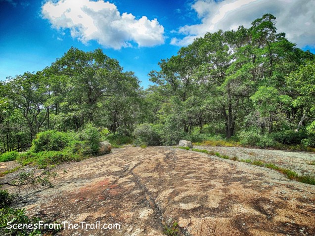
Diamond Mountain-Tower Trail
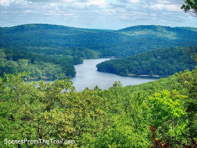
and provides views of Lake Wanoksink.
view of Lake Wanoksink from Diamond Mountain-Tower Trail
Near the base of the descent, the Diamond Mountain-Tower Trail makes a sharp right. At this point, we left the trail and bushwacked about 150 feet towards a swampy area.
swampy area just off Diamond Mountain-Tower Trail
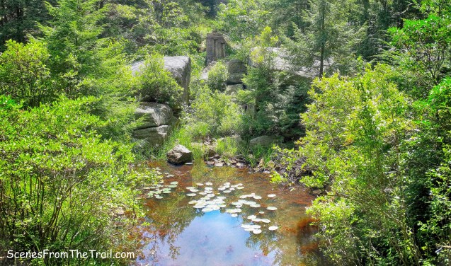
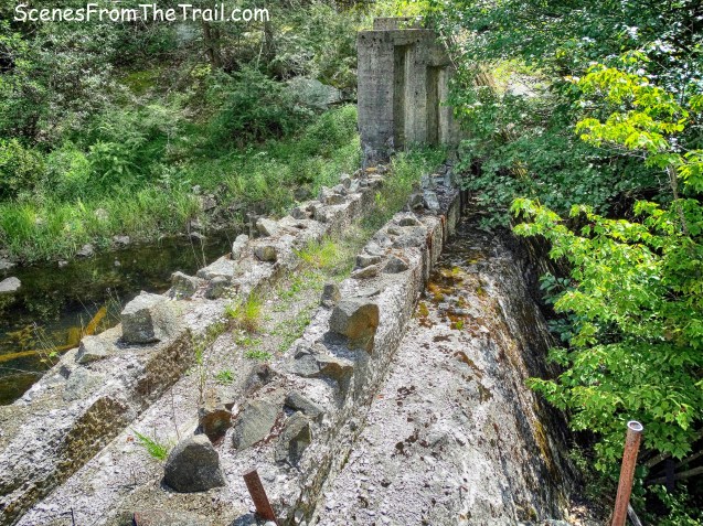
We walked around to a pile of large rocks and made our way to an unfinished dam that was intended to create Lake Oonotookwa, which means “place of cattails.”
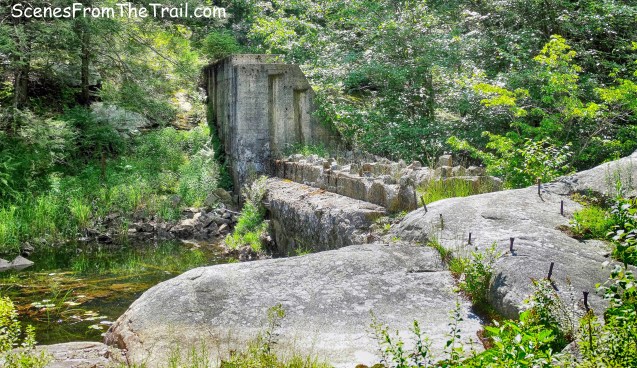
unfinished dam
Begun in 1934, the lake was to be downstream from Lake Wanoksink, in the swamp between Diamond Mountain and Pine Meadow Mountain.
unfinished dam
The swamp that would have been Lake Oonotookwa.
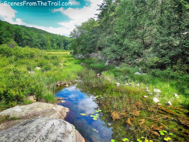
The swamp that would have been Lake Oonotookwa
We retraced our steps back to the Diamond Mountain-Tower Trail and continued heading southwest. Just down the trail, on the left side, there is a large concrete septic tank. It was built in 1934 to collect the sewage from the camps that were to be built on the four new lakes. The camps were not built, and the sewage system was never used.
large concrete septic tank
The rectangle blocks on top of the septic tank are shafts with Rebar ladders that lead down inside the tank.
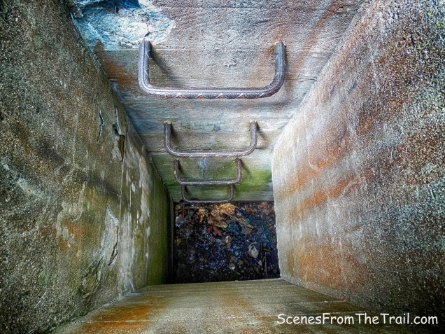
hollow chamber of the septic tank
A short distance from the septic tank, the yellow-blazed Diamond Mountain-Tower Trail turns right. I misread the map and we ended up going straight on the red-square-on-white-blazed Pine Meadow Trail.

turn right on yellow-blazed Diamond Mountain-Tower Trail
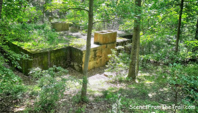
Missing our turn wasn’t a big deal, it just added about a 1/2 mile to our hike. We ended up seeing a stone foundation, topped by concrete pillars.
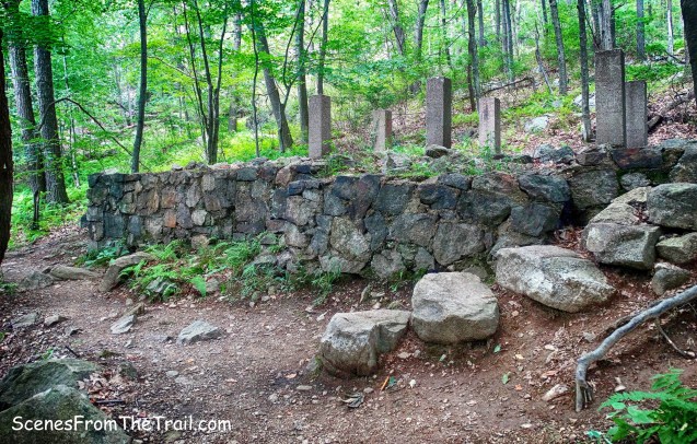
stone foundation
These are the remains of a building that served as the headquarters for several Civilian Conservation Corps camps in the 1930’s. The “CCC boys” built several lakes in the area and the infrastructure for children’s camps around the lakes, but the camps themselves were never completed. The broken, rusty pipe atop the foundation is a remnant of a water system installed but never used. (NY/NJ Trail Conference)

stone foundation
We walked a little further down the Pine Meadow Trail and then turned around. We then arrived back at the junction with the Diamond Mountain-Tower Trail and began heading northwest, back up Diamond Mountain. The trail begins a steady climb on switchbacks.
Diamond Mountain-Tower Trail
The trail then steepens and climbs over open rock, where at times we had to use both hands and feet.
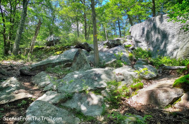
Diamond Mountain-Tower Trail
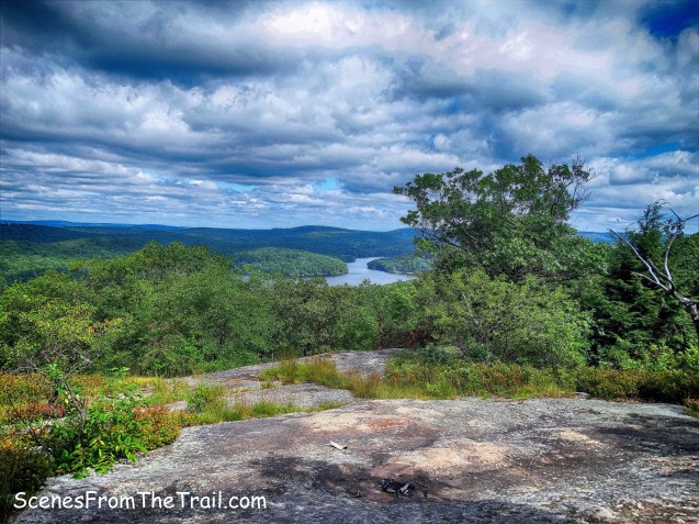
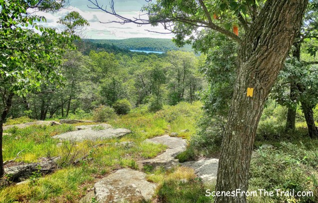
As we neared the summit of Diamond Mountain, we came out onto some rock ledges that gave us a fantastic view of Pine Meadow Lake.
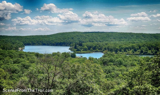
view of Pine Meadow Lake from Diamond Mountain-Tower Trail
We found a spot in the shade and rested up from our tough climb and took in the view while we snacked on some sandwiches.

view of Pine Meadow Lake from Diamond Mountain-Tower Trail
A little more climbing and we reached the terminus of the Diamond Mountain-Tower Trail.
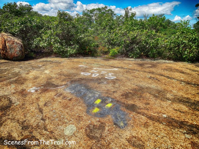
terminus of the Diamond Mountain-Tower Trail
About 100 feet to the left, on the Seven Hills Trail is the 1240 ft. summit of Diamond Mountain. There is a view of the Manhattan skyline from there, but we didn’t walk far enough.
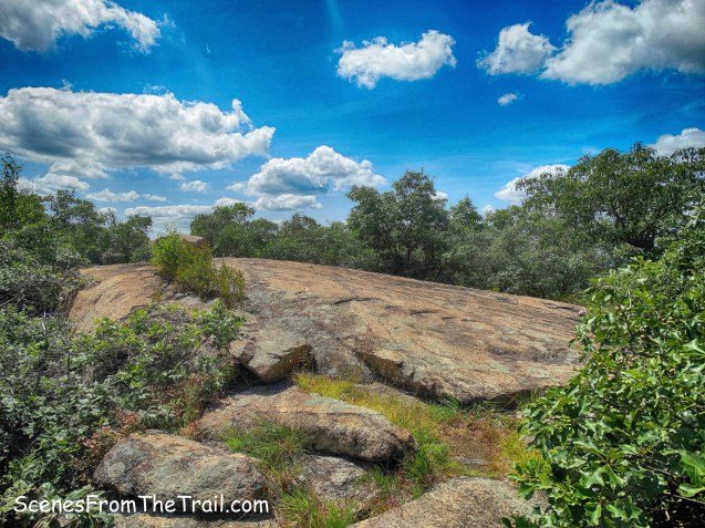
summit of Diamond Mountain
We turned right at the junction and began heading north on the joint blue-on-white-blazed Seven Hills (7H) Trail and orange-blazed Hillburn-Torne-Sebago (HTS) Trail.
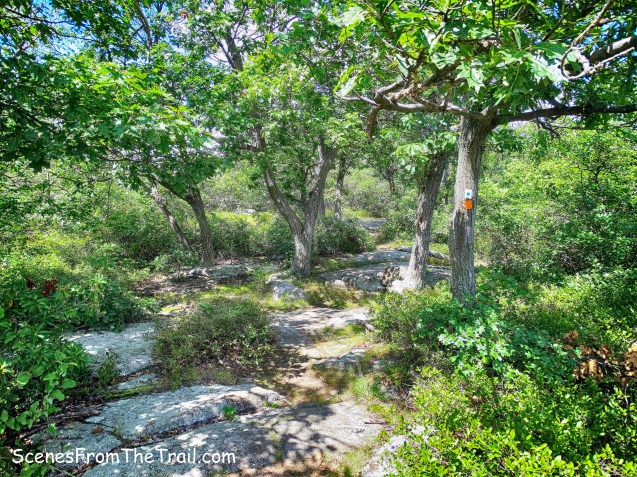
joint 7H/HTS Trails
After about 1/4 mile on the joint 7H/HTS Trails, they split. The 7H Trail continues straight and the HTS Trail turns left. We turned left on the orange-blazed HTS Trail, descending steeply down the northwest slope of Diamond Mountain. We descended almost 500 feet in about 0.7 miles.
orange-blazed Hillburn-Torne-Sebago Trail
HTS was first blazed in 1928 by Kerson Nurian. Nurian made the trail without asking permission of the landowner, of the Park or of the Trail Conference.
Hillburn-Torne-Sebago Trail
At the base of the descent, the trail levels off somewhat, crosses a stream and begins to parallel the picturesque Stony Brook.
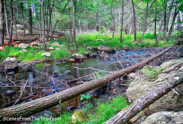
Stony Brook alongside Hillburn-Torne-Sebago Trail
We arrived at the terminus of the HTS Trail, where it meets the red-dash-on-white-blazed Tuxedo-Mt. Ivy Trail. Here we turned left and walked about 700 feet to Seven Lakes Drive. Lake Sebago dam with Seven Lakes Drive, which runs above it, is visible as we neared the road.
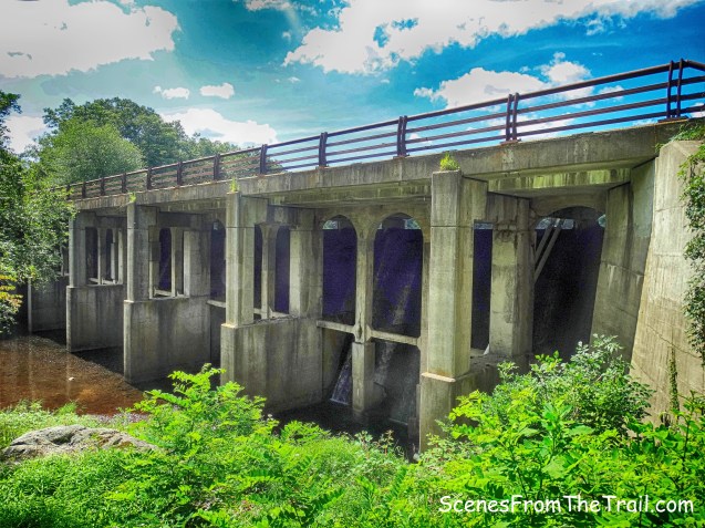
Lake Sebago dam
My plan was to cross the road and walk along Lake Sebago all the way back to the Boat Launch. That plan was foiled by all the no trespassing signs at Sebago Cabins. It is marked on the map as “Keep Out,” but I thought we could slip through. Instead we did Plan B, which was walk along Seven Lakes Drive until we could cross over towards the shore of the lake.

Seven Lakes Drive
After about a 1/4 mile road walk, we climbed over the guard rail and made our way to the shore of Lake Sebago.

Lake Sebago
We walked on a footpath along the shore that had many short spur trails that led right to the edge of the water.
Lake Sebago
The nice level walk back to the parking area was a godsend. My feet took a beating on the rocky trails. I was also still recovering from a strained calf muscle from the previous week and I banged my shin early on during this hike. Even with all the slight aches and pains, this turned out to be a great hike that I fully enjoyed. I would definitely recommend this hike to one and all. Feel free to leave a comment and please don’t forget to follow my blog. Until next time folks, now get out there and take a hike!
Pros: Gorgeous lakes, mountain views, mostly shaded trails, ruins, rock formations, glacial erratics, well blazed trails, well groomed trails.
Cons: Short road walk.

Take a hike!
