September 5, 2022 – New City, NY
Difficulty: Moderate
Length: Approximately 4.5 miles
Max elevation: 774 ft.– total elevation gain approximately 670 ft.
Route type: Out and back
Buy Map (Paper & Avenza): Hudson Palisades Trails Map #112 (2018)
Free map: South Mountain County Park Trail Map
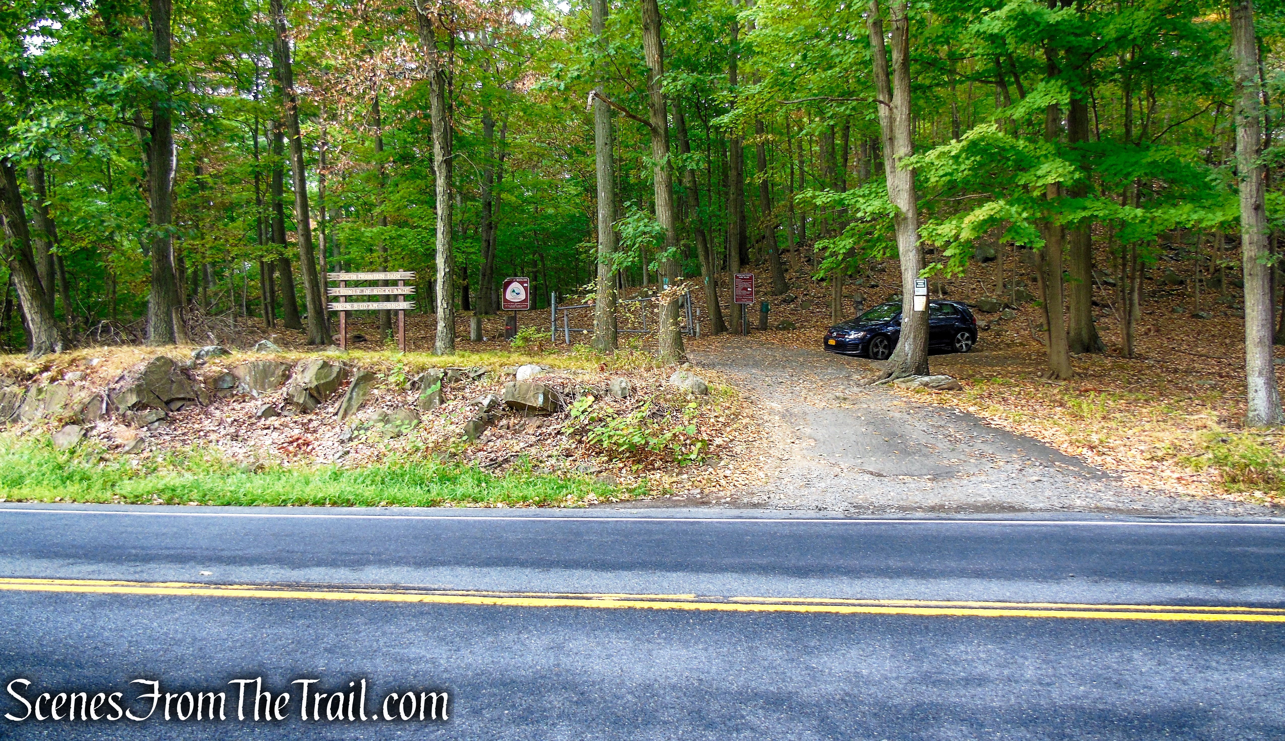
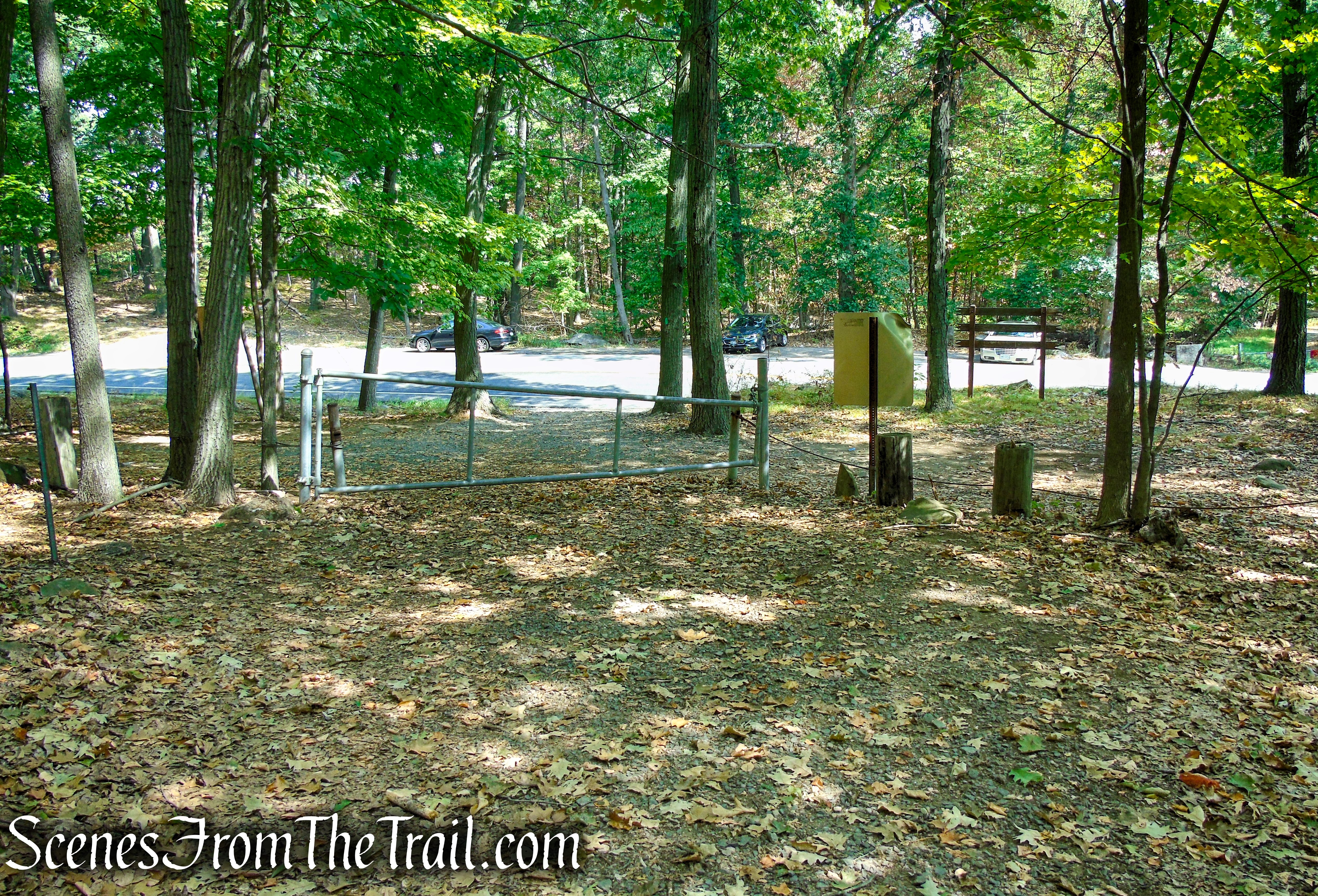
Trailhead parking: County Route 33, New City, NY 10956
Parking is available for about 20 cars – No restrooms on site
The park is open year-round, from 8am to dusk.
Here are some hikes that are on the same ridge as this one:
- High Tor State Park
- Long Path from Gurnee County Park to Little Tor
- High Tor – Hudson River Palisades
Park Overview:
This mountainous ridge within the 239-acre South Mountain County Park is part of the Palisades escarpment, which ends at NY 45 in Mount Ivy. It borders High Tor State Park to the east and Gurnee County Park to the west. From Central Highway (County Route 33), South Mountain County Park runs along the ridge westward for almost two miles to Gurnee County Park. It has several scenic views overlooking Haverstraw and the Hudson River, Mt. Ivy and Thiells, Clarkstown and Orangetown. It is covered with a mature stand of hardwood trees and in season there are blueberries, wild grapes and raspberries.
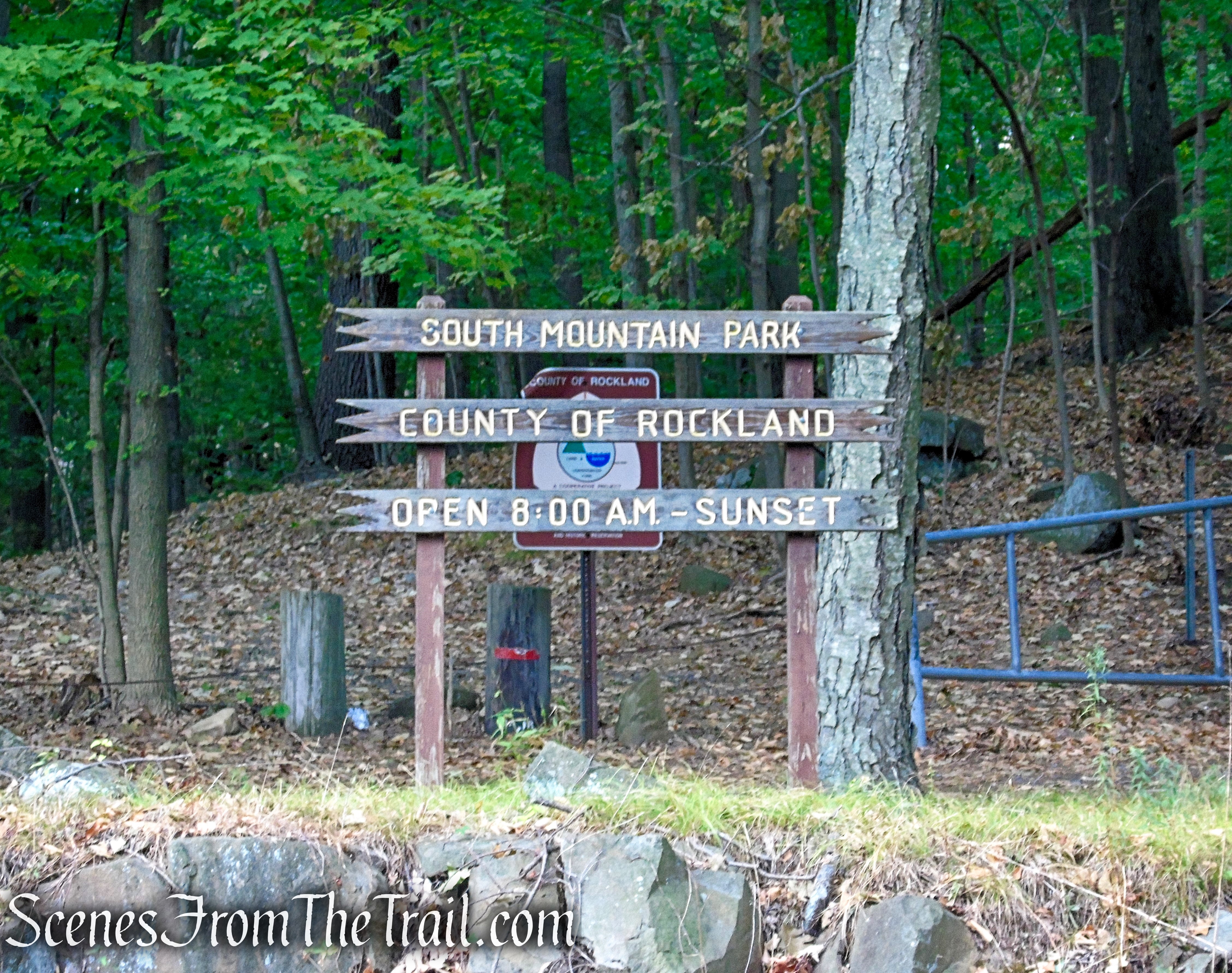
South Mountain County Park
The 23-acre Gurnee County Park and Amphitheatre is an old quarry arena, having a 40 to 80 foot escarpment as a backdrop. The grounds are hard packed with traprock, and partly covered with brush and small trees. It is at this point that the northern portions of Triassic rock of the Palisades formations dip into the earth, not to reoccur.
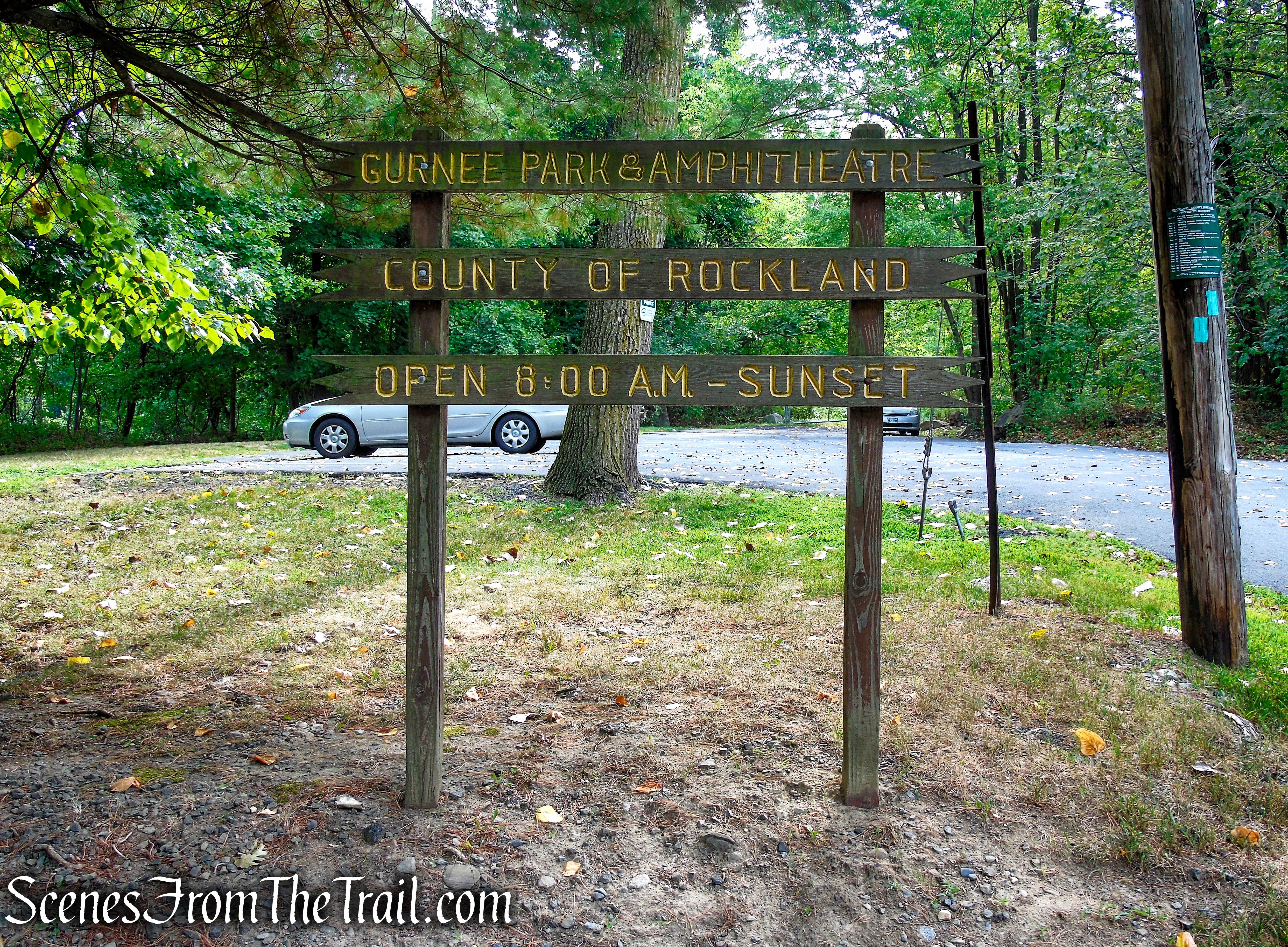
Gurnee County Park and Amphitheater
The western end of this ridge is known as South Mountain and the southeastern peak on the Hudson is known as Hook Mountain. The Long Path Hiking Trail follows along the entire length of the Palisades Ridge.
History:
The Palisades were mined for gravel and building materials through the 1890’s, until the two states formed the Palisades Interstate Park Commission (PIPC) in 1900 for the purposes of preserving the cliffs. Since that time, significant land donations have been made. The PIPC operates the Palisades Interstate Park in New Jersey and the State Parks and Historic Sites in New York’s Palisades Region.
The mountain is noted more for the road by the same name that runs along its base and the people who resided off it in Clarkstown. Maxwell Anderson, famous playwright, made the eastern end famous in his play, “High Tor.” An air beacon marked this high point but was constantly vandalized before it was finally removed. Prior to its purchase, the crest of the mountain was approved for the construction of apartment houses. With the aid of federal funds and gifts of adjoining land, this section was purchased in 1975-76. A large tract to the west in the Town of Ramapo was obtained by tax delinquency extending the park from Central Highway to Route 45.
Trails Overview:
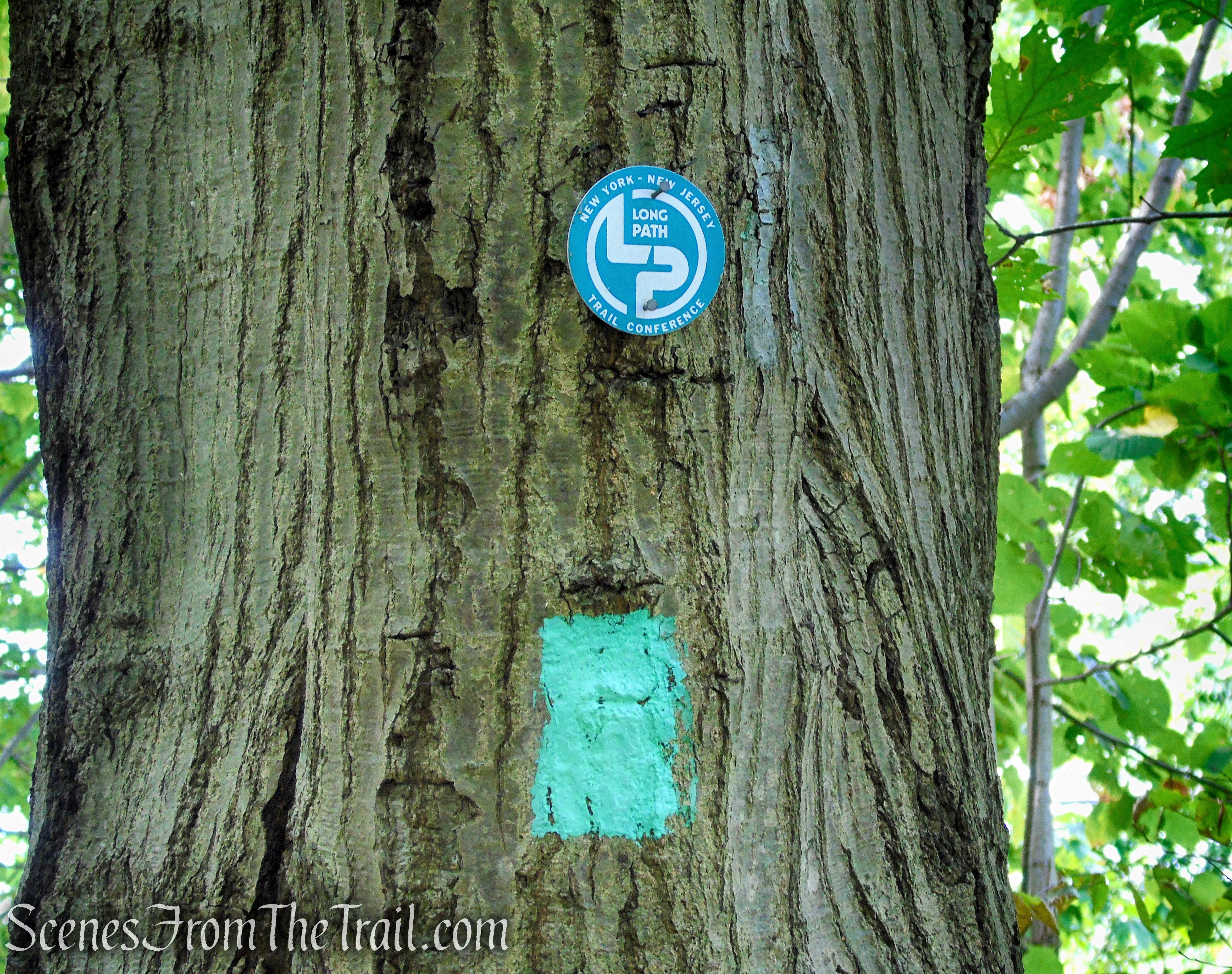
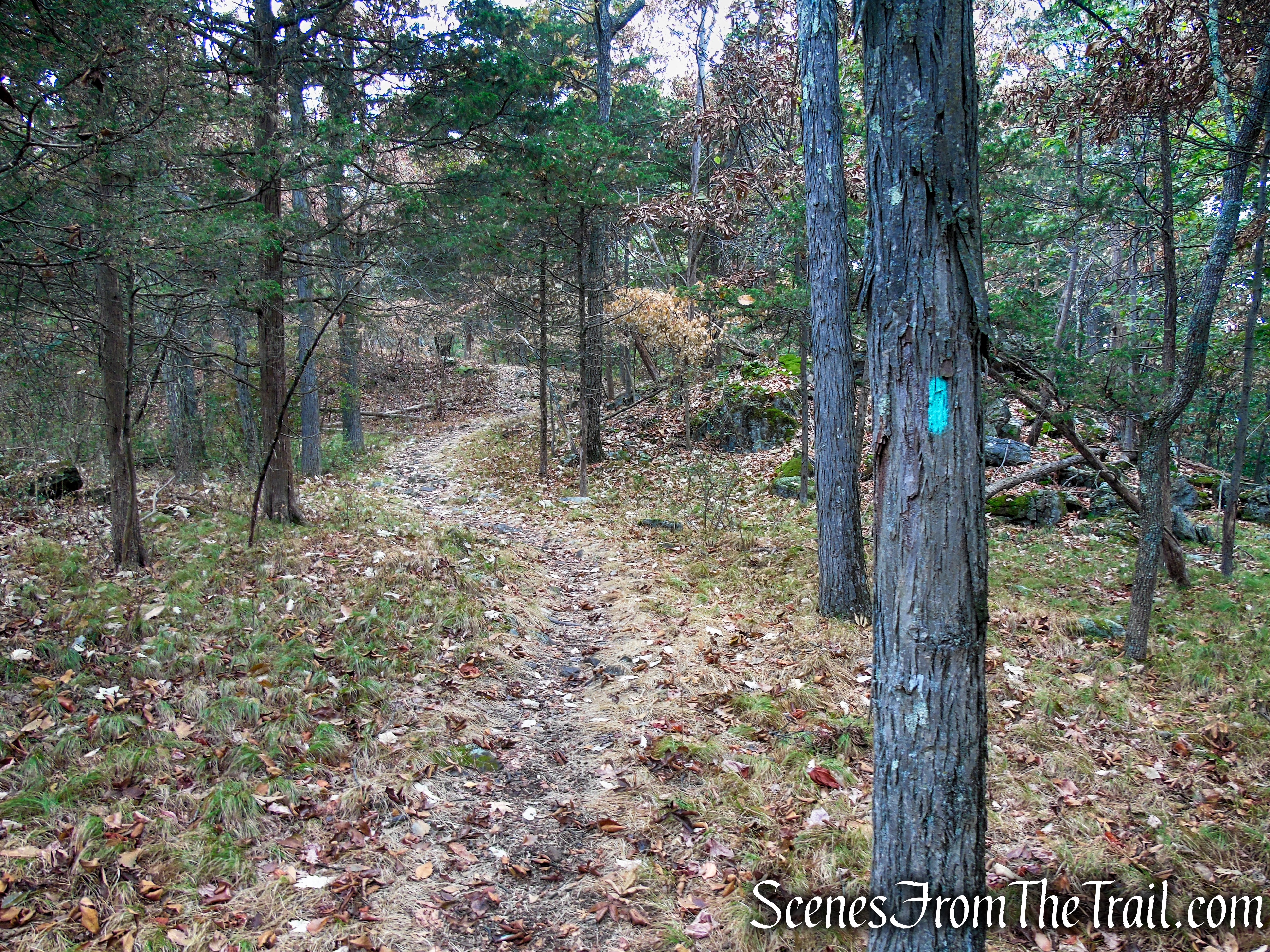
Extending 358 miles from the 175th Street Subway Station in New York City to John Boyd Thacher State Park near Albany, NY, the Long Path Trail is a thread connecting many of New York’s parks, preserves, and state forest land. Throughout most of its length, whether on or off the road, the Long Path is indicated by a 2-by-4-inch aqua blaze. At times you may see an official NY-NJ Trail Conference round trail marker. The distinctive aqua (sometimes referred to, incorrectly, in some guidebooks as teal) indicates the Long Path, and only the Long Path.
Long Path – South Mountain County Park
The Long Path enters New York State in Rockland County on the western side of the Hudson River, still following along the Palisades. The trail travels through Tallman Mountain State Park, Blauvelt State Park, Hook Mountain State Park, Rockland Lake State Park and then High Tor State Park, where the Long Path turns west away from the Hudson River to enter South Mountain County Park before it reaches Harriman State Park. It is in Harriman State Park where the Long Path crosses the iconic Appalachian Trail.
The Long Path is the only official trail in South Mountain County Park and Gurnee Park and Amphitheater, but there are various unmarked trails/woods roads along the narrow ridge that can be explored as well. The Long Path is well marked and relatively easy to follow. It could use an extra blaze here or there, but throughout most of its run through the two parks, the trail is obvious and well trodden. The Long Path is maintained by volunteers and member groups of the NY-NJ Trail Conference.
Hike Overview:
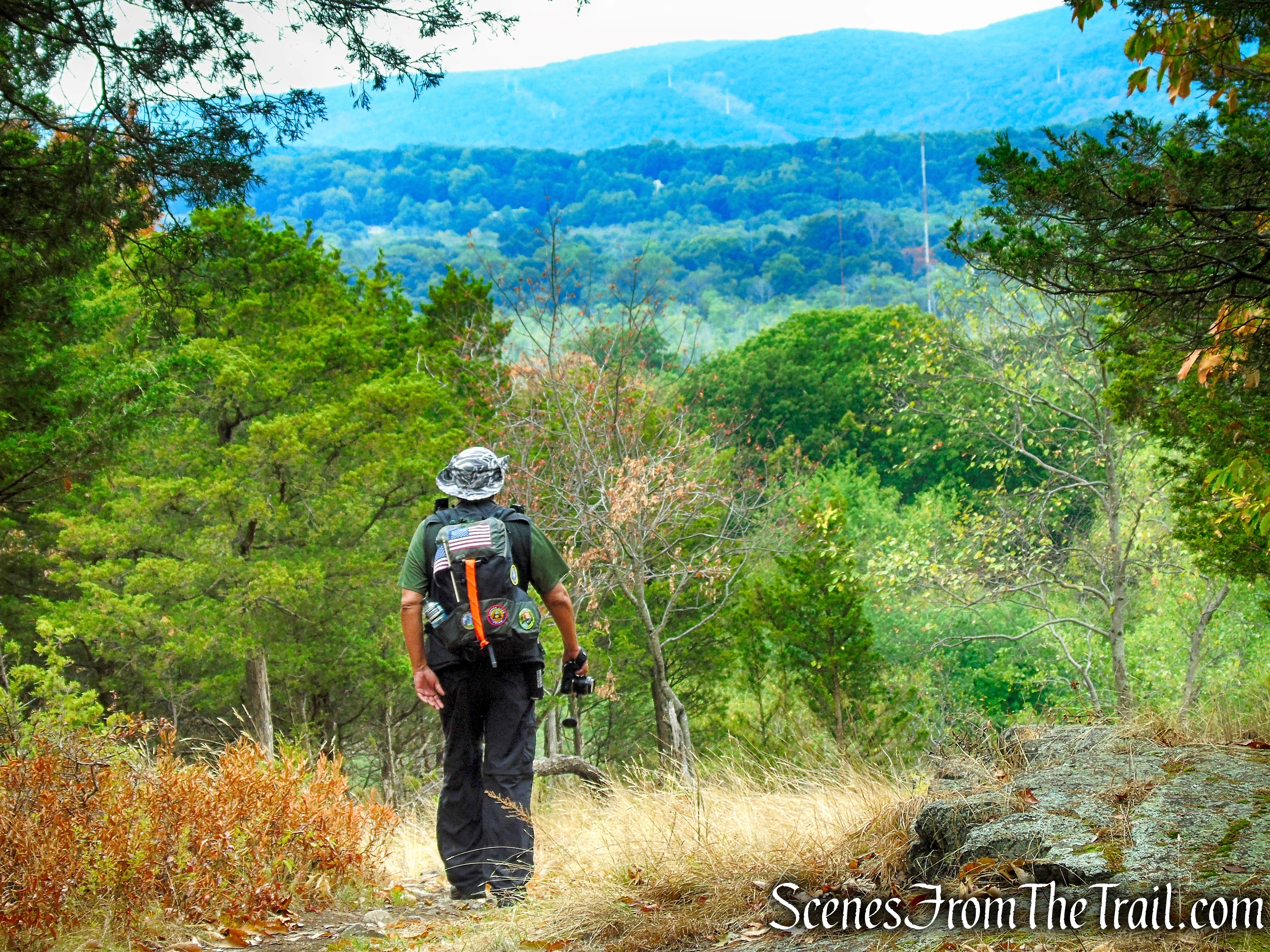
With rain in the forecast, there was a window of several hours predicted of dry weather on this Labor Day Monday, I wanted to keep the travel to a minimum. There was light rain the night before and the ground was slightly wet, but it was supposed to resume raining by late morning. I hiked this area in 2018, beginning from Gurnee County Park and wanted to revisit it. A couple of weeks prior, I parked at the same trailhead and took the Long Path in the opposite direction to High Tor and back.
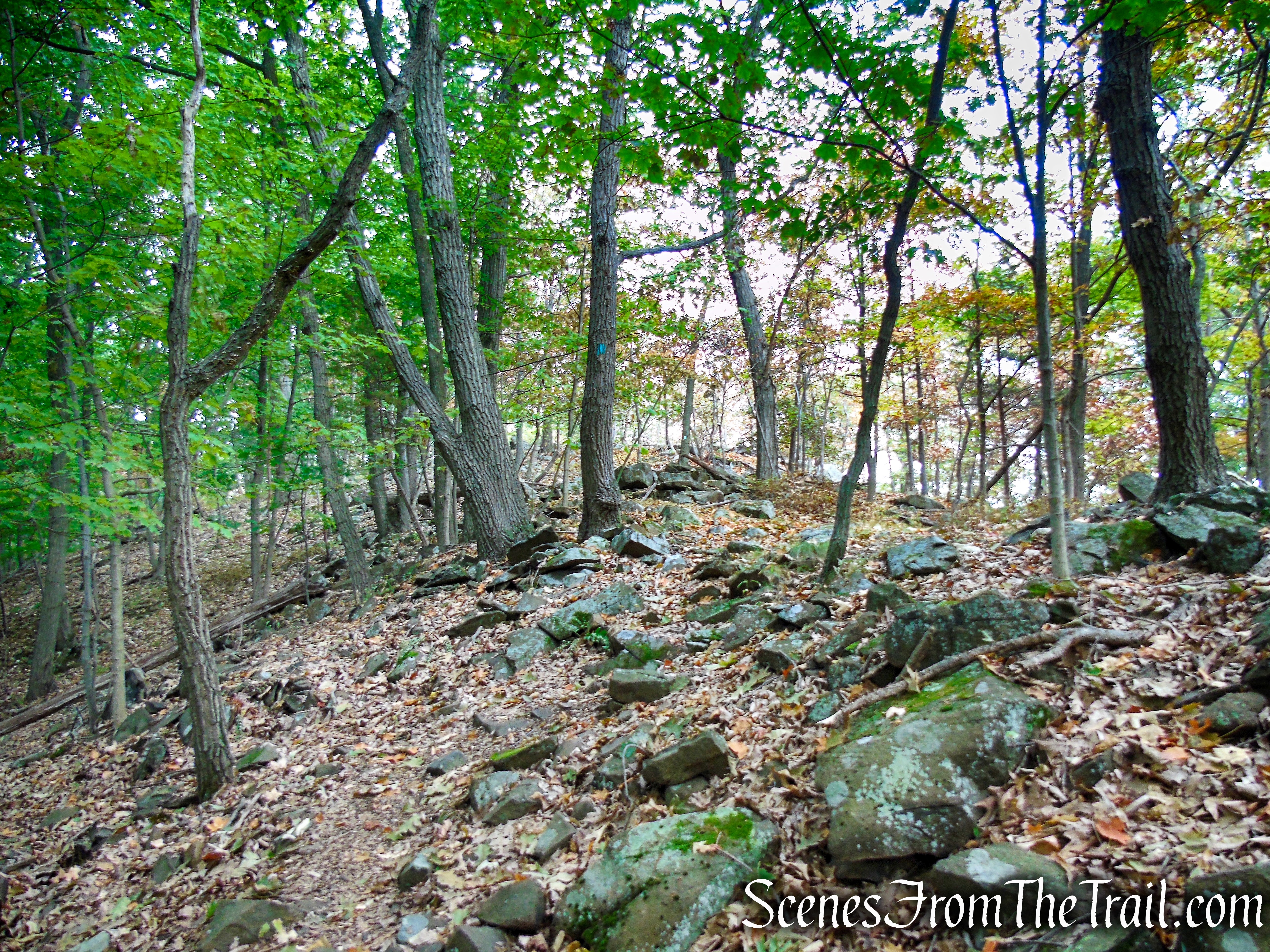
This moderate out and back hike was more rugged than I remembered. It has a lot of ups and downs and it’s quite rocky in some areas. Proper hiking boots with some ankle protection as well as hiking poles are recommended.
This is a straightforward out and back hike that is entirely on the Long Path from County Route 33 to NY-45 and back. We hiked to the old quarry arena in Gurnee County Park, but you can turn back at any time or even extend the hike if you so desire.
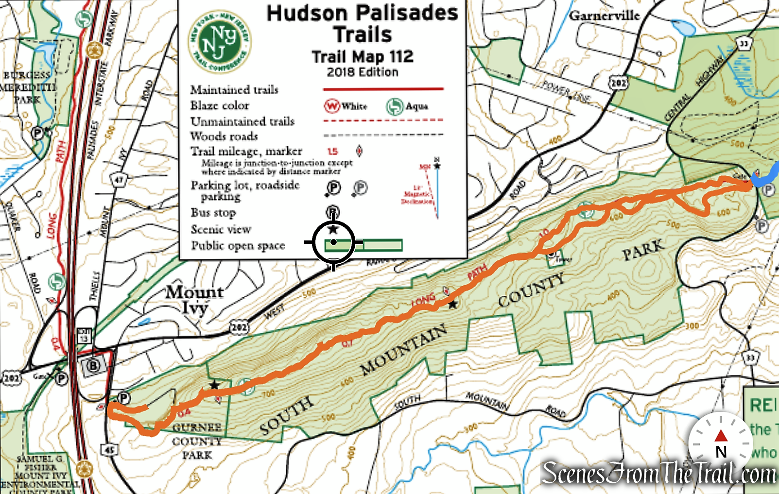
Long Path to Gurnee Park from South Mountain Park Trailhead
As shown on the elevation profile below, there are continuous ups and downs along the ridge of South Mountain.

elevation profile – South Mountain
The Hike:
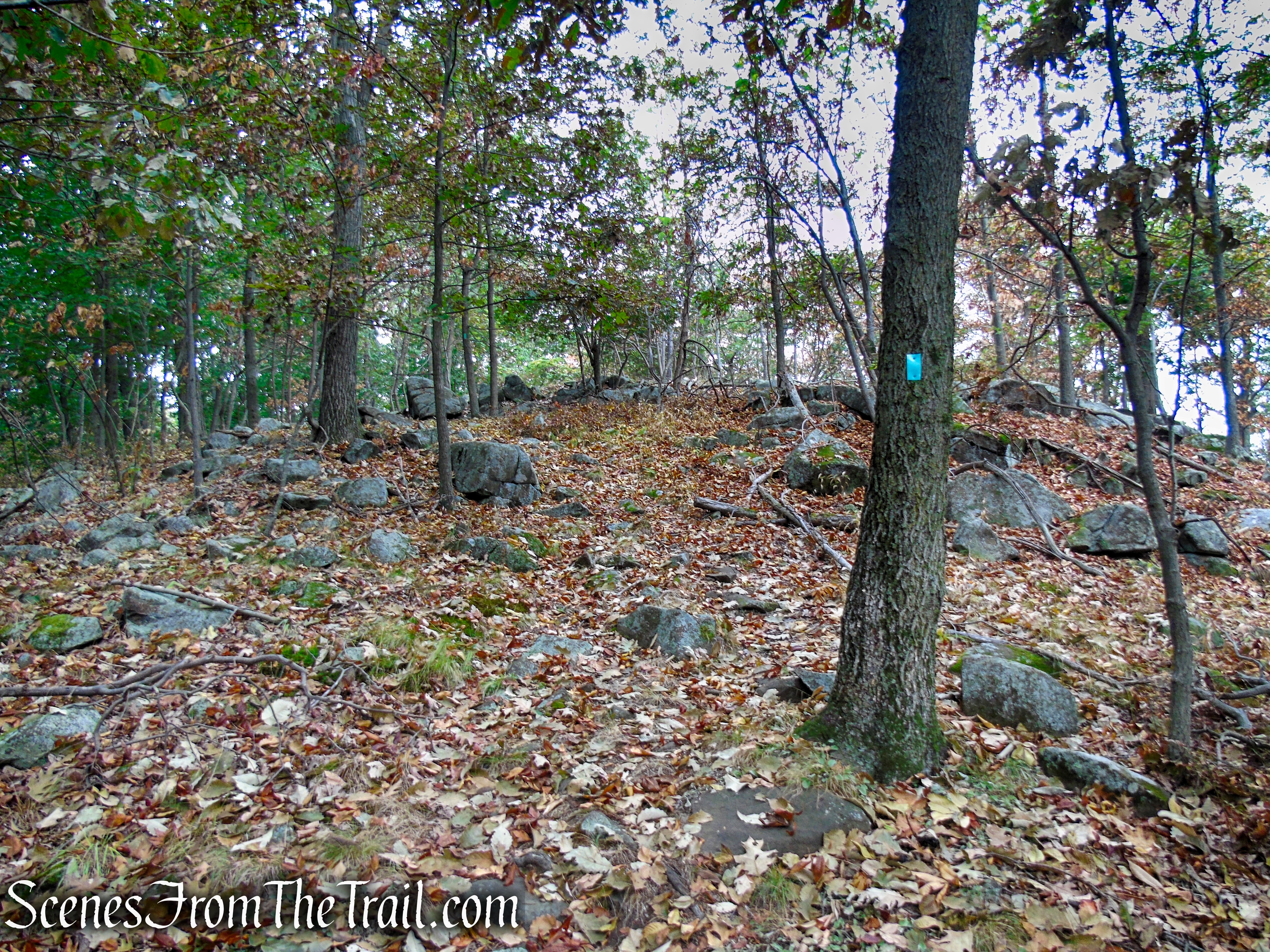
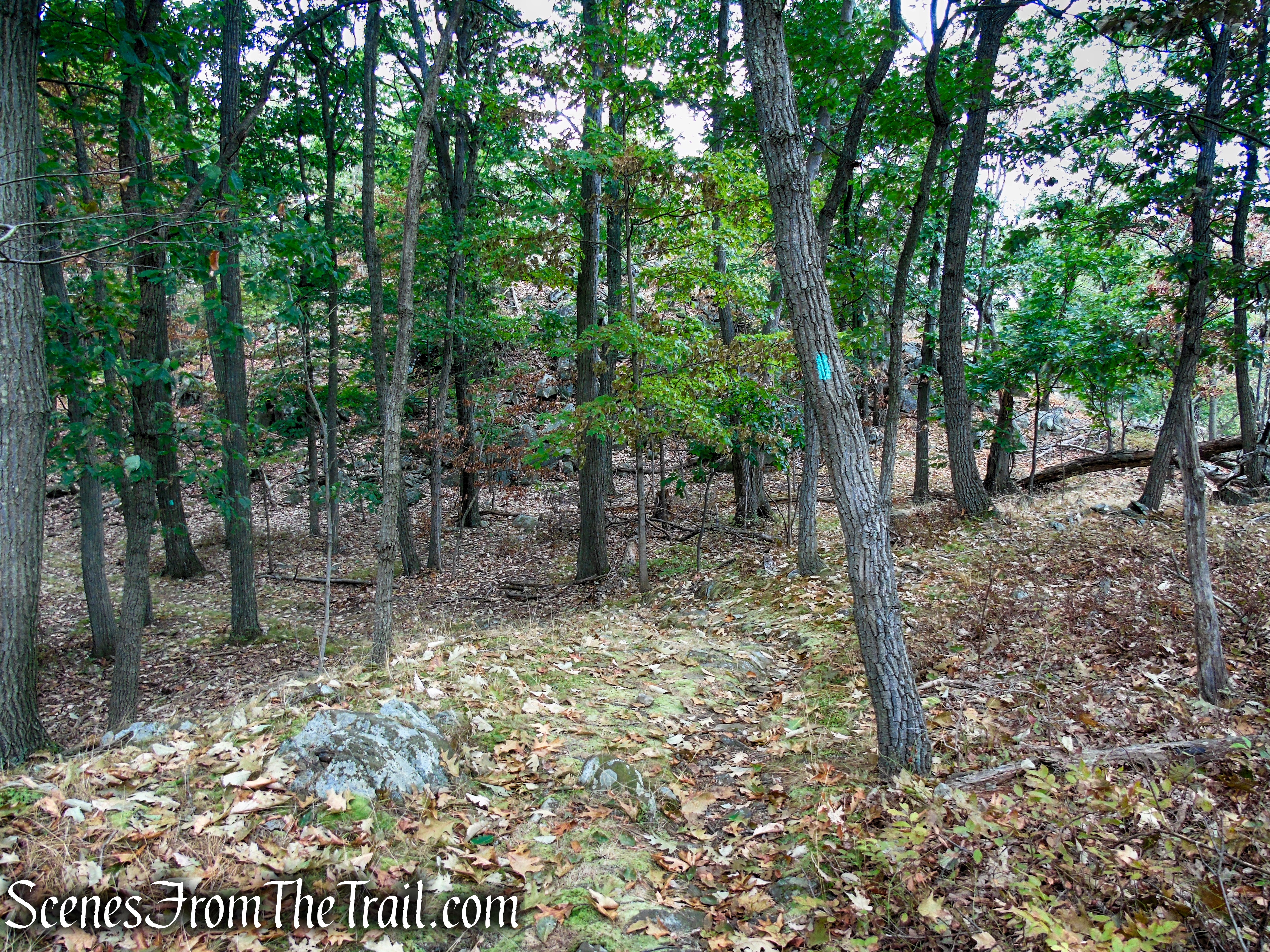
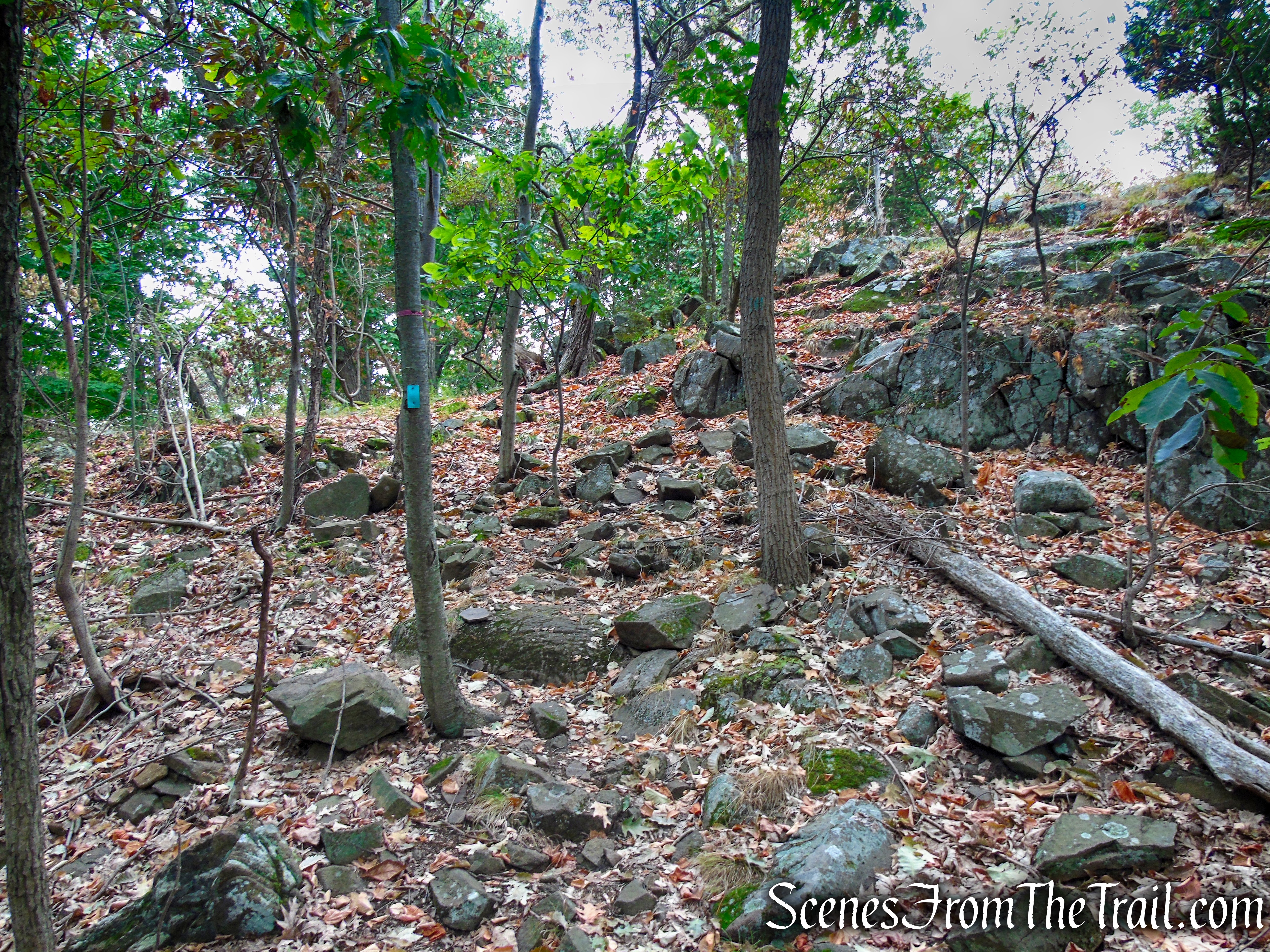
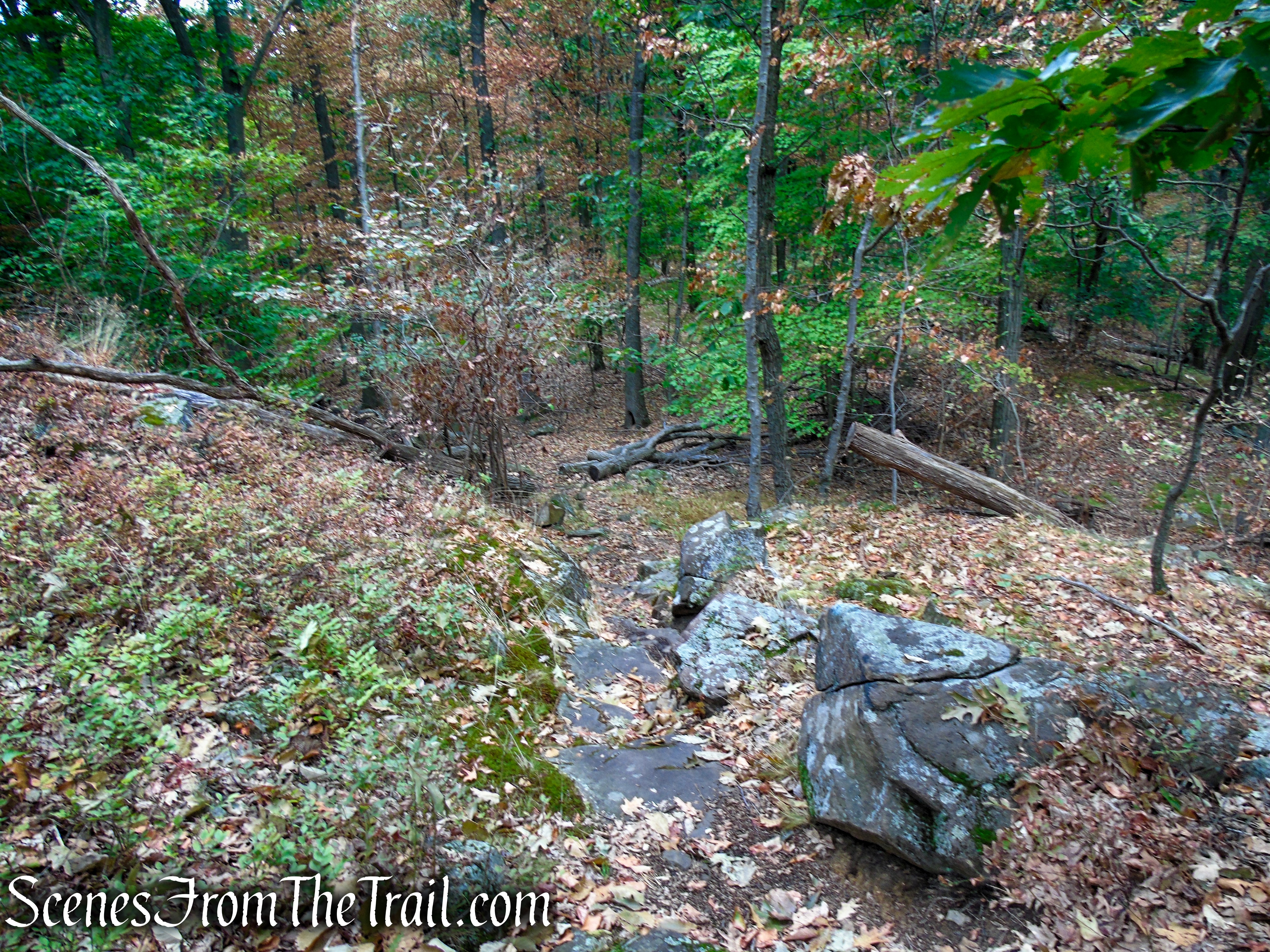
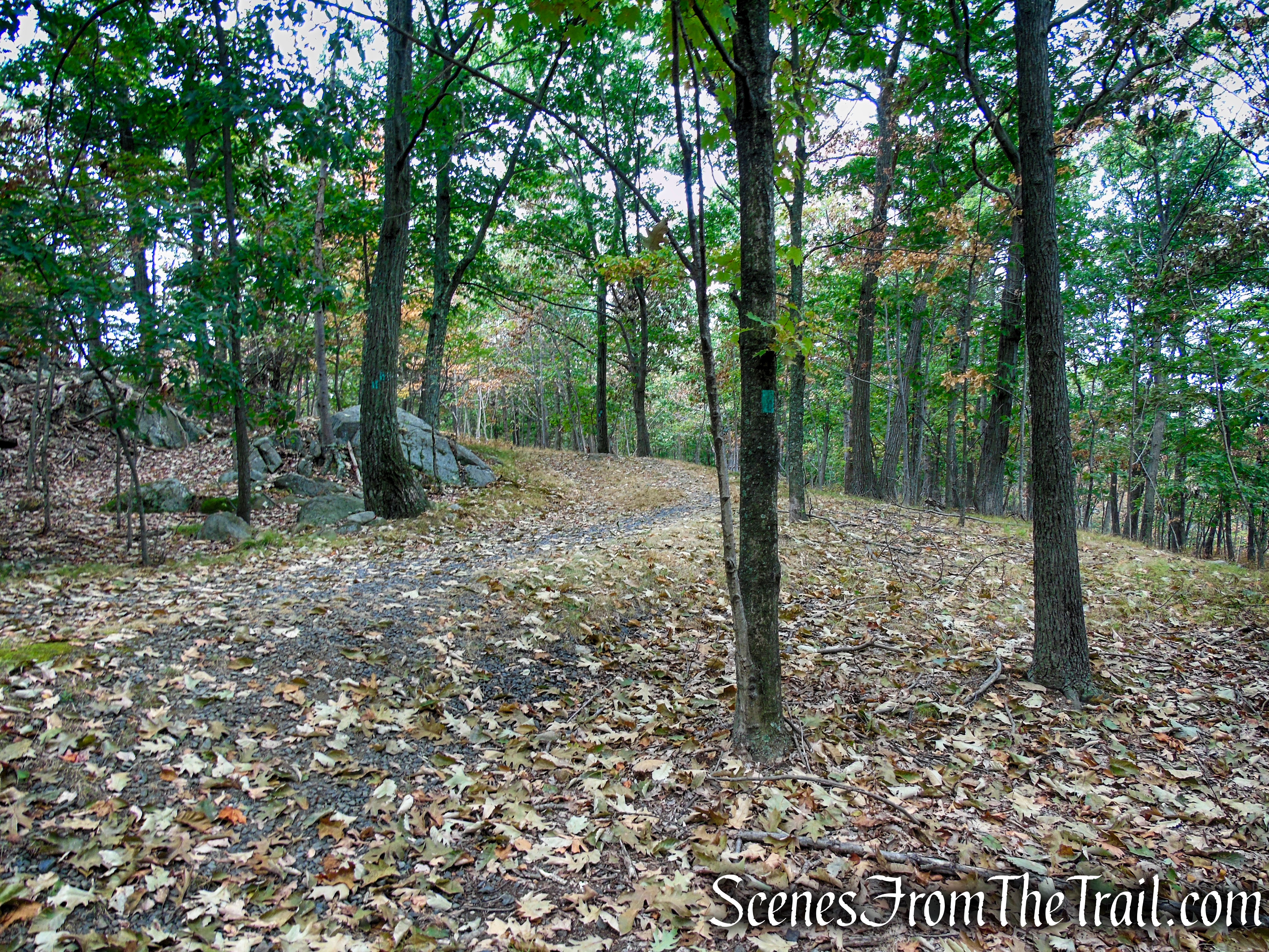
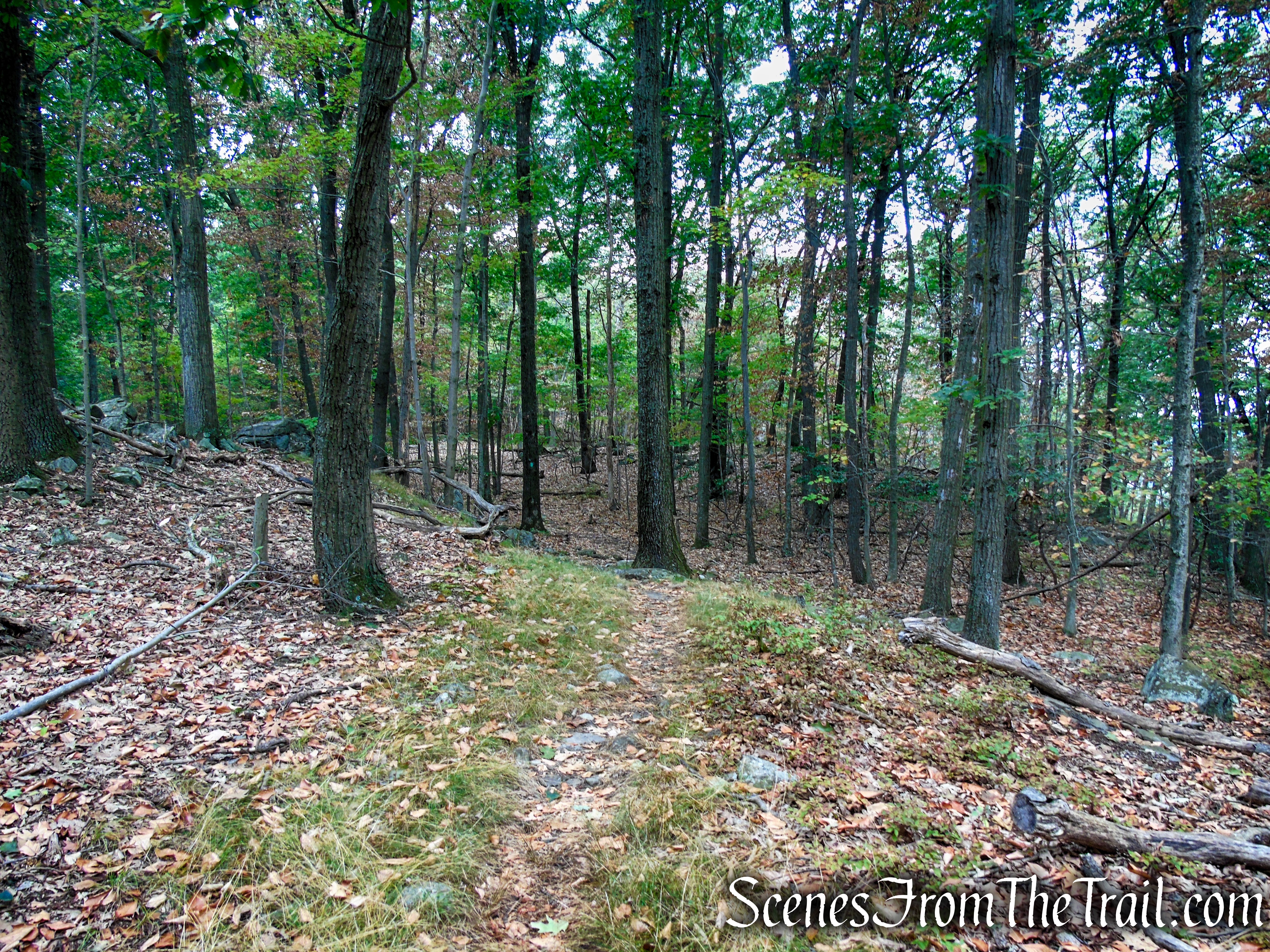
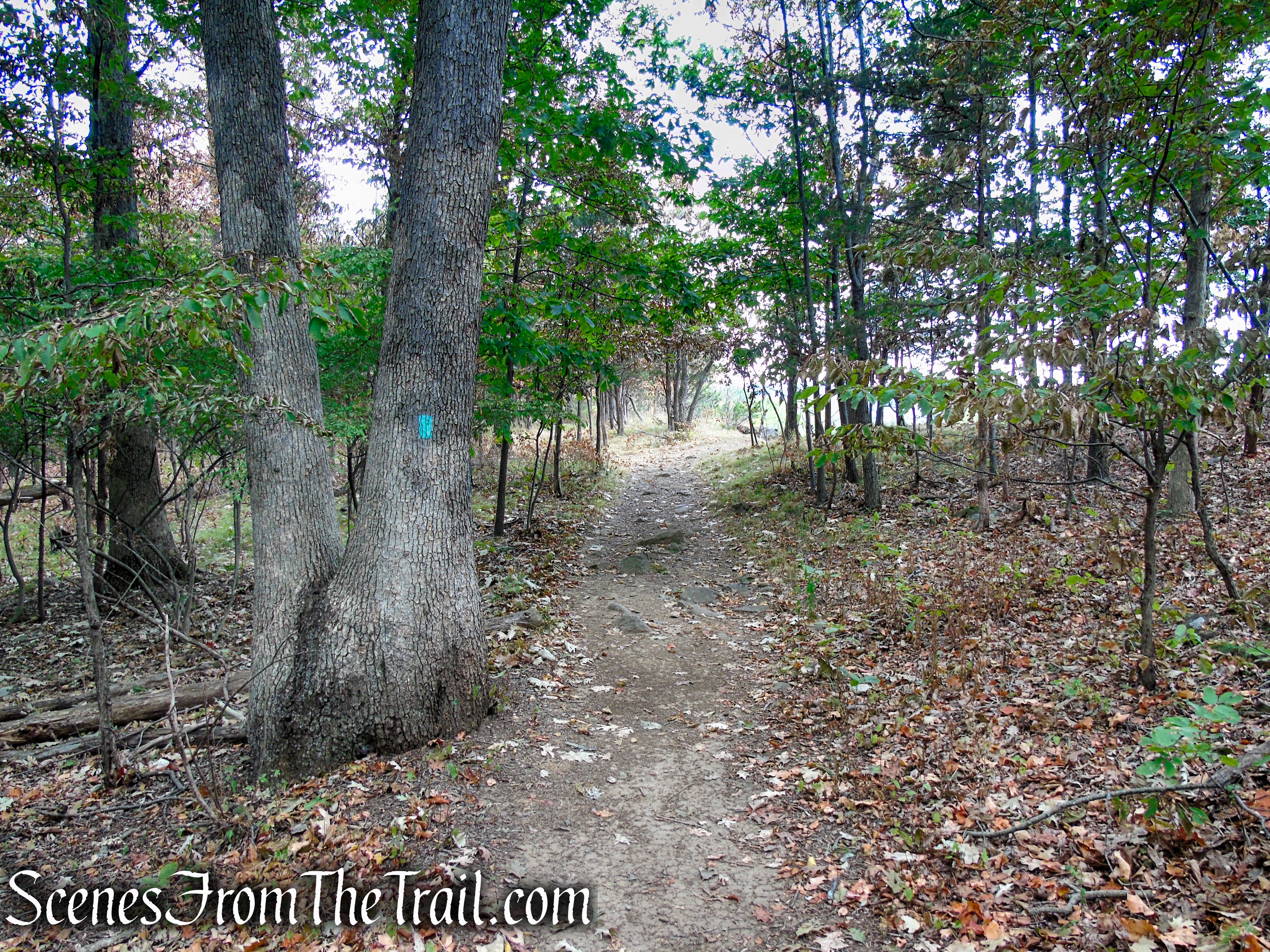
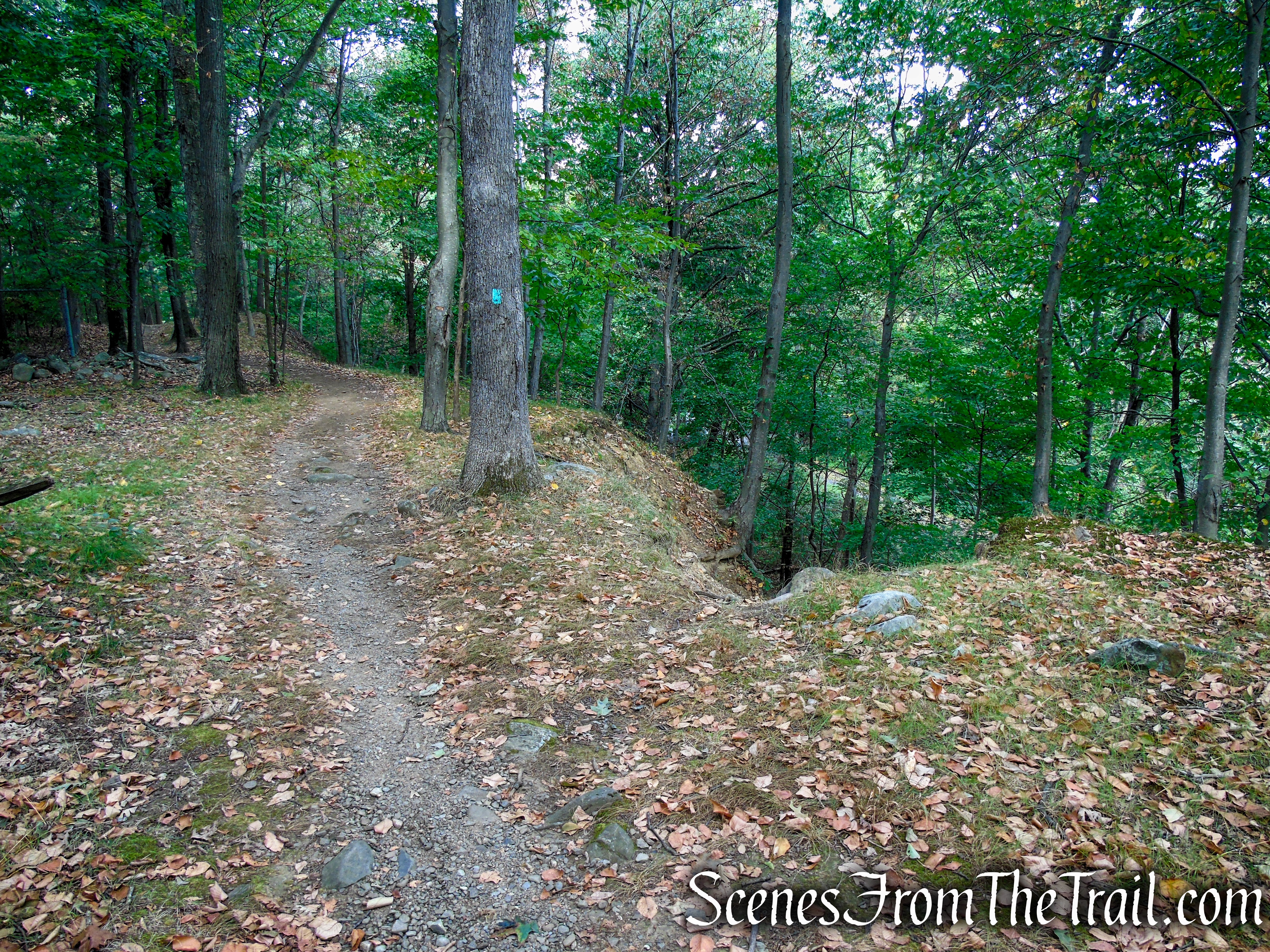
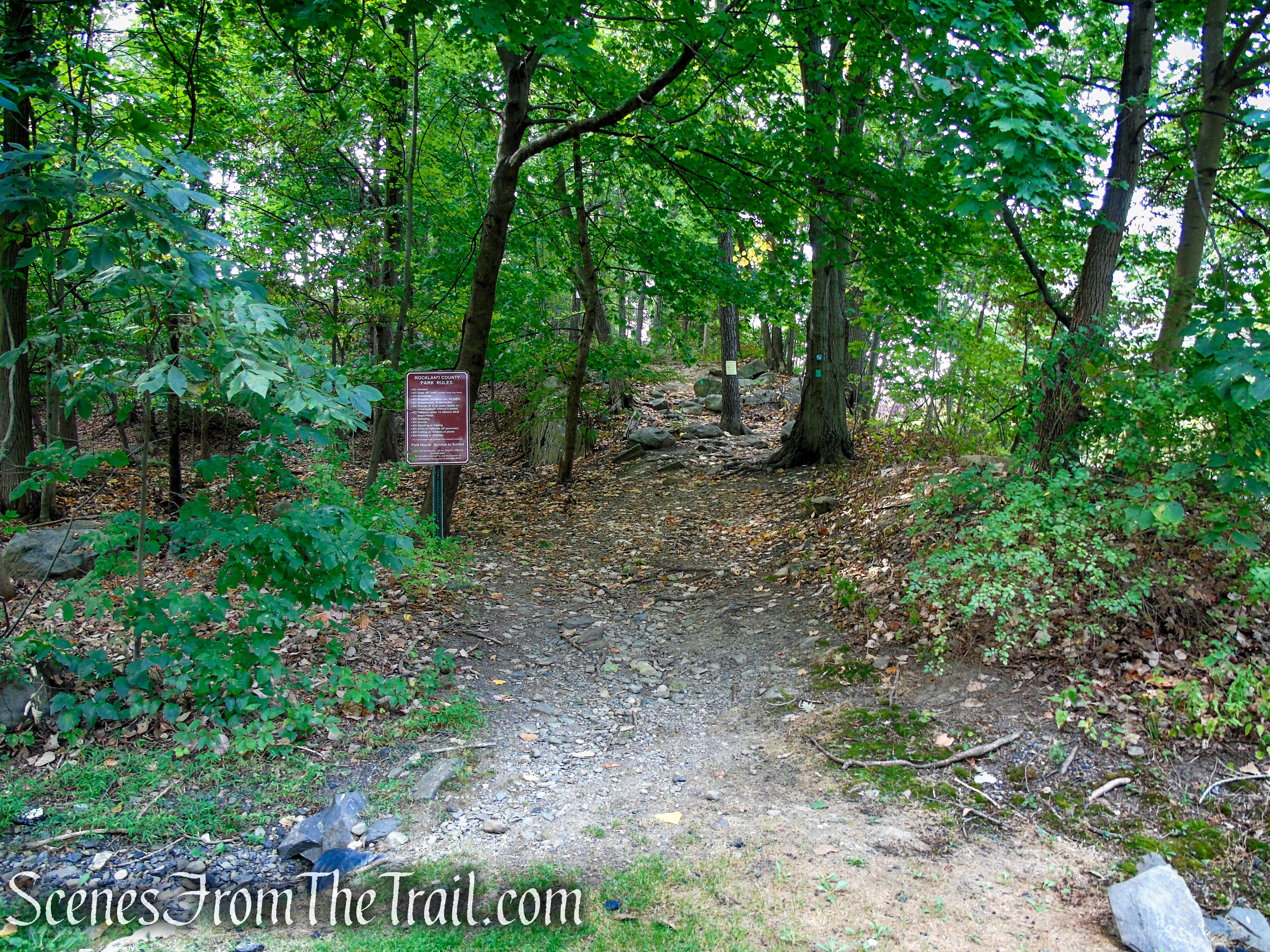
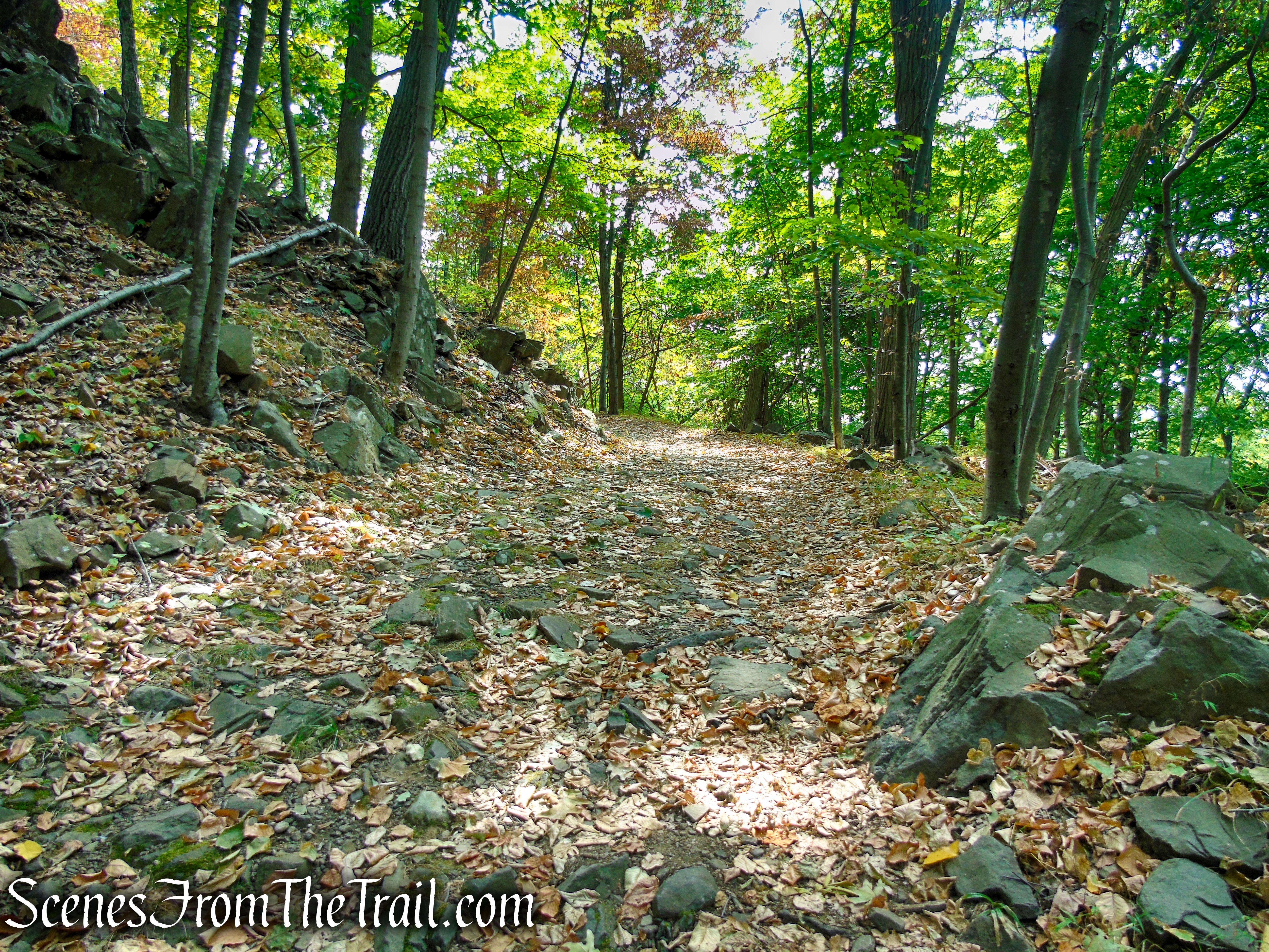
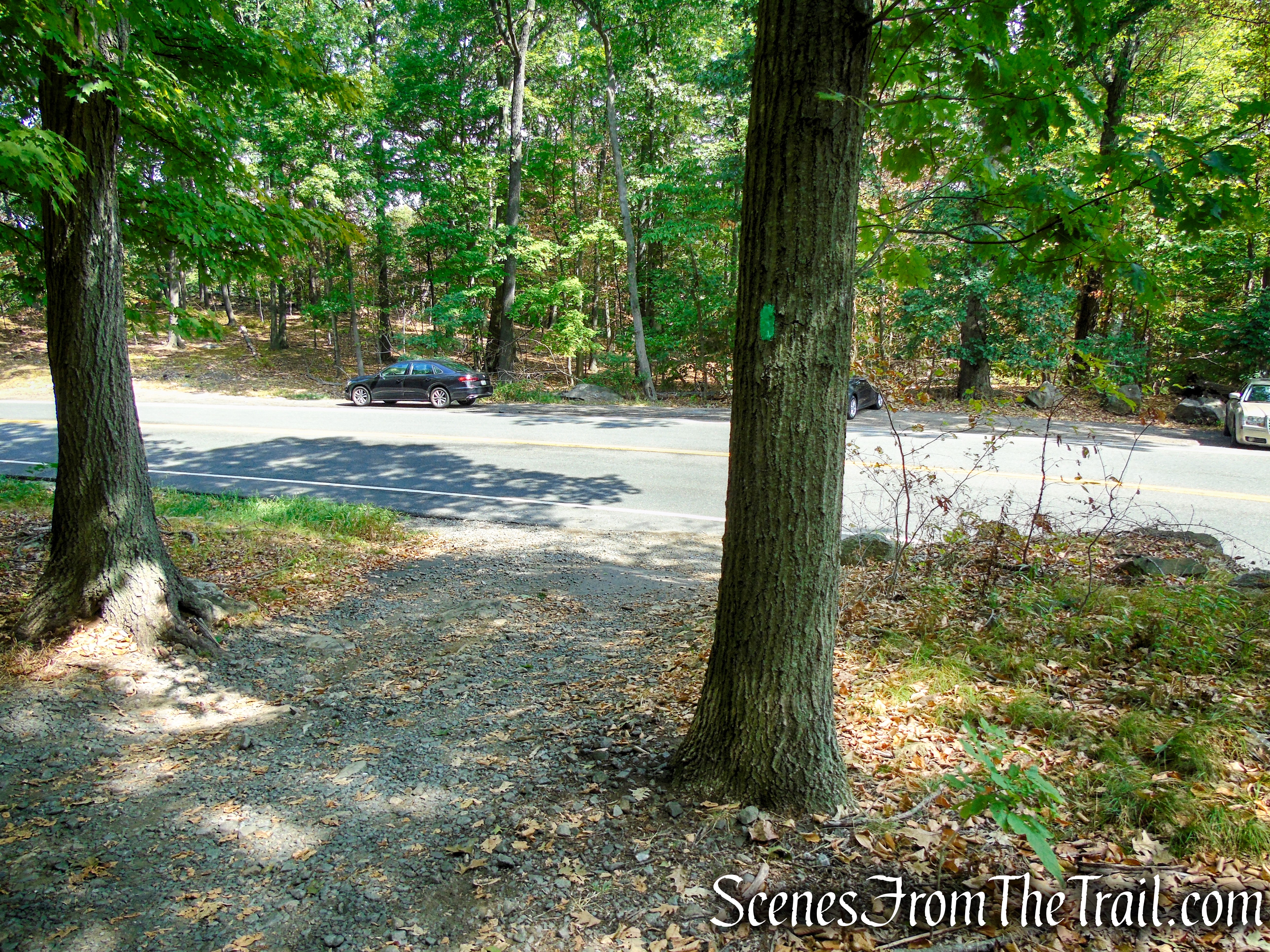
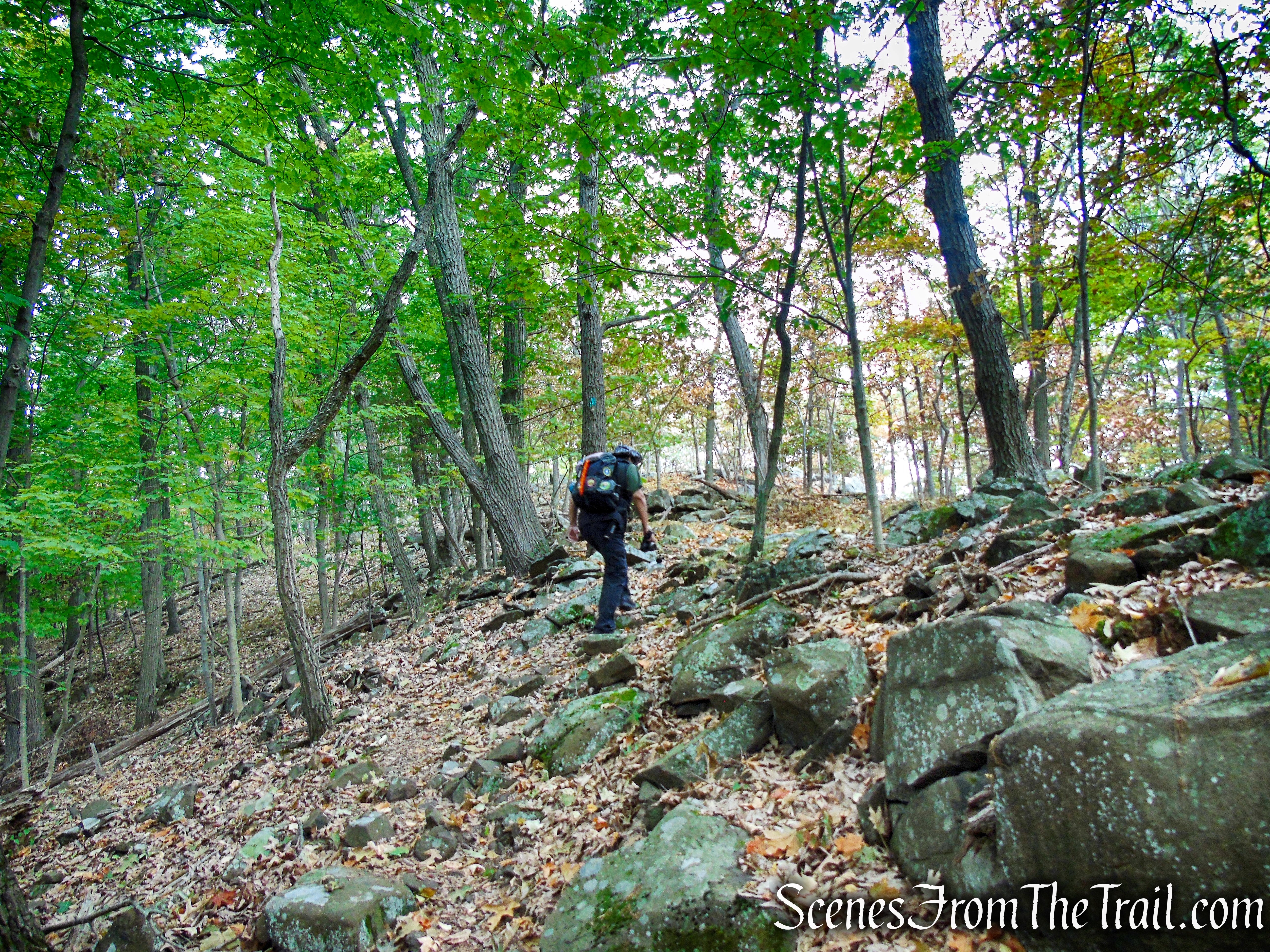
Carefully cross the road, heading in a westerly direction into South Mountain County Park. Just past the gate is an unmarked woods road which will be your return route, but for now veer right and follow the aqua blazes as they immediately start to climb on a rocky footpath. The trail snakes through the woods along undulating terrain.
South Mountain County Park
Long Path – South Mountain County Park
Long Path – South Mountain County Park
Long Path – South Mountain County Park
Long Path – South Mountain County Park
Long Path – South Mountain County Park

Long Path – South Mountain County Park
Long Path – South Mountain County Park
Long Path – South Mountain County Park
Long Path – South Mountain County Park
Long Path – South Mountain County Park
Long Path – South Mountain County Park
Long Path – South Mountain County Park
Long Path – South Mountain County Park
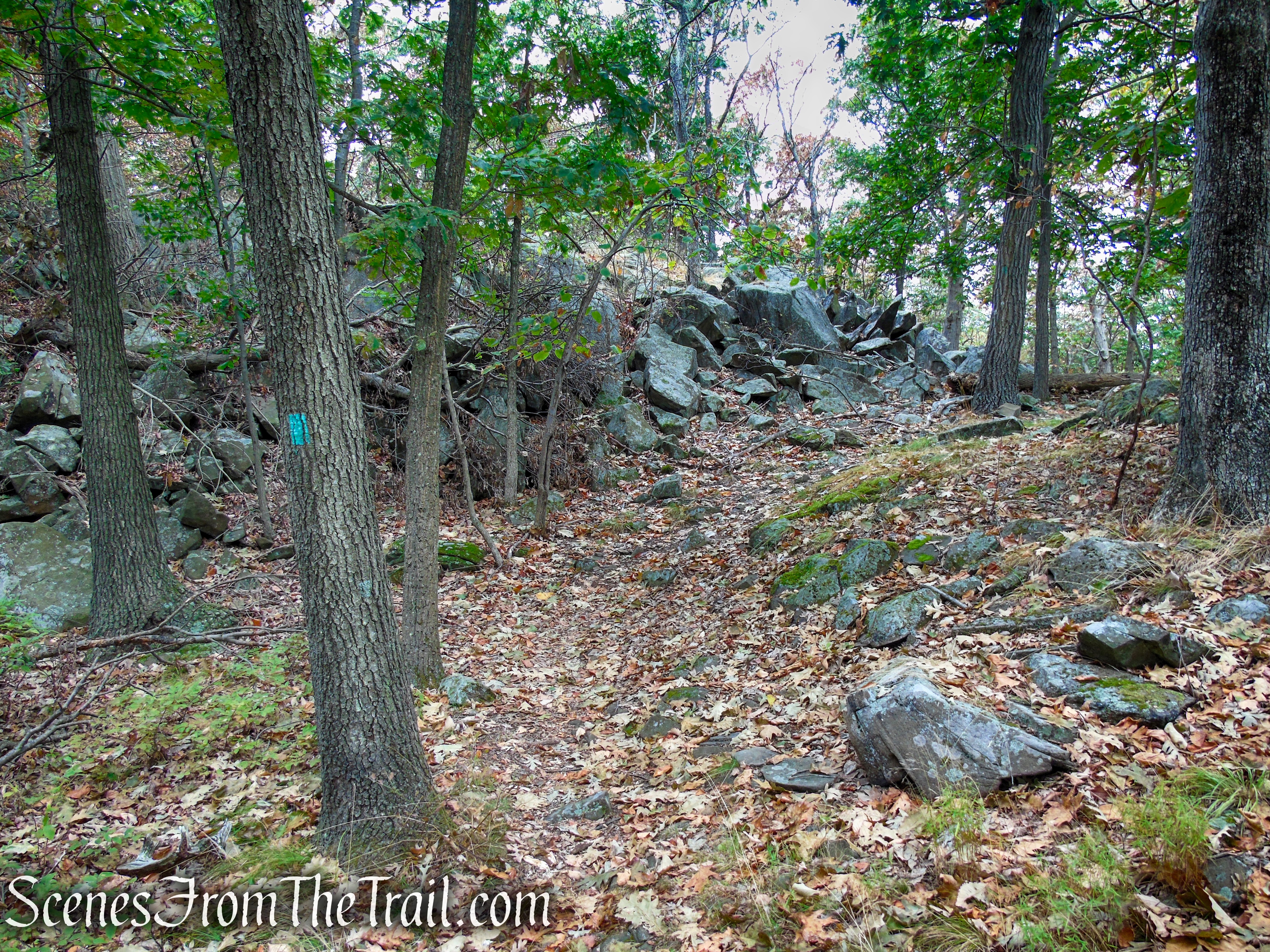
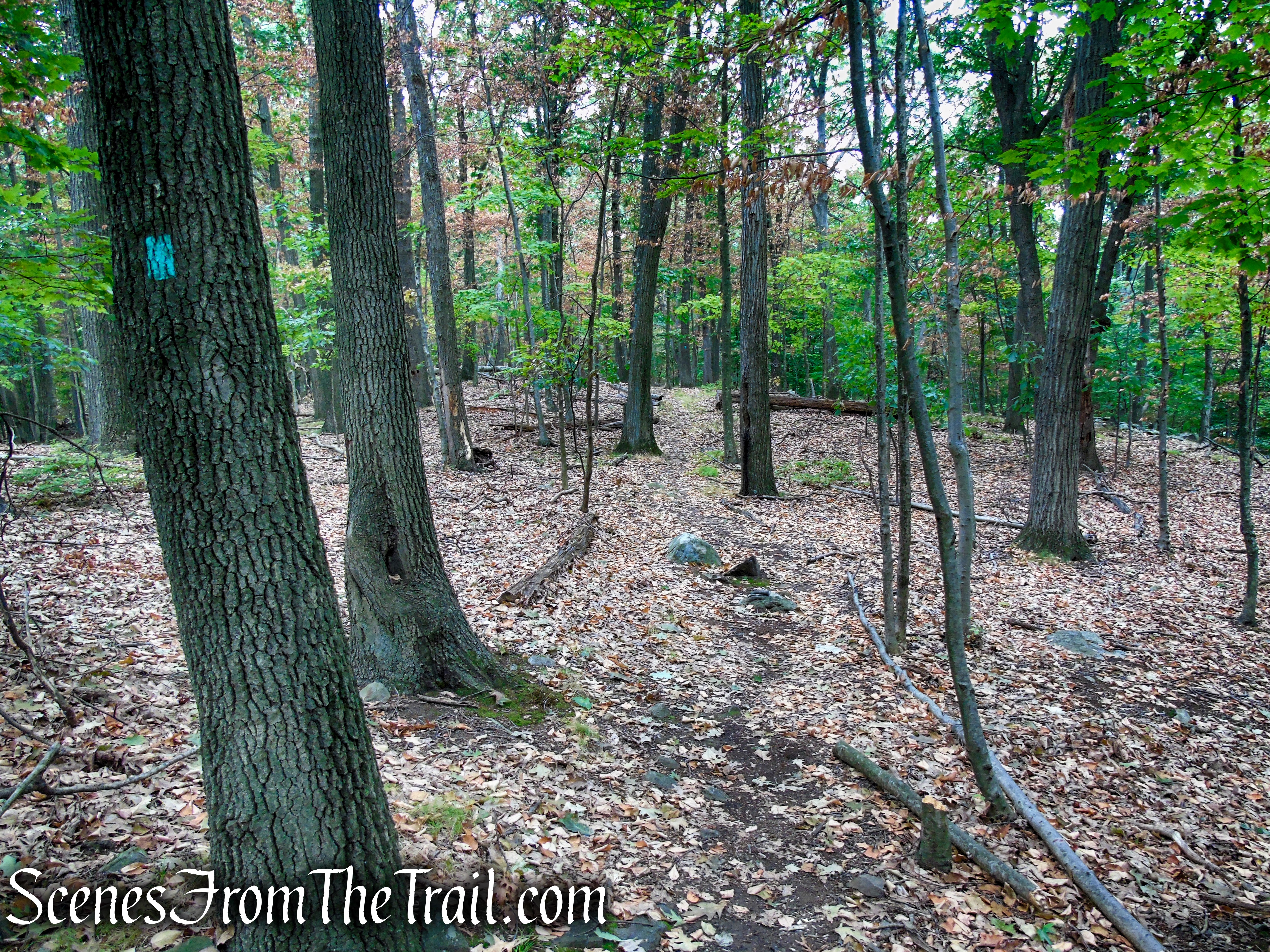
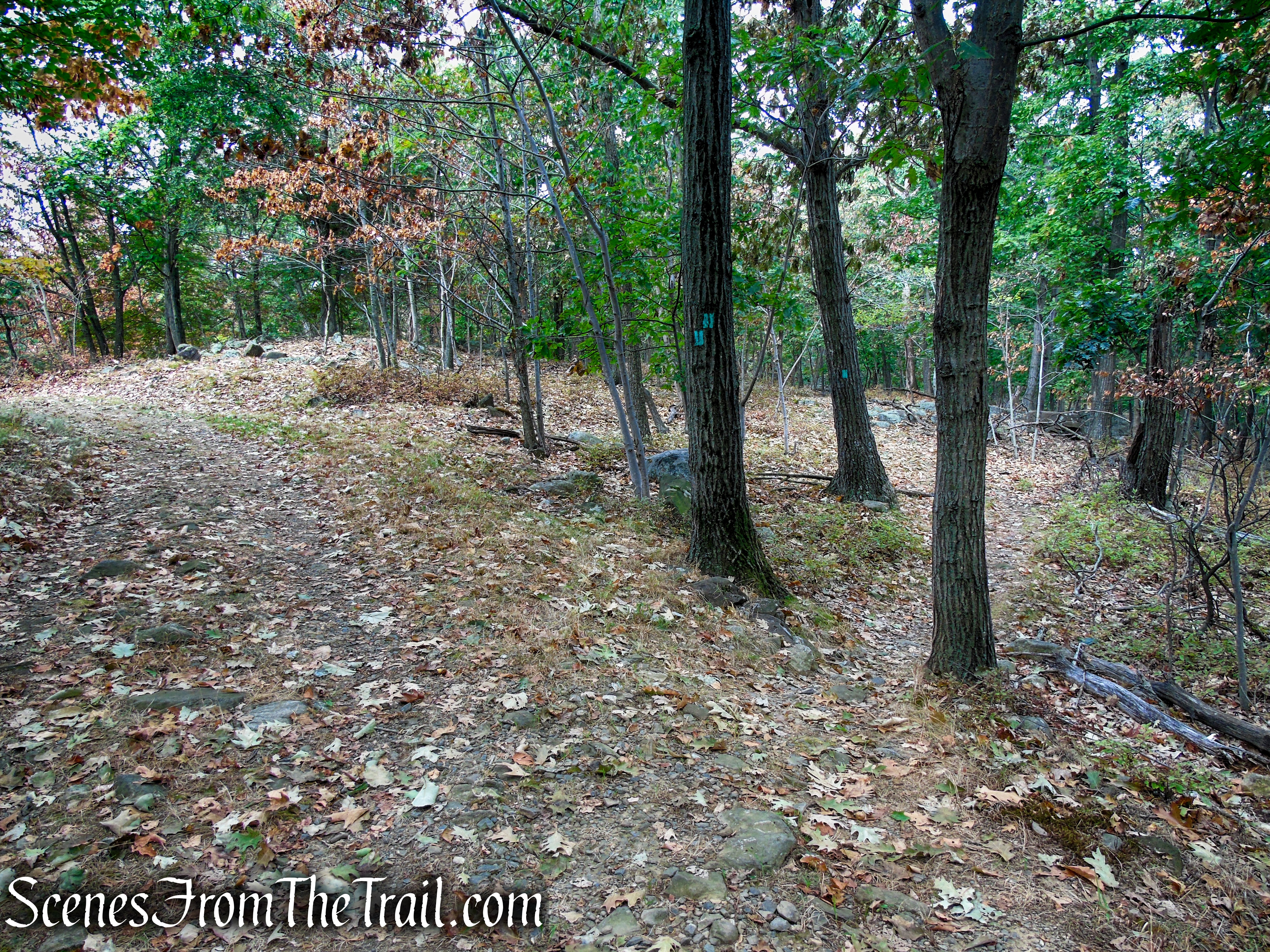
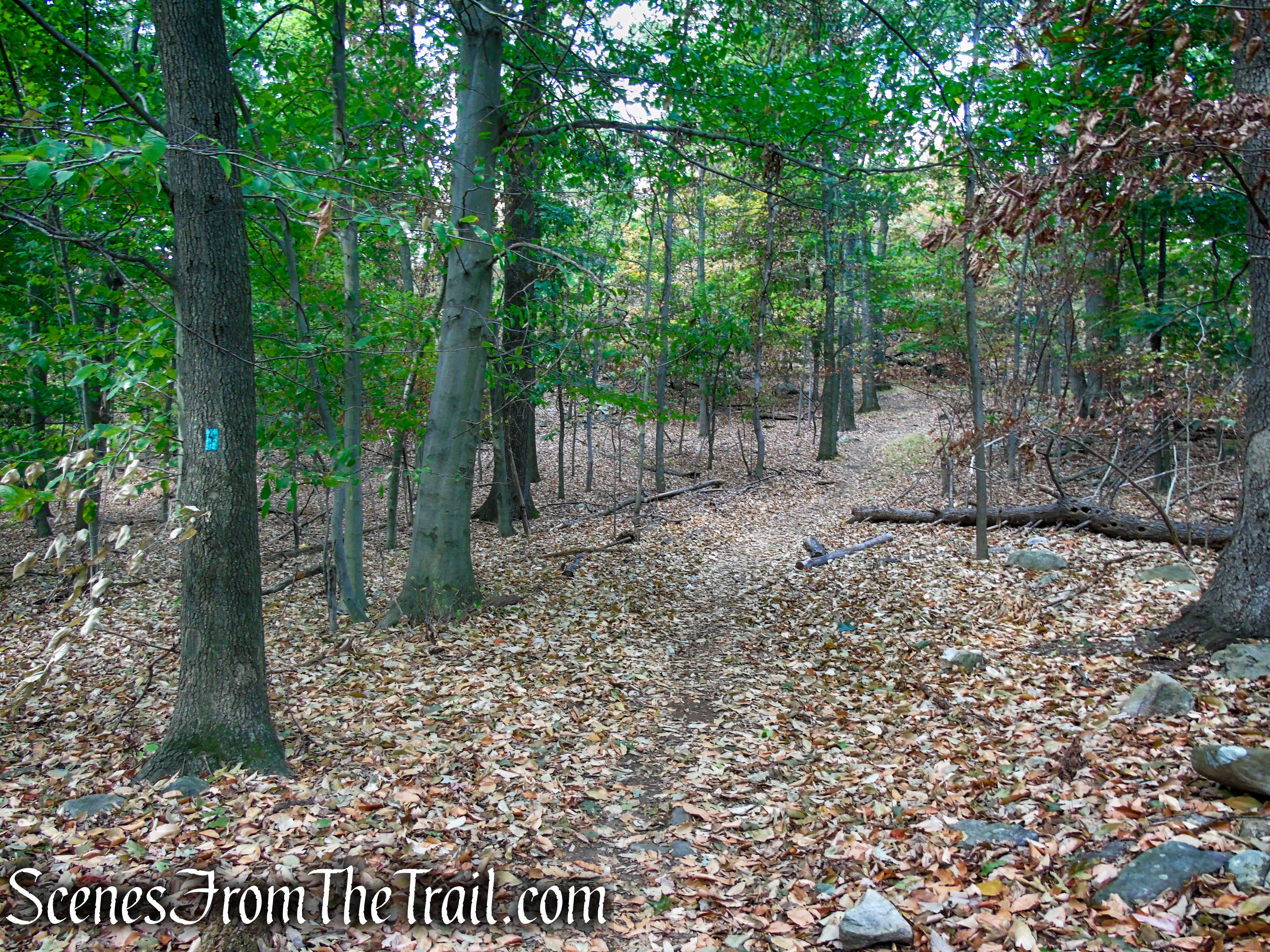
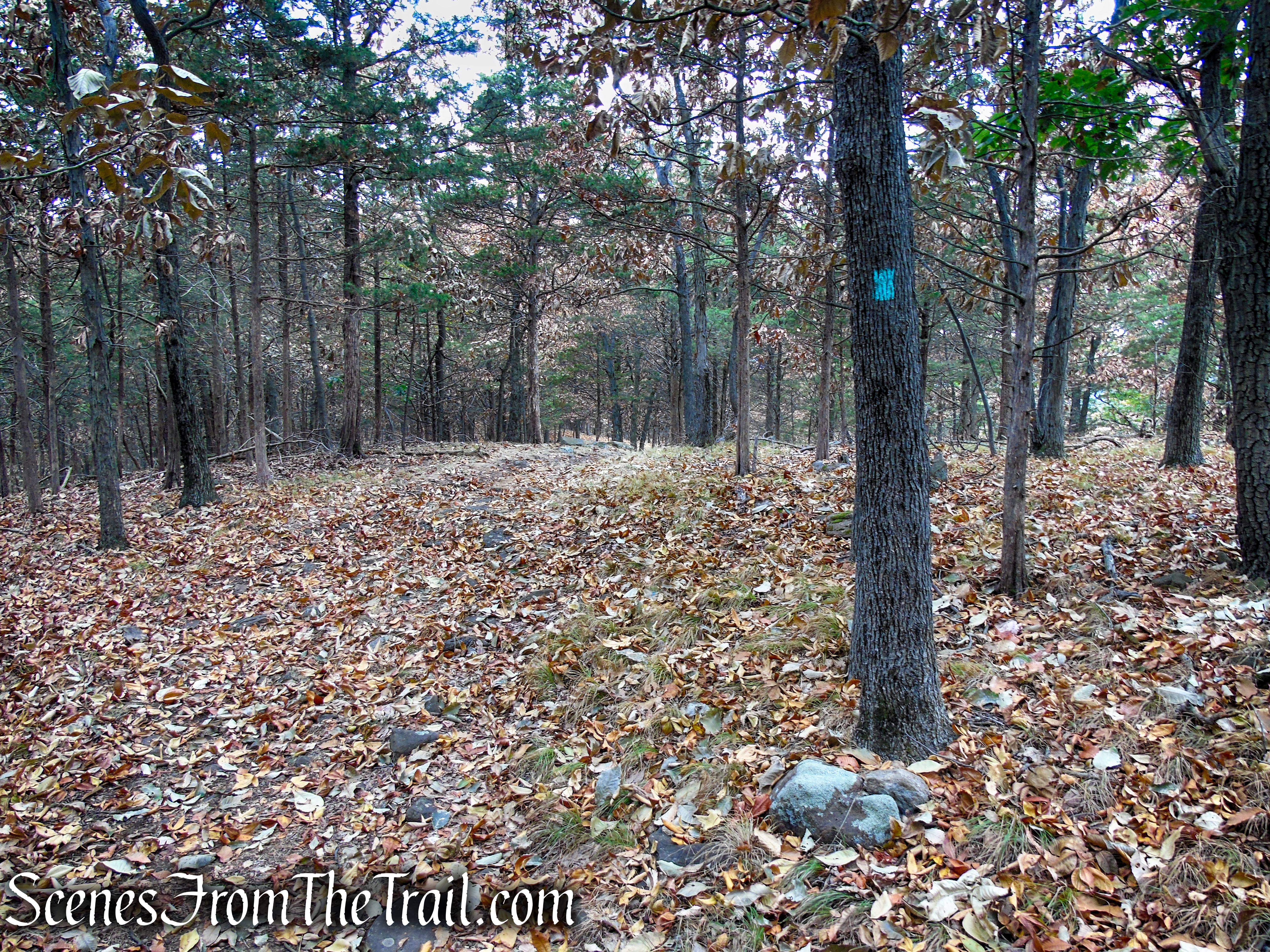
In about a 1/4-mile, the Long Path joins a woods road and immediately leaves again to the right, continuing on a footpath, soon descending and climbing again.
Long Path – South Mountain County Park
Long Path – South Mountain County Park

Long Path – South Mountain County Park
Long Path – South Mountain County Park
Long Path – South Mountain County Park
Long Path – South Mountain County Park
Long Path – South Mountain County Park
Long Path – South Mountain County Park
Long Path – South Mountain County Park
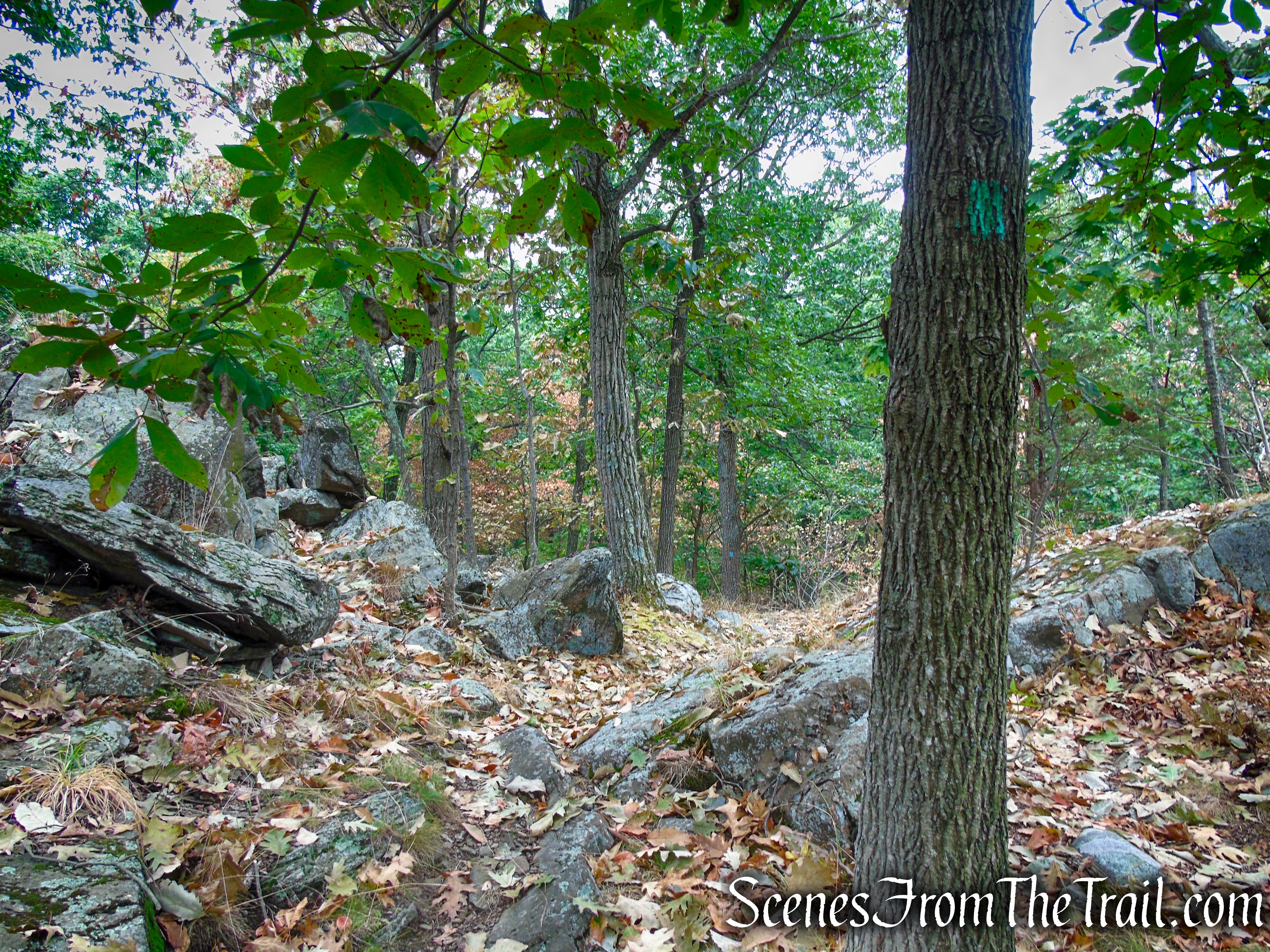
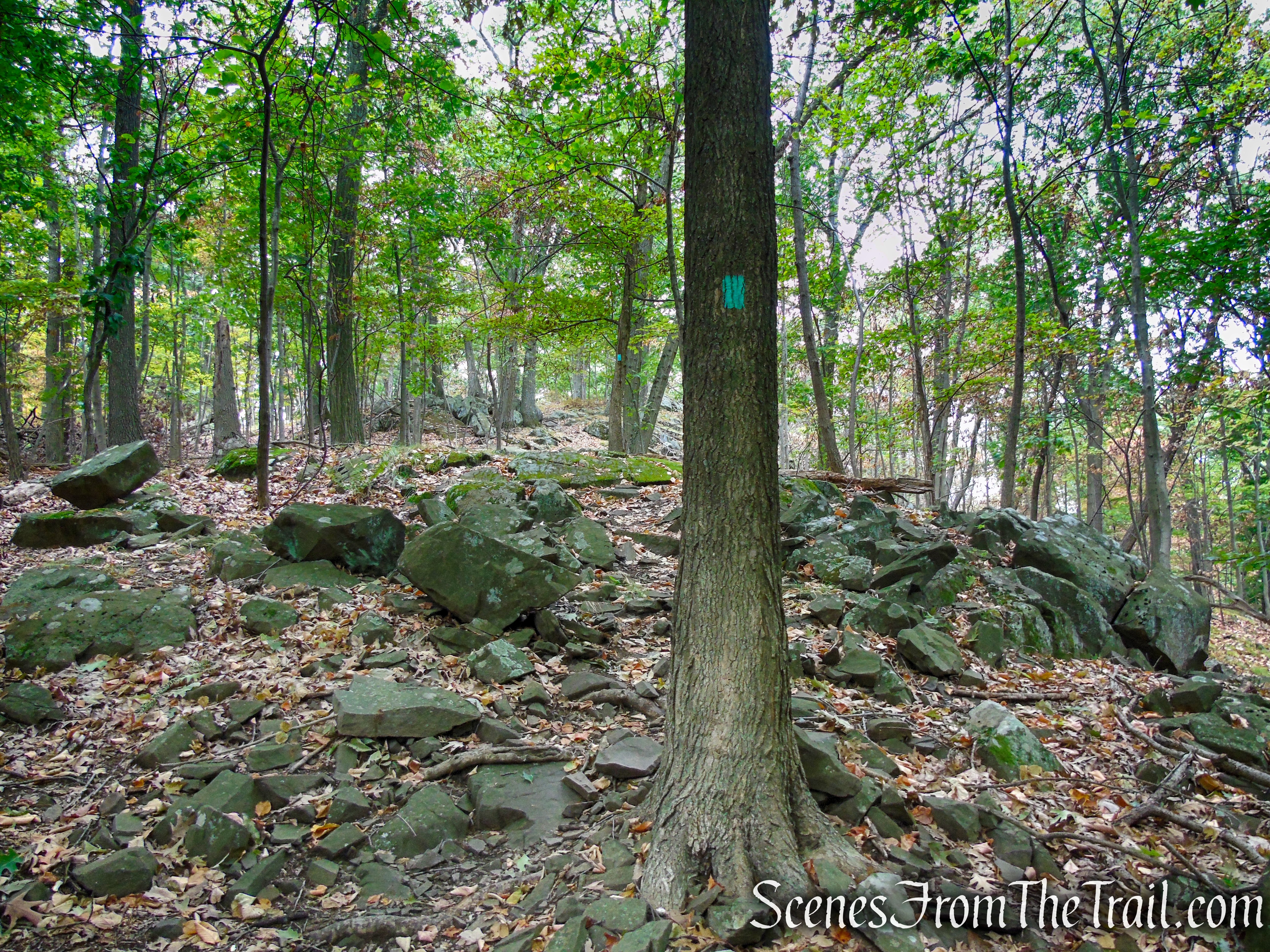
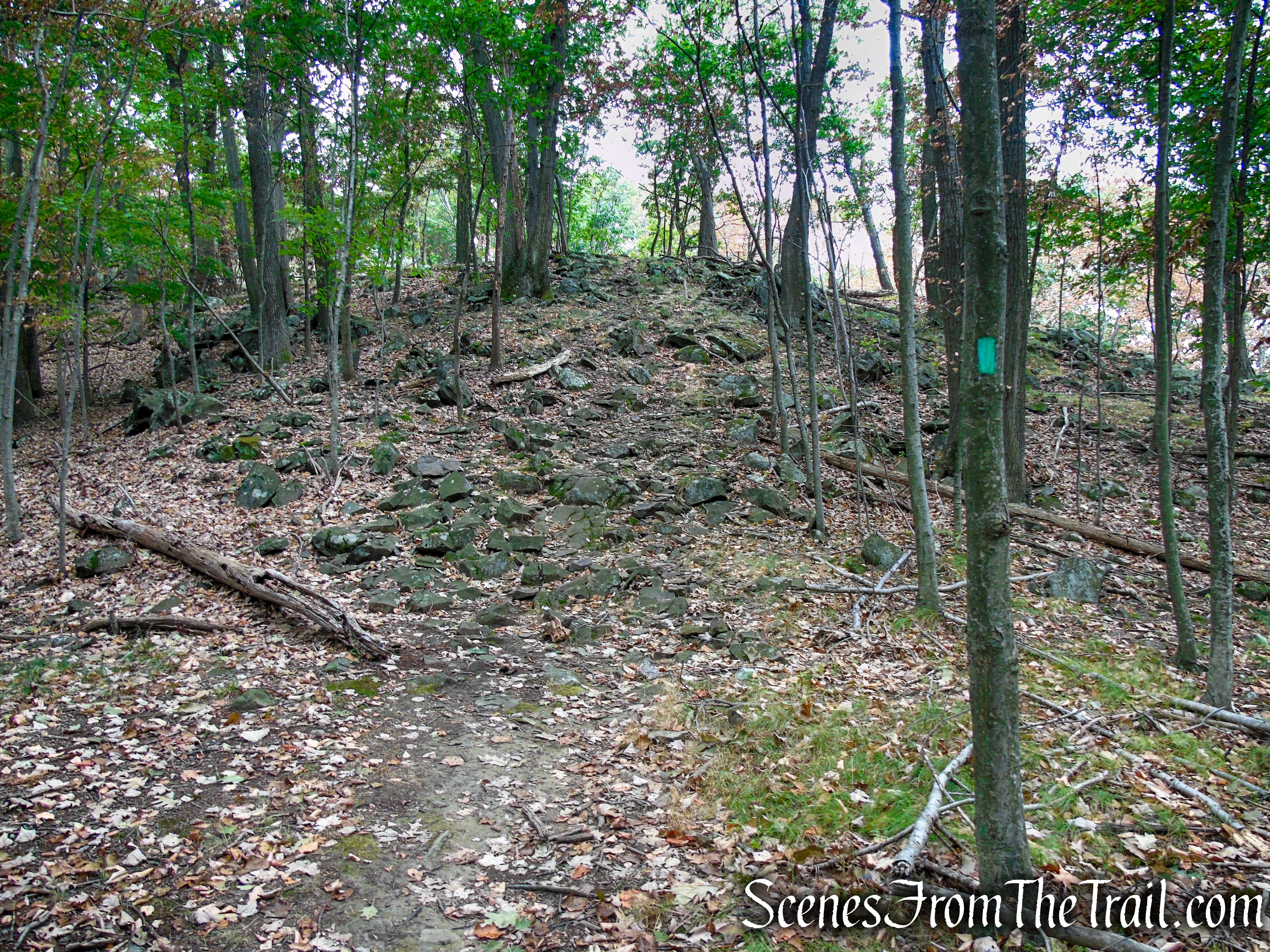
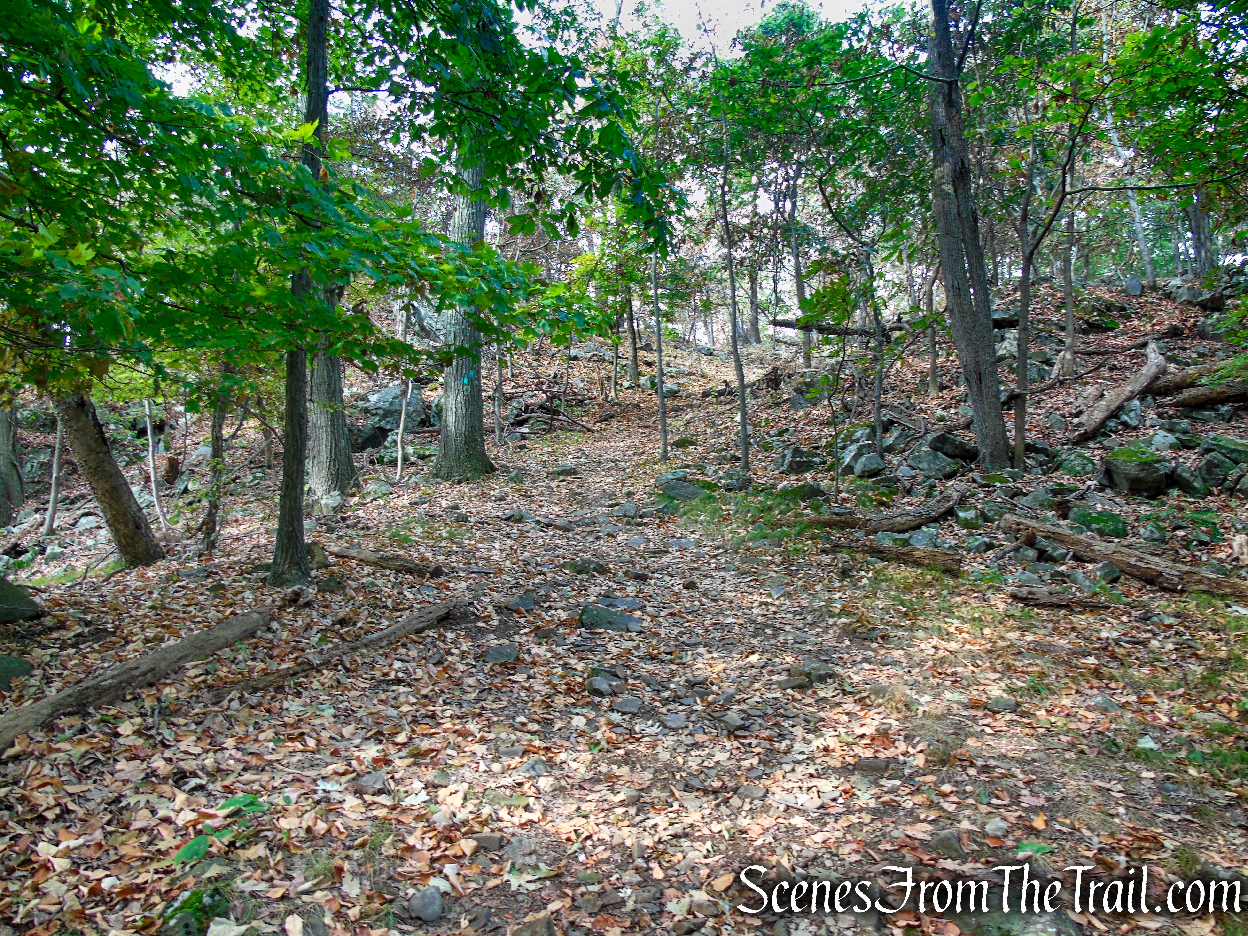
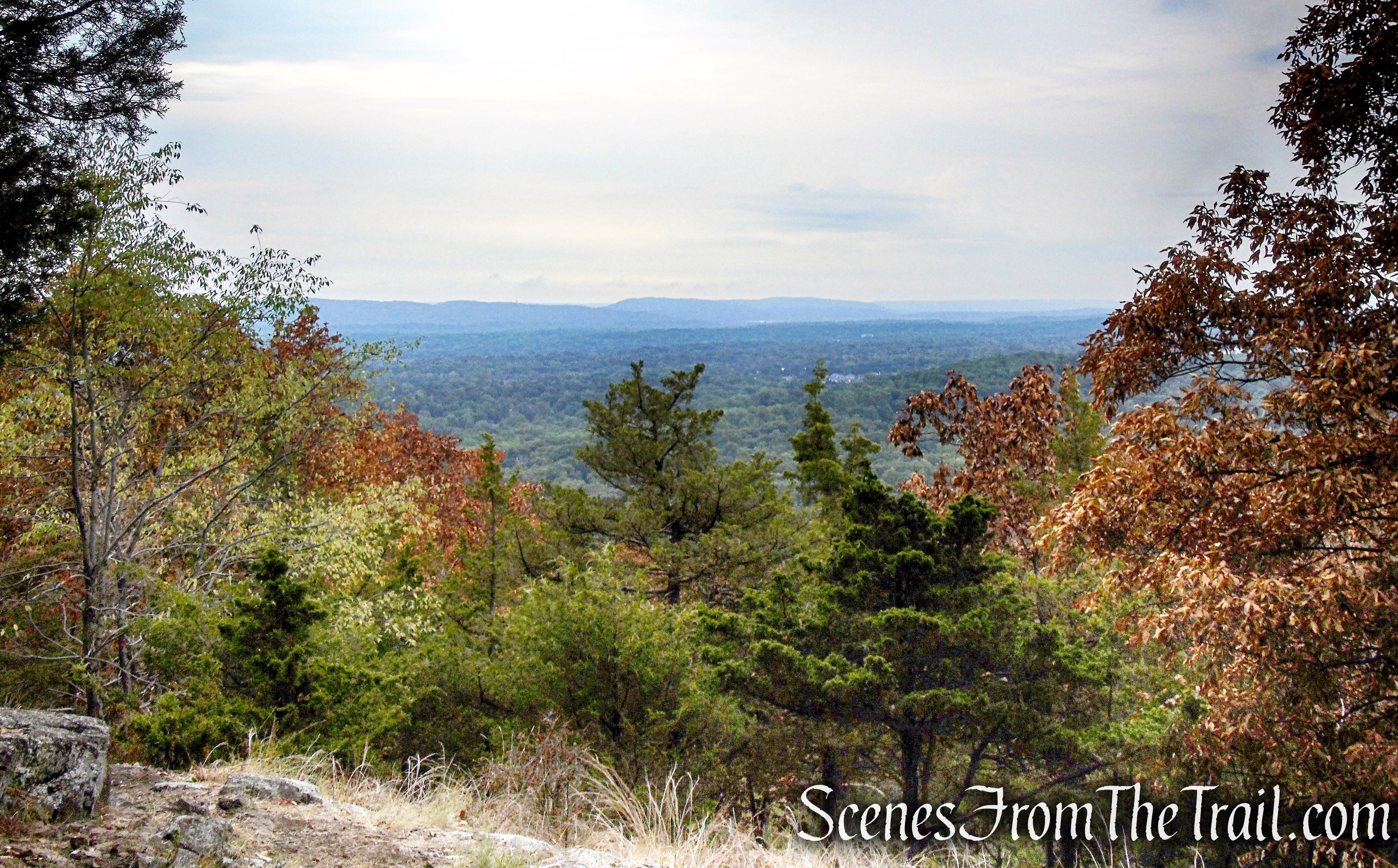
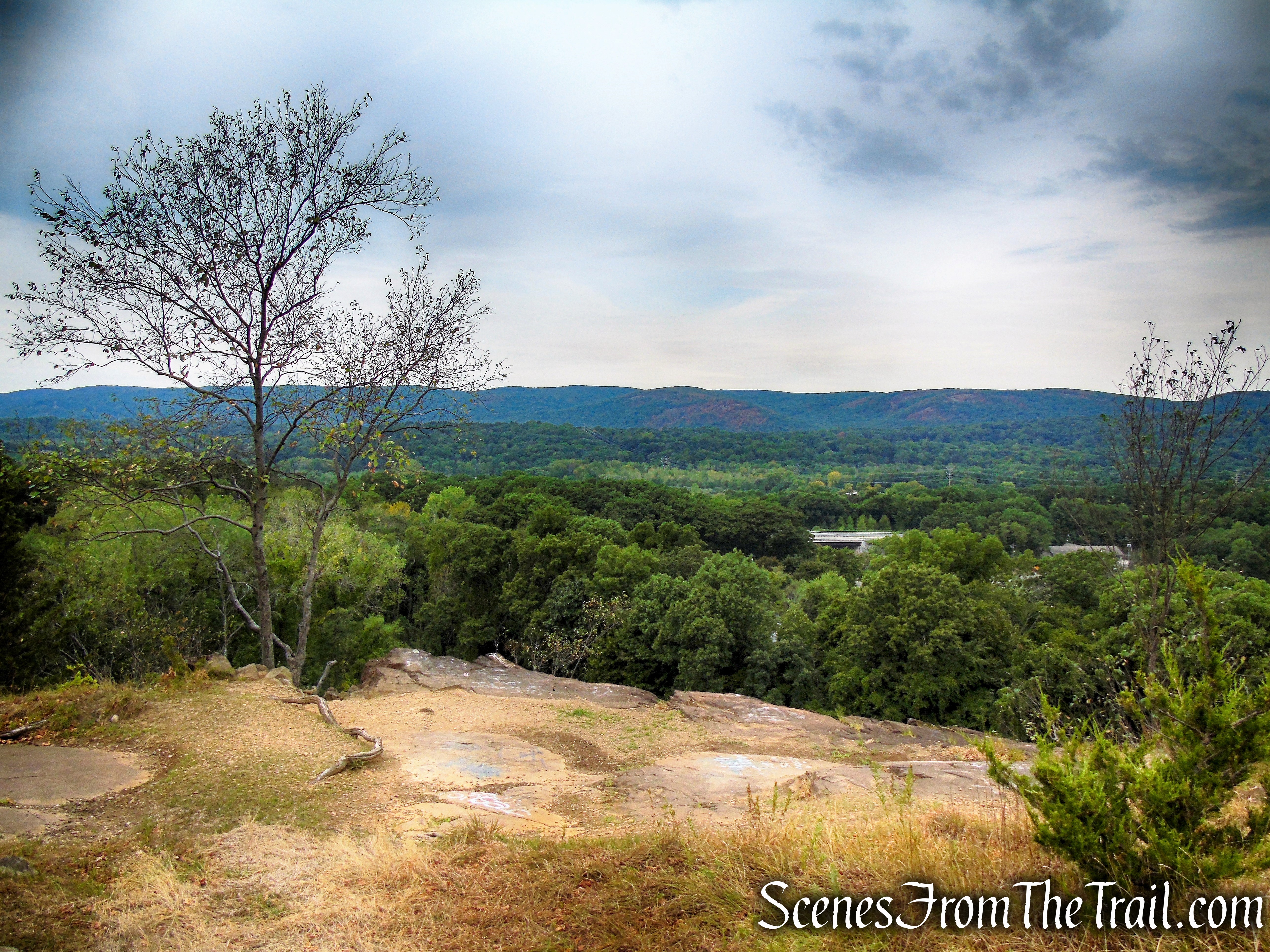
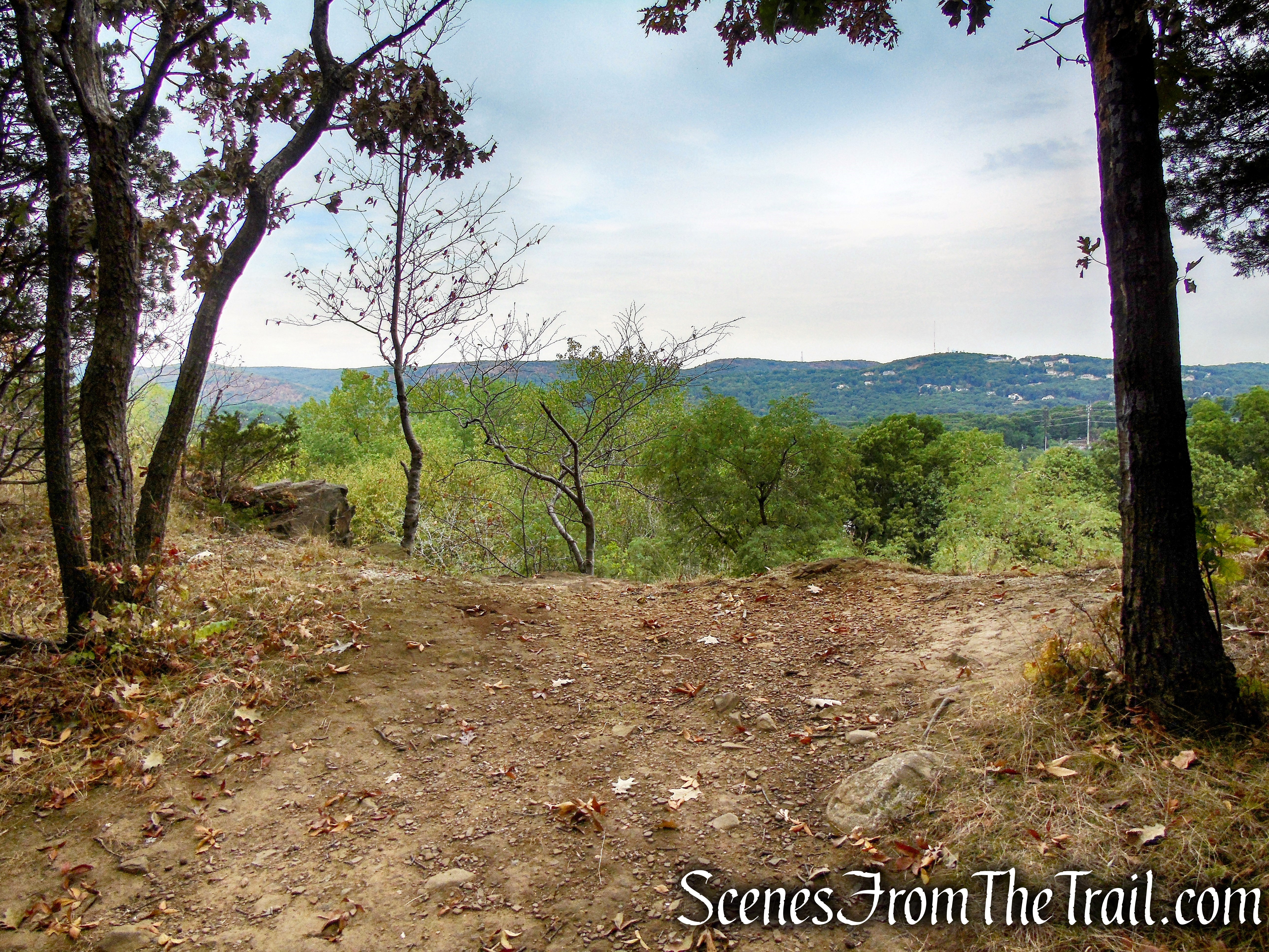
In about a mile from the start of the hike, the Long Path passes a southwest-facing viewpoint. The trail continues to climb and descend repeatedly as it heads west along the ridge.
Long Path – South Mountain County Park
Long Path – South Mountain County Park

Long Path – South Mountain County Park
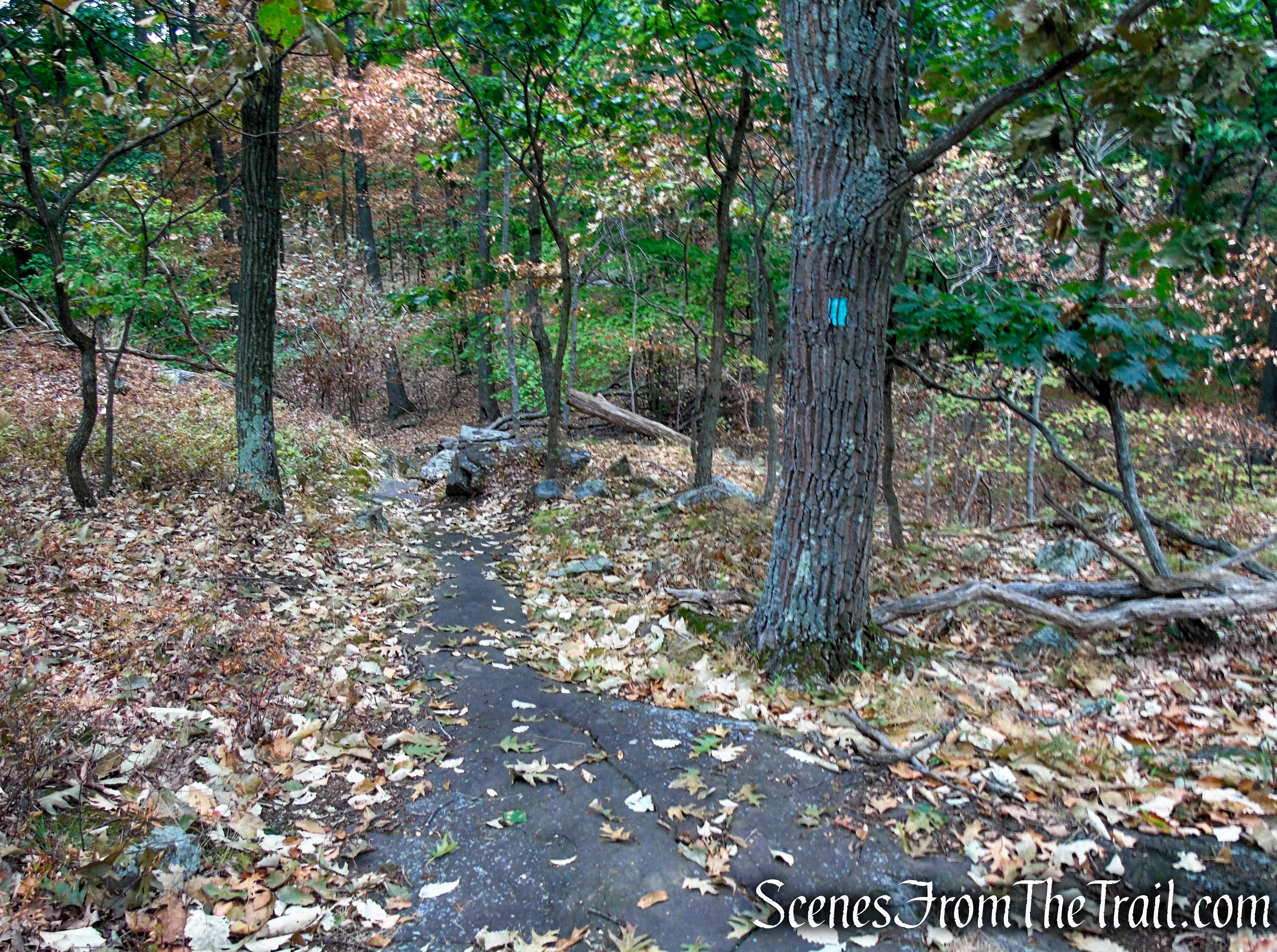
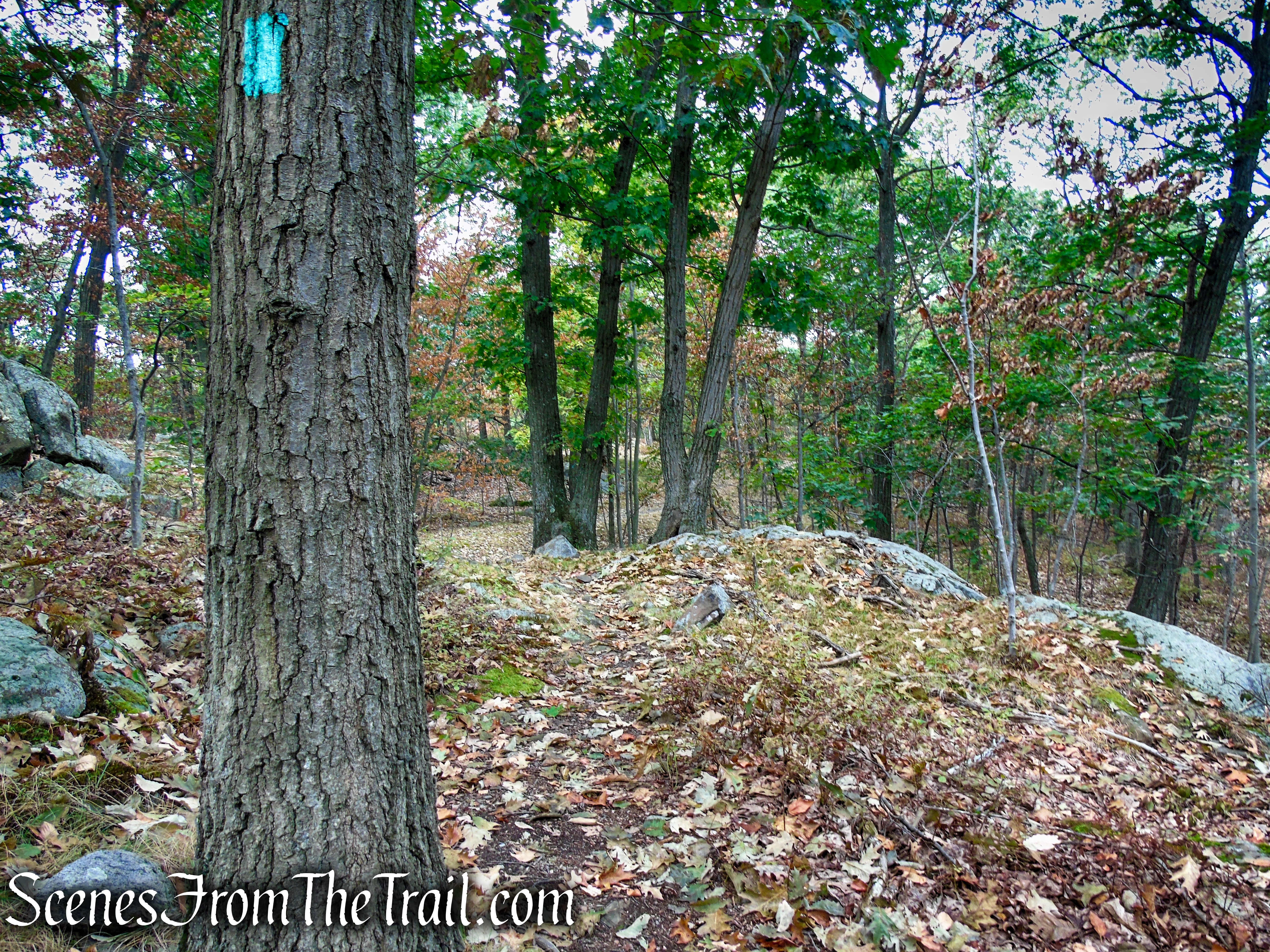
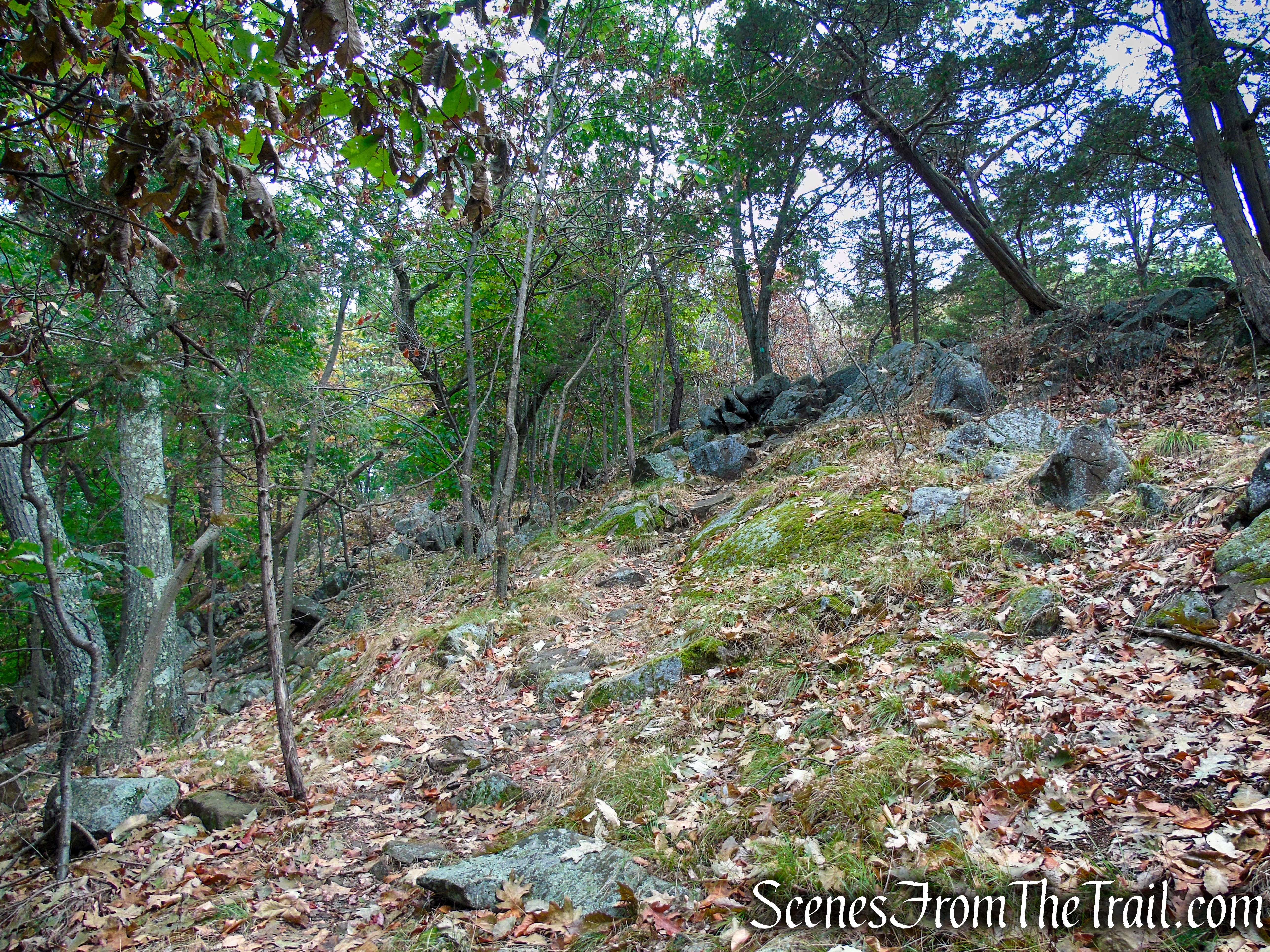
In approximately 1.5 miles from the start, the Long Path enters Gurnee County Park. There is no sign or boundary marker indicating when you leave or enter either park.
Long Path – Gurnee County Park
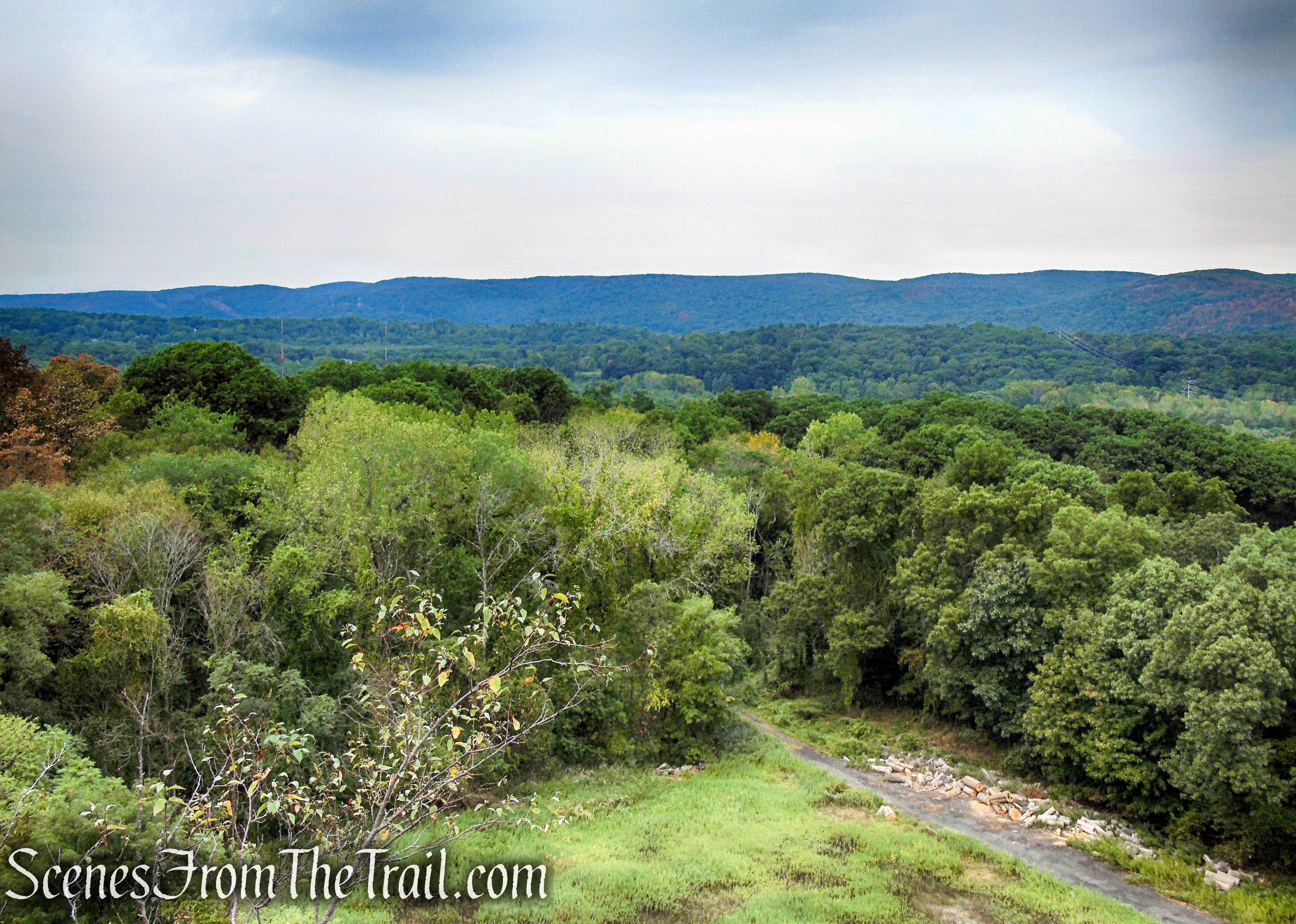
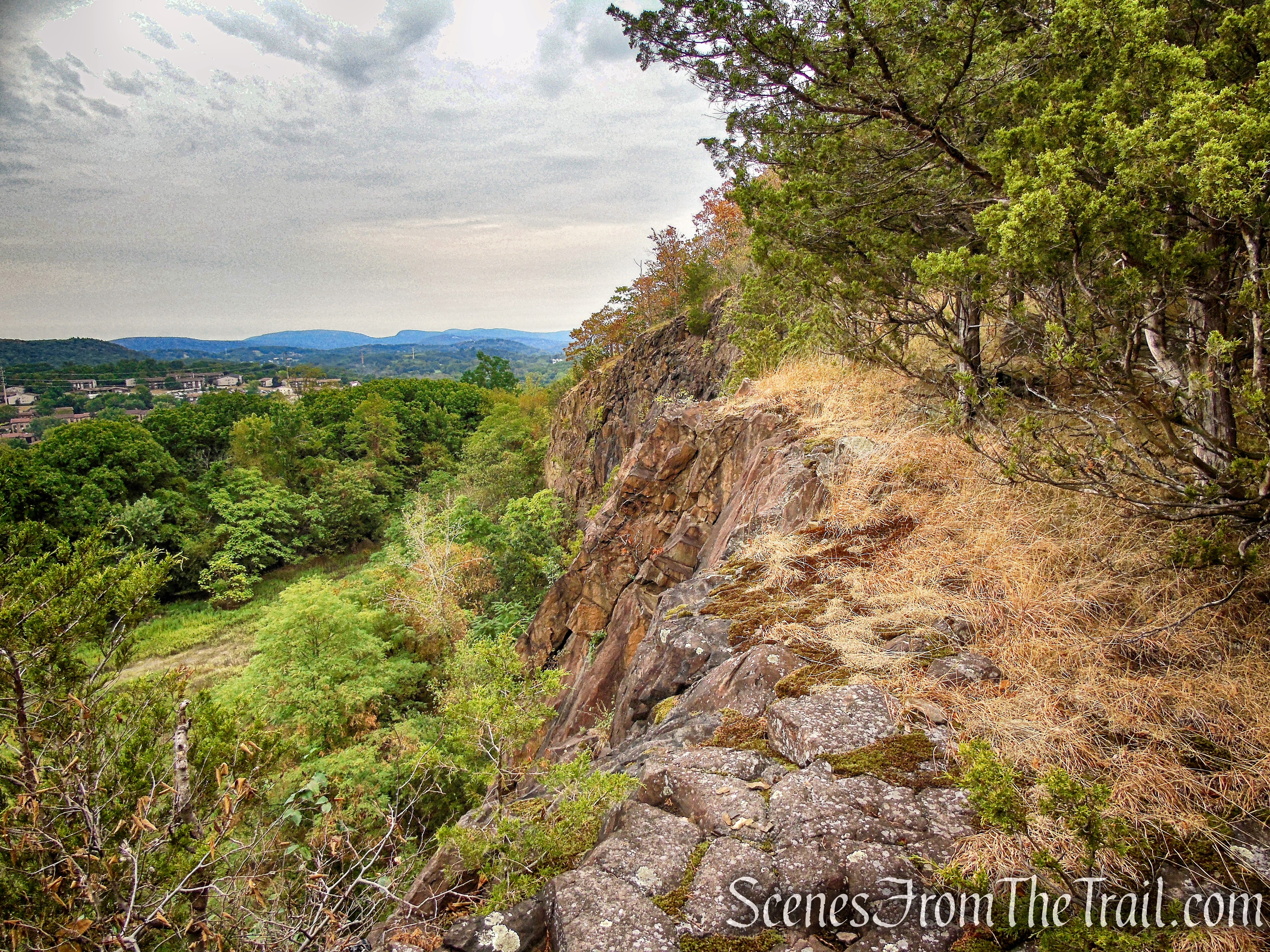
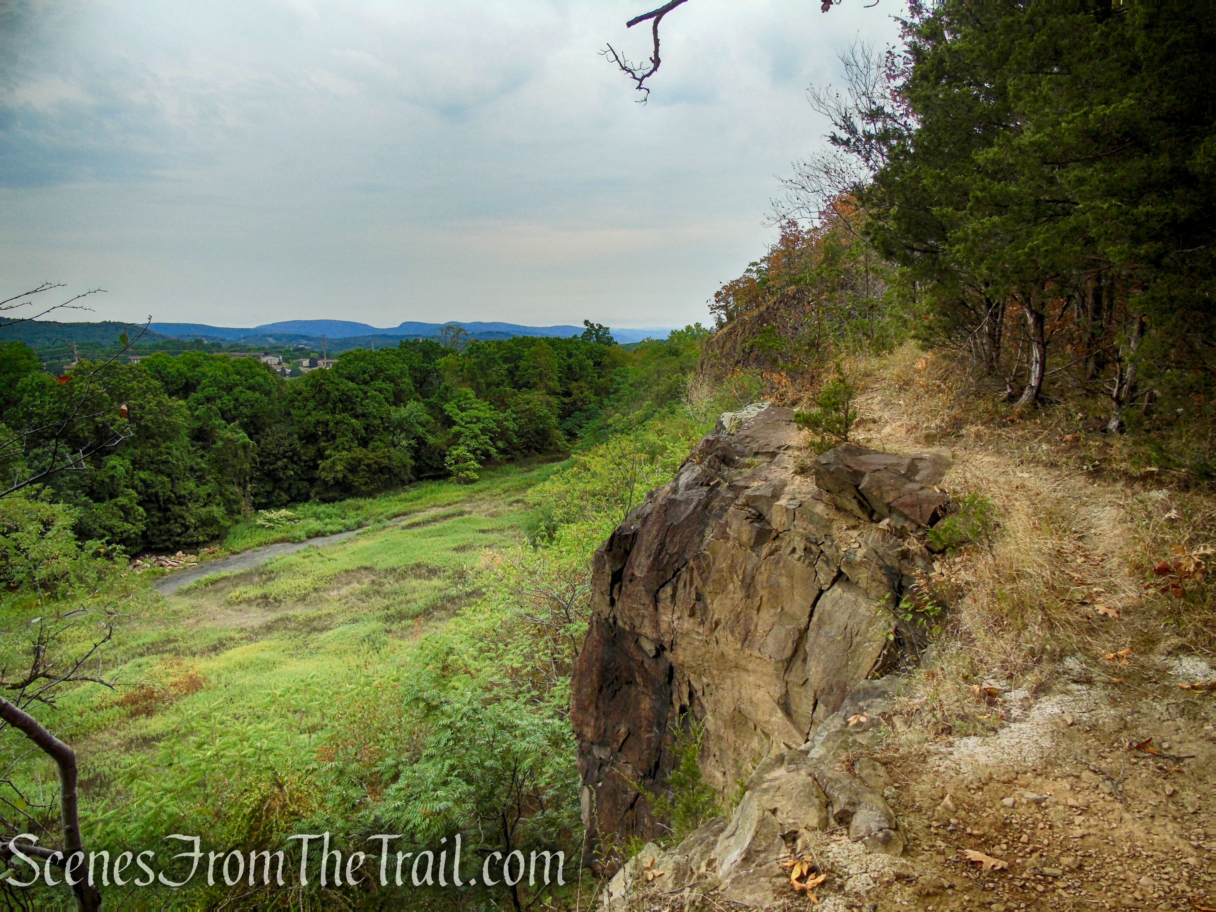
A short distance later, the trail begins to descend and comes out to a clearing with a north-facing viewpoint from a rock ledge. Care should be taken around the proximity of the cliff’s edge as there is a lot of loose rock with a steep drop off.

Long Path – Gurnee County Park
Long Path – Gurnee County Park
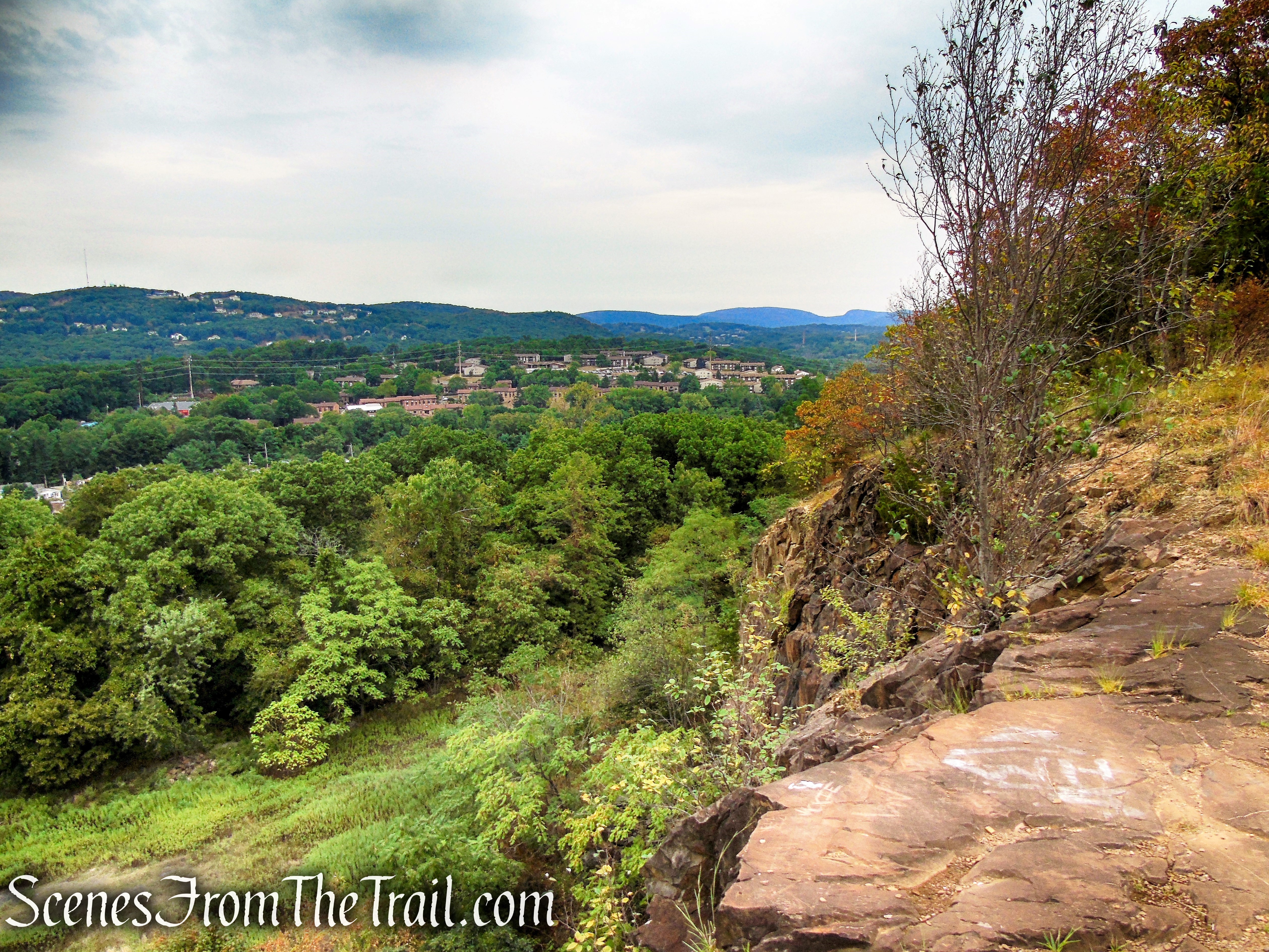
To the north and northwest are the rolling hills of Harriman State Park. To the northeast is Bear Mountain State Park.

Long Path – Gurnee County Park
Long Path – Gurnee County Park
Down below is the quarry arena or “amphitheater” as it is better known.

Long Path – Gurnee County Park
Long Path – Gurnee County Park
Looking northeast towards Bear Mountain State Park and the Hudson Highlands.
Long Path – Gurnee County Park
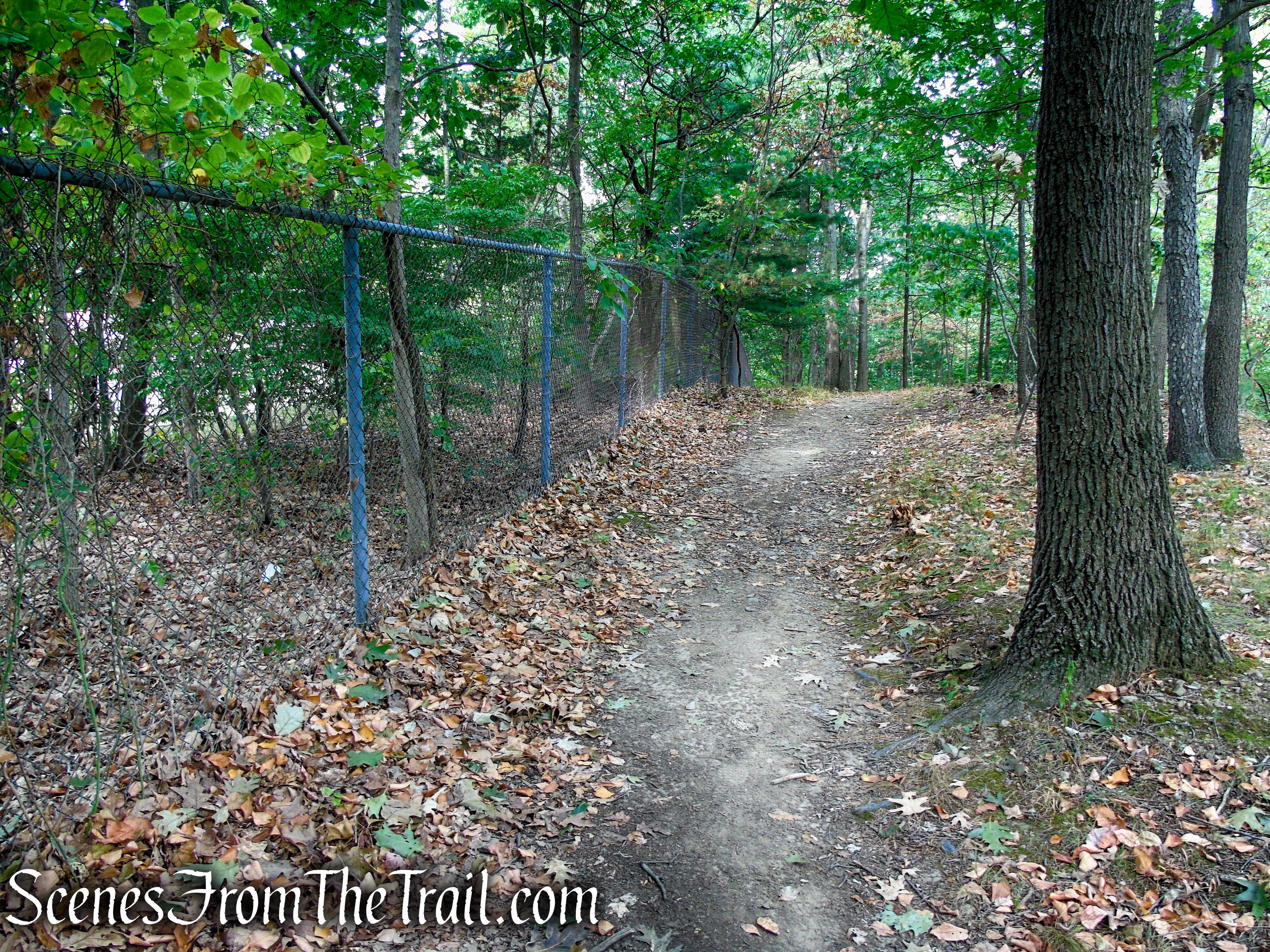
Continue on the Long Path as it descends toward NY-45 and the main entrance of Gurnee County Park. Along the way, the trail passes another similar viewpoint, then briefly skirts a chain link fence alongside private property.
Long Path – Gurnee County Park
Long Path – Gurnee County Park
Long Path – Gurnee County Park
Long Path – Gurnee County Park
Long Path – Gurnee County Park

Long Path – Gurnee County Park
Long Path – Gurnee County Park
Long Path – Gurnee County Park
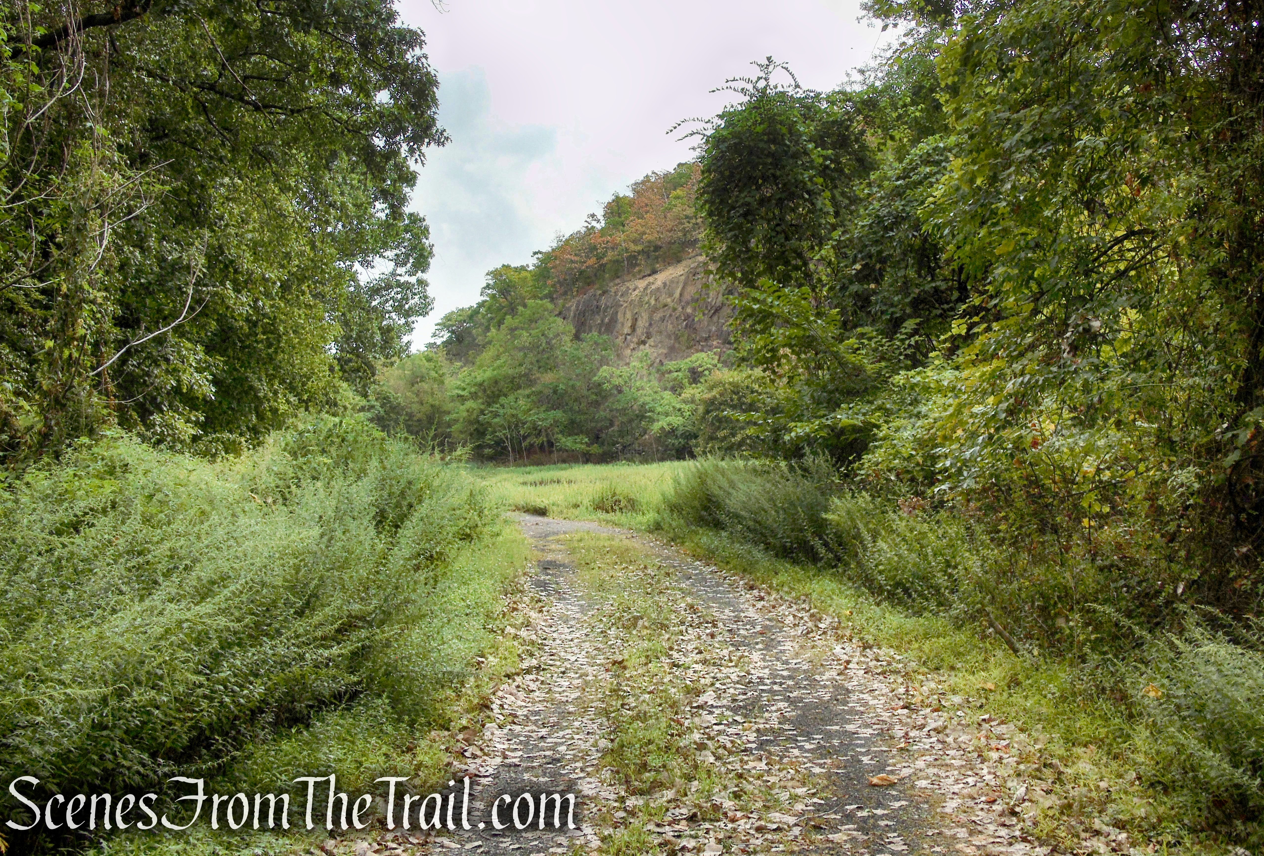
A short distance later, the Long Path emerges from the woods into the parking lot for Gurnee County Park. This is the northernmost point of the Hudson River Palisades as it dips right into the ground. Here, the Long Path turns left and begins a road walk on its way towards Harriman State Park. You should turn right, walk through the parking lot and past the gate at the east end of the parking lot.

Long Path – Gurnee County Park
Proceed ahead on the gravel road until you enter the Amphitheater. The old quarry arena is quite impressive with its 80-foot cliffs as a backdrop.

Gurnee County Park and Amphitheater
Gurnee County Park and Amphitheater
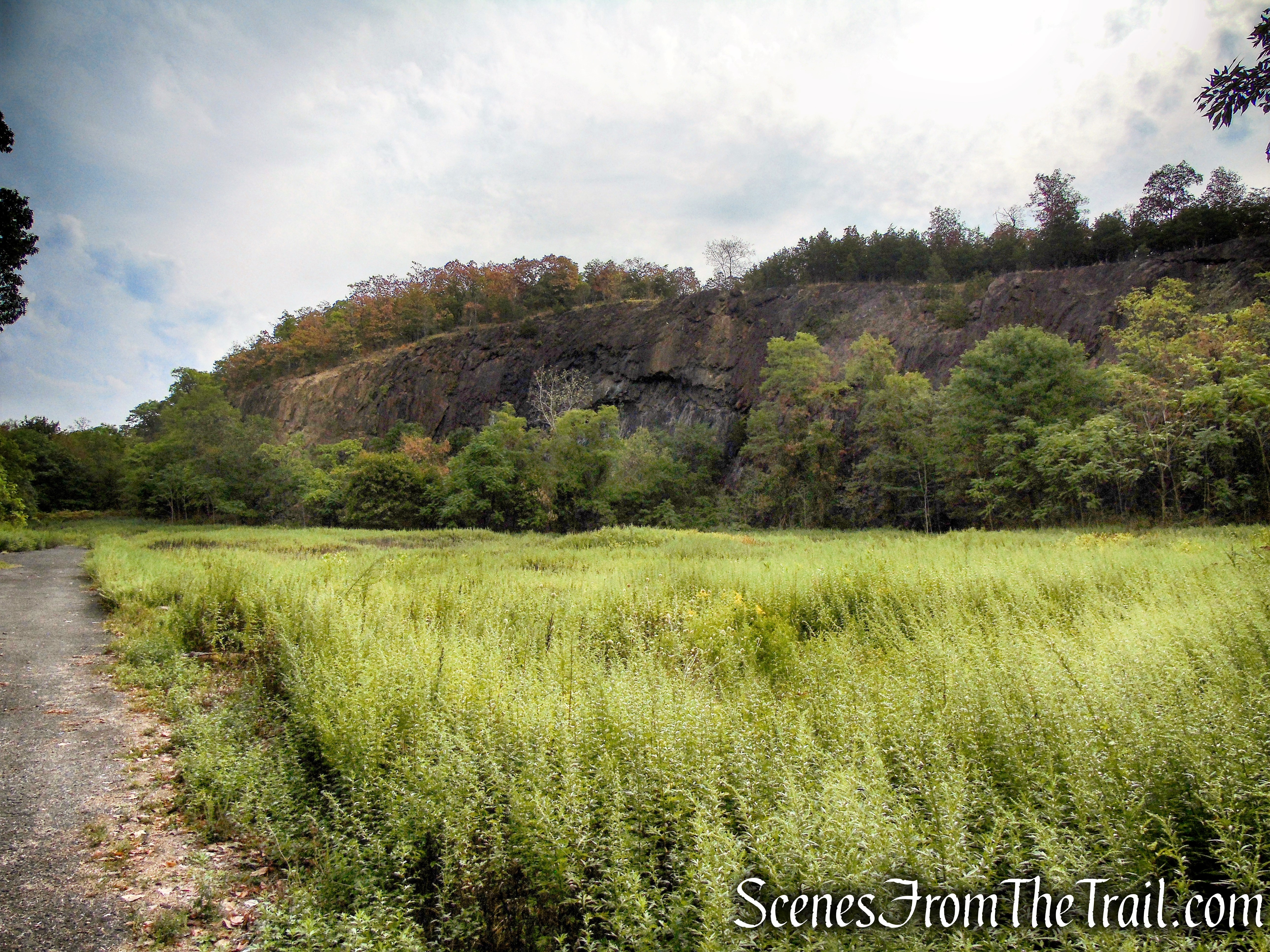
Gurnee County Park and Amphitheater
When you are ready to continue, retrace your steps back through the parking lot and turn left on the Long Path. You will now be retracing your steps through Gurnee and South Mountain County Parks.
Long Path – Gurnee County Park
On the way back, I stopped dead in my tracks when I spotted a bear right on the trail about 50-60 yards ahead. It was looking right at me, but I wanted to capture an image. Afterwards, I yelled “get out of here!” but it just stood there staring at me. Upon closer inspection, it turned out to be a dog and the two humans it was with were unseen behind a tree.

Long Path – South Mountain County Park
I didn’t notice the leash and couldn’t see the humans, and in my mind it was a bear in the middle of the trail just watching me. It reminded me of the guy on the bike 2 weeks prior yelling “bear!” repeatedly near High Tor, just east of here.
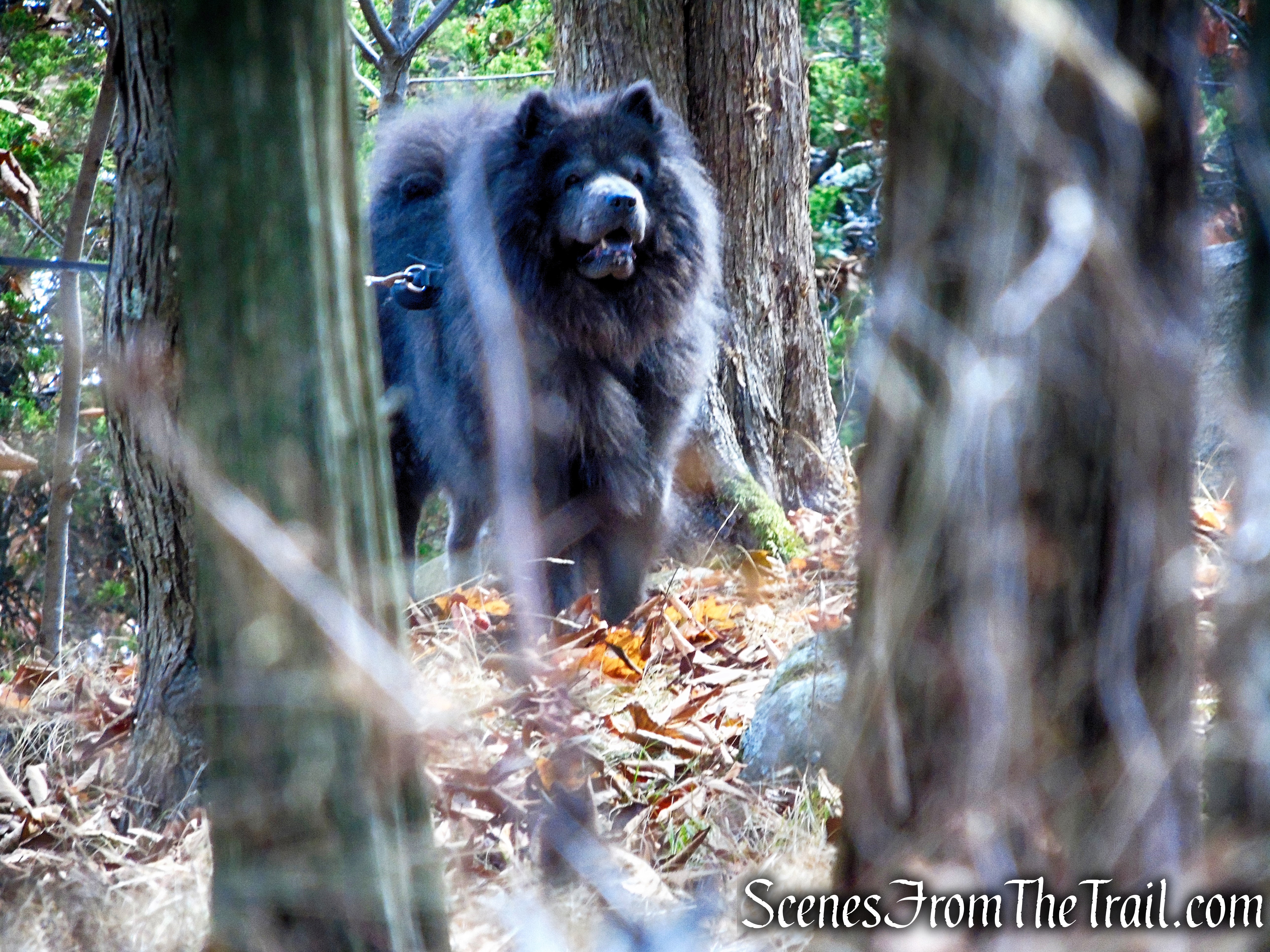
Long Path – South Mountain County Park
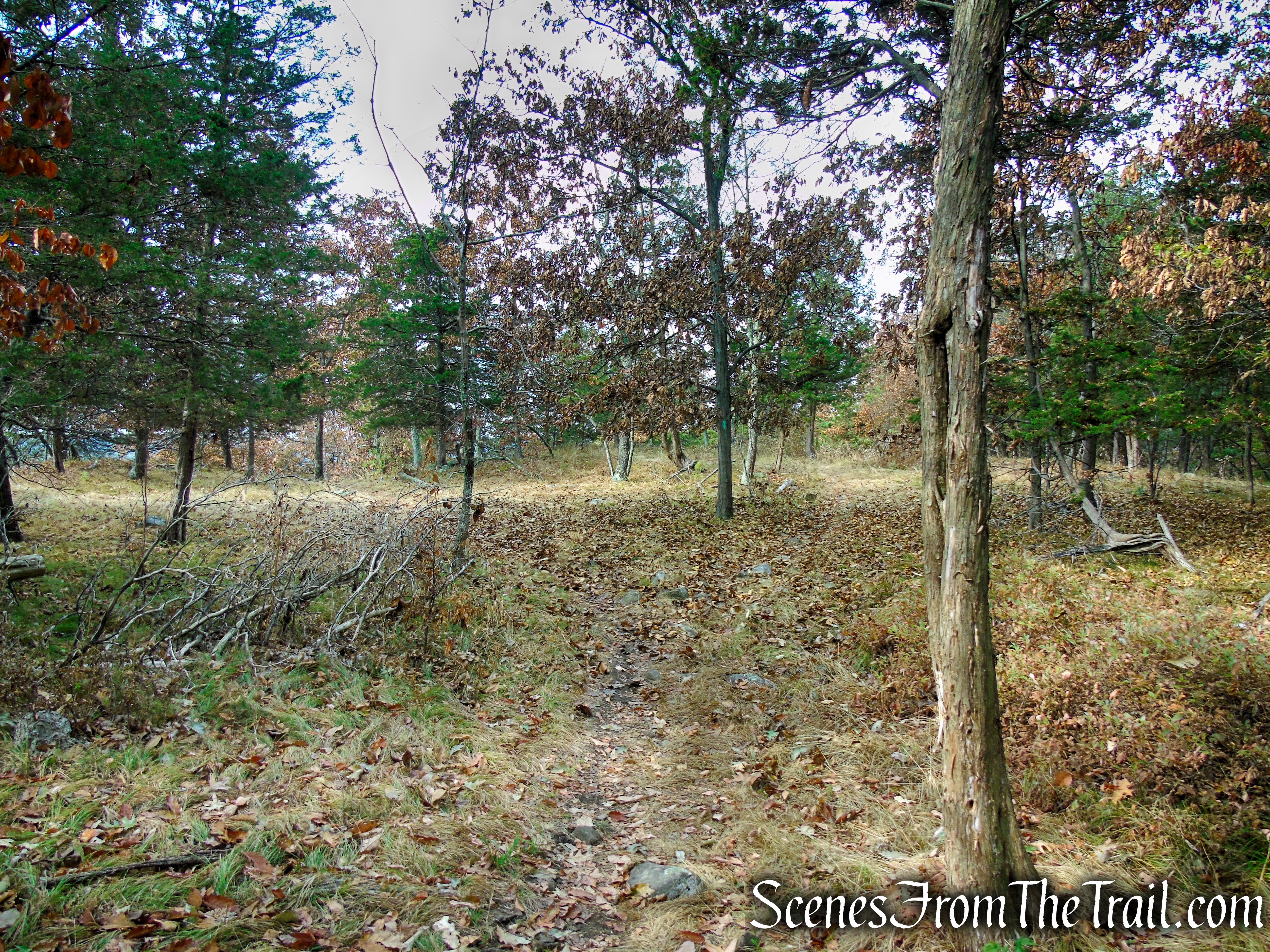
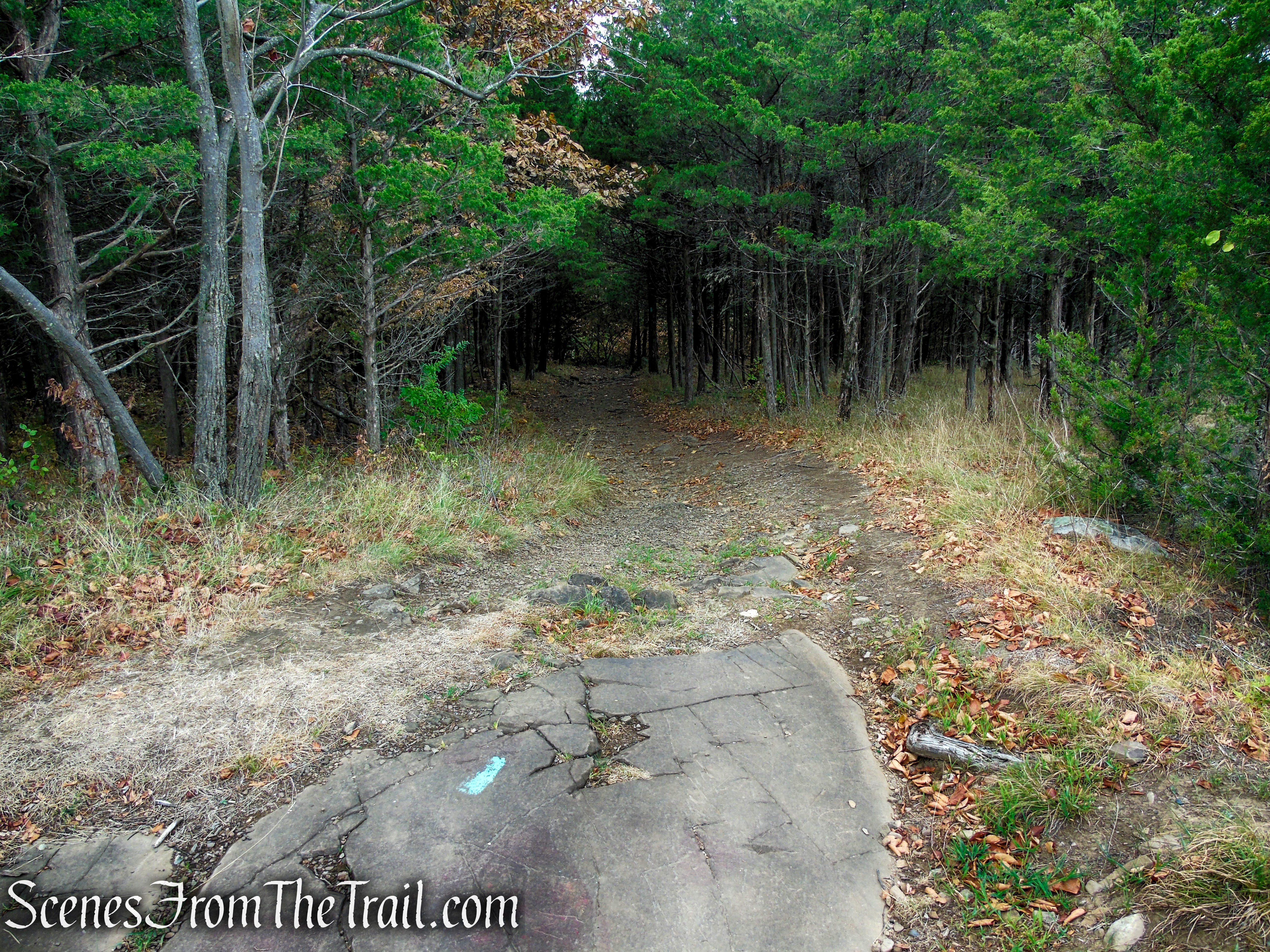
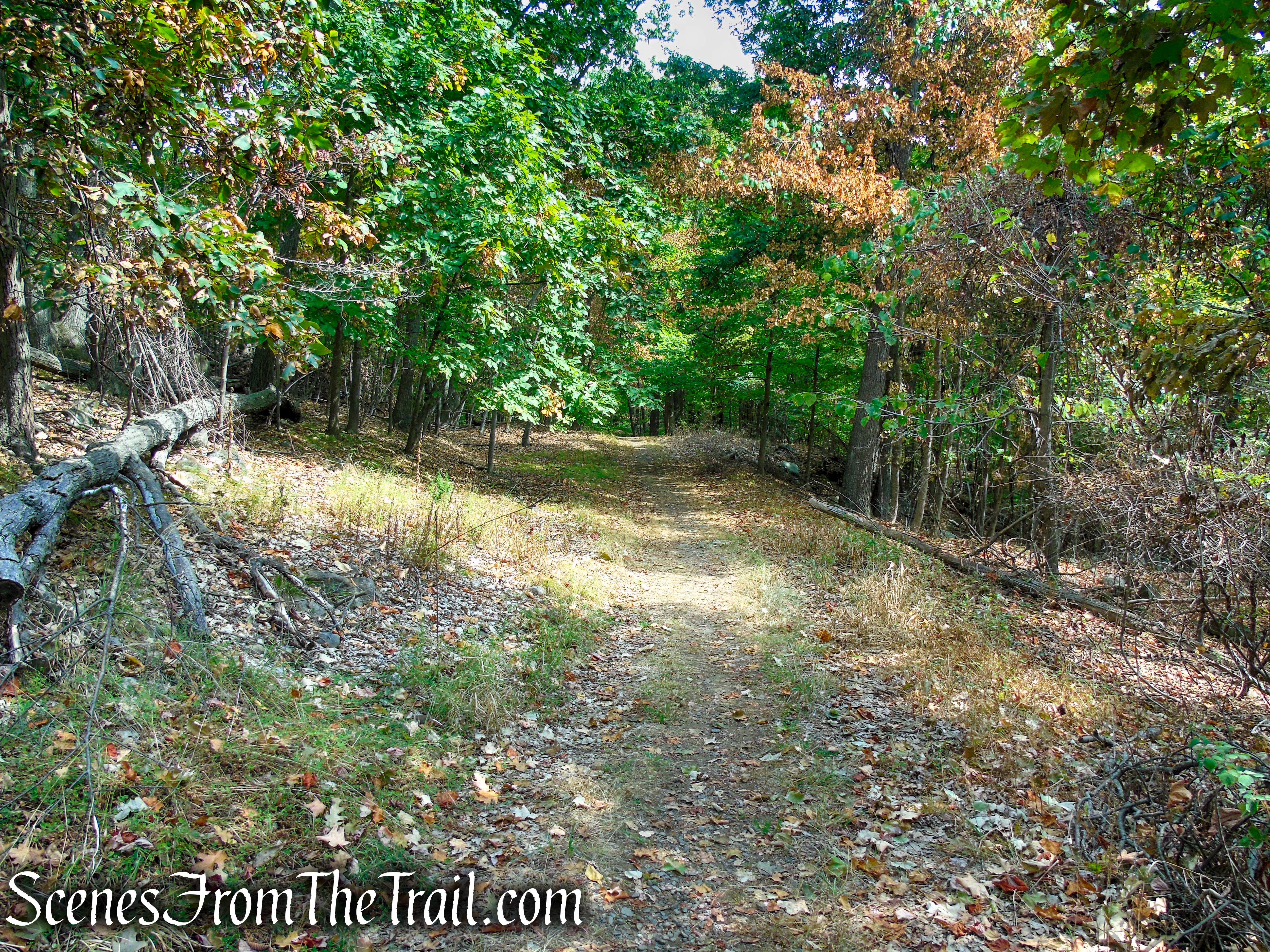
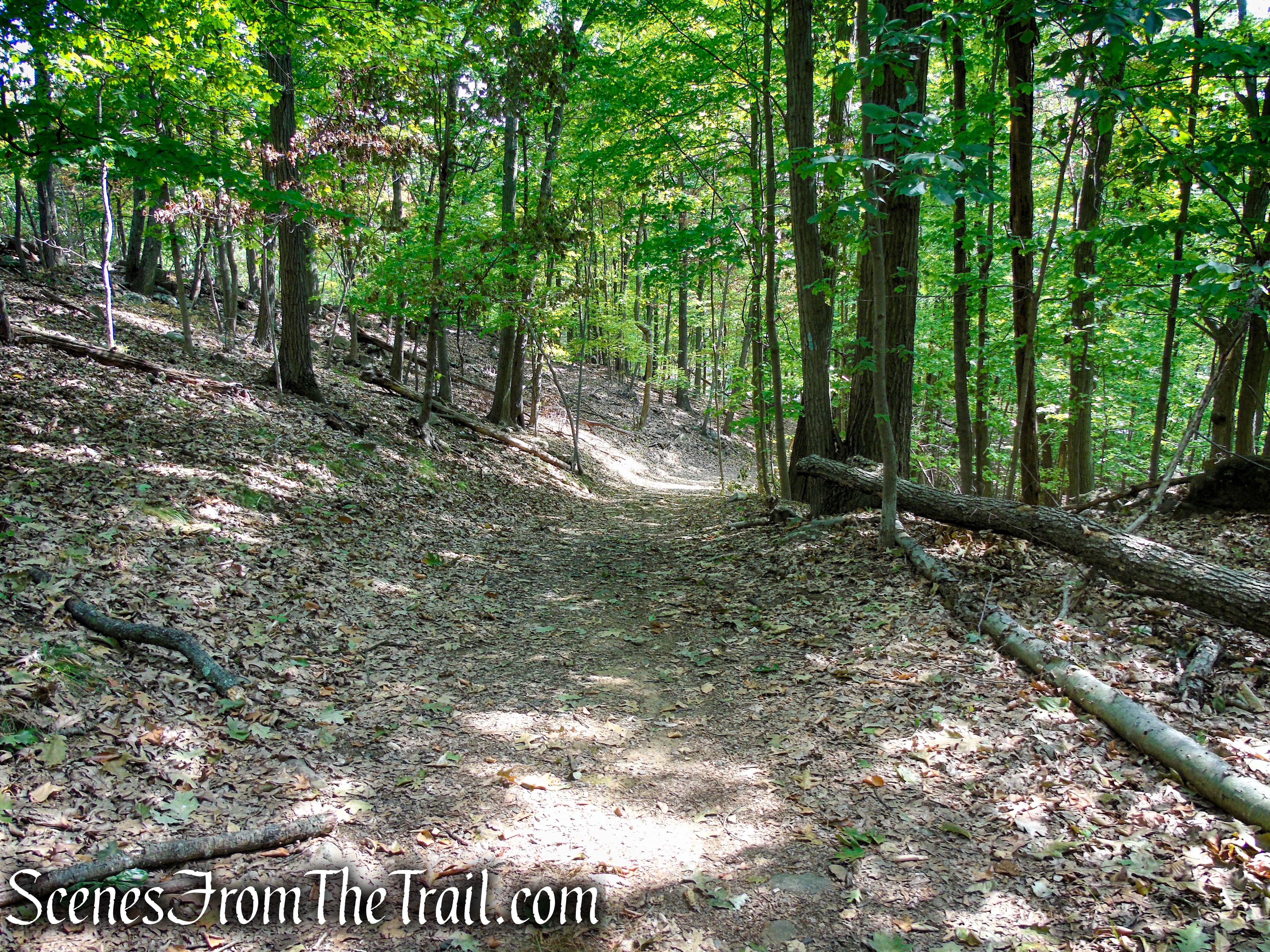
In about 1.25 miles from Gurnee County Park, the Long Path reaches a junction with a woods road with a communication tower nearby. Veer right on the unmarked road, leaving the Long Path. The woods road is a much gentler route that bypasses a lot of the more rugged and rocky areas that you encountered at the beginning of the hike. Along the way, the Long Path is visible just to the left and joins the woods road briefly before departing to the left. Continue to follow the unmarked woods road for about 0.7 mile, back to the parking area, where the hike began.
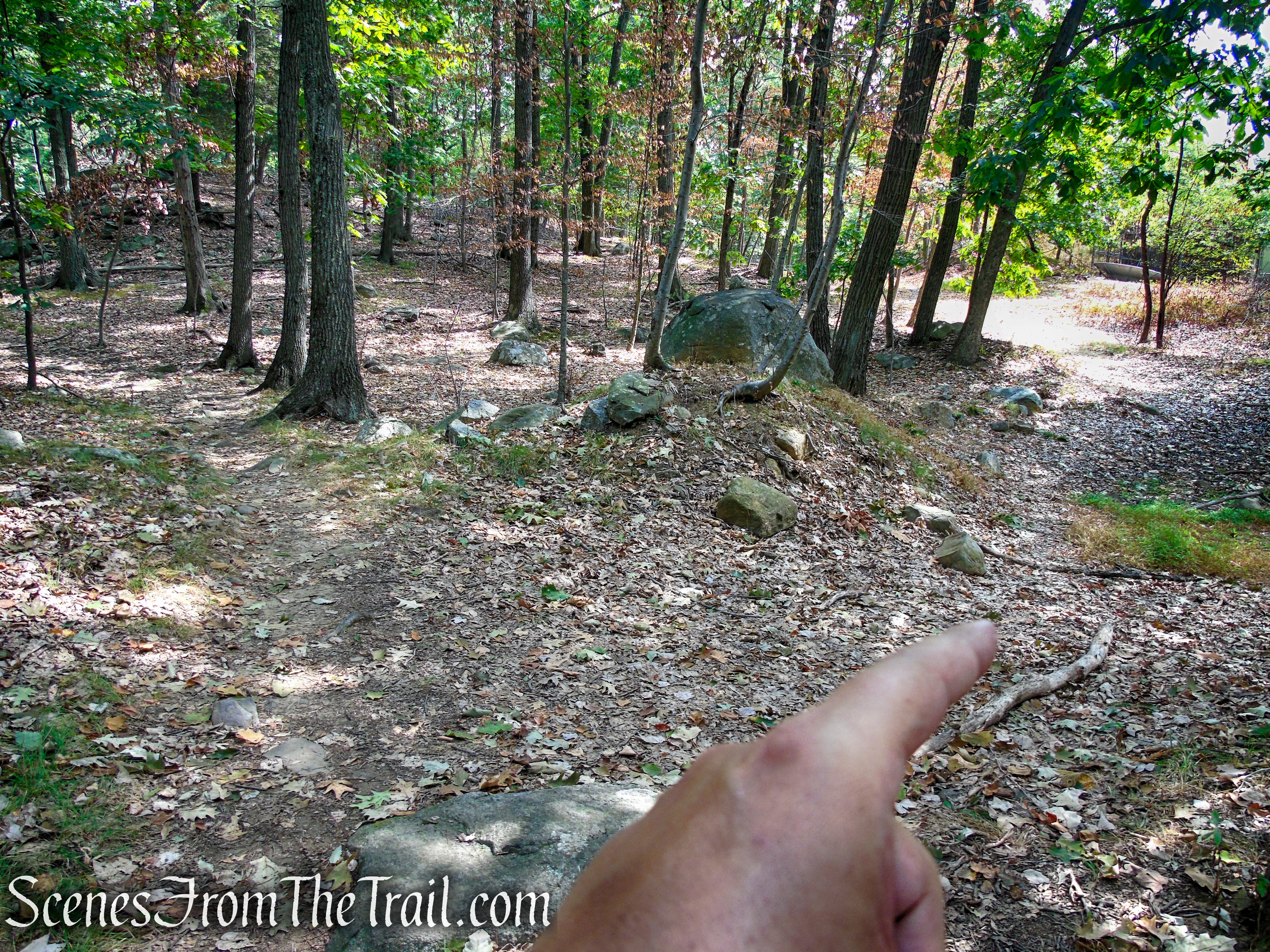
woods road – South Mountain County Park
woods road – South Mountain County Park
woods road – South Mountain County Park
woods road – South Mountain County Park
woods road – South Mountain County Park
woods road – South Mountain County Park
woods road – South Mountain County Park
woods road – South Mountain County Park
woods road – South Mountain County Park
South Mountain County Park Trailhead
Review:
A nice hike through an area that doesn’t get much foot traffic. There is some road noise that can be heard throughout the hike, but that is to be expected as the narrow ridge is surrounded by public roads. The views are not as nice as those of High Tor or Little Tor, but the scenic landscape and rugged nature of the trail, makes for a nice enough backdrop, making the hike enjoyable.
Pros:
Long Path, Amphitheater, scenic landscape, decent views, well marked trails, not much foot traffic, no litter (please keep it that way).
Cons:
Some road noise can be heard.
Take a hike!
Long Path – South Mountain County Park
Sources:
- The Long Path – Long Distance Trail
- South Mountain County Park
- Palisades Long Path
- Hudson Rising – The Palisades
- History of the Palisades Interstate Park
- A Brief History of Rockland
- Are we saving or destroying the Hudson River Palisades?

I stumbled upon Gurnee Park & Ampatheater last week – who knew there was an entrance to such a beautiful area – thanks for posting all this information. I hope to go back and hike the marked trails. Thank you!!
LikeLiked by 1 person
You’re welcome.
LikeLike