August 21, 2022 – New City, NY
Difficulty: Moderate
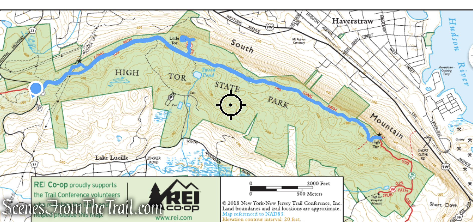
Length: Approximately 5.3 miles
Max elevation: 832 ft.– total elevation gain approximately 700 ft.
Route type: Out and back
Buy Map (Paper & Avenza): Hudson Palisades Trails Map #112 (2018)
Free map: High Tor State Park Trail Map (2015)
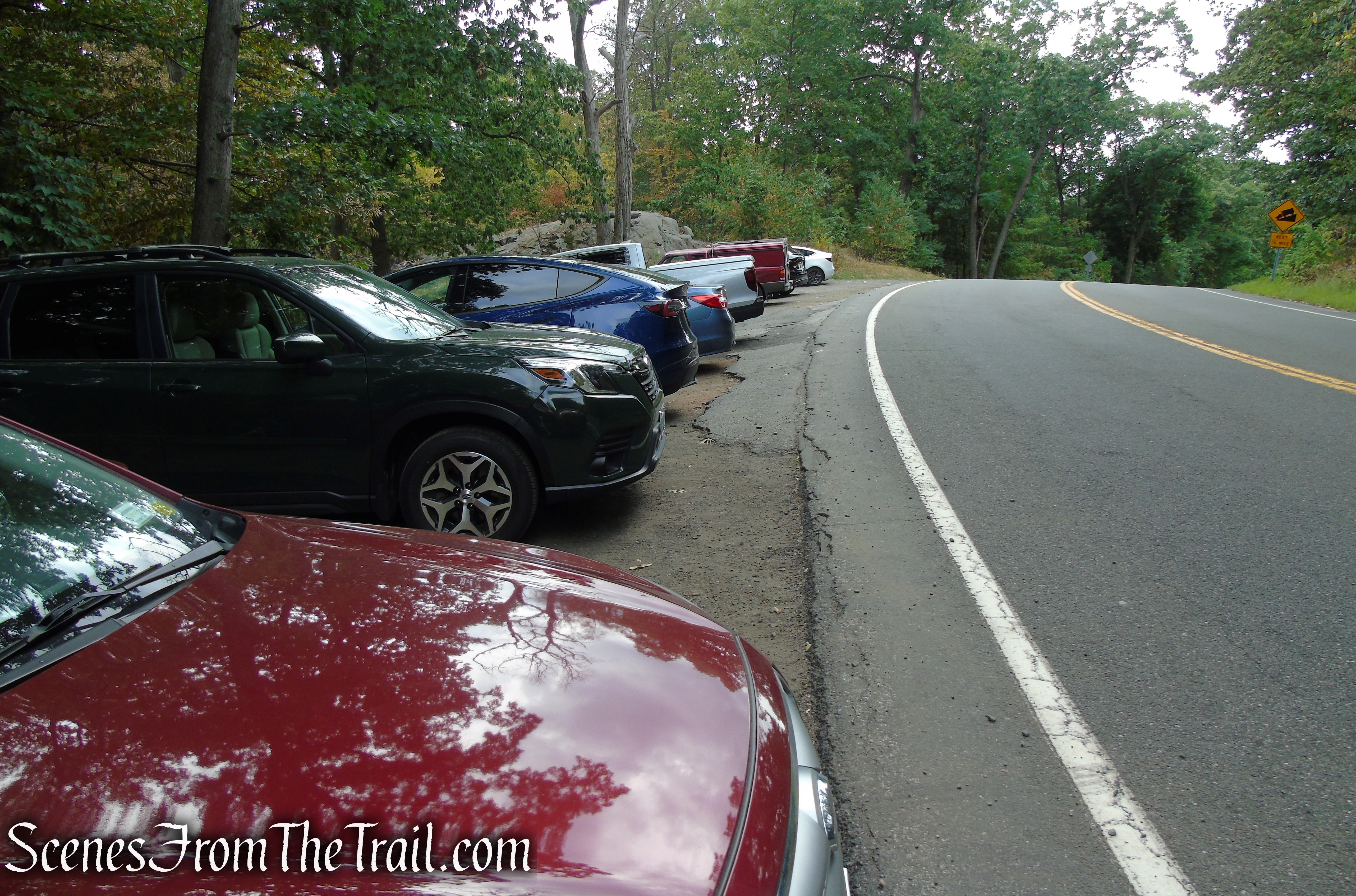
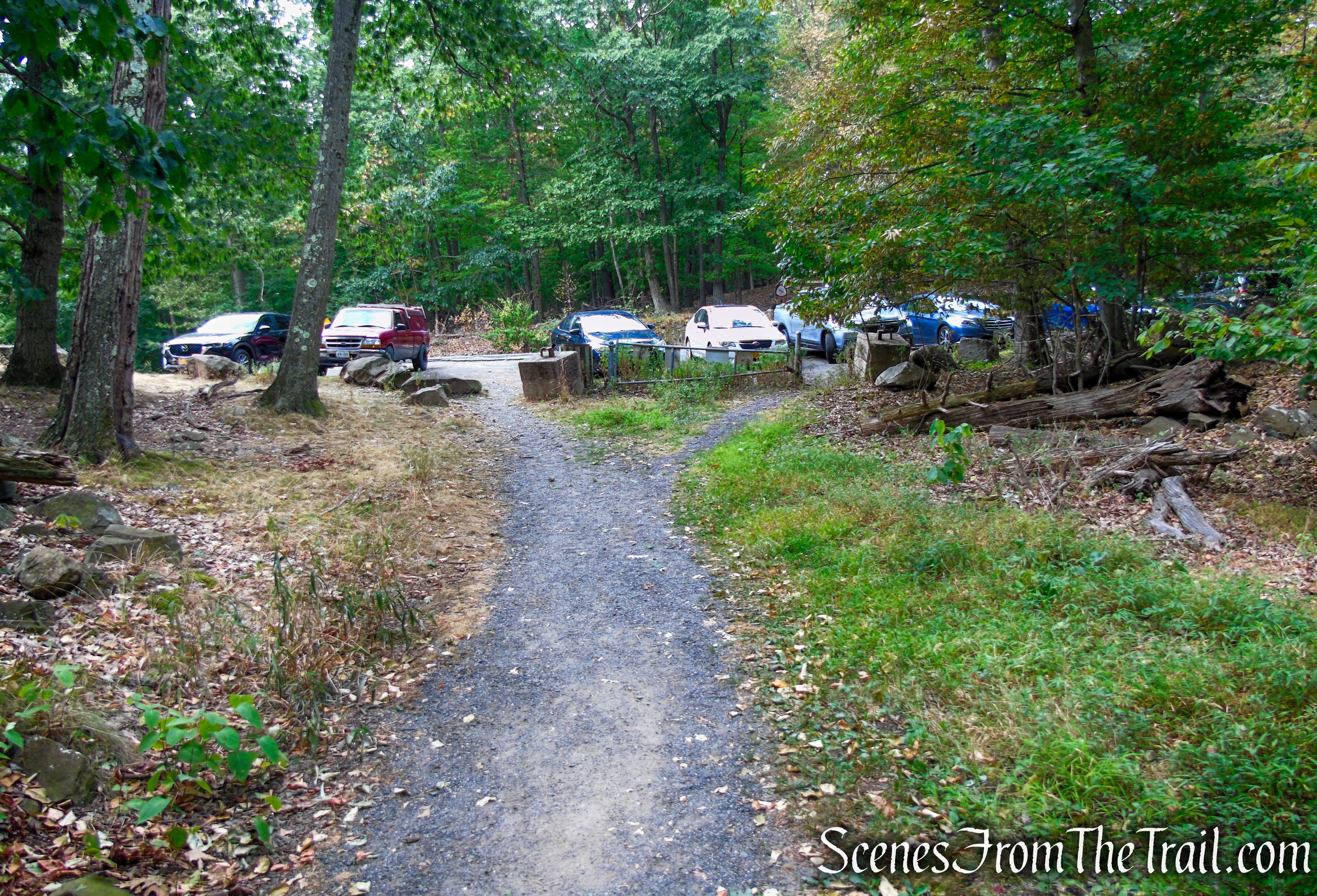
Trailhead parking: County Route 33, New City, NY 10956
Parking is available for about 20 cars – No restrooms on site
The park is open year-round, from 8am to dusk.
Park Overview:
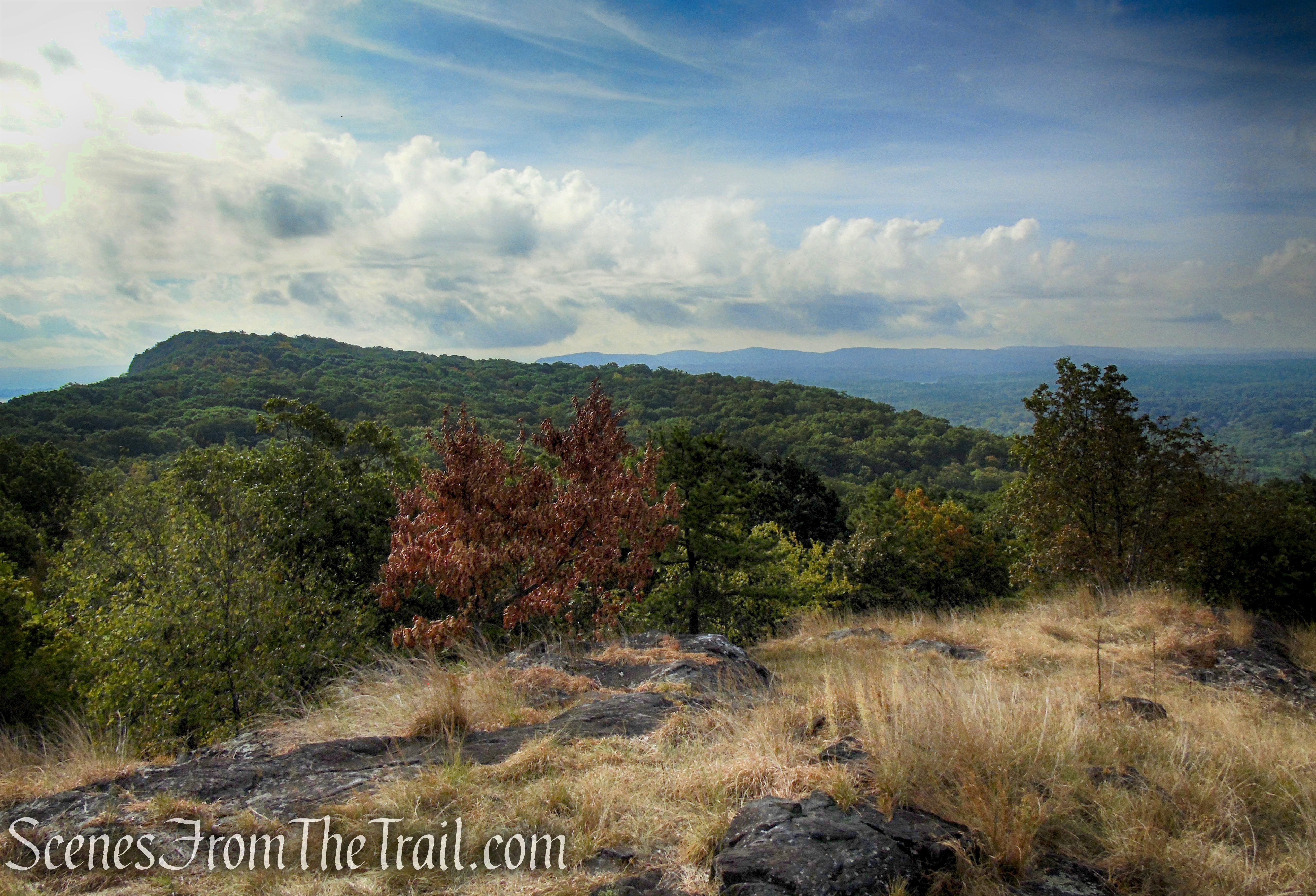
High Tor State Park is a 691-acre state park on the north edge of the Town of Clarkstown in Rockland County, NY. The park is located on South Mountain, which has two peaks, High Tor and Little Tor. Its highest peak, High Tor, sits at an elevation of 832 feet above sea level and Little Tor at 620 feet. High Tor is the highest point on the entire Hudson River Palisades. High Tor State Park has a swimming pool, a large picnic area, and hiking trails, most notably a 3.5 mile stretch of the Long Path and several short spur trails. Hikers are rewarded with some of the most outstanding views in the lower Hudson Valley from the summits of High Tor and Little Tor.
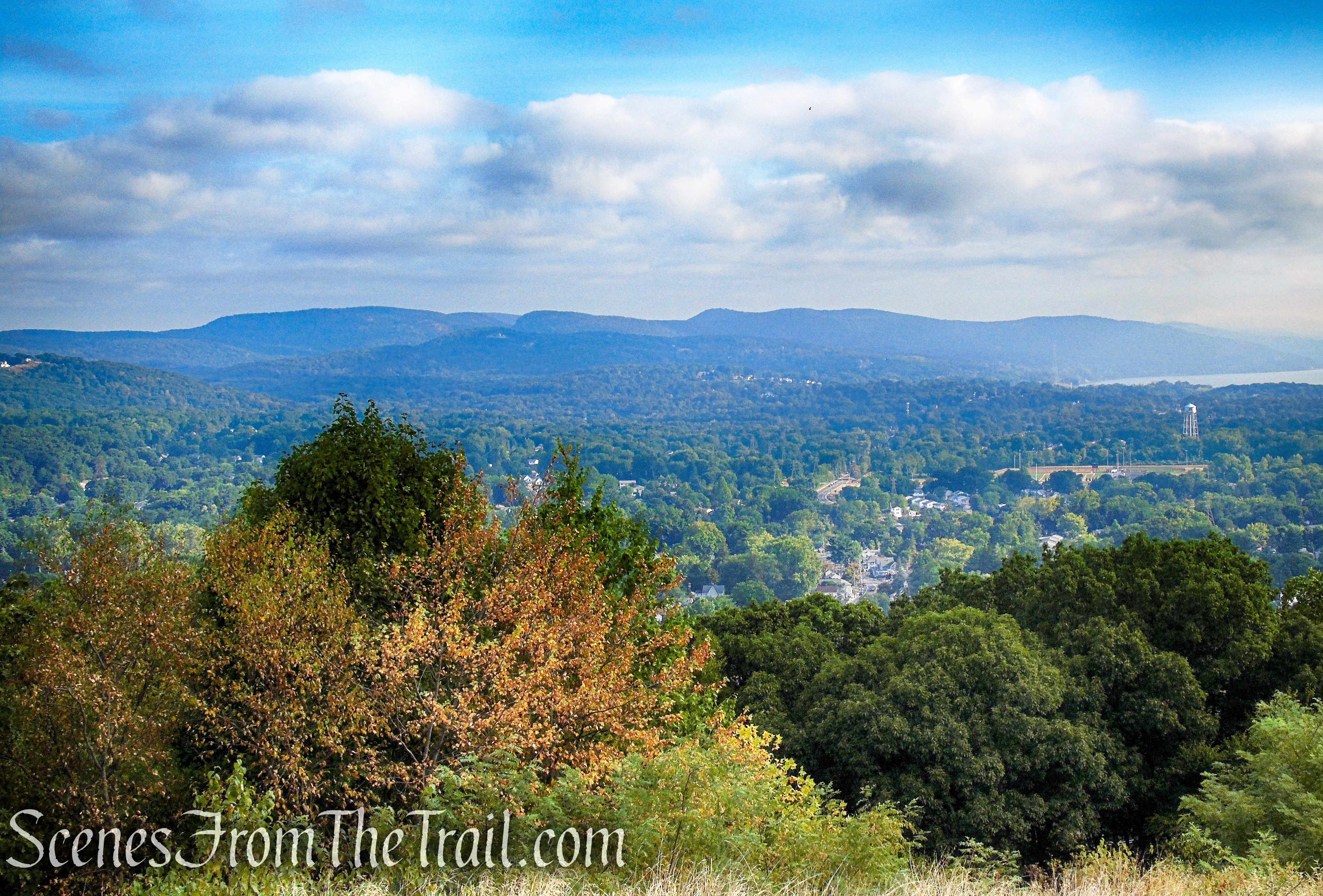
View northeast – High Tor summit
History:
The vertical, striated appearance of the Palisades inspired people to name them. To the native Lenape, they were “Wee-Awk-En,” the rocks that look like trees. When explorer Giovanni da Verrazano sailed past the ridge in 1524, he thought it resembled a “fence of stakes,” or in military parlance a stockade (or palisade) built for defensive purposes. That’s what it’s called on the first map of the New World, printed 17 years later. The definition of tor is: a high craggy hill.
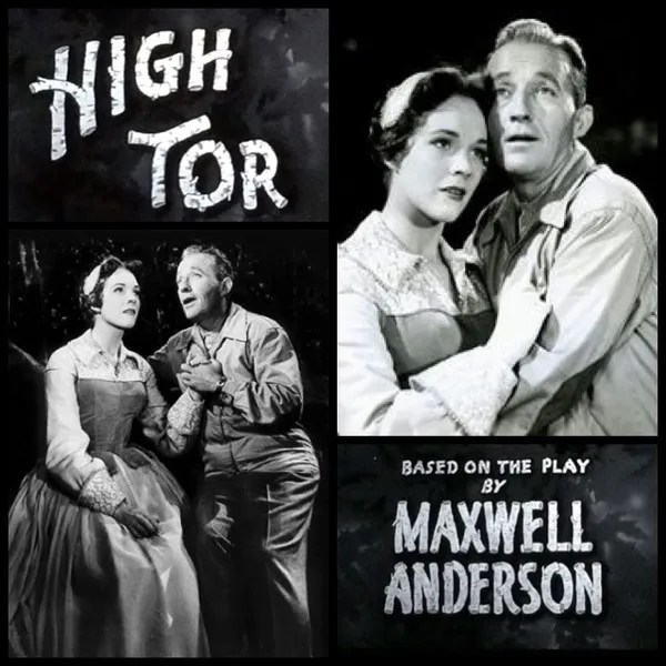
Like Tallman or Hook Mountain, this chunk of South Mountain was, by virtue of its trap rock composition, faced with the threat of destruction by quarrying. On numerous occasions, quarry operators sought to buy the property from its owner, Elmer Van Orden. While Van Orden always refused to sell, his death in 1942 revived fears that High Tor might end up defaced by quarrying. One of Rockland County’s most beautiful sites, it had inspired countless poets, artists, and even playwrights. Among them Maxwell Anderson, whose well-known 1937 play, High Tor, is the basis of a 1956 movie with Bing Cosby and Julie Andrews.
High Tor – courtesy of Historical Society of Rockland County
After Van Orden’s death, the Palisades Interstate Parks Commission immediately sought to acquire the property. A campaign led by the Hudson River Conservation Society and the Rockland County Conservation Association, and supported by dozens of groups and individuals, raised sufficient funds to purchase the property, which was transferred to the Commission in April, 1943. At the same time, Archer Huntington decided to donate his own 470-acre estate, which included Little Tor.
Trails Overview:
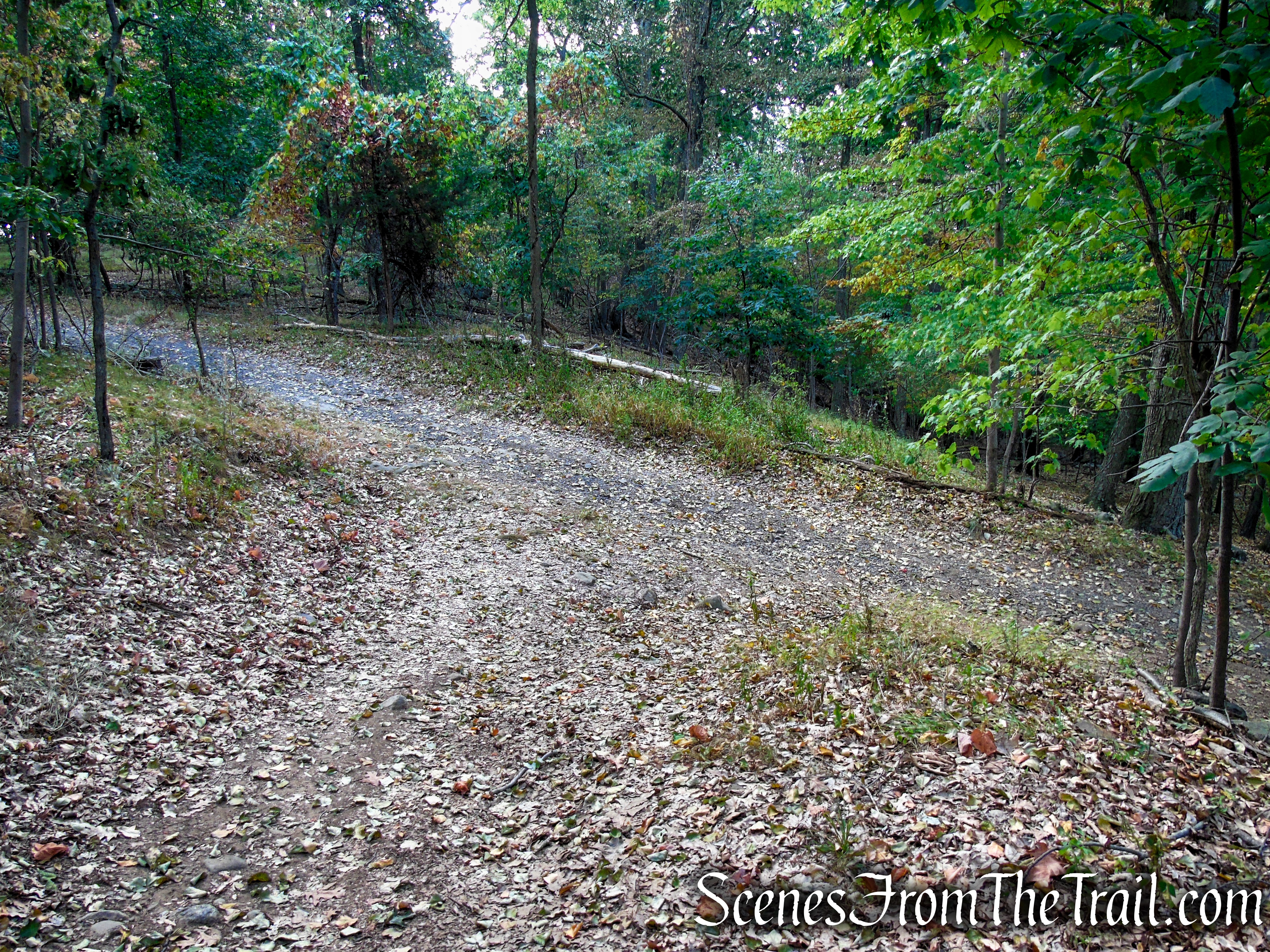
The park is traversed by a 3.5-mile section of the Long Path. In addition, a woods road marked with white blazes, leads north, crossing the Long Path along the ridge and continues north to the top of the promontory known as Little Tor. High and Little Tor comprise the major part of South Mountain, which is the northern boundary of the Palisades.
Long Path – High Tor State Park
Little Tor Spur Trail – High Tor State Park
This is a straightforward out-and-back hike that is easy to follow. The first half of the hike, the Hudson River will be on your left and on the return route, the river will be on your right.
Hike Overview:
I was looking to do a somewhat shaded hike with some views on a hot and humid day. This hike was perfect. The entirety of the hike, except for both summits, had plenty of tree cover. The elevation gain is quite manageable, even on the warmest of days. There are short, steep climbs to reach the summits of both Little Tor and High Tor, but the rest of the hike consists of minor ups and downs.
High Tor State Park

elevation profile – High Tor State Park
Like most hikers, I prefer loop hikes to an “out-and-back,” but sometimes you don’t have much of a choice. This was a pleasant walk through relatively quiet woods, to outstanding views over the Hudson River Valley. The occasional loud Harley from the roads below could be heard. We ran into a mountain biker (FYI – no bikes allowed on the Long Path) that kept shouting “bear!” repeatedly as he cruised by us several times. He said he saw a large bear in the area the previous week.
The Hike:
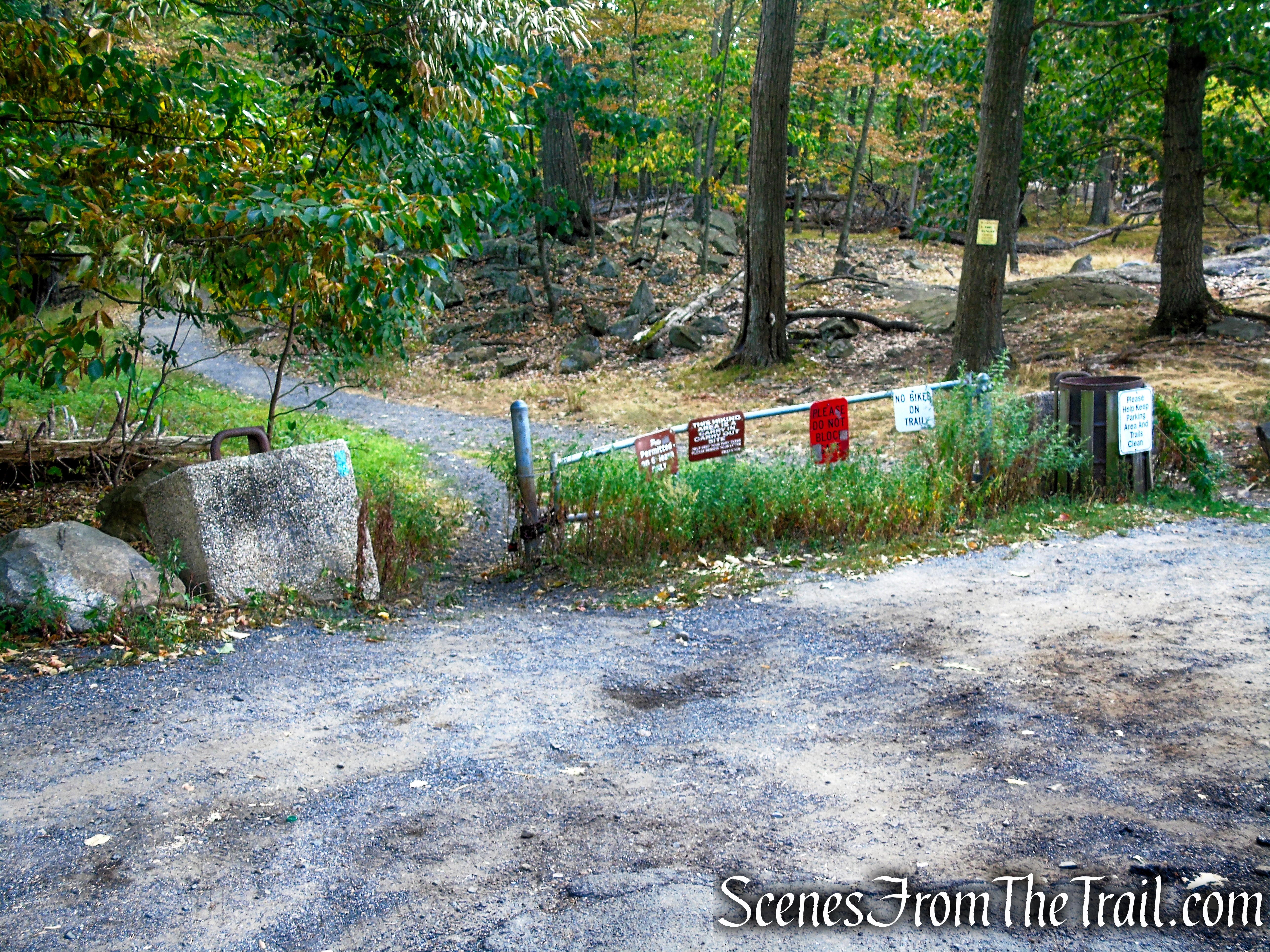
The hike begins at the trailhead for South Mountain County Park, which is on the opposite side of Central Highway (County Route 33). There is parking for about 20 vehicles. The Long Path crosses the road here connecting High Tor State Park and South Mountain County Park. There is no sign for High Tor State Park at this trailhead, but the hike begins across the road from the wooden sign for South Mountain County Park and the same side of the road as the parking area.
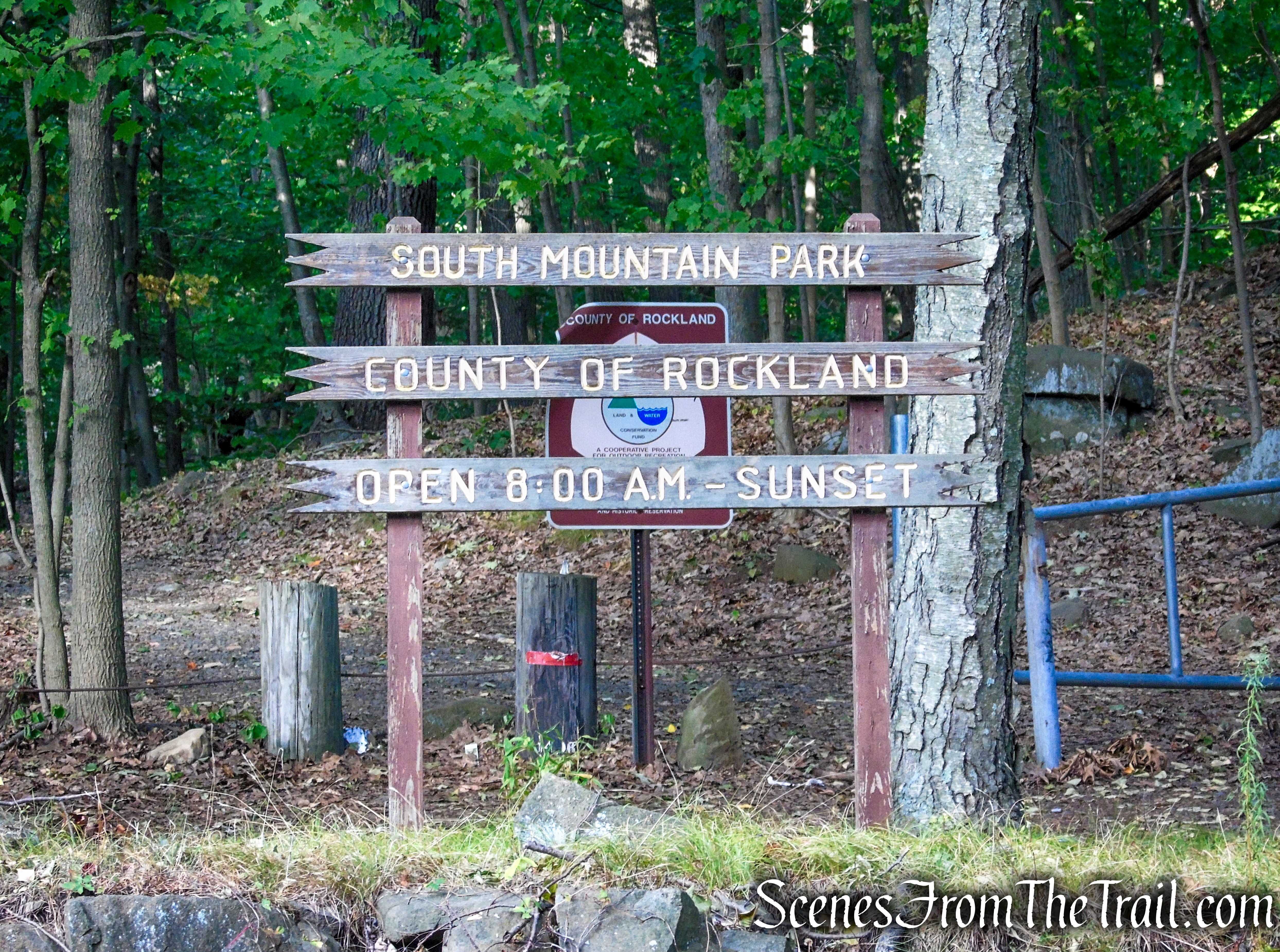
South Mountain County Park Trailhead
South Mountain County Park Trailhead
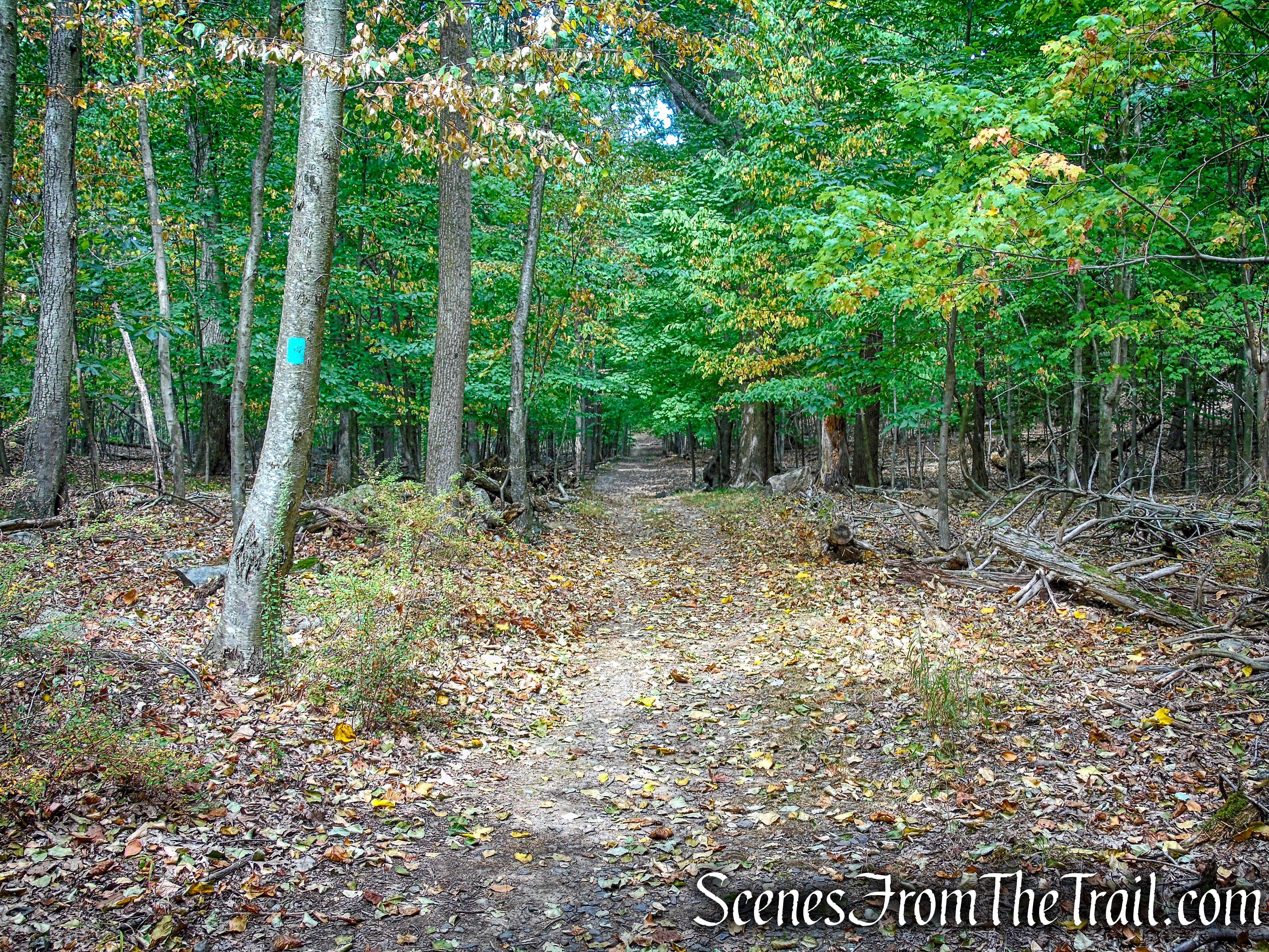
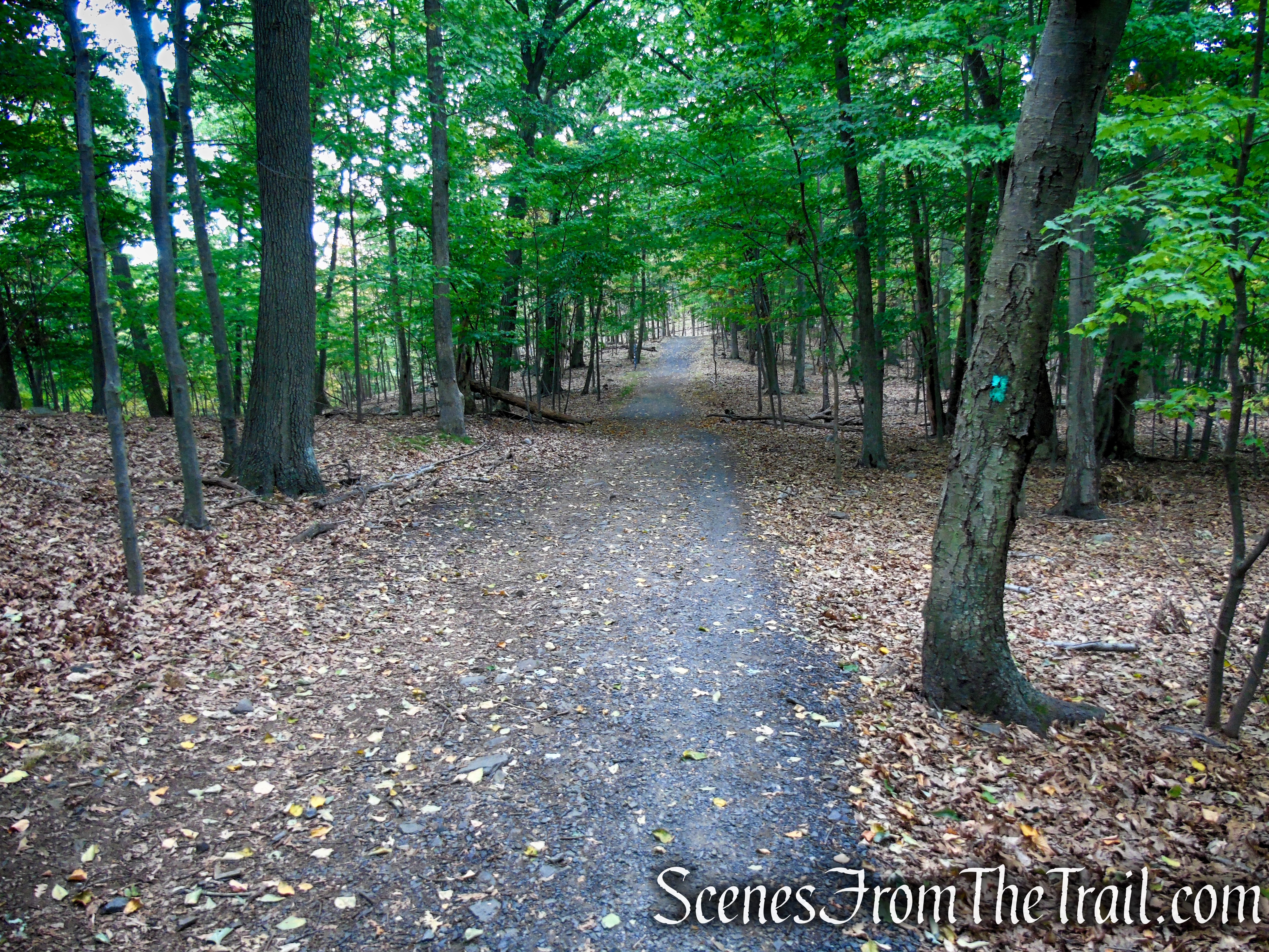
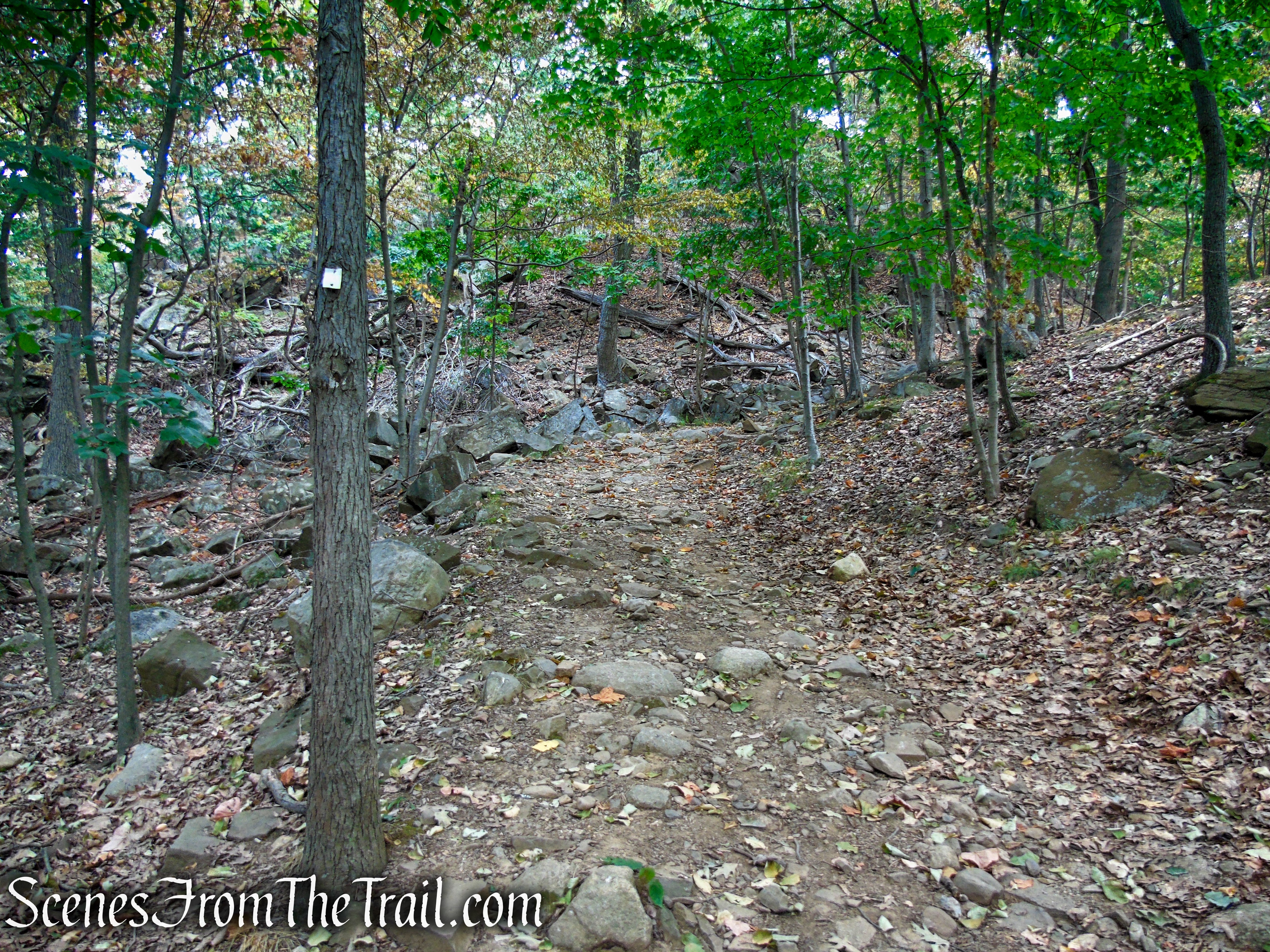
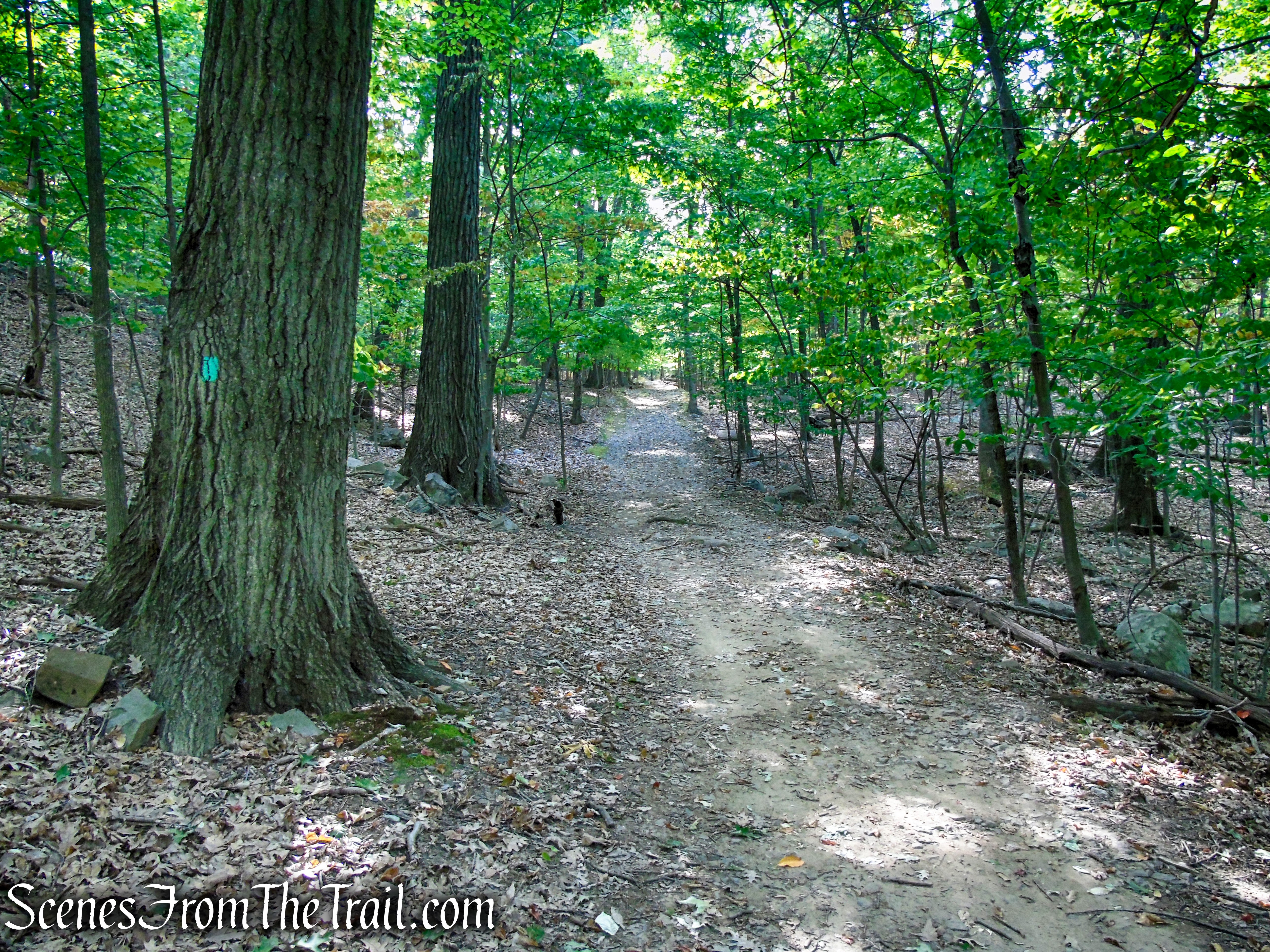
Do not cross the road, instead proceed past the gate and follow the aqua blazes of the Long Path in an easterly direction on a wide woods road. The trail climbs gradually as it winds its way along the ridge of South Mountain. In about 400 yards, there is an unmarked trail on the left that climbs steeply up to the powerlines. You may want to take this short detour for some nice Hudson River views. If you follow the unmarked trail around, it descends back down to rejoin the Long Path.
Long Path – High Tor State Park

Long Path – High Tor State Park
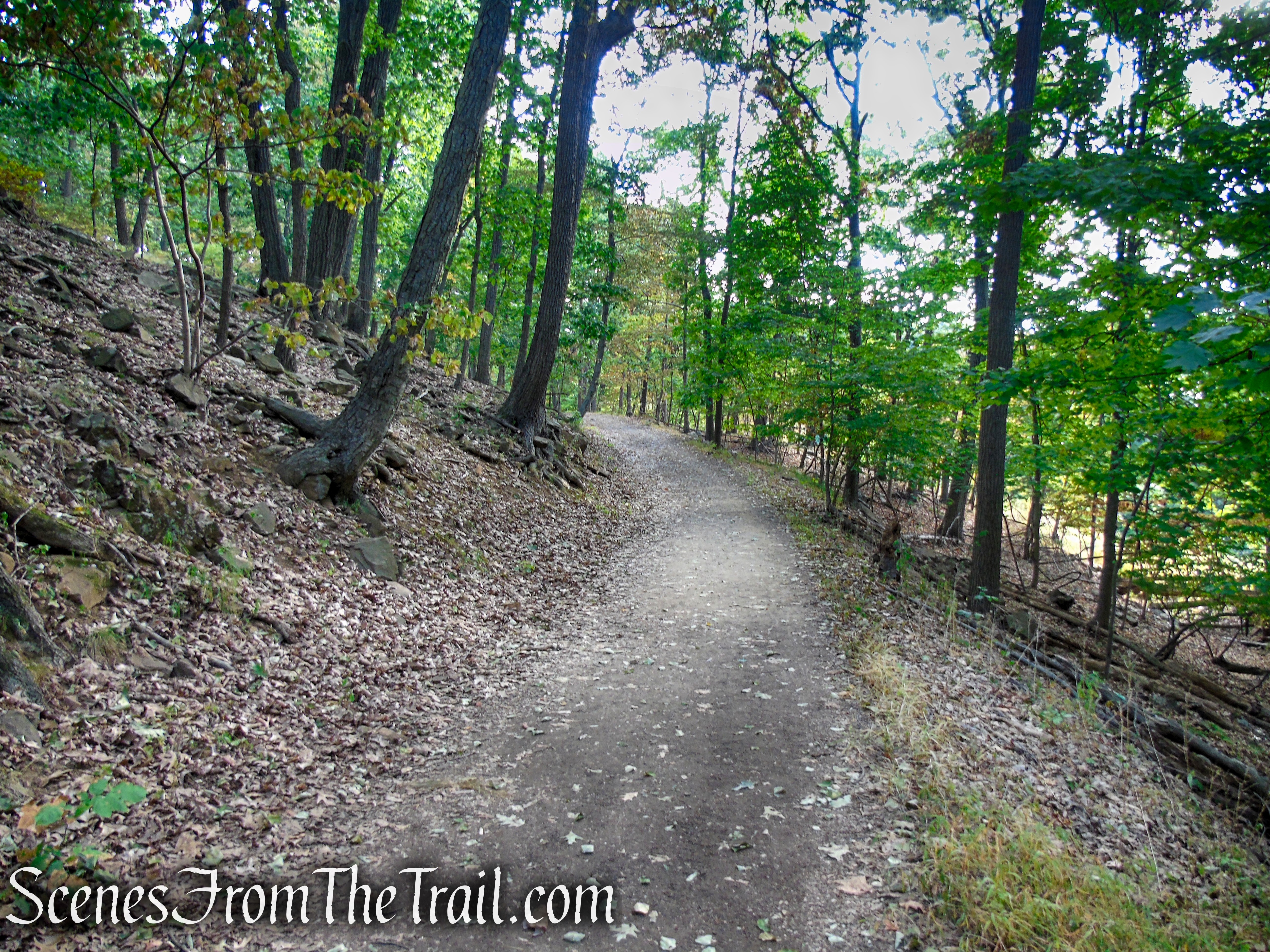
Long Path – High Tor State Park

Long Path – High Tor State Park
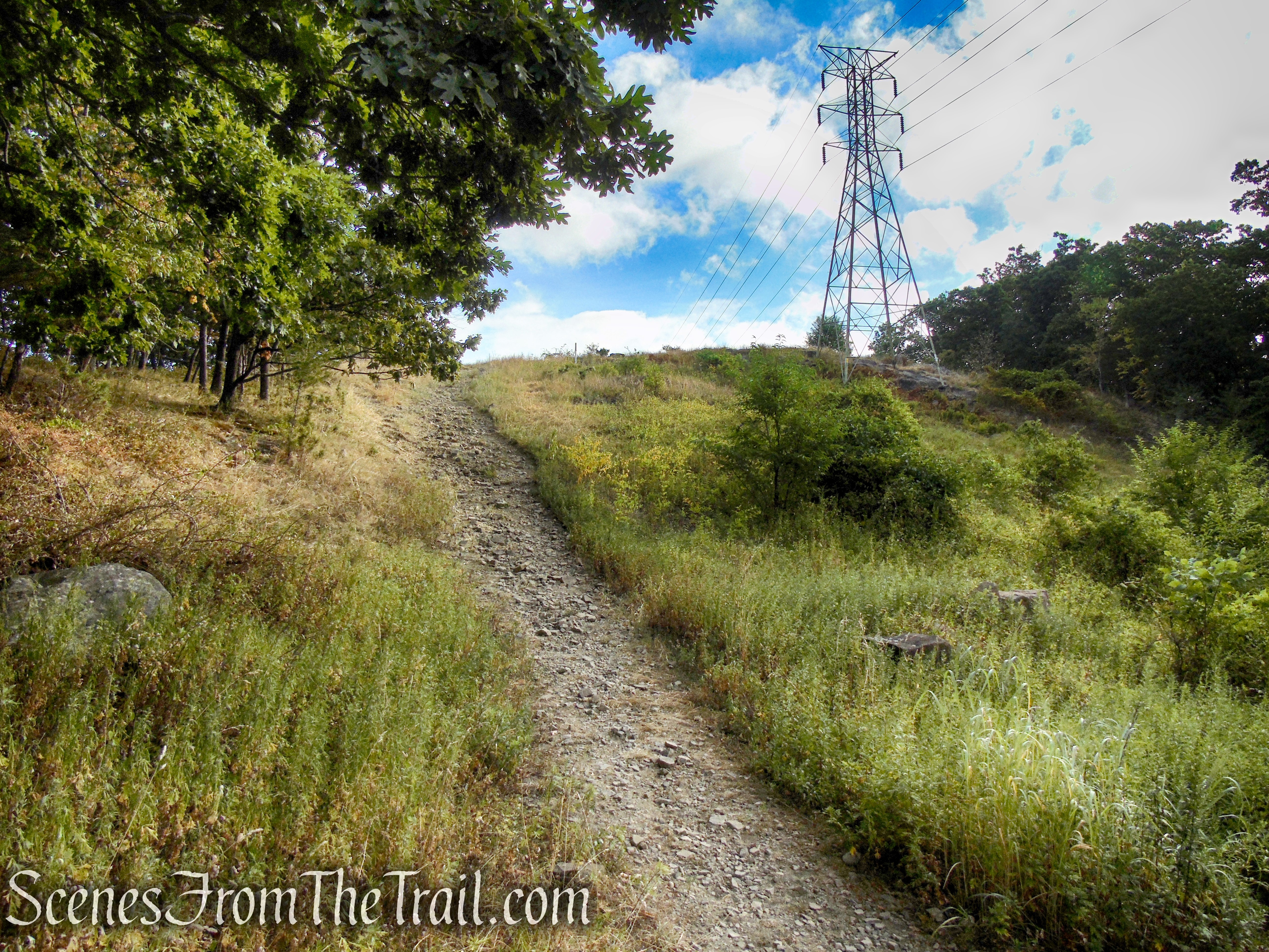
Power Lines Trail – High Tor State Park
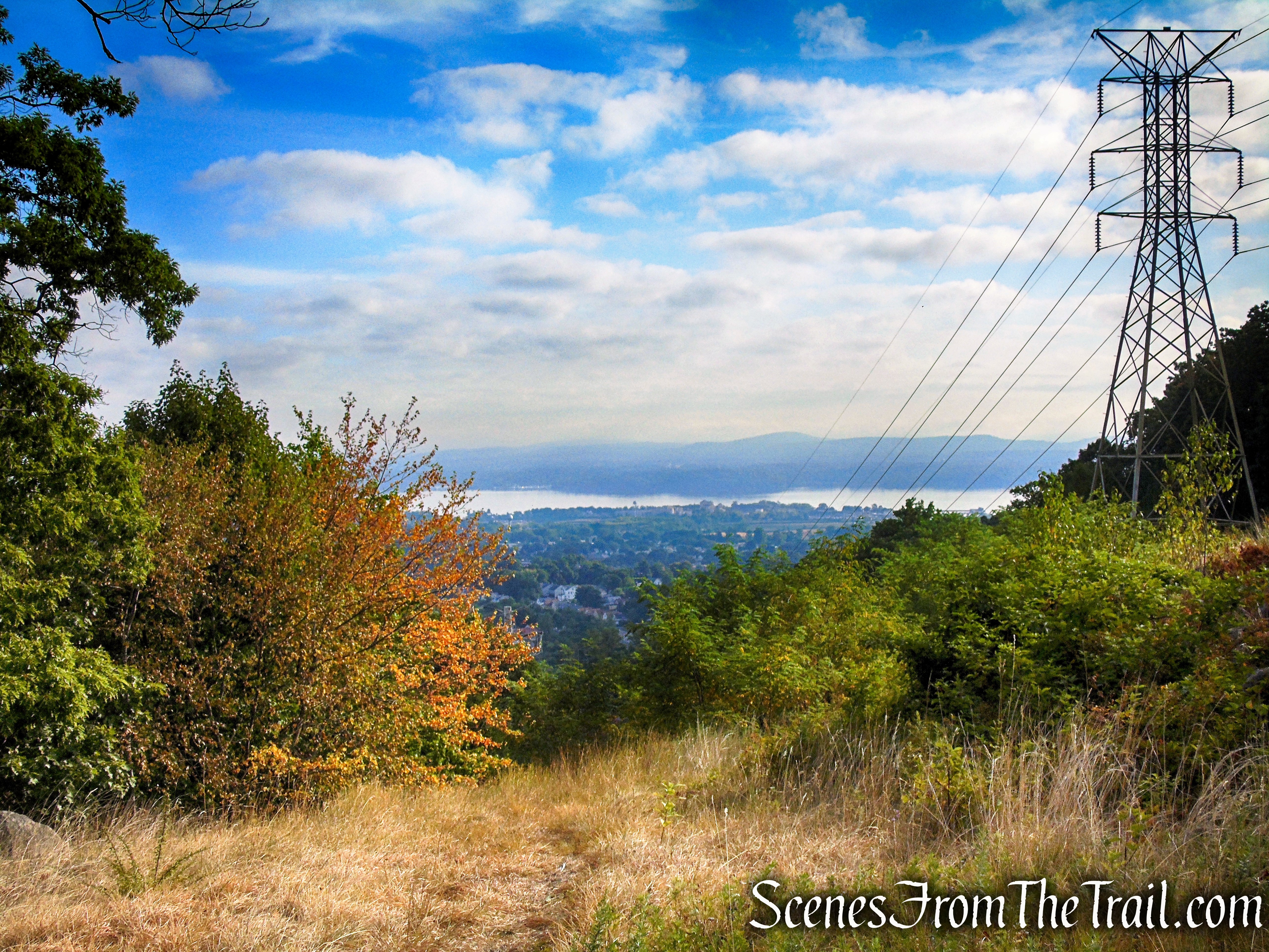
Power Lines View – High Tor State Park
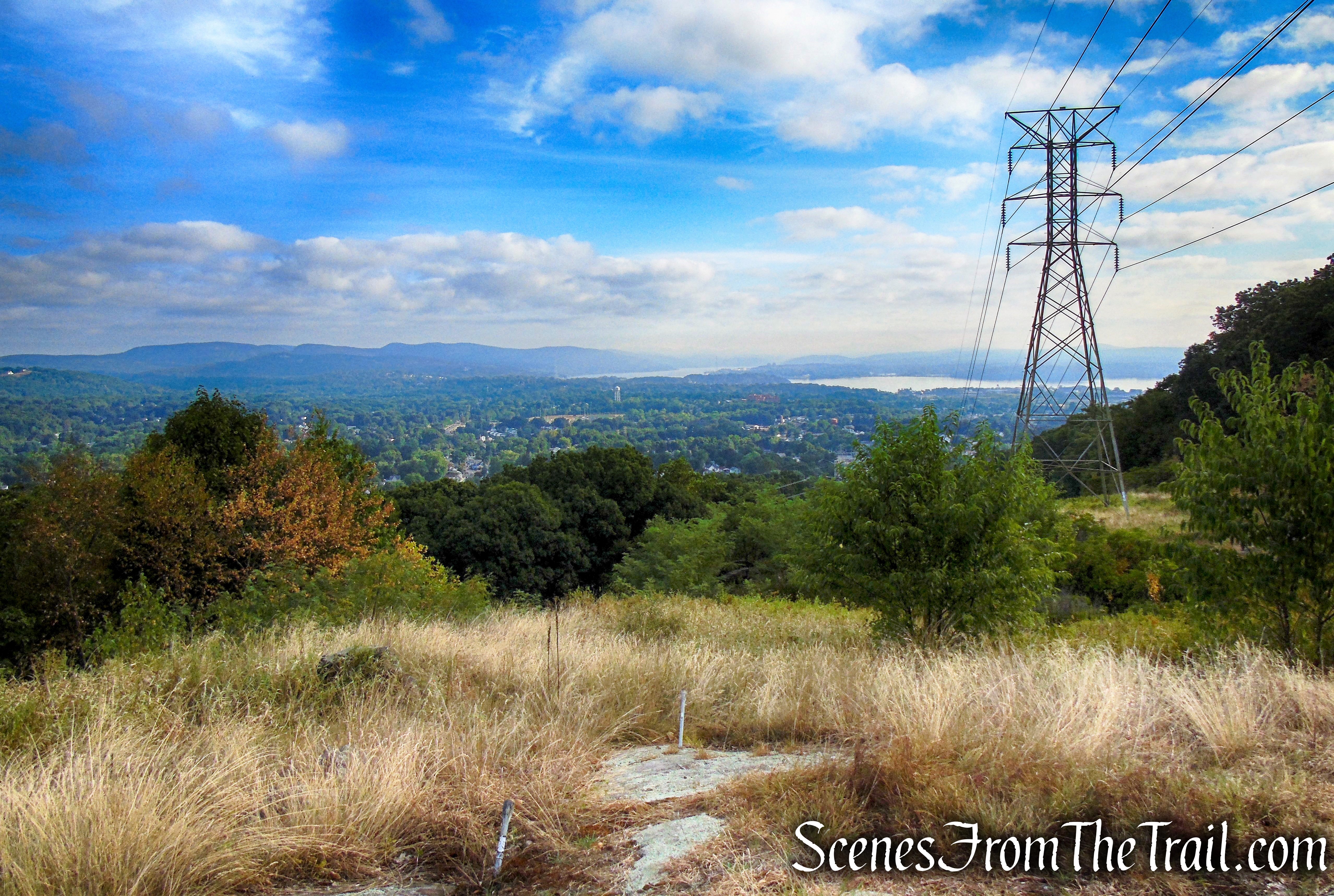
Power Lines View – High Tor State Park
Power Lines View – High Tor State Park

Power Lines View – High Tor State Park
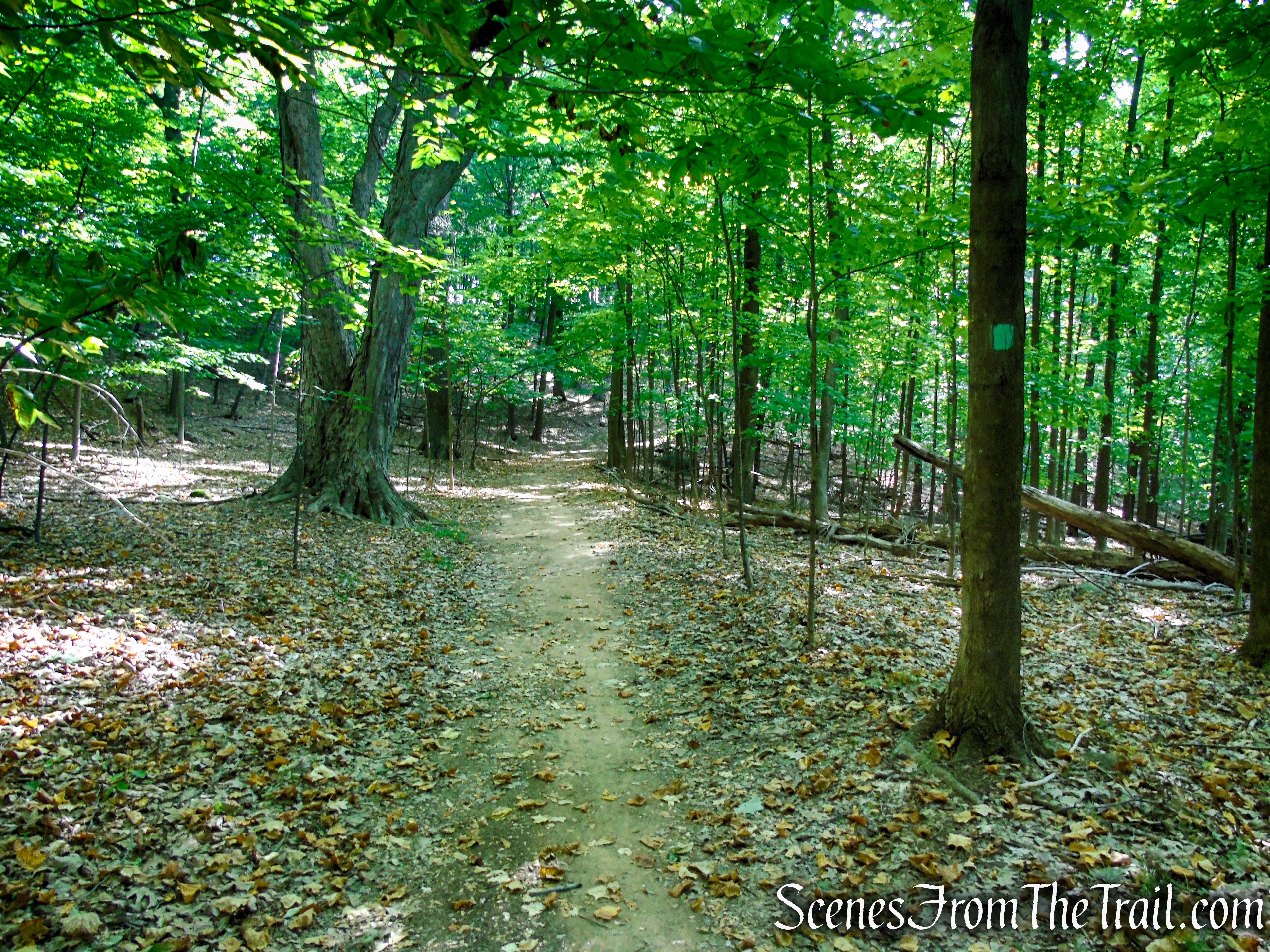
When the Power Lines Trail descends and terminates at the Long Path, turn left and rejoin the aqua-blazed trail, continuing on the wide woods road in an easterly direction as the trail descends a little then levels off.
Turn left on Long Path

Long Path – High Tor State Park
Long Path – High Tor State Park
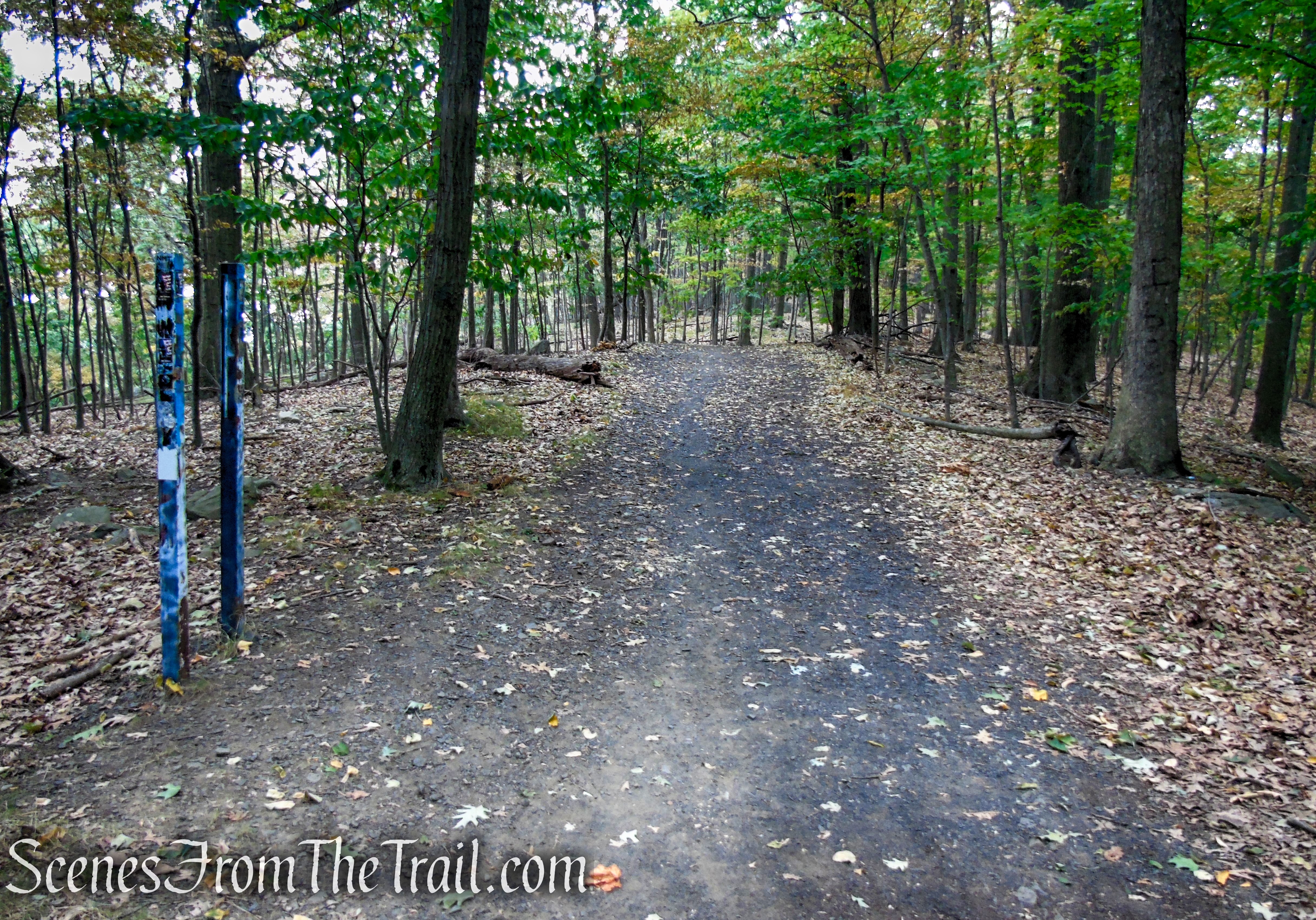
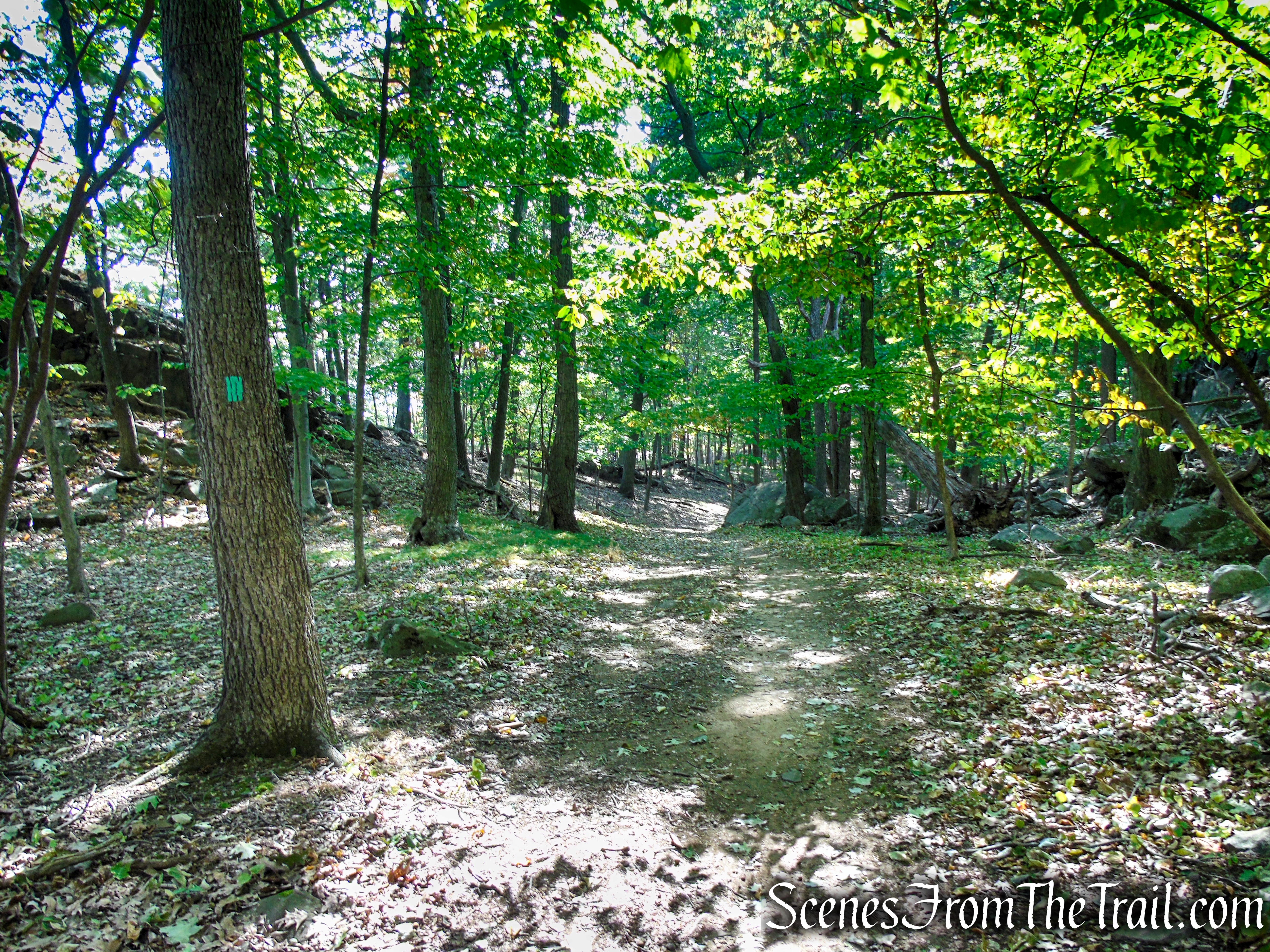
In another 0.4 mile, the Long Path passes by two painted sign posts, where an unmarked woods road crosses. To the right, the unmarked road leads down to the public swimming pool in High Tor State Park. To the left, the woods road heads steeply down the northern face of South Mountain. Continue ahead, still following the aqua blazes.
Long Path – High Tor State Park
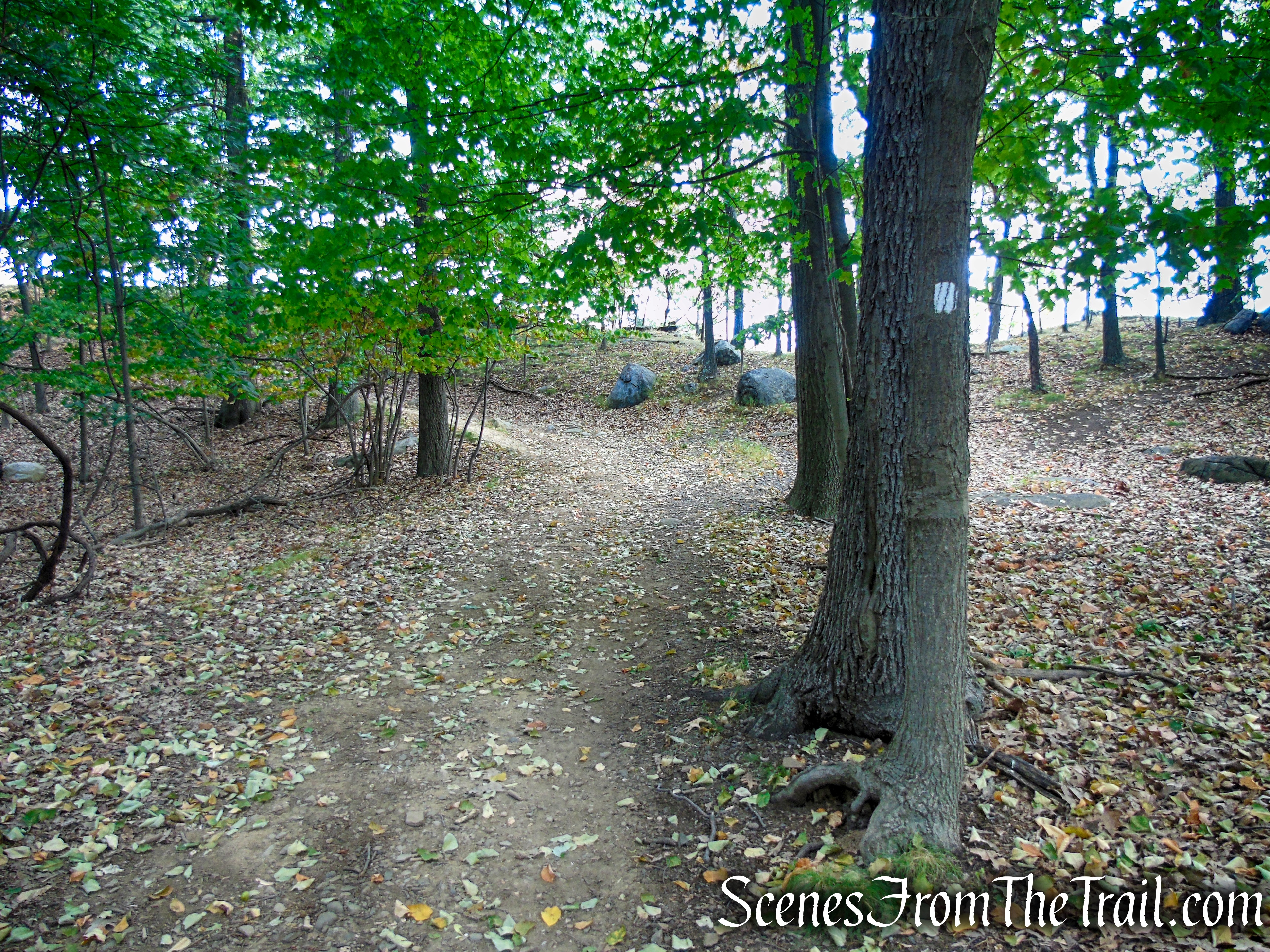
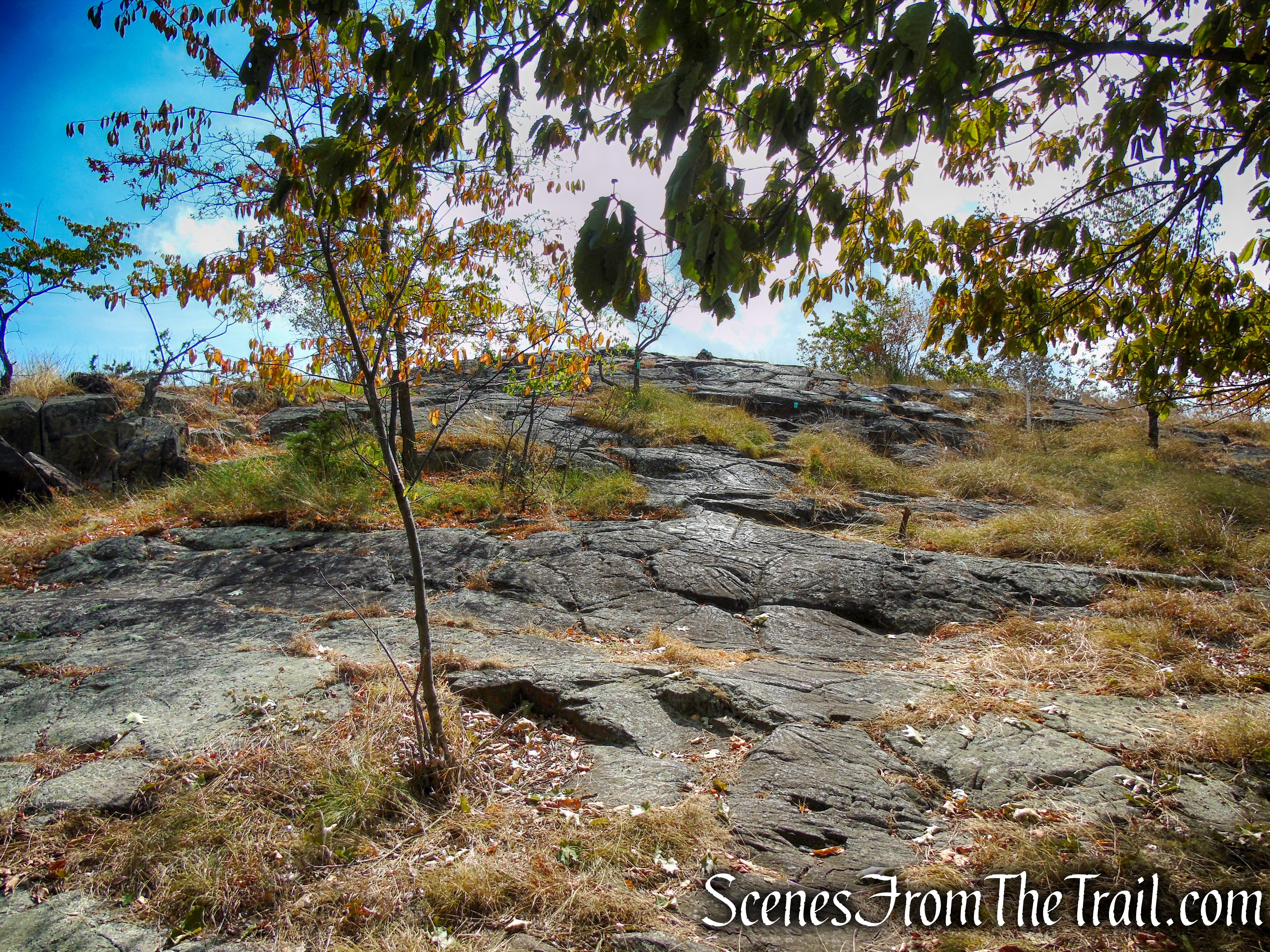
In just over a mile from the start of the hike, the Long Path reaches a junction with the white-blazed Little Tor Spur Trail, which begins on the left. Turn left and follow the white blazes as they climb to the summit of Little Tor, passing two rock outcrops with wide-ranging views along the way.

Turn left on Little Tor Spur Trail
Little Tor Spur Trail – High Tor State Park
Little Tor Spur Trail – High Tor State Park
Little Tor Spur Trail – High Tor State Park
Little Tor Spur Trail – High Tor State Park
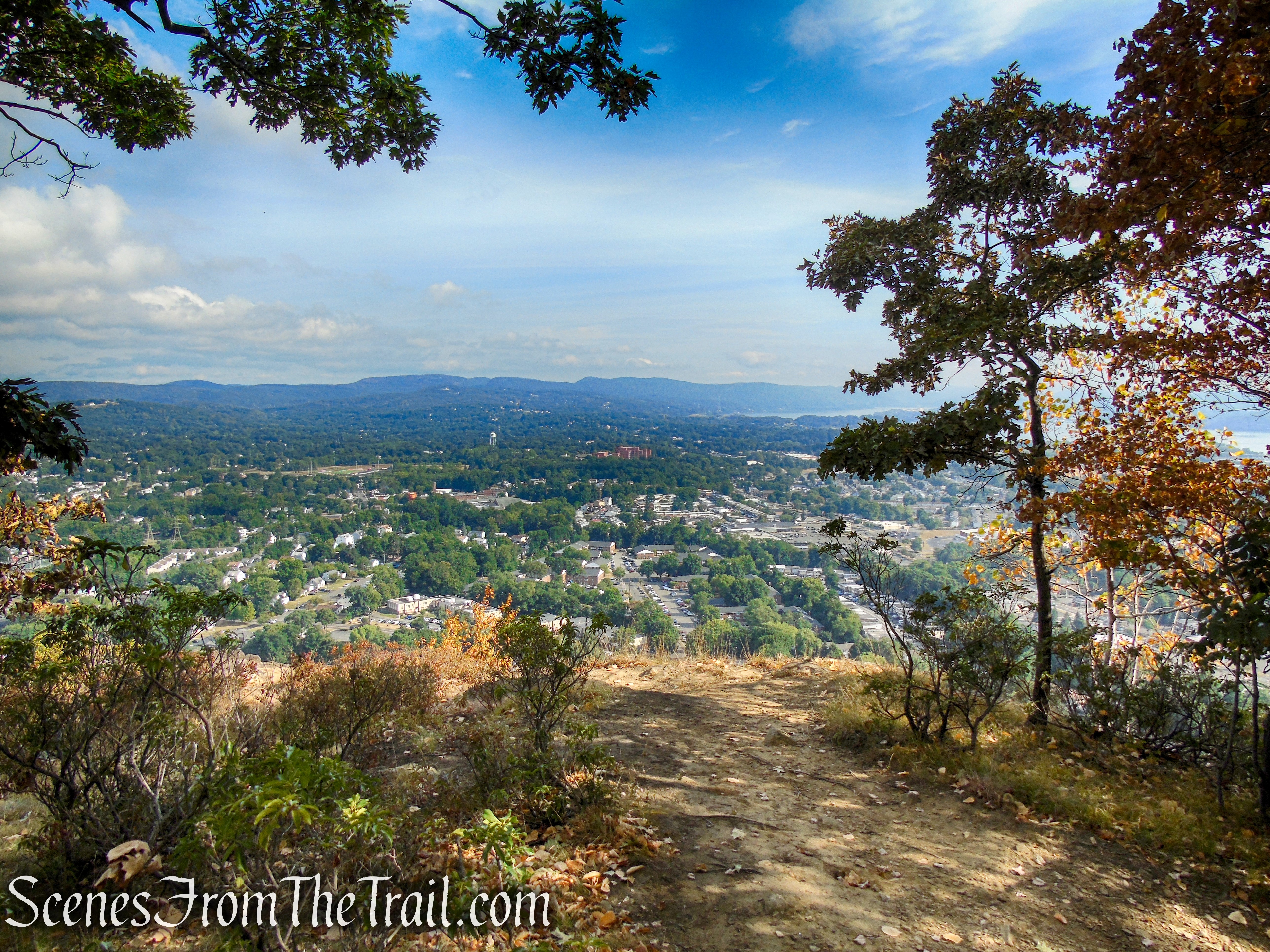
The Town of Haverstraw is directly below with the Hudson River in the distance.
View north – Little Tor
View northeast – Little Tor
To the north, the hills of Harriman and Bear Mountain State Parks are visible in the distance.
View north – Little Tor
A zoomed in view of the Hudson River, Westchester County and the East Hudson Highlands beyond. The Indian Point nuclear power plant is visible just left of center in the image below.
View northeast – Little Tor
The trail climbs to another rock outcrop with more views.
Little Tor Spur – High Tor State Park
View northwest – Little Tor
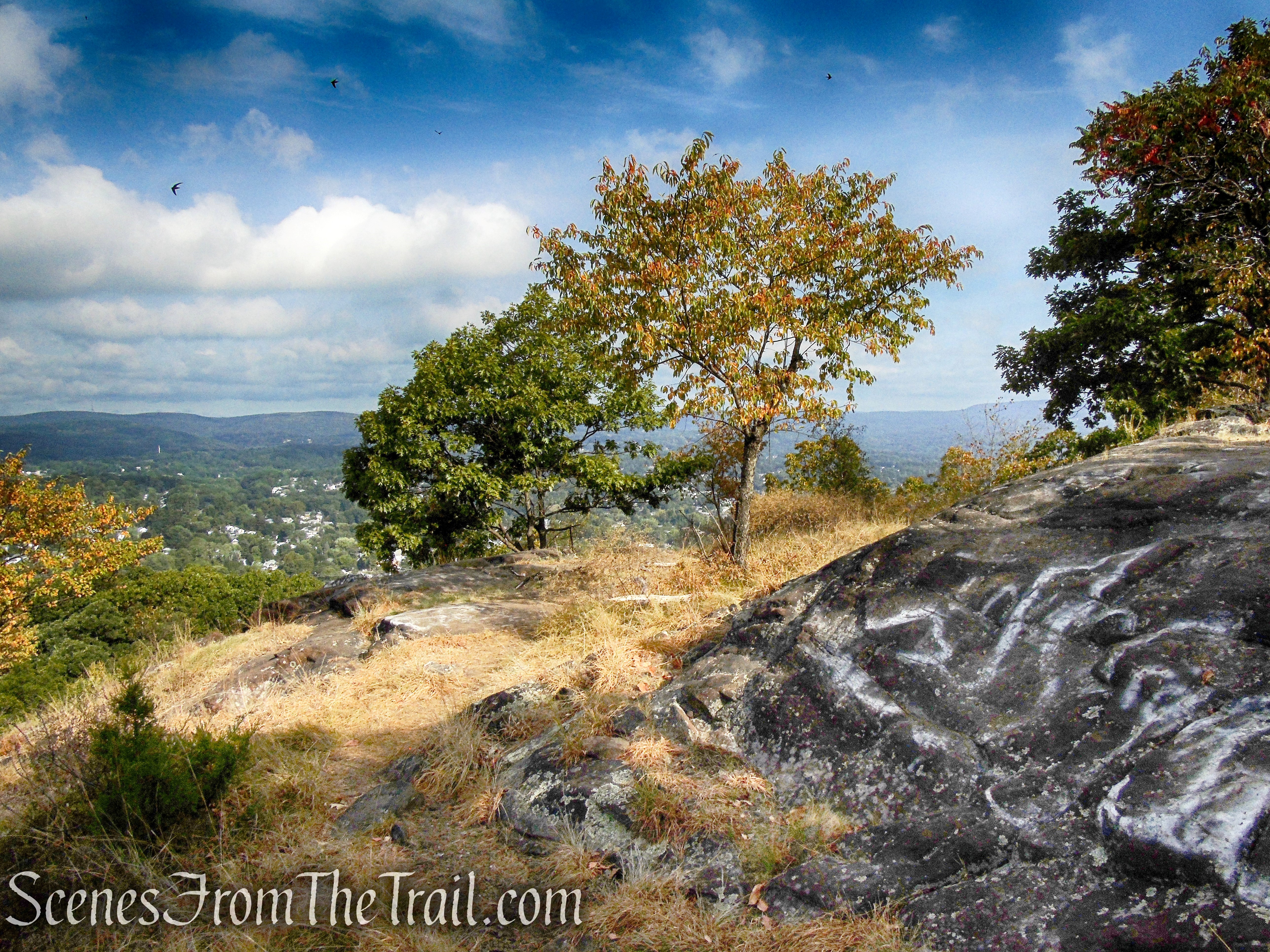
The Little Tor Spur continues past the two rock outcrops and climbs steeply to the true summit of Little Tor, with 360° views of the surrounding region. This makes for a good spot to take a break and enjoy the fantastic views.
Little Tor Spur – High Tor State Park
View northwest – Little Tor
Looking west across Rockland County and into northern New Jersey.
View west – Little Tor
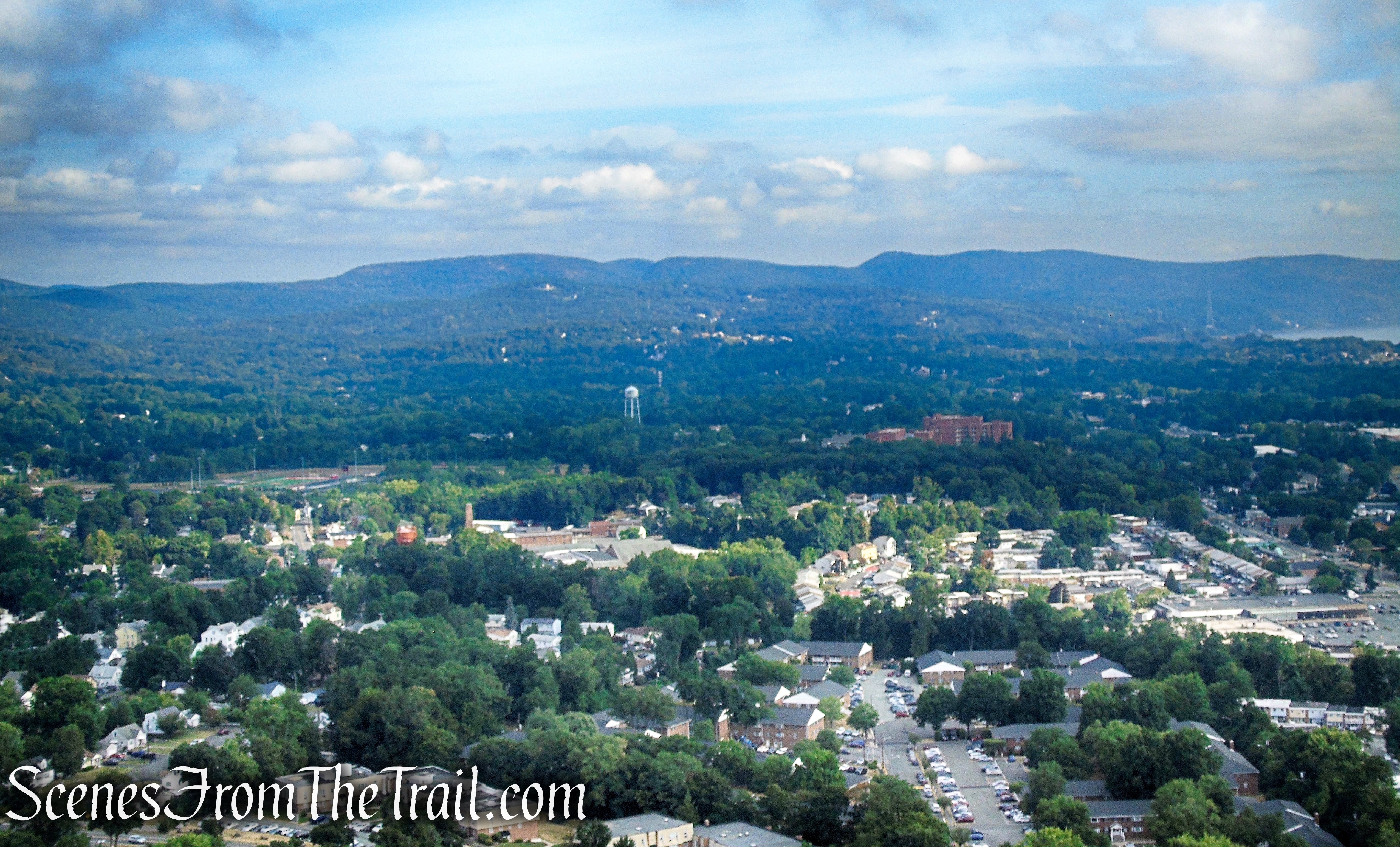
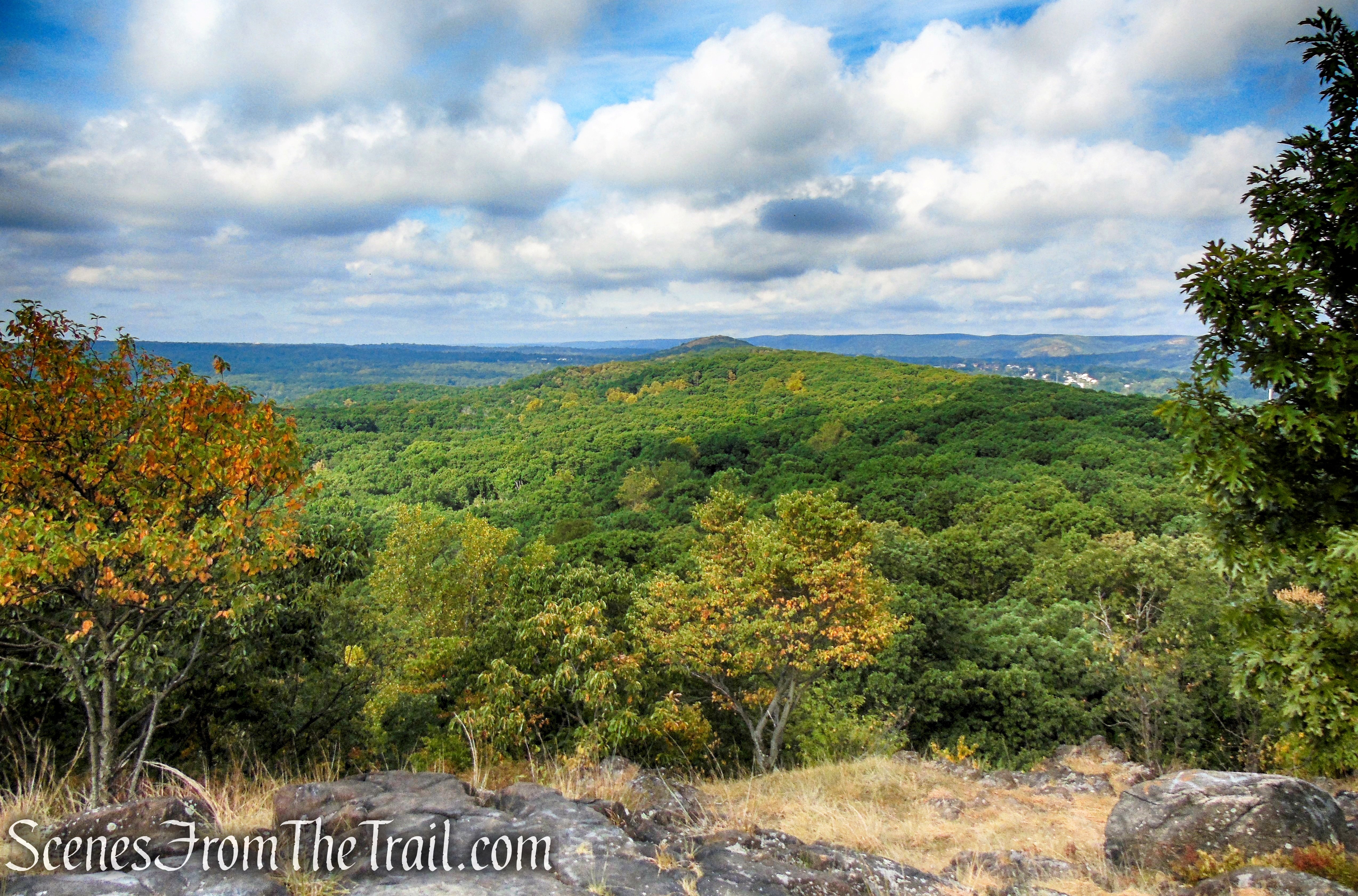
Looking south, the summit of High Tor is visible on the left.
View south – Little Tor
A balanced boulder sits at the summit of Little Tor.

Little Tor summit
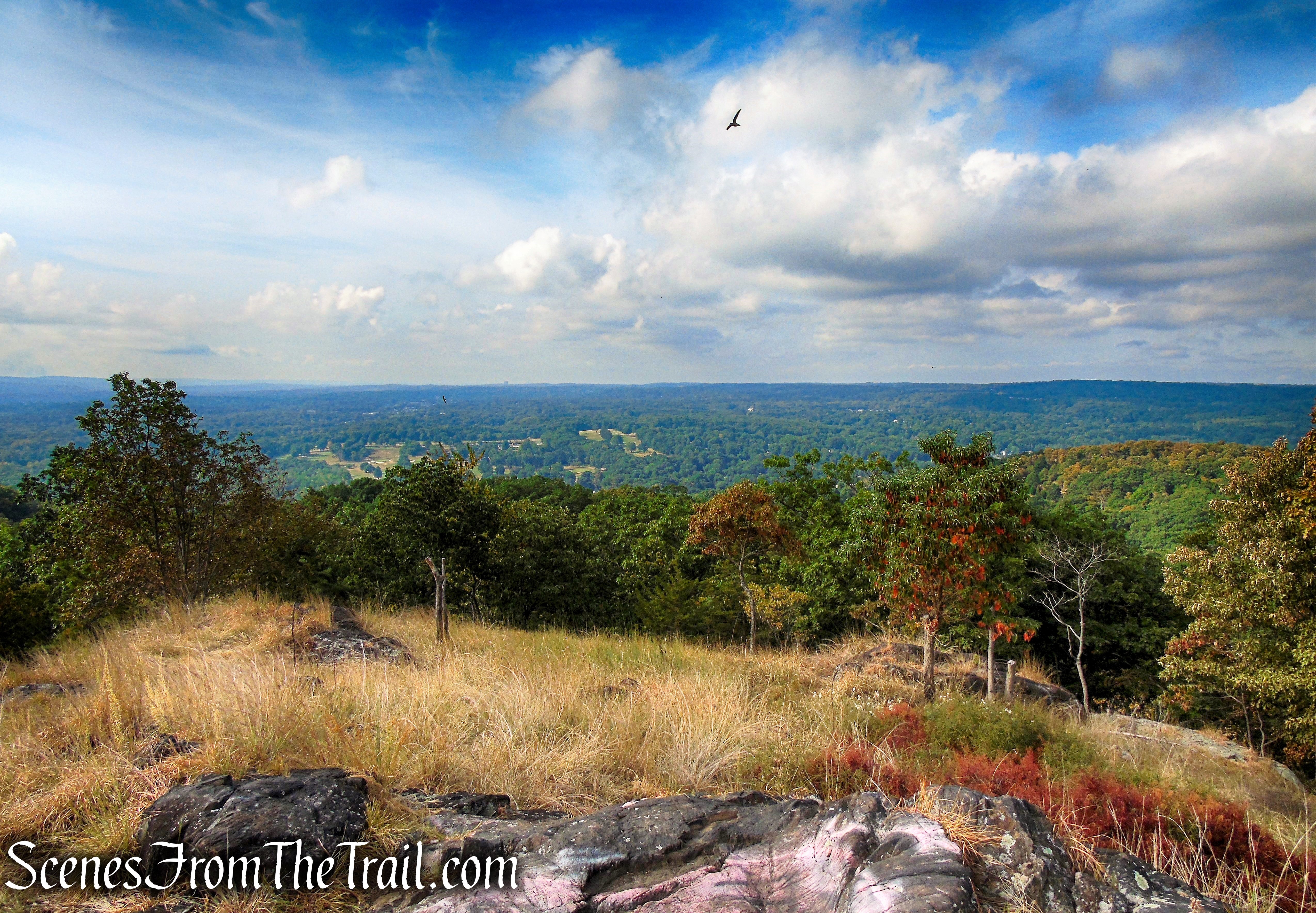
We saw lots of birds hovering above us, including some Turkey Vultures.
Little Tor summit

Little Tor summit
When you are ready to continue, retrace your steps on the white-blazed Little Tor Spur, passing the two lower rock outcrops on the way back down to the junction with the Long Path and turn left.
Little Tor Spur – High Tor State Park
Little Tor Viewpoint – High Tor State Park
Little Tor Spur – High Tor State Park

Little Tor Viewpoint – High Tor State Park
Long Path – High Tor State Park
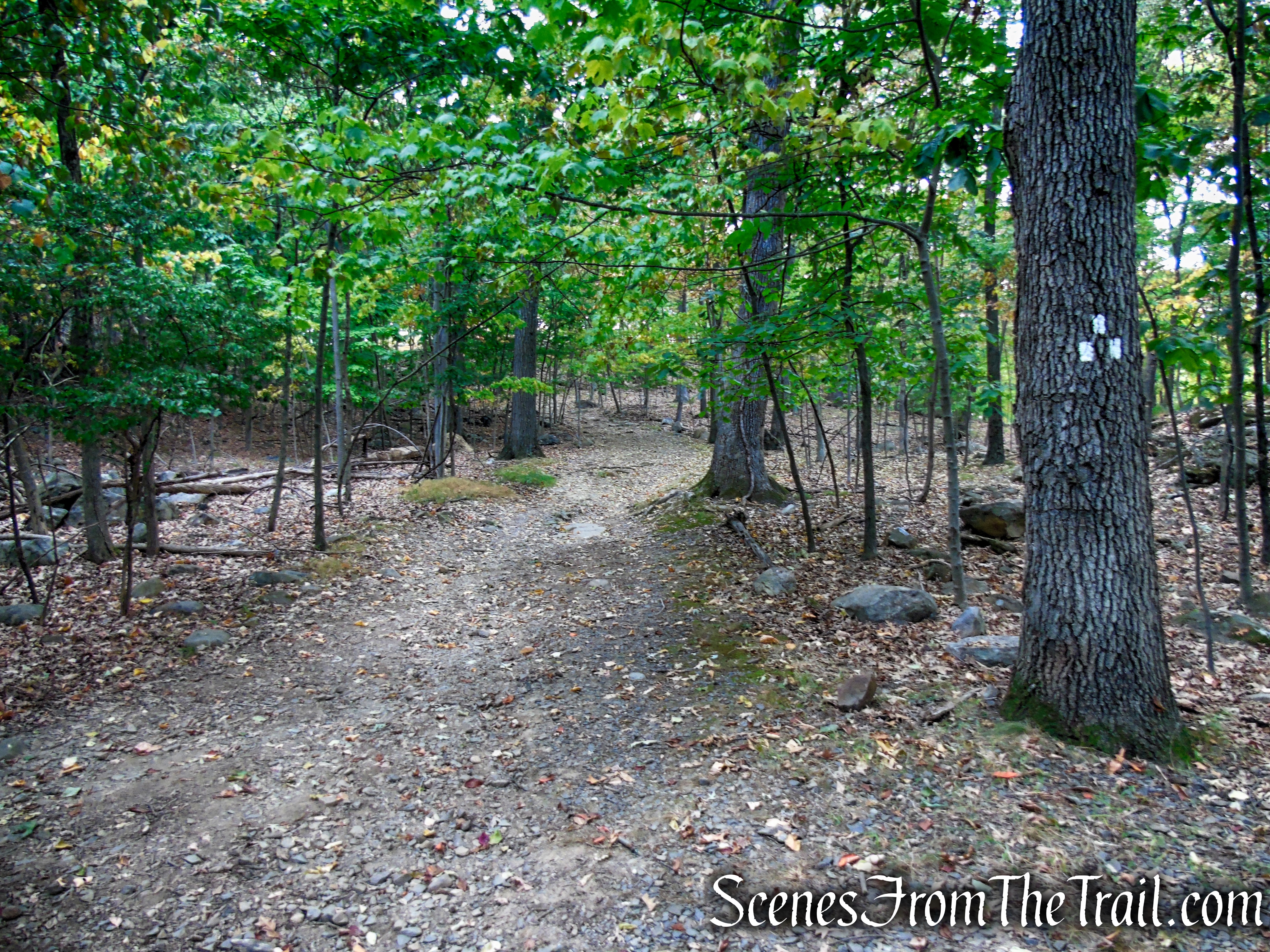
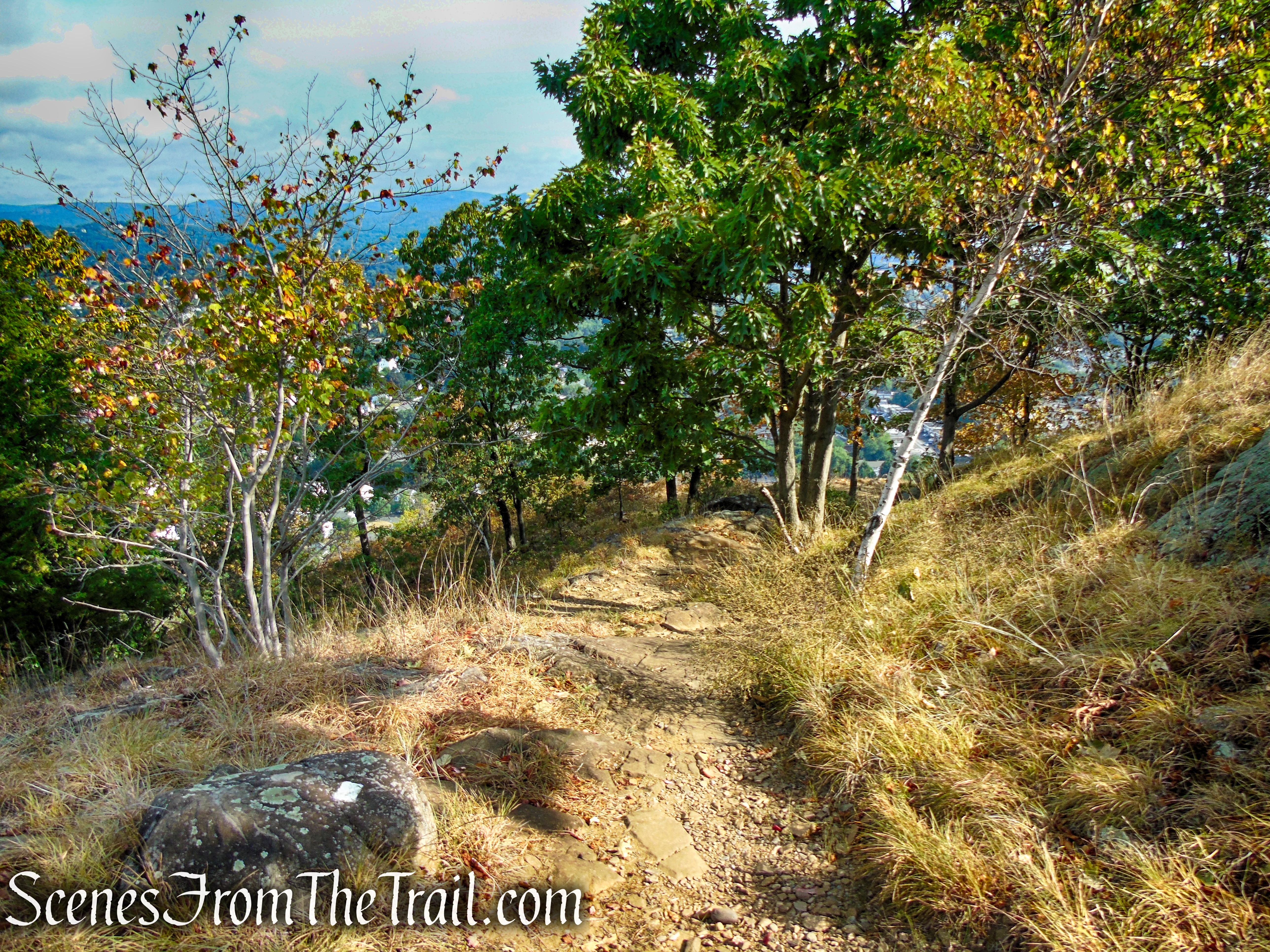
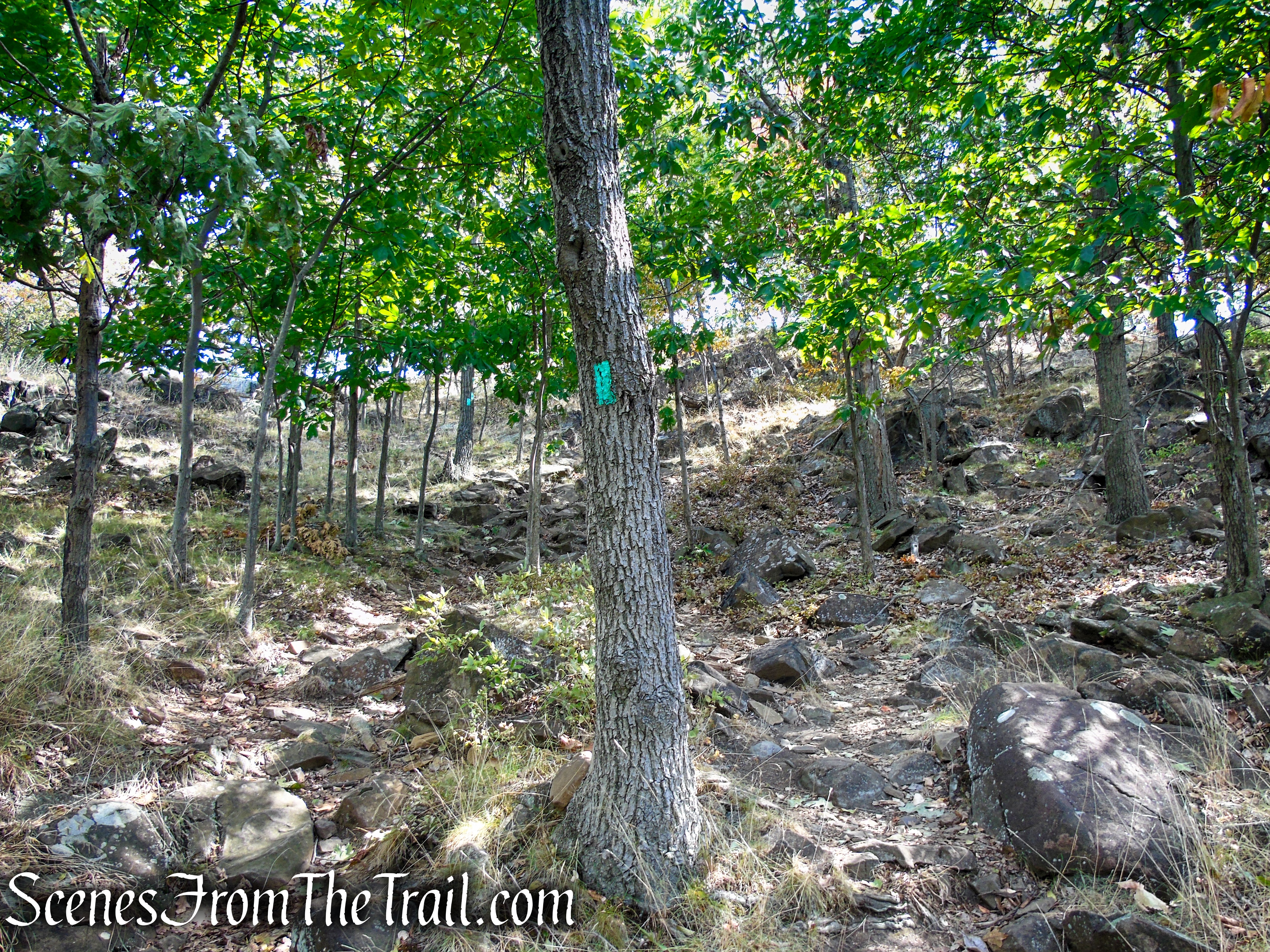
Continue heading in a southeasterly direction, following the aqua blazes on the wide woods road. The trail travels over undulating terrain, with some minor ups and downs.

Long Path – High Tor State Park
Long Path – High Tor State Park
Long Path – High Tor State Park
Long Path – High Tor State Park
Long Path – High Tor State Park
At one point, the Long Path leaves the woods road to avoid an eroded section, but rejoins the road a short distance later.

Long Path – High Tor State Park
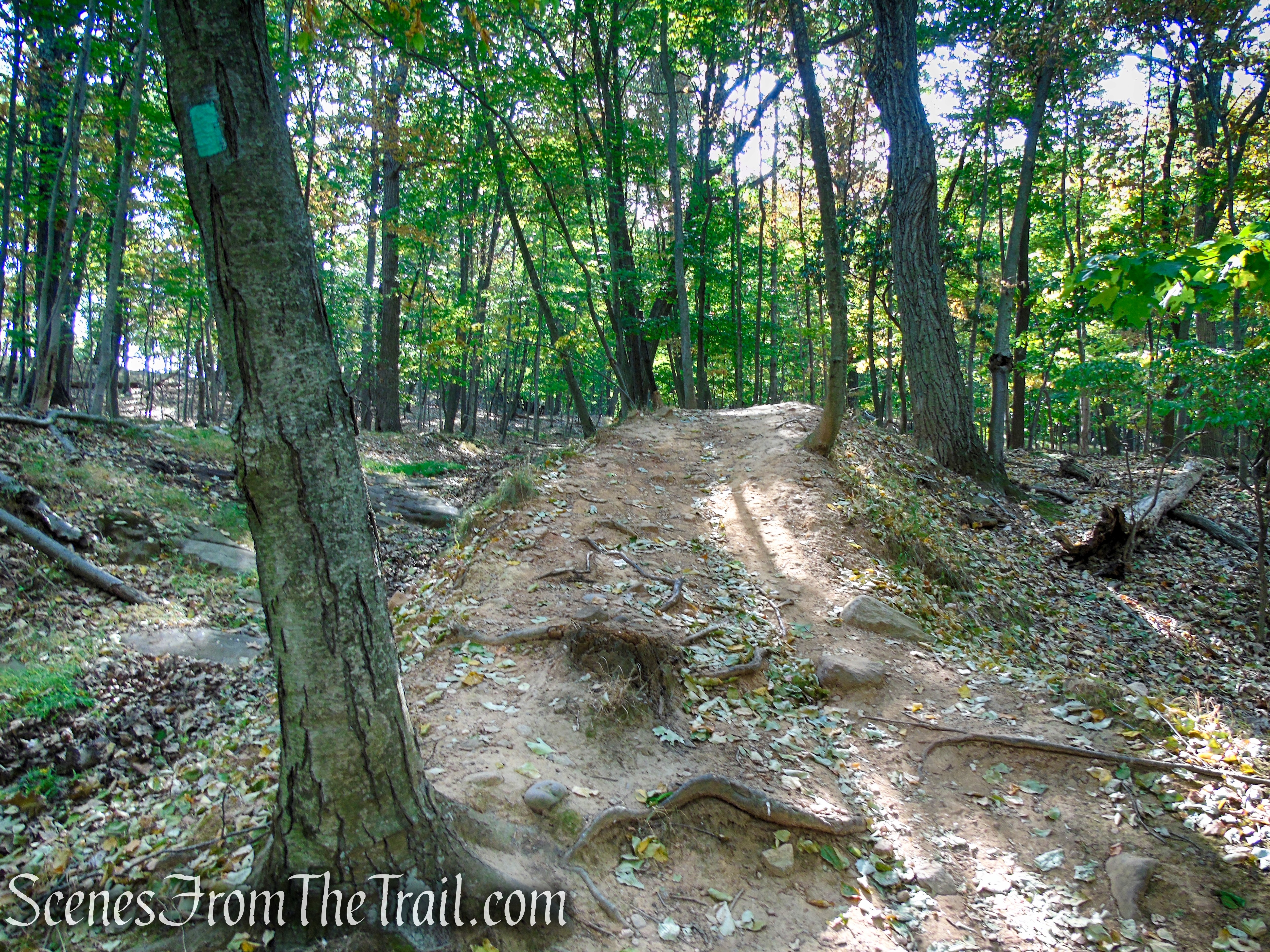
Long Path – High Tor State Park
Long Path – High Tor State Park
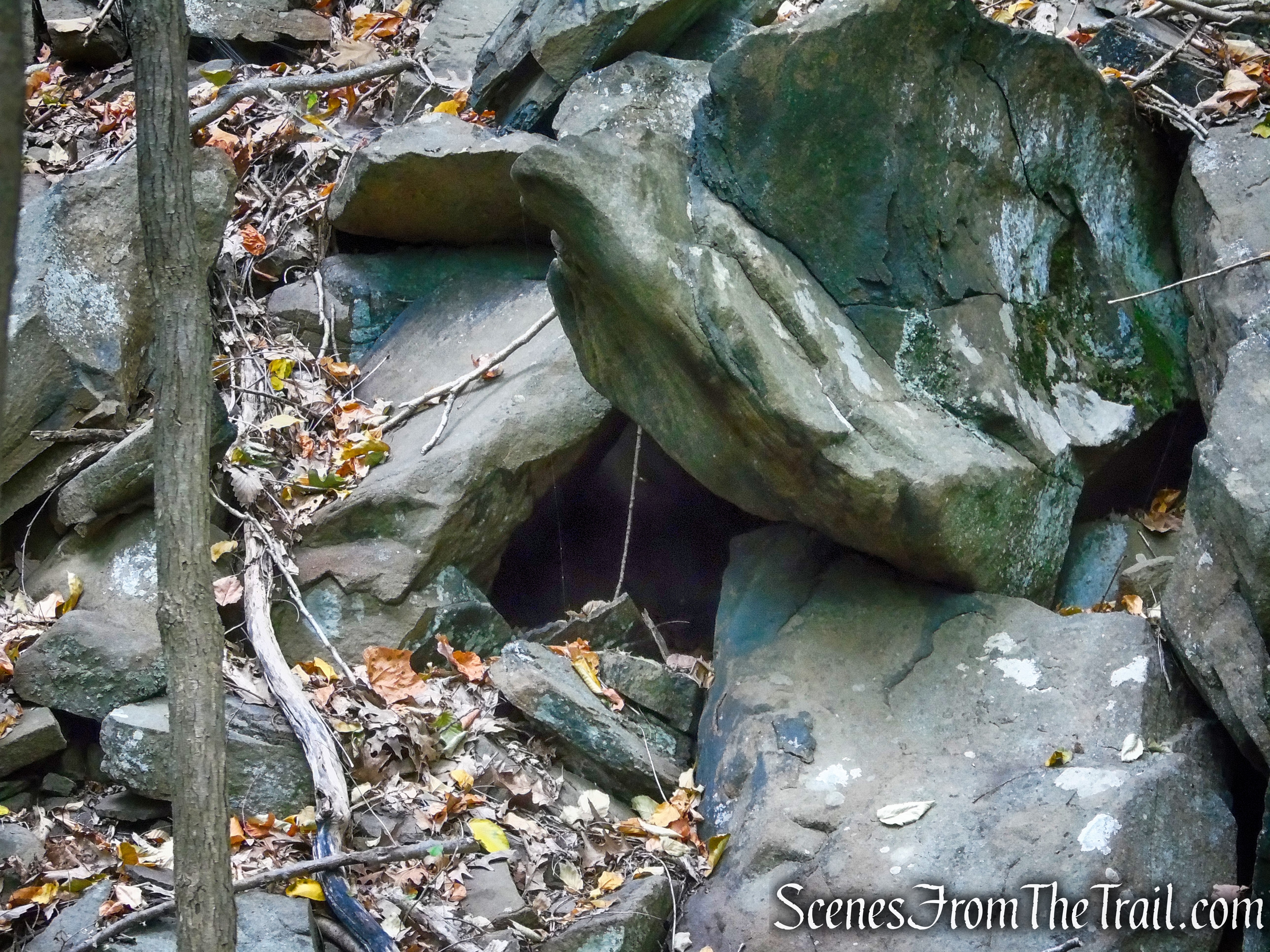
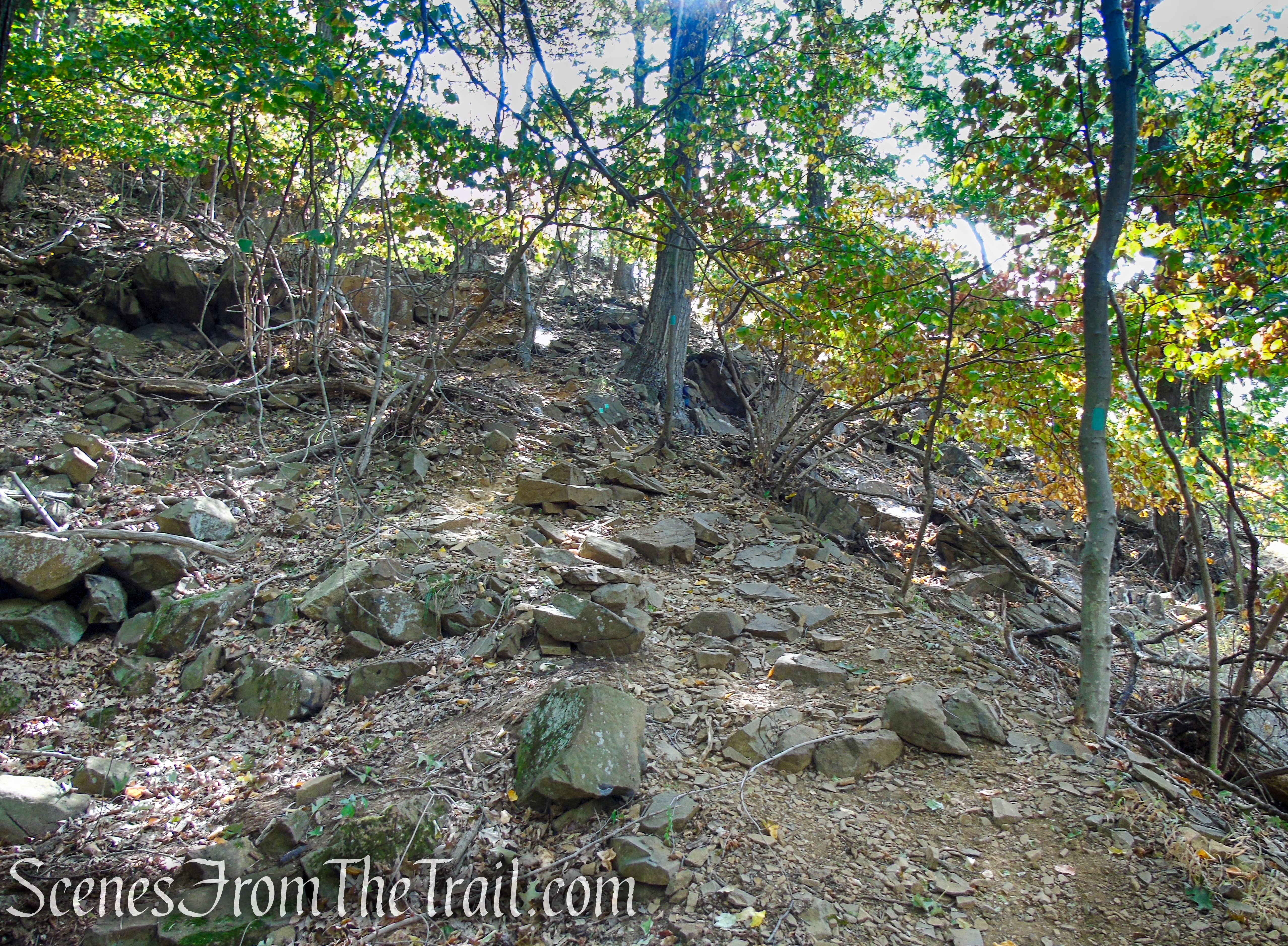
The Long Path descends alongside a high craggy cliff with jumbled boulders at its base. Soon, the Long Path turns right at the base of a steep talus slope, just below the High Tor summit.
Long Path – High Tor State Park
Long Path – High Tor State Park
Long Path – High Tor State Park
Long Path – High Tor State Park
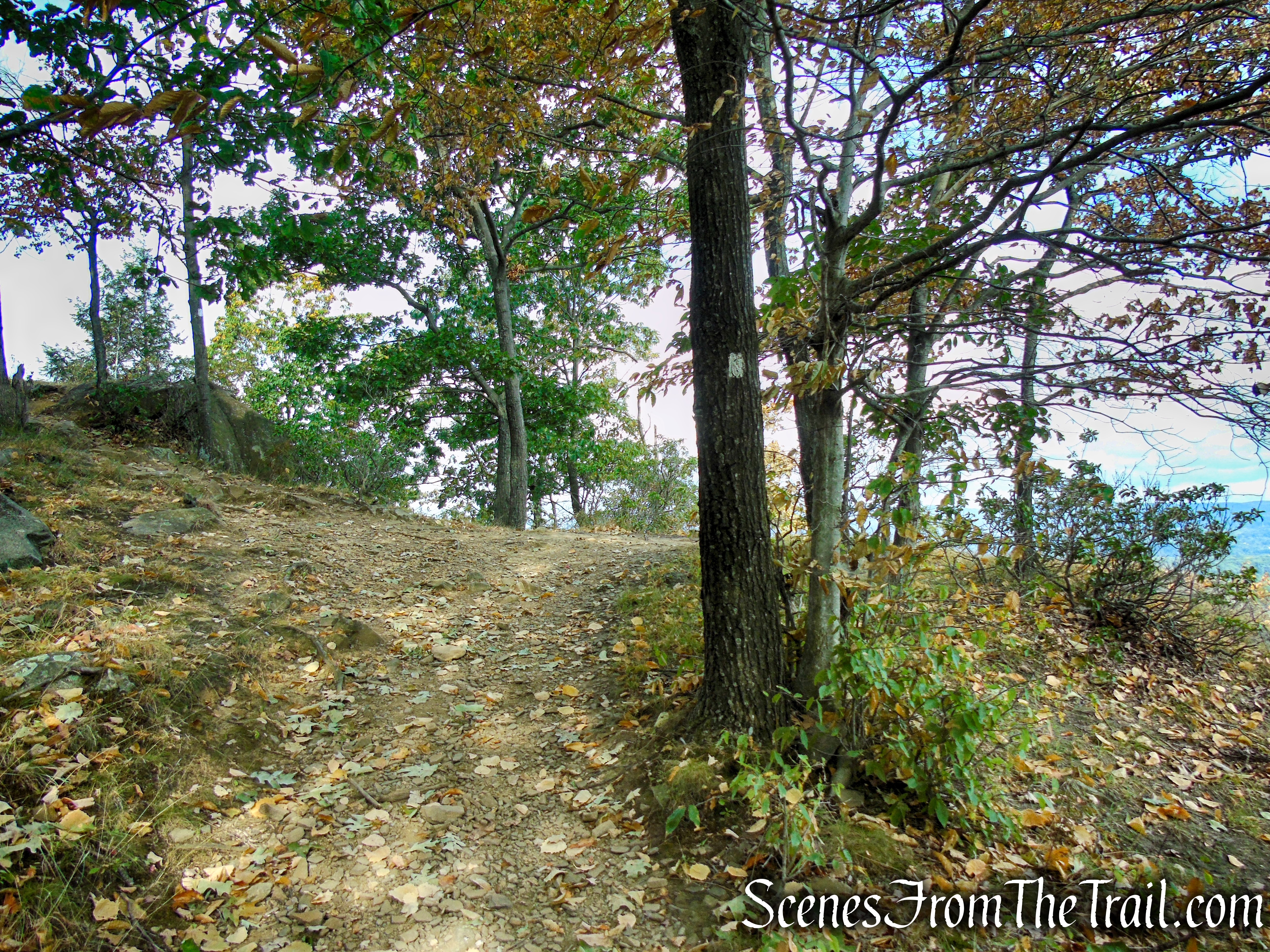
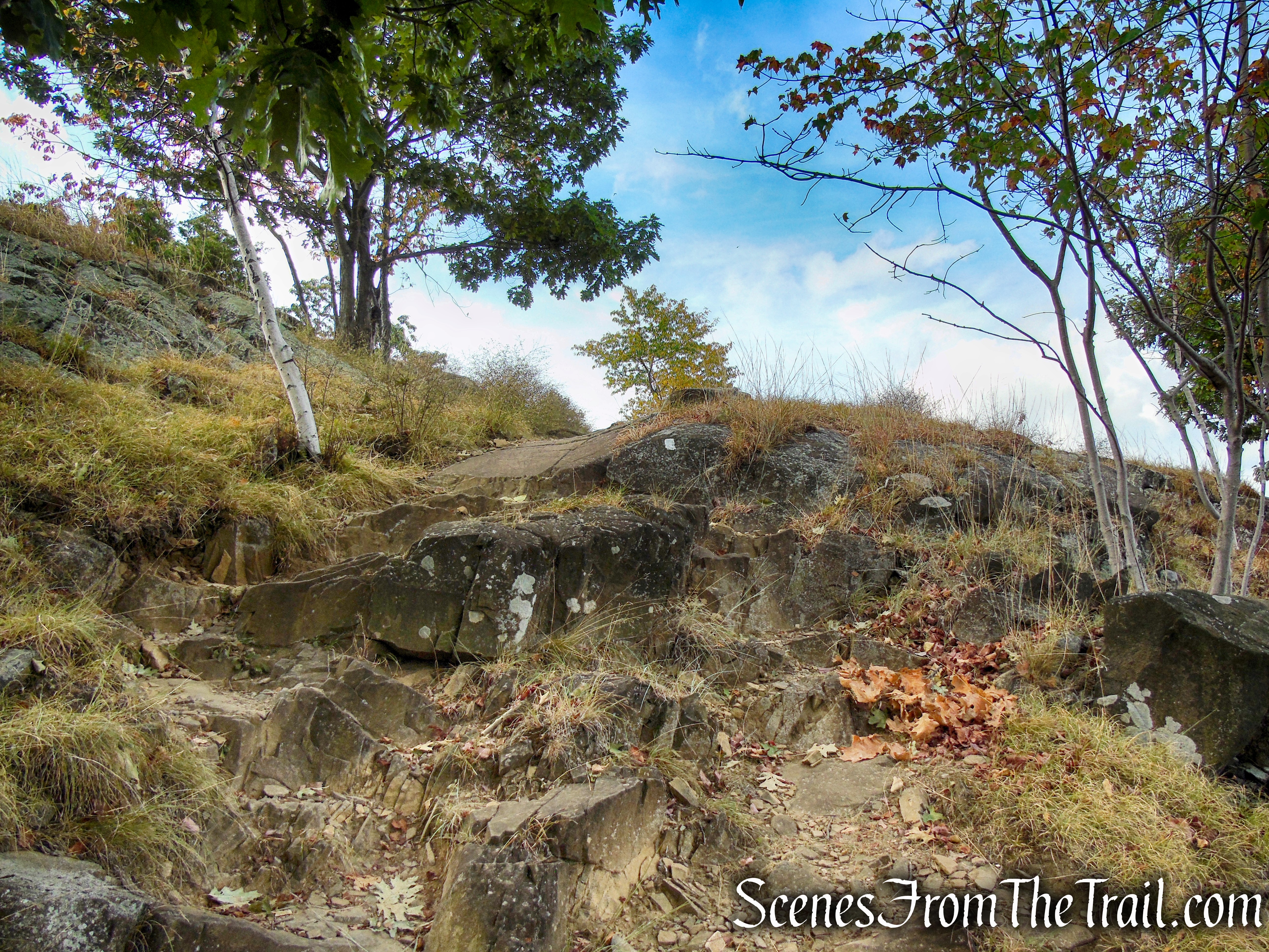
The trail turns left and begins a steep climb of High Tor on a rocky footpath. The grade moderates, but the climb soon resumes, with several steep sections.
Long Path – High Tor State Park
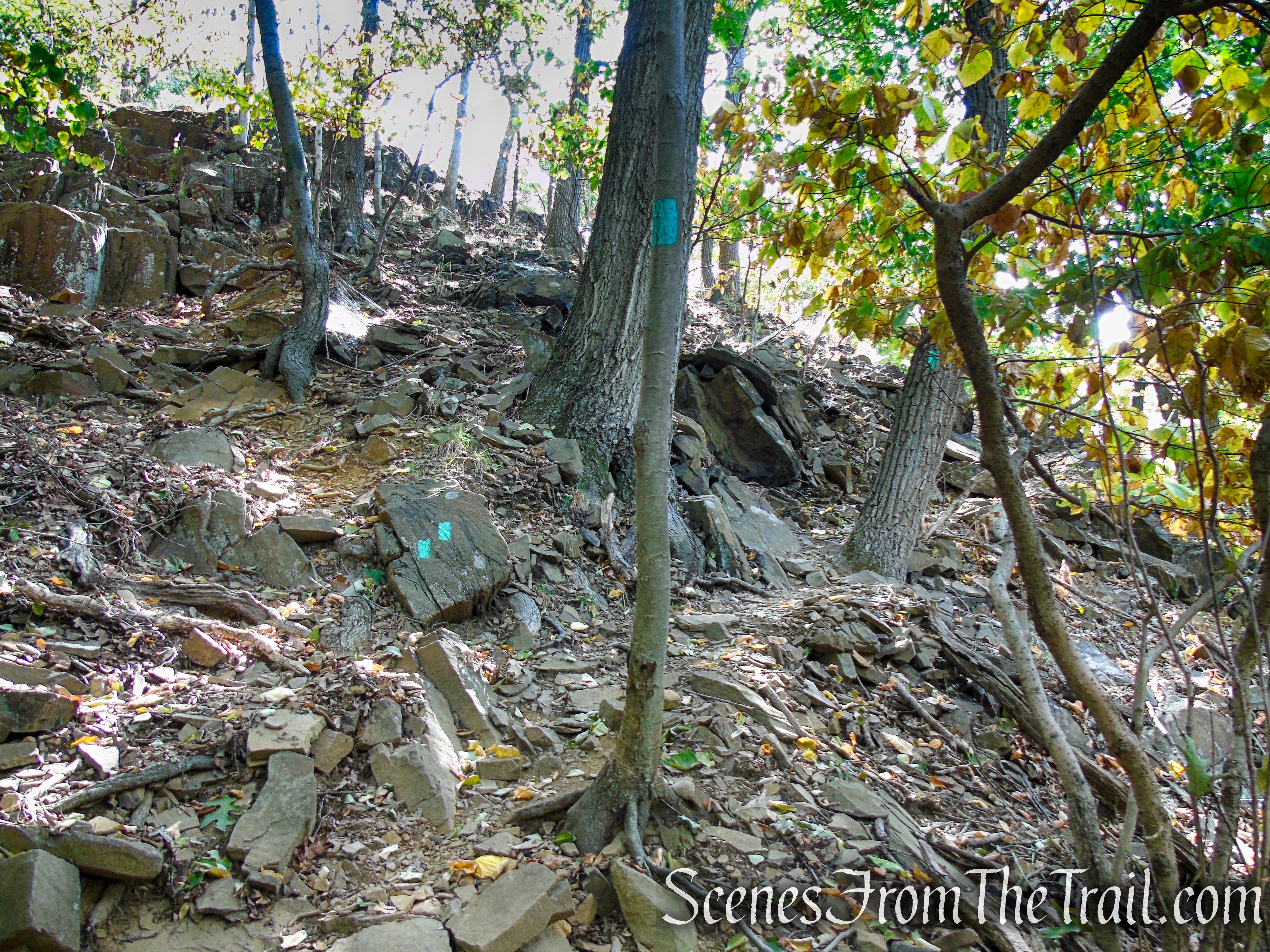
Long Path – High Tor State Park

Long Path – High Tor State Park
Long Path – High Tor State Park
Long Path – High Tor State Park
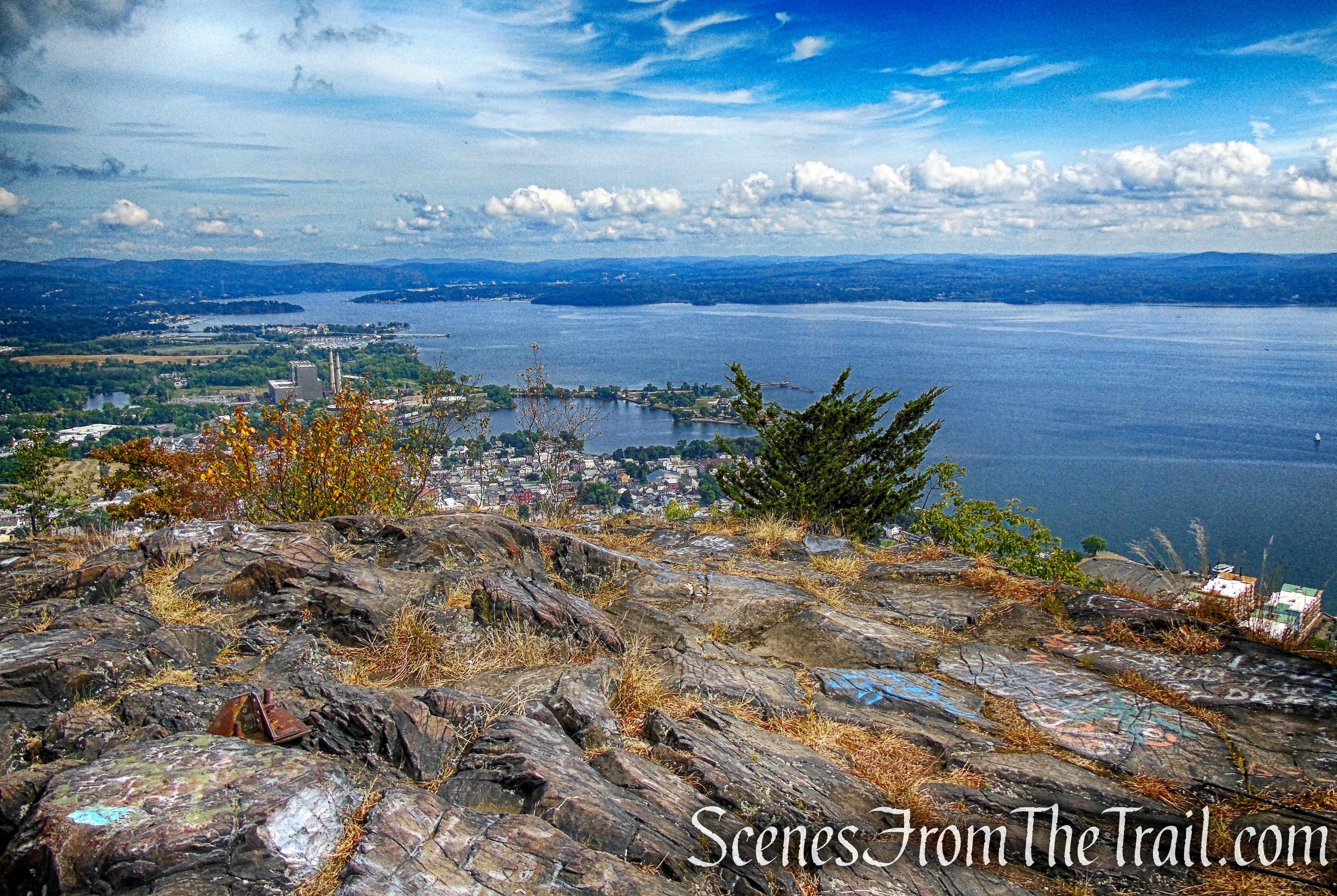
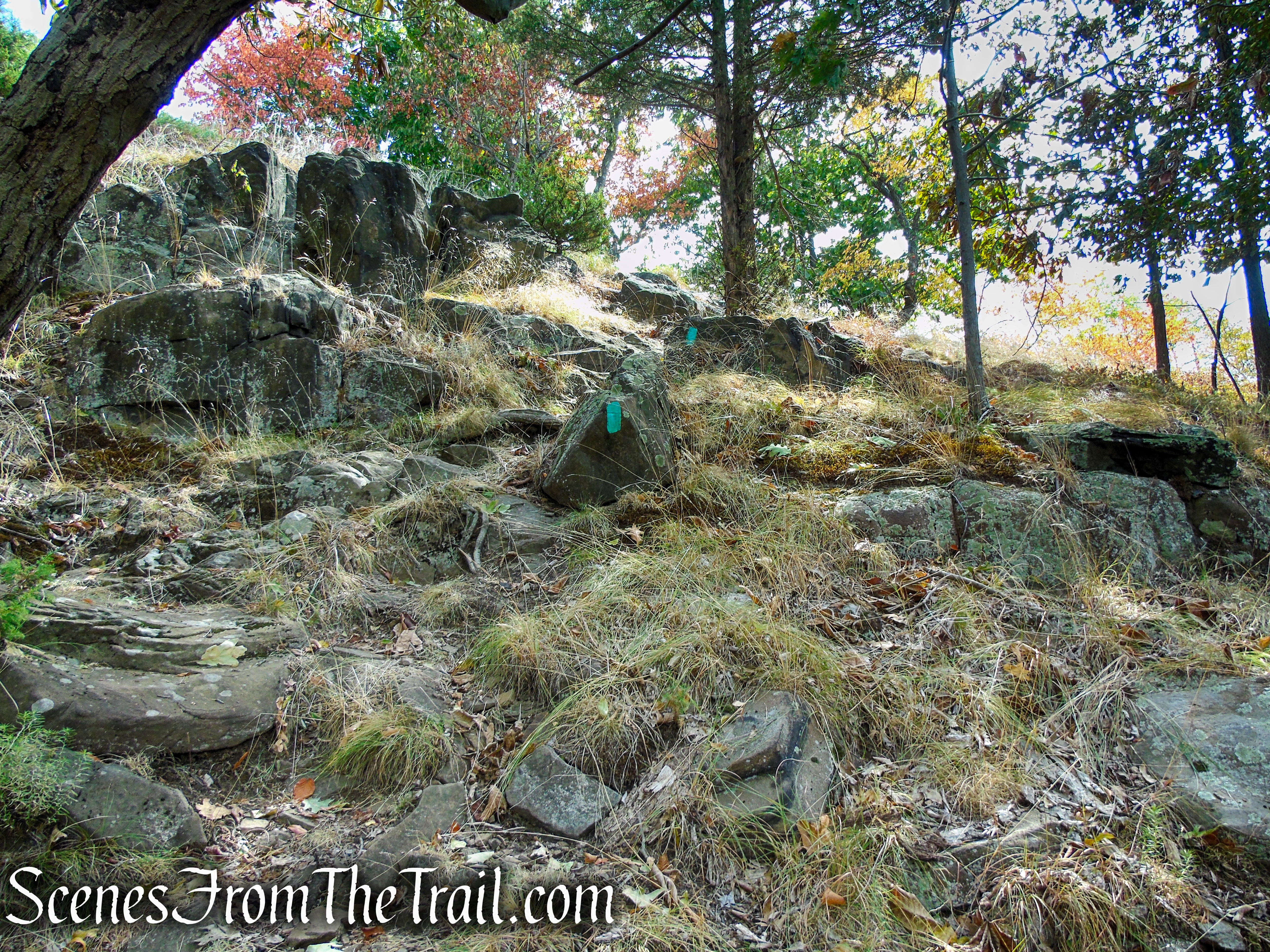
In about 2.7 miles from the start of the hike, the Long Path climbs up a rock face and emerges on the 832-foot-high summit of High Tor. This marks the halfway point and turn-around spot of the hike, and makes for a good place to rest from the steep climb and enjoy the panoramic views.
Long Path – High Tor State Park
High Tor summit
Looking south towards DeForest Lake in Clarkstown, NY.
View south – High Tor summit
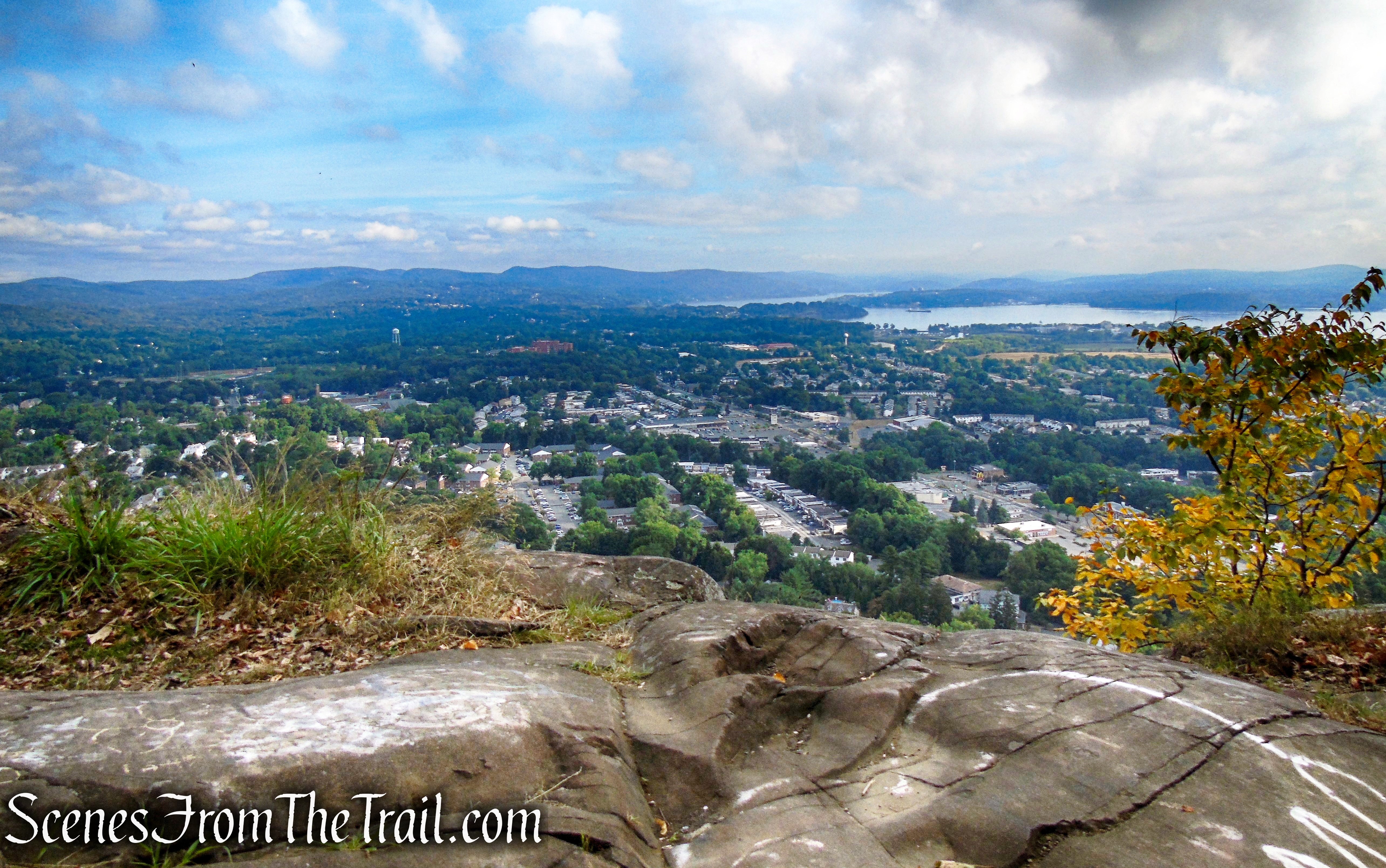
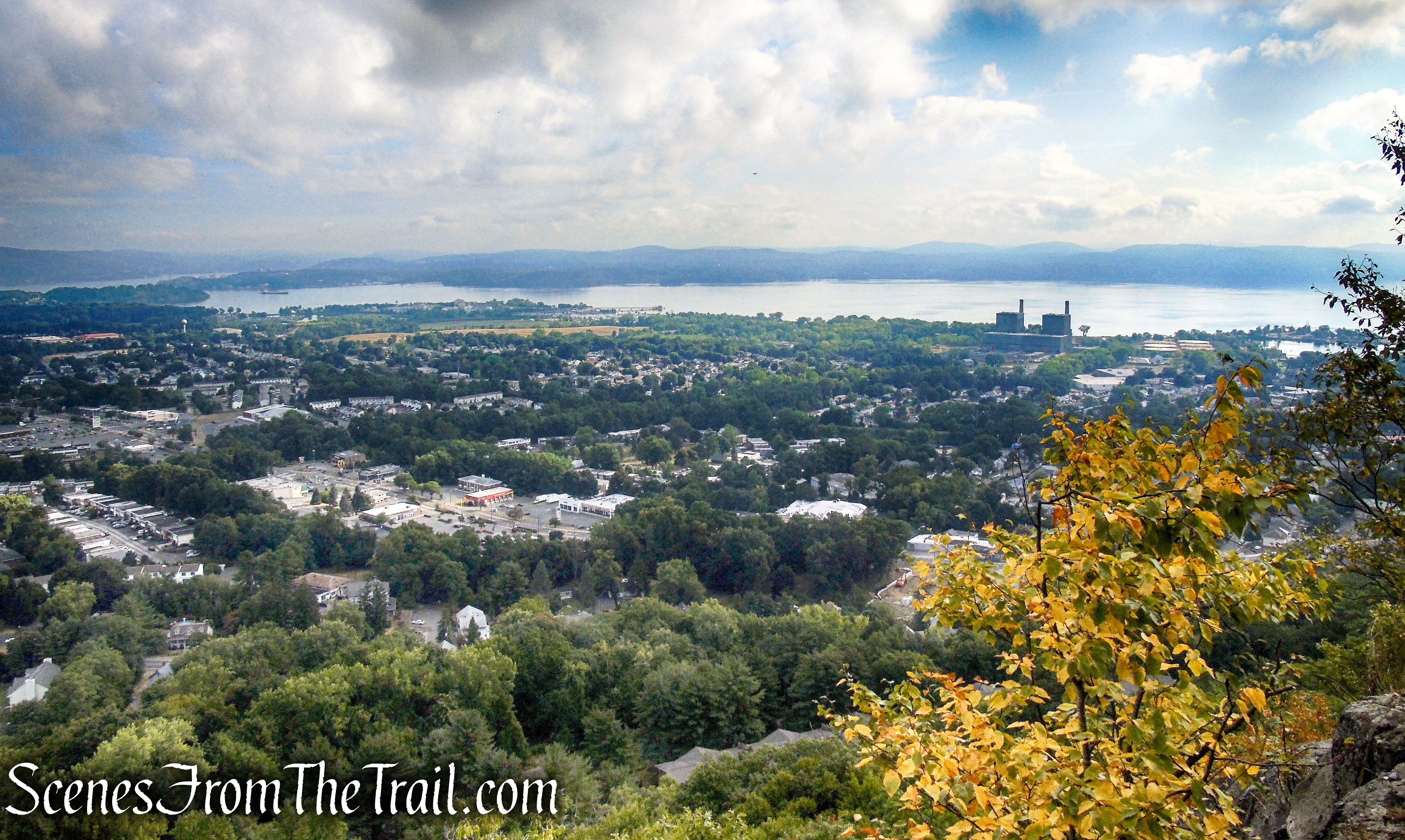
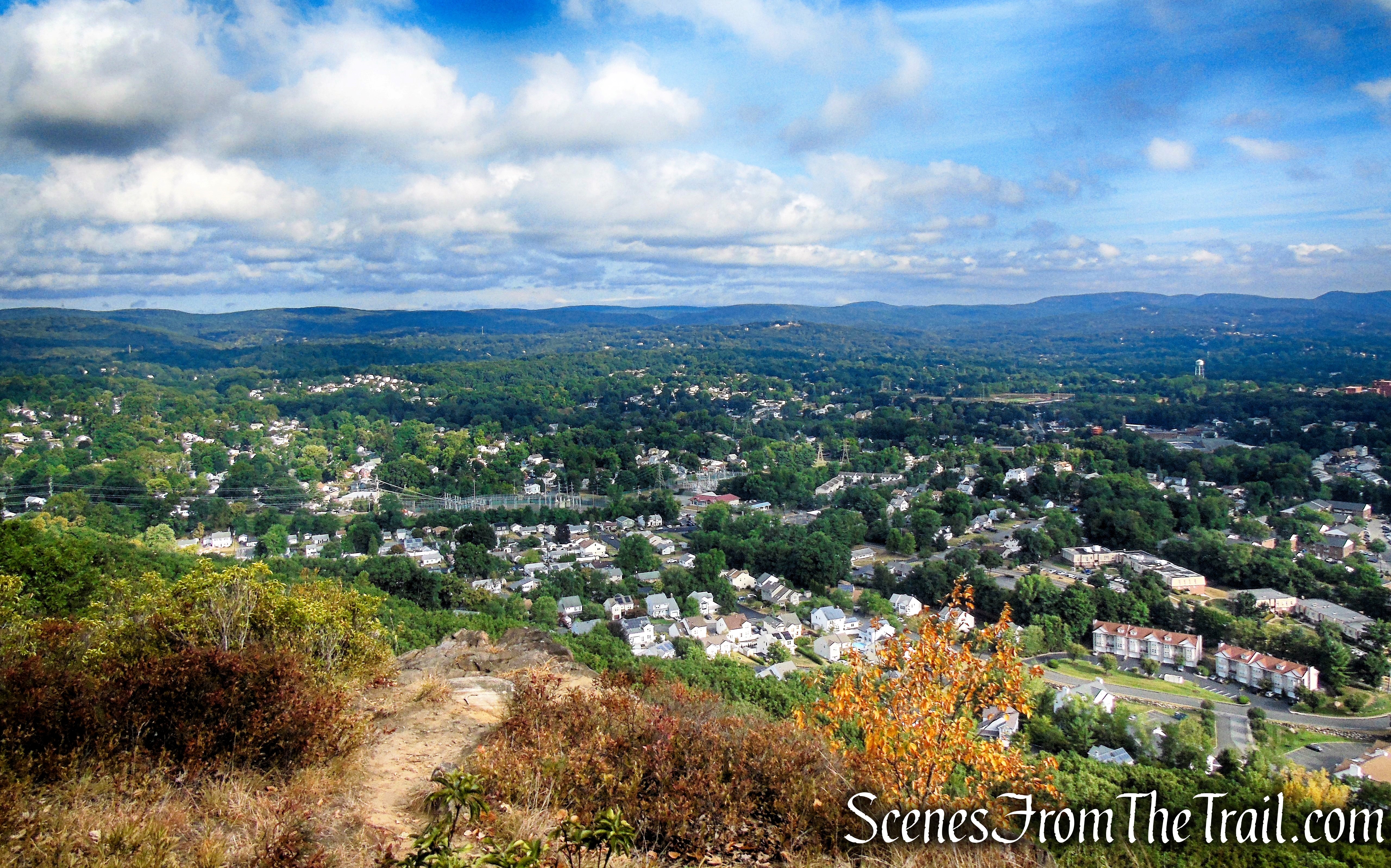
Northeast view over the Town of Haverstraw and the Hudson River.

View northeast – High Tor summit
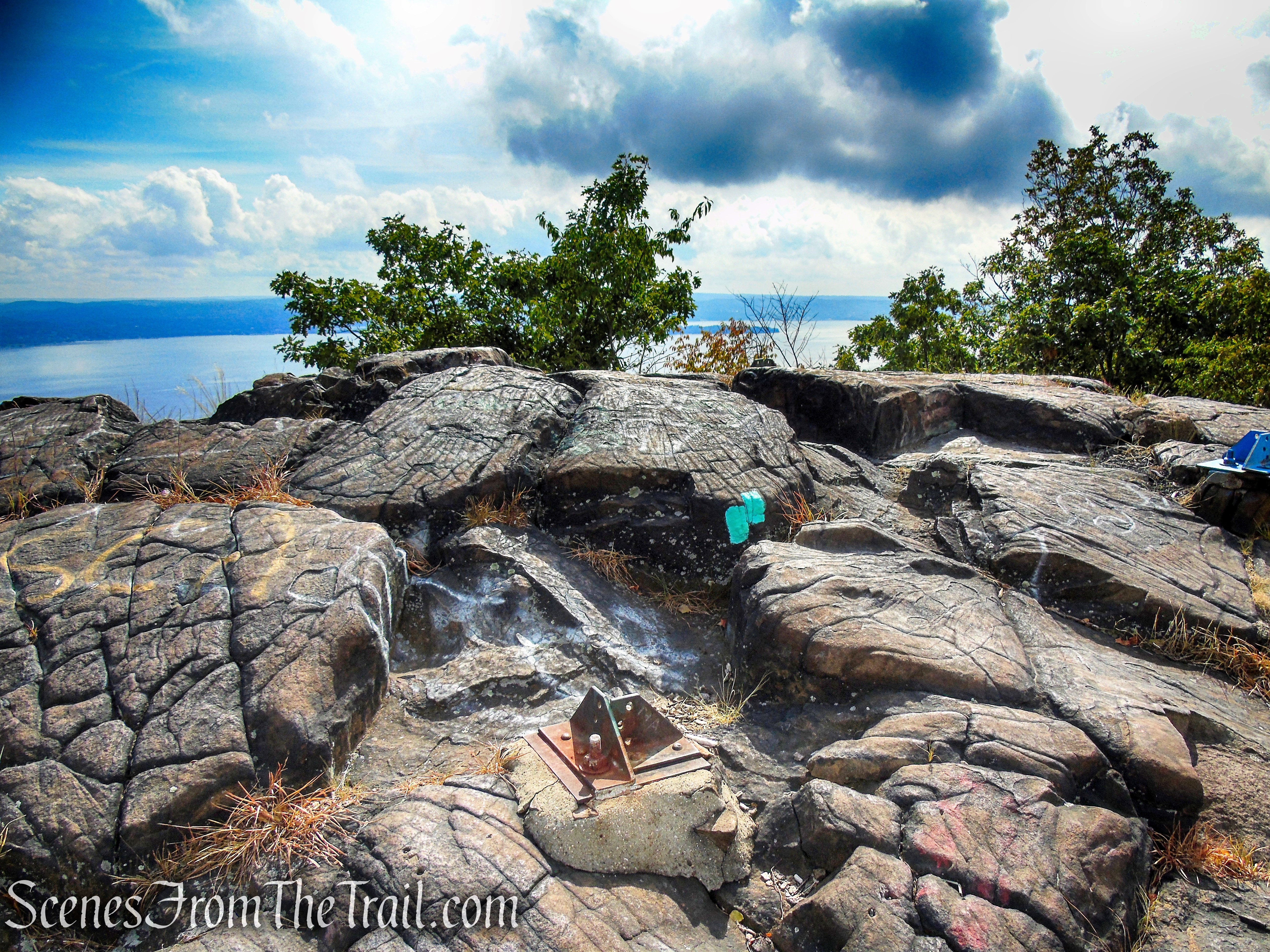
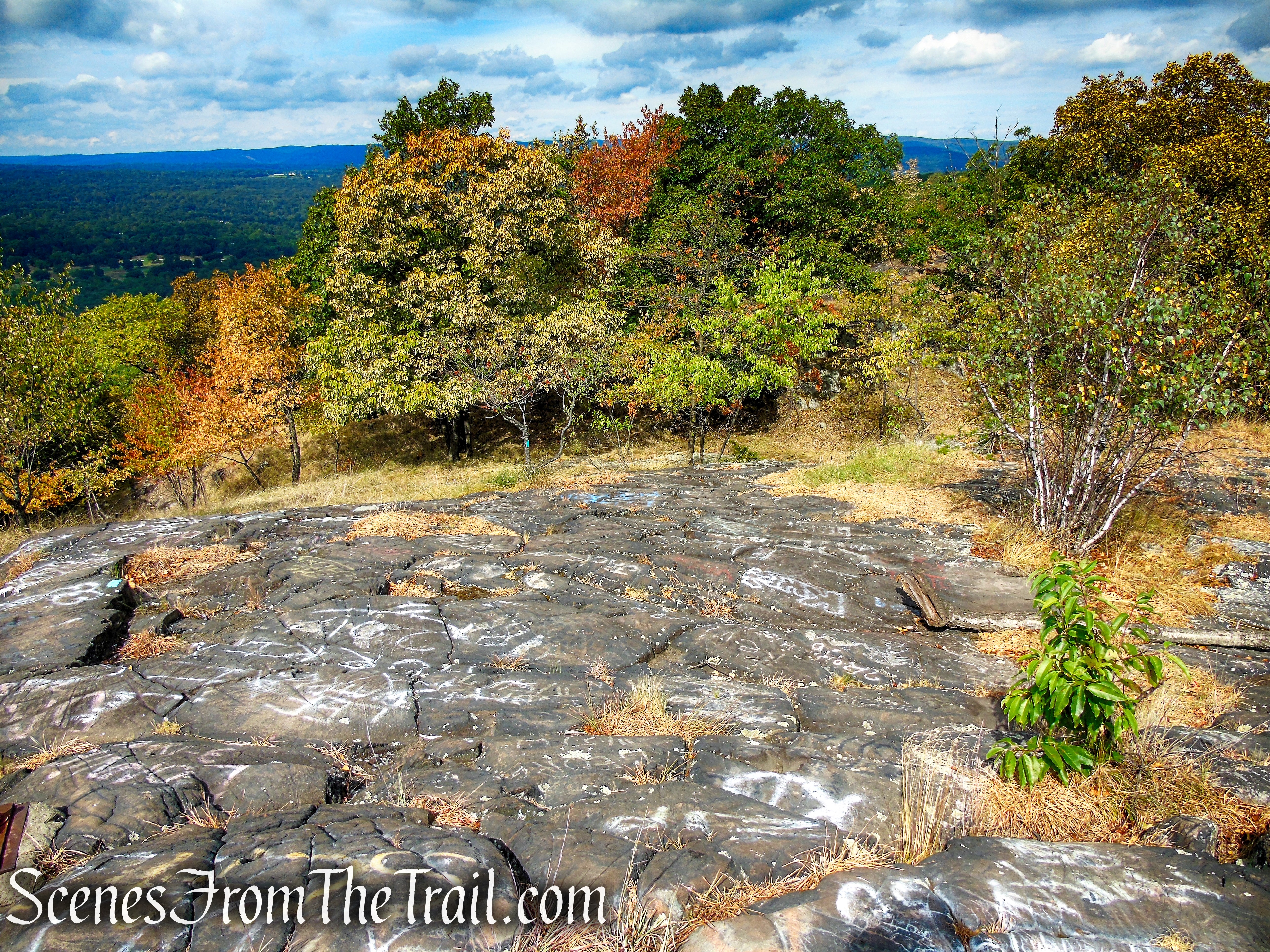
If you look around carefully, you’ll see some very old graffiti carved into the craggy rock at the summit.

High Tor summit
During World War II, an aircraft beacon was located on the summit, and the anchors of the beacon are still visible today.

High Tor summit
Looking west over Rockland County and into New Jersey.
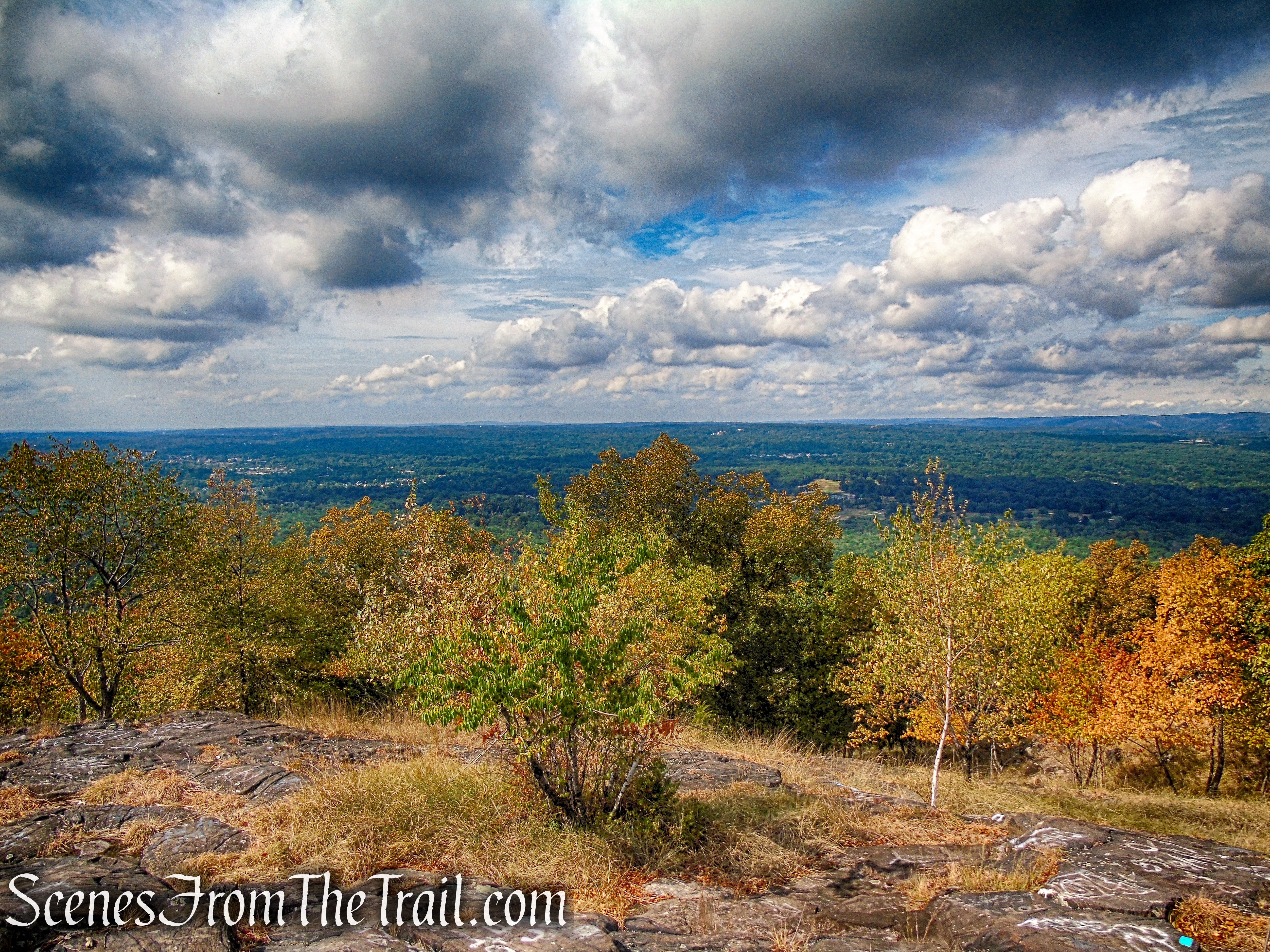
View west – High Tor summit
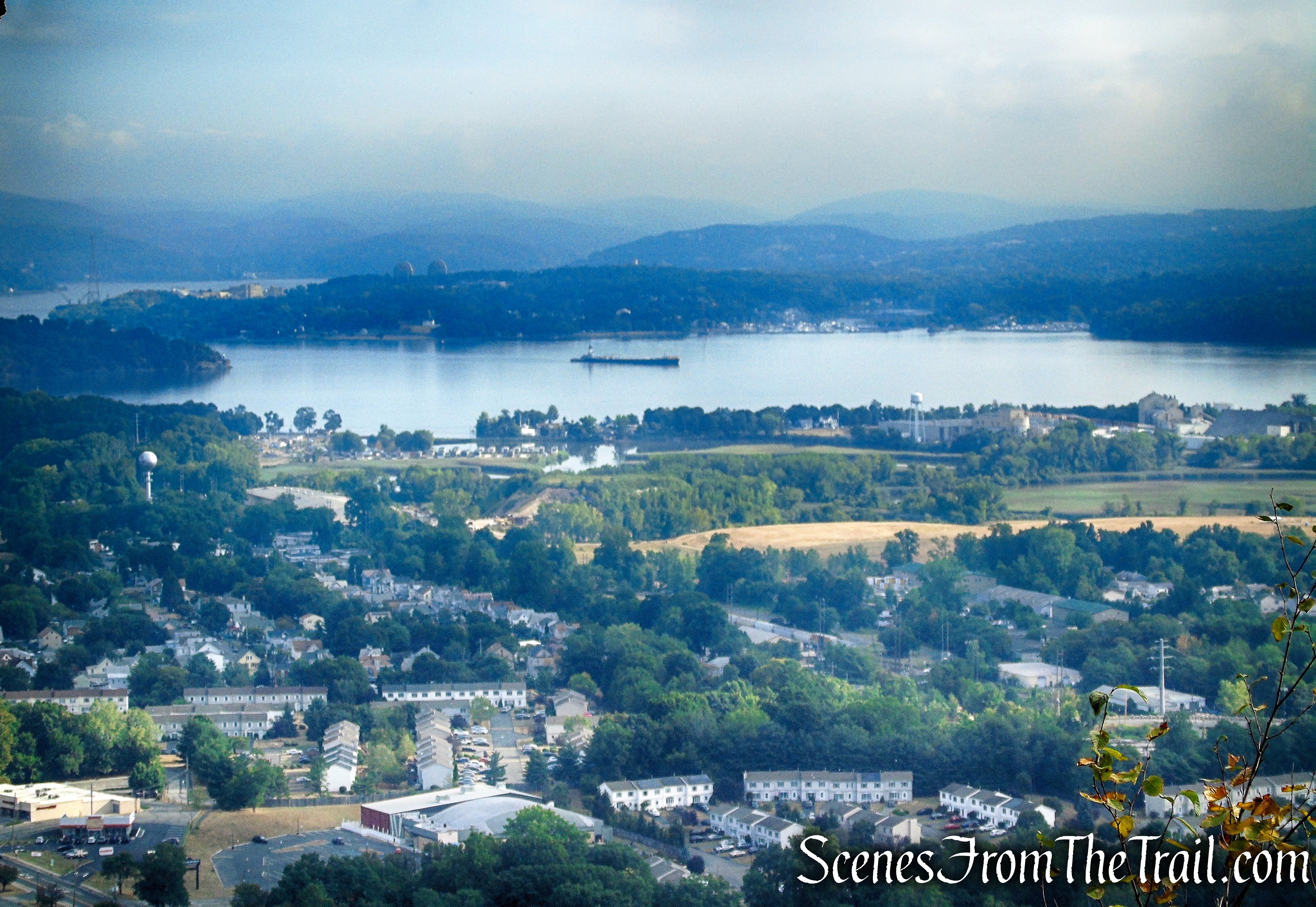
Looking southeast down the Hudson River. The land mass jutting into the river, across the way is Croton Point Park.

View southeast – High Tor summit
A zoomed in view of DeForest Lake with the NYC skyline visible at its southern end, far in the distance.
DeForest Lake from High Tor summit
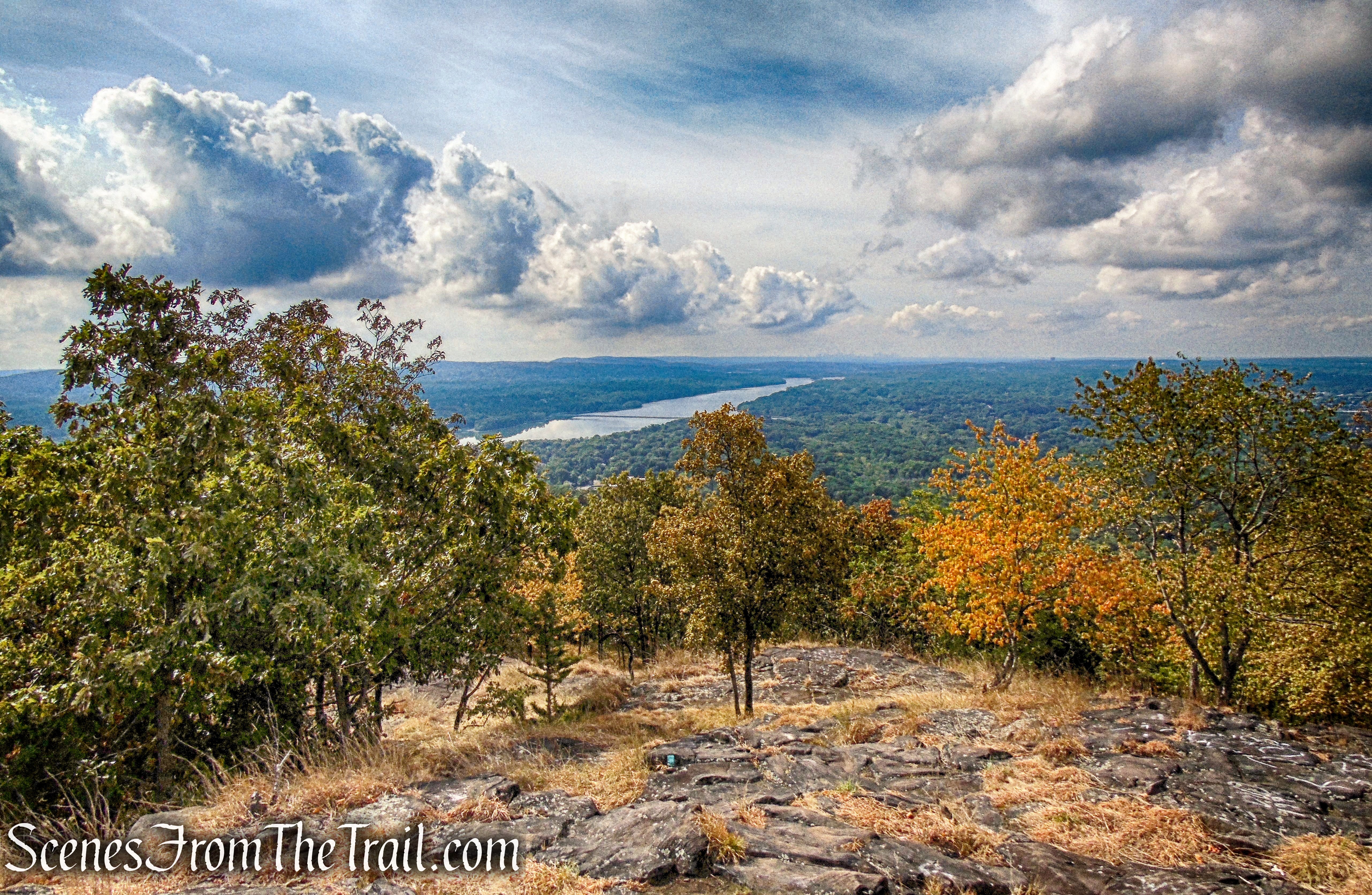
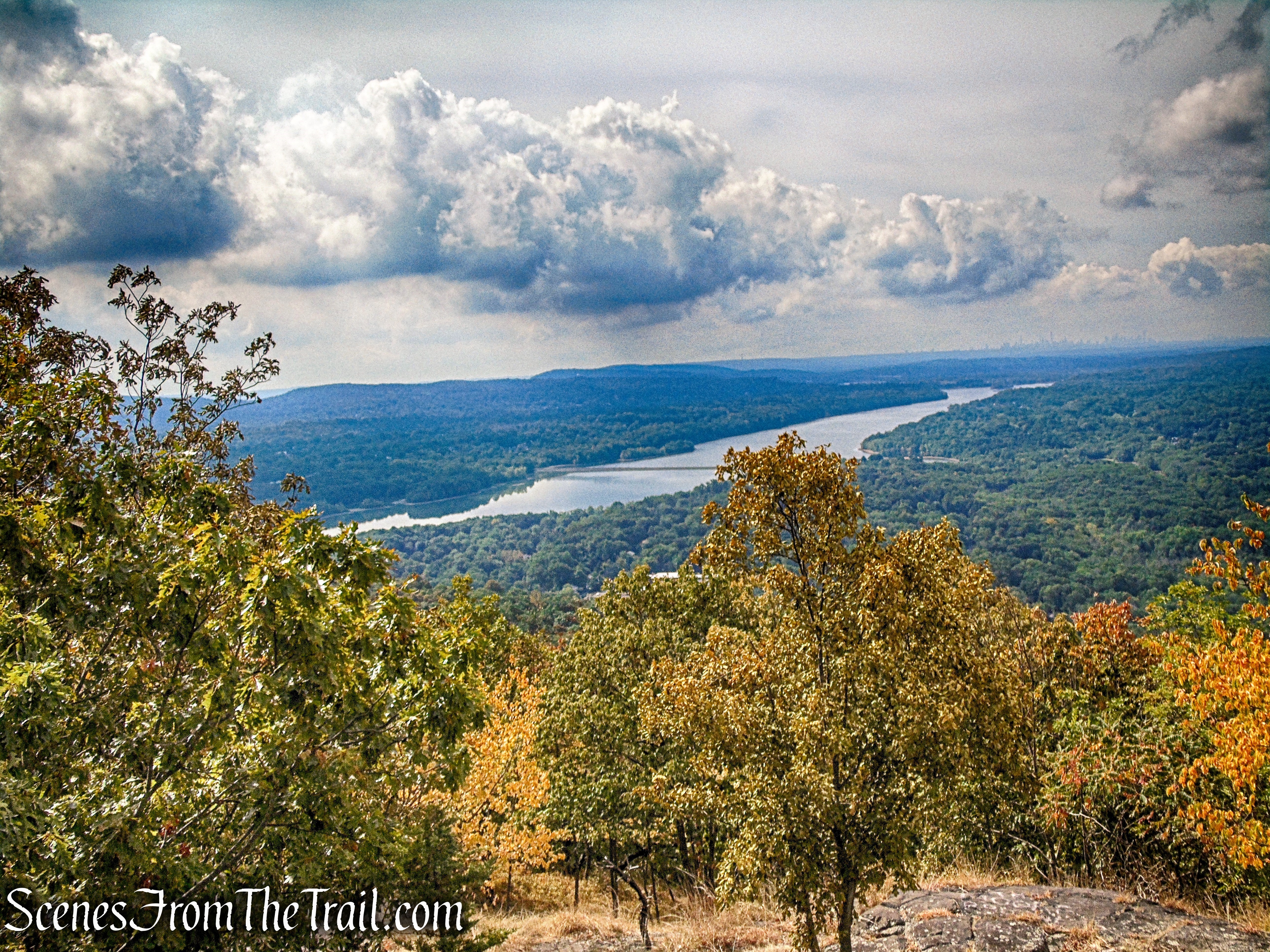
Looking northeast up the Hudson River towards Peekskill and the southern gate of the Hudson Highlands.
View northeast – High Tor summit
View northeast – High Tor summit
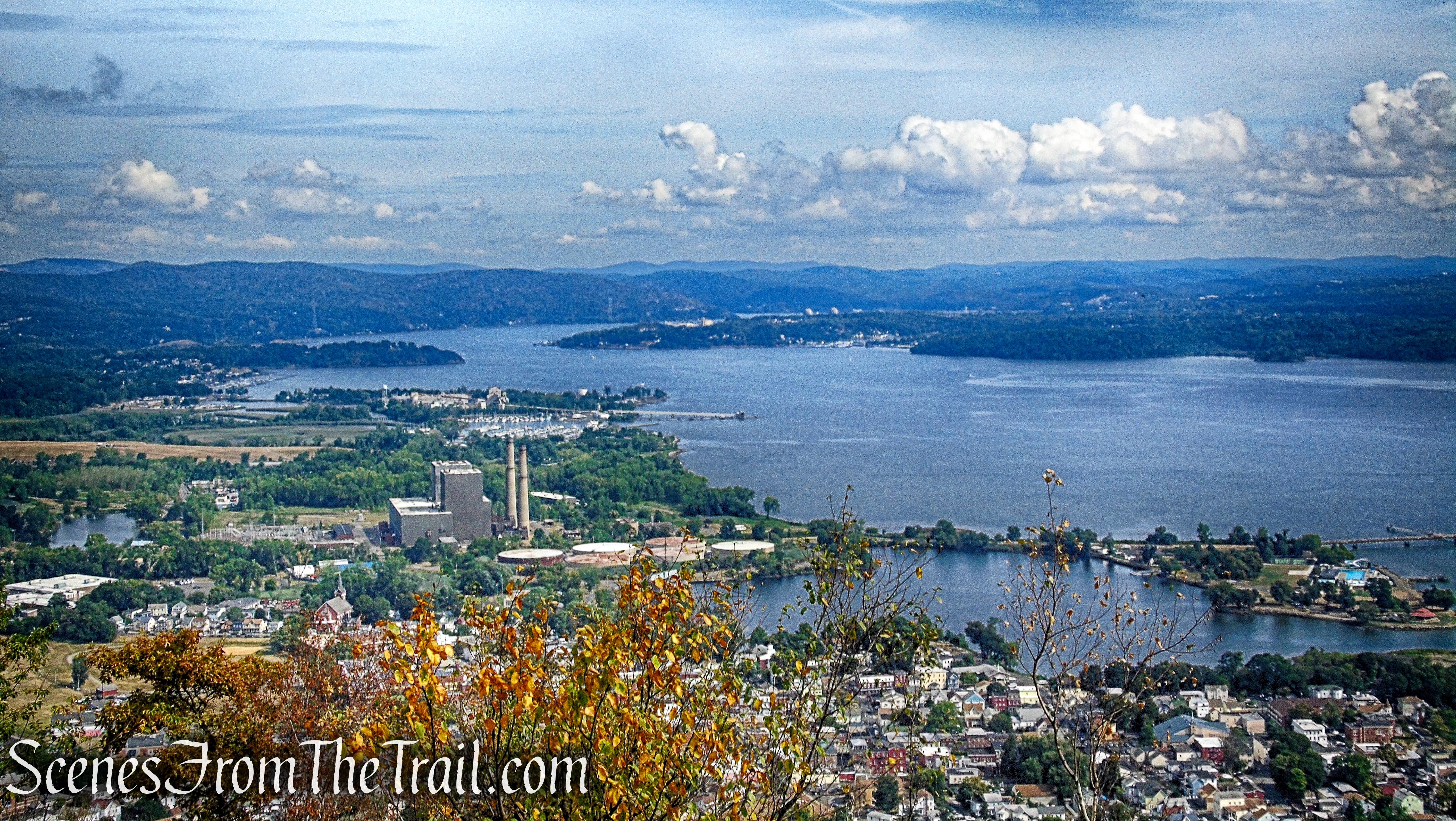
Down below, the Bowline Point Thermal Power Plant’s smokestacks (center) and Haverstraw Bay.
View northeast – High Tor summit
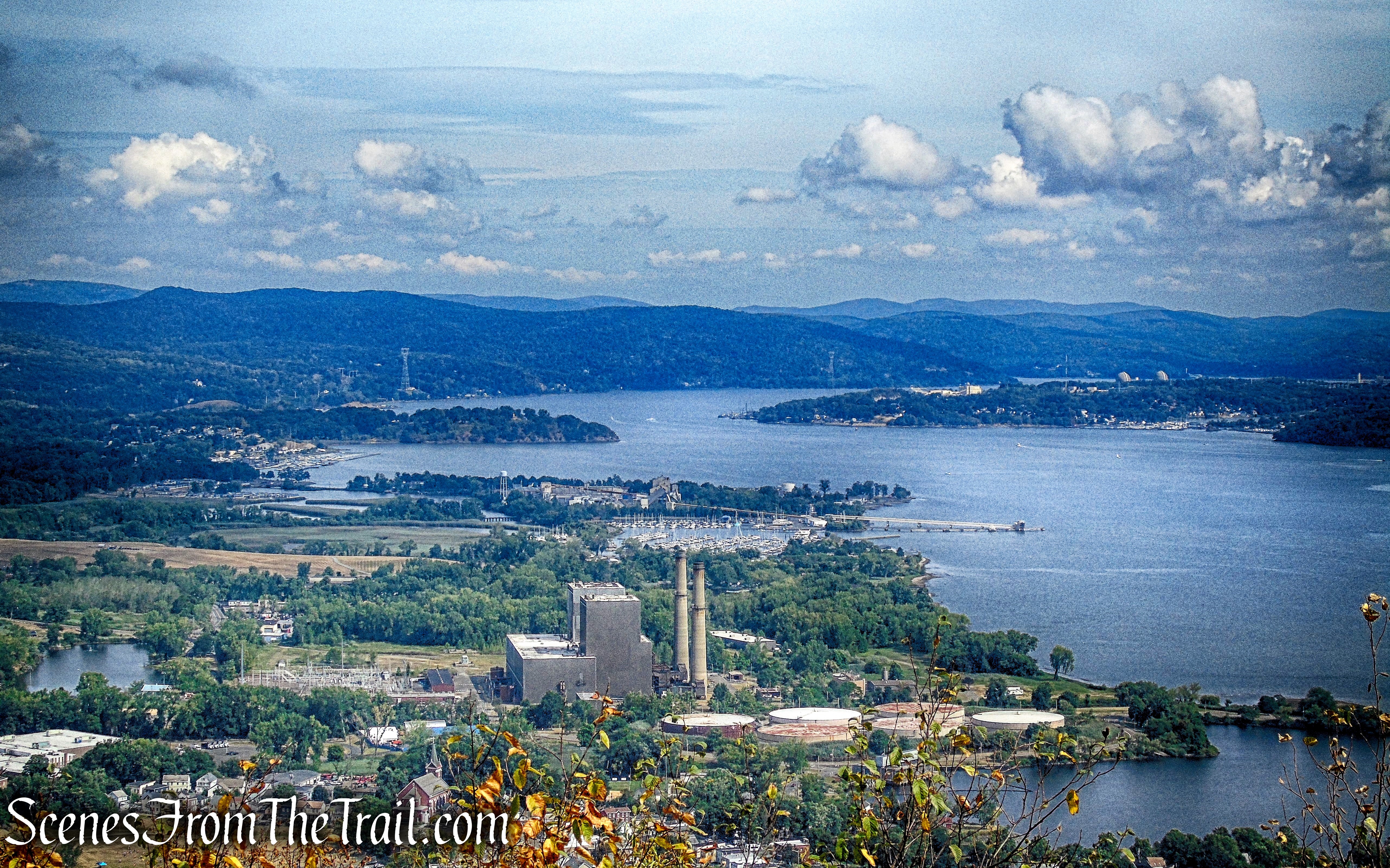
A zoomed in view towards Peekskill. The Indian Point nuclear power plant is visible (center right), with the Hudson Highlands just beyond.

View northeast – High Tor summit
When you are done enjoying the Hudson River Valley views, retrace your steps on the Long Path, for about 2.6 miles, back to the parking area, where the hike began. Remember, the river will now be on your right as you make your way back.
Long Path – High Tor State Park
Long Path – High Tor State Park

Long Path – High Tor State Park
Long Path – High Tor State Park
Review:
An enjoyable hike in a relatively quiet area that doesn’t get as crowded as other sections of the Hudson River Palisades. The views are outstanding and there are plenty of them. The Long Path is well marked and easy to follow. The shaded trails makes this a good hike for those hot sunny days. I highly recommend this hike, especially for those seeking a moderate hike with easy to follow trails.
Pros:
Long Path, Hudson River Valley views, the Palisades, well marked trails, no crowds, sufficient parking.
Cons:
Some road noise can be heard.
Take a hike!

High Tor State Park
Sources:
- New York-New Jersey Trail Conference
- High Tor State Park
- The Hudson River History
- Possessing High Tor Mountain
- The Grand History Of High Tor State Park
