September 11, 2022 – Newburgh, NY
Difficulty: Moderate
Length: Approximately 3.5 miles
Max elevation: 705 ft.– total elevation gain approximately 670 ft.
Route type: Circuit
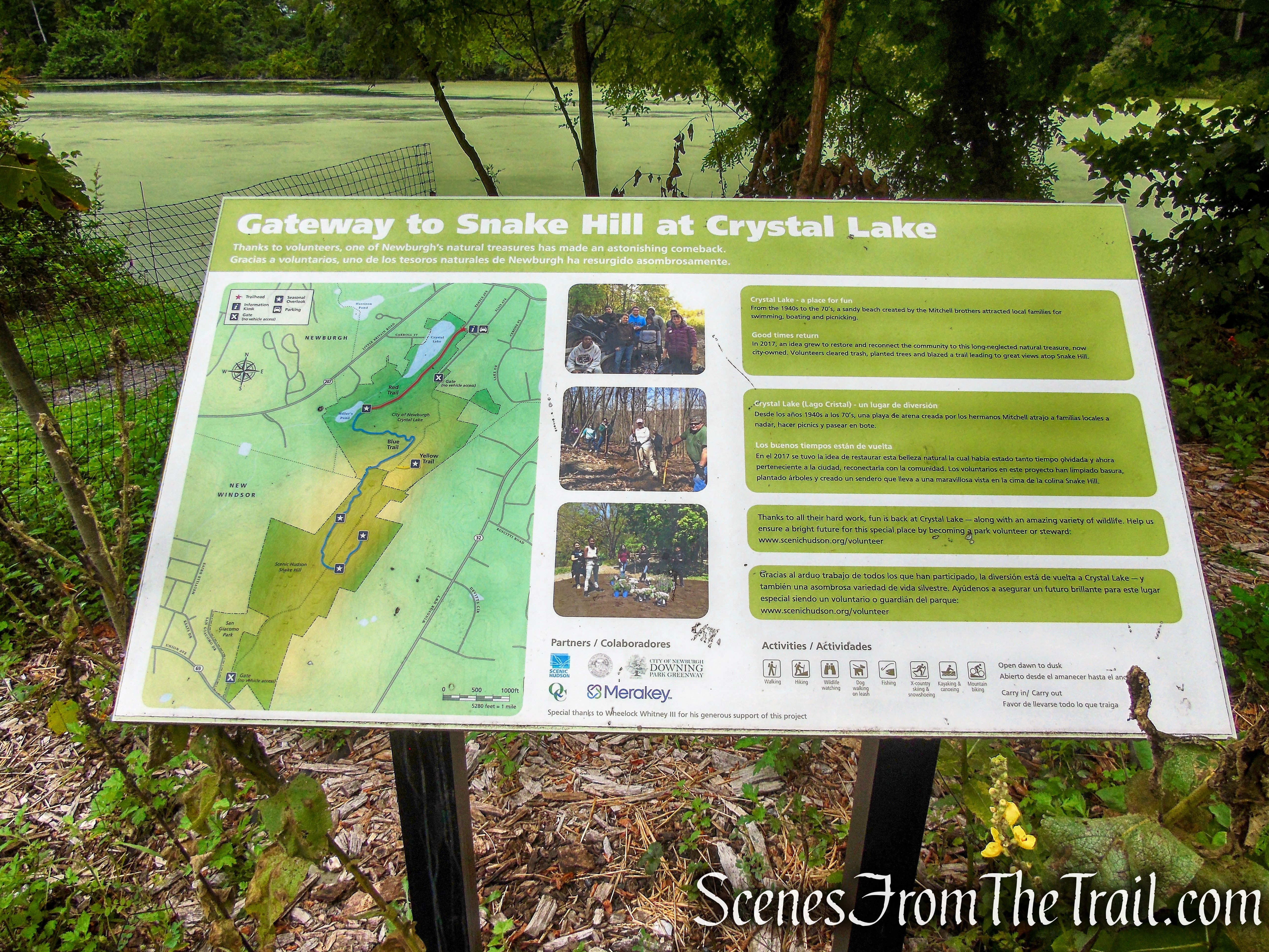
Free map: Snake Hill Trail Map 2022 – Scenic Hudson
Trailhead parking: Crystal Lake, Temple Ave. – Newburgh, NY
Parking is available for about 6-8 cars – No restrooms on site
Crystal Lake and Snake Hill are Carry-in/Carry-out areas
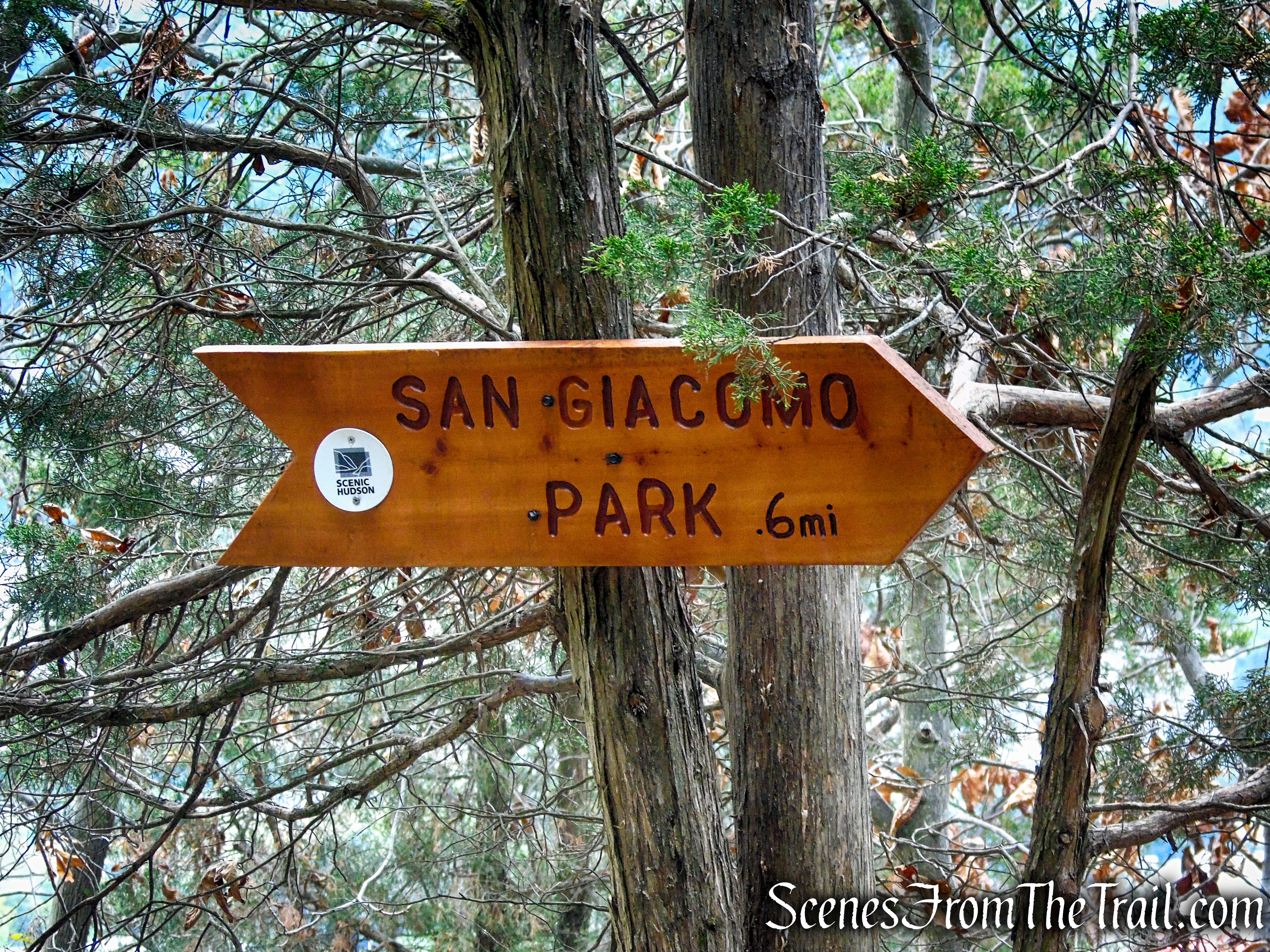
Details on a hike to Snake Hill via different a route:
Overview:
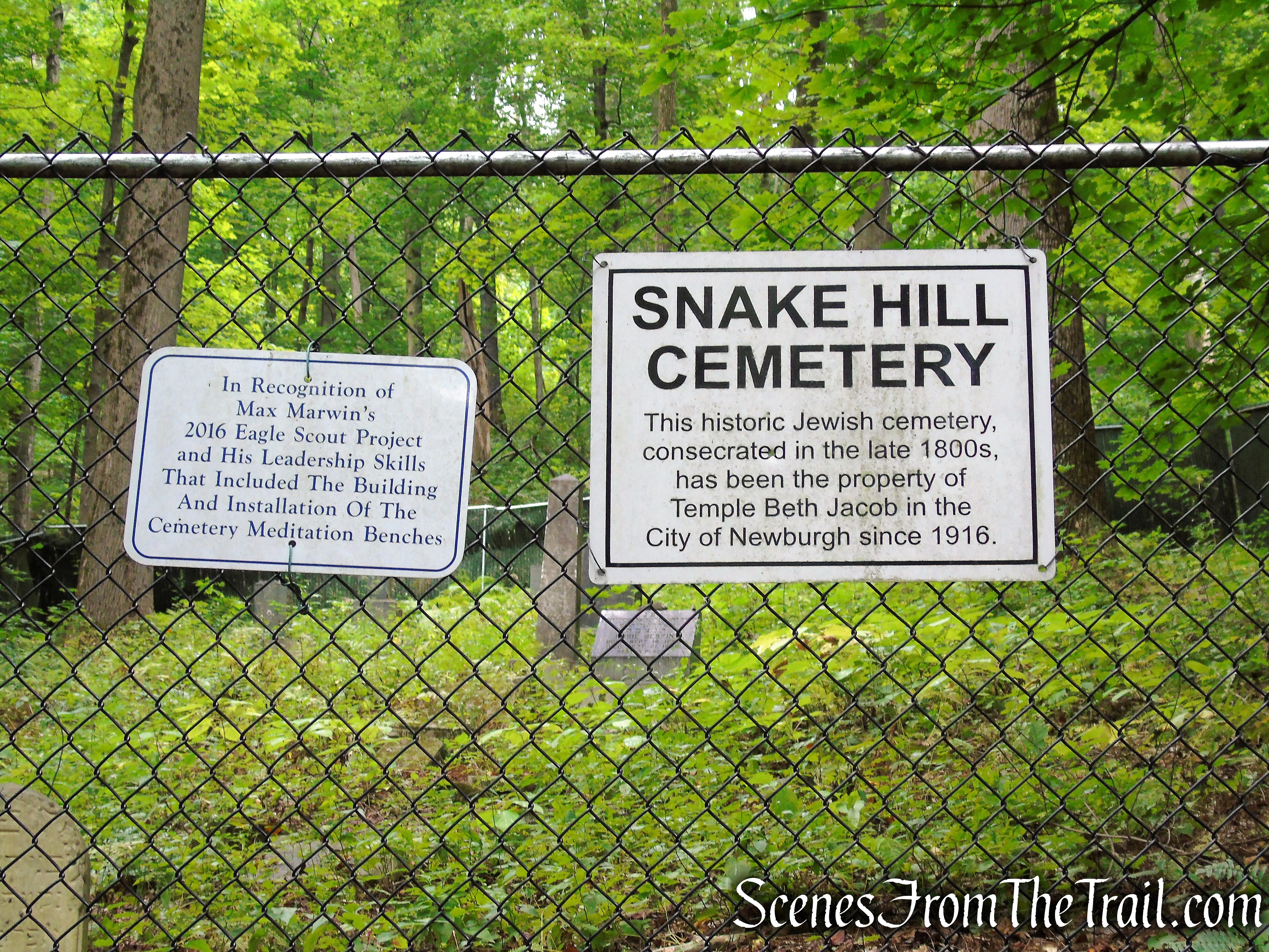
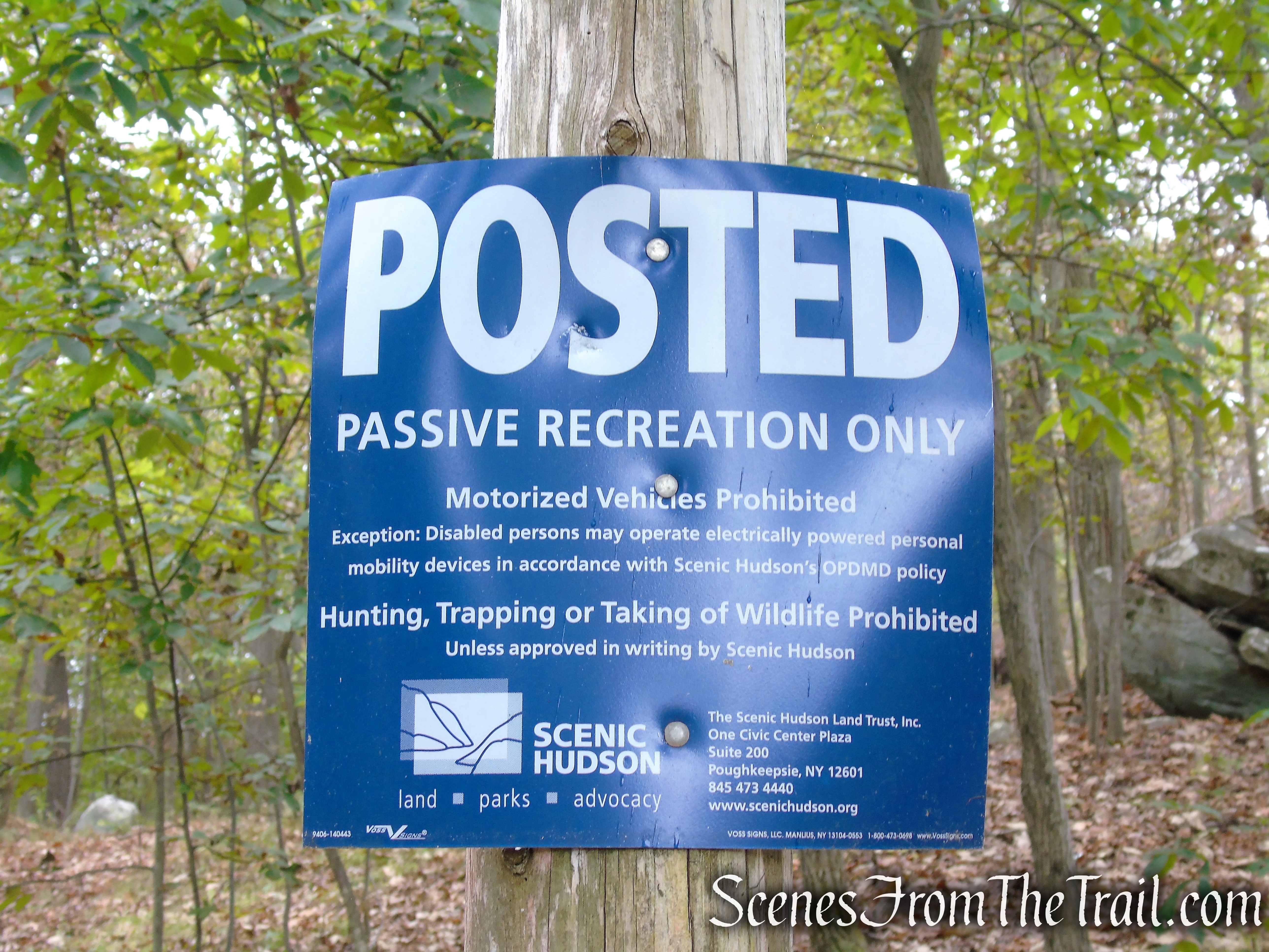
Snake Hill is a local landmark that offers sweeping views of the Hudson River and surrounding landscape from its summit. The ridgeline of Snake Hill was privately-owned until recently when ownership was transferred to Scenic Hudson, who manages the property as an unimproved nature preserve. The Hill straddles the City of Newburgh/Town of New Windsor border and is flanked on its northwestern slope by Crystal Lake, an 8-acre pond that was once the centerpiece of a public park, and the smaller Miller’s Pond. A small Jewish cemetery resides on the western slope of the Hill. Aside from Scenic Hudson’s parcel, the ownership of these three resources is predominantly municipal.
Snake Hill rises 700 feet above the Hudson River and is the highest elevation along Newburgh’s boundary with the Town of New Windsor. Snake Hill is the dominant feature of the landscape surrounding Newburgh and New Windsor.
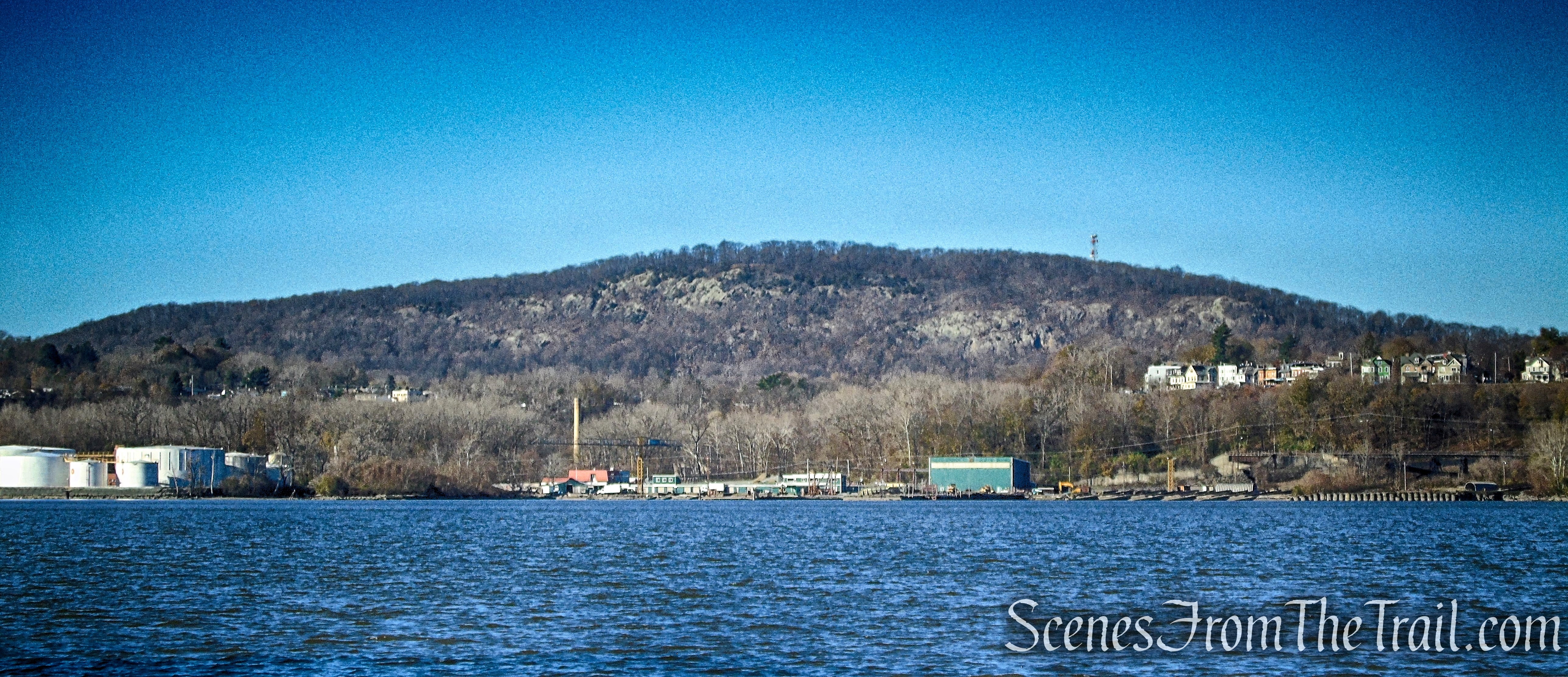
Snake Hill as viewed from Denning’s Point – 2022
Snake Hill as viewed from Mount Beacon – 2016
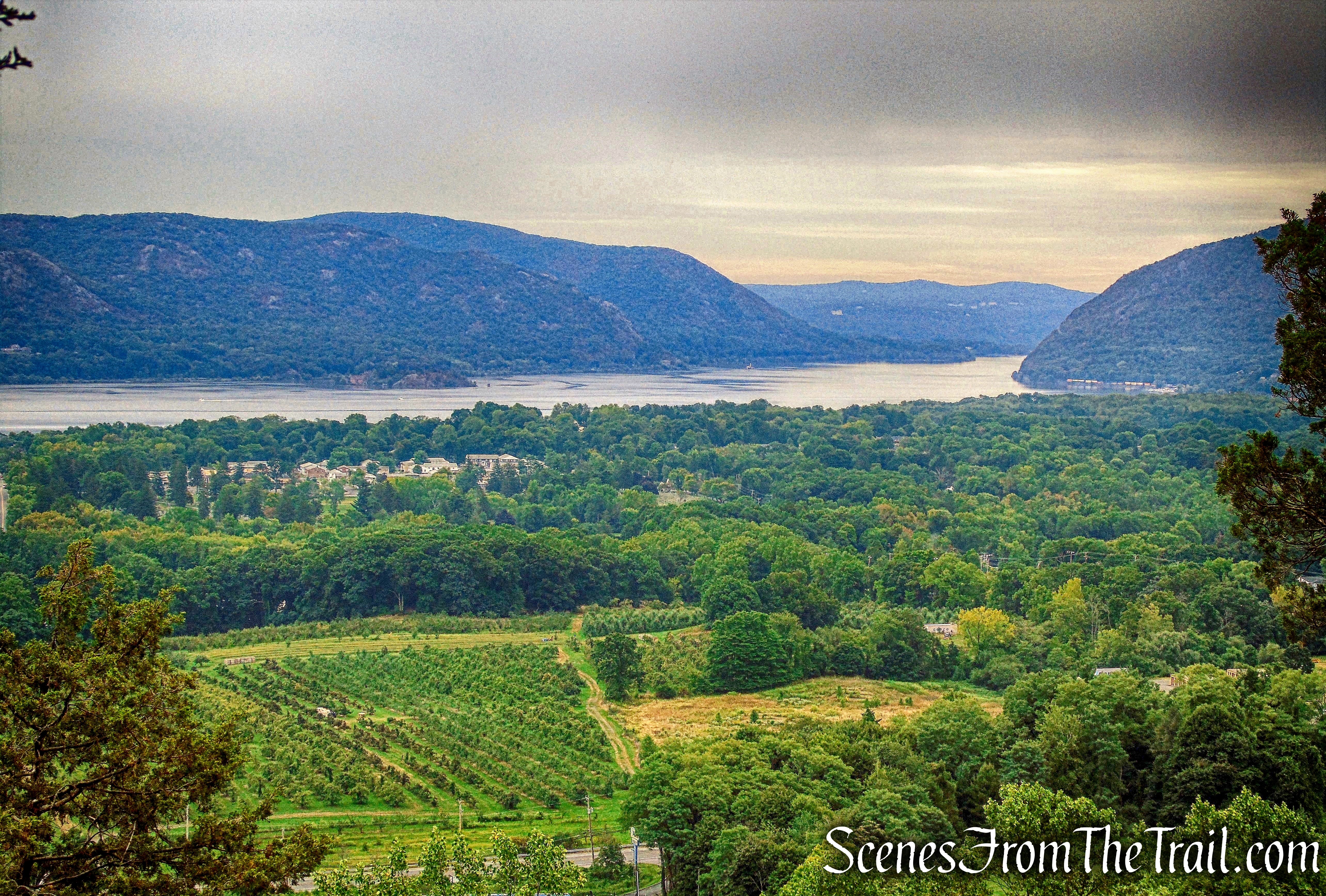
It drops off precipitously to the east, giving unobstructed views of the Hudson River, the East Hudson Highlands, the cities of Newburgh and New Windsor, Pollepel Island to the southeast, and Storm King Mountain to the south.

Blue Trail benches – Snake Hill
History:
Once named Muchattoes Hill (Much-Hattoos, Much-Hattoes), which loosely translated means bad or evil small hill. In local nomenclature the hill has long been known as Snake Hill from the abundance of rattlesnakes that inhabited it, though few have been seen there in recent years.
At the summit of Snake Hill there is a rock outcrop referred to as “Spy Rock.” According to the Historical Society of Newburgh Bay and the Highlands, “Legends say local Indians and then colonial militia used the high point to watch activity on the Hudson.”

Blue Trail benches – Snake Hill
During the American Revolution, patriots kept a signal fire in readiness atop Snake Hill to warn surrounding communities of a British invasion upriver.
Although the land didn’t face any threat of development, Scenic Hudson felt it was worth permanently protecting and the opportunity to do so arose. Scenic Hudson paid $1.06 million for 95 acres, comprising the bulk of Snake Hill, in 2004.
The trails were built from 2017-2018 (finished in spring of 2018) by Scenic Hudson and volunteers. Scenic Hudson maintains the trails, again with volunteer help.
Thanks to Reed Sparling, Writer and Scenic Hudson Historian for providing the information on its history.
Trails Overview:
There are three marked trails on the map and a paved road that cuts through the center of the property. There are also some unmarked “social” trails as well. The official trails are well marked and relatively easy to follow, although they can use an extra blaze or two at a couple of turns.
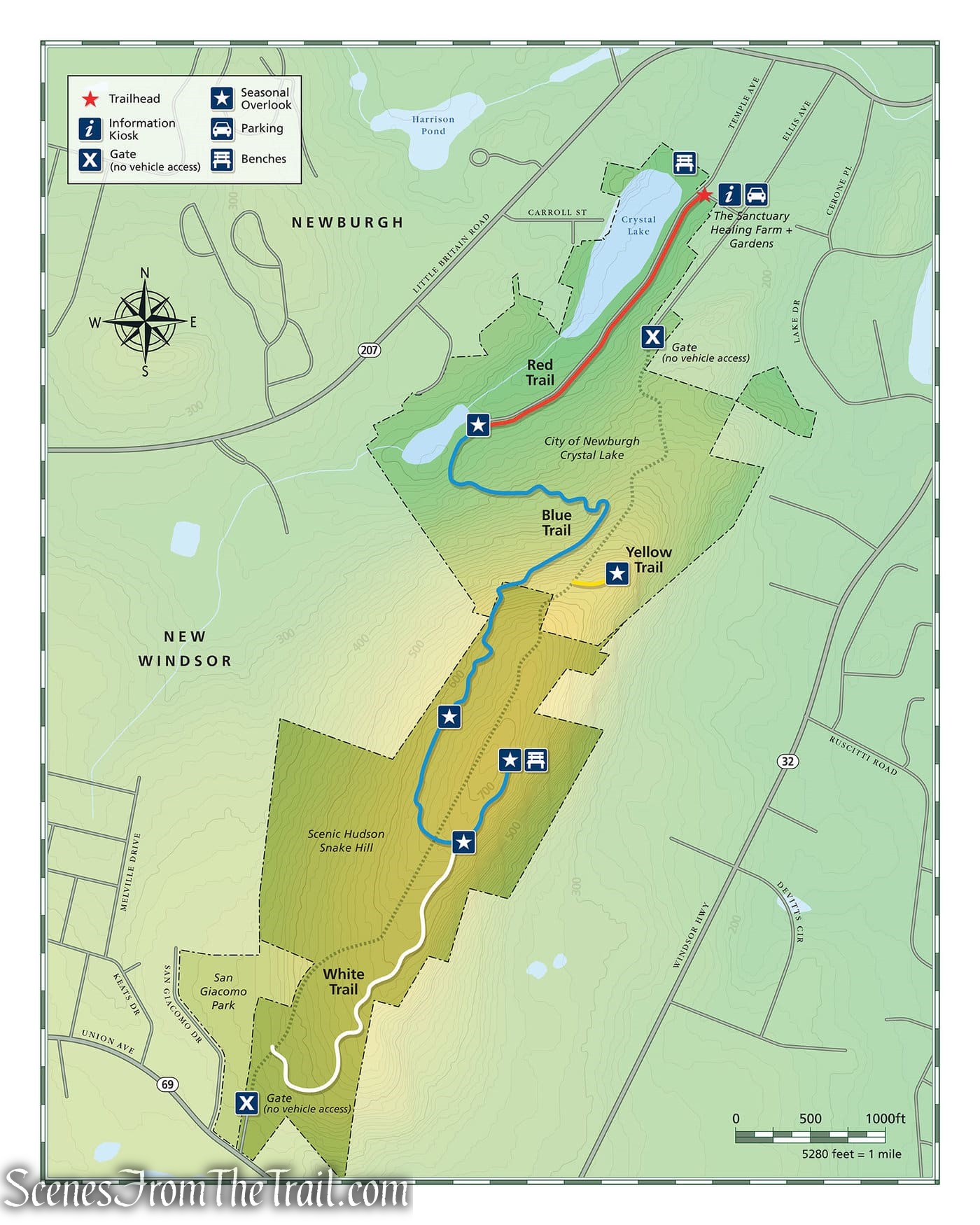
Snake Hill Trail Map – 2022
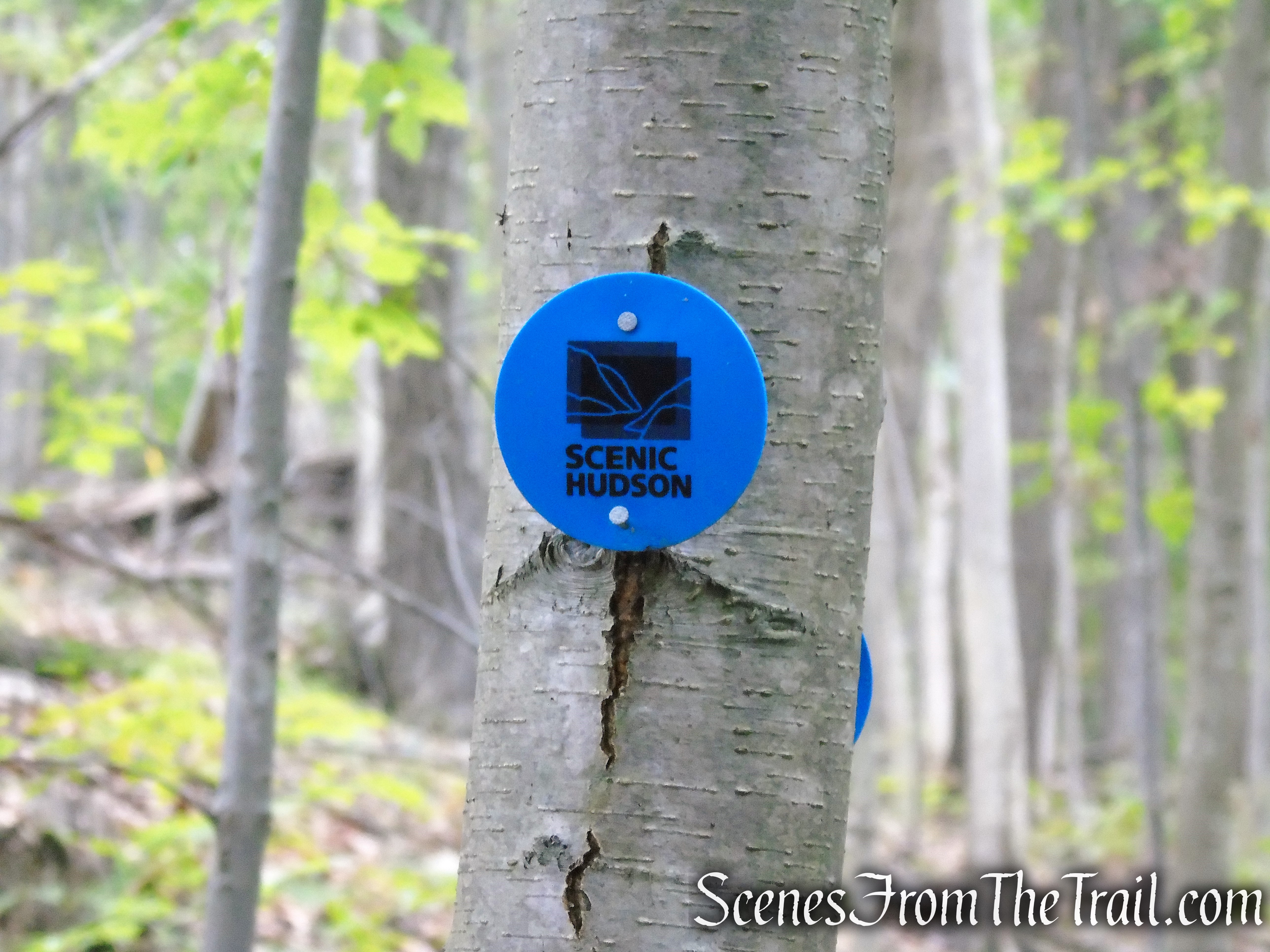
The trails are marked with Scenic Hudson round plastic discs in various colors.
Snake Hill – Scenic Hudson
The Yellow Trail, travels through the City of Newburgh property and is marked with painted rectangular blazes. The Scenic Hudson trail map only shows the spur that leads to the view.
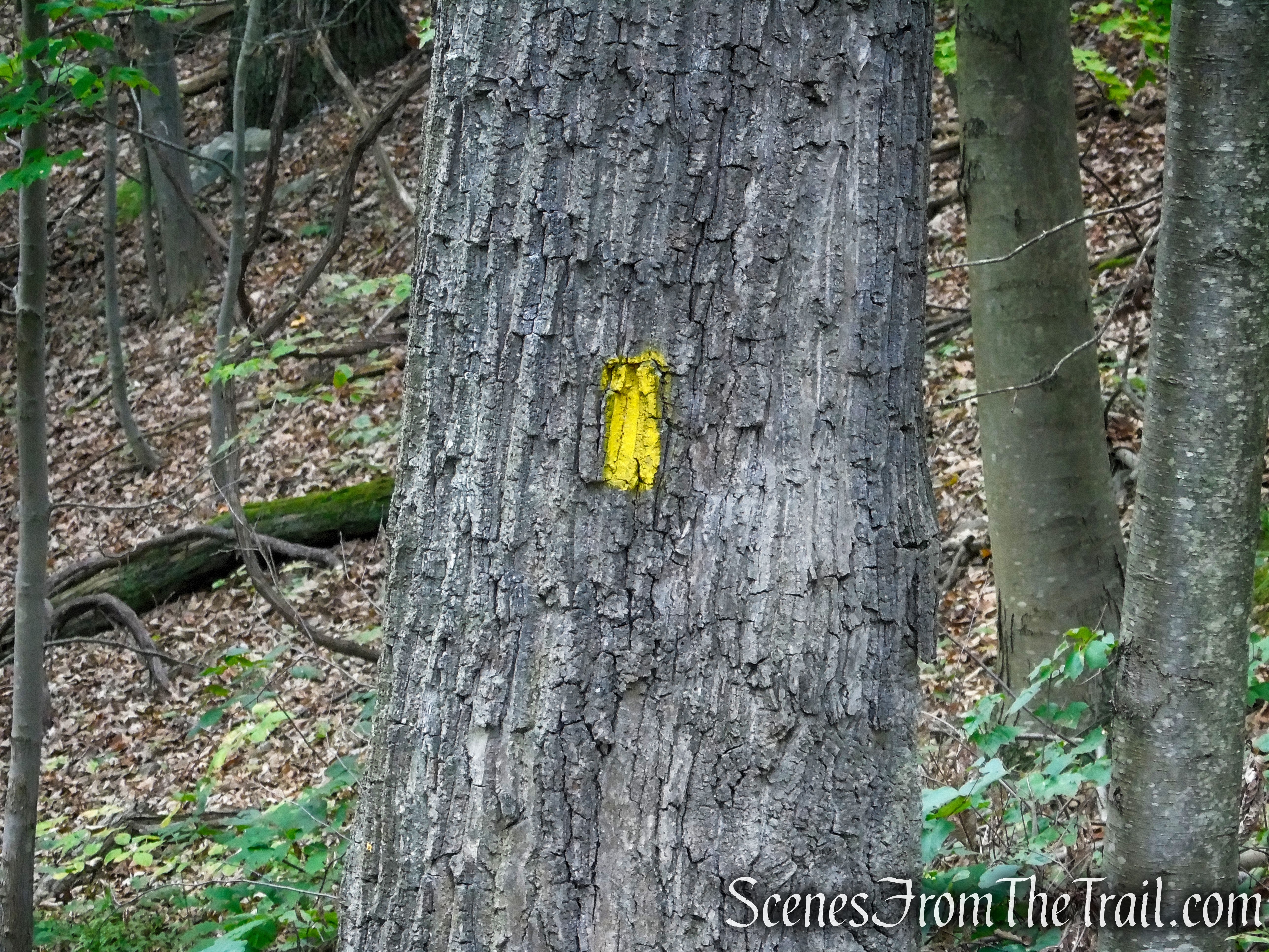
Yellow Trail – Snake Hill
Hike Overview:
I have been seeing images posted on social media of the marvelous views from Snake Hill for a few years. Since there is extremely limited information online about the trails, and no trail map available until recently, it remained a hidden gem. Then I came across a Facebook post about Snake Hill from Scenic Hudson. I requested a trail map and they added one on their website. That made it an easy choice for a visit.
On the day that we hiked Snake Hill, it was overcast and rain was predicted. A few drops fell on us that day, but not enough to take away from the enjoyment of the hike. We drove almost one hour from the Lower Hudson Valley and it was well worth it. The allure of the wide-ranging views from Snake Hill is that I got to see a lot of the Hudson Highlands that I have previously hiked.
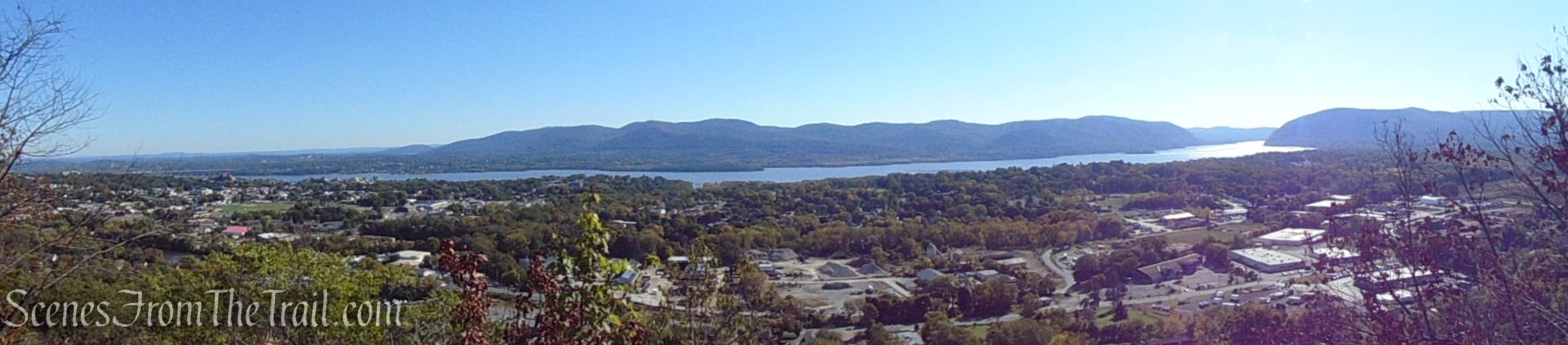
Panoramic view from Snake Hill
This loop hike is on the lower end of the “moderate” scale. There are certain steep areas on the Blue Trail, but for the most part, the Blue Trail climbs Snake Hill gradually. The Yellow Trail descends steeply in parts, but mostly on a paved road.
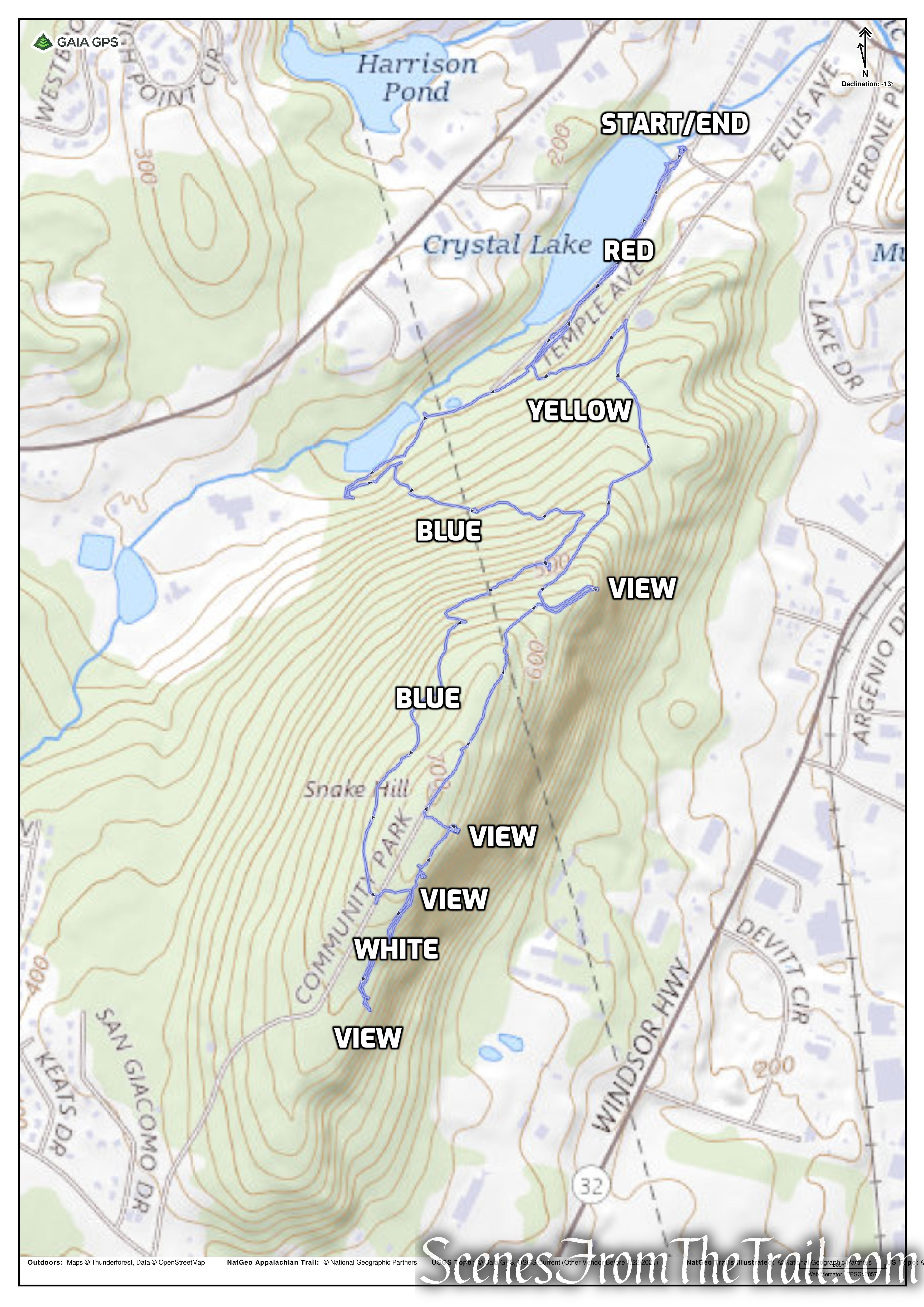
Snake Hill Loop

elevation profile – Snake Hill Loop
The Hike:
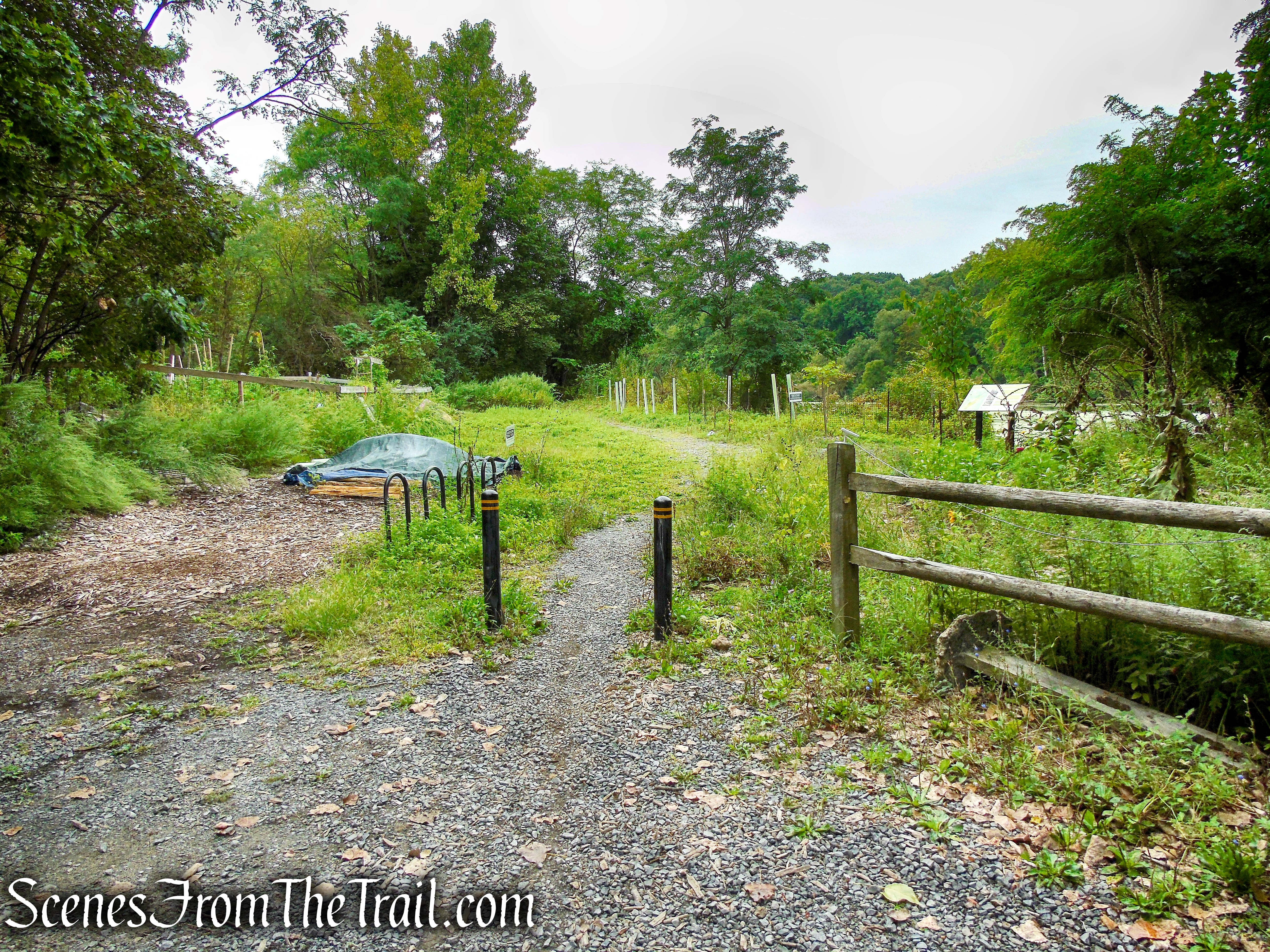
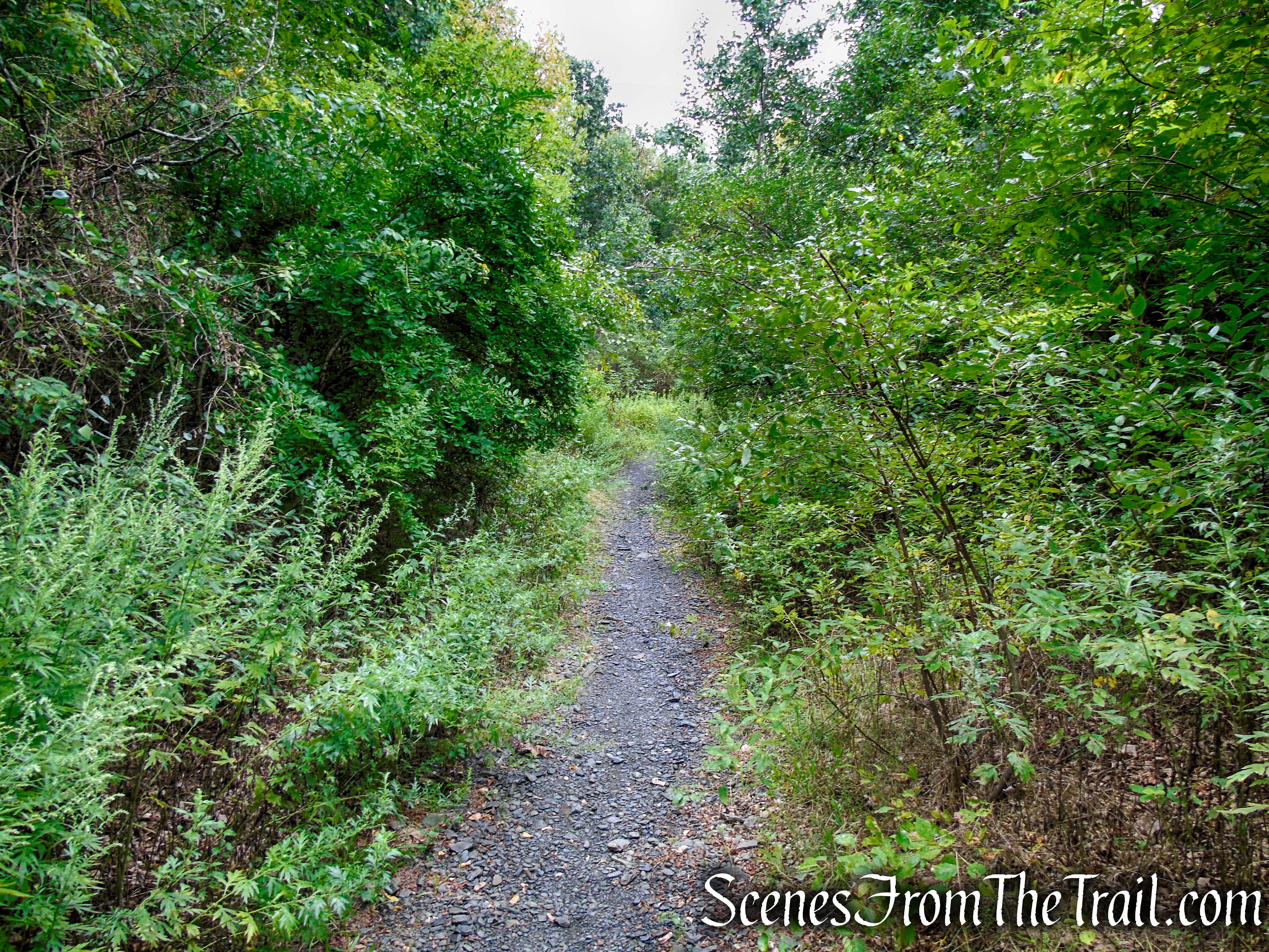
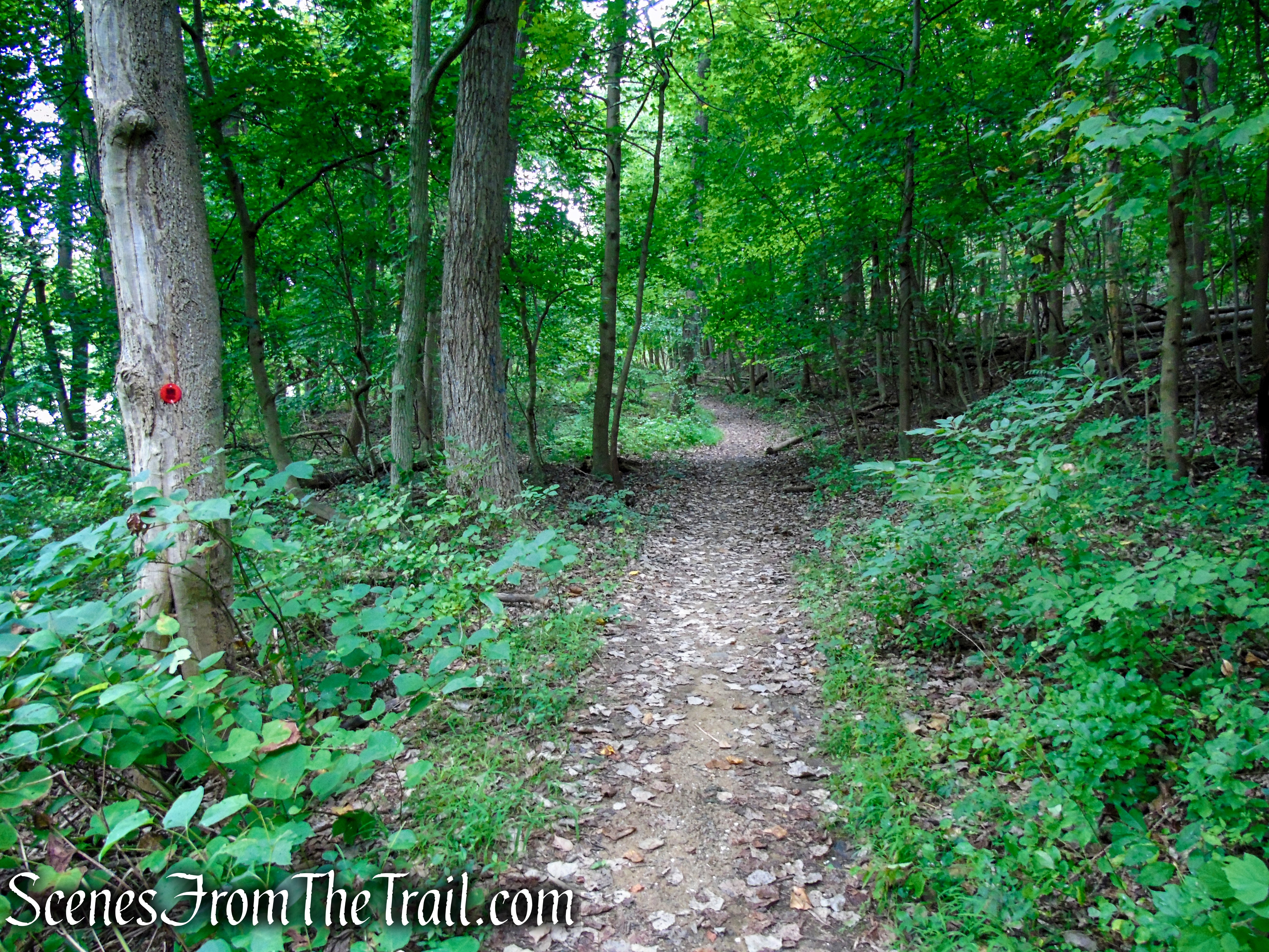
This hike begins at the Crystal Lake Trailhead where there is a small lot with room for about 5-6 vehicles. The Red Trail begins just past the split rail fence and bollards. I did not notice any red markers at the start, but they do appear a little farther in. The Red Trail runs along the eastern shore of Crystal Lake, which on the day that we visited, was covered with Blue-green algae.
Red Trail – Snake Hill
Crystal Lake
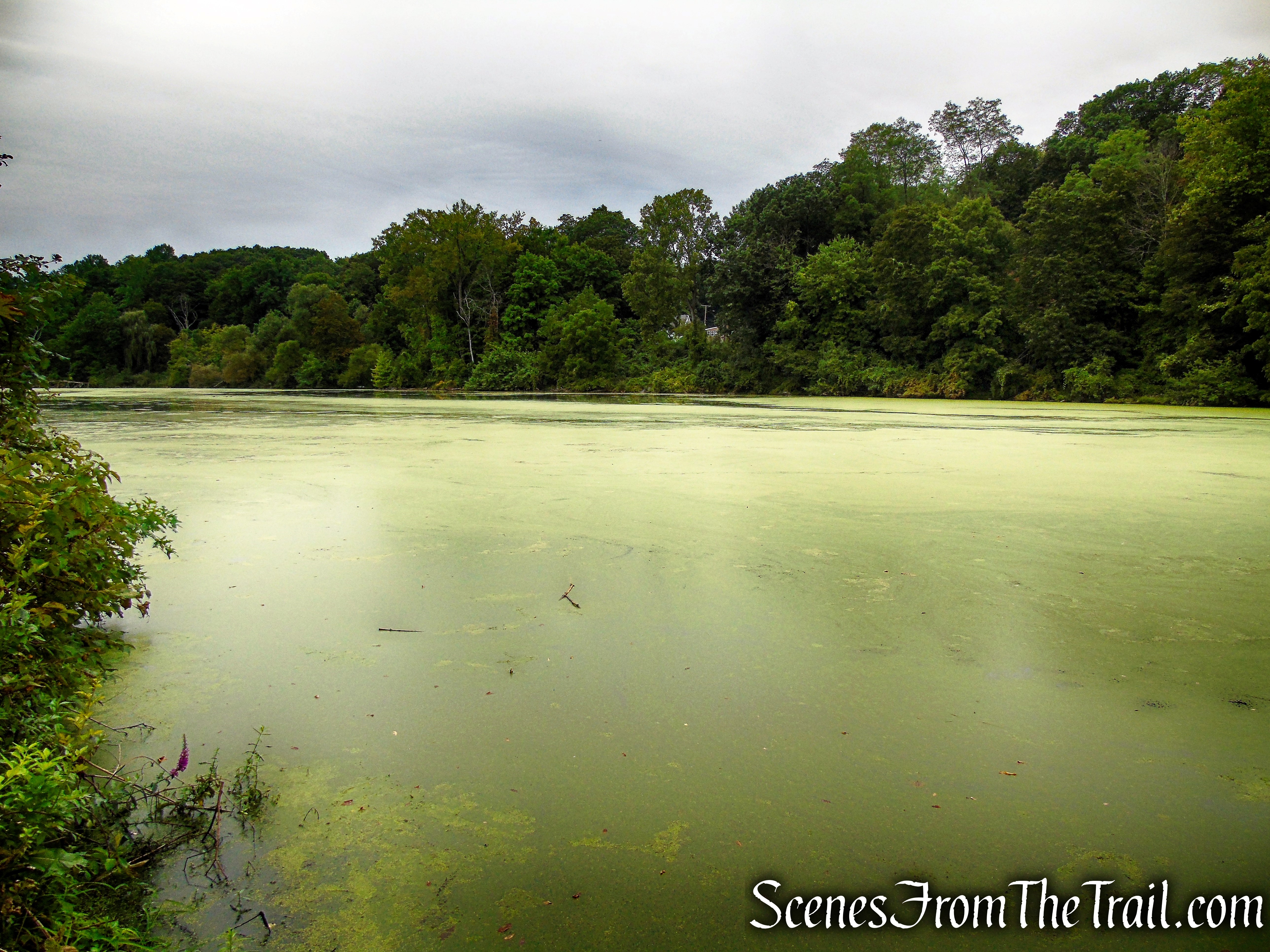
Crystal Lake
Community Garden at Crystal Lake.
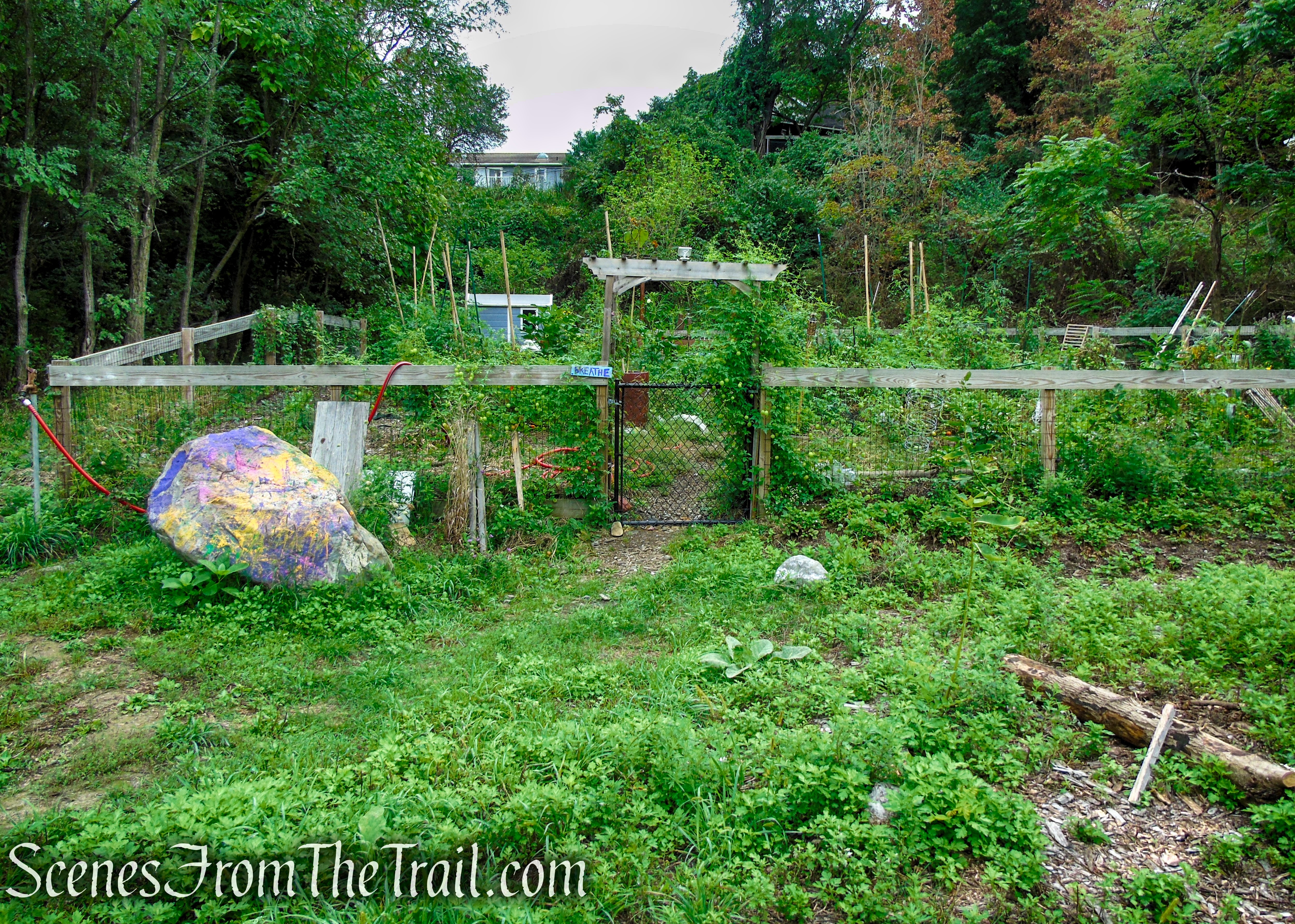
Community Garden – Crystal Lake
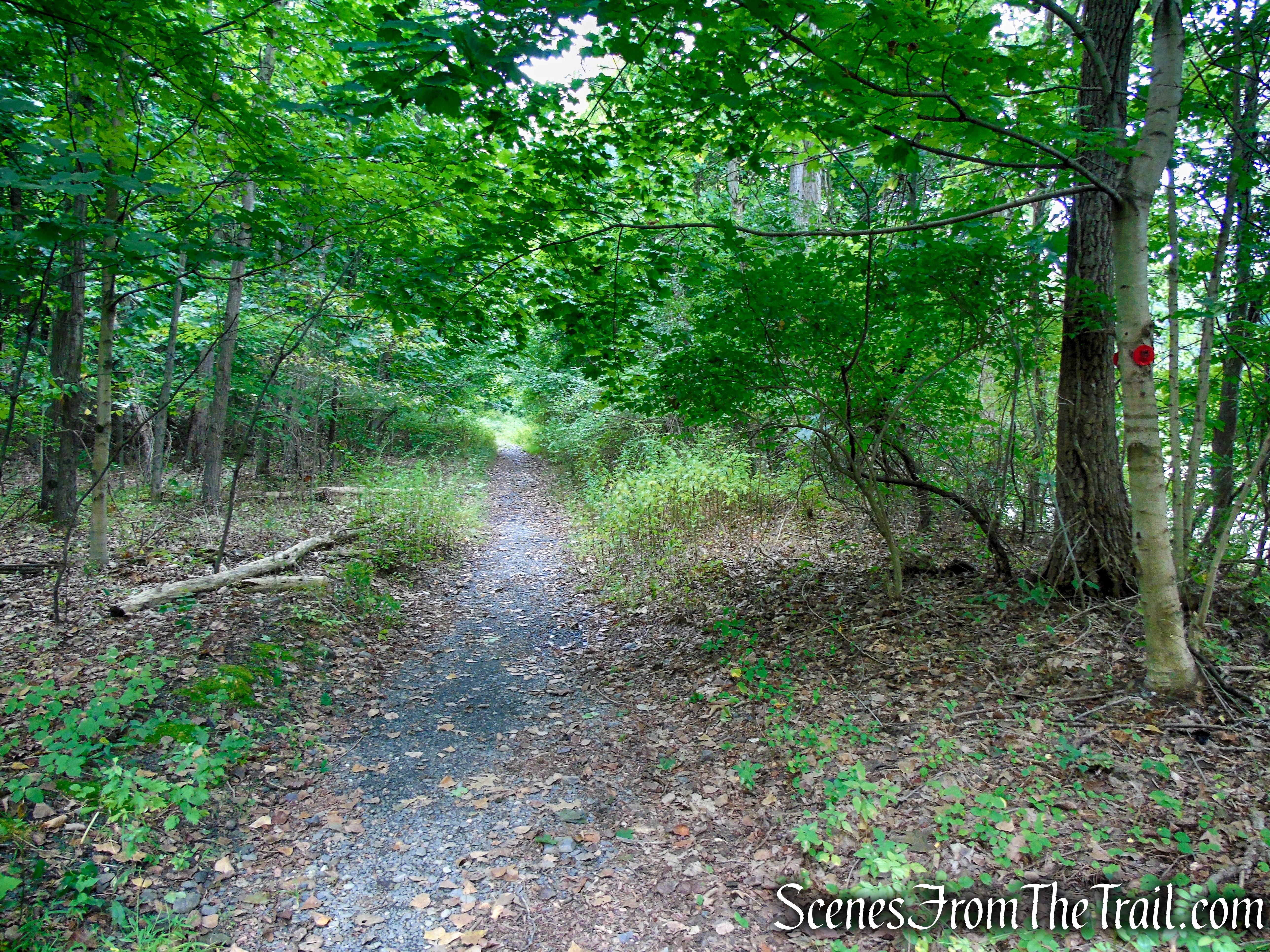
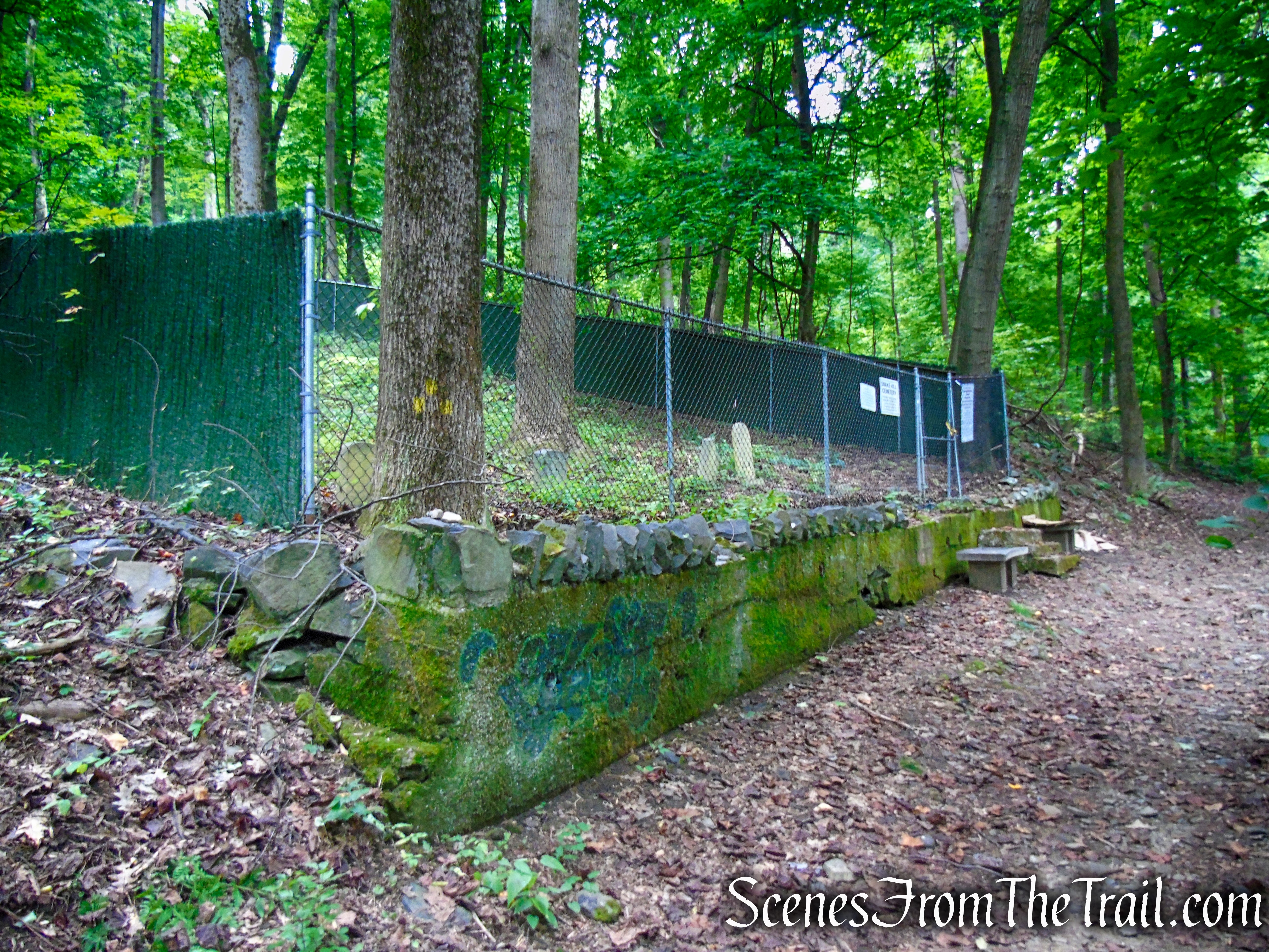
Continue on the Red Trail and you should start seeing the plastic round markers on the trees. In about 0.3-mile, the Red Trail reaches Snake Hill Cemetery, a Jewish graveyard that dates back to the 1800’s.
Red Trail – Snake Hill
Red Trail – Snake Hill
Red Trail – Snake Hill

Red Trail – Snake Hill
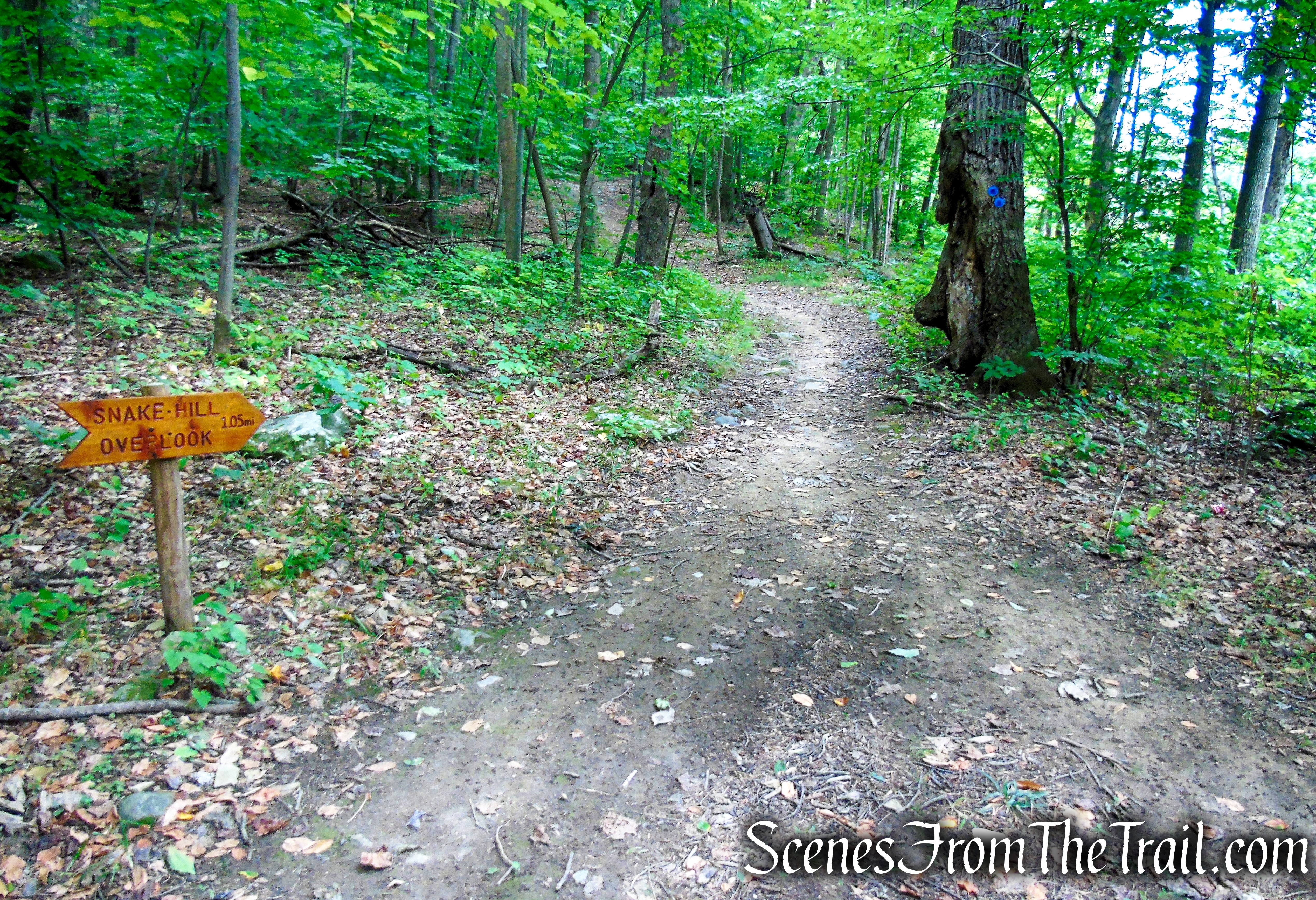
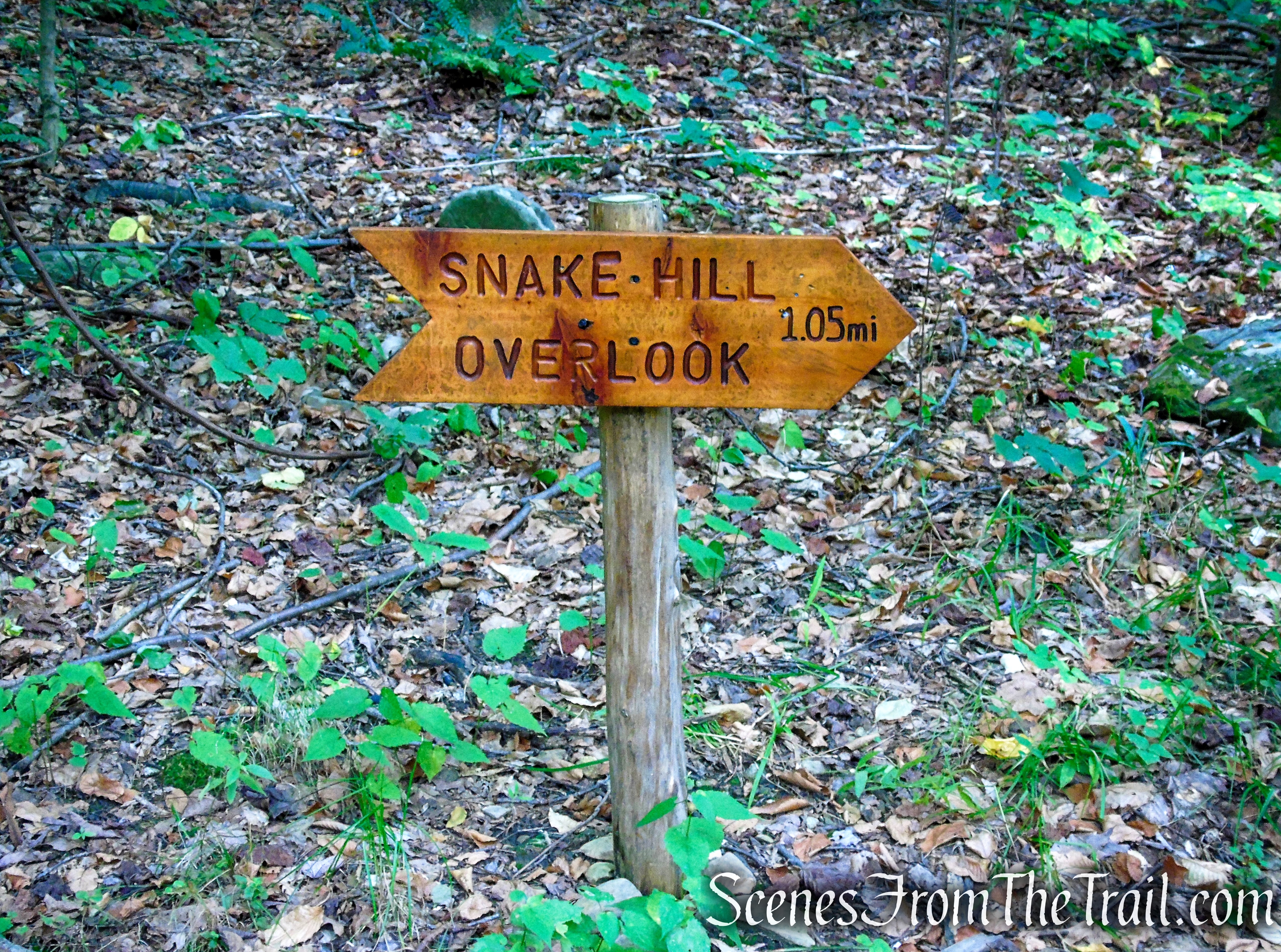
Just to the left of the cemetery on a tree, are three faded yellow blazes marking the start of the Yellow Trail. That will be your return route, but for now, continue ahead on the Red Trail. In about another 250 yards, the Red Trail ends at a junction with the Blue Trail right at the northeast end of Miller’s Pond, which is completely covered in Blue-green algae.
Snake Hill Cemetery

Snake Hill Cemetery
Snake Hill Cemetery

Red Trail – Snake Hill
Bear left on the Blue Trail which travels on a woods road alongside Miller’s Pond which is visible through the trees on the right.
Turn left on Blue Trail
Turn left on Blue Trail
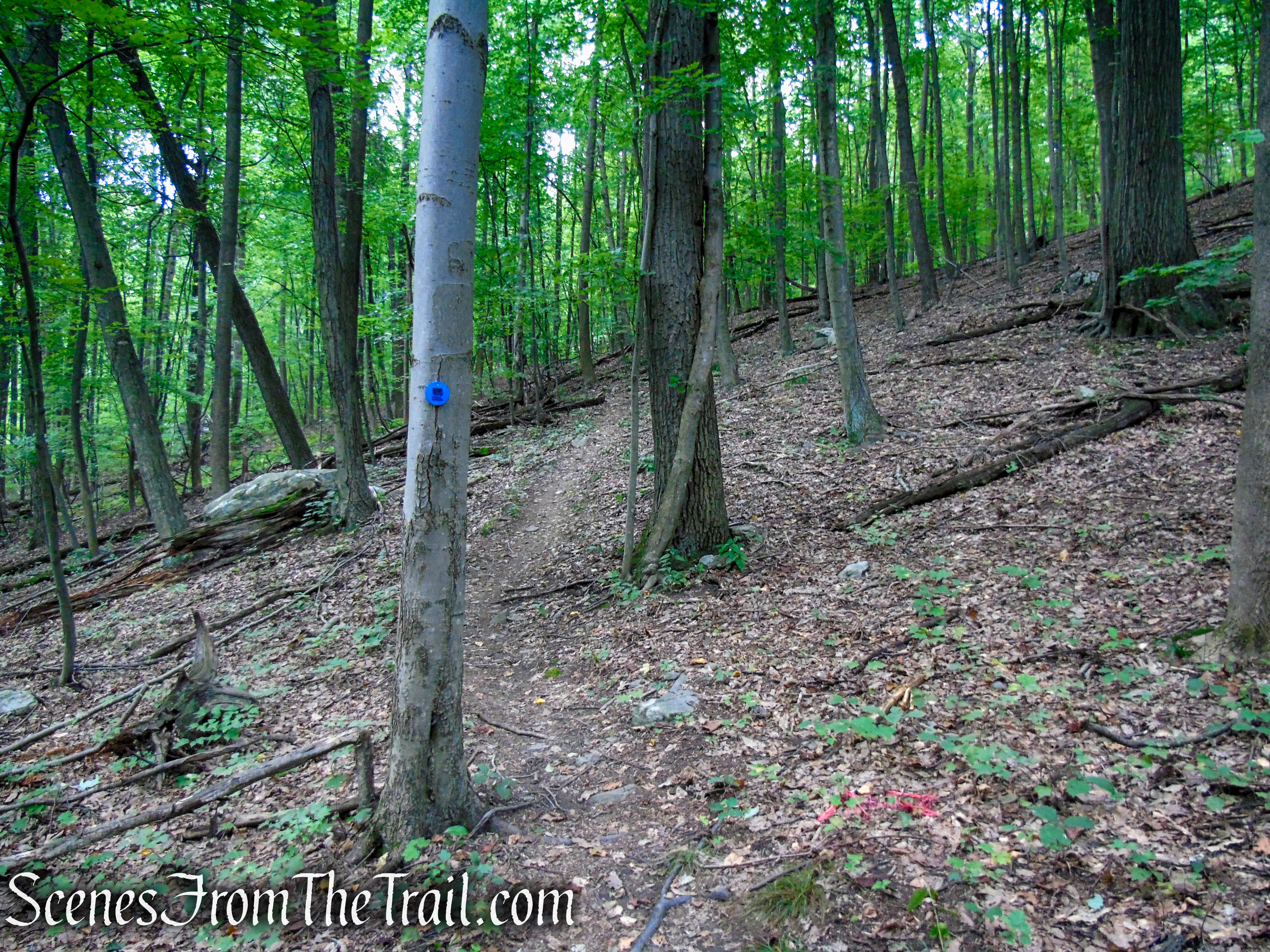
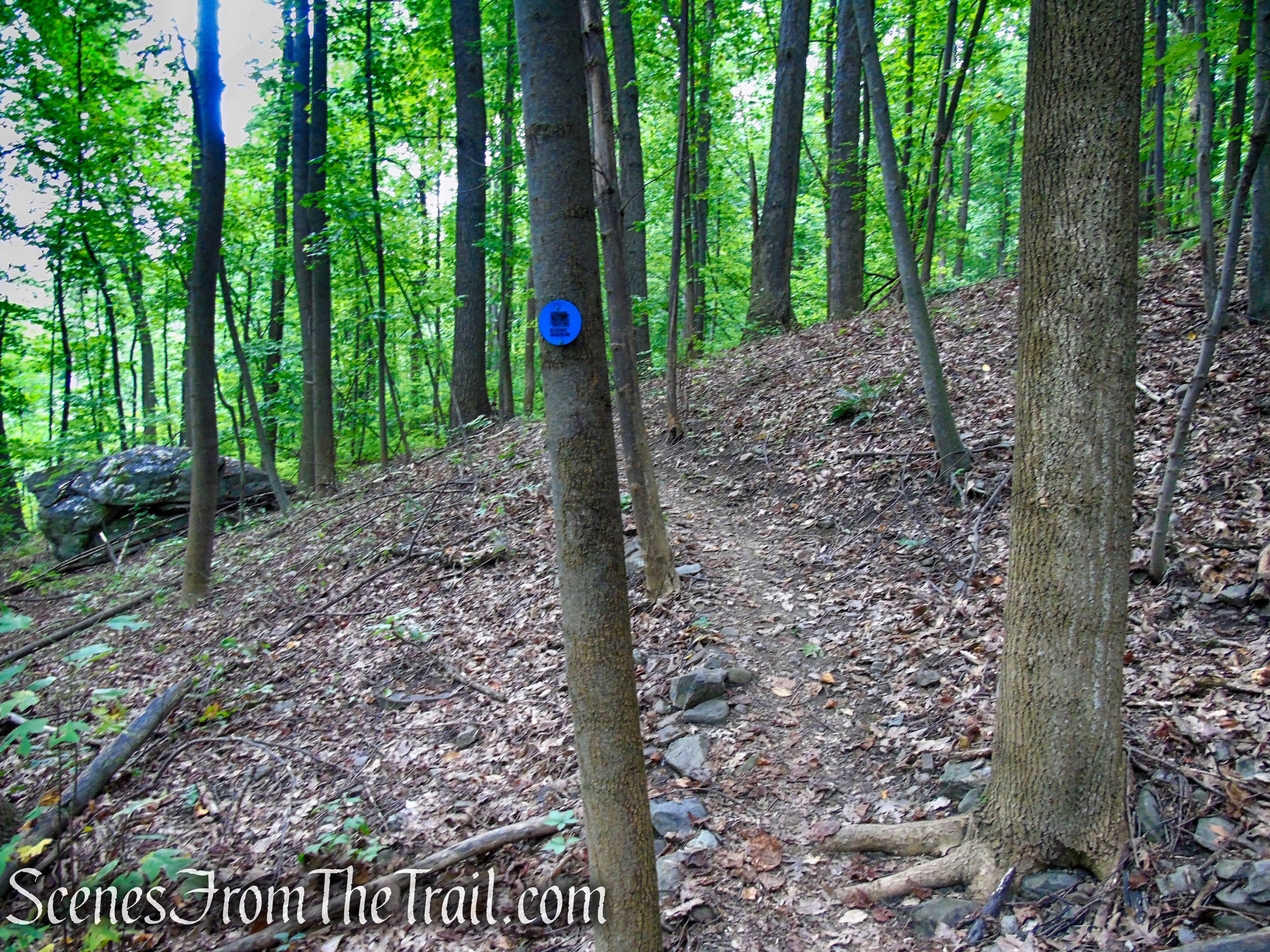
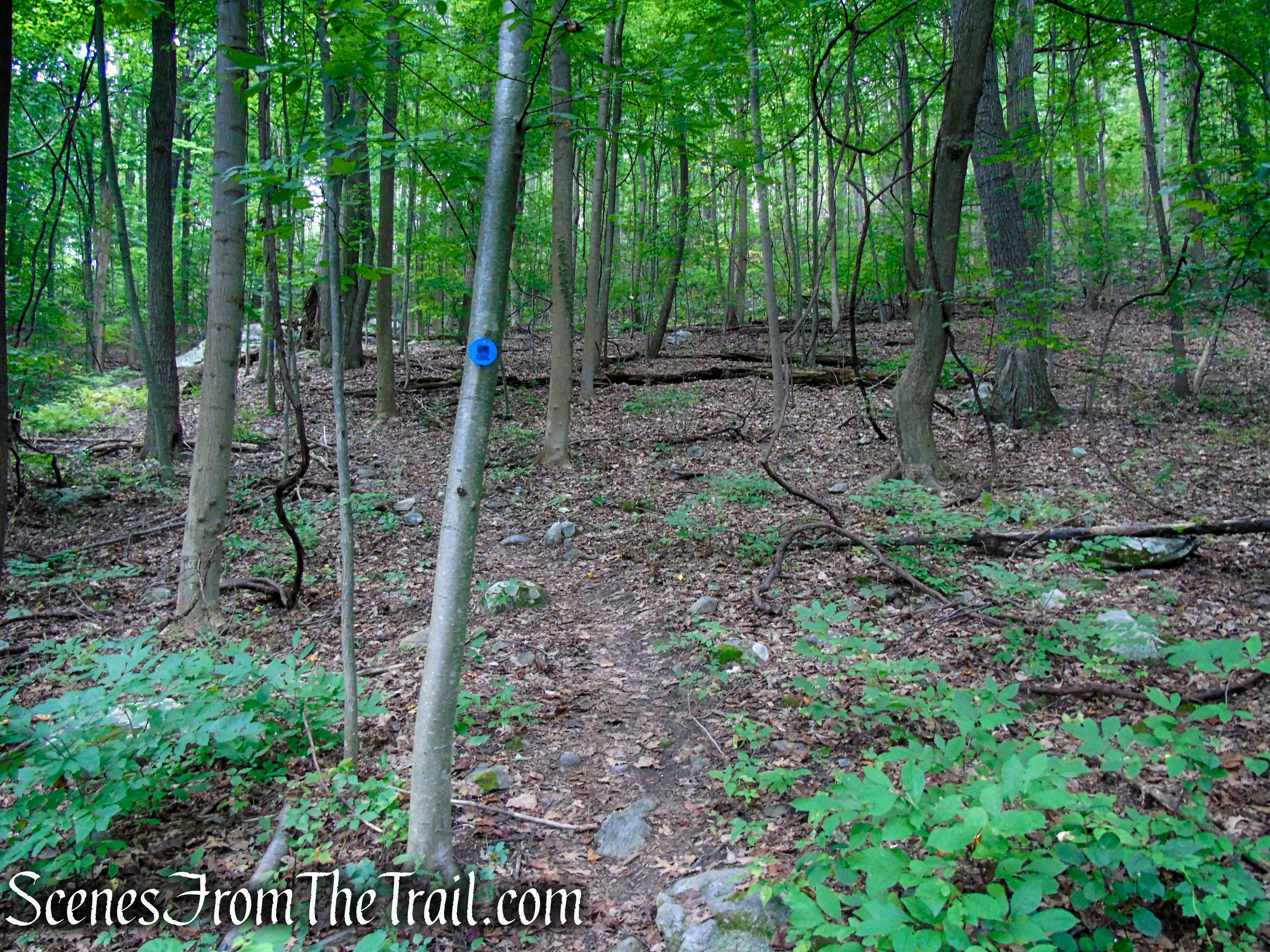
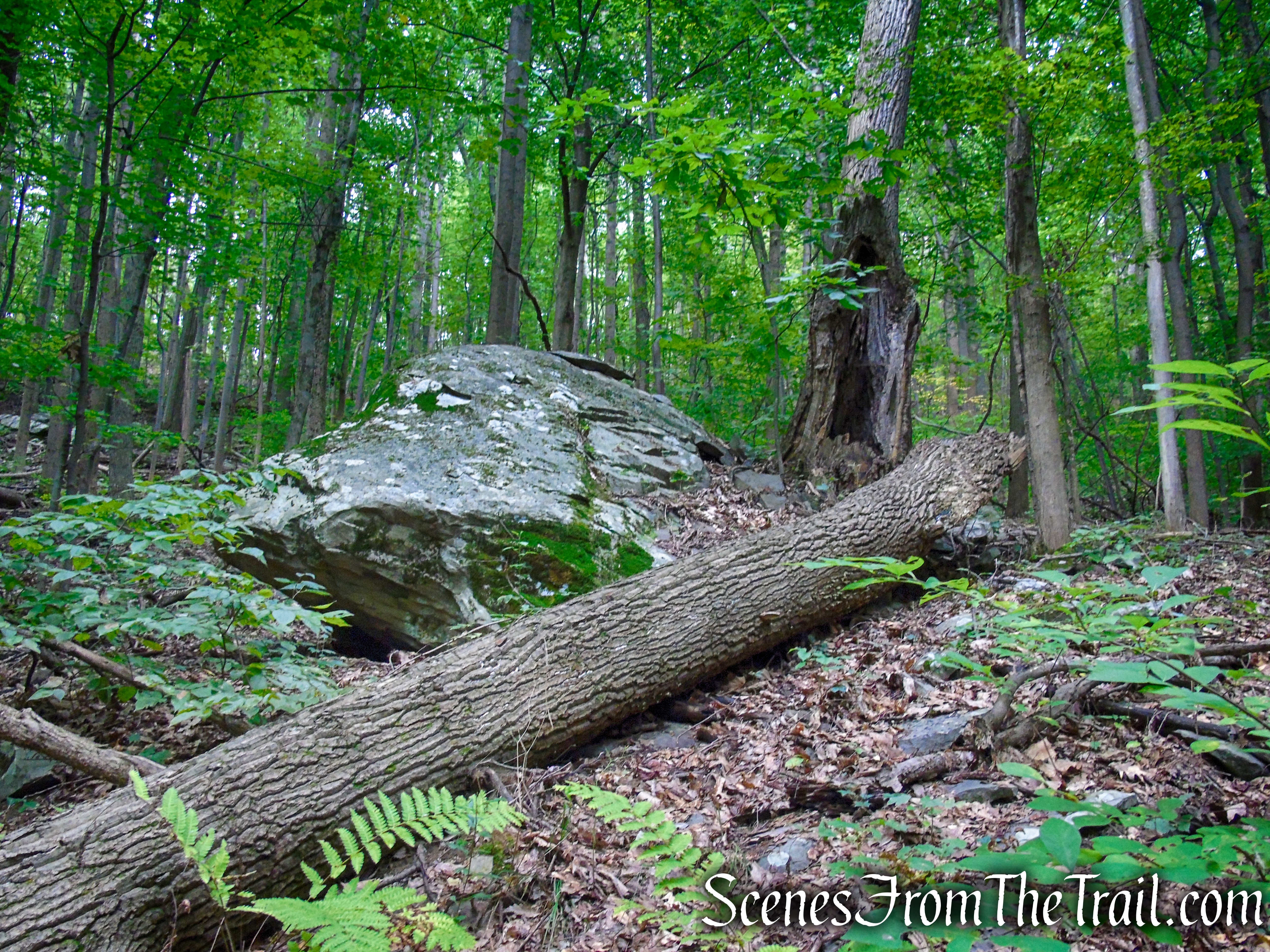
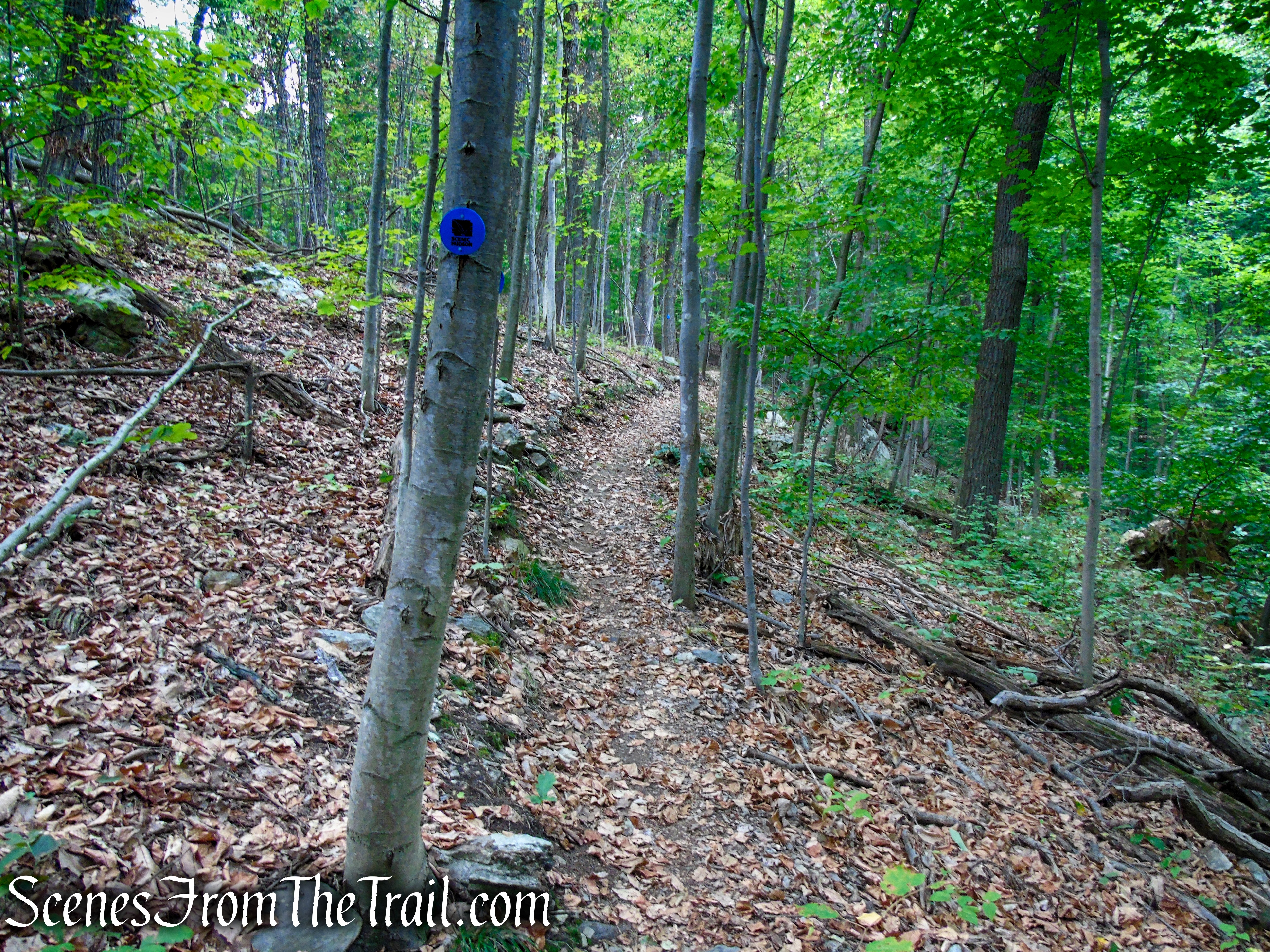
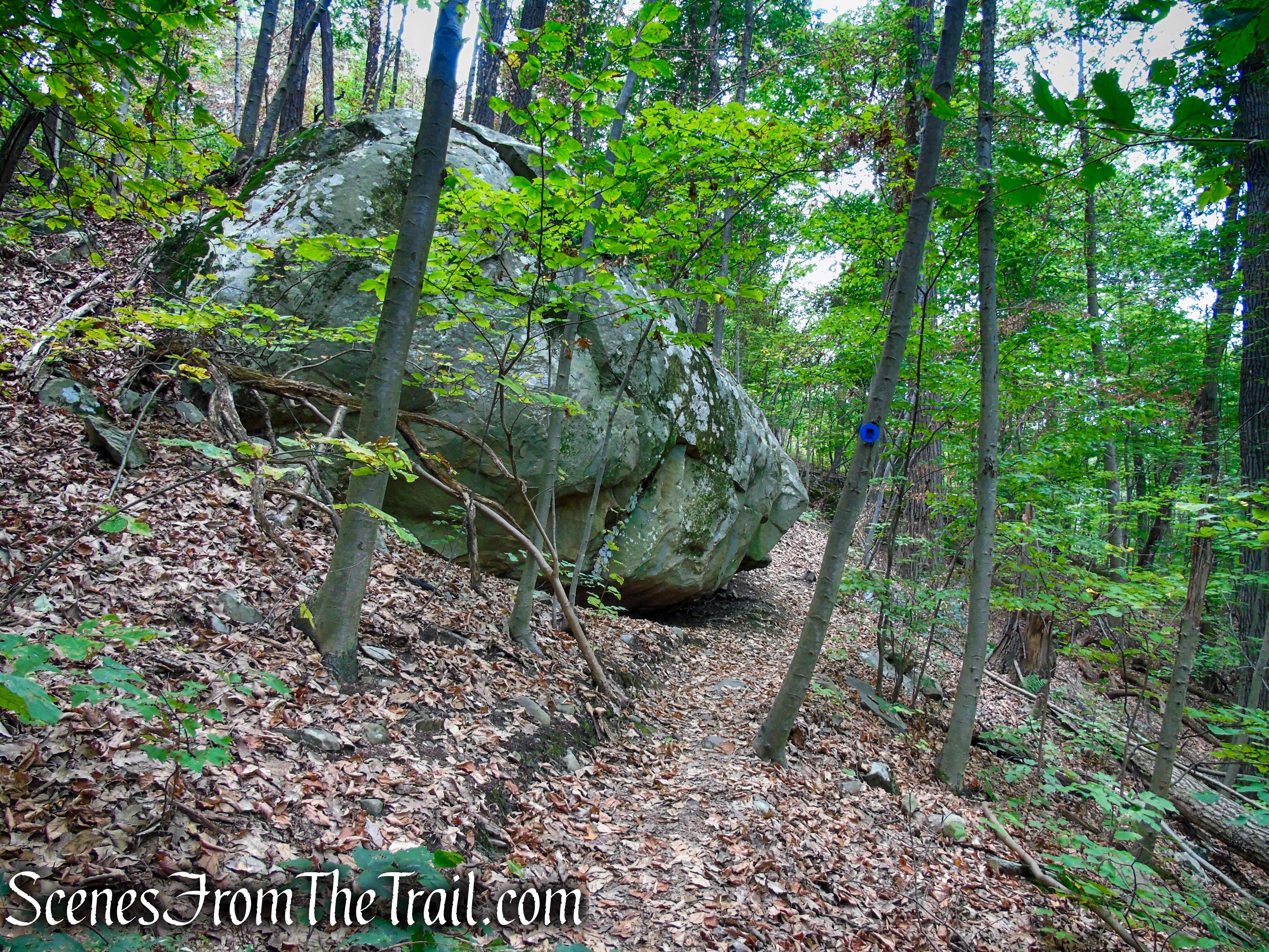
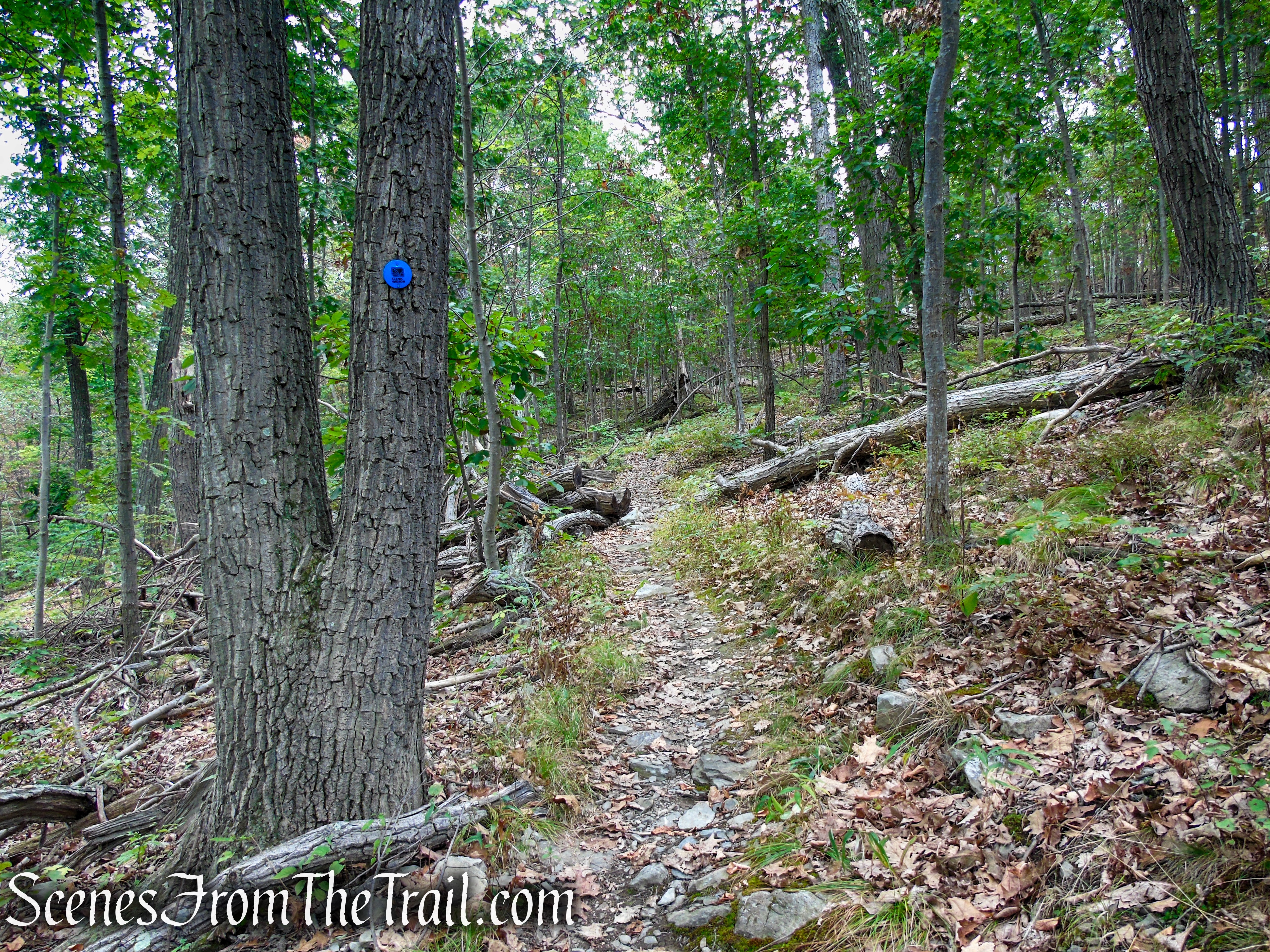
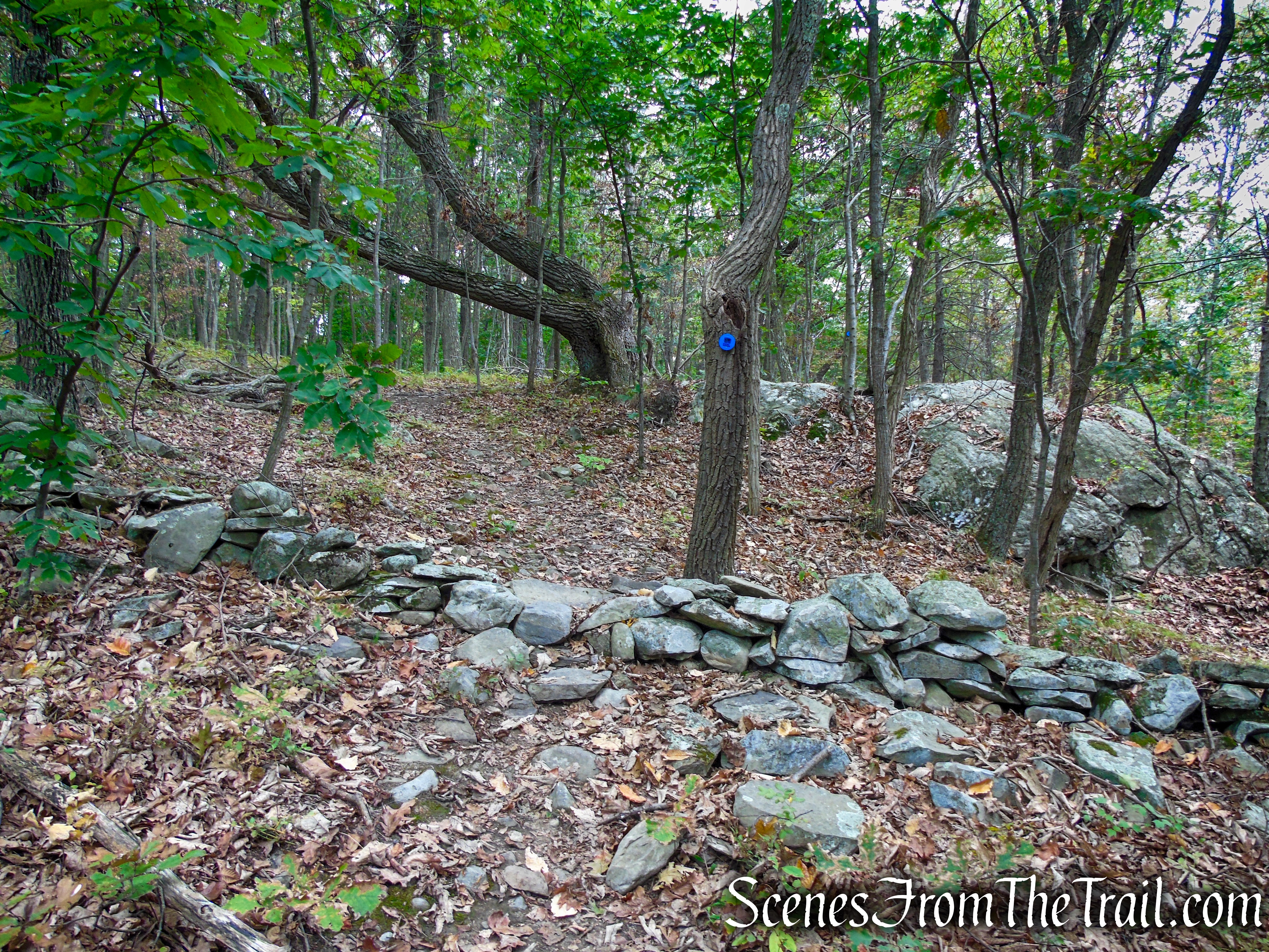
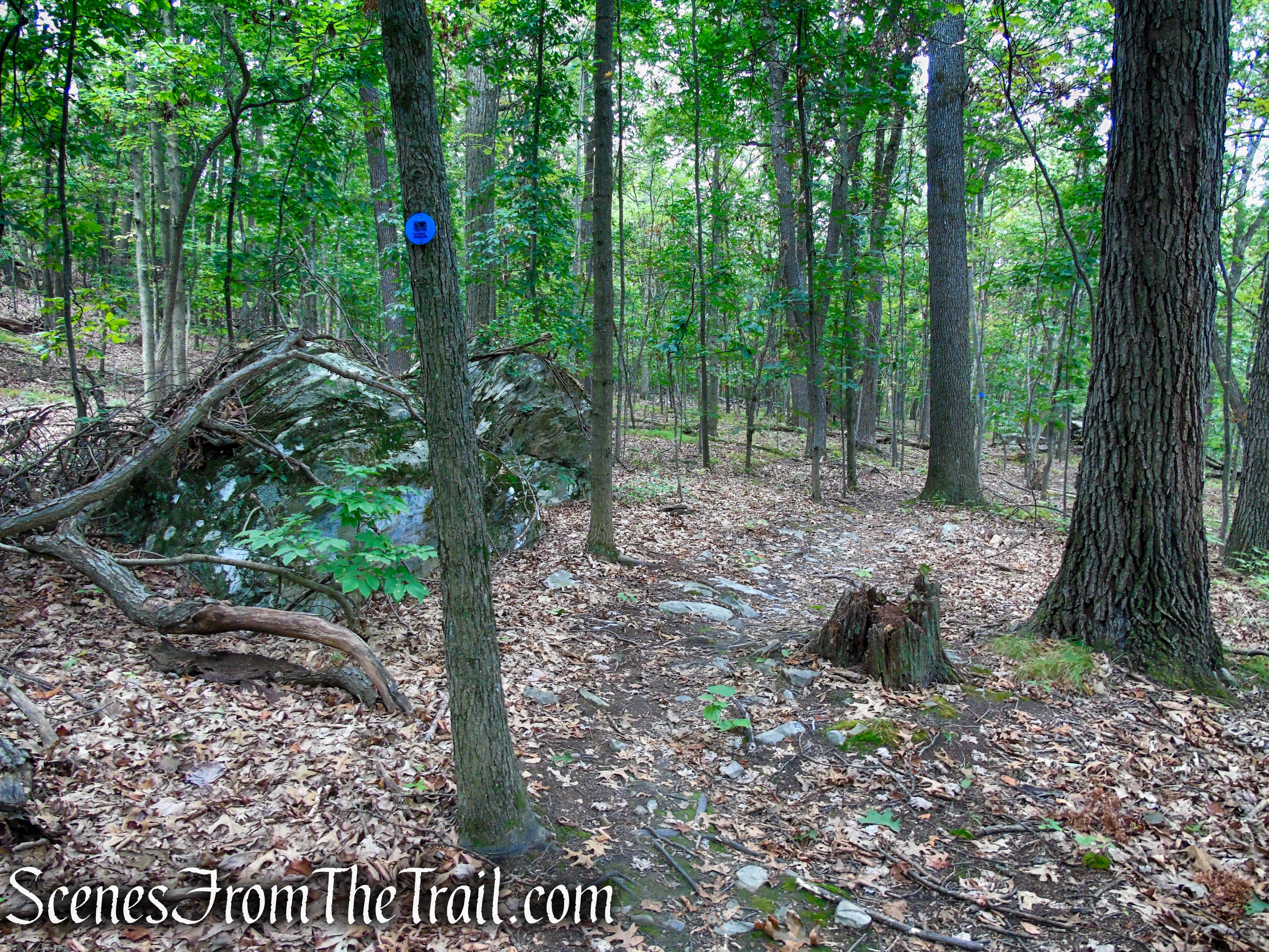
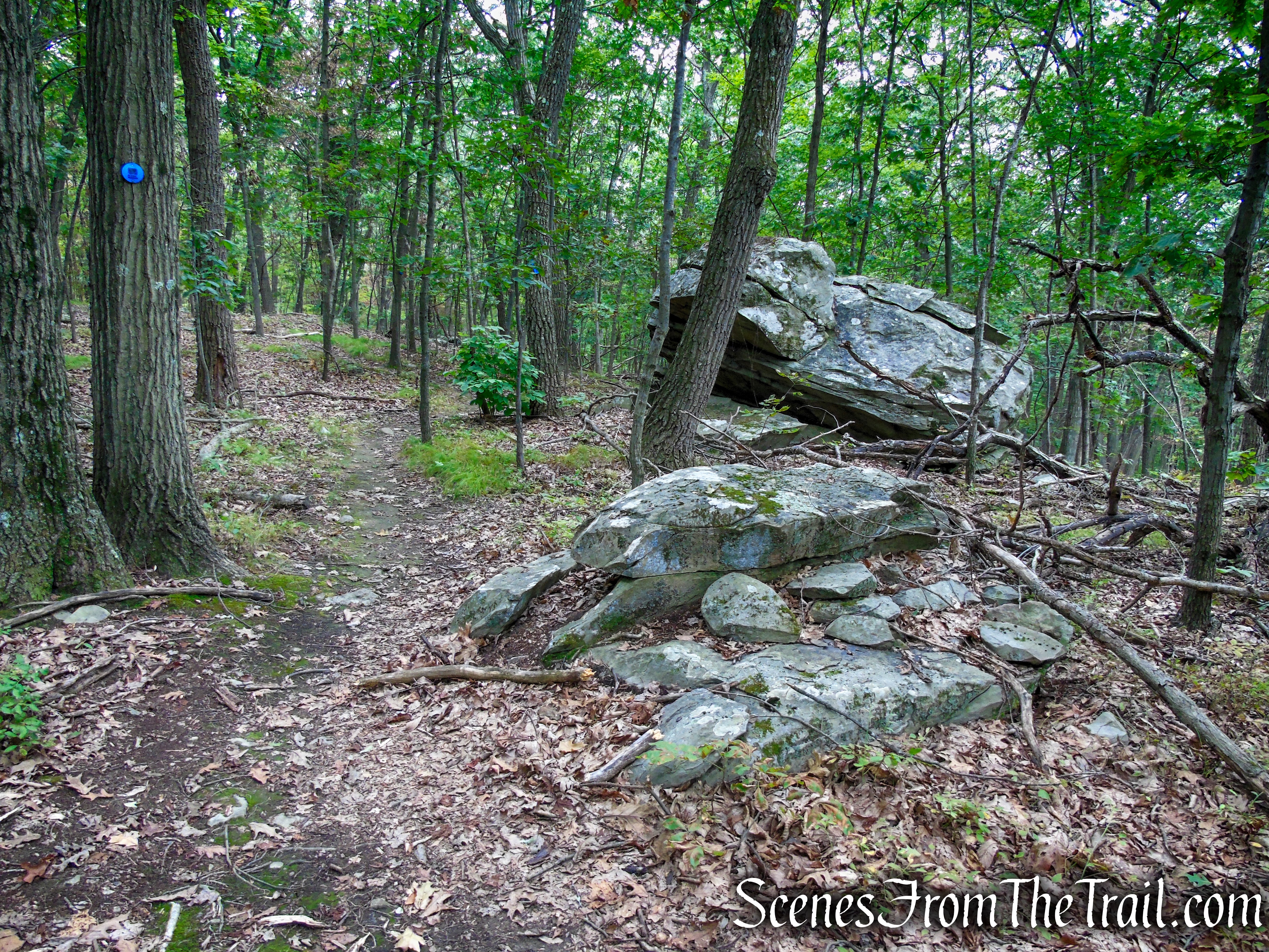
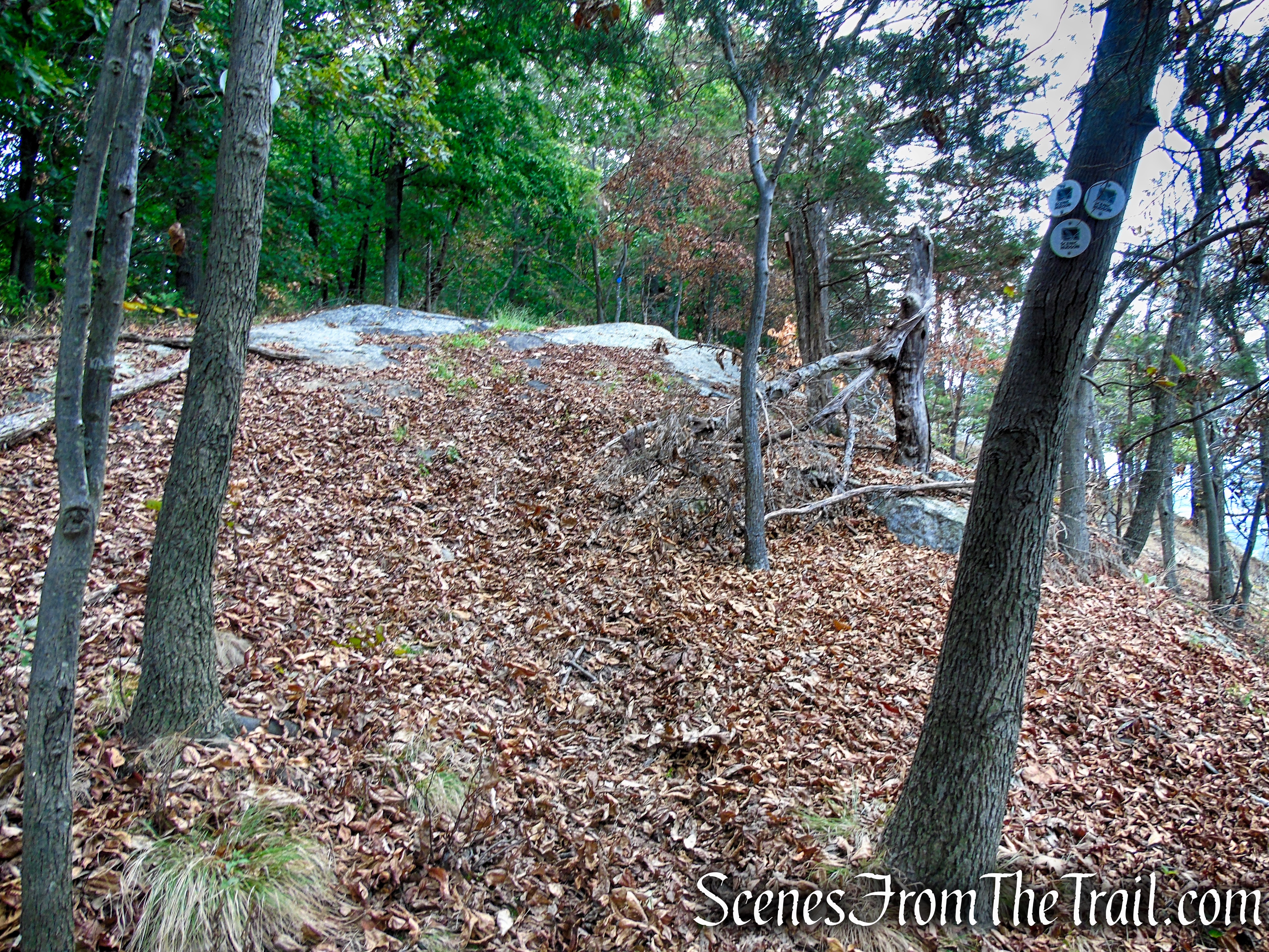
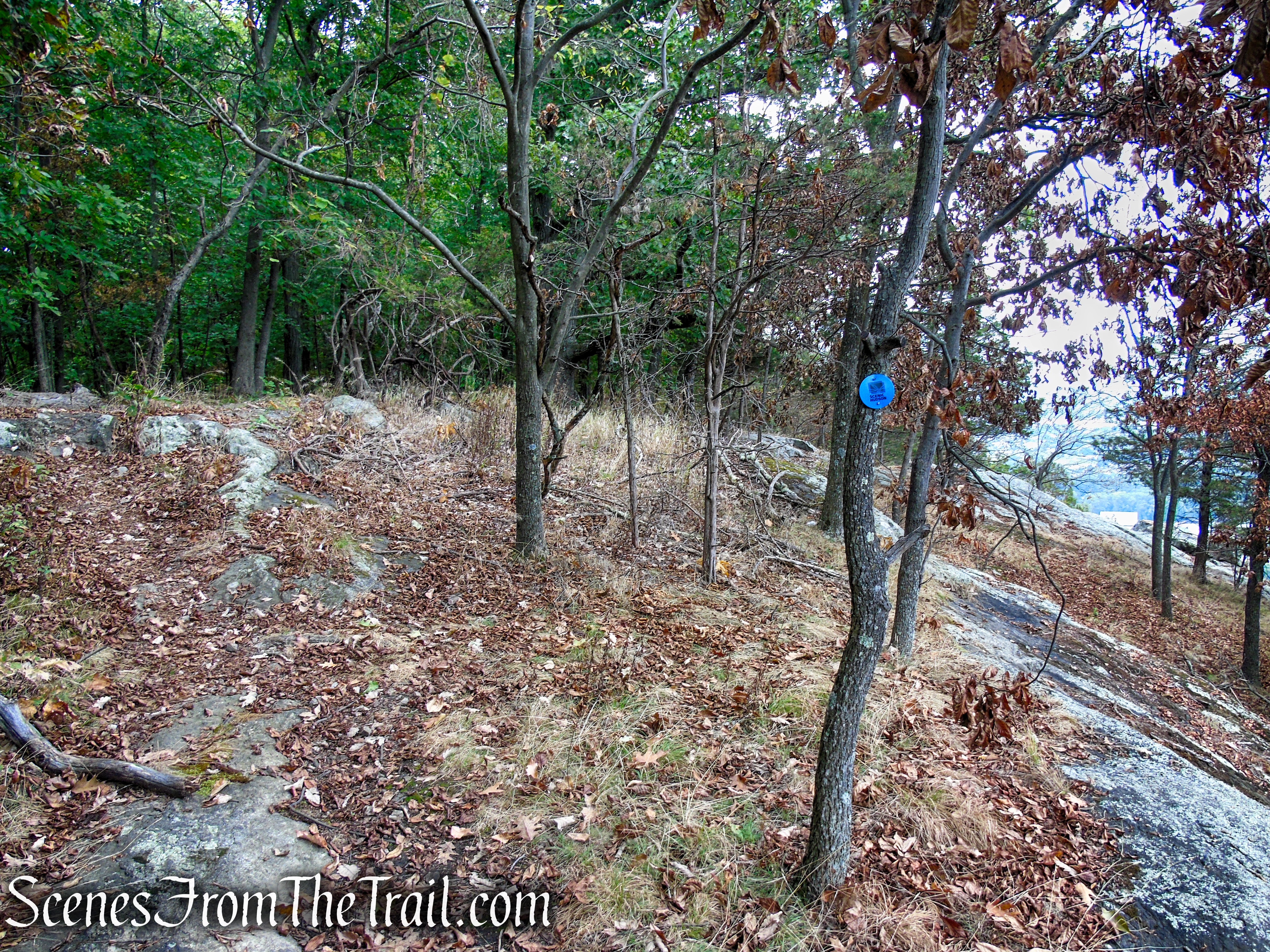
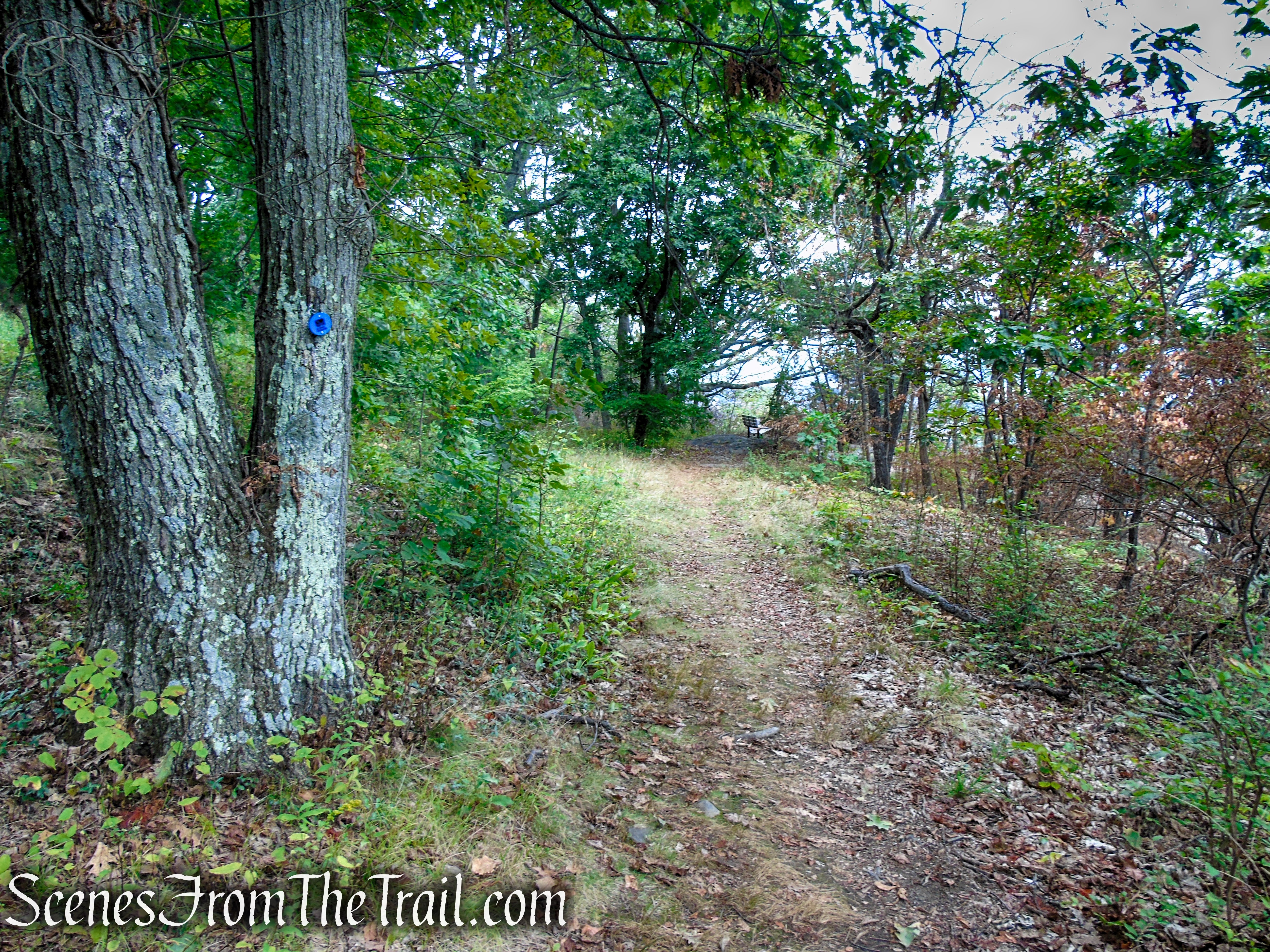
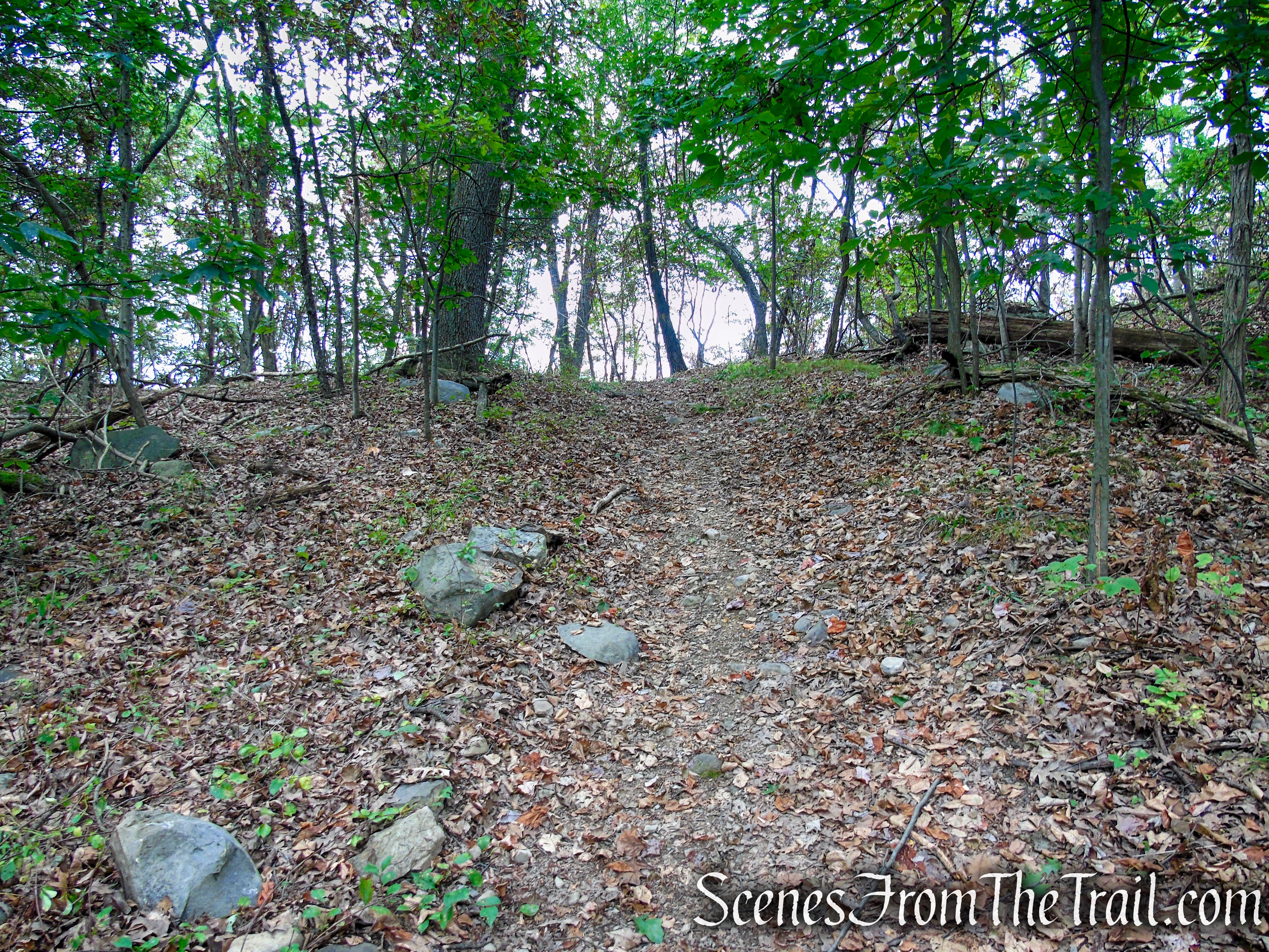
In about 100 yards or so, the Blue Trail turns left, leaving the woods road. This turn is easy to miss. We walked right by it and had to back track. The Blue Trail now begins to ascend Snake Hill on switchbacks, passing an assortment of interesting looking boulders along the way.

Blue Trail – Snake Hill

Blue Trail – Snake Hill
Blue Trail – Snake Hill
Blue Trail – Snake Hill

Blue Trail – Snake Hill
Blue Trail – Snake Hill
Blue Trail – Snake Hill

Blue Trail – Snake Hill
Blue Trail – Snake Hill
Blue Trail – Snake Hill

Blue Trail – Snake Hill
Blue Trail – Snake Hill
Blue Trail – Snake Hill
Blue Trail – Snake Hill
Blue Trail – Snake Hill
Blue Trail – Snake Hill
In about a mile from the start of the Blue Trail, it turns left on a paved access road for about 60 feet, then turns right on a footpath, leaving the road.
Turn left on paved road

Blue Trail – Snake Hill

Blue Trail – Snake Hill
Blue Trail – Snake Hill
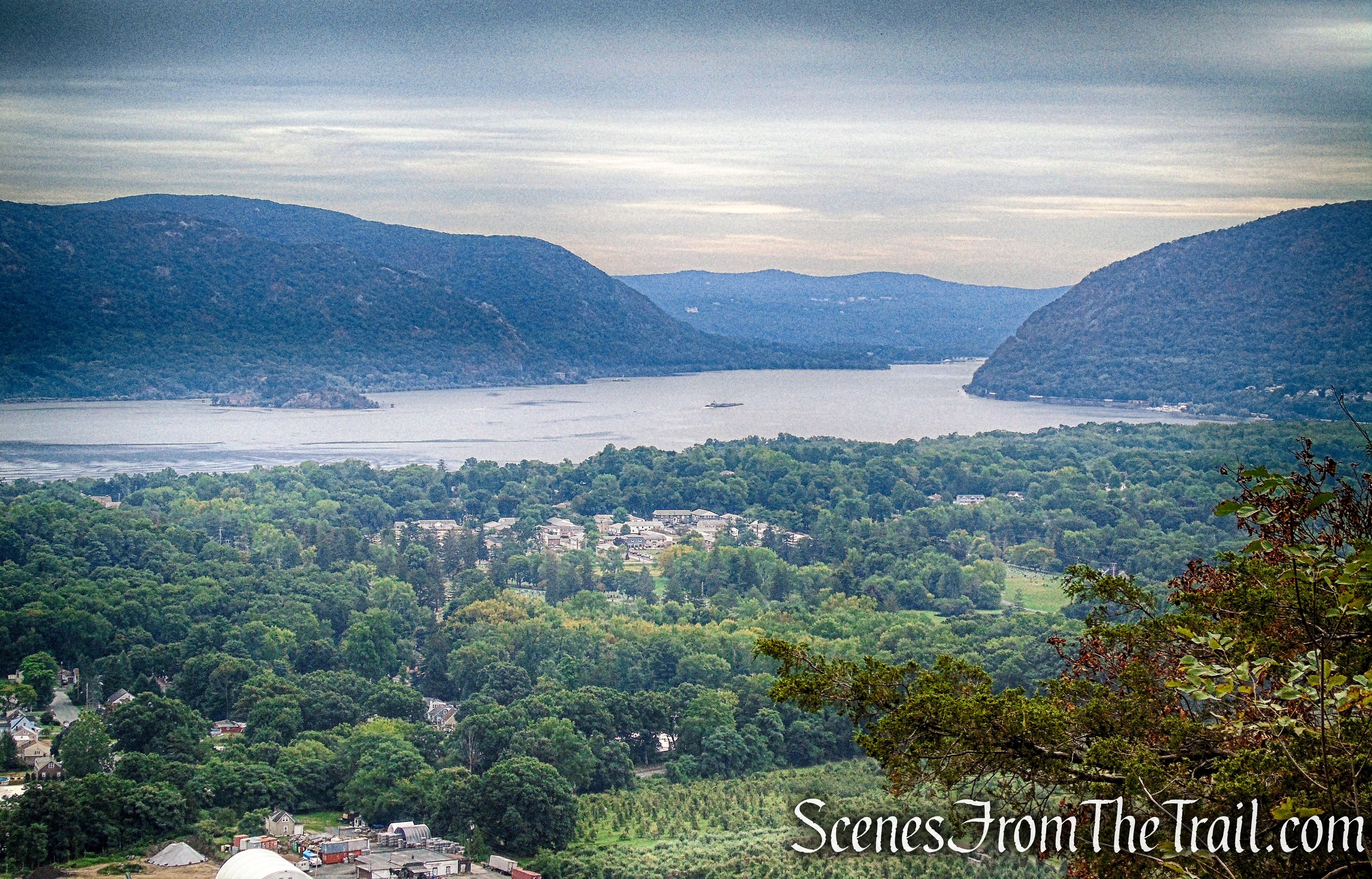
The Blue Trail climbs to the southeast edge of the ridge, just below the summit. Here the Blue Trail turns left, but you should turn right leaving the Blue Trail and follow the White Trail for about 300 yards to a southeast-facing viewpoint.
Blue Trail – Snake Hill
Turn right on White Trail

White Trail – Snake Hill

White Trail – Snake Hill

View southeast from White Trail – Snake Hill
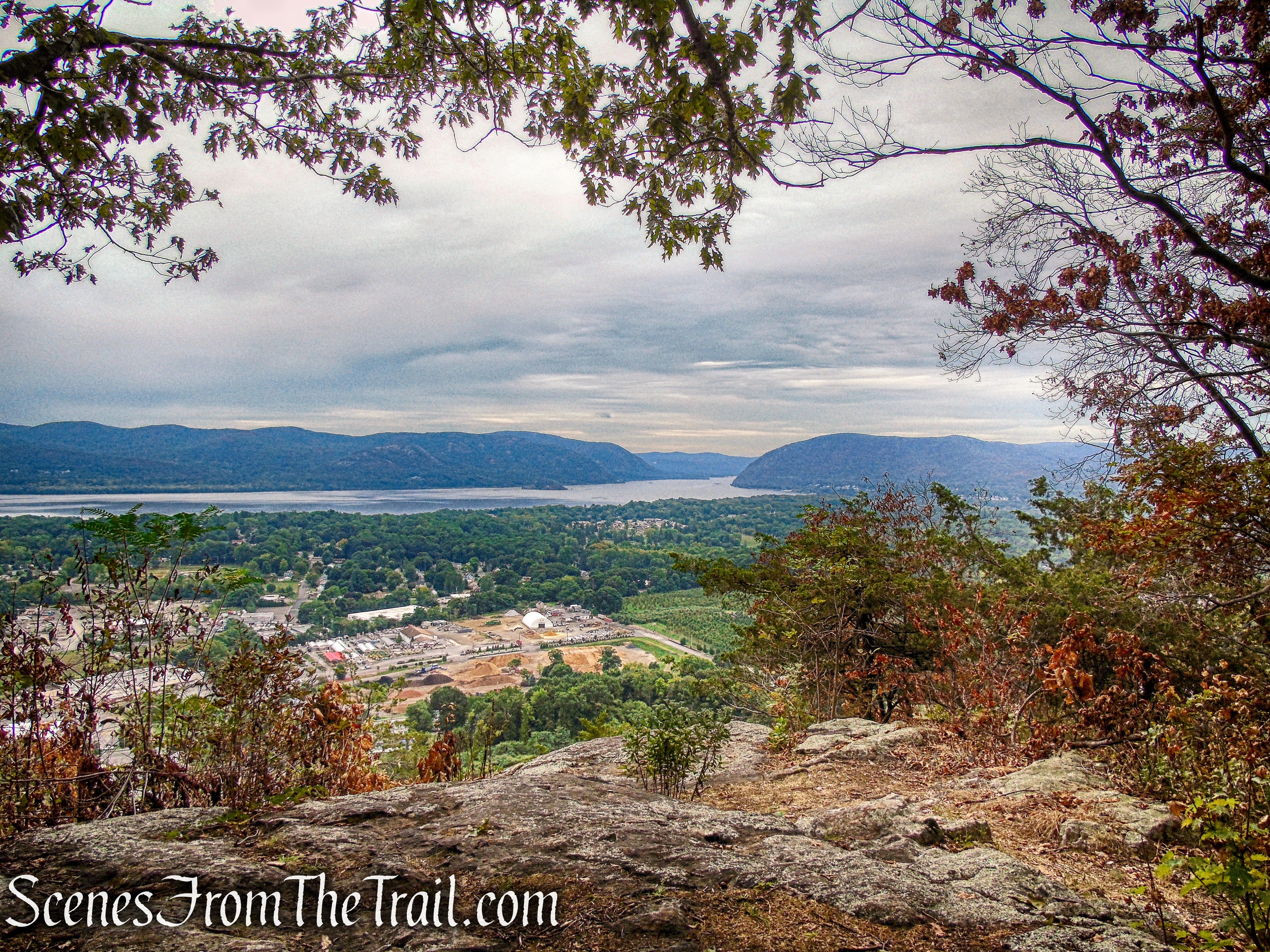
From this spot you can see Breakneck Ridge (left) and Storm King Mountain (right) which form the northern gateway to the Hudson Highlands. Sugarloaf Mountain is just to the left of Breakneck with Pollepel Island and Bannerman Castle just in front of it in the Hudson River.
View southeast from White Trail – Snake Hill

View southeast from White Trail – Snake Hill
Looking directly across the Hudson River, the two high points are North Beacon Mountain (1,526 ft.) with its communications towers and South Beacon Mountain (1,611 ft.) with its fire tower. The long knobby ridge to the right is Scofield Ridge. On the eastern shore of the Hudson River is Denning’s Point.

View east from White Trail – Snake Hill
When you are done enjoying the view, retrace your steps uphill back to the Blue Trail. Just to the right there is a rock outcrop with similar views as those on the White Trail.
End of White Trail – Snake Hill
Blue Trail – Snake Hill

View southeast – Blue Trail – Snake Hill
View southeast – Blue Trail – Snake Hill
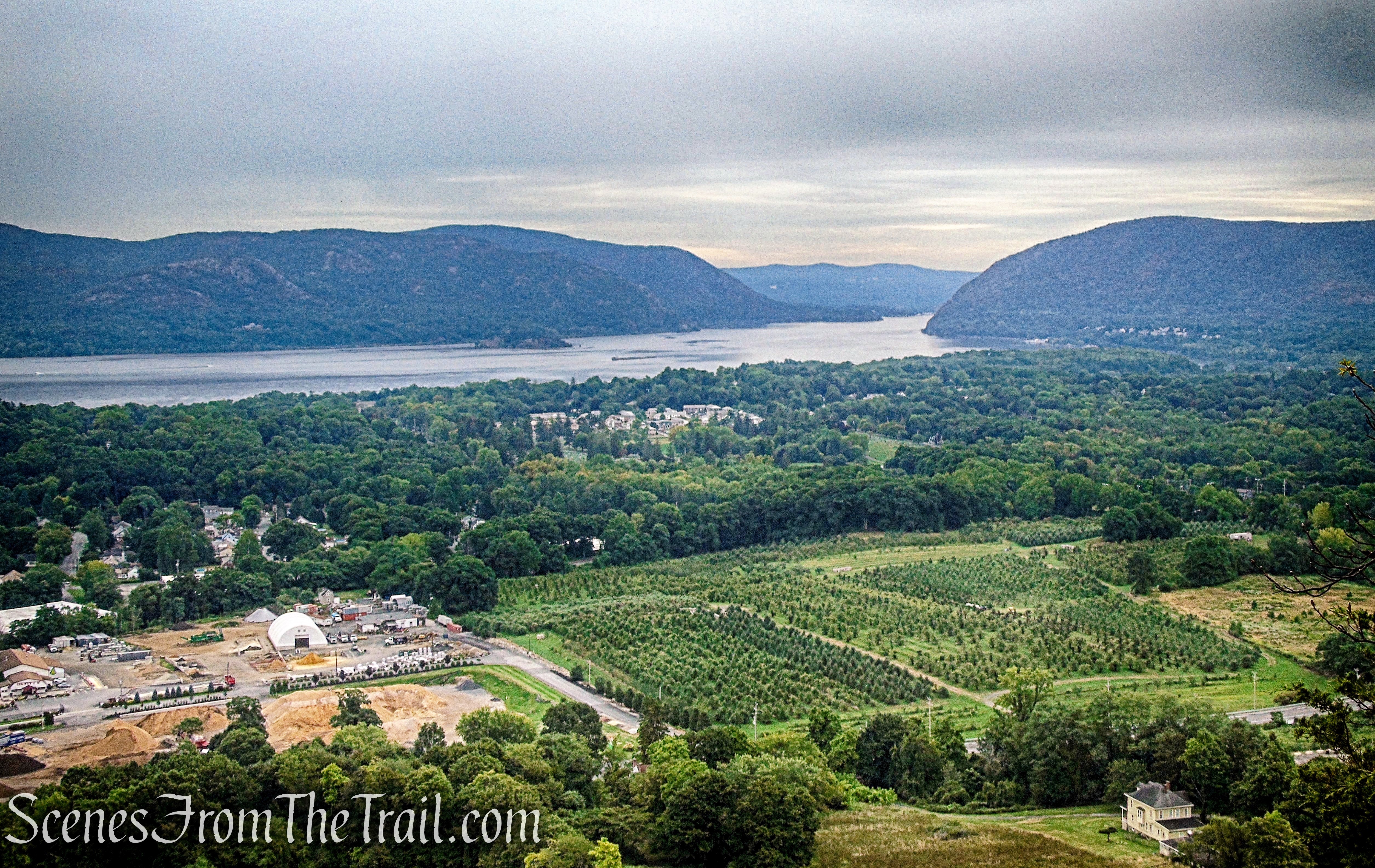
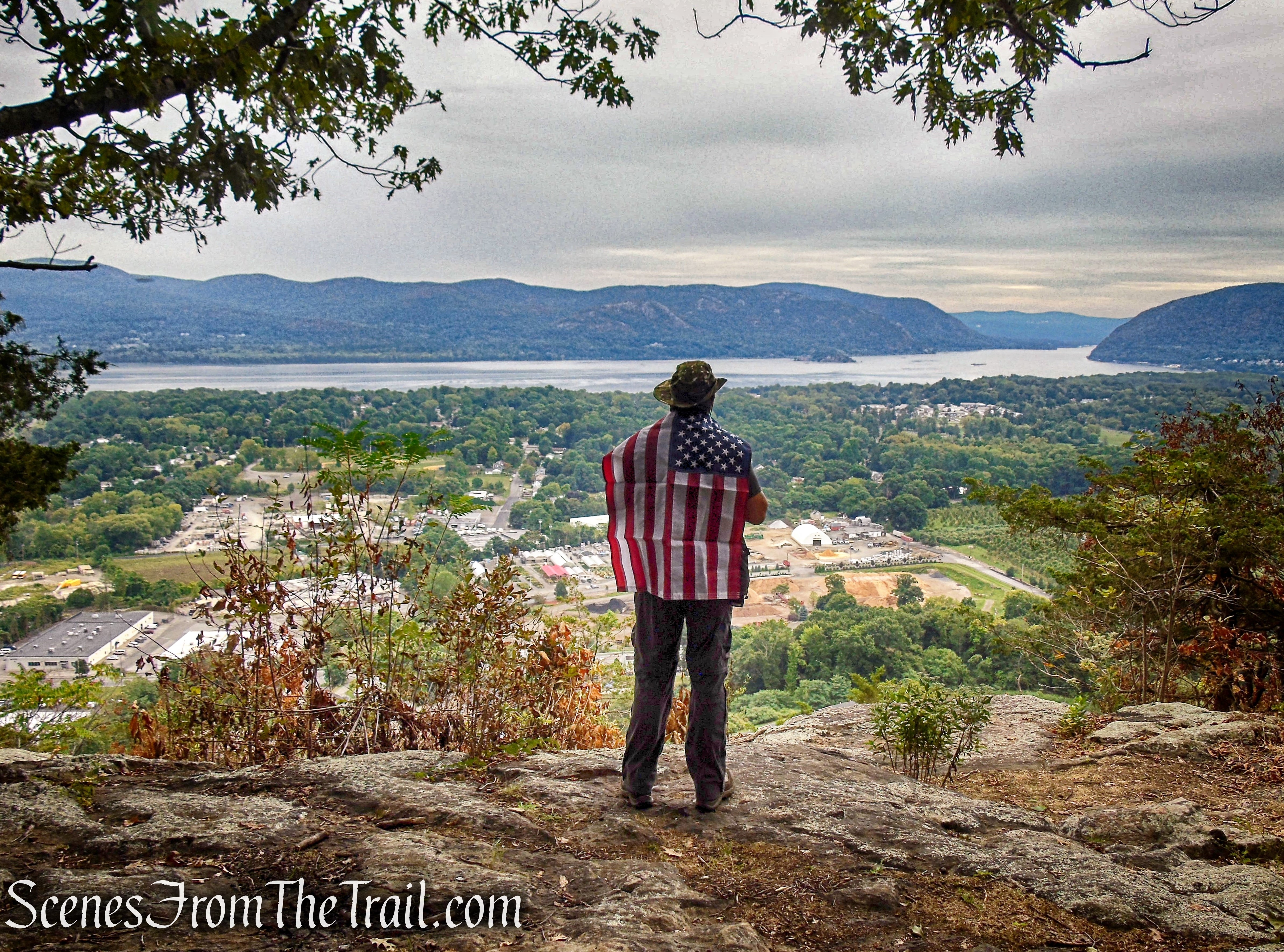
Continue North on the Blue Trail for about another 415 feet to its terminus at a pair of benches placed upon a large rock outcrop. This makes for a great place to relax and take in the majestic view.
Blue Trail – Snake Hill
Blue Trail benches – Snake Hill
Blue Trail benches – Snake Hill
Blue Trail benches – Snake Hill
Blue Trail benches – Snake Hill
Blue Trail benches – Snake Hill
When you are ready to continue, walk a short distance on an unmarked footpath directly behind the benches that lead to the paved access road. Turn right on the access road and continue north.
Paved road – Snake Hill
After the road passes a communications tower, it is no longer paved.

Access road – Snake Hill
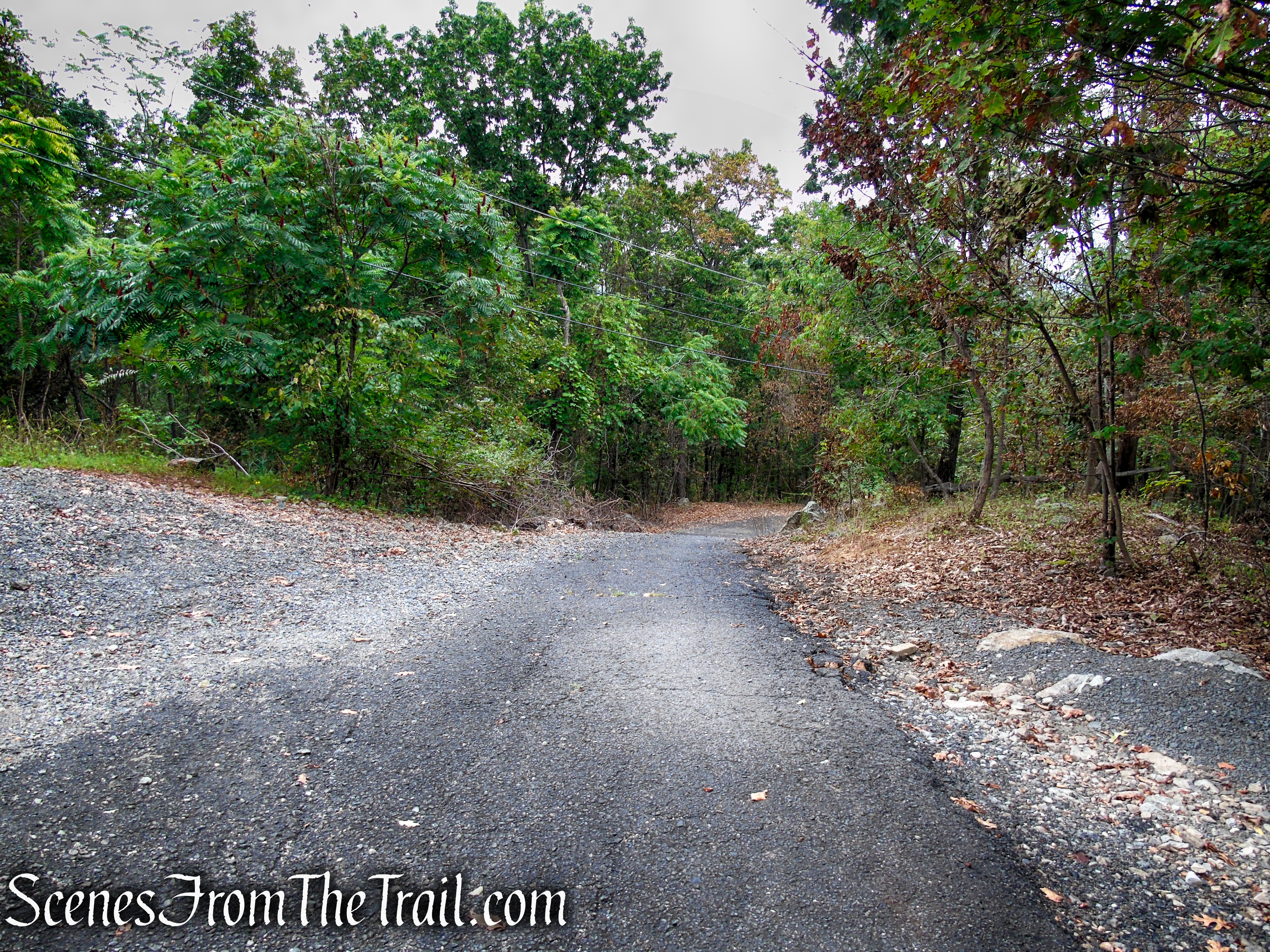
Soon, the road comes to a gate with another communication tower just beyond on the left. You are now leaving Scenic Hudson property and entering property owned by the City of Newburgh. Proceed downhill on the paved road past the gate for about 400 feet.

Access road – Snake Hill
Access road – Snake Hill
Access road – Snake Hill
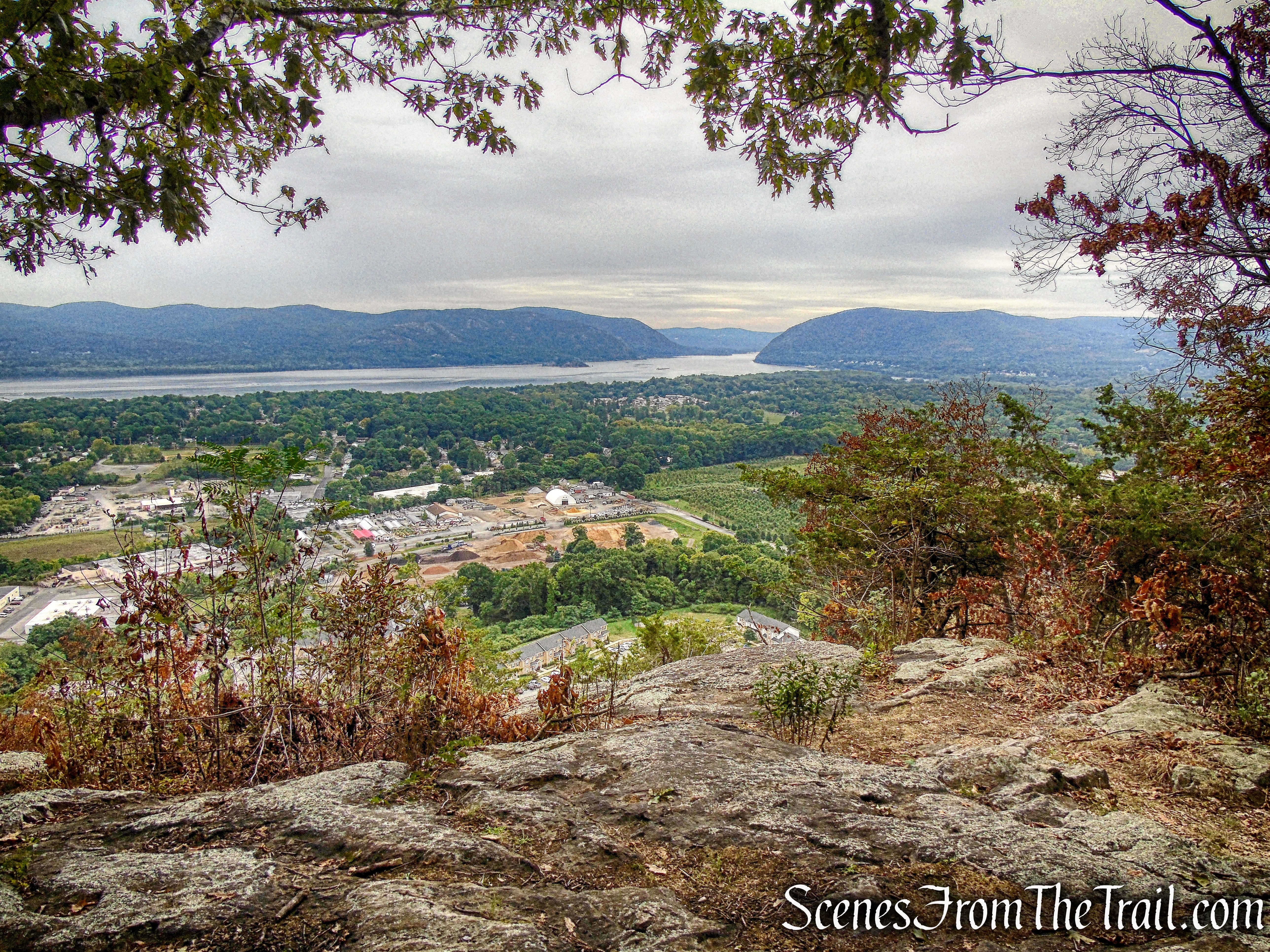
Look for a wide footpath on the right, just past telephone pole #38 (telephone pole #37 is directly across from the trail) that leads uphill. Even though you may not see any blazes, this is the route of the Yellow Trail that is shown on the trail map. Follow this trail for about 360 feet to another viewpoint.
Yellow Trail – Snake Hill

Yellow Trail – Snake Hill
Yellow Trail viewpoint – Snake Hill
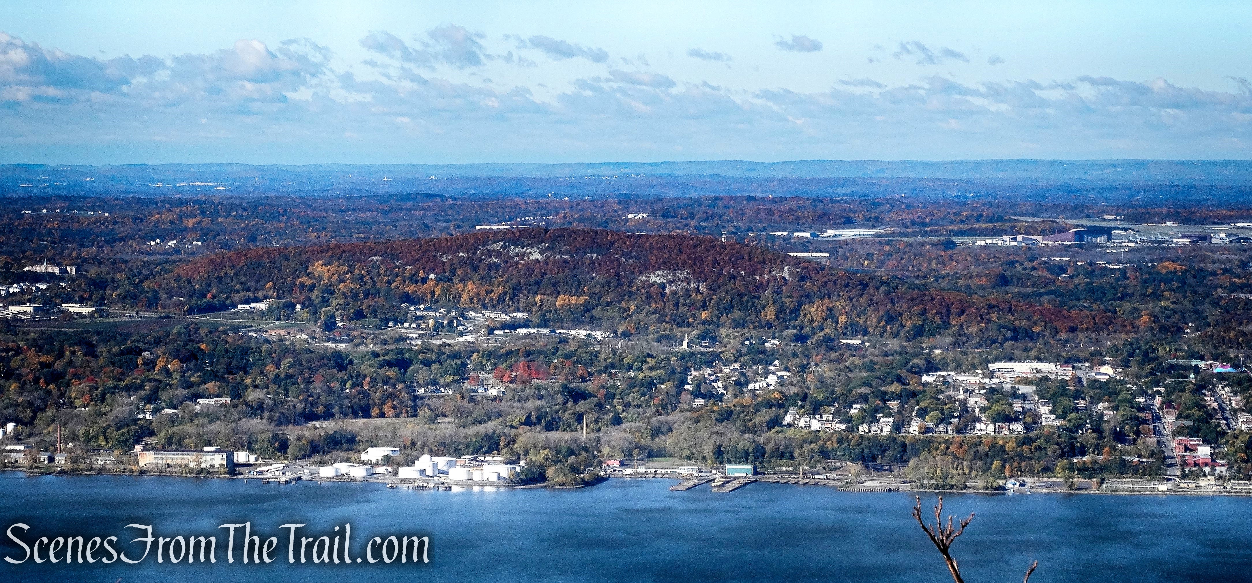
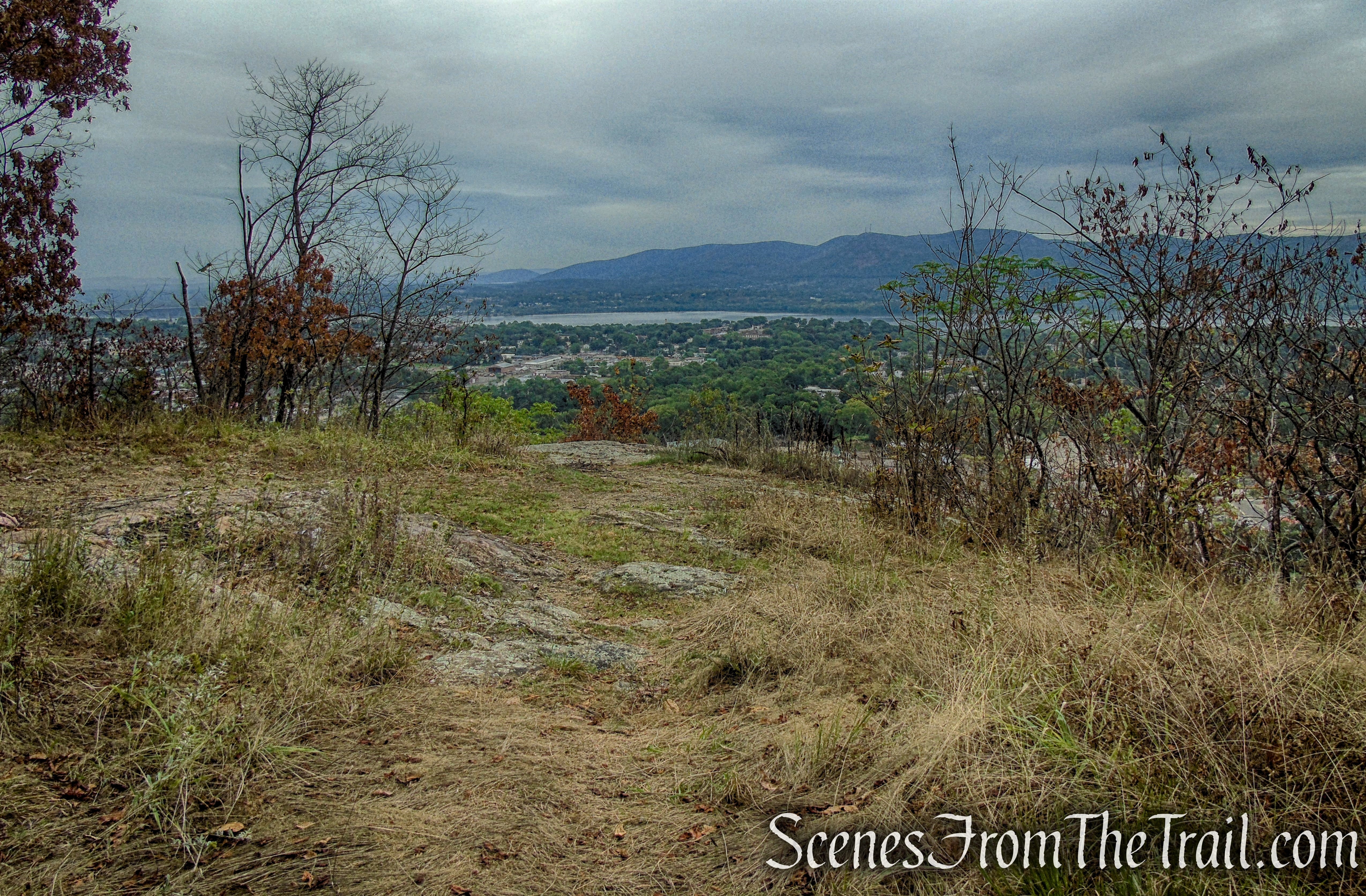
Here the panorama is more extensive, with views north as well as south. The Beacon waterfront and the East Hudson Highlands can be seen across the river. The historic architecture of Newburgh is visible down below to the north with the Newburgh-Beacon Bridge just beyond.
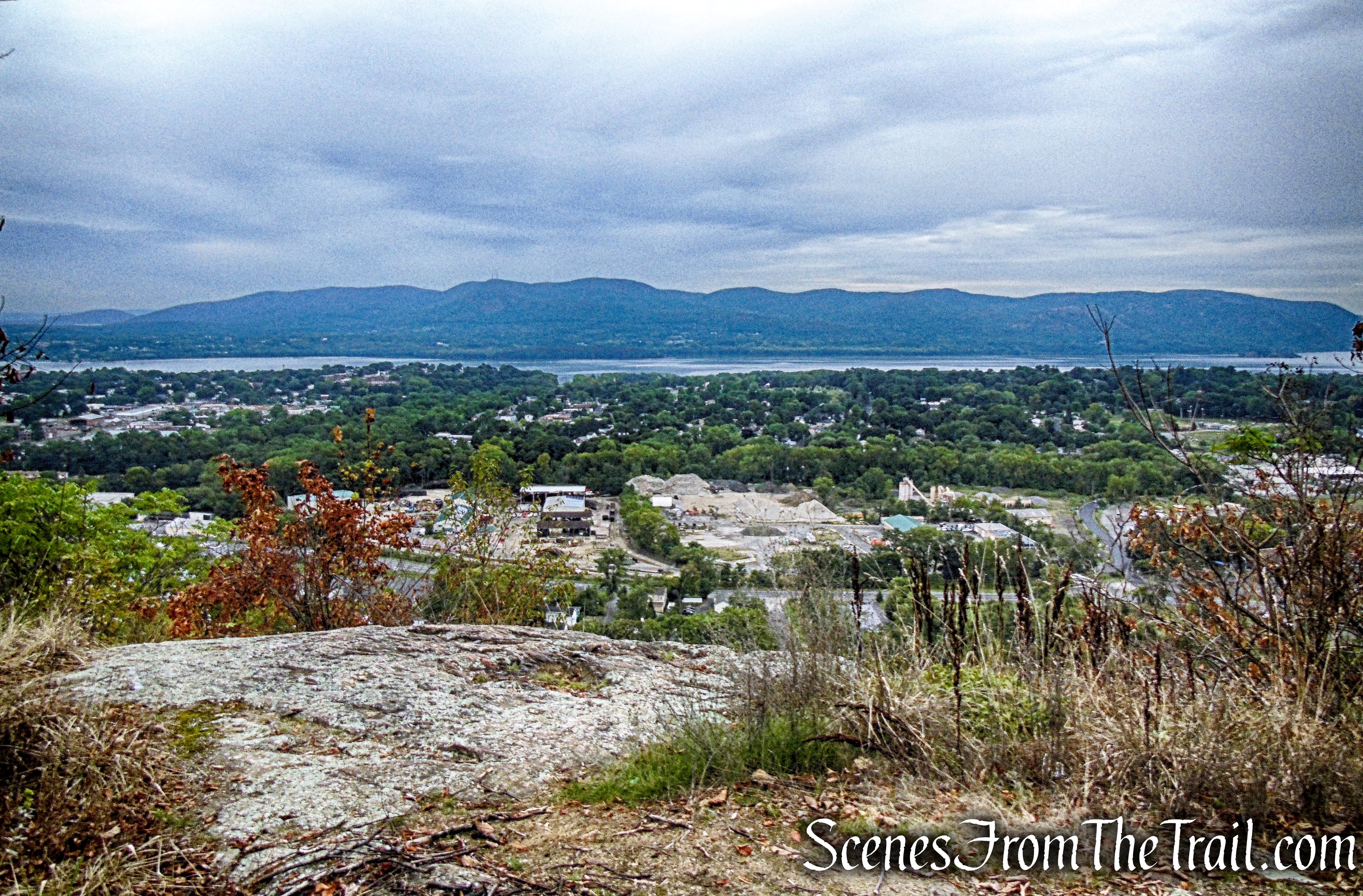
Yellow Trail viewpoint – Snake Hill

Yellow Trail viewpoint – Snake Hill
View south from the Yellow Trail.
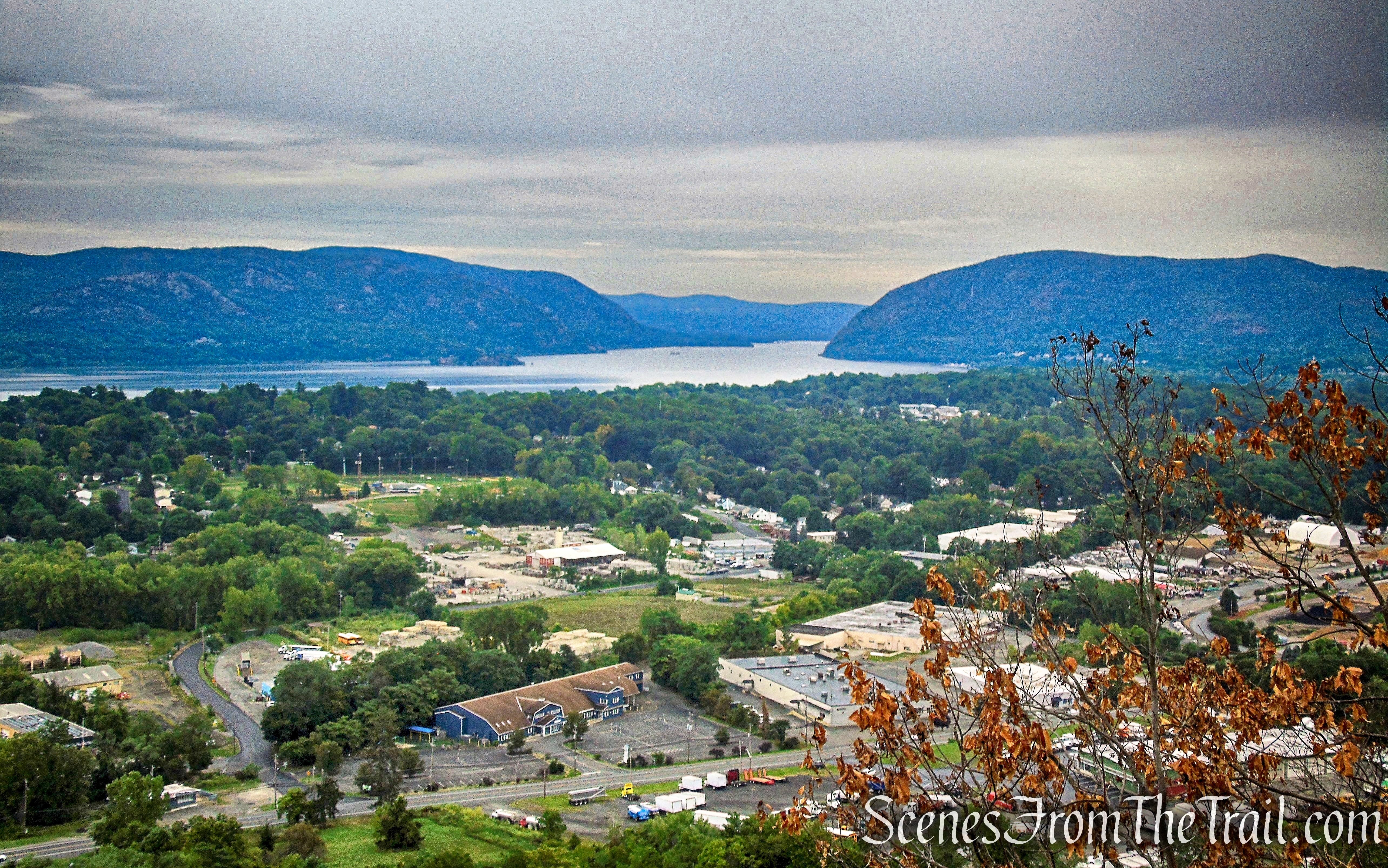
Yellow Trail viewpoint – Snake Hill
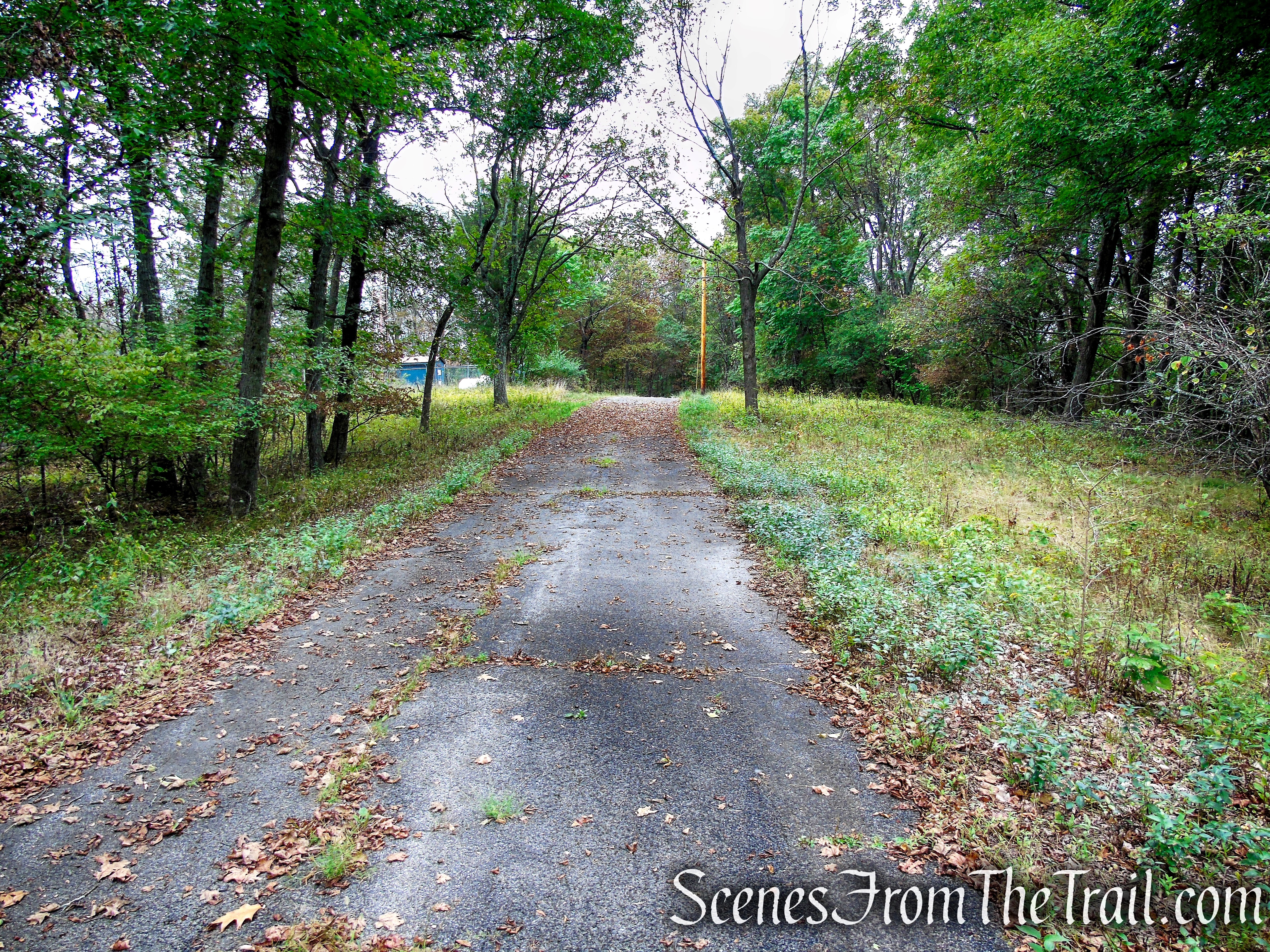
When you are ready to continue, retrace your steps back to the paved access road and turn right. You may start to see painted yellow blazes on the trees. This section of the Yellow Trail is shown as an access road on the trail map. Follow the road steeply downhill for about 0.36-mile. The Yellow Trail makes a sharp left turn on an old woods road that descends gradually. This section of the Yellow Trail is not shown on the trail map. There may not be any markers indicating this turn (I don’t remember seeing any), but the woods road is easily discernible.
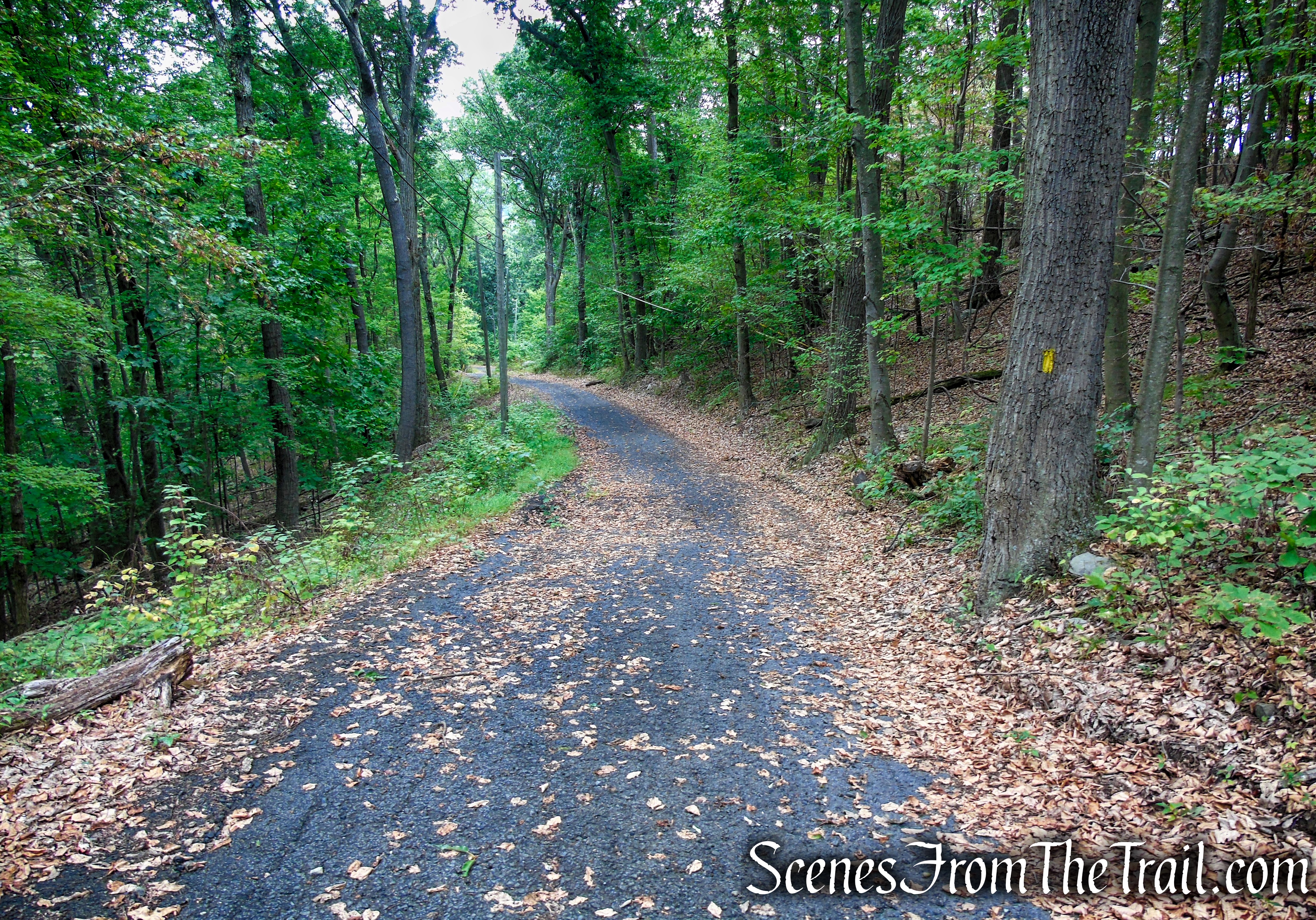
Yellow Trail – Snake Hill
Yellow Trail – Snake Hill
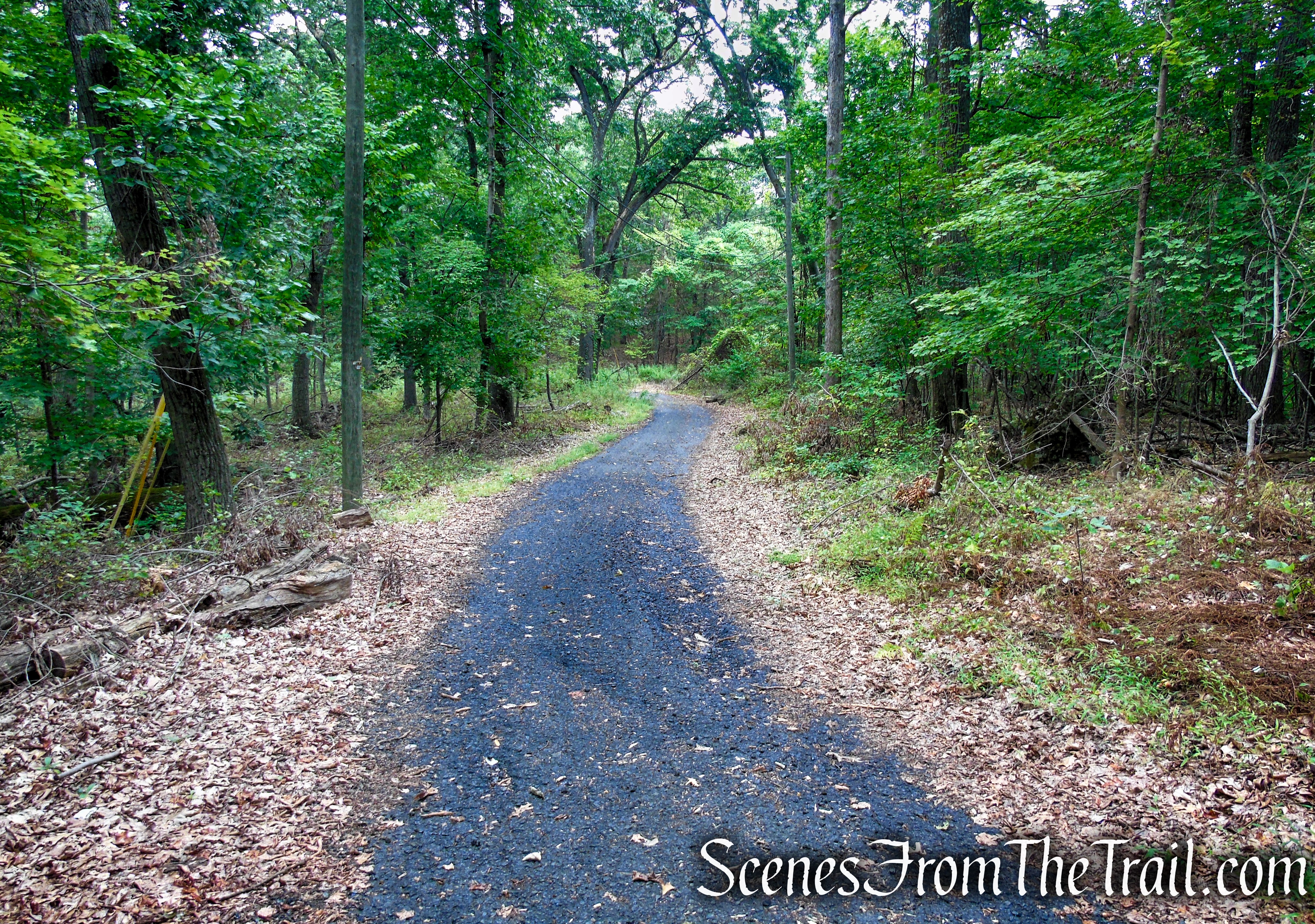
Yellow Trail – Snake Hill
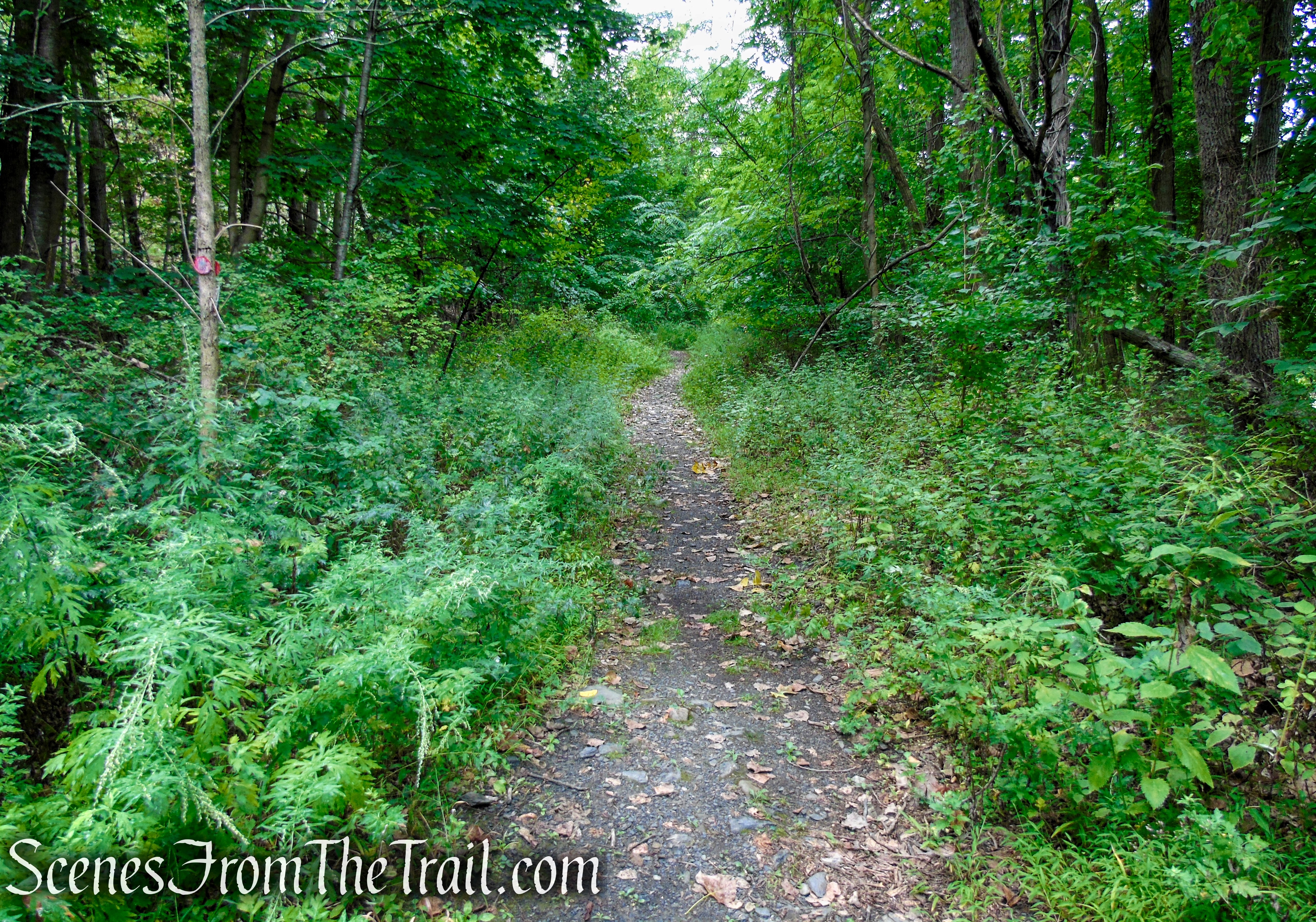
Follow the woods road (Yellow Trail) for about 250 yards to its terminus at the Snake Hill Cemetery. Turn right on the Red Trail and retrace your steps back to the parking area at Crystal Lake, where the hike began.
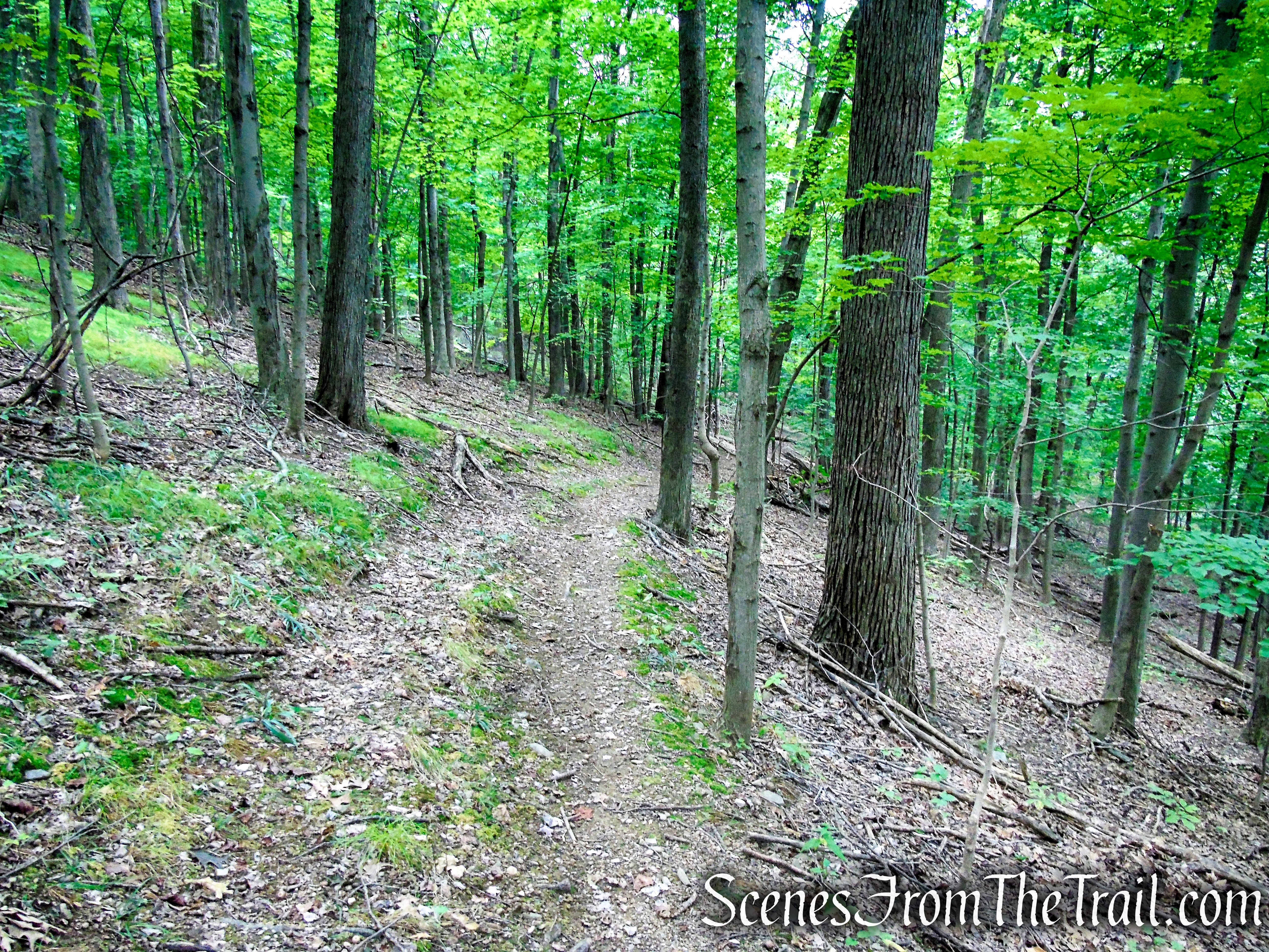
Yellow Trail – Snake Hill
Yellow Trail – Snake Hill
Red Trail – Snake Hill
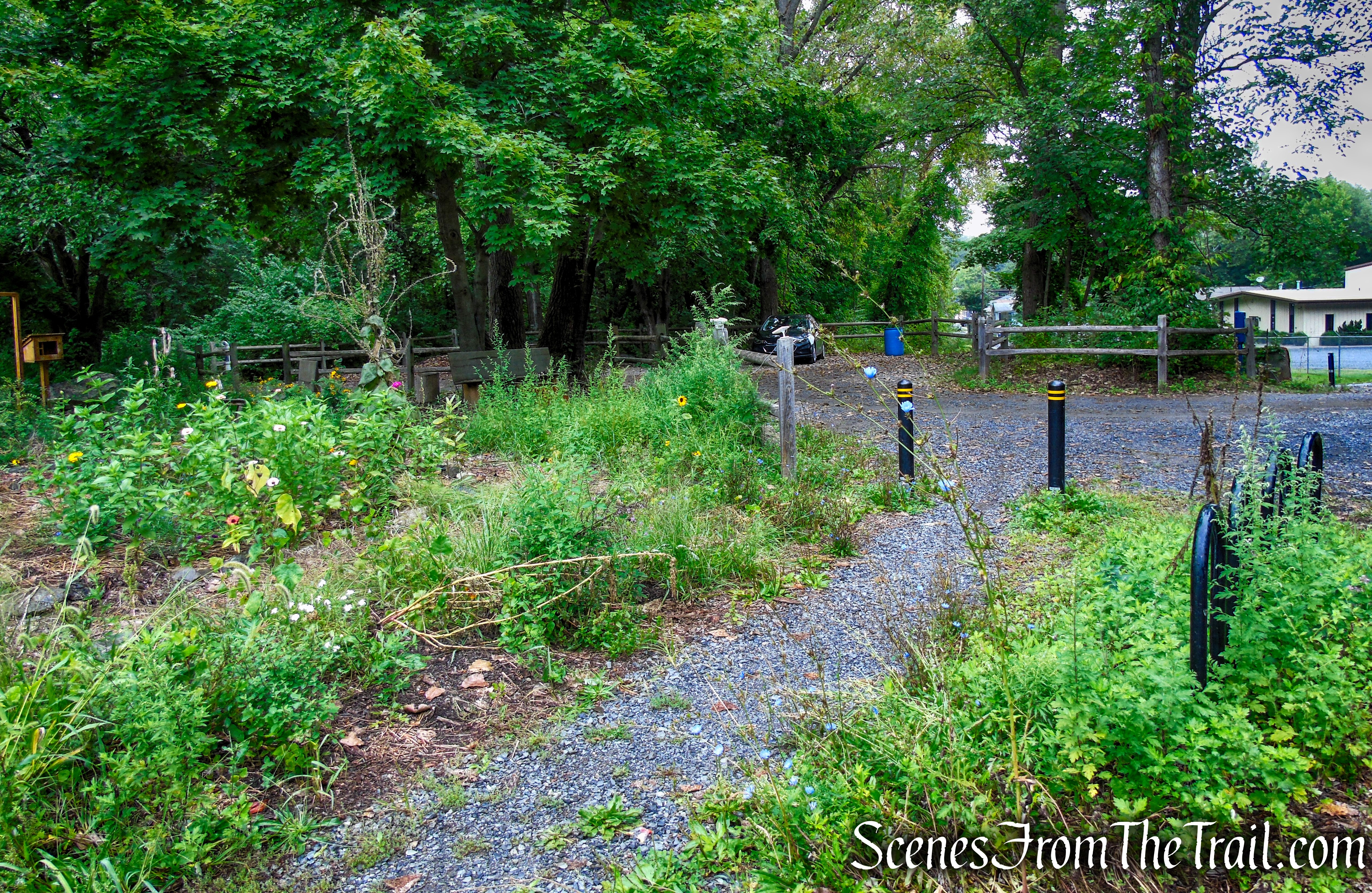
Crystal Lake Trailhead – Snake Hill
Review:
A really nice hike that leads to some of the best views in the Hudson Valley. The trails are well marked and easy to follow. Only saw one person throughout the entire hike on the day that we visited. The only thing negative that can be said, is that the area around Crystal Lake is a little run-down and I noticed what appeared to be a homeless encampment in the woods just off the Red Trail. I wouldn’t leave anything of value in the vehicle or in plain sight. This is an area that one should probably not hike alone. Other than that, a hike worth doing just for the views.
Pros:
Gorgeous Hudson River Valley views, well marked trails, not much foot traffic.
Cons:
Trailhead is in an industrial area and appears a little sketchy.
Take a hike!
Snake Hill Loop
Sources:
- Newburgh’s Crystal Lake gets a facelift
- Hiking Snake Hill and the historic sites of Newburgh
- Snake Hill – Scenic Hudson
- Crystal Lake Community Farm

My husband & I were from Newburgh: one July 4th we, along with his brother watched fireworks from 3 municipalities from Spy Rock. We then climbed down the face of the Rock: VERY dangerous, don’t do it! ( This was before marked trails. We followed roughly the YellowTrail). Beautiful views.
LikeLiked by 1 person