April 21, 2019 – Meriden, Connecticut
Difficulty: Easy – moderate
Length: Approximately 3 miles
Max elevation: 767 ft.– total elevation gain approximately 508 ft.
Route type: Circuit
Trail Map and Brochure: Hubbard Park Trails & Suggested Hikes – 2022
Trailhead parking: CT-71, Berlin, CT 06037
Please note: Park at the several roadside spaces where the Metacomet Trail crosses Rt-71, or at one of the spaces to the south.
Park Overview:
South Mountain, at 767 feet, is a prominent traprock peak in the Hanging Hills of Meriden, Connecticut. Rugged and scenic, the peak rises steeply above the city of Meriden 400 feet below and is characterized by its vertical cliffs and sweeping views of southern Connecticut and the Long Island Sound.
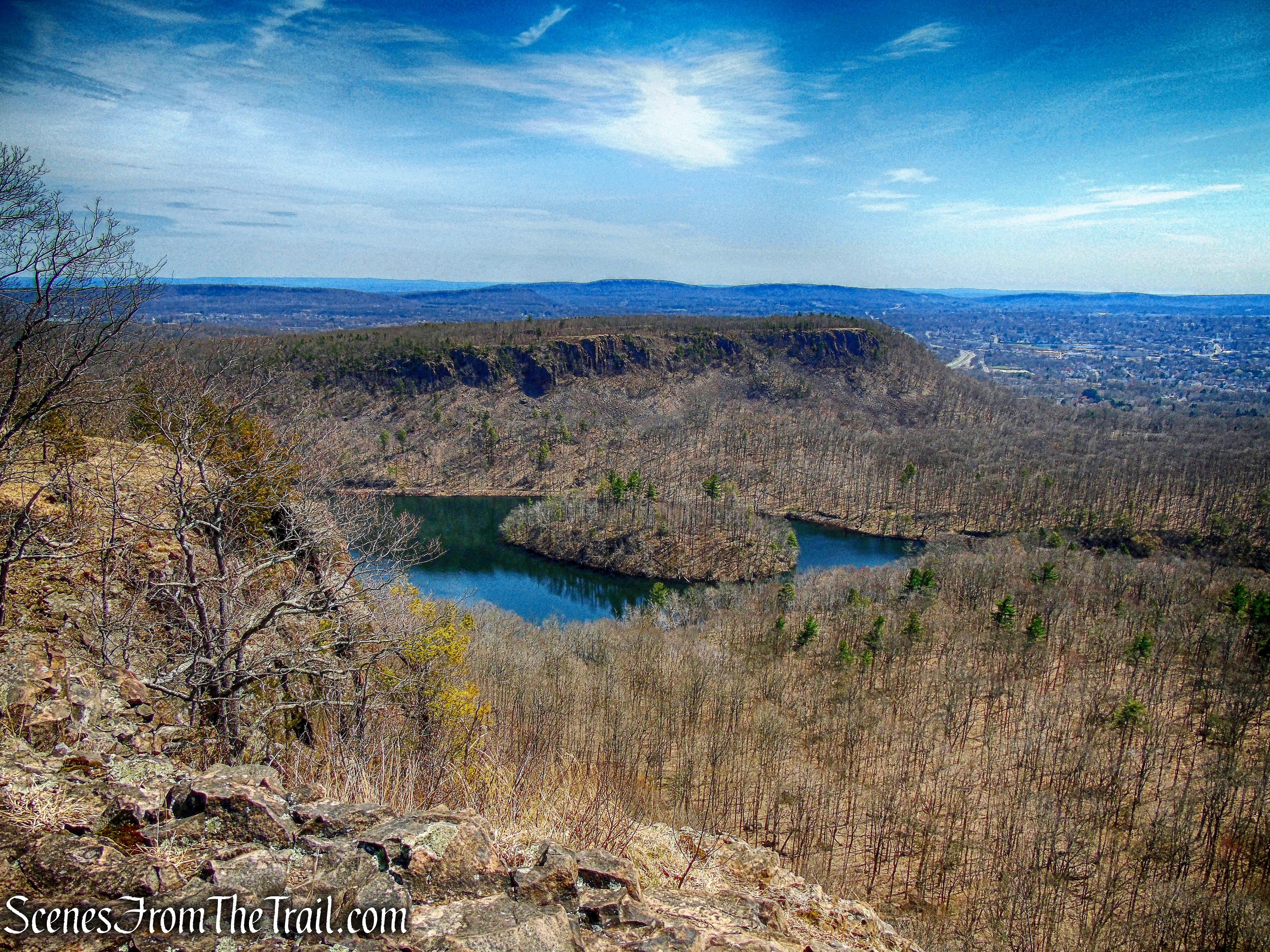
Merimere Reservoir, Mine Island and South Mountain as viewed from East Peak
South Mountain actually lies just outside of the 1,800-acre Hubbard Park, but connects to their trail system. The 62.7-mile Metacomet Trail crosses the wooded backside of South Mountain. A poorly blazed, but easy to follow woods road leads to the southern cliff face, offering panoramic views over the City of Meriden and the Hanging Hills. Activities enjoyed on the mountain include hiking, and in the winter, snowshoeing and backcountry skiing.
South Mountain – Metacomet Trail
Hike Overview:
This hike follows the blue-blazed Metacomet Trail west from where it crosses CT-71 and follows it for about 0.5 mile. Then turning left on a poorly marked, but easy to follow woods road, to the summit of South Mountain where there are panoramic views. The return is on another woods road that is also poorly marked, but easy to follow. The return trail is shown as black on the trail map, but you may see some faded red blazes. The map shows no connection from the Red Trail to the Black Trail, but there is a footpath through the open woods that does connect both woods roads.
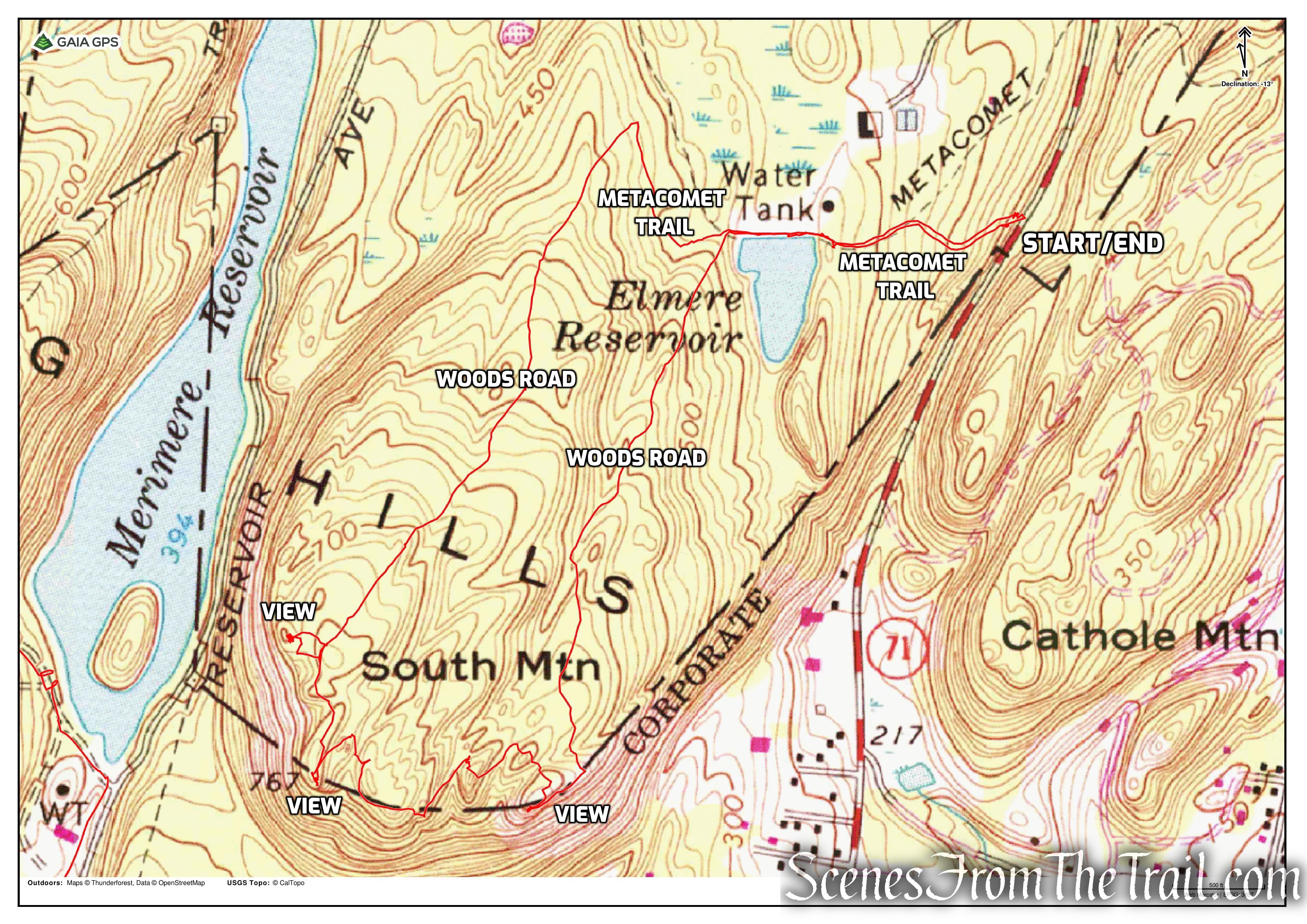
South Mountain Loop
There are only several roadside spaces available along Chamberlain Highway (CT-71), where the Metacomet Trail crosses the road. If those are filled, there is roadside parking slightly south along the highway.
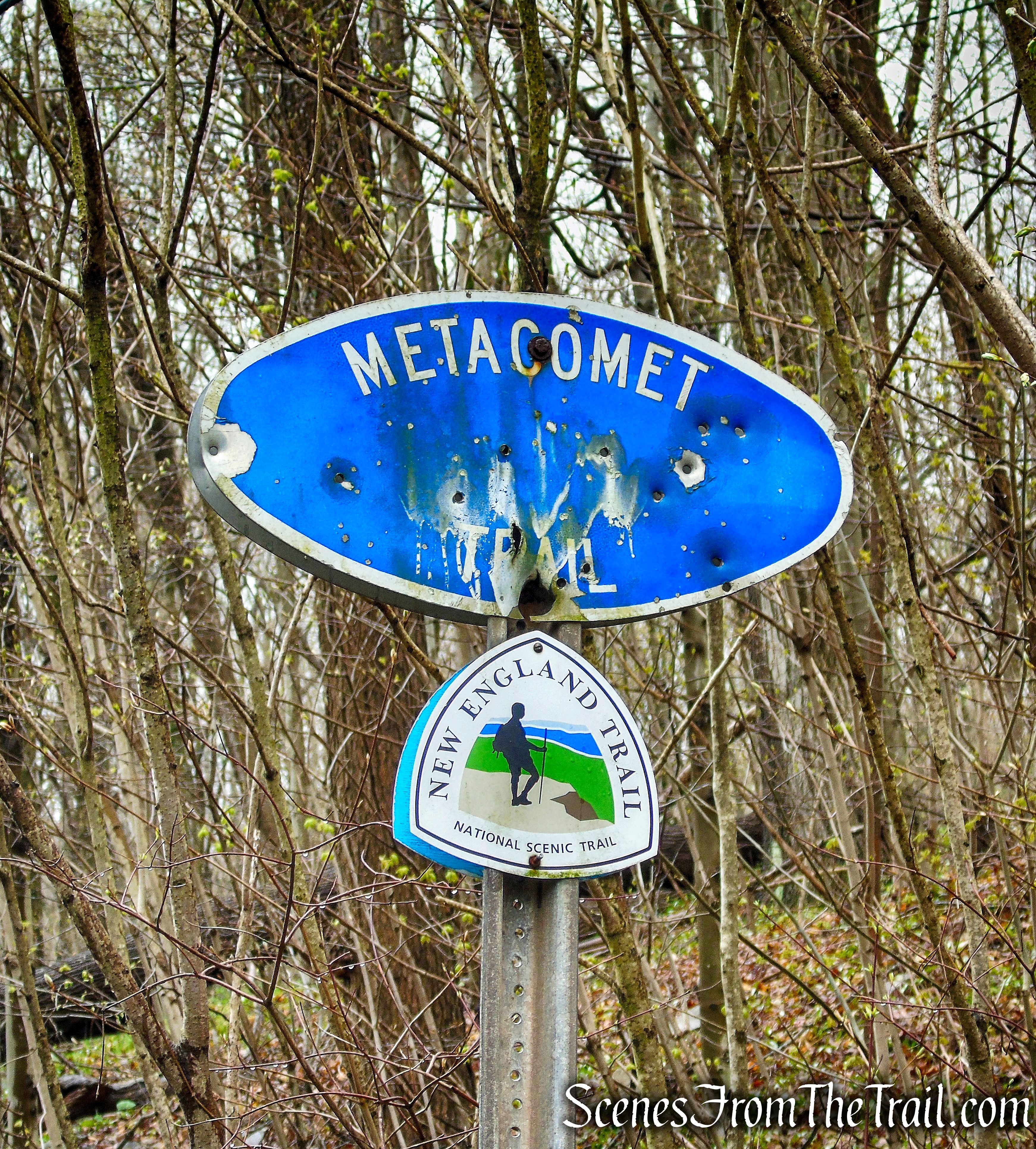
Metacomet Trail – CT-71
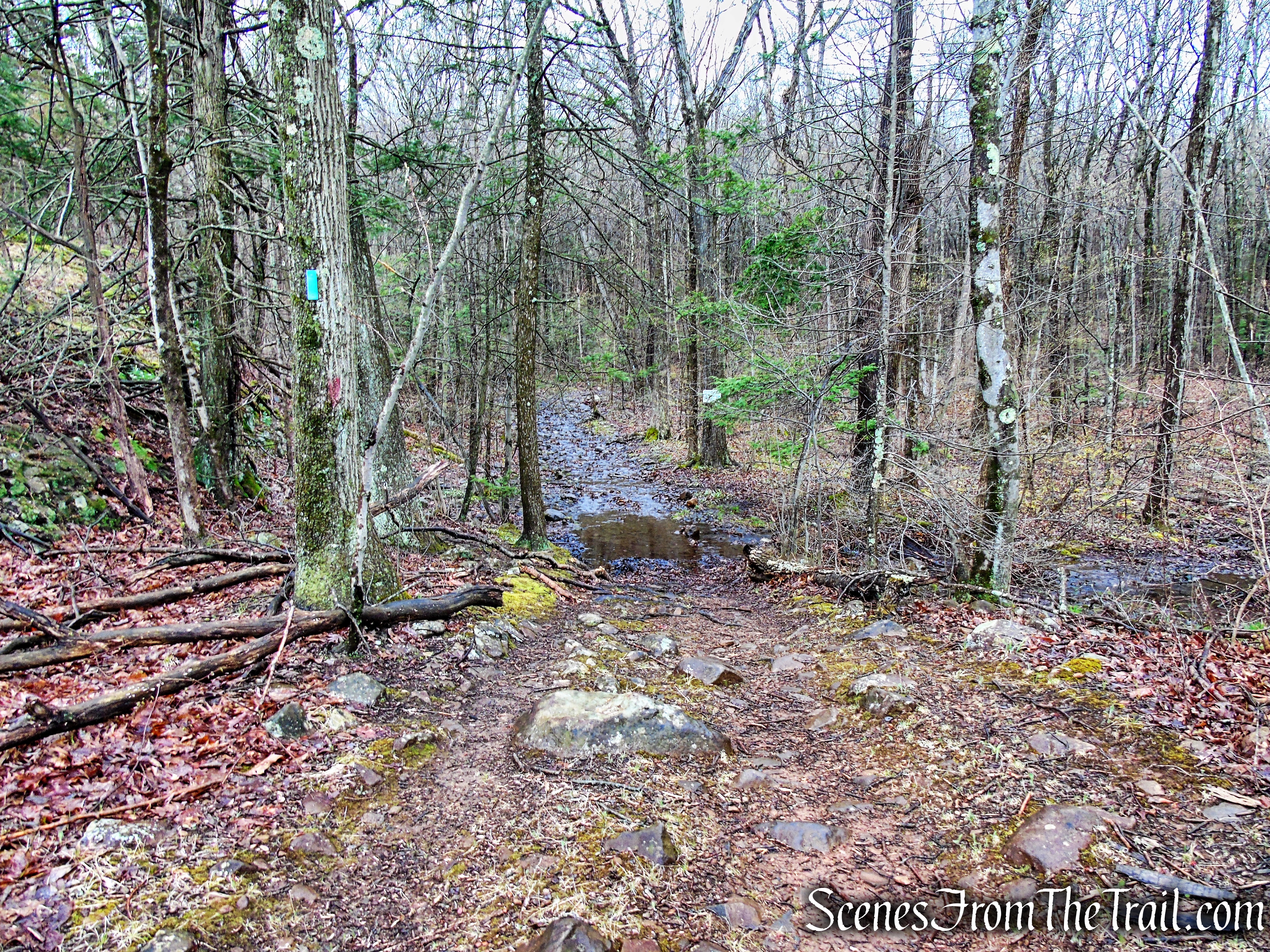
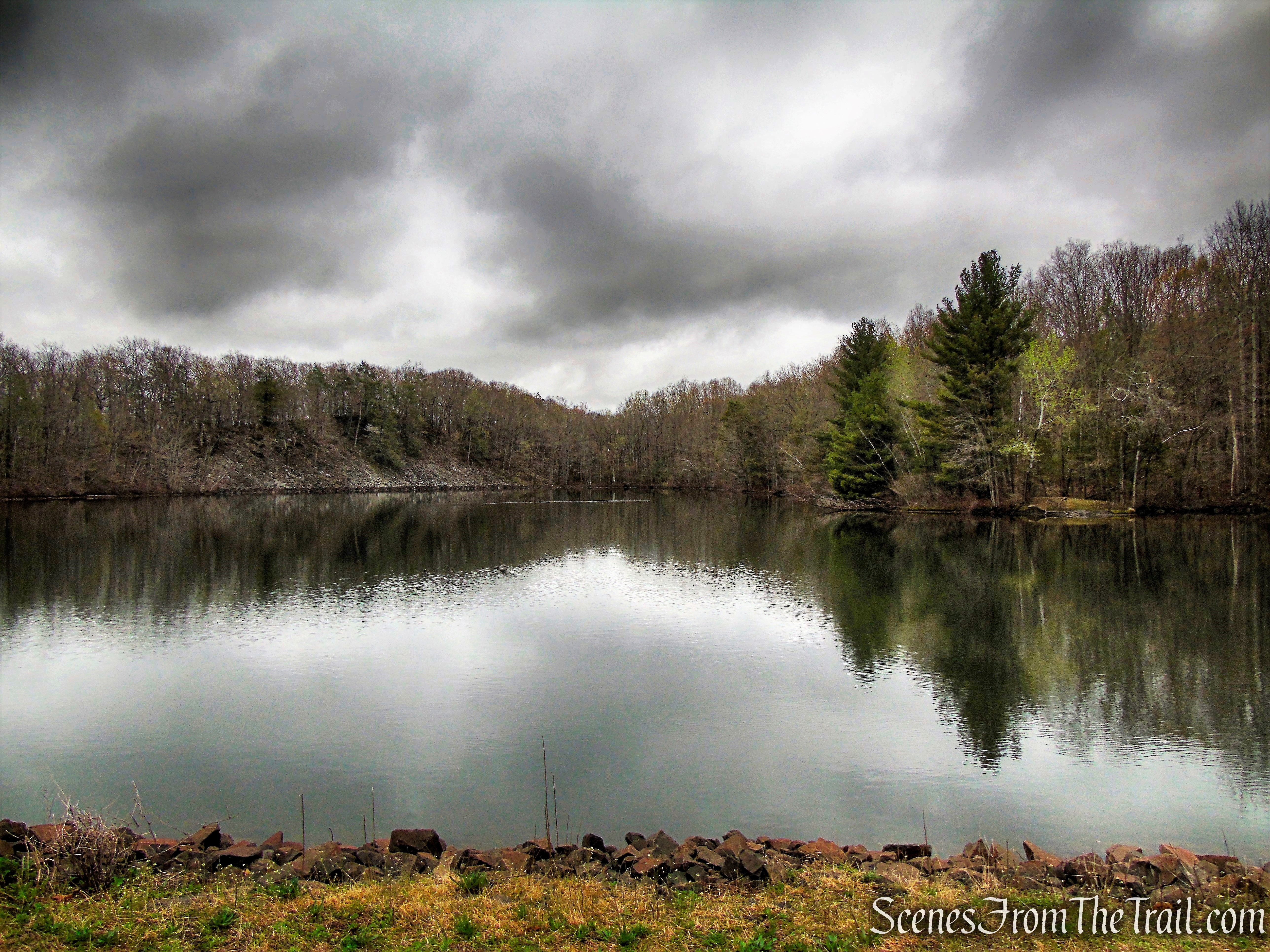
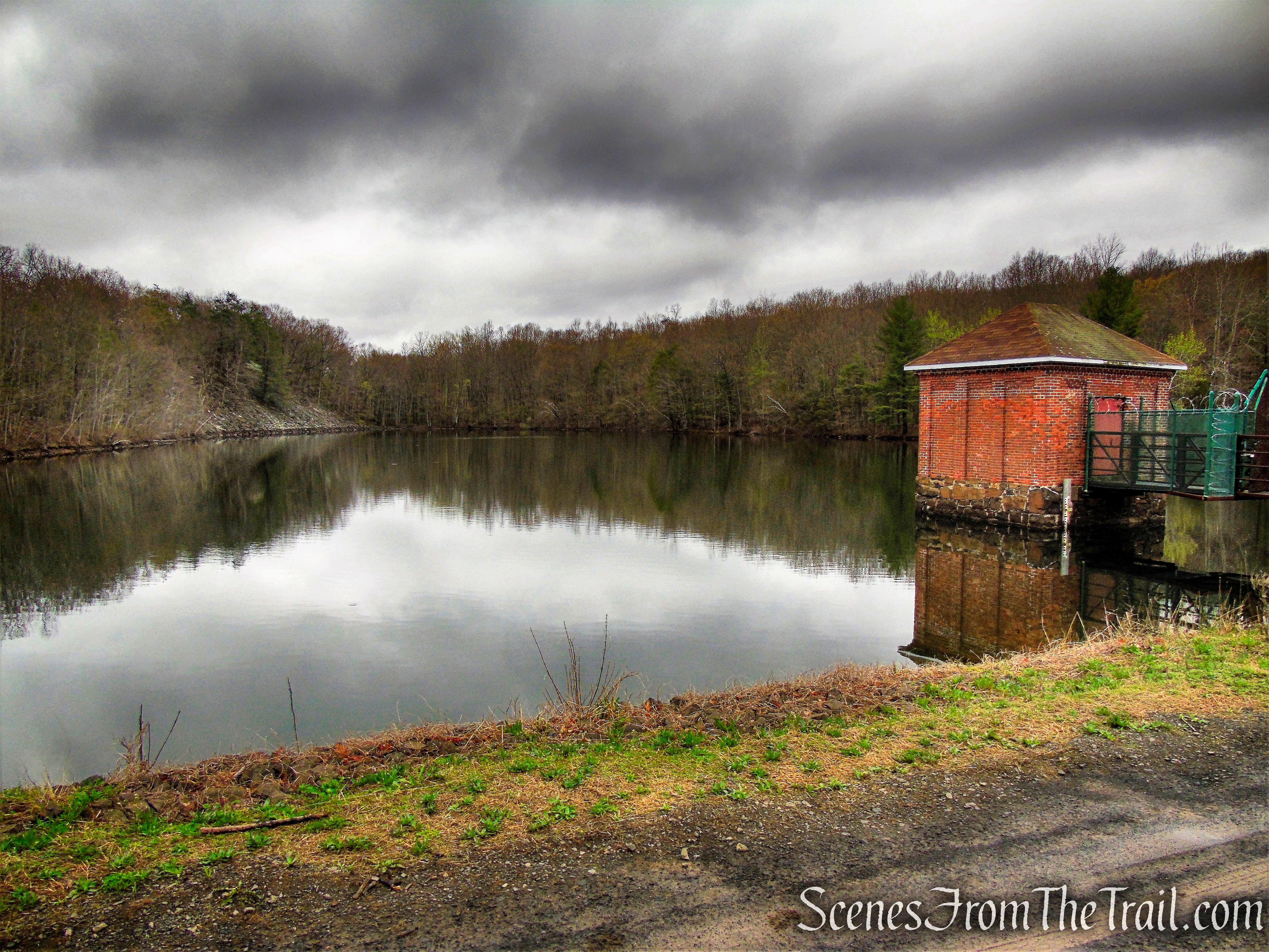
Follow the blue blazes past a water tank and the scenic Elmere Reservoir. Ascend a small embankment past some concrete blocks and pass through the intersection with an unblazed (there may be some faded red blazes) side trail that goes to the Anderson Pond (to the right) or the cliffs that overlook Target and the Mall (that will be your return route).
Metacomet Trail – South Mountain
Metacomet Trail – South Mountain
Metacomet Trail – South Mountain
Water Tank – Elmere Reservoir
Elmere Reservoir – South Mountain
Elmere Reservoir – South Mountain

Elmere Reservoir – South Mountain
Metacomet Trail – South Mountain
Metacomet Trail – South Mountain
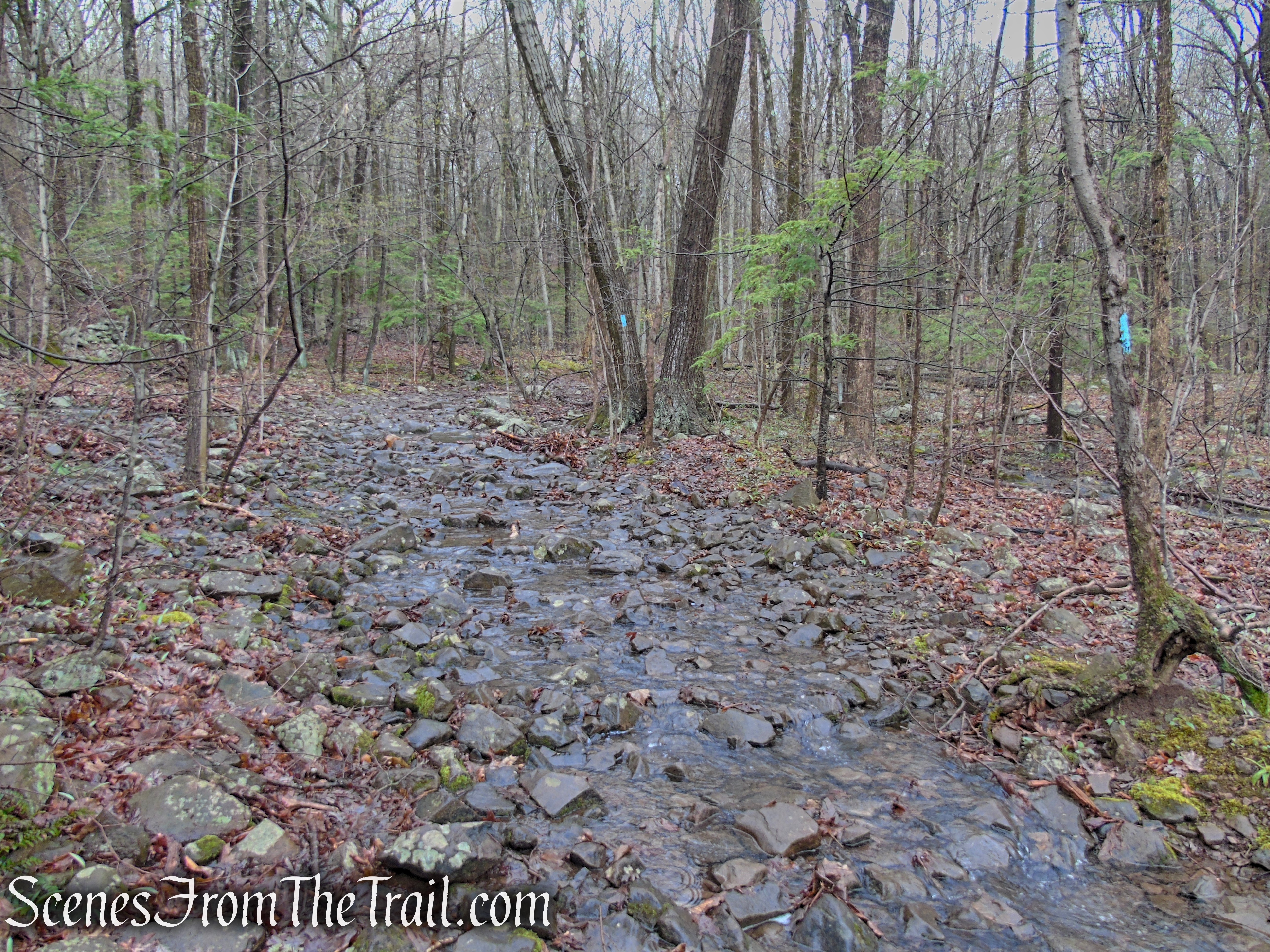
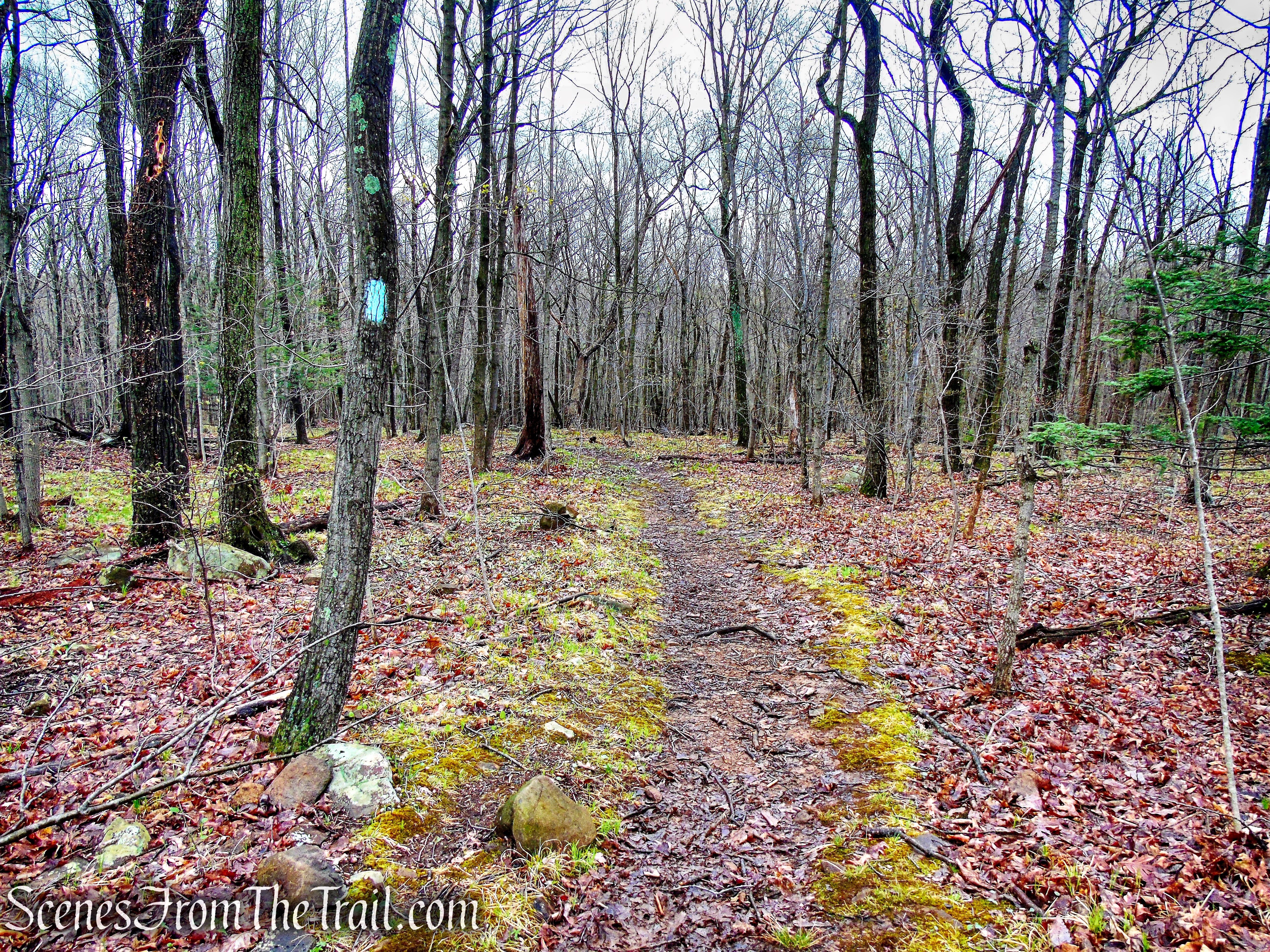
Continue following the blue-blazes on a rocky and possibly wet woods road, a short distance past the first intersection until you come to an obvious junction with another woods road on the left.
Metacomet Trail – South Mountain
Metacomet Trail – South Mountain
Metacomet Trail – South Mountain
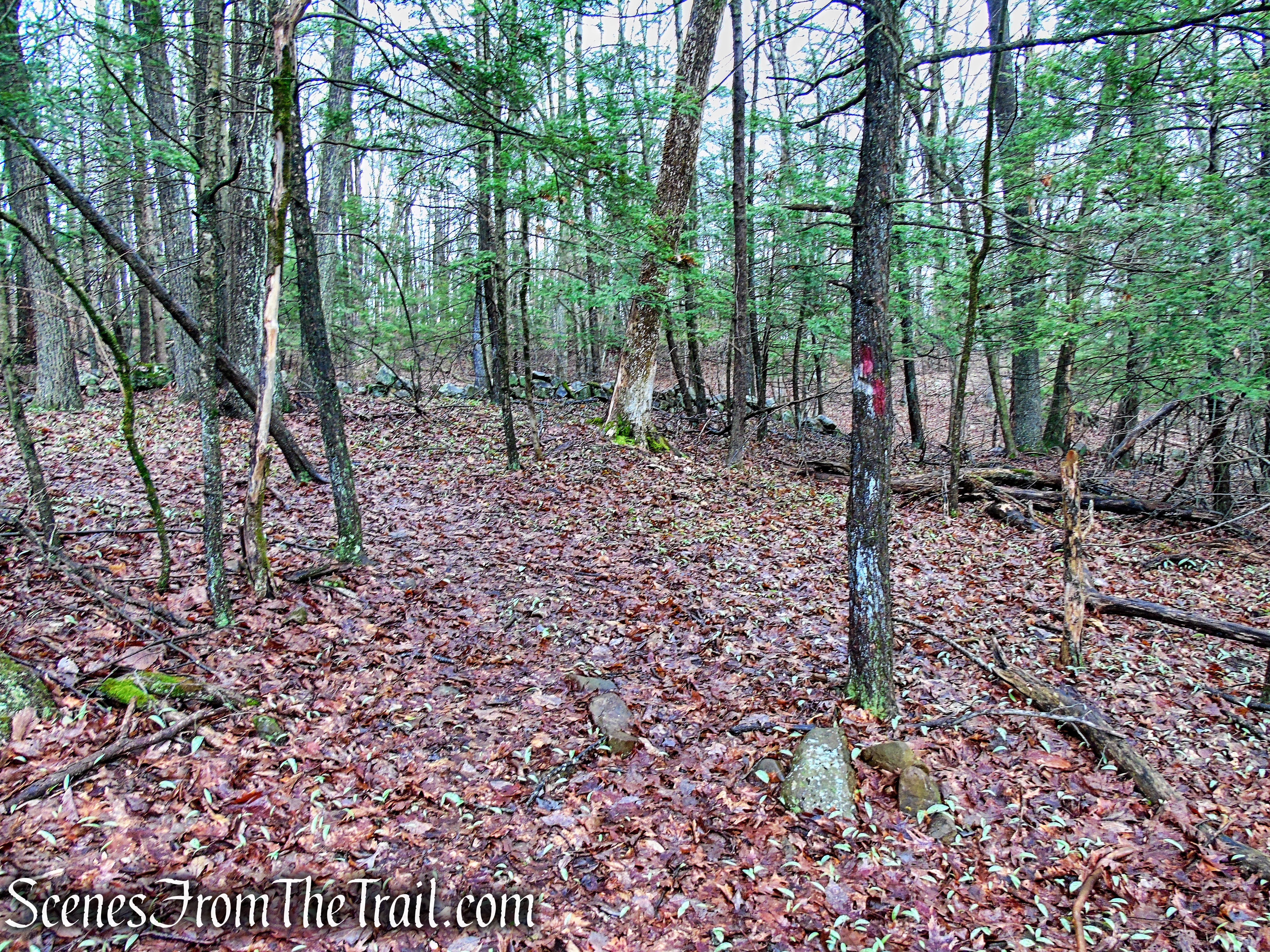
There are faded red blazes on a tree indicating a left turn. Turn left on the woods road, which has occasional red blazes.
turn left on Red Trail
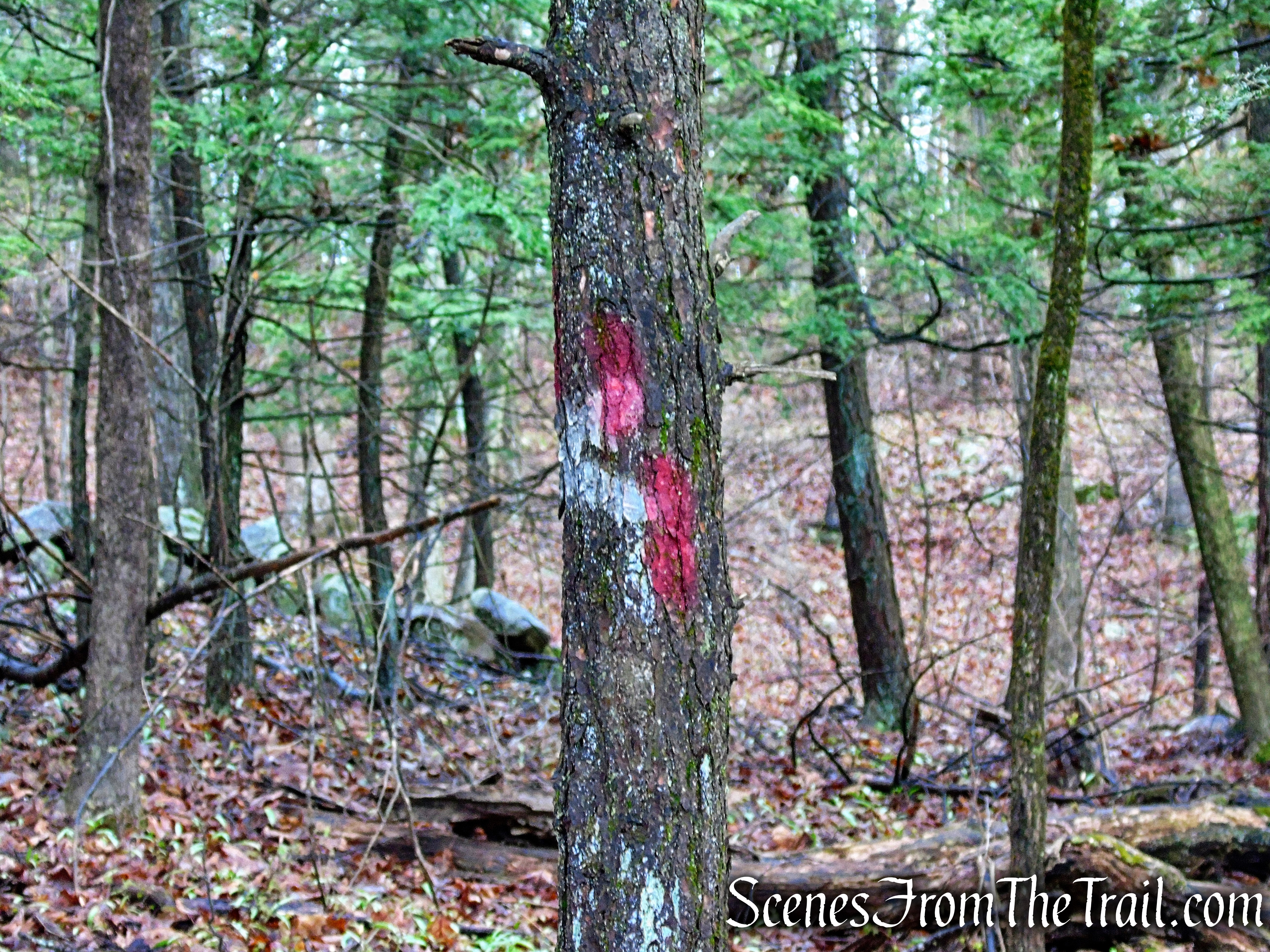
turn left on Red Trail
Follow the woods road as it gradually ascends South Mountain.
Red Trail – South Mountain
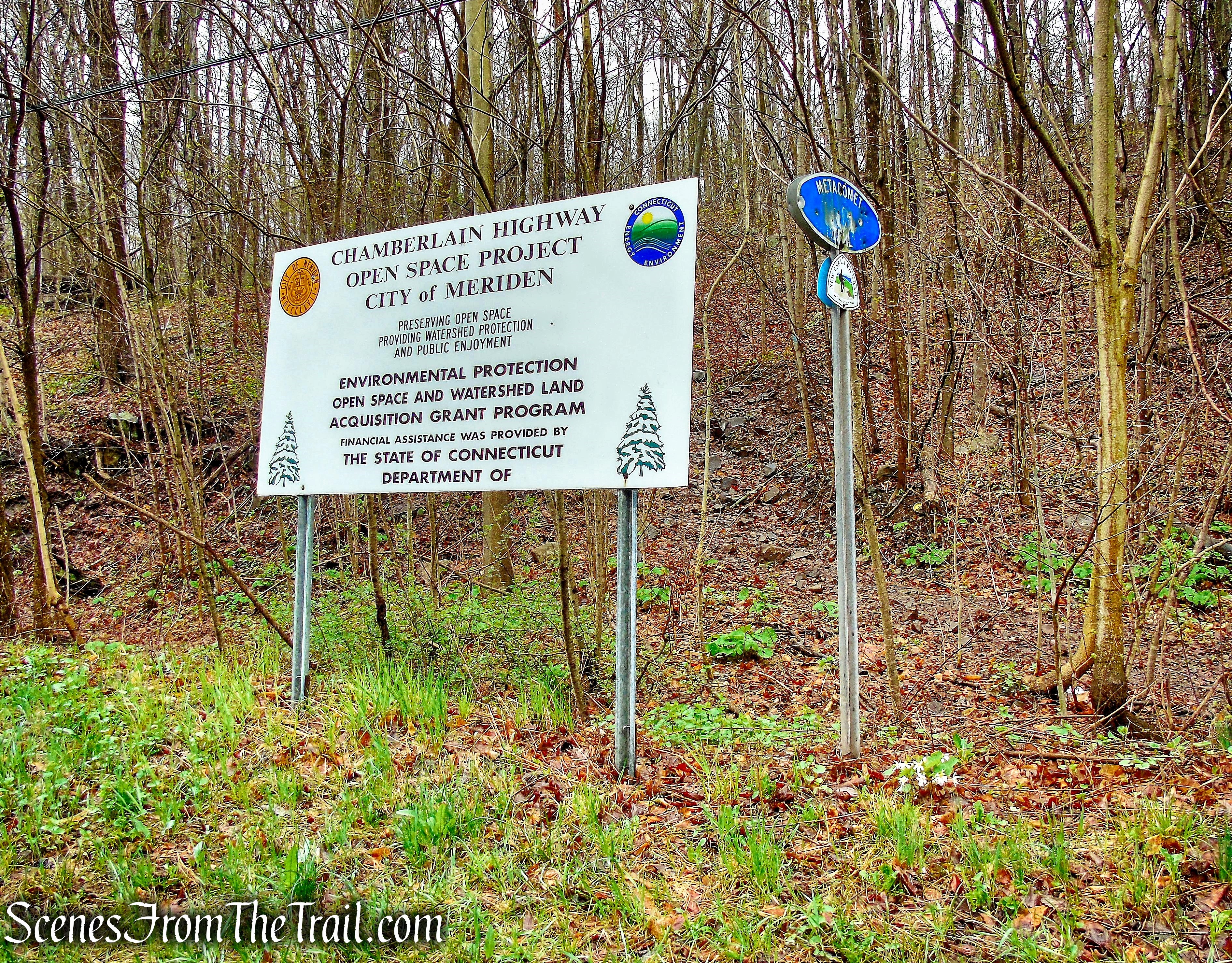
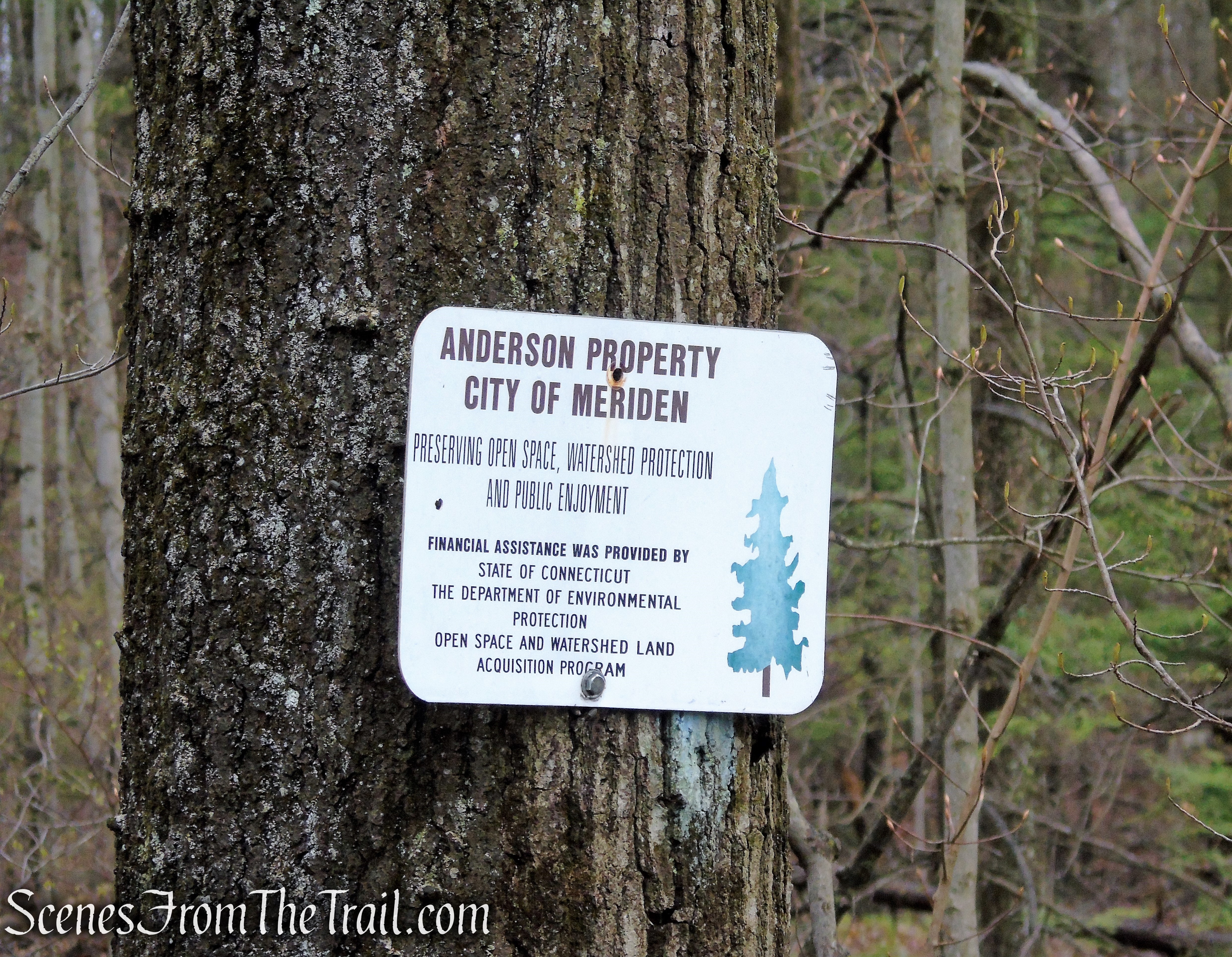
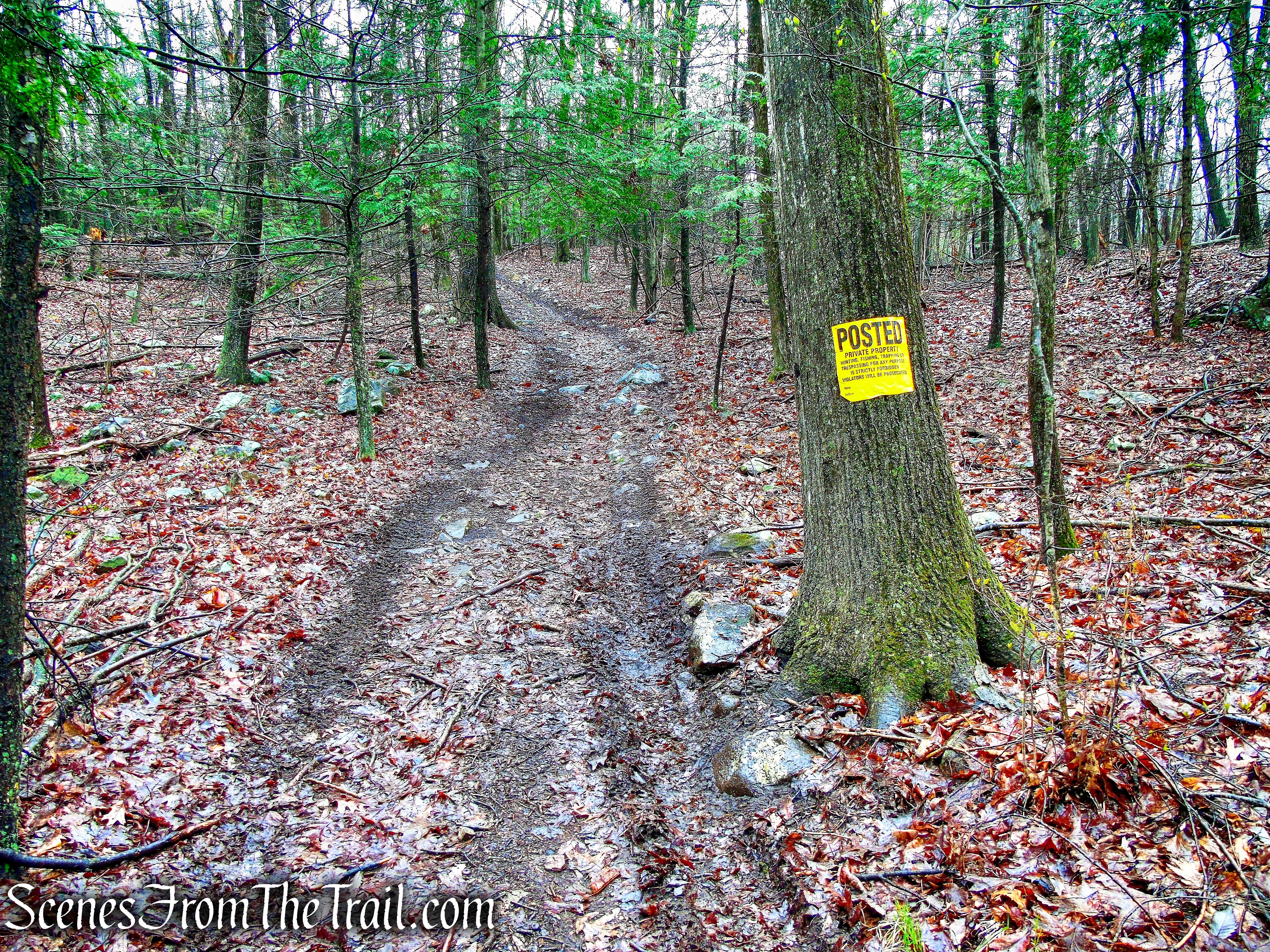
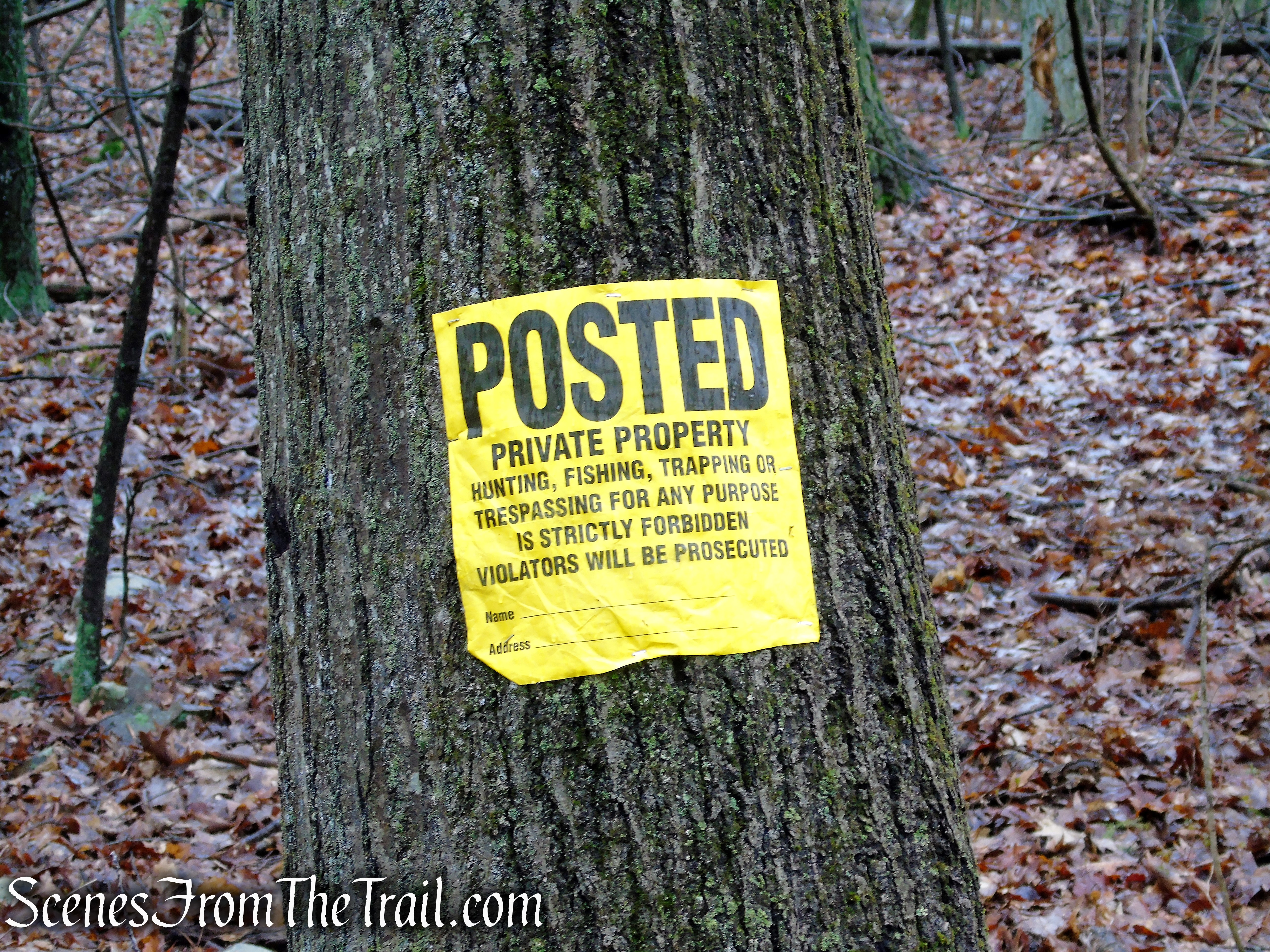
Although you’ll see some “POSTED’ signs along the trail, this land was acquired under the State Open Space and Watershed Land Acquisition Grant Program.
Red Trail – South Mountain
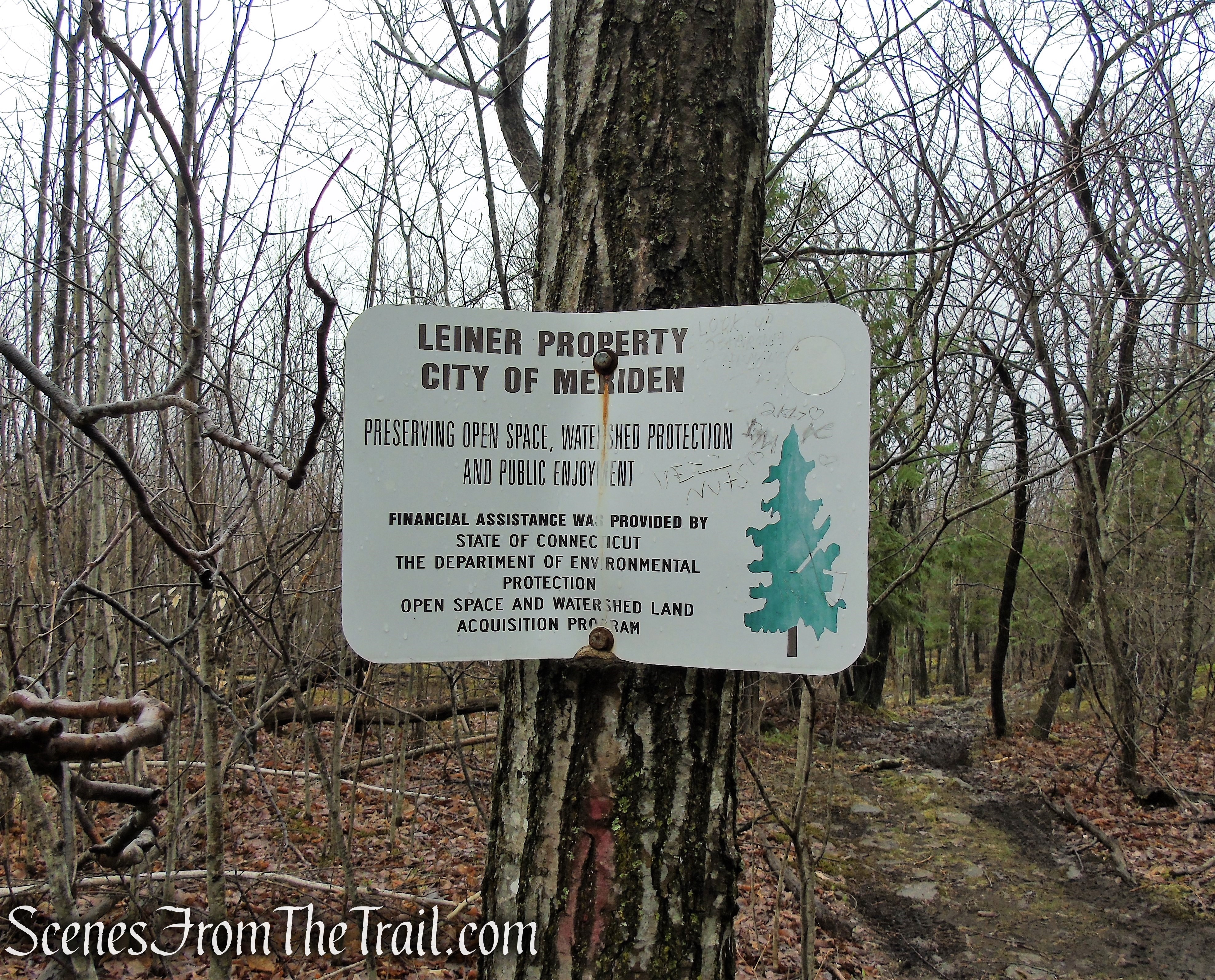
There are several signs like this throughout the area, indicating it as “Open Space” and for “Public Enjoyment.” You are NOT trespassing.
Red Trail – South Mountain
Red Trail – South Mountain
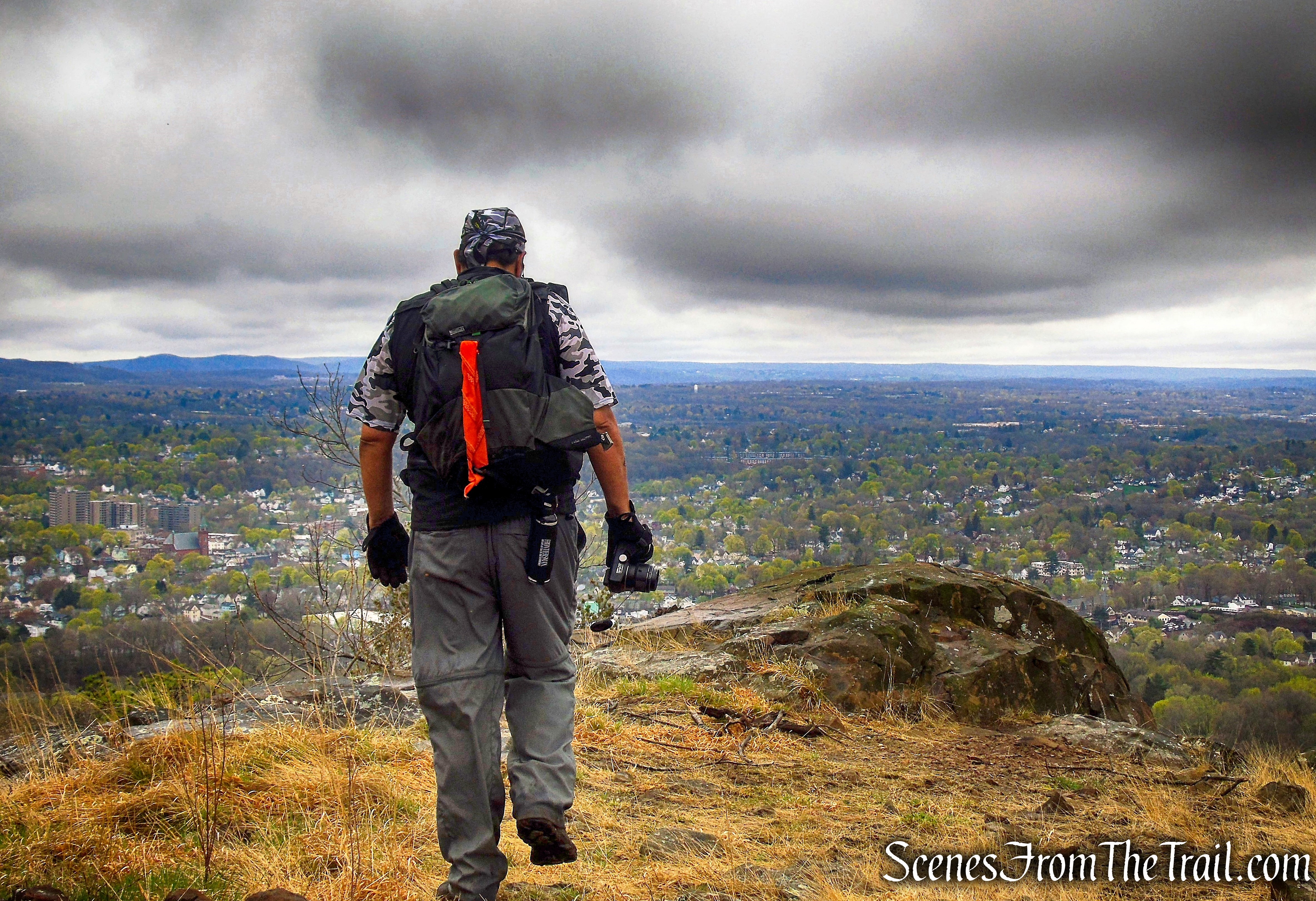
As you approach the top, follow a poorly marked side trail on the right, to an open grassy area with a expansive views.
view west – South Mountain
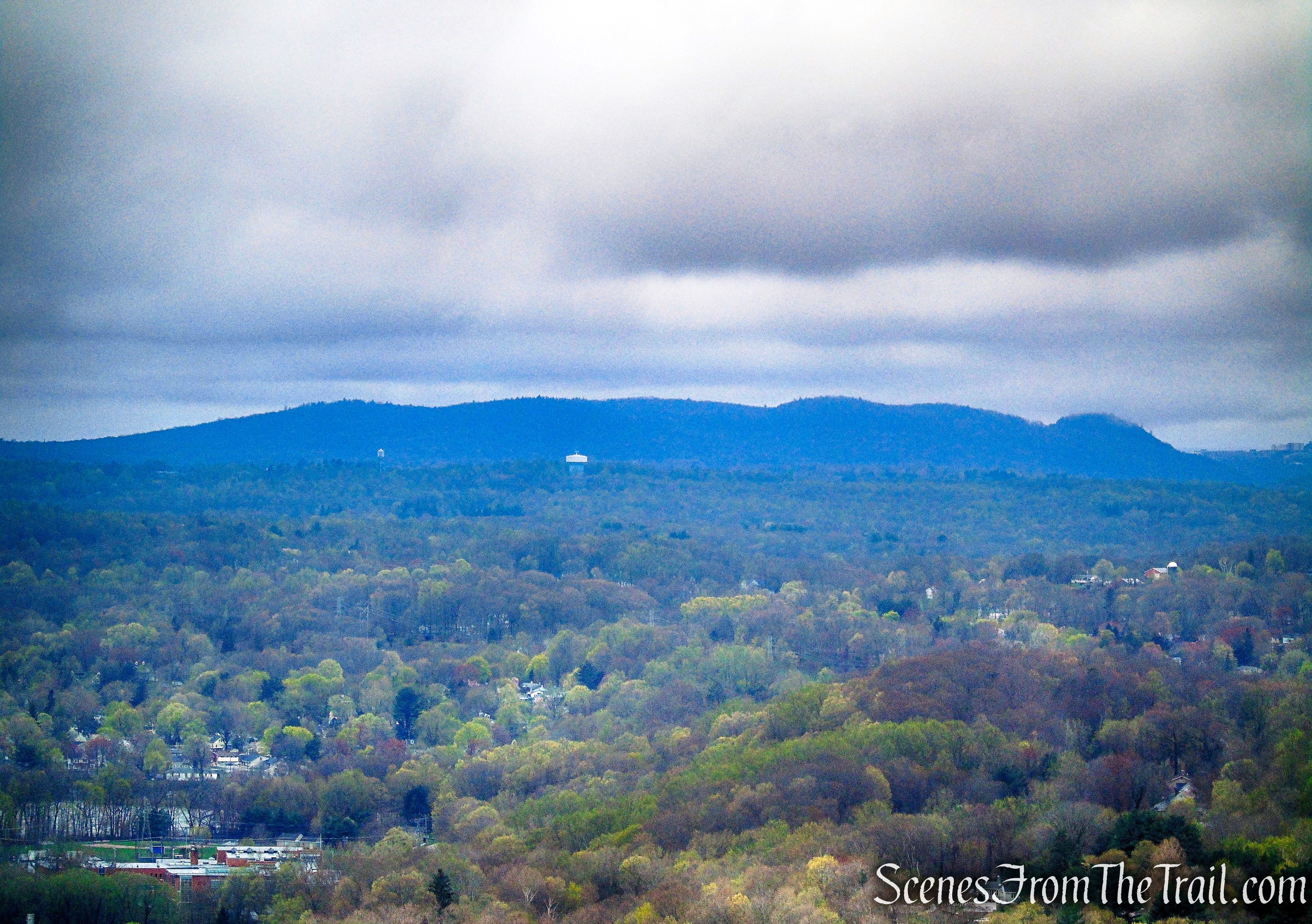
You have now traveled about 1.2 miles and have been rewarded with a gorgeous view of Merimere Reservoir, Mine Island, and East Peak with Castle Craig on the far left of the ridge
Castle Craig, East Peak and Merimere Reservoir from South Mountain
The open ridge has 180° panoramic views to the south (below), west and north.
view south – South Mountain
A zoomed in view of Castle Craig on an overcast and cloudy day.
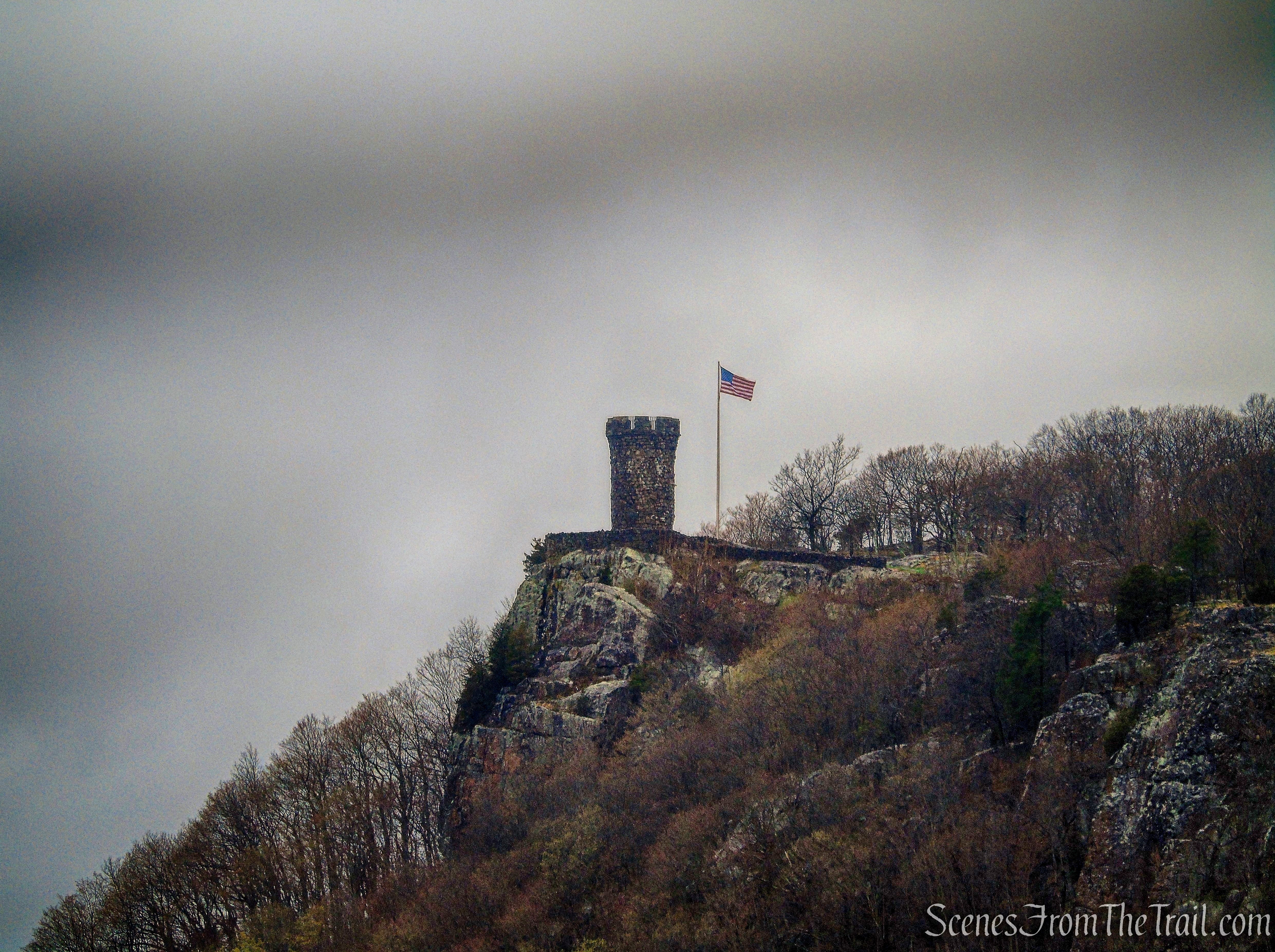
Castle Craig from South Mountain
A view of East Peak and the Metacomet Ridge. The blue-blazed Metacomet Trail runs along that ridge.
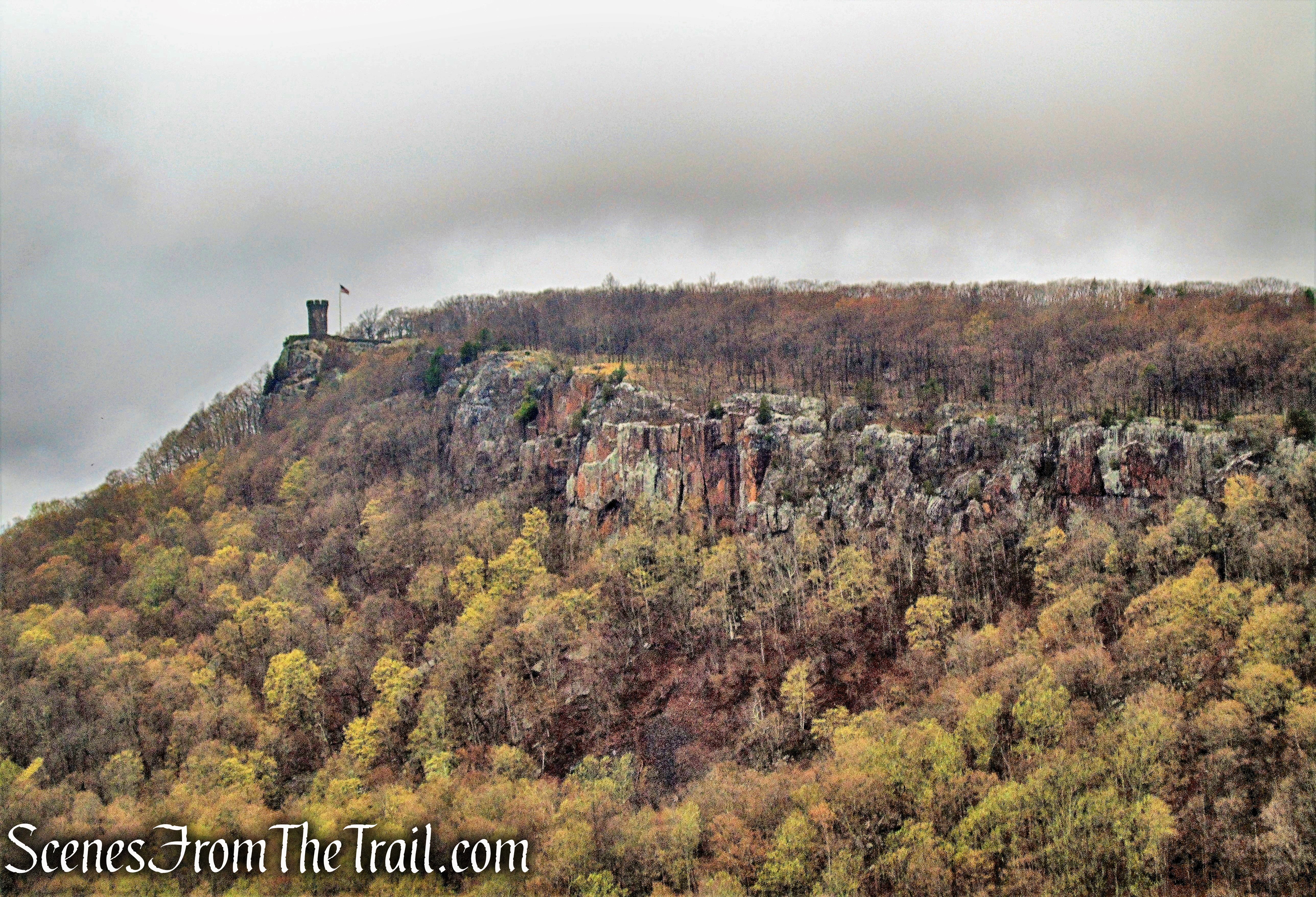
Castle Craig and East Peak from South Mountain
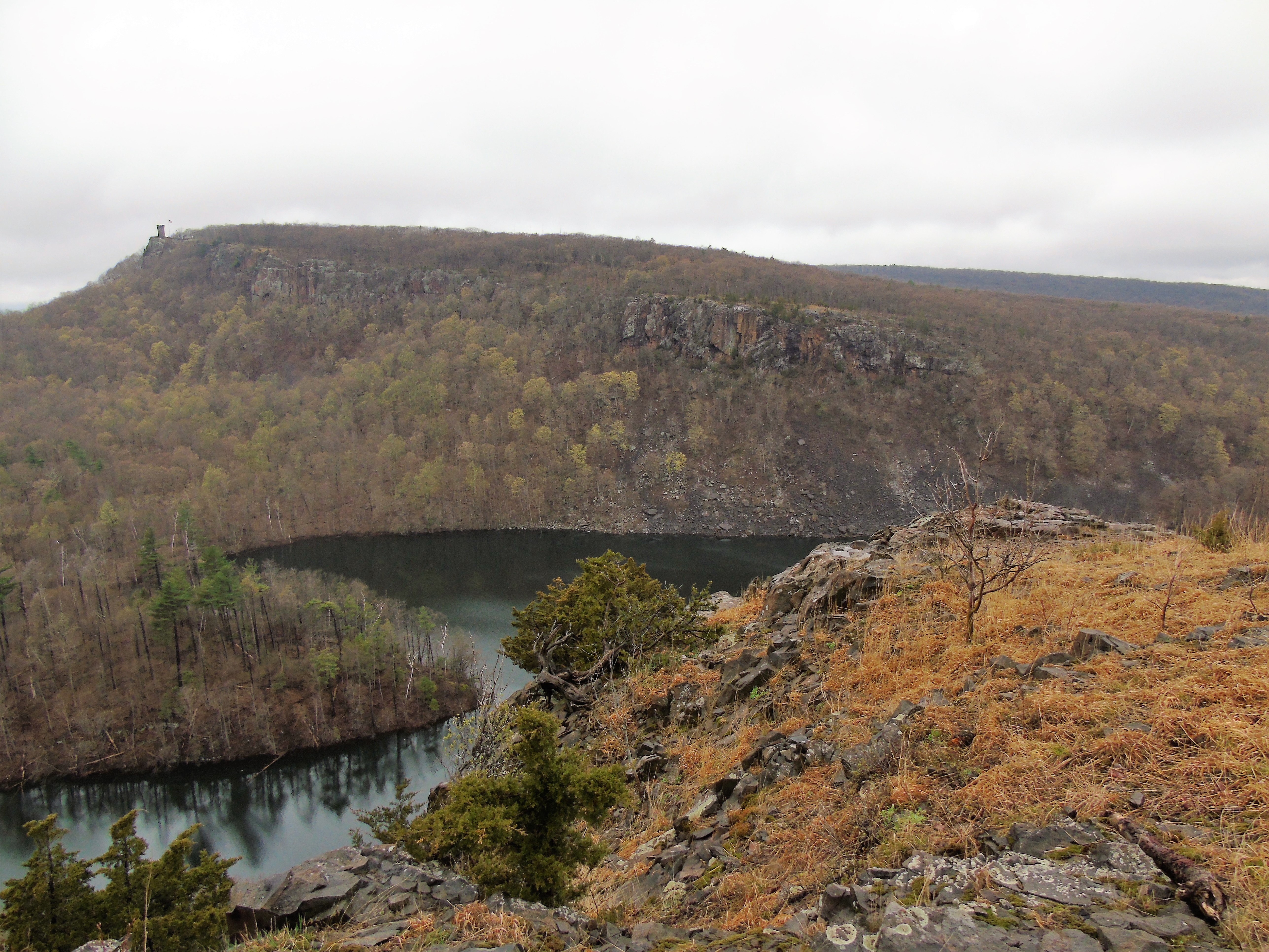
Castle Craig, East Peak and Merimere Reservoir from South Mountain
Merimere Reservoir, nestled between South Mountain and East Peak and punctuated by the rocky mass of Mine Island, is particularly scenic.
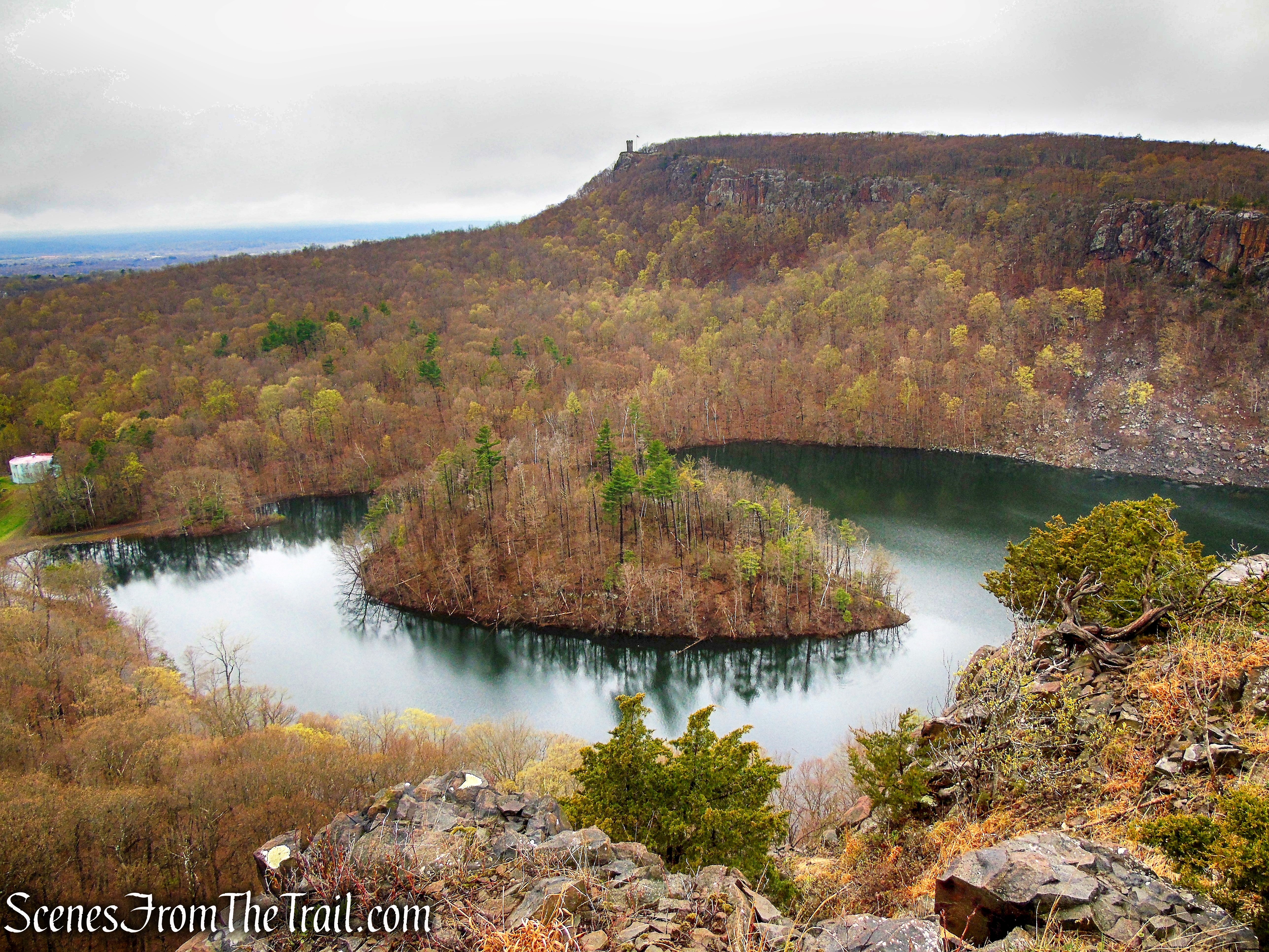
Castle Craig, East Peak and Merimere Reservoir from South Mountain
Continue to follow the woods road as it dips a little then rises again, eventually coming to a south-facing viewpoint over the City of Meriden.
Red Trail – South Mountain
Red Trail – South Mountain
On a clear day, the Long Island Sound is visible in the distance.

view south – South Mountain
The developed area of Hubbard Park and its the centerpiece, Mirror Lake is visible down below.
Mirror Lake and Hubbard Park from South Mountain
Castle Craig to the west.
Castle Craig from South Mountain
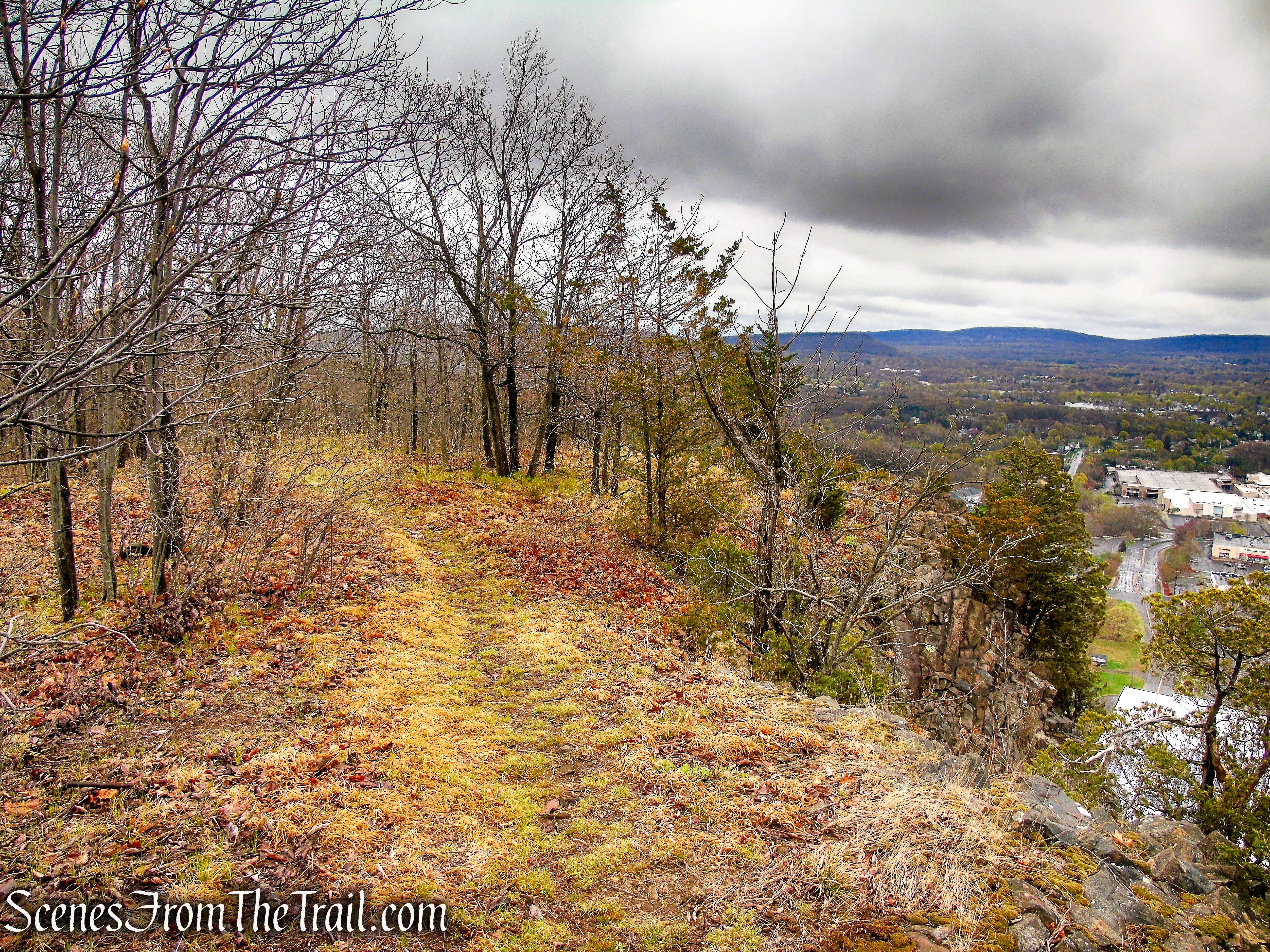
Looking south over downtown Meriden. On the map, the Red Trail ends here, but continue to follow the ridgeline through the open woods.
view south – South Mountain
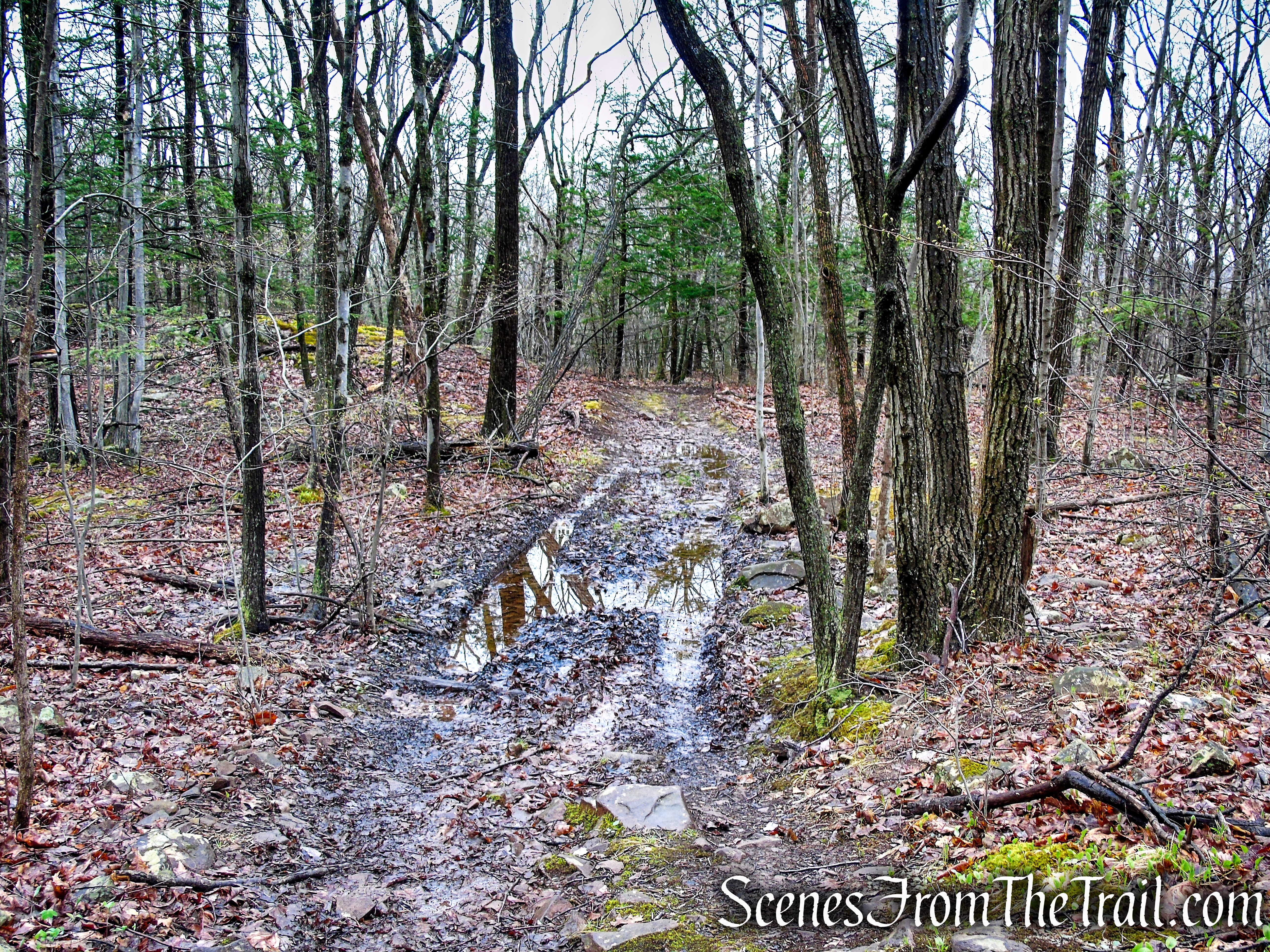
You’ll dip down into a hollow (there was an encampment there on our visit) then climb back up towards the ridge.
Red Trail – South Mountain
Red Trail – South Mountain
Now on the east side of the ridge, sometimes referred to as the “Target View,” Target department store is directly below with Interstate 691 on the far right. The profile of the Metacomet Range are the hills in the distance, including Lamentation Mountain, Chauncey Peak and Beseck Mountain.
view east – South Mountain
The “Sleeping Giant” is visible to the southwest.
Sleeping Giant from South Mountain
Now the woods road becomes easily discernible as depicted on the trail map as the “Black Trail.” Follow the road as it runs along the ridge and soon veers away and into the woods. Occasional red blazes appear on trees as the road descends.
Red Trail – South Mountain

Red Trail – South Mountain
In about 0.6 mile, the woods road reaches the junction with the blue-blazed Metacomet Trail. Turn right and retrace your steps, passing the Elmere Reservoir, water tank and back to Chamberlain Highway (CT-71), where the hike began.
Metacomet Trail – South Mountain
Elmere Reservoir
Elmere Reservoir
Metacomet Trail – South Mountain
Review:
A really good short hike with plenty of views. We had just done the Castle Craig Loop at Hubbard Park the week before and decided to come back and do this one. The Metacomet Trail allows for a longer hike if so inclined. We only saw one person on the trail during the hike. Definitely worth doing if you are looking for a short hike with a big payoff.
Pros:
Open views from the ridge, lesser traveled area, Metacomet Trail, Scenic landscape, Metacomet Ridge.
Cons:
Limited parking.
Take a hike!
South Mountain Loop – Hubbard Park
Resources:

Have you ever hiked West Peak? These are EXCELLENT guides/reviews that I am just now discovering!!! Excellent job and awesome photos!
LikeLike
Haven’t done West Peak yet, but it’s on my list. Thanks for reading and the compliments.
LikeLike