May 21, 2023 – Ramapo, NY
Difficulty: Moderate to strenuous
Length: Approximately 5 miles
Max elevation: 1,201 ft.– total elevation gain approximately 902 ft.
Route type: Circuit
Buy Map (Paper & Avenza): Harriman-Bear Mountain Trails Map #118
Free Map (Paper & Avenza): Harriman State Park Trail Map
Trailhead parking: Town of Ramapo Equestrian Center, 1152 Haverstraw Rd, Suffern, NY 10901
Pull-off parking – no bathrooms on site
Overview:
At 47,527 acres, Harriman State Park, located in Rockland and Orange counties, is the second-largest park in the NYS parks system. It has 31 lakes and reservoirs, over 200 miles of hiking trails, two beaches, two public camping areas, a network of group camps, miles of streams and scenic roads, and scores of wildlife species, vistas and vantage points. Harriman State Park’s major facilities include Lakes Welch, Tiorati and Silvermine, the Anthony Wayne Recreation Area, Sebago Cabins and Beaver Pond Campgrounds.
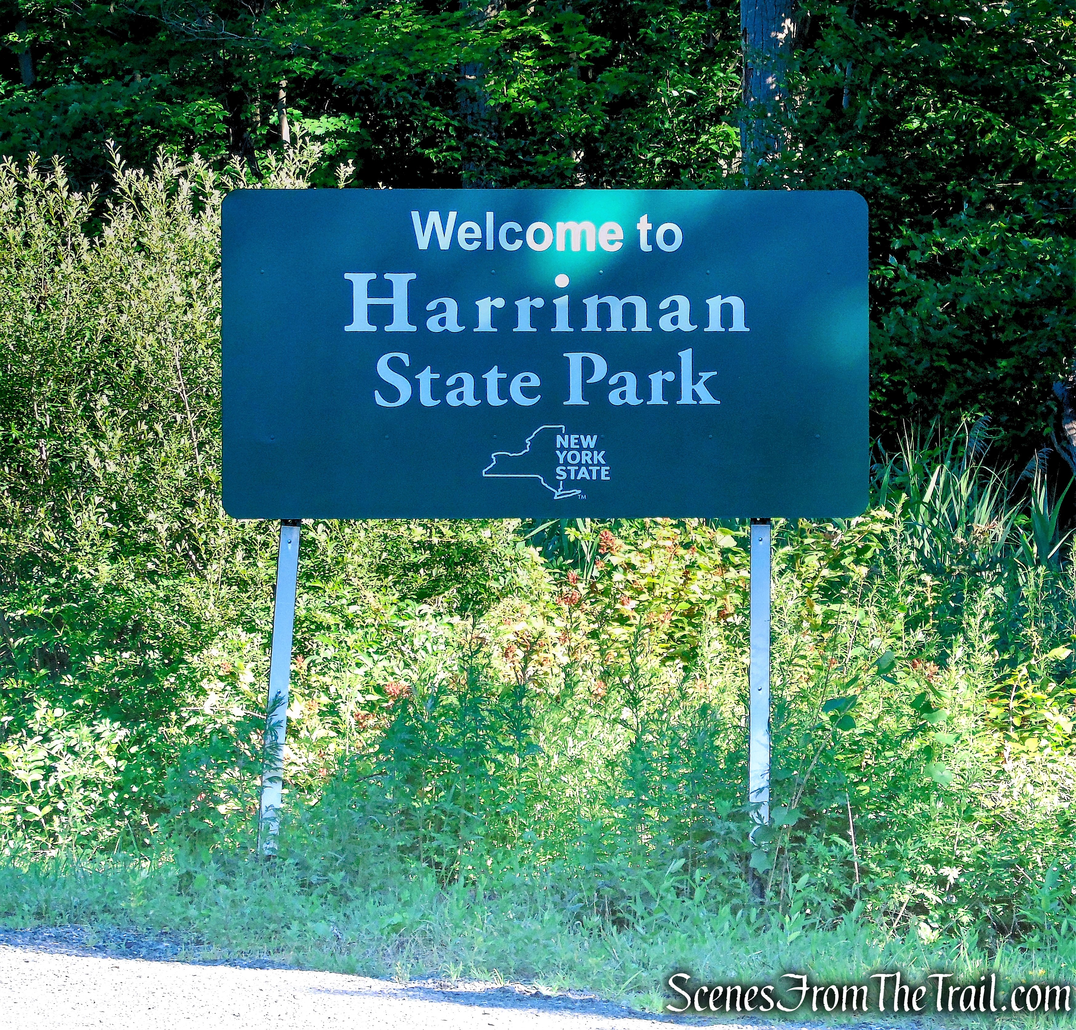
Harriman State Park
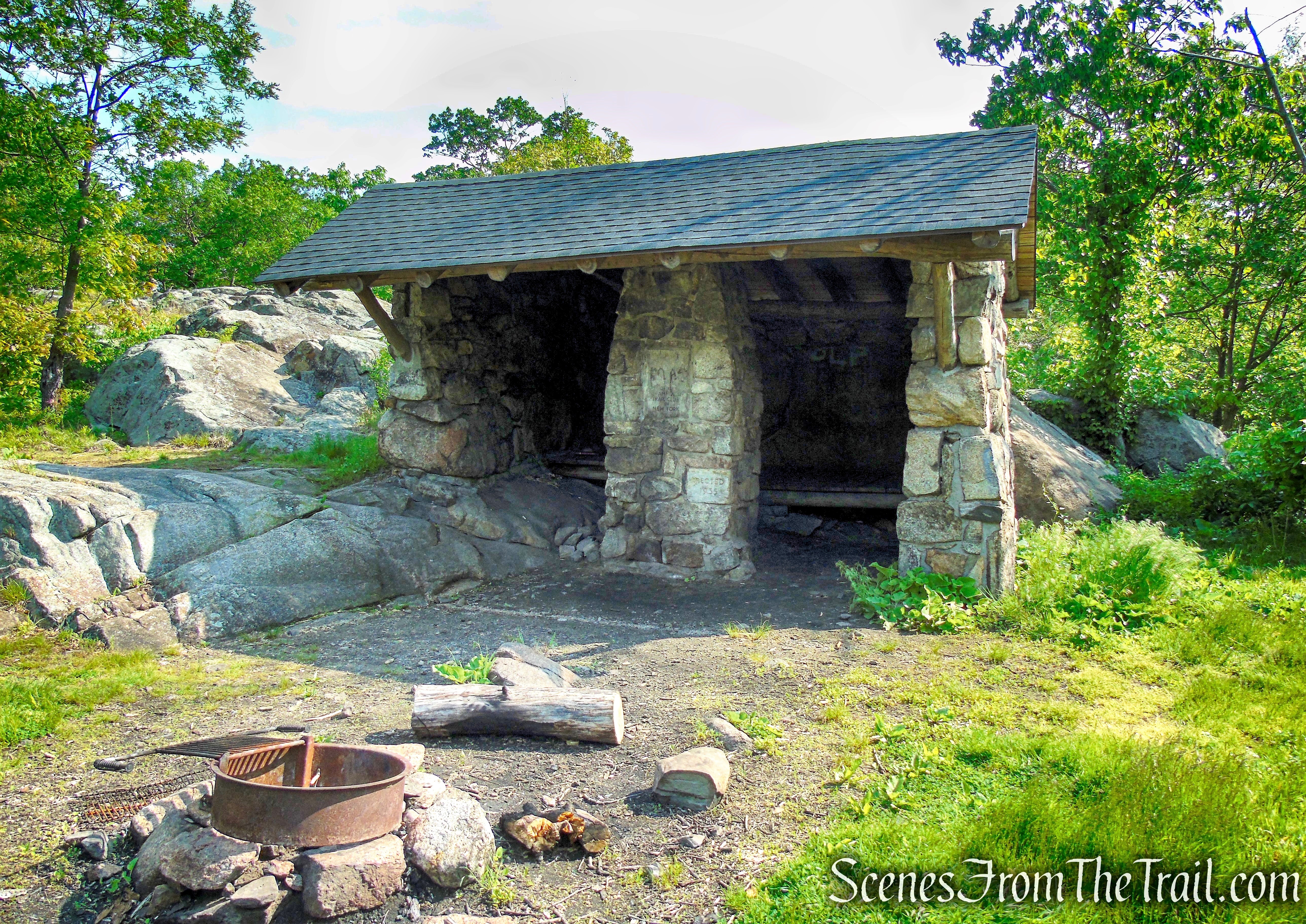
The Stone Memorial Shelter was built in memory of Edgar Stone and his wife, Jessie, who together founded the Tramp and Trail Club of New York in 1914. The shelter was dedicated in 1935 (Edgar died in 1932). The shelter is near the eastern boundary of Harriman State Park, just northwest of the summit of Horse Stable Mountain, on the Suffern-Bear Mountain Trail.
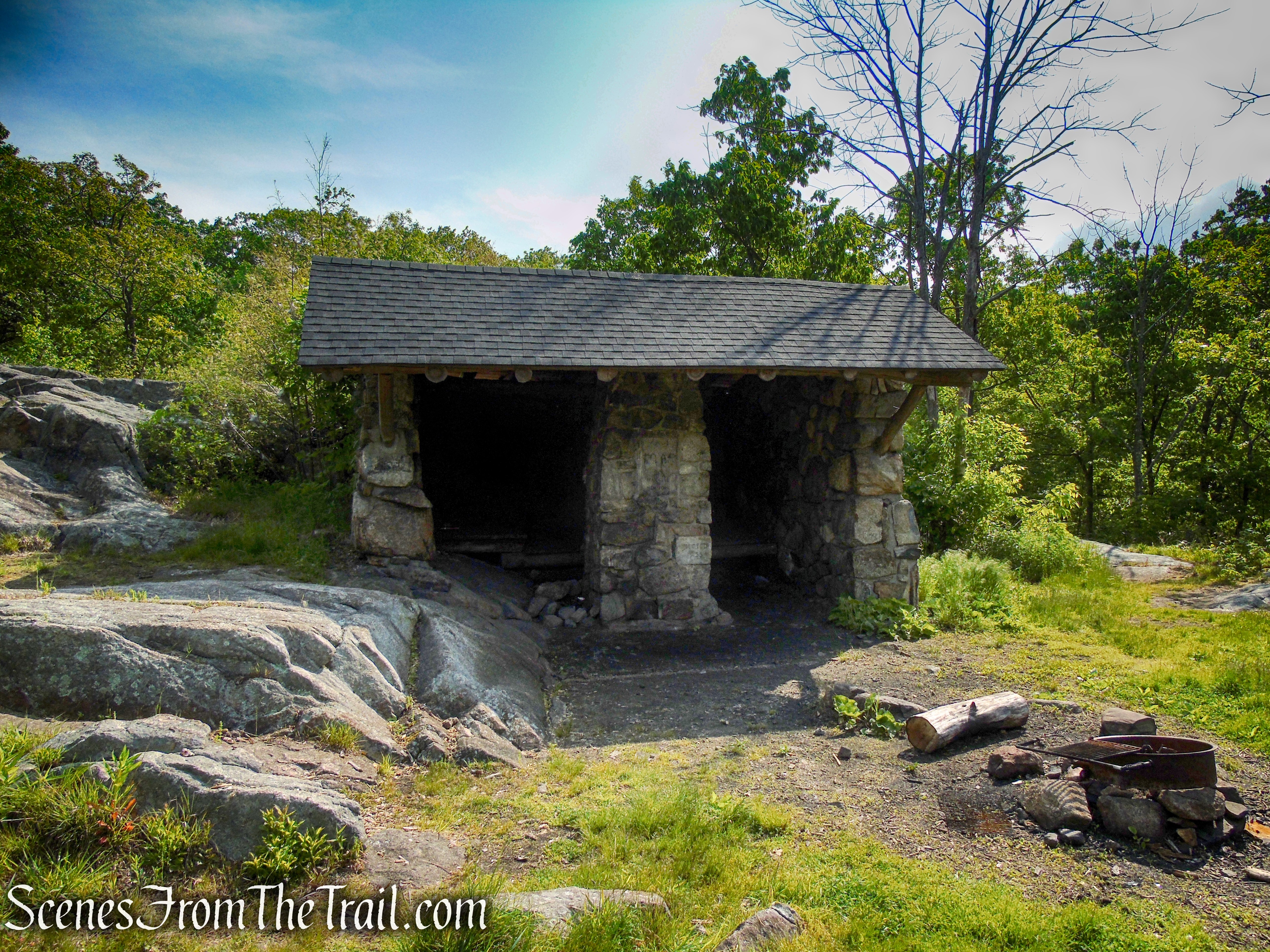
Stone Memorial Shelter – Harriman State Park
Besides the marked hiking trails, Harriman and Bear Mountain State Parks, feature an extensive network of woods roads. Some are maintained by the Park as fire roads, while others are not formally maintained. Except for several woods roads which are used for part of their length by marked hiking trails, these woods roads are not blazed. They can, however, be readily followed by hikers equipped with a map and compass or GPS device, so that they may be combined with marked trails, to form interesting and varied loop hikes.
Sherwood Path – Harriman State Park
Parking:
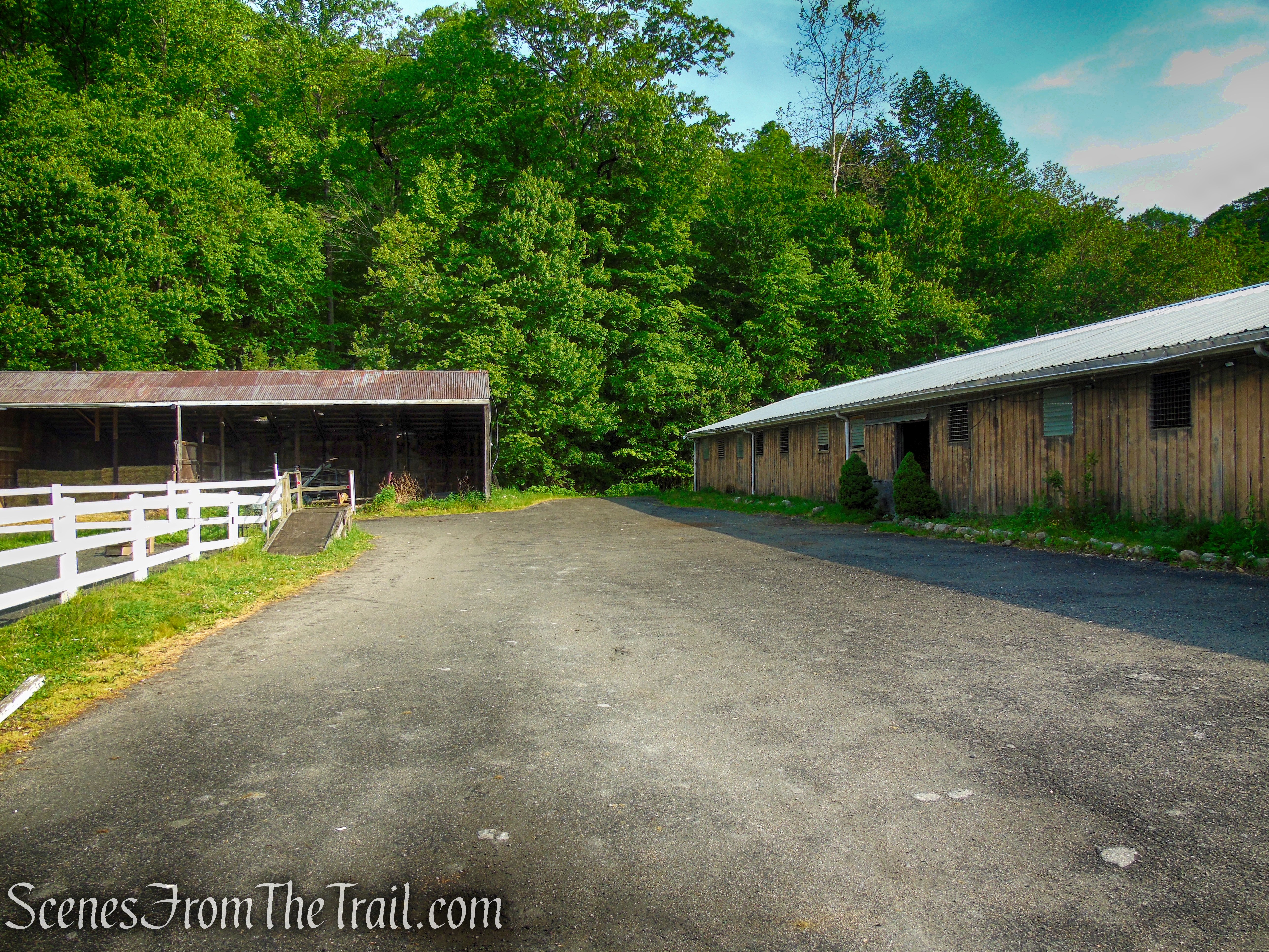
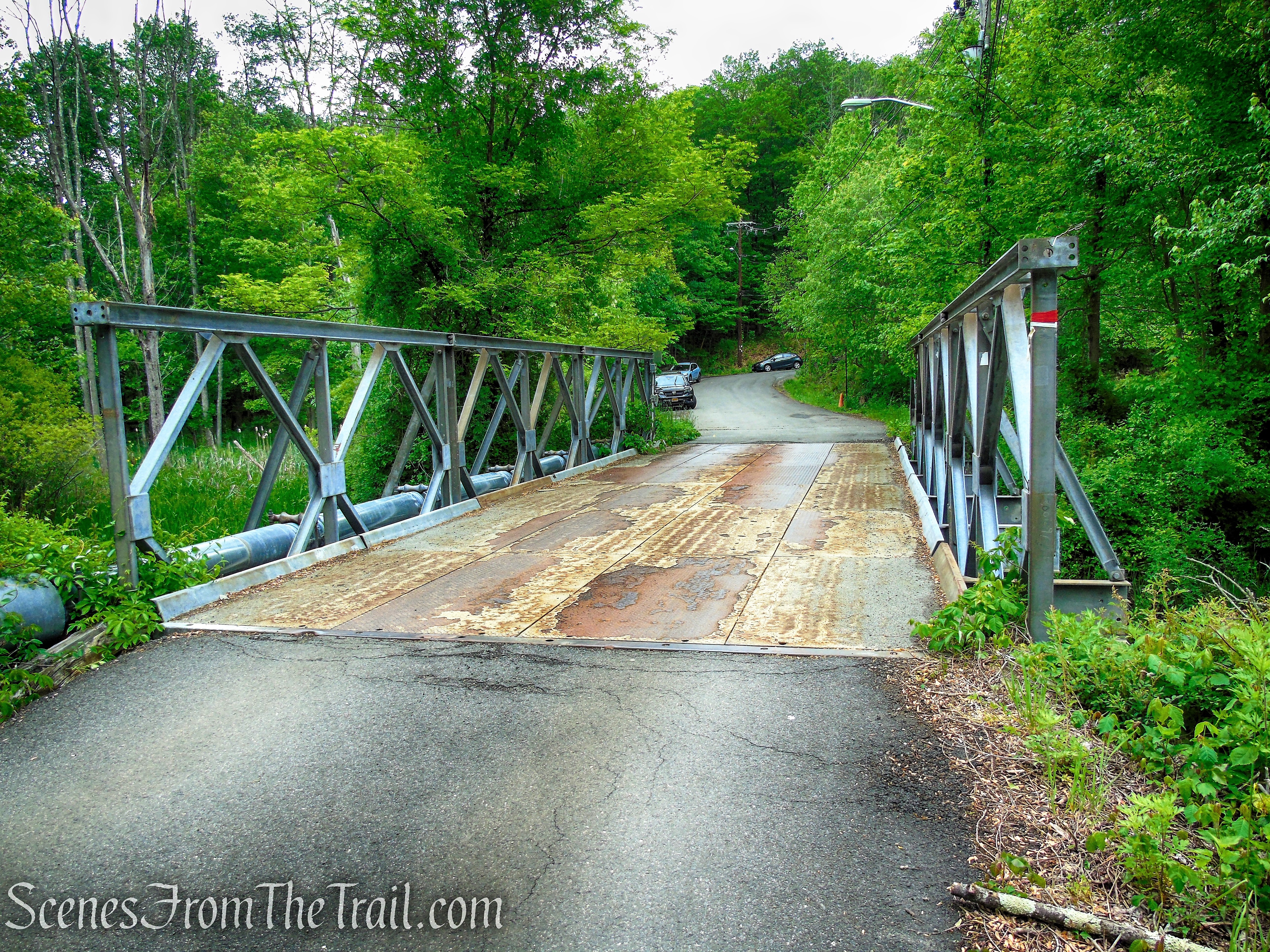
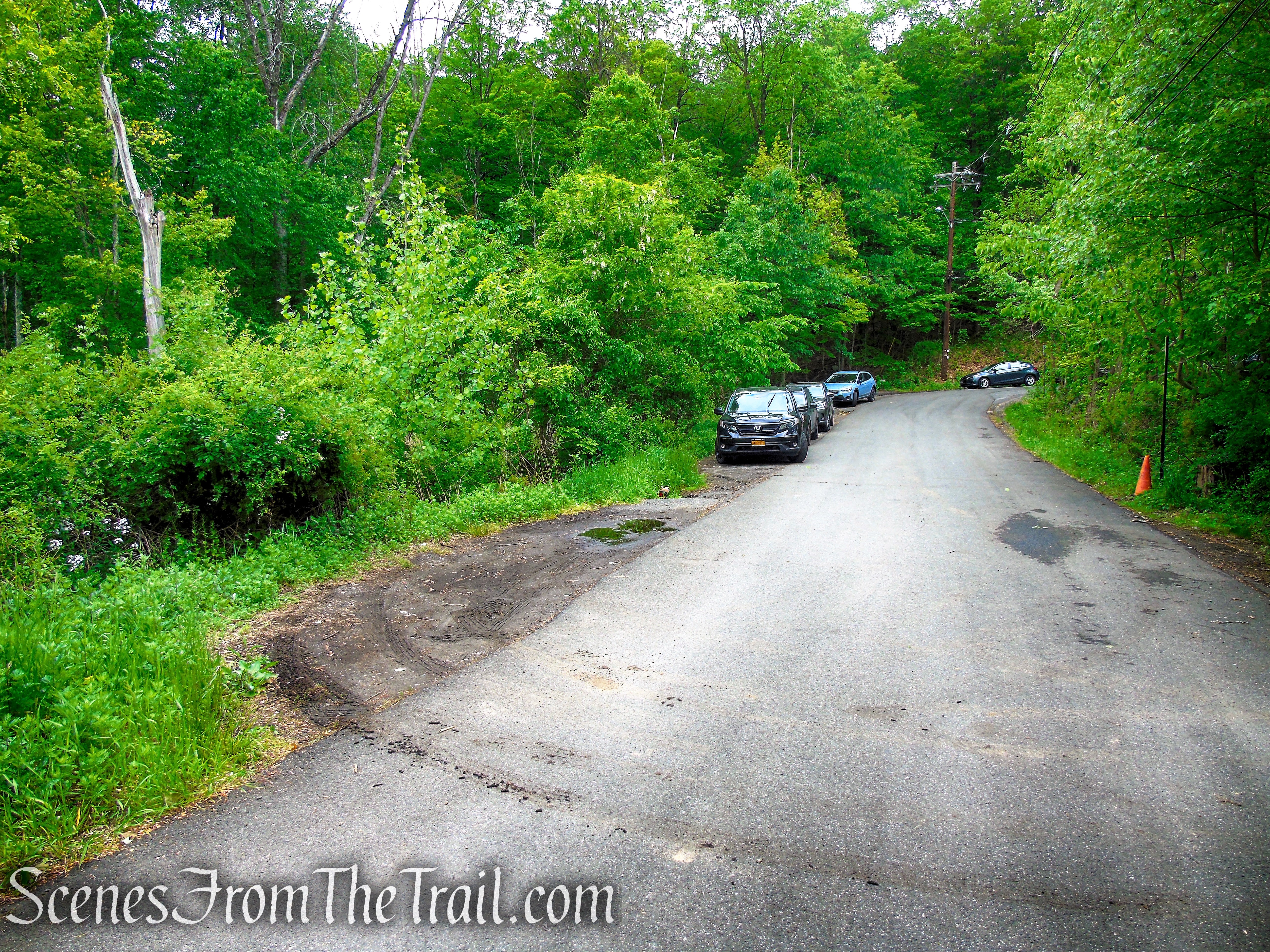
Parking for hikers is available along the length of the driveway leading up to the bridge, as well as at the top of the driveway off of Route 202. Parking beyond the bridge has been restricted to people using the equestrian facilities. If you park beyond the bridge, your vehicle may be ticketed and/or towed. We arrived at the Hiker Parking at the Town of Ramapo Equestrian Center at approximately 8:20 am on a Saturday. These were the only vehicles there when we arrived. At the end of the hike, Cars were lined up the hill, almost to the start of the entrance road at Route 202.
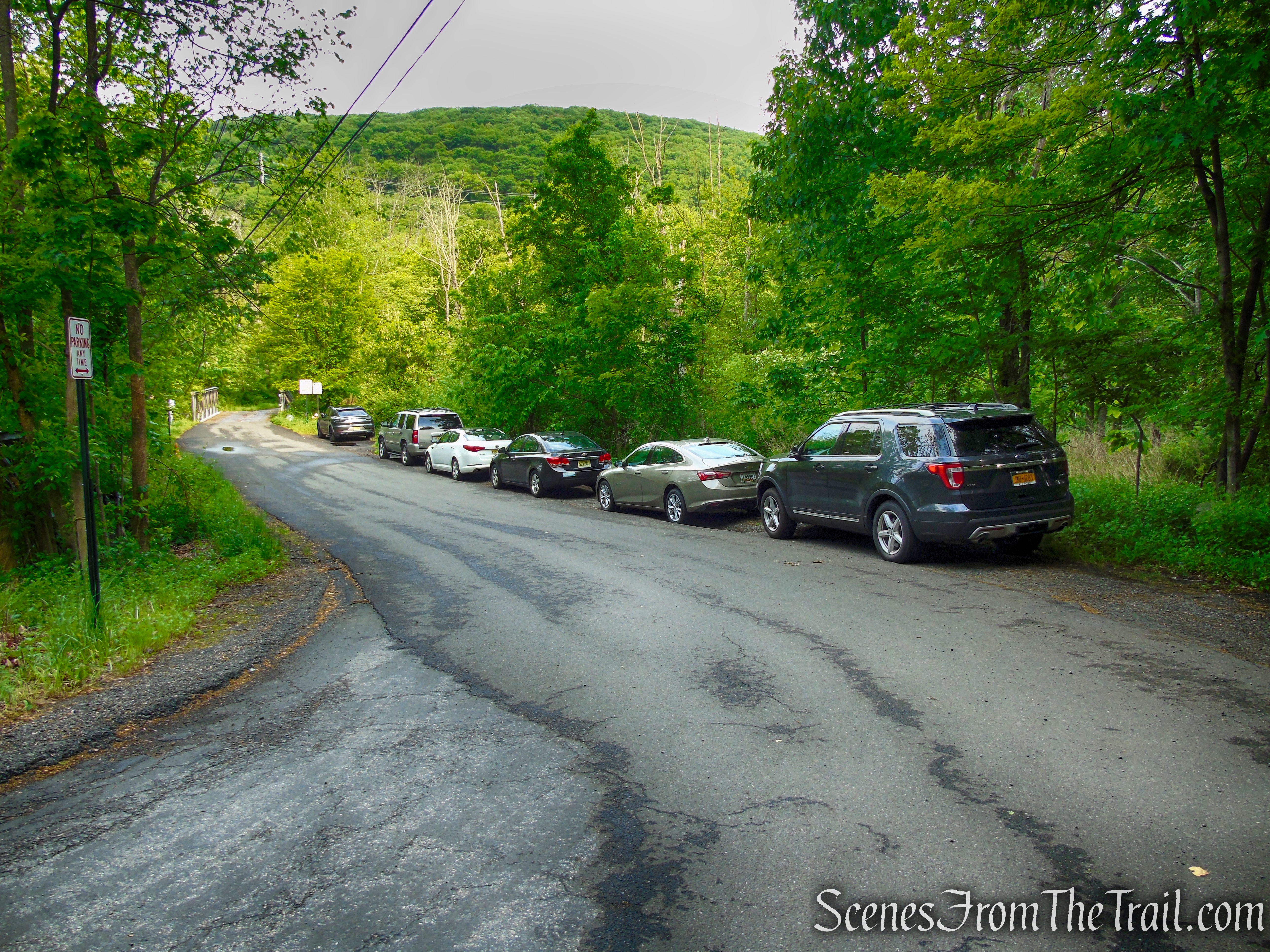
Hiker Parking – Town of Ramapo Equestrian Center
“MEMEBERS ONLY” No one spell checked the sign before manufacturing it. You had one job!!
Town of Ramapo Equestrian Center
Trails Overview:
Please Note: This hike is done using old unmarked woods roads and/or trails that are no longer discernible in certain spots. Those who are not confident of their route-finding ability might wish to choose another hike.
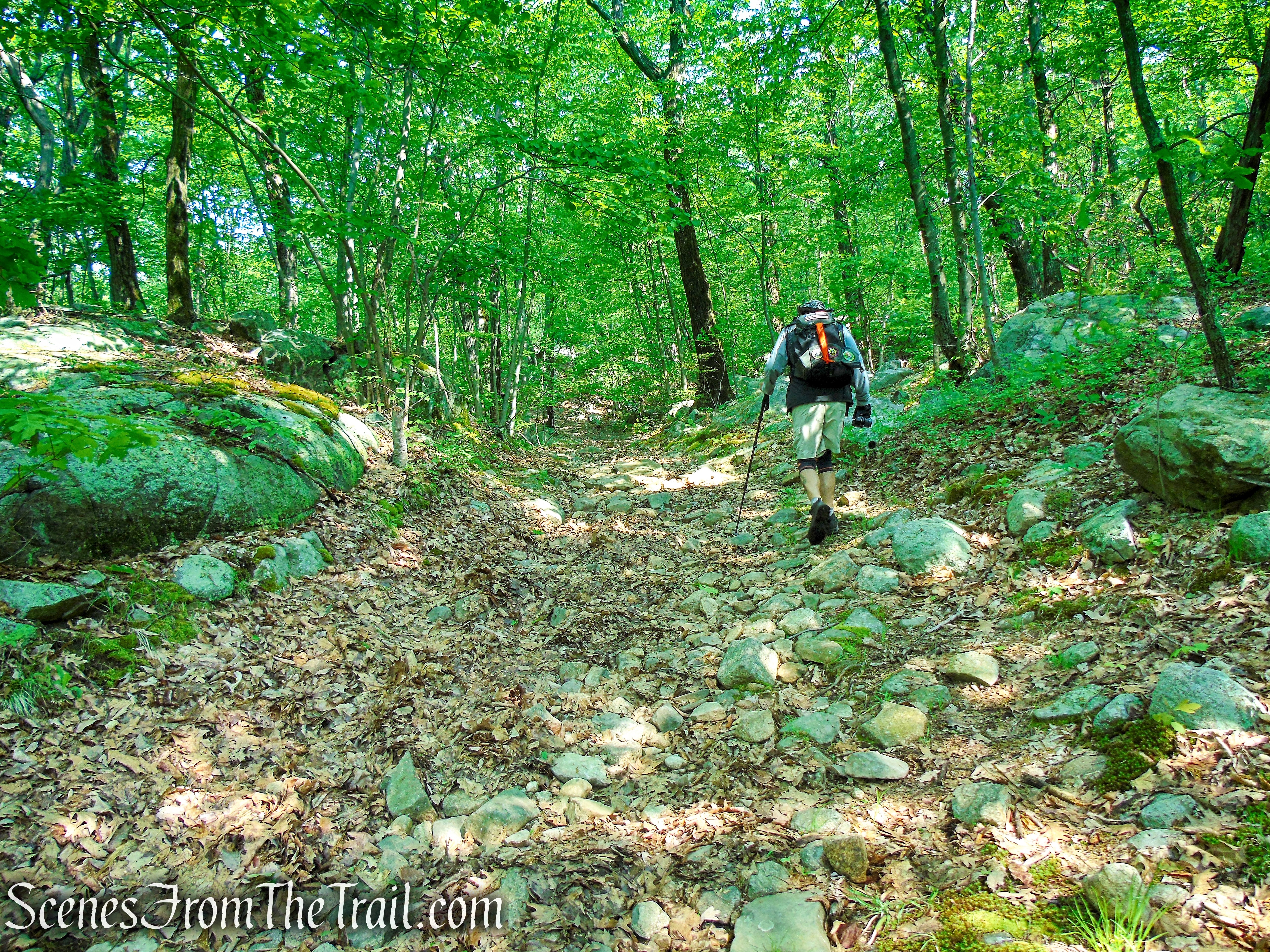
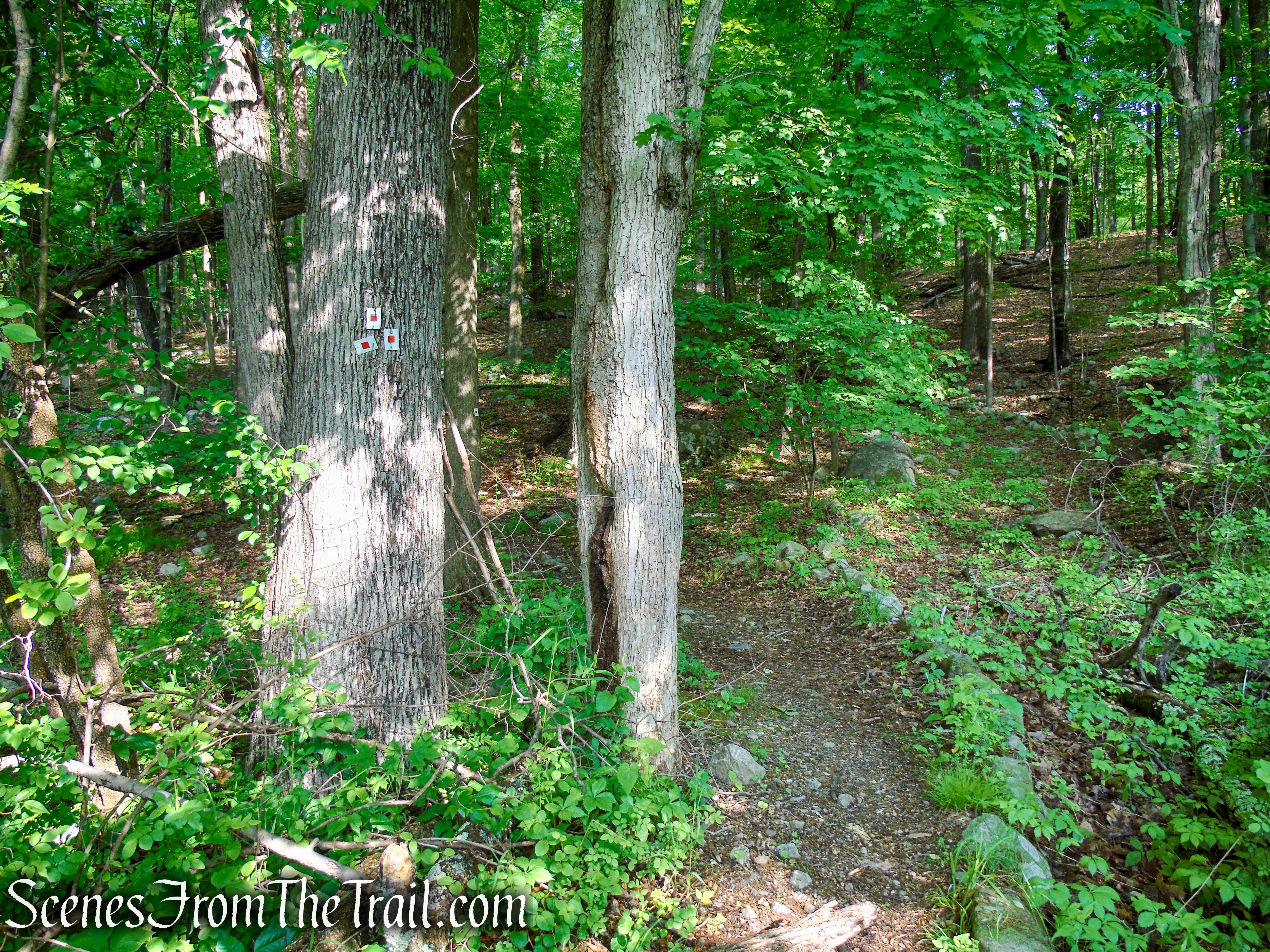
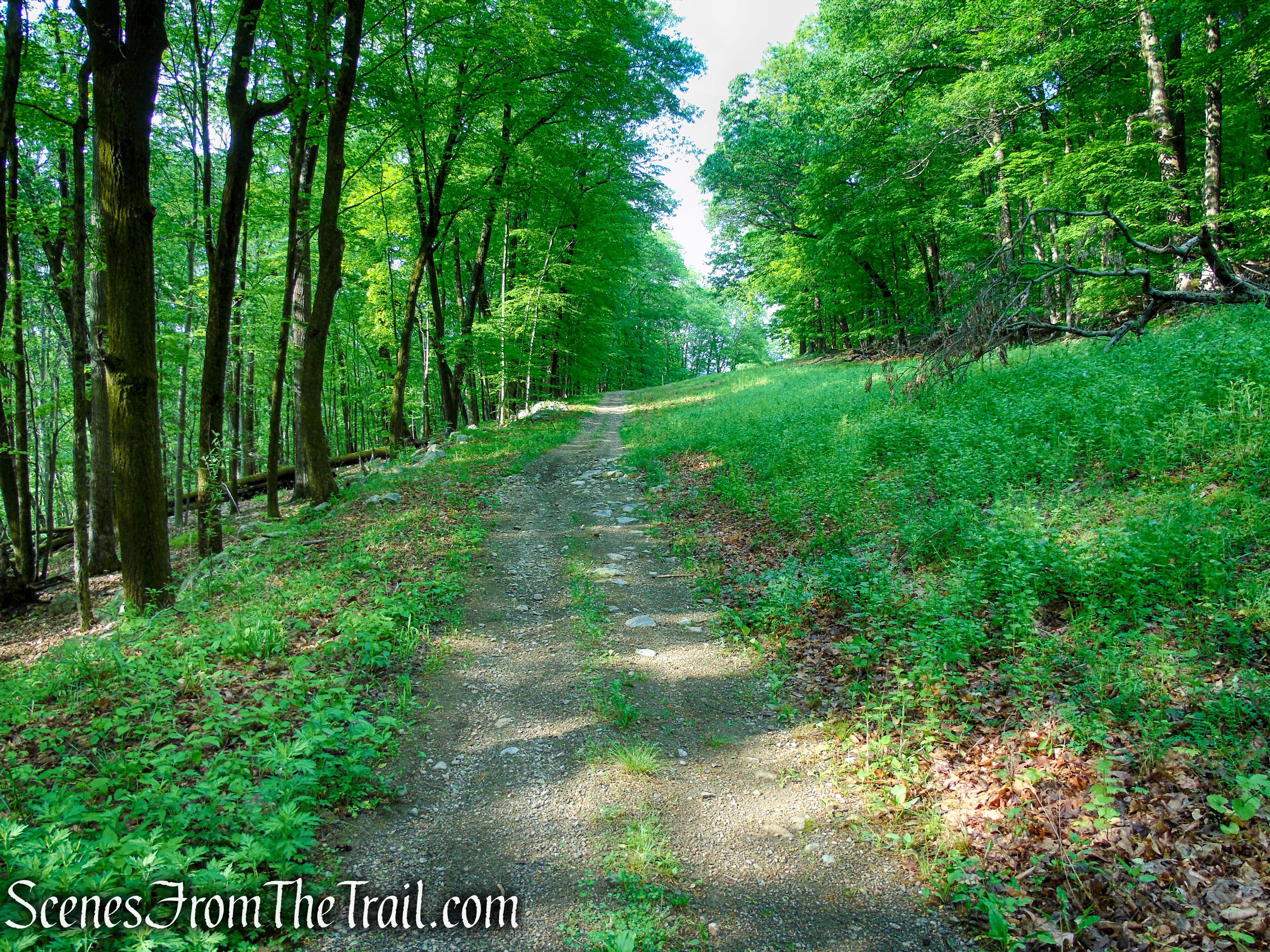
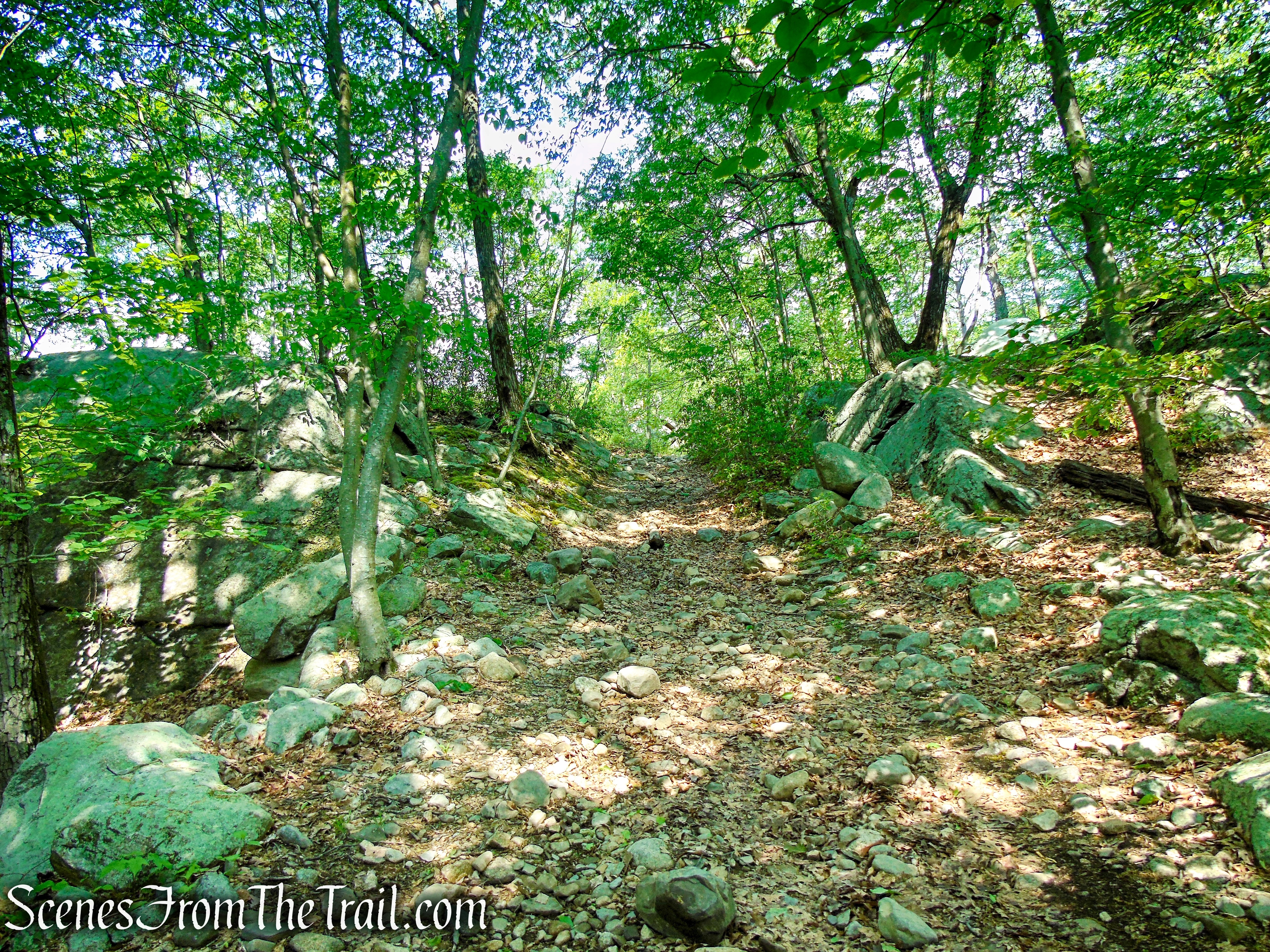
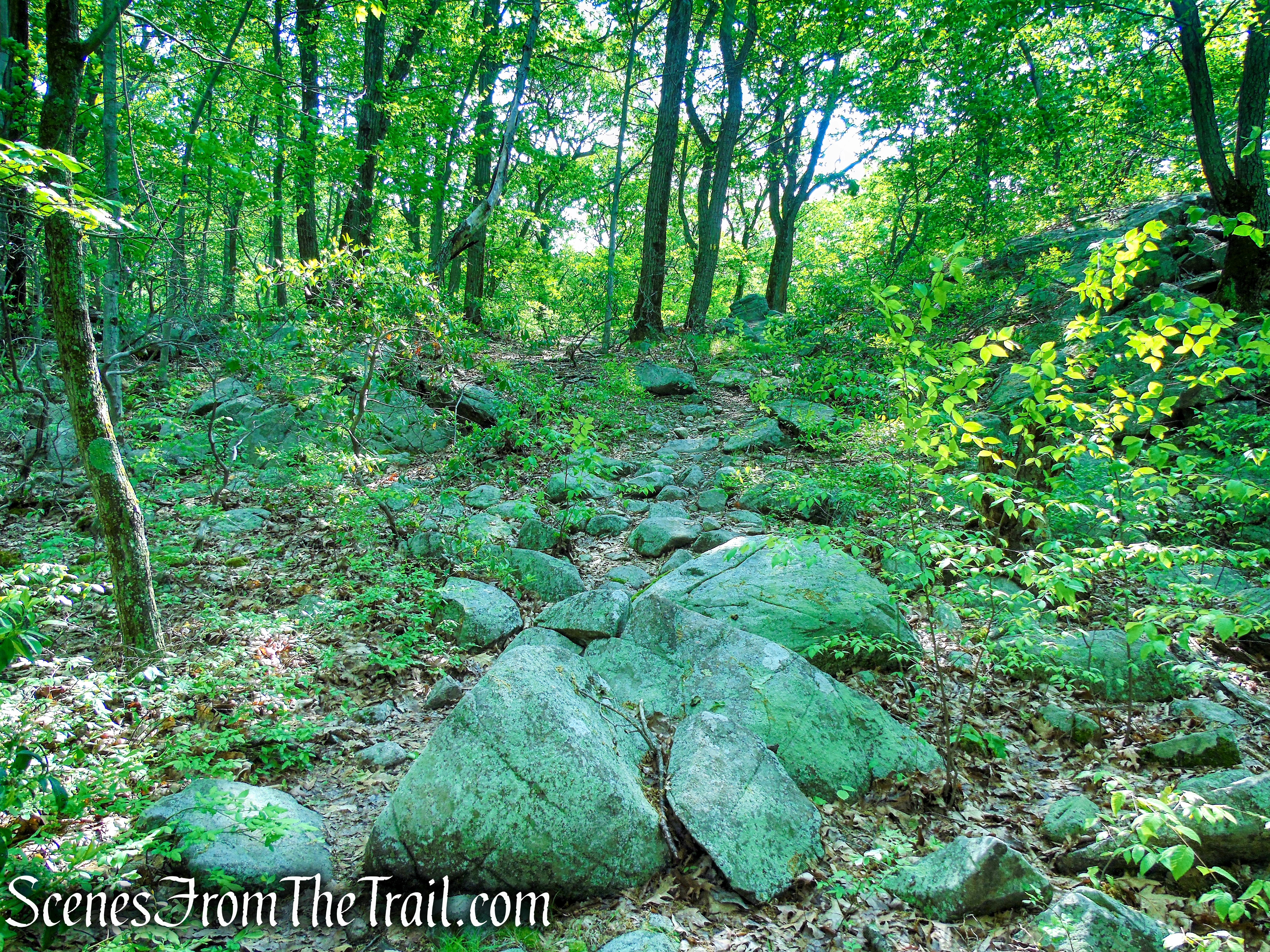
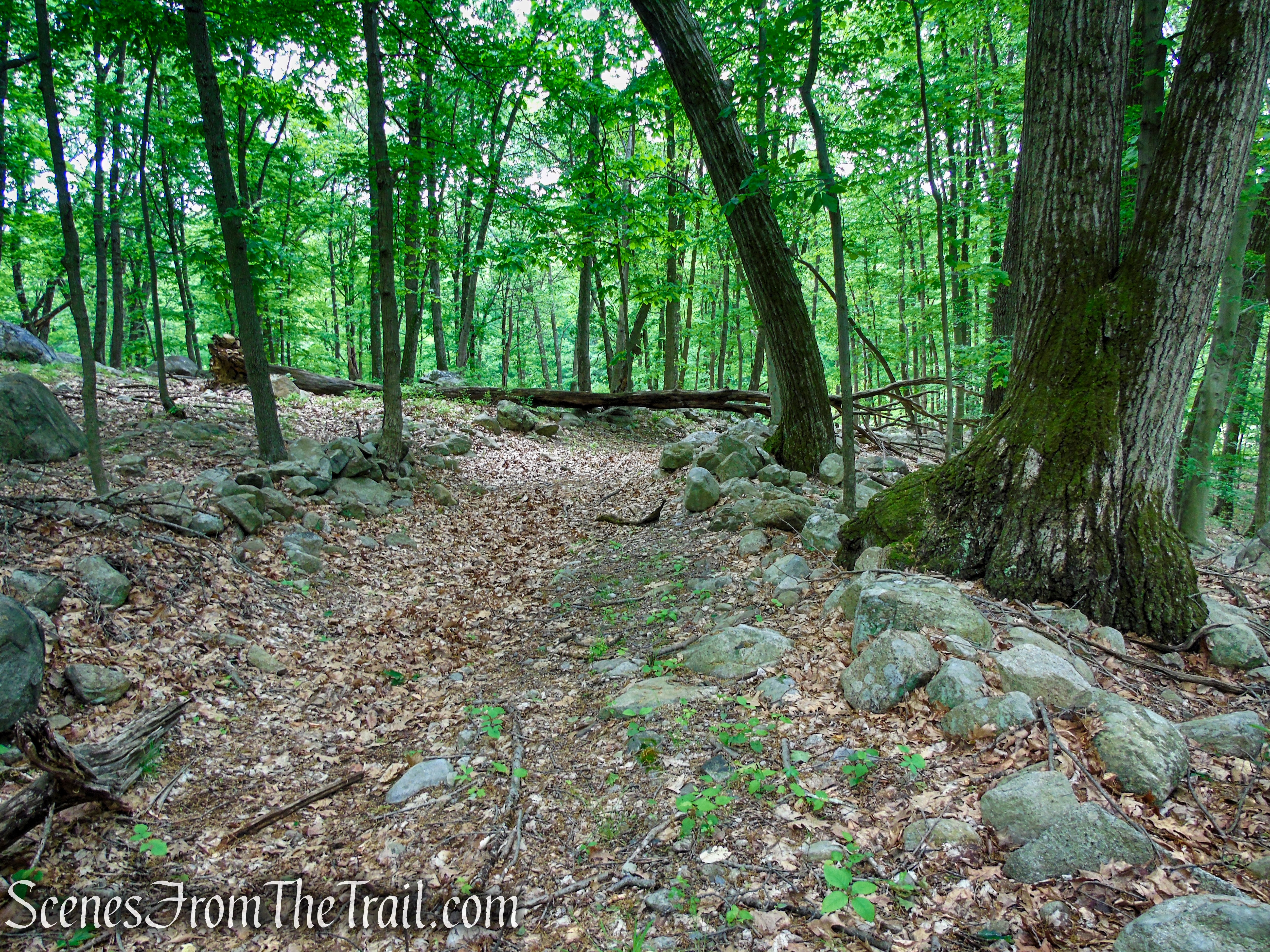
- Sherwood Path ~ (1.6 miles) although no longer an official trail, runs along a woods road for its entire length, and can be relatively easily followed. There are numerous woods roads that cross or branch off of it. Using the Avenza Maps app will keep you on the right path. The Sherwood Path is an old and eroded woods road that climbs steeply to a junction with the Suffern-Bear Mountain (S-BM) Trail, gaining about 600 feet of elevation in 1.6 miles. Just to the left is the Stone Memorial Shelter which sits on a ledge along the S-BM Trail.
The Sherwood Path once was a narrow mountain trail. It was first blazed in 1943 by Frank Place of the Tramp and Trail Club. He named it after Judson Sherwood, who owned the land through which the trail ran. In 1963, the Park acquired the land above the Algonquin pipeline from Harold T. Sherwood, son of Judson Sherwood. In 1965, the Park widened the footpath to a 20-foot fire road, which later became very much eroded.
Sherwood Path – Harriman State Park
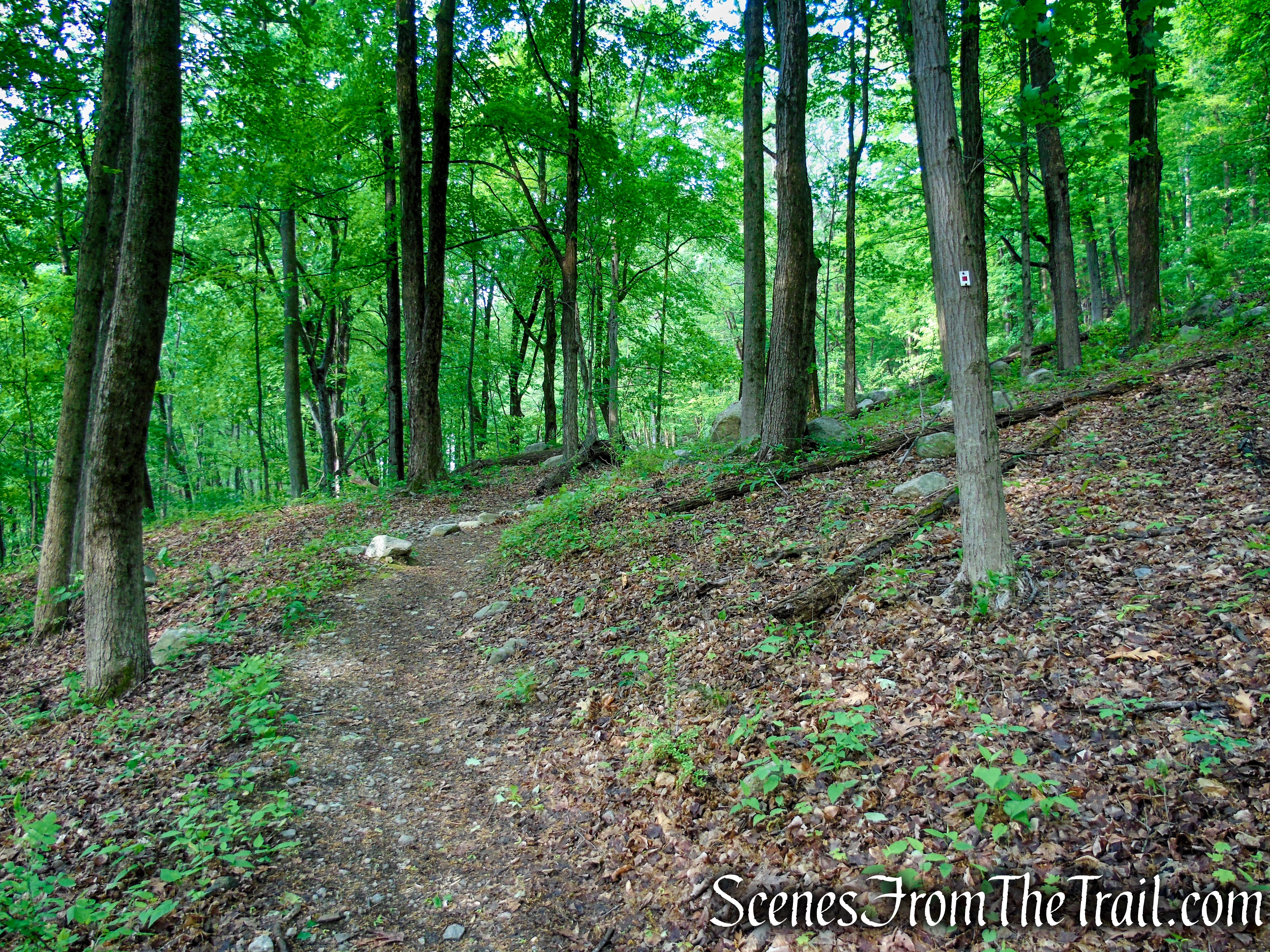
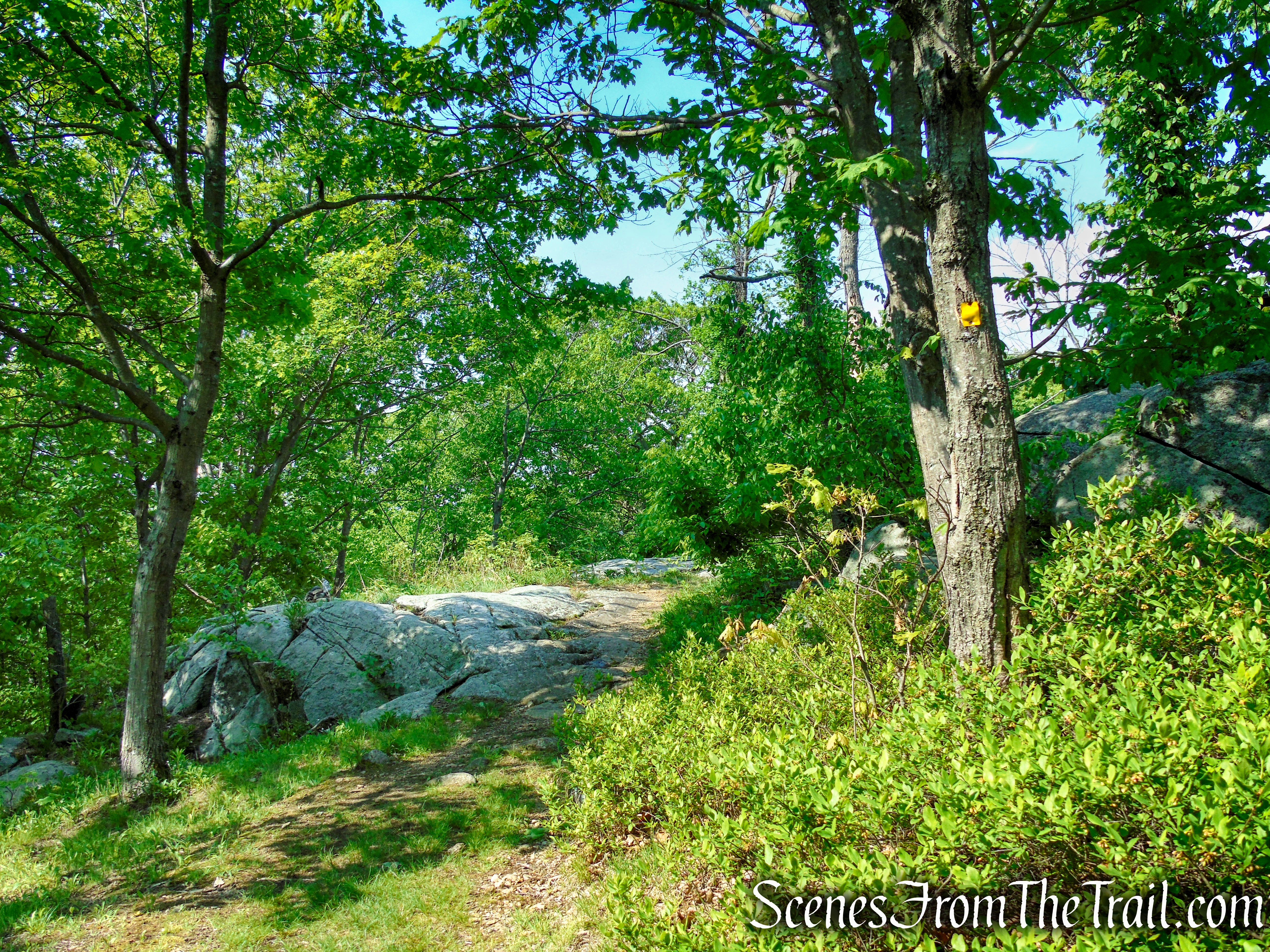
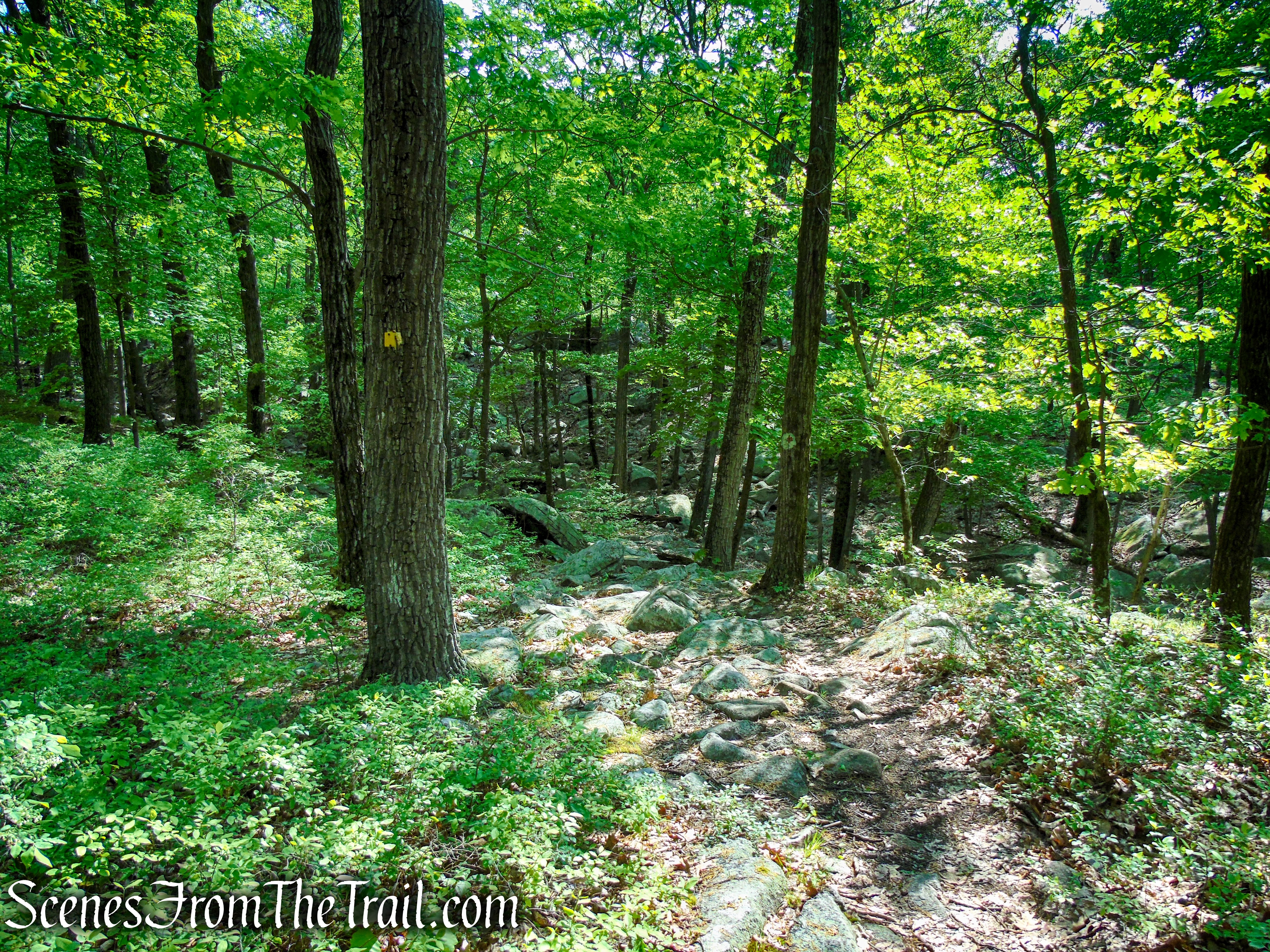
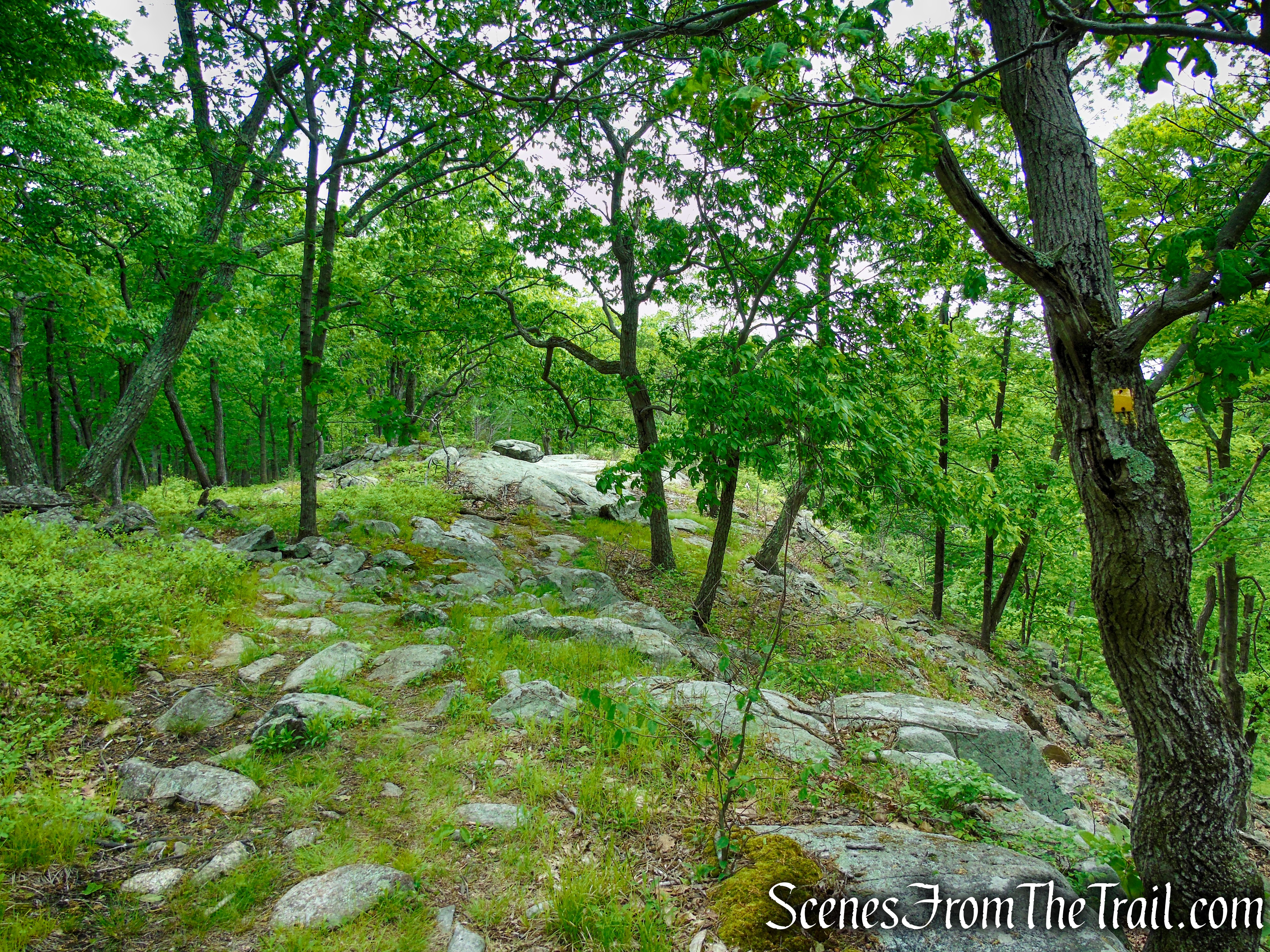
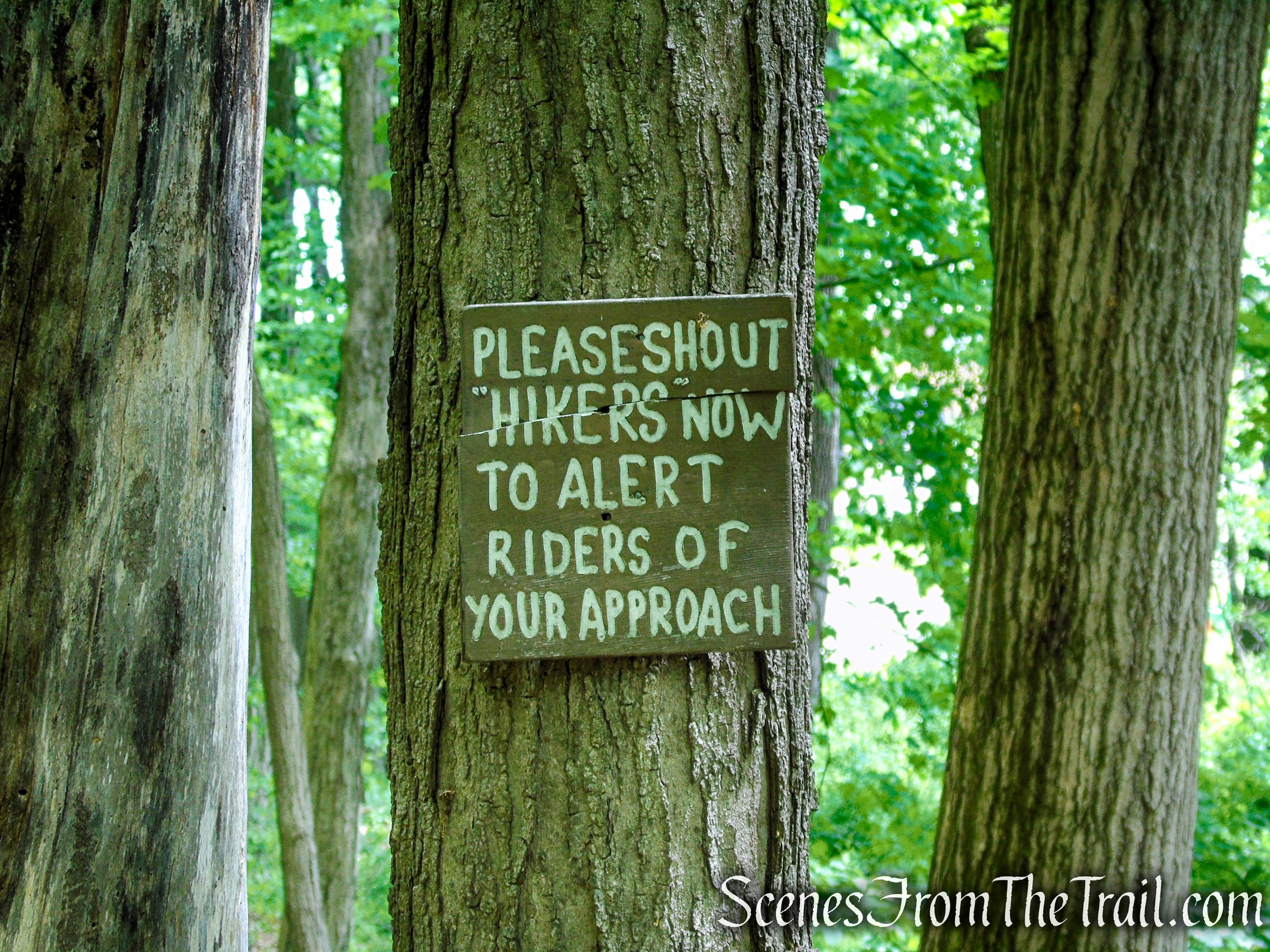
- Suffern-Bear Mountain (S-BM) Trail ~ (0.8 mile) is a yellow blazed trail that runs southwest to northeast, from Horse Stable Mountain to Catamount Mountain. The trail has many short ups and downs on the section between the Stone Memorial Shelter and the “junction” with the Pittsboro Trail, gaining about 150 ft. in elevation during that span.
The Suffern-Bear Mountain Trail is slightly overgrown in spots. I would recommend long pants and sturdy boots. The whole route is pretty rocky.
Suffern-Bear Mountain Trail – Harriman State Park
- First Pittsboro Trail ~ (0.8 mile) is an old woods road that is extremely difficult to follow. The parts that bear any resemblance to a trail, the leaves were ankle deep. At some point, phone in hand with the Avenza Maps app running and following the black dotted lines on the map, we were walking through chest deep weeds and thorn bushes. I wouldn’t recommend this trail and would suggest to just continue on the S-BM Trail to where it meets the Pine Meadow Trail, and follow that back to the Equestrian Center.
Pittsboro Trail – Harriman State Park
Hike Overview:
I am in the process of completing the Harriman Trail Shelters Challenge, which involves visiting 10 overnight shelters that are located in different areas of the park. Last week we hiked to the Bald Rocks Shelter on Black Rock Mountain. That was the 8th shelter that I have visited in the park. The Stone Memorial Shelter would make number nine.
The first part of the hike is quite enjoyable, but the section along the Pittsboro Trail, was not. I would suggest that if your goal is to reach the shelter, the Sherwood Path is the shortest and most direct route to the The Stone Memorial Shelter, but I would bypass the Pittsboro Trail. I would do this as an out and back or continue north on the marked trails to form a loop.
This clockwise loop gains 2/3 of the total elevation within the first 2 miles, as it arrives at the shelter.
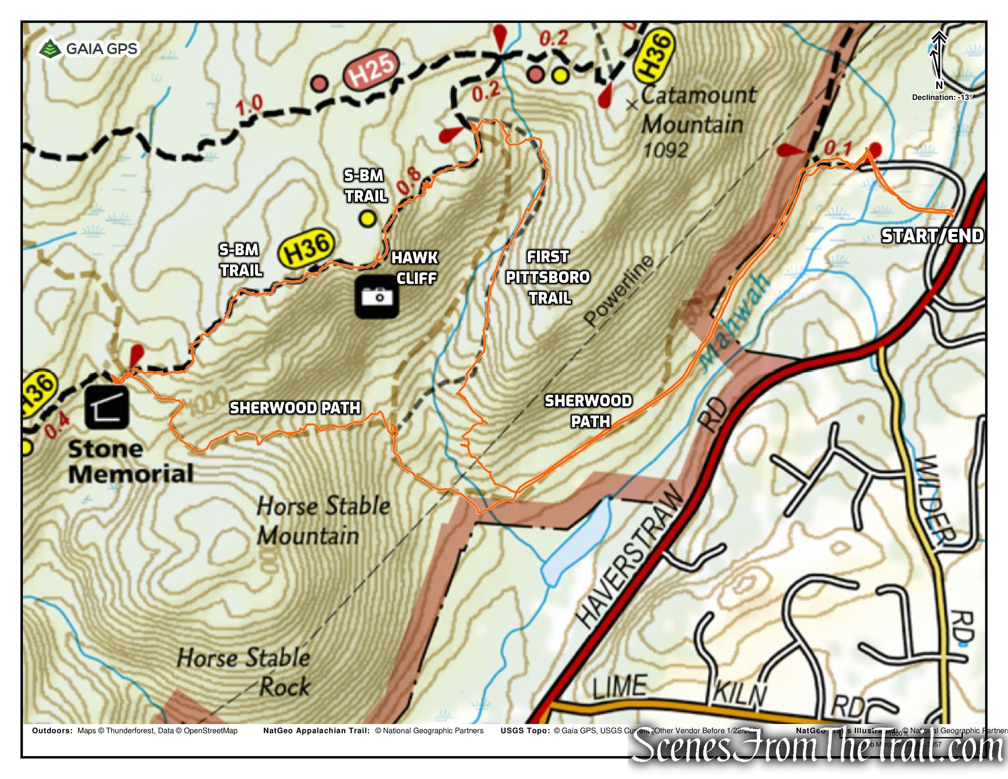
Stone Memorial Loop via Sherwood Path
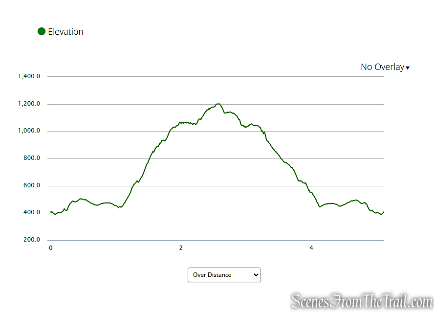
elevation profile – Stone Memorial Loop
The Hike:
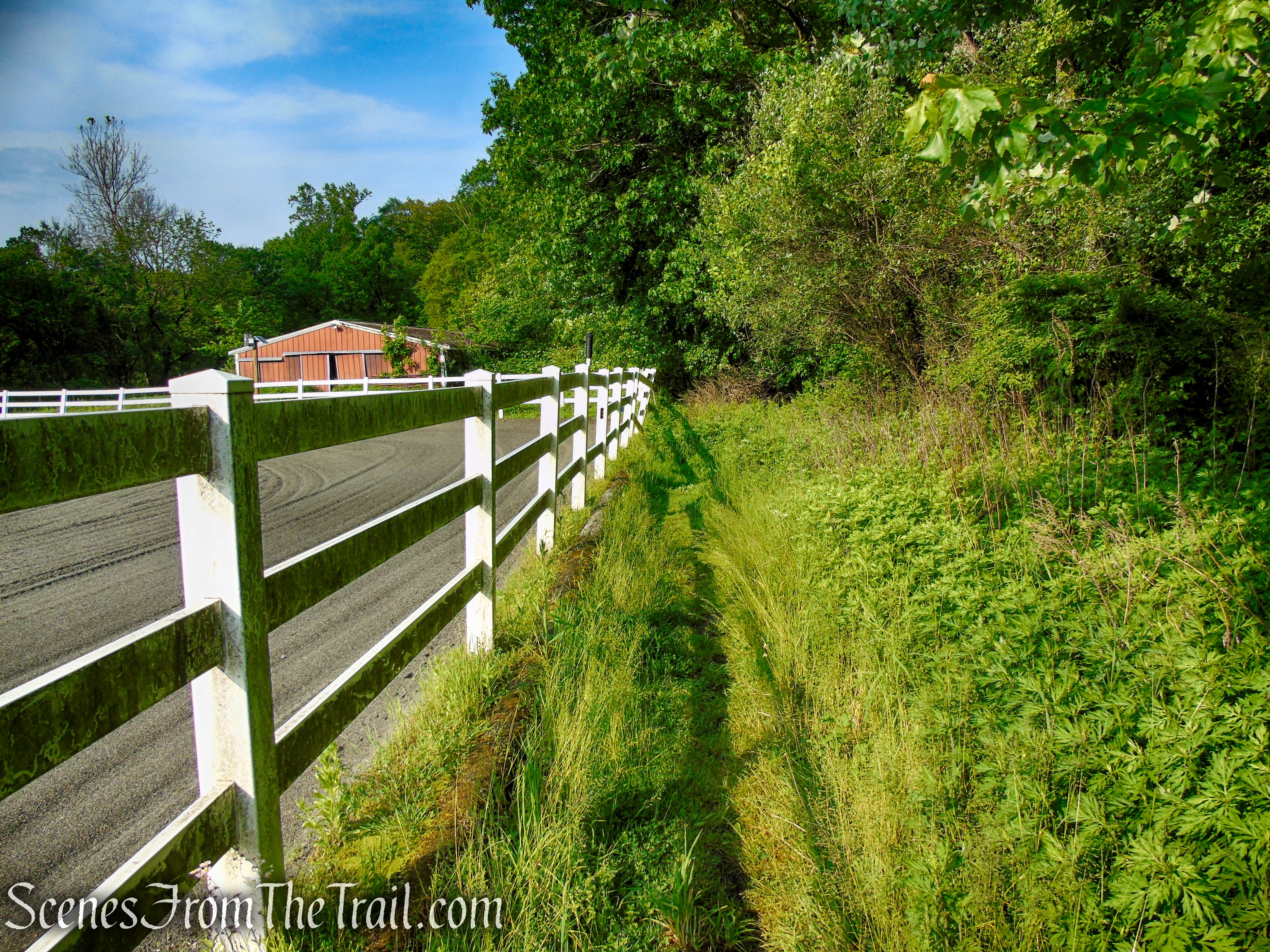
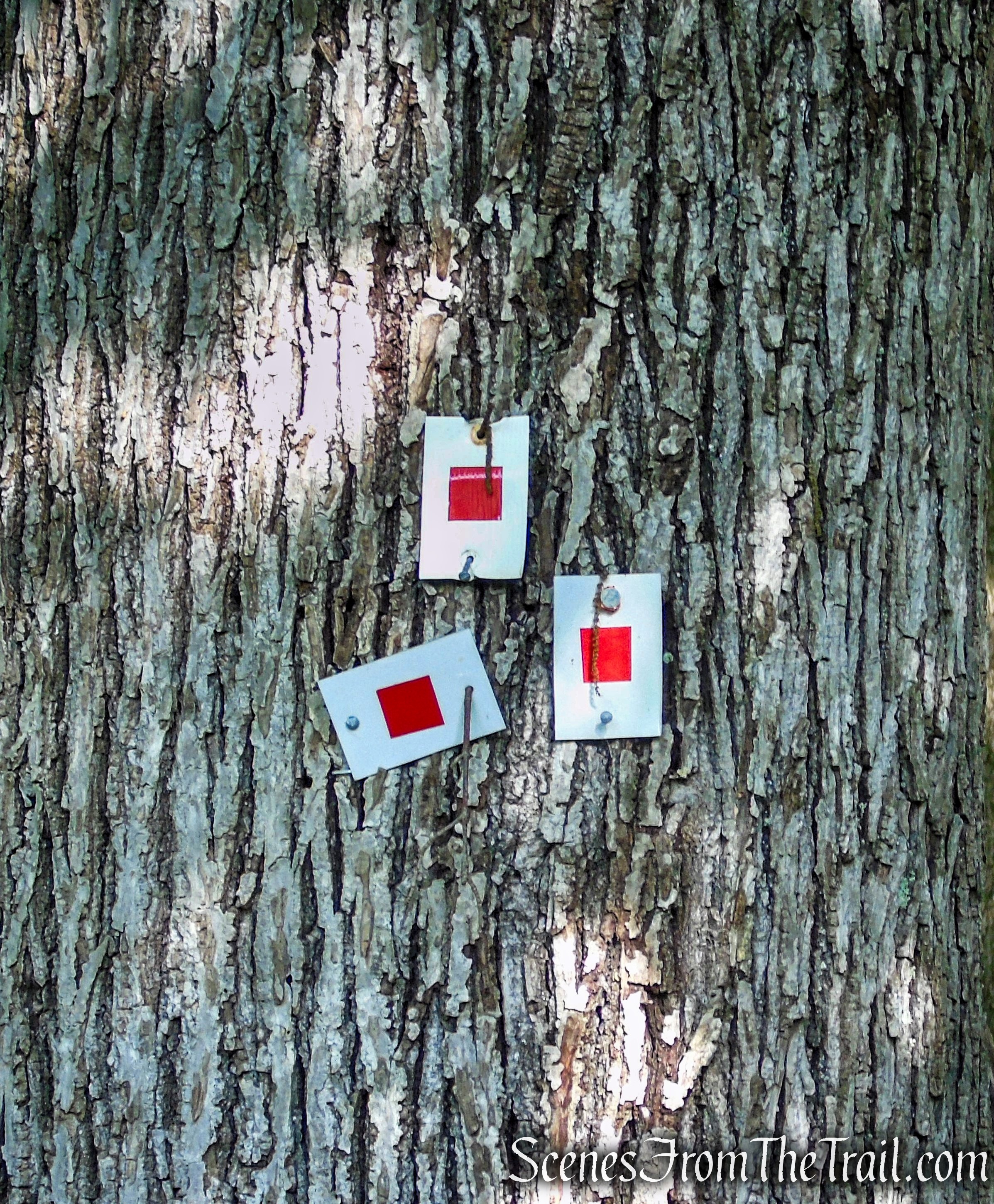
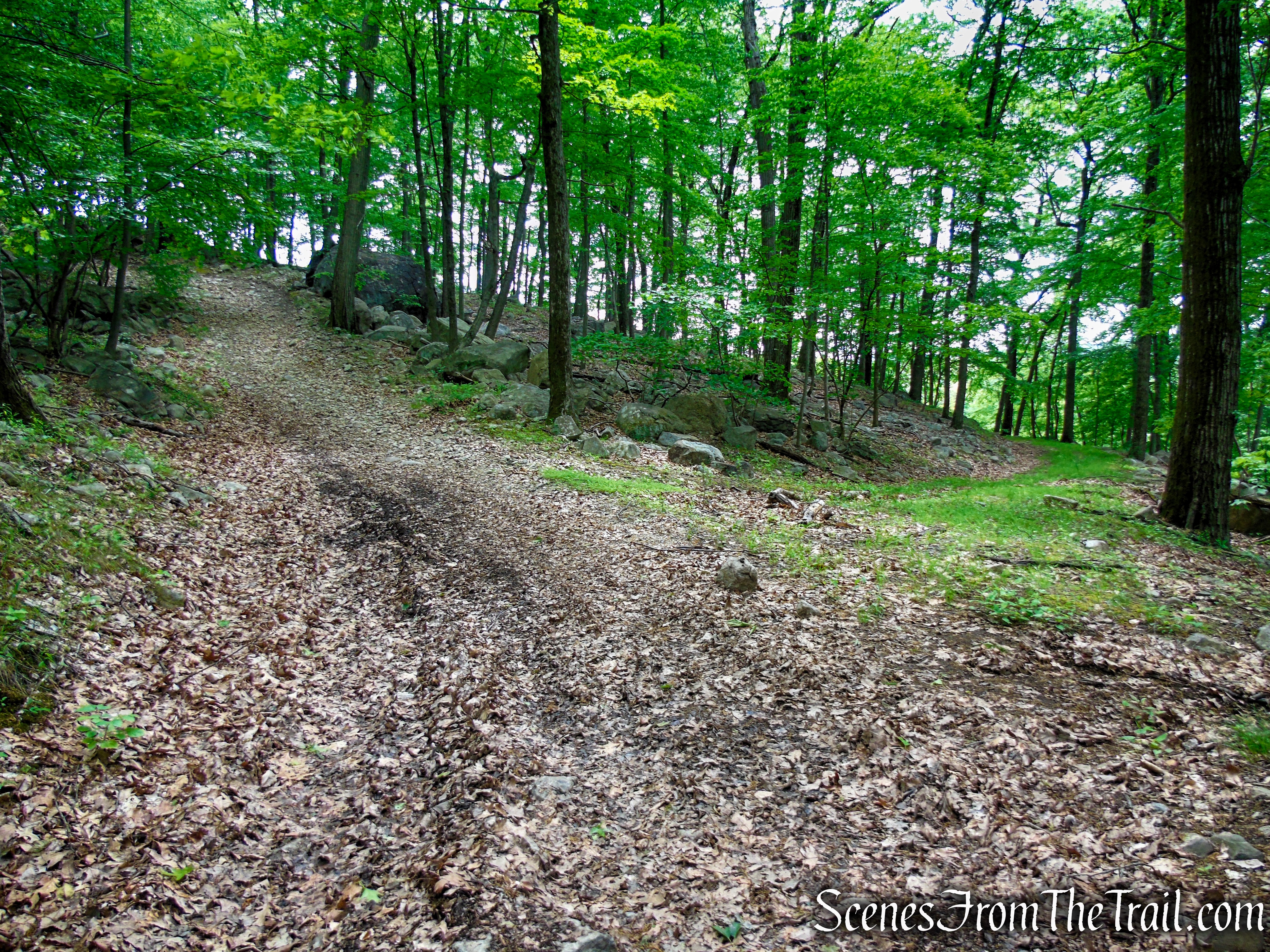
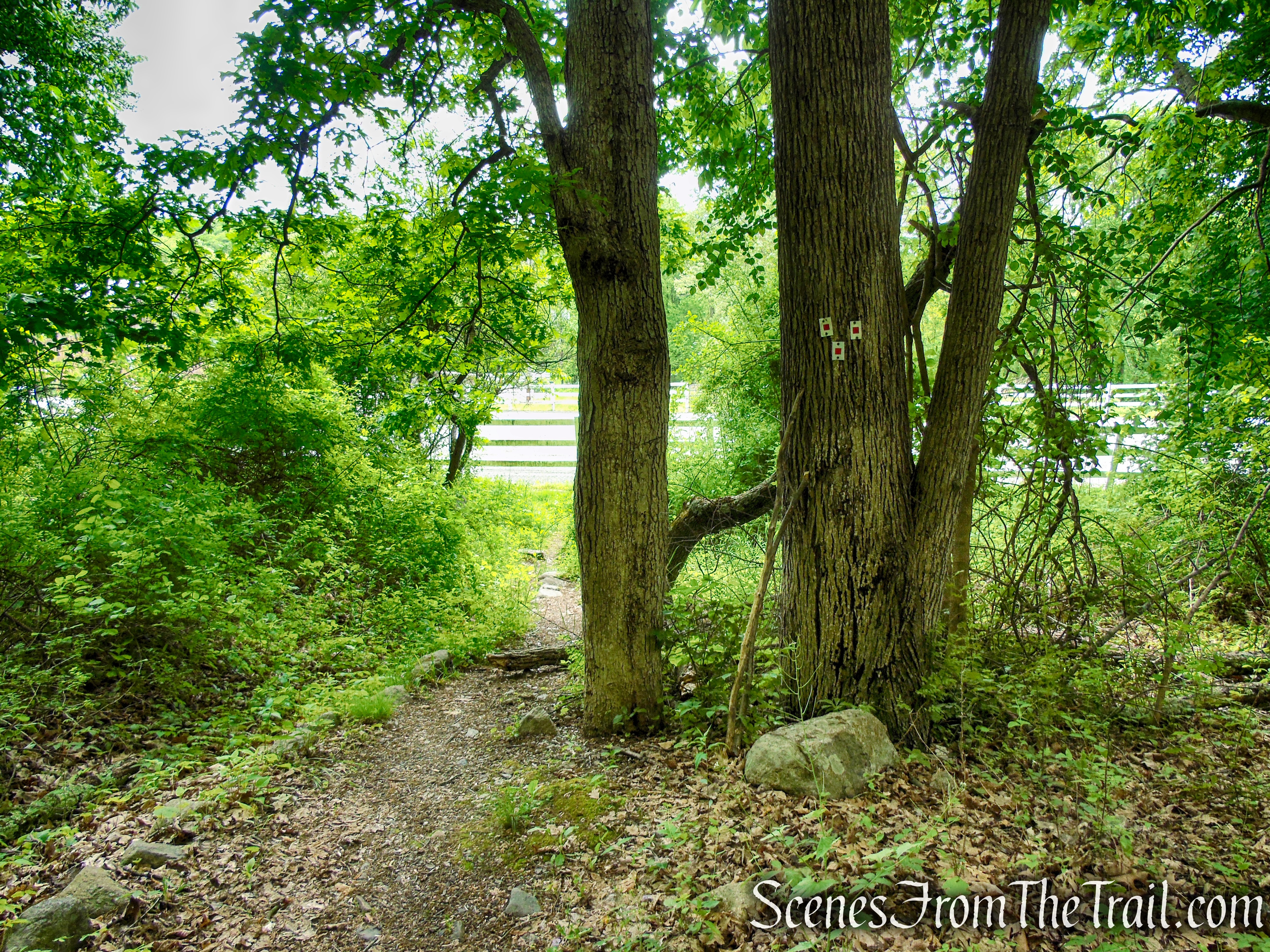
Proceed down the road, crossing the bridge over the Mahwah River and continue past the horse corrals. Walk along the white fence on your left, then turn left between the fence and the barn that is behind it. Follow the mowed path alongside the fence, turning right a short distance later and you’ll see three blazes on a tree. This is the start of the red-square-on-white-blazed Pine Meadow Trail. Follow the blazes uphill for 0.1 mile to the gas pipeline service road.
Hiker Parking – Town of Ramapo Equestrian Center
Town of Ramapo Equestrian Center

Town of Ramapo Equestrian Center

Town of Ramapo Equestrian Center
Town of Ramapo Equestrian Center
Town of Ramapo Equestrian Center
Start of the Pine Meadow Trail
Start of the Pine Meadow Trail
Pine Meadow Trail – Harriman State Park
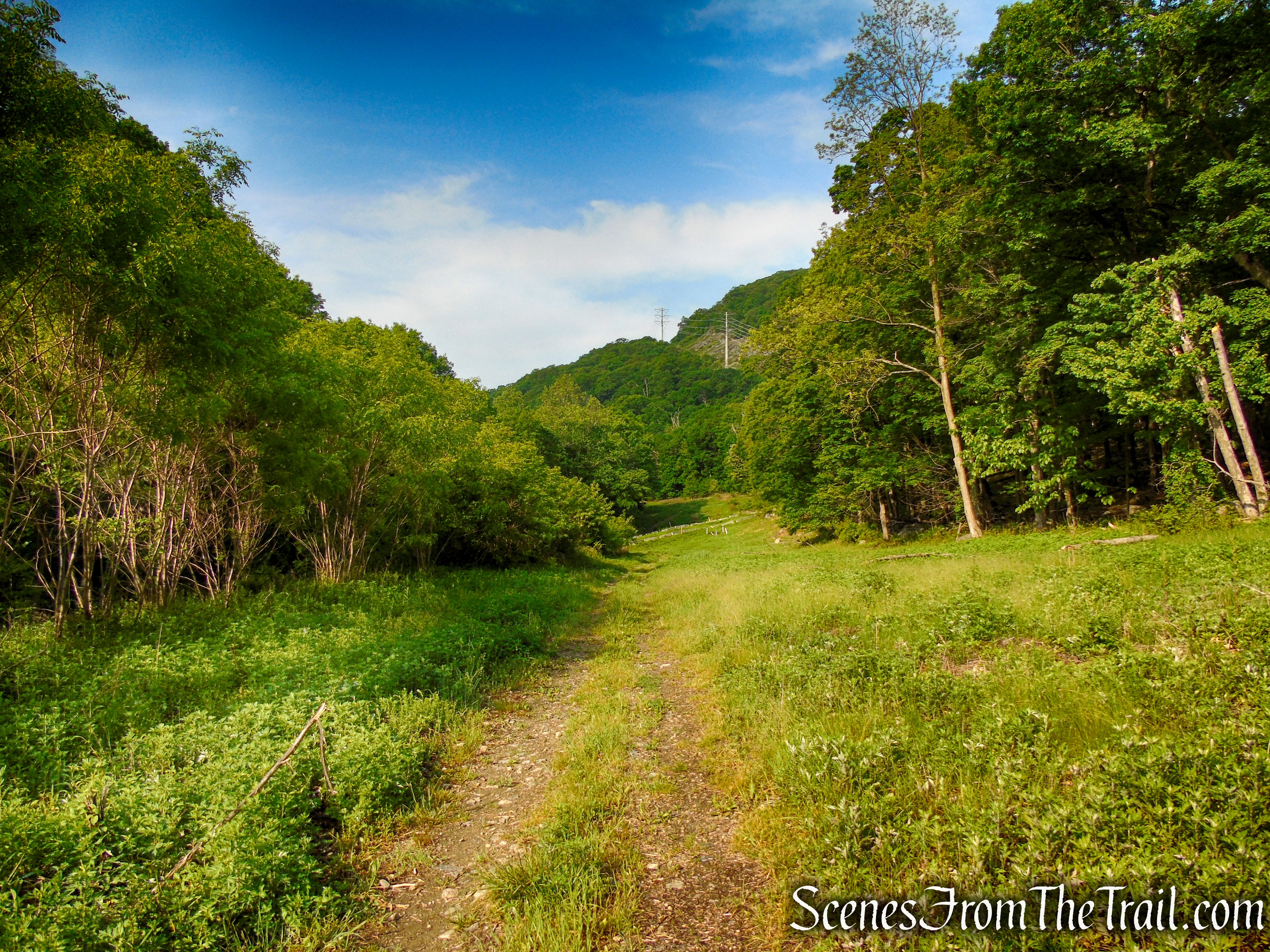
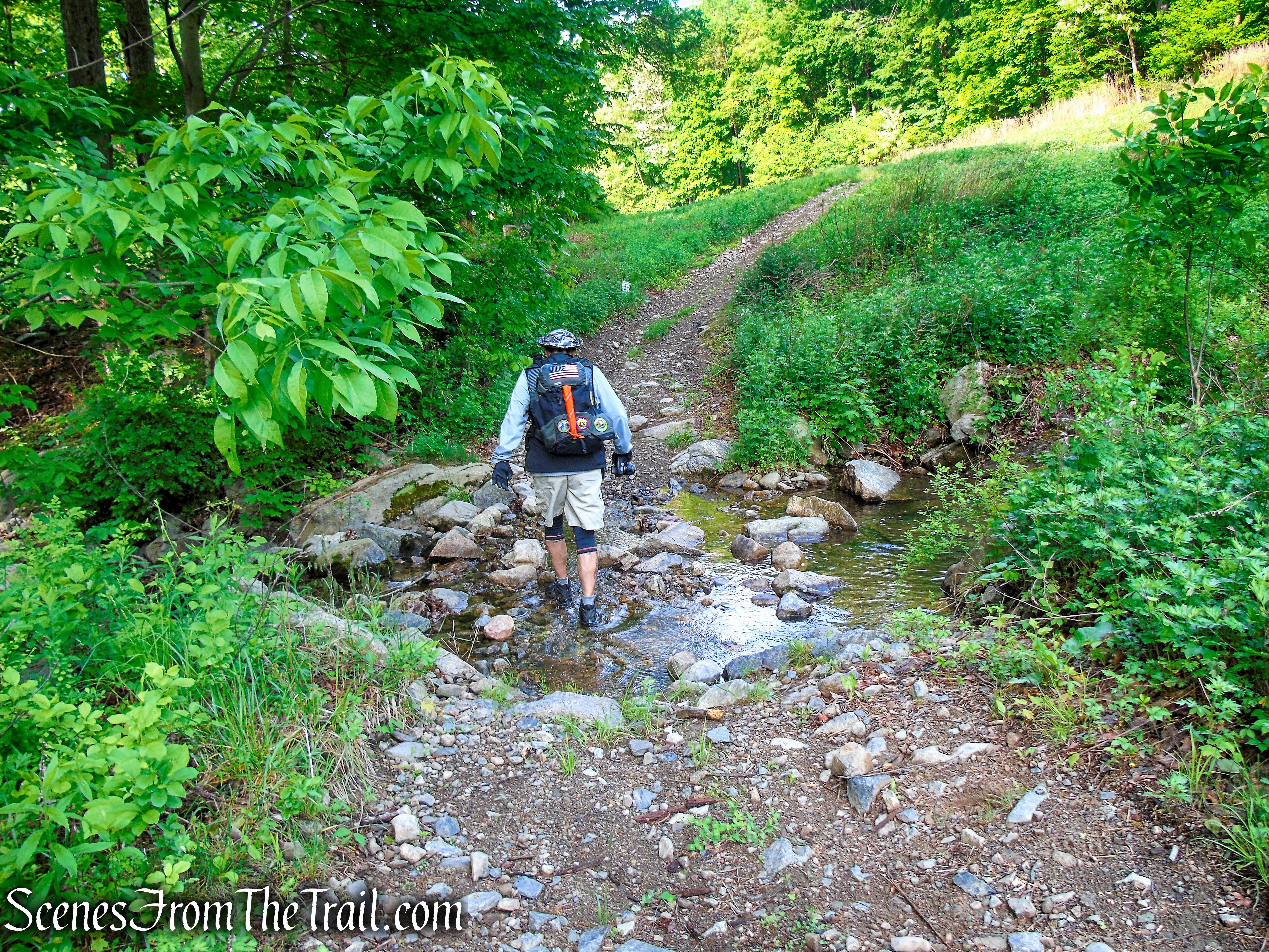
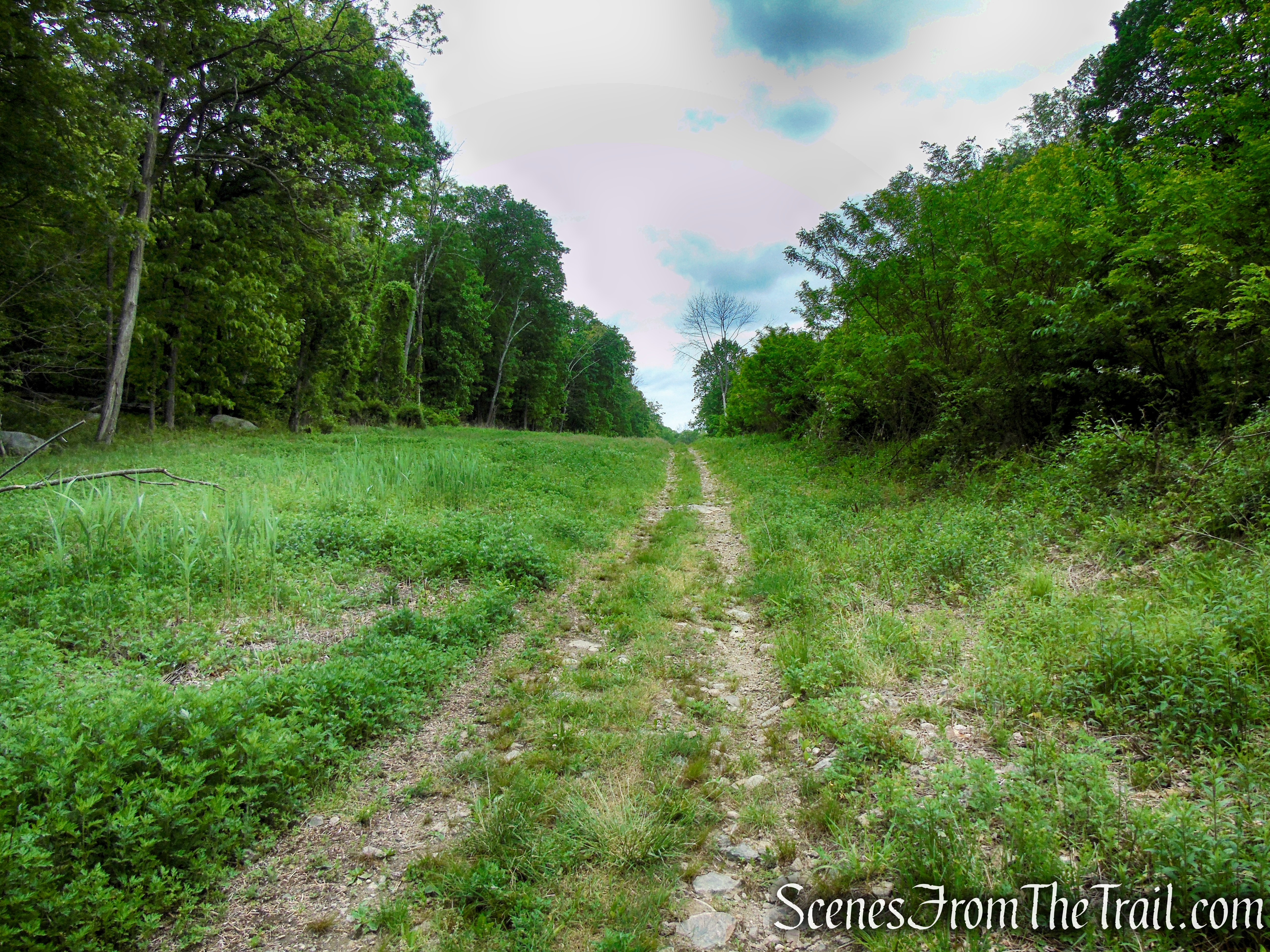
After following the pipeline service road for about 0.7 mile, you will notice concrete barriers across the road. These barriers delineate a road that goes up to the power line (this is the route of the Sherwood Path). If this section is overgrown, you can walk around the end of the barriers, cross Pittsboro Brook and turn right into the woods on a faint footpath.
Sherwood Path – Harriman State Park
Sherwood Path – Harriman State Park
Sherwood Path – Harriman State Park
Sherwood Path – Harriman State Park
Sherwood Path – Harriman State Park
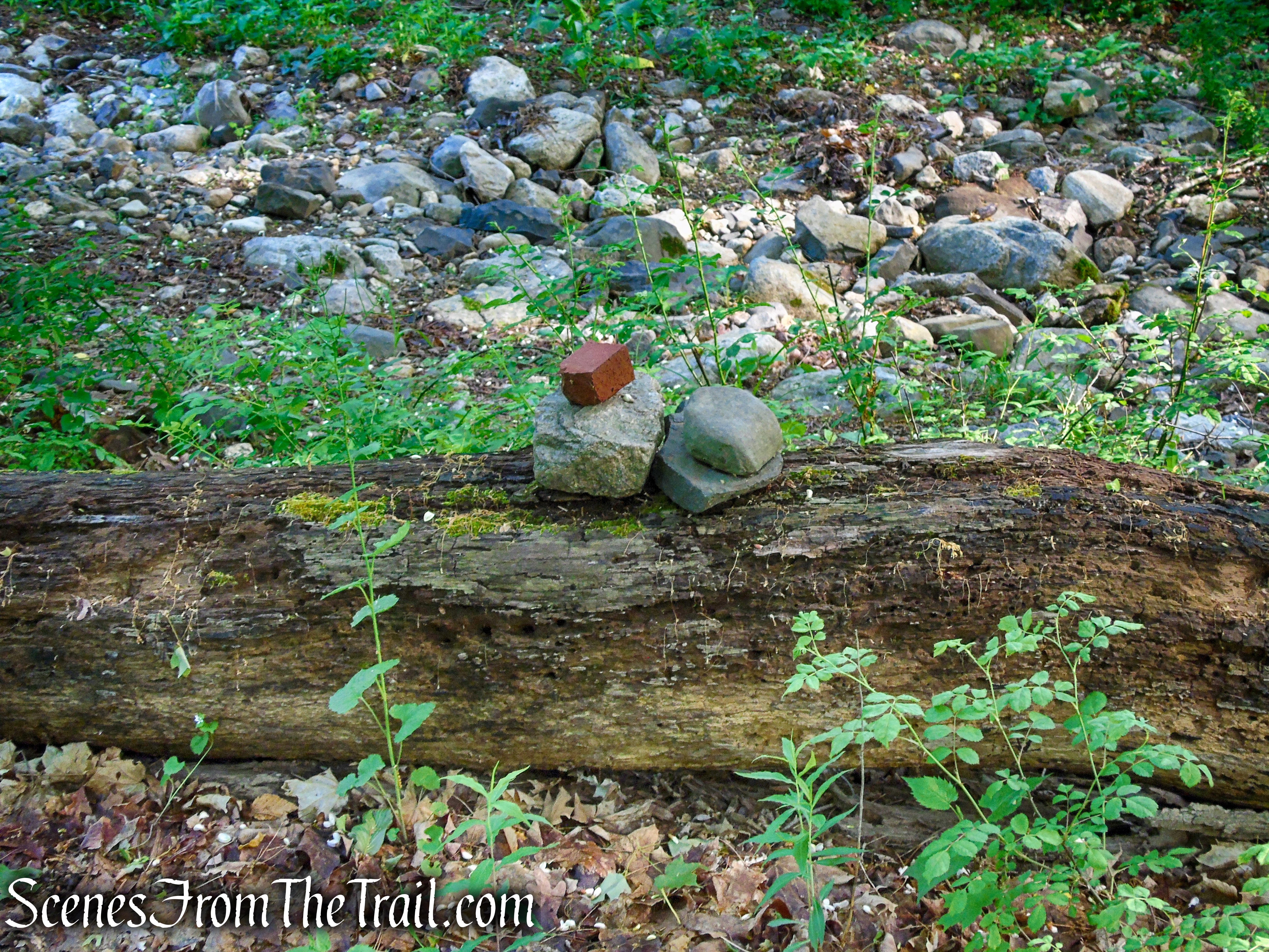
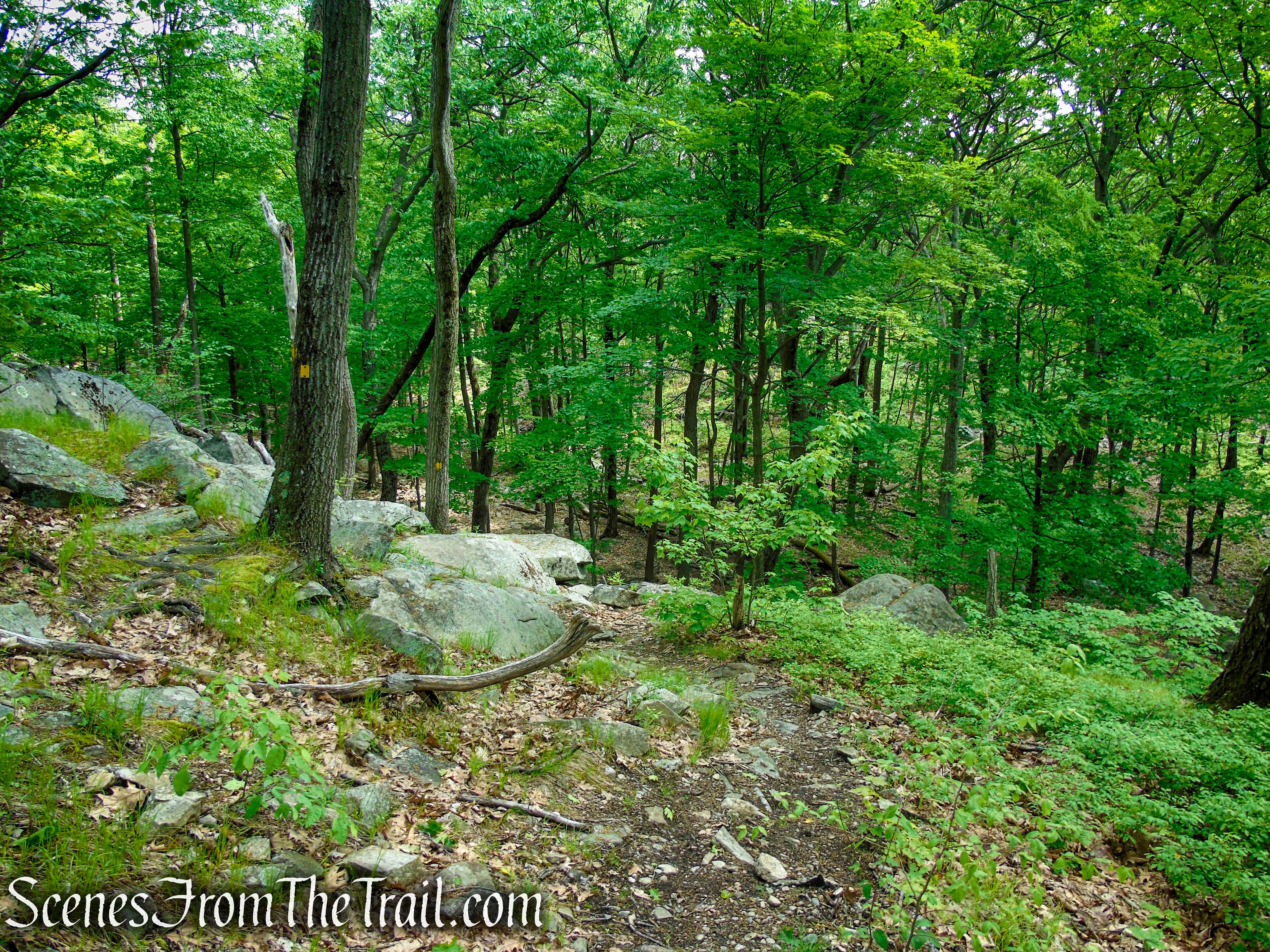
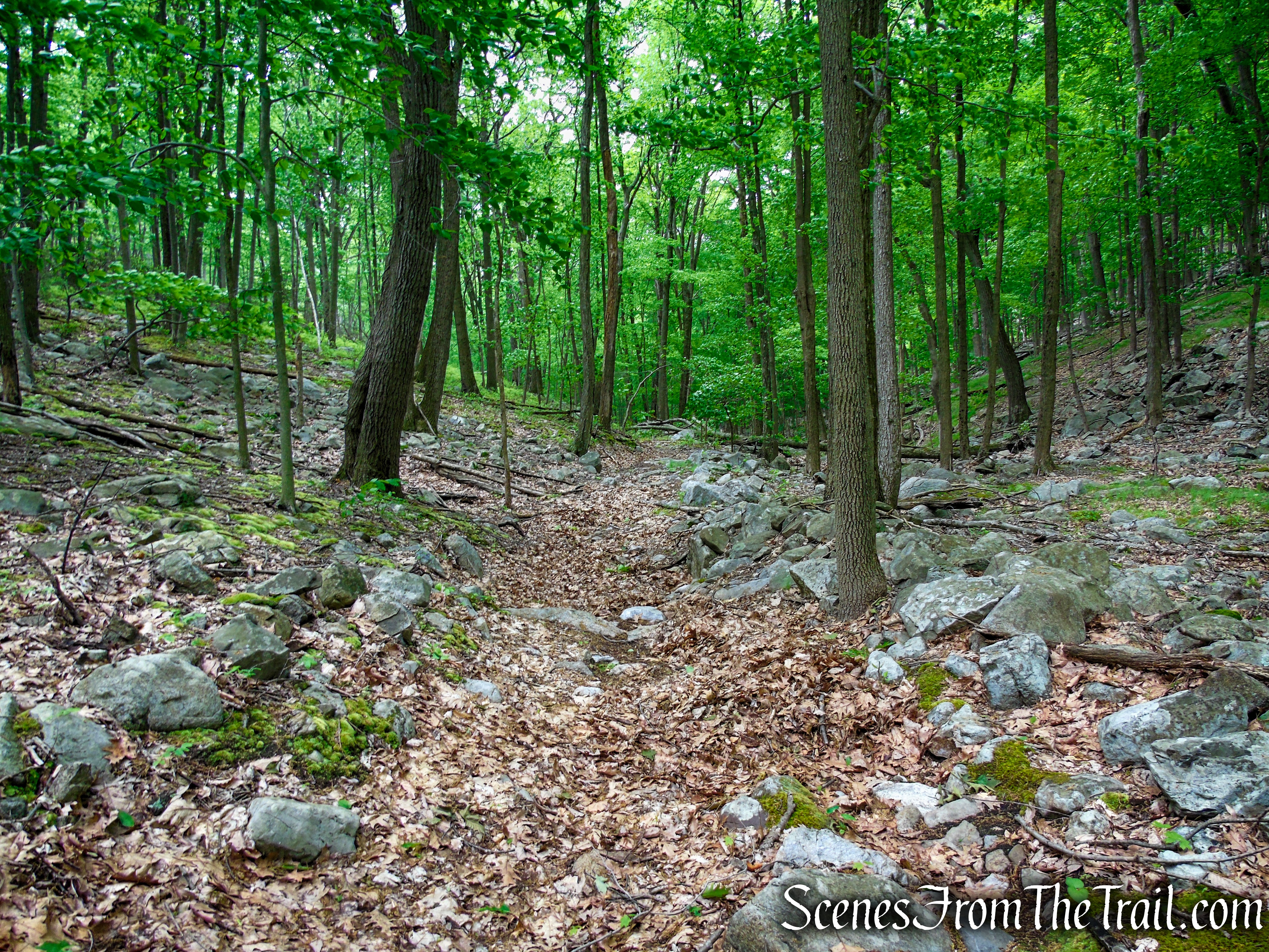
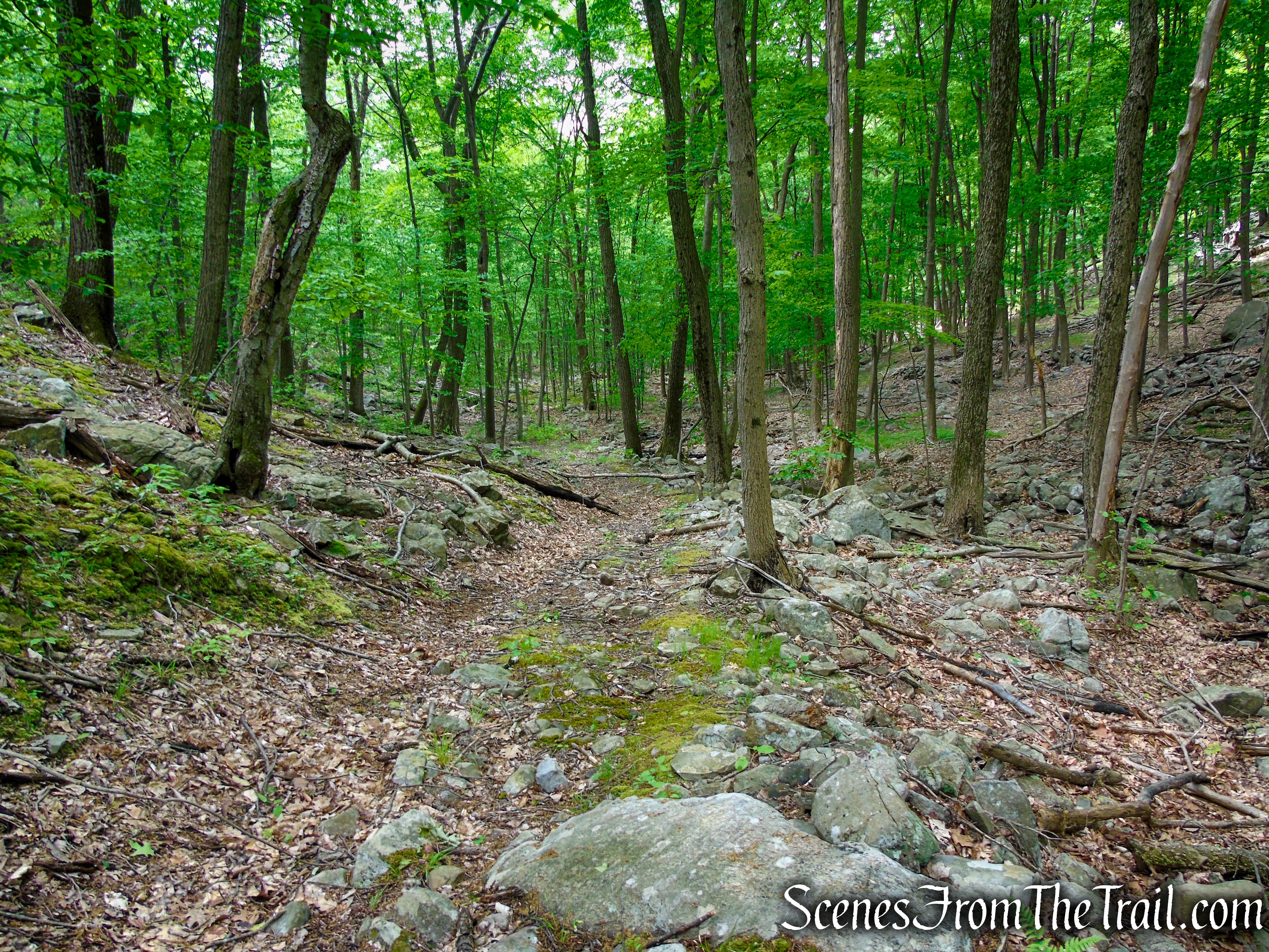
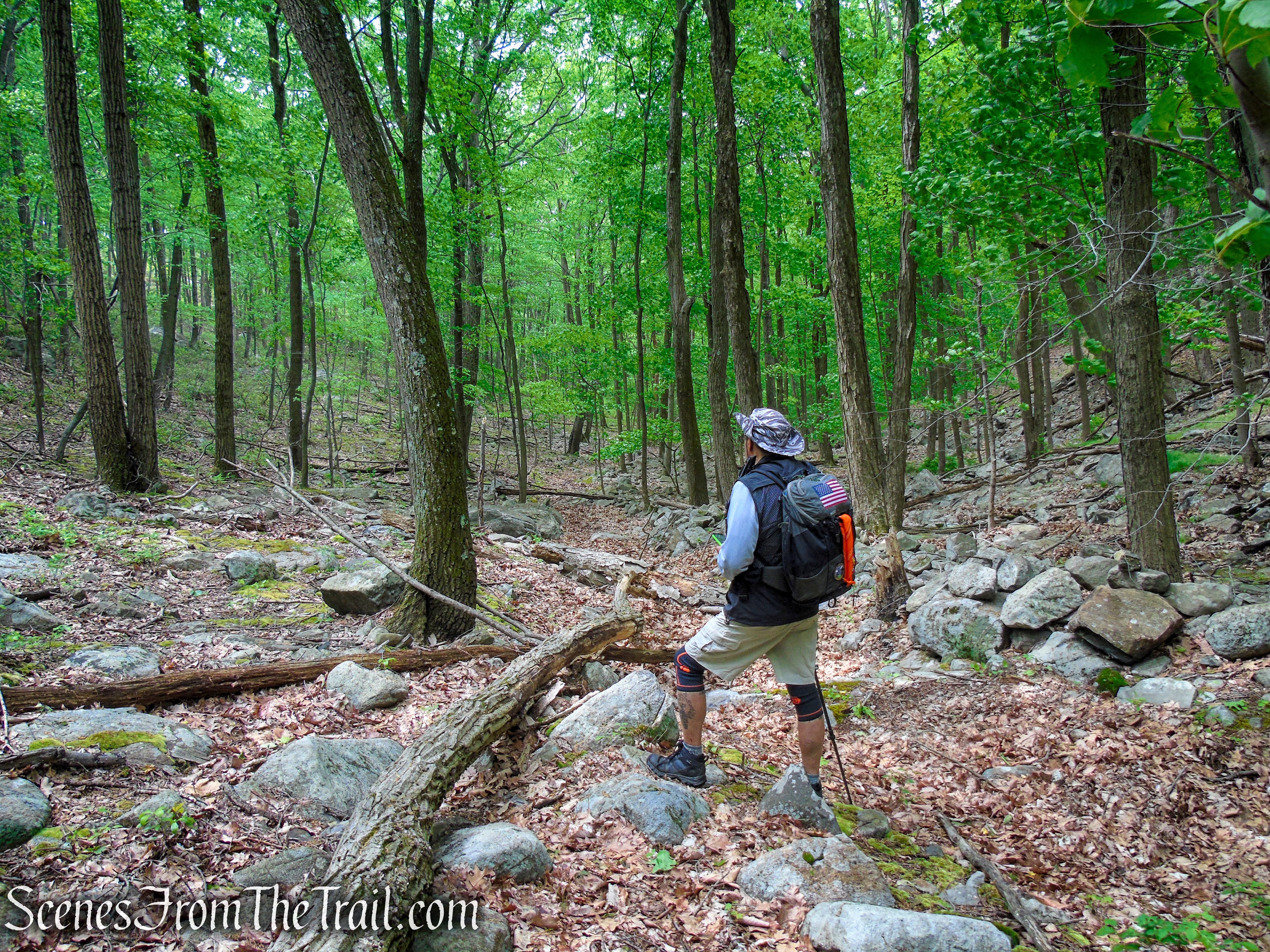
After entering the woods, the path is somewhat vague. There are some rock cairns to help guide you, but I would suggest using the Avenza Maps app to keep you going in the right direction. As you continue, the Sherwood Path becomes more discernible and widens to a woods road.
Sherwood Path – Harriman State Park
Sherwood Path – Harriman State Park
Sherwood Path – Harriman State Park
Sherwood Path – Harriman State Park
Sherwood Path – Harriman State Park
Sherwood Path – Harriman State Park
When you get to an intersection where there is a red, overturned pickup truck diagonally to the right, bear left to continue on the Sherwood Path. Consult your Avenza, just to be sure.

Sherwood Path – Harriman State Park

wrecked vehicle along the Sherwood Path – Harriman State Park
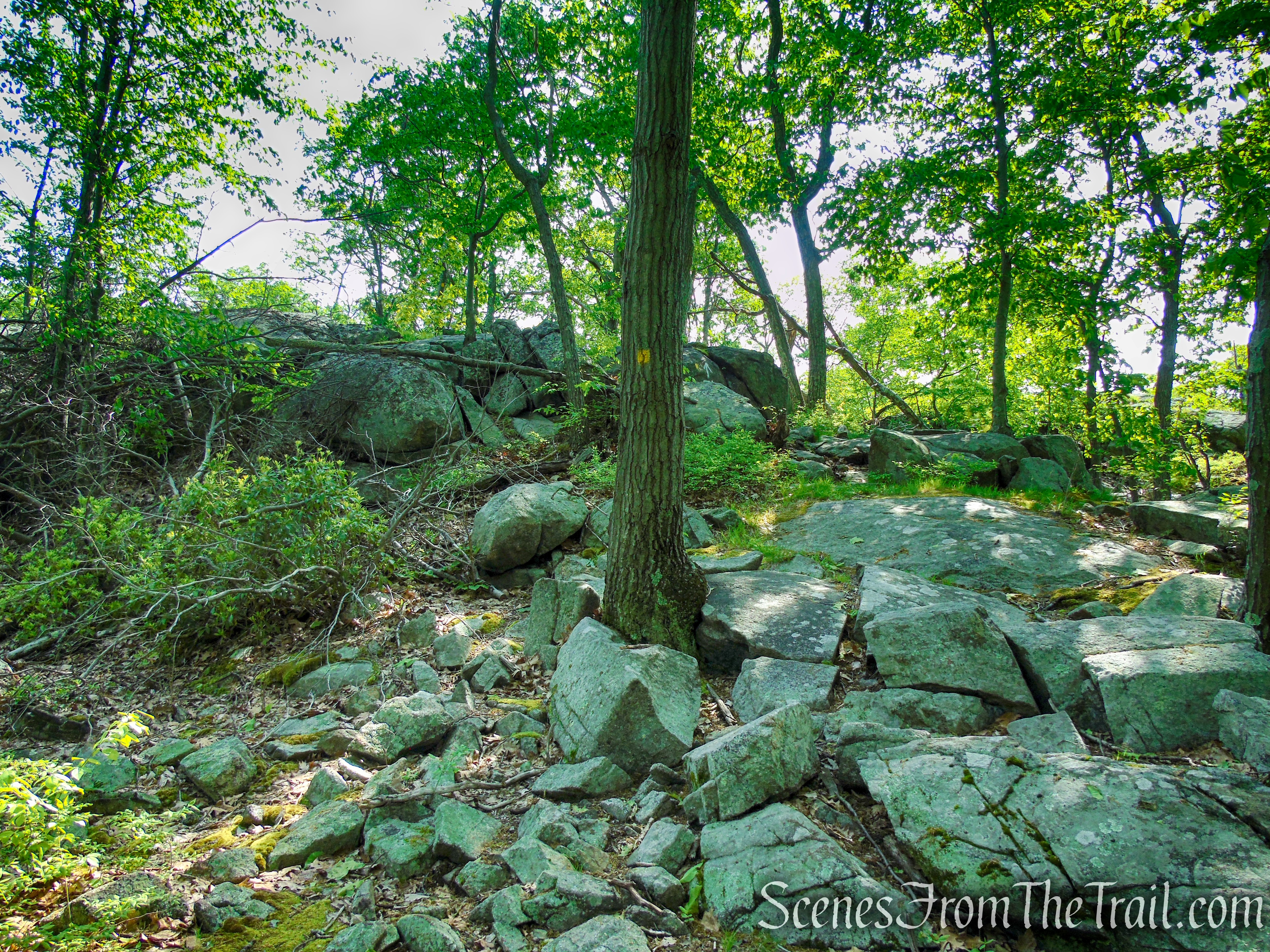
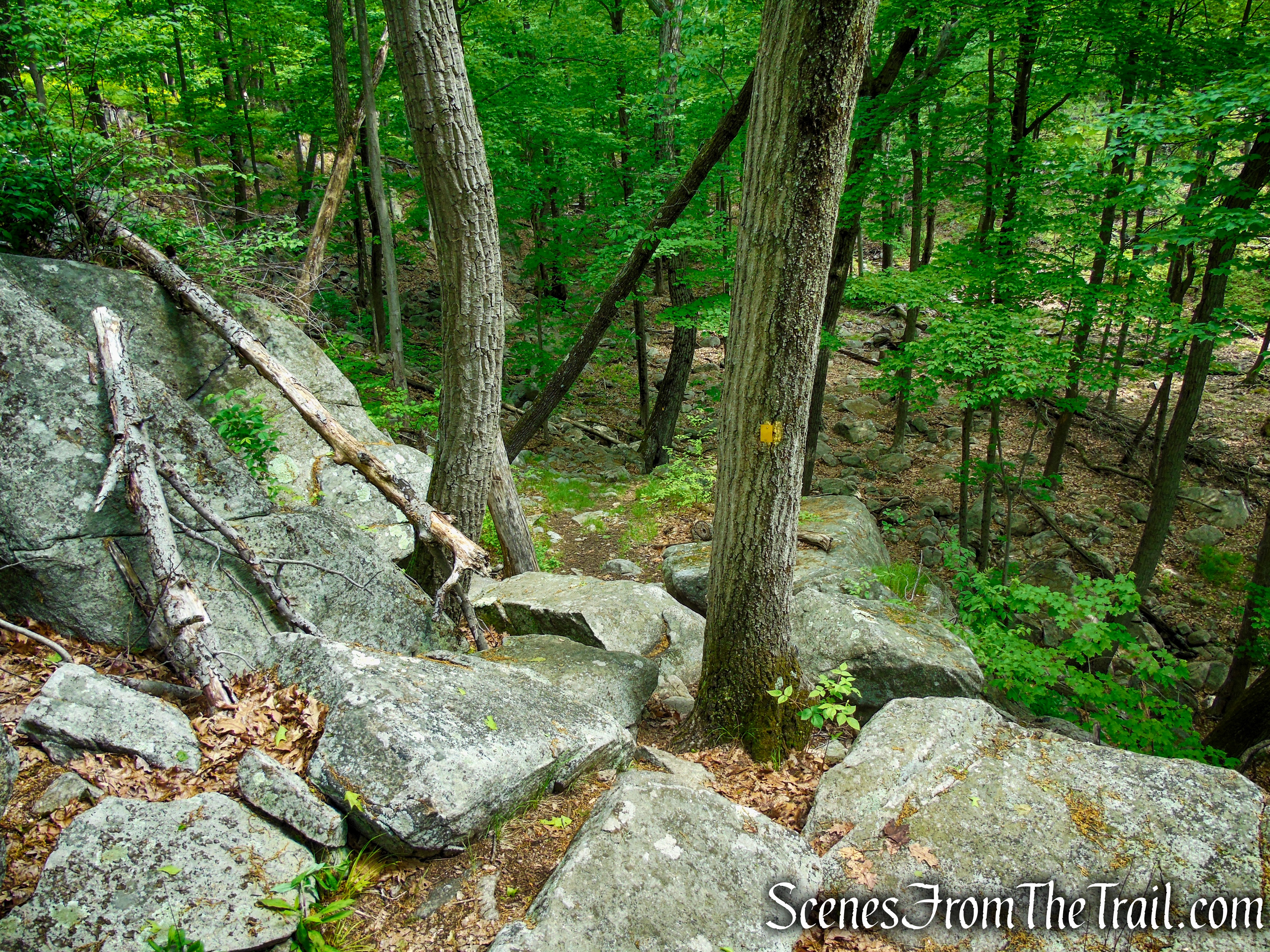
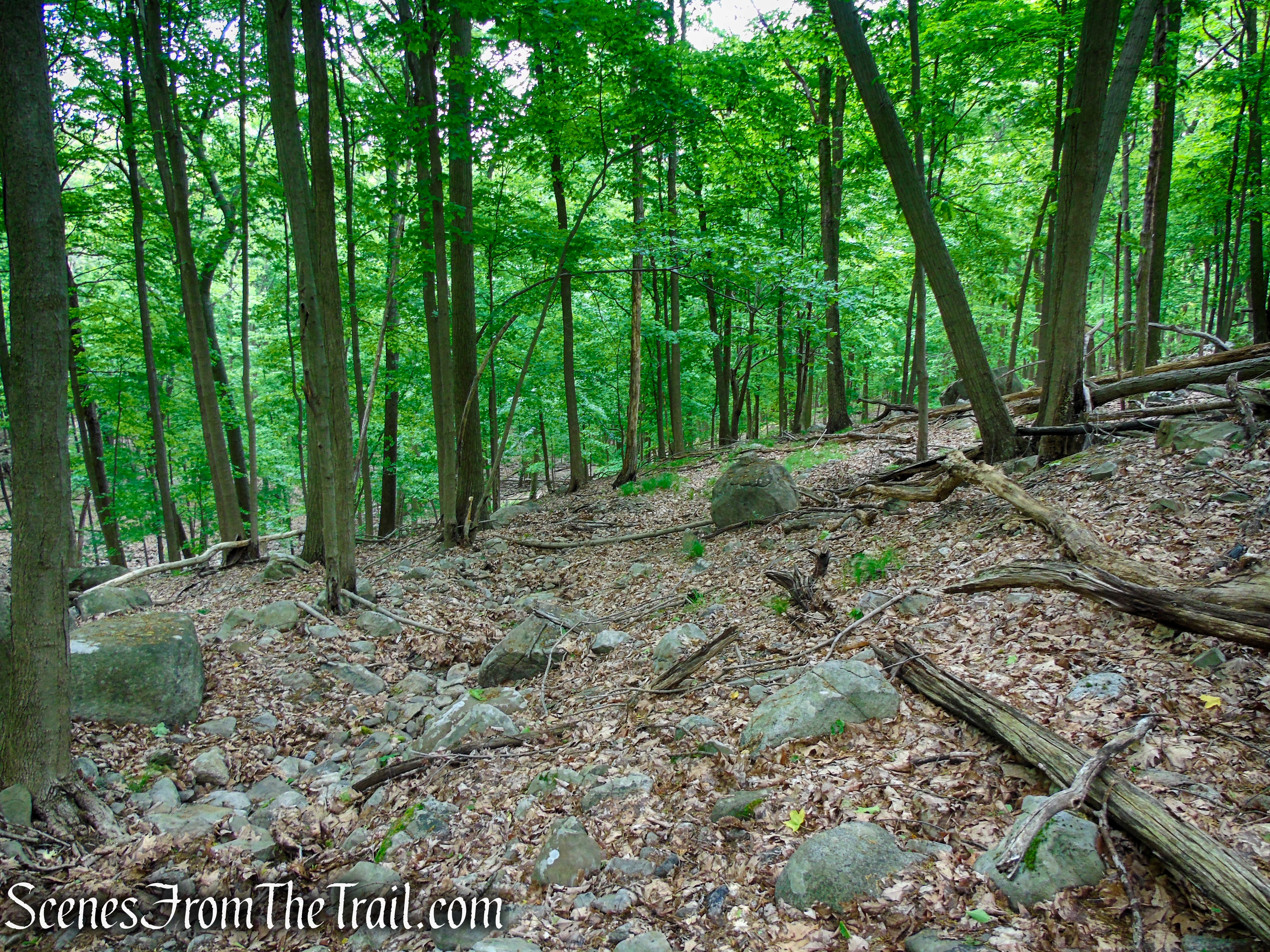
The Sherwood Path now begins a steady ascent, getting steeper as you go. Stay on this eroded woods road until you reach a junction with the yellow blazed Suffern-Bear Mountain Trail.
Sherwood Path – Harriman State Park
Sherwood Path – Harriman State Park
Sherwood Path – Harriman State Park
Sherwood Path – Harriman State Park
Sherwood Path – Harriman State Park
Turn left on the Suffern-Bear Mountain Trail and in a few feet, the trail reaches the rocky knob on which the Stone Memorial Shelter is located.
Suffern-Bear Mountain Trail – Harriman State Park
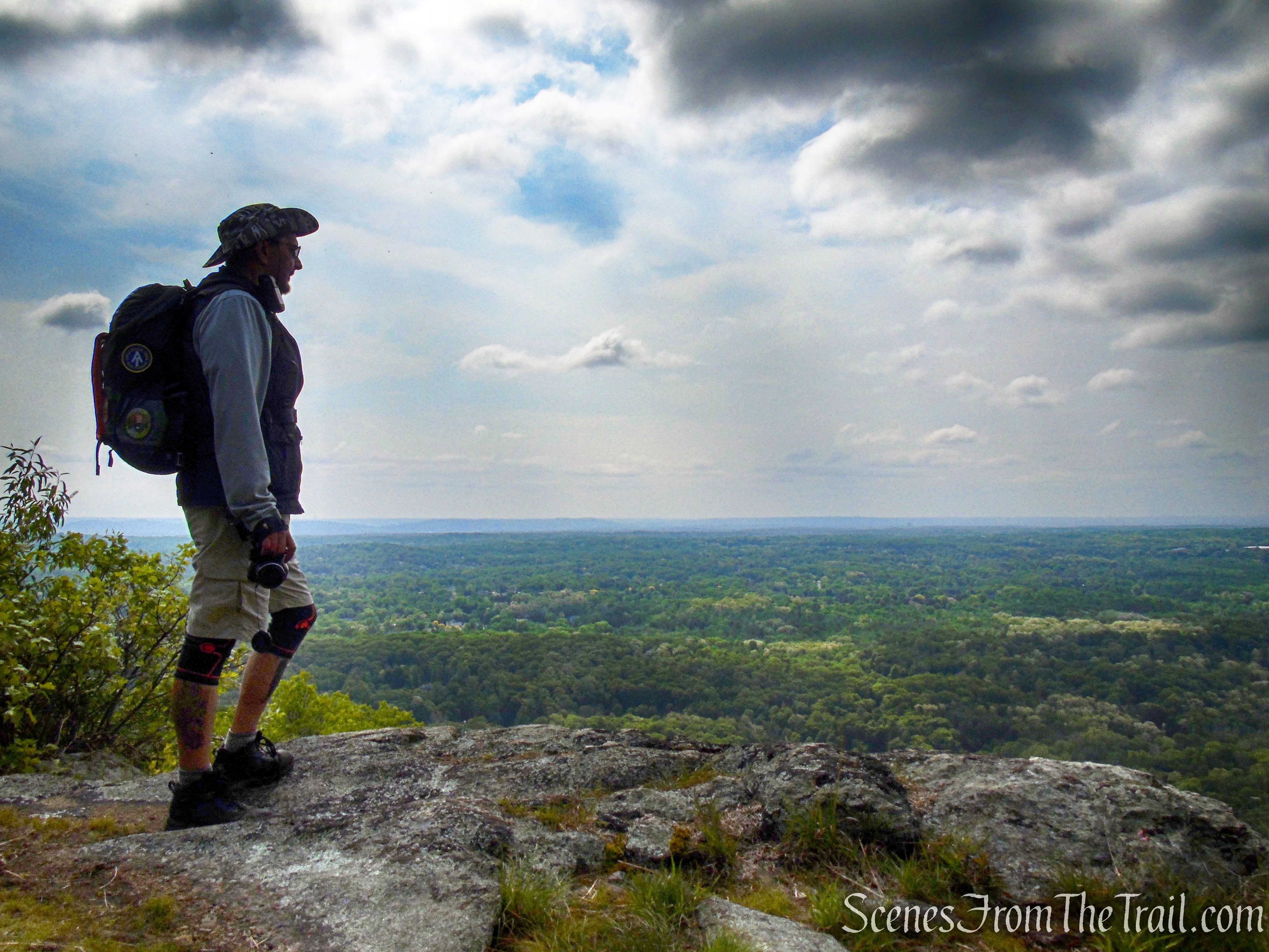
This makes for a good spot to take a break after the steep climb. You have now hiked about 2 miles and gained approximately 600 feet in elevation.
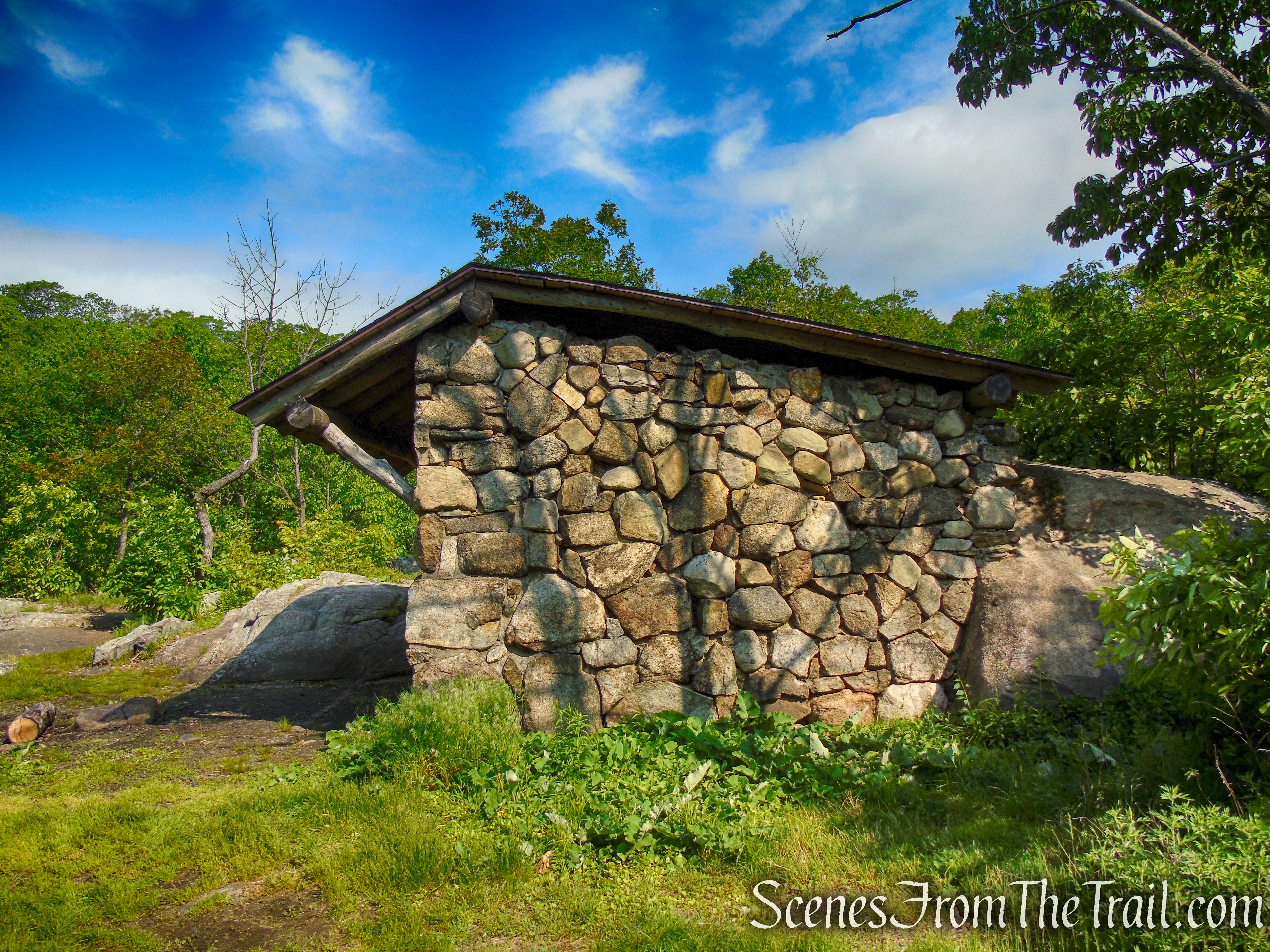
Stone Memorial Shelter – Harriman State Park
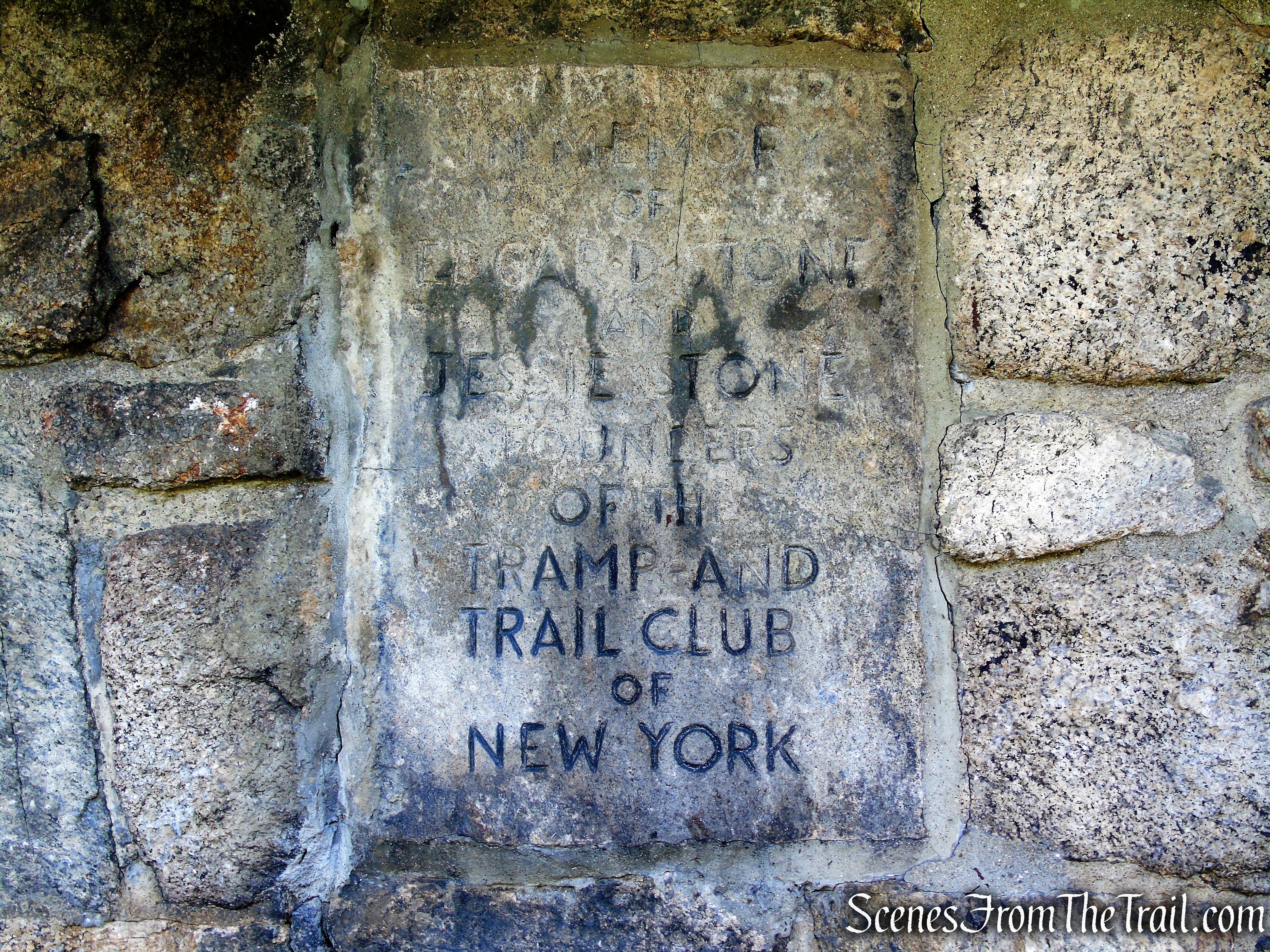
The Stone Memorial Shelter was dedicated on April 28, 1935 in memory of Edgar D. Stone, who died on June 29, 1932. Stone was a mining engineer who, with his wife Jessie, founded the Tramp and Trail Club of New York in 1914. Jessie Stone died in 1936.
Stone Memorial Shelter – Harriman State Park

Stone Memorial Shelter – Harriman State Park
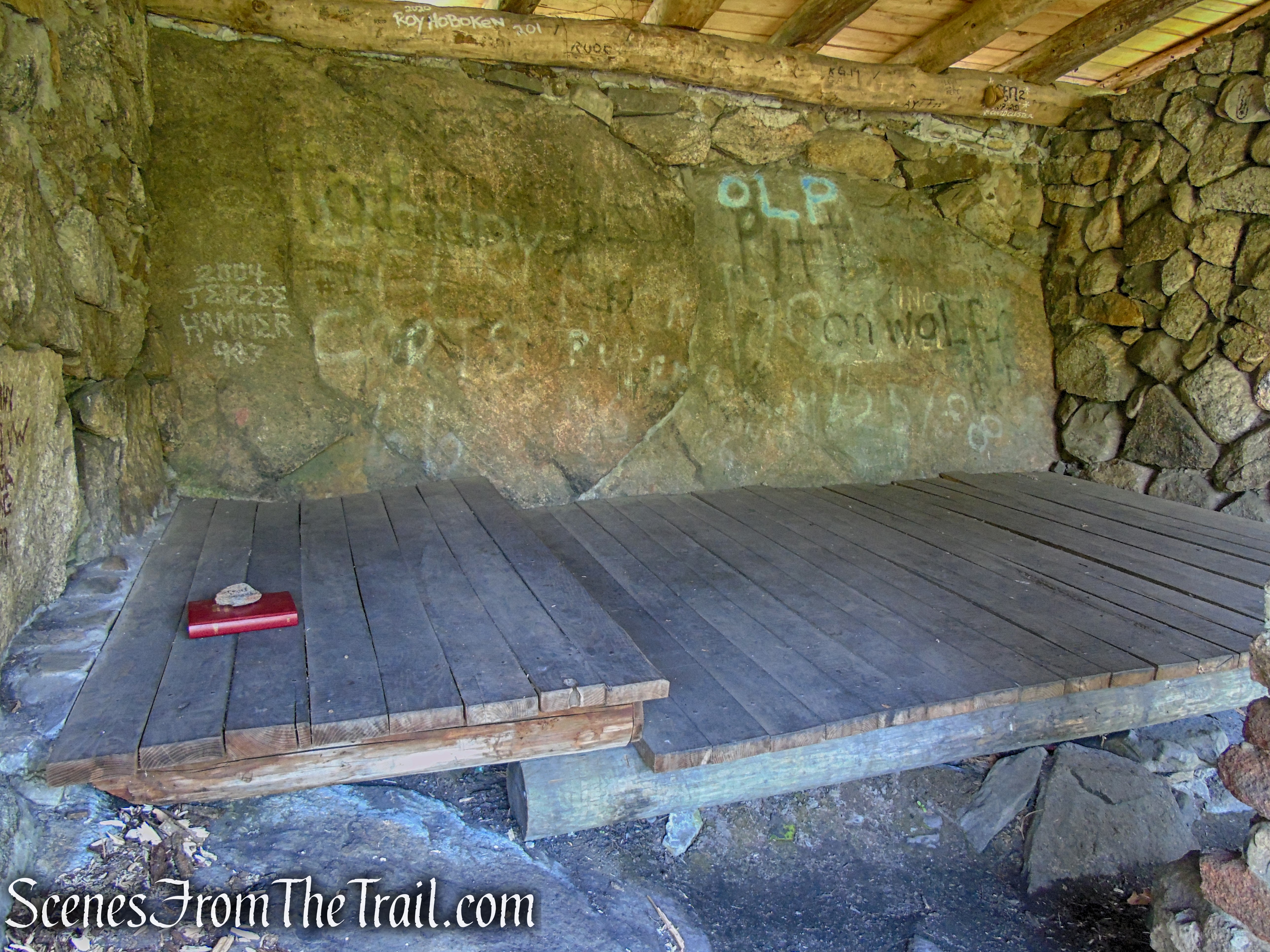
Trail shelters are available on a first come, first serve basis. If the shelter is occupied, tent camping is allowed within 300 feet from the shelter only. There are no permits or fees required. Fires are only allowed in fireplaces and already established rings. The Stone Memorial Shelter is equipped with “bear hangs,” a cable system with hooks designed to keep food bags out of an animal’s reach.
Stone Memorial Shelter – Harriman State Park
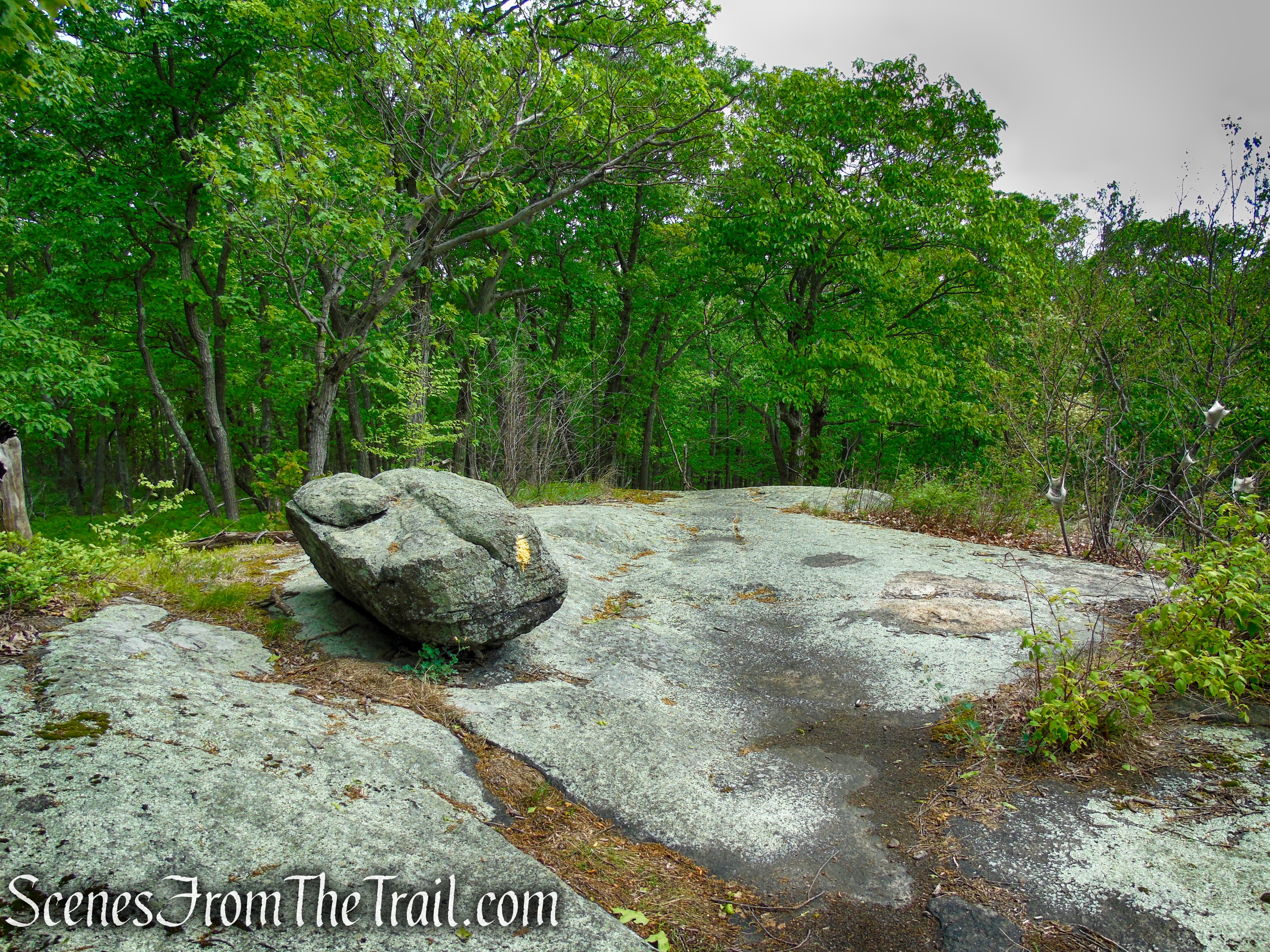
The shelter is a three-sided lean-to, made of boulders, with a sleeping platform and fireplace (has been sealed shut) that is built into a central column that supports the roof on the lean-to’s open side.
Stone Memorial Shelter – Harriman State Park
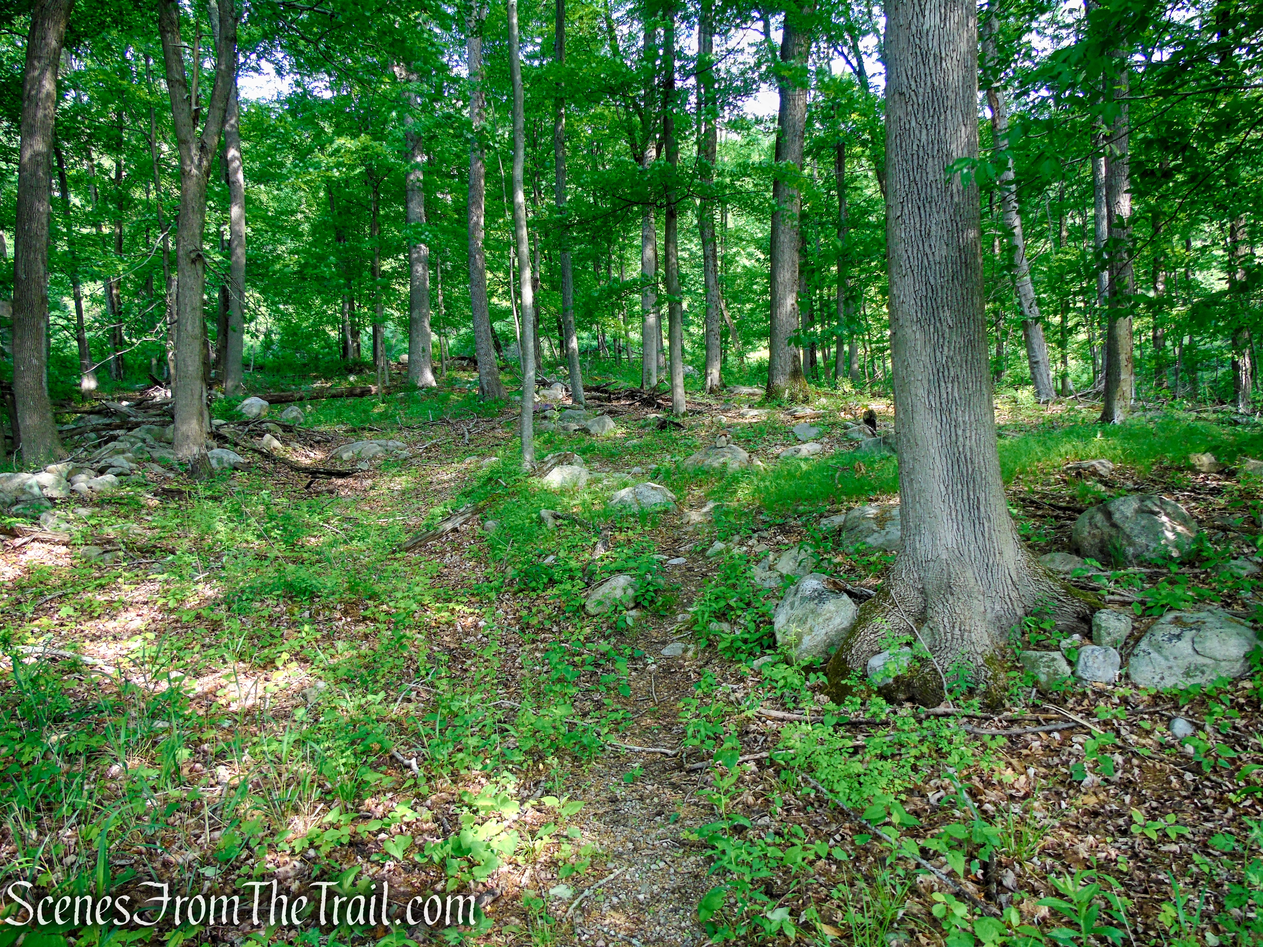
When you are ready to continue, retrace your steps back to the junction with the Sherwood Path and head north on the yellow-blazed Suffern-Bear Mountain (S-BM) Trail. After dipping down into the woods, the trail now climbs steadily and, after a few minor ups-and-downs, emerges on the edge of the ridge at Hawk Cliff, with panoramic views. Along the way, the trail passes through an attractive landscape.
Suffern-Bear Mountain Trail – Harriman State Park
Suffern-Bear Mountain Trail – Harriman State Park
Suffern-Bear Mountain Trail – Harriman State Park
Suffern-Bear Mountain Trail – Harriman State Park
Suffern-Bear Mountain Trail – Harriman State Park

Suffern-Bear Mountain Trail – Harriman State Park
Suffern-Bear Mountain Trail – Harriman State Park

Suffern-Bear Mountain Trail – Harriman State Park

Suffern-Bear Mountain Trail – Harriman State Park
Suffern-Bear Mountain Trail – Harriman State Park

Suffern-Bear Mountain Trail – Harriman State Park
Suffern-Bear Mountain Trail – Harriman State Park
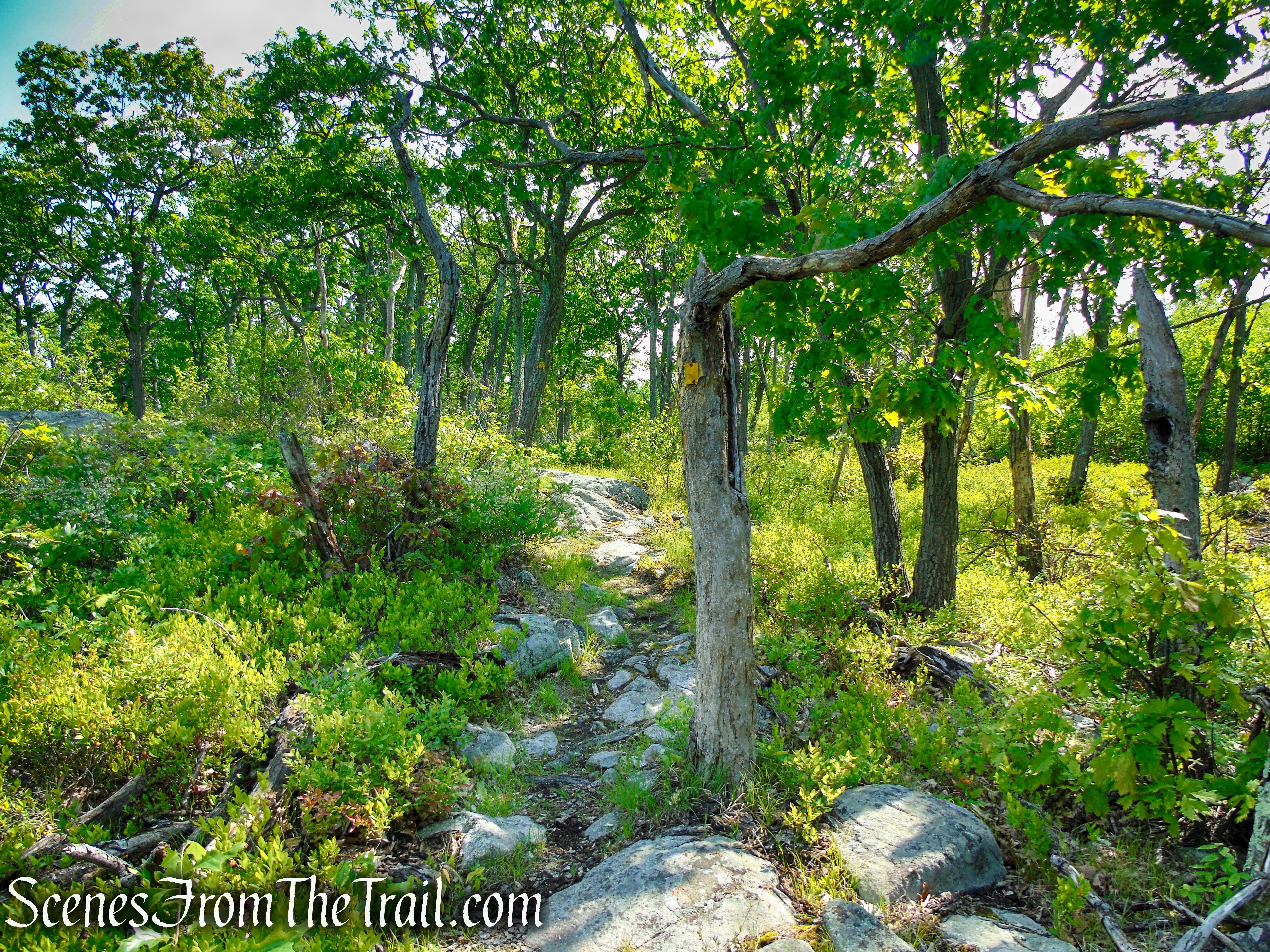
Suffern-Bear Mountain Trail – Harriman State Park

Suffern-Bear Mountain Trail – Harriman State Park
Suffern-Bear Mountain Trail – Harriman State Park

Suffern-Bear Mountain Trail – Harriman State Park
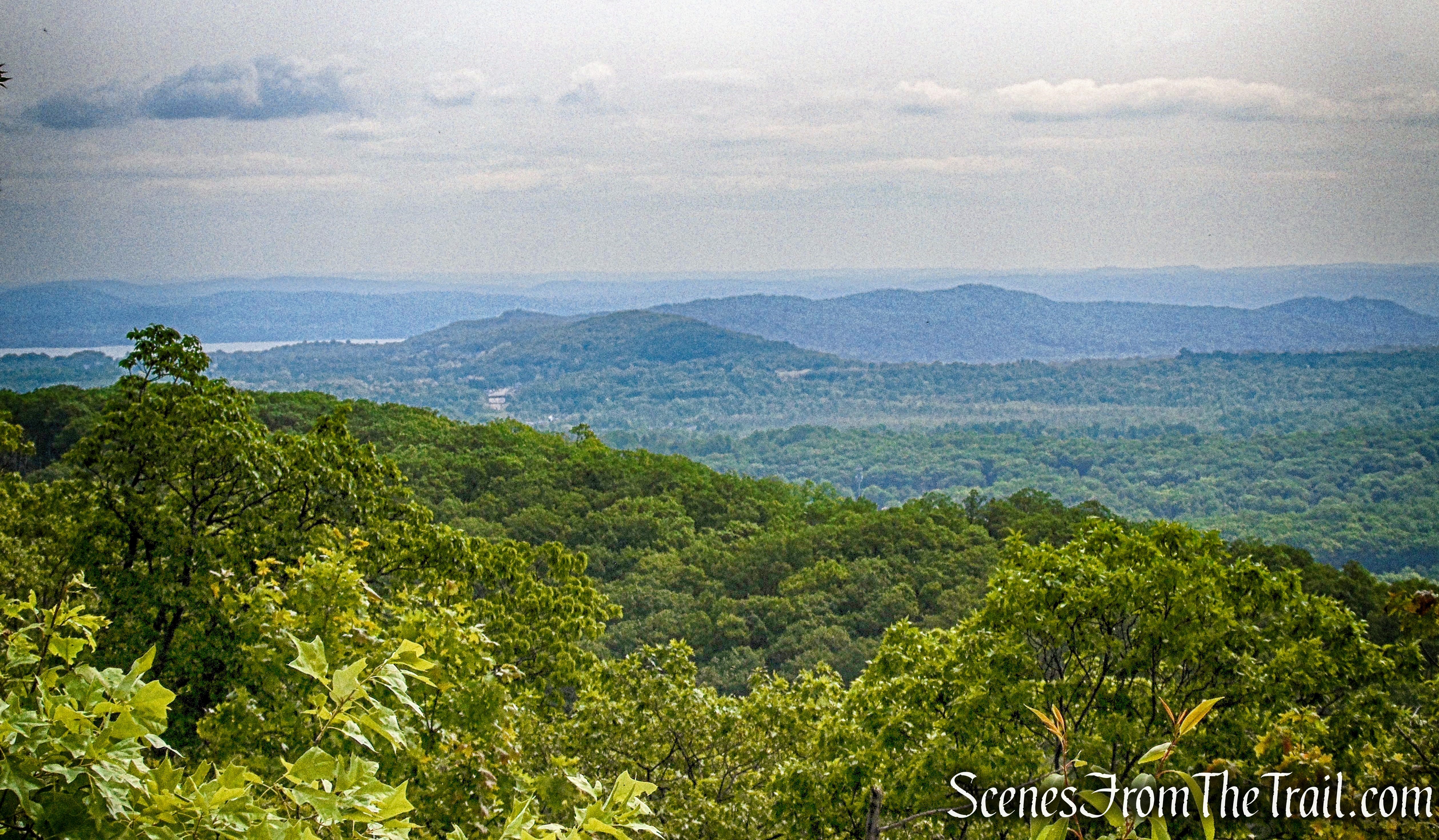
Hawk Cliff provides easterly-facing views of the surrounding area. The land on the hillside below this cliff was once terraced for the gardens of Albert and Grace Pitt, a mountain couple who lived in a shack nearby.
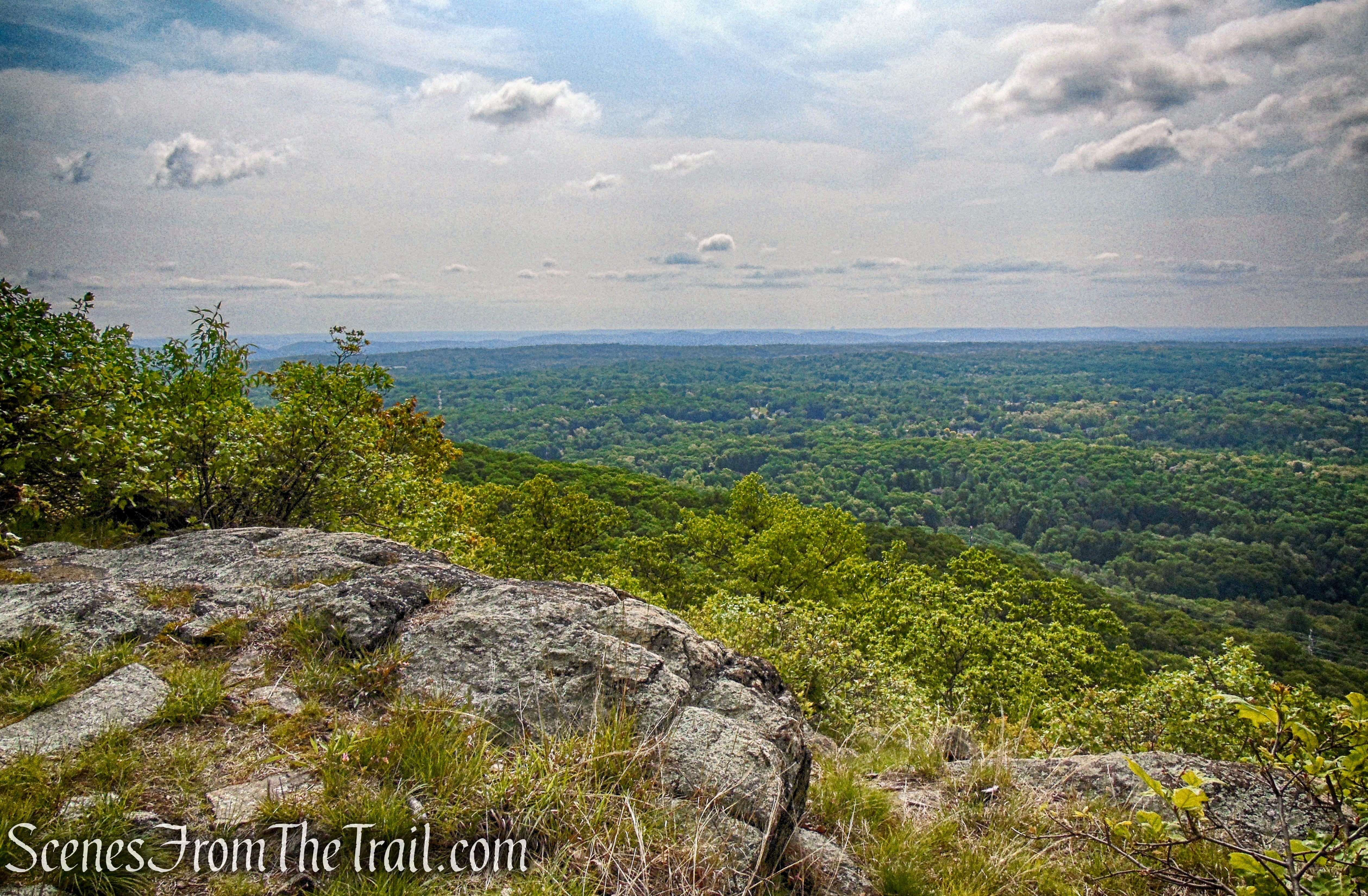
Hawk Cliff – Suffern-Bear Mountain Trail – Harriman State Park
Looking southeast, Horse Stable Mountain is visible to the right.

Hawk Cliff – Suffern-Bear Mountain Trail – Harriman State Park
Looking northeast, the Hudson River is visible to the far left, with Cheesecote Mountain just left of center, with Little Tor and High Tor just beyond.
Hawk Cliff – Suffern-Bear Mountain Trail – Harriman State Park
Hawk Cliff – Suffern-Bear Mountain Trail – Harriman State Park
The trail continues northeast and soon begins a steady descent. In approximately 0.3 mile from Hawk Cliff, The S-BM Trail comes to a “junction” with the two Pittsboro Trails.
Suffern-Bear Mountain Trail – Harriman State Park
Suffern-Bear Mountain Trail – Harriman State Park

Suffern-Bear Mountain Trail – Harriman State Park
Suffern-Bear Mountain Trail – Harriman State Park
Suffern-Bear Mountain Trail – Harriman State Park

Suffern-Bear Mountain Trail – Harriman State Park

Suffern-Bear Mountain Trail – Harriman State Park
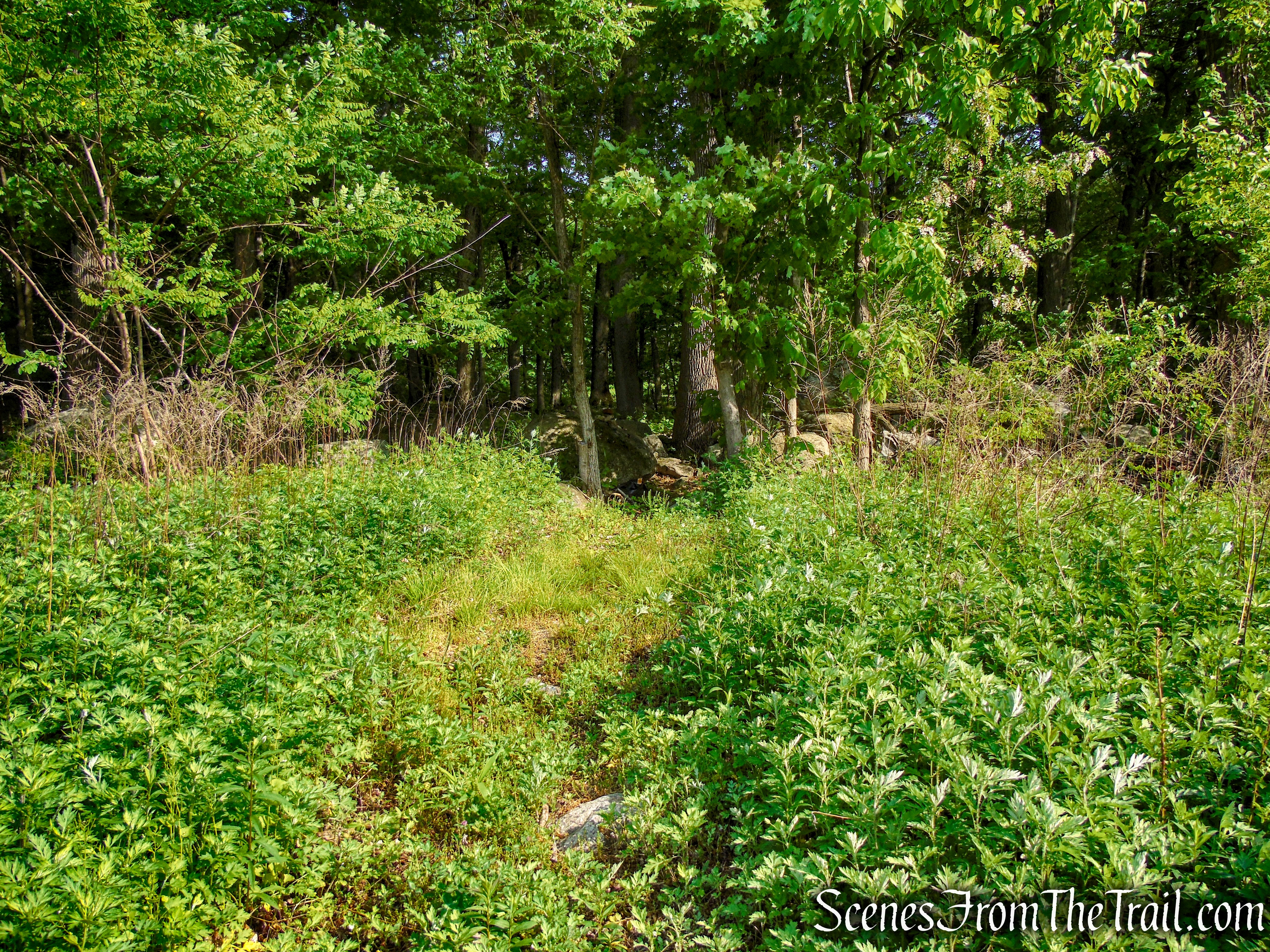
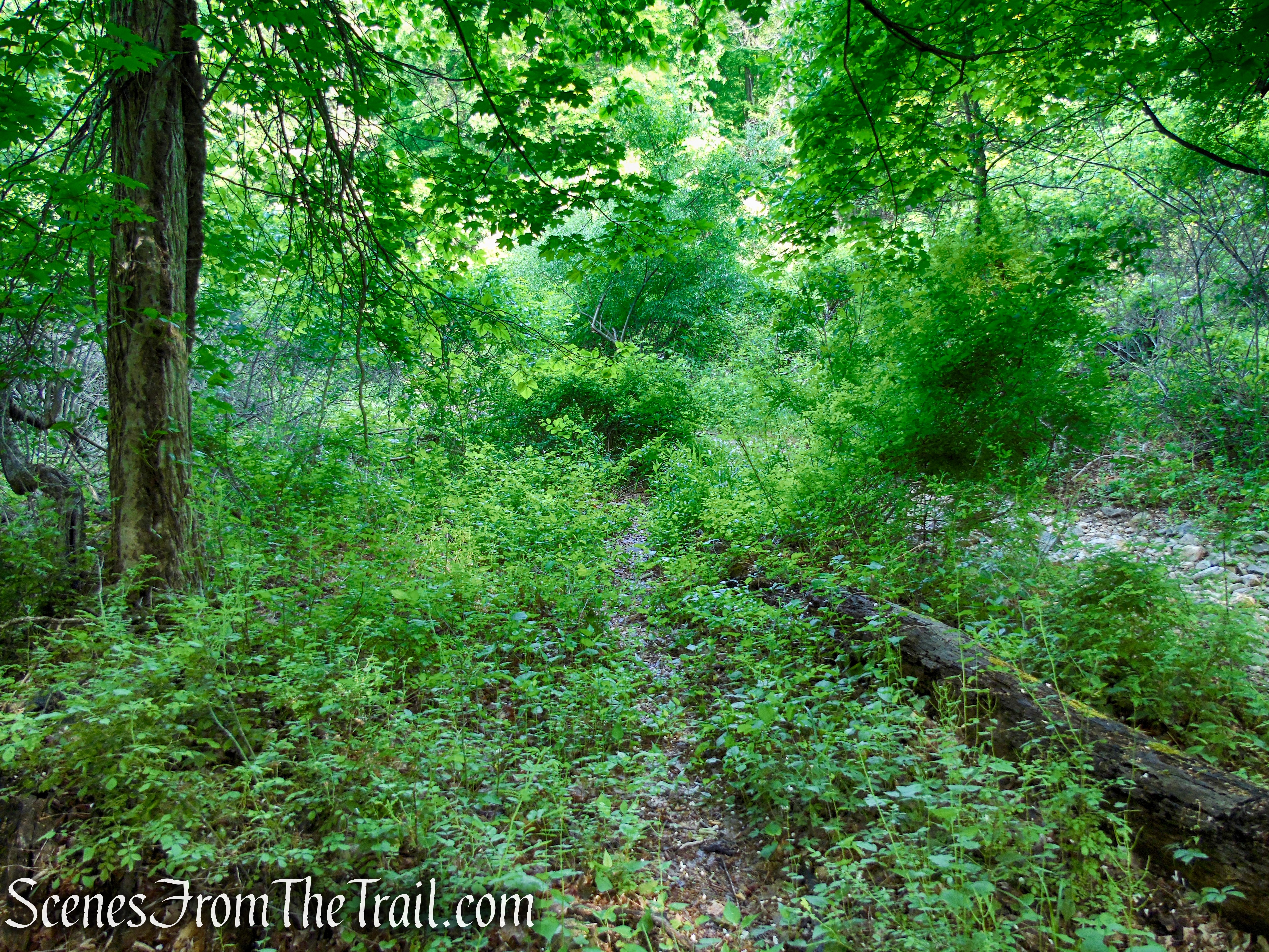
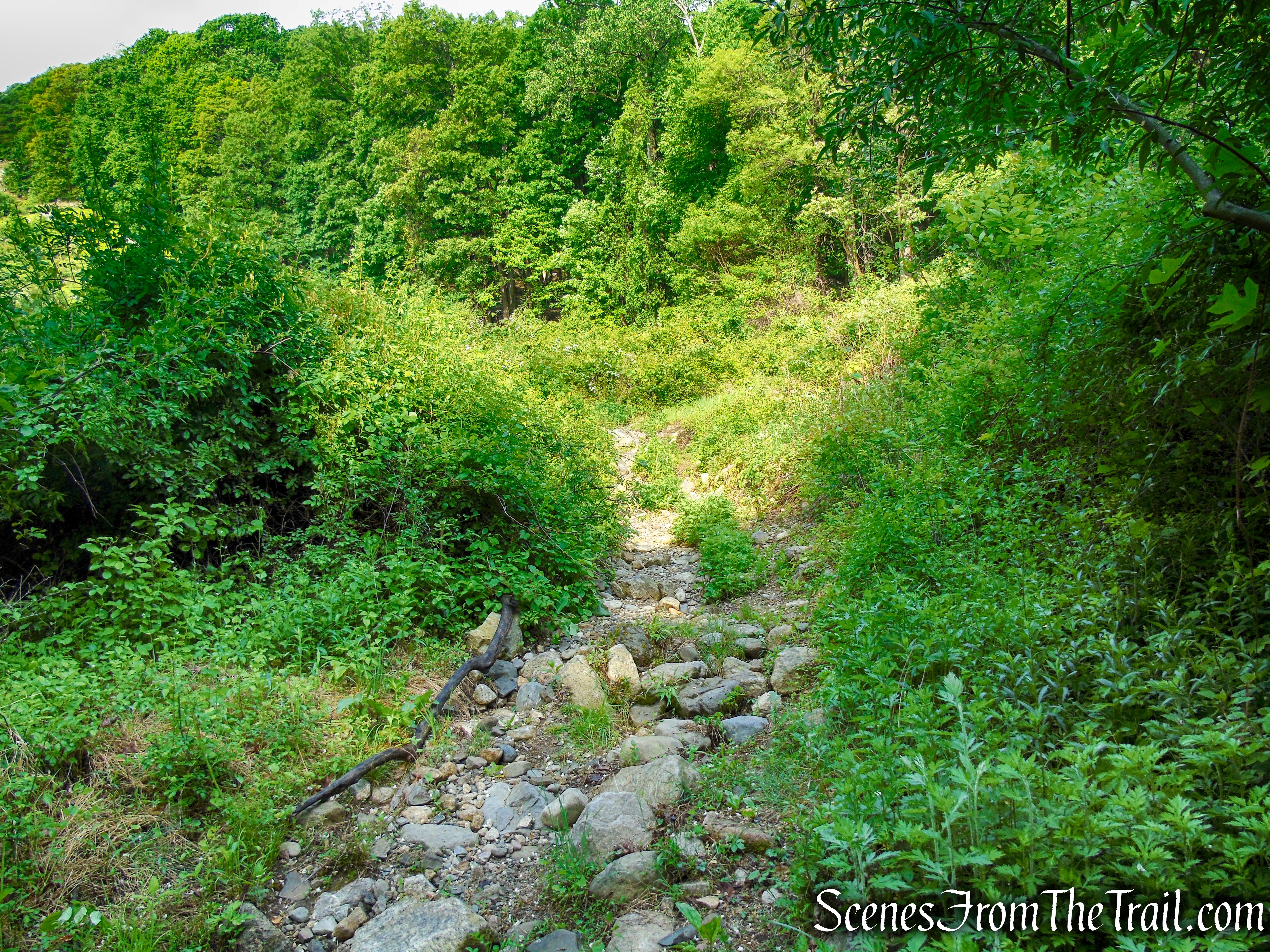
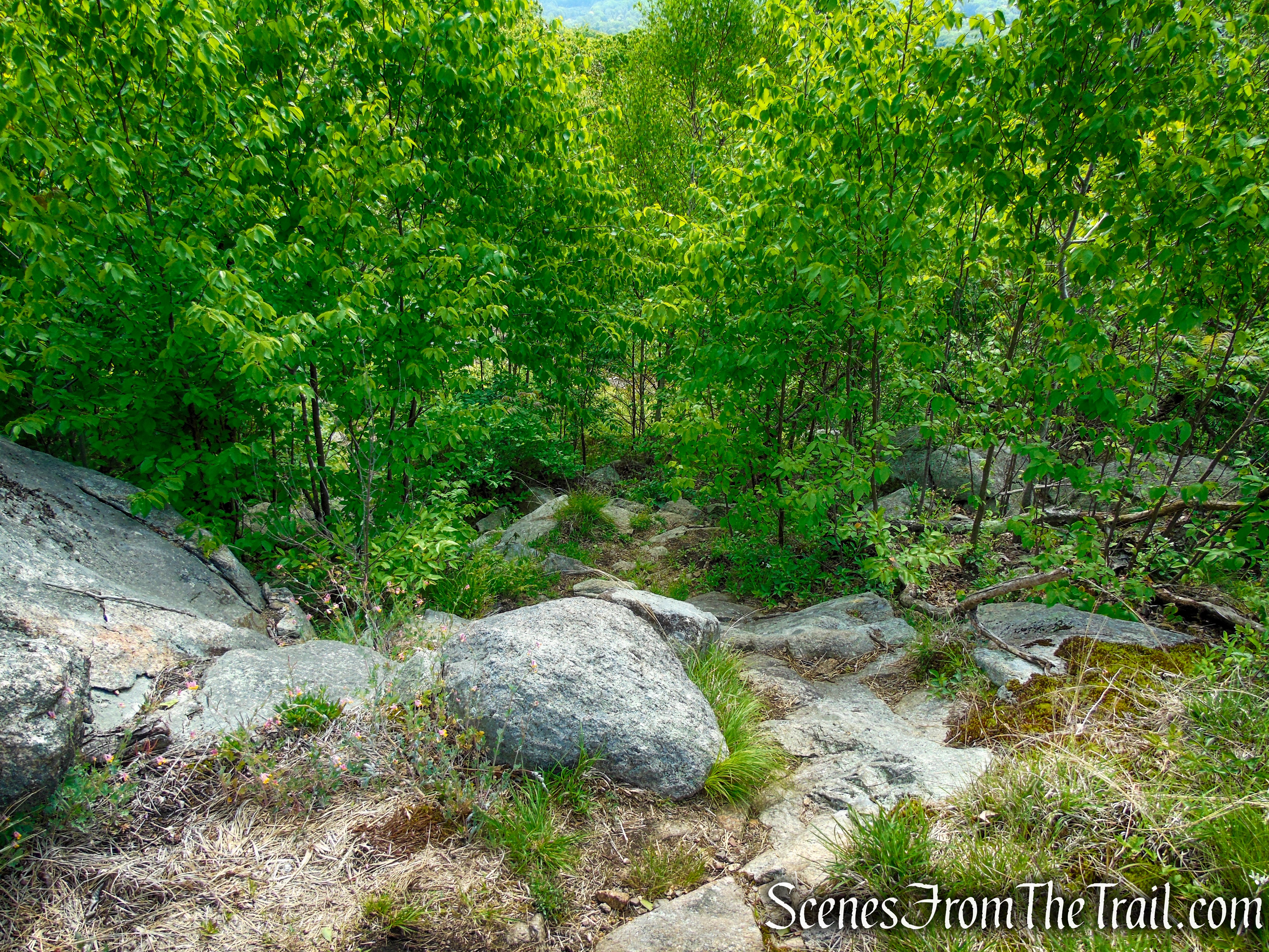
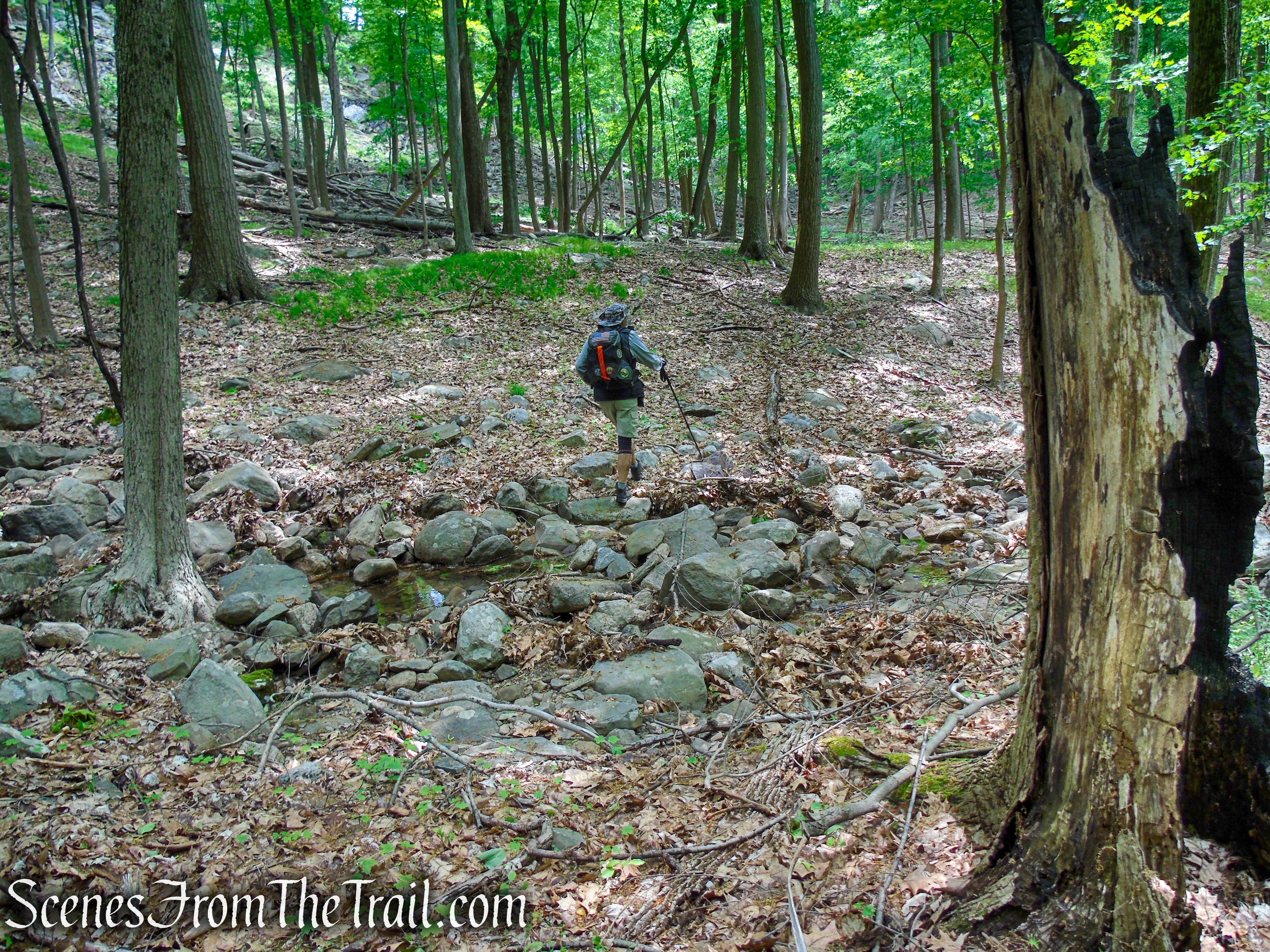
I was expecting to see a woods road, but there was nothing distinguishable as a path, trail or road. I used my Avenza to make sure that I was on the right path. At times you could make out a road and there are some cairns that mark the way, but to be honest, without Avenza, this would have been much more difficult to navigate. For the most part, the Pittsboro Trail was a bushwack.
Pittsboro Trail – Harriman State Park
Crossing the stream (it was dry) at the base of Catamount Mountain while on the First Pittsboro Trail. I only captured a few images along this stretch because I was too busy trying to navigate my way through.
Pittsboro Trail – Harriman State Park
When the trail was noticeable, it was filled with ankle deep leaves, so we walked along the edge to keep from sinking in the leaves.
Pittsboro Trail – Harriman State Park
Pittsboro Trail – Harriman State Park
At times (for short stretches) the Pittsboro Trail made for a pleasant walk, but soon it disappears and it’s back to bushwacking.

Pittsboro Trail – Harriman State Park
Pittsboro Trail – Harriman State Park

Pittsboro Trail – Harriman State Park
When we reached a 4-way intersection, we continued straight ahead on the grassy woods road, soon passing a wrecked pickup truck along the trail. Shortly after that, we crossed under the powerlines which was overgrown in every direction. It was at this point, that with my phone in hand and the Avenza Maps app running, we followed the black dotted lines (woods roads) on the map, while walking through chest high weeds and thorn bushes. I was wearing shorts, fun times.
Pittsboro Trail – Harriman State Park
Pittsboro Trail – Harriman State Park

Pittsboro Trail – Harriman State Park
After that short, chest high bushwack, the Pittsboro Trail appeared as a woods road again and a short distance later, reached the gas pipeline service road and turned left.
Pittsboro Trail – Harriman State Park
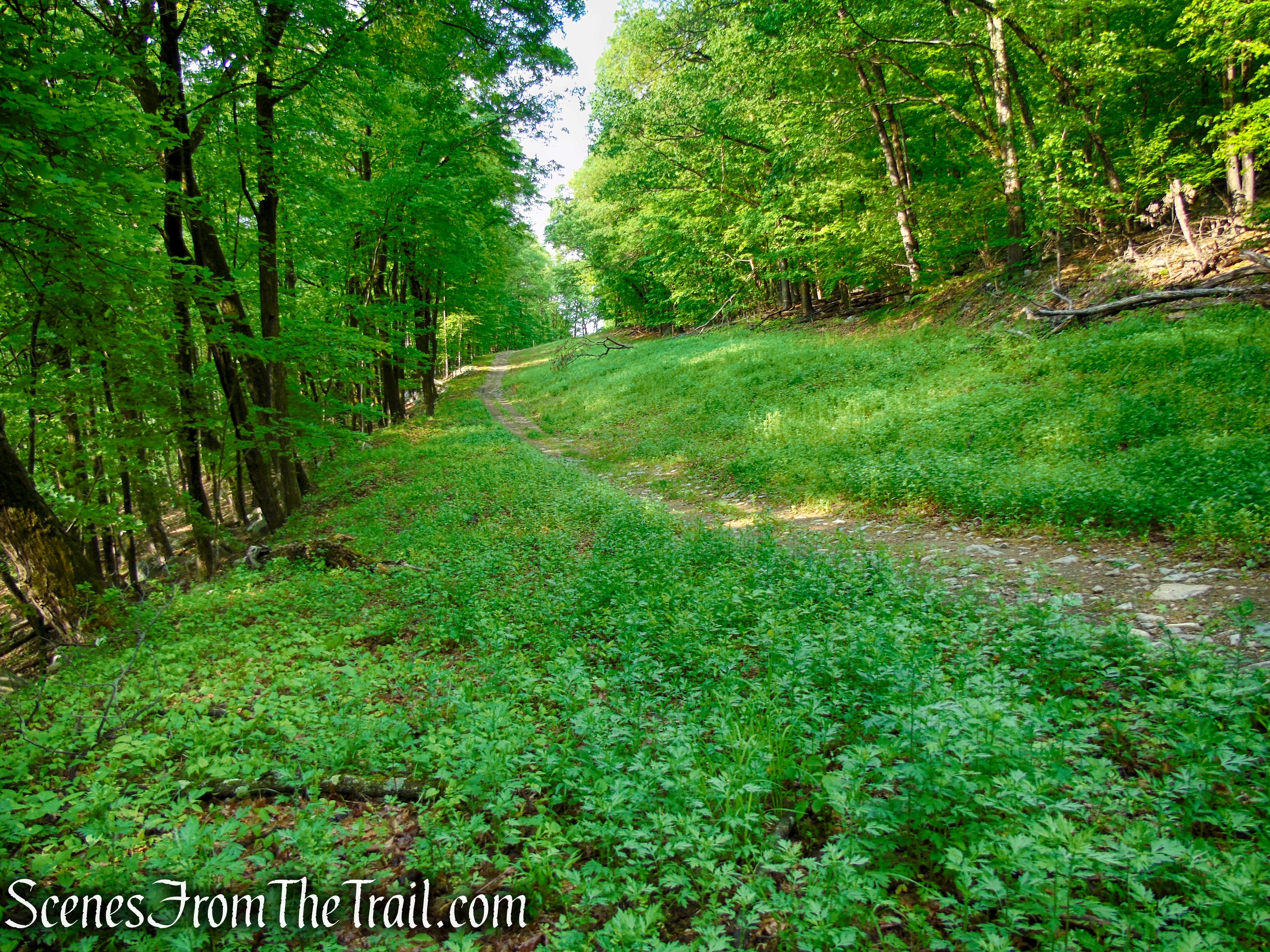
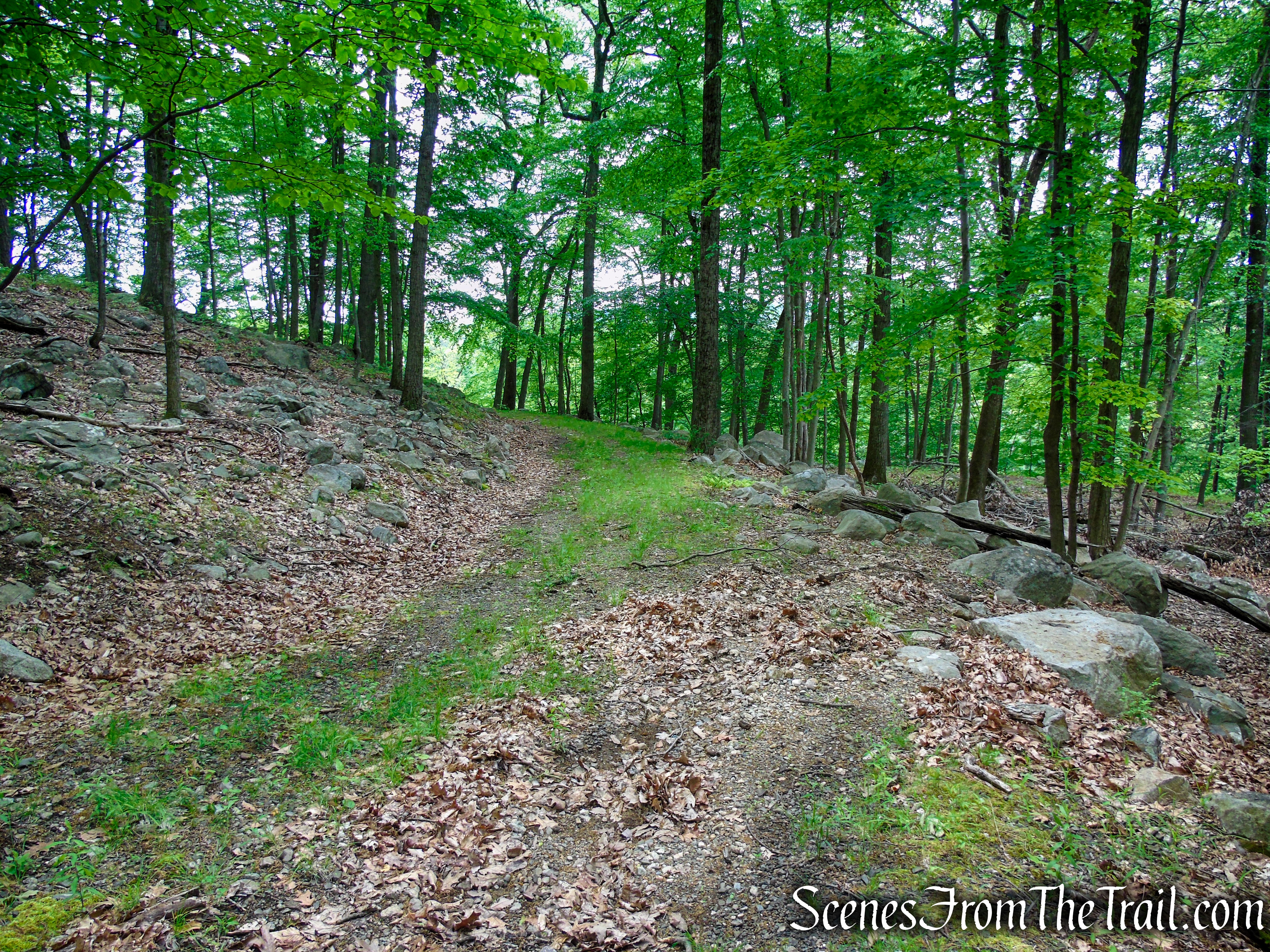
Now retracing our steps from the beginning of the hike, we followed the gas pipeline service road for about 0.7 mile to the junction with the Pine Meadow Trail and turned right. We followed the Pine Meadow Trail for 0.1 mile downhill, to the Town of Ramapo Equestrian Center, crossing over the bridge and back to the Hiker Parking, where the hike began.
Sherwood Path – Harriman State Park

Pine Meadow Trail – Harriman State Park
Pine Meadow Trail – Harriman State Park
Terminus of Pine Meadow Trail – Harriman State Park

Town of Ramapo Equestrian Center
Town of Ramapo Equestrian Center
Hiker Parking – Town of Ramapo Equestrian Center
Review:
A nice hike, but I would not recommend the Pittsboro Trail. Instead, continue north on the marked trails to complete the loop. Gorgeous landscape and lightly trafficked area.
Pros:
Stone Memorial Shelter, Suffern-Bear Mountain Trail, Sherwood Path, scenic views.
Cons:
Pittsboro Trail is a slog, Suffern-Bear Mountain Trail is slightly overgrown in spots, it could use some cutting back.
Take a hike!
Stone Memorial Loop via Sherwood Path – Harriman State Park
Sources:
- New York-New Jersey Trail Conference
- Harriman State Park
- Myles, William J.; Chazin, Daniel. Harriman Trails: A Guide and History . New York – New Jersey Trail Conference. Kindle Edition.
