May 13, 2023 – Southfields, NY
Difficulty: Moderate (Several steep ascents, some climbing over rocks)
Length: Approximately 4 miles
Max elevation: 1,367 ft.– total elevation gain approximately 550 ft.
Route type: Circuit
Buy Map (Paper & Avenza): Harriman-Bear Mountain Trails Map #119
Free Map (Paper & Avenza): Harriman State Park Trail Map
Trailhead parking: 1369 Kanawauke Rd, Southfields, NY, 10975
Gravel parking lot – no bathrooms on site
Overview:
At 47,527 acres, Harriman State Park, located in Rockland and Orange counties, is the second-largest park in the NYS parks system. It has 31 lakes and reservoirs, over 200 miles of hiking trails, two beaches, two public camping areas, a network of group camps, miles of streams and scenic roads, and scores of wildlife species, vistas and vantage points. Harriman State Park’s major facilities include Lakes Welch, Tiorati and Silvermine, the Anthony Wayne Recreation Area, Sebago Cabins and Beaver Pond Campgrounds.
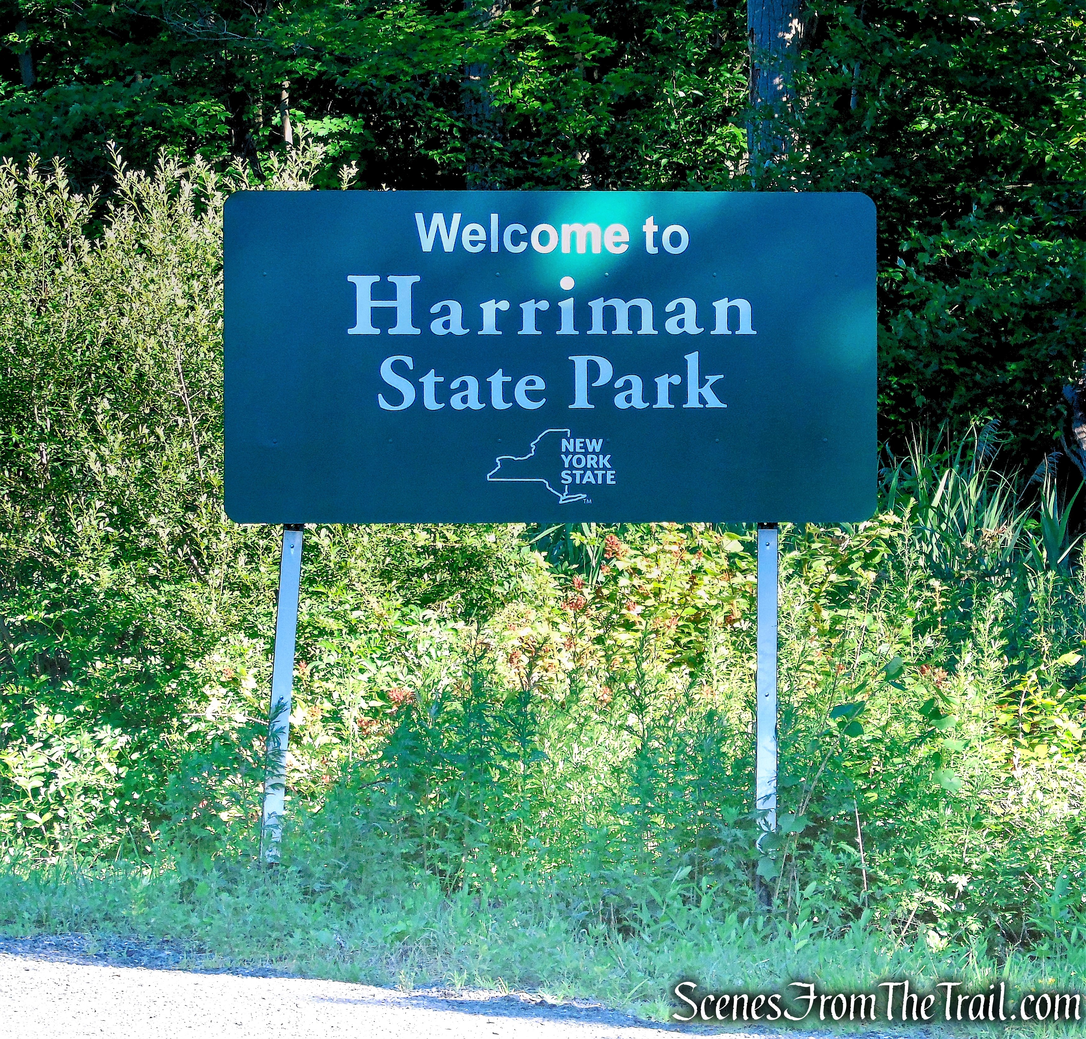
Harriman State Park
Black Rock Mountain, at an elevation of 1,382 feet above sea level, is the highest point in Harriman State Park. The Ramapo-Dunderberg (R-D) Trail traverses the ridge and passes over a spectacular area with bare rock ledges that is dotted with boulders.
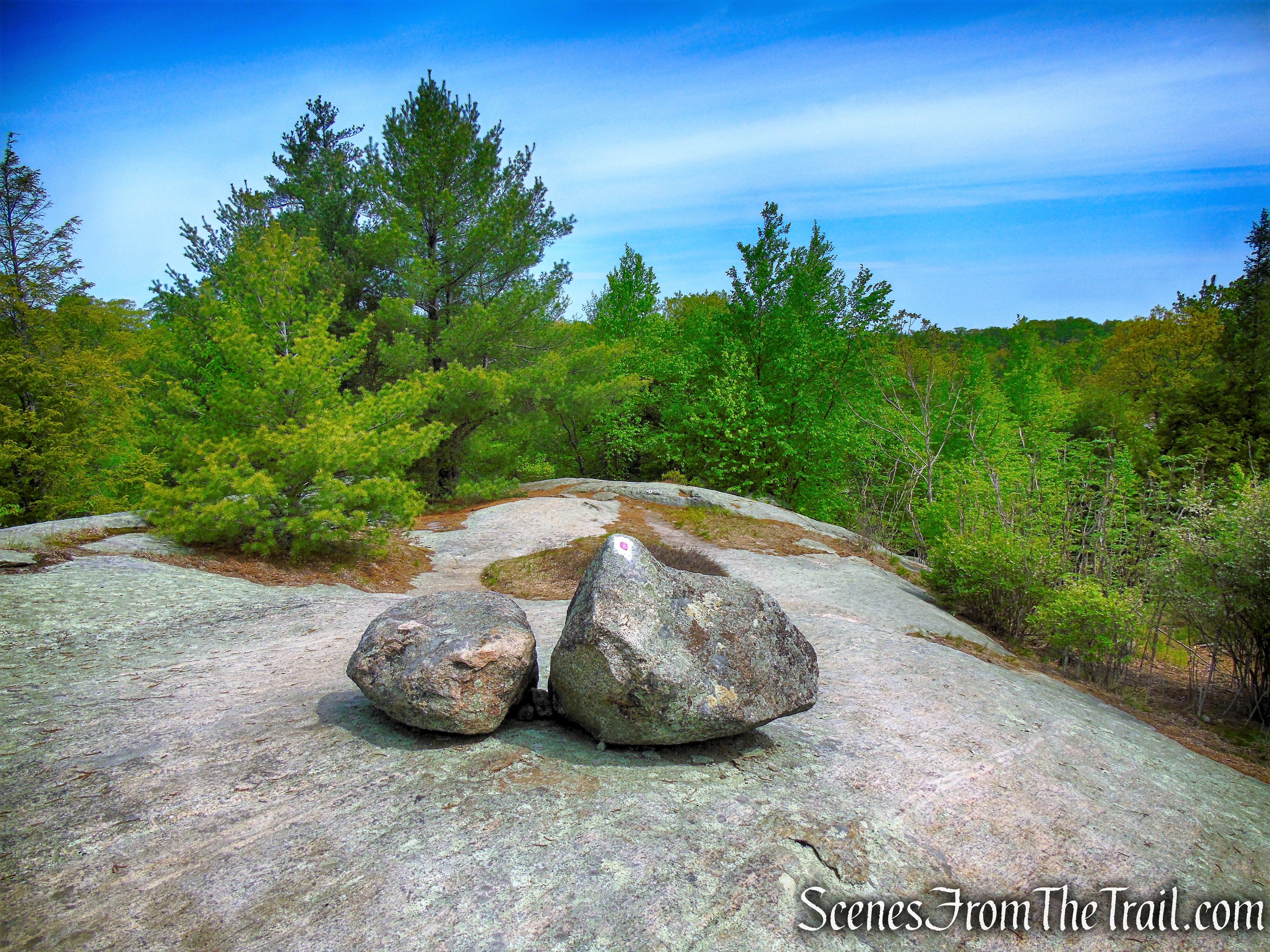
R-D Trail – Bald Rocks – Black Rock Mountain
The Bald Rocks Shelter was built in 1933. In early October 2020, the Long Distance Trails Crew erected a food-hanging system at the Bald Rocks Shelter, based on a design from crew member Erik Garnjost. The steel cables were installed to hopefully discourage bears from searching for food in this popular backpacking spot.
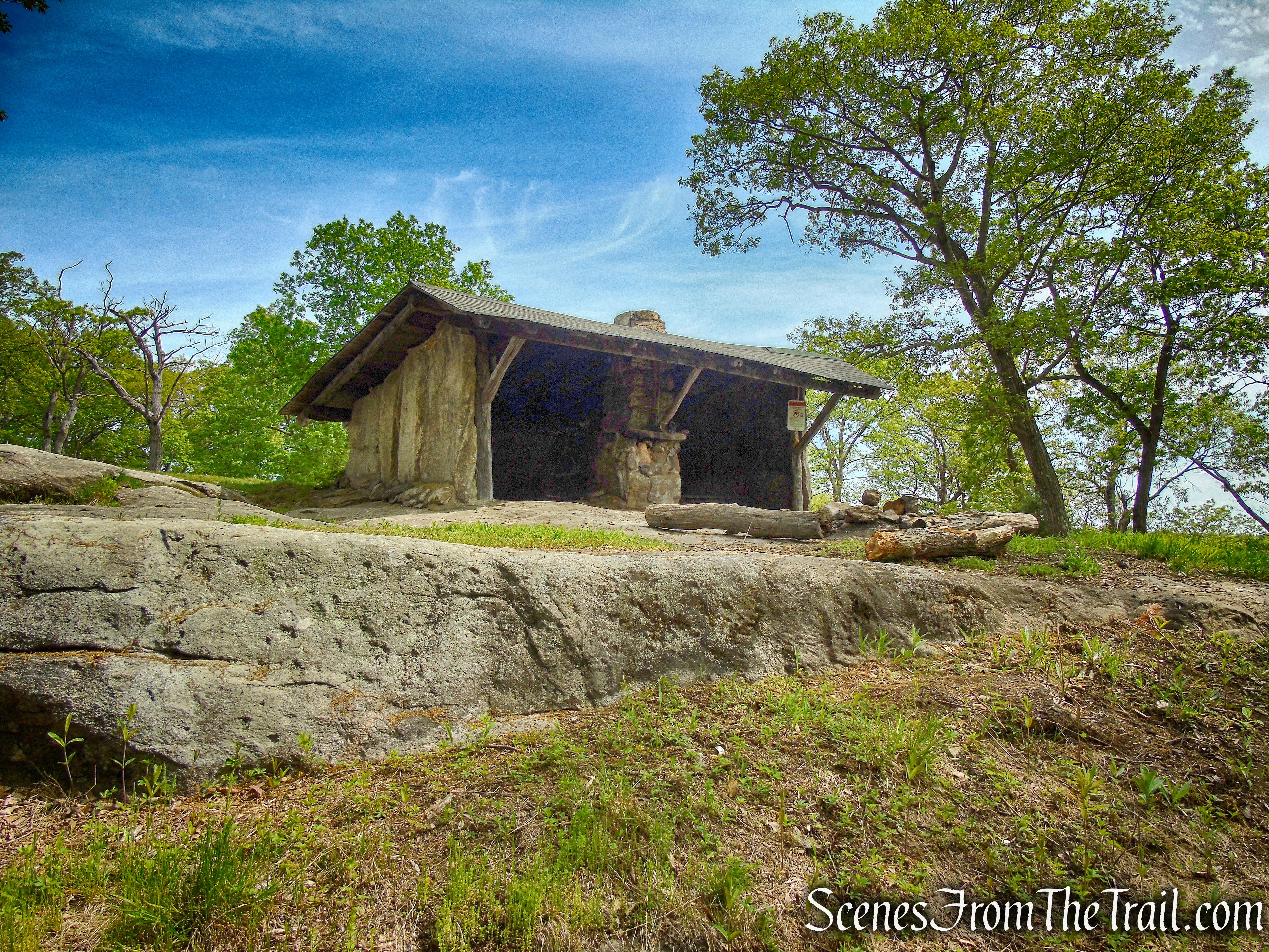
Bald Rocks Shelter – Harriman State Park
Trails Overview:
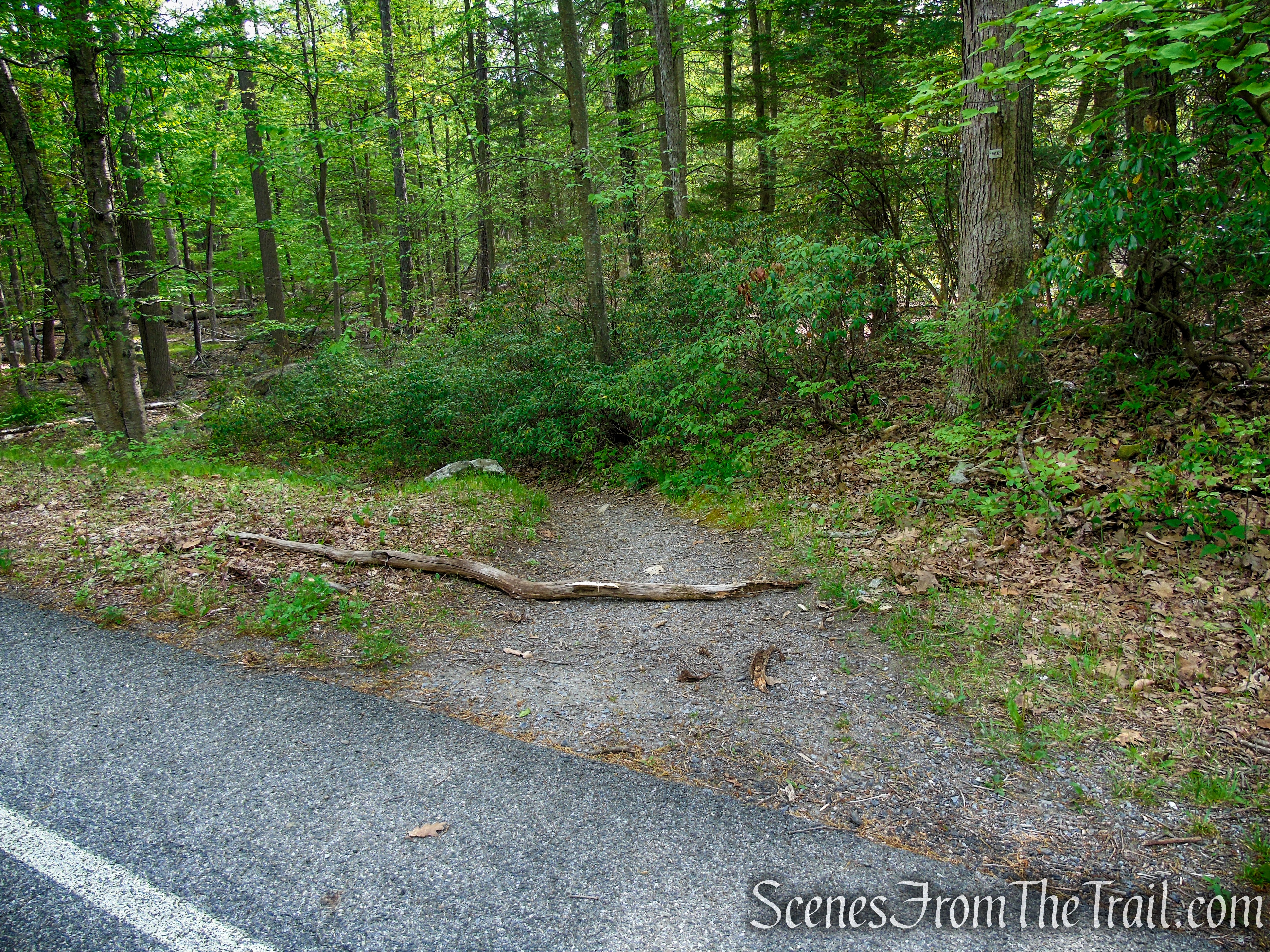
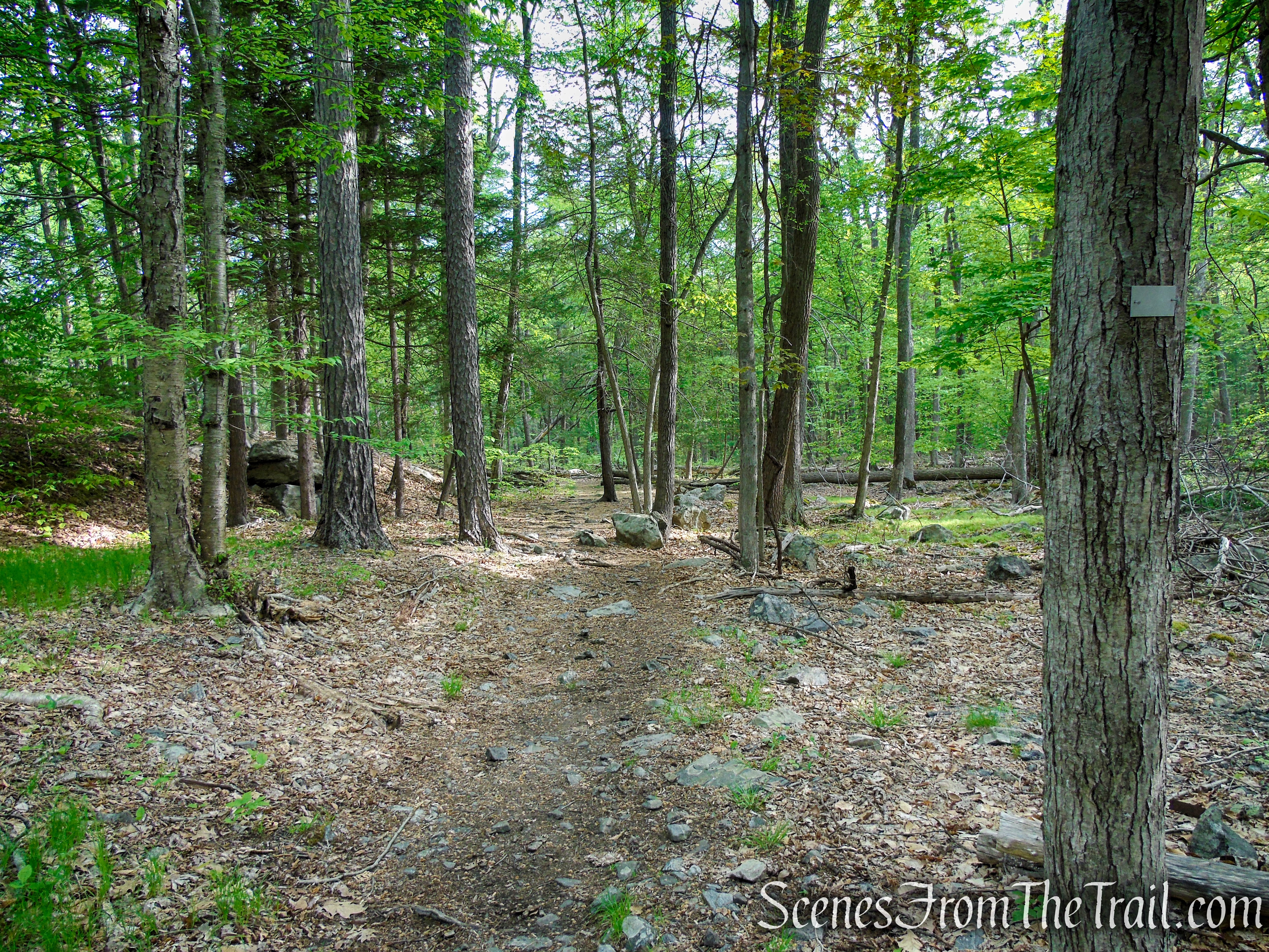
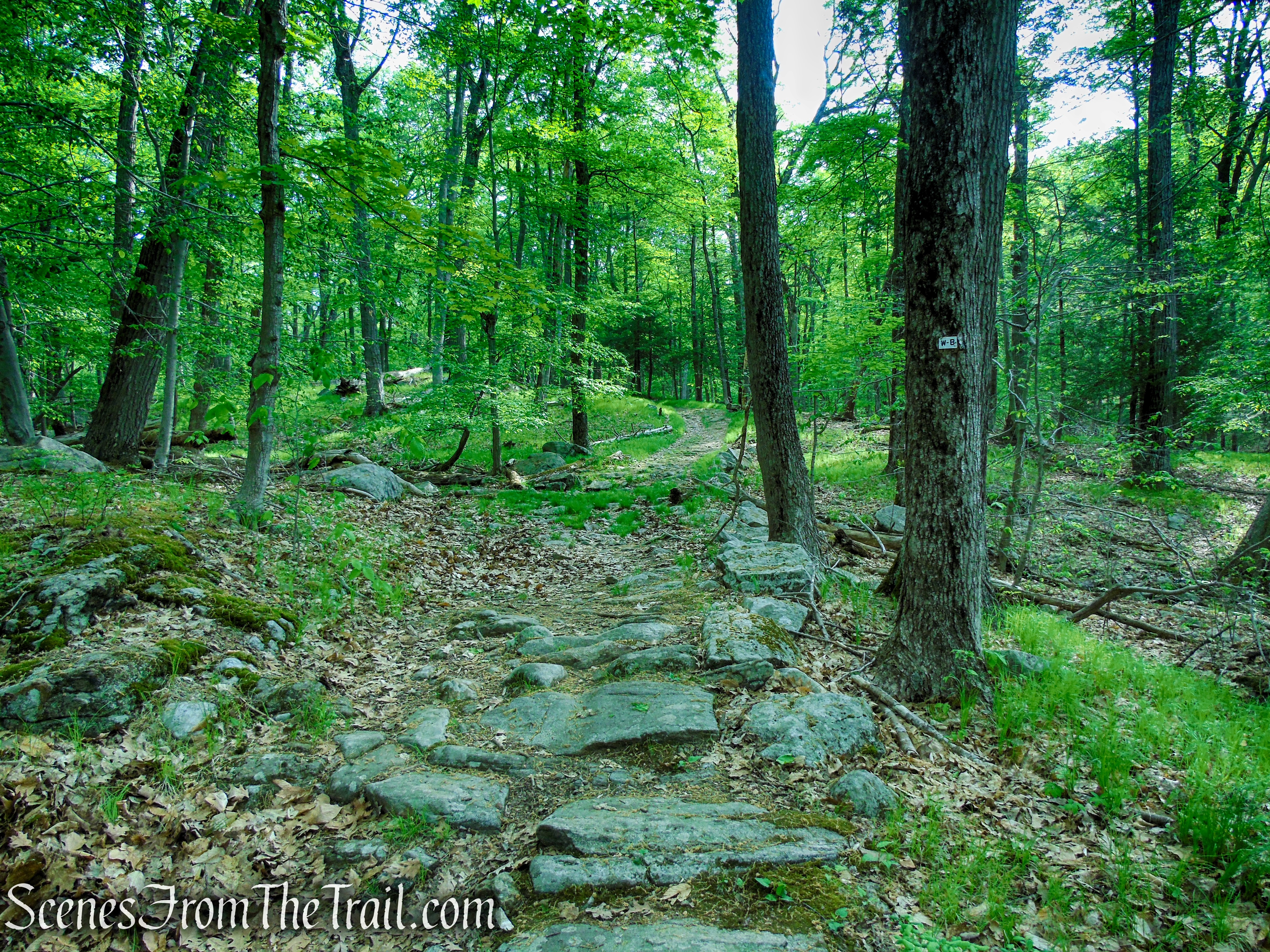
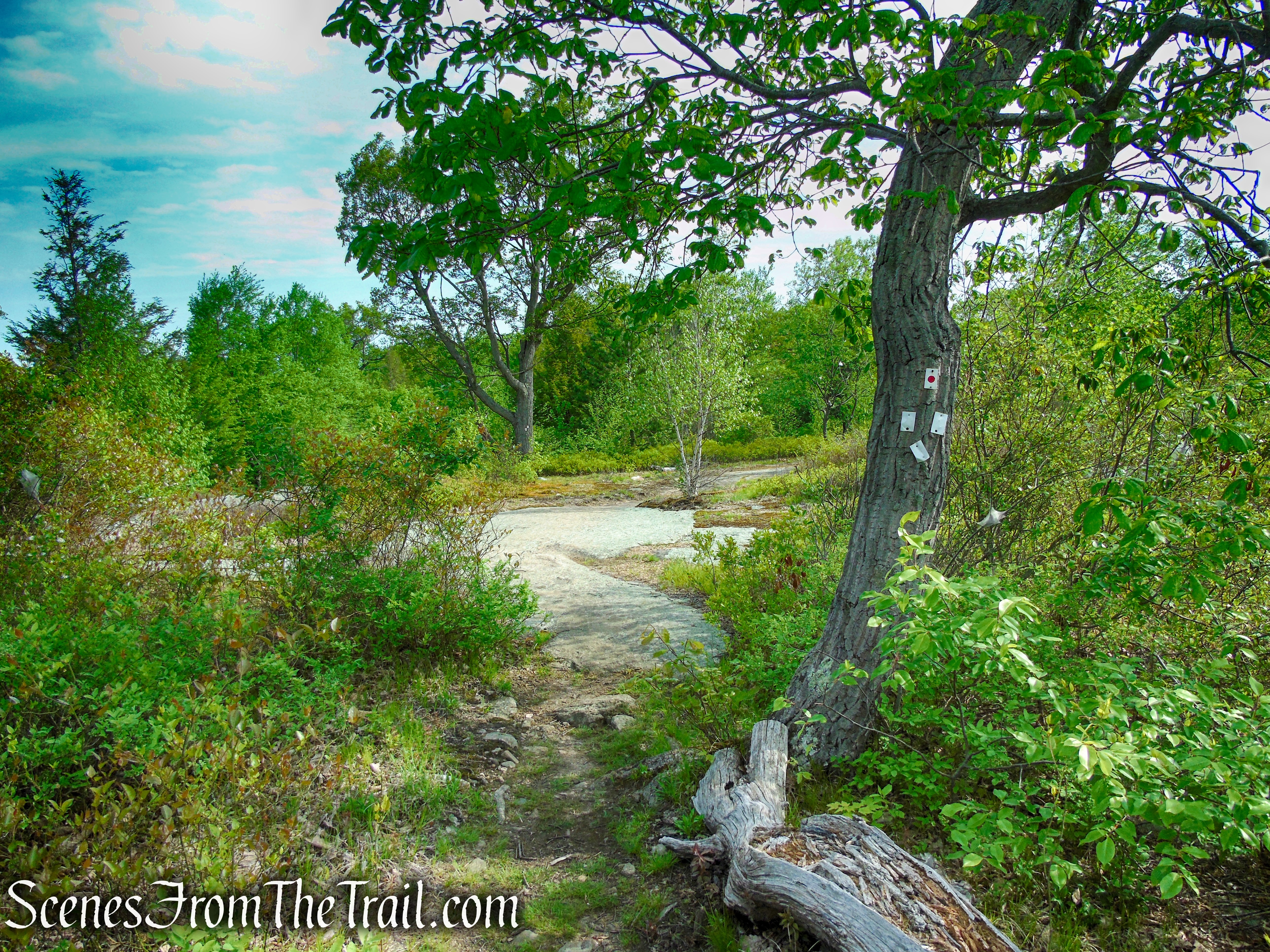
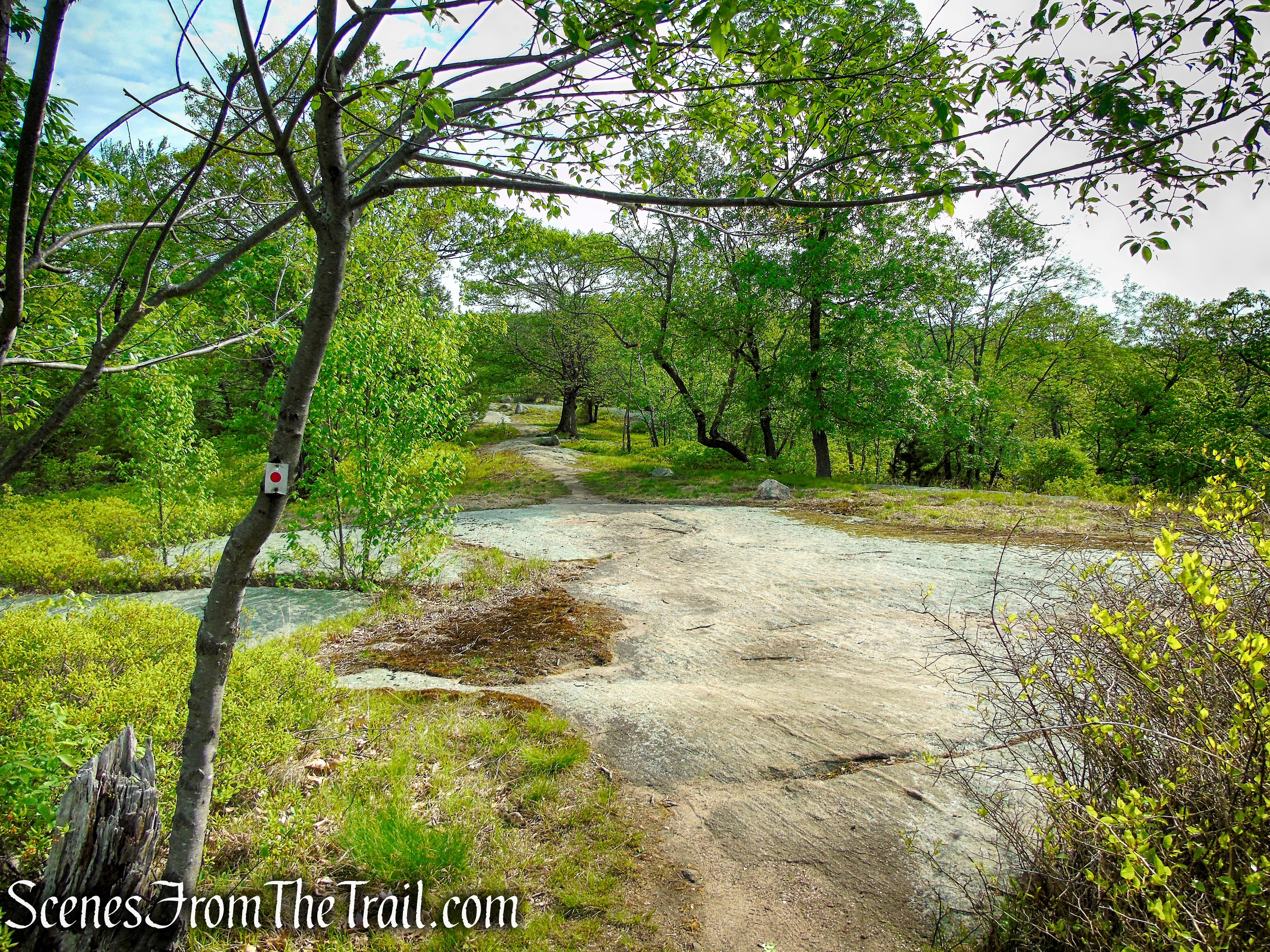
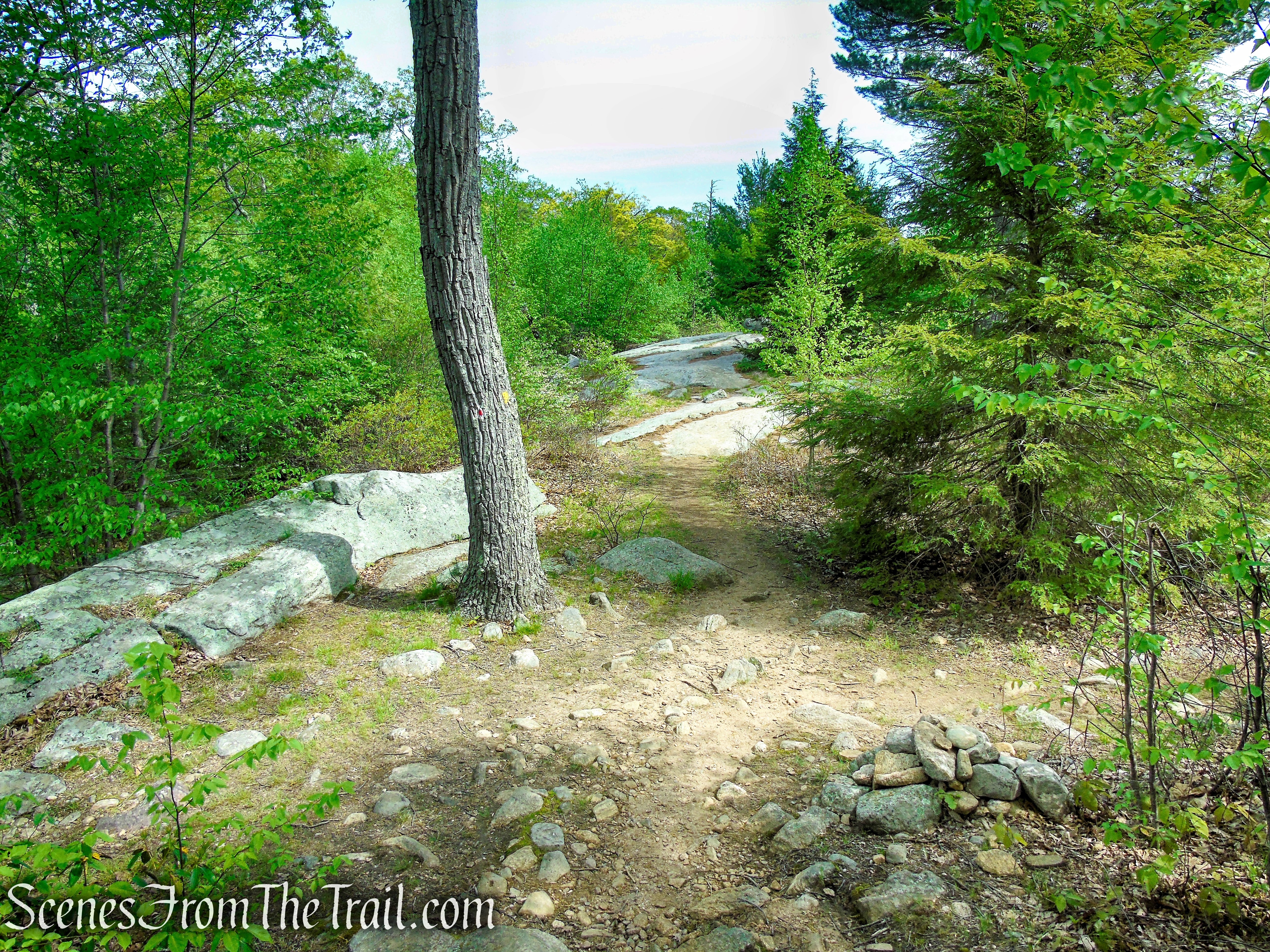
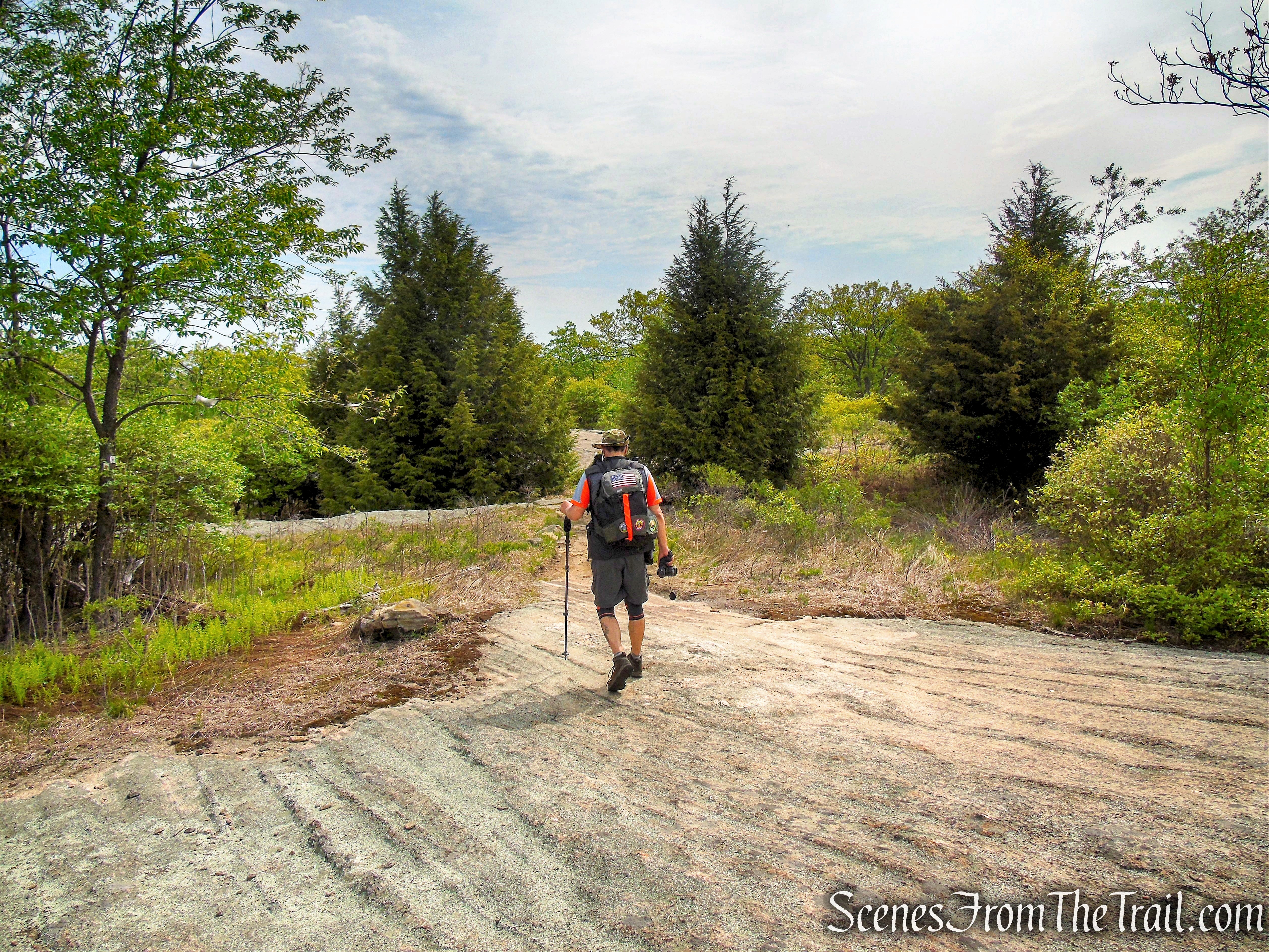
- White Bar Trail ~ (0.35 mile) is marked with horizontal white bars. You may see “W-B” written on some of the blazes. This trail passes through the parking lot. For this hike, you will need to CROSS the road. The trail is well blazed in this area and easy to follow. It follows a footpath at first then joins a woods road before reaching a junction with the Nurian Trail.
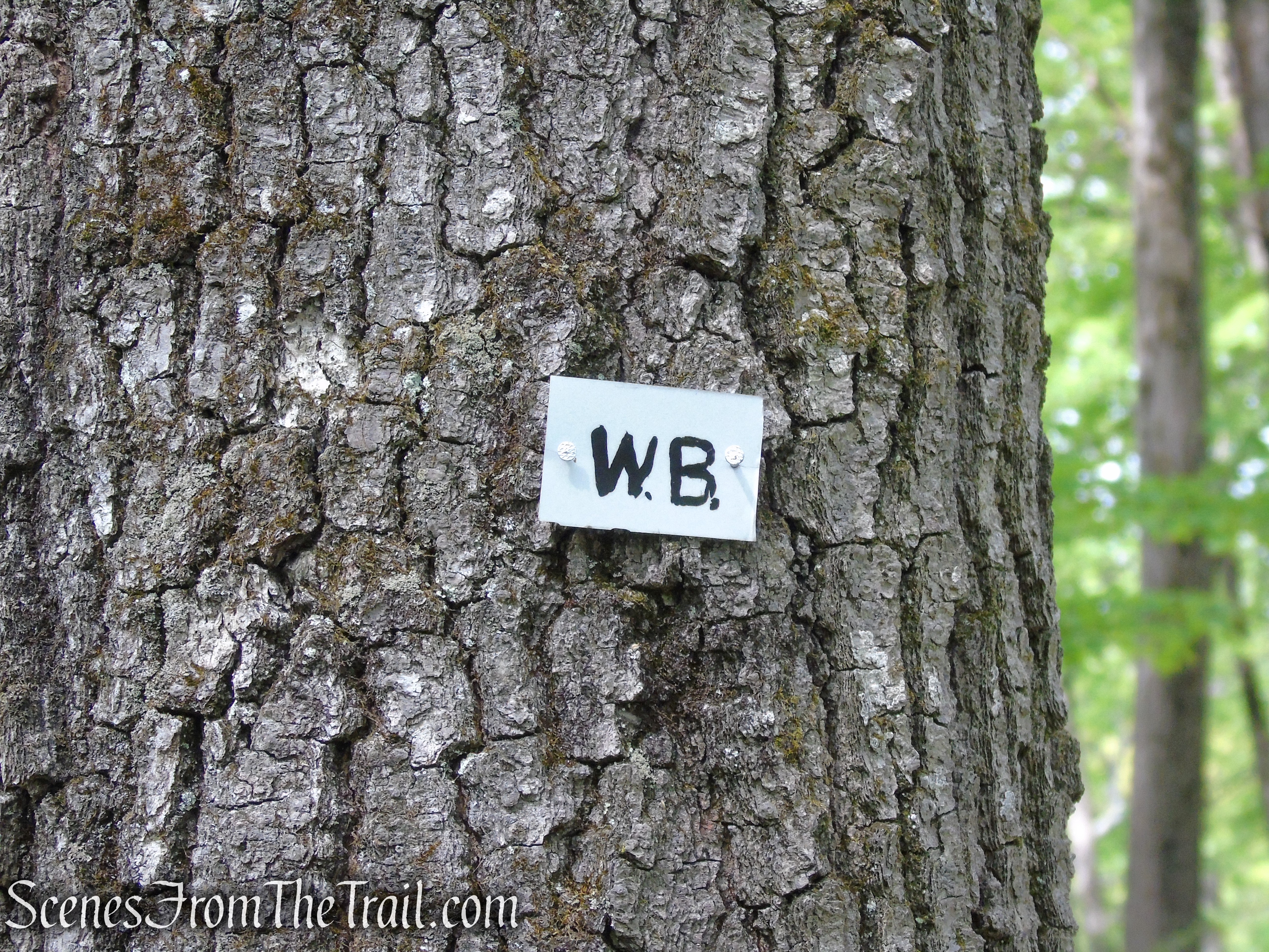
White Bar Trail – Harriman State Park
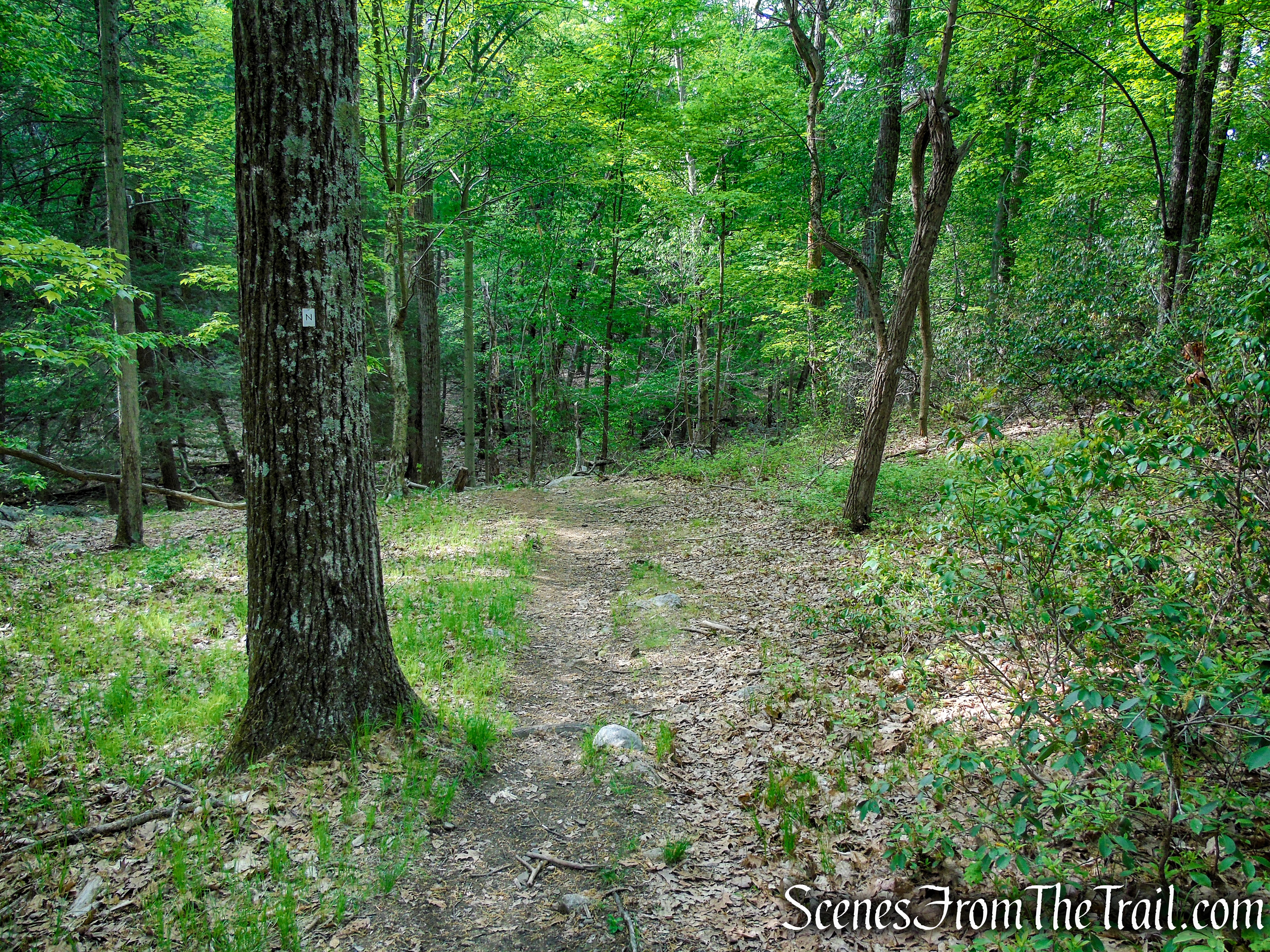
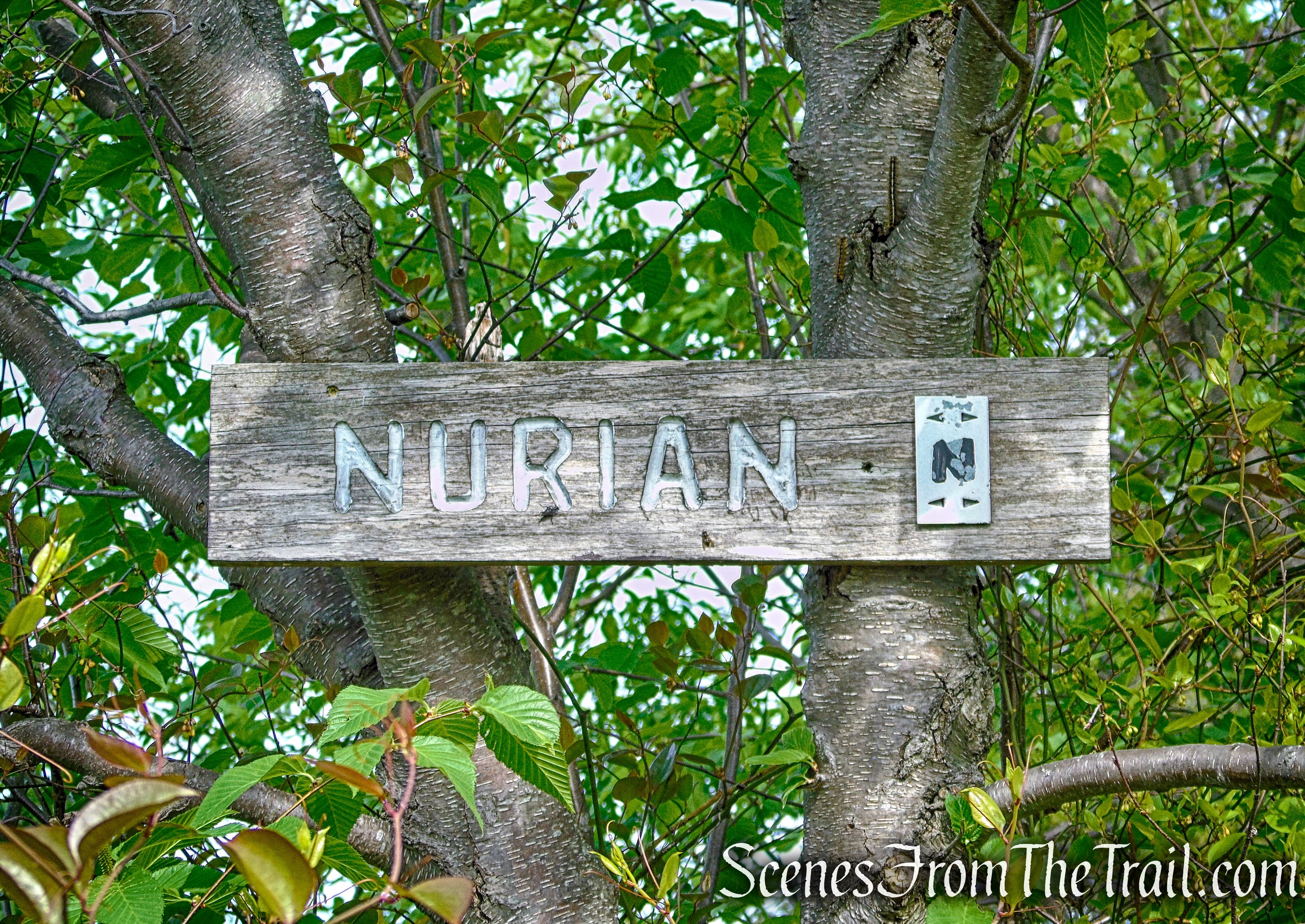
- Nurian Trail ~ (0.45 mile) is also blazed white, but the rectangular blazes of the Nurian Trail are vertical, rather than horizontal. Some of the blazes have an “N” on them. The Nurian Trail heads southeast then turns north after gaining the ridge, ending at a junction with the Ramapo-Dunderberg Trail.
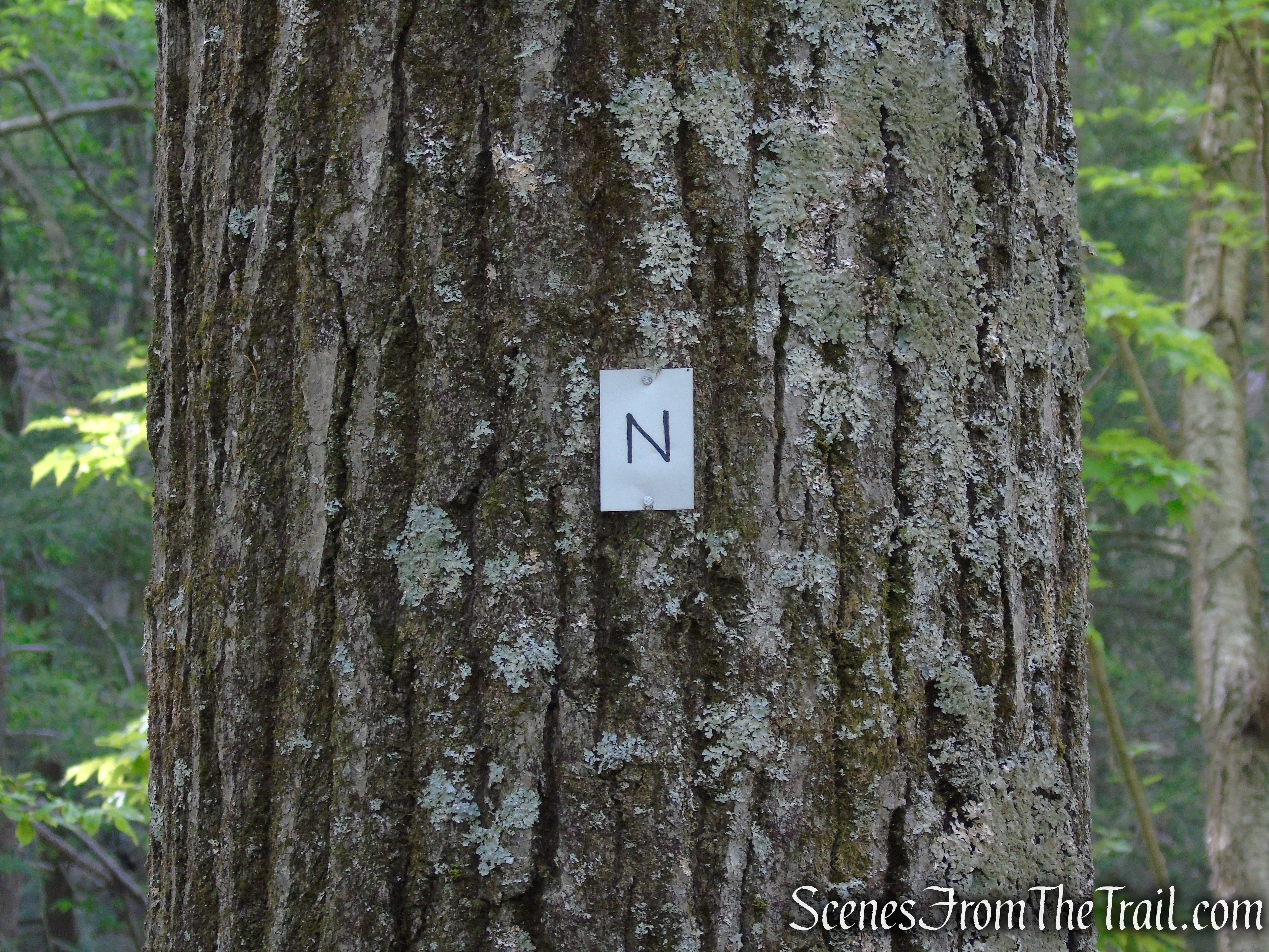
Nurian Trail – Harriman State Park
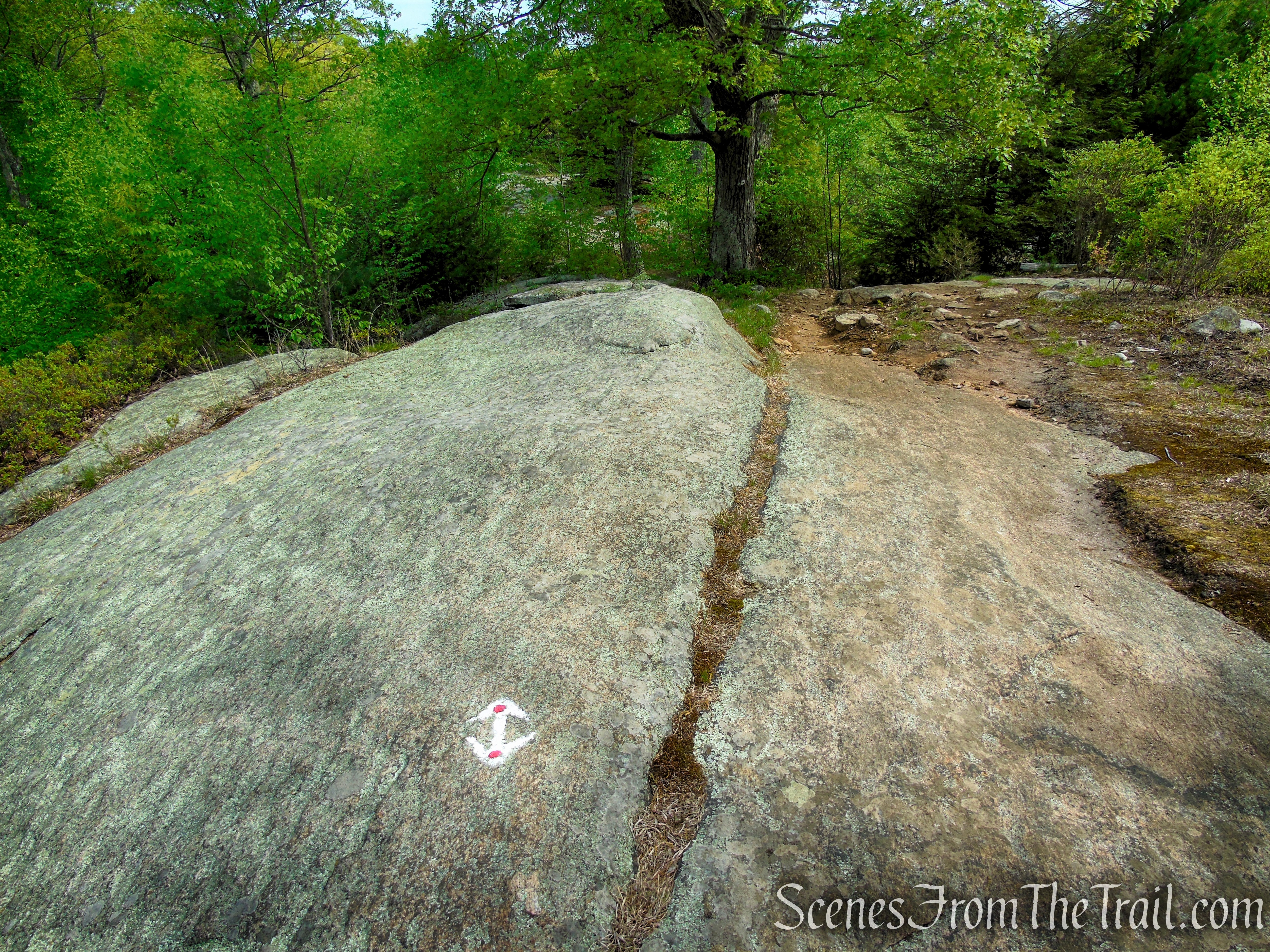
- Ramapo-Dunderberg (R-D) Trail ~ (1 mile) is marked with red-dot-on-white blazes. It runs in a northerly direction across the ridge of Black Rock Mountain. It passes through a large flat area of bare rock ledges, known as Bald Rocks. To the left of the trail is a rock outcrop that marks the highest spot in Harriman State Park (elevation 1,382 feet). After passing the Bald Rocks Shelter, the R-D Trail comes to a 4-way intersection with the Dunning Trail.
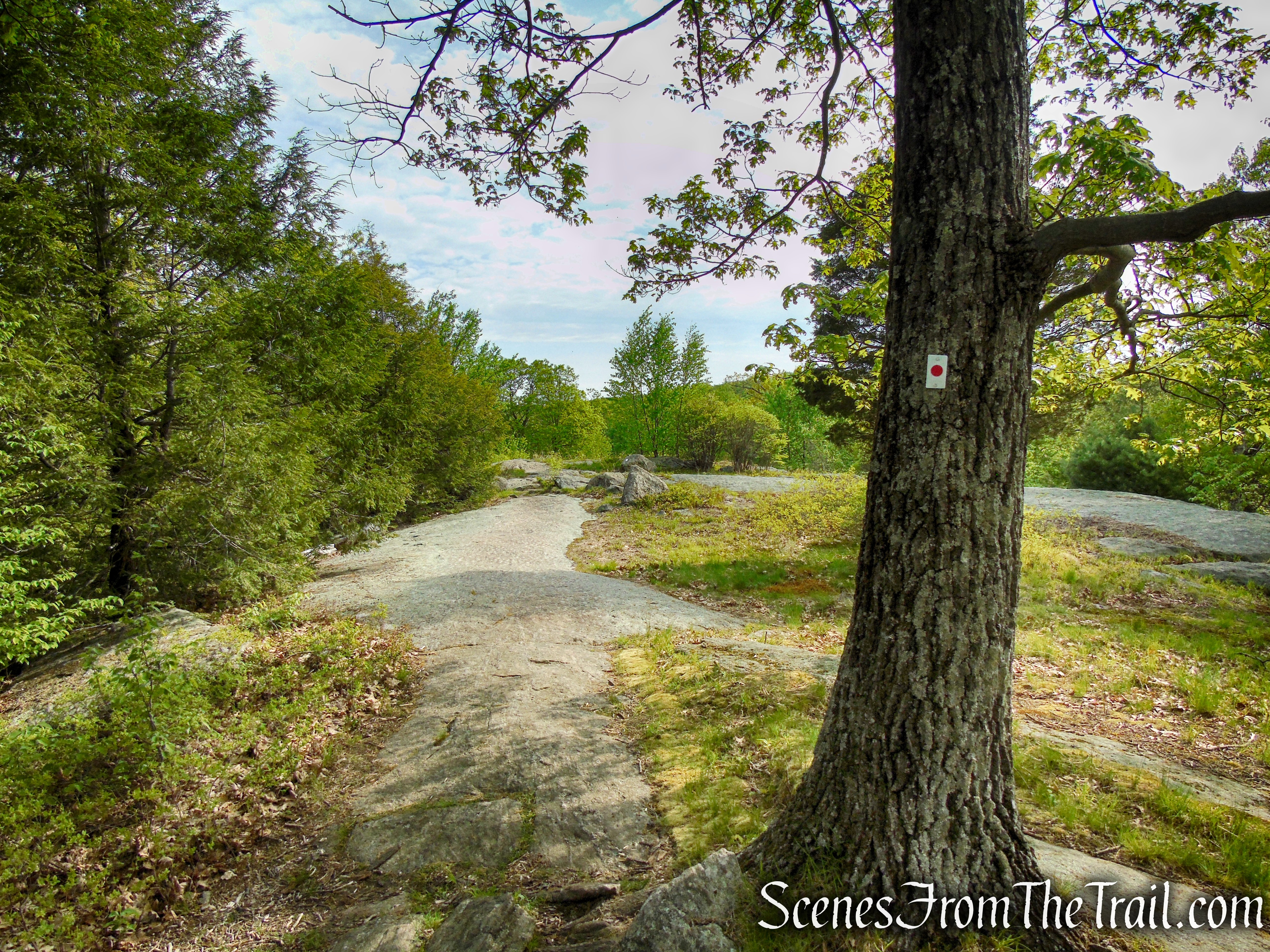
Ramapo-Dunderberg Trail – Black Rock Mountain
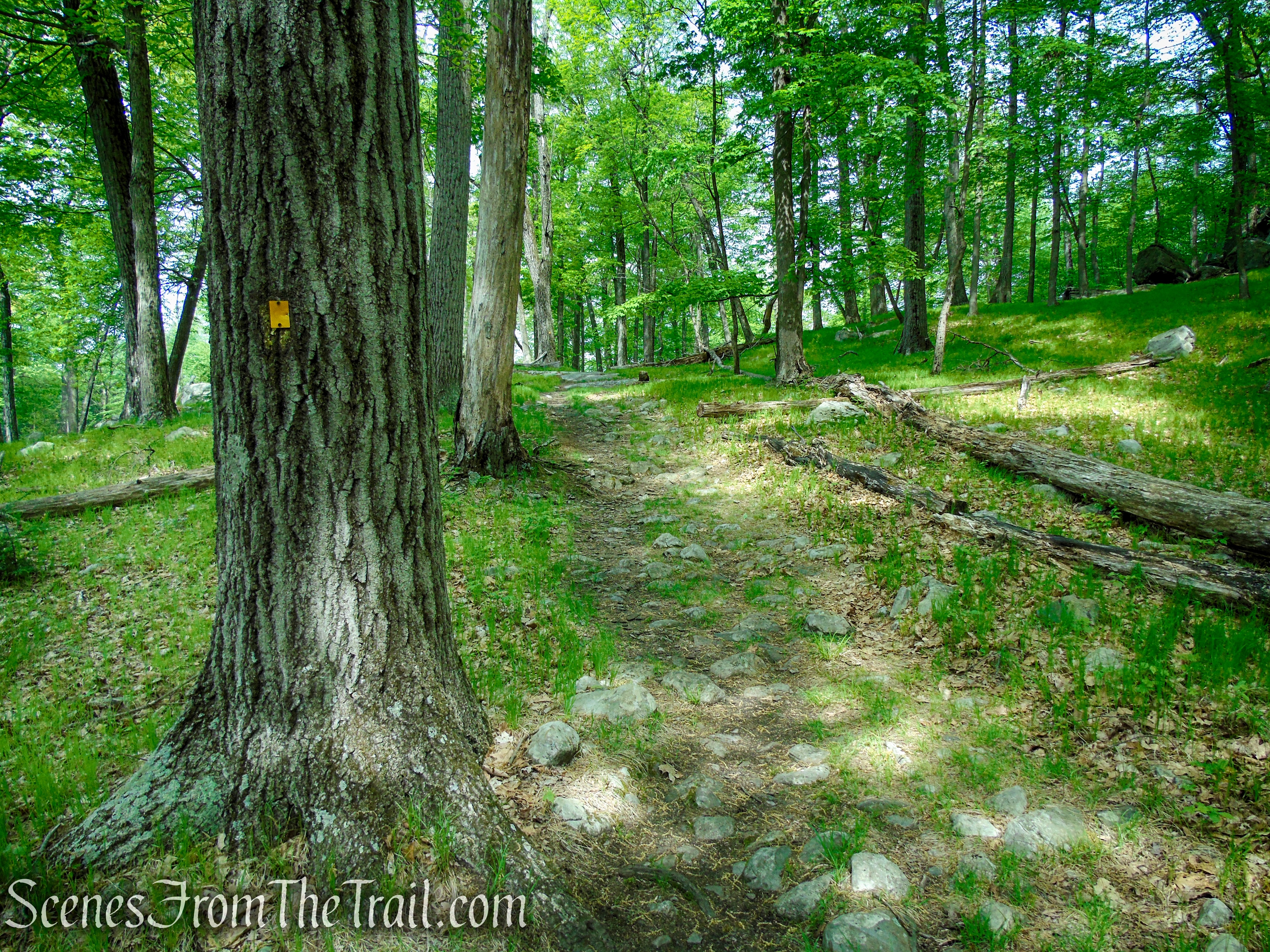
- Dunning Trail ~ (0.6 mile) the yellow-blazed trail runs in a westerly direction from the junction with the R-D Trail. After 0.3 mile, it turns left, heading southwest as it joins the White Bar Trail, which comes in from the right. After another 0.2 mile, the Dunning Trail leaves to the right as the White Bar Trail (which you’ll be following) continues ahead.
Dunning Trail – Black Rock Mountain
- White Bar Trail ~ (1 mile) marked with horizontal white bars, is coaligned with the Dunning Trail for 0.2 mile as it heads southwest going gently upward through a wide valley that is dotted with straight, tall trees. In another 0.55 mile, the Nurian Trail (white) comes in from the right and in another 530 yards, the Nurian Trail leaves to the left. For most of its route (on this hike), it runs along a wide woods road. In another 0.2 mile, the White Bar Trail joins Island Pond Road and soon approaches Route 106. It turns left and parallels the road for about 500 feet, then crosses the road to the parking area, where the hike began.
White Bar Trail – Harriman State Park
Parking:
The gravel lot is a decent size, but I have seen it jam packed in the past as I returned from my hike. I would suggest that you back into a space, otherwise you may have trouble backing out on your return if the lot is full.

White Bar Trailhead – Harriman State Park
This parking lot provides access to several different trails, and the White Bar Trail runs right through the lot. For this hike you will have to cross the road to begin your hike.

White Bar Trailhead – Harriman State Park
I’m not sure if they have issues with theft here, but I have parked here numerous times and haven’t had any problems. Nevertheless, use common sense when parking anywhere that you’ll leave your vehicle unattended.
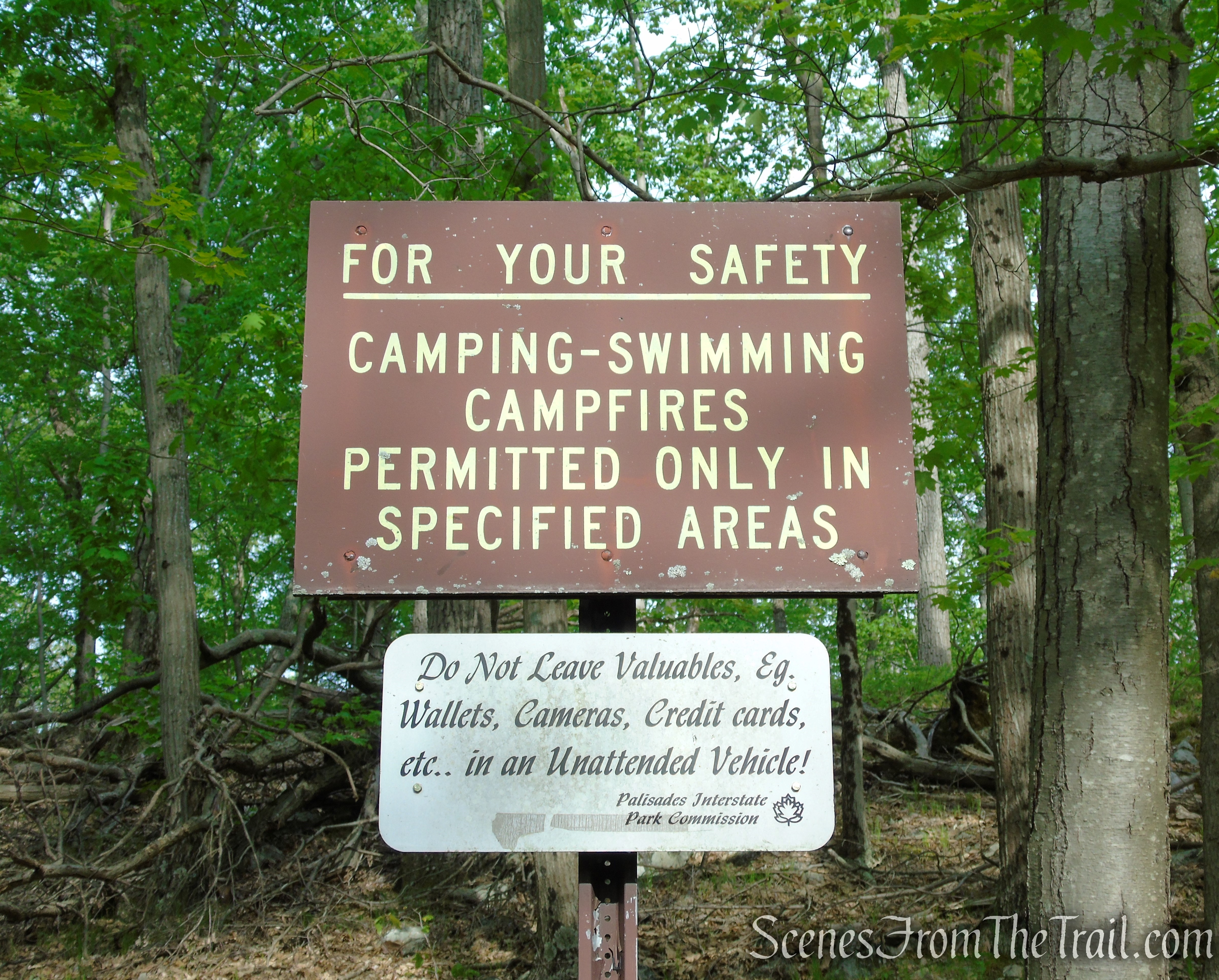
White Bar Trailhead – Harriman State Park
Hike Overview:
I have done a lot of the trails in this area, but have never hiked Black Rock Mountain. Seeing a Harriman Shelter Challenge on Facebook, made me count the shelters that I have visited in the past and I counted seven shelters that I have been to. That left me with three shelters left to earn a patch. I decided to form a loop to knock one off the list. This turned out to be a really good hike. Although the views are decent, the main point of interest on this hike is the area of Bald Rocks along the ridge of Black Rock Mountain, traversed by the Ramapo-Dunderberg (R-D) Trail. On a beautiful Saturday morning in May, I was surprised that there weren’t more people on the trails. We only ran into a handful of people and had a truly enjoyable hike.
This hike is rated moderate, but the half mile or so on the Nurian Trail, is the most difficult part of the hike. The bulk of the elevation gain for the entire hike is done during this stretch. The rest of the hike involves some minor ups and downs, but is relatively easy. This lollipop loop was done counterclockwise from the White Bar Trailhead on CR 106 (Kanawauke Road).
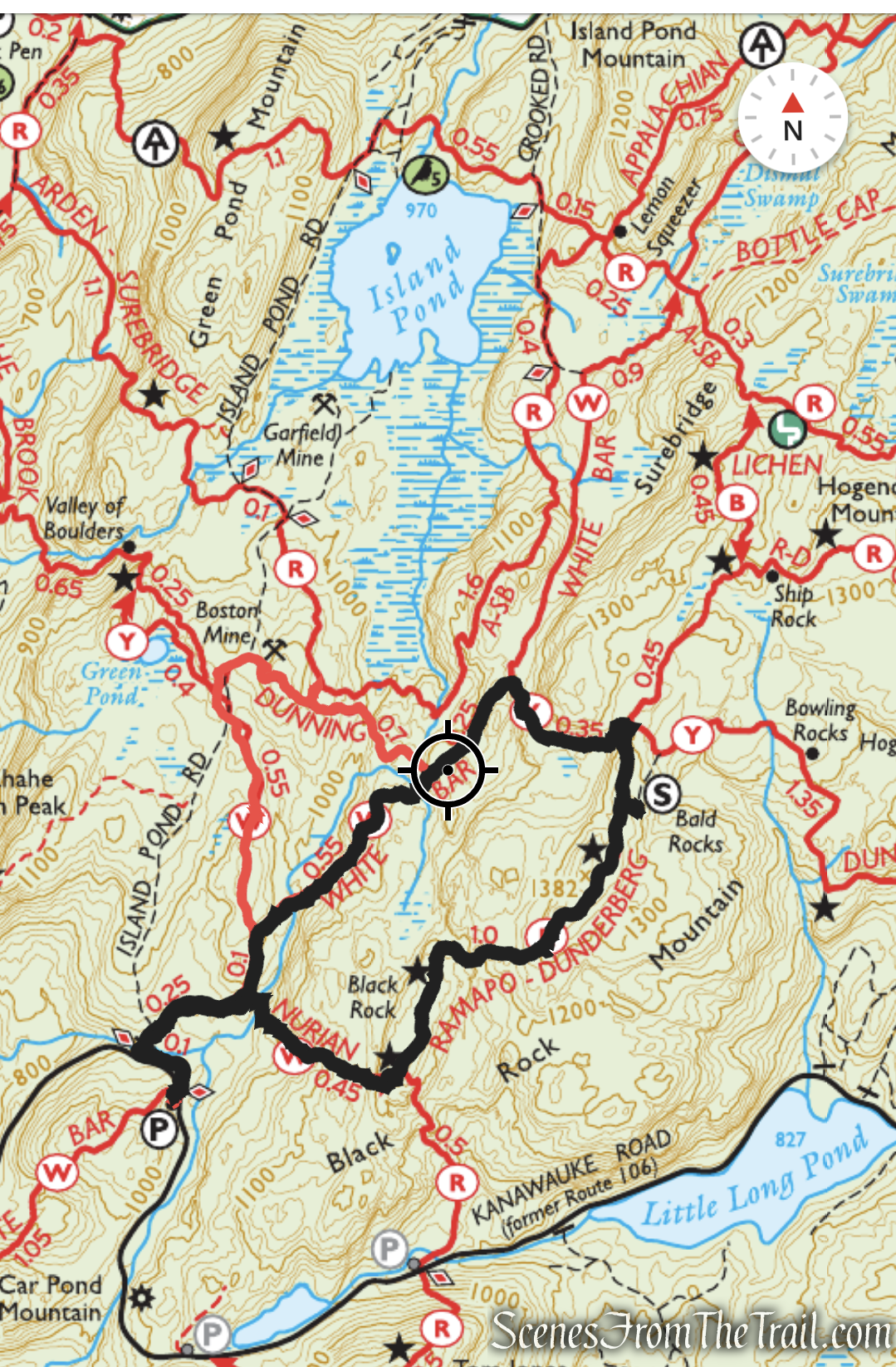
Black Rock Mountain Loop from White Bar Trailhead – Harriman State Park
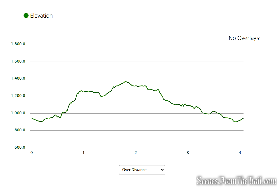
elevation profile – Black Rock Mountain Loop
The Hike:
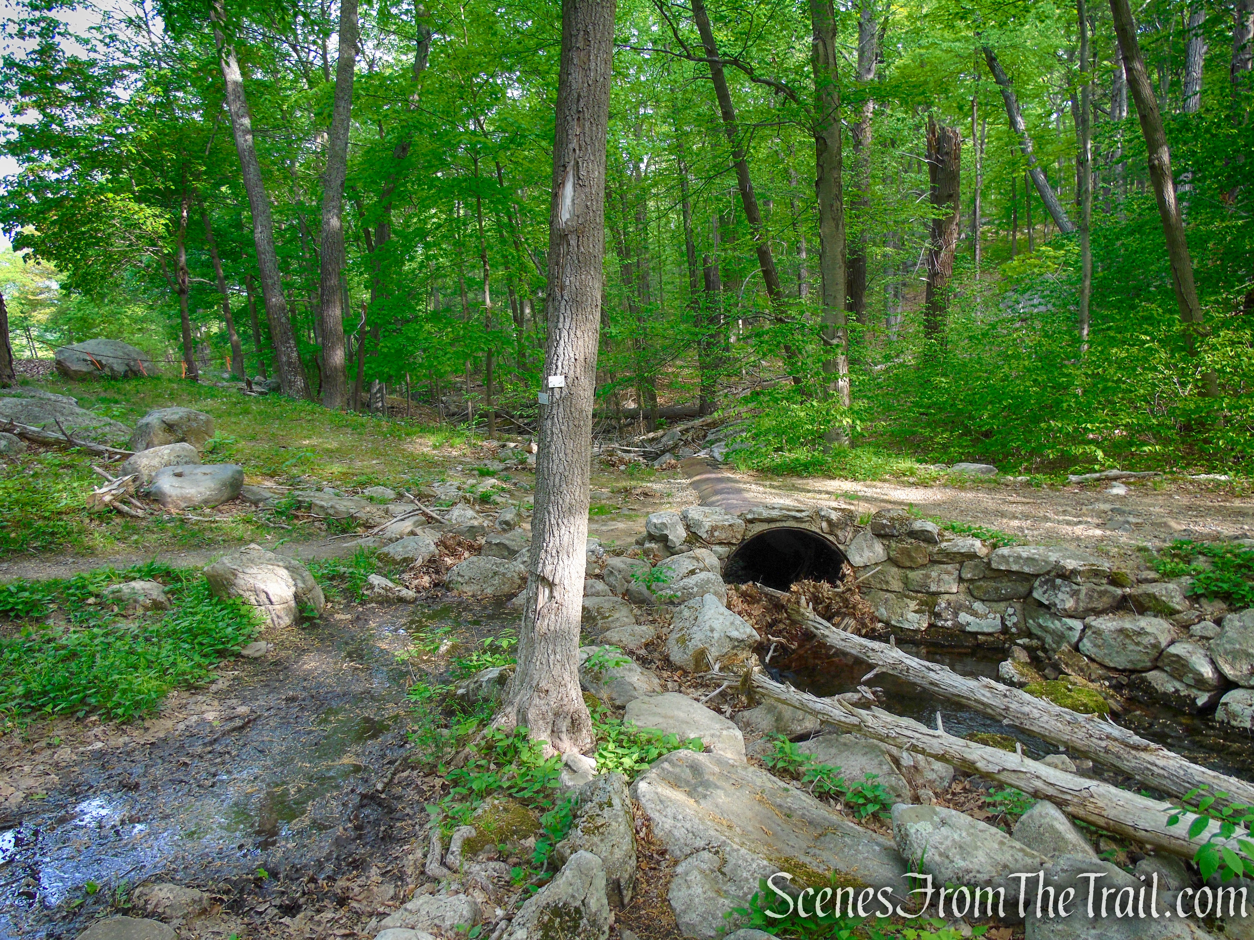
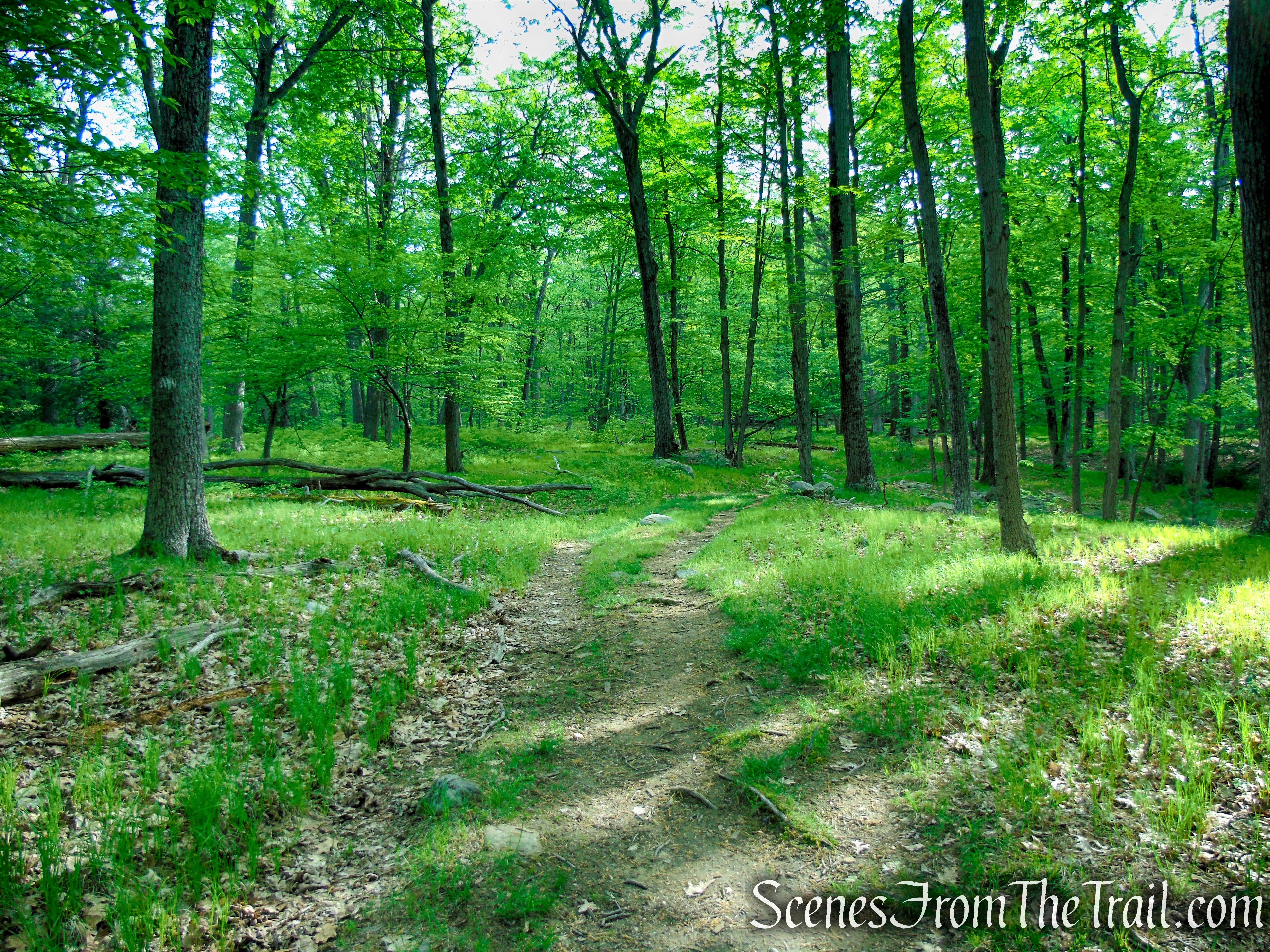
From the parking area, cross the road and bear left onto the White Bar Trail, blazed with white horizontal rectangles. The trail parallels the road for about 500 feet, then turns right, crosses a stream on a metal culvert, and continues on a woods road. A short distance beyond, it bears right at a fork, crosses a stream on rocks, and continues along a grassy woods road.
White Bar Trail – Harriman State Park
White Bar Trail – Harriman State Park
White Bar Trail – Harriman State Park
White Bar Trail – Harriman State Park
Bear right to remain on the White Bar Trail
White Bar Trail – Harriman State Park
White Bar Trail – Harriman State Park
White Bar Trail – Harriman State Park
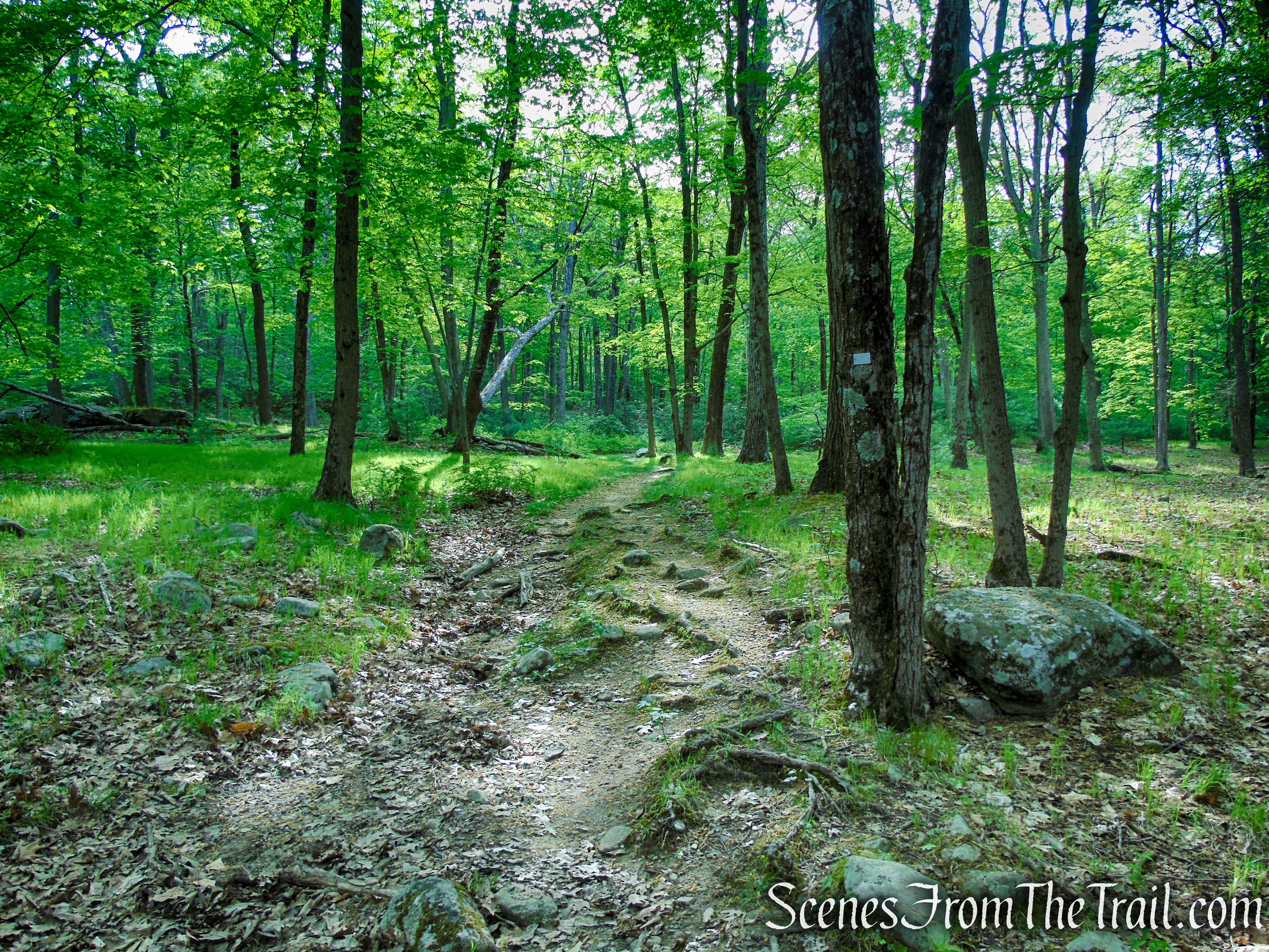
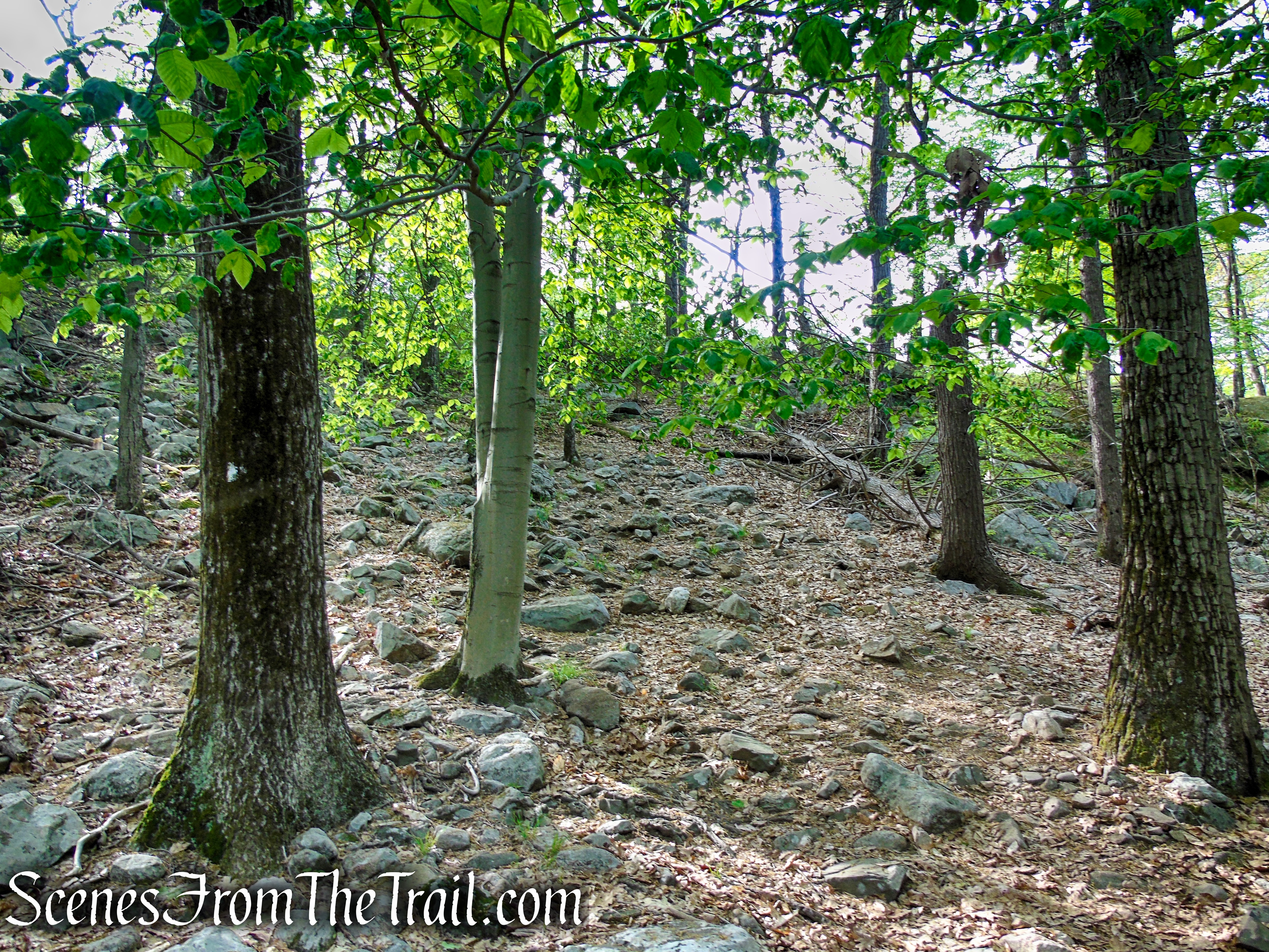
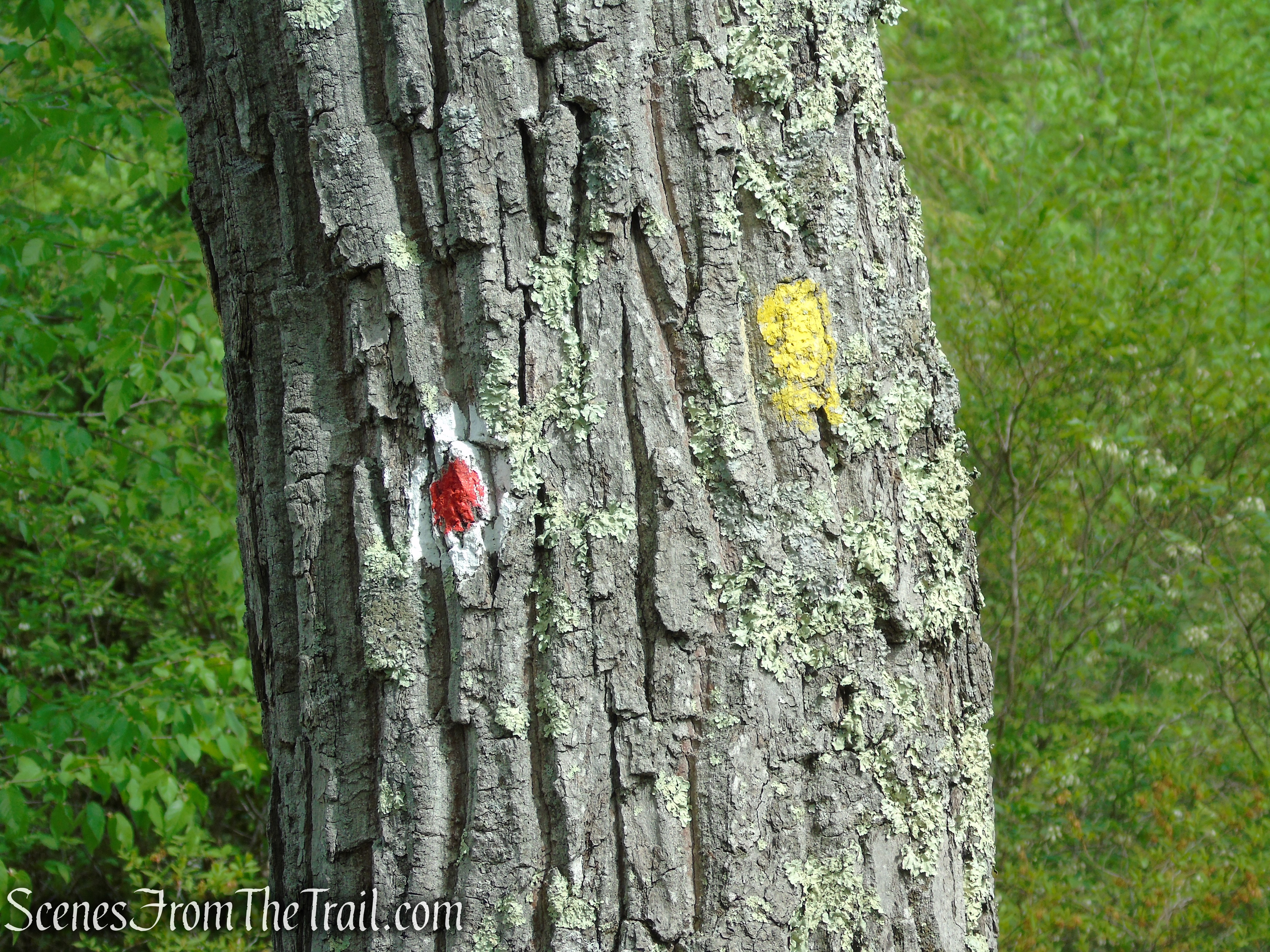
In another quarter of a mile, you’ll reach a junction with the Nurian Trail. Both trails are blazed white, but the rectangular blazes of the Nurian Trail are vertical, rather than horizontal. Turn right and follow the Nurian Trail, which descends to cross a stream on rocks. After briefly paralleling the stream, the trail bears left and ascends rather steeply. Several steep pitches alternate with more moderate sections.
Nurian Trail – Harriman State Park

Stream crossing on the Nurian Trail
Nurian Trail – Harriman State Park
Nurian Trail – Harriman State Park

Nurian Trail – Harriman State Park
Nurian Trail – Harriman State Park

Nurian Trail – Harriman State Park
Nurian Trail – Harriman State Park
Nurian Trail – Harriman State Park
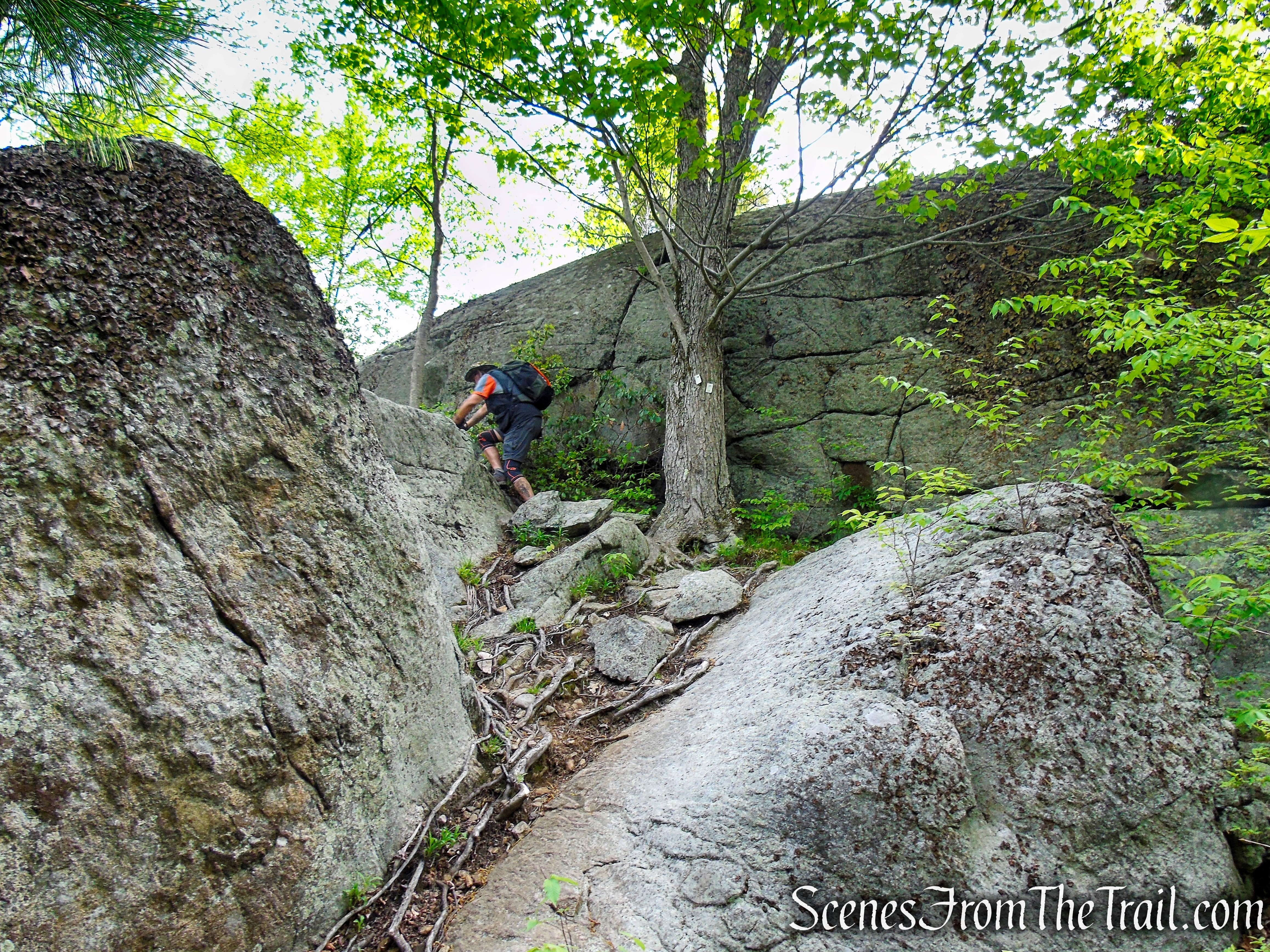
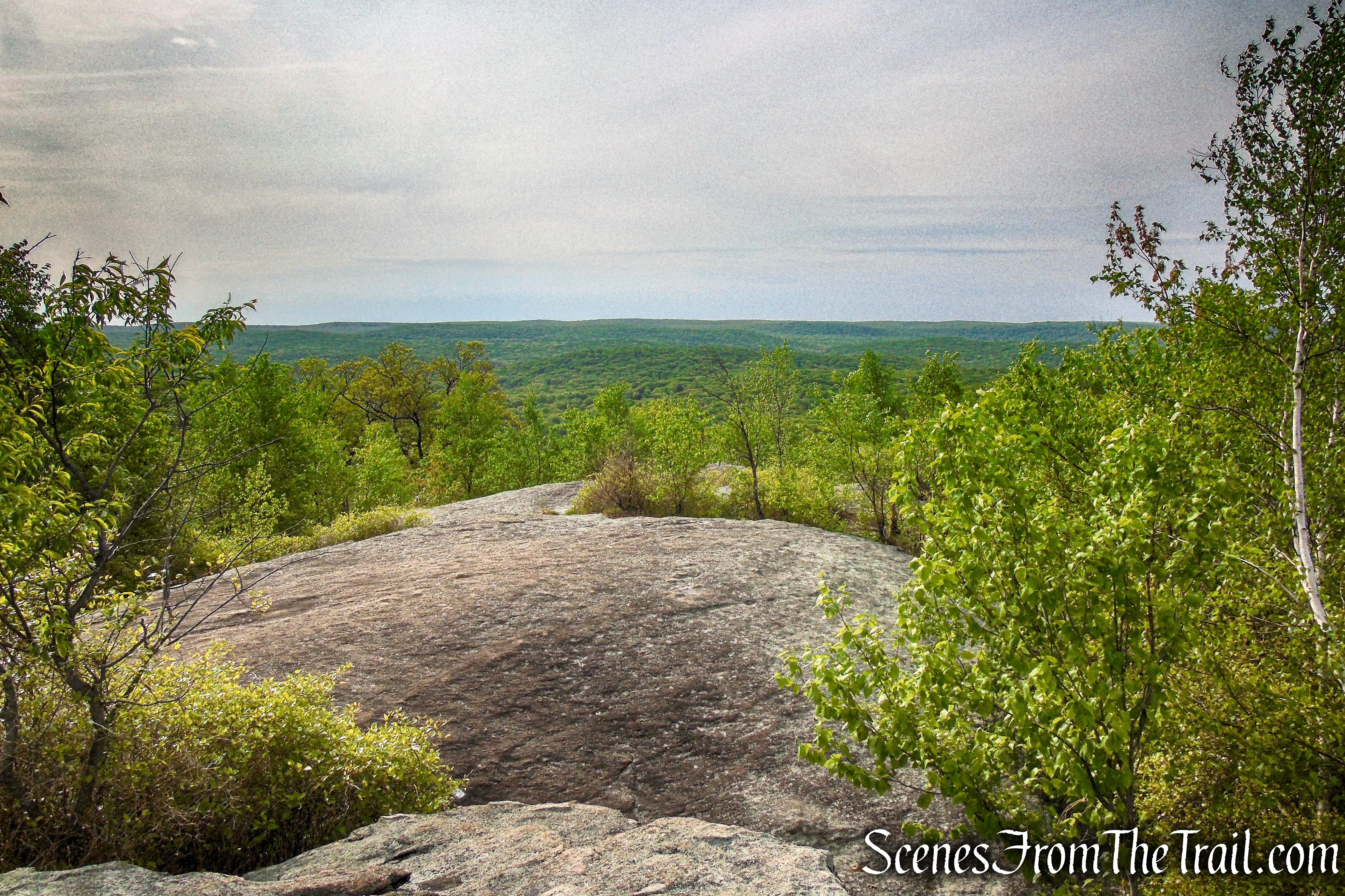
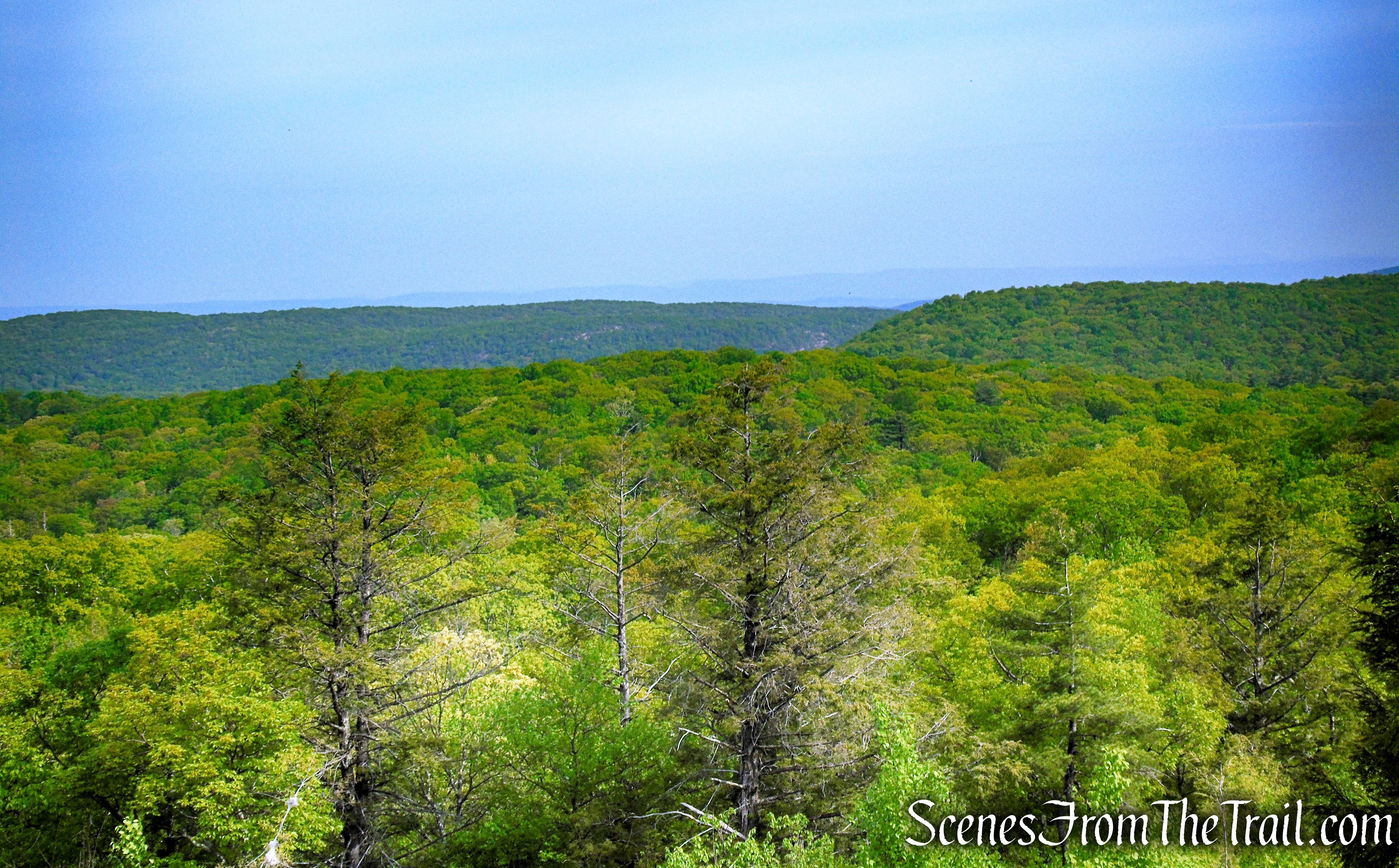
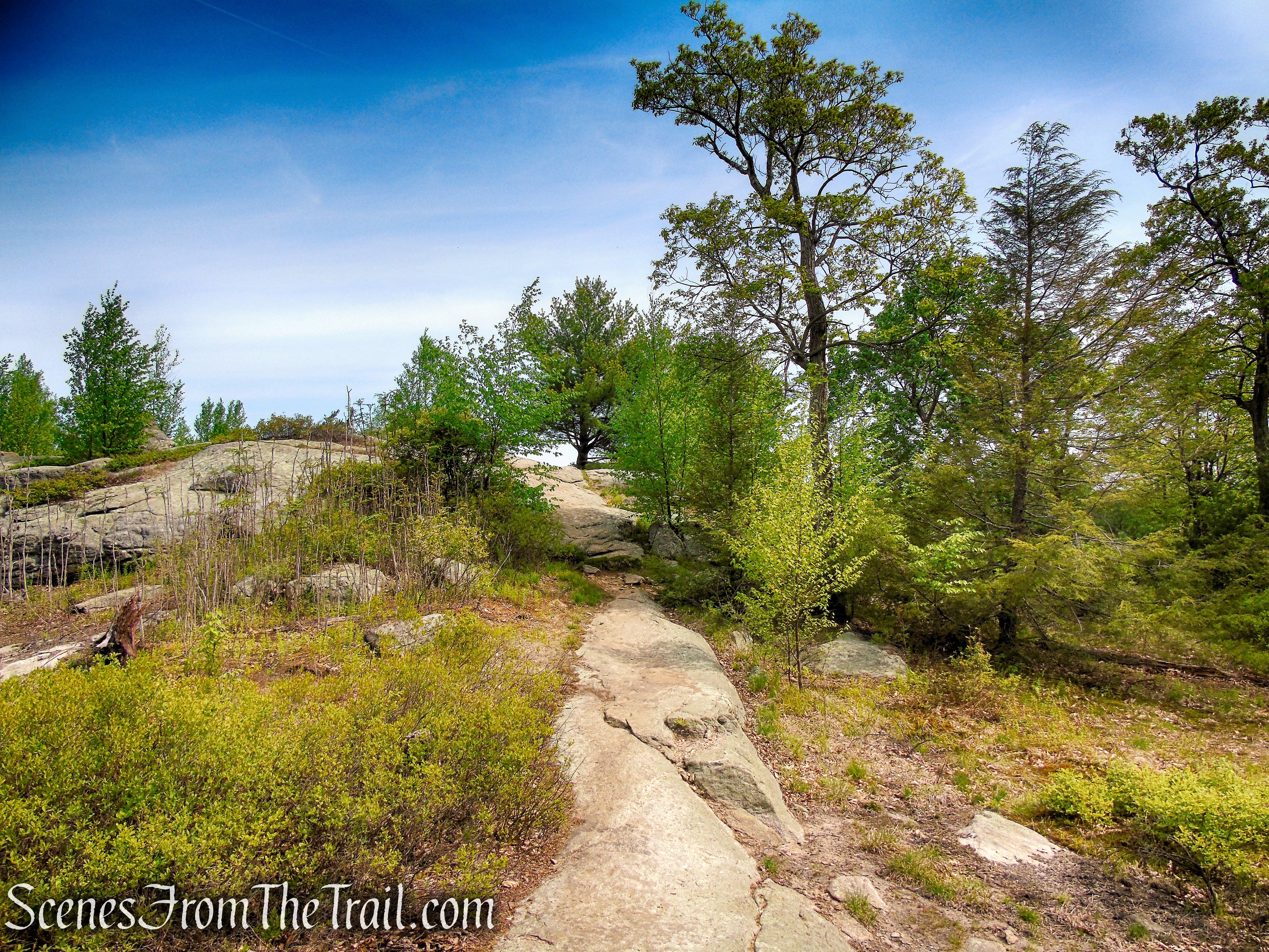
As the trail approaches the ridge of Black Rock Mountain, it bears left below a huge boulder, then climbs through a narrow cleft in the rock to reach an expansive west-facing viewpoint from open rock ledges.
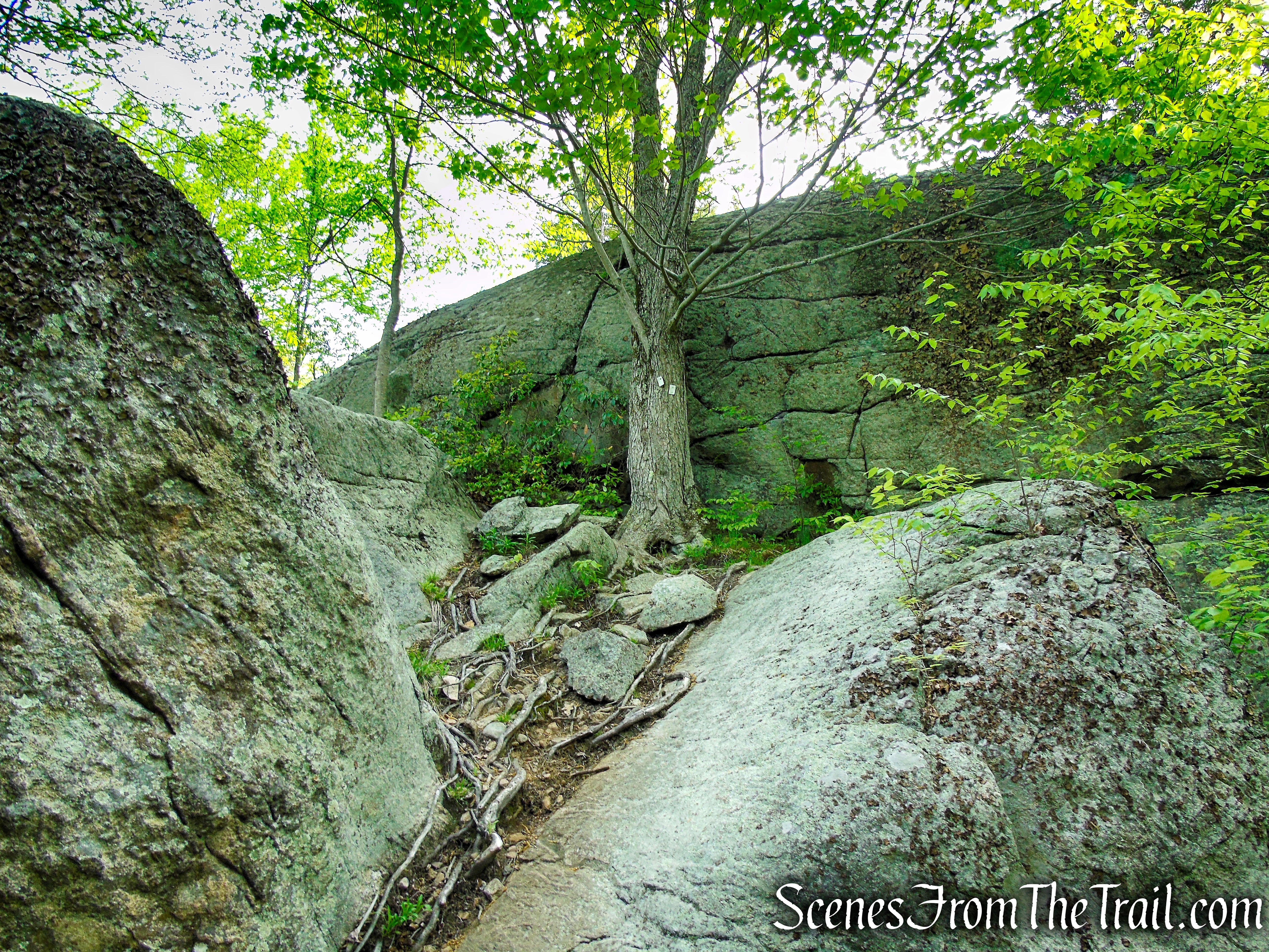
Nurian Trail – Harriman State Park
Nurian Trail – Harriman State Park

Nurian Trail – Harriman State Park
Nurian Trail – Harriman State Park

Nurian Trail – Harriman State Park
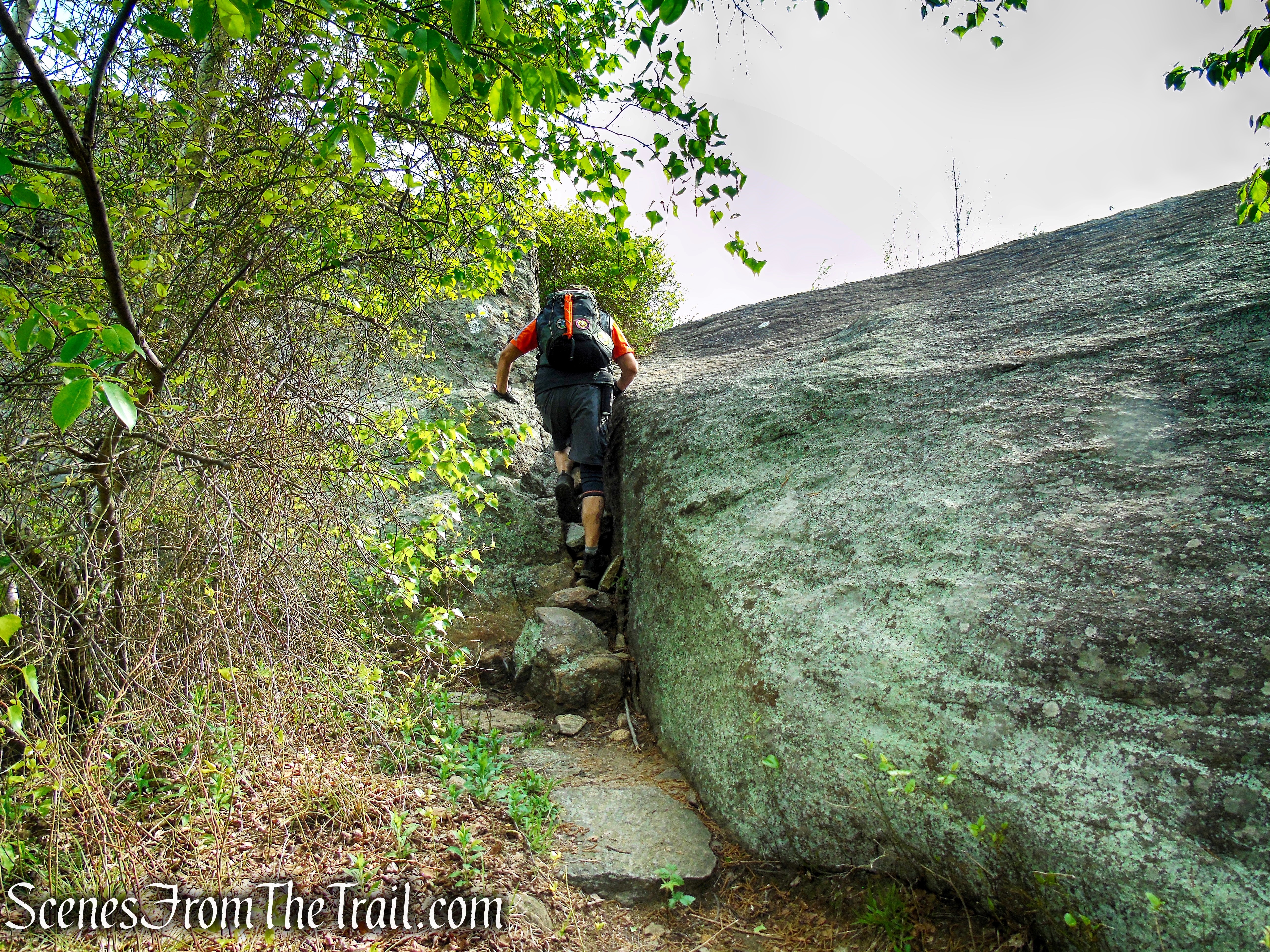
Nurian Trail – Harriman State Park
Viewpoint from the Nurian Trail at its terminus with the R-D Trail
Viewpoint from the Nurian Trail at its terminus with the R-D Trail
Viewpoint from the Nurian Trail at its terminus with the R-D Trail
Viewpoint from the Nurian Trail at its terminus with the R-D Trail
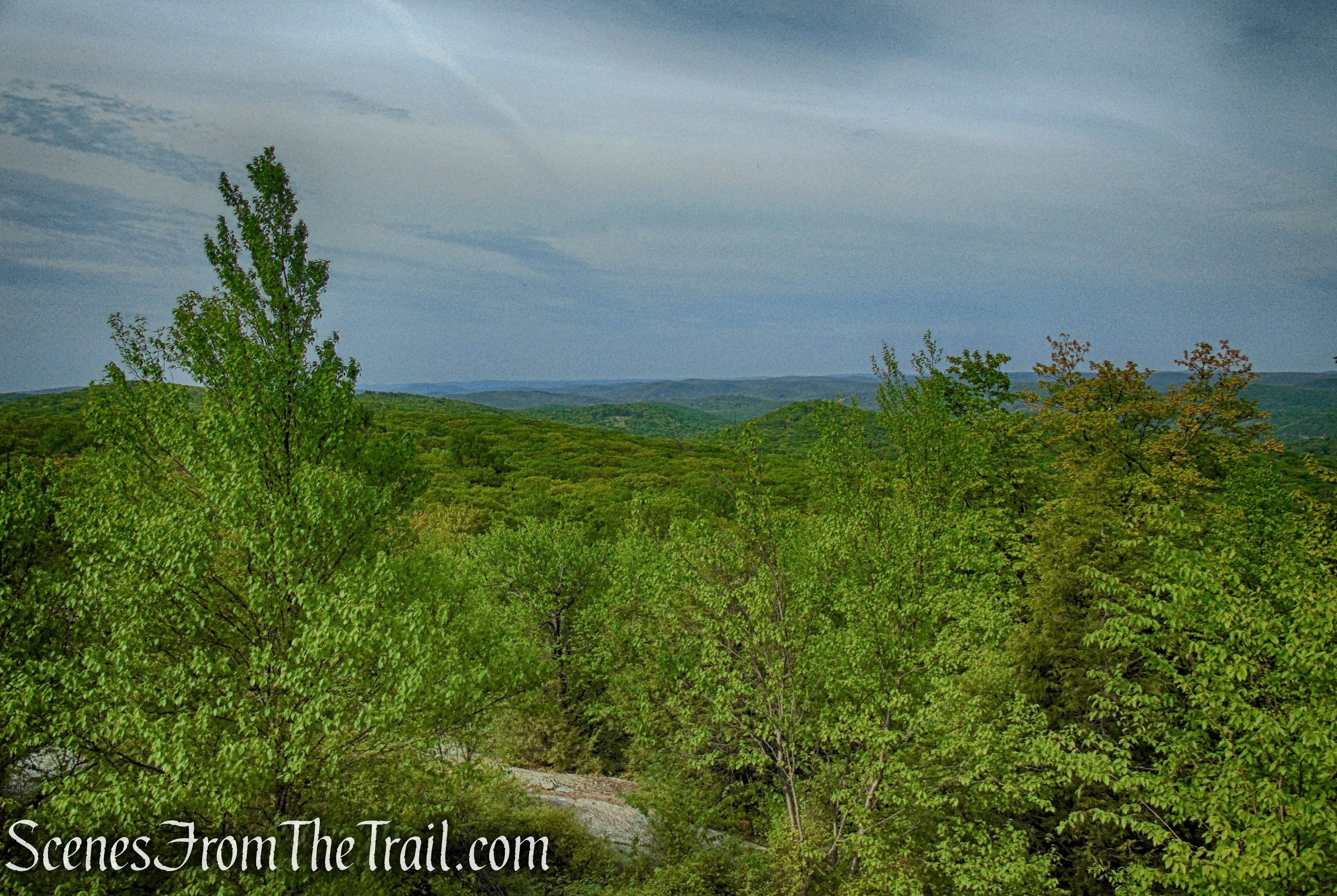
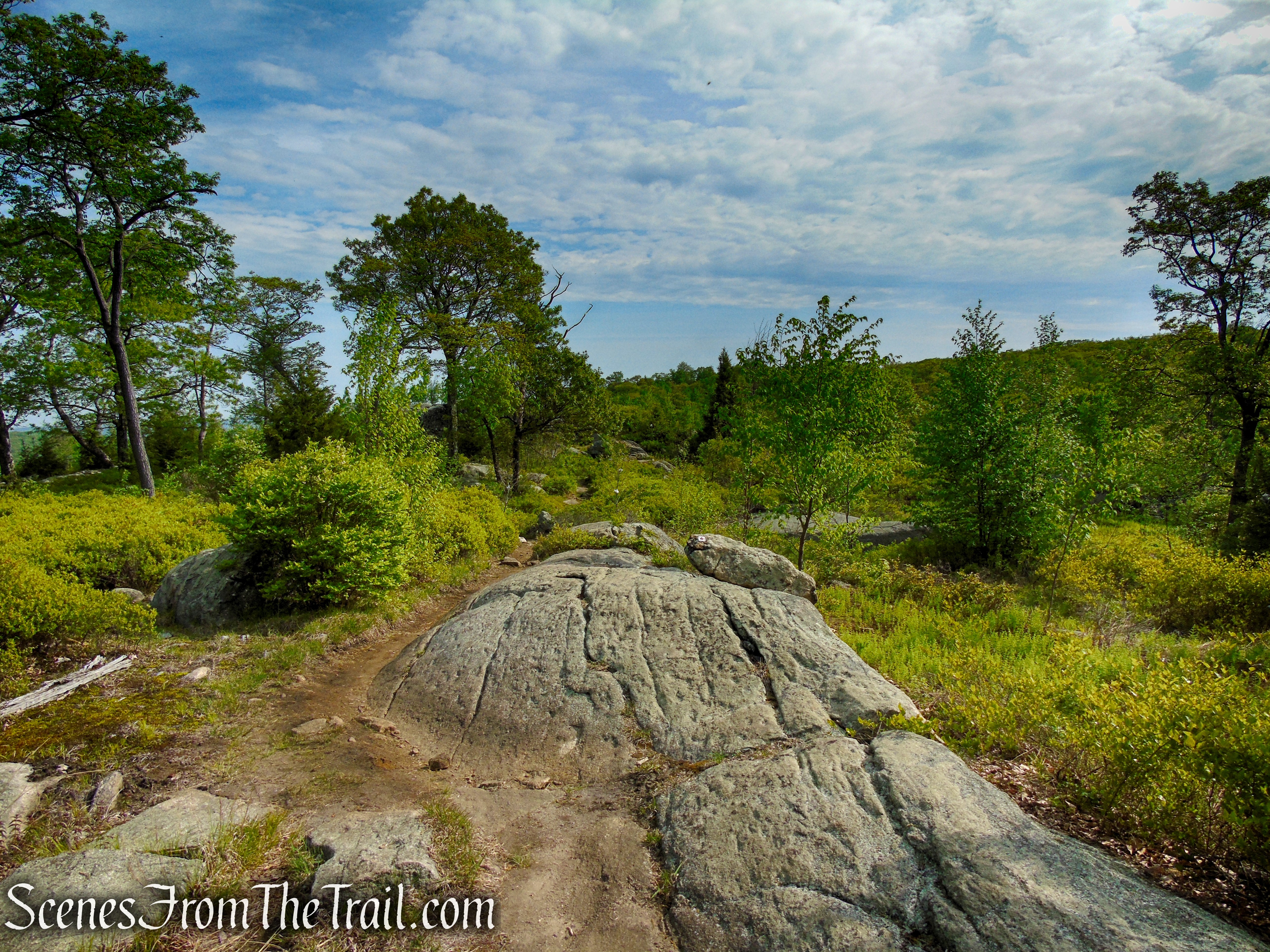
Just beyond, the Nurian Trail ends at a junction with the red-dot-on-white-blazed Ramapo-Dunderberg (R-D) Trail. Continue ahead (north) and follow the red-and-white-blazes along the ridge of Black Rock Mountain, marked by bare rock ledges. After passing another west-facing viewpoint, the trail descends into a hollow, then climbs to regain the ridge.
Terminus of Nurian Trail
Terminus of Nurian Trail
Ramapo-Dunderberg Trail – Black Rock Mountain
Ramapo-Dunderberg Trail – Black Rock Mountain

Ramapo-Dunderberg Trail – Black Rock Mountain
Ramapo-Dunderberg Trail – Black Rock Mountain
Ramapo-Dunderberg Trail – Black Rock Mountain
Ramapo-Dunderberg Trail – Black Rock Mountain

Ramapo-Dunderberg Trail – Black Rock Mountain

View from the Ramapo-Dunderberg Trail – Black Rock Mountain
View from the Ramapo-Dunderberg Trail – Black Rock Mountain
View from the Ramapo-Dunderberg Trail – Black Rock Mountain
Ramapo-Dunderberg Trail – Black Rock Mountain
Ramapo-Dunderberg Trail – Black Rock Mountain
Ramapo-Dunderberg Trail – Black Rock Mountain
Ramapo-Dunderberg Trail – Black Rock Mountain
Ramapo-Dunderberg Trail – Black Rock Mountain
Ramapo-Dunderberg Trail – Black Rock Mountain

Ramapo-Dunderberg Trail – Black Rock Mountain

Ramapo-Dunderberg Trail – Black Rock Mountain
Ramapo-Dunderberg Trail – Black Rock Mountain
Ramapo-Dunderberg Trail – Black Rock Mountain

Ramapo-Dunderberg Trail – Black Rock Mountain
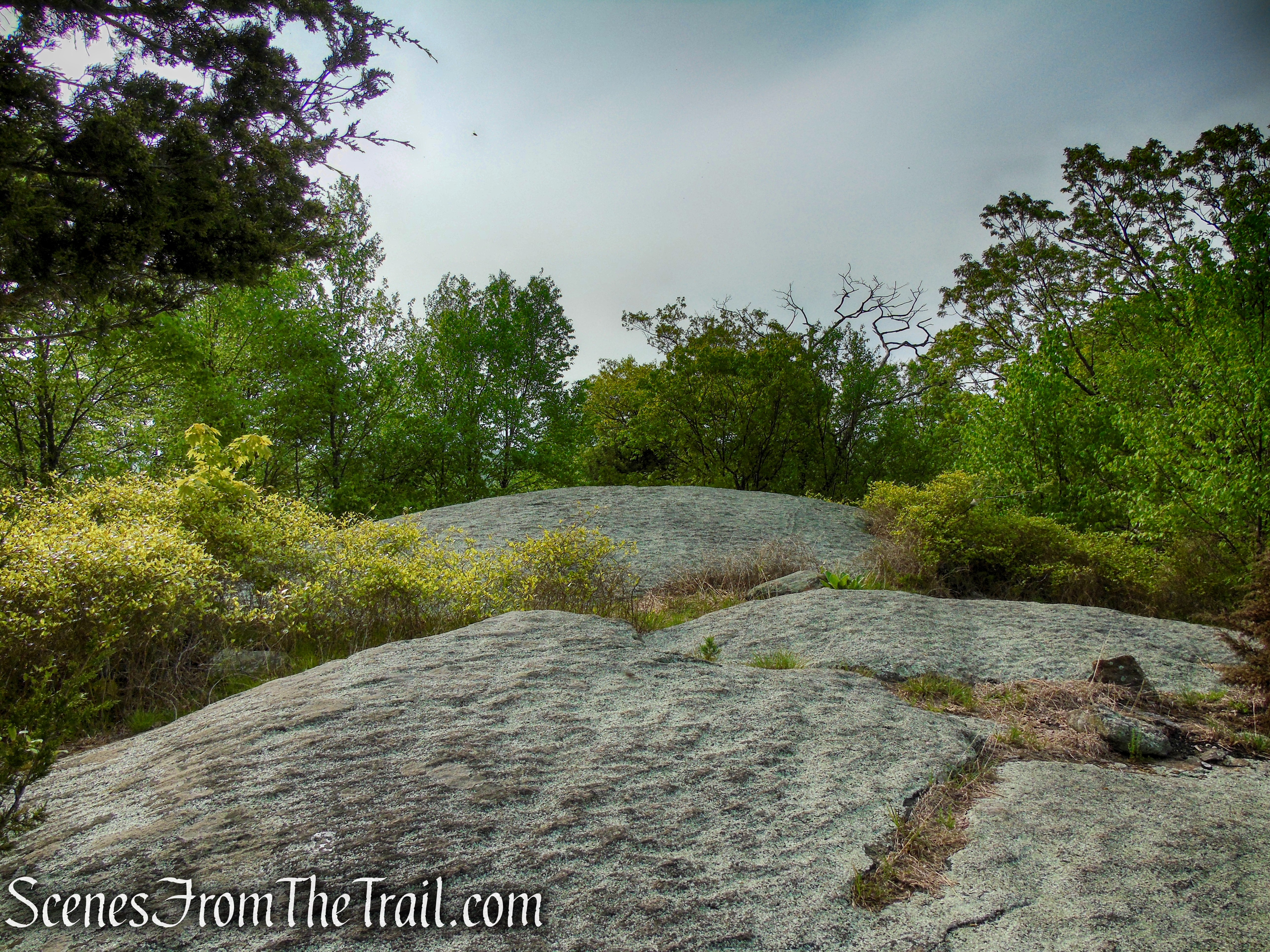
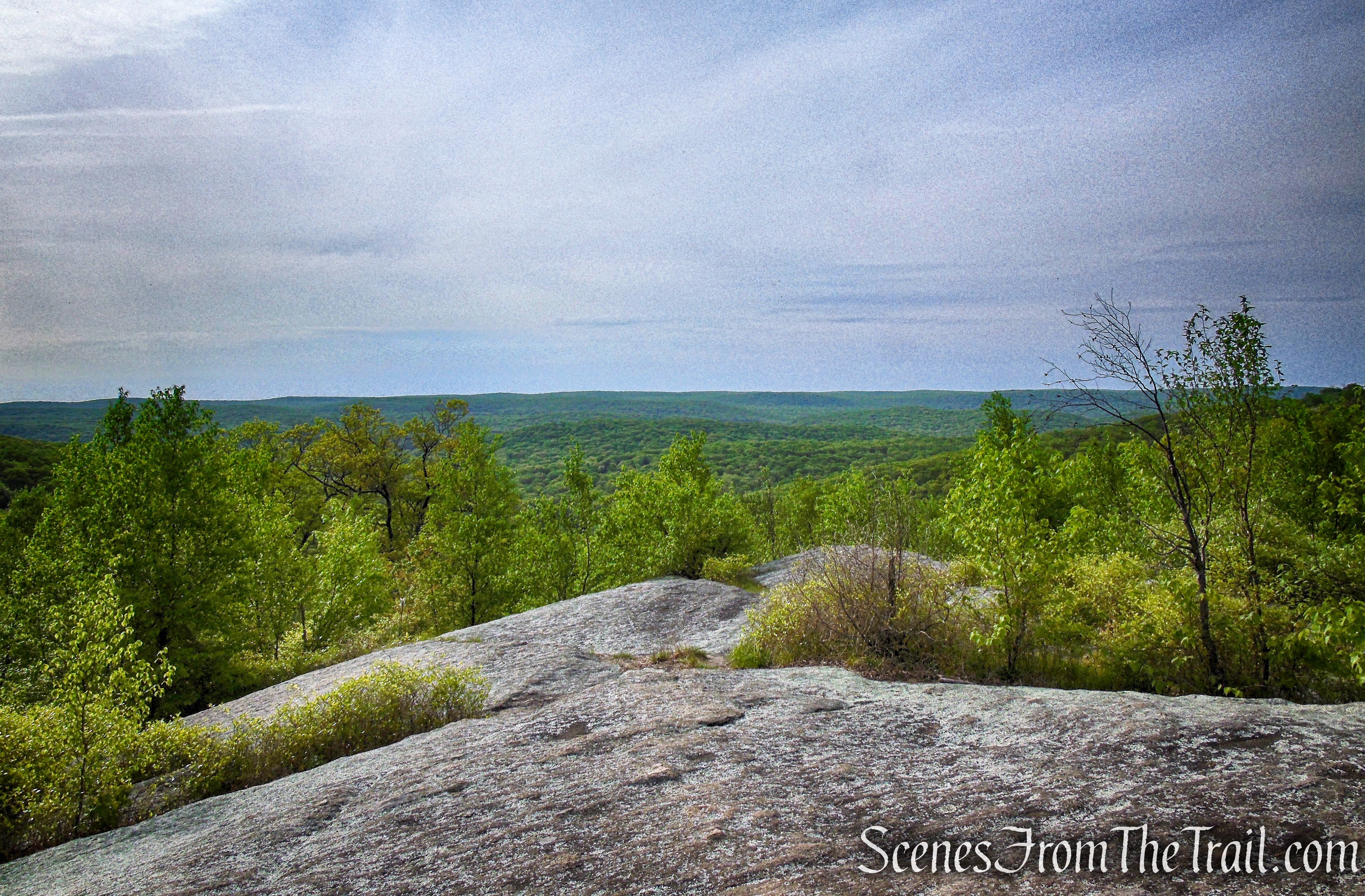
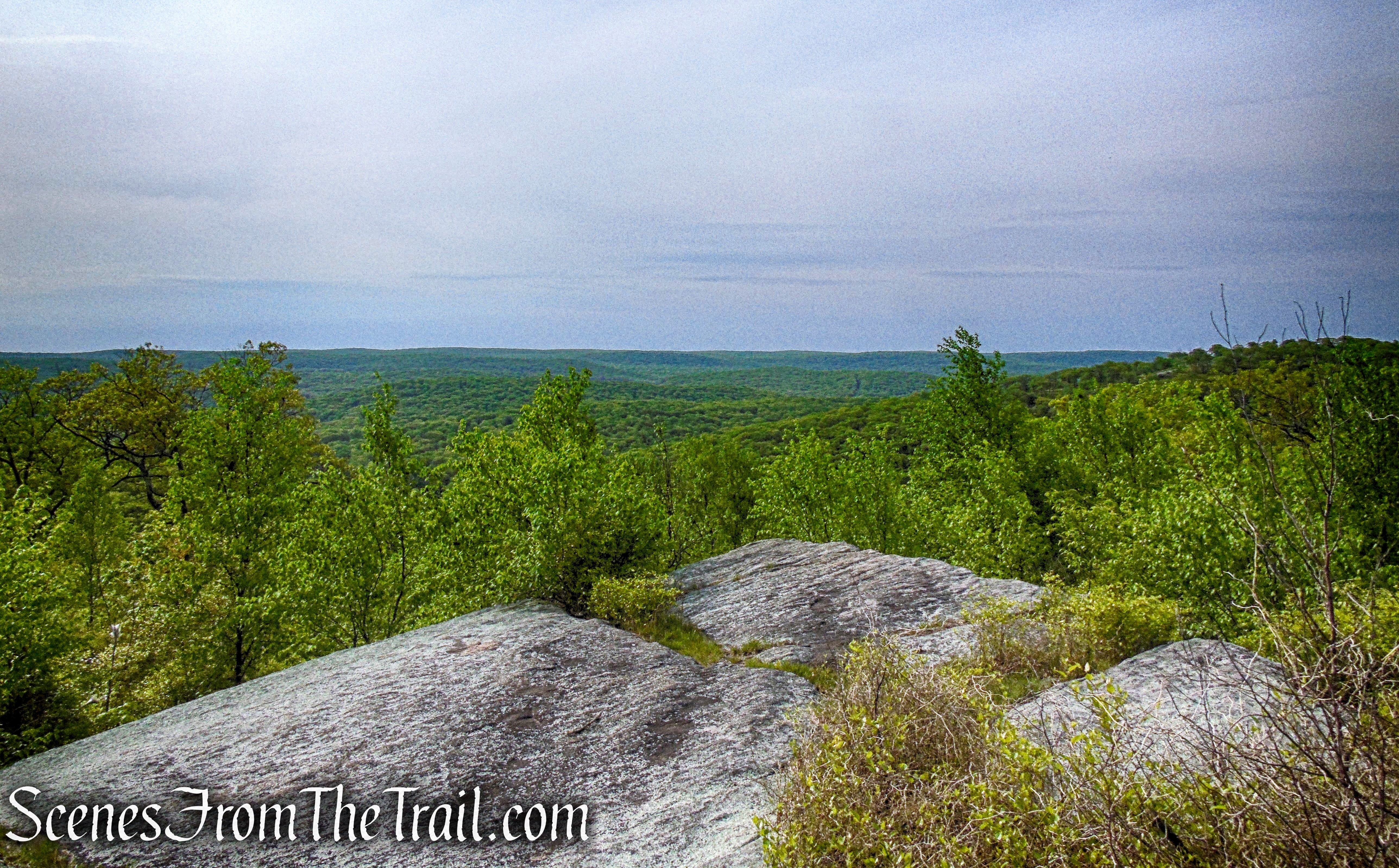
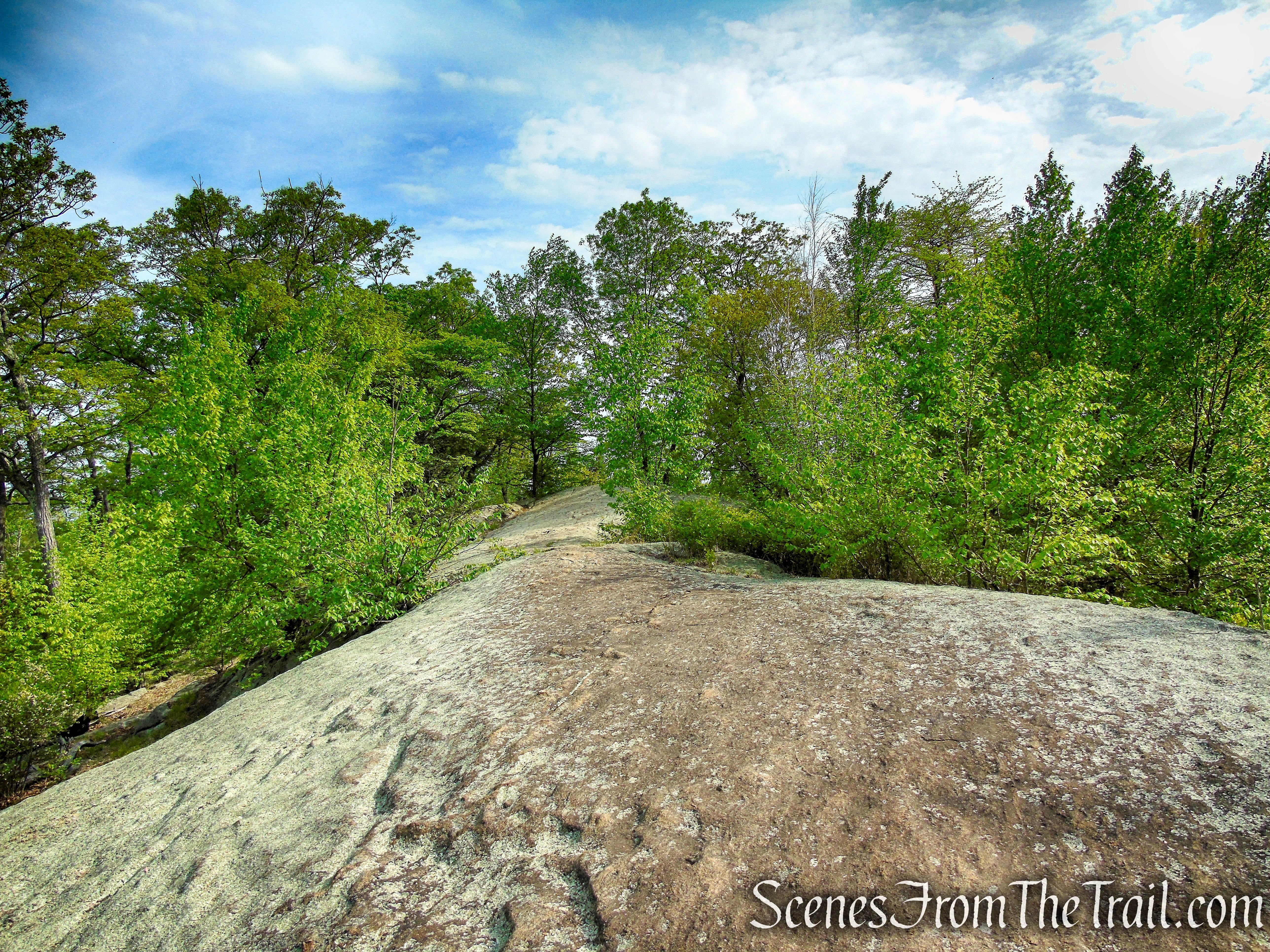
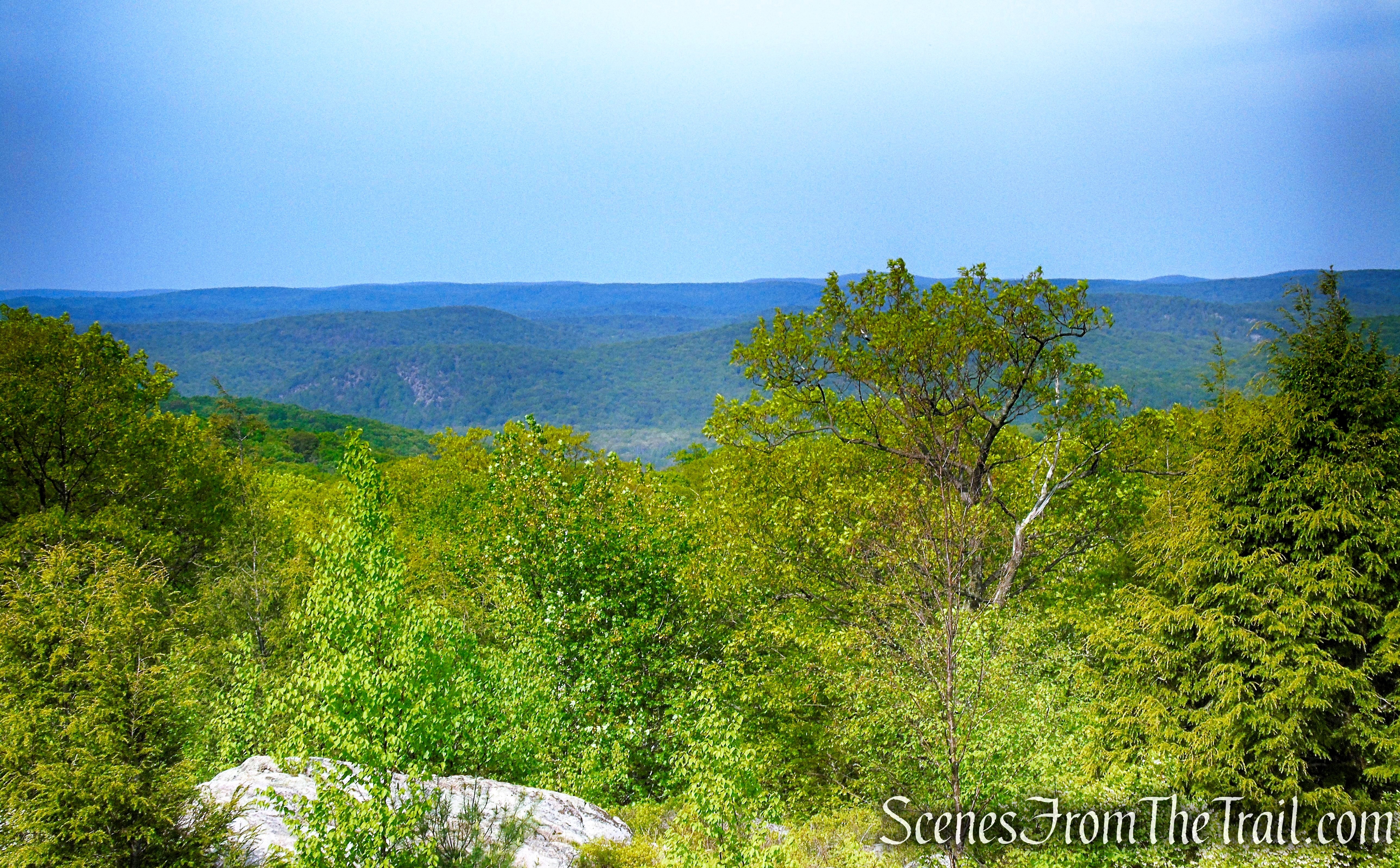
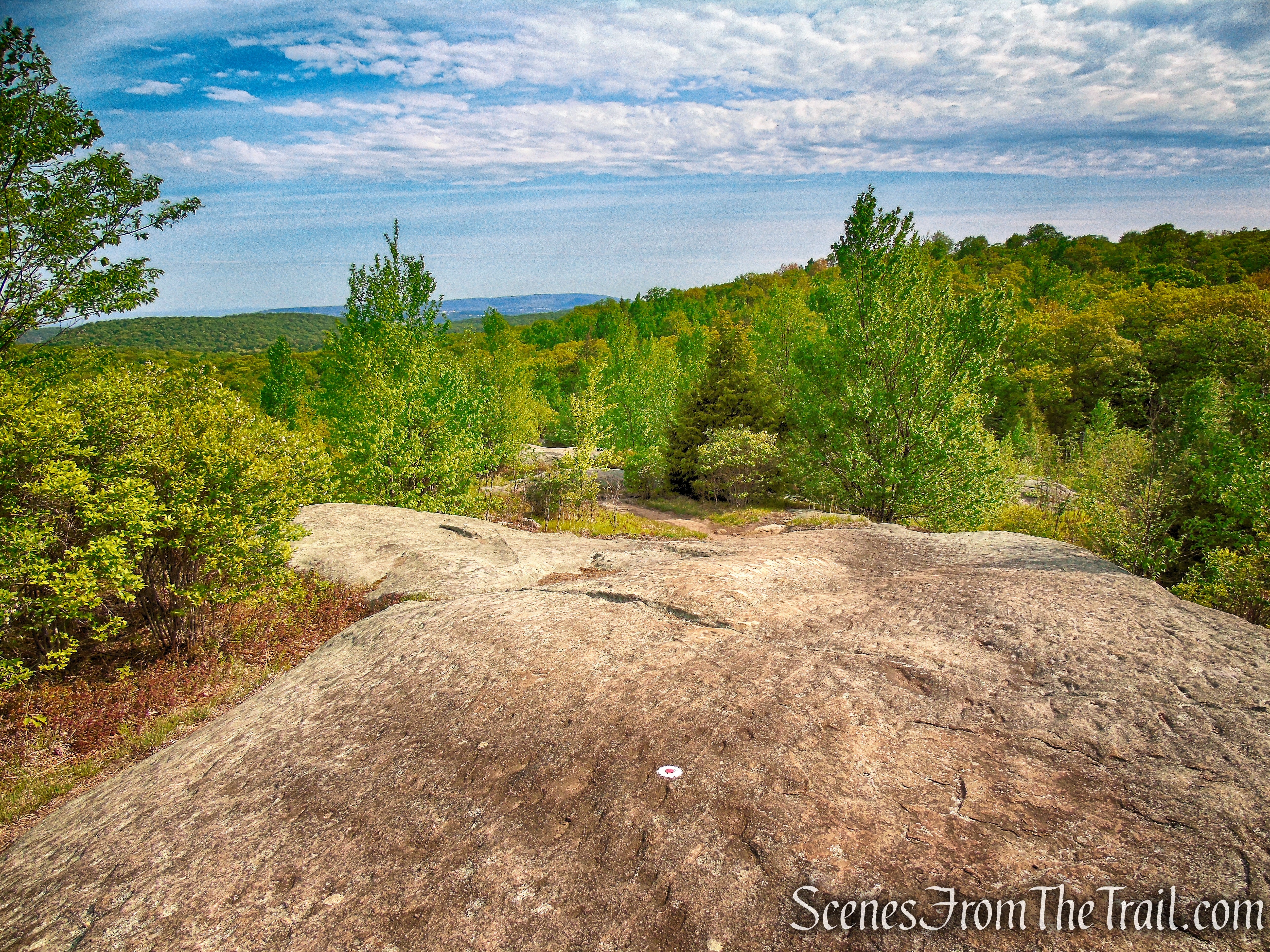
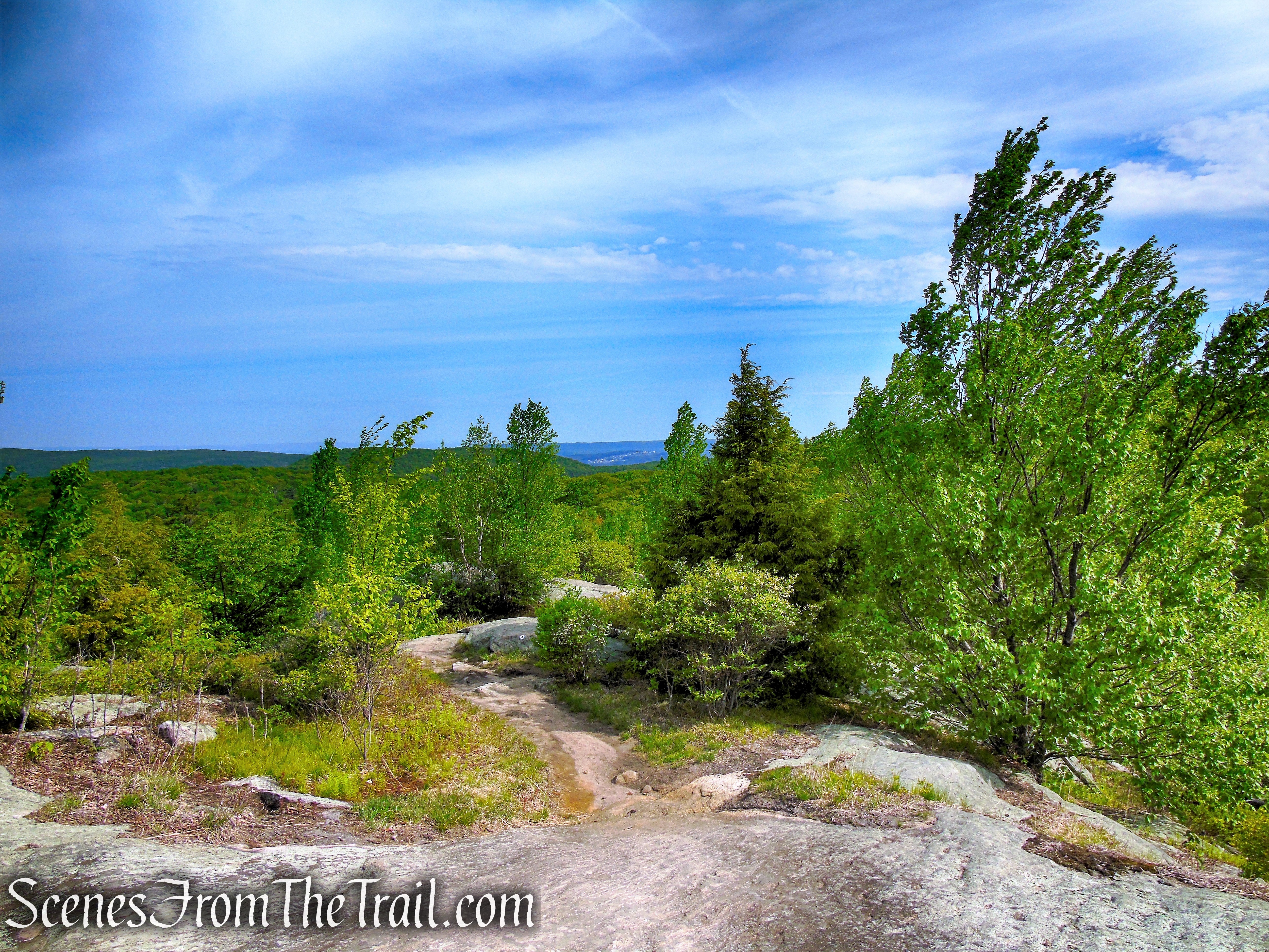
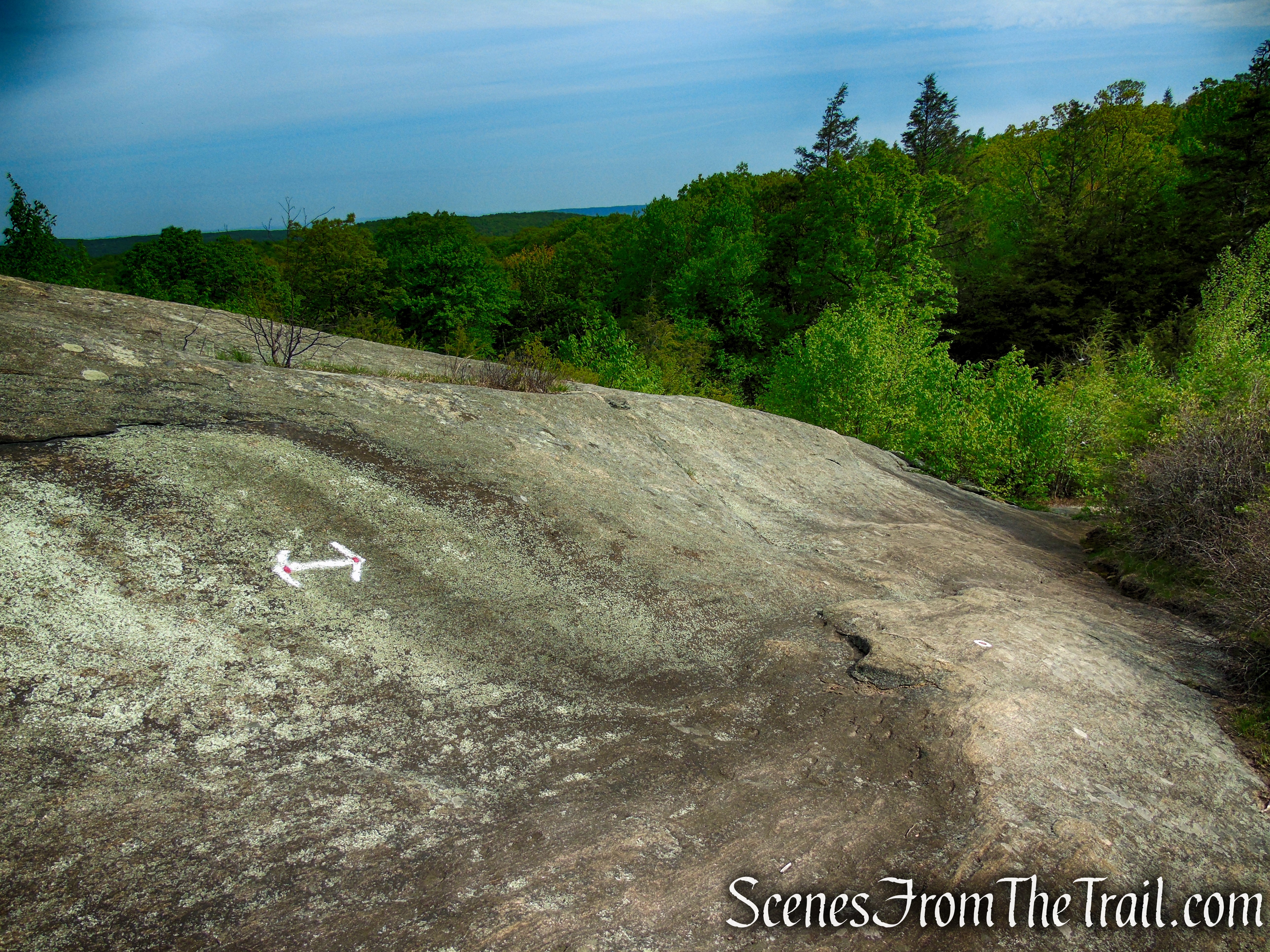
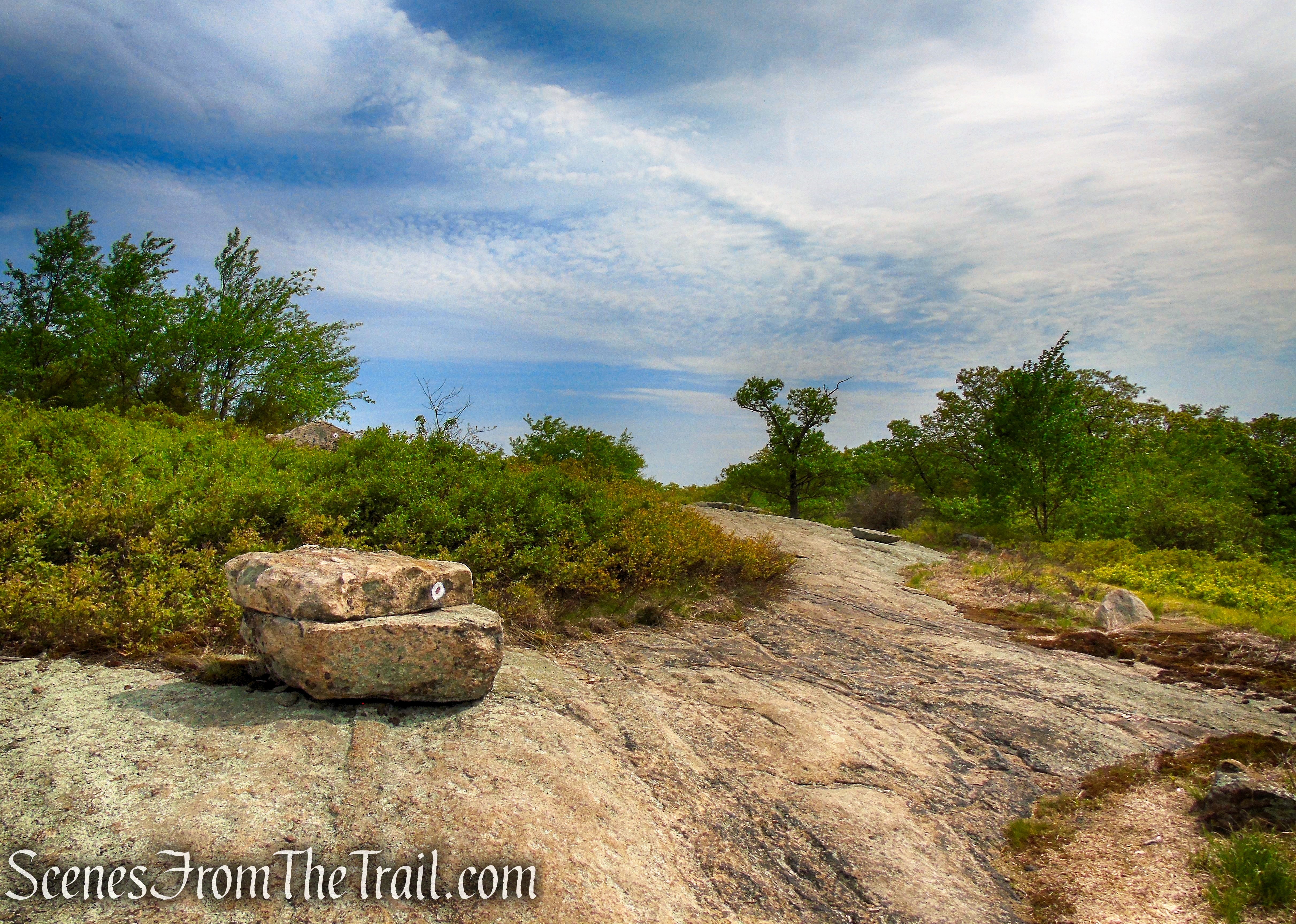
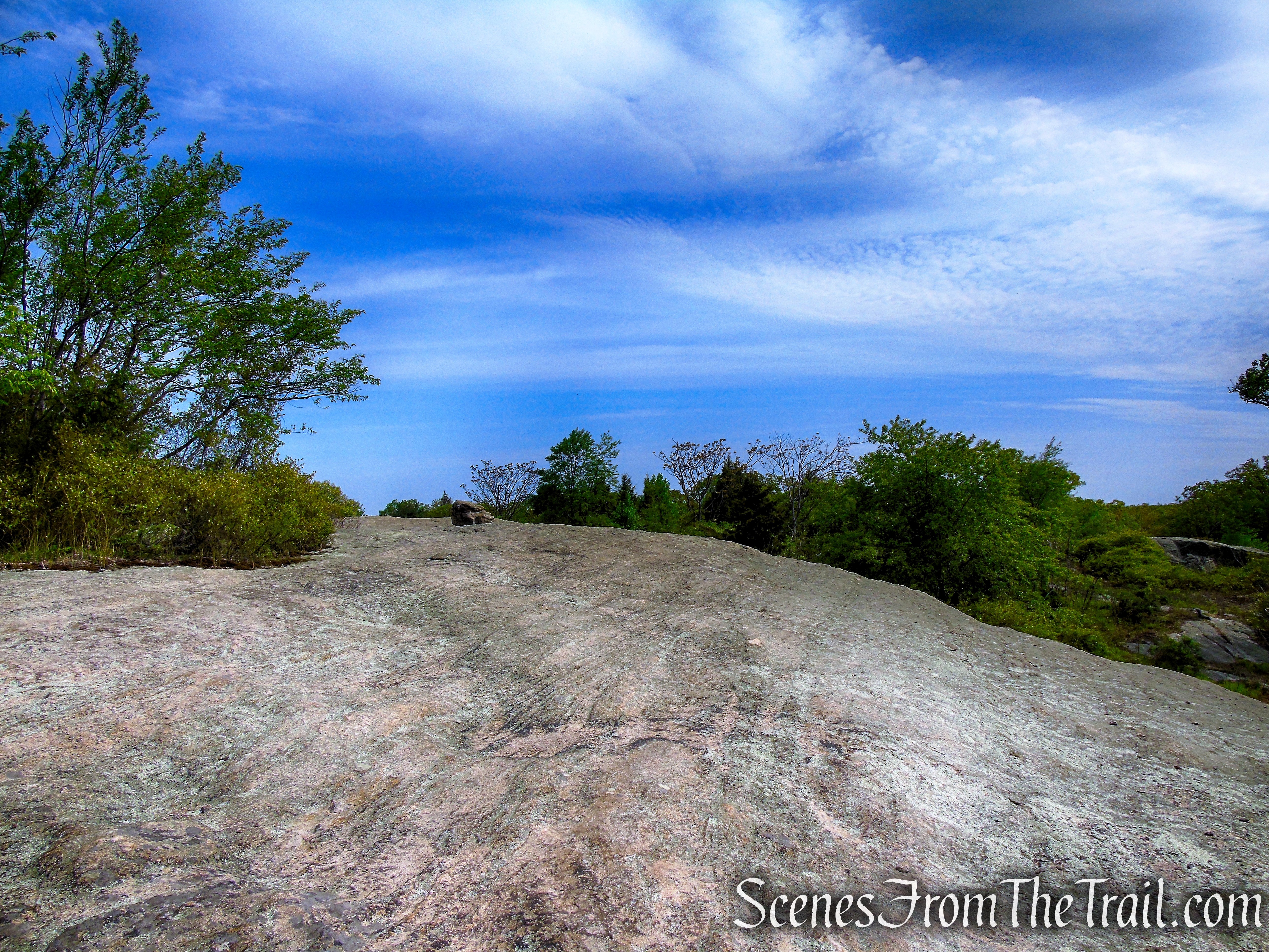
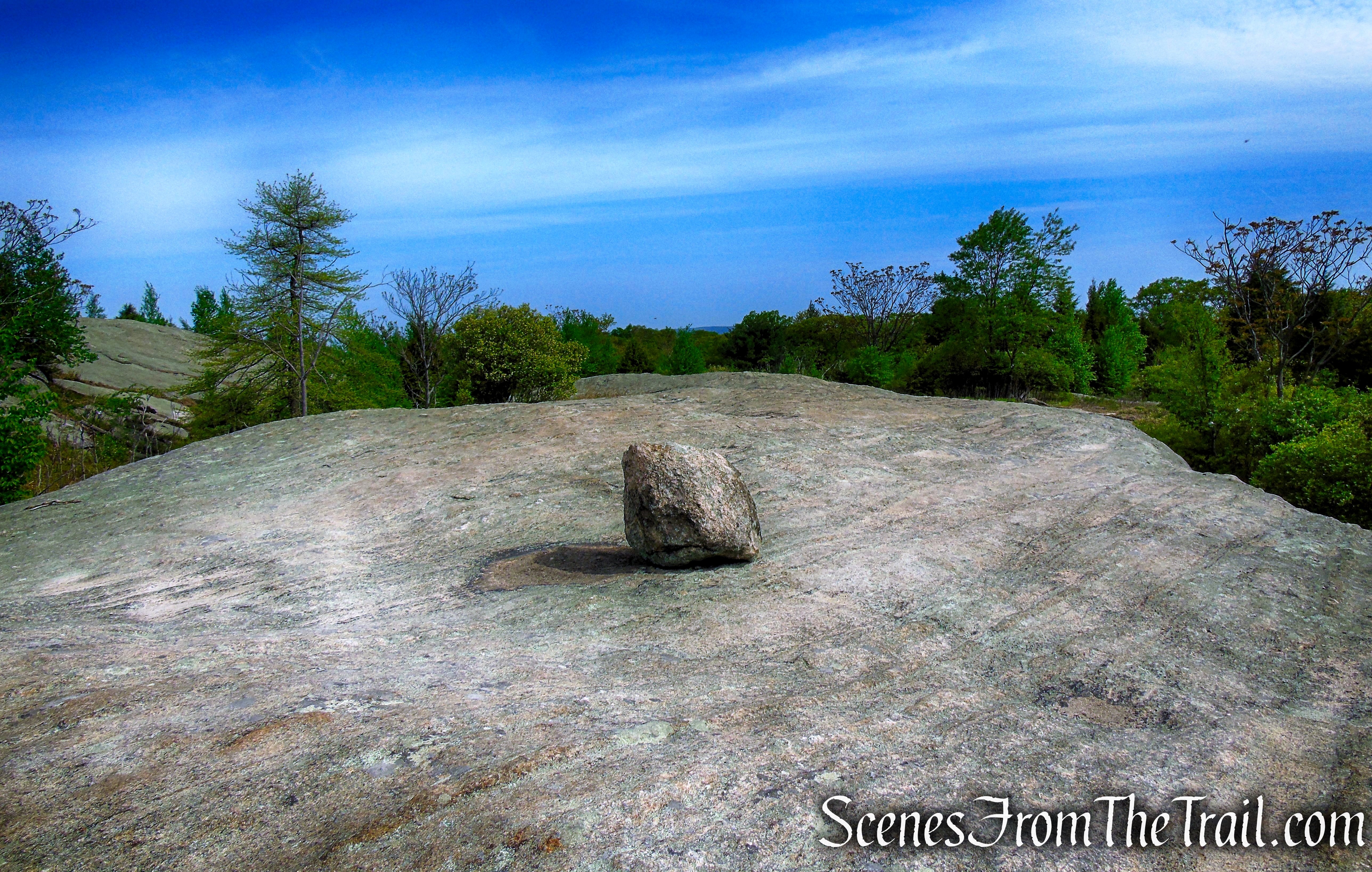
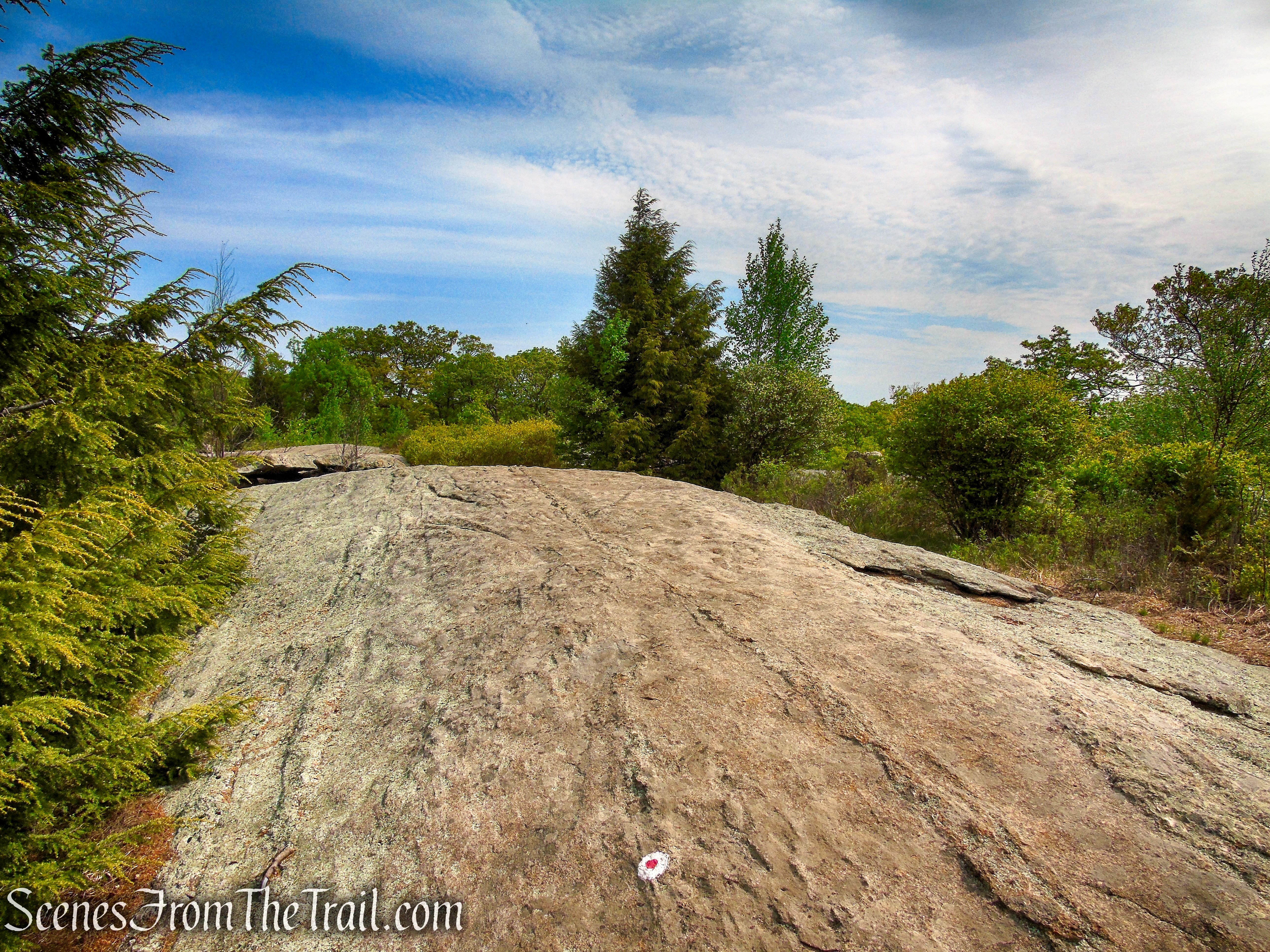
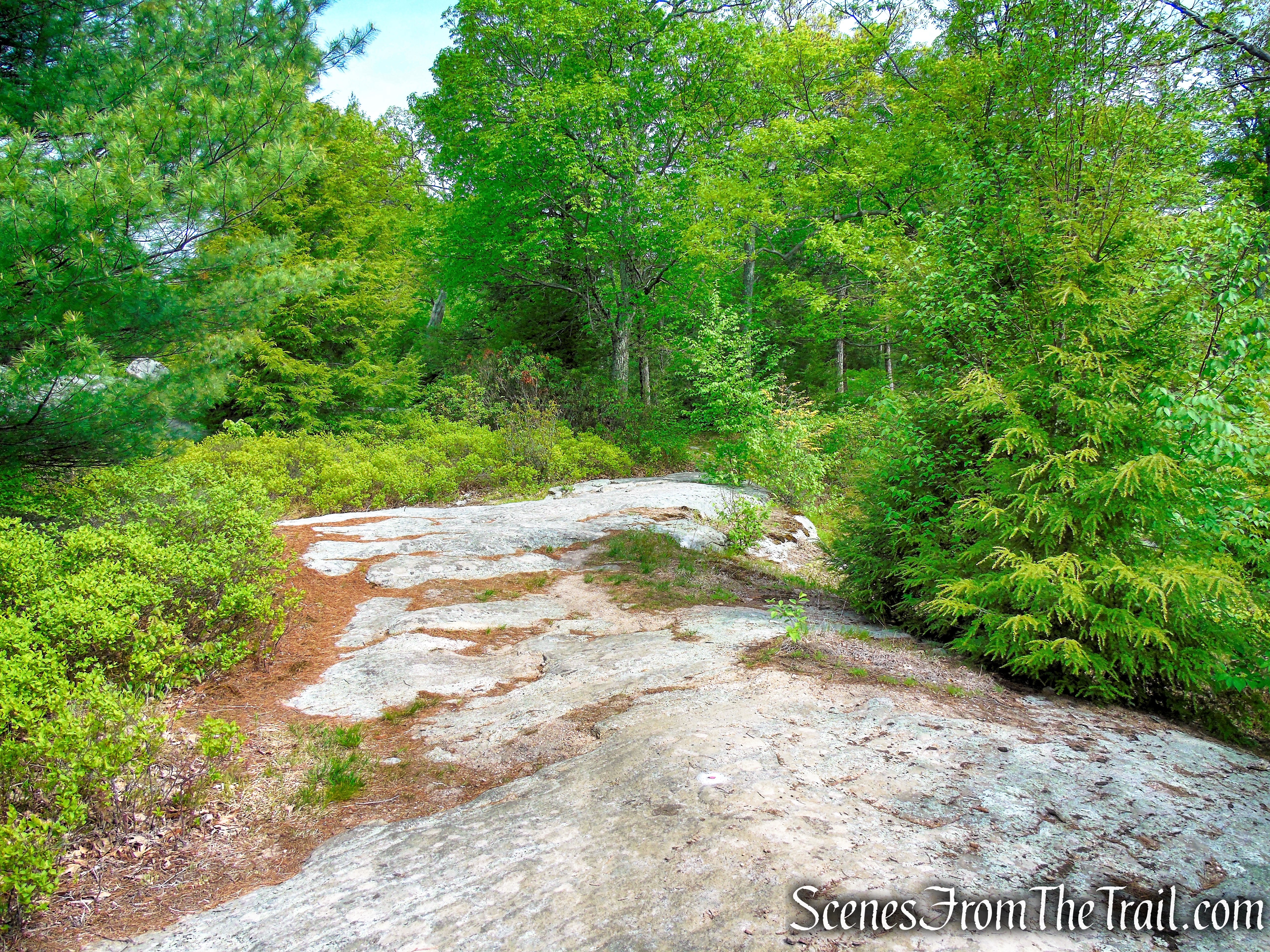
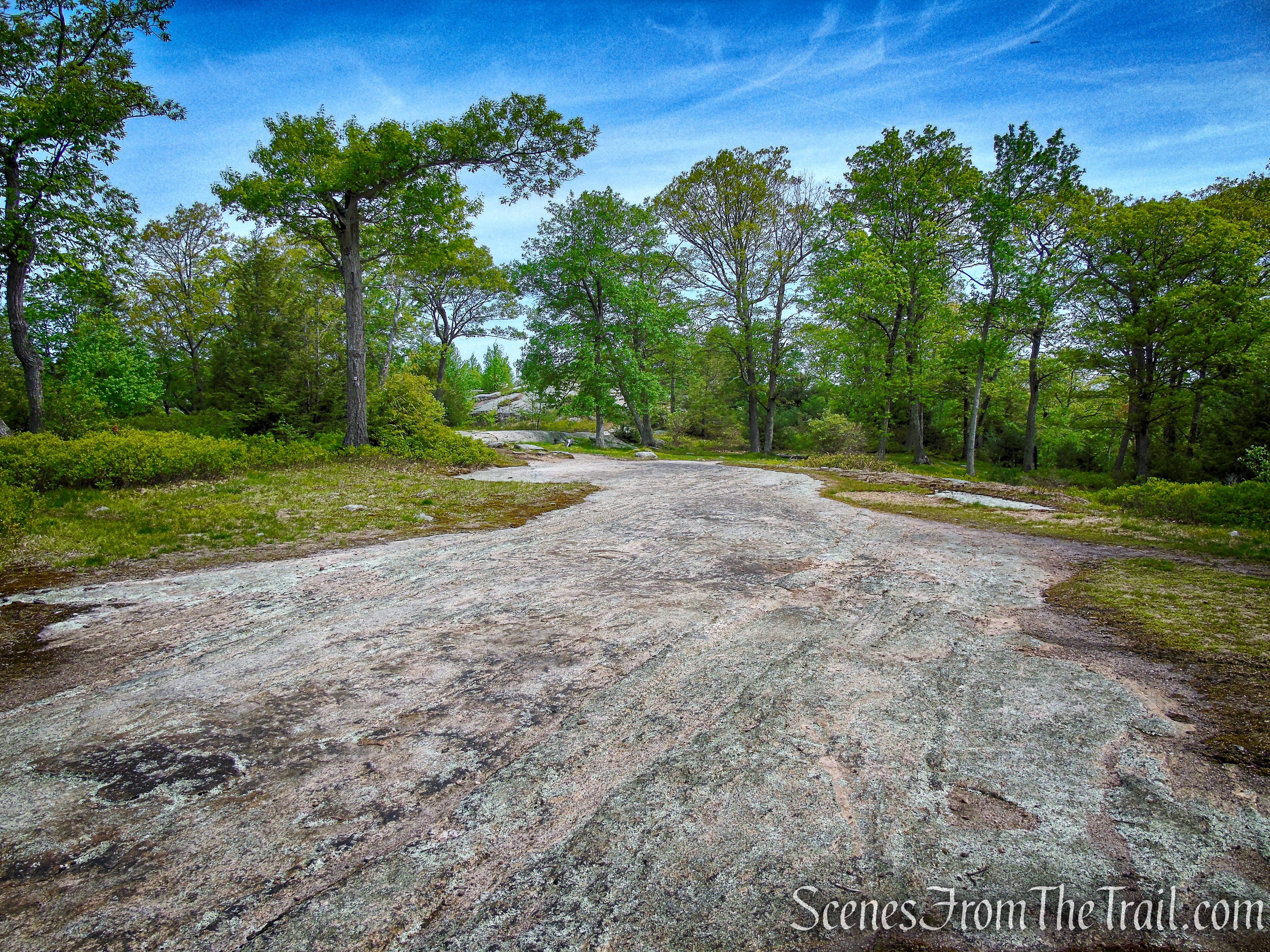
Soon after coming out again along the ridge, you’ll reach a large flat area of bare rock ledges, known as Bald Rocks. To the left of the trail is a rock outcrop that marks the highest spot in Harriman State Park (elevation 1,382 feet). The trail itself (marked by paint blazes on the rocks) bears right and continues northeast along the main ridge, but it is worthwhile to take a short detour to the high point, which offers panoramic views to the west and north.
R-D Trail – Bald Rocks – Black Rock Mountain
R-D Trail – Bald Rocks – Black Rock Mountain

R-D Trail – Bald Rocks – Black Rock Mountain
R-D Trail – Bald Rocks – Black Rock Mountain
R-D Trail – Bald Rocks – Black Rock Mountain
R-D Trail – Bald Rocks – Black Rock Mountain
R-D Trail – Bald Rocks – Black Rock Mountain
R-D Trail – Bald Rocks – Black Rock Mountain
R-D Trail – Bald Rocks – Black Rock Mountain
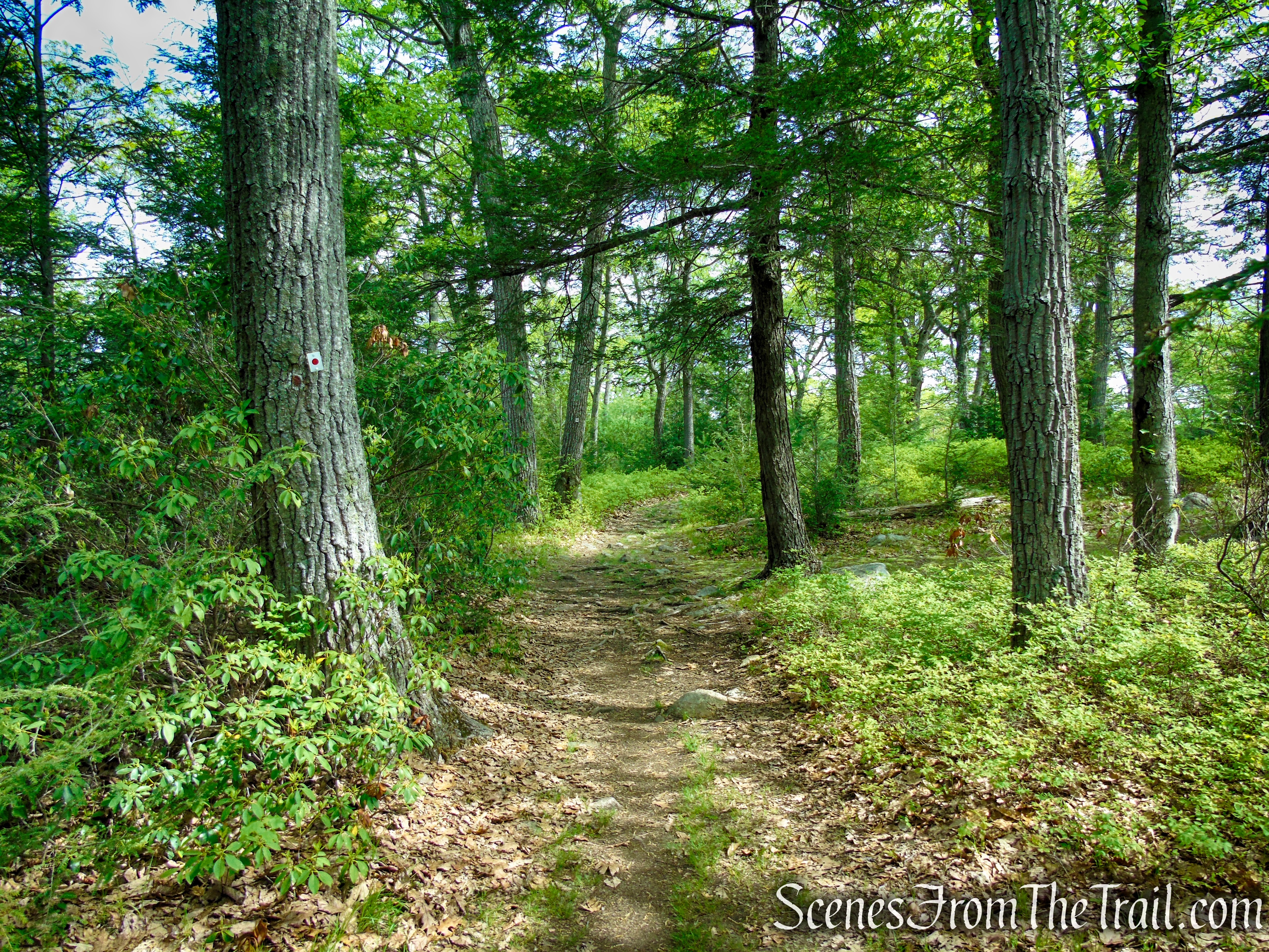
After reentering the woods, you’ll notice the Bald Rocks Shelter to the right. This shelter – built out of huge granite slabs – was constructed in 1933, and it’s worth a visit even if you don’t intend to stay there overnight.
R-D Trail – Bald Rocks – Black Rock Mountain

R-D Trail – Bald Rocks – Black Rock Mountain
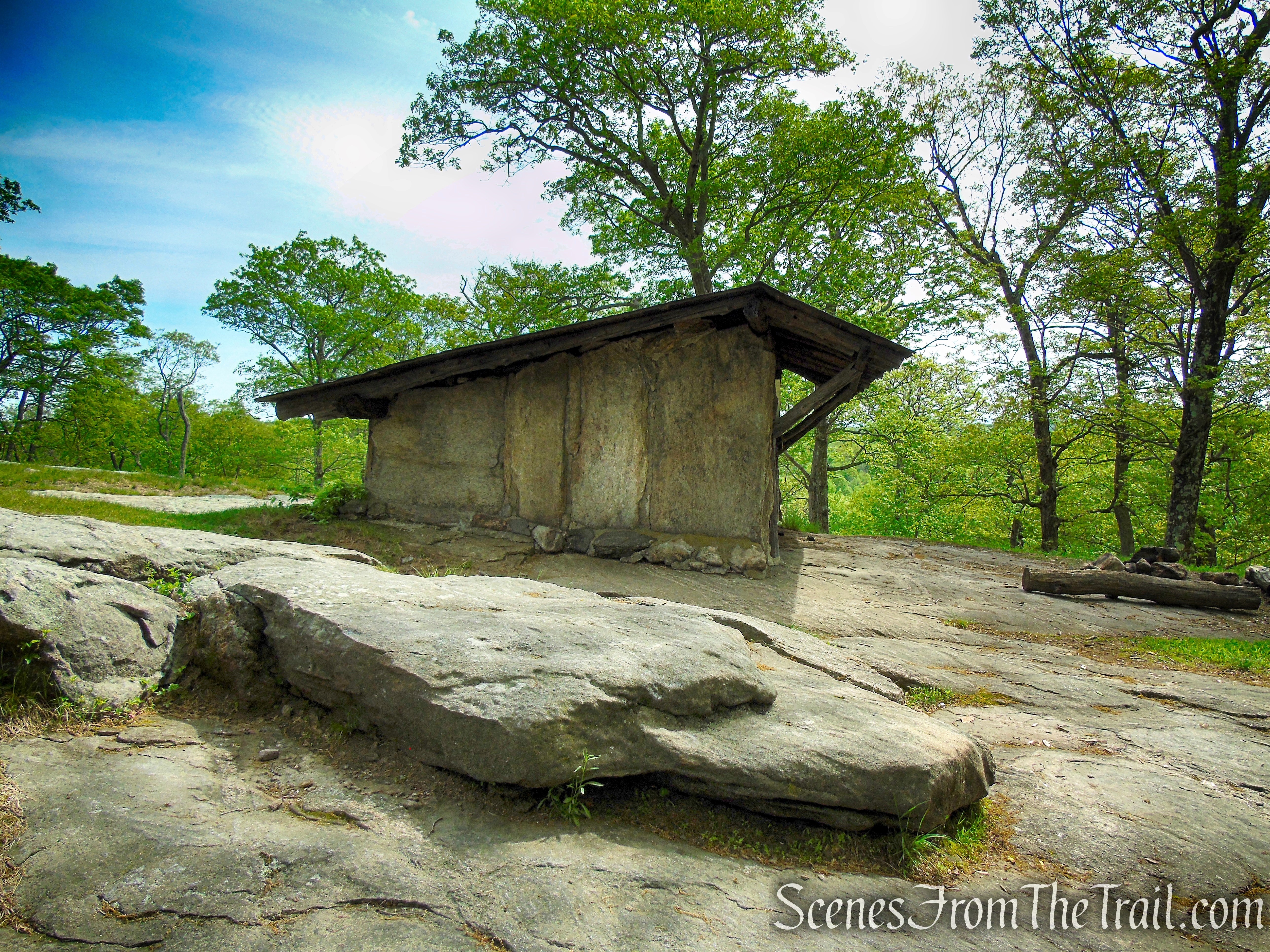
Bald Rocks Shelter – Harriman State Park
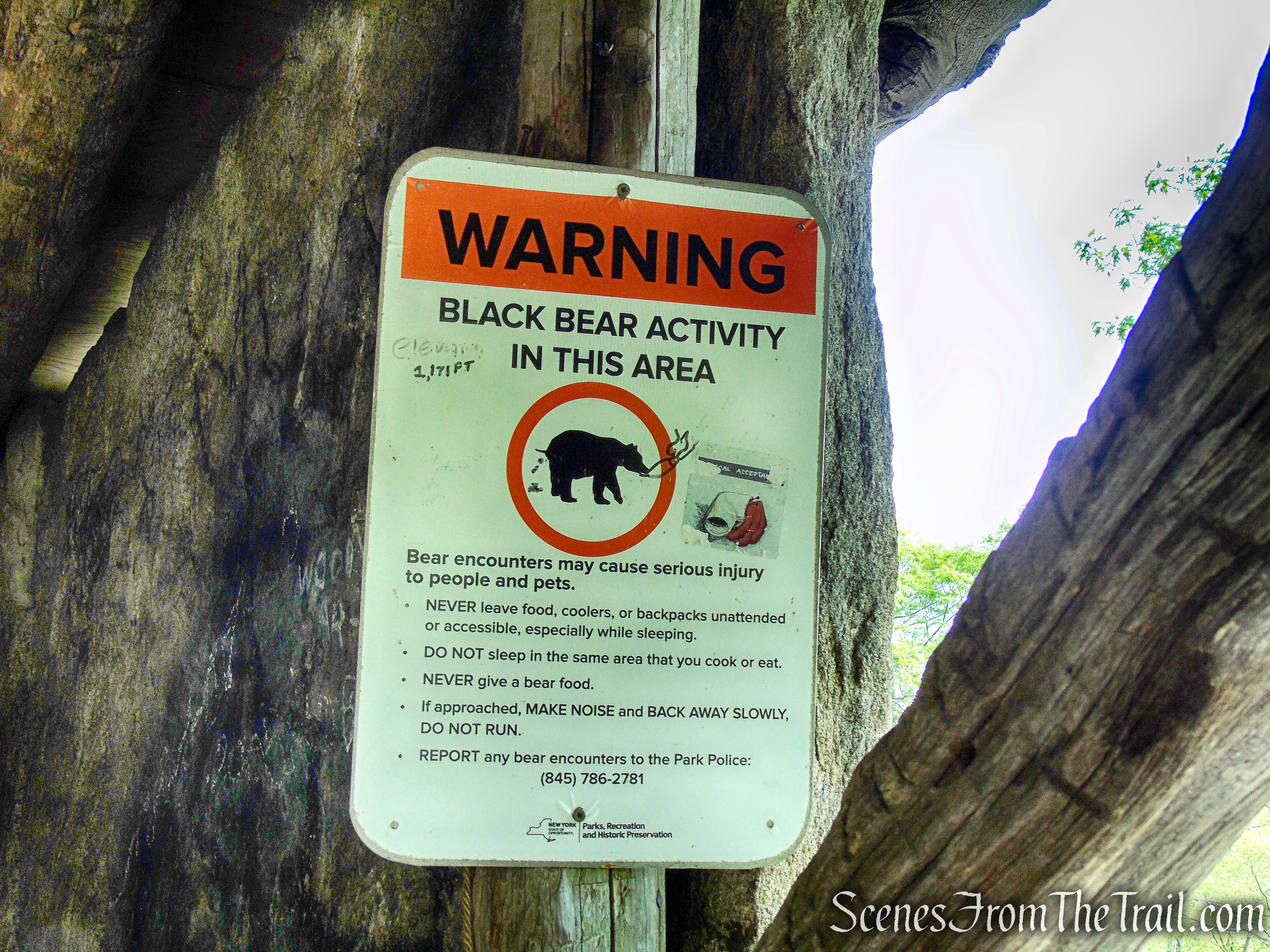
Trailside camping in Harriman State Park is only permitted in or within 300 yards of a designated trail shelter.

Bald Rocks Shelter – Harriman State Park
Bald Rocks Shelter – Harriman State Park
In early October 2020, the Long Distance Trails Crew erected a food-hanging system at Bald Rocks Shelter, based on a design from crew member Erik Garnjost. The steel cables were installed to hopefully discourage bears from searching for food in this popular backpacking spot.
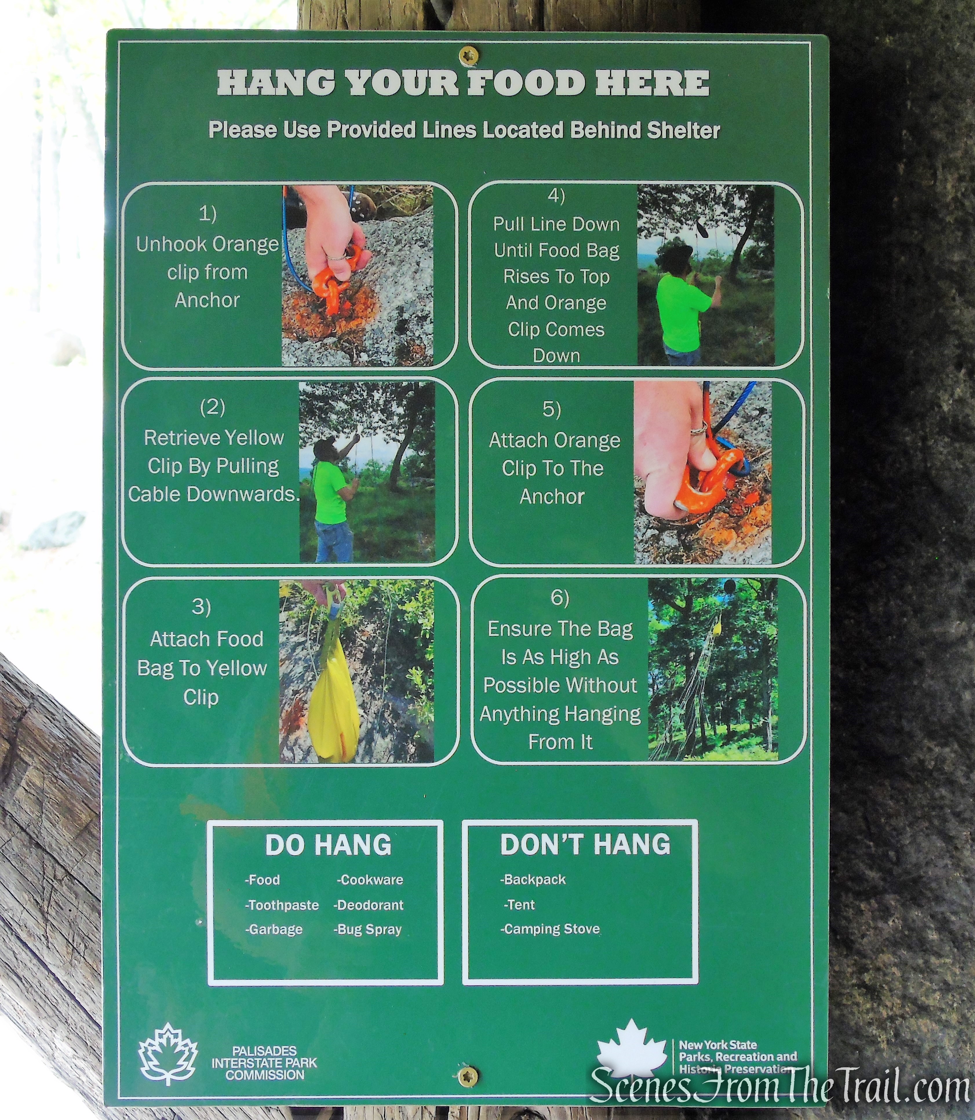
Bald Rocks Shelter – Harriman State Park
Bald Rocks Shelter – Harriman State Park
A short distance beyond, at the base of a short descent, the R-D Trail reaches a junction with the yellow-blazed Dunning Trail.
R-D Trail – Bald Rocks – Black Rock Mountain
R-D Trail – Bald Rocks – Black Rock Mountain
R-D Trail – Bald Rocks – Black Rock Mountain
R-D Trail – Bald Rocks – Black Rock Mountain
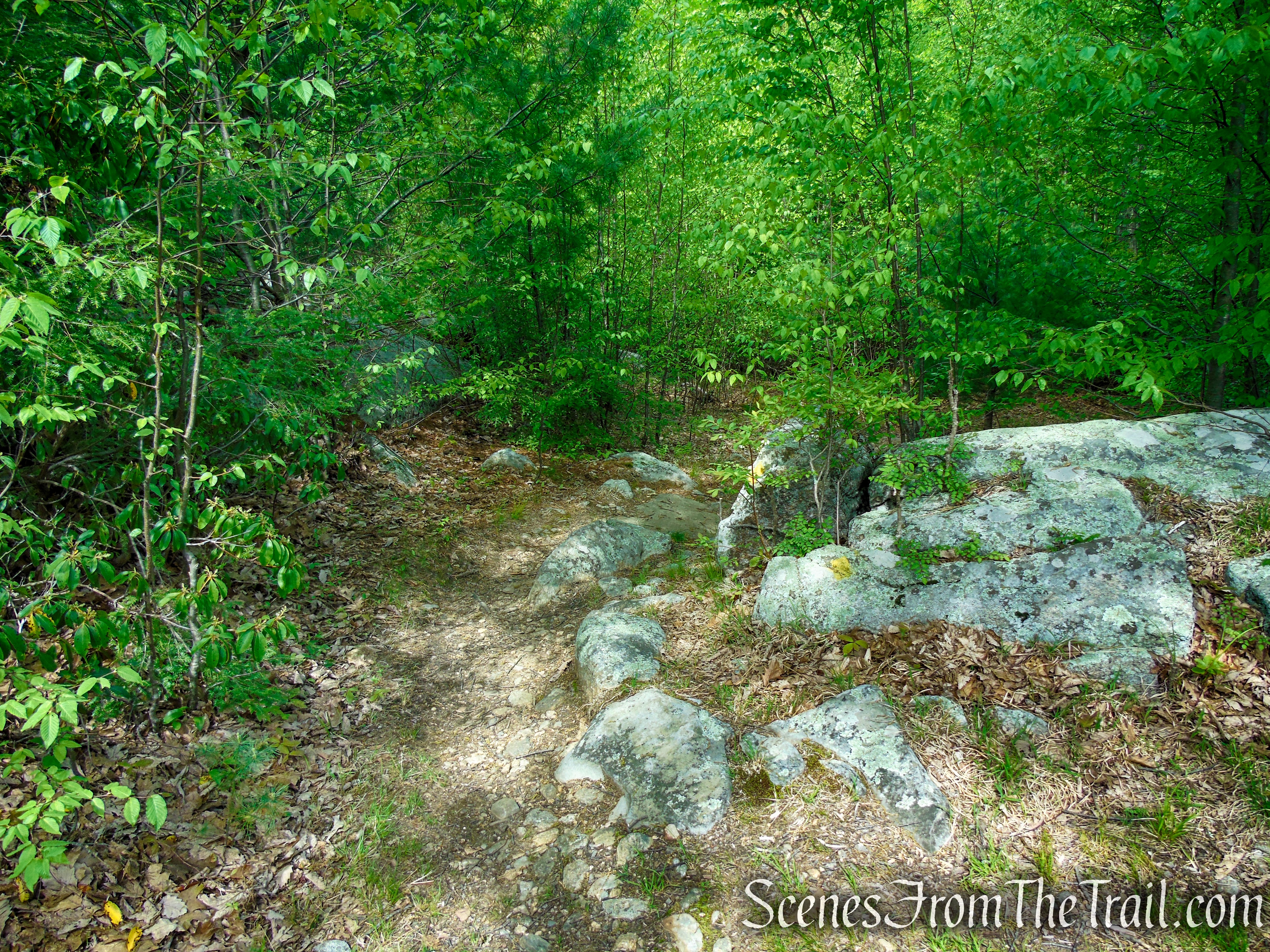
This junction, which is on the crest of the ridge, is easily missed. Turn left on the Dunning Trail (laid out in 1933 by Dr. James M. Dunning, a volunteer with the Appalachian Mountain Club), which descends through Mountain Laurel thickets before leveling off as it passes through open woods.
Turn left on Dunning Trail
Turn left on Dunning Trail
The yellow-blazed trail runs in a westerly direction from the junction with the R-D Trail.
Dunning Trail – Black Rock Mountain
Dunning Trail – Black Rock Mountain

Dunning Trail – Black Rock Mountain
Dunning Trail – Black Rock Mountain
Dunning Trail – Black Rock Mountain
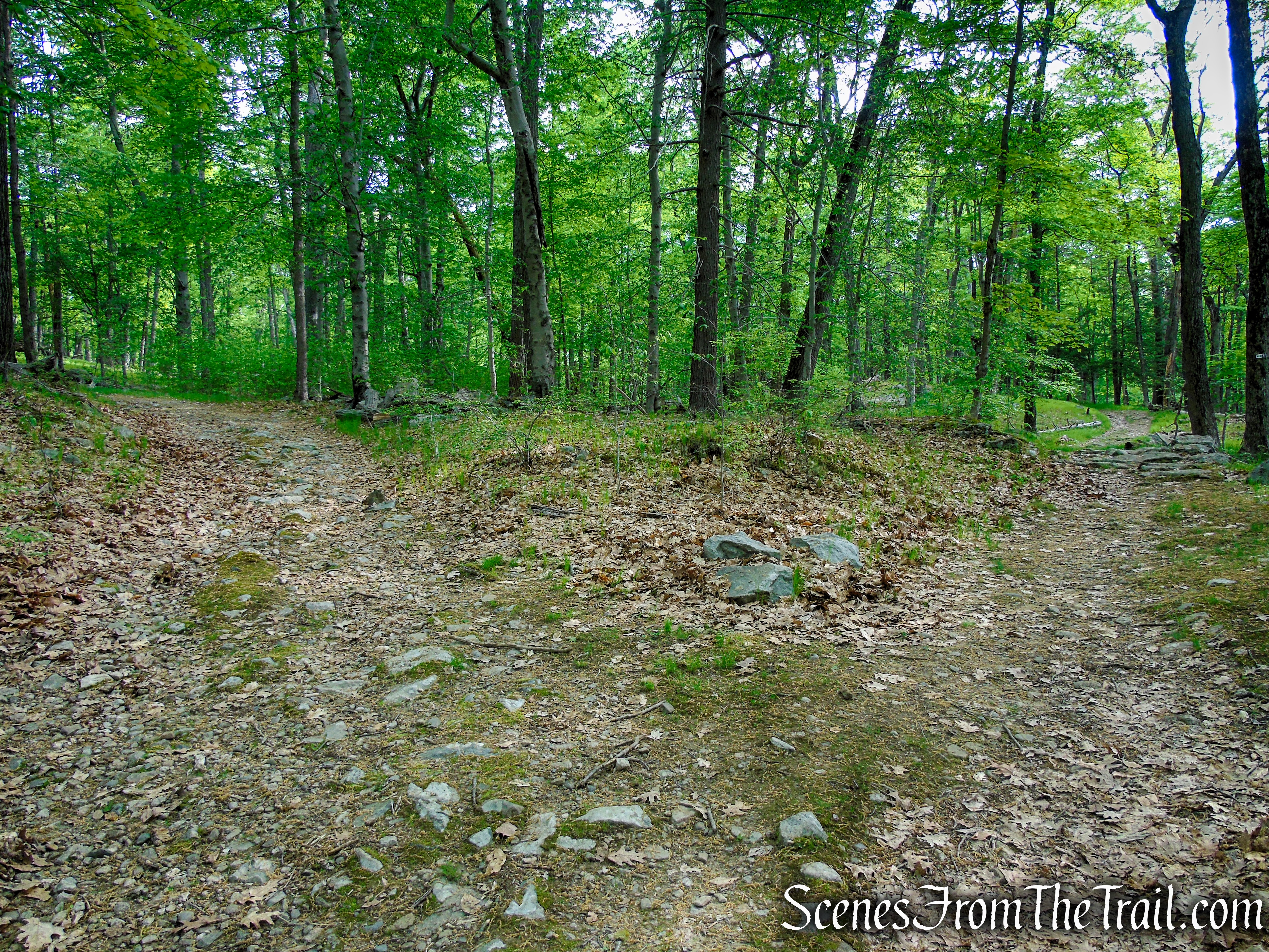
After 0.3 mile, the Dunning Trail turns left, heading southwest as it joins the White Bar Trail, which comes in from the right. In another 0.2 mile, the Dunning Trail leaves to the right as the White Bar Trail (which you’ll be following) continues ahead.

Coaligned Dunning/White Bar Trails – Black Rock Mountain
Coaligned Dunning/White Bar Trails – Black Rock Mountain
Coaligned Dunning/White Bar Trails – Black Rock Mountain
Coaligned Dunning/White Bar Trails – Black Rock Mountain

Continue straight on the White Bar Trail
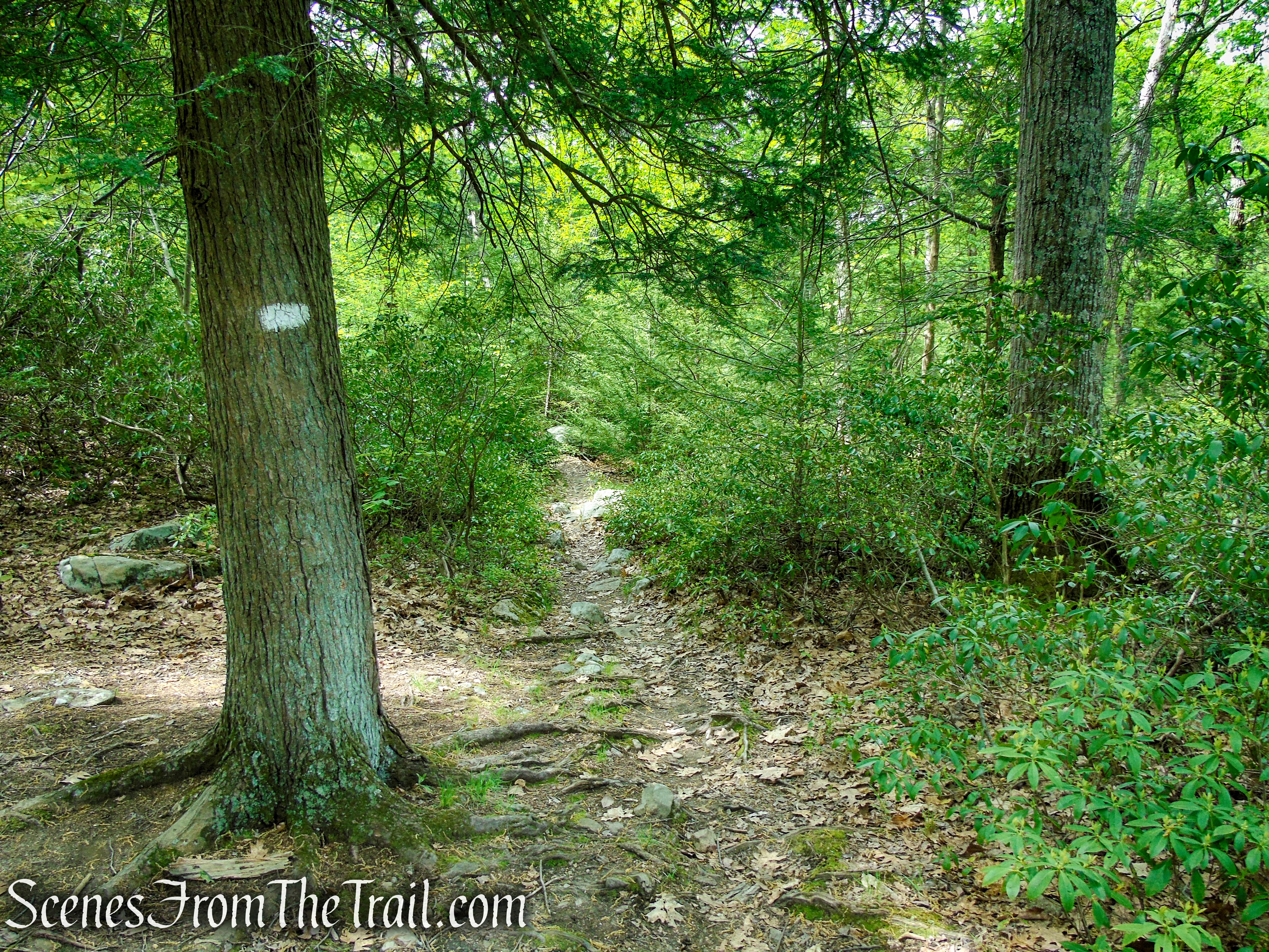
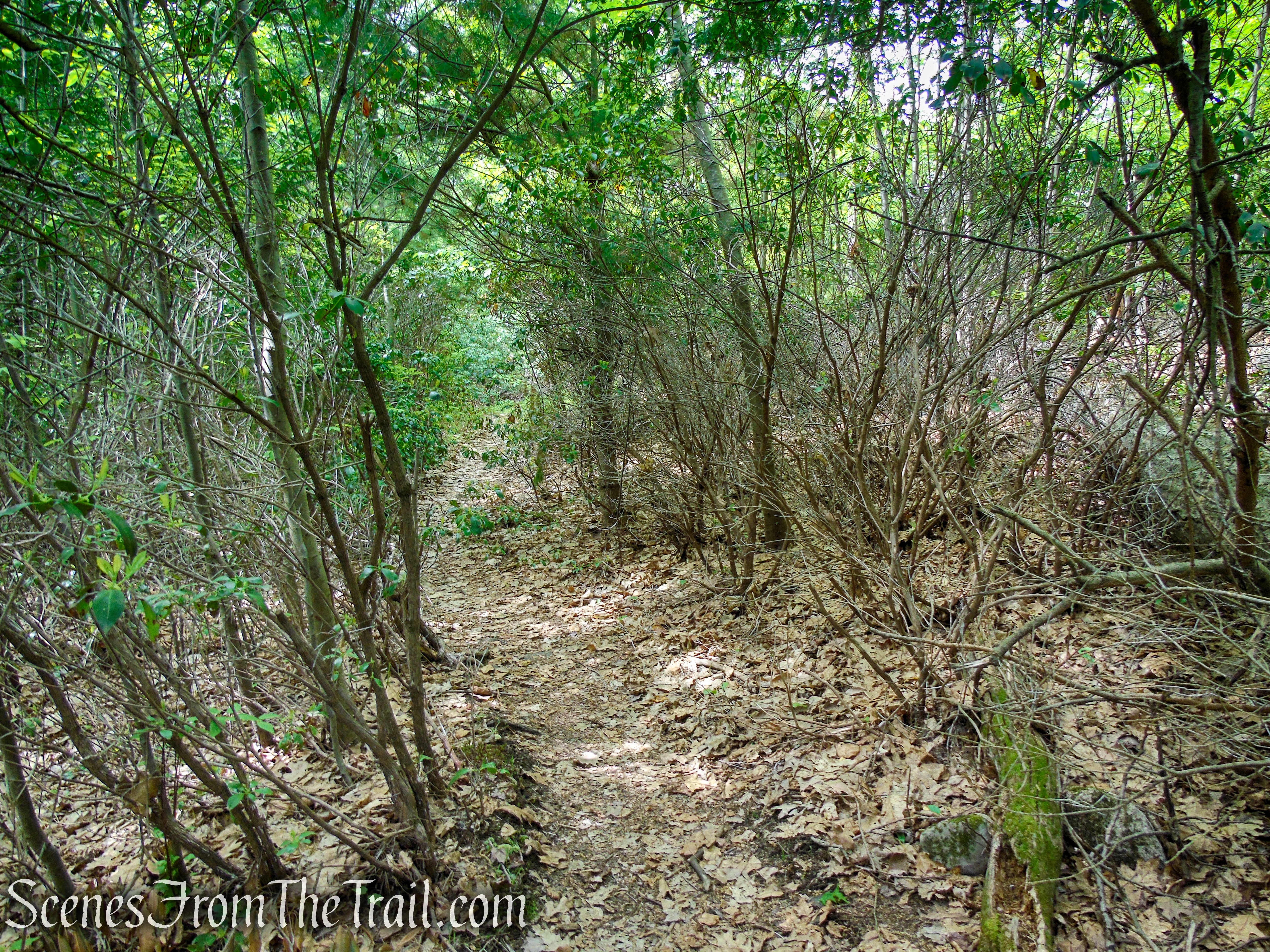
The White Bar Trail soon crosses a stream (dry on this day) and continues on a somewhat overgrown, narrow footpath.
Stream crossing – White Bar Trail – Harriman State Park
White Bar Trail – Harriman State Park
White Bar Trail – Harriman State Park
White Bar Trail – Harriman State Park

White Bar Trail – Harriman State Park
White Bar Trail – Harriman State Park
After crossing another stream, the White Bar Trail bears left and joins a woods road. The Nurian Trail joins from the right, then departs down to the left after 0.1 mile.

Stream crossing – White Bar Trail – Harriman State Park

White Bar Trail – Harriman State Park
White Bar Trail – Harriman State Park

White Bar Trail – Harriman State Park
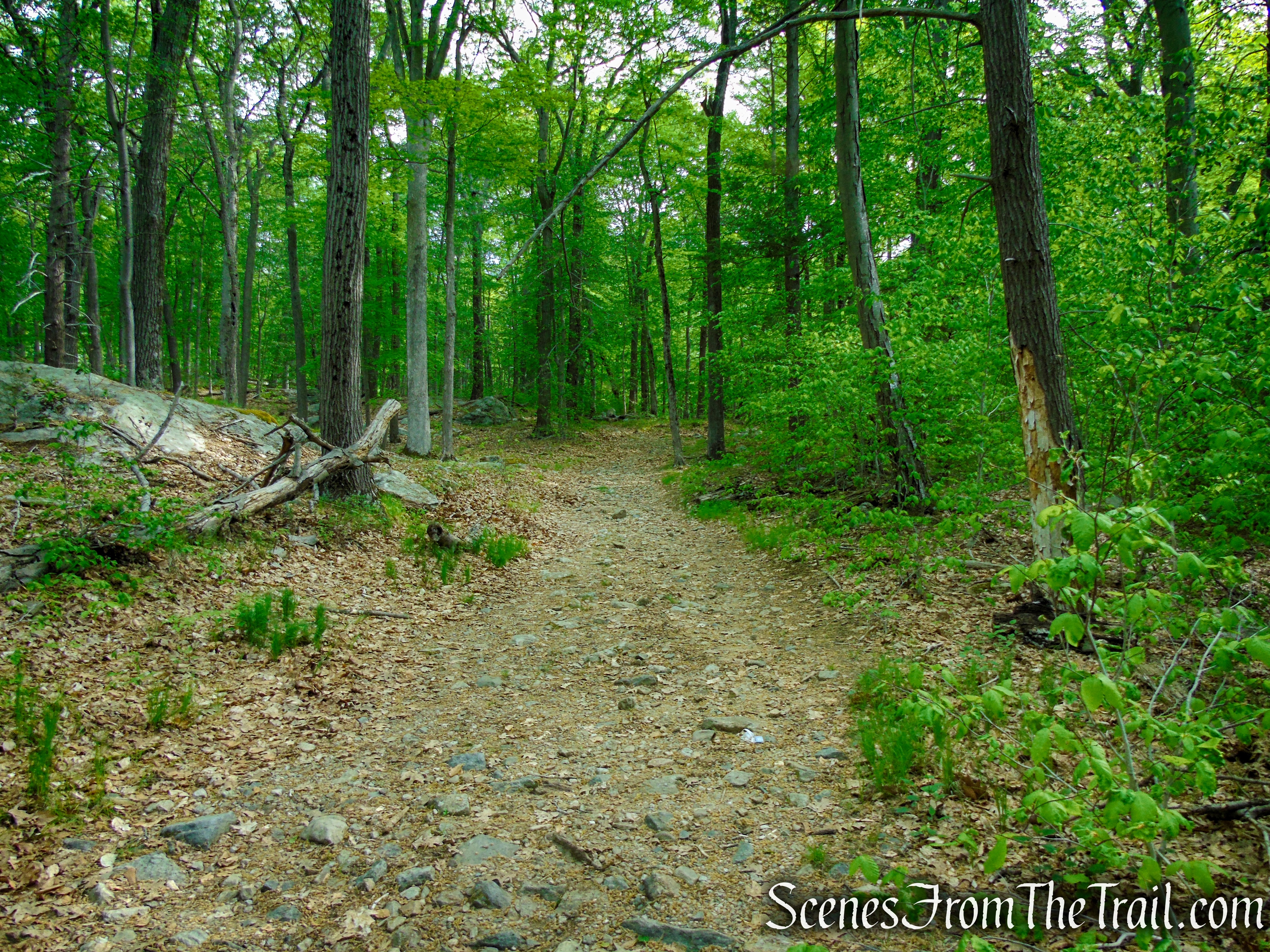
Continue ahead on the White Bar Trail, now retracing your steps from the beginning of the hike.
Continue straight to remain on White Bar Trail
In a short distance, the White Bar Trail crosses a small stream on rocks as it continues southwest, soon joined by Island Pond Road, which comes in from the right. Follow the White Bar Trail back to CR 106, where the trail turns left, parallels the road for a short distance, and then crosses the road into the parking area where the hike began.
White Bar Trail – Harriman State Park

White Bar Trail – Harriman State Park

White Bar Trail – Harriman State Park
White Bar Trailhead – Harriman State Park
Review:
A fabulous hike through an extremely scenic area. This hike far exceeded my expectations. The views are decent, but there are much better views in Harriman. The entire length of the Ramapo-Dunderberg Trail that was traversed on this hike, was the highlight of the day. The bare rock slabs, dotted with boulders, makes for an interesting landscape. This lesser traveled area of Harriman, is a hidden gem. With the exception of the ridge, the trails offer a lot of tree cover for those warm sunny days.
Pros:
Very scenic area, Bald Rocks, Bald Rocks Shelter, well marked trails, shaded trails, not much foot traffic.
Cons:
Dunning and White Bar trails could use a little trimming.
Take a hike!
Black Rock Mountain Loop from White Bar Trailhead – Harriman State Park
Sources:
- New York-New Jersey Trail Conference
- Harriman State Park
- Myles, William J.; Chazin, Daniel. Harriman Trails: A Guide and History . New York – New Jersey Trail Conference. Kindle Edition.

Carlos, Your writing and photos are really great. Thanks for such informative information….
LikeLike
Thank you.
LikeLike
I did this hike today, but I knew something was wrong. I never came upon the split on the white bar trail. When I returned to the car, that’s when I noticed the trail across the street. I only went there to get an idea of how it was. That’s when I noticed the map on Avenza lined up with your map.
So, I went in the wrong direction. I started on the white bar trail at the parking lot. I’ll have to go back. I still enjoyed the hike. It was just frustrating because the maps wouldn’t line up. Completely my fault for not reading everything.
LikeLike