June 5, 2022 – Cold Spring, NY
Difficulty: Moderate
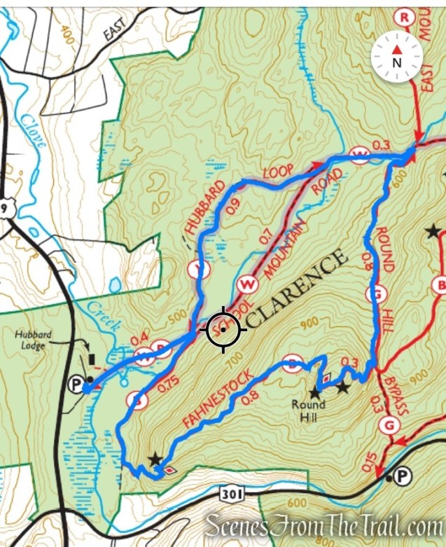
Length: Approximately 5 miles
Max elevation: 1079 ft.– total elevation gain approximately 776 ft.
Route type: Circuit
Buy Maps (Paper & Avenza): East Hudson Trails Map #103
Free Web Map: Fahnestock State Park Trail Map 2022
Free Avenza App Map: Fahnestock State Park Trail Map 2019
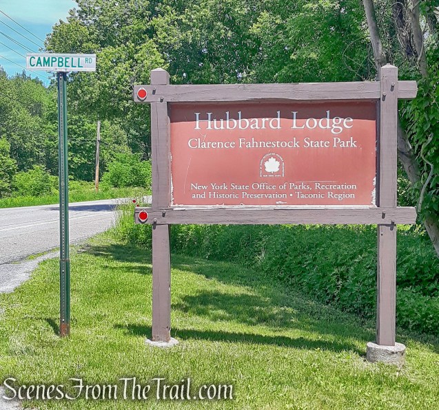
Trailhead parking: Campbell Road, Cold Spring, NY 10516
Ample street parking is available – No bathrooms on site
The park is open year round from sunrise to sunset.
Park Overview:
Clarence Fahnestock Memorial State Park, also known as Fahnestock State Park, is a 16,171-acre state park located in north central Putnam County with portions in the towns of Carmel, Kent, Philipstown and Putnam Valley. The park is traversed by the Taconic State Parkway, US Route 9, NYS Route 301 and several local roads. Rail stations operated by Metro North Railroad are within ten miles of the park at Garrison, Cold Spring and Beacon. The park does not have a single, formal entrance. The park is managed and maintained by the New York State Office of Parks, Recreation and Historic Preservation.
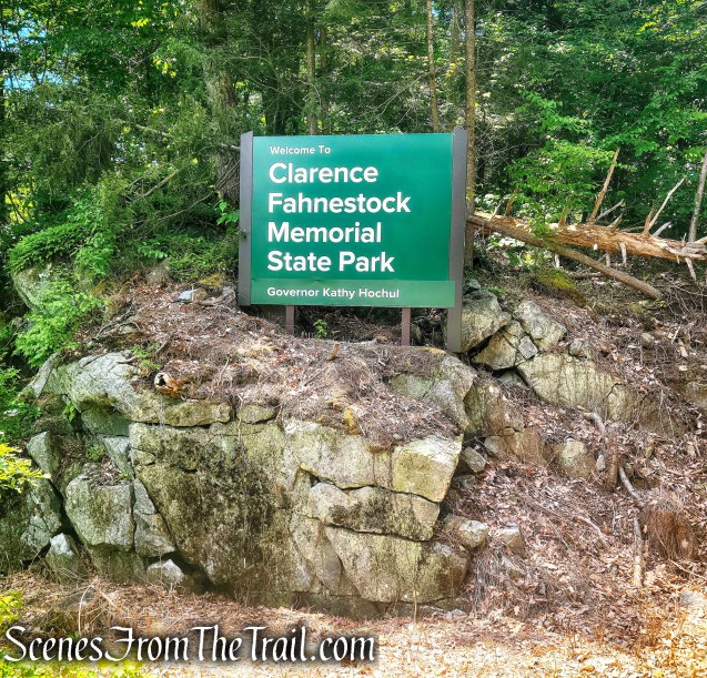
Clarence Fahnestock Memorial State Park
Fahnestock is characterized by parallel ridges and hills that trend in a southwest to northeast direction. Steep slopes are often found on the southeast and northwest aspects of some of these ridges. Elevations range from approximately 400 feet in the lowest area of the park along Clove Creek in the vicinity of U.S. Route 9, to a maximum of over 1300 feet on a ridge west of Canopus Lake. The majority of the park is at elevations greater than 600 feet.
As the peaks of Clarence Fahnestock Memorial State Park are more hills than mountains, the hiking is generally less strenuous than others in the region. This makes the park a popular destination for casual hikers.
History:
The Fahnestock area was once known for its thriving iron industry that began soon after the American Revolution. The iron ore was smelted locally early in the industry’s development, but later was transported to the West Point Foundry in Cold Spring, which made cannons used in the Civil War. Remnants of the industry and the settlements that grew up around it remain in the stone ruins of former towns, woods roads lined with stone walls, trenches and pits now covered with more than a century’s reforestation, and broken dams that had provided power to operate machinery. After the industry died out, the deforested areas, having served their purpose, were typically sold or left to revert to woodland. Some were converted to agriculture and cleared again resulting in miles of stone walls.
In 1900, Major Clarence Fahnestock (1873-1918), a Manhattan doctor, began purchasing abandoned farms to create a gentleman’s farm and shooting preserve. Fahnestock, an avid hunter, used the land for hunting and fishing purposes and to share the sport with his city friends.
Dr. Fahnestock a Major with the 301st Infantry in the U.S. Army, serving in France, succumbed to pneumonia while treating patients with the disease. At the time of his death, Dr. Fahnestock was the largest real estate holder in Putnam County, owning approximately 6,000 acres, mostly former iron mining properties. This area was known as the “Big Woods.”
In 1929 his brother Dr. Ernest Fahnestock donated 2,400 acres to the state to create a park in honor of his brother. He donated an additional 105 acres for the creation of Canopus Lake. It was stipulated that the park should be named in honor of his late brother. Today, we know this area as the Clarence Fahnestock Memorial State Park. The Civilian Conservation Corps, (CCC) part of President Franklin D. Roosevelt’s “New Deal,” was responsible for much of the park’s early development in the 1930’s.
Over time, New York State put 6,000 acres off limits to developers and the Open Space Institute has been instrumental in securing additional tracts of land for the park. By purchase or gift, the park has grown substantially over the decades to its current size of over 14,300 acres.
Trails Overview:
With approximately 77 miles of blazed trails, many of them quiet and uncrowded, they can be combined to create loop hikes. The white-blazed Appalachian Trail runs through the park.
This hike incorporates sections of four well marked trails.
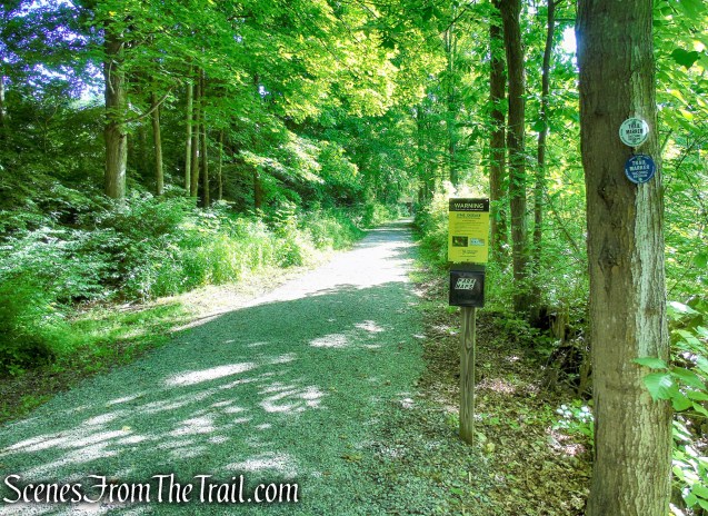
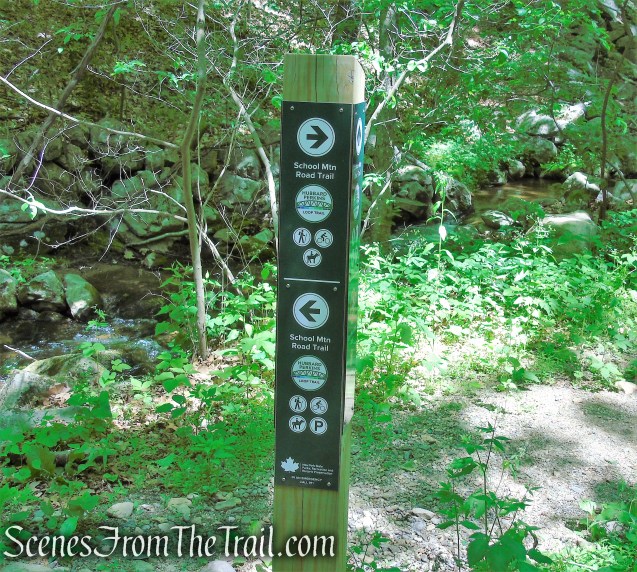
- School Mountain Road (white- 1.4 miles ) – is a relatively level, multi-use woods road that connects the parking area with several other trails.
- Fahnestock Trail (blue – 1.85 miles) – is the main east-west trail north of NY 301. This trail covers a wide variety of terrain, including a very steep climb to the top of Round Hill providing west-facing views.
- Round Hill Bypass Trail (green – 0.8 mile) – starts out as a woods road at the junction with the Fahnestock Trail, it narrows to a footpath as it gradually descends, crossing several intermittent streams and stone walls on the way down.
- Hubbard Loop Trail (yellow – 0.90 mile) – roughly parallels the School Mountain Road Trail for almost a mile as it climbs gradually on a woods road bordered by stone walls.
Please note: In 2020, as part of the Open Space Institute (OSI) multi-year Fahnestock Improvement Plan, portions of some trails have been rerouted and improved to correct longstanding erosion and water problems. It is advisable that you carry the most up to date trail map that is available.
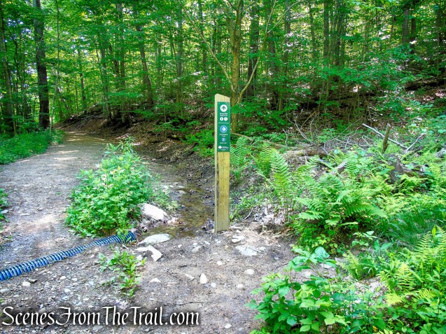
Trailhead is located on Campbell Road at a brown sign for the “Hubbard Lodge.” Bear left at the fork, continue past a house on the left, and park along the the road.
Clarence Fahnestock Memorial State Park
Hike Overview:
As the summer hiking season gets underway, it becomes more difficult to find areas to hike that are not overcrowded. Some of the more popular spots can get overwhelmed on the weekends. This hike doesn’t have the most spectacular views or the greatest points of interest, but it has a little bit of many different things that make it enjoyable. The most enjoyable aspect, is that it has sort of a deep woods feel even though you are never that far from two major thoroughfares. Another element is that you won’t run into many people on the trails.
We hiked this lollipop loop counterclockwise, attacking the steep section of Round Hill right at the beginning. After that it was a mostly downhill affair through the extremely quiet woods. The numerous stream crossings are made possible by wooden footbridges built by West Point Cadets.
Round Hill Loop – Fahnestock State Park
As you can see by the elevation profile, it’s a steep climb between the first and second mile, a gain in elevation of about 580 feet.

elevation profile – Round Hill Loop
The Hike:
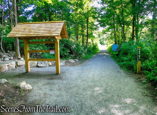
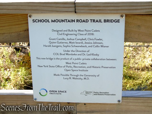
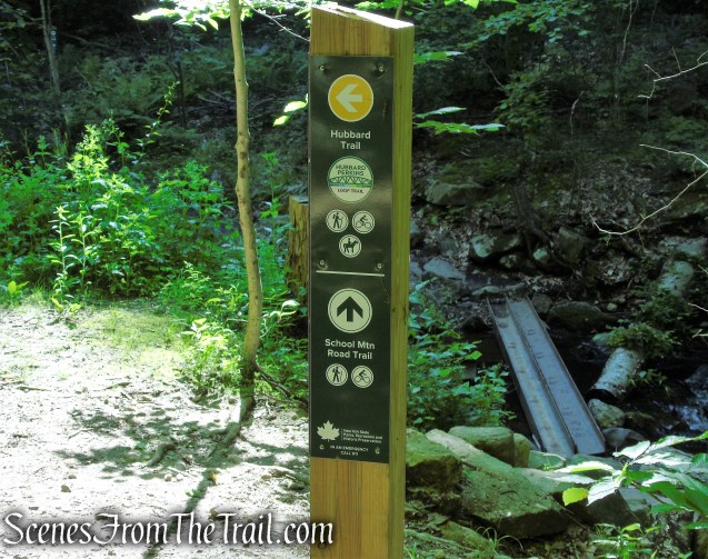
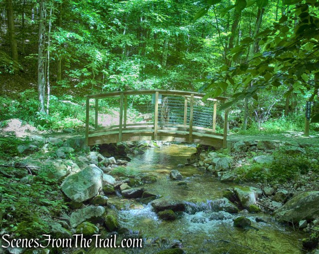
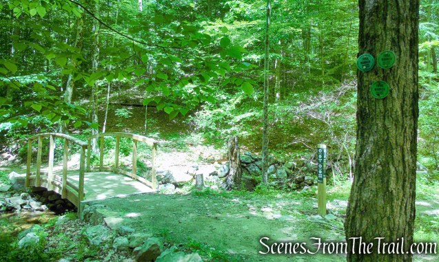
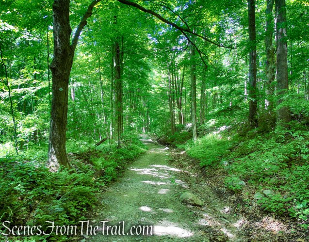
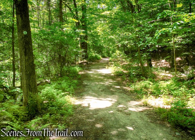
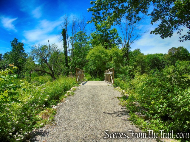
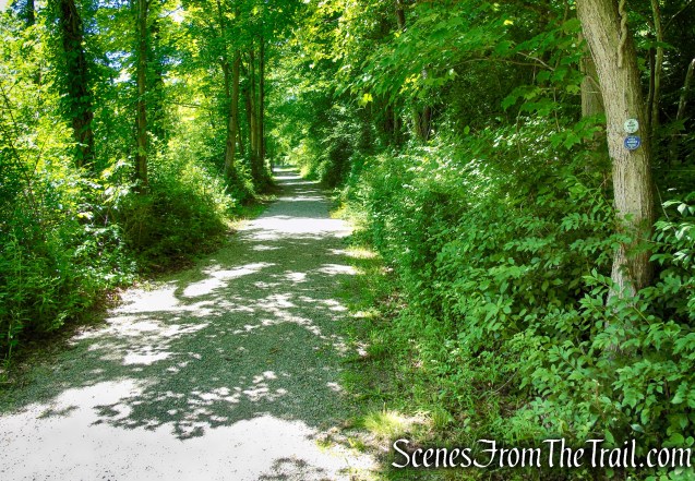
Walk back along the paved road to a junction with a gravel road on the left. Turn left onto the grassy road at a gate. A triple-white blaze on the gate marks the start of the white-blazed School Mountain Road, and a triple-blue blaze marks the start of the blue-blazed Fahnestock Trail. Continue ahead on the road, which soon crosses two streams on wooden bridges built by civil engineering cadets of the West Point Military Academy.

School Mountain Road – Fahnestock State Park
School Mountain Road – Fahnestock State Park
School Mountain Road – Fahnestock State Park
School Mountain Road – Fahnestock State Park

School Mountain Road Bridge – Fahnestock State Park
School Mountain Road Bridge – Fahnestock State Park

School Mountain Road Bridge – Fahnestock State Park
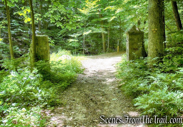
In about half a mile, you’ll notice two stone pillars on the left. The road formerly crossed the stream here on a steel-plate bridge, but the bridge was washed out by Hurricane Irene in August 2011. Turn right, descend stone steps, and cross the stream on two steel I-beams.
School Mountain Road – Fahnestock State Park
School Mountain Road – Fahnestock State Park
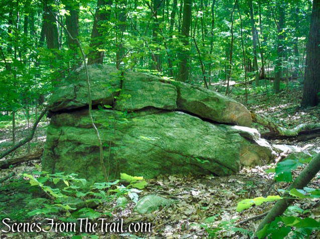
stone pillars – School Mountain Road
cross the stream on two steel I-beams
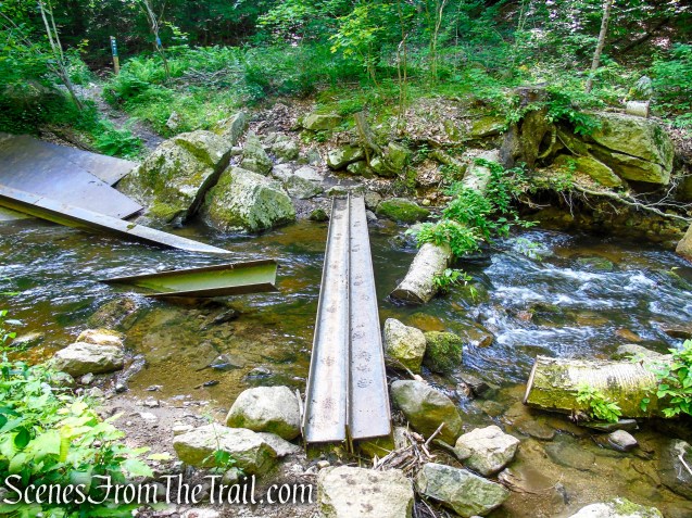
cross the stream on two steel I-beams
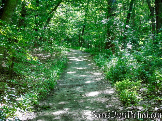
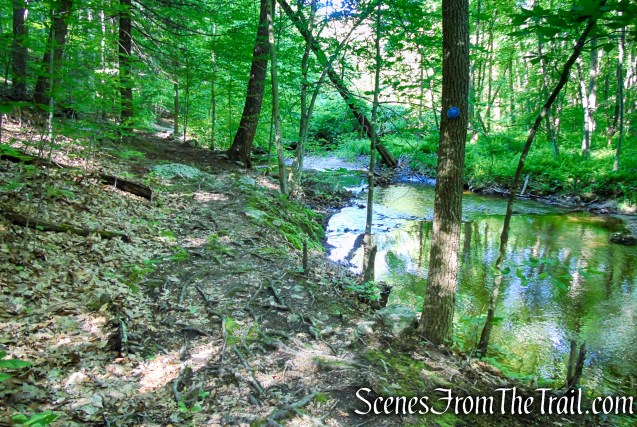
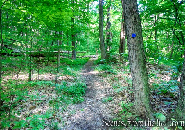
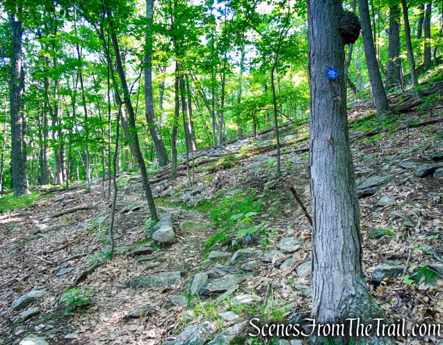
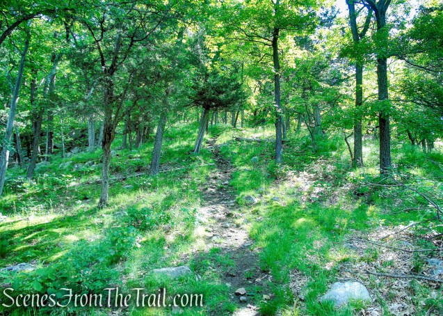
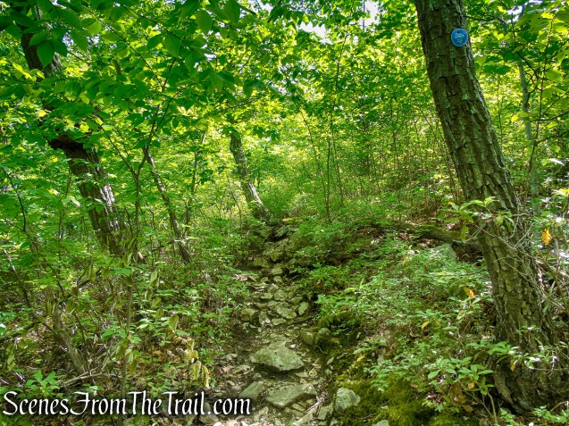
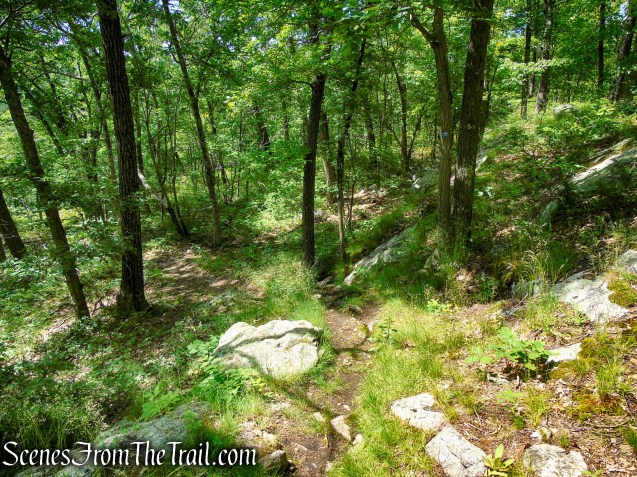
Just beyond, the blue-blazed Fahnestock Trail turns sharply right, leaving School Mountain Road. Continue along the blue-blazed trail, which parallels the stream, following an old woods road which has narrowed in places to a footpath. In 0.2 mile, the woods road leaves the stream, and about half a mile from School Mountain Road, the Fahnestock Trail turns left, leaving the woods road, and begins a rather steep climb of Round Hill on switchbacks.
turn right on Fahnestock Trail
Fahnestock Trail – Round Hill
Fahnestock Trail – Round Hill
Fahnestock Trail – Round Hill
Fahnestock Trail – Round Hill
Fahnestock Trail – Round Hill

Fahnestock Trail – Round Hill
Fahnestock Trail – Round Hill
Fahnestock Trail – Round Hill
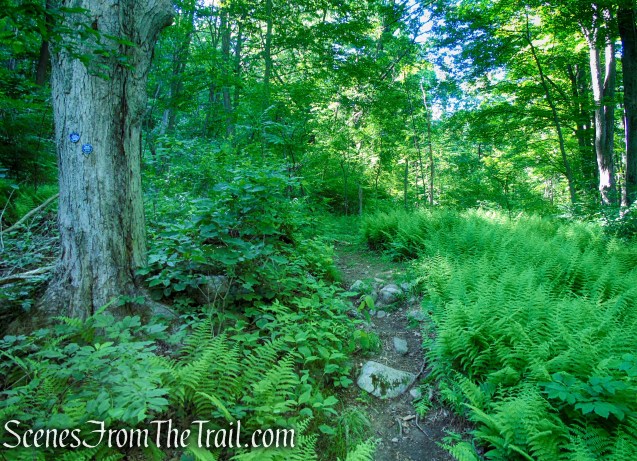
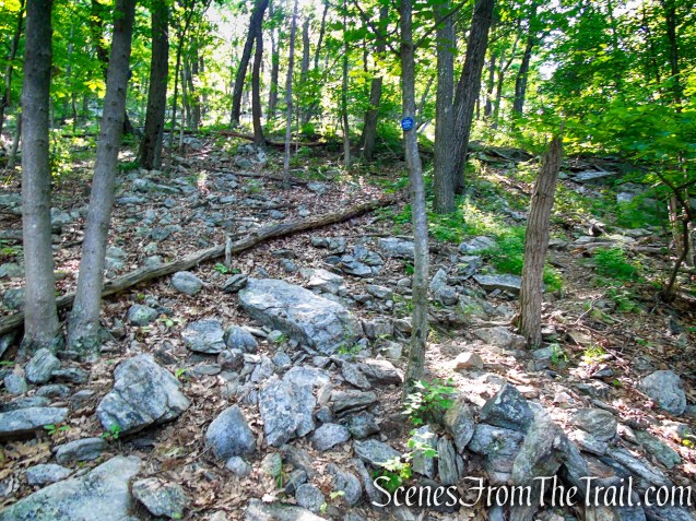
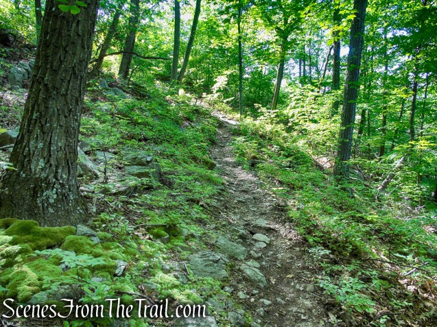
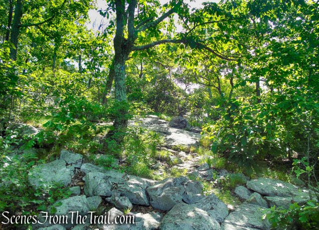
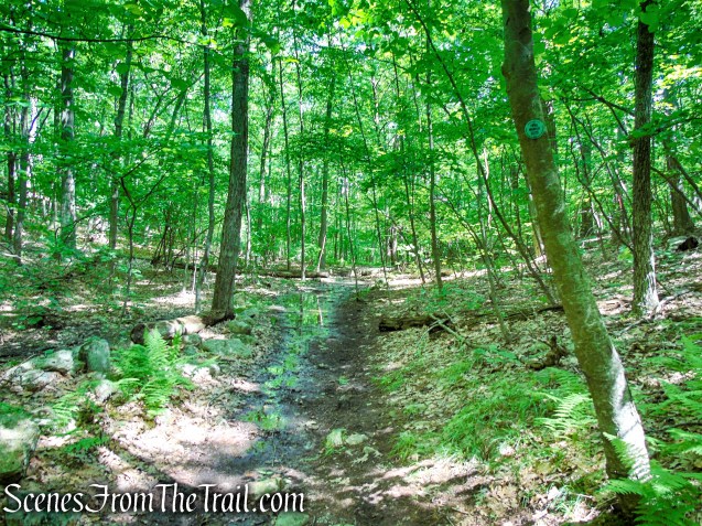
At the top of the steep climb, the trail reaches a limited west-facing viewpoint amid red cedars, with Bull Hill (Mt. Taurus) in the distance. The trail continues up the cedar-studded ridge of Round Hill, climbing gradually.
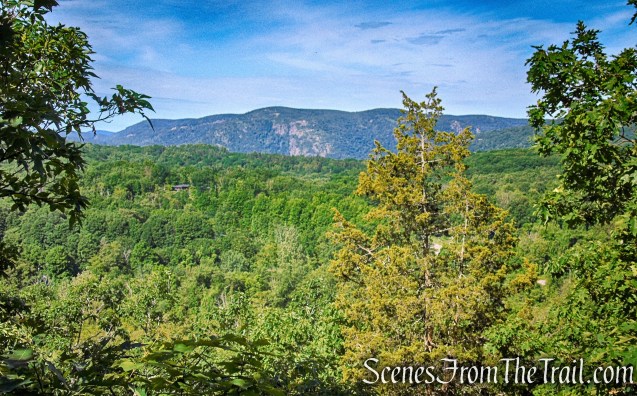
west-facing viewpoint – Round Hill
Fahnestock Trail – Round Hill

Fahnestock Trail – Round Hill
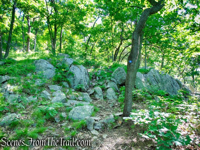
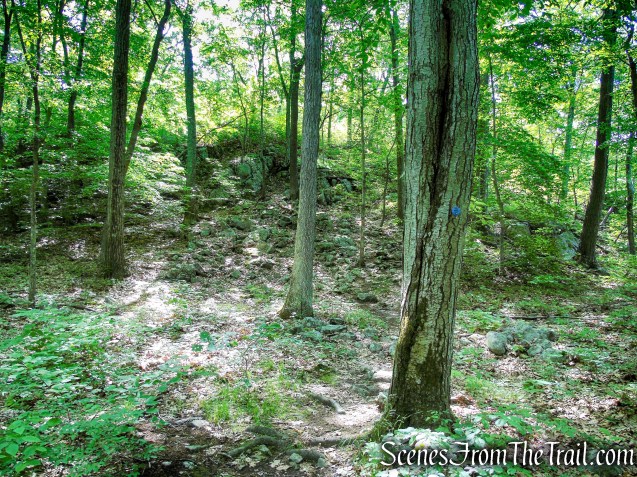
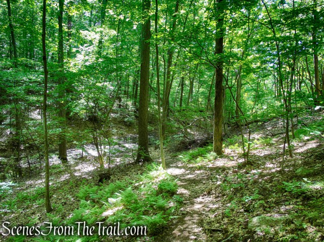
After following the ridge for about half a mile, the trail bears right, descends slightly into a shallow ravine, then climbs more steeply on a winding path. It levels off and soon reaches a southwest-facing viewpoint from a rock ledge to the right of the trail, just below the summit of Round Hill. This is a good spot for a break.
Fahnestock Trail – Round Hill
Fahnestock Trail – Round Hill
Fahnestock Trail – Round Hill

southwest-facing viewpoint – Round Hill
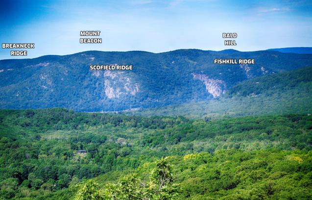
southwest-facing viewpoint – Round Hill
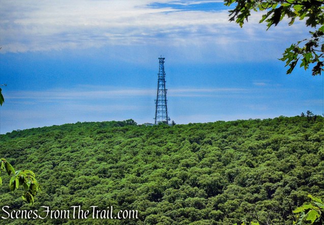
The Mount Beacon Fire Tower can be seen off in the distance.
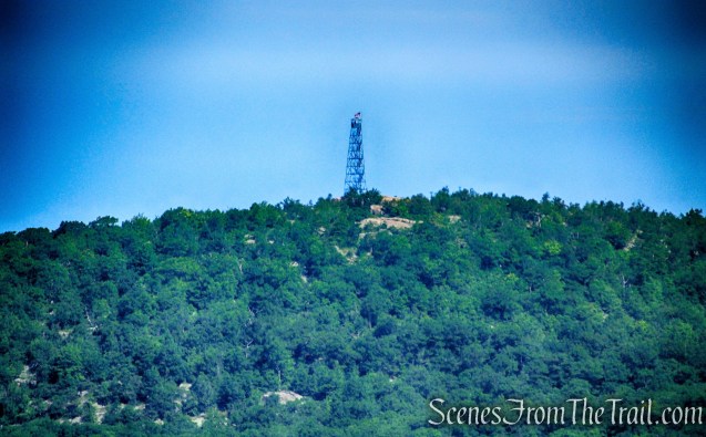
Mount Beacon Fire Tower as viewed from Round Hill
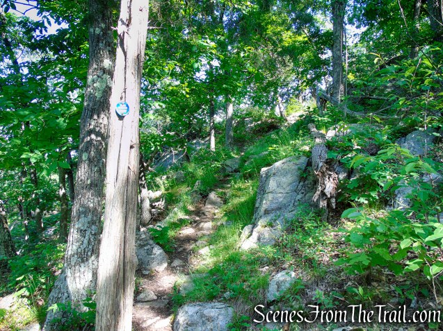
After climbing a little more to reach a limited east-facing viewpoint over the hills of Fahnestock State Park, with a communications tower on the right, the trail descends rather steeply to a woods road in a valley.
Fahnestock Trail – Round Hill
limited east-facing viewpoint – Round Hill
Fahnestock Trail – Round Hill

Fahnestock Trail – Round Hill
Fahnestock Trail – Round Hill
Turn left onto the woods road, the route of the green-blazed Round Hill Bypass Trail. Follow this trail as it narrows to a footpath and continues a gradual descent, crossing several intermittent streams and stone walls on the way down.
Round Hill Bypass Trail – Fahnestock State Park

Round Hill Bypass Trail – Fahnestock State Park
Round Hill Bypass Trail – Fahnestock State Park
Round Hill Bypass Trail – Fahnestock State Park
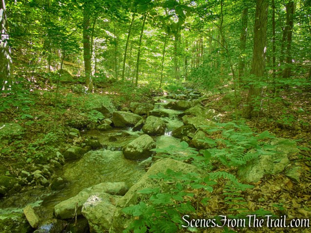
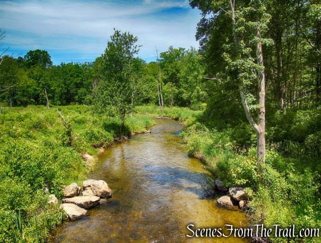
In three-quarters of a mile, the trail reaches the base of the descent. The trail now bears right, climbs a little, and parallels a scenic stream on the left. Soon, the Round Hill Bypass Trail ends at a junction with the white-blazed School Mountain Road.

Round Hill Bypass Trail – Fahnestock State Park
Round Hill Bypass Trail – Fahnestock State Park
Round Hill Bypass Trail – Fahnestock State Park
terminus of Round Hill Bypass Trail
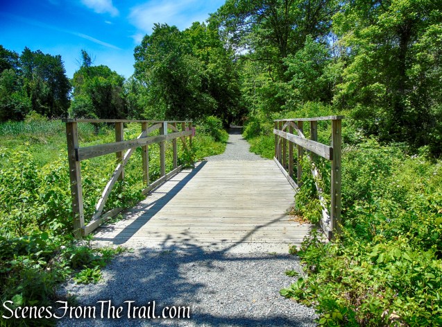
Turn left onto School Mountain Road, which immediately crosses the stream on a wooden footbridge. Continue along School Mountain Road for about a quarter mile, passing through a pleasant valley and paralleling a stone wall and a wide stream.
turn left on School Mountain Road
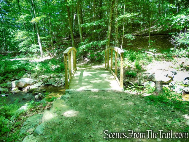
School Mountain Road Trail Bridge – Fahnestock State Park
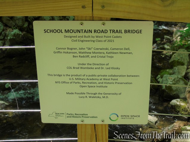
School Mountain Road Trail Bridge – Fahnestock State Park
School Mountain Road – Fahnestock State Park
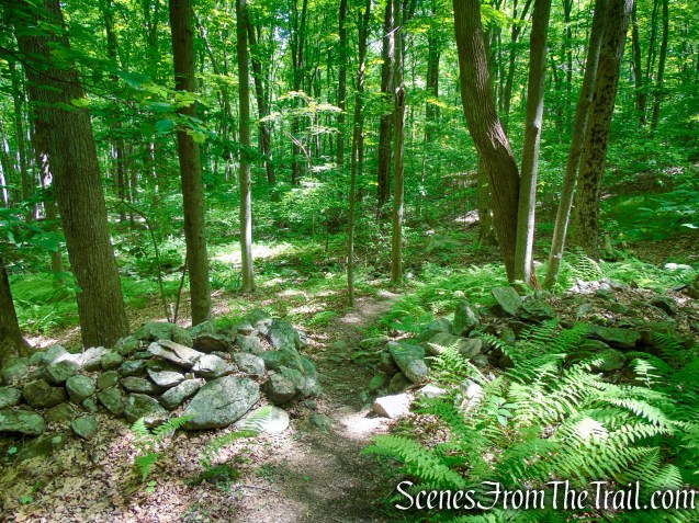
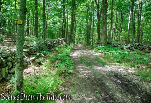
After crossing a wooden arch bridge over a tributary stream, you’ll reach a junction where the yellow-blazed Hubbard Loop Trail begins on the right. Bear right and continue on the Hubbard Loop Trail, which climbs gradually on a woods road bordered on the left by a stone wall, passing abandoned farm settlements along the way.
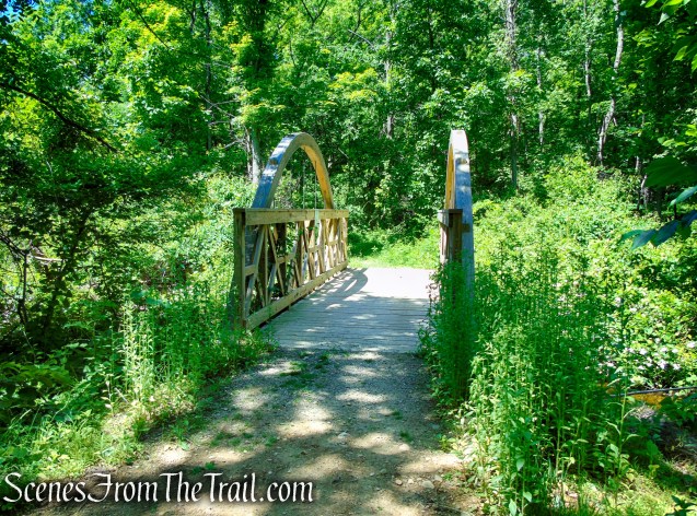
School Mountain Road Trail Bridge – Fahnestock State Park
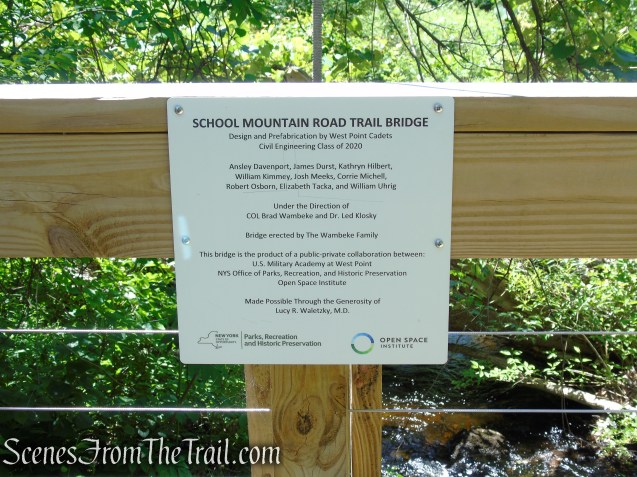
School Mountain Road Trail Bridge – Fahnestock State Park

turn right on Hubbard Loop Trail
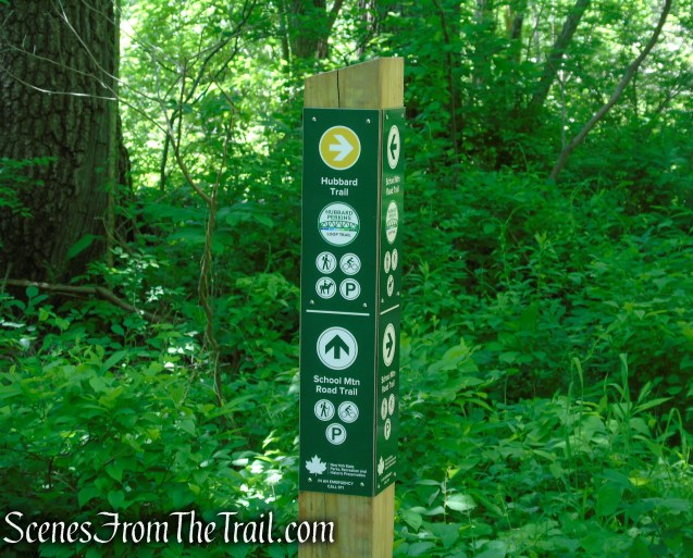
turn right on Hubbard Loop Trail
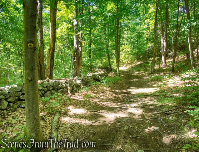
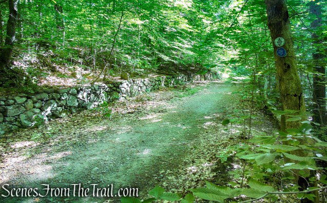
Hubbard Loop Trail – Fahnestock State Park

Hubbard Loop Trail – Fahnestock State Park

Hubbard Loop Trail – Fahnestock State Park
Just beyond the crest of the rise, the trail bears left, leaving the woods road, then rejoins the road just ahead. The road is now bordered by stone walls on both sides.
Hubbard Loop Trail – Fahnestock State Park
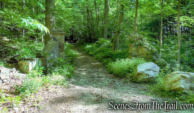
After curving to the left, the Hubbard Loop Trail passes between two stone pillars and ends at School Mountain Road, opposite the steel I-beams that you used to cross the stream earlier in the hike. Turn right onto the white-blazed School Mountain Road (also the route of the blue-blazed Fahnestock Trail), retracing your steps back to the starting point of the hike.
terminus of Hubbard Loop Trail
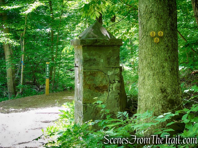
terminus of Hubbard Loop Trail
School Mountain Road – Fahnestock State Park
School Mountain Road – Fahnestock State Park
School Mountain Road – Fahnestock State Park
School Mountain Road – Fahnestock State Park
School Mountain Road – Fahnestock State Park

School Mountain Road – Fahnestock State Park
Review:
A really nice hike to get away from the masses. We only encountered a handful of people and they were all going in the opposite direction. Almost the entire route was heavily shaded, which is a plus on a warm day. The trails and junctions are well marked and maintained. If you enjoy a little solitude on the trails, then this is the hike for you.
Pros:
Well marked trails, attractive streams with well designed wooden footbridges, scenic views, lightly trafficked trails, shaded trails.
Cons:
None.
Take a hike!
Round Hill Loop – Fahnestock State Park
Sources:
- Fahnestock State Park
- New York-New Jersey Trail Conference
- Major Fahnestock Dead Of Pneumonia October 9, 1918 – The New York Times
- Major Clarence Fahnestock – Find a Grave Memorial
