May 30, 2022 – Southfields, NY
Difficulty: Moderate
Length: Approximately 4.9 miles
Max elevation: 1,148 ft.– total elevation gain approximately 520 ft.
Route type: Out and back
Buy Maps (Paper & Avenza): Harriman-Bear Mountain Trails Map #119
Free Web Map: Harriman State Park Trail Map 2017
Free Avenza App Map: Harriman State Park Trail Map 2017
Trailhead parking: 1369 Kanawauke Rd, Southfields, NY, 10975
Gravel parking lot – no bathrooms on site
Park Overview:
At 47,527 acres, Harriman State Park, located in Rockland and Orange counties, is the second-largest park in the NYS parks system. It has 31 lakes and reservoirs, over 200 miles of hiking trails, two beaches, two public camping areas, a network of group camps, miles of streams and scenic roads, and scores of wildlife species, vistas and vantage points. Harriman State Park’s major facilities include Lakes Welch, Tiorati and Silvermine, the Anthony Wayne Recreation Area, Sebago Cabins and Beaver Pond Campgrounds.
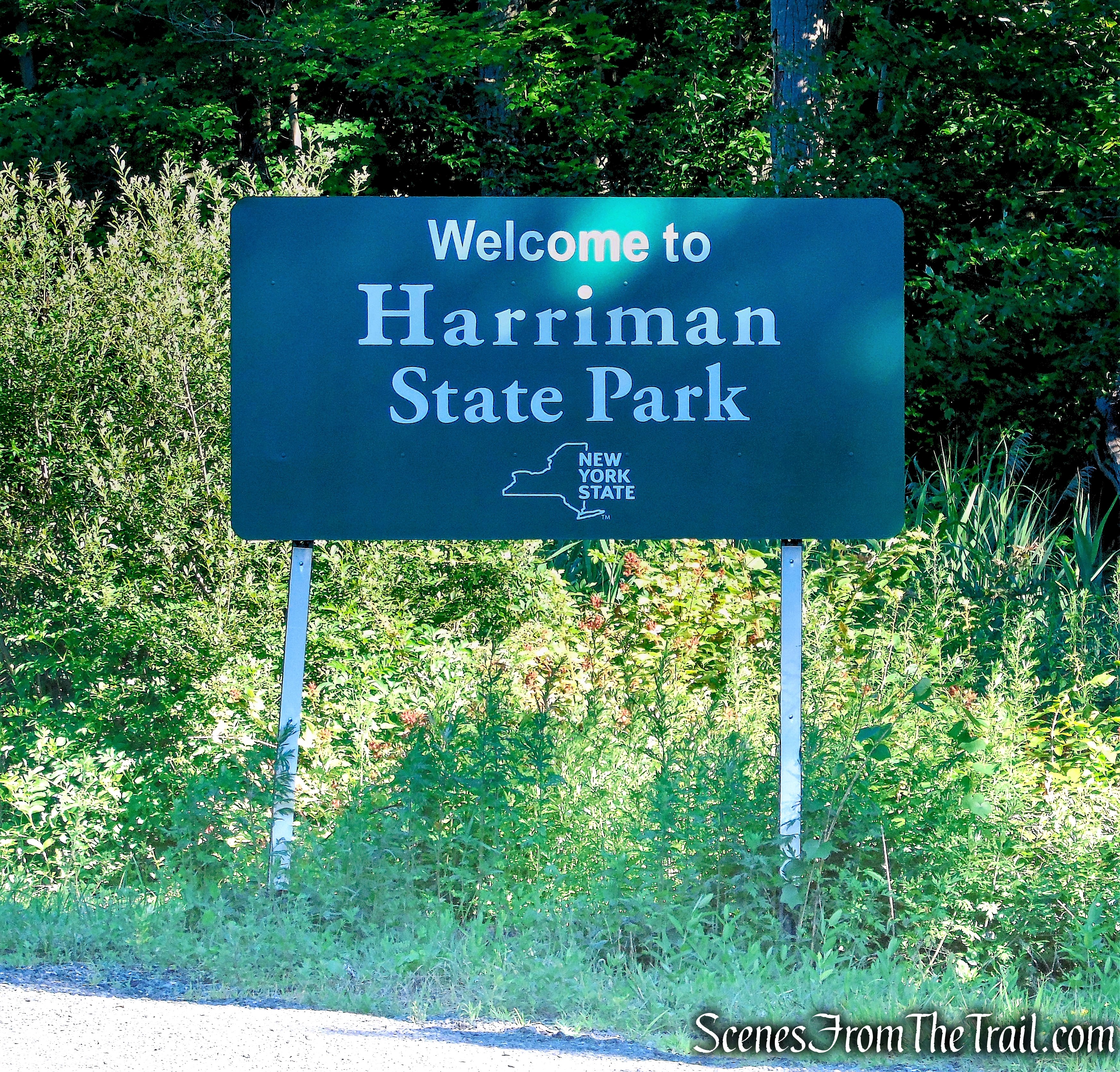
Harriman State Park
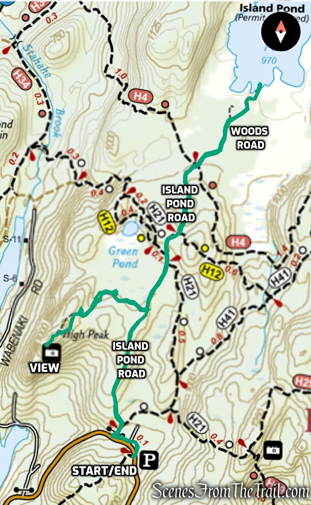
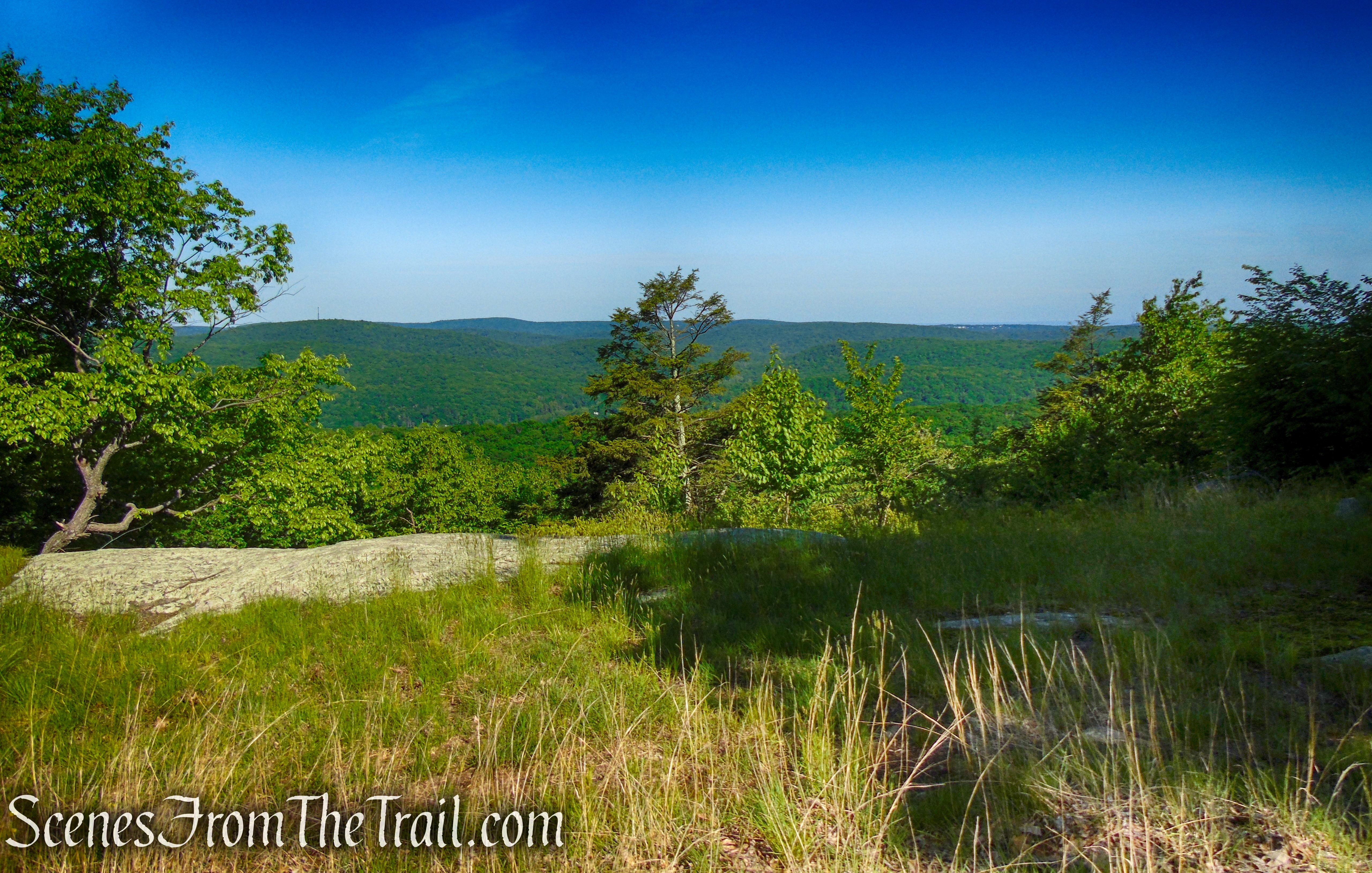
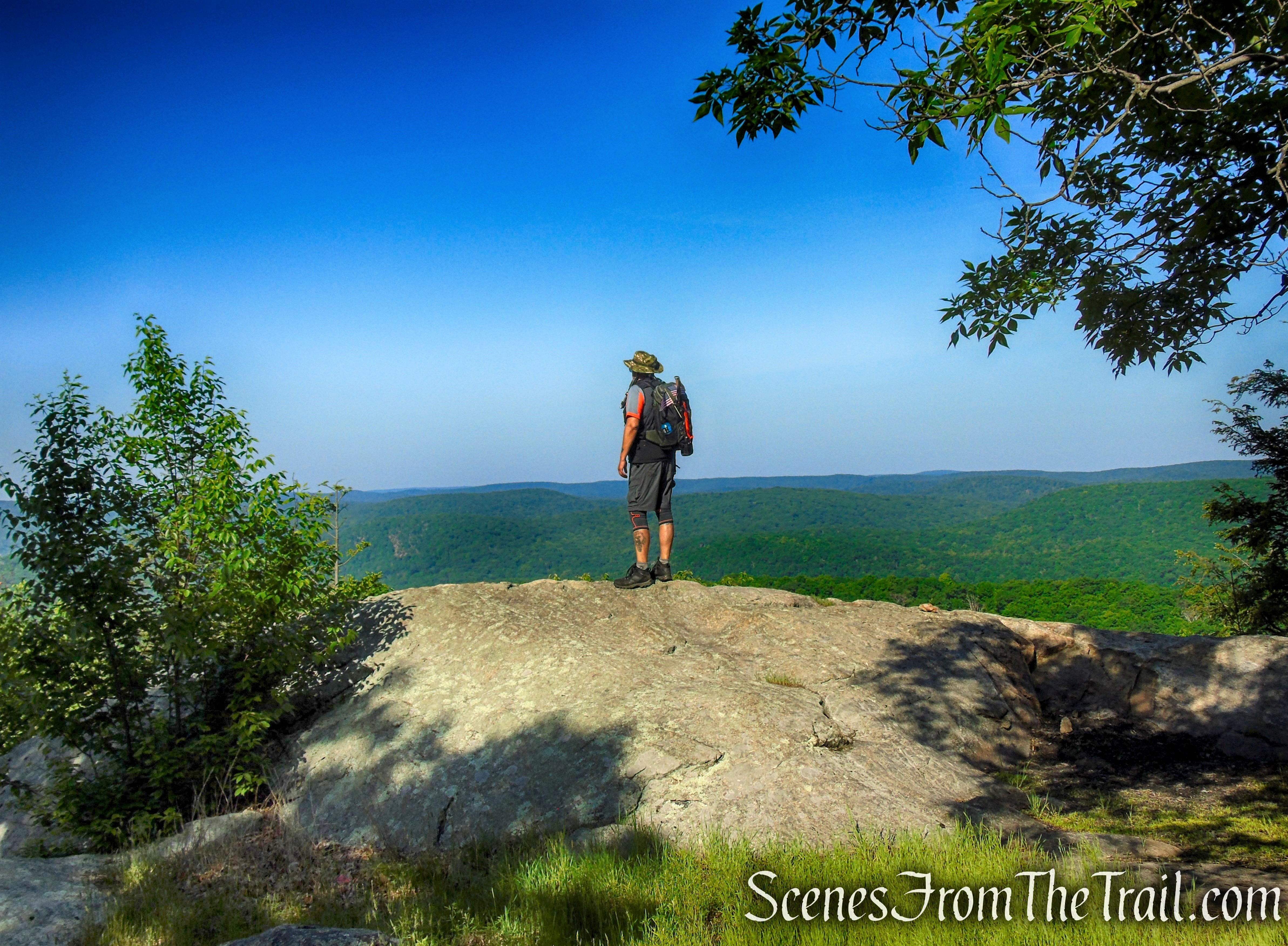
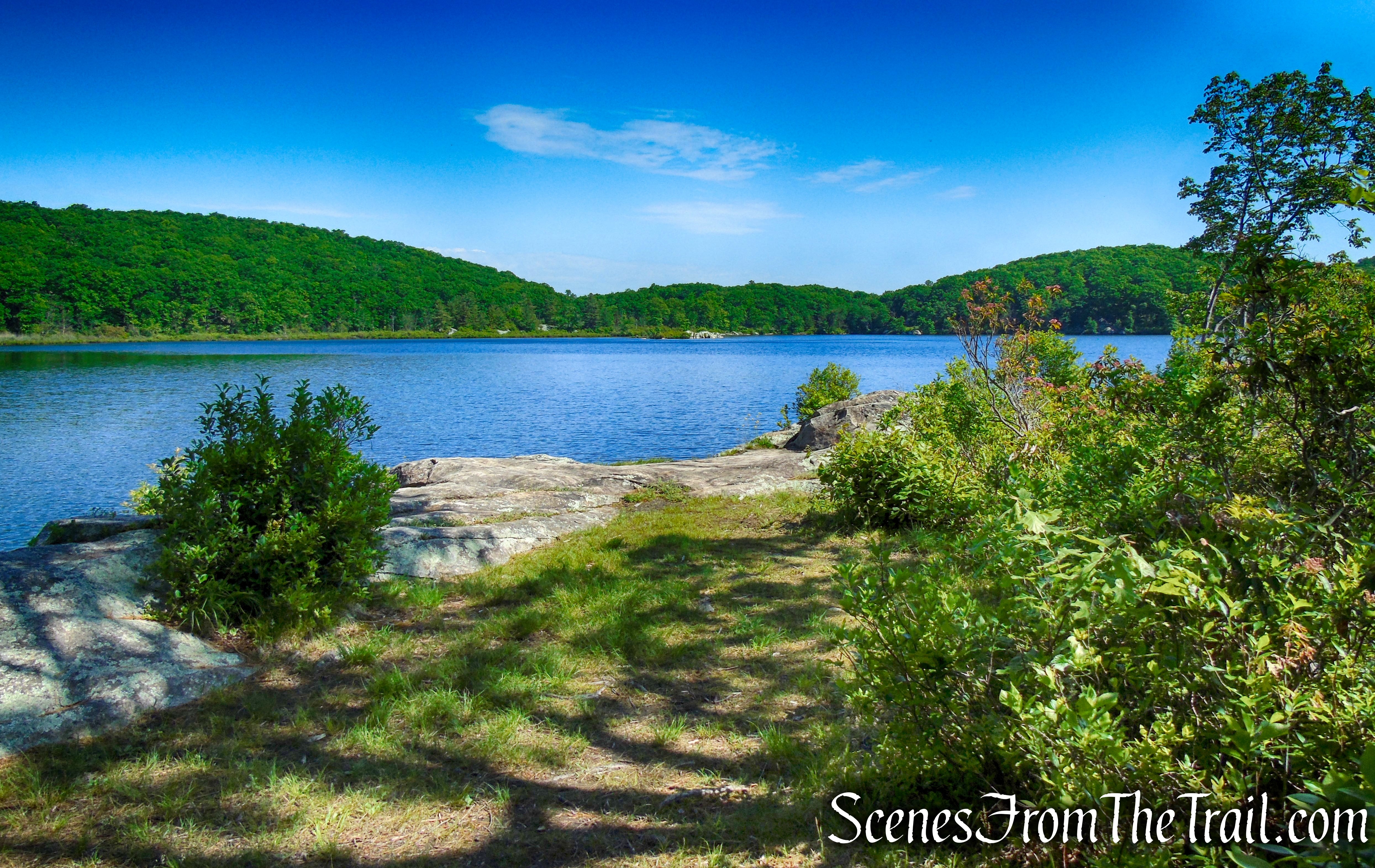
Stahahe High Peak at an elevation of about 1,148 feet above sea level, is located in the western section of Harriman State Park. It is the height of land east of Lake Stahahe. The Mohegan name “STAHAHE” was adopted as early as 1913. It means “stones in the water.” It can be reached by an unmarked trail that goes up from Island Pond Road, starting at about 0.55 mile from County Route 106 (Kanawauke Road). A rock outcrop just past the summit, affords views over Lake Stahahe below, the hills of Sterling Forest to the west and the Harriman hills to the south.

Stahahe High Peak – Harriman State Park
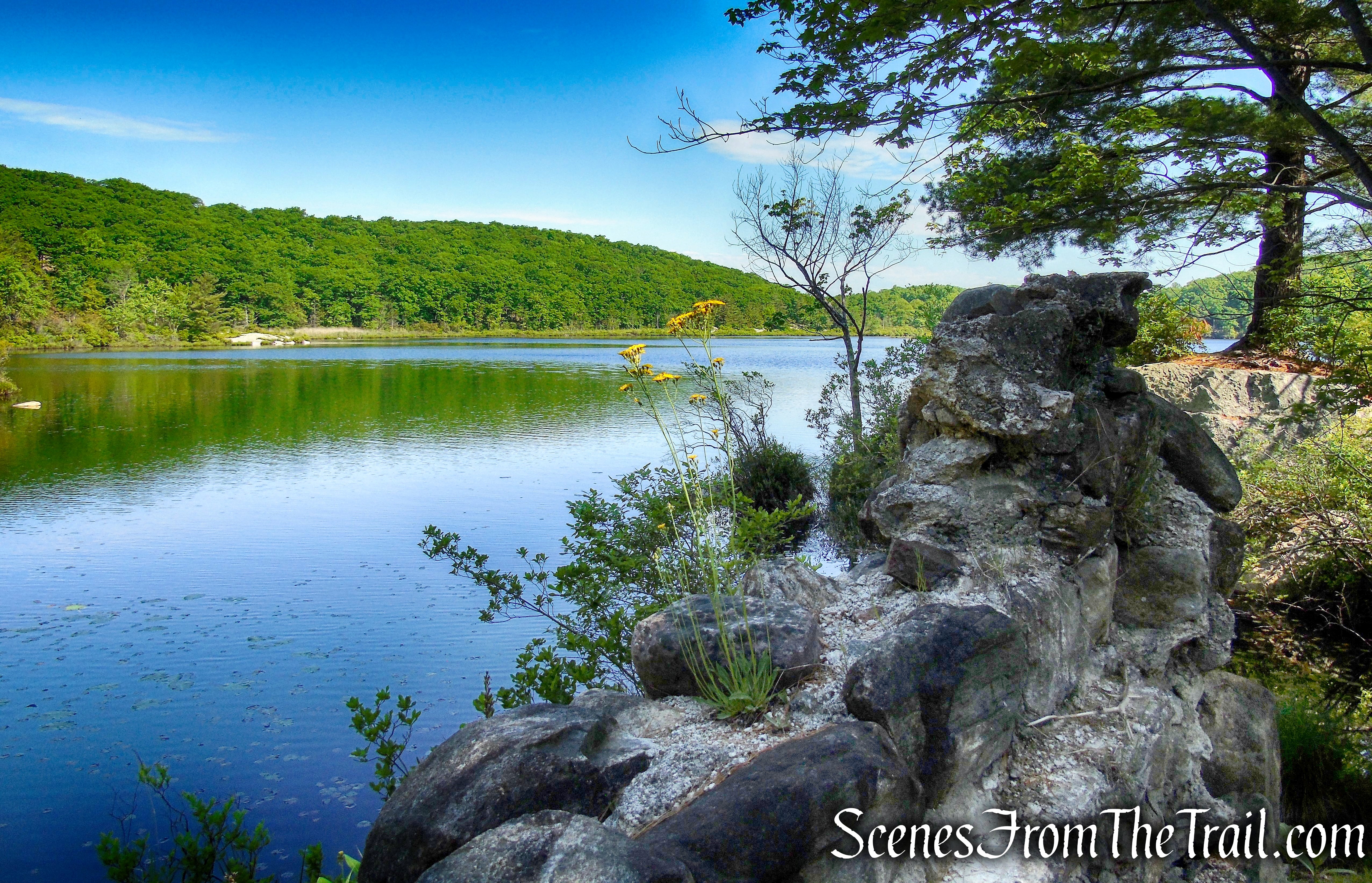
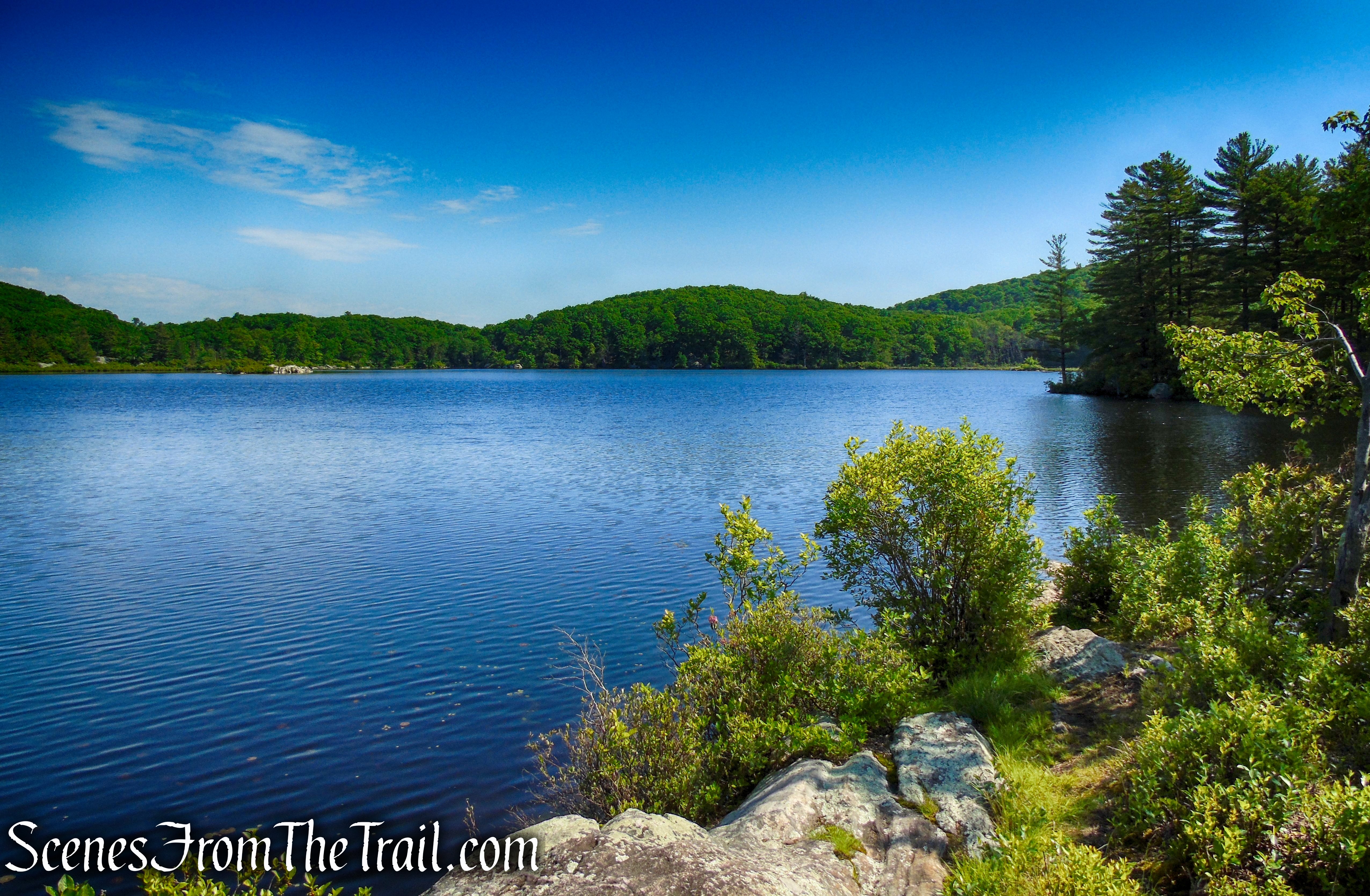
Island Pond is a natural body of water, situated in a large glacially-made pothole, that drains both north and south. To the west is a ridge known as Green Pond Mountain and to the northeast is Island Pond Mountain. Island Pond, with its rocky shore on the north, an island off its east shore which gives the pond its name, and swamps at its south end, is unsurpassed in its scenic beauty.
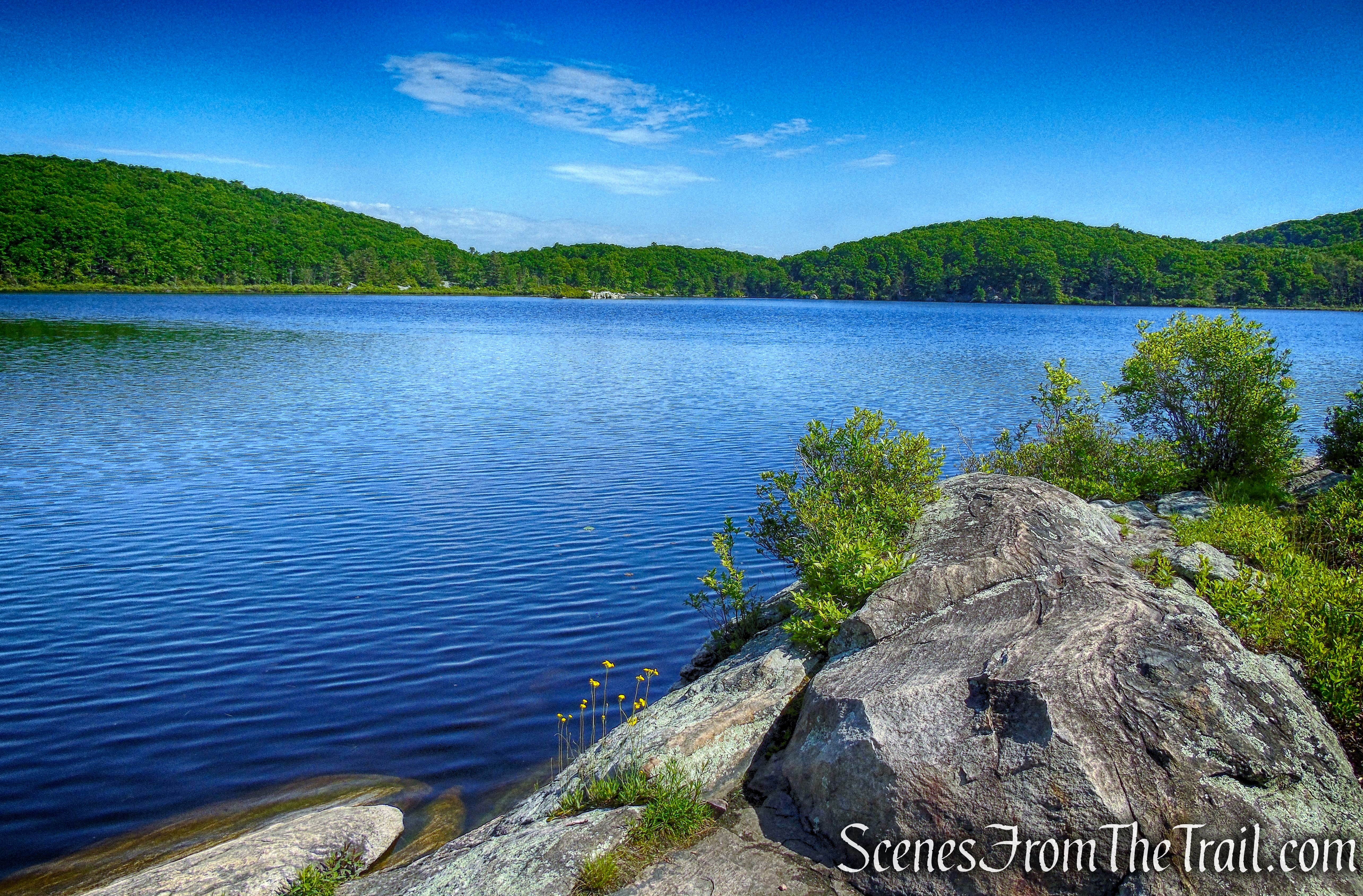
Island Pond – Harriman State Park
History:
Island Pond and the surrounding hills were part of the estate of iron maker Peter Parrott, acquired in 1885 by Edward H. Harriman. When Edward Harriman’s widow Mary Averell Harriman gave 10,000 acres to the Palisades Interstate Park Commission in 1910, Island Pond was not part of the gift. The family retained the pond for their own use. In 1927, in an exchange of land, Roland Harriman gave Island Pond to the Park.
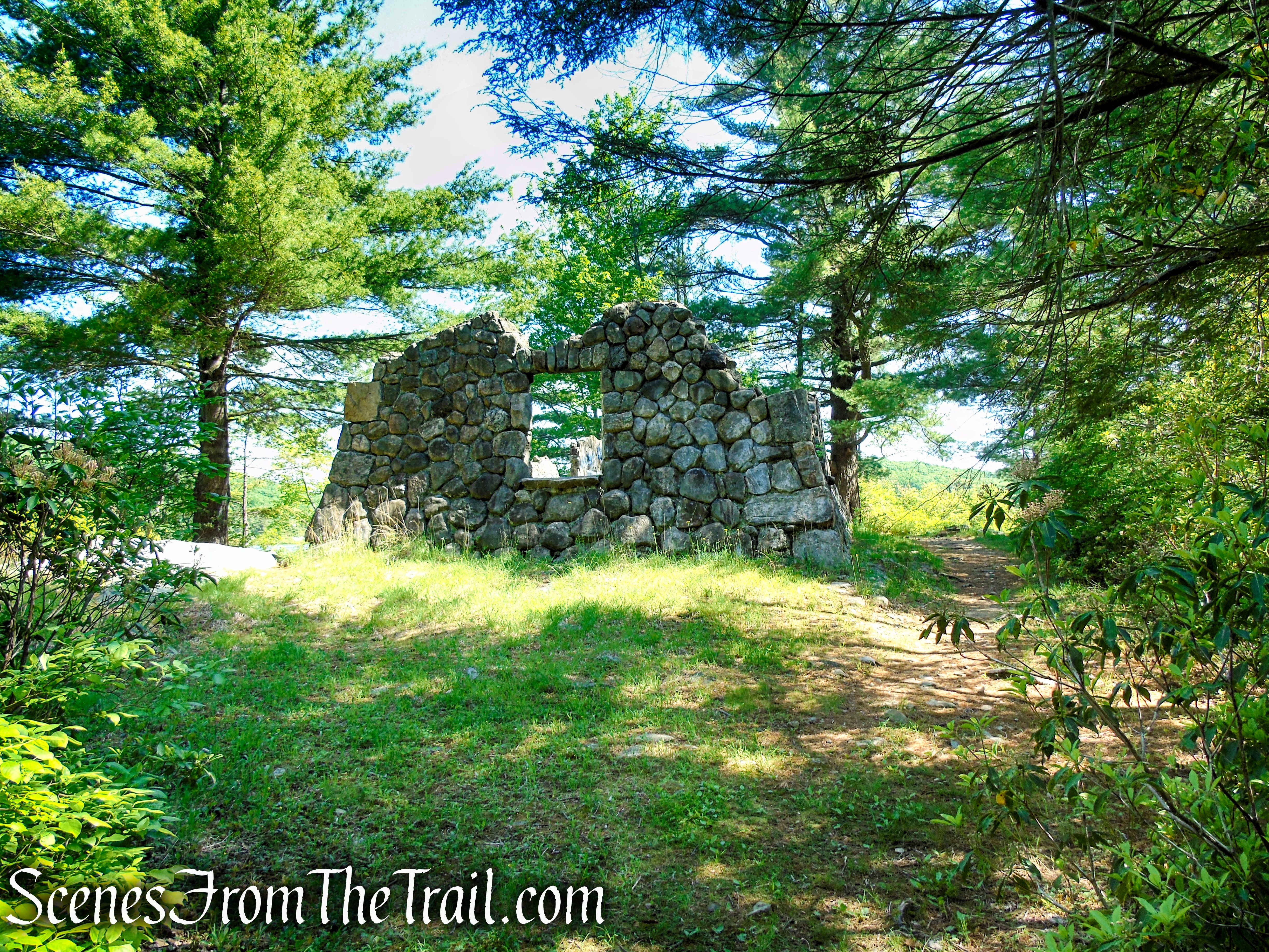
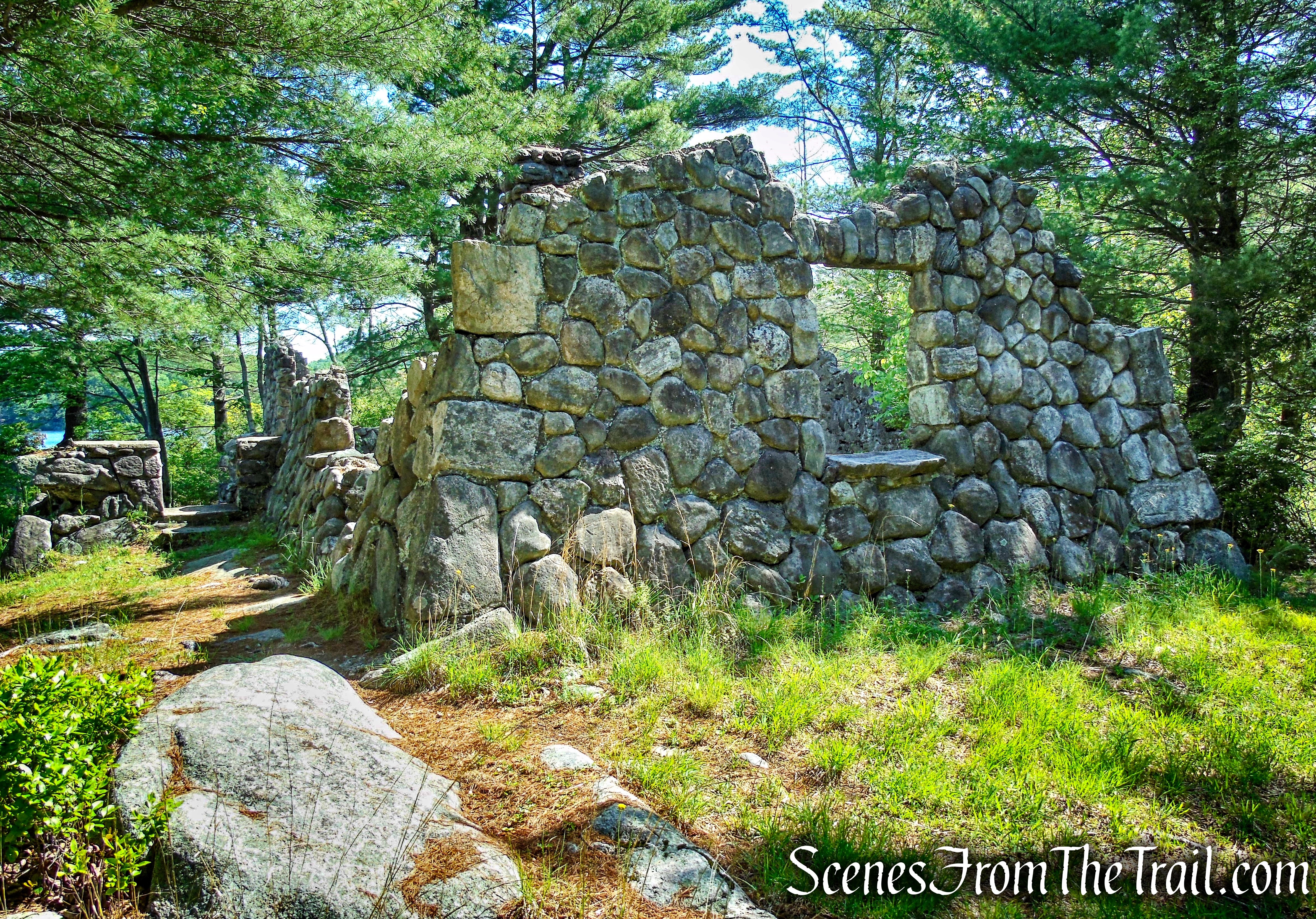
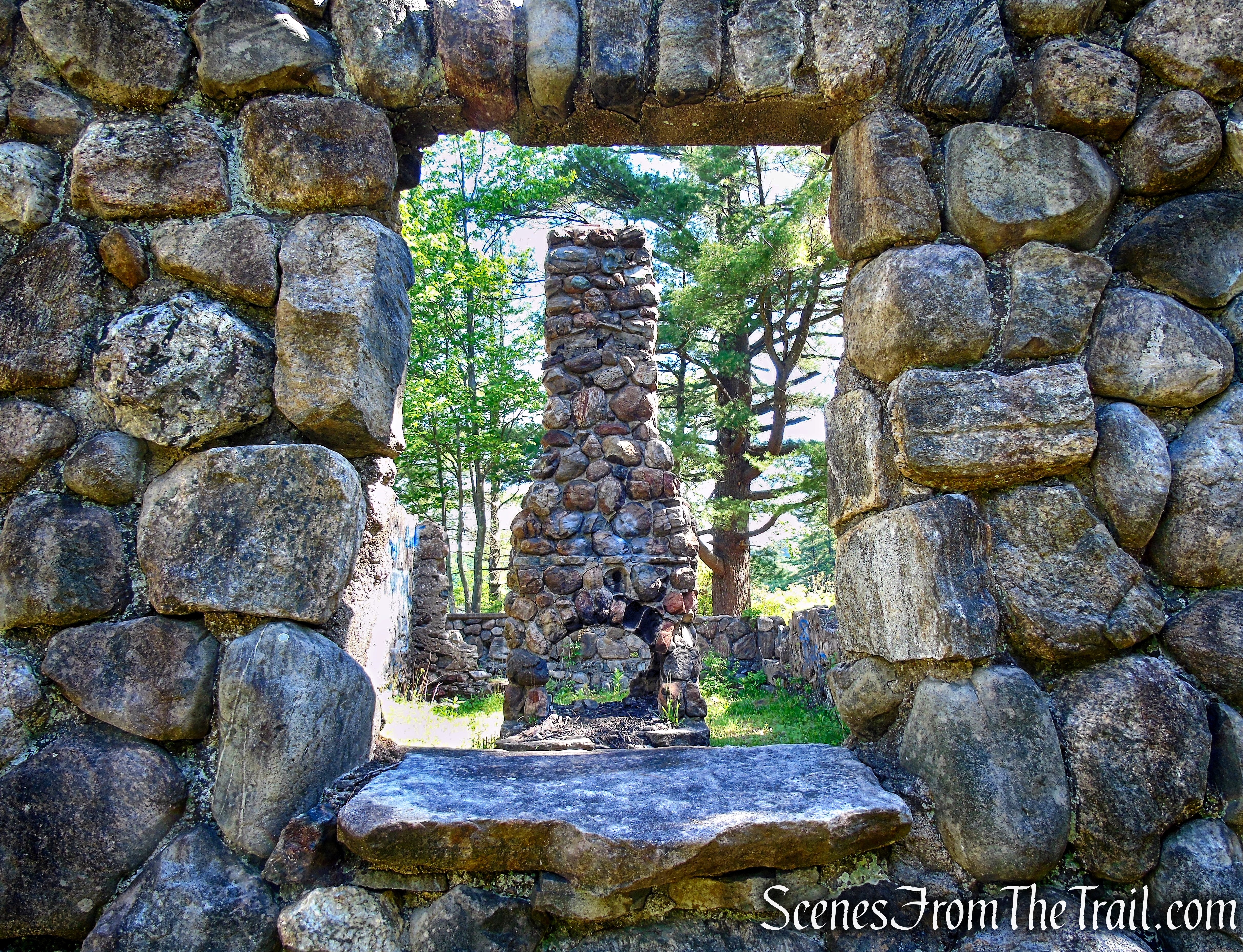
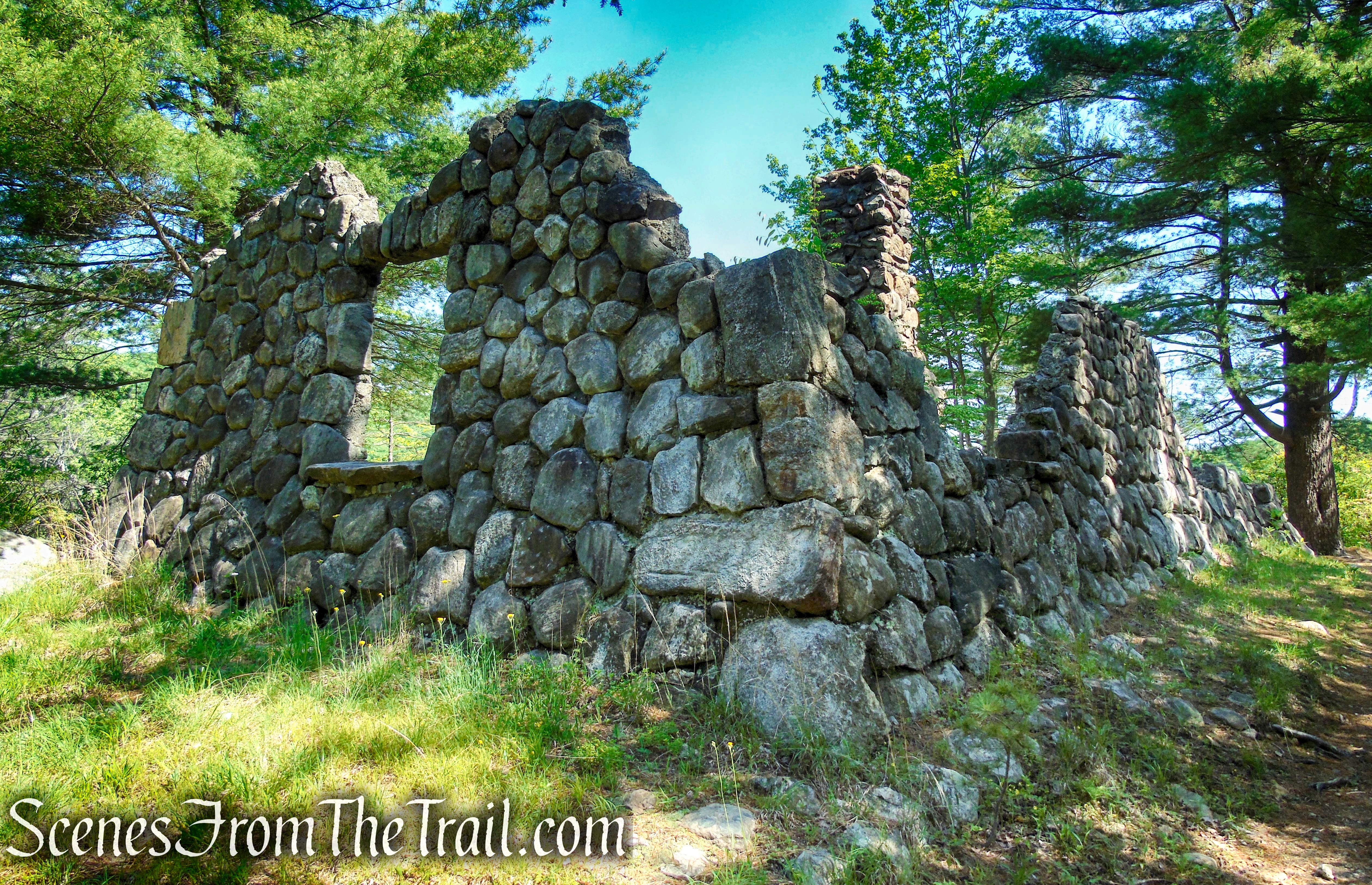
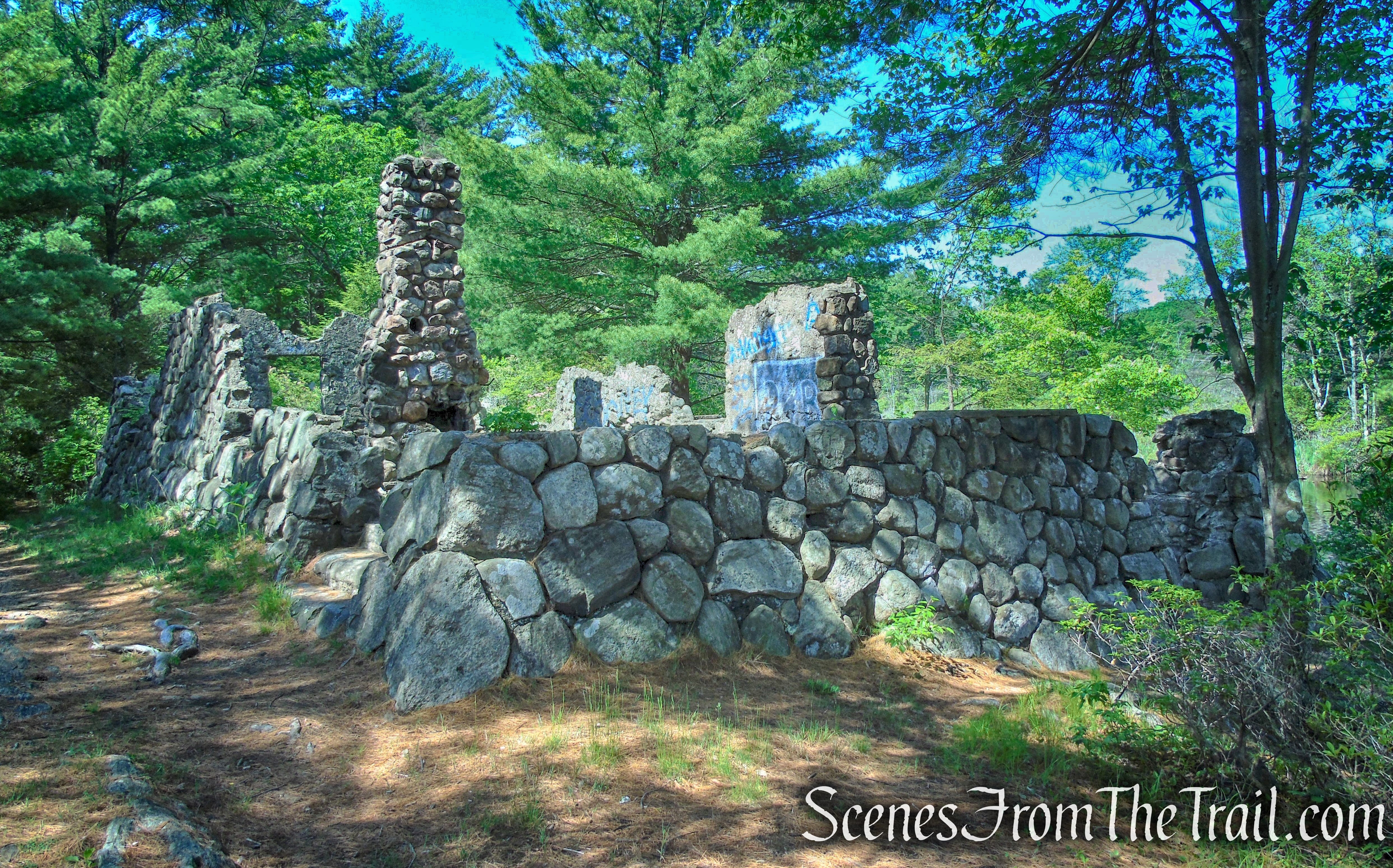
At the south end of the pond, on a point of land, the Park built a stone cabin for the Park ranger. Major Welch entertained visitors there. The cabin at the south end of Island Pond was burned by vandals on January 1, 1962. The stone ruins are all that remain of the cabin that was built by the Park in 1927.
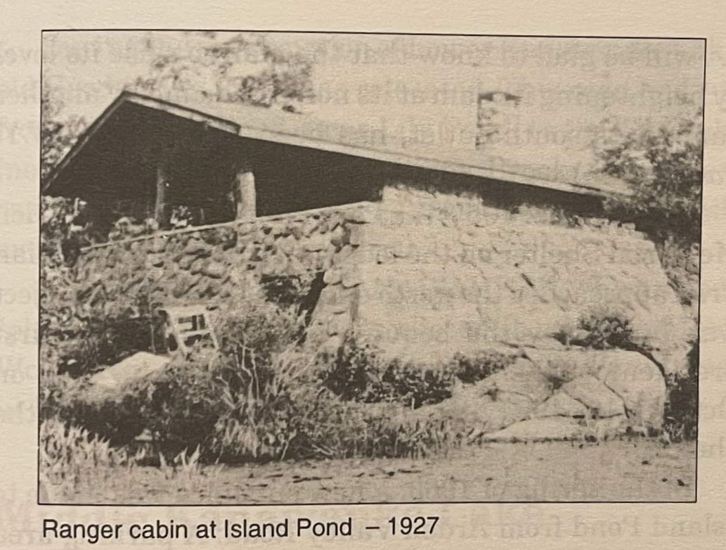
Ranger Cabin – Island Pond – 1927
The original Island Pond Road was built around 1905. The road came up by switchbacks from the meadows on Harriman’s farm and turned south towards Island Pond.
Trails Overview:
This hike is done using unmarked woods roads and/or trails. Those who are not confident of their route-finding ability might wish to choose another hike.
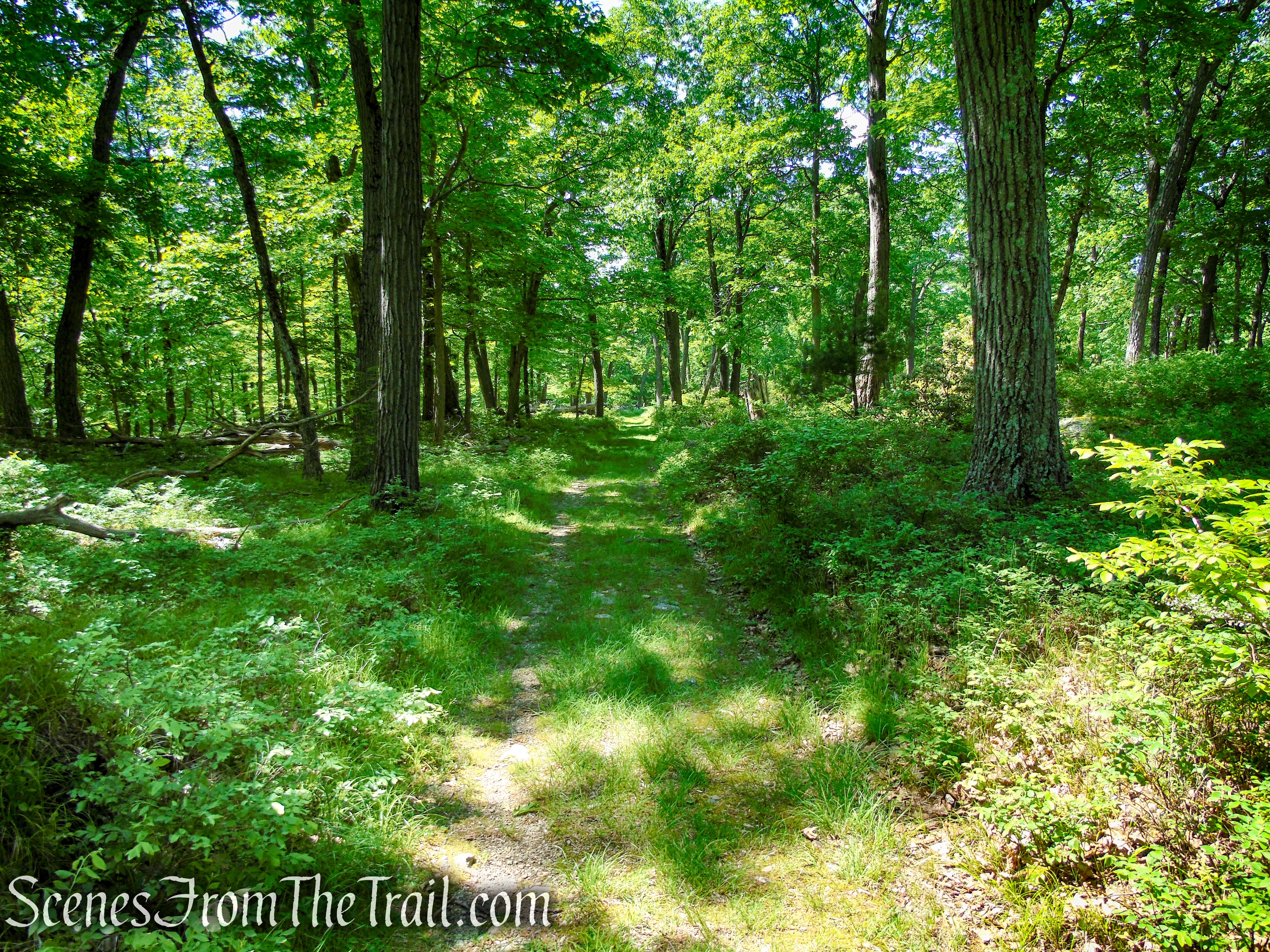
Island Pond Road although not marked, is easy to follow. It is a wide road that is well defined and intersected by several marked and unmarked trails on the way to Island Pond.
The footpath to Stahahe High Peak is unmarked and the start of the trail is not that easy to find. Although you may encounter some faded blue blazes along the way, it is still difficult to follow in some places. We lost the trail a couple of times, but were helped by using the Avenza maps app, which promptly put us back on the right course.
Hike Overview:
We did a hike to Boston Mine and Island Pond in 2017, but could not find the unmarked trail to Stahahe High Peak. The area around Island Pond is picturesque and tranquil, but on a hot day it can become crowded. There is no swimming here and the park rangers practice enforcement of their “No Swimming” policies. Nevertheless, it makes for a worthwhile destination anytime of the year.
In the warmer months, the forest canopy provides relief from the hot sun. Along with the modest elevation gain, makes this an ideal warm weather hike. The gravel parking lot on CR 106 (Kanawauke Road), at the base of Car Pond Mountain, has room for quite a few vehicles. When we arrived just prior to 8am, there was only about 6 cars in the lot, which also serves as the trailhead for the White Bar Trail, which passes through the lot. At the conclusion of the hike, at about 11:20am, the lot was filled to capacity. I suggest backing in to a parking spot to make it easier to exit upon your return.
We did this hike on Monday Memorial Day 2022.
Stahahe High Peak & Island Pond – Harriman State Park
The elevation profile of this hike is pictured below.
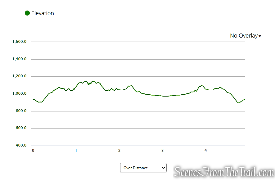
elevation profile – Stahahe High Peak & Island Pond
The Hike:
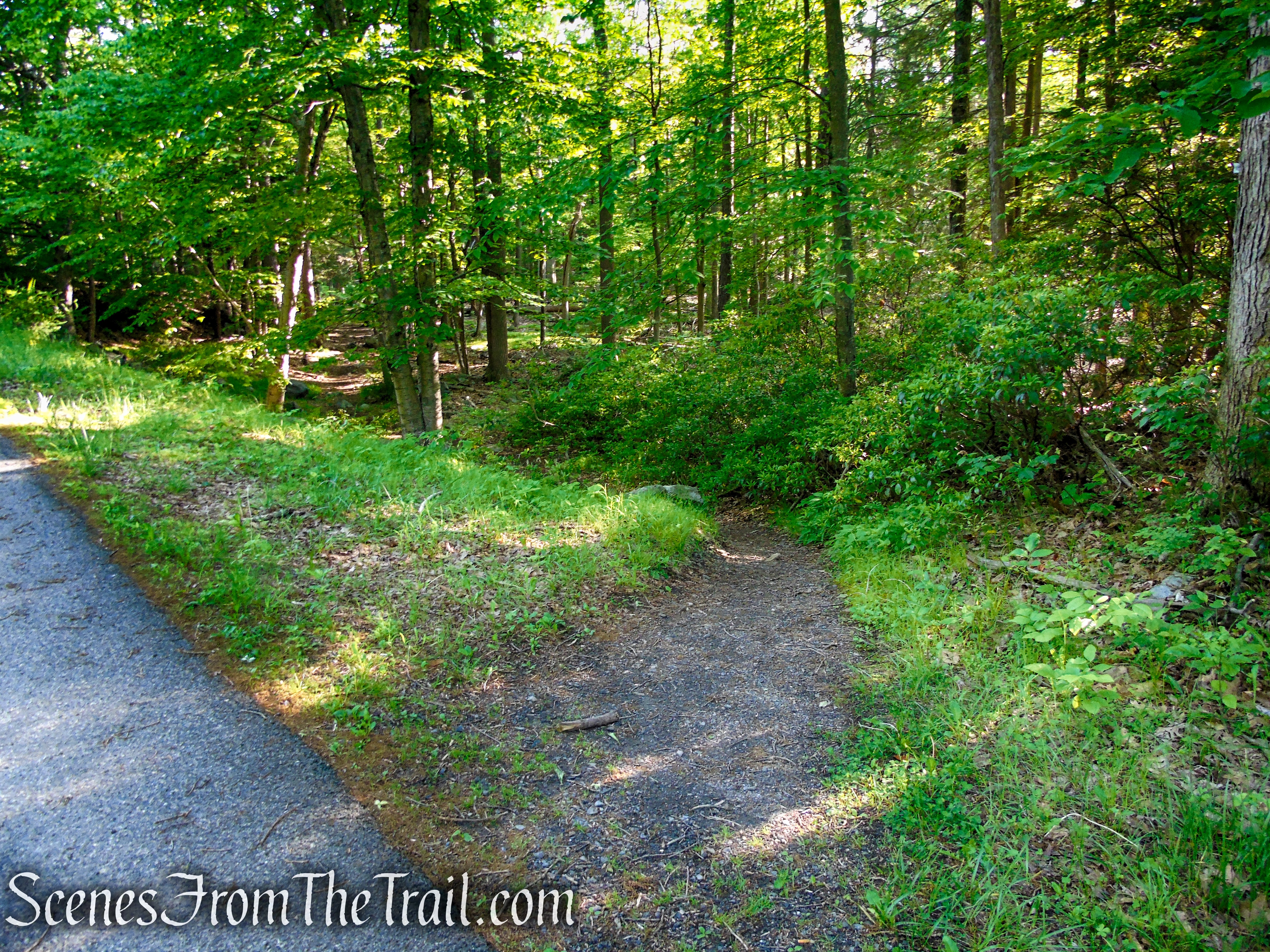
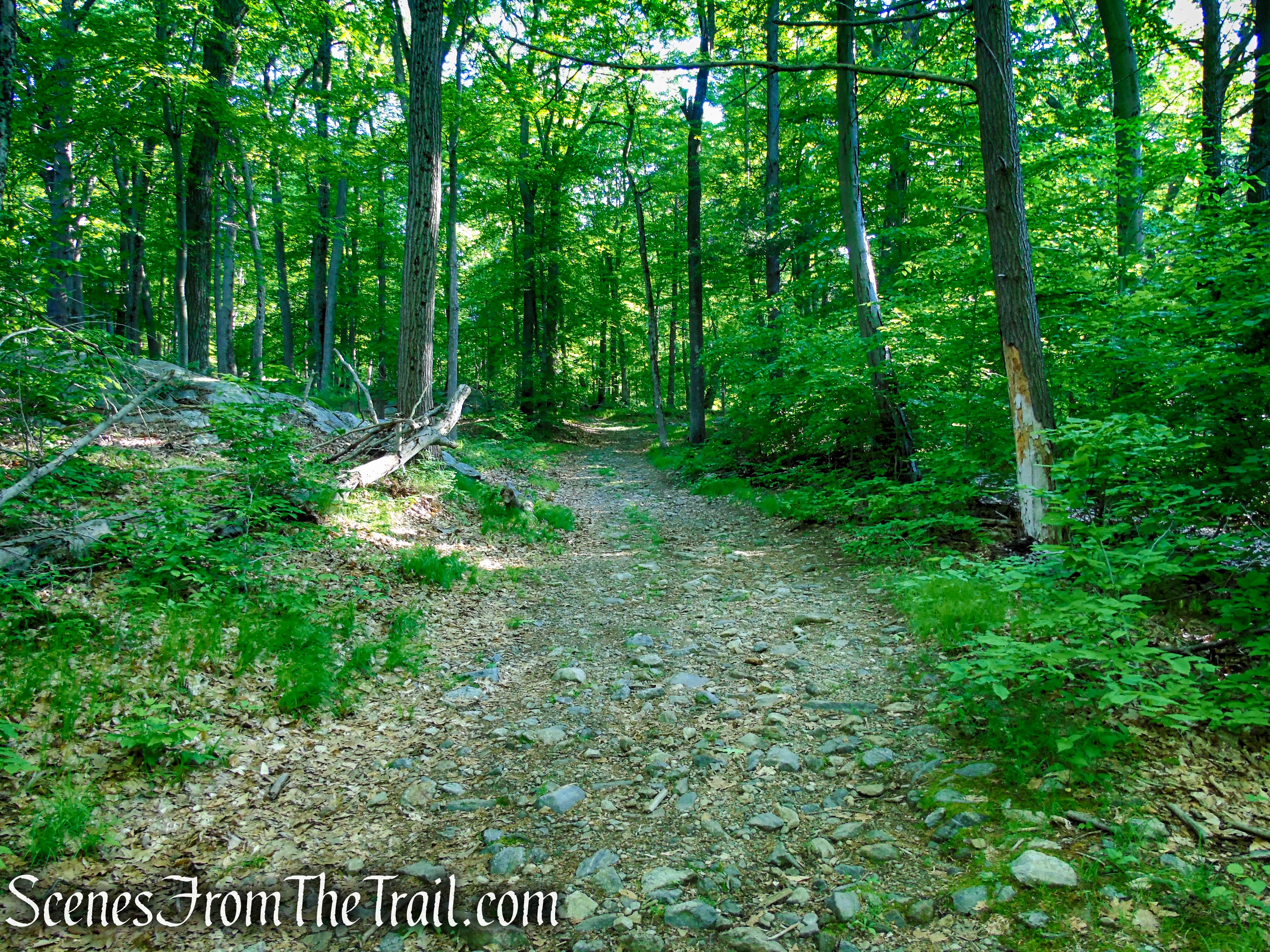
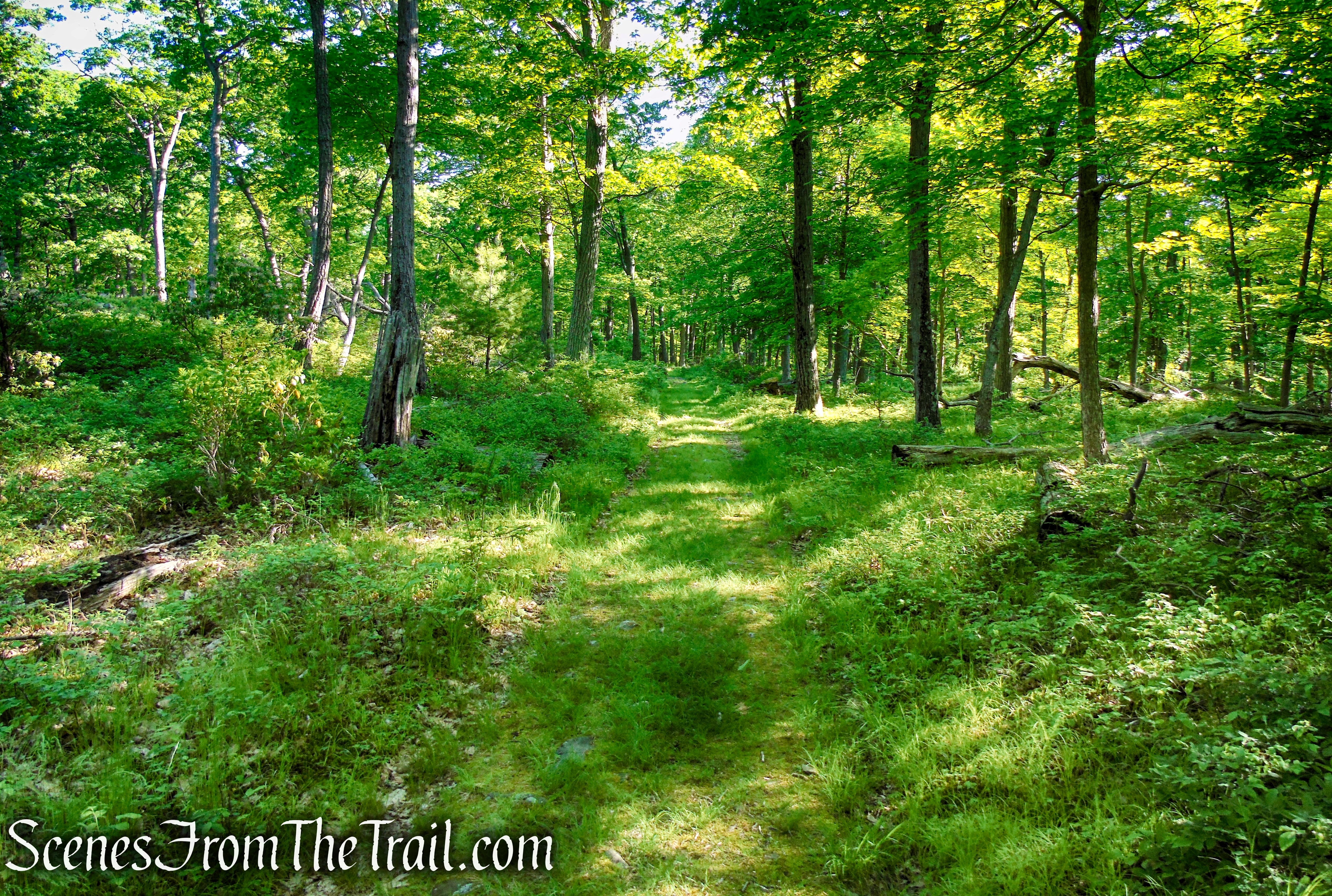
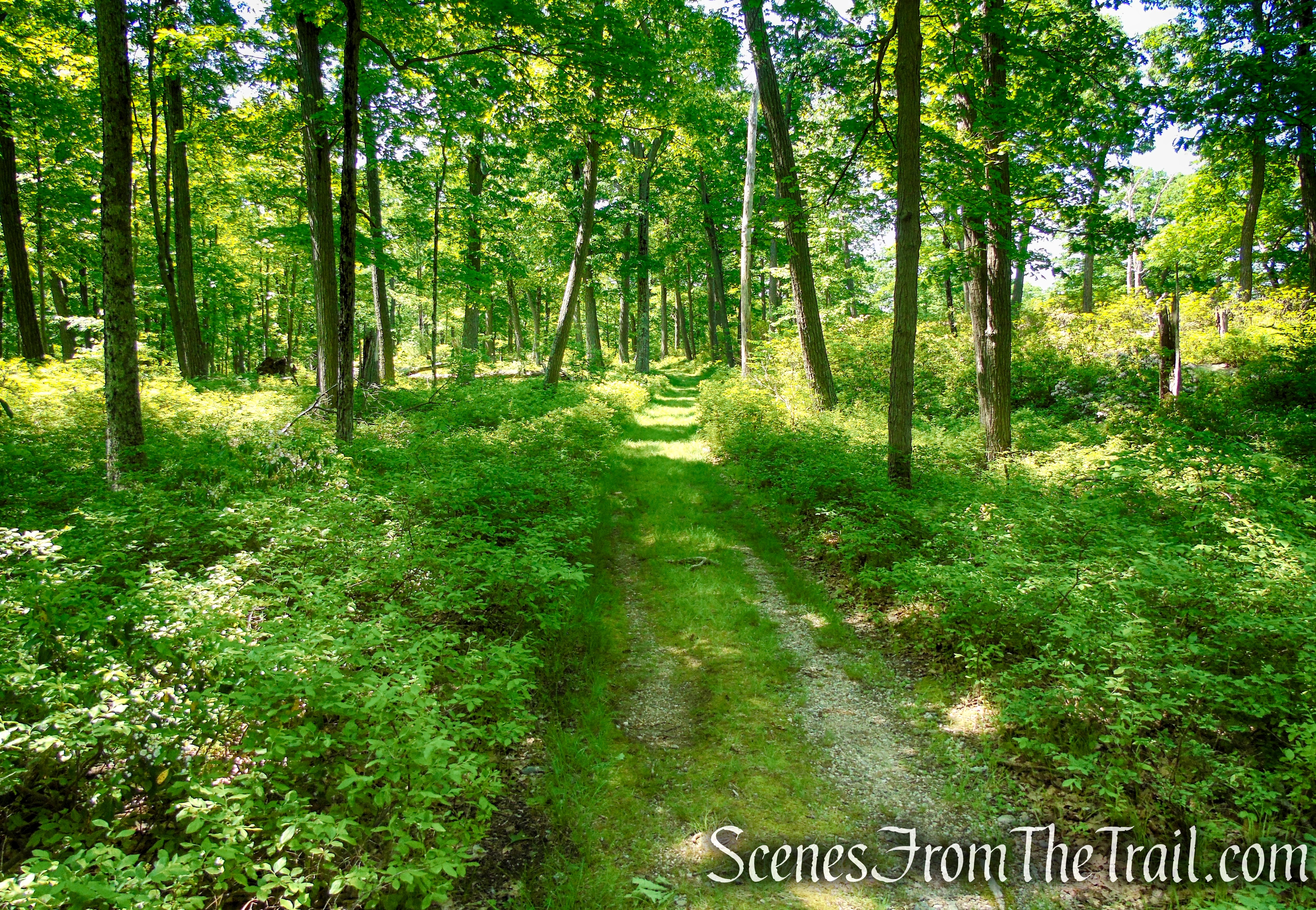
From the northern end of the parking lot, cross the road and bear left onto the White Bar Trail, blazed with white horizontal rectangles. The trail parallels the road for about 500 feet, then turns right, joining Island Pond Road which comes in from the left, crosses a stream on a metal culvert, and continues on a woods road.
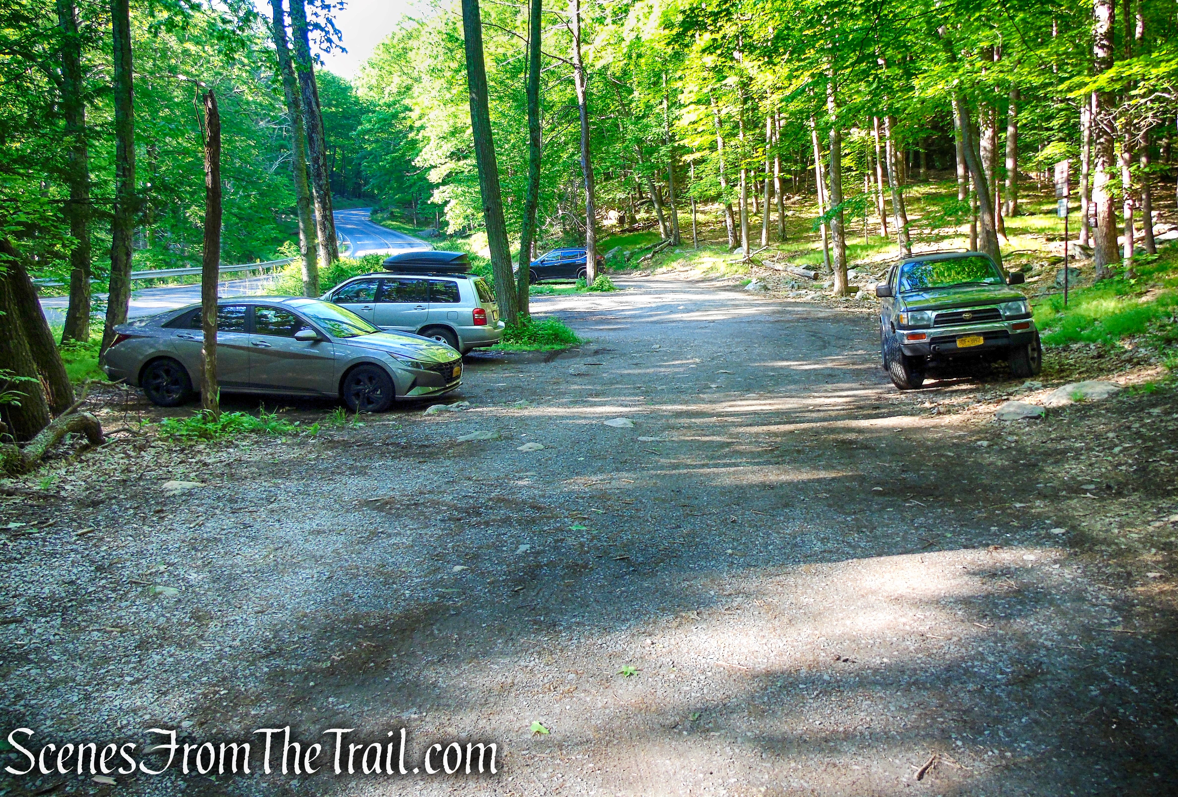
CR 106 designated parking lot – White Bar Trailhead
White Bar Trail – Harriman State Park
The White Bar Trail was first marked in 1922 by the Boy Scouts.
White Bar Trail – Harriman State Park
Island Pond Road/White Bar Trail – Harriman State Park
A short distance beyond, the woods road comes to a Y-intersection where the two trails split. Bear left at the fork to continue ahead on Island Pond Road which begins a gradual ascent.
bear left on Island Pond Road
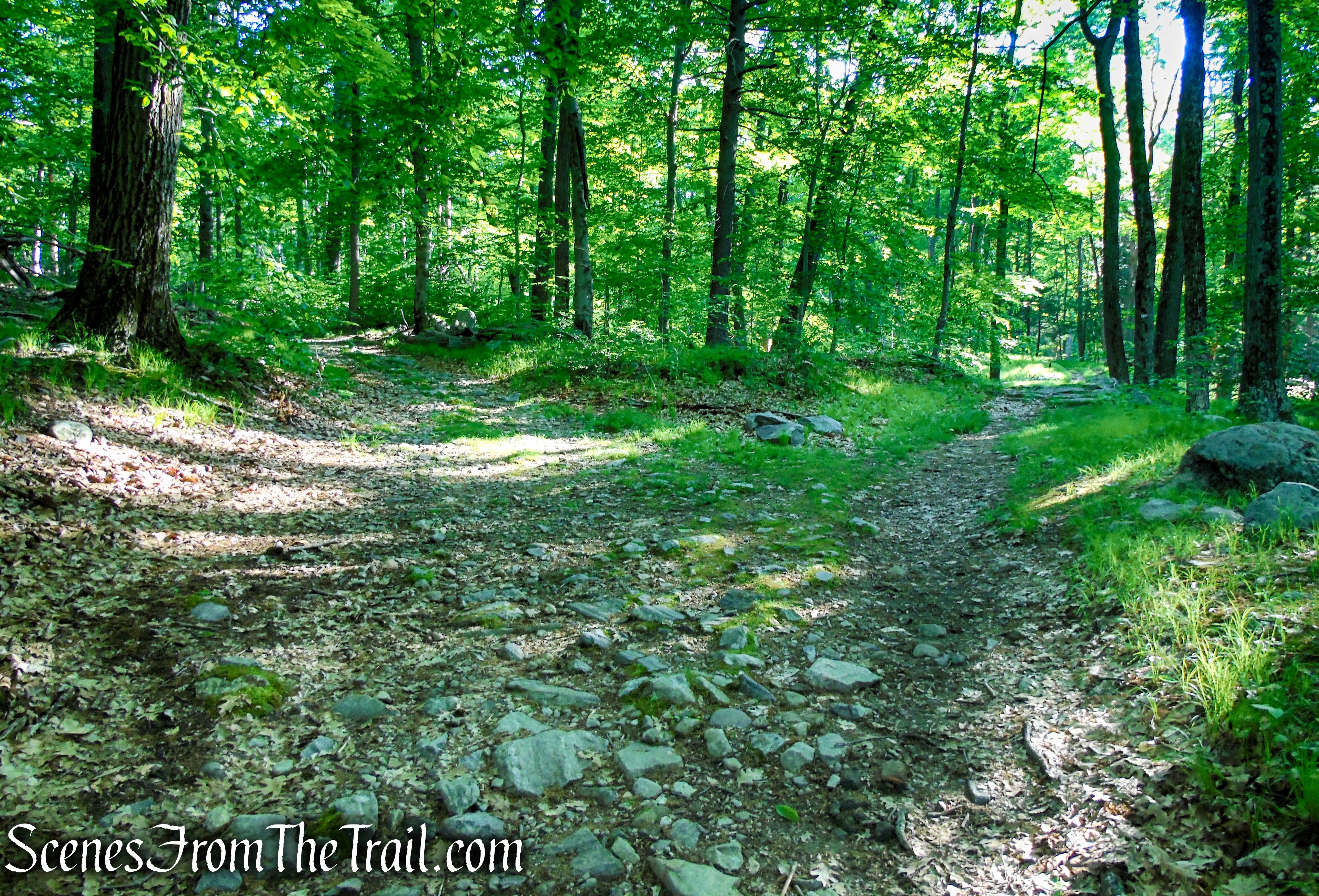
After the Park acquired Island Pond in 1927, they widened the road to 20 feet. In 1966, the road from Route 210 (now CR 106) to Island Pond was covered with gravel.
Island Pond Road – Harriman State Park
Island Pond Road – Harriman State Park
Island Pond Road – Harriman State Park
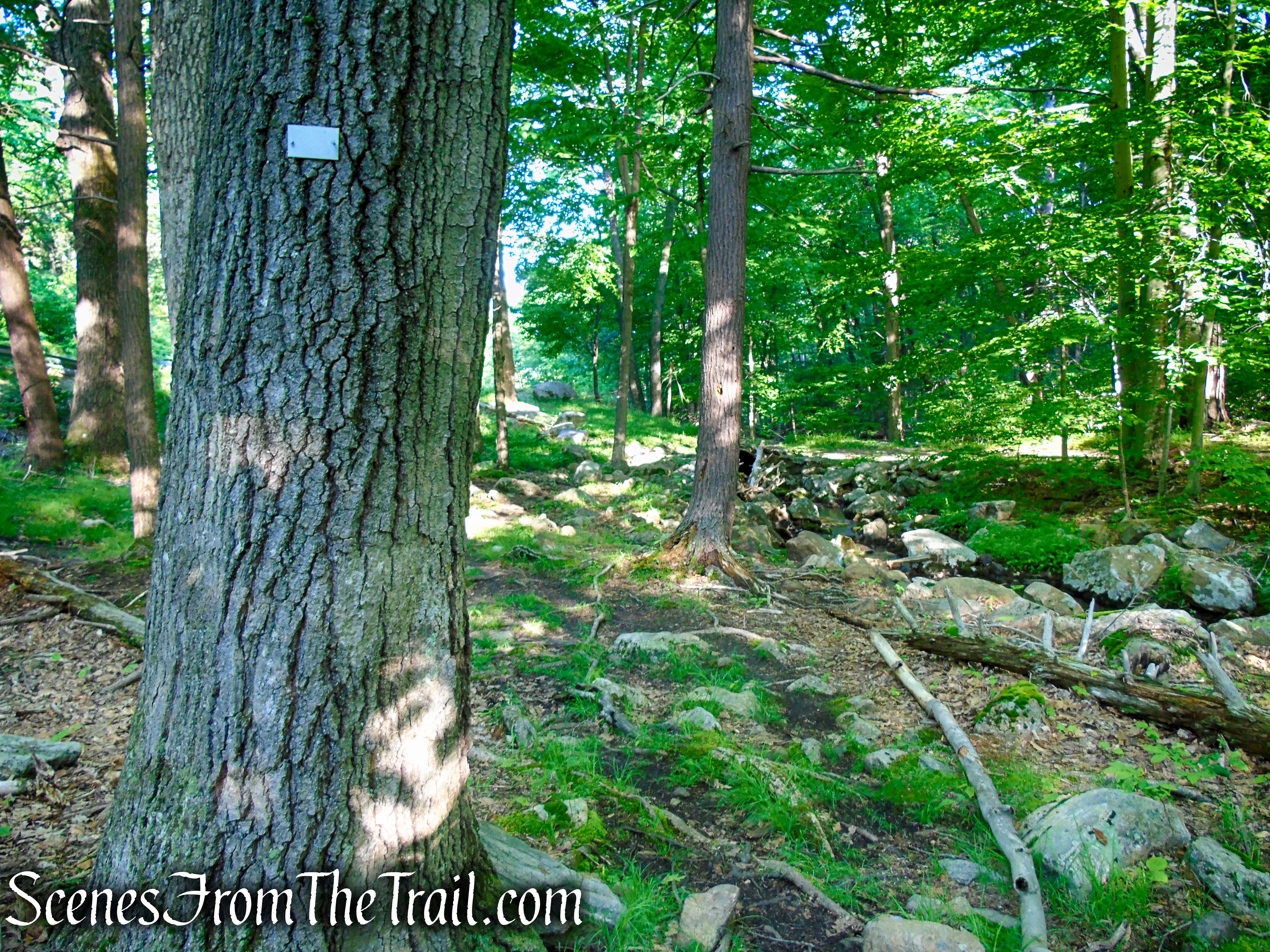
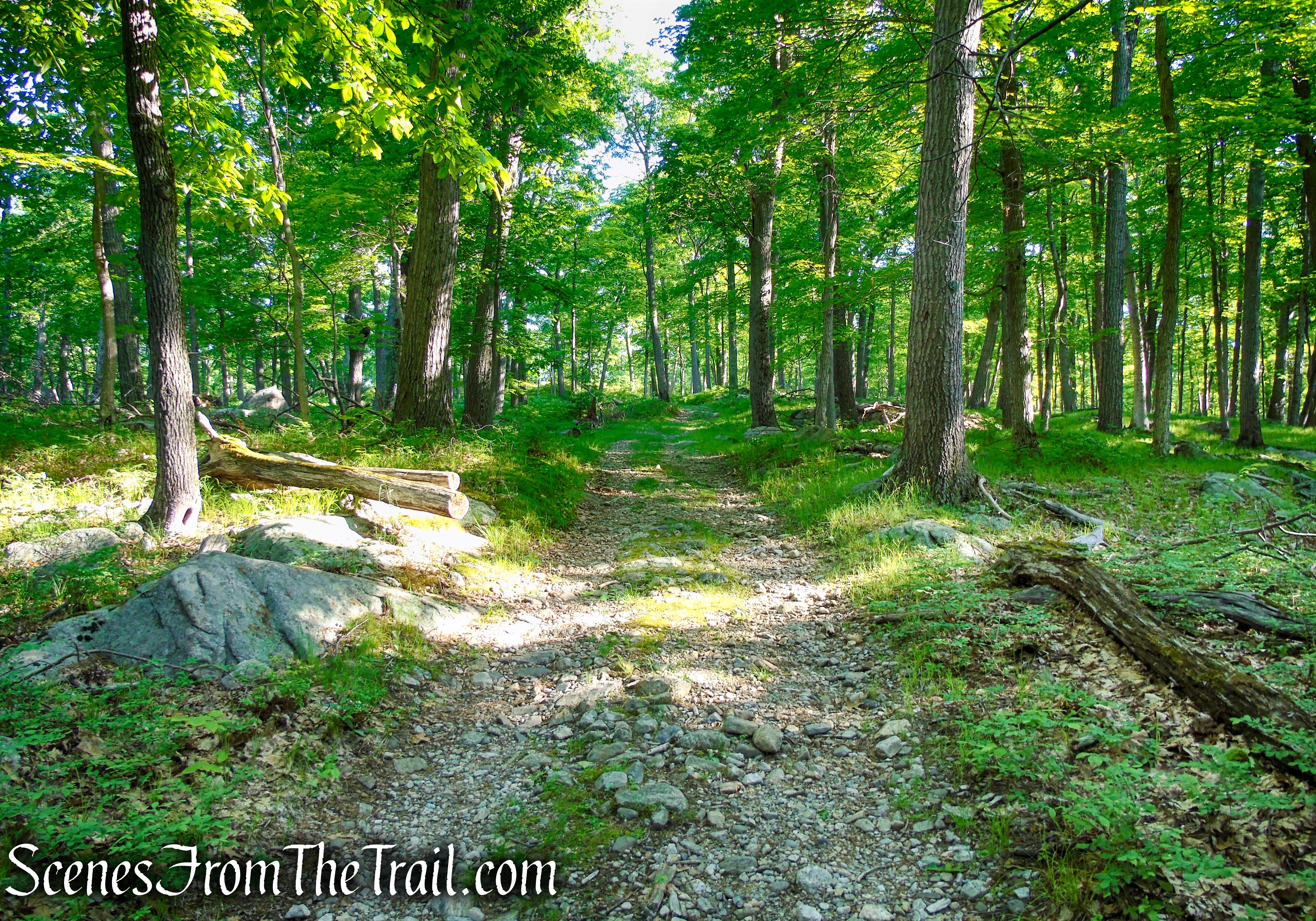
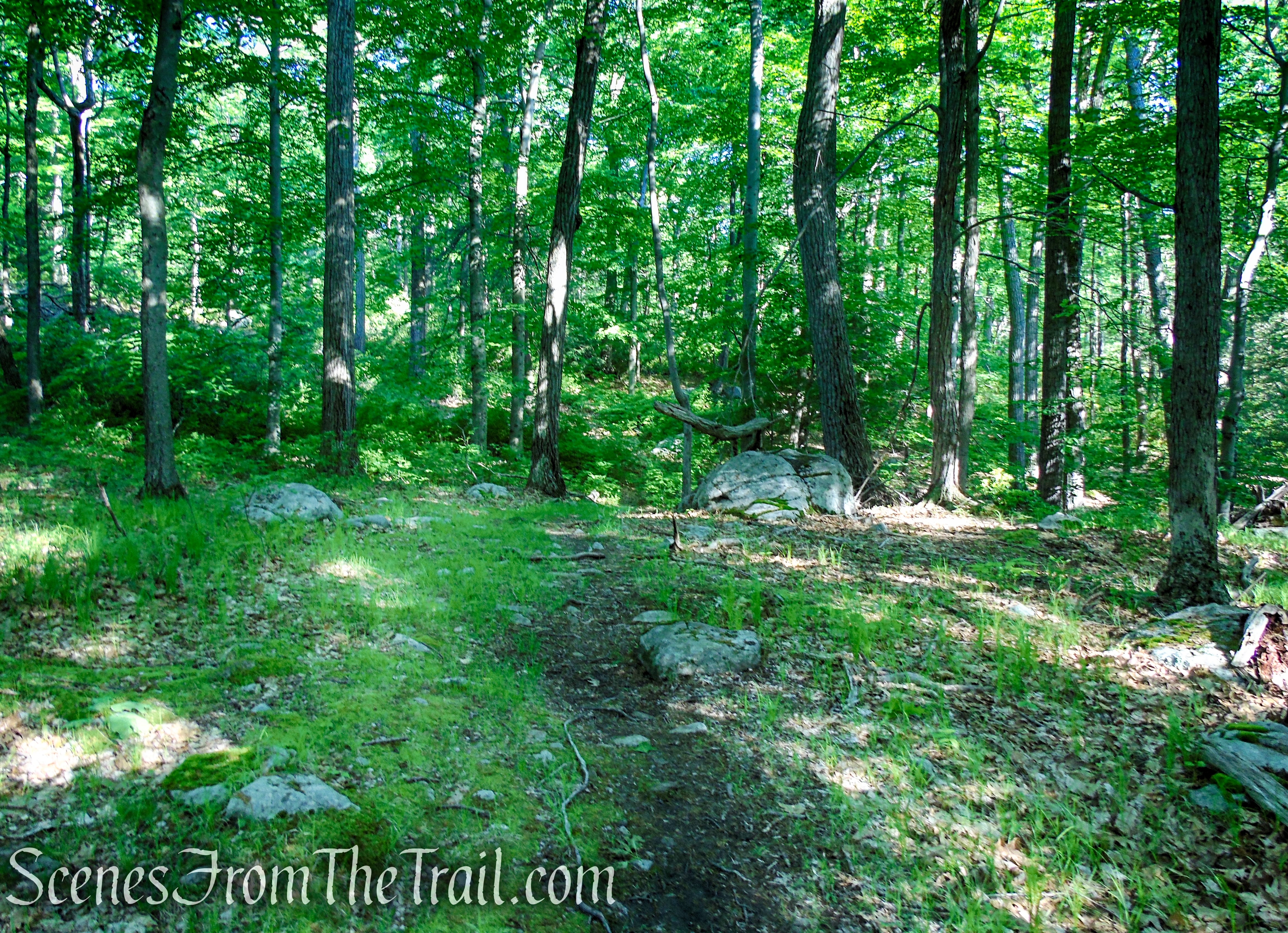
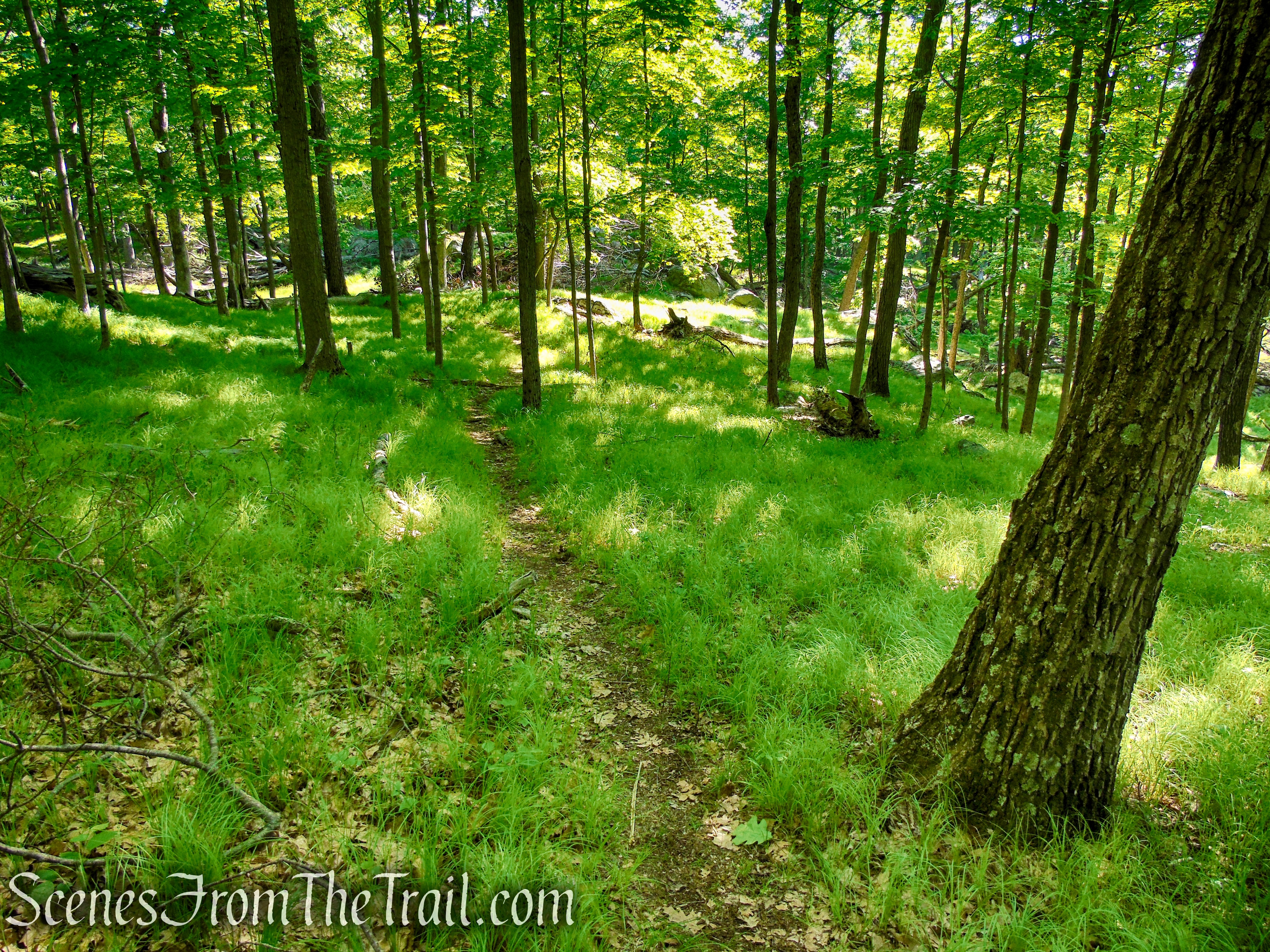
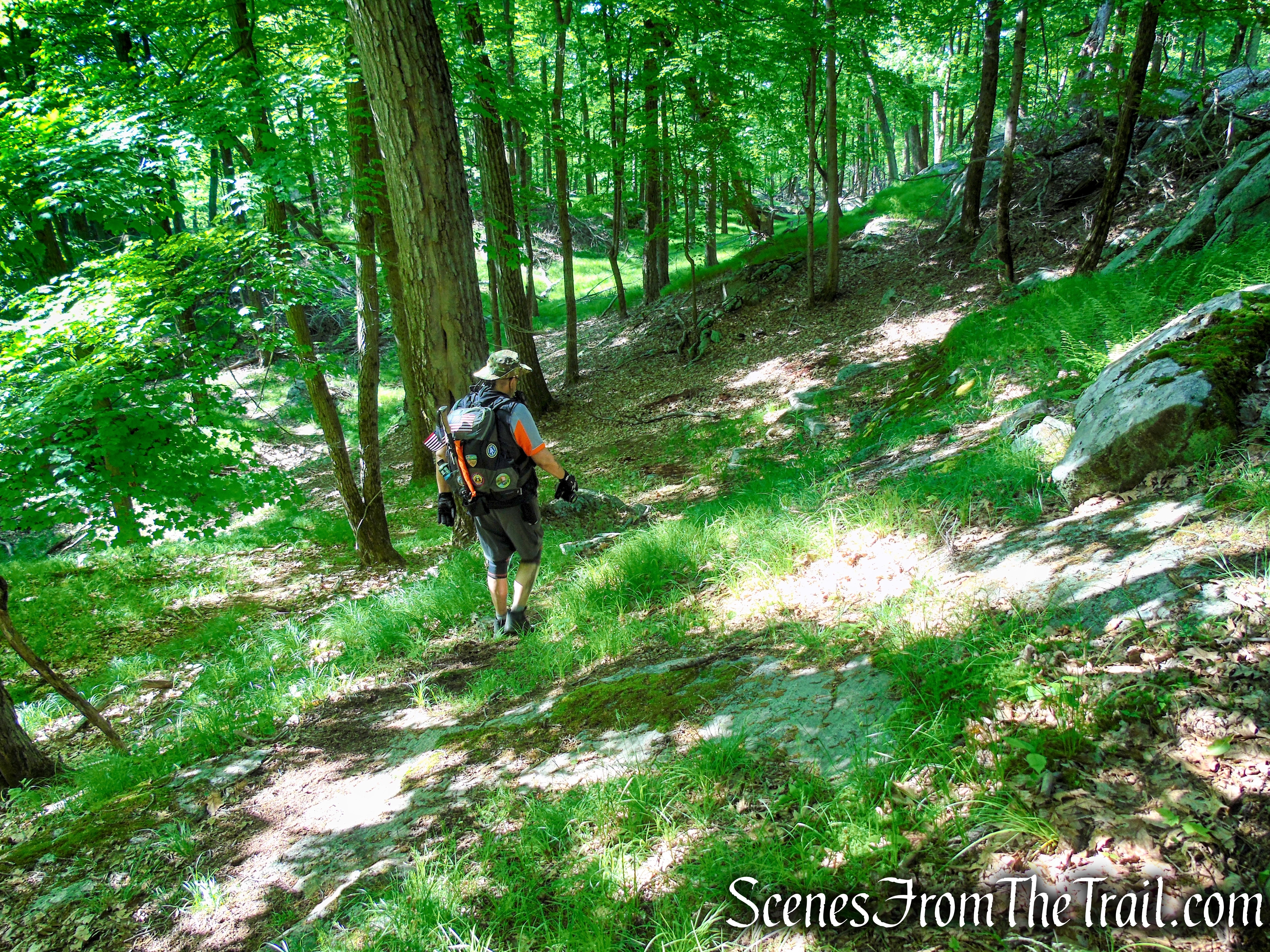
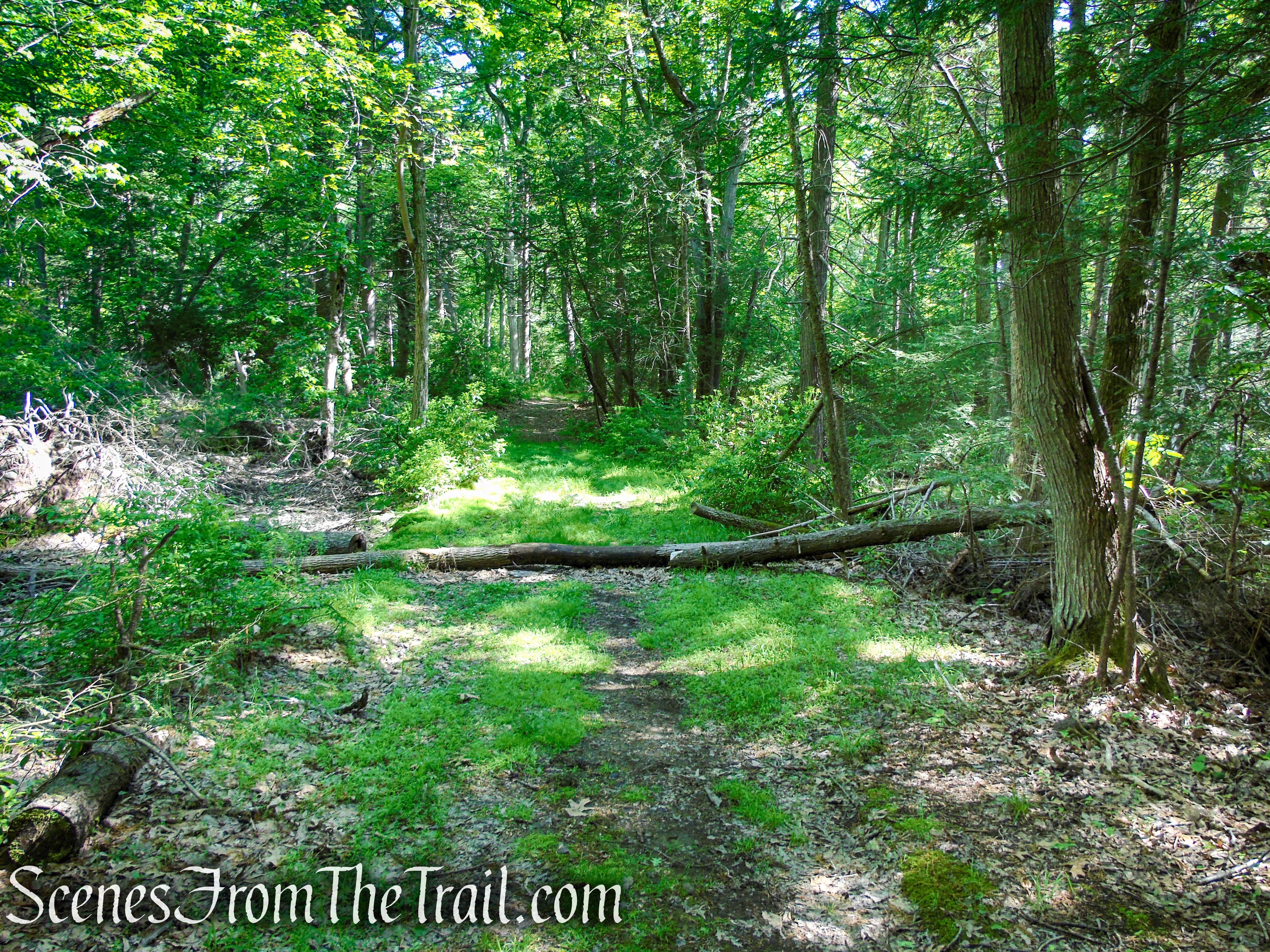
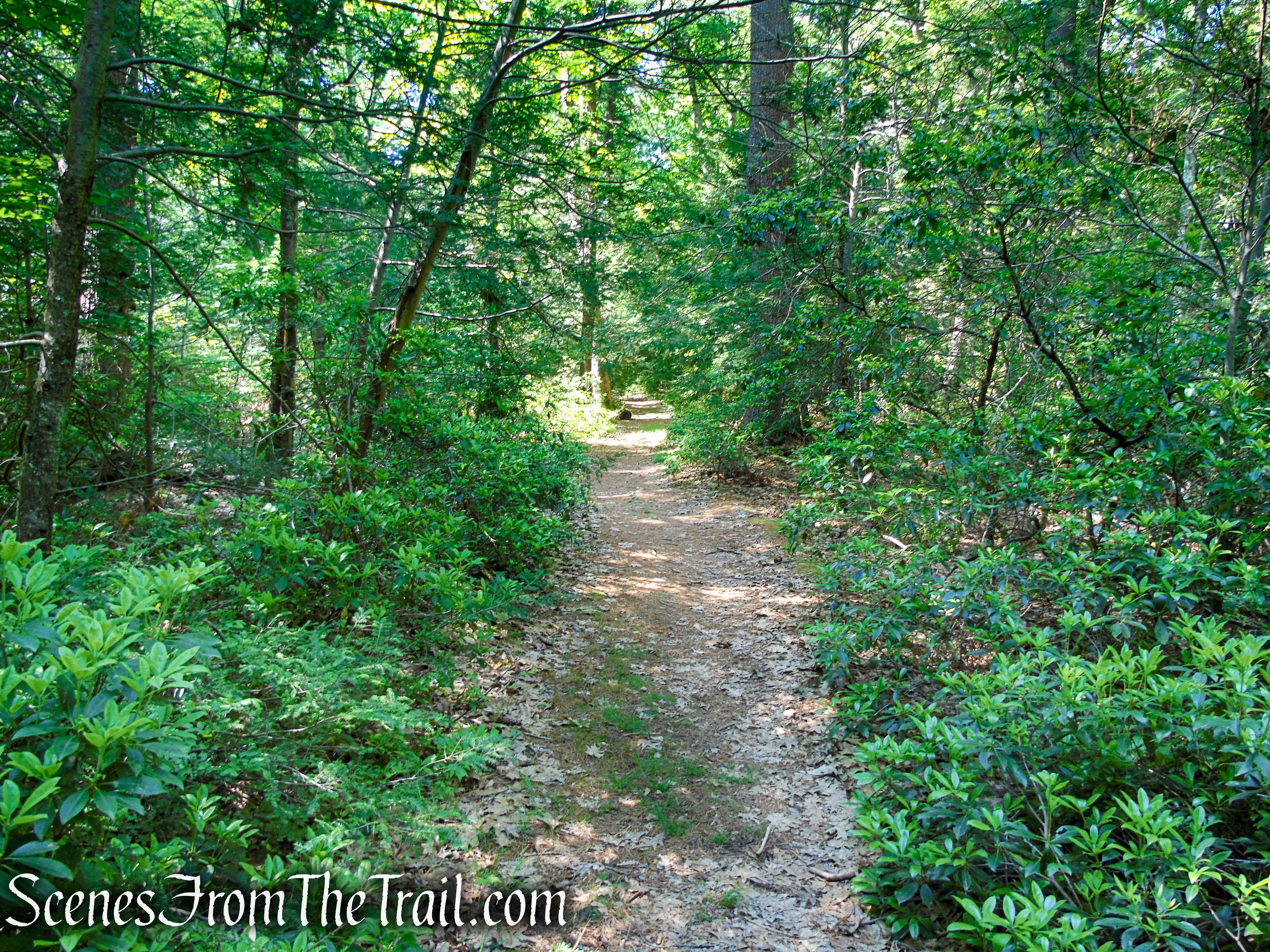
In about 0.70 mile from the start of the hike, the unmarked trail to Stahahe High Peak begins on the left. The start of the trail may be hard to pick up and this is where the Avenza Maps app comes in handy.
unmarked trail – Stahahe High Peak
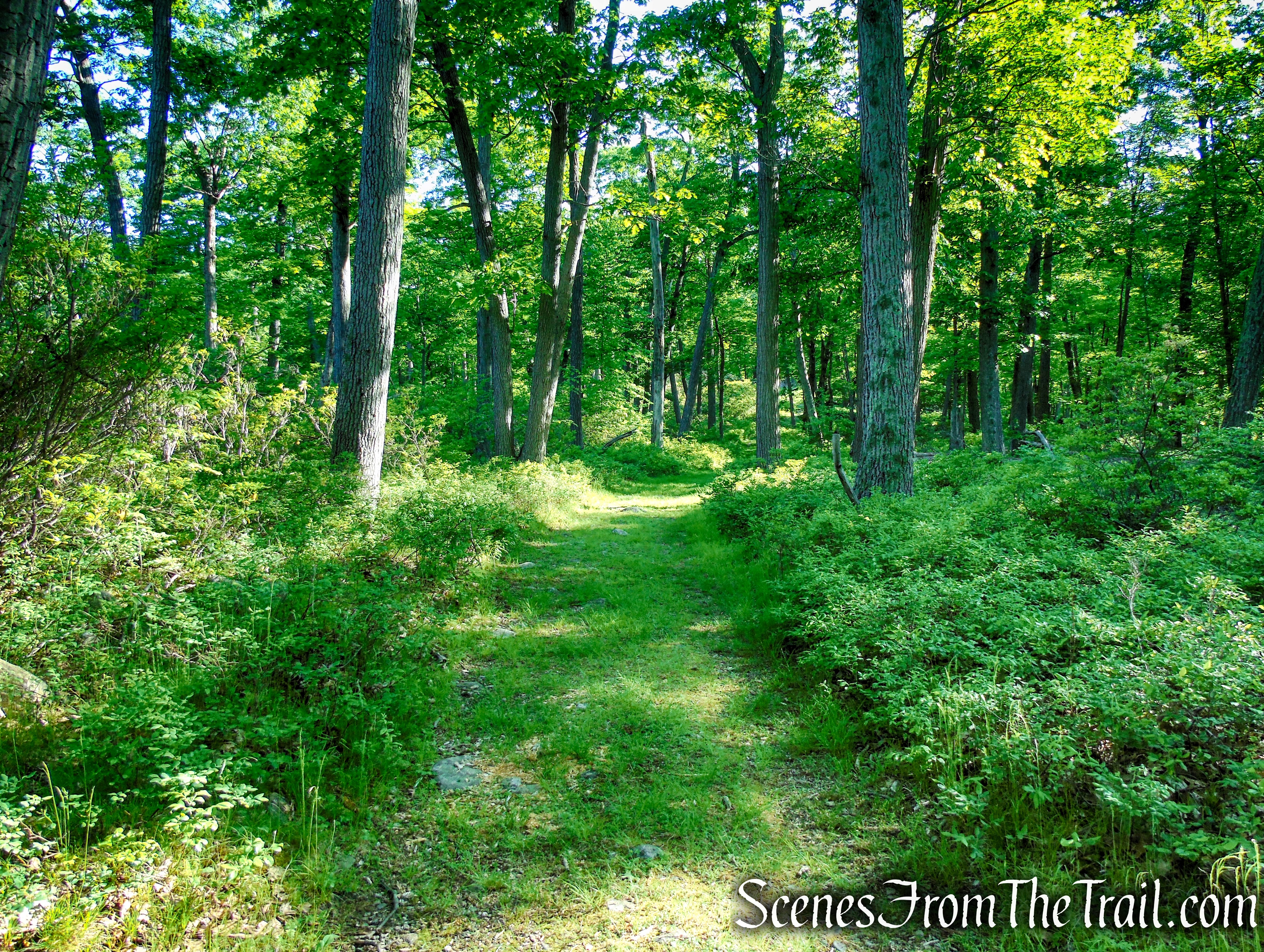
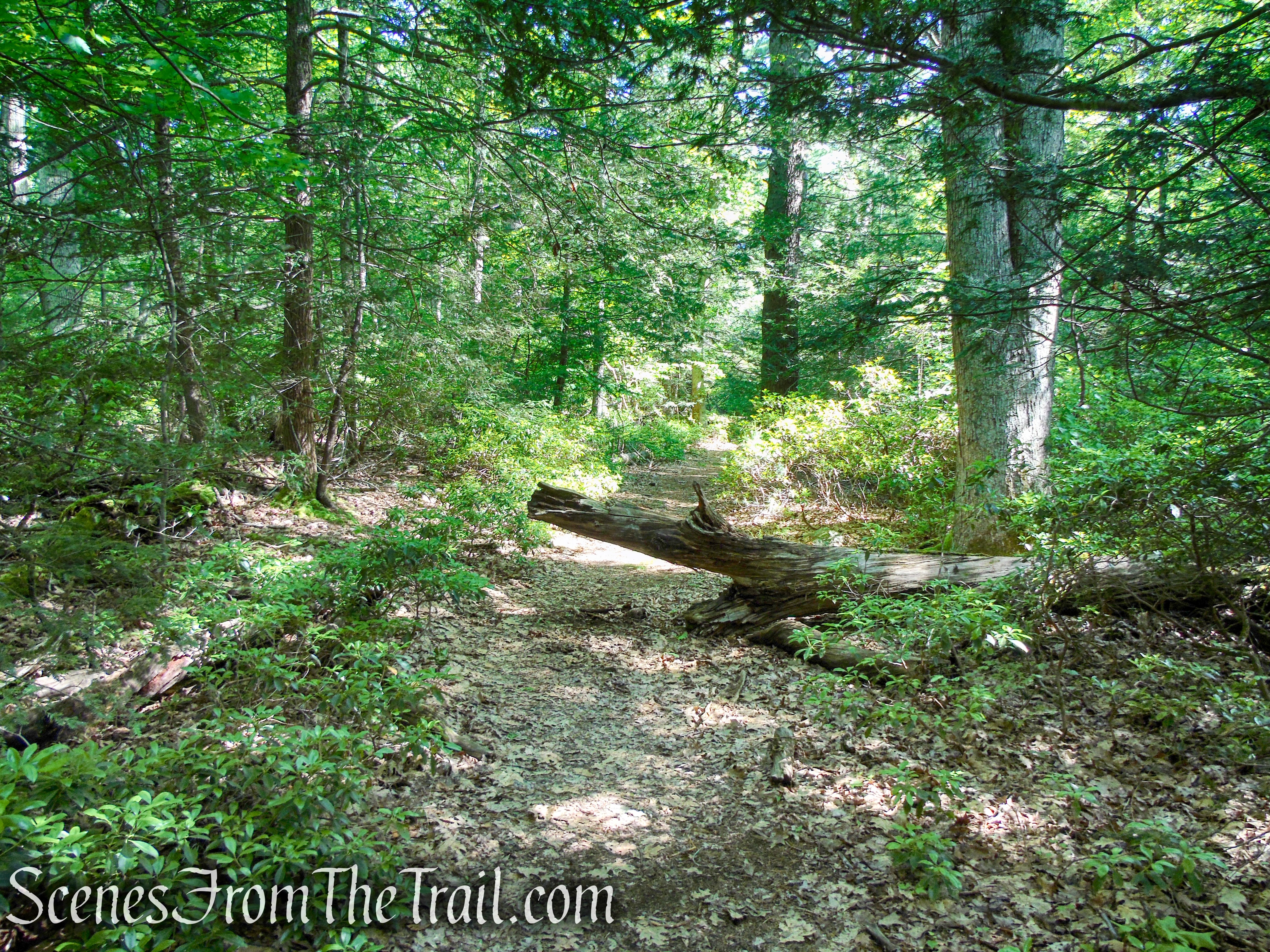
The trail is a little overgrown in some areas and at times, as it snakes its way uphill, can get a little difficult to follow. I know that we were the first ones on the trail this day as I cleared a lot of spider webs with my face. I strongly suggest using the Avenza Maps app (free version works just fine) and downloading the free NYS park map or purchasing the NY-NJ Trail Conference map (more detailed).
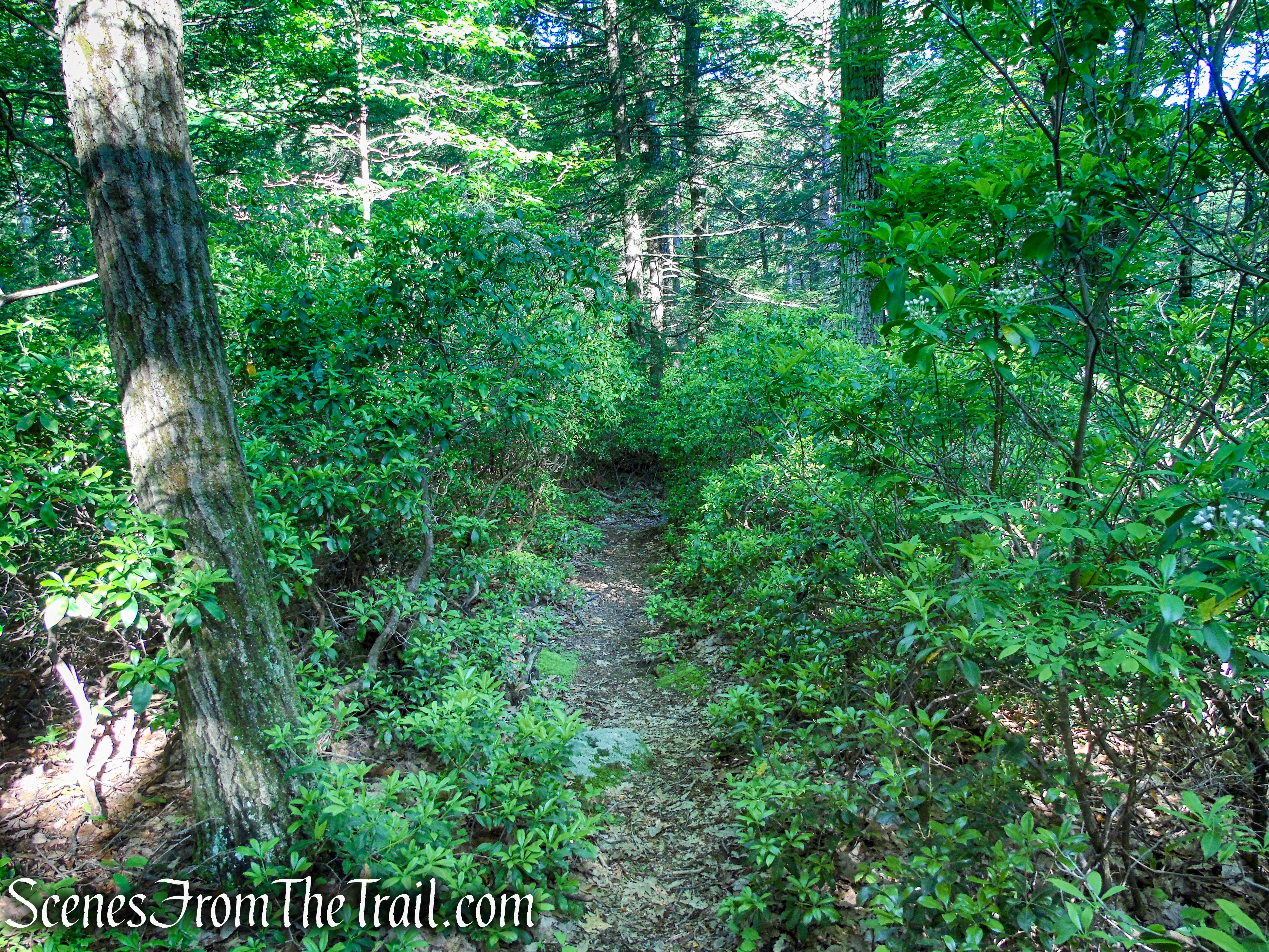
unmarked trail – Stahahe High Peak
unmarked trail – Stahahe High Peak
unmarked trail – Stahahe High Peak
Stahahe High Peak – Harriman State Park
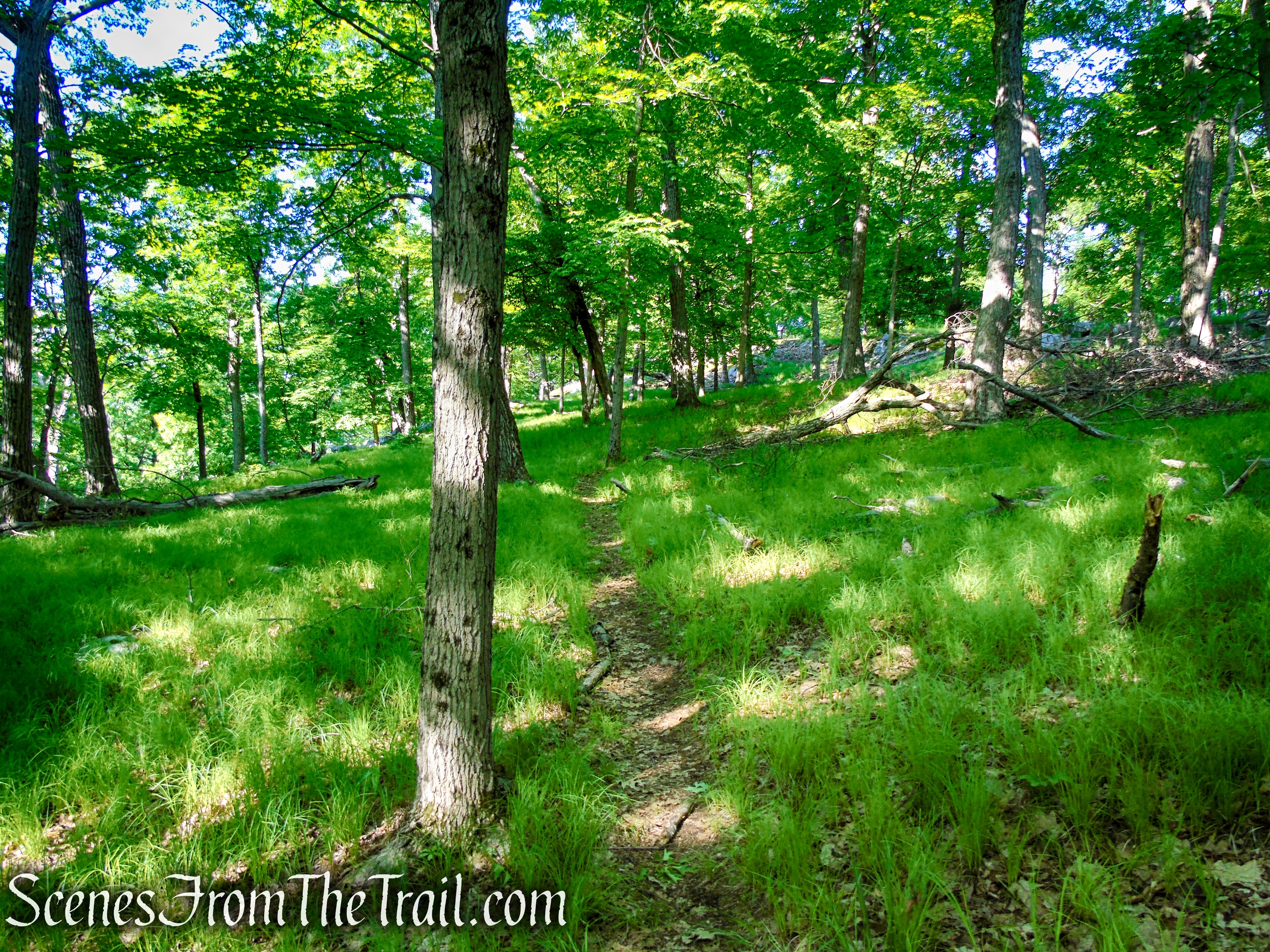
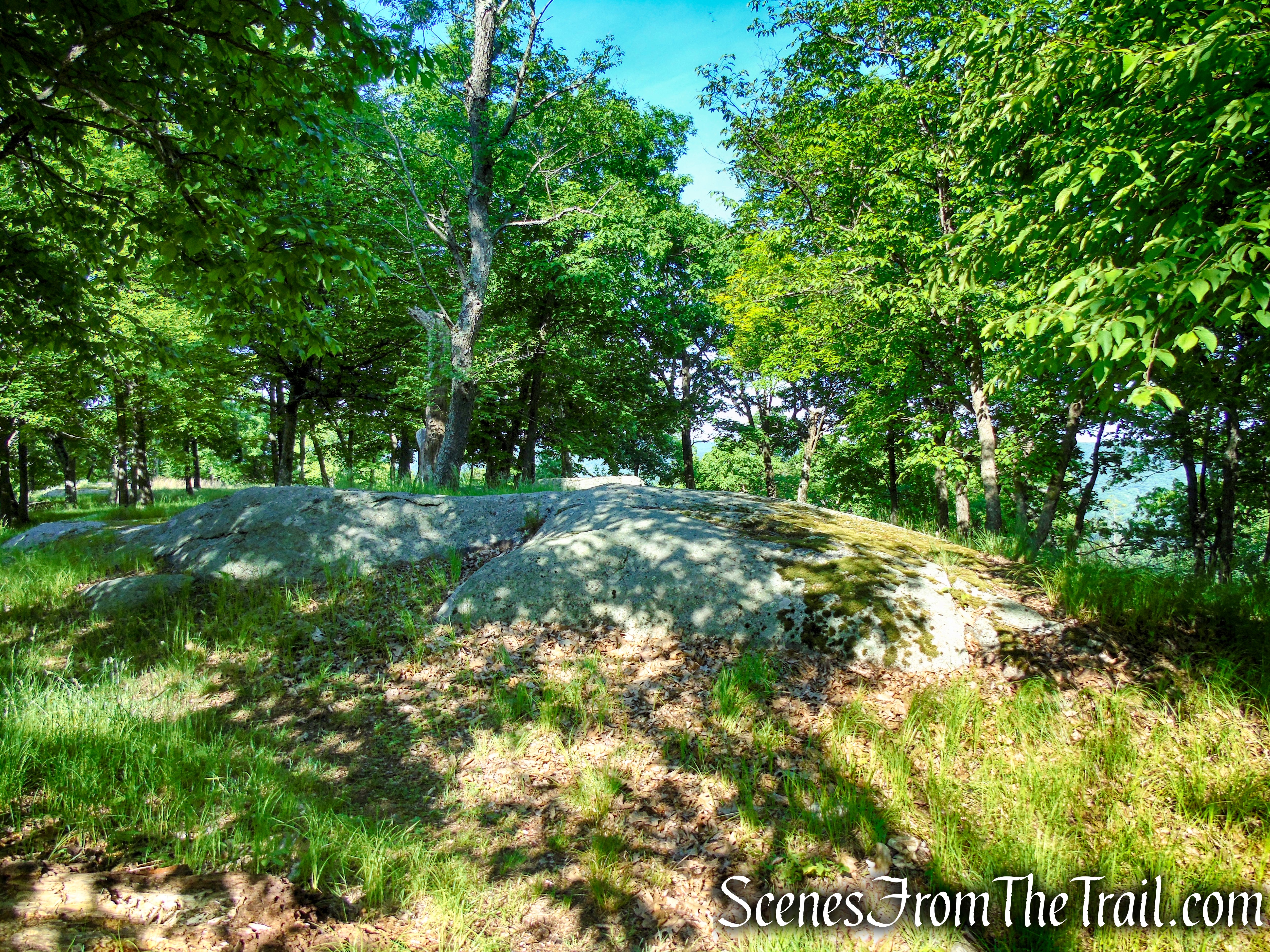
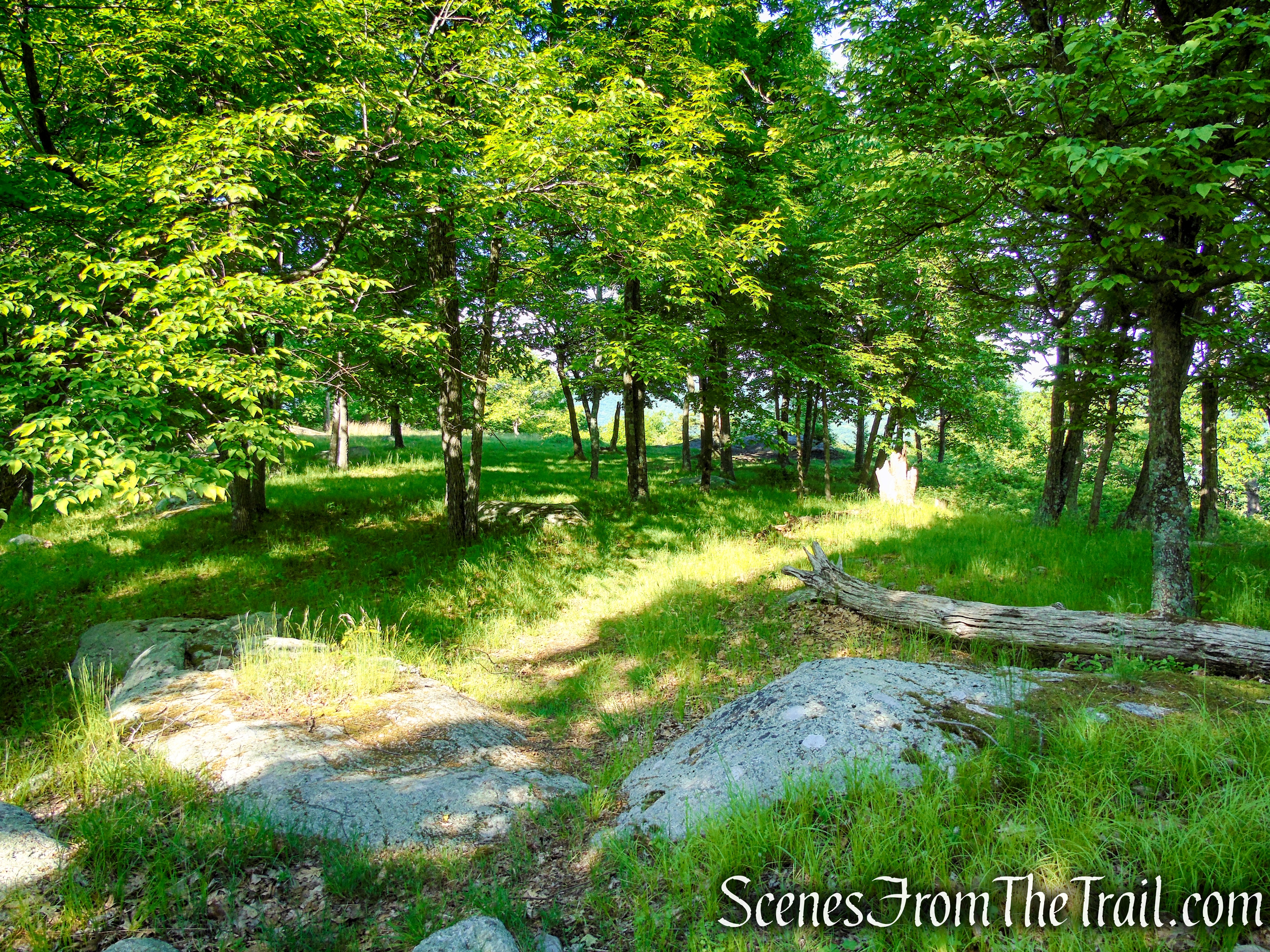
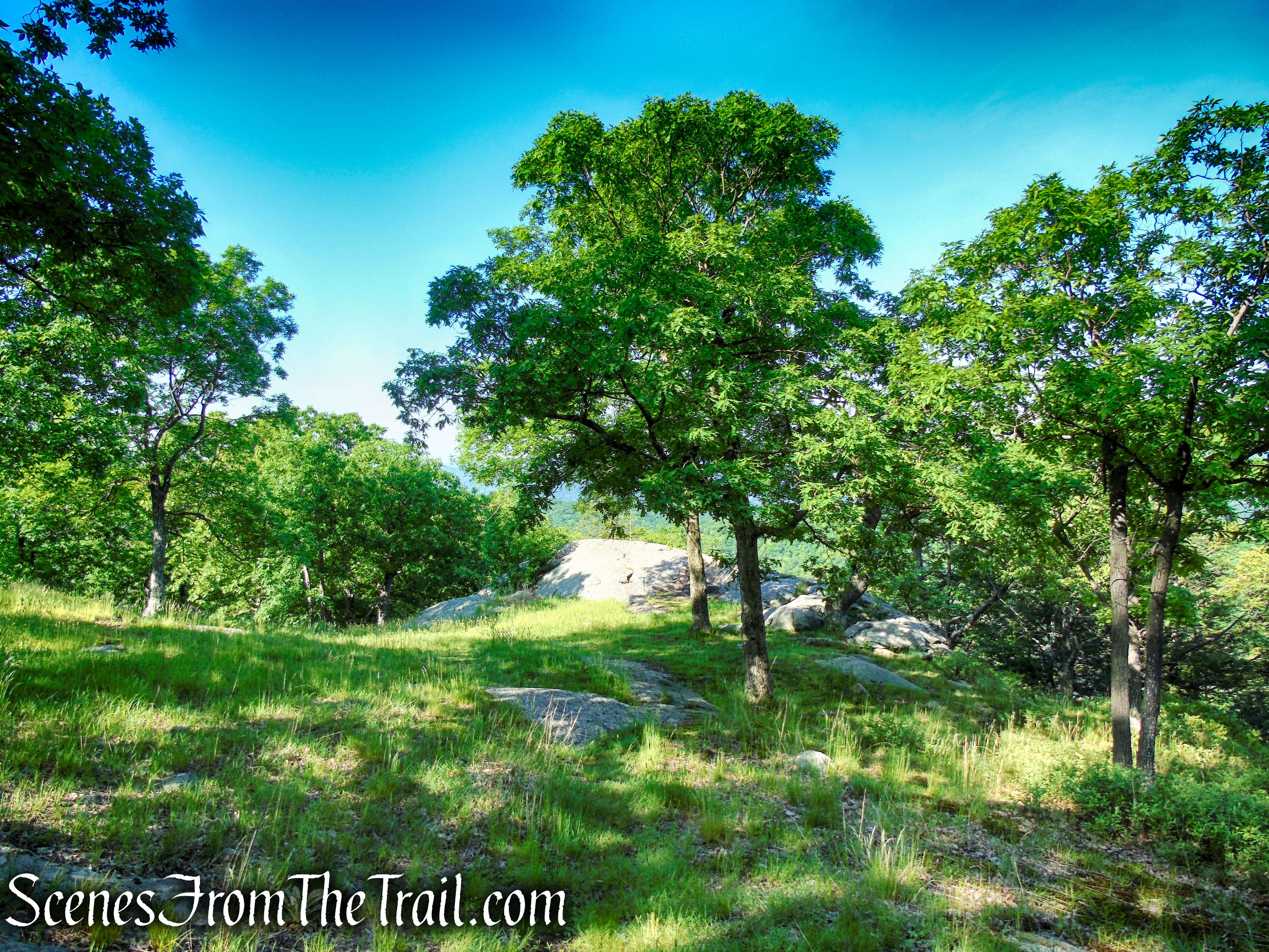
At the summit of Stahahe High Peak, there are some views, but you want to continue just a bit farther as the trail descends a little to a flat grassy area just below the summit.
Stahahe High Peak – Harriman State Park
Stahahe High Peak – Harriman State Park
A rock outcrop just past the summit, provides views over Lake Stahahe below, the hills of Sterling Forest to the west and the Harriman hills to the south. You have now hiked about 1.3 miles. This makes a good spot to take a break.
Stahahe High Peak – Harriman State Park
Lake Stahahe was called Car Pond on old maps, but there is no record of the origin of this name. It is a natural lake that was originally 17 acres. The lake was enlarged in 1914 by the construction of three small dams (still visible below the surface). In 1918, a larger dam was completed, bringing the lake to its present size of 88 acres.
Stahahe High Peak – Harriman State Park
When you are ready to continue, retrace your steps on the unmarked trail back to Island Pond Road and turn left.
unmarked trail – Stahahe High Peak
Stahahe High Peak – Harriman State Park
unmarked trail – Stahahe High Peak
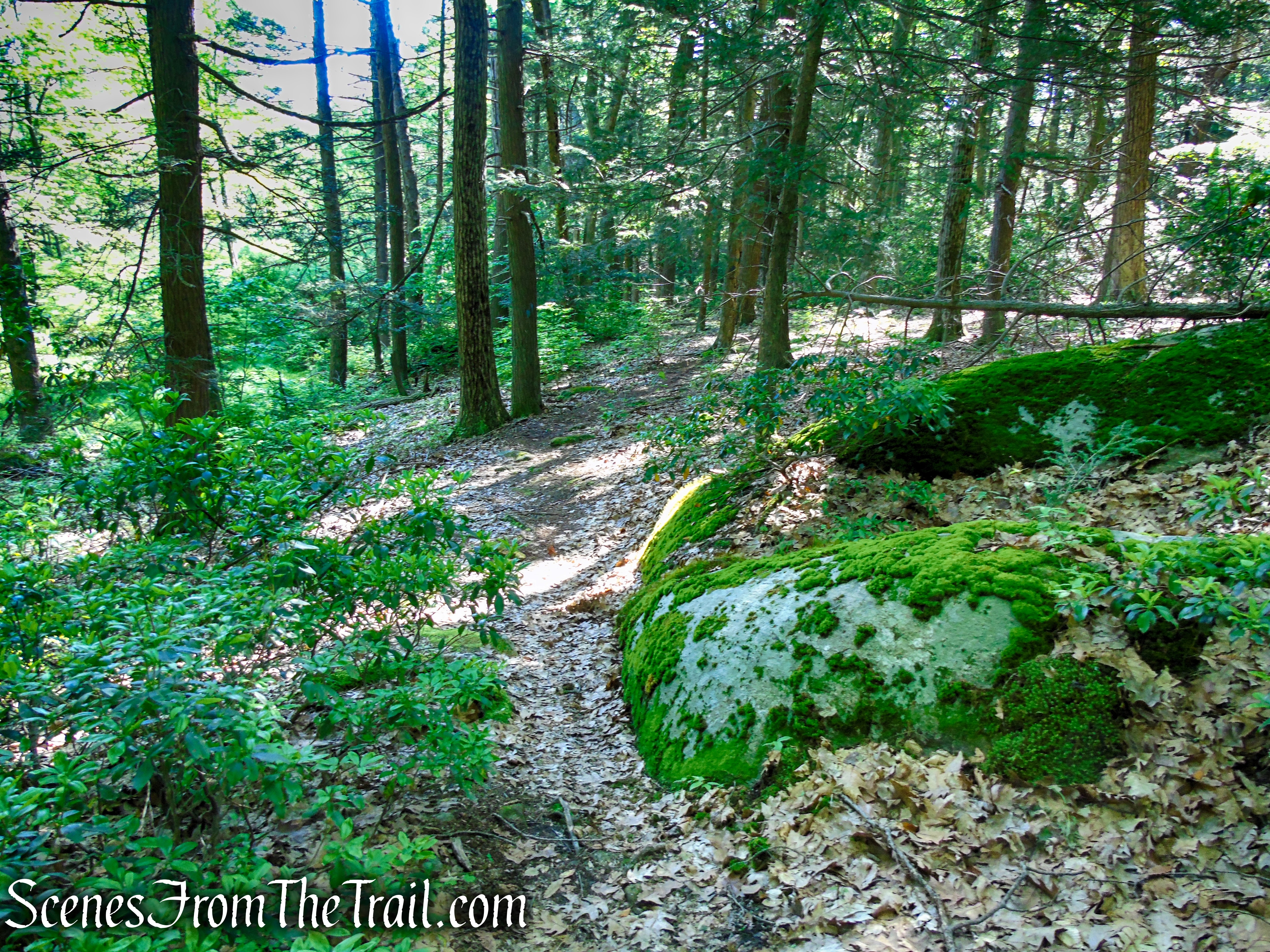
As you continue north on Island Pond Road, in about 0.17 mile, the white-blazed Nurian Trail joins from the right and in 200 feet, departs to the left as the yellow-blazed Dunning Trail joins from the left and departs to the right in about 175 yards. Stay on the wide woods road that you have been following.
Island Pond Road – Harriman State Park
Island Pond Road – Harriman State Park
Island Pond Road – Harriman State Park
In about another 500 yards, the Arden-Surebridge Trail (A-SB Trail) comes in from the right, joins Island Pond Road and almost immediately turns left. When the joint A-SB Trail/Island Pond Road turn left, continue straight ahead onto another unmarked woods road.
Continue straight on the woods road
Follow this woods road for about 0.4 mile to the southern end of Island Pond where you’ll find the stone ruins of an old ranger cabin.
woods road to Island Pond
woods road to Island Pond
These stone ruins are all that remain of the cabin built by the Park in 1927 for the use of Park rangers.
stone cabin ruins at Island Pond
stone cabin ruins at Island Pond
stone cabin ruins at Island Pond
stone cabin ruins at Island Pond
stone cabin ruins at Island Pond
A footpath to the right of the cabin ruins, leads to a point of land with an expansive view of Island Pond. This makes a great place for a break to enjoy this idyllic setting in nature.
Island Pond – Harriman State Park
Island Pond – Harriman State Park
Island Pond – Harriman State Park
Island Pond – Harriman State Park
When you are done soaking in all this beauty, retrace your steps on the woods road and continue straight when it meets Island Pond Road. Follow Island Pond Road south for about 1.5 miles. Island Pond Road ends where it meets County Route 106 at a gate. Here, the White Bar Trail turns left, parallels CR 106 for about 500 feet, crosses the road and reaches the parking area, where the hike began.
unmarked woods road from Island Pond
Island Pond Road – Harriman State Park
Island Pond Road – Harriman State Park
Review:
A great hike to do on a warm day. The trails are almost entirely shaded on this route and the minimal elevation gain makes for a scenic and tranquil hike. The sound of motorcycles can be heard the closer you get to CR 106, but all in all a great day in the woods. We didn’t encounter any other hikers during our time there even though the parking lot was filled to capacity when we returned.
Pros:
View from Stahahe High Peak, Island Pond Road, Island Pond, lightly trafficked at times.
Cons:
Some road noise from CR 106 can be heard.
Take a hike!
Stahahe High Peak & Island Pond – Harriman State Park
Sources:
- Harriman State Park
- Myles, William J.; Chazin, Daniel. Harriman Trails: A Guide and History . New York – New Jersey Trail Conference. Kindle Edition.

Mention should have been made of the almost pyramidal boulder on the opposite side of Island Pond Road from the start of the Stahahe High Peak Trail.
LikeLiked by 1 person