May 27, 2023 – Southfields, NY
Difficulty: Moderate
Length: Approximately 4.6 miles
Max elevation: 1,380 ft.– total elevation gain approximately 672 ft.
Route type: Circuit
Buy Map (Paper & Avenza): Harriman-Bear Mountain Trails Map #119
Free Map (Paper & Avenza): Harriman State Park Trail Map
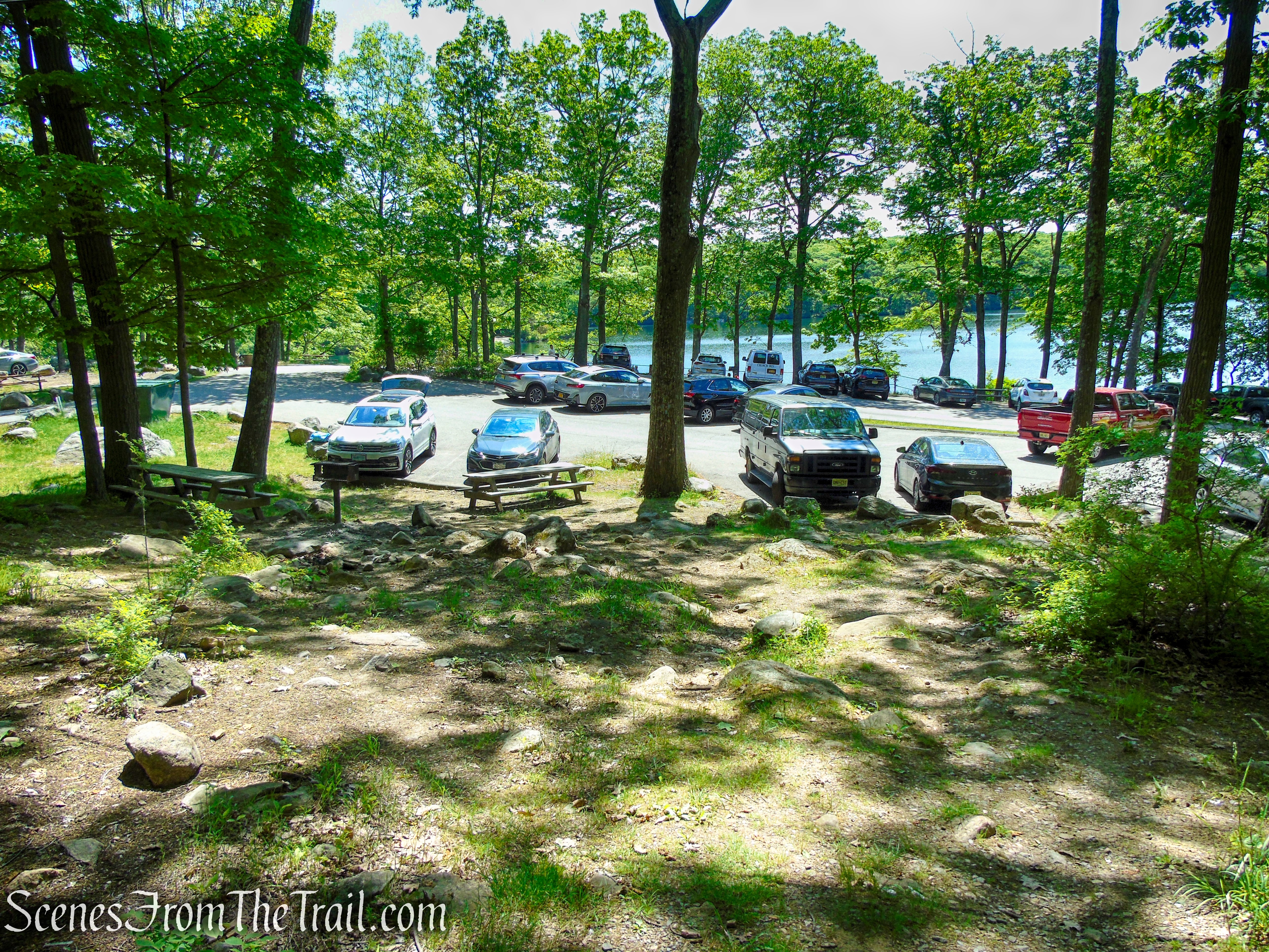
Trailhead parking: Lake Tiorati Picnic Area, Southfields, NY 10975
Paved parking lot – bathrooms on site
Fees apply from Memorial Day weekend to Labor Day weekend – Empire Pass accepted
Park Overview:
At 47,527 acres, Harriman State Park, located in Rockland and Orange counties, is the second-largest park in the NYS parks system. It has 31 lakes and reservoirs, over 200 miles of hiking trails, two beaches, two public camping areas, a network of group camps, miles of streams and scenic roads, and scores of wildlife species, vistas and vantage points. Harriman State Park’s major facilities include Lakes Welch, Tiorati and Silvermine, the Anthony Wayne Recreation Area, Sebago Cabins and Beaver Pond Campgrounds.
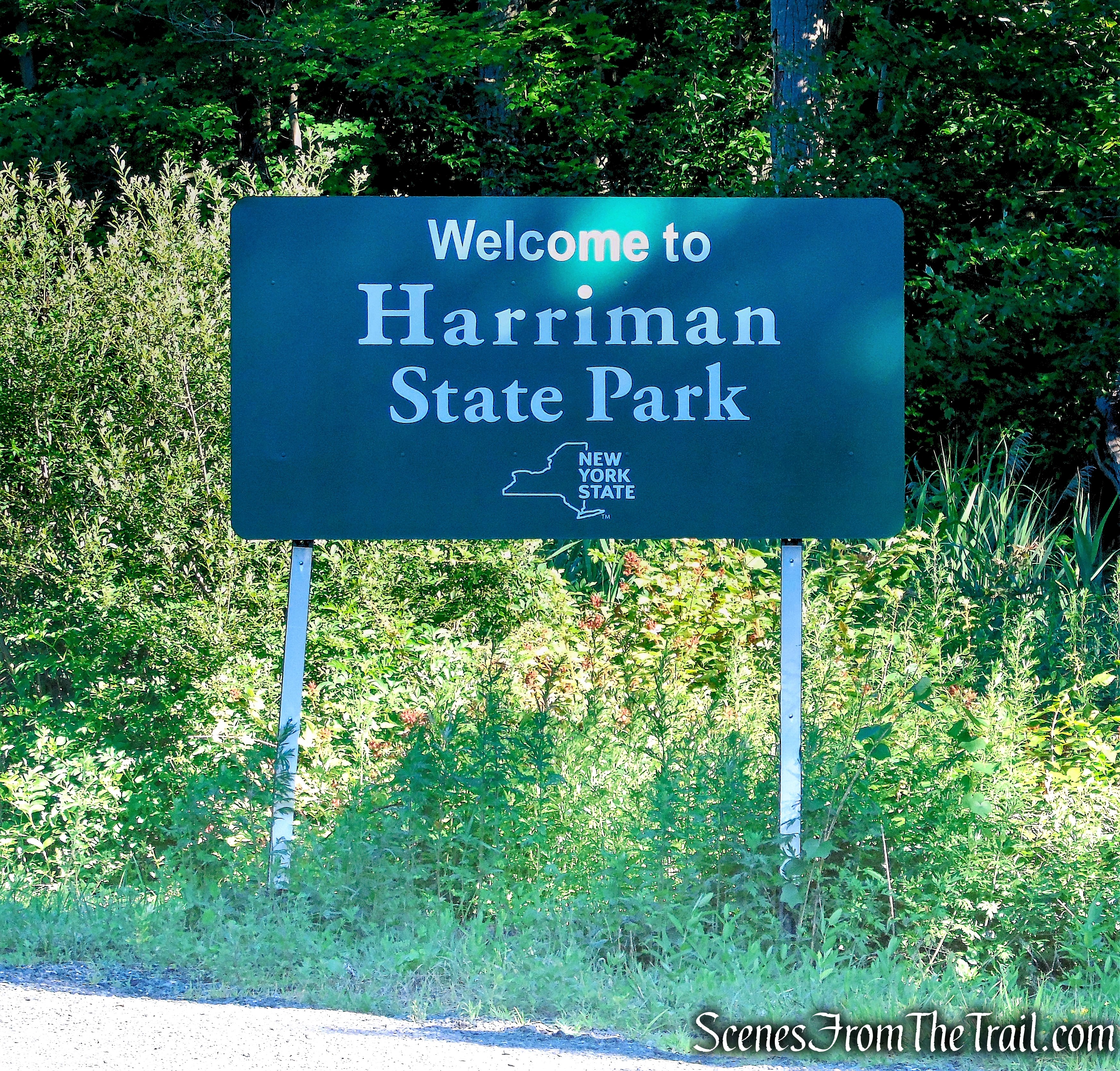
Harriman State Park
Fingerboard Mountain is a 1,380-ft. peak located southeast of the hamlet of Central Valley in Orange County, New York. It is just southwest of Tiorati Circle in Harriman State Park. The Appalachian Trail traverses the ridge, passing over the summit.
The Greenwood Mine is located near the junction of the Appalachian Trail and the Surebridge Mine Road. Also known as the Patterson Mine, it was first opened in 1838. The mine was owned by Robert and Peter Parrott and supplied ore to the Clove and Greenwood furnaces at Arden, New York, during the Civil War. The Greenwood Mine was last worked in 1880.
Greenwood Mine Complex – Harriman State Park
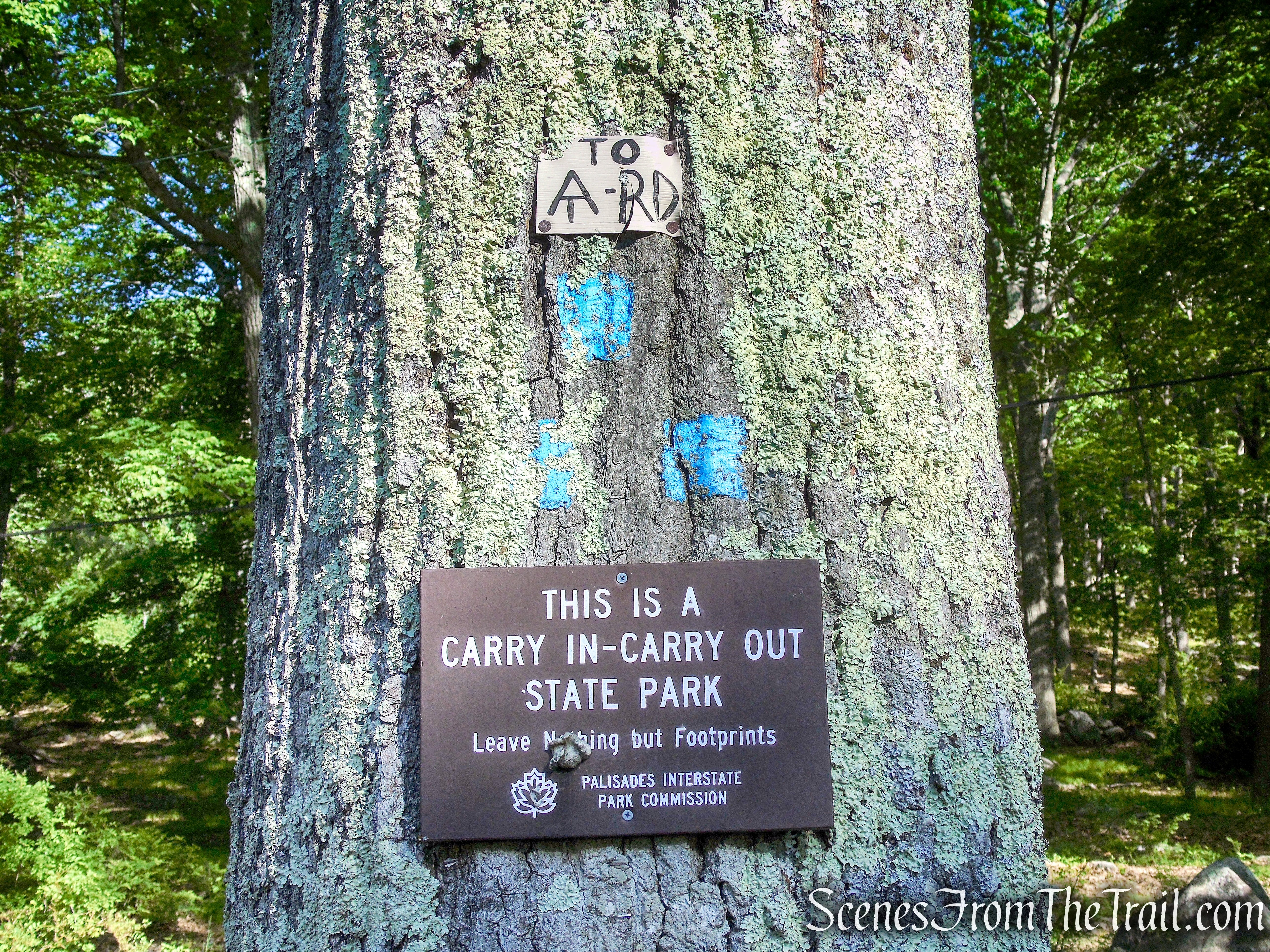
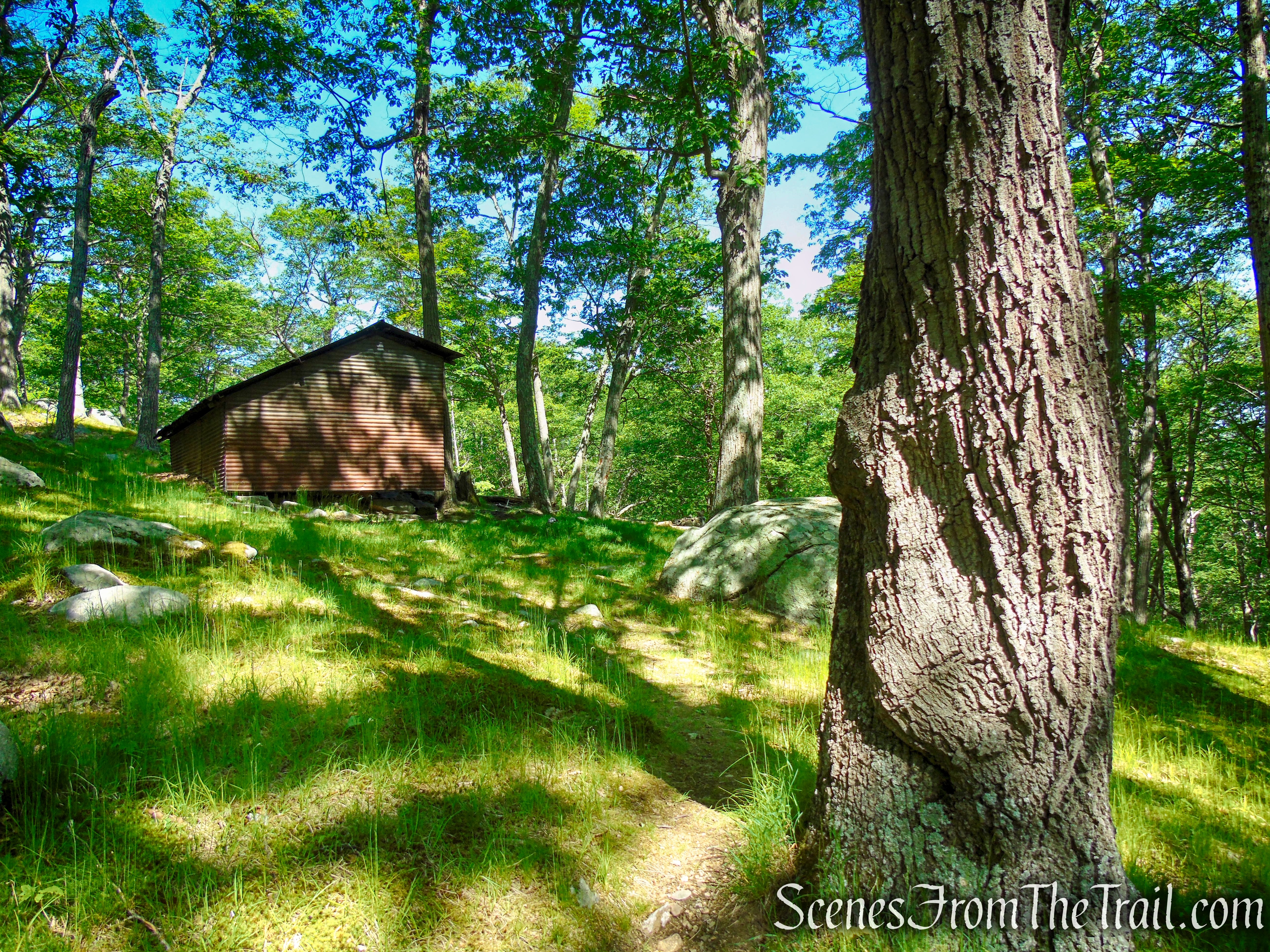
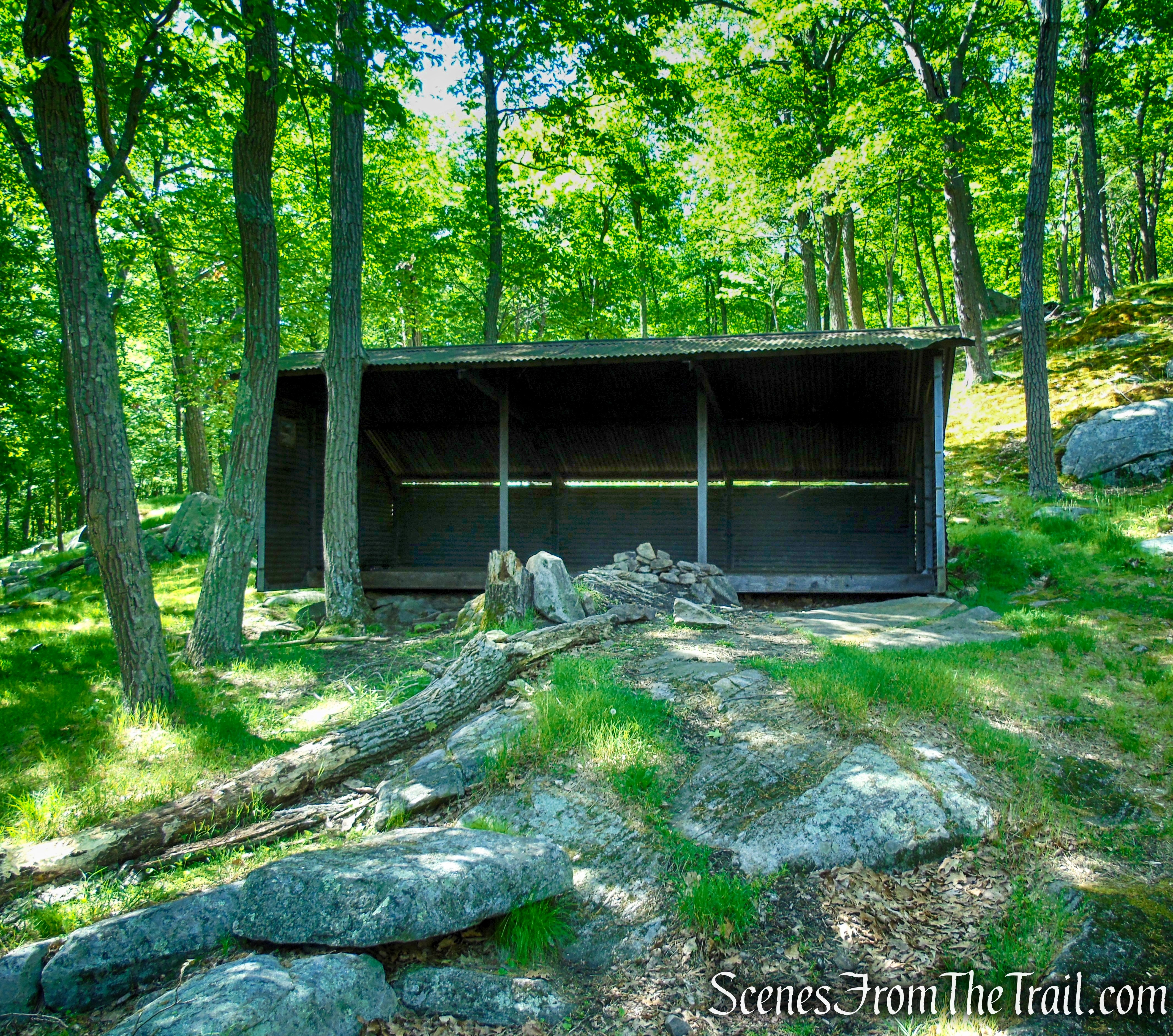
The Cohasset Shelter is located on the Long Path, just west of the junction with Surebridge Mine Road. The Cohasset Shelter is shown on NYNJTC maps as “Unmaintained Shelter.” It was built in 1937 for the girls’ camps on Upper Lake Cohasset. This shelter is made of corrugated steel with two stone fire pits in the front. There is no water source and no views at this shelter.
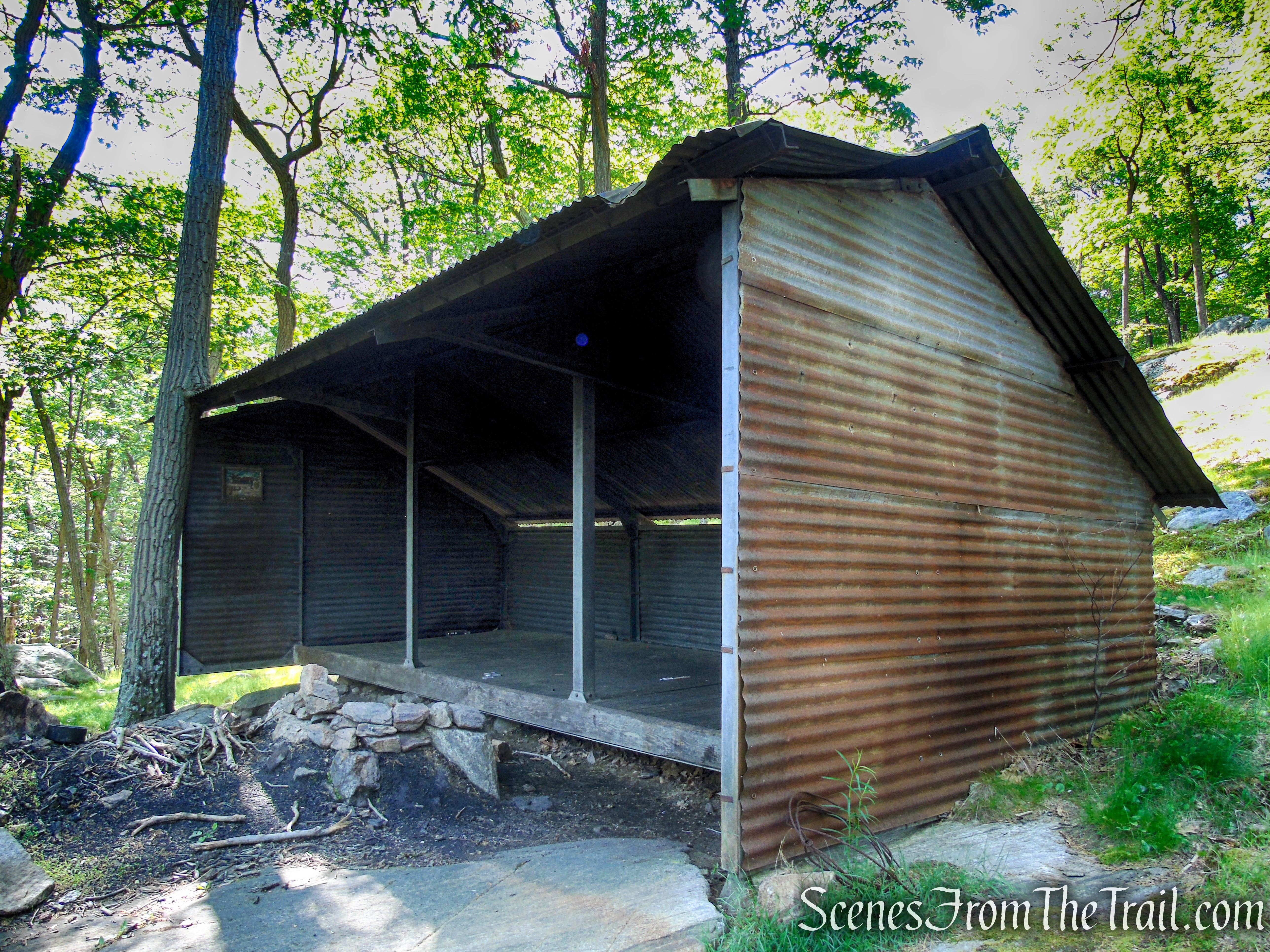
Cohasset Shelter – Harriman State Park
Trails Overview:
- Lake Tiorati Trail ~ (0.6 mile) is a blue blazed trail which begins in the Lake Tiorati Picnic Area and connects to the coaligned Appalachian Trail (AT) and Rampo-Dunderberg Trail.
- Appalachian Trail ~ (1.8 miles) is marked with 2×6-inch white blazes. It is coaligned with the Rampo-Dunderberg (R-D) Trail for just over a mile as it traverses the ridge of Fingerboard Mountain. It then splits from the R-D Trail and descends towards the western foot of the mountain, where it meets Surebridge Mine Road.
- Surebridge Mine Road ~ (0.25 mile) is an unmarked woods road that runs along the hollow between Fingerboard Mountain and Surebridge Mountain. It connects the AT to the Long Path.
- Long Path ~ (1.35 mile) is an aqua-blazed footpath that runs southwest to northeast along the base of Fingerboard Mountain. It is very rocky in places and can be wet in the lower lying areas.
- Arden Valley Road ~ (0.2 mile) This paved park road connects the Long Path to the AT. Care should be taken while walking along this road during warm weather, when it is open to vehicular traffic.
The trails are maintained by volunteers of the NY-NJ Trail Conference.
Hike Overview:
This loop hike does not offer any views, but does have some scenic footpaths and woods roads, a picturesque open ridge, and an overnight trail shelter that make it a worthwhile hike.
I wanted to complete the Harriman Trail Shelters Challenge, which involves visiting 10 overnight shelters that are located in different areas of the park.
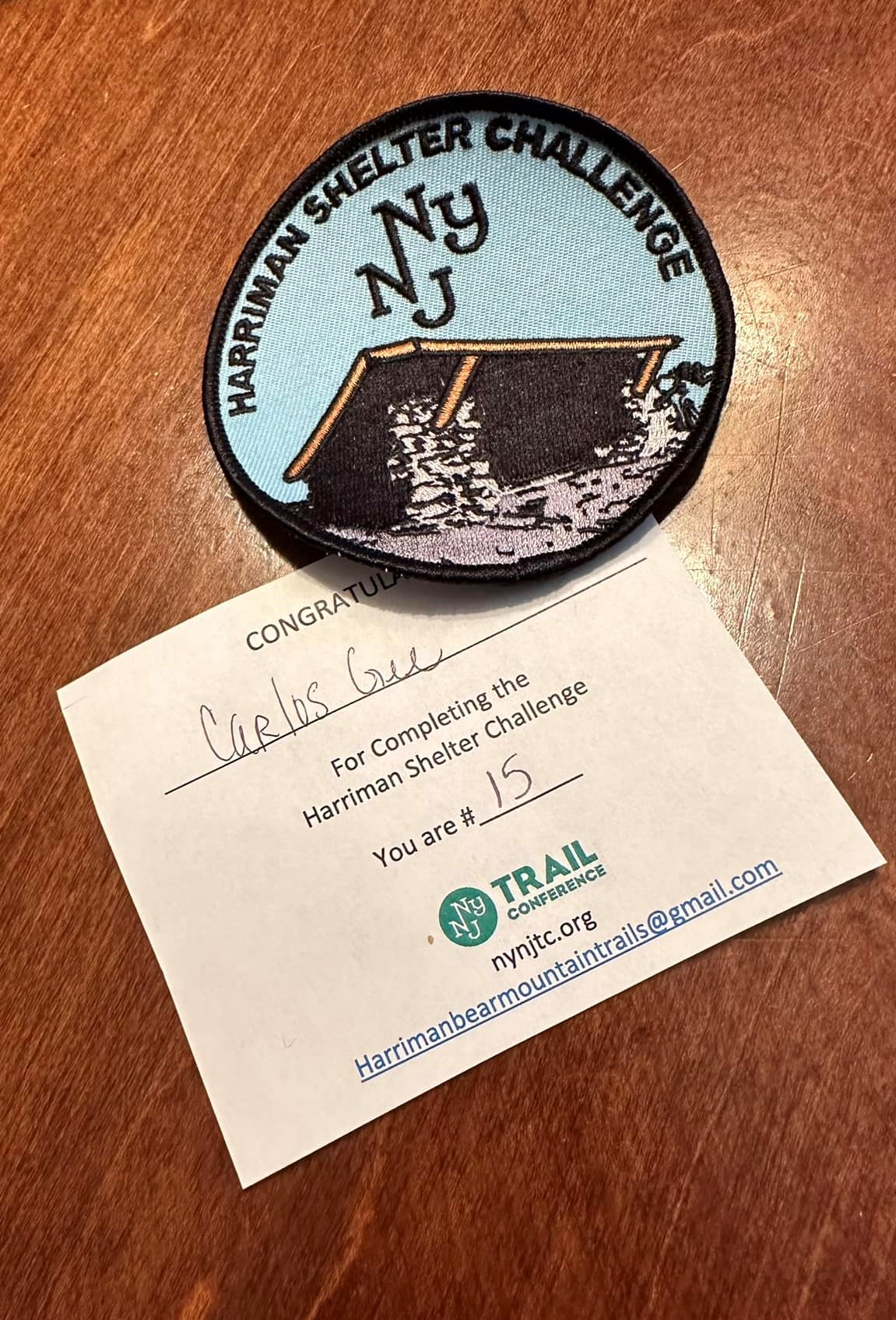
Harriman Shelters Challenge Patch
In the last two weeks we hiked to the Bald Rocks Shelter on Black Rock Mountain (#8) and the Stone Memorial Shelter (#9). The Cohasset Shelter, marked as “Unmaintained Shelter” on the NY-NJ Trail Map, would be the final shelter needed to complete the challenge. This hike goes right by the Fingerboard Mountain Shelter as well. Since we had already visited this shelter in 2017, we didn’t stop there. This is a good hike to knock off two shelters in one hike.
We did this hike during the Memorial Day weekend, but surprisingly the Tiorati Picnic Area was not crowded at all. In warm weather, the parking lot usually fills up early. With anchored charcoal grills, beach and trails access, the Tiorati Picnic Area is normally a busy spot.
With the exception of the Lake Tiorati Trail, we did not see anyone else on any of the other trails during our hike. It turned out to be a nice loop through the scenic landscape of Harriman. For the most part, the trails were well shaded, making this a good hike on a hot day.
This moderate loop hike was done clockwise and does include a short road walk on Arden Valley Road.
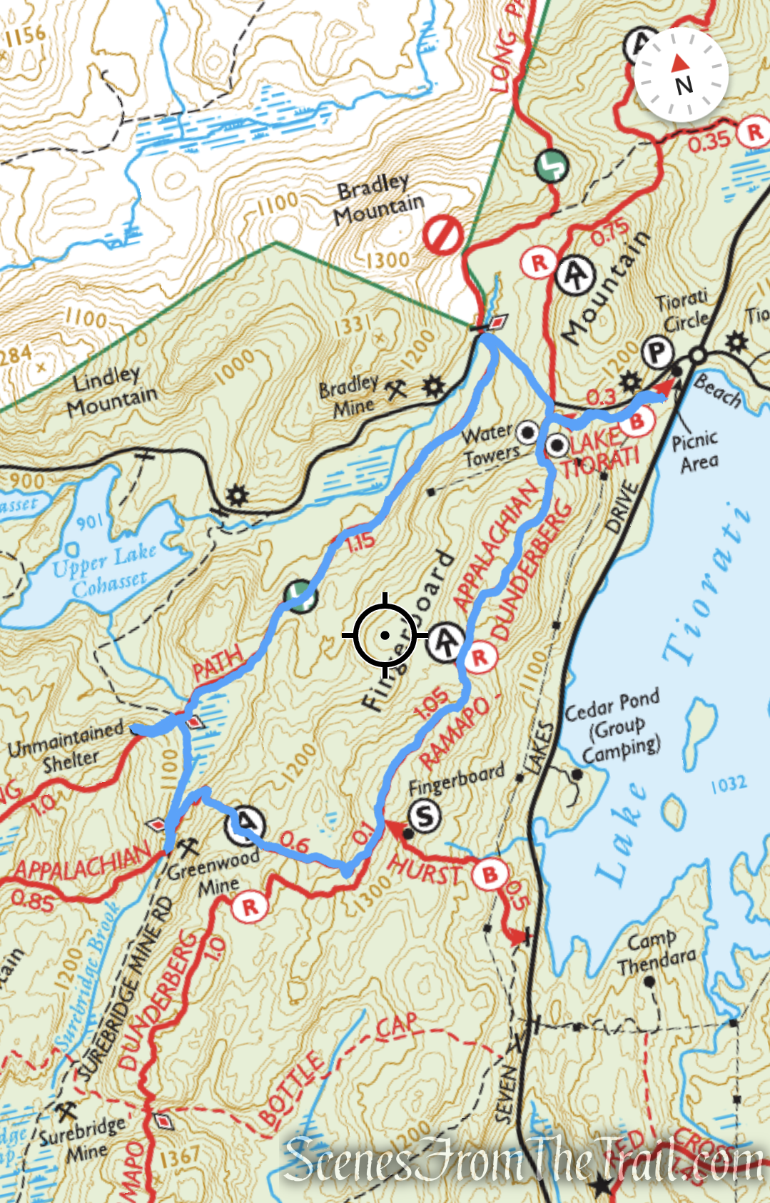
AT-Long Path Loop from Tiorati Picnic Area
There are numerous ups and downs on this hike, but the bulk of the elevation gain is done in the first 1.5 miles.
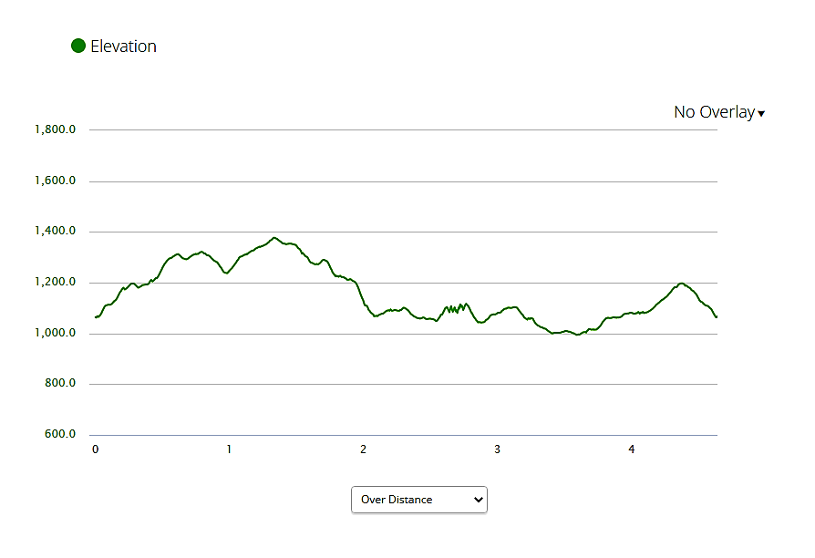
elevation profile – AT-Long Path Loop from Tiorati Picnic Area
The Hike:
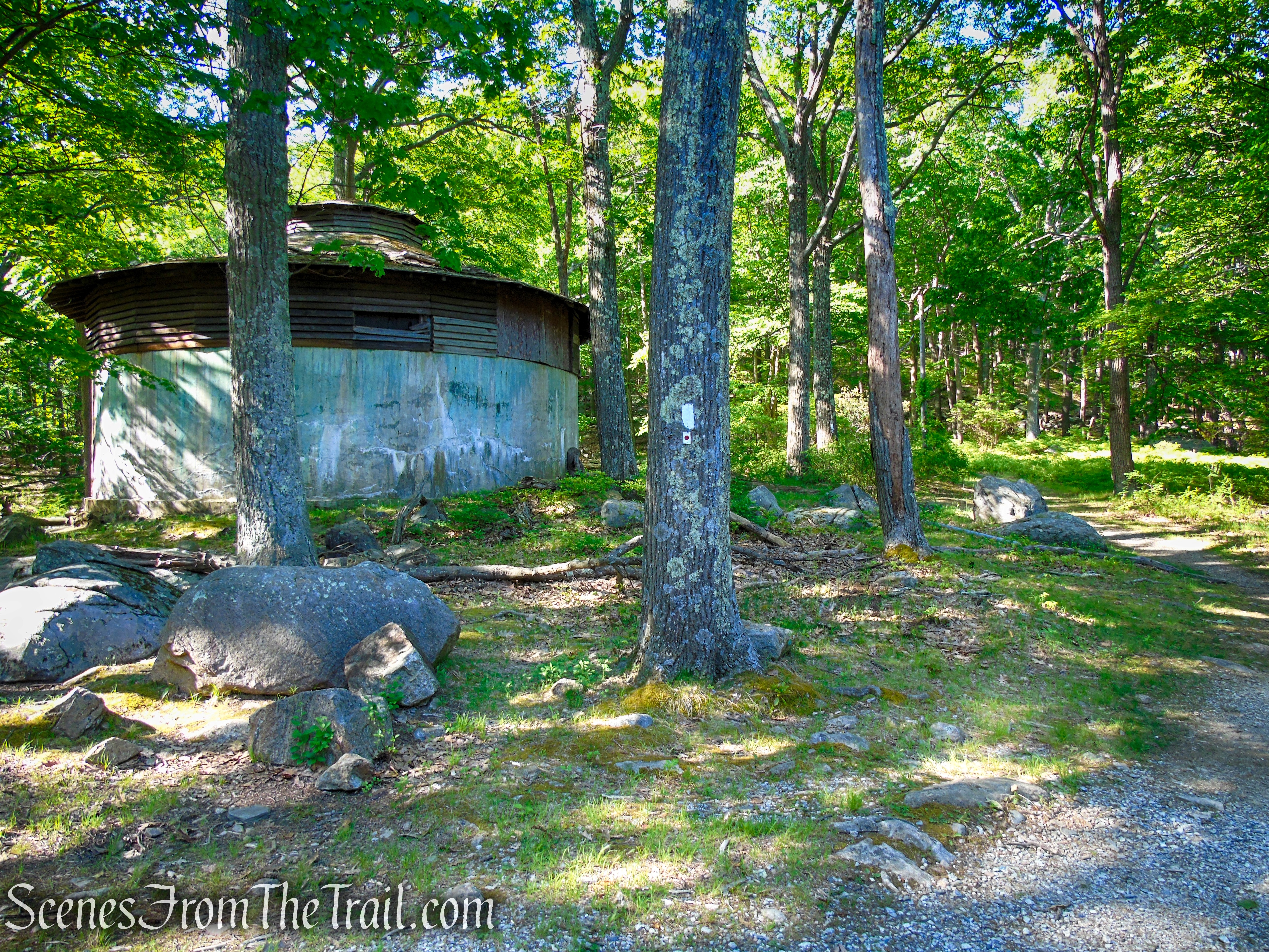
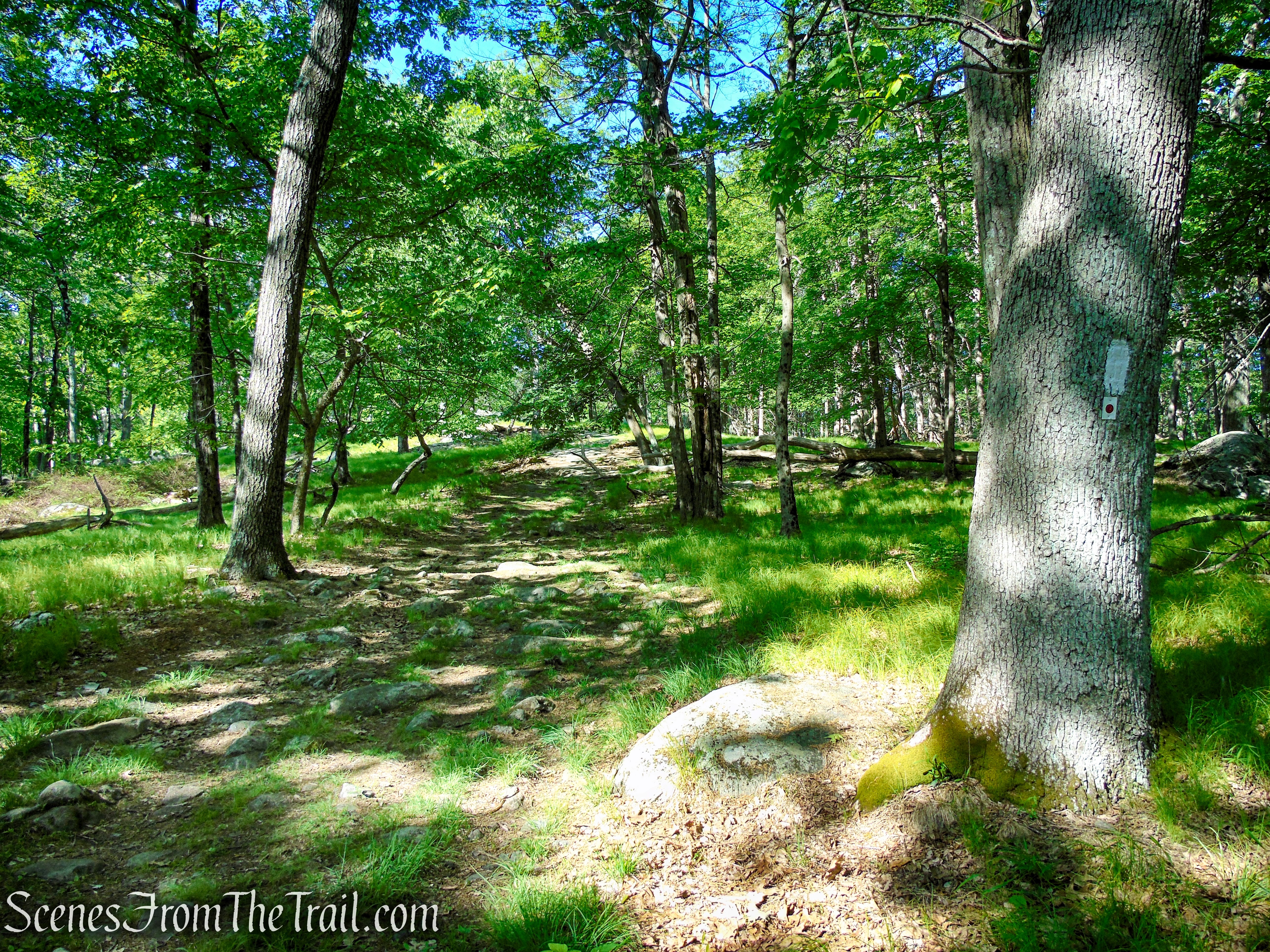
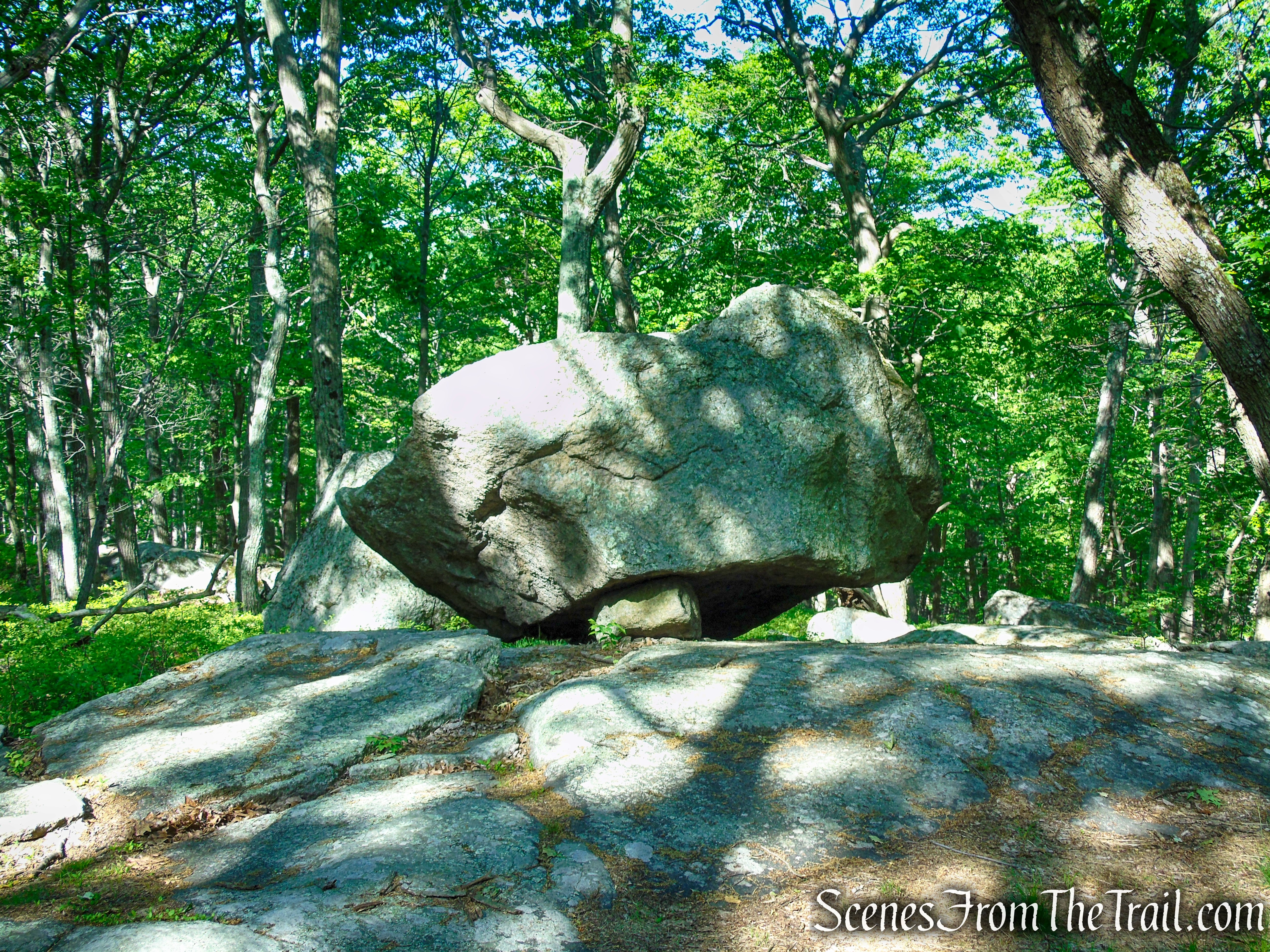
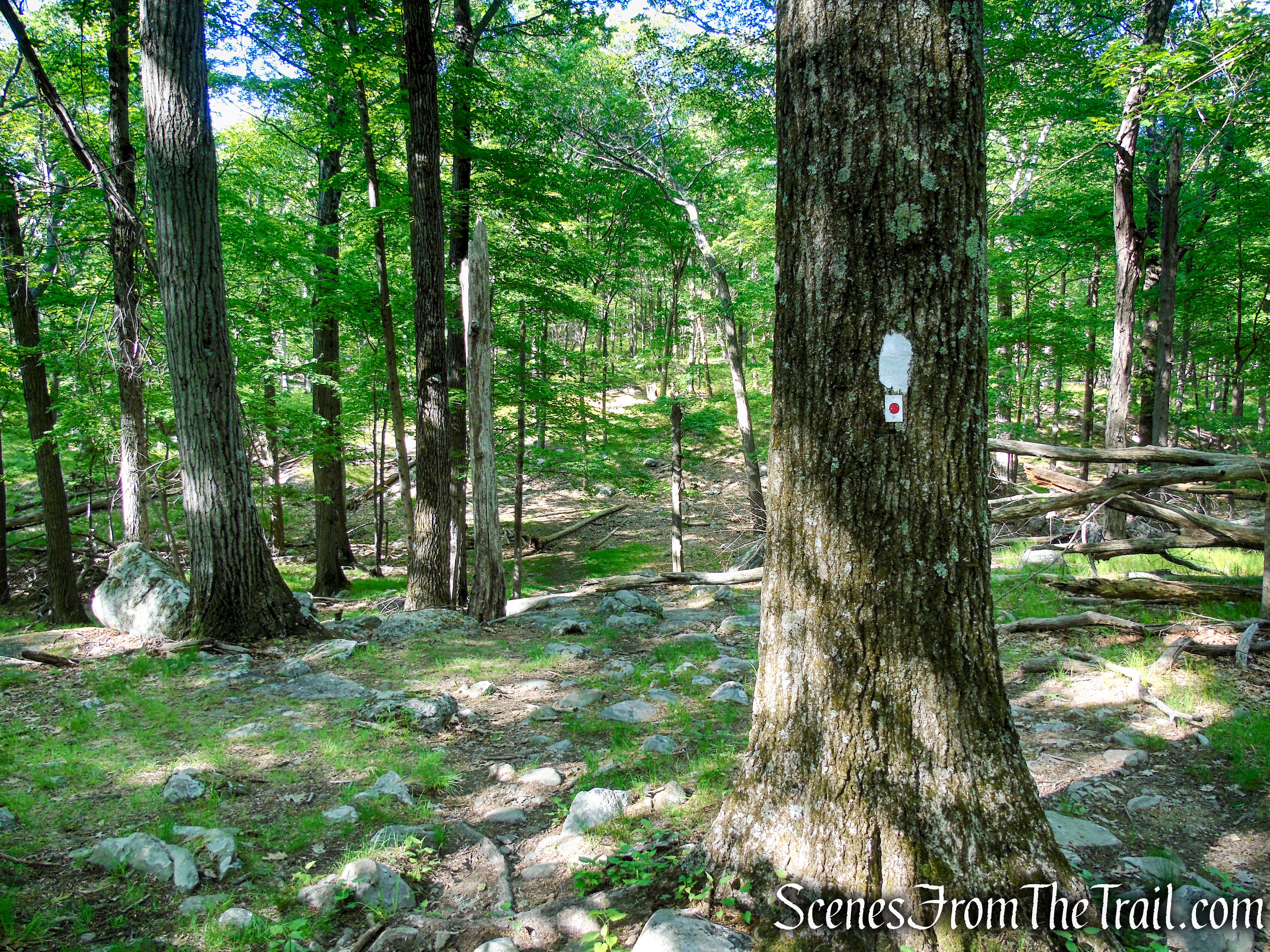
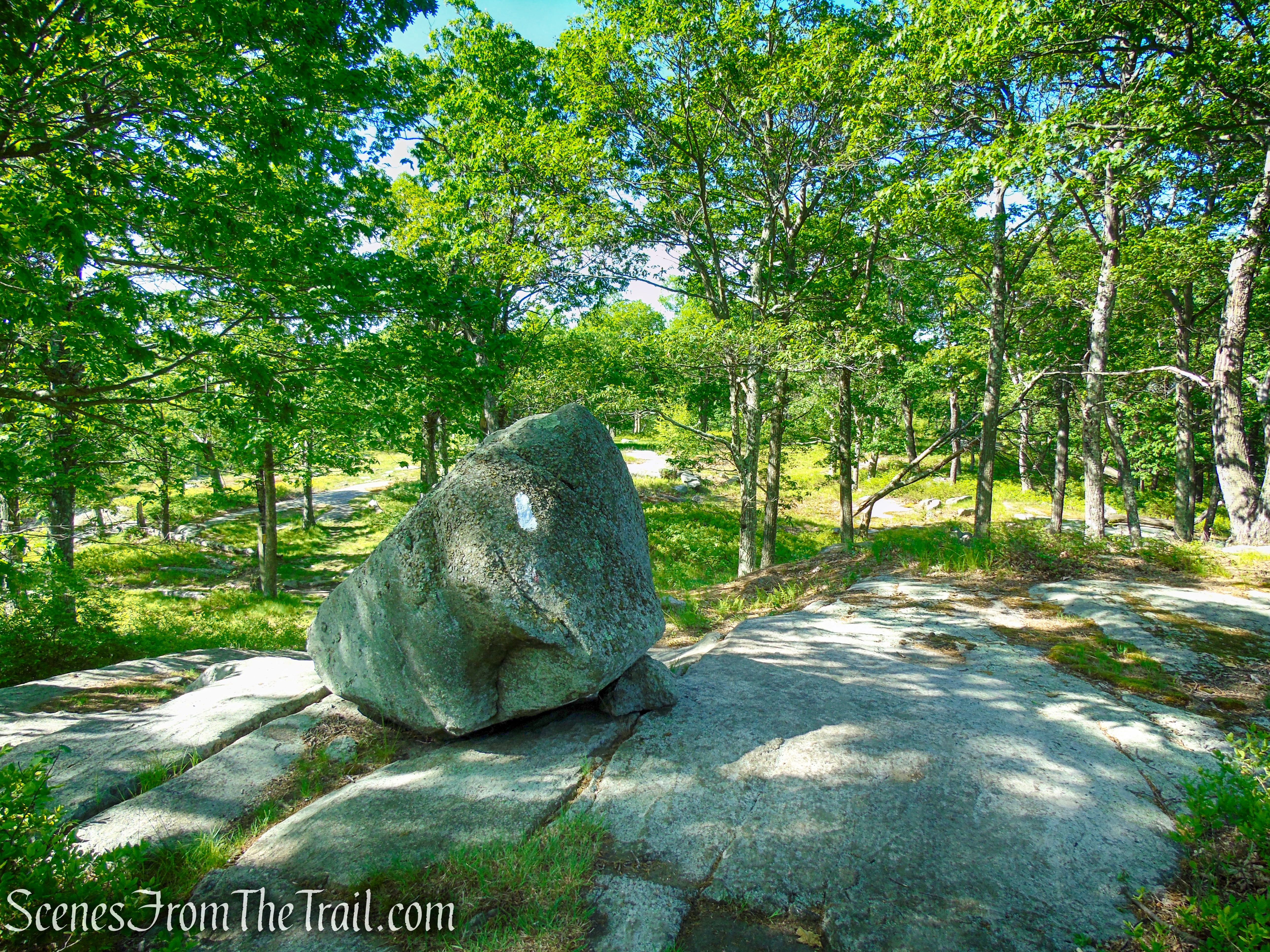
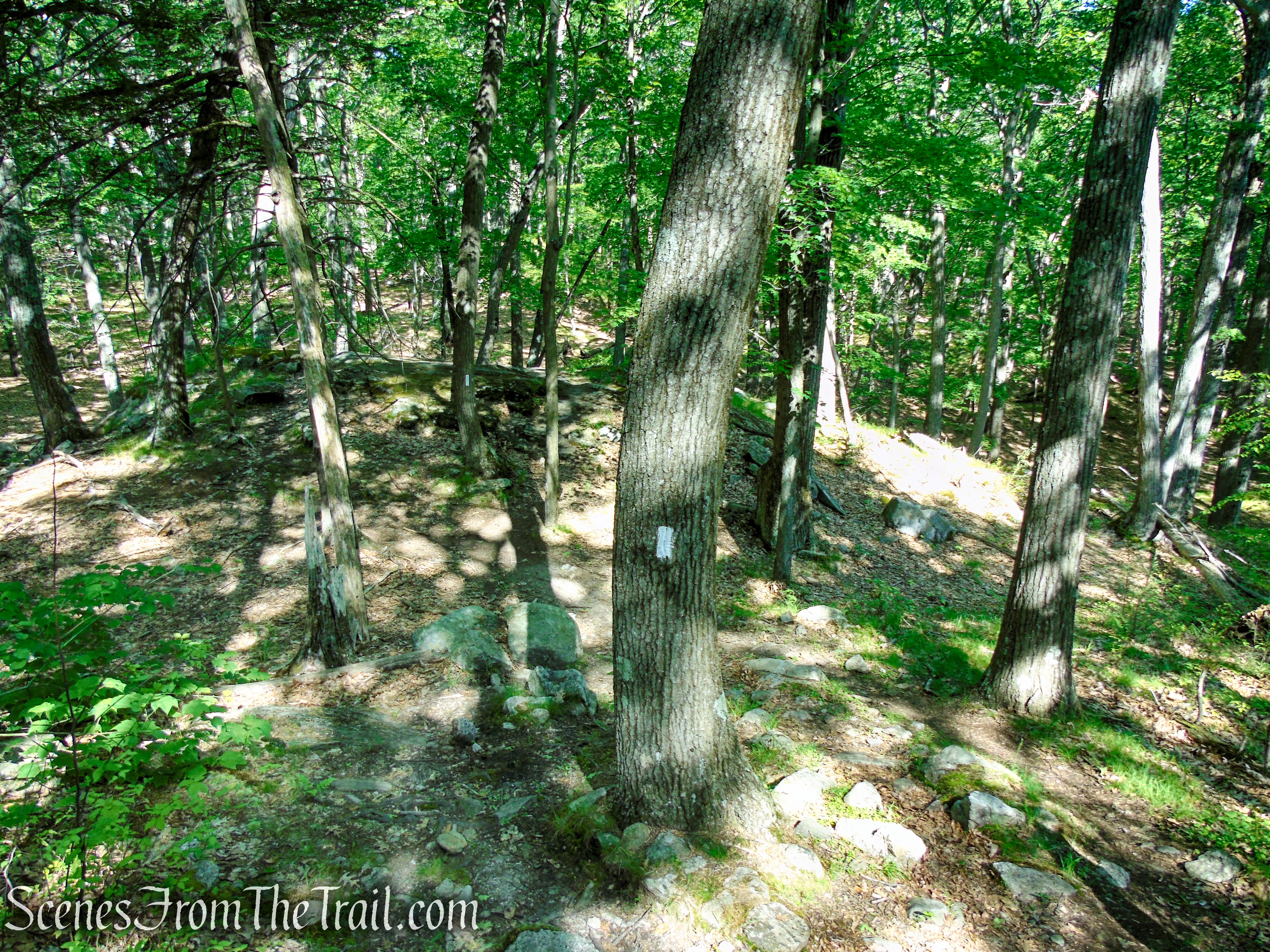
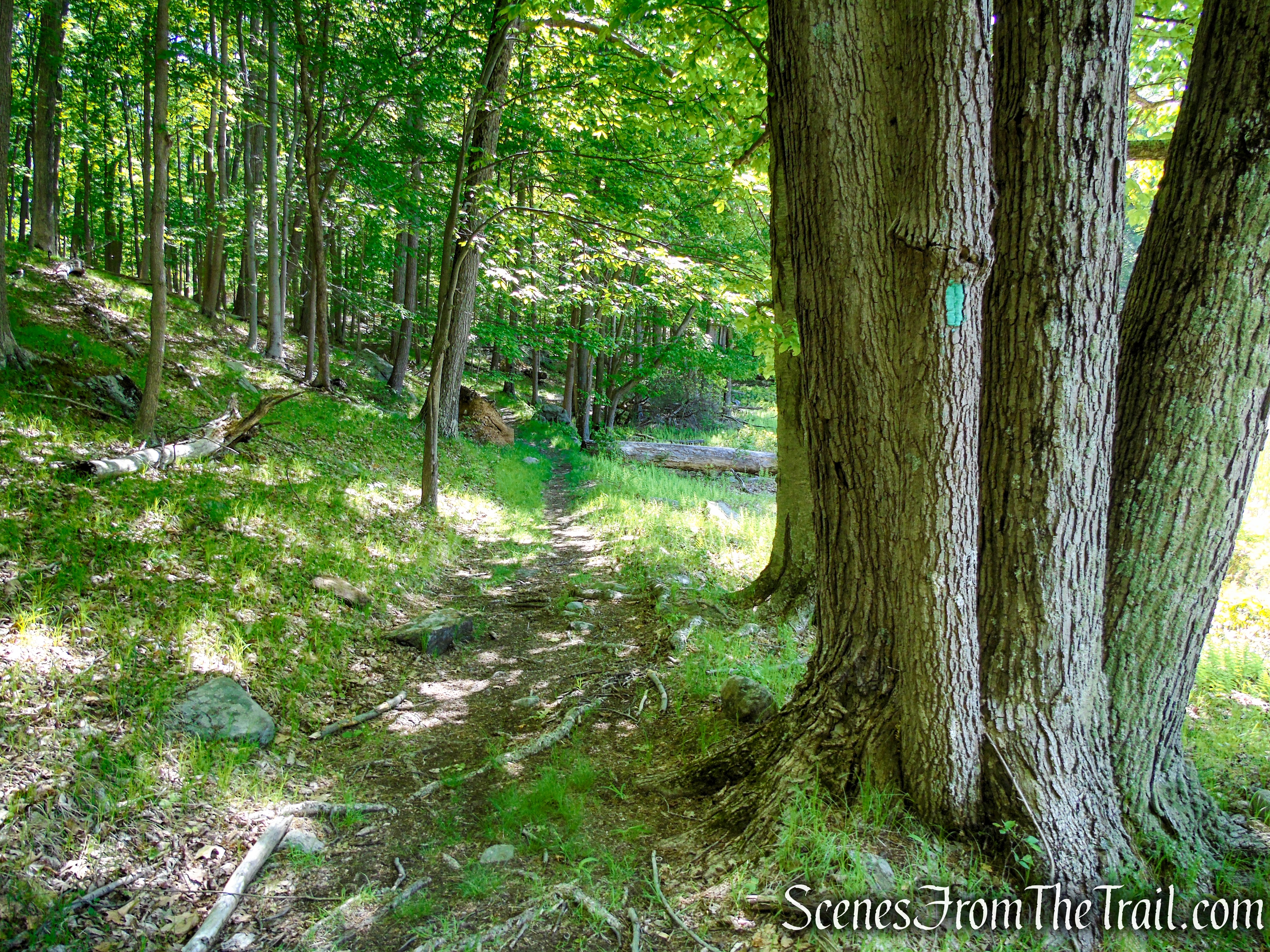
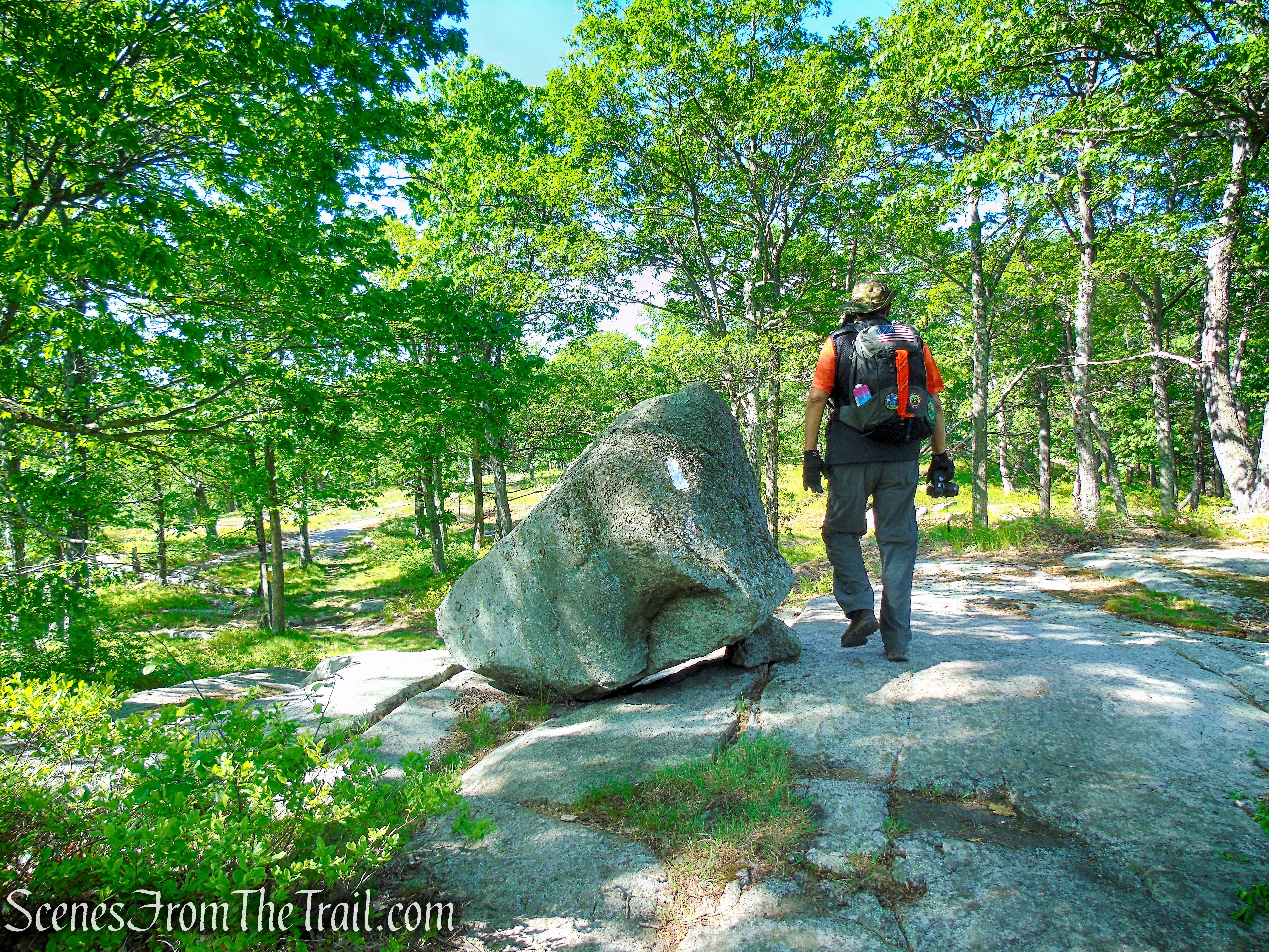
Towards the southern end of the parking area, you’ll notice a triple blue blaze (faded), which marks the start of the Lake Tiorati Trail. Proceed uphill on this trail to the ridge of Fingerboard Mountain, following the old route of Arden Valley Road for part of the way. At the top, turn left on the joint Appalachian Trail (AT) (white blazes)/Ramapo-Dunderberg (R-D) Trail (red-dot-on-white), which follows a woods road past metal and concrete water towers and continues to climb along the ridge of Fingerboard Mountain on a footpath. You’ll reach a few false summits, one of which features an interesting balanced boulder. When the leaves are down, Lake Tiorati may be seen through the trees on the left.
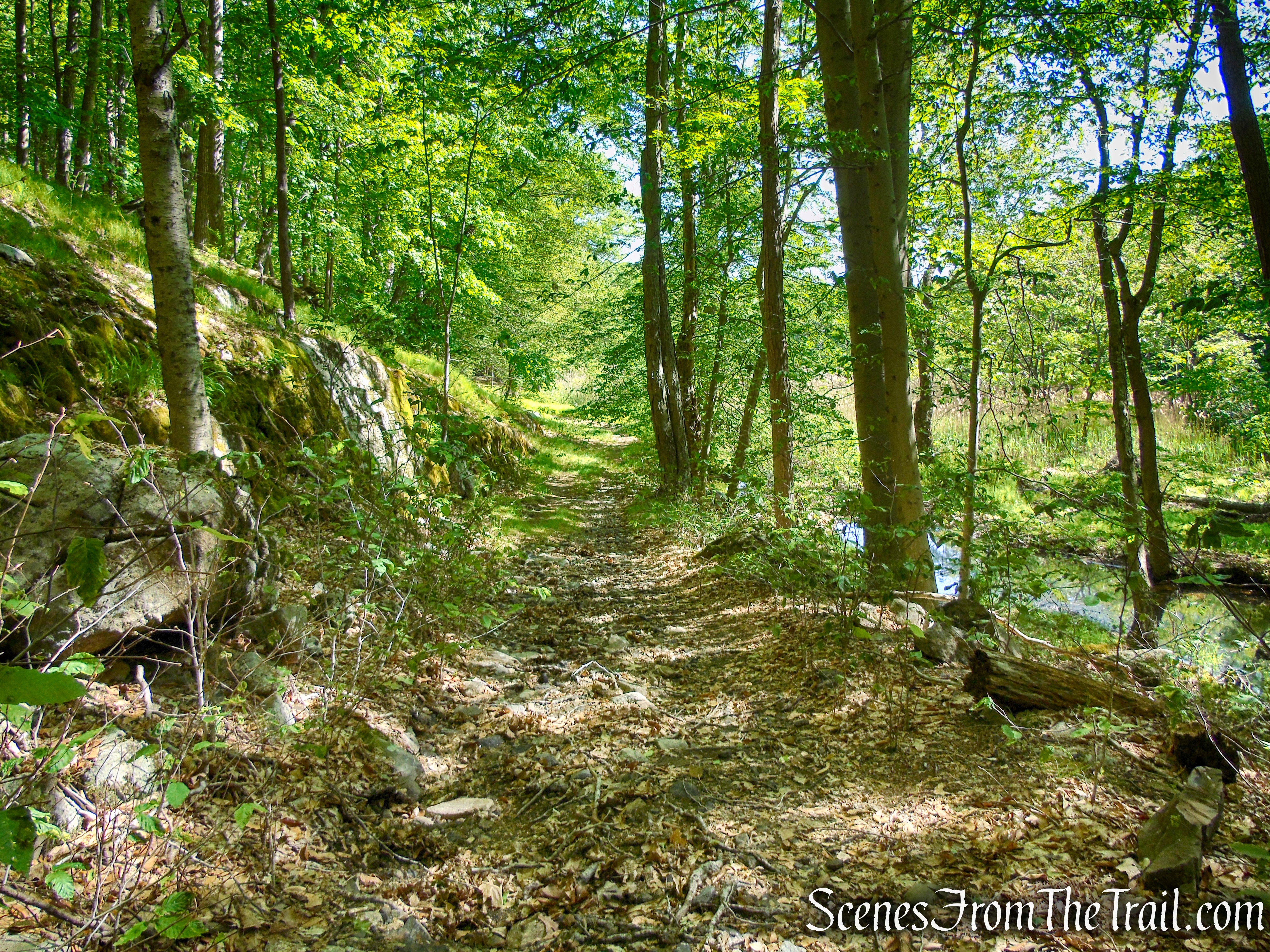
Lake Tiorati Trail – Harriman State Park
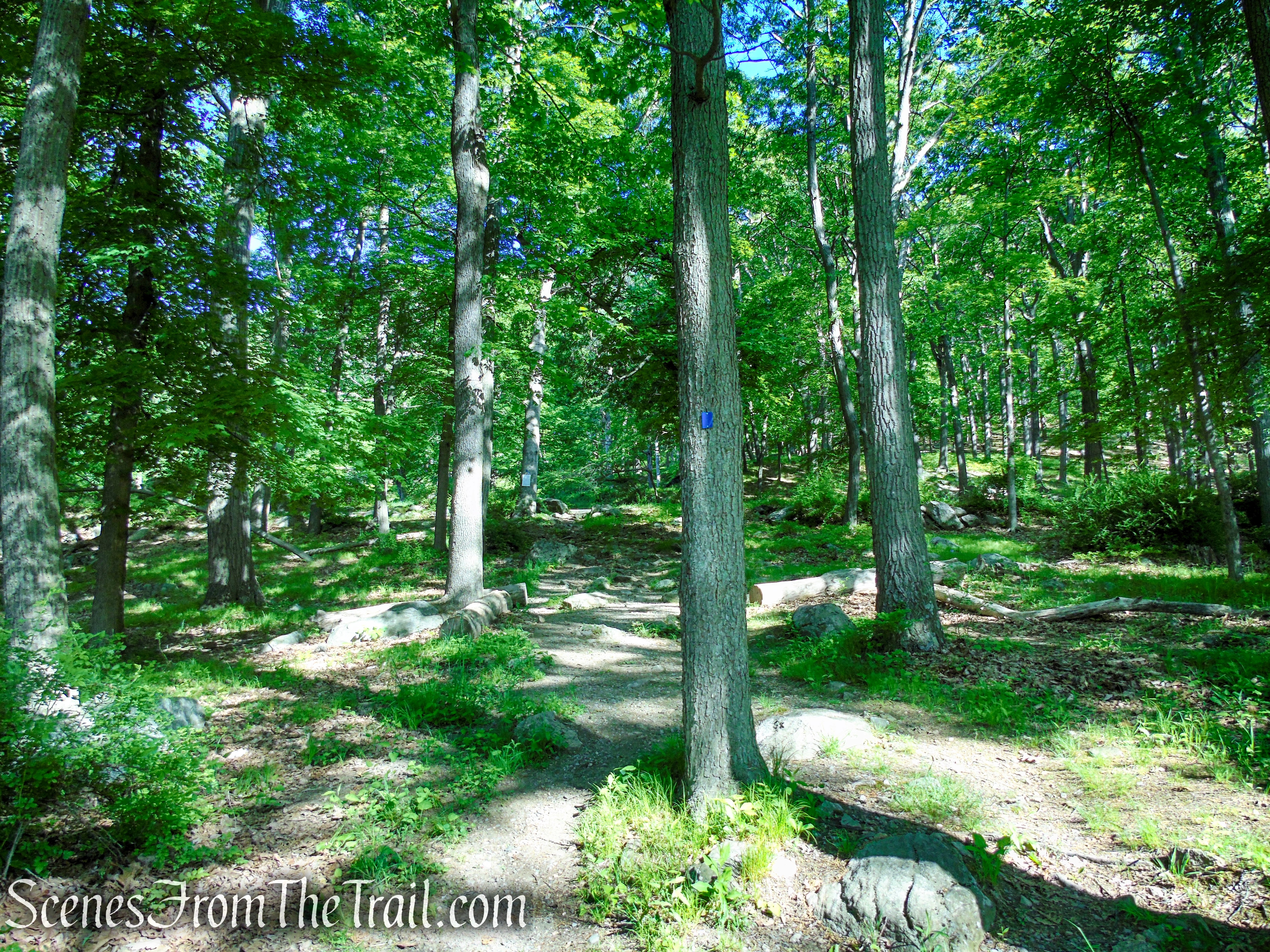
Lake Tiorati Trail – Harriman State Park
Lake Tiorati Trail – Harriman State Park
Lake Tiorati Trail – Harriman State Park
Turn left on joint AT/R-D trails
Coaligned AT/R-D trails
The trail goes to the left of this water tower. We stayed on the woods road on the right and had to cut across to regain the trail.
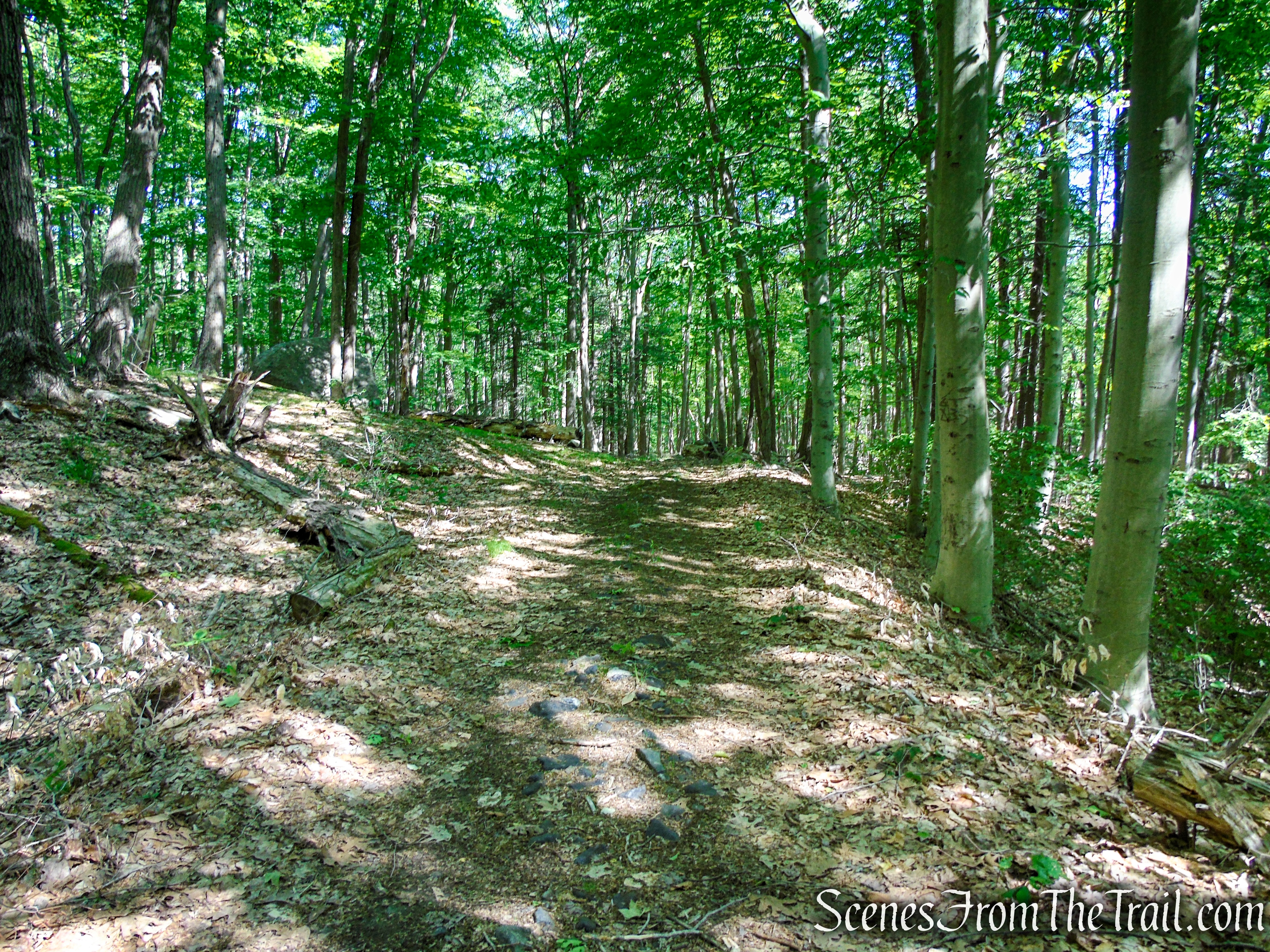
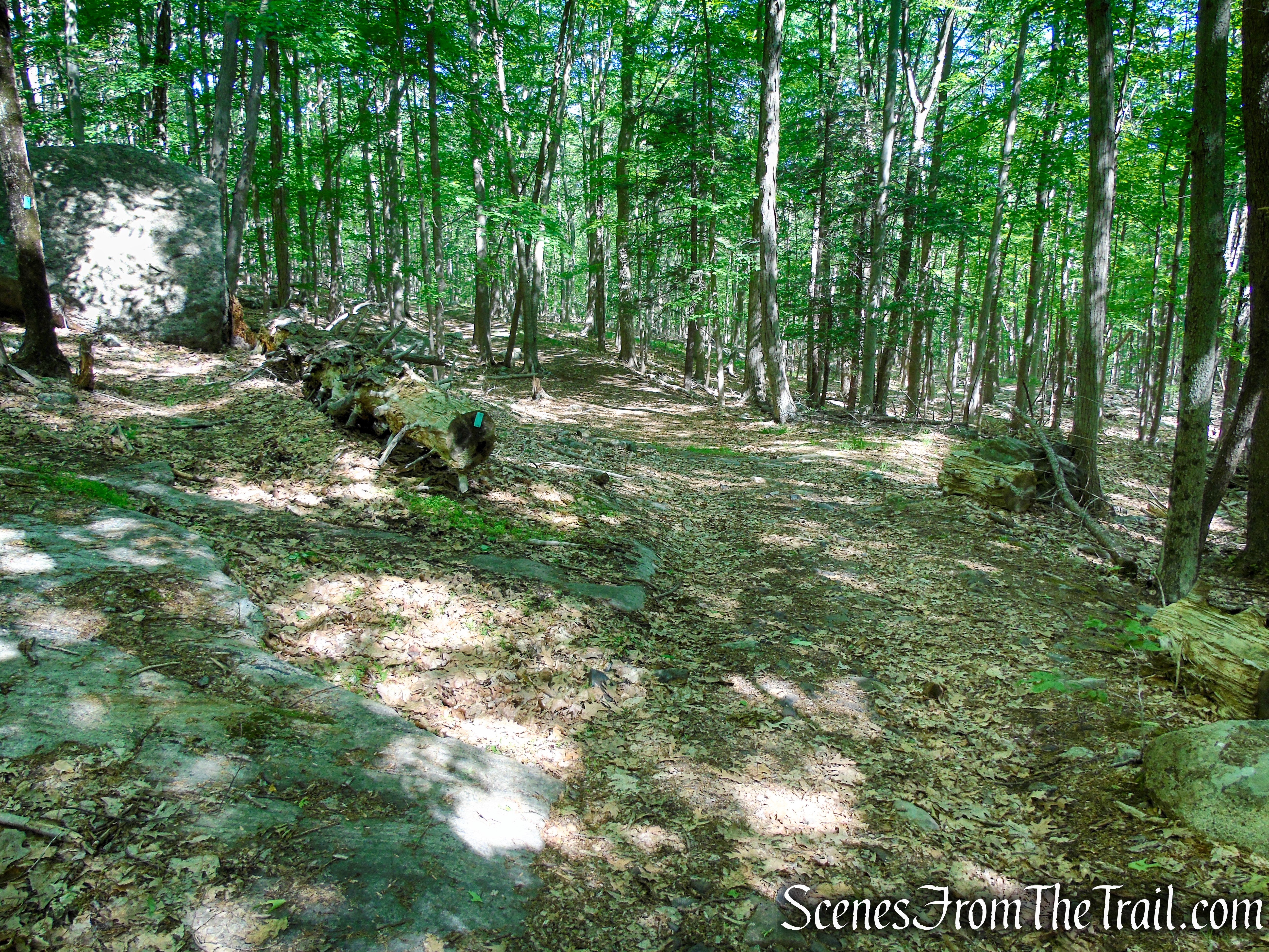
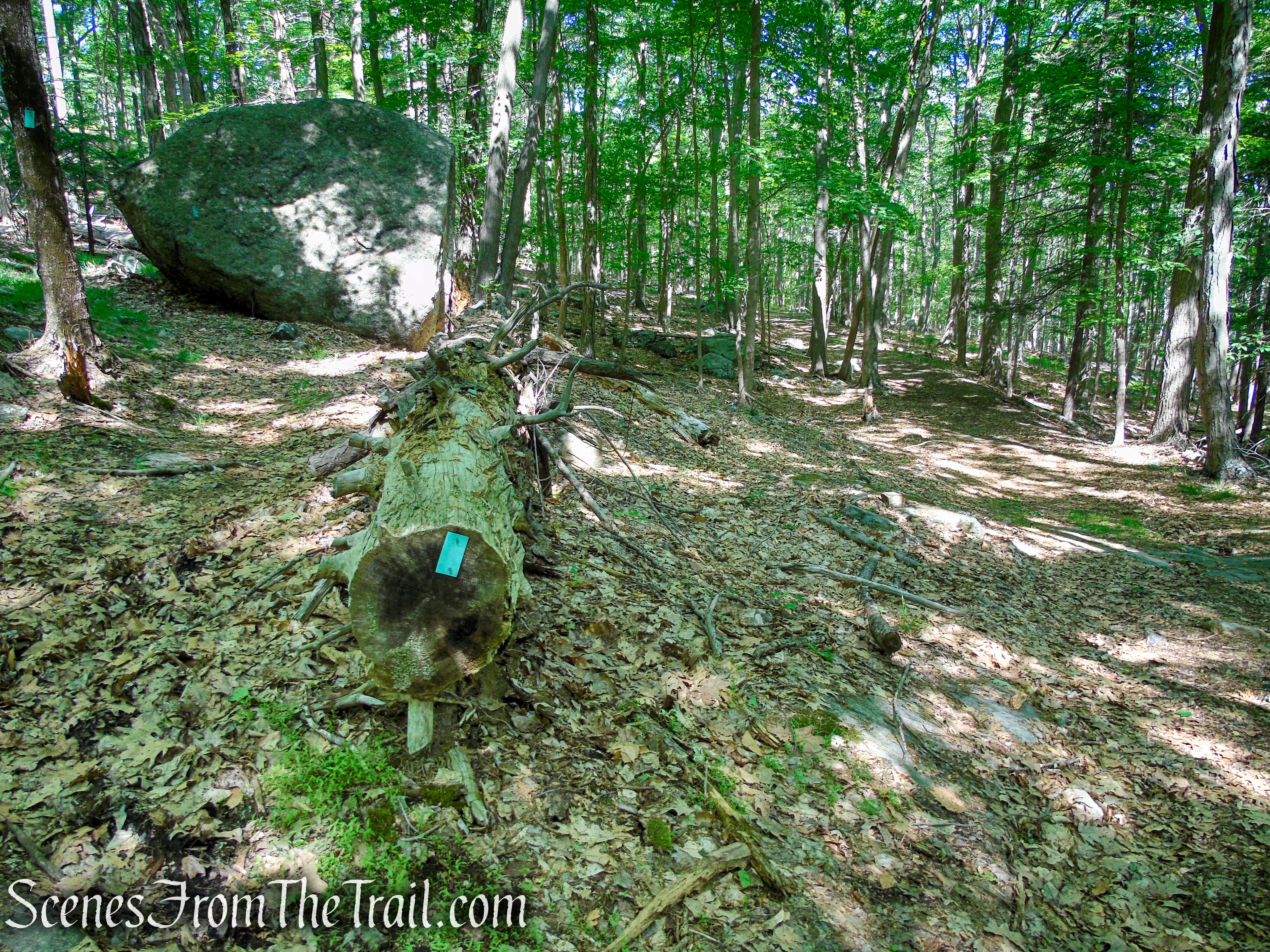
Coaligned AT/R-D trails – Fingerboard Mountain
Coaligned AT/R-D trails – Fingerboard Mountain
Coaligned AT/R-D trails – Fingerboard Mountain
Coaligned AT/R-D trails – Fingerboard Mountain
Coaligned AT/R-D trails – Fingerboard Mountain

Coaligned AT/R-D trails – Fingerboard Mountain

Coaligned AT/R-D trails – Fingerboard Mountain
Coaligned AT/R-D trails – Fingerboard Mountain
Coaligned AT/R-D trails – Fingerboard Mountain
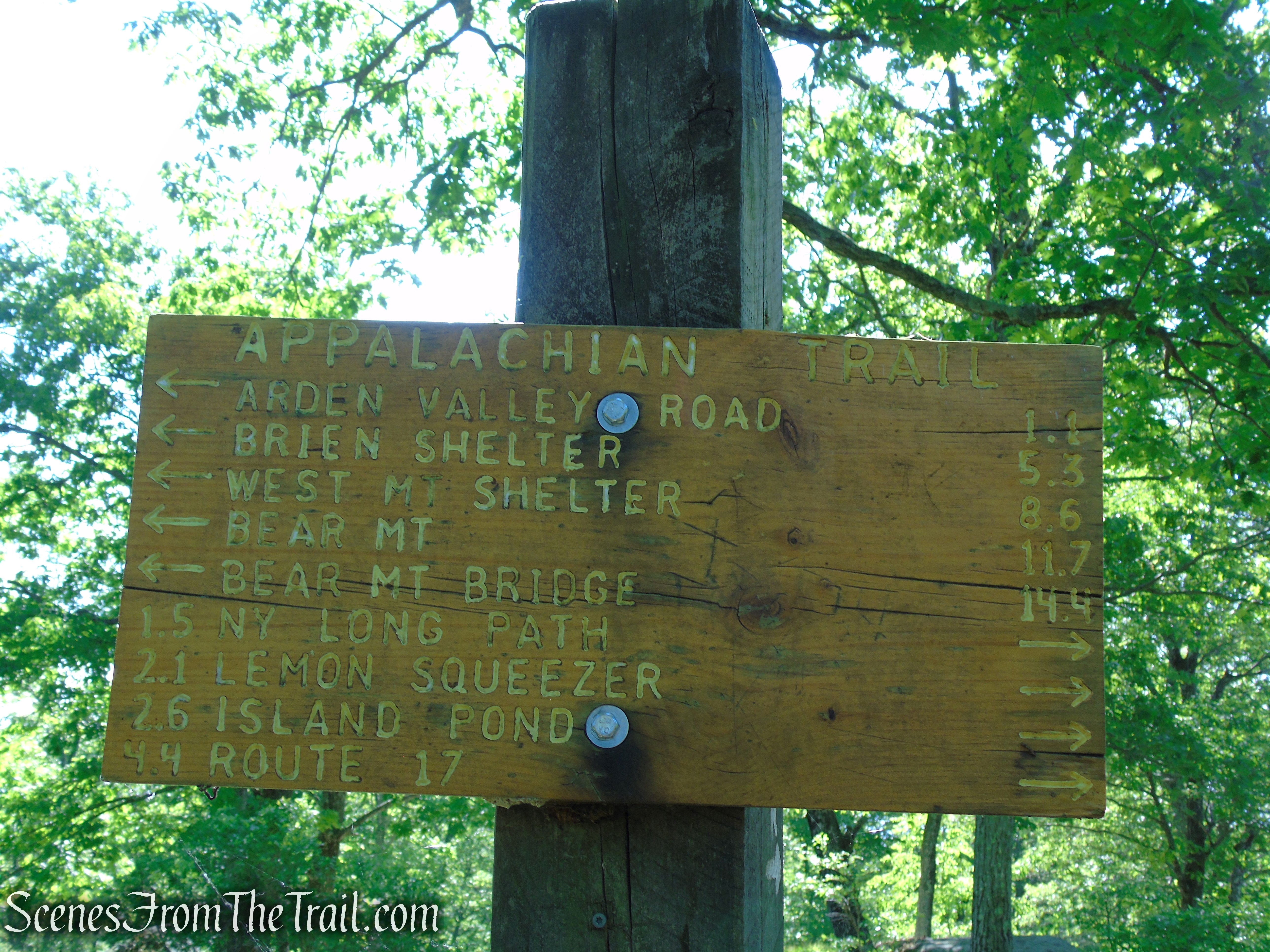
About a mile from the start, you’ll reach a junction marked by a wooden sign. Here, the blue-blazed Hurst Trail begins on the left. This trail leads down a few hundred feet to the stone Fingerboard Shelter, built in 1928. You may wish to take a short detour to check out this shelter, at which overnight camping is permitted.
Hurst Trail junction – Harriman State Park
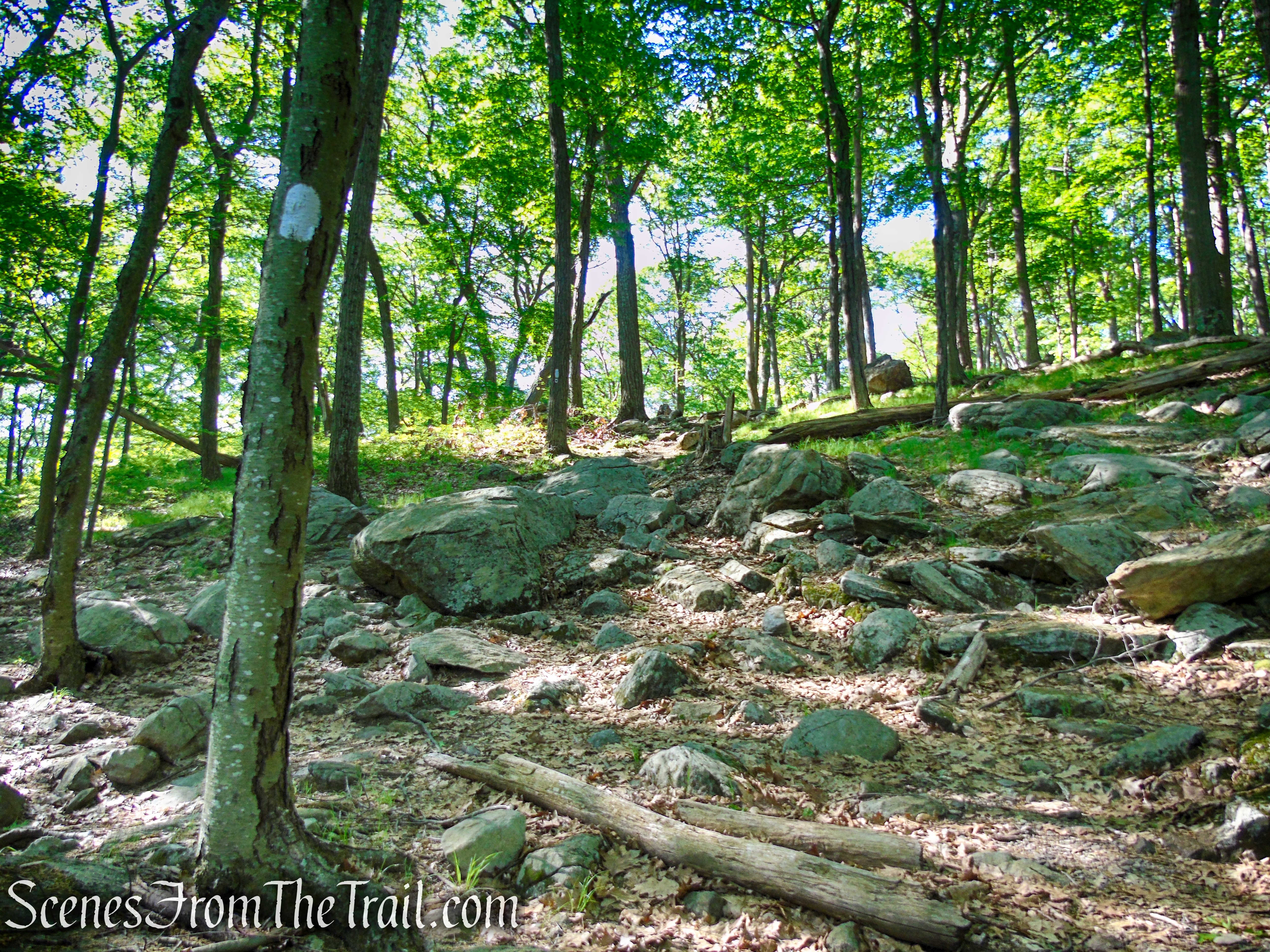
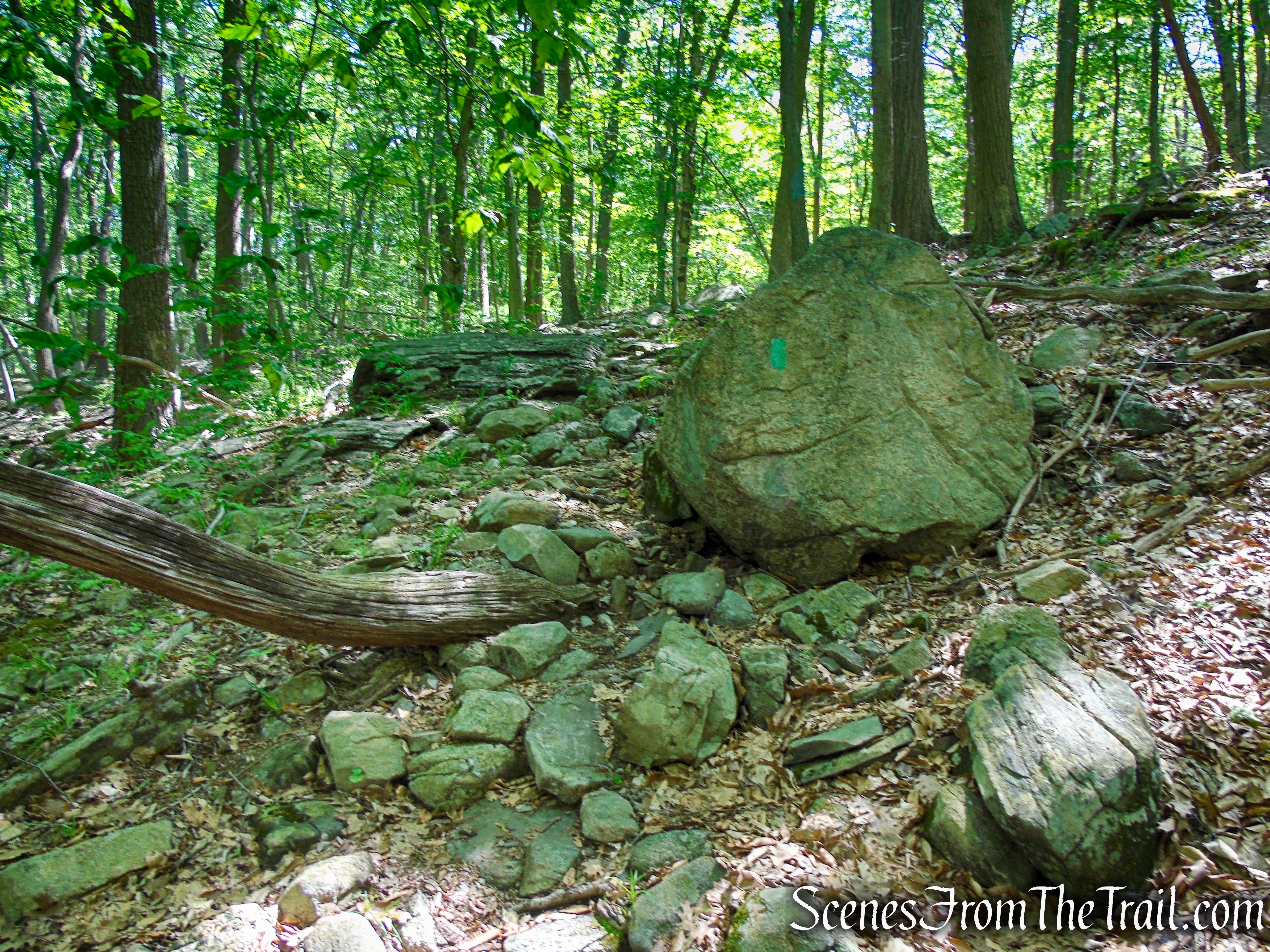
Continue south on the Coaligned AT/R-D, which soon reaches another intersection. Here, the R-D Trail continues straight, but you should follow the white blazes of the AT, which bear right. The AT descends through thickets of Mountain Laurel and Hemlock. As the trail descends, it passes some interesting rock formations, just off trail to the right.
Coaligned AT/R-D trails – Fingerboard Mountain
Bear right on the Appalachian Trail
Appalachian Trail – Fingerboard Mountain
Appalachian Trail – Fingerboard Mountain
Appalachian Trail – Fingerboard Mountain
Appalachian Trail – Fingerboard Mountain
The trail soon descends on switchbacks.
Appalachian Trail – Fingerboard Mountain
Appalachian Trail – Fingerboard Mountain
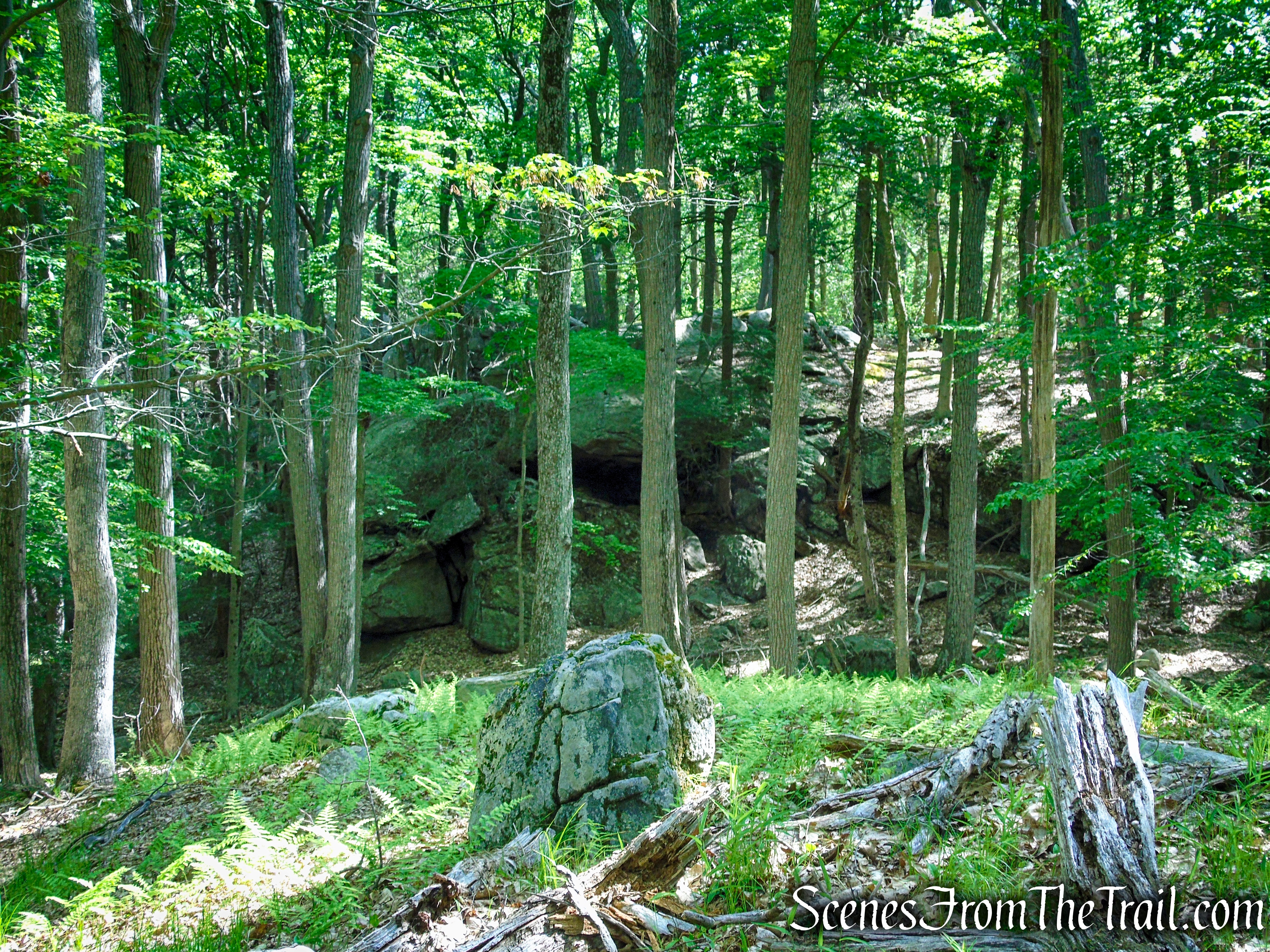
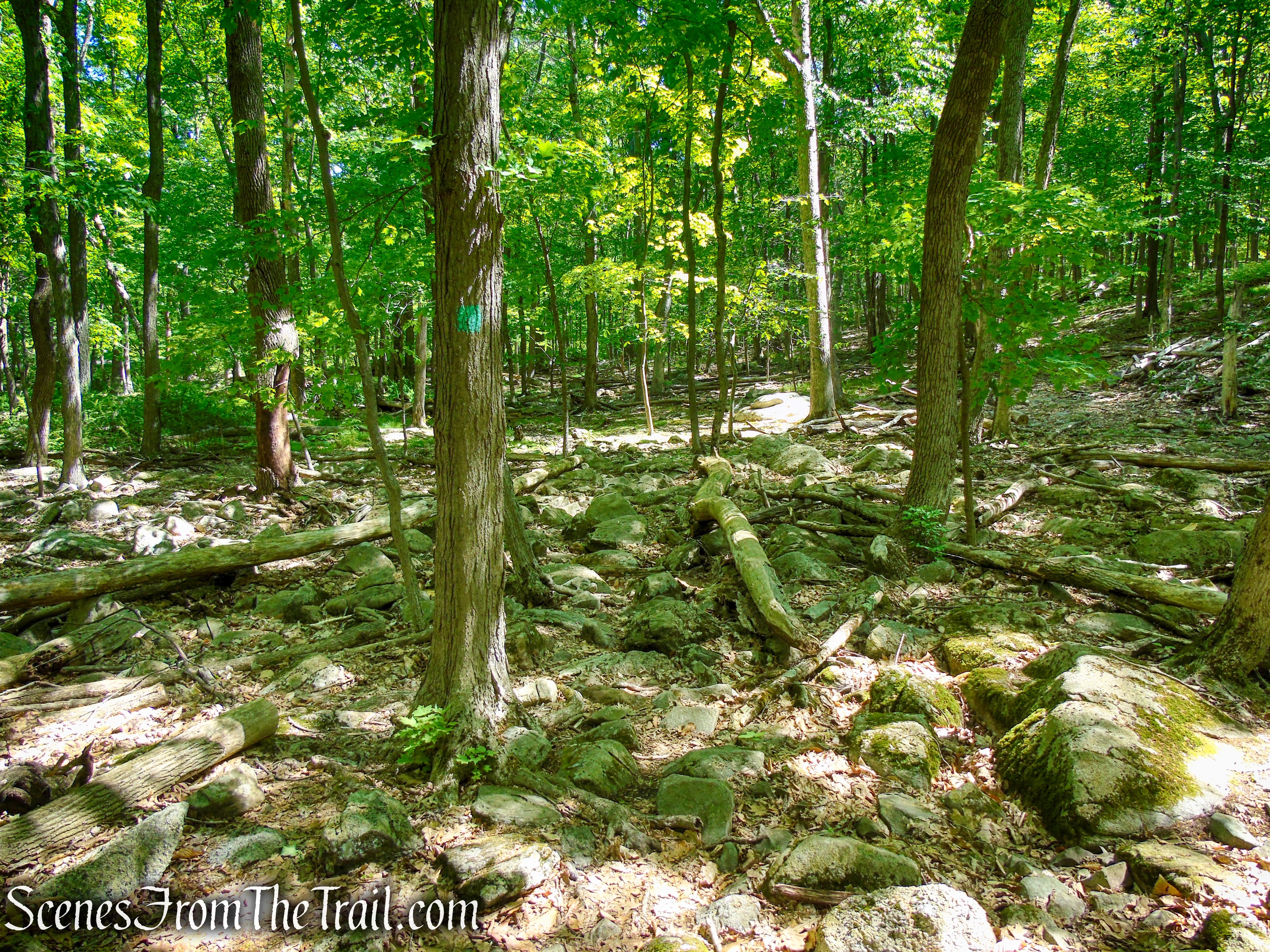
At the base of the descent, about 2 miles from the start of the hike, the trail turns left and joins Surebridge Mine Road. A pile of tailings (waste rock) can be seen just to the right of the trail.
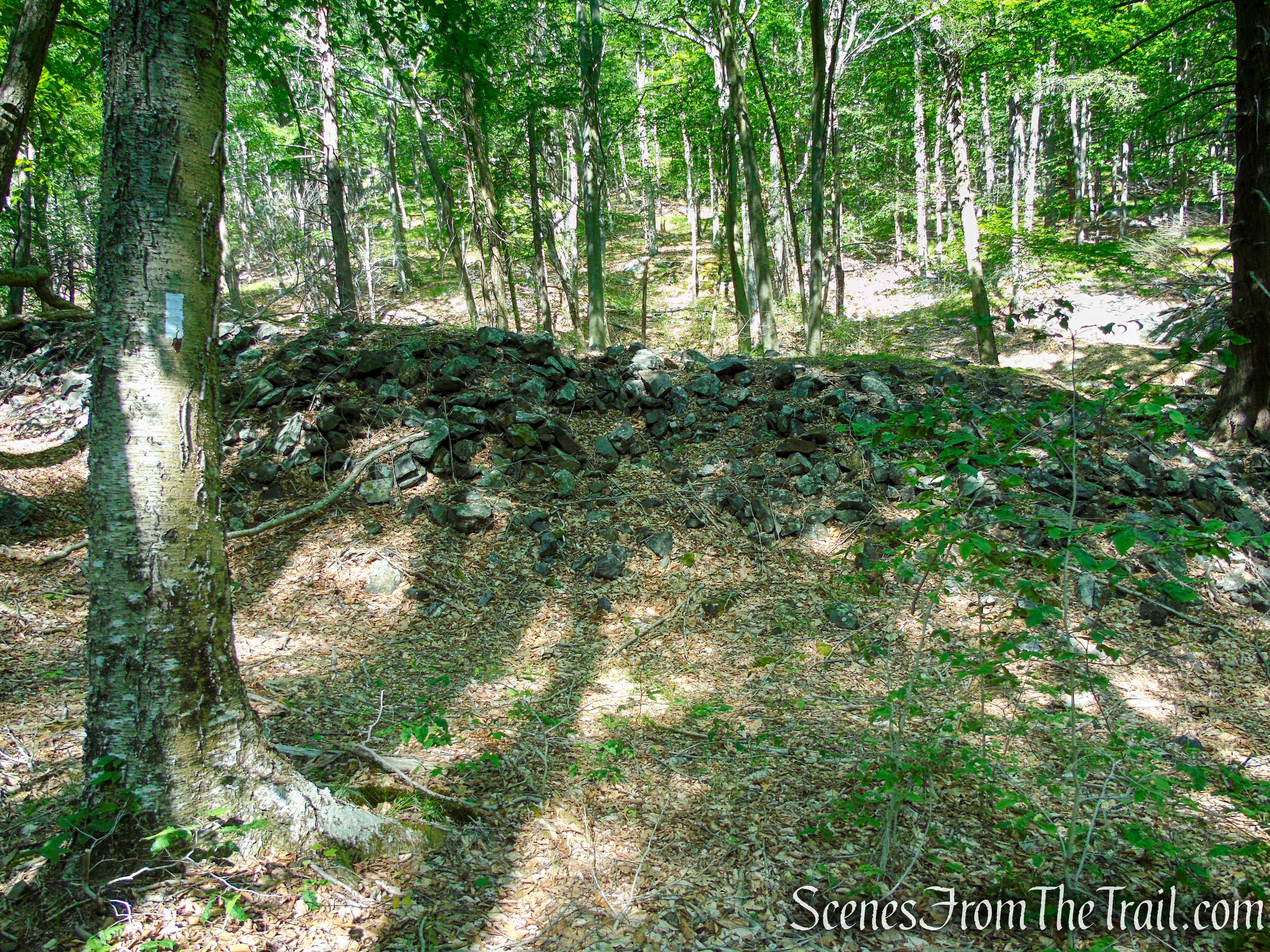
Appalachian Trail – Fingerboard Mountain
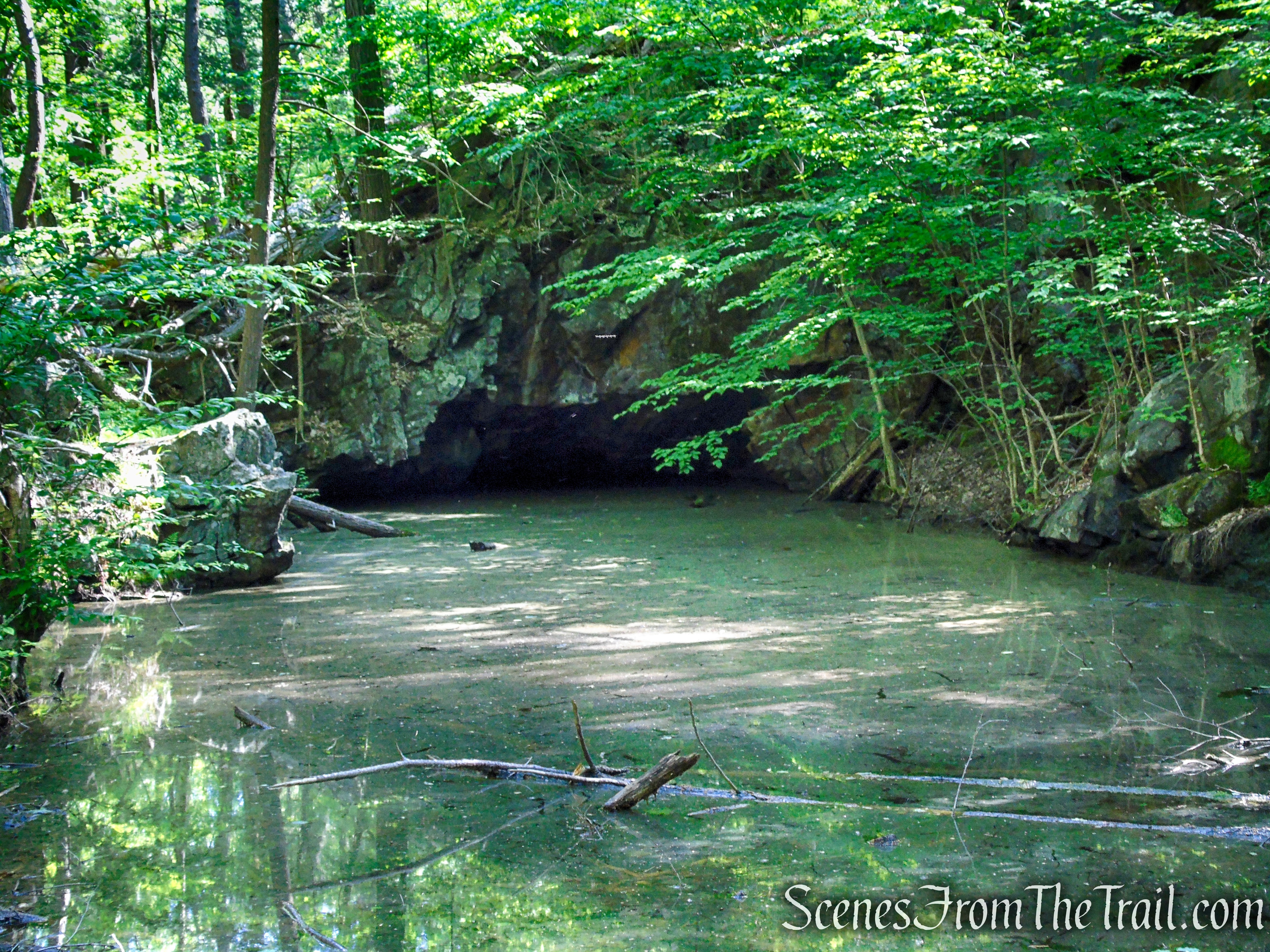
Several exploratory pits, a vertical shaft and a horizontal shaft, all filled with water, may be seen along the hillside to the east of the road. A platform constructed of rough cut stone and measuring fifteen feet by fifteen feet can be observed in this area.
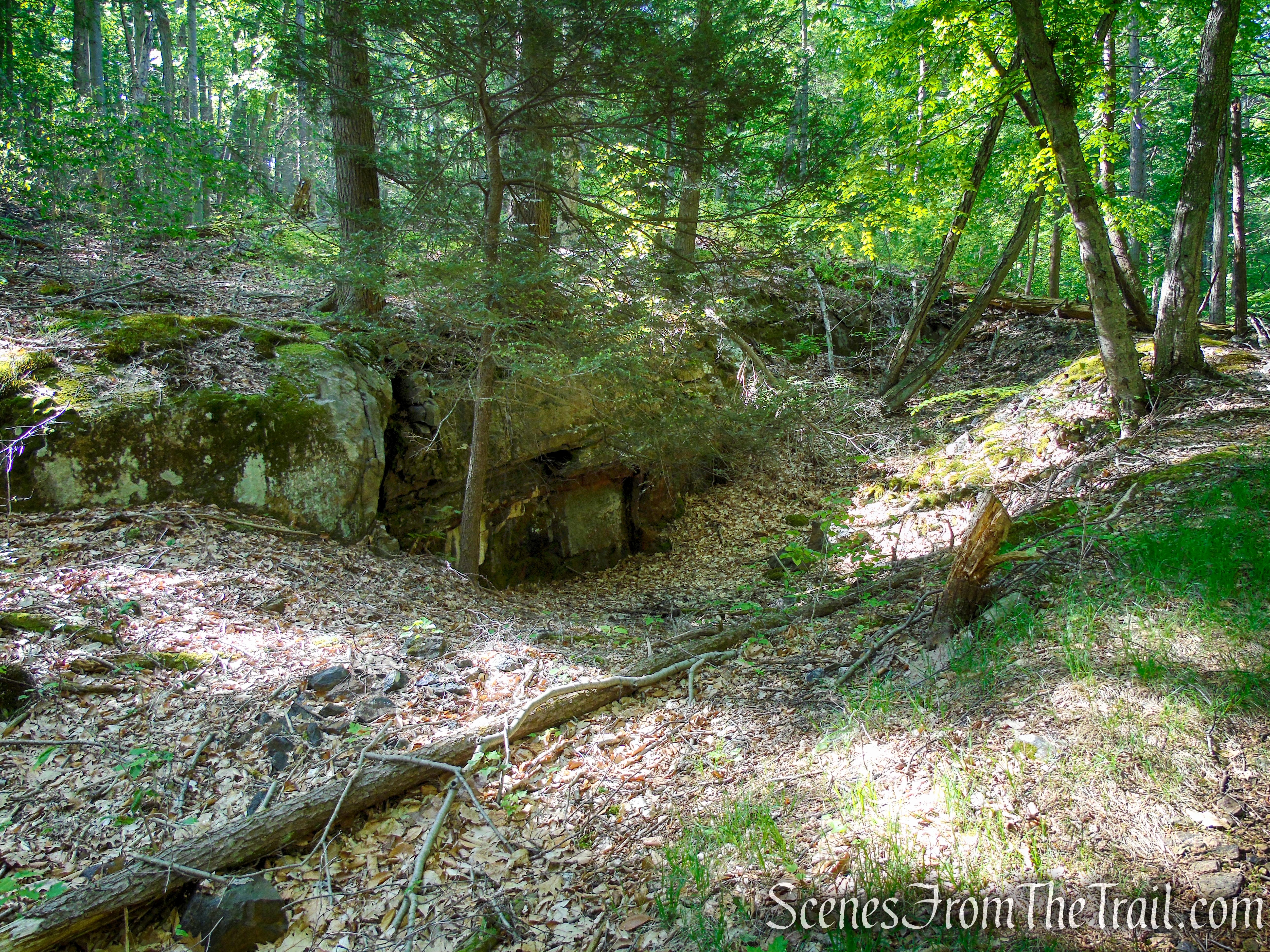
Greenwood Mine Complex – Harriman State Park
Just ahead is a large open pit, 100 feet long by thirty feet wide, which is now filled with water. It is located on the east side (left) of the old road. You may want to take a break here to examine these interesting historical features.
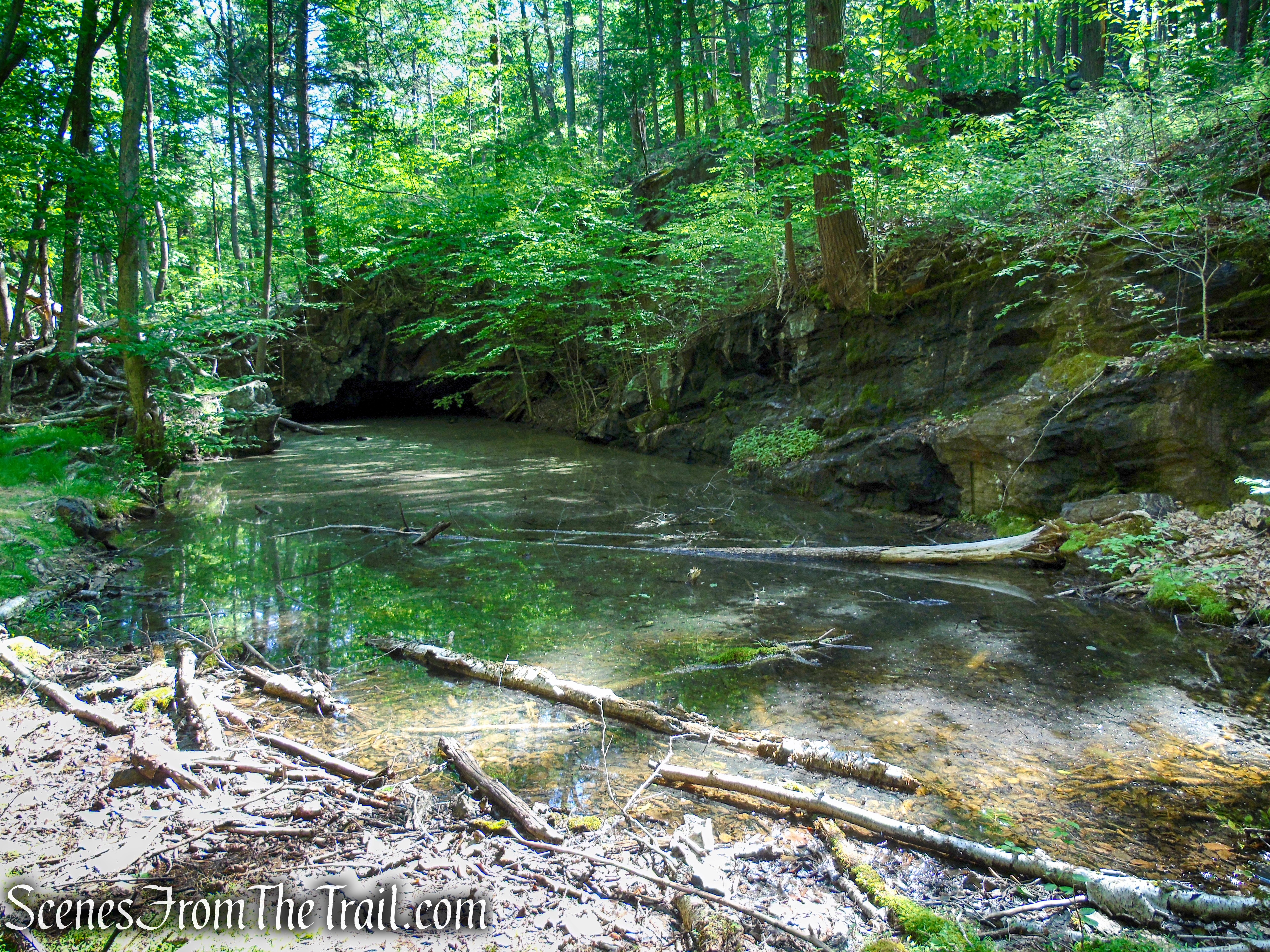
Greenwood Mine Complex – Harriman State Park
Greenwood Mine Complex – Harriman State Park
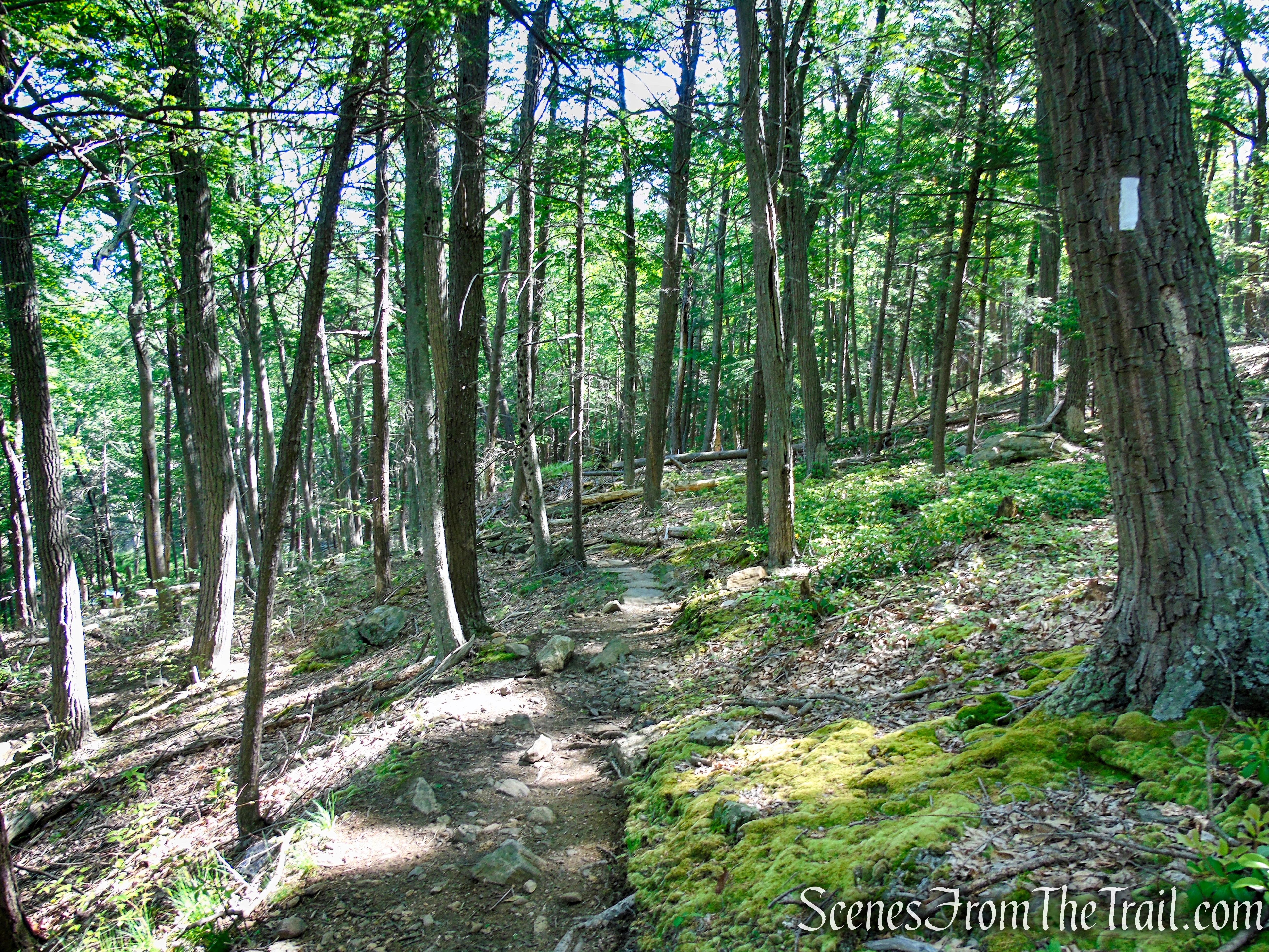
Directly across from the large open pit, turn right on Surebridge Mine Road. The old, unmarked mine road crosses Surebridge Brook but you’ll hardly notice it, as the brook goes through the rocks far below the surface of the road. Continue to follow Surebridge Mine Road past a marsh to the right, and look carefully for a huge boulder on the left, with a large tree laying alongside it. This marks the crossing of the aqua-blazed Long Path, which can otherwise be easily missed.
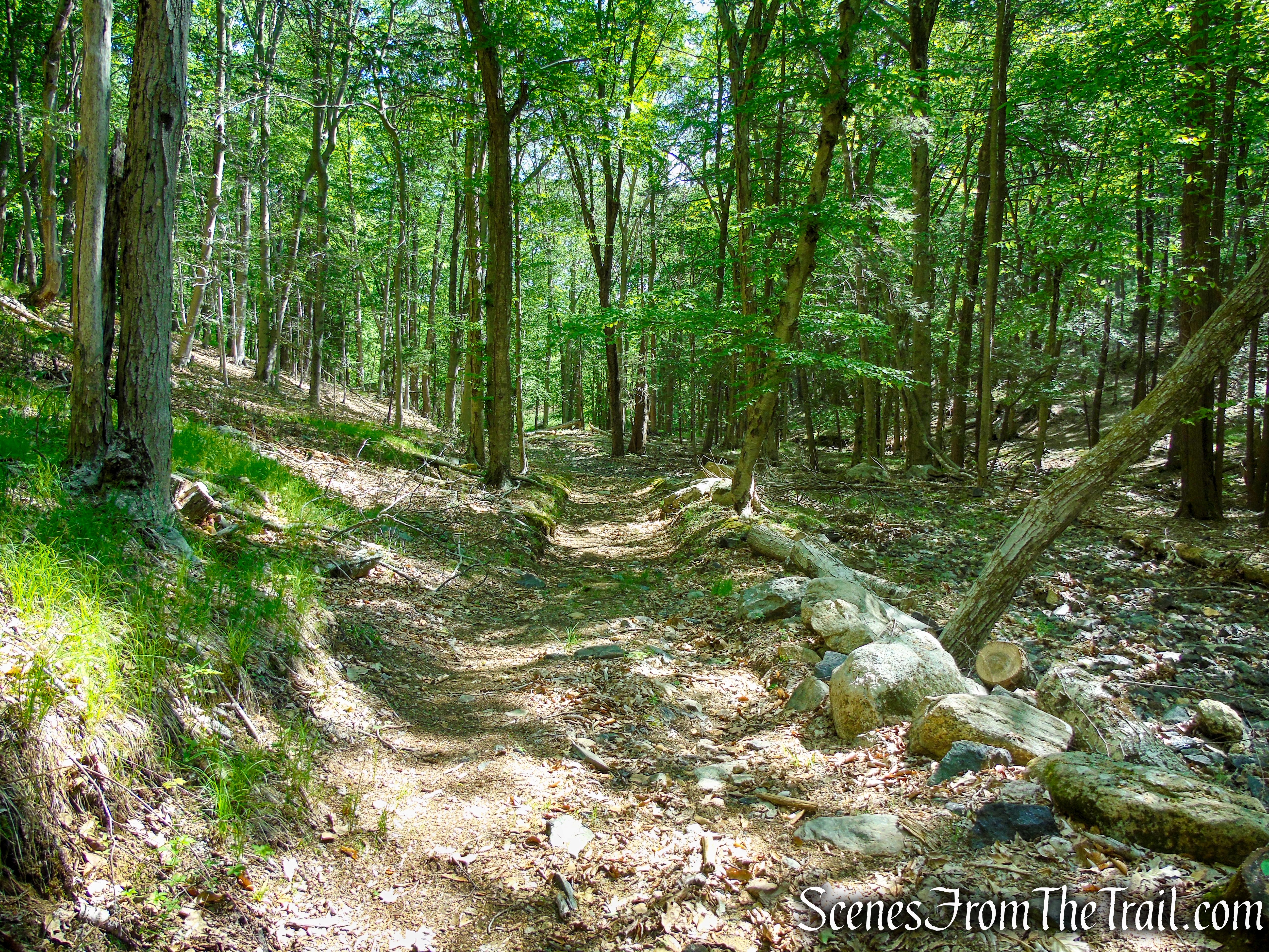
Surebridge Mine Road – Harriman State Park
Surebridge Mine Road – Harriman State Park
Surebridge Mine Road – Harriman State Park
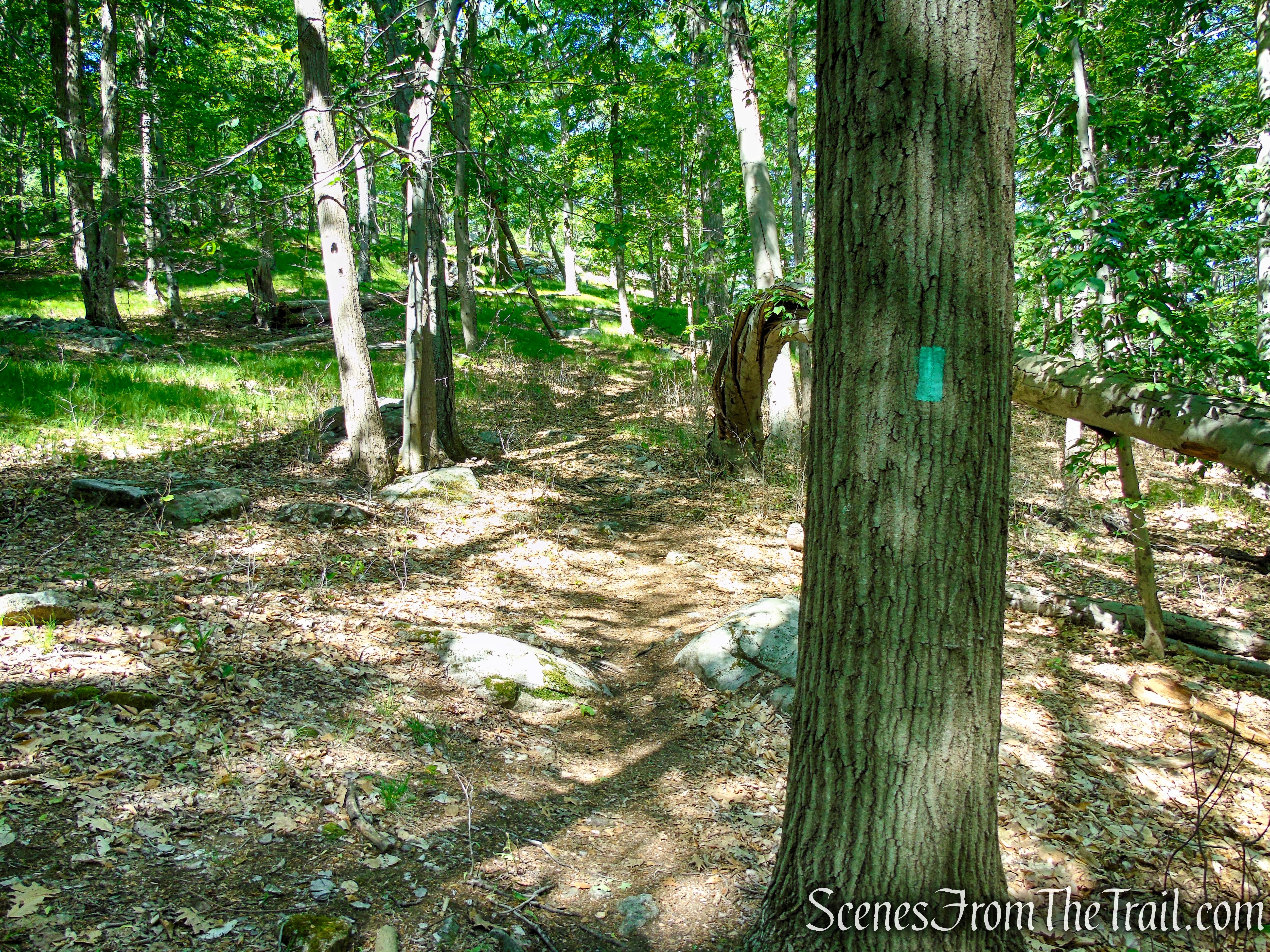
Turn left on the Long Path
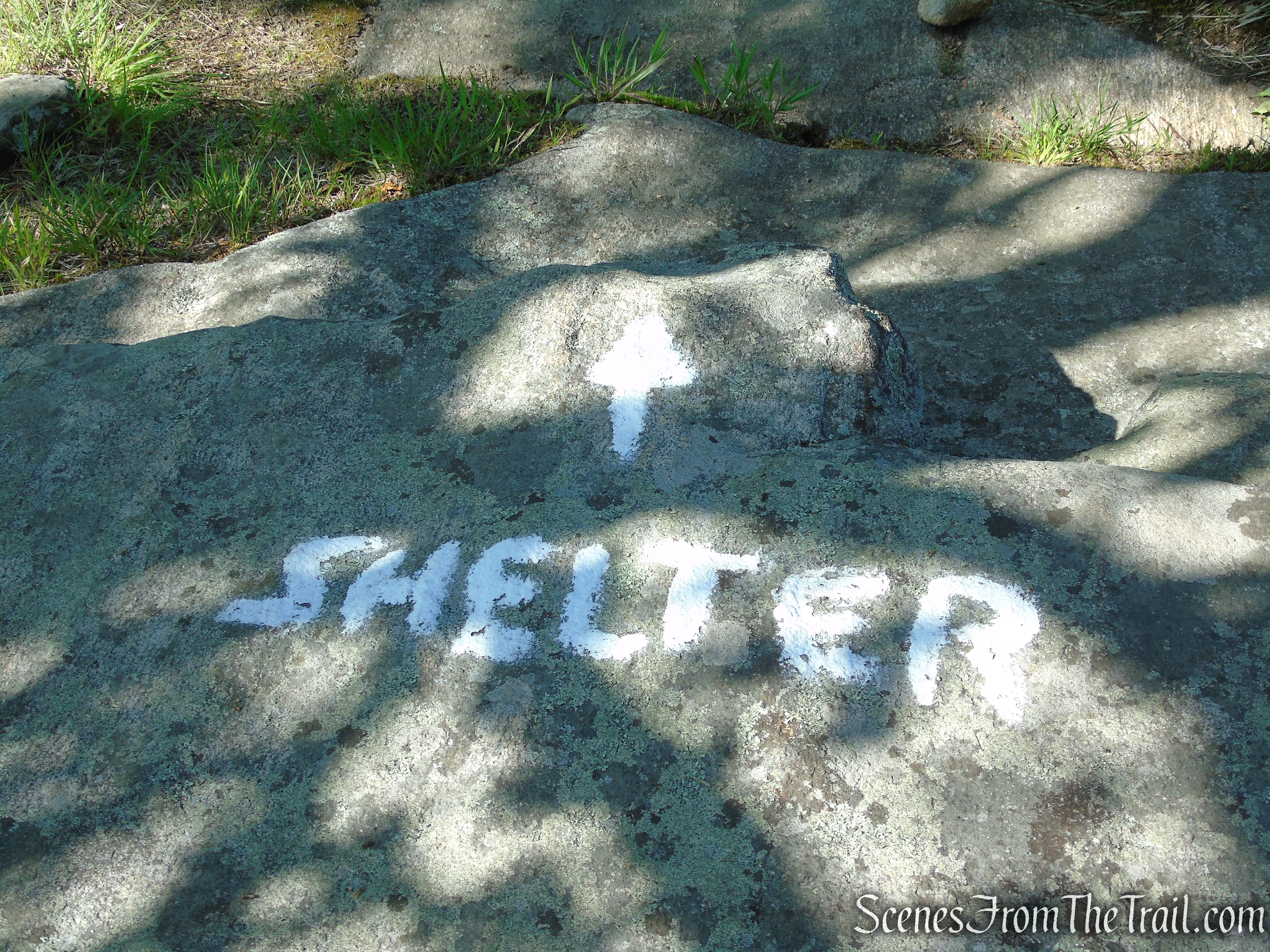
Turn left on the Long Path and follow the aqua blazes a short distance uphill to the site of the Cohasset Shelter.
Turn left on the Long Path
Long Path – Harriman State Park
Long Path – Harriman State Park
The Cohasset Shelter is shown on NYNJTC maps as “Unmaintained Shelter.” This shelter was built in 1937 for the girls’ camps on Upper Lake Cohasset.
Cohasset Shelter – Harriman State Park
The Cohasset Shelter is made of corrugated steel with two stone fire pits in the front. There is no water source and no views at this shelter. Lean-tos or shelters located in Harriman State Park, are three sided, open front structures with wood sleeping platforms. They all have resident mouse populations.
Cohasset Shelter – Harriman State Park
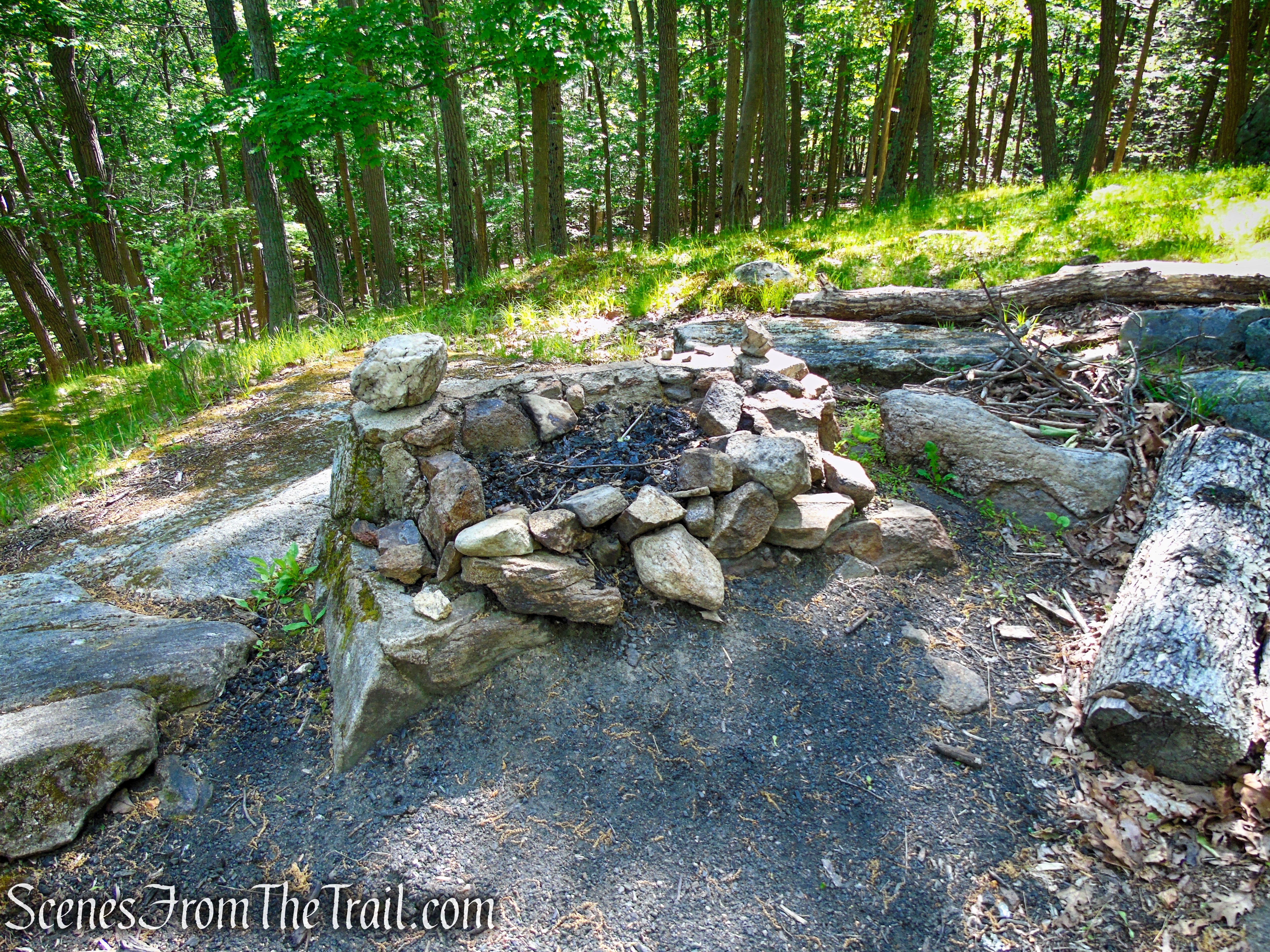
Cohasset Shelter – Harriman State Park
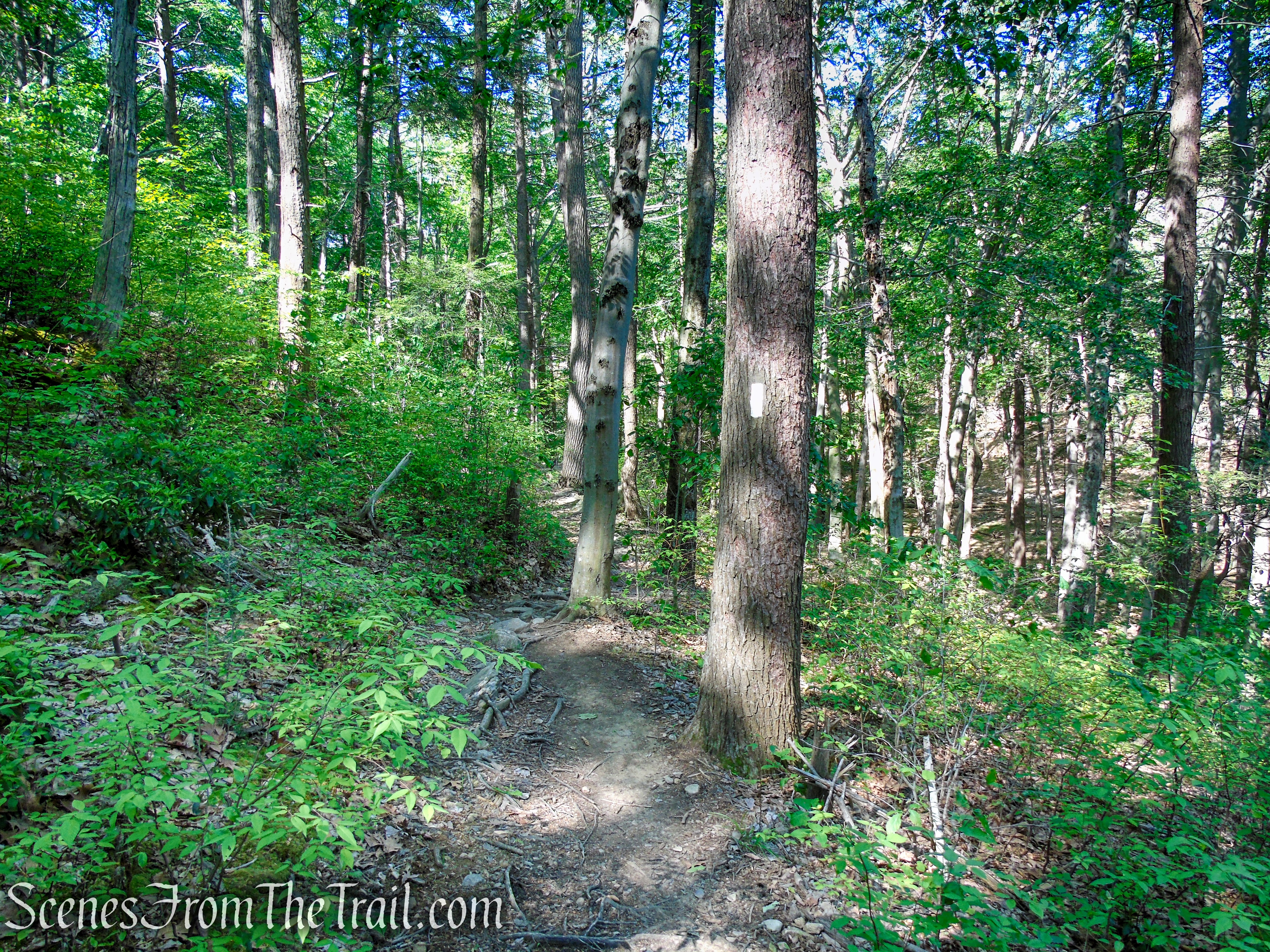
Retrace your steps on the Long Path, crossing Surebridge Mine Road, and follow the aqua blazes for just over a mile, crossing several intermittent streams and boulder fields, until you reach the paved Arden Valley Road, which is closed to vehicular traffic in the winter.
Long Path – Harriman State Park
Long Path – Harriman State Park
Long Path – Harriman State Park
Turn right, leaving the Long Path, and follow the paved road up to the crest of Fingerboard Mountain for about 0.2 mile, where the white-blazed AT and red-dot-on-white-blazed R-D Trail cross. Turn right onto the AT/R-D, and in 200 feet, turn left onto the blue-blazed Lake Tiorati Trail. Follow this trail downhill for 0.3 mile to the parking lot where the hike began.
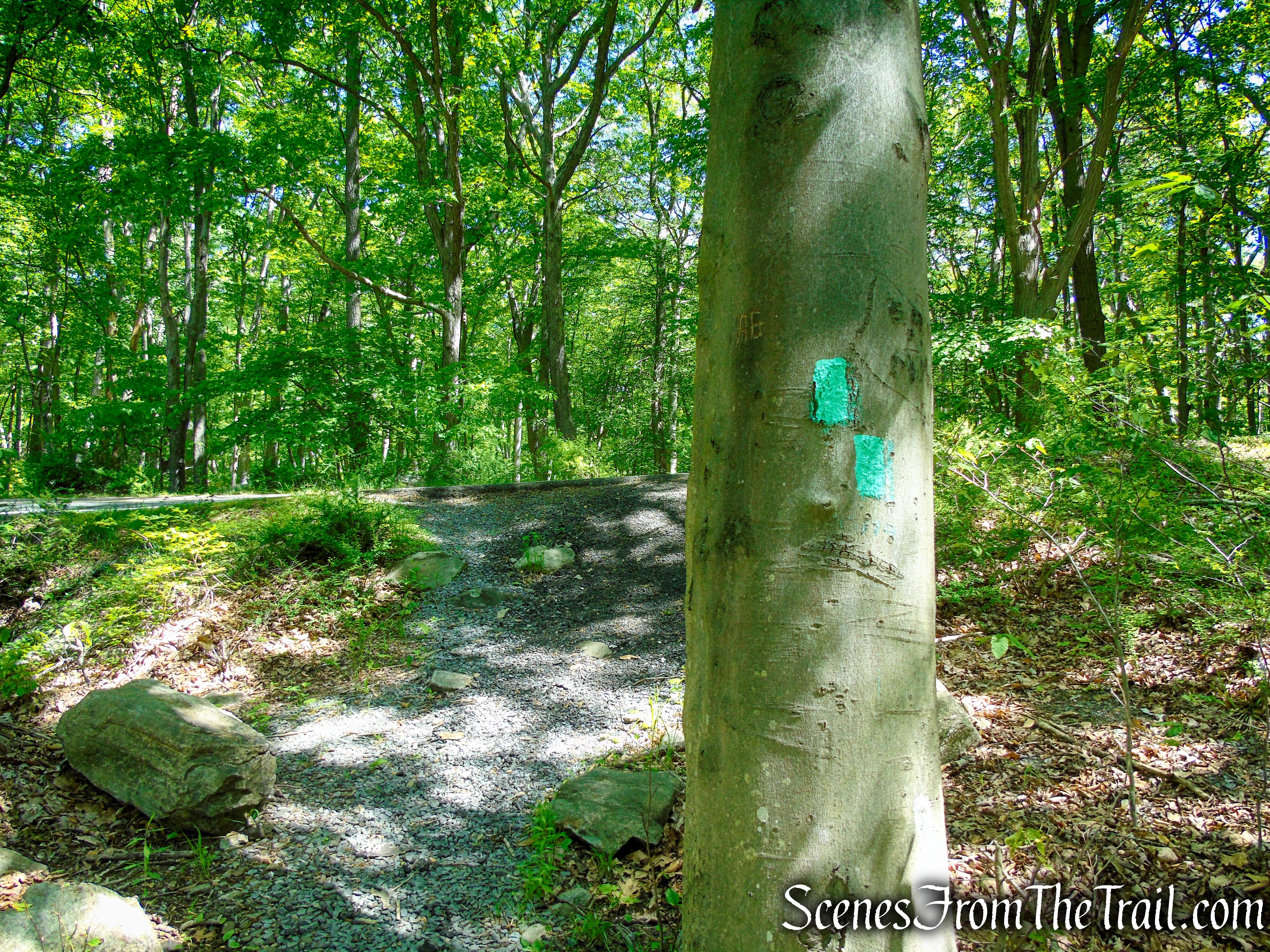
Turn right on Arden Valley Road
Arden Valley Road – Harriman State Park
Turn right on the coaligned AT/R-D trails – Fingerboard Mountain
Coaligned AT/R-D trails – Fingerboard Mountain
Lake Tiorati Trail – Harriman State Park
Lake Tiorati Picnic Area
Review:
There are no views, but the lack of other hikers on the trail, made for a lovely hike. There is enough to see along the trails to keep this hike interesting. The shaded trails keeps sweat at a minimum. There is some road noise from motorcycles cruising along Seven Lakes Drive and Arden Valley Road.
Pros:
Appalachian Trail, Long Path, Greenwood Mine, Cohasset Shelter, well marked trails, not much foot traffic, shaded trails.
Cons:
No views, some road noise.
Take a hike!
AT-Long Path Loop from Tiorati Picnic Area – Harriman State Park
Sources:
- New York-New Jersey Trail Conference
- Harriman State Park
- Myles, William J.; Chazin, Daniel. Harriman Trails: A Guide and History . New York – New Jersey Trail Conference. Kindle Edition.
- Lenik, Edward J.. Iron Mine Trails . New York – New Jersey Trail Conference. Kindle Edition.
