March 21, 2021 – Carmel Hamlet, NY
Difficulty: Moderate
Length: Approximately 2.3 miles
Max elevation: 1356 ft.– total elevation gain approximately 440 ft.
Route type: Circuit
Maps: Ninham Mountain MUA DEC Trail Map – Ninham Mountain MUA Trail Map
Trailhead parking: Ninham Mountain Multiple Use Area
Mt. Ninham Court, Carmel Hamlet, NY 10512
Overview:
The 1,054-acre Nimham Mountain Multiple Use Area is very popular with bikers, hikers and horseback riders and has an extensive network of trails and old roads. Forest cover is mainly mixed hardwoods with some conifer plantations. Please be aware that forest management activities, such as timber thinning or harvesting, may disrupt trail use at times. The forests here are managed to produce forest crops, maintain diverse wildlife habitats, protect water quality and provide recreational opportunities.
Mount Nimham is a sprawling promenade located in the middle of the Town of Kent. The ridge consists of three separate summits with the center summit being the tallest. It forms the southwestern wall of the valley known as Whang Hollow. It is the highest point in the Town of Kent and is well known for its steep slopes and high ridge lines. The mountain boasts rocky outcrops, deep gorges and high ridges. It is dotted with glacial erratics and boulder fields.
Please note: This Multiple Use Area is also heavily used by hunters in season.
The name was recently changed from “Ninham” to “Nimham” to correct a long standing spelling error.
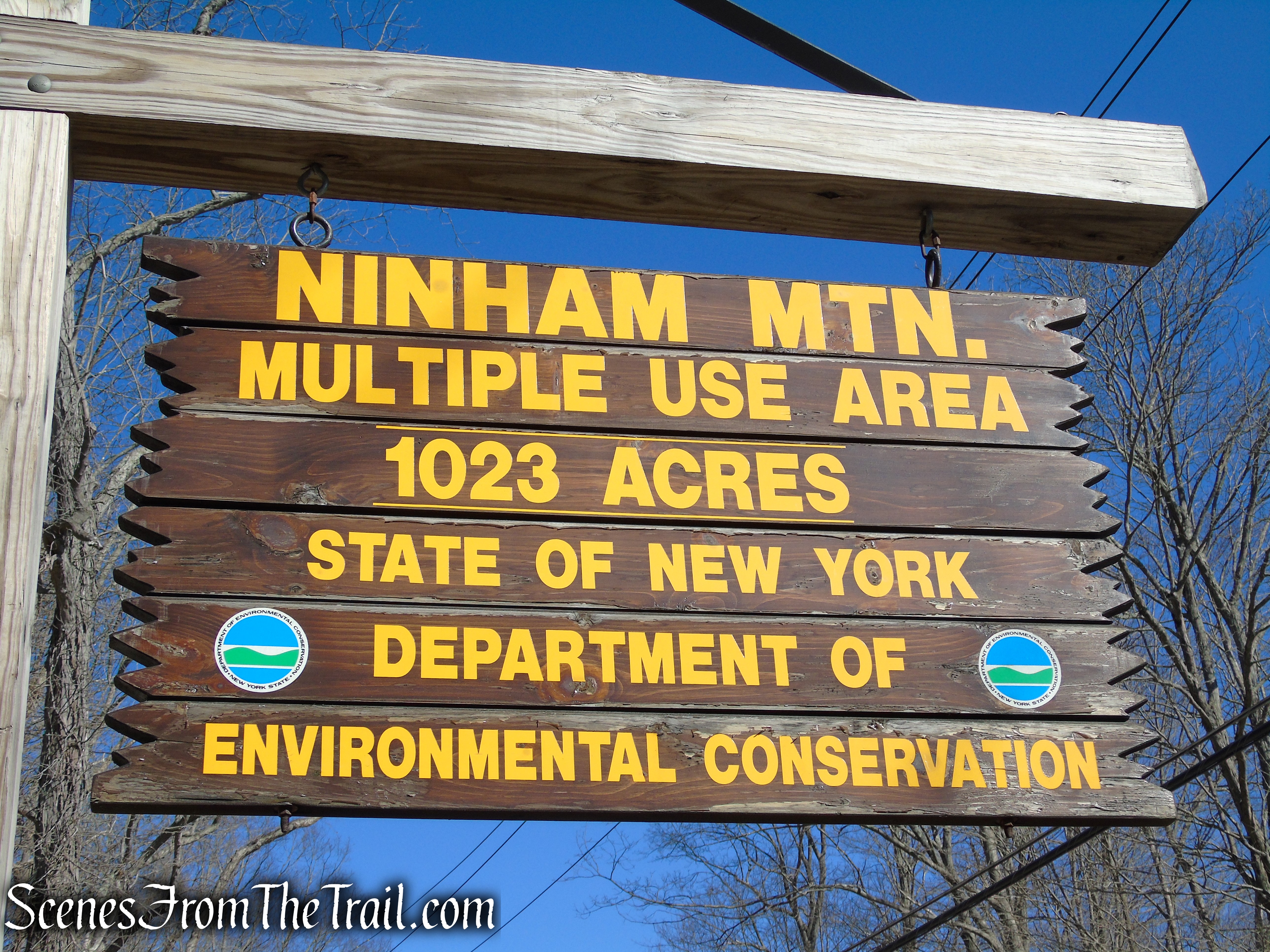
Nimham Mountain Multiple Use Area – outdated sign
Located at the 1273 ft. summit of Nimham Mountain is an 82-ft. 6-inch steel tower that is open to the public. With 360° views of the Hudson Valley and the Catskills visible in the distance, makes the Mount Nimham Fire Tower the primary point of interest when visiting. From the top of the fire tower there are outstanding views of the surrounding countryside. To the east lies Whang Hollow, including Pine Pond, Townsend Ridge, Barrett Hill, Beaver Hill, and Hemlock Ledge; to the north, Stockholm Hill and Little and Big Buck Mountains; to the west, Clear Pool and the Boyd Reservoir and Dam; and to the south, Coles Mills and the West Branch Reservoir.

Mount Nimham Fire Tower
History:
Originally known locally as Smalley’s Hill, the mountain is named after Chief Daniel Nimham, the greatest Wappinger Sachem and a true American hero. A patriot, Chief Nimham fought and gave his life for American independence, despite having lost his ancestral homeland to the Philipse family and the very settlers he was fighting for. It is reported that Chief Nimham came to this mountain on every birthday he celebrated, climbing to the top to proclaim all that could be seen as the ancestral homeland of the Wappinger.

Chief Daniel Nimham
The original old growth forest was cleared to create planting and grazing fields, with the wood used to build shelters, fuel fireplaces, and provide a source of revenue for the farmers. In addition, mining operations were conducted to remove serpentine and mineral deposits, particularly arsenic. When farming declined in the early 1900’s, New York State purchased the old farmland and eventually designated the majority of the mountain as a Multiple Use Area.
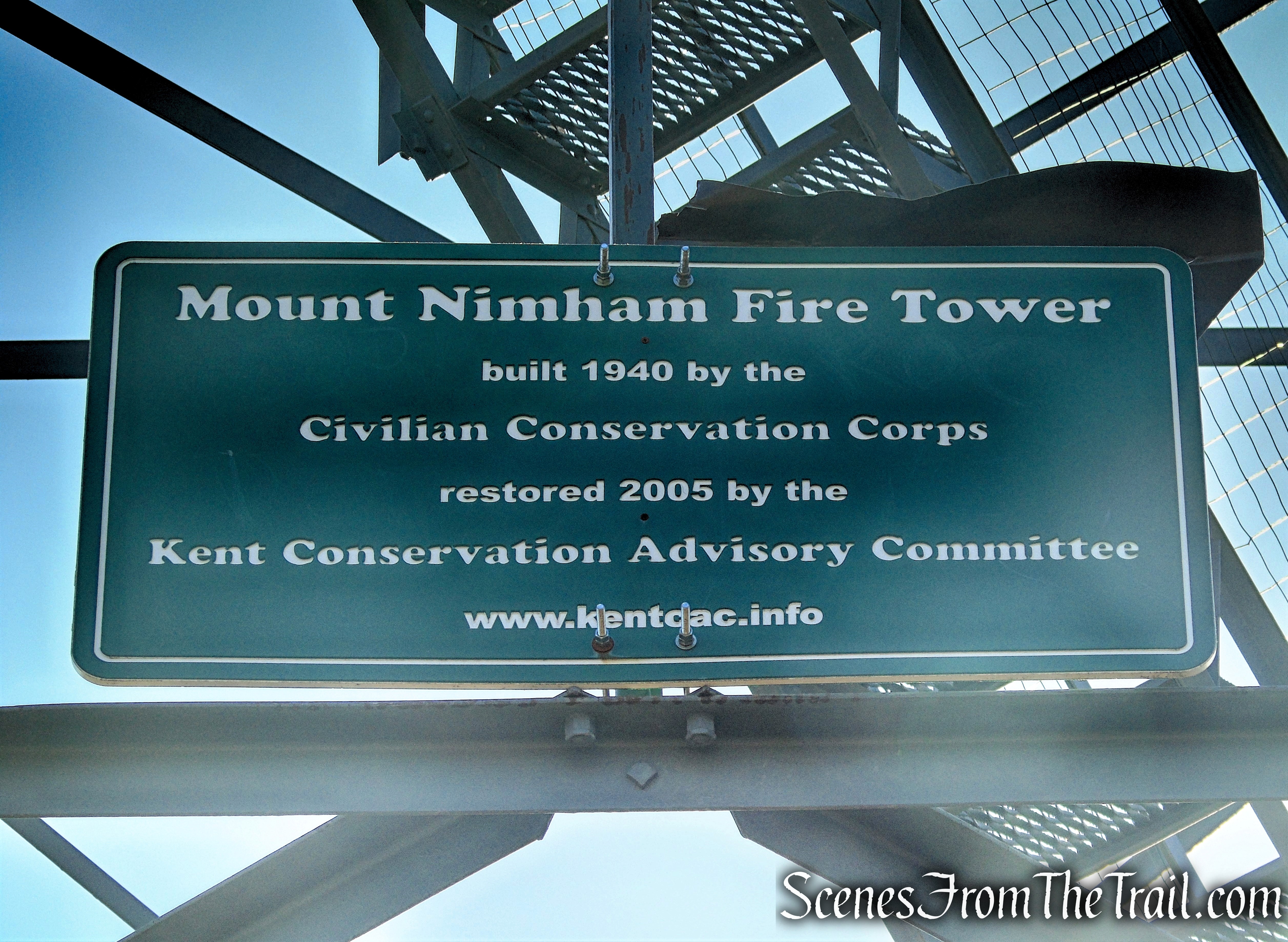
Mount Nimham Fire Tower:
A road to the top of the mountain was built by the Civilian Conservation Corps (CCC) in 1940. The CCC from camp P-135 in Peekskill, NY (Tompkins Corners from 1-5-38 to 1-15-42), received the 82 ½ foot tower and by the end of the 1940 work season, the tower, an observer’s cabin, and a phone line were all constructed. The station went into service in 1941 and in its first year reported 73 fires.
Mount Ninham’s tower soon became a popular destination for the public as it offered great views in all directions. The tower remained in service into the 1970’s when the observer’s position became more of an assistant Forest Ranger (much like many in the State), and the tower was staffed on those higher fire danger days. Officially paid as an observer, the tower’s staffing reportedly ended after the 1988 fire season and the tower was officially closed in early 1989 when the Department of Environmental Conservation determined that fire towers were no longer effective and decided to phase them out of service.

Roster of Nimham Fire Tower by Bill Starr
Shortly after its official closure, vandals moved in and destruction took its course, first damaging the tower & windows. The observer’s cabin was broken into and burned in 1994. The tower sat derelict for a number of years with rumors of its removal being held up by NYS Parks, Recreation & Historic Preservation. The Kent Conservation Advisory Committee restored the tower in 2005 and the official re-dedication was held on July 24, 2005. Mount Nimham Fire Tower is currently open to the public and is on the the National Historic Lookout Register.
Mount Nimham Fire Tower
The Kent Conservation Foundation owns the formal stewardship agreement to maintain the Nimham fire lookout tower and coordinates volunteer activities to keep this old fire lookout tower open and accessible to the public. Today, the Kent Conservation Foundation, a 501(c)(3) not-for-profit organization, maintains this historic fire lookout tower through donations. Their main goal is the raise enough funds to repaint the entire structure to continue to protect the steel from aging and weathering. It was last fully painted in 2004 and it is due for a repaint. They do regular maintenance painting to cover graffiti and keep the fire tower looking neat as well as maintain the stone chamber near the parking lot.
Trails Overview:
The Ninham Multiple Use Area is bisected by Gipsy Trail Road and has approximately 10 miles of trails and unpaved forest access roads that allow for multiple kinds of recreation. To the west, from the Mount Nimham Court parking area, two north-south main dirt fire roads begin from the parking area. The fire roads pass through old fields, deciduous woods, and by a small pond. There is an extensive network of single track trails that branch off from the main fire roads that are used by hikers, bikers and horseback riders. To the east, from the Gipsy Trail Rd parking area, there are more trails to explore.
Please note: There are so many trails that snake through the mountain, some insufficiently blazed or not at all, that if venturing off the main fire roads, it is strongly advised to carry a trail map and a compass to avoid getting lost.

Nimham Mountain Multiple Use Area Trails
There are four access points that allow parking at the Ninham Multiple Use Area. They are as follows:
- Upper Mt. Nimham Court parking area (closest to the fire tower), 8 car capacity.
- Lower Mt. Nimham Court parking area, 8 car capacity.
- Gipsy Trail Rd parking area, 30 car capacity, spots for 3 horse trailers.
- Nichols Street parking area, 6 car capacity.
Hike Overview:
Having visited the Catfish Fire Tower in the Delaware Water Gap the previous weekend, I was in the mood to enjoy some more 360° views from another tower. This also made for a wonderful alternative to some of the more popular and crowded hiking spots in the Hudson Valley. When we arrived at the trailhead at approximately 8am, there were several cars already there and saw a runner leaving his vehicle at that time. At the summit, we saw a lone hiker that stopped briefly and upon our return to the trailhead, at the completion of our hike, we saw several people just embarking on their hike.
This is a short loop hike utilizing Tower Road and an old DEC trail that is primarily used by mountain bikers. This trail is marked with sporadic blue DEC blazes, but the single track trail is well worn and relatively easy to follow. We did not encounter any bikers, but there were fresh tire tracks visible.

Mount Nimham Fire Tower Loop

elevation profile – Mount Nimham Fire Tower Loop
Helpful Hint: I used Gaia GPS (free app) to help navigate this trail as their map layers show most if not all of the trails on this property.
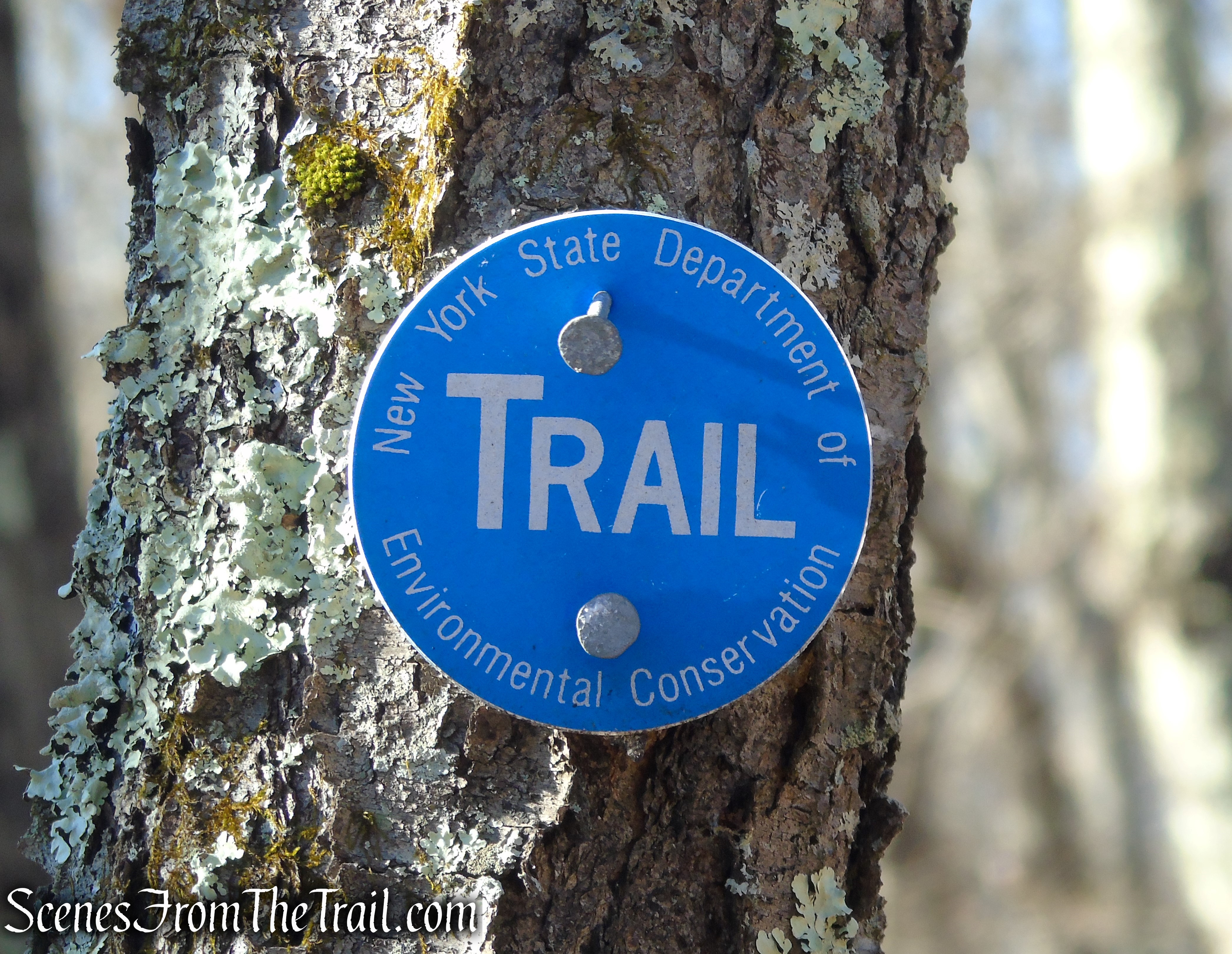
Blue DEC trail marker – Nimham Mountain Multiple Use Area
If you are unsure of your navigational skills, you can simply return on the fire road, retracing your steps after visiting the tower.
The Hike:
There is a stone chamber right at the parking area. This one is different than others that I have seen. This steel roofed chamber was built by the Civilian Conservation Corps (CCC) as a storage locker for equipment when they were working on building the fire tower and other functions on Nimham Mountain. Unlike the mysterious stone chambers that are found throughout the area, this stone structure has mortared stones, steel beams across the interior ceiling and a corrugated steel roof.

Stone Chamber – Nimham Mountain Multiple Use Area
From the parking area, proceed past the gate to the right of the kiosk. This is shown on the map as “Tower Road.” The road, built in 1940 by the Civilian Conservation Corps, snakes its way up Ninham Mountain.
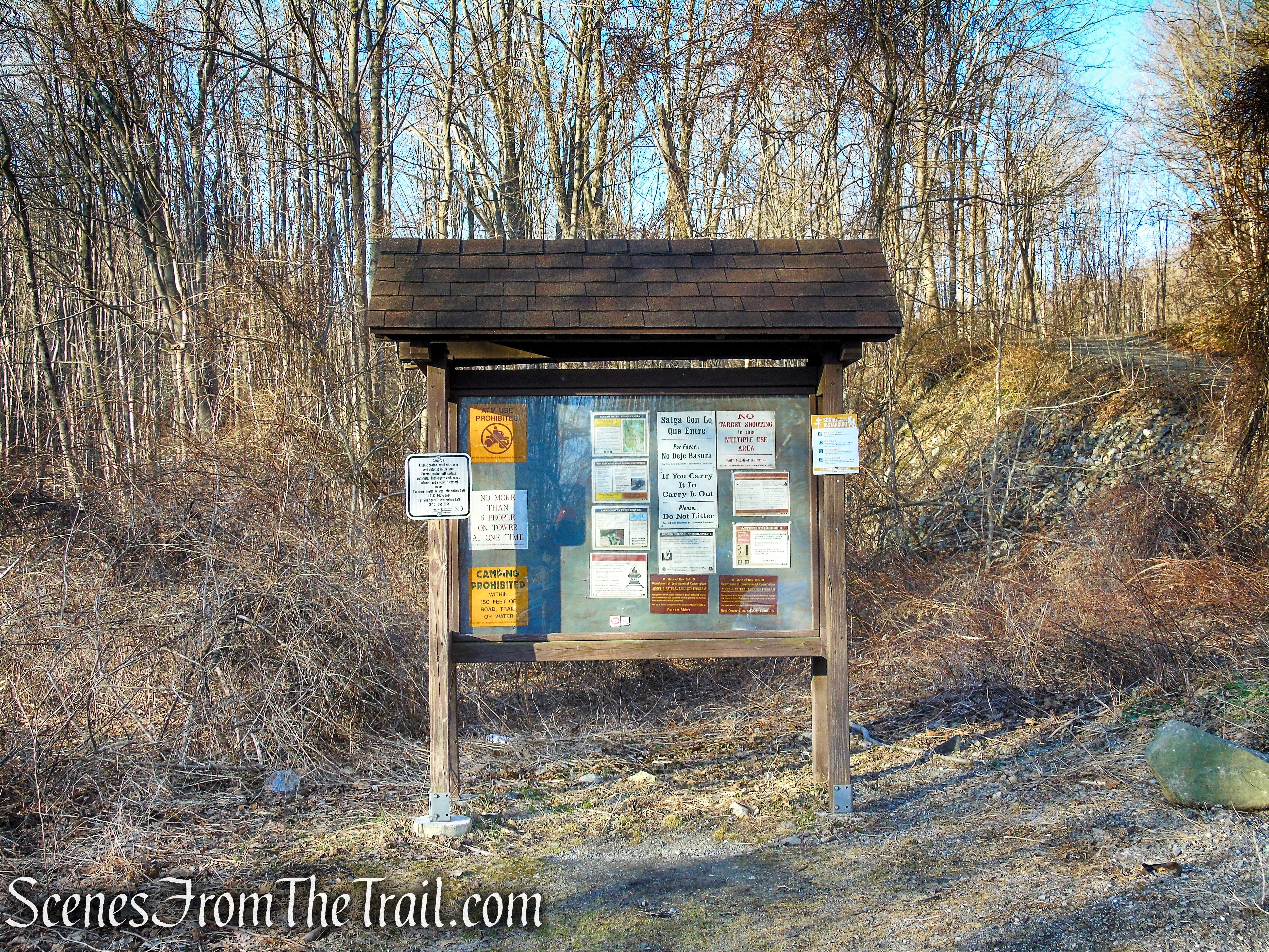
Kiosk – Nimham Mountain Multiple Use Area

Tower Road – Nimham Mountain Multiple Use Area
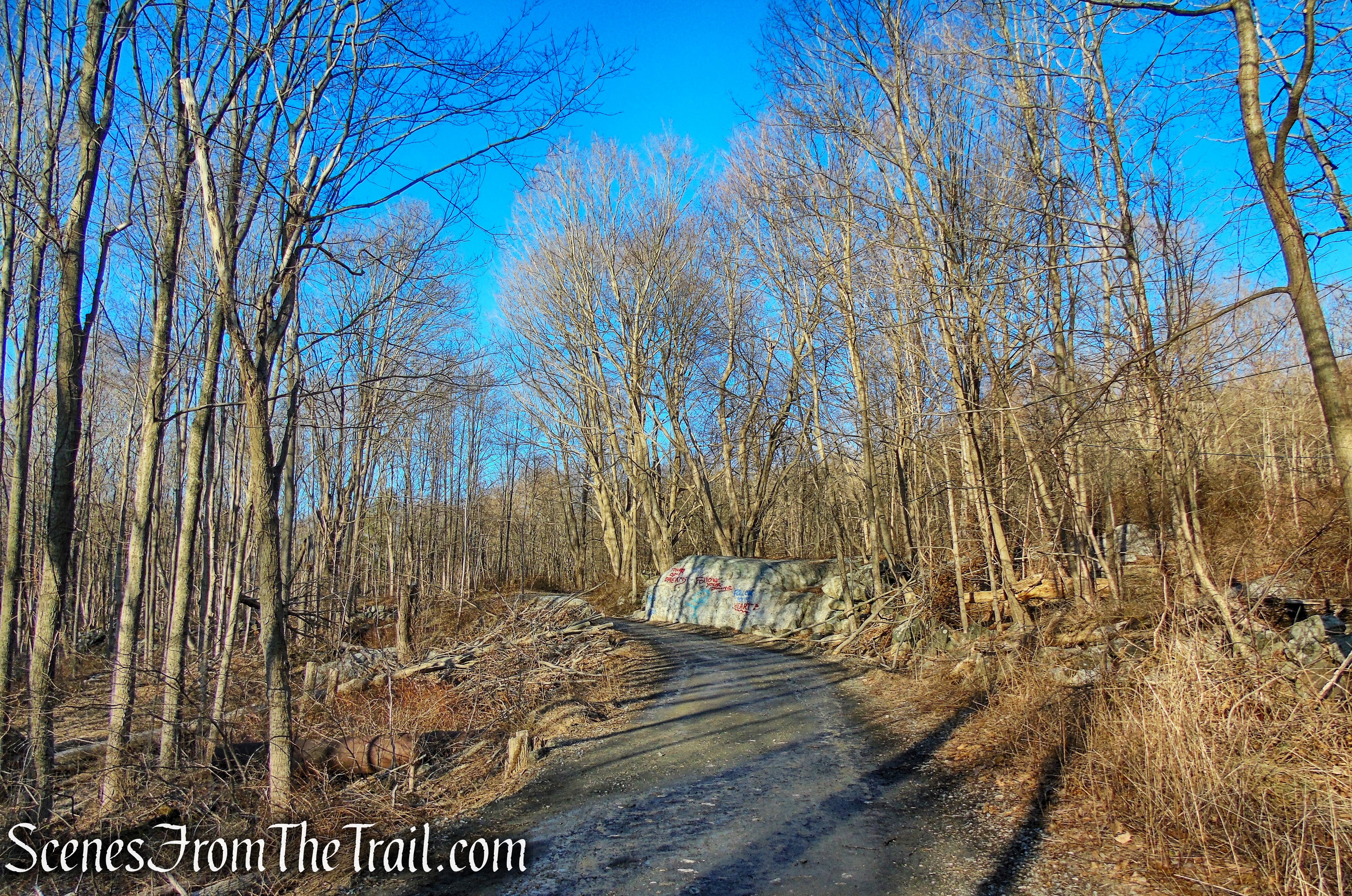
Tower Road – Nimham Mountain Multiple Use Area
In about 200 yards or so, just off the trail on the right, is another stone chamber. In the warmer months, this chamber may be obscured by foliage and difficult to see. You may want to stop and check out this interesting historical feature.

Stone Chamber – Tower Road

Stone Chamber – Tower Road
Tower Road continues climbing and after about 0.7 mile and nearly 350-ft. of elevation gain, the road reaches the fire tower.

Tower Road – Nimham Mountain Multiple Use Area
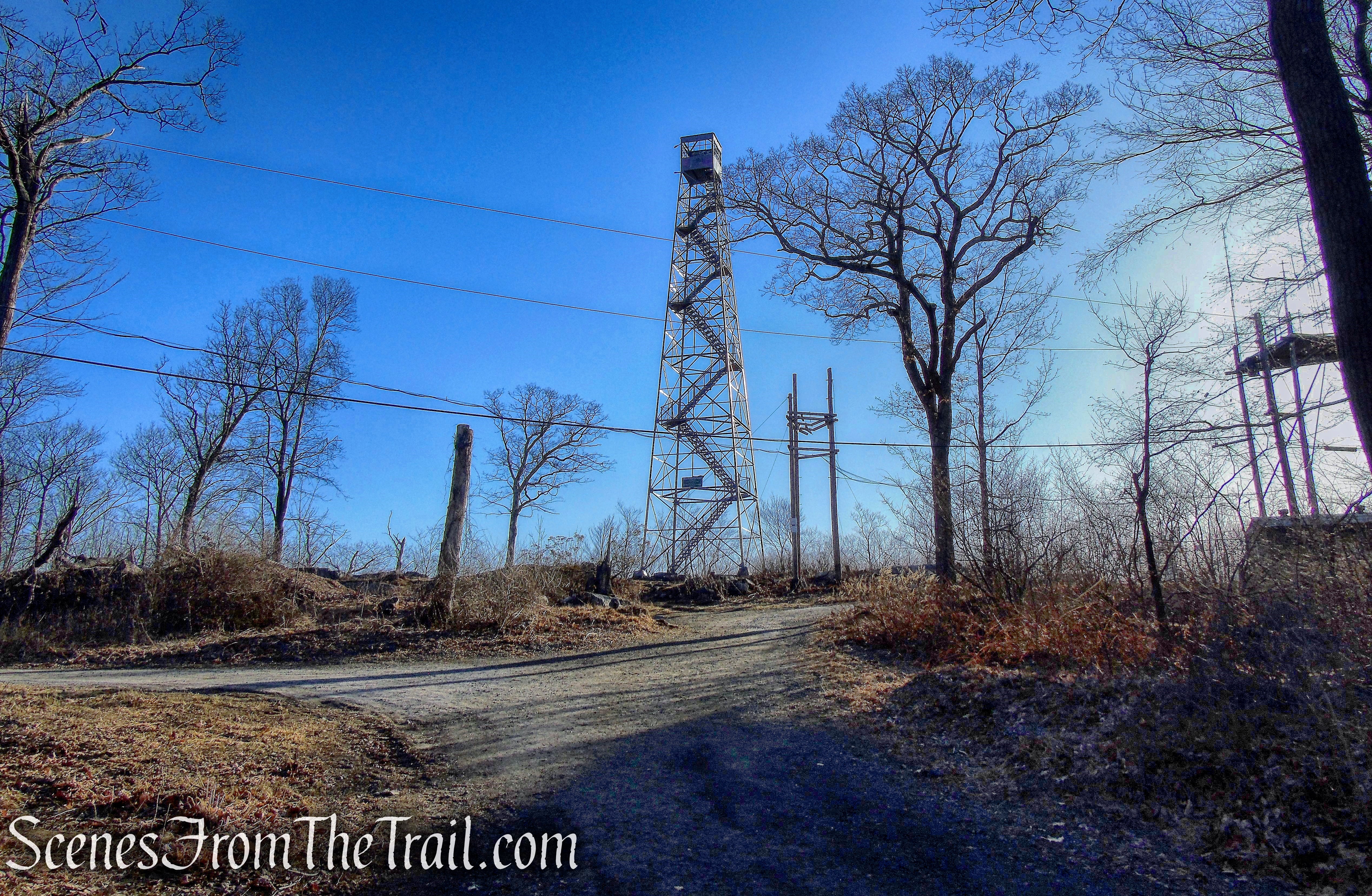
Mount Nimham Fire Tower
Mount Nimham Fire Tower is an International Derrick Model 1937, made of Carnegie Steel. The design of the 1937 model is entirely a U.S. Forest Service design making minor changes from the model 1933 design.

Mount Nimham Fire Tower
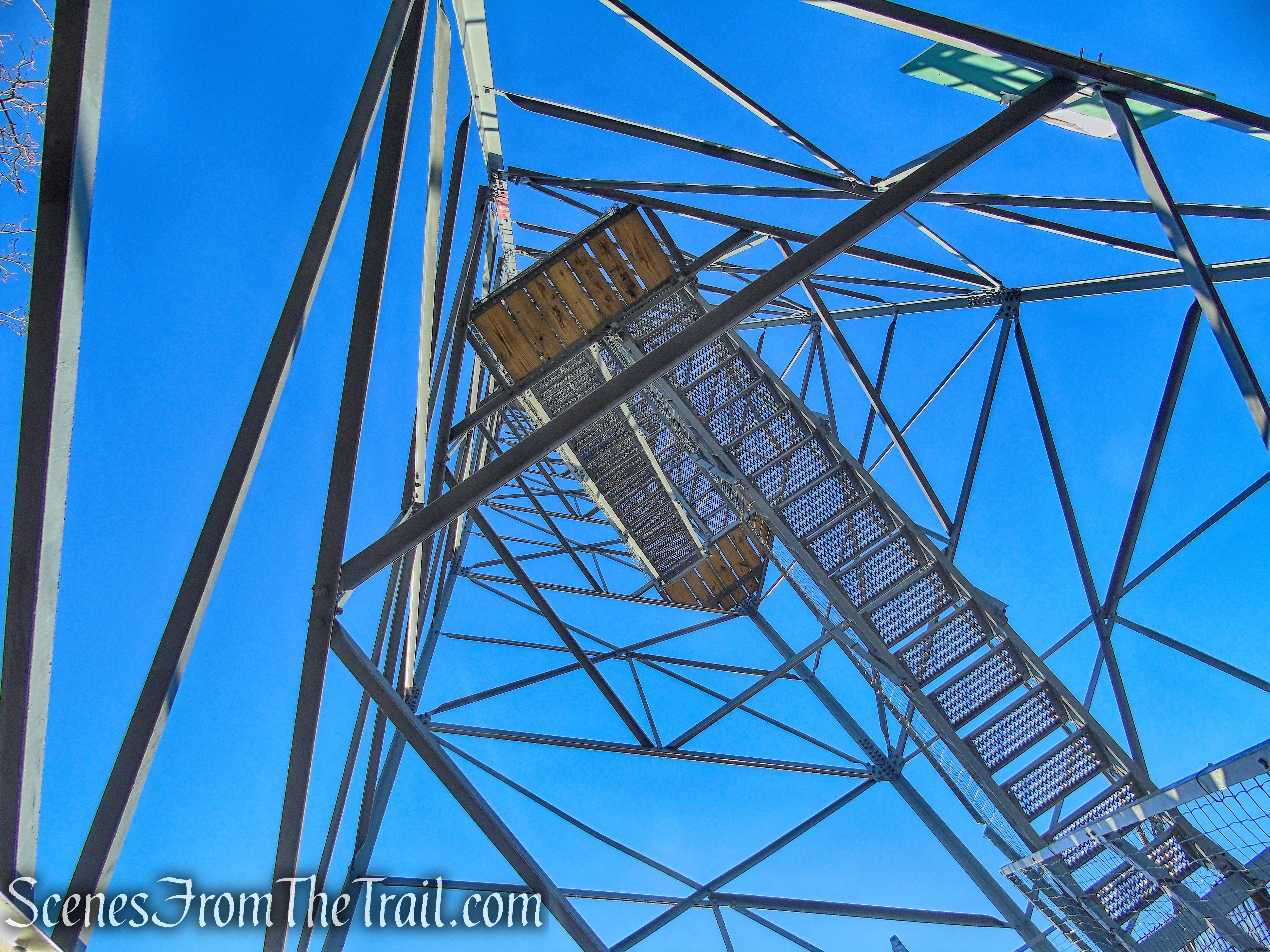
The stairway configuration on the International Derricks rises up from the ground running from corner to corner inside the fire tower’s superstructure between small triangular landings. The stairway design created safety concerns and became unpopular with state officials. As a result of these concerns, when the state purchased ten new fire towers between 1948 and 1950, the Aermotor LS-40 fire tower was chosen.
Mount Nimham Fire Tower

Mount Nimham Fire Tower
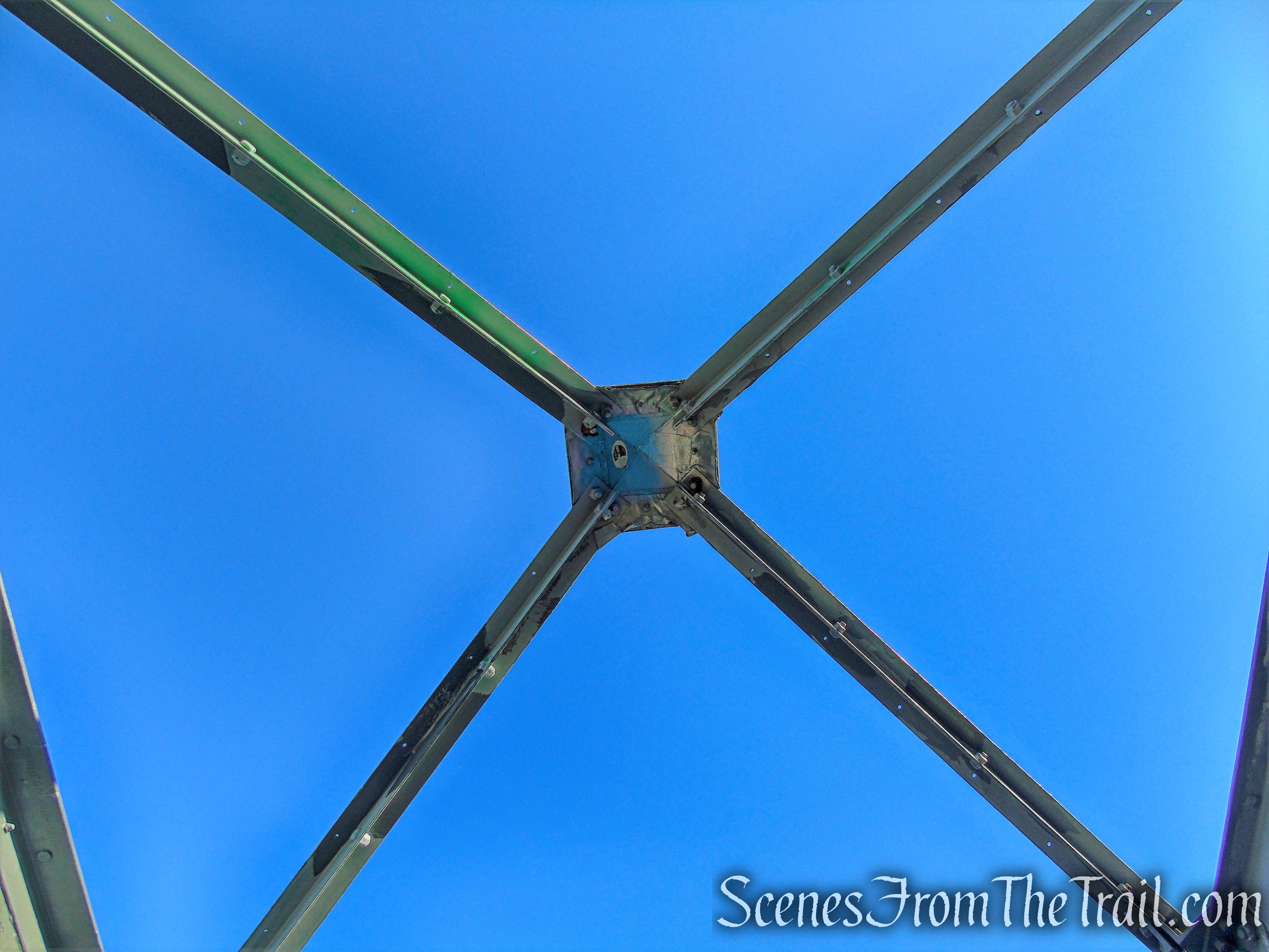
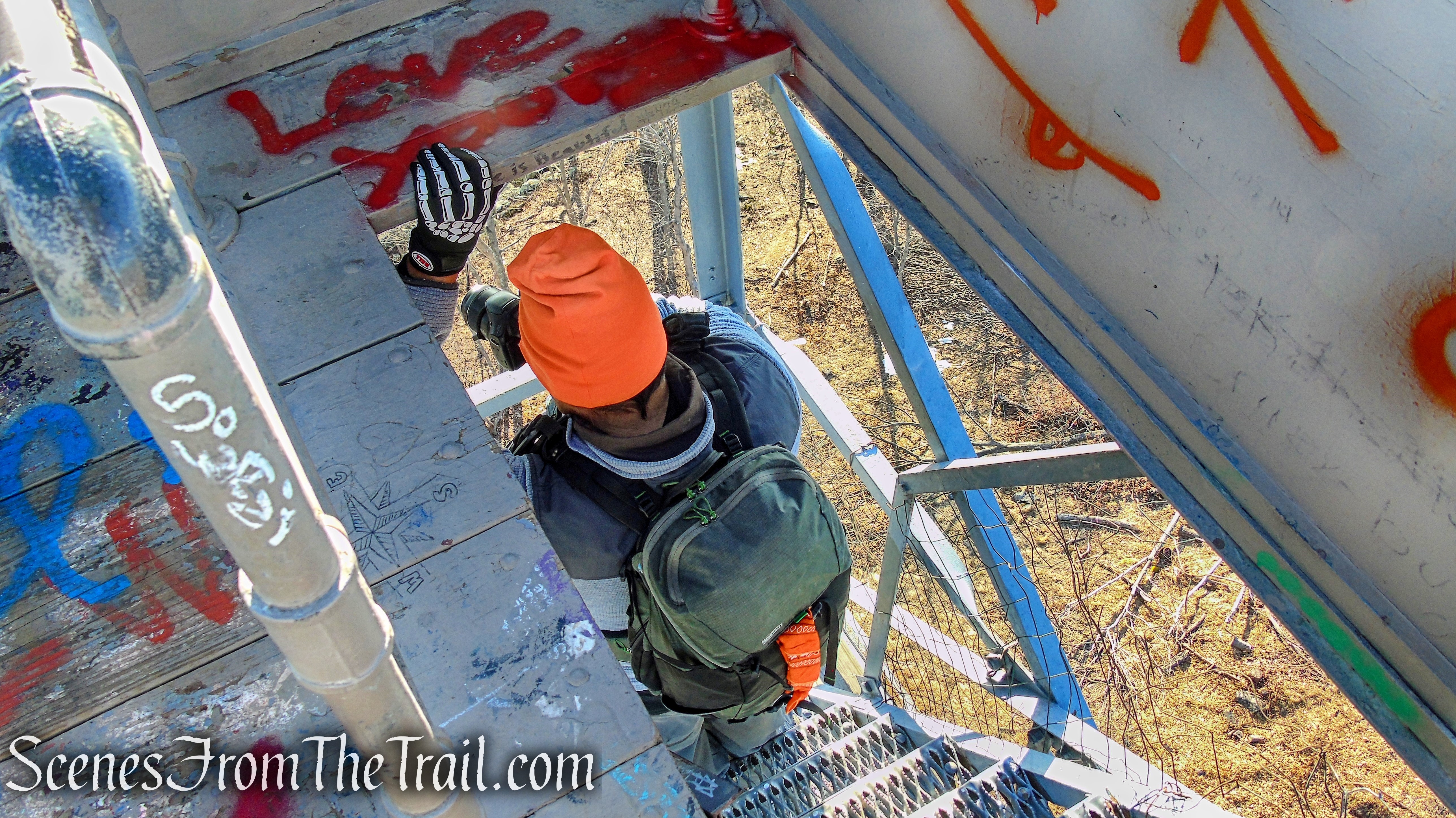
After climbing more than 100 steps to the cab of the roofless fire tower, one is greeted with 360° views, that makes the climb worthwhile.
Mount Nimham Fire Tower
Looking south towards the West Branch Reservoir from Mount Nimham Fire Tower.

West Branch Reservoir from Mount Nimham Fire Tower
The Catskill Mountains to the northwest.
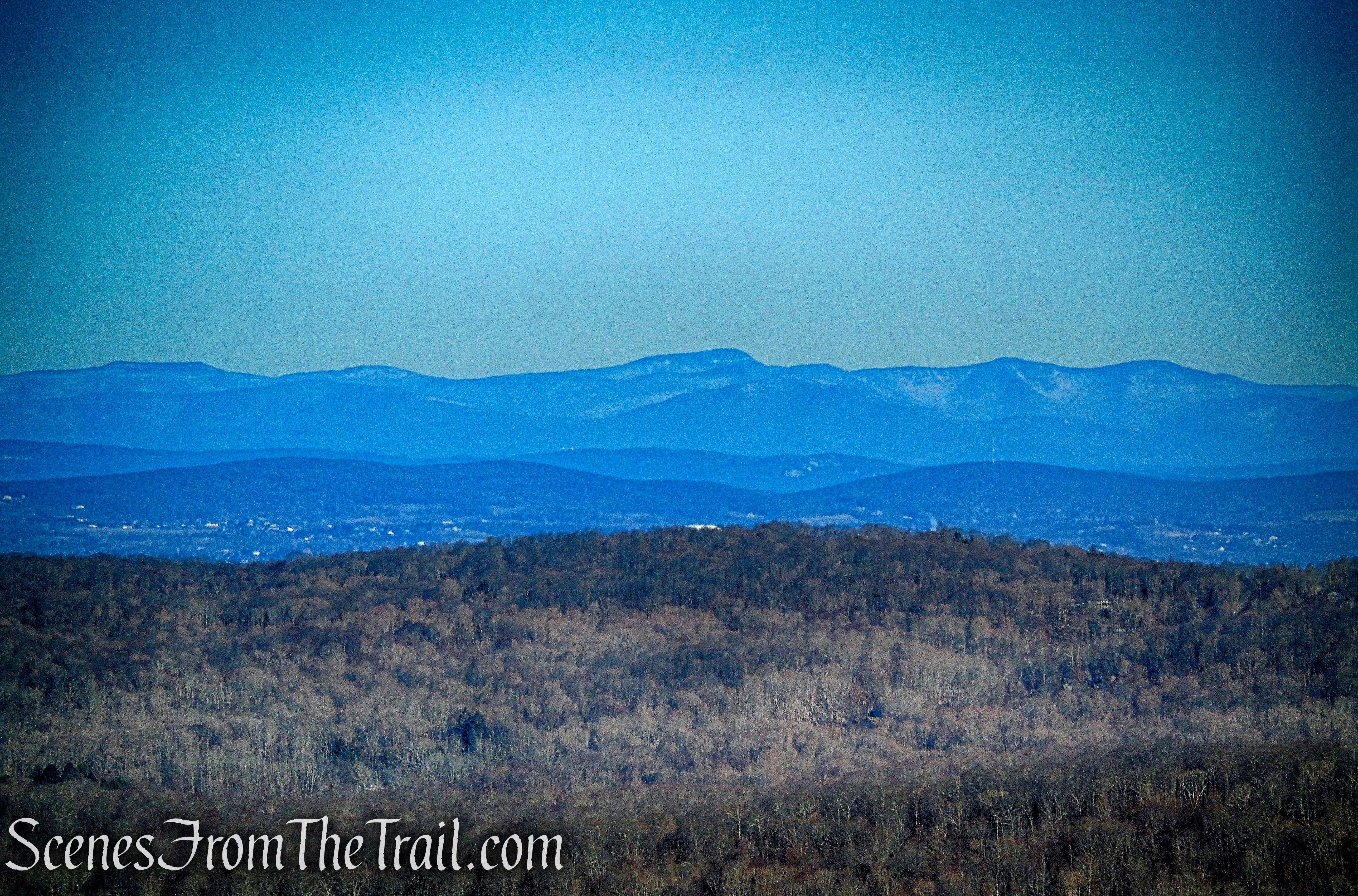
Catskill Mountains from Mount Nimham Fire Tower
Looking southwest.
View west towards Clear Pool and the surrounding hills
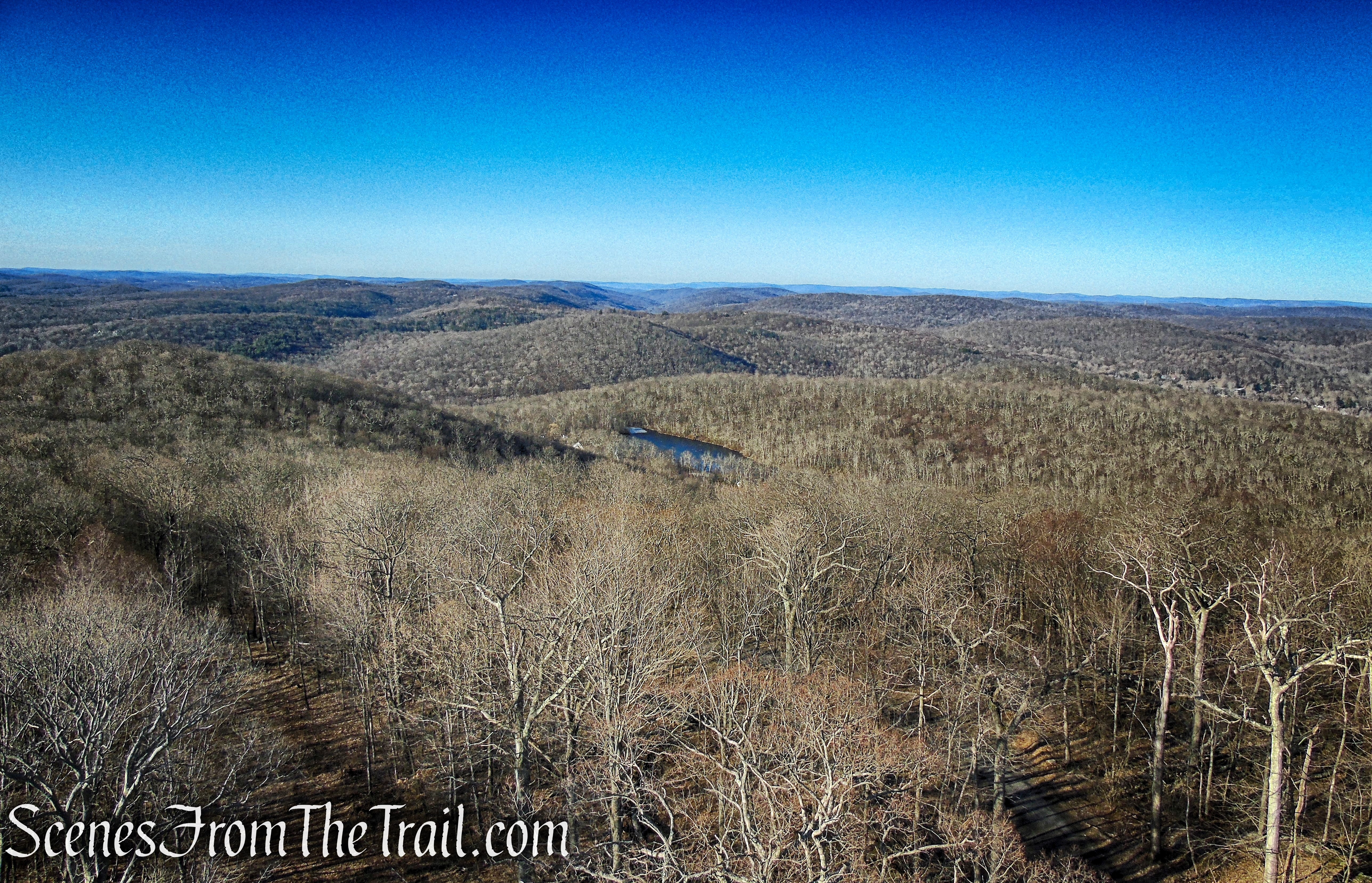
Looking north.

View north towards Big Buck Mountain
Not far from the fire tower is the survey marker.
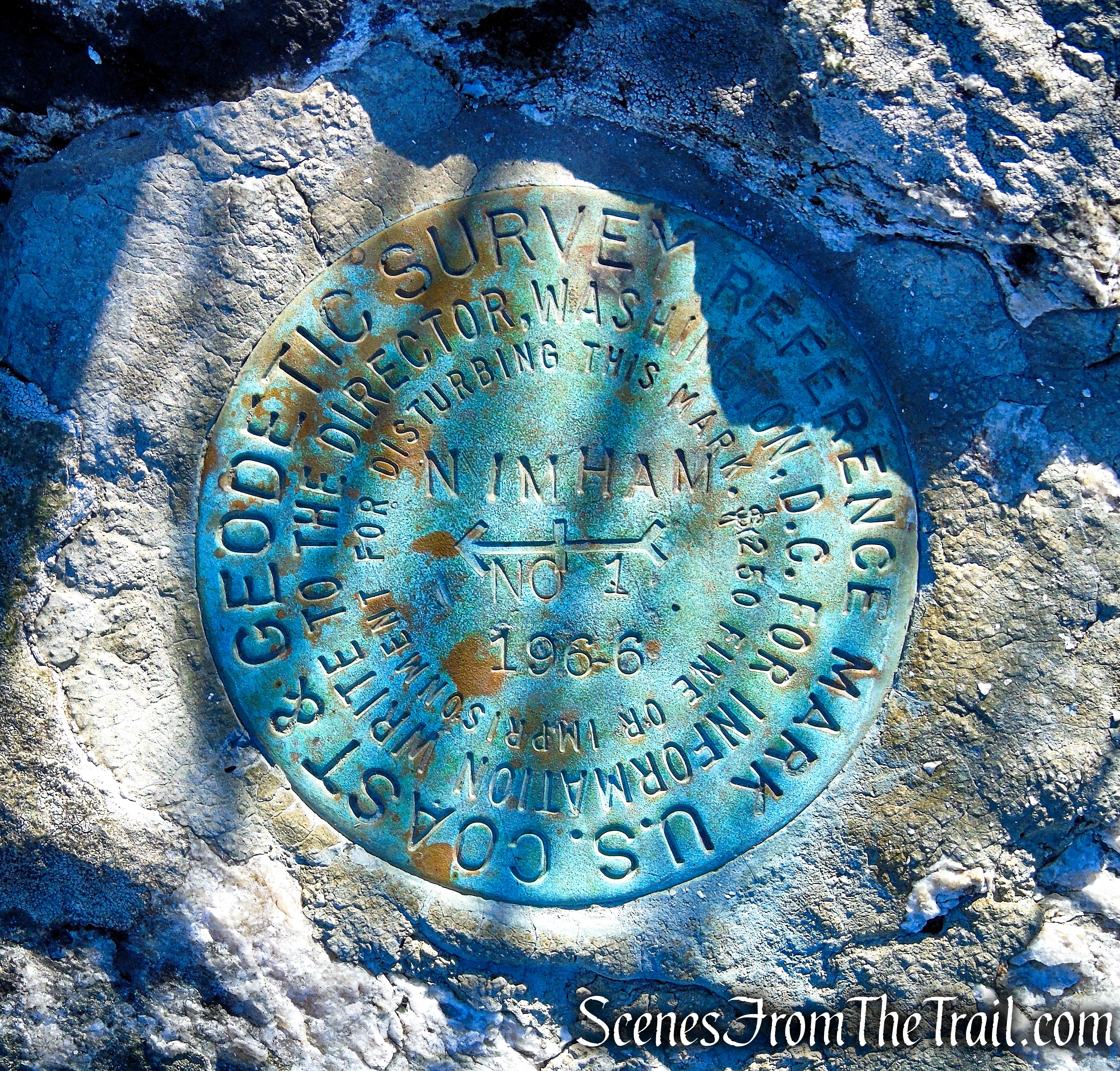
Nimham Mountain survey marker
We didn’t spot any raptors, but did see several Eastern Bluebirds while relaxing near the base of the tower.

Eastern Bluebird – Nimham Mountain summit

Eastern Bluebird – Nimham Mountain summit
When you are ready to continue, retrace your steps along Tower Road. In about 500 feet from the tower, look for a footpath that goes off to the right. Follow the footpath as it leads away from the fire road then begins to parallel it. You may begin to see some blue DEC markers. Soon the trail begins to run along an old stone wall, bordering private property as it descends.

turn right on a footpath, leaving Tower Road
Blue DEC trail marker – Nimham Mountain Multiple Use Area

along the Blue Trail
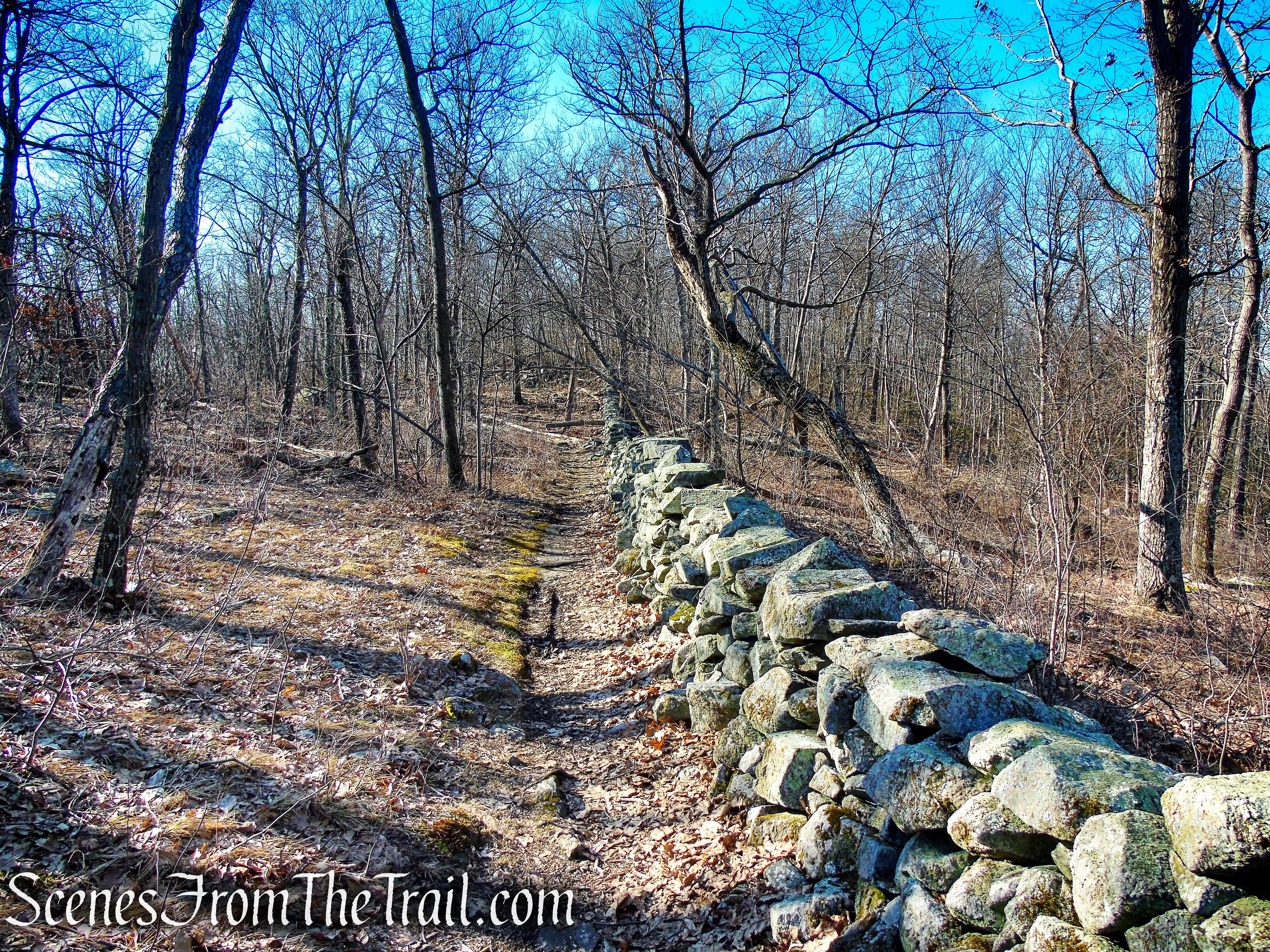
Blue Trail – Nimham Mountain Multiple Use Area
There are some minor ups and downs along the trail as it zig-zags through the woods. Keep an eye out for mountain bikers.
Blue Trail – Nimham Mountain Multiple Use Area
The trail becomes better blazed as it descends, but it is well worn and relatively easy to follow for most of the way.
Blue Trail – Nimham Mountain Multiple Use Area
Blue Trail – Nimham Mountain Multiple Use Area
In about 0.8 mile from the start of the Blue Trail, it comes to a T-intersection. Turn left and a short distance later, the trail widens to a woods road bordered by stone walls.

Blue Trail – Nimham Mountain Multiple Use Area
In about another 750 feet, the trail reaches Tower Road, directly opposite of the stone chamber that you passed on the way up. Turn right and follow Tower Road back to the parking area, where the hike began.

turn right on Tower Road
Tower Road – Nimham Mountain Multiple Use Area
Review:
A nice walk up the fire road to outstanding views from the fire tower. The return on the Blue Trail was more of a true hike through the woods. If you enjoy fire towers and the views that they provide, this place is definitely worth a visit. I plan on a return visit to explore more of the trails.
Pros:
Mount Nimham Fire Tower, 360° views, stone chambers, not as crowded as other fire towers in the region.
Cons:
Side trails could be better blazed.
Take a hike!
Mount Nimham Fire Tower Loop
Sources:
- Nimham Mountain Multiple Use Area
- Mount Nimham Fire Tower – Kent CAC
- Kent Conservation Foundation
- Nimham Mountain – FOREST LOOKOUTS
- International Derrick Model 1937 – Fire Lookout Types
- Nimham Mt. Fire Tower
- Mount Nimham Fire Tower – National Historic Lookout Register

Thank you so much for this! The Nimham Fire Tower & hike is a family favorite, but we did not know all of this history. Really enjoy your blog — has given us many new ideas. Bet it would be a hit in book form.
LikeLiked by 1 person
A wonderful, detailed coverage of a top destination in Putnam County.
LikeLiked by 1 person