February 9, 2019 – Hewitt, NJ
Difficulty: Moderate
Length: Approximately 6.3 miles
Max elevation: 716 ft. – total elevation gain: approximately 812 ft.
Route type: Circuit
Map: North Jersey Trails Map #115 – Free map
Trailhead parking: 1334 Greenwood Lake Turnpike, Hewitt, NJ 07421
Overview:
Long Pond Ironworks State Park is located in the community of Hewitt, in West Milford, New Jersey. The Park contains the remnants of ironworks operating from 1766 to 1886, two other pre-Civil War furnaces and two waterwheels surviving to this day. A visitor center and museum are on site. The park is operated and maintained by the New Jersey Division of Parks and Forestry.
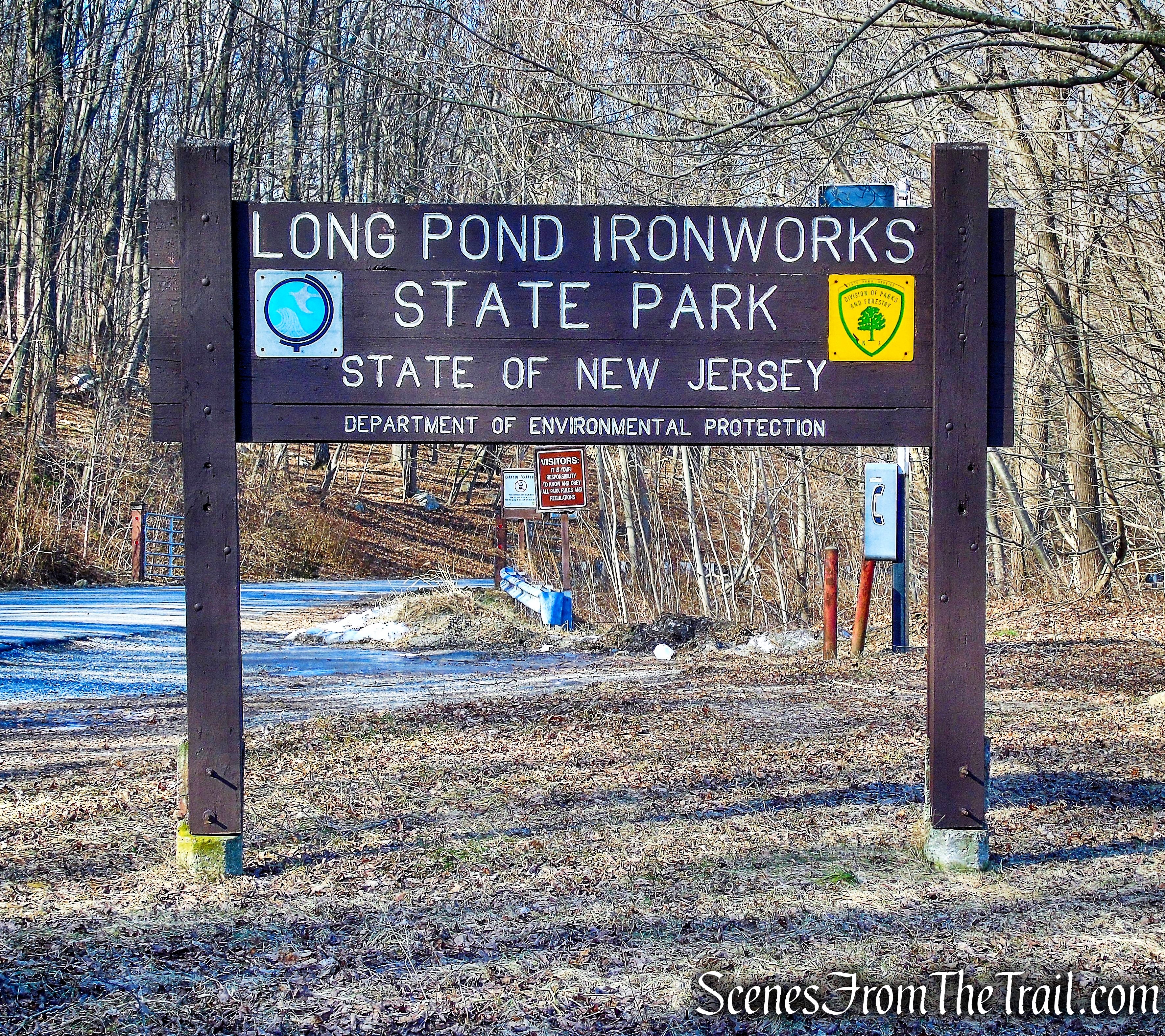
Long Pond Ironworks State Park
History:
The Monksville Reservoir dominates Long Pond Ironworks State Park. Historically, Long Pond, later called Greenwood Lake, gained prominence when Peter Hasenclever directed the construction of a dam across the southern end of Long Pond to provide water power for his ironworks downstream in the Hewitt area. Long Pond Ironworks was built in 1766 on Long Pond River, now known as the Wanaque. Just before the Civil War, two more furnaces were built with two waterwheels, and were in operation until 1882. The ruins of these structures survive in the park today, including several relocated historic frame buildings.
Trails Overview:
The trails of Long Pond Ironworks allow visitors to explore the ironworks ruins and surrounding area of the nearly 7,000-acre park. The park contains 10 trails that cross the rugged hillsides of Tranquility Ridge and Burnt Meadow Mountain as well as the swiftly flowing Wanaque River. Most trails are multi-use and range from old forest roads to single track paths.
Long Pond Ironworks State Park
Trails used on this hike:
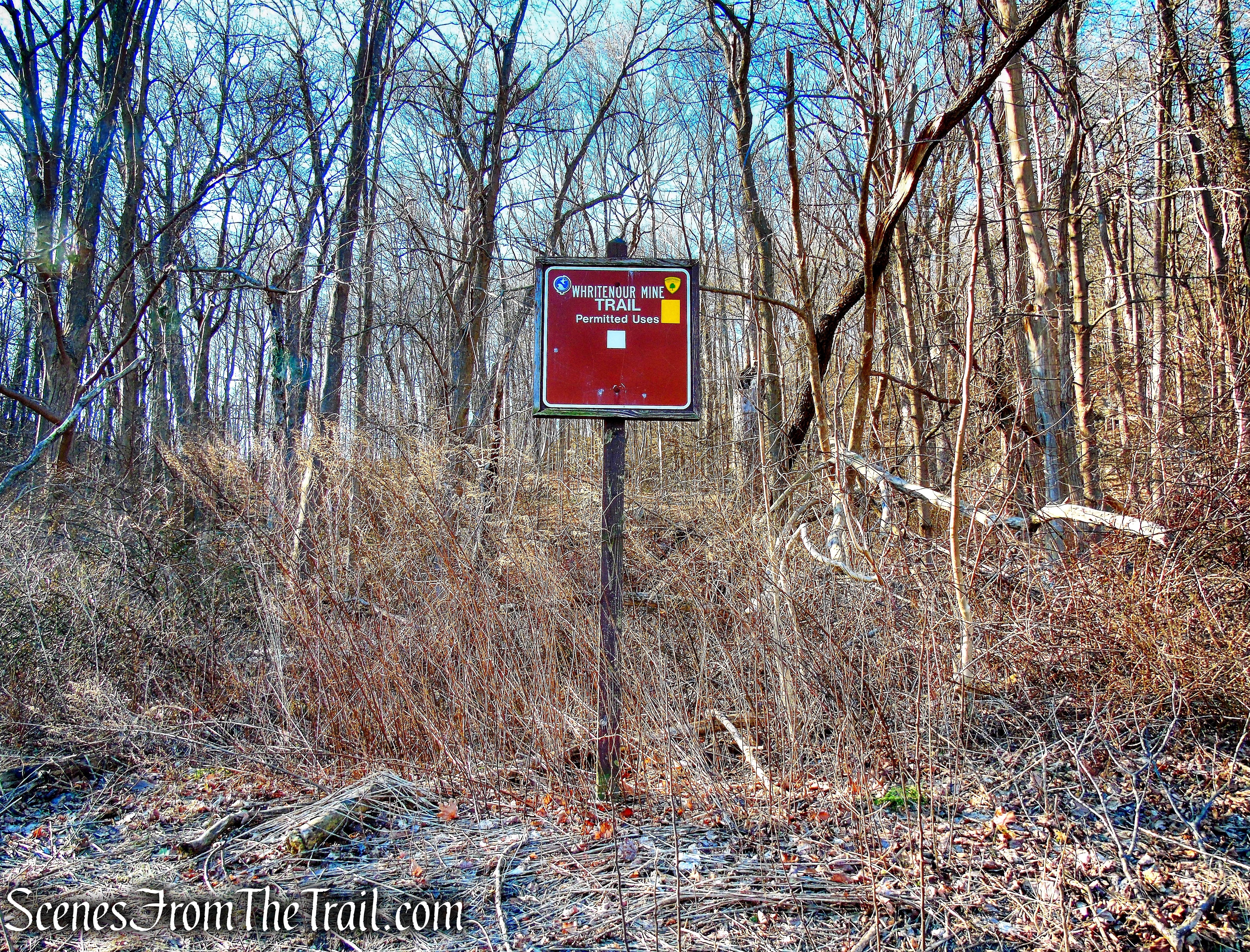
- Whritenour Mine Trail – Yellow – 0.41 mile
Moderate • Short loop trail over hillside to mine pits
Trailhead: South side of Route 511 across from Long Pond Ironworks Historic District.
The Whritenour Mine Trail climbs a rocky hillside to reach a small saddle on the ridgeline then descends to Monksville Reservoir. Along the way, the trail passes a large pit and depression on the hillside. This is an old farm mine acquired by Mathias Whritenour in 1833. The trail returns to Route 511 along the water’s edge.
Please note: On the day of this hike, the Whritenour Mine Trail was difficult to follow and resembled more of a bushwack than an actual trail. The “farm mines” are just shallow ditches that are not very impressive. In my opinion, this trail is not worth the time and effort it takes to traverse the rocky hillside in its present state.
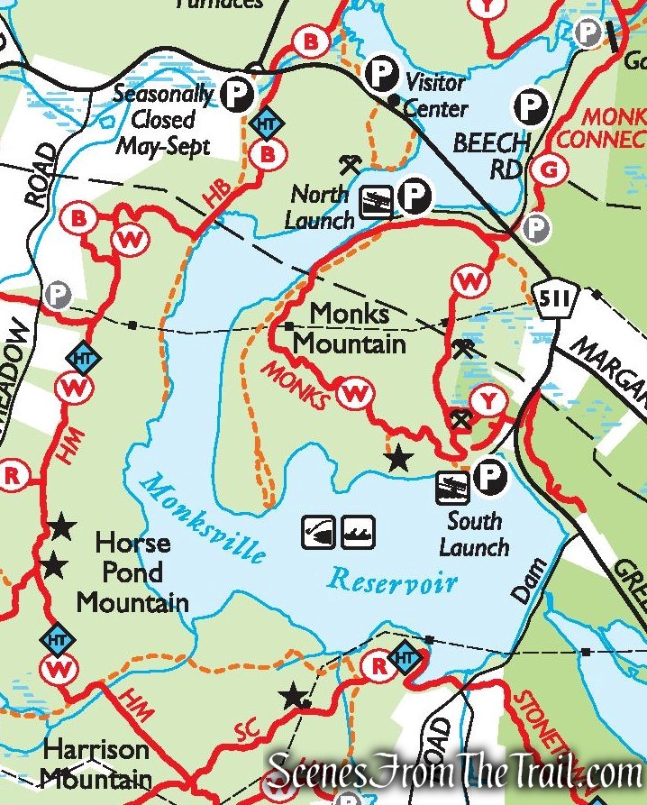
- Monks Trail – White – 2.4 miles
Moderate • Trail circles around Monks Mountain
Trailhead Parking areas at Monksville North or South boat launches.
Monks Trail circles Monks Mountain, a hilly tract of land bounded on three sides by the curve of the Monksville Reservoir. The trail follows along the lake’s edge on the northwest side of the loop and moves through the hillside forests on the south and east sides. - Unmarked Woods Road – 0.61 mile
Trailhead: Southern end of North Boat Launch (same as Monks Trail)
Easy • Mostly level, wide woods road that travels south along the foot of Monks Mountain.
This woods road leads to the southernmost point of land, to the shore of the Monksville Reservoir.
The Hike:
This hike begins and ends at the Long Pond Ironworks Visitor Center/Museum, with the Whritenour Mine Trail directly across the street. Due to the poor condition of this trail and the road walk that follows to get to the Monks Trail, I would suggest skipping this trail altogether and parking at the Monksville Reservoir, North Boat Launch, which is just down the road.
I will describe the hike as it was done, but will split it in case you decide to start at the North Boat Launch.
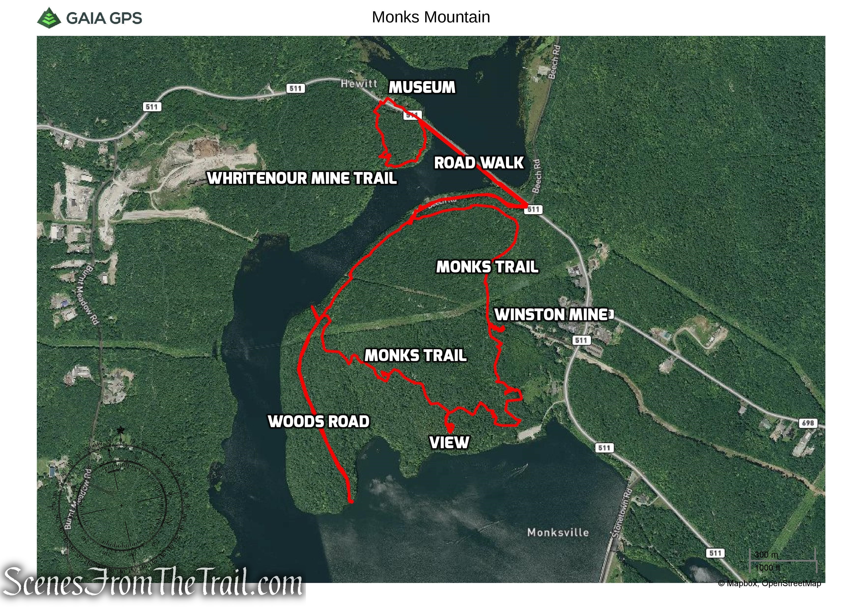
Monks Mountain Hike Route
Directly across the road from the Visitor Center, is a sign that marks the start of the yellow-blazed Whritenour Mine Trail. There is no discernible spot on either side of the sign that distinguishes the start of the trail. I couldn’t see any yellow blazes in the woods and the area around the sign is overgrown. The huge blowdown just beyond the sign may be blocking the way, but I am not sure. I found the clearest path I could find and entered the woods about 20 feet to the right of the sign.
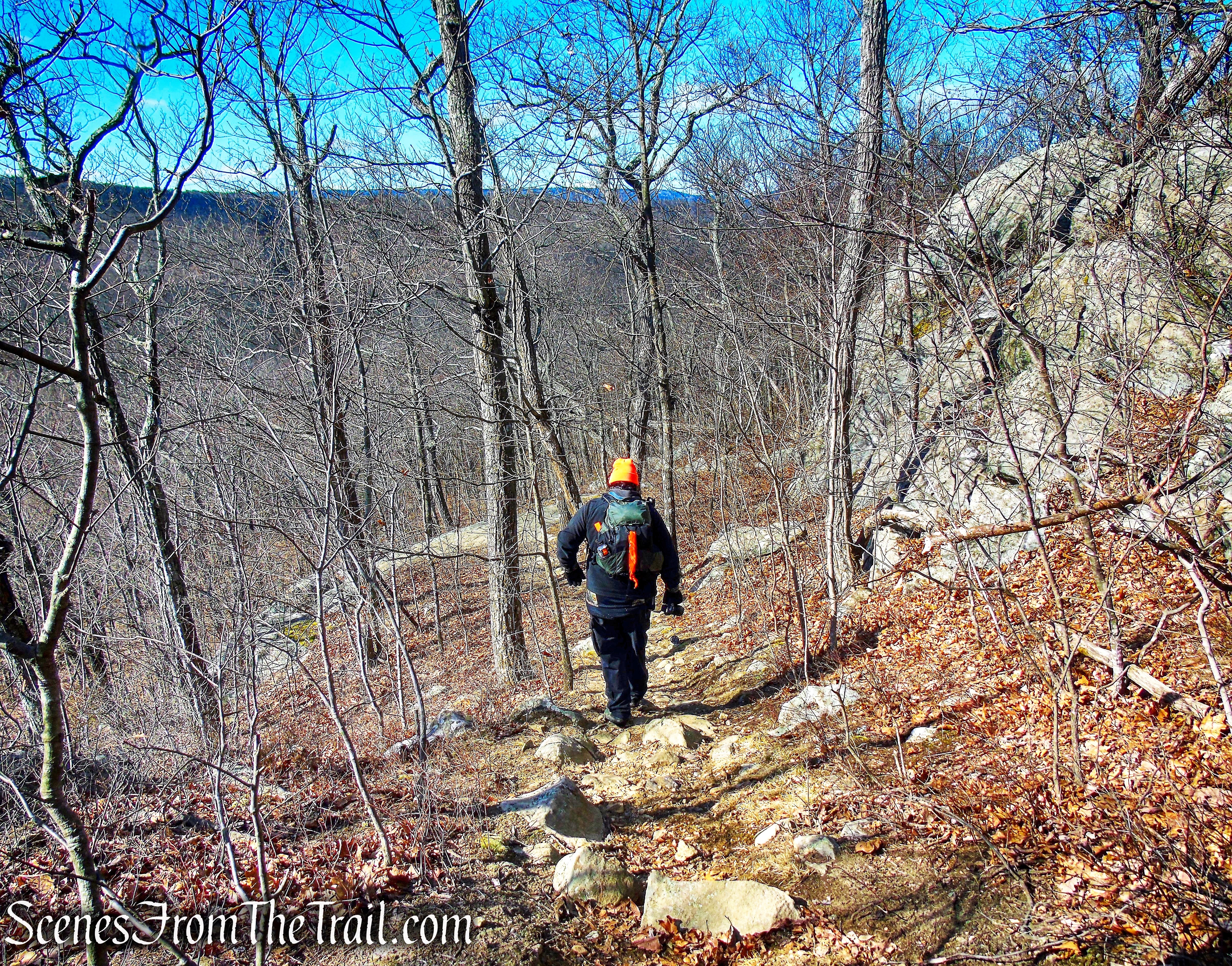
Whritenour Mine Trail
We were using the Avenza Maps app and it guided us to where the trail is supposed to be. As we began heading up the hill, the yellow blazes appeared, lots of them.
Whritenour Mine Trail
It appears that they used up all the yellow paint in this area.
Whritenour Mine Trail
The trail soon descends towards the Monksville Reservoir and then no more yellow blazes. We then reached the farm mines that are alongside the trail.
Whritenour Mine Trail
The Whritenour Mine is a “farm mine,” an exploration that located small veins of ore on land leased from local farmers. The Whritenour Mine consists of a cluster of four pits located near the shore of the reservoir. One pit is situated on elevated ground not far from the water, while two others are located farther up the steep hillside to the west-northwest. The fourth mine pit is located at the shoreline of the reservoir and is completely filled with water. There are several piles of iron ore tailings around each mine hole. A fifth mine pit, once visible at the site, is also under water.
farm mine – Whritenour Mine Trail
The Whritenour Mine was originally worked by a Mr. Henderson and was named the Henderson Mine, but the date of its opening is not known. The Geological Survey of New Jersey for 1881 states that the mine was “reopened” around 1880 by the Greenwood Lake Iron Company. The mine was abandoned after prospecting in the area failed to locate good quantities of ore.
farm mine – Whritenour Mine Trail
Using the Avenza Maps app to guide us, we began heading in a northerly direction along the edge of the reservoir.
Whritenour Mine Trail
We soon reached Greenwood Lake Turnpike/CR 511 and turned right.
Whritenour Mine Trail
We began heading south on Greenwood Lake Turnpike/CR 511.
Greenwood Lake Turnpike/CR 511
Along the way there are pleasant views of the Monksville Reservoir.
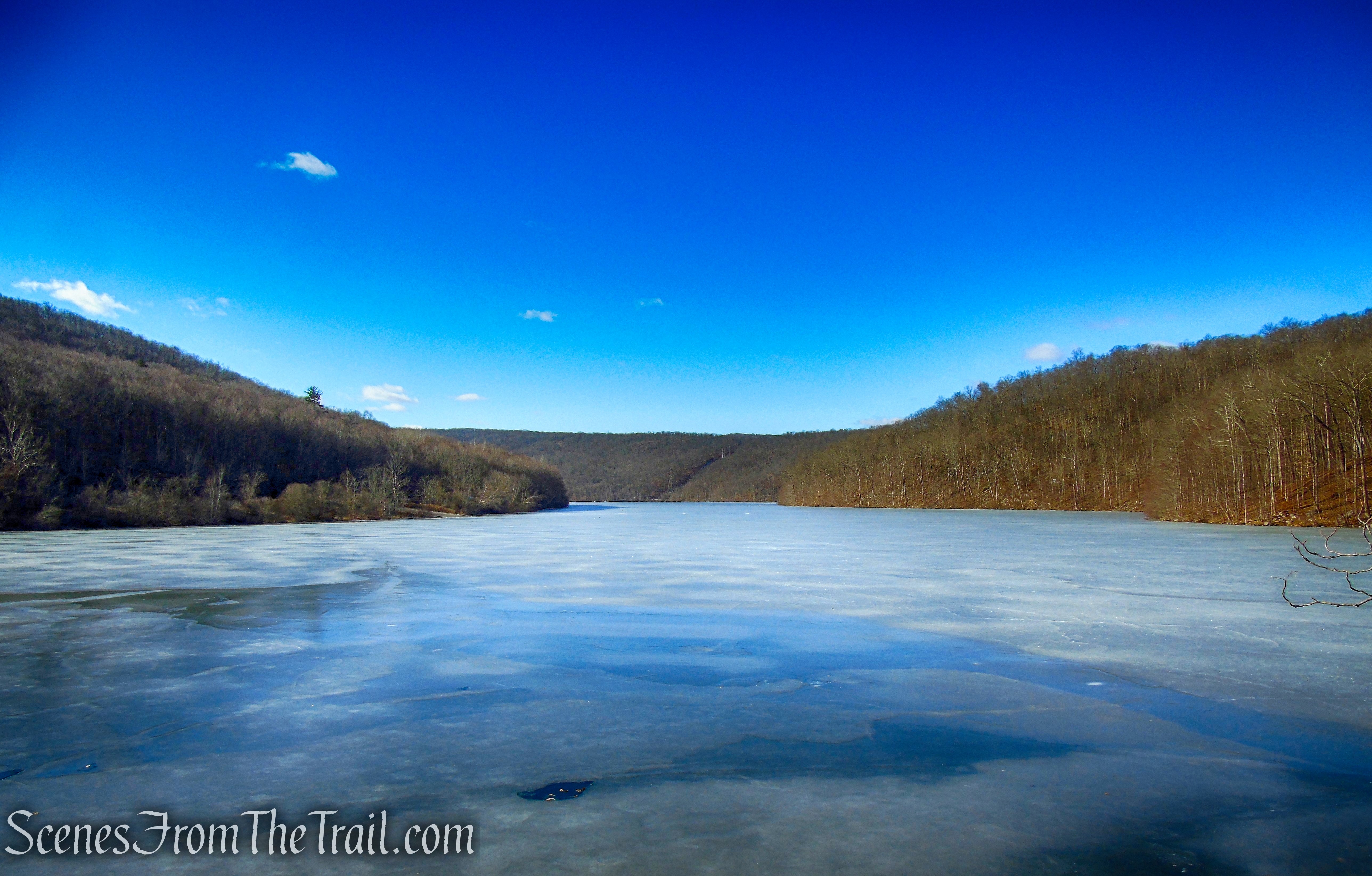
Monksville Reservoir
Monks Mountain, our destination, is visible just ahead.
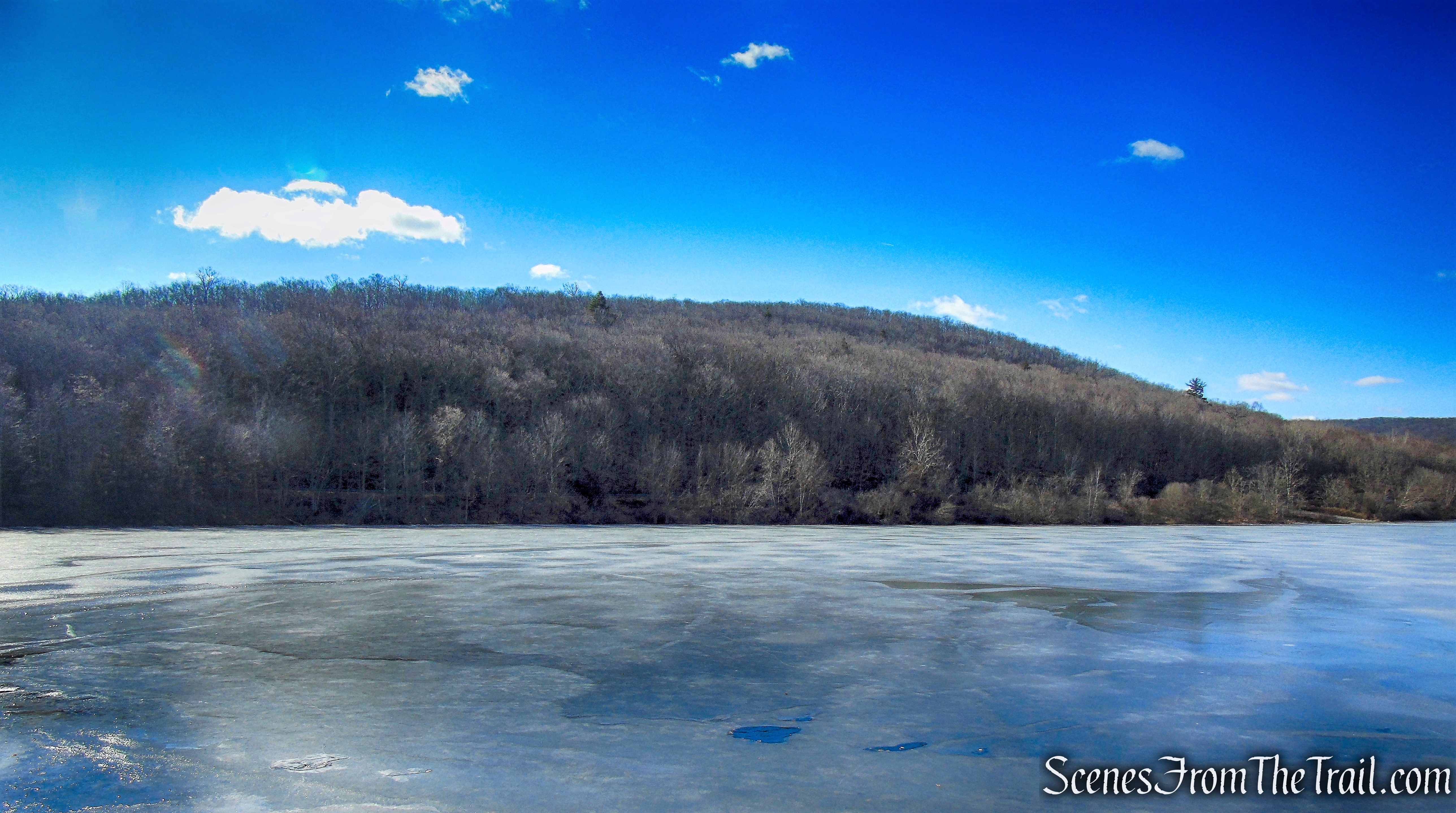
Monks Mountain and Monksville Reservoir
It’s approximately a 0.4 mile walk along the turnpike.
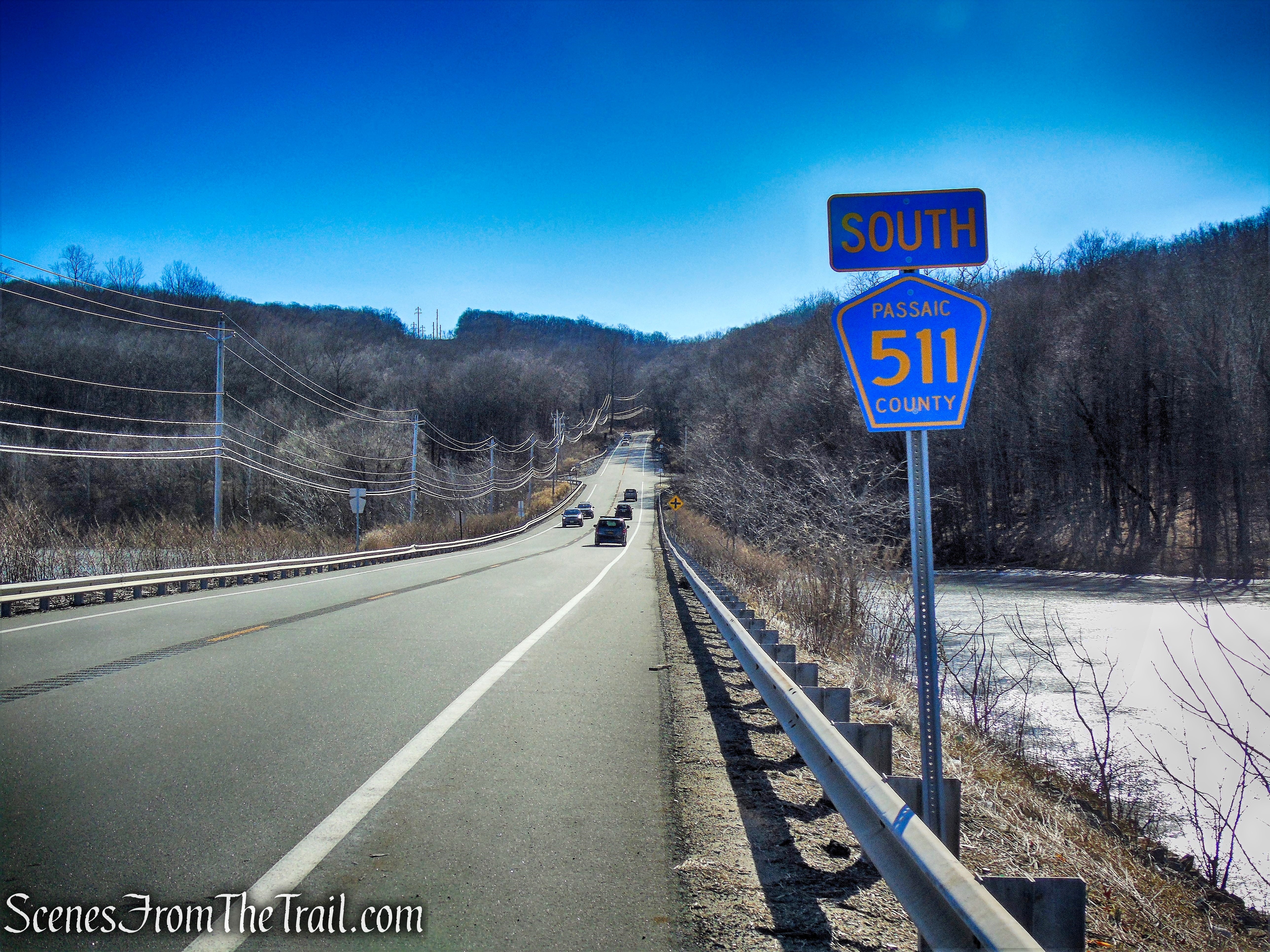
Greenwood Lake Turnpike/CR 511
We turned right into the Monksville Reservoir North Boat Launch and walked about 600 yards along the entrance road to the parking area.
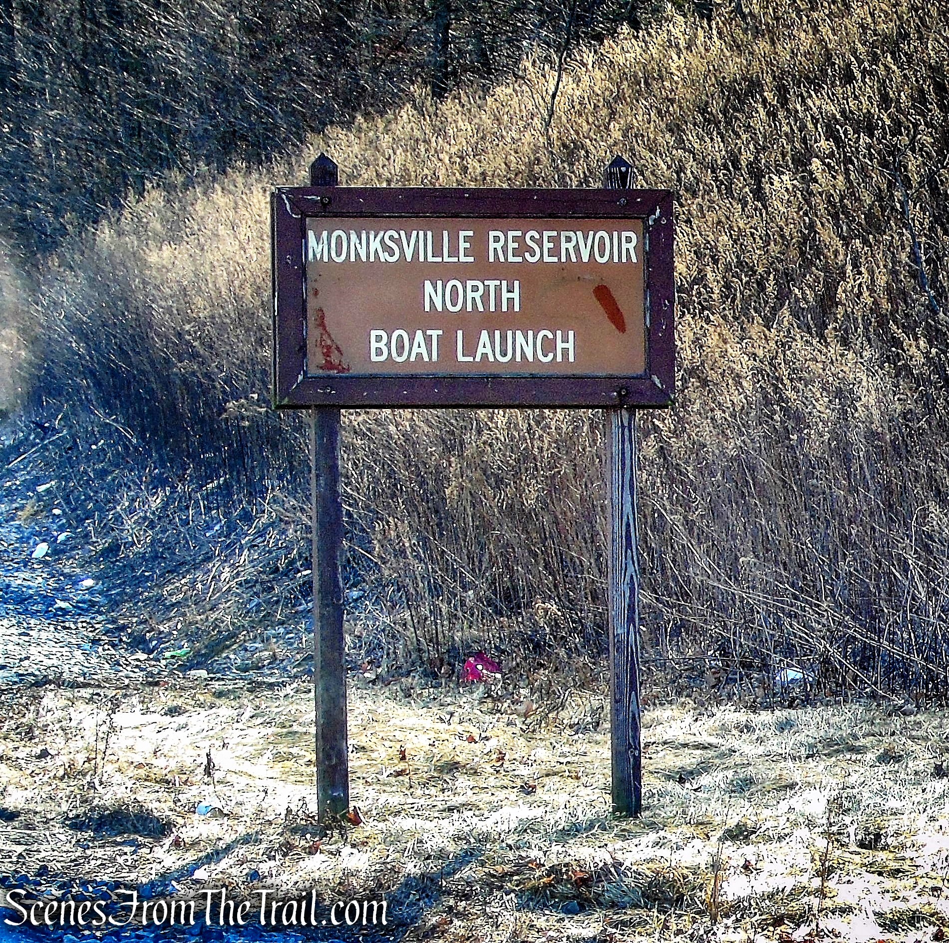
Monksville Reservoir North Boat Launch
Monksville Reservoir North Boat Launch
Monksville Reservoir North Boat Launch
There is plenty of parking available here during the winter months, but from what I read, this is a busy spot in the summer.
If beginning the hike from here, see below.
Monksville Reservoir North Boat Launch
At the south end of the parking area, there is a yellow gate with a triple white blaze, which marks the start of the Monks Trail. Proceed ahead for 50 feet, then turn left, following the white-blazed trail into the woods (the trail to the right, also blazed white, will be your return route).
Start of Monks Trail
Monks Trail
Monks Trail
The trail continues along the hillside, parallel to the Monksville Reservoir (visible below through the trees). As it approaches Greenwood Lake Turnpike, the Monks Trail passes the start of the green-blazed Monks Connector Trail and turns right onto a woods road.
Monks Trail
Monks Trail
Monks Trail
Monks Trail
Soon, it turns right again on a wider woods road and begins to climb. After passing a large rock outcrop to the right, the trail levels off. It goes under a power line and then crosses a gas pipeline.
Monks Trail
Monks Trail
Monks Trail
Monks Trail
Monks Trail
Just beyond the pipeline crossing, as the trail begins to descend, look carefully to the left. You will notice two large open pits, about 100 feet from the trail. These are the remnants of the Winston Iron Mine, which was opened shortly after the Civil War and abandoned by 1880. You will also see piles of tailings – discarded rocks that were a by-product of the mining operations – and other smaller pits nearby. Use extreme caution when exploring this area.
Winston Mine
These are the principal workings of the Winston Mine complex, including two deep shafts, trenches, and exploratory pits and tailing piles. One vertical shaft measures forty feet in diameter and is about fifty feet deep. Water is present at the bottom of this shaft and a pillar of rock is visible in the entrance at the bottom.
Winston Mine
Winston Mine
A few feet to the southeast is a second deep rectangular pit which measures forty-five feet in length, twenty-five feet in width and twenty-five feet in depth. This shaft also contains water at the bottom.
Winston Mine
There are five additional mine openings located in close proximity to the two main shafts. Traces of other small exploratory pits are present elsewhere along the slopes of Monks Mountain. Documentary information regarding the Winston Mines is sparse.
Winston Mine
After taking some time to observe these interesting remnants of the past, return to the trail and turn left. Just ahead, the woods road that the trail has been following curves to the left. We took the unmarked woods road which rejoins the Monks Trail further up. For the sake of this hike description, we will describe the hike following the white blazes.
Monks Trail
Follow the white-blazed trail as it turns right, leaving the road, and continues on a footpath through the woods. After crossing a stream, the trail proceeds along a narrow ridge, continues through a rocky area, and descends slightly. At the base of the descent, you will see two smaller mine openings to the left. The first is filled with water, while the other contains discarded tires.
Winston Mine
As the trail continues ahead, the Monksville Reservoir is visible through the trees.
Monks Trail
About a mile from the start of the Monks Trail, the trail turns right at a T-intersection. Soon, a short side trail leads left to the parking area at the southern boat launch site, and the Monks Trail turns right, crossing a wet area. The trail now begins a steady ascent of Monks Mountain on a winding footpath, climbing about 300 vertical feet in the next quarter of a mile.
Monks Trail
Monks Trail
As the trail levels off at the top of the climb, a side trail — blazed blue-on-white — leaves to the left. Follow this side trail, which passes a rocky cedar-studded high point and descends slightly to reach a viewpoint over the Monksville Reservoir in 300 feet. The Monksville Dam is visible to the left, with Harrison Mountain in the background.
Monks Trail
turn left on blue-on-white-blazed trail
blue-on-white-blazed trail
terminus of blue-on-white-blazed trail
viewpoint over the Monksville Reservoir
Now return to the Monks Trail and turn left. After a relatively level stretch along the summit ridge, the trail climbs a little and passes just to the left of the rocky summit of Monks Mountain.
Monks Trail
Monks Trail
A short distance beyond, it begins a steady descent on a rocky footpath, rather steeply in places, passing a large lichen-covered rock outcrop on the right.
Monks Trail
Monks Trail
Monks Trail
Monks Trail
Monks Trail
Monks Trail
Monks Trail
After leveling off in a broad valley, the trail bears right and continues to descend gradually.
Monks Trail
Monks Trail
The trail soon crosses under overhead power lines, bears right and begins to parallel the reservoir. A woods road is visible through the trees, the same woods road where the Monks Trail begins by the North Boat Launch. The Monks Trail crosses this woods road a little further up or you can choose to bushwack a short distance to it.
Please note: For a 2.5 mile loop (If beginning this hike from the North Boat Launch), remain on the white-blazed trail and follow it back to the parking area.
bushwack to woods road
Turn left onto the unmarked woods road and head in a southerly direction, with the Monksville Reservoir visible through the trees on the right.
woods road
The road ascends gradually, then descends as the reservoir becomes visible through the trees on both sides of the road.
woods road
After approximately 0.6 mile, the road reaches a view of the Monksville Reservoir.
Monksville Reservoir
Monksville Reservoir
After enjoying the view from water’s edge, retrace your steps along the woods road. The woods road then comes to the point where the white-blazed Monks Trail crosses the road at a gas pipeline cut. The woods road can be followed all the way back to the North Boat Launch or for a more scenic walk, turn left on the Monks Trail and follow the white blazes along a footpath parallel to the shore of the reservoir through an attractive stand of beech trees.
woods road crosses a gas pipeline
In a quarter mile, you’ll return to the parking area at the North Boat Launch. If you began the hike at the North Boat Launch, you are done. If you began at the Visitor Center, continue to the end of the entrance road out to Greenwood Lake Turnpike/CR 511 and turn left. Walk along the side of the turnpike until you arrive back at the Visitor Center which will be on the right.
Monks Trail
Review:
The first part of the hike on the Whritenour Mine Trail was a waste of time and effort. The mines are unimpressive and the road walk was mundane. If you decide to start the hike from the Visitor Center/Museum, I would recommend taking a walk through the Long Pond Ironworks Historic District, which begins there. It is much more interesting, with a lot to see. Otherwise, just begin the hike from the North Boat Launch which is what I would suggest. The Monks Trail is the highlight of the hike, with The Winston Mines and the view. Since it is only a 2.5 mile loop, the woods road out and back could be added in to lengthen the hike. This area doesn’t get much foot traffic as we saw an elderly gentleman at the end of the woods road and a couple passed us in the opposite direction along the Monks Trail as we neared the parking area.
Pros: Monksville Reservoir, Monks Trail, Winston Mine complex, scenic view.
Cons: Whritenour Mine Trail is hard to follow and more of a bushwack, road walk.
Take a hike!
Monks Mountain
Sources:
- New York-New Jersey Trail Conference
- The Friends of Long Pond Ironworks
- Long Pond Ironworks State Park
- Iron Mine Trails – Lenik, Edward J. – Kindle Edition
