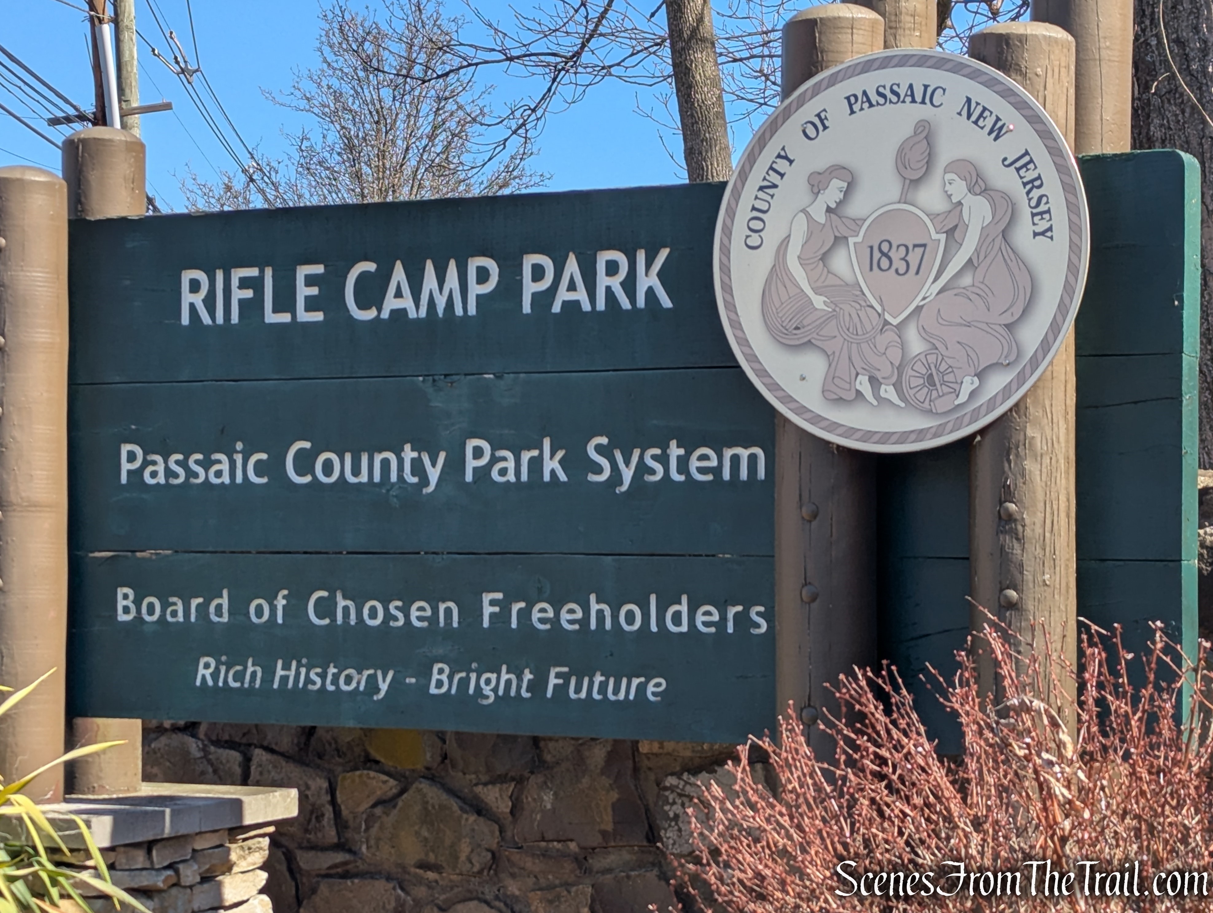
March 23, 2025 – Woodland Park, NJ
Difficulty: Easy – Moderate
Length: Approximately 3.5 miles
Max elevation: 562 ft. – total elevation gain approximately 400 ft.
Route type: Circuit
Maps: Rifle Camp Park Trail Map
Trailhead parking: 387 Rifle Camp Rd, Woodland Park, NJ 07424
Portable Toilets on site
Overview:
Rifle Camp Park is a 225-acre county park of Passaic County, New Jersey. The park sits on the ridgeline of Garret Mountain, a section of First Watchung Mountain. It is extensively forested, containing only a few open areas. Due to the local geology, large trap rock outcrops are abundant throughout the property. The eastern section of the park consists of nearly vertical basalt cliffs that provide panoramic views of the surrounding area. The park includes about 5 miles of hiking trails.
Rifle Camp Park
History:
The park is named for a Revolutionary War encampment that took place for approximately one week in 1780 in the vicinity of the “Great Notch,” which is now where U.S. Route 46 passes though the ridgeline. Major James Parr’s Rifle Corps were commanded to take a position in the Great Notch to protect the pass and observe British troop movements. This encampment is presumed to have occurred south of the current park property, closer to U.S. Route 46. Although it is impossible to rule out that they used vistas along the eastern edge of the park as lookouts for British troop movements, no evidence has been found that could substantiate this.
From October 9th to October 17th, 1780, Major James Parr’s rifle corps based themselves in the area now known, as Rifle Camp Park. The area also served as a location for General George Washington’s troops to observe British movements during the American Revolution. Washington relied heavily on the protection of the Watchung Mountains, which run from Mahwah in Bergen County to Bound Brook in Somerset County. They offered him ideal vantage points over New York City, which remained under British control for most of the Revolution, while providing an elevated, heavily-wooded, easily defended area for the Continental Army to camp and train.

Historical Marker – Rifle Camp Park
Much of the park property was originally purchased by the County Park Commission in the 1920’s from several individuals and entities along with lands that would be used to develop Garret Mountain Reservation. The newly acquired mountain was divided in half into Garret Mountain Reservation and South Mountain Park (later renamed Rifle Camp Park). The Olmsted Brothers firm developed an interim design for the property in the late 1940’s, and the Park Commission continued land acquisition for full park development through the 1960’s. With the necessary properties acquired, the Park Commission secured the services of Kinsey Associates, a national known park planner, to develop and design a Master Plan for the newly named “Rifle Camp Park” in 1969 with park completion following in 1973.
Trails Overview:
There are 2 marked trails totaling almost 5 miles. The Yellow Trail is listed at 3.2 miles and the Red Trail is listed at 1.5 miles. The two trails overlap in two different sections.

Rifle Camp Park Trail Map
The Yellow Trail for the most part, loops around the perimeter of the park. For a good chunk of that distance, it runs along the fence line….literally.
The Yellow Trail is well marked and easy to follow.
Hike Overview:
This is one of those hikes that I was curious about for some time now. From the images that I have seen online, it looked like a great spot to check out. Some years back, I hiked Garret Mountain Reservation and assumed that Rifle Camp Park would be similar. I was sadly mistaken. Don’t get me wrong, the park is nice, but there are way too many fences! For most of the hike, we walked alongside a fence. There are fences along the edge of the cliffs, along the reservoir and bordering private property. That kind of ruined it for me. Other than that it was a decent hike.

Rifle Camp Park
There are a fair amount of minor ups and downs on the Yellow Trail totalling about 400 feet of elevation gain.

Elevation profile – Rifle Camp Park
Parking:
There are 5 parking lots in Rifle Camp Park. For this hike, we parked all the way up top, by the John Crowley Nature Center. By parking there, we came upon the NYC skyline view almost immediately. That meant the we experienced the best part of the hike right at the beginning. That also meant that the last part of the hike is uphill.
The Hike:
From the southern end of the parking lot, look for a yellow blaze on a tree. Follow the yellow blazes south until it reaches a gravel path that runs parallel to the fence line. Almost immediately views over Clifton and the NYC skyline will appear on the left (on a clear day).

Yellow Trail Loop – Rifle Camp Park

Yellow Trail Loop – Rifle Camp Park

NYC skyline from Yellow Trail

View east from Yellow Trail
The Yellow Trail hugs the fence line along the edge of the cliffs, then veers right, away from the fence and proceeds downhill. The Yellow Trail reaches a paved path near a pond and turns left.

Yellow Trail Loop – Rifle Camp Park

Yellow Trail Loop – Rifle Camp Park

Yellow Trail Loop – Rifle Camp Park
The Yellow Trail passes a small 1 acre pond on the eastern edge of the property.

Yellow Trail Loop – Rifle Camp Park

Yellow Trail Loop – Rifle Camp Park
The trail runs along the eastern side of the pond, and at about the midway point, the trail turns left and heads uphill on a footpath.

Yellow Trail Loop – Rifle Camp Park
The Yellow Trail reaches a black fence, turns right and continues along the fence line with more views to the east.

Yellow Trail Loop – Rifle Camp Park
The townhomes below were built in the area that was once a quarry.

Yellow Trail Loop – Rifle Camp Park
The Yellow Trail continues along the fence line with views to the east and south (through the fence). The NYC skyline can be seen in the far distance. Soon, the trail bears right and descends a small hill near the southern end of the Great Notch Reservoir and bears right.

Yellow Trail Loop – Rifle Camp Park

Yellow Trail Loop – Rifle Camp Park

Yellow Trail Loop – Rifle Camp Park

View east from Yellow Trail

Yellow Trail Loop – Rifle Camp Park

Yellow Trail Loop – Rifle Camp Park

Yellow Trail Loop – Rifle Camp Park

Yellow Trail Loop – Rifle Camp Park
The Yellow Trail climbs a hill along the fence of the reservoir and turns left, hugging the fence. The trail now heads in a northerly direction. Through the trees, if you look to the right, you can see the black fence along the ridge where you walked just a few minutes earlier.

Yellow Trail Loop – Rifle Camp Park

Great Notch Reservoir

Yellow Trail Loop – Rifle Camp Park

Yellow Trail Loop – Rifle Camp Park

Yellow Trail Loop – Rifle Camp Park
The Great Notch Reservoir was constructed between 1924 and 1938.

Great Notch Reservoir
In a short distance, the trail leaves the fence line and heads northeast through the woods, soon approaching a large rock formation, and heads uphill alongside it. The trail turns right, then a quick left as it passes through a small ravine.

Yellow Trail Loop – Rifle Camp Park

Yellow Trail Loop – Rifle Camp Park

Yellow Trail Loop – Rifle Camp Park

Yellow Trail Loop – Rifle Camp Park
The Yellow Trail then levels off as it continues northeast on a wide dirt road. Soon it turns left and is joined by the Red Trail, which comes in from the right.

Yellow Trail Loop – Rifle Camp Park

Yellow Trail Loop – Rifle Camp Park
The coaligned Yellow/Red Trail heads in a northwesterly direction, passing a fitness station and a dog park.

Yellow Trail Loop – Rifle Camp Park

Yellow Trail Loop – Rifle Camp Park

Dog Park – Rifle Camp Park
The trail turns left by the dog park and proceeds uphill on a paved path. At the top of the rise, the trail reaches a playground area with picnic tables and grills.

Yellow Trail Loop – Rifle Camp Park

Yellow Trail Loop – Rifle Camp Park
The Yellow Trail turns left by the picnic tables, as the Red Trail continues ahead. Follow the yellow markers as they head north and soon bear right uphill. As the trail levels off, it soon crosses the main park road, not far from the entrance.

Yellow Trail Loop – Rifle Camp Park

Yellow Trail Loop – Rifle Camp Park

Yellow Trail Loop – Rifle Camp Park
After crossing the park road, the Yellow Trail turns left, approaches private property, then turns right on a gravel path. Soon, the trail departs the gravel path and heads east along the northern edge of the property, bordered by another fence.

Yellow Trail Loop – Rifle Camp Park

Yellow Trail Loop – Rifle Camp Park

Yellow Trail Loop – Rifle Camp Park

Yellow Trail Loop – Rifle Camp Park

Yellow Trail Loop – Rifle Camp Park
The Yellow Trail veers away from the fence line briefly before returning to it. As the trail heads uphill, views over the City of Clifton and the NYC skyline appear to the left.

Yellow Trail Loop – Rifle Camp Park

Yellow Trail Loop – Rifle Camp Park

Yellow Trail Loop – Rifle Camp Park

Yellow Trail Loop – Rifle Camp Park
At the top of the rise, the Yellow Trail turns right and passes by the new nature & environmental center. A short distance later, the Yellow Trail reaches the upper parking lot and turns left, passing through the lot and back to where the hike began.

Yellow Trail Loop – Rifle Camp Park

Yellow Trail Loop – Rifle Camp Park

Yellow Trail Loop – Rifle Camp Park

Yellow Trail Loop – Rifle Camp Park
Review:
This is the type of place that I am glad that I hiked, but would probably never return to again. To be honest, it wasn’t worth the 35 minute drive from the Tappan Zee Bridge. The woods were scenic and the cliff top views were nice, but those fences! I appreciate the history of the park and enjoyed the solitude, but those fences! If you are seeking a true hiking experience, this might not be the place for you.
Pros:
Well marked trails, scenic landscape, NYC skyline views, plenty of parking.
Cons:
Too many fences.
Take a hike!

Yellow Trail Loop – Rifle Camp Park
Sources:
- Rifle Camp Park
- Woodland Park New Jersey Revolutionary War Sites
- Rifle Camp Park – See Passaic County
- Garret Mountain Fact Sheet – PDF
